Trails in Germany
36,852 hiking trails, each with its route, climb, walking time and grade.
All trails, page 238 of 768
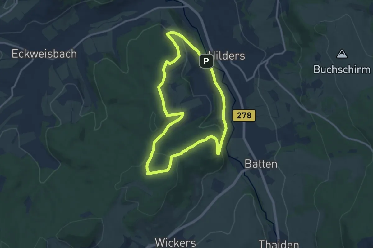
Easy · Trail
Hilders Rundwanderweg 3
7.9 km · ↑ 226 m · 2 h 27 min
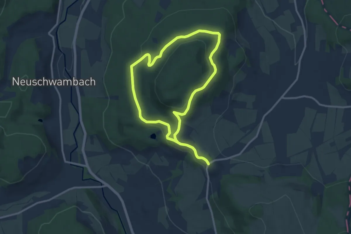
Easy · Trail
Hilders Rundwanderweg 6
6.9 km · ↑ 168 m · 2 h 6 min
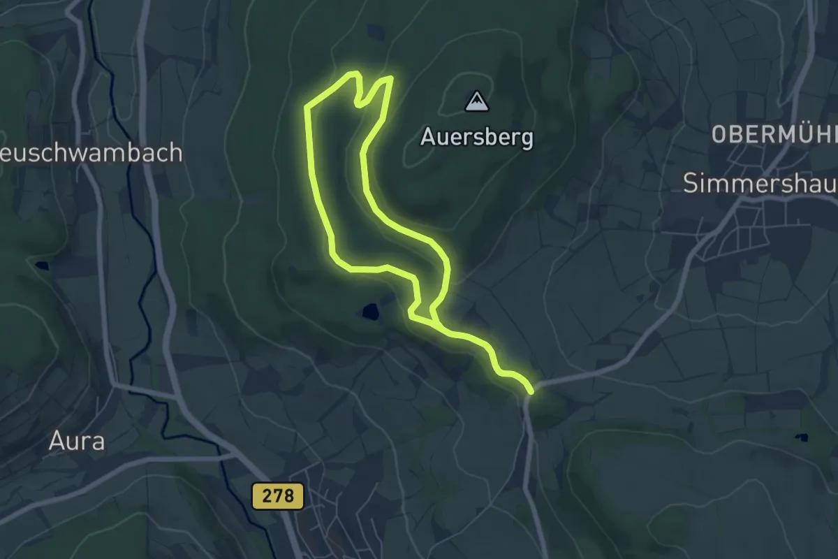
Easy · Trail
Hilders Rundwanderweg 6
5.3 km · ↑ 139 m · 1 h 37 min
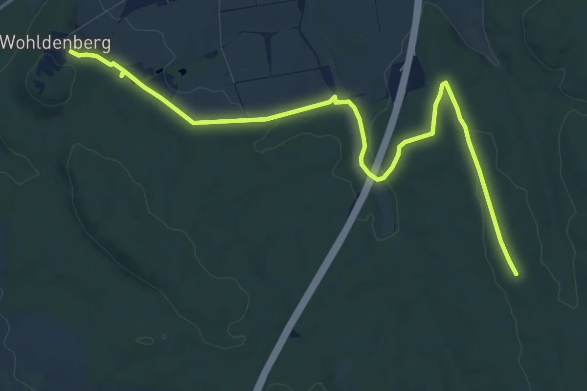
Medium · Summit
Hildesheim-Harz-Weg Nordstrecke
10.9 km · ↑ 143 m · 2 h 53 min
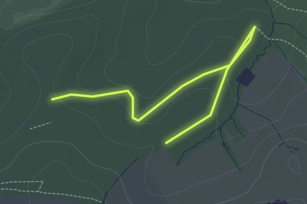
Easy · Trail
Hilgenpütt Rundweg A1
1.4 km · ↑ 14 m · 22 min
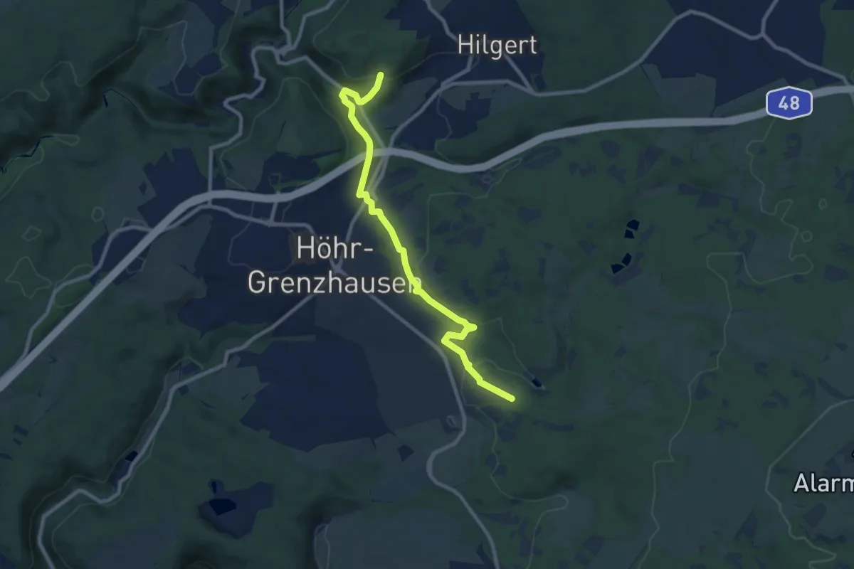
Medium · Cabin
Hillscheider Rundwanderweg 6
8.4 km · ↑ 155 m · 2 h 19 min
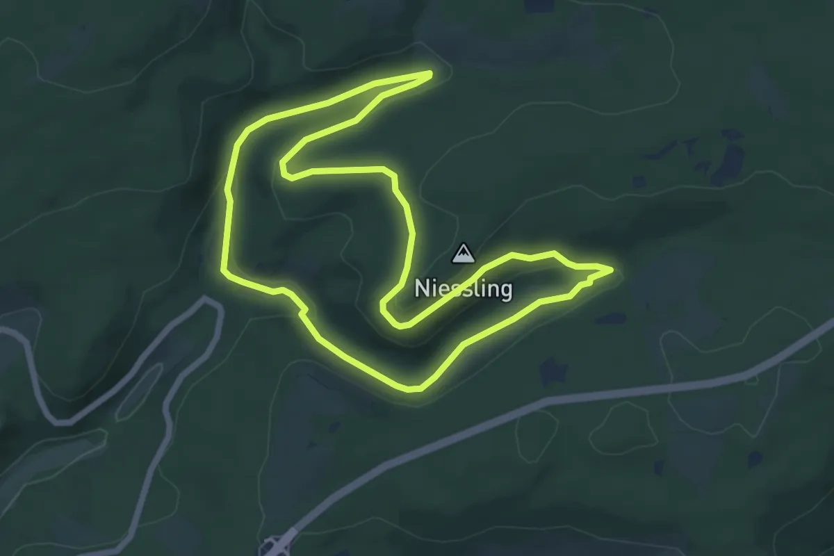
Easy · Summit
Hillscheider Stausee - Niessling
5.4 km · ↑ 128 m · 1 h 38 min
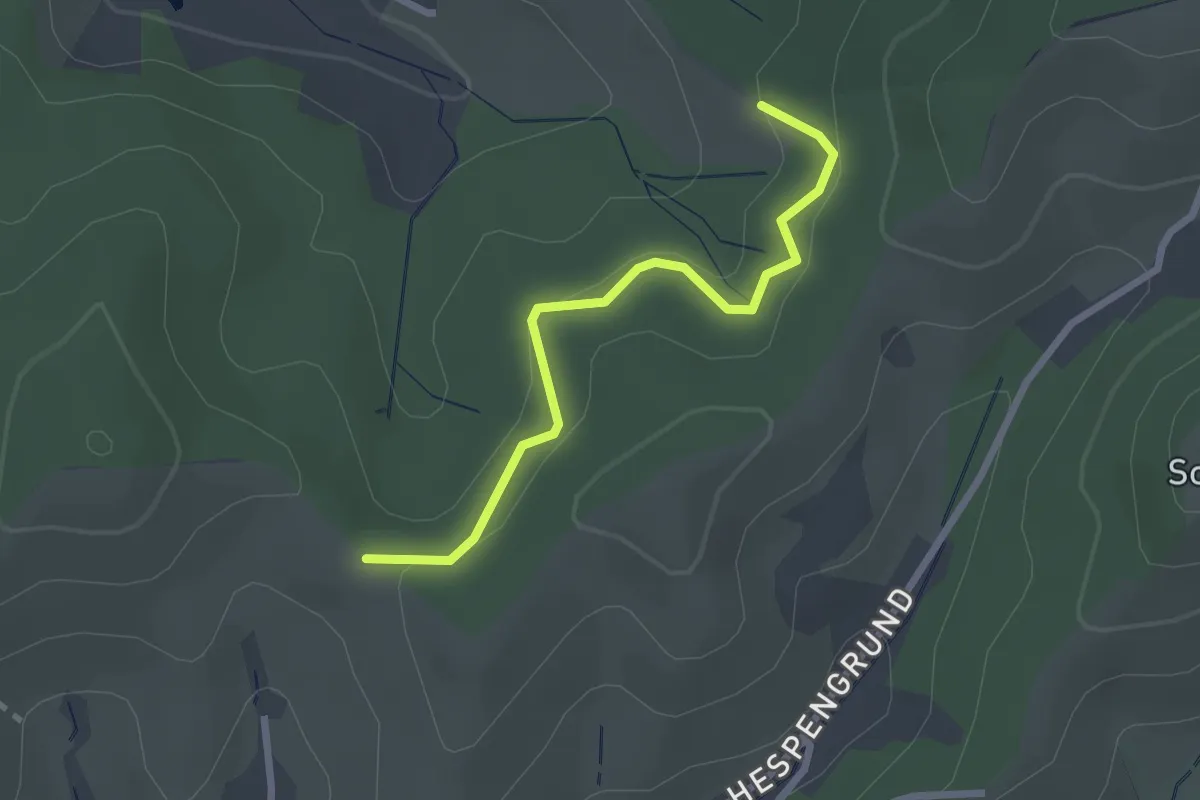
Easy · Trail
Hilsbacher Höhe - Wiedergrün
2.3 km · ↑ 89 m · 44 min
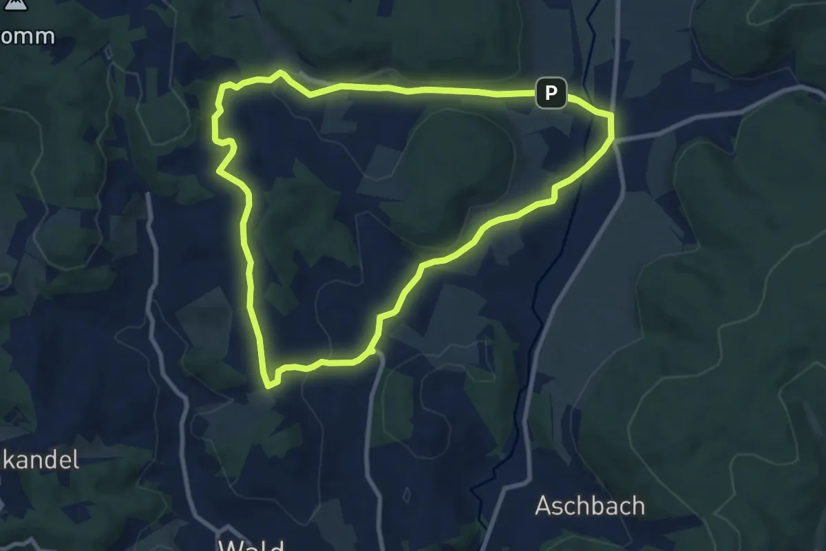
Medium · Trail
Hilsberg-Weg
8.0 km · ↑ 169 m · 2 h 23 min
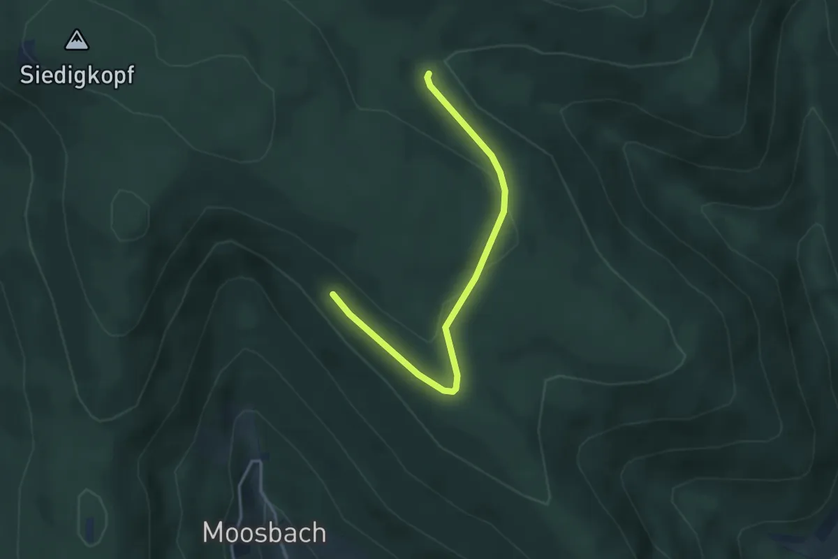
Easy · Trail
Hilseckhütte - Moosbachwand
3.2 km · ↑ 96 m · 57 min
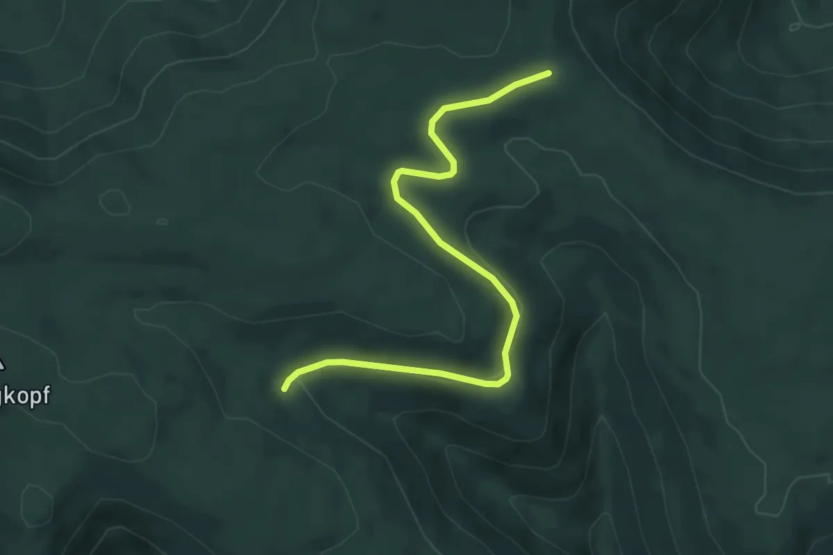
Easy · Trail
Hilseckhütte - Ramsbacher Holzplatz
5.5 km · ↑ 110 m · 1 h 32 min
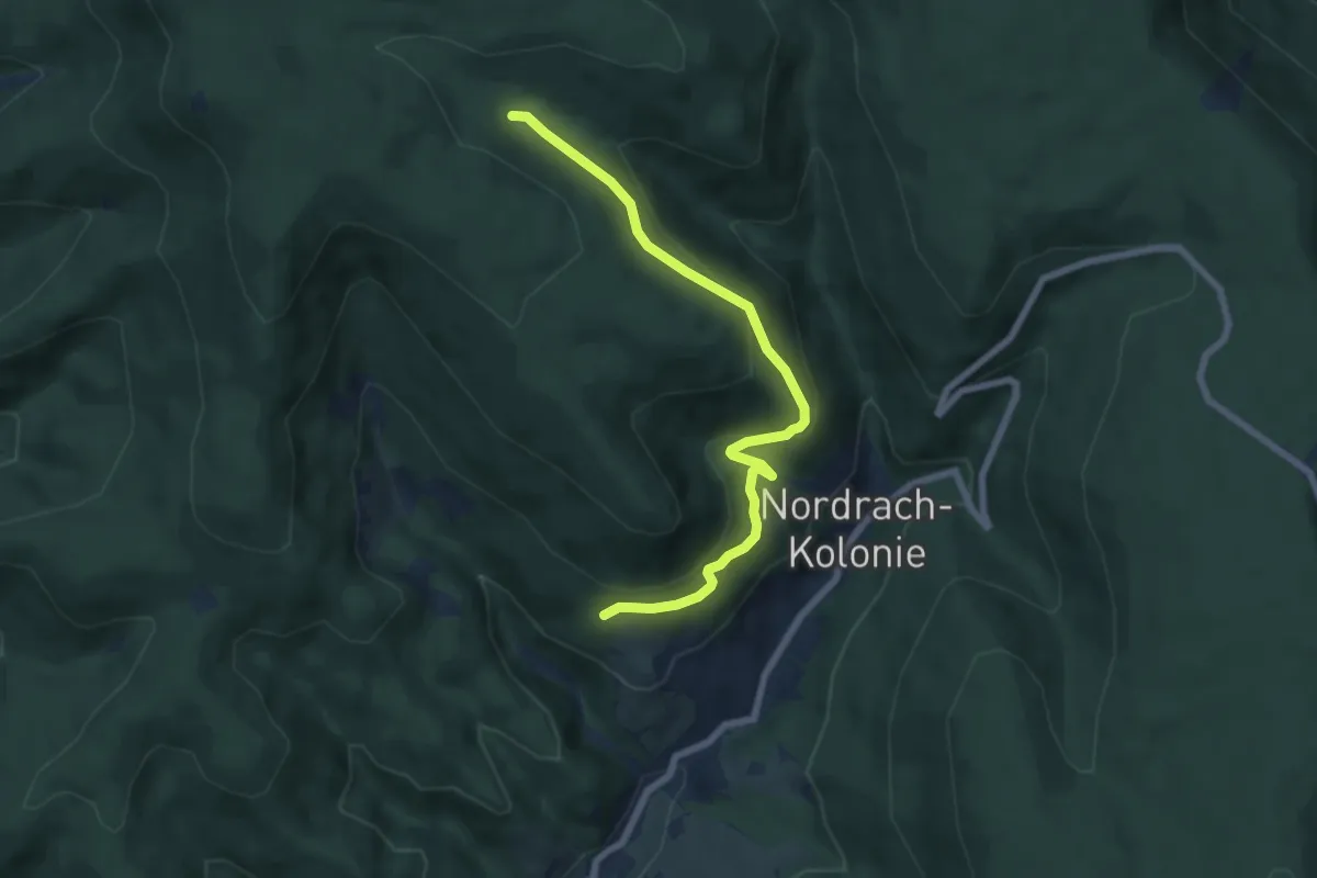
Medium · Cabin
Hilseckhütte - Wanderheim Sonnenhaus
6.7 km · ↑ 336 m · 2 h 18 min
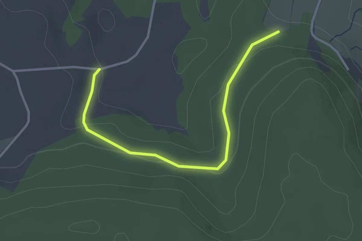
Easy · Trail
Hilsenbühl - Güntersberg
2.8 km · ↑ 61 m · 48 min
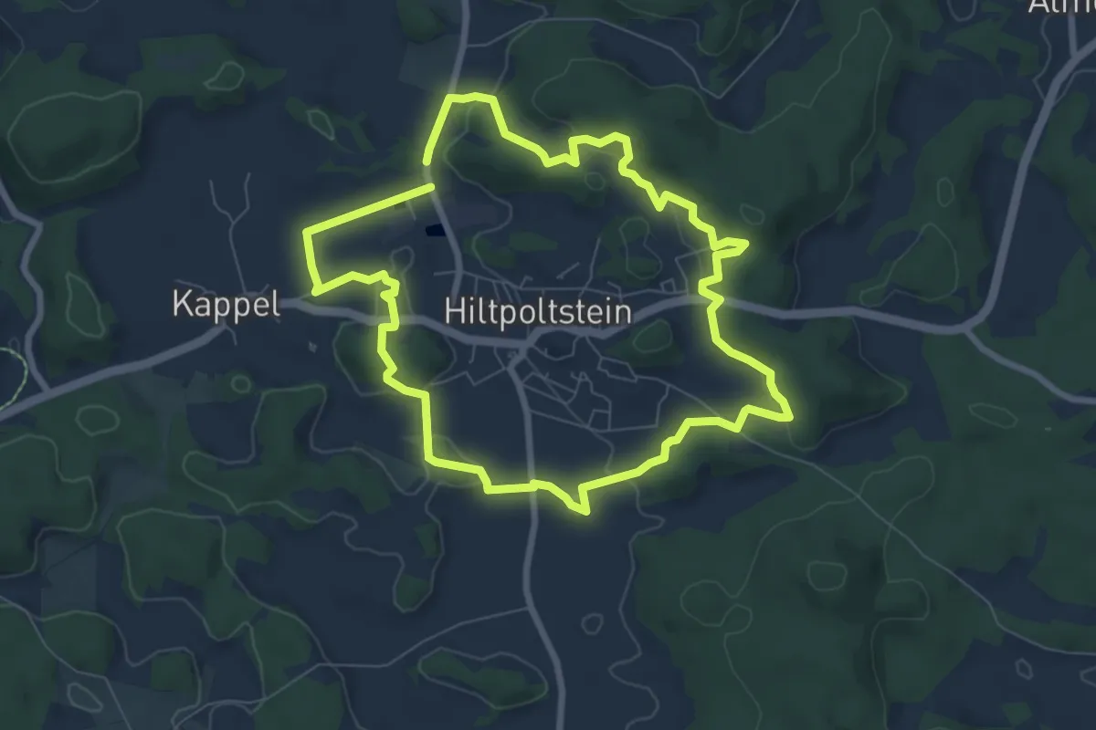
Easy · Summit
Hiltpoltstein "Durch die Kirschgärten"
6.9 km · ↑ 183 m · 2 h 7 min
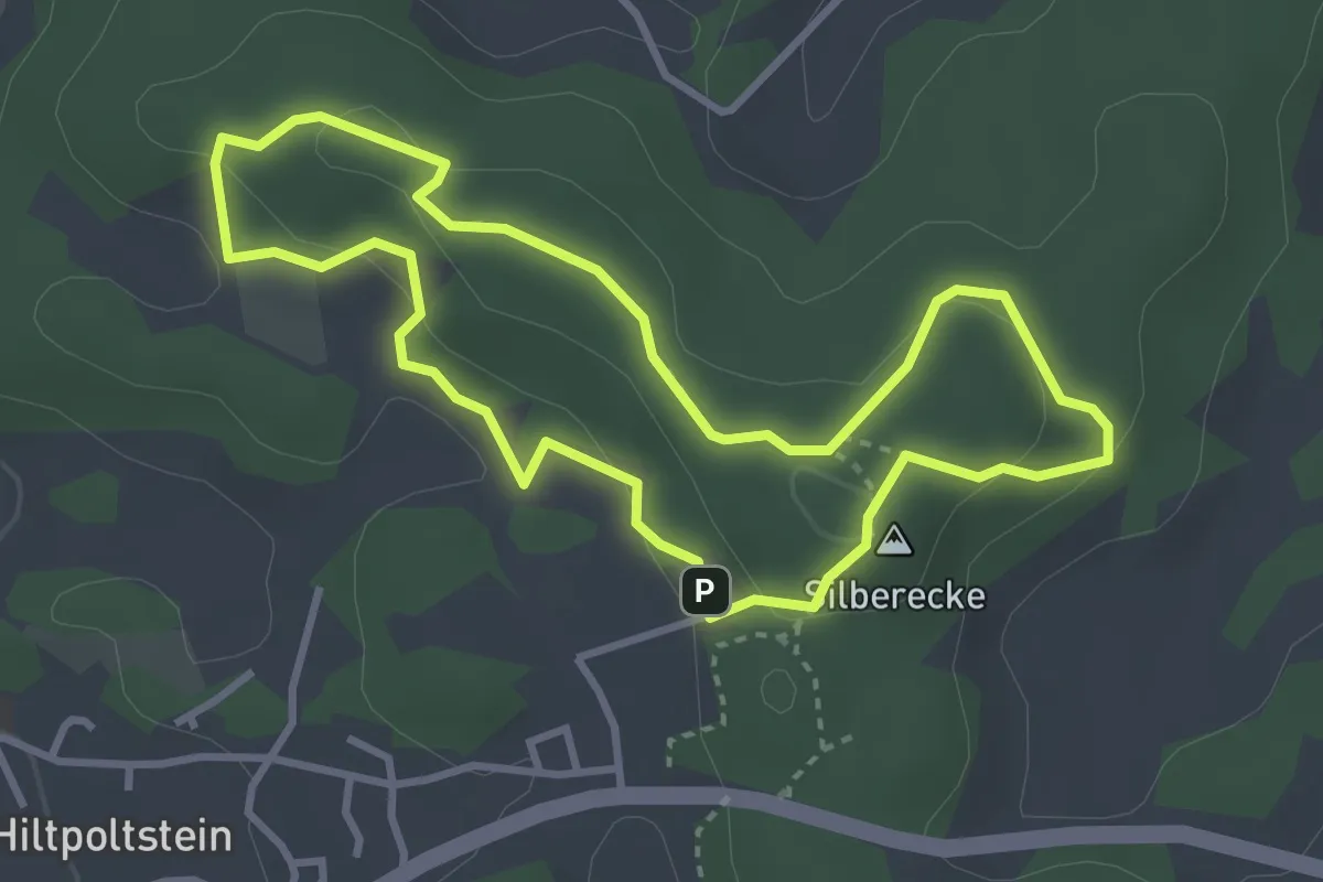
Easy · Summit
Hiltpoltstein Gelbring
3.1 km · ↑ 91 m · 59 min
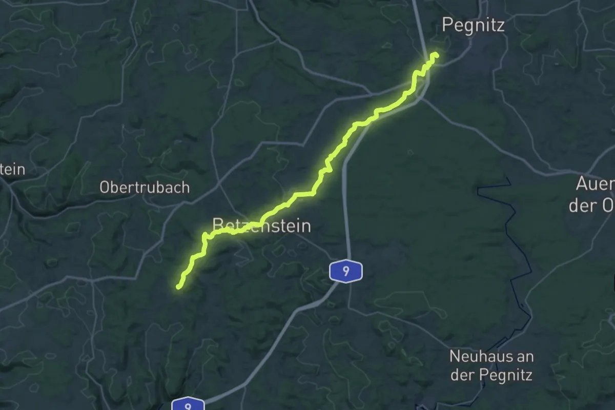
Demanding · Summit
Hiltpoltstein-Pegnitz
36.1 km · ↑ 769 m · 10 h 12 min
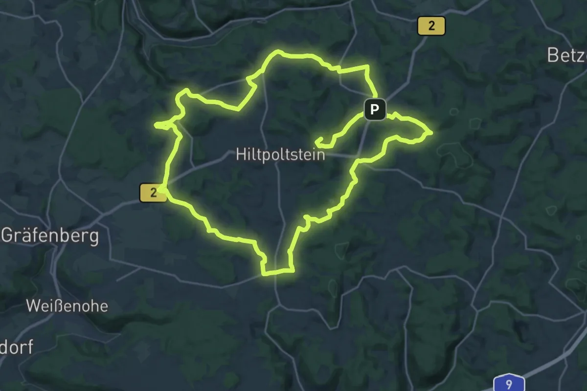
Demanding · Summit
Hiltpoltstein Rundwanderweg
45.9 km · ↑ 903 m · 12 h 48 min
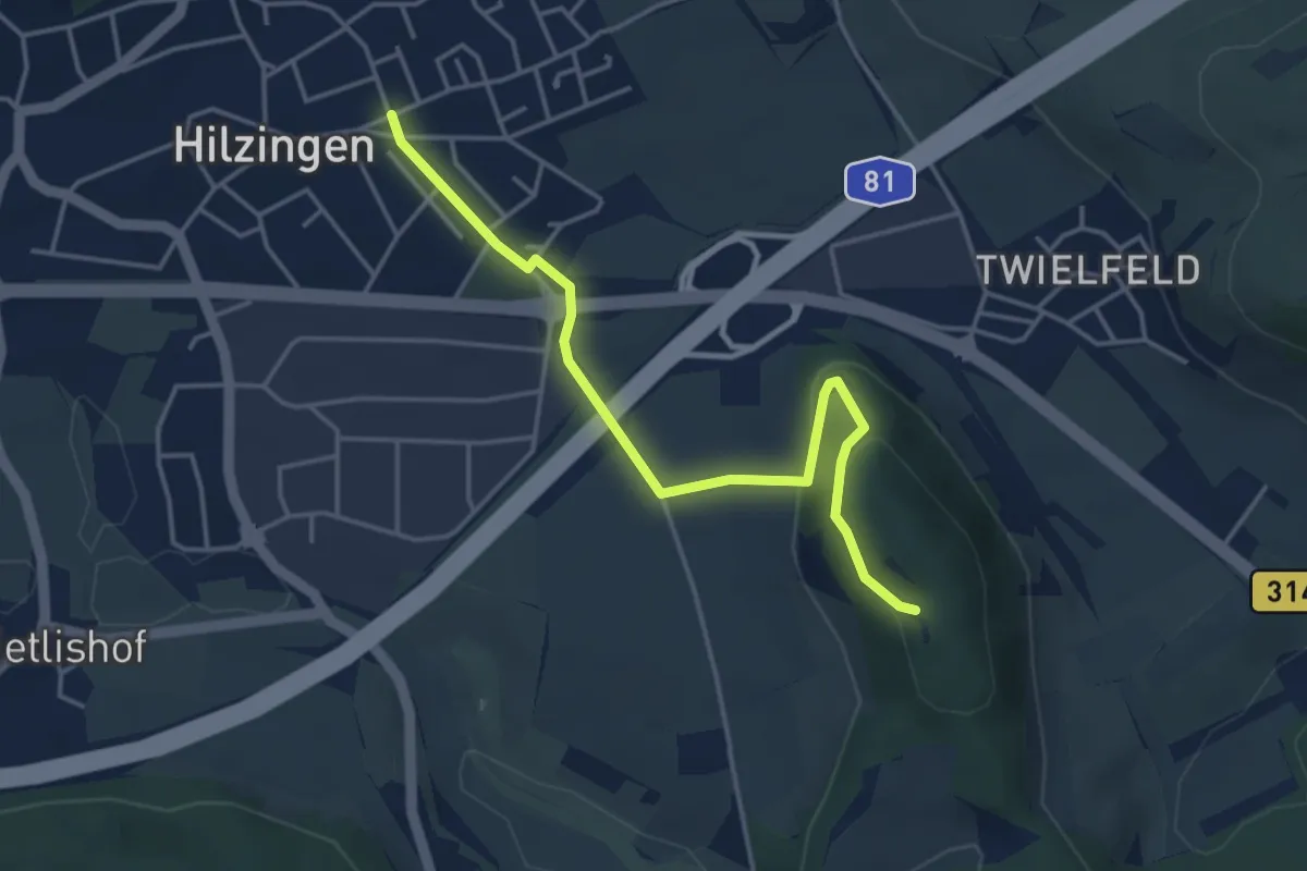
Easy · Summit
Hilzingen Hohentwielstraße - Am oberen Plören
4.2 km · ↑ 113 m · 1 h 14 min
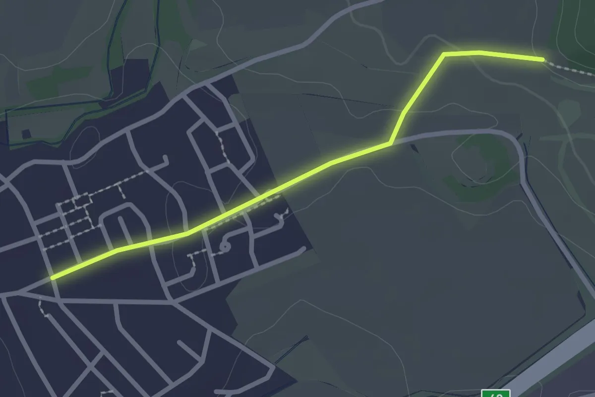
Easy · Trail
Hilzingen Hohentwielstraße - Gönnersbohl
2.2 km · ↑ 33 m · 35 min
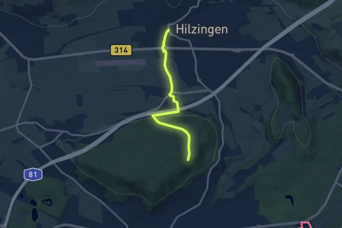
Easy · Trail
Hilzingen Krone Post - Heilsberg Vor Altstadt
5.7 km · ↑ 130 m · 1 h 38 min
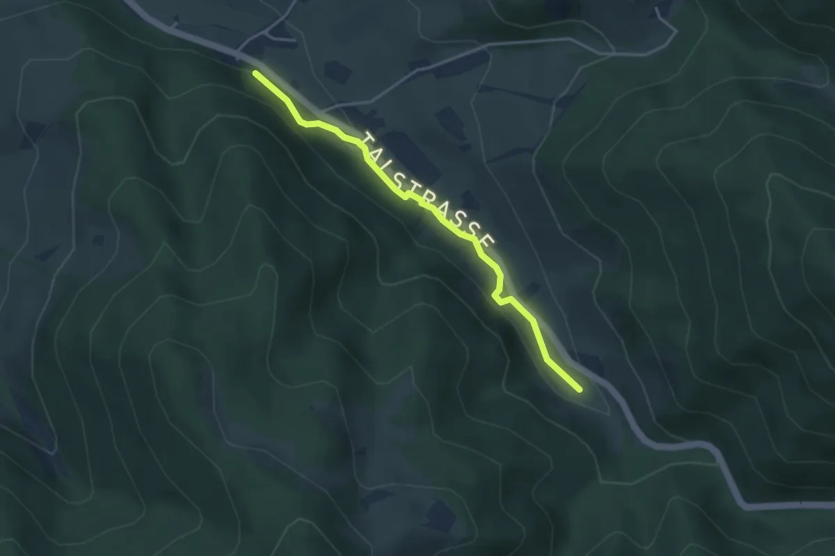
Easy · Trail
Hilzinger Mühle - Oberglottertal Ehem. Gschwandersäge
3.3 km · ↑ 77 m · 57 min
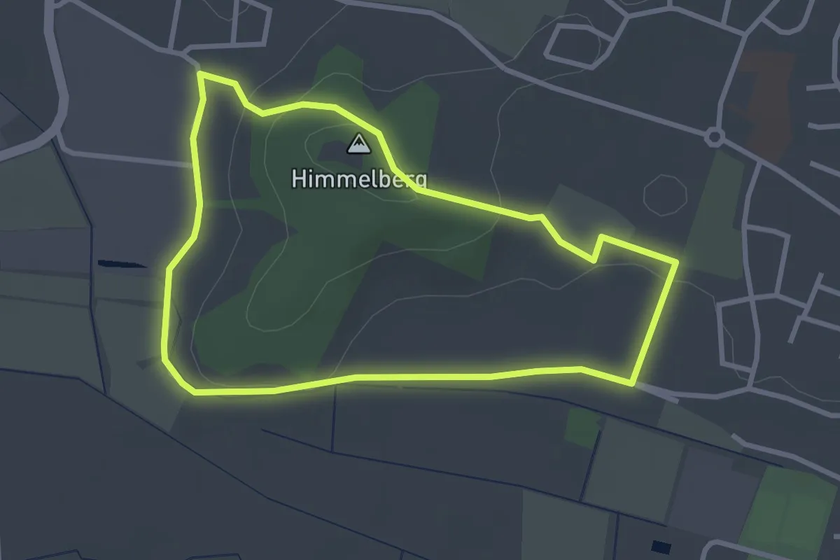
Easy · Summit
Himmelberg Weg
2.7 km · ↑ 50 m · 46 min
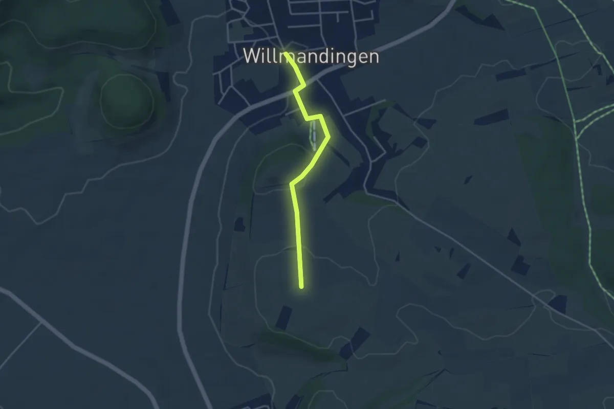
Easy · Trail
Himmelberg - Willmandingen
3.1 km · ↑ 82 m · 55 min
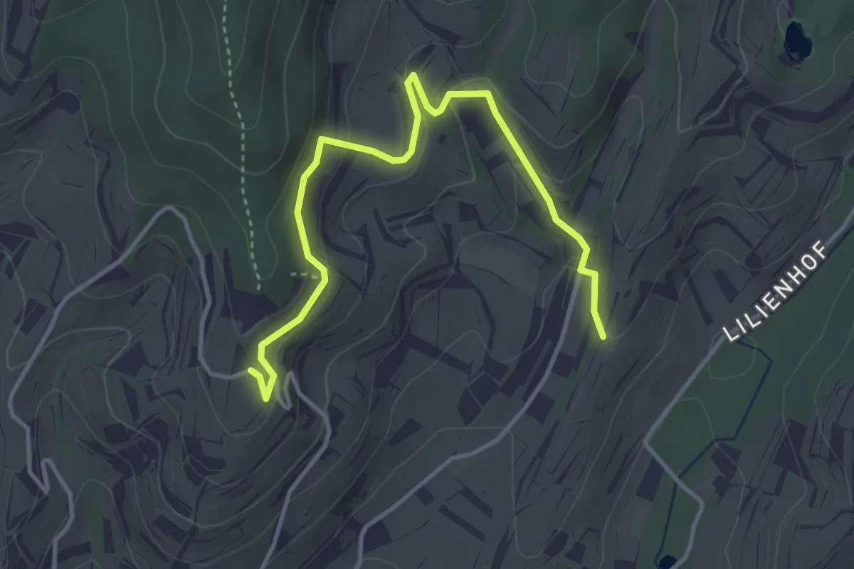
Easy · Trail
Himmelburg - Stalleck-Gasse
4.0 km · ↑ 190 m · 1 h 22 min
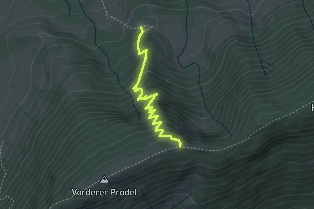
Medium · Trail
Himmelecktrail
3.4 km · ↑ 315 m · 1 h 29 min
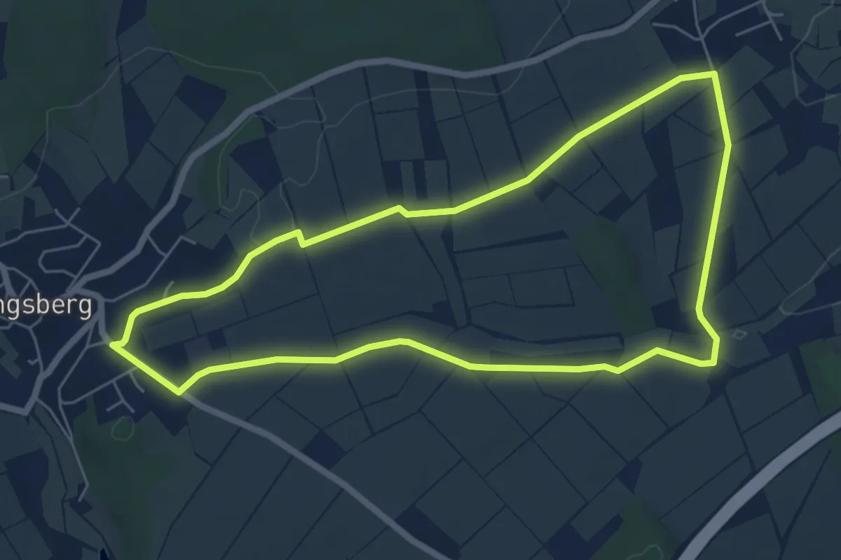
Easy · Trail
Himmelfahrtsweg
5.4 km · ↑ 55 m · 1 h 29 min
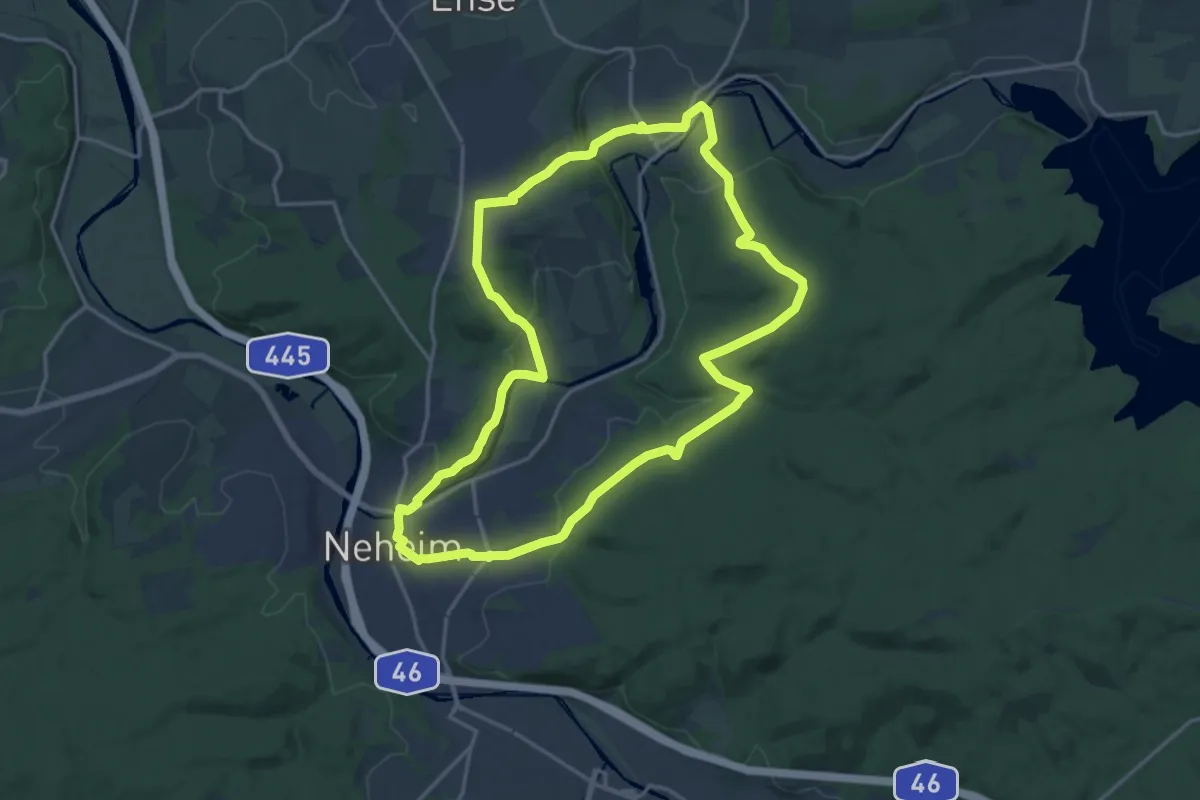
Medium · Trail
Himmelpforten Rundweg
15.8 km · ↑ 369 m · 4 h 44 min
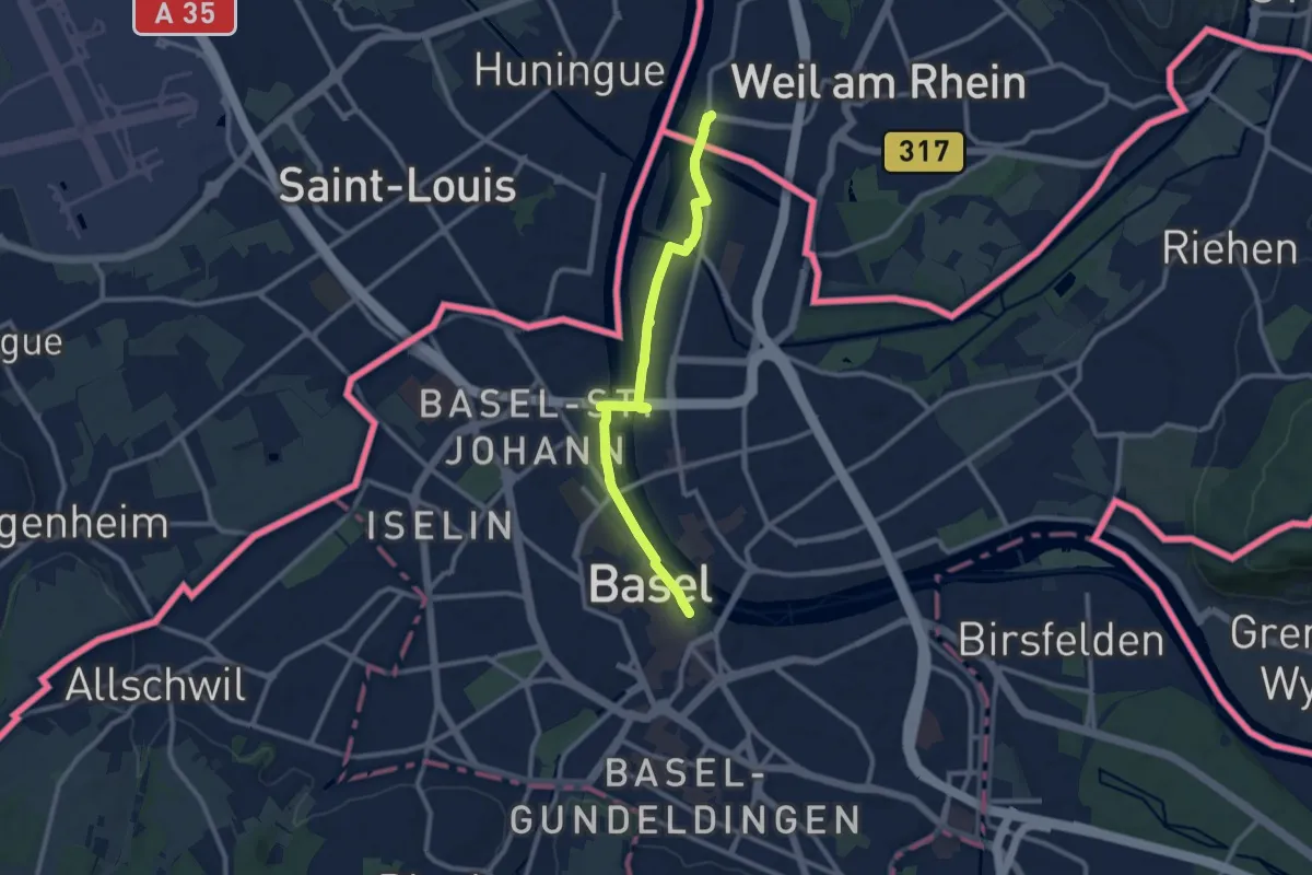
Medium · Trail
Himmelreich-Jakobusweg
9.9 km · ↑ 64 m · 2 h 28 min
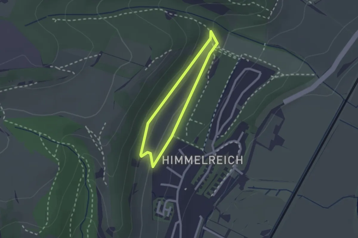
Easy · Trail
Himmelreichrundweg
1.4 km · ↑ 43 m · 27 min
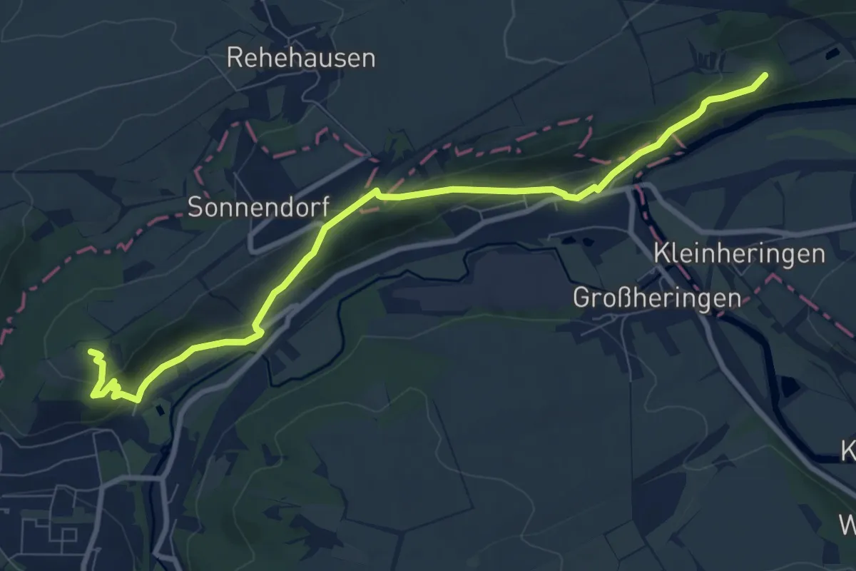
Medium · Summit
Himmelreich Rundweg Bad Sulza
8.8 km · ↑ 305 m · 2 h 45 min
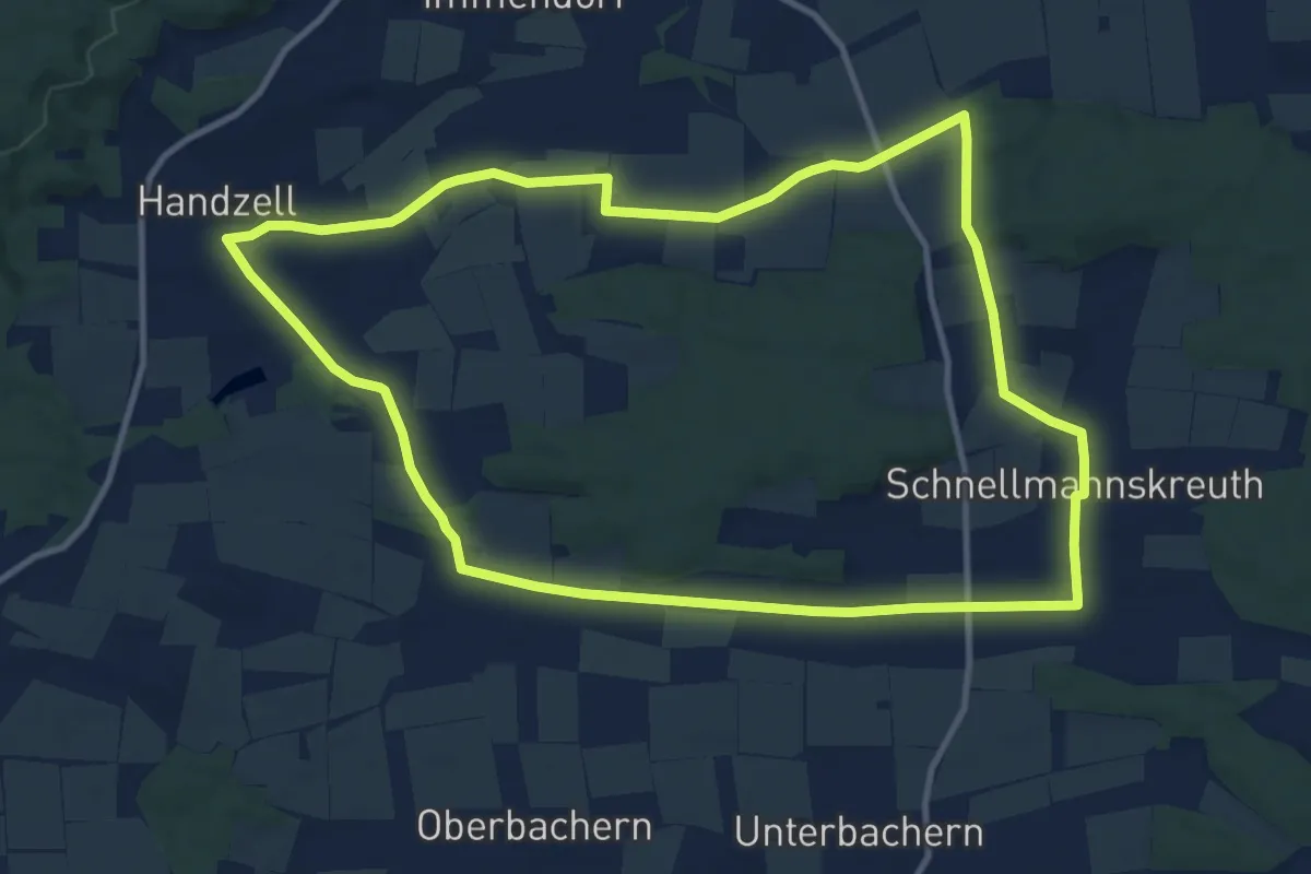
Medium · Trail
Himmelreich und Sedlbrunner Holz
11.3 km · ↑ 74 m · 3 h
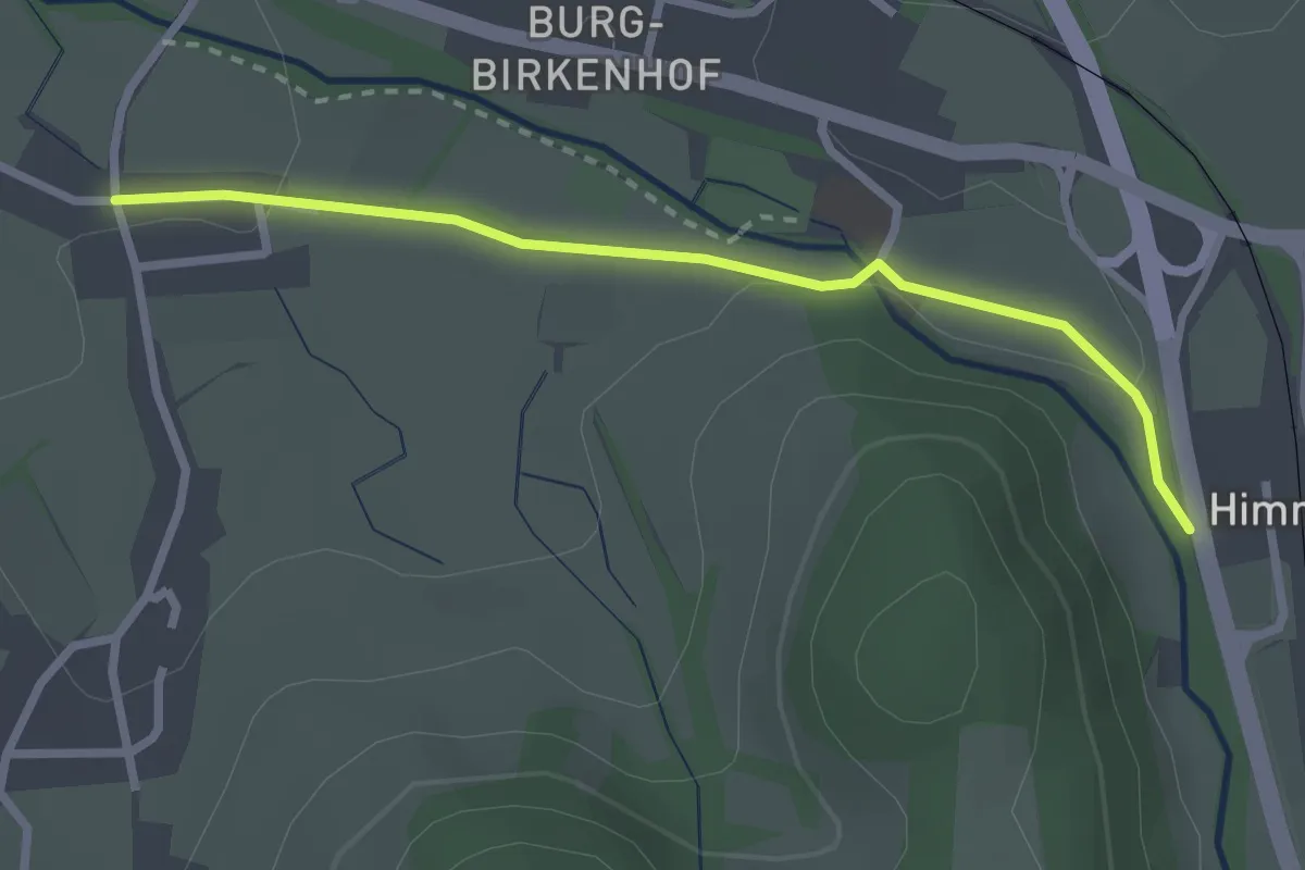
Easy · Trail
Himmelreich Unterführung B 31 - Höfen
2.5 km · ↑ 31 m · 39 min
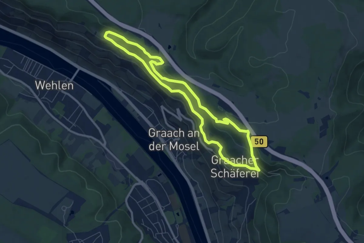
Easy · Trail
Himmelreich Wanderweg
6.4 km · ↑ 227 m · 2 h 6 min
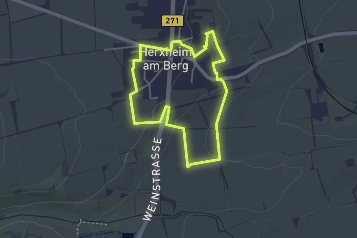
Easy · Trail
Himmelreichweg
2.7 km · ↑ 68 m · 50 min
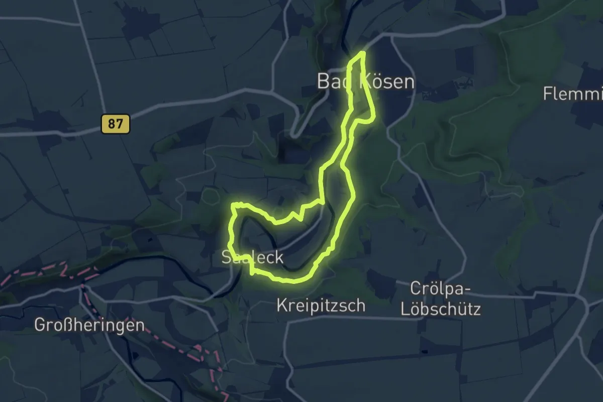
Medium · Trail
Himmelreichweg alias Geopfad Bad Kösen
9.8 km · ↑ 228 m · 2 h 57 min
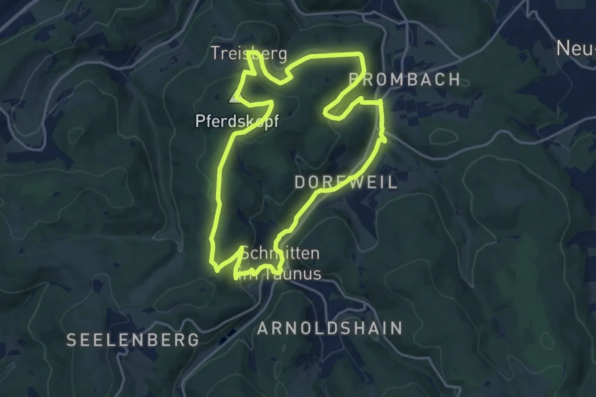
Medium · Summit
Himmelsleiter Schmitten
12.7 km · ↑ 359 m · 3 h 58 min
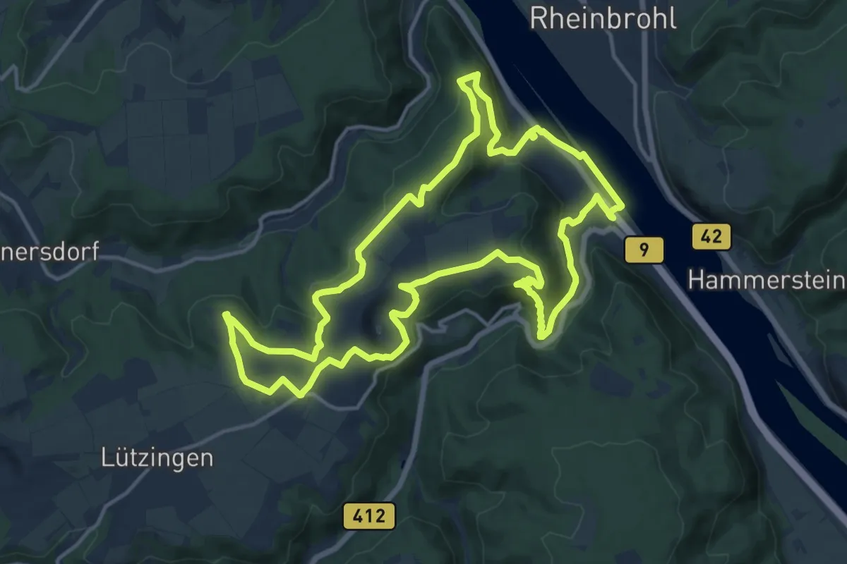
Medium · Summit
Himmelsleiterweg
13.3 km · ↑ 377 m · 4 h 8 min
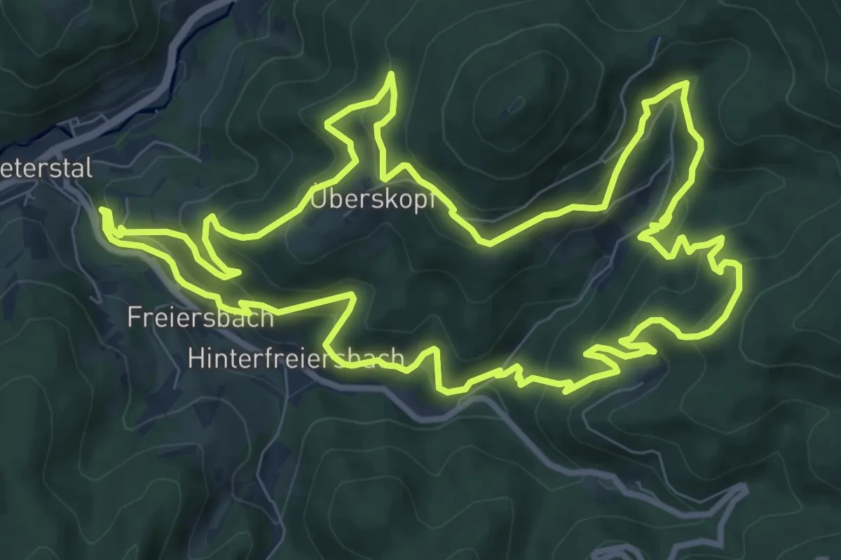
Medium · Trail
Himmelssteig
10.0 km · ↑ 598 m · 3 h 48 min
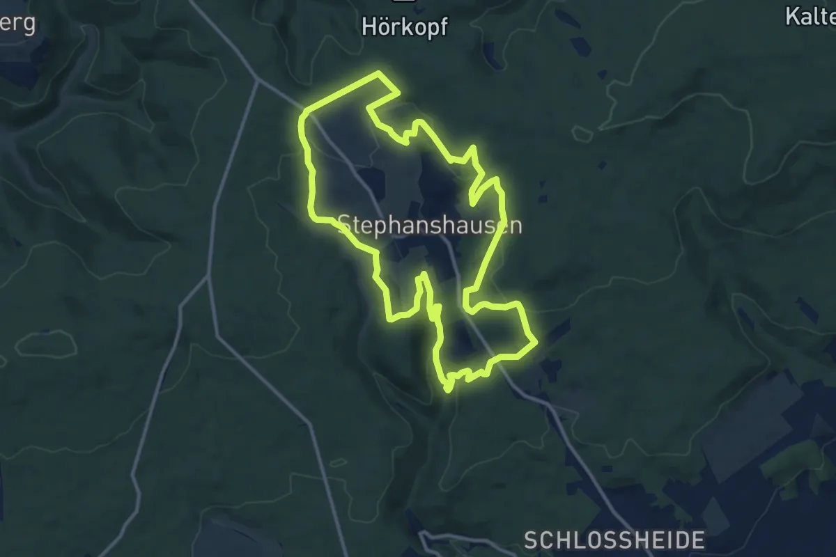
Medium · Trail
Himmelssteig Stephanshausen
11.2 km · ↑ 320 m · 3 h 30 min
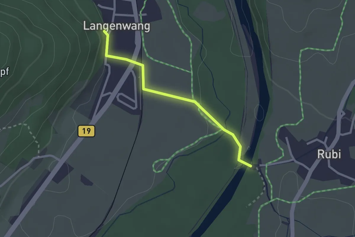
Easy · Trail
Himmelsstürmer Route Etappe 17
2.1 km · ↑ 29 m · 33 min
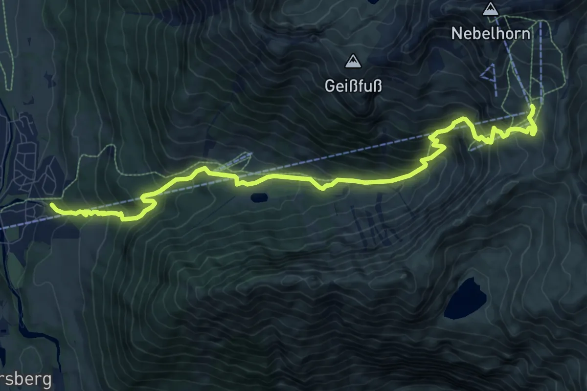
Demanding · Cabin
Himmelsstürmer-Route Etappe 18a
12.2 km · ↑ 1100 m · 5 h 15 min
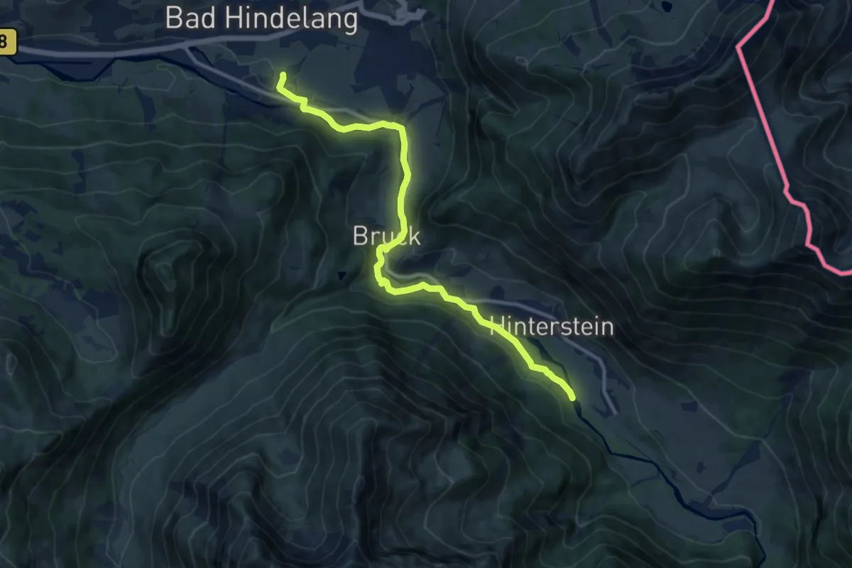
Medium · Trail
Himmelsstürmer-Route Etappe 20
11.4 km · ↑ 131 m · 2 h 58 min
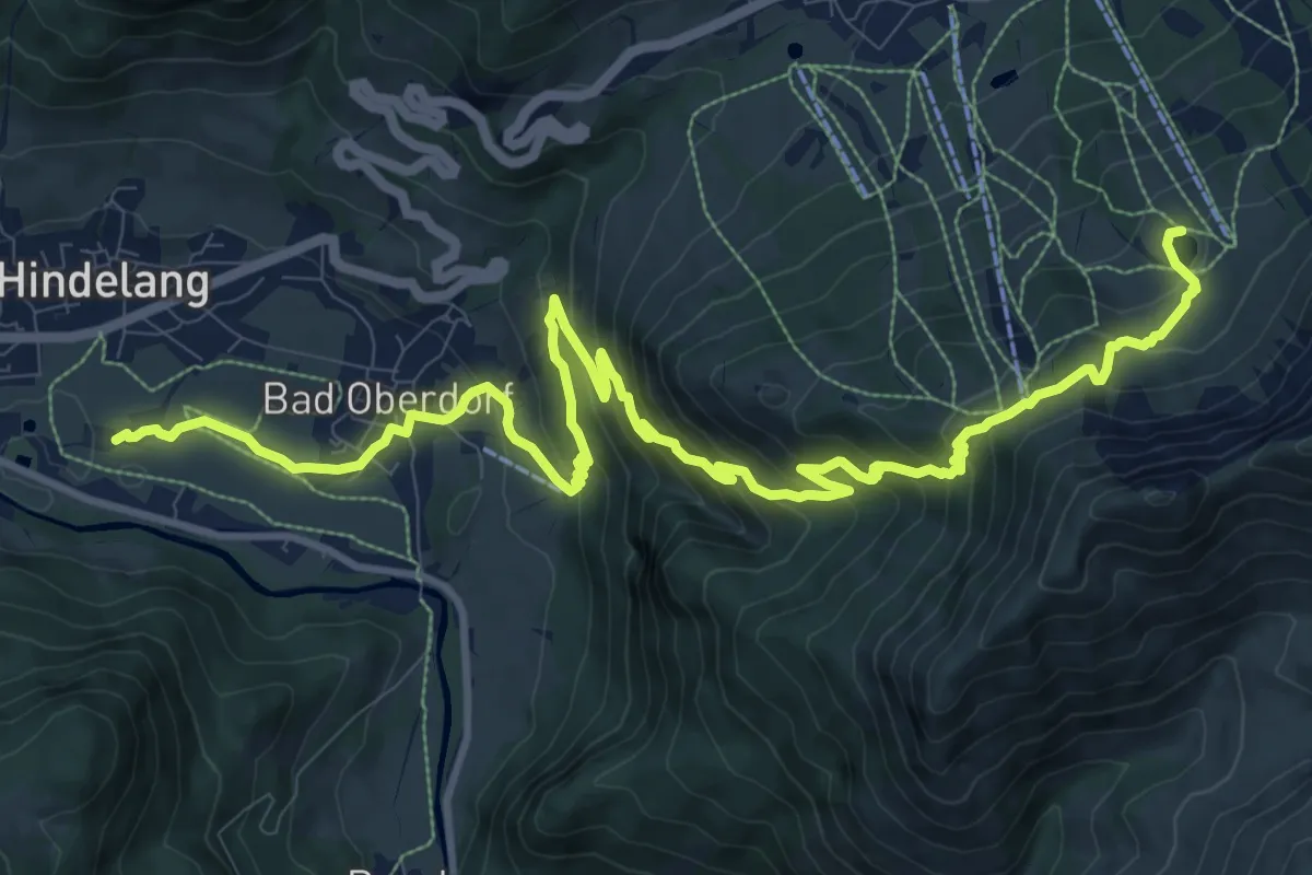
Demanding · Trail
Himmelsstürmer-Route Etappe 21
14.6 km · ↑ 978 m · 5 h 34 min
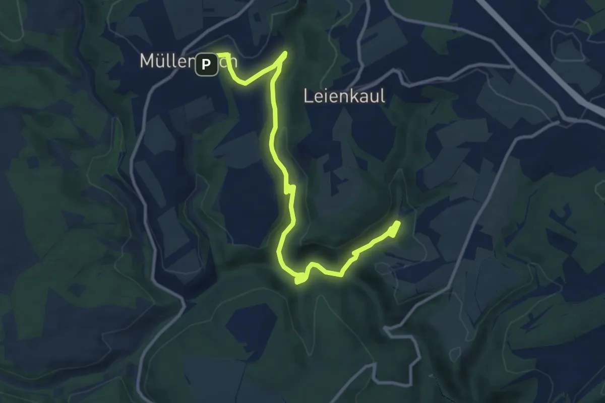
Medium · Trail
Himmel und Erd
10.1 km · ↑ 258 m · 2 h 57 min
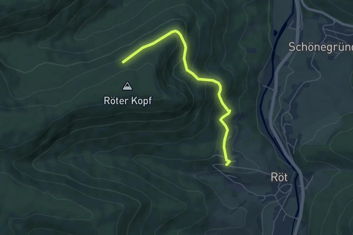
Medium · Trail
Hindenburghütte - Ritterrain
4.7 km · ↑ 293 m · 1 h 44 min
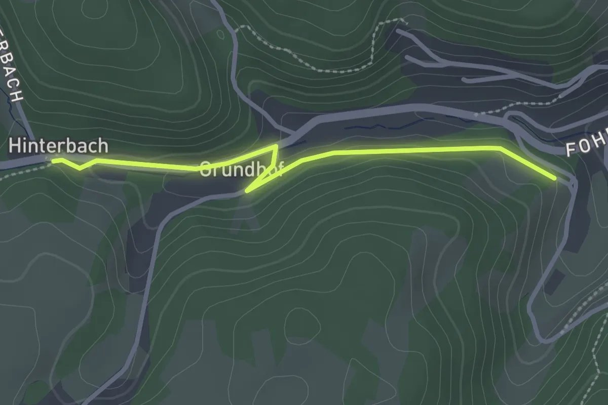
Easy · Trail
Hinterbach Bei der Mühle - Hasenhof Kreuz
2.5 km · ↑ 39 m · 40 min
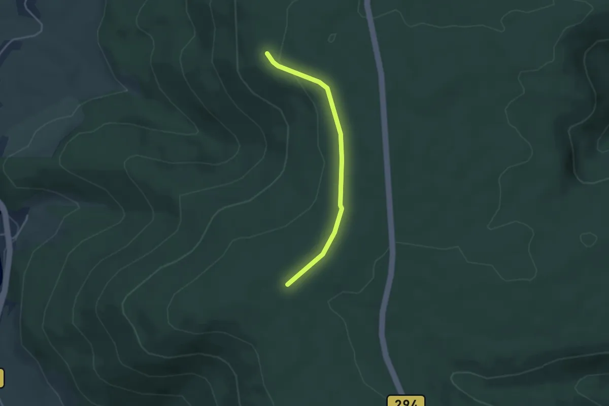
Easy · Trail
Hinterbuch - Trischelwald
3.1 km · ↑ 34 m · 48 min
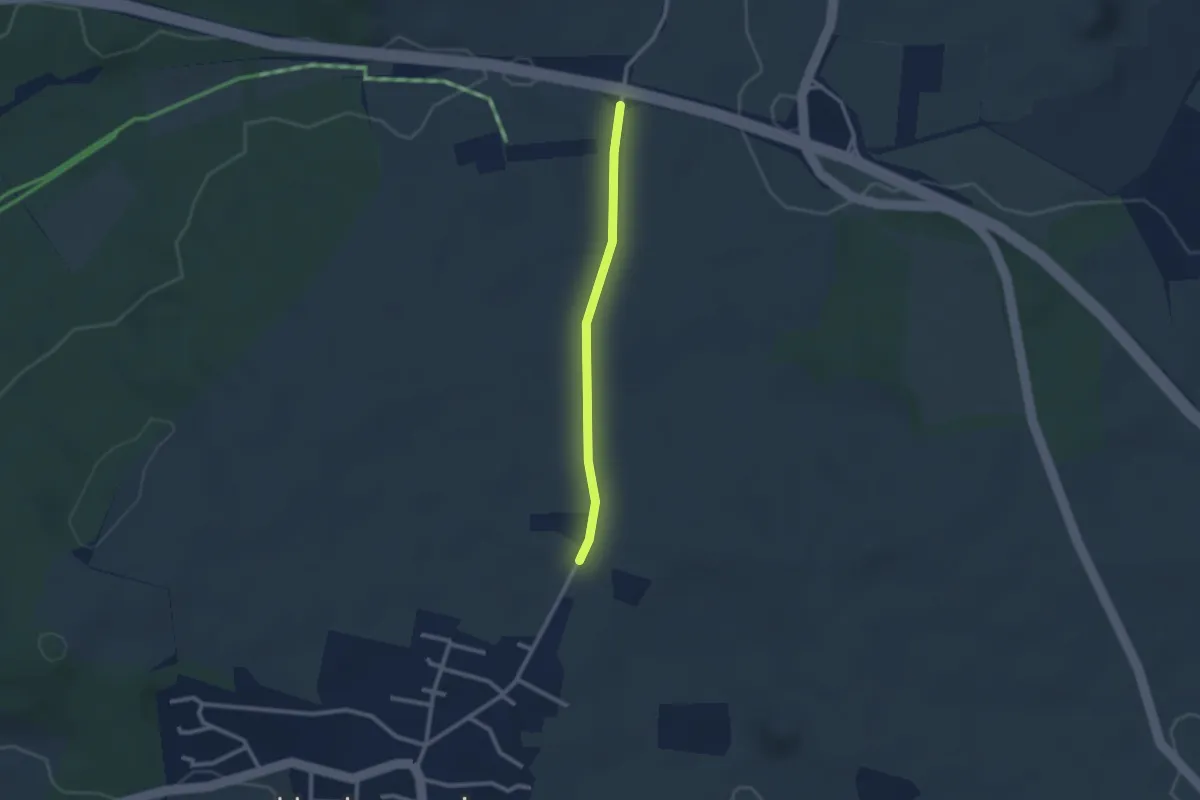
Easy · Trail
Hinterbühl - Am Eckbühl
2.1 km · ↑ 9 m · 31 min