Trails in Germany
36,852 hiking trails, each with its route, climb, walking time and grade.
All trails, page 239 of 768
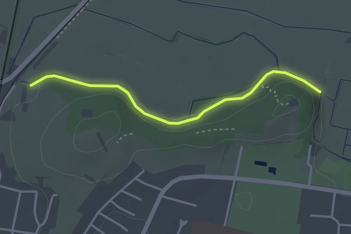
Easy · Trail
Hinter dem Berg - Weihermatten
2.7 km · ↑ 27 m · 41 min
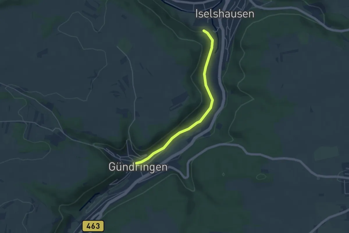
Easy · Trail
Hinter den Gärten - Gündringen
4.2 km · ↑ 44 m · 1 h 5 min
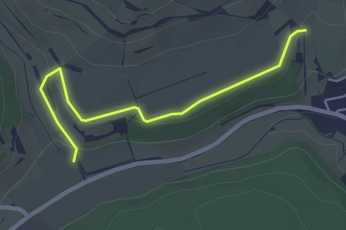
Easy · Trail
Hinter den Reben - Am Mühlbachtobel
3.3 km · ↑ 52 m · 53 min
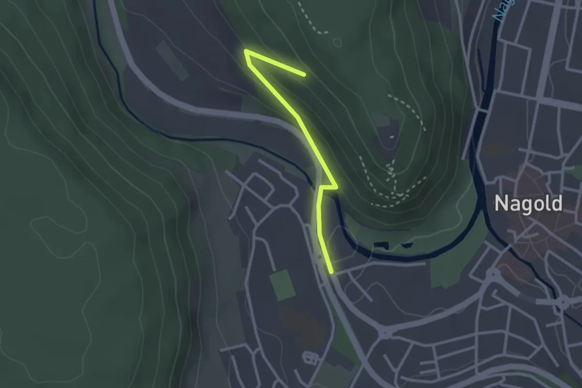
Easy · Trail
Hinter der Burg - Wanderparkplatz am Stadtpark
2.2 km · ↑ 84 m · 42 min
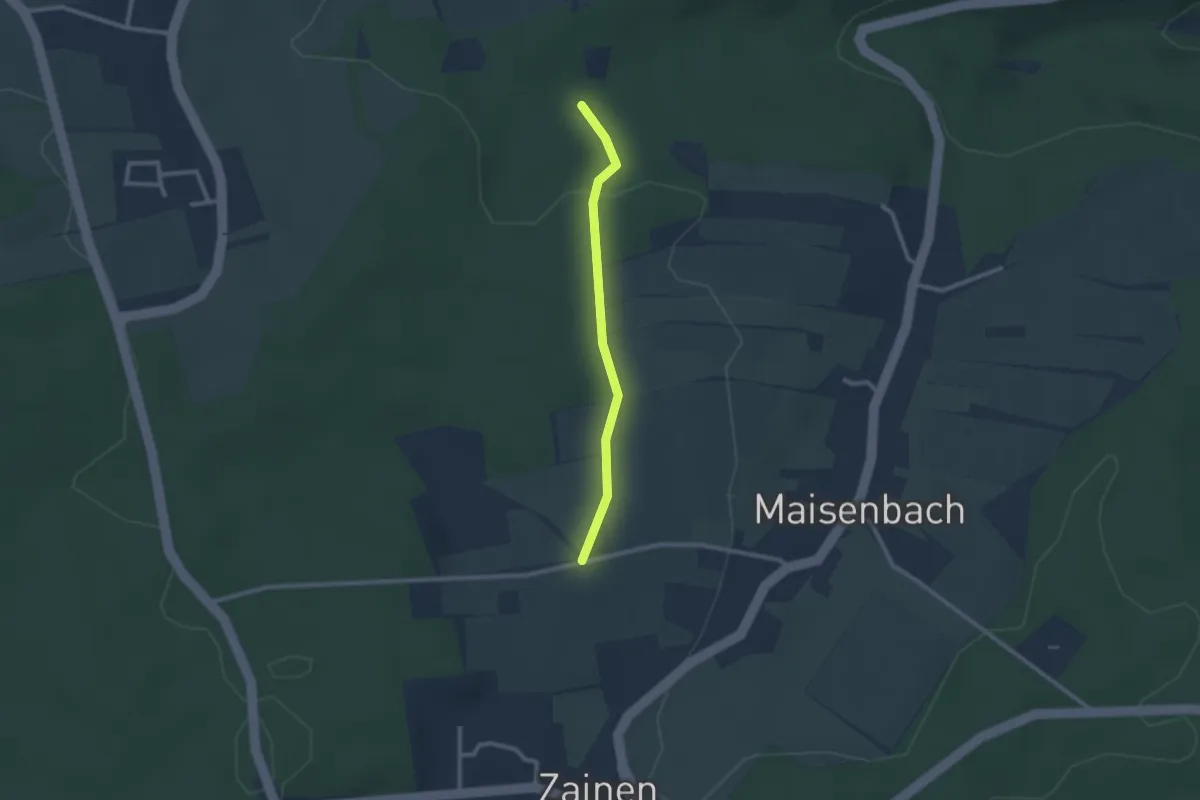
Easy · Trail
Hintere Äcker- Winterhalde
2.0 km · ↑ 35 m · 33 min
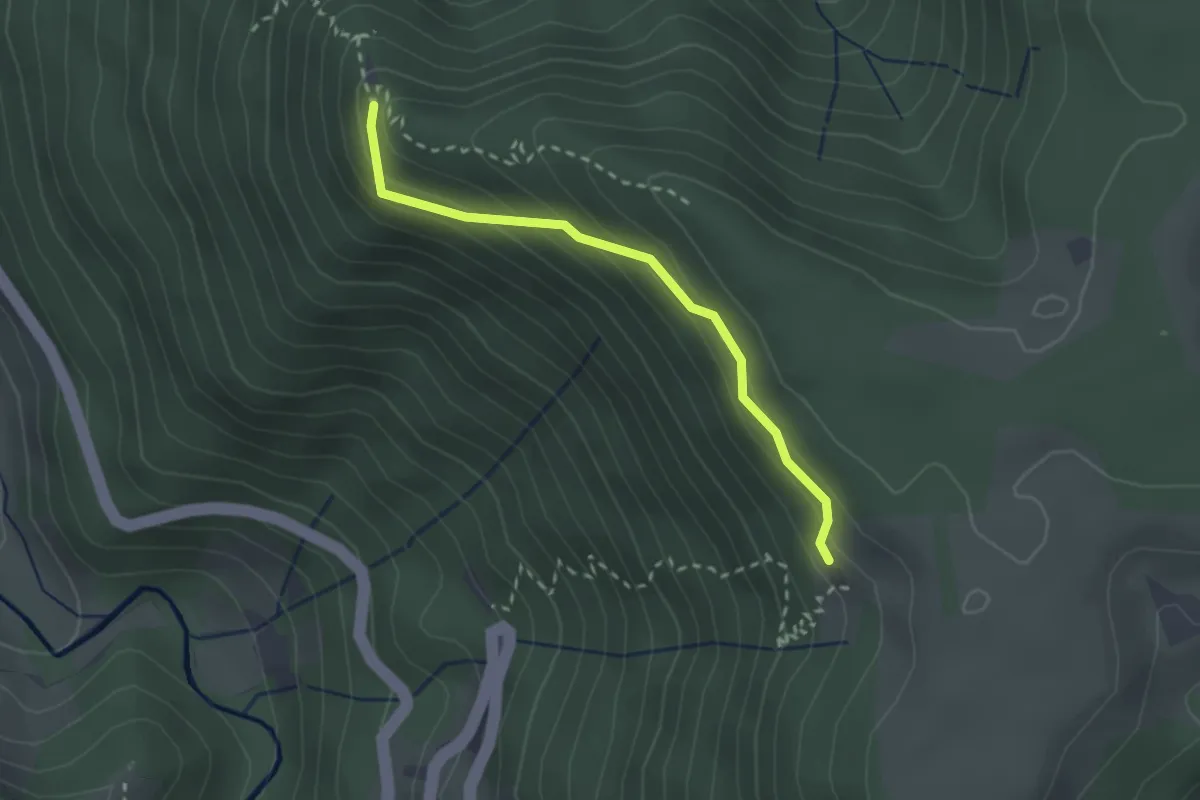
Medium · Cabin
Hintereck - Am Spitzen Stein
2.3 km · ↑ 141 m · 51 min
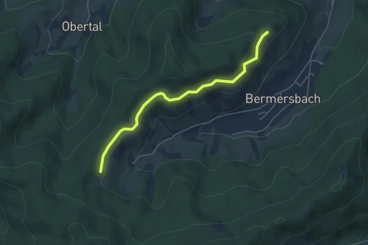
Easy · Trail
Hintere Halde - Hühneköpfle
3.7 km · ↑ 137 m · 1 h 10 min
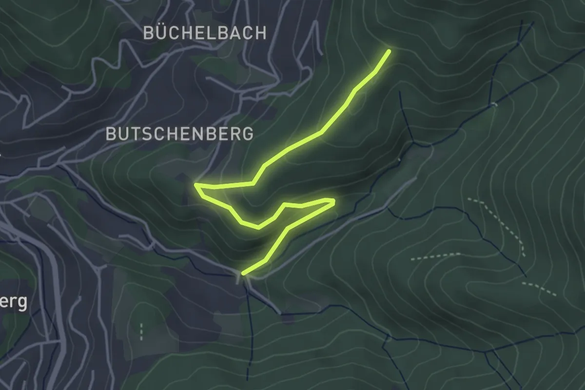
Easy · Trail
Hintere Hirschbach - ?
3.9 km · ↑ 204 m · 1 h 21 min
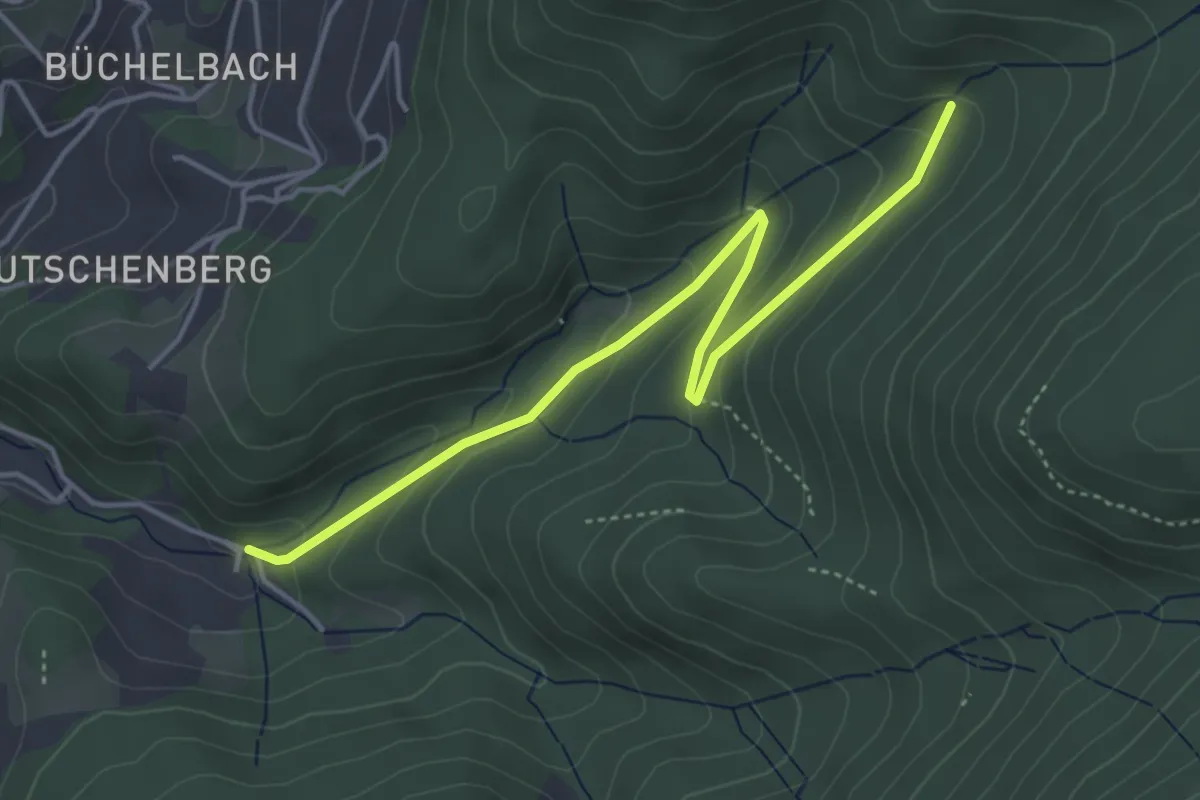
Easy · Trail
Hintere Hirschbach - Obere Hirschbach
4.5 km · ↑ 218 m · 1 h 32 min
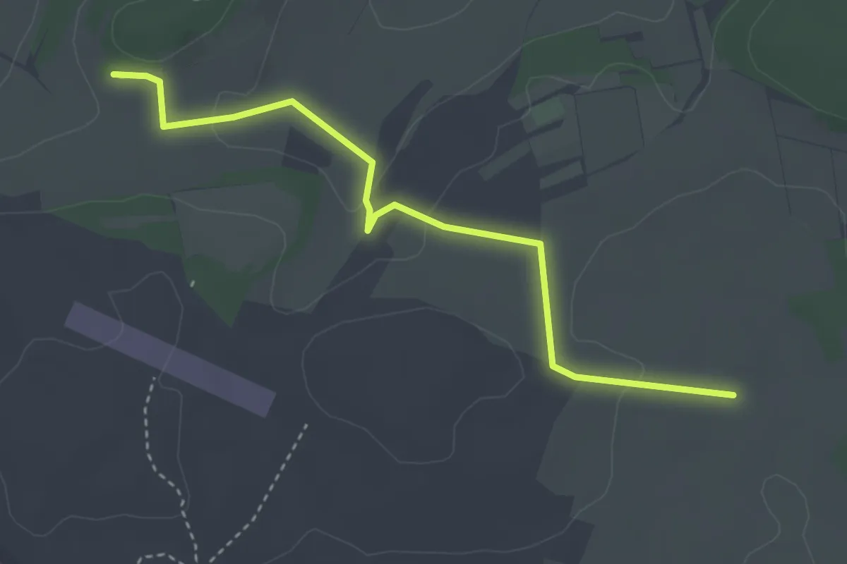
Easy · Trail
Hintere Hütte - Täfelberg
3.6 km · ↑ 74 m · 1 h 1 min
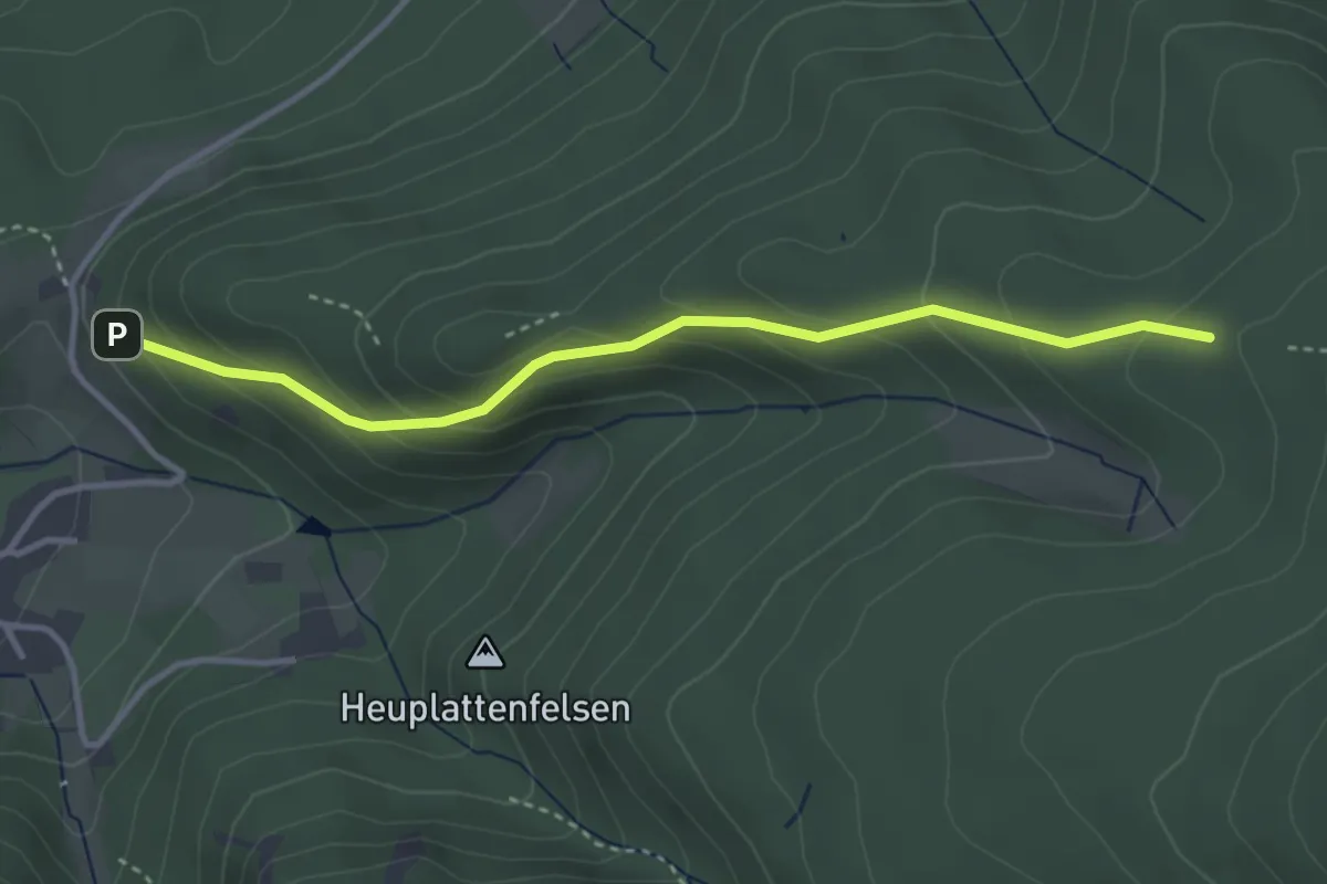
Easy · Trail
Hintere Illert - Über der Illertkapelle
3.4 km · ↑ 245 m · 1 h 20 min
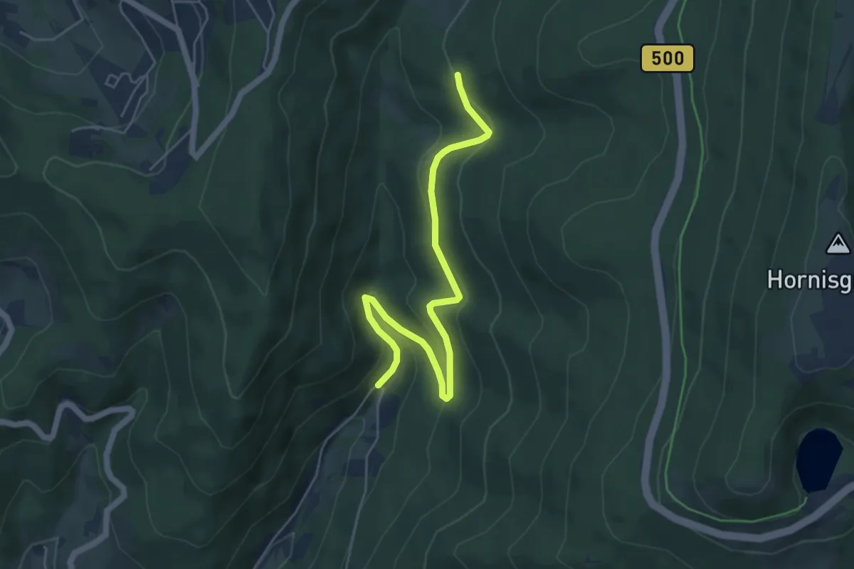
Easy · Trail
Hintere Legelsau - Tiroler Hütte
5.3 km · ↑ 222 m · 1 h 43 min
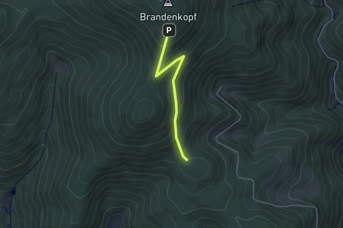
Easy · Trail
Hinterer Berg - Oberer Brandenkopf Weg
2.7 km · ↑ 197 m · 1 h 4 min
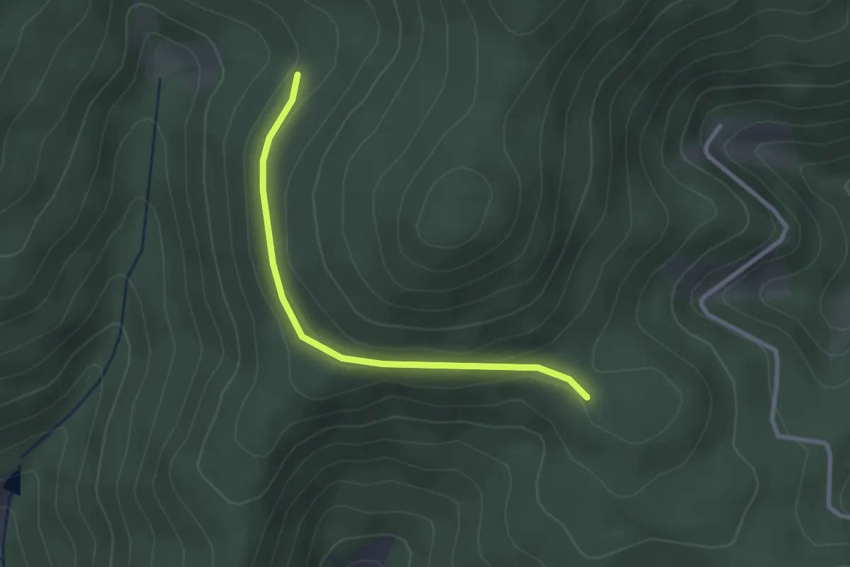
Easy · Trail
Hinterer Berg - Über dem Forsthaus
2.4 km · ↑ 58 m · 42 min
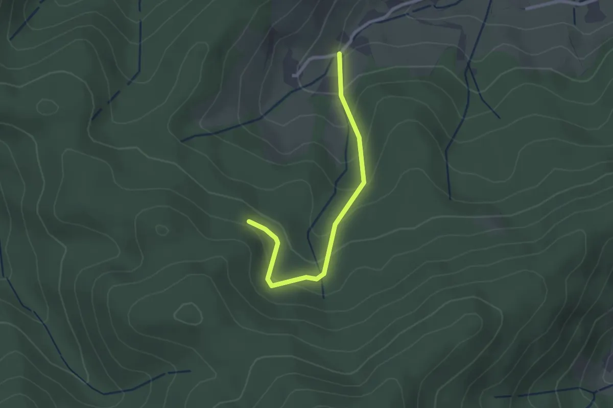
Easy · Trail
Hinterer Bermersbach - Wendel
2.3 km · ↑ 161 m · 54 min
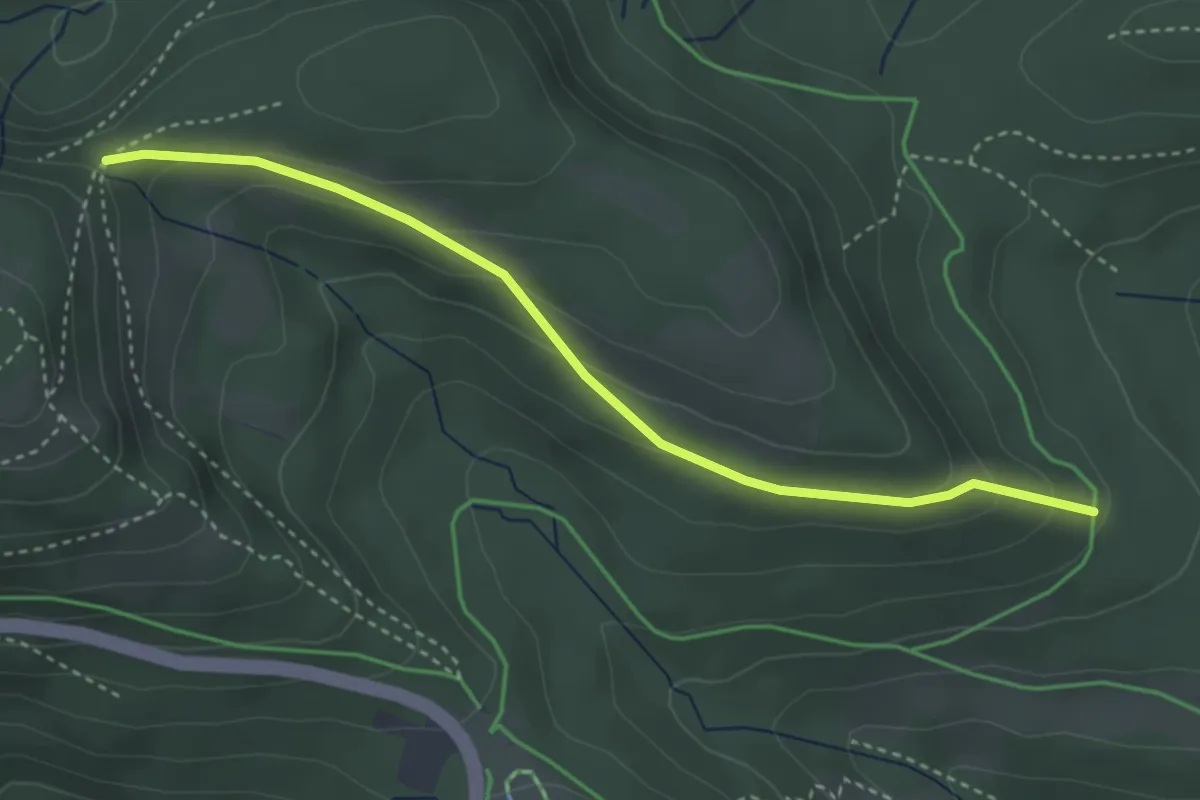
Medium · Trail
Hinterer Brand - Kieneck
3.5 km · ↑ 156 m · 1 h 11 min
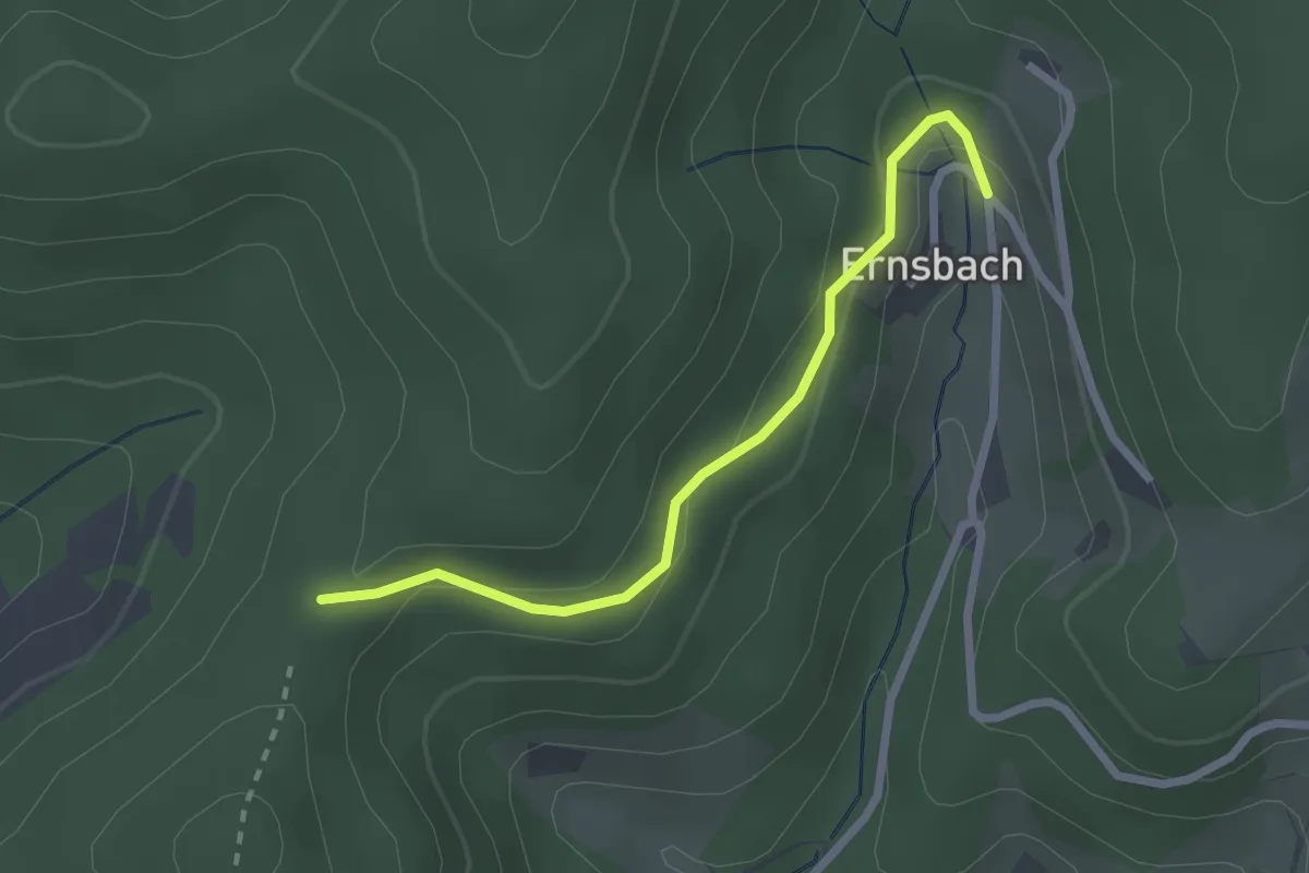
Easy · Trail
Hinter-Ernsbach - Pfaffenbacher Eck
2.3 km · ↑ 111 m · 47 min
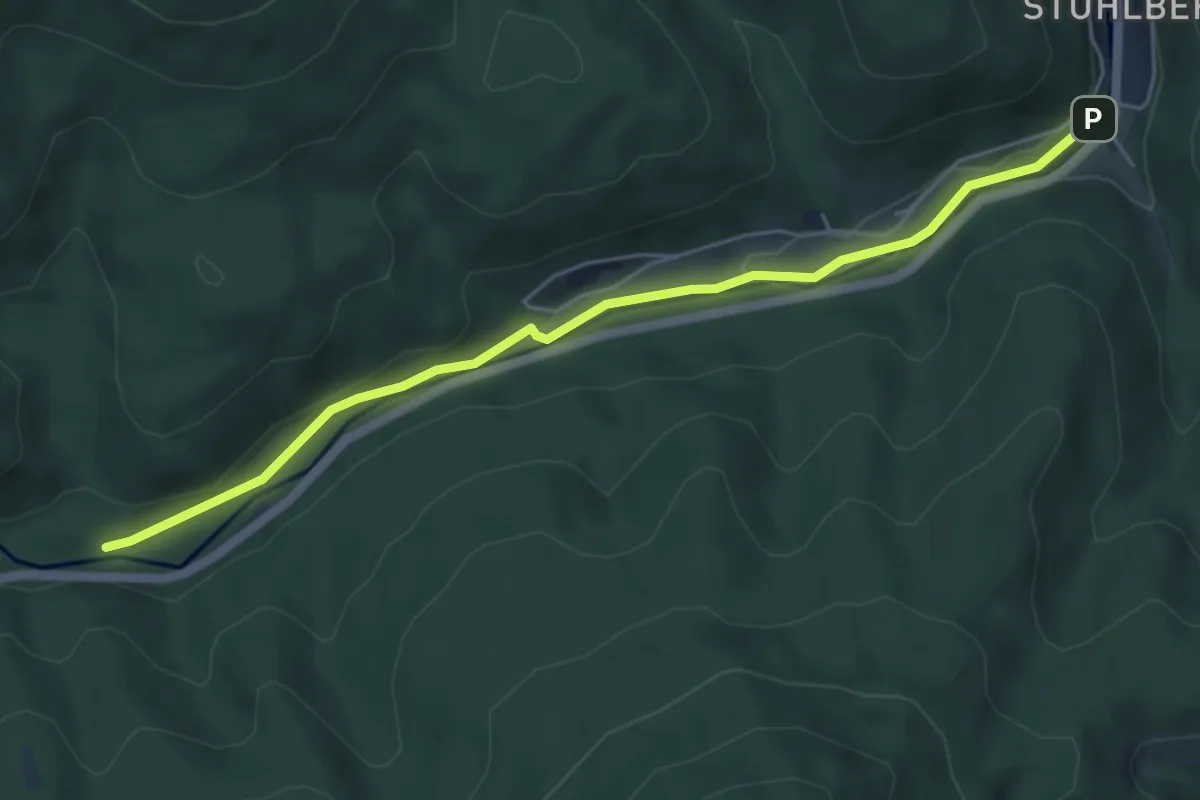
Easy · Trail
Hinterer Seebach - Flößerweg
5.2 km · ↑ 48 m · 1 h 19 min
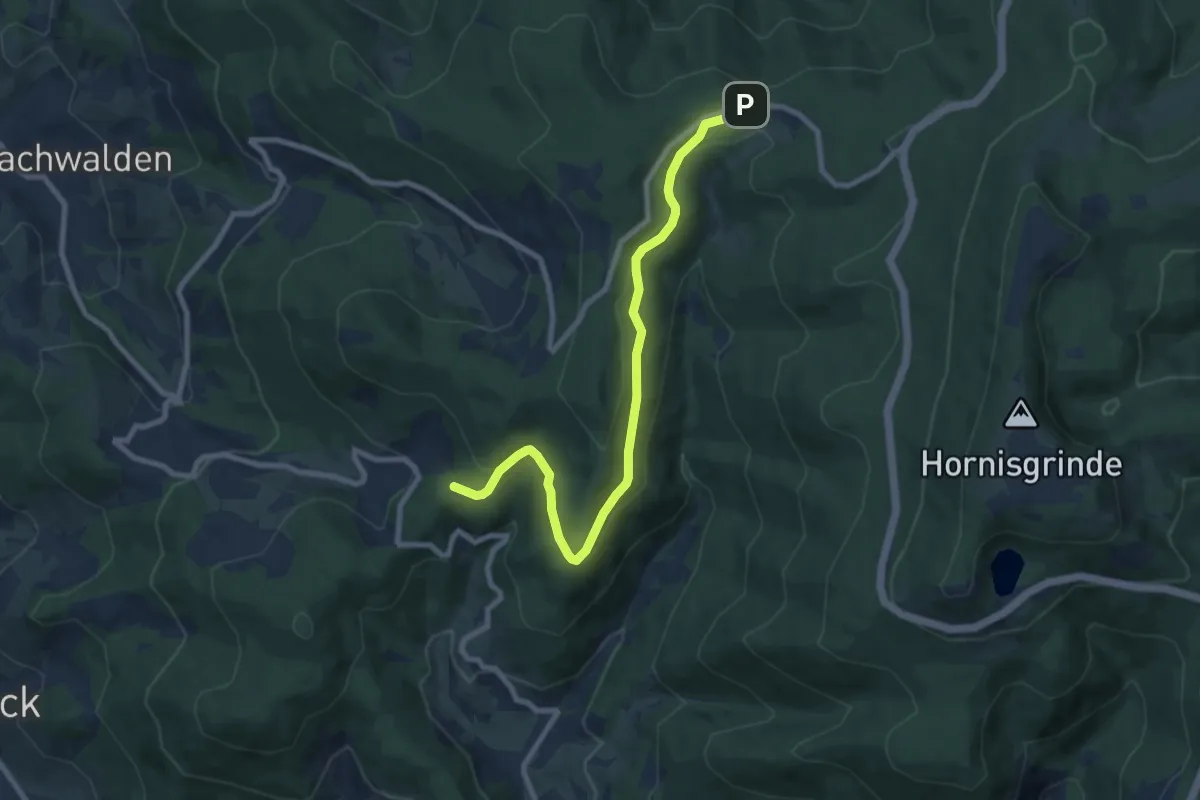
Medium · Trail
Hinterer Wasen - Breitenbrunnen Parkplatz - bequemer Weg
8.5 km · ↑ 190 m · 2 h 25 min
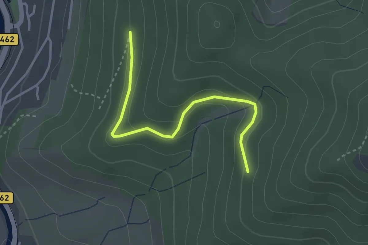
Easy · Trail
Hintere Schwann - Büchet
2.7 km · ↑ 125 m · 54 min
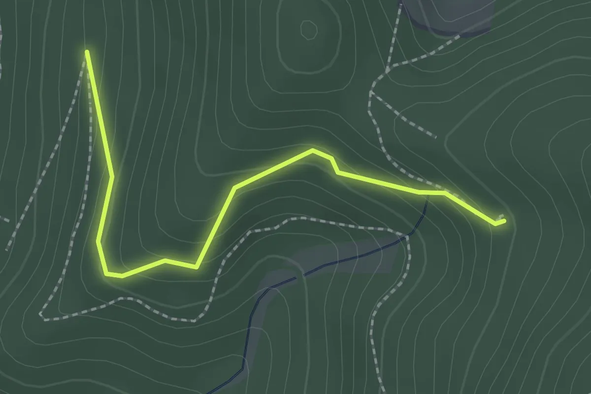
Easy · Trail
Hintere Schwann - Rehackerbrunnen
2.1 km · ↑ 137 m · 48 min
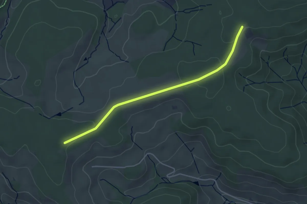
Easy · Trail
Hinteres Stöckle - Fohrenbühl
3.7 km · ↑ 44 m · 58 min
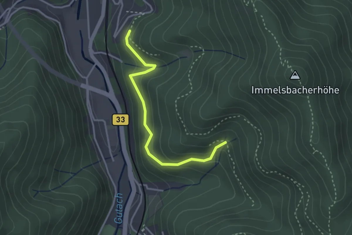
Easy · Trail
Hintere Wolfshöhle - Kahlhiebbrunnen
2.8 km · ↑ 225 m · 1 h 8 min
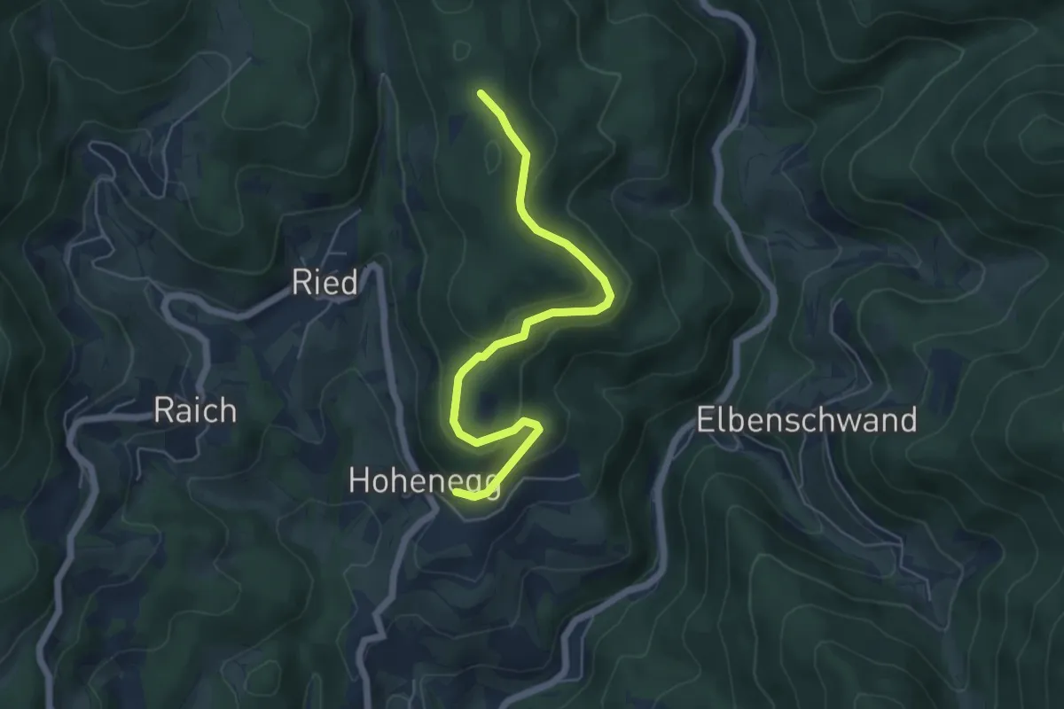
Easy · Trail
Hinterhag - Ahörnle
5.3 km · ↑ 220 m · 1 h 44 min
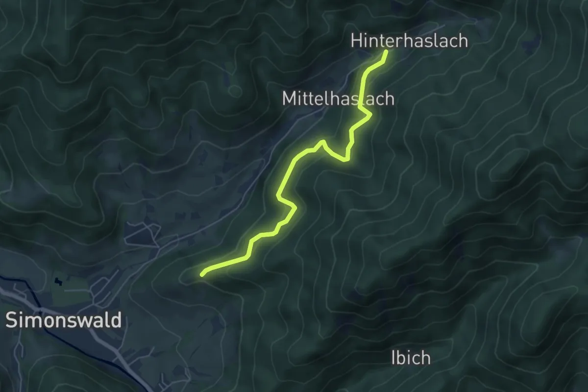
Easy · Trail
Hinterhaslach - Gummeneck
5.2 km · ↑ 314 m · 1 h 54 min
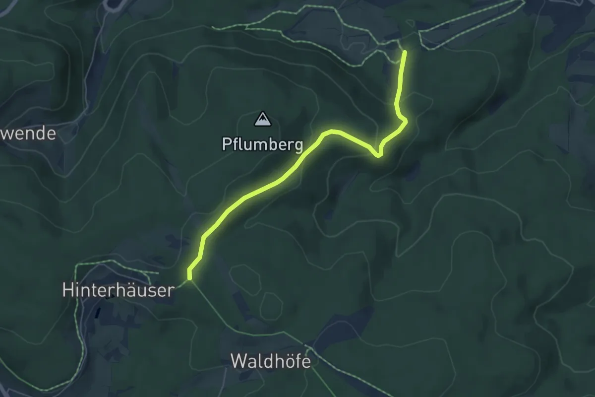
Easy · Trail
Hinterhäuser - Parkplatz Fuchsfarm
5.1 km · ↑ 217 m · 1 h 40 min
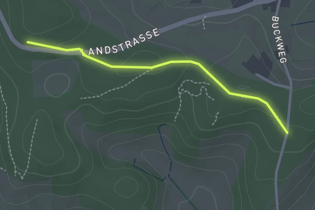
Easy · Trail
Hinterhau - Windenreute Hochbehälter
2.0 km · ↑ 23 m · 32 min
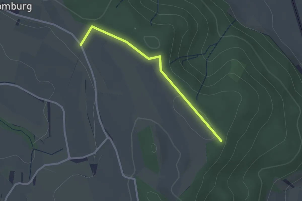
Easy · Trail
Hinterhomburg - ?
2.1 km · ↑ 23 m · 32 min
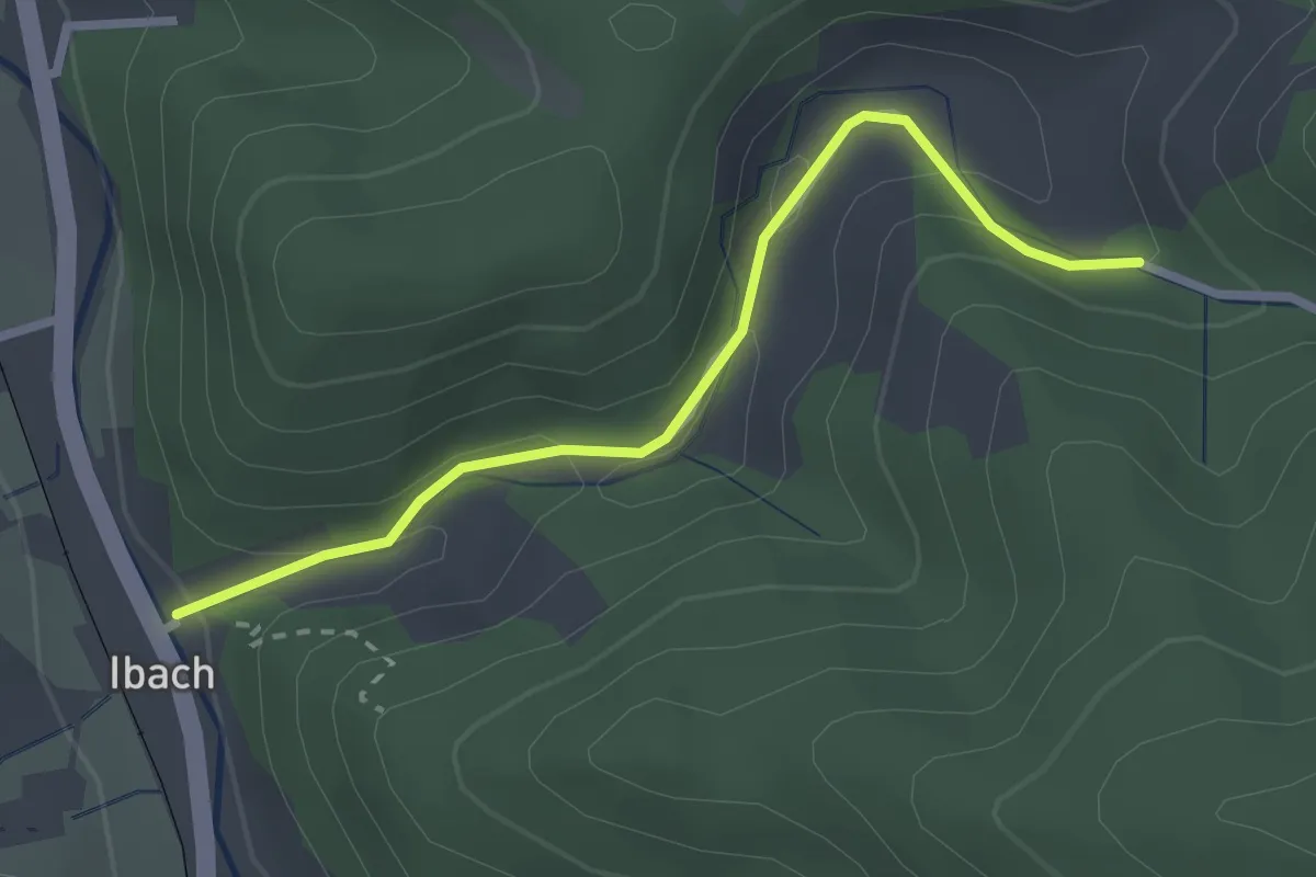
Easy · Trail
Hinter Ibach - Ibach Jägerhaus
2.5 km · ↑ 88 m · 46 min
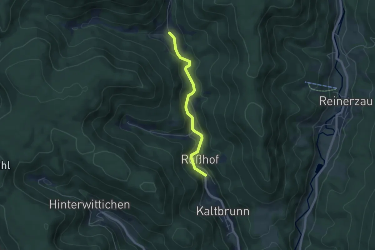
Easy · Trail
Hinterkaltbrunn Gütsch - Kaltbrunn Martinshof
4.3 km · ↑ 80 m · 1 h 12 min
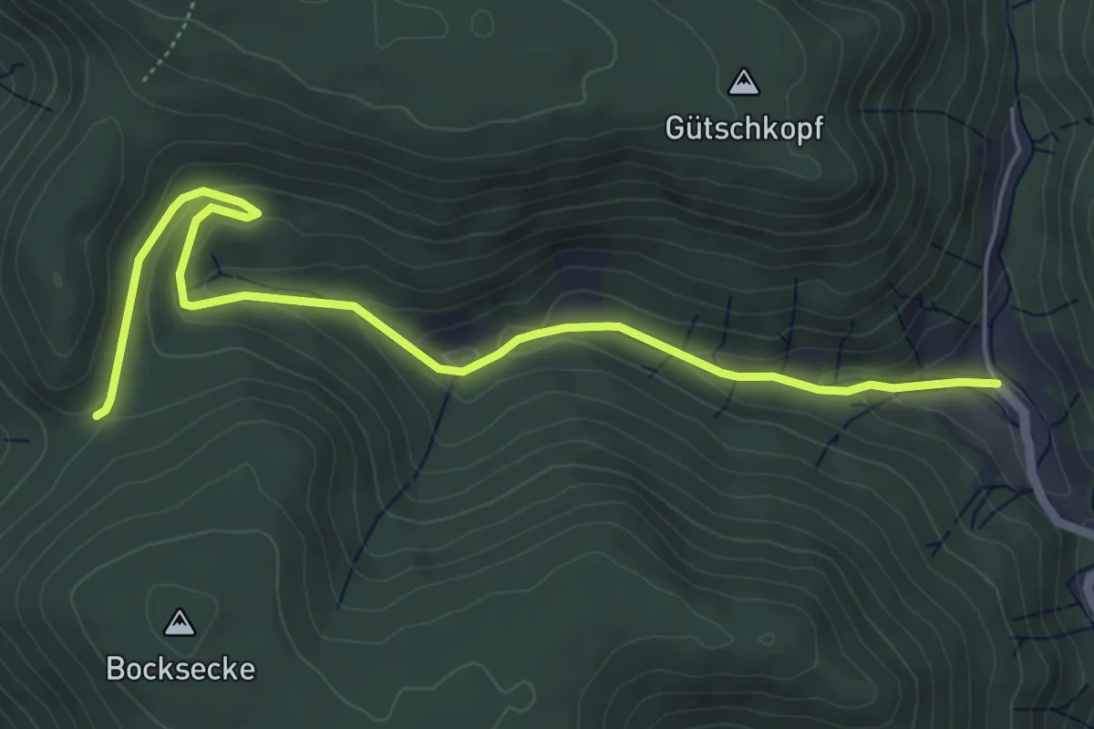
Easy · Trail
Hinterkaltbrunn Gütsch - Tor
5.8 km · ↑ 227 m · 1 h 52 min
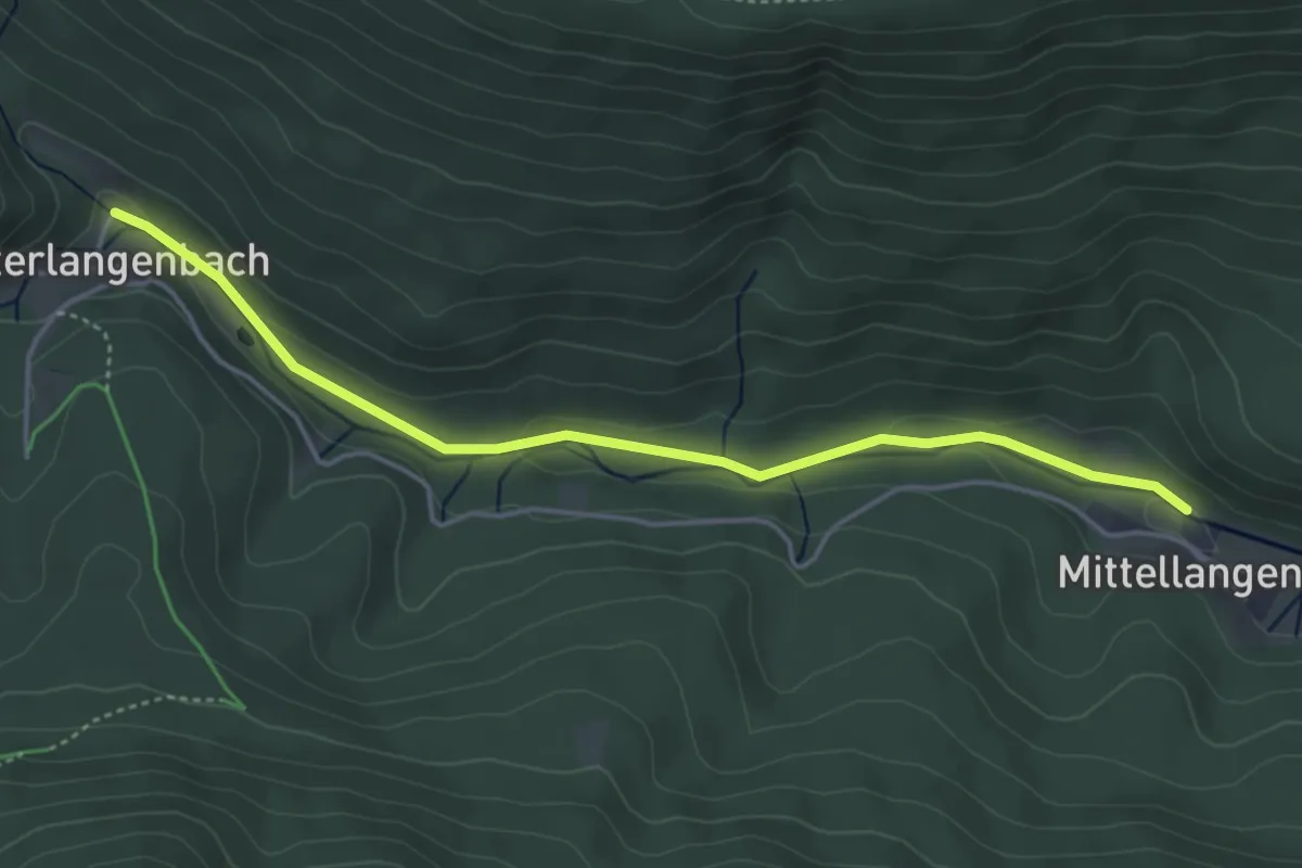
Easy · Trail
Hinterlangenbach Wälzbach - Mittellangenbach
4.3 km · ↑ 82 m · 1 h 12 min
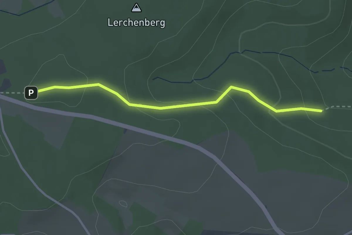
Easy · Trail
Hinterm Kreuzstein - Herrgottsholzweg
2.7 km · ↑ 112 m · 53 min
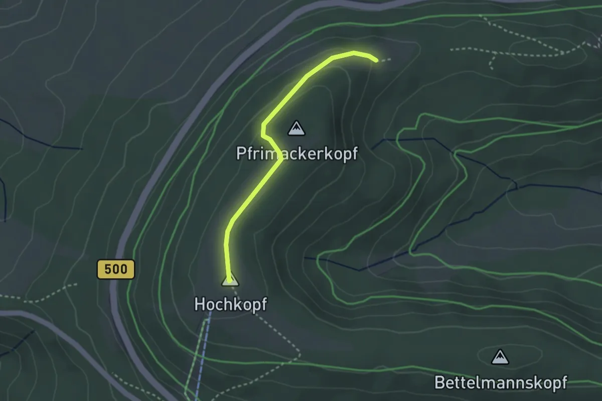
Easy · Summit
hinterm Riesenköpfle - Hochkopf
2.6 km · ↑ 70 m · 45 min
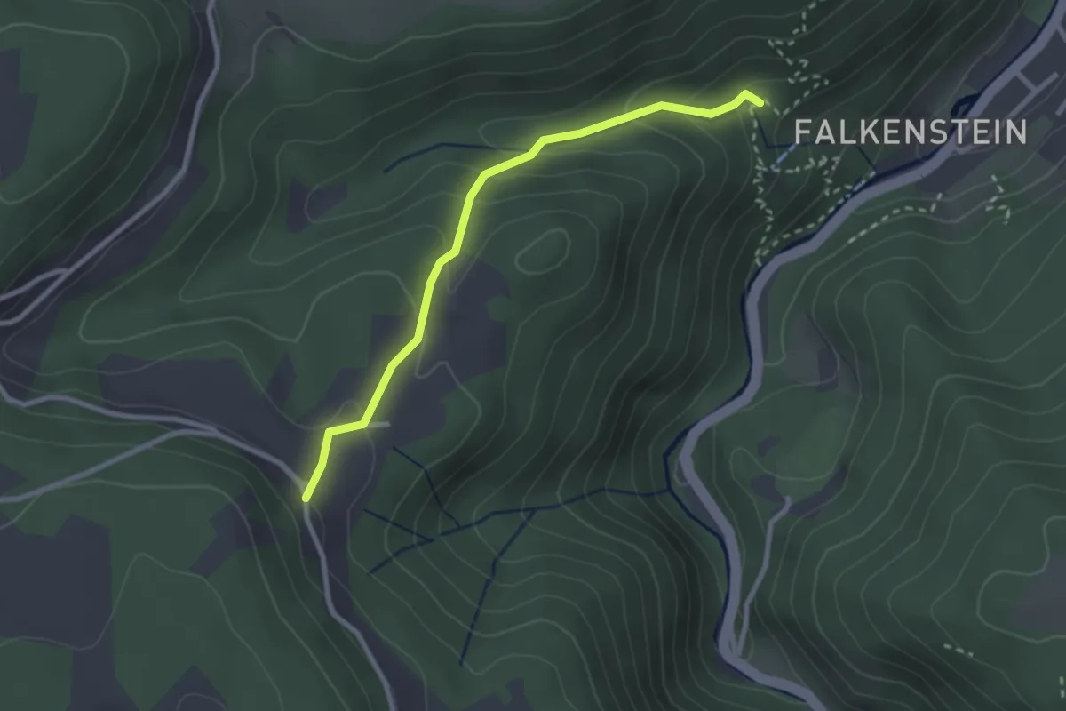
Medium · Trail
Hinterramstein - Ramsteiner Loch
2.5 km · ↑ 183 m · 59 min
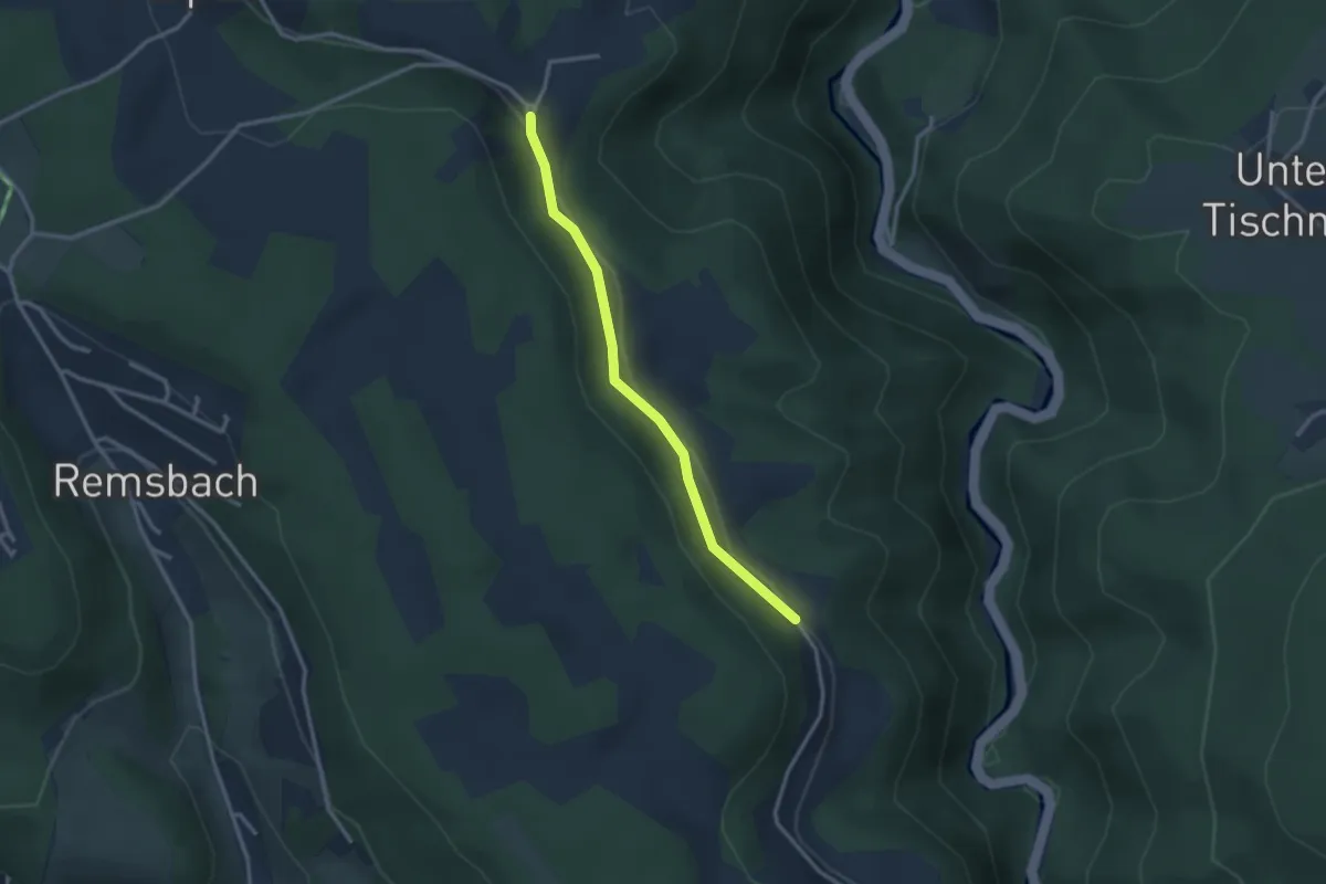
Easy · Trail
Hinterramstein - Ramstein Harzerhof
2.6 km · ↑ 79 m · 47 min
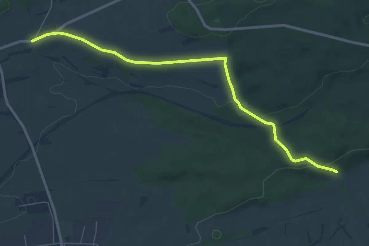
Easy · Trail
Hinterriedhütte - Käppele
6.2 km · ↑ 127 m · 1 h 45 min
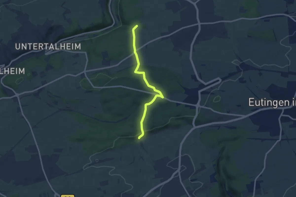
Easy · Trail
Hinterriedhütte - Steinbruch
6.9 km · ↑ 177 m · 2 h
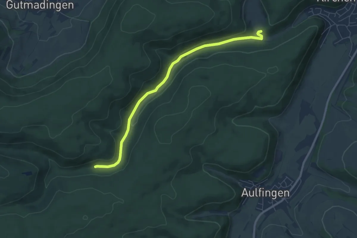
Easy · Trail
Hinter Ried - Pfaffental
6.8 km · ↑ 103 m · 1 h 50 min
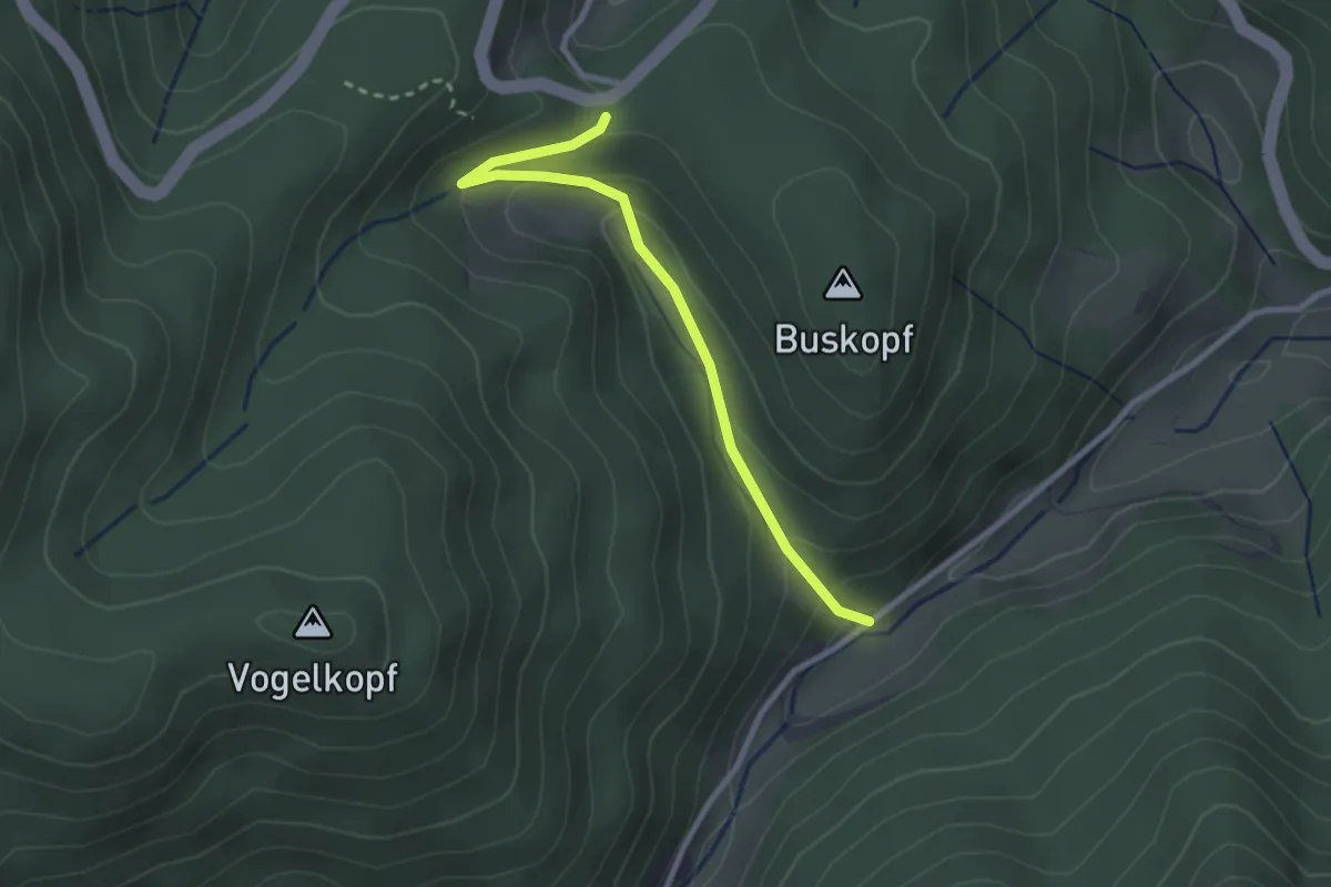
Easy · Trail
Hinter Sand - Steinenbach
2.5 km · ↑ 169 m · 57 min
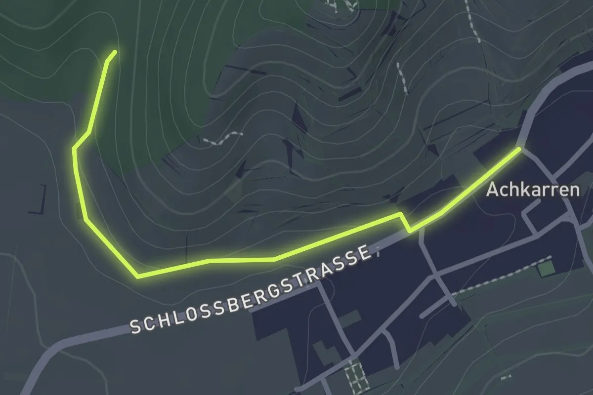
Easy · Trail
Hinterschloss - Kronenplatz Weinbaumuseum
2.4 km · ↑ 41 m · 39 min
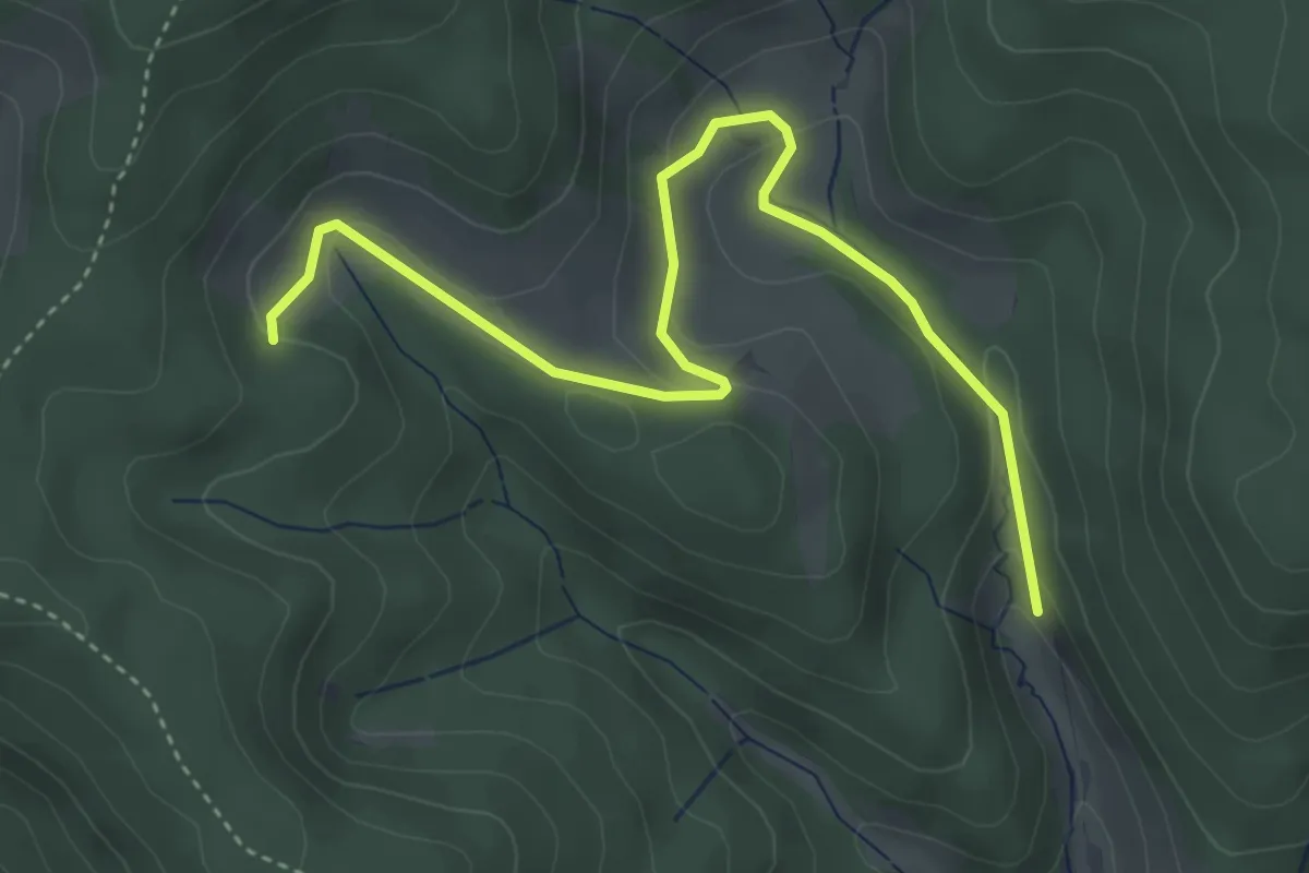
Easy · Trail
Hinterschwangen - Schwangenbach
4.4 km · ↑ 151 m · 1 h 22 min
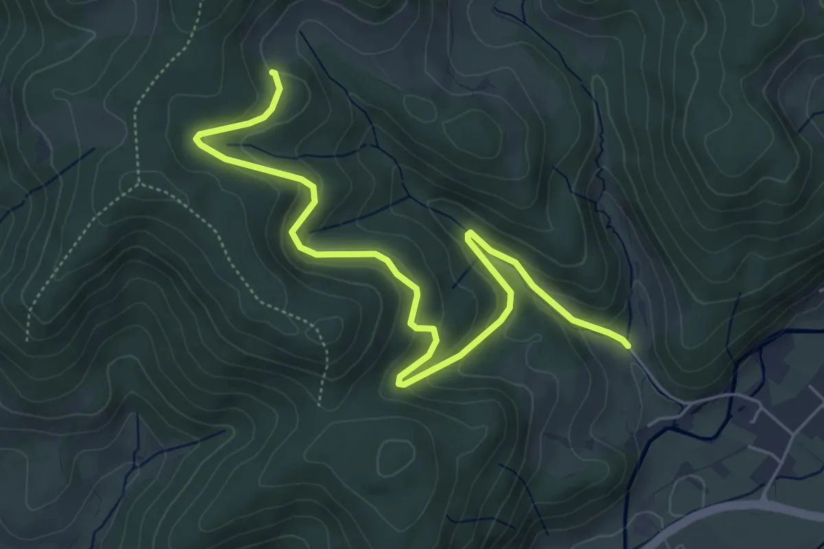
Easy · Trail
Hinterschwangen - Vorderschwangen
6.2 km · ↑ 273 m · 2 h 4 min
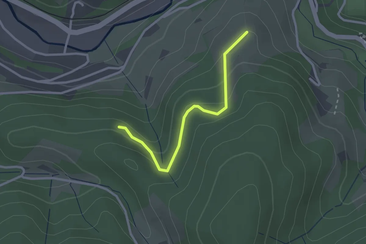
Easy · Trail
Hinterspring - Zefersgrund
2.1 km · ↑ 143 m · 49 min
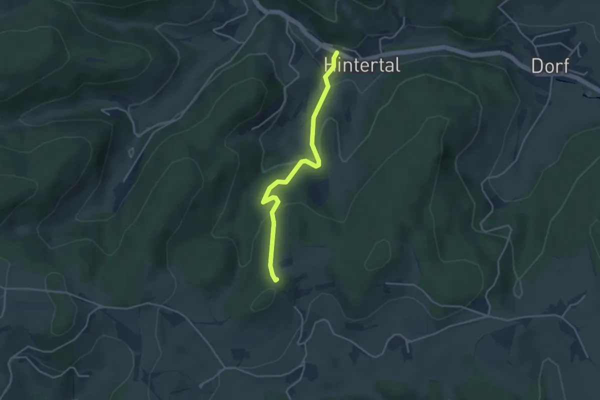
Easy · Trail
Hintertal Breitmatte - Beim Balzen-Kreuz
3.2 km · ↑ 178 m · 1 h 8 min
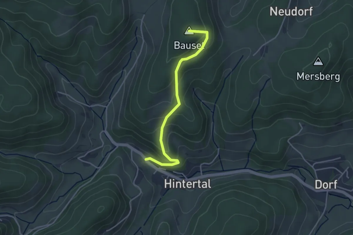
Easy · Summit
Hintertal Brücke - Prächter Berg
3.1 km · ↑ 190 m · 1 h 8 min
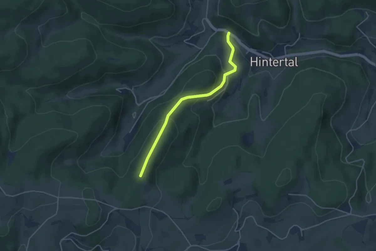
Easy · Trail
Hintertal Klausen-Kreuz - Vor Bäreneckle
3.4 km · ↑ 183 m · 1 h 12 min
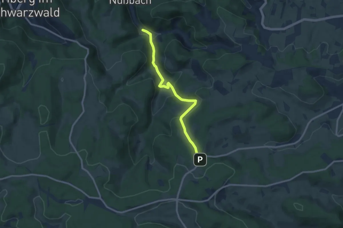
Medium · Trail
Hintertal - Unterer Hirzwald
6.6 km · ↑ 330 m · 2 h 16 min