Trails in Germany
36,852 hiking trails, each with its route, climb, walking time and grade.
All trails, page 240 of 768
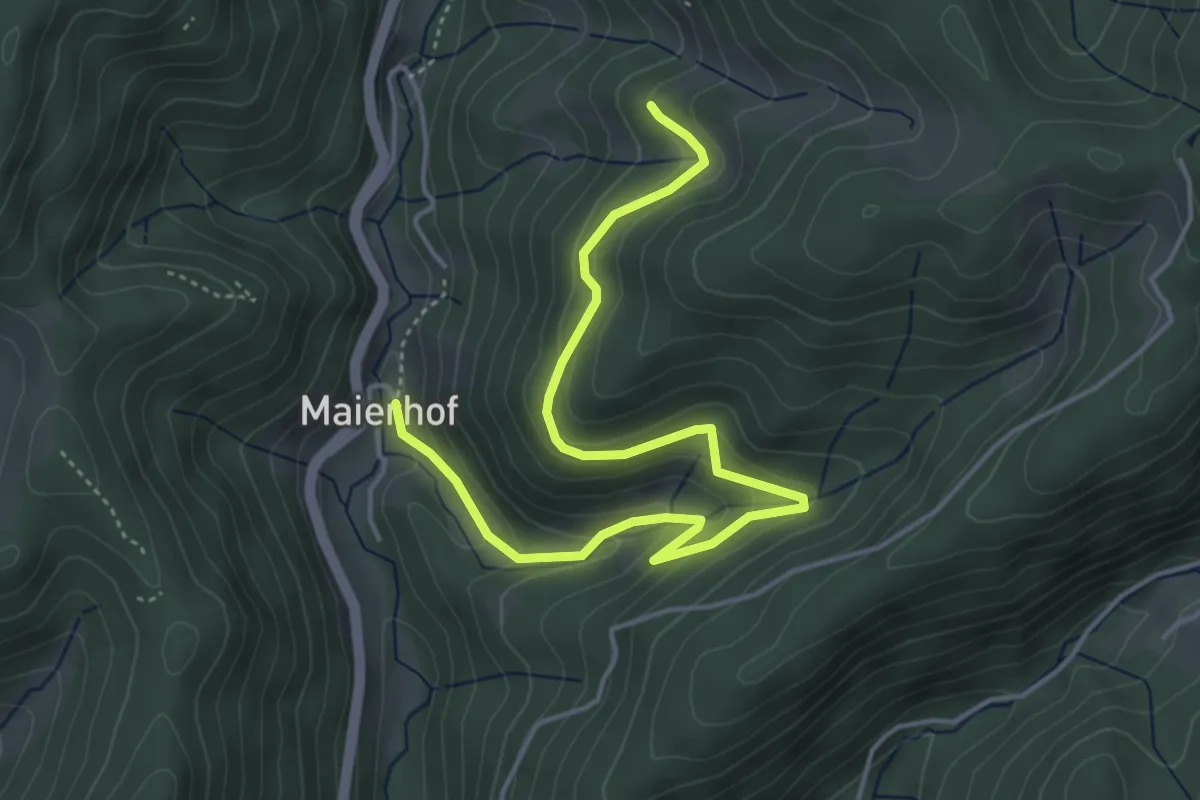
Easy · Trail
Hinter-Wahlholz - Lierbach Maierhof
5.1 km · ↑ 289 m · 1 h 50 min
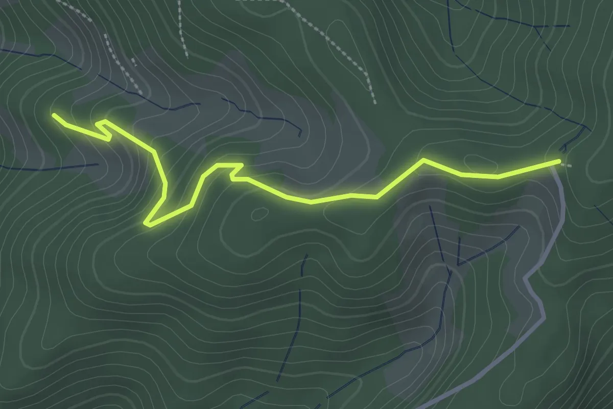
Easy · Trail
Hinter-Wahlholz - Wahlholzhütte
2.9 km · ↑ 187 m · 1 h 5 min
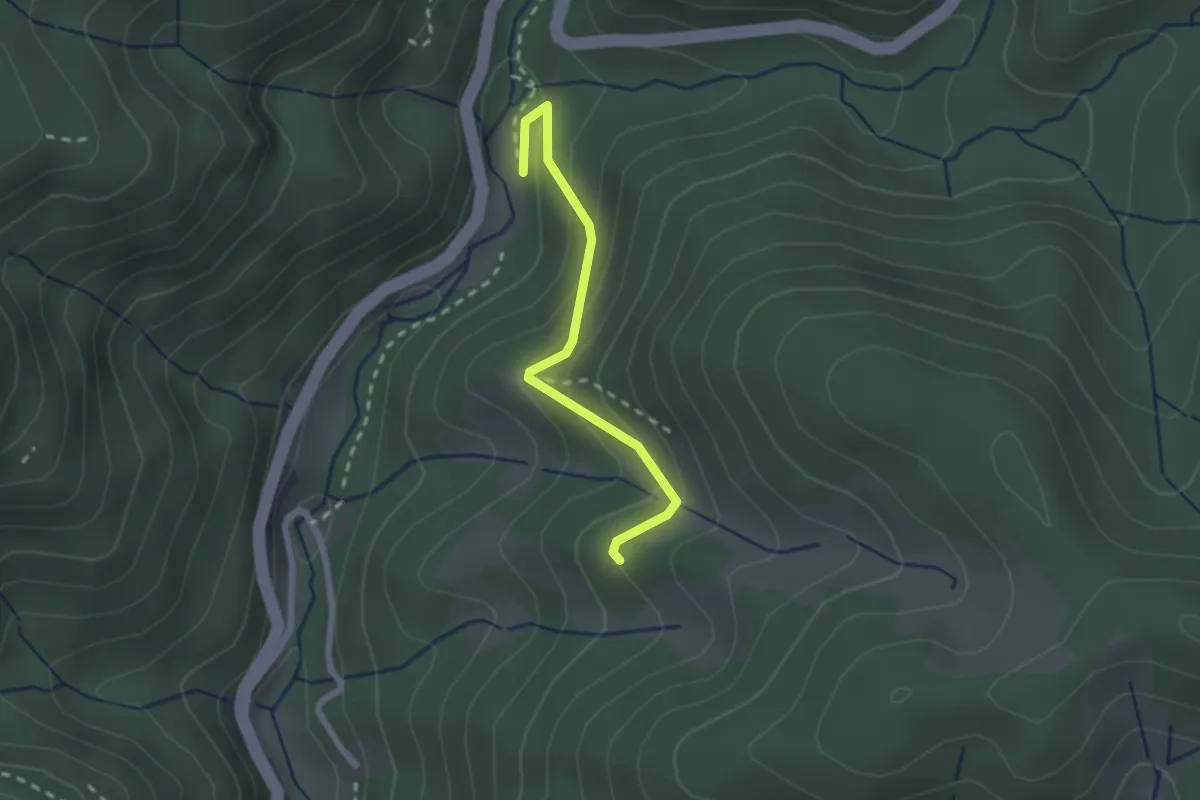
Easy · Trail
Hinter-Wahlholz - Windschlägwald
2.0 km · ↑ 165 m · 50 min
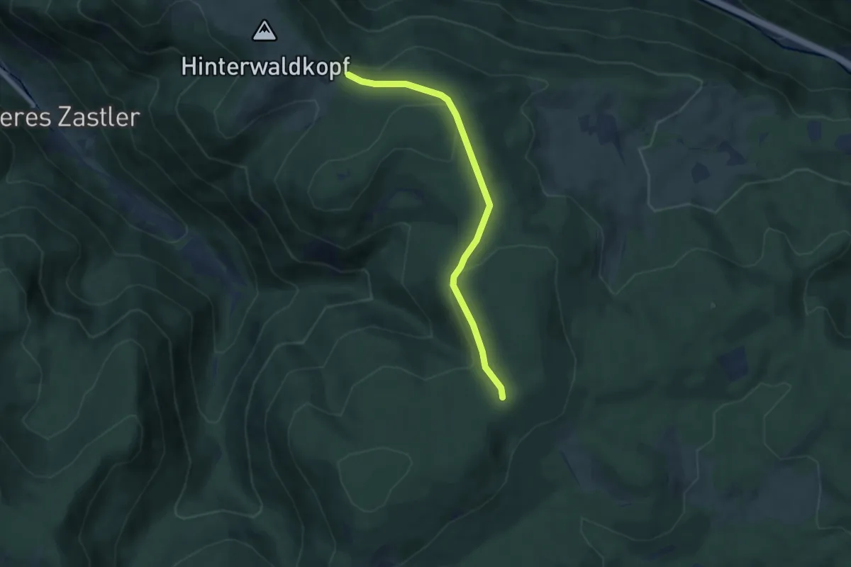
Easy · Trail
Hinterwaldkopfsattel - Spähnplatz
5.8 km · ↑ 174 m · 1 h 45 min
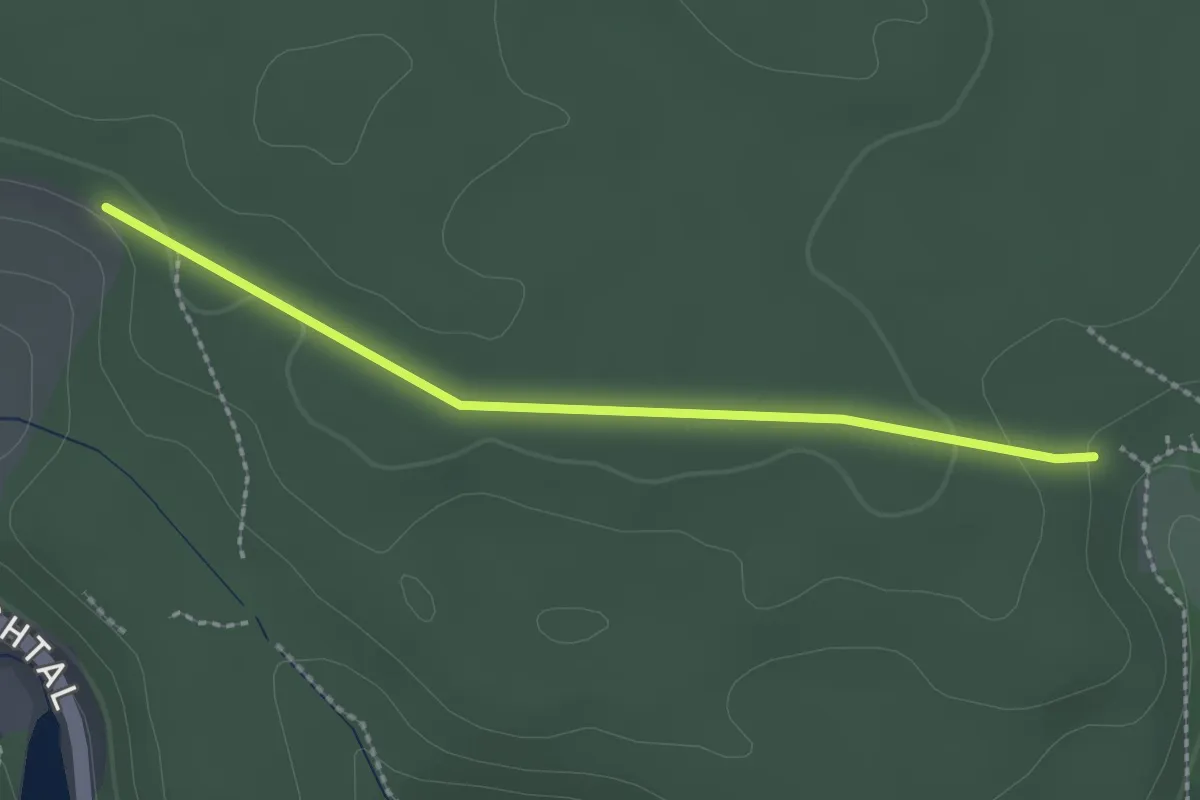
Easy · Trail
Hinterwasen - Kohlwald
2.2 km · ↑ 30 m · 35 min
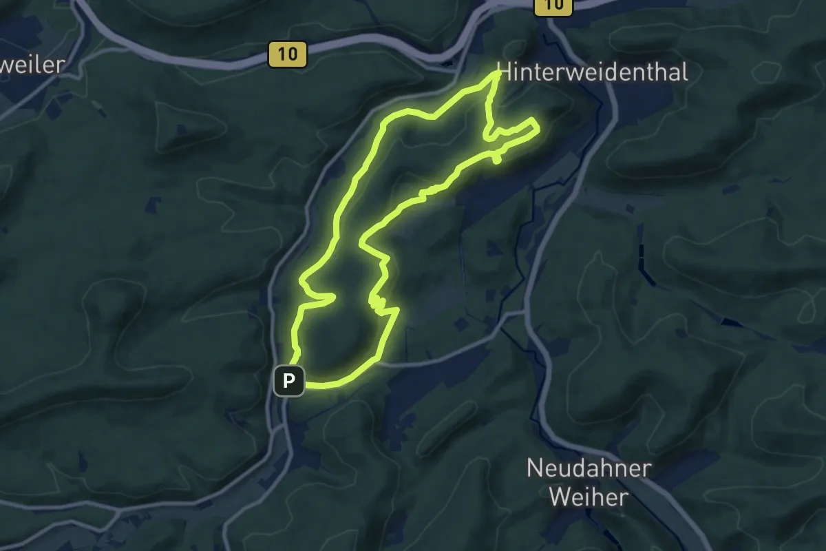
Medium · Summit
Hinterweidenthaler Teufelstisch-Tour
9.5 km · ↑ 346 m · 3 h 8 min
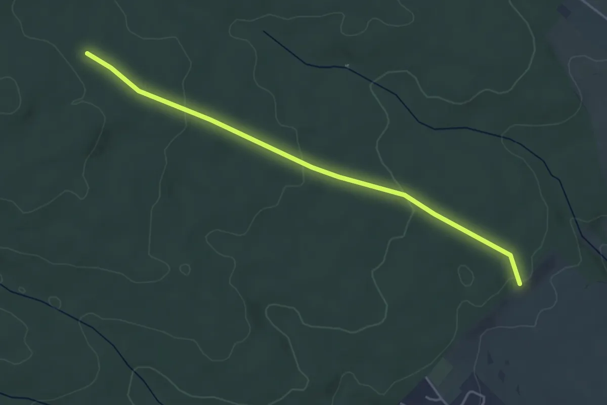
Easy · Trail
Hinterweiden - Vorderer Ettenbühl
4.1 km · ↑ 71 m · 1 h 7 min
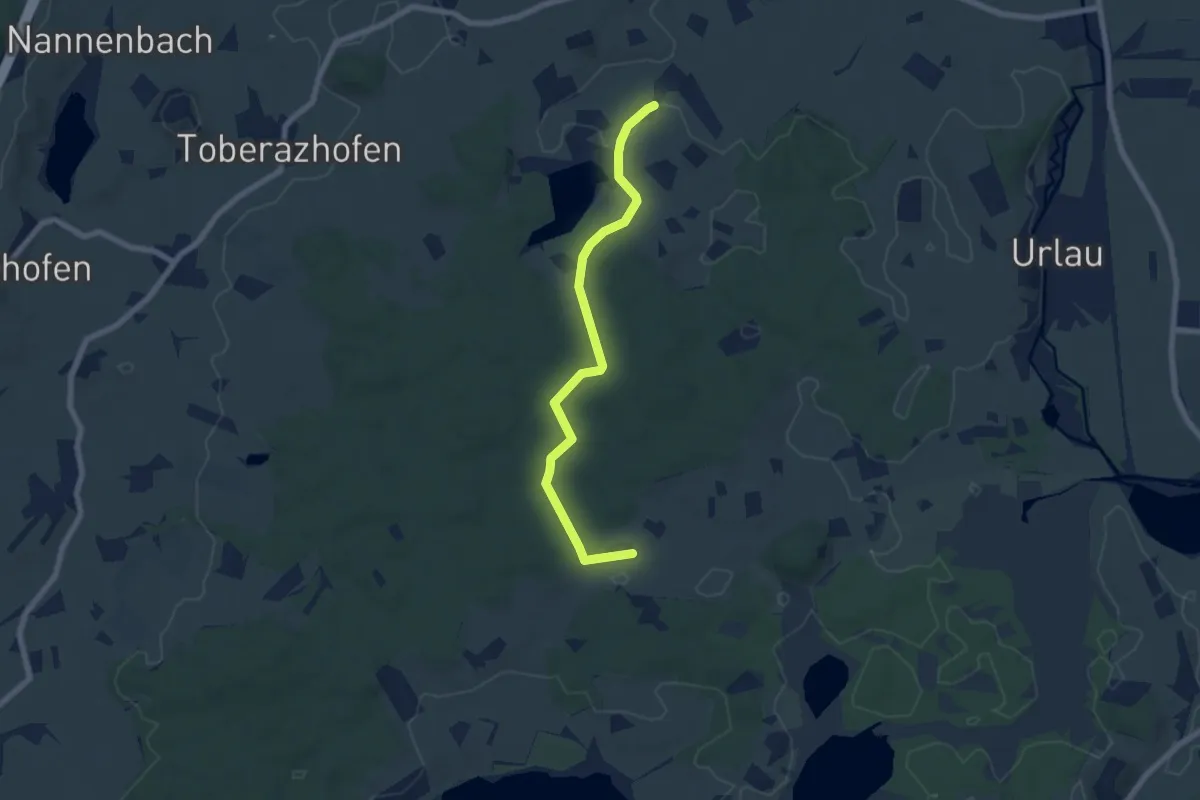
Easy · Trail
Hinterweiher - Beuren
6.6 km · ↑ 62 m · 1 h 41 min
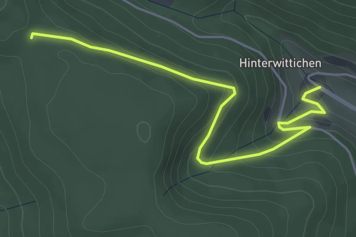
Easy · Trail
Hinterwittichen - Salzlecke
4.3 km · ↑ 285 m · 1 h 38 min
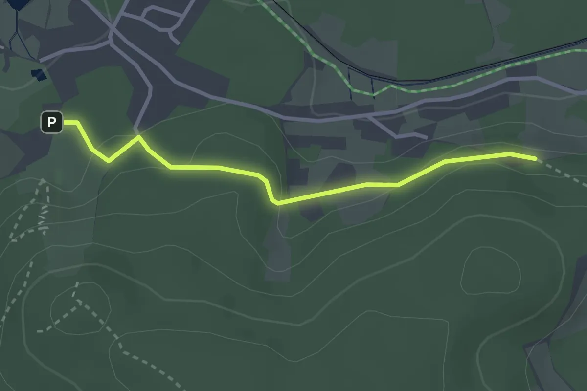
Easy · Trail
Hinterzarten Adler-Skistadion - Mehlberg
2.6 km · ↑ 65 m · 45 min
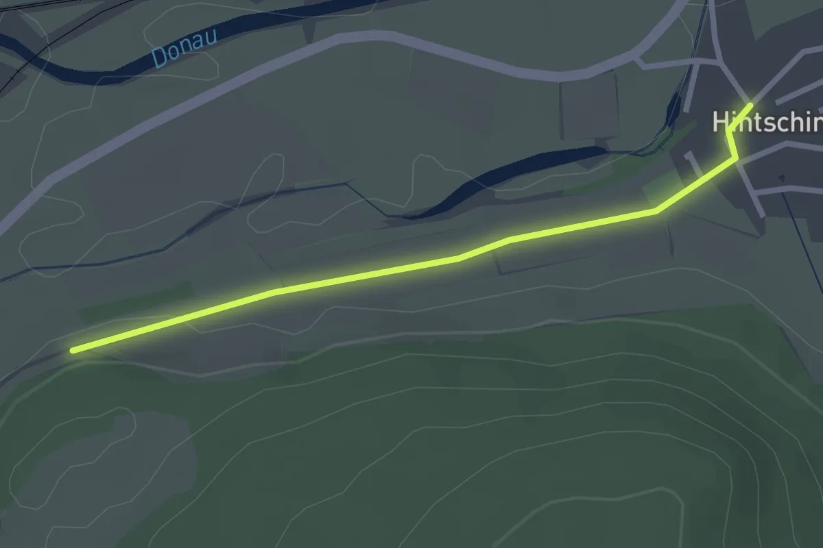
Easy · Trail
Hintschingen Ortsmitte - Esch
2.4 km · ↑ 19 m · 36 min
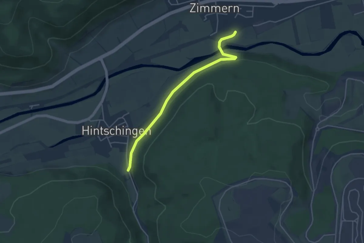
Easy · Trail
Hintschingen Schöntalweg - Haltepunkt Zimmern
3.8 km · ↑ 65 m · 1 h 2 min
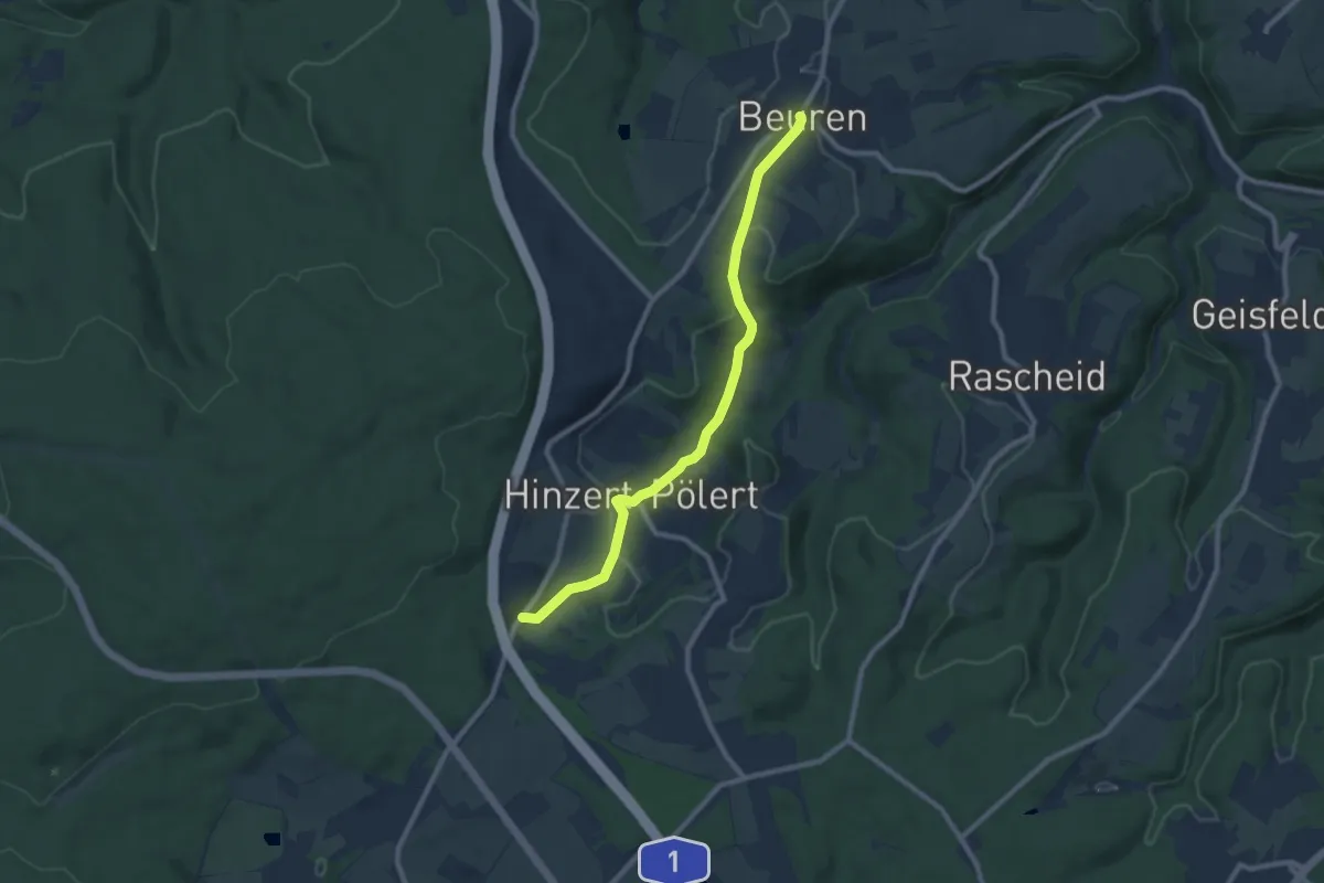
Medium · Trail
Hinzert-Pölert 1
8.3 km · ↑ 201 m · 2 h 24 min
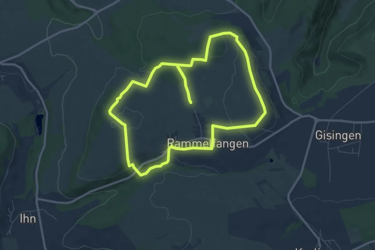
Easy · Summit
Hirn-Gallenberg-Tour
7.4 km · ↑ 162 m · 2 h 12 min
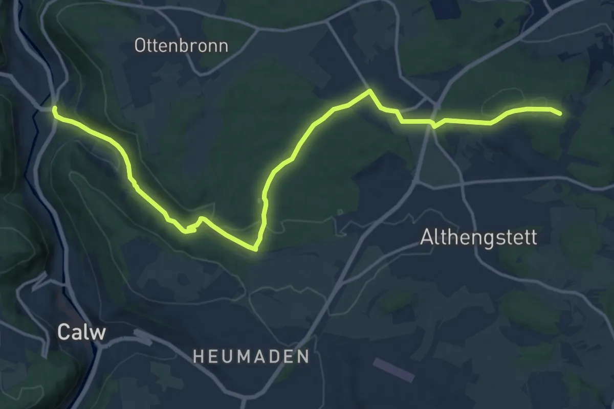
Medium · Trail
Hirsau - Althengstett
14.9 km · ↑ 310 m · 4 h 12 min
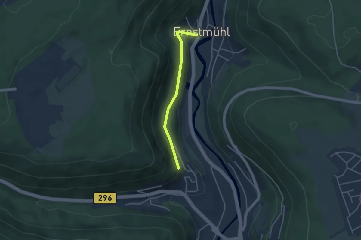
Easy · Trail
Hirsau Conventrain - Brandhalde
2.6 km · ↑ 131 m · 53 min
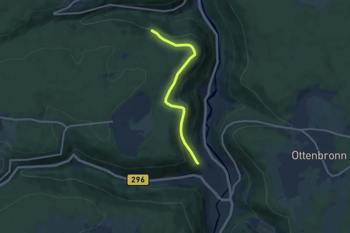
Easy · Trail
Hirsau Conventrain - Lützenhart
5.7 km · ↑ 253 m · 1 h 54 min
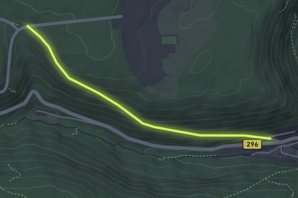
Easy · Trail
Hirsau Ziegeläcker - Lärchengarten
3.8 km · ↑ 181 m · 1 h 17 min
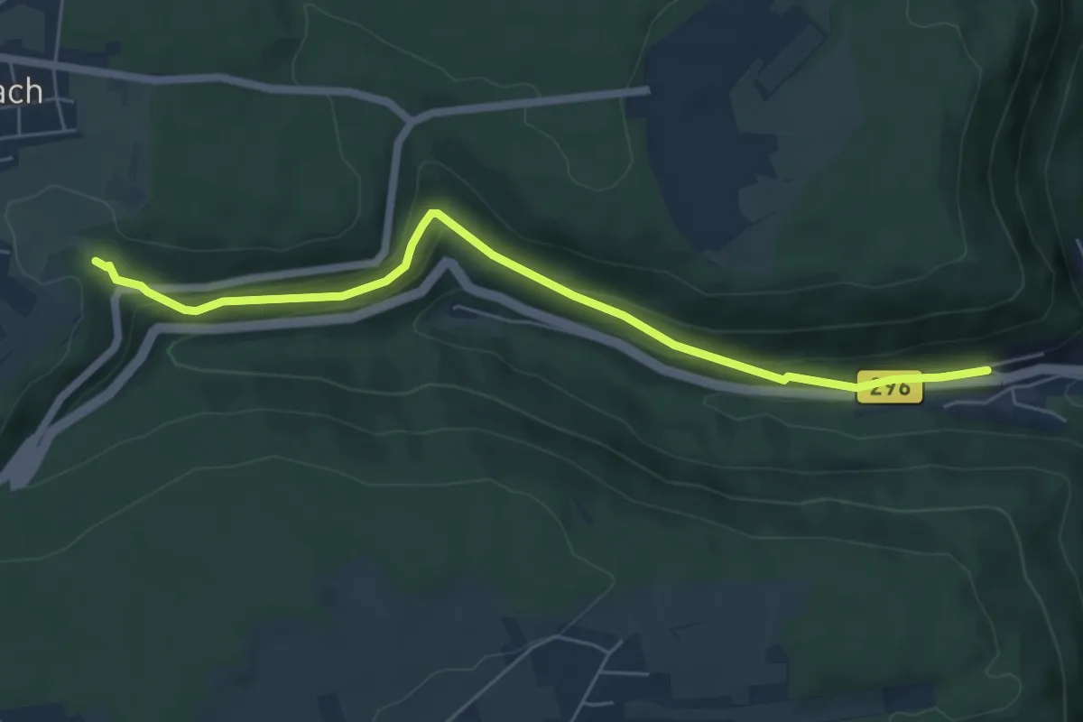
Easy · Trail
Hirsau Ziegeläcker - Scheufelteich
5.8 km · ↑ 262 m · 1 h 56 min
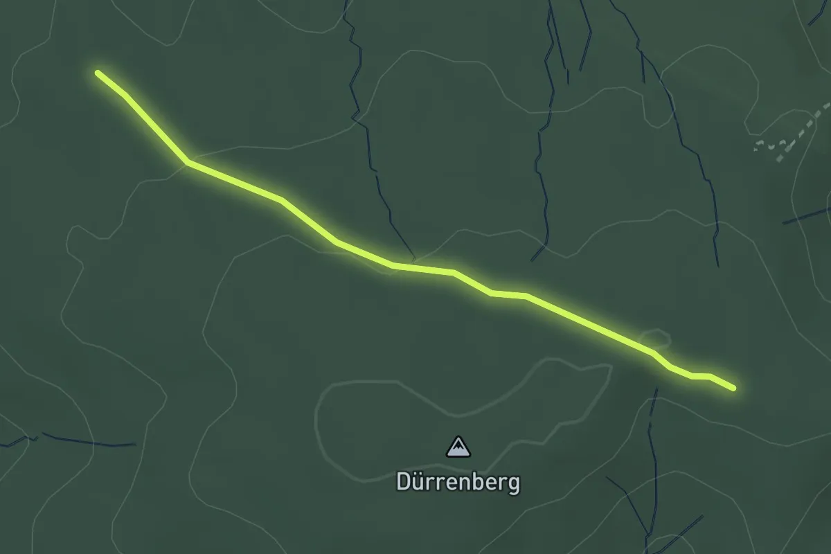
Easy · Trail
Hirschackerhütte - Oberndorferweg
2.7 km · ↑ 50 m · 45 min
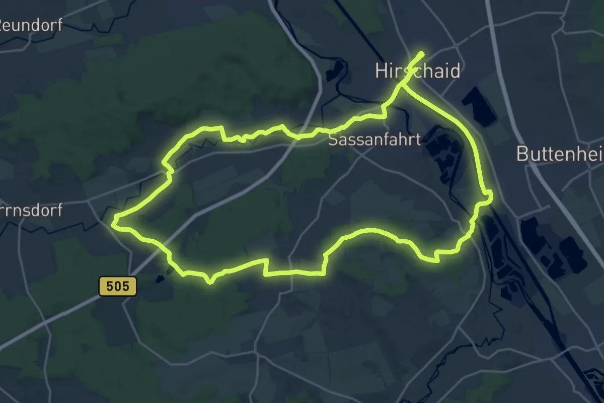
Demanding · Trail
Hirschaid Karpfenweg
21.8 km · ↑ 176 m · 5 h 50 min
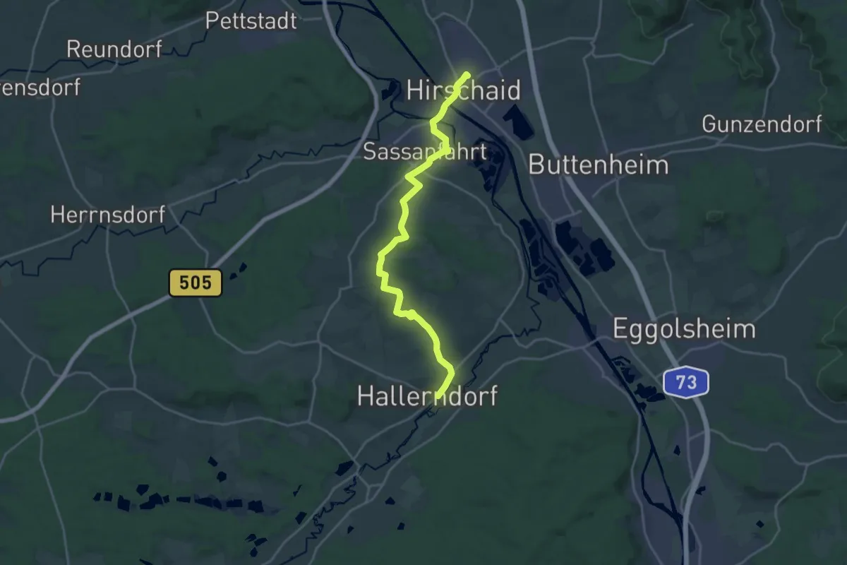
Demanding · Trail
Hirschaid Wanderweg "Roter Fisch"
19.0 km · ↑ 182 m · 4 h 52 min
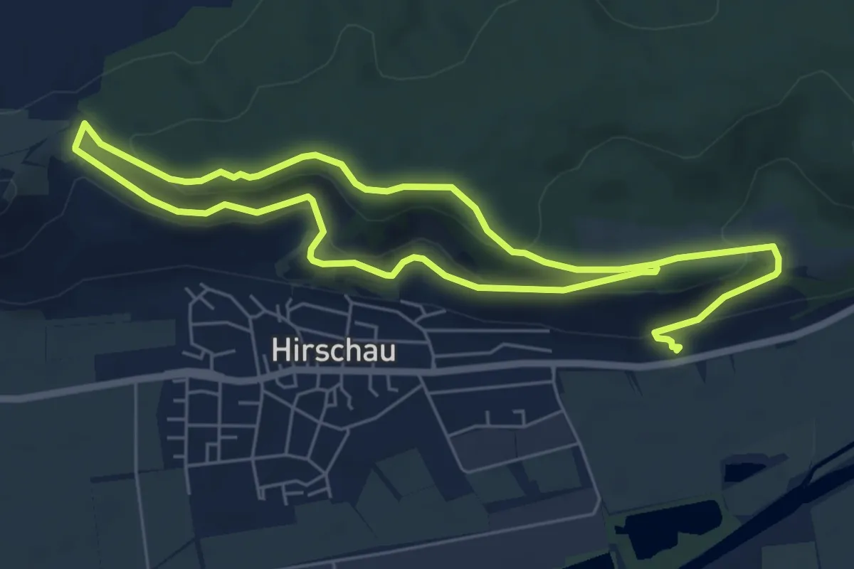
Easy · Summit
Hirschauer Spitzbergwegle
5.0 km · ↑ 219 m · 1 h 42 min
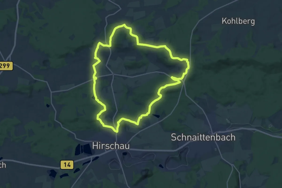
Medium · Trail
Hirschauer Turmweg
16.5 km · ↑ 363 m · 4 h 55 min
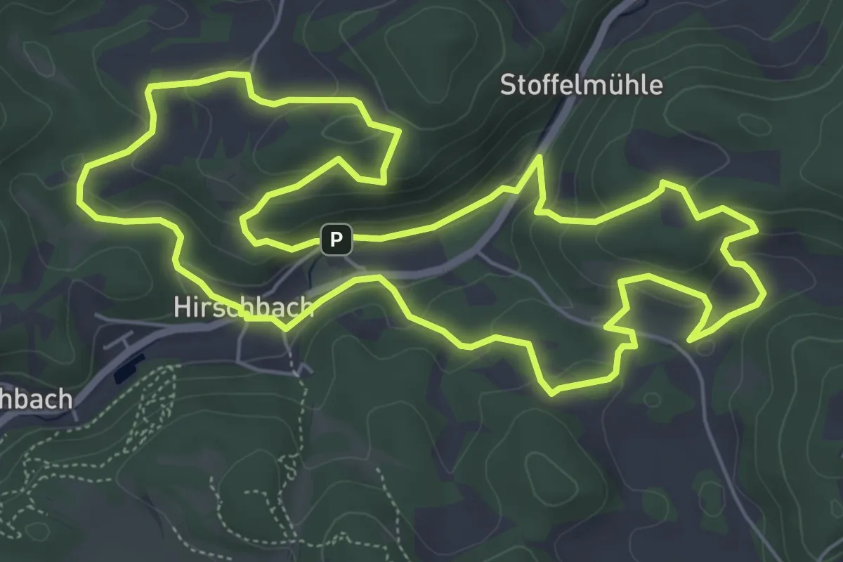
Easy · Summit
Hirschbacher Ziegenrundwanderweg
6.2 km · ↑ 241 m · 2 h 5 min
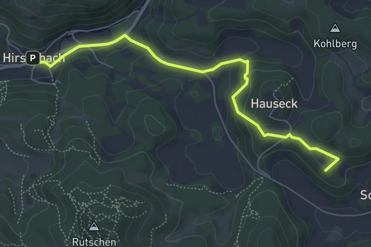
Easy · Summit
Hirschbach-Kirchenreinbach
5.6 km · ↑ 179 m · 1 h 43 min
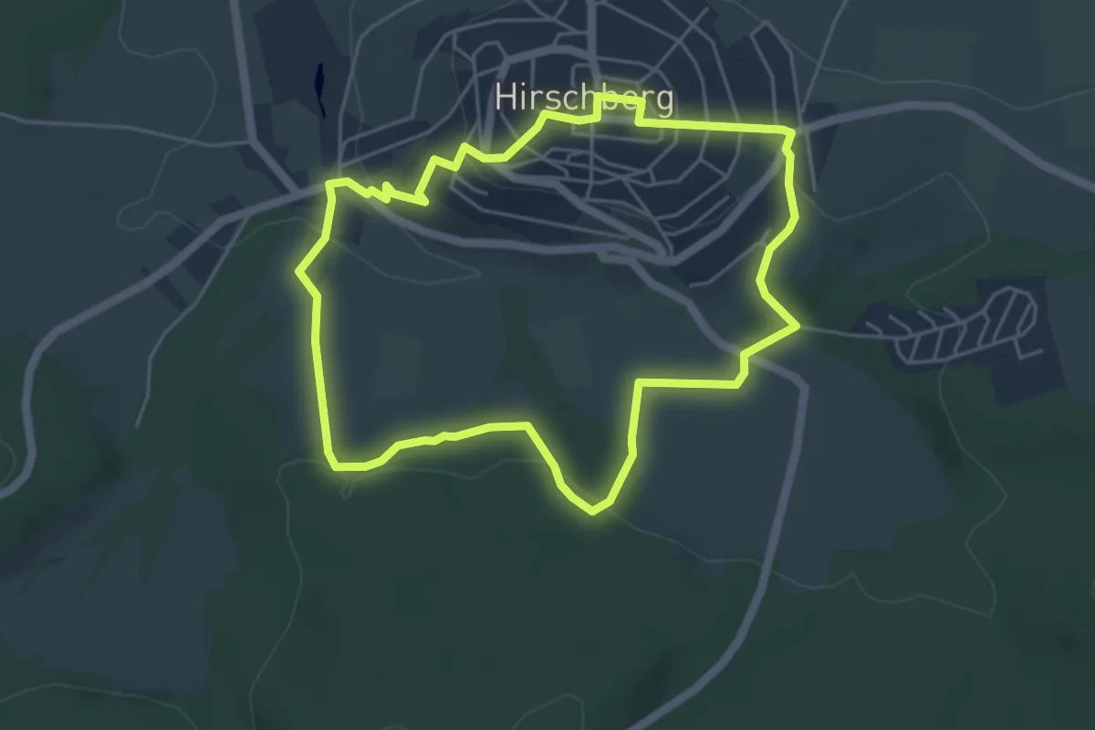
Easy · Trail
Hirschberg A1
4.3 km · ↑ 138 m · 1 h 23 min
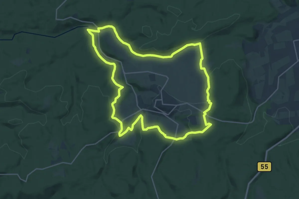
Medium · Trail
Hirschberg A10
16.6 km · ↑ 298 m · 4 h 47 min
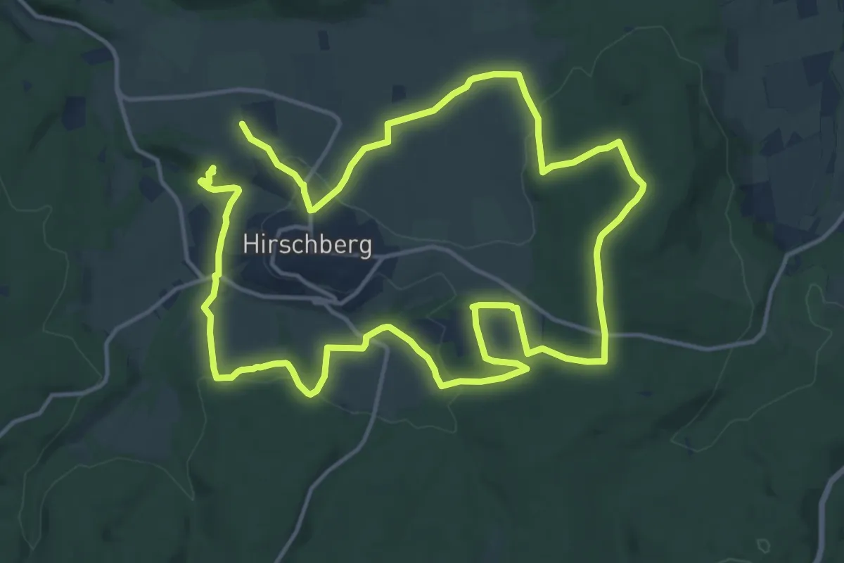
Demanding · Trail
Hirschberg A11
23.7 km · ↑ 506 m · 6 h 41 min
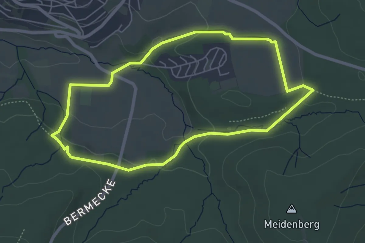
Easy · Trail
Hirschberg A2
4.2 km · ↑ 67 m · 1 h 11 min
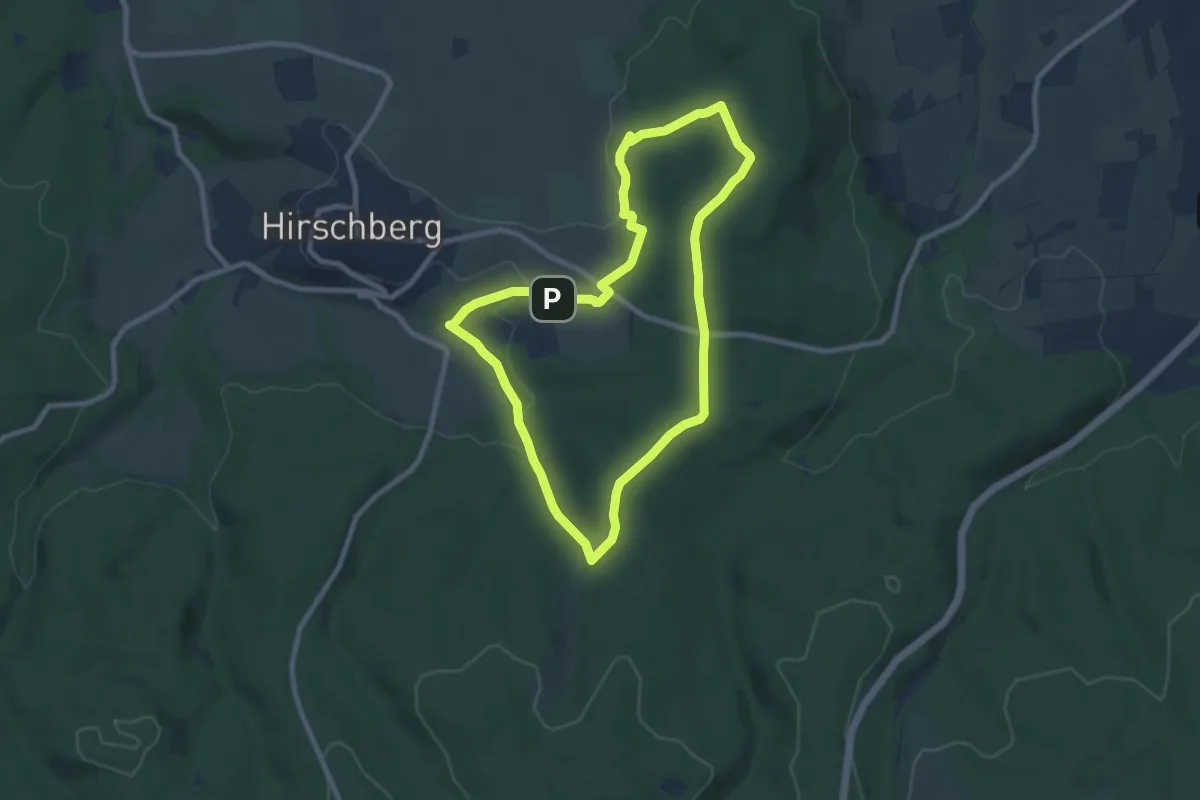
Easy · Summit
Hirschberg A3
7.4 km · ↑ 160 m · 2 h 11 min
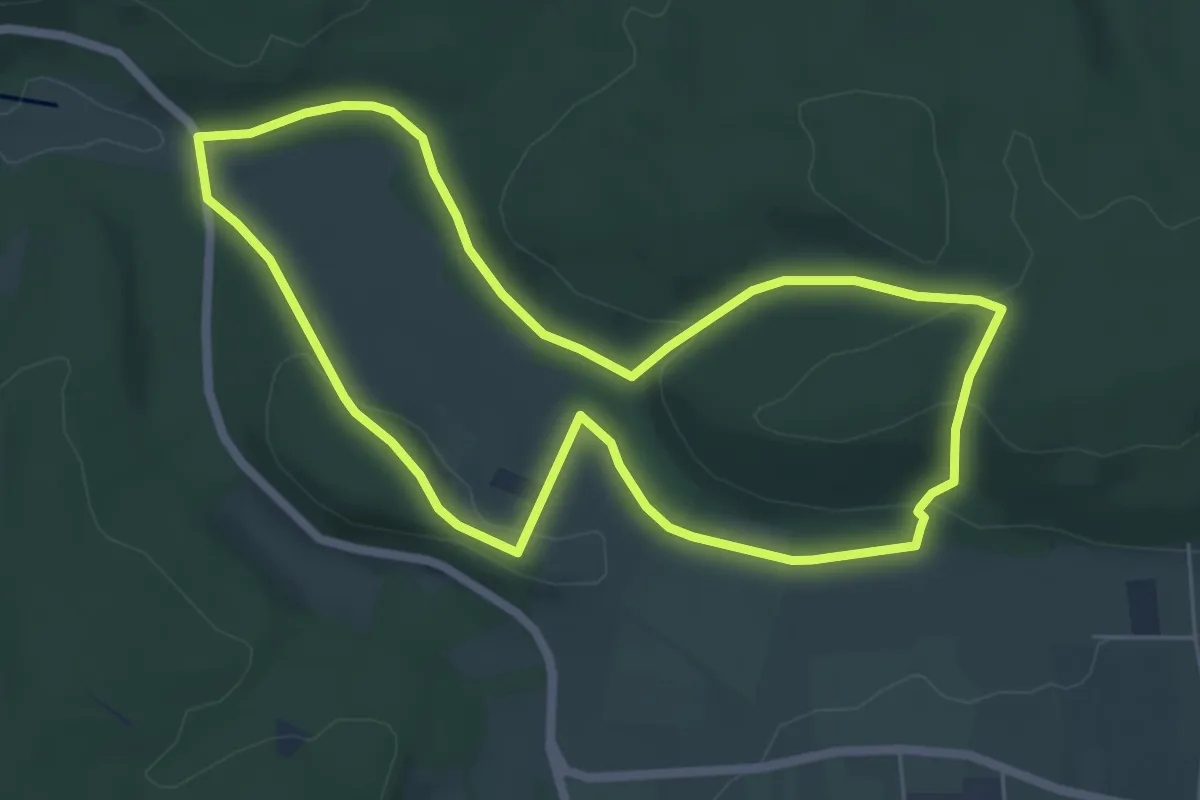
Easy · Summit
Hirschberg A5
5.5 km · ↑ 143 m · 1 h 41 min
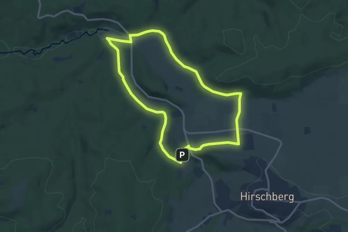
Easy · Trail
Hirschberg A6
7.1 km · ↑ 123 m · 2 h 2 min
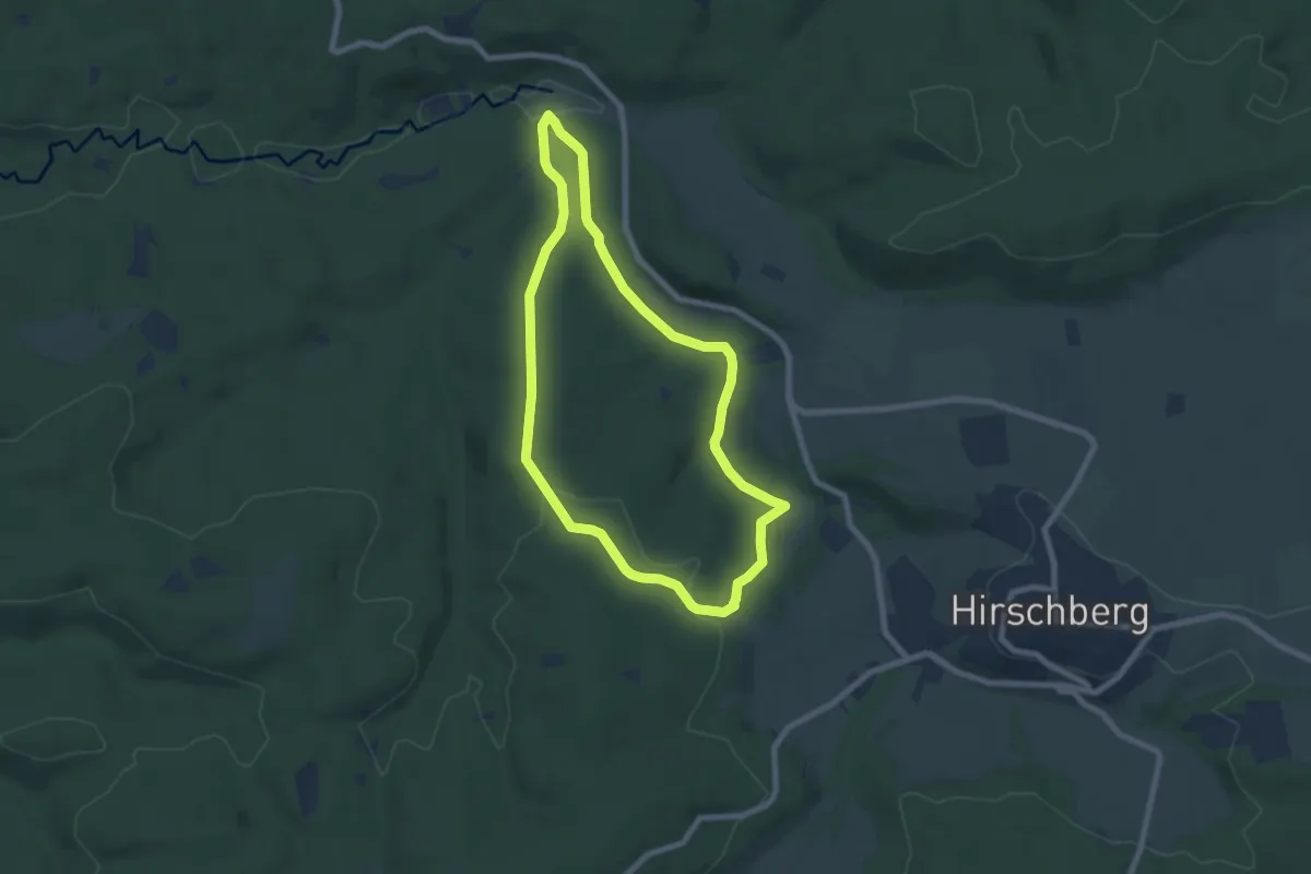
Easy · Trail
Hirschberg A7
6.3 km · ↑ 119 m · 1 h 50 min
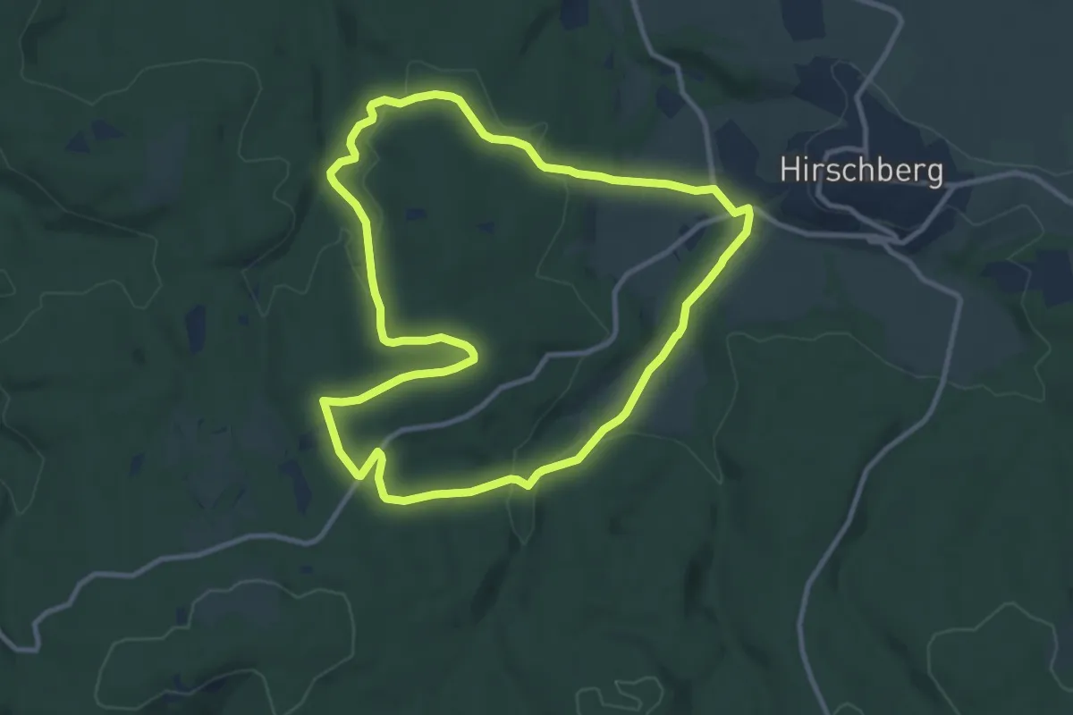
Medium · Trail
Hirschberg A8
9.0 km · ↑ 218 m · 2 h 43 min
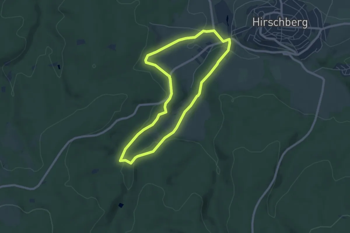
Easy · Trail
Hirschberg A9
5.0 km · ↑ 132 m · 1 h 33 min
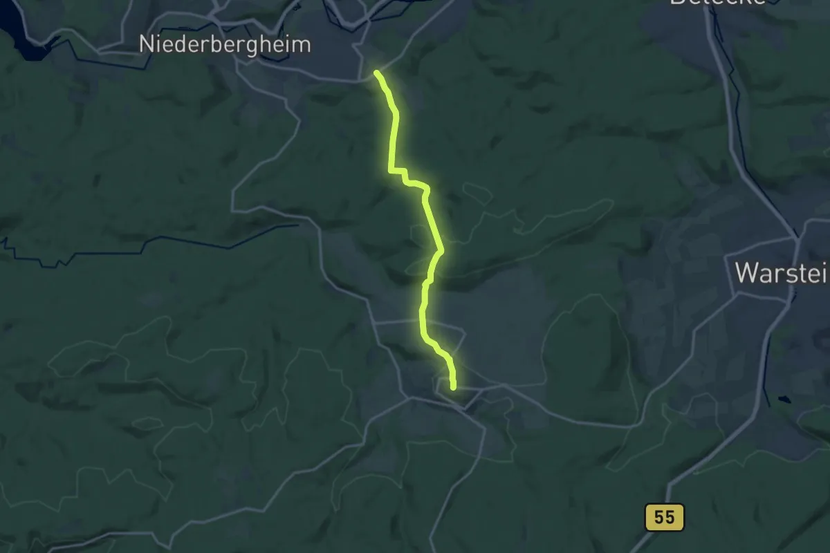
Medium · Trail
Hirschberg-Allagen U
11.9 km · ↑ 285 m · 3 h 25 min
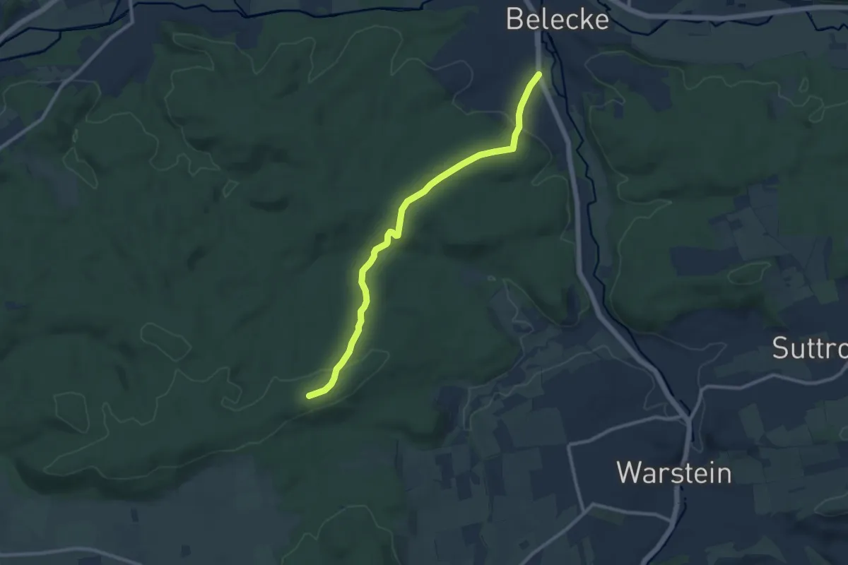
Medium · Summit
[<] Hirschberg - Belecke
8.8 km · ↑ 246 m · 2 h 36 min
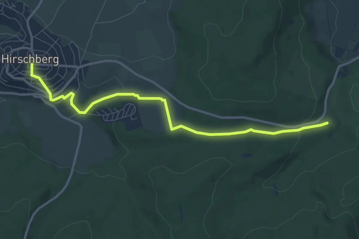
Easy · Trail
[-]Hirschberg - Höhle
7.8 km · ↑ 200 m · 2 h 17 min
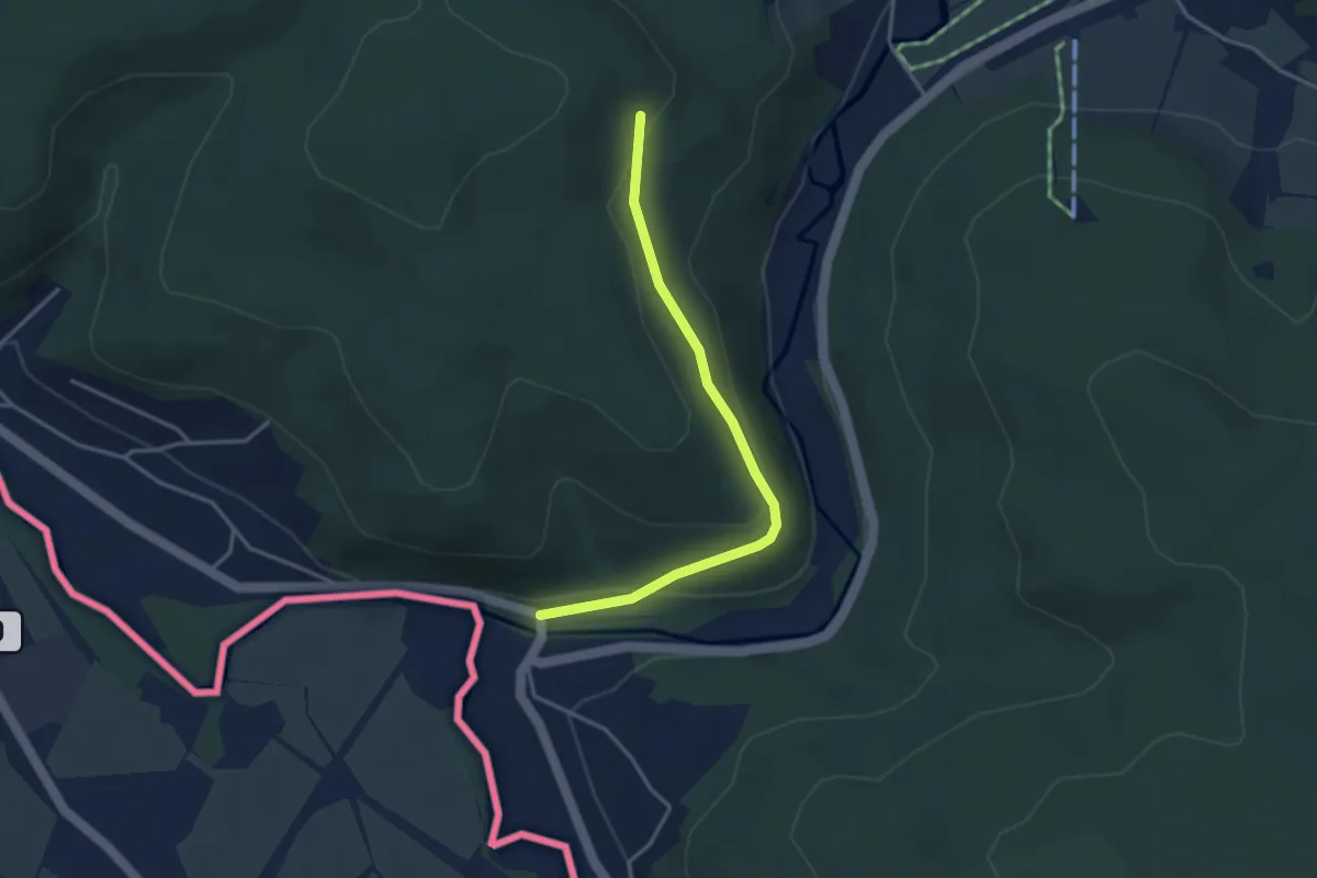
Easy · Trail
Hirschberg-Niederseiffenbach
3.2 km · ↑ 115 m · 1 h
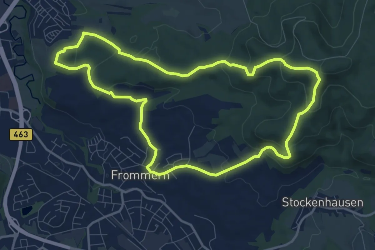
Medium · Trail
Hirschberg Rundweg
8.5 km · ↑ 258 m · 2 h 42 min
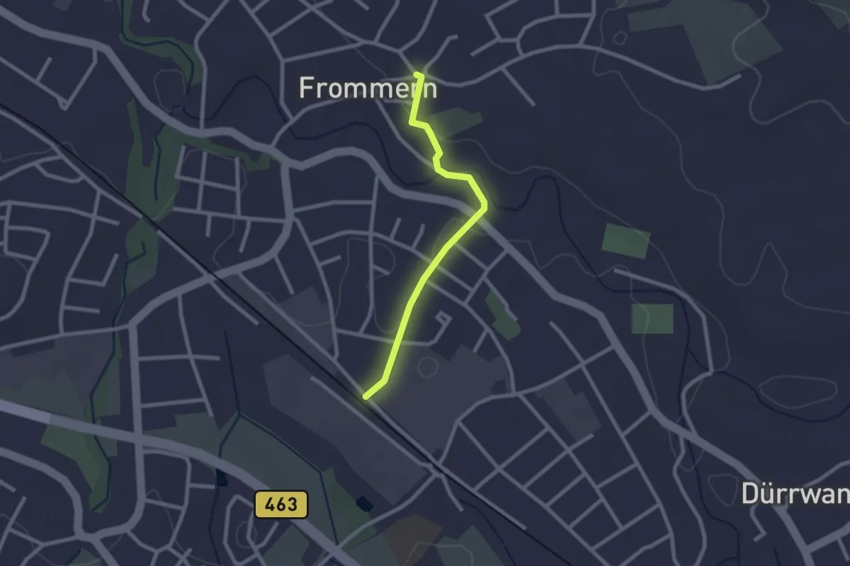
Easy · Trail
Hirschberg-Rundweg - Zugangsweg
2.0 km · ↑ 9 m · 30 min
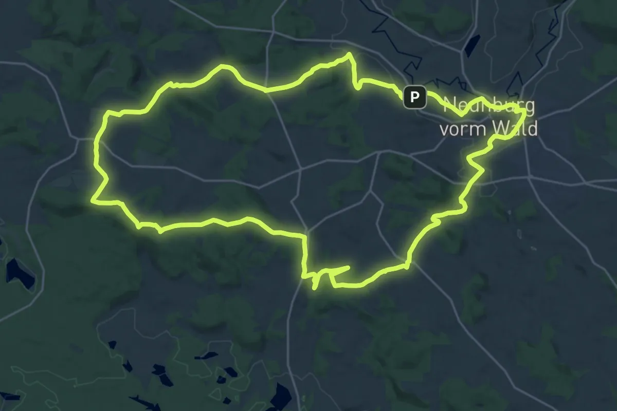
Demanding · Summit
Hirschbergweg
25.1 km · ↑ 416 m · 7 h 11 min
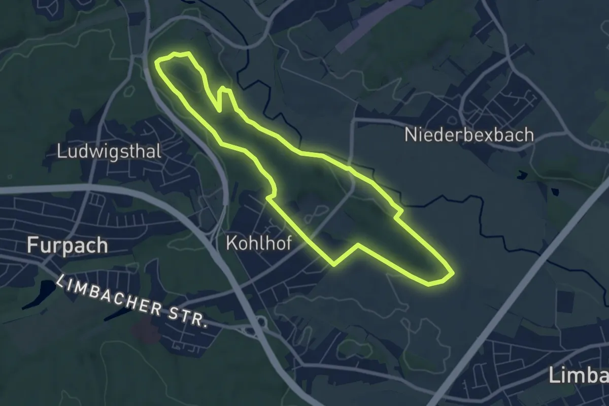
Easy · Summit
Hirschbergweg
6.6 km · ↑ 102 m · 1 h 53 min
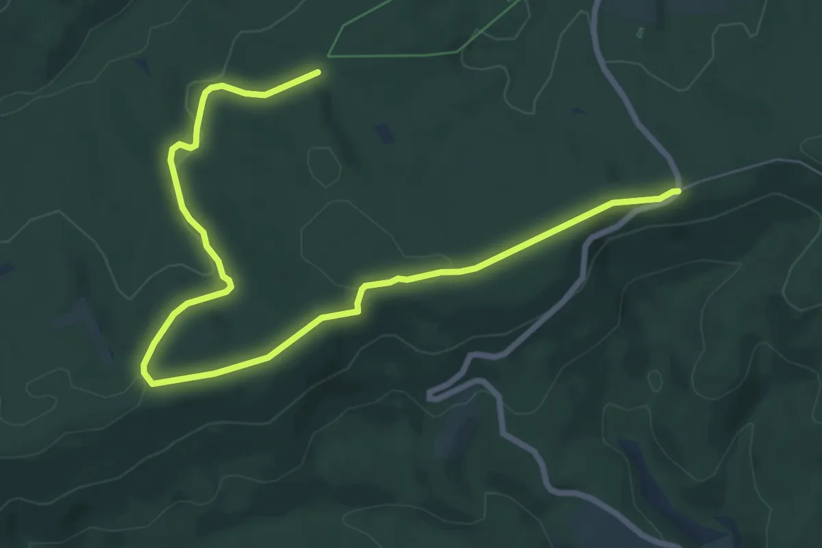
Easy · Trail
Hirschbruch Rundweg A10
4.1 km · ↑ 86 m · 1 h 13 min
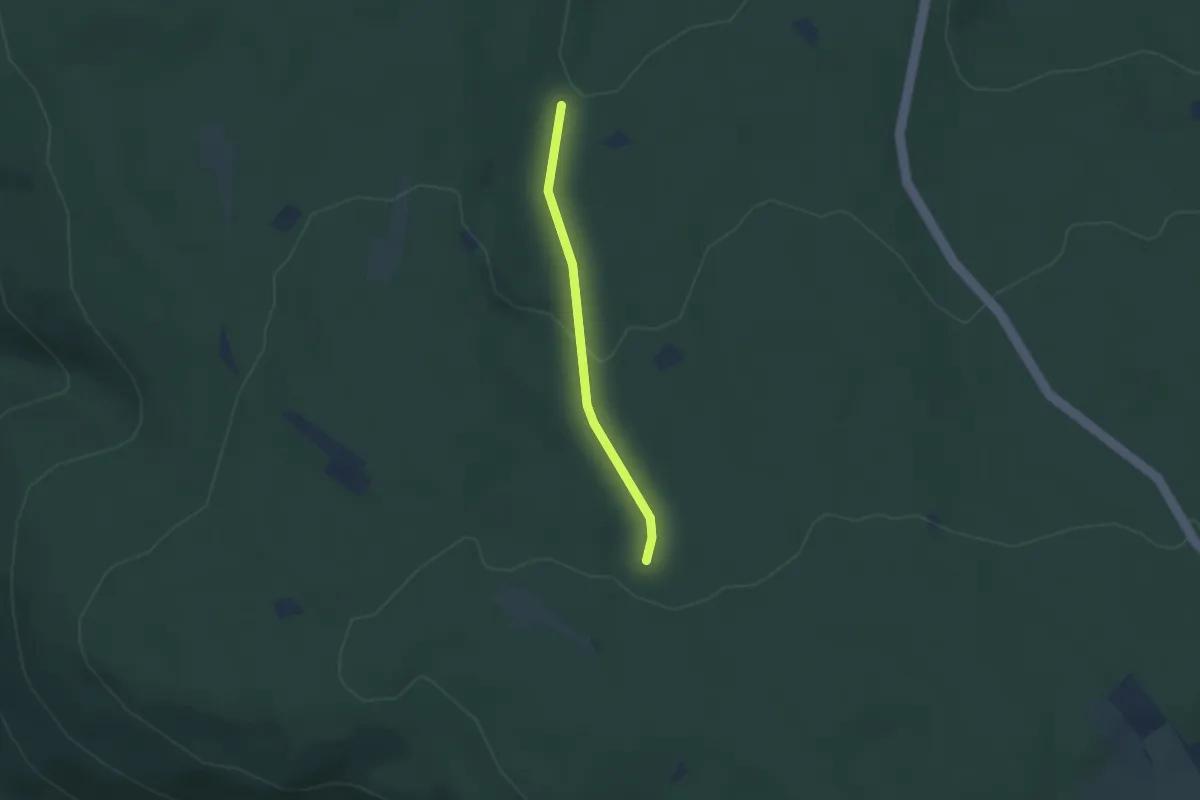
Easy · Trail
Hirschbusch - Hundstal
2.1 km · ↑ 87 m · 42 min
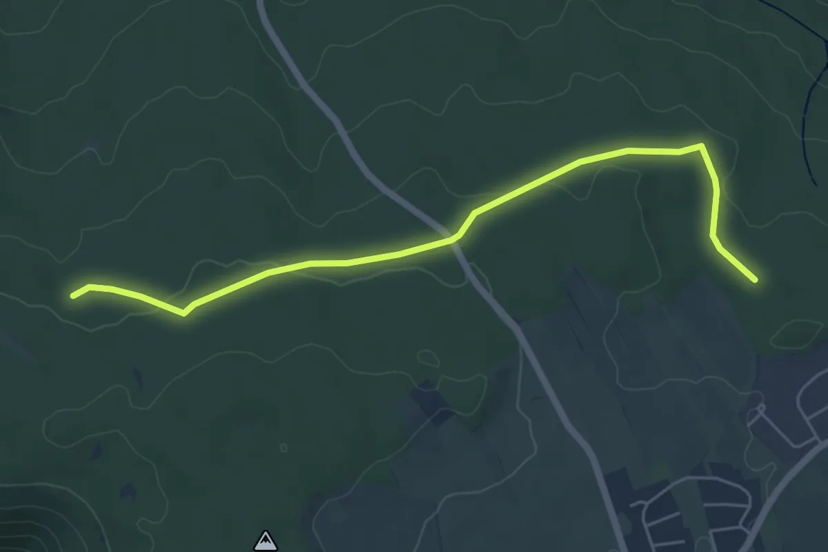
Easy · Trail
Hirschbusch - Zwei Buchen
5.0 km · ↑ 60 m · 1 h 19 min
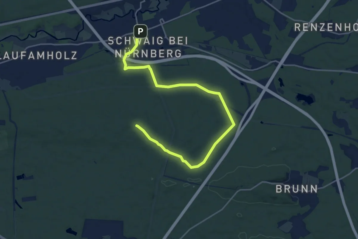
Medium · Summit
Hirschenkopf Trail
16.7 km · ↑ 89 m · 4 h 8 min