Trails in Germany
36,852 hiking trails, each with its route, climb, walking time and grade.
All trails, page 241 of 768
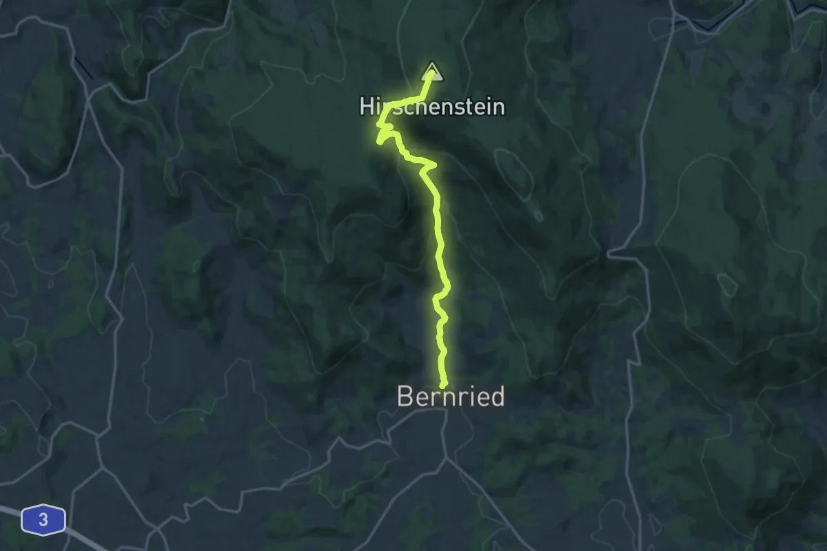
Medium · Summit
Hirschensteinweg
13.9 km · ↑ 672 m · 4 h 44 min
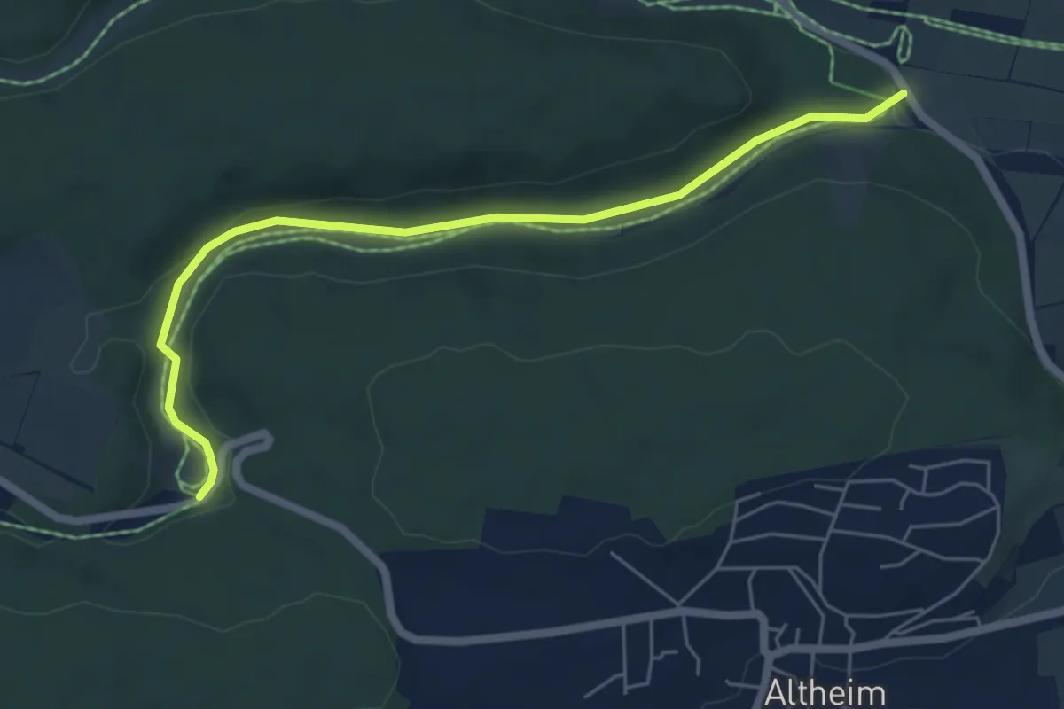
Easy · Trail
Hirschental
2.8 km · ↑ 74 m · 50 min
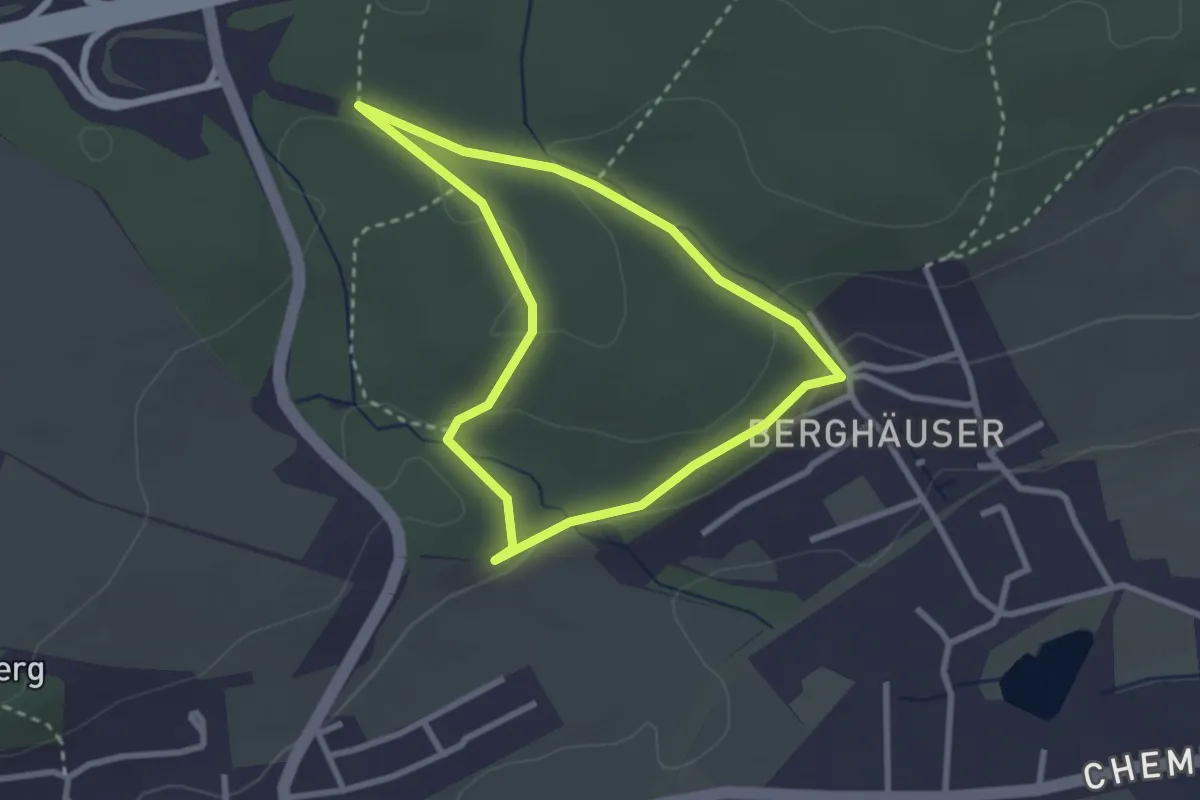
Easy · Trail
Hirschfängerrundweg
2.3 km · ↑ 42 m · 40 min
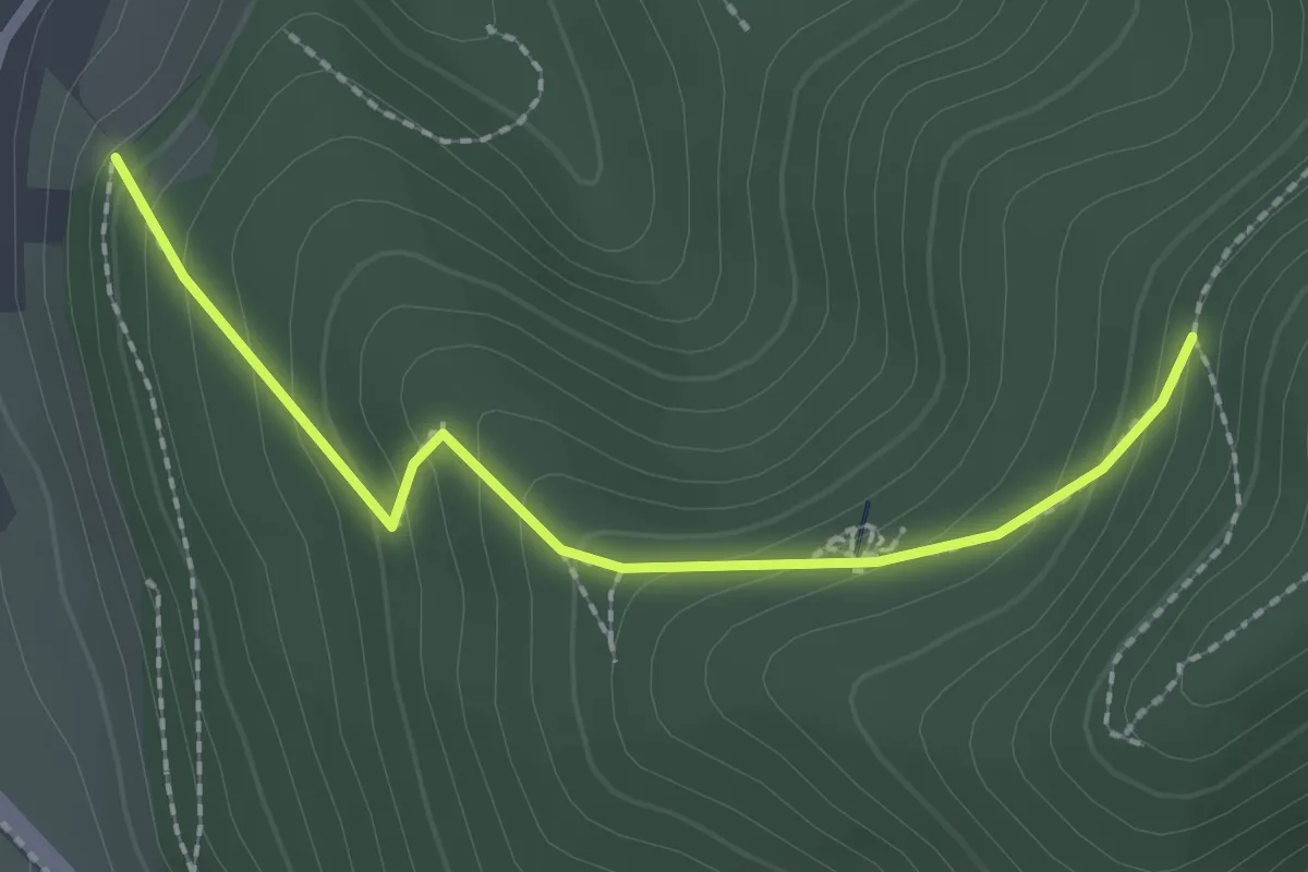
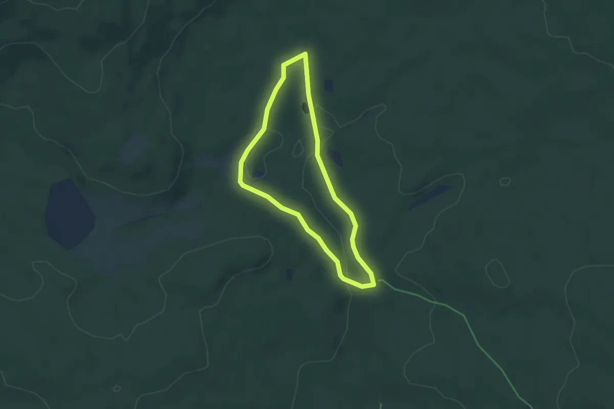
Medium · Trail
Hirschfelsenweg - Haslach Rotkreuz
2.1 km · ↑ 172 m · 52 min
Easy · Trail
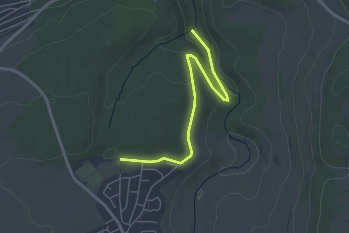
Hirschgeweih
3.2 km · ↑ 41 m · 54 min
Easy · Trail
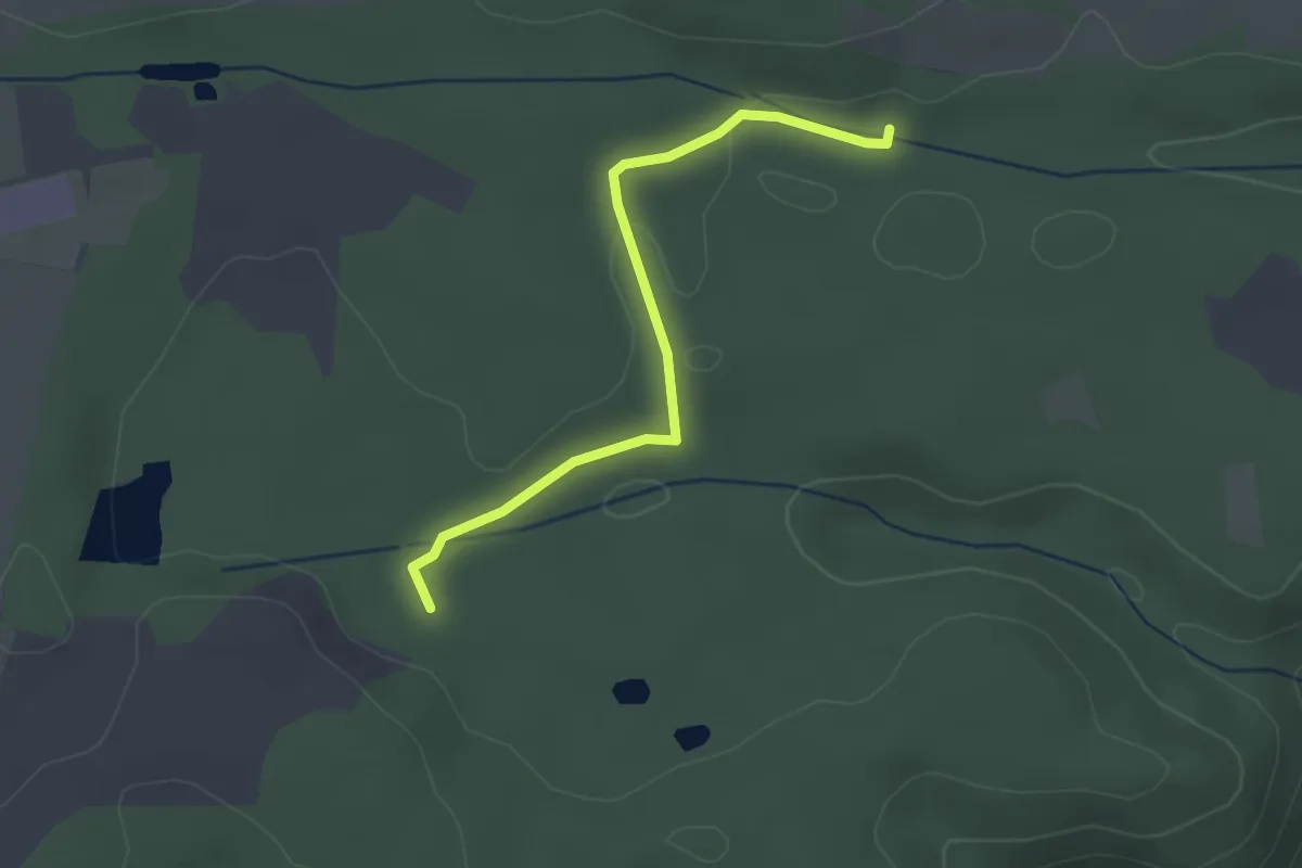
Hirschgraben - Am Bernecker Weg
4.2 km · ↑ 101 m · 1 h 12 min
Easy · Trail
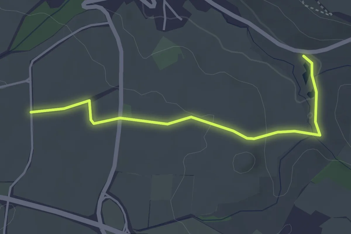
Hirschgraben - Kiesgrube
2.5 km · ↑ 22 m · 39 min
Easy · Trail
Hirschgräben - Kohlbrunnen
3.5 km · ↑ 51 m · 57 min
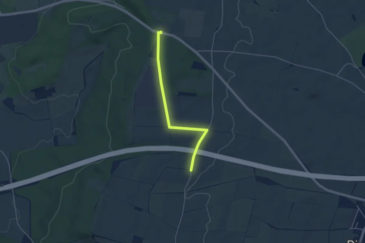
Easy · Trail
Hirschhalde - Autobahnbrücke
3.6 km · ↑ 23 m · 54 min
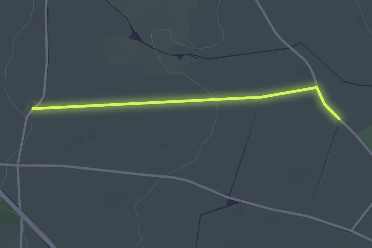
Easy · Trail
Hirschhaldehütte - Sunthauser See
2.4 km · ↑ 31 m · 39 min
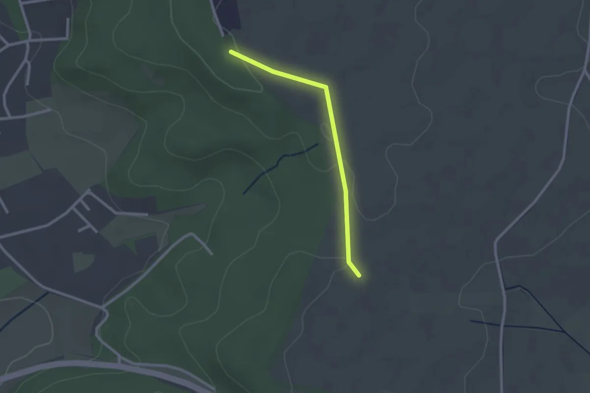
Easy · Trail
Hirschhaldenweg - Stockäcker
2.0 km · ↑ 22 m · 31 min
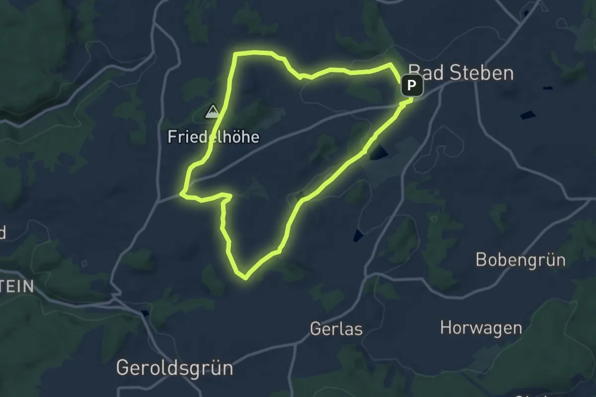
Medium · Trail
Hirschhügel-Weg US 32
8.9 km · ↑ 136 m · 2 h 32 min
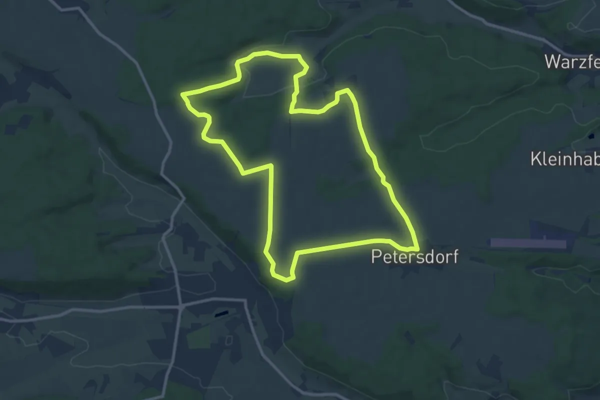
Medium · Trail
Hirschkäfer
9.0 km · ↑ 121 m · 2 h 31 min
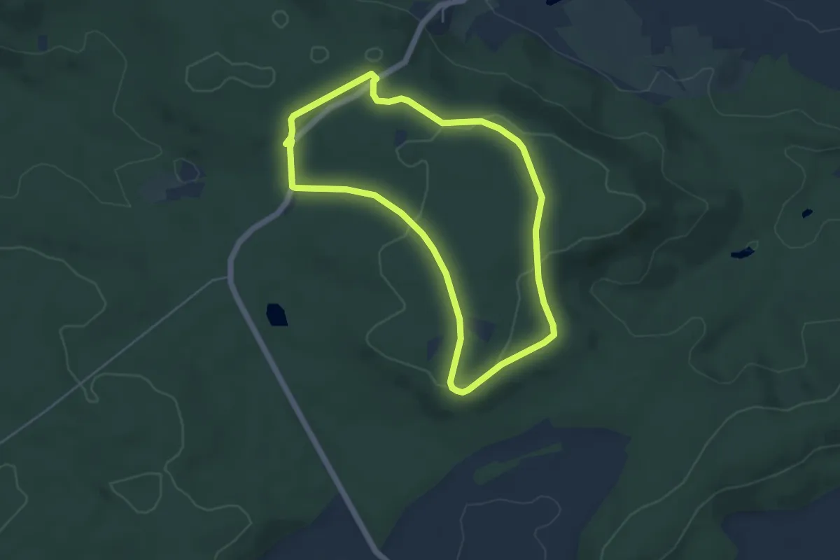
Easy · Summit
Hirschkäfer
4.1 km · ↑ 53 m · 1 h 9 min
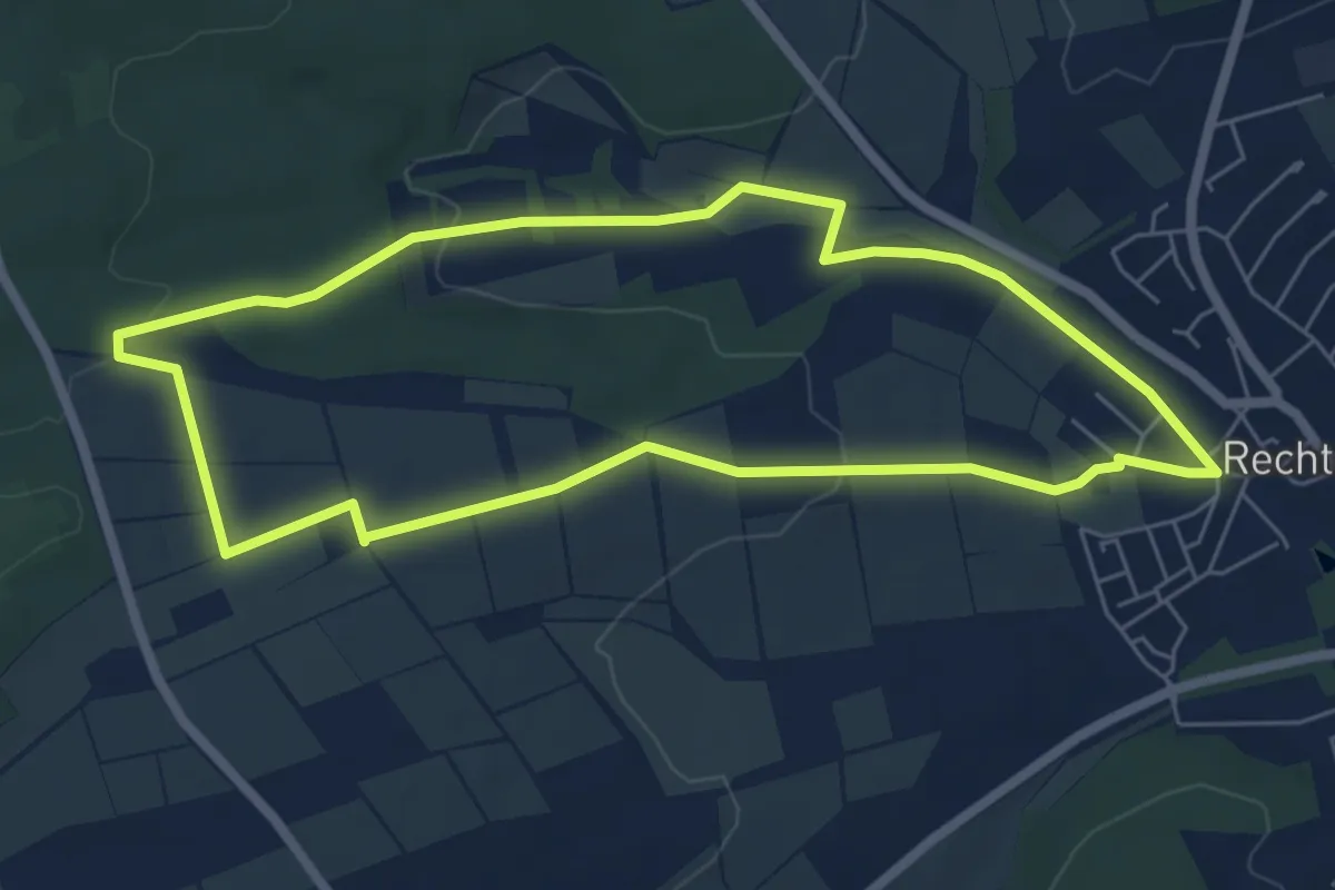
Easy · Trail
Hirschkäfer Rechtenbach
5.6 km · ↑ 83 m · 1 h 35 min
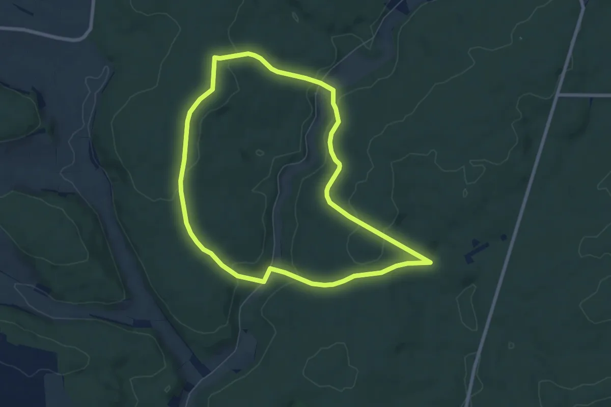
Easy · Trail
Hirschkäfer schwarz
6.5 km · ↑ 171 m · 2 h
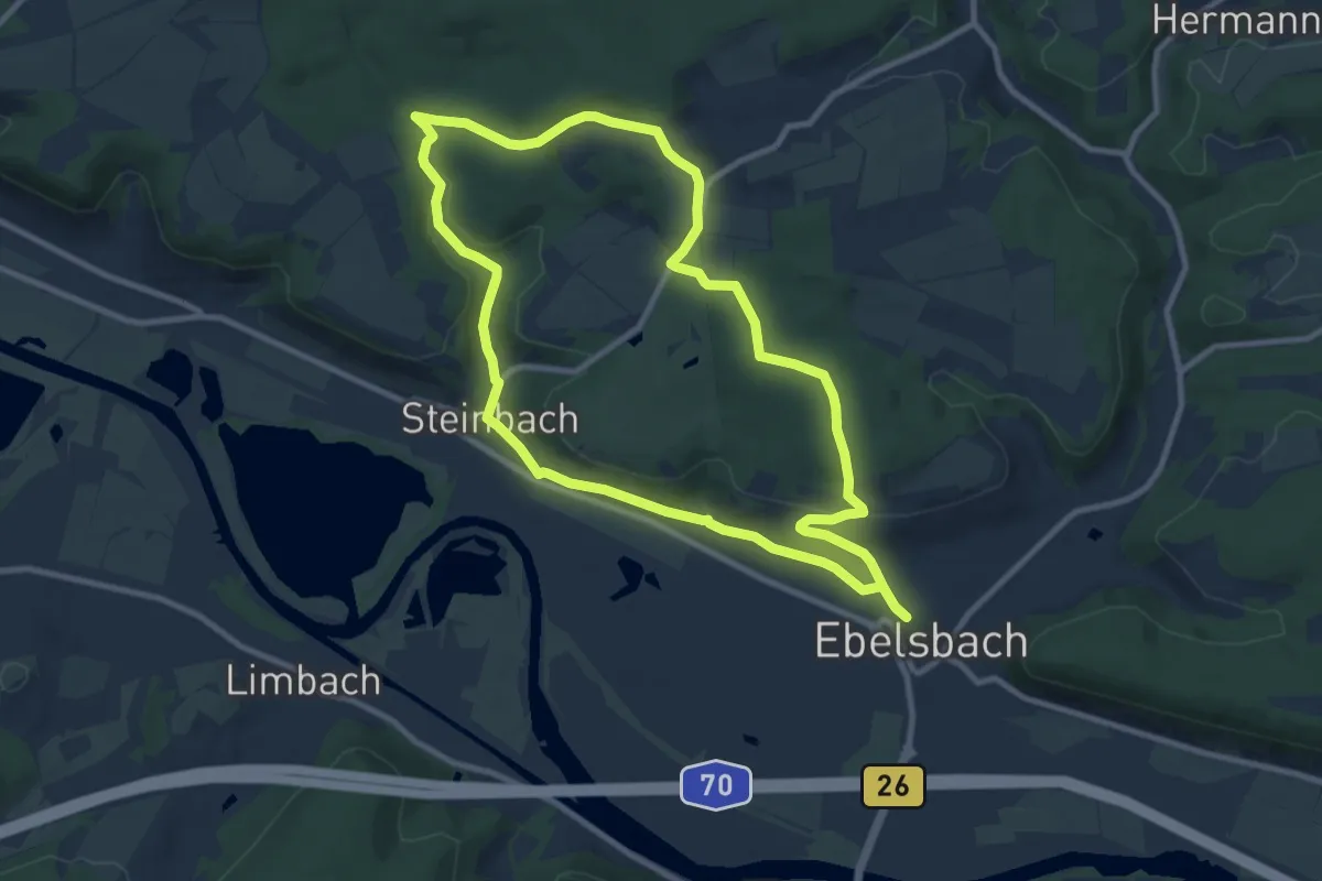
Medium · Summit
Hirschkäfer-Wanderweg Ebelsbach
9.1 km · ↑ 186 m · 2 h 41 min
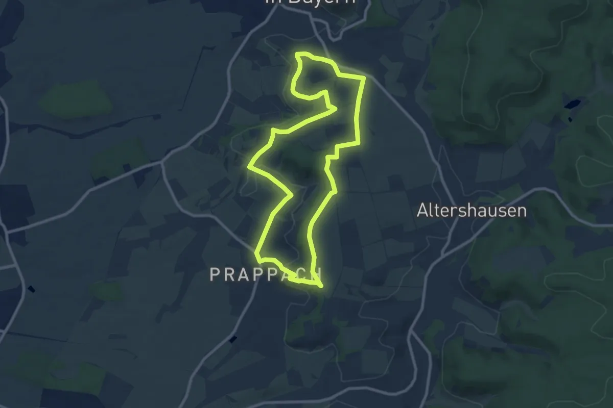
Medium · Trail
Hirschkäferweg Königsberg
8.0 km · ↑ 135 m · 2 h 18 min
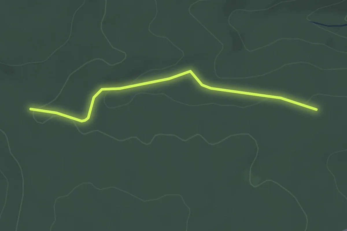
Easy · Trail
Hirschkopf - Igelsberger Sträßle
2.9 km · ↑ 49 m · 48 min
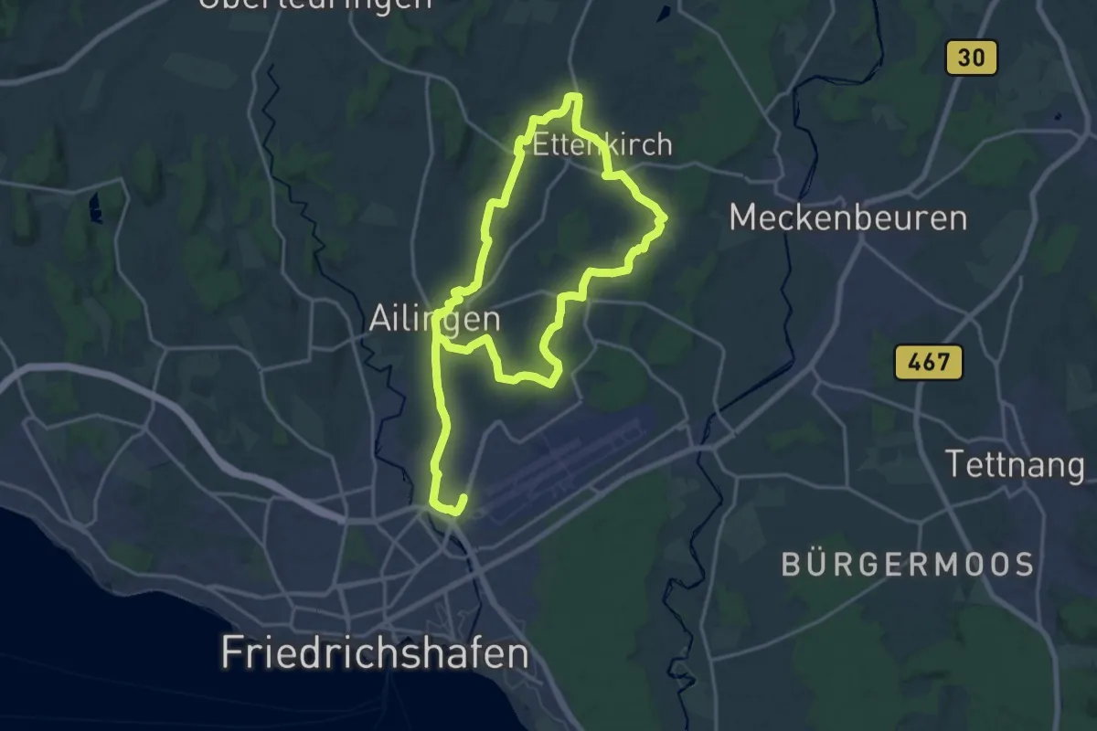
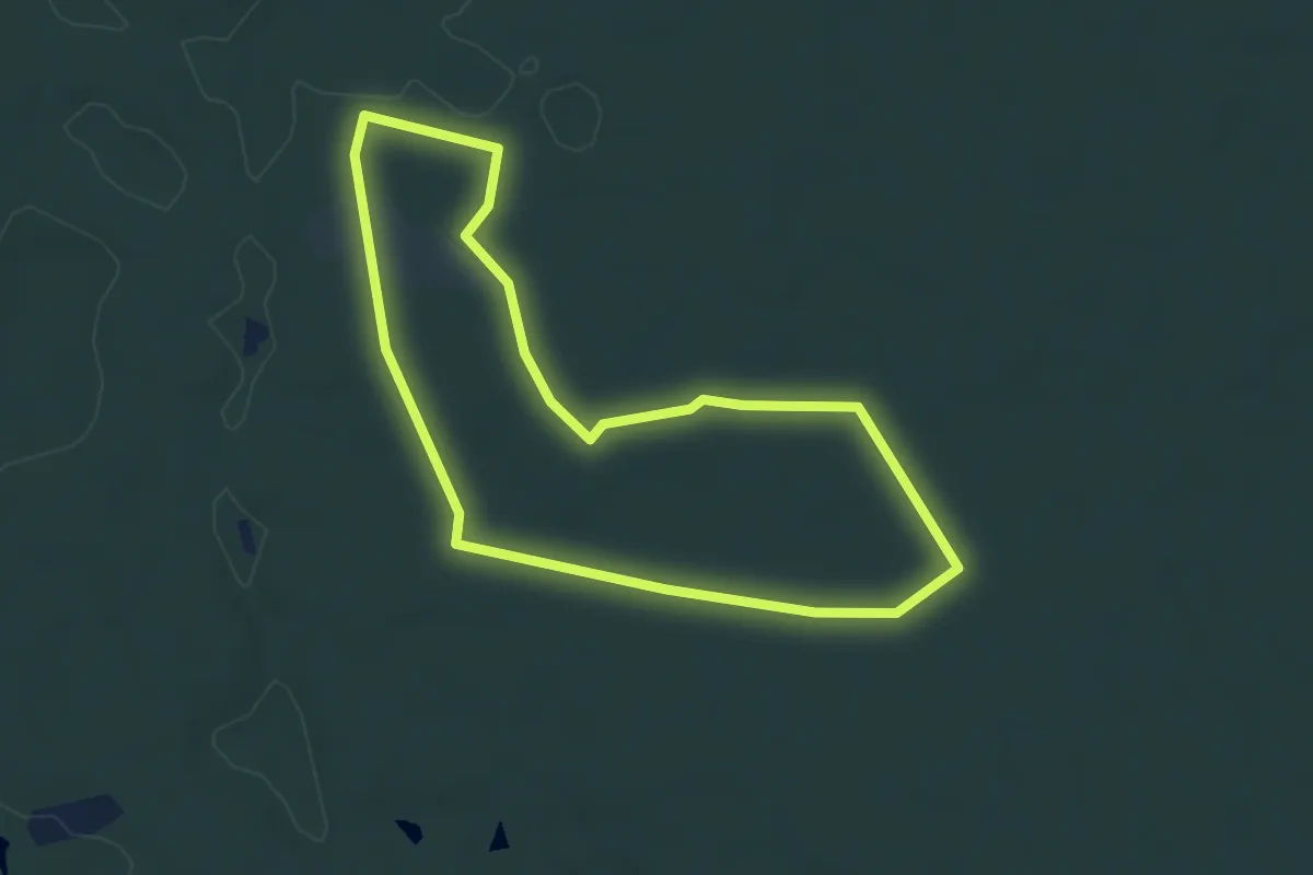
Demanding · Trail
Hirschlatter Runde
29.8 km · ↑ 185 m · 7 h 27 min
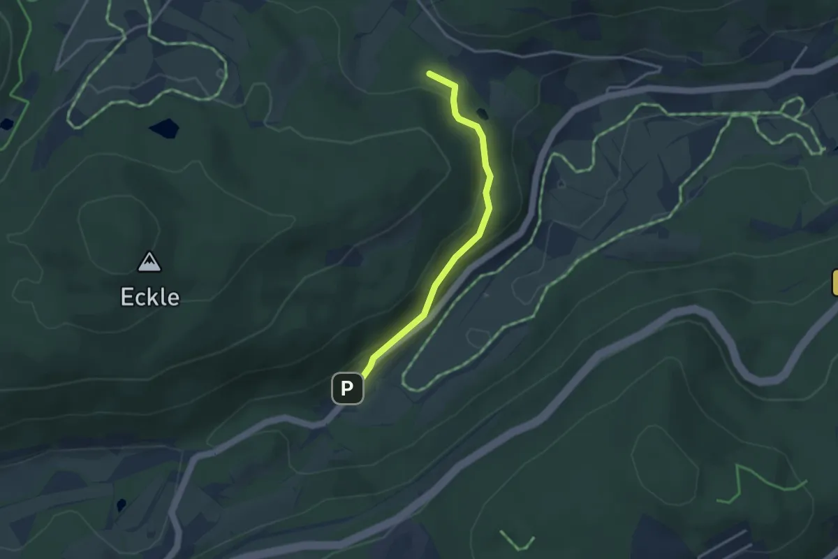
Easy · Trail
Hirschlecke Trail
4.0 km · ↑ 8 m · 1 h 1 min
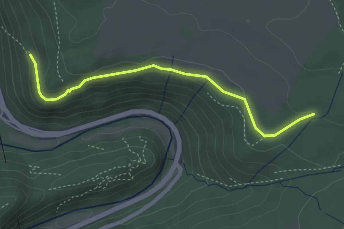
Easy · Trail
Hirschleweiher - Löffelschmiede
2.9 km · ↑ 111 m · 55 min
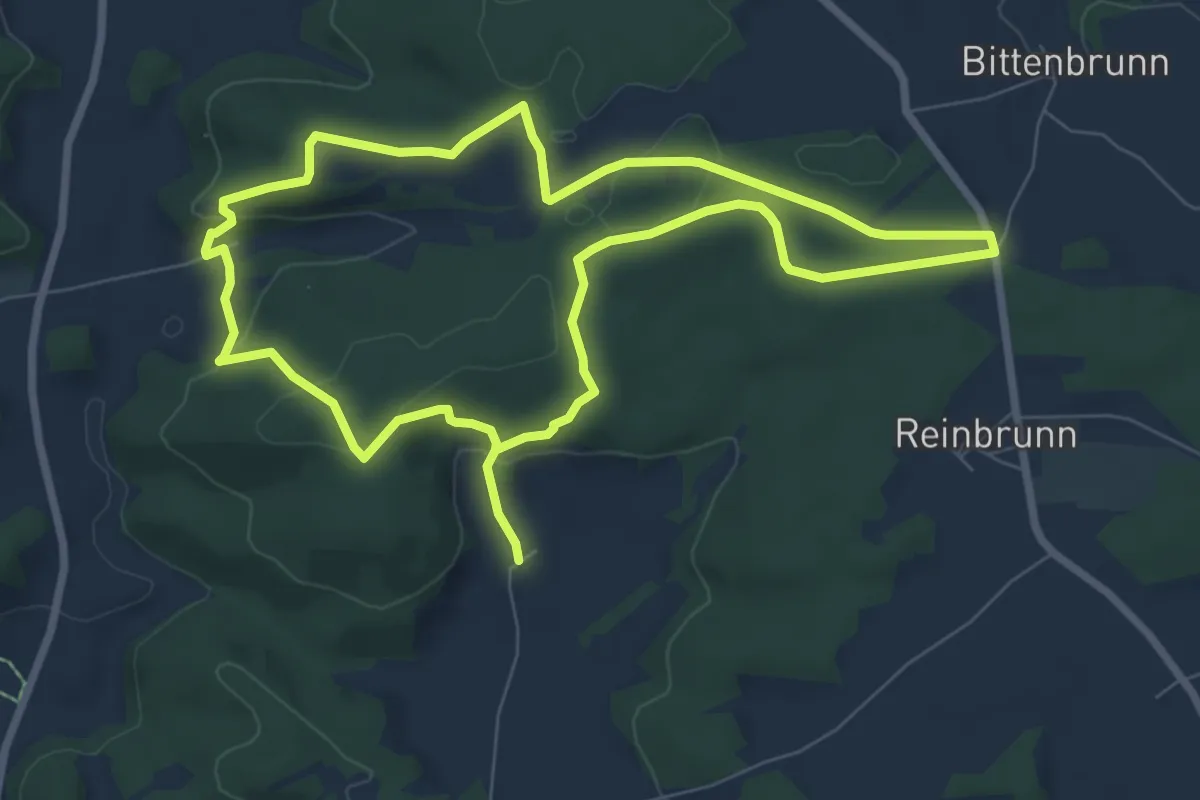
Medium · Trail
Hirschloch - Totenweg
3.5 km · ↑ 104 m · 1 h 3 min
Easy · Trail
Hirschparkrunde (U5)
7.1 km · ↑ 159 m · 2 h 9 min
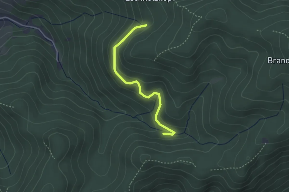
Easy · Trail
Hirschquelle - Möhrets Eck
2.8 km · ↑ 126 m · 55 min
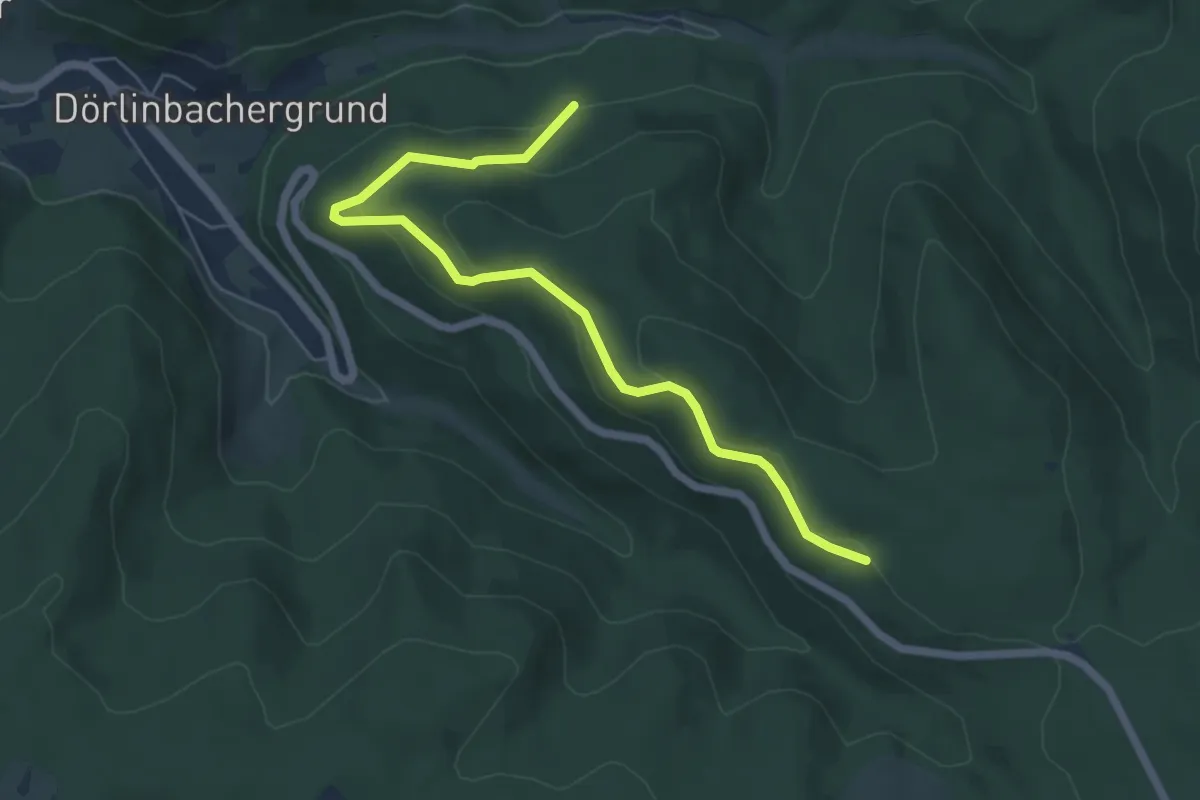
Medium · Trail
Hirschrain - Schönbühl
5.9 km · ↑ 246 m · 1 h 56 min
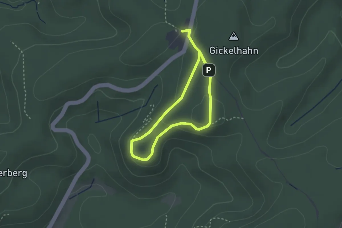
Easy · Summit
Hirschstein
2.0 km · ↑ 54 m · 37 min
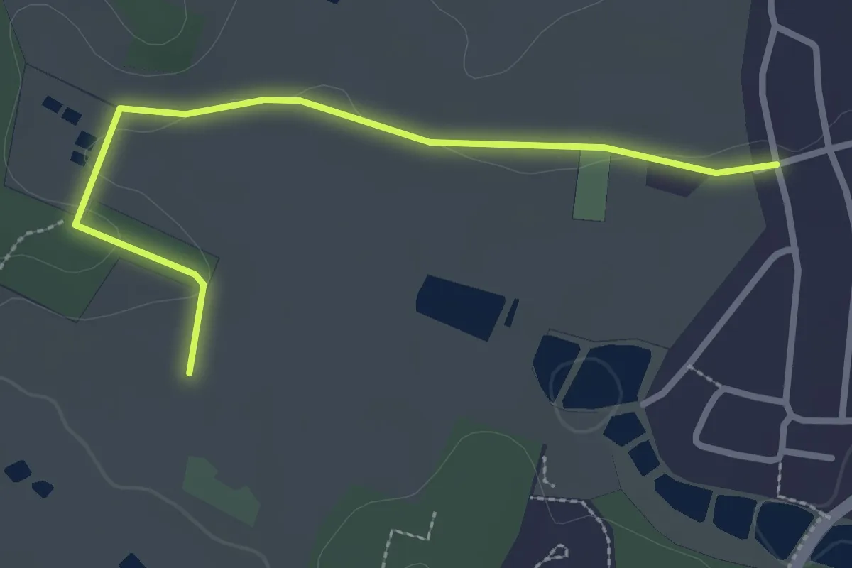
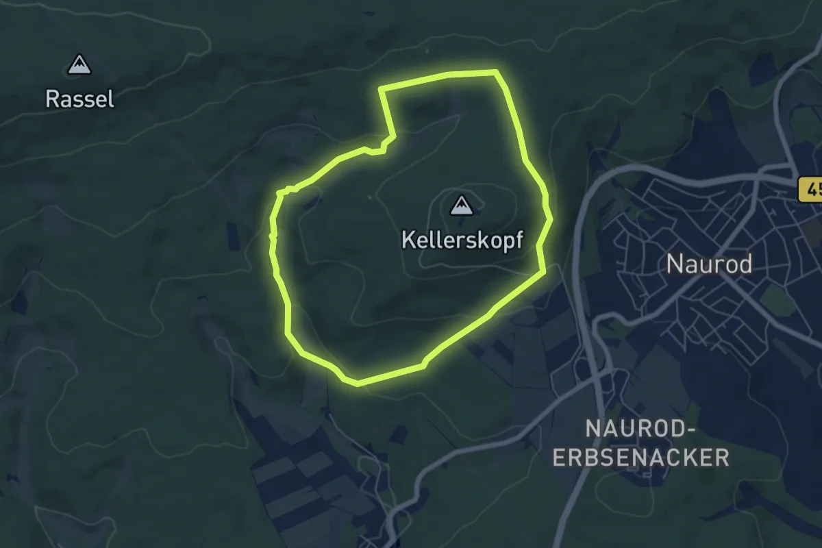
Easy · Trail
Hirschweg
2.7 km · ↑ 14 m · 40 min
Easy · Trail
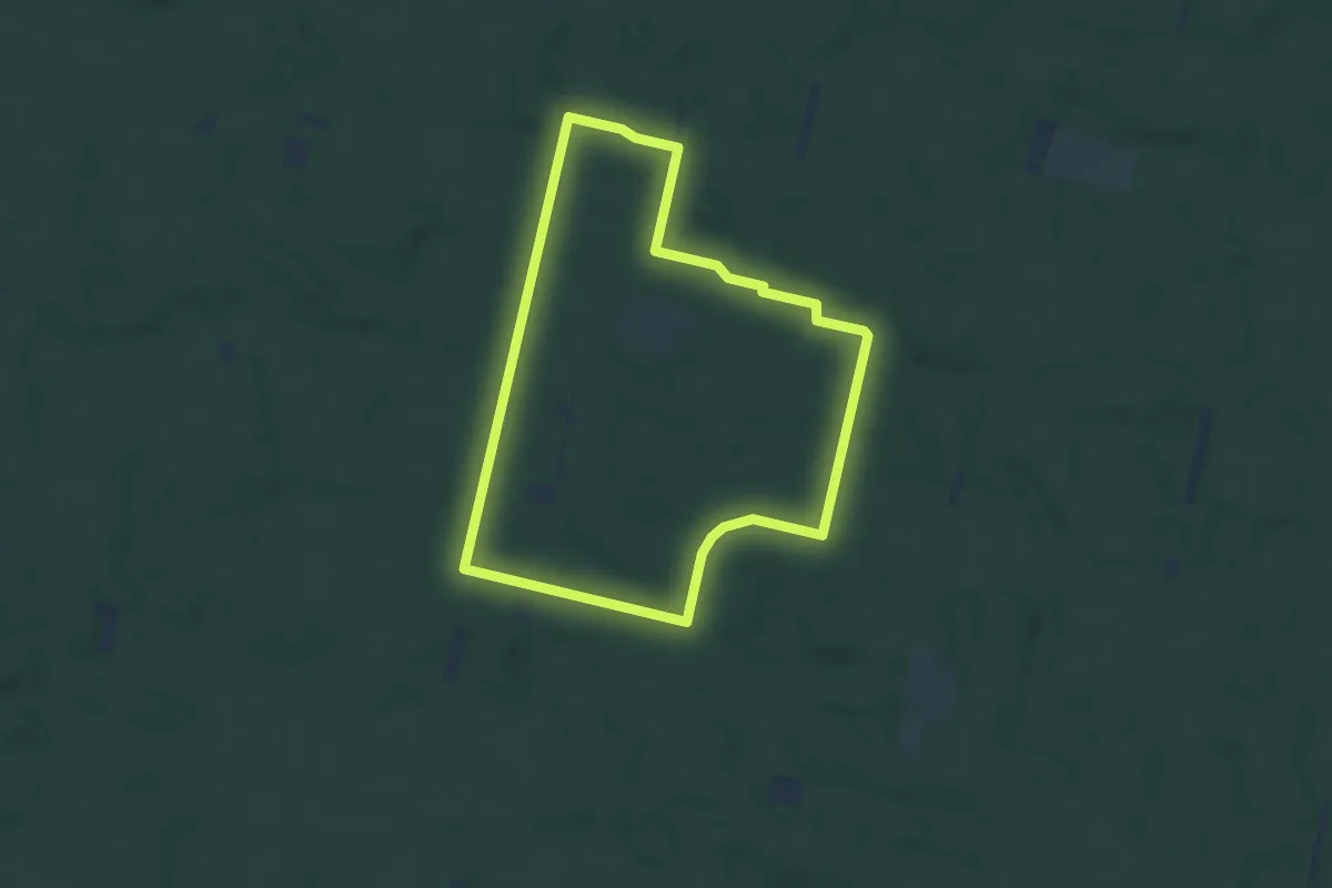
Hirschweg
5.1 km · ↑ 164 m · 1 h 38 min
Easy · Trail
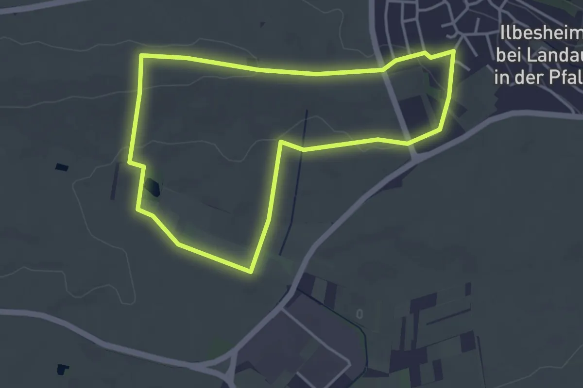
Hirschweg (Rundweg)
6.0 km · ↑ 22 m · 1 h 34 min
Easy · Trail
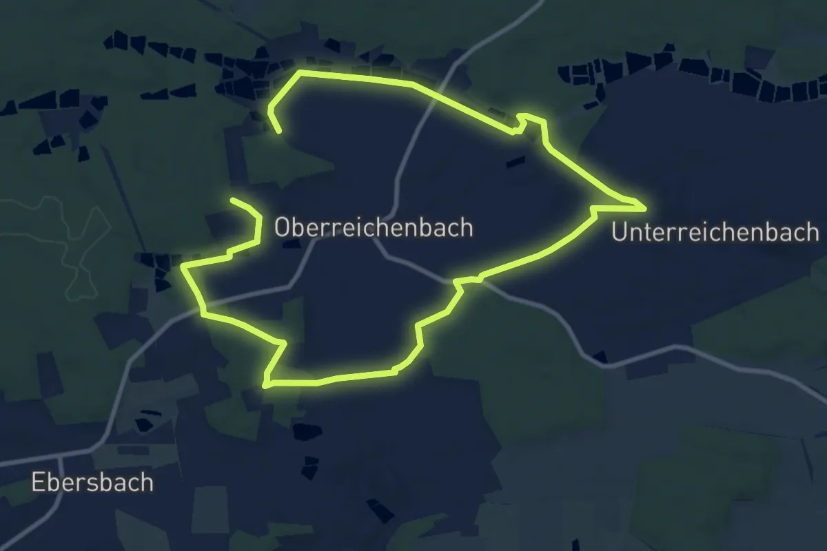
Hirtenbrunnenweg
3.4 km · ↑ 41 m · 57 min
Easy · Trail
Hirtengrund Runde
7.8 km · ↑ 56 m · 2 h 5 min
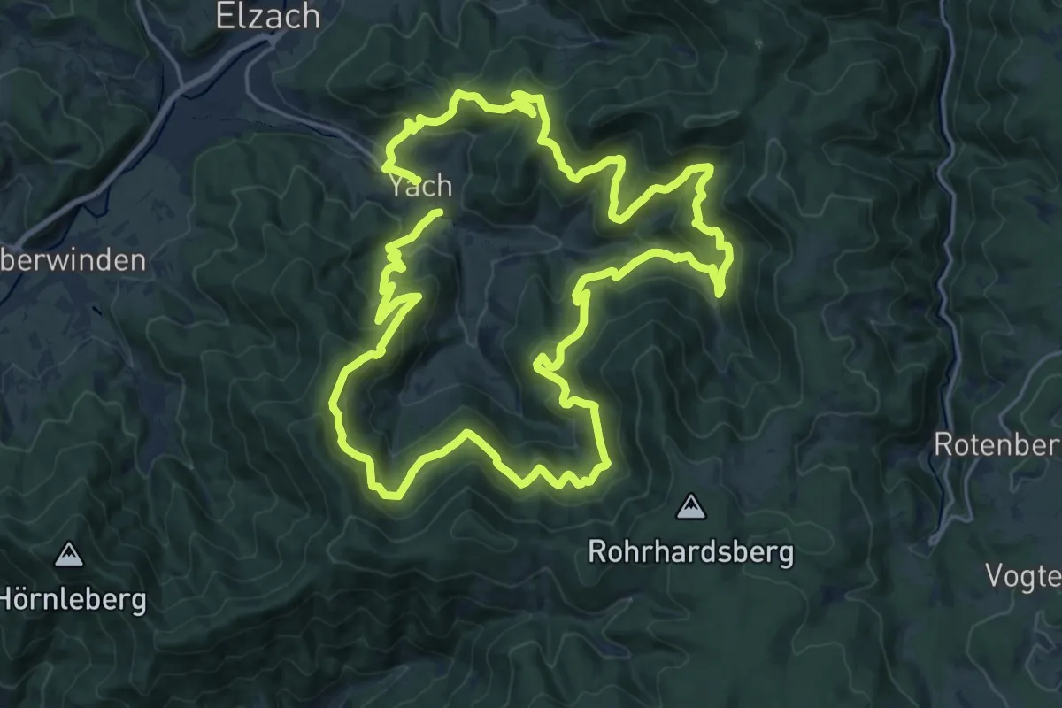
Demanding · Summit
Hirtenweg
19.9 km · ↑ 1159 m · 7 h 29 min
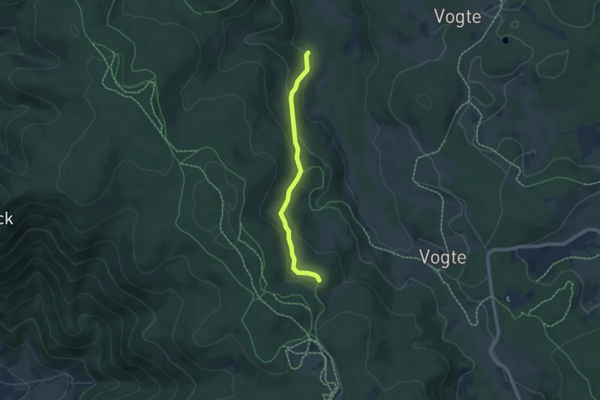
Easy · Trail
Hirzbächle - Steinbühl
4.2 km · ↑ 155 m · 1 h 20 min
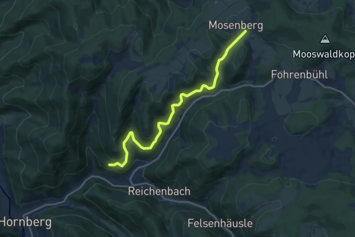
Medium · Trail
Hirzbauers Sommerberg - Moosengrund
8.9 km · ↑ 604 m · 3 h 25 min
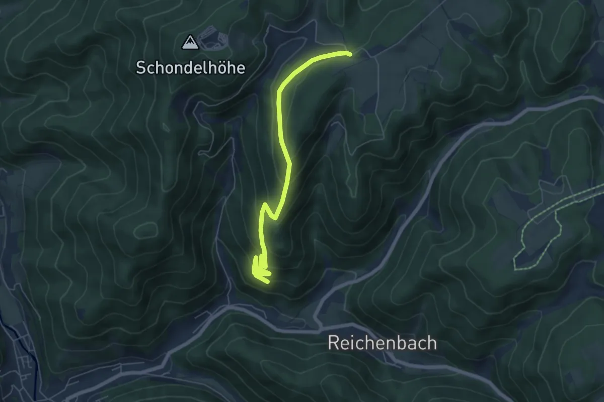
Medium · Trail
Hirzbauers Sommerberg - Schondelhöhe
5.7 km · ↑ 416 m · 2 h 15 min
Easy · Trail
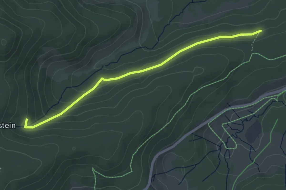
Hirzboden - Schmaleck
4.5 km · ↑ 149 m · 1 h 23 min
Medium · Summit
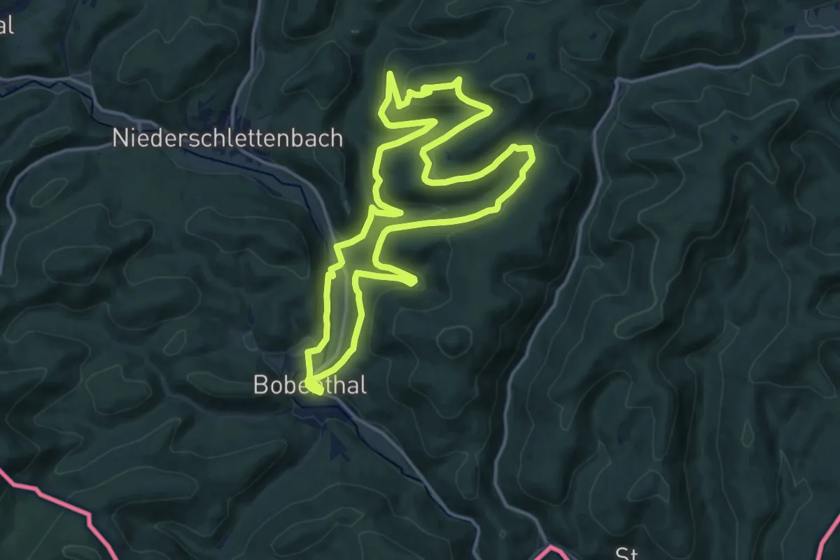
Hirzeck-Gipfel-Steig
13.8 km · ↑ 497 m · 4 h 32 min
Medium · Trail
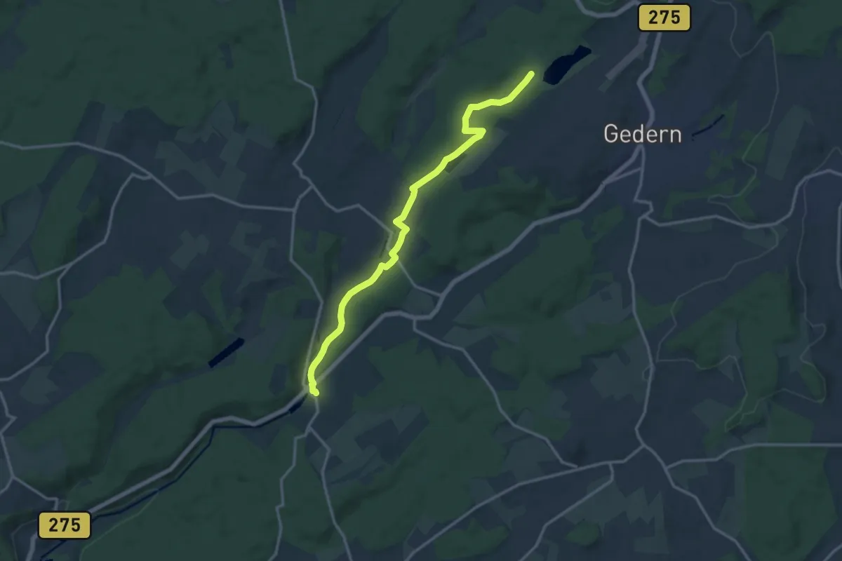
Hirzenhain - Gederner See
12.7 km · ↑ 125 m · 3 h 16 min
Easy · Trail
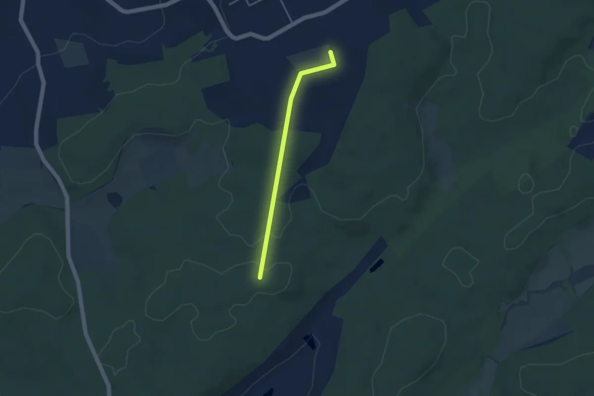
Hirzenhain - Hof Zwiefalten
2.9 km · ↑ 43 m · 46 min
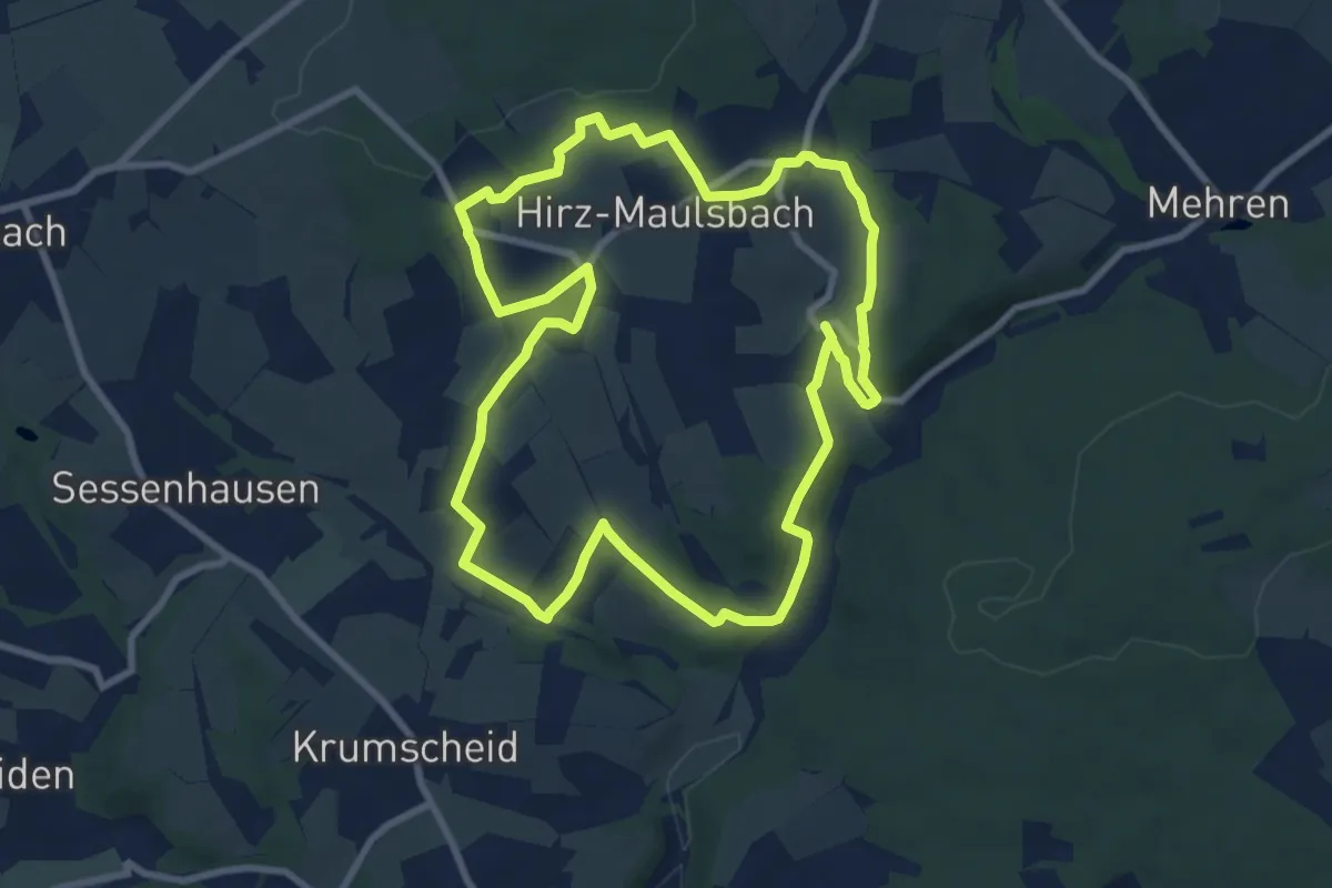
Medium · Trail
Hirz-Maulsbach
8.2 km · ↑ 151 m · 2 h 23 min
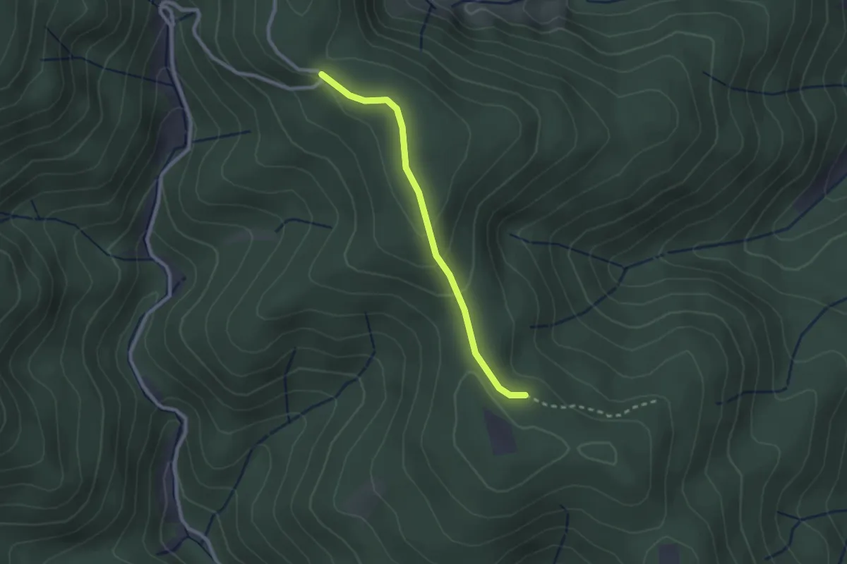
Easy · Trail
Hirzwasen - Schmieders Höhe
2.1 km · ↑ 75 m · 40 min
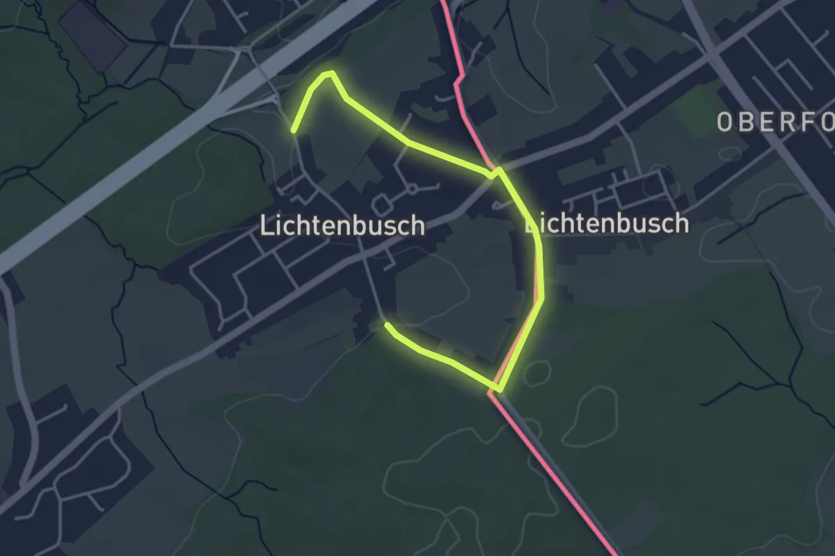
Easy · Trail
Historische Bauernhöfe
1.8 km · ↑ 15 m · 29 min
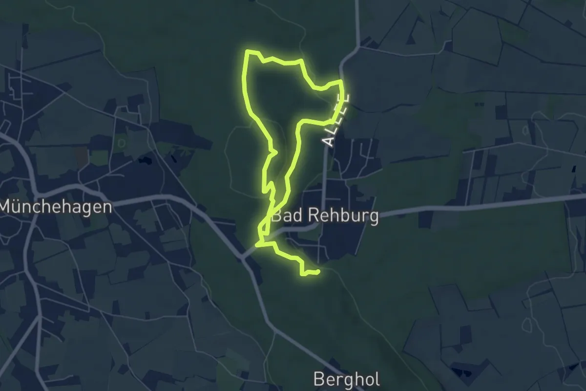
Easy · Summit
Historische Promenaden
4.6 km · ↑ 123 m · 1 h 24 min
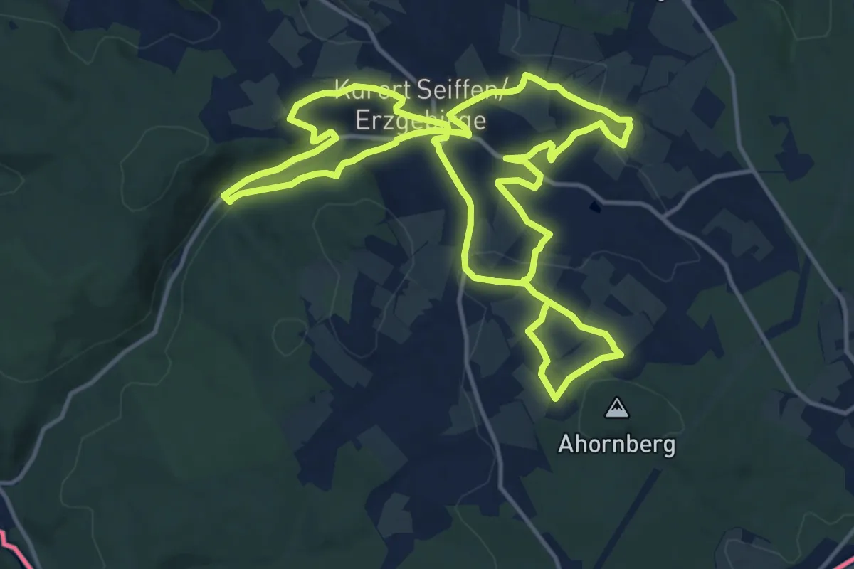
Medium · Trail
Historischer Bergbausteig (Seiffen)
12.4 km · ↑ 280 m · 3 h 43 min
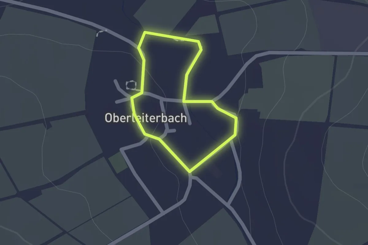
Easy · Trail
Historischer Dorfrundgang Oberleiterbach
1.0 km · ↑ 4 m · 16 min
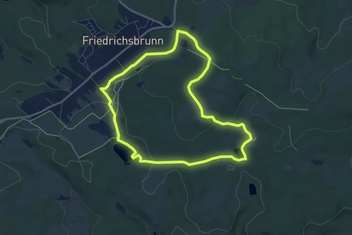
Easy · Summit
Historischer Grenzweg R4
6.5 km · ↑ 135 m · 1 h 55 min
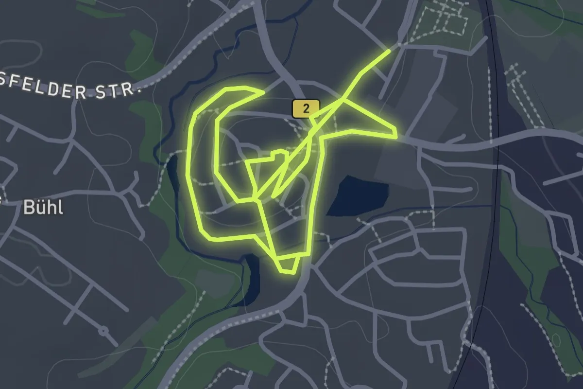
Easy · Trail
Historischer Handwerkerweg Creußen
5.4 km · ↑ 51 m · 1 h 24 min