Trails in Germany
36,852 hiking trails, each with its route, climb, walking time and grade.
All trails, page 242 of 768
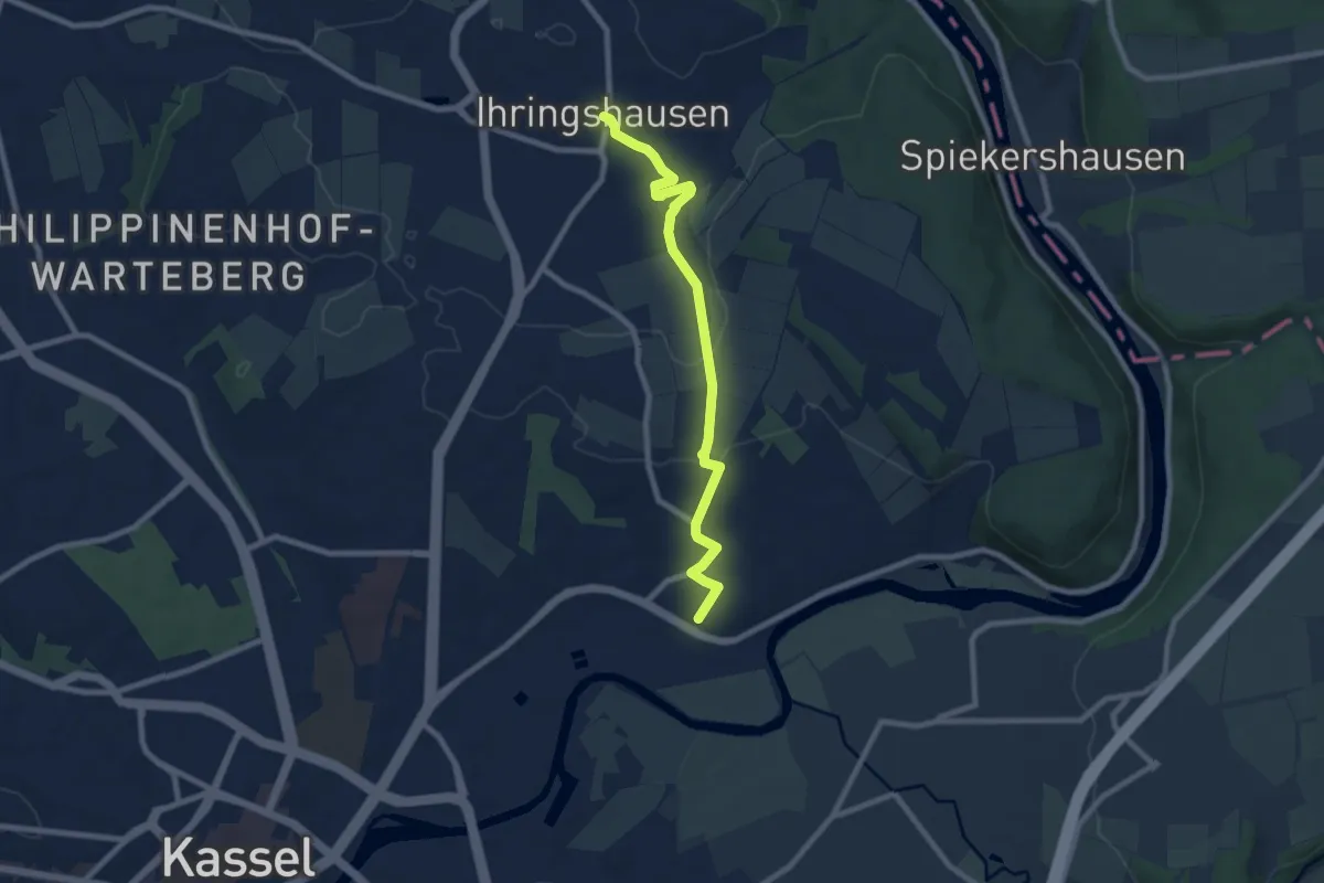
Easy · Trail
Historischer Kirchweg
7.4 km · ↑ 91 m · 1 h 57 min
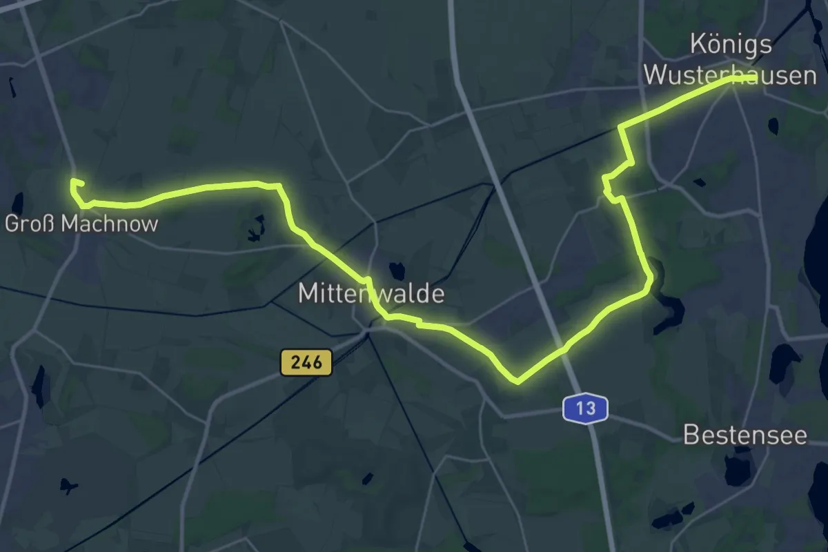
Demanding · Summit
Historischer Landweg
36.3 km · ↑ 79 m · 8 h 44 min
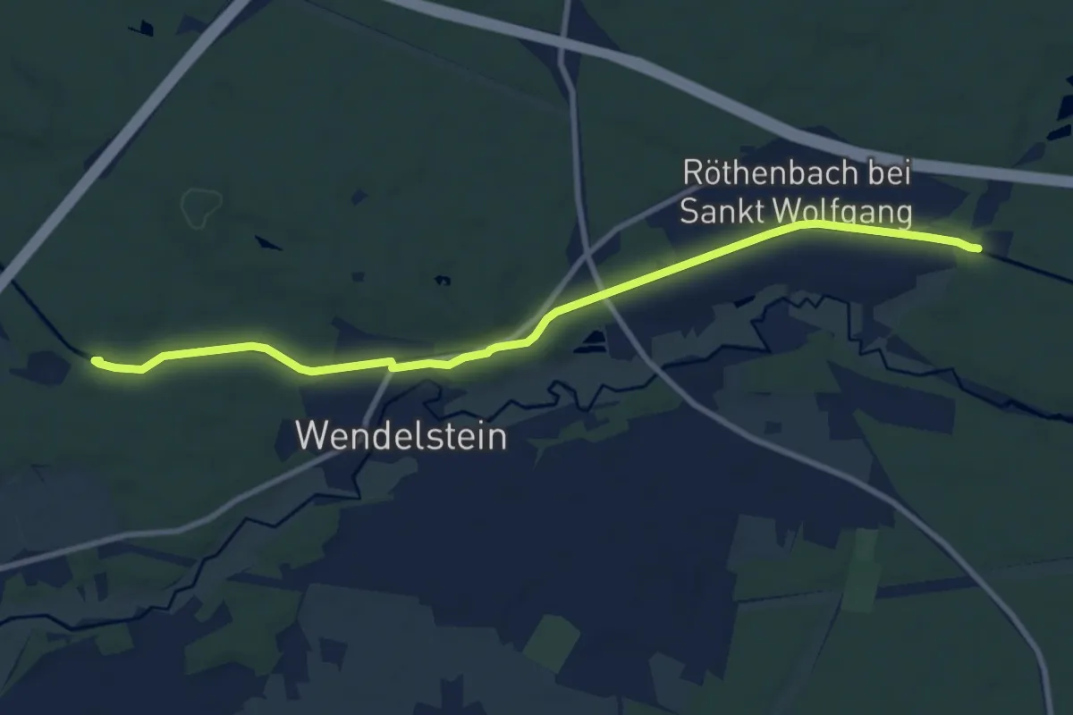
Medium · Trail
Historischer Lehrpfad Ludwig-Donau-Main-Kanal
9.3 km · ↑ 45 m · 2 h 18 min
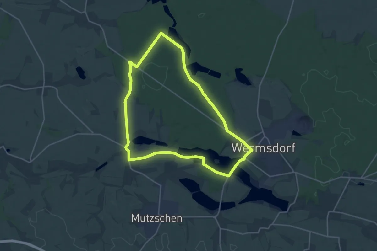
Medium · Summit
Historische Rodaer Runde
14.3 km · ↑ 87 m · 3 h 45 min
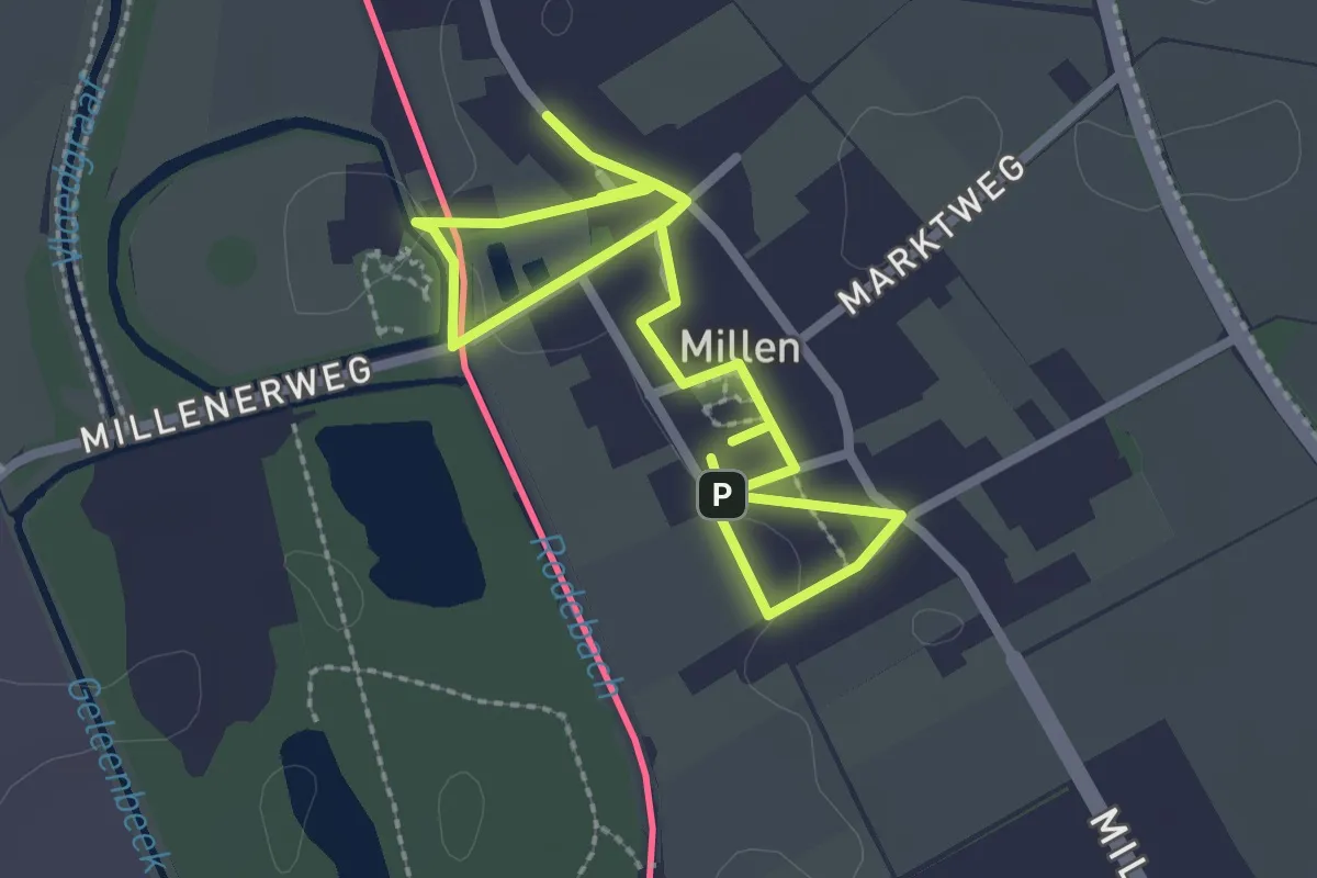
Easy · Trail
Historischer Ortkern Millen
2.0 km · ↑ 0 m · 29 min
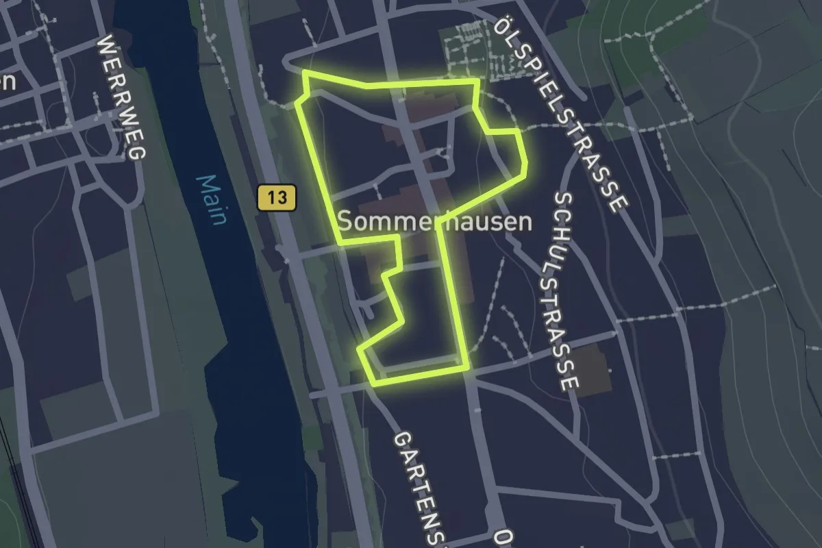
Easy · Trail
Historischer Ortsrundgang
1.4 km · ↑ 9 m · 22 min
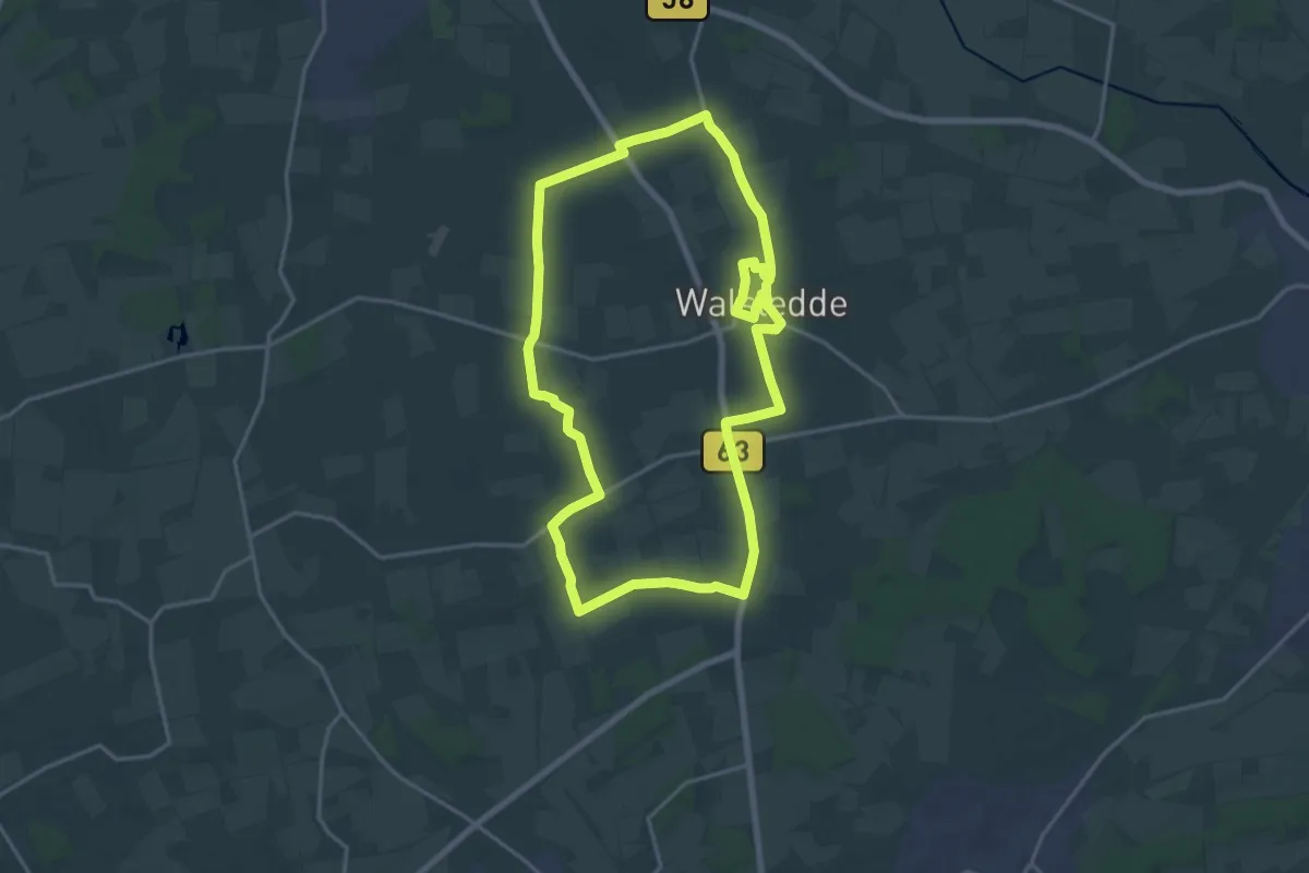
Medium · Trail
Historischer Ortsrundgang Walstedde
16.3 km · ↑ 50 m · 4 h 11 min
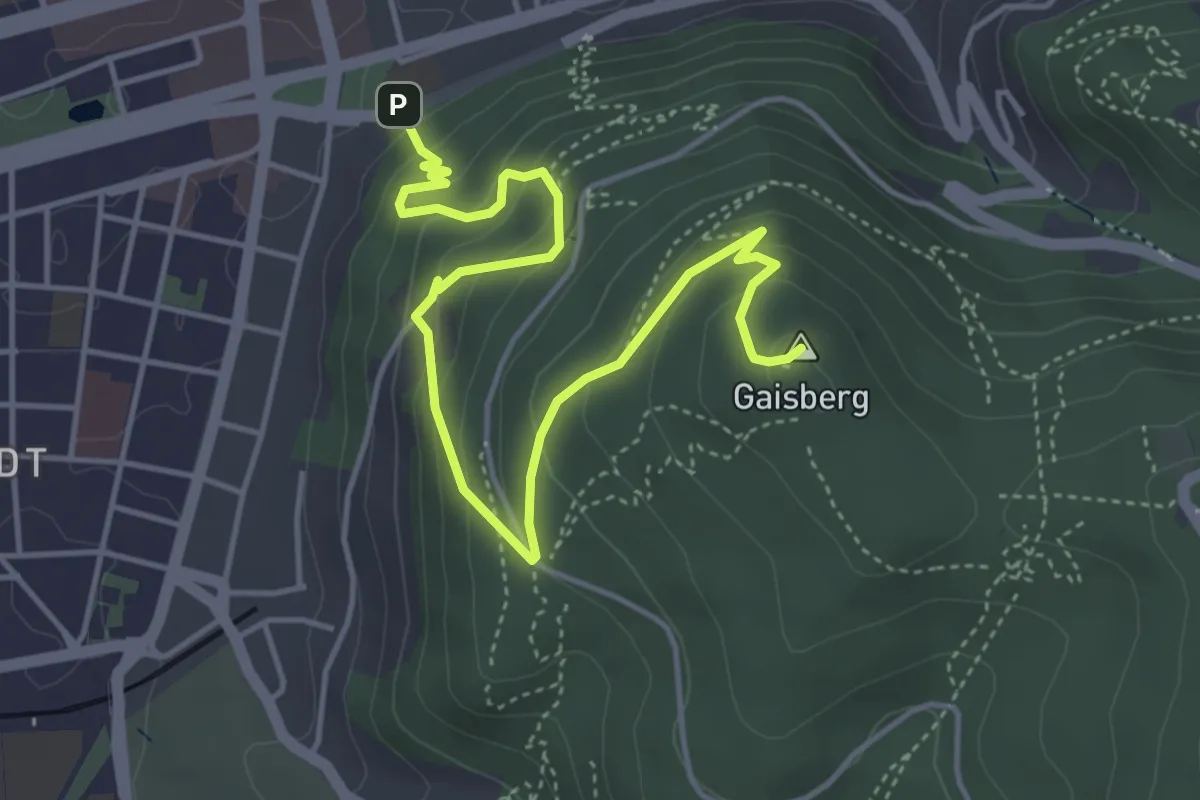
Medium · Summit
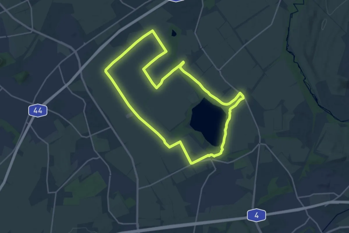
Historischer Pfad
5.2 km · ↑ 400 m · 2 h 5 min
Medium · Trail
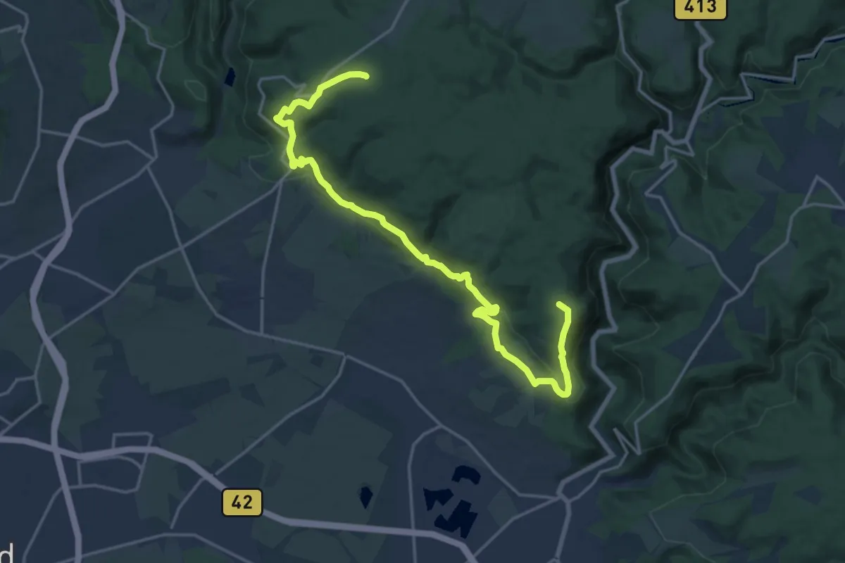
Historischer Pfad Eschweiler
14.4 km · ↑ 42 m · 3 h 41 min
Medium · Summit
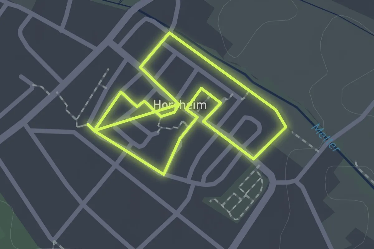
Historischer Römer- und Keltenweg
13.7 km · ↑ 383 m · 4 h 15 min
Easy · Trail
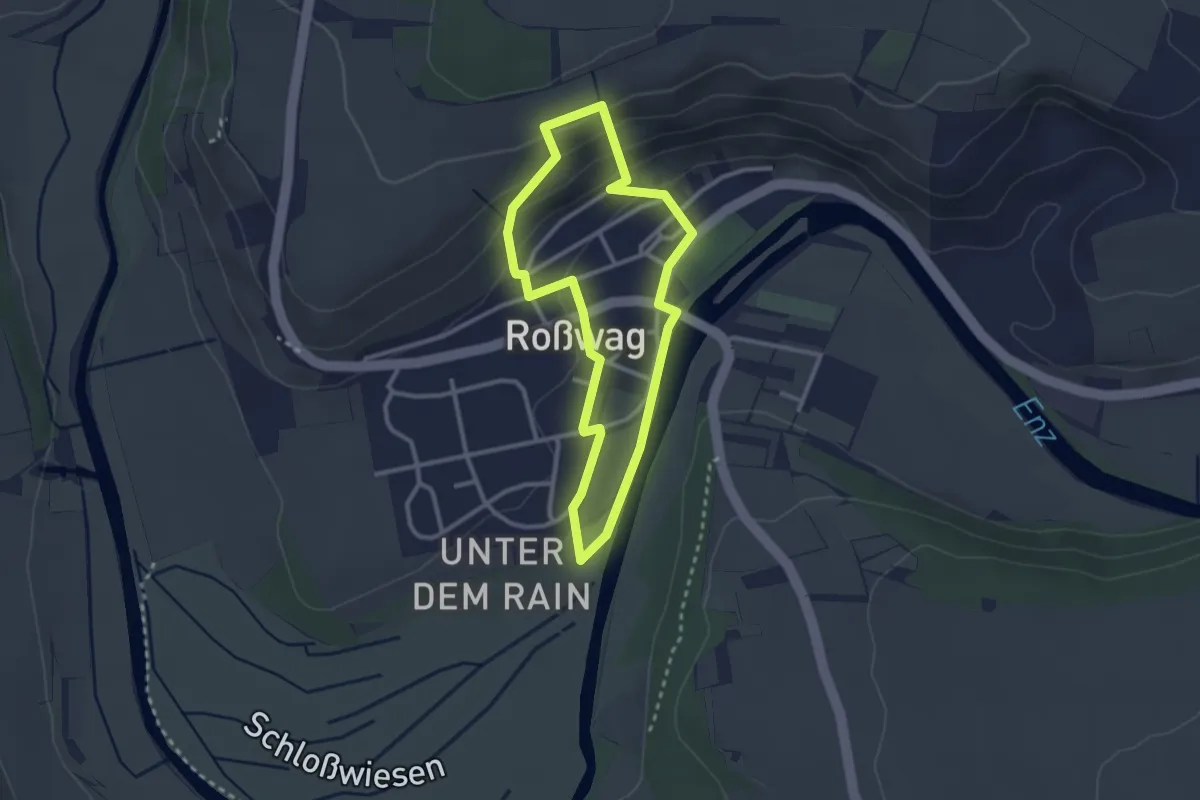
Historischer Rundgang Horrheim
1.5 km · ↑ 0 m · 23 min
Easy · Trail
Historischer Rundgang Roßwag
2.4 km · ↑ 102 m · 49 min
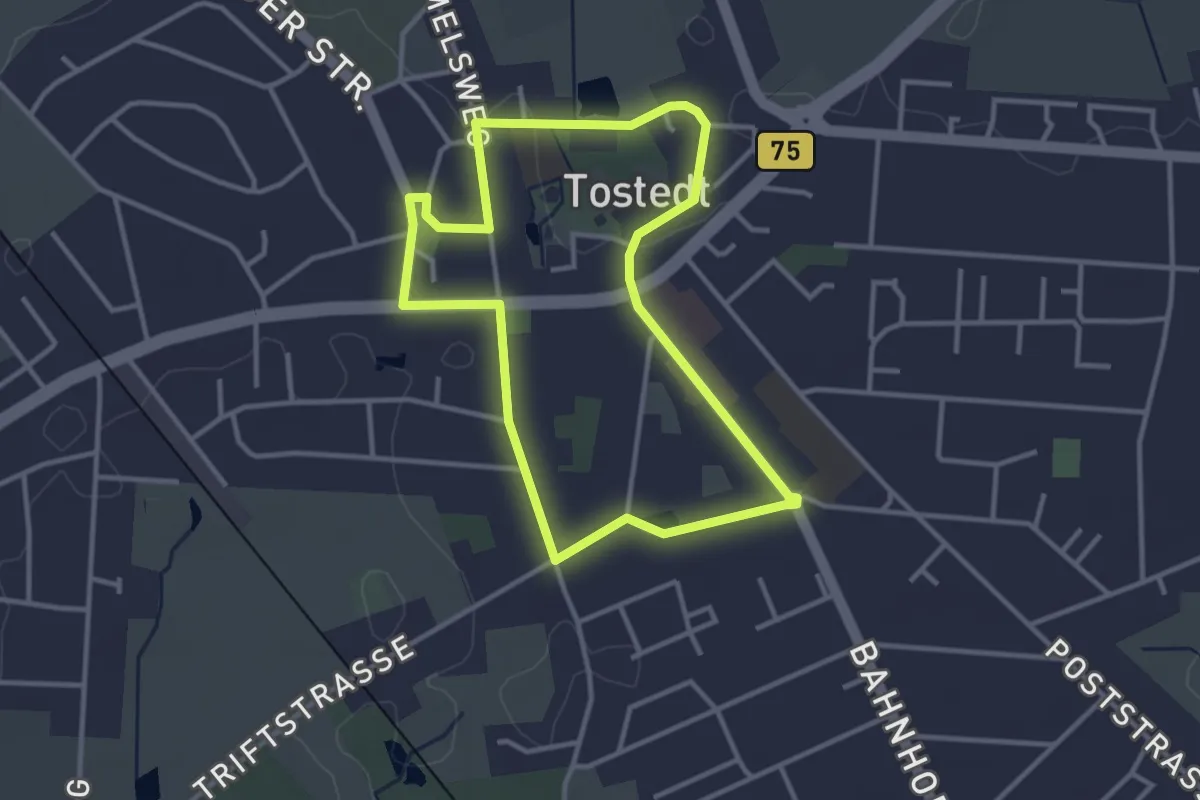
Easy · Trail
Historischer Rundgang Tostedt
2.8 km · ↑ 8 m · 43 min
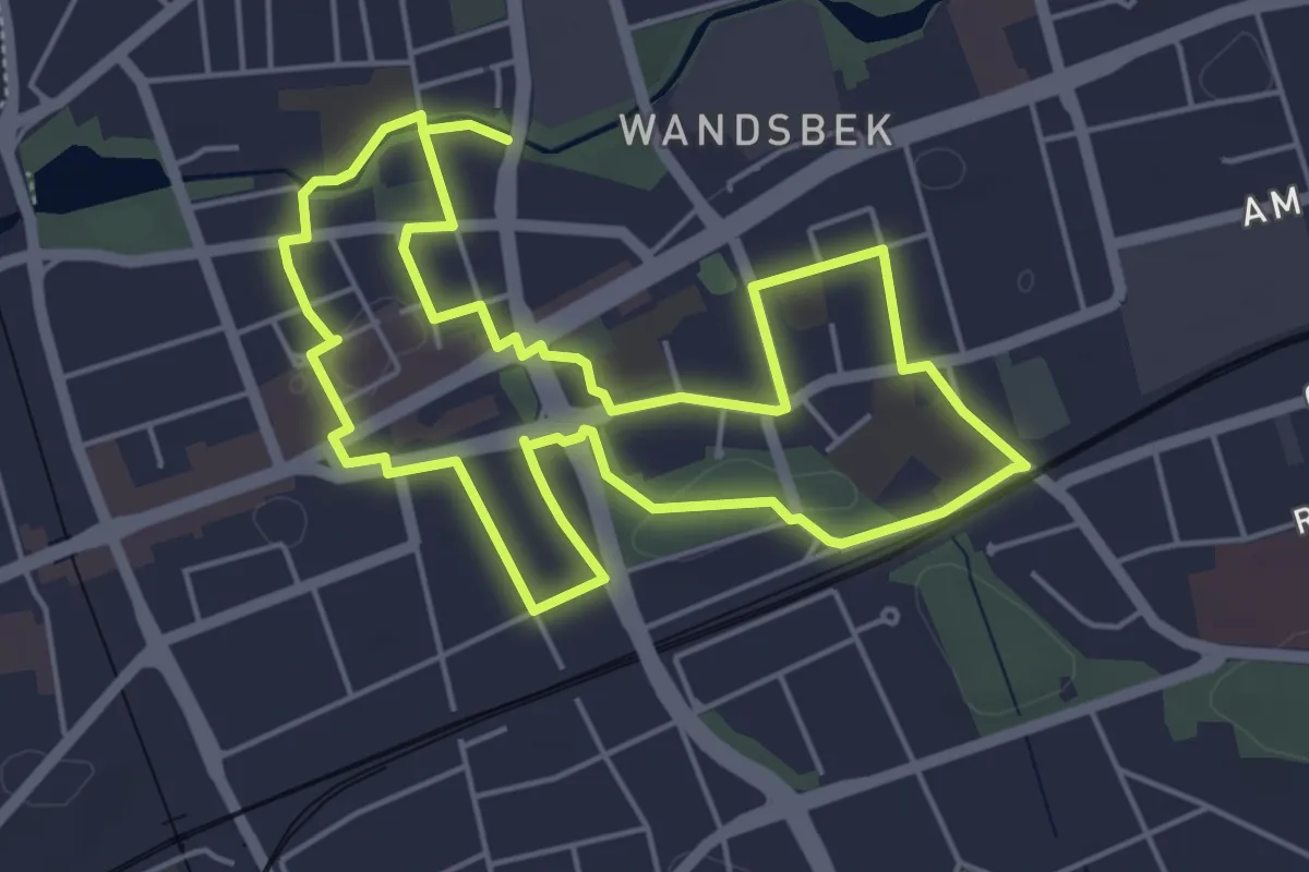
Easy · Trail
Historischer Rundgang Wandsbek
4.5 km · ↑ 8 m · 1 h 8 min
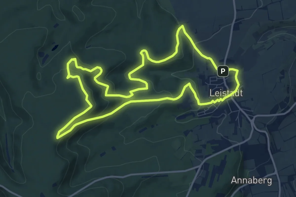
Medium · Summit
Historischer Rundwanderweg
10.1 km · ↑ 351 m · 3 h 17 min
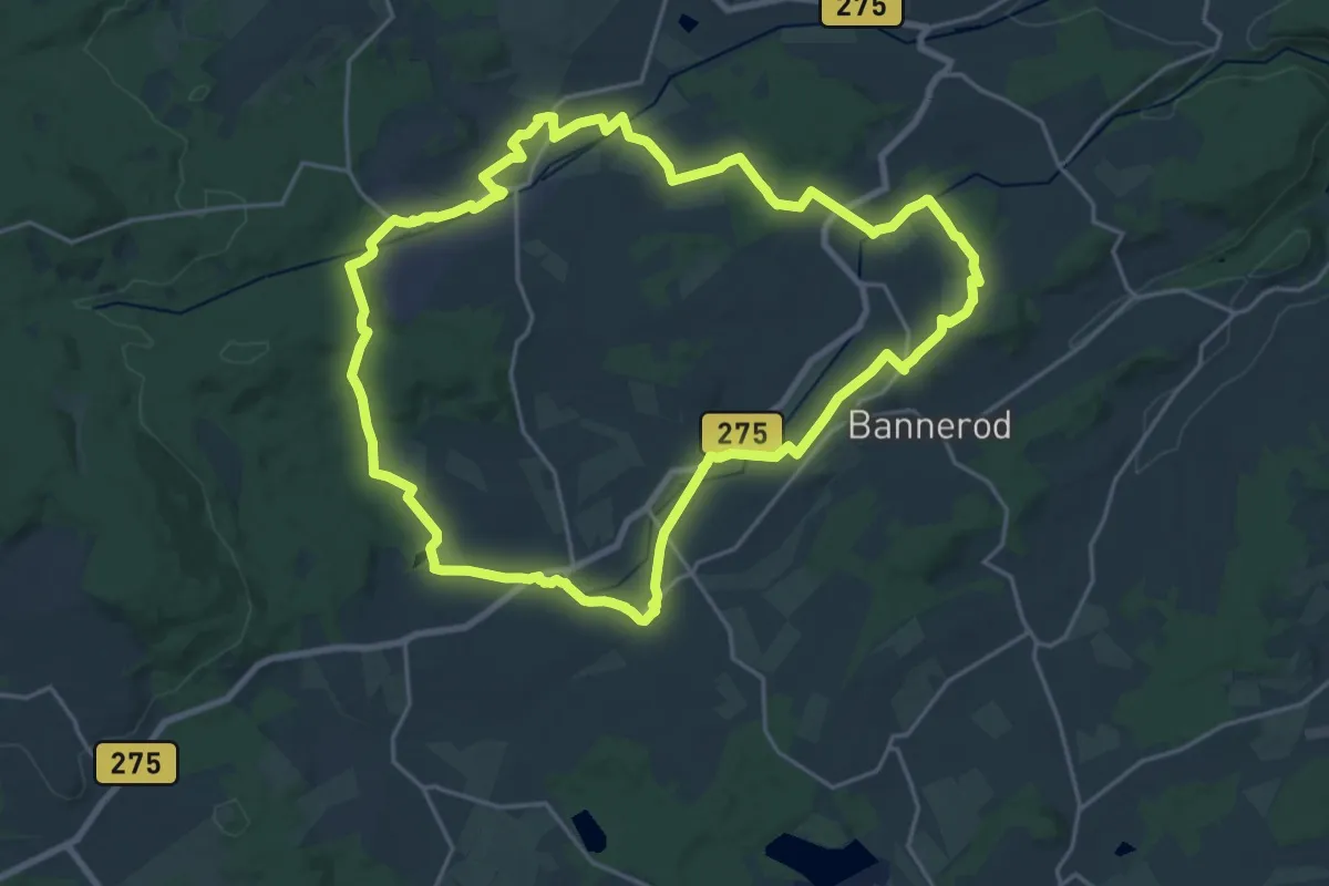
Demanding · Trail
Historischer Rundwanderweg
20.3 km · ↑ 309 m · 5 h 45 min
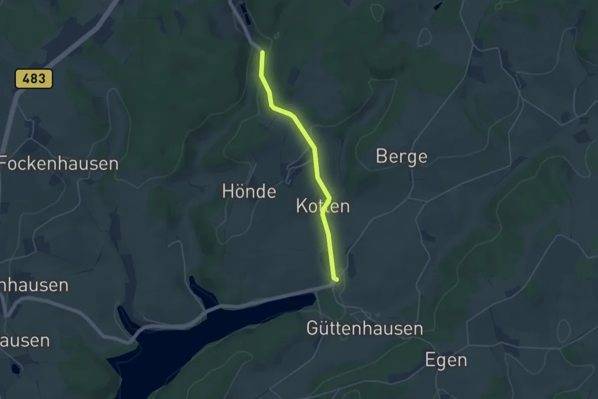
Easy · Trail
Historischer Rundwanderweg A4 Egen
1.8 km · ↑ 18 m · 31 min
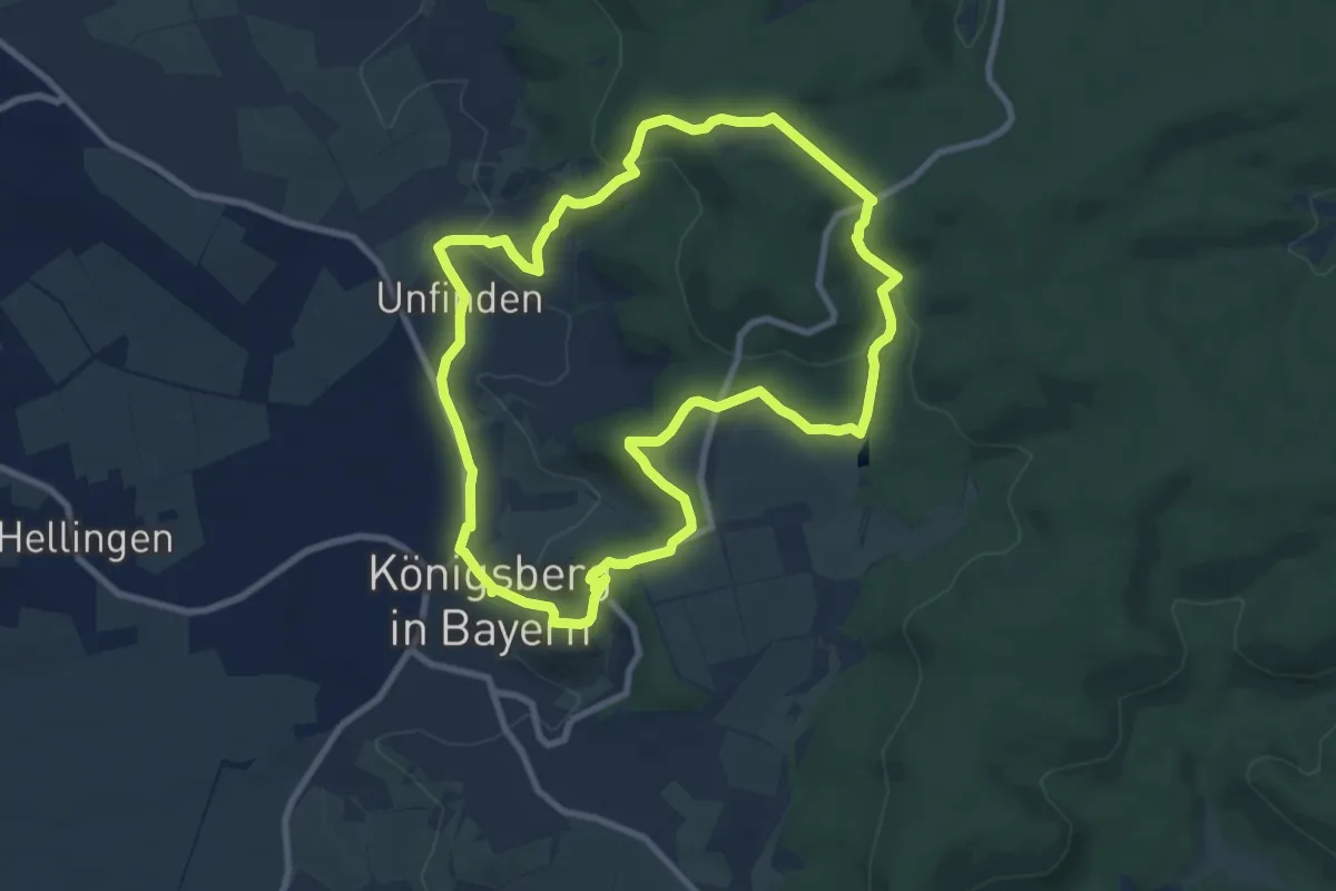
Medium · Trail
Historischer Rundwanderweg Königsberg
8.4 km · ↑ 225 m · 2 h 35 min
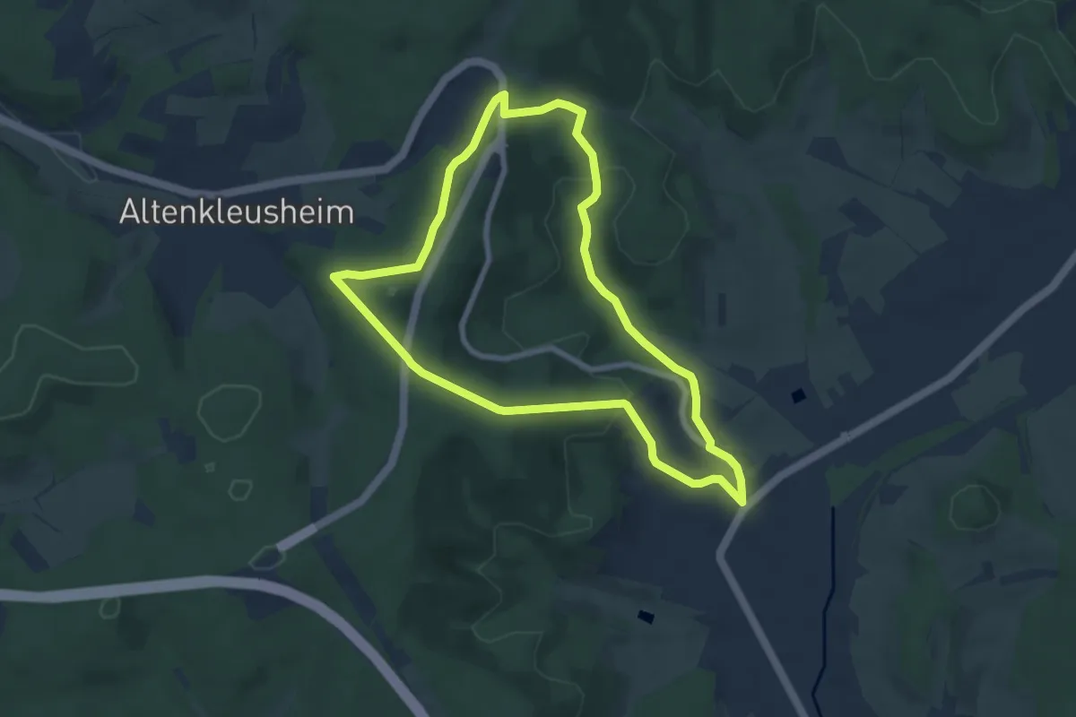
Easy · Trail
Historischer Rundweg A2
6.3 km · ↑ 157 m · 1 h 55 min
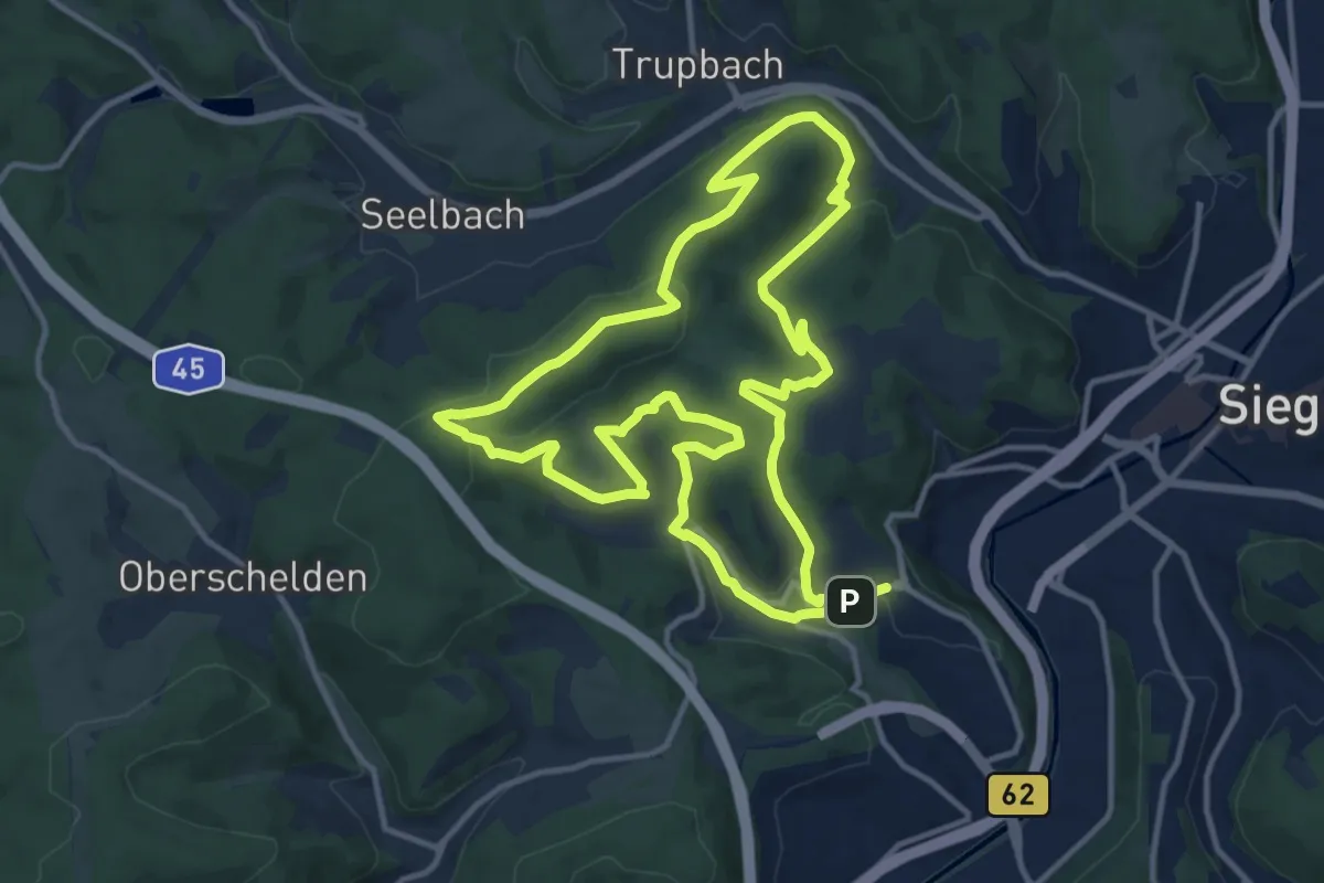
Medium · Summit
Historischer Rundweg Achenbach
12.0 km · ↑ 322 m · 3 h 42 min
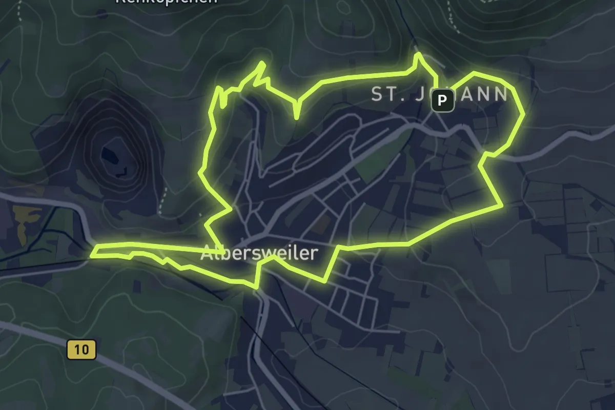
Easy · Trail
Historischer Rundweg Albersweiler
5.6 km · ↑ 171 m · 1 h 47 min
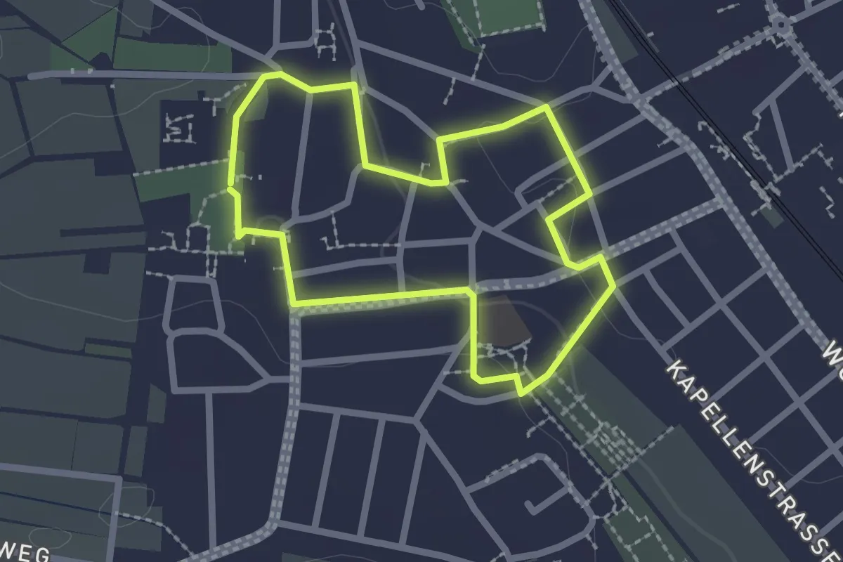
Easy · Trail
Historischer Rundweg Bodenheim kurz
1.8 km · ↑ 19 m · 29 min
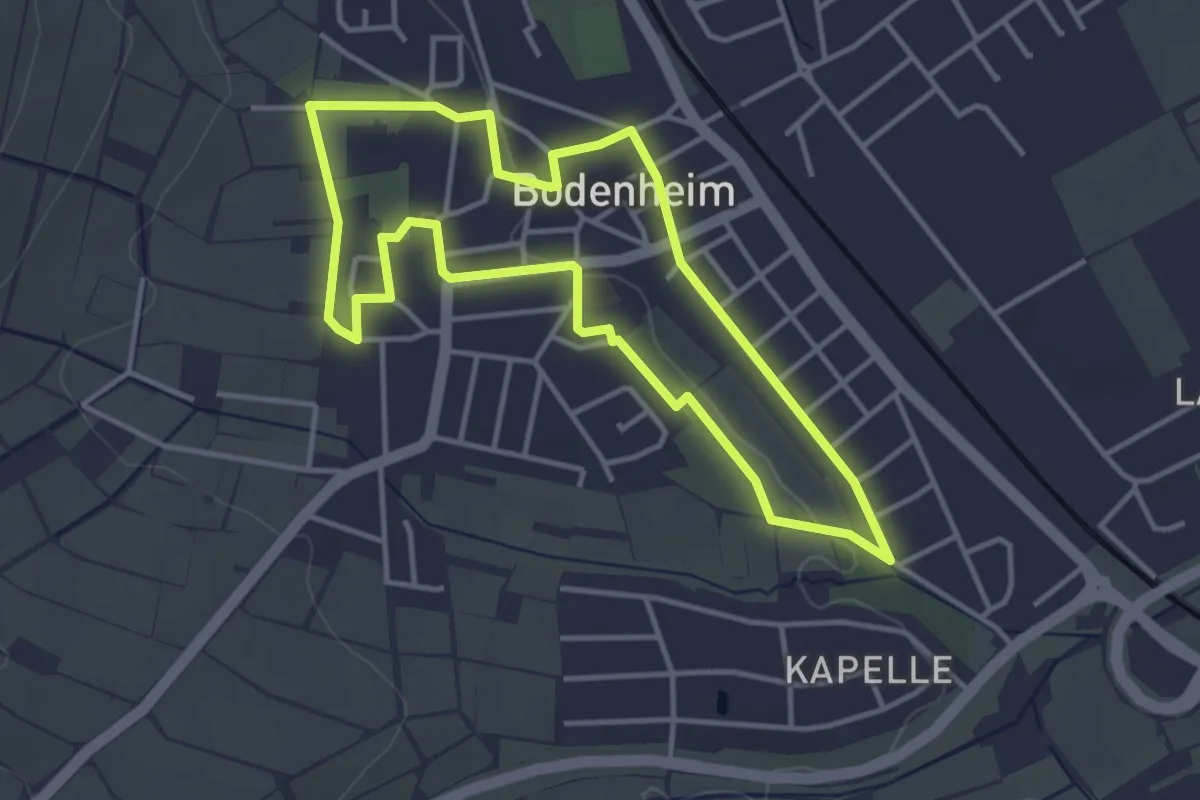
Easy · Trail
Historischer Rundweg Bodenheim lang
3.5 km · ↑ 33 m · 57 min
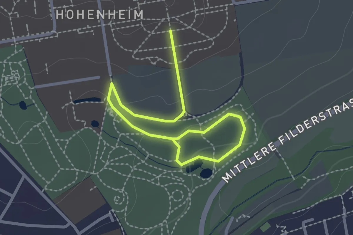
Easy · Trail
Historischer Rundweg der Universität Hohenheim
2.8 km · ↑ 60 m · 48 min
Easy · Trail
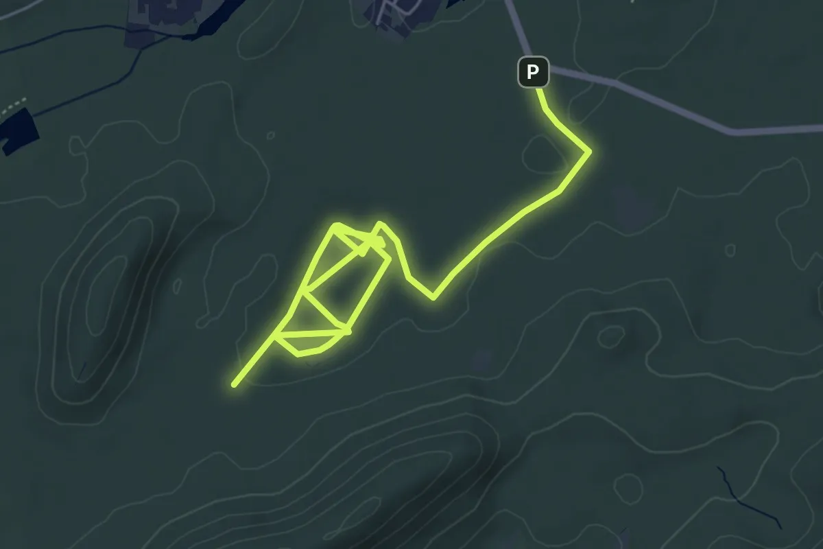
Historischer Rundweg durch die Area 1
3.6 km · ↑ 53 m · 1 h 1 min
Medium · Trail
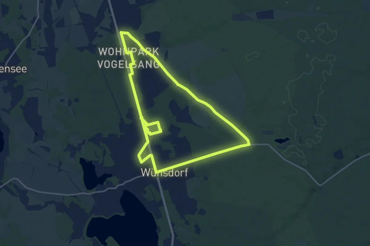
Historischer Rundweg durch die "Verbotene Stadt"
12.4 km · ↑ 35 m · 3 h 11 min
Easy · Trail
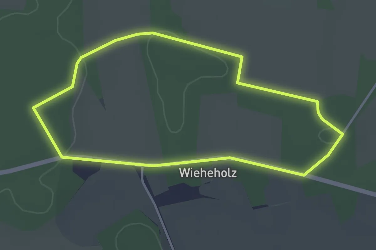
Historischer Rundweg Schlacht Wieheholz
2.7 km · ↑ 15 m · 43 min
Medium · Trail
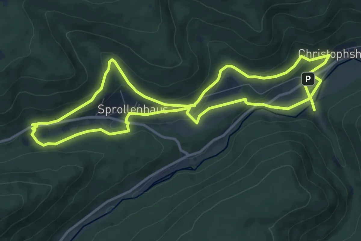
Historischer Rundweg Sprollenhaus
8.3 km · ↑ 230 m · 2 h 34 min
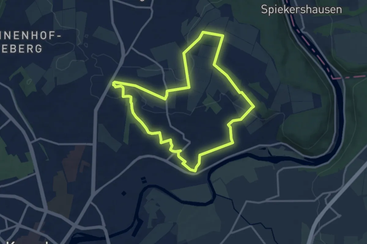
Medium · Summit
Historischer Rundweg um und durch Wolfsanger
8.3 km · ↑ 120 m · 2 h 20 min
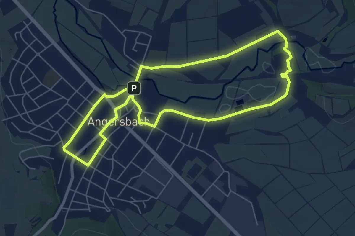
Easy · Summit
Historischer Rundweg Wartenberg
5.0 km · ↑ 30 m · 1 h 19 min
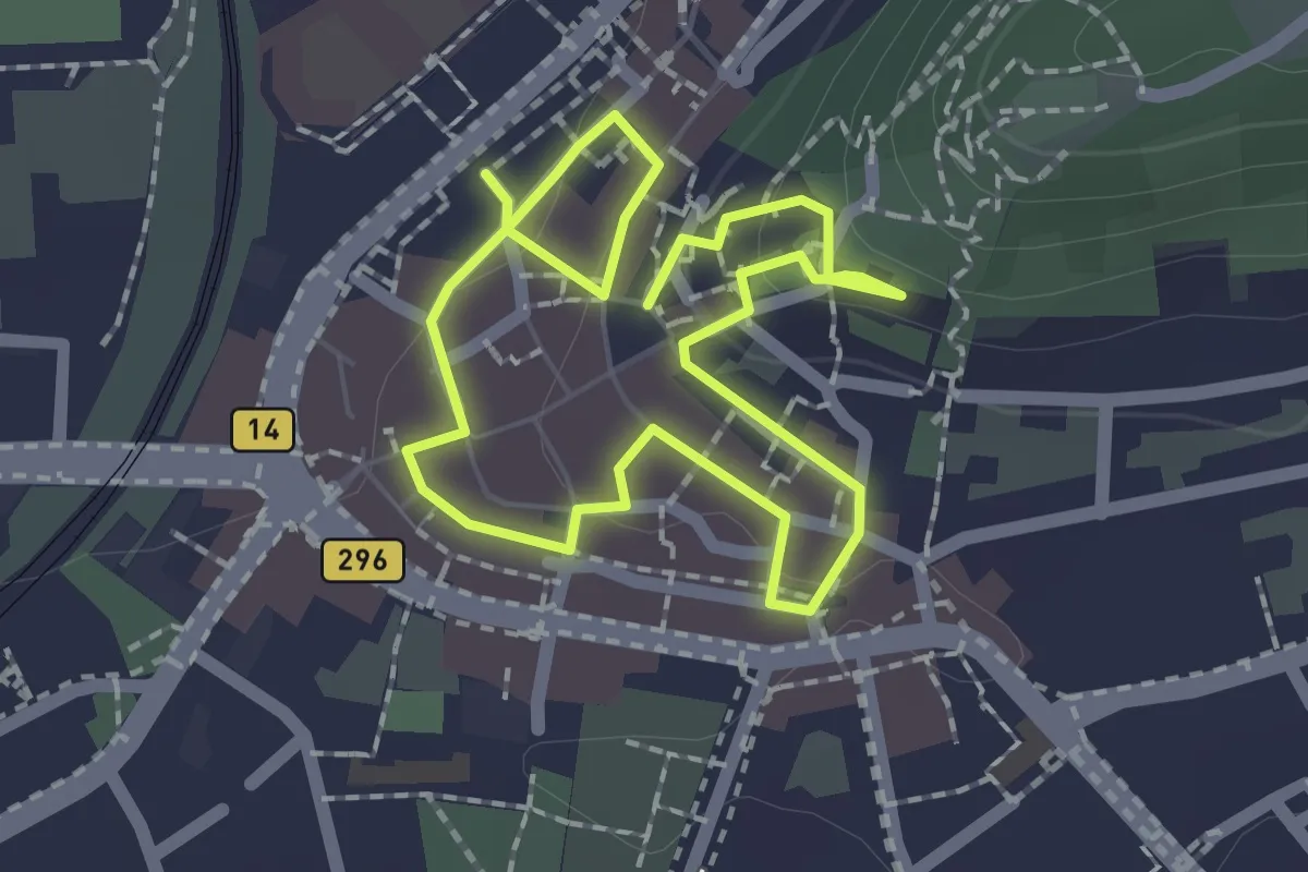
Easy · Trail
Historischer Stadtrundgang
1.6 km · ↑ 39 m · 29 min
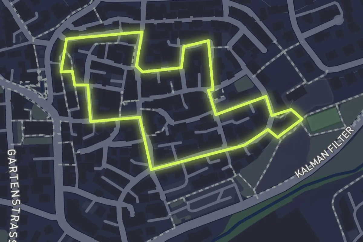
Easy · Trail
Historischer Stadtrundgang
1.0 km · ↑ 4 m · 15 min
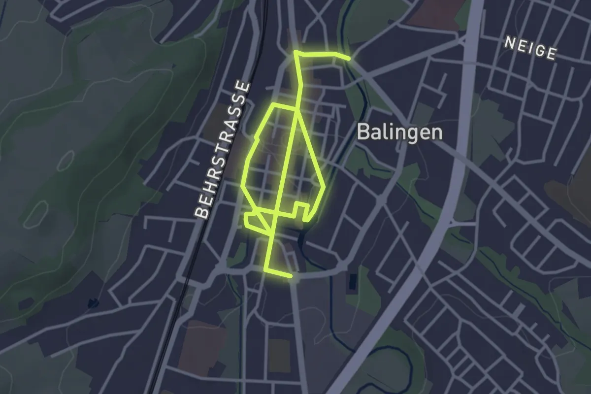
Easy · Trail
Historischer Stadtrundgang Balingen
4.7 km · ↑ 27 m · 1 h 10 min
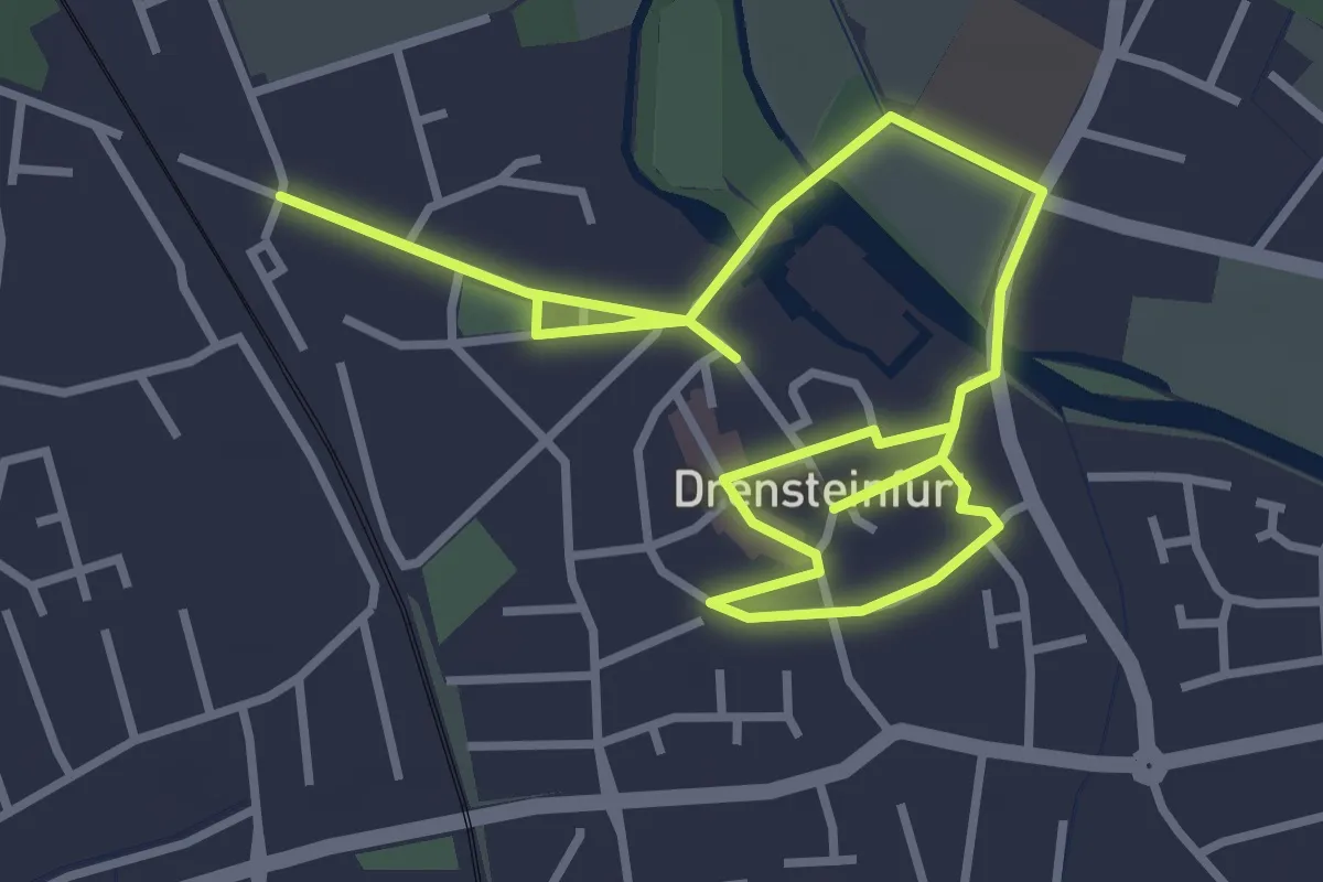
Easy · Trail
Historischer Stadtrundgang Drensteinfurt
2.8 km · ↑ 0 m · 42 min
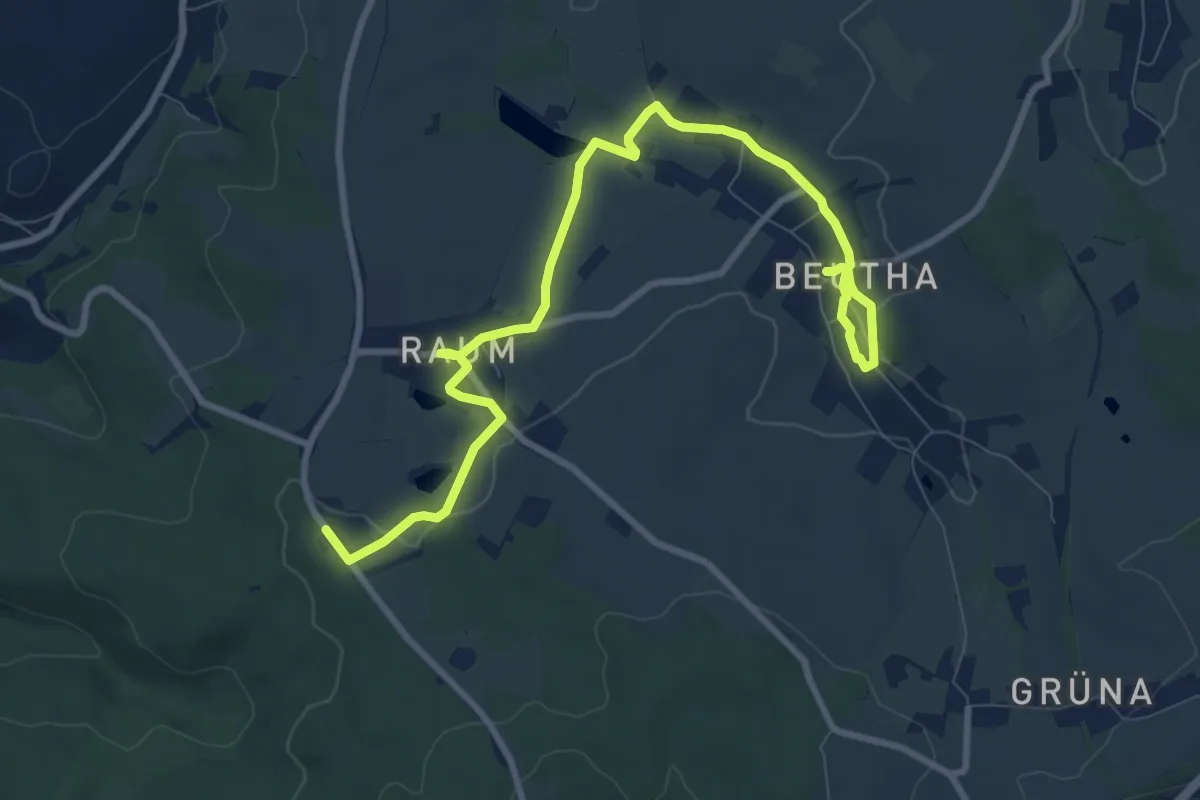
Medium · Trail
Historischer Themenwanderweg Beutha-Raum
10.1 km · ↑ 93 m · 2 h 35 min
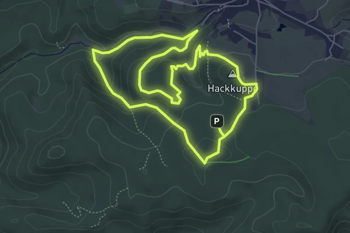
Easy · Summit
Historischer Waldnutzungsweg
4.8 km · ↑ 163 m · 1 h 33 min
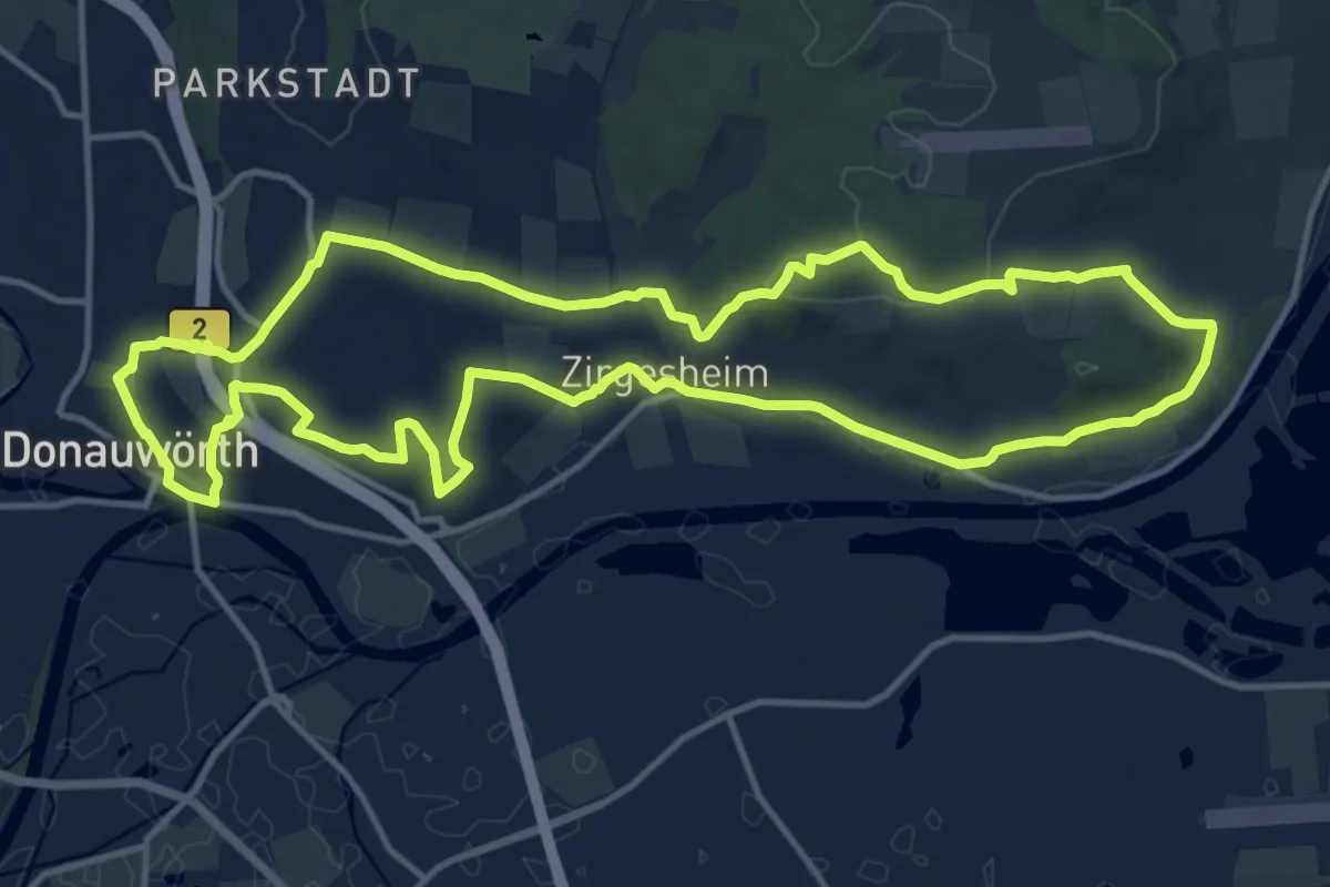
Medium · Trail
Historischer Wanderweg
13.8 km · ↑ 333 m · 4 h 11 min
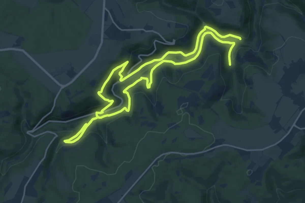
Demanding · Trail
Historischer Wanderweg
23.1 km · ↑ 687 m · 6 h 57 min
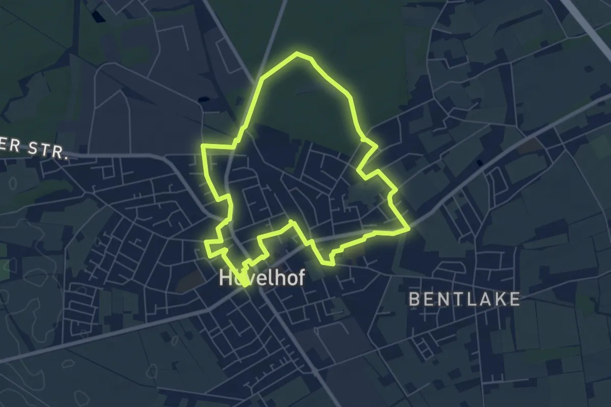
Easy · Trail
Historischer Wanderweg
5.8 km · ↑ 22 m · 1 h 30 min
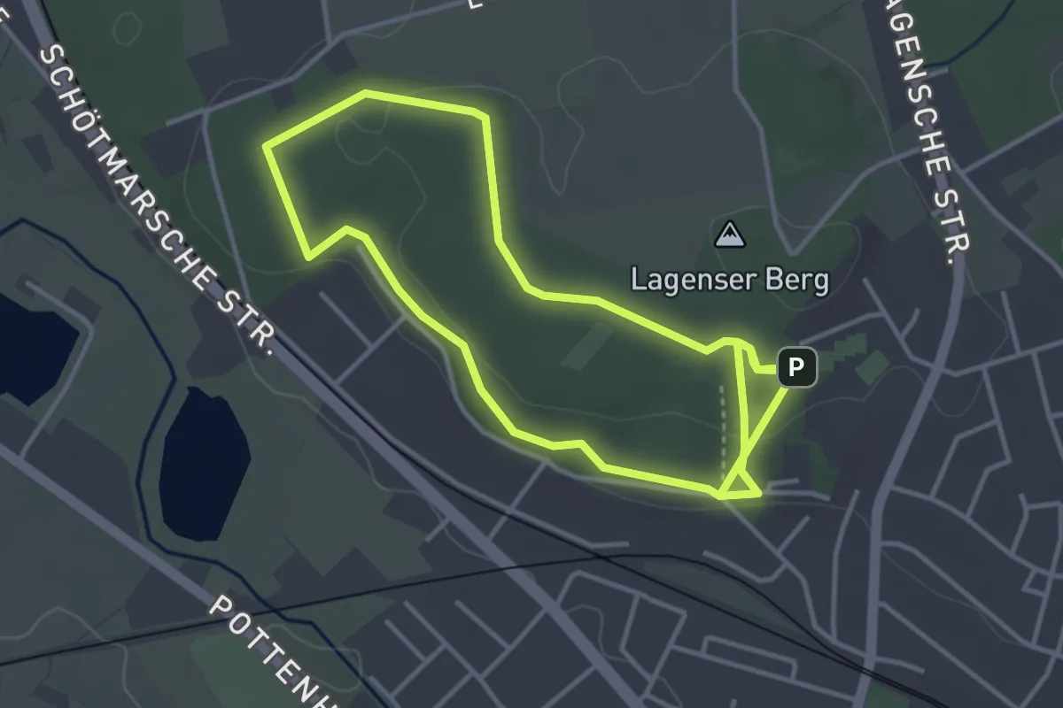
Easy · Trail
Historischer Wanderweg
3.2 km · ↑ 39 m · 53 min
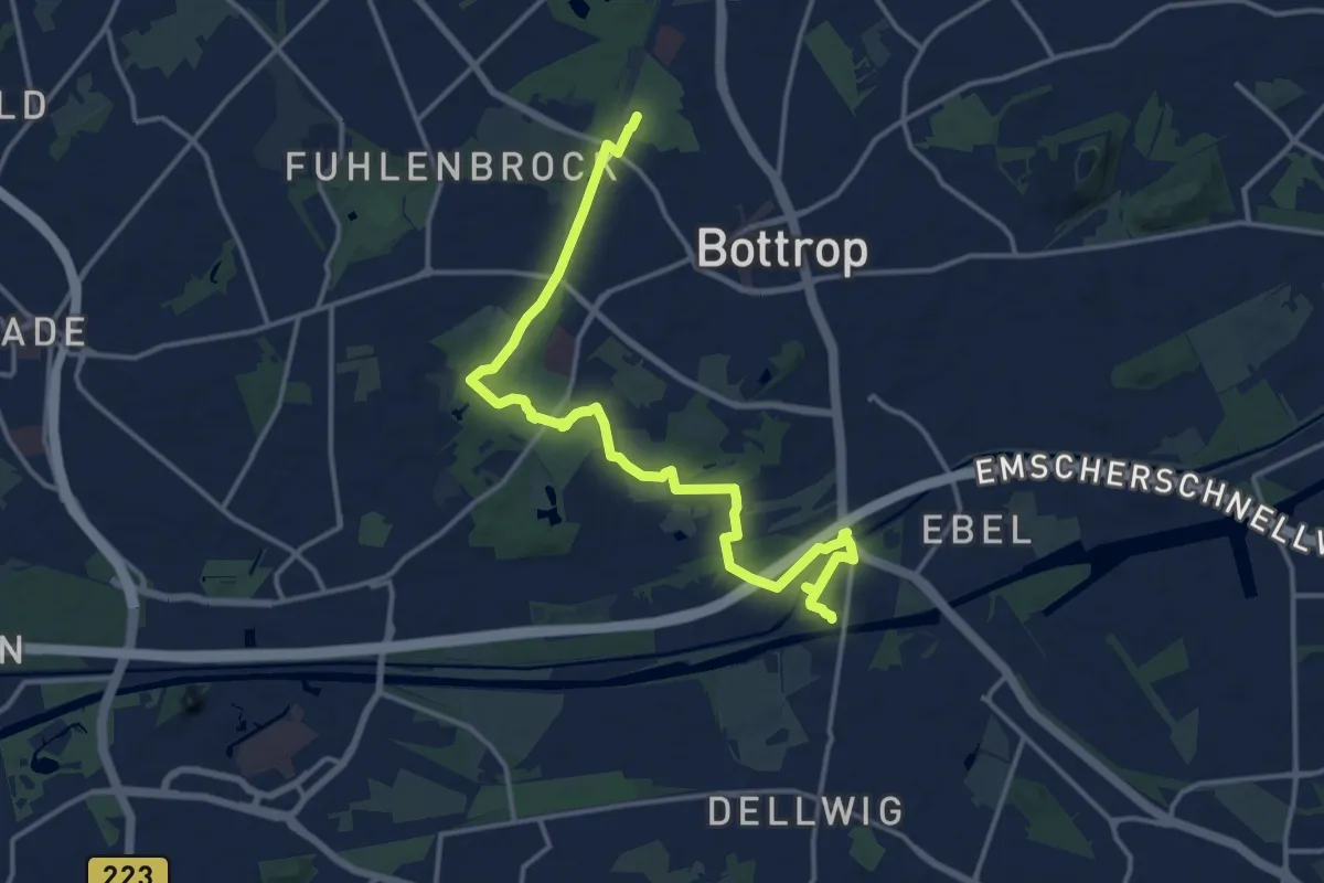
Medium · Trail
Historischer Wanderweg Bottrop
15.1 km · ↑ 72 m · 3 h 43 min
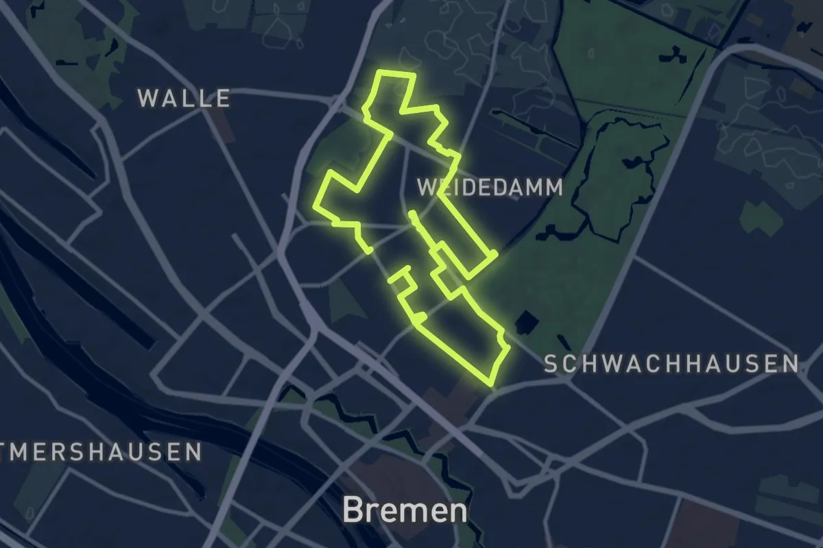
Medium · Trail
Historischer Wanderweg Findorff
9.0 km · ↑ 8 m · 2 h 16 min
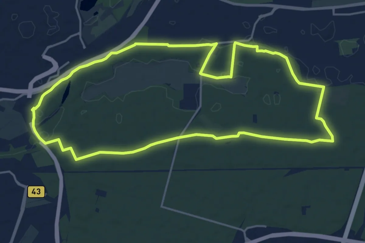
Medium · Trail
Historischer Wanderweg Frankfurt-Schwanheim
11.8 km · ↑ 31 m · 3 h 2 min
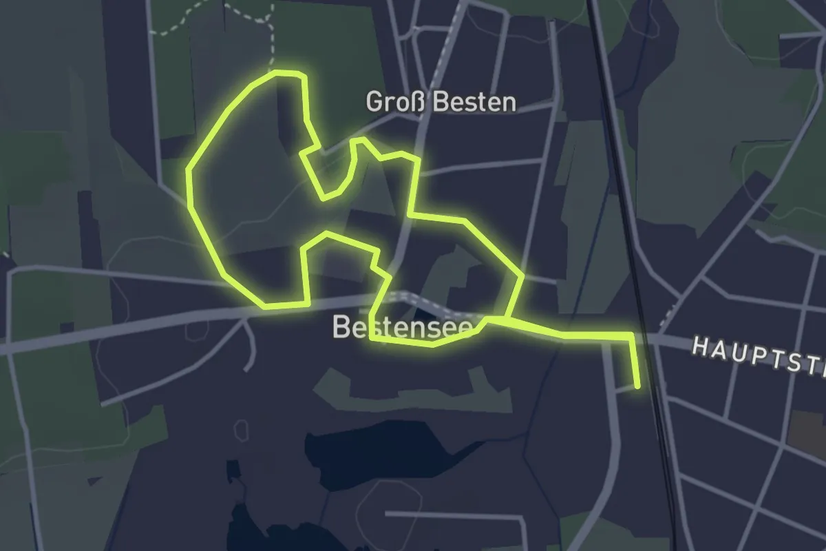
Easy · Trail
Historischer Wanderweg Groß Besten
3.3 km · ↑ 19 m · 53 min
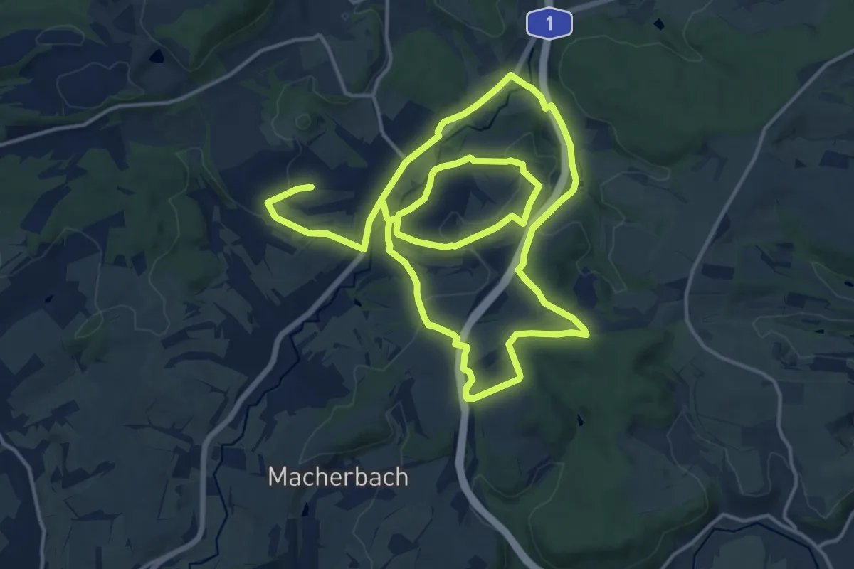
Medium · Trail
Historischer Wanderweg Thalexweiler
13.5 km · ↑ 293 m · 4 h 2 min
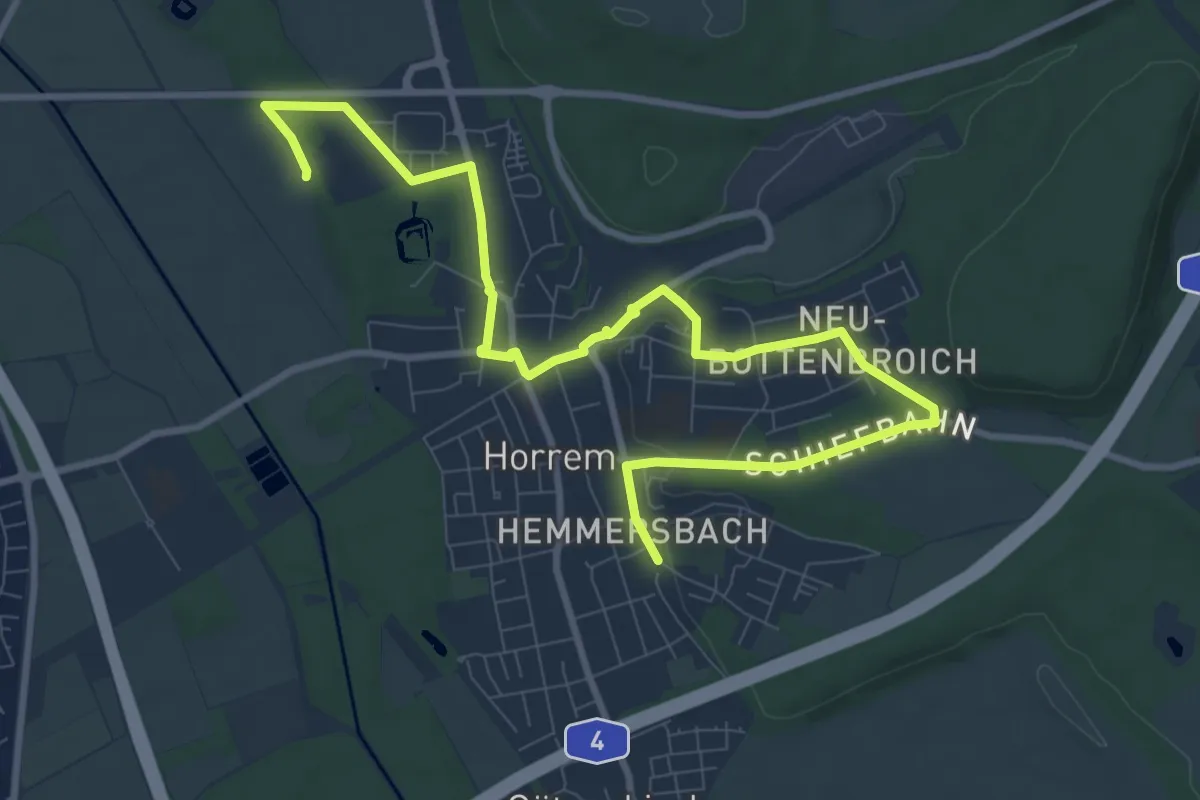
Medium · Trail
Historischer Wanderweg V
11.3 km · ↑ 83 m · 2 h 51 min
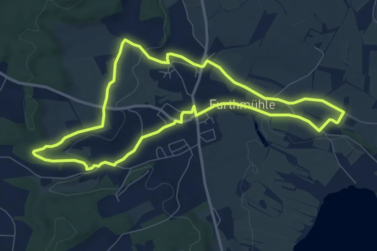
Easy · Trail
Historischer Weg
6.9 km · ↑ 81 m · 1 h 54 min
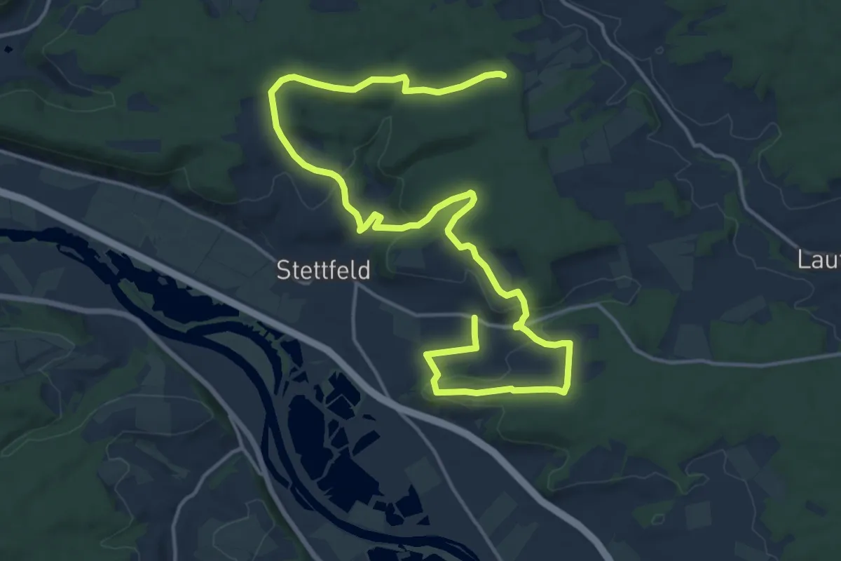
Medium · Summit
Historischer Weg Rund um Stettfeld
10.1 km · ↑ 206 m · 3 h 1 min