Trails in Germany
36,852 hiking trails, each with its route, climb, walking time and grade.
All trails, page 243 of 768
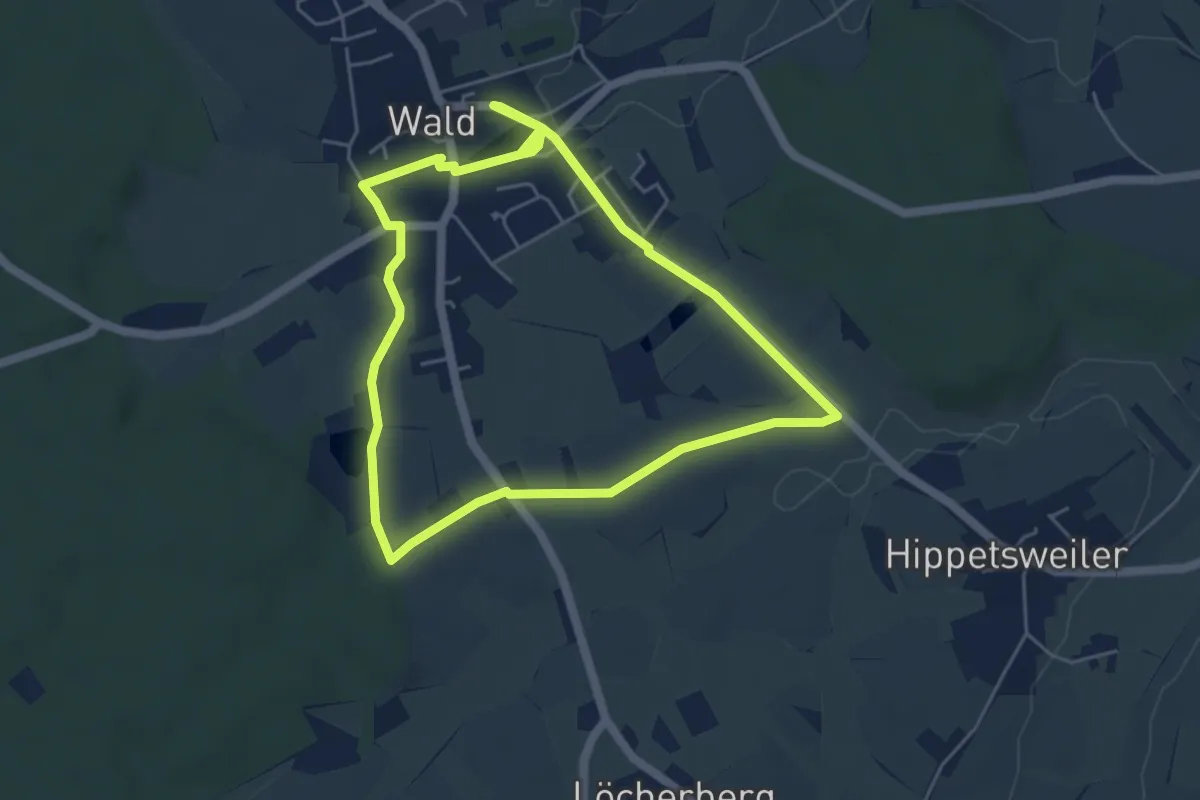
Easy · Trail
Historischer Weiherwanderweg
4.6 km · ↑ 19 m · 1 h 12 min
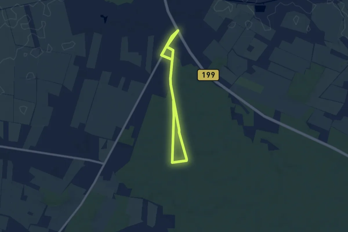
Easy · Trail
Historischer Westlicher Ochsenweg und Langenberger Forst
6.5 km · ↑ 16 m · 1 h 35 min
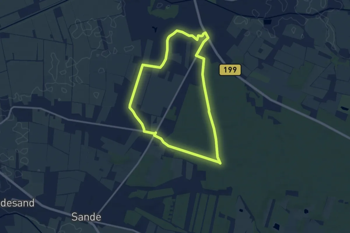
Easy · Trail
Historischer Westlicher Ochsenweg und Langenberger Forst
7.0 km · ↑ 26 m · 1 h 49 min
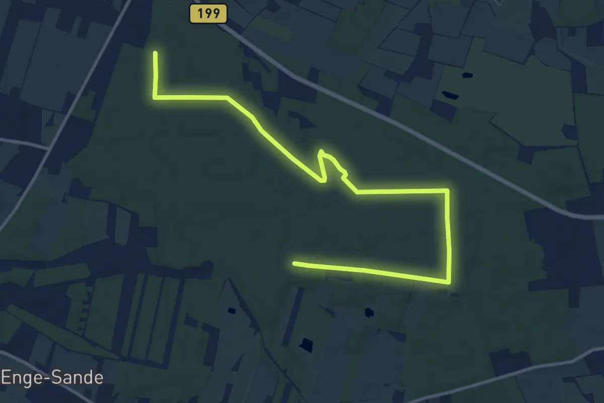
Medium · Summit
Historischer Westlicher Ochsenweg und Langenberger Forst
11.2 km · ↑ 80 m · 2 h 49 min
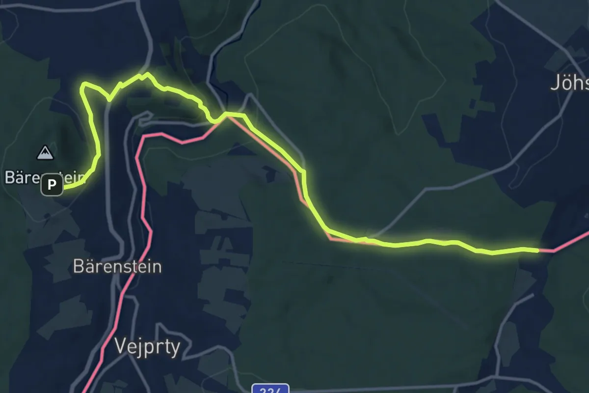
Medium · Trail
Historische Salzstraße
13.1 km · ↑ 409 m · 3 h 58 min
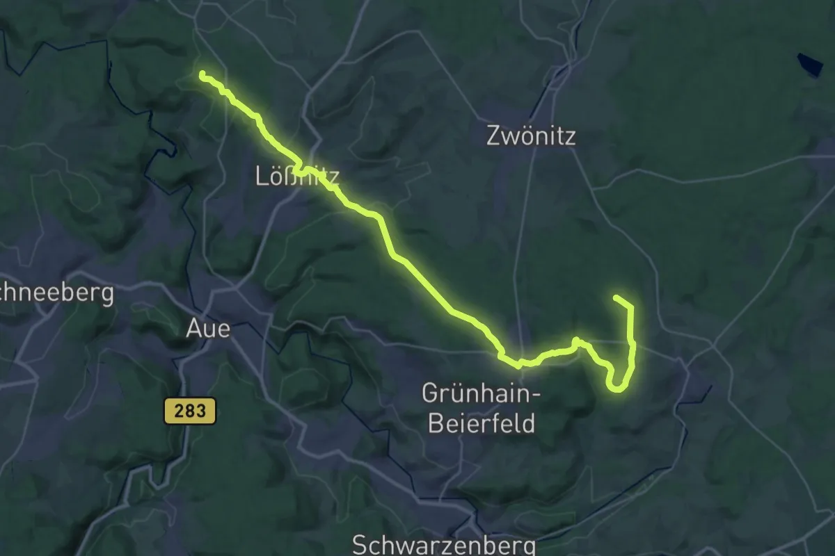
Demanding · Summit
Historische Salzstraße / Böhmischer Steig / Preßnitzer Pass Altenburg-Zwickau-Hartenstein-Lößnitz-Schlettau-Preßnitz-Prag
36.6 km · ↑ 918 m · 10 h 37 min
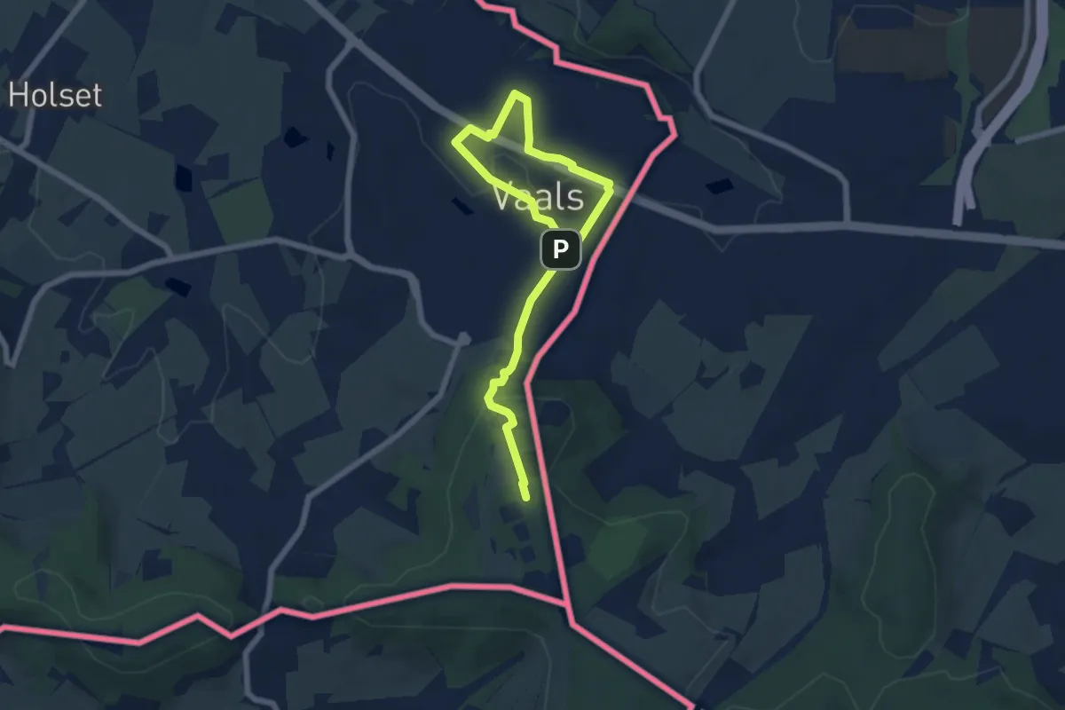
Easy · Trail
Historische stadswandeling Vaals
7.2 km · ↑ 157 m · 2 h 3 min
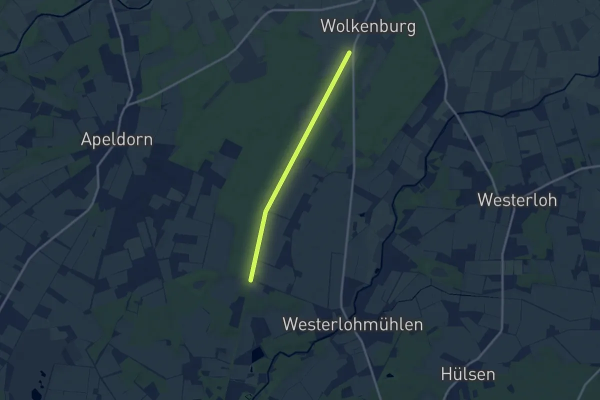
Easy · Trail
Historische Straße, Klein Berßen
7.5 km · ↑ 19 m · 1 h 49 min
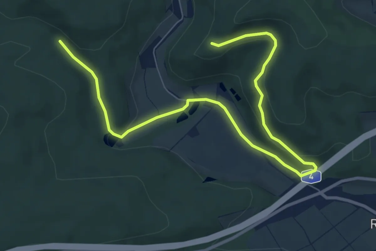
Easy · Trail
Historisches Wildeck
3.9 km · ↑ 86 m · 1 h 10 min
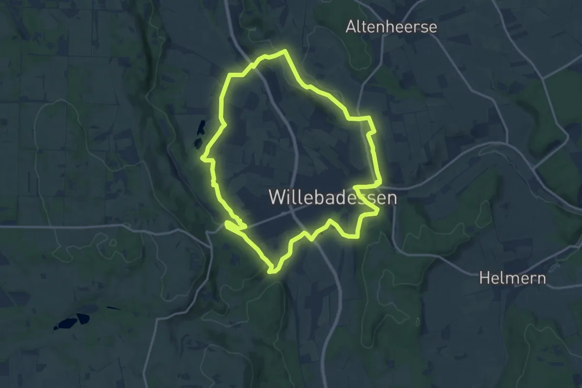
Medium · Trail
Hitgenheierweg (Willebadessen)
12.2 km · ↑ 202 m · 3 h 30 min
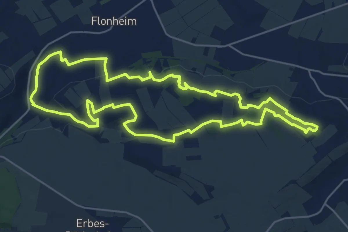
Medium · Summit
Hiwweltour Aulheimer Tal
13.2 km · ↑ 246 m · 3 h 50 min
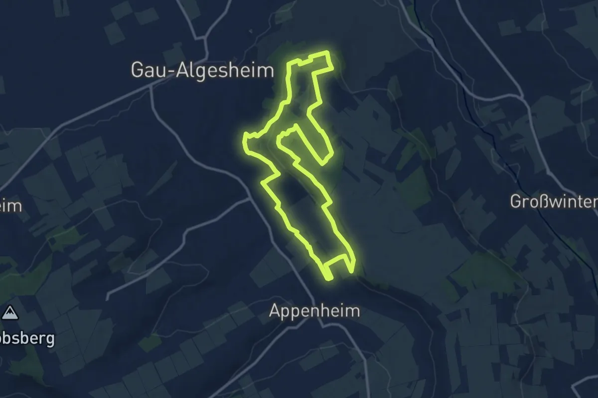
Medium · Trail
Hiwweltour Bismarckturm
10.2 km · ↑ 220 m · 3 h 2 min
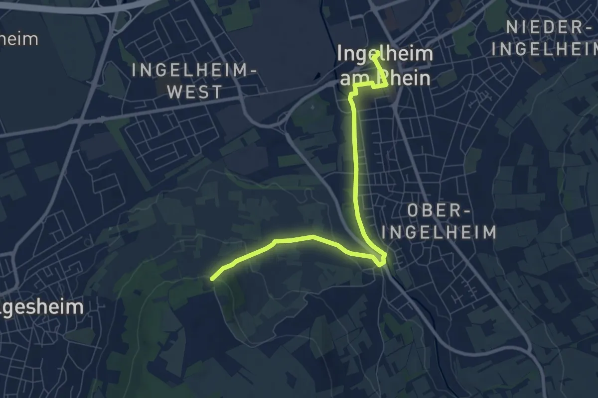
Easy · Trail
Hiwweltour Bismarckturm Zuweg (Ingelheim Bahnhof)
7.3 km · ↑ 110 m · 1 h 57 min
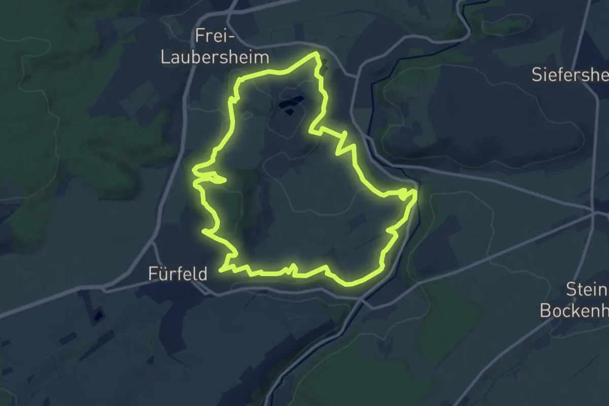
Medium · Summit
Hiwweltour Eichelberg
11.3 km · ↑ 331 m · 3 h 32 min
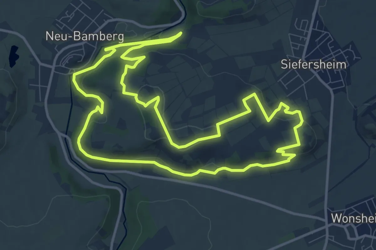
Medium · Summit
Hiwweltour Heideblick
9.7 km · ↑ 249 m · 2 h 58 min
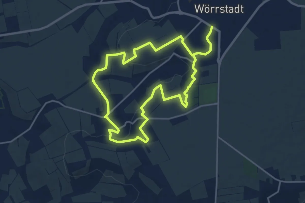
Medium · Trail
Hiwweltour Neuborn
8.7 km · ↑ 177 m · 2 h 33 min
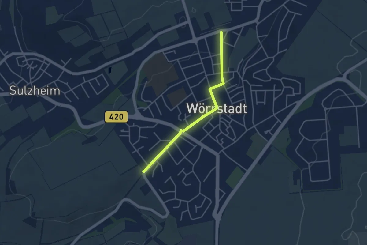
Easy · Trail
Hiwweltour Neuborn Zuweg
3.1 km · ↑ 31 m · 47 min
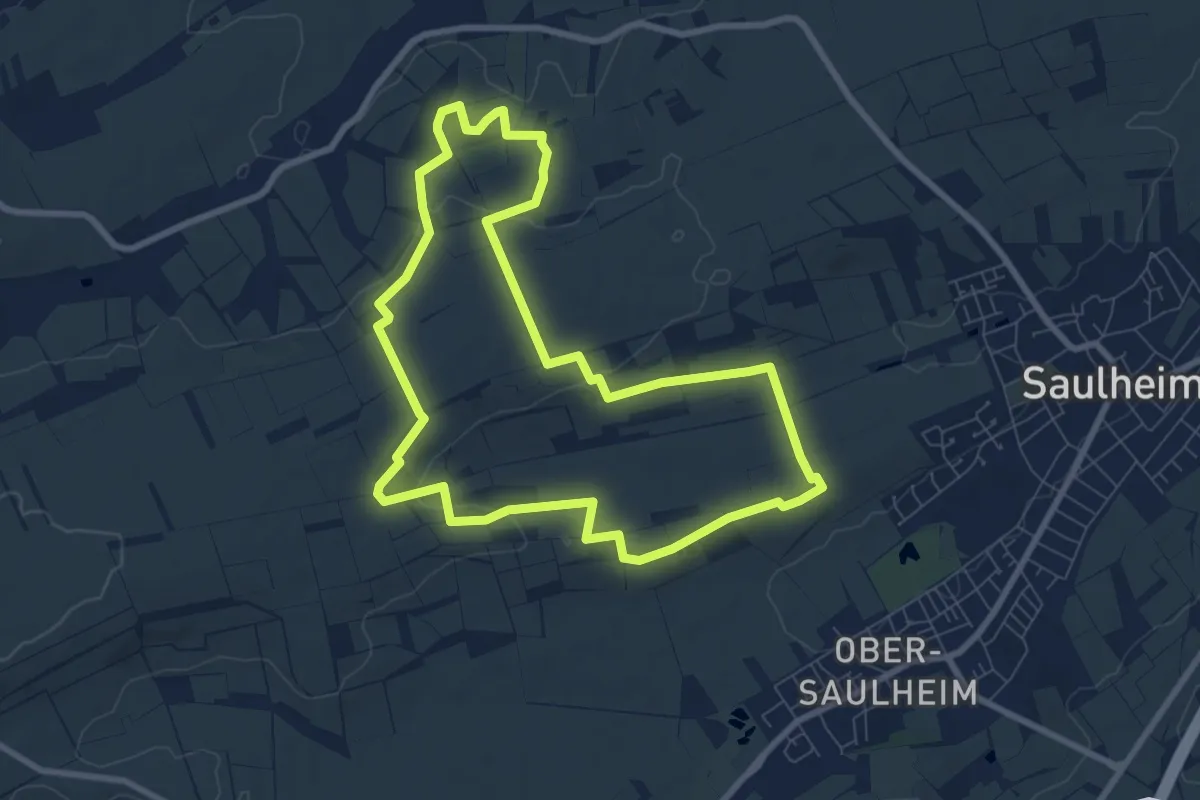
Easy · Trail
Hiwweltour Saulheimer Hölle
7.6 km · ↑ 136 m · 2 h 11 min
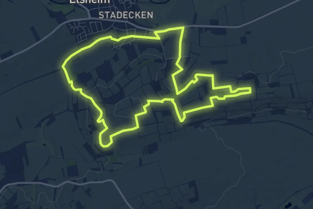
Medium · Trail
Hiwweltour Stadecker Warte
9.8 km · ↑ 193 m · 2 h 51 min
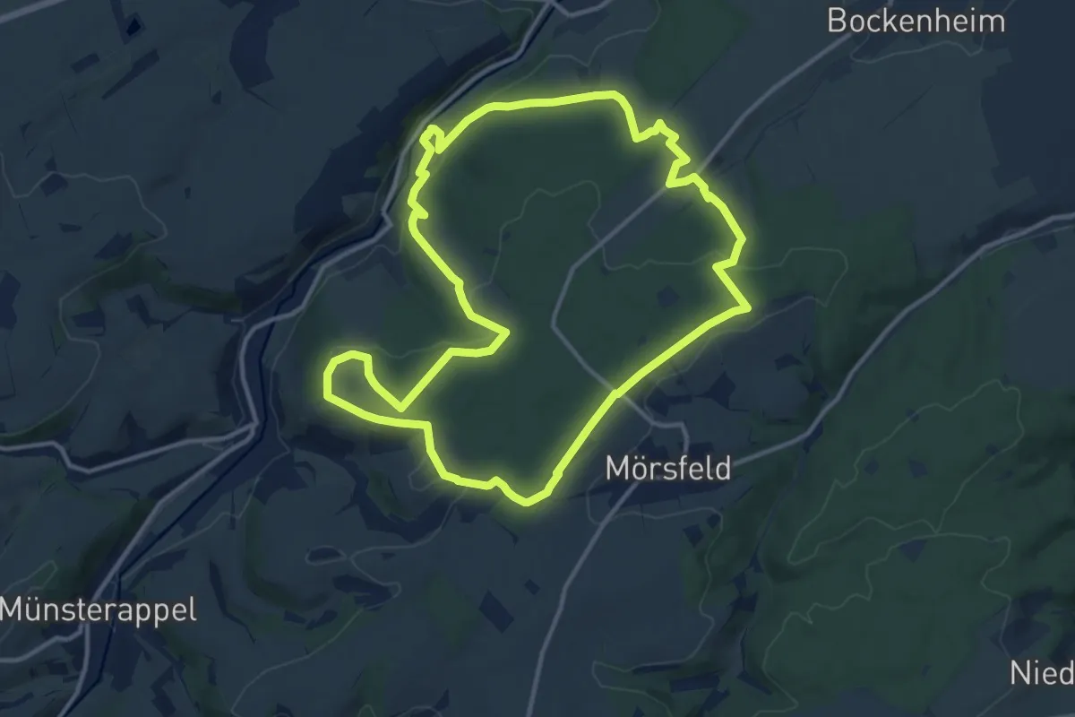
Medium · Trail
Hiwweltour Tiefenthaler Höhe
12.2 km · ↑ 235 m · 3 h 33 min
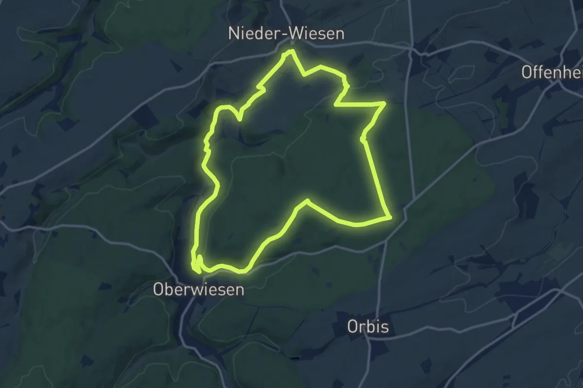
Medium · Summit
Hiwweltour Vorholz
11.9 km · ↑ 239 m · 3 h 30 min
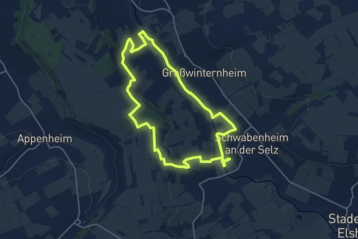
Medium · Trail
Hiwweltour Westerberg
11.2 km · ↑ 168 m · 3 h 9 min
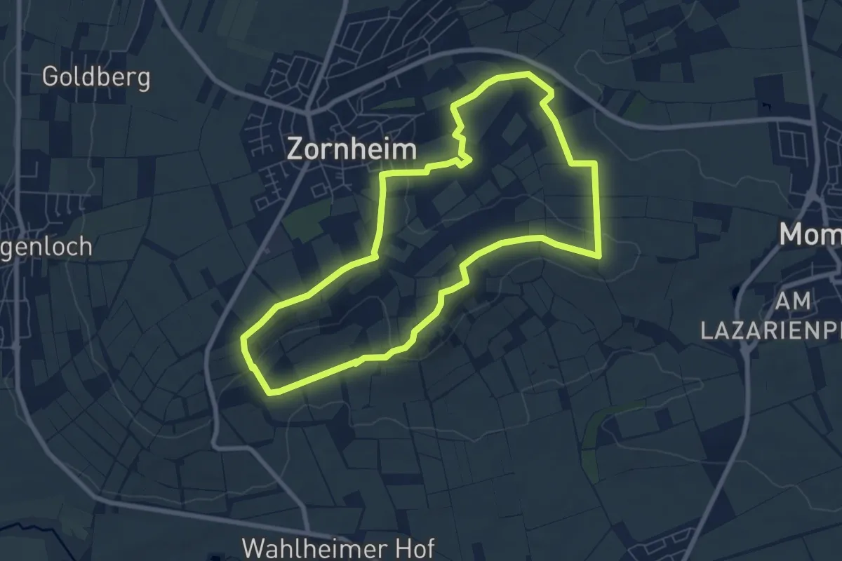
Easy · Summit
Hiwweltour Zornheimer Berg
6.8 km · ↑ 156 m · 2 h 2 min
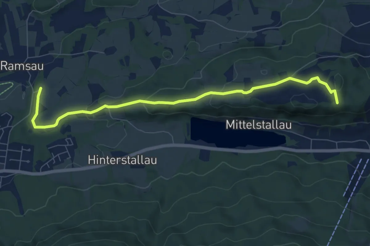
Easy · Trail
HK09 Bad Heilbrunn Buchberg Blomberg Zwiesel
7.9 km · ↑ 193 m · 2 h 17 min
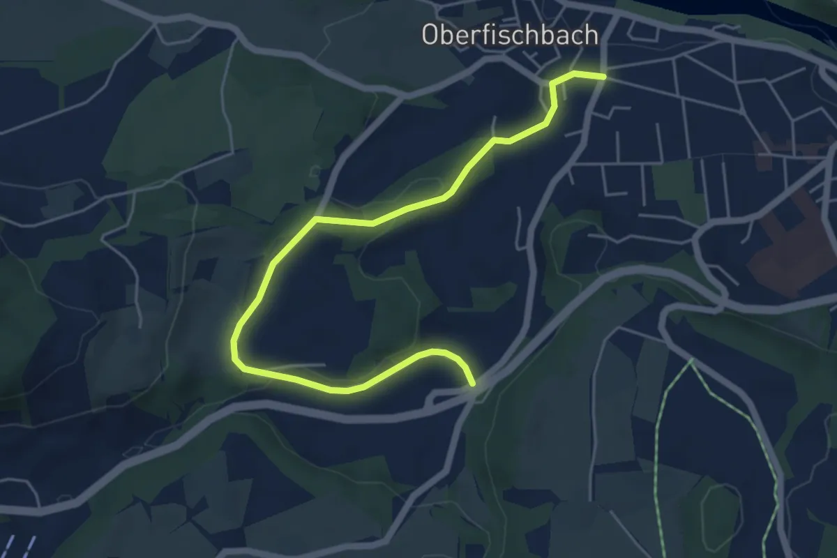
Easy · Trail
HK19 Kiefersau-Rundweg
5.5 km · ↑ 128 m · 1 h 35 min
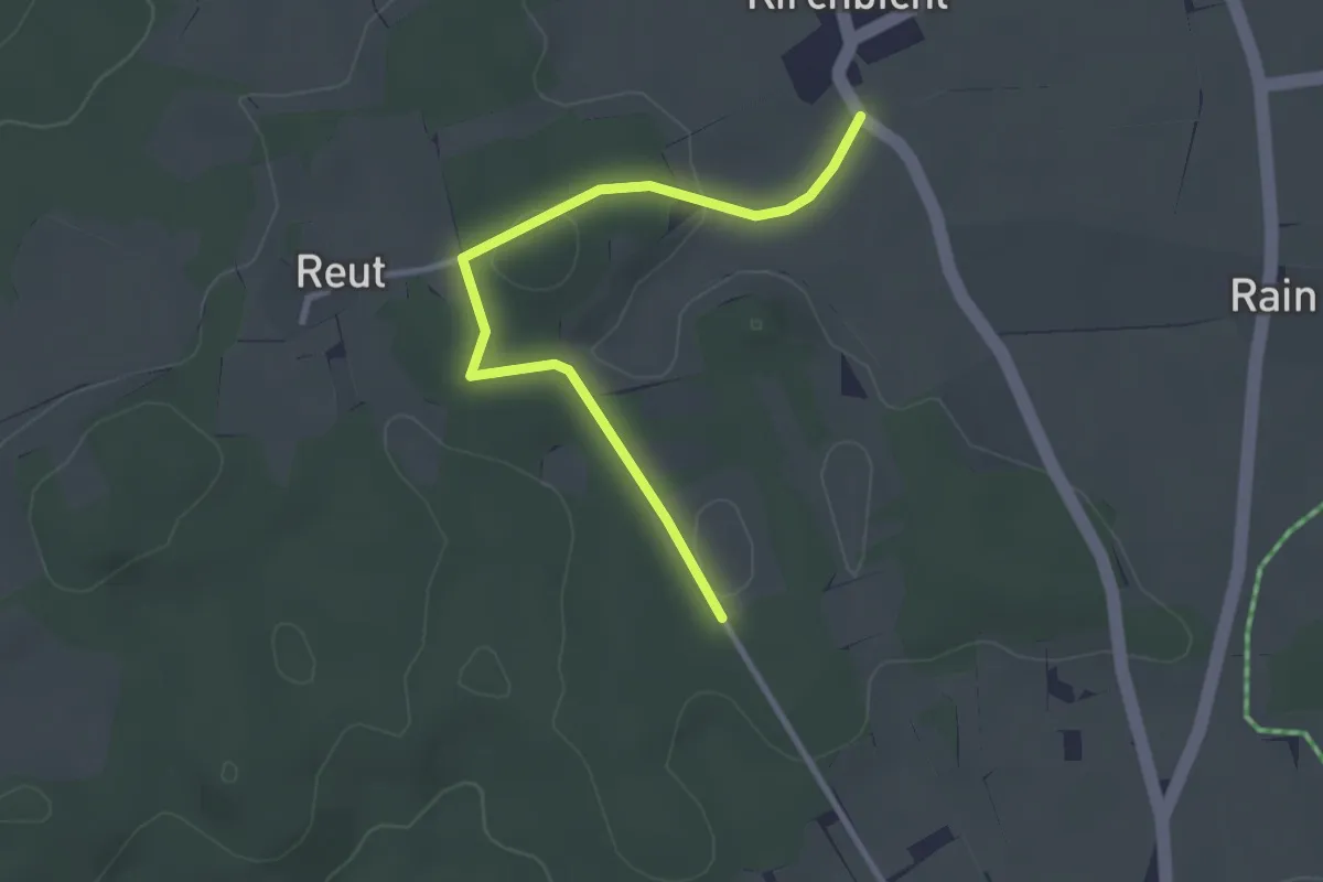
Easy · Trail
HK28
2.9 km · ↑ 34 m · 45 min
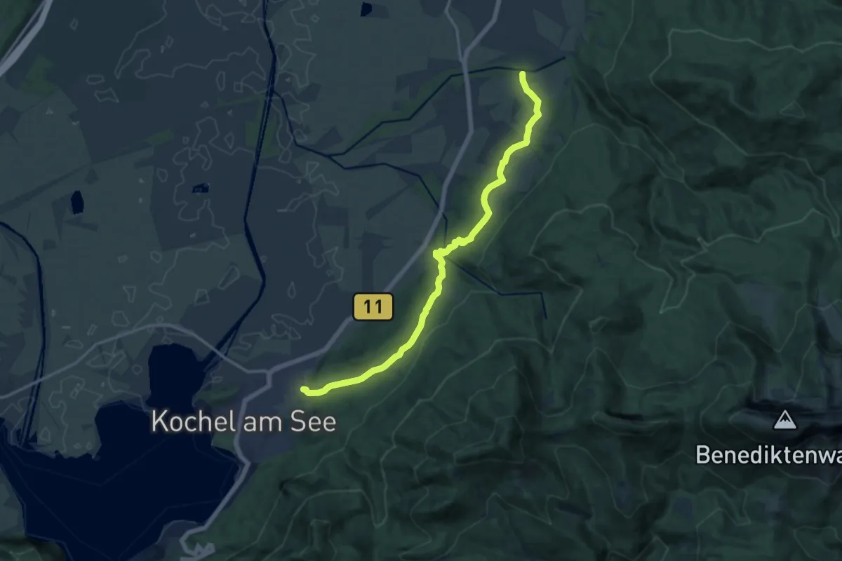
Medium · Trail
HK41 Bergwiesenrunde
13.8 km · ↑ 480 m · 4 h 18 min
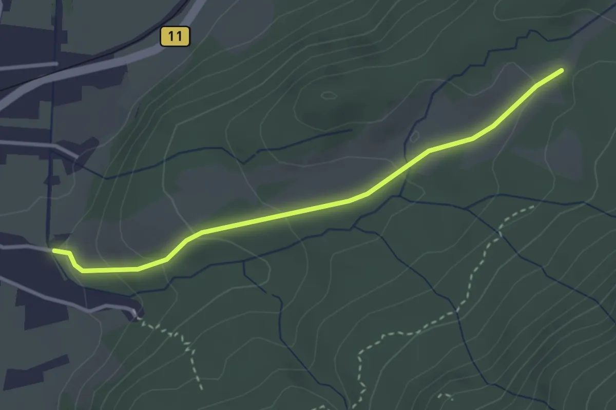
Easy · Trail
HK42 Wasserfallrunde
3.0 km · ↑ 134 m · 1 h
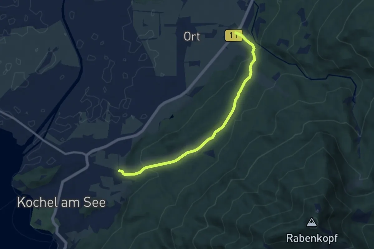
Easy · Trail
HK43 Zur schönen Aussicht
6.8 km · ↑ 290 m · 2 h 14 min
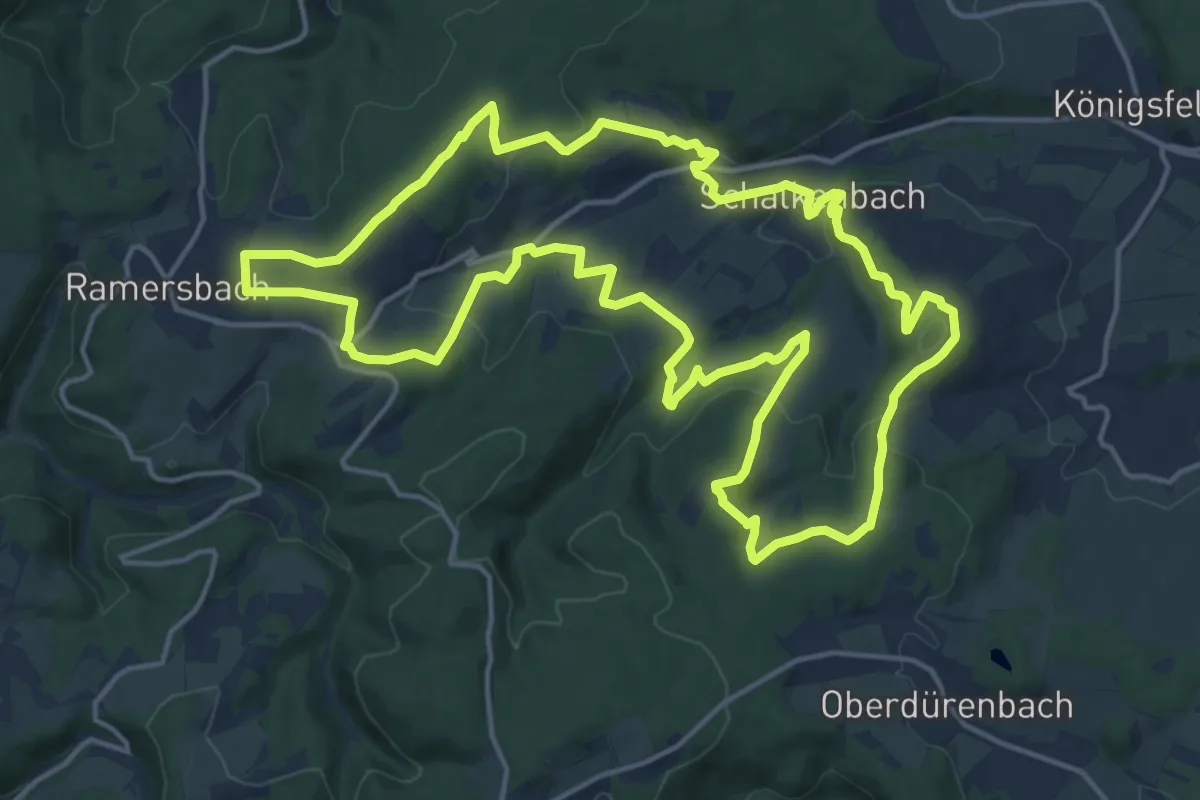
Medium · Summit
[hKL] Köhler- und Loheweg - Historische Straße
16.3 km · ↑ 392 m · 4 h 55 min
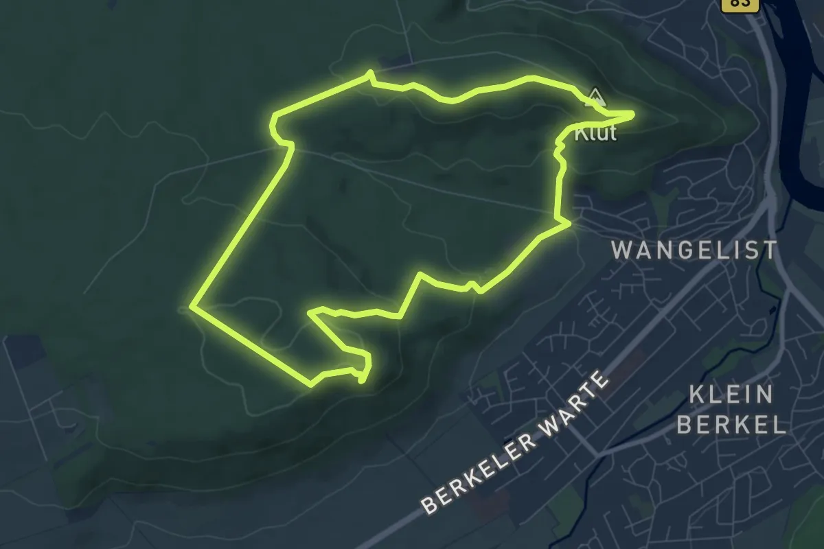
Easy · Summit
HM1 Rundweg Finkenborn-Riepen
7.8 km · ↑ 238 m · 2 h 27 min
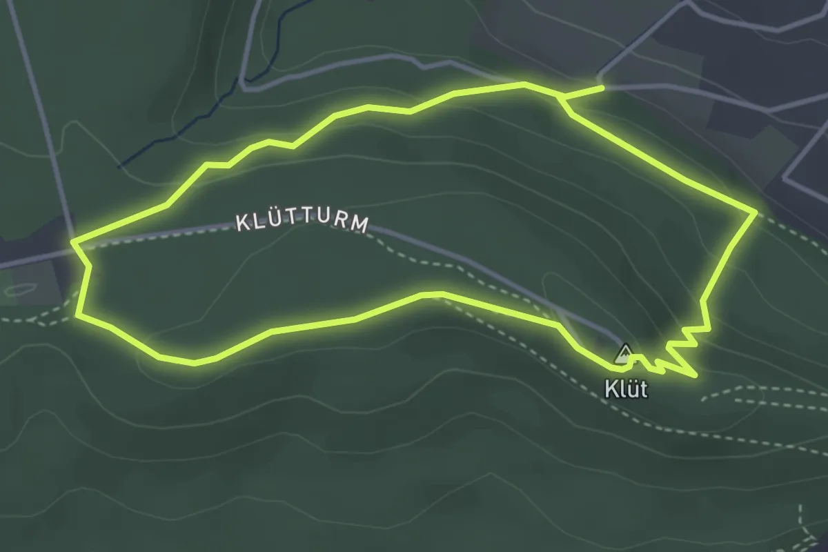
Easy · Summit
HM3 Klüt-Erlebnis-Runde
3.3 km · ↑ 107 m · 1 h 3 min
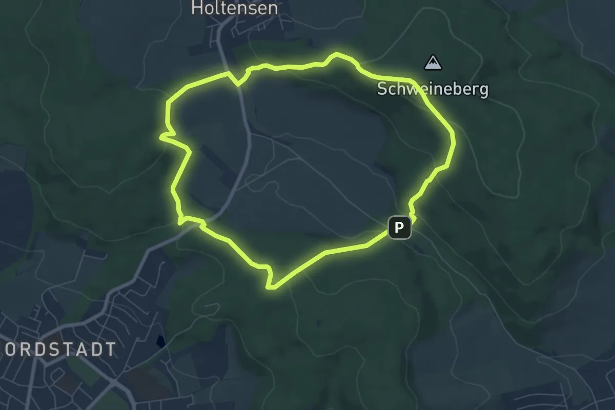
Easy · Trail
HM4 Rundweg Gröninger Feld
6.2 km · ↑ 216 m · 2 h 1 min
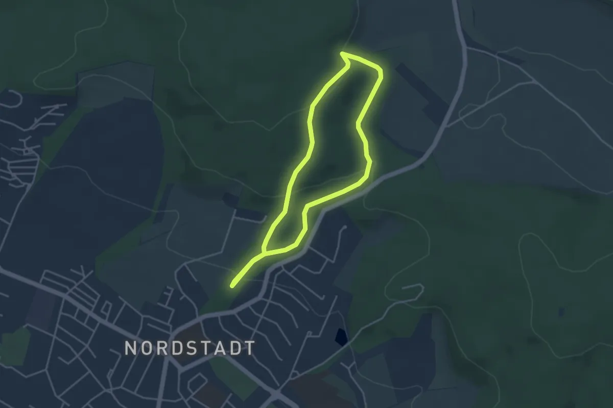
Easy · Trail
HM5 Rundweg Deipensiek
3.0 km · ↑ 107 m · 1 h
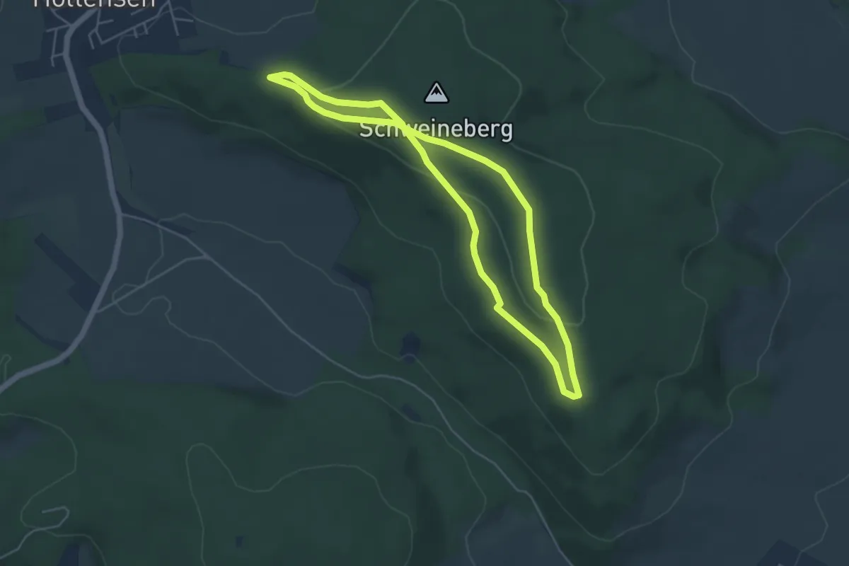
Easy · Trail
HM7 Rundweg Märzenbecher
4.0 km · ↑ 82 m · 1 h 10 min
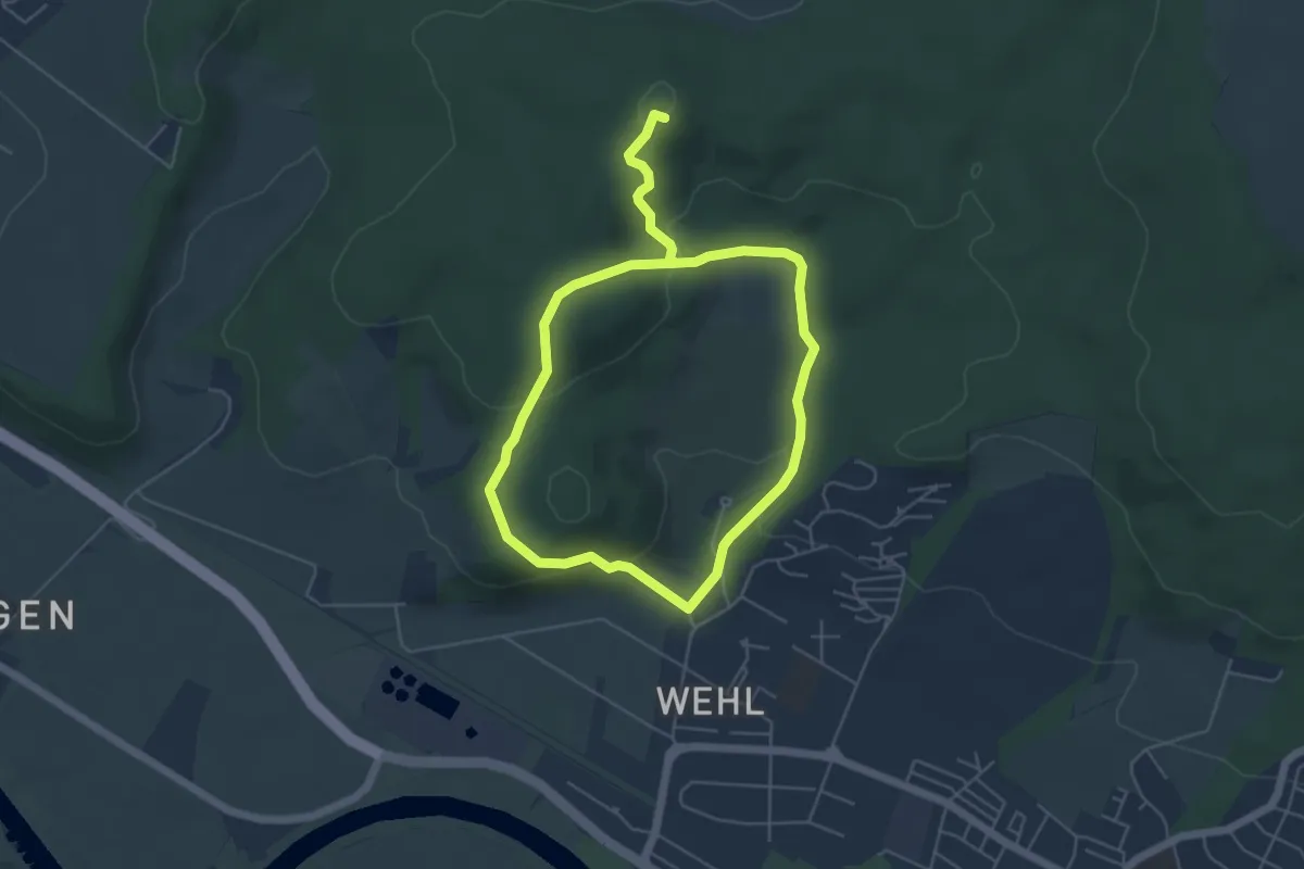
Easy · Summit
HM8 Rundweg Wehl
3.9 km · ↑ 154 m · 1 h 17 min
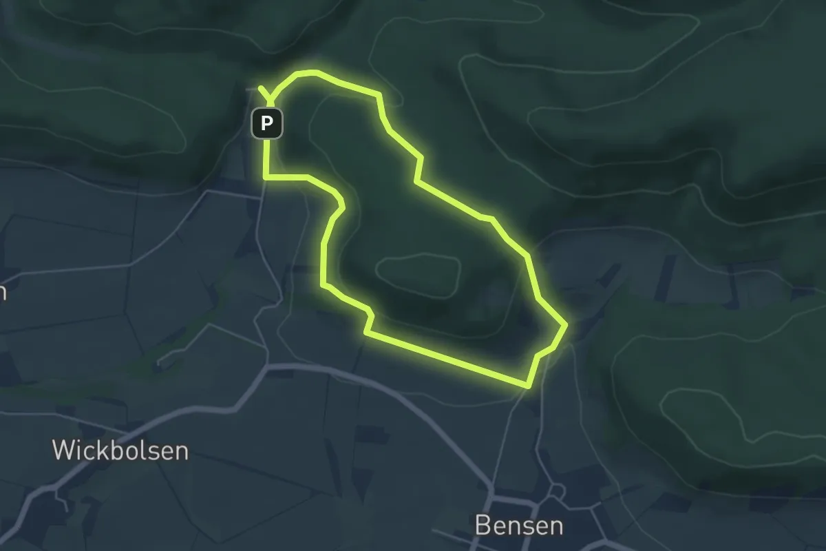
Easy · Trail
HO10 - Westerberg-Route
4.3 km · ↑ 154 m · 1 h 24 min
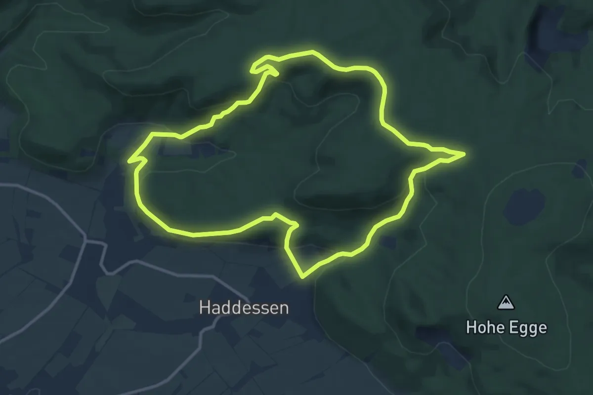
Medium · Trail
HO11 - Katzennase-Route
9.3 km · ↑ 296 m · 2 h 59 min
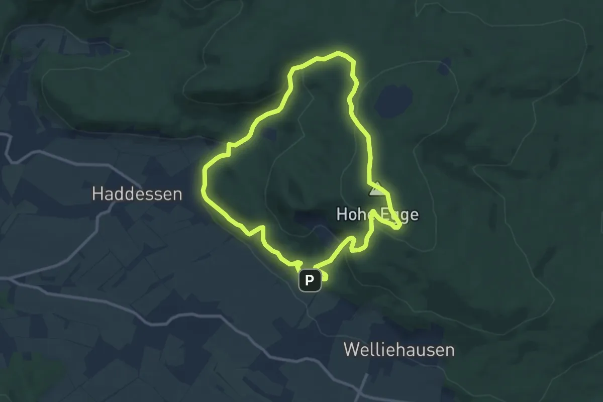
Easy · Summit
HO12 - Süntelturm-Route
7.7 km · ↑ 311 m · 2 h 36 min
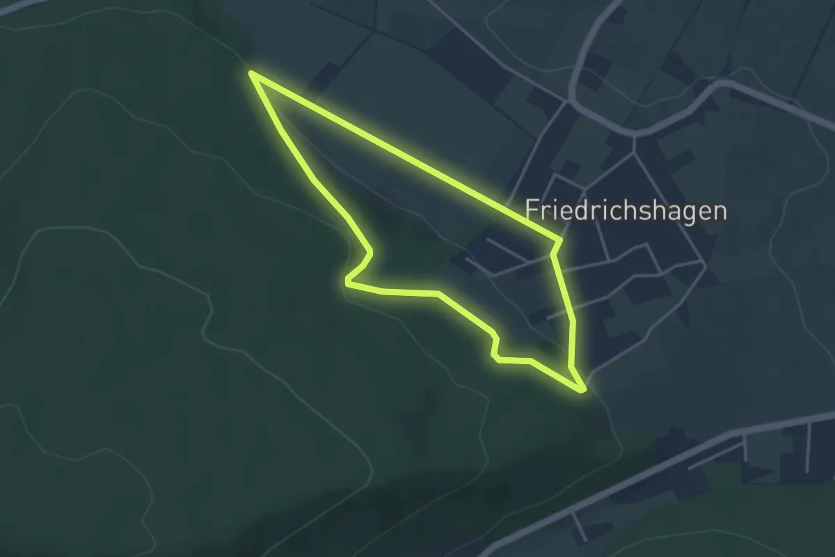
Easy · Trail
HO13 - Friedrichshagen-Route
3.0 km · ↑ 66 m · 54 min
Easy · Trail
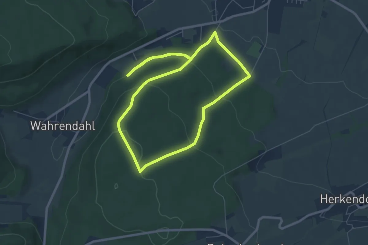
HO14 - Hemeringer Berg Route
5.5 km · ↑ 166 m · 1 h 44 min
Easy · Trail
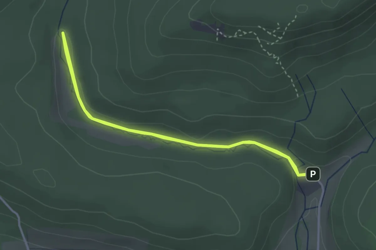
HO15 - Blutbachtal-Route
2.8 km · ↑ 35 m · 46 min
Easy · Summit
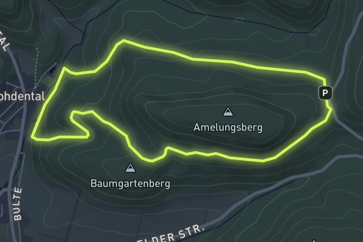
HO1 - Amelungsberg-Route
4.9 km · ↑ 157 m · 1 h 34 min
Medium · Summit
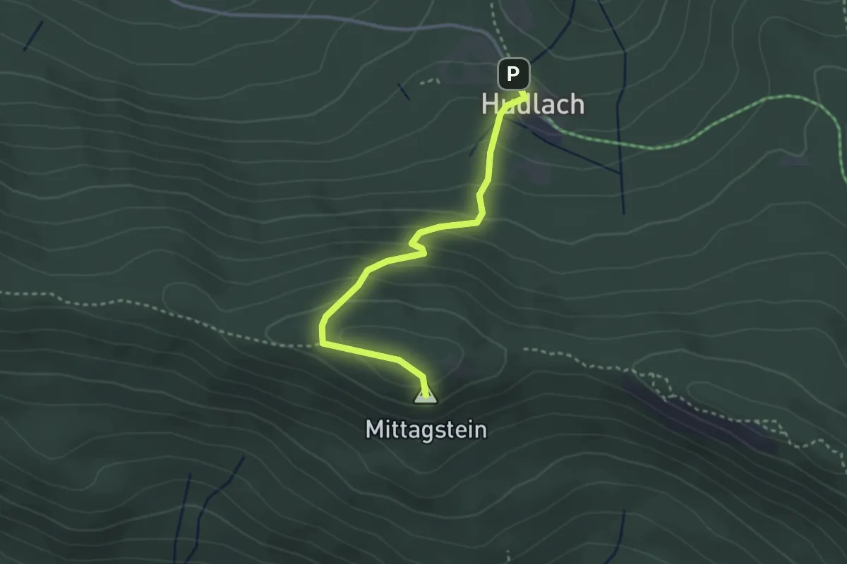
Ho1 Hohenwarth - Kötztinger Hütte
2.8 km · ↑ 214 m · 1 h 8 min
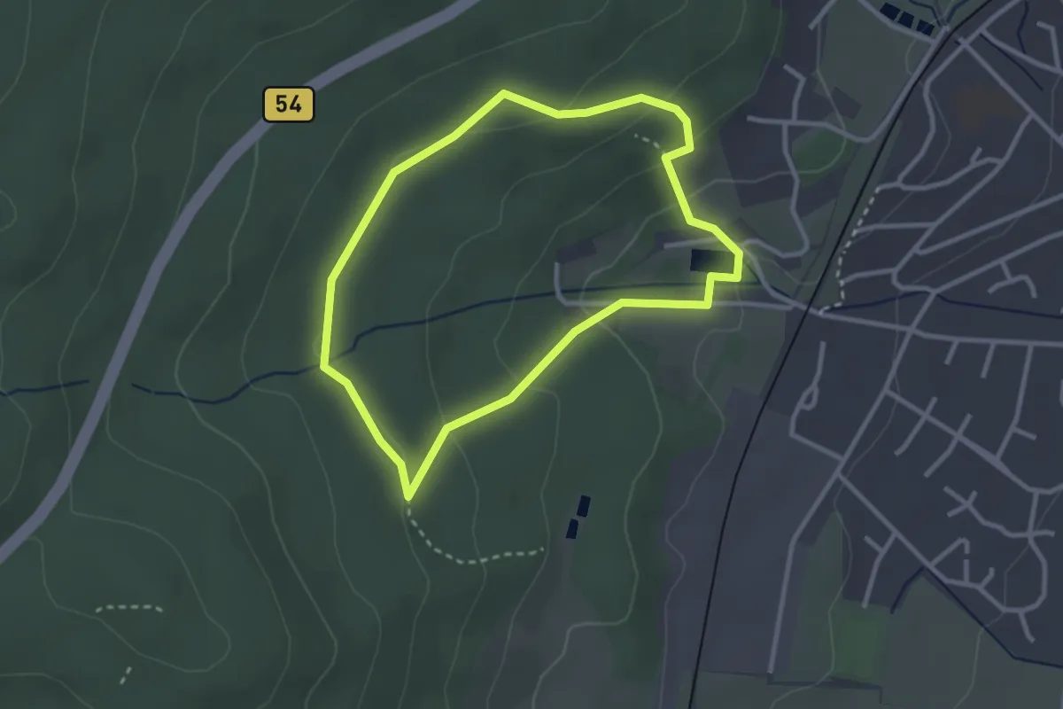
Easy · Trail
Ho1 Örtlicher Rundwanderweg
2.5 km · ↑ 93 m · 49 min
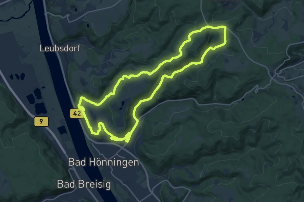
Medium · Trail
Hö1 - Rundwanderweg "Vom Tal zur Höhe"
14.8 km · ↑ 424 m · 4 h 37 min
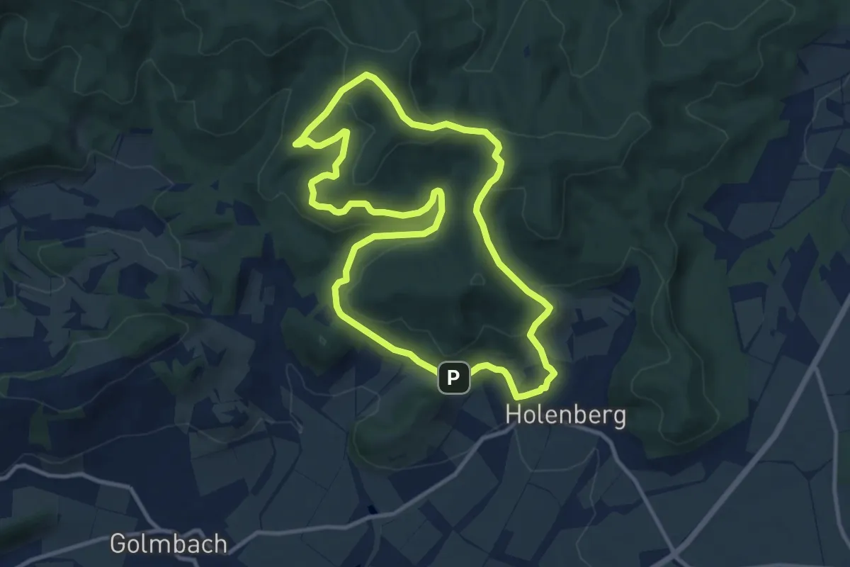
Medium · Summit
Ho 2
9.3 km · ↑ 327 m · 3 h 1 min
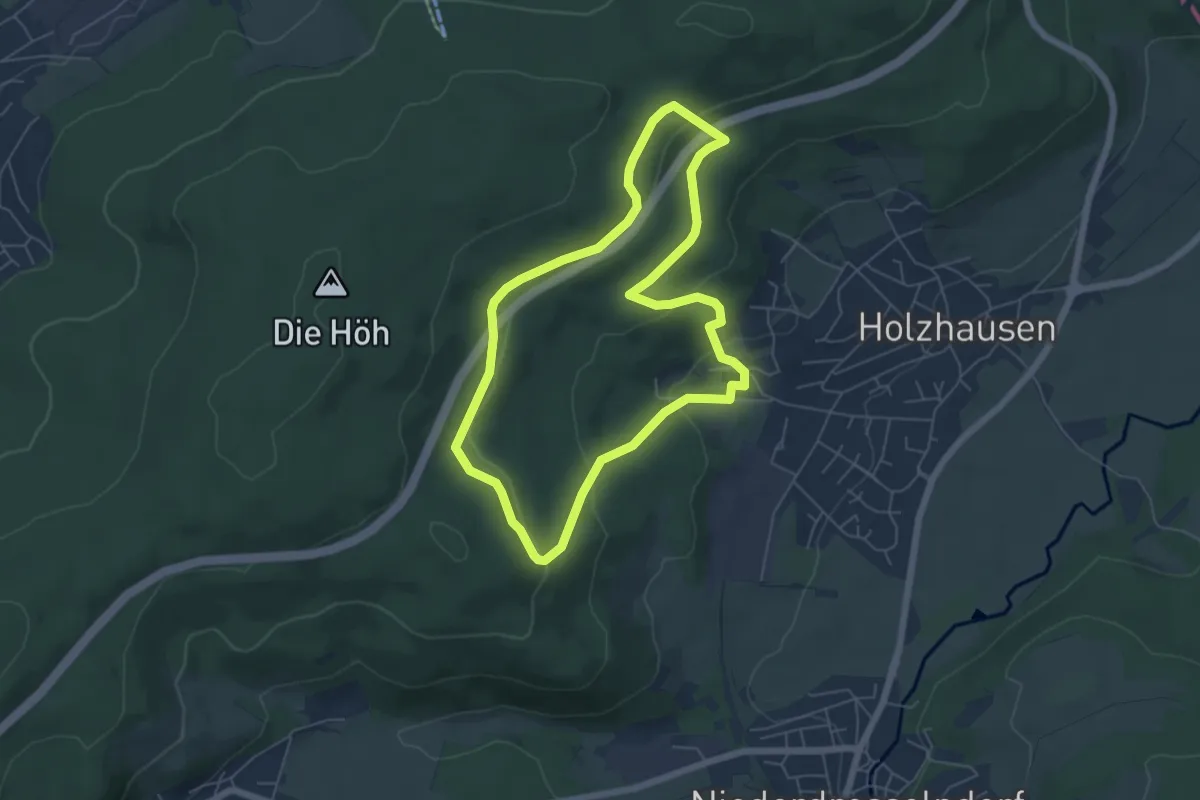
Easy · Trail
Ho2 Örtlicher Rundwanderweg
5.1 km · ↑ 148 m · 1 h 36 min