Trails in Germany
36,852 hiking trails, each with its route, climb, walking time and grade.
All trails, page 244 of 768
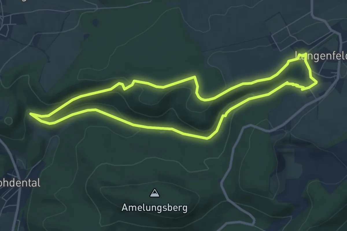
Easy · Trail
HO2 - Schneegrund-Route
6.5 km · ↑ 144 m · 1 h 56 min
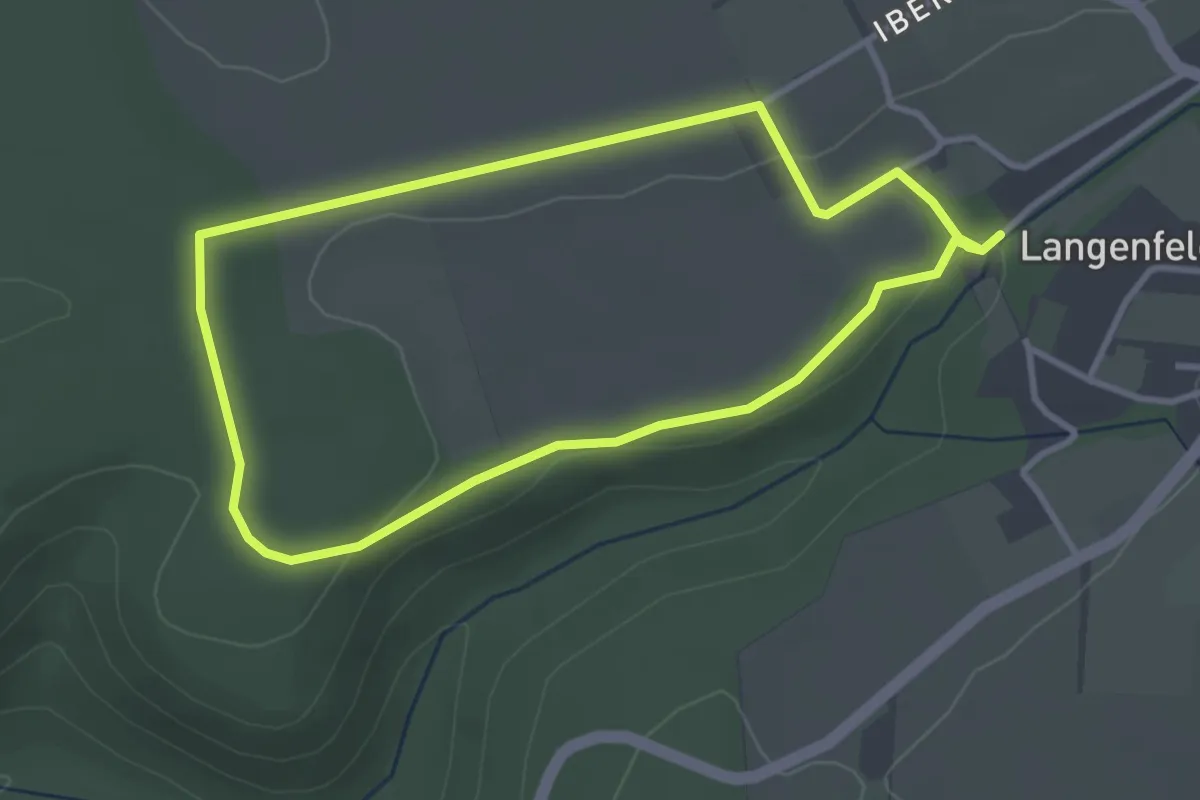
Easy · Trail
HO3 - Iberg-Route
2.9 km · ↑ 32 m · 47 min
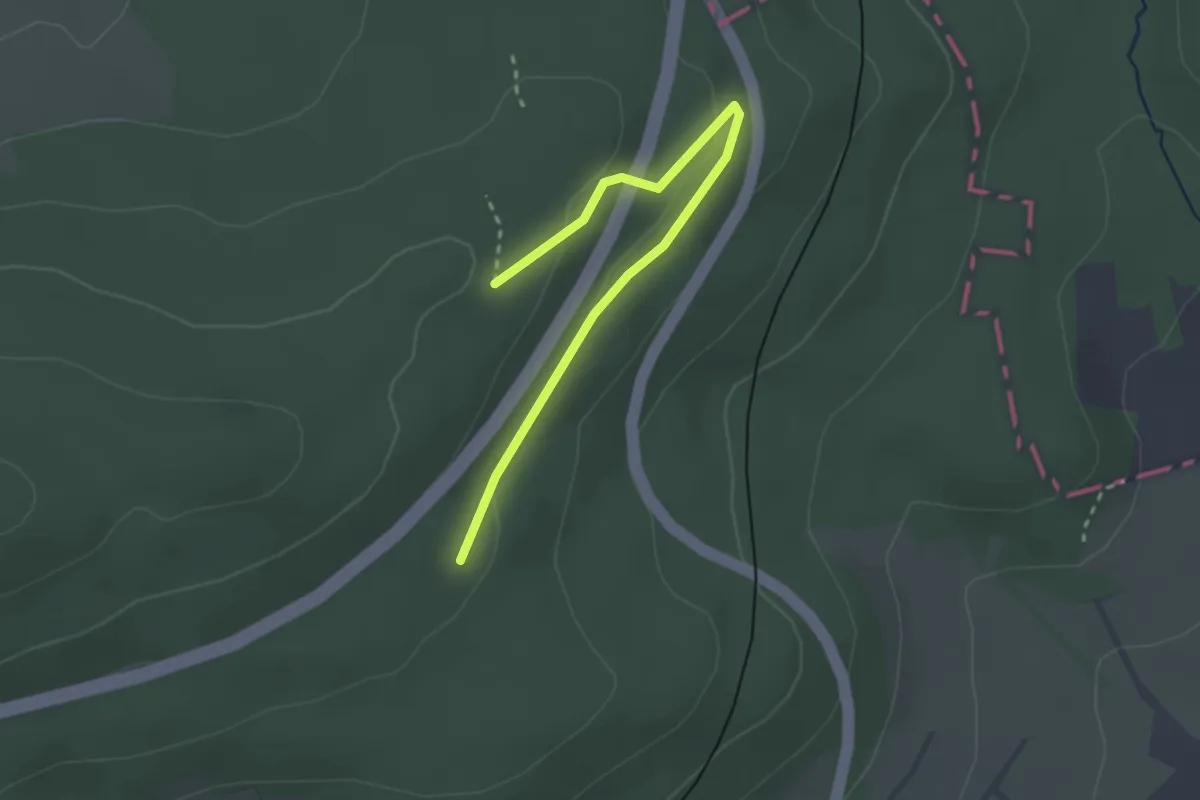
Easy · Trail
Ho3 Örtlicher Rundwanderweg
2.6 km · ↑ 81 m · 48 min
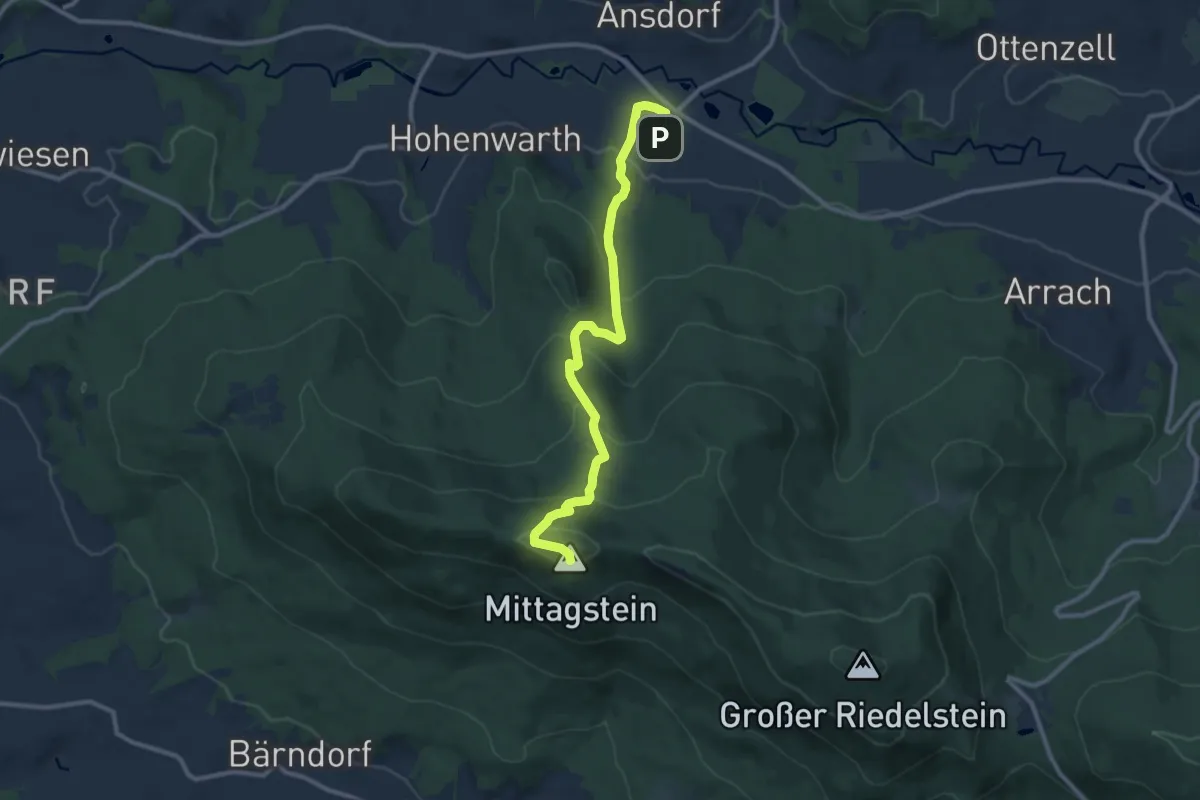
Medium · Summit
Ho4 Simpering - Kötztinger Hütte
10.3 km · ↑ 573 m · 3 h 41 min
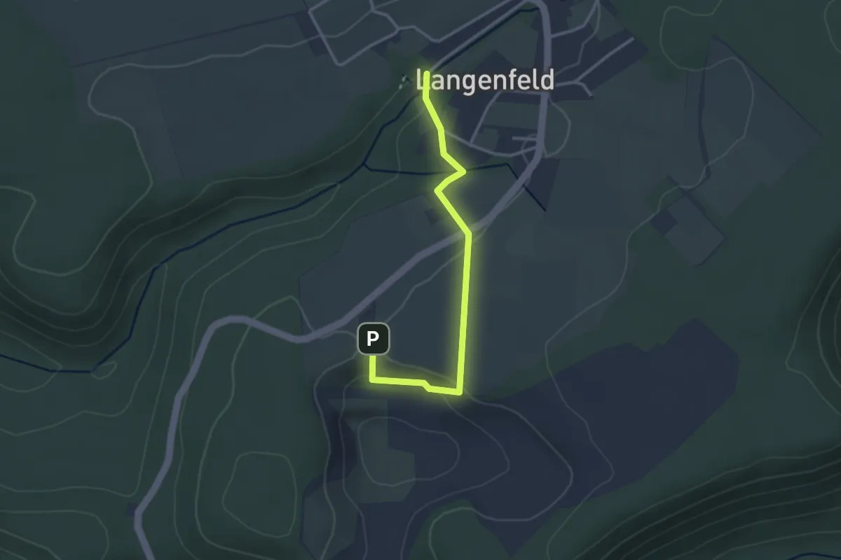
Easy · Trail
HO4 - Wasserfall-Spaziergang
2.7 km · ↑ 40 m · 43 min
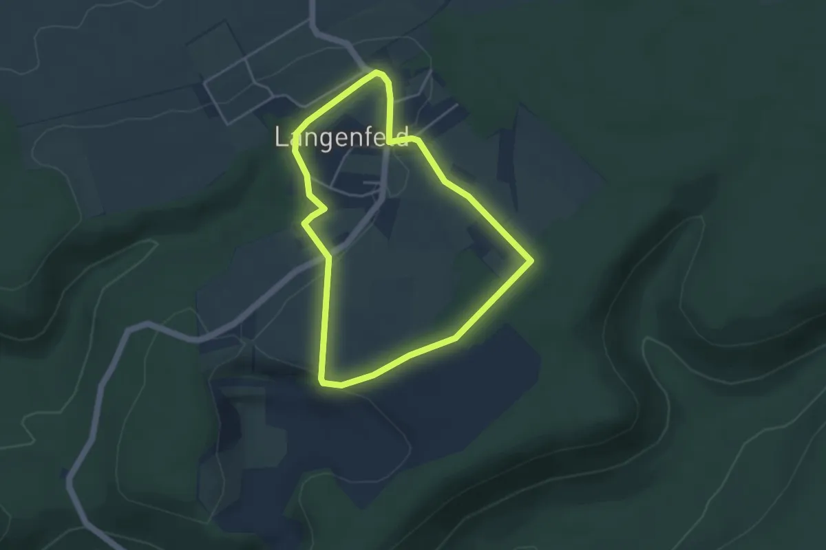
Easy · Trail
HO5 - Langenfeld-Route
3.2 km · ↑ 48 m · 54 min
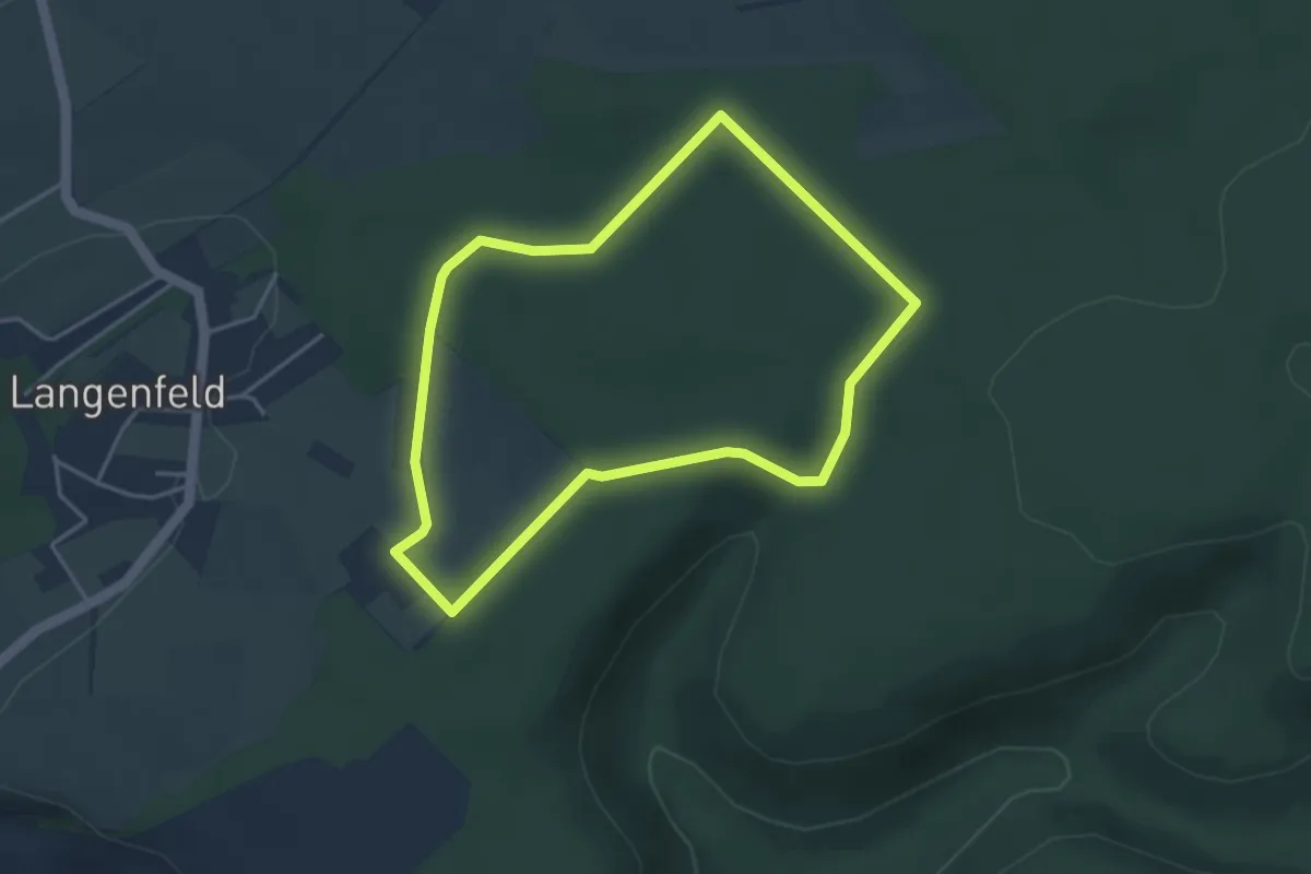
Easy · Trail
HO6 - Blutbach-Route
3.3 km · ↑ 23 m · 52 min
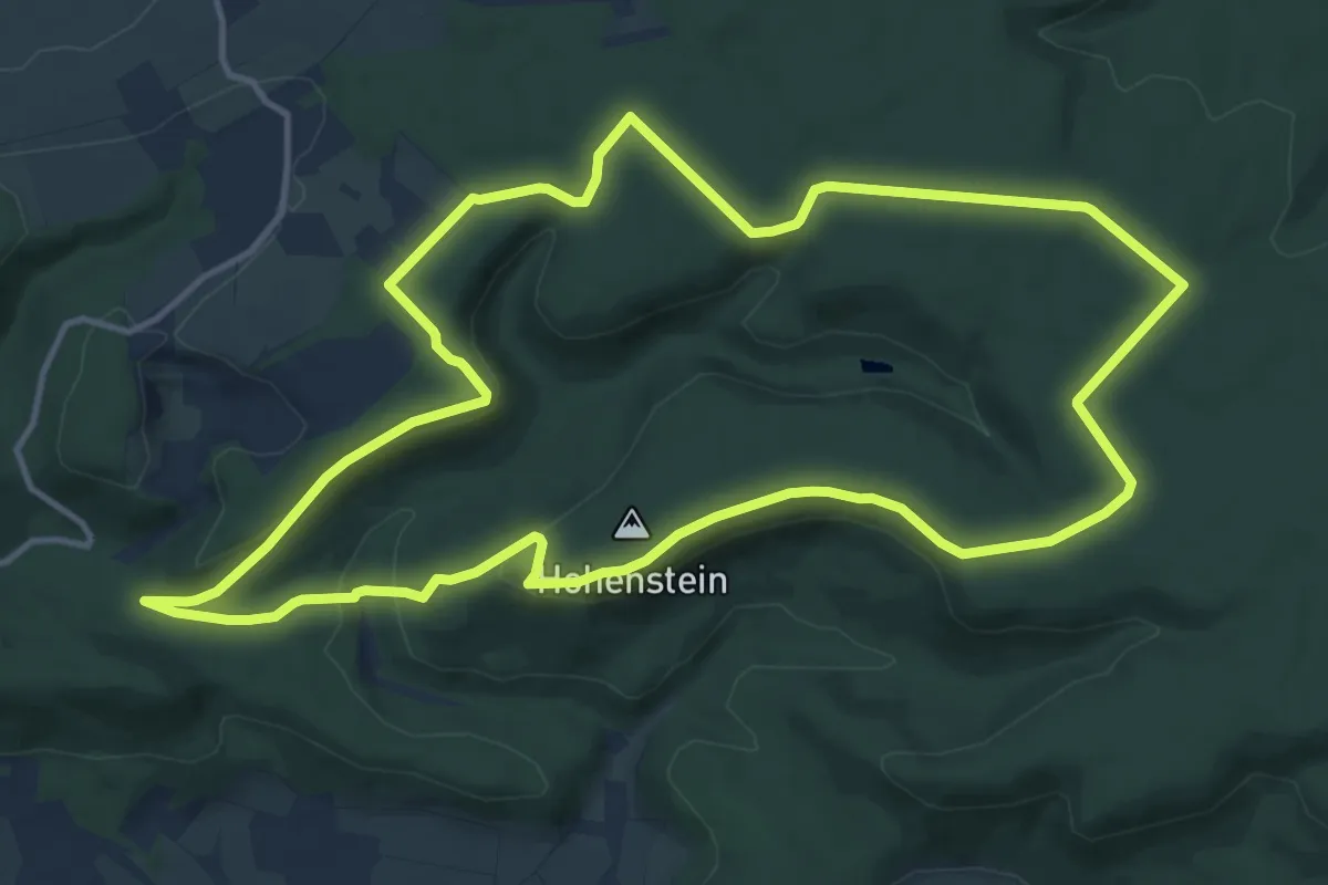
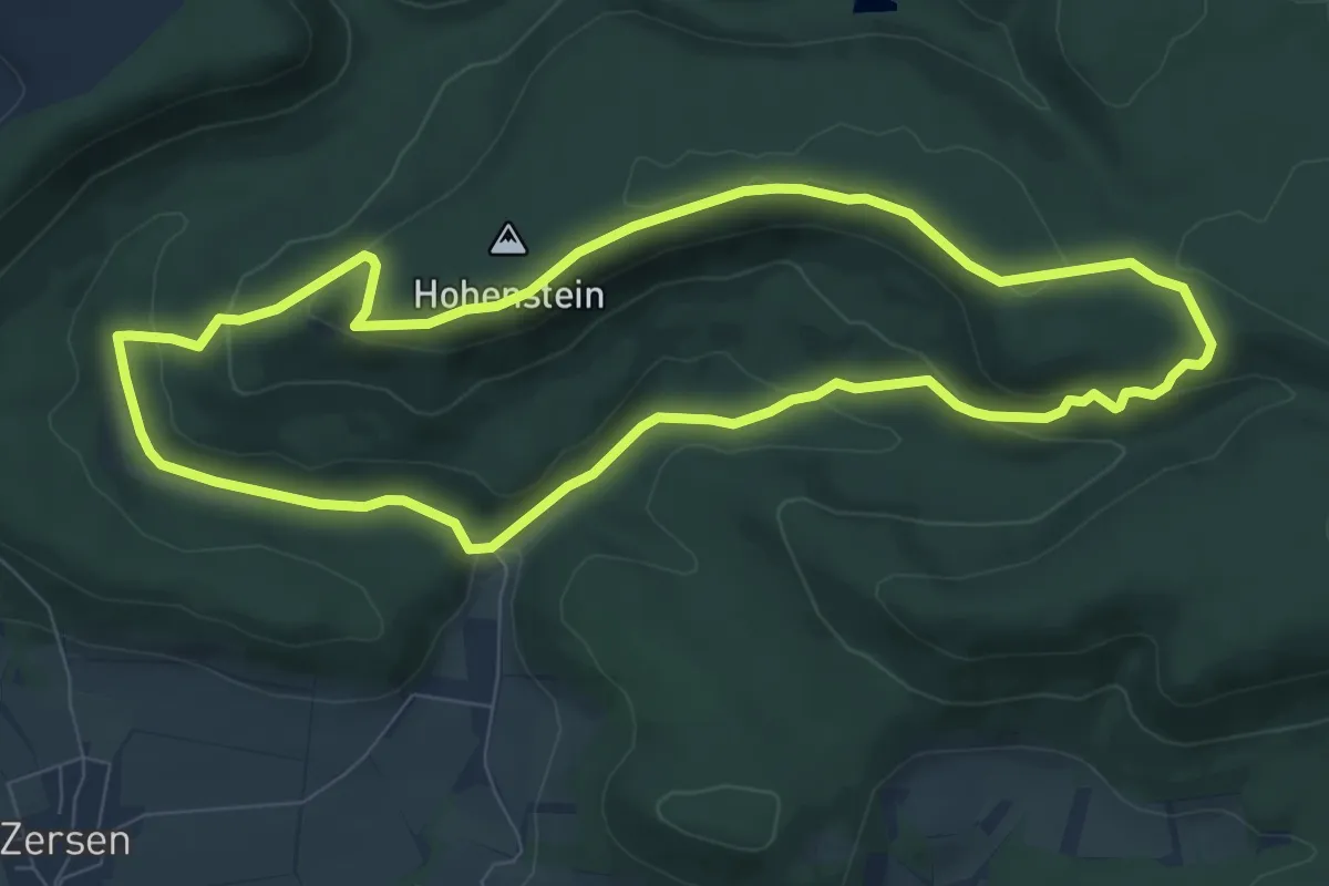
Medium · Trail
HO7 - Hohenstein-Route
12.2 km · ↑ 217 m · 3 h 31 min
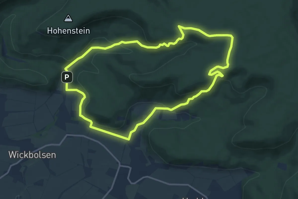
Easy · Trail
HO8 - Kreuzstein-Route
7.4 km · ↑ 215 m · 2 h 19 min
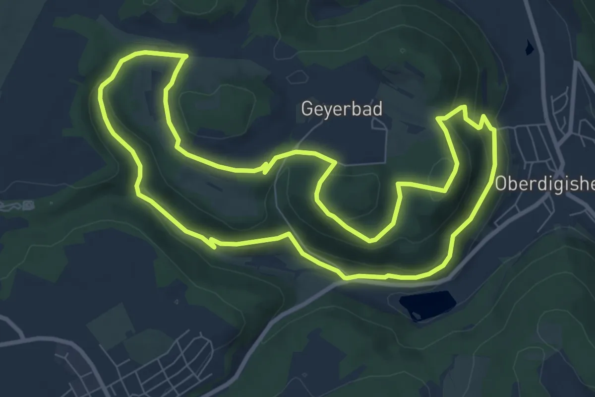
Medium · Trail
HO9 - Roter-Stein-Route
8.8 km · ↑ 297 m · 2 h 51 min
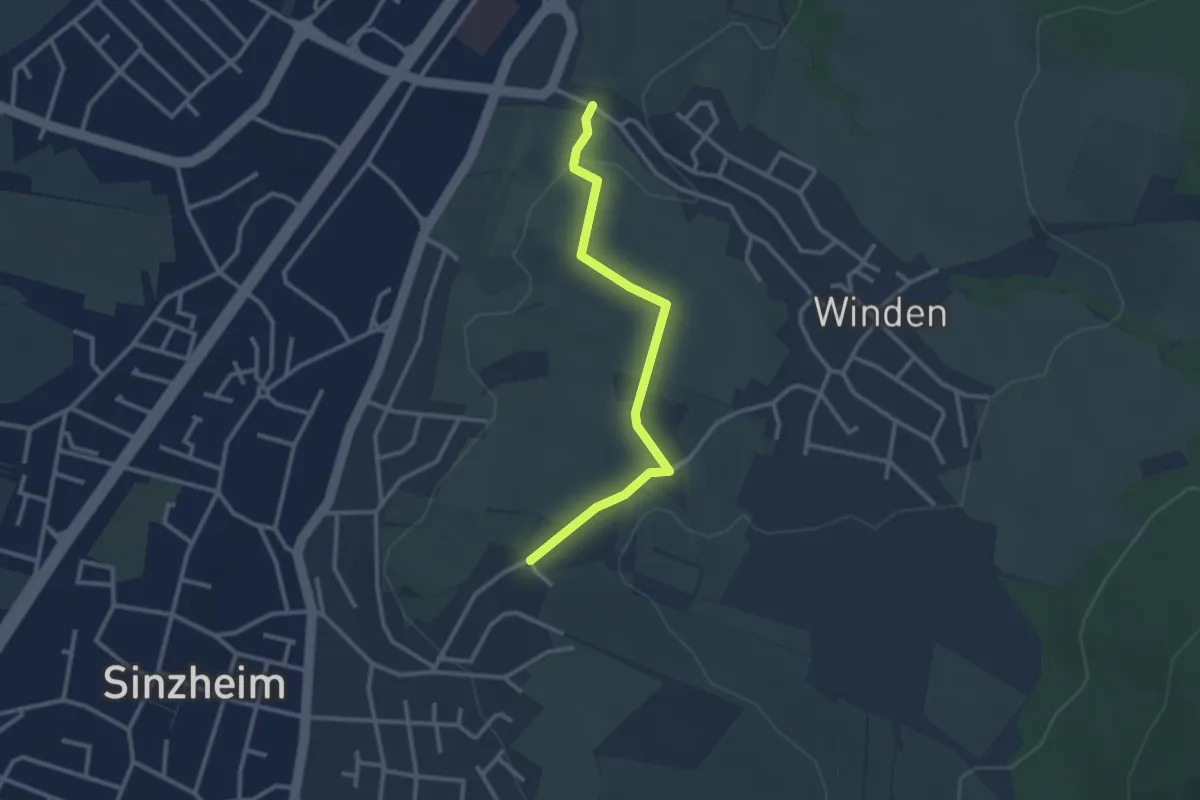
Medium · Trail
Hochalbpfade "Felsquellweg Oberdigisheim"
7.9 km · ↑ 279 m · 2 h 35 min
Easy · Trail
Hochbehälter I - Hohbach
2.6 km · ↑ 56 m · 45 min
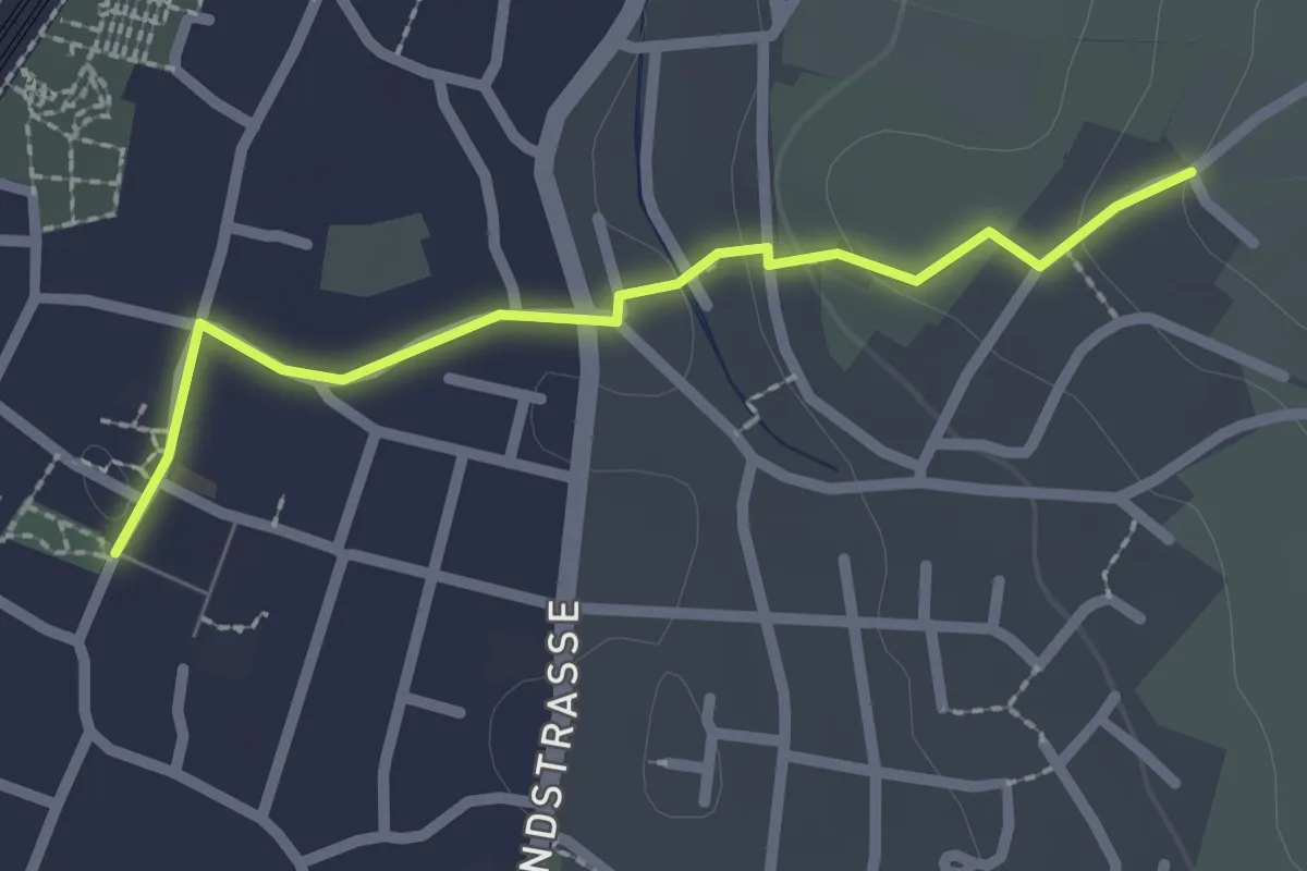
Easy · Trail
Hochbehälter I - Sinzheim Ortsmitte
2.1 km · ↑ 50 m · 36 min
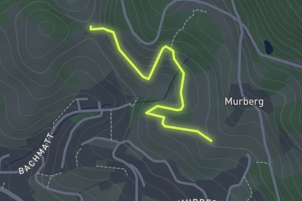
Easy · Trail
Hochbehälter Murberg - Alde Gott-Bildstöckel
2.2 km · ↑ 112 m · 45 min
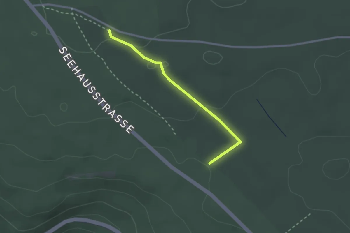
Easy · Trail
Hochbehälter - Römerstraße
2.0 km · ↑ 44 m · 34 min
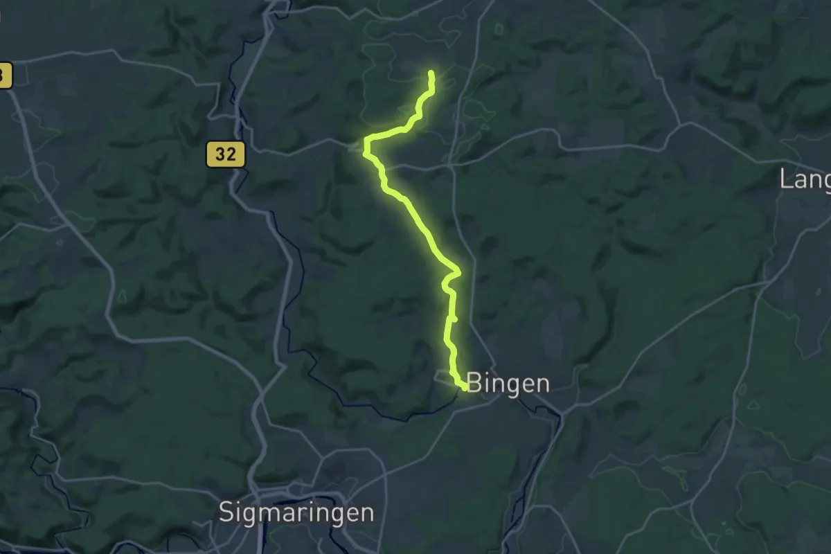
Medium · Trail
Hochberg - Hornstein (Bingen)
17.5 km · ↑ 393 m · 4 h 59 min
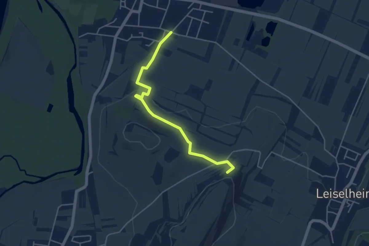
Easy · Trail
Hochberg - Leiselheimer Weg
3.7 km · ↑ 62 m · 1 h
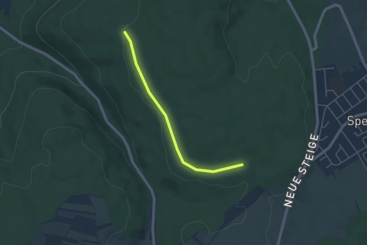
Easy · Trail
Hochberg - Pfaffenbrunnen
3.2 km · ↑ 23 m · 49 min
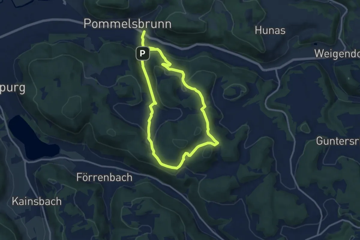
Medium · Trail
Hochberg-Rundweg
8.3 km · ↑ 276 m · 2 h 41 min
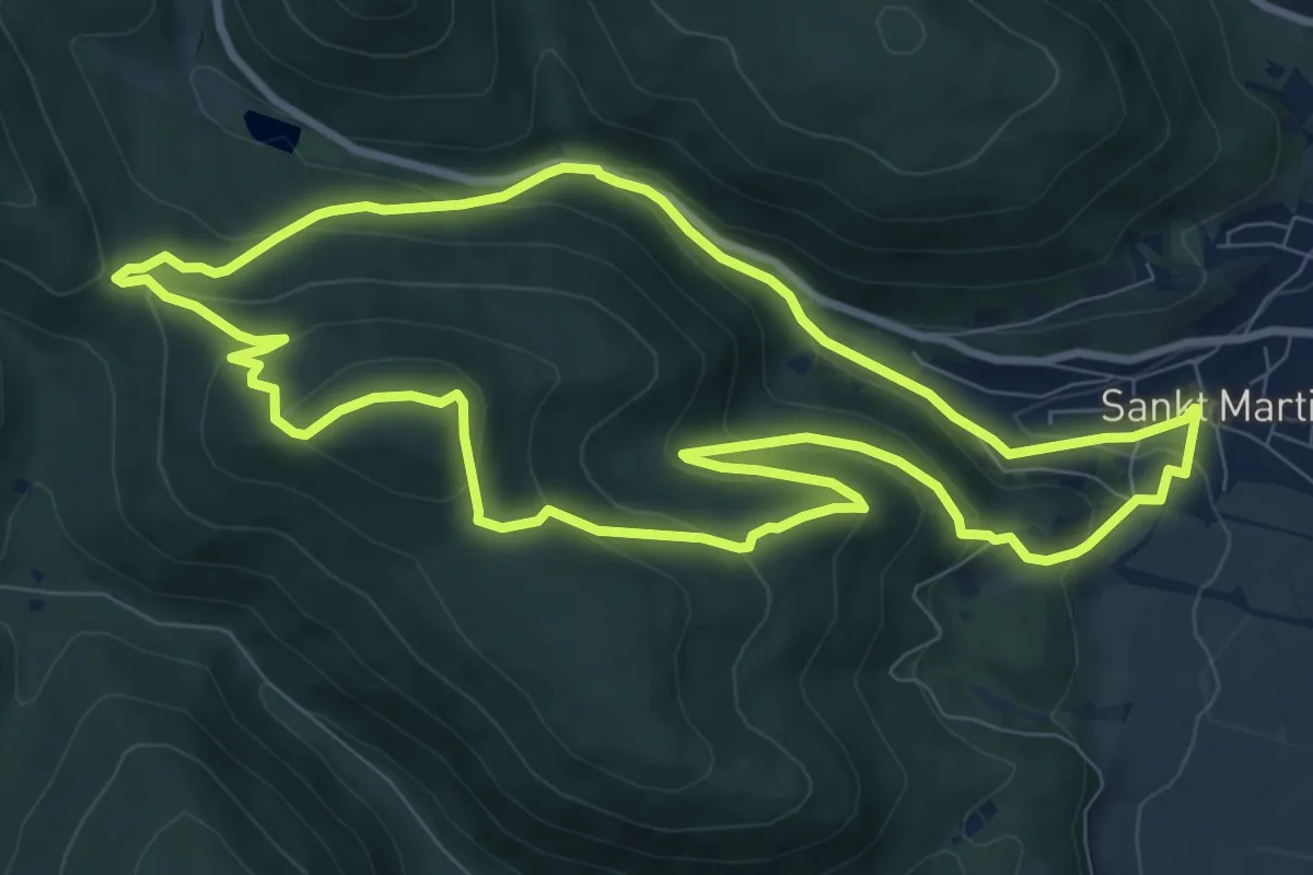
Medium · Summit
Hochberg-Rundweg
9.1 km · ↑ 417 m · 3 h 11 min
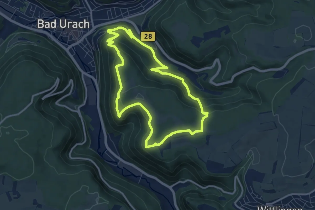
Medium · Trail
Hochbergsteig
7.2 km · ↑ 305 m · 2 h 28 min
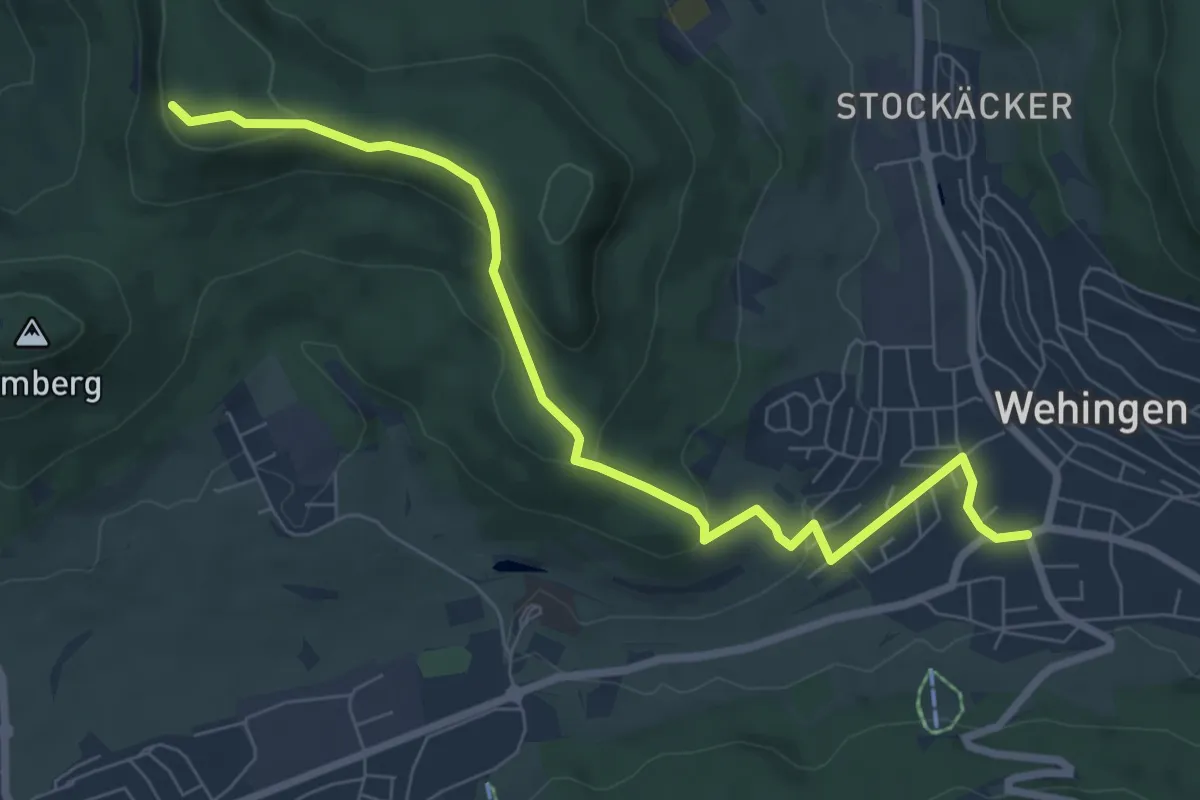
Easy · Summit
Hochberg - Wehingen
7.7 km · ↑ 250 m · 2 h 21 min
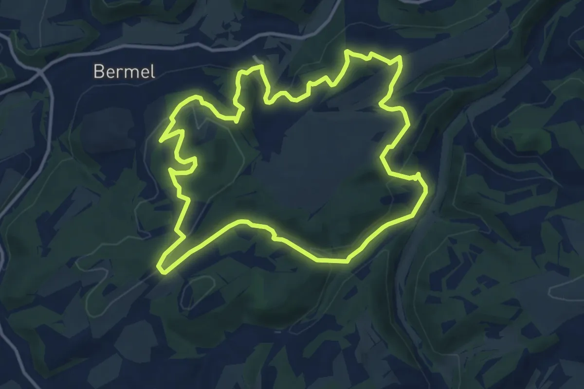
Medium · Summit
Hochbermeler
10.0 km · ↑ 318 m · 3 h 11 min
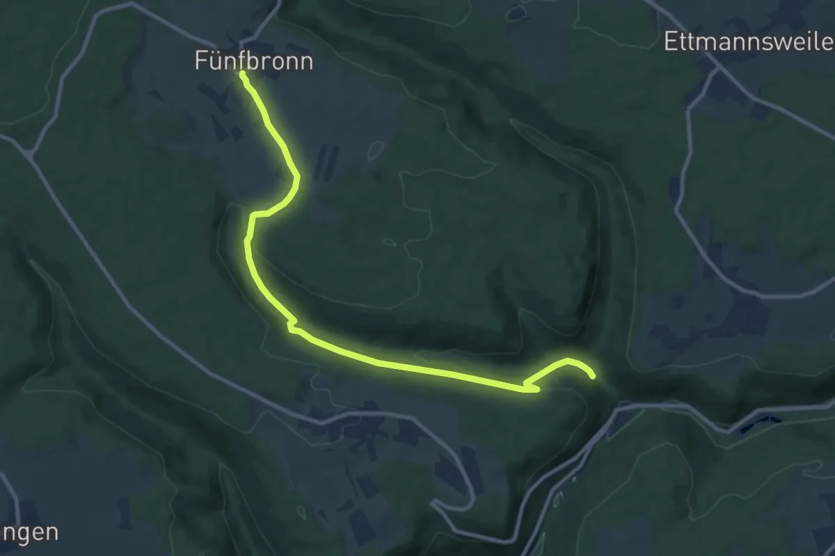
Medium · Trail
Hochdorfer Sägmühle - Fünfbronn
9.9 km · ↑ 270 m · 2 h 56 min
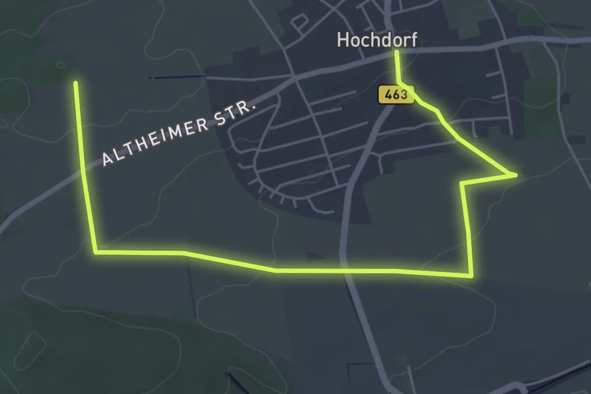
Easy · Trail
Hochdorf Ortsmitte - Talsteige
6.7 km · ↑ 115 m · 1 h 49 min
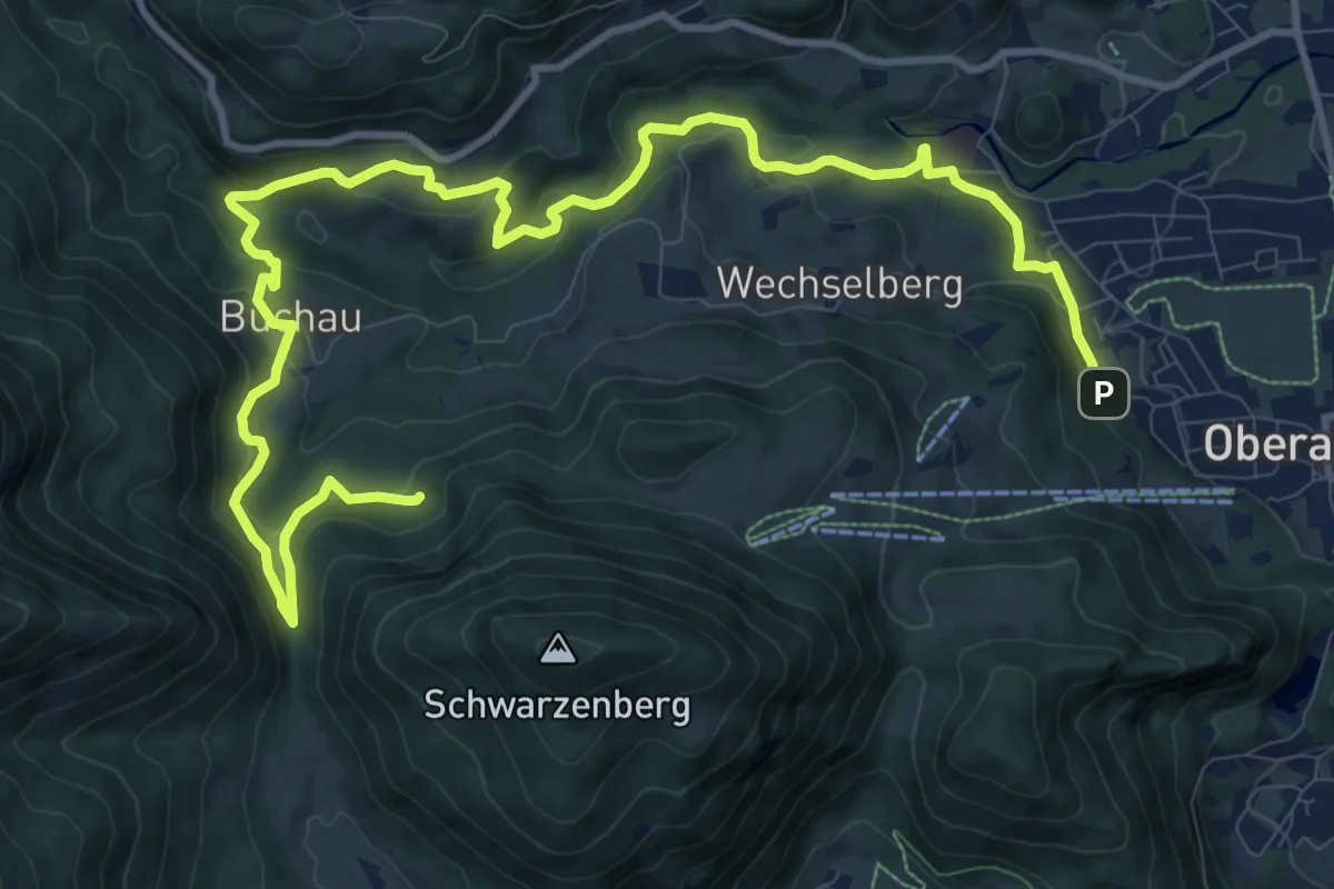
Medium · Trail
Hocheck Short
15.0 km · ↑ 758 m · 5 h 11 min
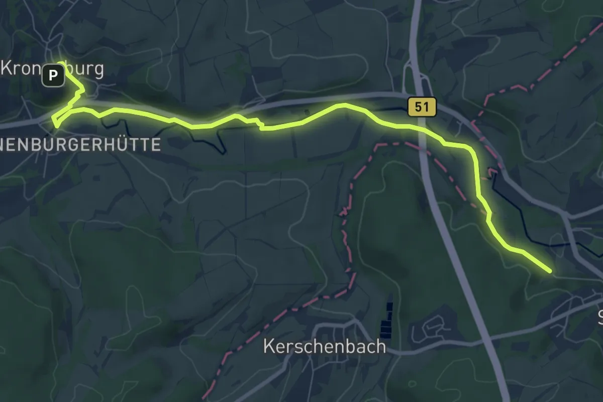
Medium · Trail
Hocheifelweg
9.1 km · ↑ 184 m · 2 h 33 min
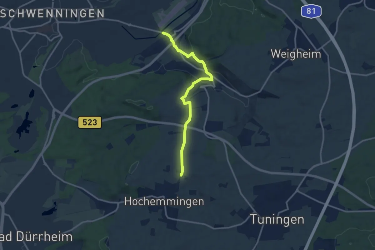
Medium · Trail
Hochemmingen - Schwenningen
8.9 km · ↑ 124 m · 2 h 22 min
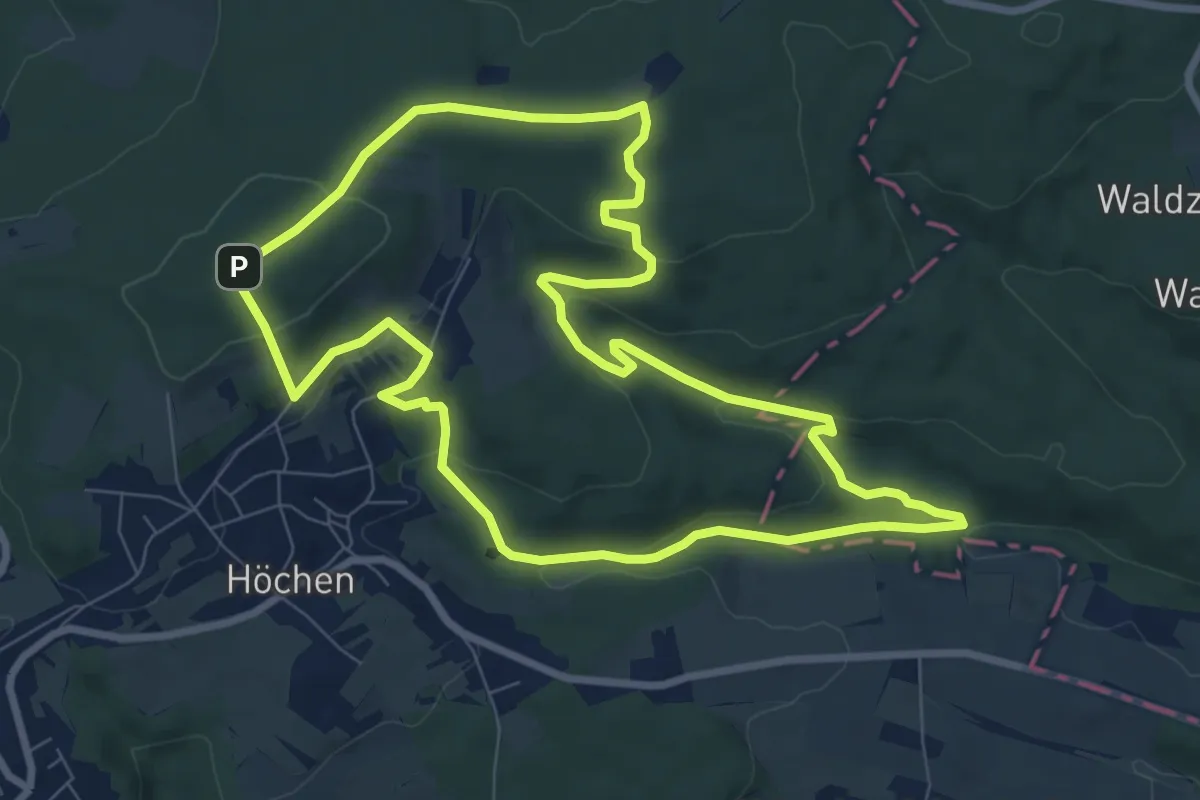
Medium · Summit
Höcherberg Weg
8.2 km · ↑ 218 m · 2 h 32 min
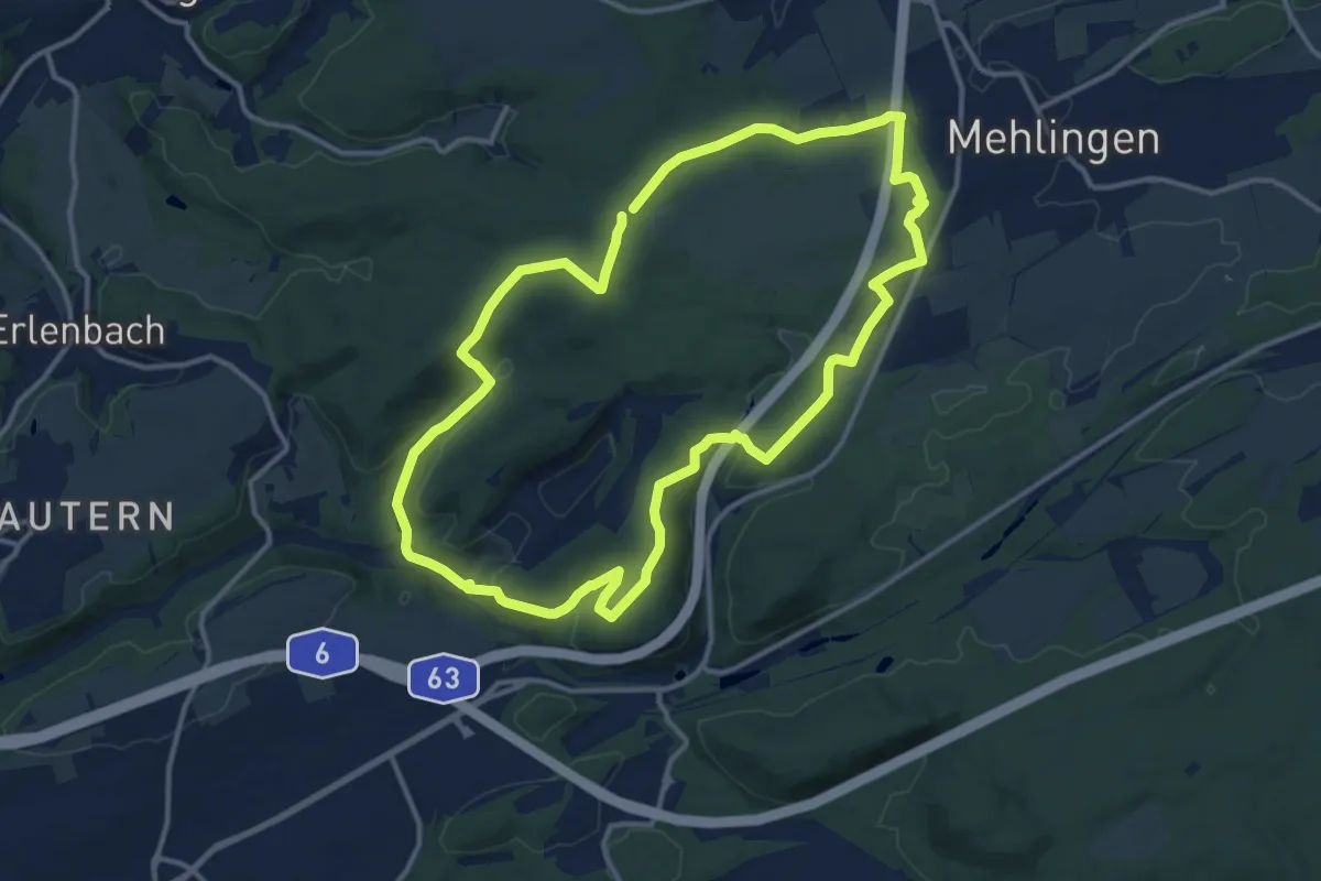
Medium · Trail
Hochfelsweg
12.2 km · ↑ 251 m · 3 h 36 min
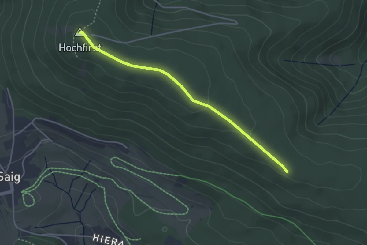
Easy · Summit
Hochfirst - Balzenwaldhütte
3.3 km · ↑ 51 m · 53 min
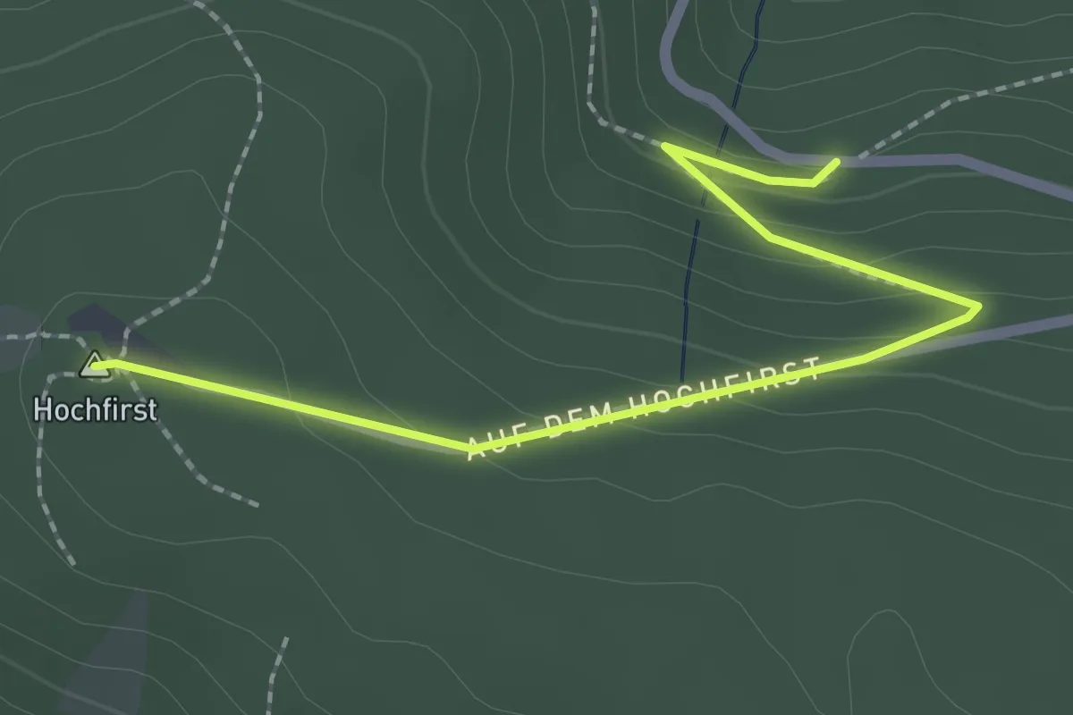
Easy · Summit
Hochfirst - Brunnenstüble
2.3 km · ↑ 104 m · 46 min
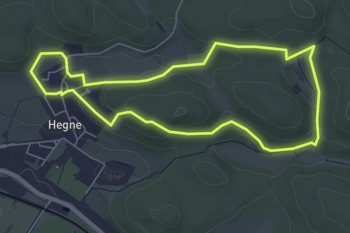
Easy · Trail
Hochfirst-Runde, Allensbacher Naturkino
4.6 km · ↑ 101 m · 1 h 23 min
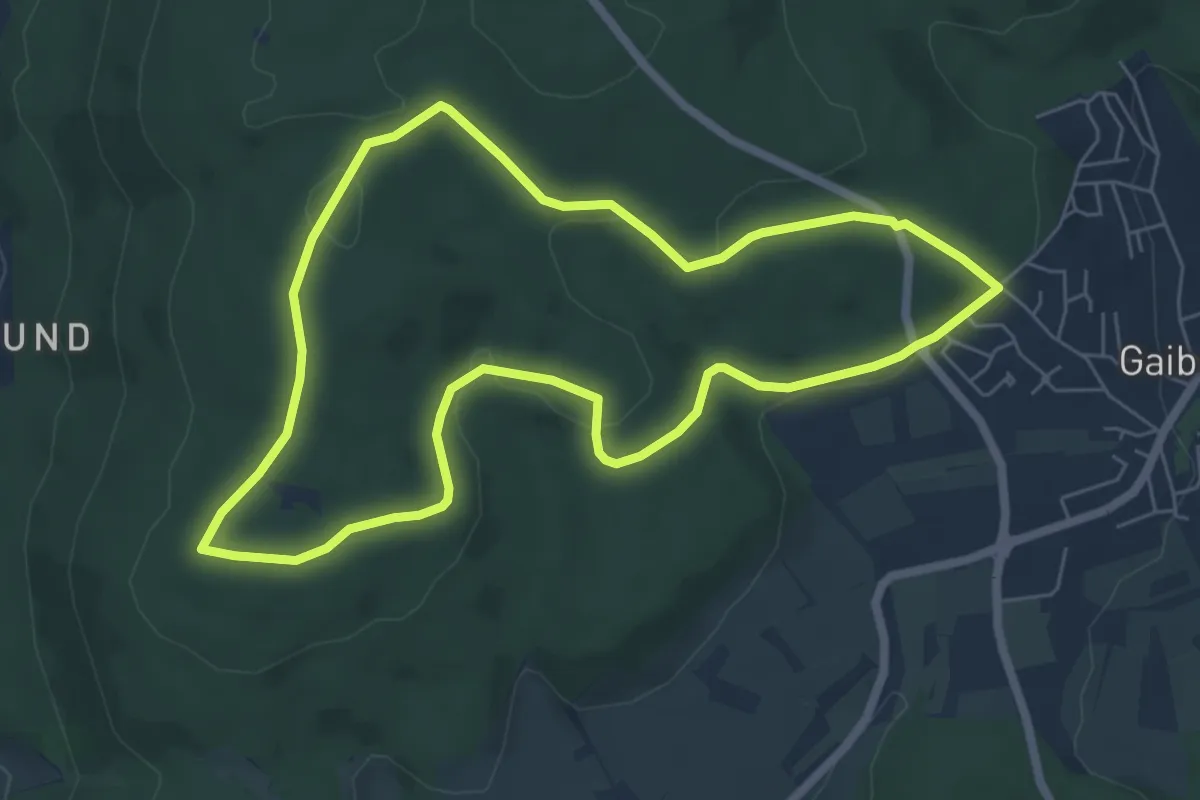
Easy · Trail
Hochfirst-Weg
5.8 km · ↑ 104 m · 1 h 41 min
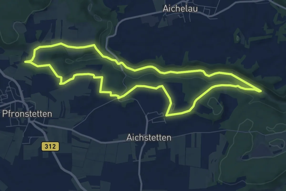
Demanding · Trail
hochgehackert
9.2 km · ↑ 152 m · 2 h 37 min
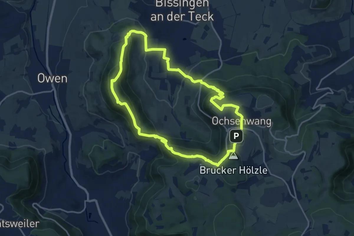
Medium · Summit
Hochgehadelt
11.9 km · ↑ 579 m · 4 h 13 min
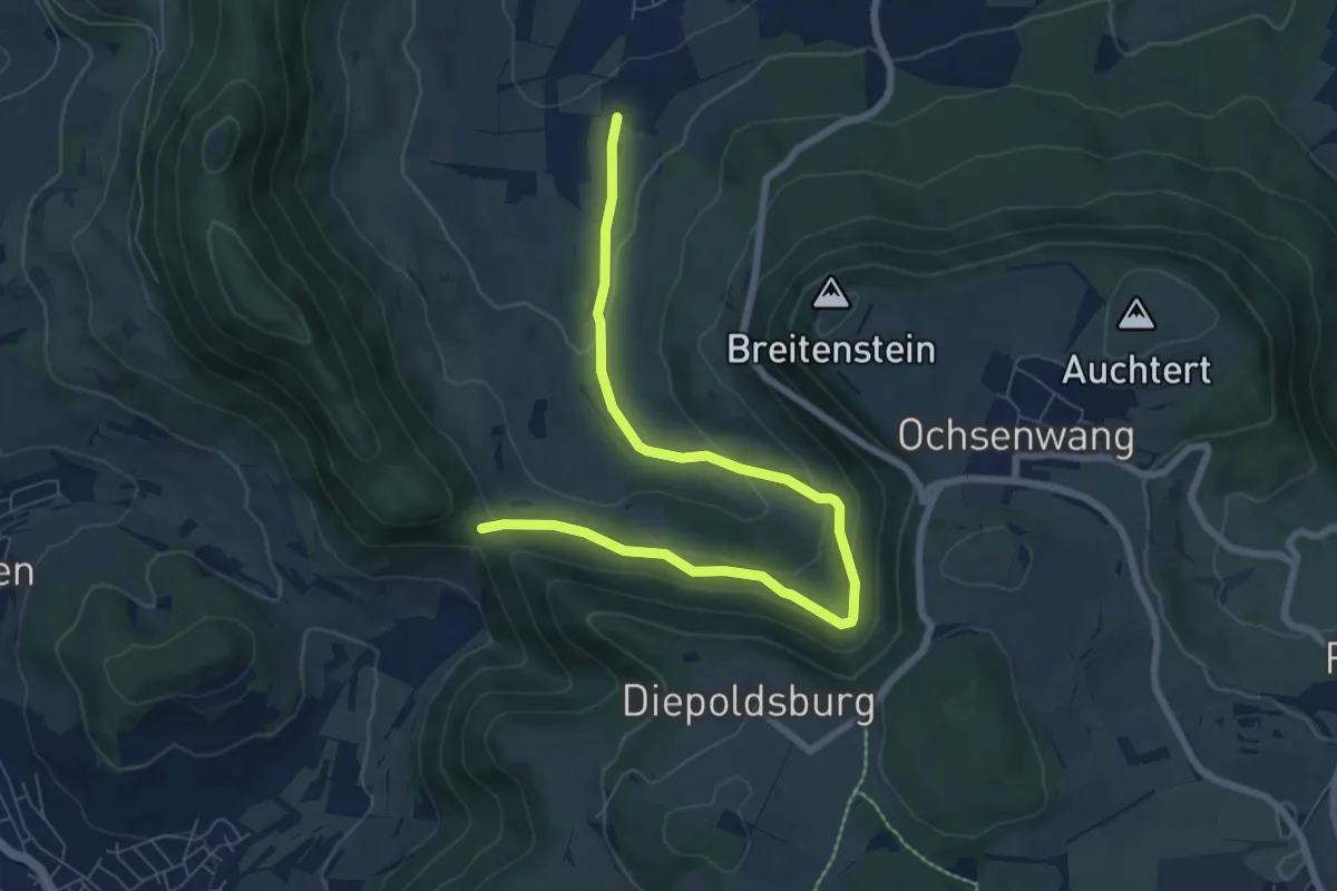
Easy · Trail
Hoch-Geh-Adelt Abkürzung
8.0 km · ↑ 303 m · 2 h 33 min
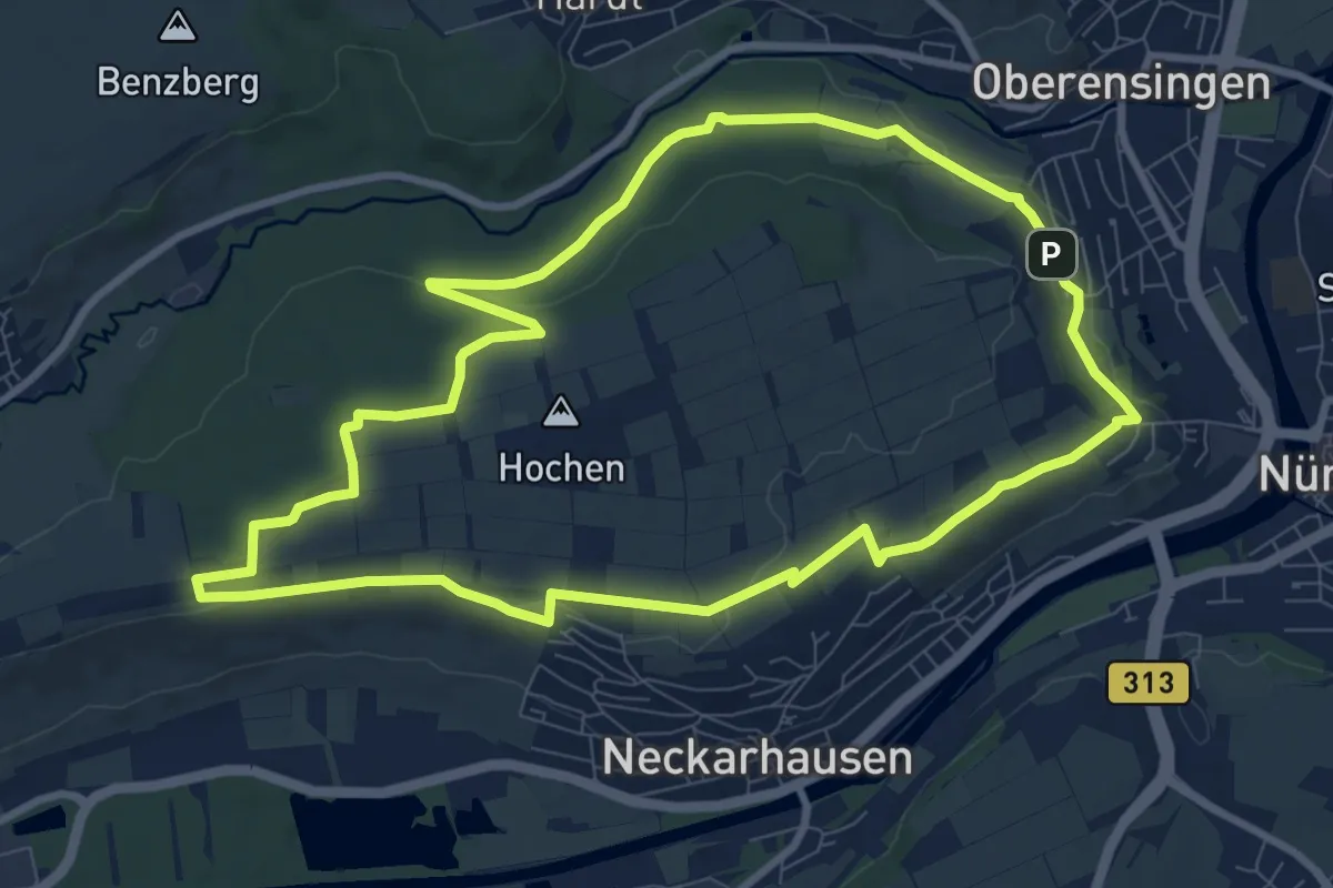
Medium · Trail
hochgehblickt
9.0 km · ↑ 101 m · 2 h 28 min
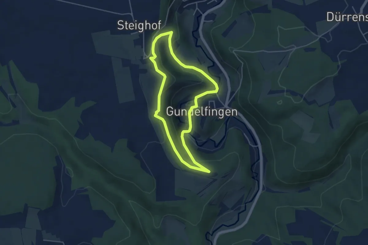
Medium · Trail
hochgehbürzelt
3.7 km · ↑ 128 m · 1 h 13 min
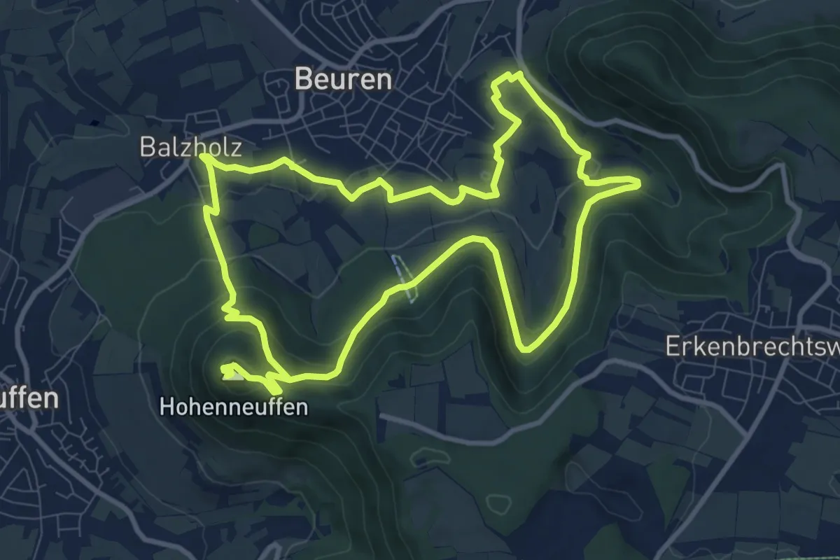
Medium · Summit
hochgehfestigt
9.2 km · ↑ 396 m · 3 h 7 min
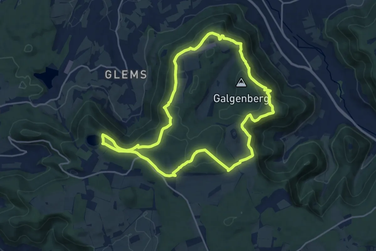
Medium · Summit
hochgehflogen
13.8 km · ↑ 412 m · 4 h 21 min
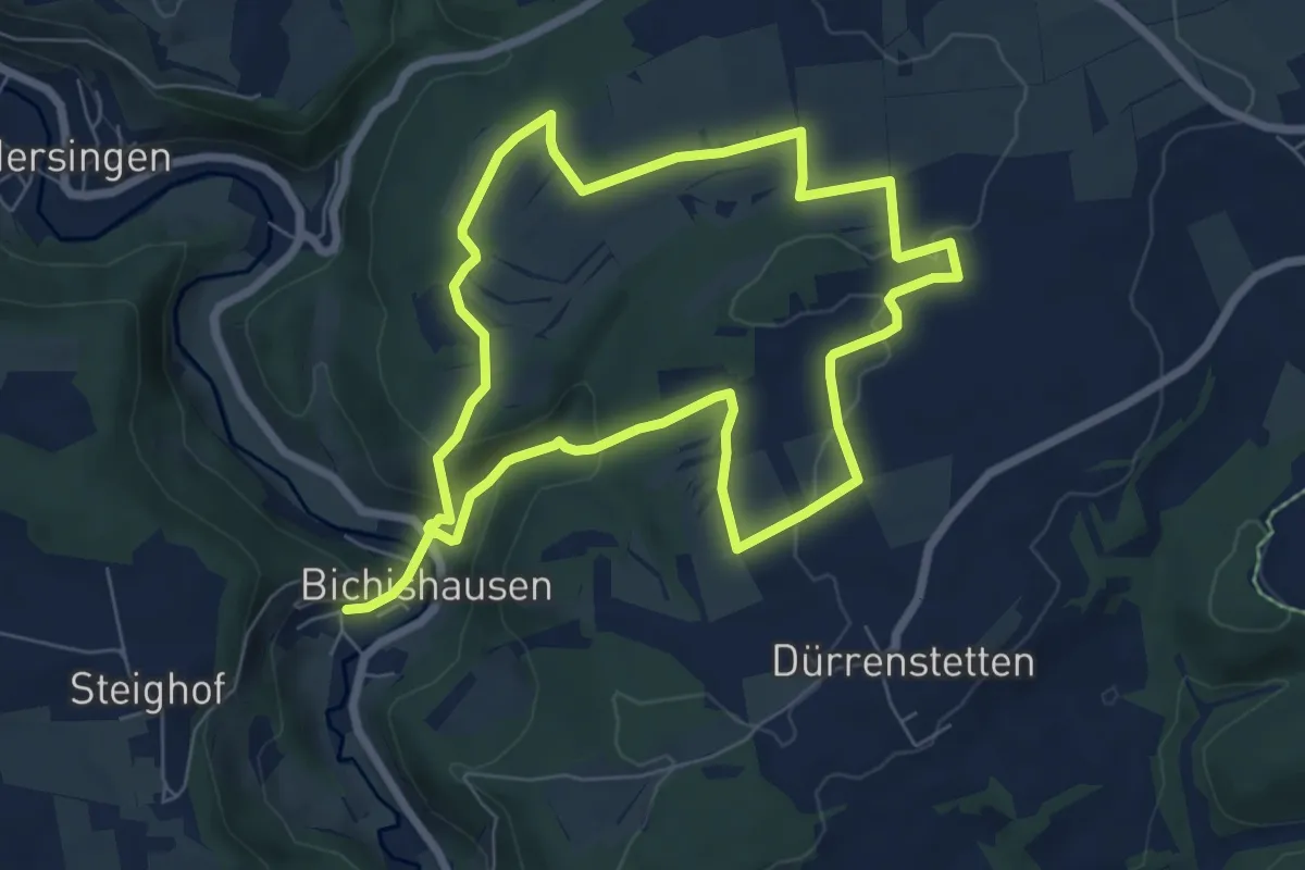
Medium · Trail
hochgehgrenzt
6.4 km · ↑ 162 m · 1 h 56 min
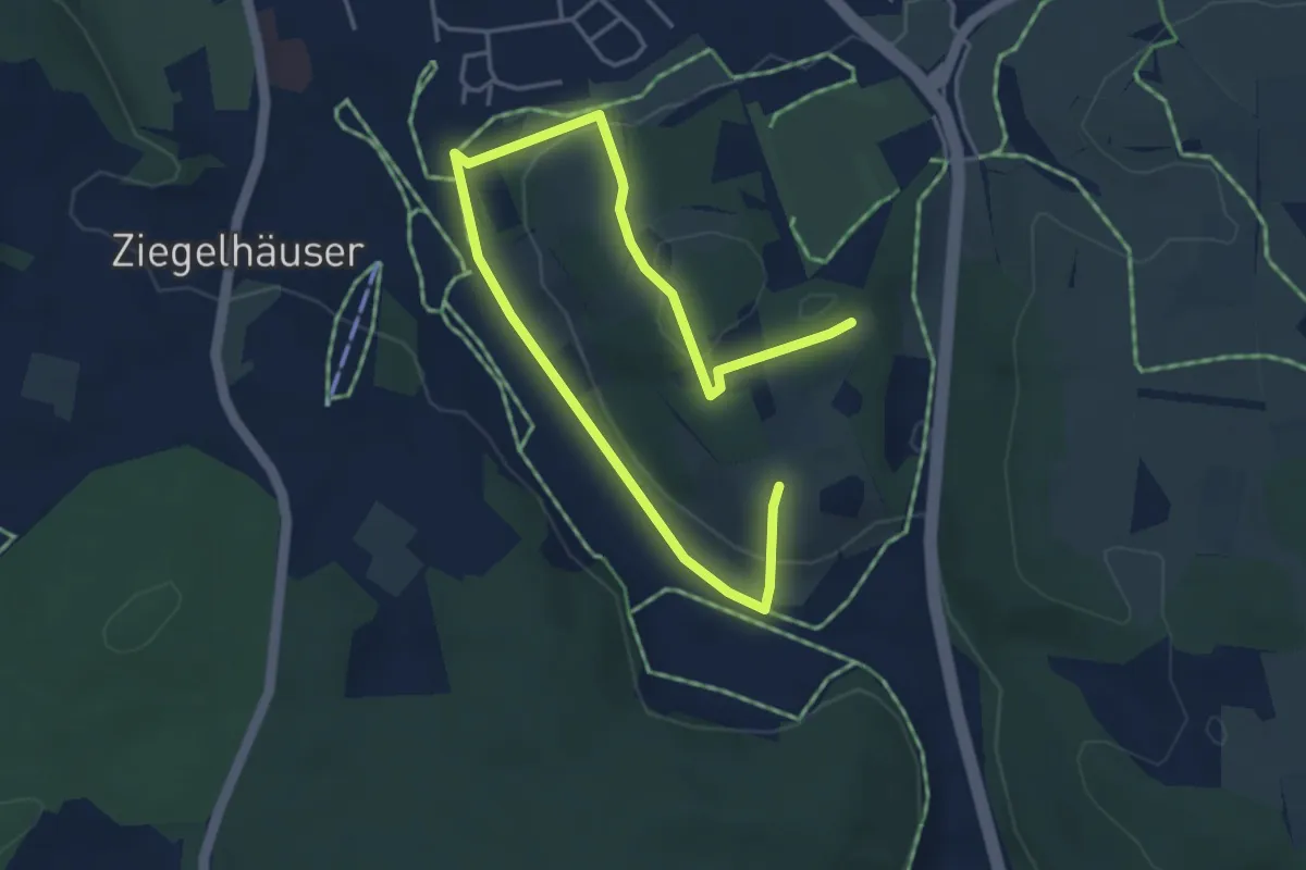
Easy · Trail
hochgehhütet
2.9 km · ↑ 95 m · 55 min
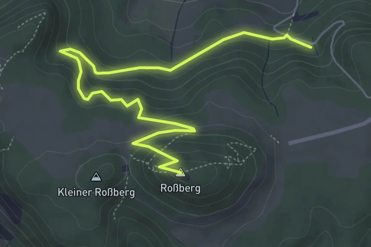
Easy · Summit
hochgehkämpft
4.7 km · ↑ 274 m · 1 h 48 min
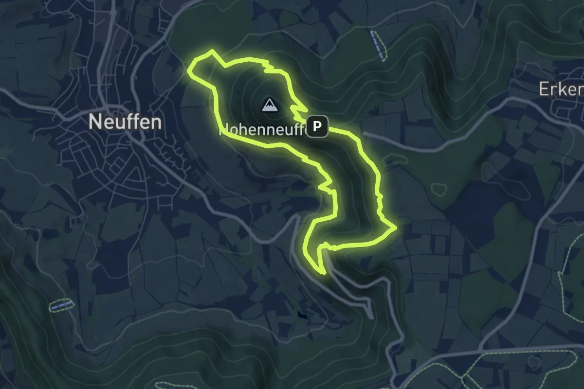
Medium · Trail
hochgehkeltert
6.8 km · ↑ 376 m · 2 h 31 min
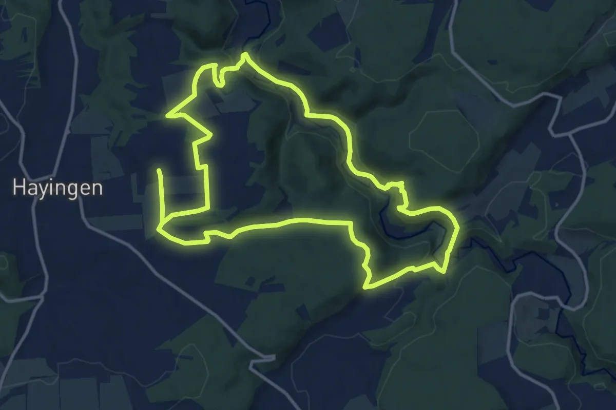
Medium · Trail
hochgehlautert
10.8 km · ↑ 339 m · 3 h 26 min
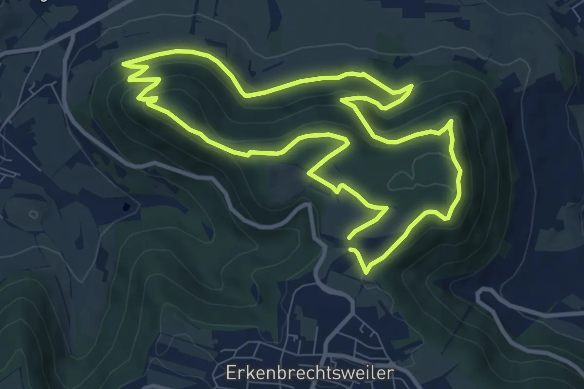
Medium · Trail
hochgehlegen
7.5 km · ↑ 329 m · 2 h 35 min
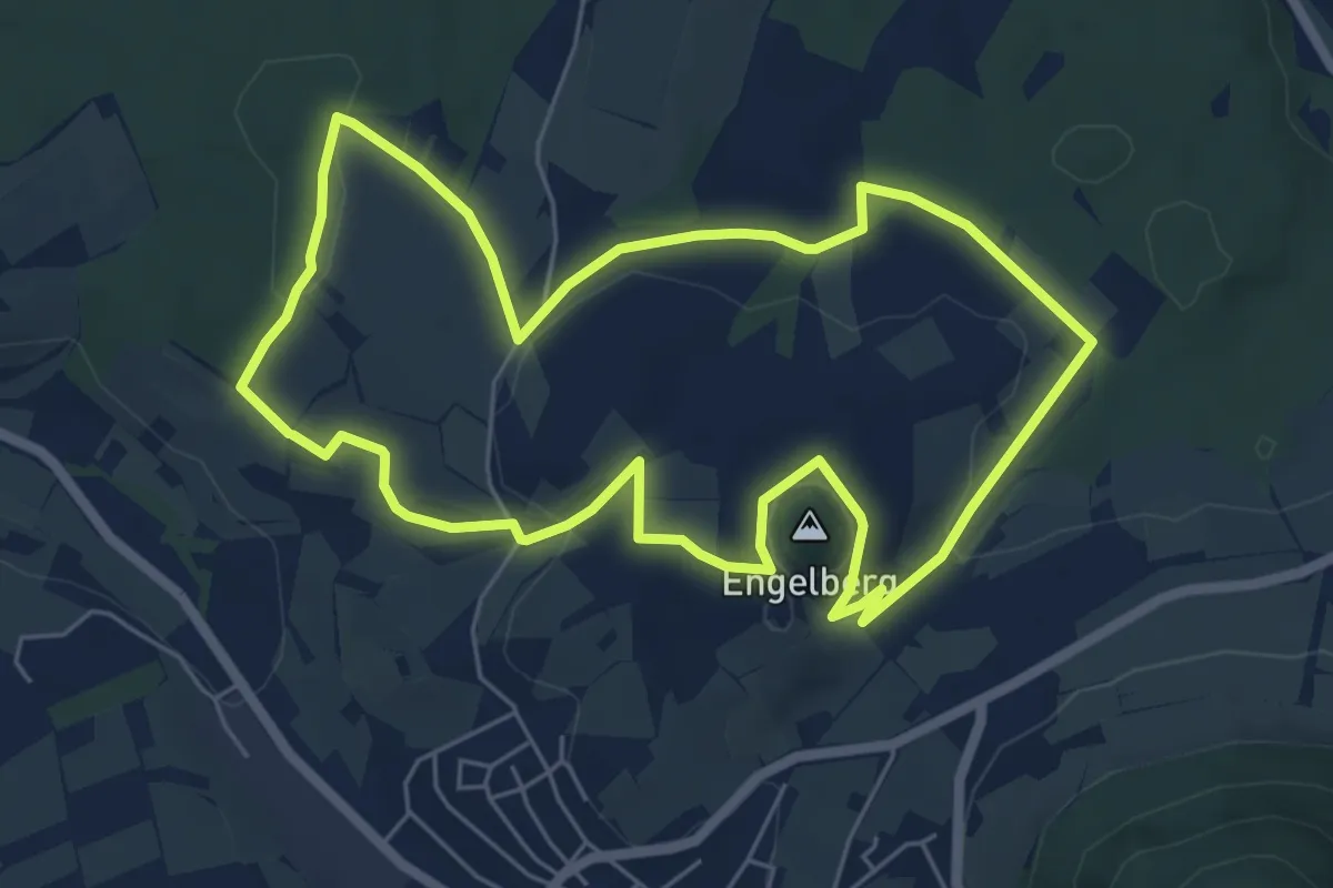
Easy · Summit
hochgehnießen
5.8 km · ↑ 103 m · 1 h 41 min