Trails in Germany
36,852 hiking trails, each with its route, climb, walking time and grade.
All trails, page 245 of 768
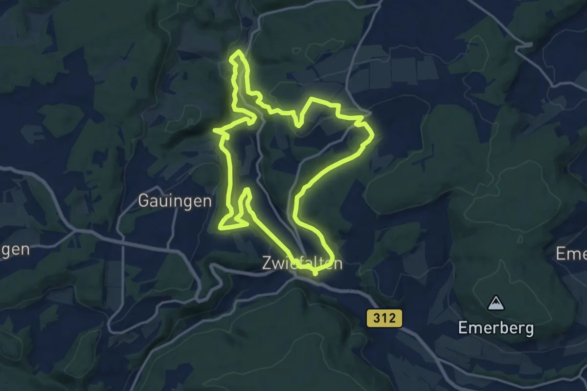
Medium · Trail
hochgehpilgert
12.8 km · ↑ 392 m · 4 h 3 min
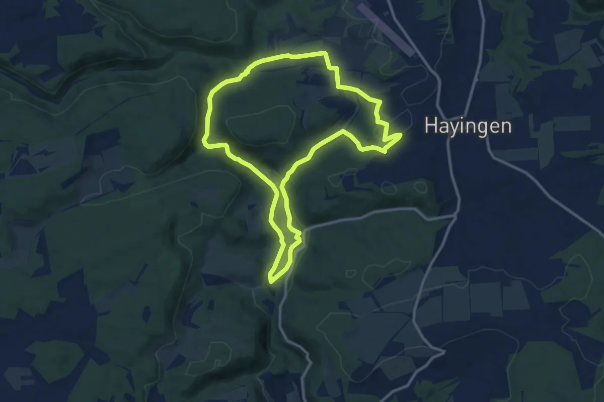
Medium · Summit
hochgehschätzt
9.0 km · ↑ 195 m · 2 h 40 min
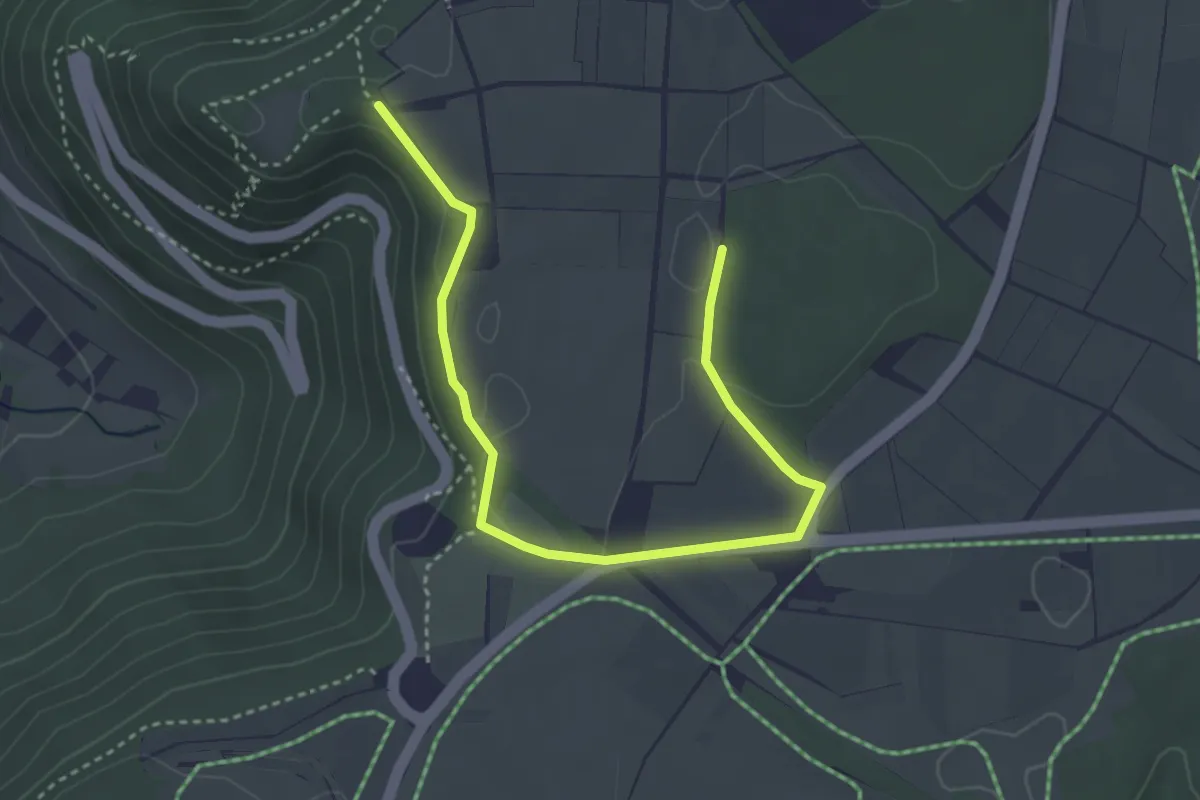
Easy · Trail
hochgehsiedelt
2.0 km · ↑ 22 m · 33 min
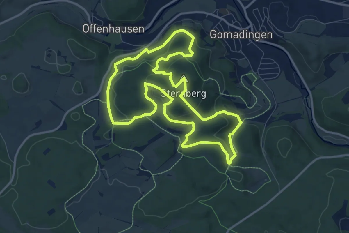
Demanding · Summit
hochgehsprudelt
8.6 km · ↑ 312 m · 2 h 50 min
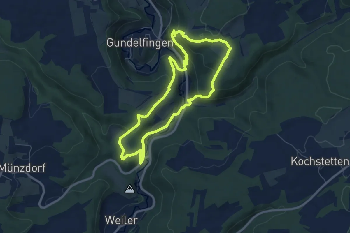
Medium · Trail
hochgehswiggert
6.0 km · ↑ 231 m · 2 h
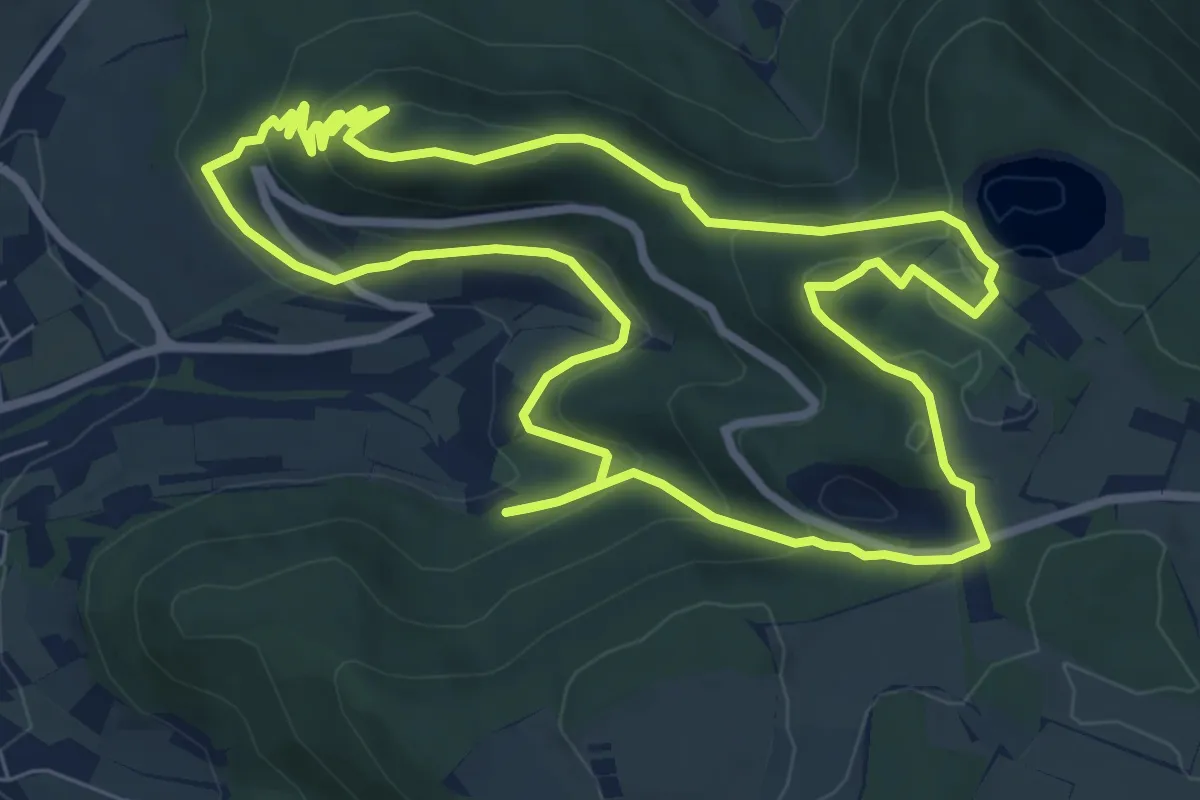
Medium · Summit
hochgehteufelt
7.8 km · ↑ 292 m · 2 h 35 min
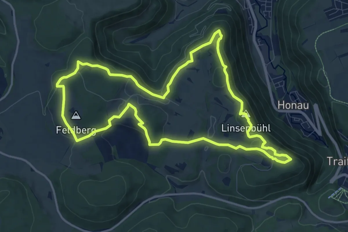
Medium · Summit
hochgehträumt
10.4 km · ↑ 271 m · 3 h 11 min
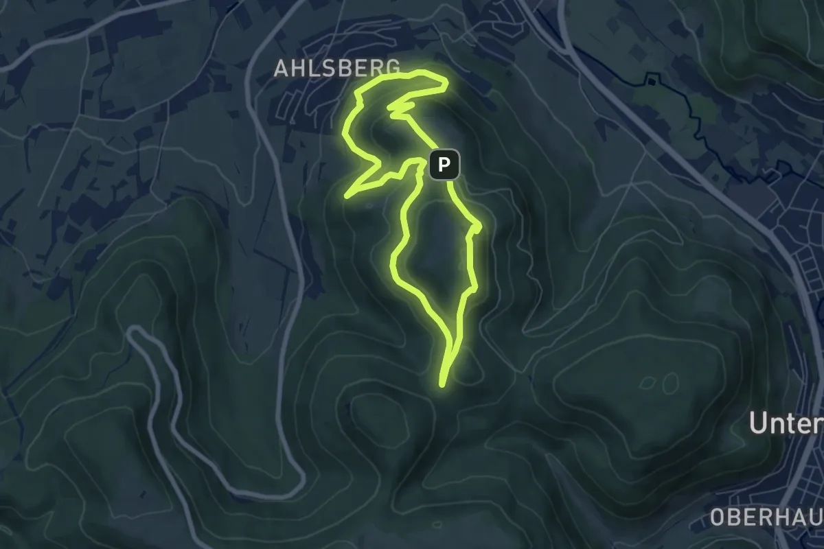
Medium · Summit
hochgehtürmt
5.9 km · ↑ 253 m · 2 h 2 min
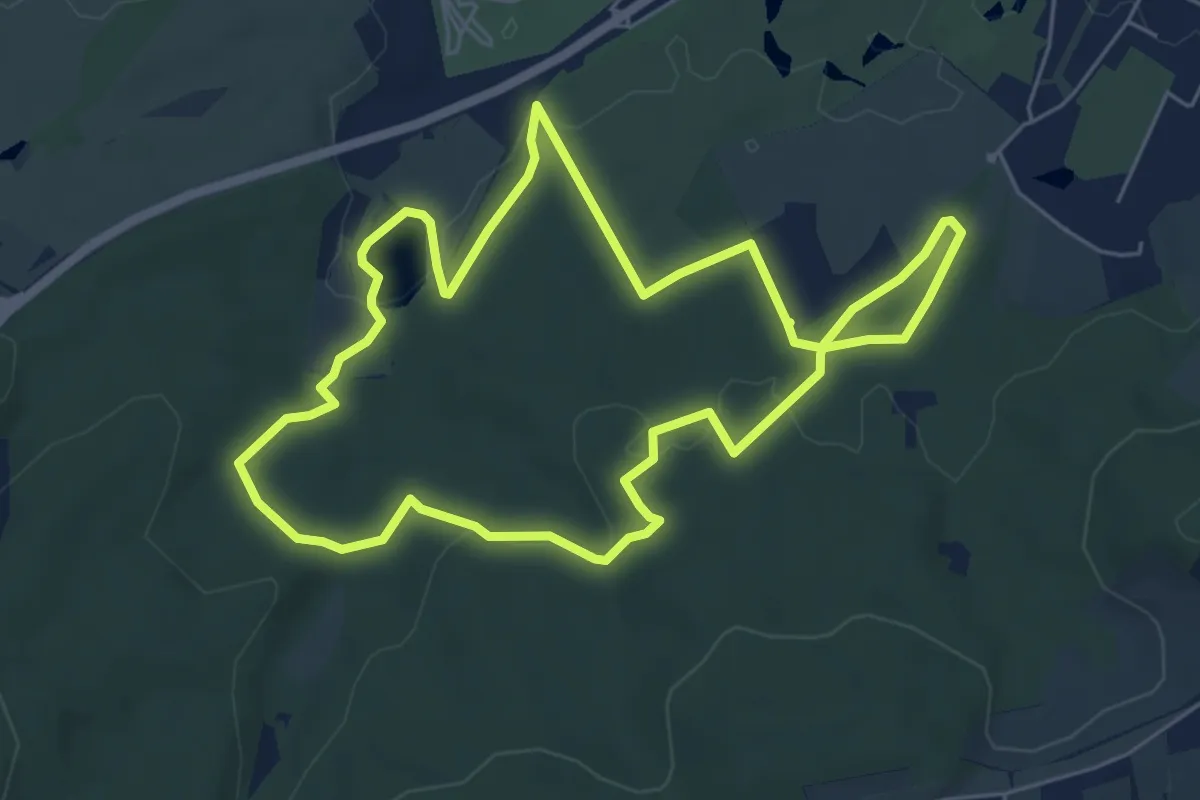
Easy · Trail
hochgehwachsen
5.7 km · ↑ 112 m · 1 h 40 min
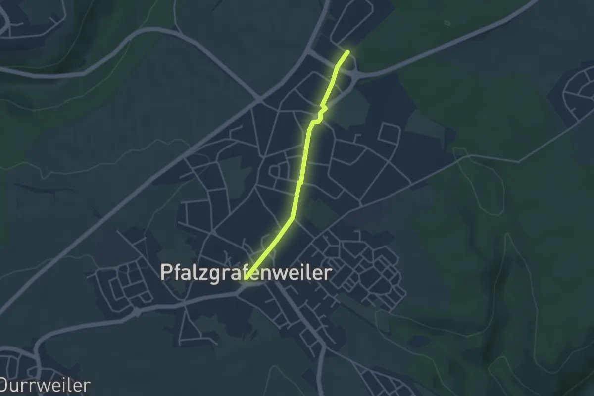
Easy · Trail
Hochholz - Pfalzgrafenweiler Rathaus
2.9 km · ↑ 22 m · 44 min
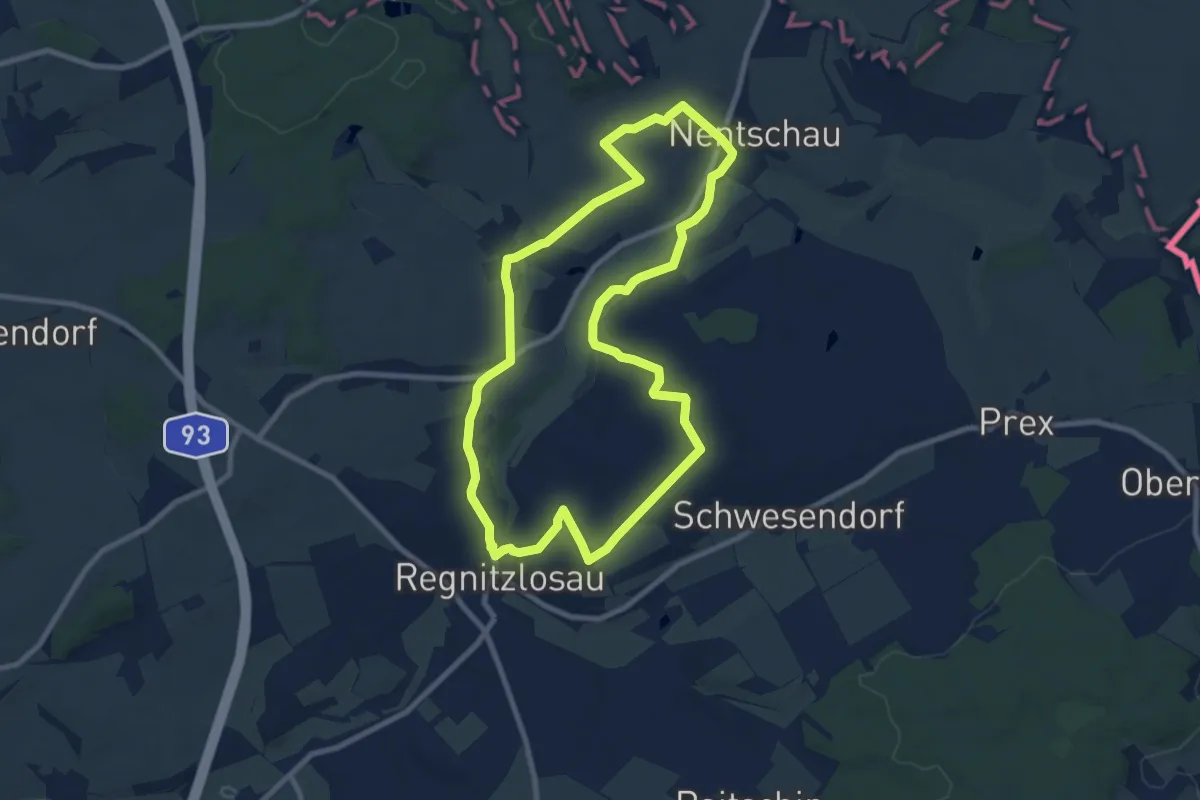
Medium · Trail
Hochkäsweg
8.2 km · ↑ 141 m · 2 h 22 min
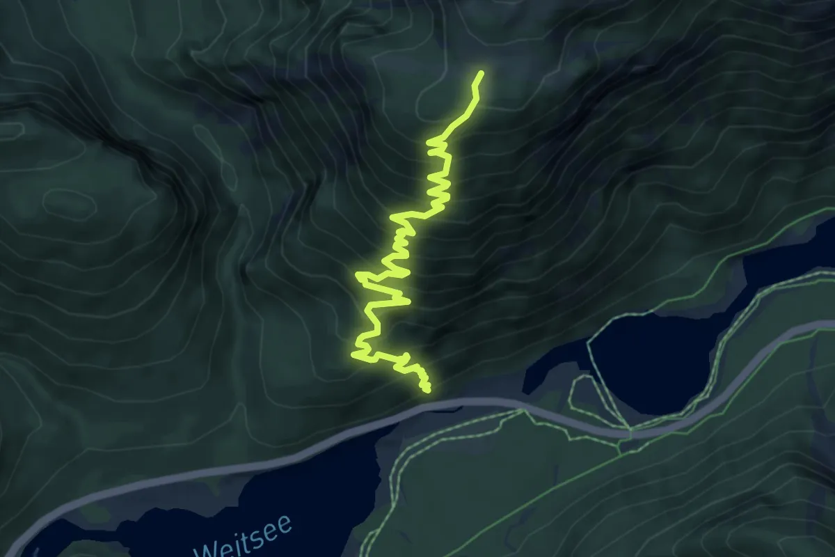
Demanding · Trail
Hochkienbergalm
6.9 km · ↑ 724 m · 3 h 12 min
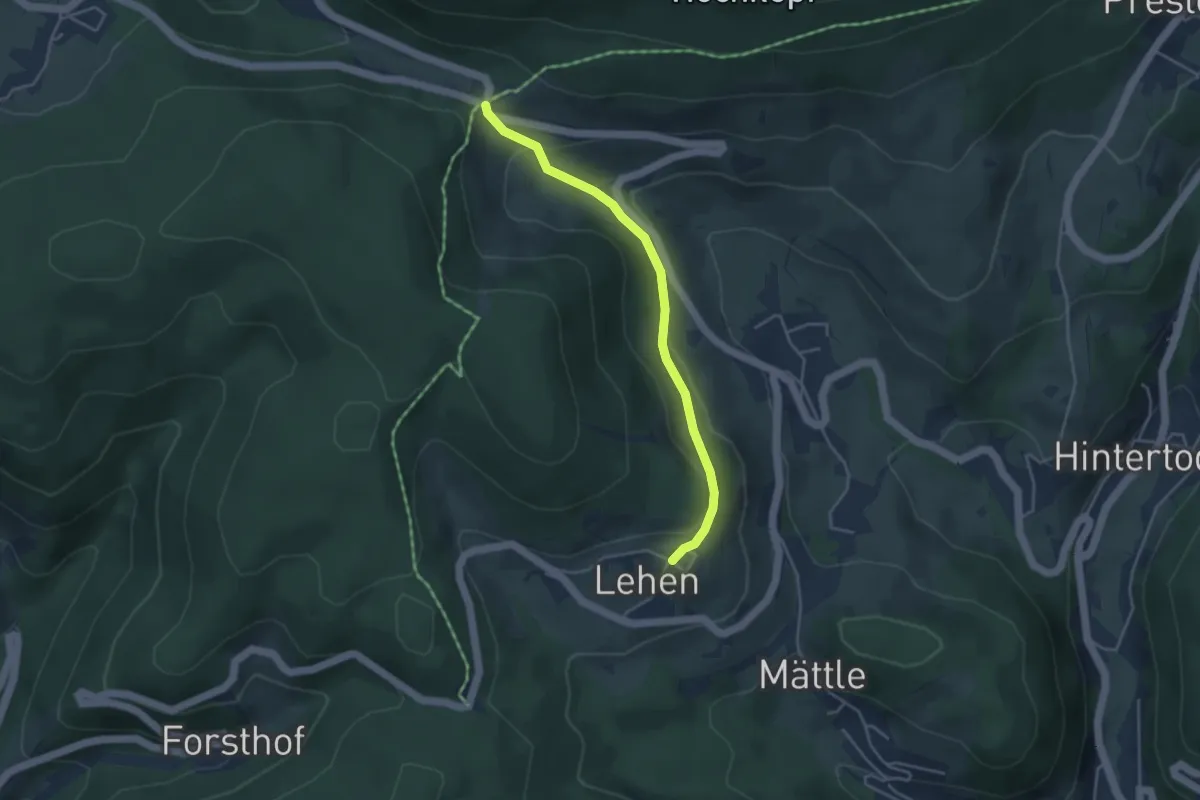
Easy · Trail
Hochkopfhaus - Todtmoos-Lehen
3.7 km · ↑ 164 m · 1 h 13 min
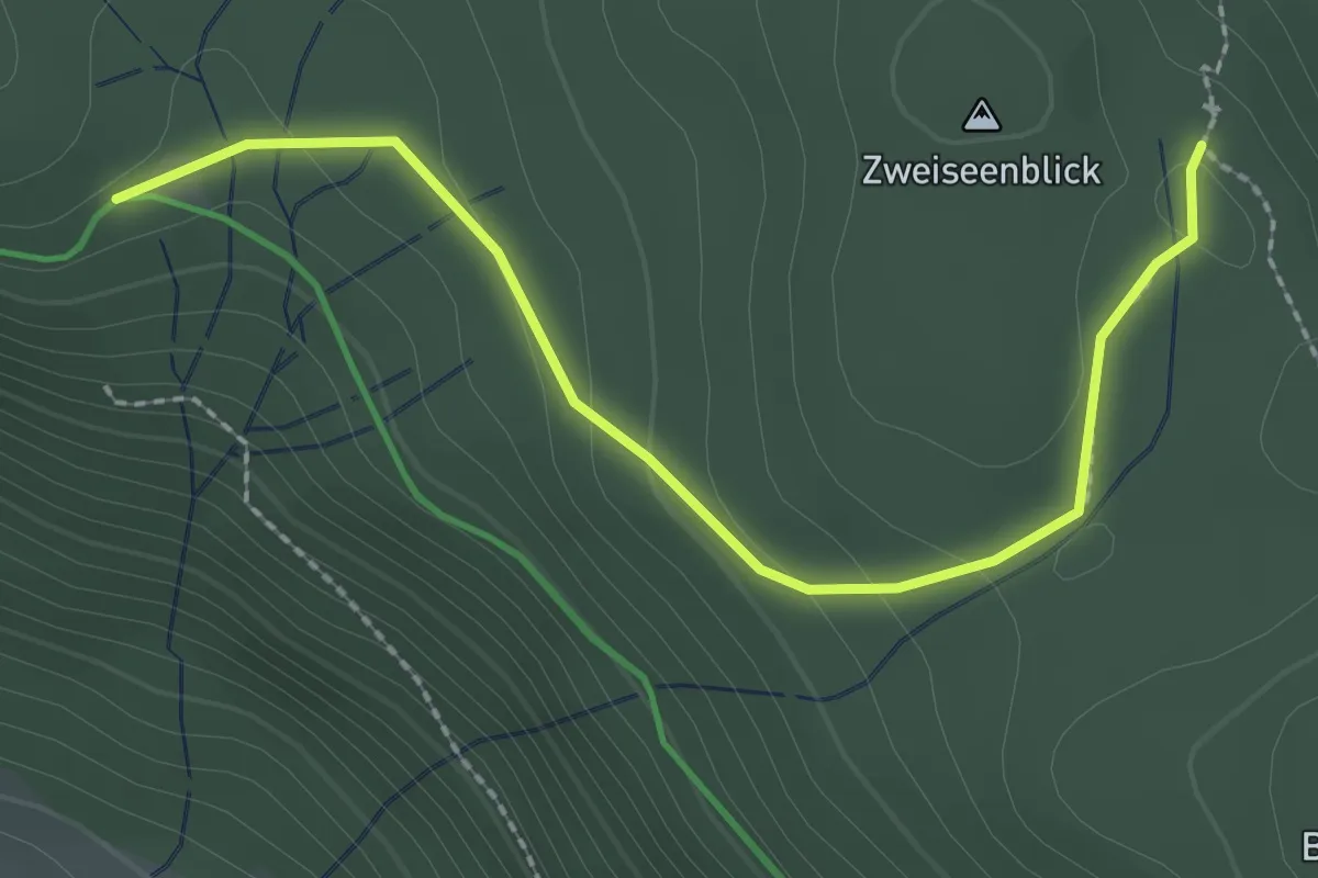
Easy · Trail
Hochkopfhütte - Zweiseenblick
2.5 km · ↑ 80 m · 46 min
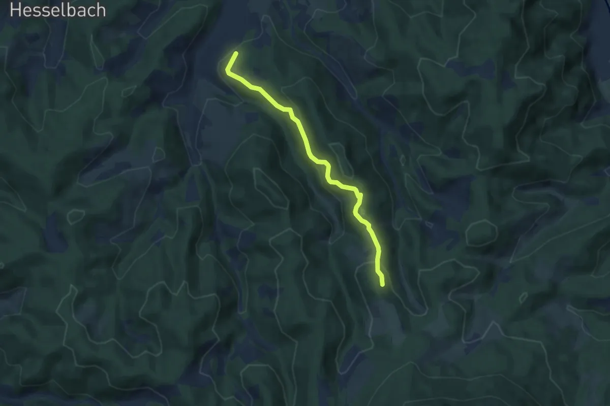
Easy · Trail
Hochkopf - Ödsbach Sportplatz
6.4 km · ↑ 266 m · 2 h 5 min
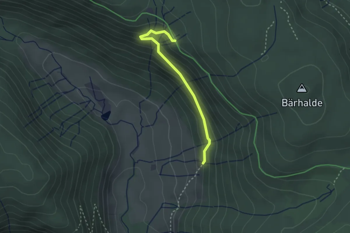
Medium · Trail
Hochkopfweg - Im Gschweih
2.4 km · ↑ 165 m · 56 min
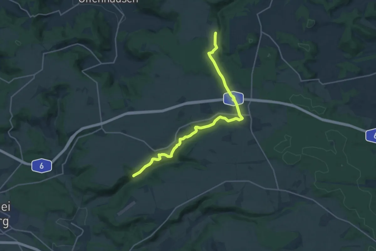
Medium · Trail
Hochlandsteig (Gelbpunkt)
16.2 km · ↑ 295 m · 4 h 28 min
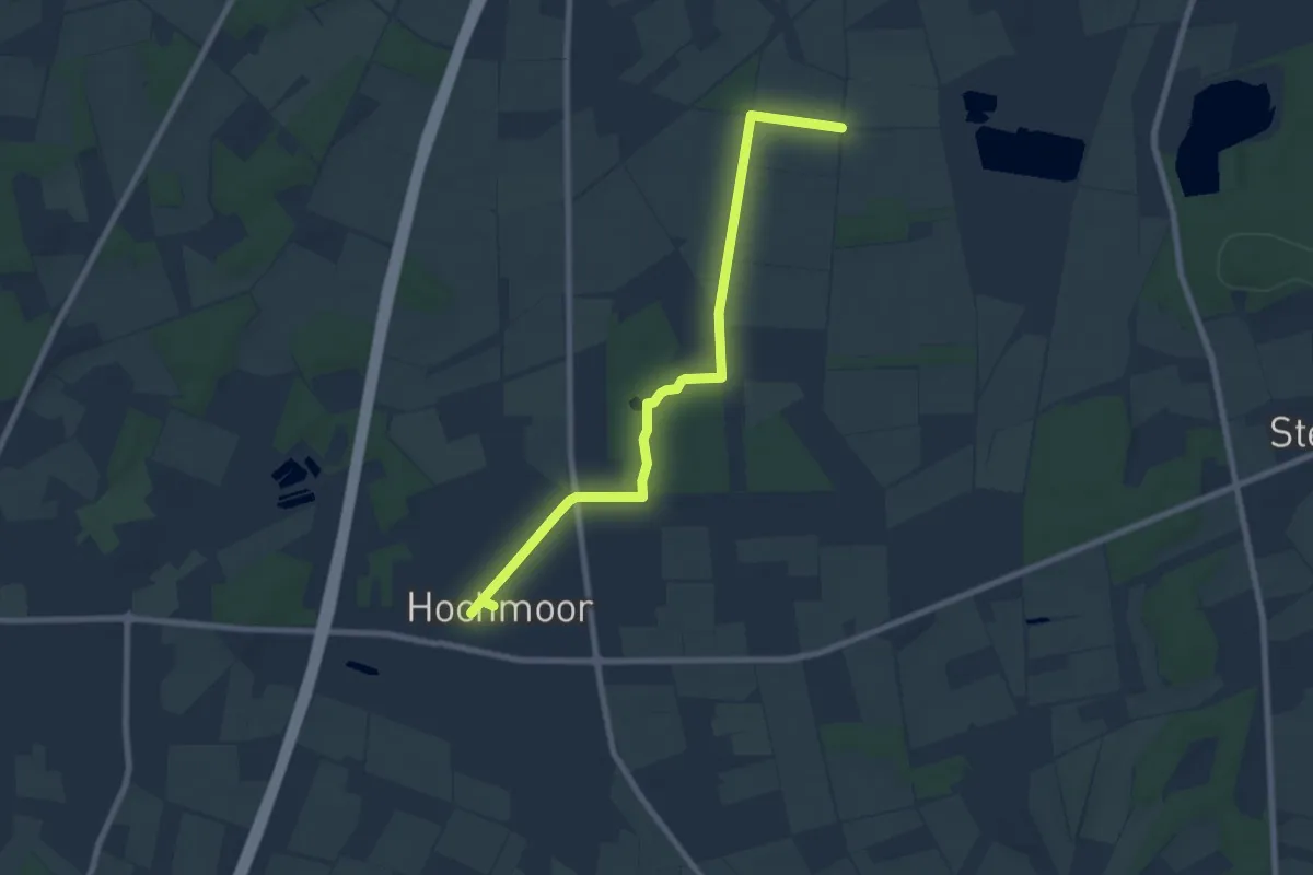
Easy · Trail
Hochmoor Rundweg A1
3.7 km · ↑ 4 m · 56 min
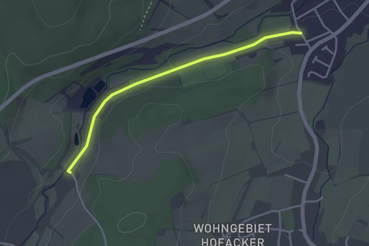
Easy · Trail
Hochmühle - Weiler Im Laile
2.8 km · ↑ 24 m · 43 min
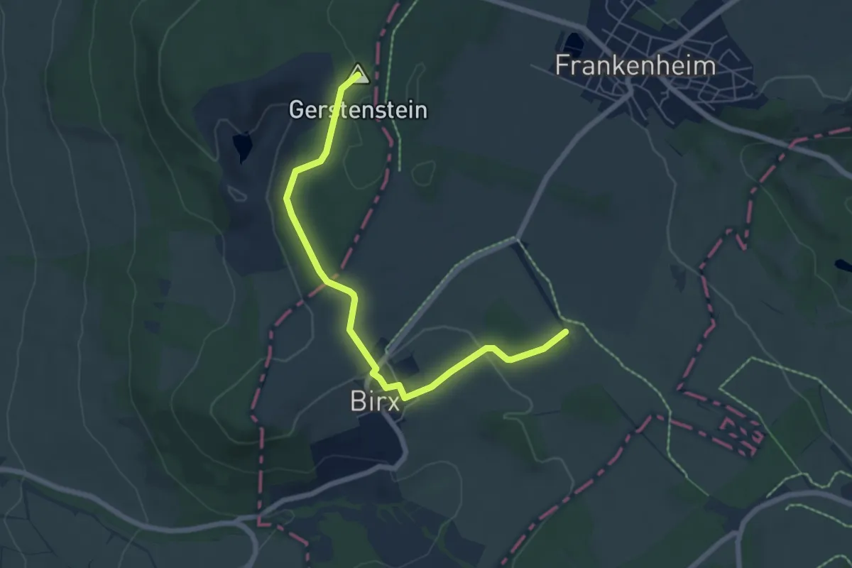
Easy · Summit
Hochrhöner Zubringer
5.9 km · ↑ 100 m · 1 h 37 min
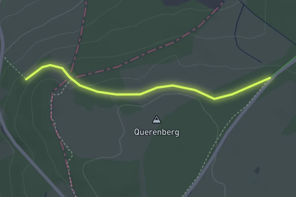
Easy · Trail
Hochrhöner Zubringer
3.1 km · ↑ 56 m · 51 min
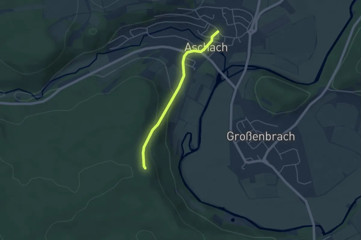
Easy · Trail
Hochrhöner Zubringer Bad Bocklet/Aschach =>Altenburger Haus
3.4 km · ↑ 123 m · 1 h 4 min
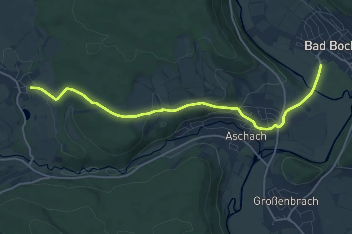
Medium · Trail
Hochrhöner Zubringer Bad Bocklet => Frauenroth
9.7 km · ↑ 181 m · 2 h 40 min
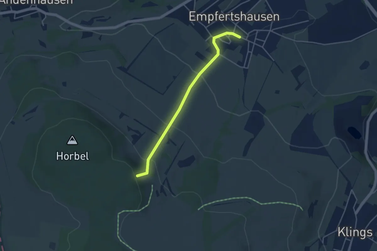
Easy · Trail
Hochrhöner Zubringer Empfertshausen
3.3 km · ↑ 188 m · 1 h 11 min
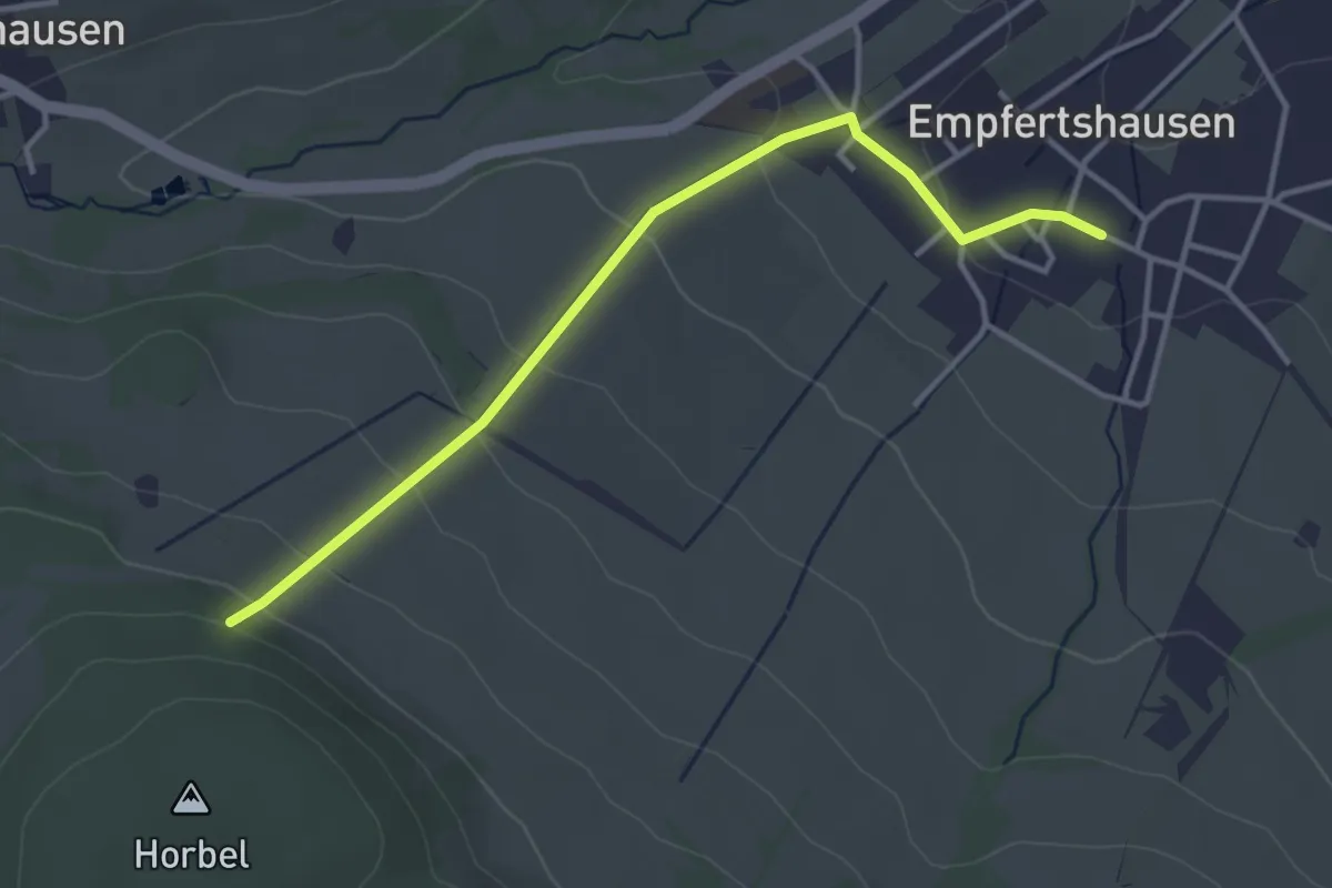
Easy · Trail
Hochrhöner Zubringer Empfertshausen (Nordvariante)
3.5 km · ↑ 162 m · 1 h 11 min
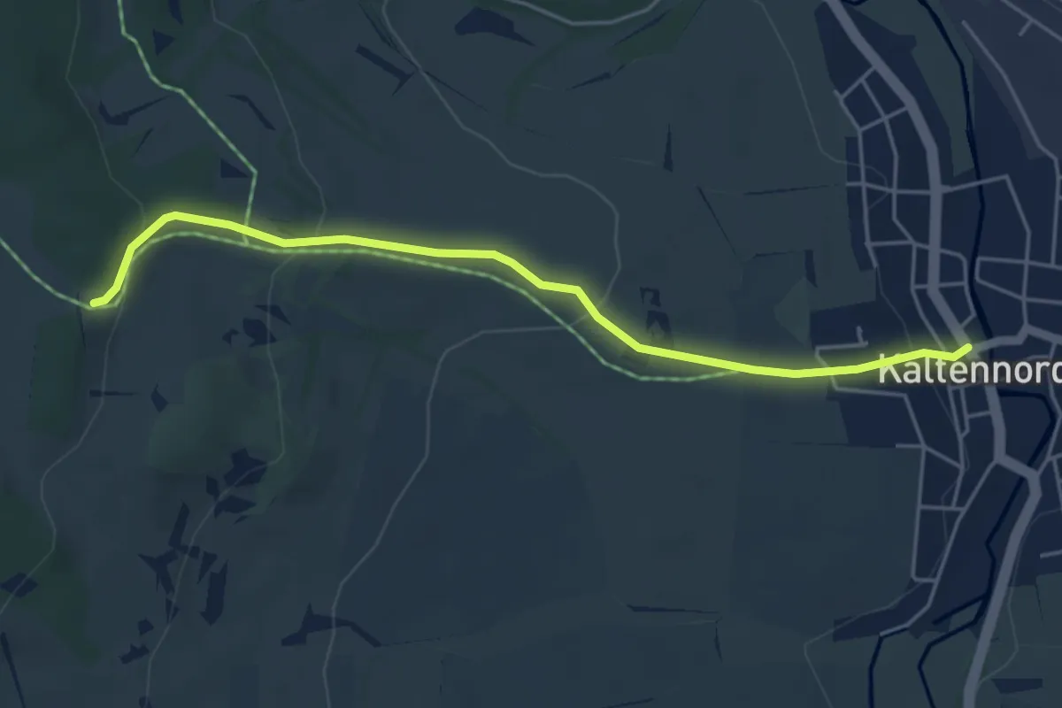
Easy · Trail
Hochrhöner Zubringer Kaltennordheim
4.5 km · ↑ 167 m · 1 h 25 min
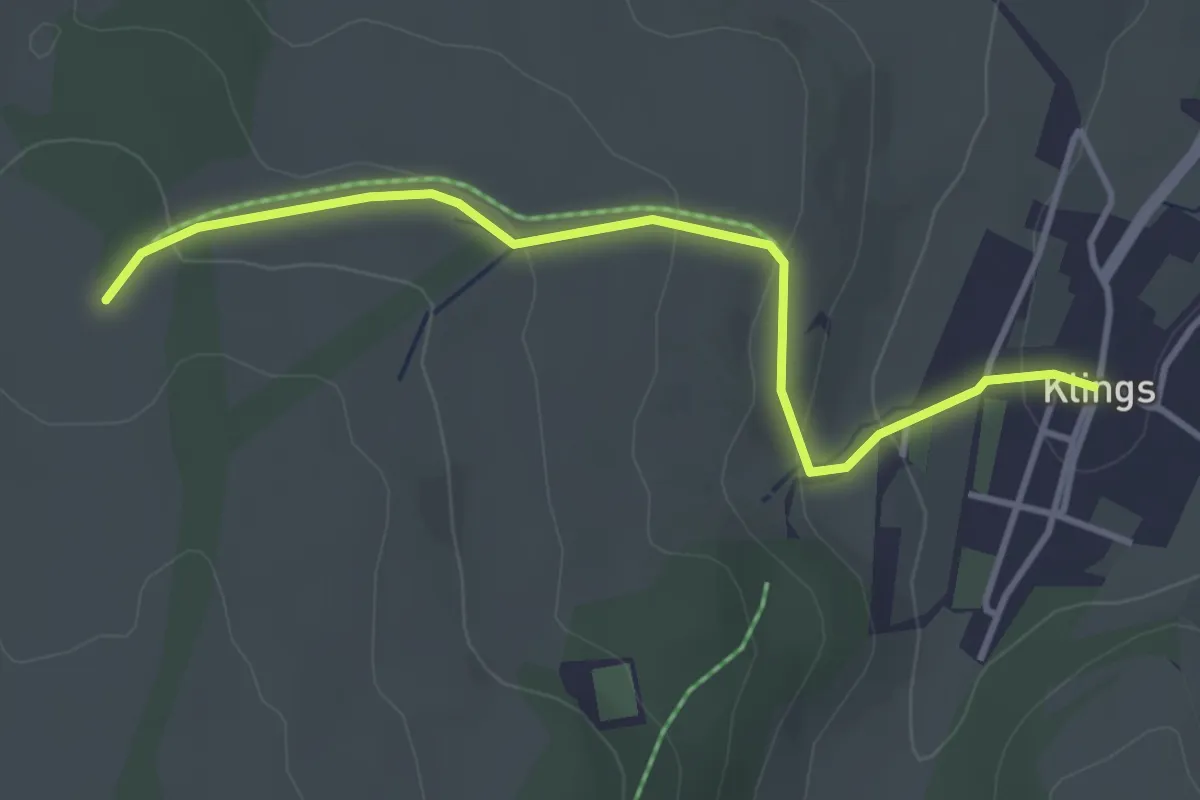
Easy · Trail
Hochrhöner Zubringer Klings
3.5 km · ↑ 132 m · 1 h 7 min
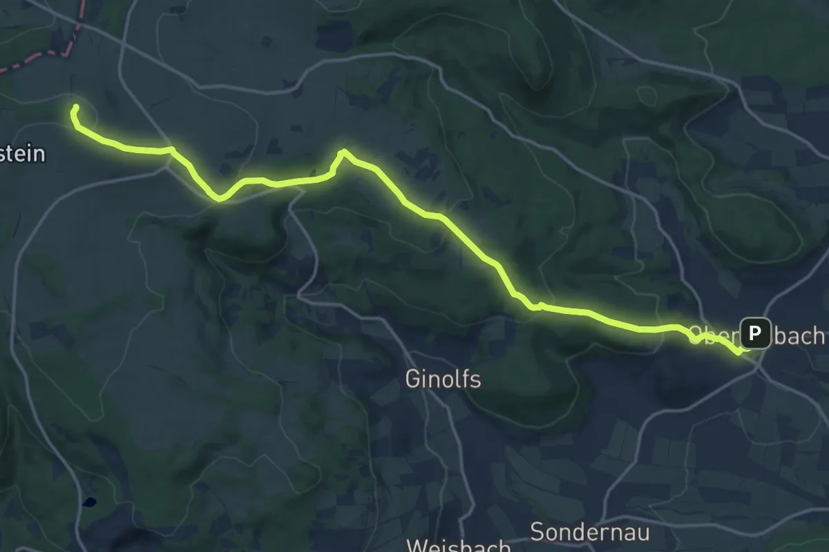
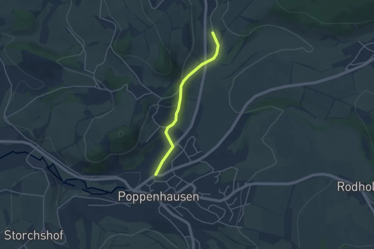
Medium · Summit
Hochrhöner Zubringer Oberelsbach => Heidelstein
17.3 km · ↑ 513 m · 5 h 12 min
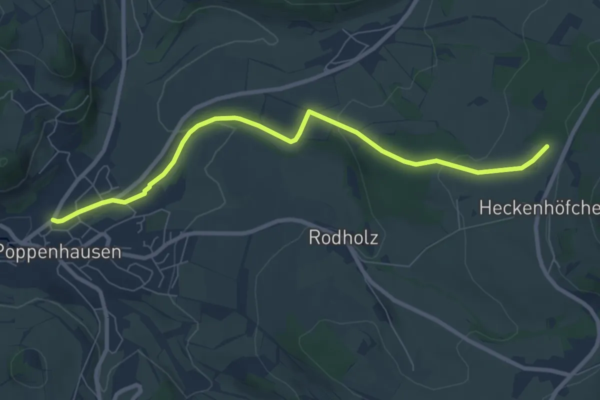
Easy · Trail
Hochrhöner Zubringer Poppenhausen => Grabenhöfchen
2.8 km · ↑ 84 m · 51 min
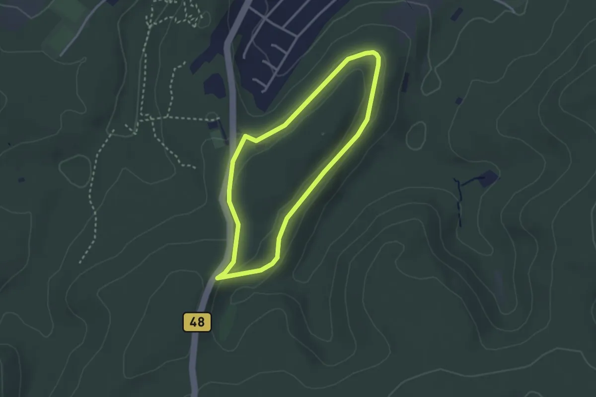
Easy · Trail
Hochrhöner Zubringer Poppenhausen => Wasserkuppe
6.7 km · ↑ 176 m · 1 h 58 min
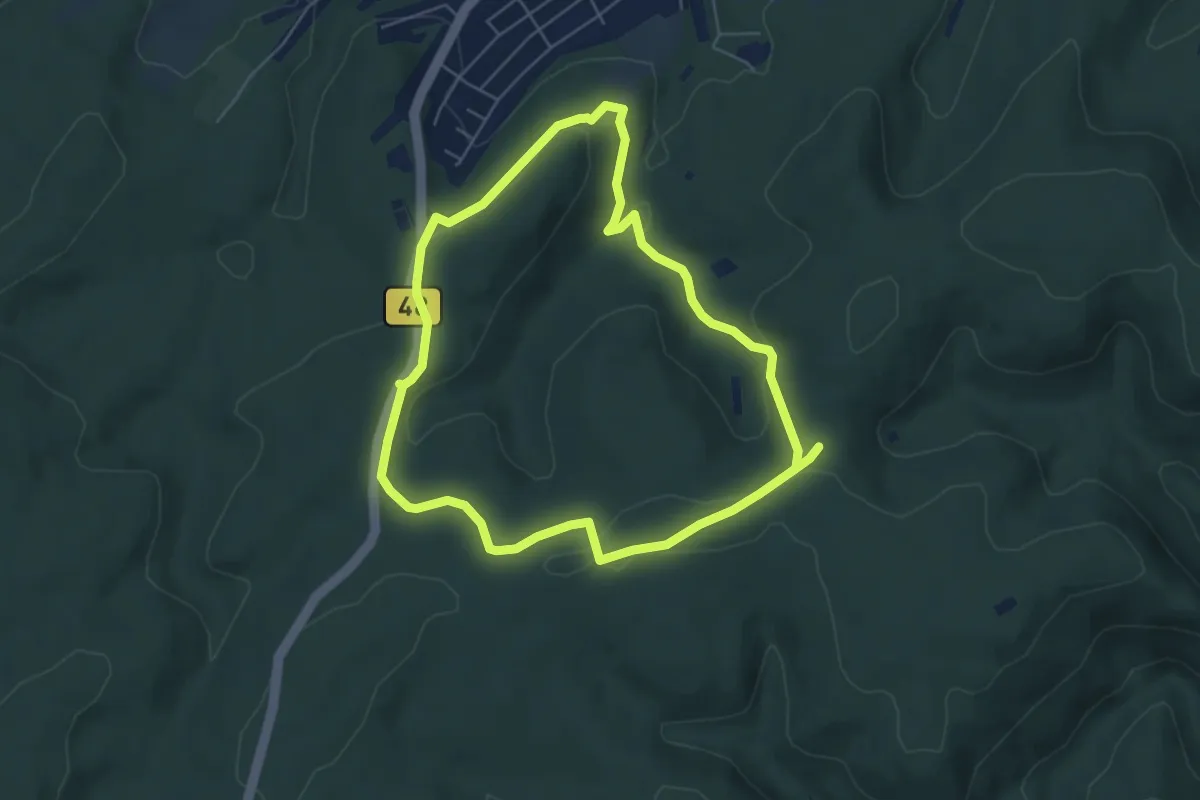
Easy · Trail
Hochspeyer Wanderweg 1 Rundweg Sindelstal
2.4 km · ↑ 42 m · 42 min
Easy · Trail
Hochspeyer Wanderweg 2
5.2 km · ↑ 126 m · 1 h 34 min
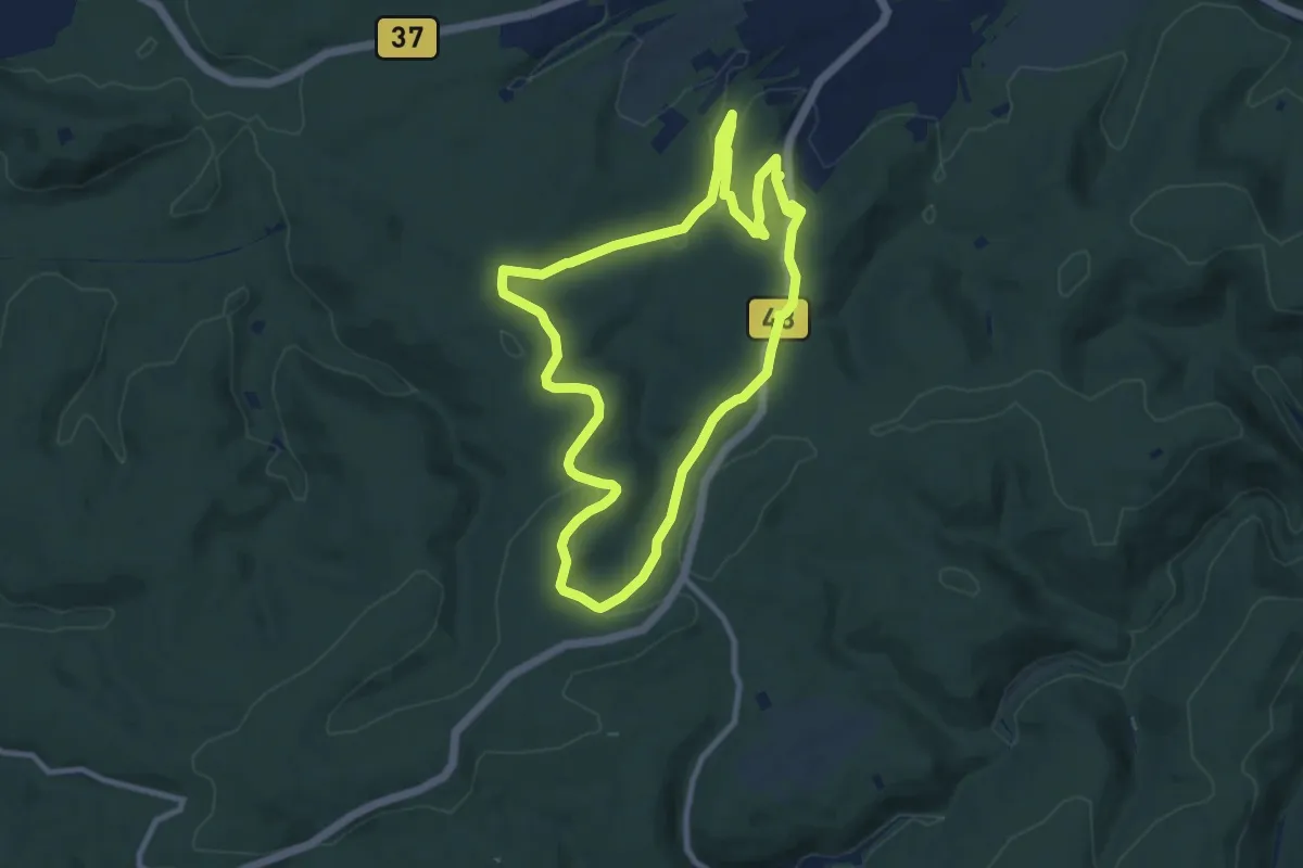
Medium · Trail
Hochspeyer Wanderweg 3
8.6 km · ↑ 176 m · 2 h 32 min
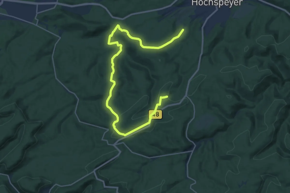
Demanding · Trail
Hochspeyer Wanderweg 4
20.6 km · ↑ 405 m · 5 h 45 min
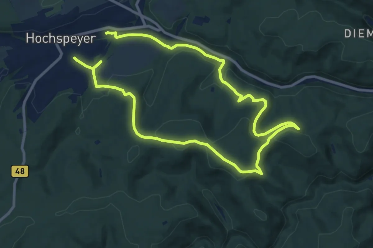
Demanding · Trail
Hochspeyer Wanderweg 5
18.2 km · ↑ 498 m · 5 h 22 min
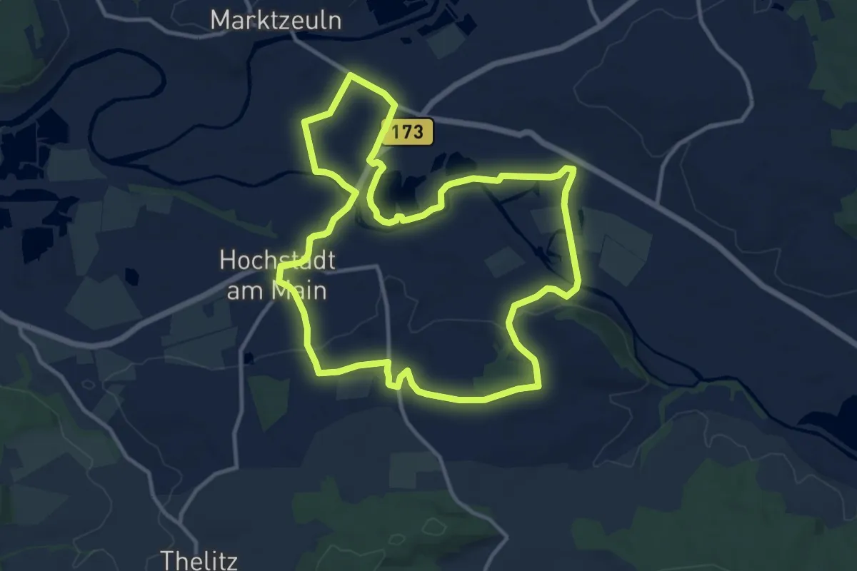
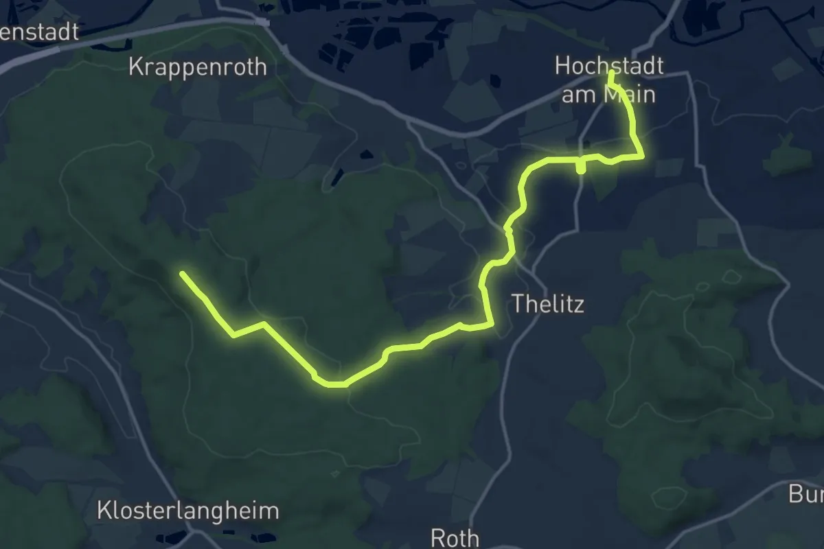
Medium · Summit
Hochstadter Rundweg
10.5 km · ↑ 94 m · 2 h 50 min
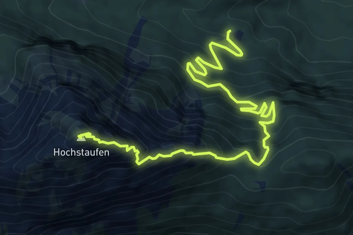
Medium · Trail
Hochstadter Südweg
15.7 km · ↑ 219 m · 4 h 11 min
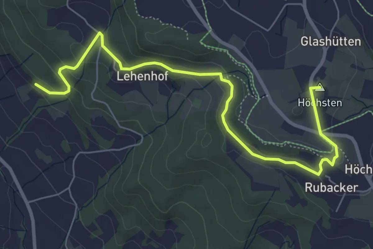
Expert · Summit
Hochstaufen über Steinerne Jager
9.6 km · ↑ 1118 m · 4 h 41 min
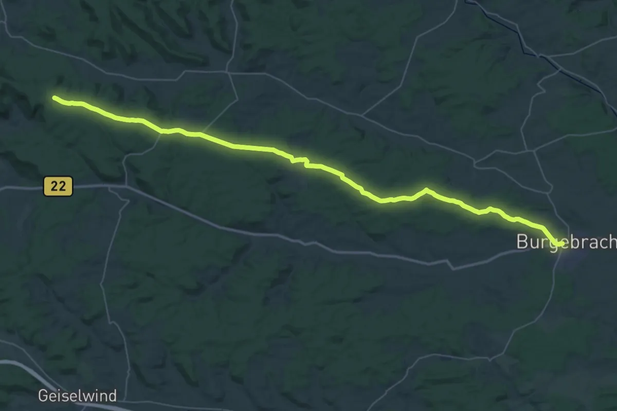
Easy · Summit
Höchsten - Wilhelmsdorf
6.6 km · ↑ 209 m · 2 h
Demanding · Trail
Hochstraße Gerolzhofen - Burgebrach "Blauer Löffel"
22.3 km · ↑ 110 m · 5 h 55 min
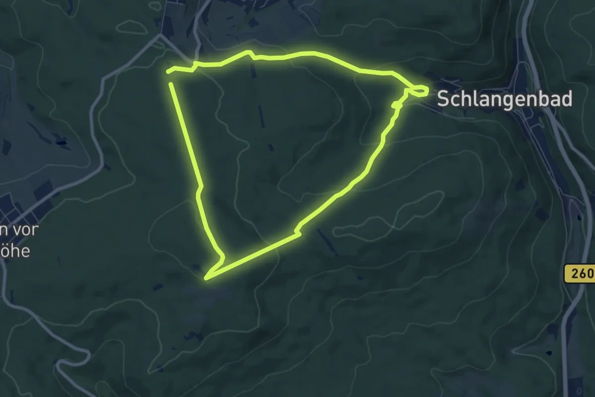
Easy · Trail
Hoch über Schlangenbad
6.6 km · ↑ 211 m · 2 h 7 min
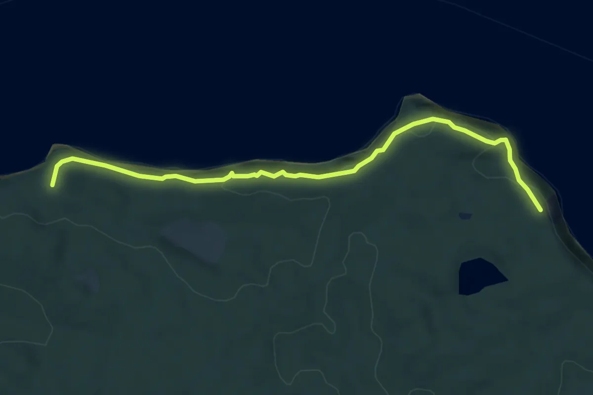
Easy · Trail
Hochuferwanderweg
6.7 km · ↑ 219 m · 2 h 3 min
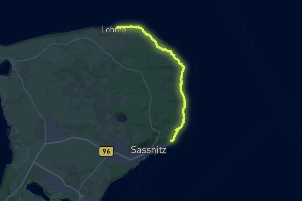
Demanding · Trail
Hochuferweg Sassnitz–Königsstuhl
22.3 km · ↑ 779 m · 6 h 57 min
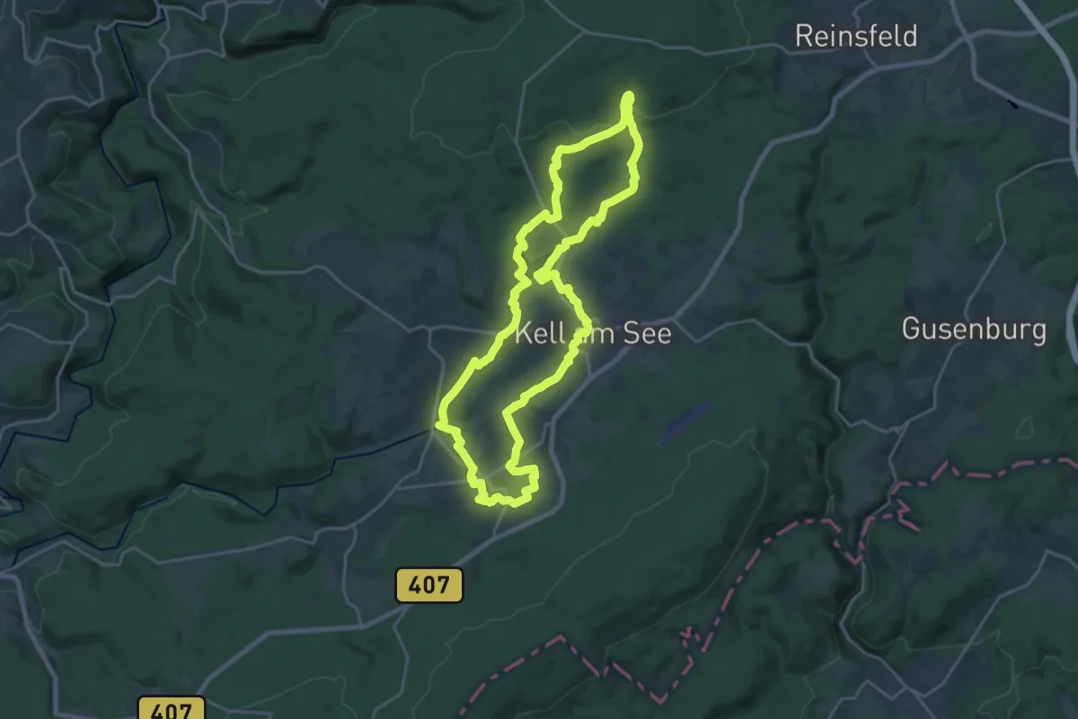
Demanding · Trail
Hochwald Acht
19.2 km · ↑ 336 m · 5 h 32 min
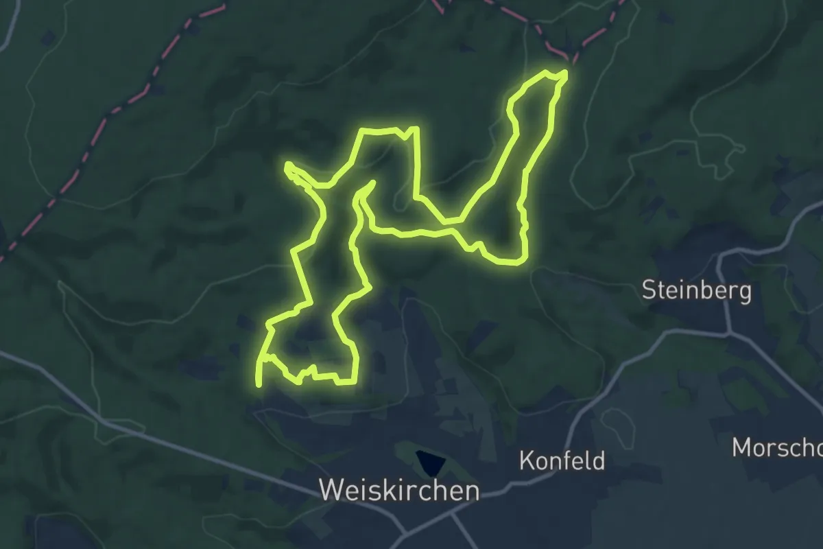
Medium · Trail
Hochwald-Pfad
11.4 km · ↑ 339 m · 3 h 35 min
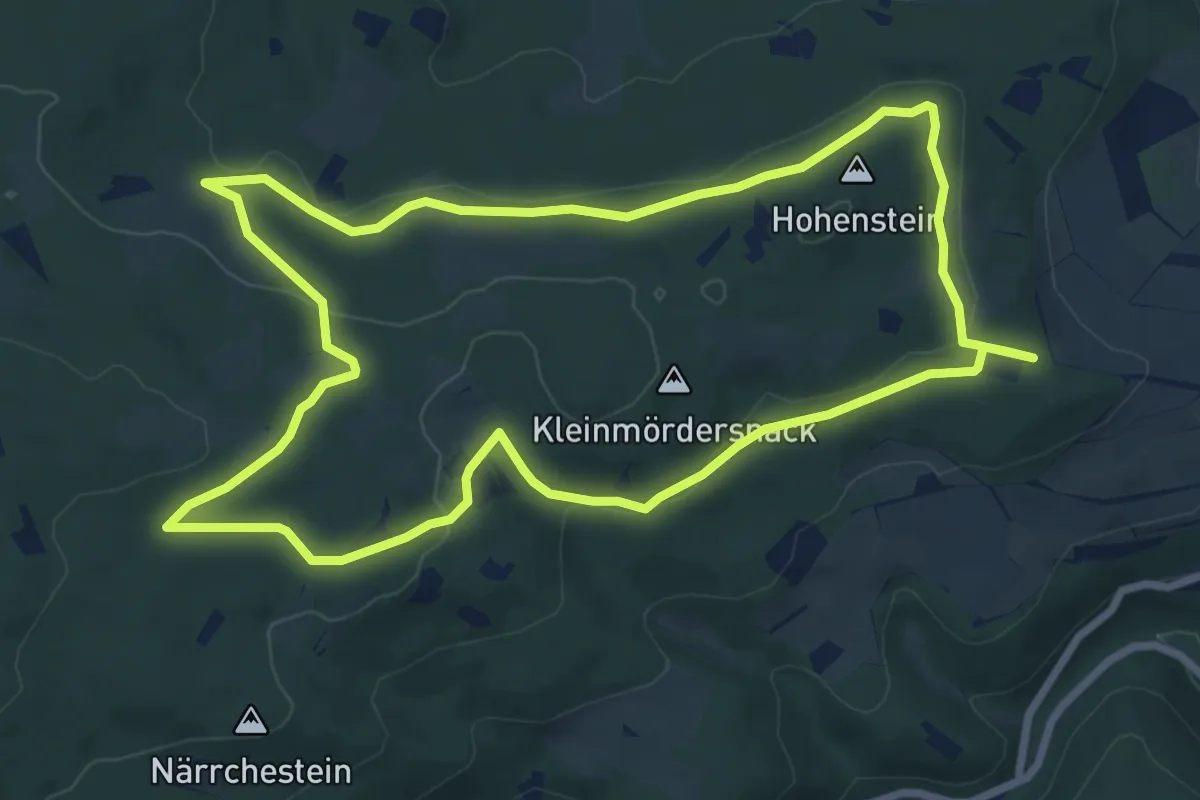
Easy · Summit
Hochwaldwanderweg Damscheid
7.5 km · ↑ 157 m · 2 h 13 min
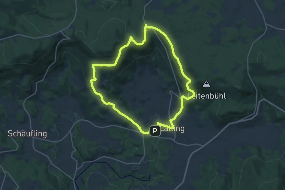
Medium · Summit
Hochwaldweg
13.8 km · ↑ 457 m · 4 h 27 min
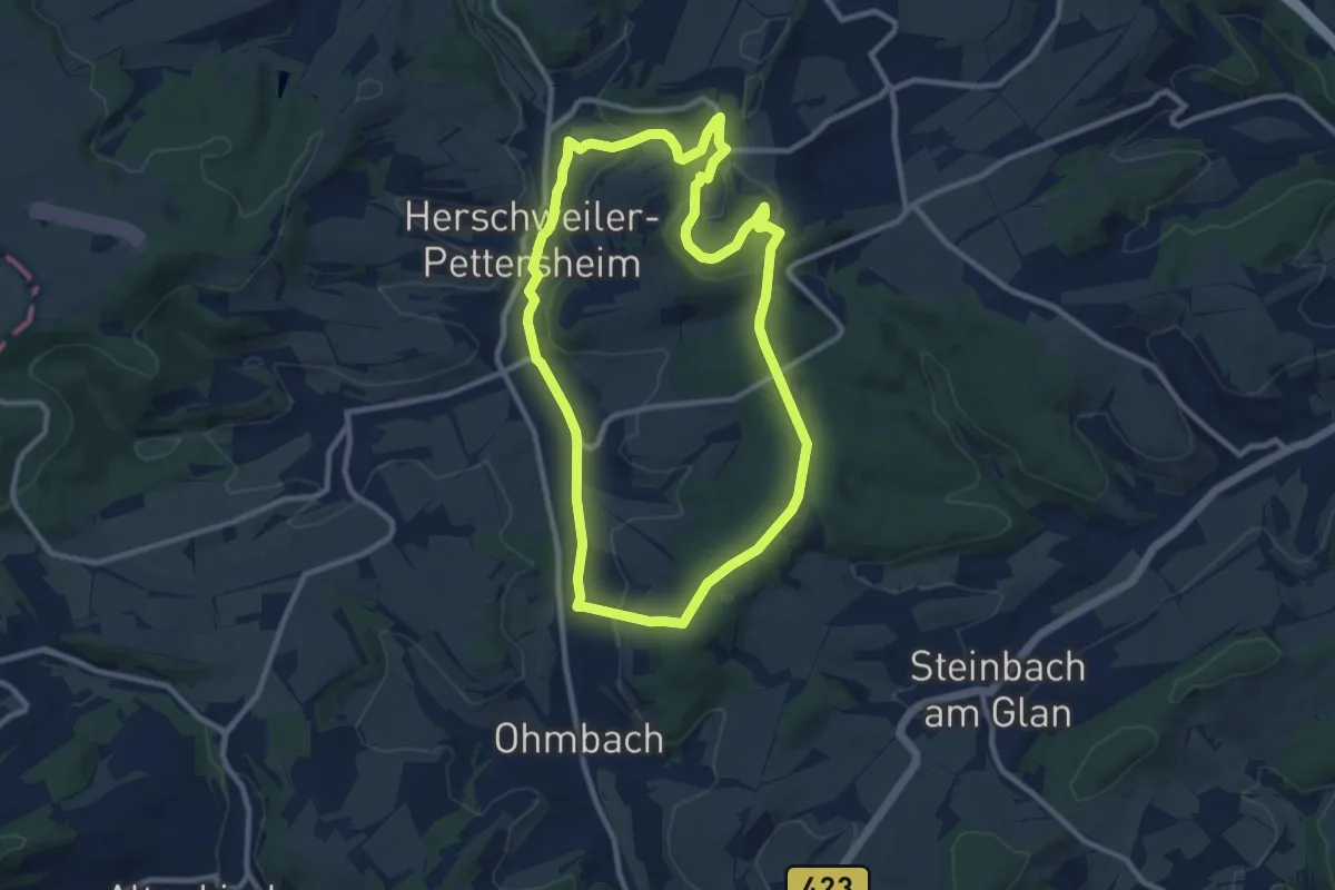
Medium · Summit
Hochwaldweg
9.2 km · ↑ 231 m · 2 h 48 min