Trails in Germany
36,852 hiking trails, each with its route, climb, walking time and grade.
All trails, page 246 of 768
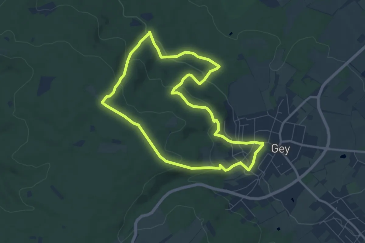
Easy · Trail
Hochwaldweg
6.9 km · ↑ 237 m · 2 h 14 min
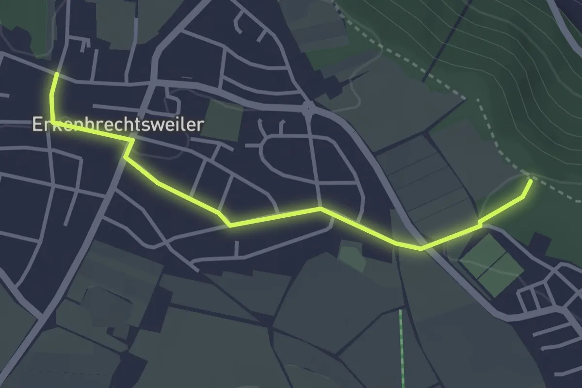
Easy · Trail
Hochwang - Erkenbrechtsweiler
3.0 km · ↑ 18 m · 45 min
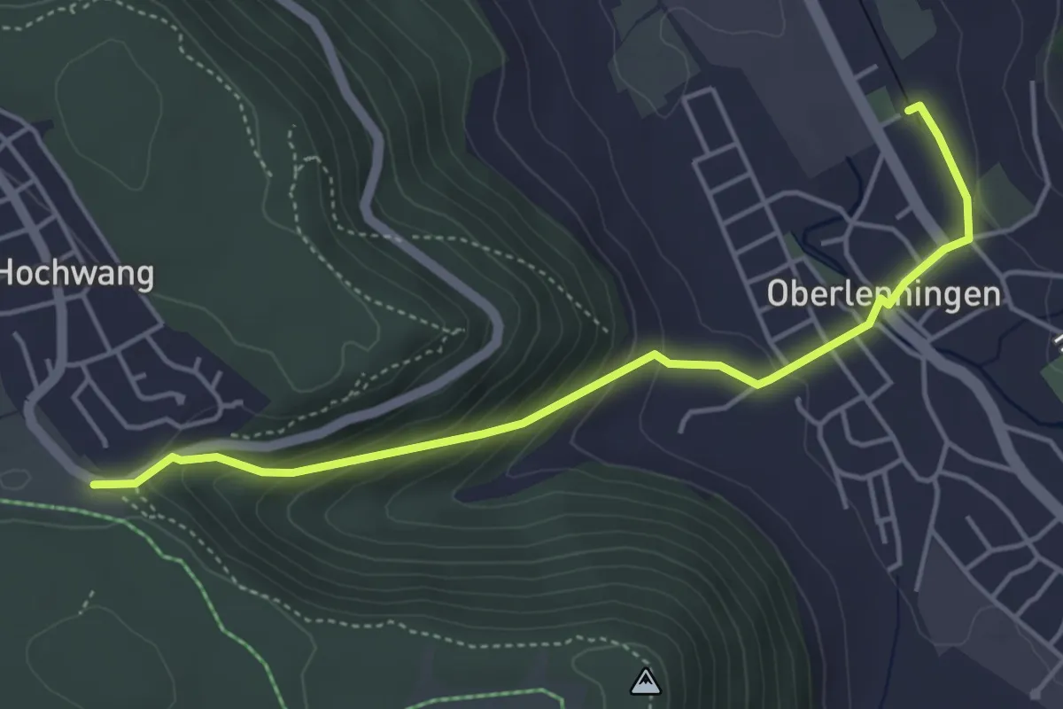
Easy · Trail
Hochwang - Oberlenningen
4.4 km · ↑ 245 m · 1 h 35 min
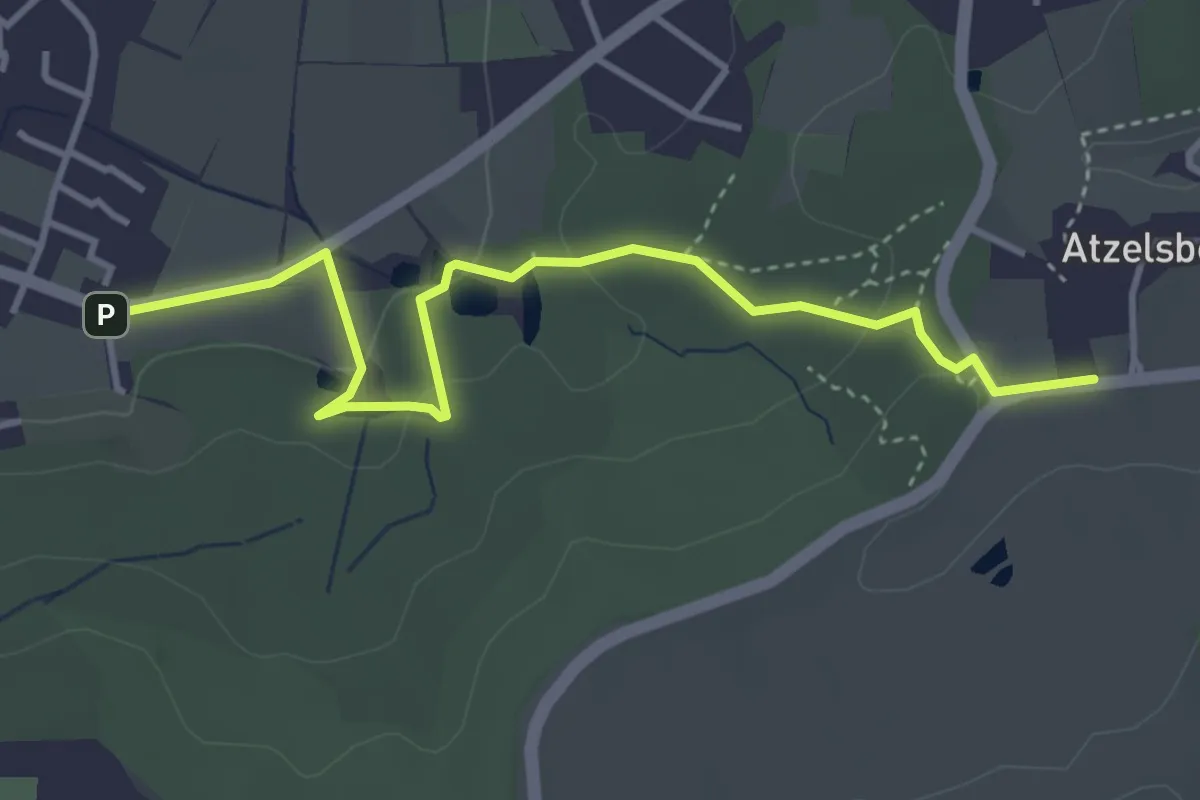
Easy · Trail
Hochwasserweg
4.0 km · ↑ 95 m · 1 h 9 min
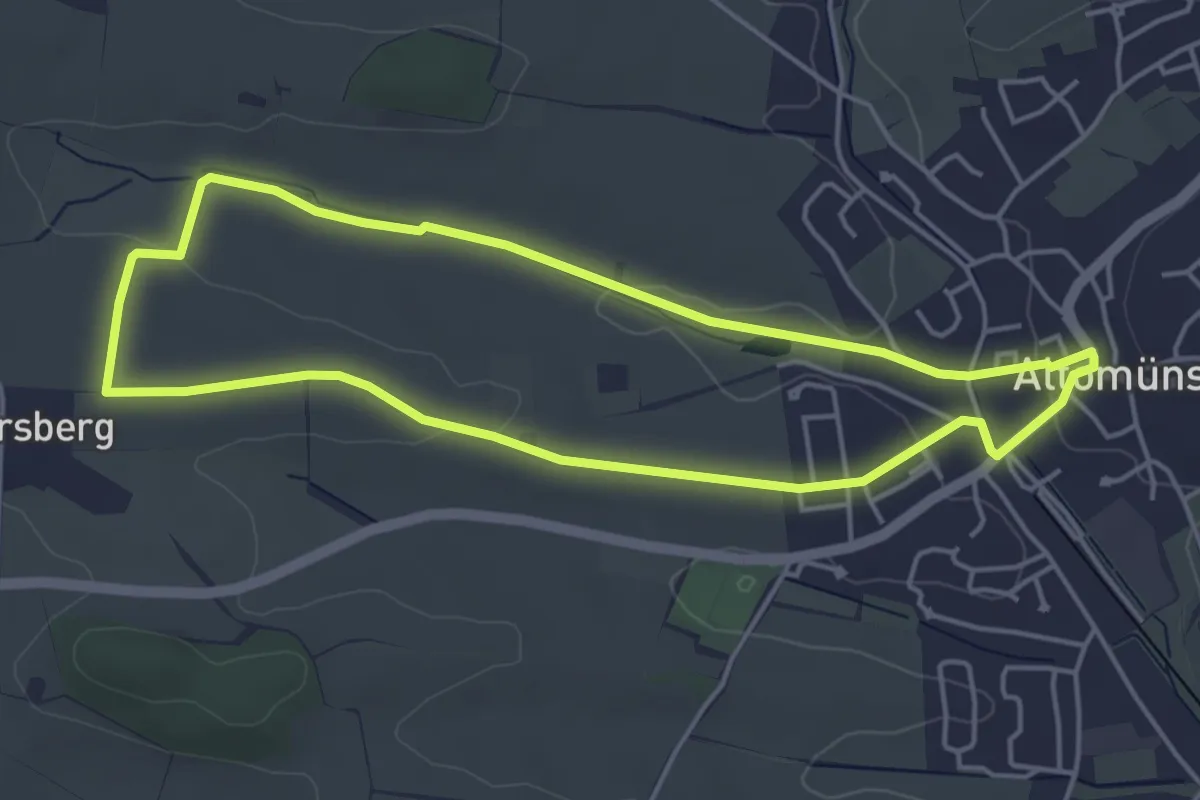
Easy · Trail
Hochweg
4.3 km · ↑ 52 m · 1 h 11 min
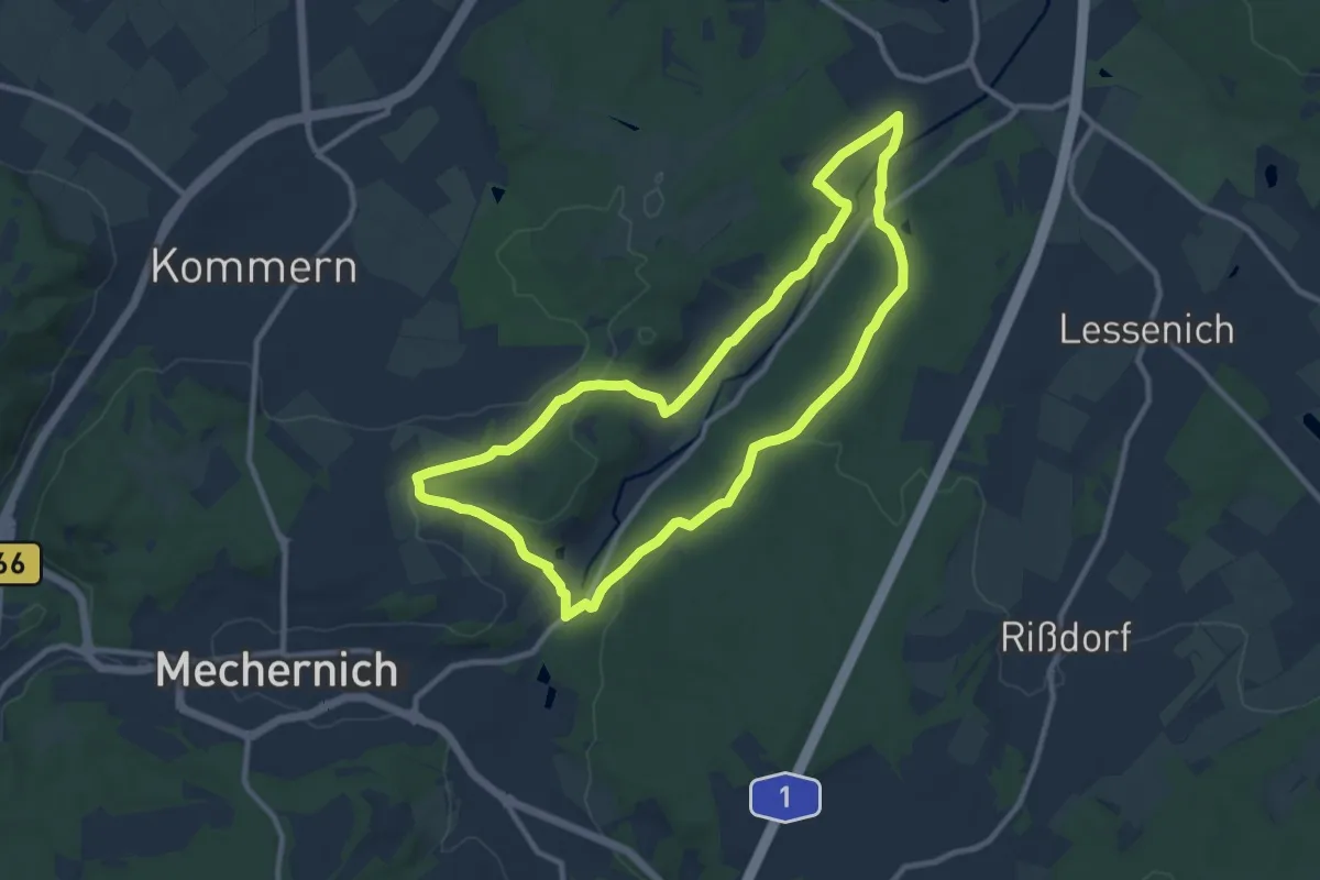
Medium · Trail
Hochwildpark Rheinland - Route
9.2 km · ↑ 147 m · 2 h 37 min
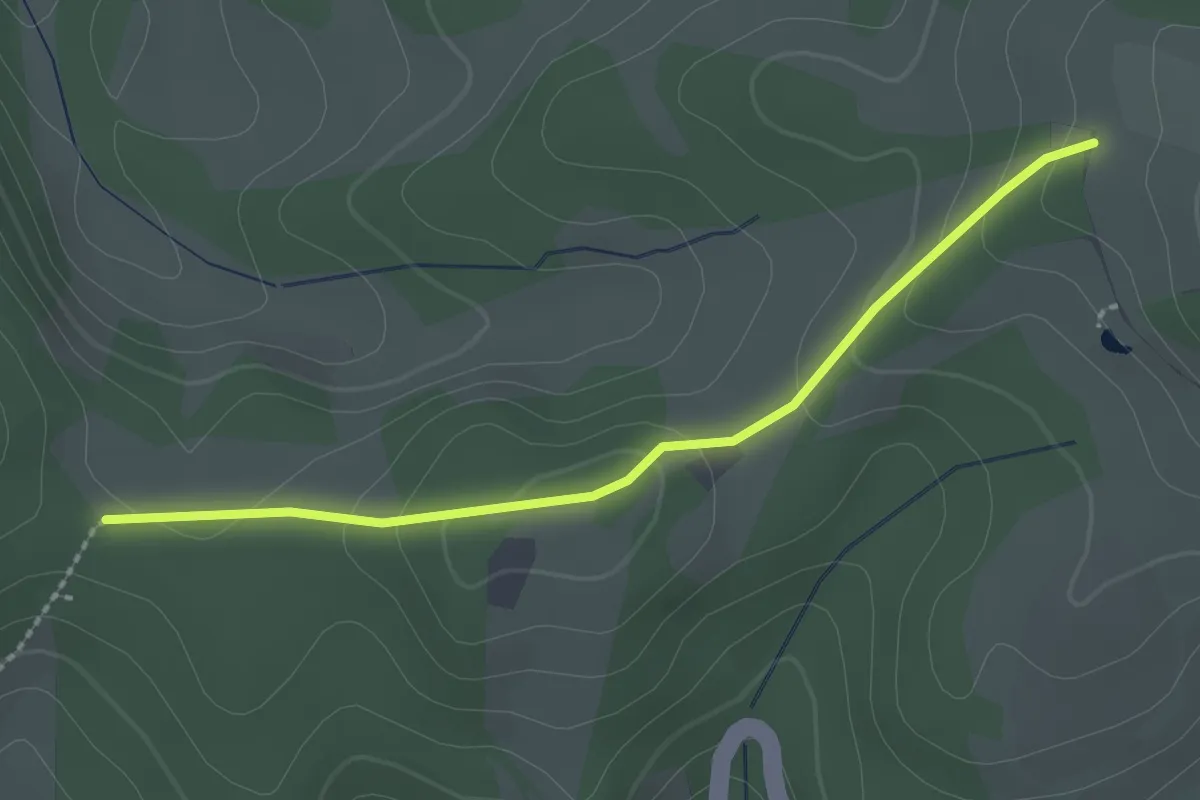
Easy · Trail
Hockenhard - Nebelgraben
2.2 km · ↑ 64 m · 40 min
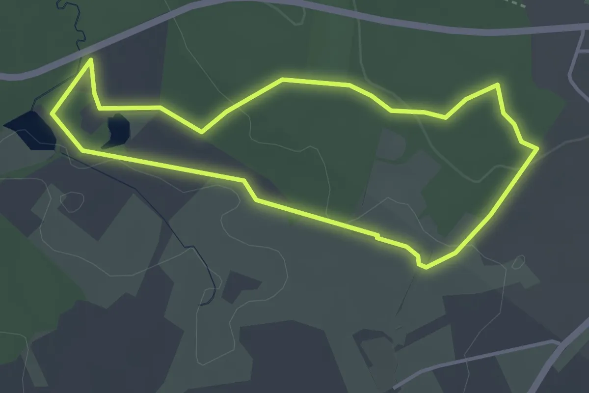
Easy · Trail
Höckerlinienpfad
3.1 km · ↑ 50 m · 53 min
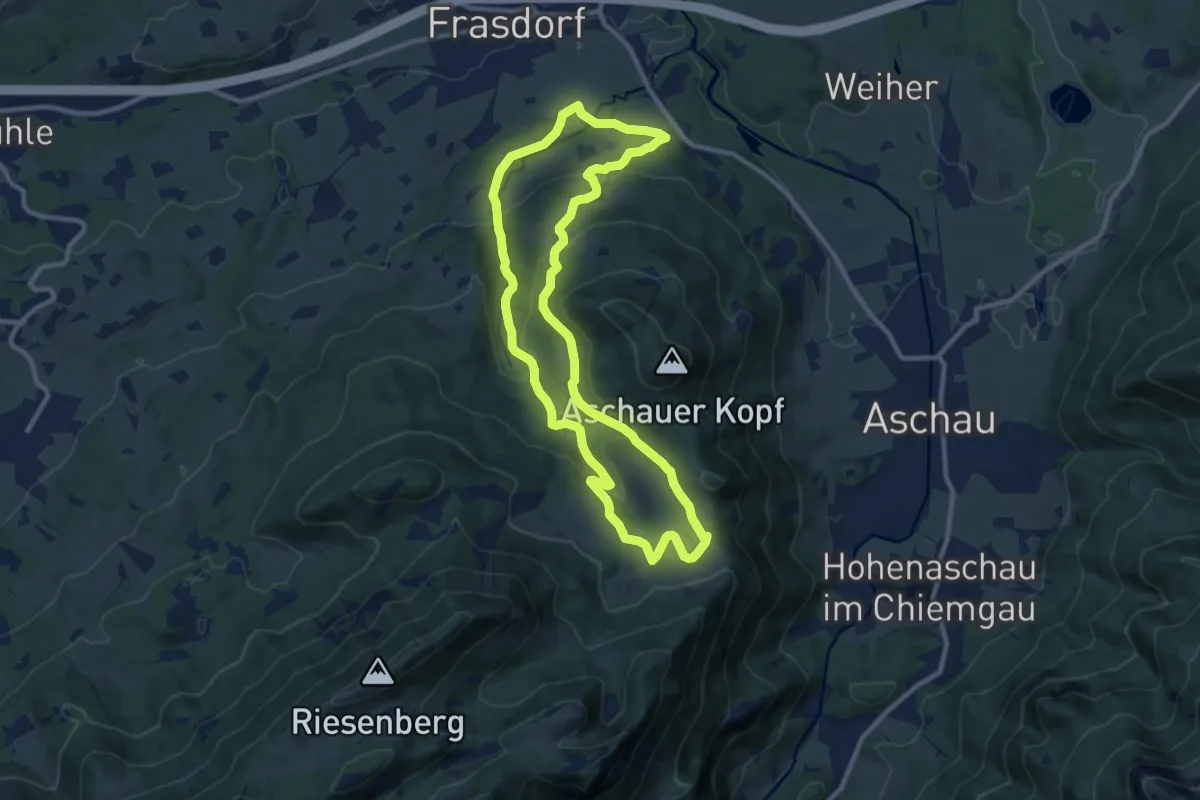
Medium · Trail
Hofalm-Runde
10.0 km · ↑ 380 m · 3 h 19 min
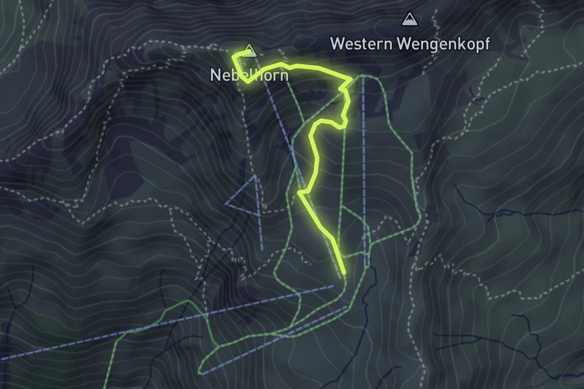
Medium · Summit
Höfatsblick - Gipfel
3.1 km · ↑ 275 m · 1 h 20 min
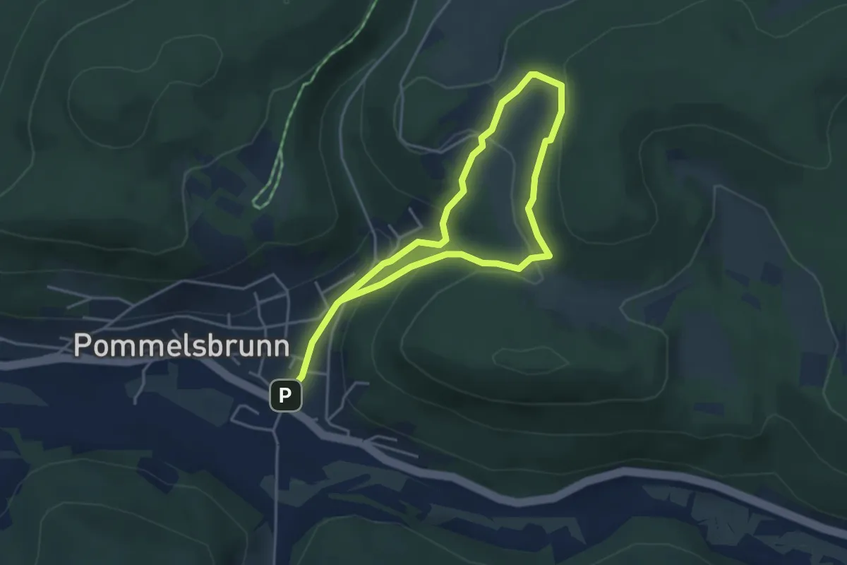
Easy · Trail
Hofberg Panorama Rundweg "H"
3.0 km · ↑ 179 m · 1 h 7 min
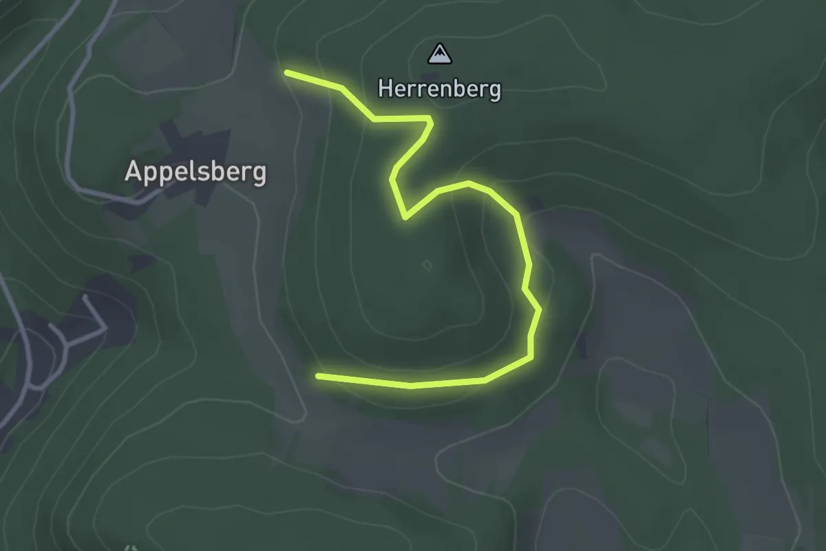
Easy · Summit
Hofberg-Rundweg "H1"
1.6 km · ↑ 86 m · 34 min
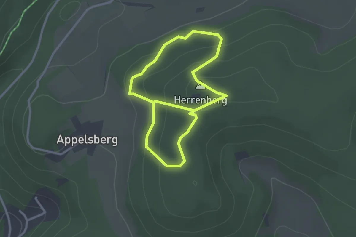
Easy · Summit
Hofberg-Rundweg "H2"
2.1 km · ↑ 115 m · 45 min
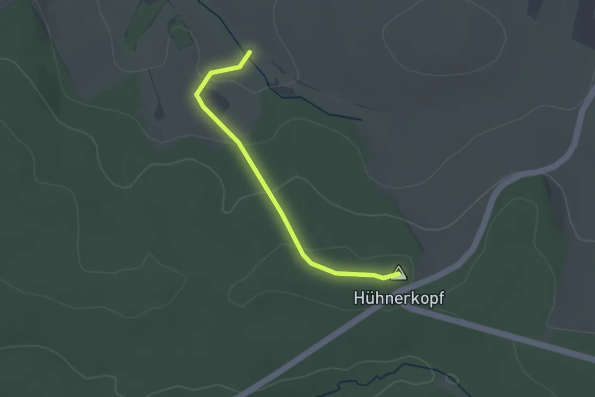
Easy · Summit
Hofbieber 1
2.2 km · ↑ 66 m · 40 min
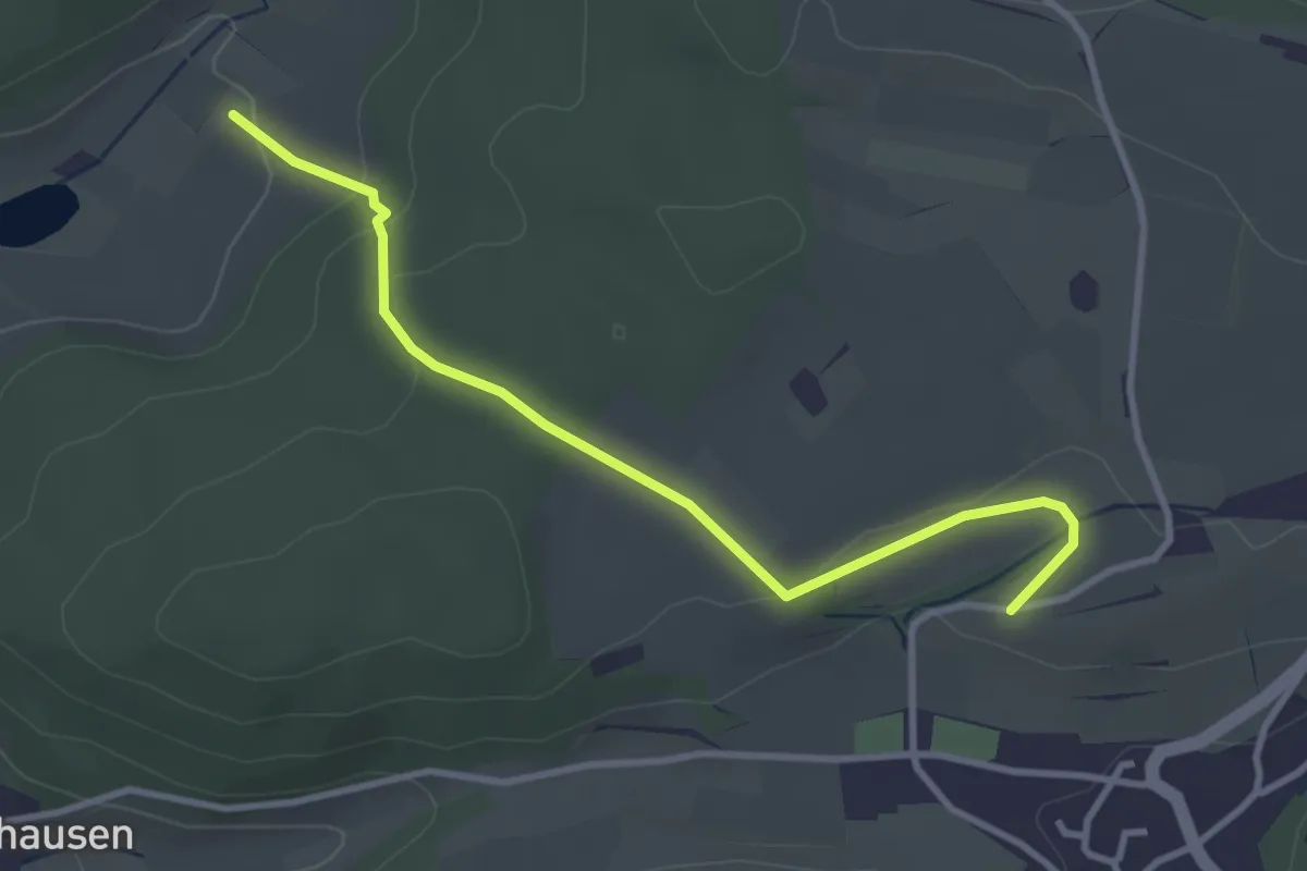
Easy · Trail
Hof Bühlarz - Weiheracker
3.4 km · ↑ 98 m · 1 h
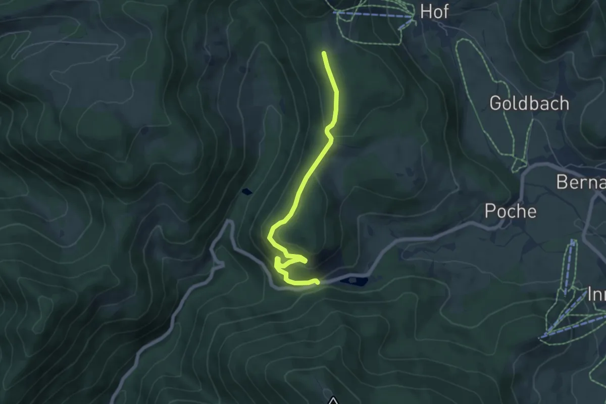
Easy · Trail
Hofeck - Wacht
5.5 km · ↑ 191 m · 1 h 42 min
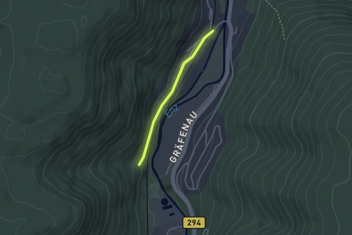
Easy · Trail
Höfen Bahnhof - Franzosenbrunnen
2.0 km · ↑ 39 m · 34 min
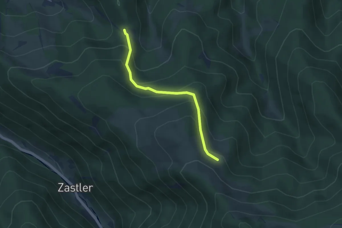
Medium · Trail
Höfener Hütte - Holzeck
3.3 km · ↑ 236 m · 1 h 18 min
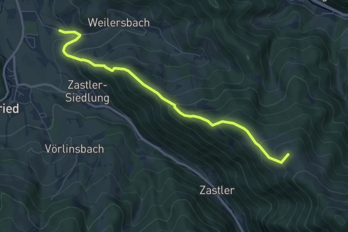
Medium · Summit
Höfener Hütte - Weilersbach
7.6 km · ↑ 547 m · 2 h 59 min
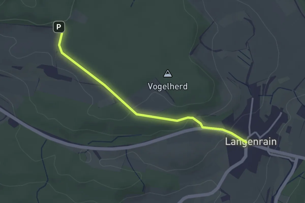
Easy · Trail
Höfener Kreuz - Langenrain Schloss
2.9 km · ↑ 59 m · 49 min
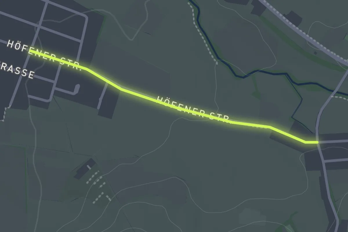
Easy · Trail
Höfen - Kirchzarten Schauinslandstraße
2.1 km · ↑ 17 m · 33 min
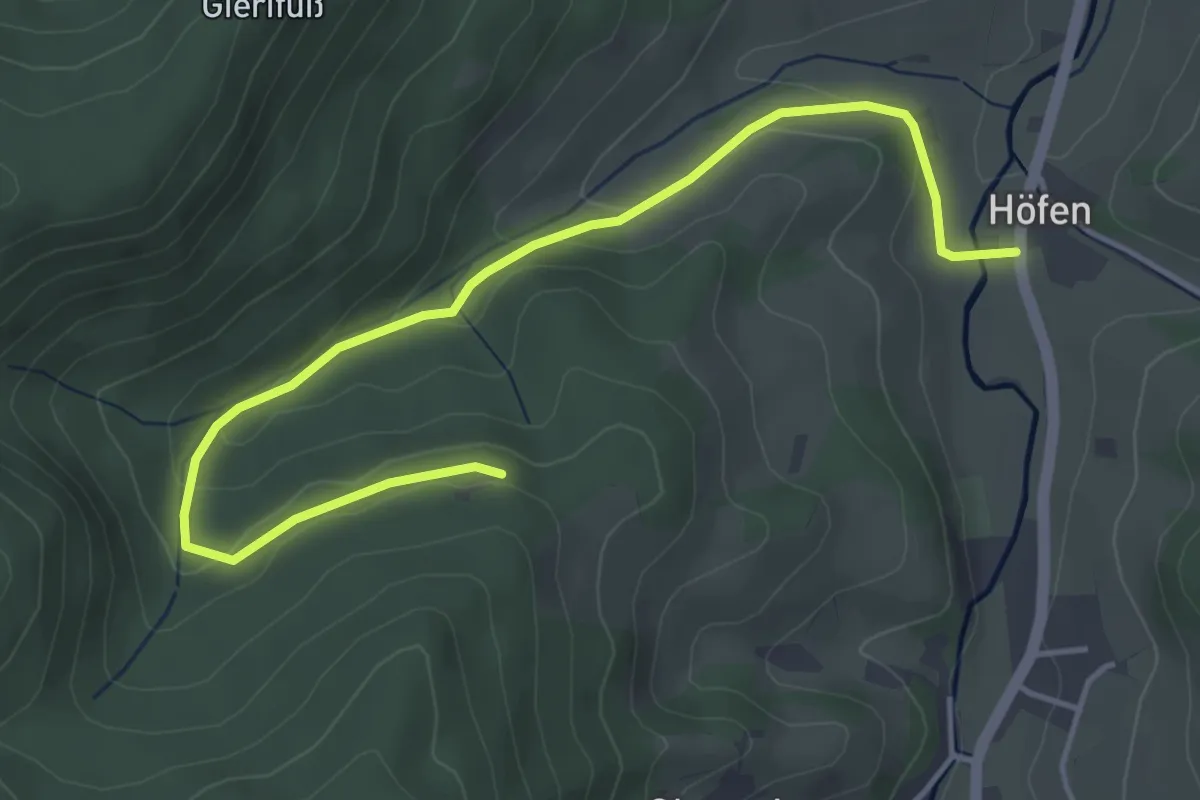
Easy · Trail
Höfen - Sandebene
4.8 km · ↑ 147 m · 1 h 28 min
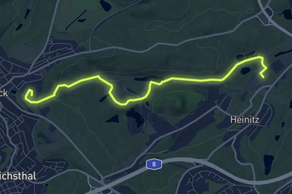
Medium · Summit
Hoferkopf-Blies-Weg
9.0 km · ↑ 196 m · 2 h 33 min
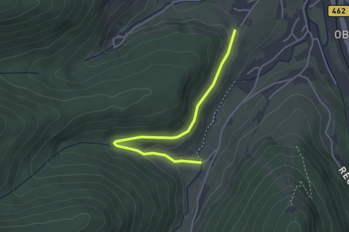
Easy · Trail
Höferköpfle - Kienbächle
3.3 km · ↑ 116 m · 1 h 1 min
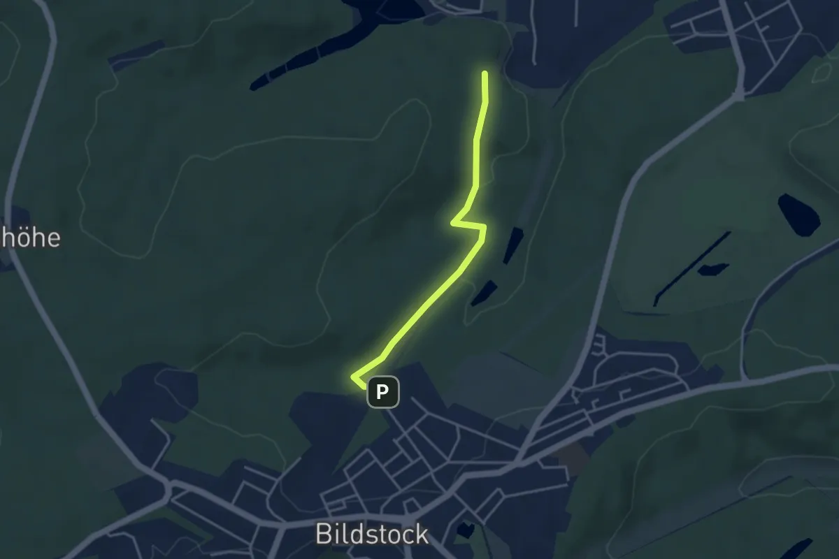
Easy · Trail
Höfertaler Waldpfad
3.2 km · ↑ 45 m · 51 min
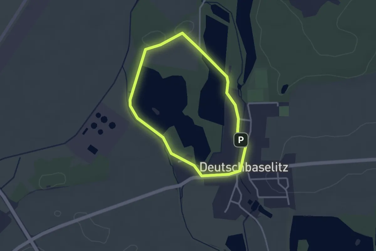
Easy · Summit
Hofeteichrunde
2.3 km · ↑ 9 m · 36 min
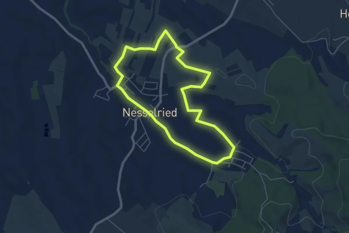
Easy · Trail
Höfe- und Historienweg Nesselried Große Runde
4.6 km · ↑ 53 m · 1 h 15 min
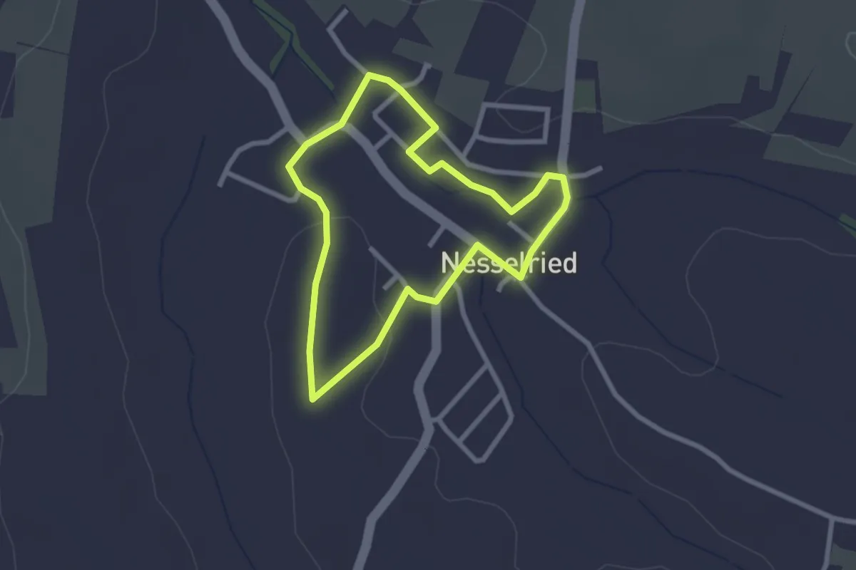
Easy · Trail
Höfe- und Historienweg Nesselried Kleine Runde
2.2 km · ↑ 22 m · 35 min
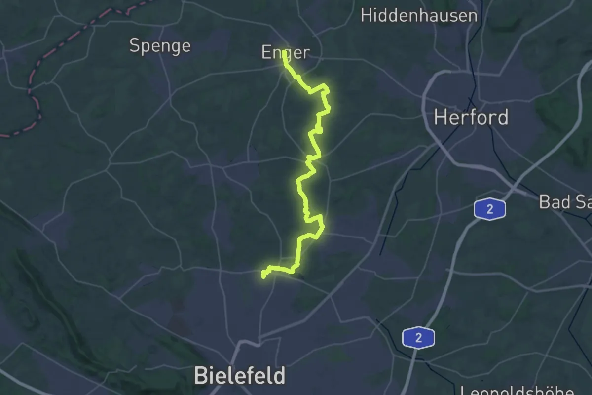
Medium · Trail
Höfeweg
16.2 km · ↑ 105 m · 4 h 17 min
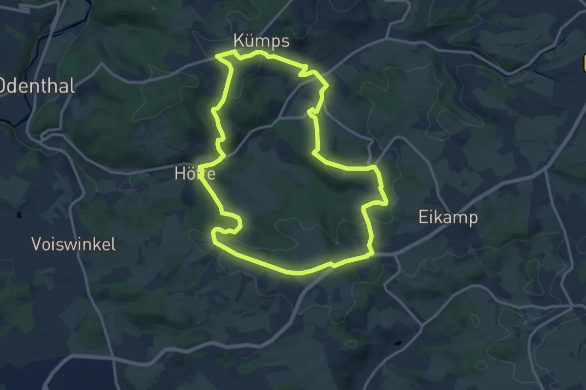
Medium · Trail
Höffe Rundweg A1
9.7 km · ↑ 262 m · 3 h
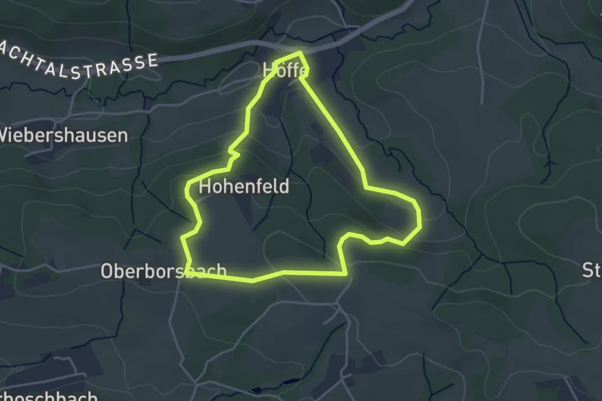
Easy · Trail
Höffe Rundweg A6
3.2 km · ↑ 101 m · 1 h 2 min
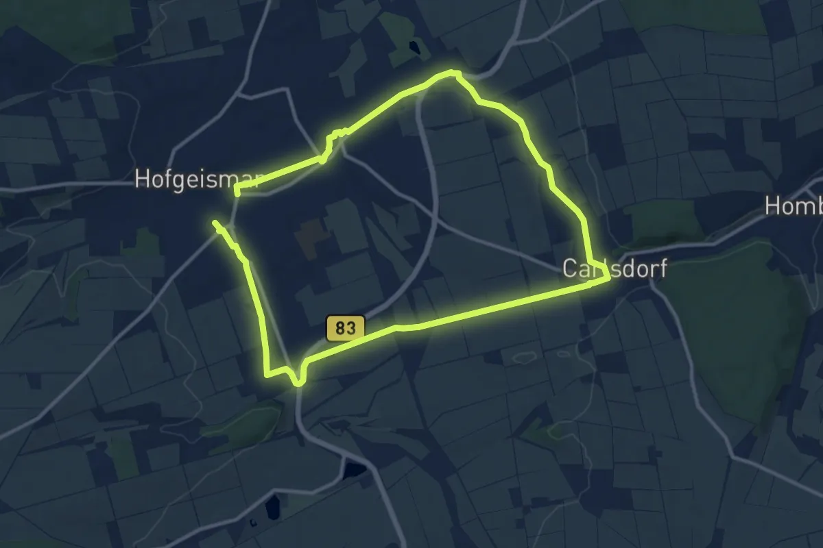
Medium · Trail
Hofgeismar - Carlsdorf
9.3 km · ↑ 39 m · 2 h 25 min
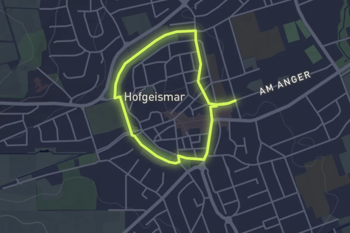
Easy · Trail
Hofgeismar, H1
2.5 km · ↑ 17 m · 40 min
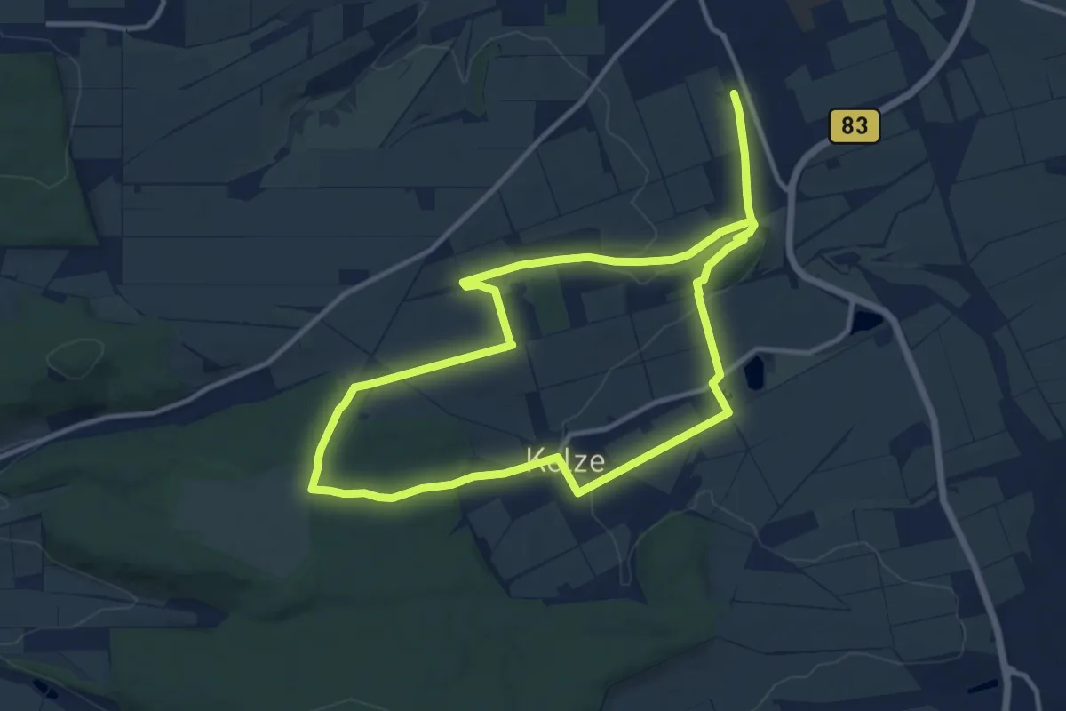
Medium · Trail
Hofgeismar - Kelze
10.1 km · ↑ 149 m · 2 h 50 min
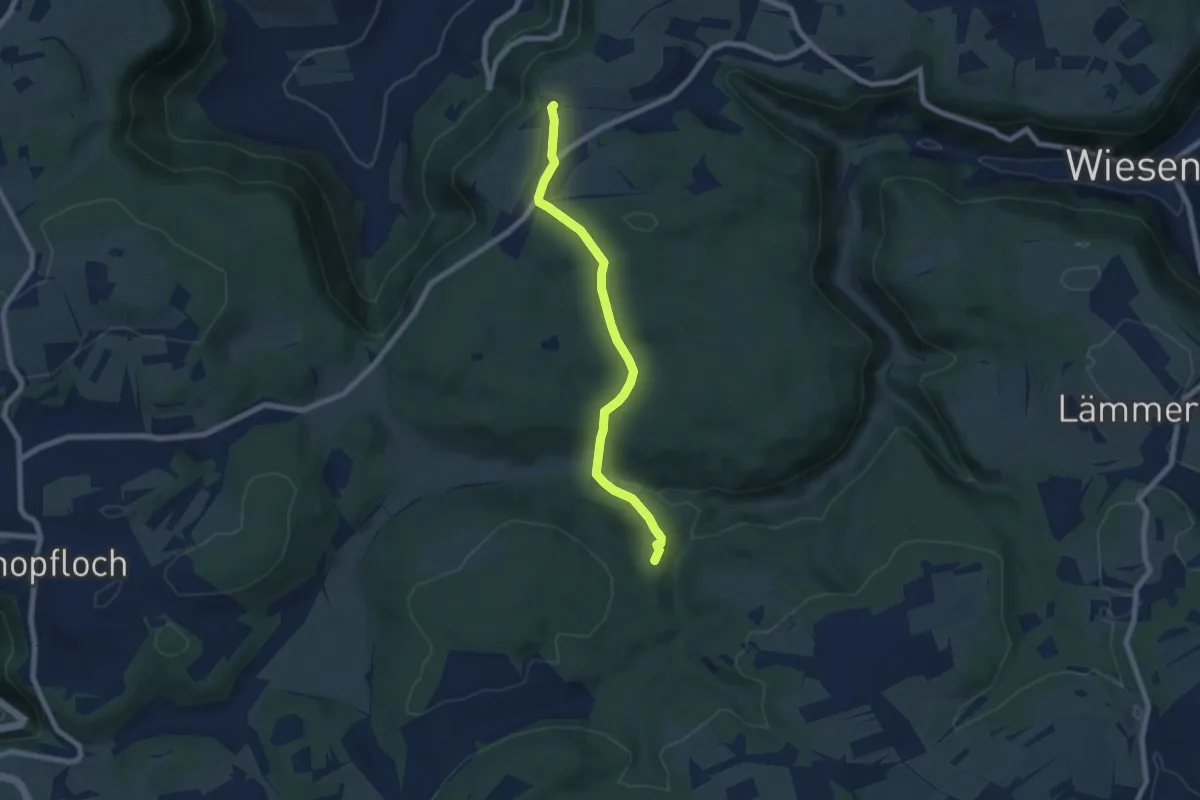
Easy · Trail
Hofgut Reußenstein HW1 - Steinernes Haus
6.6 km · ↑ 182 m · 1 h 57 min
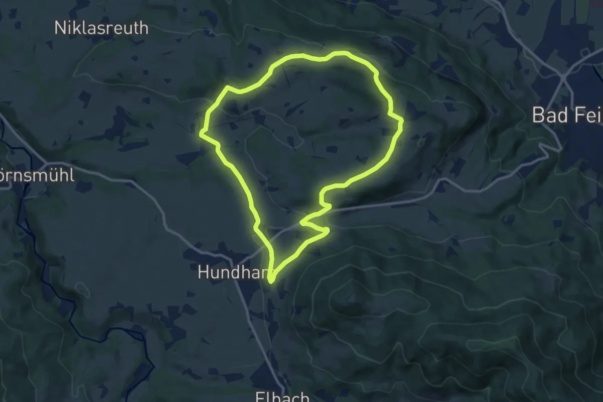
Medium · Trail
Hofkapellenwanderung
9.6 km · ↑ 204 m · 2 h 51 min
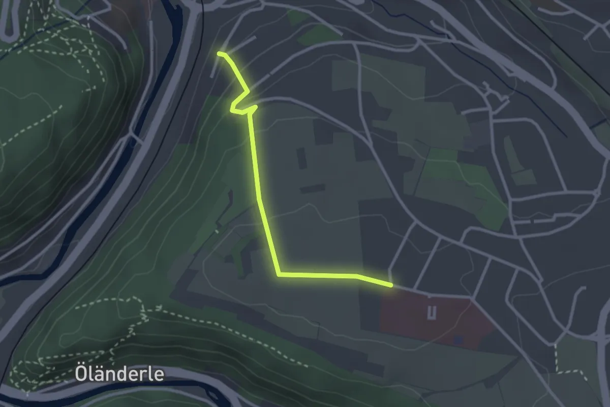
Easy · Trail
Höfle - Calw Uhlandshöhe
2.4 km · ↑ 98 m · 47 min
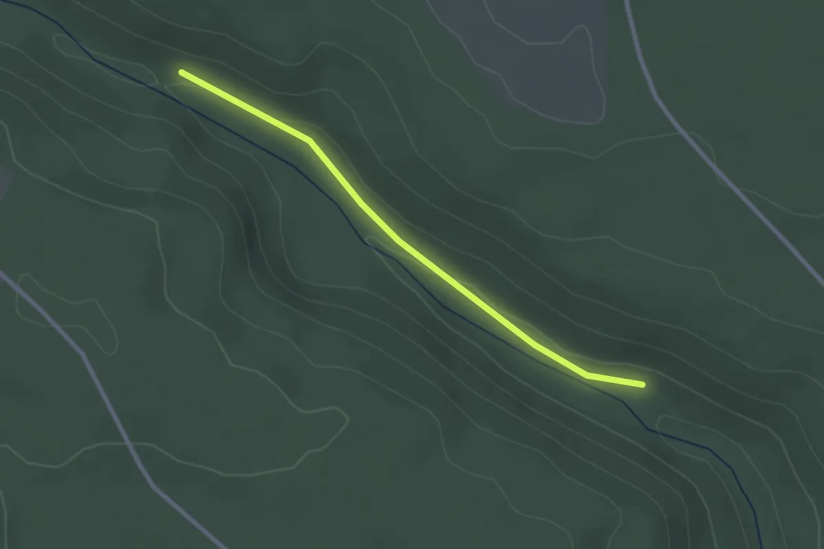
Easy · Trail
Hofmühle - Kaisersägmühle
2.3 km · ↑ 29 m · 37 min
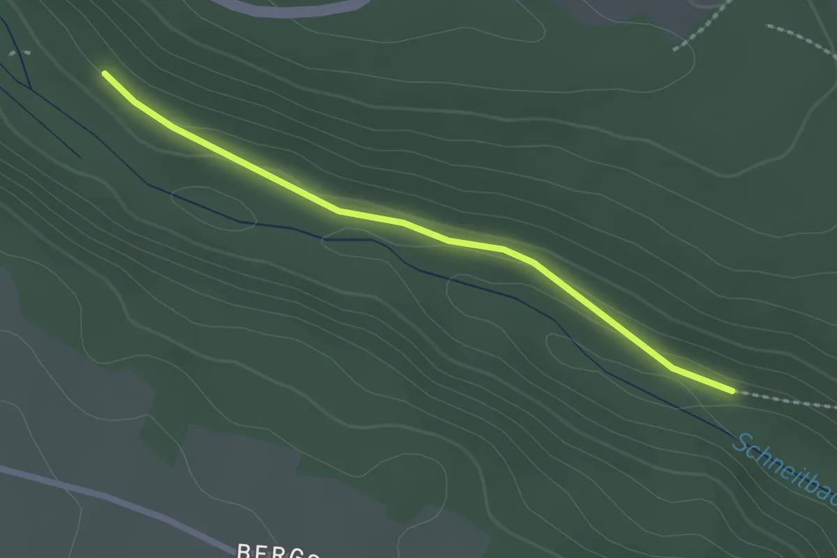
Easy · Trail
Hofmühle - Lenzenmühle
2.0 km · ↑ 61 m · 37 min
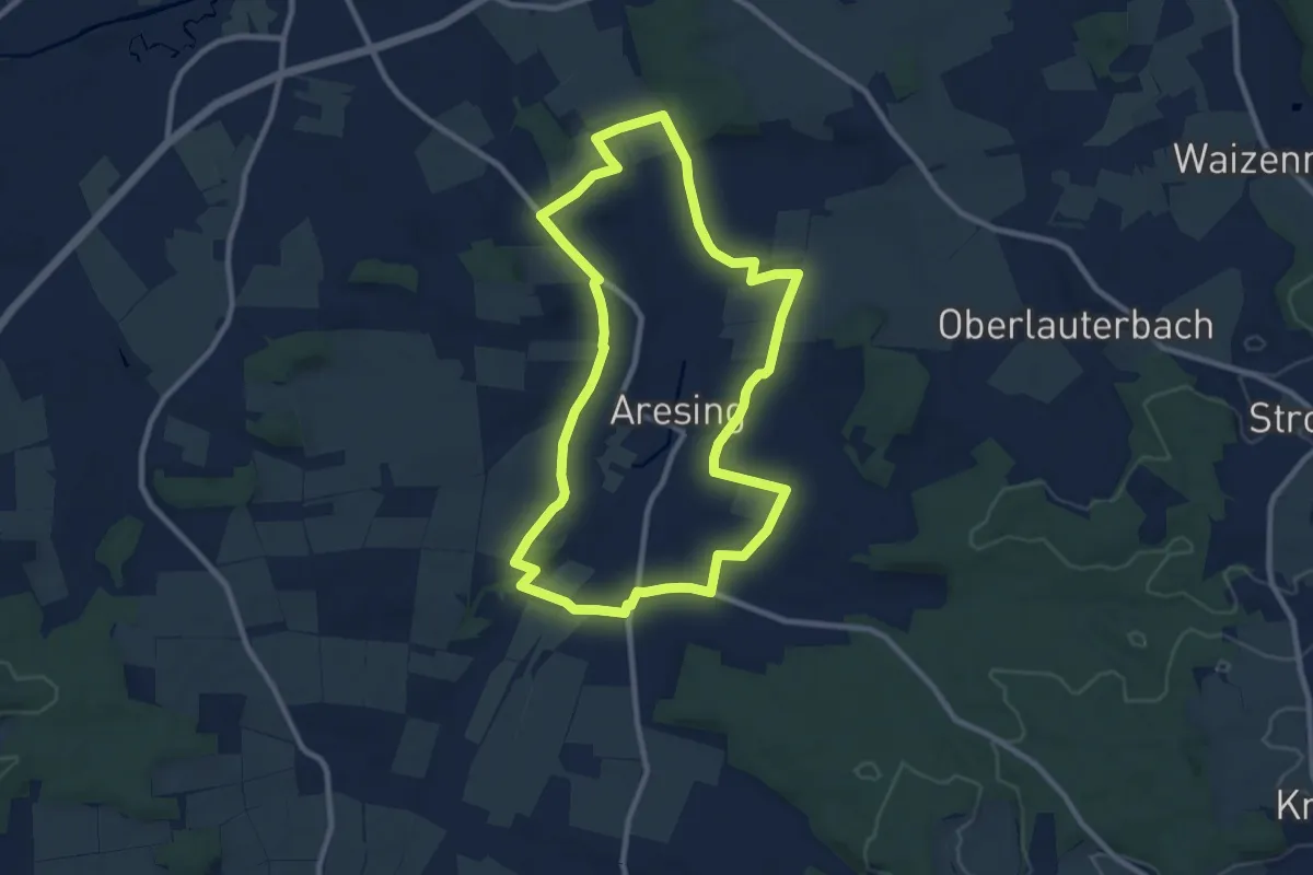
Medium · Trail
Hofner-Weg
9.0 km · ↑ 71 m · 2 h 24 min
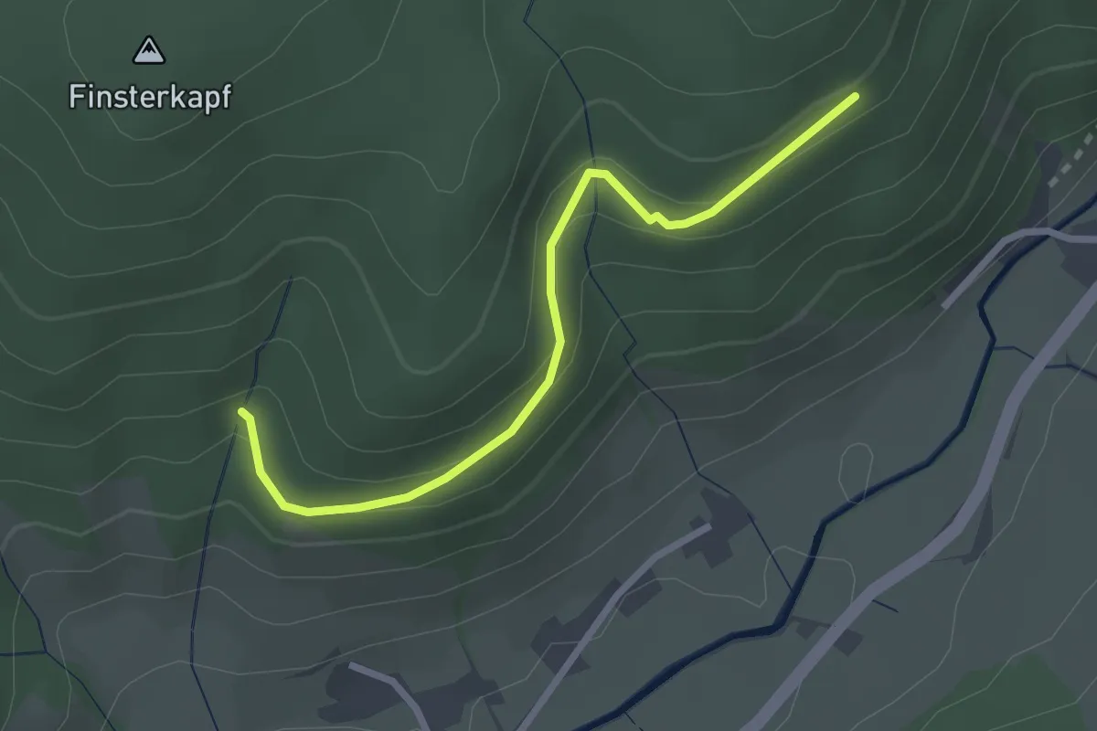
Easy · Trail
Höfninger Halde - Gottmattdobel
2.5 km · ↑ 152 m · 55 min
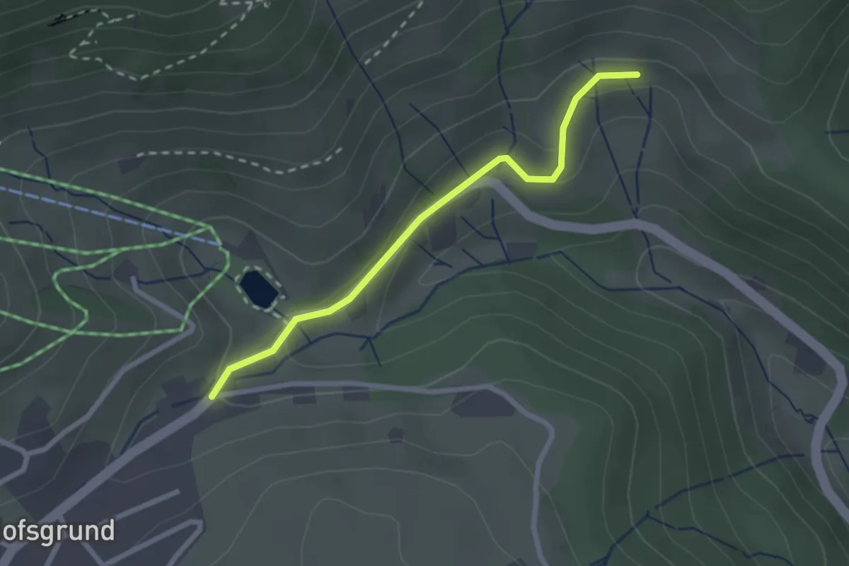
Easy · Trail
Hofsgrund Rain - Oberhalb Steinwasen
2.2 km · ↑ 81 m · 42 min
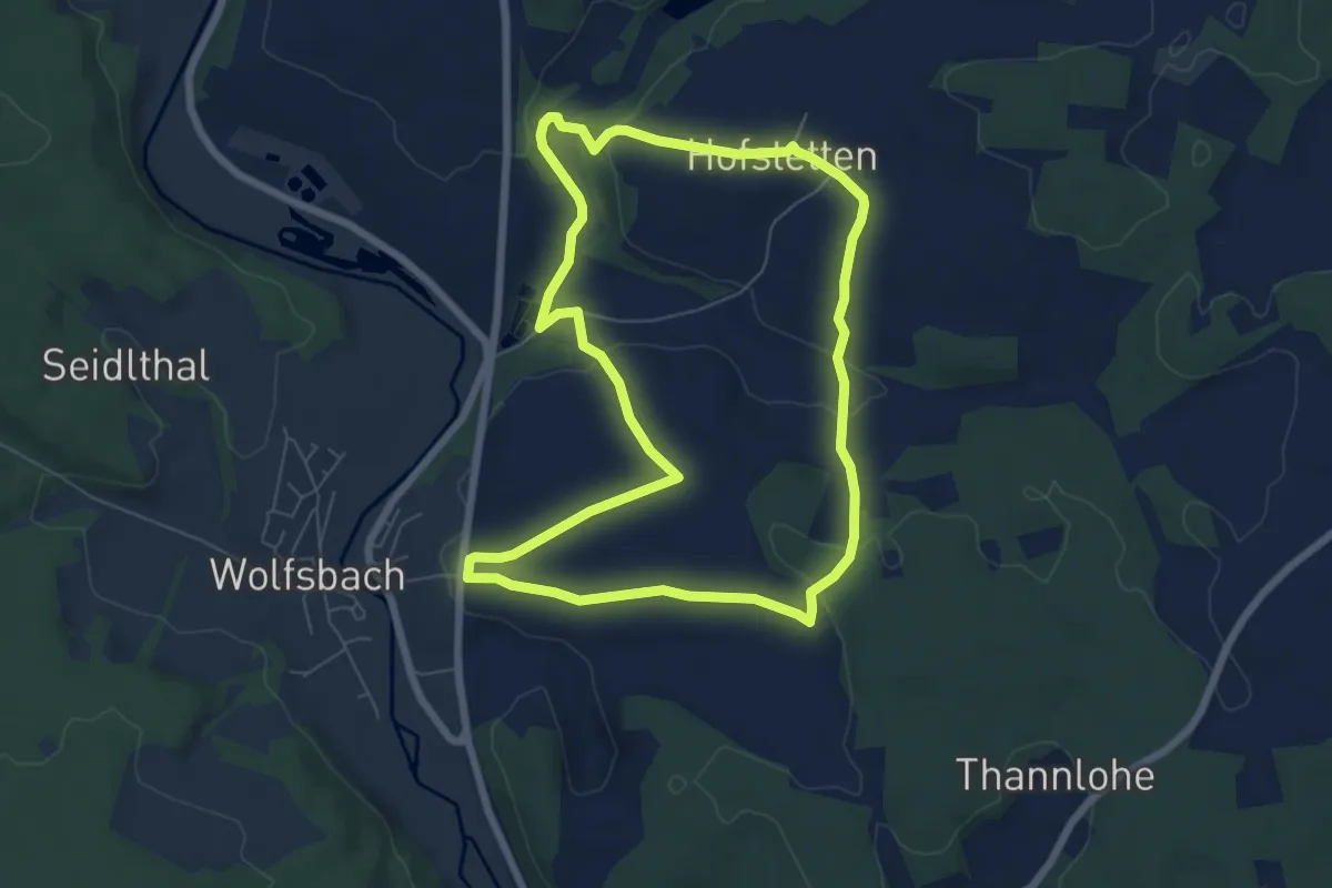
Easy · Trail
Hofstettener Runde
6.4 km · ↑ 133 m · 1 h 53 min
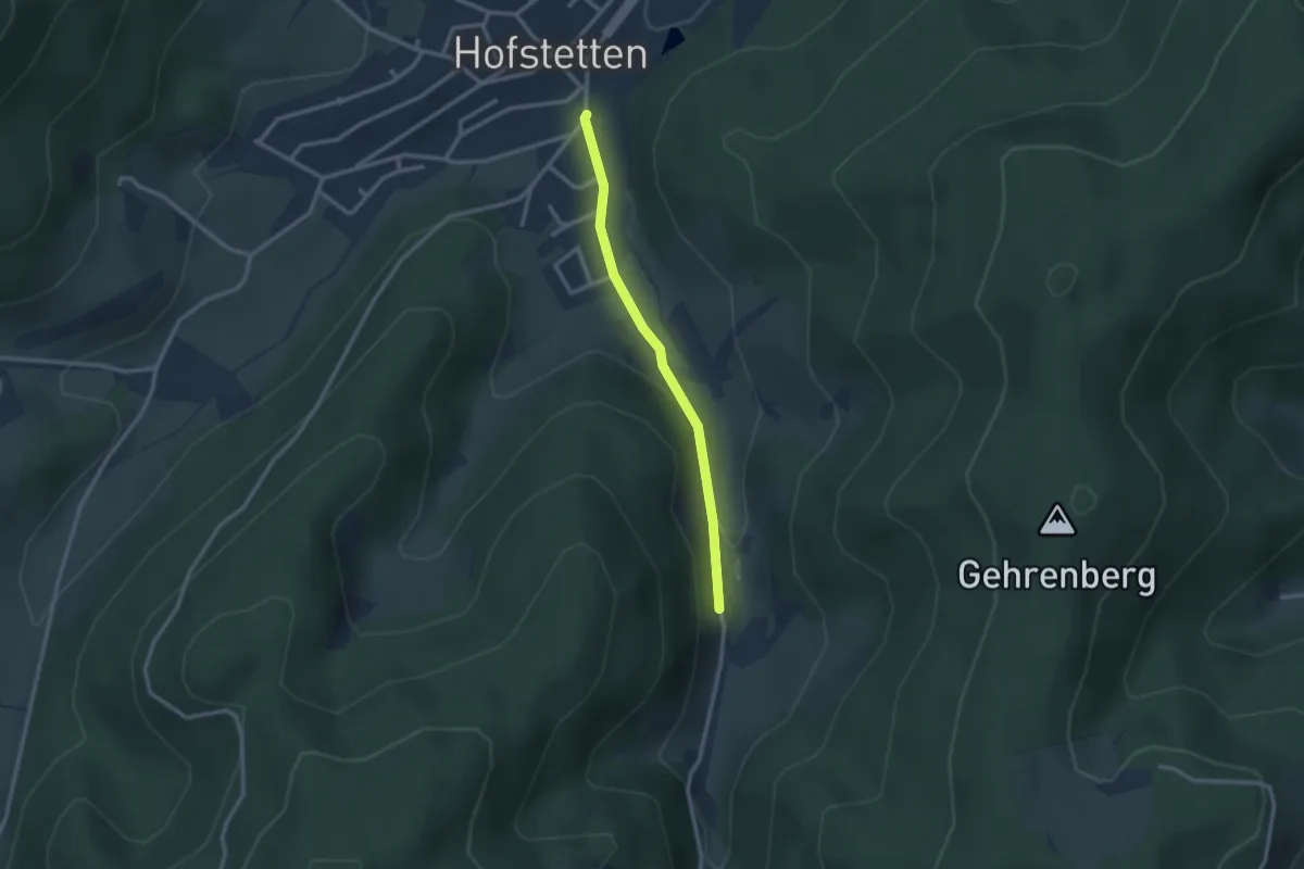
Easy · Trail
Hofstetten Kirche - Krämershof
2.3 km · ↑ 71 m · 42 min
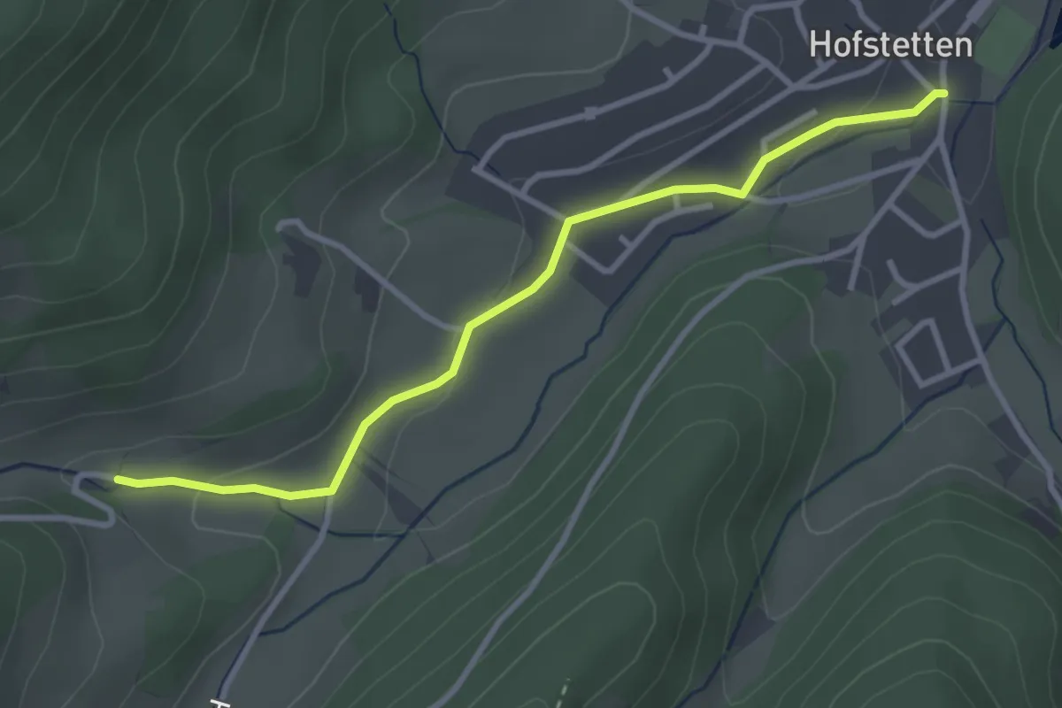
Easy · Trail
Hofstetten Rathaus - Unter den Hubhöfen
3.1 km · ↑ 74 m · 54 min
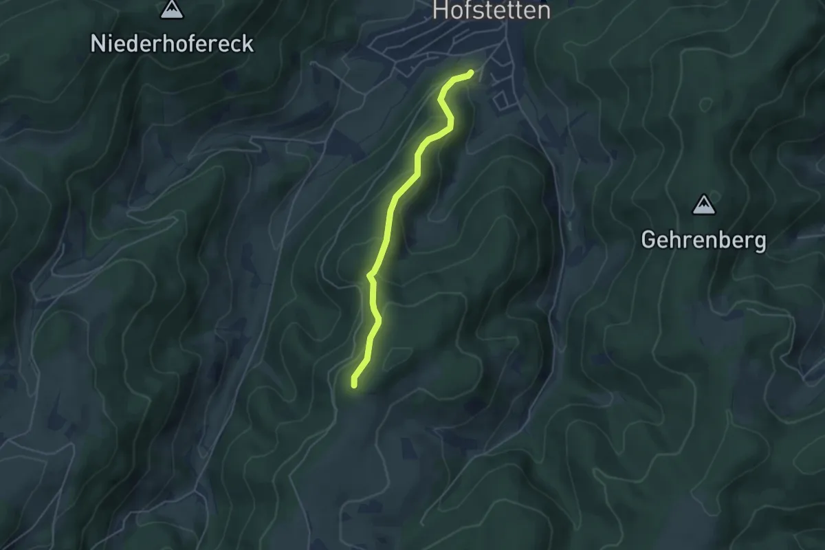
Medium · Trail
Hofstetten Winterhalde - Hermen
3.9 km · ↑ 249 m · 1 h 27 min
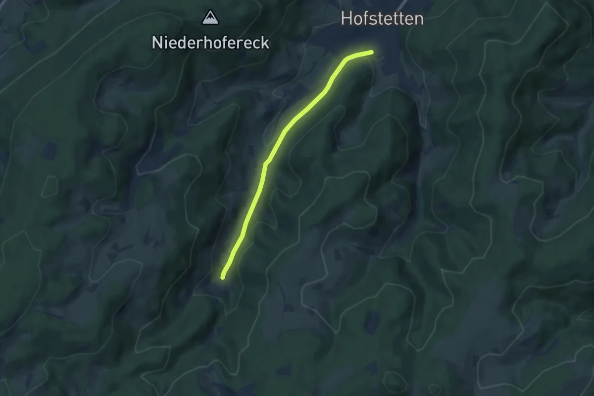
Easy · Trail
Hofstetten Winterhalde - Paulismühle
5.4 km · ↑ 177 m · 1 h 40 min
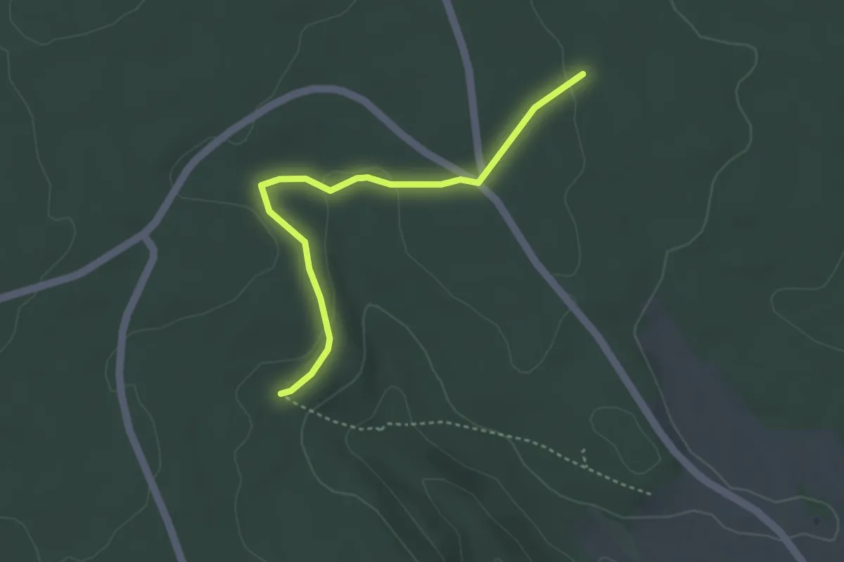
Easy · Trail
Hofstetter Kreuz - Fuchsberg
3.4 km · ↑ 51 m · 55 min