Trails in Germany
36,852 hiking trails, each with its route, climb, walking time and grade.
All trails, page 247 of 768
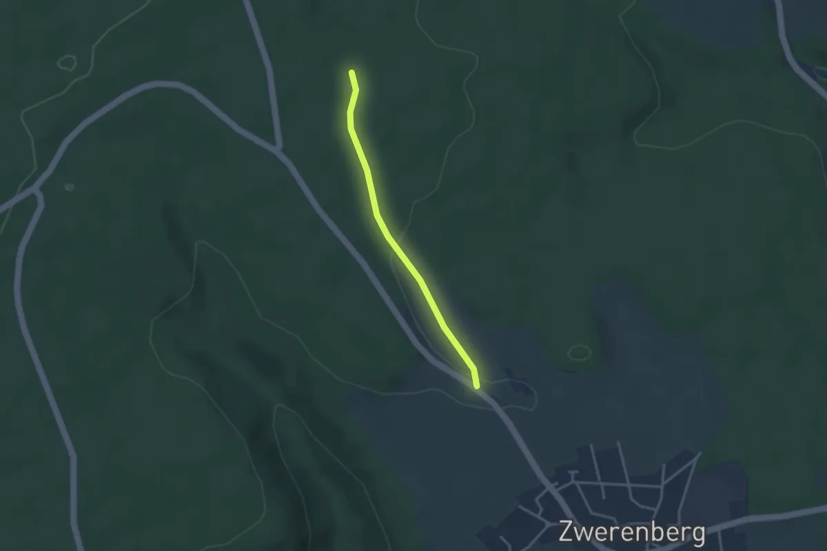
Easy · Trail
Hofstetter Kreuz - Petershöhe
2.6 km · ↑ 39 m · 42 min
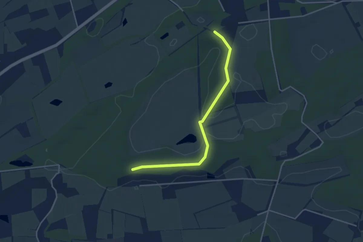
Easy · Trail
Hofweg
1.5 km · ↑ 5 m · 23 min
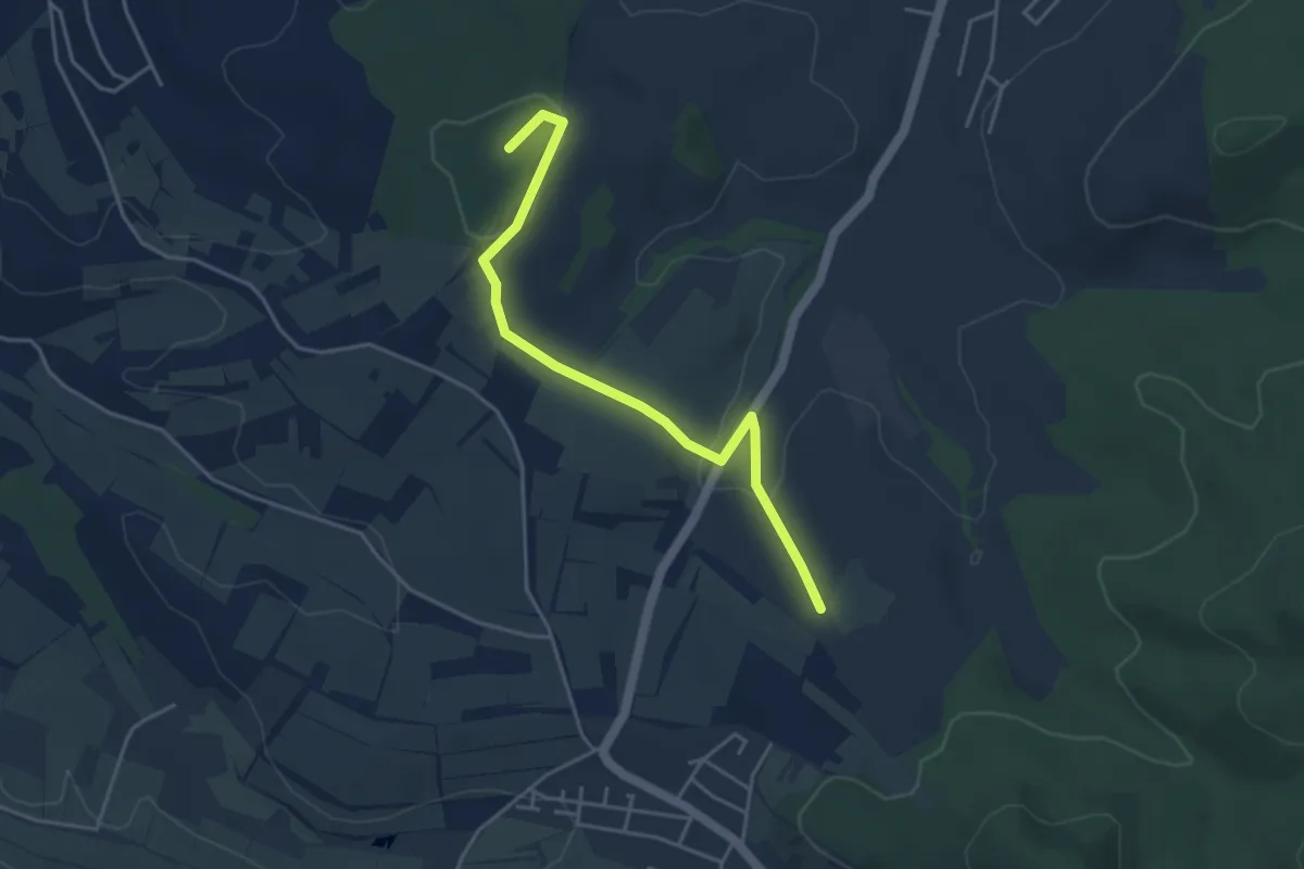
Easy · Summit
Hofweier Rathaus - Rüttihof
4.1 km · ↑ 113 m · 1 h 13 min
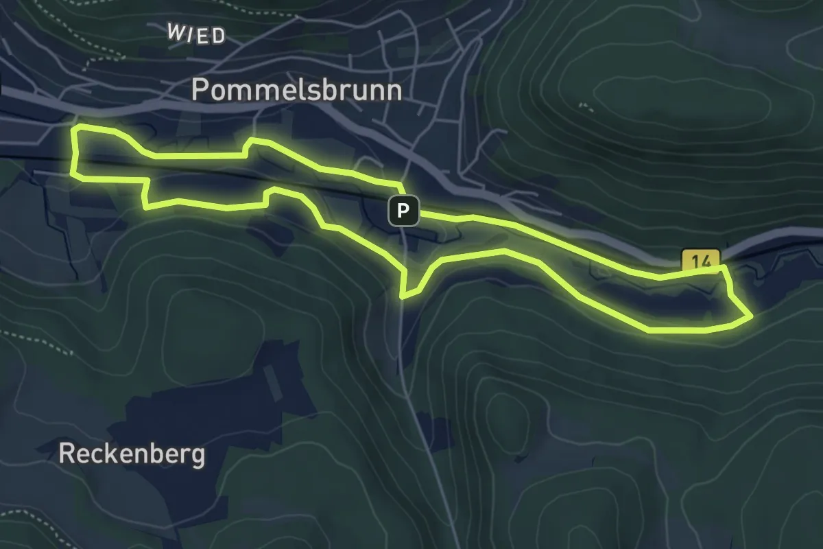
Easy · Trail
Högenbachtal-Rundweg
4.9 km · ↑ 55 m · 1 h 21 min
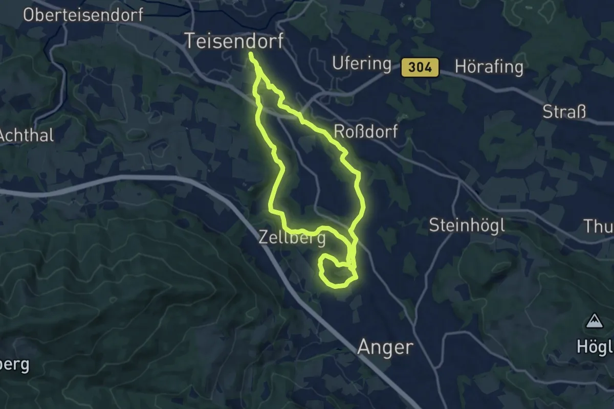
Medium · Trail
Höglwörther Weg Nr. 5
11.1 km · ↑ 182 m · 3 h 10 min
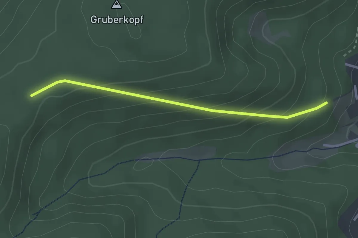
Easy · Trail
Hohacker - Wasenhütte
2.3 km · ↑ 166 m · 54 min
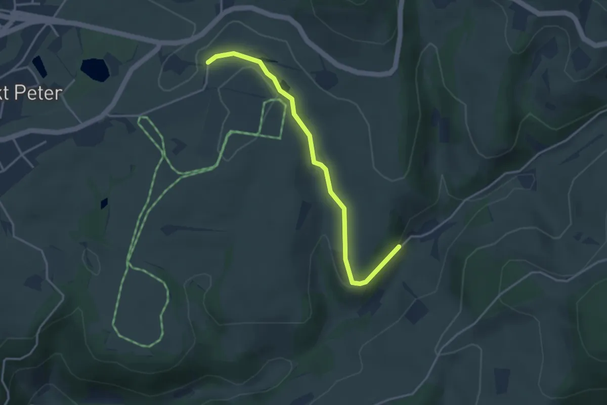
Easy · Trail
Hohackerweg - Hummelhof
3.2 km · ↑ 89 m · 57 min
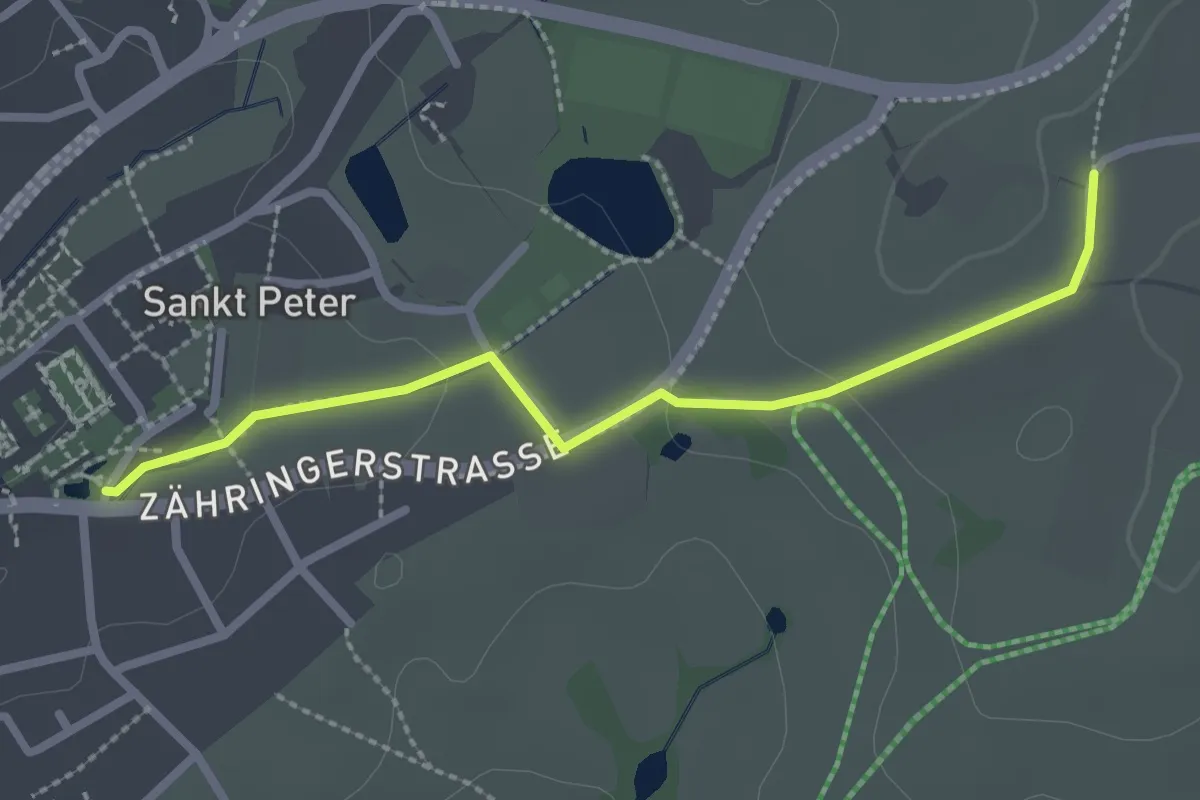
Easy · Trail
Hohackerweg - St. Peter / Zähringer Eck
2.5 km · ↑ 32 m · 39 min
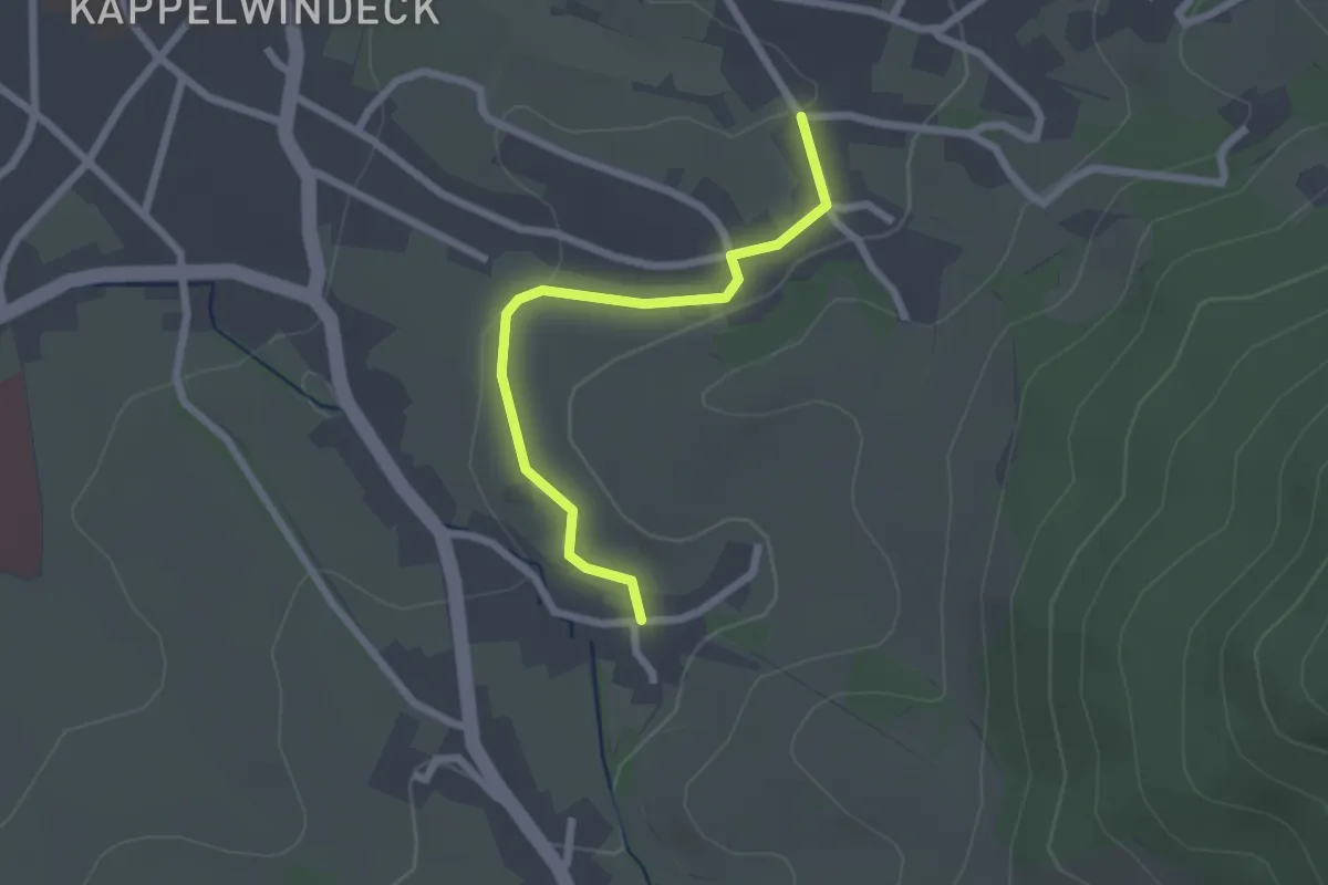
Easy · Trail
Hohbaum - Gucken
2.1 km · ↑ 34 m · 34 min
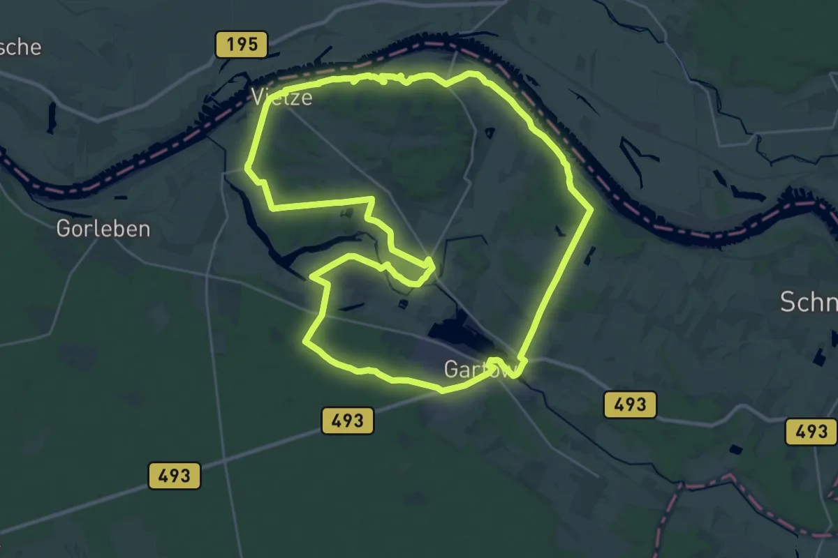
Demanding · Trail
Höhbeck-Elbholz-Weg
25.9 km · ↑ 152 m · 6 h 48 min
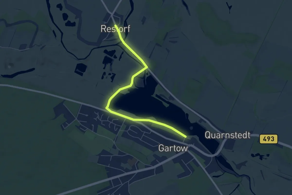
Easy · Trail
Höhbeck-Elbholz-Weg Abkürzung
6.0 km · ↑ 4 m · 1 h 25 min
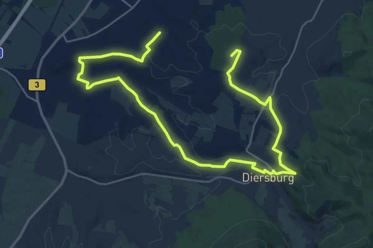
Demanding · Summit
Hohberger Kirchturmwanderweg
19.2 km · ↑ 332 m · 5 h 15 min
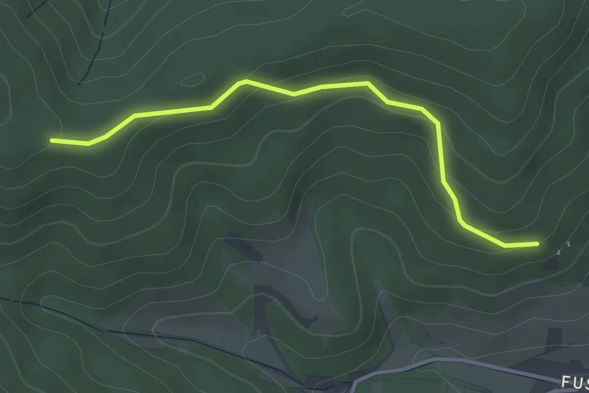
Easy · Trail
Hohberg - Holdereck
2.9 km · ↑ 131 m · 59 min
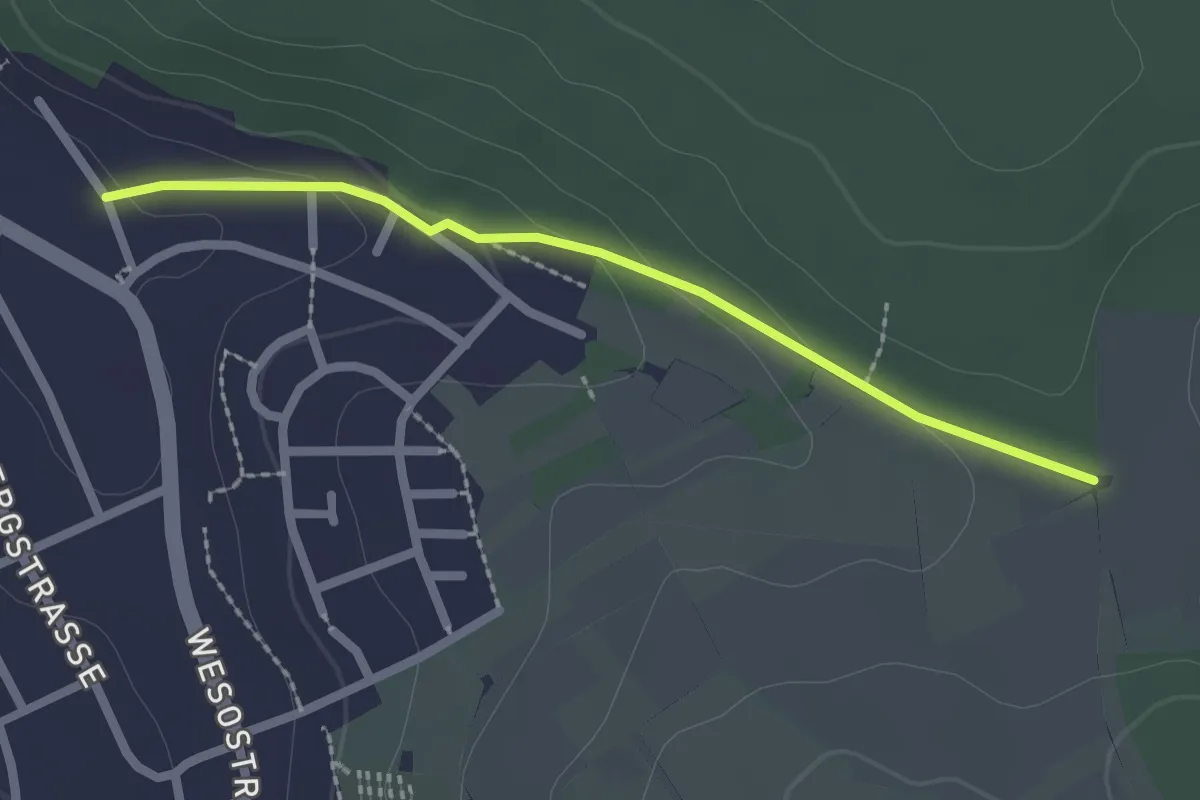
Easy · Trail
Hohberg Kreuz - Wössinger Kreuz
2.0 km · ↑ 53 m · 35 min
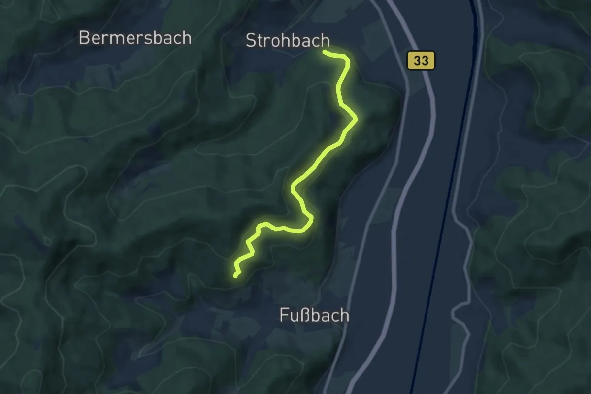
Medium · Trail
Hohberg - Strohbachwald
6.5 km · ↑ 322 m · 2 h 14 min
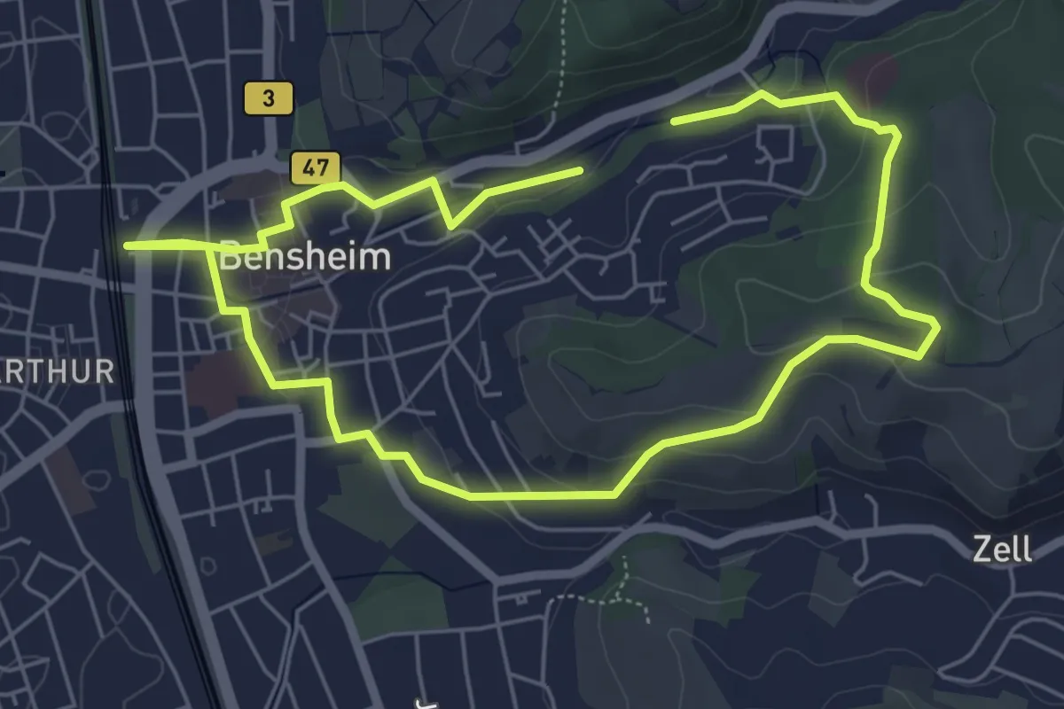
Easy · Trail
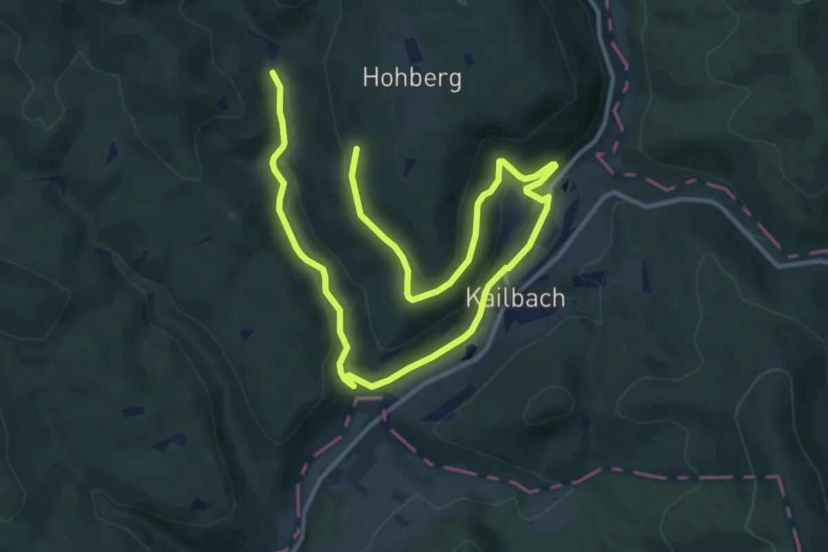
Hohberg-Weg
4.7 km · ↑ 113 m · 1 h 25 min
Easy · Trail
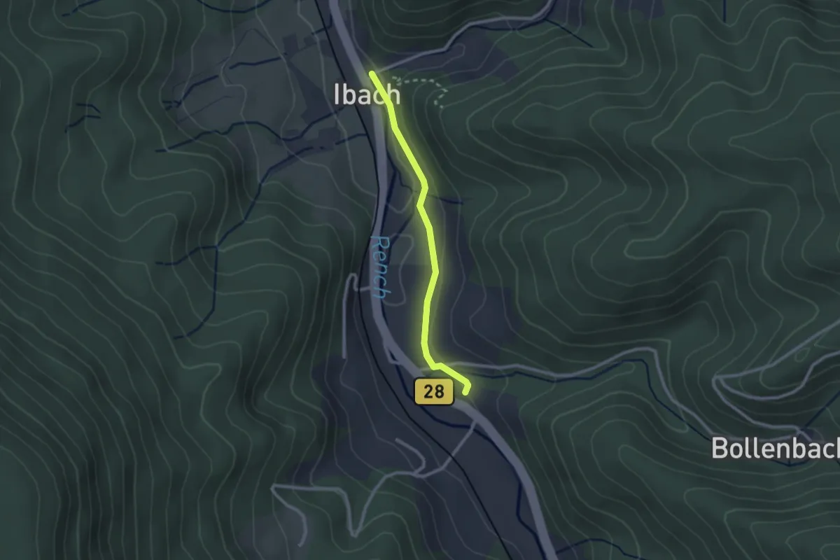
Hohberg-Weg
7.0 km · ↑ 254 m · 2 h 15 min
Easy · Trail
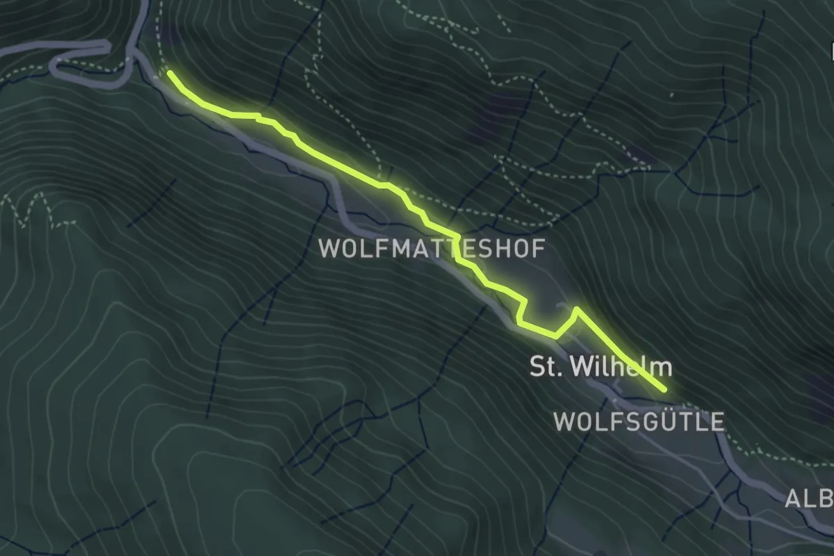
Hohbruck - Ibach Jägerhaus
2.1 km · ↑ 40 m · 34 min
Easy · Trail
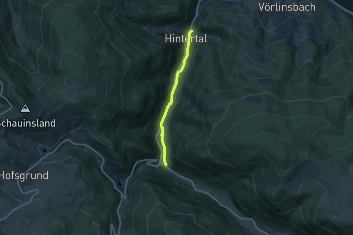
Hohbruckmättle - St. Wilhelm Schulhaus
3.9 km · ↑ 129 m · 1 h 12 min
Medium · Trail
Hohbruckmättle - Zipfeldobel
5.4 km · ↑ 171 m · 1 h 38 min
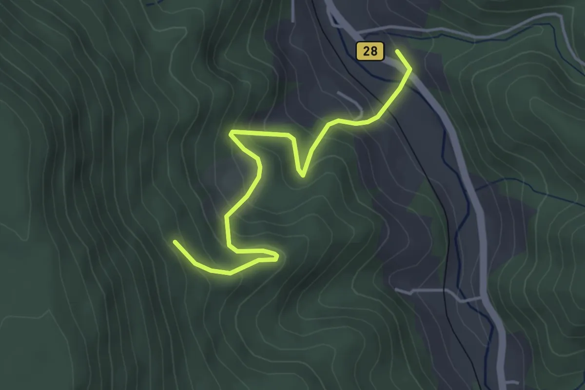
Medium · Trail
Hohbruck - Wildmättlebrunnen
4.0 km · ↑ 364 m · 1 h 43 min
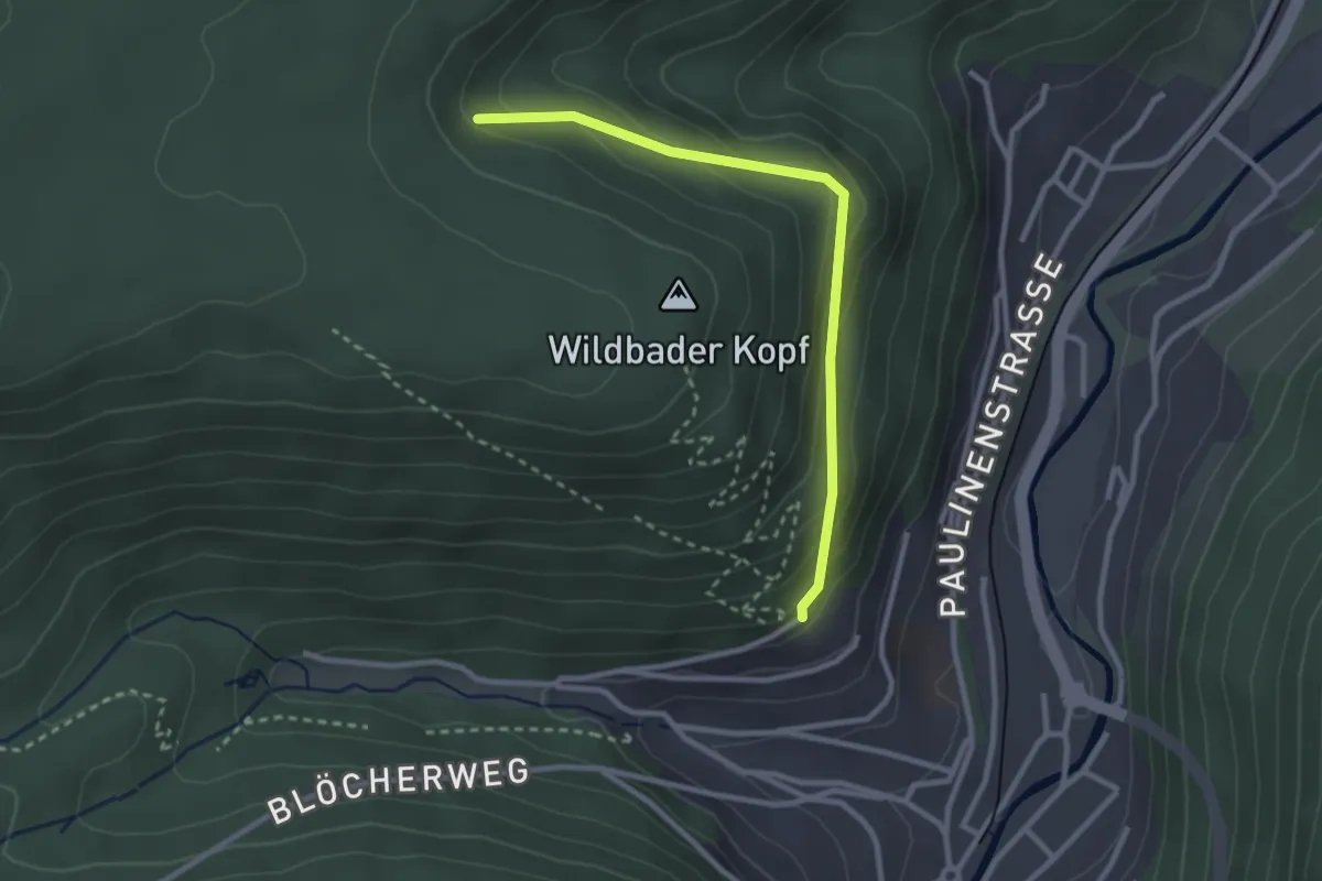
Easy · Trail
Hohe Dohle - Paulinenhöhe
2.6 km · ↑ 168 m · 59 min
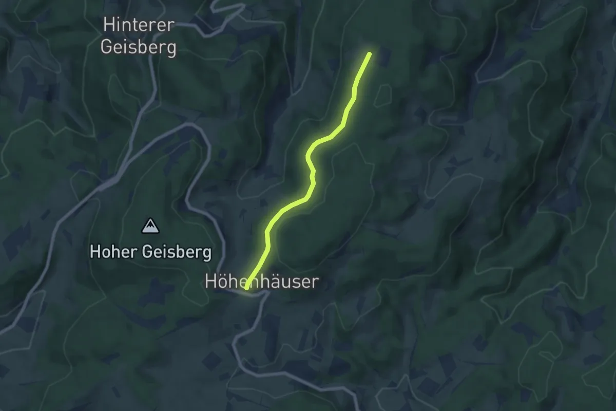
Easy · Trail
Höhehäuser - Hesseneck
5.1 km · ↑ 86 m · 1 h 24 min
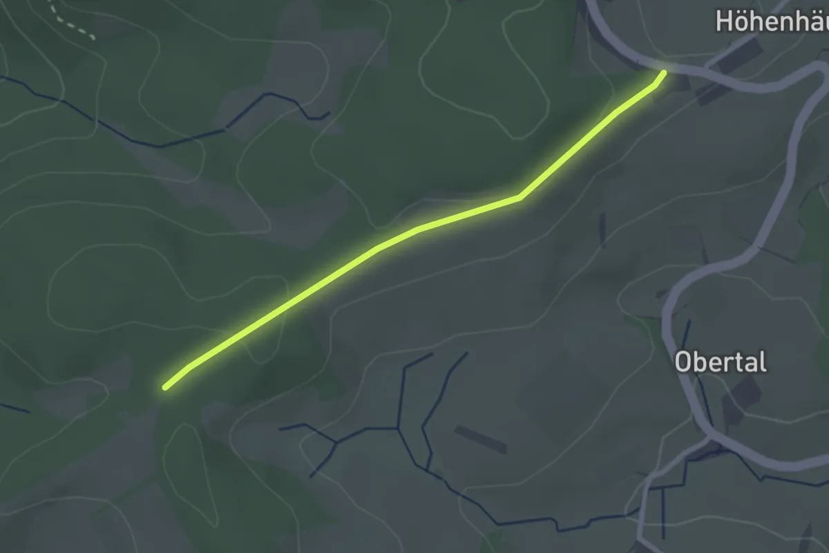
Easy · Trail
Höhehäuser - Schwabenkreuz
2.3 km · ↑ 43 m · 38 min
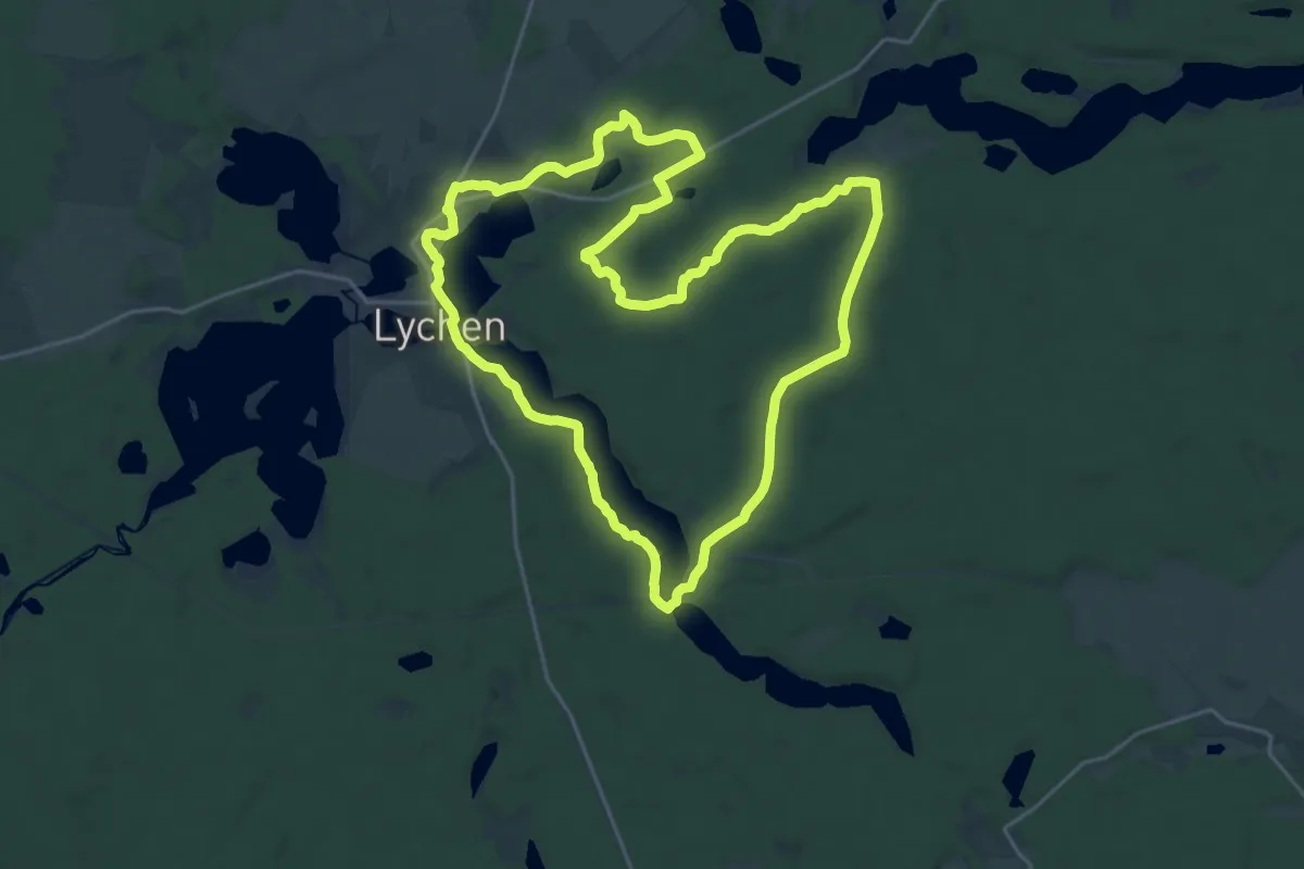
Demanding · Trail
Hohe-Heide-Rundweg
19.9 km · ↑ 151 m · 5 h 19 min
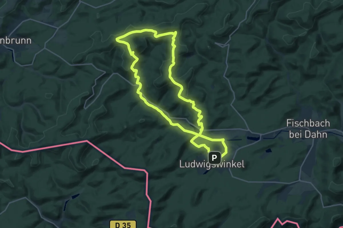
Medium · Summit
Hohe List-Tour
16.9 km · ↑ 448 m · 5 h 11 min
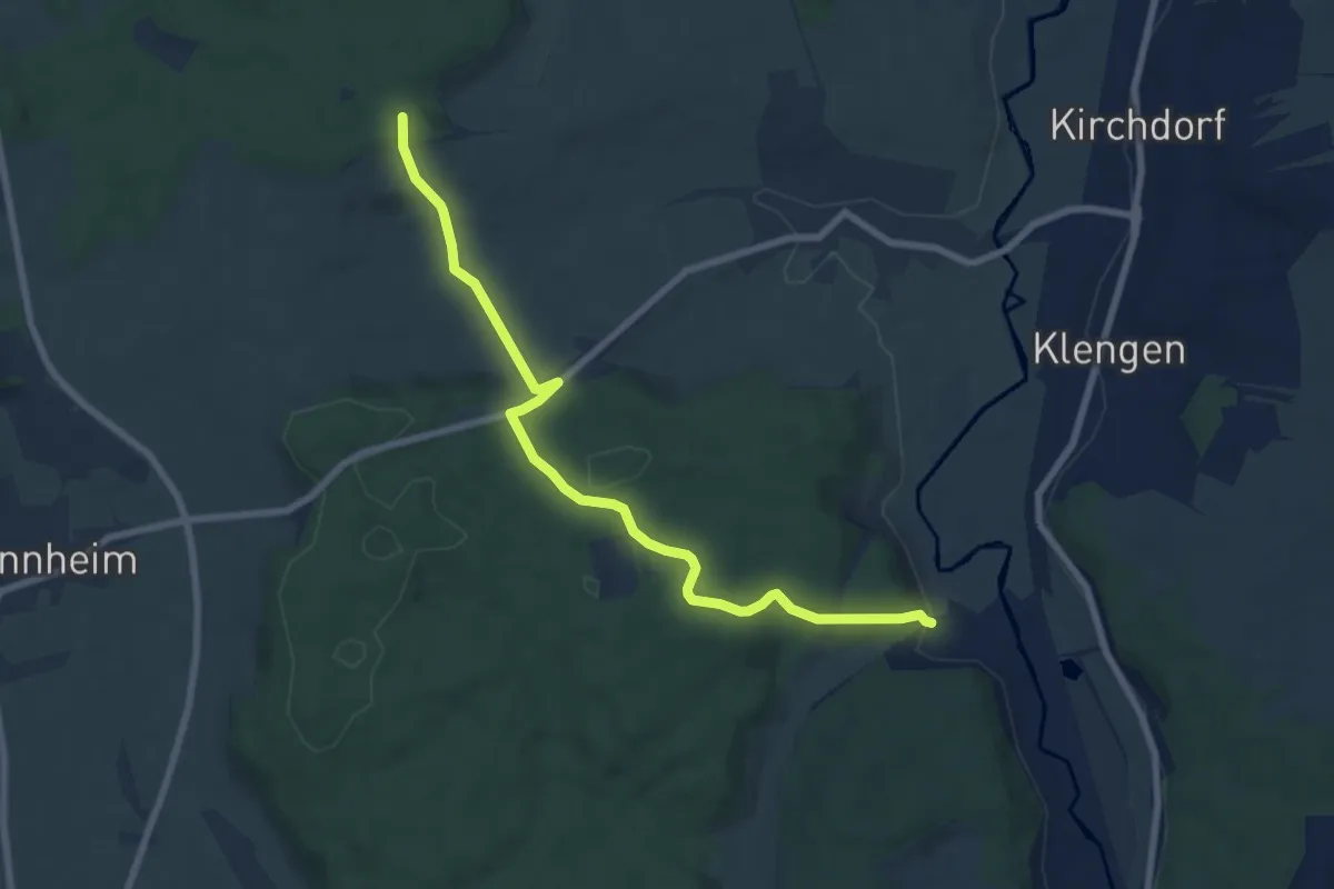
Easy · Trail
Hohe Mark - Haselbuck
7.7 km · ↑ 227 m · 2 h 19 min
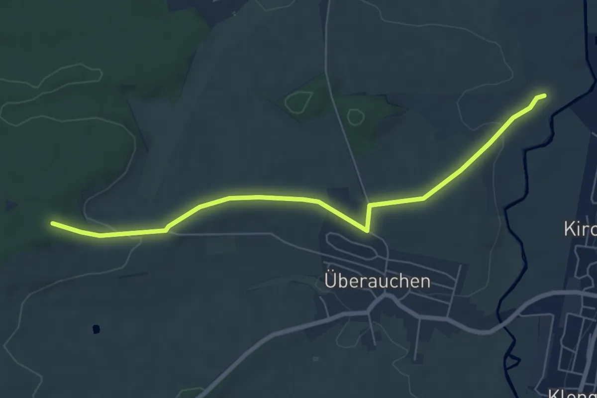
Easy · Trail
Hohe Mark - Holenbach
6.2 km · ↑ 82 m · 1 h 39 min
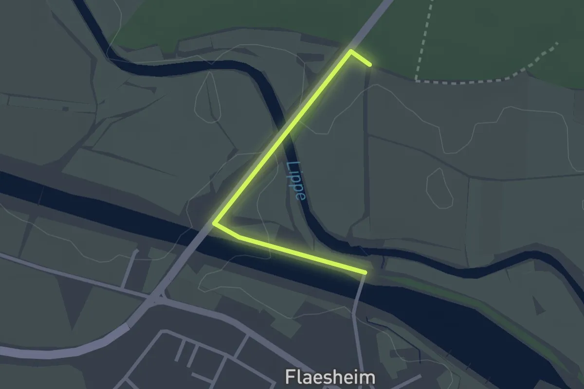
Easy · Trail
Hohe Mark Steig Zugangsweg
2.0 km · ↑ 9 m · 30 min
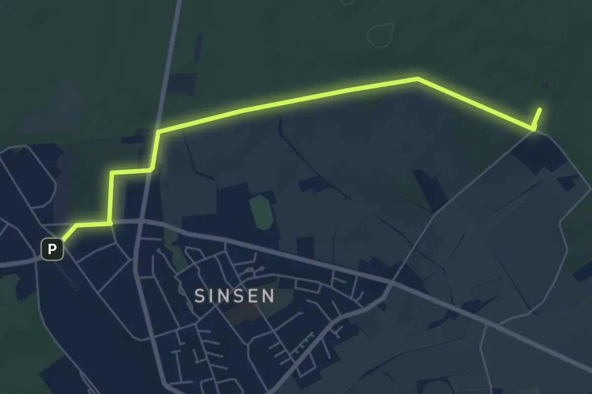
Easy · Trail
Hohe Mark Steig Zugangsweg Marl-Sinsen
5.7 km · ↑ 39 m · 1 h 25 min
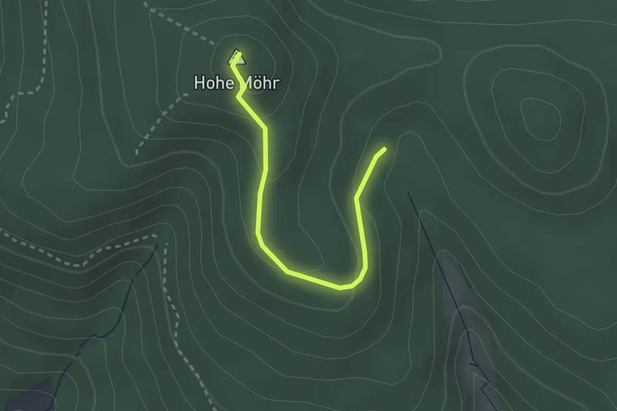
Easy · Summit
Hohe Möhr - Kastendycktanne
2.4 km · ↑ 117 m · 49 min
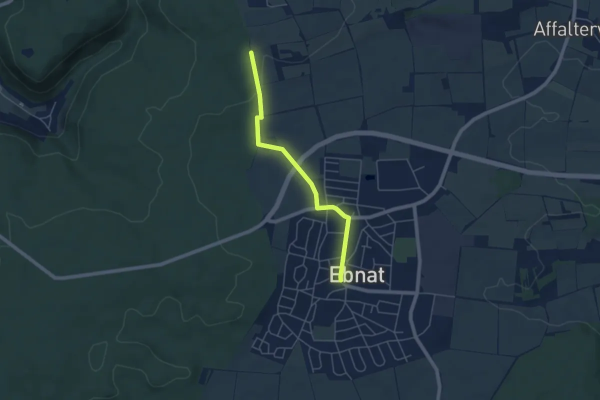
Easy · Trail
Hohenberg - Ebnat
4.1 km · ↑ 45 m · 1 h 4 min
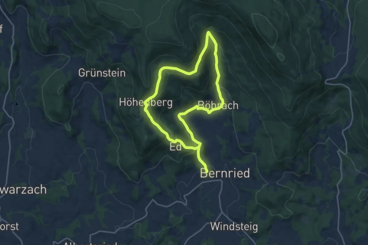
Medium · Trail
Höhenberger Weg
10.3 km · ↑ 435 m · 3 h 32 min
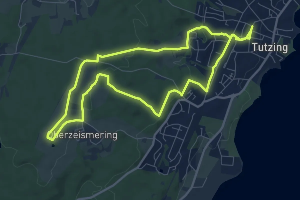
Medium · Trail
Höhenbergrunde mit Ilkahöhe
8.5 km · ↑ 178 m · 2 h 31 min
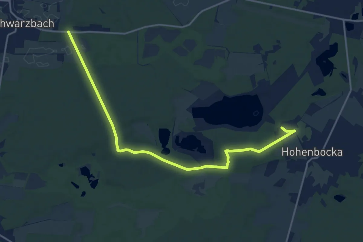
Medium · Trail
Hohenbocka - Schwarzbach
11.4 km · ↑ 104 m · 2 h 56 min
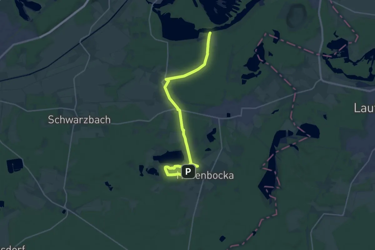
Demanding · Trail
Hohenbocka - Senftenberger See
18.4 km · ↑ 78 m · 4 h 31 min
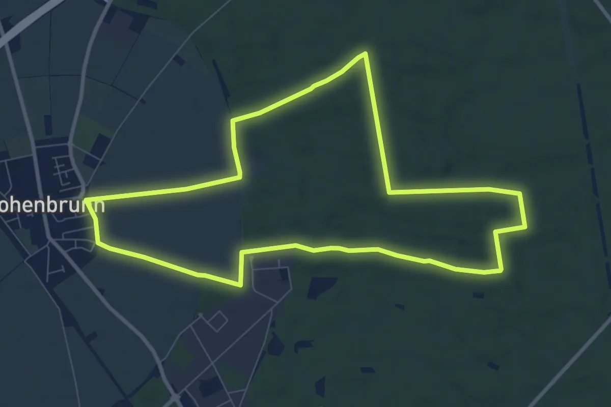
Medium · Trail
Hohenbrunner Rundwanderweg Blau
8.1 km · ↑ 27 m · 2 h 5 min
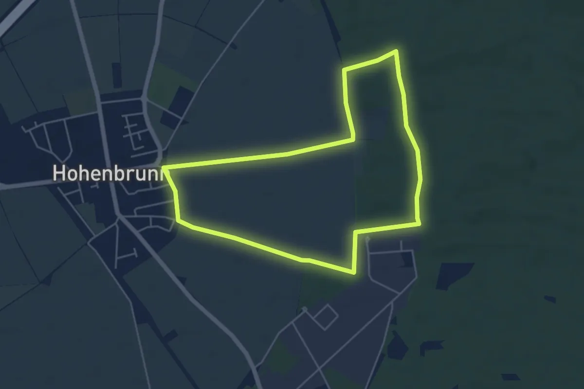
Easy · Trail
Hohenbrunner Rundwanderweg Rot
4.5 km · ↑ 13 m · 1 h 9 min
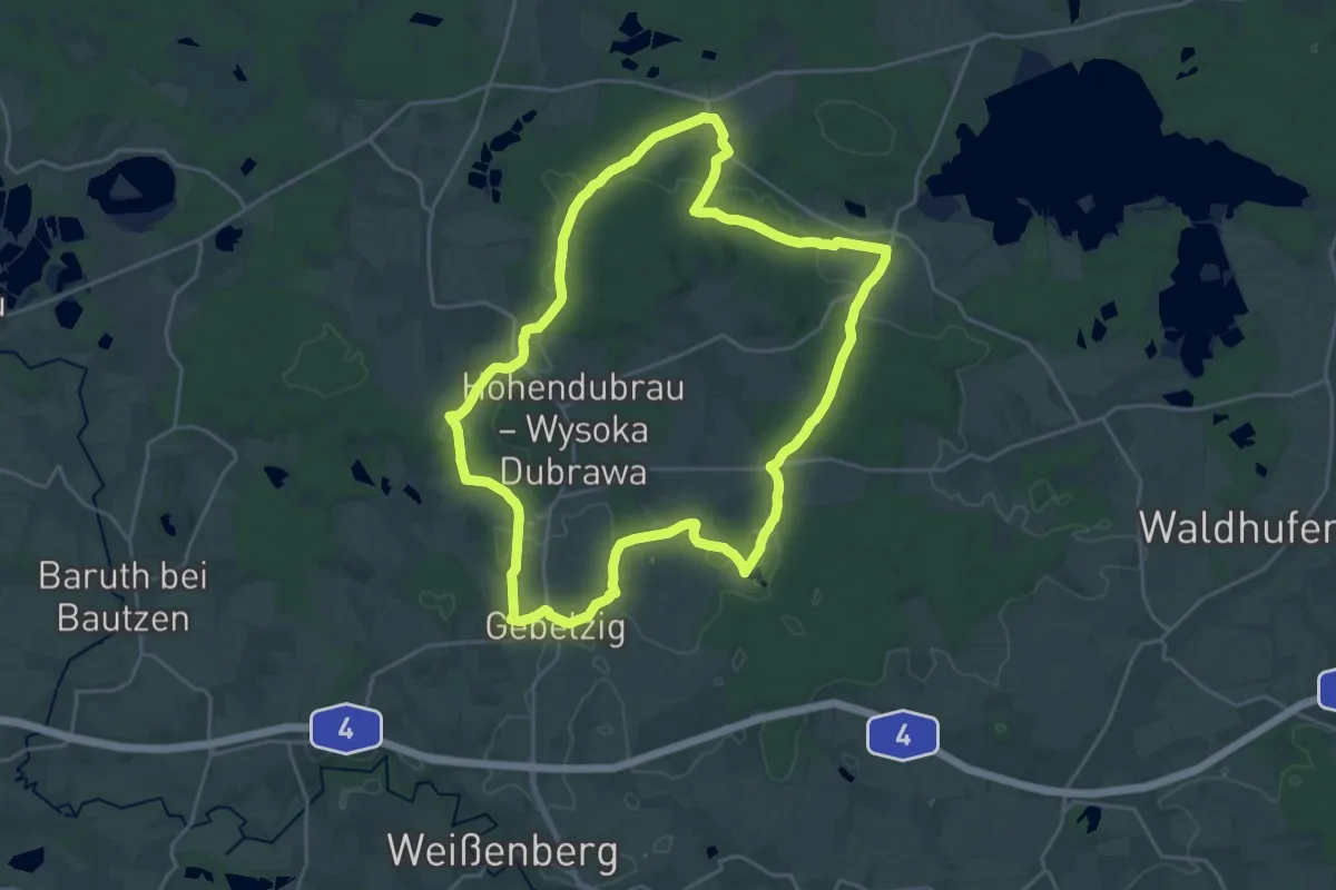
Demanding · Summit
Hohendubrau Rundweg (grüner Strich)
21.4 km · ↑ 219 m · 5 h 49 min
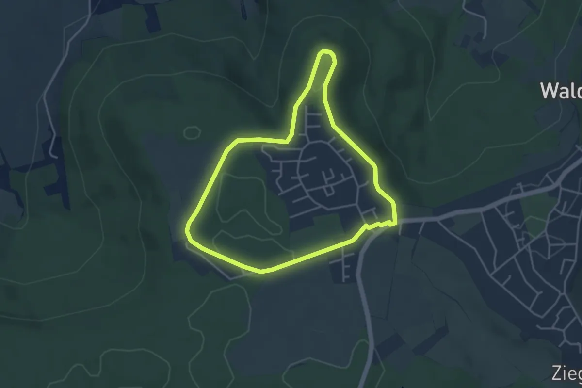
Easy · Trail
HöhenErlebnisPark Theresienberg
3.3 km · ↑ 23 m · 53 min
Easy · Trail
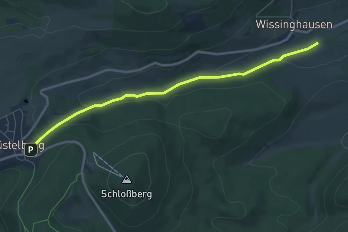
Höhenflug Verbindungsweg Küstelberg - Oberschledorn
5.6 km · ↑ 141 m · 1 h 38 min
Medium · Summit
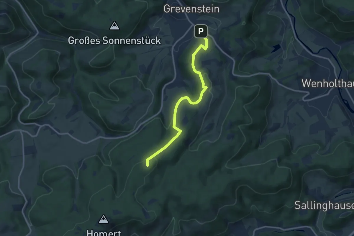
Höhenflug - Zugang Grevenstein
8.4 km · ↑ 246 m · 2 h 31 min
Medium · Trail
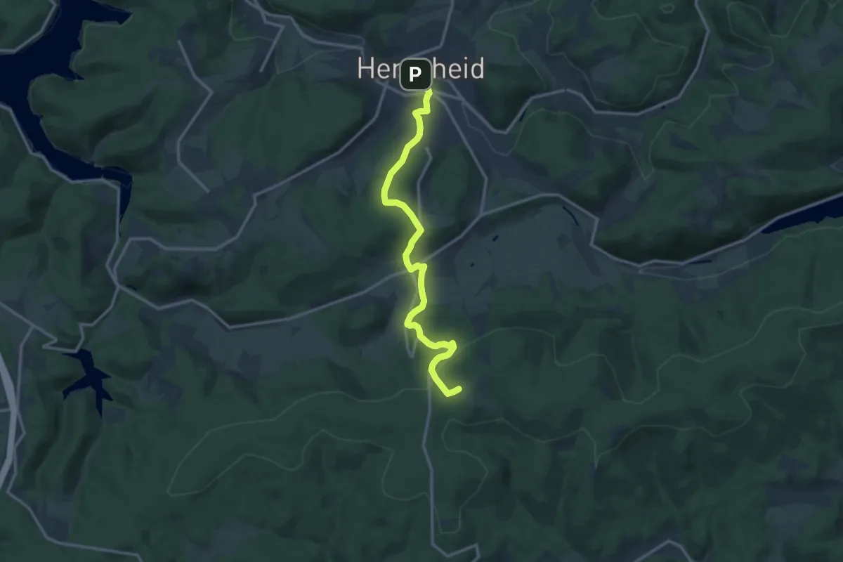
Höhenflug Zugang Herscheid
11.0 km · ↑ 423 m · 3 h 31 min
Easy · Trail
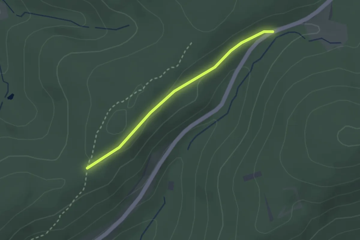
Höhenflug Zugang Rimberg
2.0 km · ↑ 18 m · 31 min
Easy · Trail
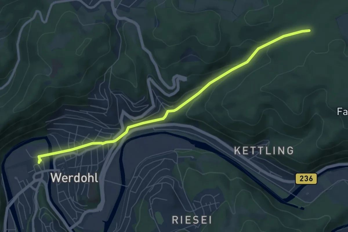
Höhenflug Zugang Werdohl Bf - Hexentanzplatz
7.2 km · ↑ 209 m · 2 h 9 min
Medium · Summit
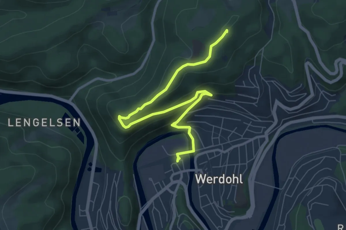
Höhenflug Zugang Werdohl Bf - Neuenrade Wilhelmshöhe
7.4 km · ↑ 322 m · 2 h 27 min
Easy · Summit
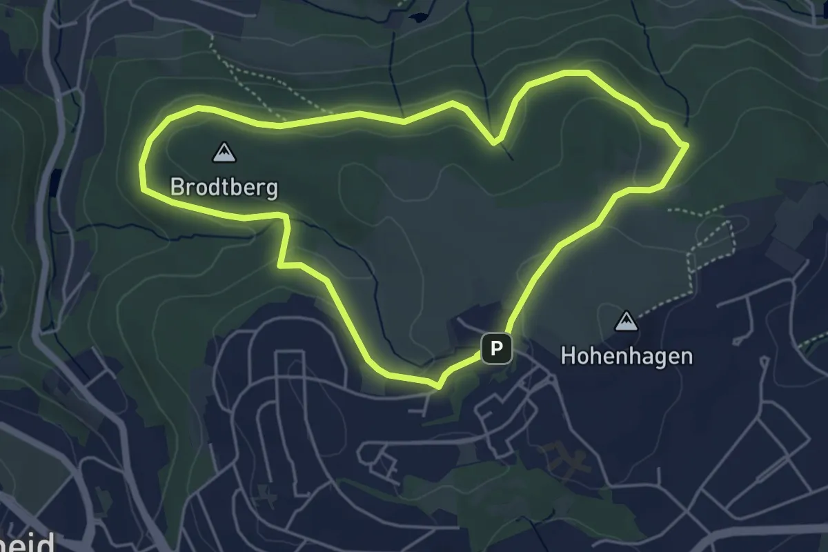
Hohenhagen Rundweg A1
4.4 km · ↑ 72 m · 1 h 15 min
Easy · Trail
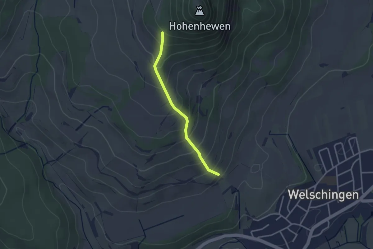
Hohenhewen Bartellen - Lindenstüble
2.2 km · ↑ 179 m · 54 min