Trails in Germany
36,852 hiking trails, each with its route, climb, walking time and grade.
All trails, page 248 of 768
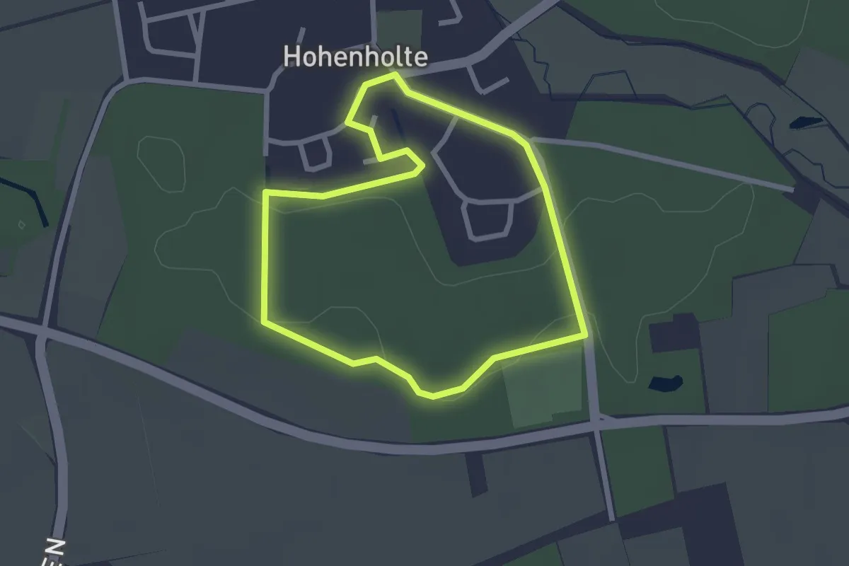
Easy · Trail
Hohenholte Rundweg H1
1.9 km · ↑ 14 m · 31 min
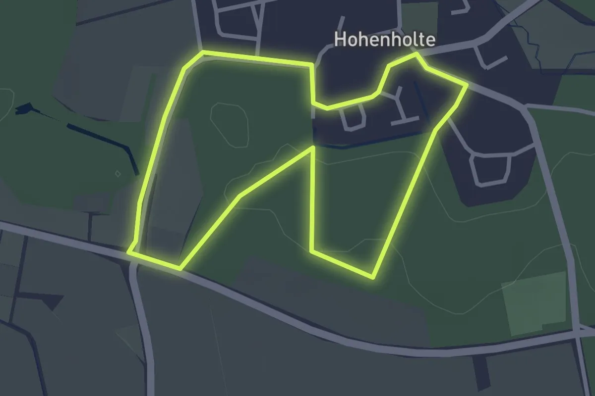
Easy · Trail
Hohenholte Rundweg H2
2.4 km · ↑ 13 m · 38 min
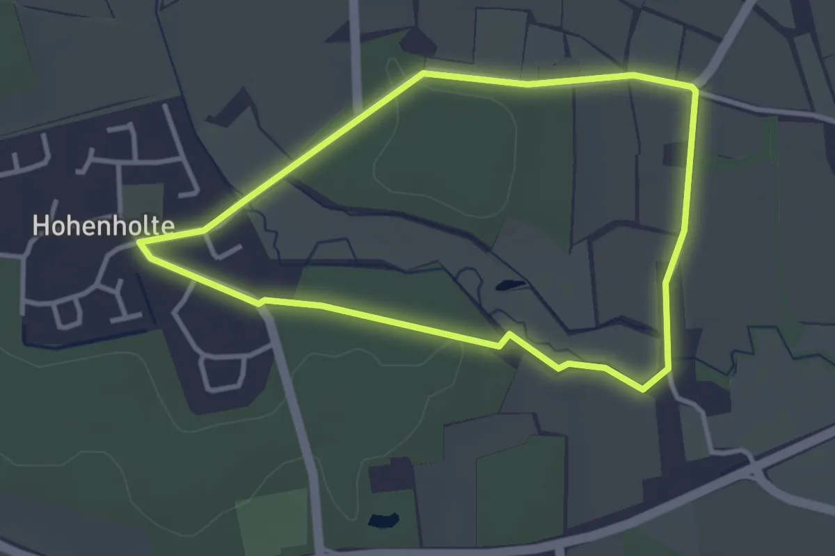
Easy · Trail
Hohenholte Rundweg H3
2.7 km · ↑ 19 m · 42 min
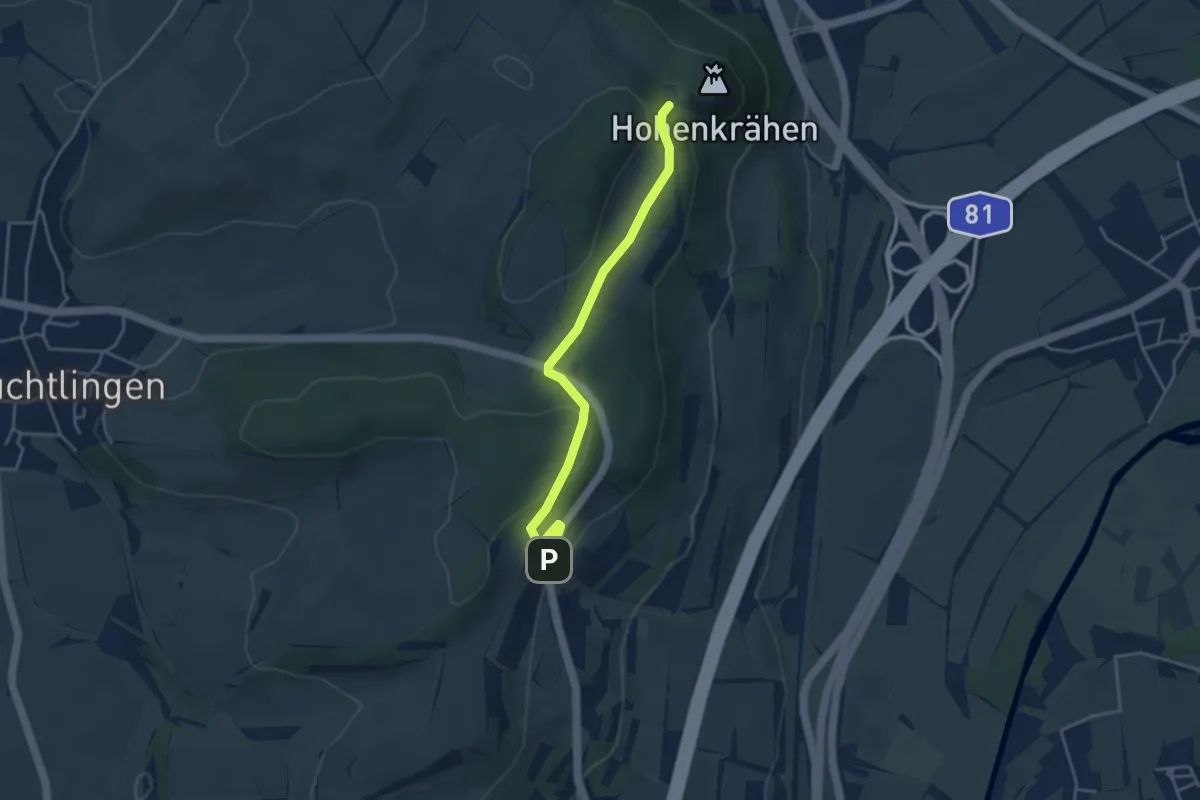
Easy · Trail
Hohenkrähen - Hegauhaus
3.7 km · ↑ 79 m · 1 h 3 min
Demanding · Trail
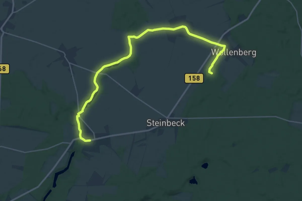
Höhenlandwanderweg
19.6 km · ↑ 93 m · 4 h 50 min
Demanding · Trail
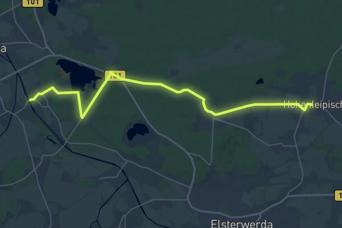
Hohen Leipisch nach Zeischa
23.8 km · ↑ 113 m · 5 h 51 min
Demanding · Trail
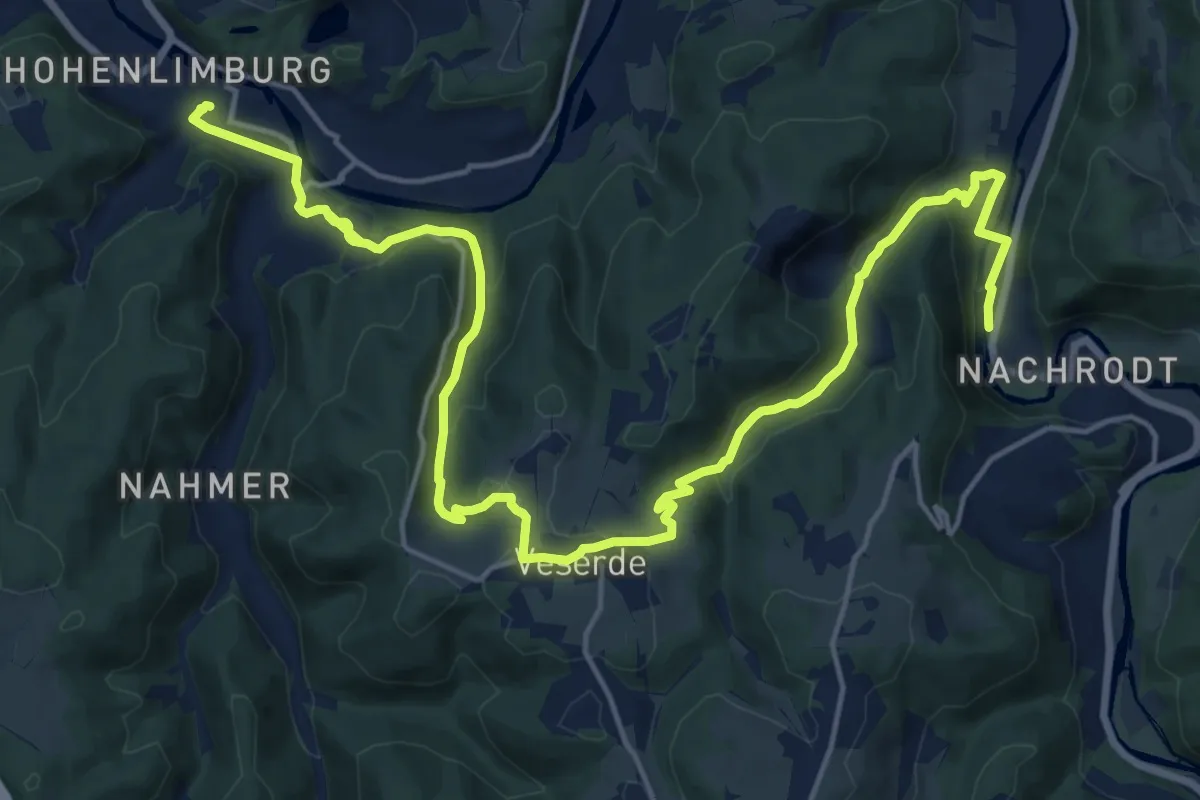
Hohenlimburg Bf - Veserde - Nachrodt
21.7 km · ↑ 738 m · 6 h 44 min
Medium · Summit
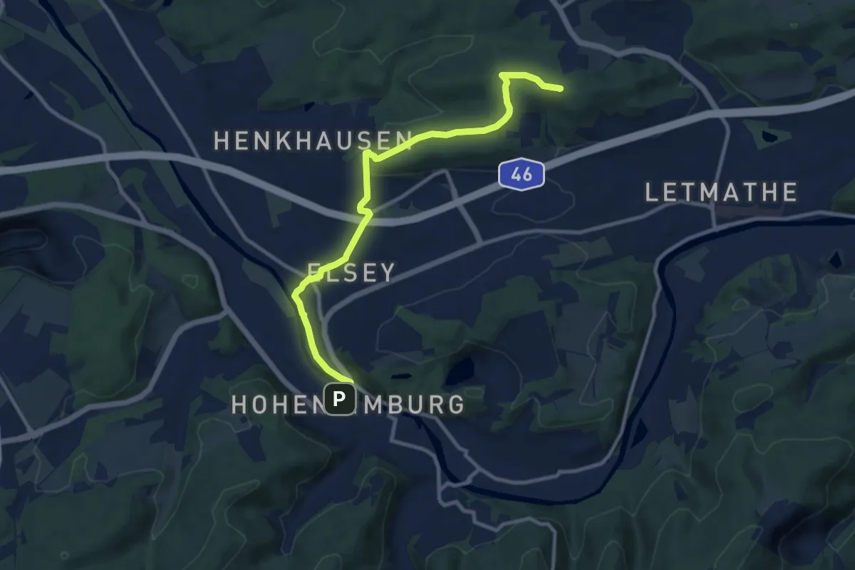
Hohenlimburg Rathaus - Letmathe Humpfertturm
9.5 km · ↑ 185 m · 2 h 39 min
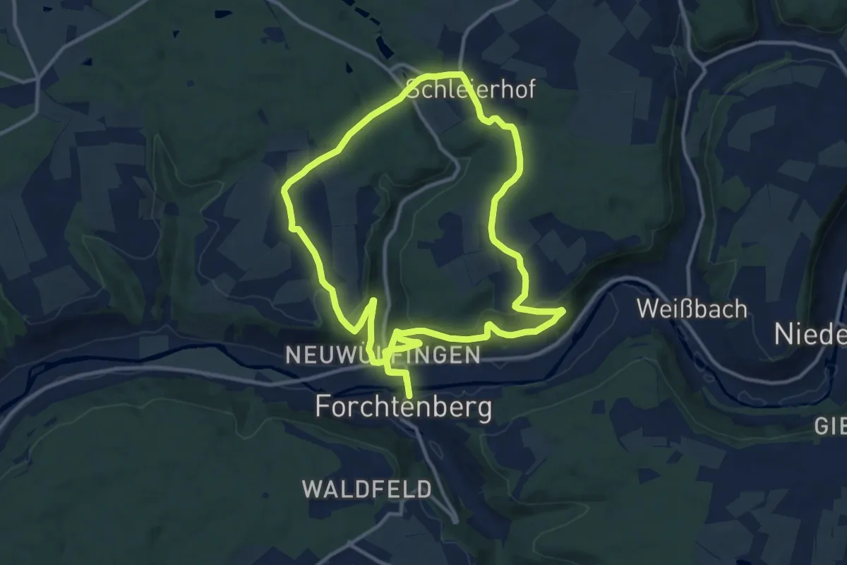
Medium · Trail
Hohenloher Bauernlehrpfad
11.3 km · ↑ 329 m · 3 h 31 min
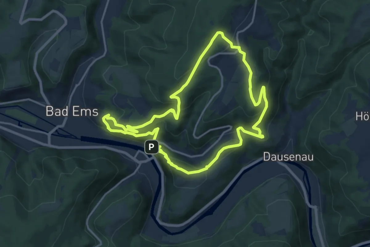
Medium · Summit
HöhenLuft [Bad Ems]
10.7 km · ↑ 568 m · 3 h 54 min
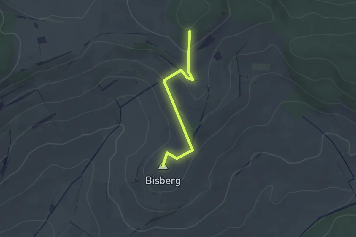
Easy · Summit
Hohenrain - Überm Maienbohl
2.4 km · ↑ 64 m · 43 min
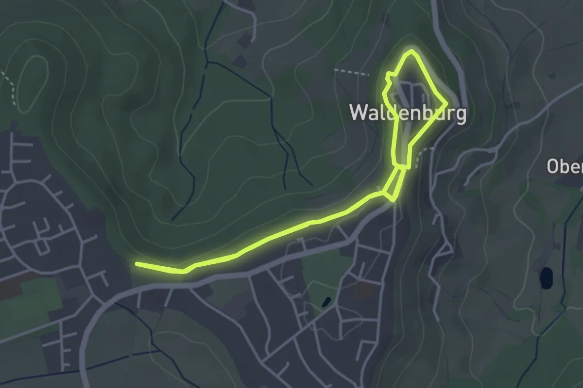
Easy · Trail
Höhenrandweg rund um die Stadt
3.3 km · ↑ 38 m · 55 min
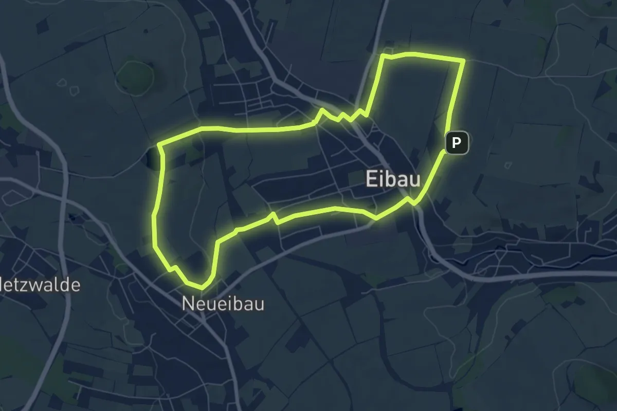
Easy · Summit
Höhenringweg Eibau (grüner Punkt)
7.2 km · ↑ 106 m · 2 h 2 min
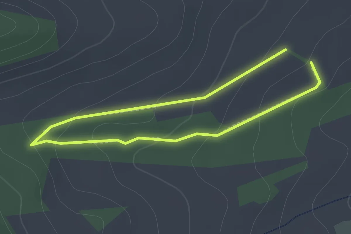
Easy · Trail
Hohenrother Waldpfad
1.6 km · ↑ 56 m · 31 min
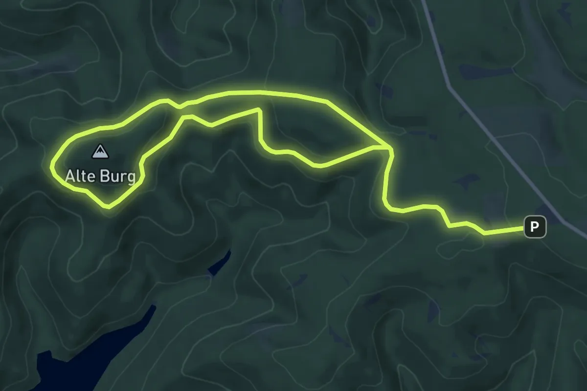
Easy · Summit
Hohenroth Rundweg A1 - Um die Alte Burg
6.9 km · ↑ 156 m · 2 h 5 min
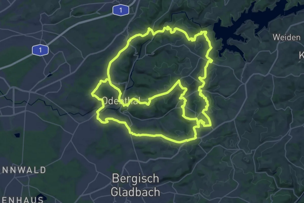
Demanding · Trail
Höhenroute
36.3 km · ↑ 801 m · 10 h 49 min
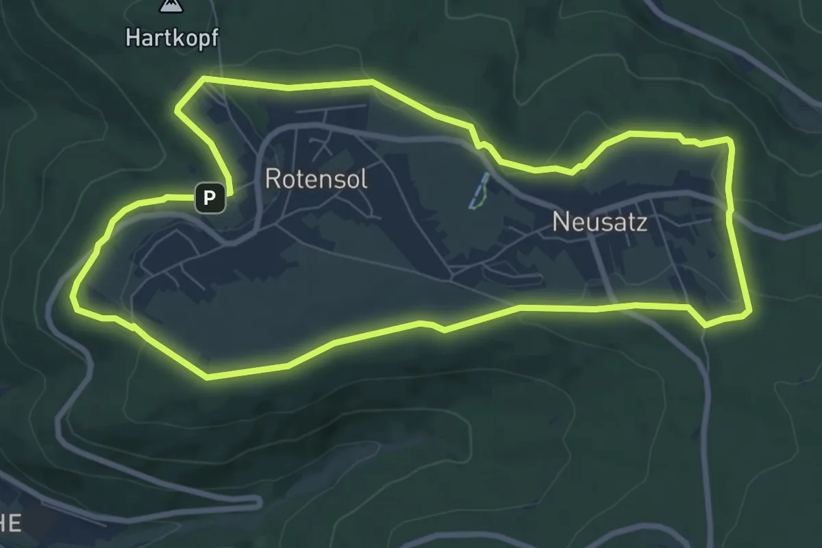
Easy · Trail
Höhenrundweg
7.8 km · ↑ 146 m · 2 h 16 min
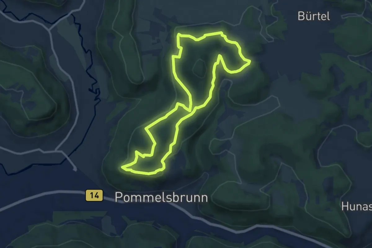
Medium · Summit
Höhenrundweg
8.1 km · ↑ 206 m · 2 h 28 min
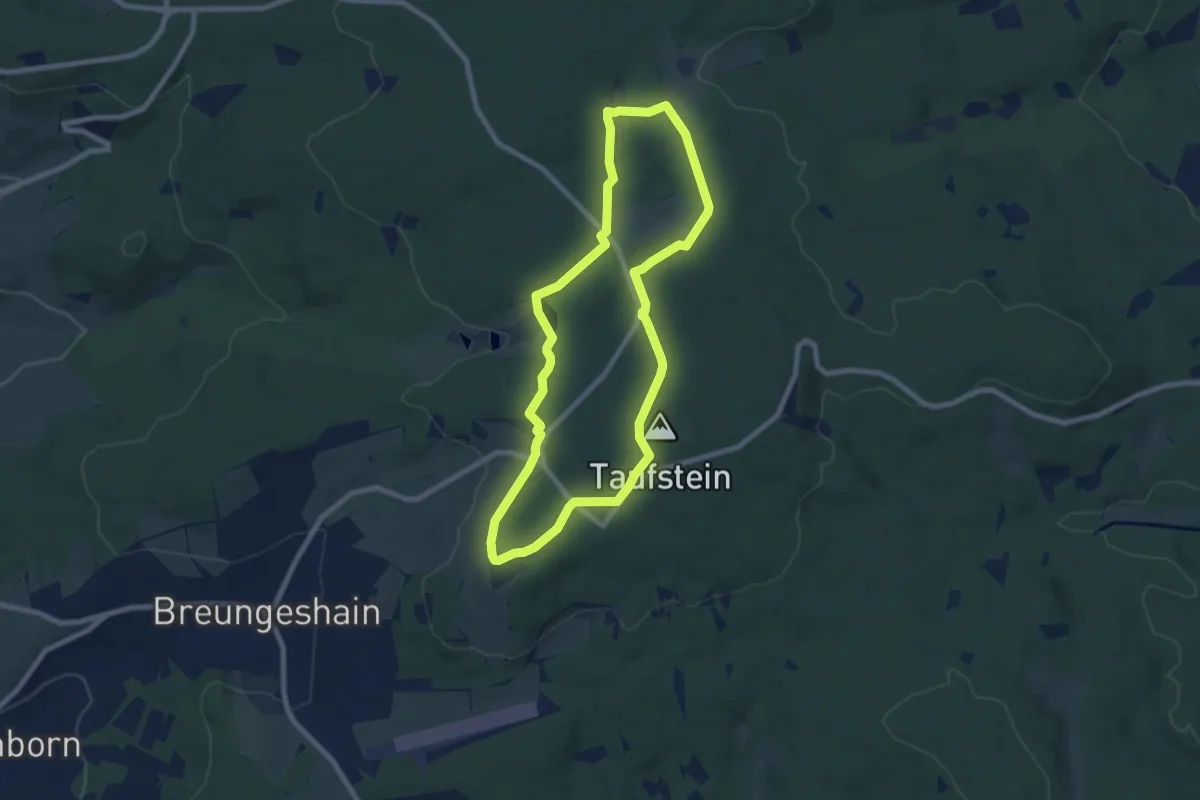
Easy · Summit
Höhenrundweg
7.0 km · ↑ 95 m · 1 h 57 min
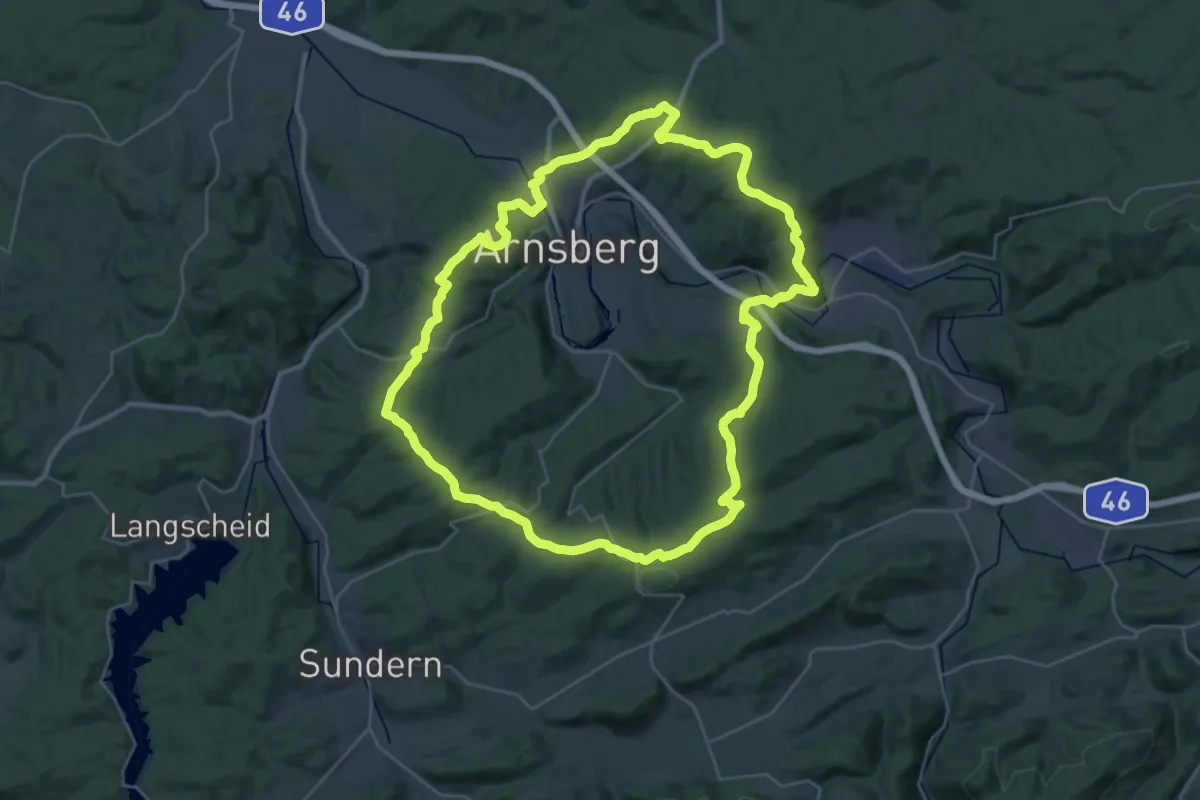
Demanding · Summit
Höhenrundweg Arnsberg
30.8 km · ↑ 749 m · 9 h 20 min
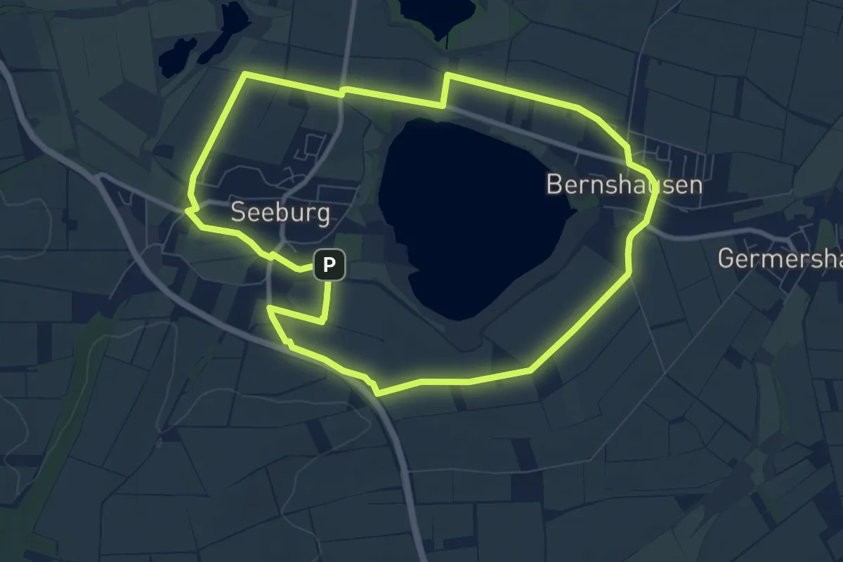
Medium · Trail
Höhen-Rundweg Seeburger See
8.1 km · ↑ 58 m · 2 h 9 min
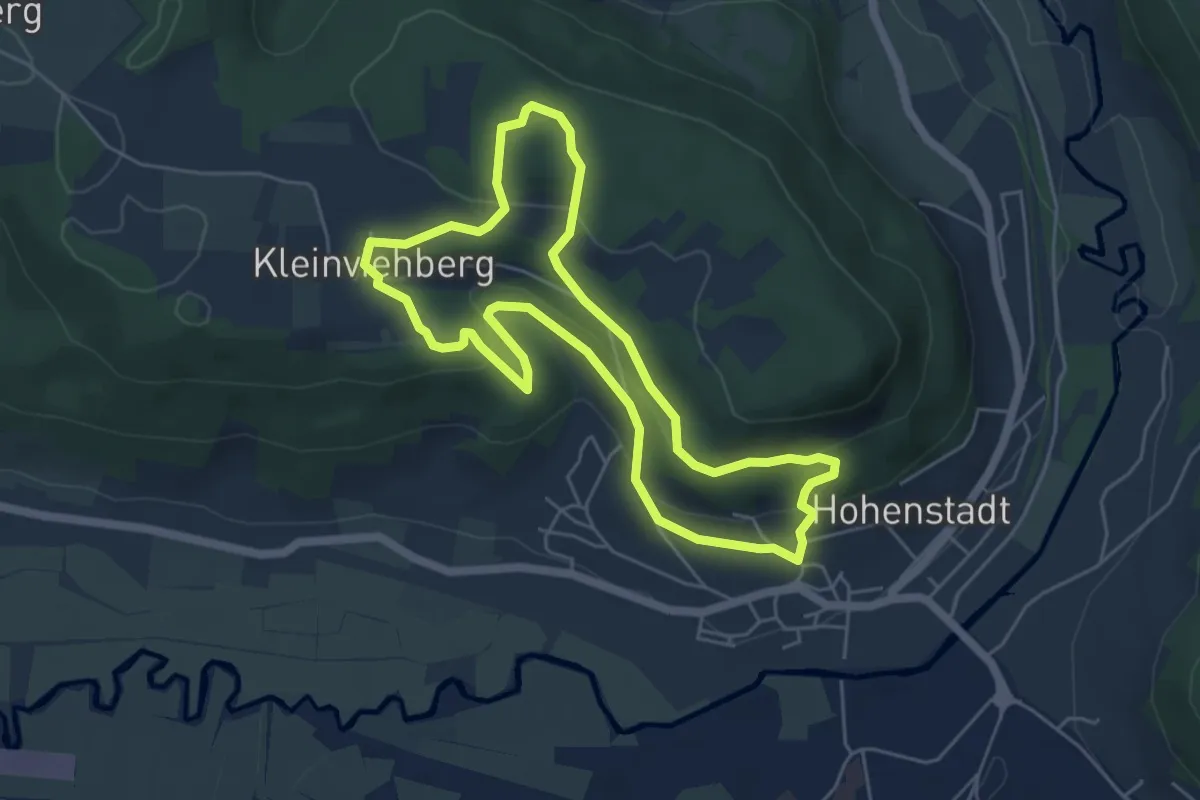
Easy · Summit
Hohenstadt Rundweg 1 - Hasen-Markierung
4.8 km · ↑ 183 m · 1 h 36 min
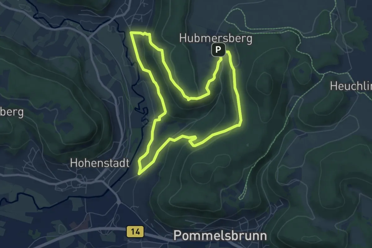
Easy · Trail
Hohenstadt Rundweg 2 - Reh-Markierung
7.2 km · ↑ 245 m · 2 h 20 min
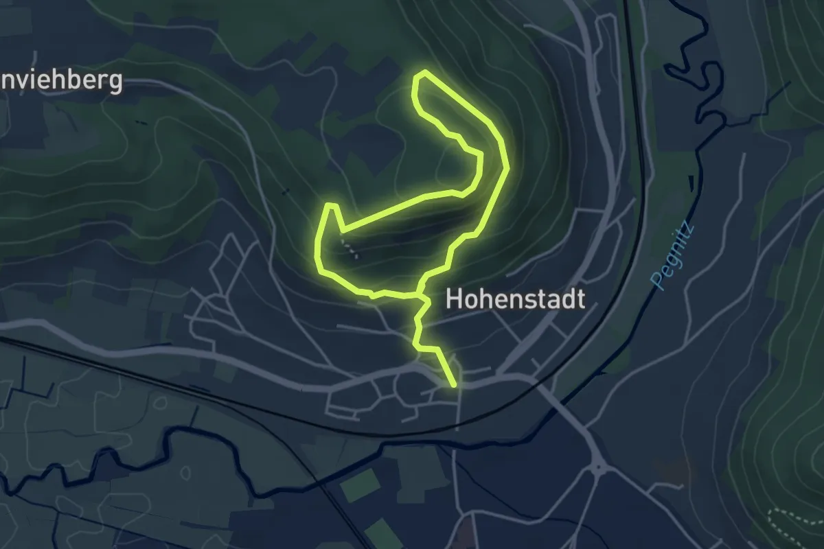
Easy · Trail
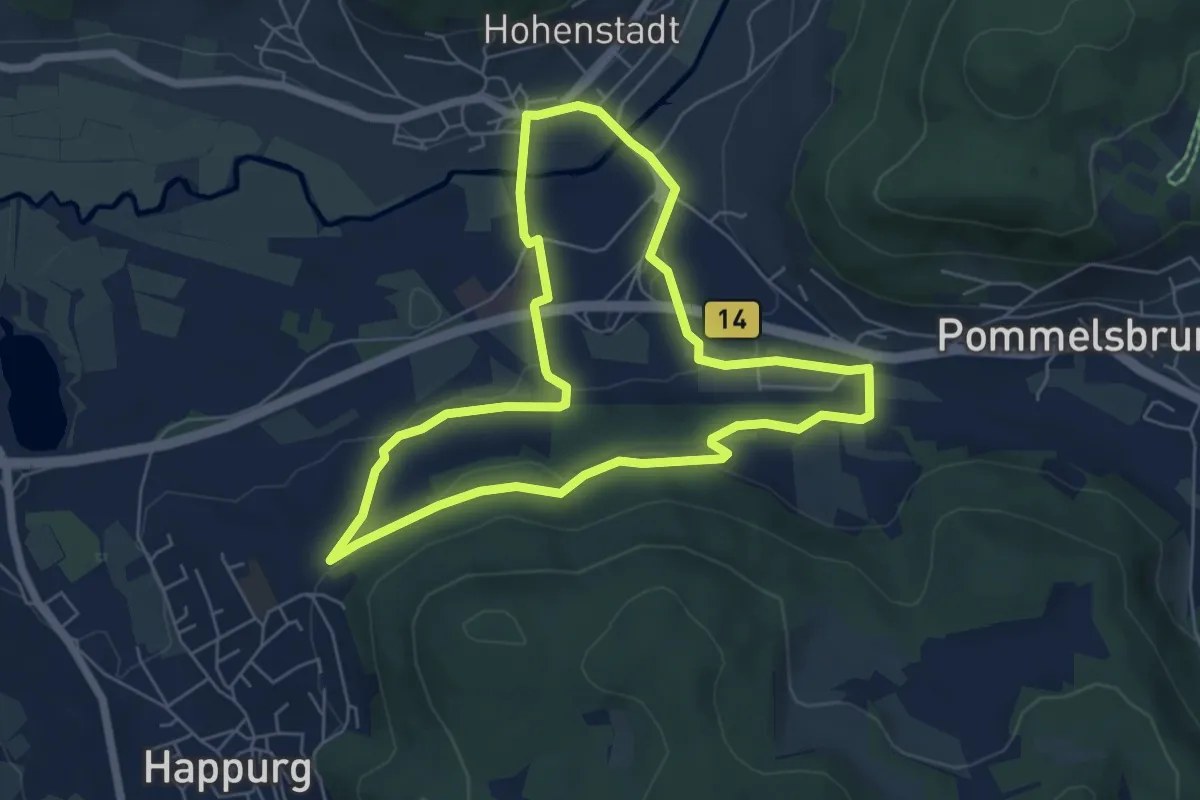
Hohenstadt Rundweg 3 - Vogel-Markierung
2.8 km · ↑ 148 m · 1 h 3 min
Easy · Trail
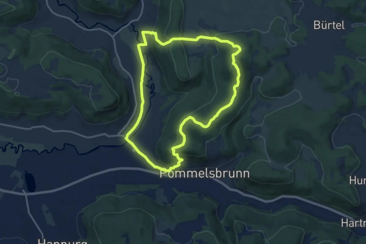
Hohenstadt Rundweg 4 - Schmetterling-Markierung
5.7 km · ↑ 69 m · 1 h 34 min
Medium · Summit
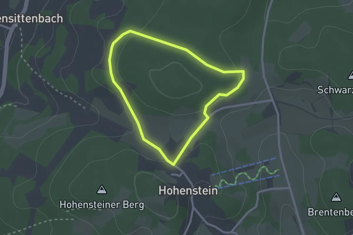
Hohenstadt Rundweg 5 - Eichhörnchen-Markierung
9.0 km · ↑ 340 m · 2 h 59 min
Easy · Summit
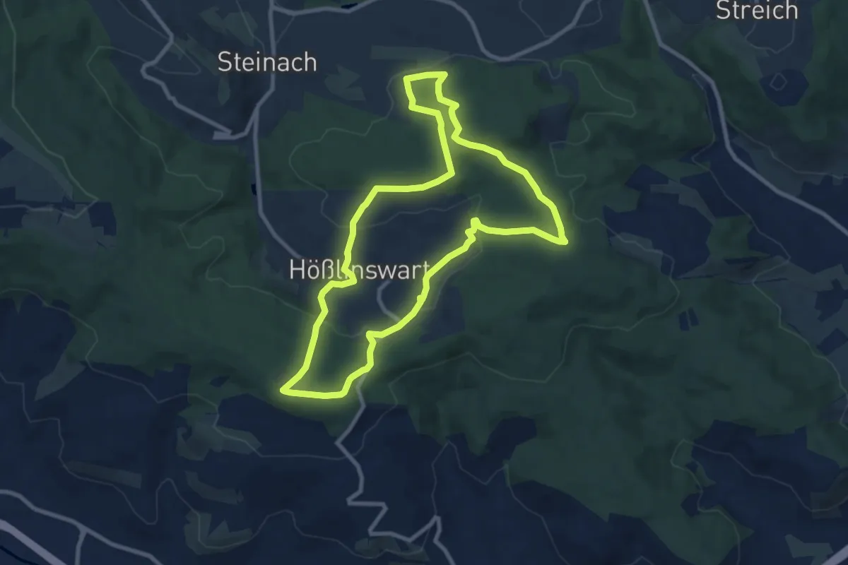
Hohensteiner Rundweg
1.8 km · ↑ 34 m · 31 min
Medium · Summit
Hohenstein-Rundweg
8.3 km · ↑ 249 m · 2 h 37 min
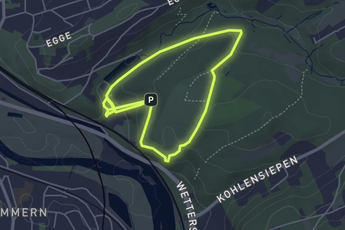
Easy · Trail
Hohenstein Rundweg H2
3.3 km · ↑ 82 m · 1 h 1 min
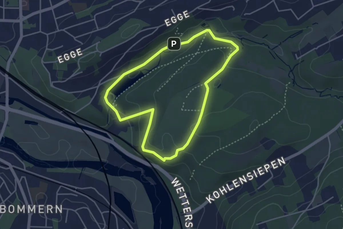
Easy · Trail
Hohenstein Rundweg H3
3.0 km · ↑ 75 m · 55 min
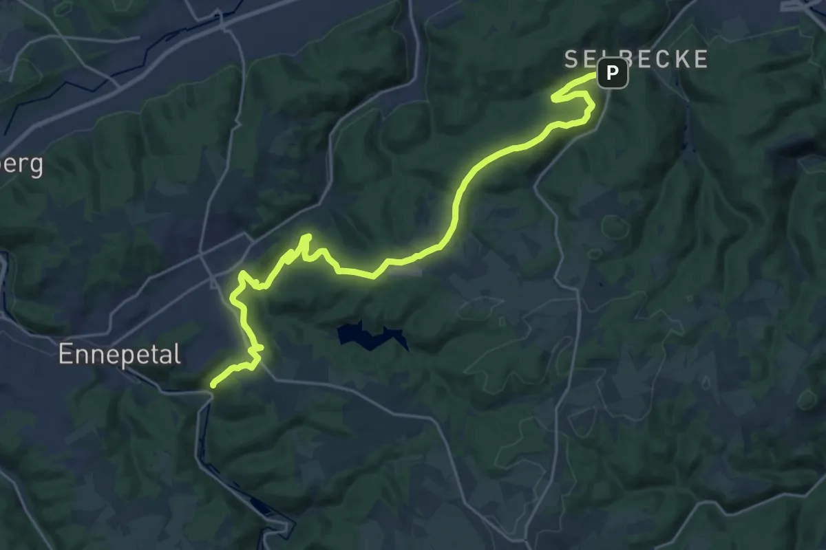
Demanding · Trail
Hohensteinweg
22.8 km · ↑ 574 m · 6 h 38 min
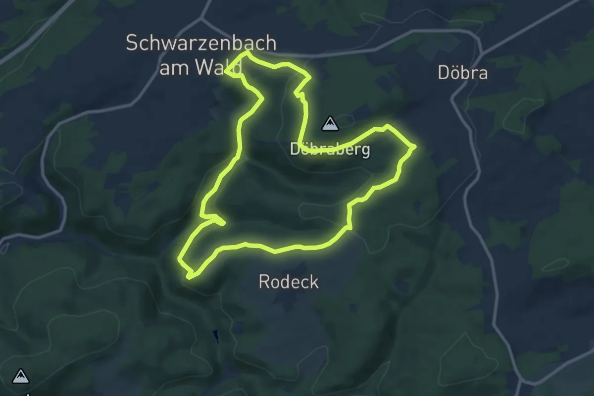
Medium · Trail
Hohentannen-Weg DÖ 33
8.1 km · ↑ 232 m · 2 h 32 min
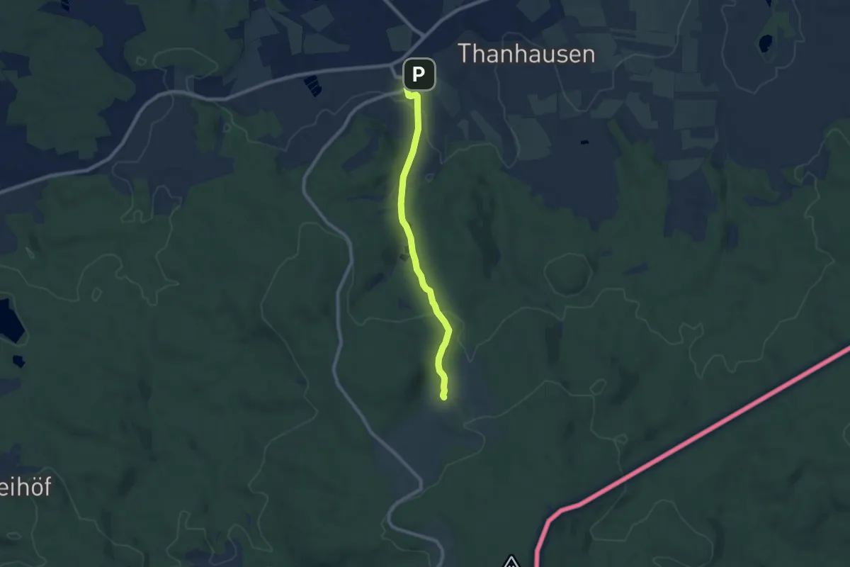
Easy · Trail
Hohenthan-Altglashütte 19242
7.0 km · ↑ 170 m · 2 h 2 min
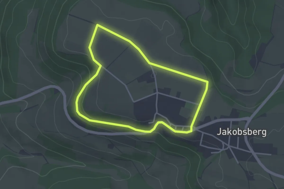
Easy · Trail
Höhen- und Panoramaweg Kreuzweg Jakobsberg
2.7 km · ↑ 61 m · 49 min
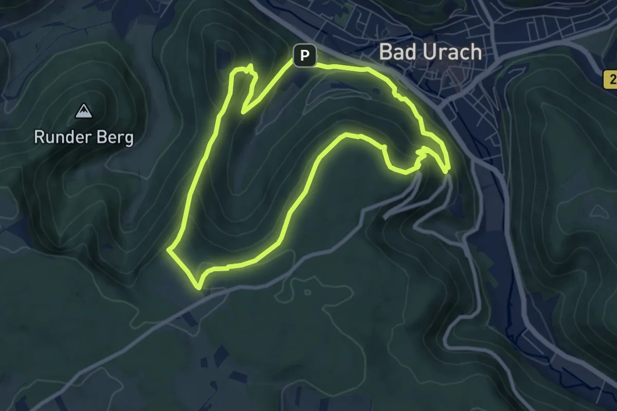
Medium · Summit
Hohenurachsteig
7.0 km · ↑ 395 m · 2 h 37 min
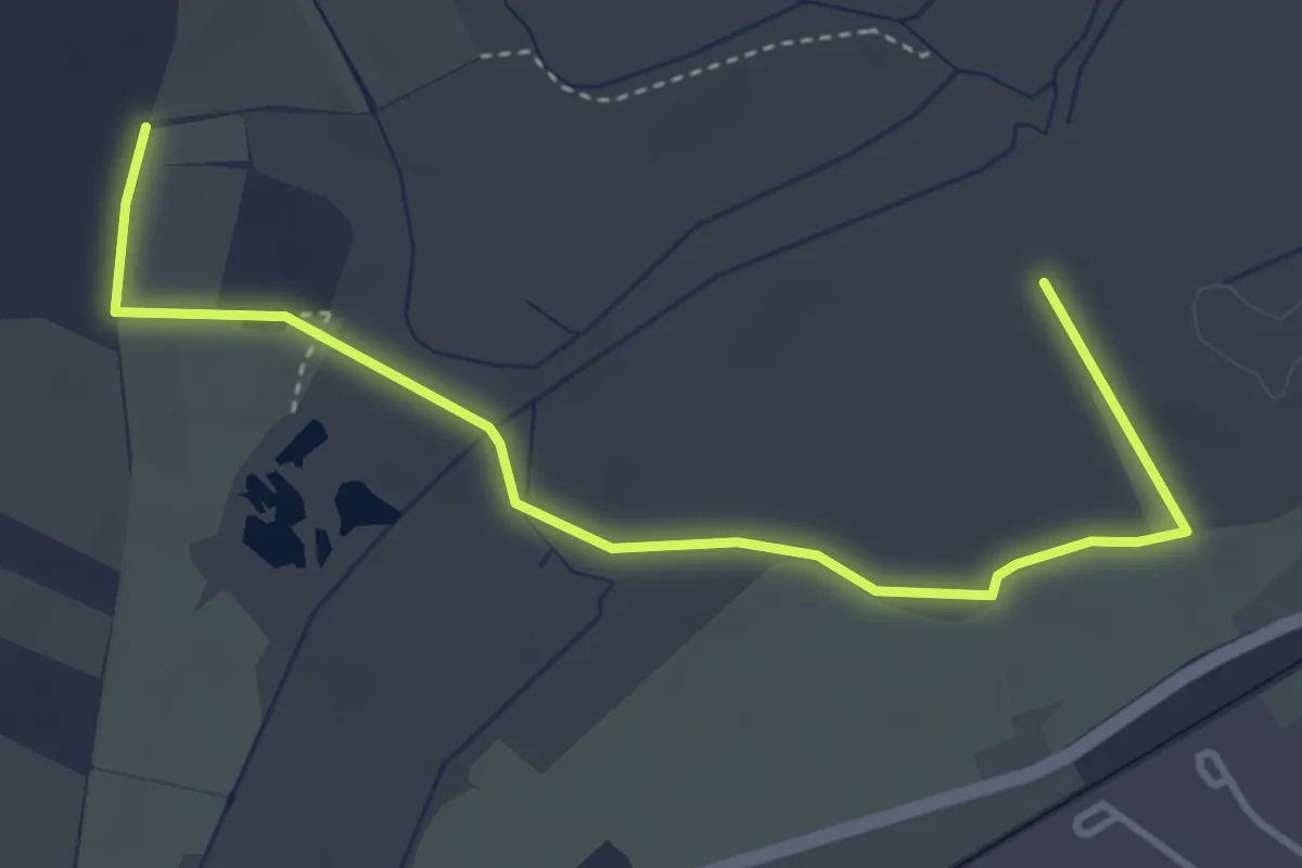
Easy · Trail
Höhenwanderweg 5
4.2 km · ↑ 0 m · 59 min
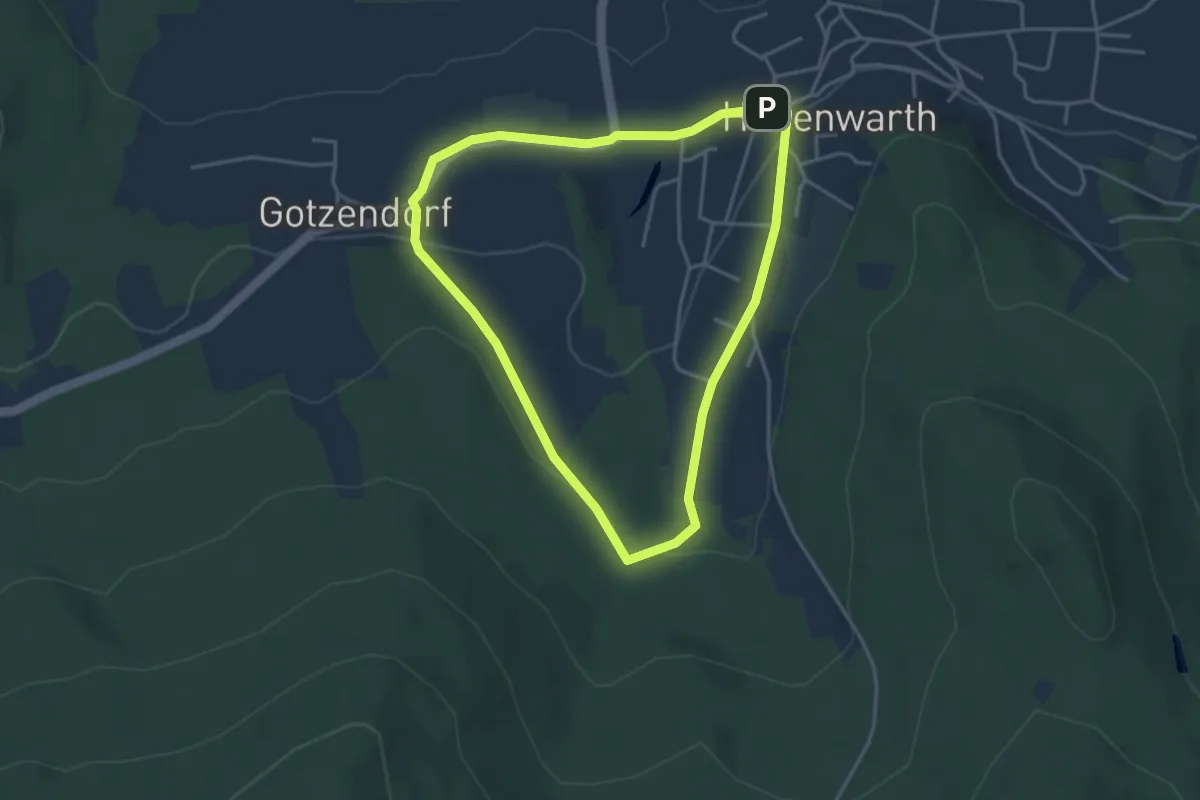
Easy · Trail
Hohenwarther Bankerlweg
3.4 km · ↑ 92 m · 1 h 3 min
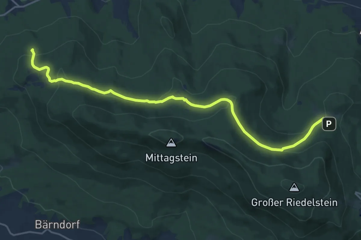
Medium · Trail
Hohenwarth: Ho6
13.8 km · ↑ 457 m · 4 h 15 min
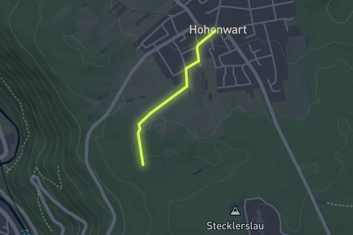
Easy · Trail
Hohenwart Ortsmitte - Hohe Warte
2.1 km · ↑ 23 m · 33 min
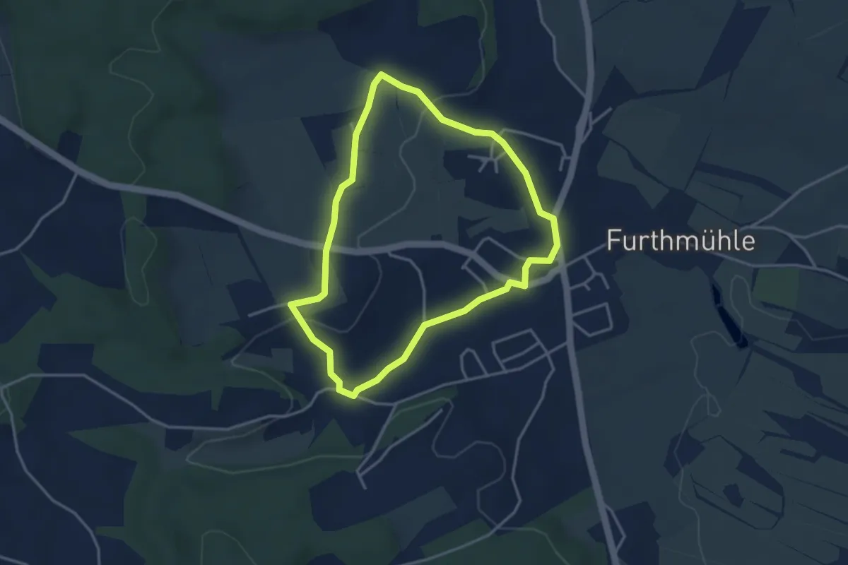
Easy · Trail
Höhenweg
3.1 km · ↑ 46 m · 53 min
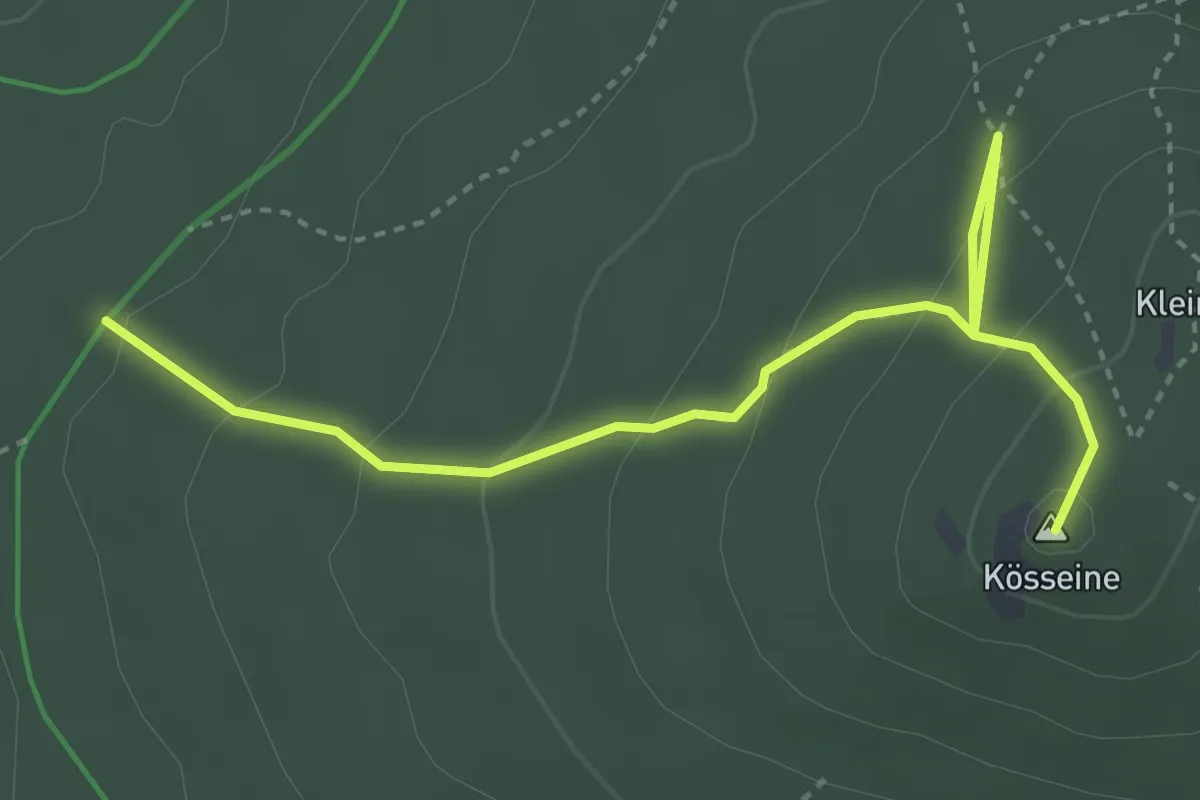
Medium · Summit
Höhenweg
3.8 km · ↑ 217 m · 1 h 22 min
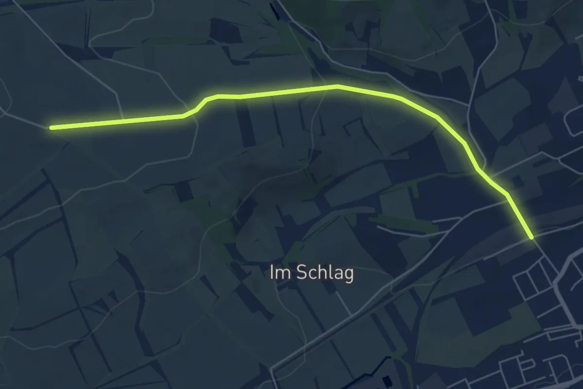
Easy · Trail
Höhenweg: alt(ernativ)e Wegführung
5.6 km · ↑ 128 m · 1 h 35 min
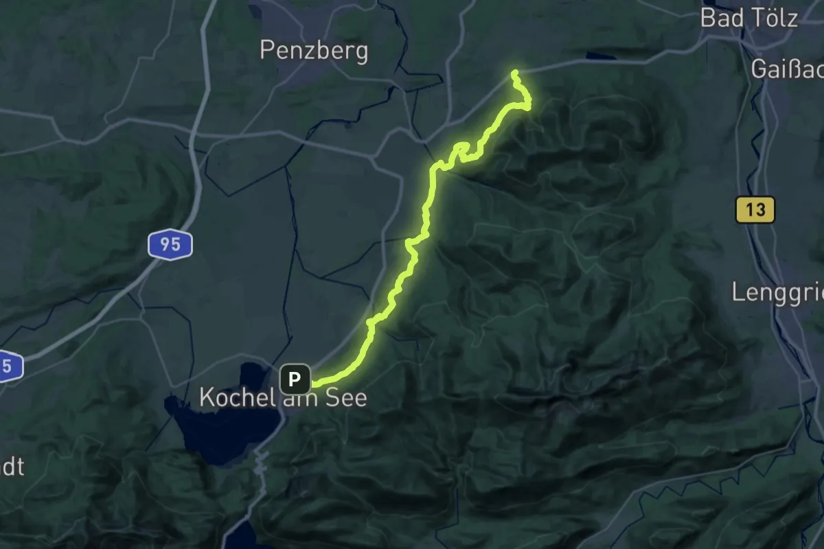
Medium · Trail
Höhenweg Bad Heilbrunn - Kochel
17.2 km · ↑ 496 m · 5 h 24 min
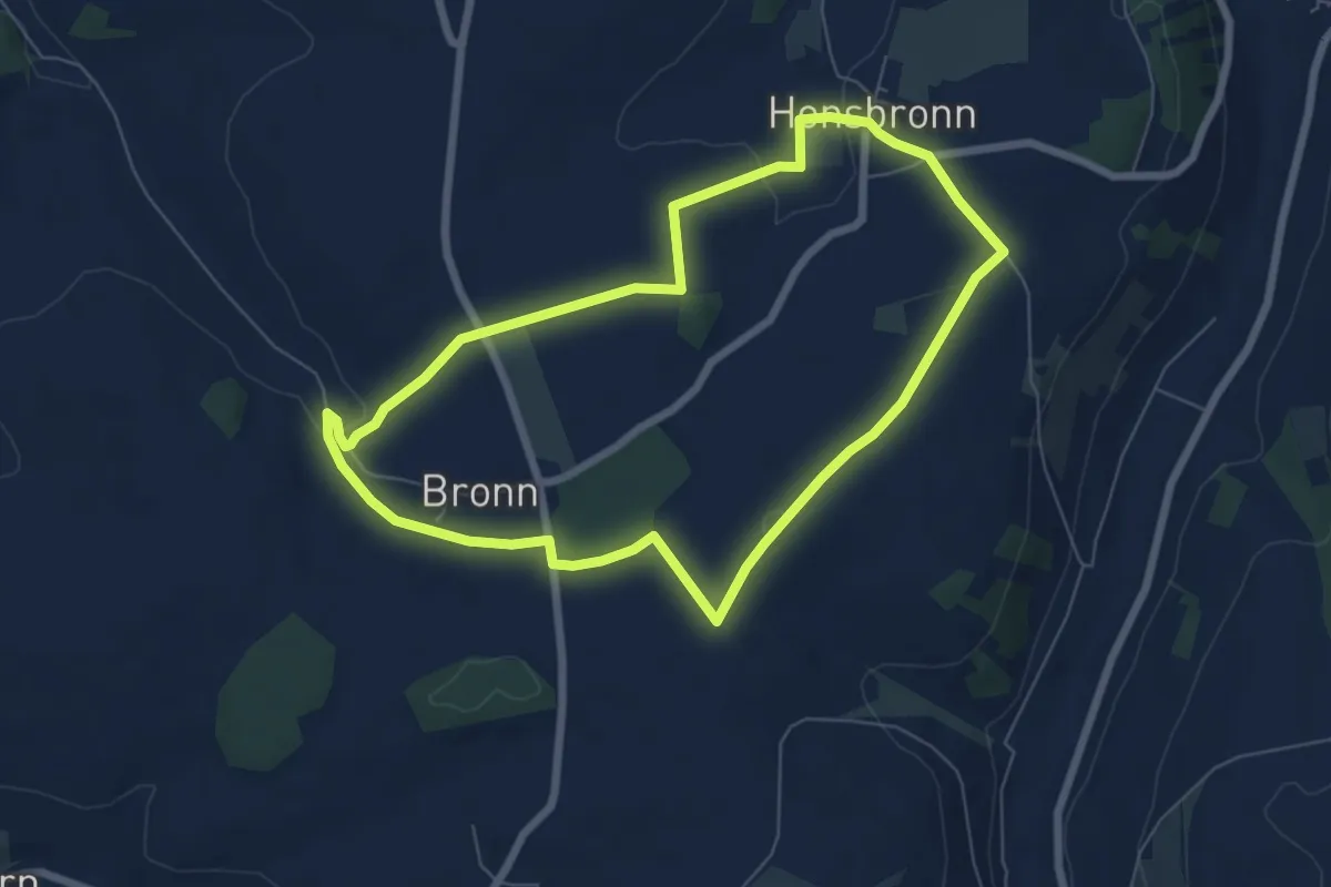
Easy · Trail
Höhenweg Bronn-Honsbronn
6.3 km · ↑ 78 m · 1 h 44 min
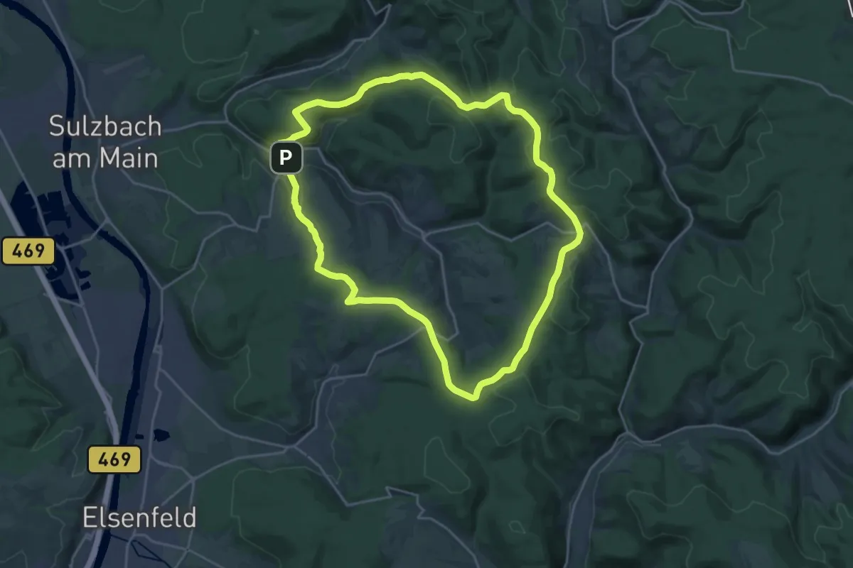
Demanding · Trail
Höhenweg Grund Leidersbach
19.9 km · ↑ 346 m · 5 h 44 min
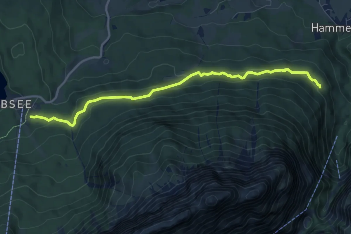
Medium · Trail
Höhenweg Höllental Eibsee
8.3 km · ↑ 336 m · 2 h 41 min
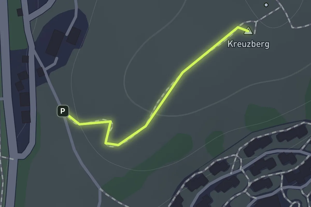
Easy · Summit
Höhenweg-Kreuzberg
0.6 km · ↑ 17 m · 11 min
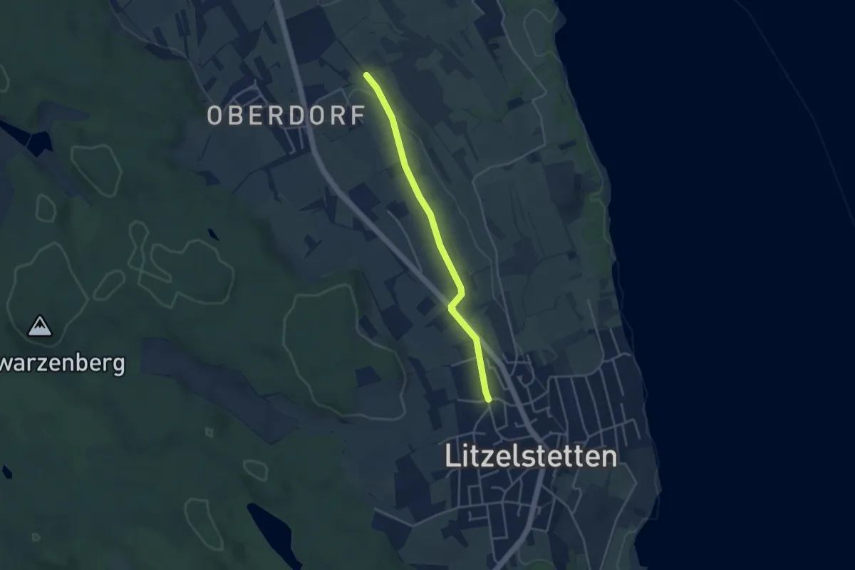
Easy · Trail
Höhenweg - Litzelstetten Zum Purren
3.5 km · ↑ 37 m · 55 min