Trails in Germany
36,852 hiking trails, each with its route, climb, walking time and grade.
All trails, page 249 of 768
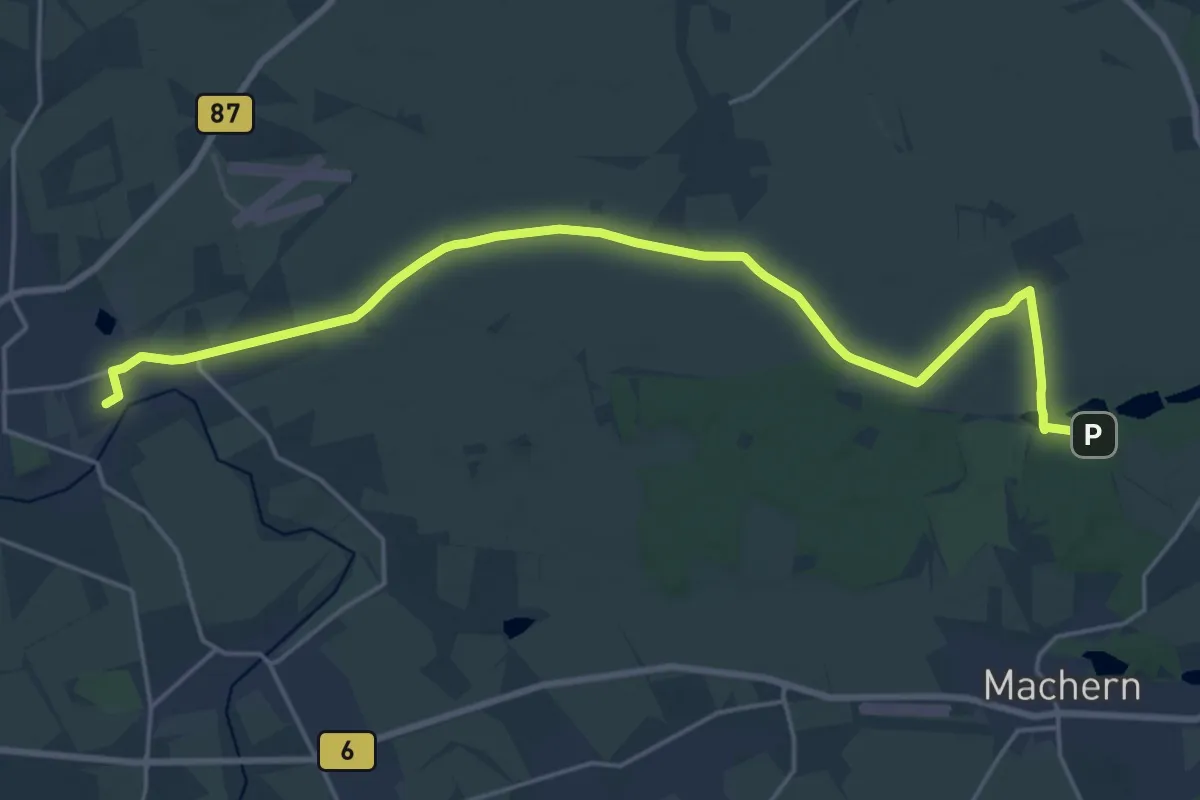
Demanding · Summit
Höhenweg Lübschützer Teiche
20.8 km · ↑ 69 m · 5 h 4 min
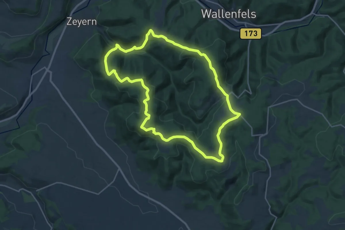
Medium · Summit
Höhenweg RWF 57
15.2 km · ↑ 479 m · 4 h 51 min
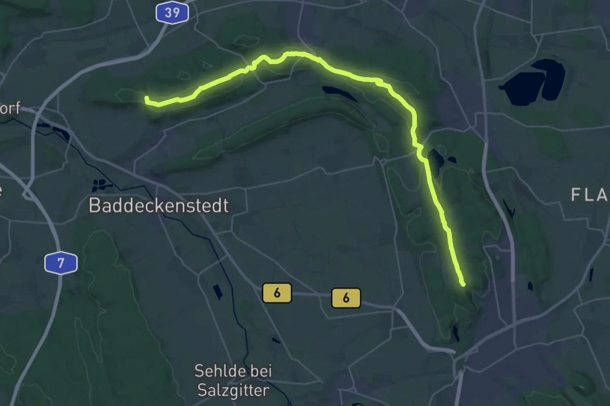
Demanding · Summit
Höhenweg Salzgitter
28.5 km · ↑ 523 m · 7 h 52 min
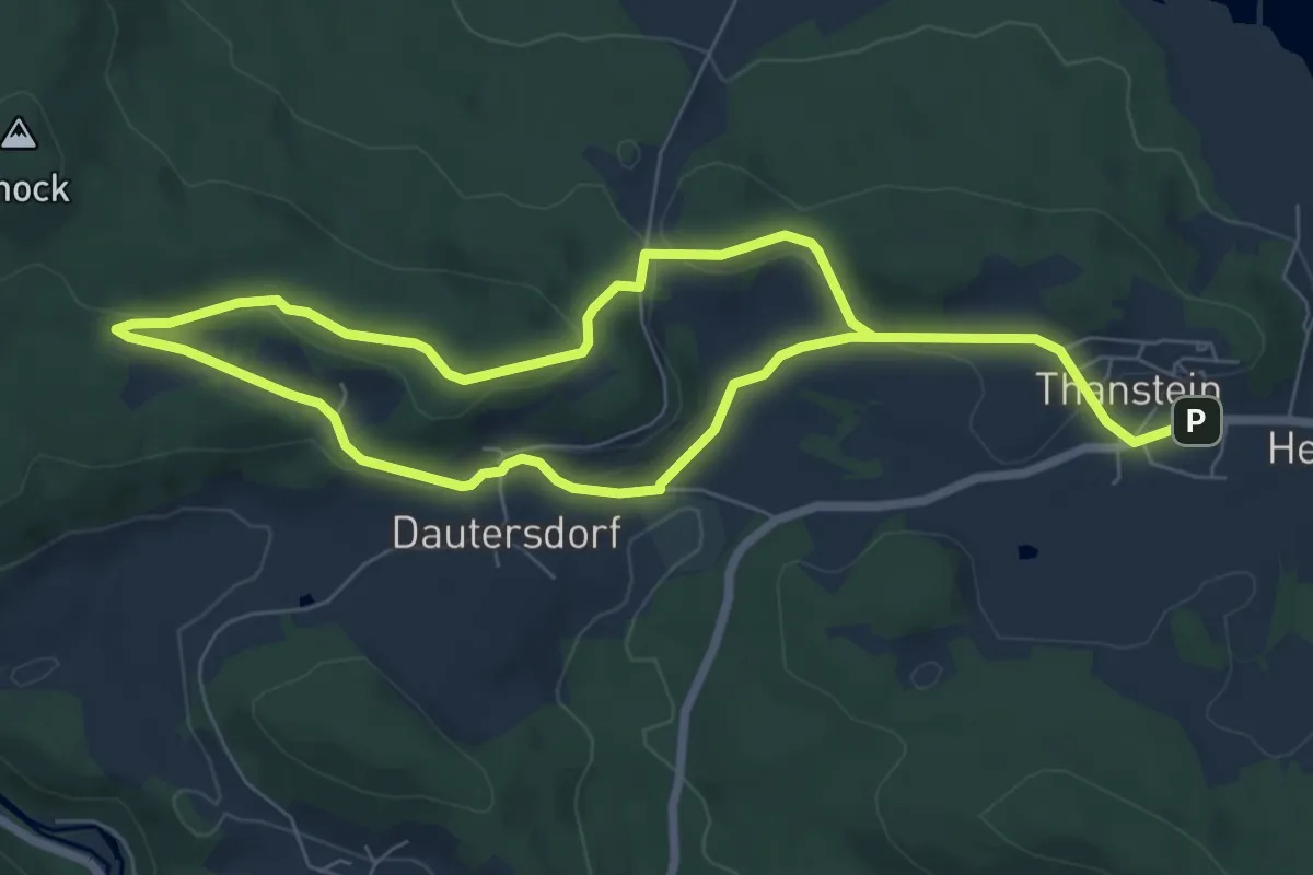
Medium · Trail
Höhenweg "T9"
11.4 km · ↑ 279 m · 3 h 18 min
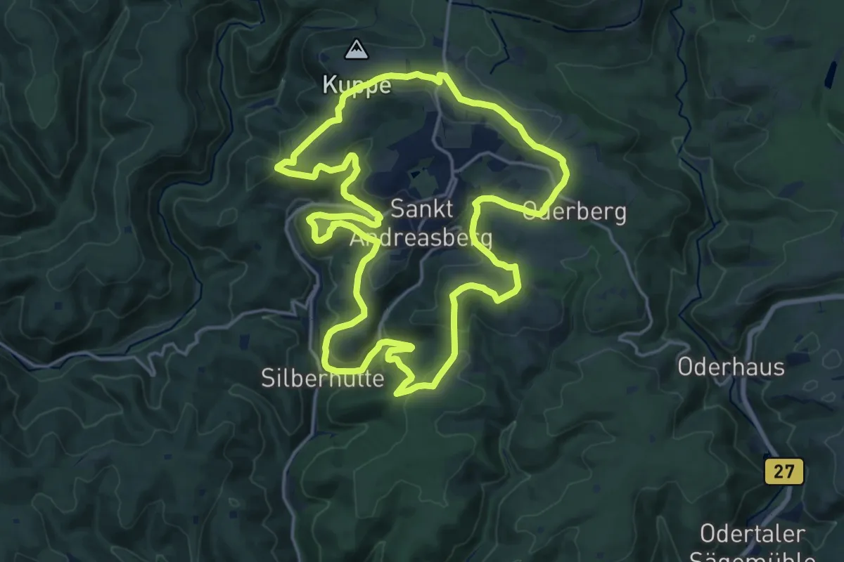
Medium · Summit
Höhenweg um Sankt Andreasberg
16.3 km · ↑ 446 m · 5 h 3 min
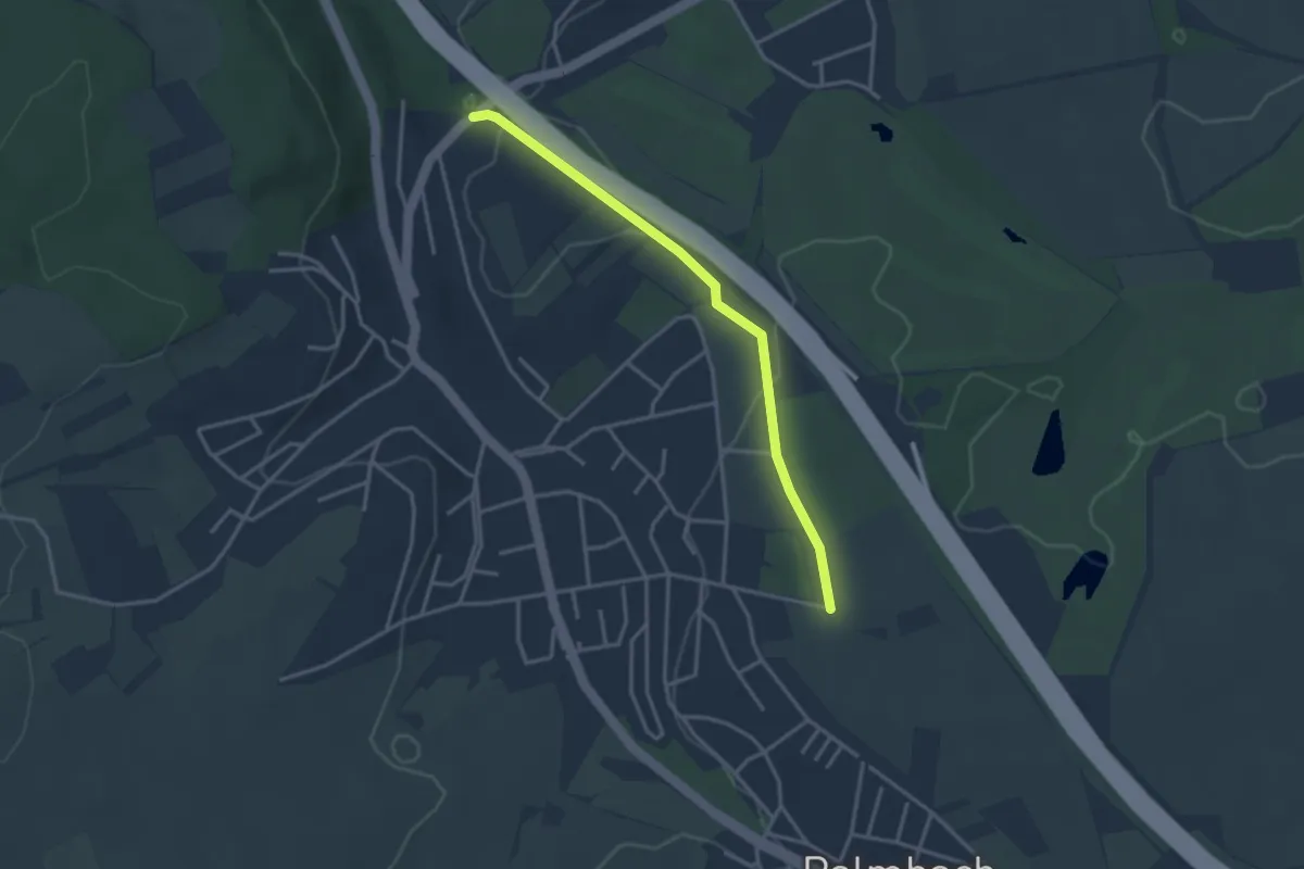
Easy · Trail
Hohenwettersbacher Straße - Grünwettersbach Tannweg
3.1 km · ↑ 37 m · 48 min
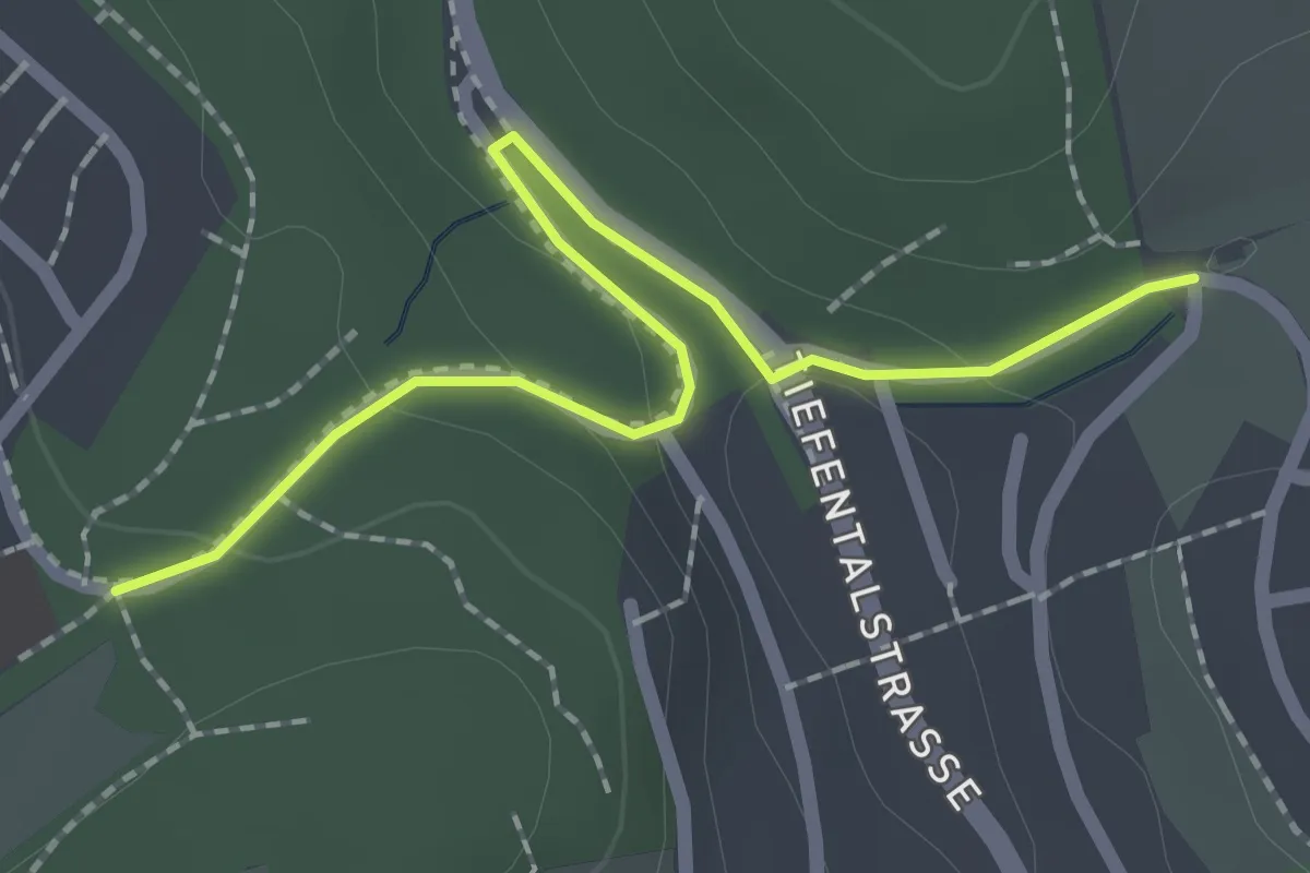
Easy · Trail
Hohenwettersbach Scheffelstein - Bergwald
2.1 km · ↑ 56 m · 36 min
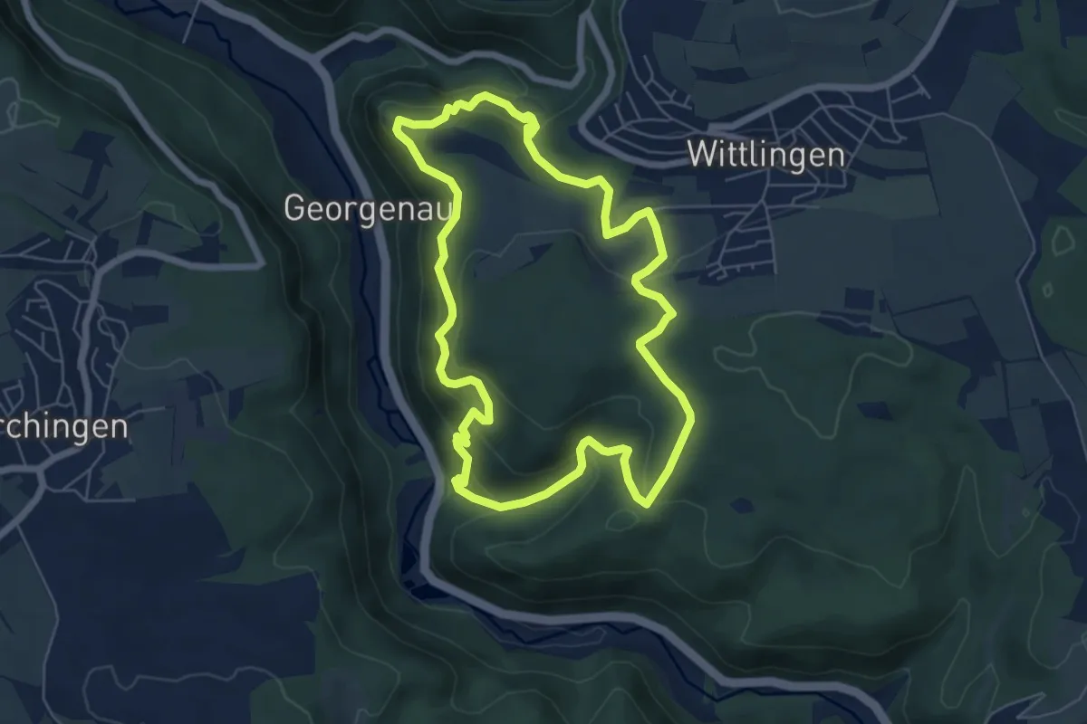
Medium · Trail
Hohenwittlingensteig
5.9 km · ↑ 346 m · 2 h 14 min
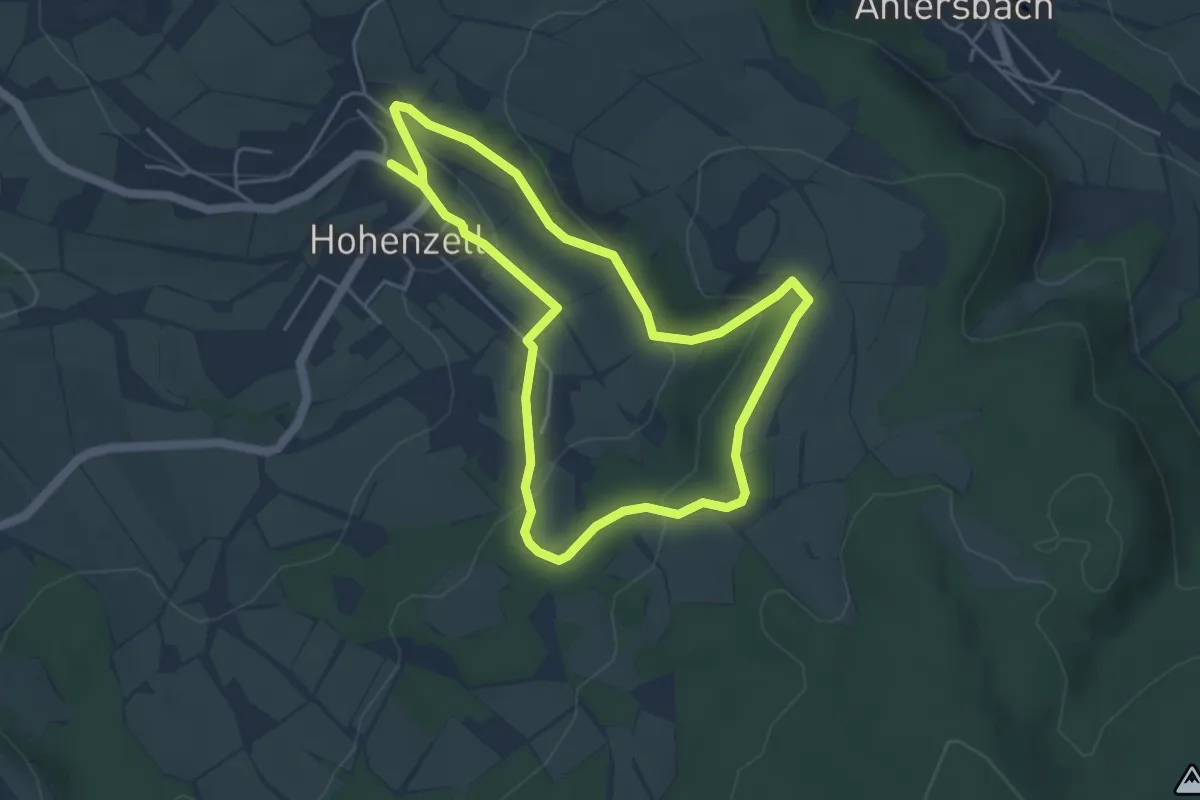
Easy · Summit
Hohenzell - Rundweg 2
4.2 km · ↑ 122 m · 1 h 19 min
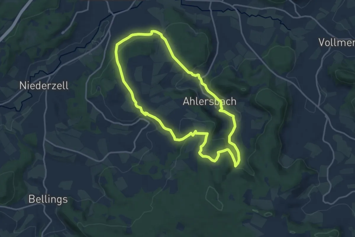
Medium · Summit
Hohenzell - Rundweg 4
10.6 km · ↑ 331 m · 3 h 21 min
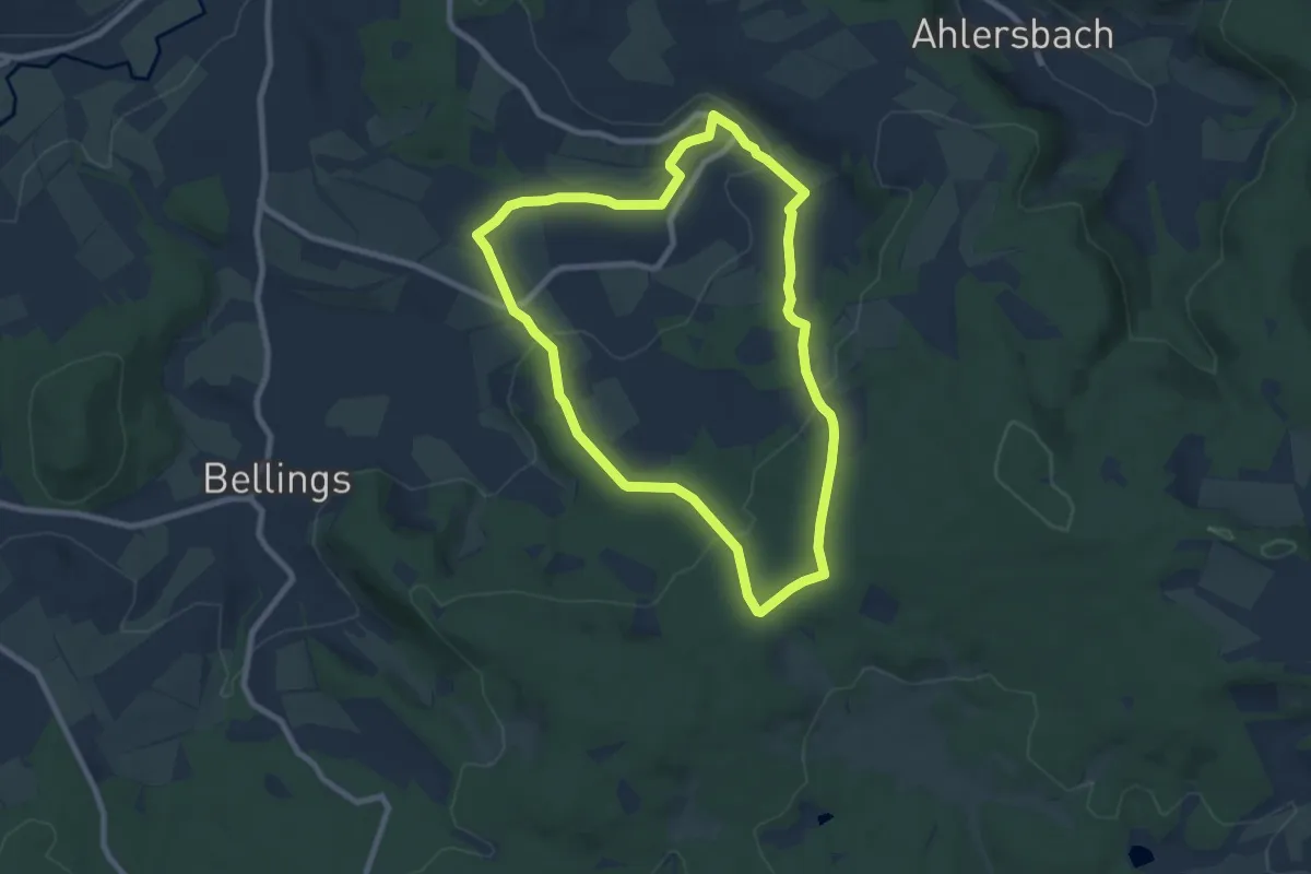
Easy · Summit
Hohenzell - Rundweg 5
7.2 km · ↑ 187 m · 2 h 12 min
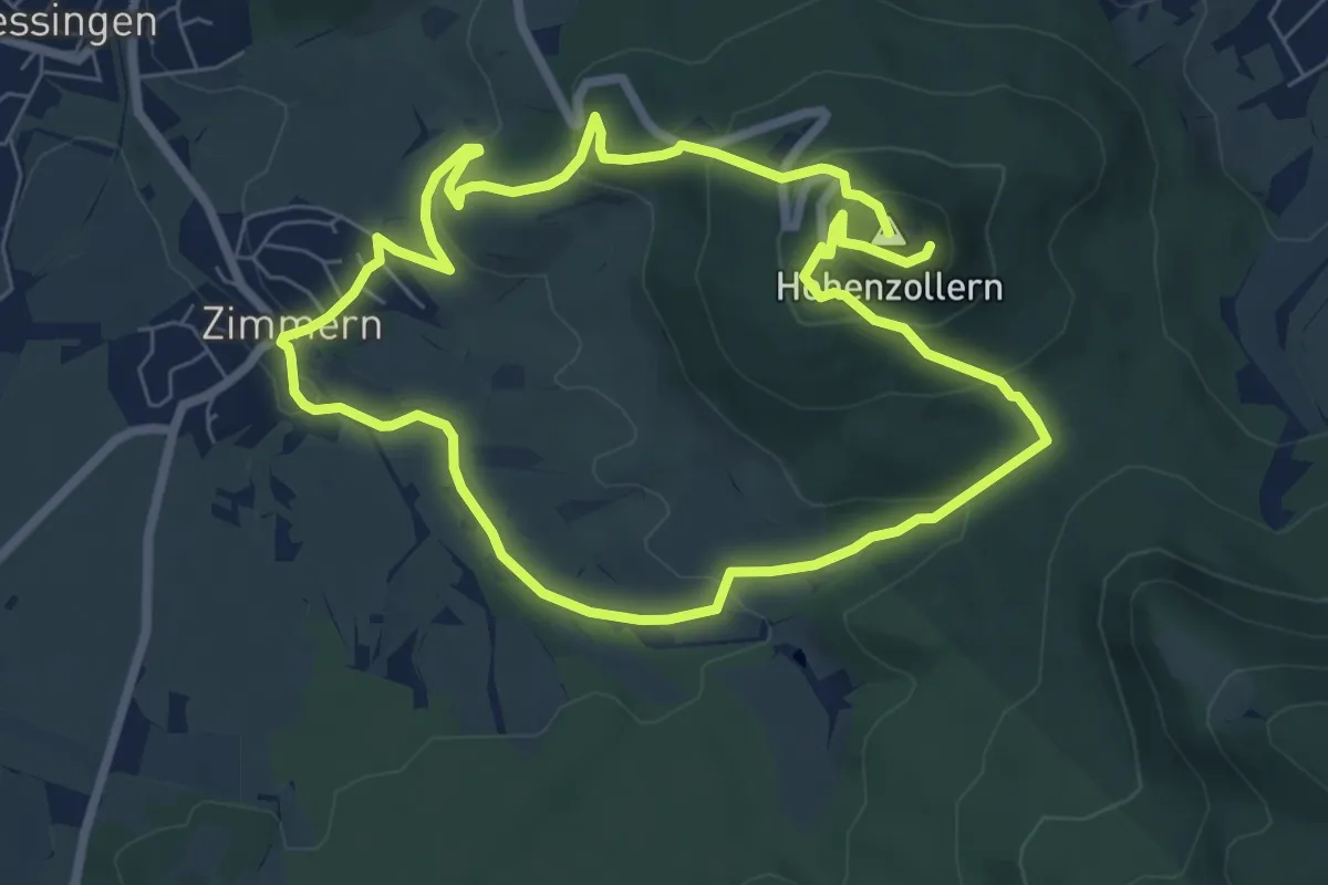
Medium · Summit
Hohenzollernrunde
6.4 km · ↑ 263 m · 2 h 11 min
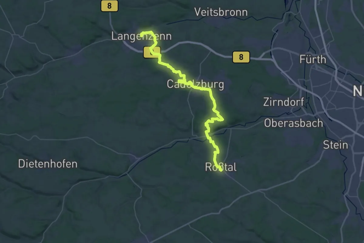
Demanding · Trail
Hohenzollern-Wanderweg
21.6 km · ↑ 309 m · 6 h 7 min
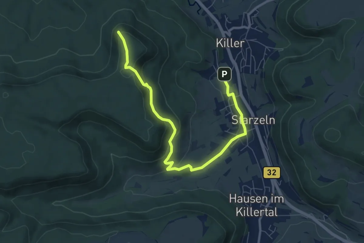
Easy · Summit
Hohenzollernweg - Alternative Starzeln
8.0 km · ↑ 291 m · 2 h 31 min
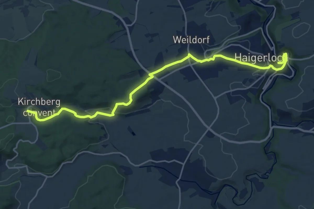
Medium · Trail
Hohenzollernweg - Etappe 1
15.0 km · ↑ 355 m · 4 h 19 min
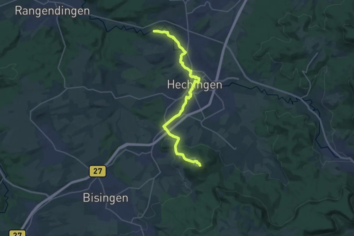
Medium · Summit
Hohenzollernweg - Etappe 3
17.8 km · ↑ 410 m · 5 h 5 min
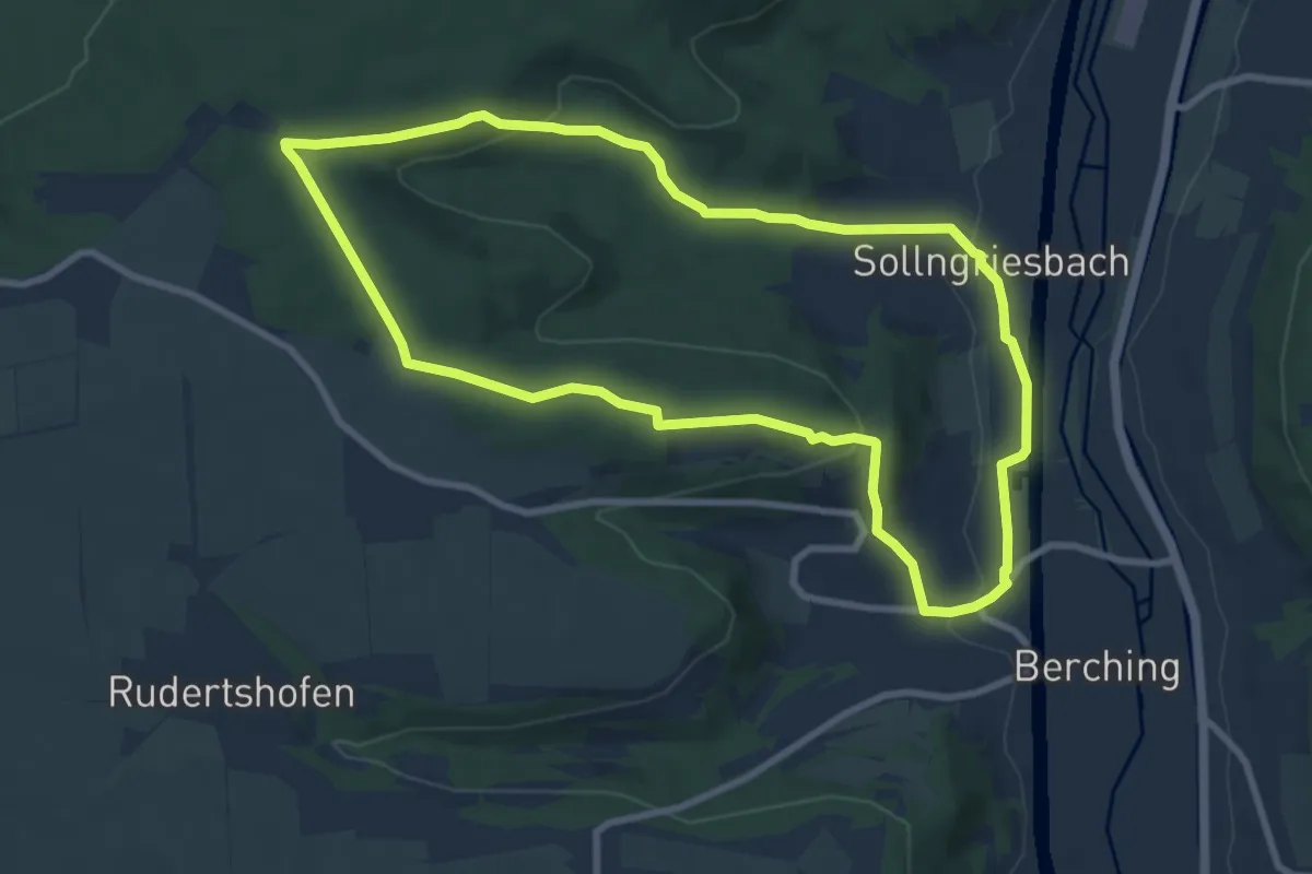
Medium · Trail
Hoher Brunnen
8.3 km · ↑ 195 m · 2 h 30 min
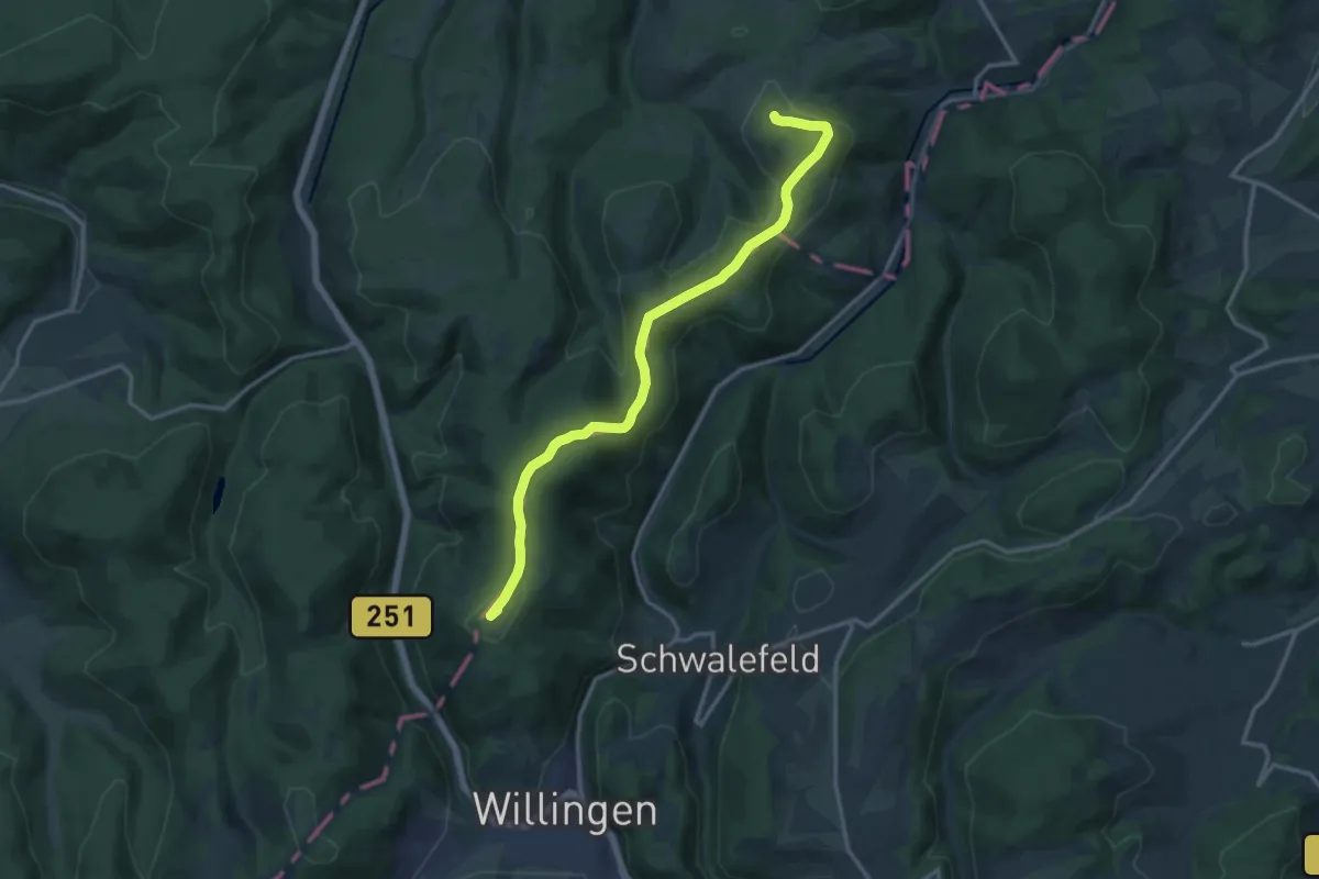
Medium · Summit
Hoher-Eimberg-Kammweg
13.5 km · ↑ 432 m · 4 h 8 min
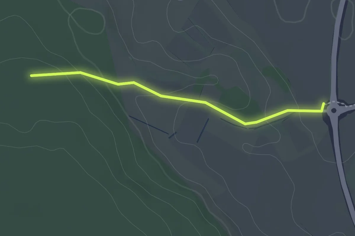
Easy · Trail
Hoher Markt - Brunnenstube
2.0 km · ↑ 65 m · 37 min
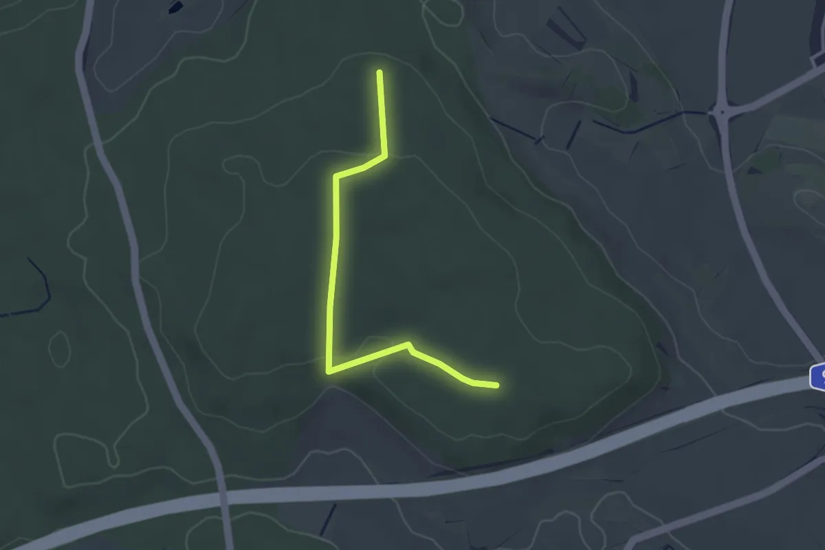
Easy · Trail
Hoher Markt - Waldversuchsfläche
2.9 km · ↑ 57 m · 49 min
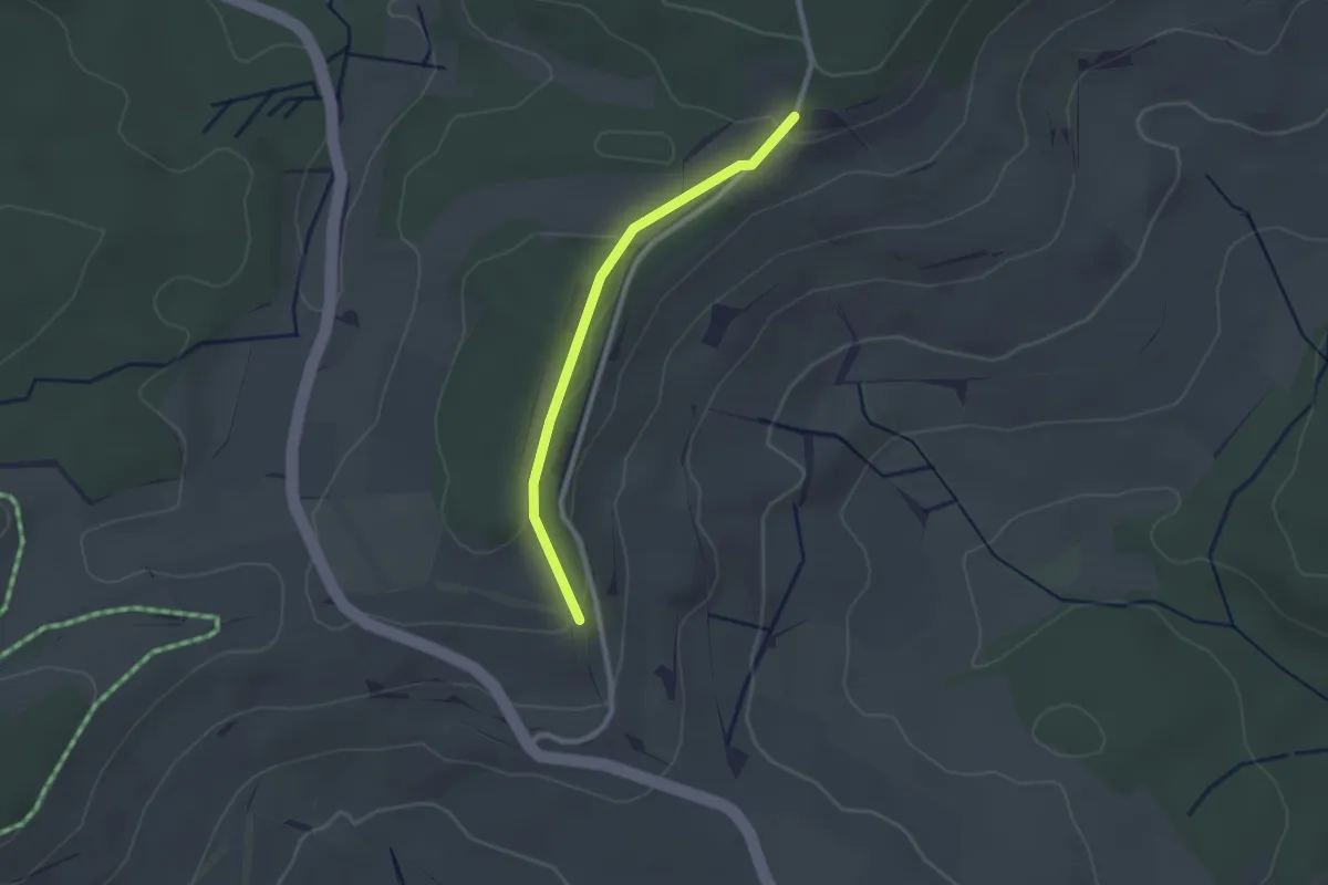
Easy · Trail
Hoher Rain - Spitzhütte
2.1 km · ↑ 44 m · 36 min
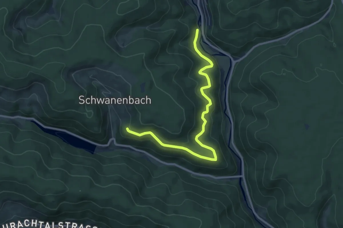
Medium · Trail
Hoher Steg - Fohrenbühl
8.1 km · ↑ 356 m · 2 h 41 min
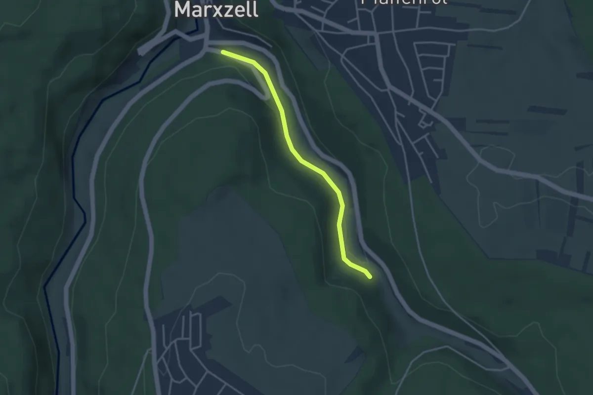
Easy · Trail
Hoher Stich - Maisenbachsteg
2.9 km · ↑ 54 m · 49 min
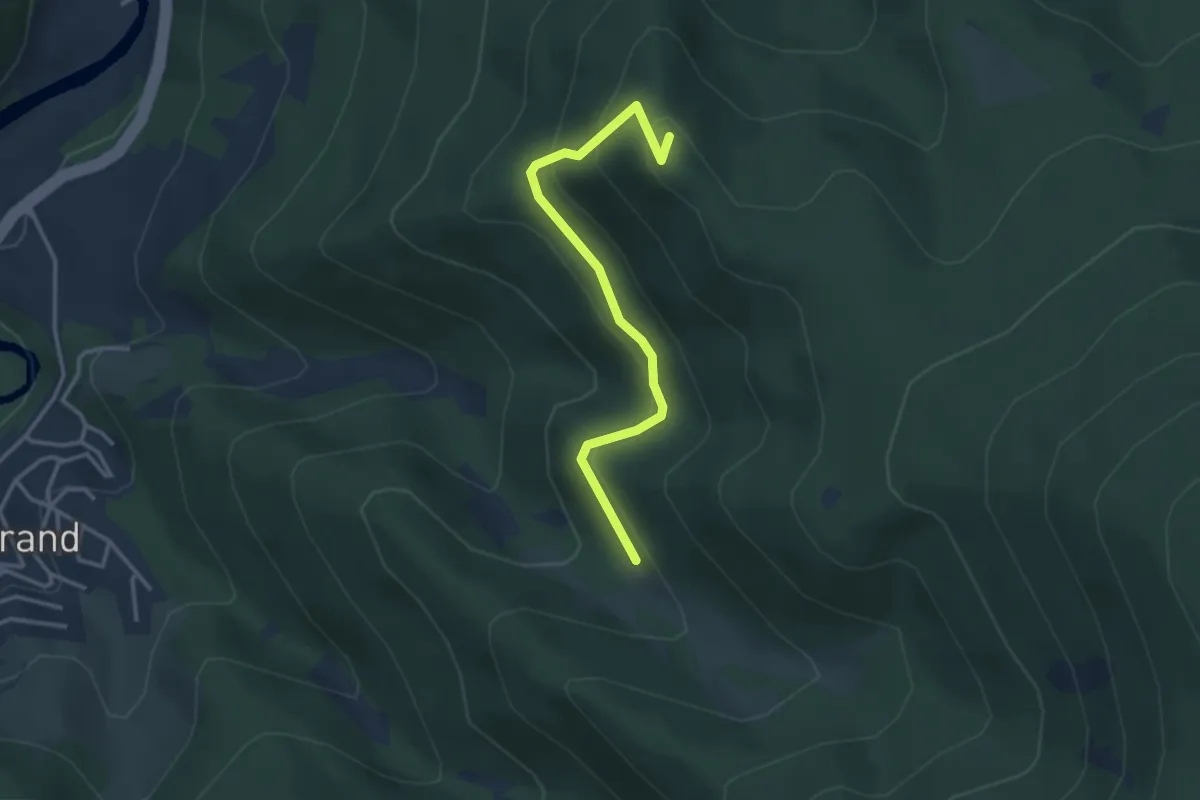
Easy · Summit
Hohe Schaar - Hohlenstein
3.1 km · ↑ 198 m · 1 h 10 min
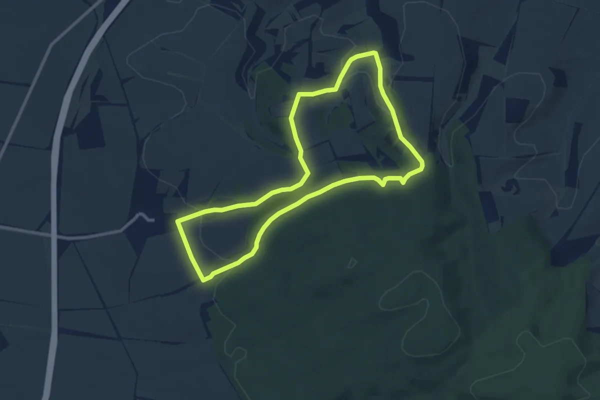
Easy · Summit
Hohe Schrecke Enzian Wiesenweg
6.5 km · ↑ 146 m · 1 h 57 min
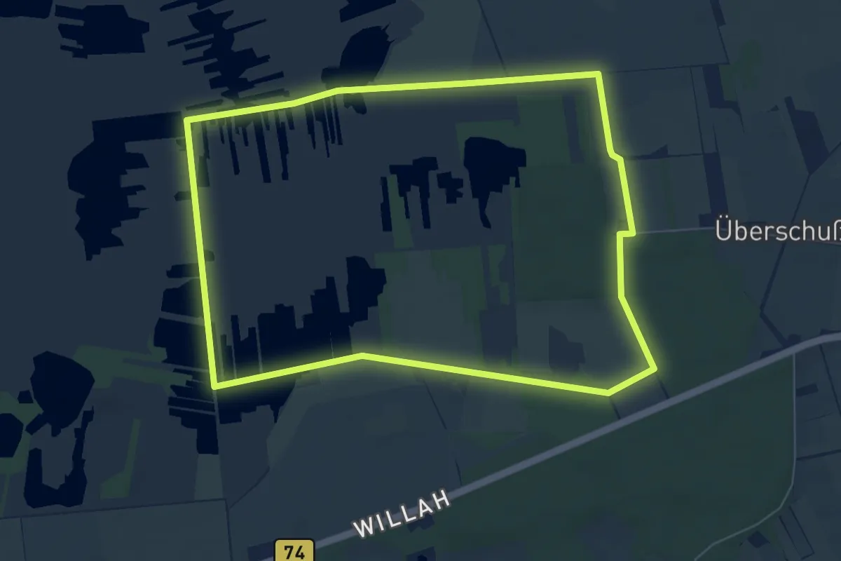
Easy · Trail
Hohes Moor - Rundwanderweg 1
6.2 km · ↑ 13 m · 1 h 35 min
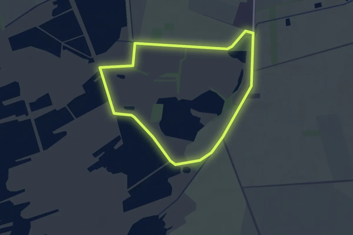
Easy · Trail
Hohes Moor - Rundwanderweg 2
2.4 km · ↑ 0 m · 36 min
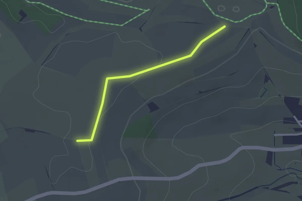
Easy · Trail
Höhe - Sportplatz Stetten
2.0 km · ↑ 13 m · 30 min
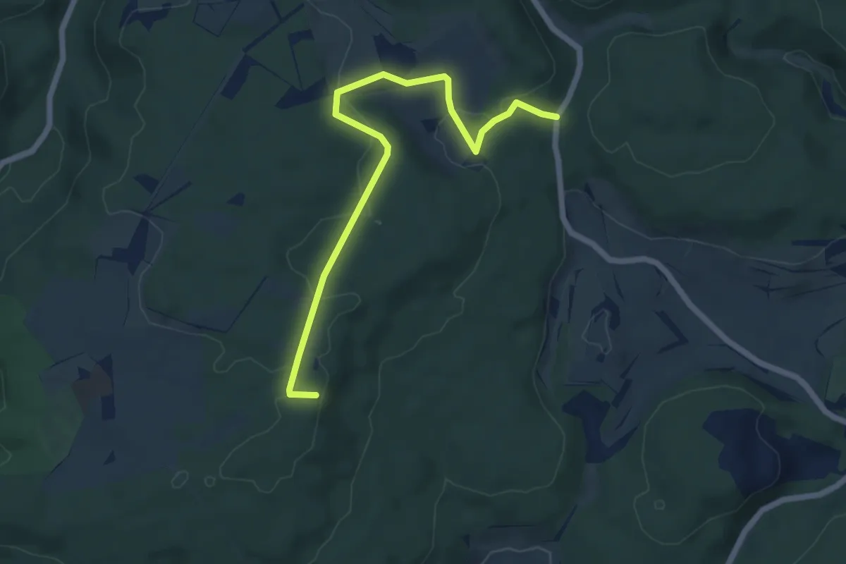
Easy · Trail
? - Hohe Steig
5.9 km · ↑ 119 m · 1 h 39 min
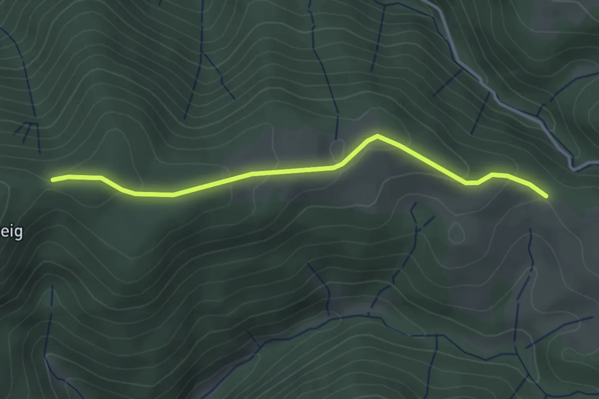
Easy · Trail
Hohe Steig - Kilpenhof
3.3 km · ↑ 118 m · 1 h 2 min
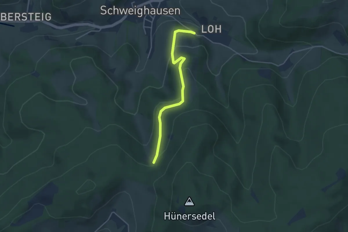
Easy · Trail
Hohe Stein - Protasihof
3.2 km · ↑ 136 m · 1 h 3 min
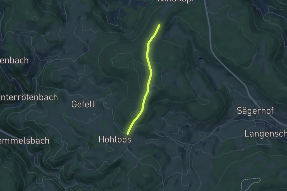
Easy · Trail
Hohe Straße - Am Lindenbüble
4.1 km · ↑ 127 m · 1 h 15 min
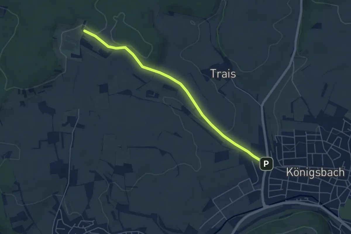
Easy · Trail
Hohe Straße - Königsbach Reitplatz
5.1 km · ↑ 86 m · 1 h 23 min
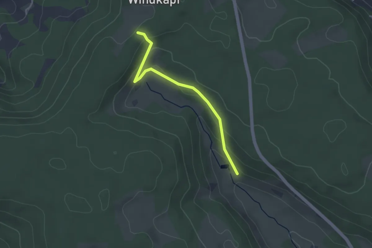
Easy · Trail
Hohe Straße - Schachenbronn
2.9 km · ↑ 115 m · 56 min
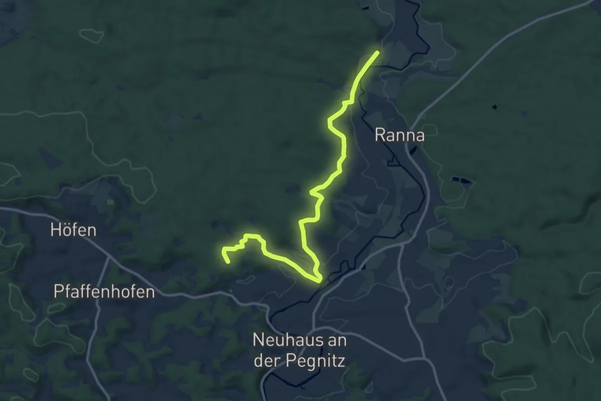
Medium · Trail
Hohe Tanne-Zantberg
11.6 km · ↑ 193 m · 3 h 10 min
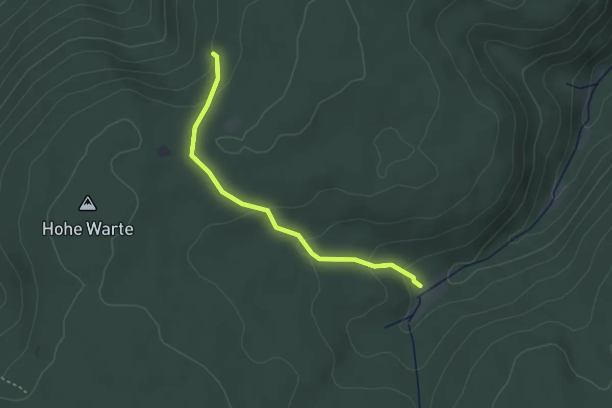
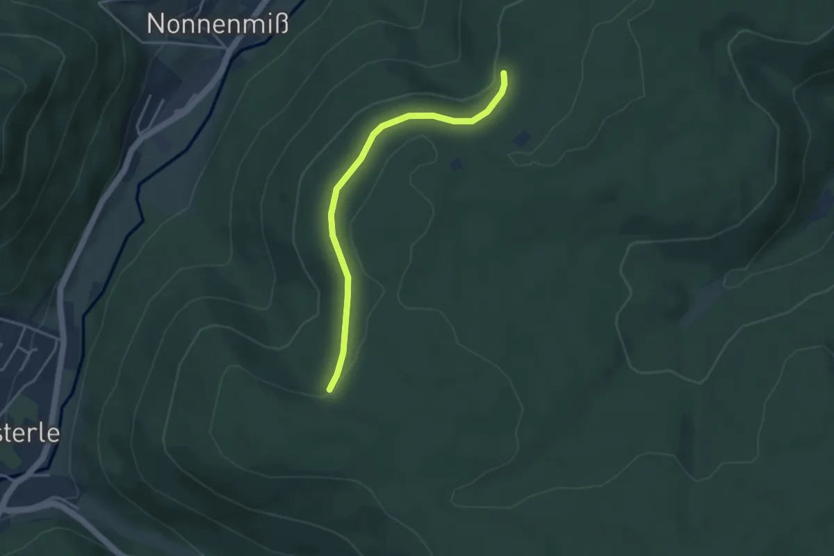
Easy · Trail
Hohe Warte - Kälberbachquelle
2.8 km · ↑ 126 m · 56 min
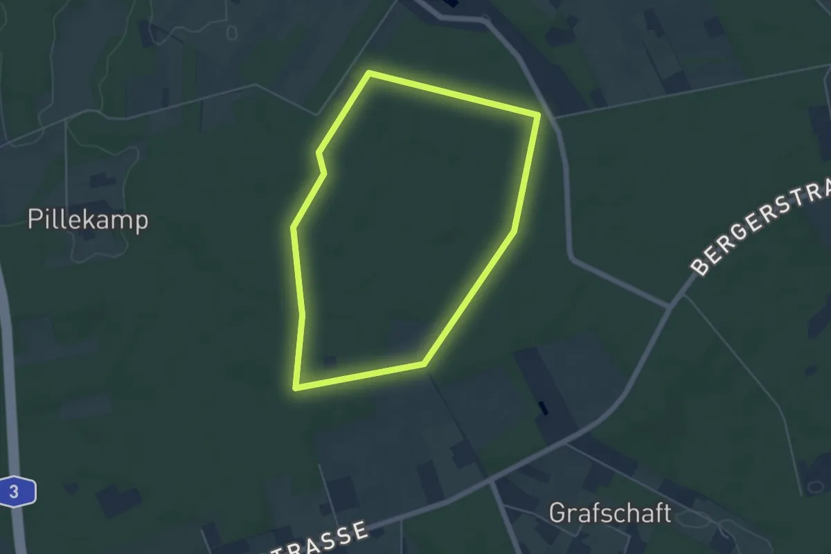
Easy · Trail
Hohe Warte - Schöllkopf
3.4 km · ↑ 55 m · 55 min
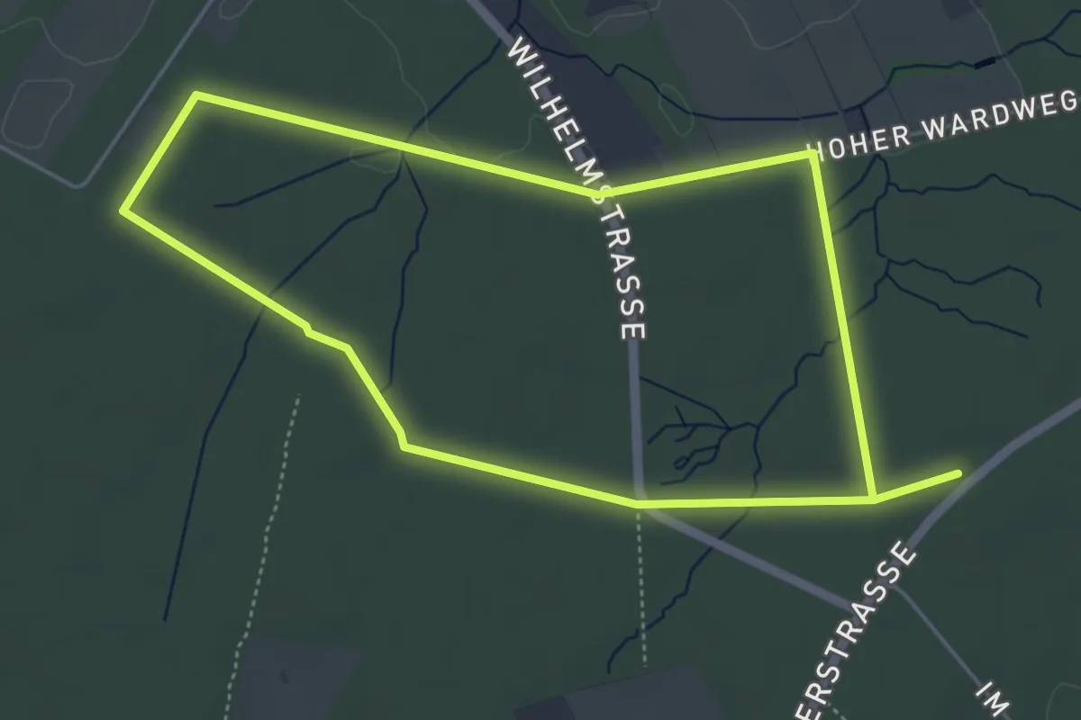
Easy · Trail
Hohe Wart Rundweg A1
4.2 km · ↑ 17 m · 1 h 5 min
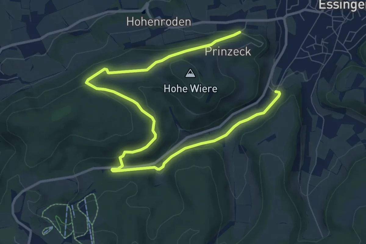
Easy · Trail
Hohe Wart Rundweg A2
4.2 km · ↑ 22 m · 1 h 6 min
Easy · Trail
Hohe Wiere
5.5 km · ↑ 157 m · 1 h 41 min
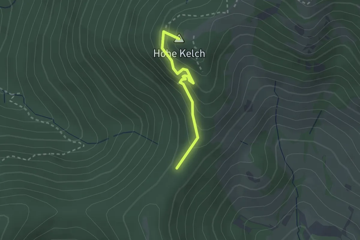
Medium · Summit
Hohkelchsattel - Alte Grenzmauer
1.8 km · ↑ 173 m · 49 min
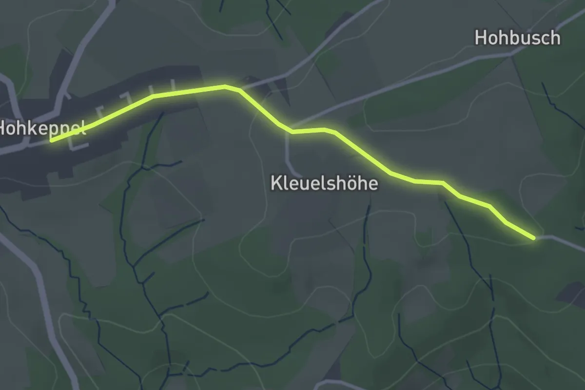
Easy · Trail
Hohkeppel Rundweg A1
1.4 km · ↑ 15 m · 23 min
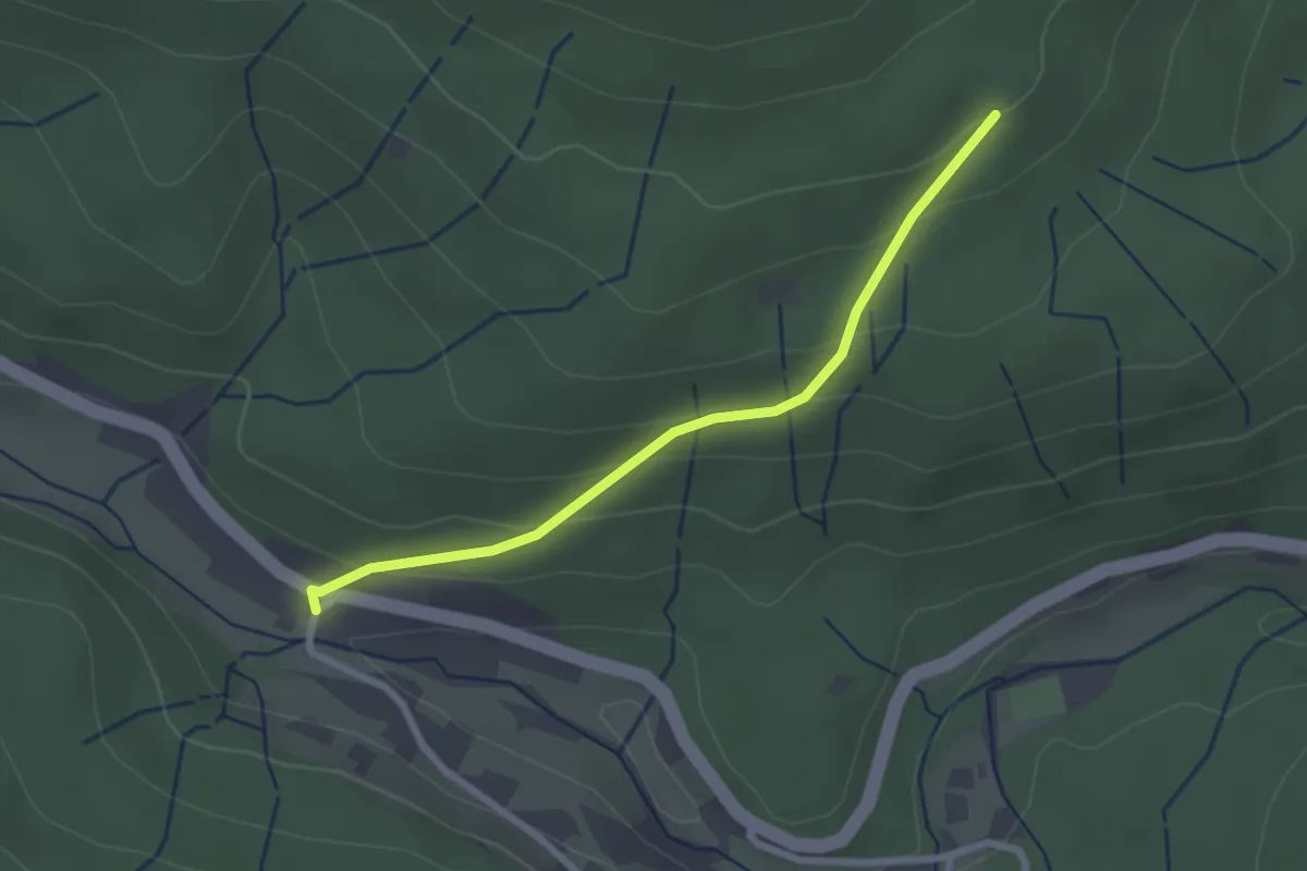
Easy · Trail
Hohkopf - Weiherbrücke
2.3 km · ↑ 140 m · 51 min
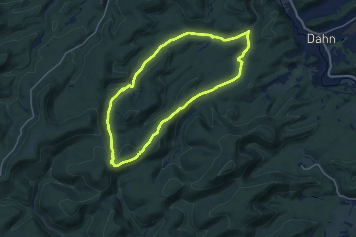
Medium · Summit
Hohle Felsen-Tour
10.4 km · ↑ 234 m · 3 h 7 min
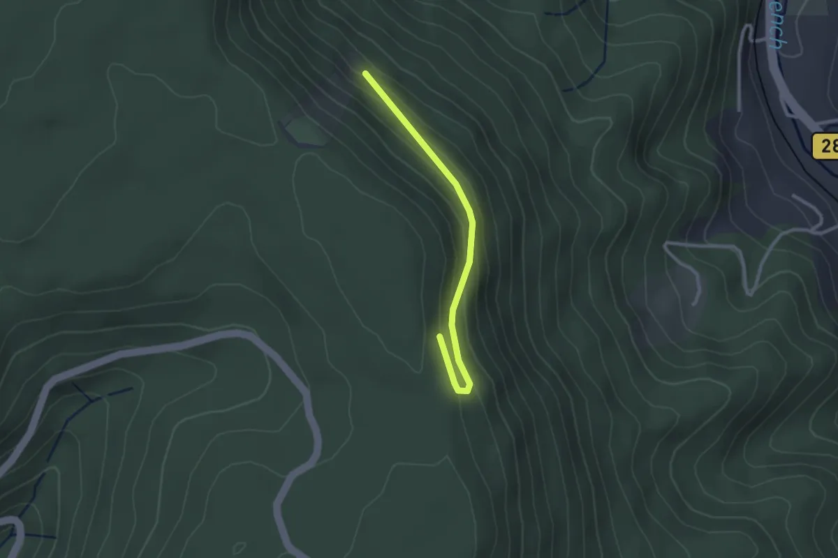
Easy · Trail
Hohlegrundhütte - Kesslers Ries
2.4 km · ↑ 102 m · 47 min
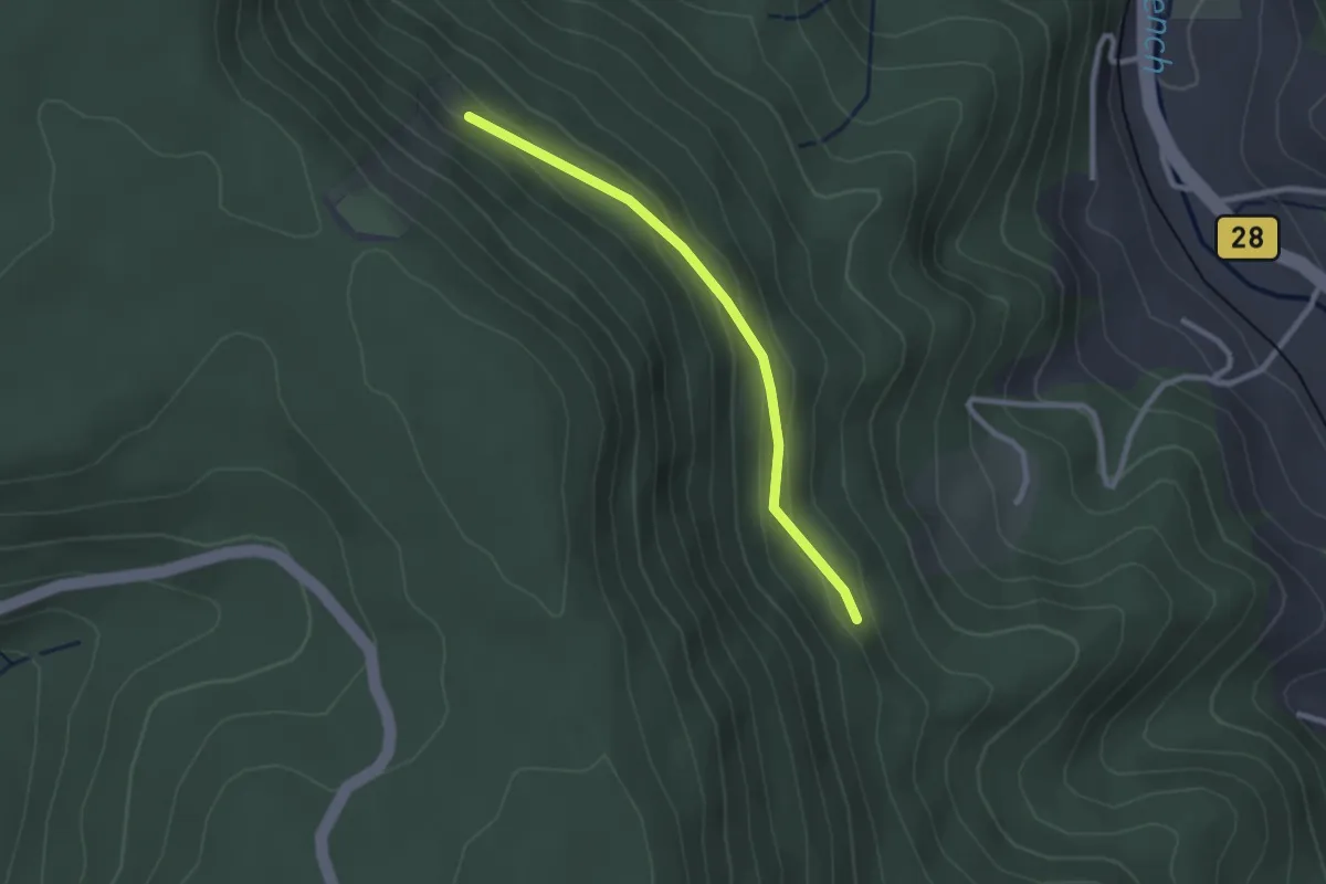
Easy · Trail
Hohlegrundhütte - Wildmättlebrunnen
2.3 km · ↑ 95 m · 44 min
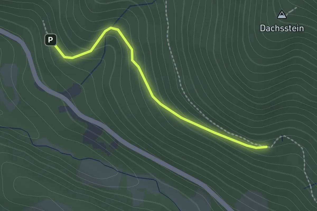
Easy · Trail
Hohleich - Rockertwiesen
2.0 km · ↑ 141 m · 47 min
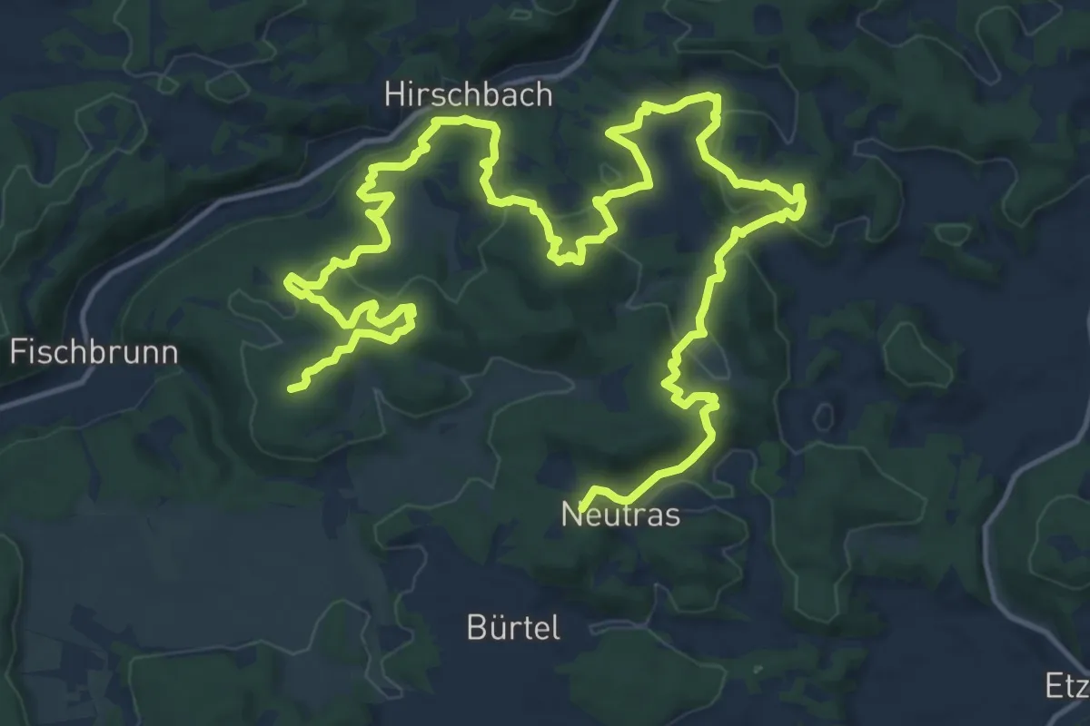
Demanding · Summit
Höhlenrundweg (Nr. 3)
23.8 km · ↑ 1013 m · 7 h 48 min