Trails in Germany
36,852 hiking trails, each with its route, climb, walking time and grade.
All trails, page 250 of 768
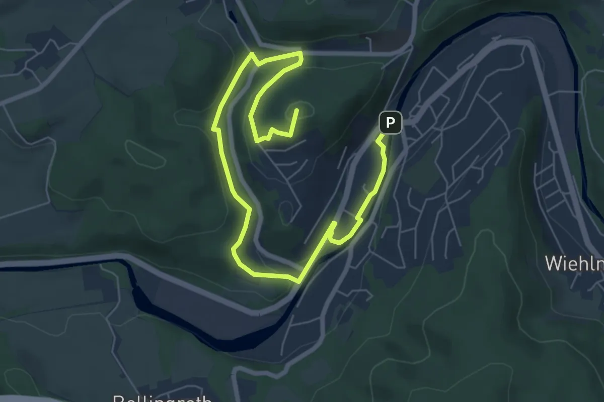
Medium · Summit
Höhlenweg
8.6 km · ↑ 228 m · 2 h 39 min
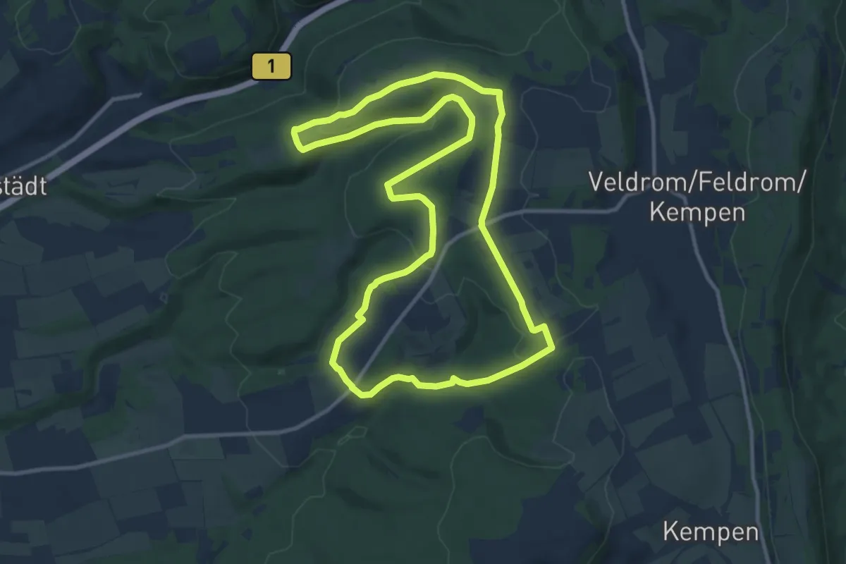
Medium · Summit
Höhlenweg
9.9 km · ↑ 210 m · 2 h 56 min
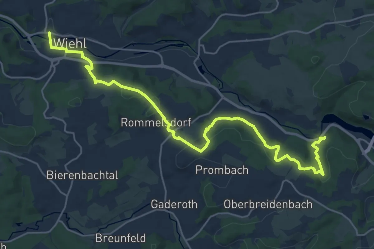
Medium · Trail
Höhlenweg Bieberstein-Tropfsteinhöhle
16.5 km · ↑ 458 m · 4 h 53 min
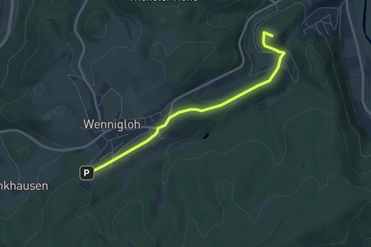
Easy · Summit
[hohles Quadrat]
5.7 km · ↑ 135 m · 1 h 39 min
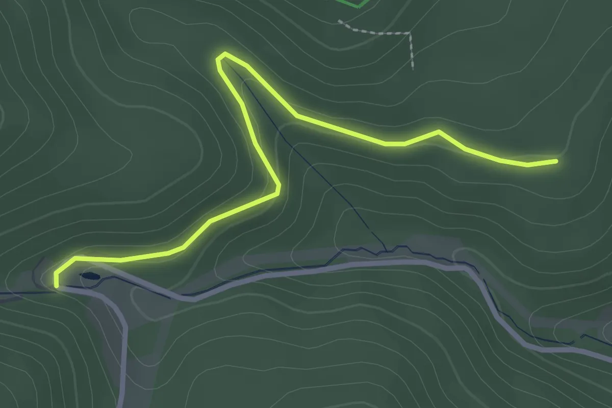
Easy · Trail
Hohle Tanne - Dicke Tanne
2.7 km · ↑ 87 m · 50 min
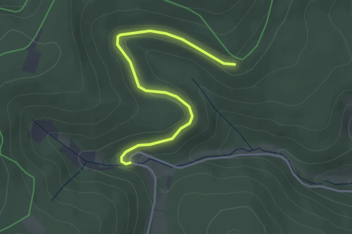
Easy · Trail
Hohle Tanne - Unterm Dietenschwander Kopf
3.3 km · ↑ 81 m · 57 min
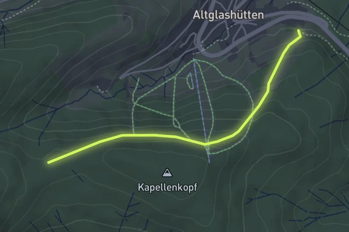
Easy · Trail
Hohlgasse - Rautsch
3.8 km · ↑ 195 m · 1 h 19 min
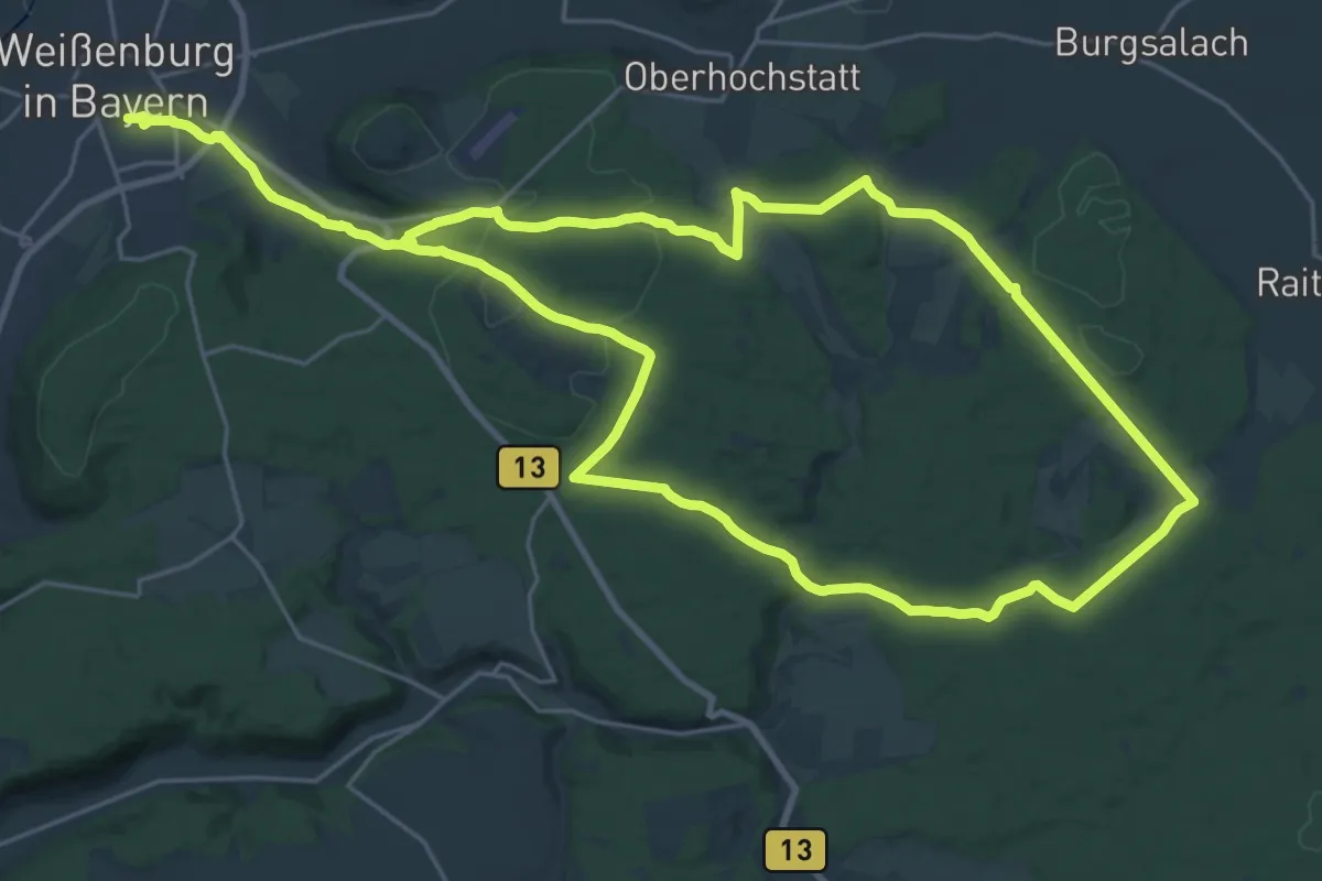
Demanding · Trail
Hohllochweg
23.0 km · ↑ 428 m · 6 h 37 min
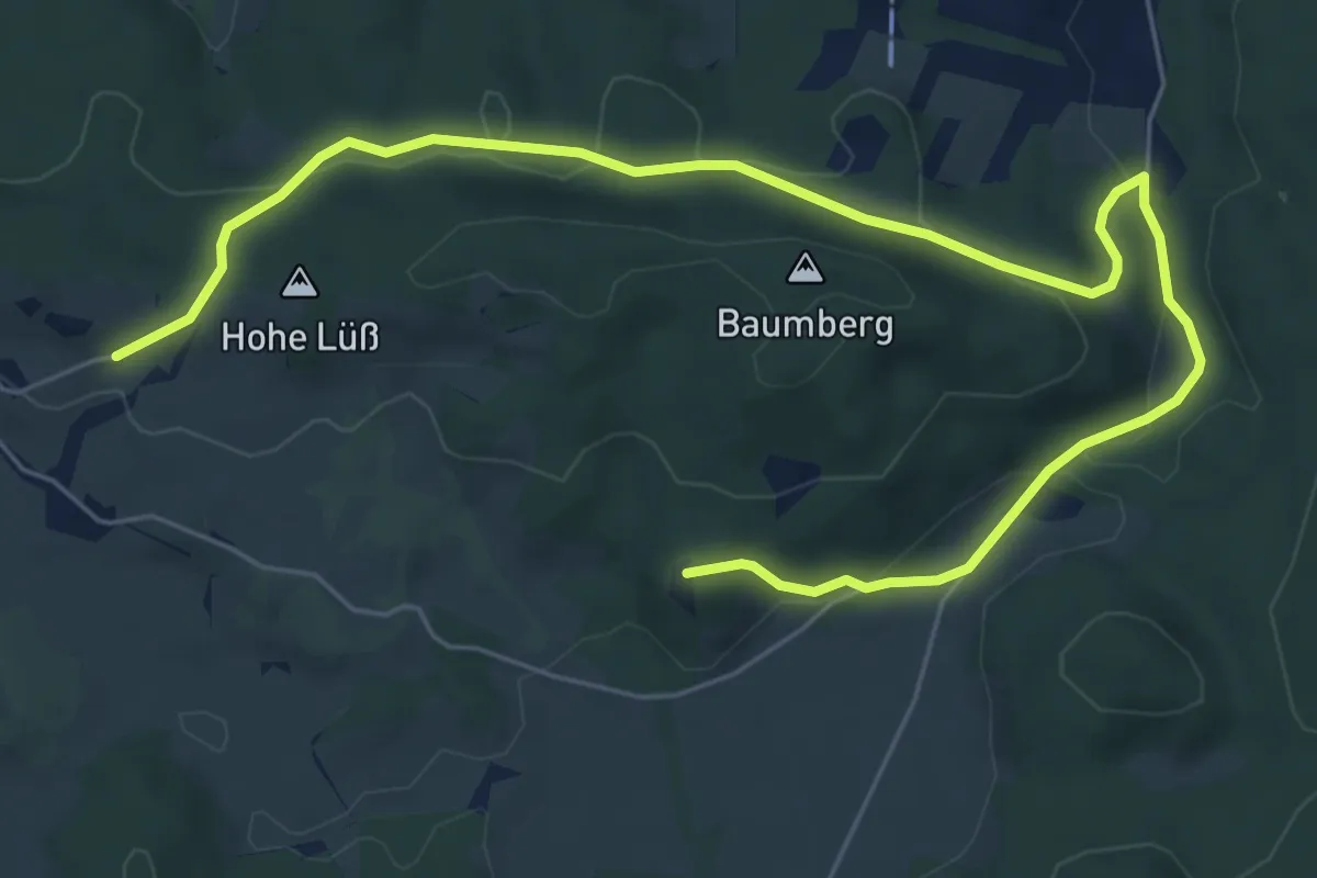
Medium · Summit
Höhlmühle-Rundweg
8.4 km · ↑ 292 m · 2 h 36 min
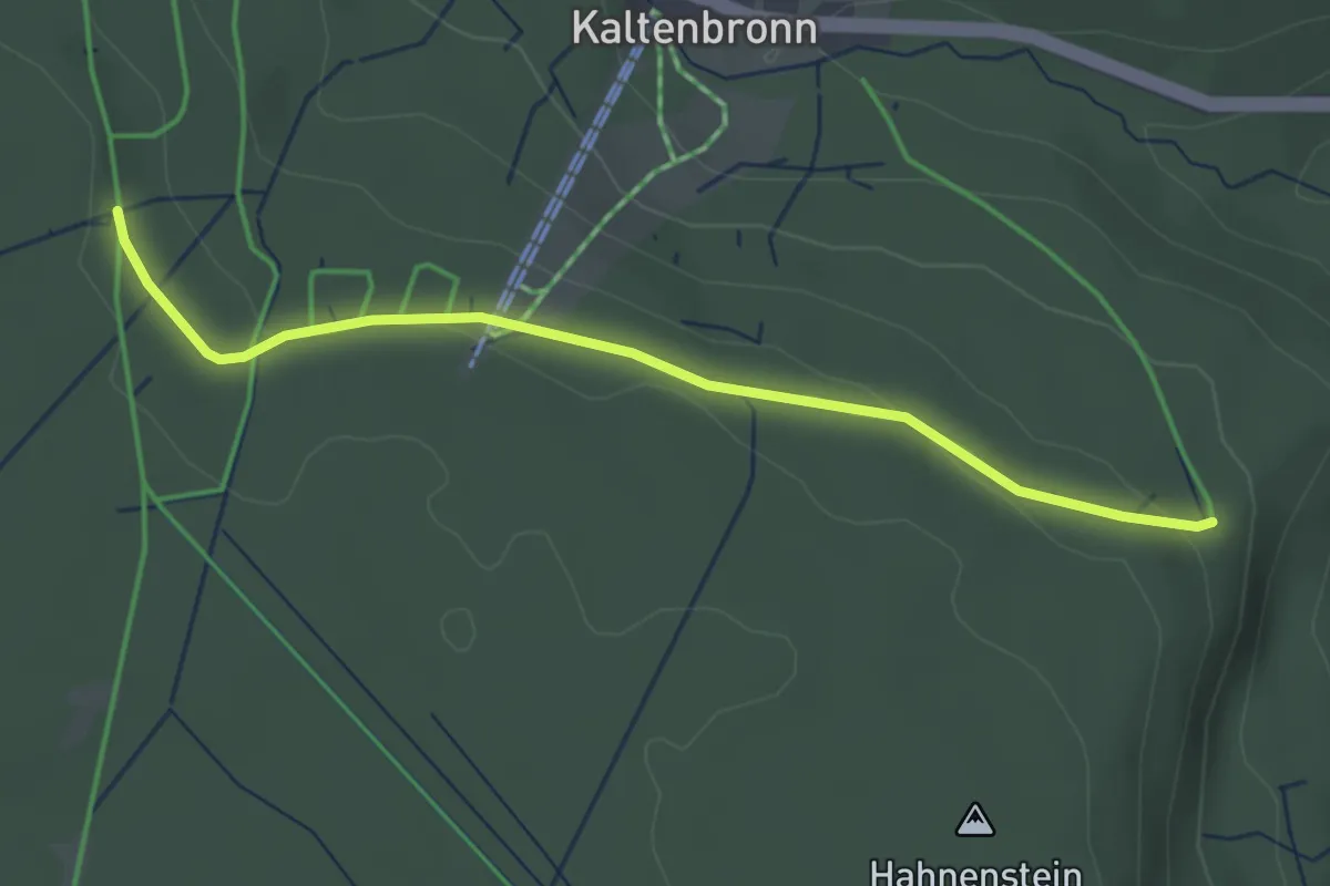
Easy · Trail
Hohlohsee - Hühnerwässerle
3.0 km · ↑ 64 m · 50 min
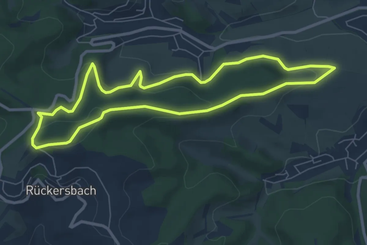
Easy · Summit
Hohl-Rundwanderweg Pilz
5.5 km · ↑ 163 m · 1 h 44 min
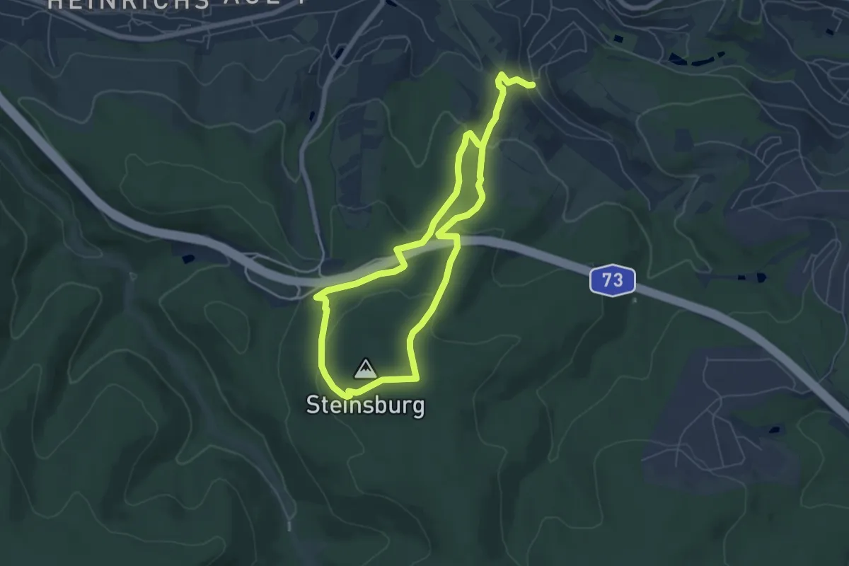
Easy · Summit
Hohlweg-Neundorf-Steinsburg
4.9 km · ↑ 212 m · 1 h 40 min
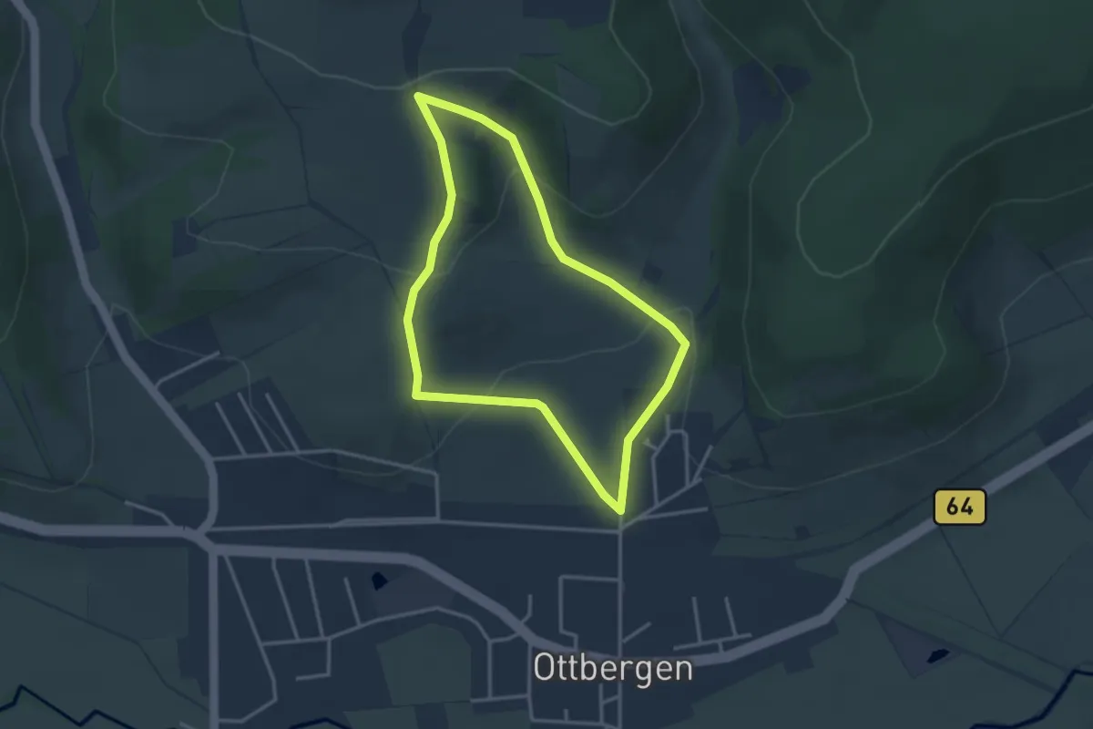
Easy · Trail
Hohlwegrunde
2.7 km · ↑ 114 m · 56 min
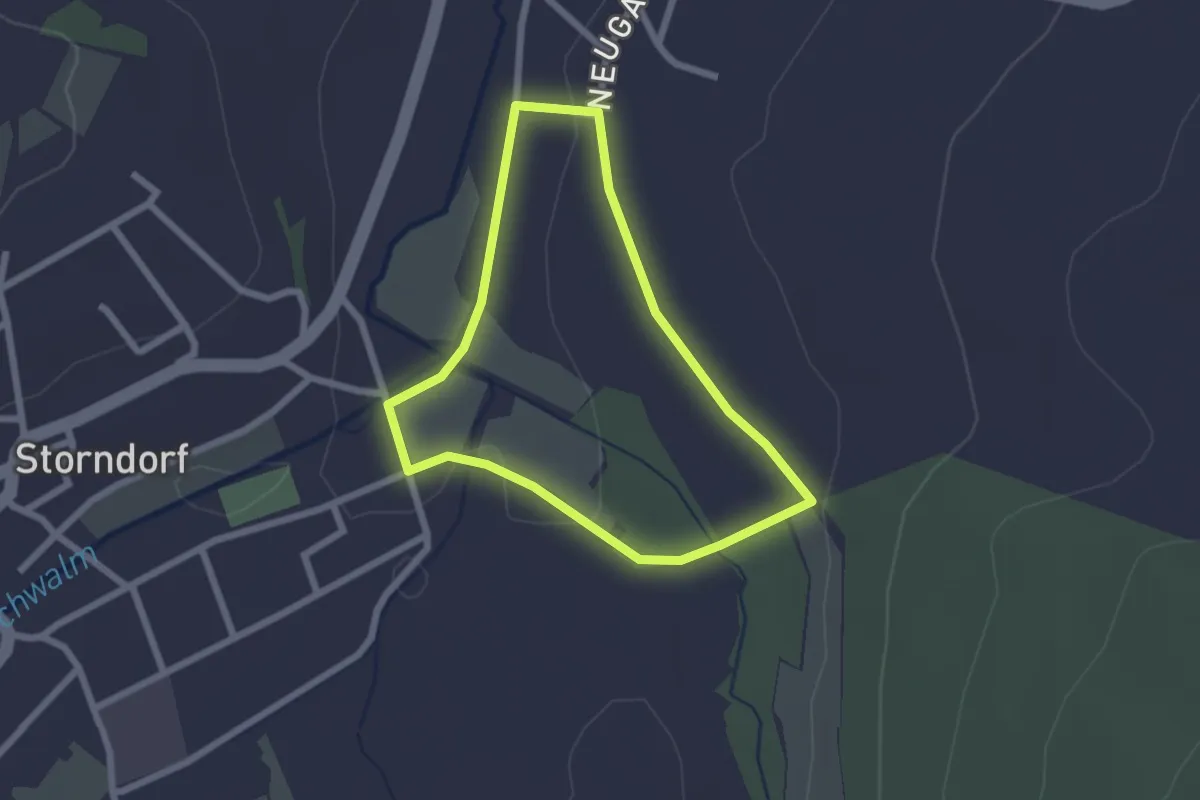
Easy · Trail
Hohmühlenweg
1.9 km · ↑ 16 m · 30 min
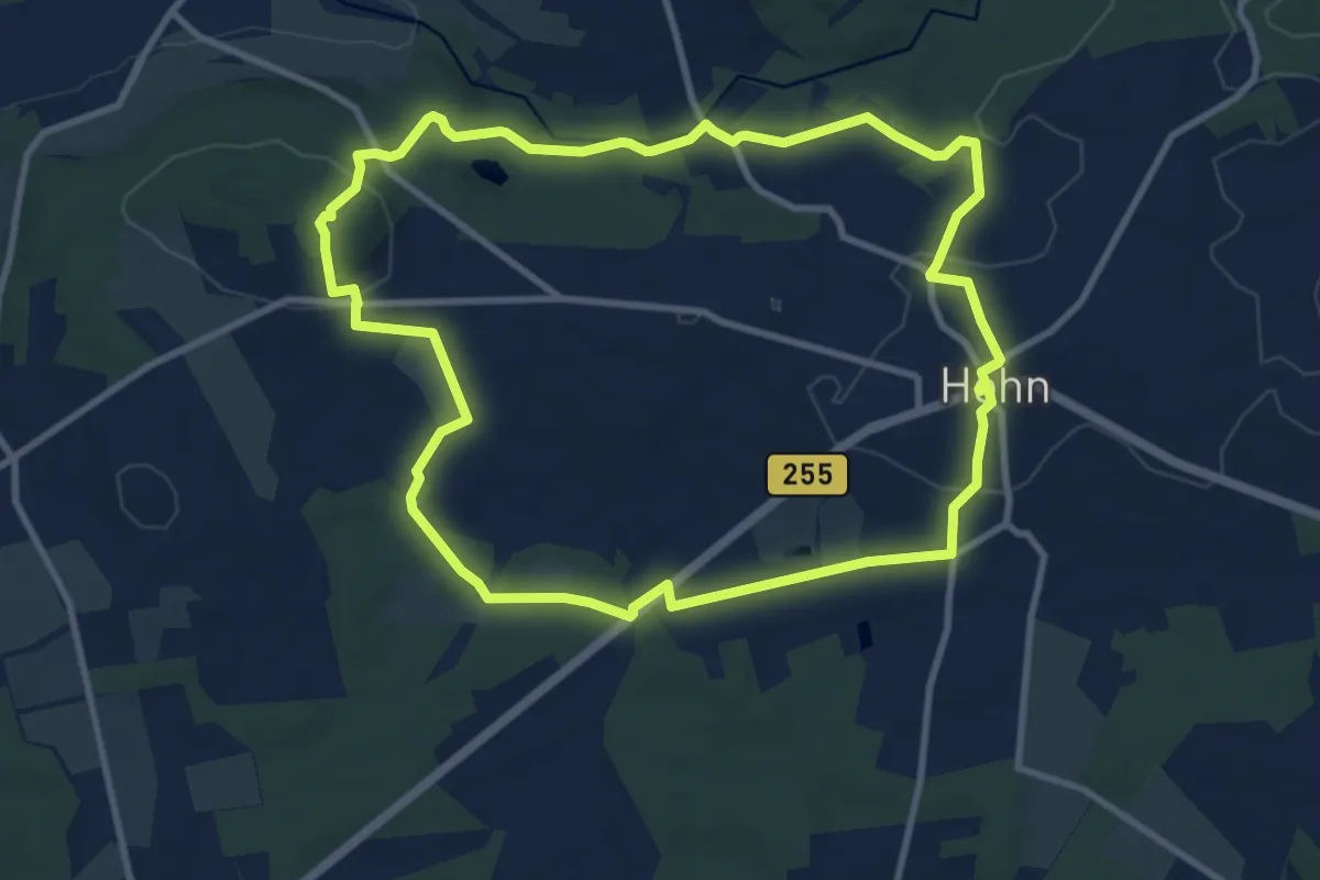
Medium · Summit
Höhner Acht - Hochsteinrunde
9.1 km · ↑ 164 m · 2 h 38 min
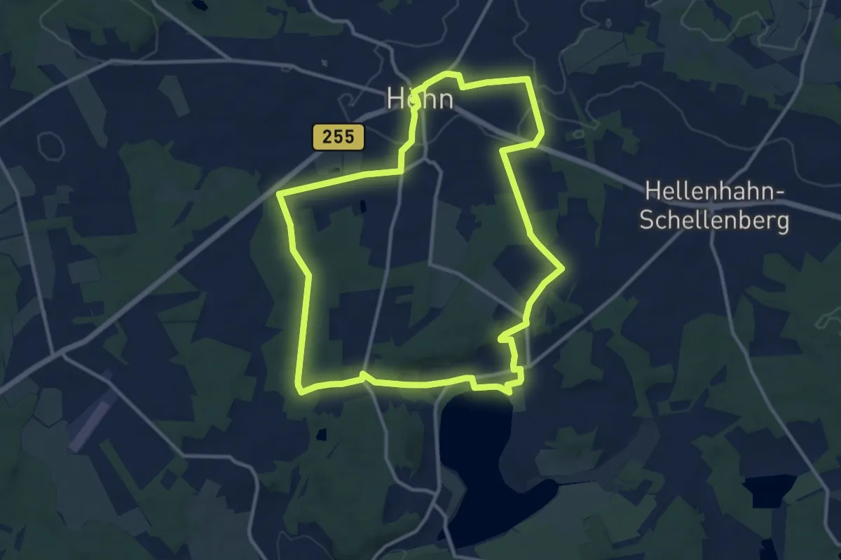
Medium · Trail
Höhner Acht - Seerunde
10.8 km · ↑ 115 m · 2 h 57 min
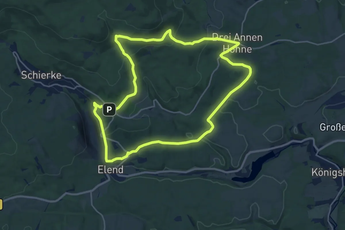
Medium · Trail
Hohnerundweg
13.8 km · ↑ 362 m · 4 h 14 min
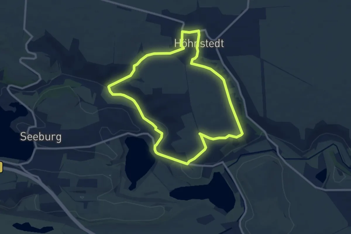
Easy · Trail
Höhnstedt 2
6.7 km · ↑ 108 m · 1 h 55 min
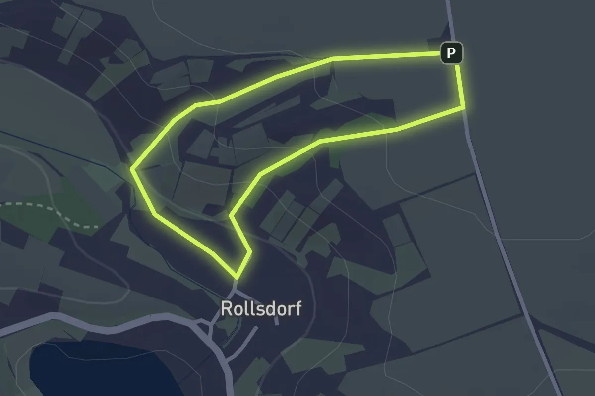
Easy · Trail
Höhnstedt Rollsdorf
2.0 km · ↑ 72 m · 39 min
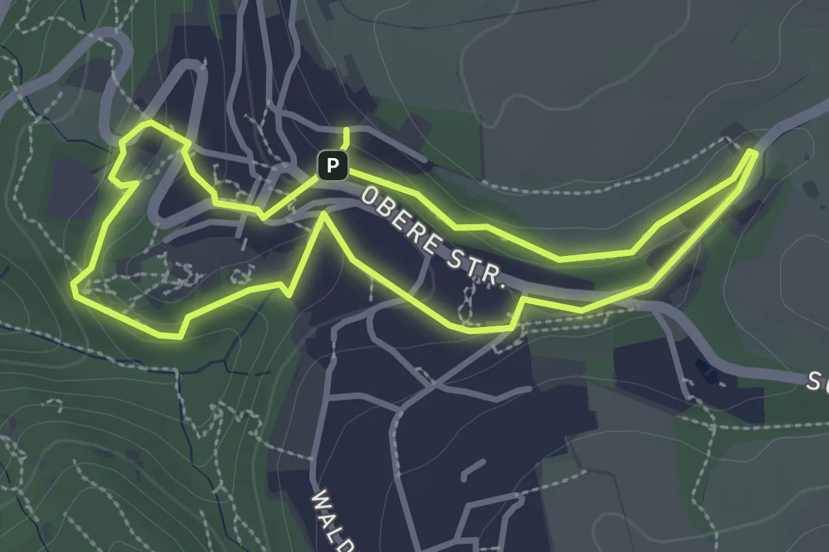
Easy · Trail
Hohnsteiner Kasperpfad
2.6 km · ↑ 91 m · 51 min
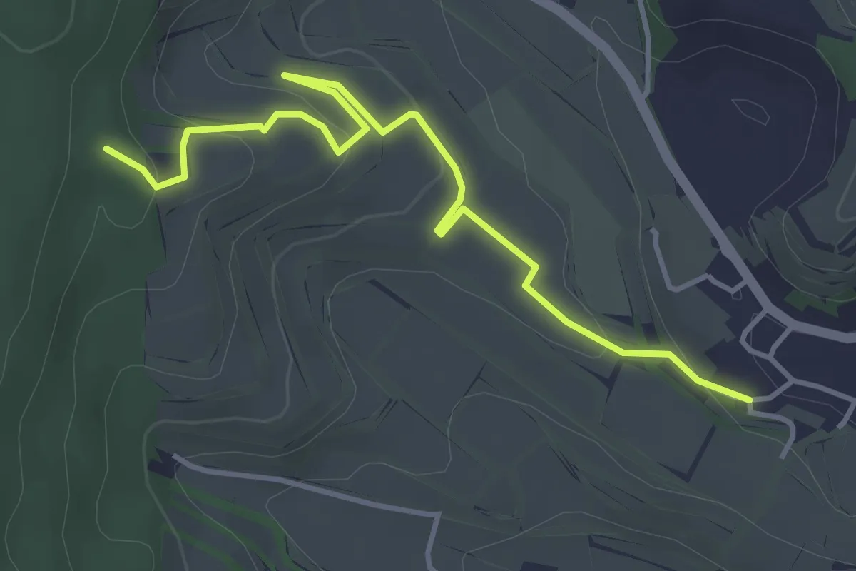
Easy · Trail
Hohrainbuck-Hütte - Obere Kinzge
4.1 km · ↑ 132 m · 1 h 16 min
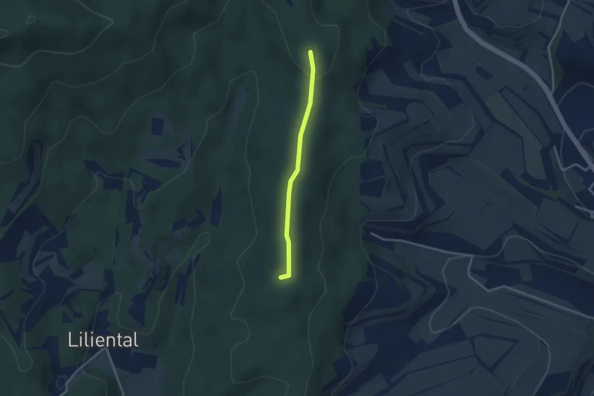
Easy · Summit
Hohrain - Gagenhart
2.2 km · ↑ 46 m · 37 min
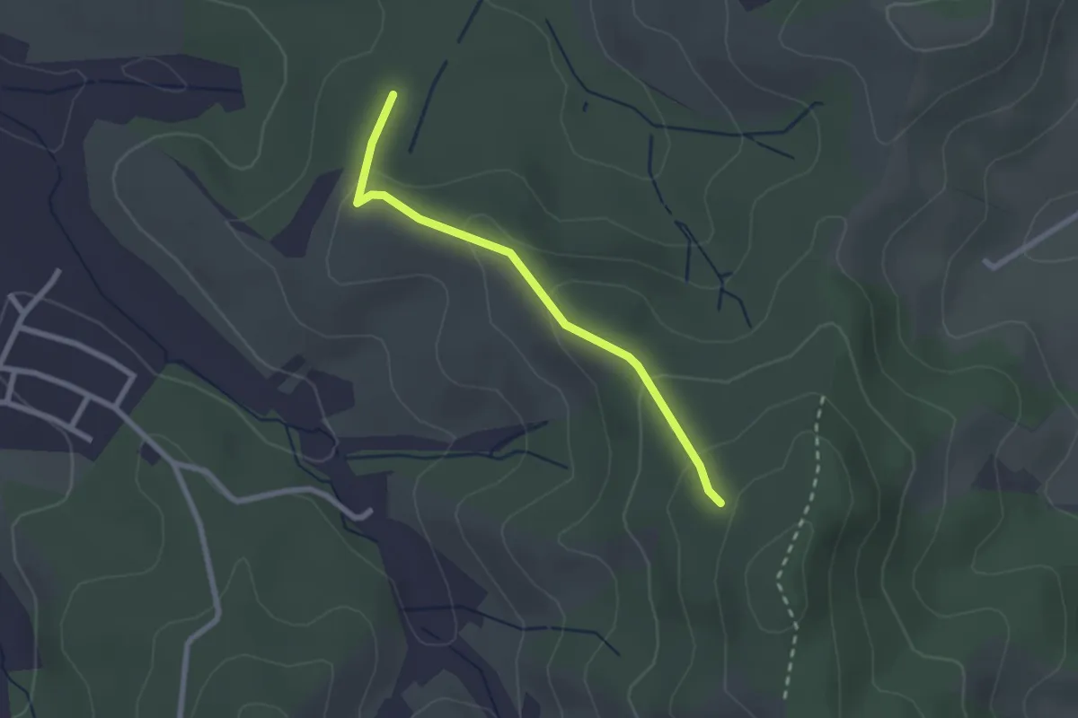
Easy · Trail
Hohrank - Rappenloch
2.1 km · ↑ 108 m · 44 min
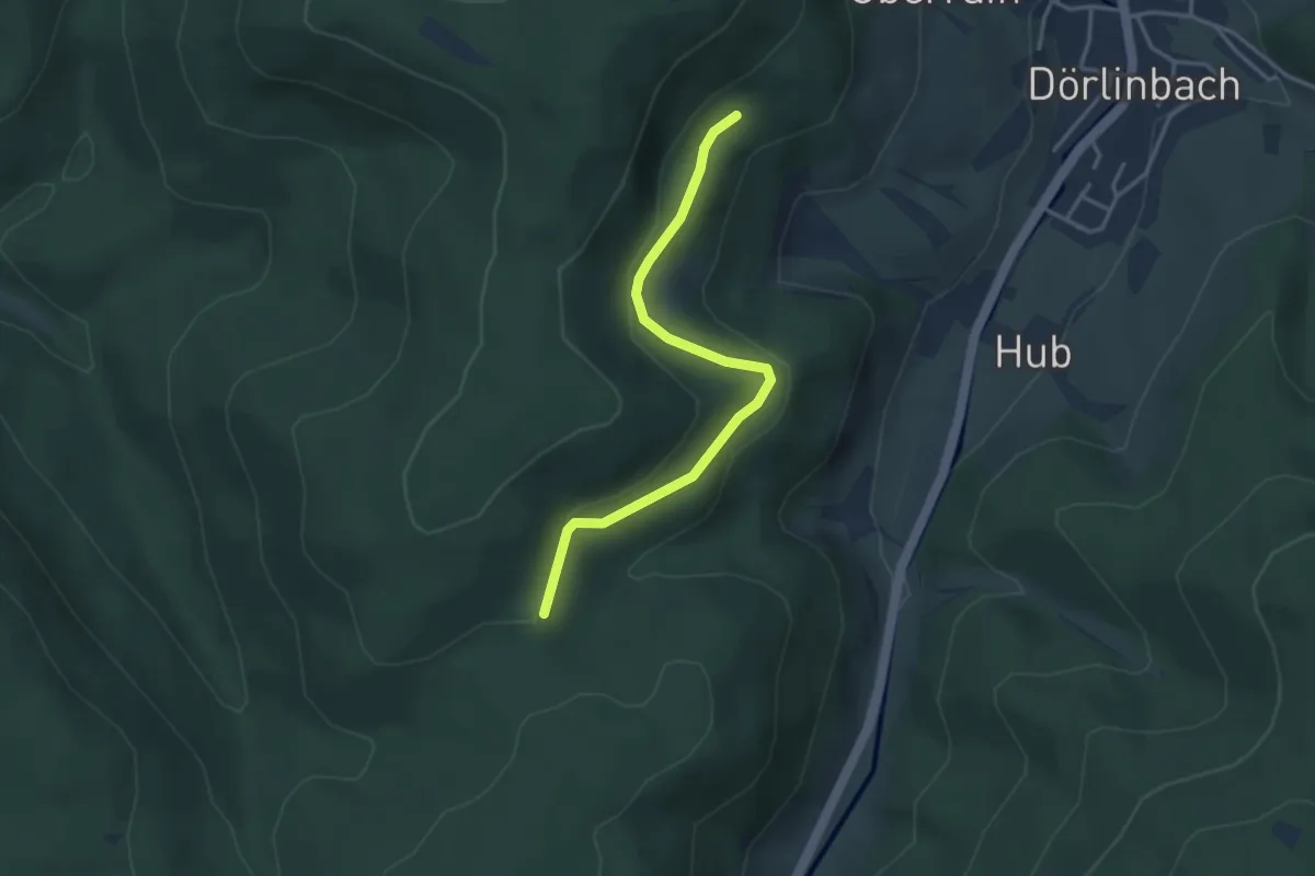
Easy · Trail
Hohrütte - Klosterhof
3.3 km · ↑ 103 m · 1 h
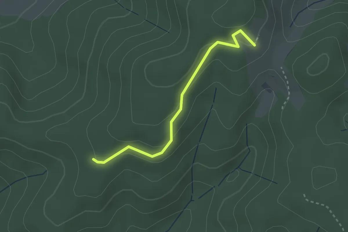
Easy · Trail
Hohtann Kandelblick - Langeck
2.4 km · ↑ 128 m · 50 min
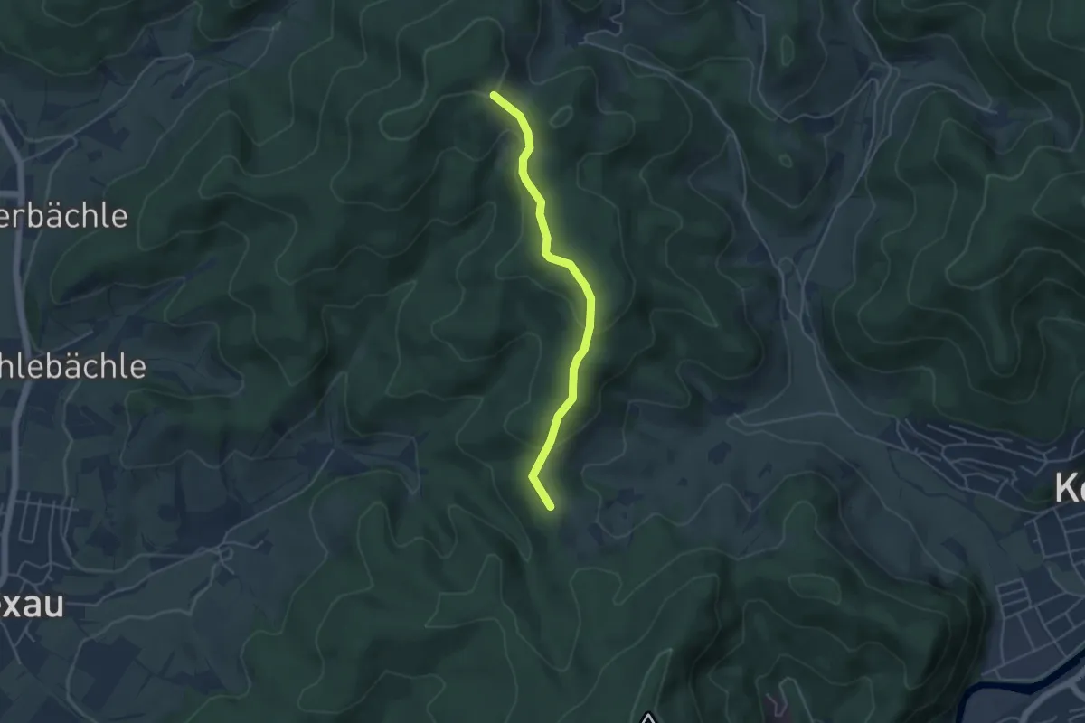
Easy · Trail
Hohtann Kandelblick - Sexauer Haseneckle
4.0 km · ↑ 152 m · 1 h 17 min
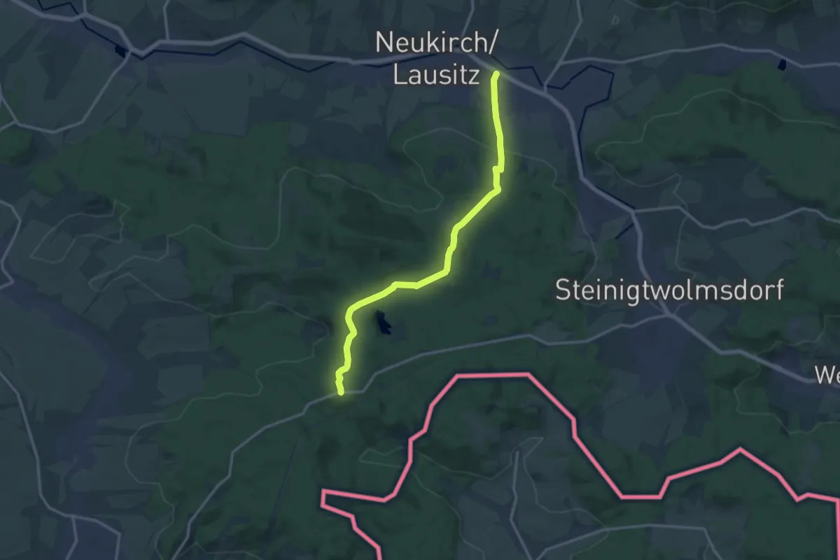
Medium · Trail
Hohwaldschenke - Neukirch (gelber Strich)
12.5 km · ↑ 338 m · 3 h 42 min
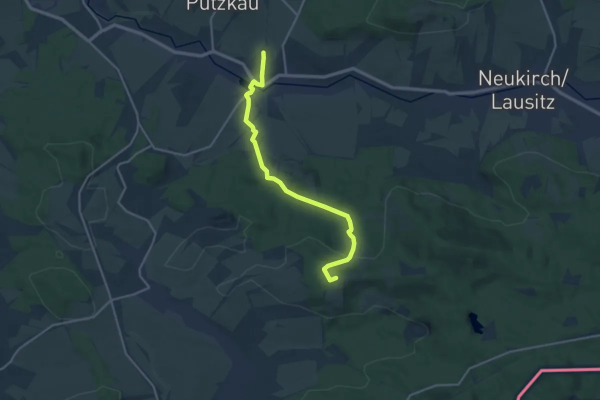
Medium · Summit
Hohwaldschenke - Putzkau (gelber Strich)
11.3 km · ↑ 228 m · 3 h 10 min
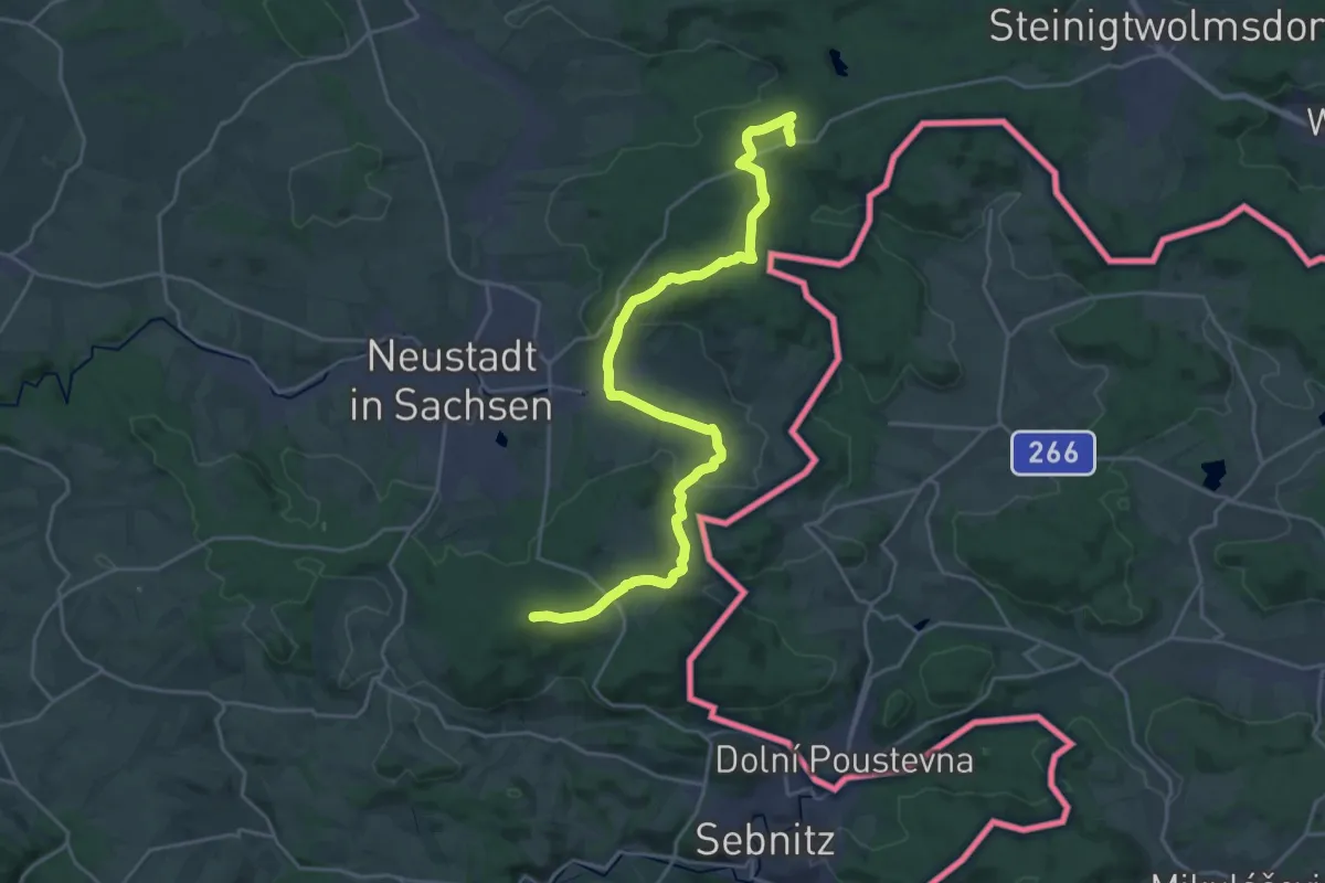
Demanding · Summit
Hohwald - Unger (Hängeweg grüner Strich)
23.9 km · ↑ 518 m · 6 h 45 min
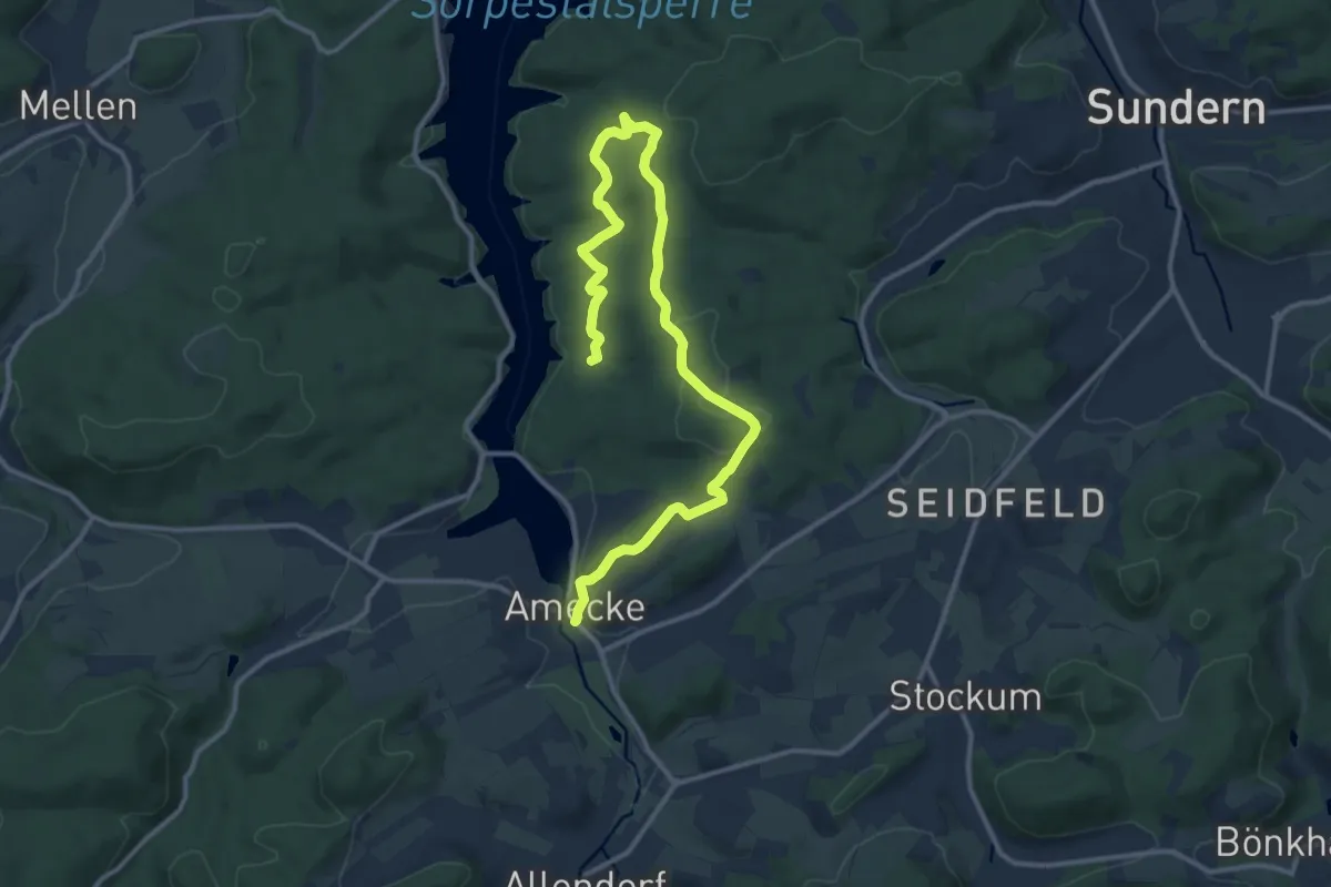
Medium · Trail
Höhweg Amecke
14.0 km · ↑ 355 m · 4 h 4 min
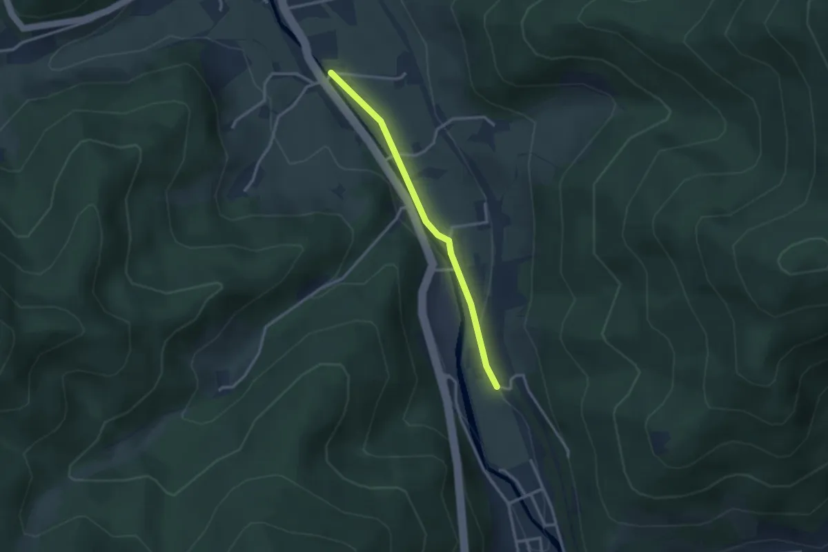
Easy · Trail
Hohweg - Markgrafenhof
2.4 km · ↑ 27 m · 38 min
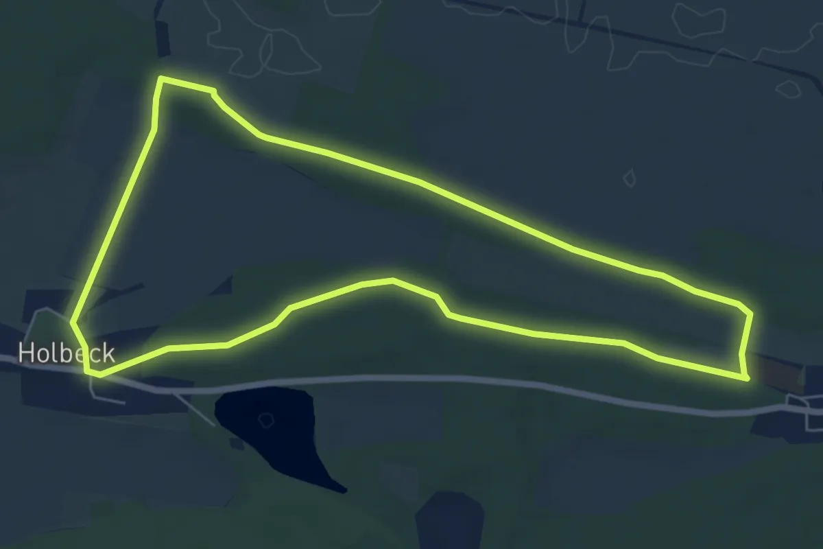
Easy · Trail
Holbecker Rundweg
5.8 km · ↑ 31 m · 1 h 31 min
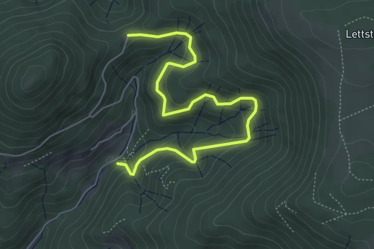
Medium · Trail
Holchen Wasserfall - Mülbensattel
5.8 km · ↑ 366 m · 2 h 9 min
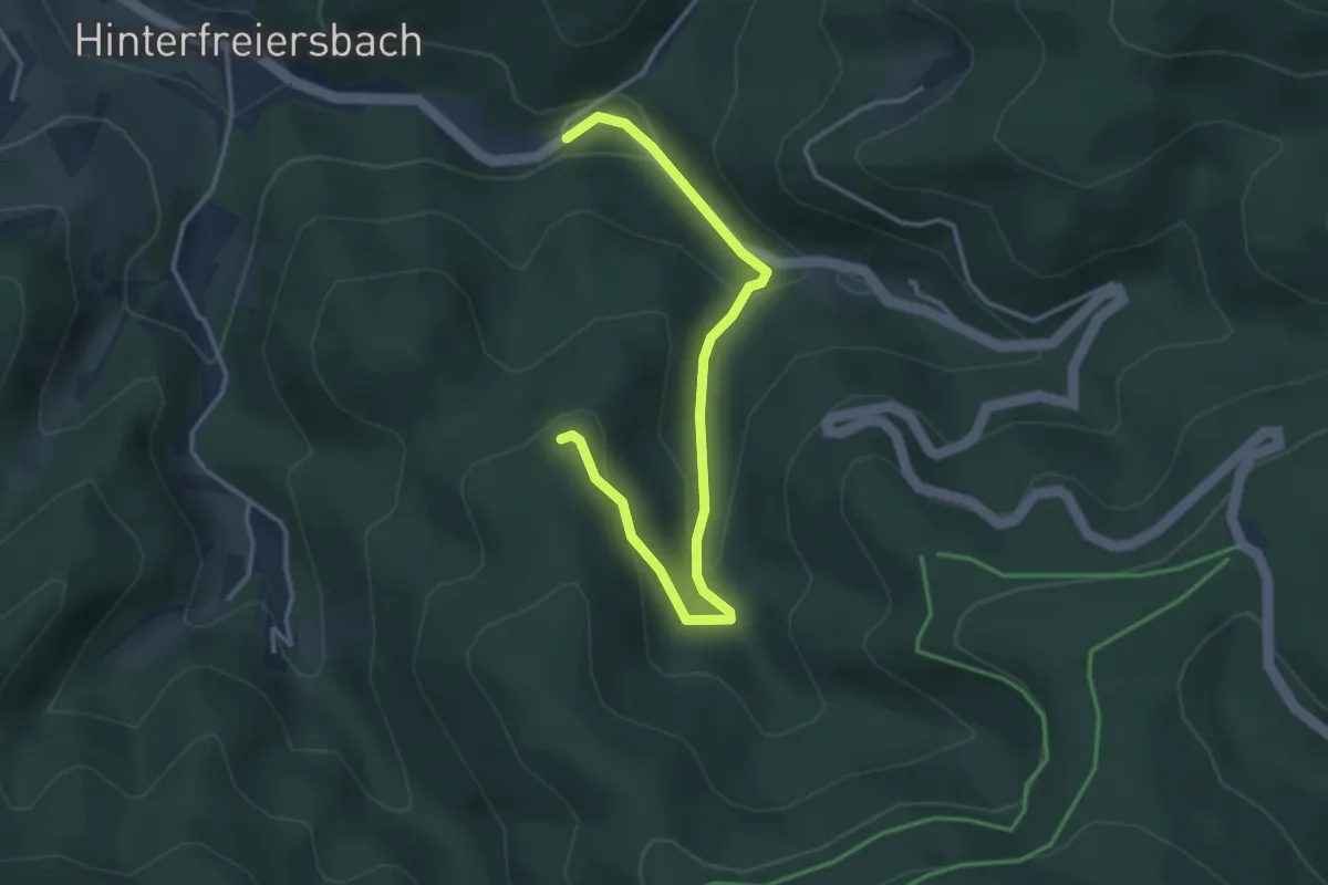
Easy · Trail
Holchenweg - Schulterberg
3.7 km · ↑ 162 m · 1 h 13 min
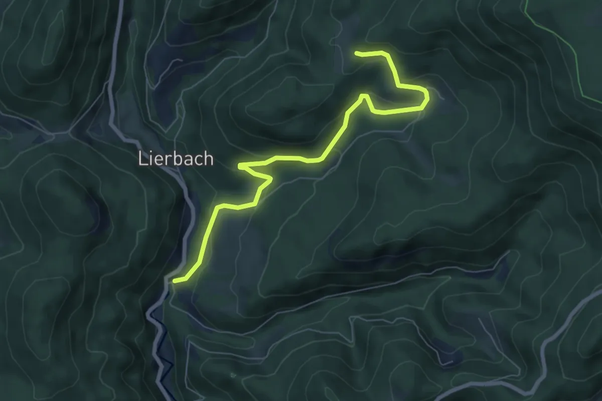
Easy · Trail
Holderacker - Lierbach Gasthaus Blume
6.6 km · ↑ 305 m · 2 h 14 min
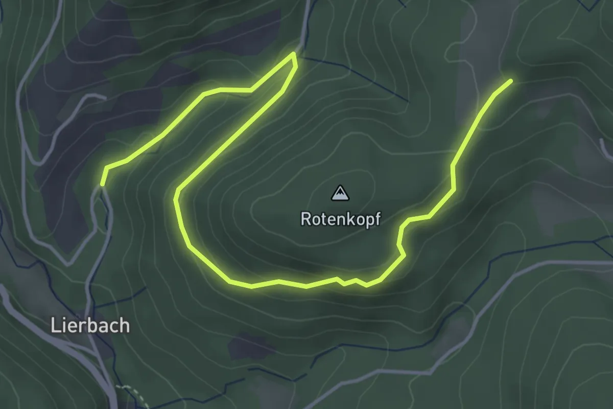
Easy · Trail
Holderacker - Ofersbach
5.1 km · ↑ 243 m · 1 h 44 min
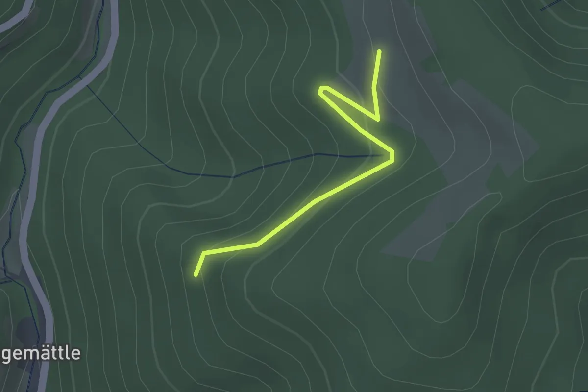
Easy · Trail
Holder - Felsenhau
2.1 km · ↑ 127 m · 46 min
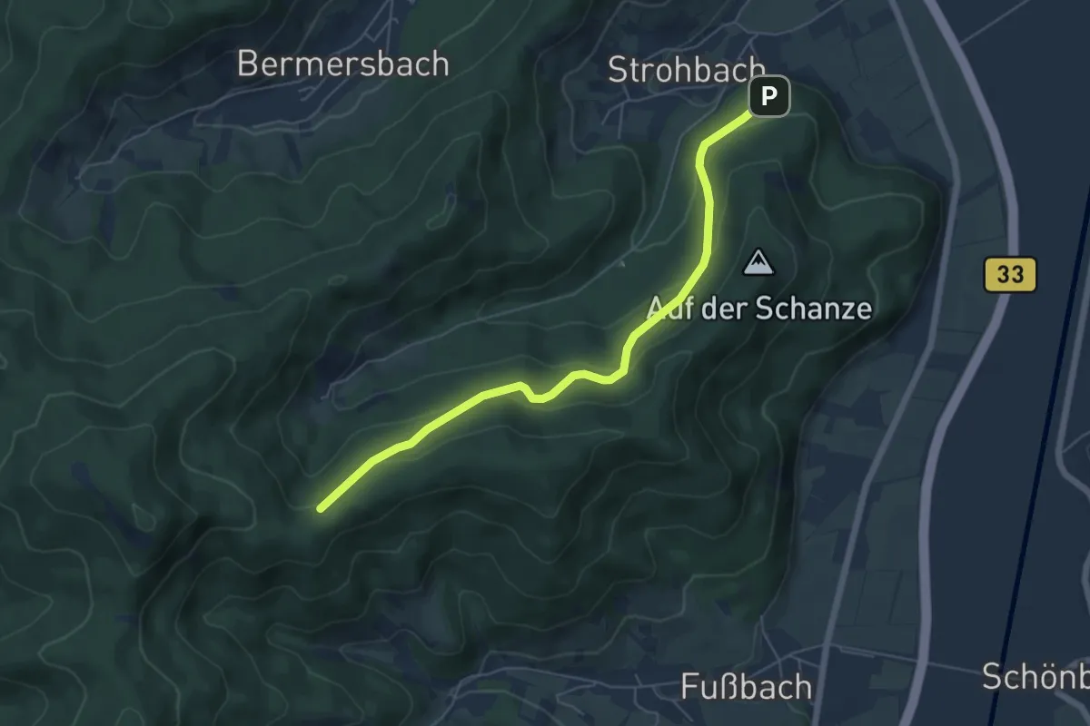
Easy · Trail
Holdergrund - Strohbachwald
5.7 km · ↑ 248 m · 1 h 53 min
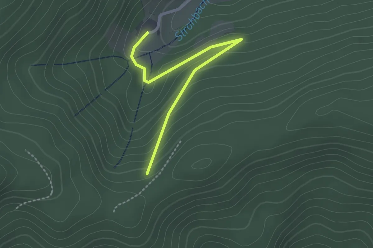
Easy · Trail
Holdergrund - Strohhof
2.1 km · ↑ 97 m · 43 min
Demanding · Trail
Hölderlinpfad
22.4 km · ↑ 144 m · 5 h 52 min
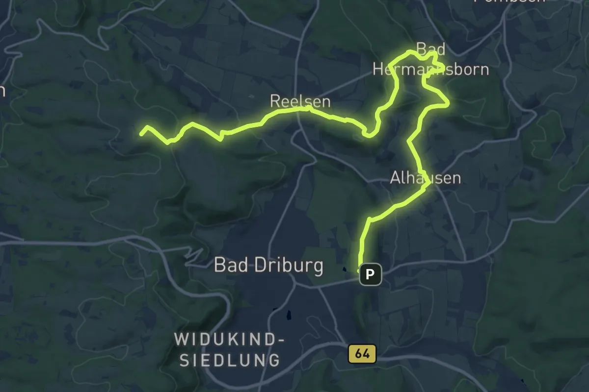
Demanding · Summit
Hölderlinweg
24.1 km · ↑ 610 m · 7 h 1 min
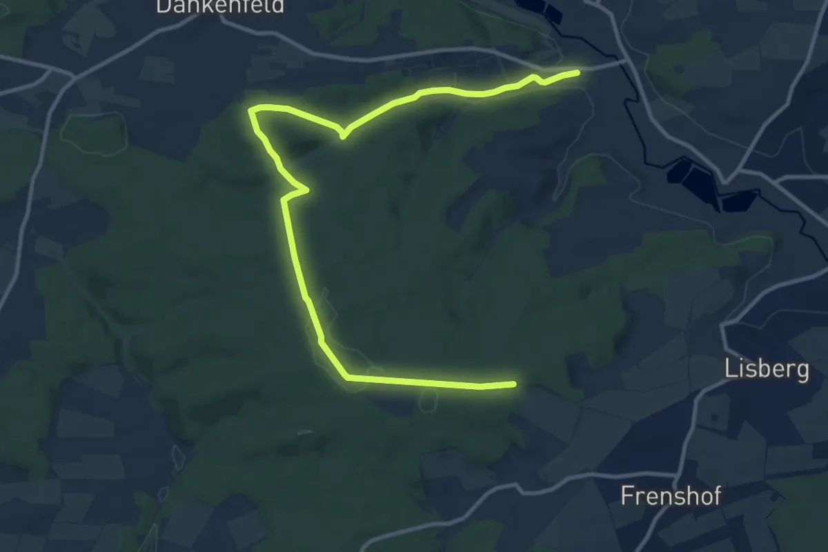
Easy · Trail
Hölderlinweg Lisberg L 5
6.2 km · ↑ 150 m · 1 h 50 min
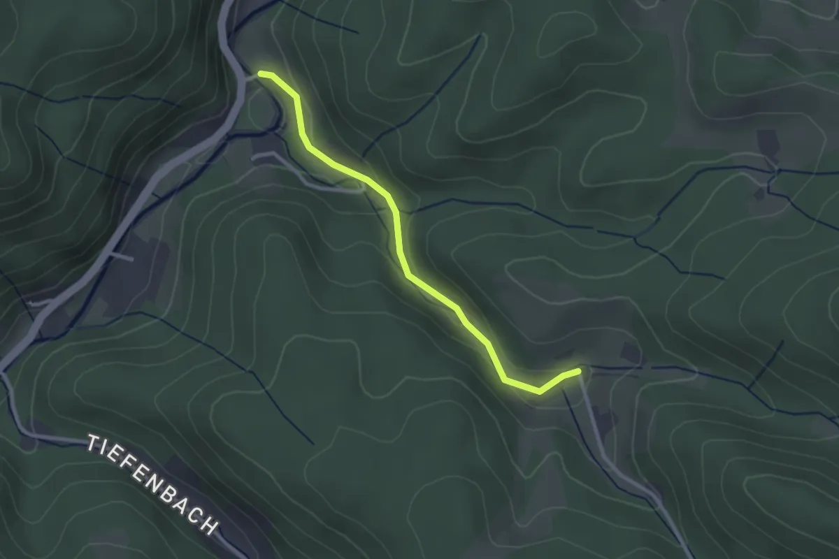
Easy · Trail
Holdersbach - Ochsenwirts Eiche
2.5 km · ↑ 80 m · 45 min
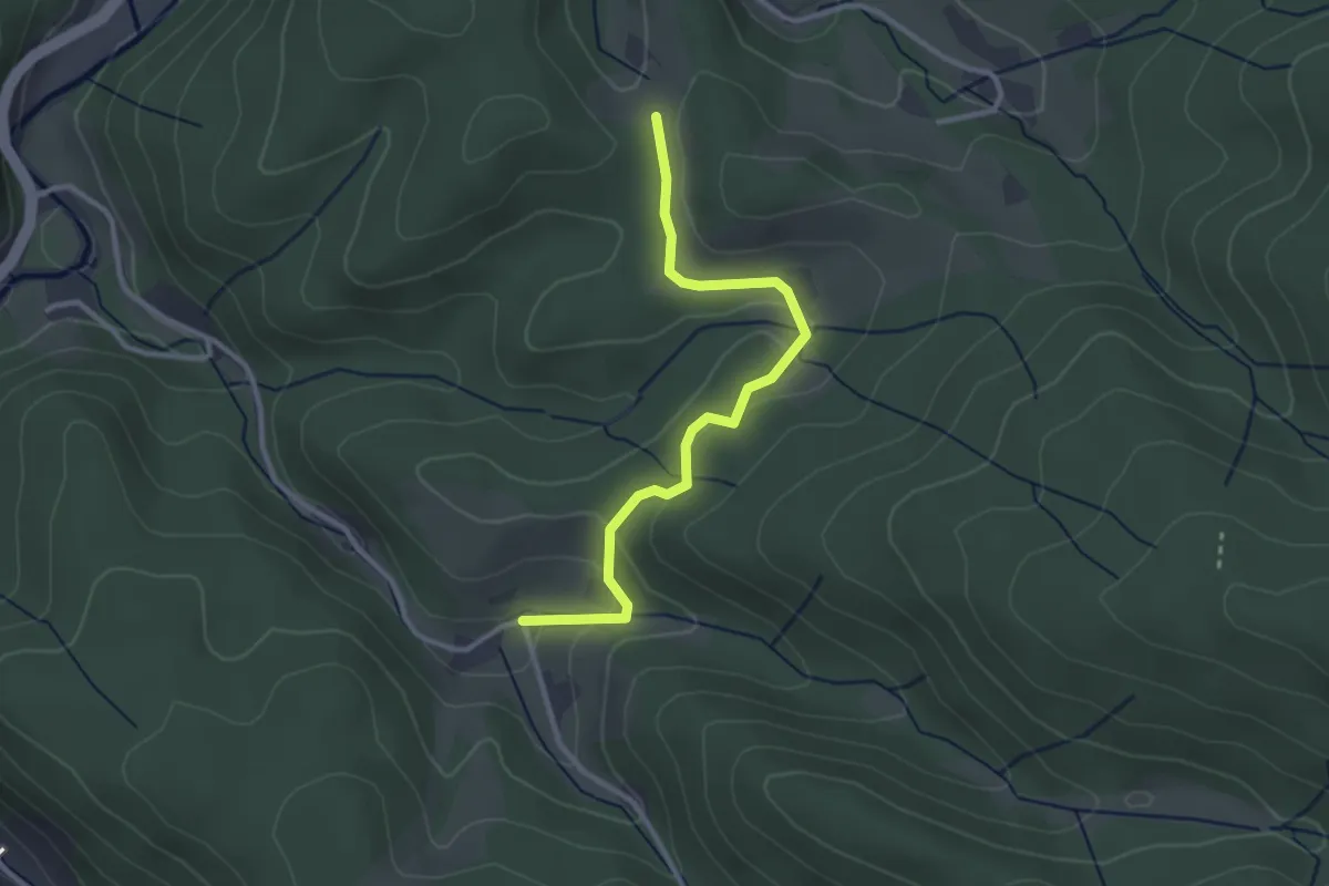
Easy · Trail
Holdersbach - Steig
2.9 km · ↑ 110 m · 55 min
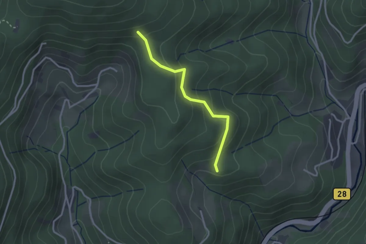
Easy · Trail
Holderskopf - Spinnersberg
2.2 km · ↑ 172 m · 53 min
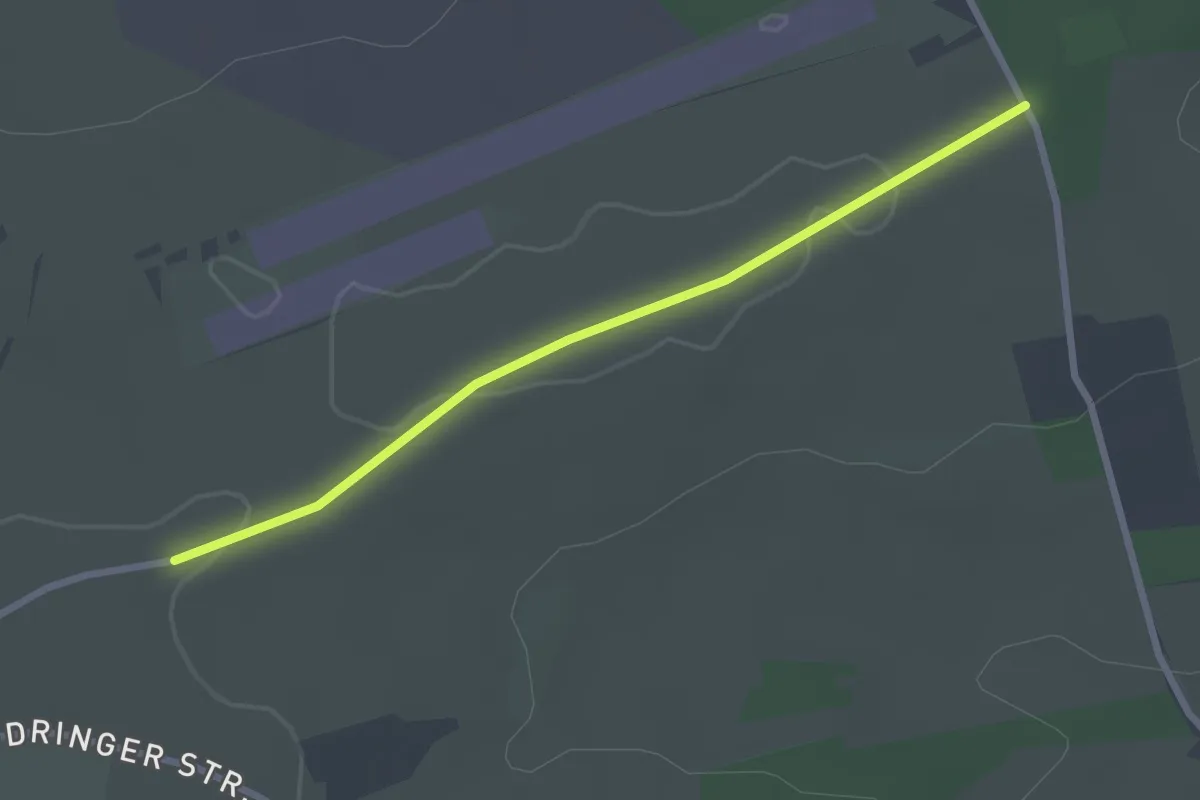
Easy · Trail
Holdersteig - Dürrenhardt
2.5 km · ↑ 4 m · 36 min
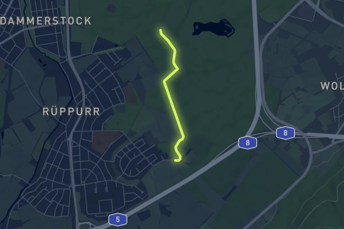
Easy · Trail
Holderweg - Battstraße
3.9 km · ↑ 10 m · 57 min
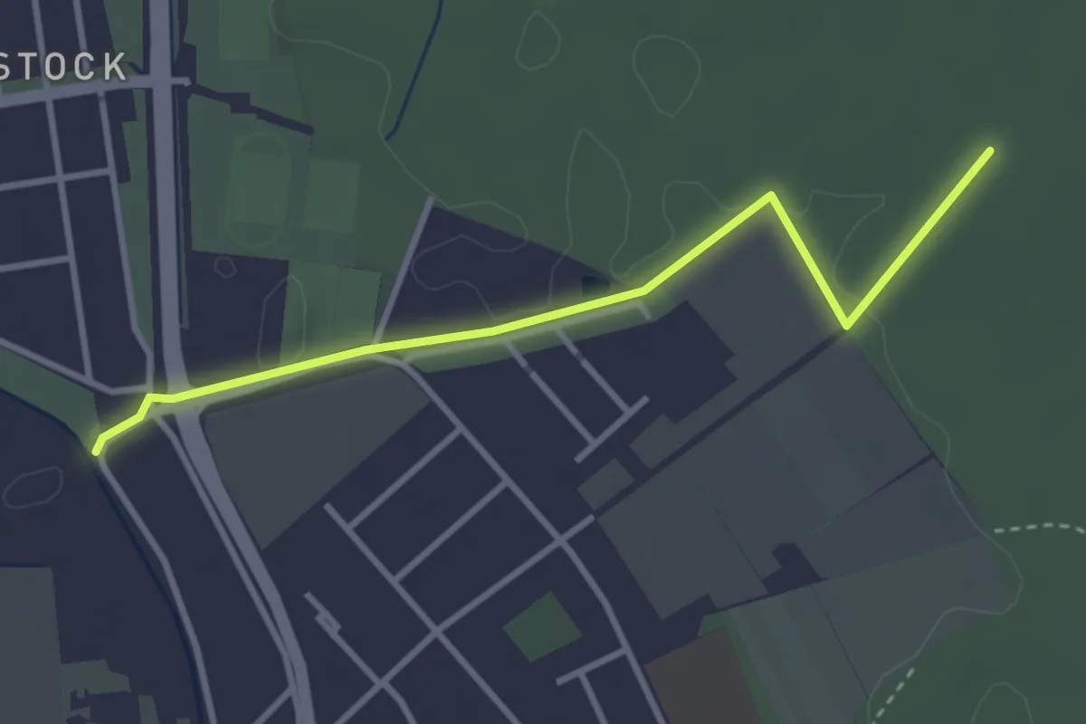
Easy · Trail
Holderweg - Schloss Rüppurr, Freibad
3.2 km · ↑ 10 m · 47 min