Trails in Germany
36,852 hiking trails, each with its route, climb, walking time and grade.
All trails, page 251 of 768
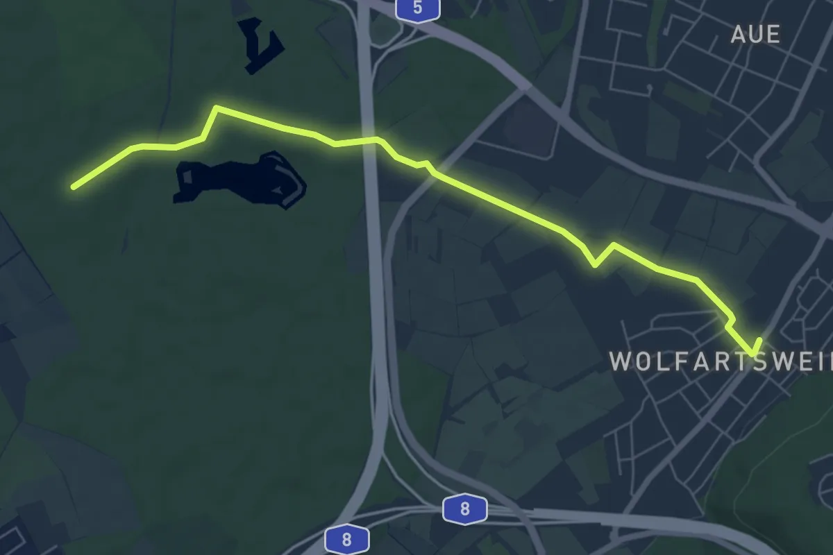
Easy · Trail
Holderweg - Wolfartsweier Am Zündhütle
6.8 km · ↑ 45 m · 1 h 42 min
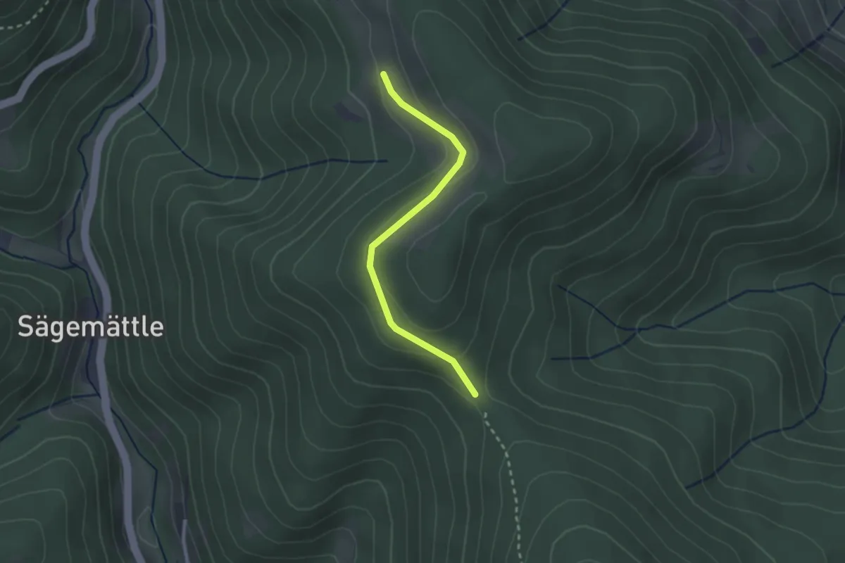
Easy · Trail
Holder - Zeiger
2.3 km · ↑ 78 m · 43 min
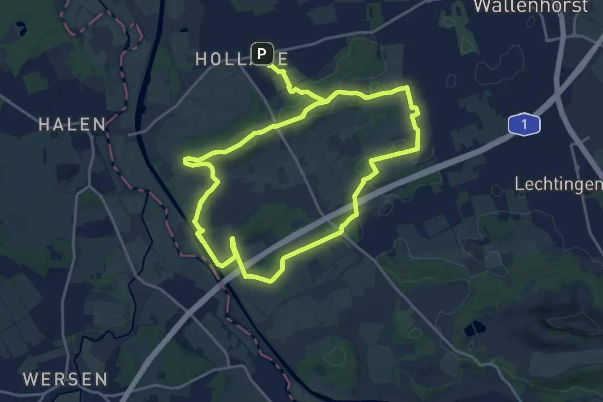
Medium · Trail
Hollager Rundwanderweg Nr.1
9.8 km · ↑ 149 m · 2 h 45 min
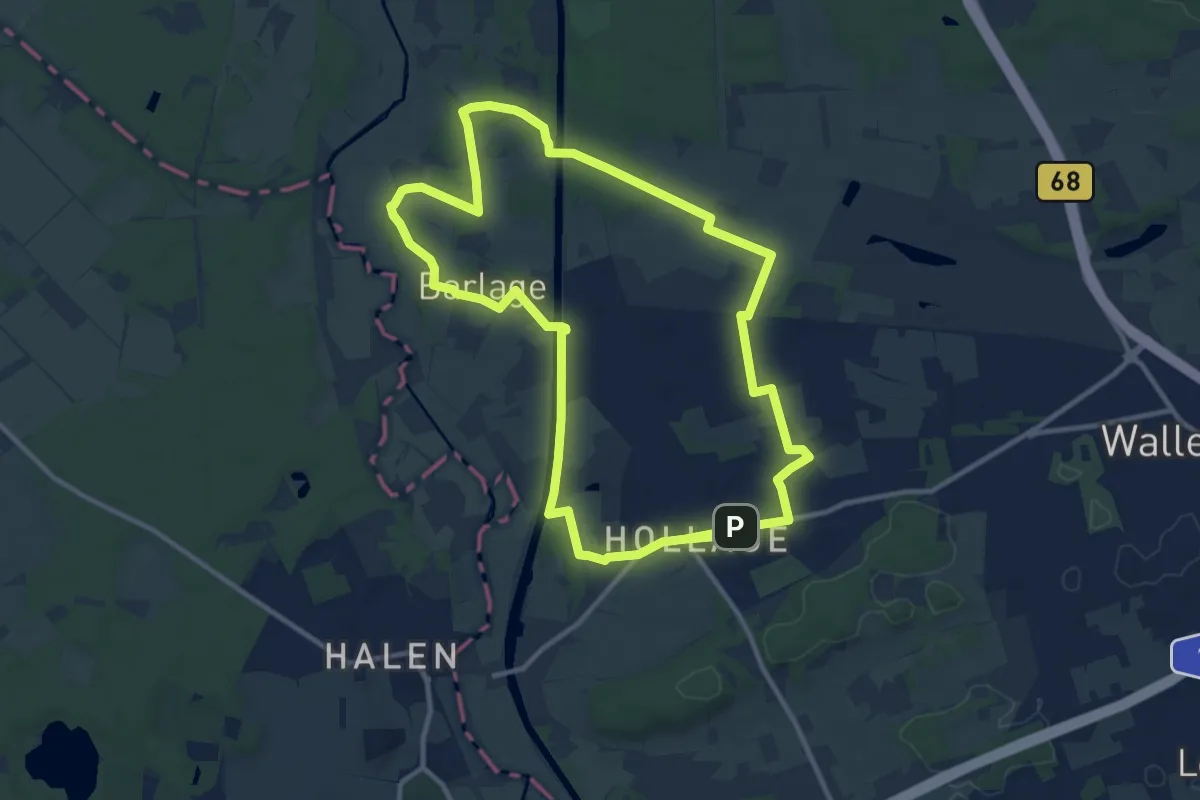
Medium · Trail
Hollager Rundwanderweg Nr.2
10.3 km · ↑ 46 m · 2 h 41 min
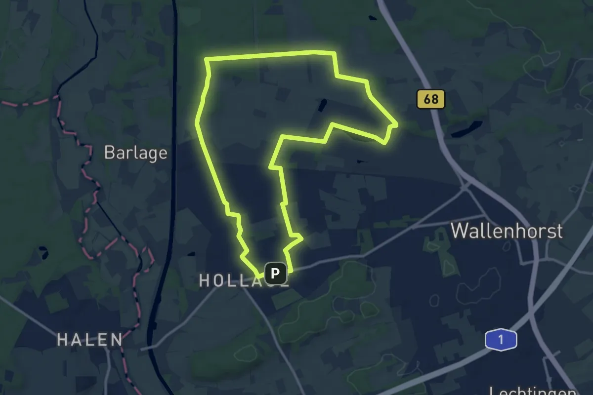
Medium · Trail
Hollager Rundwanderweg Nr.3
9.8 km · ↑ 32 m · 2 h 32 min
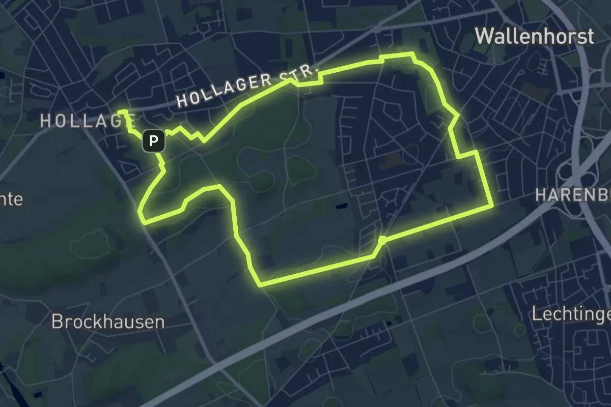
Easy · Trail
Hollager Rundwanderweg Nr.4
7.9 km · ↑ 77 m · 2 h 9 min
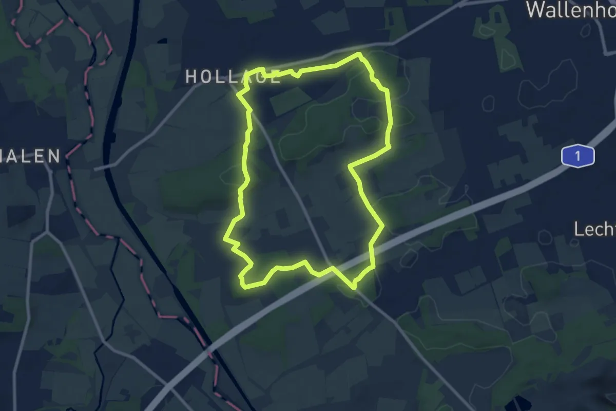
Easy · Trail
Hollager Rundwanderweg Nr.5
7.3 km · ↑ 116 m · 2 h 4 min
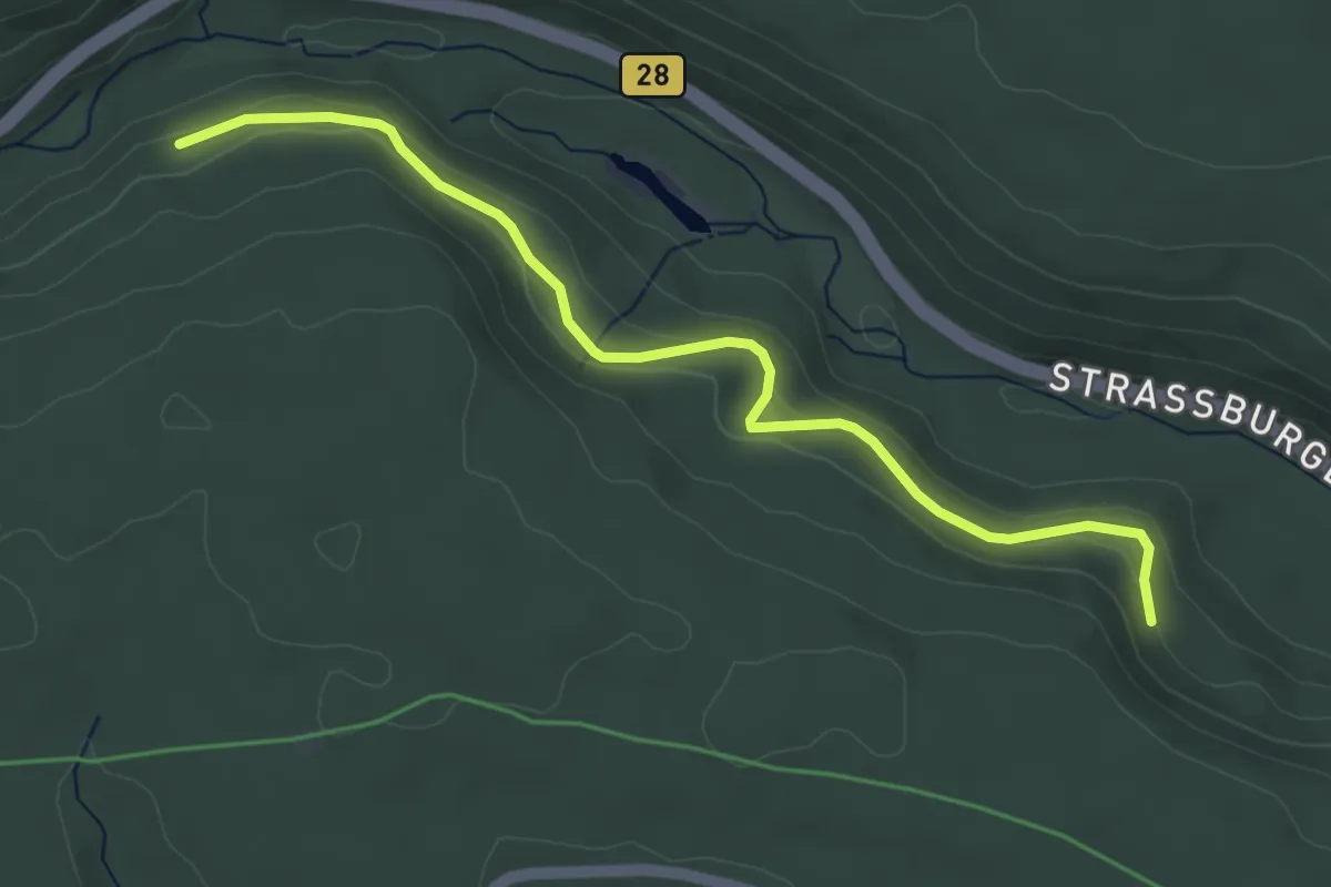
Easy · Trail
Holländerschlag - Kasernenbrunnen
4.5 km · ↑ 185 m · 1 h 28 min
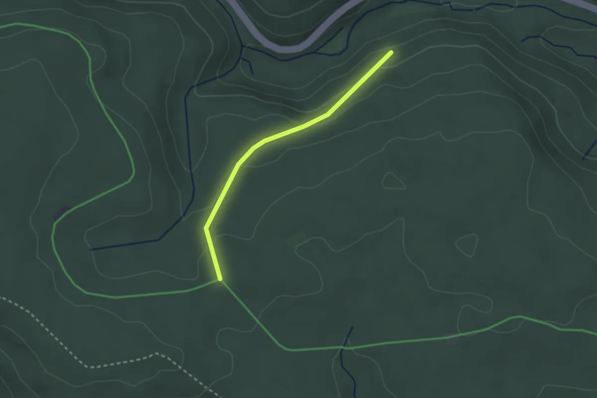
Easy · Trail
Holländerschlag - Krumme Buche
2.3 km · ↑ 83 m · 43 min
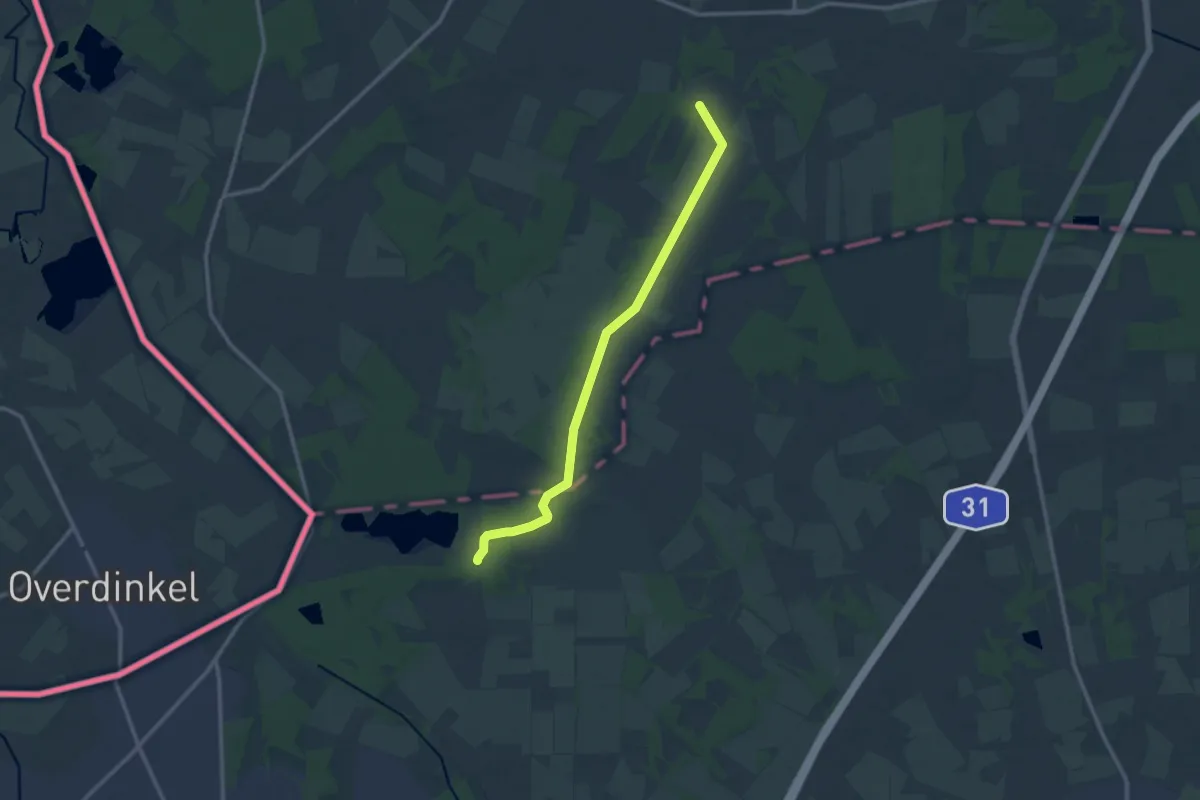
Medium · Trail
Hollandgängerweg
10.7 km · ↑ 17 m · 2 h 34 min
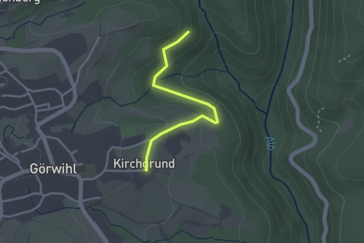
Easy · Trail
Höllbachhalde - Kirchgrund
2.3 km · ↑ 81 m · 43 min
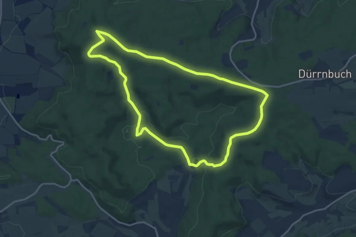
Medium · Summit
Höllbachweg
9.2 km · ↑ 167 m · 2 h 40 min
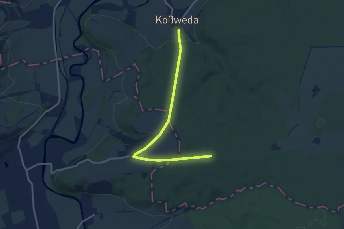
Easy · Trail
Höllbergweg
7.4 km · ↑ 121 m · 2 h 1 min
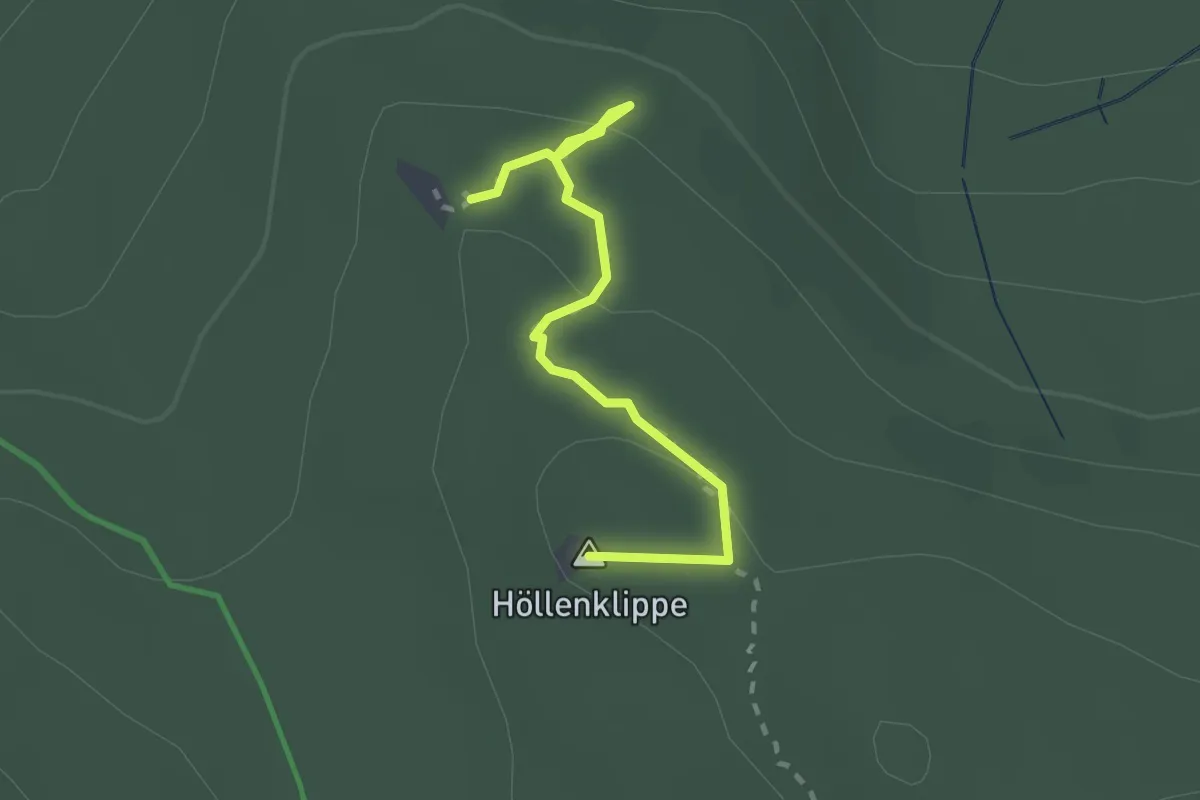
Demanding · Summit
Hölle-Landmann-Pfad
2.0 km · ↑ 78 m · 39 min
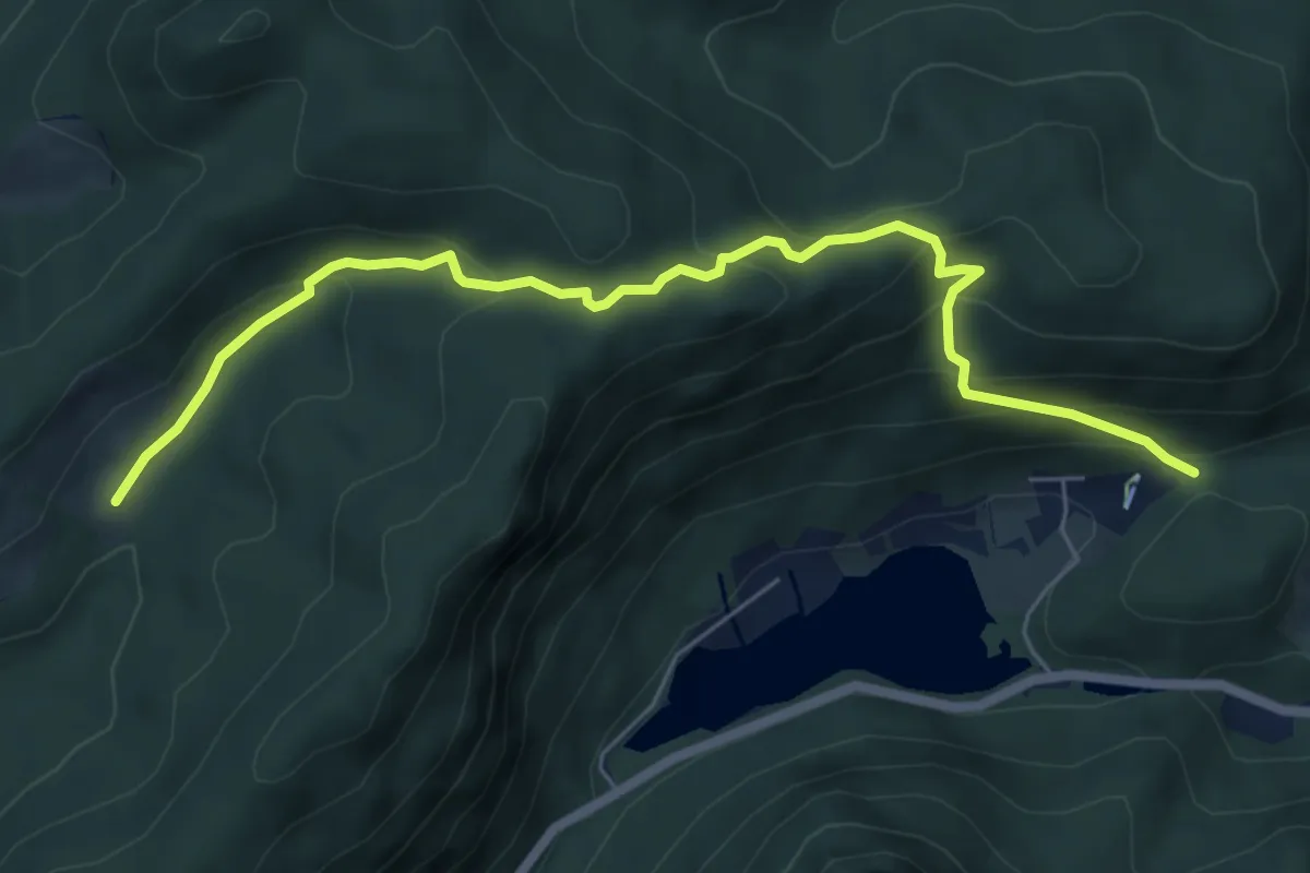
Medium · Trail
Höllenbachweg
6.5 km · ↑ 414 m · 2 h 26 min
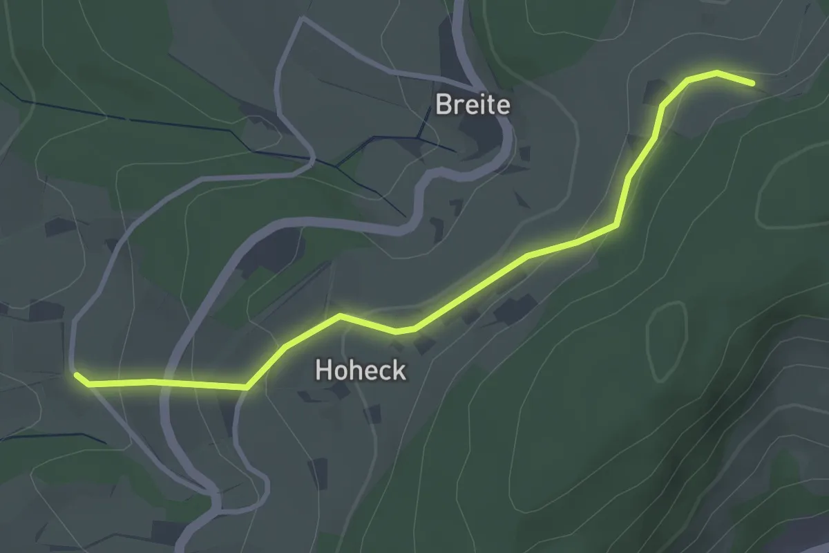
Easy · Trail
Höllenberg - Hoheck
3.0 km · ↑ 113 m · 58 min
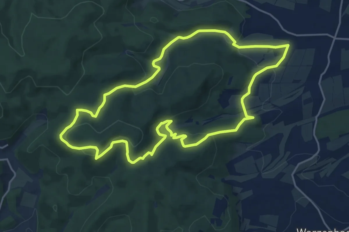
Medium · Summit
Hollende Rundweg
11.6 km · ↑ 340 m · 3 h 38 min
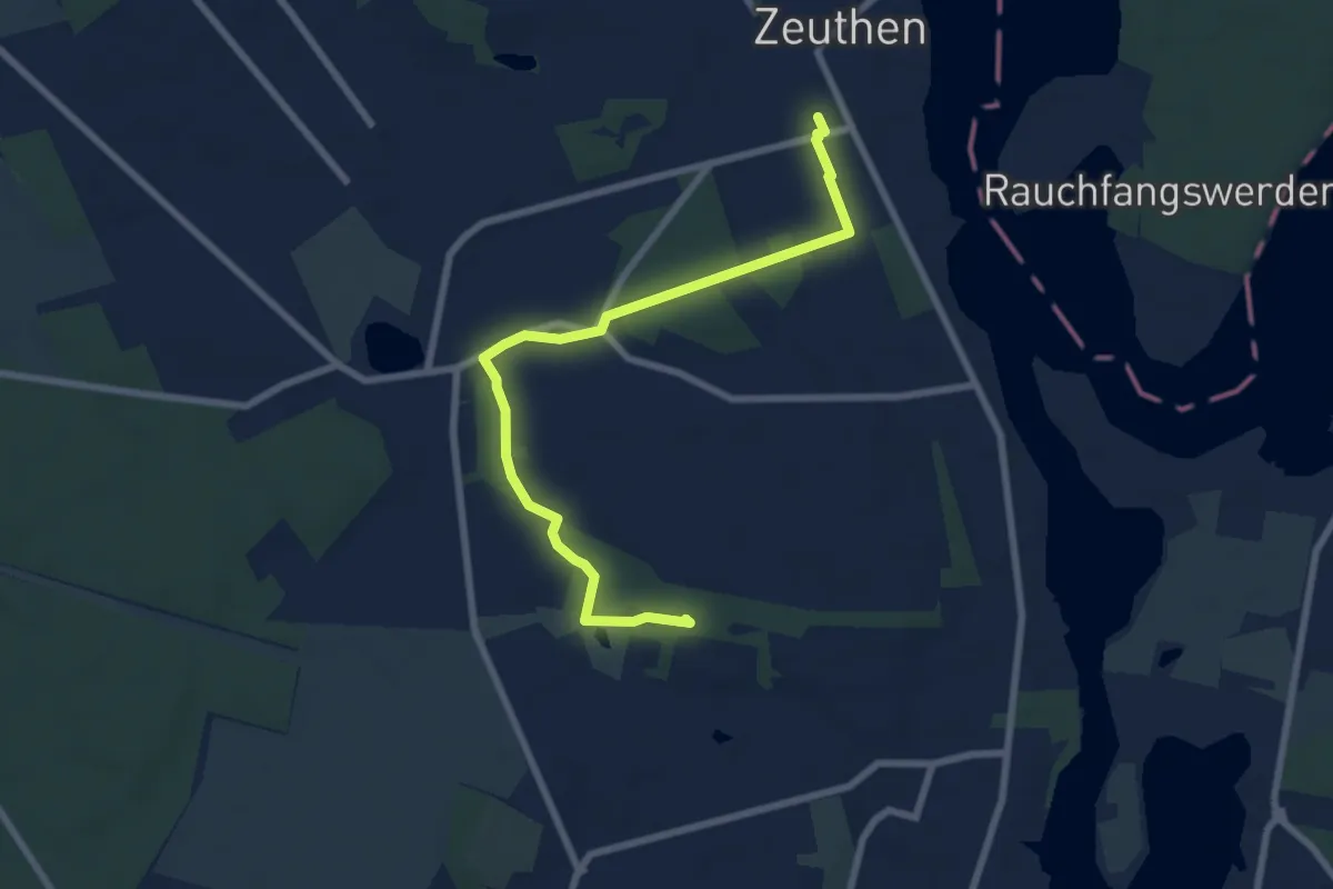
Easy · Summit
Höllengrundwanderweg
7.0 km · ↑ 52 m · 1 h 45 min
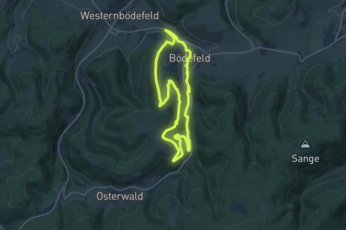
Medium · Summit
Hollenpfad
9.9 km · ↑ 372 m · 3 h 17 min
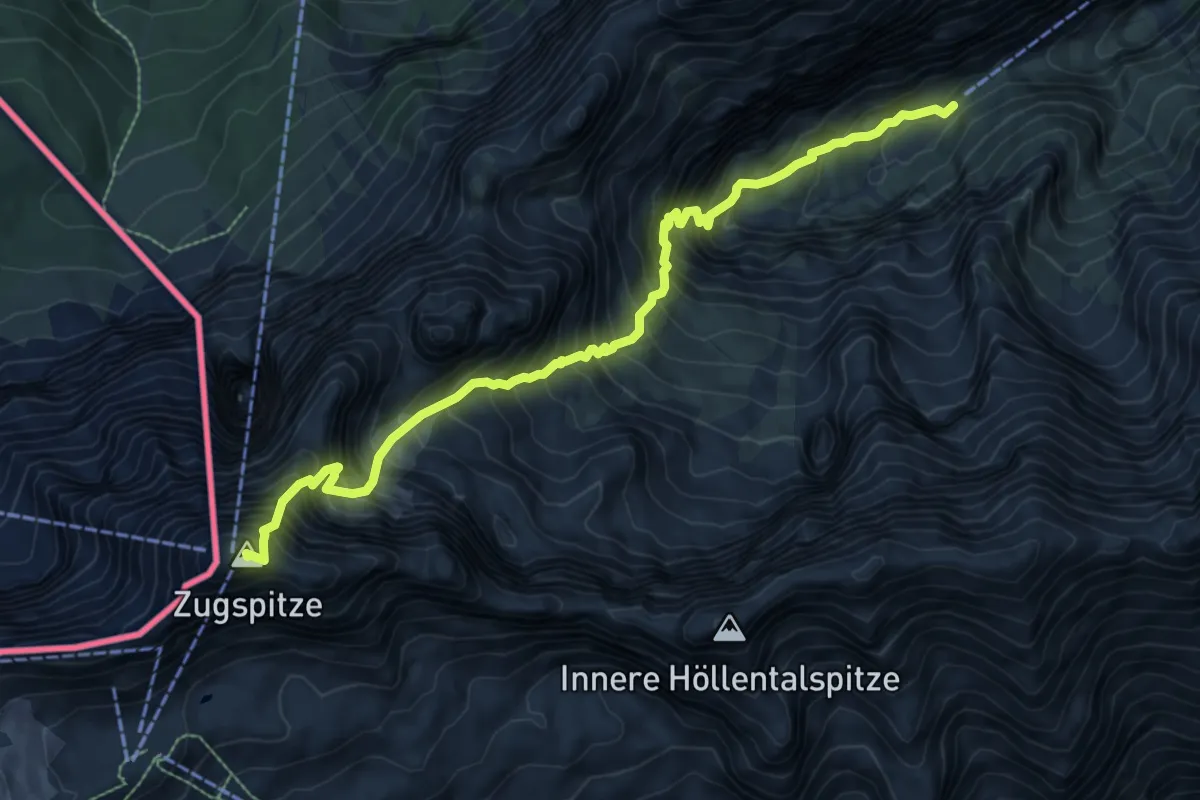
Expert · Summit
Höllentalsteig
9.0 km · ↑ 1724 m · 5 h 52 min
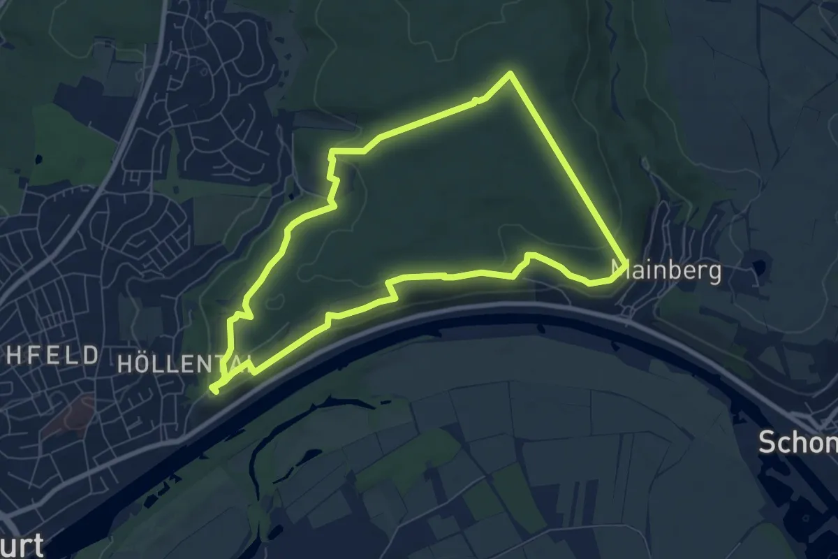
Easy · Trail
Höllental und Mainblick Schweinfurt
7.1 km · ↑ 160 m · 2 h 8 min
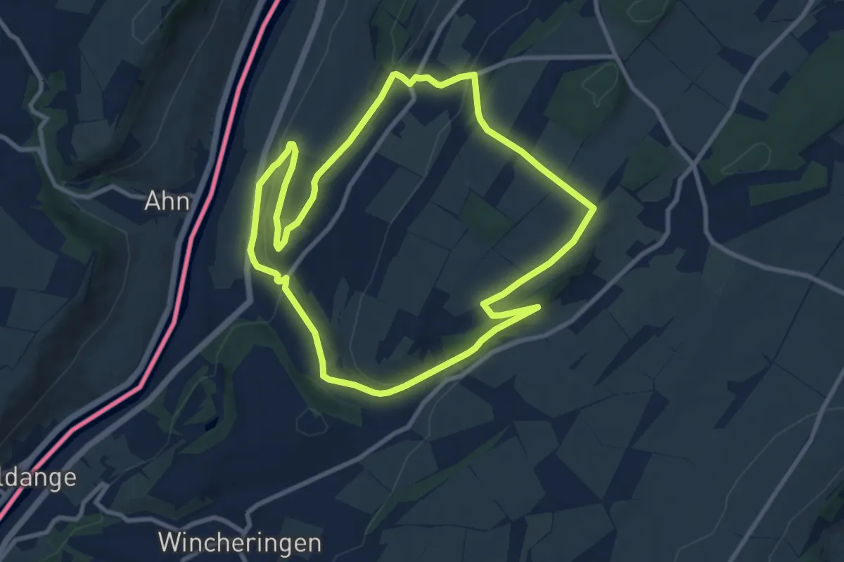
Medium · Trail
Höllenweg
8.4 km · ↑ 211 m · 2 h 33 min
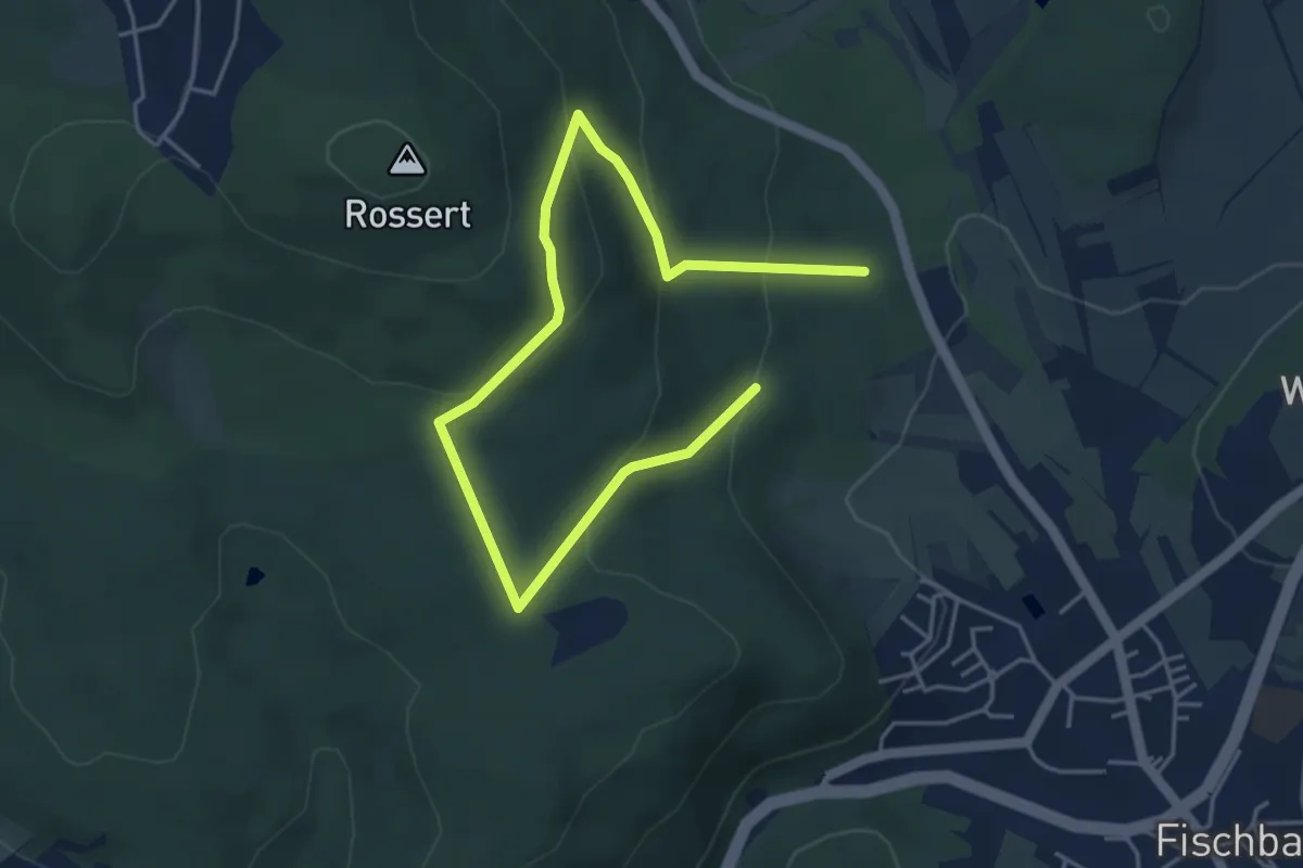
Easy · Trail
Hollerbusch: Eule
2.8 km · ↑ 122 m · 59 min
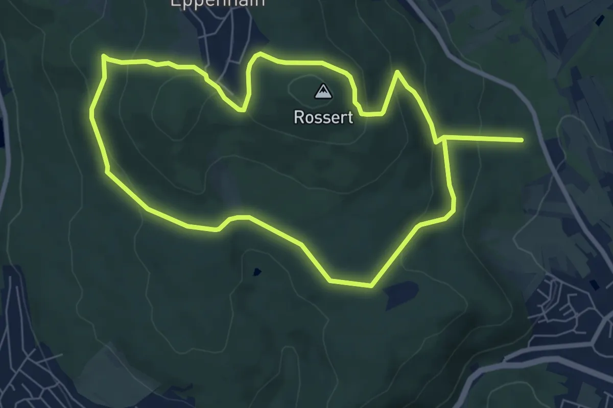
Easy · Summit
Hollerbusch: Milan
6.5 km · ↑ 271 m · 2 h 12 min
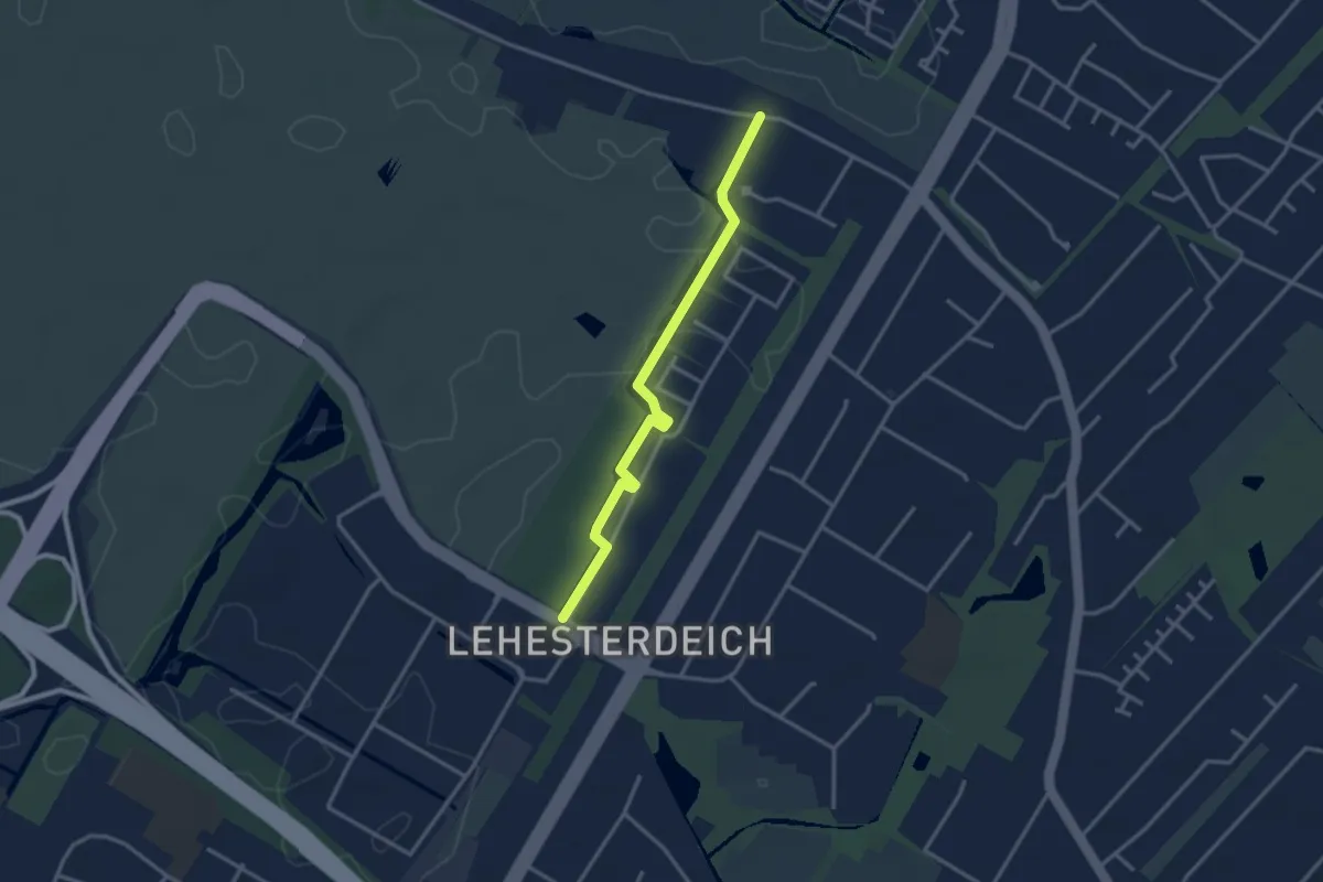
Easy · Trail
Hollerpad
2.7 km · ↑ 8 m · 40 min
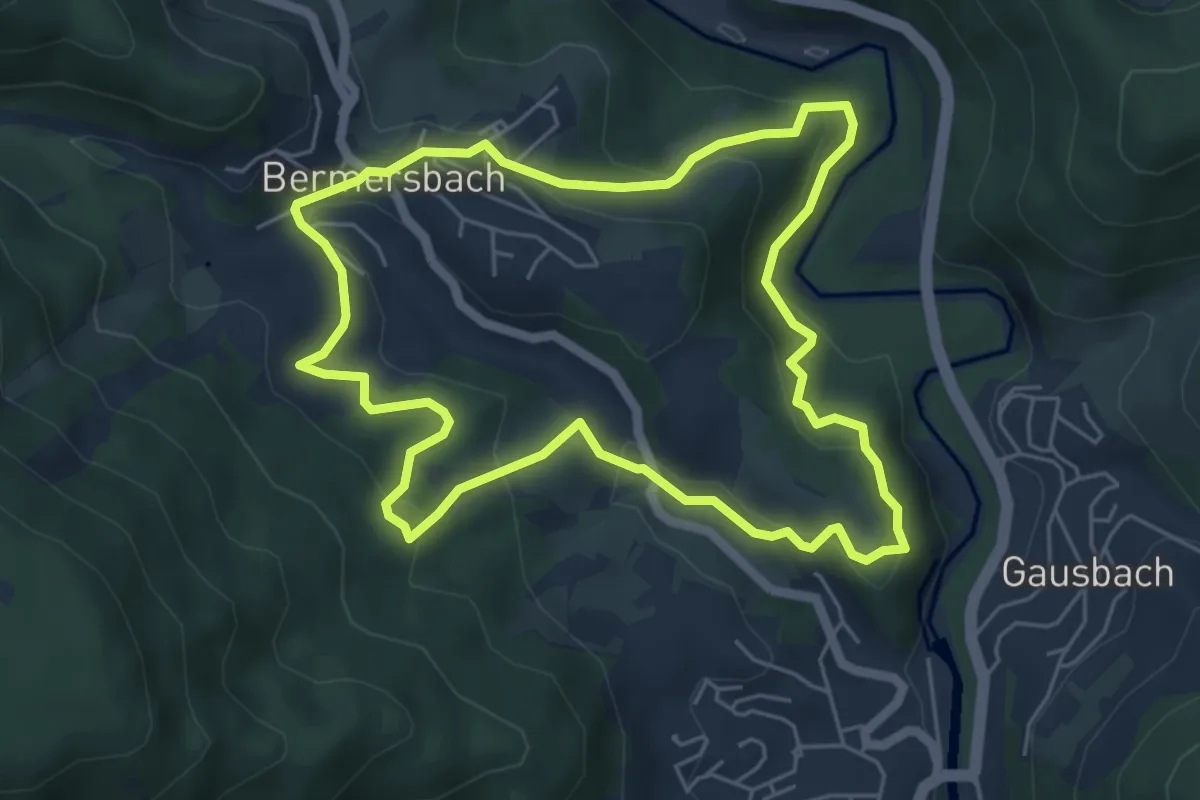
Easy · Trail
Hölleweg
5.3 km · ↑ 258 m · 1 h 53 min
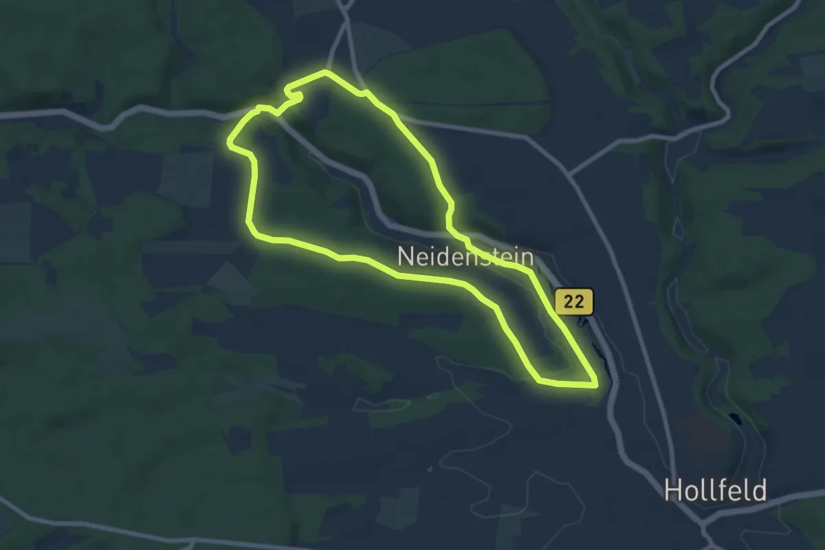
Easy · Trail
Hollfeld Rundweg "Gelbe Spitze"
6.7 km · ↑ 84 m · 1 h 52 min
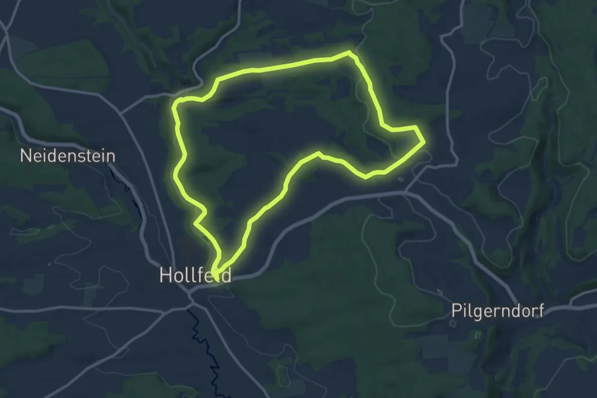
Medium · Trail
Hollfeld Rundweg "Rote Raute"
9.8 km · ↑ 152 m · 2 h 47 min
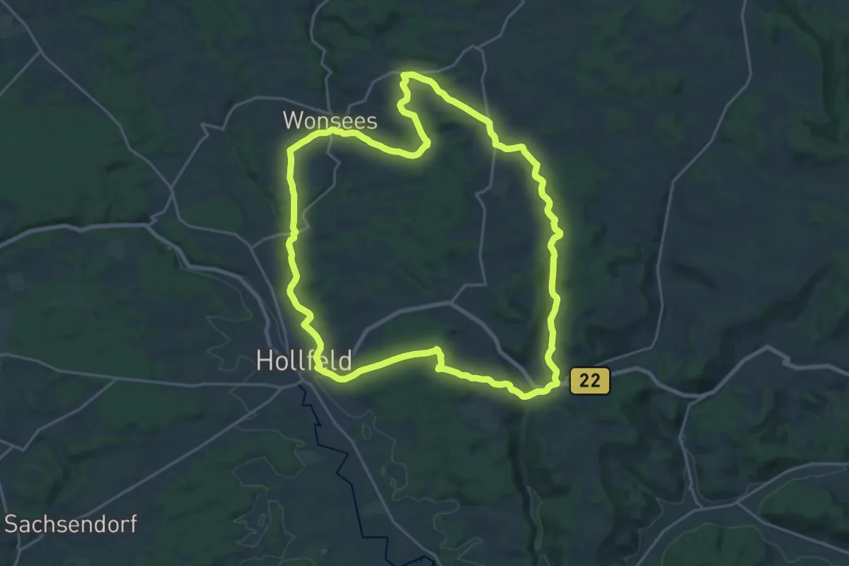
Demanding · Trail
Hollfeld Rundweg Sanspareil
20.3 km · ↑ 326 m · 5 h 47 min
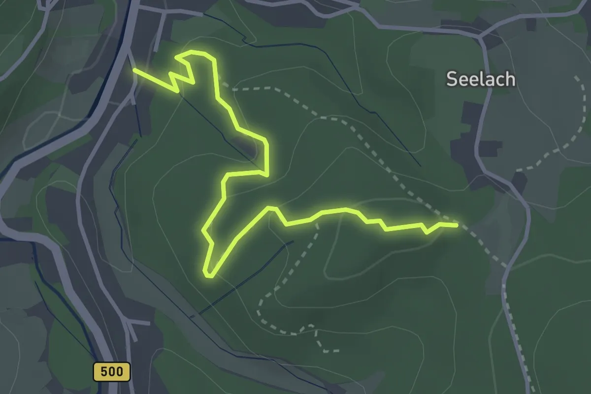
Easy · Trail
Höllhäuserweg - Oberster Berg
3.3 km · ↑ 138 m · 1 h 5 min
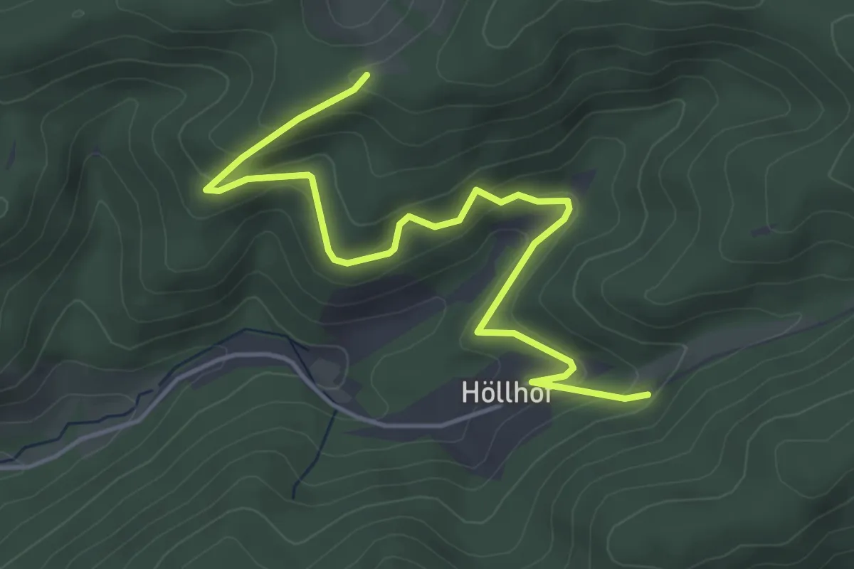
Easy · Trail
Höllhof - Matzebene
5.0 km · ↑ 211 m · 1 h 38 min
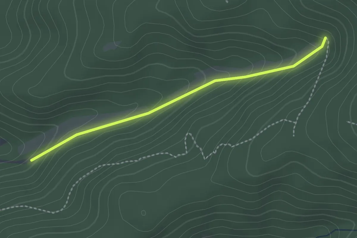
Easy · Trail
Höllhof - Moosbrunnen
2.1 km · ↑ 143 m · 48 min
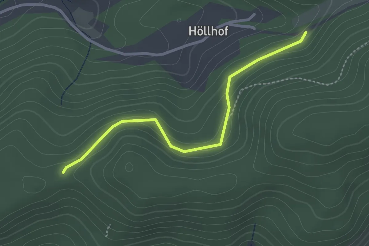
Easy · Trail
Höllhof - Straußebene
2.3 km · ↑ 85 m · 43 min
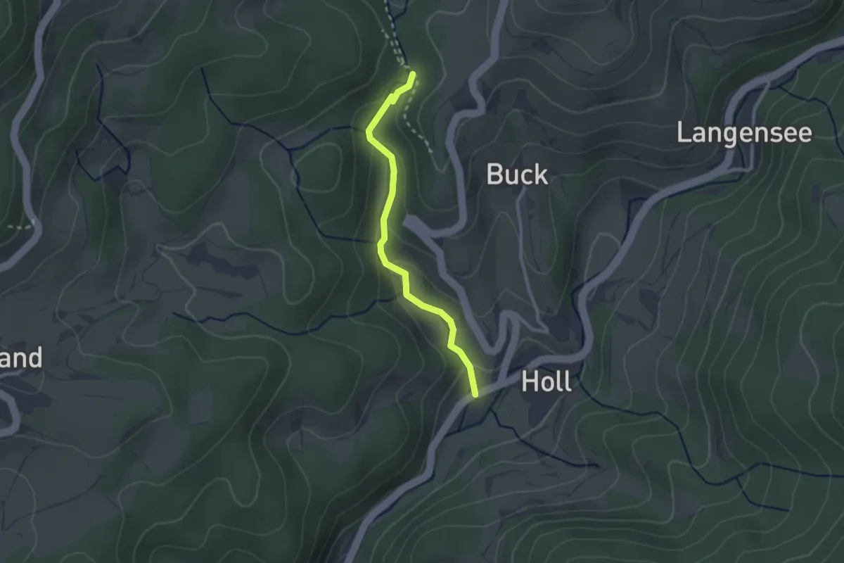
Easy · Trail
Holl-Hollbach - Schießhalde
2.2 km · ↑ 98 m · 44 min
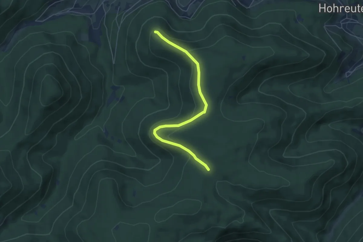
Easy · Trail
Höllkopfwegle - Kienberg
5.4 km · ↑ 161 m · 1 h 37 min
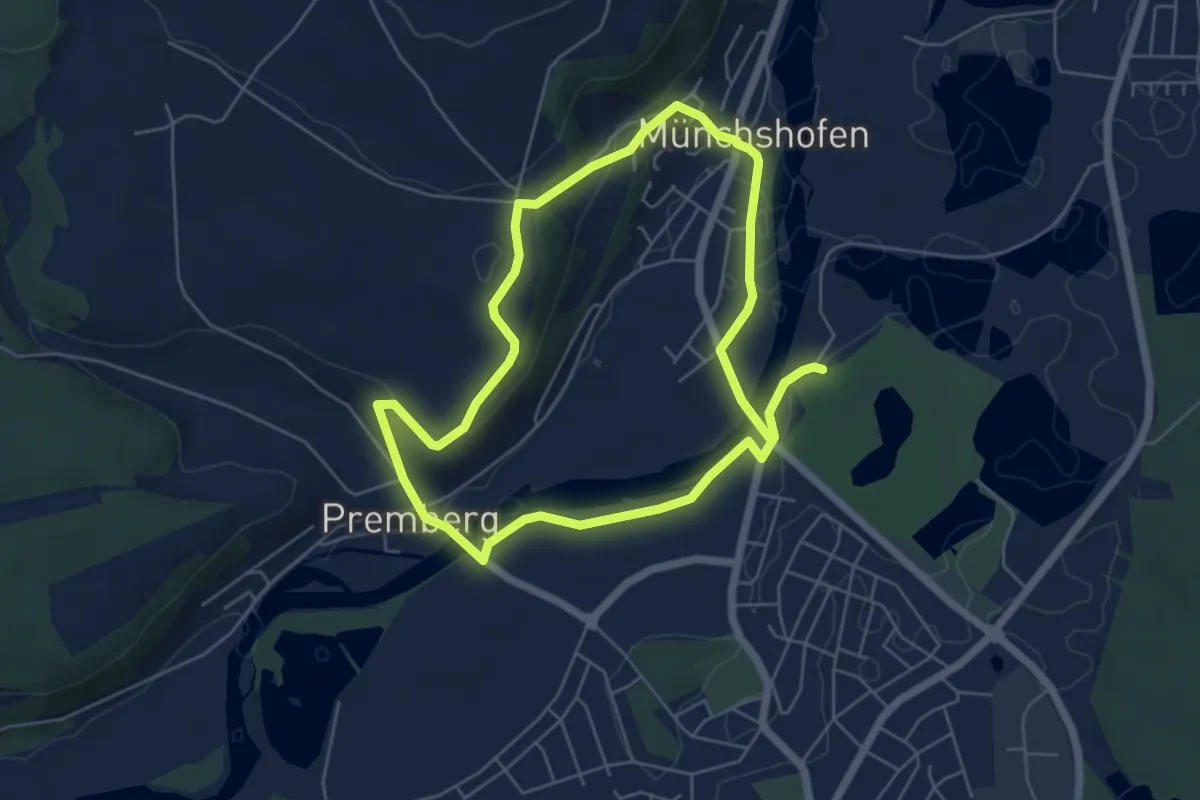
Easy · Trail
Höllohe Runde (Grüne 5a)
5.0 km · ↑ 93 m · 1 h 27 min
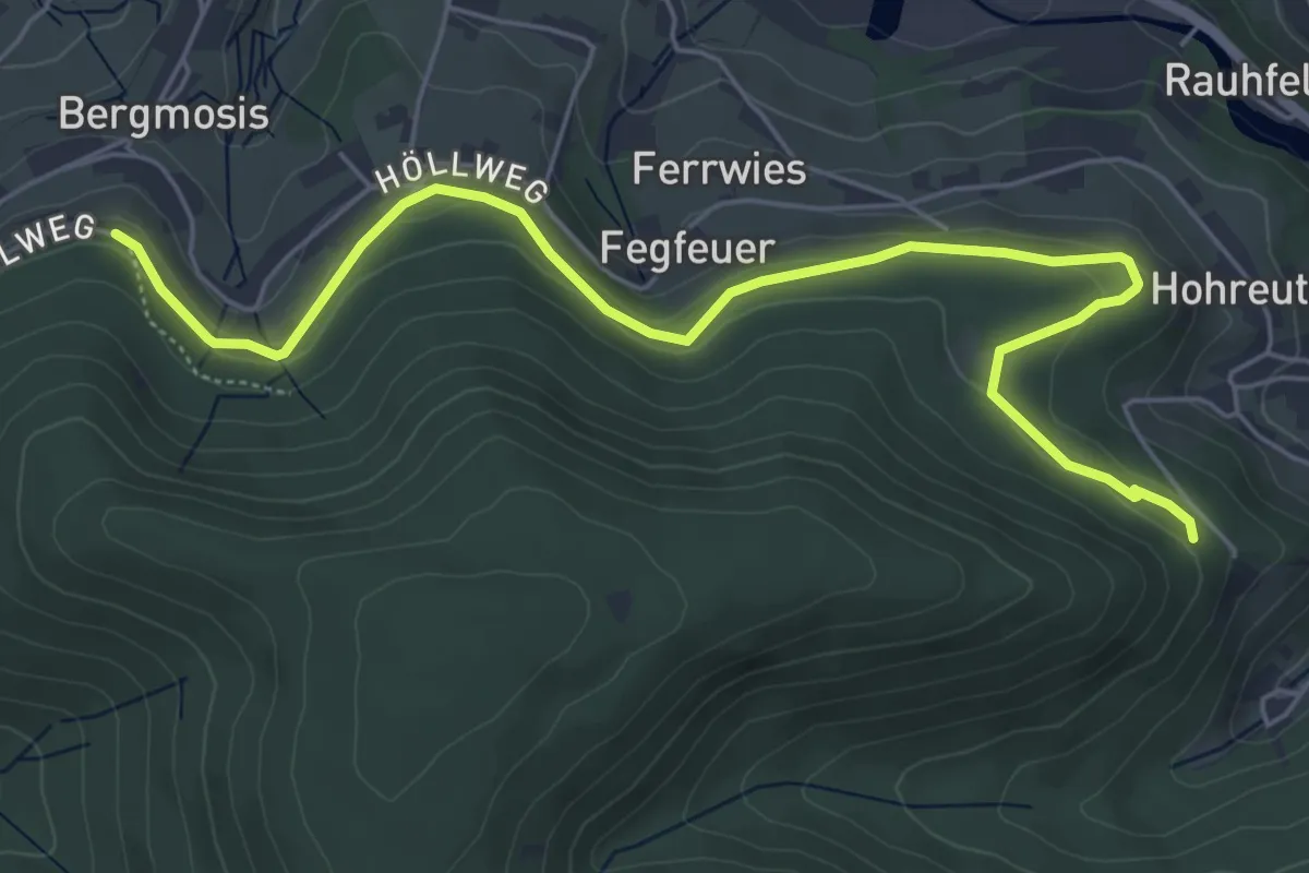
Easy · Trail
Höllrain - Holzweg
6.4 km · ↑ 170 m · 1 h 54 min
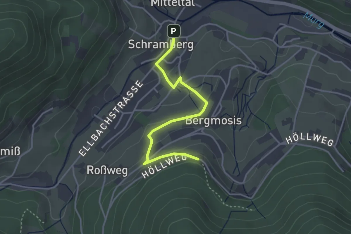
Easy · Trail
Höllrain - Mitteltal Ahornweg
3.2 km · ↑ 113 m · 1 h
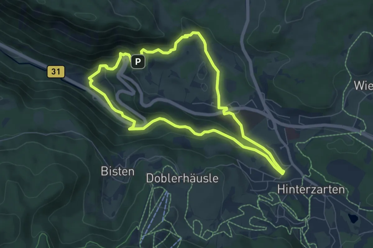
Medium · Trail
Höllsteig
6.2 km · ↑ 199 m · 1 h 59 min
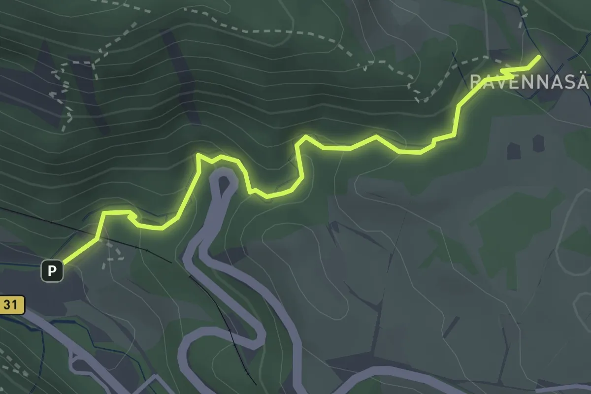
Medium · Trail
Höllsteig Sternen - Mittlere Ravenna
3.2 km · ↑ 208 m · 1 h 13 min
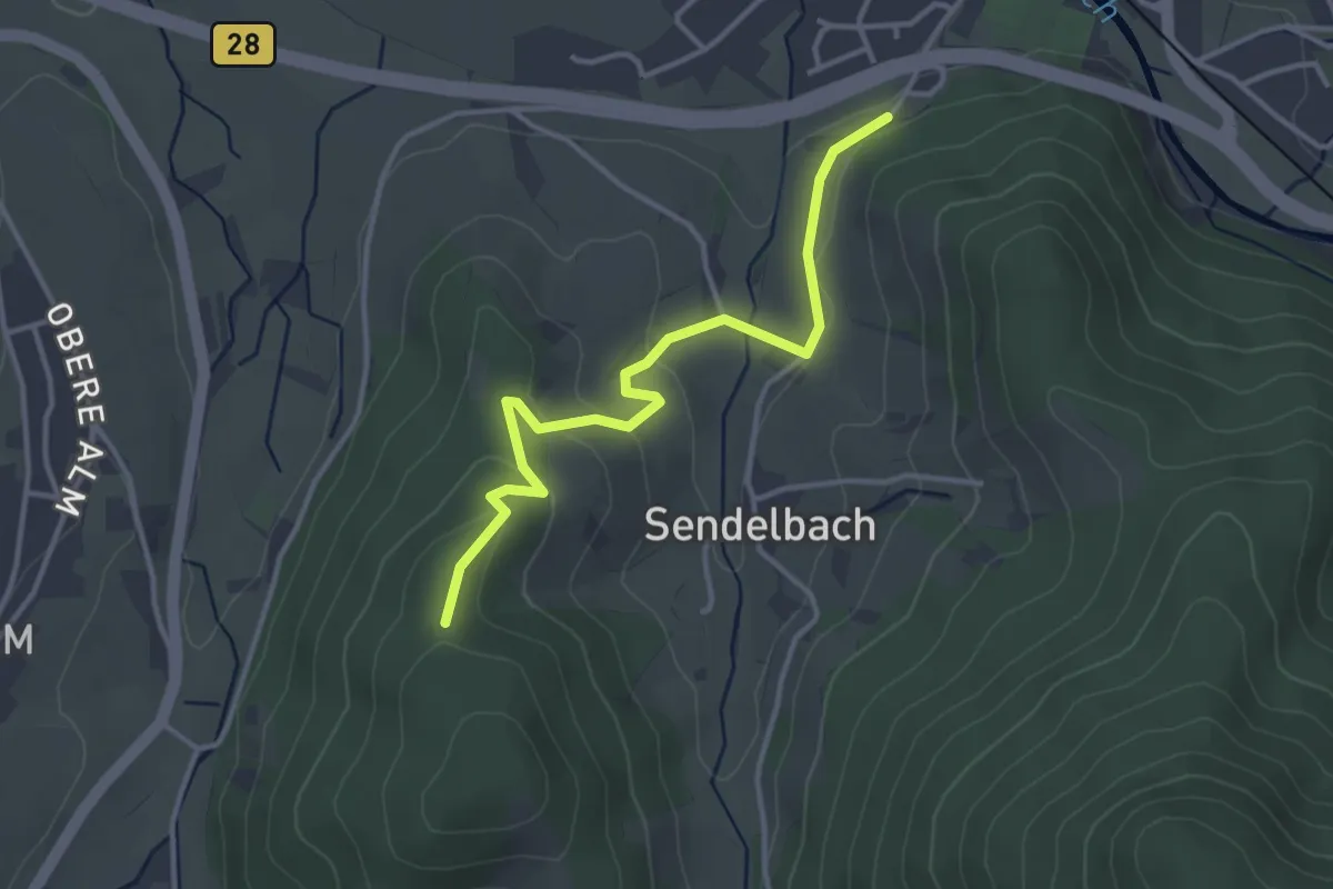
Easy · Trail
Höllwald - Wille Gott
3.4 km · ↑ 115 m · 1 h 4 min
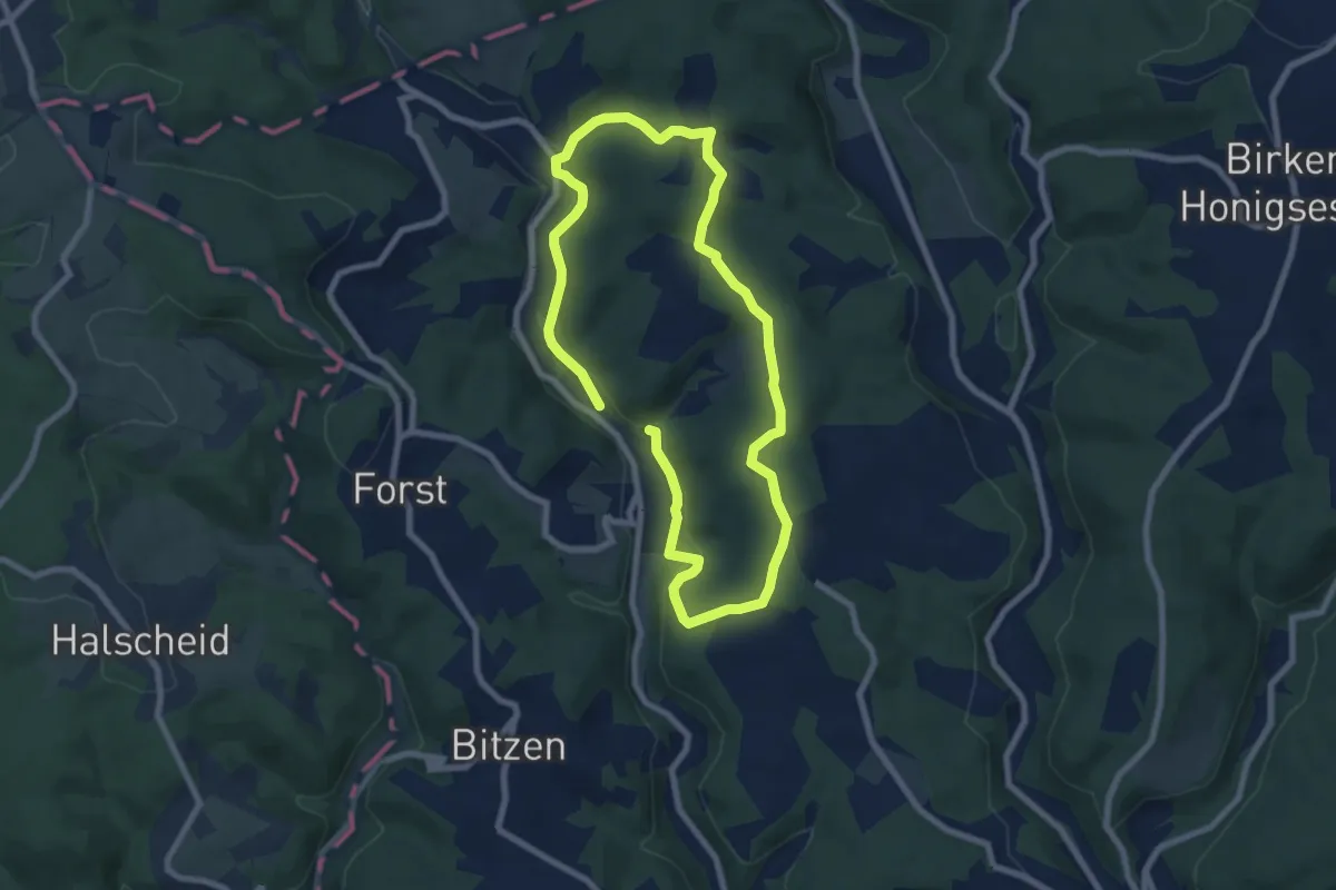
Easy · Trail
Holschbacher Rundweg
6.1 km · ↑ 156 m · 1 h 53 min
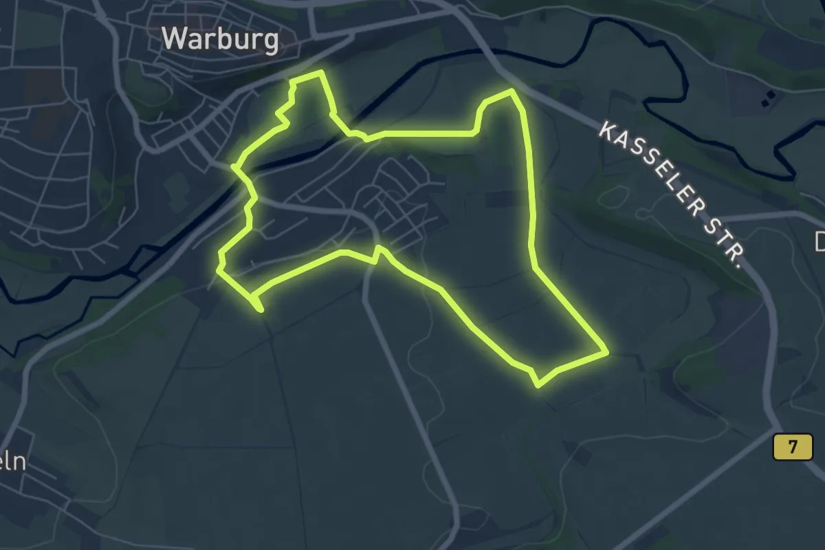
Easy · Summit
Holsterburg Rundwanderweg
5.6 km · ↑ 62 m · 1 h 32 min
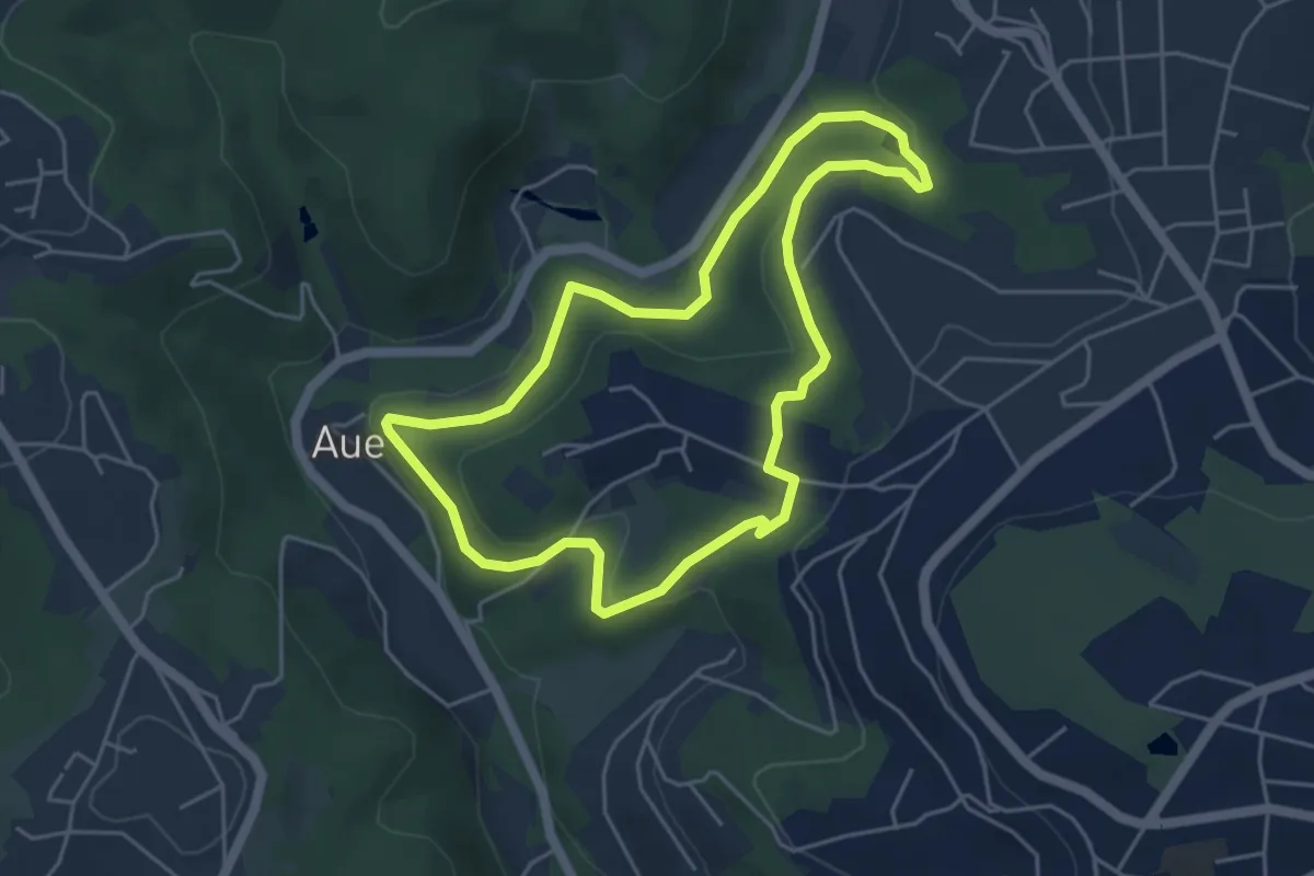
Easy · Trail
Hölterfeld Rundweg A2
4.1 km · ↑ 120 m · 1 h 18 min
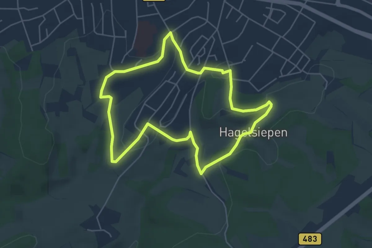
Easy · Trail
Hölterhof Rundweg A1
4.1 km · ↑ 56 m · 1 h 8 min
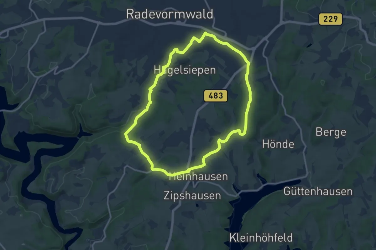
Medium · Summit
Hölterhof Rundweg A2
9.1 km · ↑ 153 m · 2 h 37 min
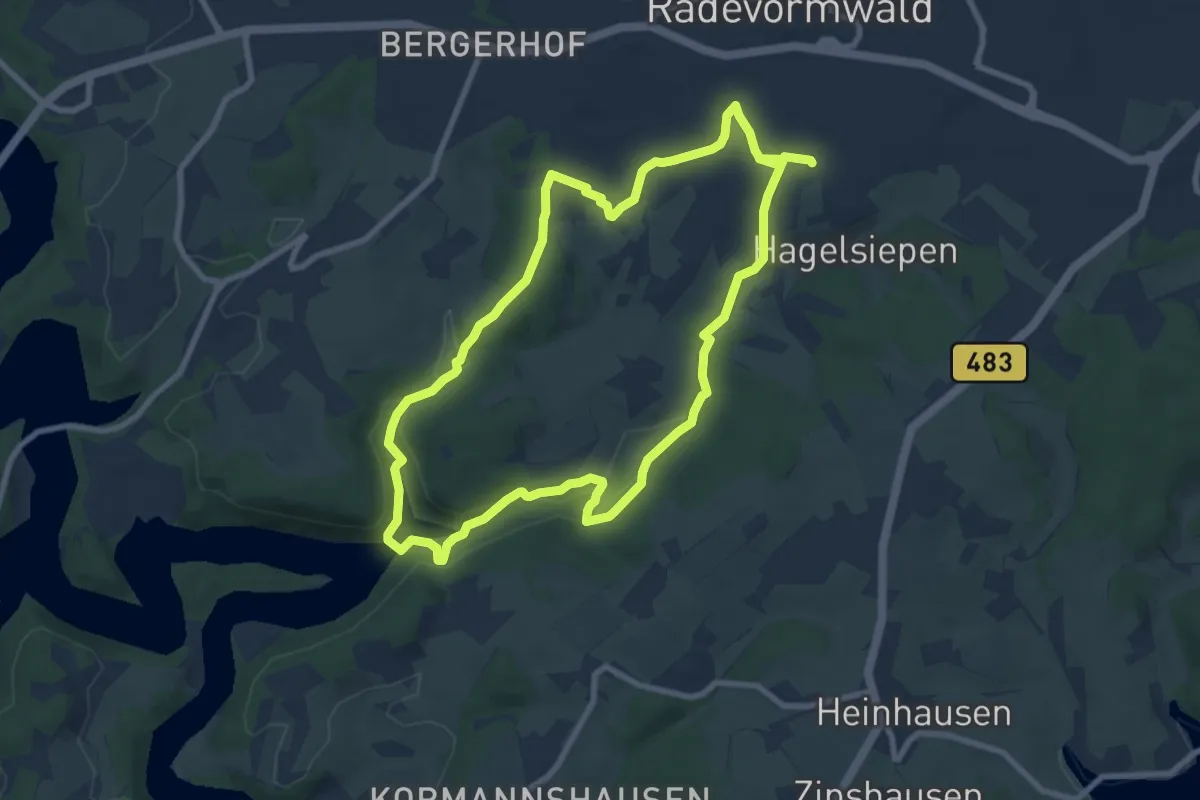
Easy · Trail
Hölterhof Rundweg A3
7.5 km · ↑ 143 m · 2 h 12 min
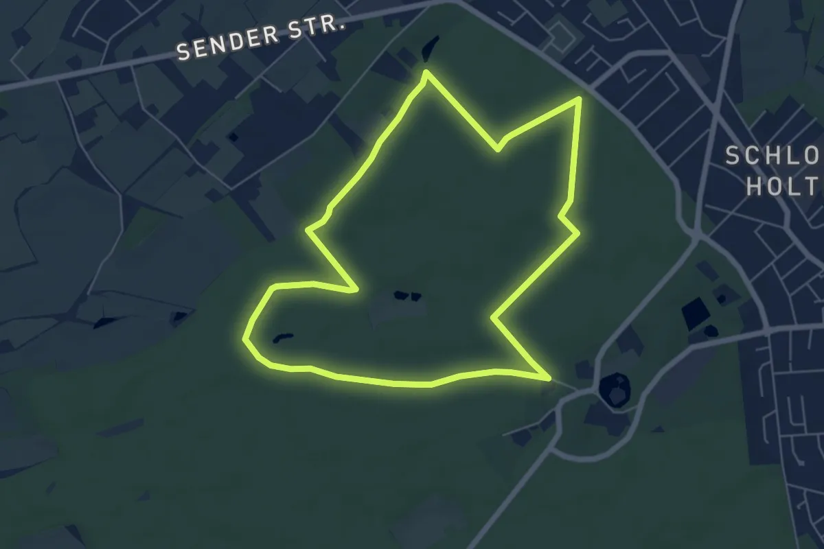
Easy · Trail
Holter Waldweg
5.4 km · ↑ 9 m · 1 h 22 min