Trails in Germany
36,852 hiking trails, each with its route, climb, walking time and grade.
All trails, page 252 of 768
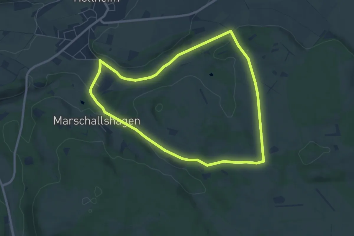
Easy · Trail
Holtheim Rundweg A1
5.8 km · ↑ 90 m · 1 h 39 min
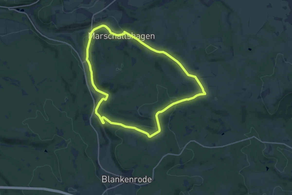
Medium · Trail
Holtheim Rundweg A2
10.7 km · ↑ 156 m · 3 h
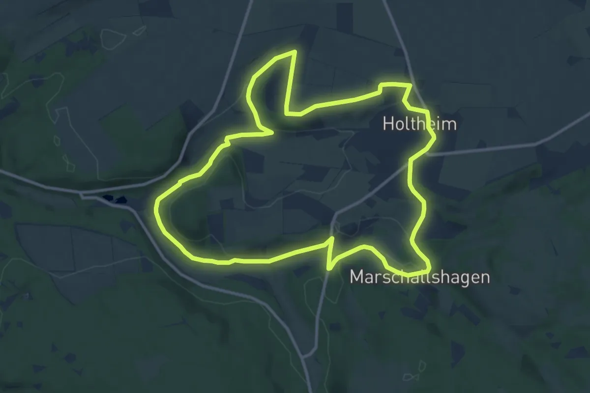
Medium · Trail
Holtheim Rundweg A3
9.4 km · ↑ 122 m · 2 h 37 min
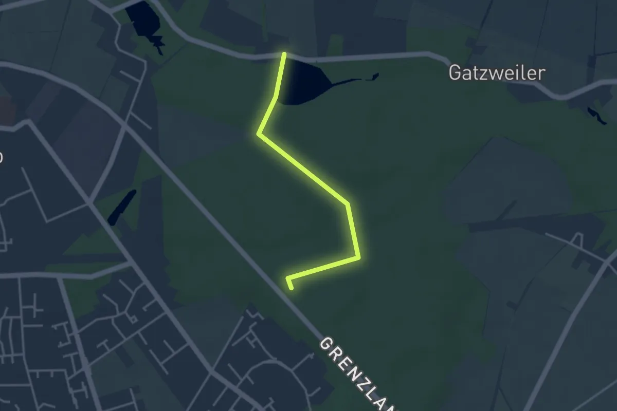
Easy · Trail
Holtmühlen-Pfad
2.7 km · ↑ 12 m · 40 min
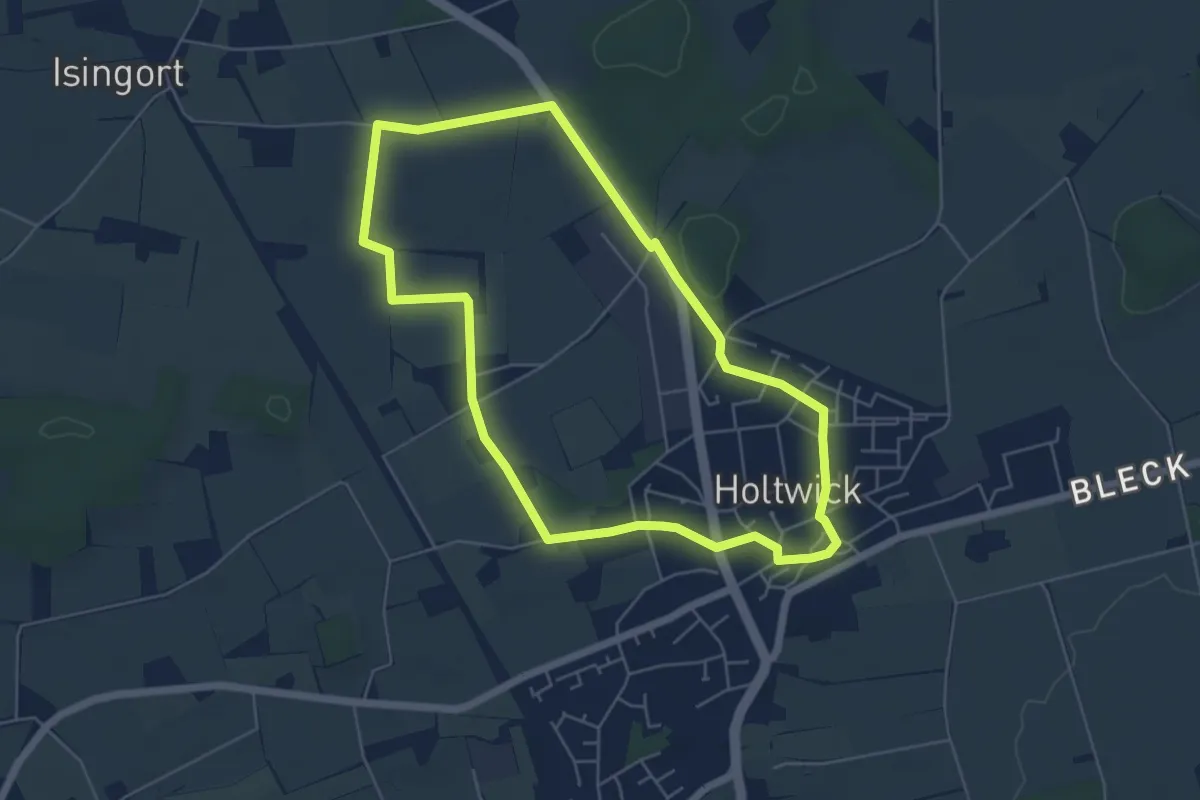
Easy · Trail
Holtwick Rundweg H1
4.9 km · ↑ 13 m · 1 h 14 min
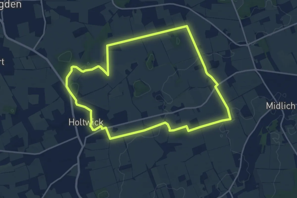
Medium · Trail
Holtwick Rundweg H2
10.4 km · ↑ 57 m · 2 h 44 min
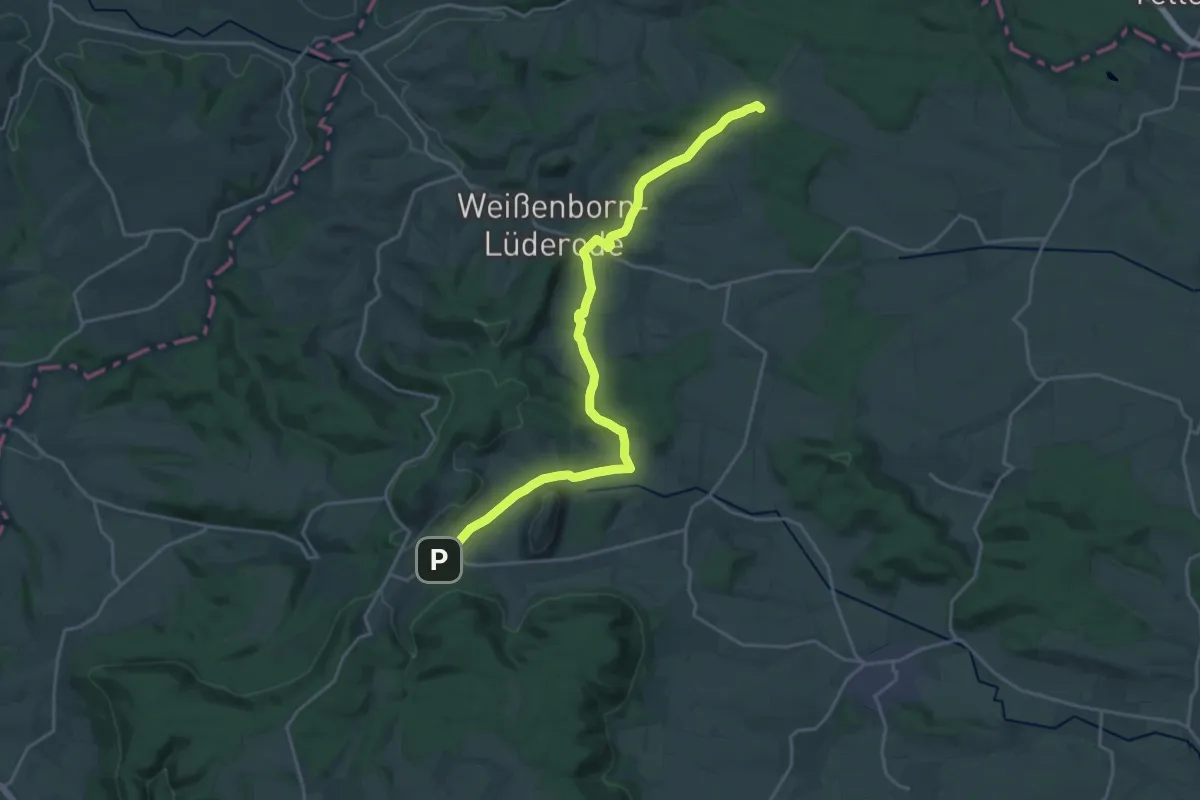
Demanding · Summit
Holungen-Bockelnhagen
21.0 km · ↑ 364 m · 5 h 45 min
Easy · Trail
Holzacker - Fellenbühl
2.6 km · ↑ 60 m · 45 min
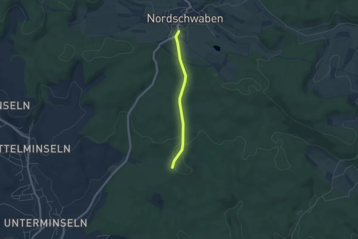
Easy · Trail
Holzacker - Nordschwaben Gemeindehalle
3.7 km · ↑ 59 m · 1 h
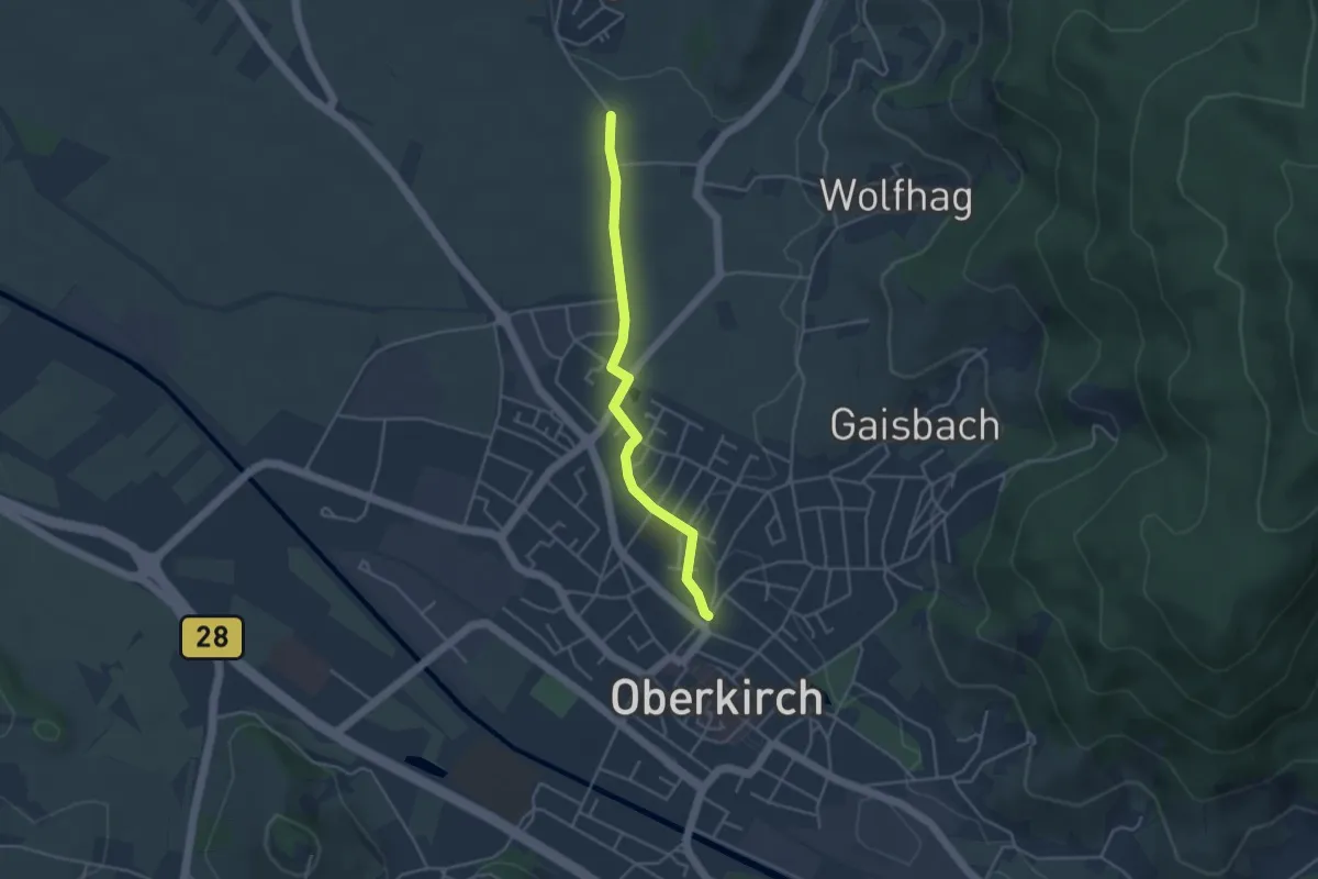
Easy · Trail
Holzacker - Oberkirch Leimenbrunnen
3.6 km · ↑ 26 m · 54 min
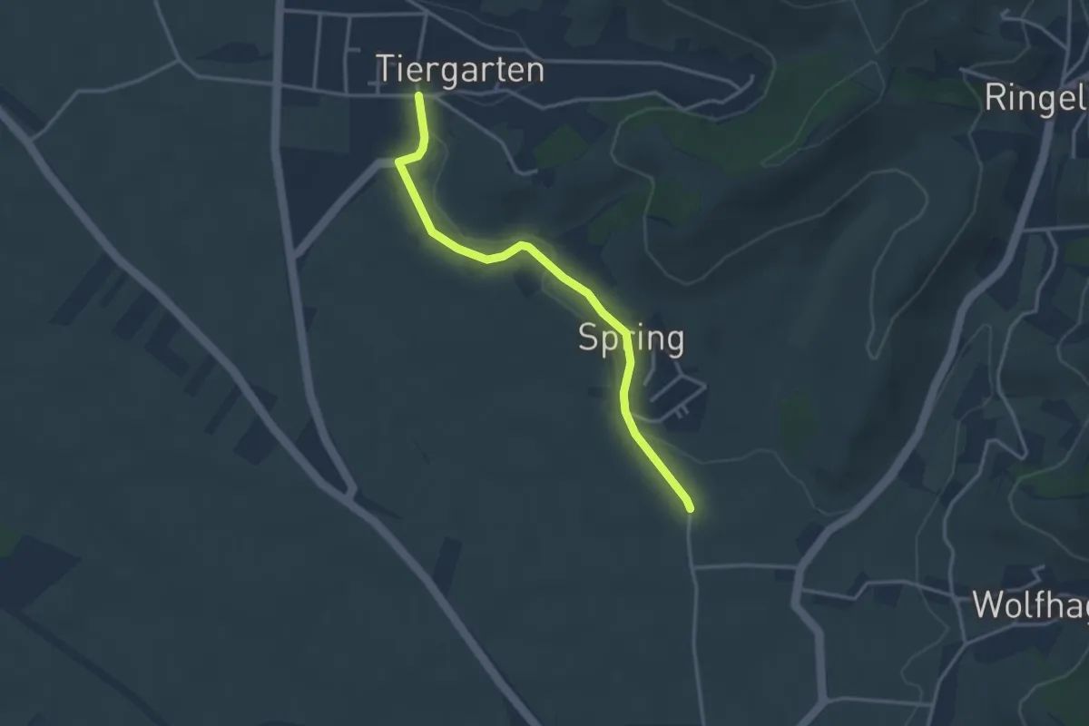
Easy · Trail
Holzacker - Tiergarten Kirche
3.1 km · ↑ 28 m · 48 min
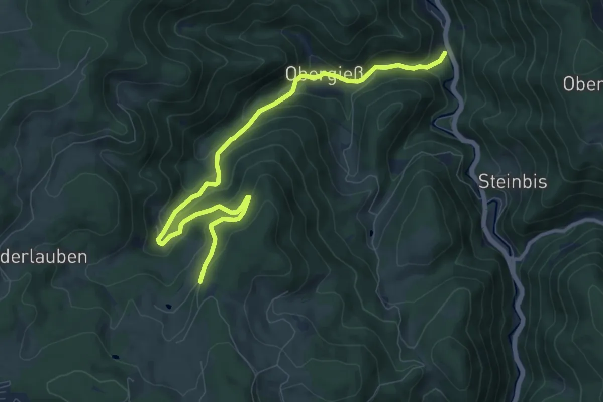
Medium · Trail
Holz - Am Bach
9.4 km · ↑ 537 m · 3 h 23 min
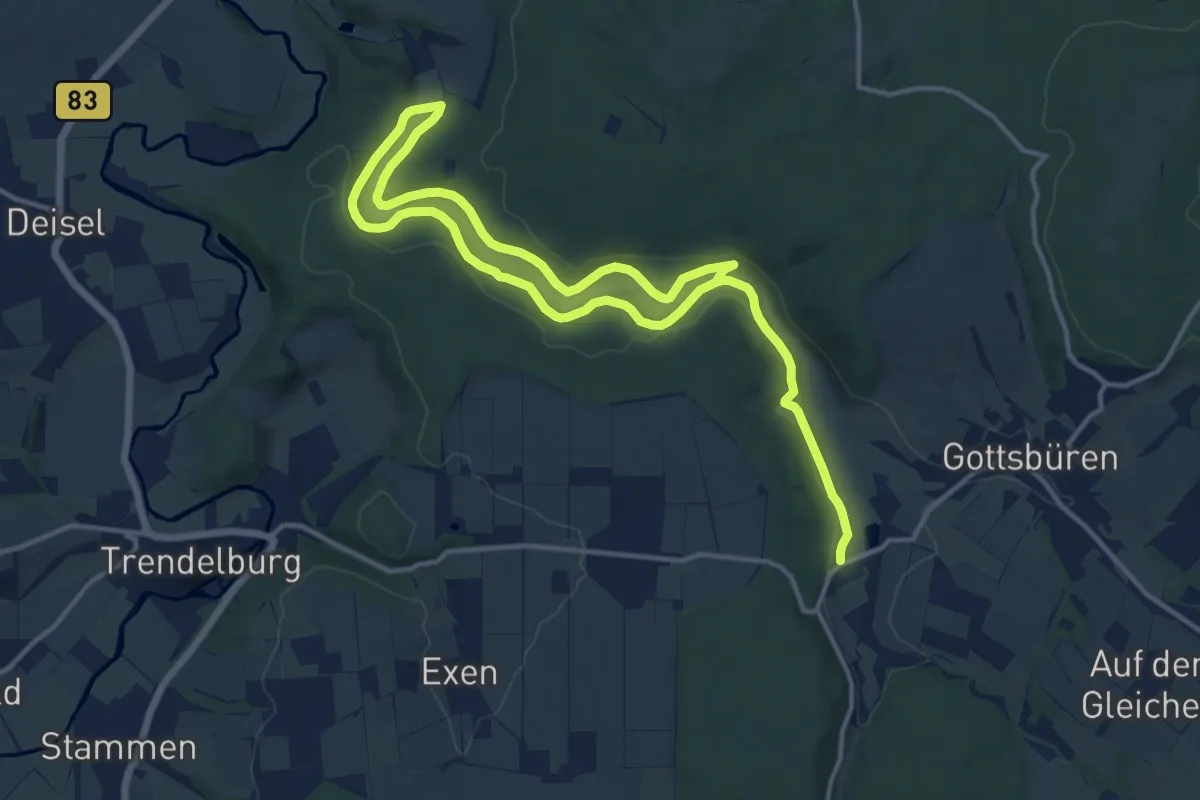
Demanding · Trail
Holzape-Rundweg
19.6 km · ↑ 346 m · 5 h 23 min
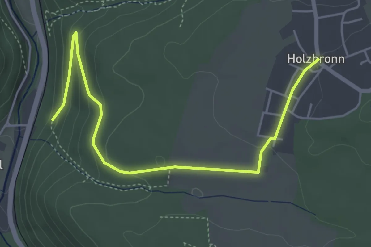
Easy · Trail
Holzbronn - Talmühle
4.7 km · ↑ 148 m · 1 h 26 min
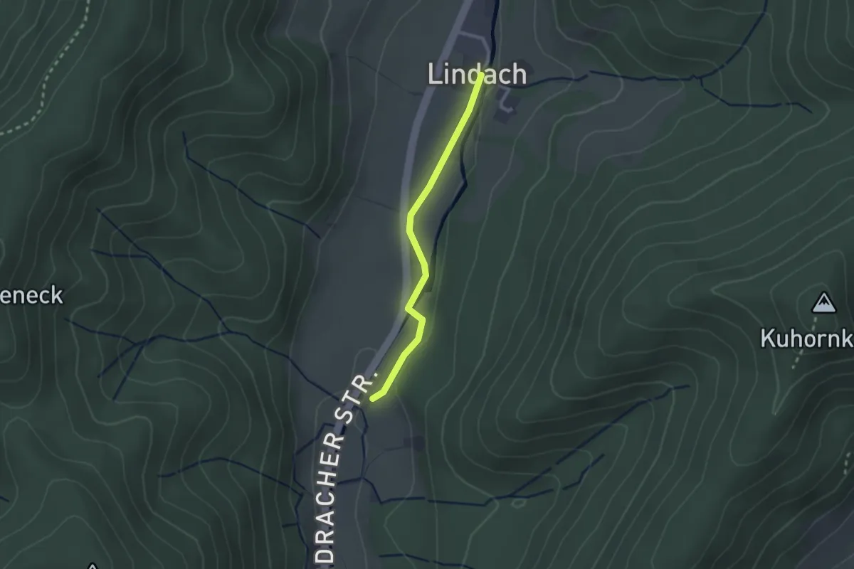
Easy · Trail
Holzbrücke - Lindach
2.0 km · ↑ 39 m · 33 min
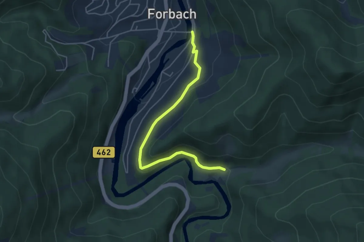
Medium · Trail
Holzbrücke - Sasbach
4.0 km · ↑ 106 m · 1 h 11 min
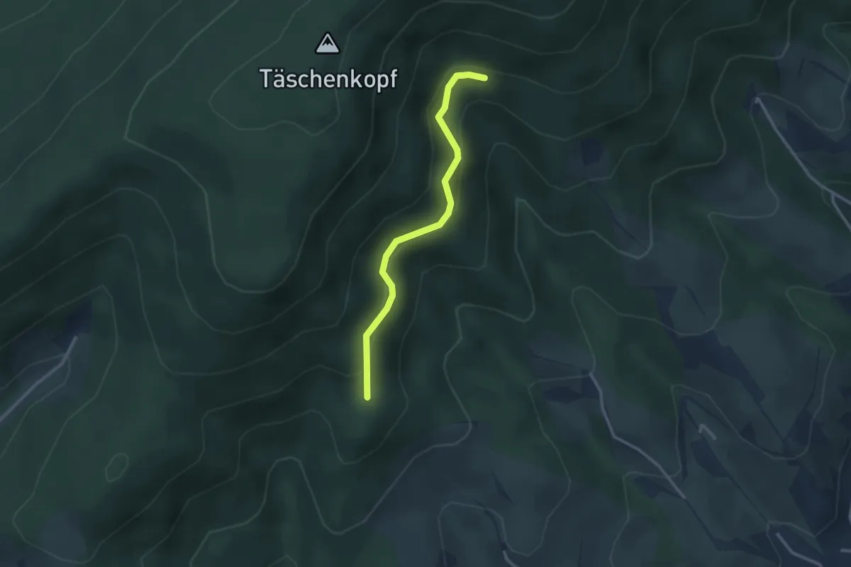
Easy · Trail
Holzbrunnen - Überm Kornjörgle
2.6 km · ↑ 142 m · 55 min
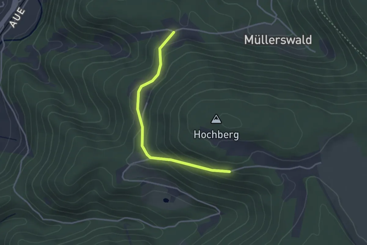
Easy · Trail
Holzebene - Brandsteig
2.9 km · ↑ 163 m · 1 h 2 min
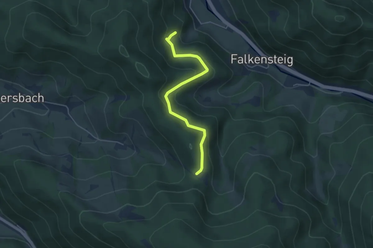
Easy · Trail
Holzeck - Schweizerlehofweg
3.8 km · ↑ 242 m · 1 h 26 min
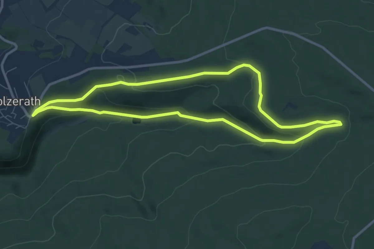
Easy · Trail
Holzerath 1
6.6 km · ↑ 204 m · 2 h 6 min
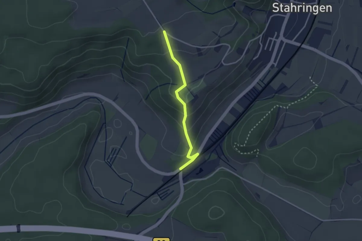
Easy · Trail
Holzerhütte - Eichen
2.4 km · ↑ 101 m · 47 min
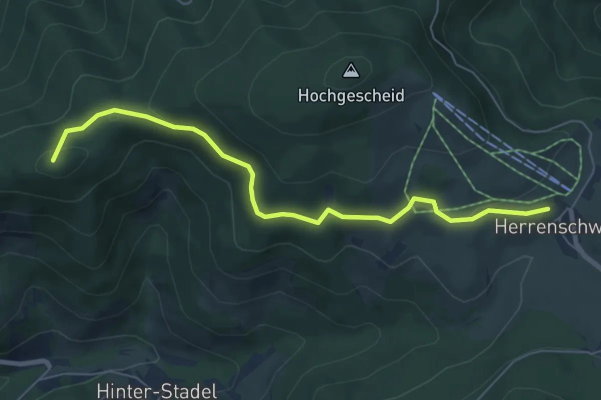
Easy · Summit
Holzer Kreuz - Herrenschwand Gutrütteweg
5.4 km · ↑ 157 m · 1 h 38 min
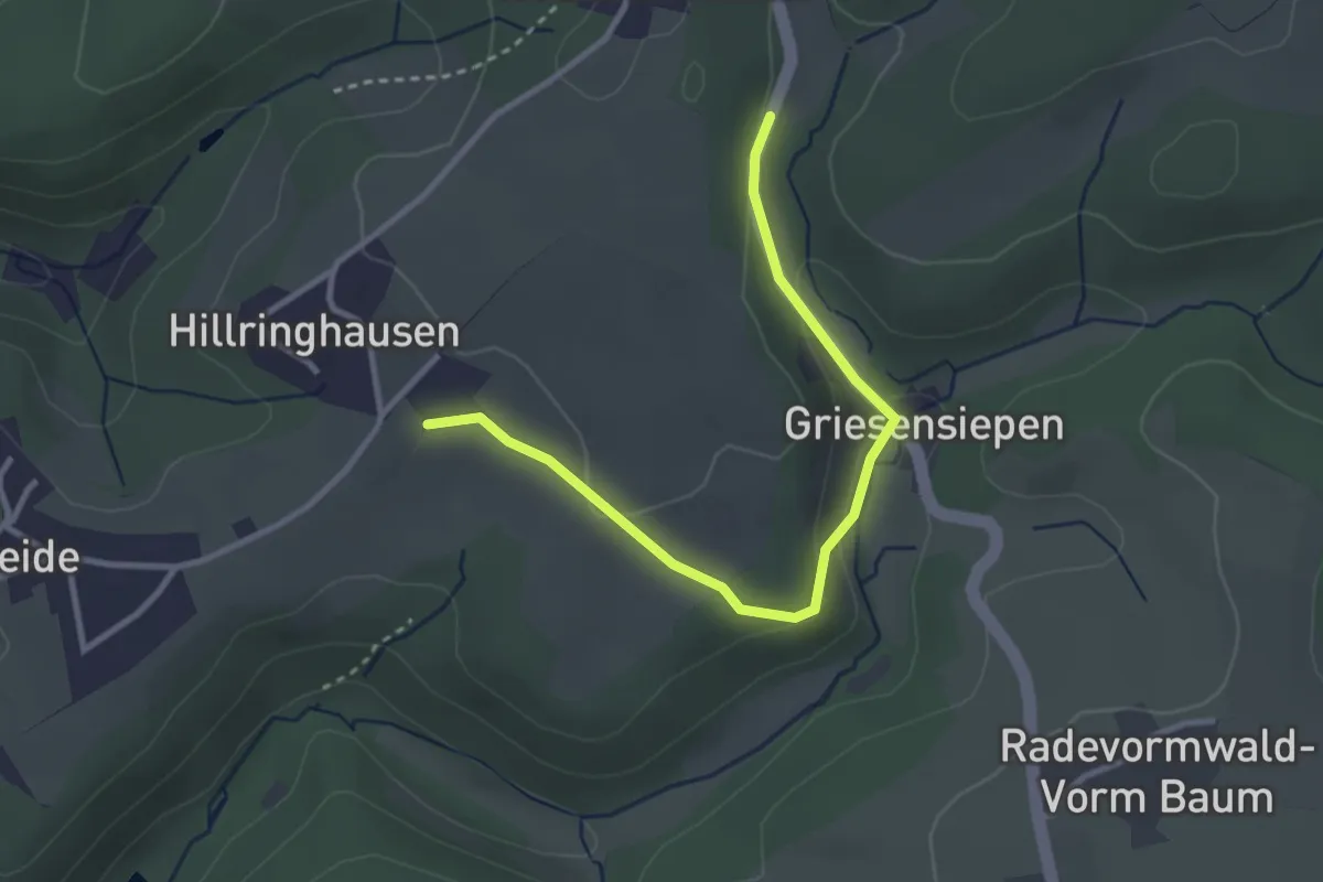
Easy · Trail
Hölzerne Klinke Rundweg A1
1.5 km · ↑ 33 m · 26 min
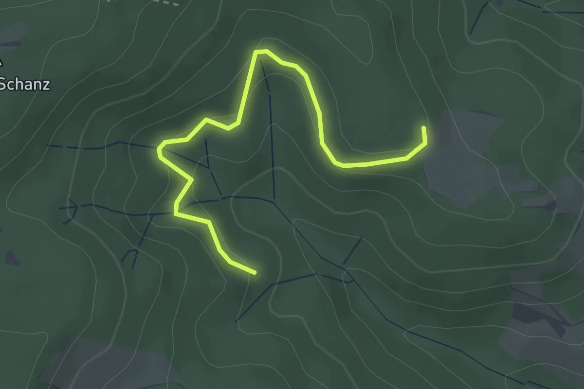
Easy · Trail
Holzersbühl - Allmend
3.0 km · ↑ 126 m · 59 min
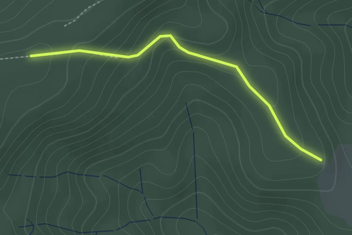
Easy · Trail
Holzersbühl - Liboris Kreuz
2.0 km · ↑ 99 m · 42 min
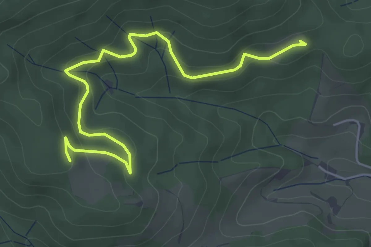
Easy · Trail
Holzersbühl - Schirrmaierhütte
5.1 km · ↑ 252 m · 1 h 45 min
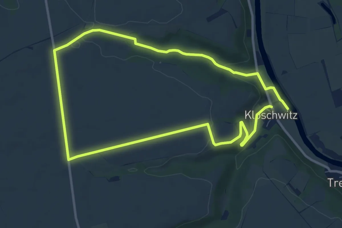
Medium · Trail
Holzgrundweg W 5.15
6.6 km · ↑ 106 m · 1 h 53 min
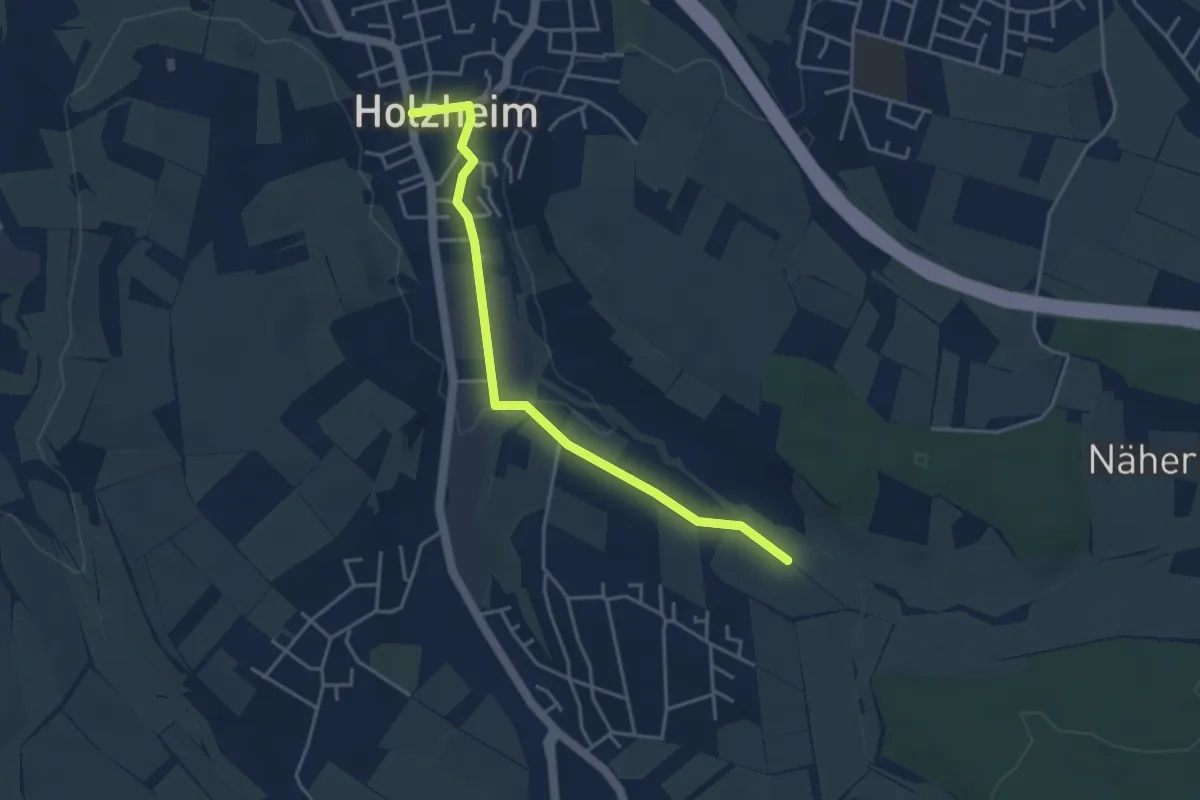
Easy · Trail
Holzheim - Buchrain
3.9 km · ↑ 17 m · 58 min
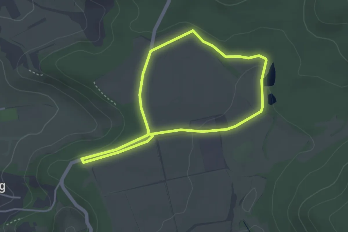
Easy · Trail
Holzkraus Familien-Erlebnisweg Natour Haßberge
2.9 km · ↑ 33 m · 48 min
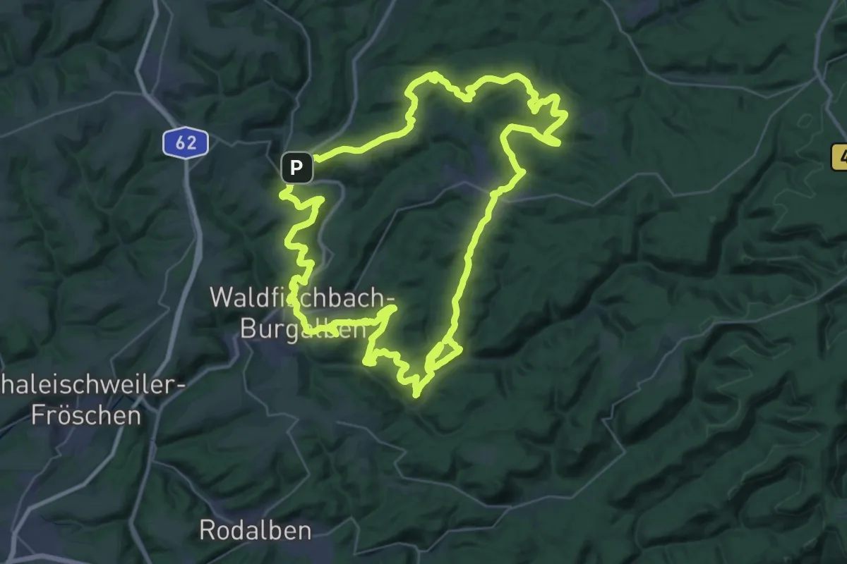
Demanding · Summit
Holzlandweg
37.0 km · ↑ 1054 m · 11 h 32 min
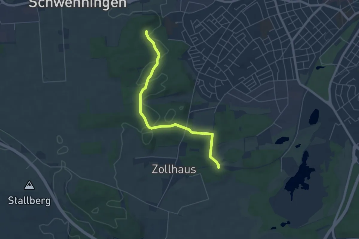
Easy · Trail
Hölzlekönig - Kugelmoos
4.9 km · ↑ 71 m · 1 h 19 min
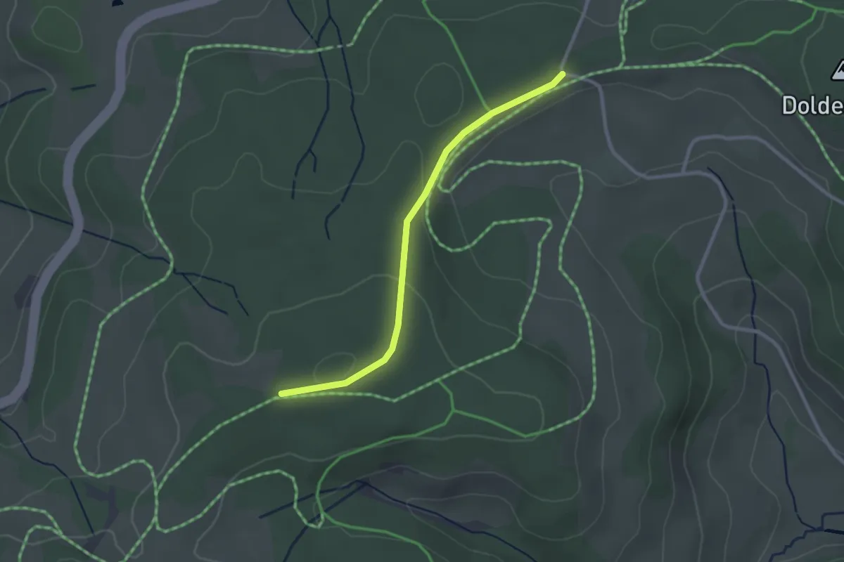
Easy · Trail
Holzletz - Wildmoos
2.5 km · ↑ 64 m · 43 min
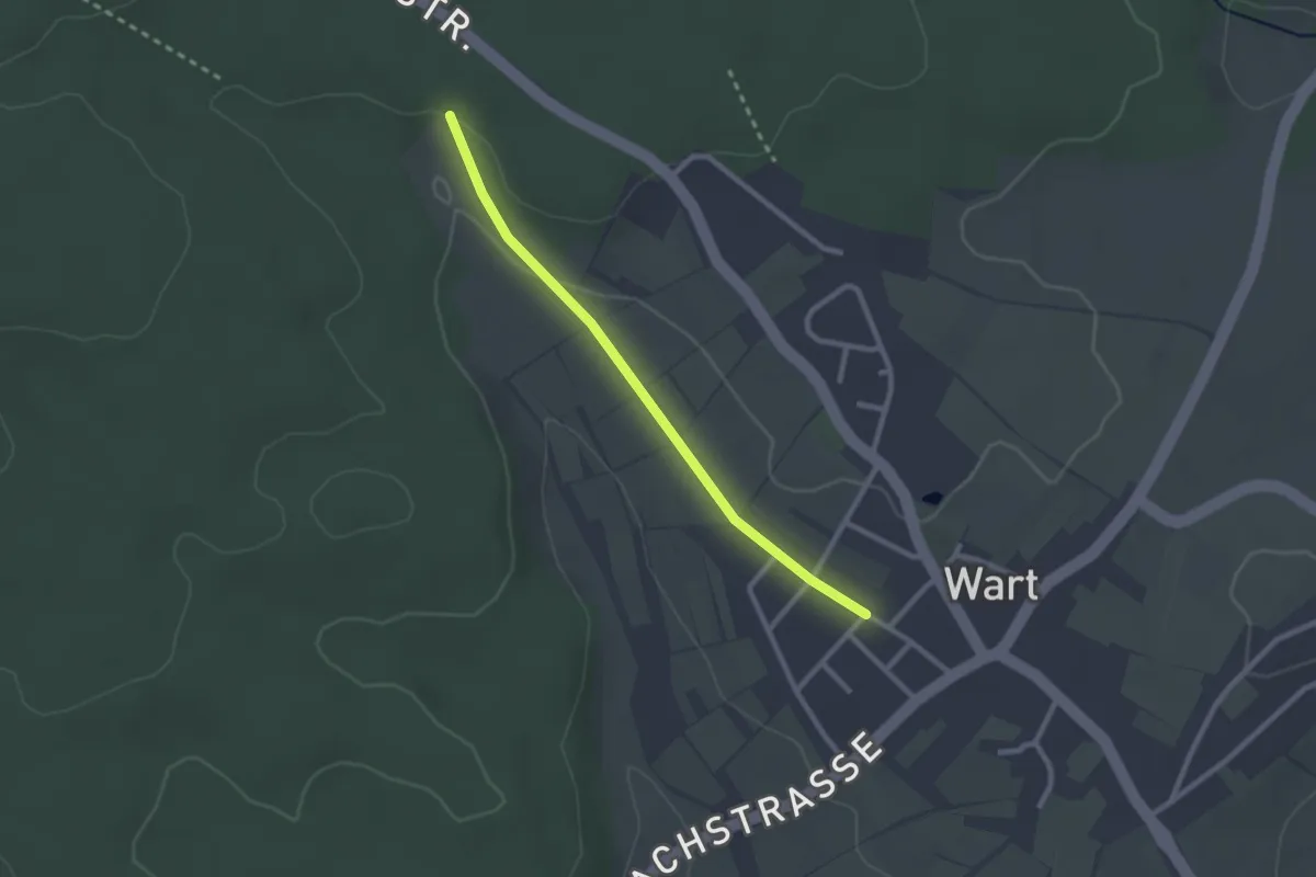
Easy · Trail
Hölzle - Wart Schulhaus
2.3 km · ↑ 27 m · 36 min
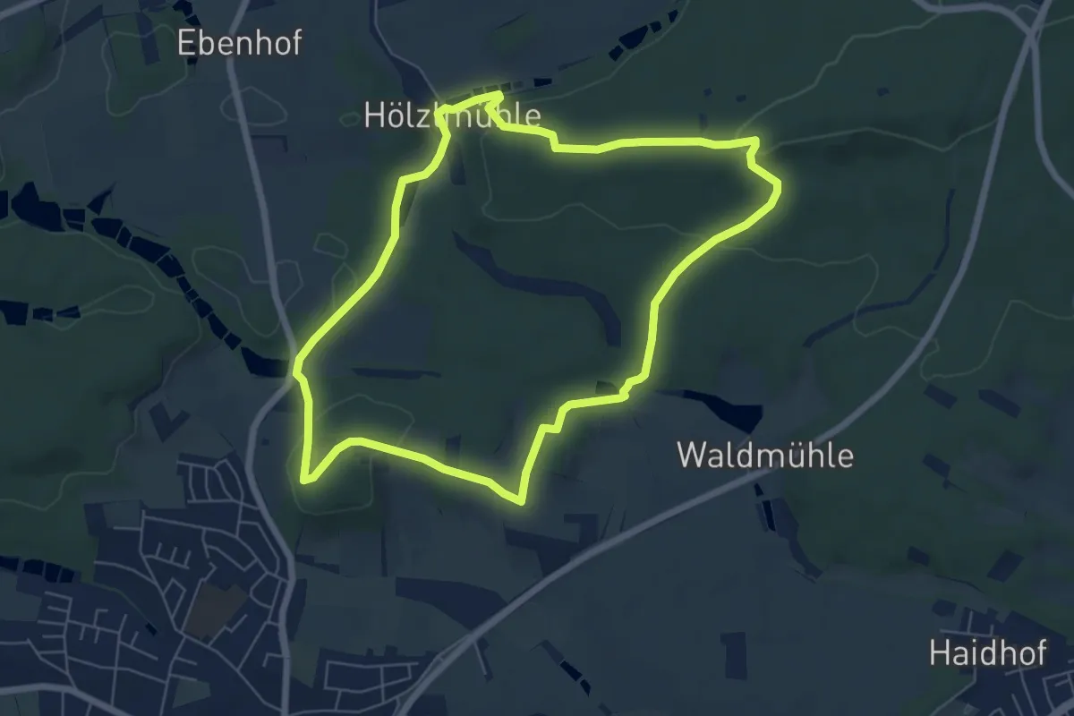
Easy · Trail
Hölzlmühlweg
6.0 km · ↑ 129 m · 1 h 47 min
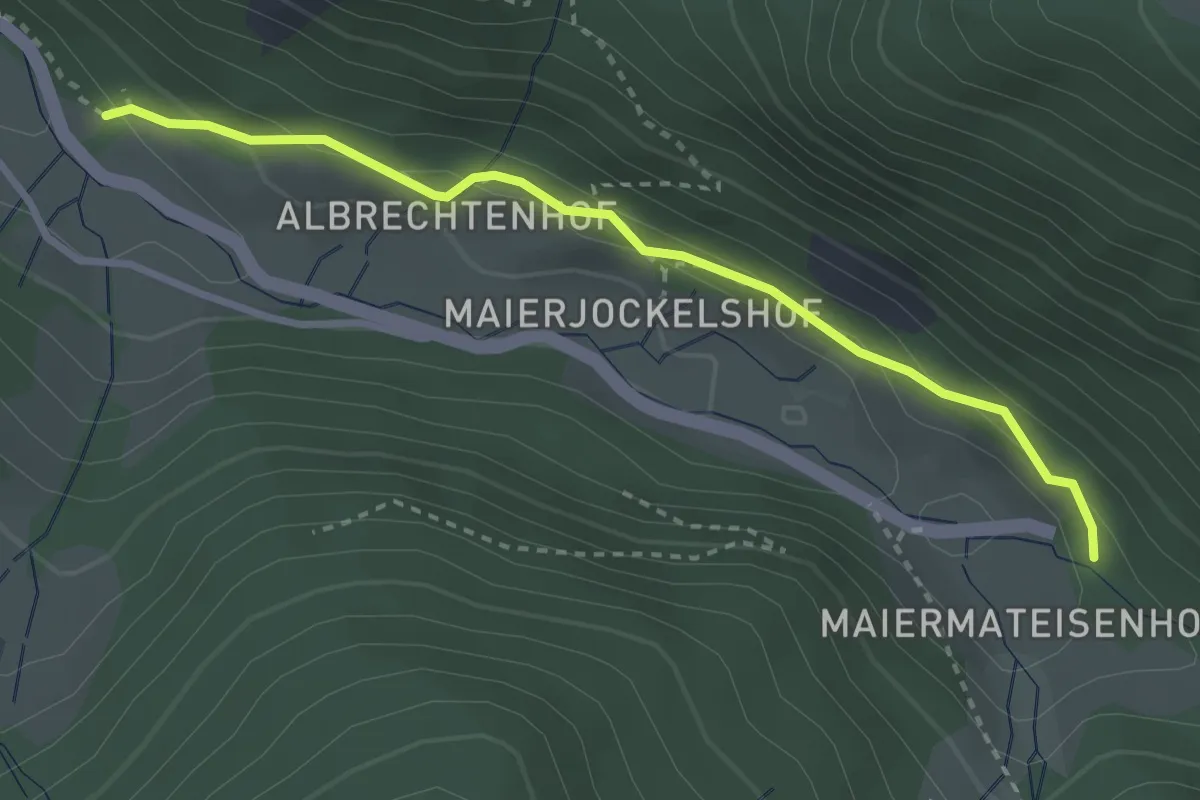
Easy · Trail
Holzmacherhäusle - Napf
3.0 km · ↑ 151 m · 1 h 2 min
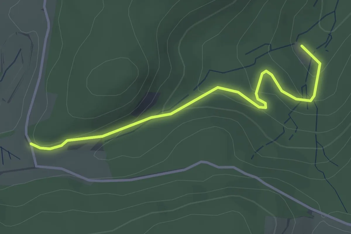
Easy · Trail
Holzmatten - Unter dem Stoßfelsen
3.1 km · ↑ 145 m · 1 h 3 min
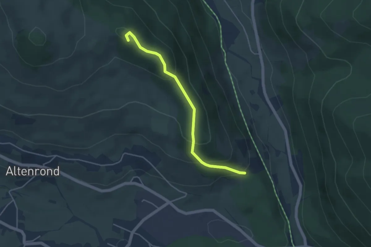
Easy · Summit
Holzmättle - Kaisereck
3.3 km · ↑ 184 m · 1 h 11 min
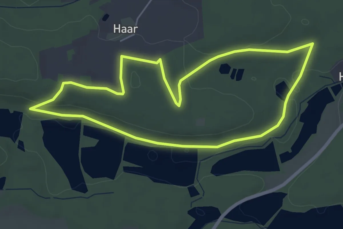
Easy · Trail
Holzmühle Rundweg 1
4.4 km · ↑ 66 m · 1 h 15 min
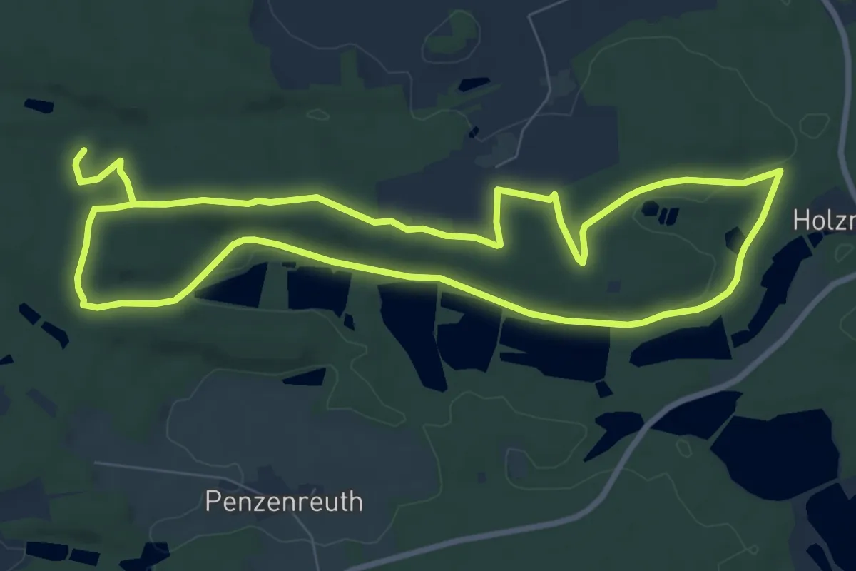
Easy · Trail
Holzmühle Rundweg 2
7.6 km · ↑ 123 m · 2 h 10 min
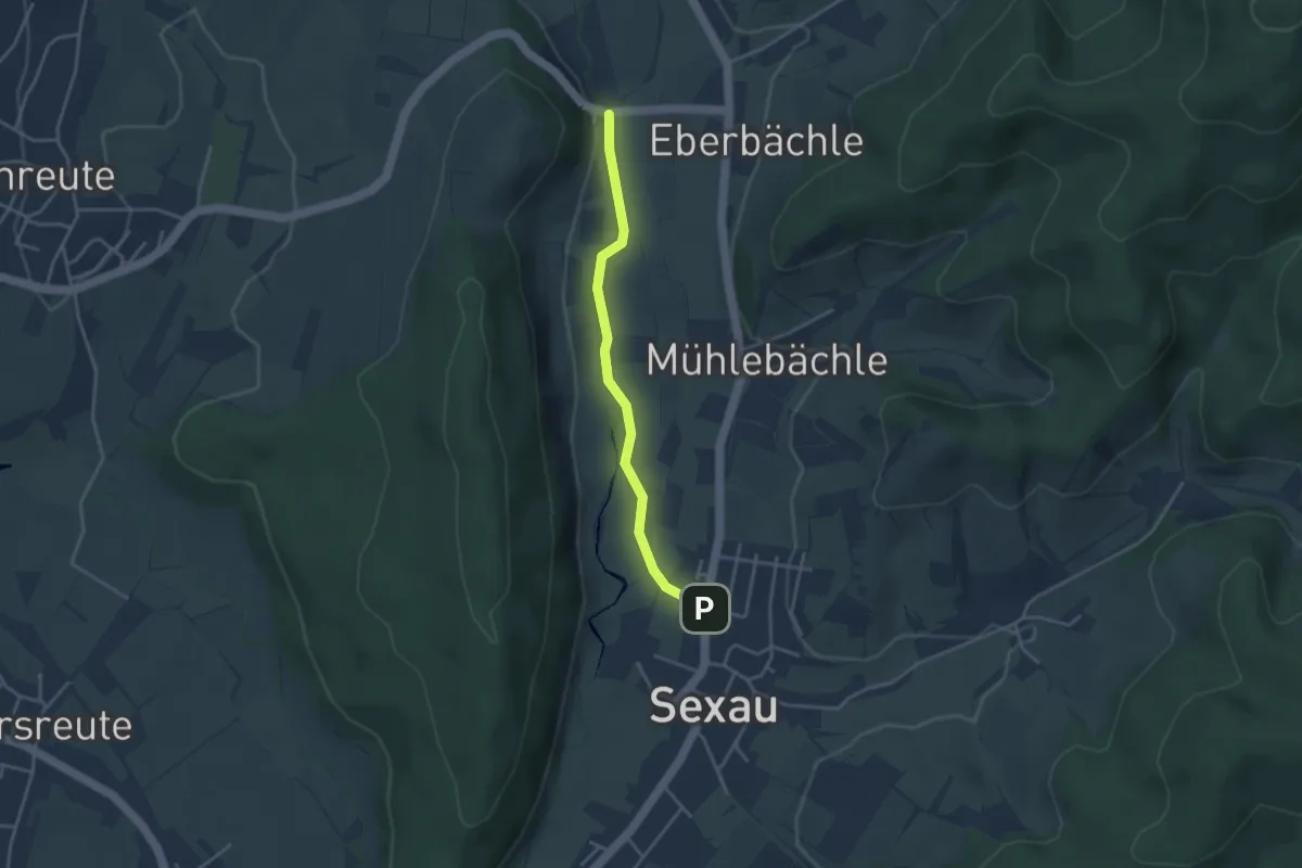
Easy · Trail
Holzmühle - Sexau Stockmatten
3.2 km · ↑ 27 m · 49 min
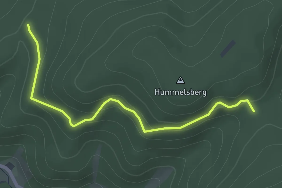
Easy · Trail
Holzplatzebene - Heidenell
3.4 km · ↑ 176 m · 1 h 12 min
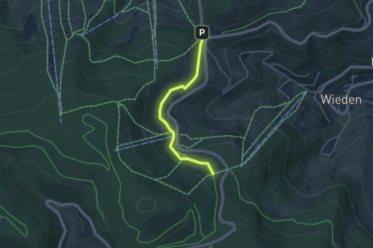
Easy · Trail
Holzplatz - Wiedener Eck
2.9 km · ↑ 121 m · 56 min
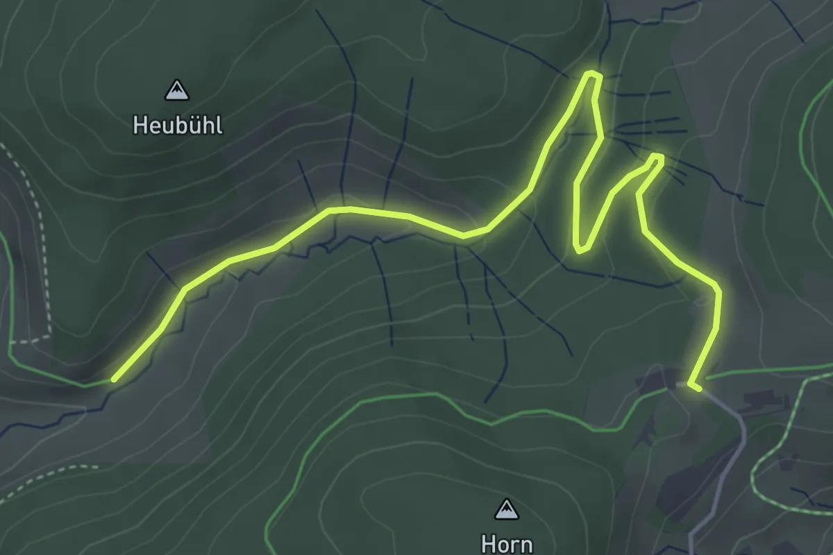
Easy · Trail
Holzschlagbachtal - Radschert
5.3 km · ↑ 131 m · 1 h 32 min
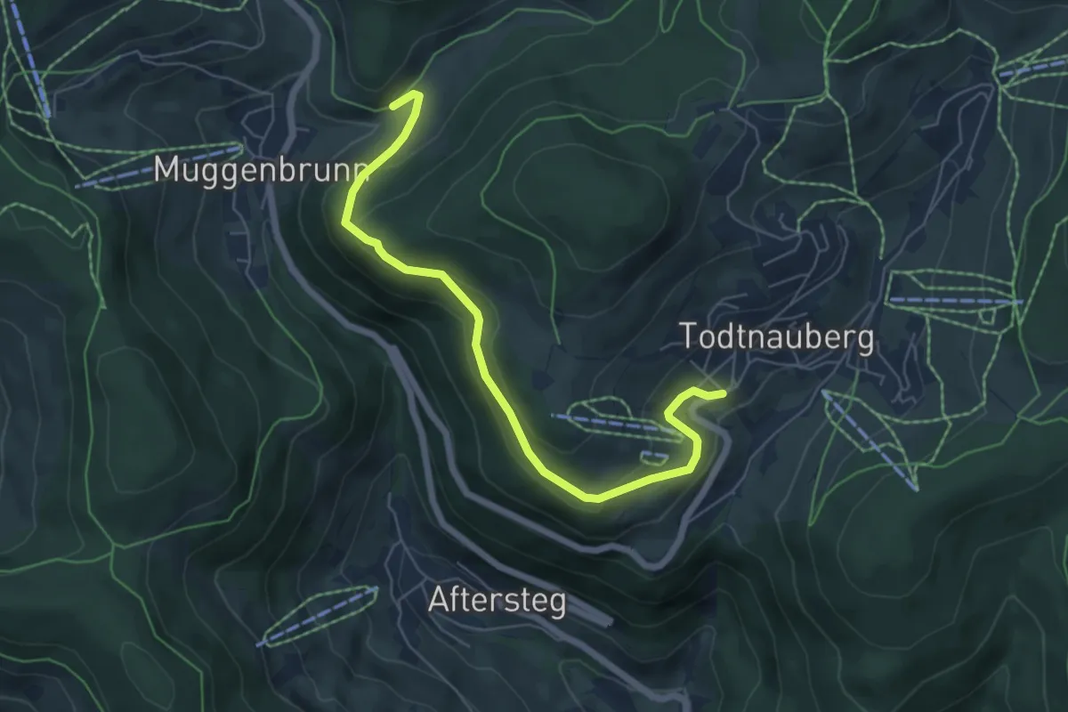
Easy · Trail
Holzschlagbachtal - Todtnauberg Sternen
6.0 km · ↑ 243 m · 1 h 57 min
Easy · Trail
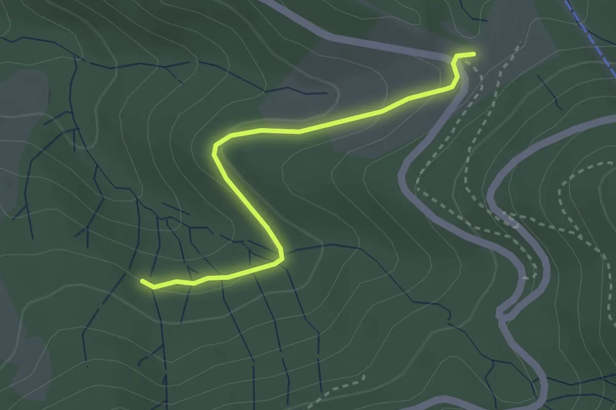
Holzschlägermatte - Heuweg
2.7 km · ↑ 66 m · 47 min
Easy · Trail
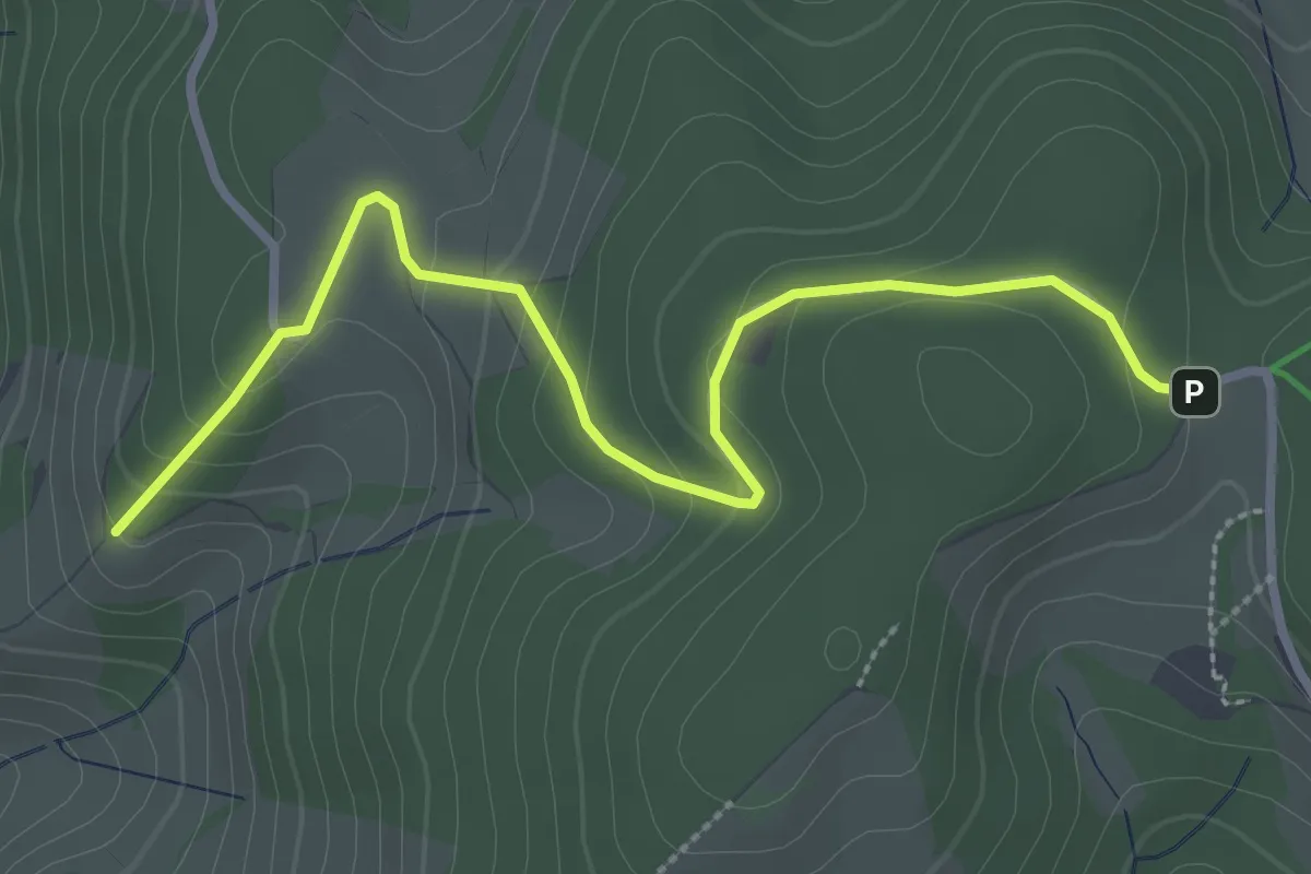
Holzschlag - Hörnli
3.3 km · ↑ 152 m · 1 h 6 min
Easy · Trail
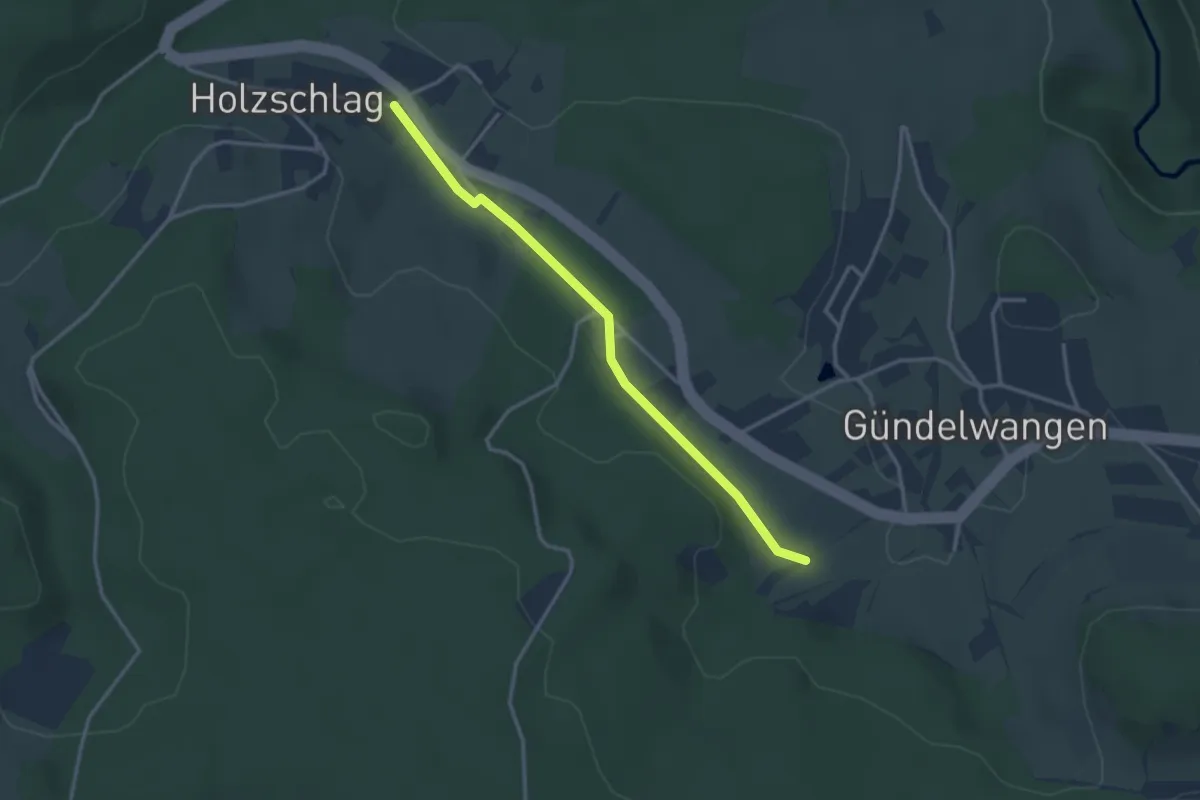
Holzschlag Krone - Mittlematt
3.0 km · ↑ 24 m · 46 min
Easy · Trail
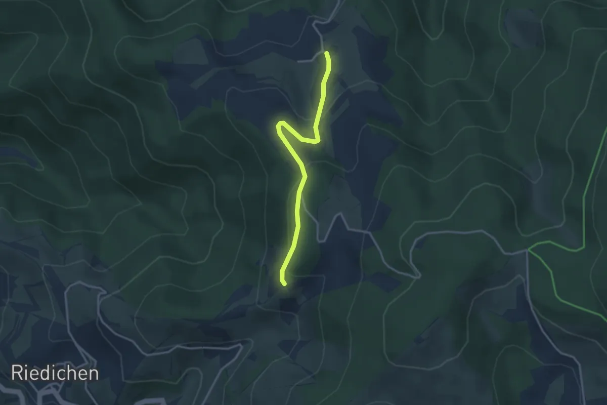
Holzschlag - Rohrberg
2.8 km · ↑ 108 m · 54 min