Trails in Germany
36,852 hiking trails, each with its route, climb, walking time and grade.
All trails, page 253 of 768
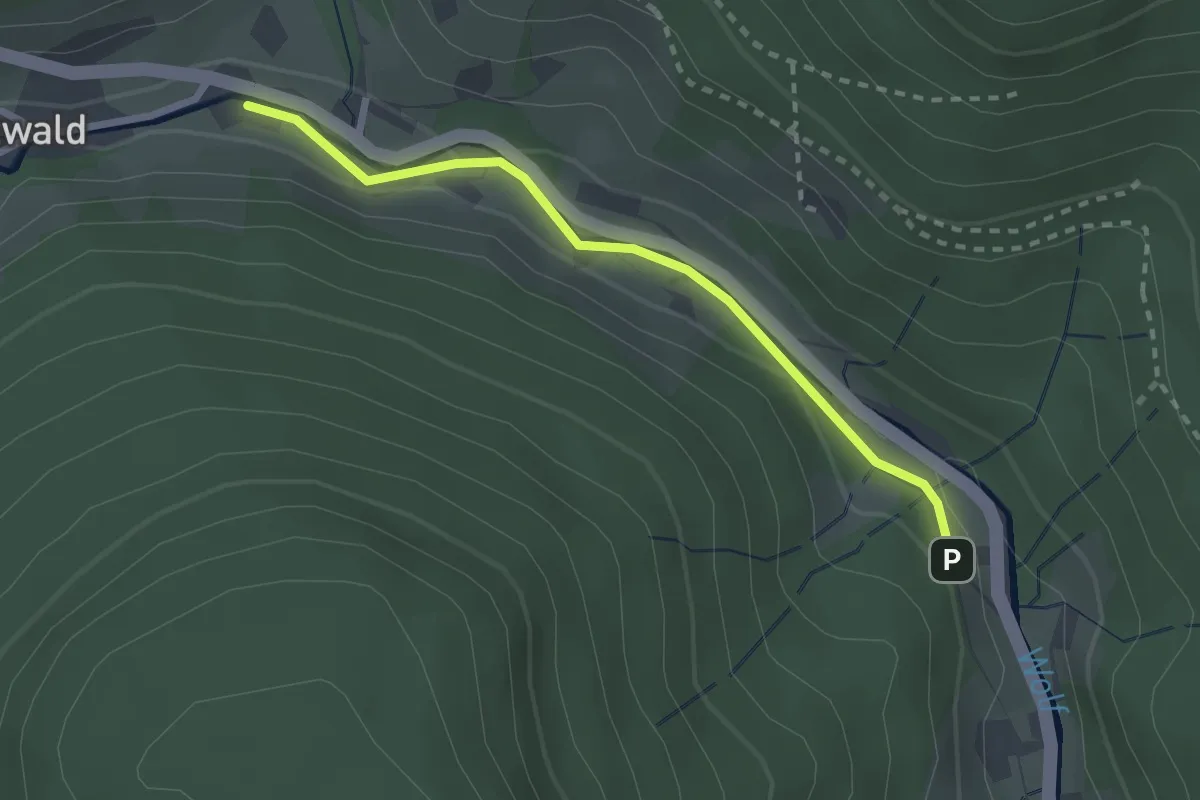
Easy · Trail
Holzwald Lagerplatz - Weihermatt
2.3 km · ↑ 35 m · 37 min
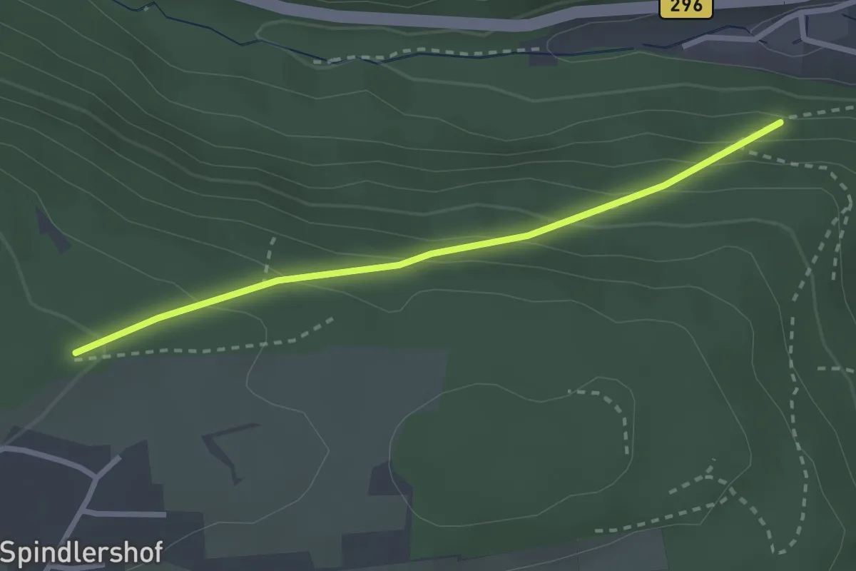
Easy · Trail
Holzwasen - Altburger Berg
2.5 km · ↑ 184 m · 59 min
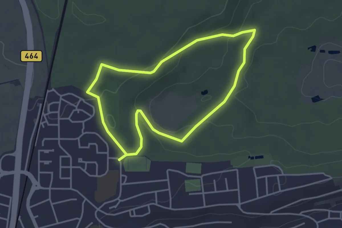
Easy · Trail
Holzweg
3.1 km · ↑ 61 m · 55 min
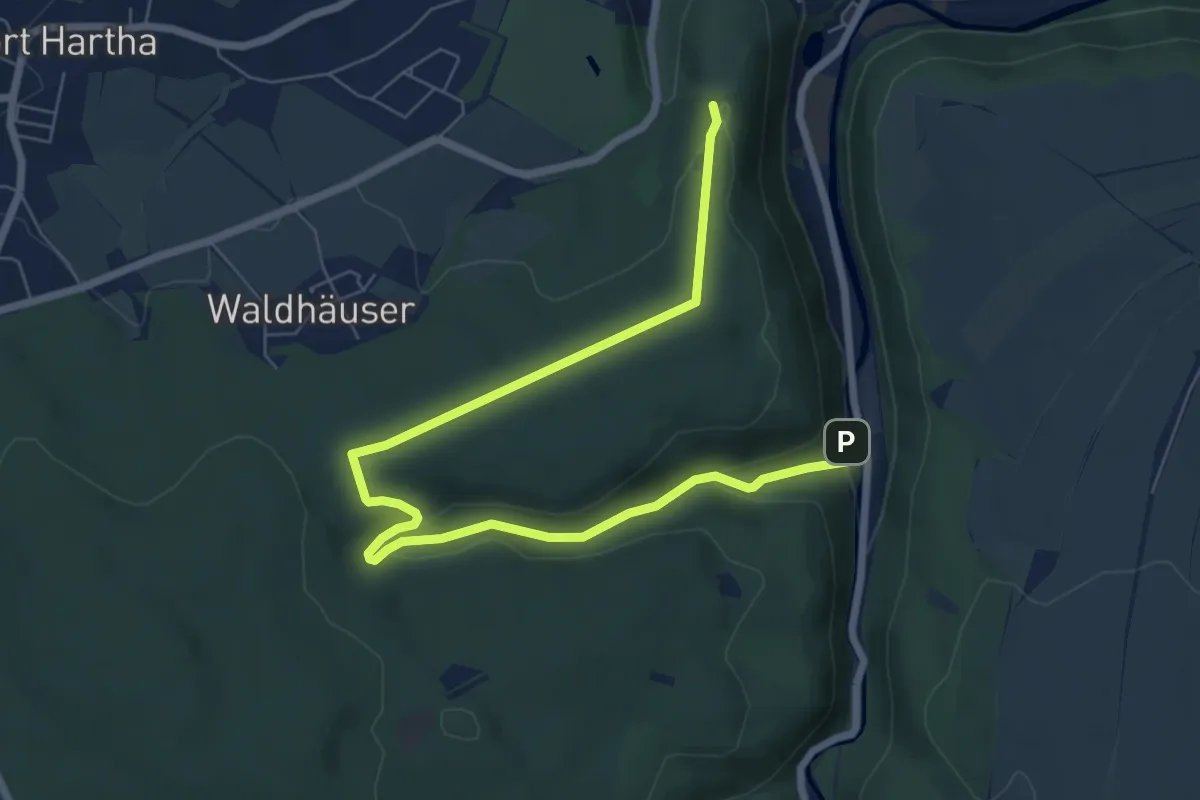
Easy · Summit
Holzweg
8.0 km · ↑ 192 m · 2 h 18 min
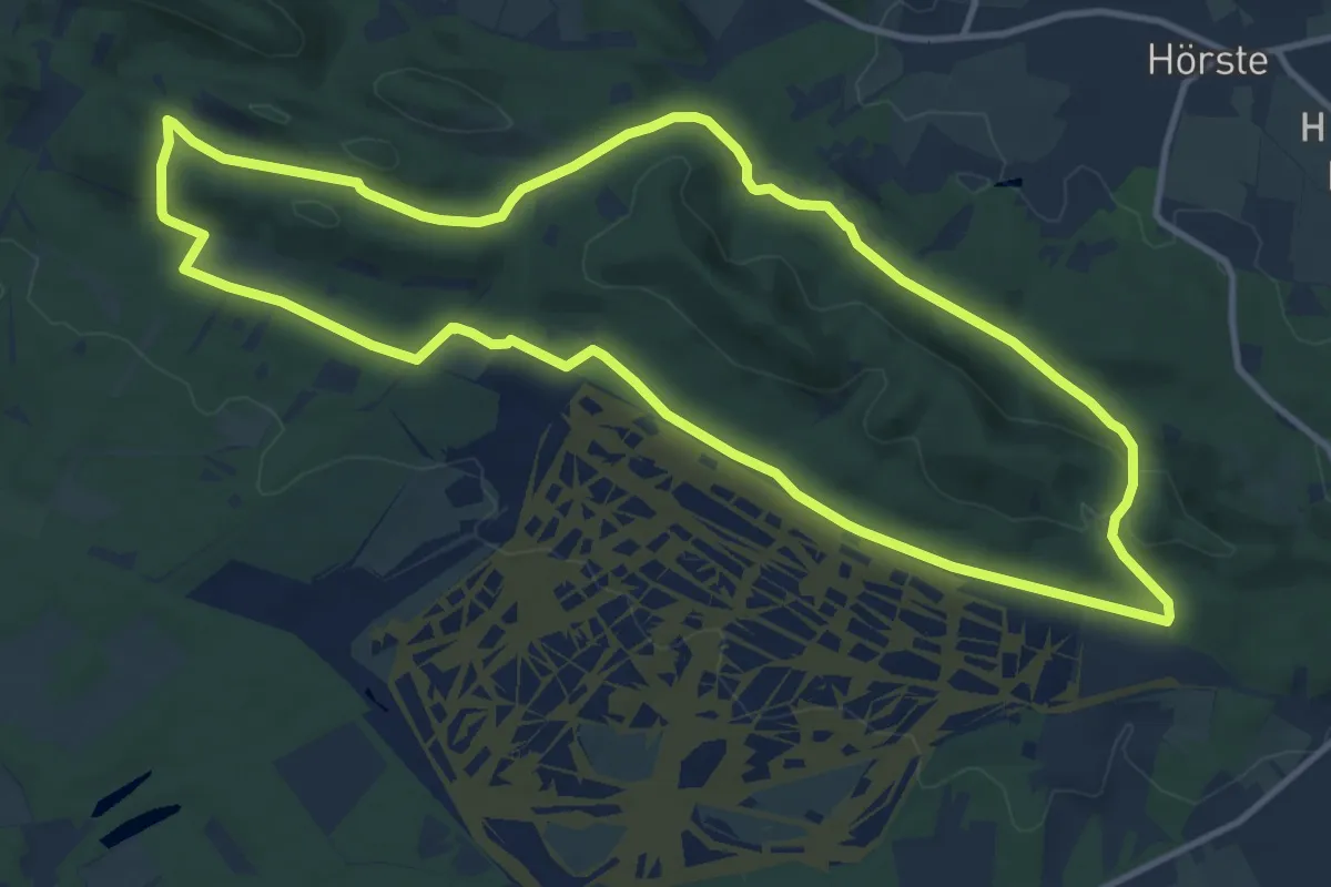
Medium · Trail
Holzweg
10.9 km · ↑ 204 m · 3 h 11 min
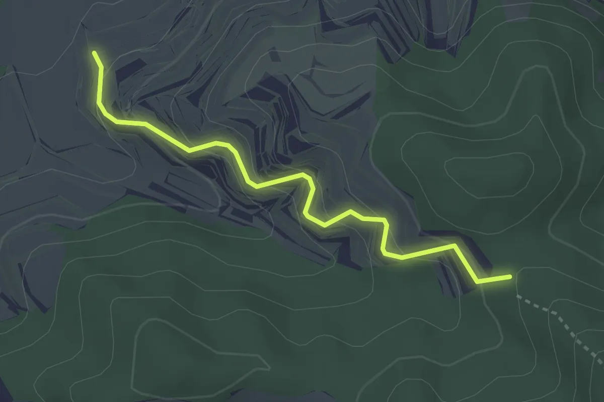
Easy · Trail
Holzweg - Dreieckiger Bannstein
3.1 km · ↑ 222 m · 1 h 12 min
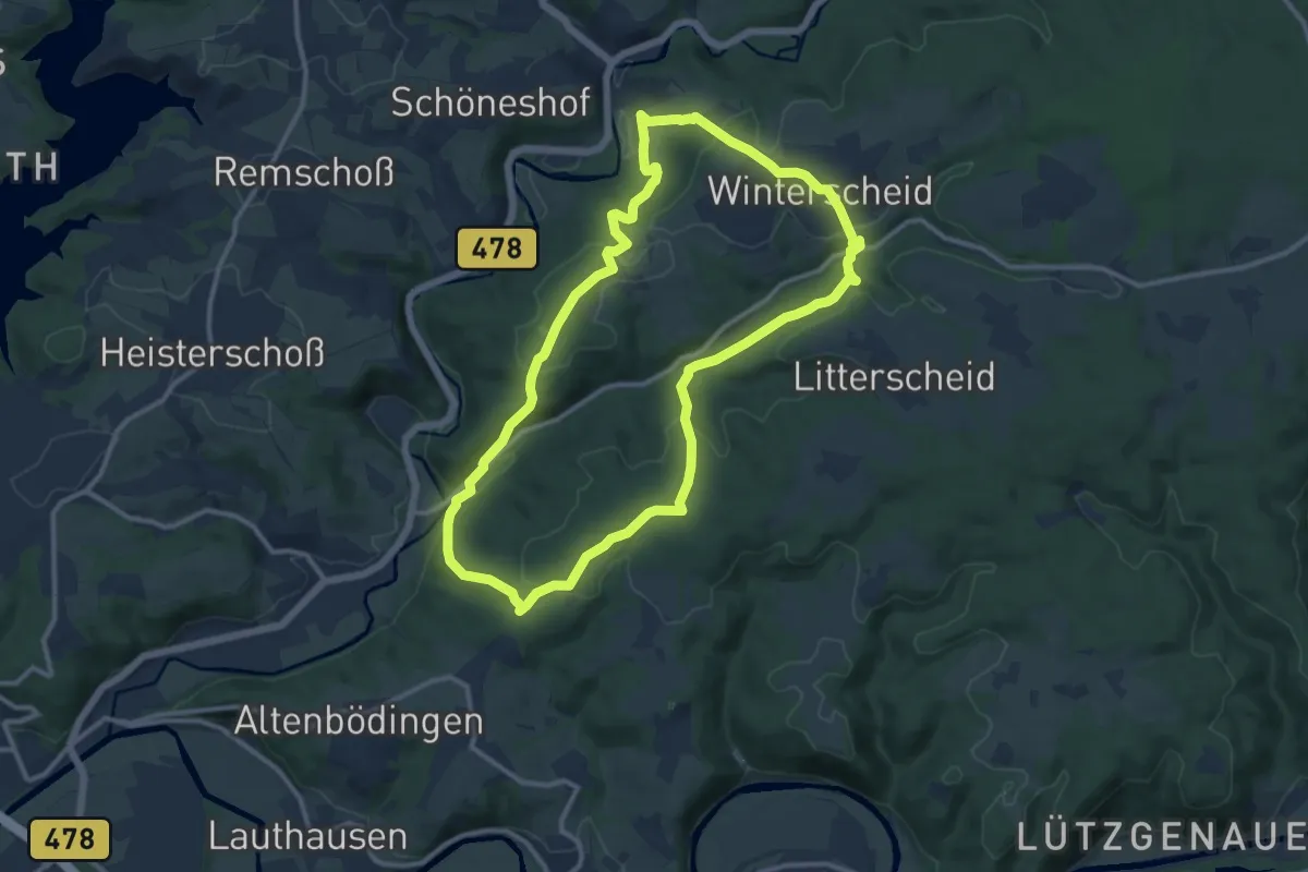
Medium · Trail
Holzweg (Erlebnisweg Sieg Nr. 6)
10.4 km · ↑ 349 m · 3 h 22 min
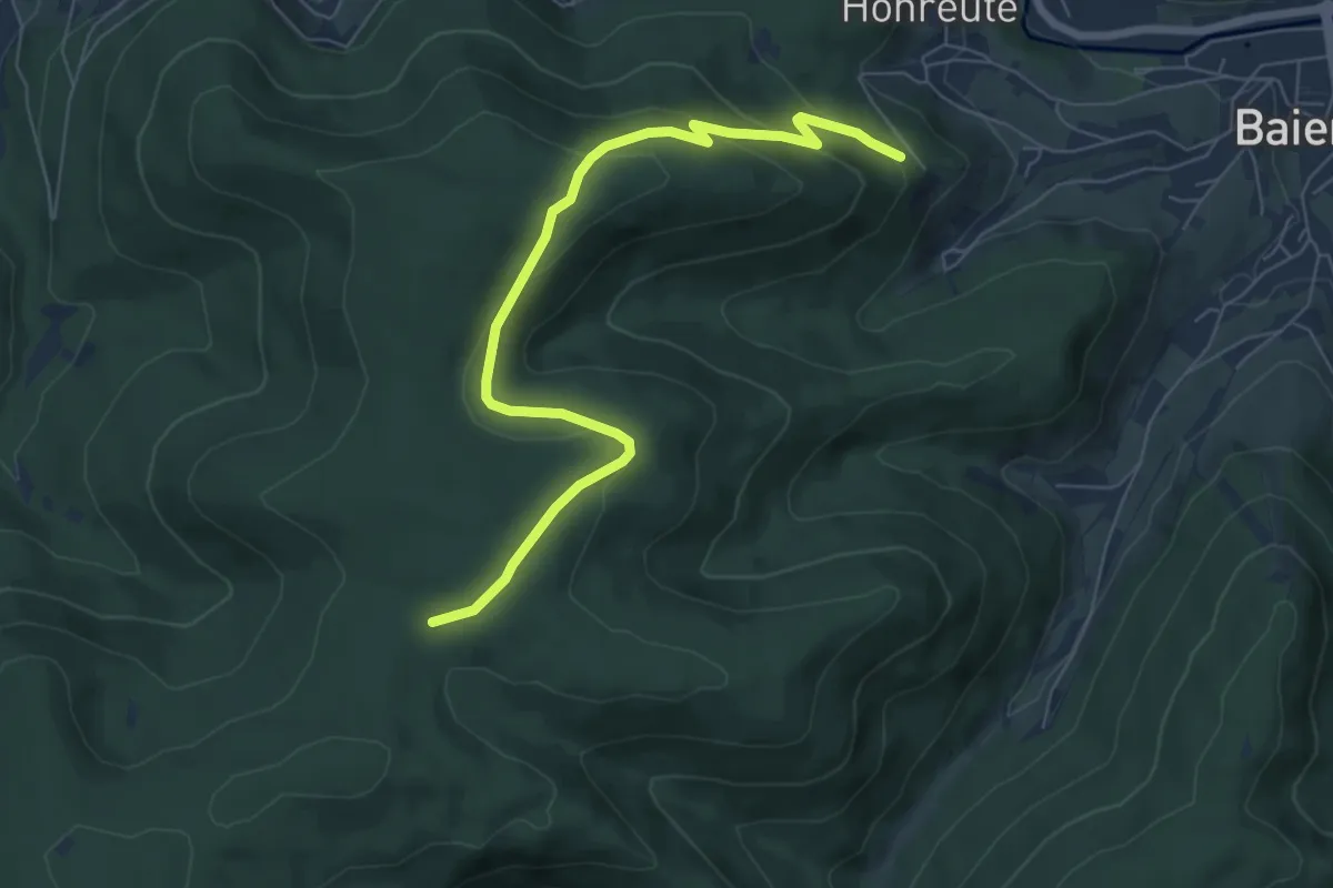
Easy · Trail
Holzweg - Kienberg
6.9 km · ↑ 279 m · 2 h 14 min
Easy · Trail
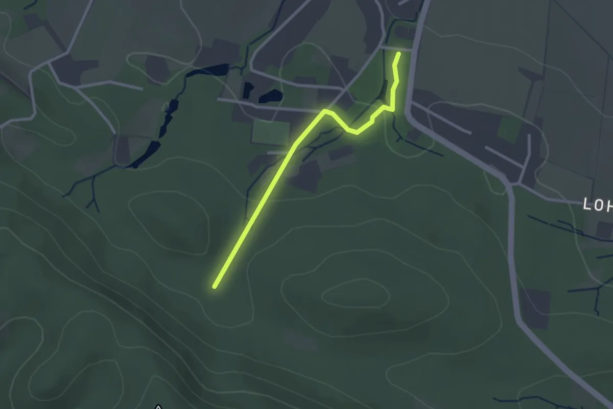
Holzweg (Zuweg Haus des Gastes Hörste)
2.2 km · ↑ 47 m · 37 min
Demanding · Summit
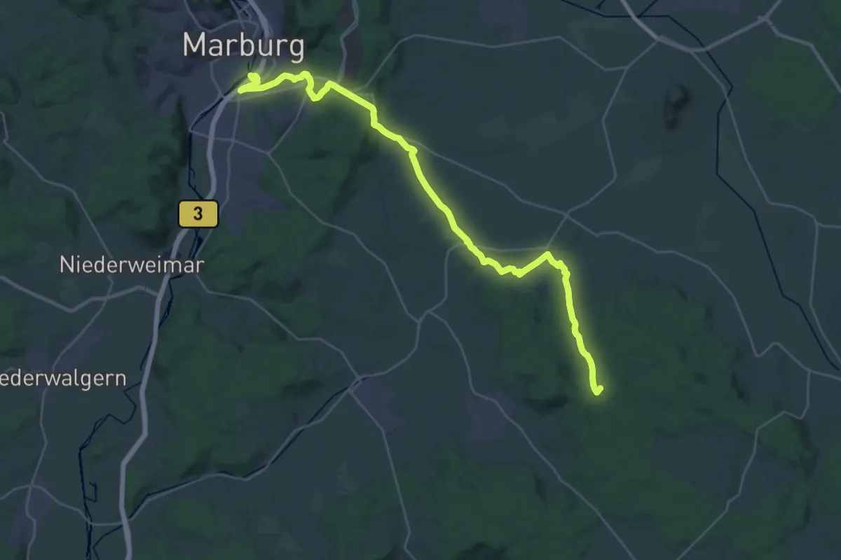
Homberger Weg
32.4 km · ↑ 476 m · 8 h 41 min
Easy · Trail
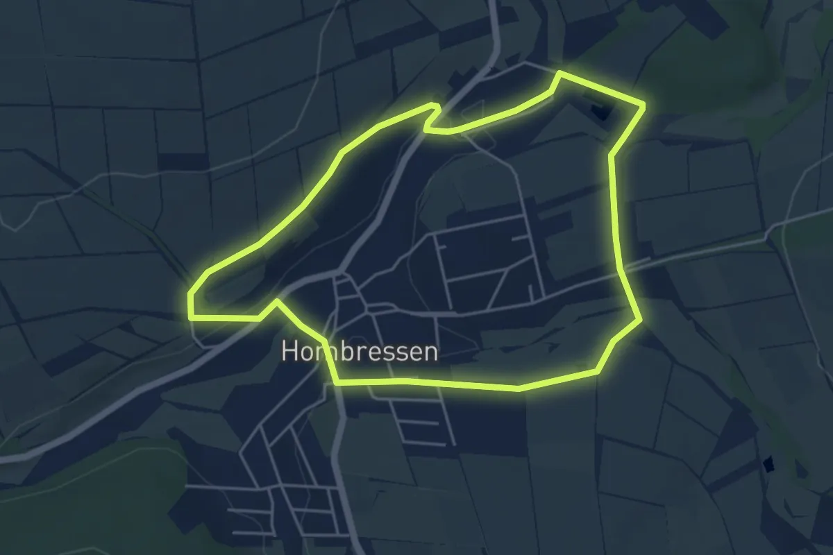
Hombressen, Rundweg 1
4.2 km · ↑ 59 m · 1 h 10 min
Medium · Trail
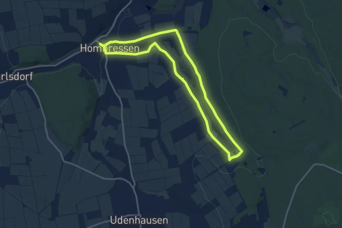
Hombressen, Rundweg 4
8.4 km · ↑ 98 m · 2 h 18 min
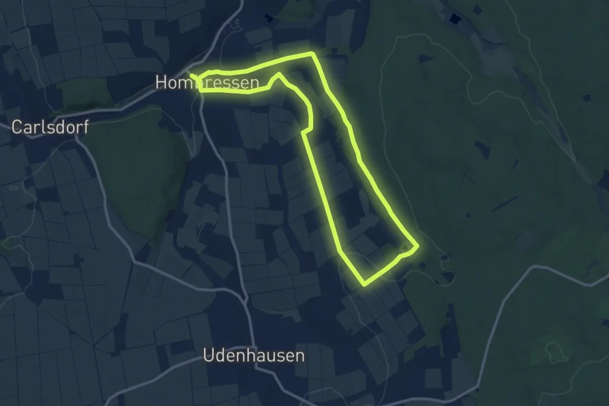
Medium · Trail
Hombressen, Rundweg 4 - alternativ
9.0 km · ↑ 116 m · 2 h 30 min
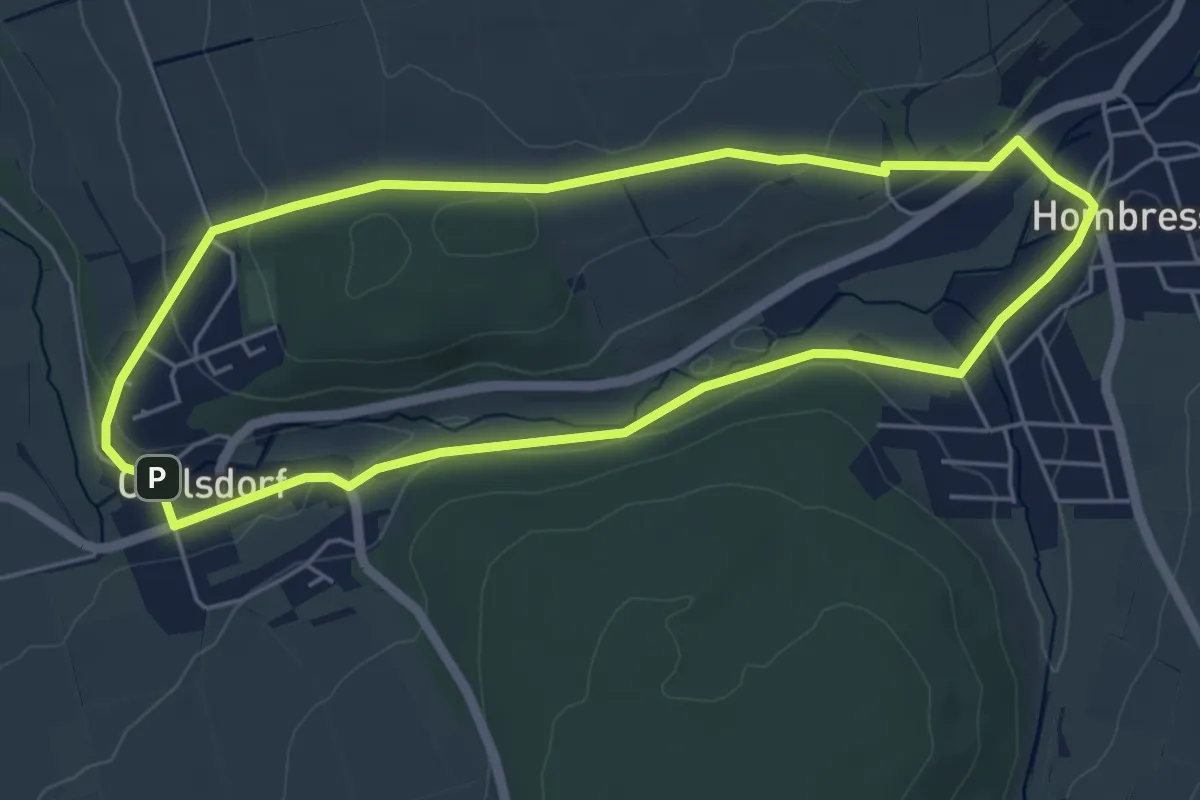
Easy · Trail
Hombressen, Rundweg 5
4.6 km · ↑ 65 m · 1 h 18 min
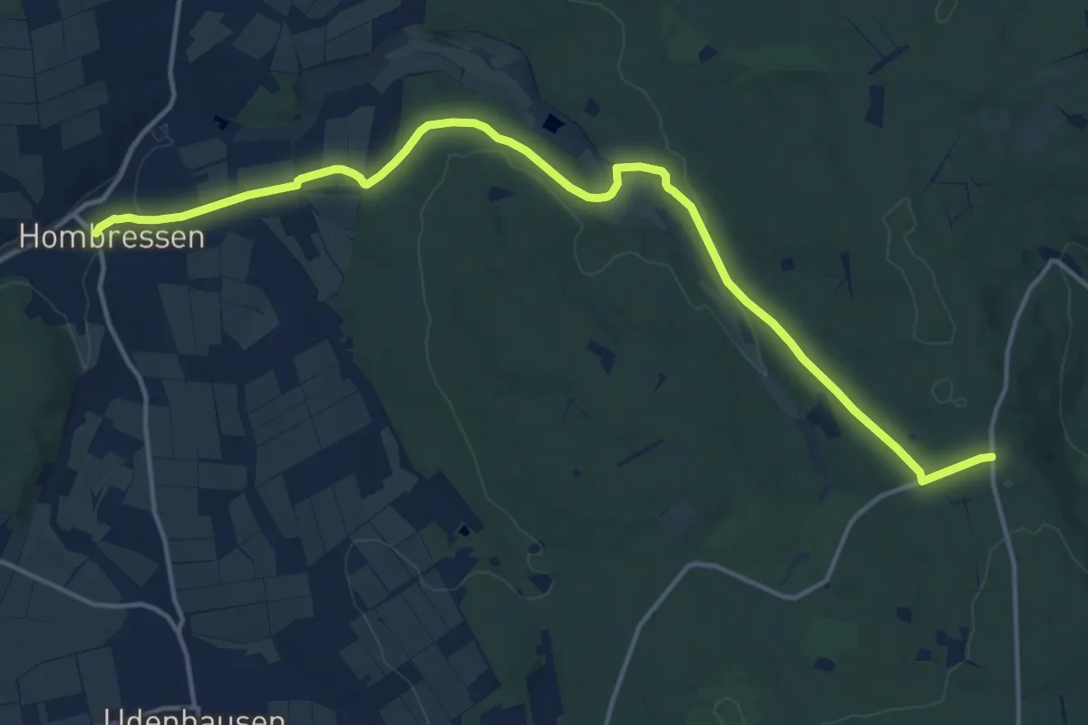
Medium · Trail
Hombressen - Udenhäuser Stock
15.3 km · ↑ 254 m · 4 h 10 min
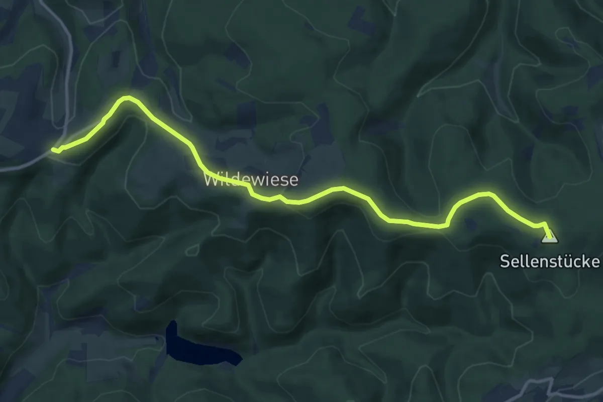
Medium · Summit
Homert-Kammweg
10.6 km · ↑ 245 m · 3 h 1 min
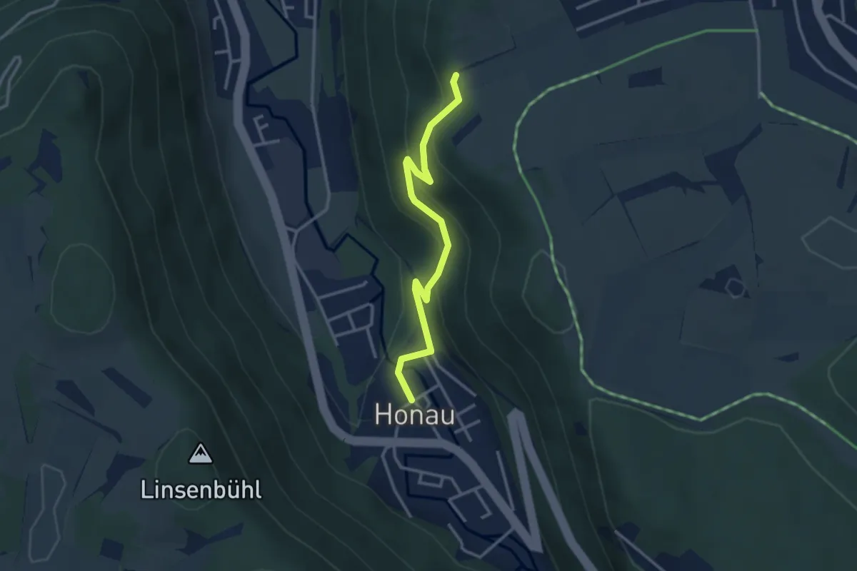
Easy · Trail
Honau-Biegel
2.9 km · ↑ 164 m · 1 h 3 min
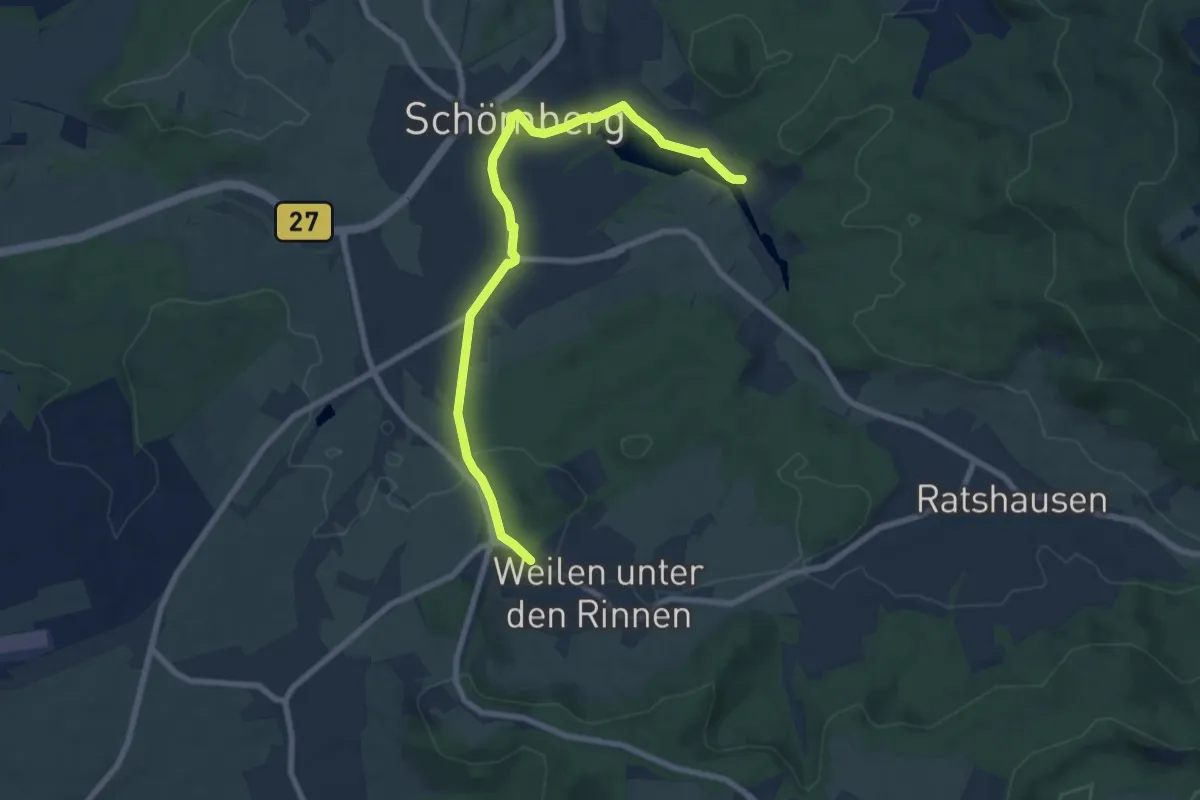
Easy · Trail
Honauweg
7.9 km · ↑ 101 m · 2 h 5 min
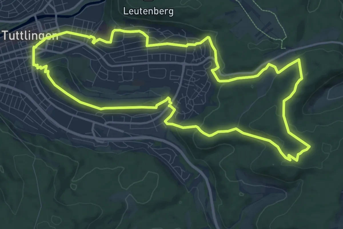
Medium · Trail
Honbergrunde
11.6 km · ↑ 292 m · 3 h 32 min
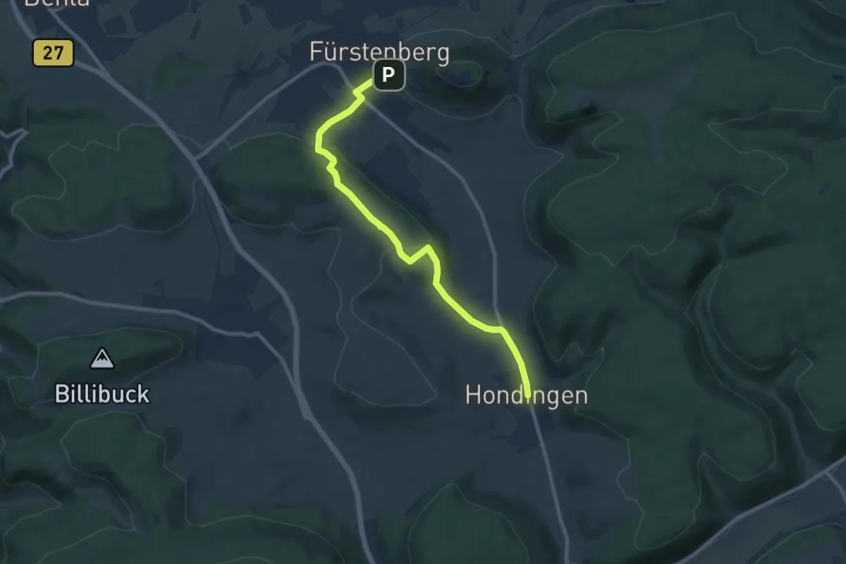
Medium · Trail
Hondingen Rathaus - Fürstenberg Kirchstraße
8.7 km · ↑ 253 m · 2 h 36 min
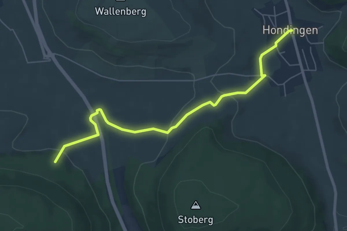
Easy · Trail
Hondingen Rathaus - Kreuzung Kapellenweg
5.6 km · ↑ 145 m · 1 h 38 min
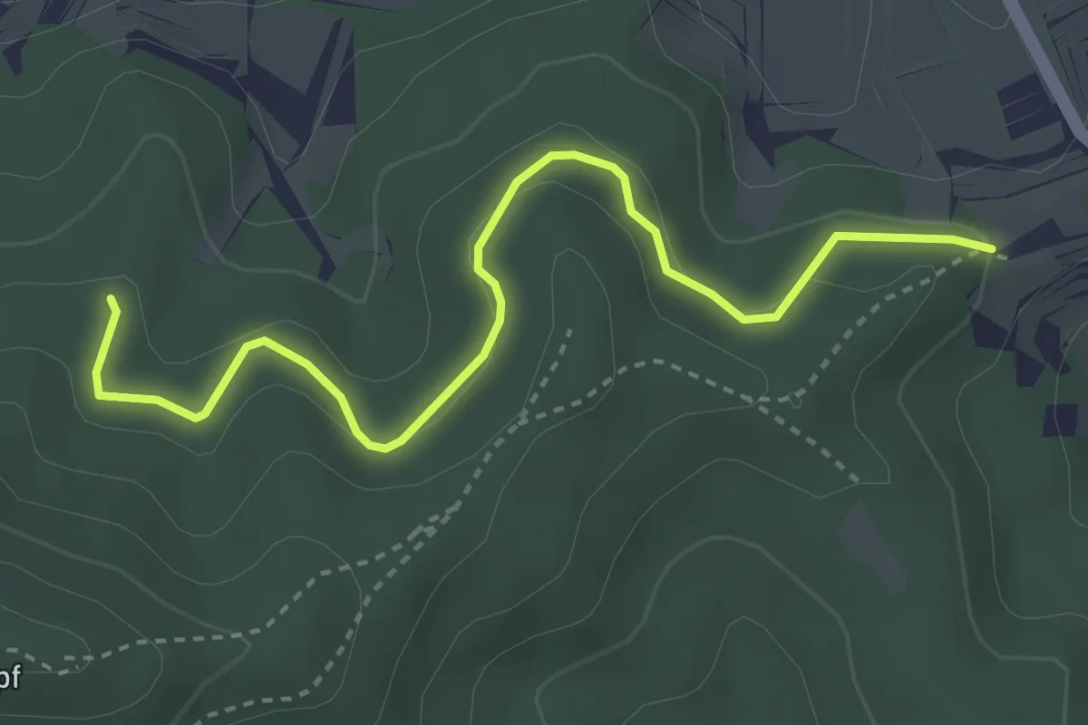
Easy · Trail
Honigbuck - Schöne Aussicht
3.6 km · ↑ 134 m · 1 h 9 min
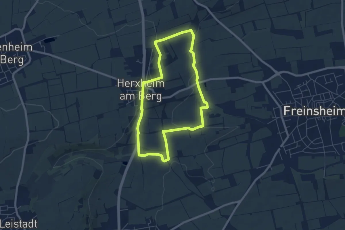
Easy · Trail
Honigsackweg
5.0 km · ↑ 92 m · 1 h 27 min
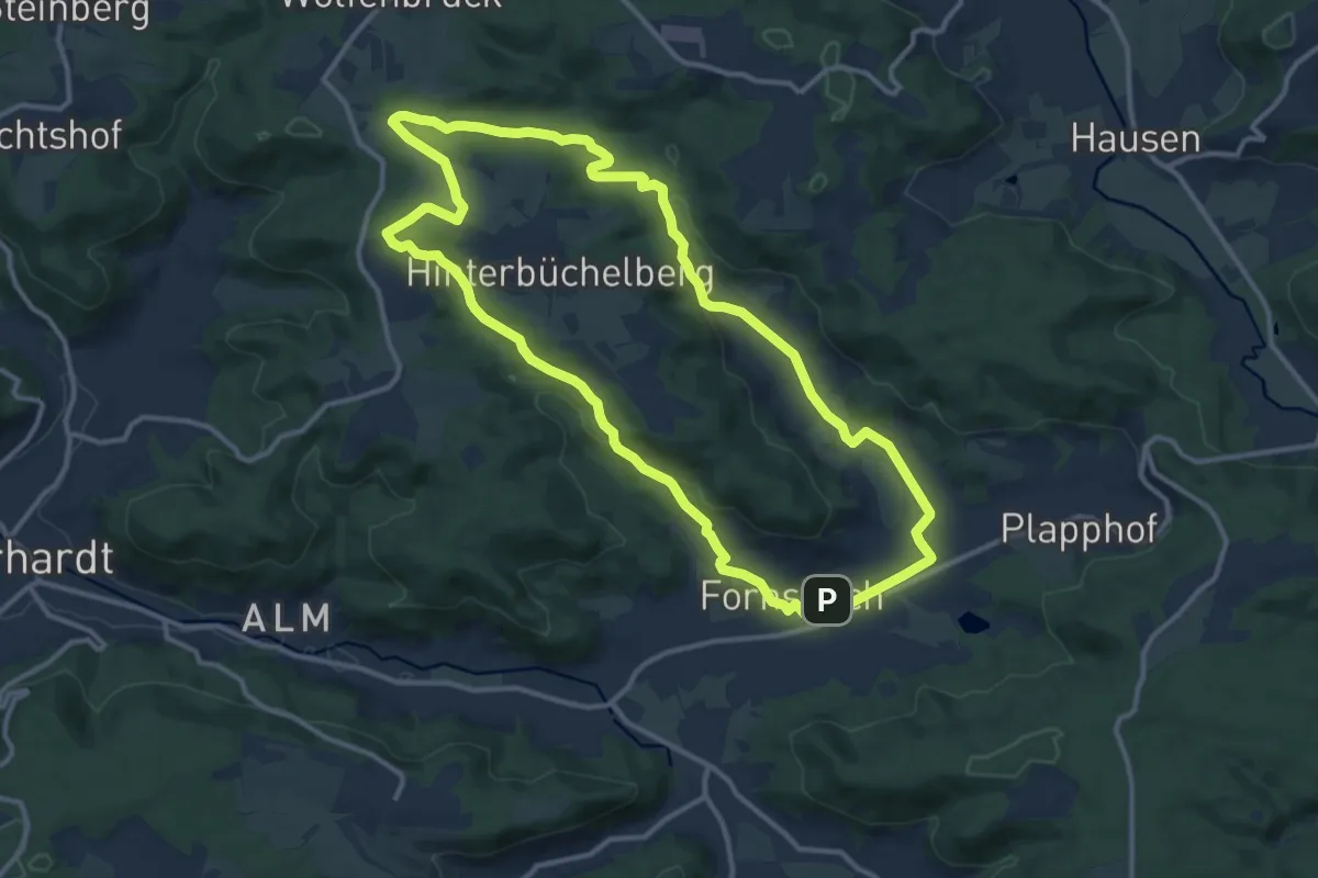
Medium · Trail
Honigtäle Tour
11.8 km · ↑ 197 m · 3 h 23 min
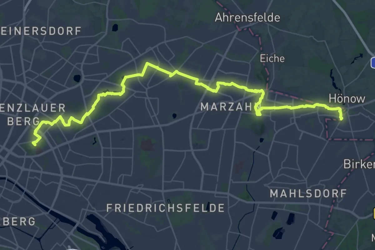
Demanding · Summit
Hönower Weg
42.8 km · ↑ 97 m · 10 h 19 min
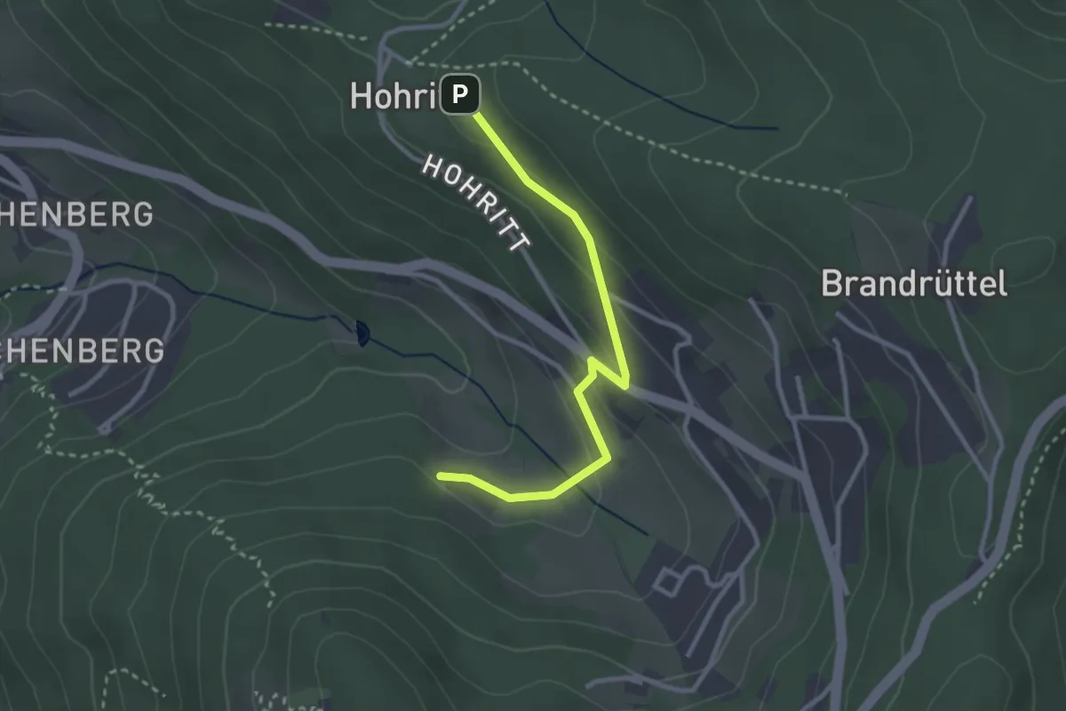
Easy · Trail
Honsmathise - Laufergasse
2.7 km · ↑ 104 m · 52 min
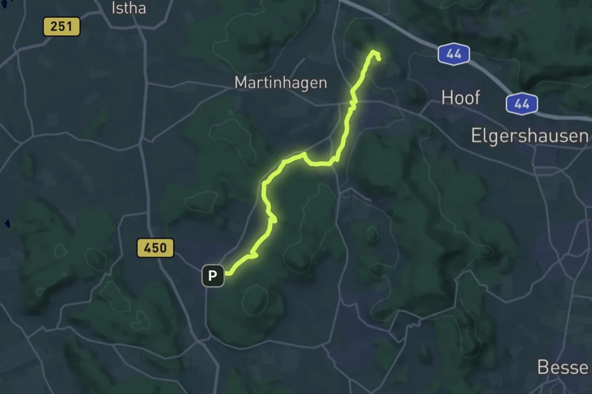
Demanding · Summit
Hoof - Bad Emstal
18.8 km · ↑ 243 m · 4 h 58 min
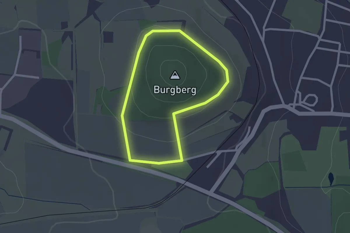
Easy · Trail
Hoof, Rundweg 1
1.7 km · ↑ 60 m · 33 min
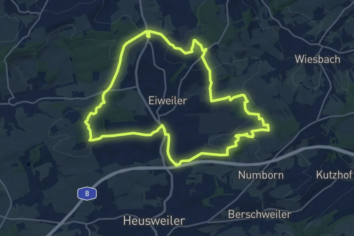
Medium · Trail
Hootzemonn-Weg
14.0 km · ↑ 286 m · 4 h 7 min
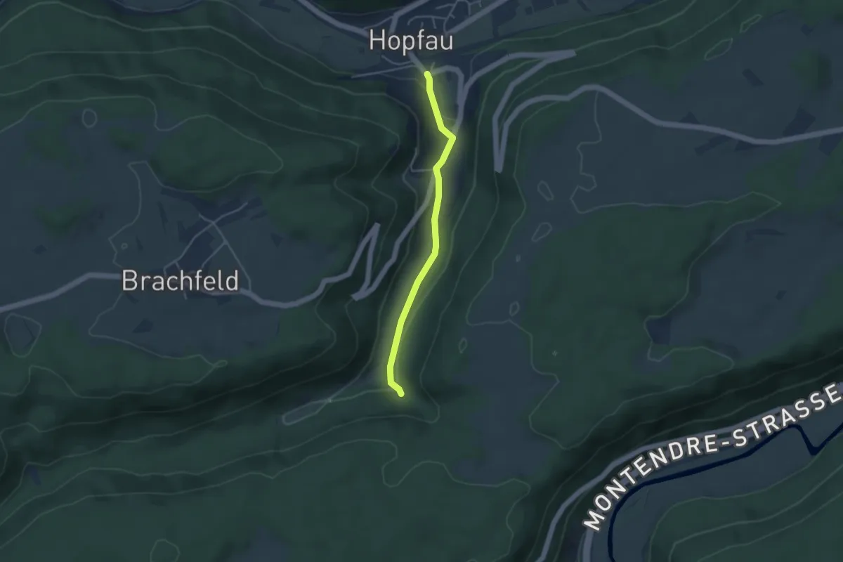
Easy · Trail
Hopfau-Tobeltal
3.5 km · ↑ 68 m · 58 min
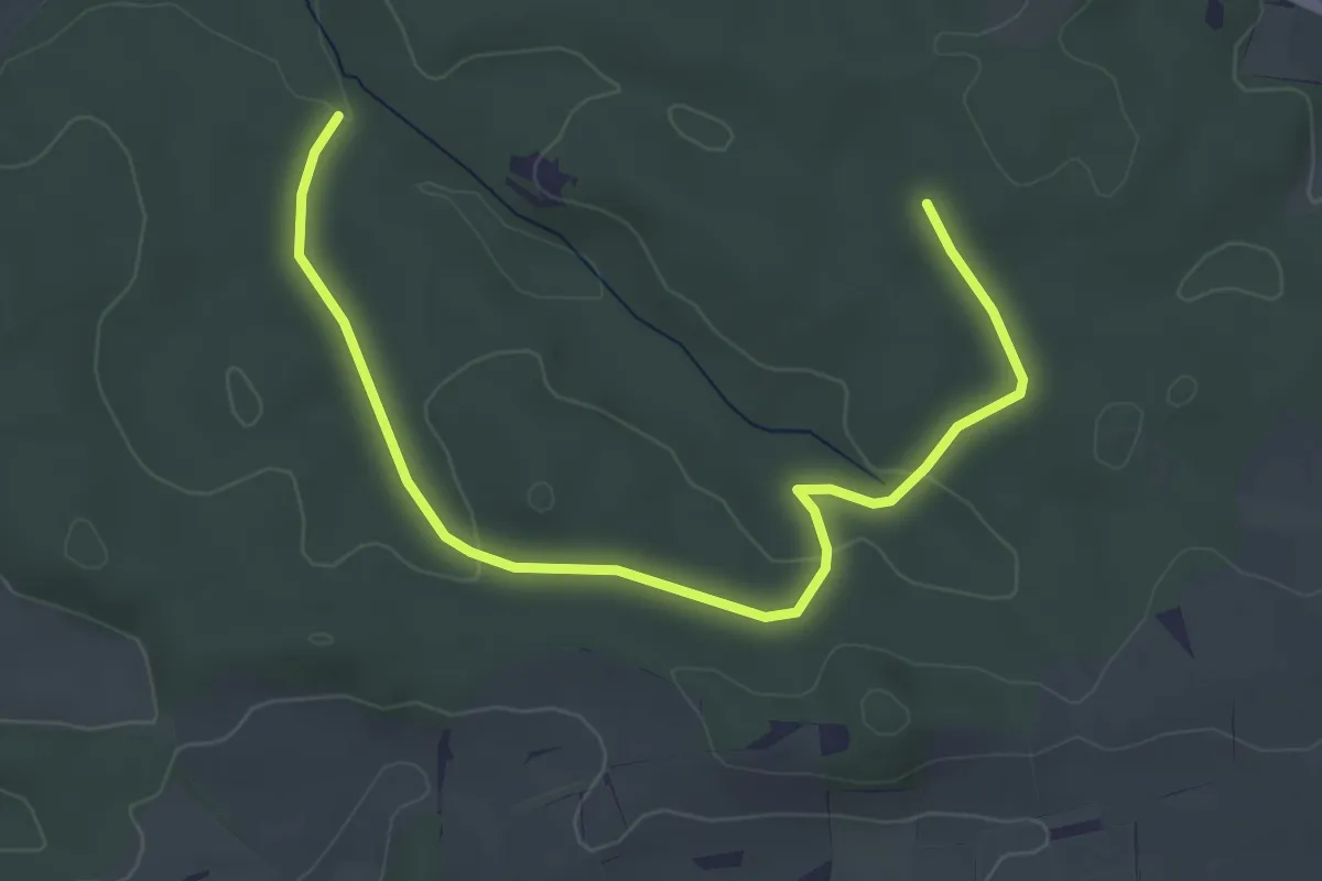
Easy · Trail
Hopfenland Hallertau 23
4.6 km · ↑ 62 m · 1 h 13 min
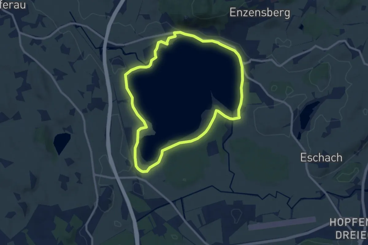
Easy · Trail
Hopfensee-Rundweg
6.8 km · ↑ 32 m · 1 h 46 min
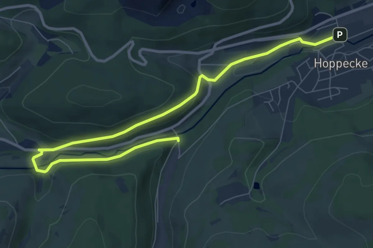
Easy · Trail
Hoppecke H2
4.1 km · ↑ 98 m · 1 h 13 min
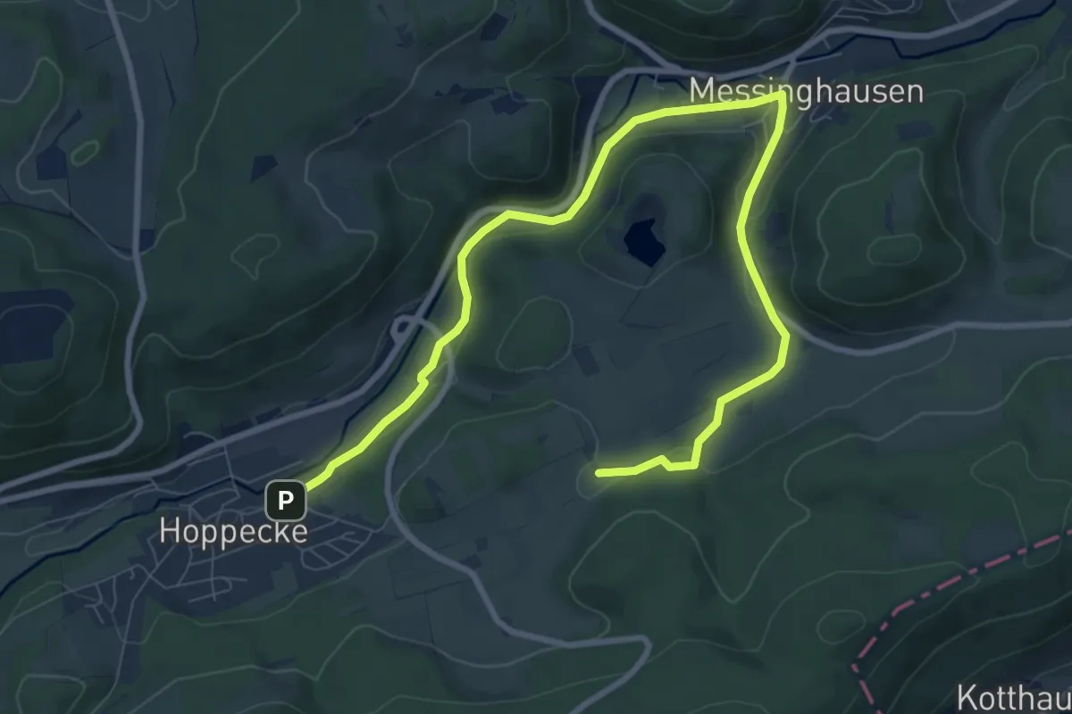
Easy · Trail
Hoppecke H3
5.1 km · ↑ 95 m · 1 h 27 min
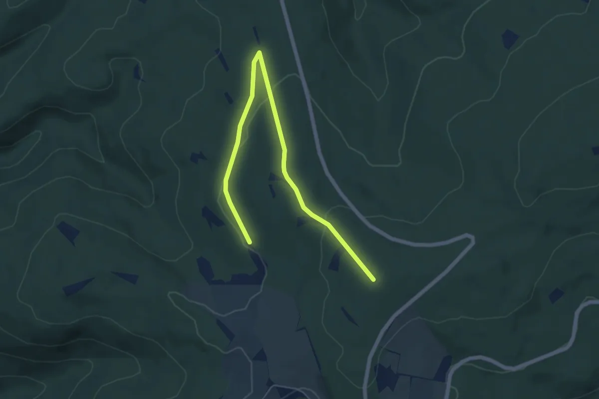
Easy · Trail
Horath 1
5.9 km · ↑ 132 m · 1 h 41 min
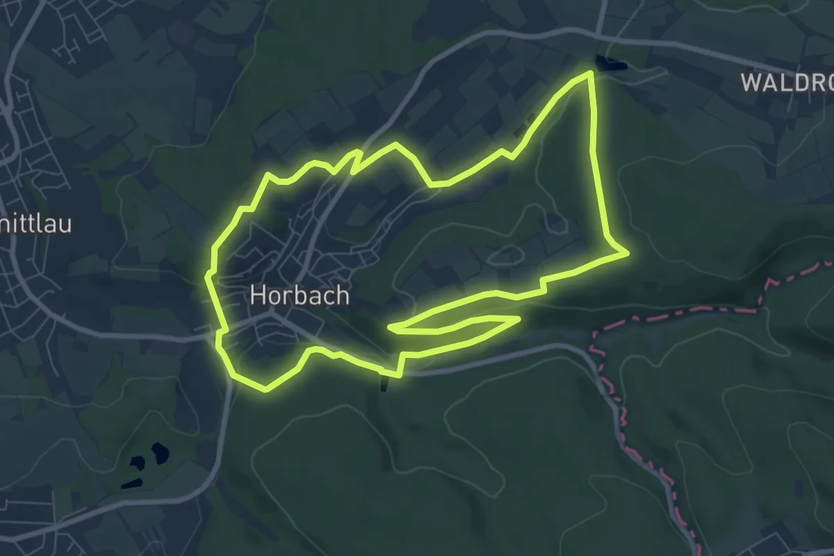
Easy · Trail
Horbach (Feuerwehr) Rundwanderweg Schmetterling
7.9 km · ↑ 170 m · 2 h 20 min
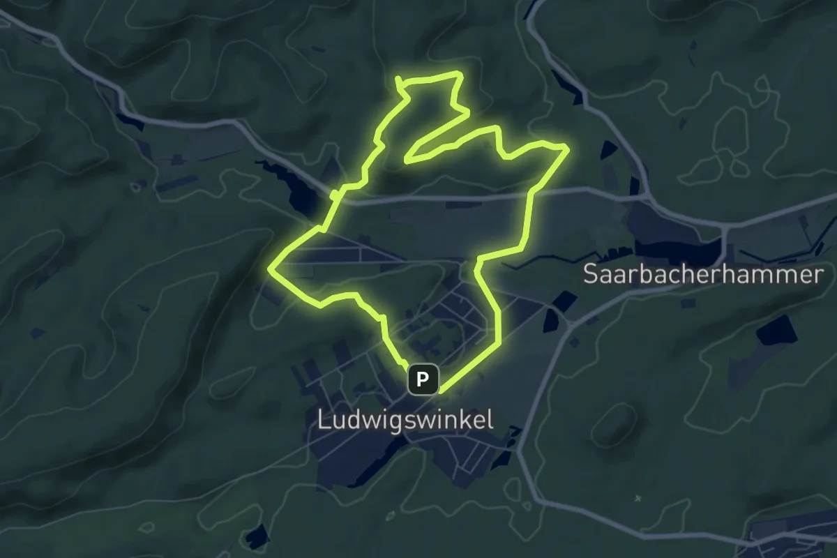
Easy · Summit
Horbachkanzel-Runde
6.8 km · ↑ 188 m · 2 h 7 min
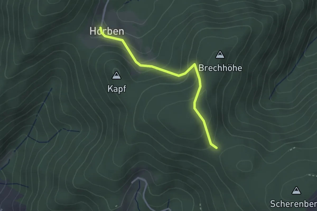
Easy · Trail
Horbenhof - Brechsattel
2.7 km · ↑ 163 m · 59 min
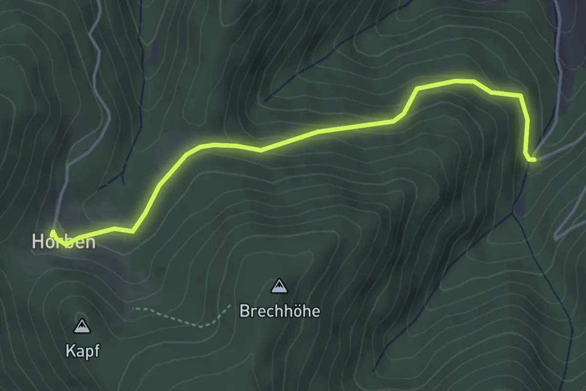
Easy · Trail
Horbenhof - Übelwasen
4.1 km · ↑ 189 m · 1 h 23 min
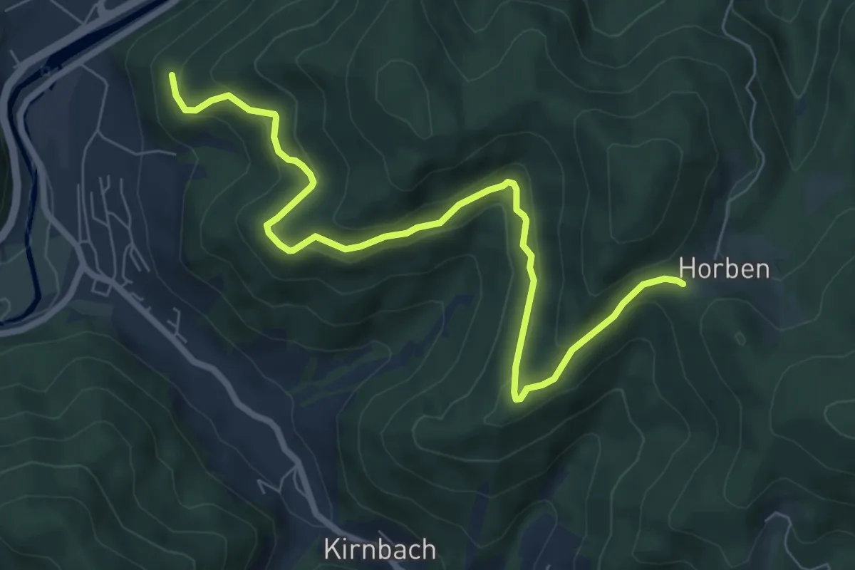
Medium · Trail
Horbensattel - Gelgenbühl
7.7 km · ↑ 411 m · 2 h 42 min
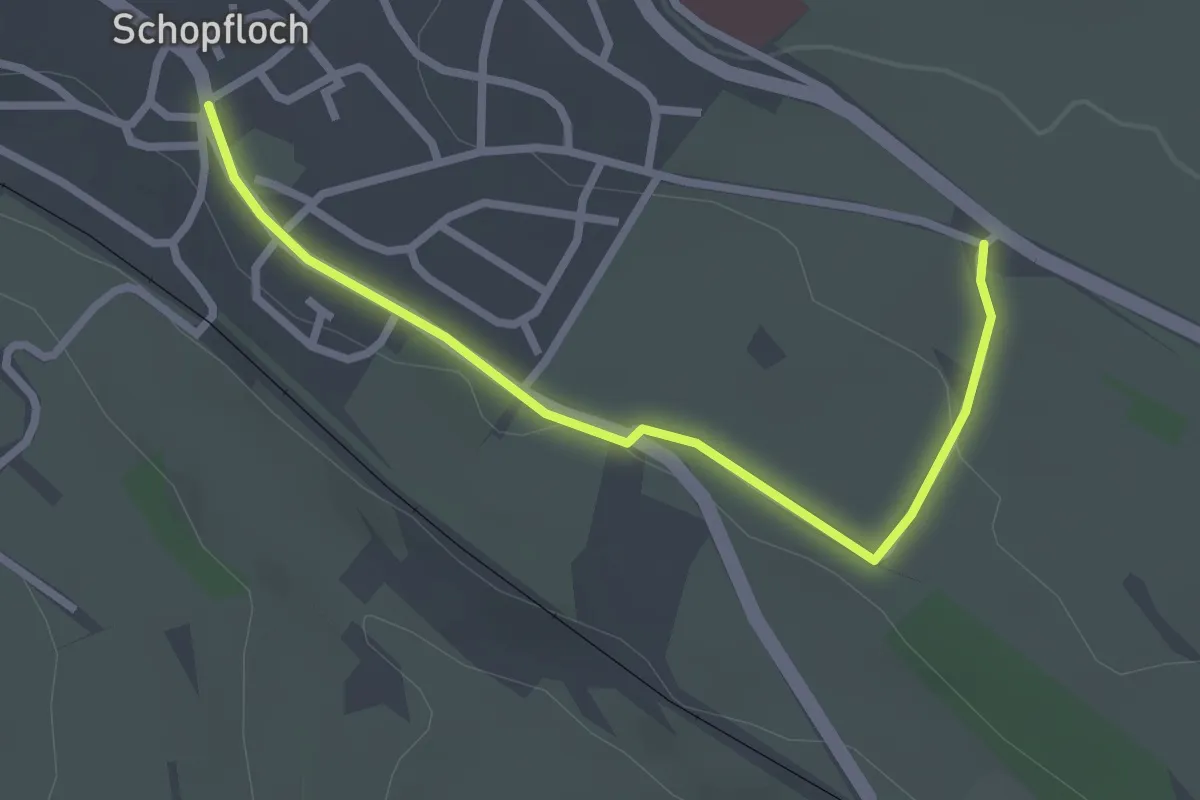
Easy · Trail
Horber Weg - Schopfloch Schlossberg
2.6 km · ↑ 26 m · 40 min
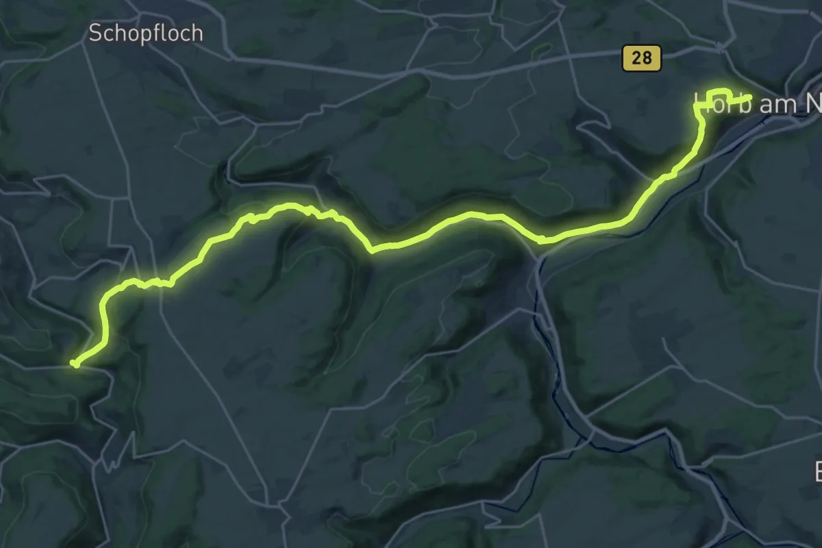
Medium · Trail
Horb - Glatttal
15.1 km · ↑ 412 m · 4 h 41 min
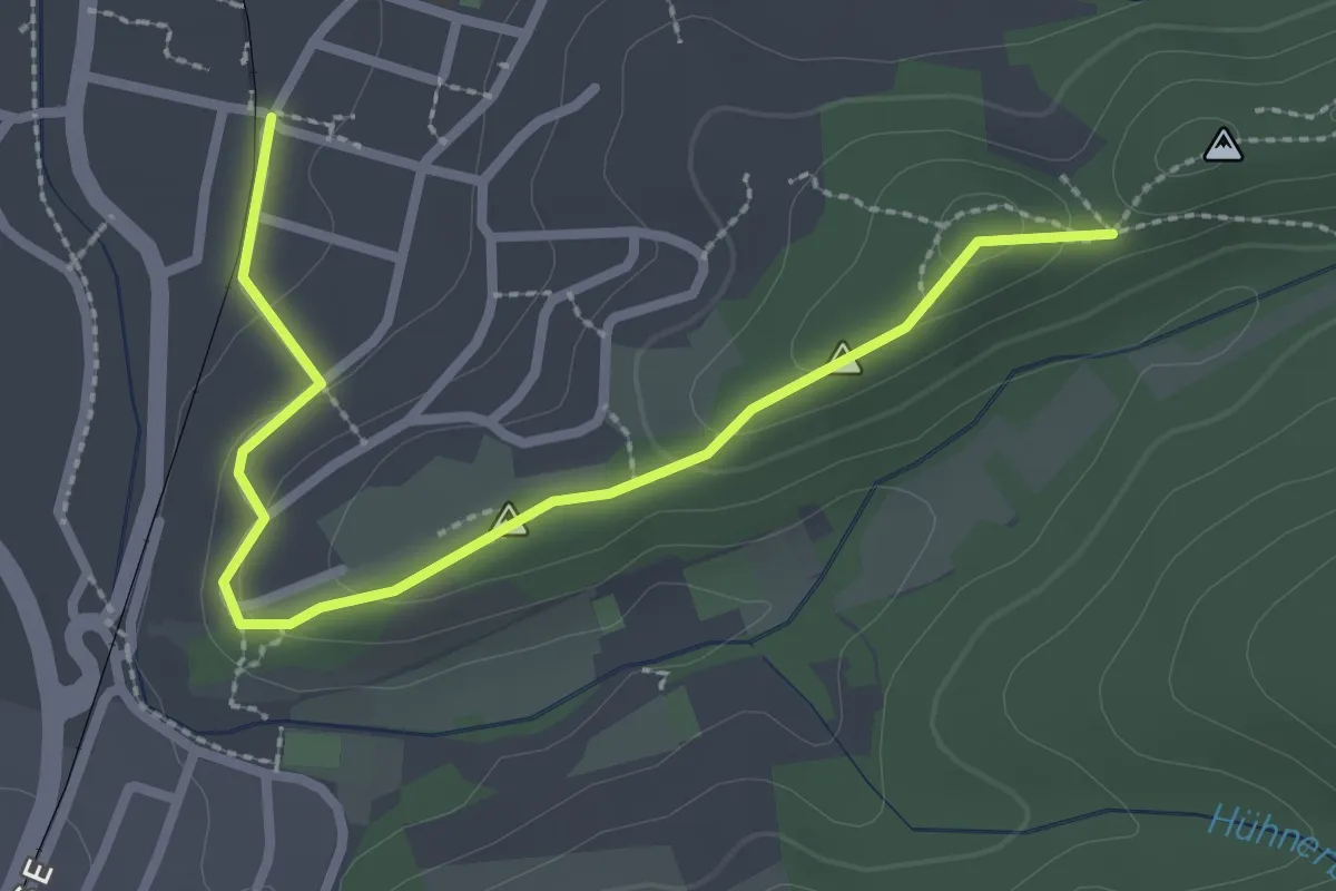
Easy · Trail
Hörden Haltepunkt - Galgenberg
2.8 km · ↑ 76 m · 49 min
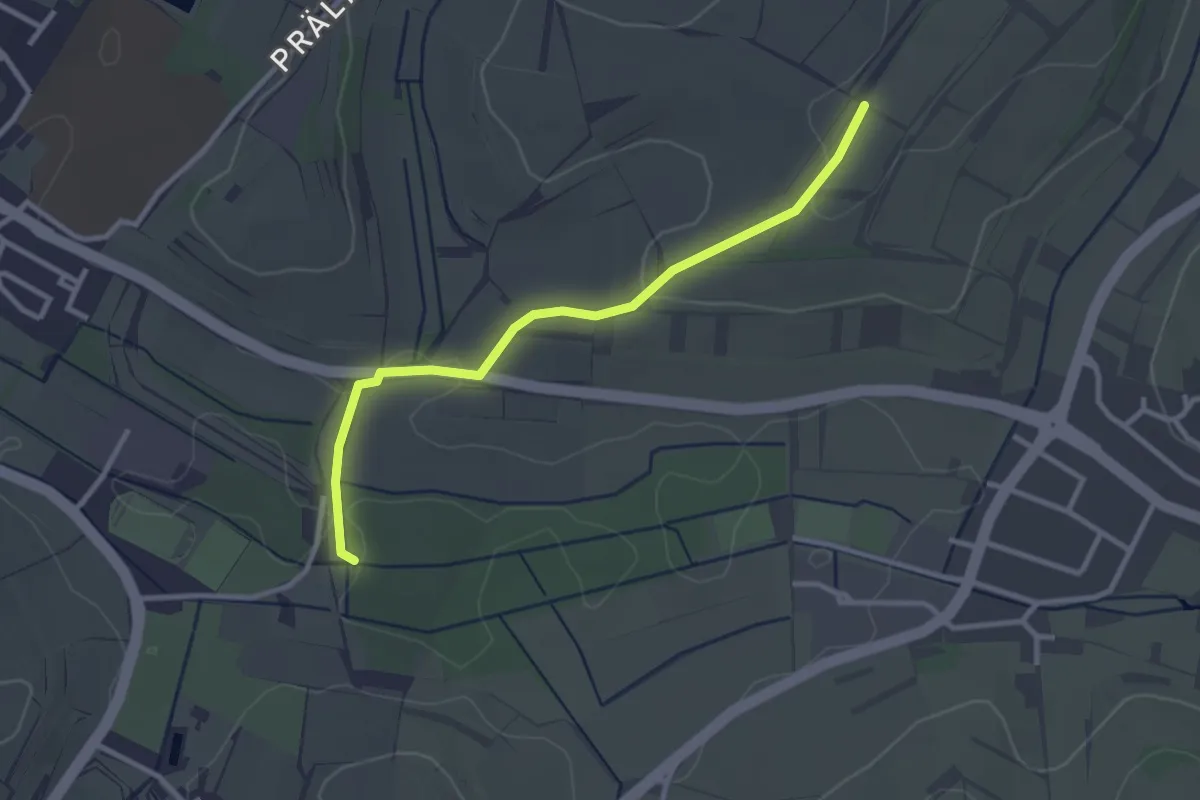
Easy · Trail
Hörd - Rückhaltebecken
2.8 km · ↑ 41 m · 45 min
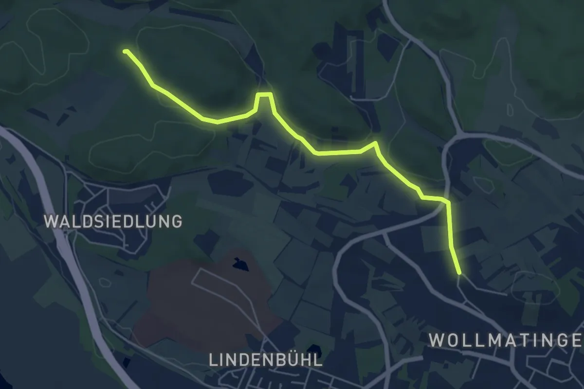
Easy · Trail
Hörenberg - Wollmatingen Hafner
5.5 km · ↑ 77 m · 1 h 28 min
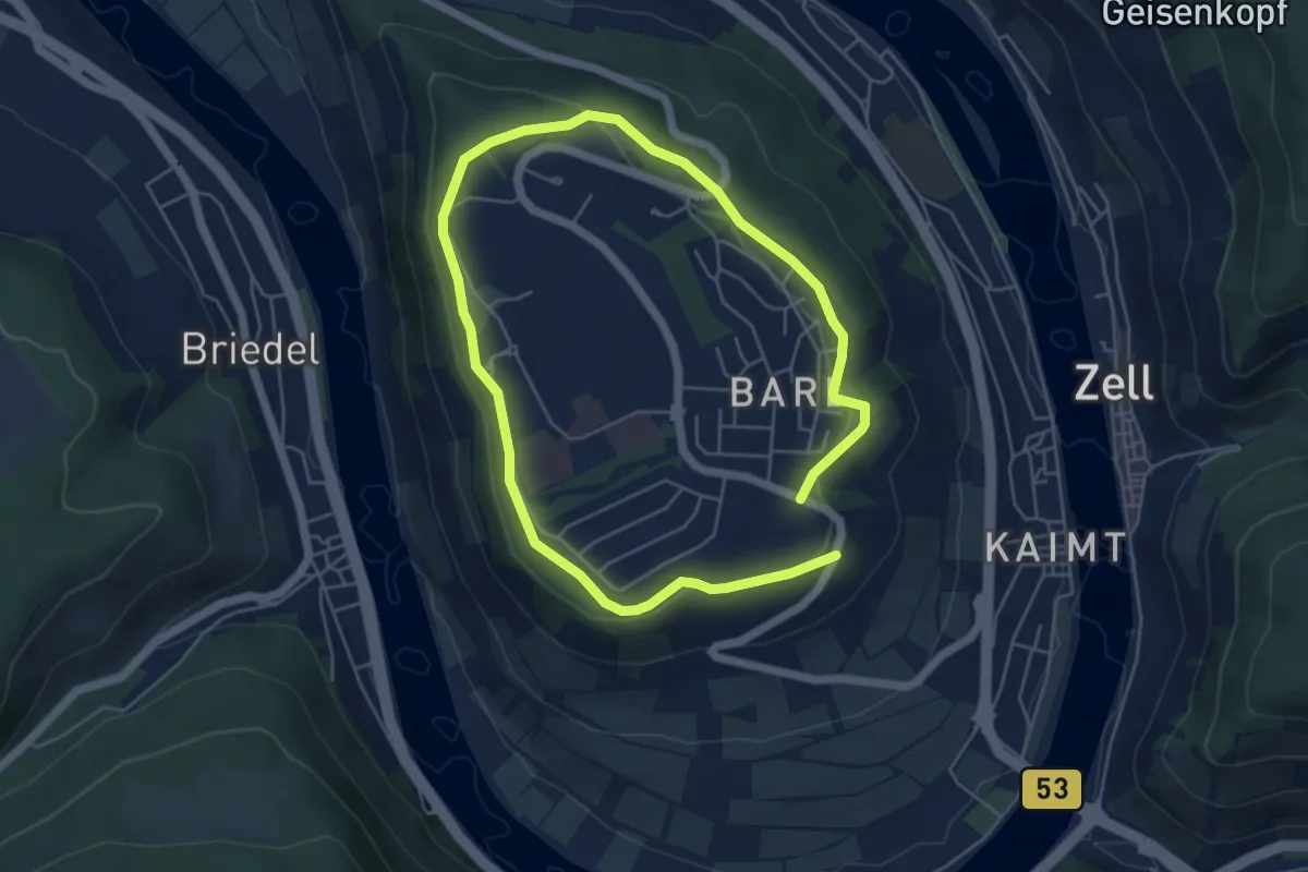
Easy · Trail
Horga's Pfad Rundwanderweg
4.2 km · ↑ 55 m · 1 h 9 min
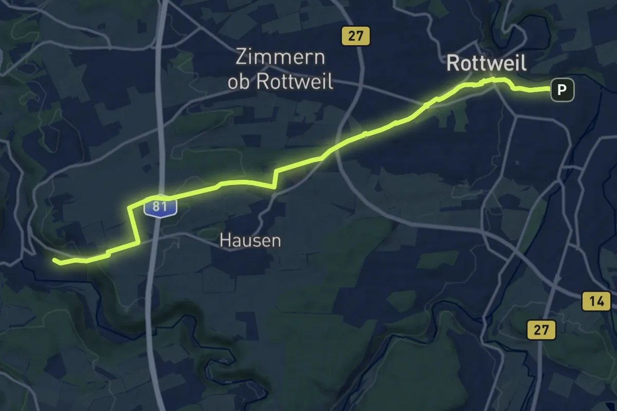
Medium · Trail
Horgen Alte Hausener Straße - Rottweil Bahnhof
15.3 km · ↑ 274 m · 4 h 13 min
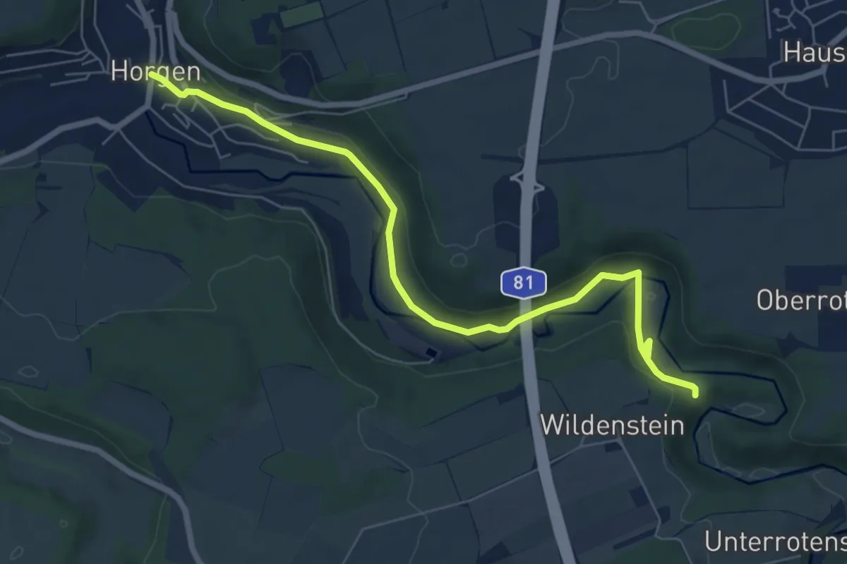
Easy · Trail
Horgen-Ruinie Wildenstein
6.9 km · ↑ 154 m · 1 h 58 min