Trails in Germany
36,852 hiking trails, each with its route, climb, walking time and grade.
All trails, page 254 of 768
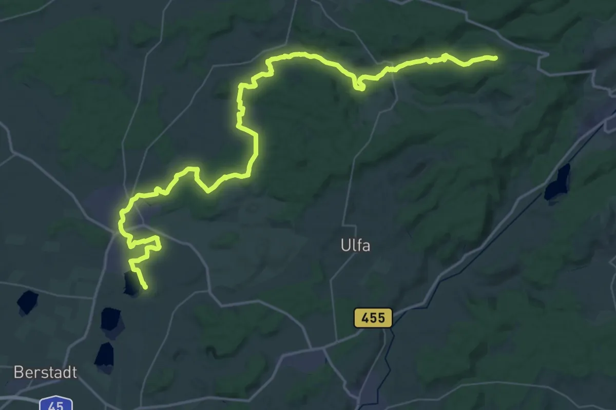
Demanding · Summit
Horloffweg
51.0 km · ↑ 680 m · 13 h 30 min
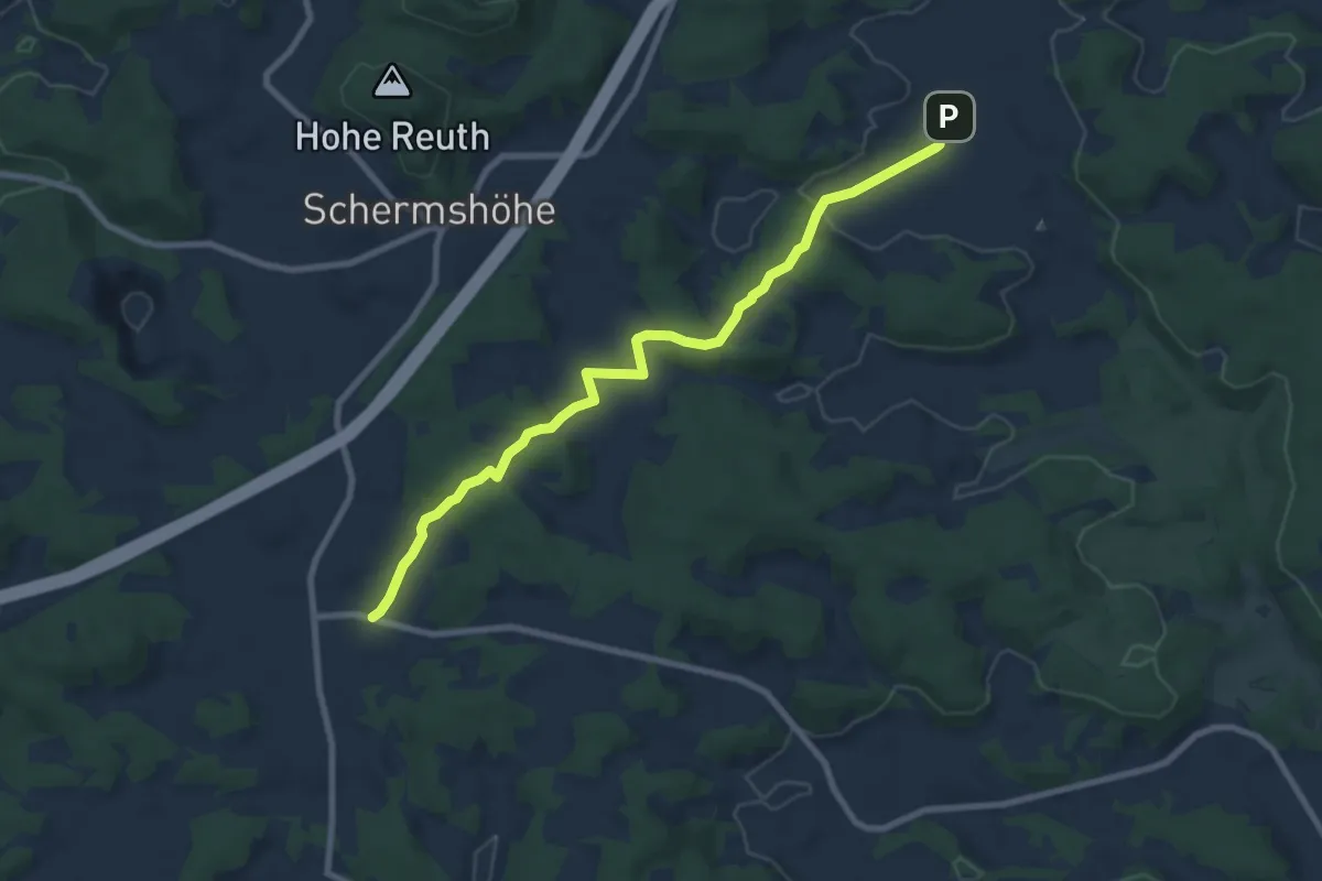
Medium · Trail
Hormersdorf-Eichenstruth
8.2 km · ↑ 218 m · 2 h 24 min
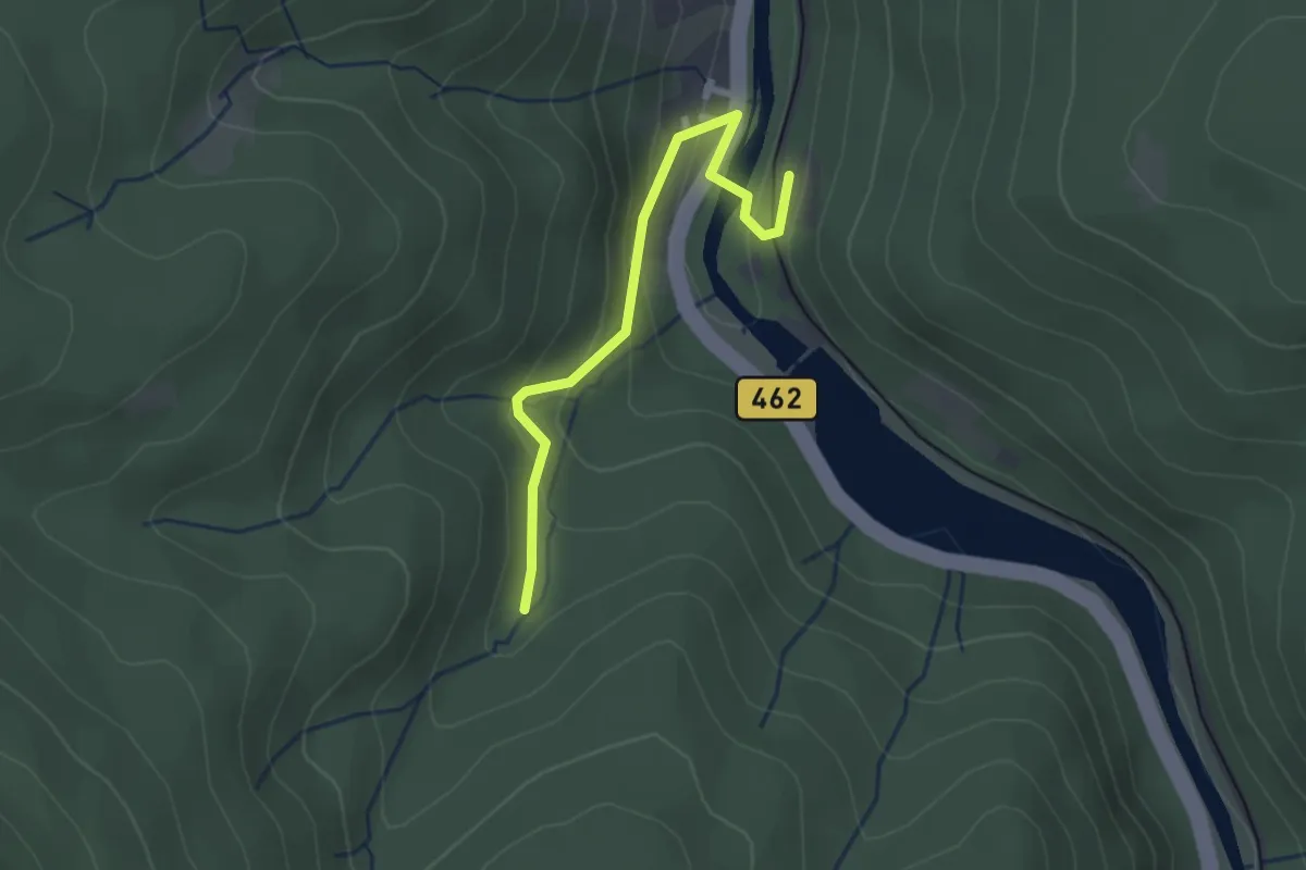
Easy · Trail
Hornbach - Kirschbaumwasen Abzweigung
2.3 km · ↑ 120 m · 48 min
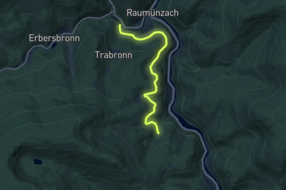
Easy · Trail
Hornbach - Raumünzach Kraftwerk
7.5 km · ↑ 306 m · 2 h 27 min
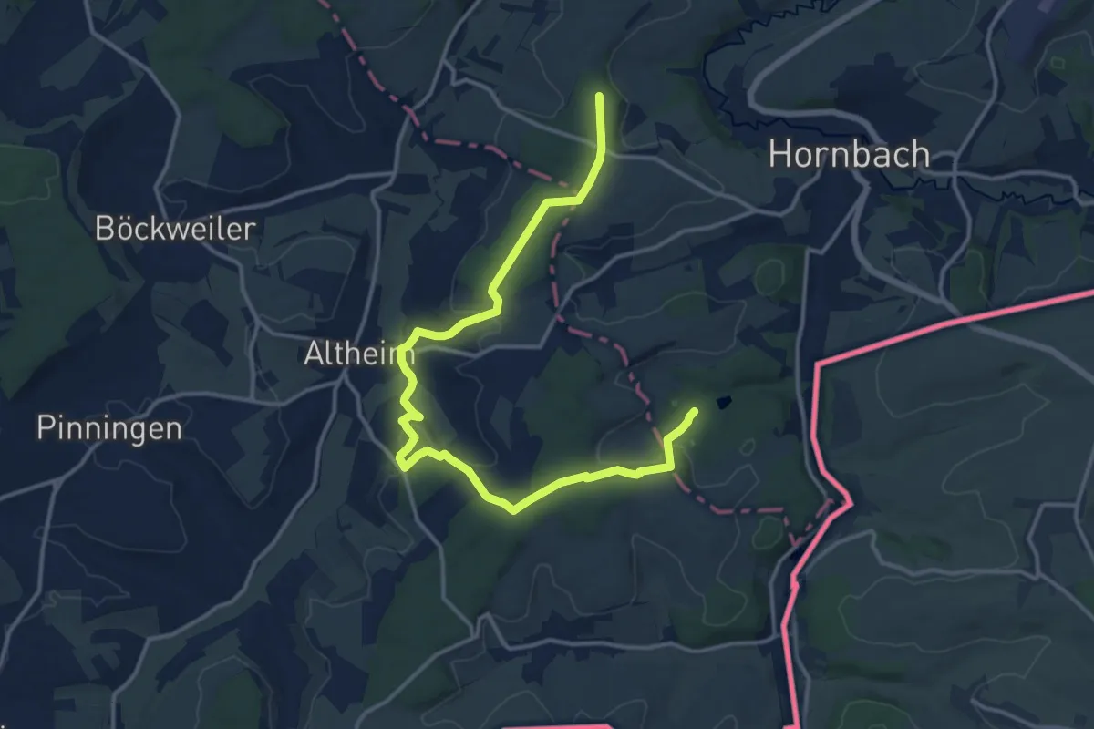
Easy · Trail
Hornbach Runde
7.5 km · ↑ 113 m · 2 h 8 min
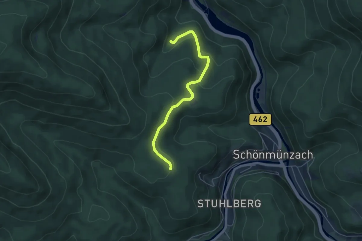
Easy · Trail
Hornbach - School
4.4 km · ↑ 168 m · 1 h 25 min
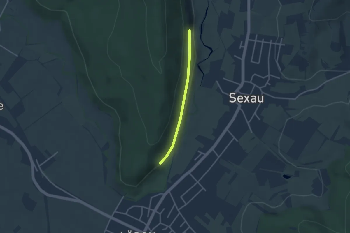
Easy · Trail
Hornbauernhof - Sportplatz Sexau
2.1 km · ↑ 23 m · 32 min
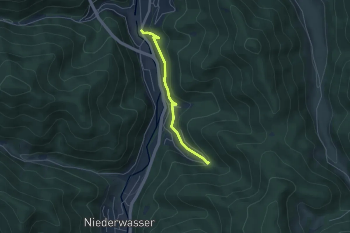
Easy · Trail
Hornberg Duravit - Im Rubersbach
3.6 km · ↑ 183 m · 1 h 15 min
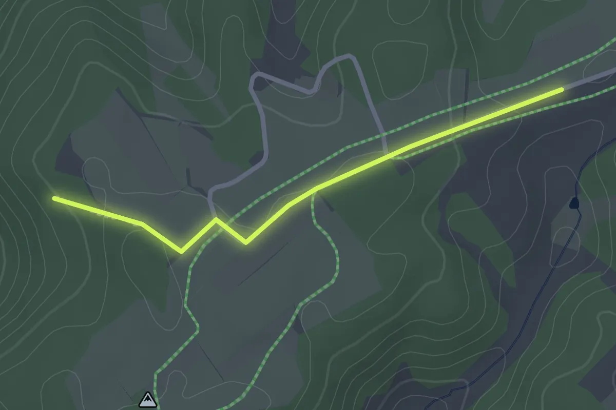
Easy · Trail
Hornberger Blick - Hoher Straßenacker
2.2 km · ↑ 46 m · 38 min
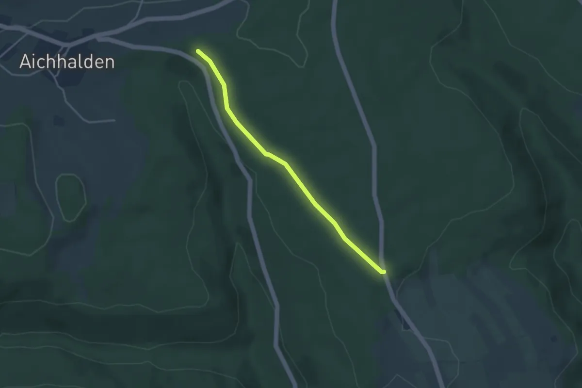
Easy · Trail
Hornberger Höhe - Aichhalder Kirchweg
3.0 km · ↑ 45 m · 49 min
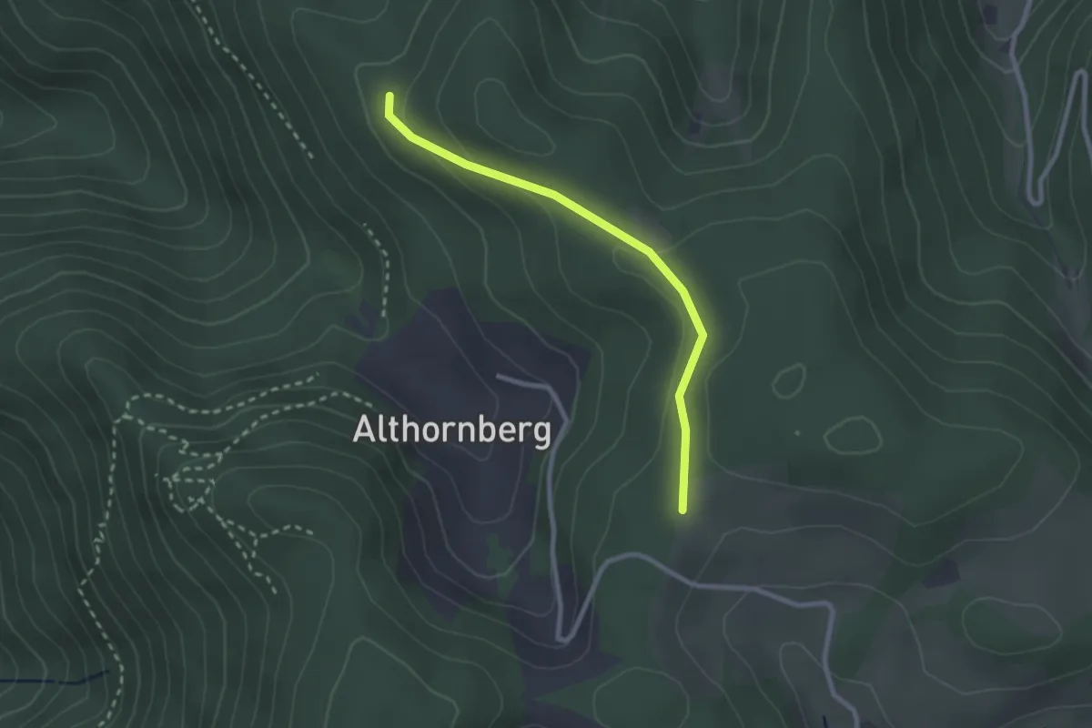
Easy · Trail
Hornberger Höhe - Dieterle-Bauern-Höhe
2.3 km · ↑ 63 m · 41 min
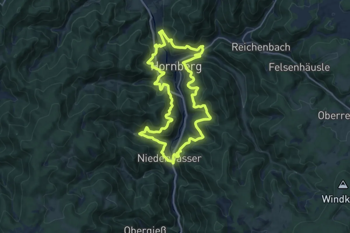
Demanding · Trail
Hornberger Panoramaweg
14.7 km · ↑ 967 m · 5 h 47 min
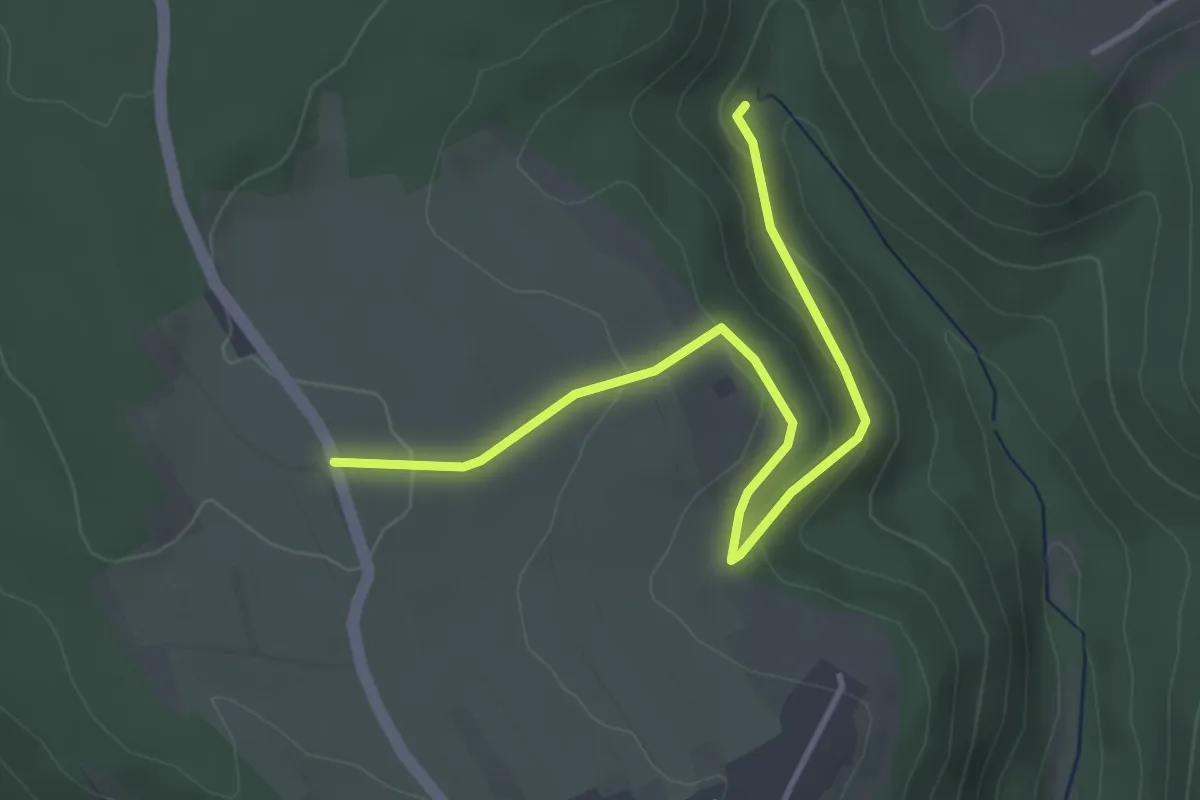
Easy · Trail
Hornberg Hufenweg - Wäschbrunnen
3.9 km · ↑ 126 m · 1 h 12 min
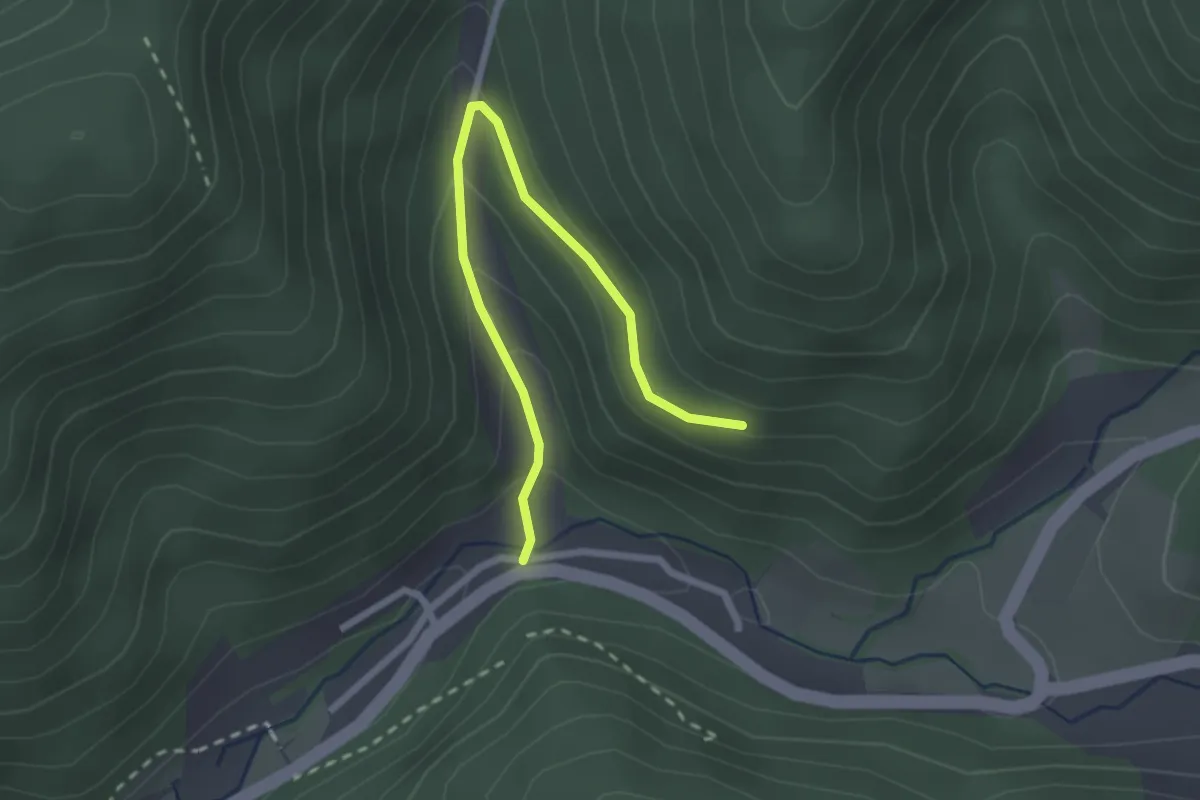
Easy · Trail
Hornberg Schondelgrund - Hirzbauers Sommerberg
2.5 km · ↑ 166 m · 57 min
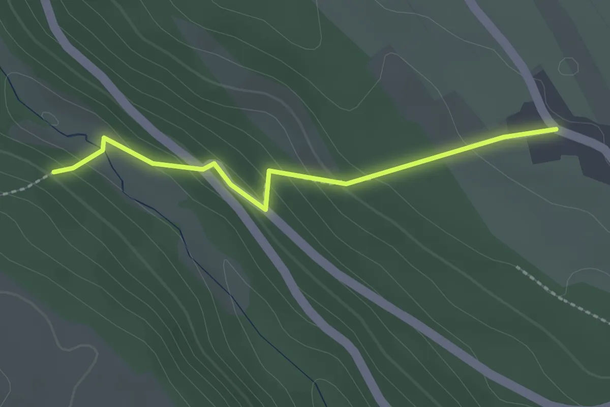
Easy · Trail
Hornberg Steingasse - Köllbachsteg
2.0 km · ↑ 111 m · 43 min
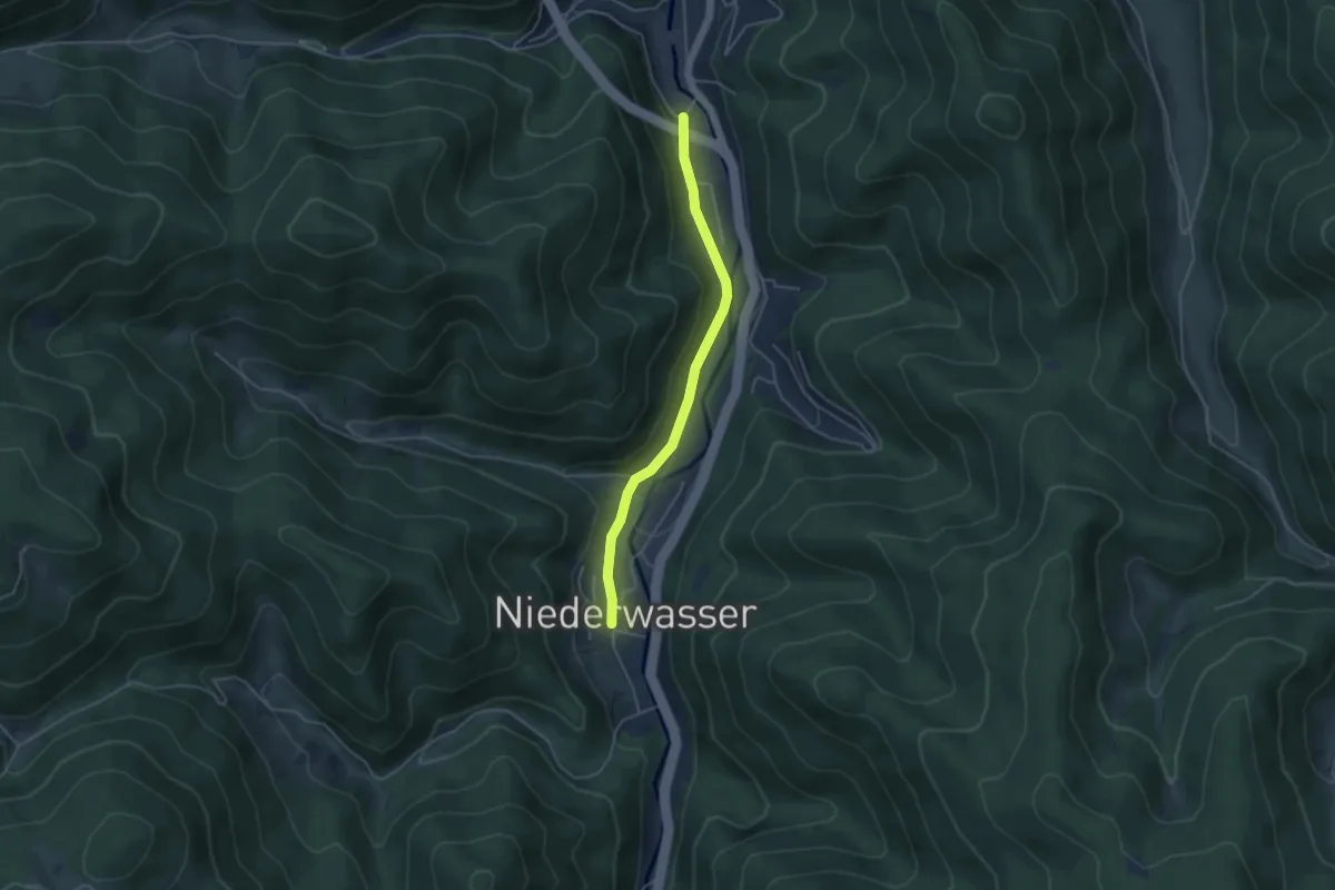
Easy · Trail
Hornberg Tunnelausgang Süd - Niederwasser Dorf
3.9 km · ↑ 99 m · 1 h 9 min
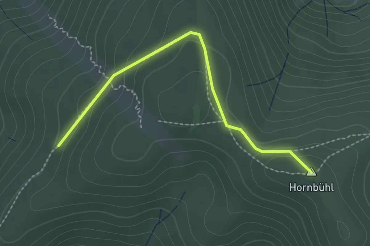
Easy · Summit
Hornbühlweg - Streckereck
2.1 km · ↑ 70 m · 39 min
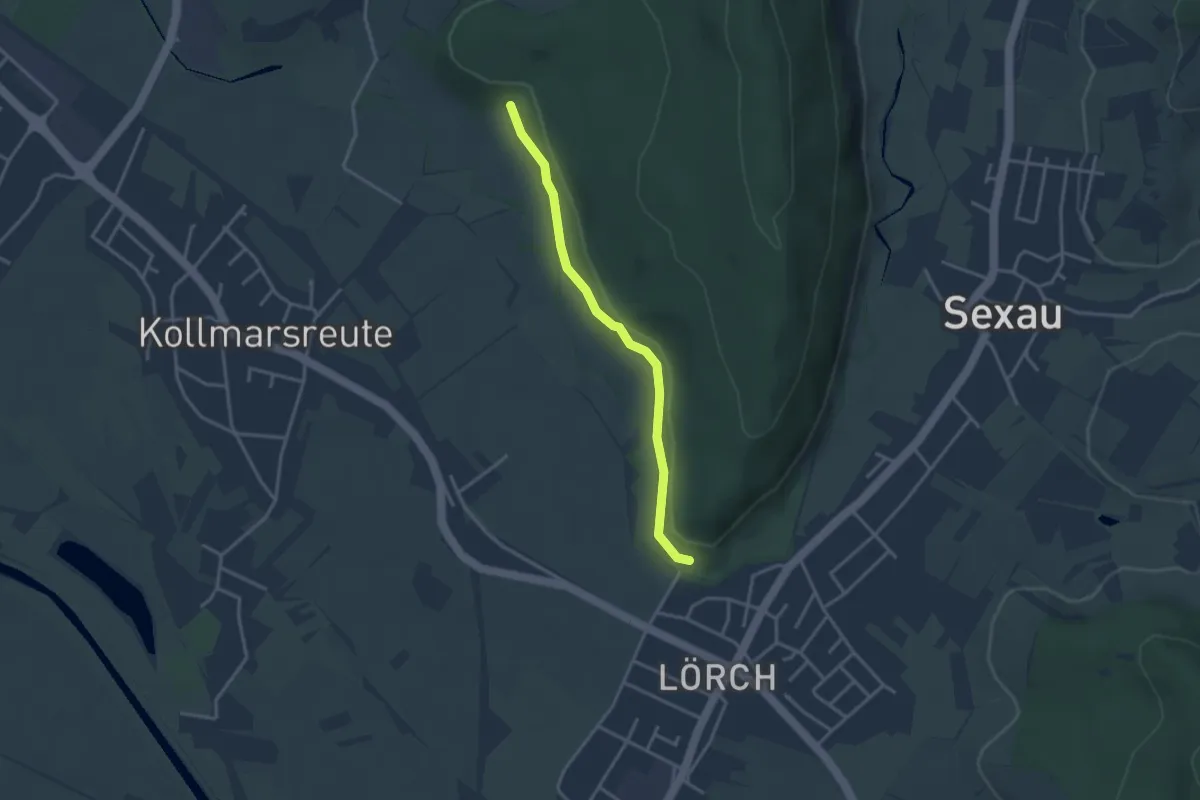
Easy · Trail
Horneck - Backofen
3.0 km · ↑ 33 m · 46 min
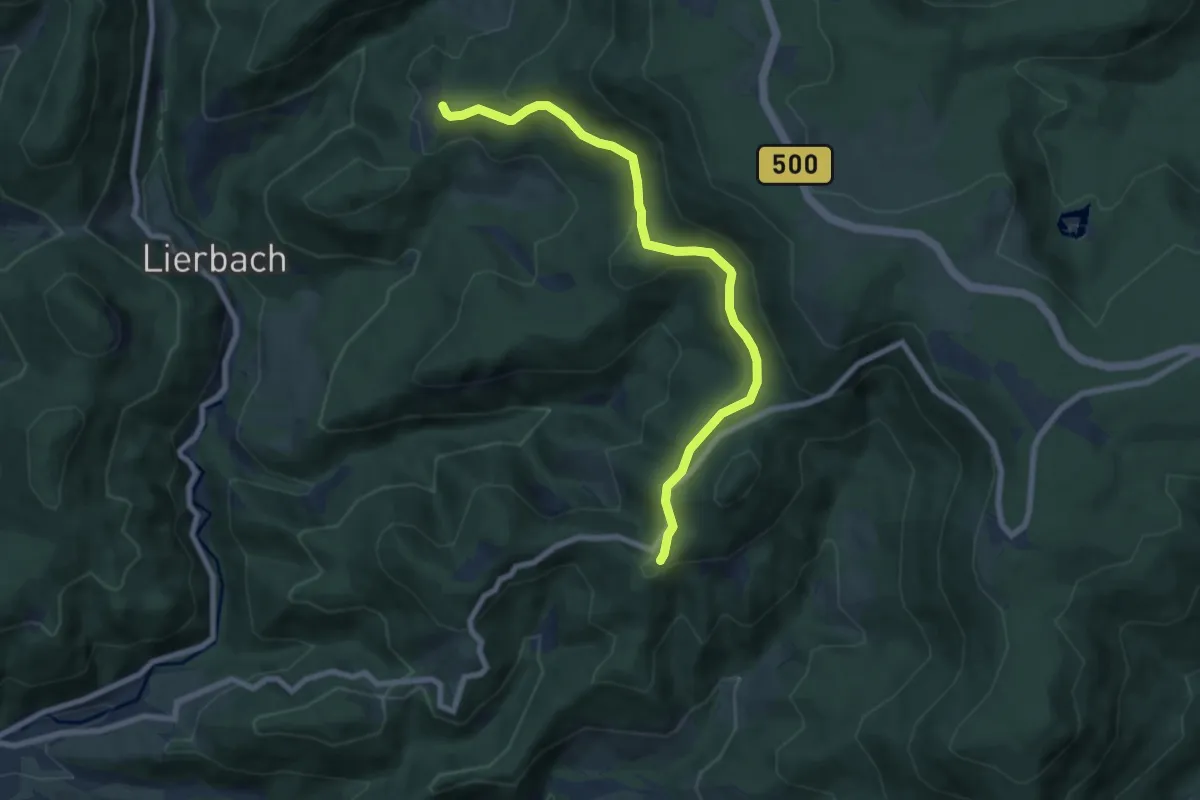
Easy · Trail
Horneck - Rotenbach
7.4 km · ↑ 267 m · 2 h 20 min
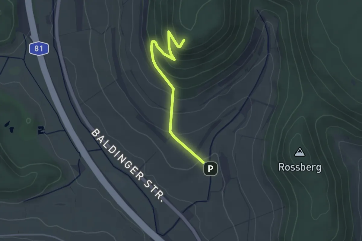
Easy · Trail
Hörnekapf Hubertushütte - Wanderparkplatz Klausener Tal
3.2 km · ↑ 194 m · 1 h 11 min
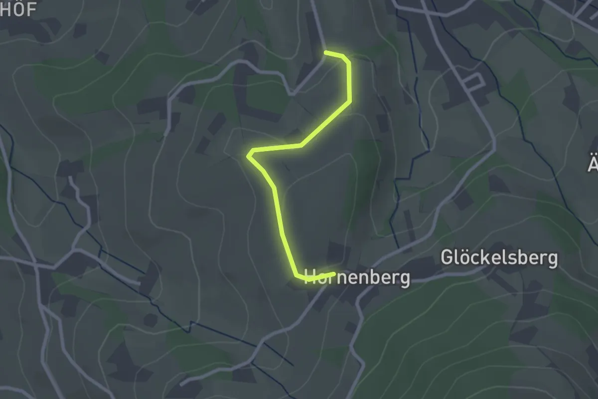
Easy · Trail
Hornenberg - Lochhof
2.0 km · ↑ 44 m · 34 min
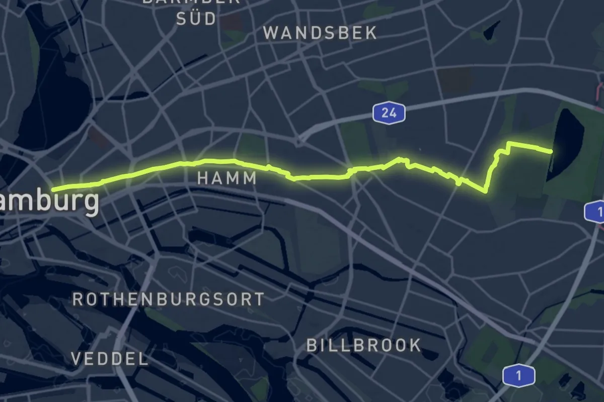
Demanding · Trail
Horner Geest
20.5 km · ↑ 60 m · 4 h 58 min
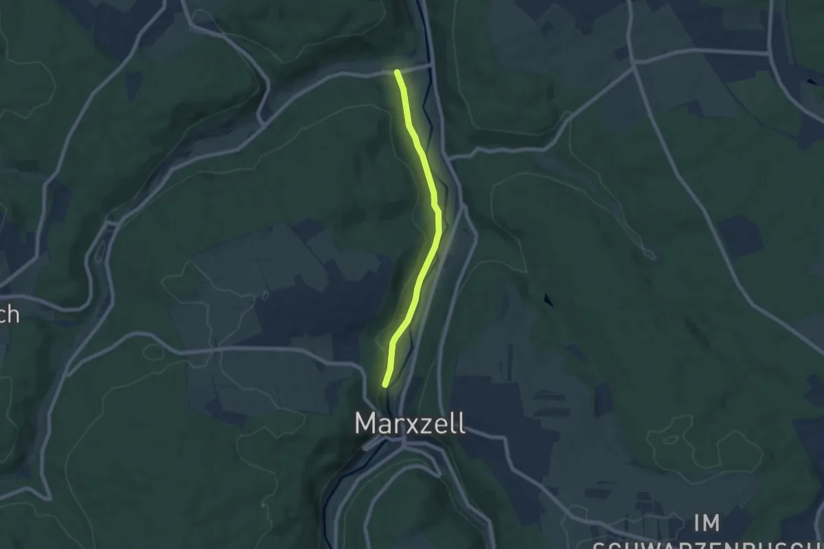
Easy · Trail
Hornkopf - Vorderer Zellerberg
5.5 km · ↑ 111 m · 1 h 33 min
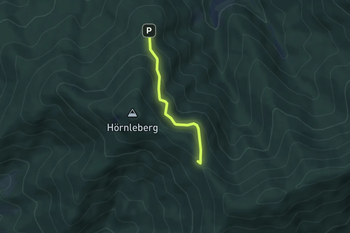
Easy · Trail
Hörnlebergerhütte - Oberer Weg
3.0 km · ↑ 200 m · 1 h 8 min
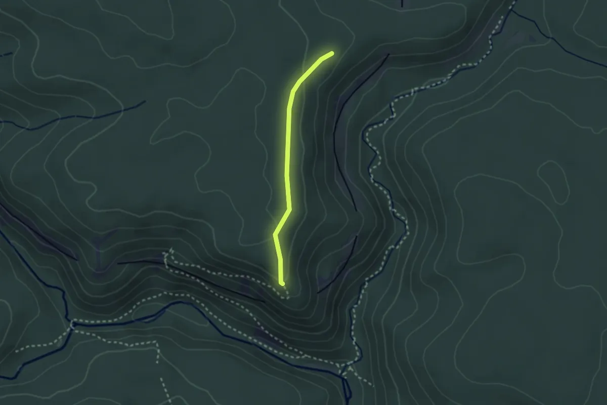
Easy · Trail
Hörnle - Kapfhütte
2.1 km · ↑ 48 m · 36 min
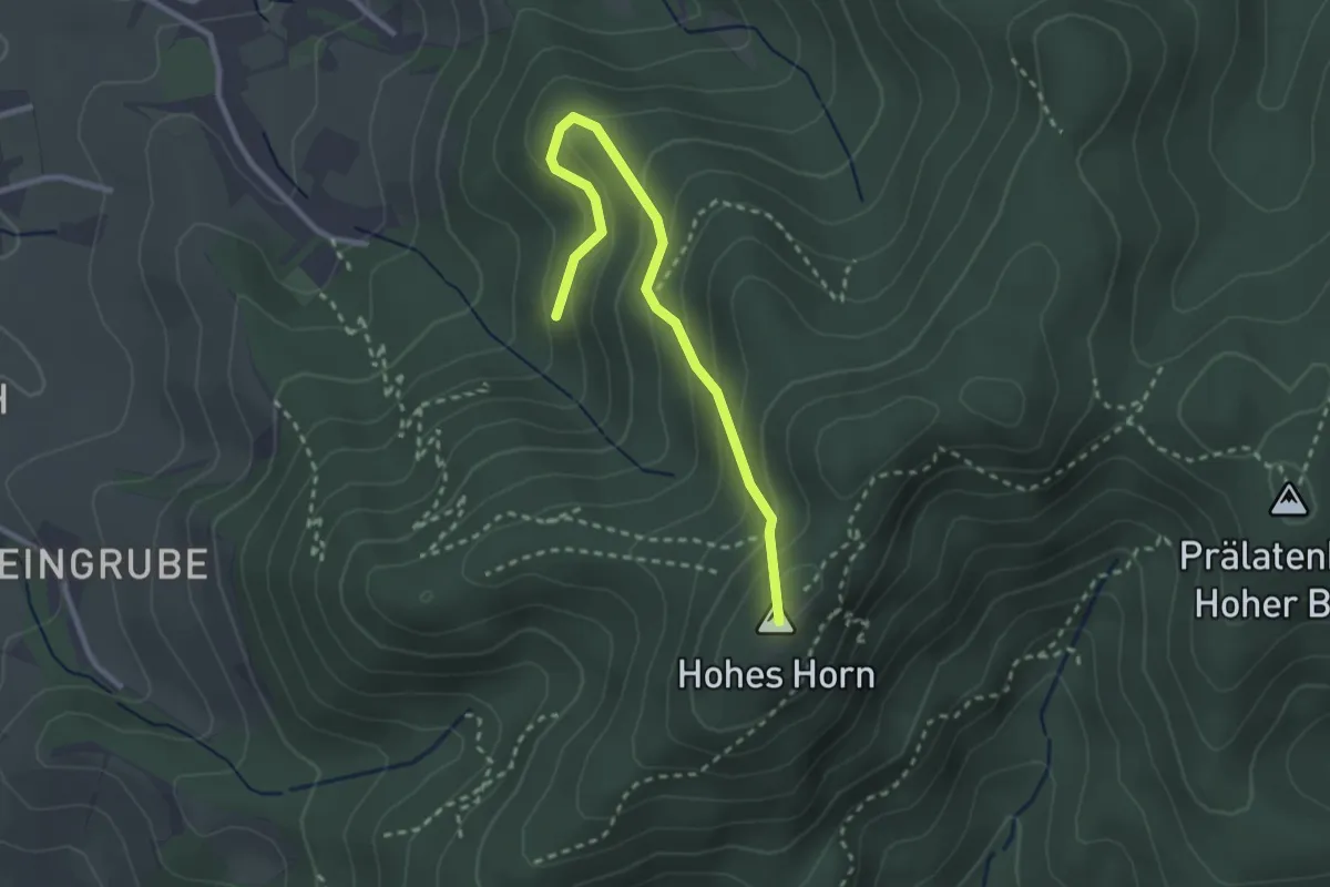
Easy · Summit
Hörnlesbrunnen - Ob dem Schuckshof
2.7 km · ↑ 209 m · 1 h 5 min
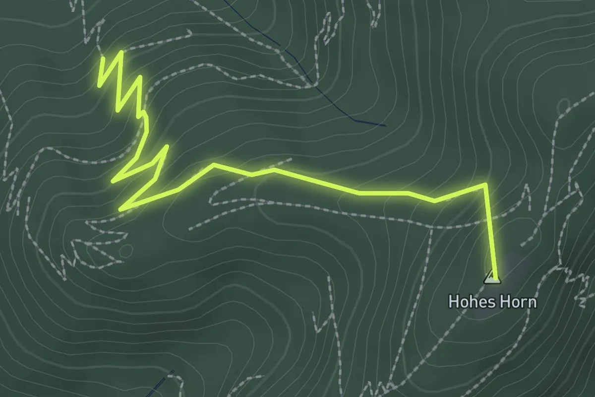
Easy · Summit
Hörnlesbrunnen - Unterm Köpfle
2.9 km · ↑ 216 m · 1 h 9 min
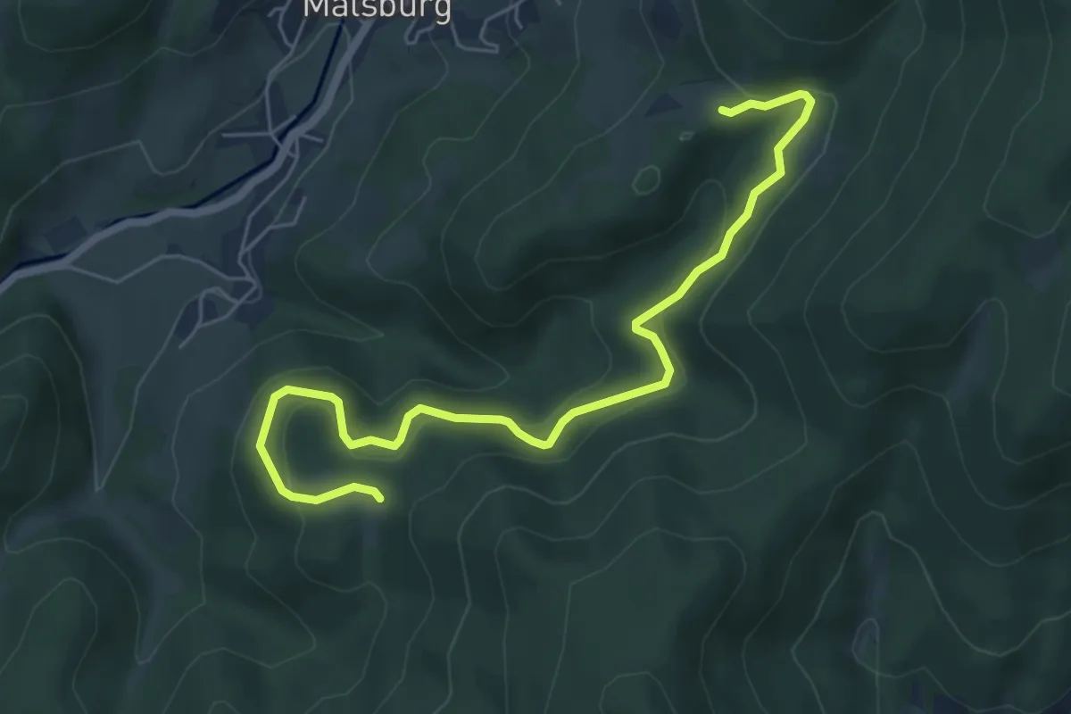
Easy · Trail
Hörnle - Stelli
6.3 km · ↑ 302 m · 2 h 9 min
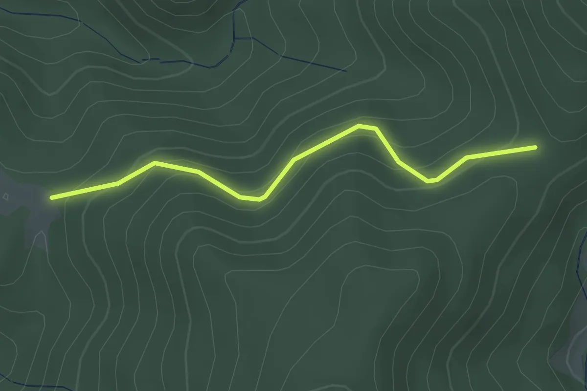
Easy · Trail
Hörnle - Stühle
2.8 km · ↑ 173 m · 1 h 2 min
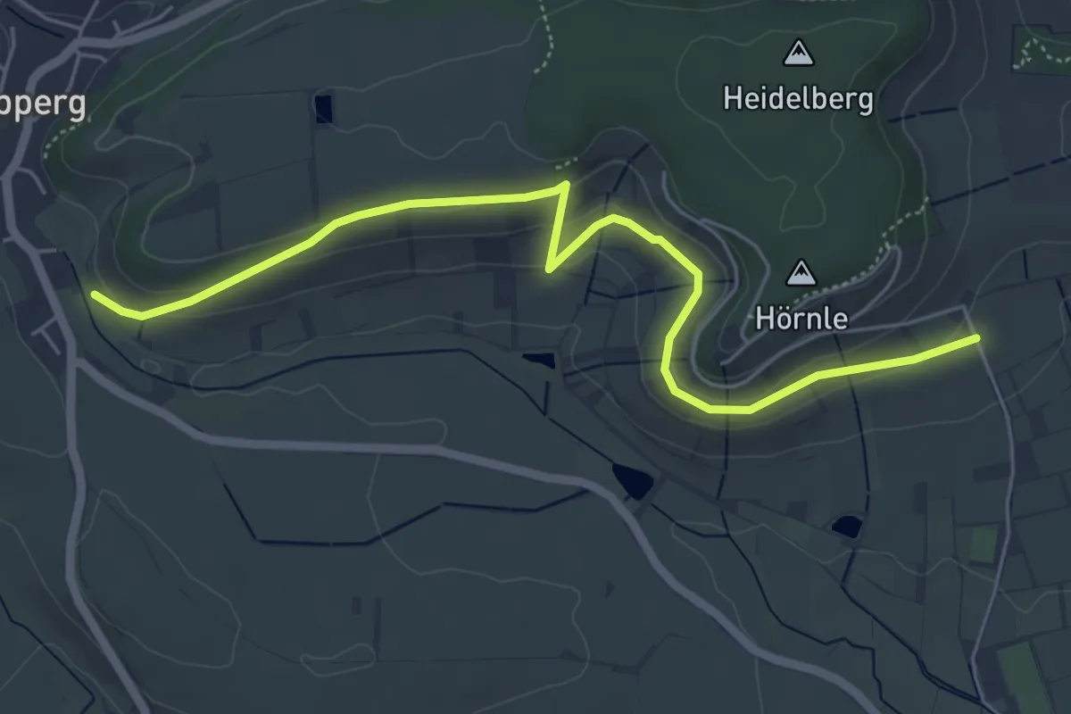
Easy · Trail
Hörnlesweg
5.6 km · ↑ 152 m · 1 h 39 min
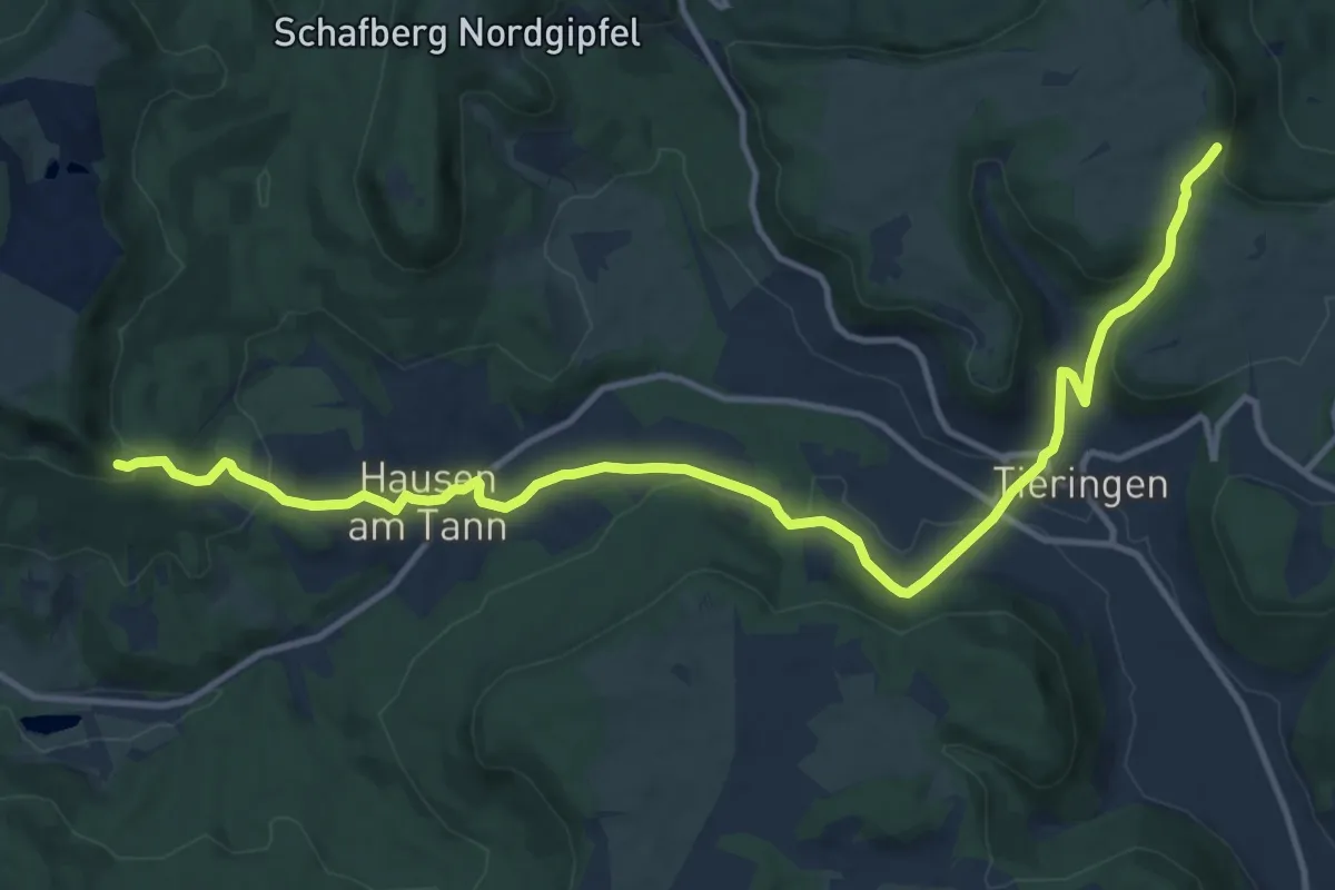
Medium · Trail
Hörnle-Tieringen-Plettenberg
14.4 km · ↑ 482 m · 4 h 27 min
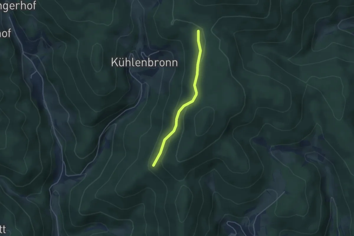
Easy · Trail
Hörnleweg - Schattannrundweg
3.2 km · ↑ 137 m · 1 h 3 min
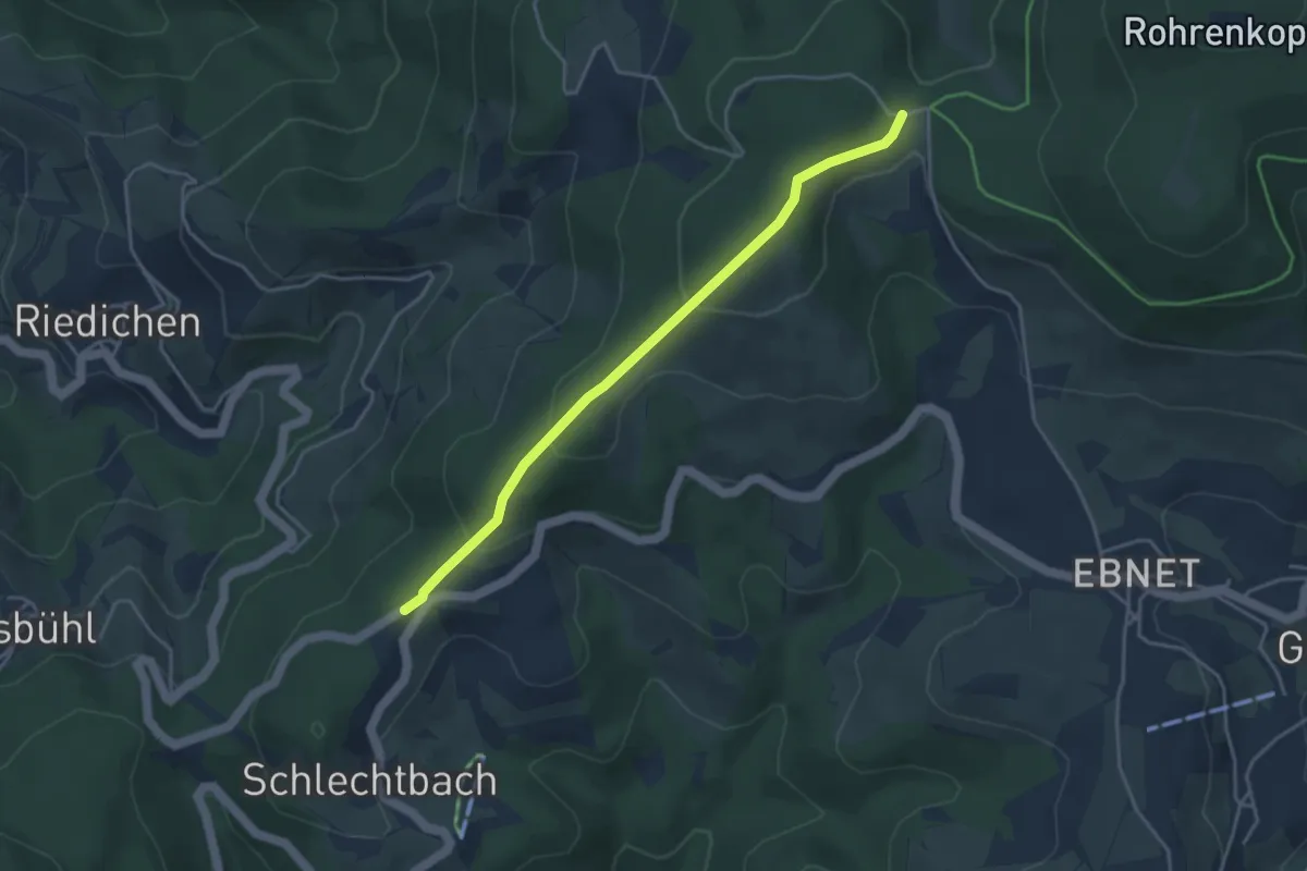
Easy · Trail
Hörnli - Wanderparkplatz Eckhag
3.8 km · ↑ 181 m · 1 h 17 min
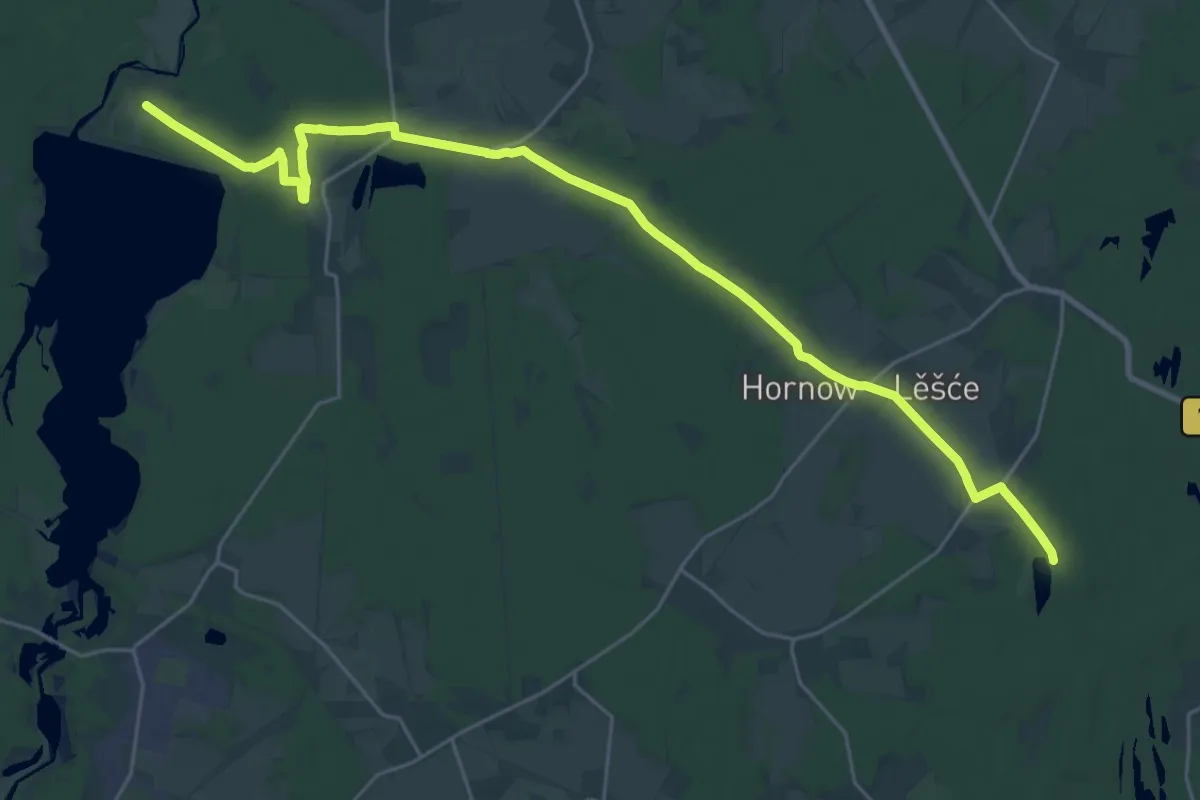
Demanding · Trail
Hornower Waldwanderweg, Bräsinchen-Felixsee Turm
27.6 km · ↑ 150 m · 6 h 51 min
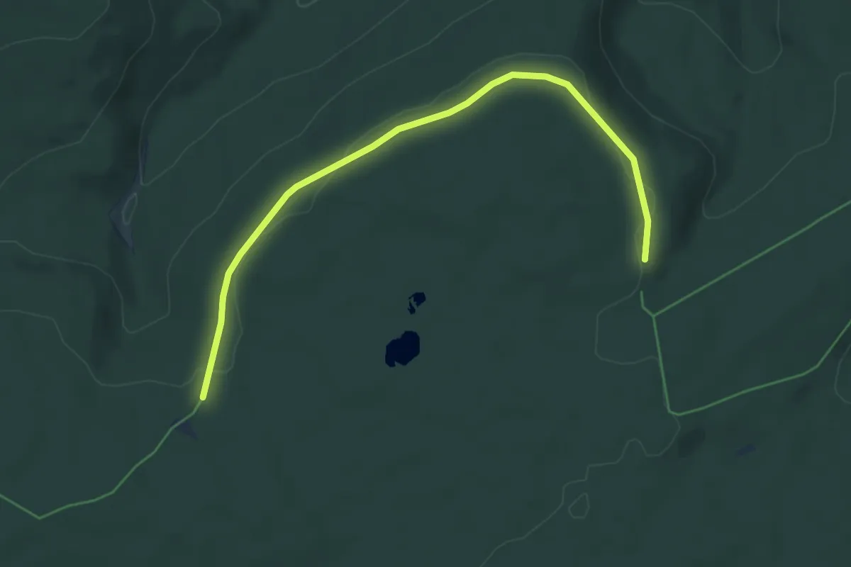
Easy · Trail
Horn - Saatschulhütte
5.4 km · ↑ 73 m · 1 h 26 min
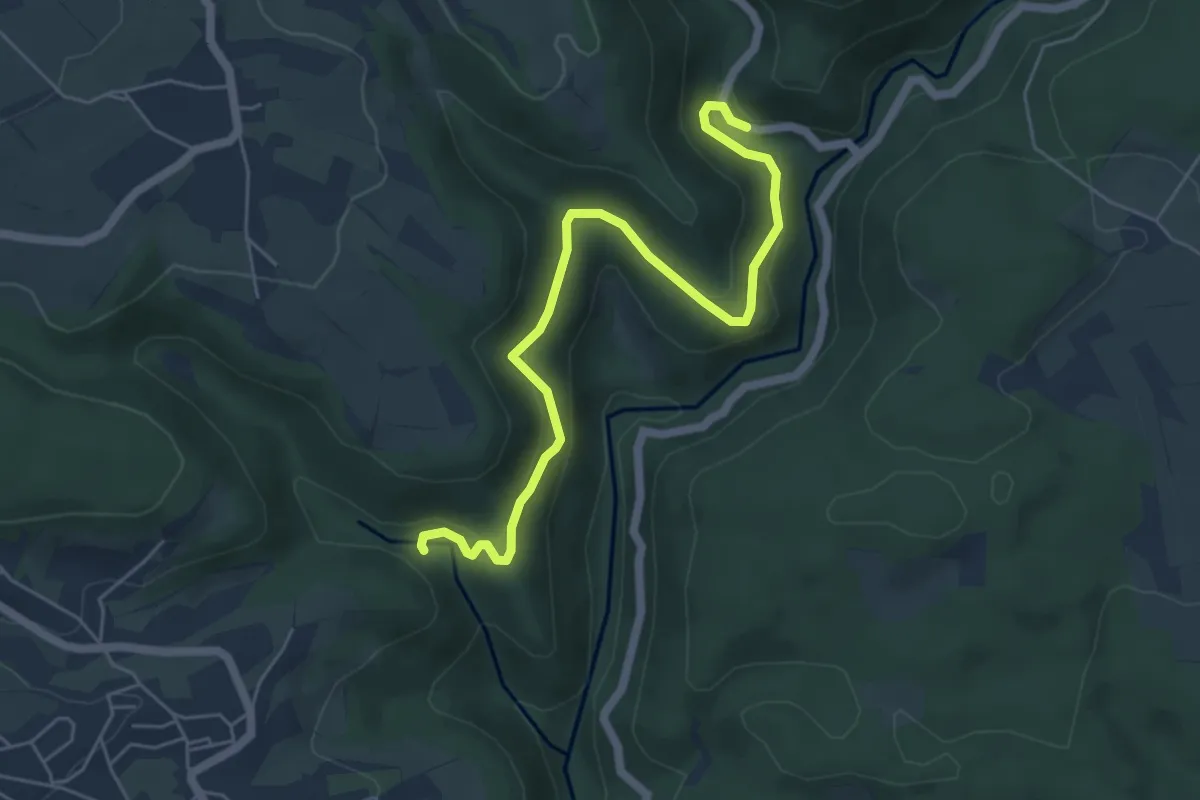
Easy · Trail
Hornstollen - Rappenfelsen
5.8 km · ↑ 294 m · 2 h
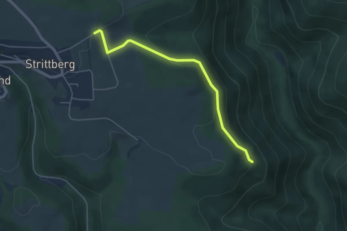
Easy · Trail
Hornweg - Auf dem Feld
3.7 km · ↑ 122 m · 1 h 9 min
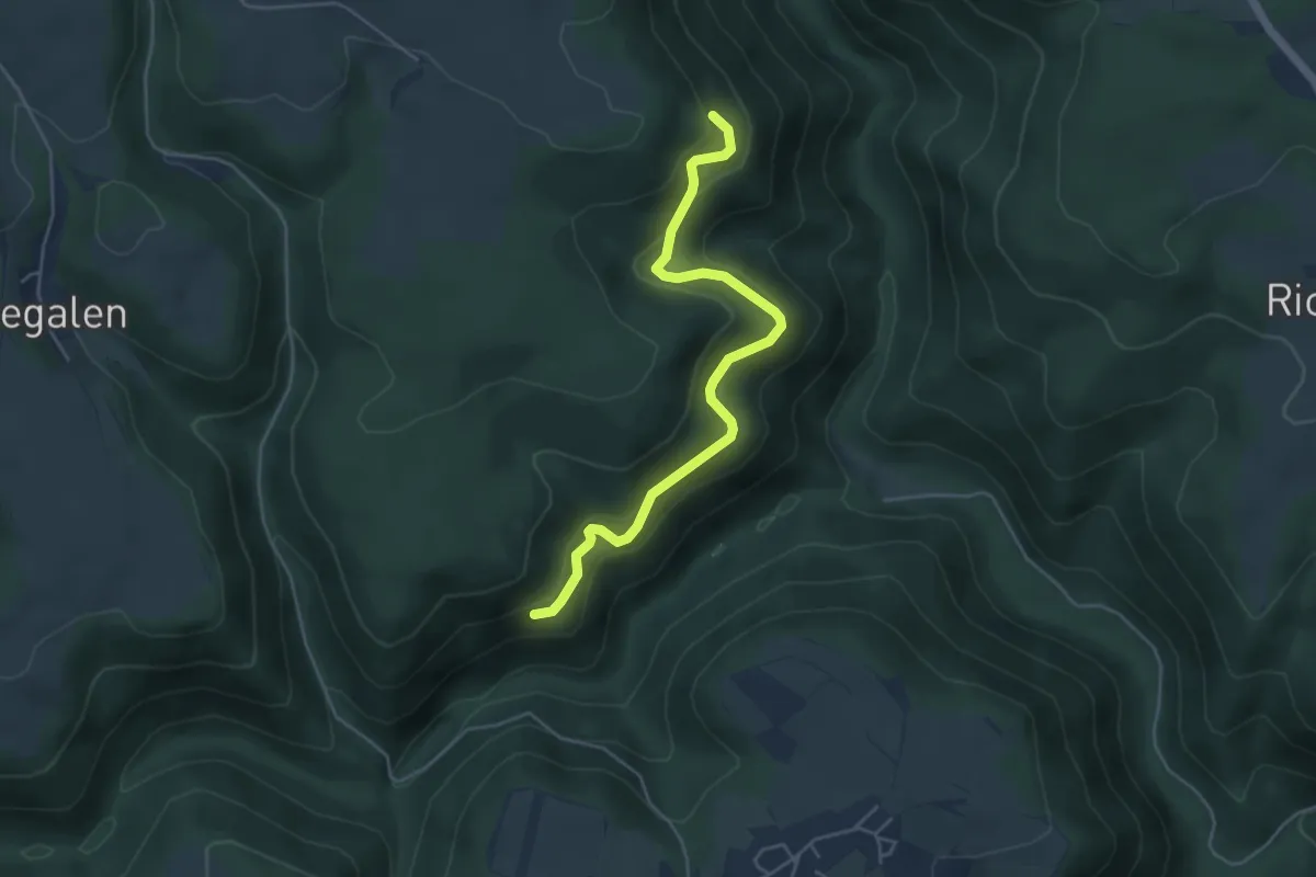
Easy · Trail
Hornweg - Stampferstraße
4.8 km · ↑ 233 m · 1 h 38 min
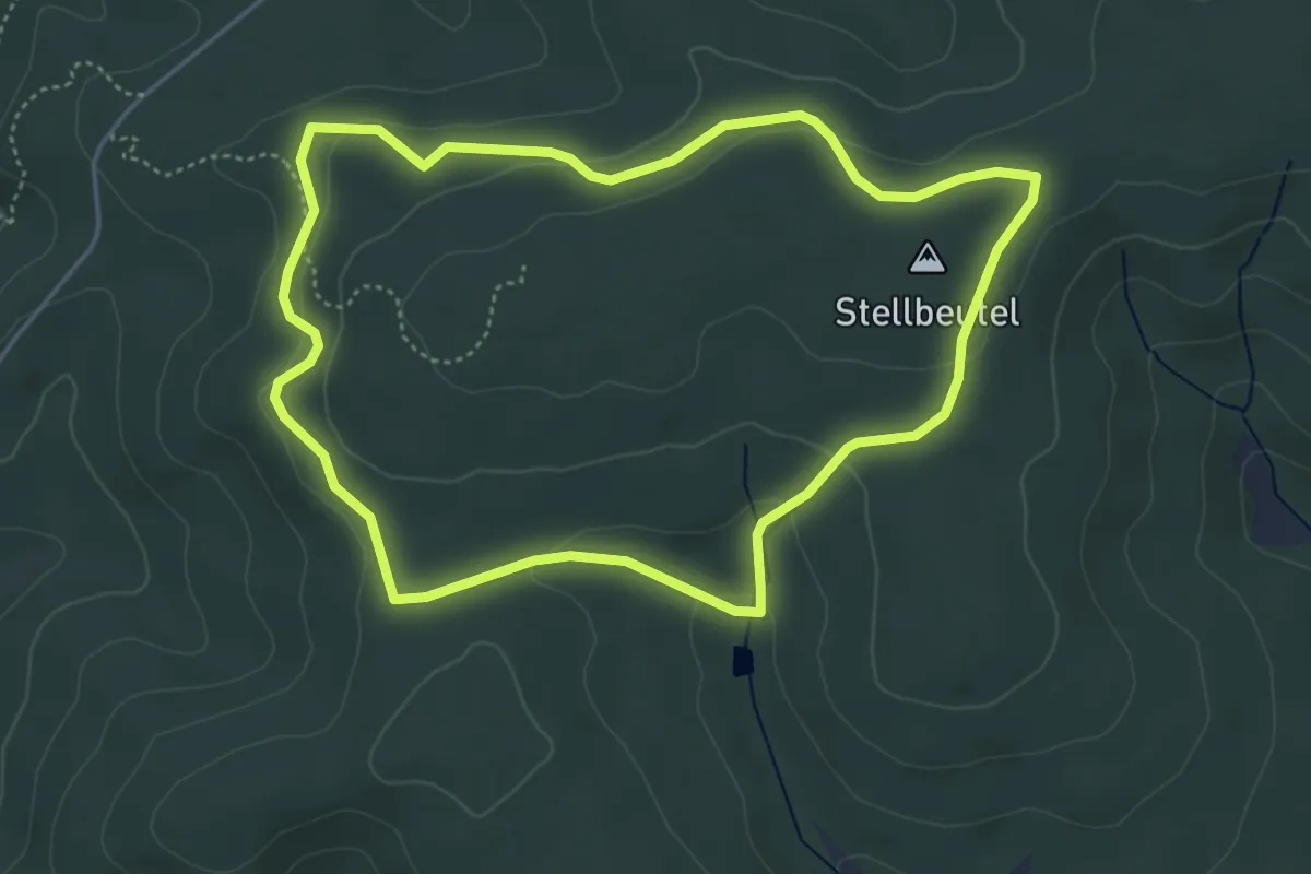
Easy · Summit
Hörre-Runde "Rote Steine"
4.2 km · ↑ 109 m · 1 h 18 min
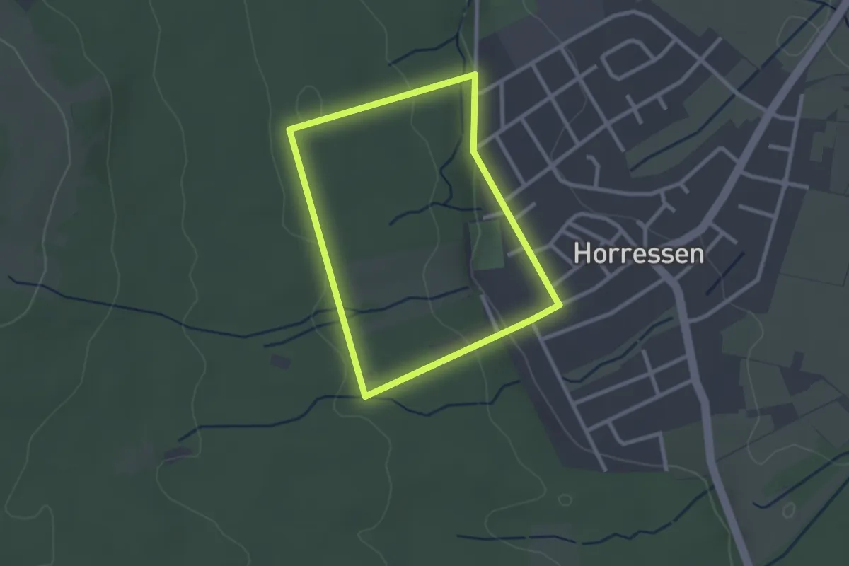
Easy · Trail
Horresser Rundwanderweg H1
2.1 km · ↑ 50 m · 38 min
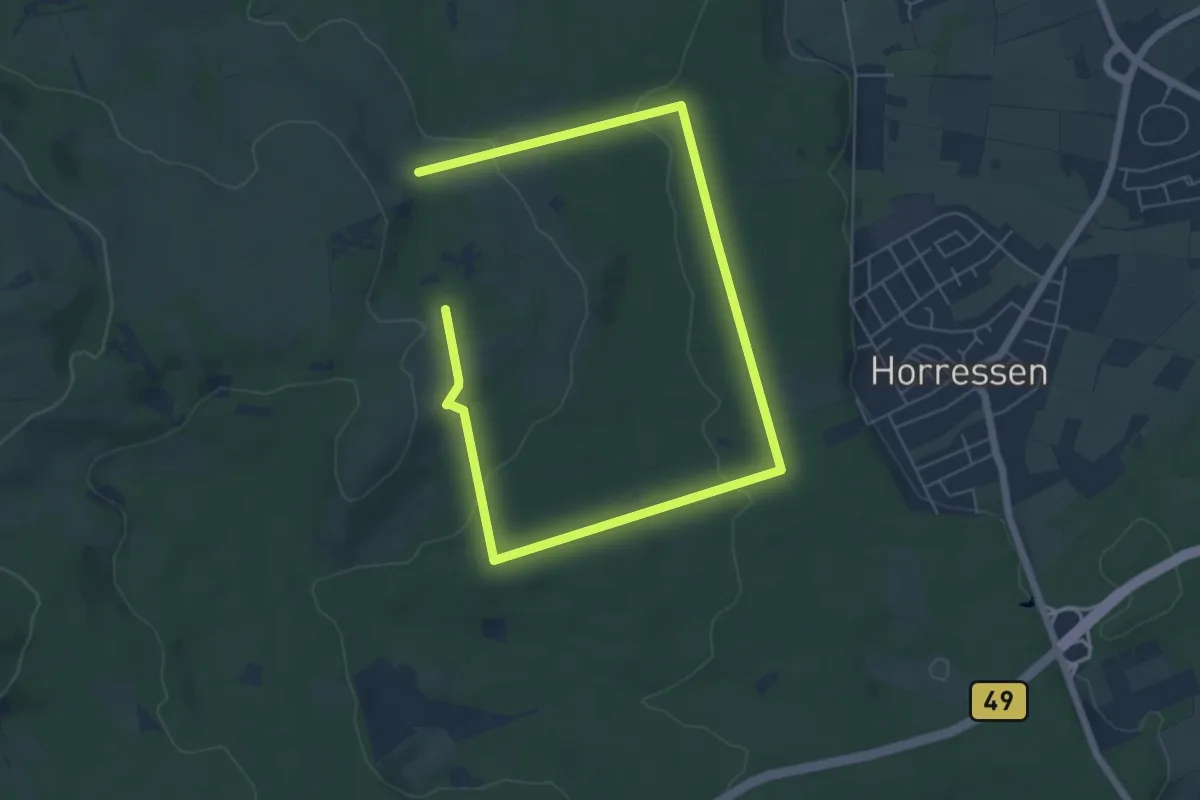
Medium · Trail
Horresser Rundwanderweg H2
8.5 km · ↑ 190 m · 2 h 25 min
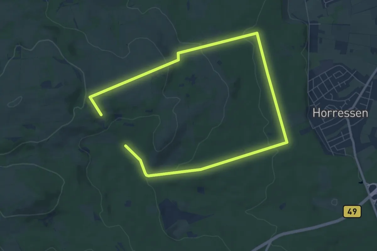
Medium · Trail
Horresser Rundwanderweg H3
11.6 km · ↑ 254 m · 3 h 17 min
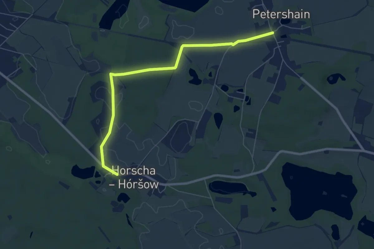
Easy · Trail
Horscha - Petershain
6.3 km · ↑ 26 m · 1 h 32 min
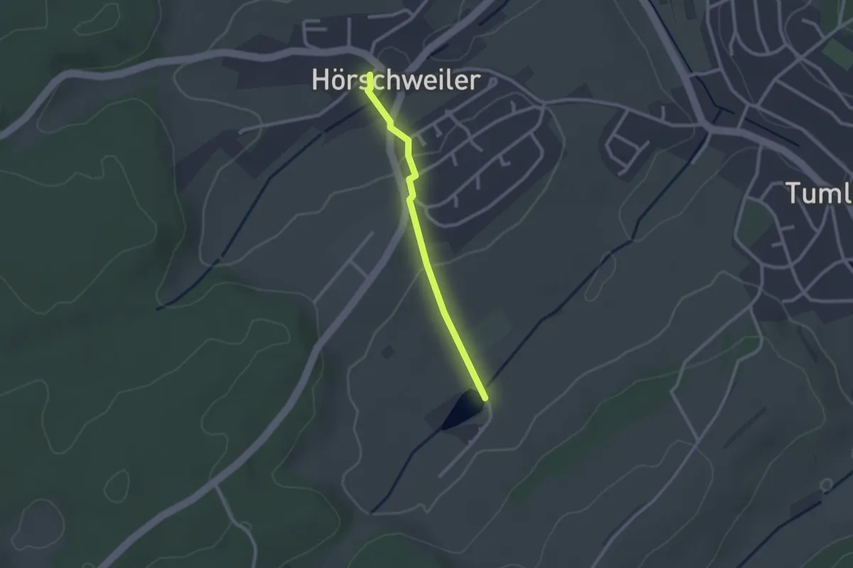
Easy · Trail
Hörschweiler - Sandbühlsee
2.0 km · ↑ 40 m · 34 min
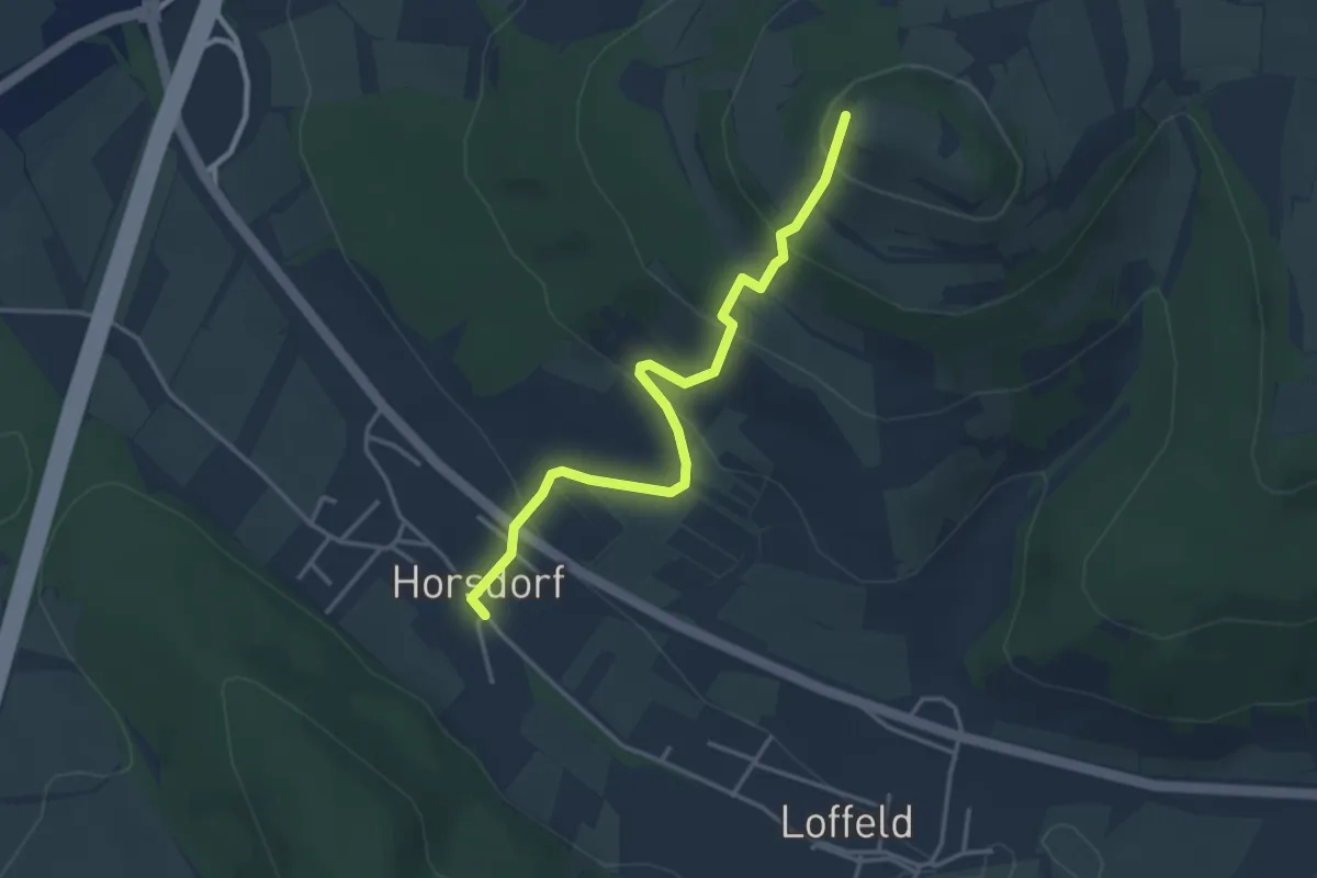
Easy · Summit
Horsdorfer Stiege
3.5 km · ↑ 224 m · 1 h 18 min
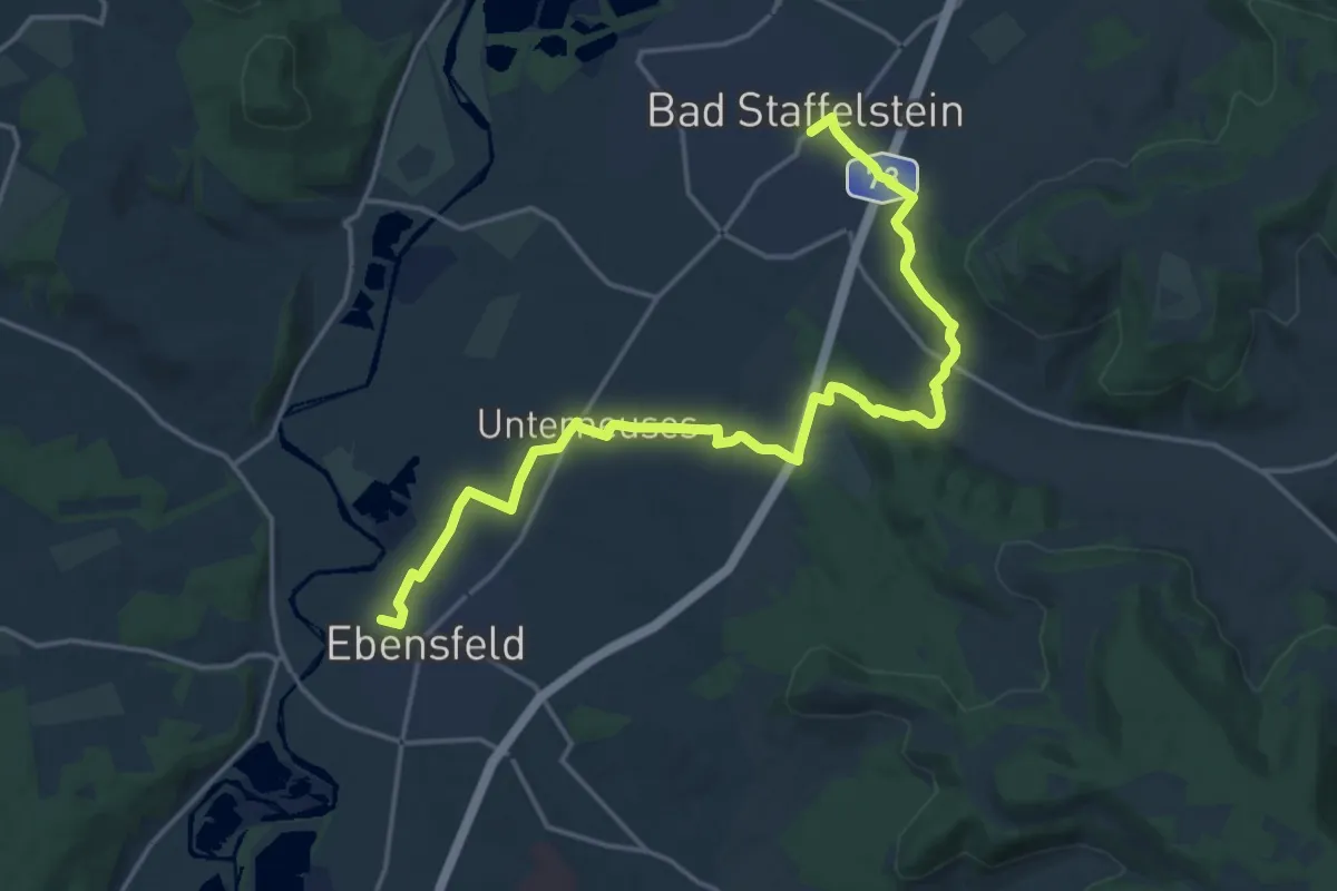
Demanding · Trail
Horsdorfer Weg
18.9 km · ↑ 256 m · 5 h 1 min
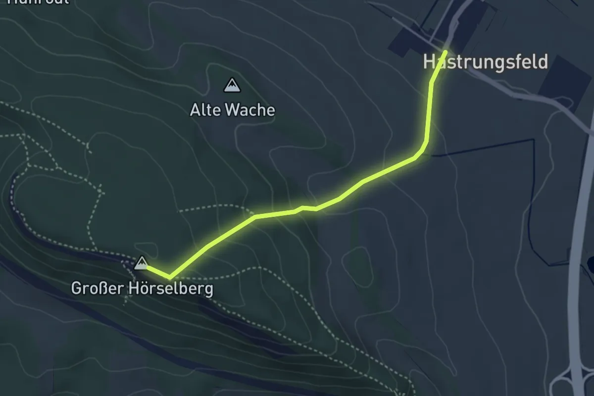
Easy · Summit
Hörselberge - Grünes Dreieck
3.3 km · ↑ 172 m · 1 h 10 min
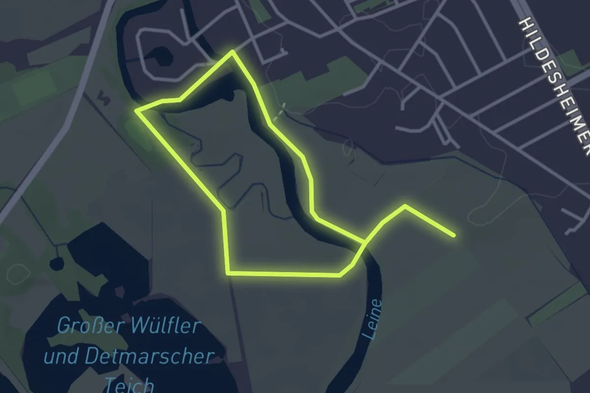
Easy · Trail
Hörspaziergang durch die Leineaue in Hannover-Döhren
2.2 km · ↑ 4 m · 33 min