Trails in Germany
36,852 hiking trails, each with its route, climb, walking time and grade.
All trails, page 262 of 768
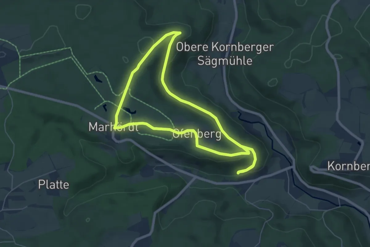
Easy · Trail
Idyllische Straße - Rundweg H
5.4 km · ↑ 117 m · 1 h 36 min
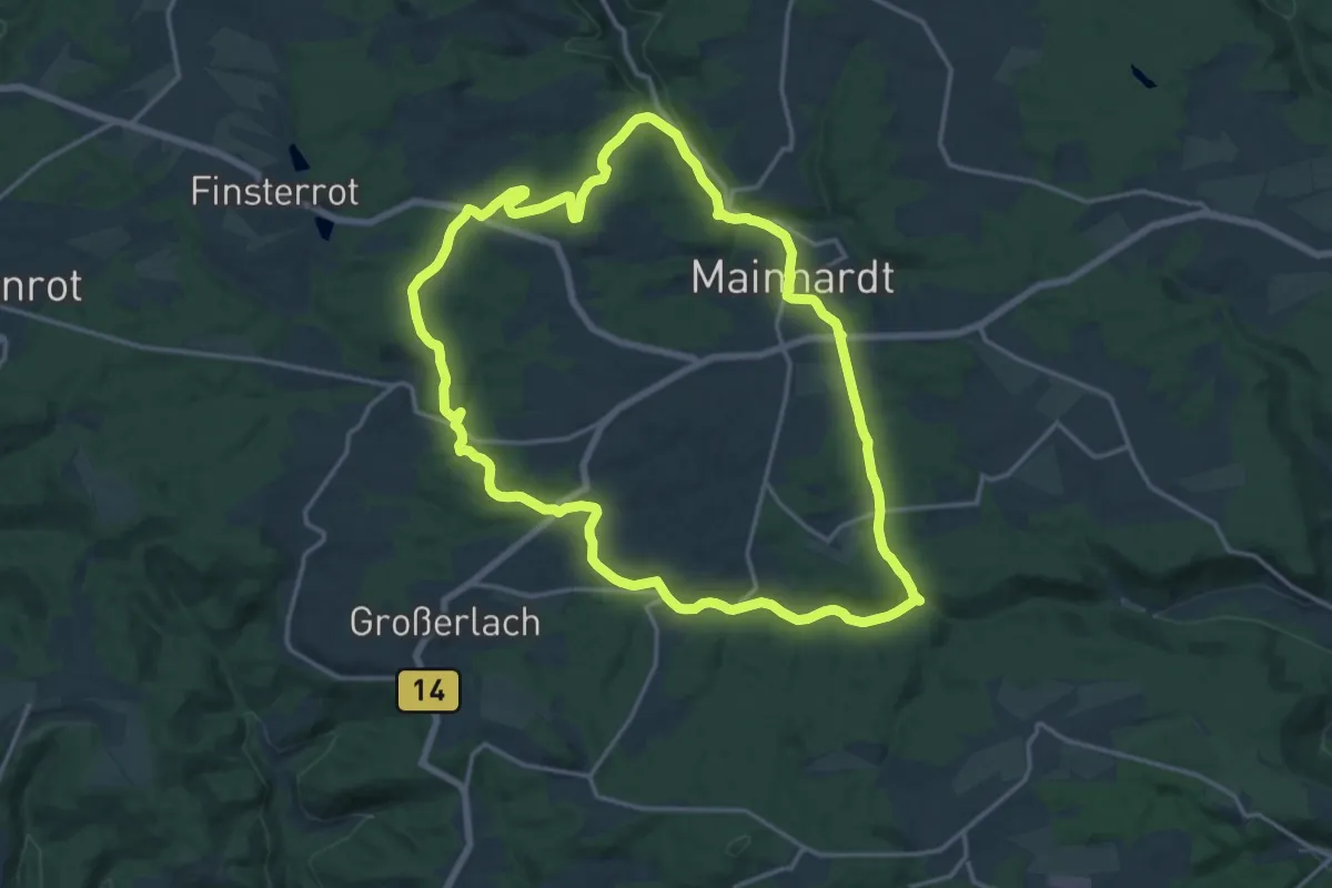
Medium · Trail
Idyllische Straße - Rundweg J
16.1 km · ↑ 274 m · 4 h 36 min
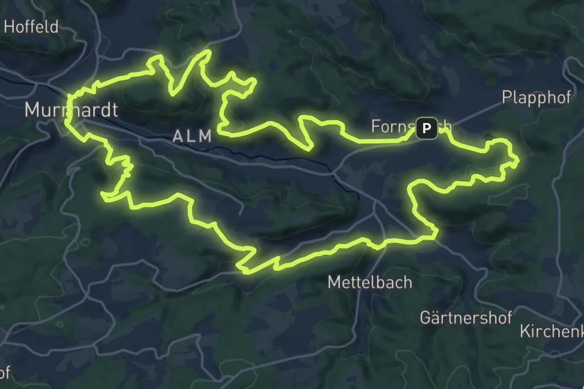
Demanding · Summit
Idyllische Straße - Rundweg K
25.2 km · ↑ 742 m · 7 h 54 min
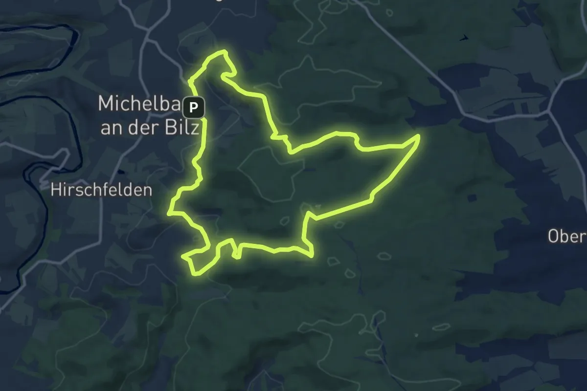
Medium · Trail
Idyllische Straße - Rundweg L
11.2 km · ↑ 256 m · 3 h 21 min
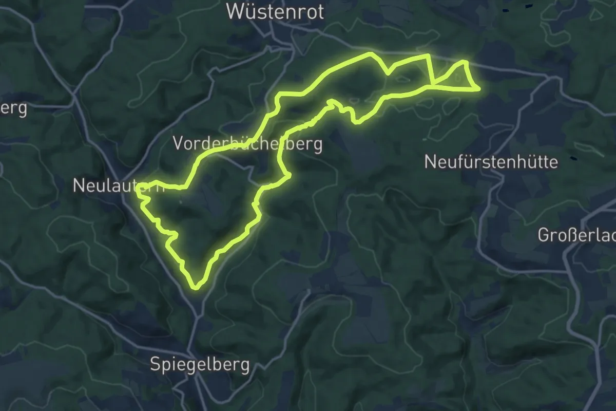
Medium · Trail
Idyllische Straße - Rundweg M
14.3 km · ↑ 367 m · 4 h 23 min
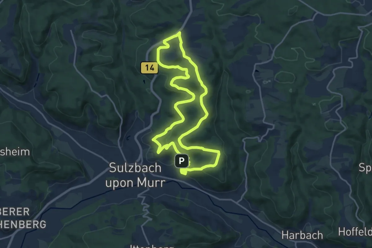
Medium · Trail
Idyllische Straße - Rundweg N
13.0 km · ↑ 402 m · 4 h 8 min
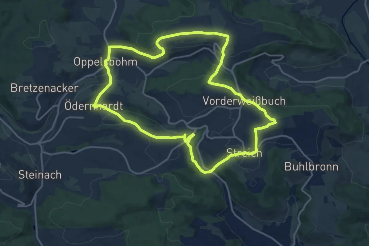
Medium · Trail
Idyllische Straße - Rundweg O
10.8 km · ↑ 271 m · 3 h 17 min
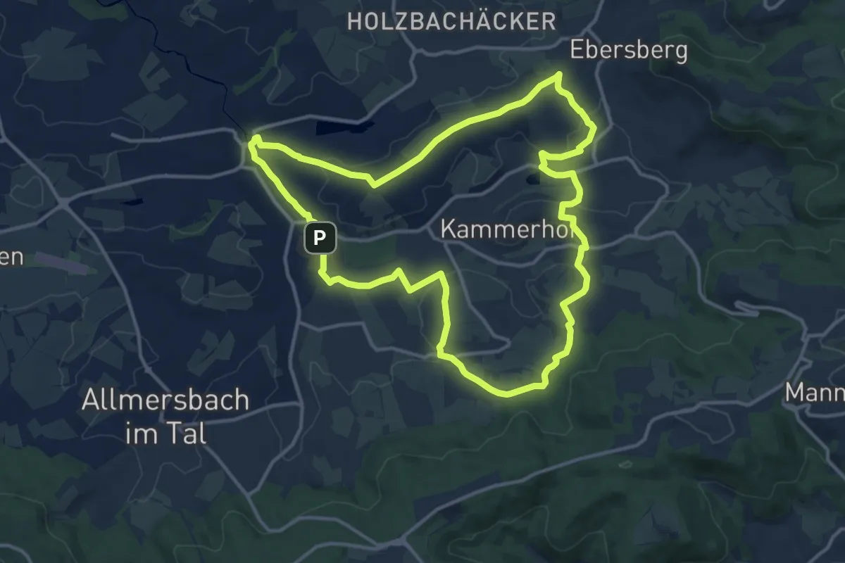
Medium · Summit
Idyllische Straße - Rundweg Q
12.3 km · ↑ 177 m · 3 h 27 min
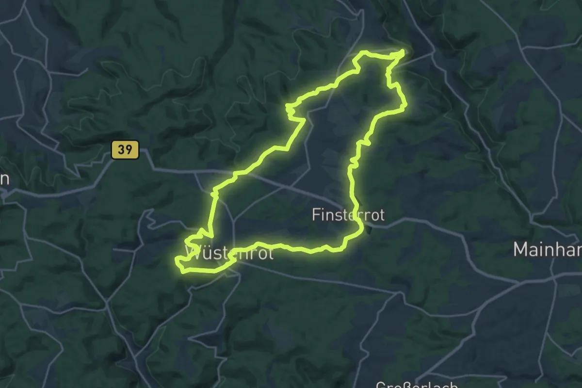
Demanding · Summit
Idyllische Straße - Rundweg R
20.2 km · ↑ 388 m · 5 h 54 min
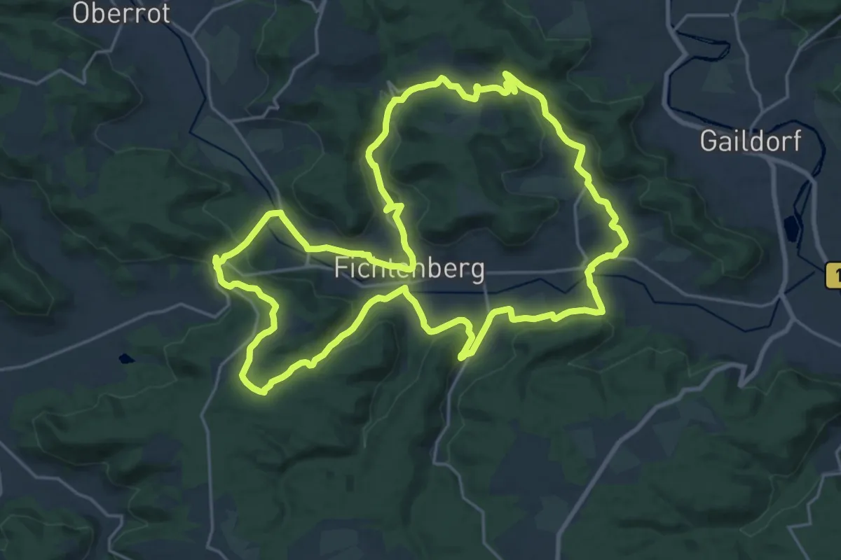
Demanding · Summit
Idyllische Straße - Rundweg T
20.7 km · ↑ 431 m · 6 h 6 min
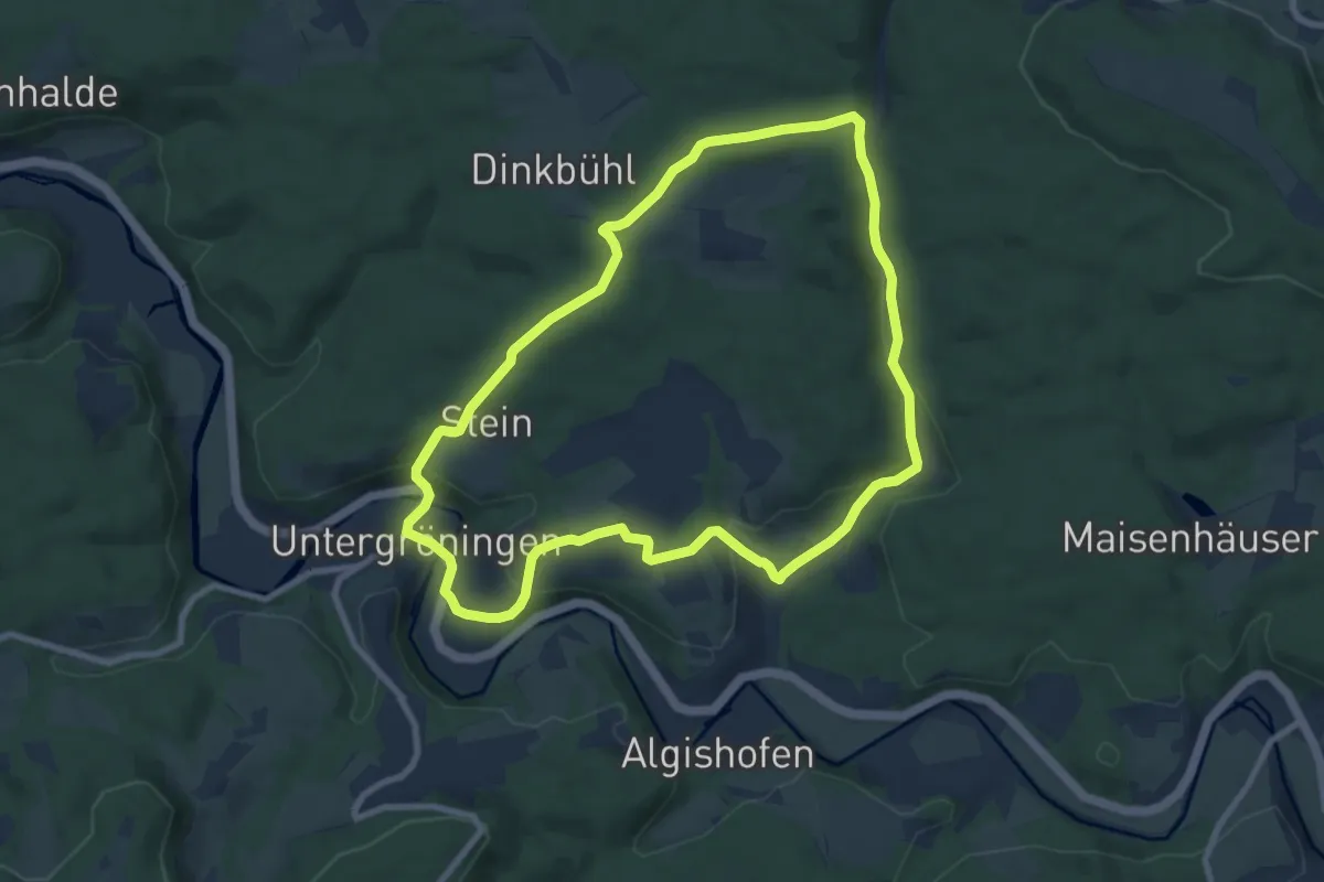
Easy · Trail
Idyllische Straße - Rundweg U
8.0 km · ↑ 205 m · 2 h 27 min
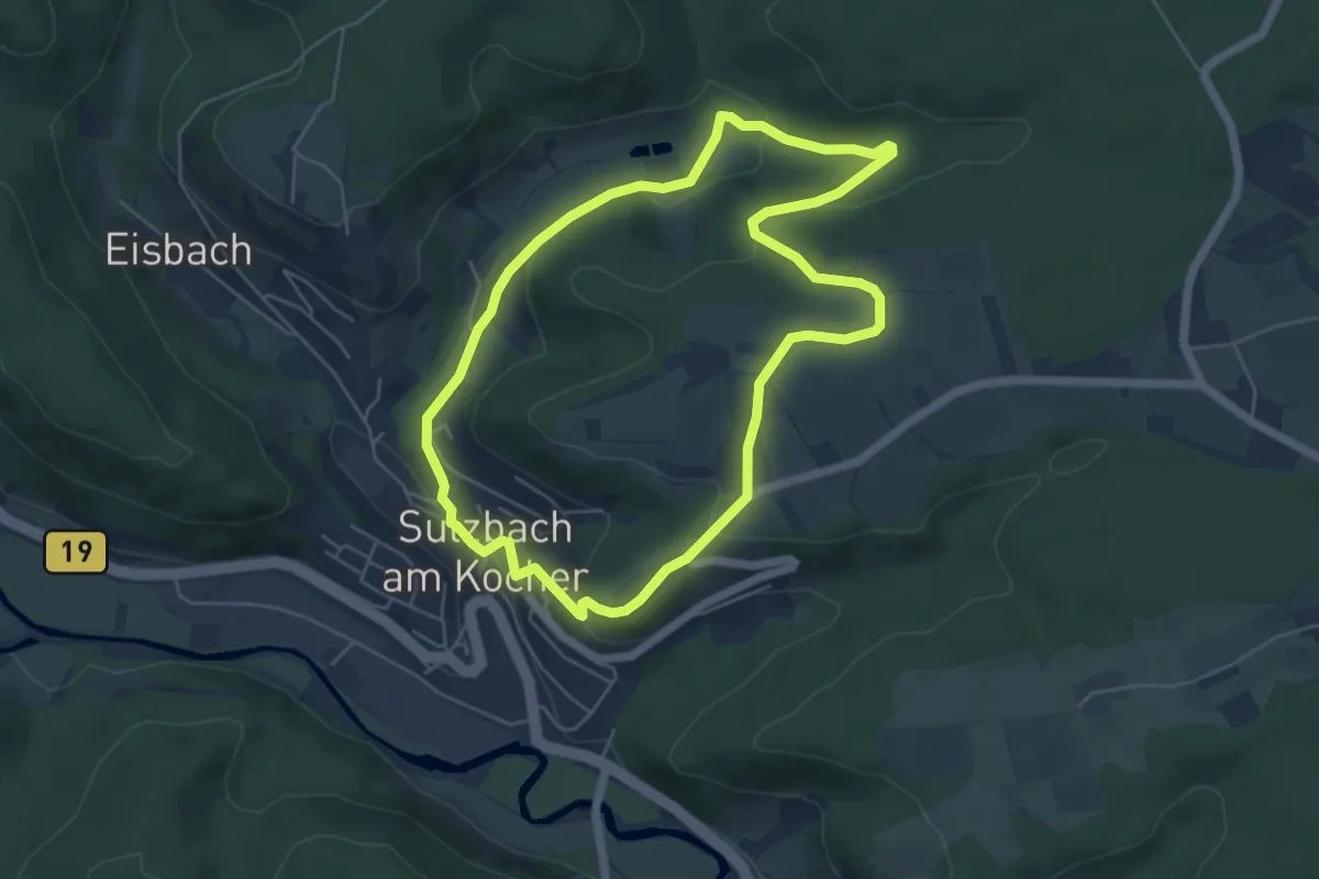
Easy · Trail
Idyllische Straße - Rundweg W
5.0 km · ↑ 120 m · 1 h 31 min
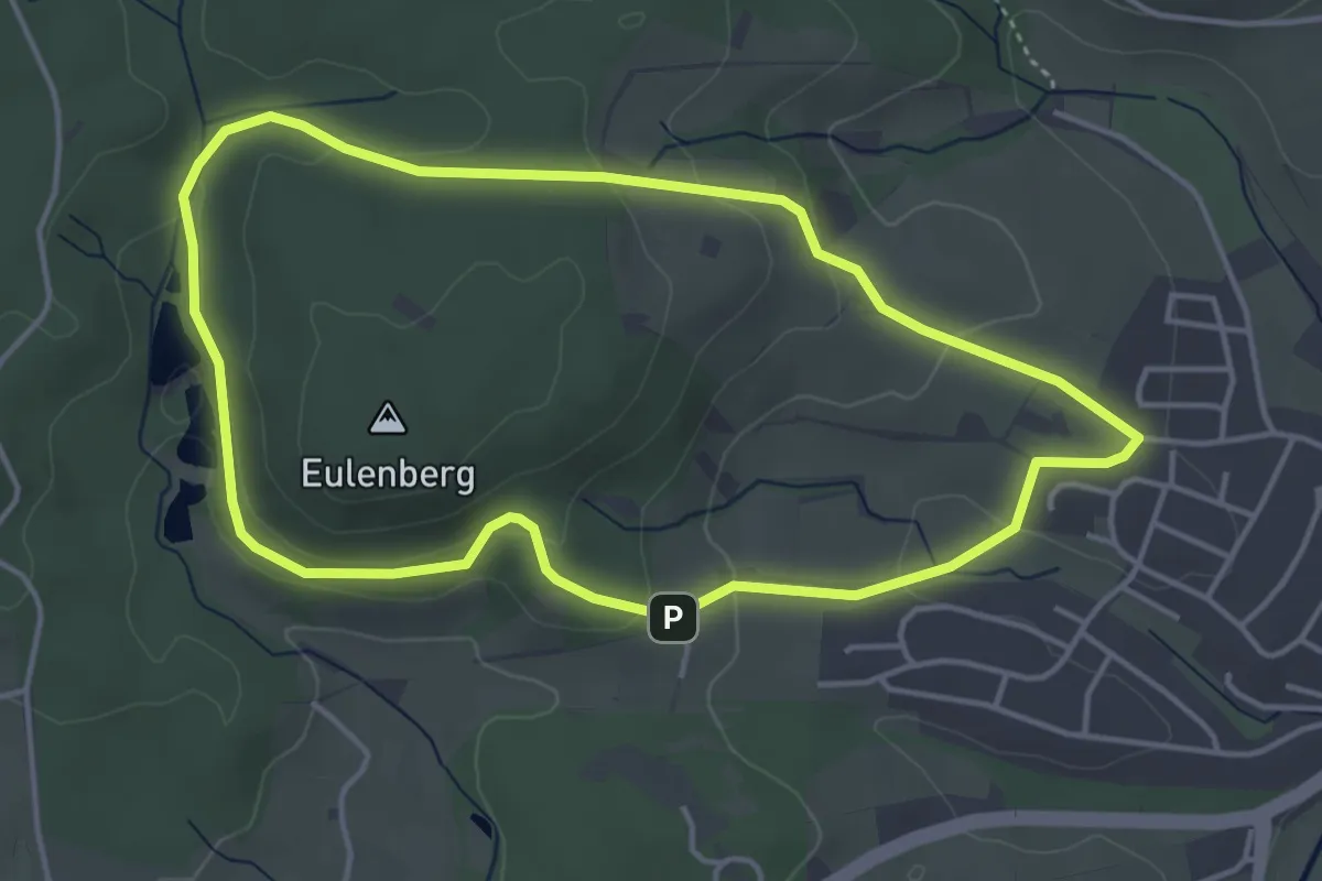
Easy · Trail
Idyllische Straße - Rundweg X
4.0 km · ↑ 106 m · 1 h 13 min
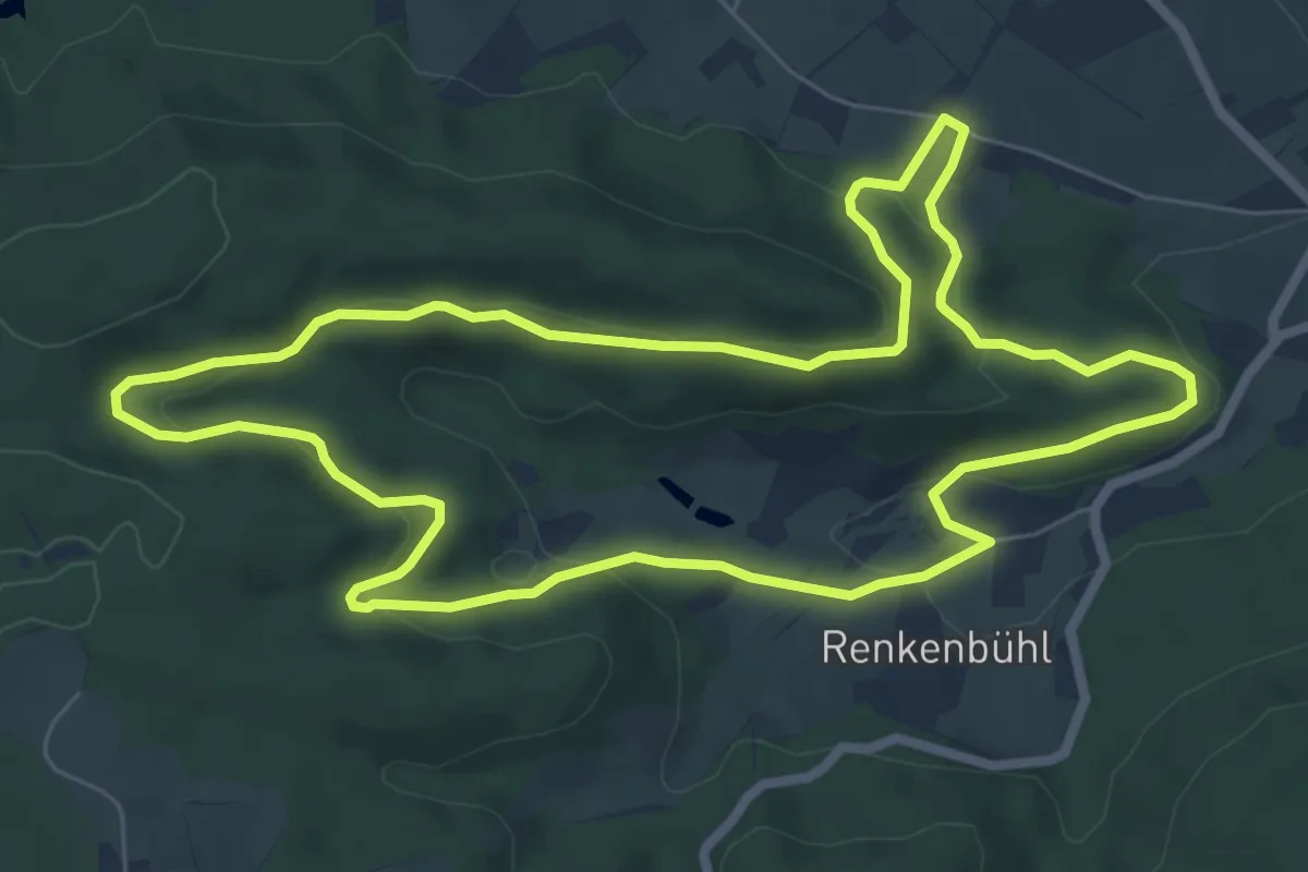
Easy · Trail
Idyllische Straße - Rundweg Y
7.0 km · ↑ 245 m · 2 h 17 min
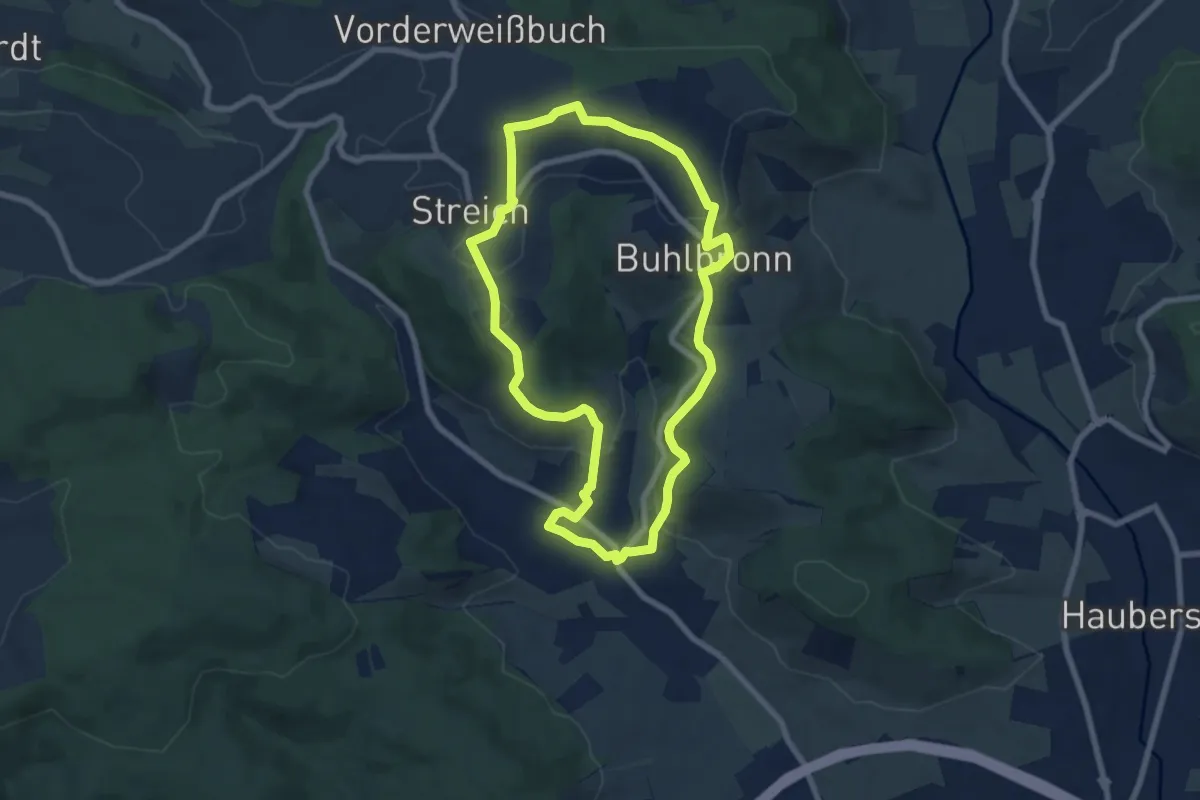
Easy · Trail
Idyllische Straße - Rundweg Z
6.8 km · ↑ 175 m · 2 h 5 min
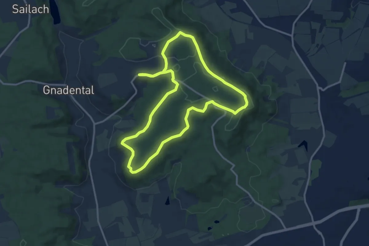
Medium · Trail
Idyllische Straße - Tour V
8.8 km · ↑ 79 m · 2 h 22 min
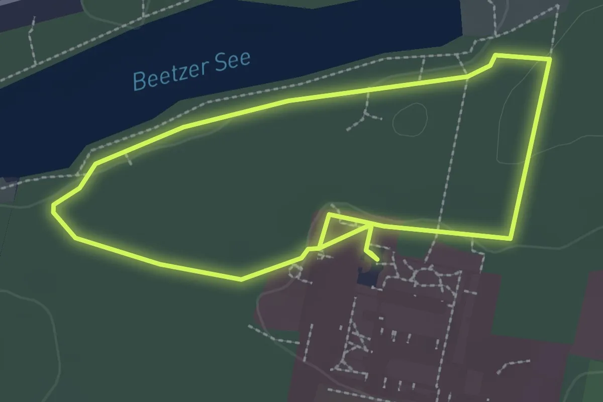
Easy · Trail
Igel
2.2 km · ↑ 14 m · 35 min
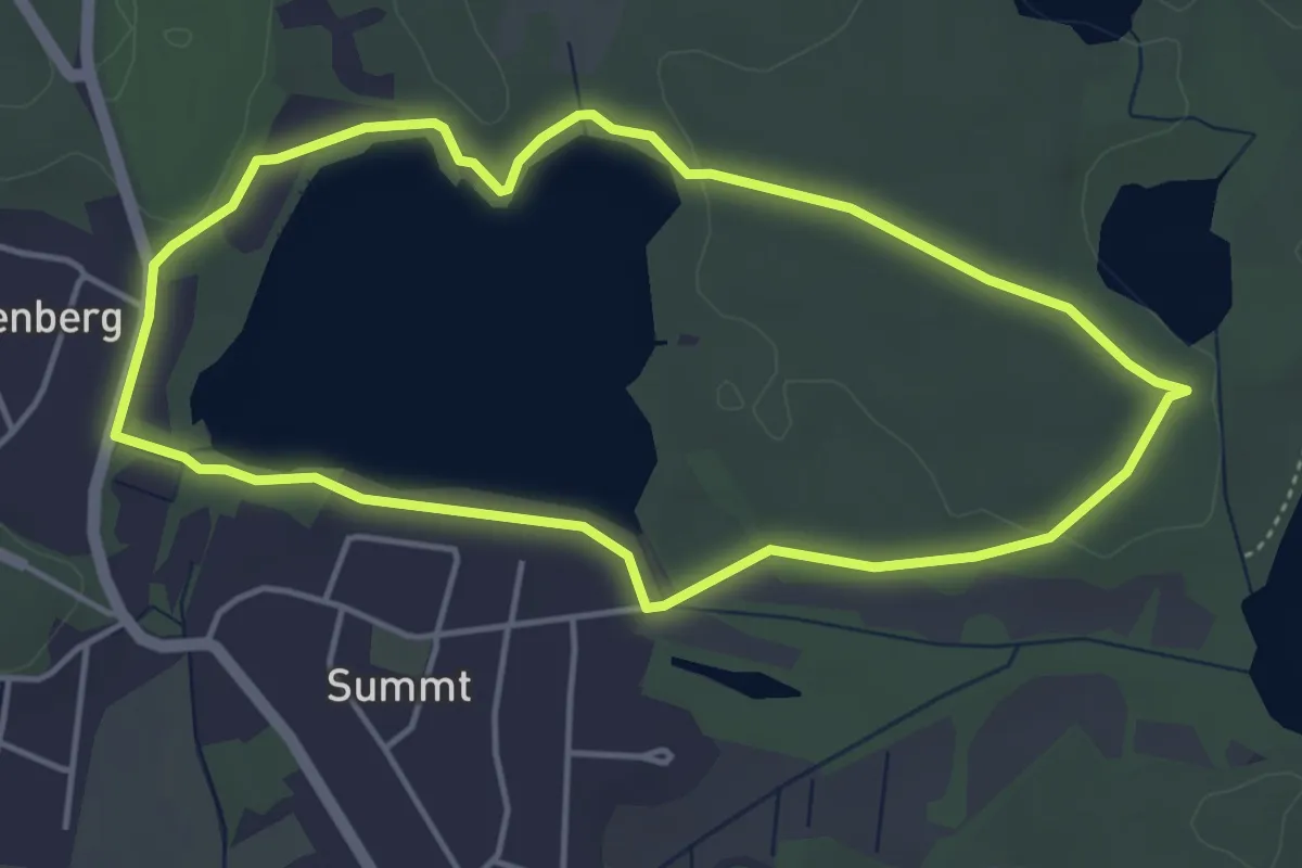
Easy · Trail
Igel
3.8 km · ↑ 26 m · 1 h 1 min
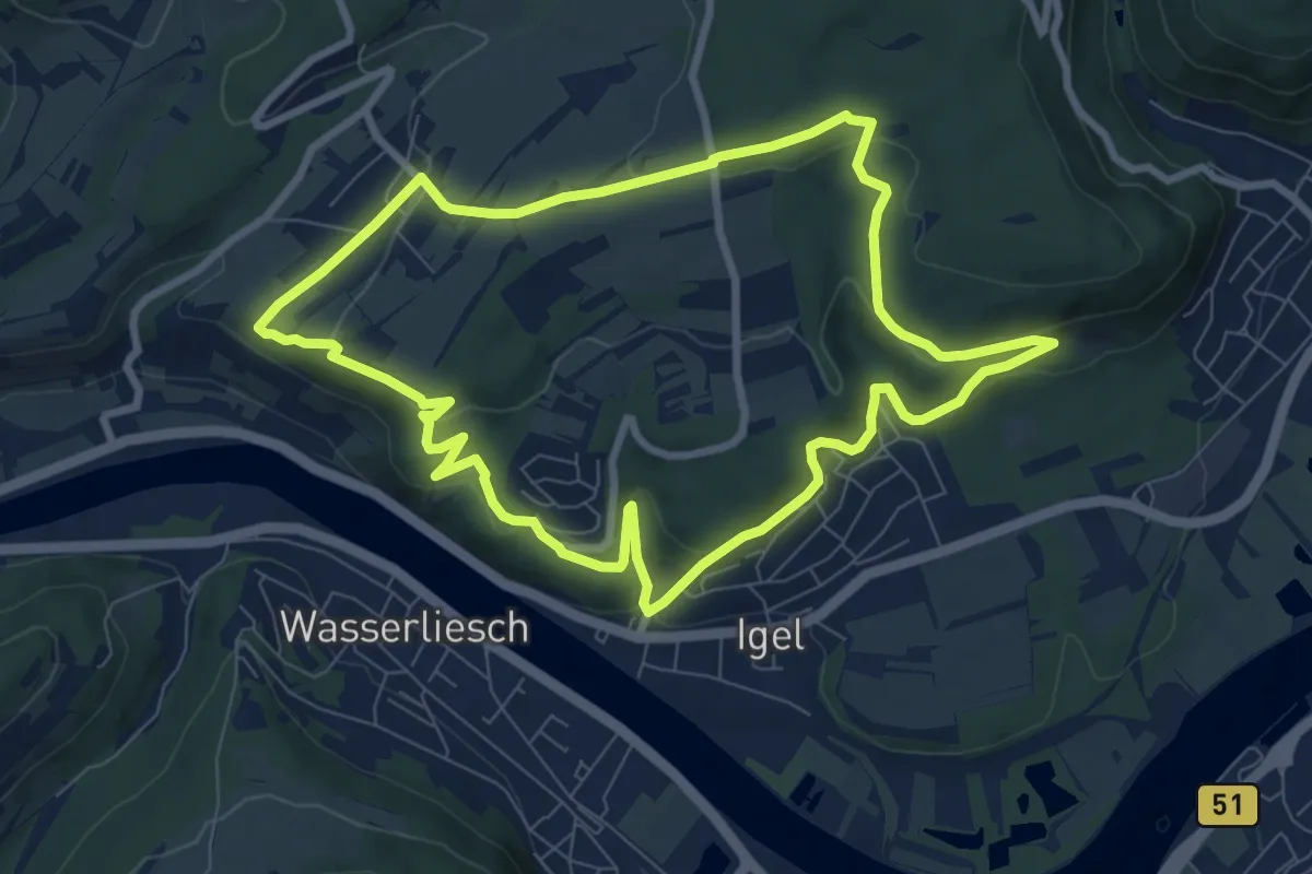
Medium · Trail
Igel1 - Igel-Liersberg
8.0 km · ↑ 281 m · 2 h 37 min
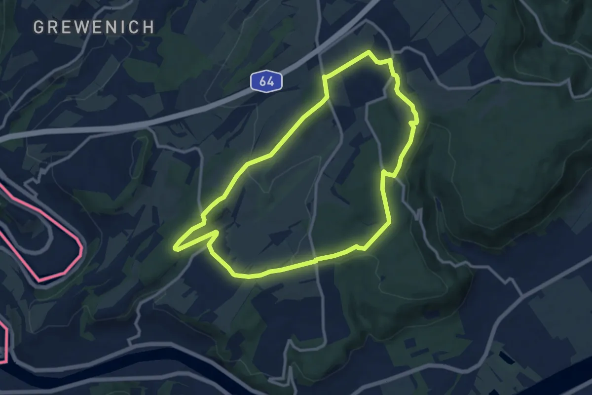
Medium · Trail
Igel2 liersberg - herresthal
8.3 km · ↑ 166 m · 2 h 26 min
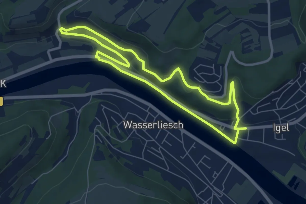
Easy · Trail
Igel3 Gruthenhäuschen
5.5 km · ↑ 119 m · 1 h 38 min
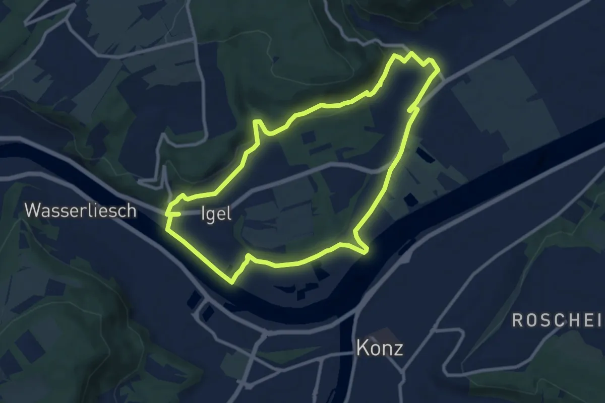
Easy · Trail
igel4 um den heidenberg
7.7 km · ↑ 135 m · 2 h 13 min
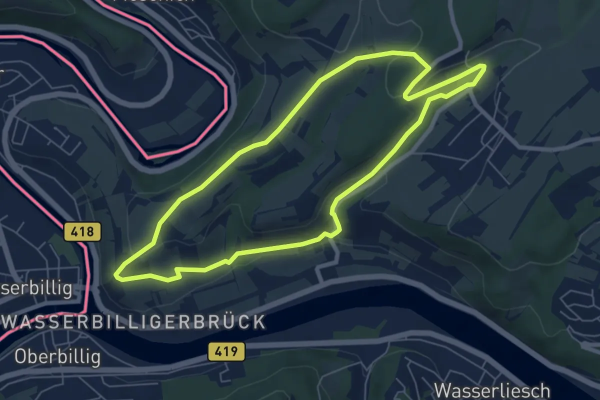
Easy · Trail
Igel5 römerstraße
5.7 km · ↑ 126 m · 1 h 41 min
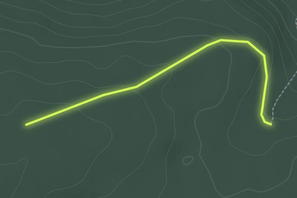
Easy · Trail
Igelsberger Sträßle - Stoffelswald
2.0 km · ↑ 48 m · 35 min
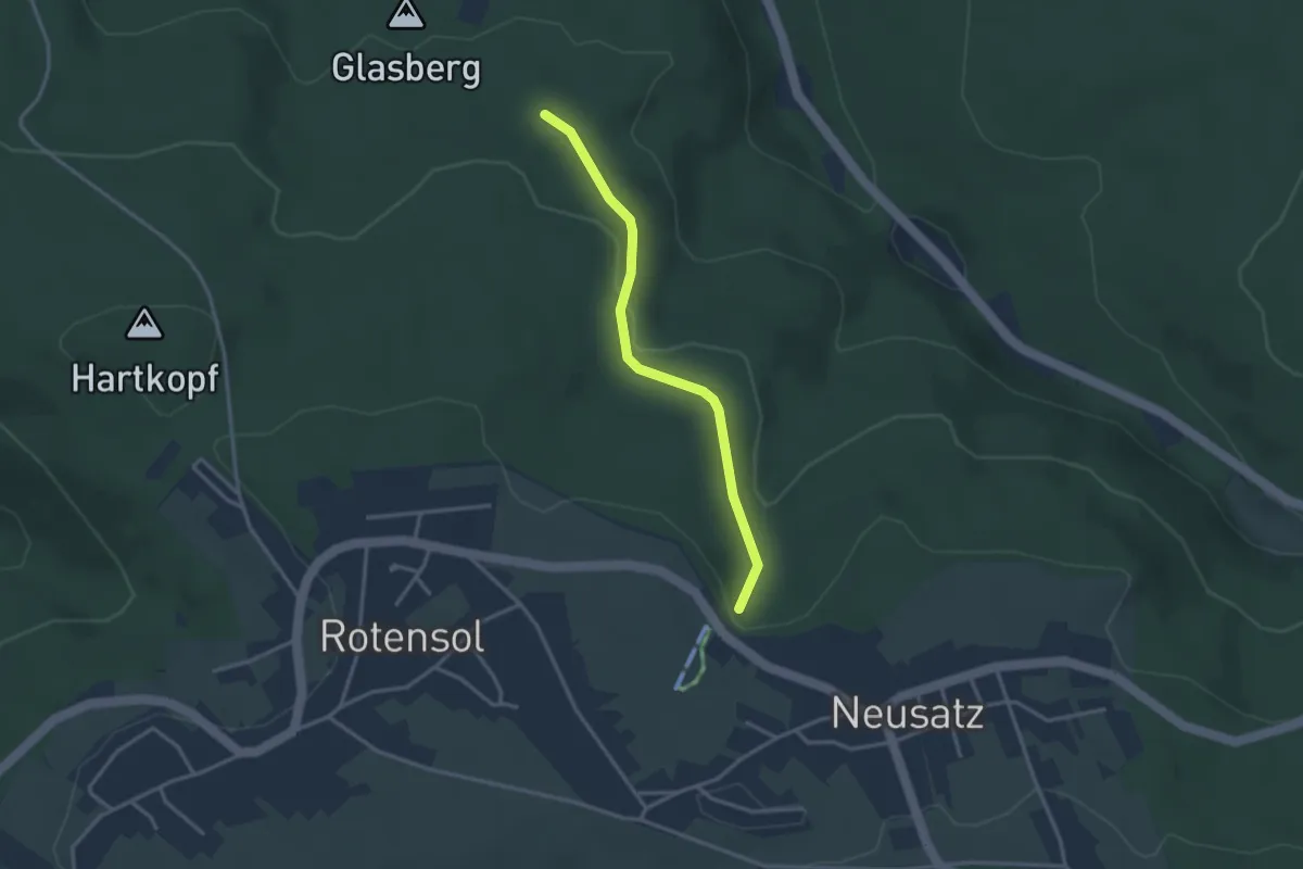
Easy · Trail
Igelsbrunnenteich - Neusatzer Höhe
2.8 km · ↑ 72 m · 50 min
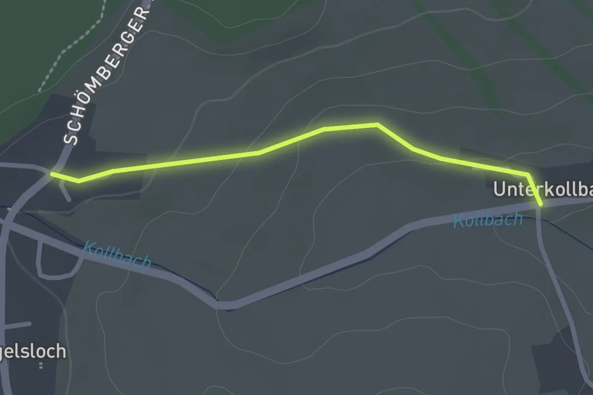
Easy · Trail
Igelsloch - Unterkollbach Katzenbuckel
2.0 km · ↑ 39 m · 34 min
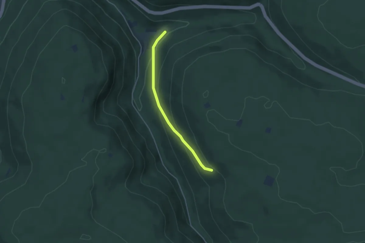
Easy · Trail
Igelswiesen - Marderhalde
3.0 km · ↑ 160 m · 1 h 4 min
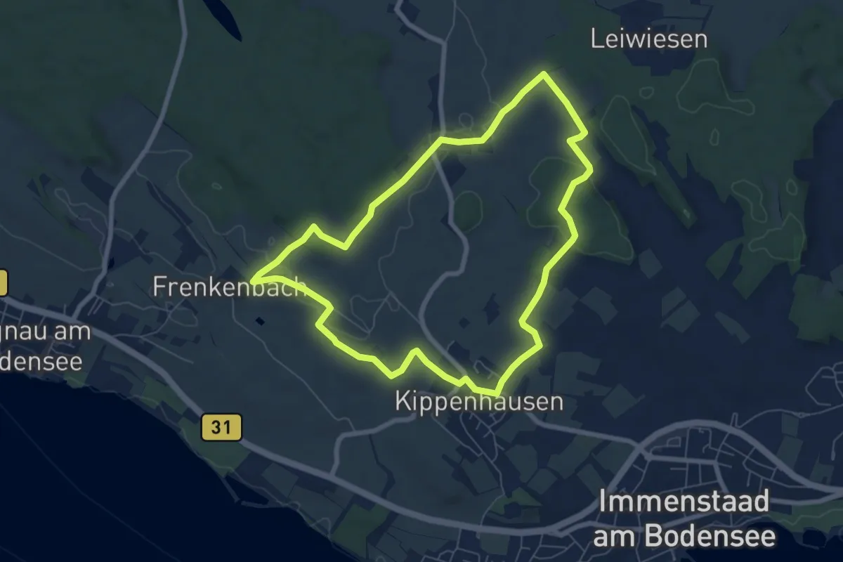
Easy · Trail
Igelweg
6.7 km · ↑ 91 m · 1 h 52 min
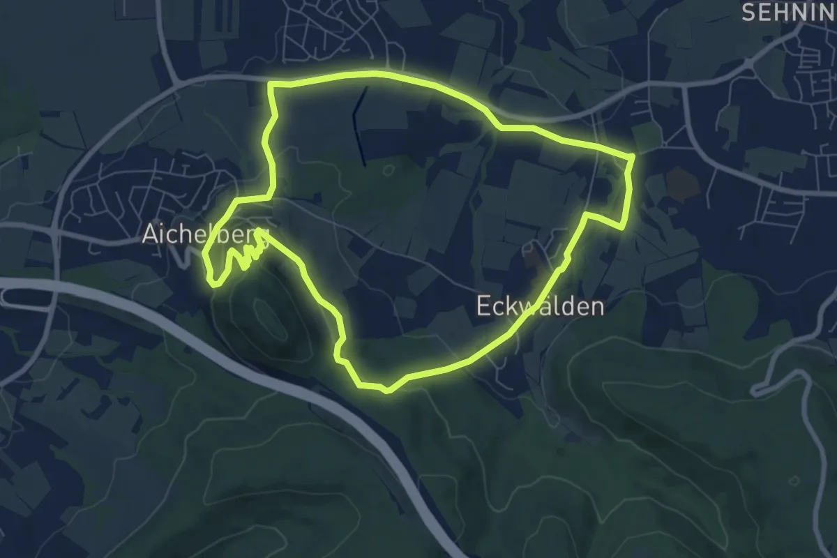
Easy · Summit
Igel-Weg
7.2 km · ↑ 185 m · 2 h 13 min
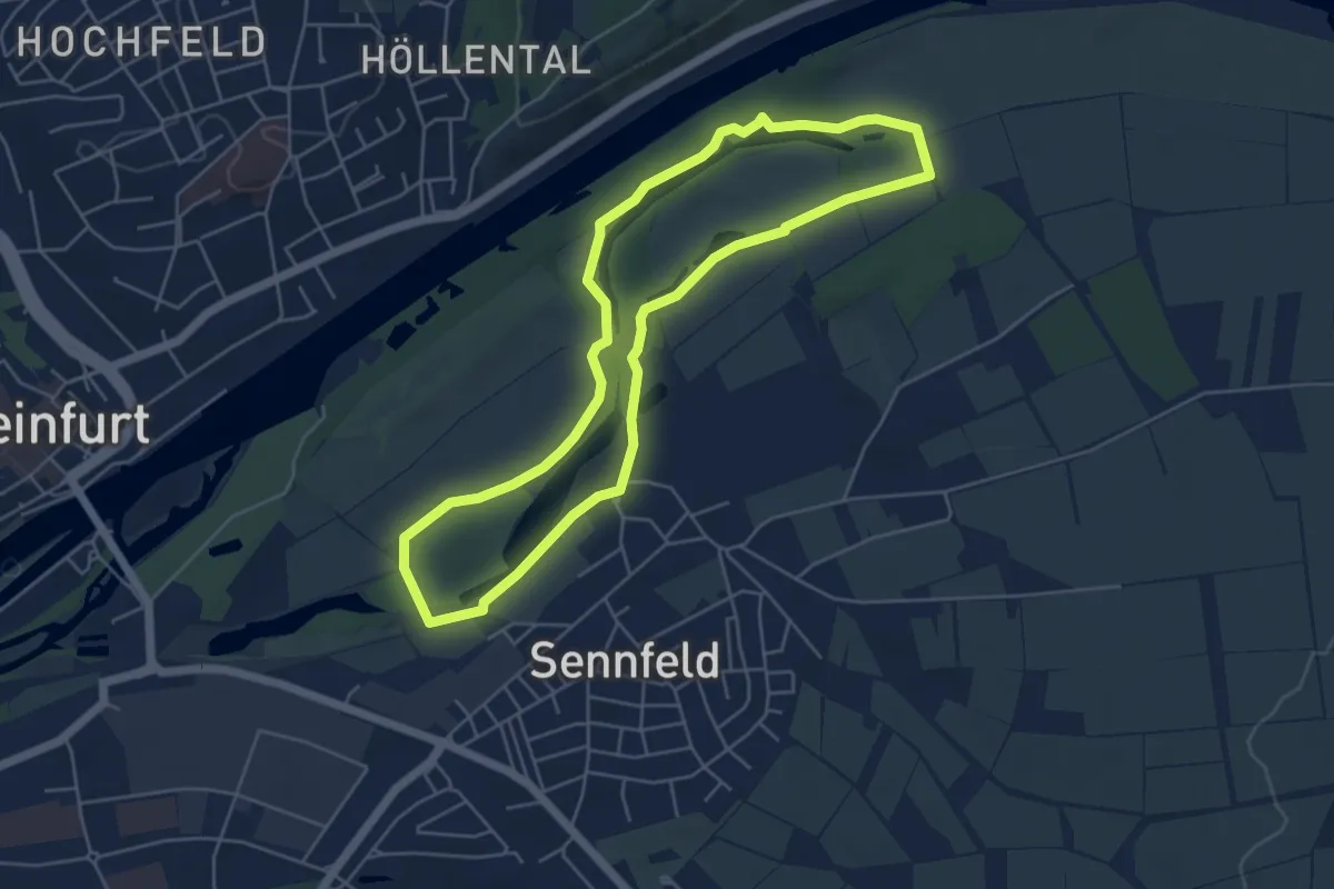
Easy · Trail
Igel-Weg Sennfeld
4.8 km · ↑ 16 m · 1 h 14 min
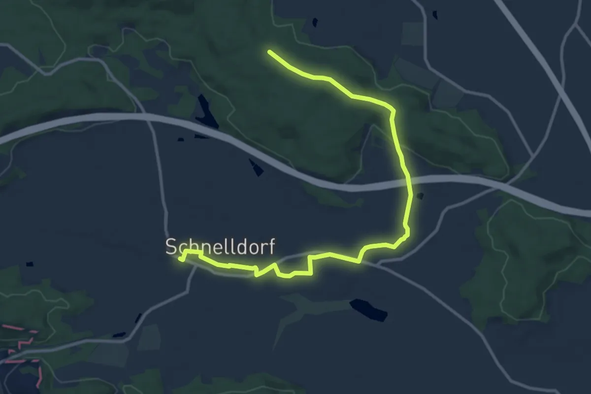
Medium · Trail
Igelweg Verbindung Schnelldorf-Oberampfrach-Wildenholz
10.8 km · ↑ 151 m · 2 h 53 min
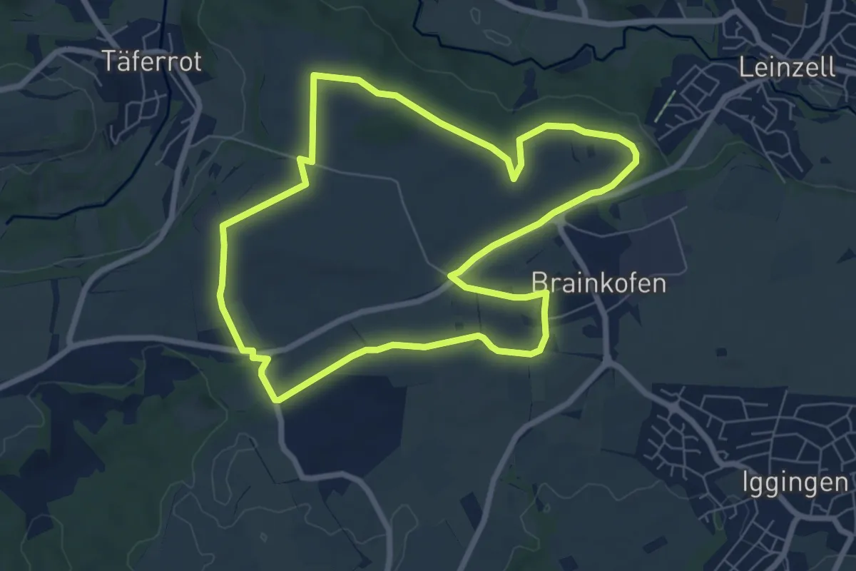
Easy · Trail
Igginger Wanderweg 1
6.6 km · ↑ 43 m · 1 h 45 min
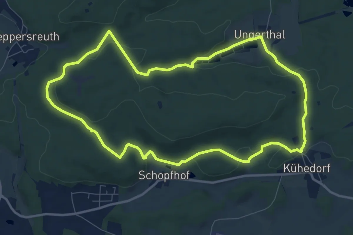
Easy · Summit
IGH-Rundwanderweg
7.9 km · ↑ 180 m · 2 h 21 min
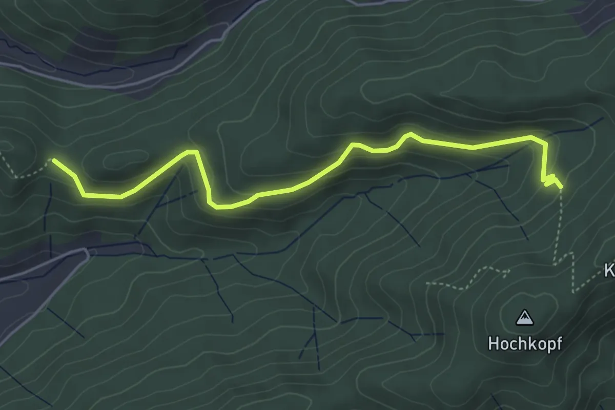
Easy · Trail
Ignazdobel - Satteleck
4.7 km · ↑ 245 m · 1 h 39 min
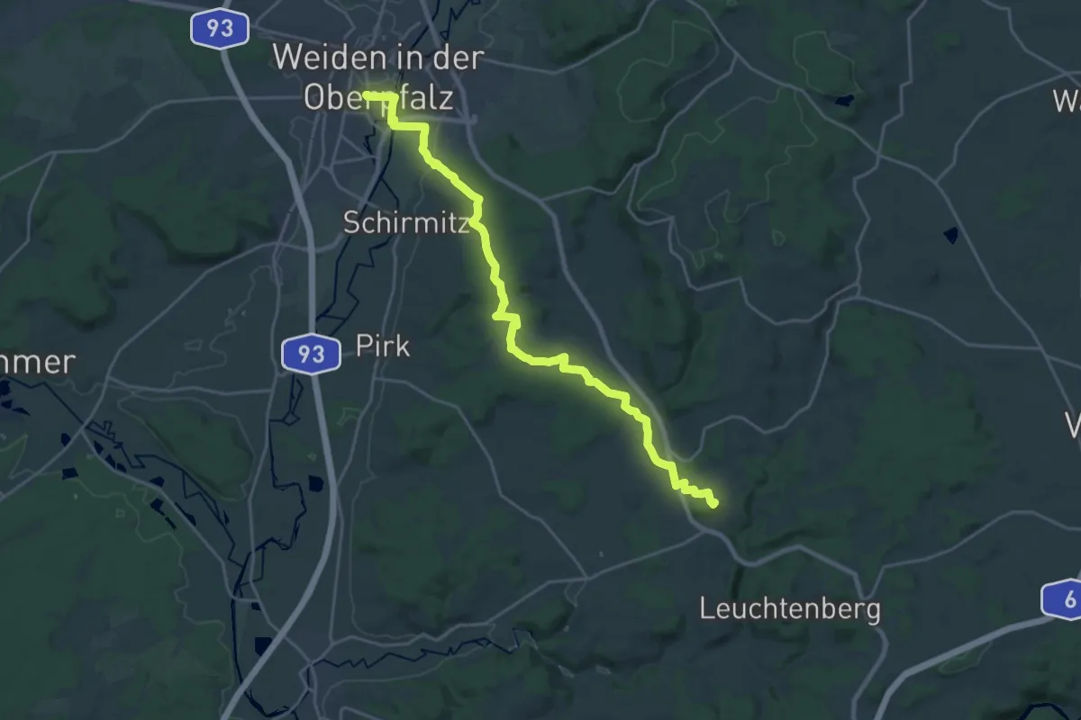
Demanding · Summit
Ignaz-Mühlhofer Weg
23.4 km · ↑ 352 m · 6 h 17 min
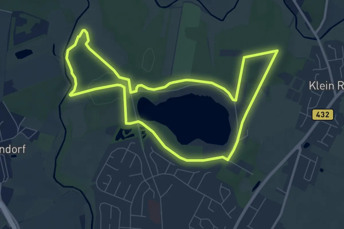
Easy · Trail
Ihlwald-Runde
6.5 km · ↑ 50 m · 1 h 44 min
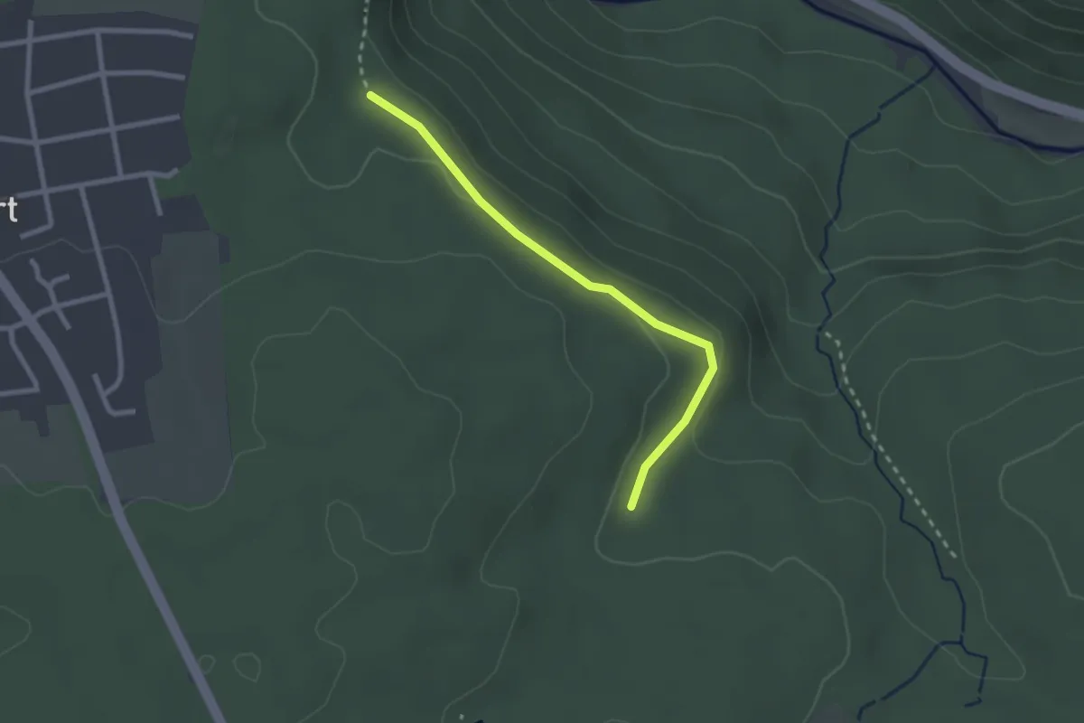
Easy · Trail
Ihmesklinge - Wiesenklinge
2.3 km · ↑ 53 m · 39 min
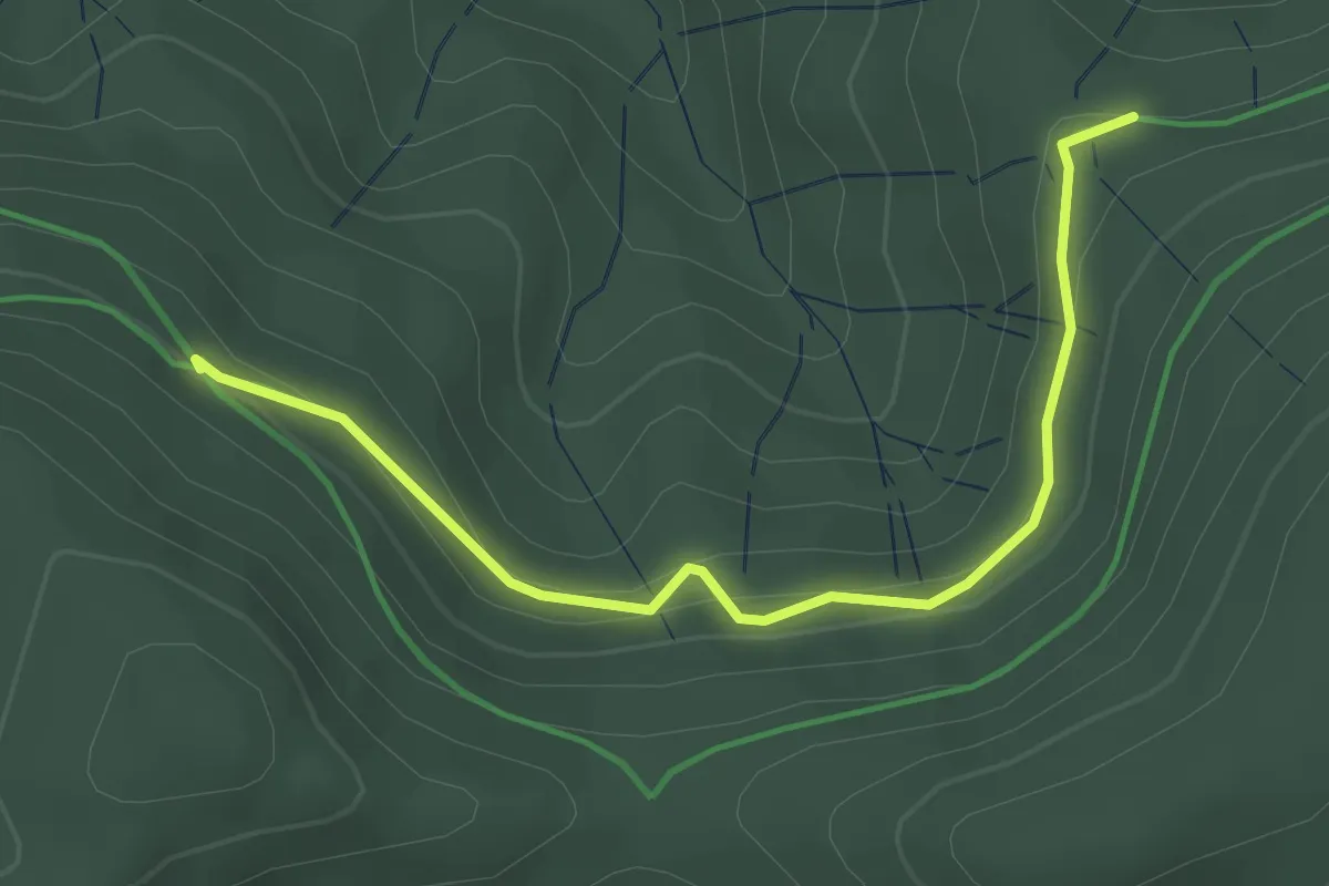
Easy · Trail
Ihrighütte - Oberer Rank
3.1 km · ↑ 140 m · 1 h 2 min
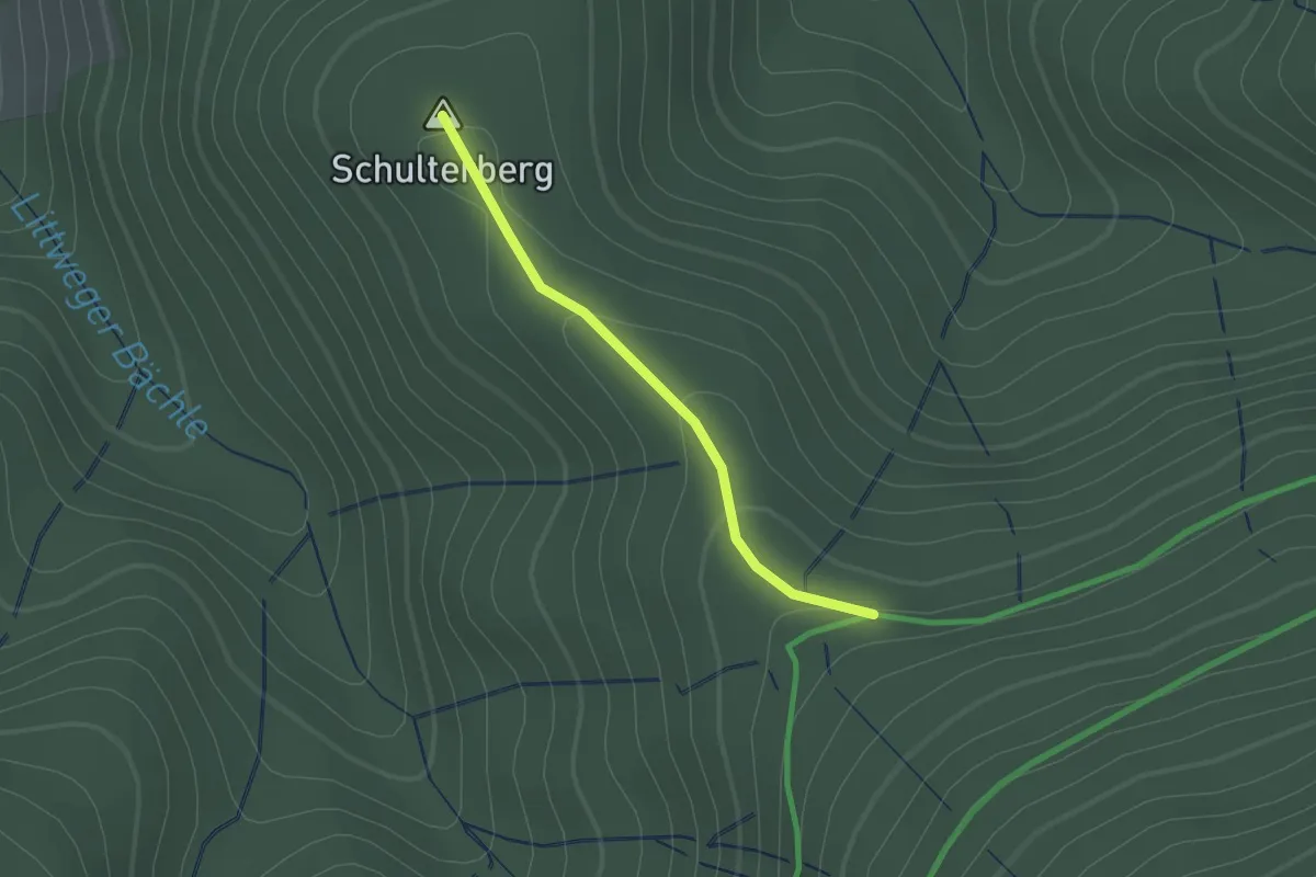
Easy · Summit
Ihrighütte - Schulterberg
1.2 km · ↑ 44 m · 23 min
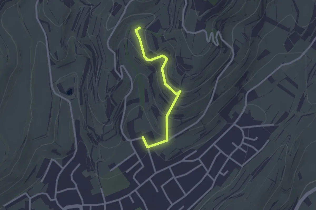
Easy · Trail
Ihringen Lenzenbergstraße - Obere Dulltalgasse
2.1 km · ↑ 169 m · 52 min
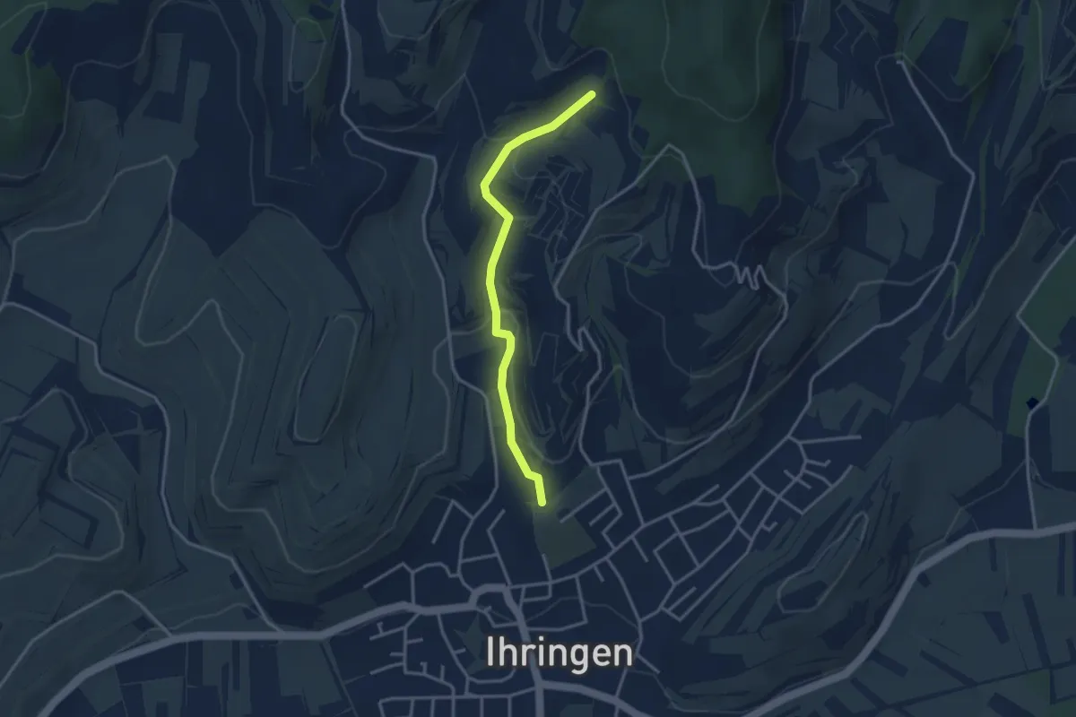
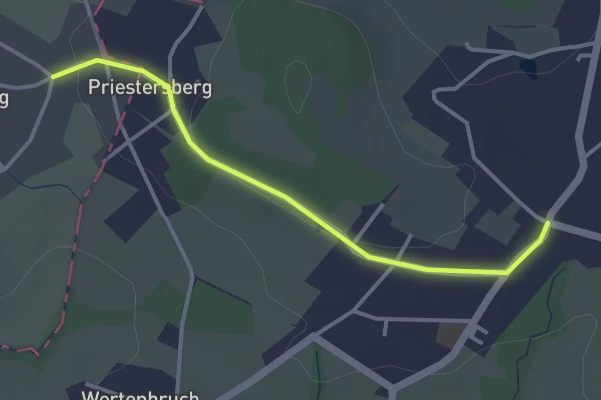
Easy · Trail
Ihringen Schlichten - Pöppital
3.0 km · ↑ 102 m · 56 min
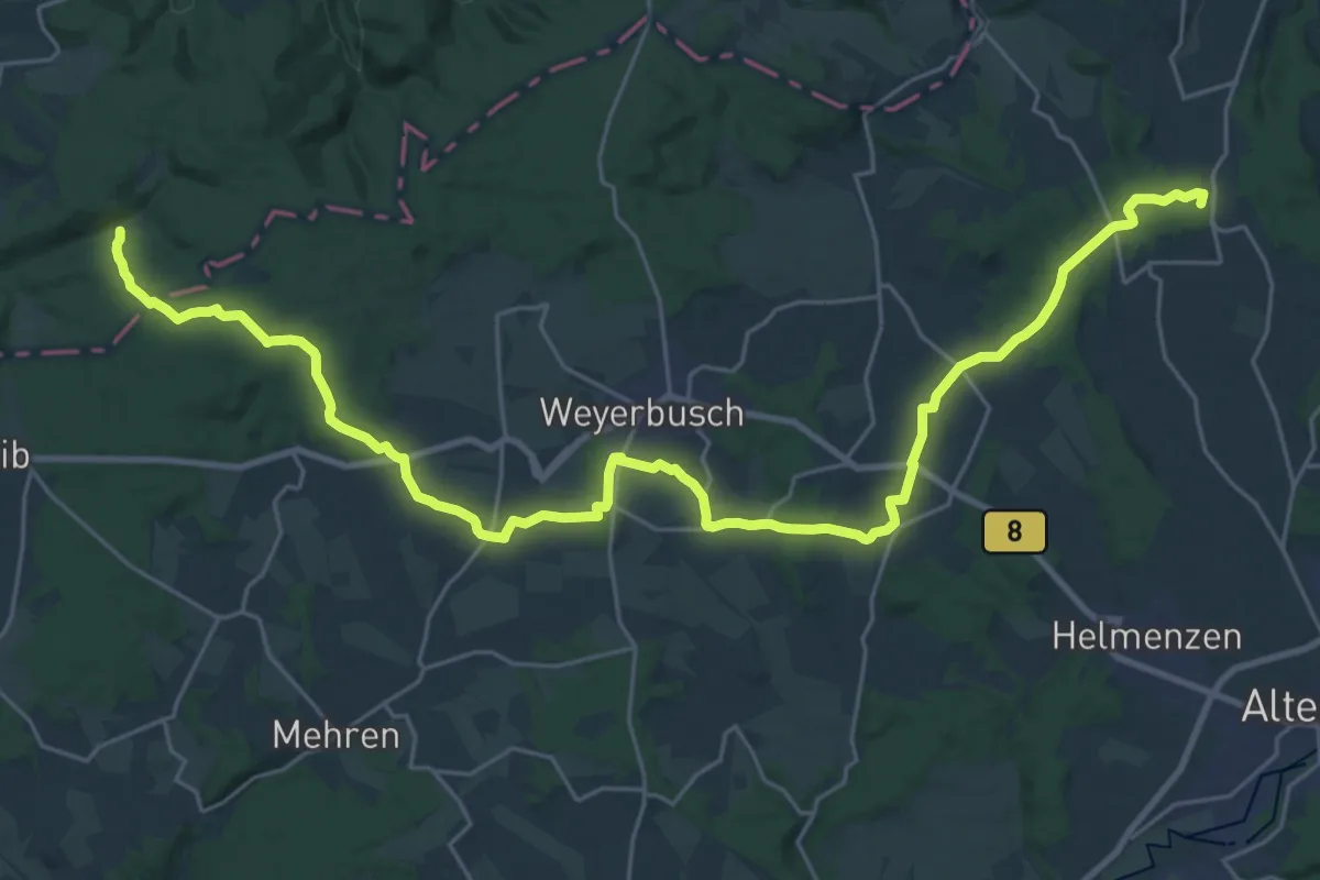
Easy · Trail
[I] HWW Westerwald Etappe 1 (Königswinter - Kölsch-Büllesbach)
2.6 km · ↑ 22 m · 39 min
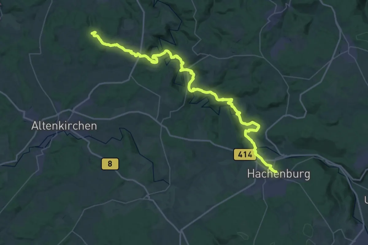
Demanding · Summit
[I] HWW Westerwald Etappe 2 (Kölsch-Büllesbach - Marienthal)
30.9 km · ↑ 604 m · 8 h 36 min
Demanding · Trail
[I] HWW Westerwald Etappe 3 (Marienthal - Hachenburg)
21.6 km · ↑ 525 m · 6 h 30 min
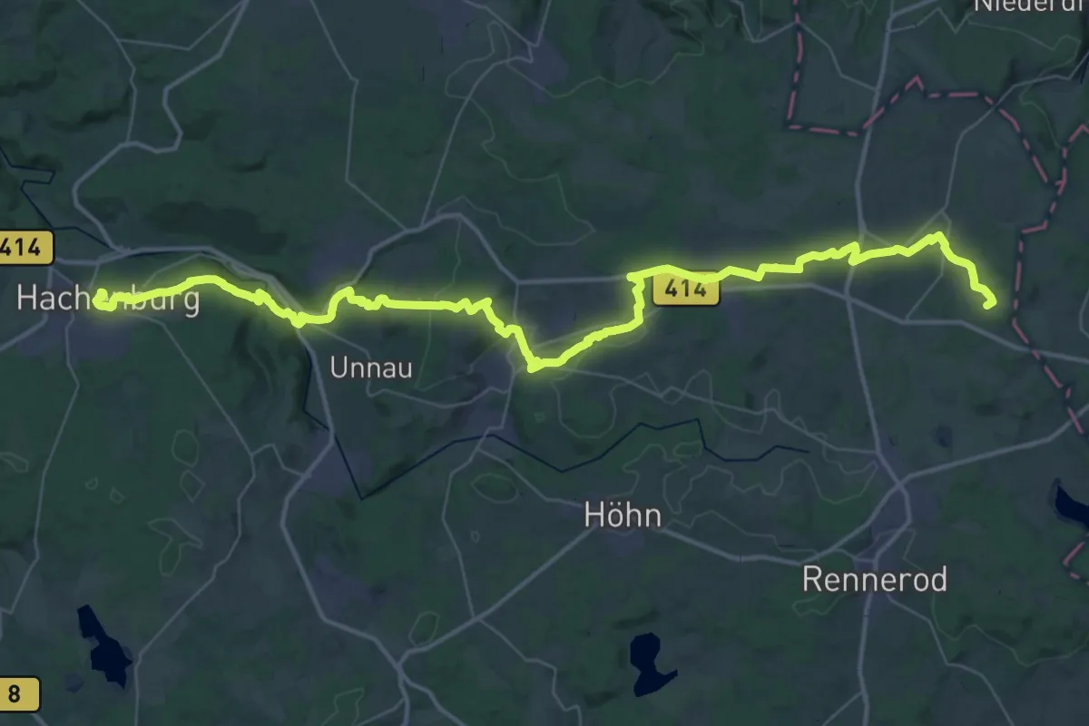
Demanding · Summit
[I] HWW Westerwald Etappe 4 (Hachenburg - Fuchskaute)
56.7 km · ↑ 1270 m · 16 h 8 min
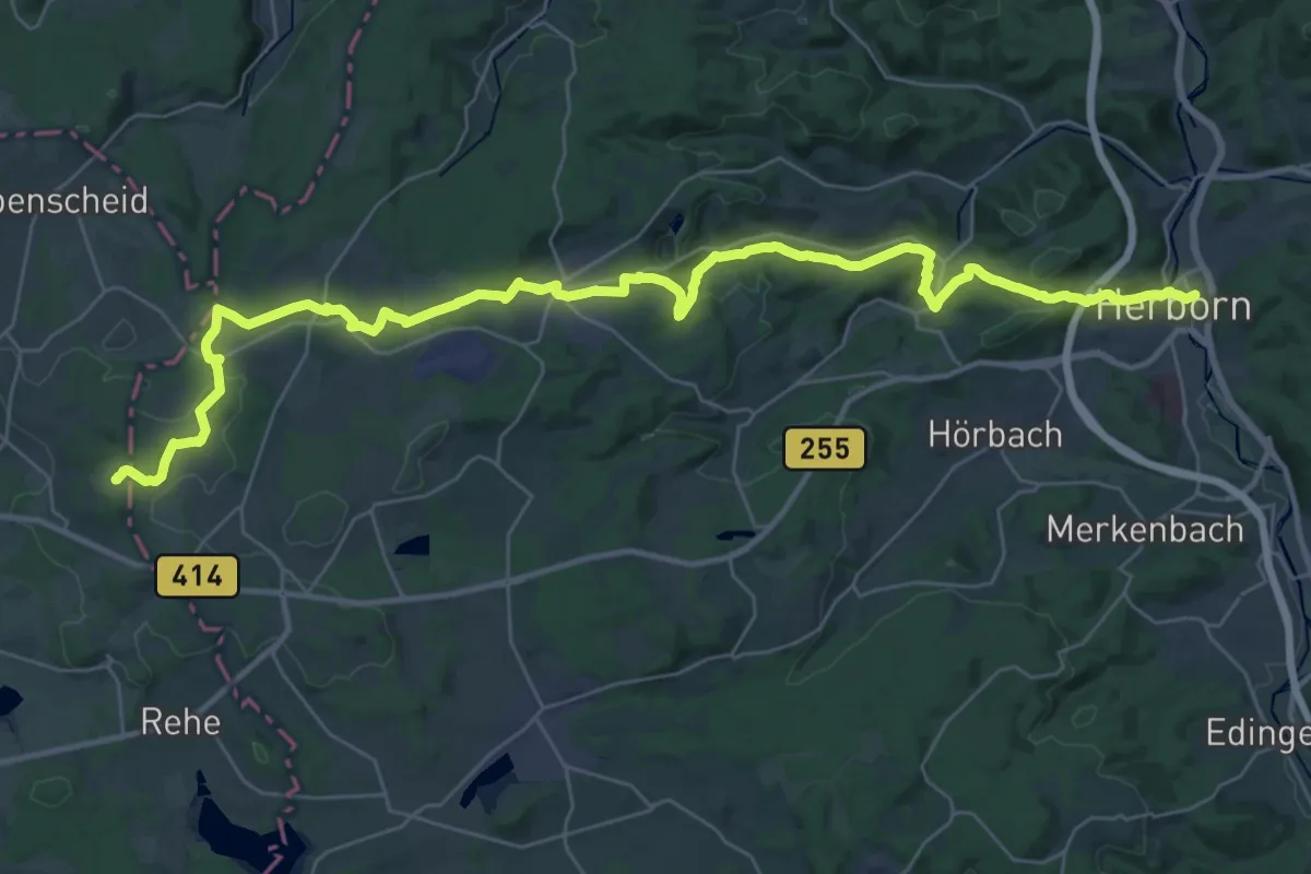
Demanding · Trail
[I] HWW Westerwald Etappe 5 (Fuchskaute - Herborn)
19.9 km · ↑ 710 m · 6 h 18 min
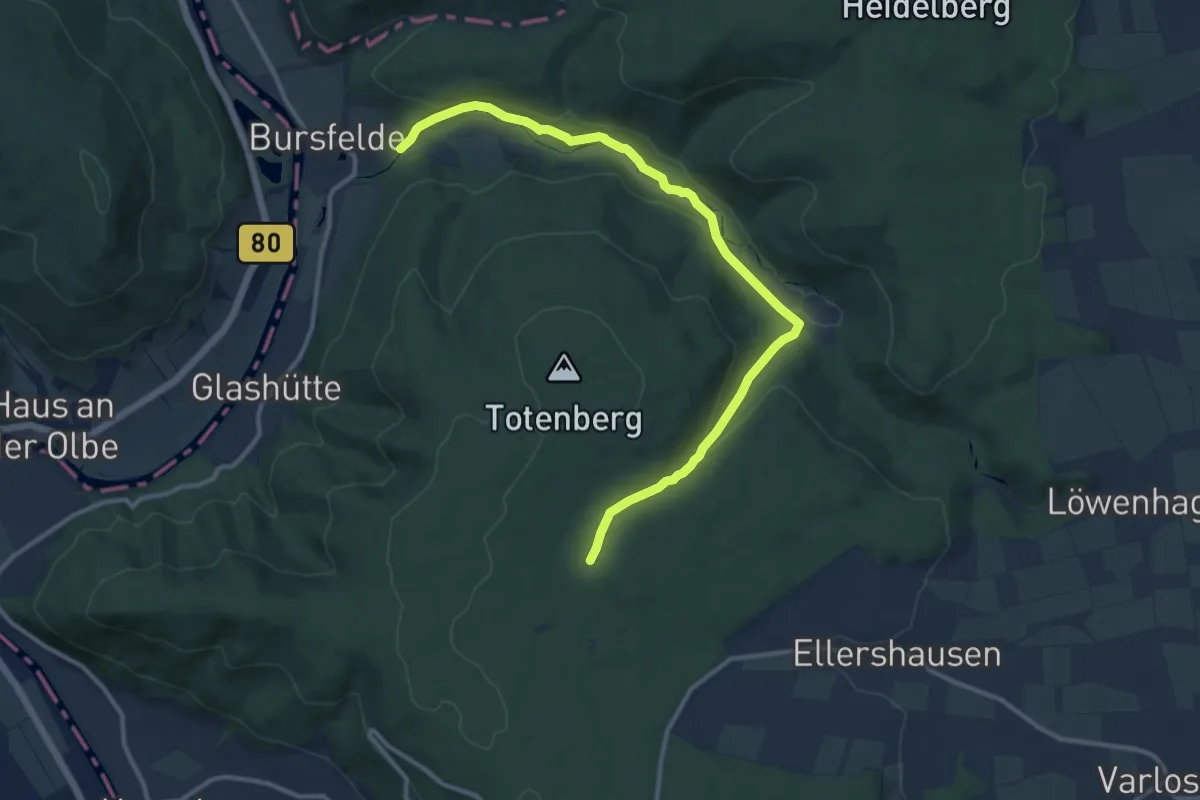
Medium · Trail
II
11.7 km · ↑ 298 m · 3 h 24 min
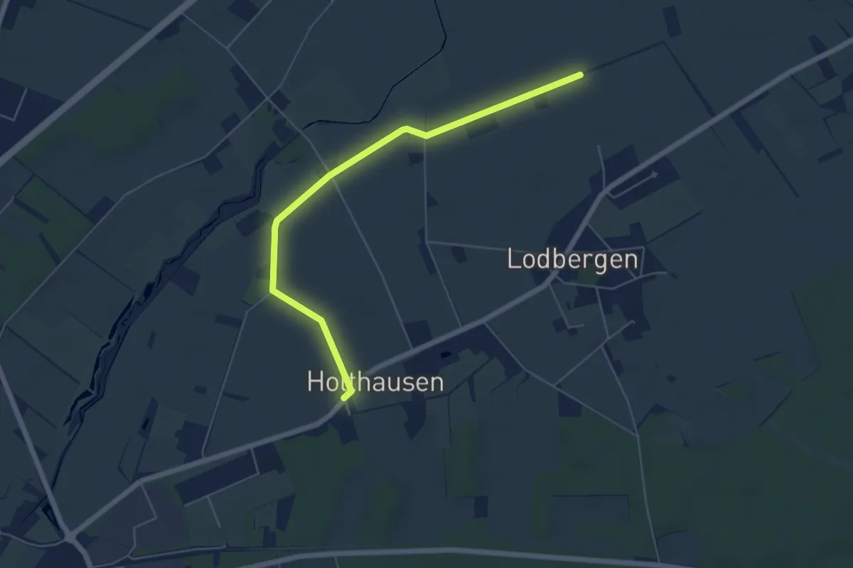
Easy · Trail
III - Lodberger Spazierweg
5.1 km · ↑ 0 m · 1 h 12 min