Trails in Germany
36,852 hiking trails, each with its route, climb, walking time and grade.
All trails, page 263 of 768
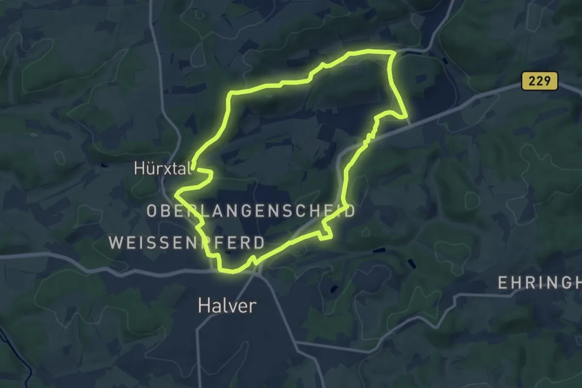
Medium · Trail
[II] Rundweg Halver - Carthausen
9.5 km · ↑ 195 m · 2 h 47 min
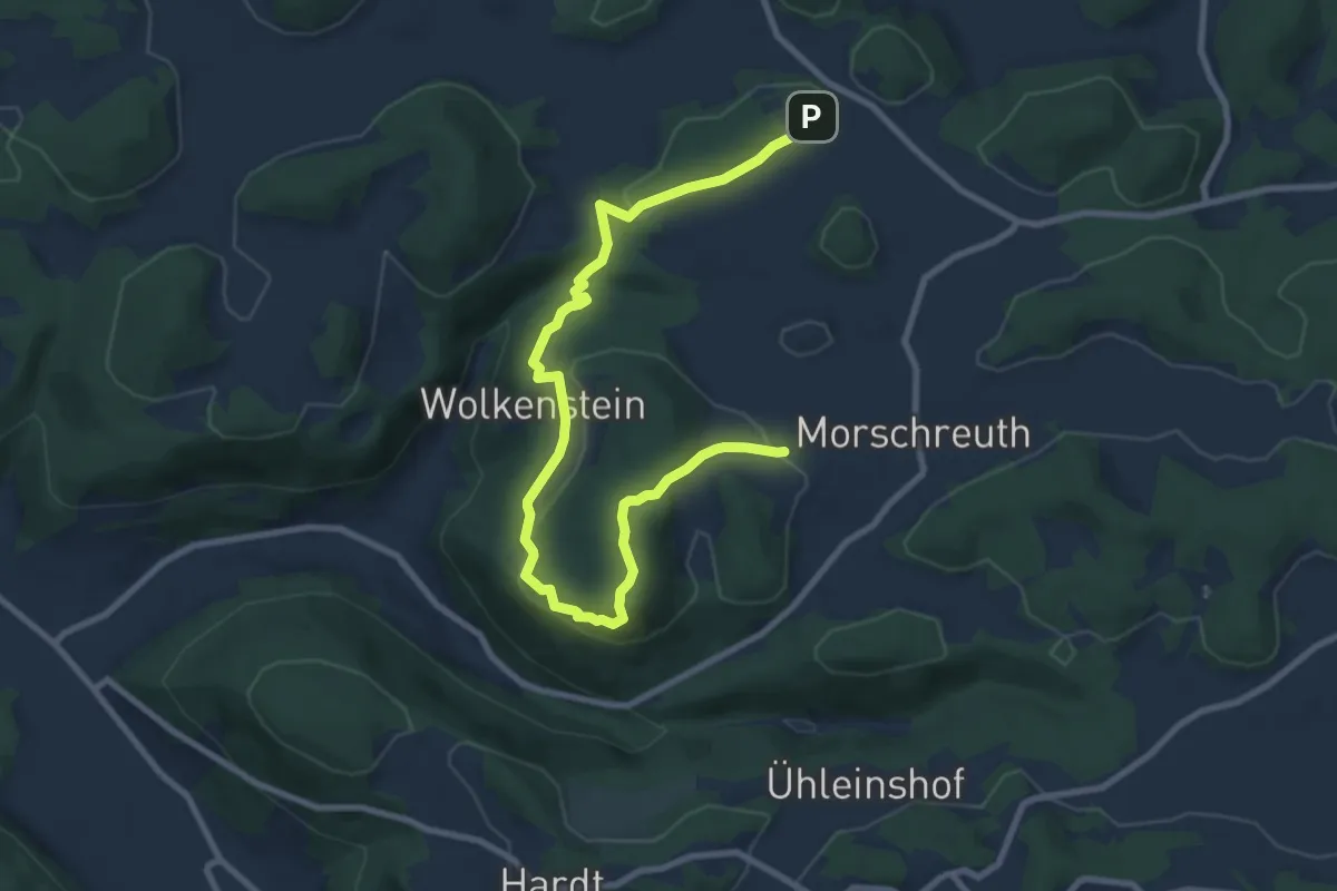
Medium · Trail
IISB
10.1 km · ↑ 328 m · 3 h 5 min
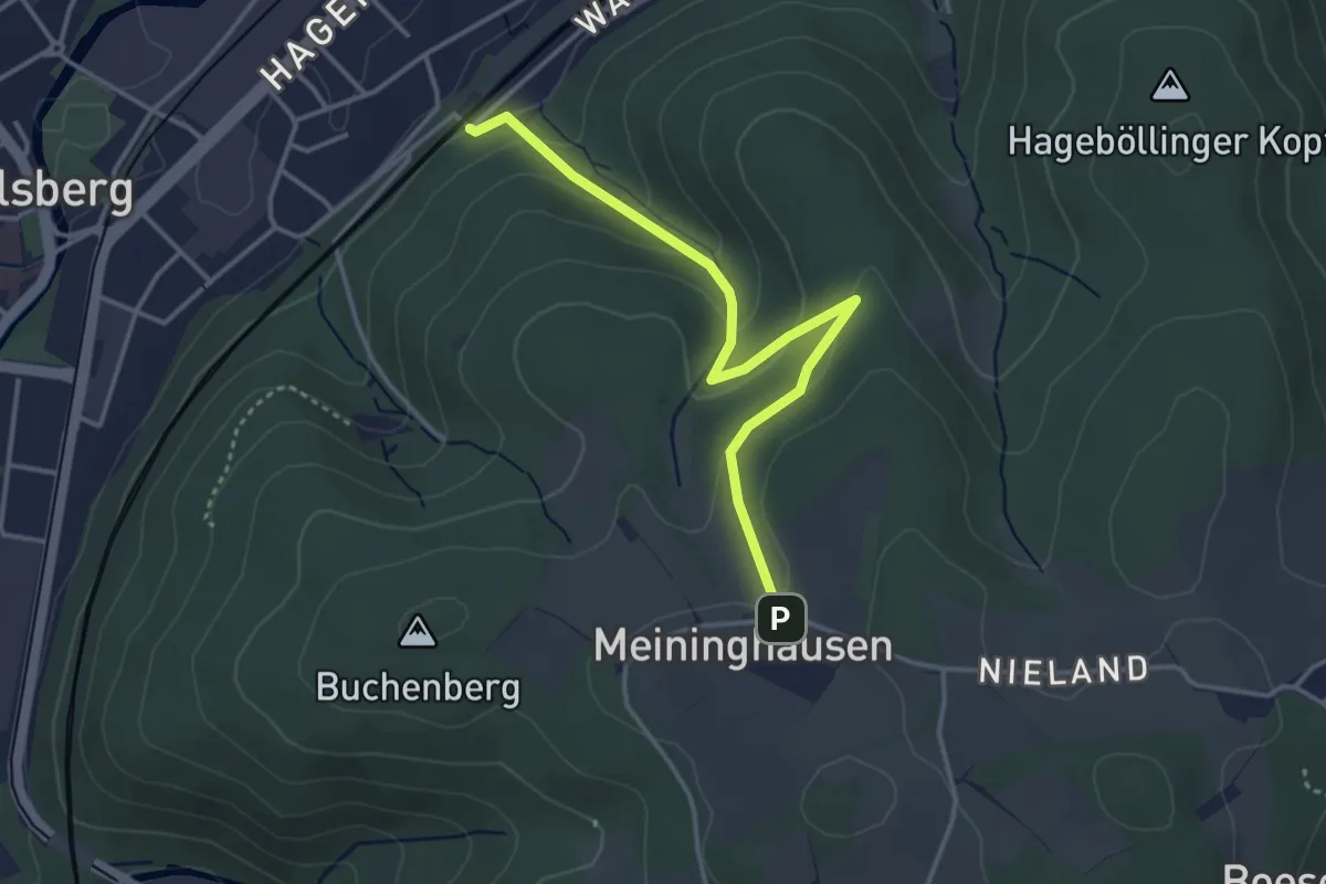
Easy · Trail
[ I ] Ischebecke-Weg
3.4 km · ↑ 167 m · 1 h 10 min
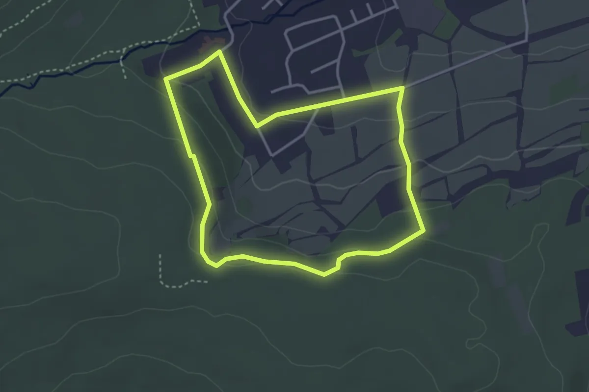
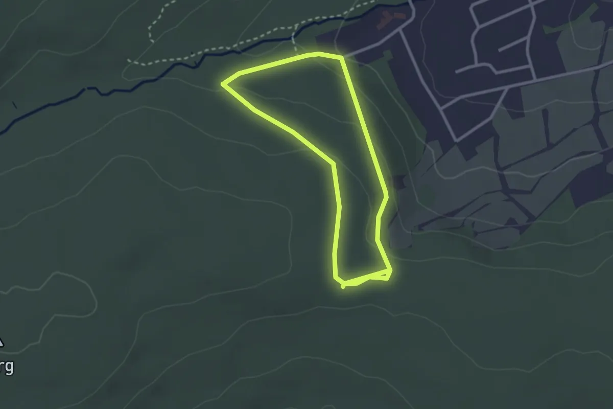
Easy · Trail
Ilbeshausen-Hochwaldhausen R.1
3.0 km · ↑ 84 m · 56 min
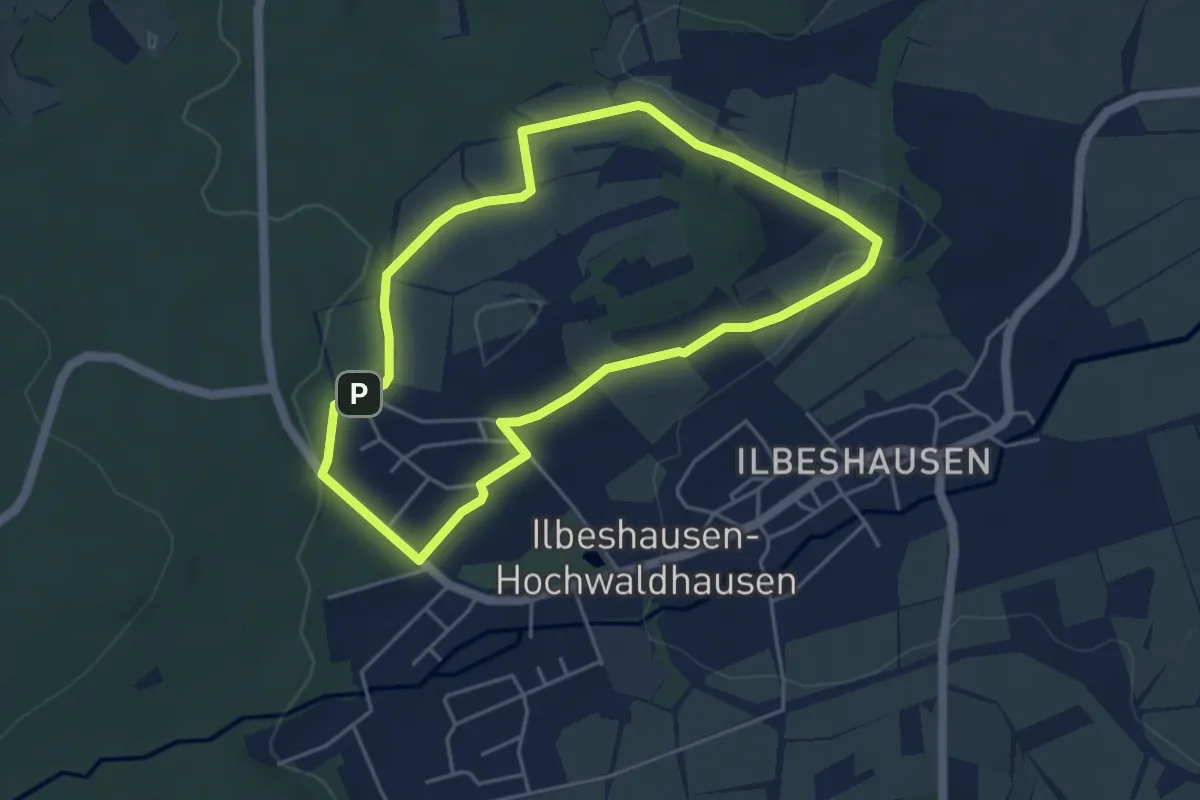
Easy · Trail
Ilbeshausen-Hochwaldhausen R.2
2.2 km · ↑ 72 m · 43 min
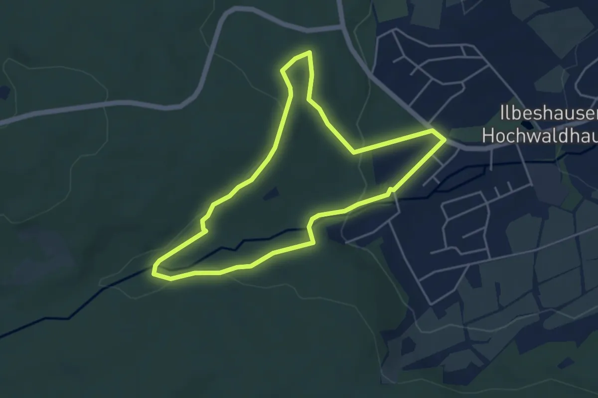
Easy · Trail
Ilbeshausen-Hochwaldhausen R.3
4.0 km · ↑ 54 m · 1 h 6 min
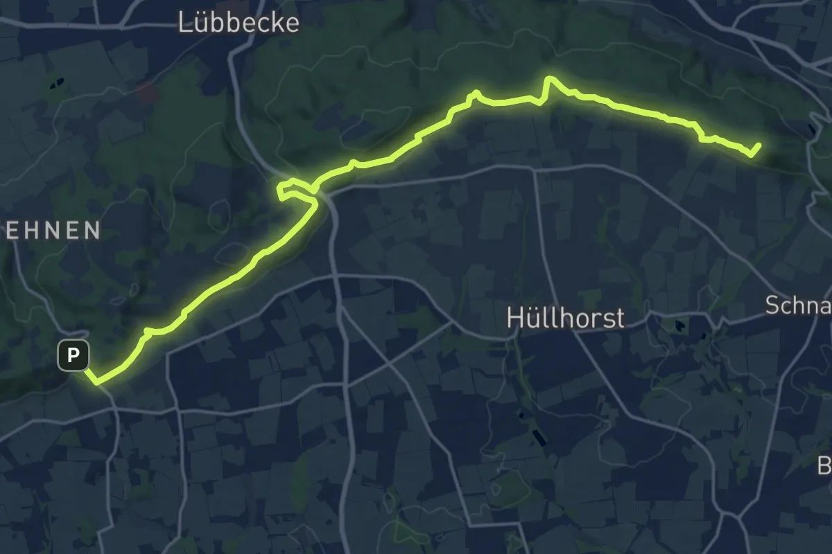
Medium · Trail
Ilbeshausen-Hochwaldhausen R.4
3.7 km · ↑ 95 m · 1 h 7 min
Demanding · Summit
Ilex-Wanderweg
21.1 km · ↑ 627 m · 6 h 21 min
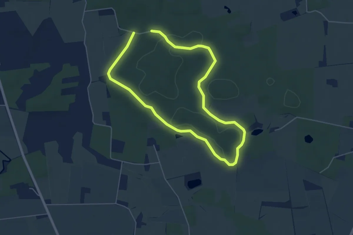
Easy · Trail
Ilexweg
3.6 km · ↑ 42 m · 59 min
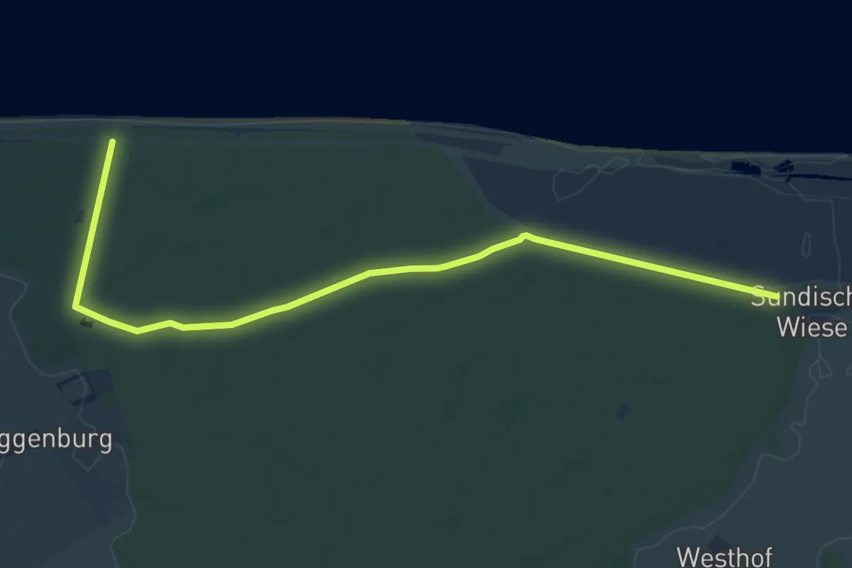
Medium · Trail
Ilex-Weg
9.7 km · ↑ 17 m · 2 h 20 min
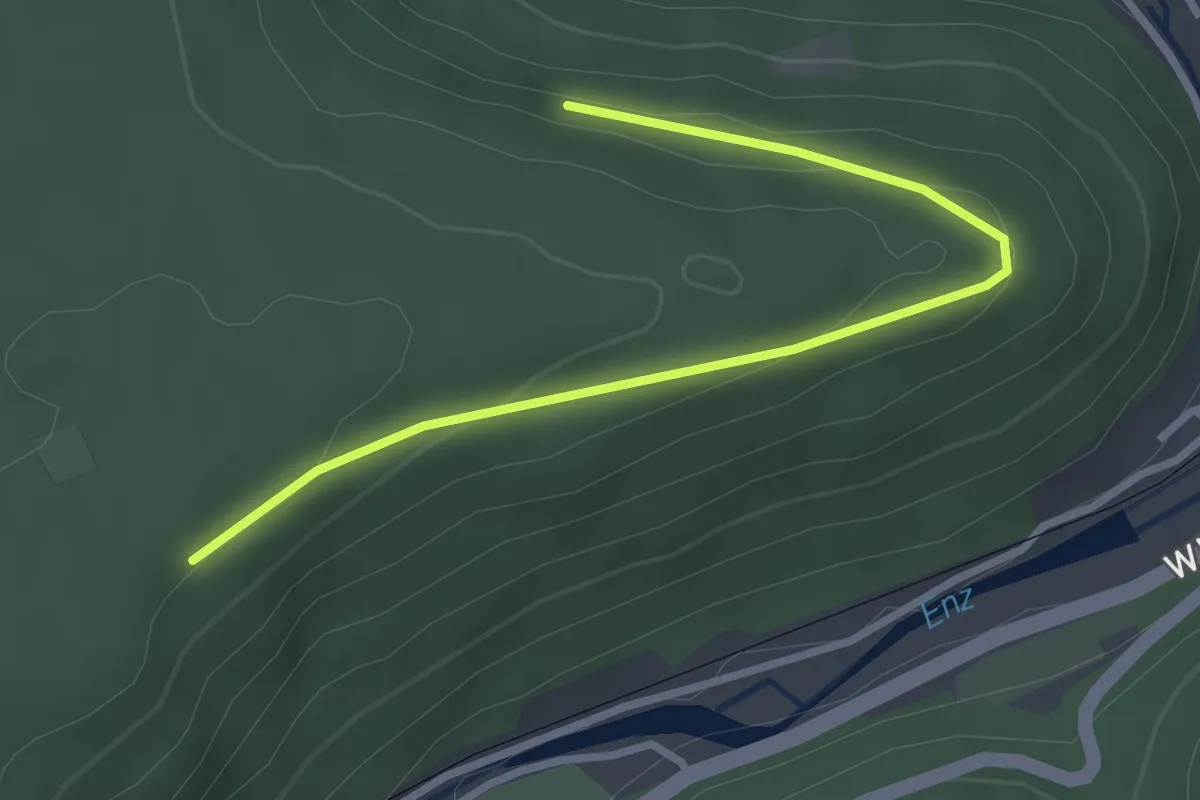
Easy · Trail
Ilgenberg - Miss
3.1 km · ↑ 91 m · 55 min
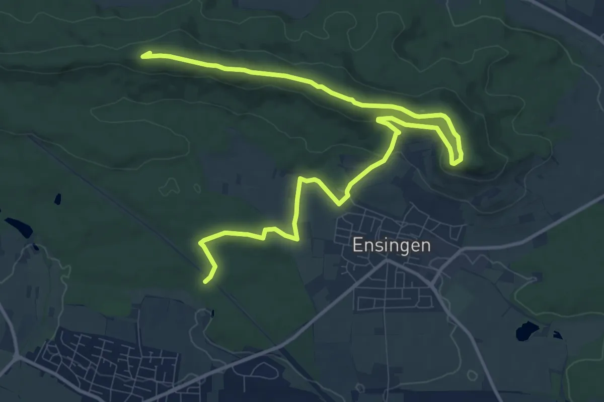
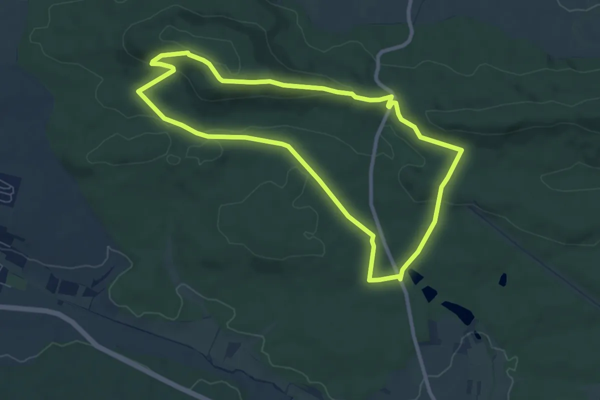
Medium · Summit
ILL1
13.7 km · ↑ 255 m · 3 h 48 min
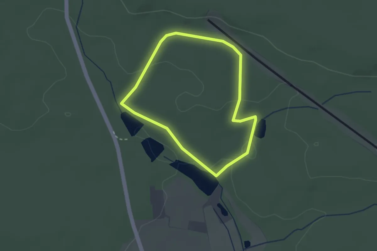
Easy · Summit
ILL2
6.5 km · ↑ 142 m · 1 h 55 min
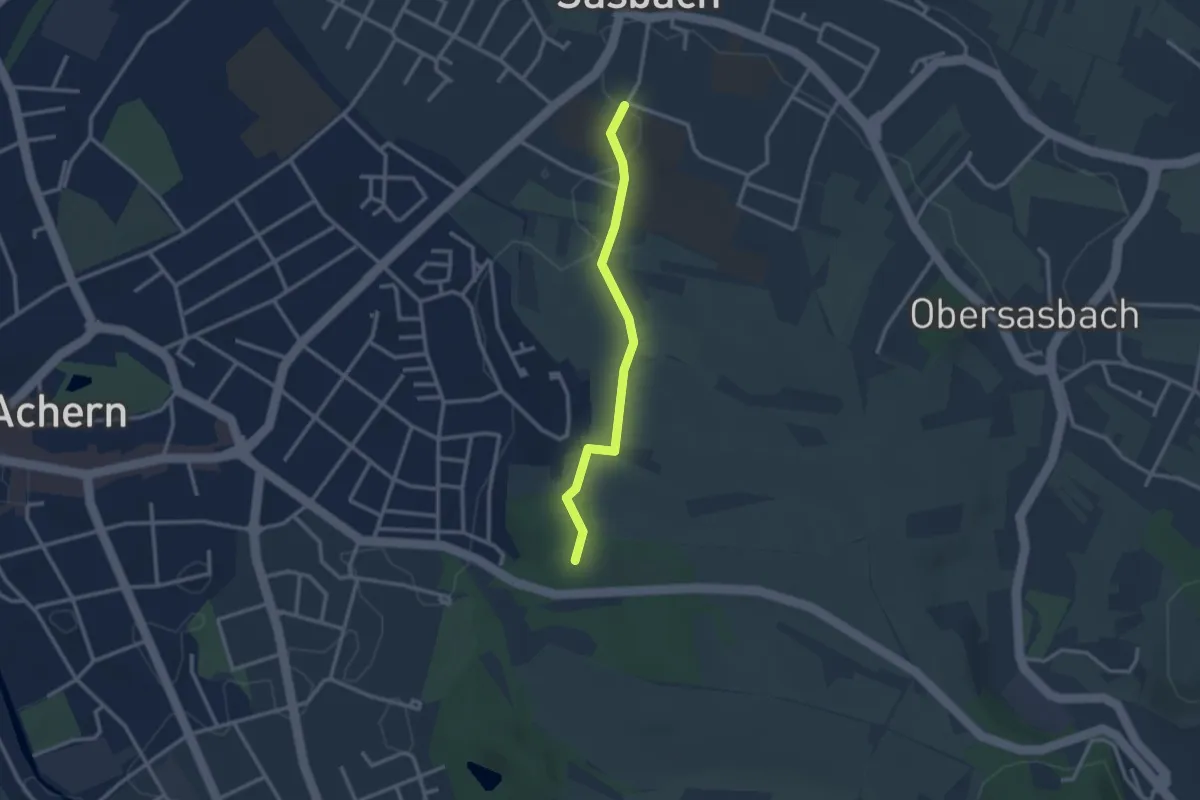
Easy · Trail
ILL3
2.1 km · ↑ 39 m · 36 min
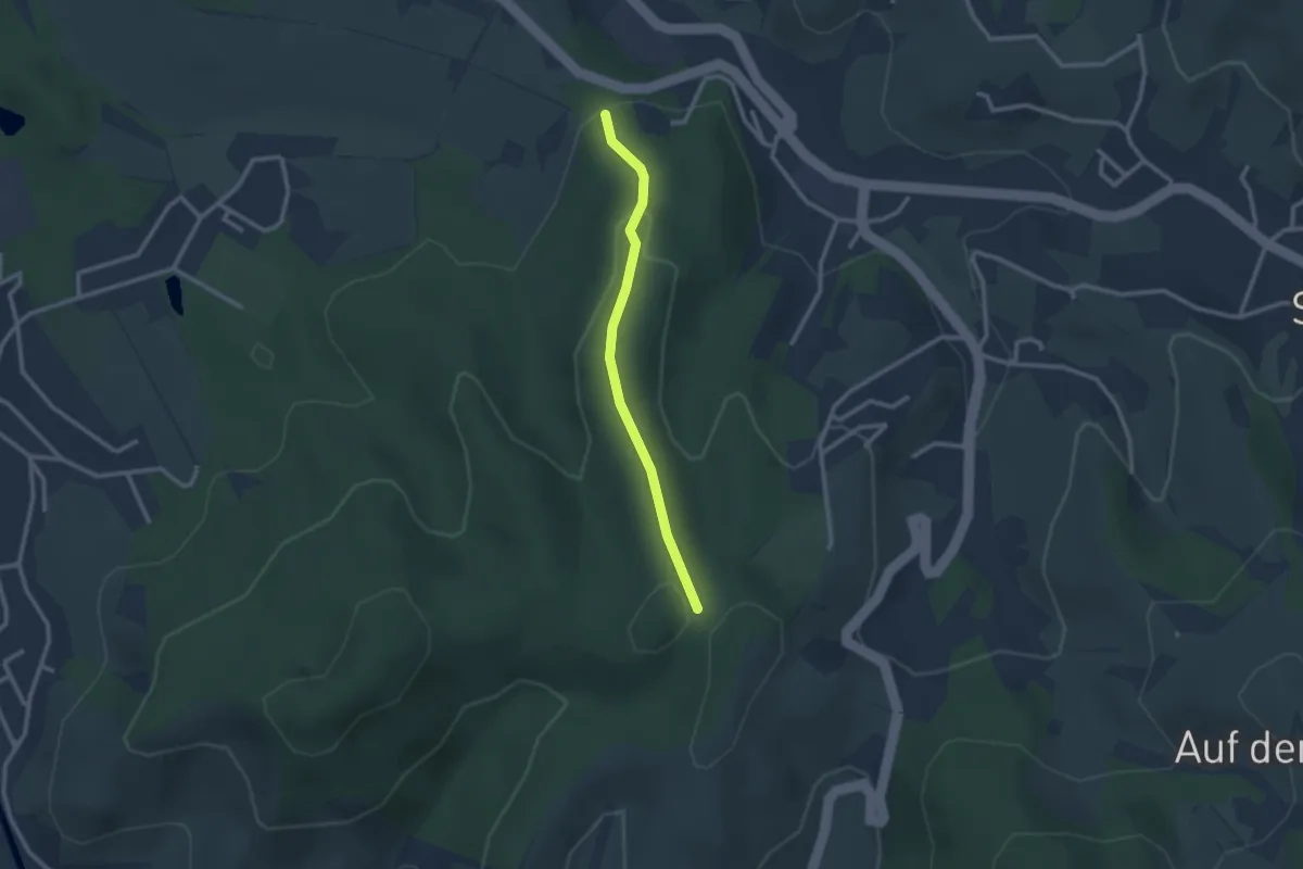
Easy · Trail
Illenauer Friedhof - Sasbach Friedhof
2.5 km · ↑ 23 m · 38 min
Easy · Trail
Illenkreuz - Allmend
2.2 km · ↑ 96 m · 44 min
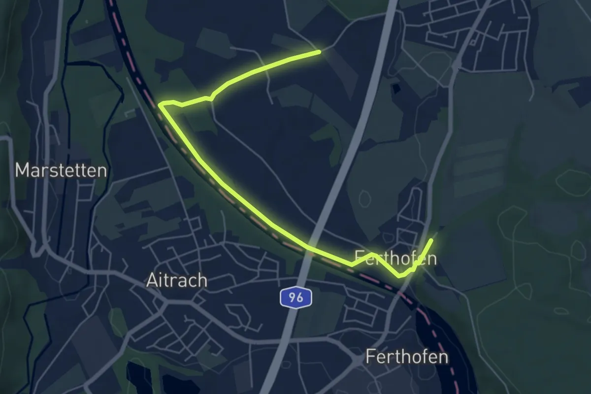
Easy · Trail
Illerfeldrunde
5.9 km · ↑ 34 m · 1 h 28 min
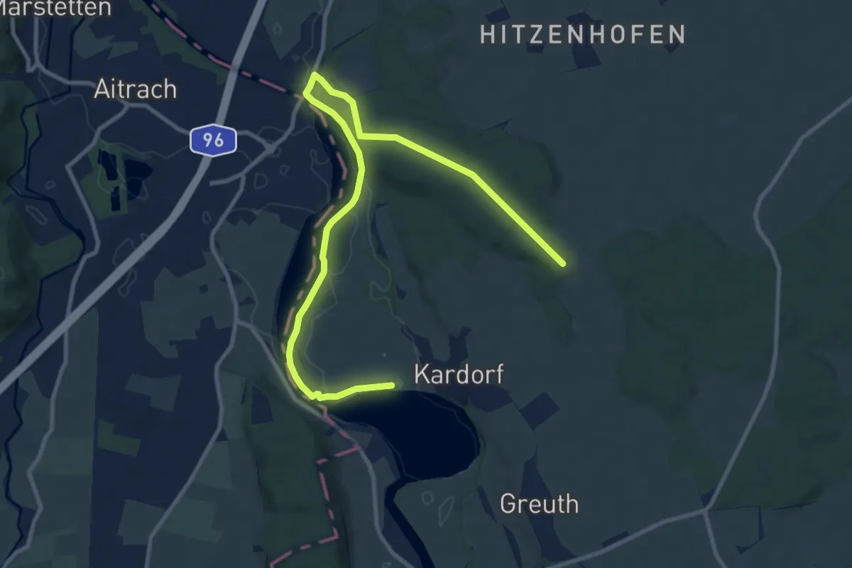
Medium · Trail
Illerstauseerunde
11.6 km · ↑ 147 m · 3 h 4 min
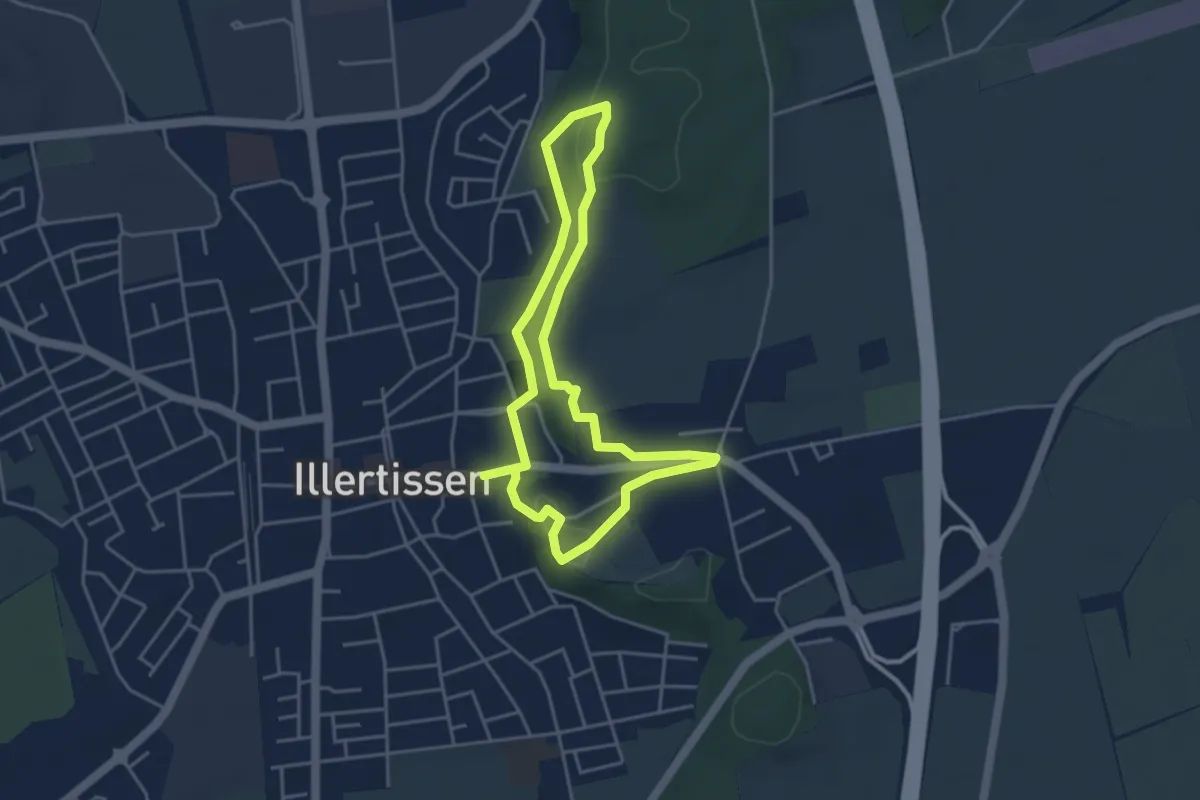
Easy · Trail
Illertisser Bienenweg, kurze Strecke
3.8 km · ↑ 82 m · 1 h 7 min
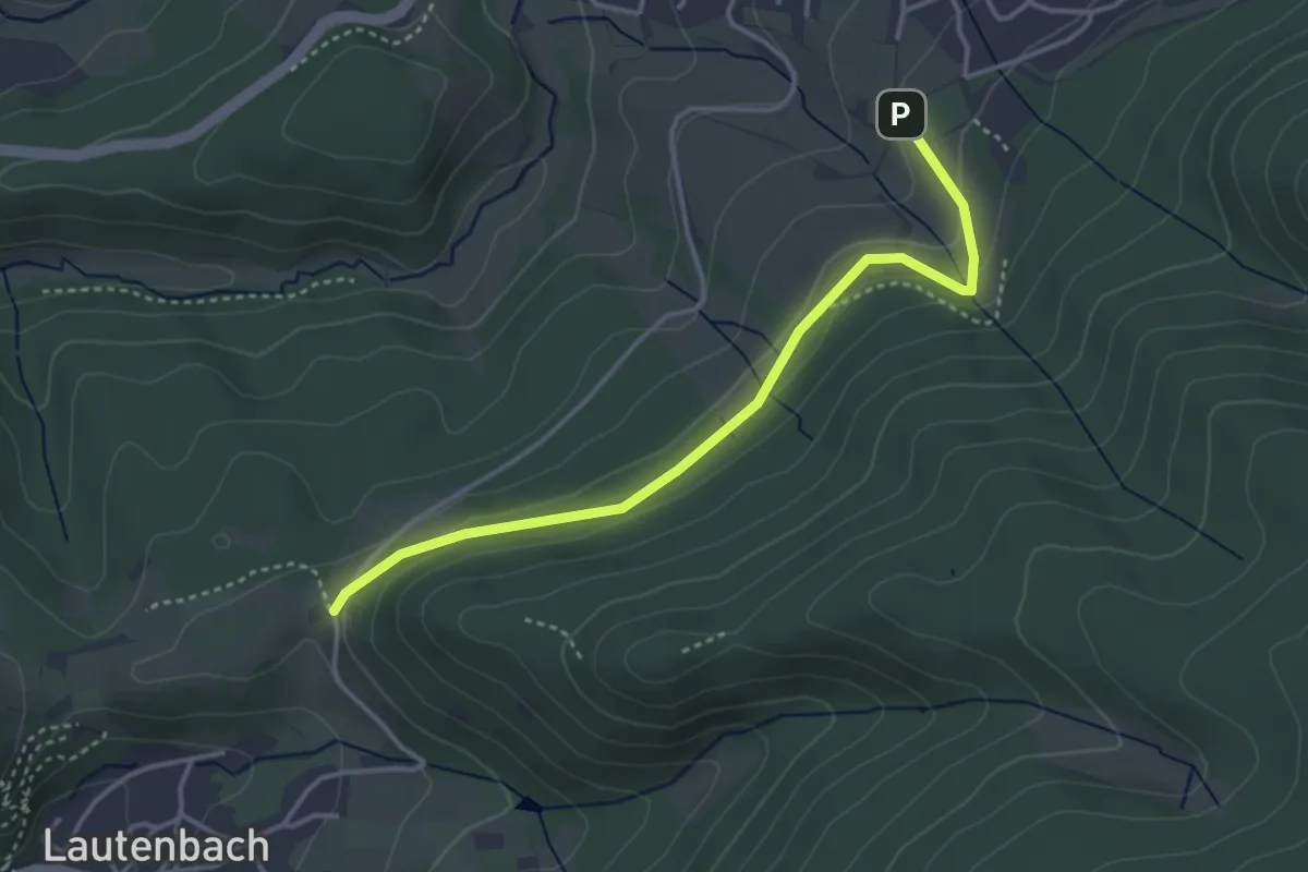
Easy · Trail
Illertkapelle - Loffenau Stumpenäcker
3.6 km · ↑ 99 m · 1 h 3 min
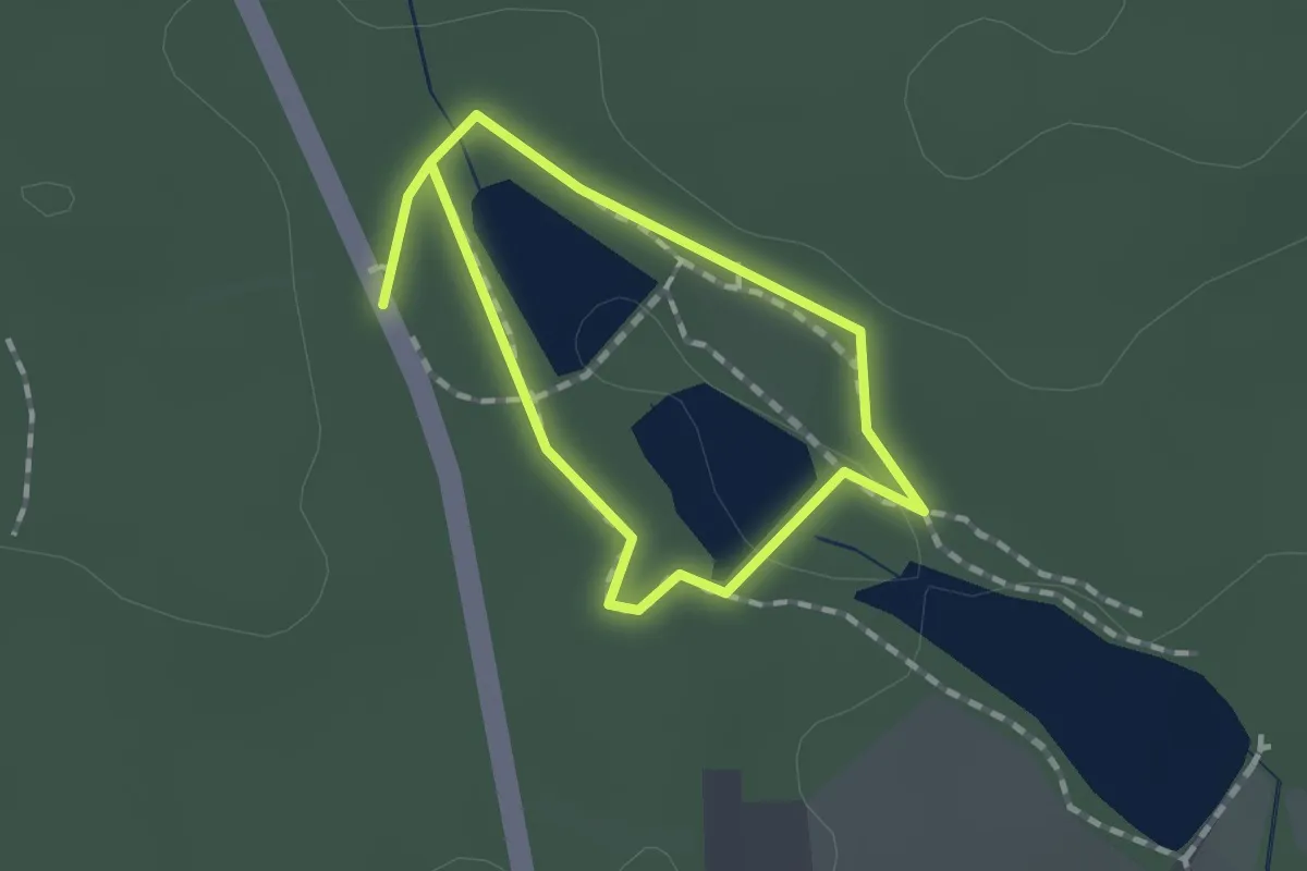
Easy · Trail
Illingen/Württemberg: Rundwanderweg Nr. 1
1.0 km · ↑ 28 m · 19 min
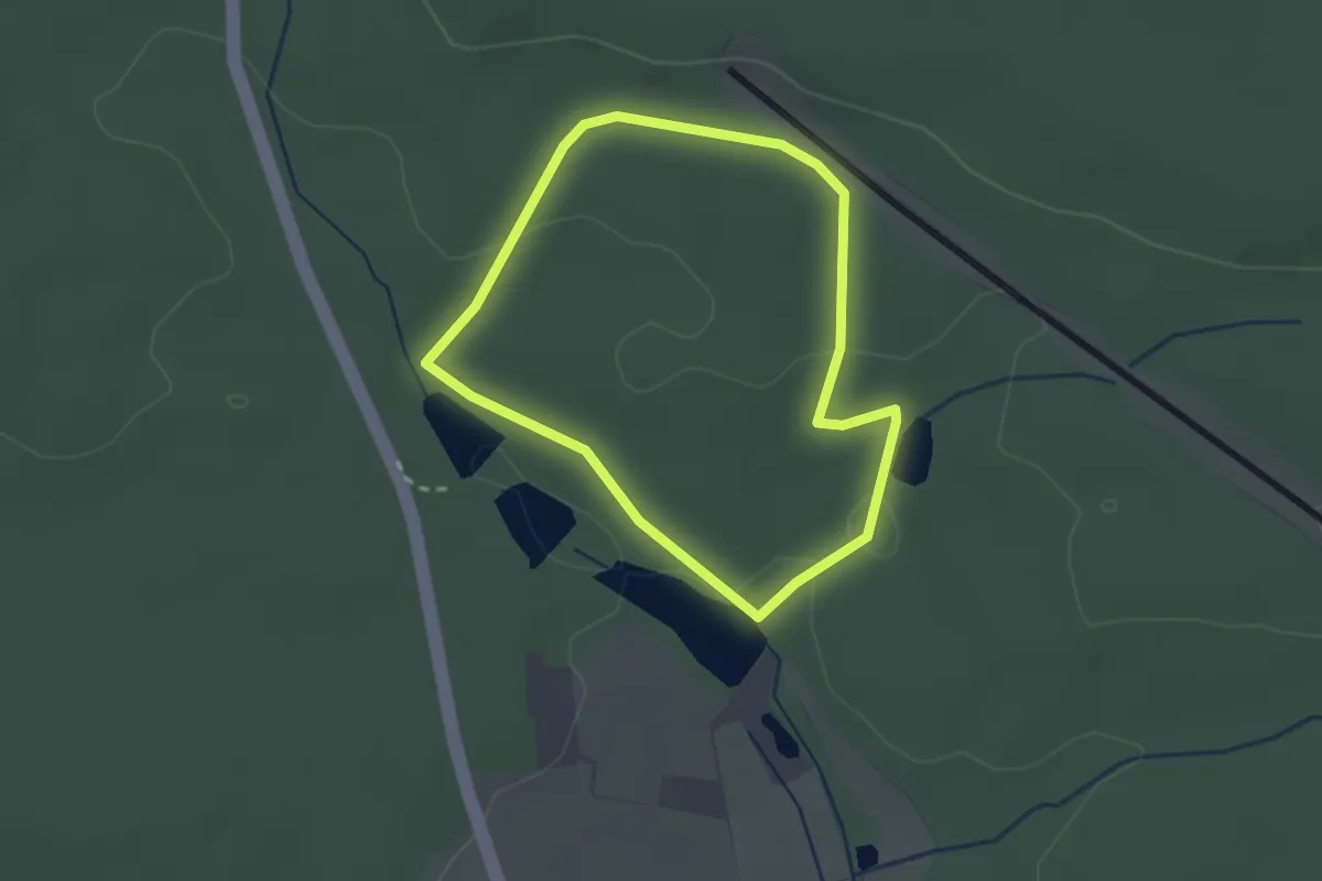
Easy · Trail
Illingen/Württemberg: Rundwanderweg Nr. 2
2.1 km · ↑ 39 m · 36 min
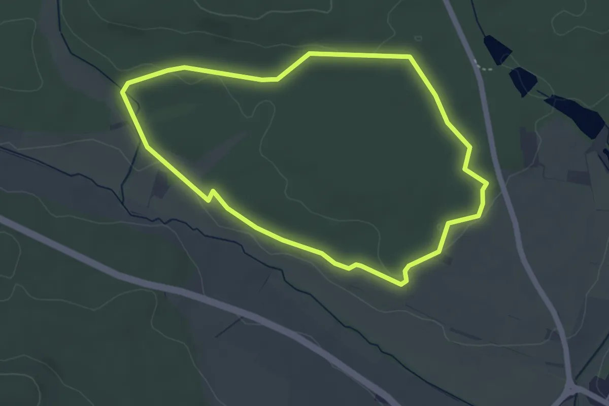
Easy · Trail
Illingen/Württemberg: Rundwanderweg Nr. 3
3.7 km · ↑ 32 m · 1 h
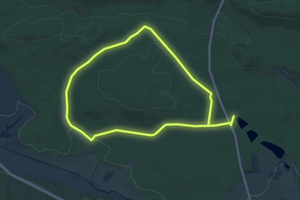
Easy · Trail
Illingen/Württemberg: Rundwanderweg Nr. 4
4.2 km · ↑ 46 m · 1 h 10 min
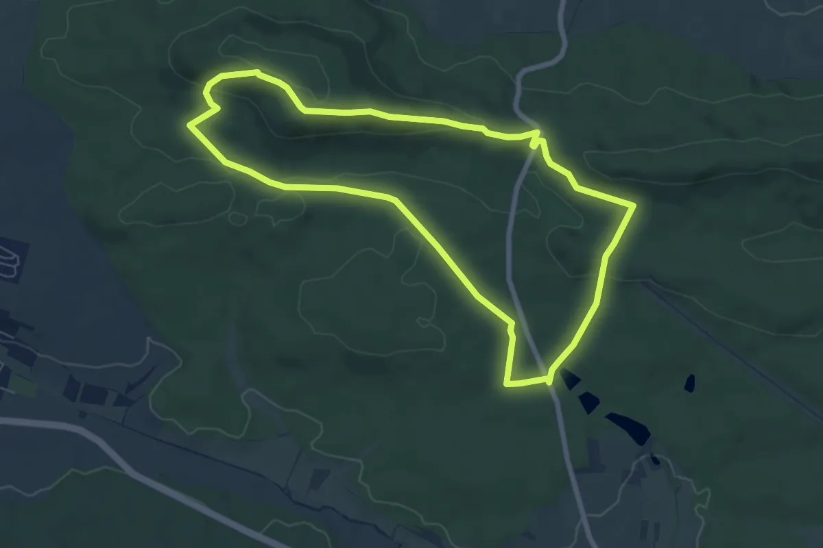
Easy · Summit
Illingen/Württemberg: Rundwanderweg Nr. 5
6.3 km · ↑ 143 m · 1 h 53 min
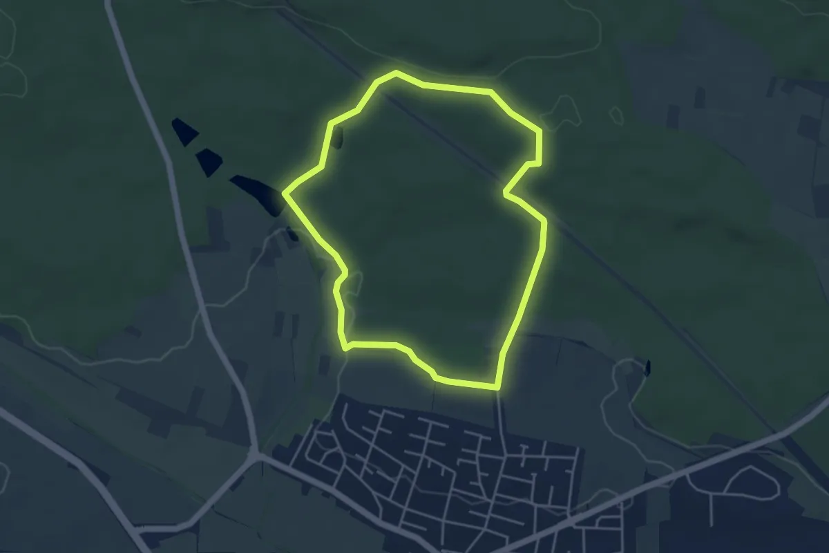
Easy · Trail
Illingen/Württemberg: Rundwanderweg Nr. 6
3.9 km · ↑ 48 m · 1 h 4 min
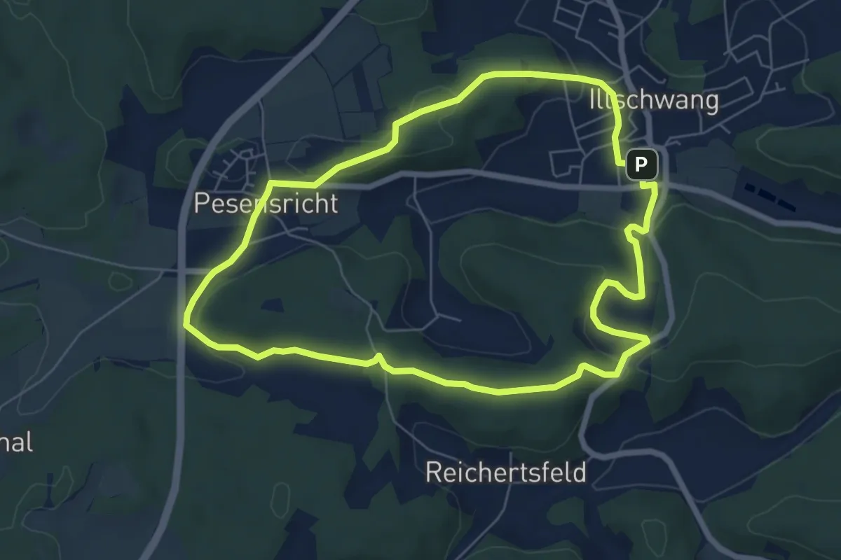
Easy · Summit
Illschwang Wanderweg 1
6.0 km · ↑ 155 m · 1 h 50 min
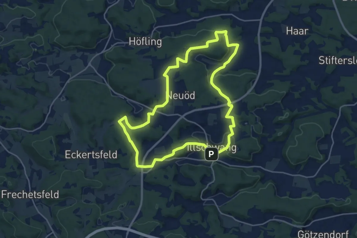
Medium · Summit
Illschwang Wanderweg 2
14.5 km · ↑ 288 m · 4 h 15 min
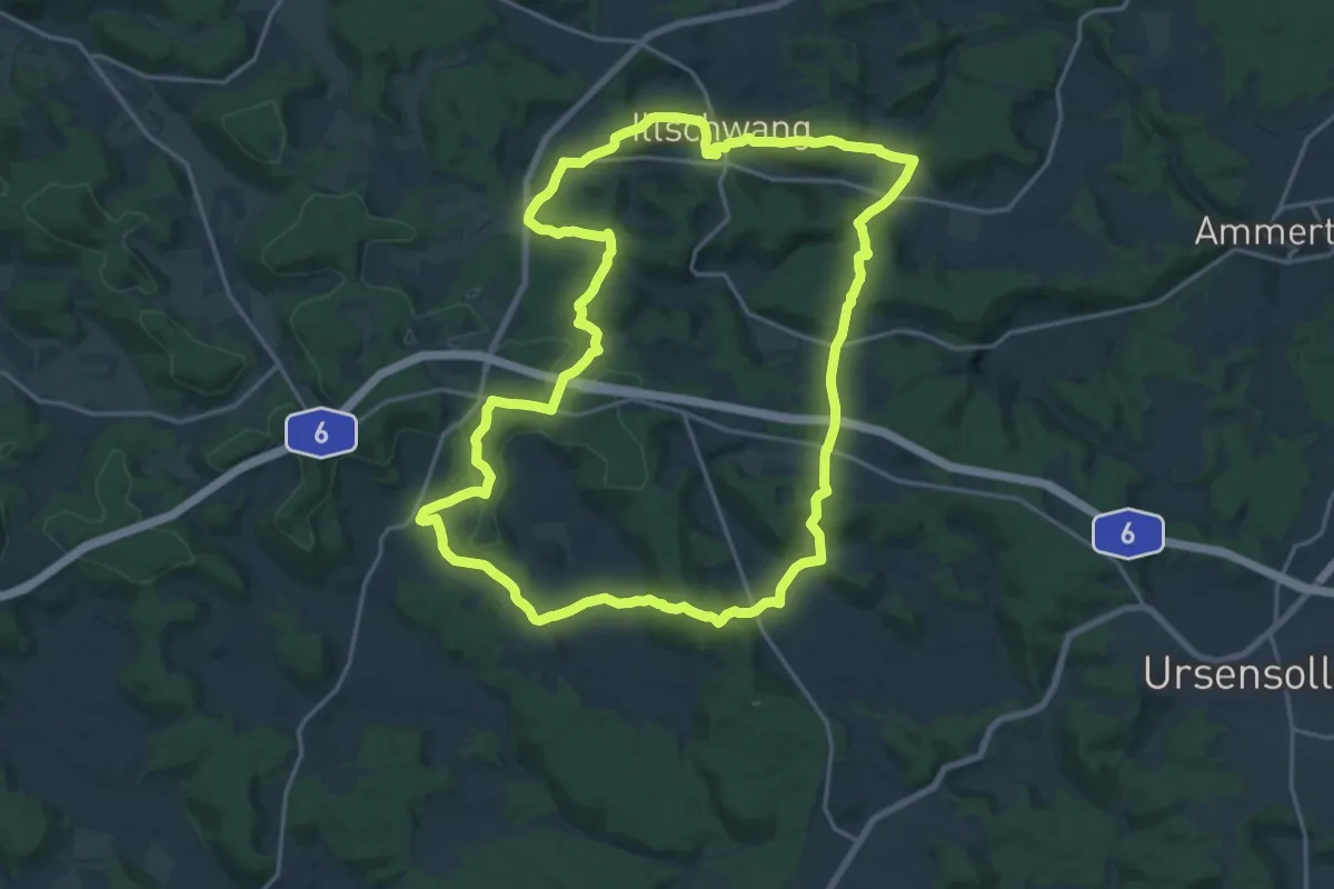
Demanding · Summit
Illschwang Wanderweg 25
19.7 km · ↑ 538 m · 6 h 5 min
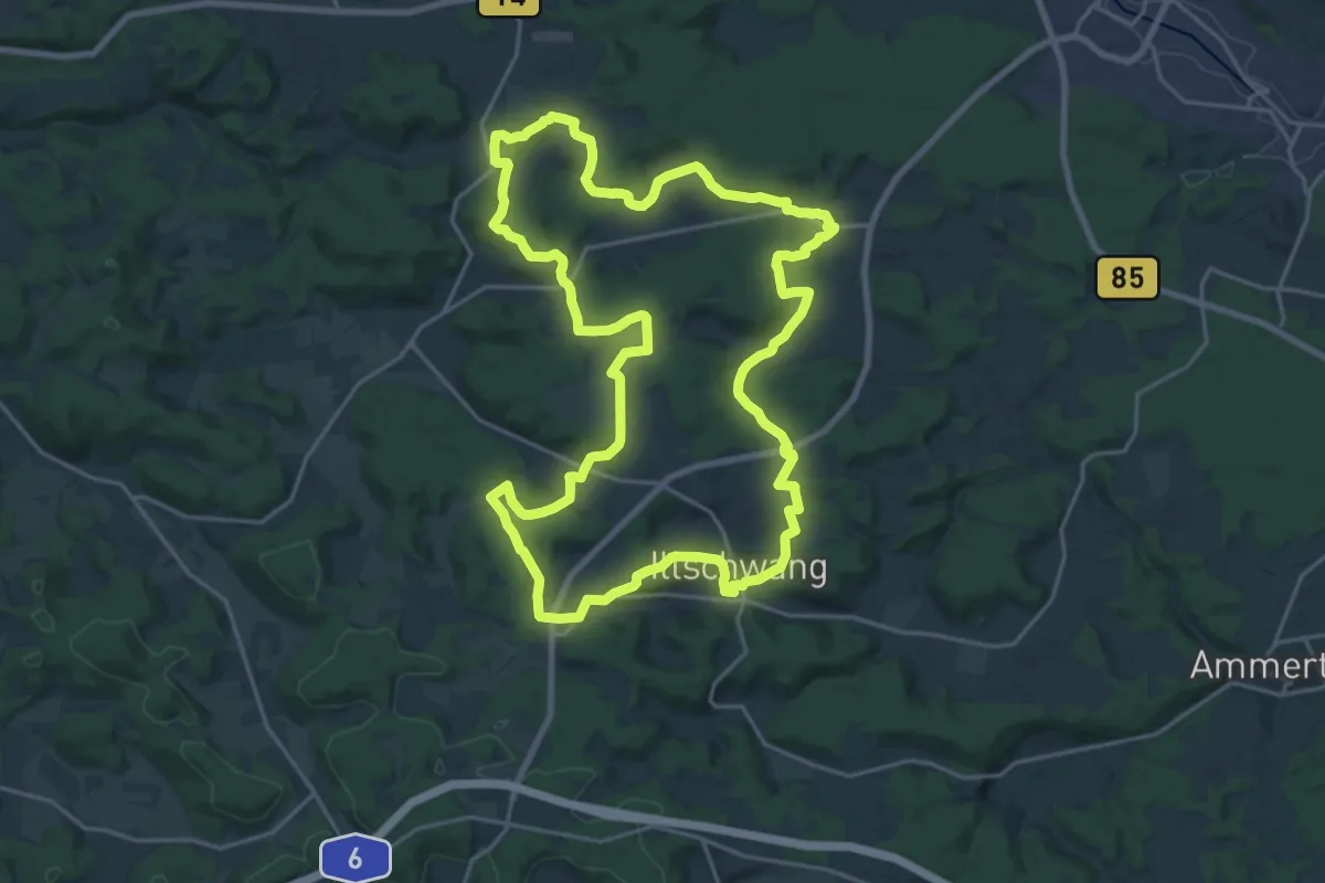
Demanding · Summit
Illschwang Wanderweg 3
21.7 km · ↑ 434 m · 6 h 22 min
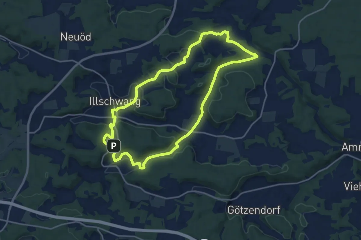
Medium · Summit
Illschwang Wanderweg 4
11.1 km · ↑ 271 m · 3 h 22 min
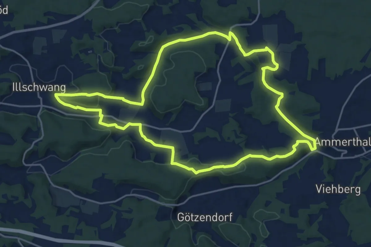
Medium · Summit
Illschwang Wanderweg 5
14.3 km · ↑ 290 m · 4 h 11 min
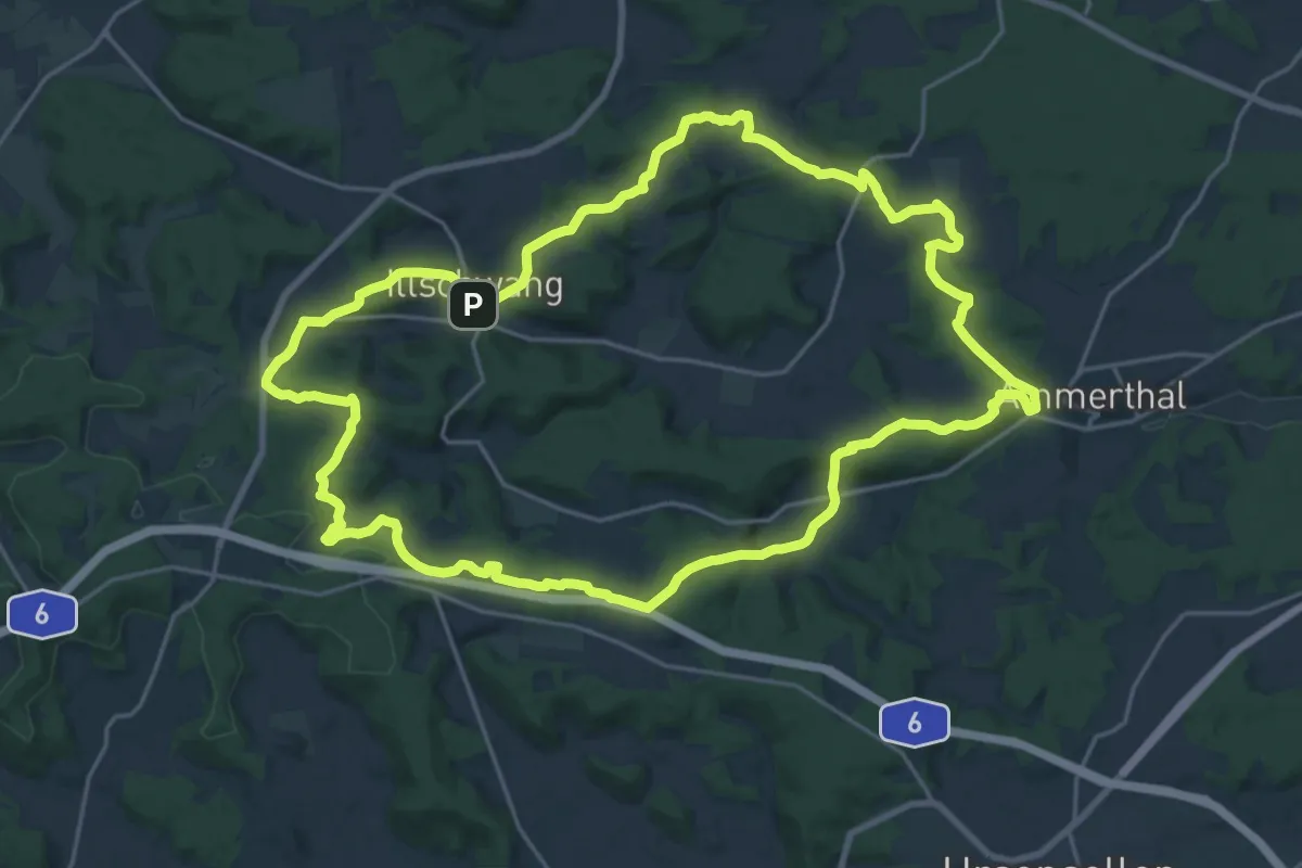
Demanding · Summit
Illschwang Wanderweg 7
22.4 km · ↑ 477 m · 6 h 38 min
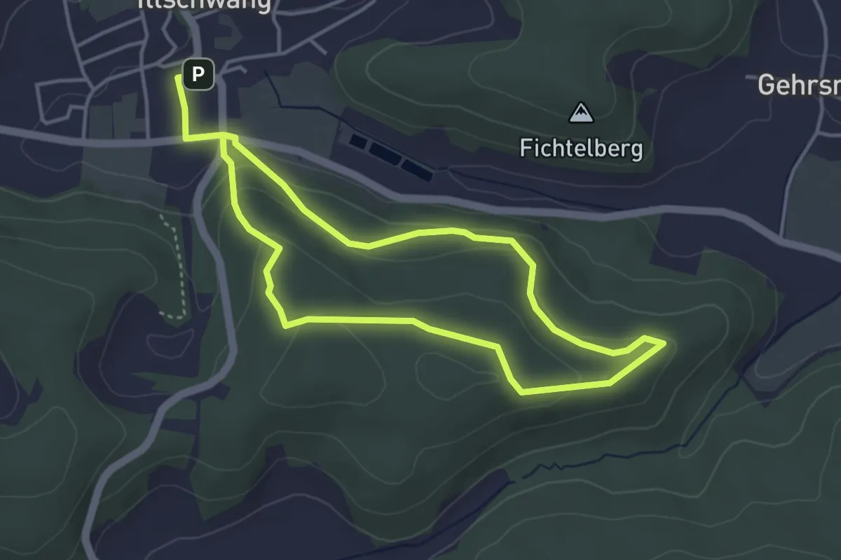
Easy · Summit
Illschwang Wanderweg 8
3.4 km · ↑ 122 m · 1 h 6 min
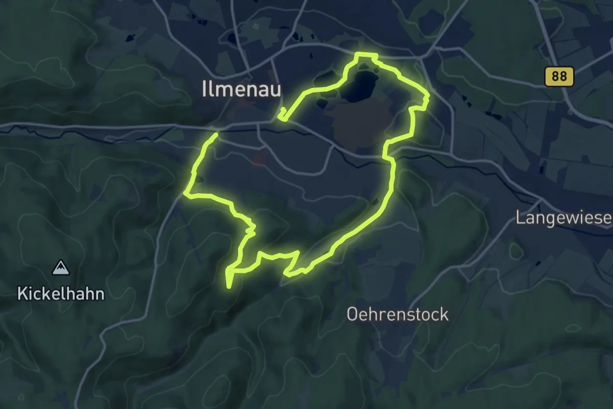
Medium · Summit
Ilmenauer Naturpfad
11.0 km · ↑ 229 m · 3 h 15 min
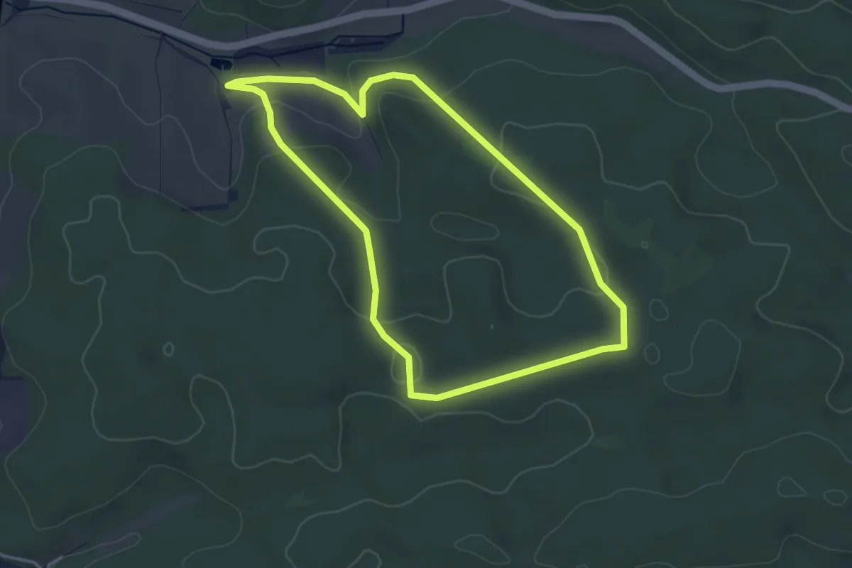
Easy · Trail
Ilmmünsterer Wege (5 / gelb-kurz)
3.5 km · ↑ 64 m · 1 h 1 min
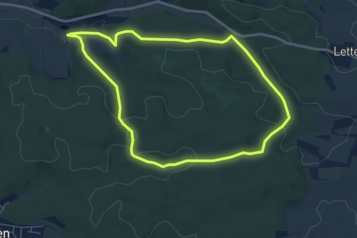
Easy · Trail
Ilmmünsterer Wege (5 / gelb-lang)
5.0 km · ↑ 84 m · 1 h 27 min
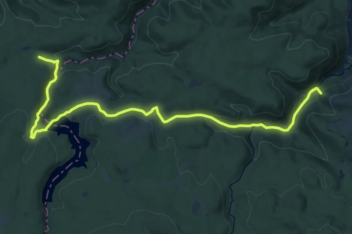
Demanding · Summit
Ilsenburg - Bad Harzburg
19.4 km · ↑ 449 m · 5 h 34 min
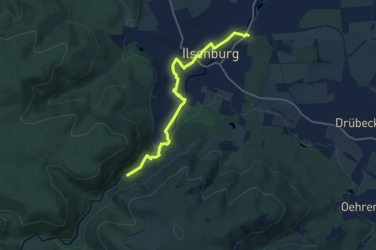
Medium · Trail
Ilsenburger Eisenpfad
8.3 km · ↑ 95 m · 2 h 10 min
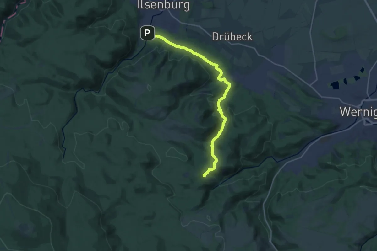
Medium · Trail
Ilsenburg - Öhrenfeld - Steinerne Renne
15.1 km · ↑ 429 m · 4 h 30 min
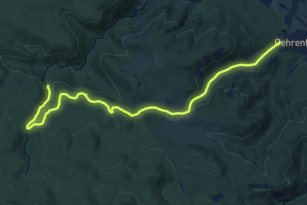
Medium · Trail
Ilsenburg - Plessenburg - Darlingerode
16.3 km · ↑ 498 m · 4 h 56 min
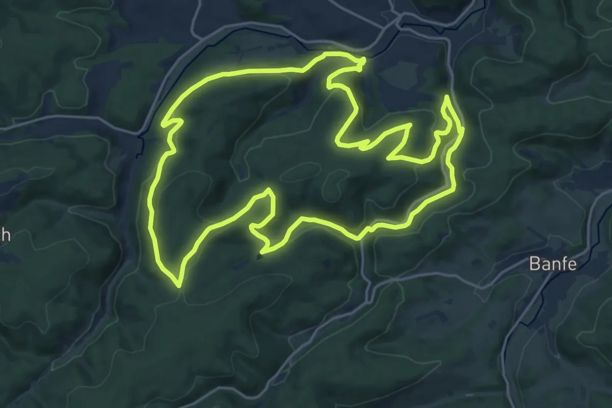
Medium · Trail
Ilsetalpfad
16.5 km · ↑ 486 m · 5 h 11 min
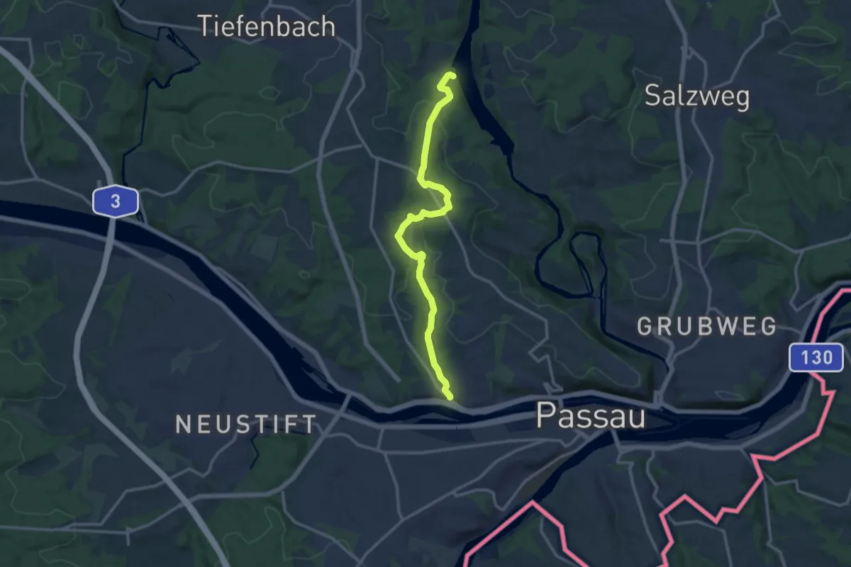
Medium · Trail
Ilzufer - Hacklberg
12.1 km · ↑ 286 m · 3 h 29 min
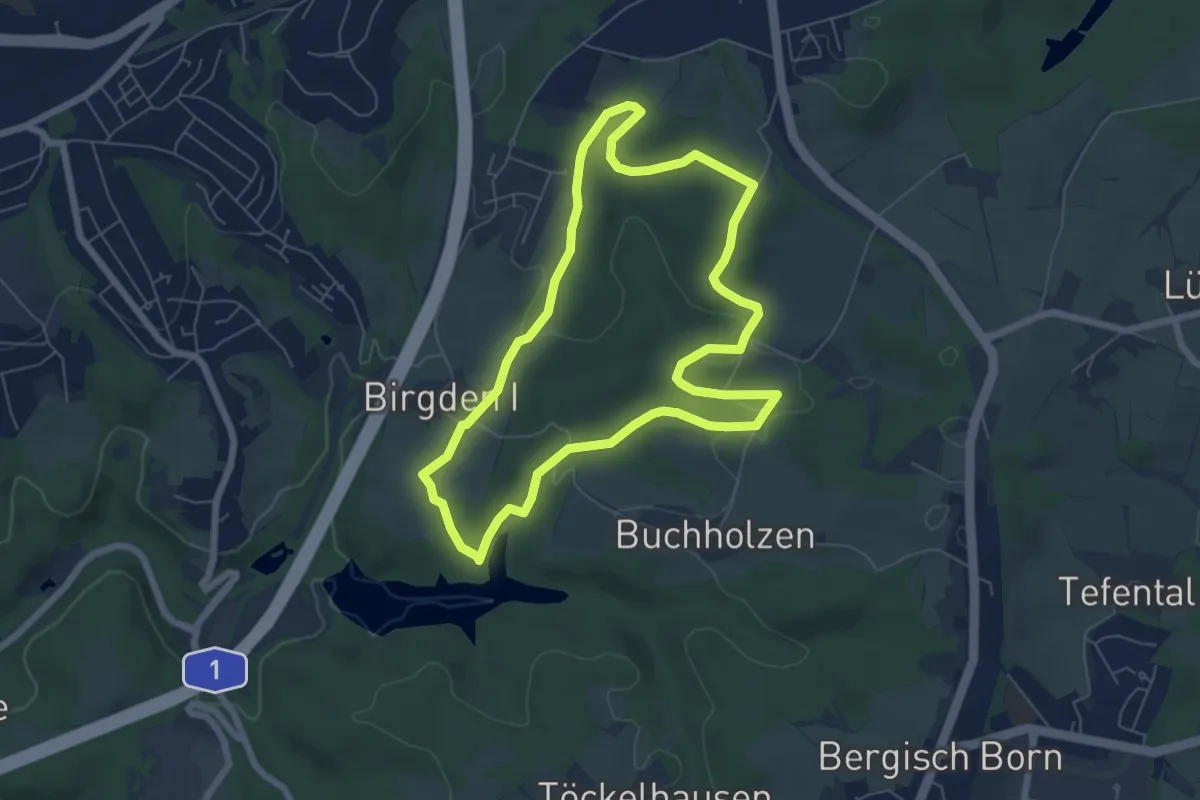
Easy · Trail
Im Alten Berge Rundweg A3
5.8 km · ↑ 89 m · 1 h 39 min
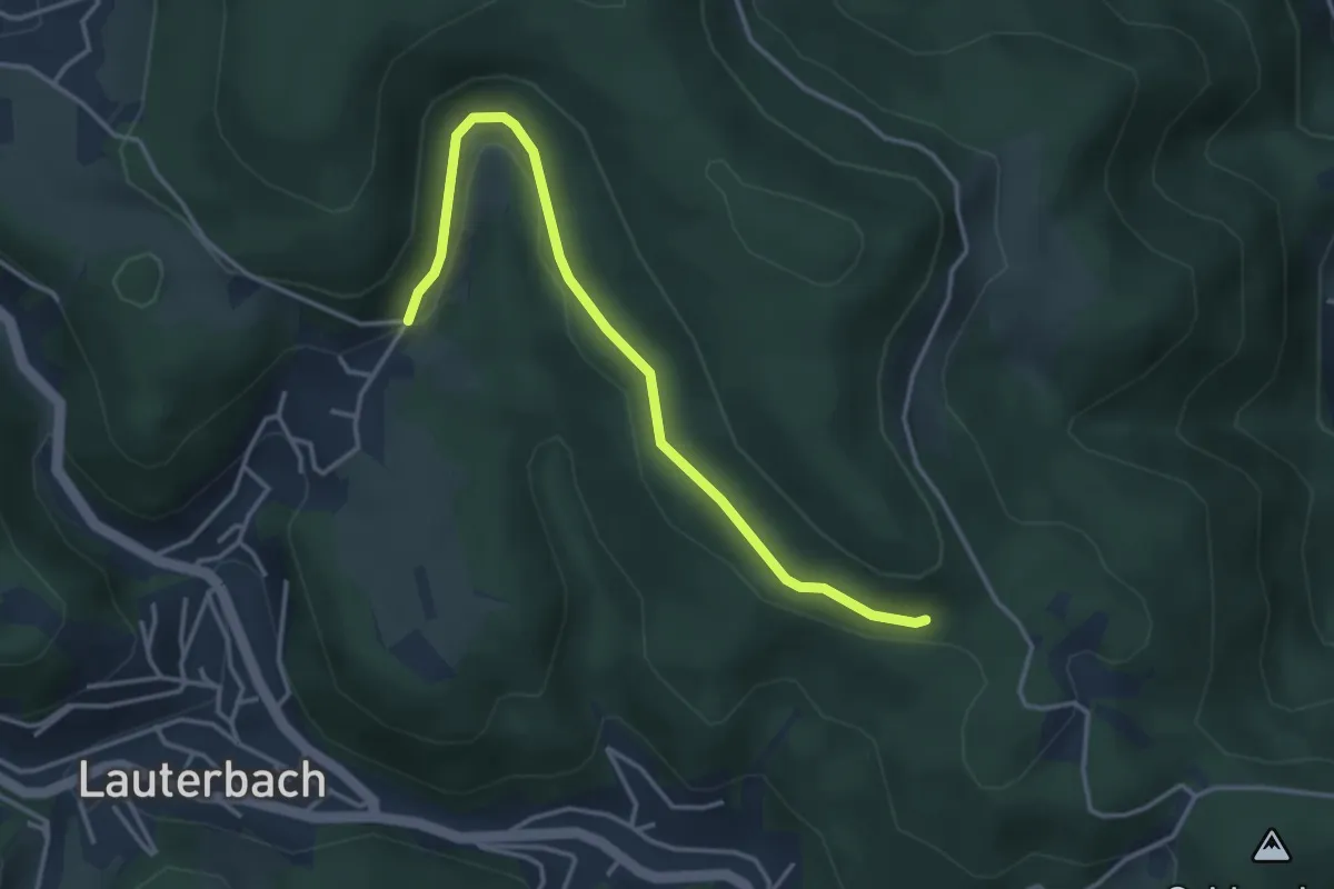
Easy · Trail
Imbrand - Bei der Moosmannhöhle
3.7 km · ↑ 92 m · 1 h 4 min
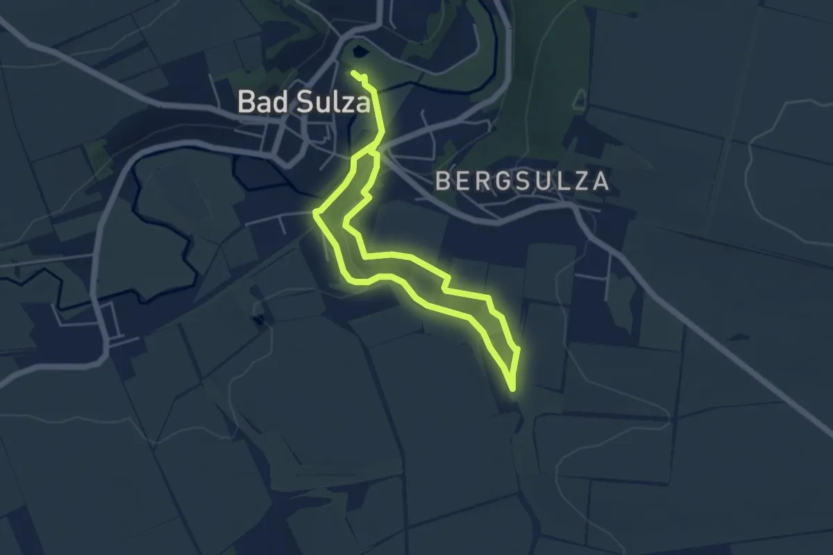
Easy · Trail
Im Brühlgrund
3.4 km · ↑ 54 m · 58 min
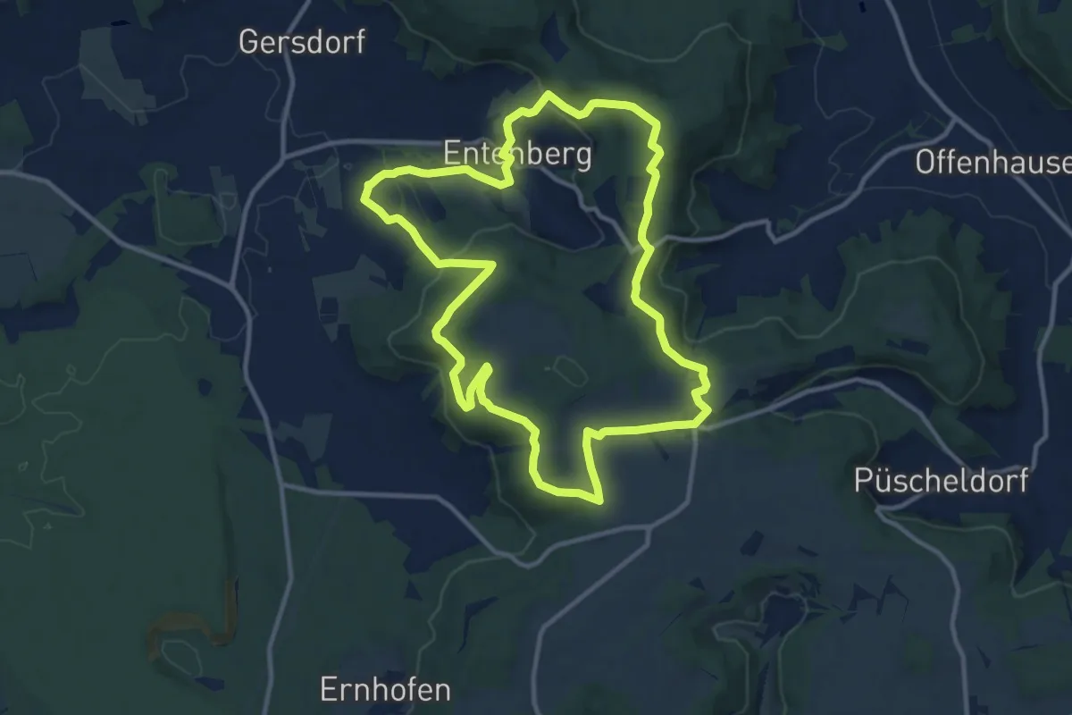
Medium · Summit
Im Buchenwald
10.8 km · ↑ 266 m · 3 h 17 min
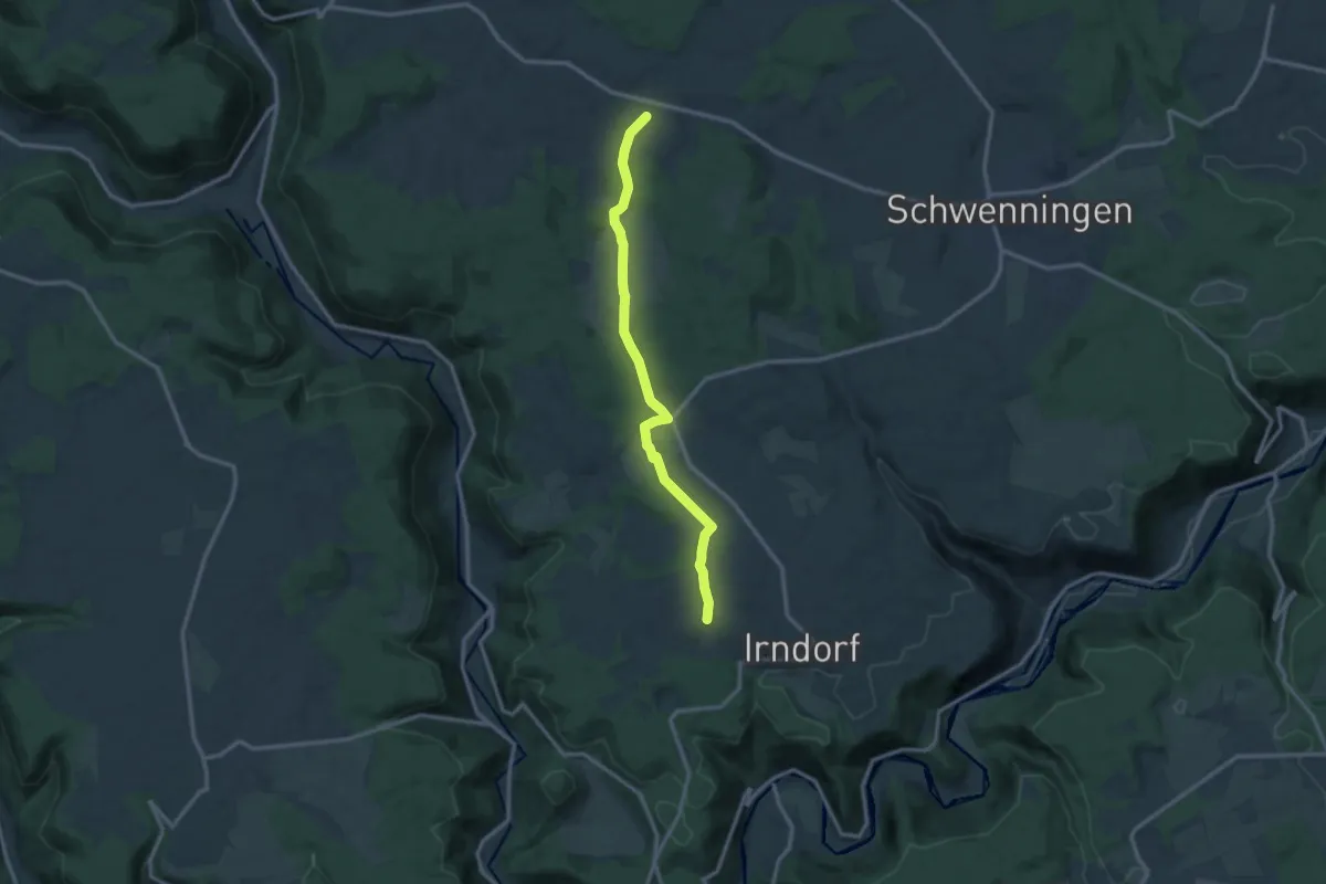
Medium · Trail
Imdorf - Messstetten
11.6 km · ↑ 213 m · 3 h 12 min