Trails in Germany
36,852 hiking trails, each with its route, climb, walking time and grade.
All trails, page 264 of 768
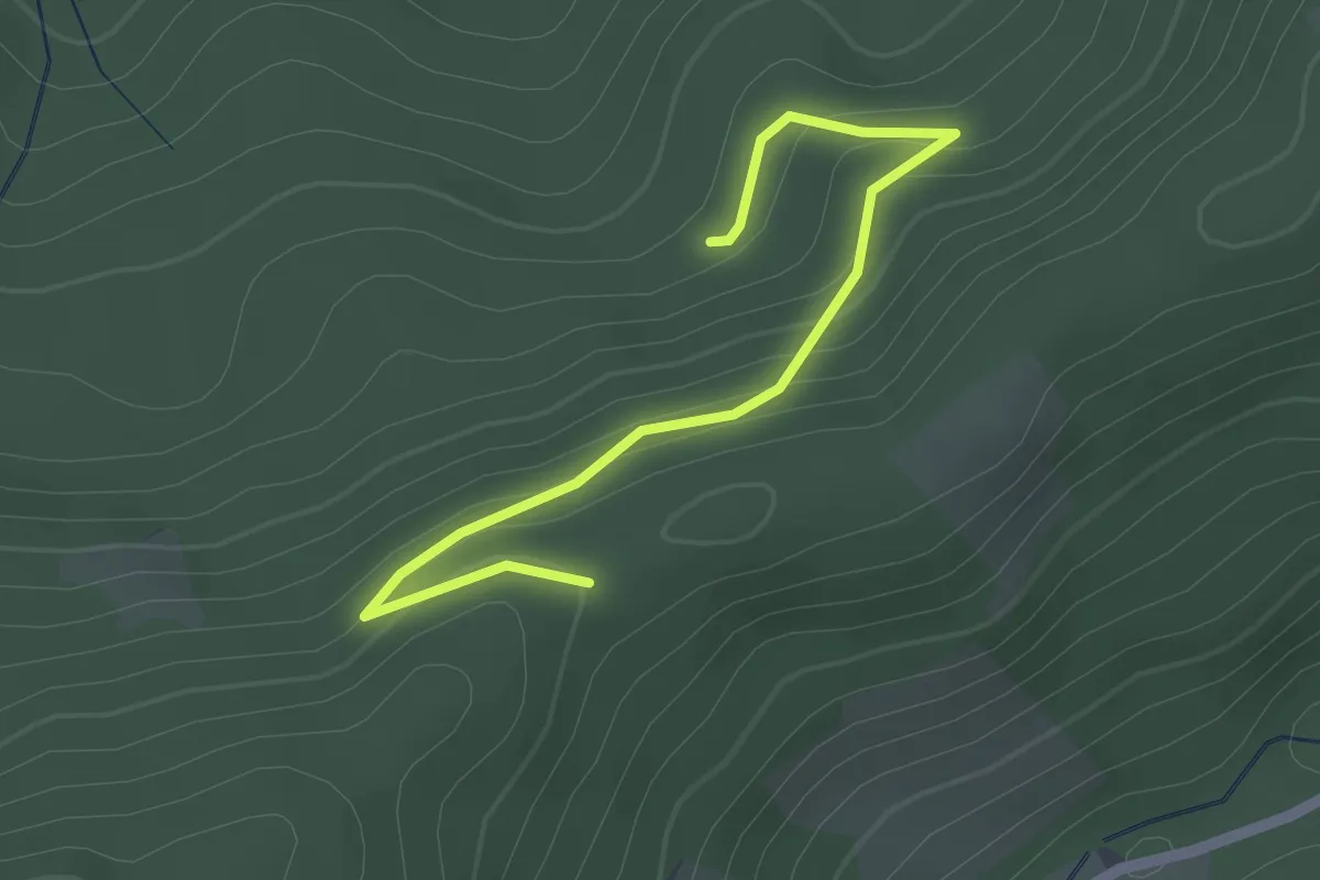
Easy · Trail
Im Dornbusch - Überm Strohhof
2.1 km · ↑ 102 m · 43 min
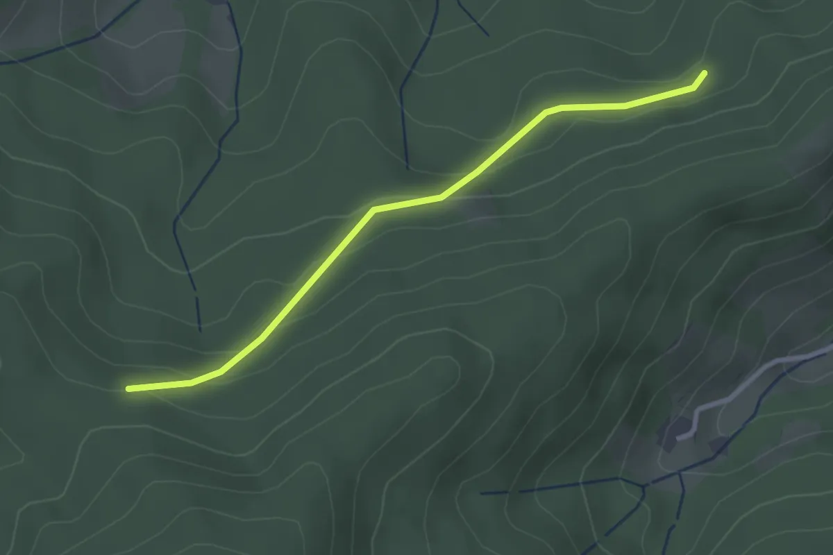
Easy · Trail
Im Dornbusch - Winterwald
2.6 km · ↑ 112 m · 52 min
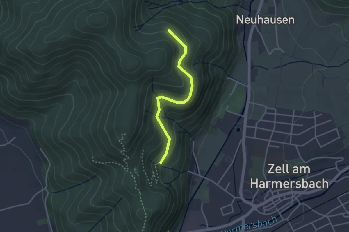
Easy · Trail
Im Eichengrund - Badwaldweg
2.6 km · ↑ 119 m · 53 min
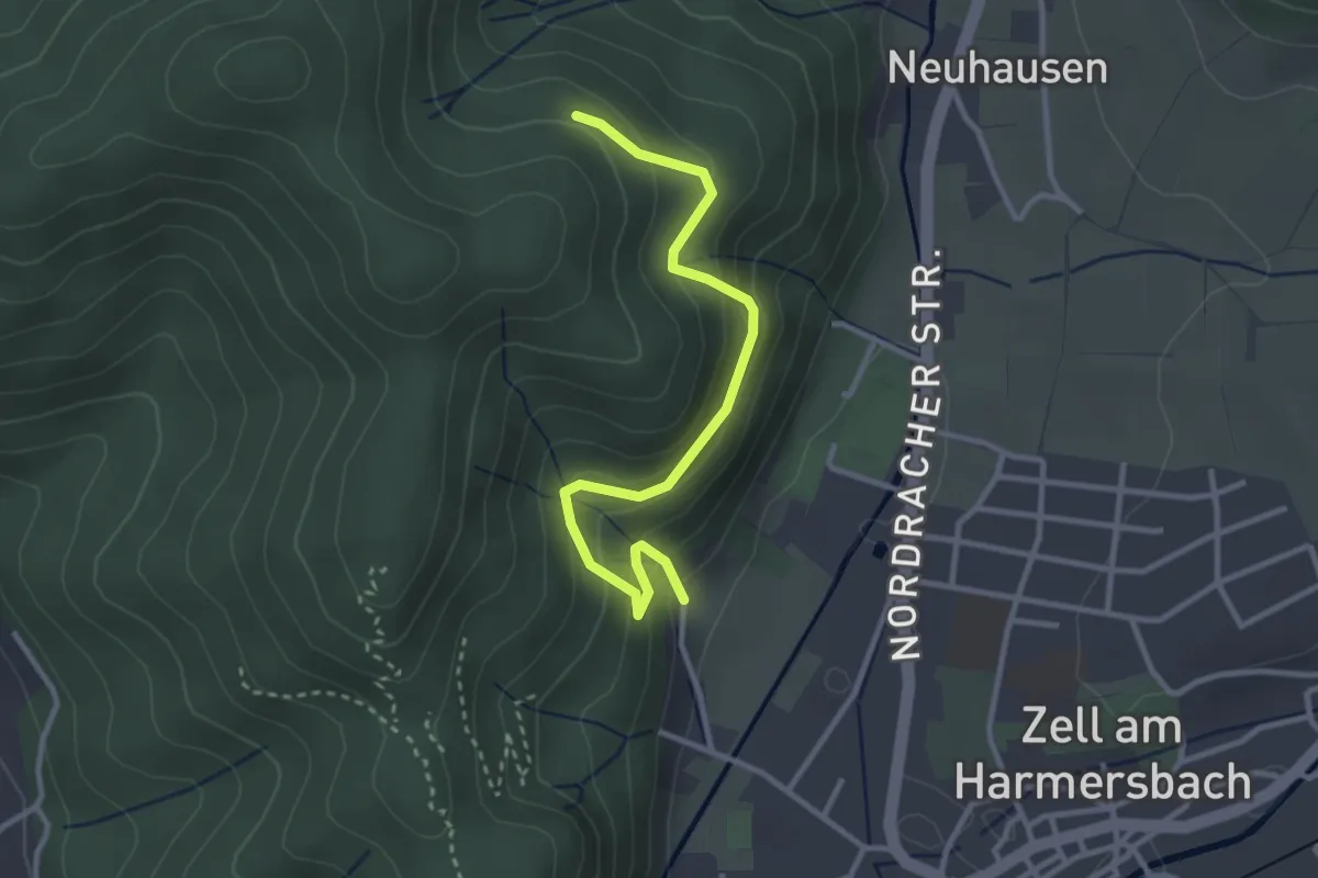
Easy · Trail
Im Eichengrund - Villa Anna
3.1 km · ↑ 244 m · 1 h 15 min
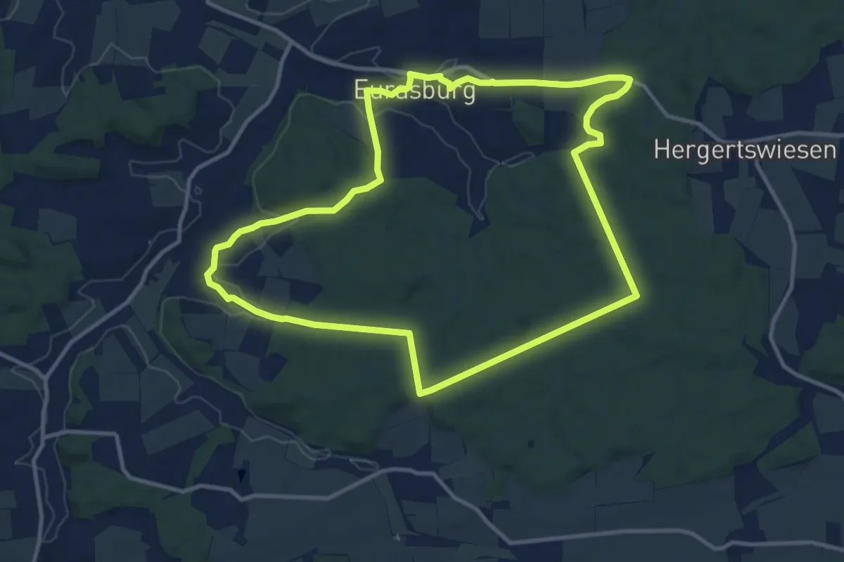
Medium · Trail
Im Eurasburger Forst
10.4 km · ↑ 195 m · 3 h 1 min
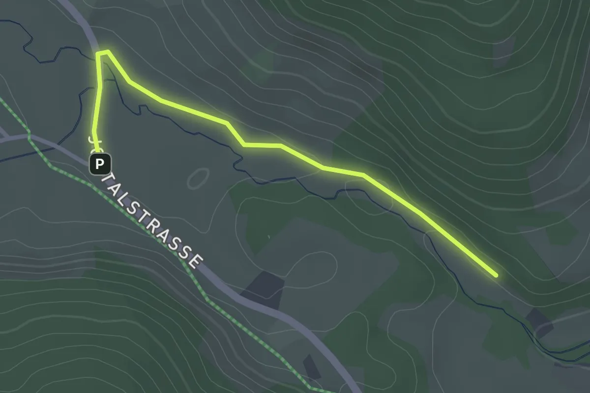
Easy · Trail
Im Fahl - Schildwende Klausenkapelle
2.5 km · ↑ 13 m · 37 min
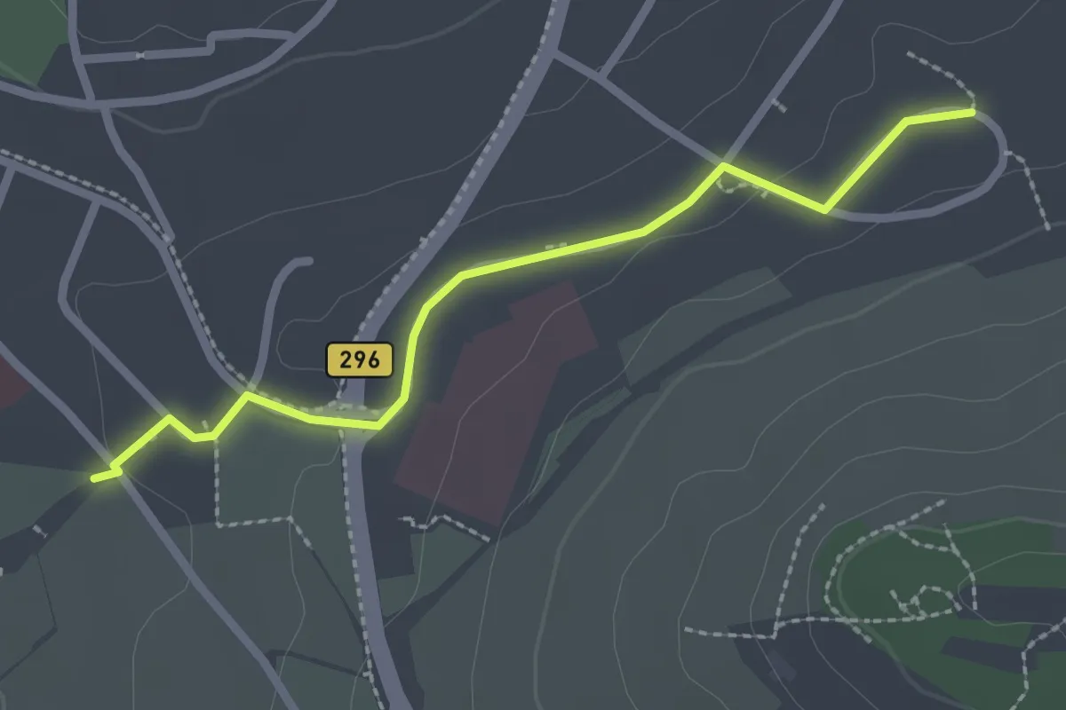
Easy · Trail
Im Feldle - Stammheimer Steige
2.3 km · ↑ 43 m · 38 min
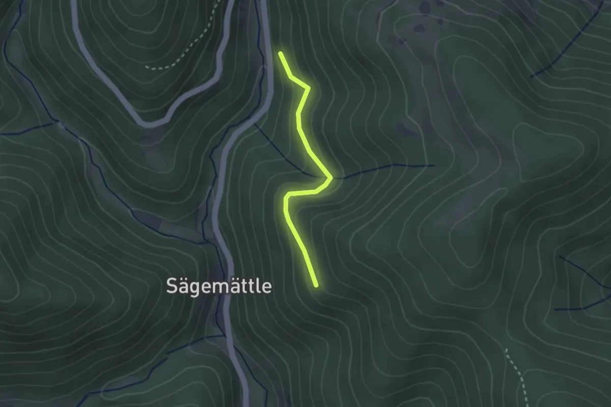
Easy · Trail
Im Graben - Holzschuhwald
2.1 km · ↑ 132 m · 47 min
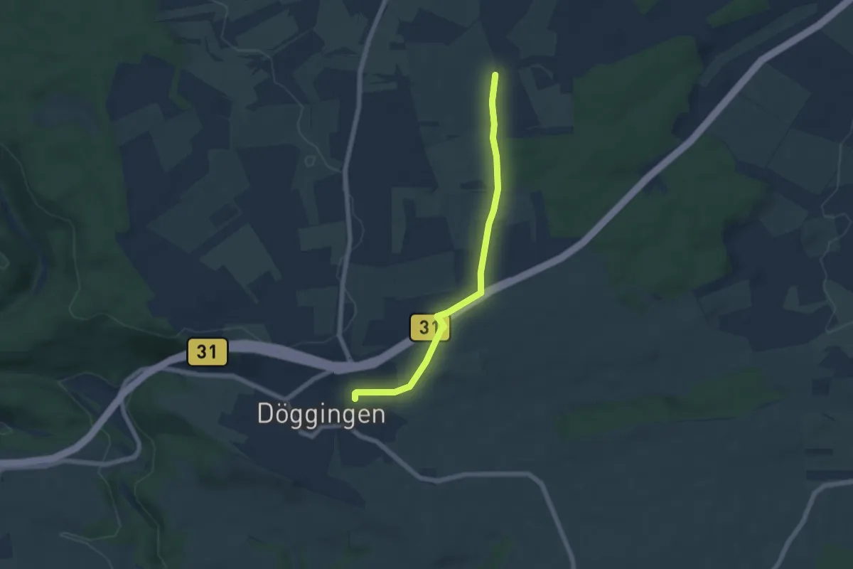
Easy · Trail
Im Grund - Döggingen Bahnbrücke
5.2 km · ↑ 55 m · 1 h 20 min
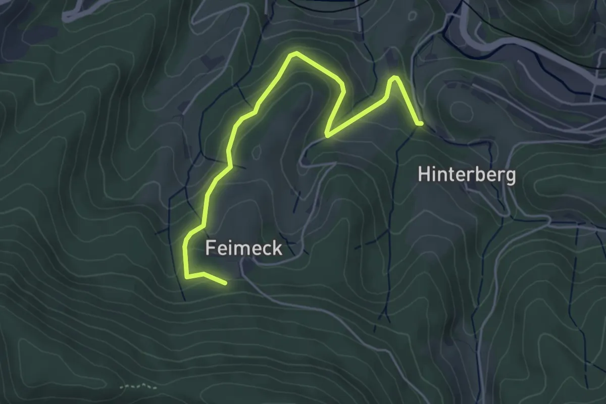
Easy · Trail
Im Grund - Löcherhansenhof
4.6 km · ↑ 293 m · 1 h 44 min
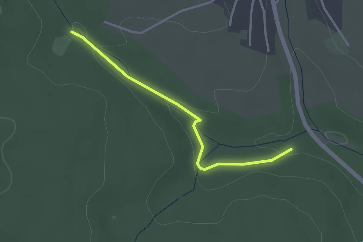
Easy · Trail
Im Grund - Neuweiler Schützenhaus
2.5 km · ↑ 37 m · 40 min
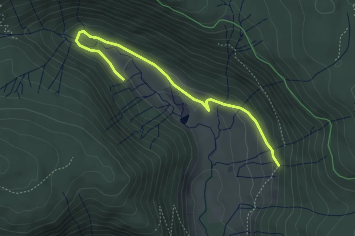
Easy · Trail
Im Gschweih - Klusenwald
4.3 km · ↑ 142 m · 1 h 20 min
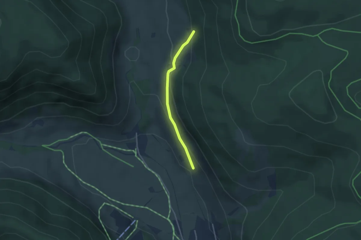
Easy · Trail
Im Gschweih - Ziegenweide
2.3 km · ↑ 112 m · 47 min
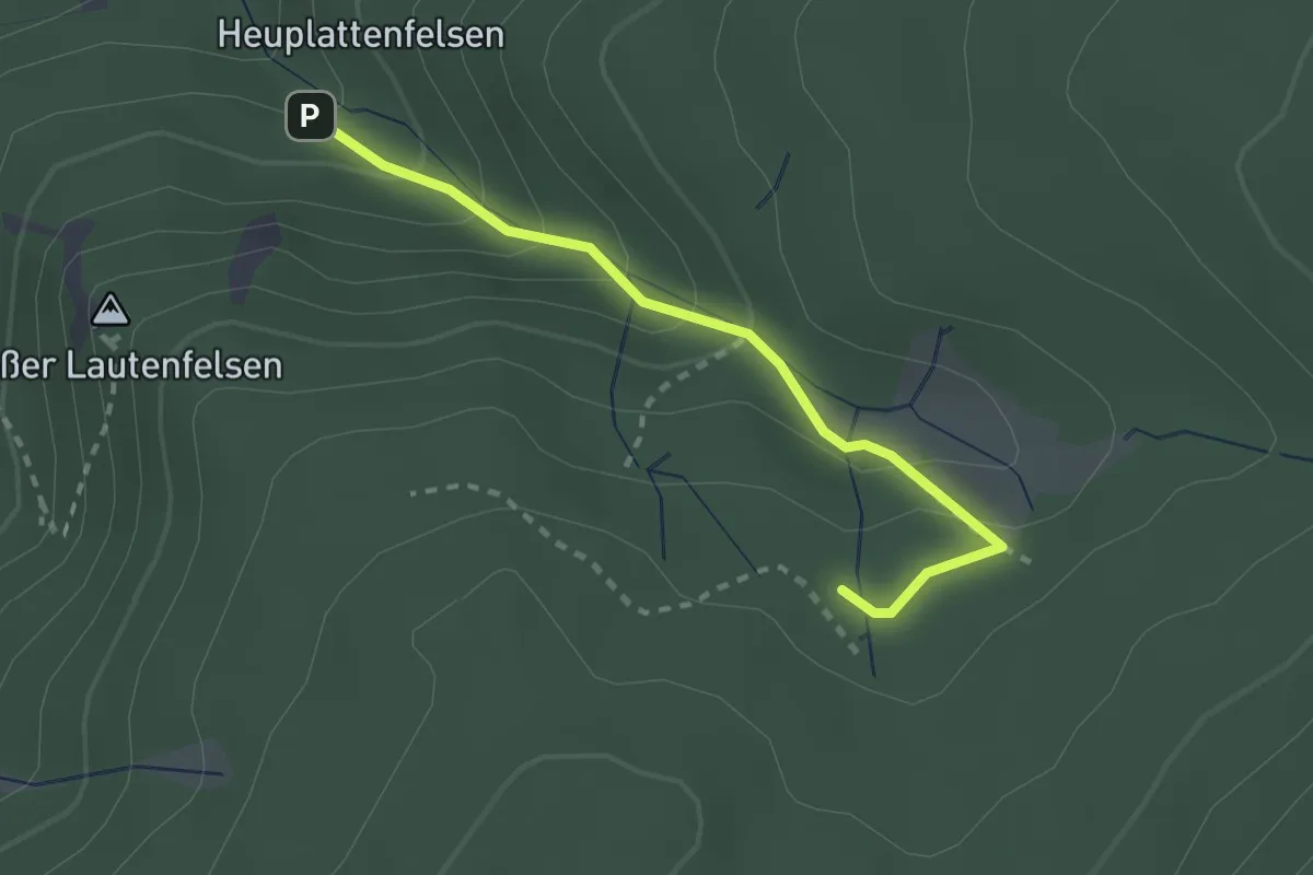
Medium · Trail
Im Haselbrunnen - Steintal
2.3 km · ↑ 184 m · 56 min
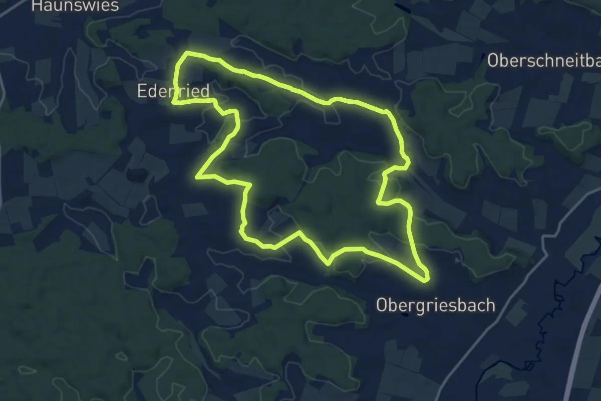
Medium · Trail
Im Herzen des Wittelsbacher Landes
12.1 km · ↑ 212 m · 3 h 30 min
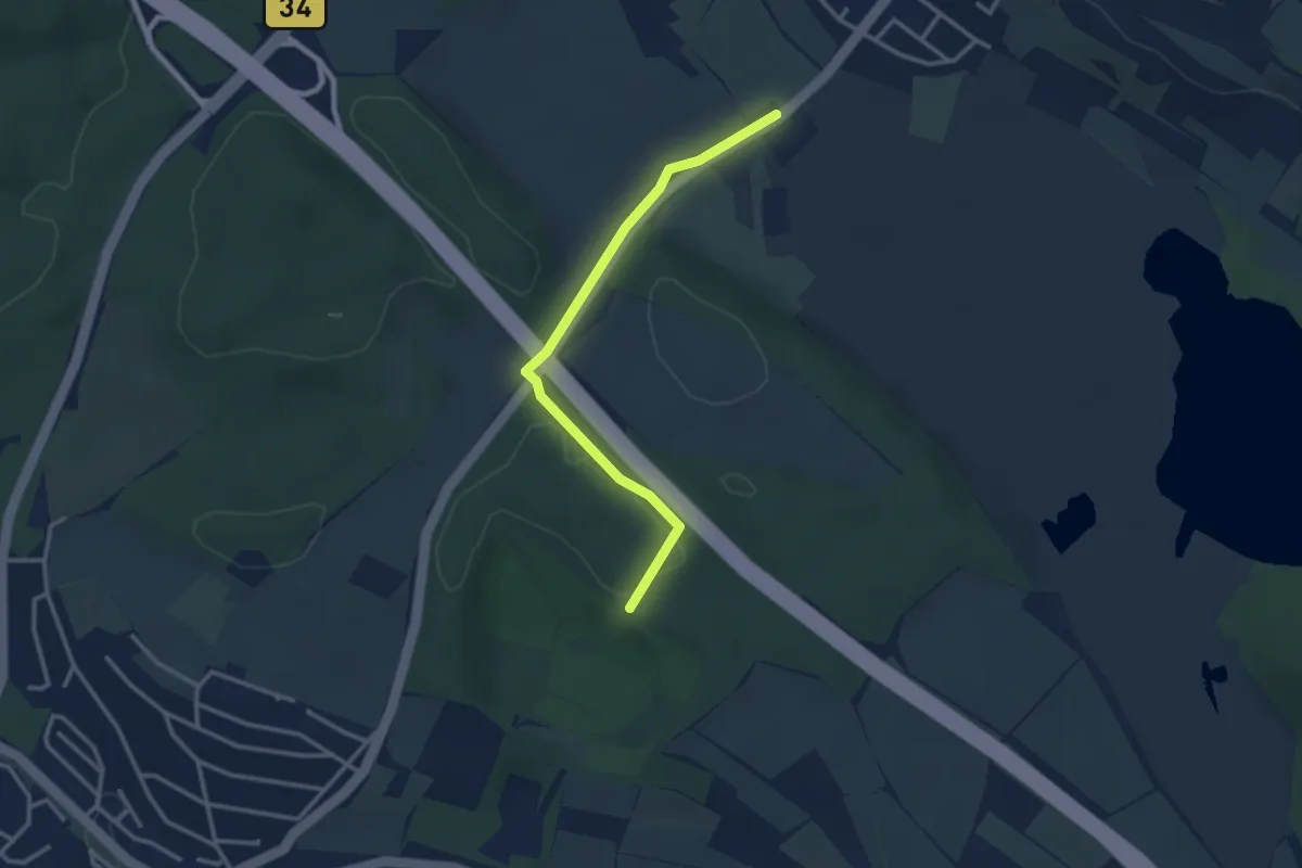
Easy · Trail
Im Hirschbrunn - Parkplatz Mindelsee
3.0 km · ↑ 45 m · 48 min
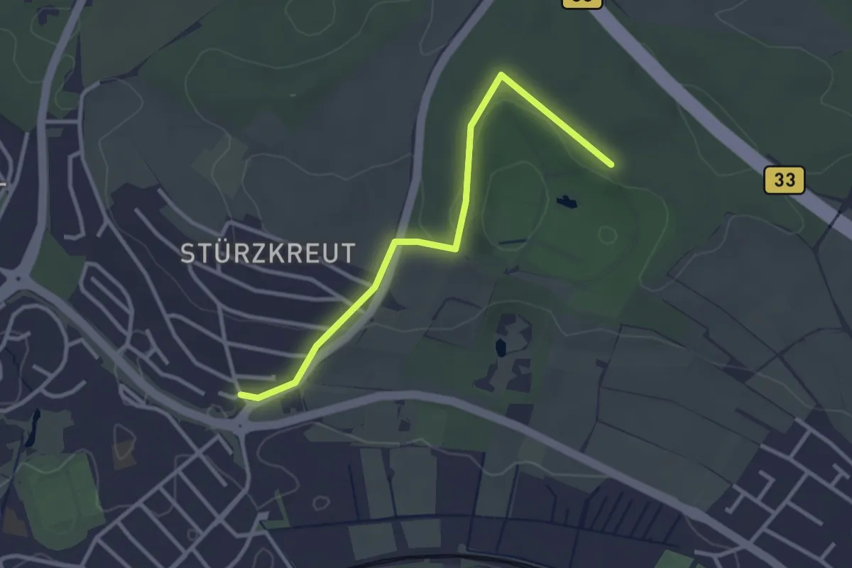
Easy · Trail
Im Hirschbrunn - Radolfzell Weinburg
3.0 km · ↑ 52 m · 49 min
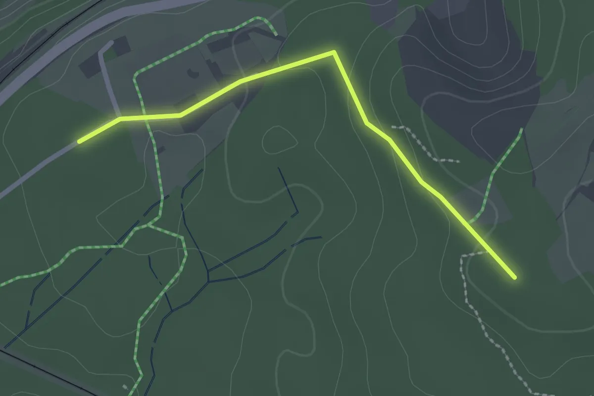
Easy · Trail
Im Höhenrundweg - Am Stefansbühl
2.1 km · ↑ 56 m · 37 min
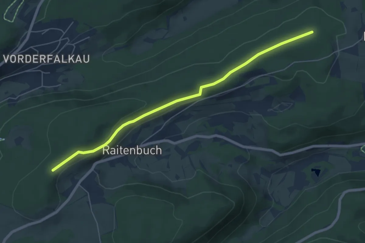
Easy · Trail
Im Hohspirn - Klausenhof
5.5 km · ↑ 102 m · 1 h 31 min
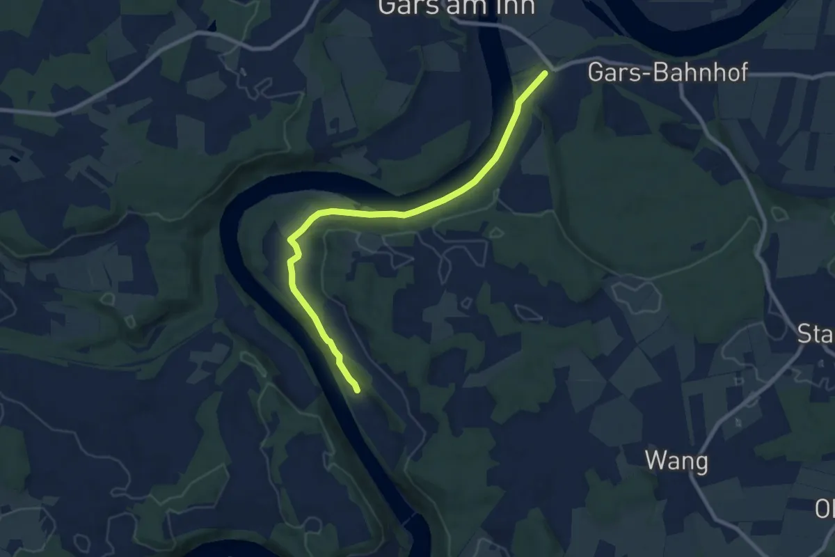
Medium · Trail
Im Inndurchbruch
8.2 km · ↑ 213 m · 2 h 24 min
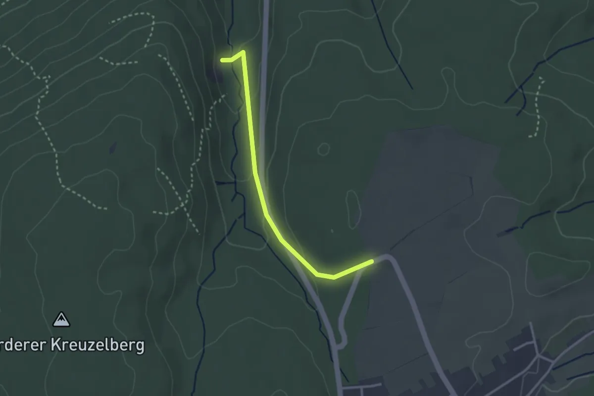
Easy · Trail
Im Kehr - Steinbruch
2.5 km · ↑ 95 m · 48 min
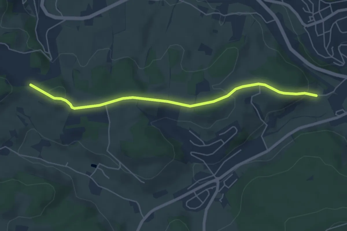
Easy · Trail
Im Kohlbühl - Lange Gasse
5.0 km · ↑ 122 m · 1 h 26 min
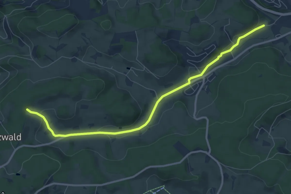
Medium · Trail
Im Kohlbühl - Lange Lochen
8.0 km · ↑ 185 m · 2 h 18 min
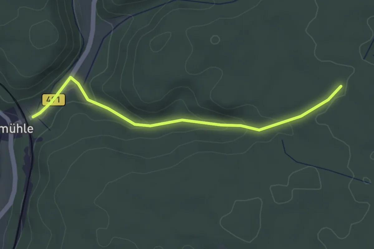
Easy · Trail
Im Kriegertal - Schlatterhau
3.8 km · ↑ 129 m · 1 h 11 min
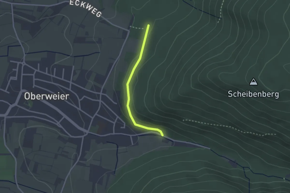
Easy · Trail
Im Loh - Oberweier Talbrunnen
2.1 km · ↑ 46 m · 35 min
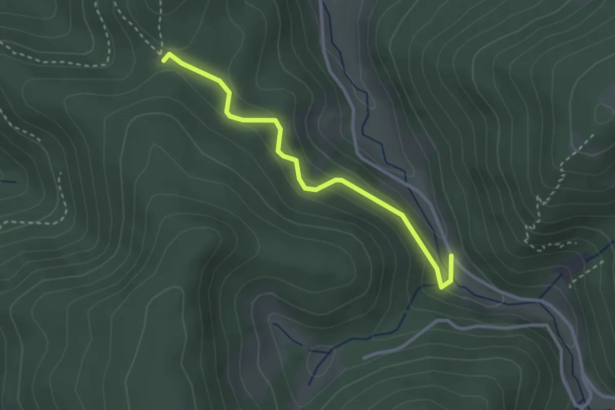
Easy · Trail
Immelsbacher Höhe - Tiefenbacher Loch
2.7 km · ↑ 153 m · 58 min
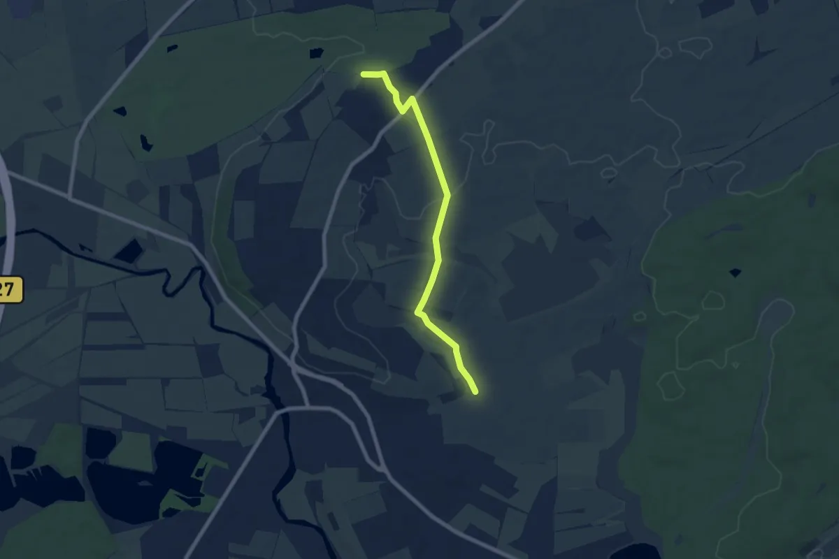
Easy · Trail
Immenhöfe - Wegkreuz
6.4 km · ↑ 62 m · 1 h 39 min
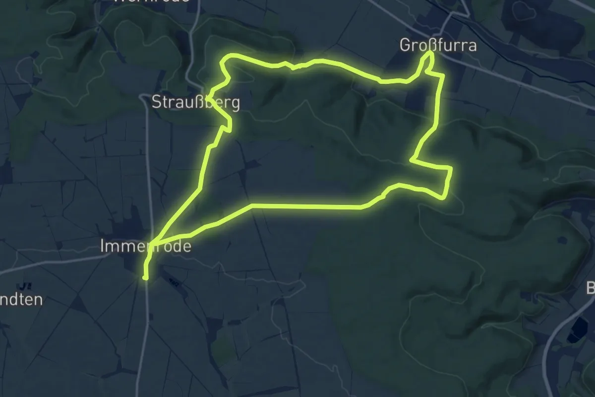
Medium · Trail
Immenröder-Rundweg
15.6 km · ↑ 311 m · 4 h 34 min
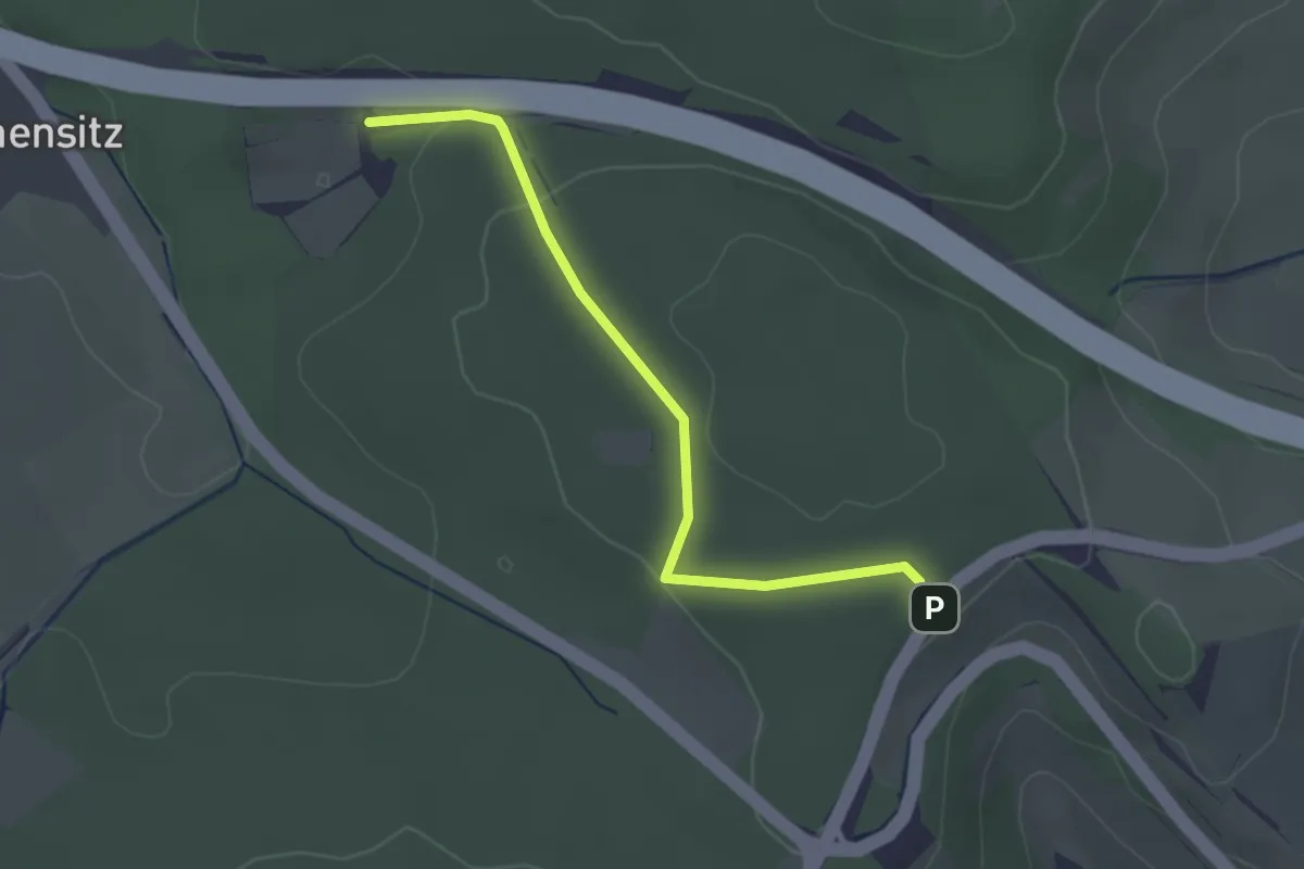
Easy · Trail
Immensitz - Absetze
2.5 km · ↑ 57 m · 42 min
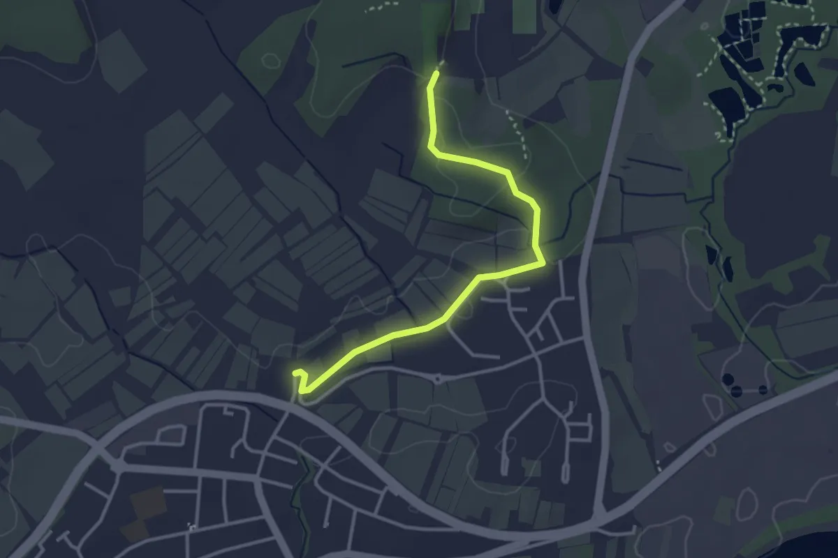
Easy · Trail
Immenstaad - Sportzentrum
3.2 km · ↑ 27 m · 49 min
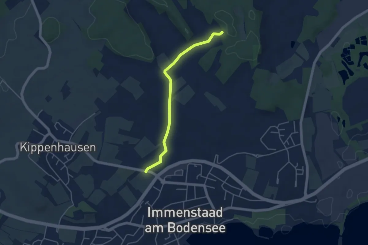
Easy · Trail
Immenstaad - Sportzentrum
3.5 km · ↑ 32 m · 54 min
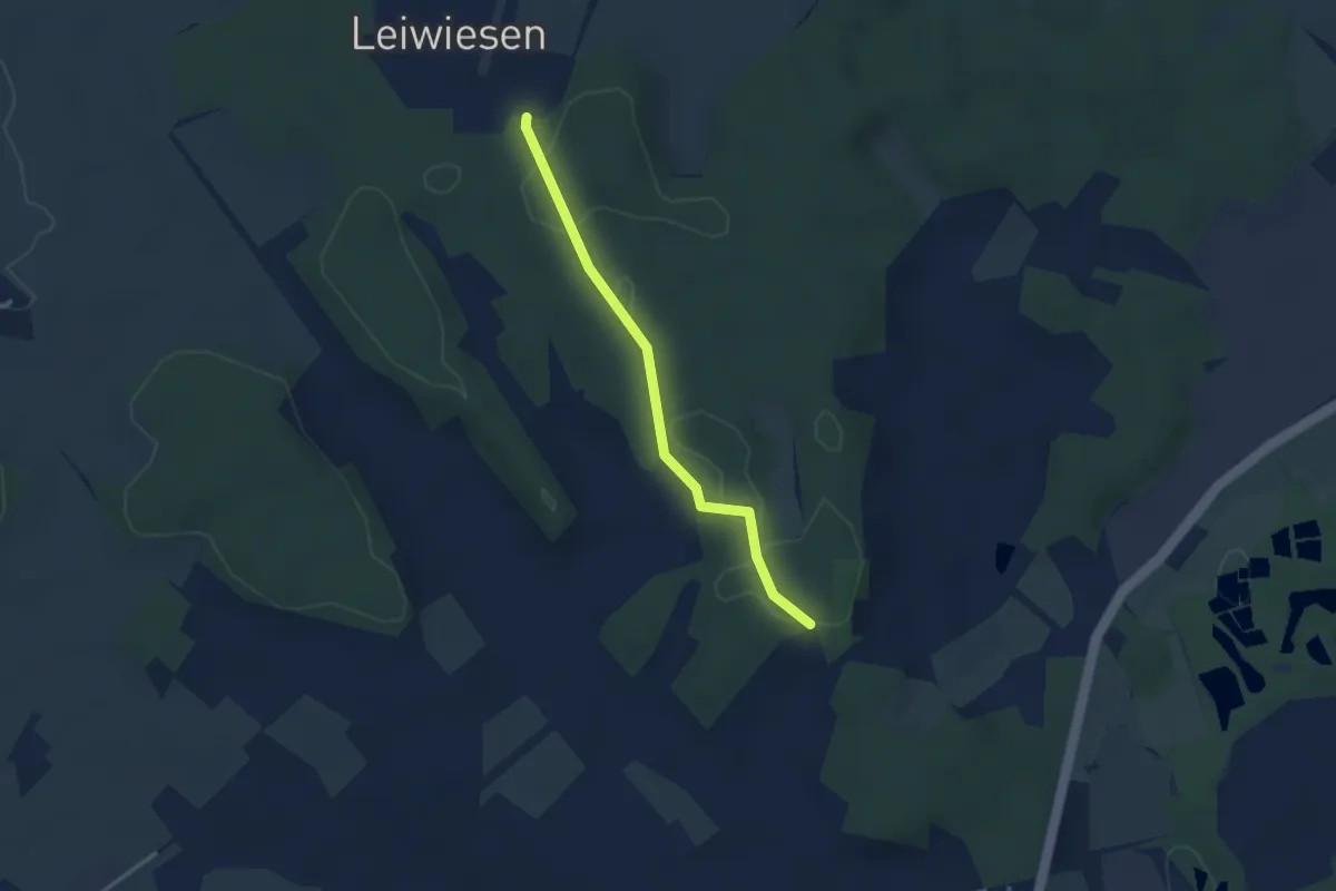
Easy · Trail
Immenstaad - Sportzentrum
2.7 km · ↑ 35 m · 43 min
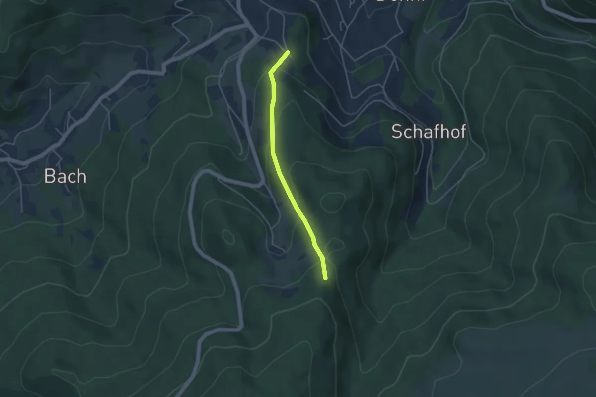
Easy · Trail
Immenstein - Schönbrunn
3.1 km · ↑ 188 m · 1 h 9 min
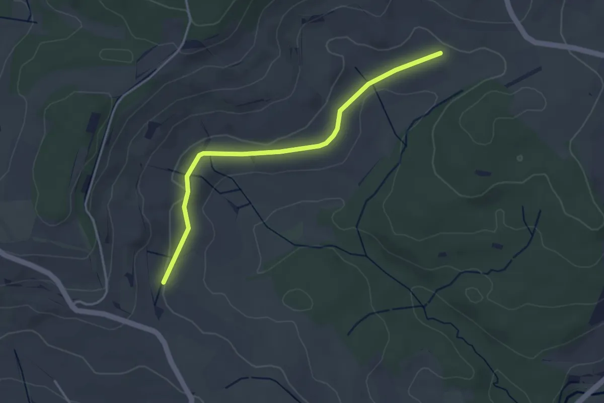
Easy · Trail
Immenstetten - Grub
3.4 km · ↑ 31 m · 53 min
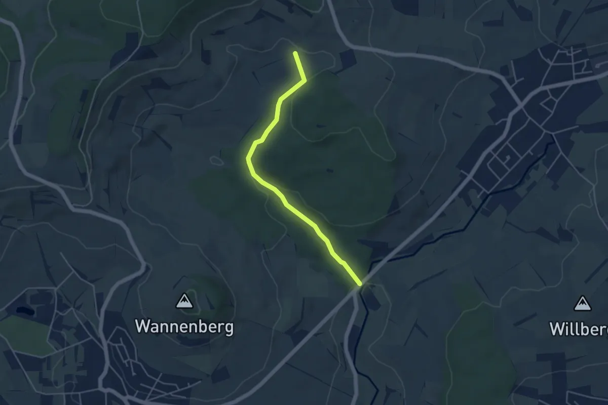
Easy · Trail
Immenstetten - Rohrertal
4.1 km · ↑ 100 m · 1 h 10 min
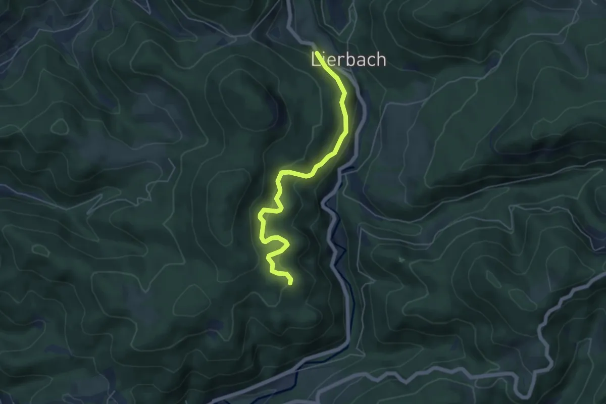
Medium · Trail
Immersberg - Rinkhalde
4.8 km · ↑ 396 m · 2 h
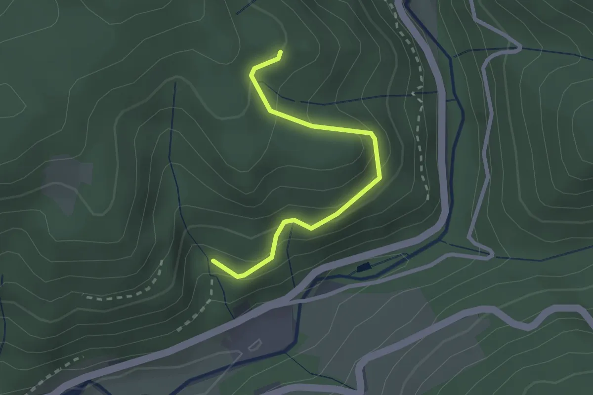
Easy · Trail
Immersberg - Spicherdobel
2.1 km · ↑ 213 m · 58 min
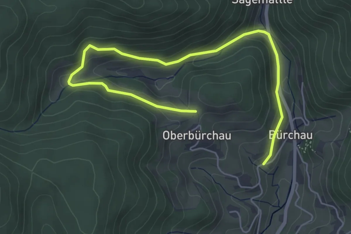
Easy · Trail
Im Moos - Hübschwasen
6.2 km · ↑ 205 m · 1 h 54 min
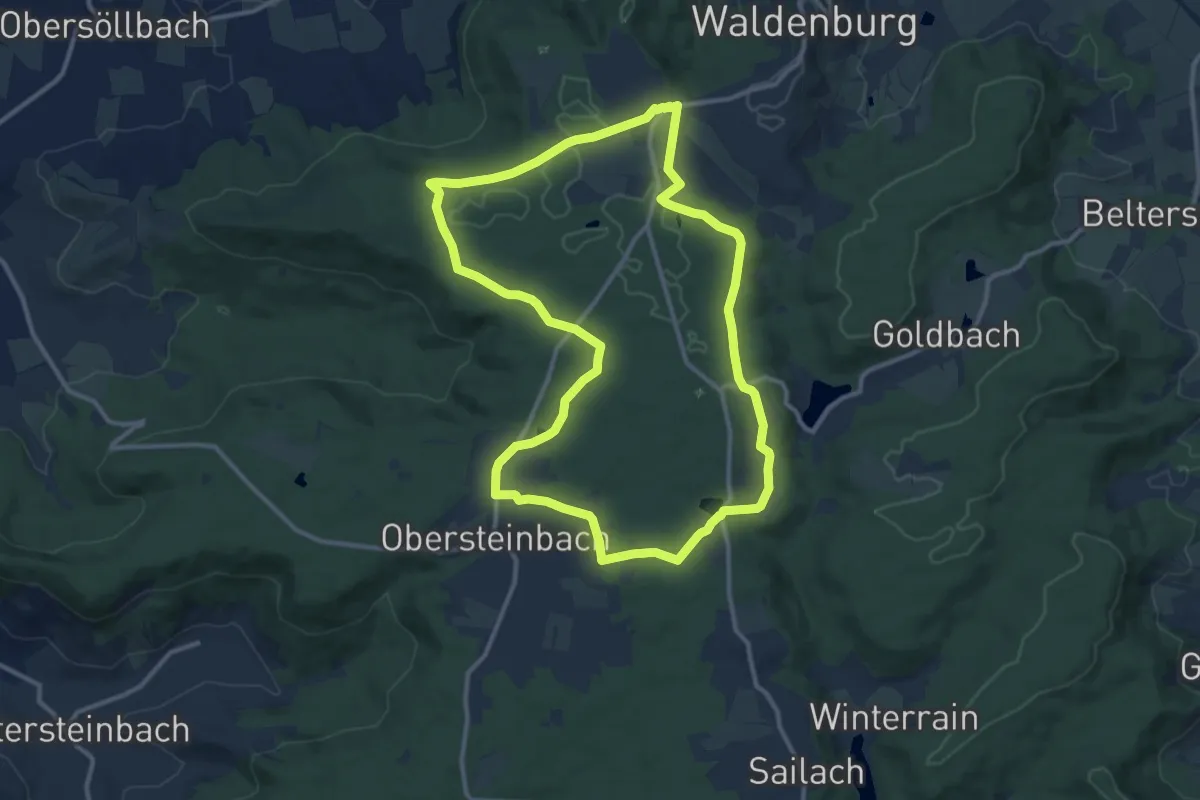
Medium · Trail
Im Naturschutzgebiet, wo die Arnika blühen
11.3 km · ↑ 92 m · 3 h 2 min
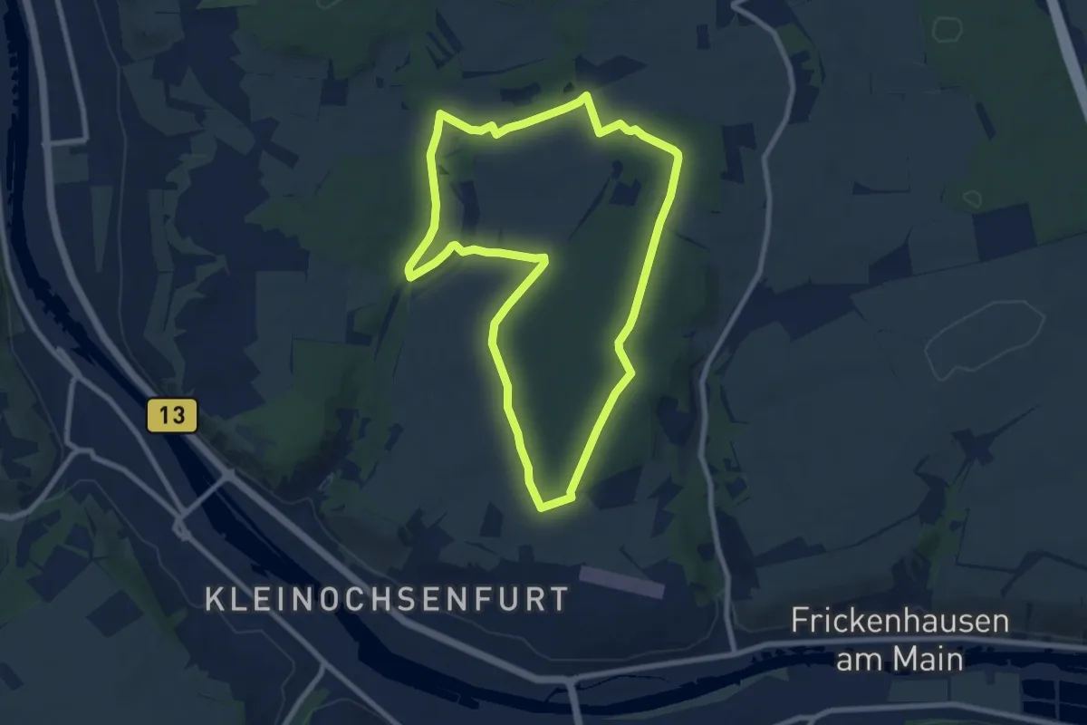
Easy · Trail
Im Ochsenfurter Forst
7.6 km · ↑ 84 m · 2 h 5 min
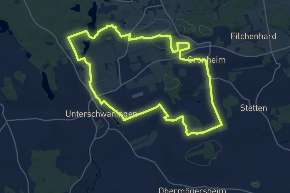
Medium · Trail
Imperium Romanum
16.4 km · ↑ 161 m · 4 h 27 min
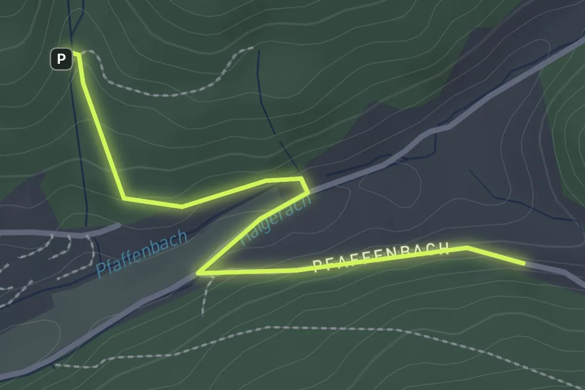
Easy · Trail
Im Pfaffenbach - Mattenhof
2.6 km · ↑ 84 m · 48 min
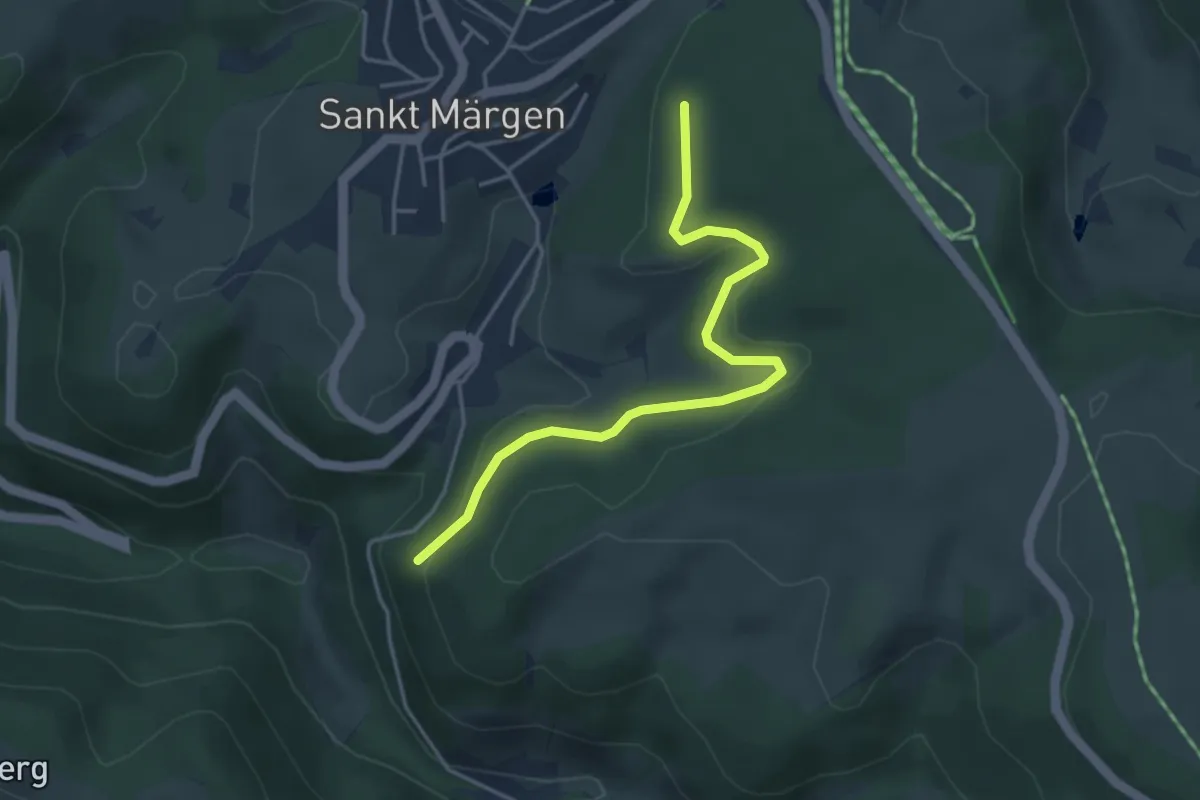
Easy · Trail
Im Pfisterwald - Stuhl
3.9 km · ↑ 100 m · 1 h 9 min
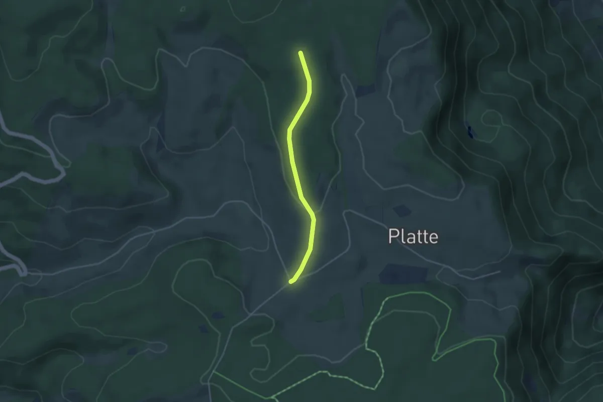
Easy · Trail
Im Plattenwald - Schönhöfe
3.1 km · ↑ 66 m · 53 min
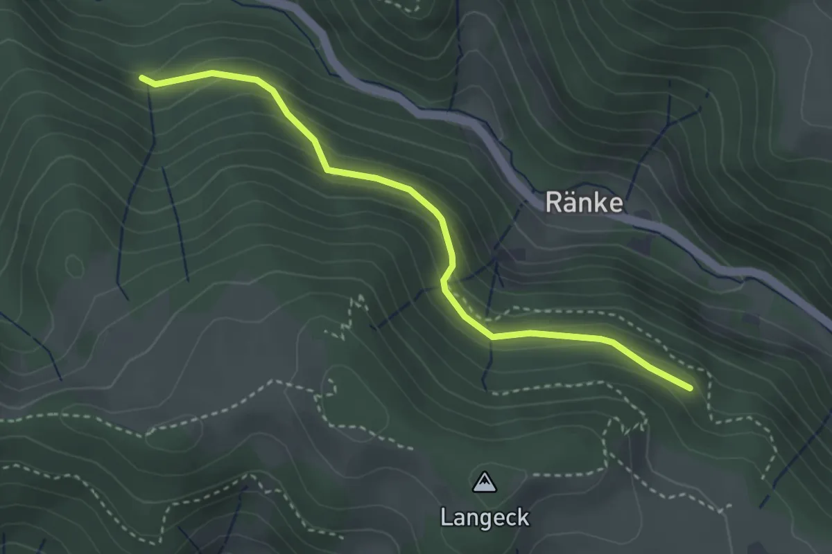
Easy · Trail
Im Ränkwald - Kunklerwald
3.2 km · ↑ 201 m · 1 h 12 min
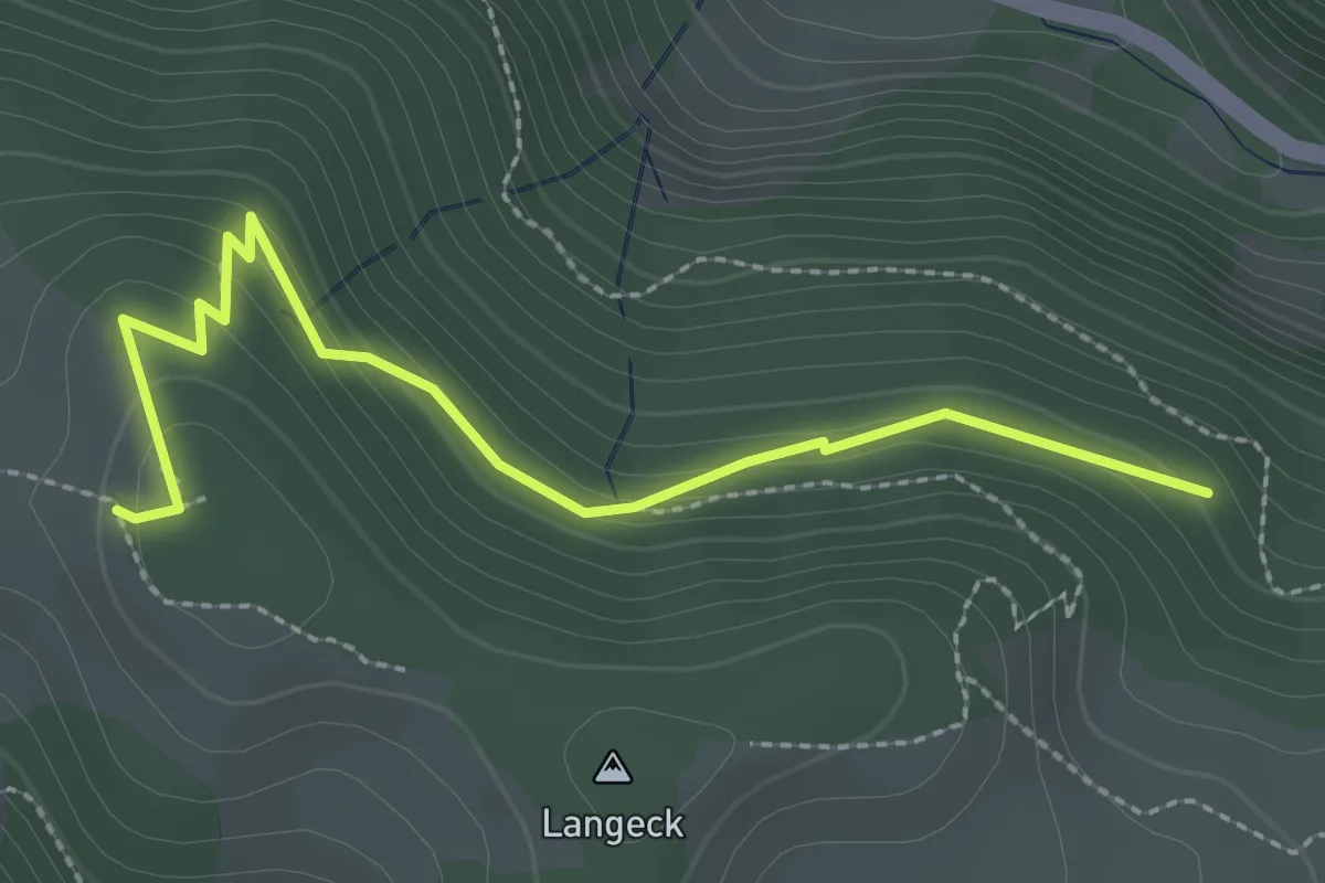
Easy · Trail
Im Ränkwald - Lindlehöhe
2.7 km · ↑ 126 m · 54 min
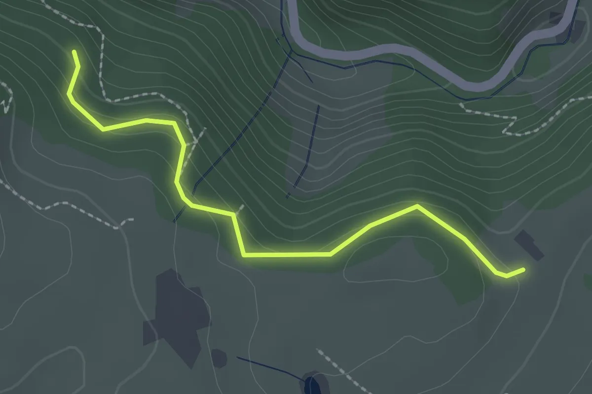
Easy · Trail
Im Ränkwald - Sauwasen
2.1 km · ↑ 100 m · 43 min
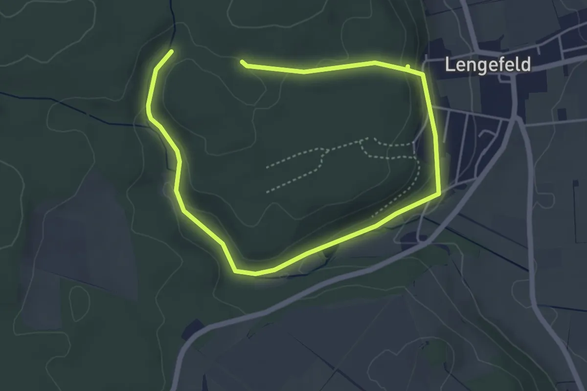
Easy · Trail
Im Reich des Feuersalamanders
3.1 km · ↑ 64 m · 55 min