Trails in Germany
36,852 hiking trails, each with its route, climb, walking time and grade.
All trails, page 265 of 768
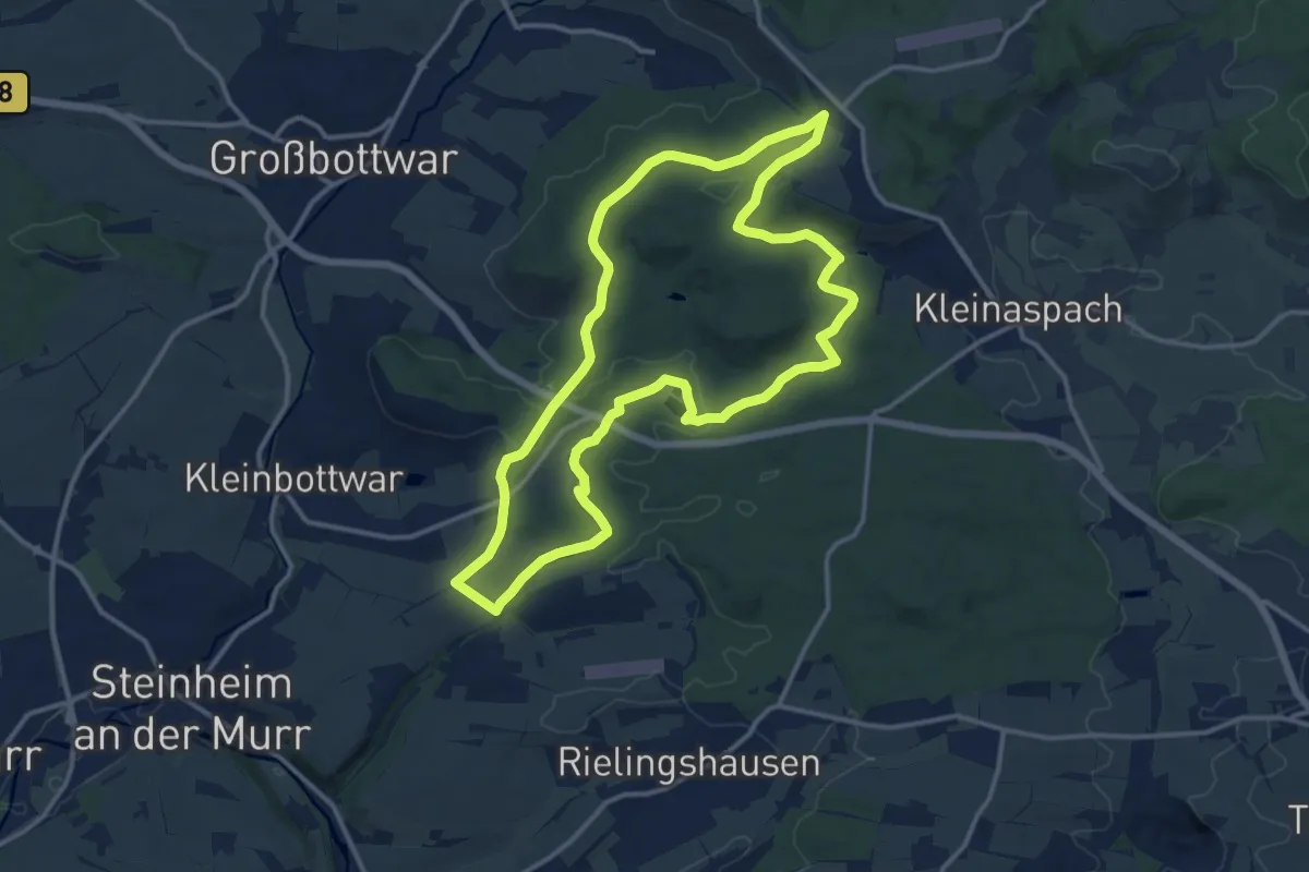
Medium · Trail
Im Revier der Urmenschen, Wengerter und Förster
12.8 km · ↑ 178 m · 3 h 35 min
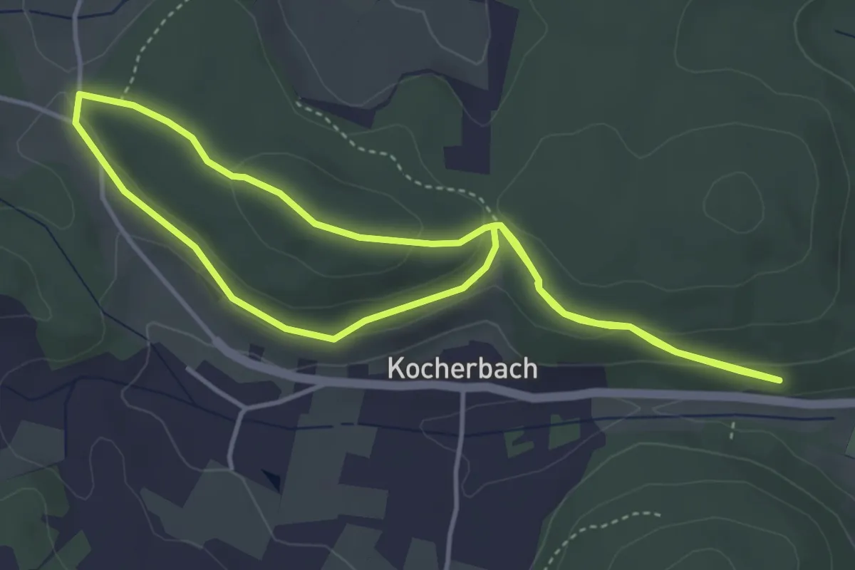
Easy · Trail
Im Rod-Weg
3.6 km · ↑ 96 m · 1 h 7 min
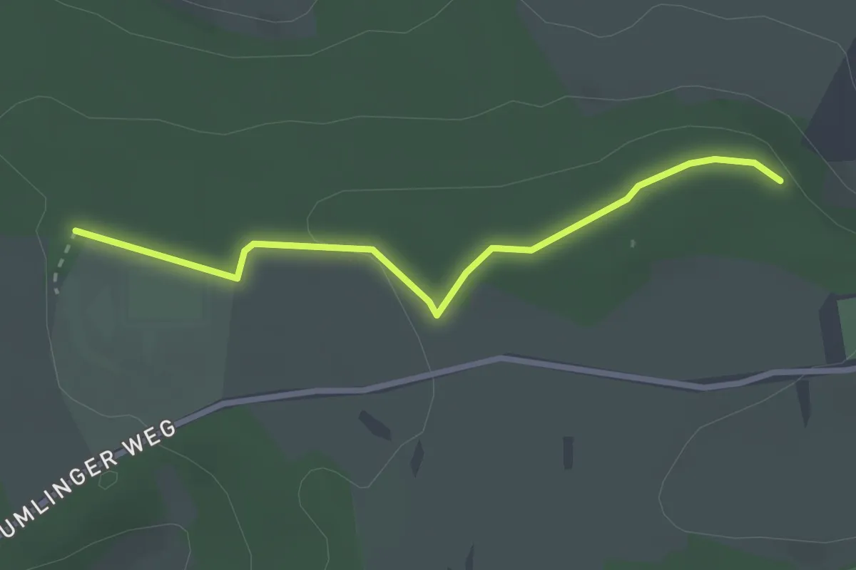
Easy · Trail
Im Schneckengarten - Schwarzwaldvereinshütte
2.5 km · ↑ 53 m · 43 min
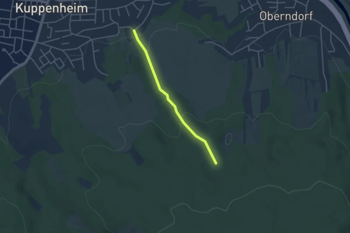
Easy · Trail
Im Siegen - Neuer Schlag
2.5 km · ↑ 70 m · 44 min
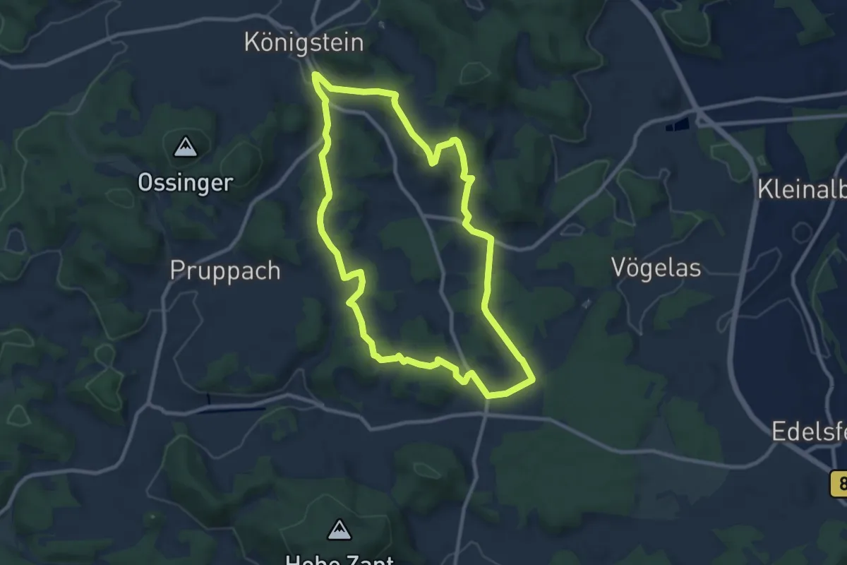
Medium · Summit
Im Süden Königsteins - Rundtour Nr. 15
8.6 km · ↑ 220 m · 2 h 37 min
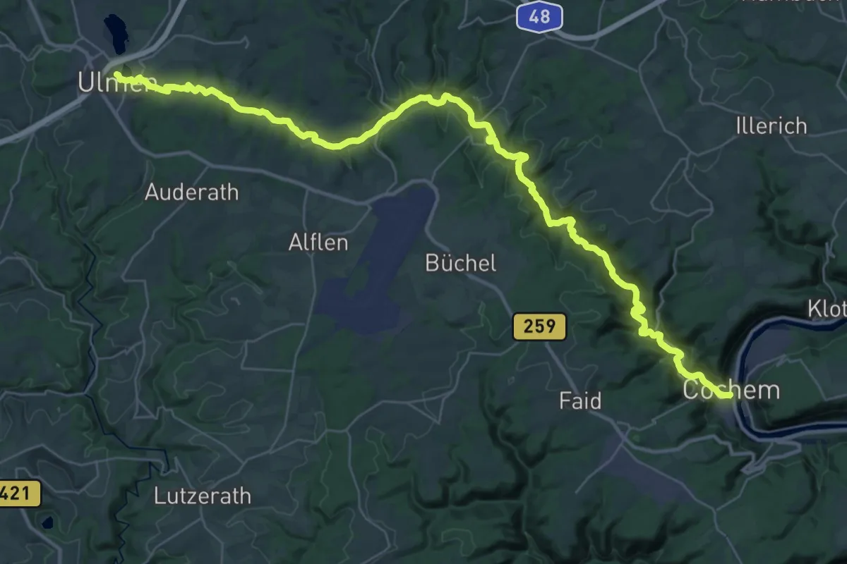
Demanding · Trail
Im Tal der wilden Endert
20.5 km · ↑ 274 m · 5 h 53 min
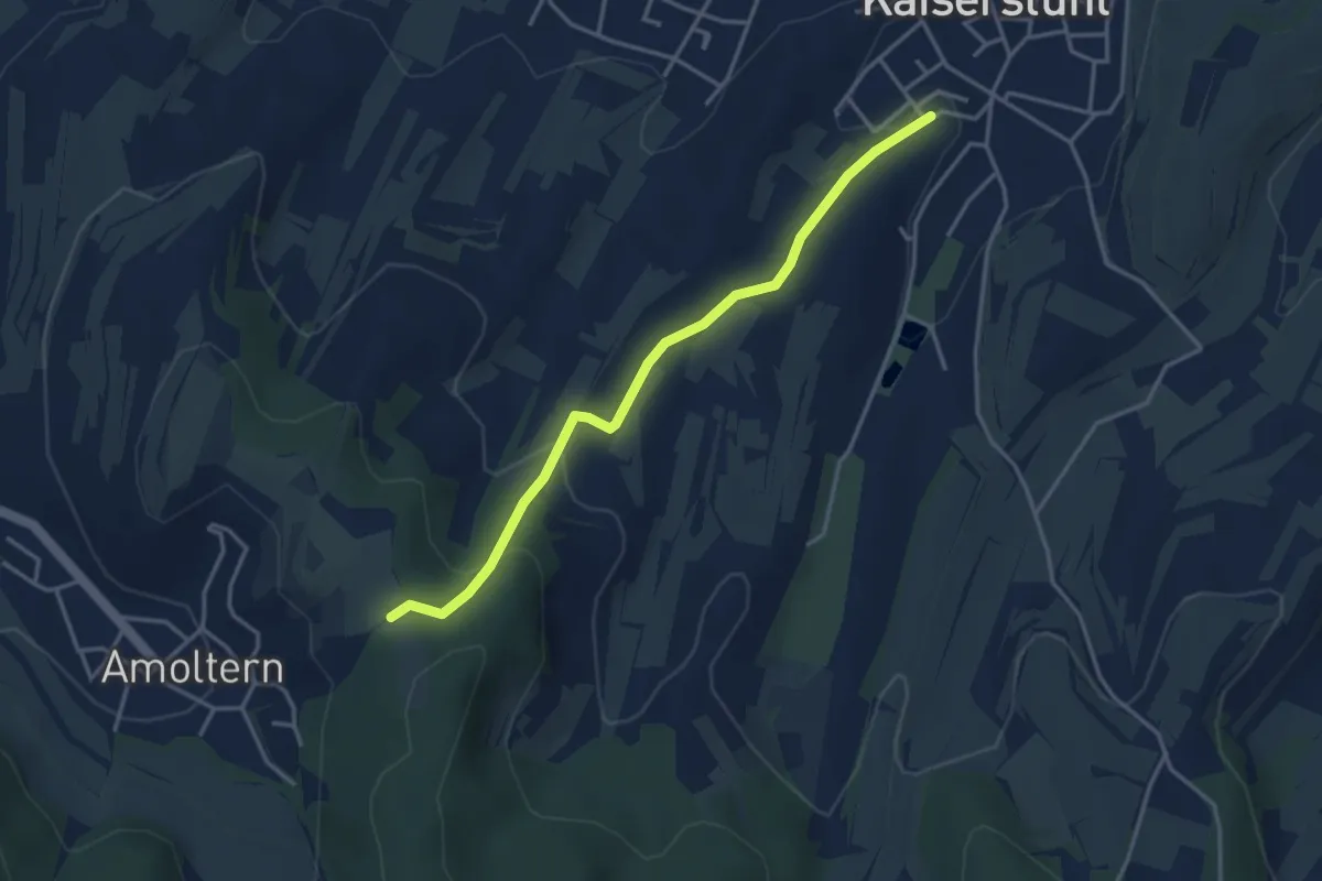
Easy · Trail
Im Teninger Acker - Amolterer Heide
3.6 km · ↑ 137 m · 1 h 8 min
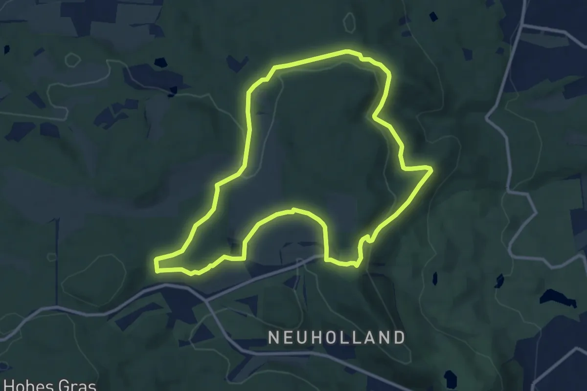
Medium · Summit
Im Wassereinzugsgebiet
8.3 km · ↑ 184 m · 2 h 28 min
Easy · Trail
Im Weberloch - Steinkreuz
3.1 km · ↑ 83 m · 54 min
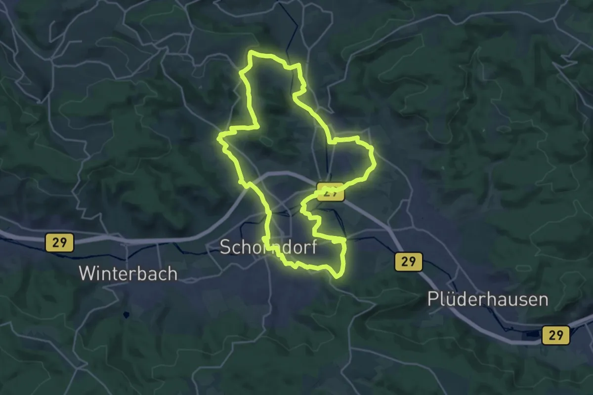
Demanding · Summit
Im Wieslauftal
20.8 km · ↑ 259 m · 5 h 46 min
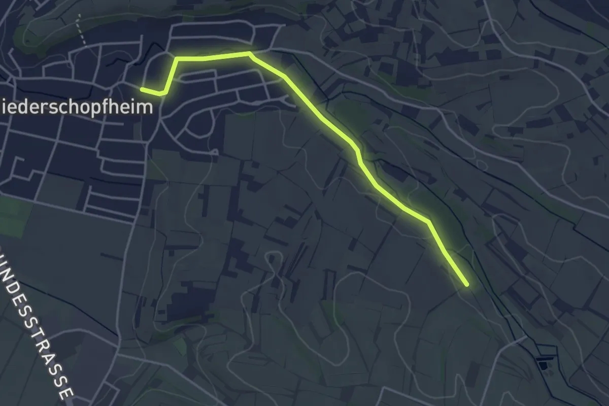
Easy · Trail
Im Winkel - Niederschopfheim Rathaus
3.6 km · ↑ 28 m · 55 min
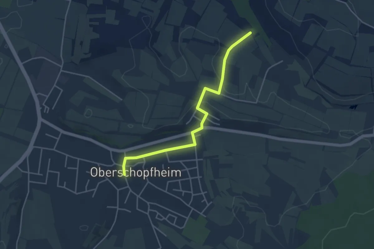
Easy · Trail
Im Winkel - Oberschopfheim Dreiangel
3.6 km · ↑ 69 m · 1 h
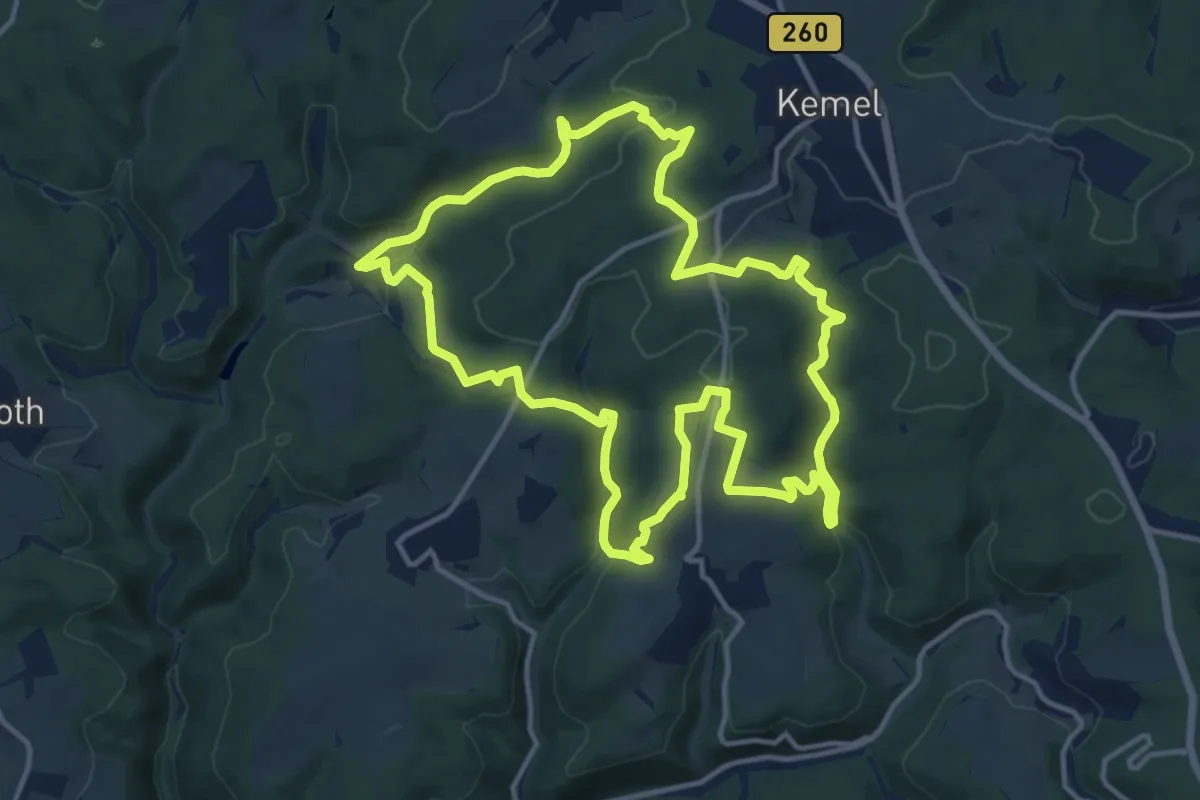
Medium · Summit
Im Wisper Outback
13.1 km · ↑ 383 m · 4 h 6 min
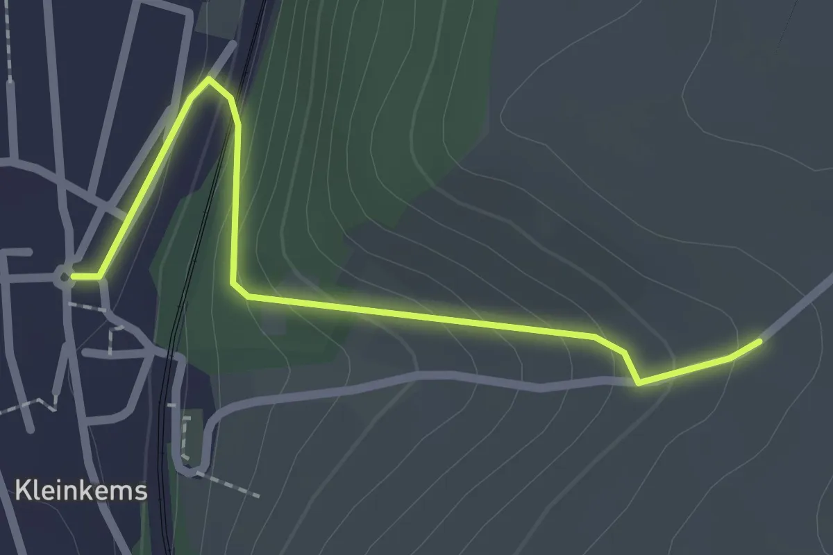
Easy · Trail
Im Wolf - Kleinkems Mitte
2.0 km · ↑ 131 m · 46 min
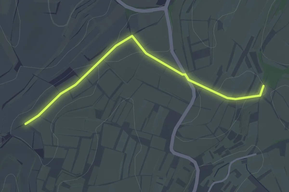
Easy · Trail
Im Wolfsbühl - In der Hornhalde
3.2 km · ↑ 22 m · 48 min
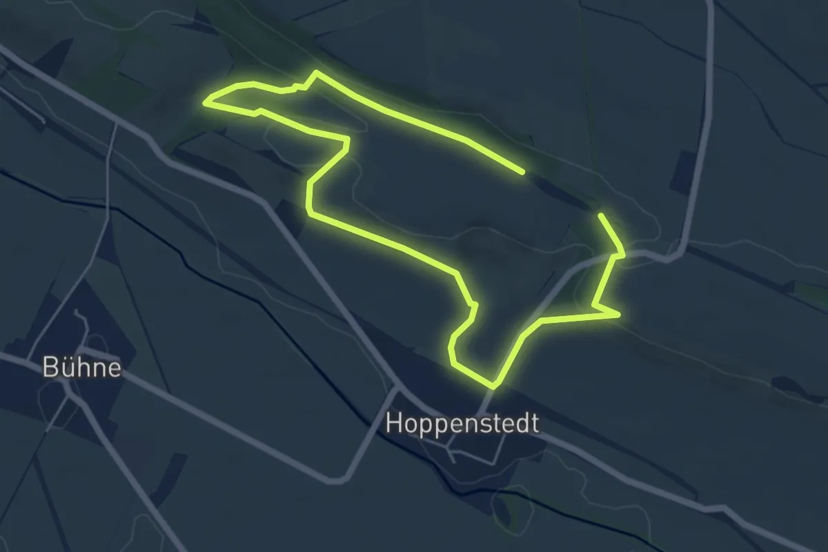
Easy · Trail
In den Berg und auf die Höhen
3.9 km · ↑ 73 m · 1 h 7 min
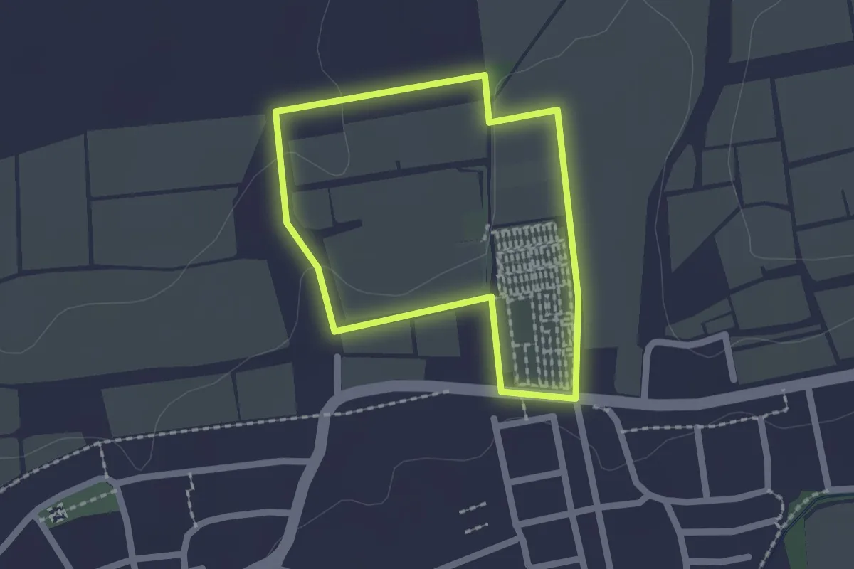
Easy · Trail
In den Elf Morgen
1.5 km · ↑ 19 m · 26 min
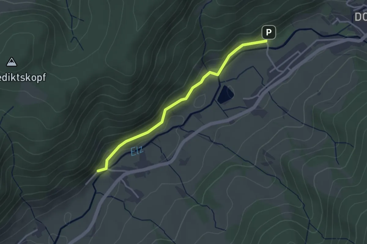
Easy · Trail
In den Höfen - Sportplatz Oberprechtal
3.0 km · ↑ 78 m · 52 min
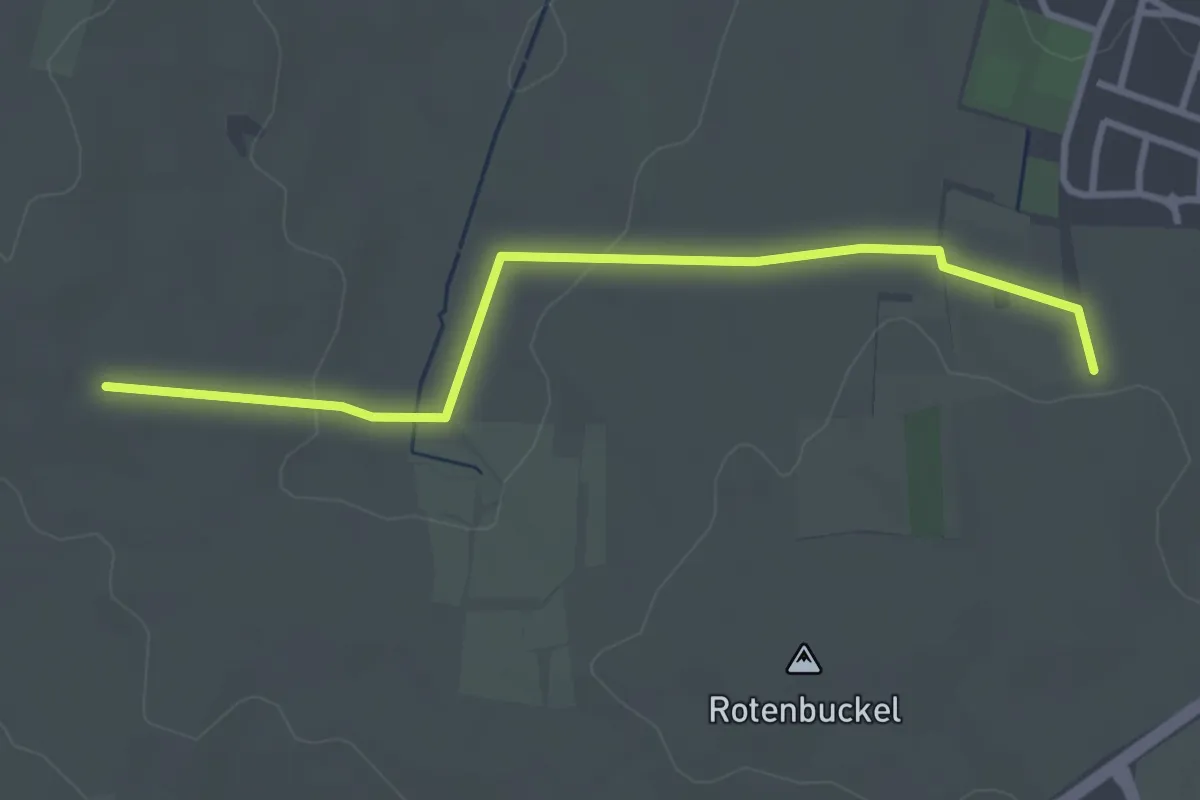
Easy · Trail
In den Steinbuckeln - Schubis
3.2 km · ↑ 56 m · 53 min
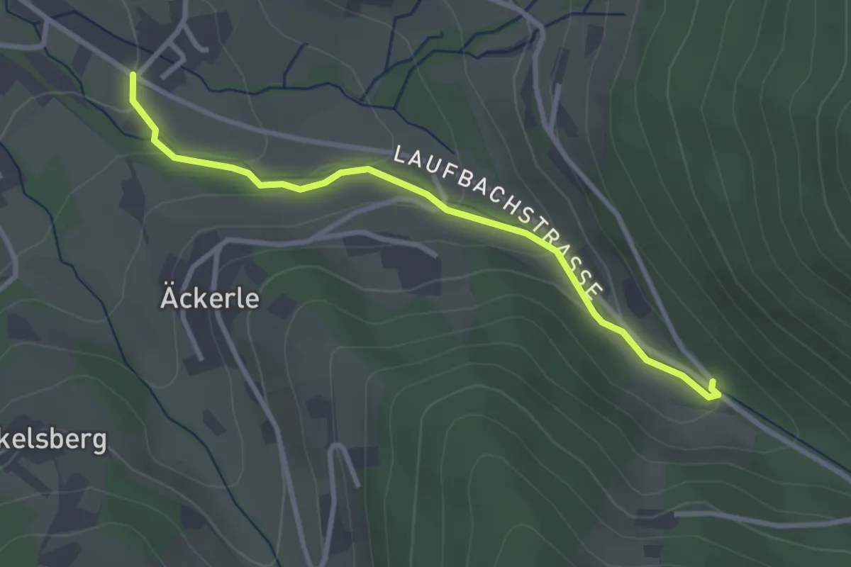
Easy · Trail
In der Au - Eiserne Brücke
2.8 km · ↑ 127 m · 56 min
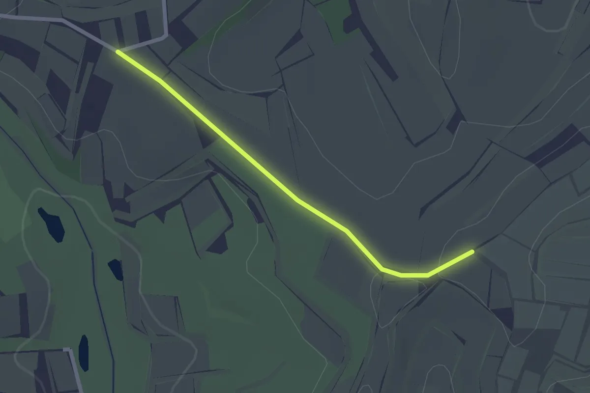
Easy · Trail
In der Hornhalde - Sandhalden
2.1 km · ↑ 19 m · 32 min
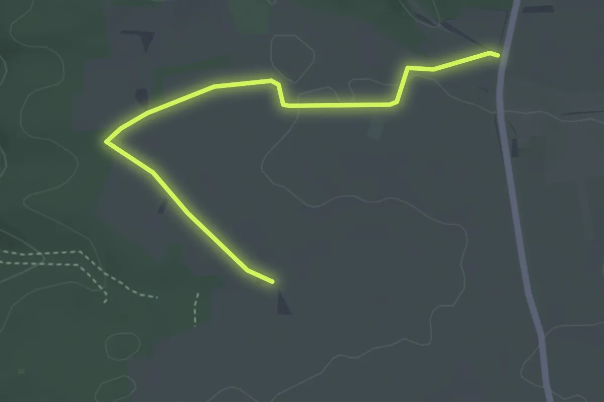
Easy · Trail
In der Mulde - Frauenrain
3.8 km · ↑ 33 m · 58 min
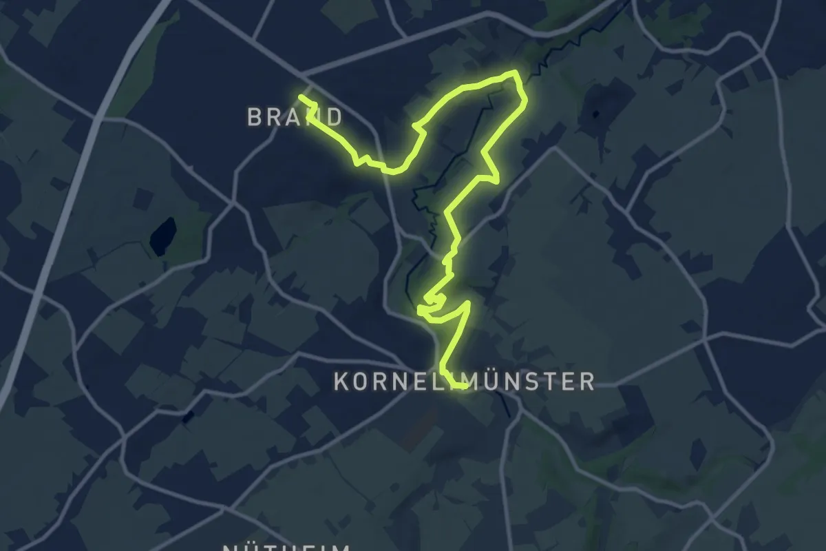
Medium · Trail
IndeRoute
12.8 km · ↑ 213 m · 3 h 29 min
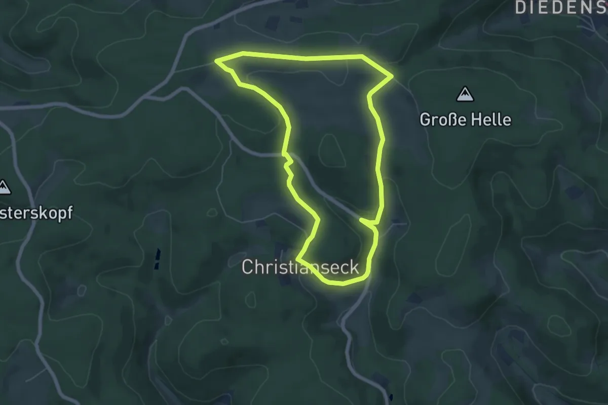
Easy · Trail
In der Wittgensteiner Schweiz
5.2 km · ↑ 105 m · 1 h 32 min
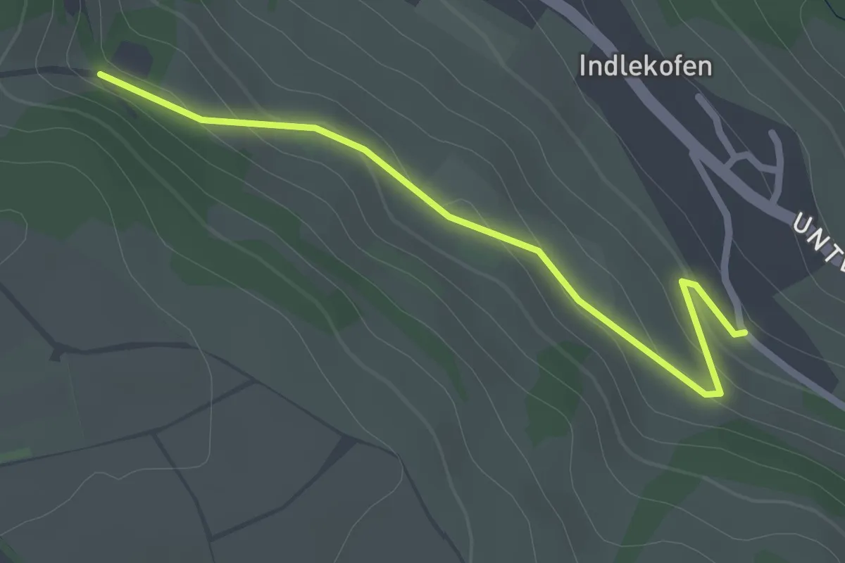
Easy · Trail
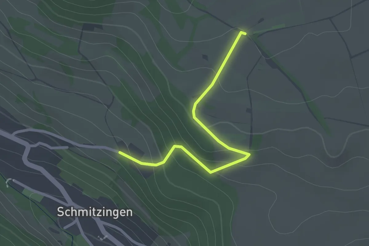
Indlekofen - Sprünglenbuck
2.3 km · ↑ 89 m · 44 min
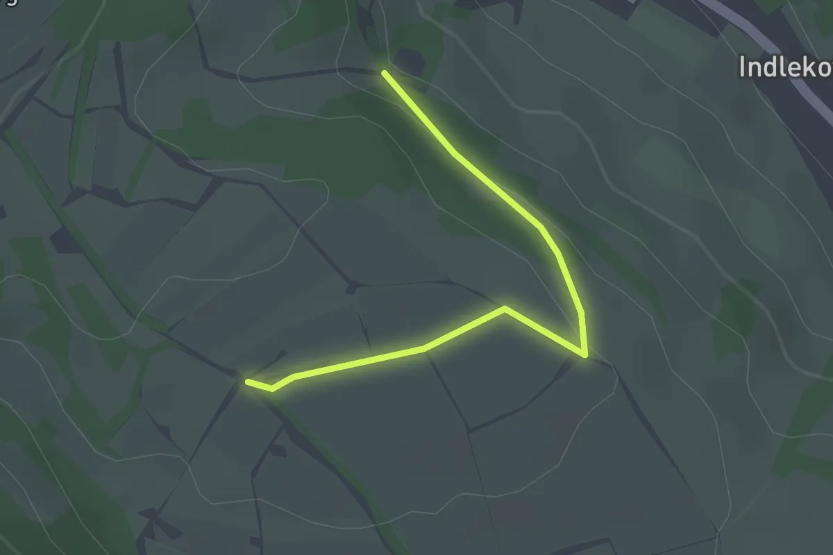
Easy · Trail
Indlekofer Felder - Sommertal
2.2 km · ↑ 94 m · 43 min
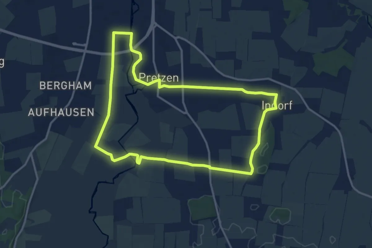
Easy · Trail
Indlekofer Felder - Sprünglenbuck
2.3 km · ↑ 39 m · 38 min
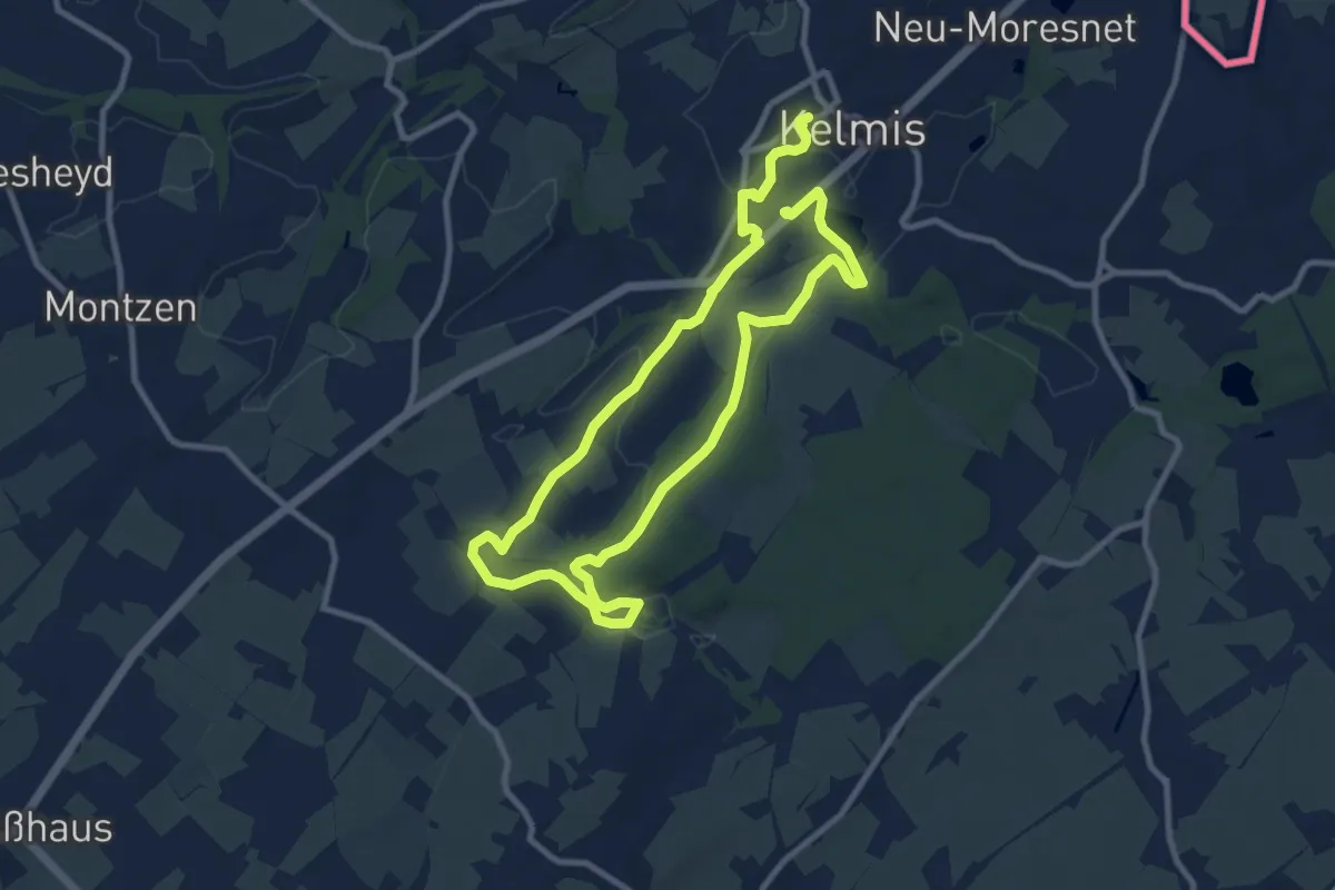
Medium · Trail
Indorfer Runde
9.1 km · ↑ 27 m · 2 h 21 min
Medium · Trail
Industrielehrpfad
16.0 km · ↑ 225 m · 4 h 16 min
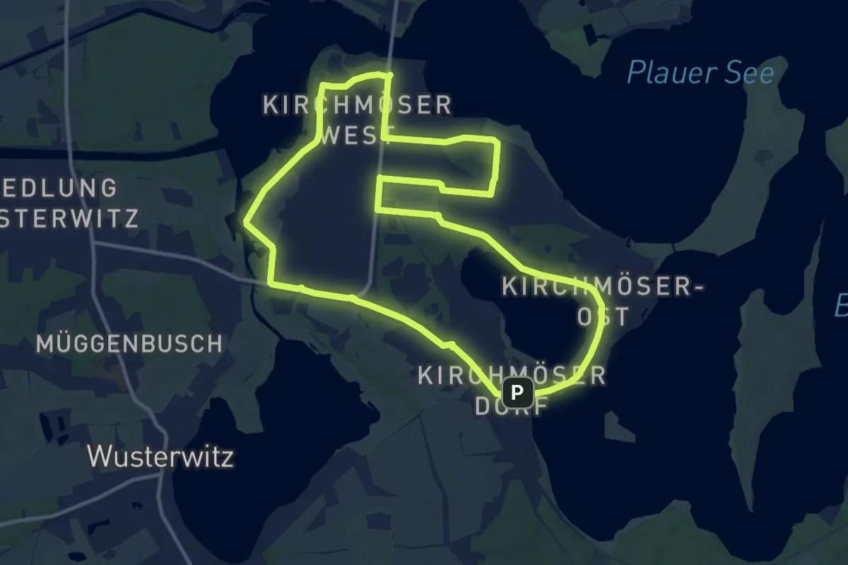
Medium · Trail
Industrielehrpfad Kirchmöser
11.3 km · ↑ 8 m · 2 h 50 min
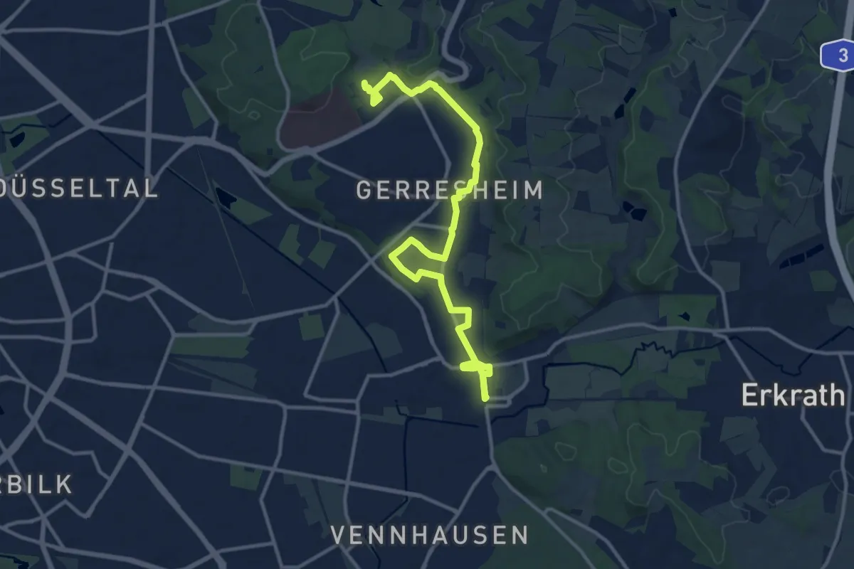
Medium · Trail
Industriepfad Düsseldorf-Gerresheim
13.3 km · ↑ 58 m · 3 h 16 min
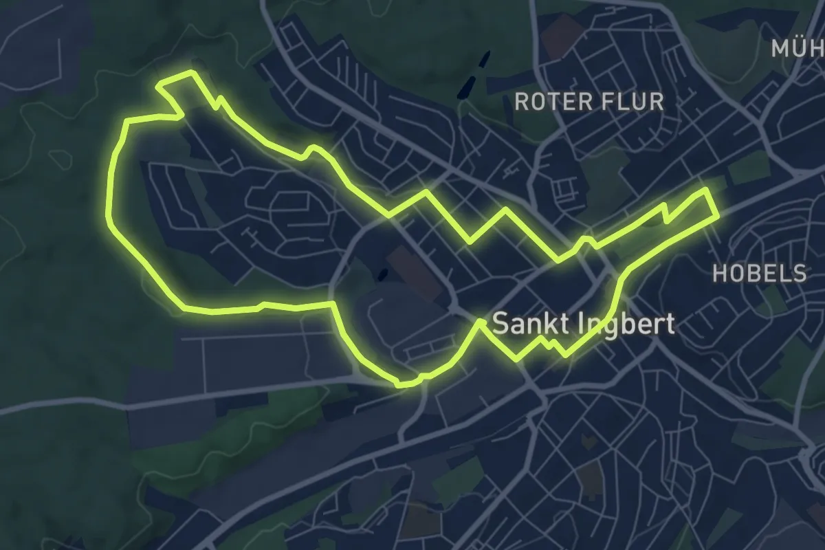
Medium · Trail
Industrieweg
8.2 km · ↑ 108 m · 2 h 16 min
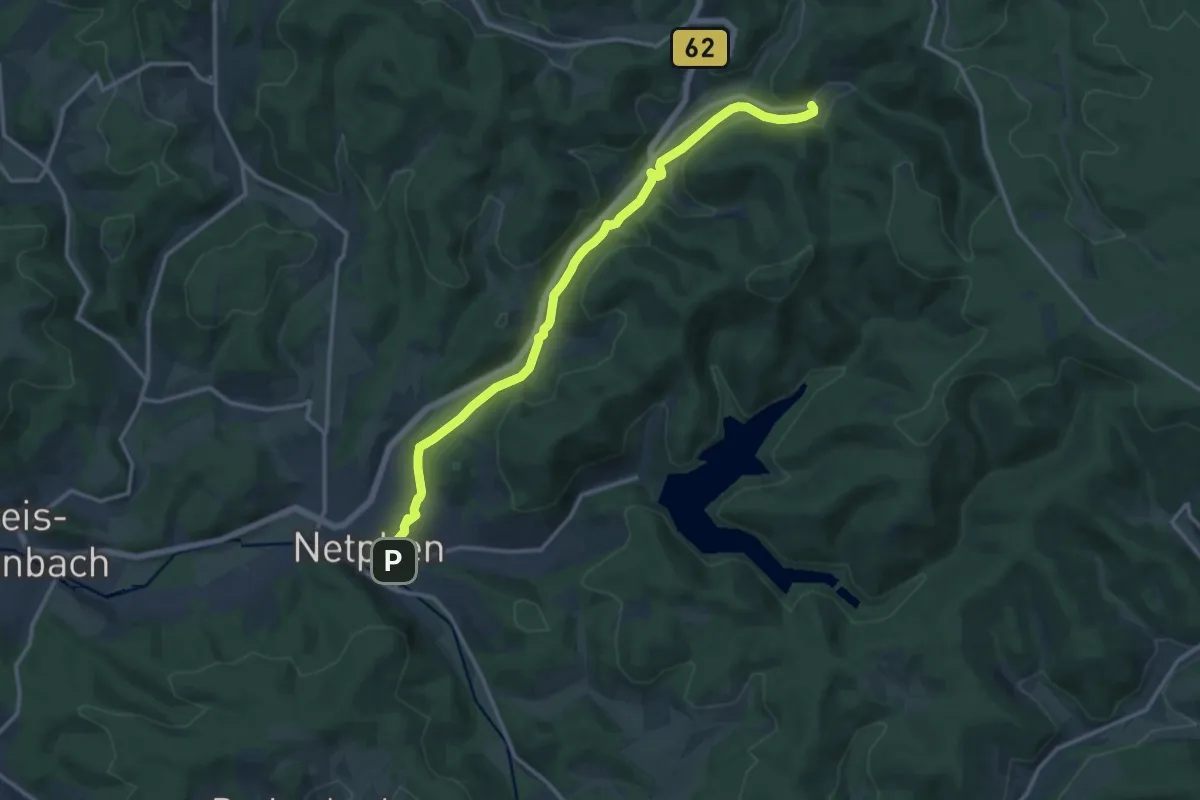
Medium · Trail
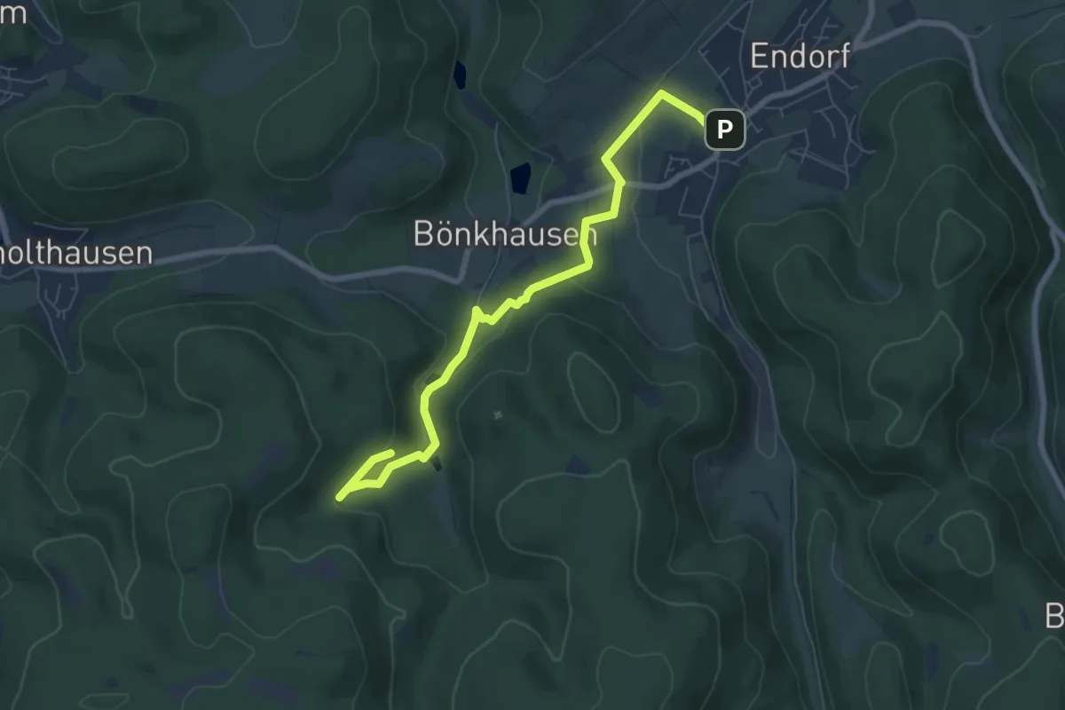
[I] Netphen - Sohlbach
13.3 km · ↑ 216 m · 3 h 36 min
Easy · Trail
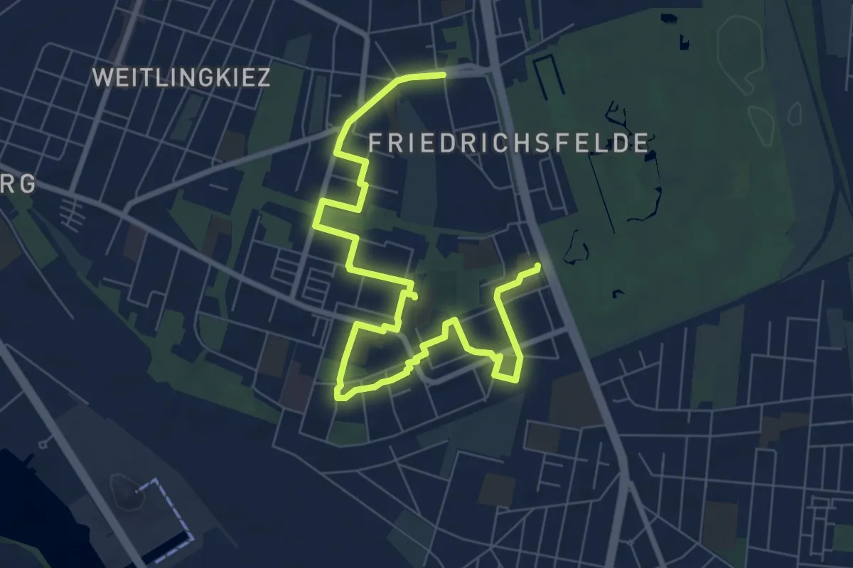
Informationswanderweg Silber und Blei
6.8 km · ↑ 216 m · 2 h 5 min
Medium · Trail
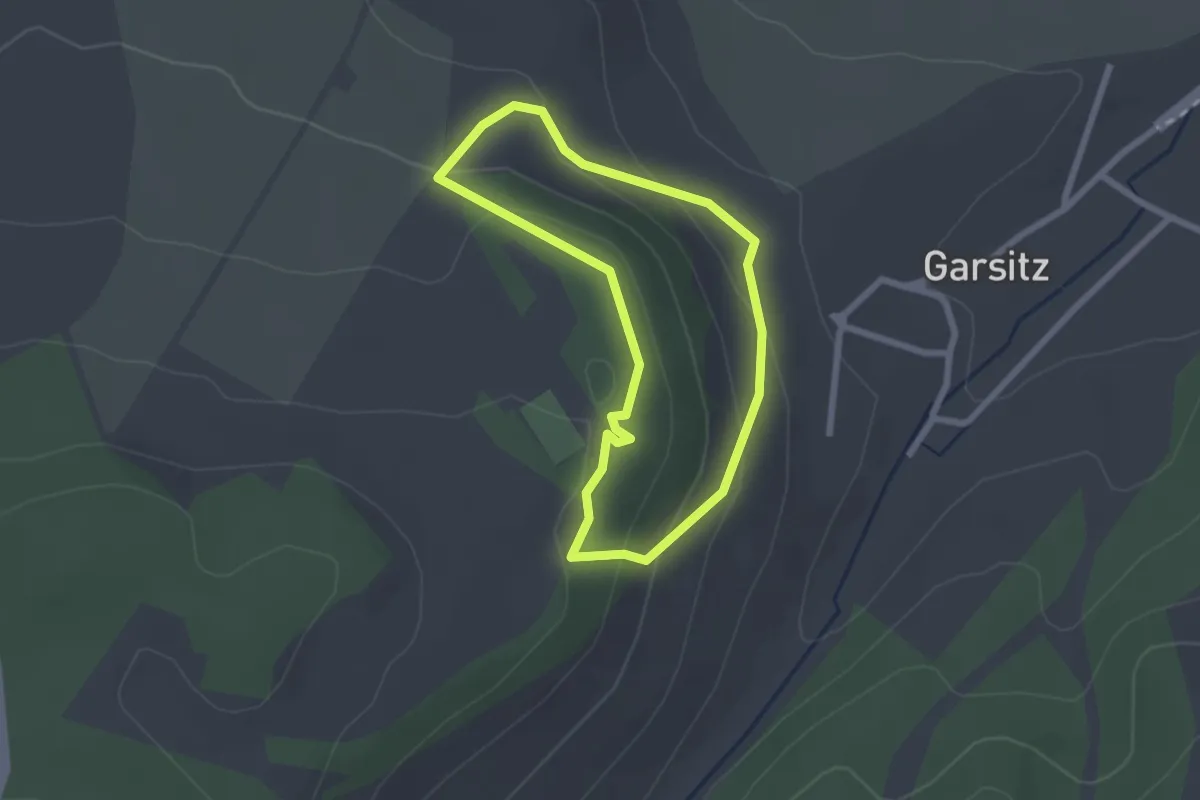
Inforoute Platte & Co.
8.9 km · ↑ 21 m · 2 h 9 min
Easy · Trail
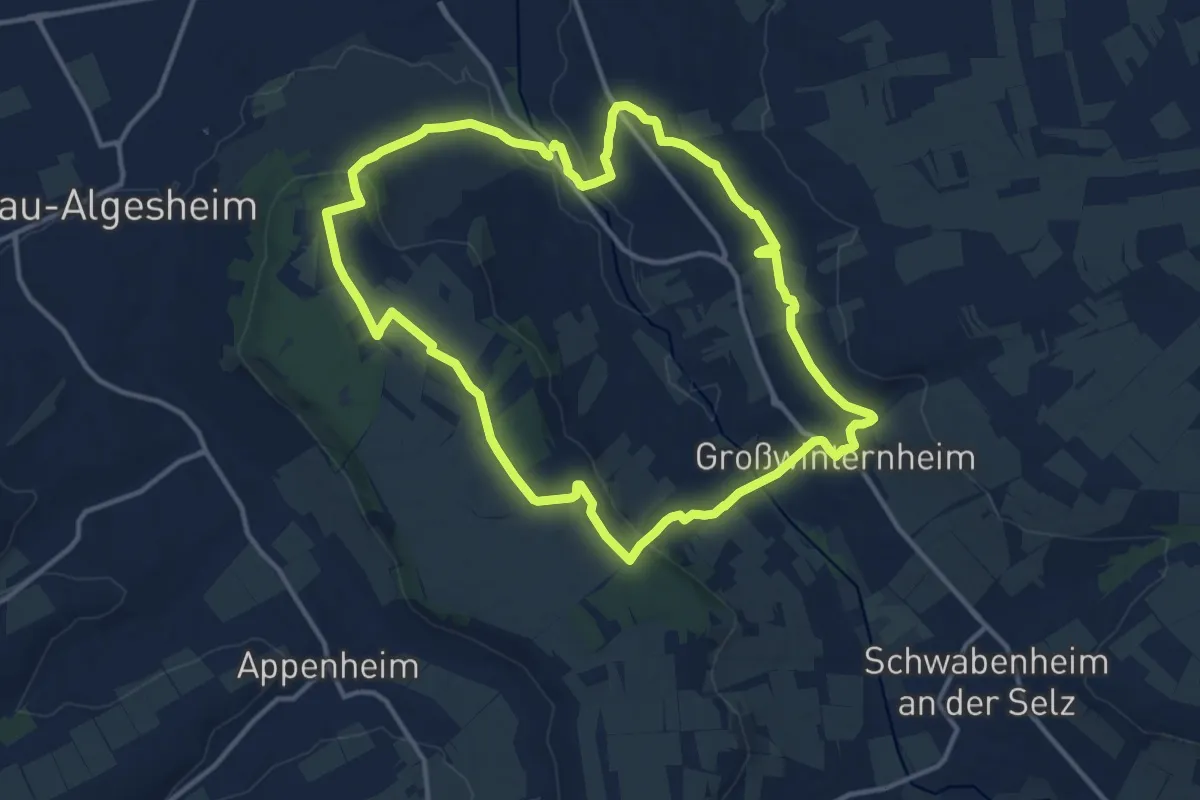
Infoweg Natürlich Königsee
1.9 km · ↑ 83 m · 40 min
Medium · Trail
Ingelheim: Ingelheimer Auslese
12.3 km · ↑ 247 m · 3 h 37 min
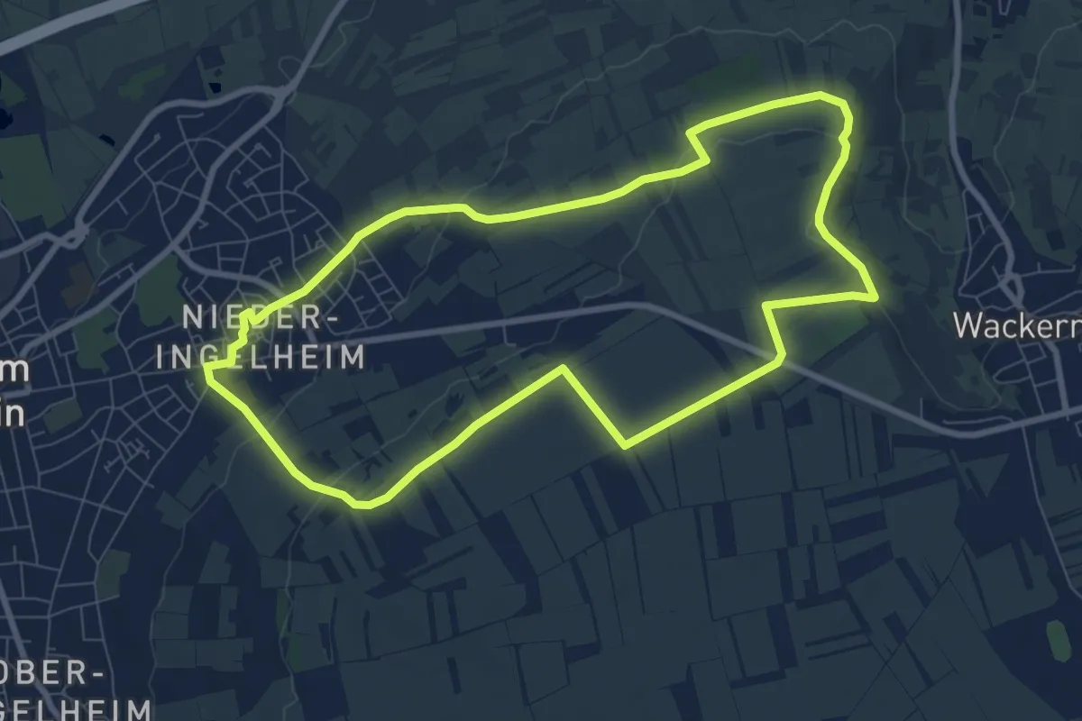
Easy · Trail
Ingelheim: Kaiserpfalzweg
7.9 km · ↑ 118 m · 2 h 13 min
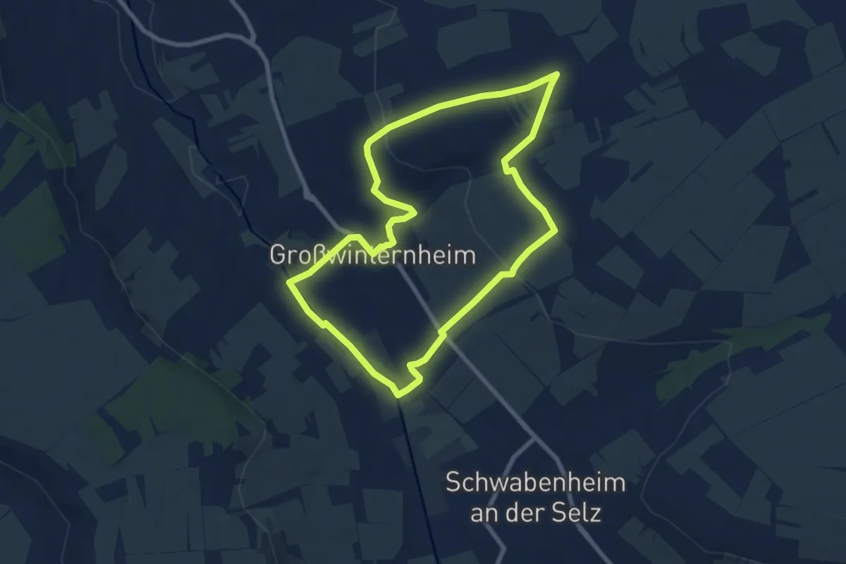
Easy · Trail
Ingelheim: Panoramaweg
6.8 km · ↑ 137 m · 2 h
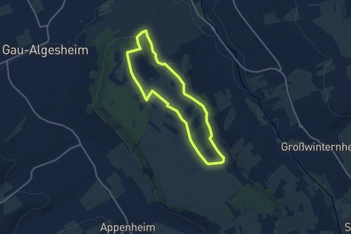
Easy · Trail
Ingelheim: Rundweg Westerberg
6.6 km · ↑ 94 m · 1 h 51 min
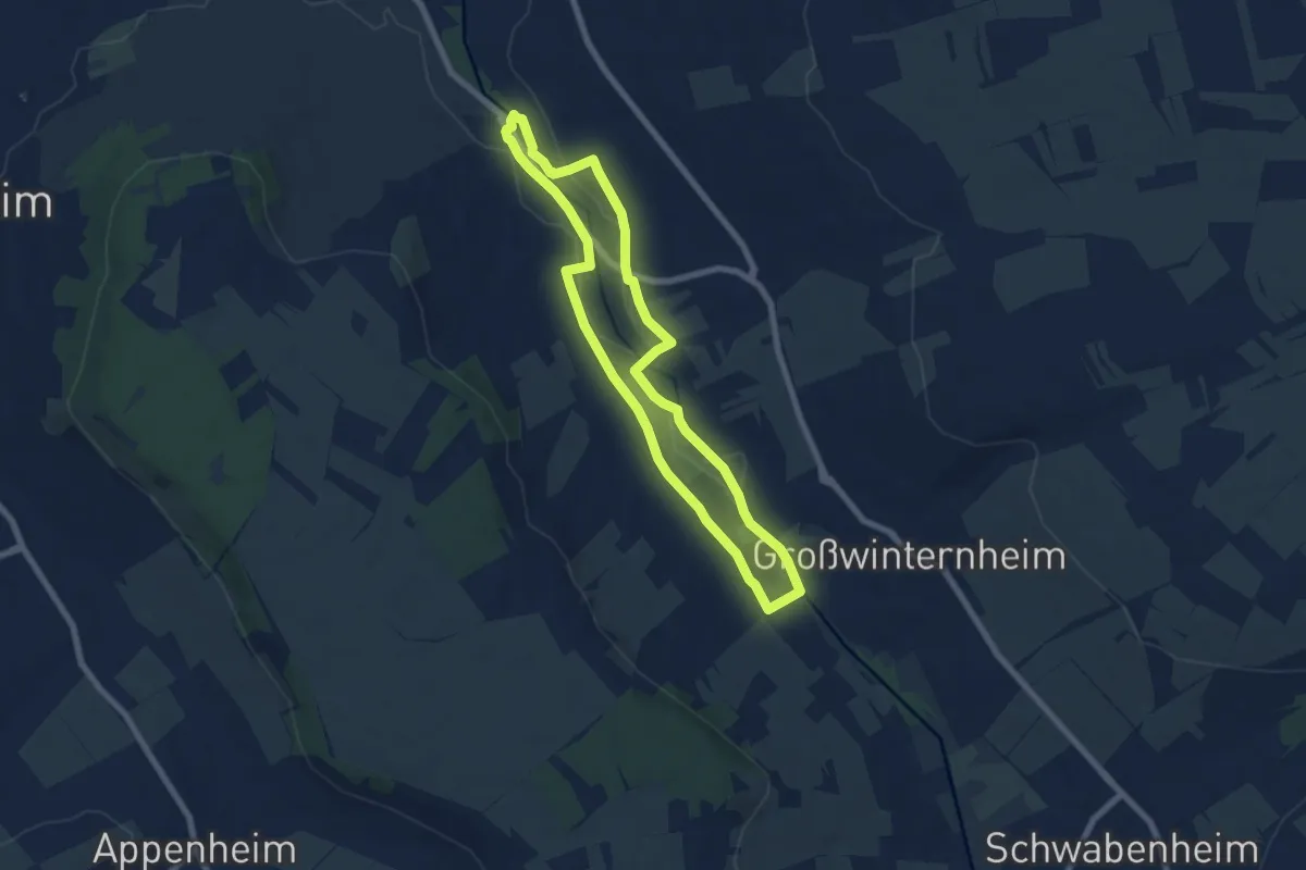
Easy · Trail
Ingelheim: Selztal-Runde
6.3 km · ↑ 31 m · 1 h 38 min
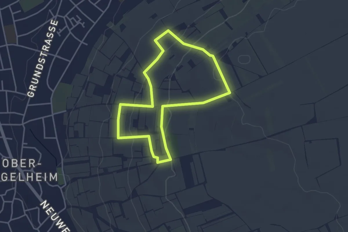
Easy · Trail
Ingelheim: Weinmeile
3.0 km · ↑ 72 m · 55 min
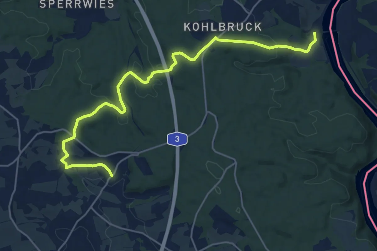
Medium · Trail
Ingling - Kohlbruck - Pfenningbach
16.1 km · ↑ 443 m · 4 h 46 min
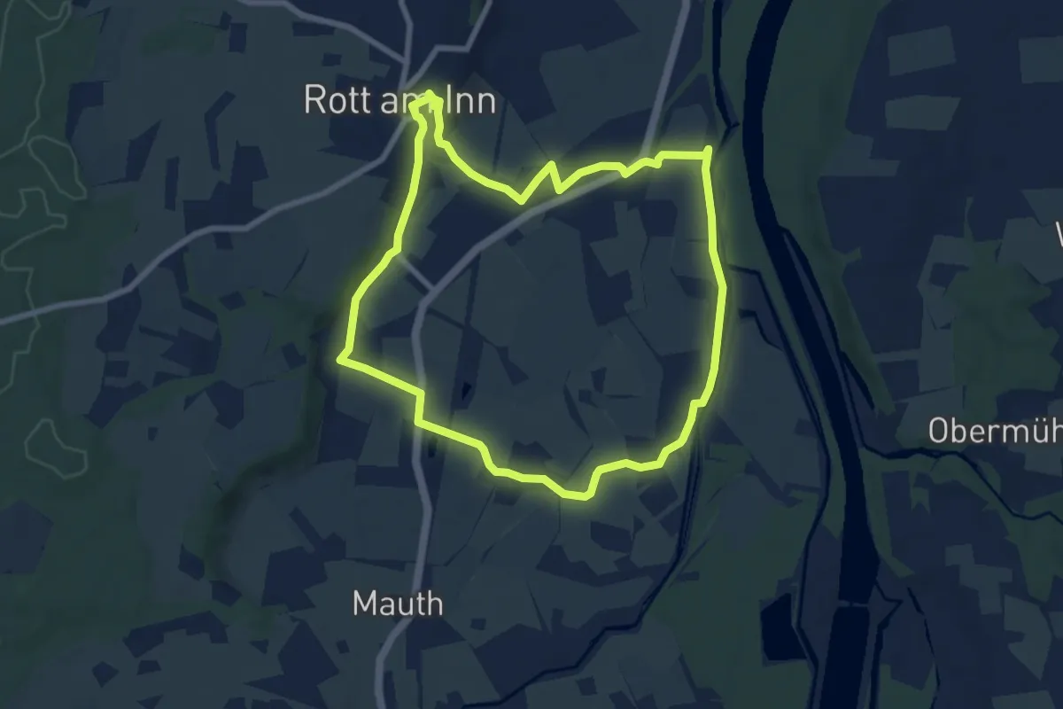
Easy · Trail
Innauenweg
7.1 km · ↑ 52 m · 1 h 54 min
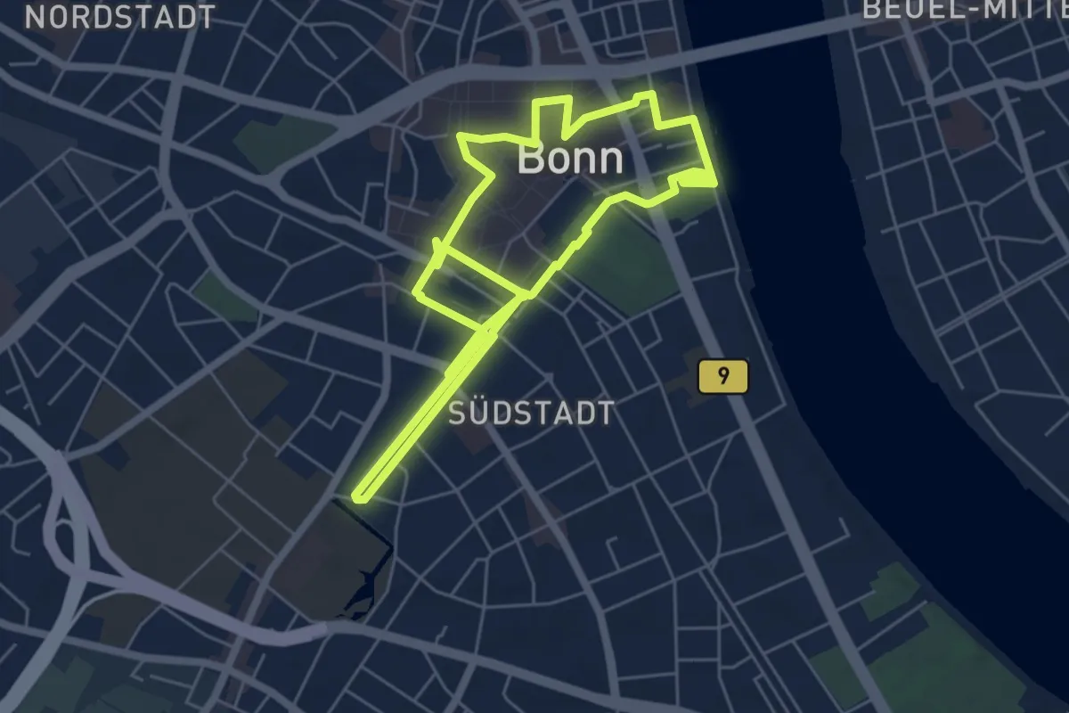
Medium · Trail
Innenstadt
10.1 km · ↑ 26 m · 2 h 27 min
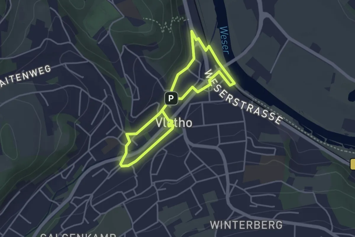
Easy · Trail
Innenstadt-Rundweg Vlotho
2.6 km · ↑ 35 m · 43 min
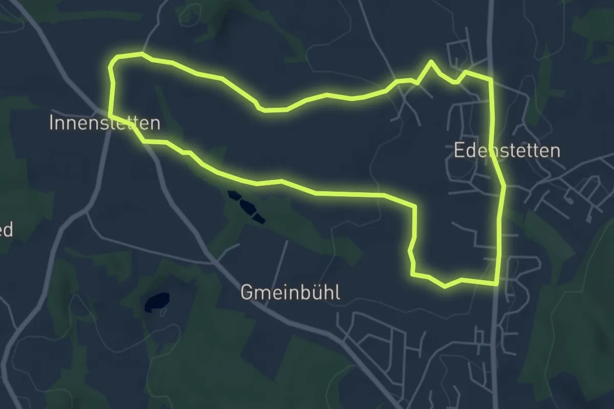
Easy · Trail
Innenstettener Weg
5.1 km · ↑ 69 m · 1 h 26 min
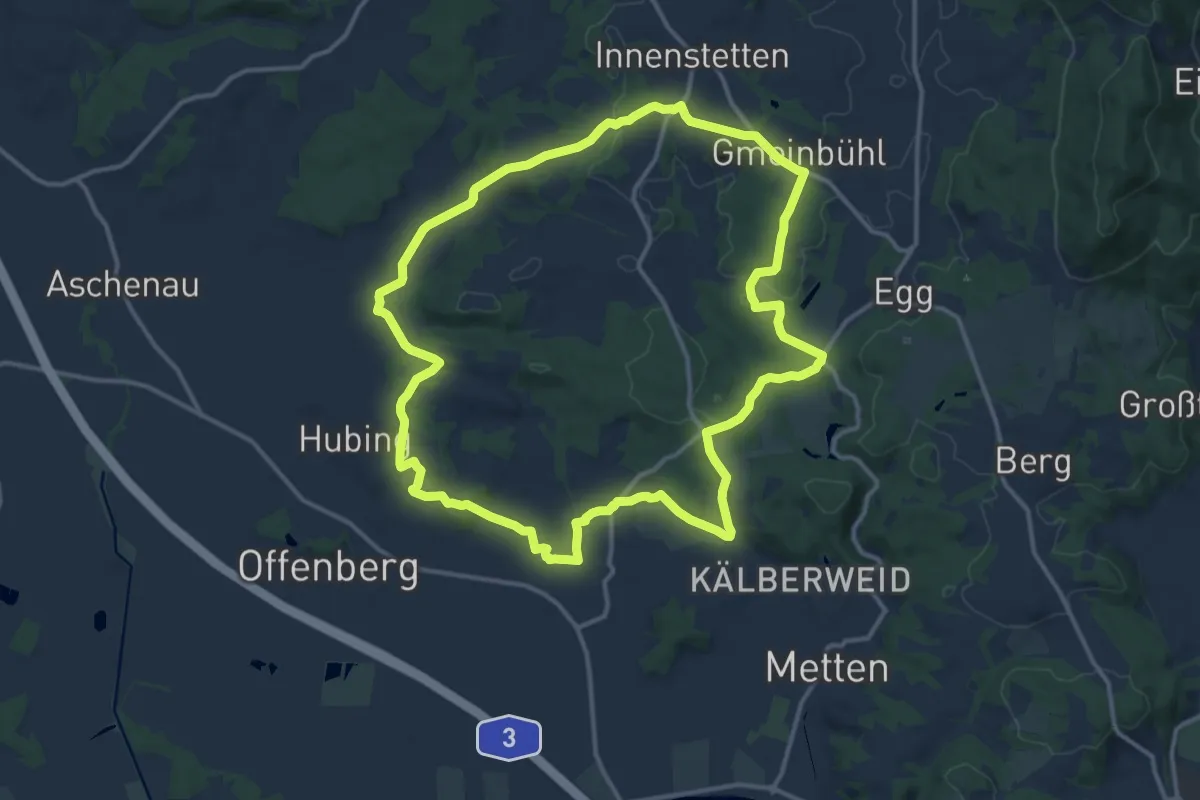
Medium · Trail
Innenstetter Weg
13.3 km · ↑ 226 m · 3 h 49 min