Trails in Germany
36,852 hiking trails, each with its route, climb, walking time and grade.
All trails, page 266 of 768
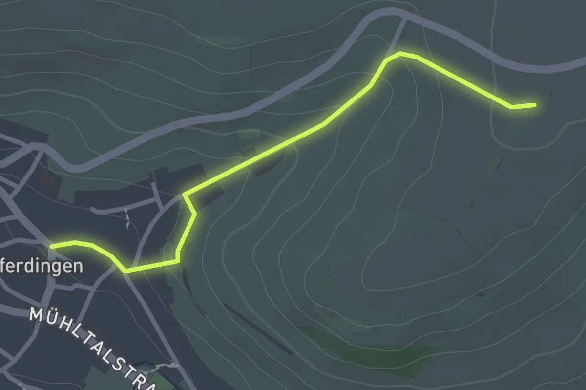
Easy · Trail
Innerer Homberg - Leipferdingen Beim Rathaus
2.5 km · ↑ 85 m · 46 min
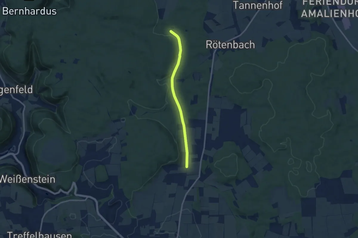
Easy · Trail
Innerer Querweg des SAV (glebe Raute)
7.8 km · ↑ 74 m · 2 h 1 min
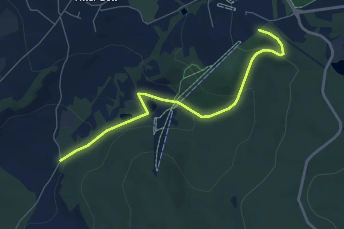
Easy · Trail
Innerer Ringweg
5.0 km · ↑ 188 m · 1 h 36 min
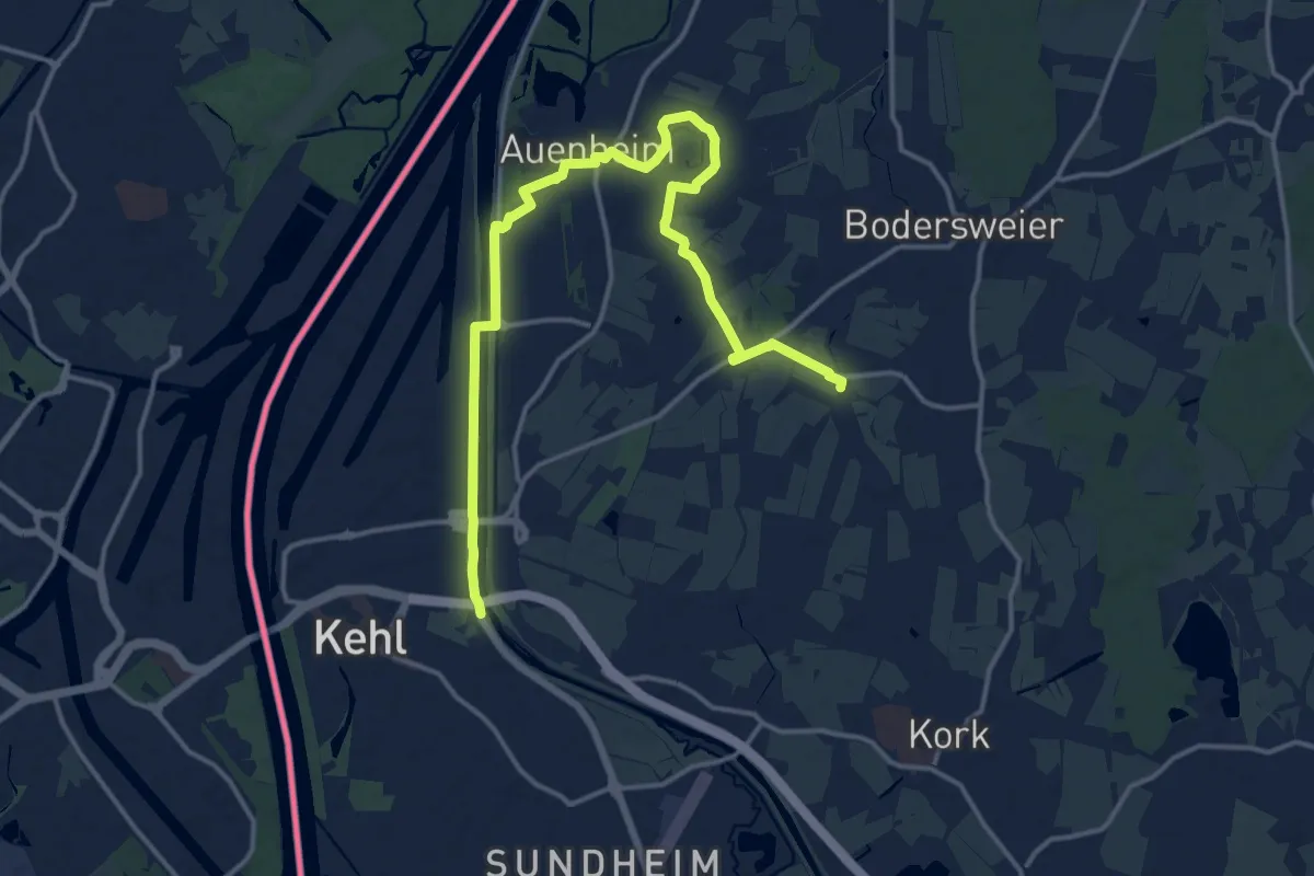
Medium · Trail
Innerer Rundweg
17.1 km · ↑ 46 m · 4 h 8 min
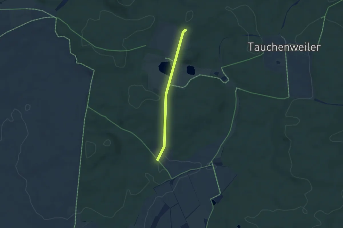
Easy · Trail
Innerer Zugangsweg des SAV
3.1 km · ↑ 80 m · 54 min
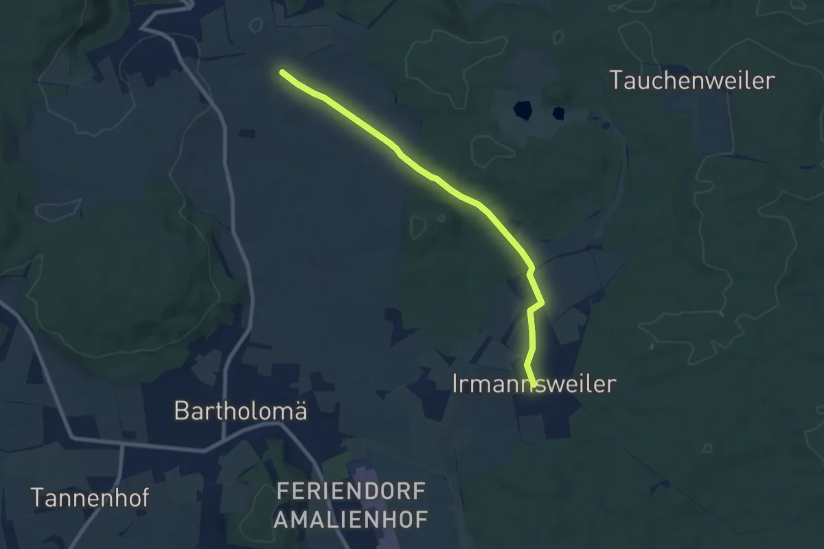
Easy · Trail
Innerer Zugangsweg des SAV
7.2 km · ↑ 106 m · 1 h 56 min
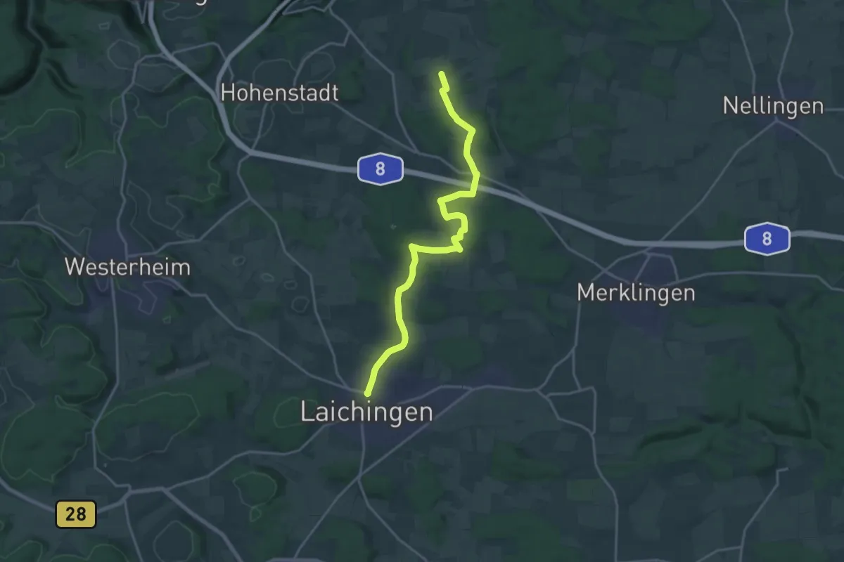
Demanding · Trail
Innerer Zugangsweg des SAV (gelbes Dreieck)
18.0 km · ↑ 233 m · 4 h 46 min
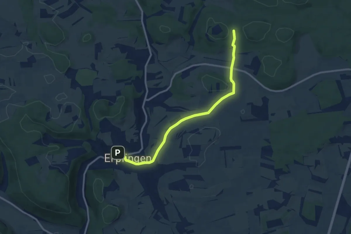
Easy · Trail
Innerer Zugangsweg des Schwäbischen Albvereins (gelbes Dreieck)
7.9 km · ↑ 148 m · 2 h 12 min
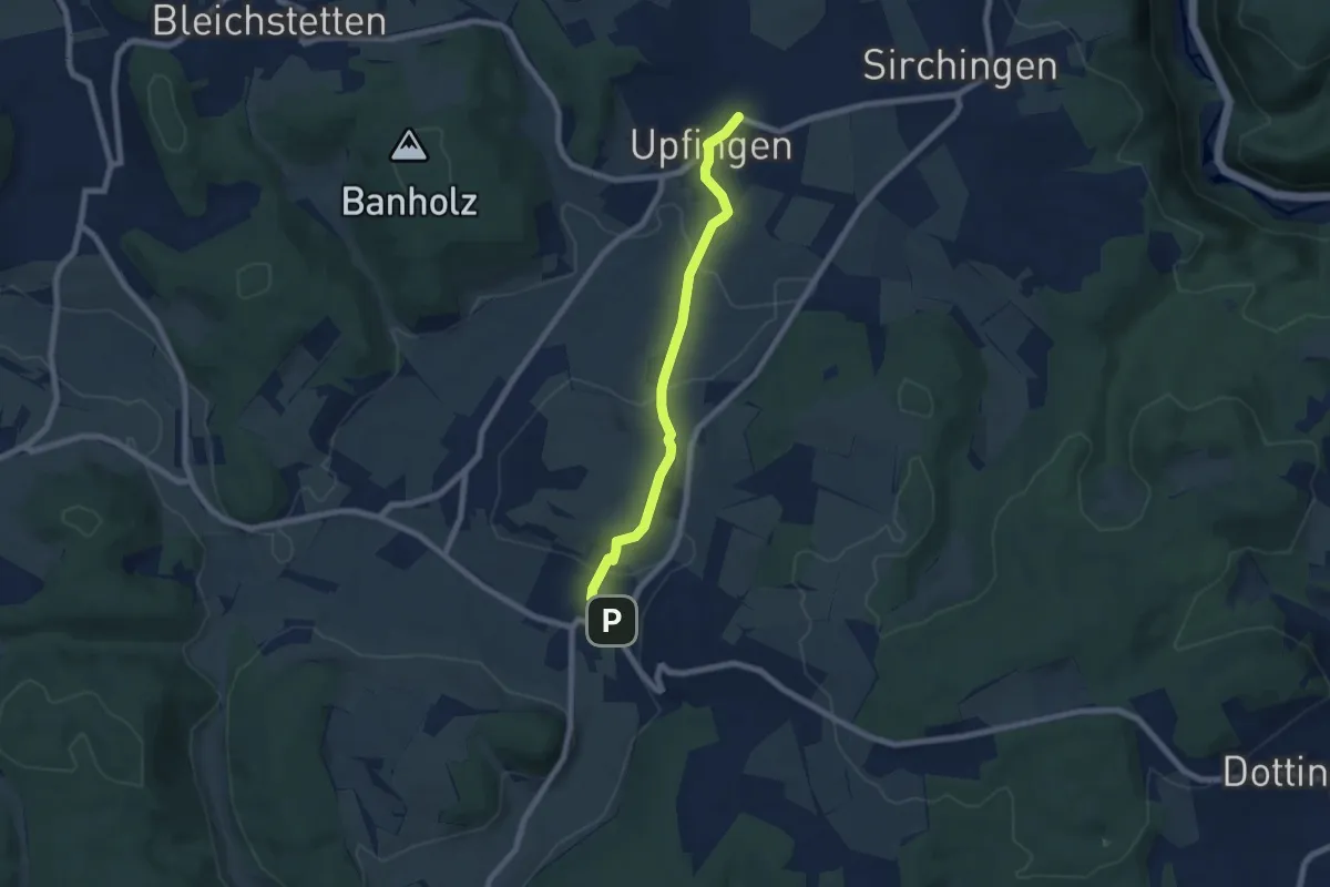
Easy · Trail
Innerer Zugangsweg (gelbes Dreieck)
6.5 km · ↑ 124 m · 1 h 48 min
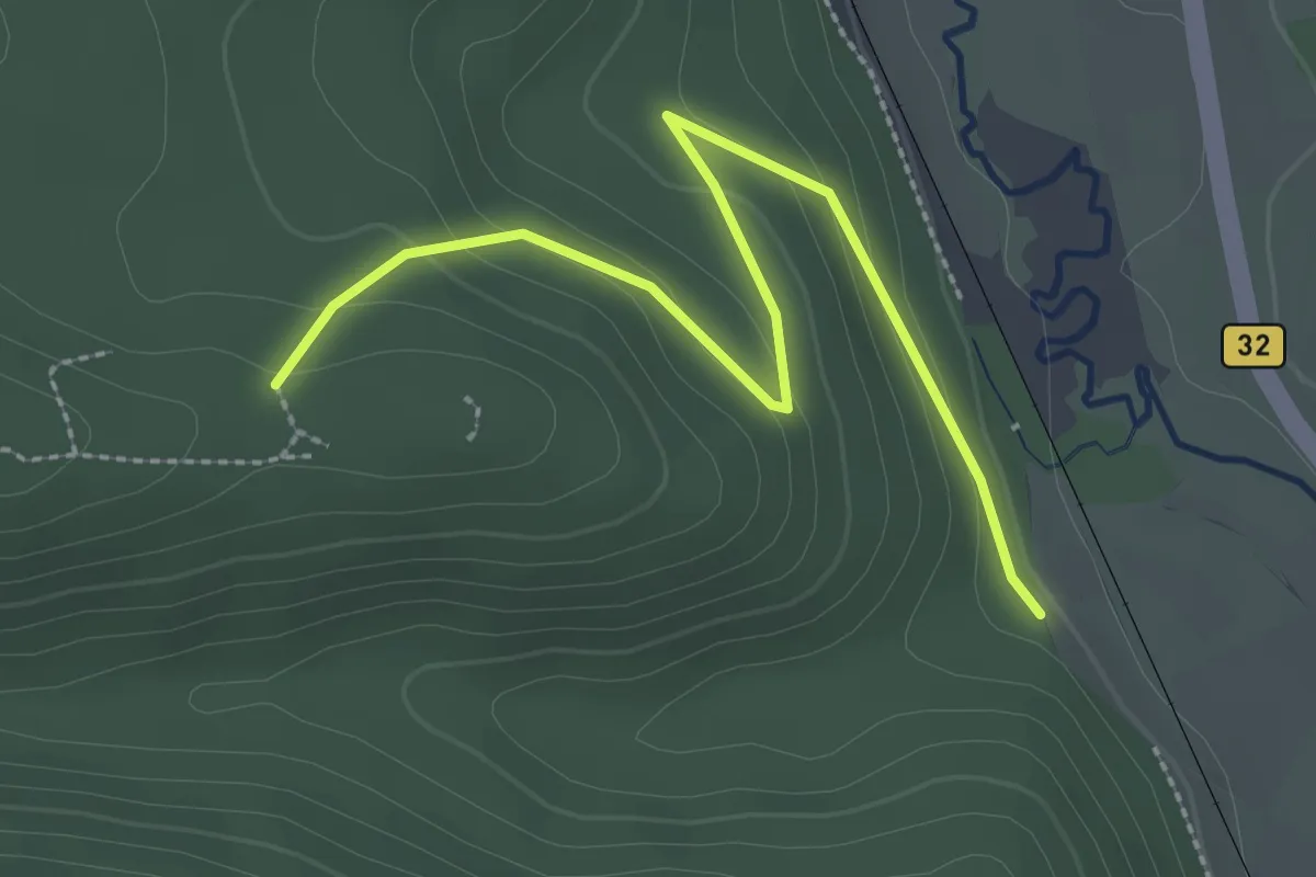
Easy · Trail
Innerer Zugangsweg Schwäbischen Albvereins (gelbes Dreieck)
2.8 km · ↑ 111 m · 54 min
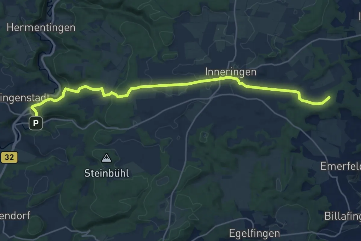
Medium · Trail
Inneringen - Veringenstadt
17.7 km · ↑ 365 m · 4 h 58 min
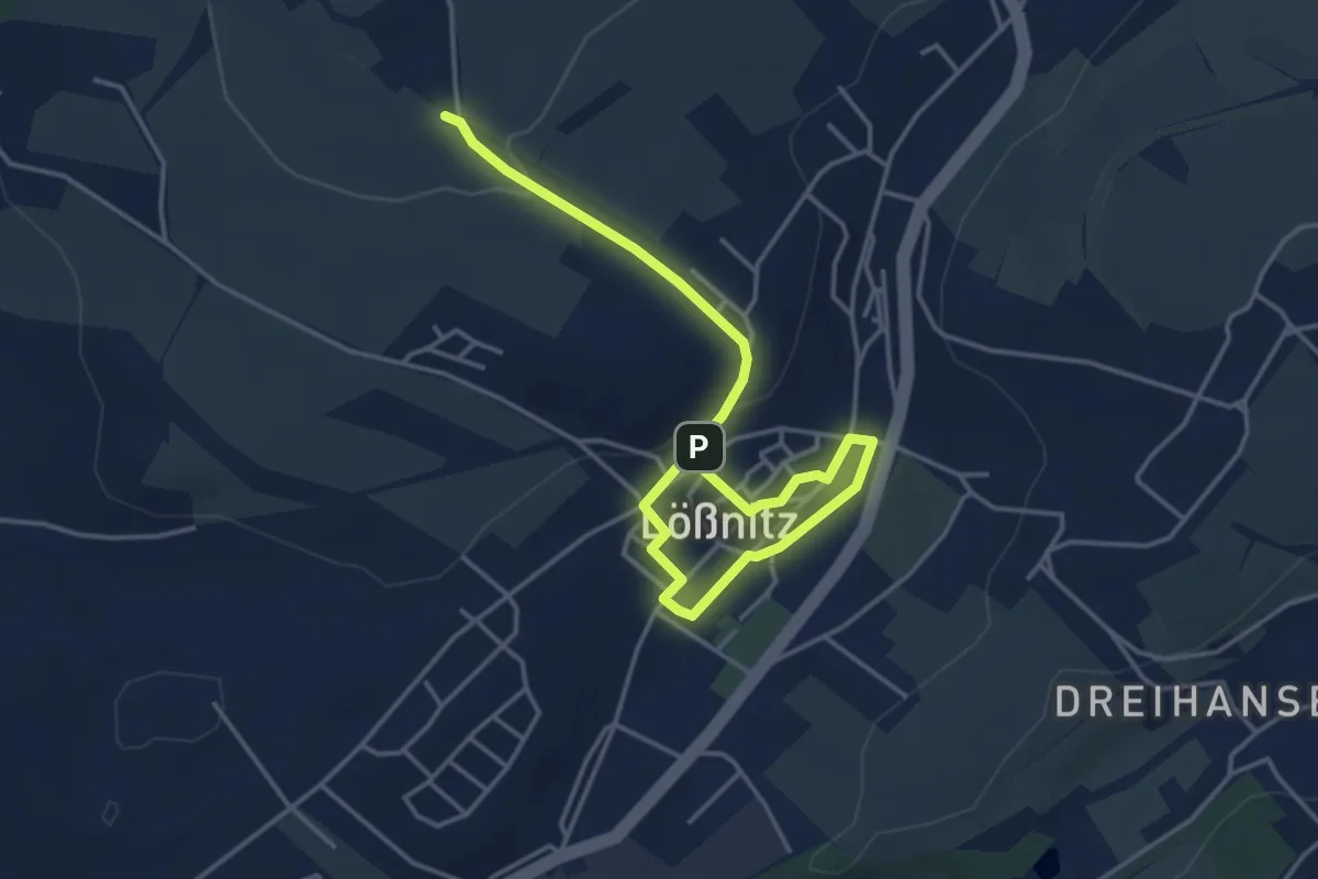
Easy · Trail
Innerstädtischer Lehrpfad Lößnitz
4.7 km · ↑ 120 m · 1 h 23 min
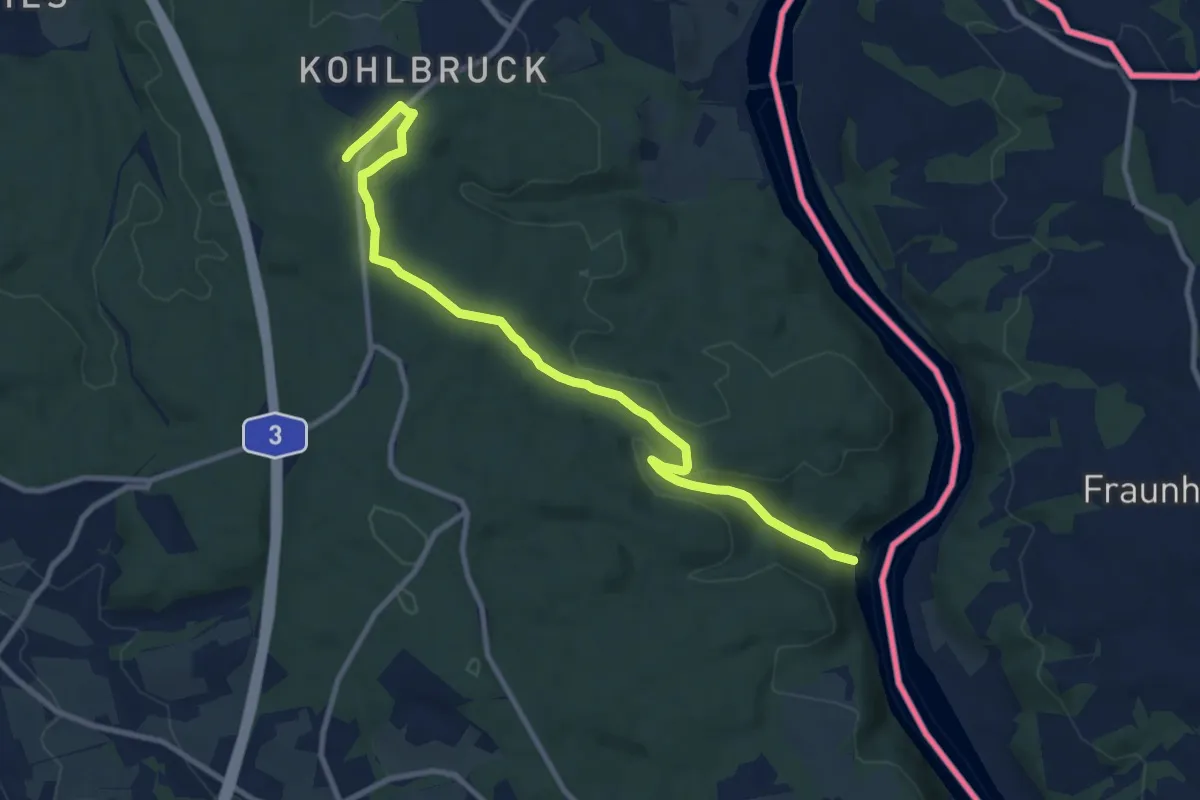
Medium · Trail
Inn - Kohlbruck
10.2 km · ↑ 205 m · 2 h 52 min
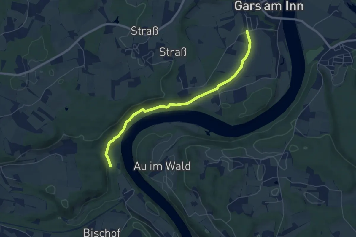
Easy · Trail
Innleitenweg
5.8 km · ↑ 131 m · 1 h 39 min
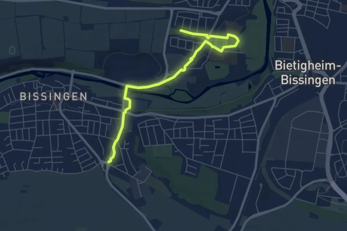
Easy · Trail
Insektenpfad
6.4 km · ↑ 73 m · 1 h 40 min
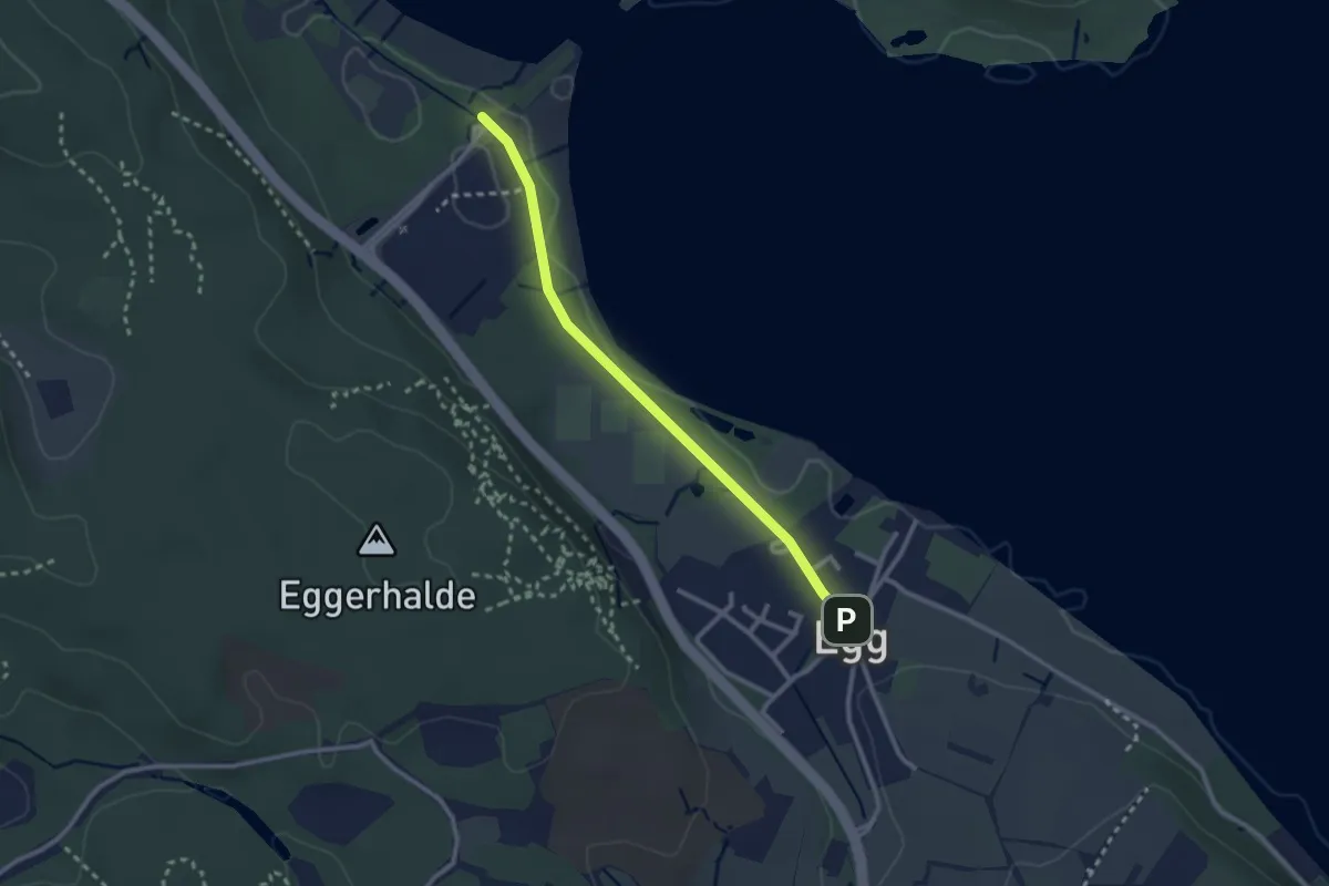
Easy · Trail
Insel Mainau - Konstanz Egg
2.5 km · ↑ 9 m · 36 min
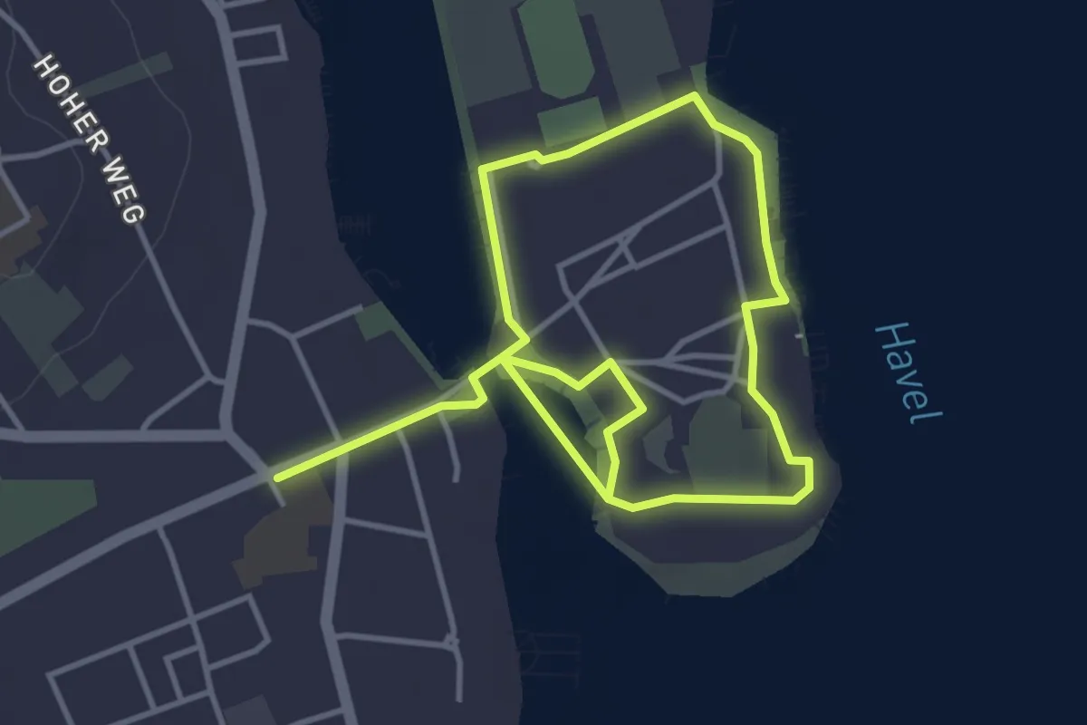
Easy · Trail
Inselrundweg
2.8 km · ↑ 8 m · 43 min
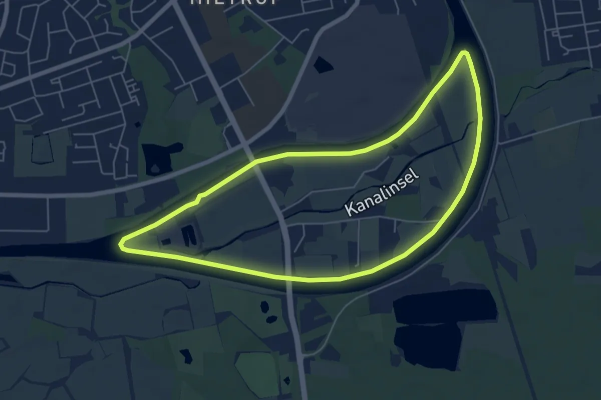
Easy · Trail
Insel-Rundweg
4.9 km · ↑ 9 m · 1 h 14 min
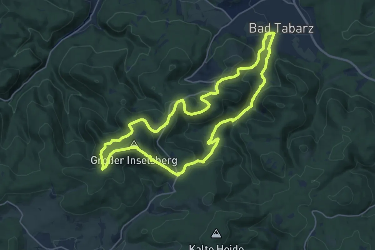
Medium · Summit
Inselsbergtour
14.8 km · ↑ 603 m · 5 h 1 min
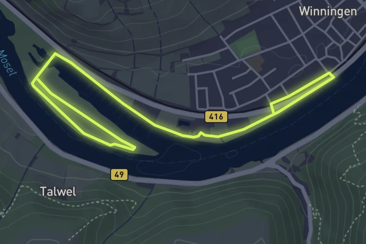
Easy · Trail
Insel Weinpfad
3.2 km · ↑ 20 m · 50 min
Medium · Trail
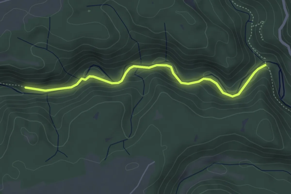
Inselwirts Keller - Gauchachmündung Kanadiersteg
4.5 km · ↑ 132 m · 1 h 21 min
Medium · Trail
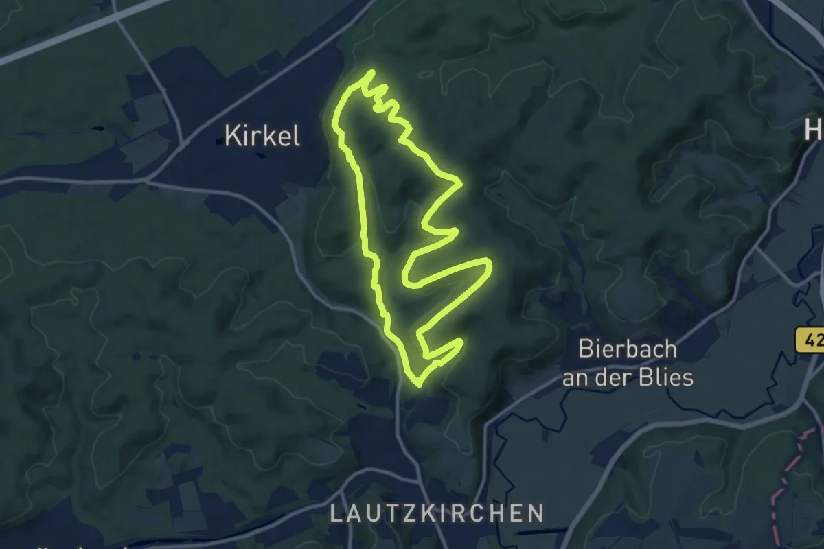
Ins Felsental
10.7 km · ↑ 291 m · 3 h 18 min
Easy · Trail
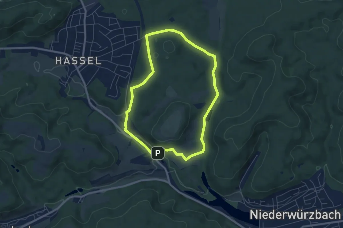
Ins Frohnsbachtal
5.4 km · ↑ 104 m · 1 h 34 min
Easy · Summit
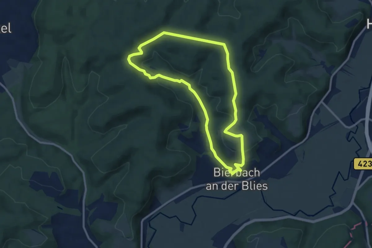
Ins Grohbachtal
6.8 km · ↑ 207 m · 2 h 9 min
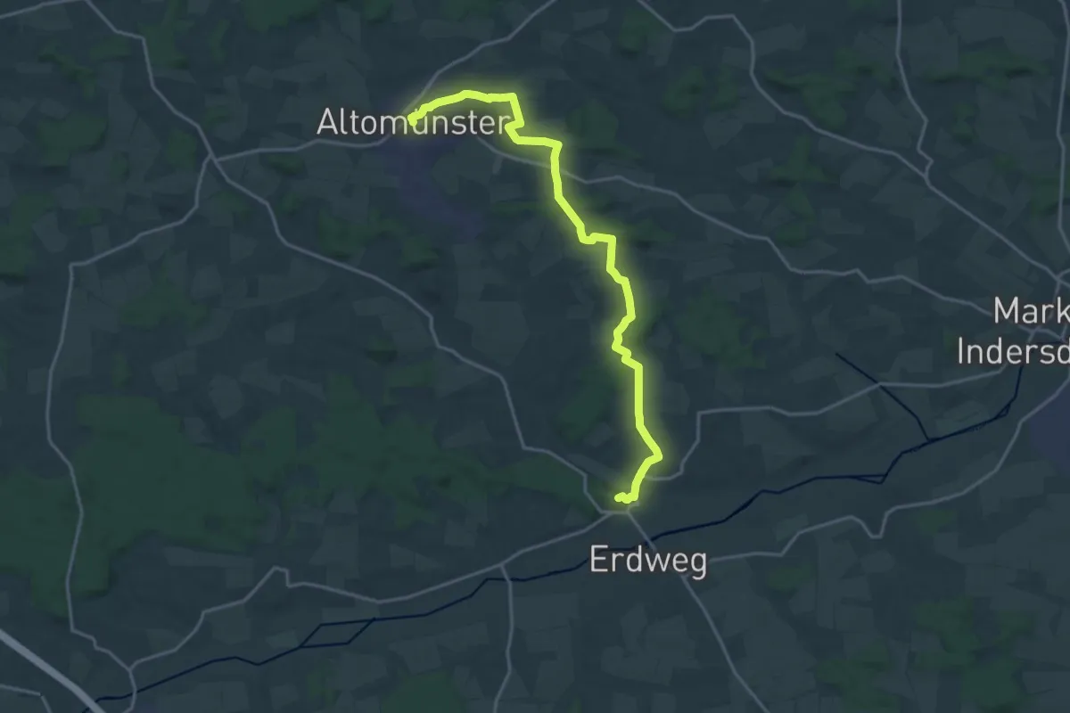
Demanding · Trail
InSichGegen
18.6 km · ↑ 224 m · 4 h 53 min
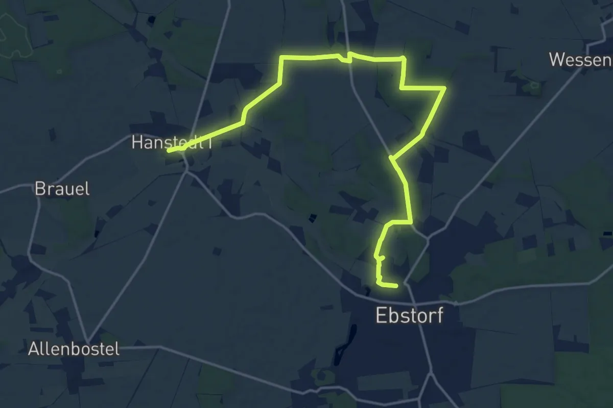
Medium · Trail
Inspirationsweg
16.1 km · ↑ 89 m · 4 h
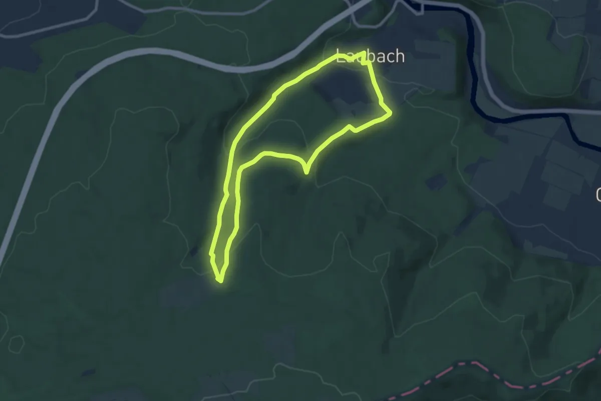
Easy · Trail
Ins schöne Grundbachtal
6.9 km · ↑ 242 m · 2 h 15 min
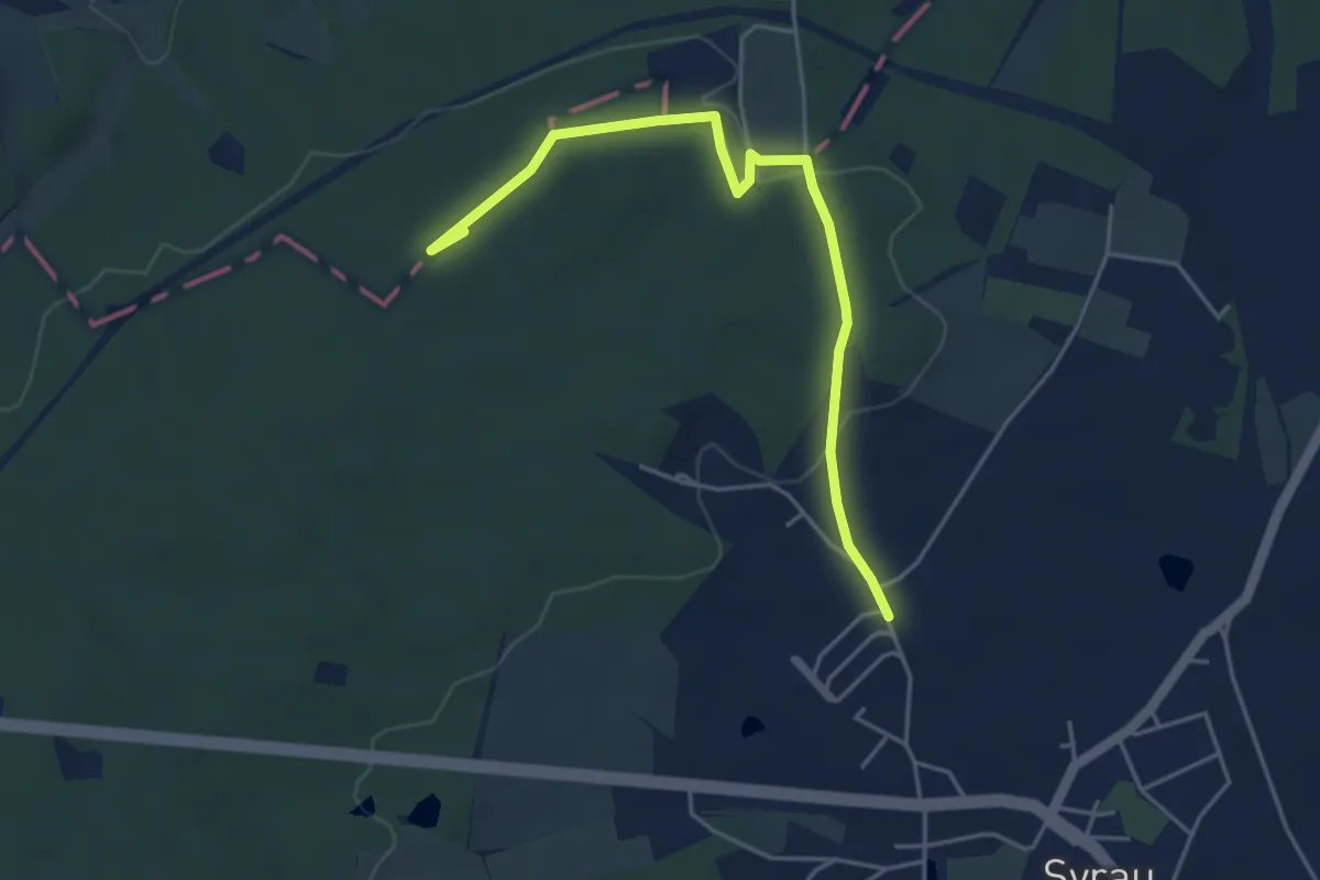
Easy · Summit
Internationaler Bergwanderweg Eisenach–Budapest (Sachsen West-West)
4.4 km · ↑ 90 m · 1 h 13 min
Easy · Trail
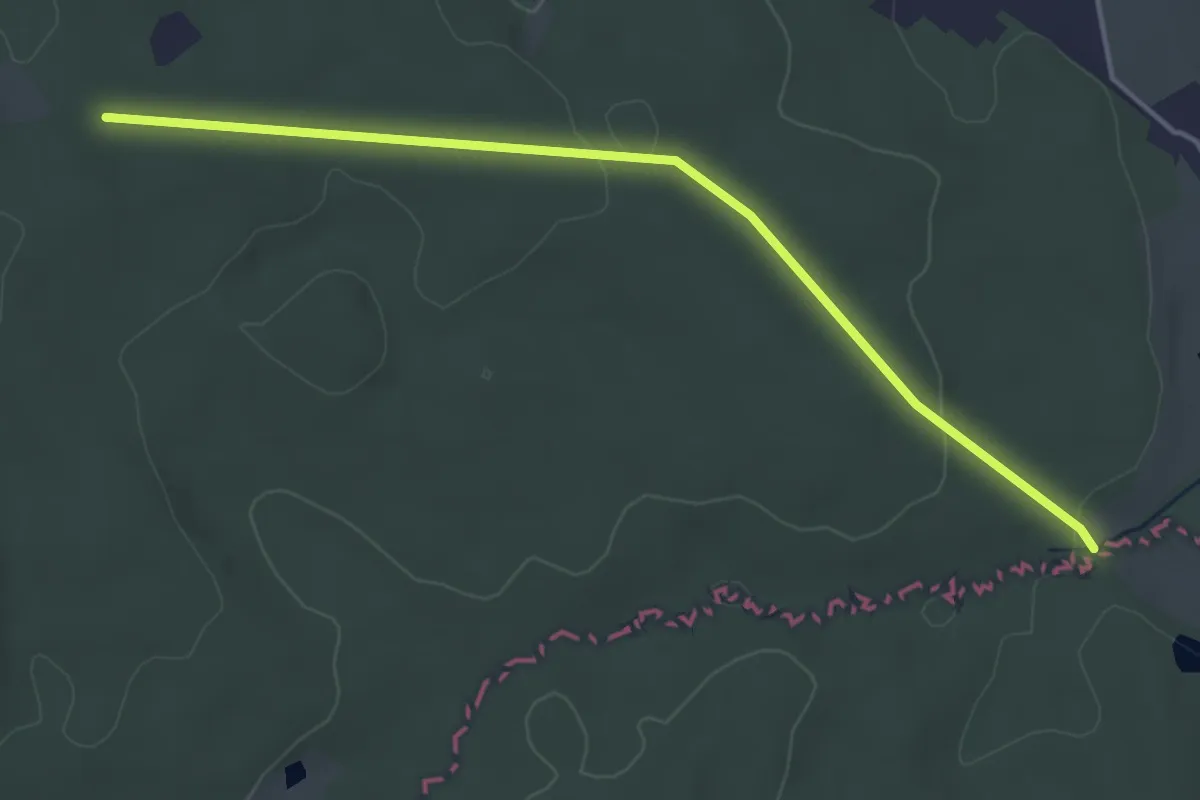
Internationaler Bergwanderweg Eisenach–Budapest (Thüringen Ost)
4.0 km · ↑ 56 m · 1 h 4 min
Demanding · Summit
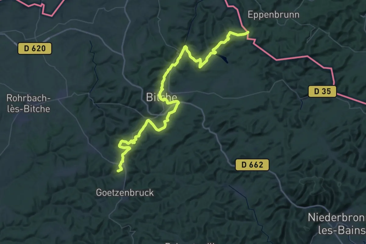
Internationaler Fernwanderweg Nahegau-Wasgau-Vogesen Staudernheim - Wingen an der Moder
59.9 km · ↑ 1208 m · 16 h 45 min
Easy · Trail
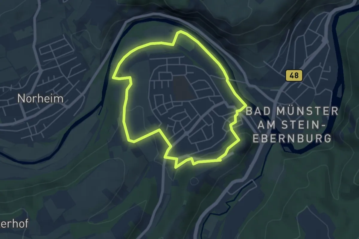
INTROtour Ebernburg
4.2 km · ↑ 73 m · 1 h 13 min
Medium · Summit
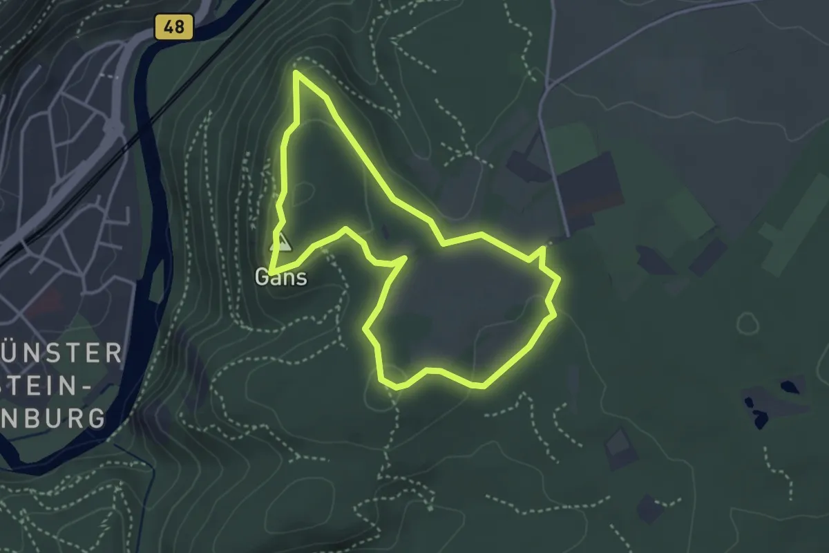
INTROtour Rheingrafenstein
3.2 km · ↑ 103 m · 1 h 1 min
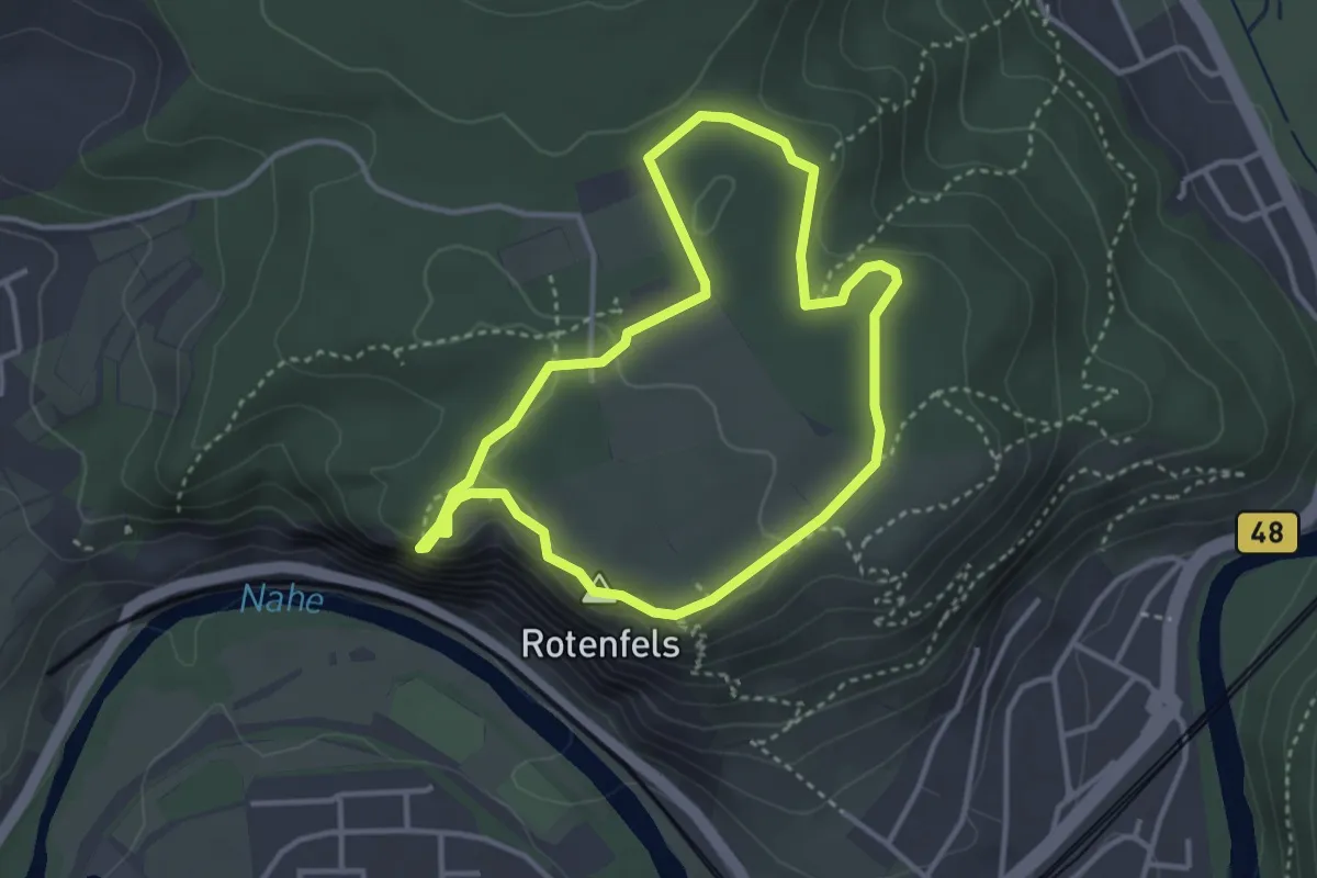
Easy · Summit
INTROtour Rotenfels
3.0 km · ↑ 85 m · 56 min
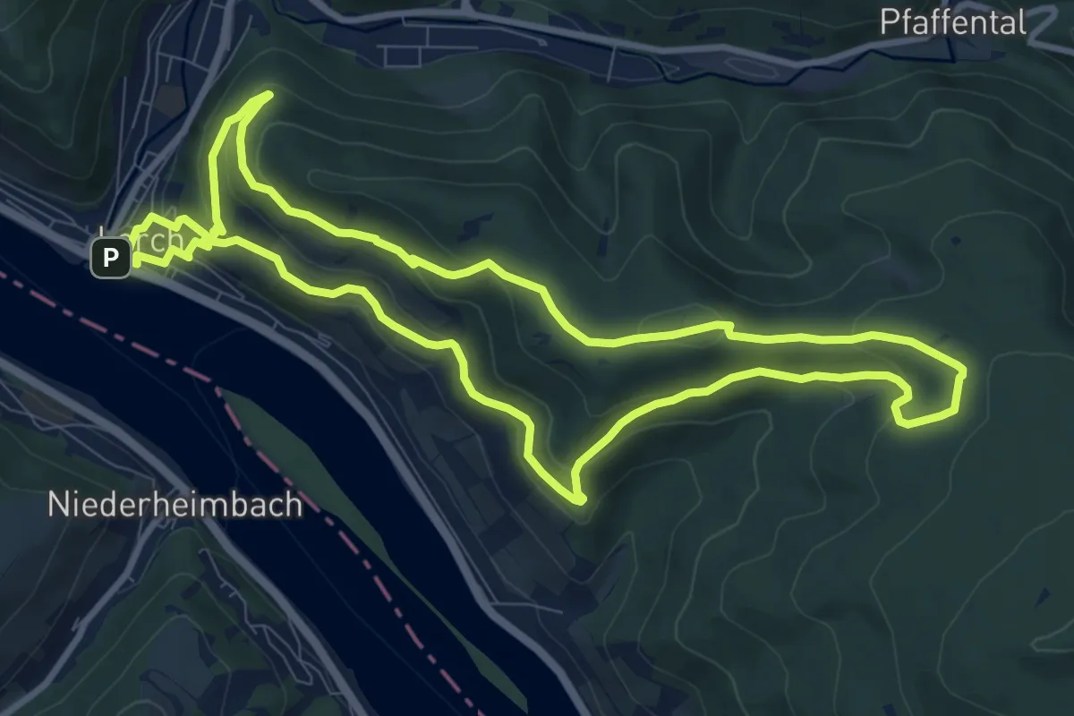
Medium · Summit
In Vino Veritas
9.3 km · ↑ 374 m · 3 h 8 min
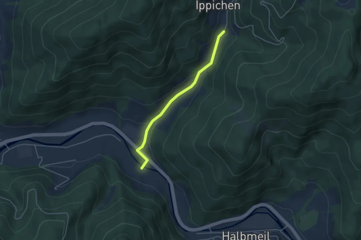
Easy · Trail
Ippichen Abrahamshof - Serrersteg
3.2 km · ↑ 106 m · 1 h
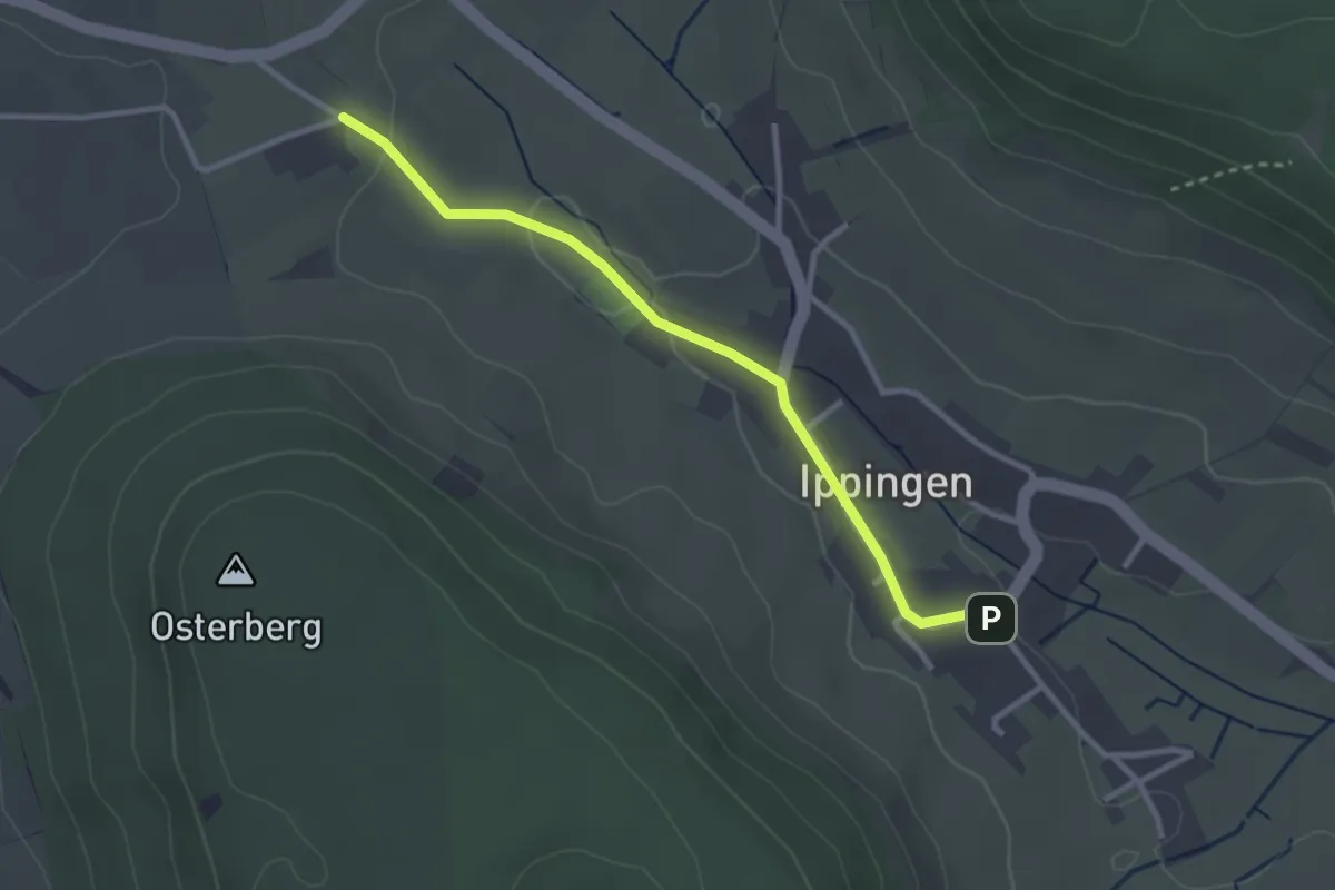
Easy · Trail
Ippingen - Bol
2.8 km · ↑ 38 m · 44 min
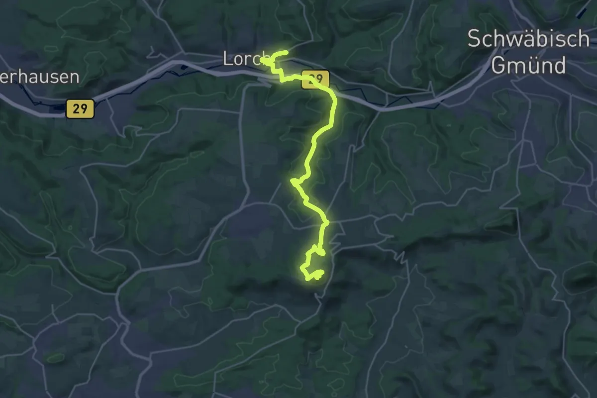
Demanding · Summit
Irene-von-Byzanz-Weg
23.7 km · ↑ 736 m · 7 h 11 min
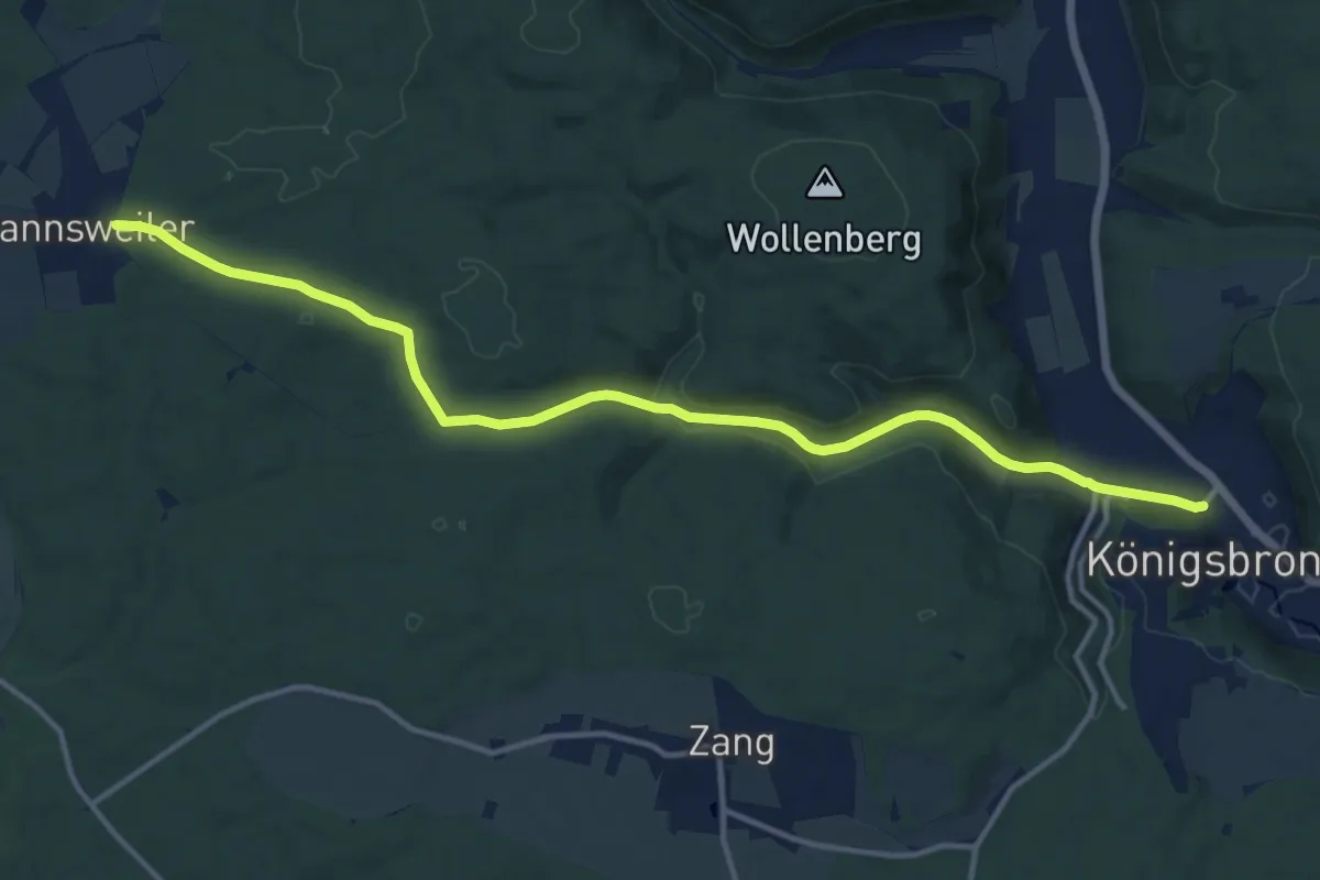
Medium · Trail
Irmannswailer - Königsbronn
14.1 km · ↑ 242 m · 3 h 51 min
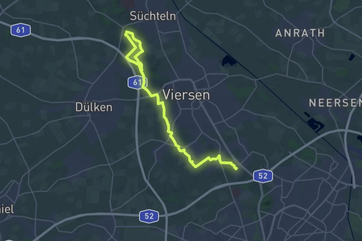
Demanding · Trail
Irmgardispfad
25.1 km · ↑ 196 m · 6 h 21 min
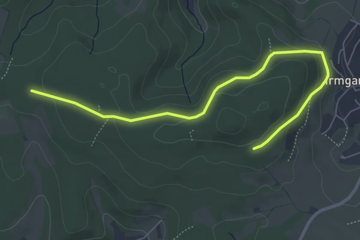
Easy · Trail
Irmgarteichen Rundweg A3
5.6 km · ↑ 155 m · 1 h 40 min
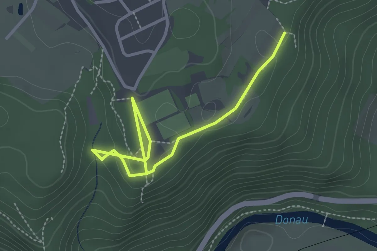
Easy · Trail
Irndorf - Rauher Stein
2.9 km · ↑ 50 m · 47 min
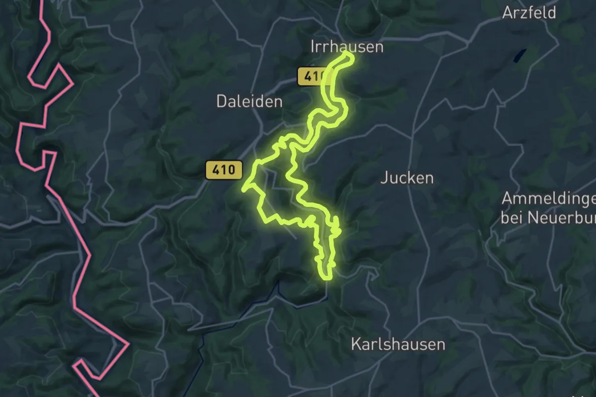
Medium · Trail
Irsental
17.9 km · ↑ 451 m · 5 h 27 min
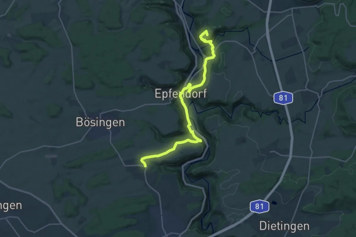
Medium · Summit
Irslenbach - Herrenzimmern
17.9 km · ↑ 554 m · 5 h 26 min
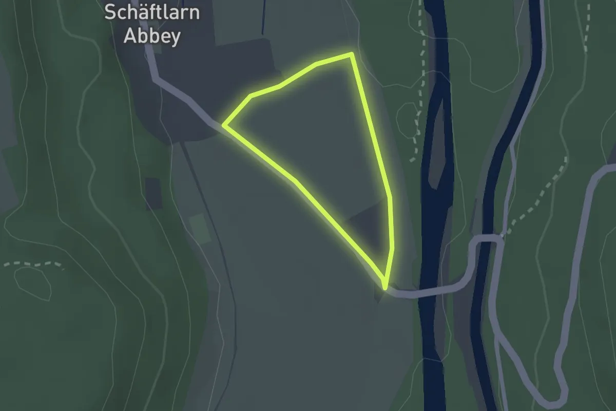
Easy · Trail
Isar Erlebnispfad "Kultur", Kloster Schäftlarn
1.4 km · ↑ 0 m · 22 min
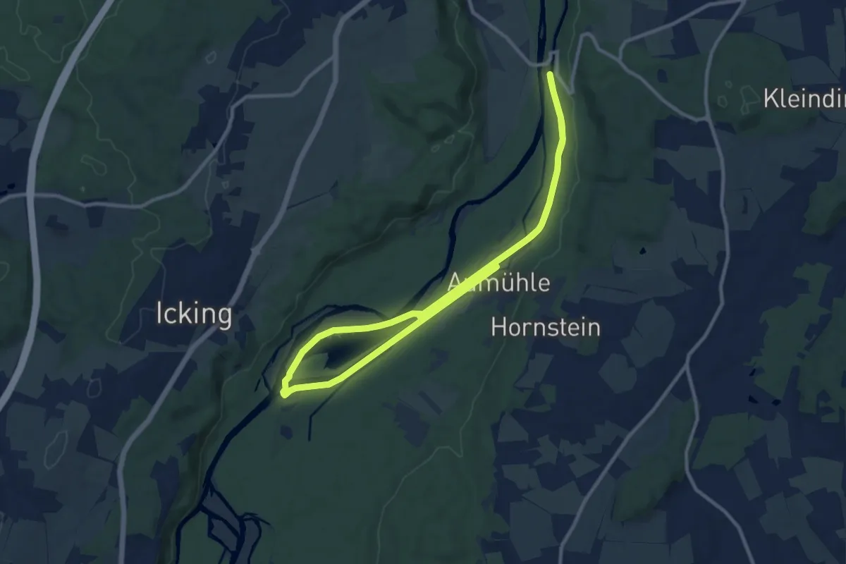
Medium · Trail
Isar Erlebnispfad "Natur", Kloster Schäftlarn
9.0 km · ↑ 17 m · 2 h 17 min
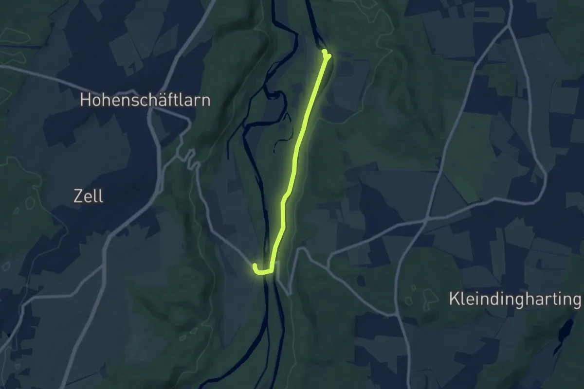
Easy · Trail
Isar Erlebnispfad "Technik", Kloster Schäftlarn
3.1 km · ↑ 70 m · 55 min
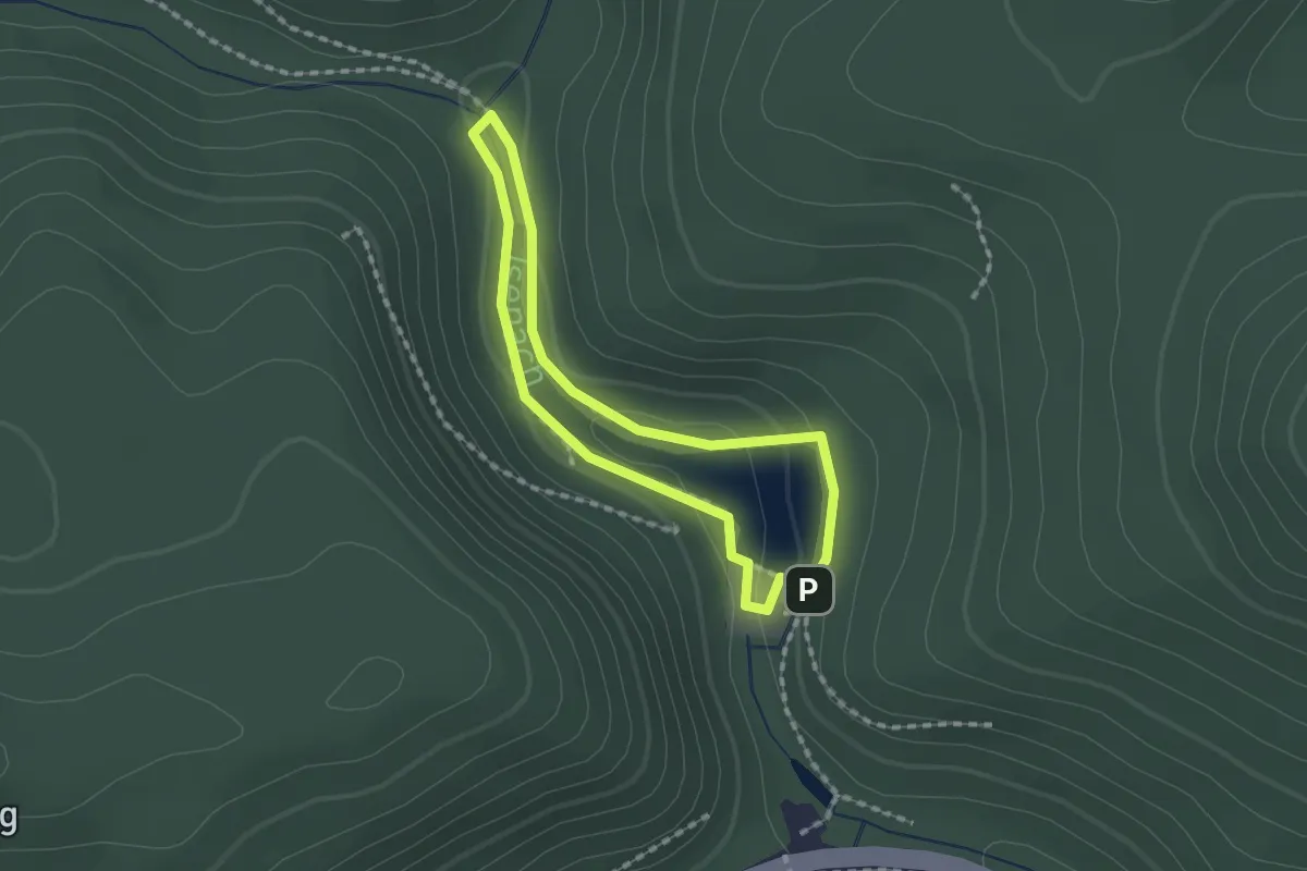
Easy · Trail
Isenachweiher
1.4 km · ↑ 24 m · 24 min
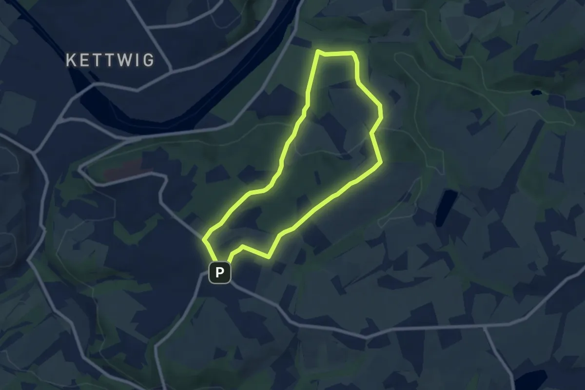
Easy · Summit
Isenbügel Rundweg A2
5.5 km · ↑ 105 m · 1 h 36 min