Trails in Germany
36,852 hiking trails, each with its route, climb, walking time and grade.
All trails, page 267 of 768
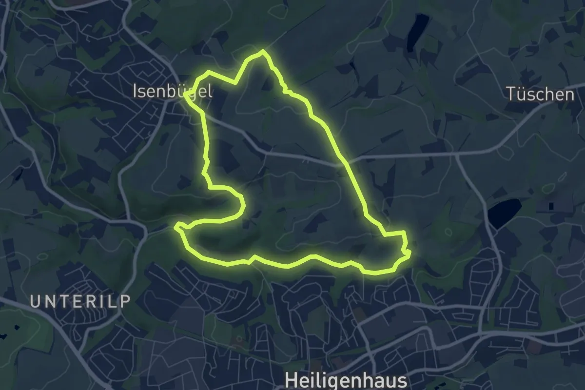
Easy · Trail
Isenbügel Rundweg A3
7.2 km · ↑ 145 m · 2 h 6 min
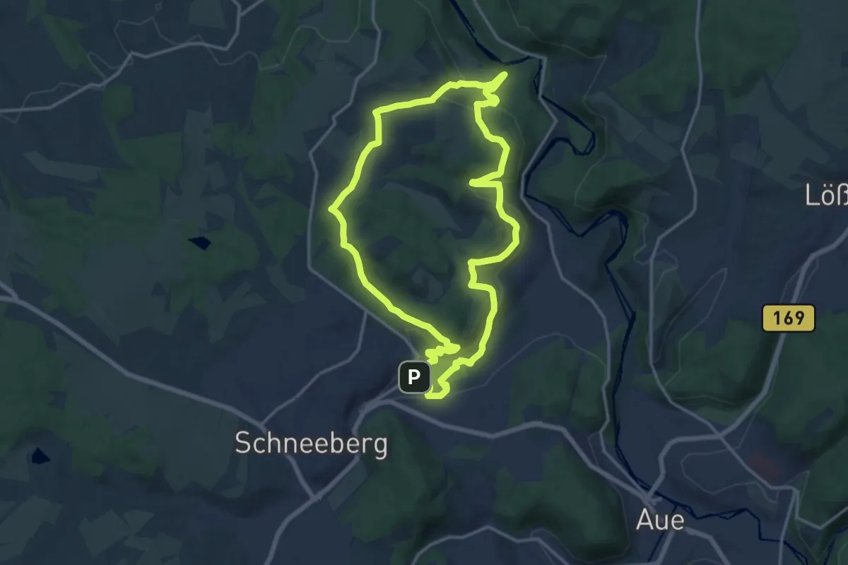
Medium · Trail
Isenburgschleife Bad Schlema - Wildbach
12.8 km · ↑ 337 m · 3 h 56 min
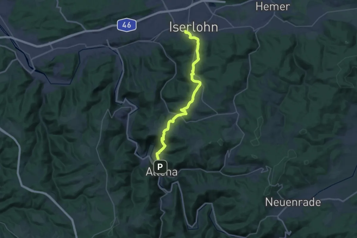
Demanding · Trail
Iserlohn -Altena
22.6 km · ↑ 791 m · 7 h 2 min
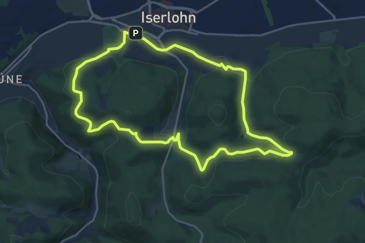
Medium · Trail
Iserlohn Rundweg 1
9.3 km · ↑ 324 m · 3 h 2 min
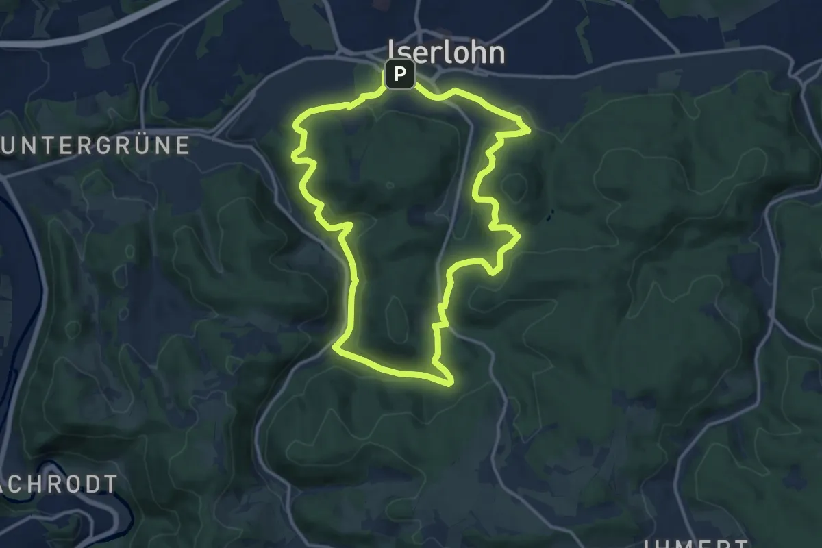
Medium · Trail
Iserlohn Rundweg 2
11.4 km · ↑ 392 m · 3 h 42 min
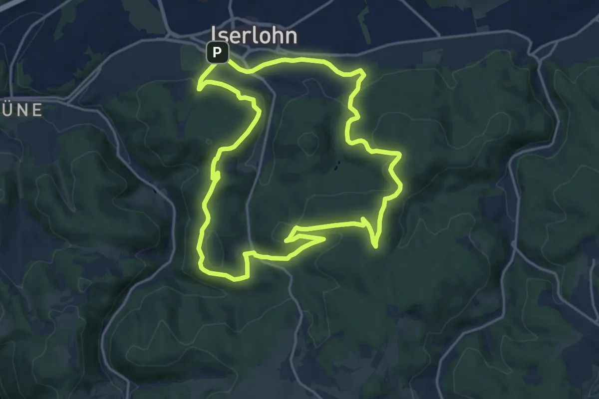
Medium · Summit
Iserlohn Rundweg 3
13.3 km · ↑ 357 m · 4 h 6 min
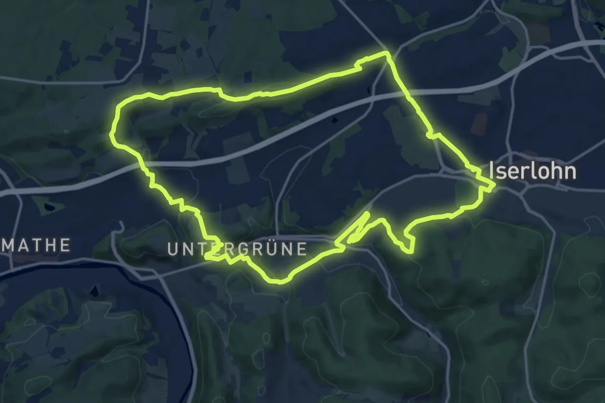
Medium · Trail
Iserlohn Rundweg 4
14.6 km · ↑ 347 m · 4 h 25 min
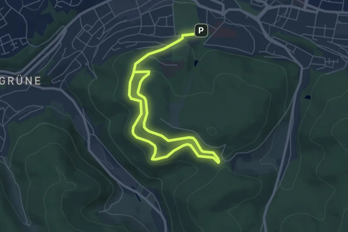
Medium · Trail
Iserlohn Strobler Platz Rundweg A1
8.3 km · ↑ 301 m · 2 h 36 min
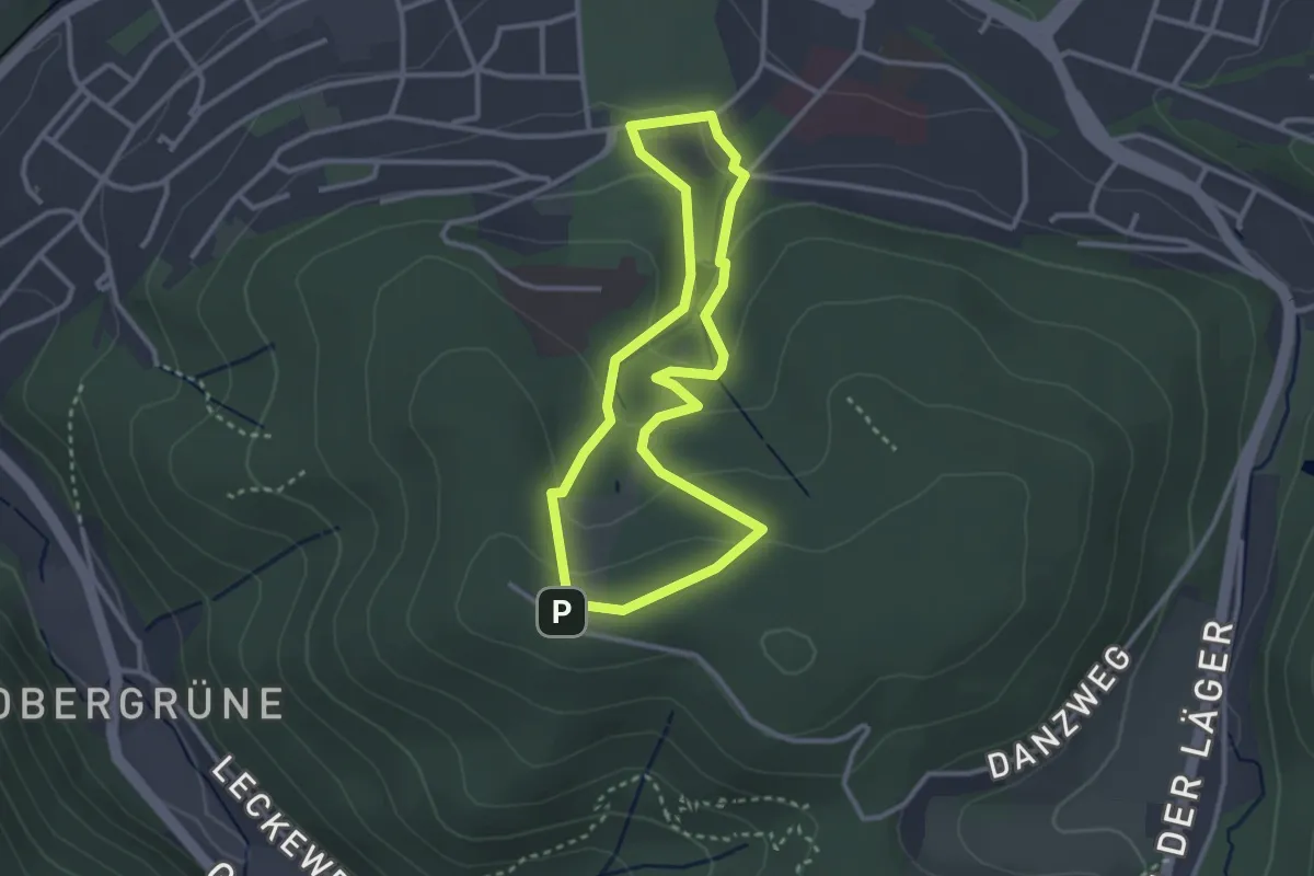
Easy · Trail
Iserlohn Strobler Platz Rundweg A2
2.5 km · ↑ 103 m · 51 min
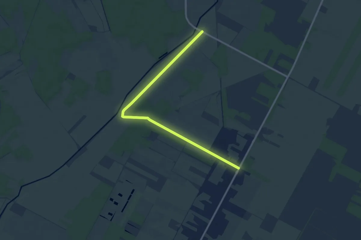
Medium · Trail
Iseweg Wanderweg
8.1 km · ↑ 26 m · 1 h 58 min
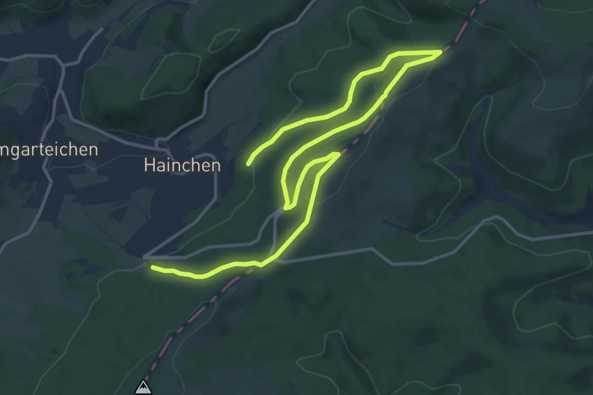
Easy · Summit
(I) Sonnenweg
7.1 km · ↑ 154 m · 2 h 7 min
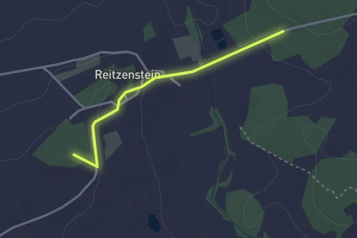
Easy · Summit
Issigau-Rundweg 6
2.1 km · ↑ 52 m · 36 min
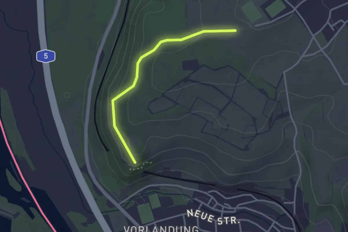
Easy · Trail
Isteiner Klotz - Vordere Torackern
2.6 km · ↑ 102 m · 51 min
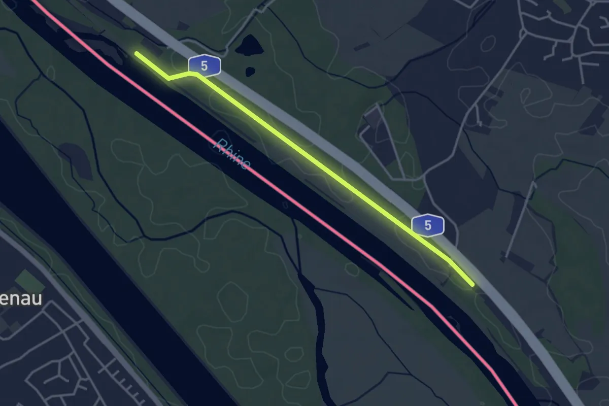
Easy · Trail
Isteiner Schwellen - Kirchener Schwellen
3.5 km · ↑ 5 m · 50 min
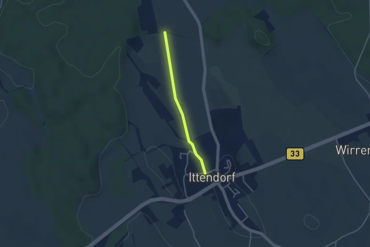
Easy · Trail
Ittendorf - Ahausen
2.2 km · ↑ 26 m · 34 min
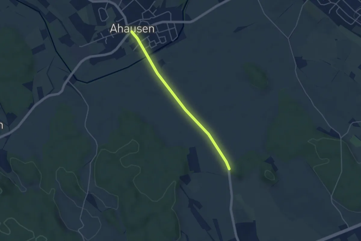
Easy · Trail
Ittendorf - Ahausen
3.8 km · ↑ 4 m · 54 min
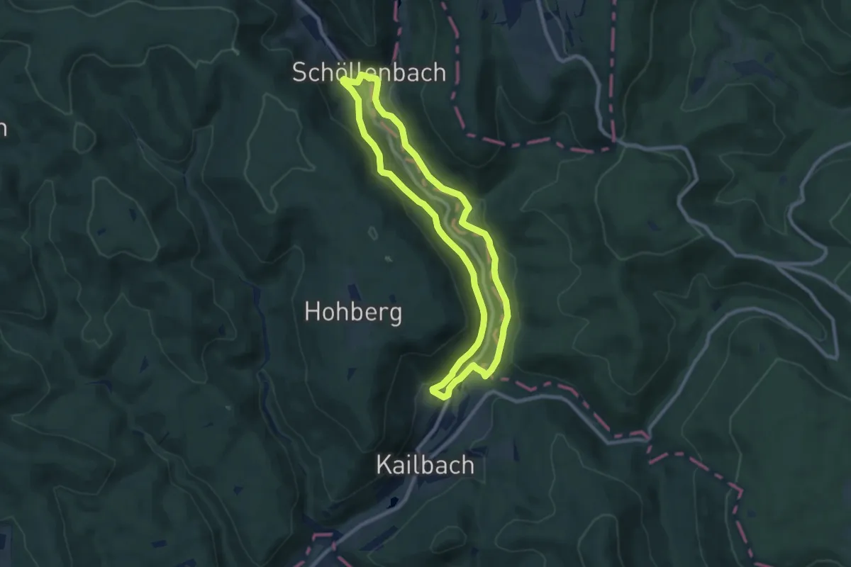
Easy · Trail
Itterbachtal-Weg
7.6 km · ↑ 166 m · 2 h 15 min
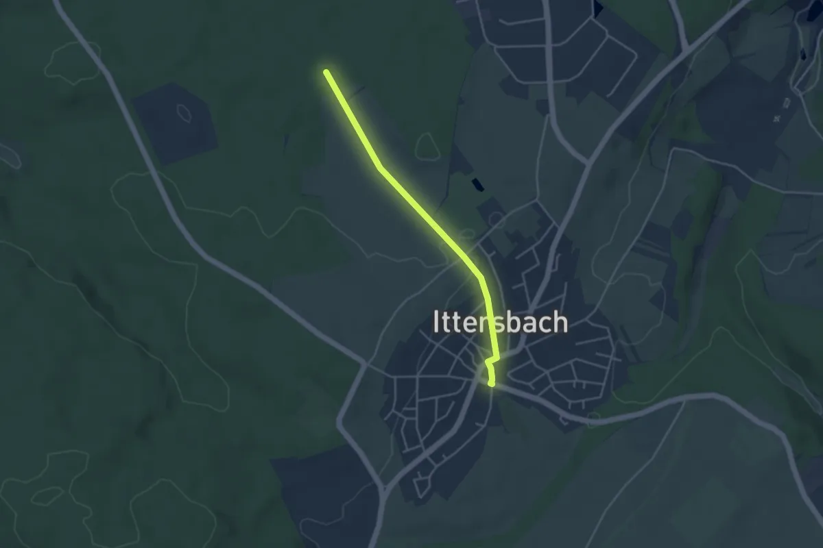
Easy · Trail
Ittersbach Pfinztalstraße - Tornadostein
3.4 km · ↑ 43 m · 54 min
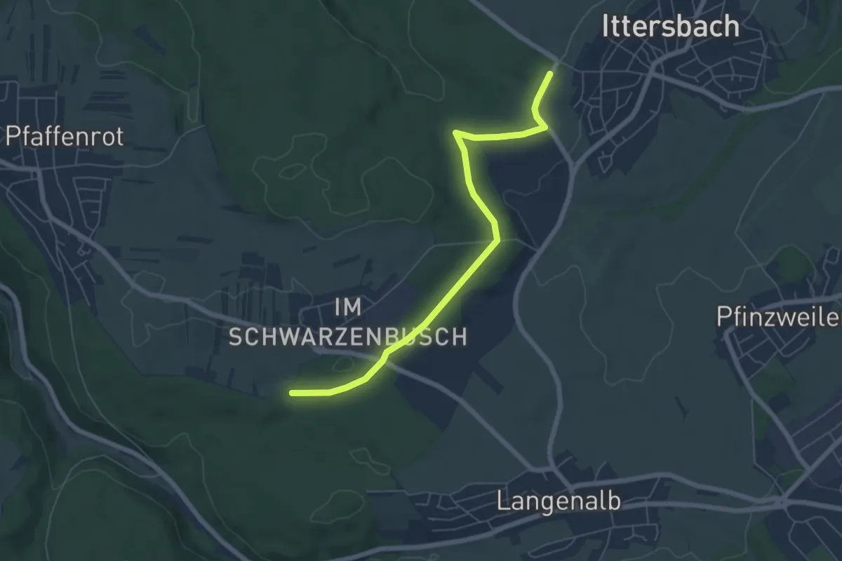
Easy · Trail
Ittersbach Schützenhaus - Weinbrünnlehütte
5.9 km · ↑ 62 m · 1 h 31 min
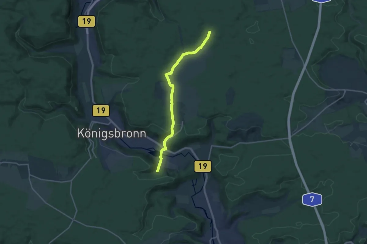
Medium · Trail
Itzelberg - Ochsenberg
12.3 km · ↑ 231 m · 3 h 24 min
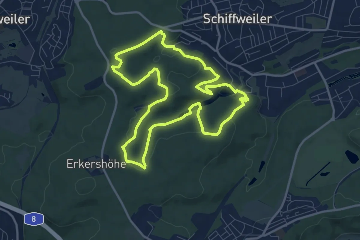
Easy · Trail
Itzenplitzer Pingenpfad
7.8 km · ↑ 205 m · 2 h 23 min
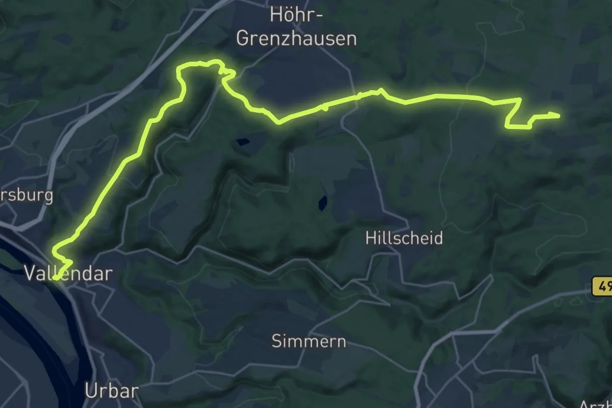
Demanding · Summit
[IV] HWW Westerwald Etappe 1 (Vallendar - Köppel)
28.1 km · ↑ 679 m · 8 h 6 min
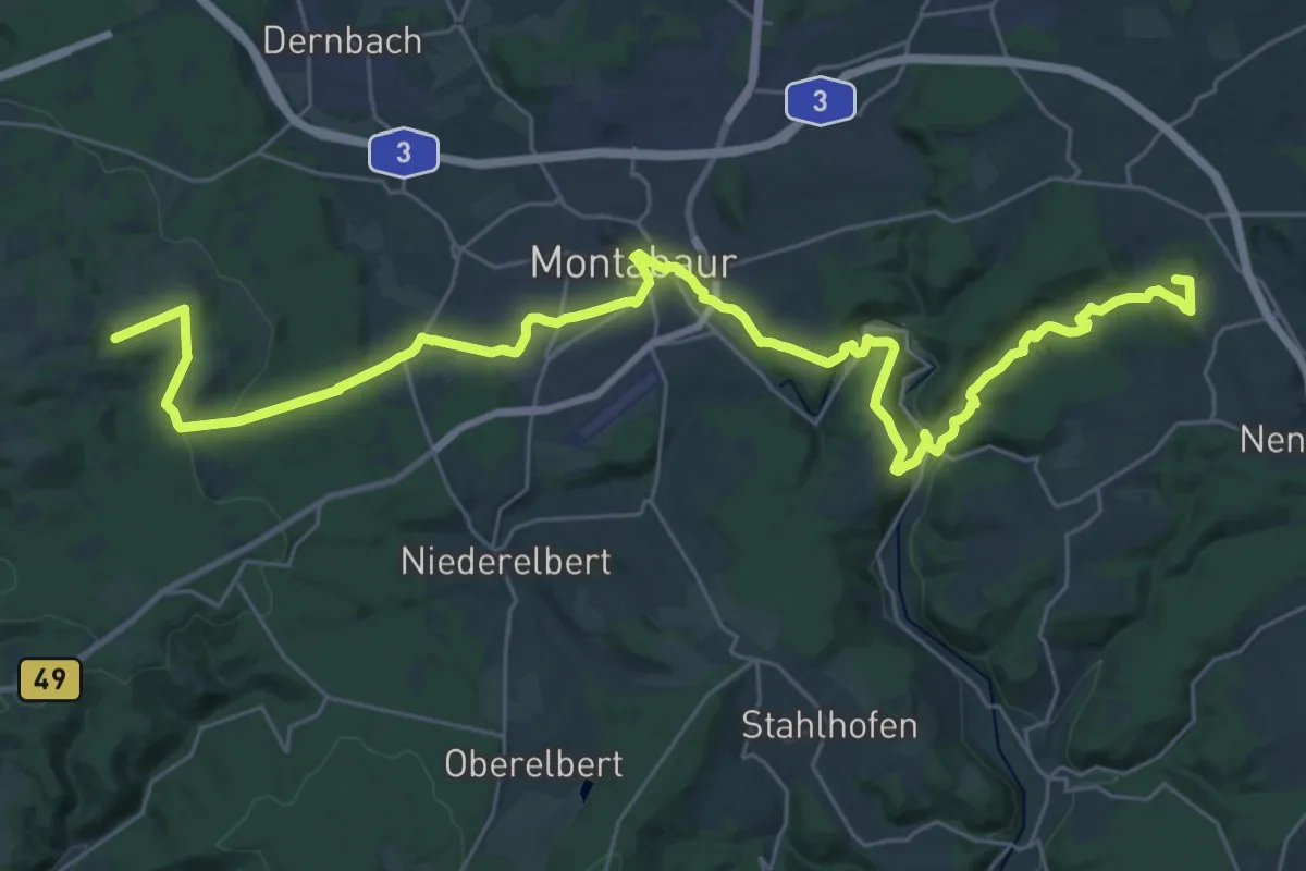
Demanding · Summit
[IV] HWW Westerwald Etappe 2 (Köppel - Nomborn)
35.4 km · ↑ 880 m · 10 h 17 min
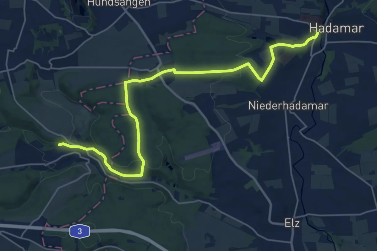
Medium · Trail
[IV] HWW Westerwald Etappe 3 (Nomborn - Hadamar)
17.7 km · ↑ 345 m · 4 h 55 min
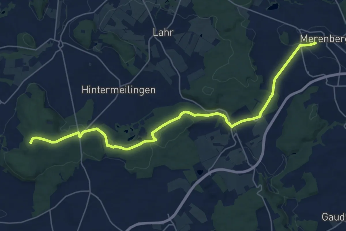
Demanding · Summit
[IV] HWW Westerwald Etappe 4 (Hadamar - Merenberg)
20.3 km · ↑ 364 m · 5 h 35 min
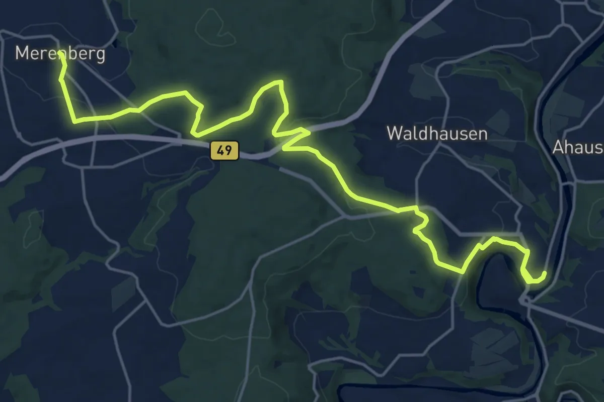
Demanding · Trail
[IV] HWW Westerwald Etappe 5 (Merenberg - Weiburg)
20.1 km · ↑ 470 m · 5 h 45 min
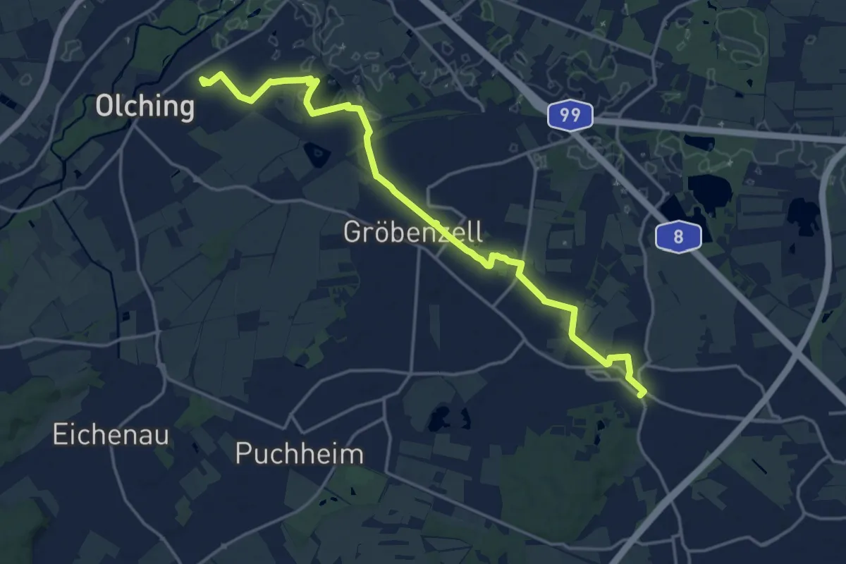
Medium · Trail
IVV Rundweitwanderweg München Fünf-Seen-Land Etappe 1 Olching-Lochhausen
17.4 km · ↑ 17 m · 4 h 8 min
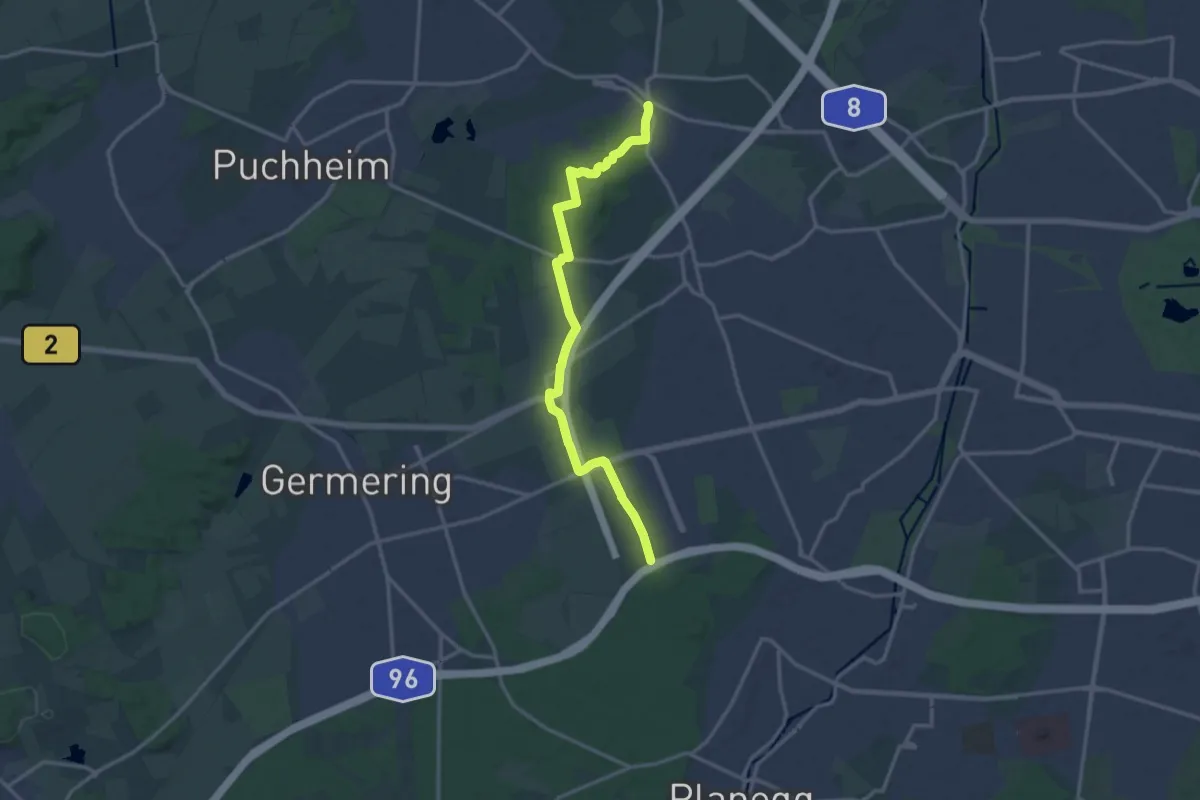
Medium · Trail
IVV Rundweitwanderweg München Fünf-Seen-Land Etappe 2 Lochhausen-Planegg
14.5 km · ↑ 107 m · 3 h 40 min
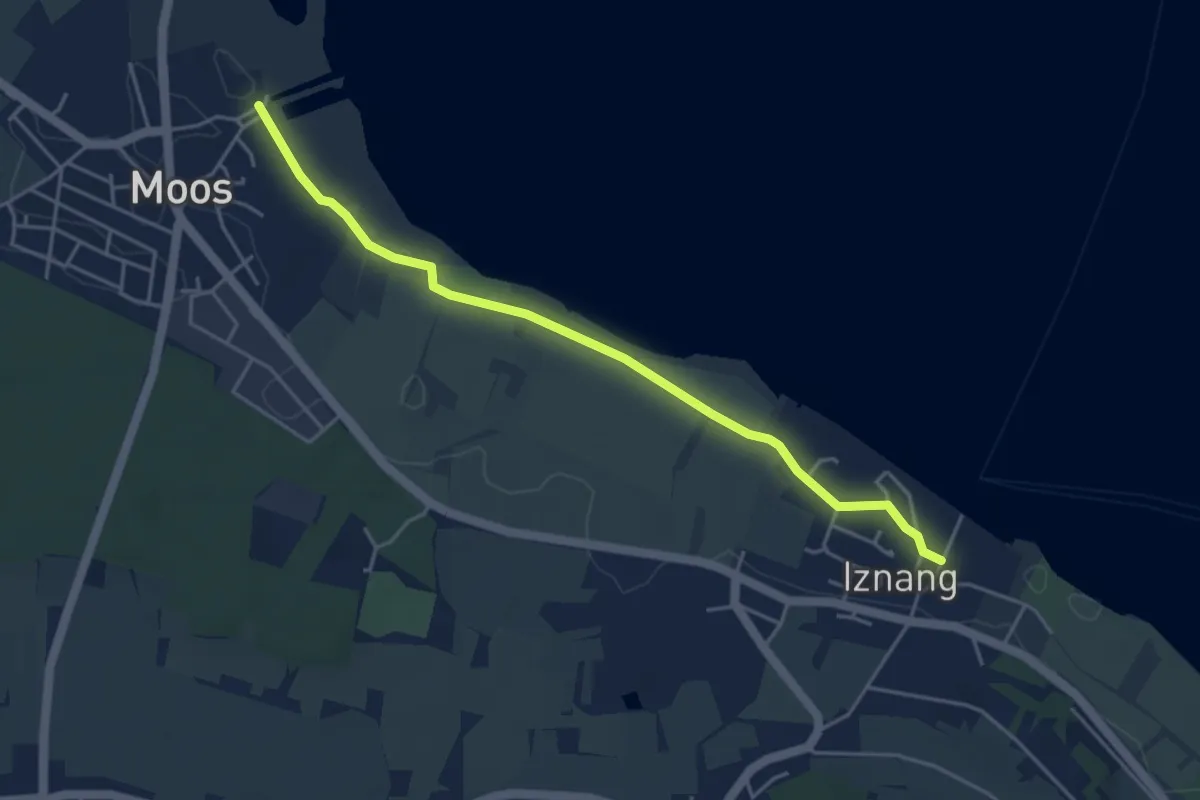
Easy · Trail
Iznang Landesteg - Moos Bootshafen
4.4 km · ↑ 8 m · 1 h 4 min
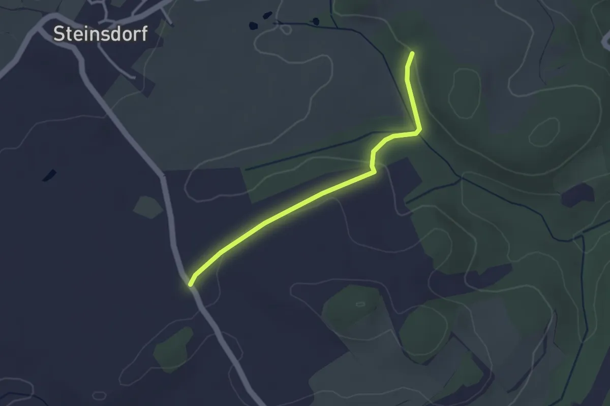
Easy · Trail
J10
2.6 km · ↑ 45 m · 42 min
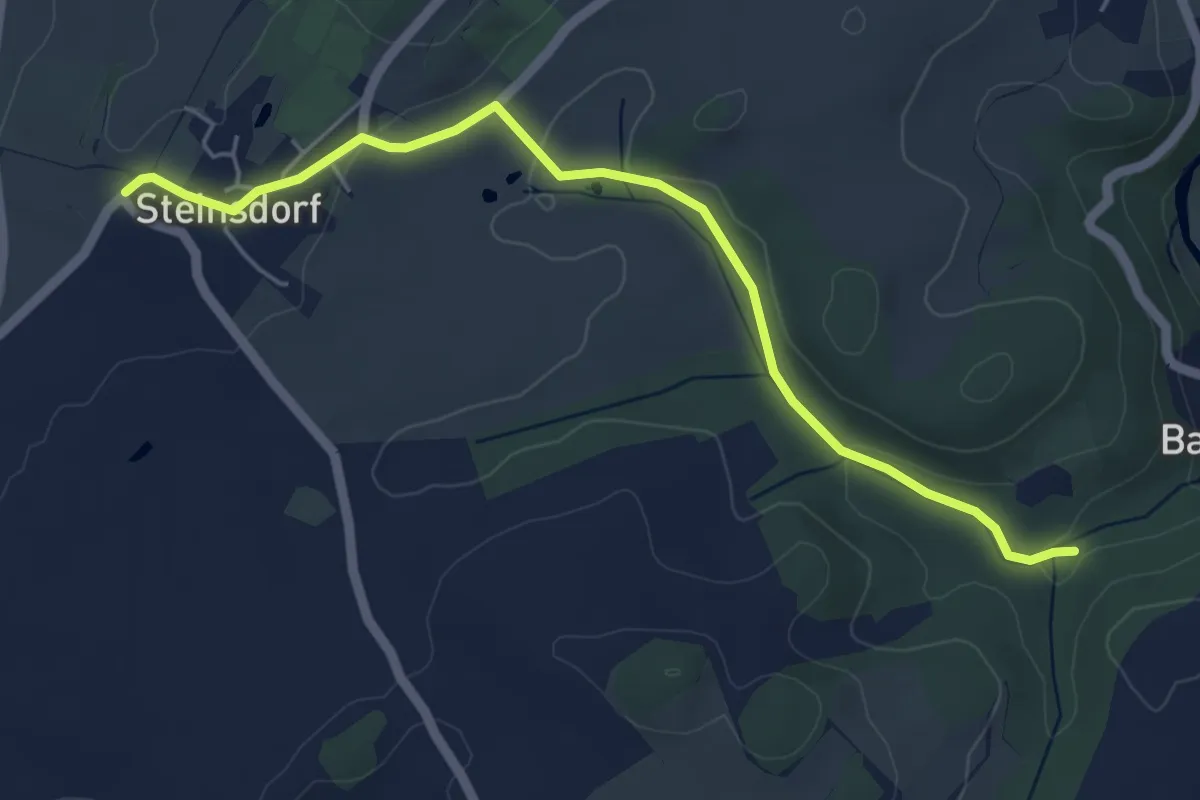
Easy · Trail
J11
4.9 km · ↑ 71 m · 1 h 19 min
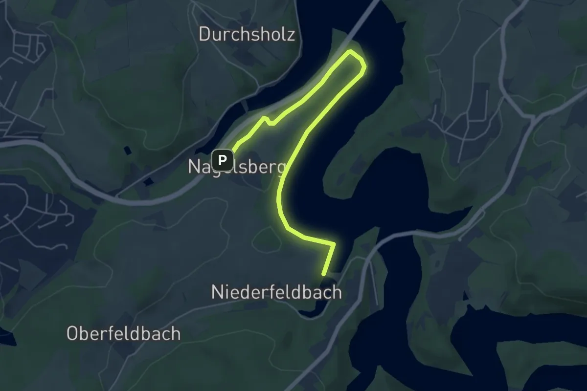
Easy · Trail
Jacobsmühle Rundweg A4
2.7 km · ↑ 40 m · 47 min
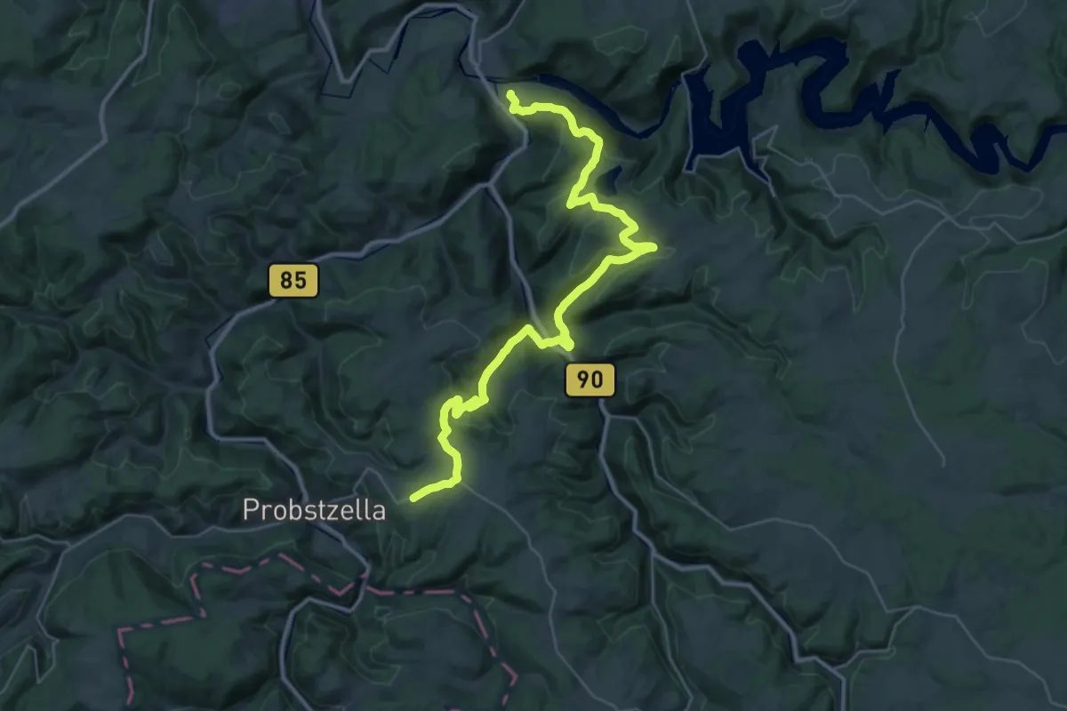
Demanding · Summit
Jacobsweg Eichicht-Probstzella
36.4 km · ↑ 1012 m · 10 h 47 min
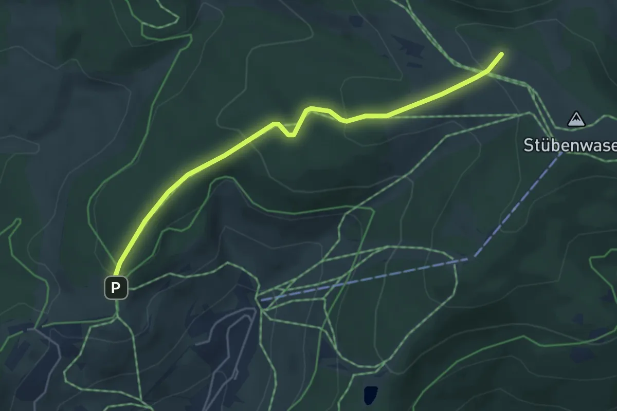
Easy · Trail
Jacobuskreuz - Stübenwasen
4.5 km · ↑ 169 m · 1 h 25 min
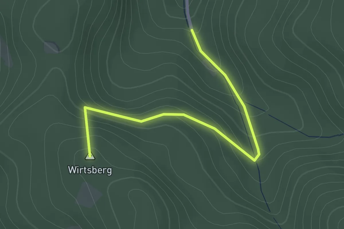
Easy · Summit
Jagdhaus Dold - Tannenwaldhütte
2.3 km · ↑ 124 m · 48 min
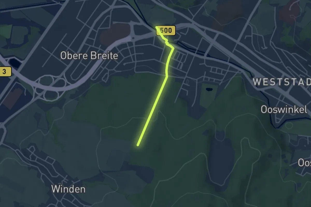
Easy · Trail
Jagdhäuser Wald - Kühunterdeichwehr
2.8 km · ↑ 89 m · 51 min
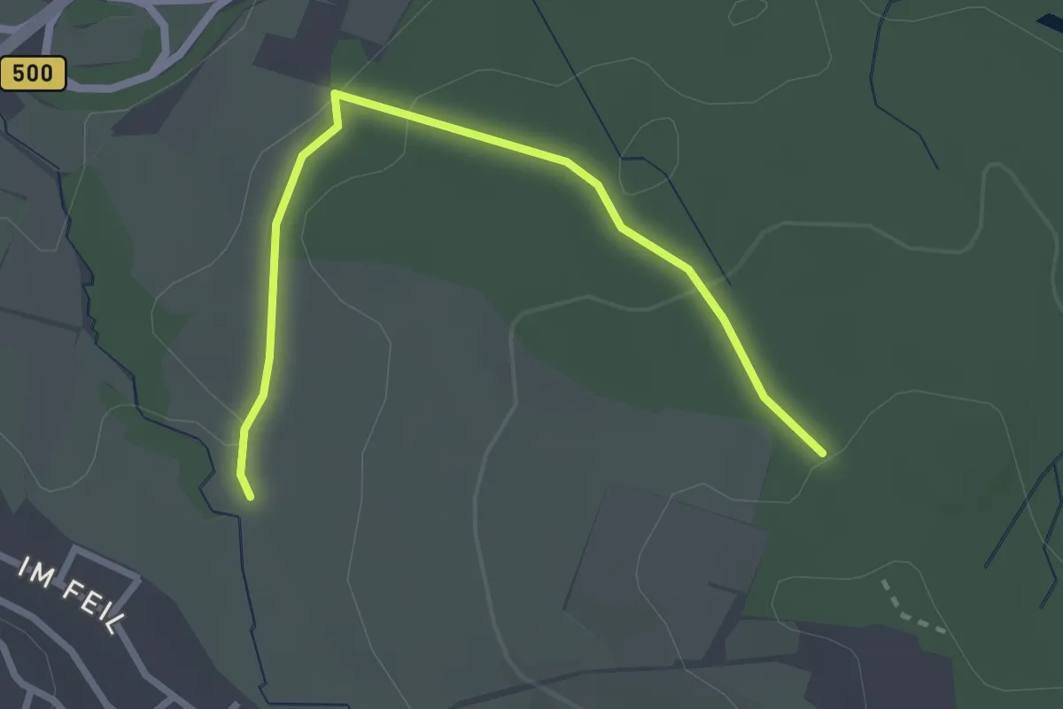
Easy · Trail
Jagdhäuser Wald - Markbach
2.7 km · ↑ 74 m · 48 min
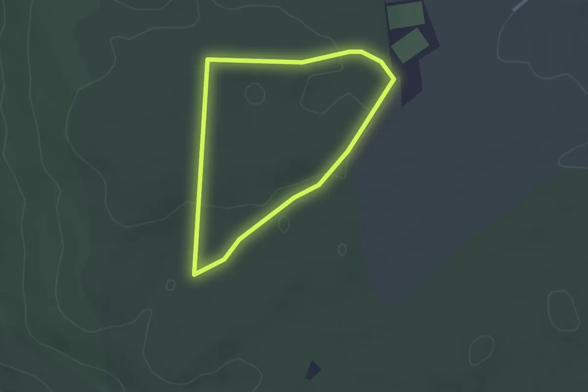
Easy · Trail
Jagdhaus Route
2.2 km · ↑ 29 m · 37 min
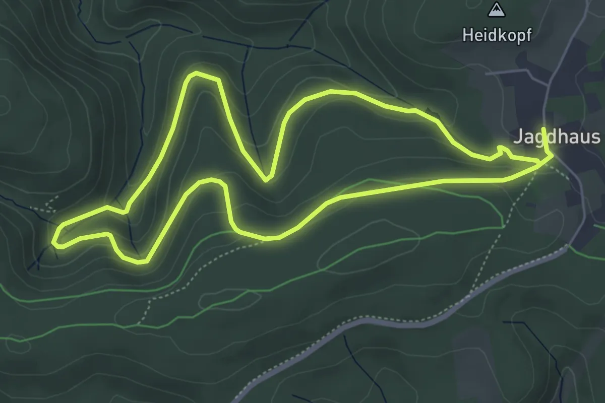
Easy · Trail
Jagdhaus Rundweg J1 Twerssiepenweg
5.1 km · ↑ 213 m · 1 h 43 min
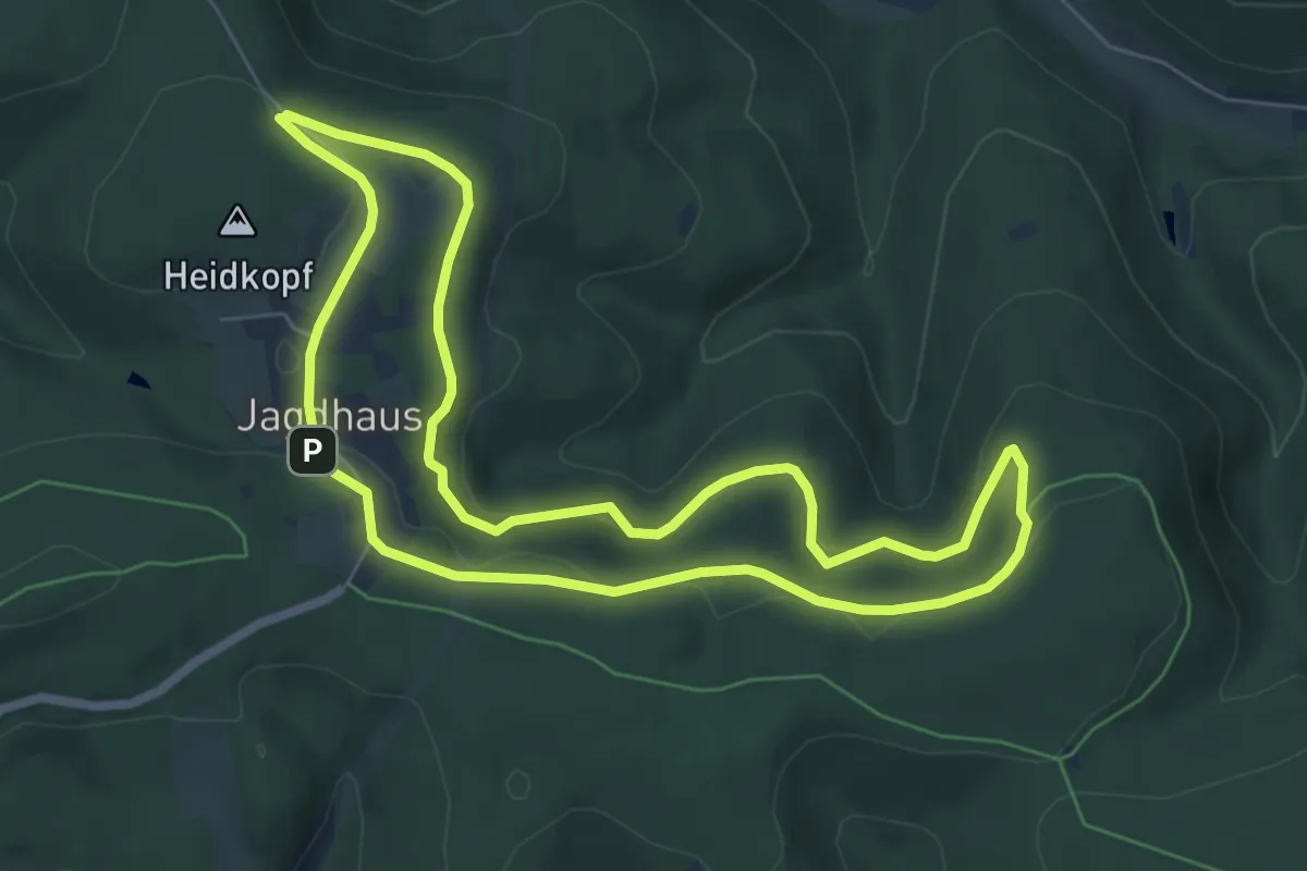
Medium · Trail
Jagdhaus Rundweg J2 Bamickeweg
6.2 km · ↑ 141 m · 1 h 51 min
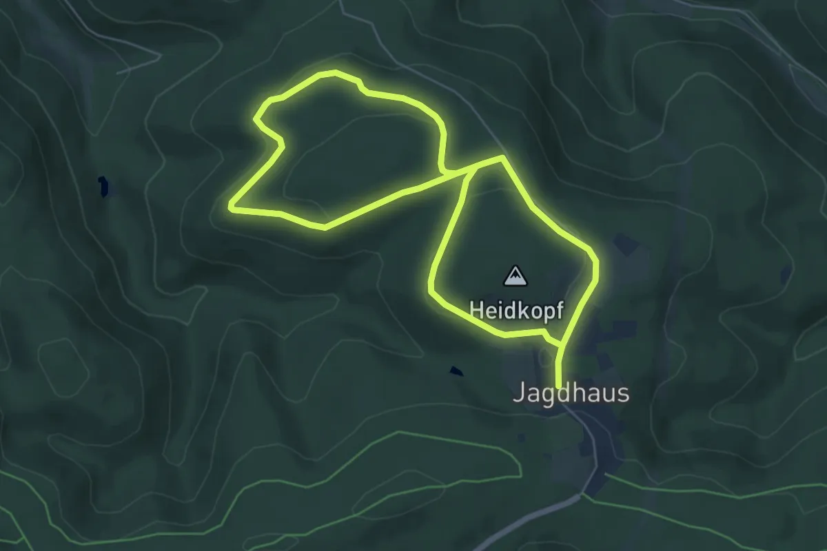
Easy · Summit
Jagdhaus Rundweg J3 Großer Heidkopfweg
5.0 km · ↑ 112 m · 1 h 29 min
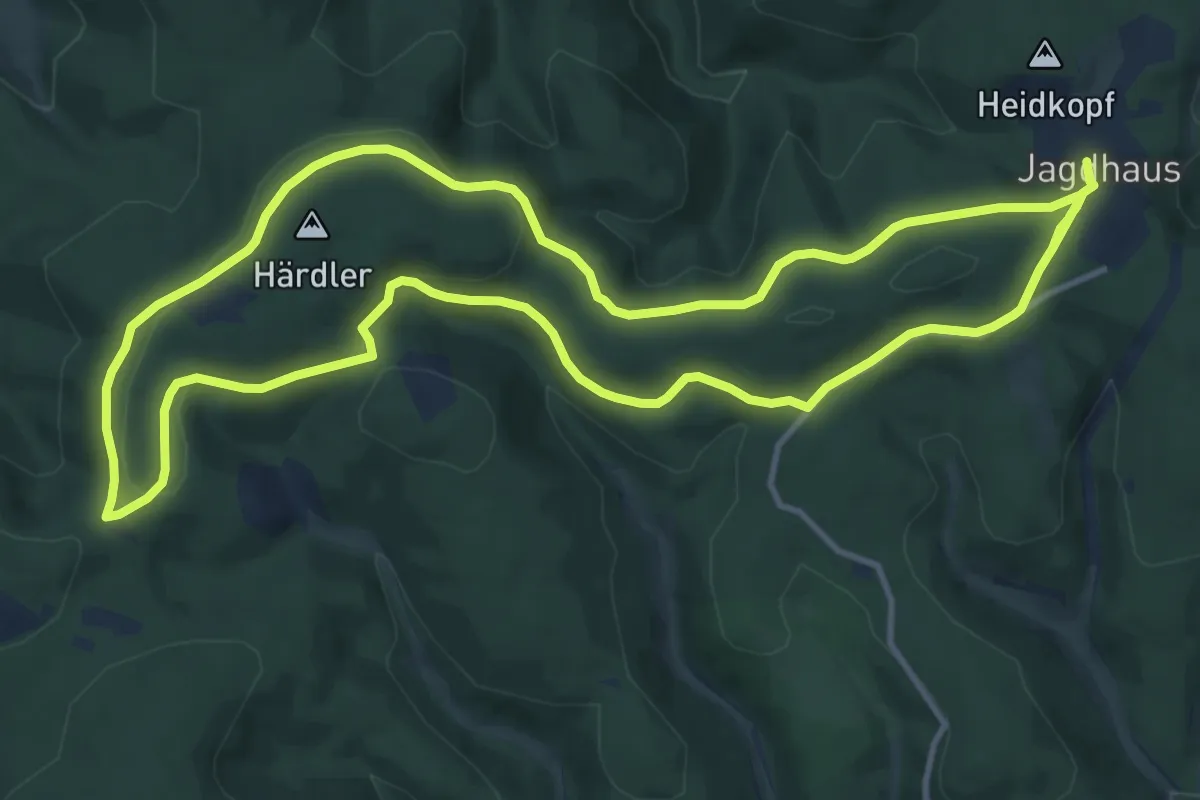
Demanding · Trail
Jagdhaus Rundweg J4 Margaretensteinweg
22.4 km · ↑ 531 m · 6 h 27 min
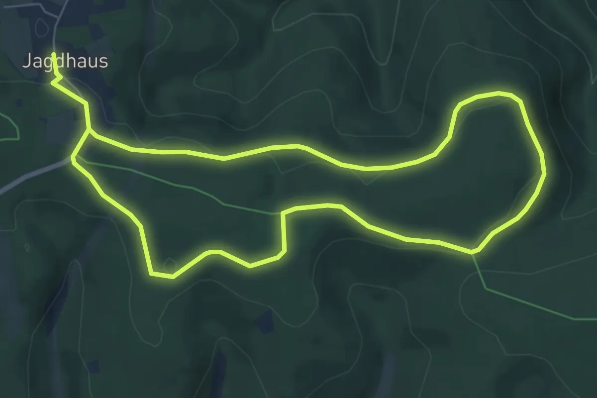
Medium · Trail
Jagdhaus Rundweg J5 Millionbankweg
11.3 km · ↑ 168 m · 3 h 2 min
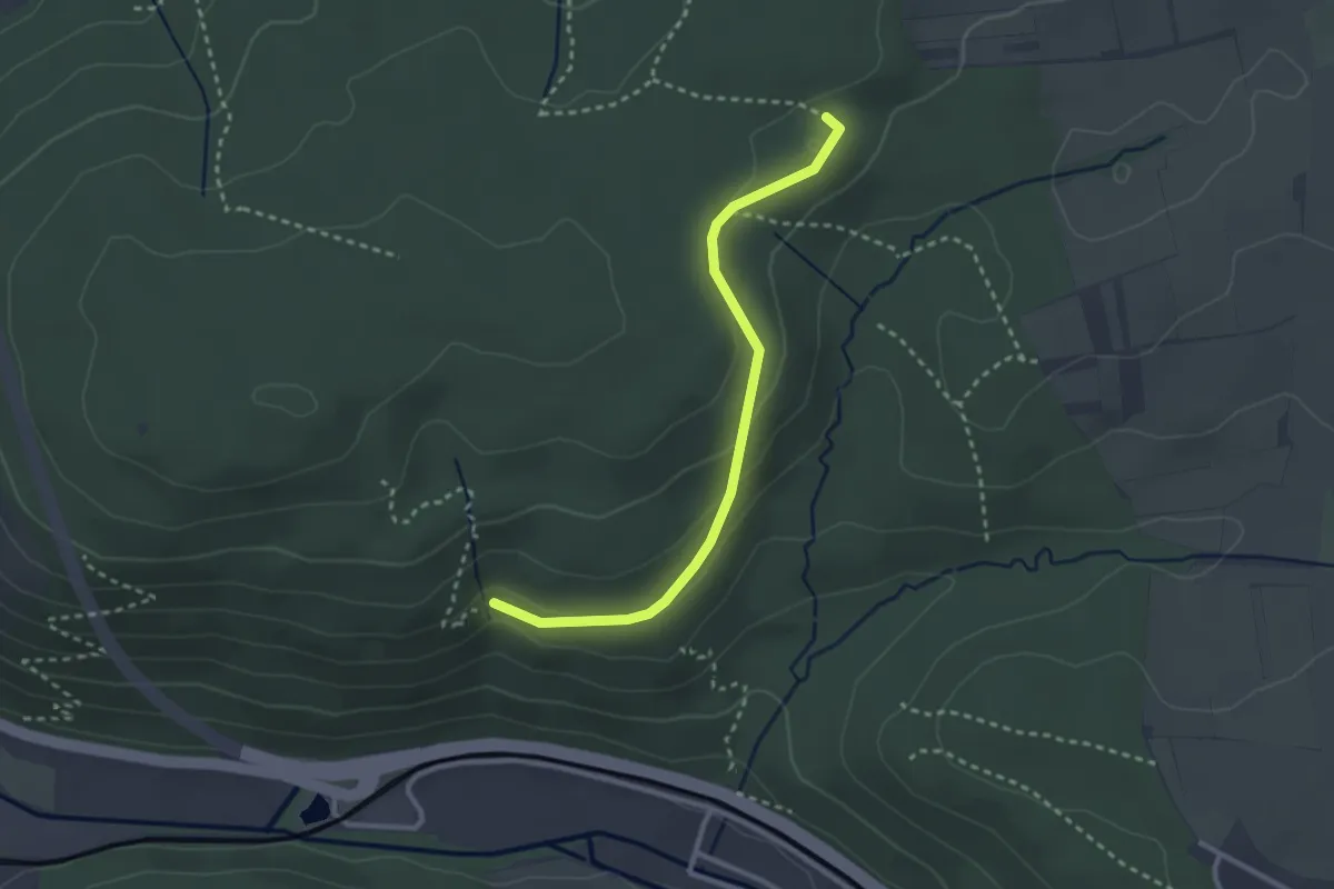
Easy · Trail
Jagdhütte - Muckenklinge
2.7 km · ↑ 99 m · 51 min
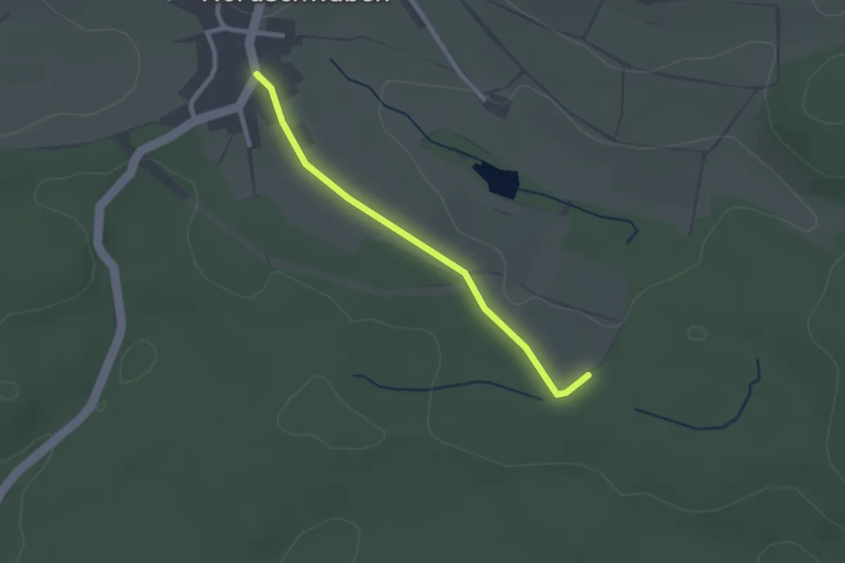
Easy · Trail
Jagdhütte - Nordschwaben Gemeindehalle
2.0 km · ↑ 9 m · 30 min
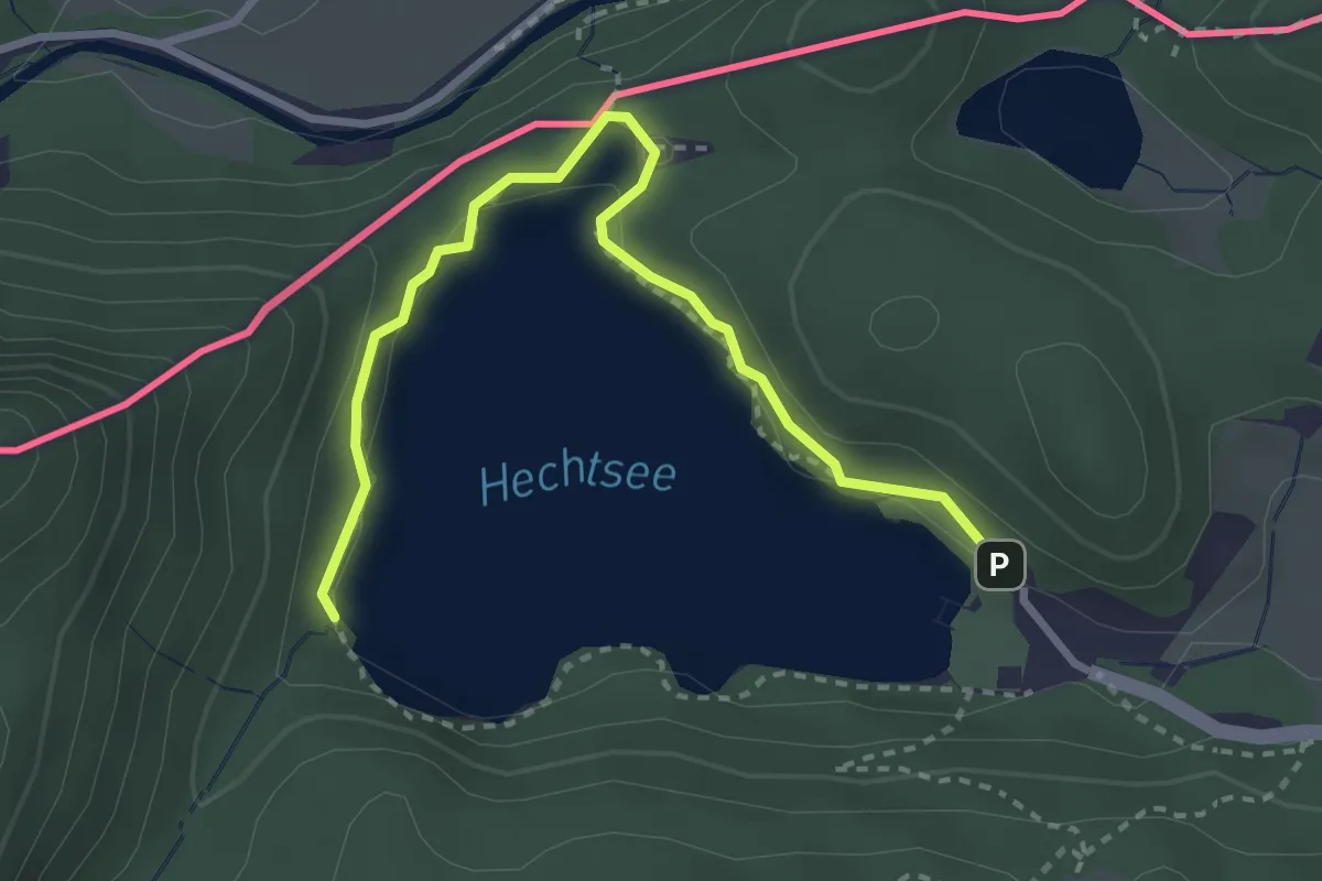
Easy · Trail
Jagdhütten-Runde
1.6 km · ↑ 18 m · 26 min
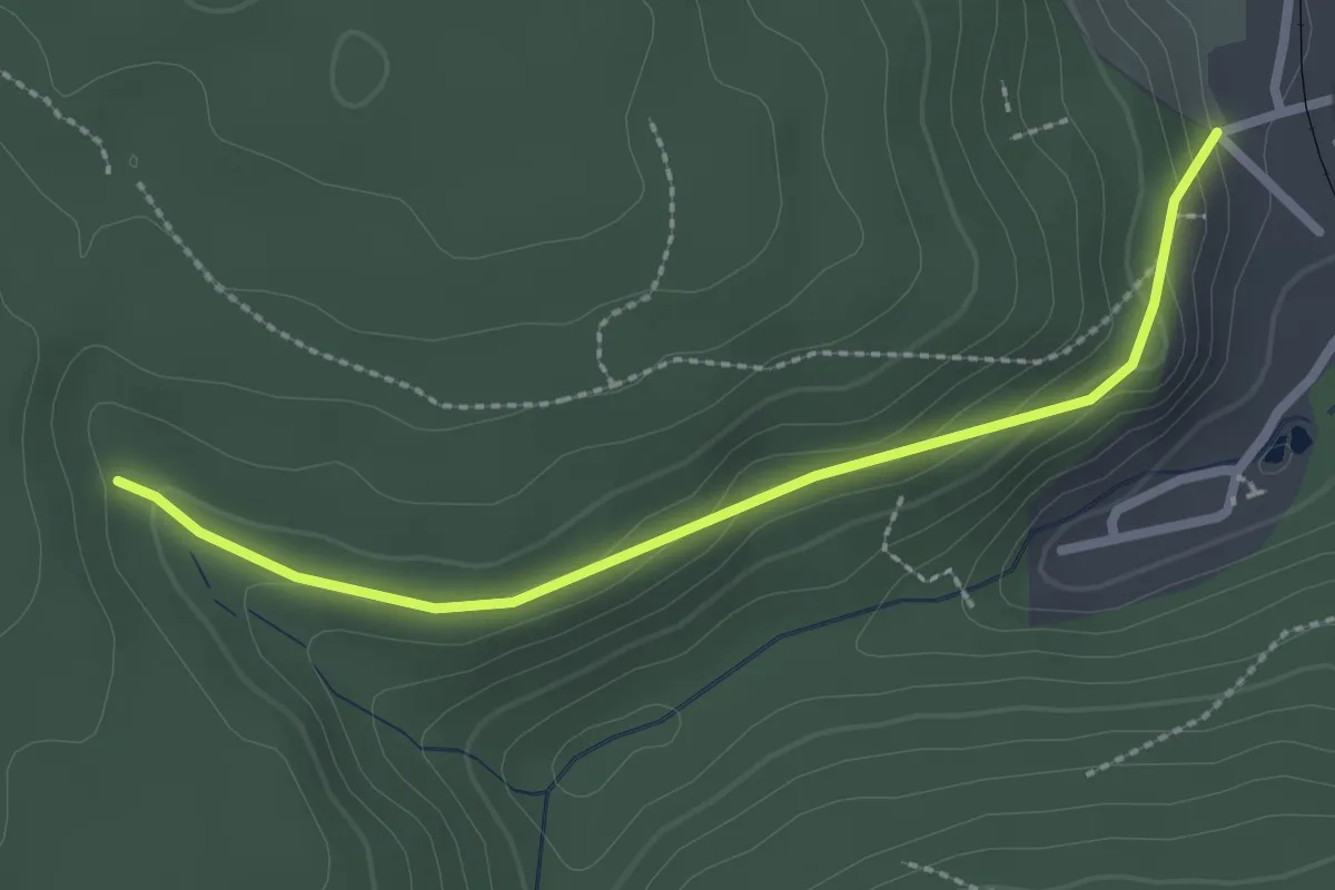
Easy · Trail
Jagdstein - Oberes Lauterbad
2.5 km · ↑ 102 m · 48 min
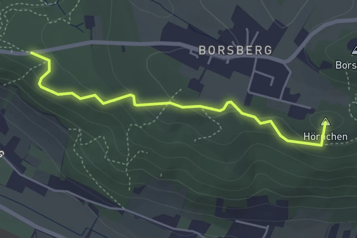
Easy · Summit
Jagdweg
3.5 km · ↑ 128 m · 1 h 6 min