Trails in Germany
36,852 hiking trails, each with its route, climb, walking time and grade.
All trails, page 270 of 768
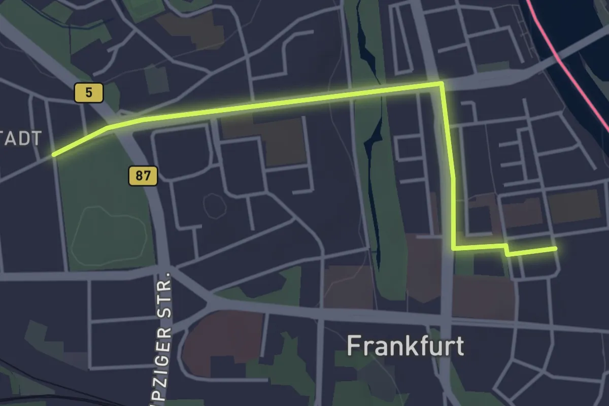
Easy · Trail
Jakobsweg Brandenburg Südroute
3.4 km · ↑ 21 m · 51 min
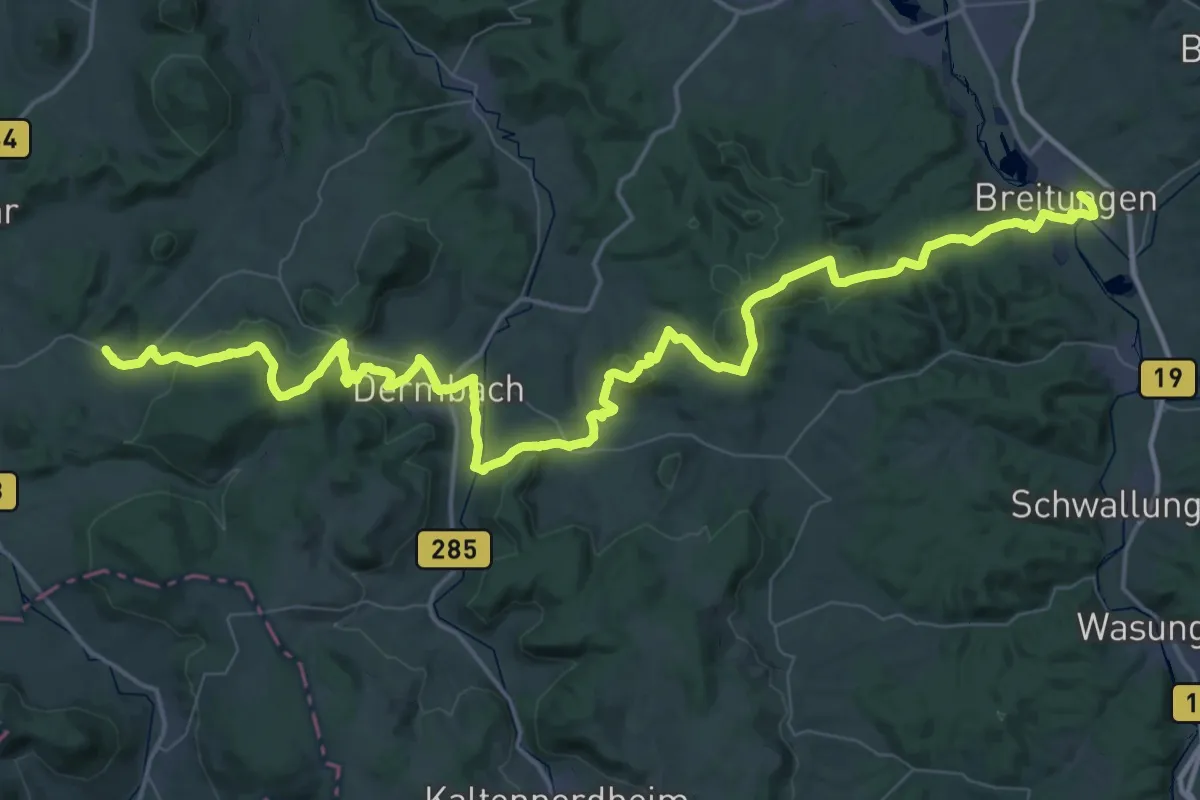
Demanding · Pilgrim path
Jakobsweg Bremen (Rhön)-Breitungen
38.8 km · ↑ 933 m · 11 h 47 min
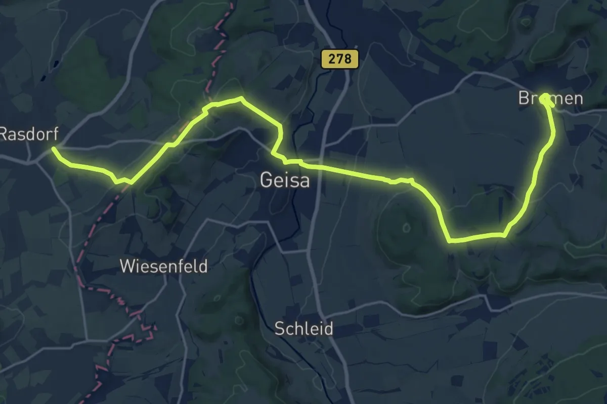
Medium · Pilgrim path
Jakobsweg Bremen (Rhön)-Fulda
10.9 km · ↑ 241 m · 3 h 16 min
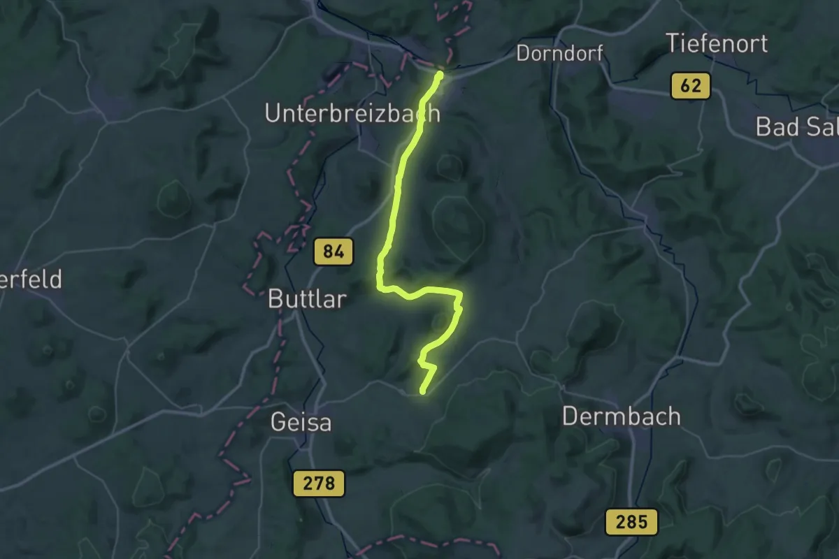
Medium · Summit
Jakobsweg Bremen (Rhön)-Vacha
16.5 km · ↑ 318 m · 4 h 42 min
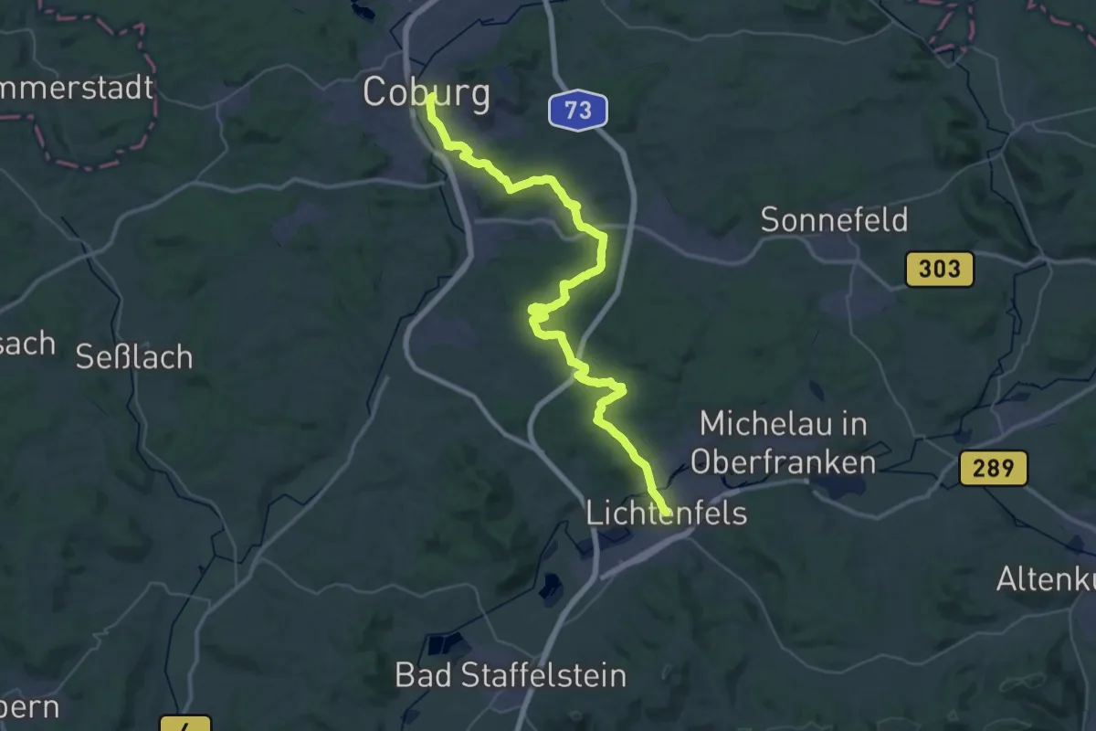
Demanding · Pilgrim path
Jakobsweg Coburg-Lichtenfels
22.2 km · ↑ 379 m · 6 h 21 min
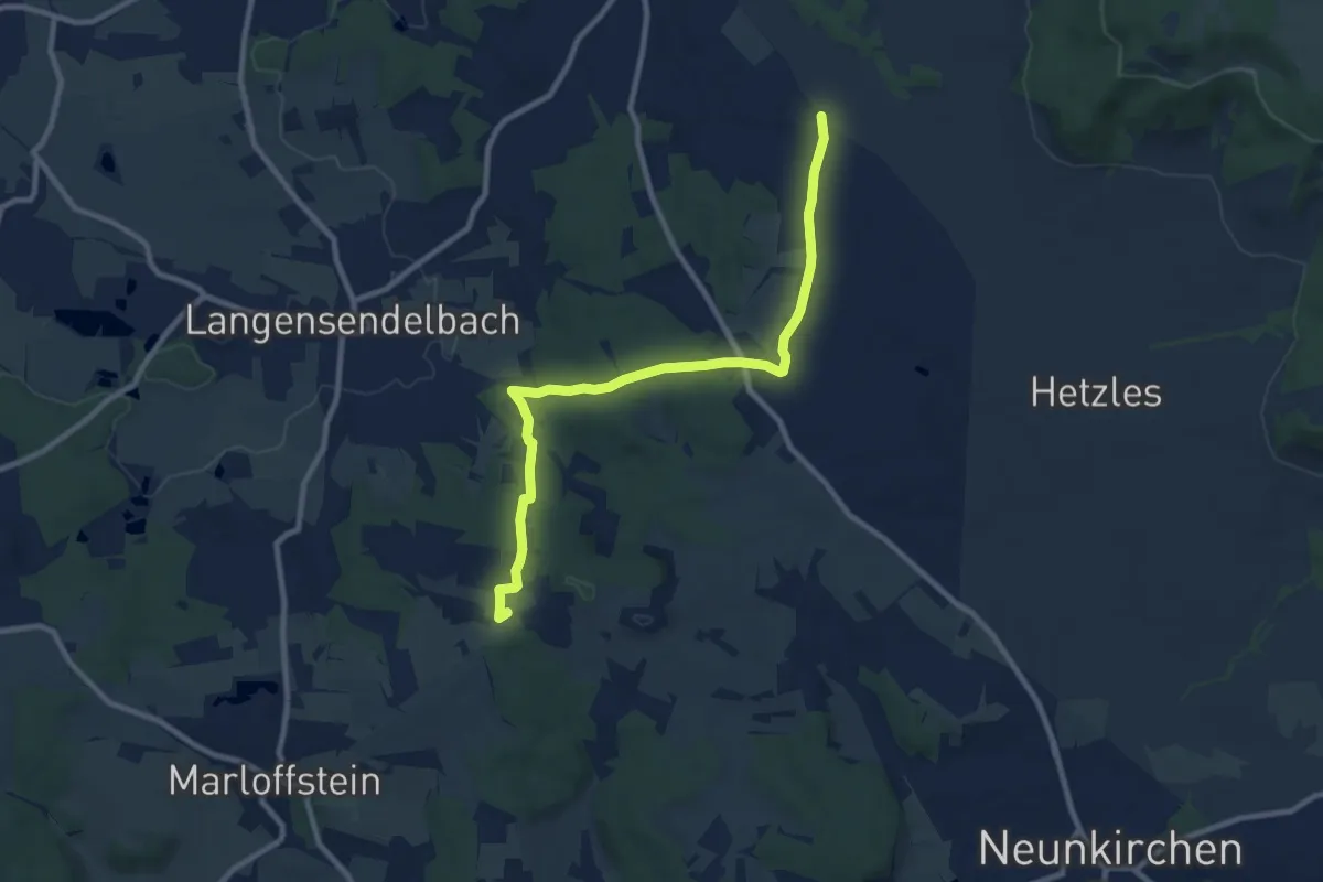
Medium · Summit
Jakobsweg Effeltrich - Marloffstein
9.2 km · ↑ 173 m · 2 h 32 min
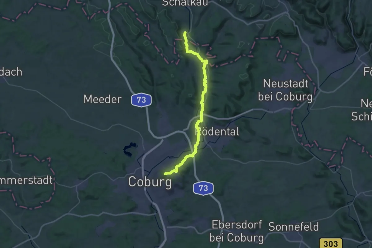
Medium · Summit
Jakobsweg Erfurt - Coburg
16.4 km · ↑ 262 m · 4 h 39 min
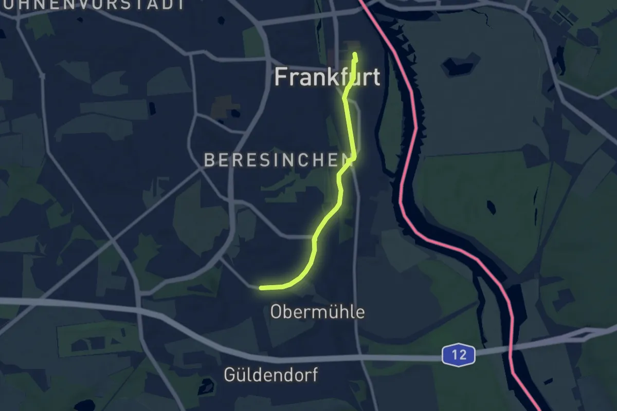
Easy · Trail
Jakobsweg Frankfurt/Oder - Leipzig
6.1 km · ↑ 38 m · 1 h 32 min
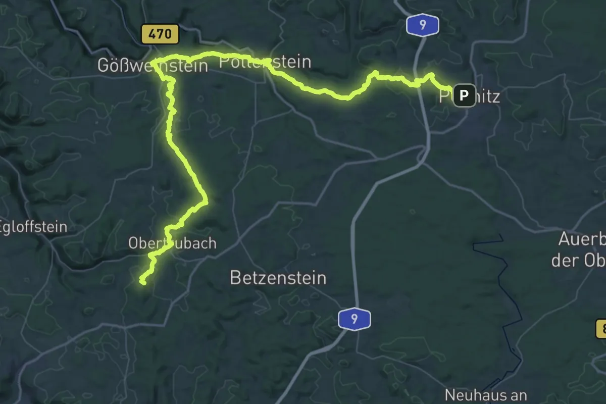
Demanding · Summit
Jakobsweg Fränkische Schweiz
33.7 km · ↑ 928 m · 10 h 22 min
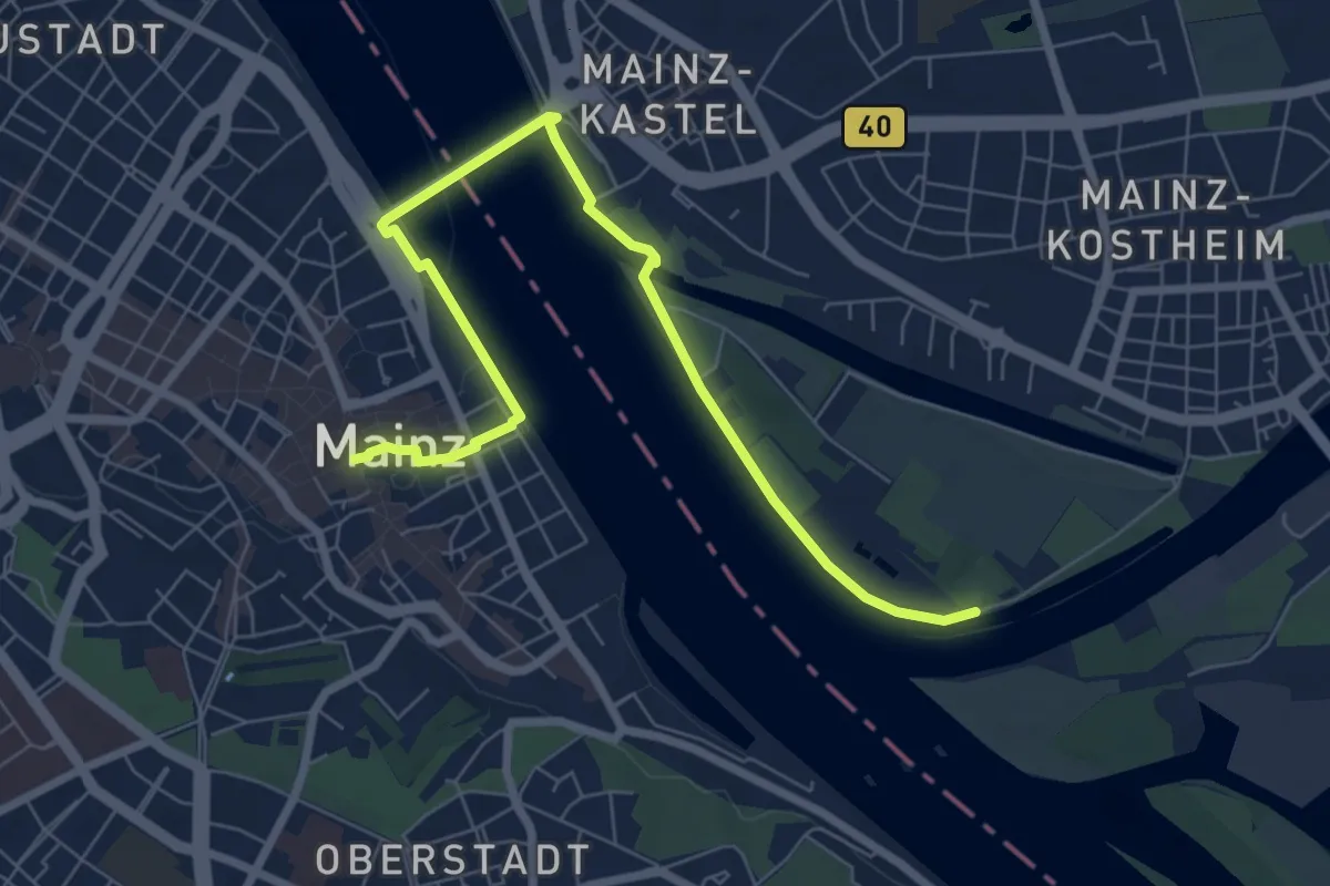
Easy · Pilgrim path
Jakobsweg Fulda - Frankfurt - Mainz (Teilstrecke Frankfurt - Mainz)
3.9 km · ↑ 0 m · 58 min
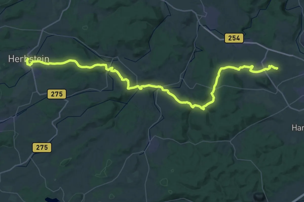
Demanding · Summit
Jakobsweg - Fulda-Herbstein
26.9 km · ↑ 505 m · 7 h 52 min
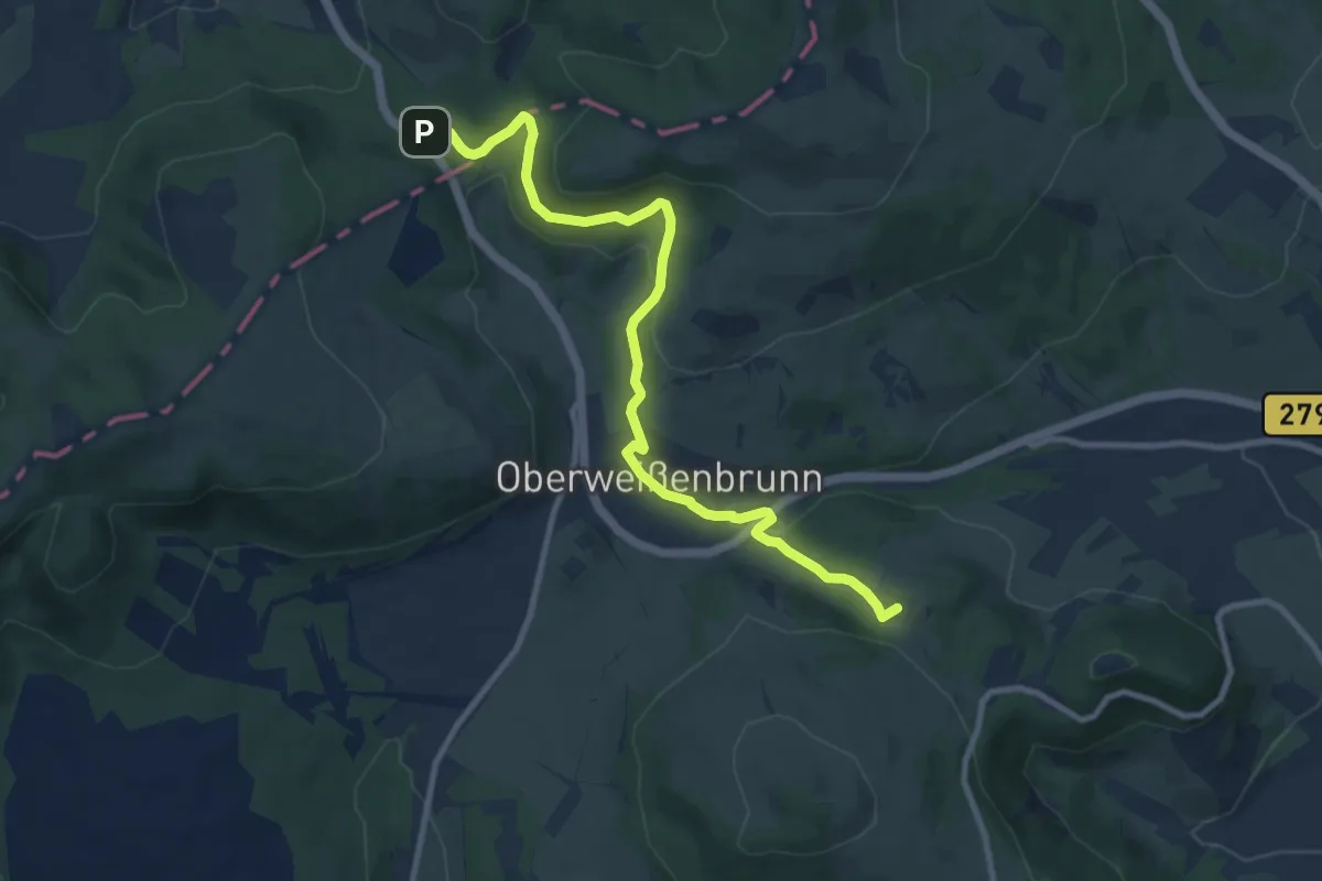
Easy · Summit
Jakobsweg Fulda-Würzburg (Teilstrecke Fulda - Kreuzberg)
4.8 km · ↑ 129 m · 1 h 31 min
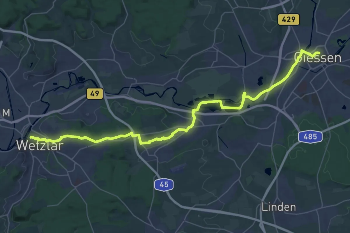
Medium · Trail
Jakobsweg Gießen - Wetzlar
16.6 km · ↑ 141 m · 4 h 27 min
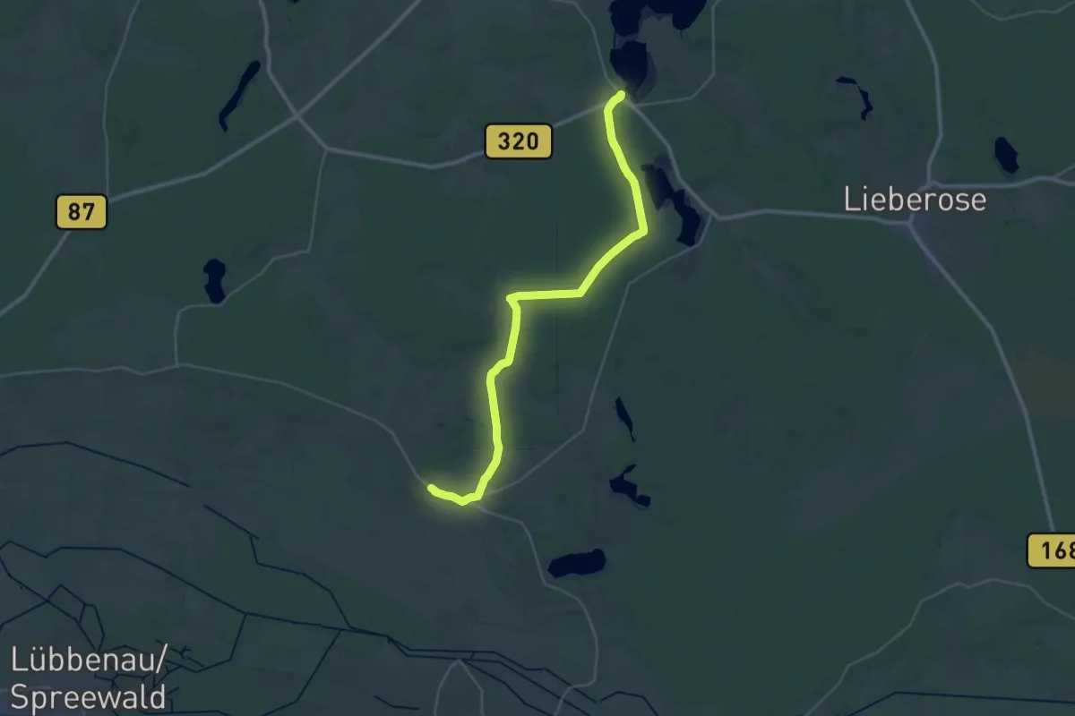
Demanding · Trail
Jakobsweg ...-Goyatz-Waldow-Straupitz-...
31.8 km · ↑ 96 m · 7 h 43 min
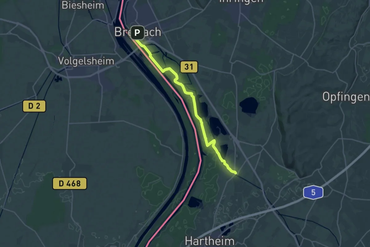
Demanding · Trail
Jakobsweg Grezhausen - Breisach
20.0 km · ↑ 77 m · 4 h 54 min
Medium · Pilgrim path
Jakobsweg Hegau
10.9 km · ↑ 118 m · 2 h 59 min
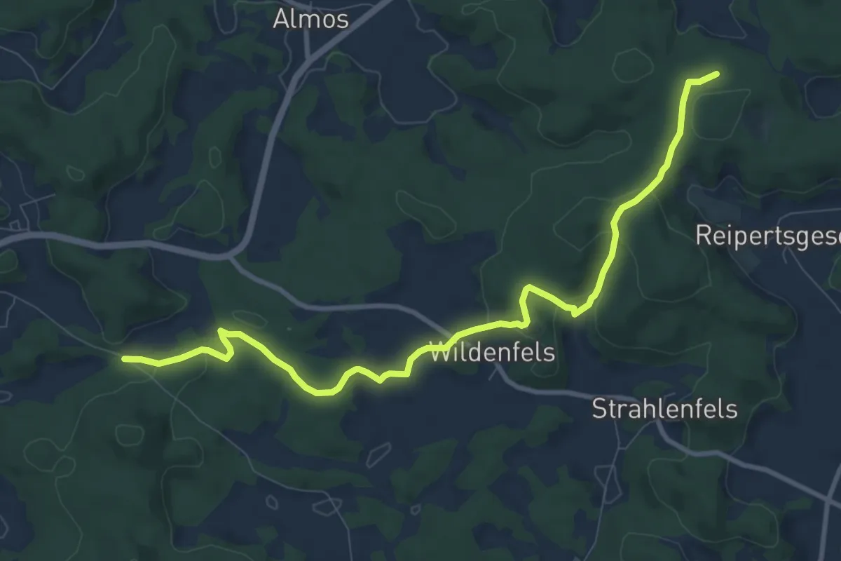
Medium · Trail
Jakobsweg Hof-Hiltpoltstein
9.7 km · ↑ 260 m · 2 h 52 min
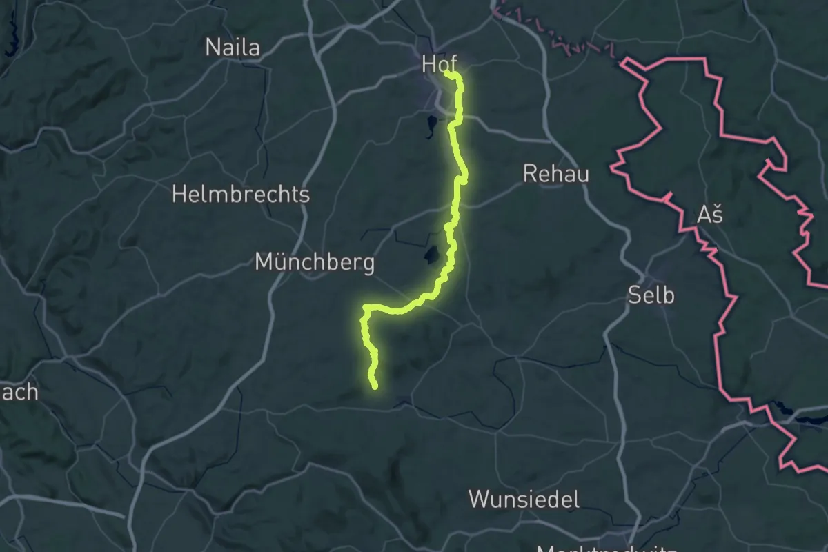
Demanding · Trail
Jakobsweg Hof-Weißenstadt
33.8 km · ↑ 498 m · 9 h 38 min
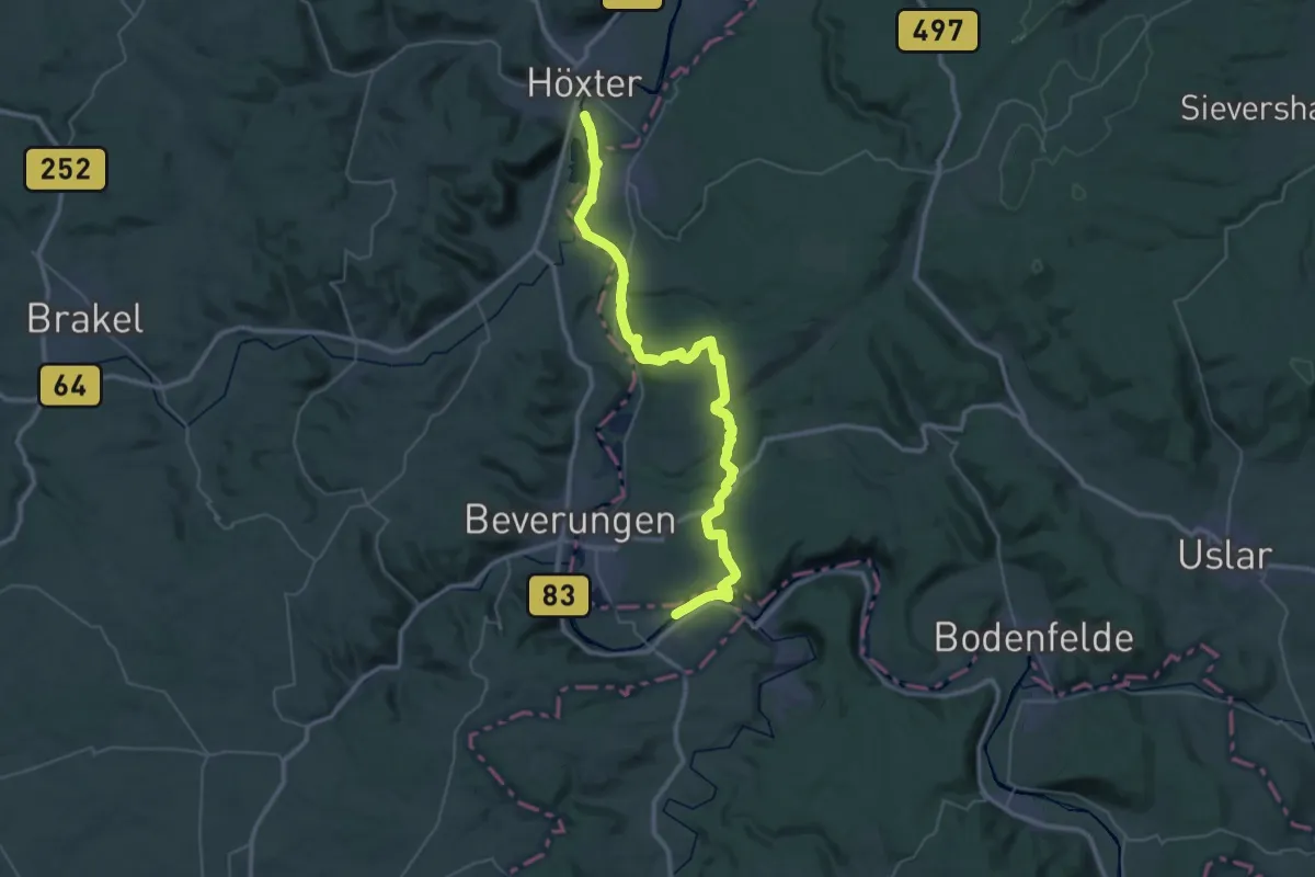
Demanding · Trail
Jakobsweg Höxter - Marburg (Teilstrecke Höxter - Volkmarsen)
20.8 km · ↑ 428 m · 6 h 8 min
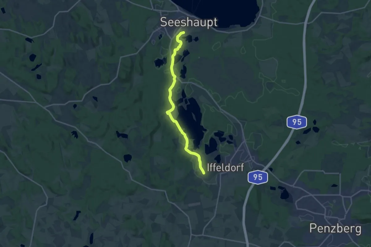
Easy · Pilgrim path
Jakobsweg im Pfaffenwinkel
6.7 km · ↑ 62 m · 1 h 48 min
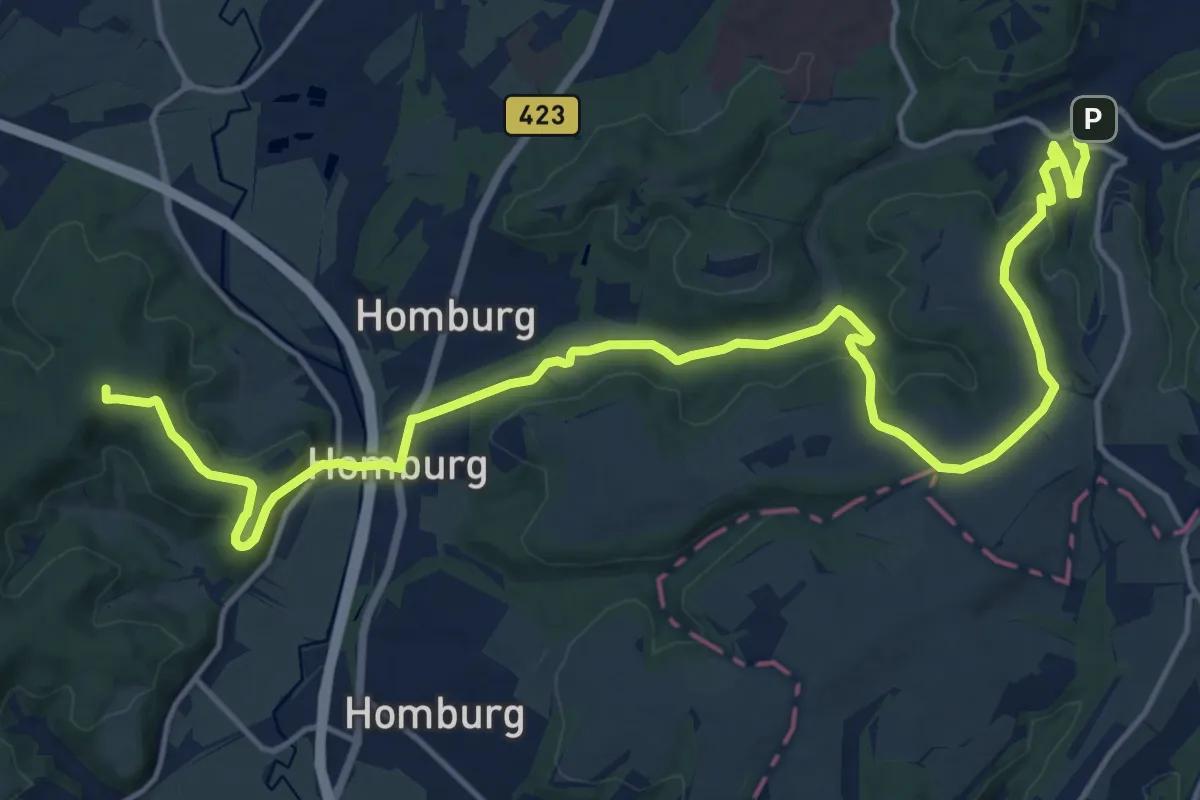
Medium · Summit
Jakobsweg Kirrberg – Blieskastel
9.7 km · ↑ 301 m · 3 h 1 min
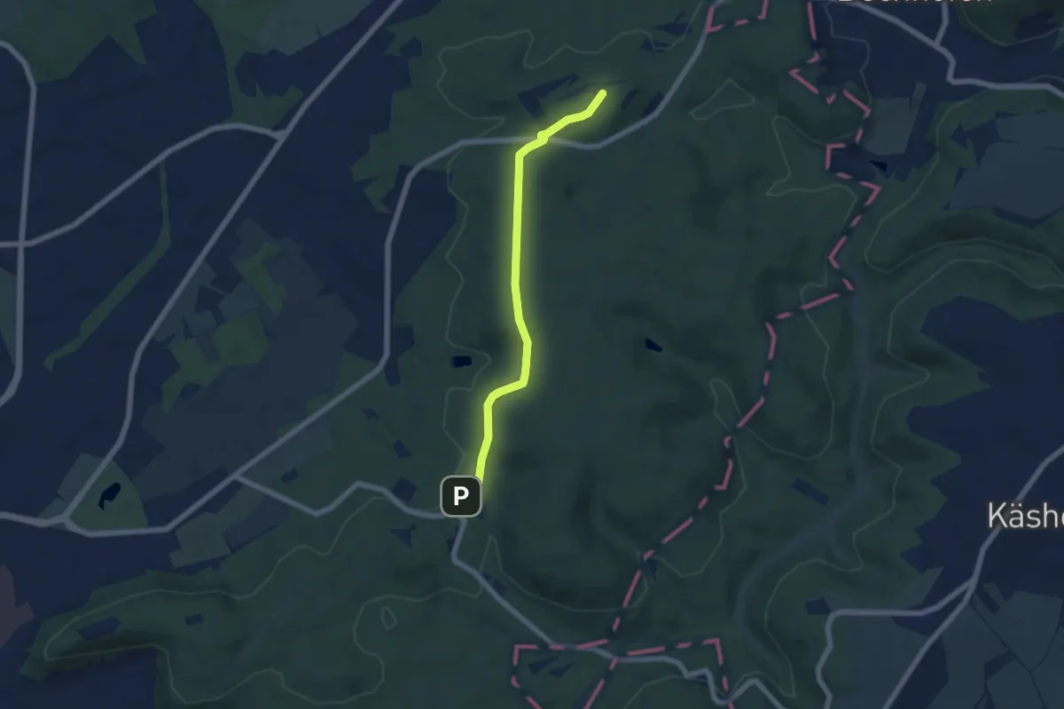
Easy · Summit
Jakobsweg Landstuhl – Kirrberg
2.6 km · ↑ 81 m · 48 min
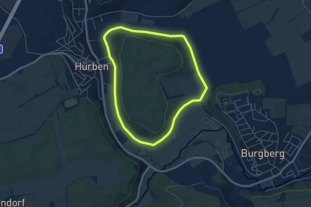
Easy · Pilgrim path
Jakobswegle am Kagberg
4.2 km · ↑ 34 m · 1 h 7 min
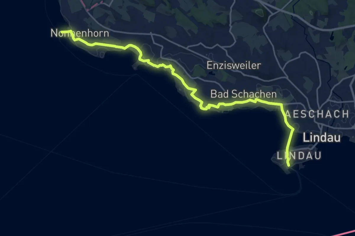
Medium · Pilgrim path
Jakobsweg Lindau - Nonnenhorn
9.0 km · ↑ 49 m · 2 h 22 min
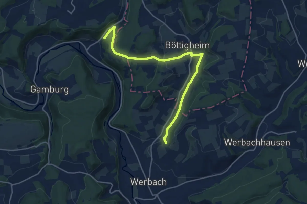
Medium · Trail
Jakobsweg Main- / Taubertal Alternativen
12.8 km · ↑ 203 m · 3 h 28 min
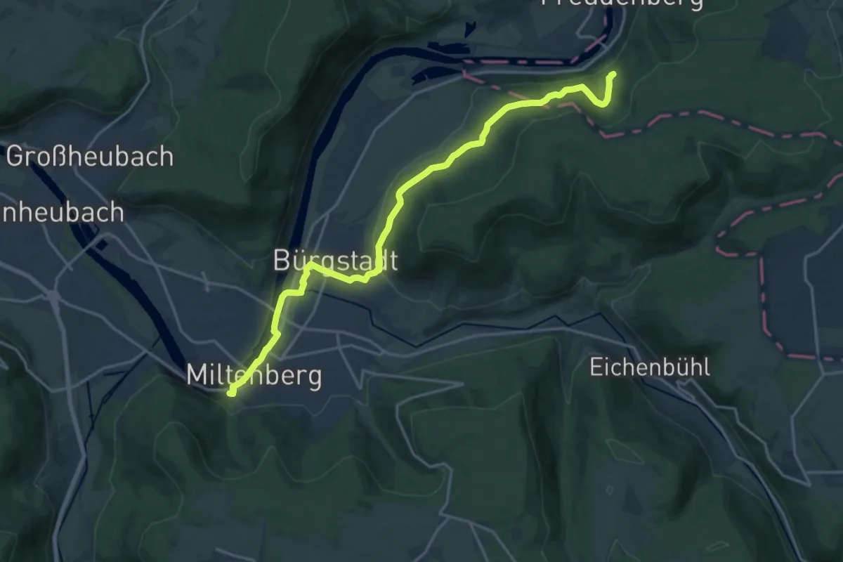
Medium · Trail
Jakobsweg Main-Taubertal Etappe 1
17.2 km · ↑ 447 m · 5 h 1 min
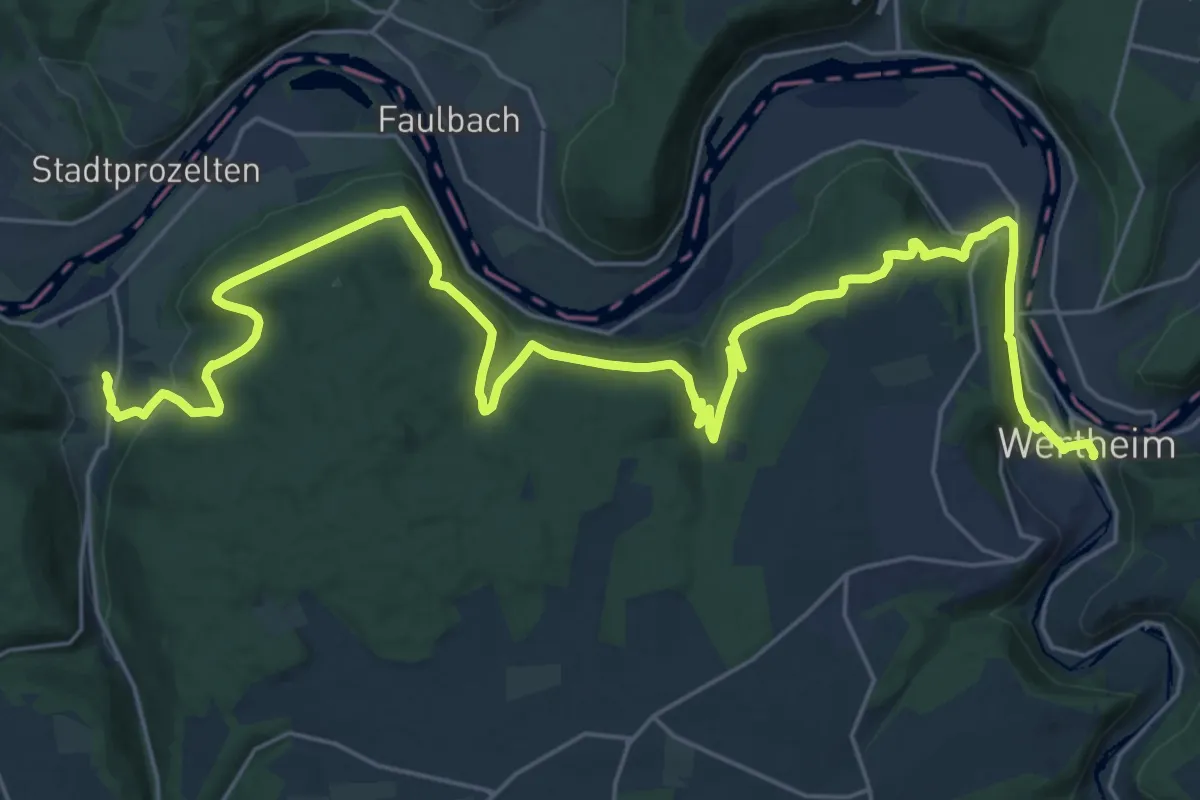
Medium · Trail
Jakobsweg Main-Taubertal Etappe 2
16.6 km · ↑ 553 m · 5 h 21 min
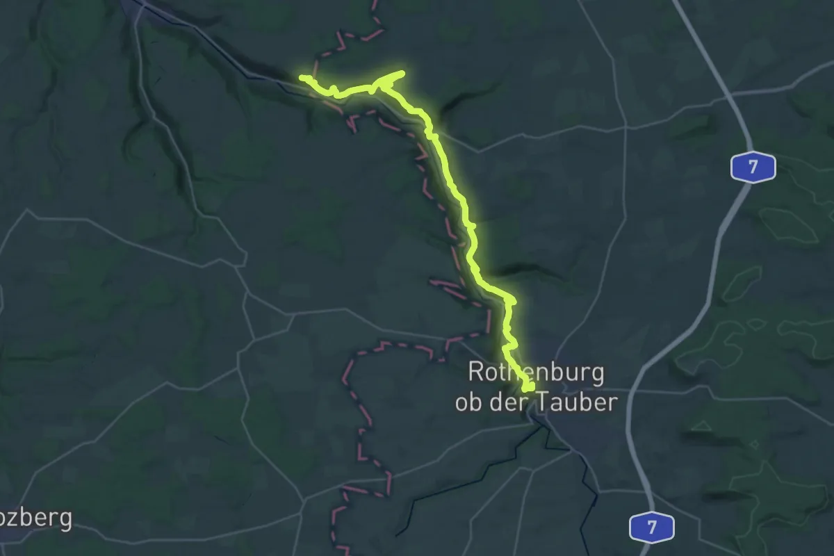
Medium · Trail
Jakobsweg Main-Taubertal Etappe 3-9
16.2 km · ↑ 508 m · 5 h 10 min
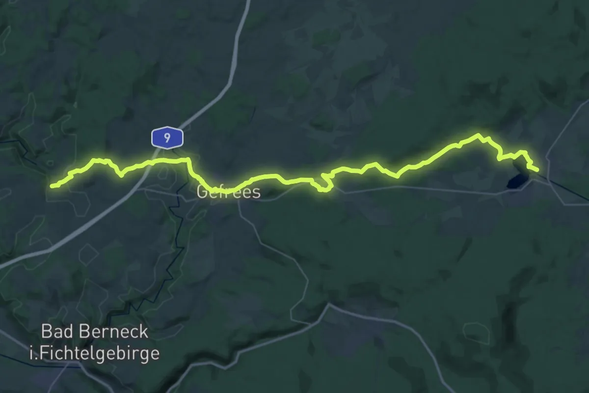
Demanding · Pilgrim path
Jakobsweg Marktschorgast-Weißenstadt
21.4 km · ↑ 332 m · 6 h 9 min
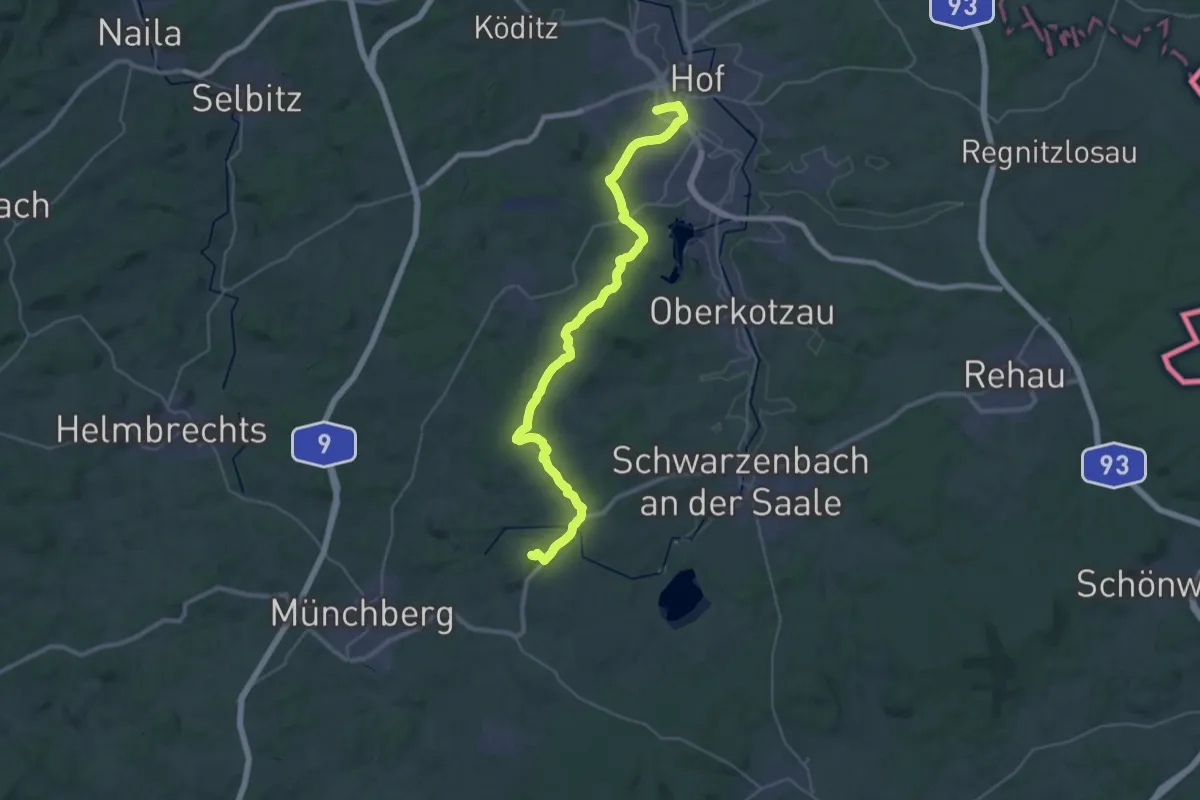
Demanding · Summit
Jakobsweg Münchberg-Hof
36.0 km · ↑ 575 m · 9 h 44 min
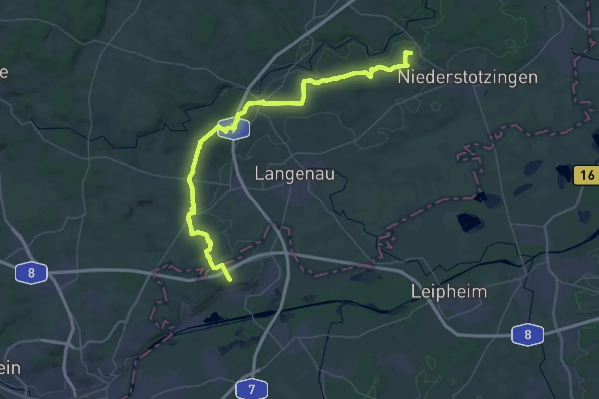
Demanding · Pilgrim path
Jakobsweg Neresheim - Ulm
22.7 km · ↑ 302 m · 6 h 19 min
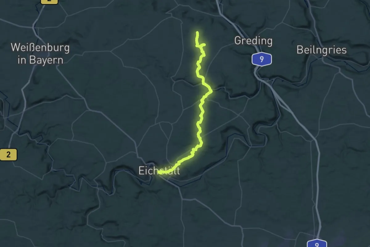
Demanding · Trail
Jakobsweg Nürnberg-Eichstätt
28.2 km · ↑ 617 m · 8 h 19 min
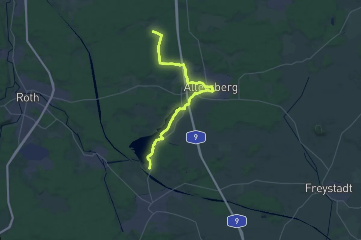
Demanding · Trail
Jakobsweg Nürnberg-Rothsee V2
27.3 km · ↑ 187 m · 6 h 51 min
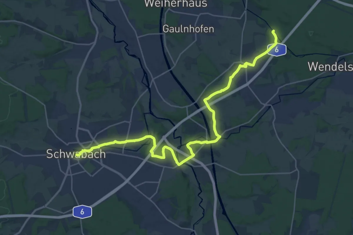
Demanding · Trail
Jakobsweg Nürnberg-Schwabach
25.5 km · ↑ 253 m · 6 h 34 min
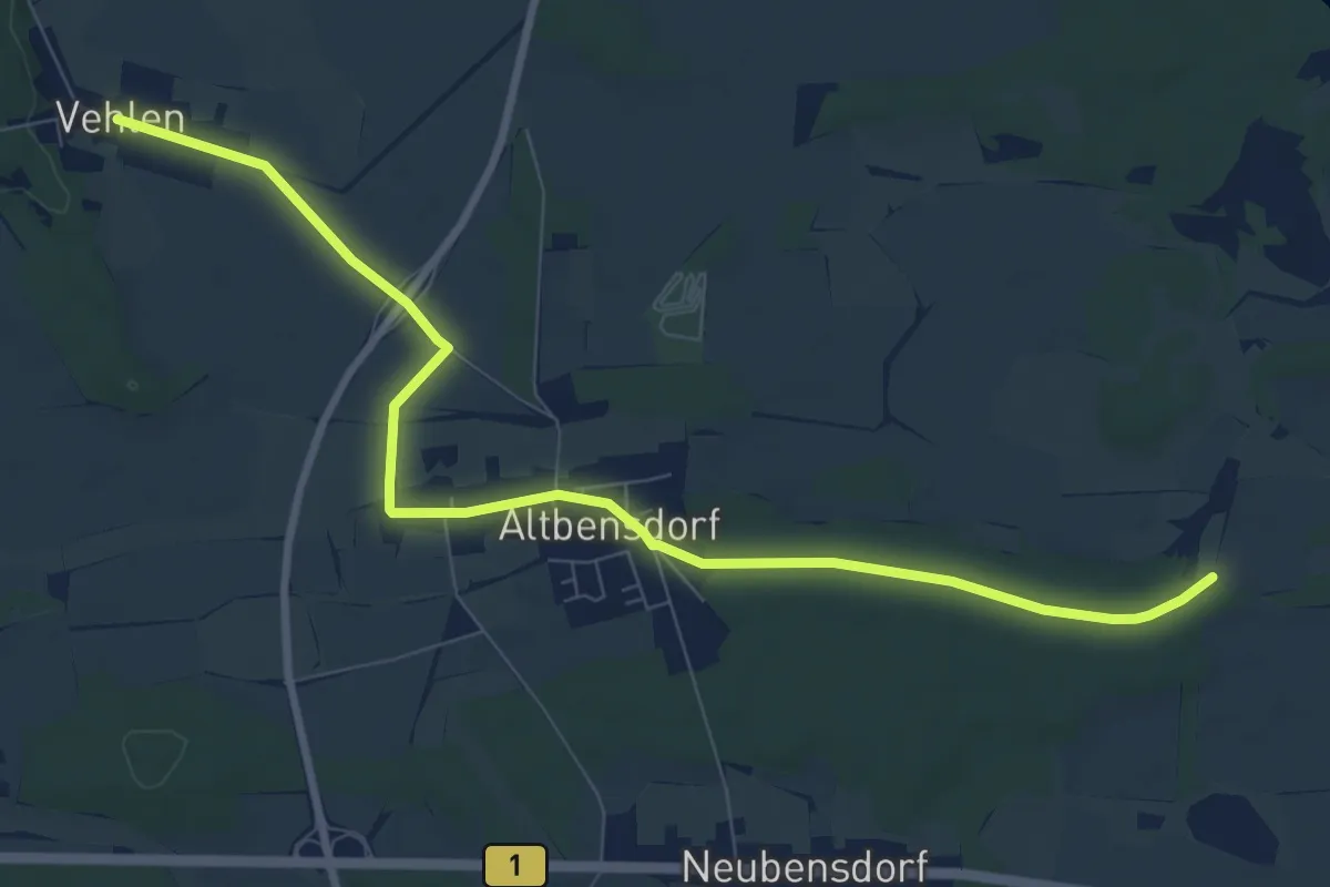
Easy · Pilgrim path
Jakobsweg Potsdam - Vehlen
4.3 km · ↑ 9 m · 1 h 6 min
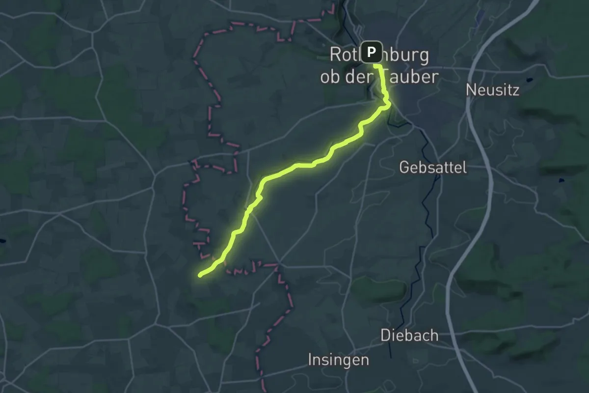
Demanding · Trail
Jakobsweg Rothenburg - Bargau
19.5 km · ↑ 263 m · 5 h 10 min
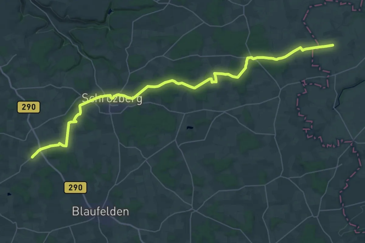
Demanding · Trail
Jakobsweg Rothenburg - Rottenburg (1)
18.7 km · ↑ 119 m · 4 h 56 min
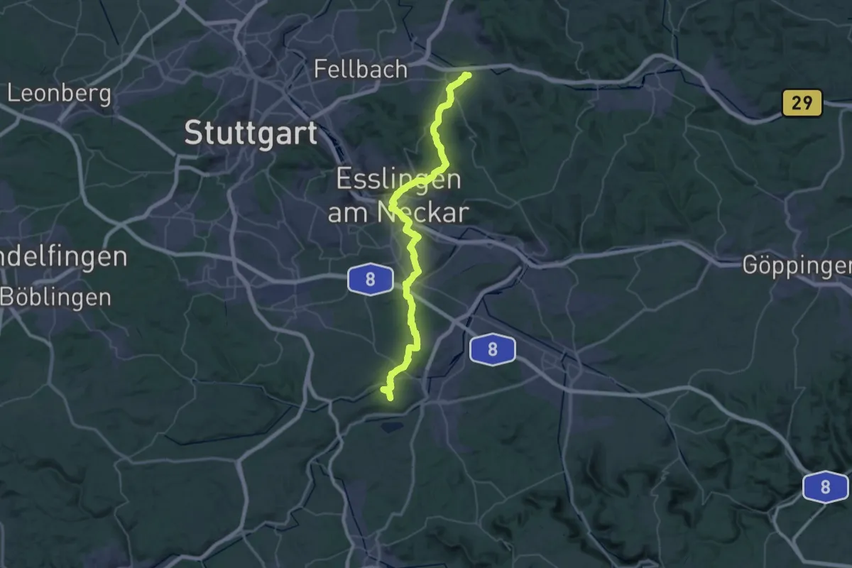
Demanding · Summit
Jakobsweg Rothenburg - Rottenburg (3)
58.7 km · ↑ 1294 m · 16 h 40 min
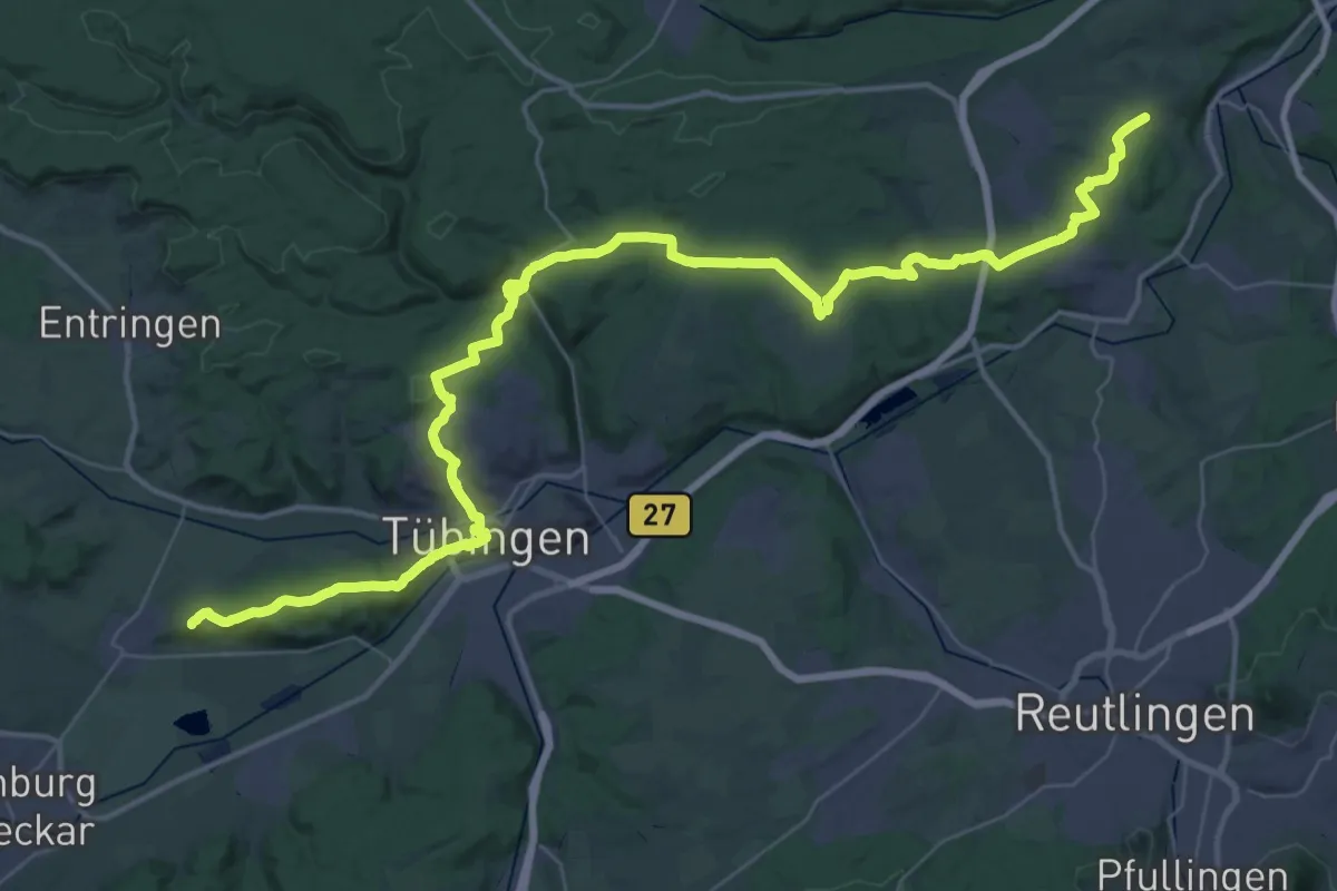
Demanding · Summit
Jakobsweg Rothenburg - Rottenburg (4)
57.3 km · ↑ 1194 m · 16 h 6 min
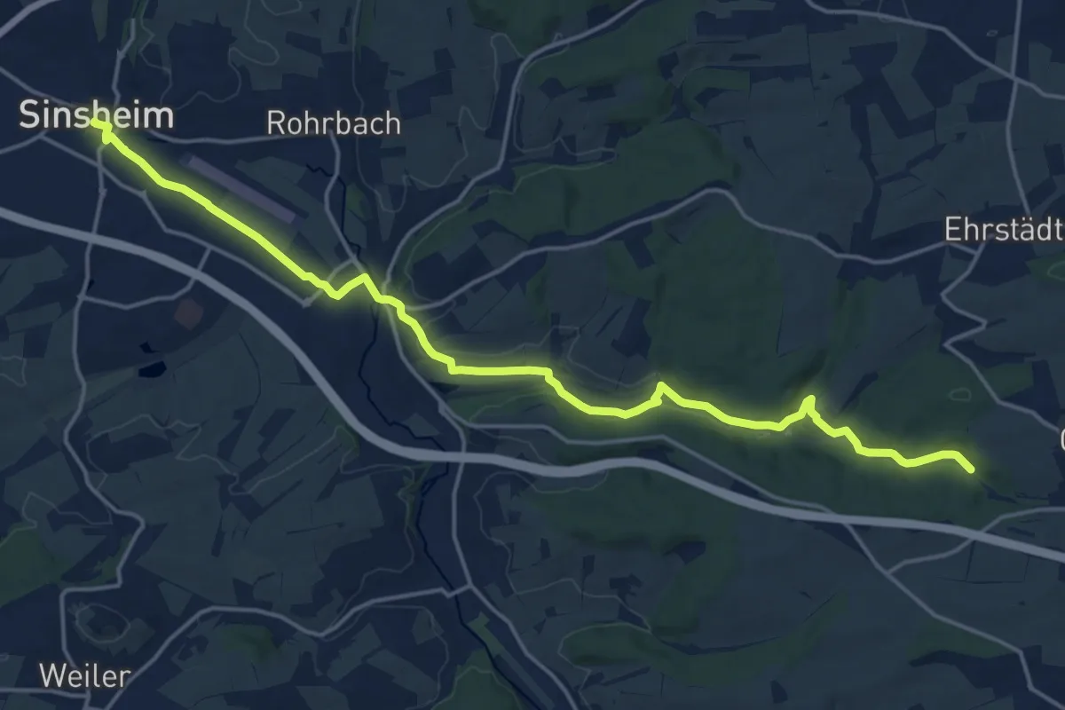
Demanding · Trail
Jakobsweg Rothenburg - Speyer (3)
18.8 km · ↑ 222 m · 4 h 55 min
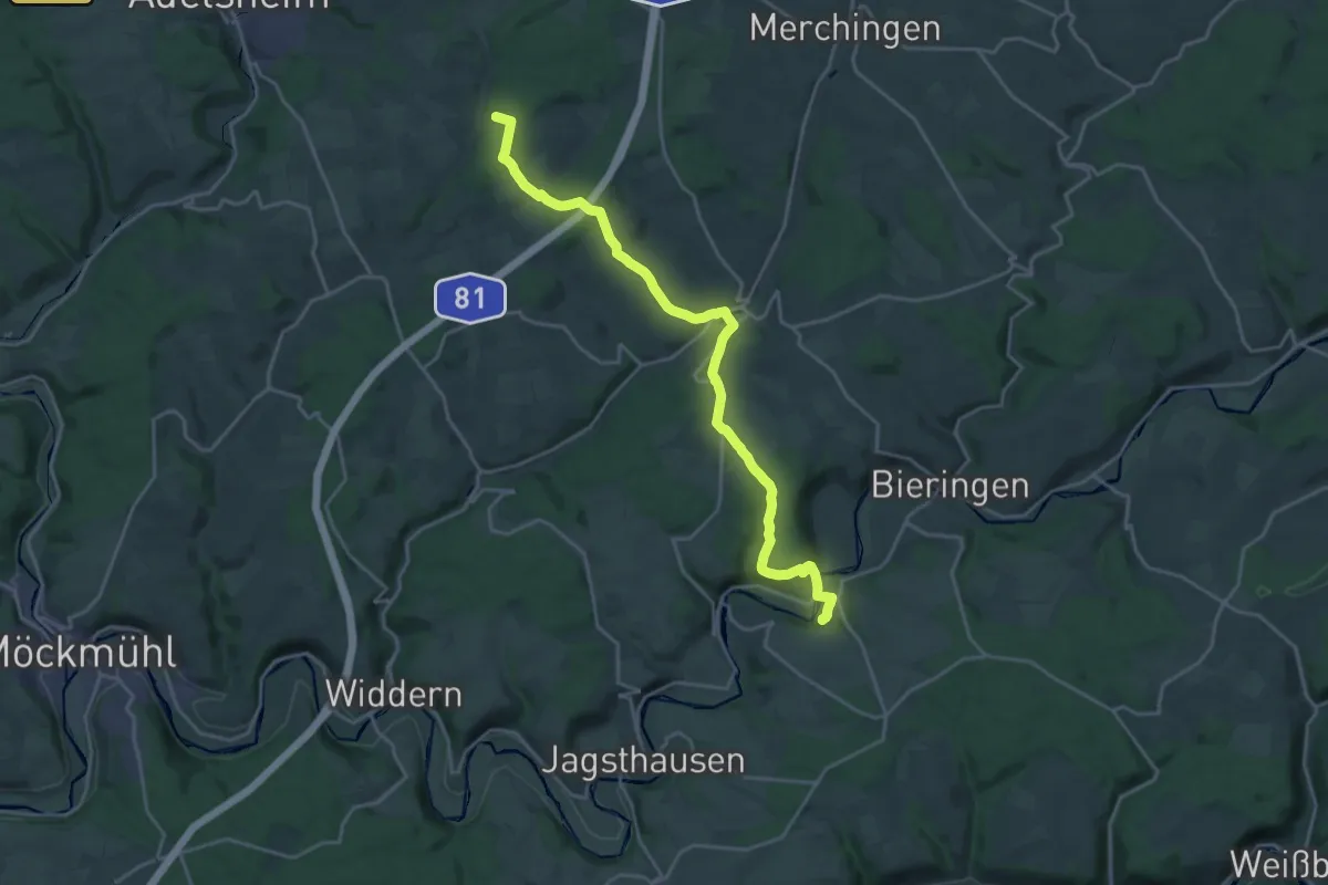
Demanding · Trail
Jakobsweg Rothenburg - Speyer (3V)
21.6 km · ↑ 517 m · 6 h 14 min
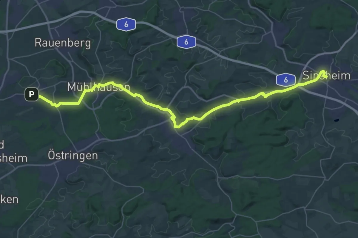
Medium · Pilgrim path
Jakobsweg Rothenburg - Speyer (4)
17.9 km · ↑ 151 m · 4 h 48 min
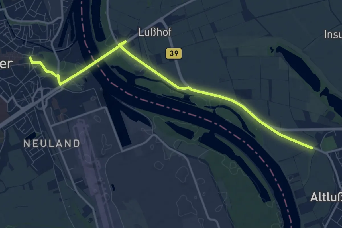
Easy · Pilgrim path
Jakobsweg Rothenburg - Speyer (5)
4.7 km · ↑ 24 m · 1 h 13 min
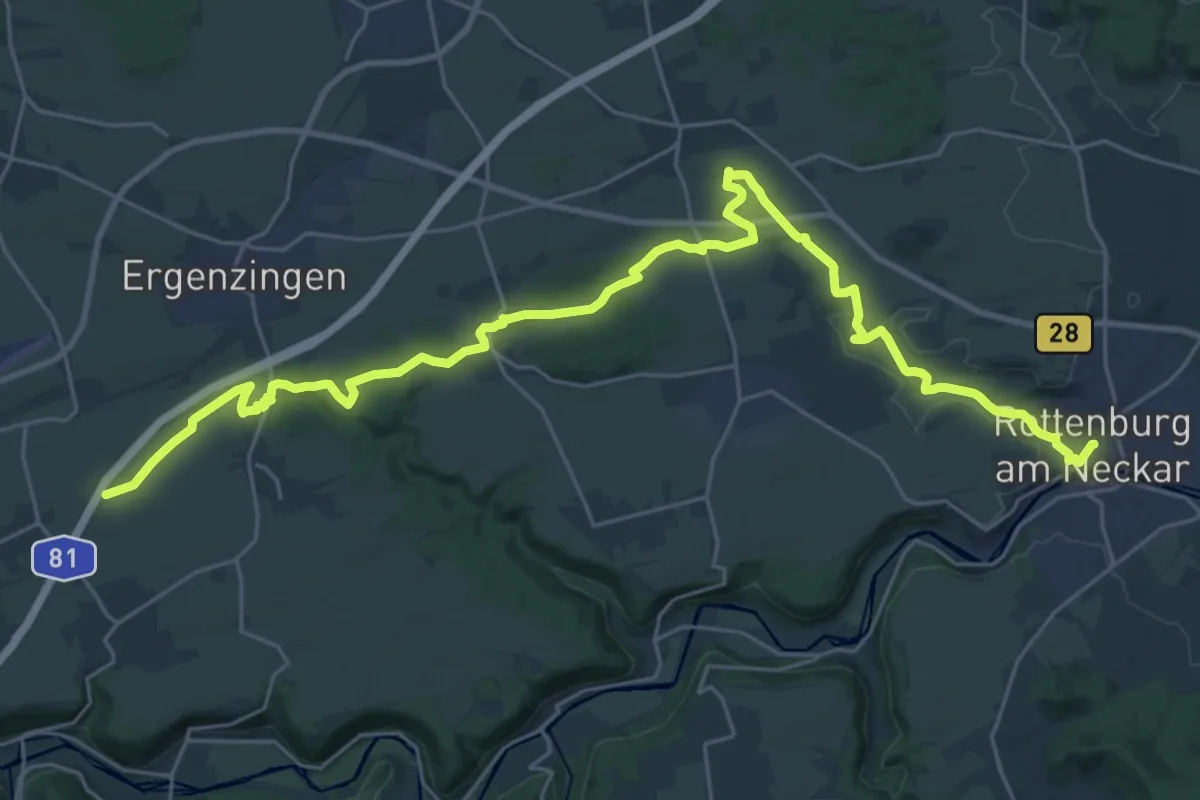
Medium · Trail
Jakobsweg Rottenburg - Thann (1)
16.7 km · ↑ 265 m · 4 h 41 min
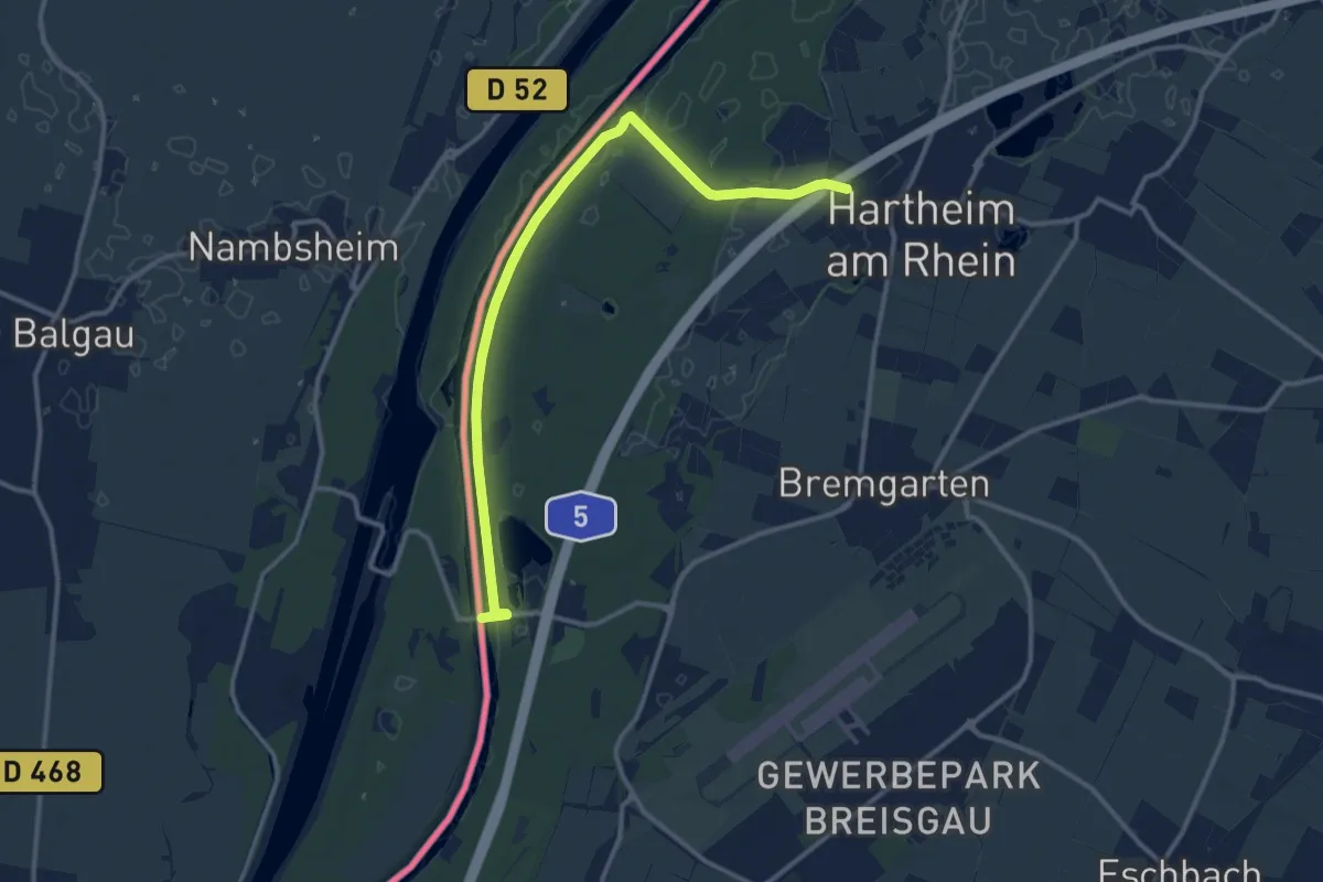
Medium · Trail
Jakobsweg Rottenburg - Thann (2)
12.8 km · ↑ 47 m · 3 h 8 min
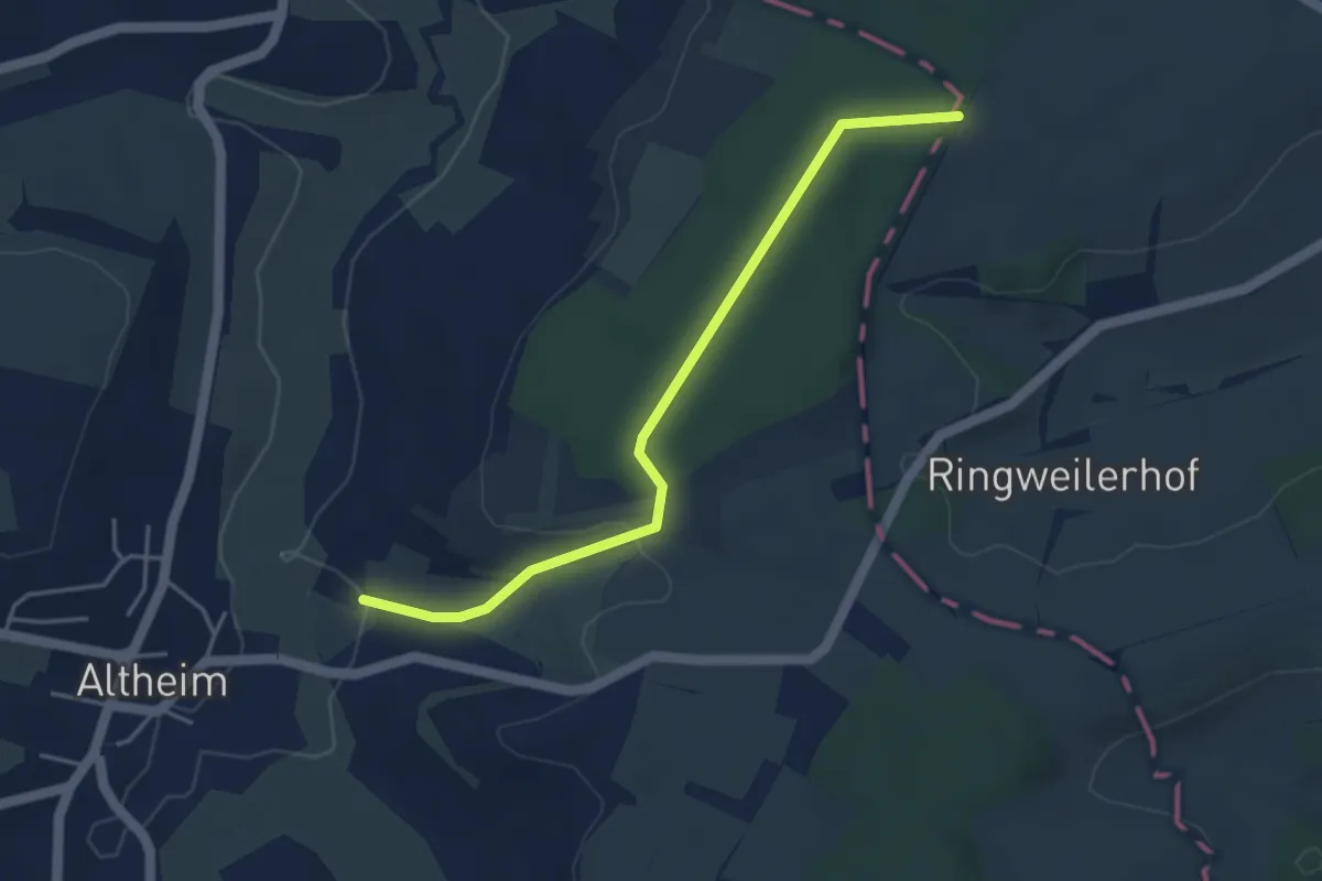
Easy · Trail
Jakobsweg Saar, Strecke Altheim – Kleinblittersdorf – Saargemünd – Hérapel
4.0 km · ↑ 82 m · 1 h 8 min
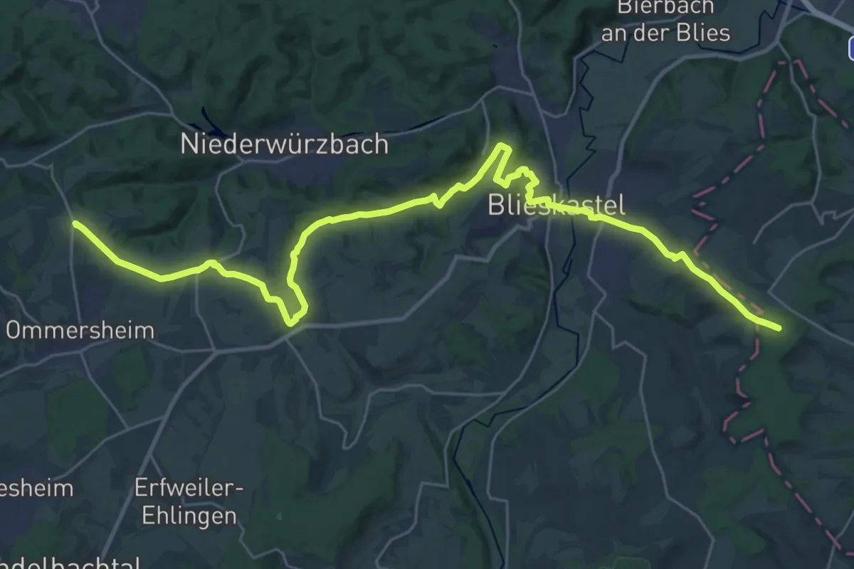
Demanding · Summit
Jakobsweg Saar, Strecke Althornbach – Blieskastel – Hérapel
32.4 km · ↑ 522 m · 8 h 47 min
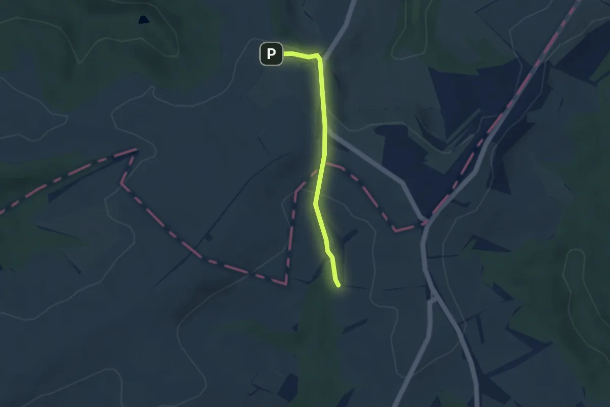
Easy · Trail
Jakobsweg Saar - Strecke Kirrberg - Althornbach
2.6 km · ↑ 73 m · 46 min