Trails in Germany
36,852 hiking trails, each with its route, climb, walking time and grade.
All trails, page 271 of 768
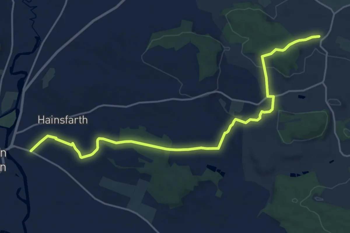
Medium · Trail
Jakobsweg Schwabach-Oettingen
14.6 km · ↑ 227 m · 3 h 57 min
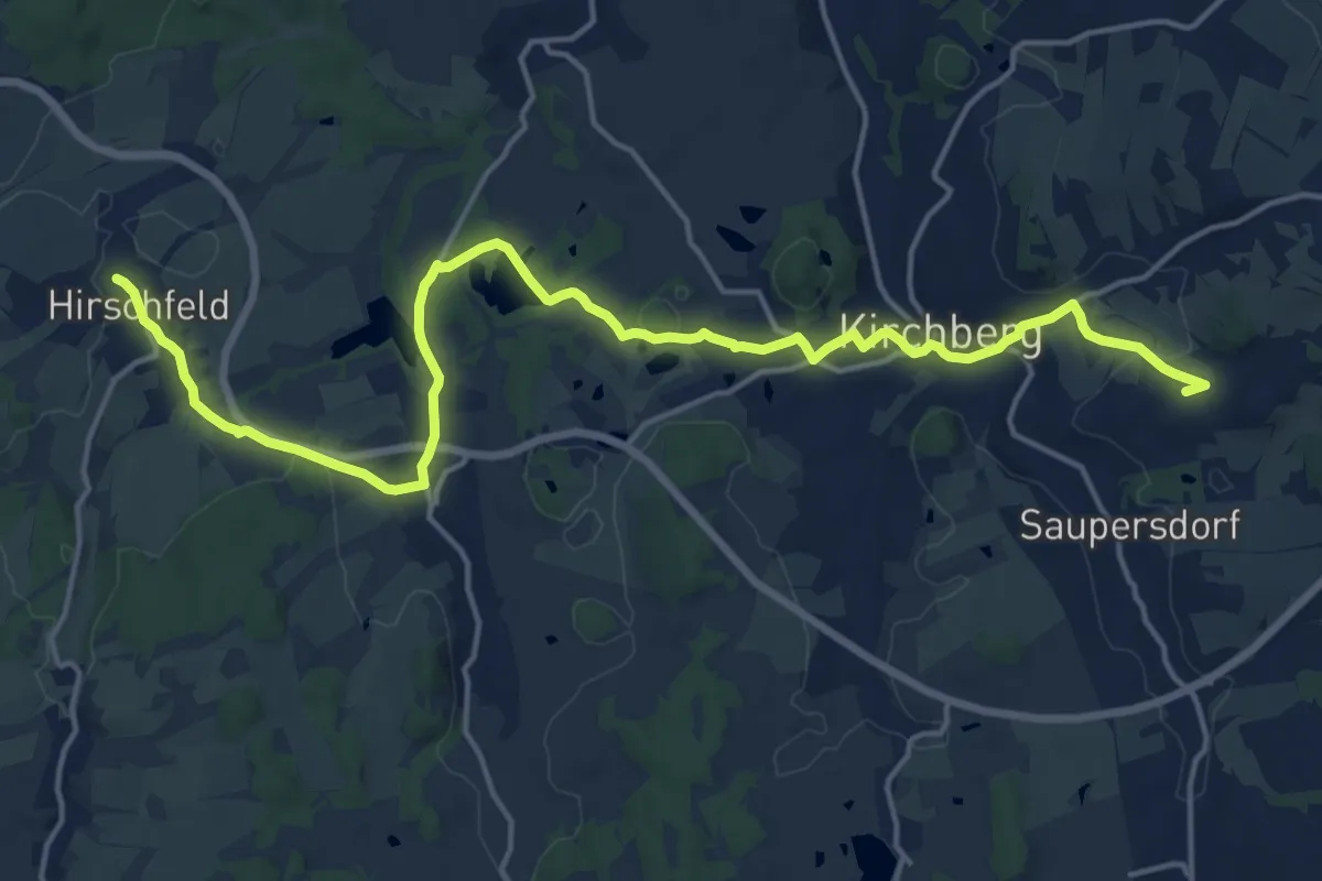
Medium · Summit
Jakobsweg Silberberg (Variante Kirchberg–Hirschfeld)
9.1 km · ↑ 141 m · 2 h 34 min
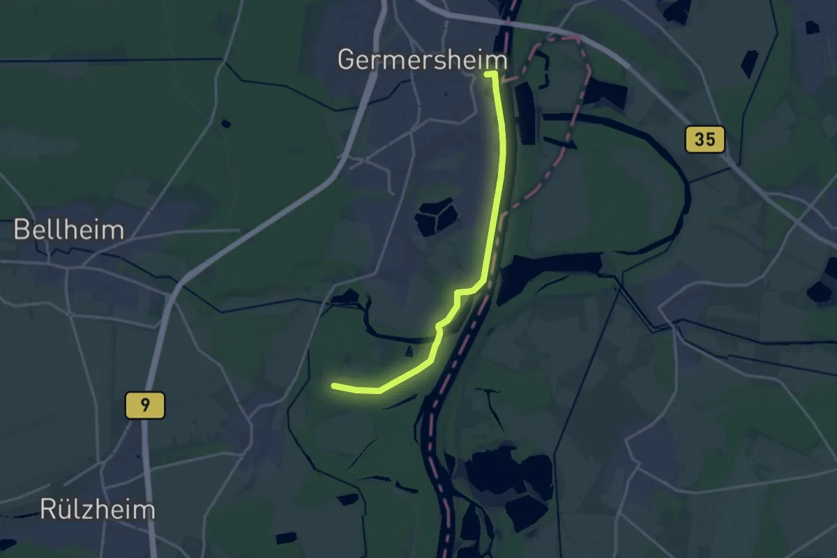
Easy · Pilgrim path
Jakobsweg Speyer-Bad Bergzabern
7.3 km · ↑ 13 m · 1 h 51 min
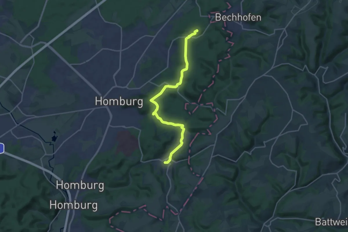
Medium · Summit
Jakobsweg Speyer – Metz
8.1 km · ↑ 178 m · 2 h 22 min
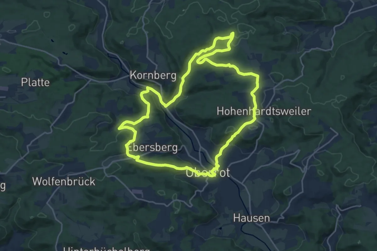
Medium · Summit
Jakobsweg und Dorfplatz
15.5 km · ↑ 355 m · 4 h 39 min
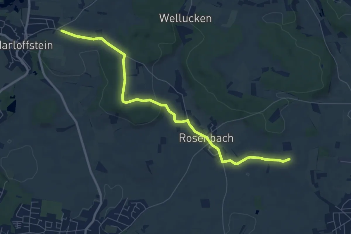
Easy · Summit
Jakobsweg V
7.3 km · ↑ 124 m · 2 h
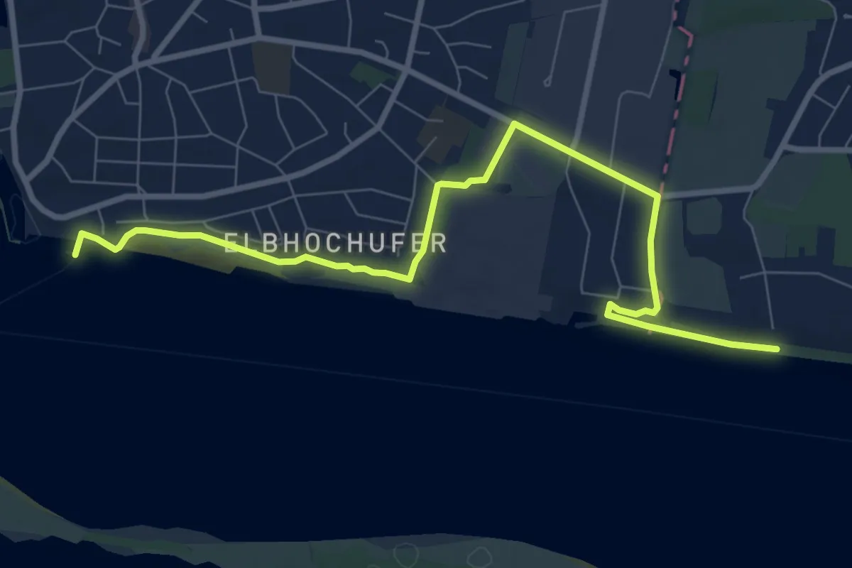
Easy · Pilgrim path
Jakobsweg via Baltica, Hamburg
4.0 km · ↑ 22 m · 1 h 4 min
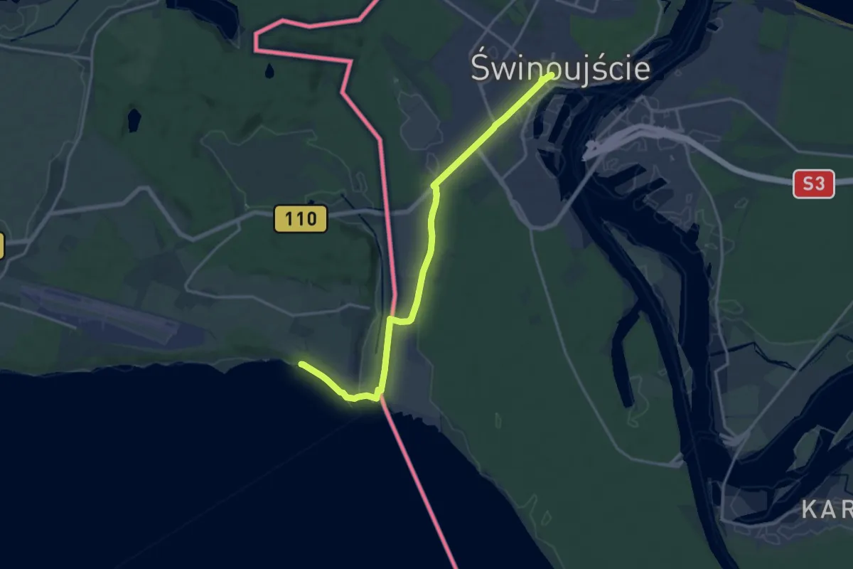
Easy · Pilgrim path
Jakobsweg via Baltica, Mecklenburg-Vorpommern (Ost) Swinoujscie-Tribsees
7.1 km · ↑ 17 m · 1 h 48 min
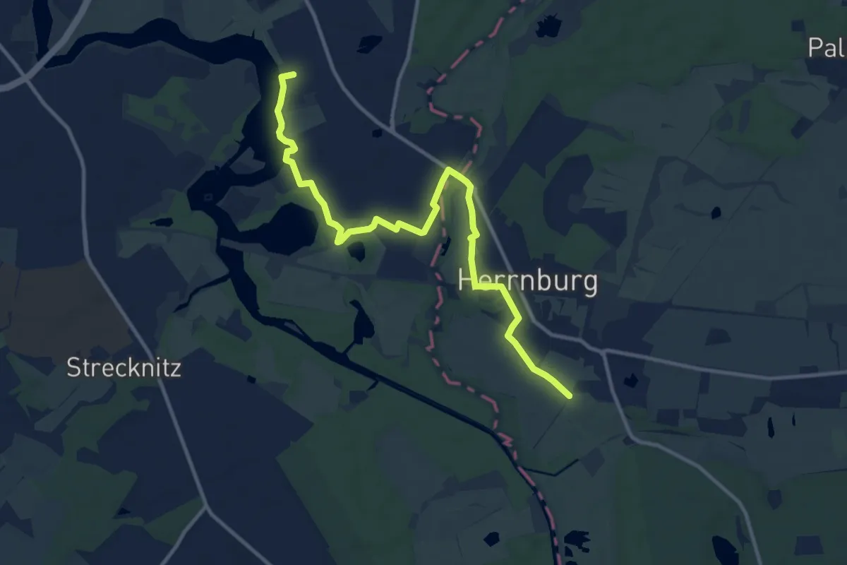
Easy · Pilgrim path
Jakobsweg via Baltica, Mecklenburg-Vorpommern (West) Bad Doberan-Lübeck
5.3 km · ↑ 4 m · 1 h 20 min
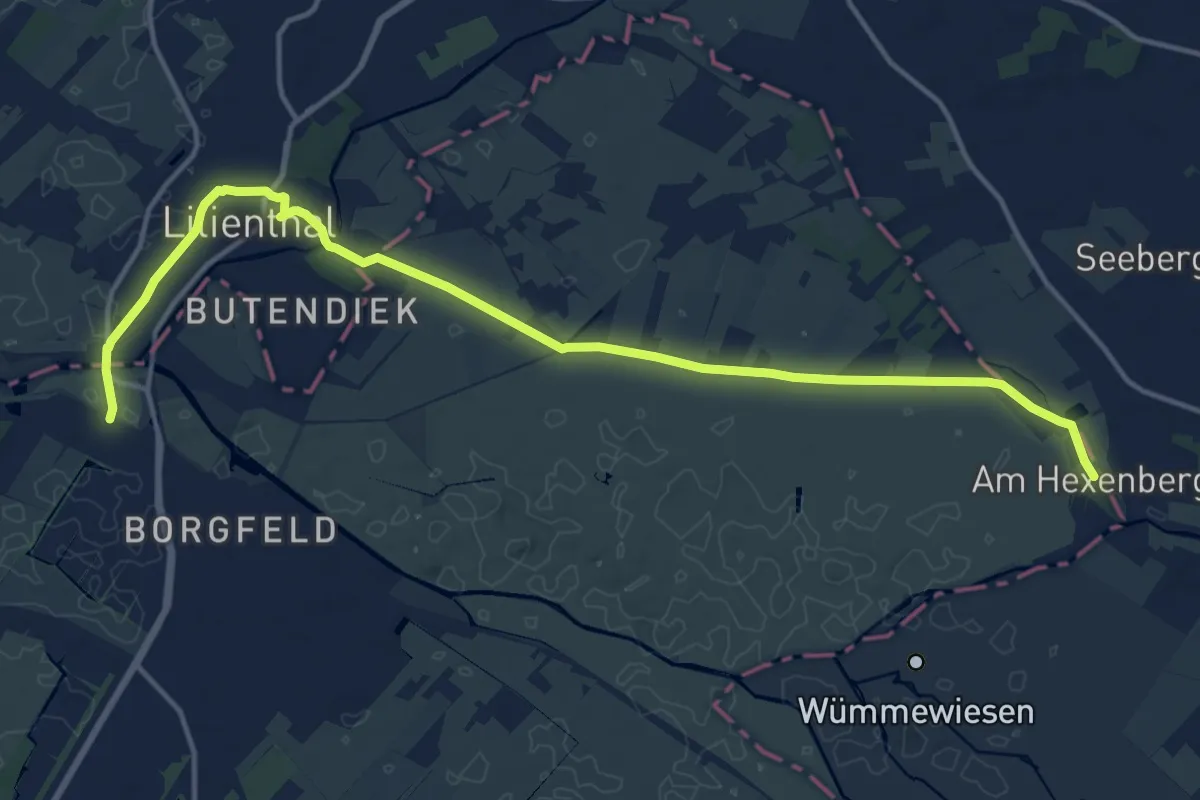
Easy · Pilgrim path
Jakobsweg via Baltica, Niedersachsen, Abzweig Lilienthal
7.4 km · ↑ 5 m · 1 h 51 min
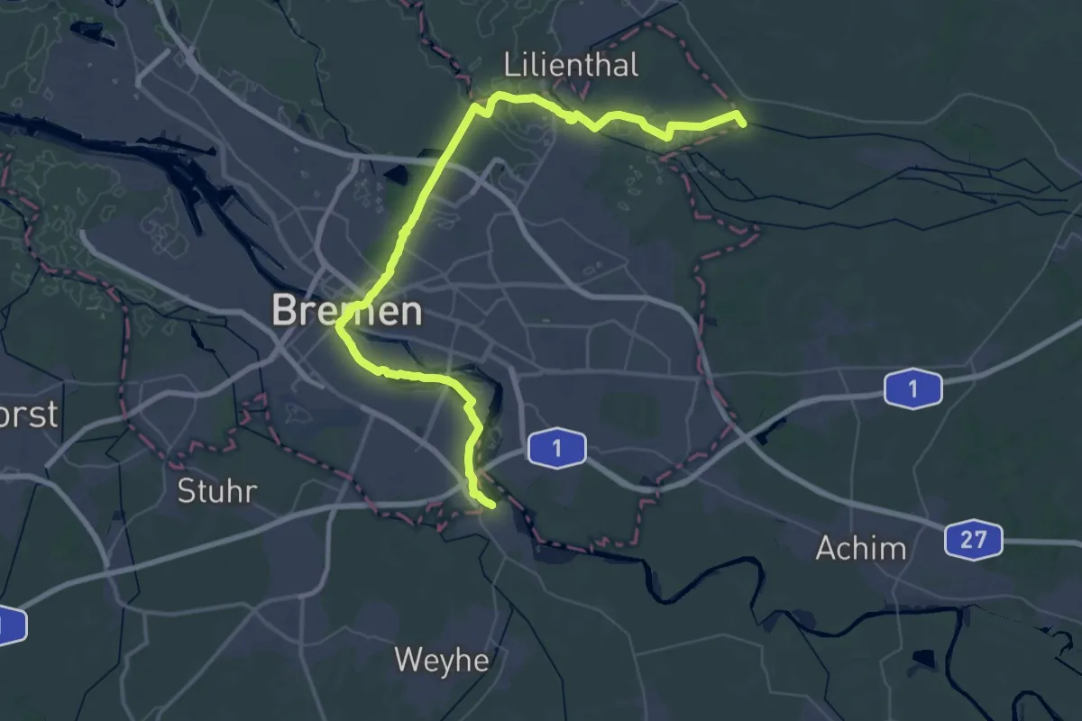
Demanding · Pilgrim path
Jakobsweg via Baltica, Niedersachsen (Mitte)
26.6 km · ↑ 40 m · 6 h 45 min
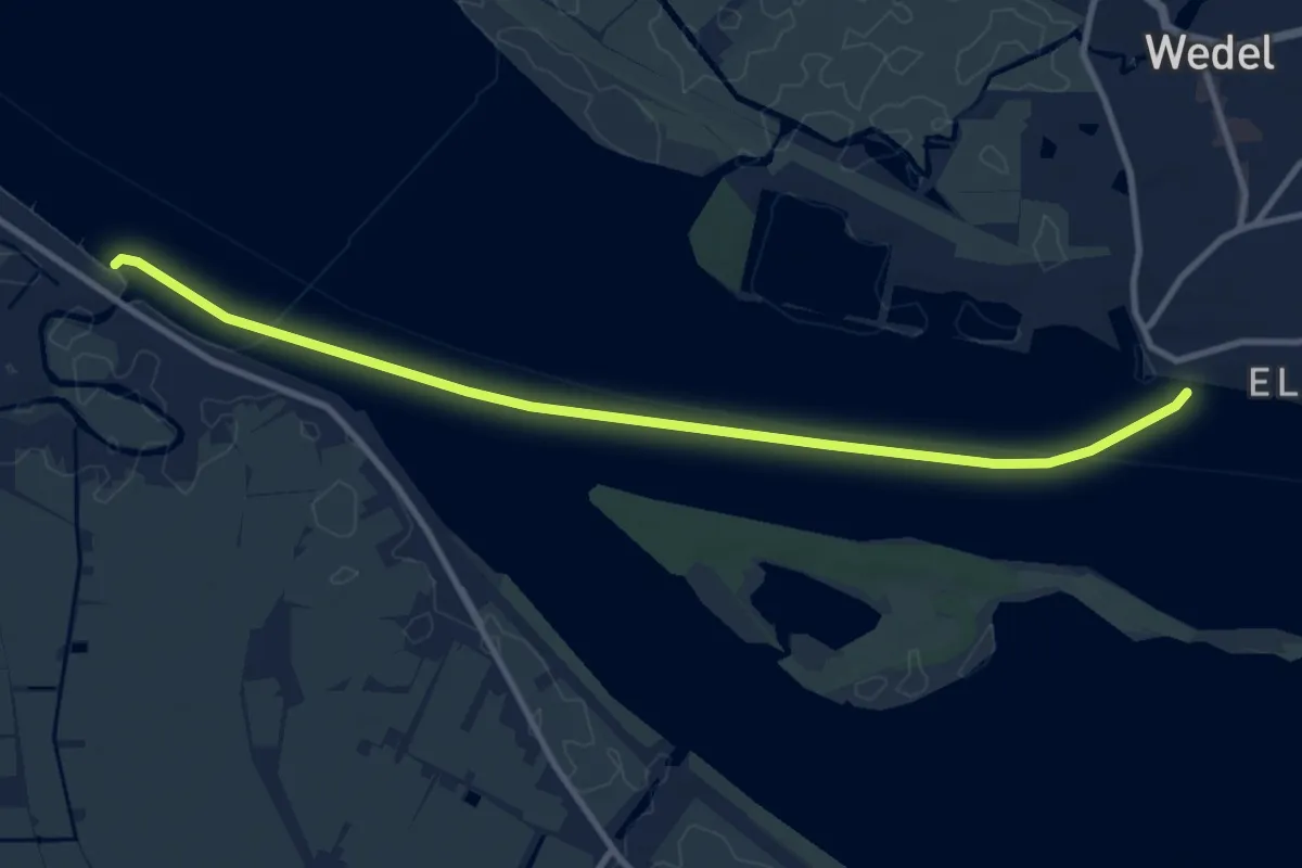
Easy · Pilgrim path
Jakobsweg via Baltica, Niedersachsen (Nord)
4.8 km · ↑ 0 m · 1 h 12 min
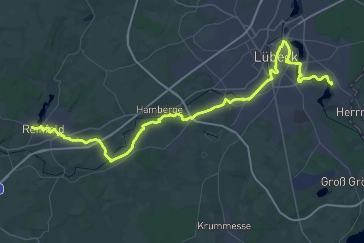
Demanding · Pilgrim path
Jakobsweg via Baltica, Schleswig-Holstein Ost
26.9 km · ↑ 88 m · 6 h 55 min
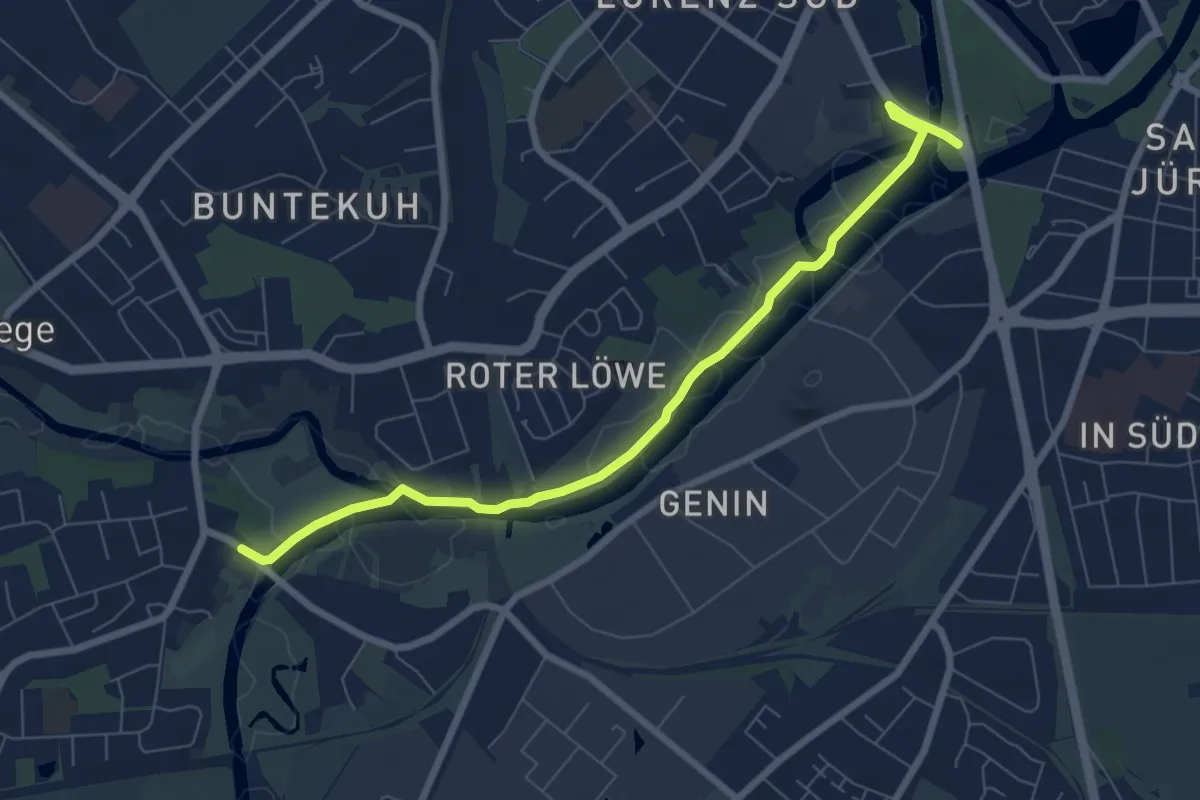
Easy · Pilgrim path
Jakobsweg via Baltica, Schleswig-Holstein Ost - Aternative Possehlbrücke
3.3 km · ↑ 4 m · 51 min
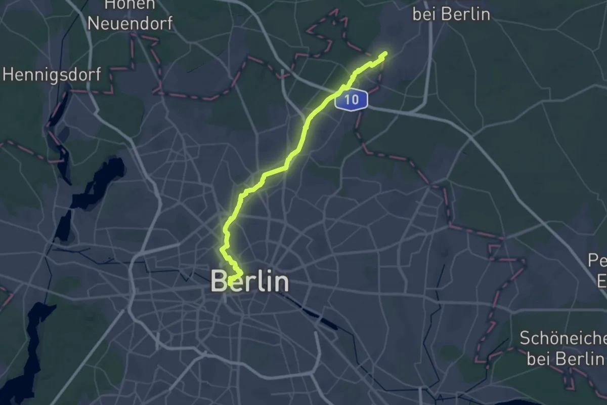
Demanding · Pilgrim path
Jakobsweg Via Imperii SzczecinPL- BerlinDE
23.1 km · ↑ 14 m · 5 h 49 min
Easy · Pilgrim path
Jakobsweg - Via Jutlandica - Niedersachsen
5.2 km · ↑ 0 m · 1 h 18 min
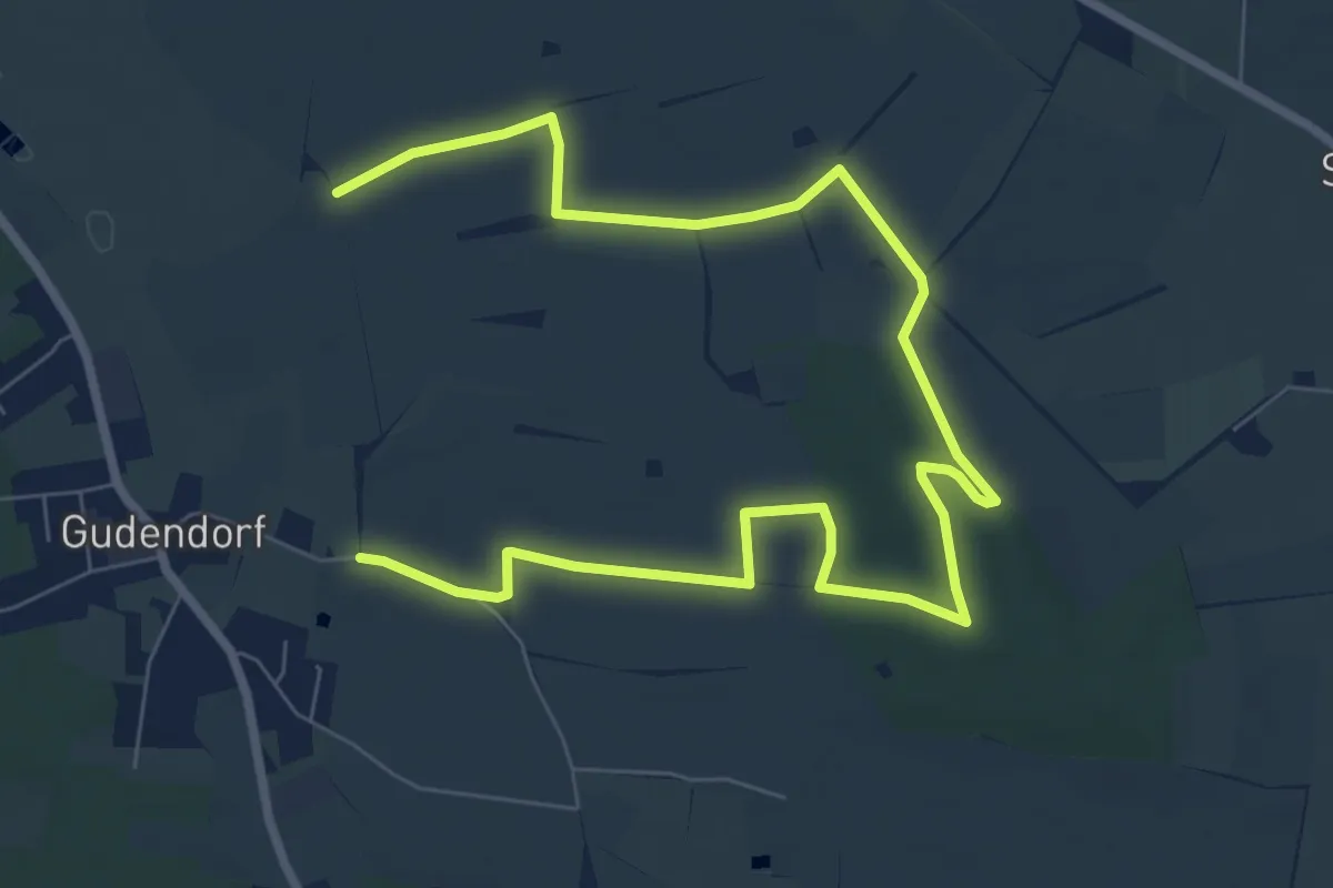
Medium · Trail
Jakobsweg - Via Jutlandica - Schleswig-Holstein (Jakobsweg Dithmarschen), westliche Route, Abstecher Franziskusweg
9.6 km · ↑ 59 m · 2 h 23 min
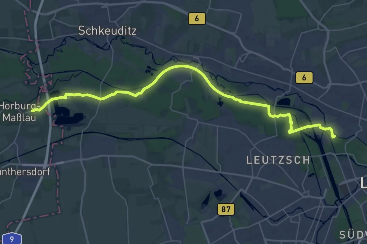
Medium · Summit
Jakobsweg Via Regia 4
14.6 km · ↑ 57 m · 3 h 46 min
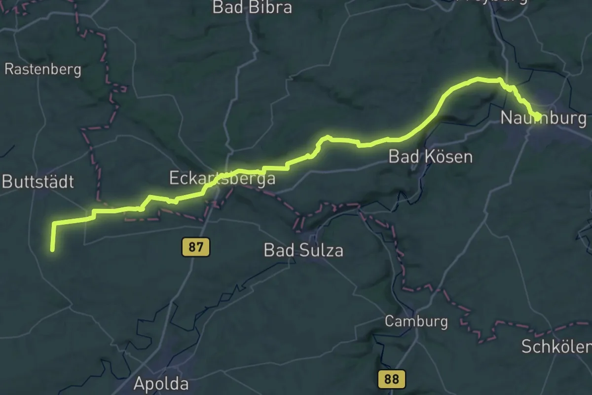
Demanding · Pilgrim path
Jakobsweg Via Regia 5
34.5 km · ↑ 344 m · 9 h 18 min
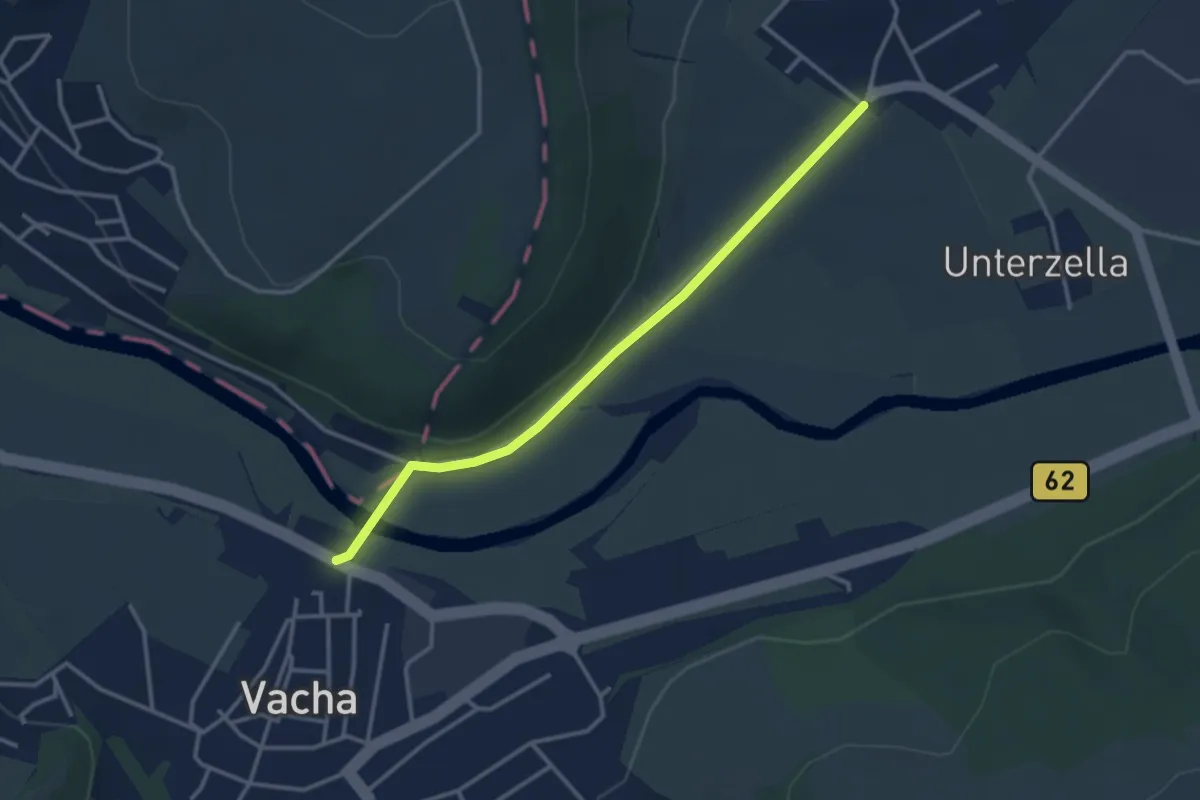
Easy · Pilgrim path
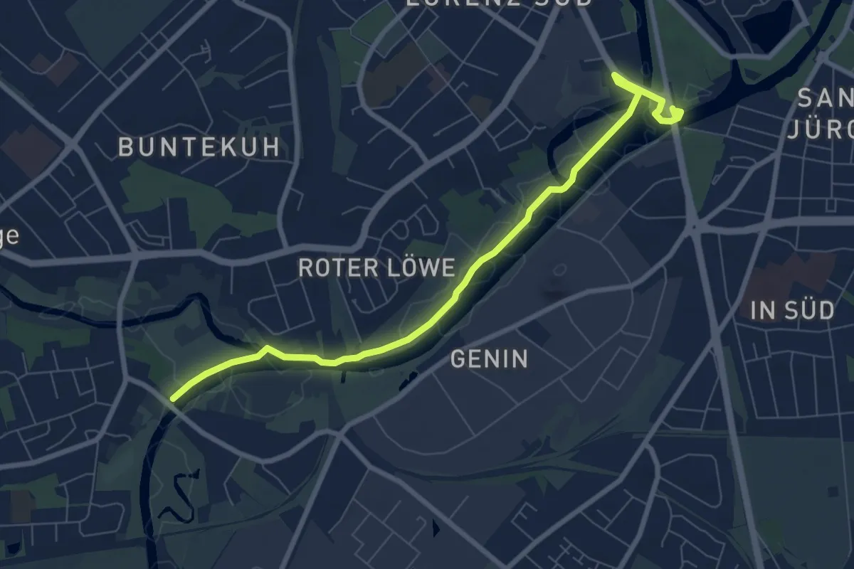
Jakobsweg Via Regia 6
1.5 km · ↑ 9 m · 24 min
Easy · Pilgrim path
Jakobsweg Via Scandinavica, Schleswig-Holstein - Aternative Possehlbrücke
3.6 km · ↑ 5 m · 54 min
Demanding · Pilgrim path
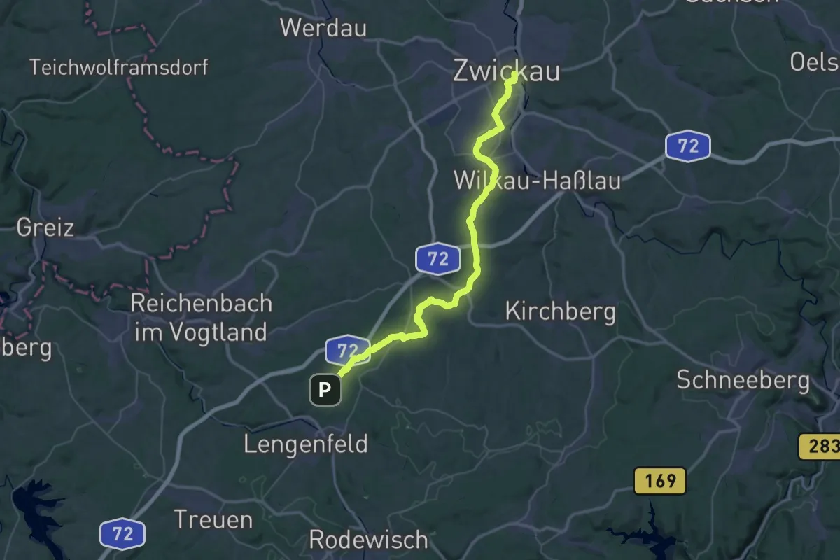
Jakobsweg Vogtland (Etappe 1: Zwickau-Waldkirchen)
22.0 km · ↑ 191 m · 6 h
Easy · Summit
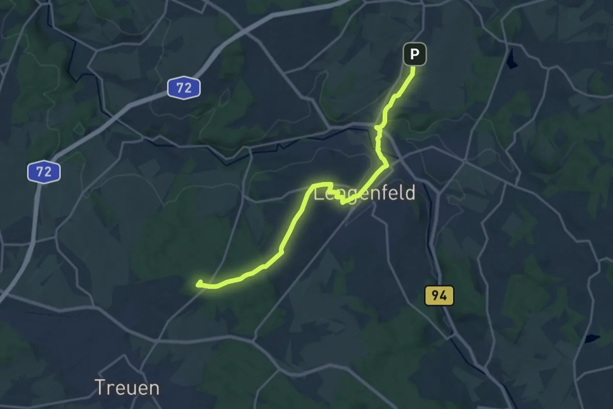
Jakobsweg Vogtland (Etappe 2: Waldkirchen-Treuen)
7.2 km · ↑ 135 m · 2 h 3 min
Medium · Pilgrim path
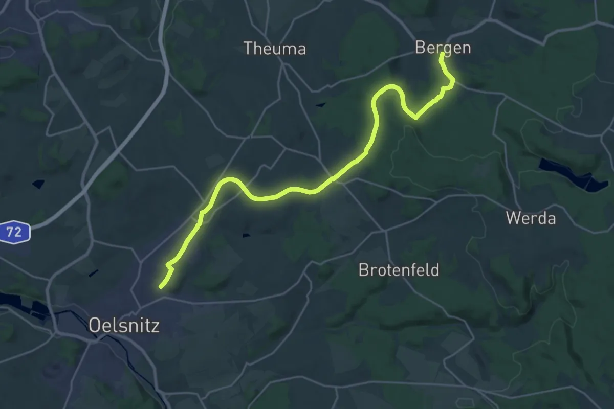
Jakobsweg Vogtland, (Etappe 3), Alternative: Bergen-Voigtsgrün über Radweg
11.5 km · ↑ 127 m · 3 h 10 min
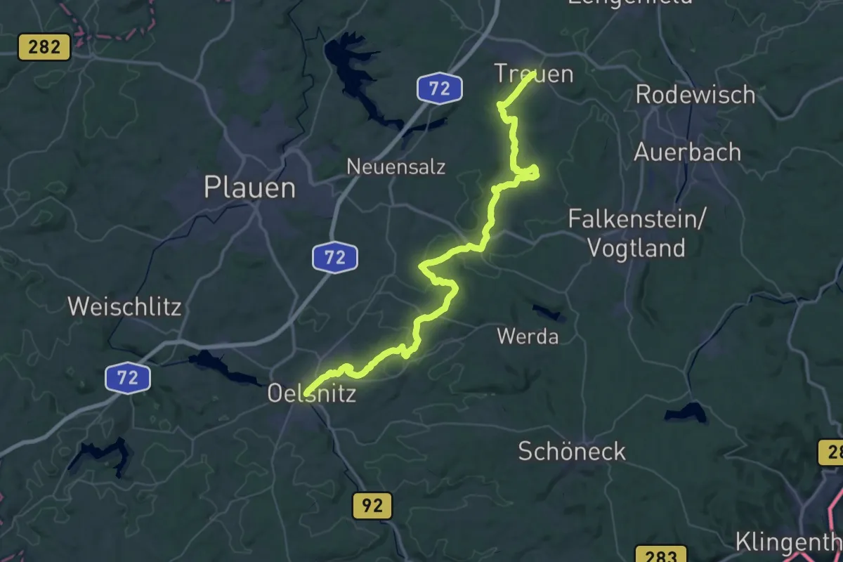
Demanding · Pilgrim path
Jakobsweg Vogtland (Etappe 3: Treuen-Oelsnitz)
26.9 km · ↑ 368 m · 7 h 32 min
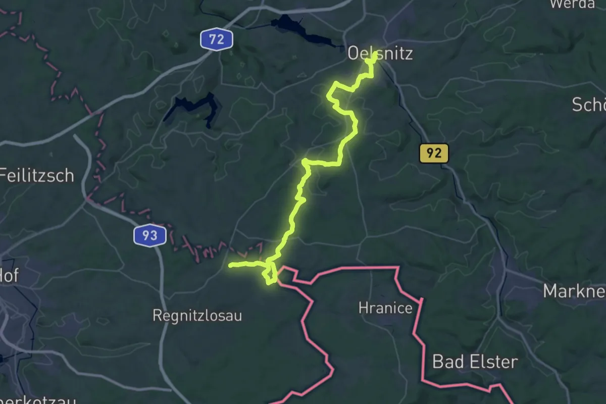
Demanding · Pilgrim path
Jakobsweg Vogtland, (Etappe 4: Oelsnitz-Hof)
22.0 km · ↑ 468 m · 6 h 26 min
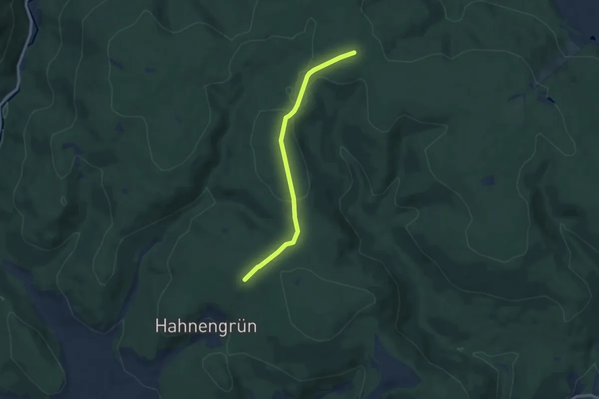
Easy · Pilgrim path
Jakobsweg Weißenstadt-Creußen
3.2 km · ↑ 41 m · 54 min
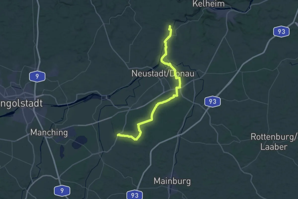
Demanding · Pilgrim path
Jakobsweg (Weltenburg - Scheyern - Dachau)
32.5 km · ↑ 207 m · 8 h 36 min
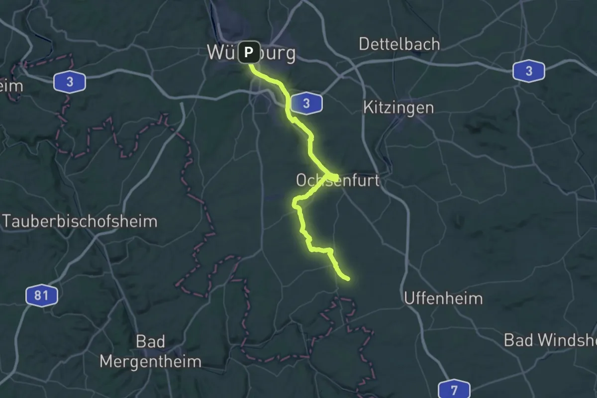
Demanding · Trail
Jakobsweg Würzburg-Rothenburg o.d. Tauber
39.7 km · ↑ 291 m · 10 h 29 min
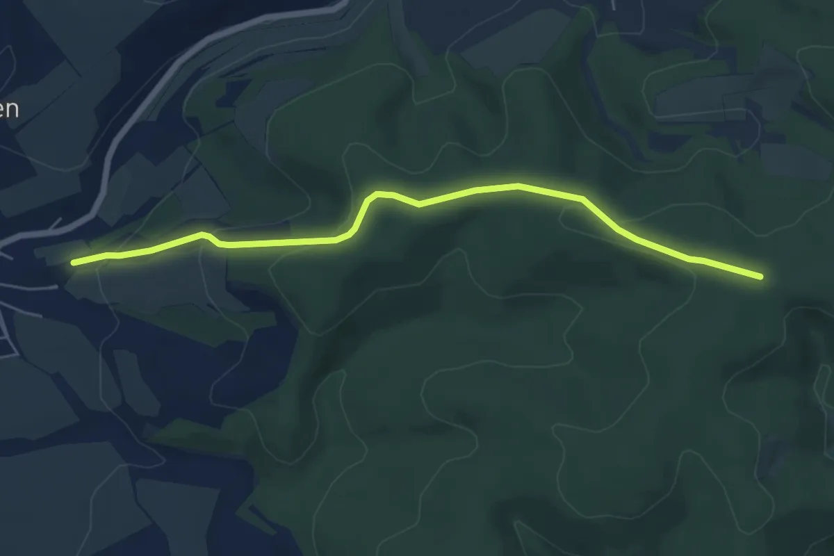
Easy · Pilgrim path
Jakobusweg
2.7 km · ↑ 174 m · 58 min
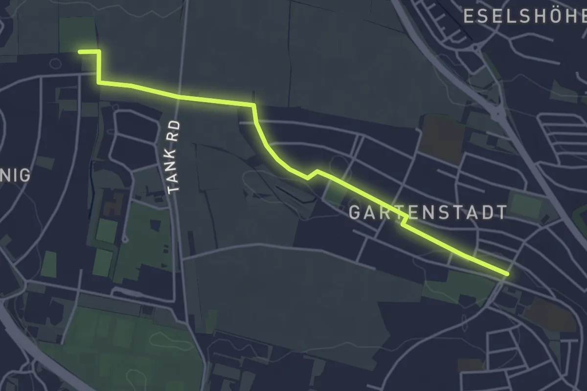
Easy · Pilgrim path
Jakobusweg Anbindung Schweinfurt
2.0 km · ↑ 0 m · 30 min
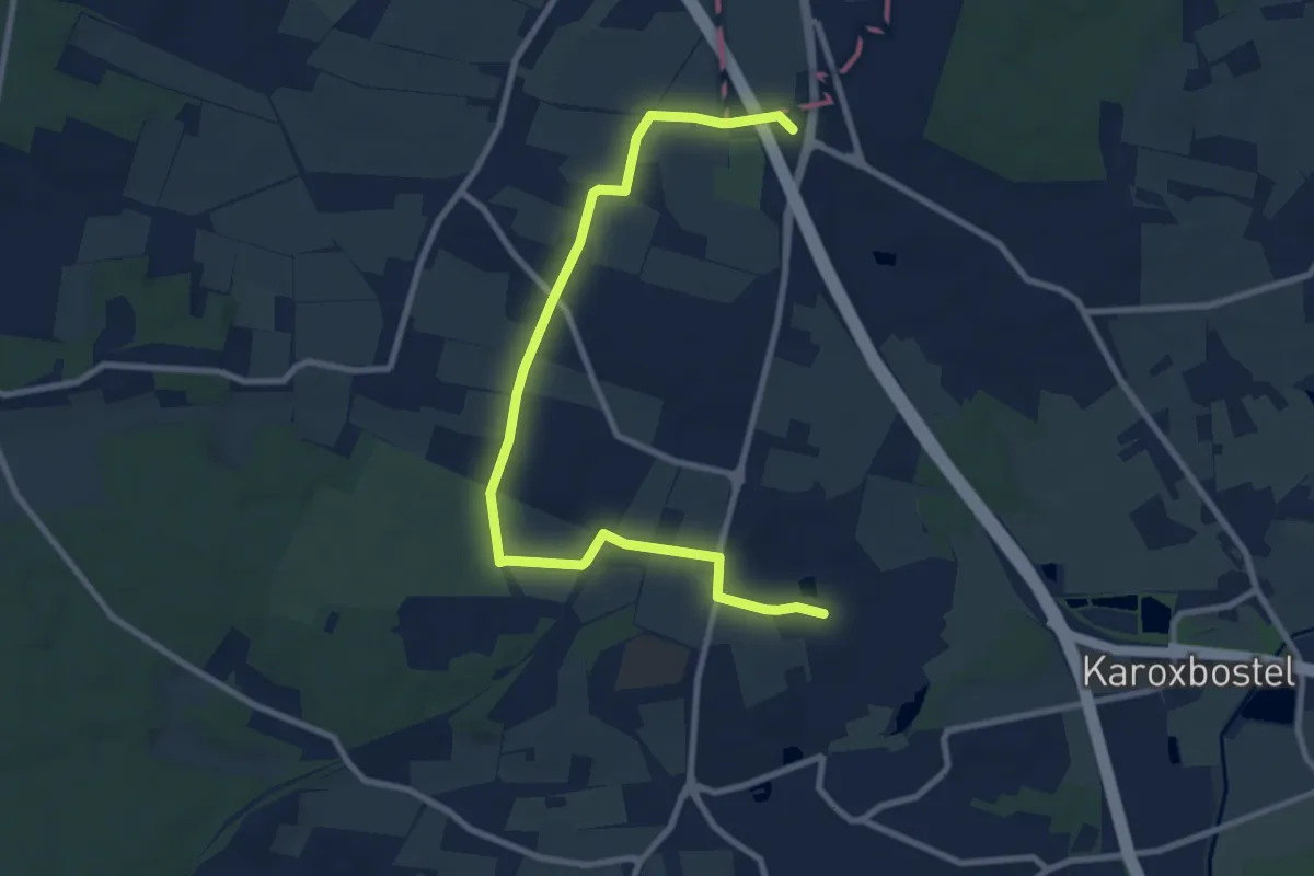
Easy · Summit
Jakobusweg - Hamburg St. Jacobi - Hittfeld
4.6 km · ↑ 41 m · 1 h 13 min
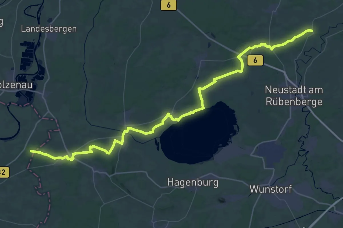
Demanding · Pilgrim path
Jakobusweg Kloster Mariensee -Minden
38.5 km · ↑ 157 m · 9 h 59 min
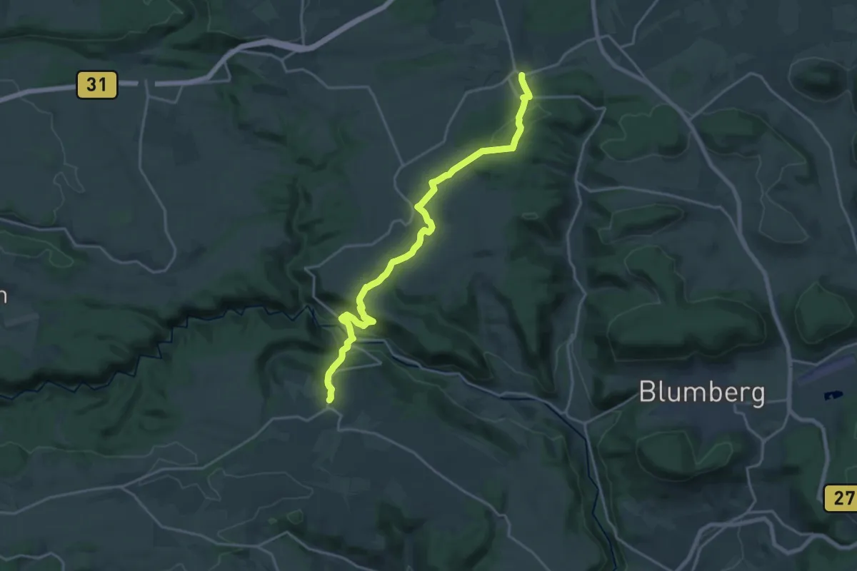
Demanding · Trail
Jakobusweg Wutach-Pilgerweg
18.3 km · ↑ 534 m · 5 h 29 min
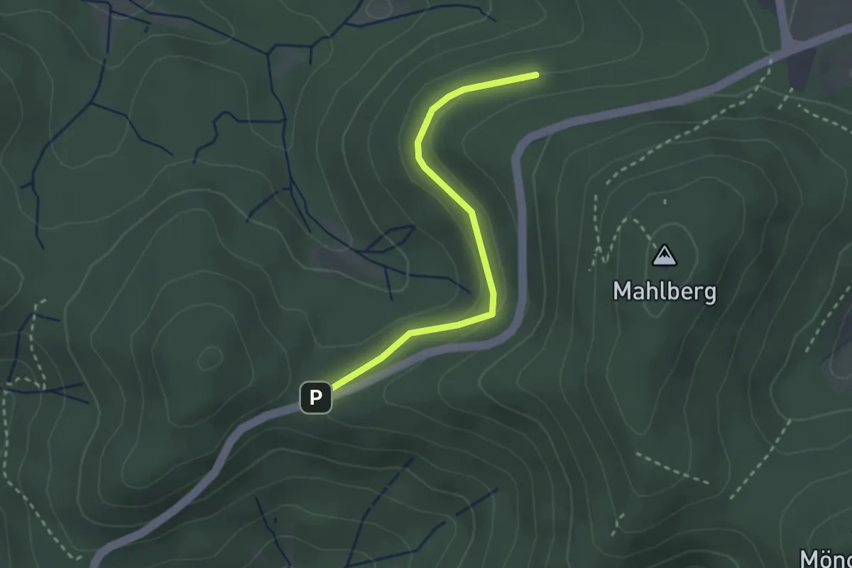
Easy · Trail
Jammertal - Maiersbild
2.5 km · ↑ 56 m · 42 min
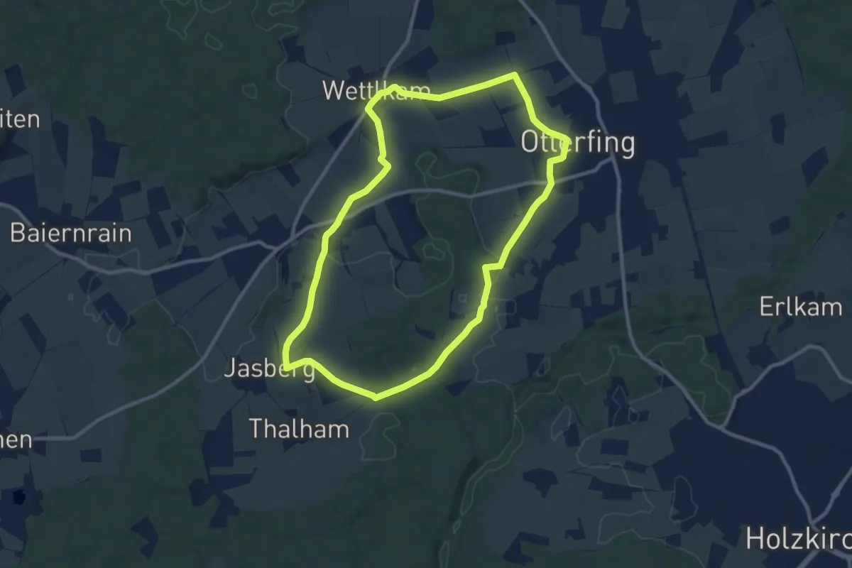
Medium · Trail
Jasberg-Rundweg
9.2 km · ↑ 105 m · 2 h 32 min
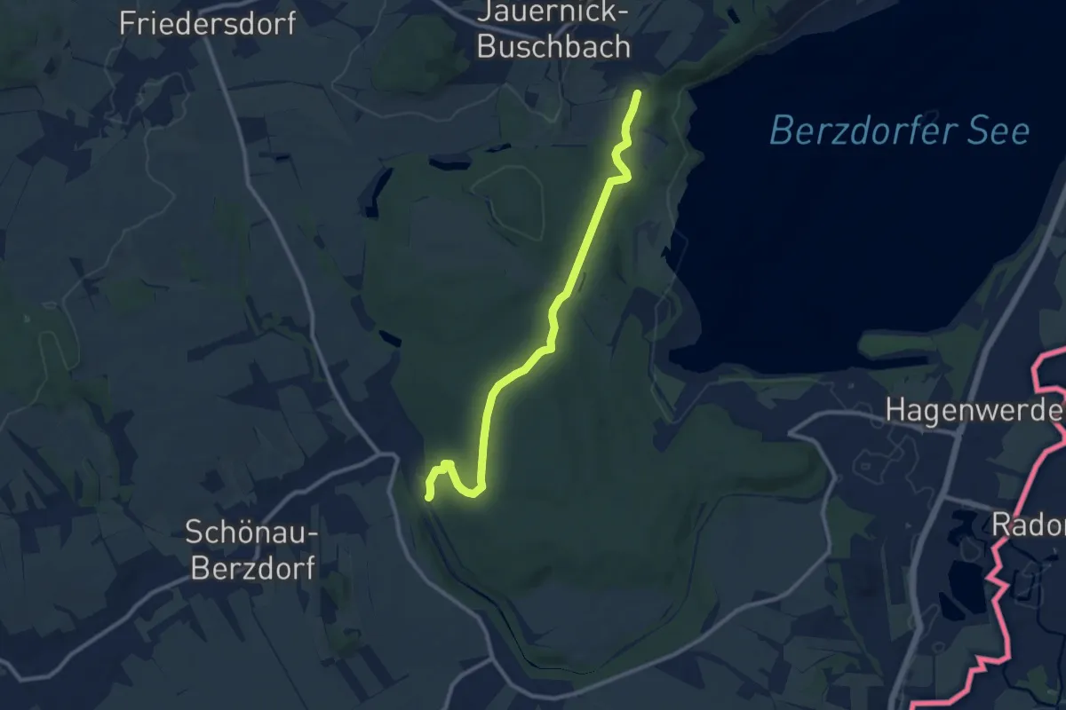
Medium · Trail
Jauernick-Buschbach - Schönau-Berzdorf
9.2 km · ↑ 115 m · 2 h 25 min
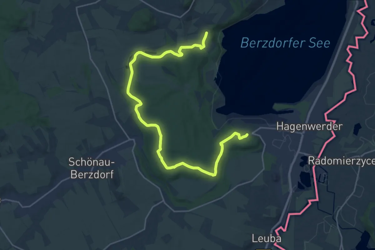
Demanding · Trail
Jauernick-Buschbach - Tauchritz
19.7 km · ↑ 249 m · 5 h 11 min
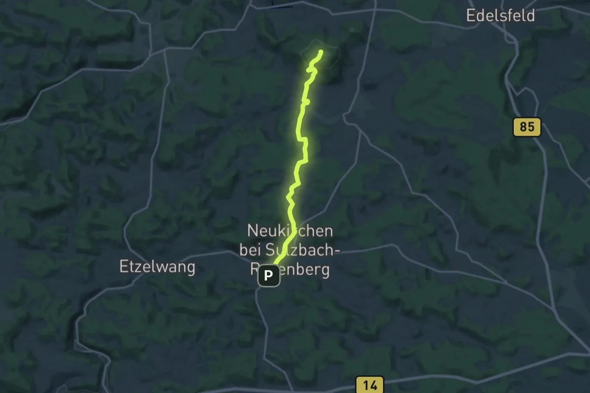
Medium · Summit
Jean-Müller-Weg
12.6 km · ↑ 334 m · 3 h 42 min
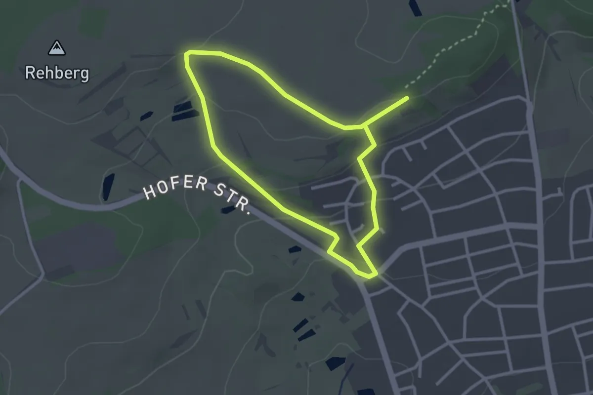
Easy · Trail
Jean-Paul-Rundweg
2.3 km · ↑ 87 m · 46 min
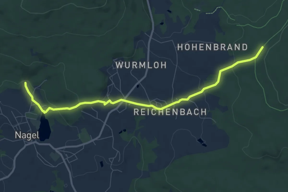
Easy · Trail
Jean-Paul-Weg
7.9 km · ↑ 230 m · 2 h 22 min
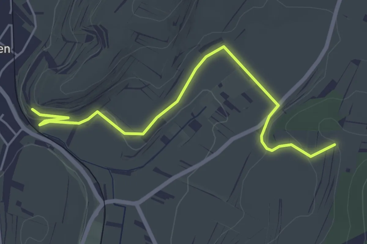
Easy · Trail
Jechtinger Ried - Herrenberg
4.8 km · ↑ 75 m · 1 h 17 min
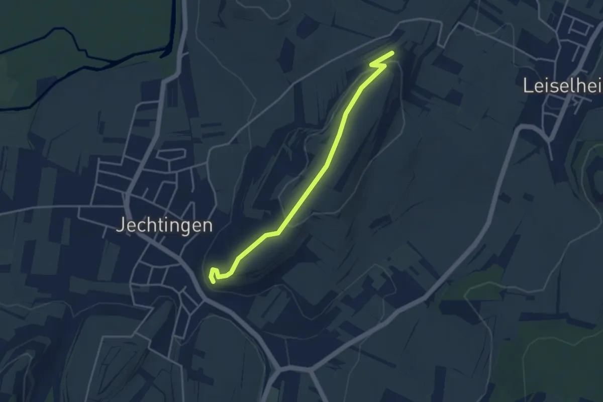
Easy · Trail
Jechtinger Ried - Hochberg
3.4 km · ↑ 95 m · 1 h
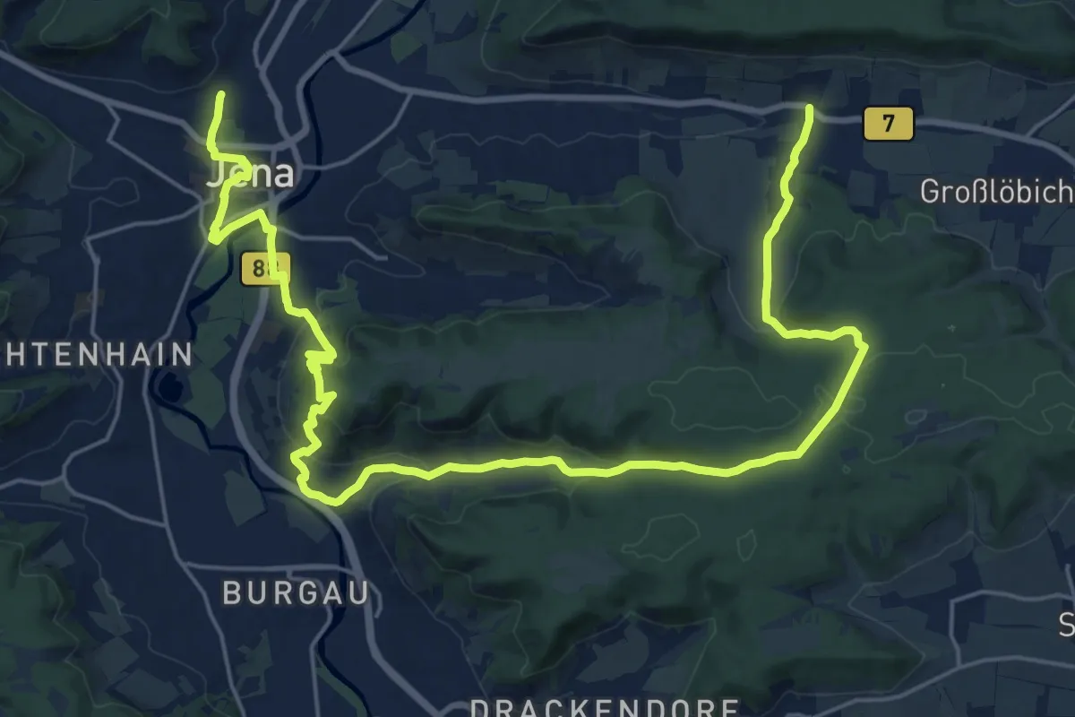
Medium · Trail
Jena-Fürstenbrunnen-Wogau
14.3 km · ↑ 442 m · 4 h 33 min
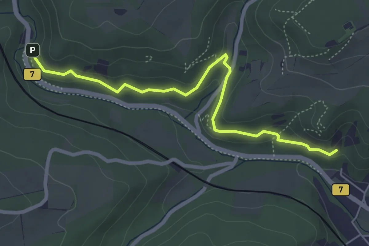
Easy · Trail
Jena Mühltal
4.7 km · ↑ 160 m · 1 h 27 min
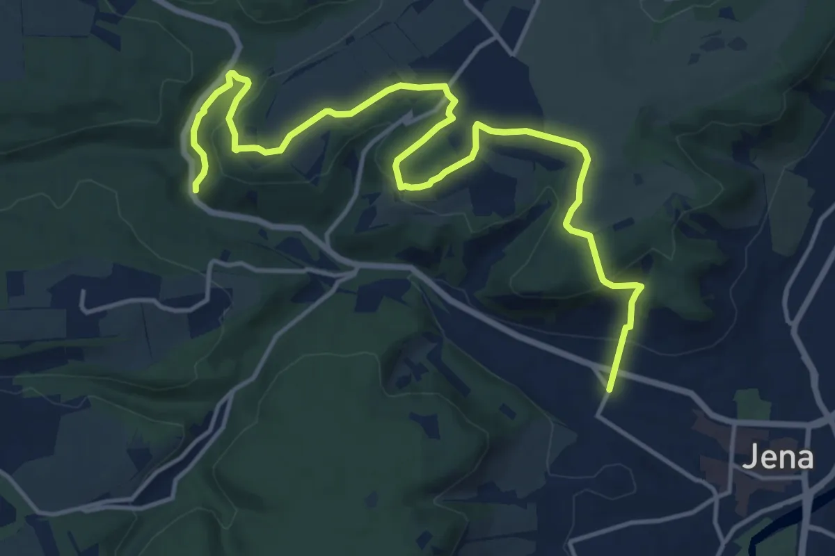
Medium · Trail
Jena West weiss-grün-weisse Route
14.8 km · ↑ 351 m · 4 h 16 min
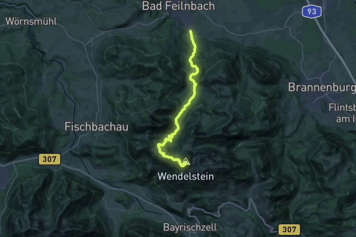
Demanding · Summit
Jenbachweg
22.2 km · ↑ 1360 m · 8 h 12 min
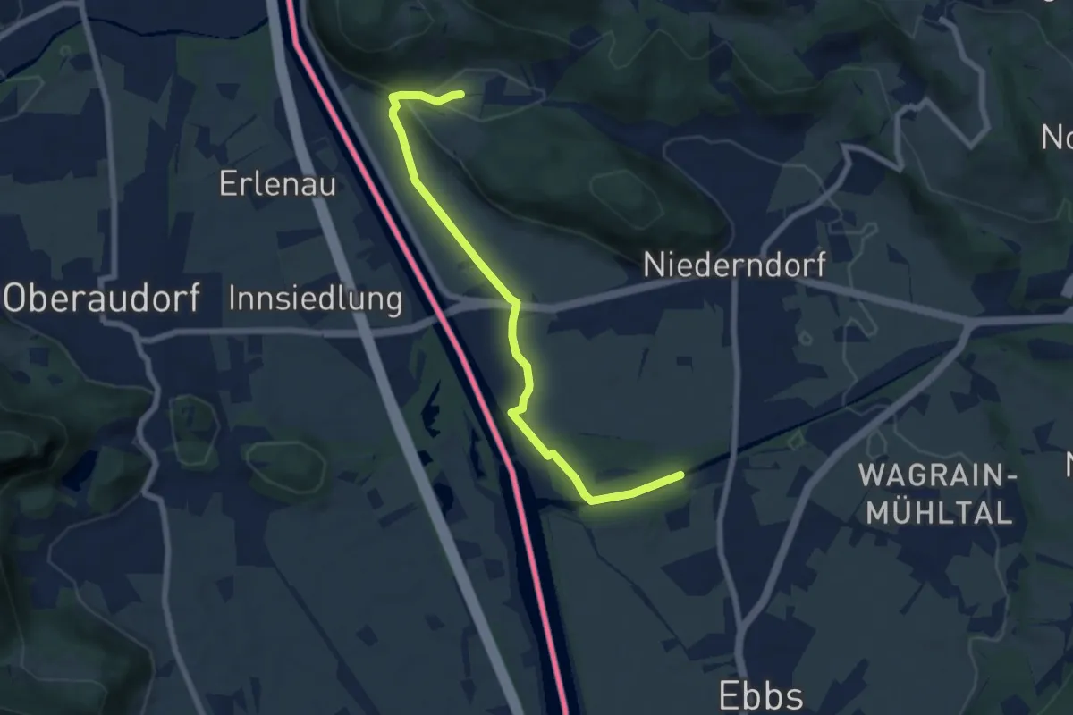
Easy · Trail
Jennbach-Runde
6.5 km · ↑ 34 m · 1 h 37 min