Trails in Germany
36,852 hiking trails, each with its route, climb, walking time and grade.
All trails, page 272 of 768
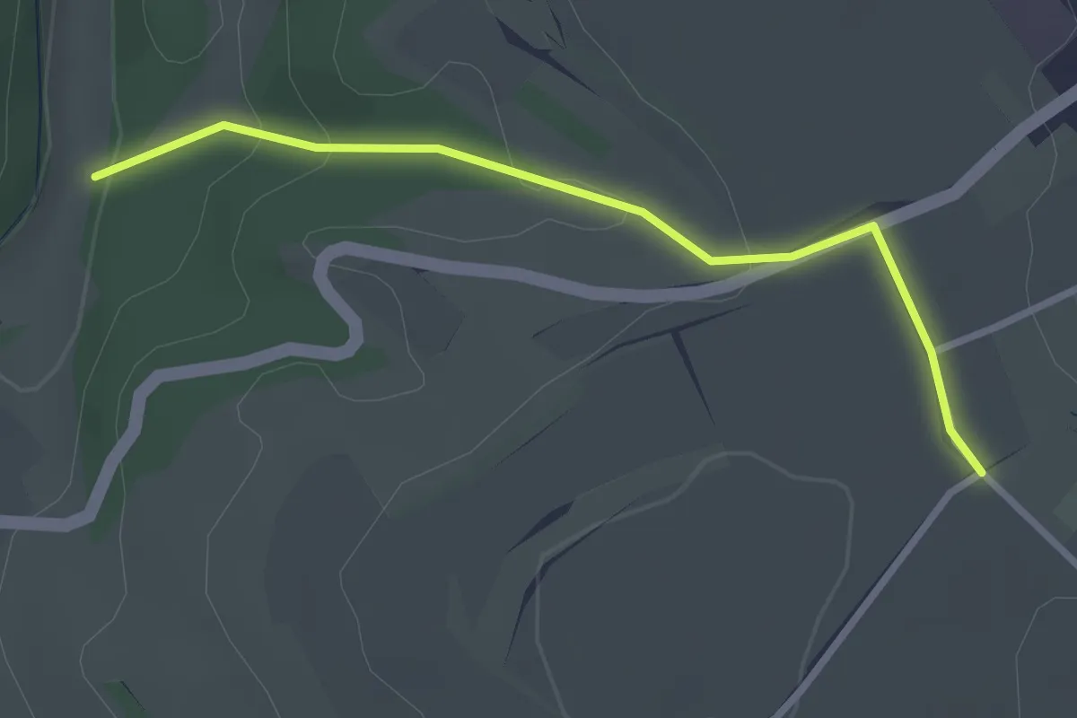
Easy · Trail
Jennentalparkplatz - Schünnen
2.7 km · ↑ 95 m · 50 min
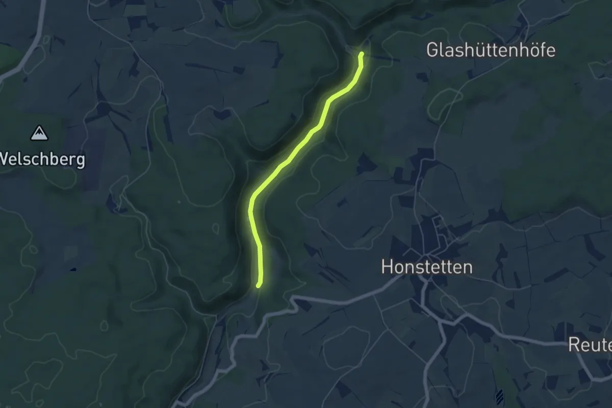
Easy · Trail
Jennentalparkplatz - Soppenhalden
4.6 km · ↑ 60 m · 1 h 13 min
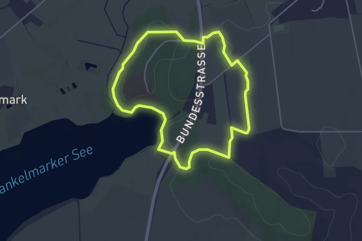
Easy · Trail
Jens-Thaysen-Weg
2.9 km · ↑ 18 m · 46 min
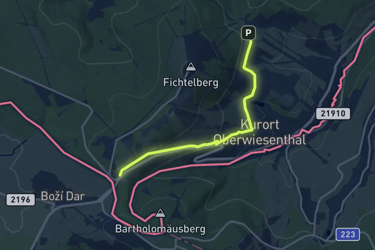
Easy · Trail
Jens-Weißflog-Tour
4.4 km · ↑ 182 m · 1 h 26 min
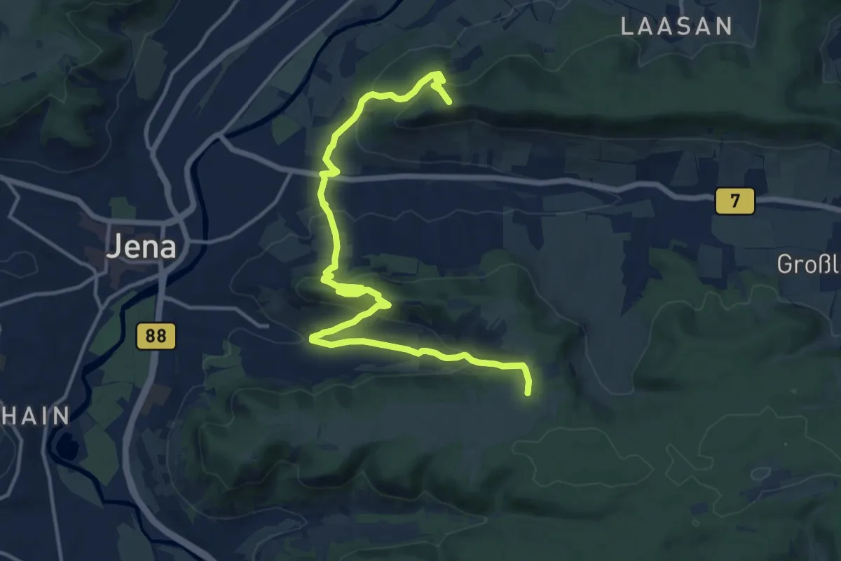
Medium · Summit
Jenzig-Ziegenhainer Tal
14.7 km · ↑ 696 m · 4 h 59 min
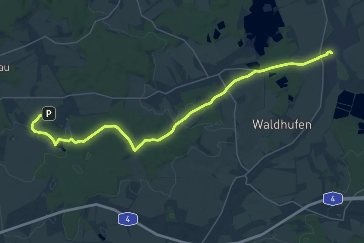
Demanding · Trail
Jerchwitz - Jänkendorf (gelber Strich)
21.4 km · ↑ 144 m · 5 h 22 min
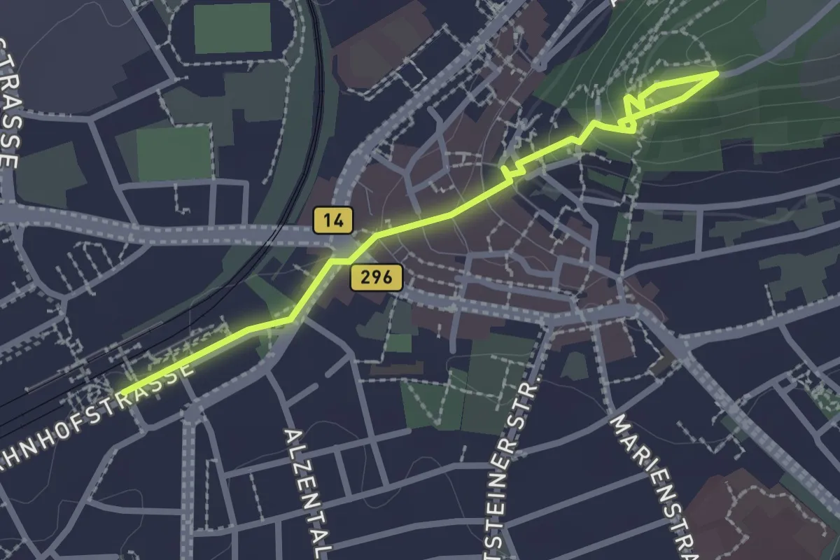
Easy · Trail
Jerg Ratgeb Skulpturenpfad
2.5 km · ↑ 99 m · 48 min
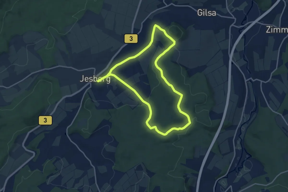
Medium · Trail
Jesberg 1 (P_B3)
10.1 km · ↑ 163 m · 2 h 53 min
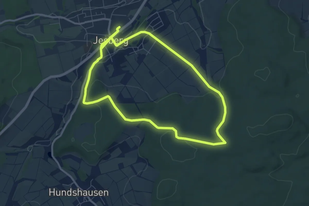
Easy · Trail
Jesberg 2 (P_B3)
6.7 km · ↑ 133 m · 1 h 57 min
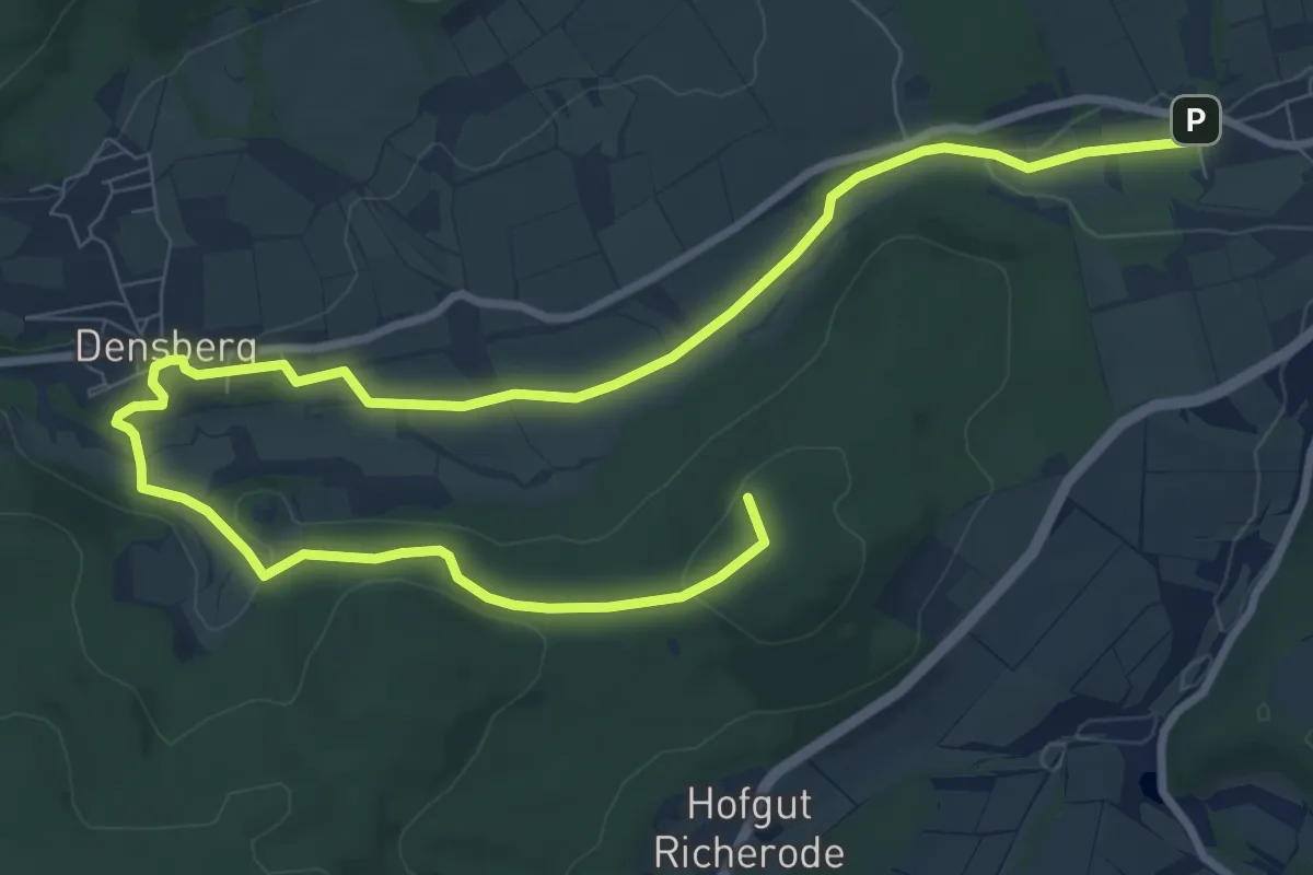
Medium · Summit
Jesberg 5 (P_FZ)
12.1 km · ↑ 174 m · 3 h 14 min
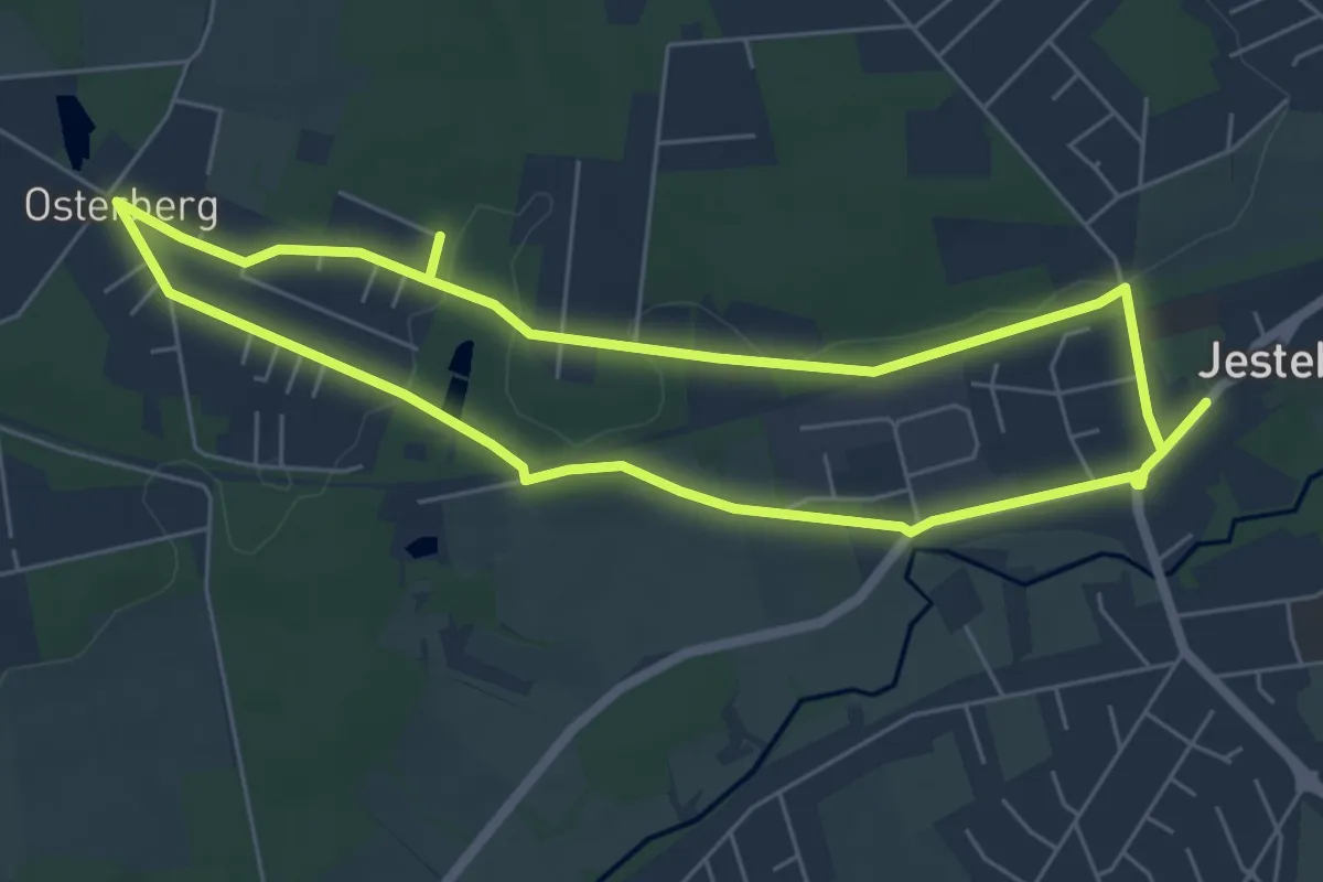
Easy · Trail
Jesteburg Wanderweg 1
5.1 km · ↑ 32 m · 1 h 21 min
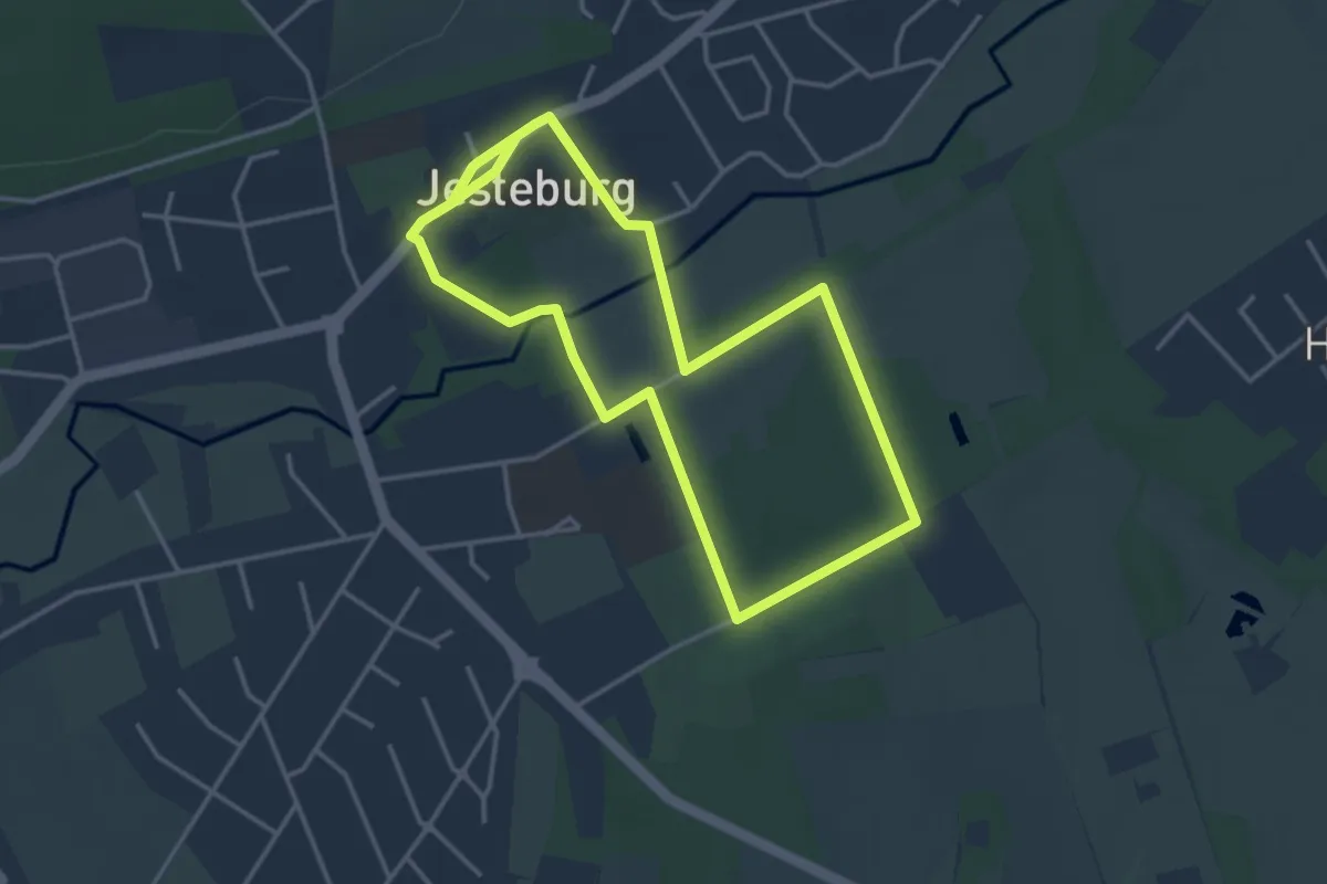
Easy · Trail
Jesteburg Wanderweg 10
3.1 km · ↑ 19 m · 49 min
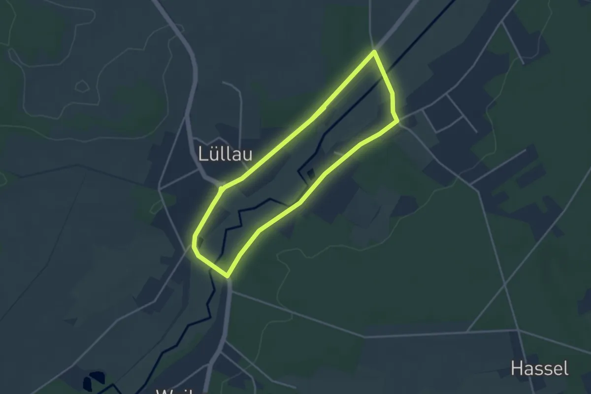
Easy · Trail
Jesteburg Wanderweg 11
2.9 km · ↑ 18 m · 46 min
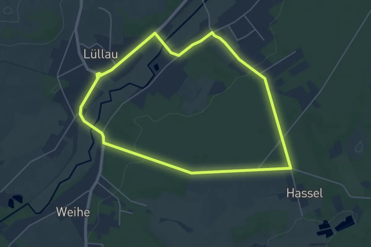
Easy · Trail
Jesteburg Wanderweg 12
4.2 km · ↑ 38 m · 1 h 7 min
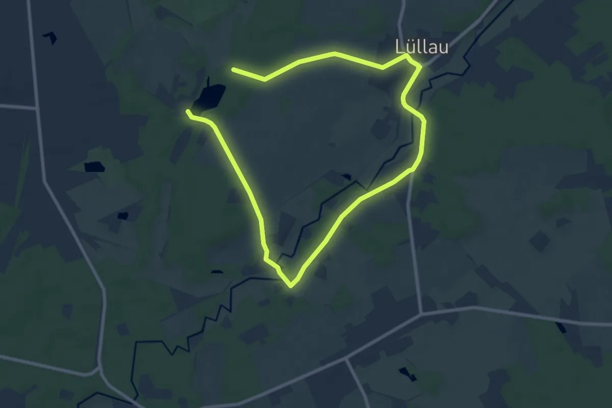
Medium · Trail
Jesteburg Wanderweg 13
10.9 km · ↑ 72 m · 2 h 44 min
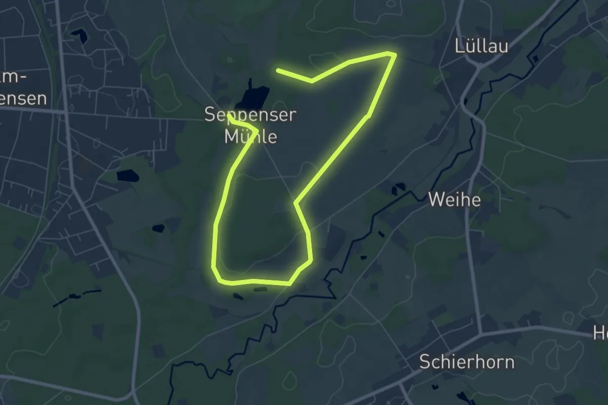
Medium · Trail
Jesteburg Wanderweg 14
9.3 km · ↑ 45 m · 2 h 18 min
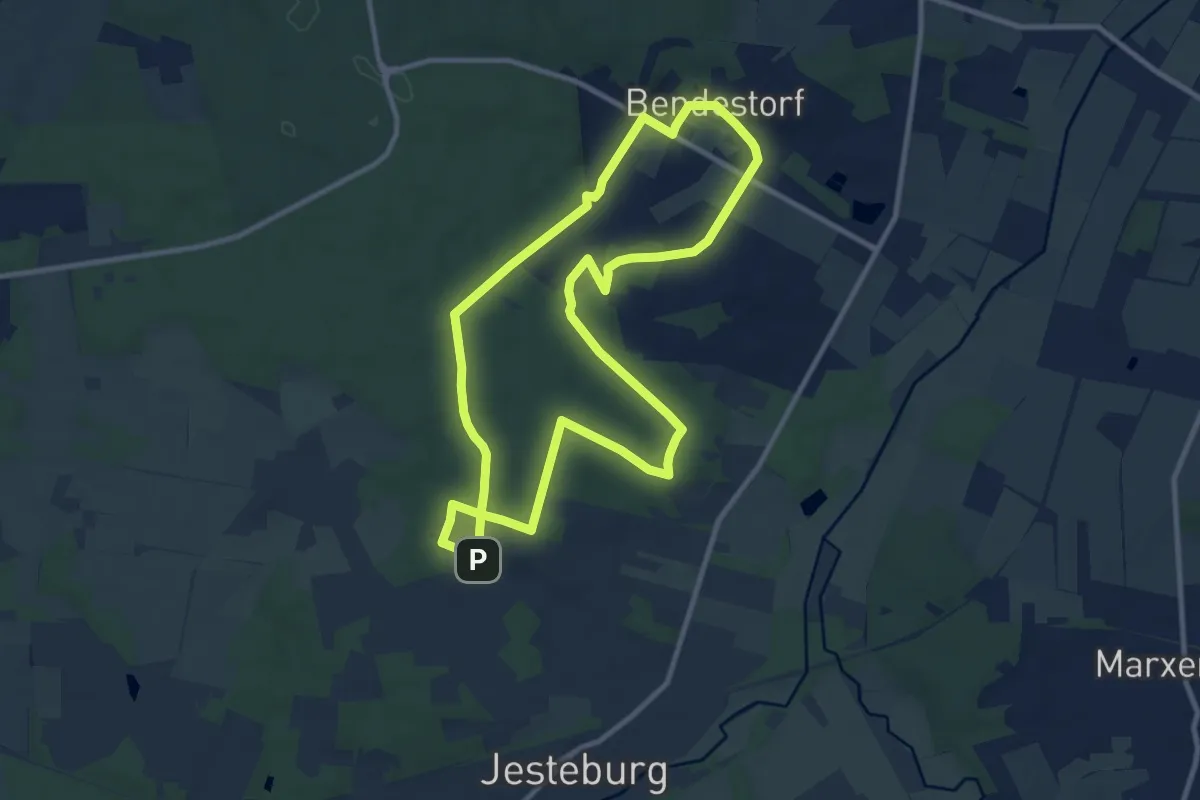
Medium · Trail
Jesteburg Wanderweg 15
9.0 km · ↑ 118 m · 2 h 31 min
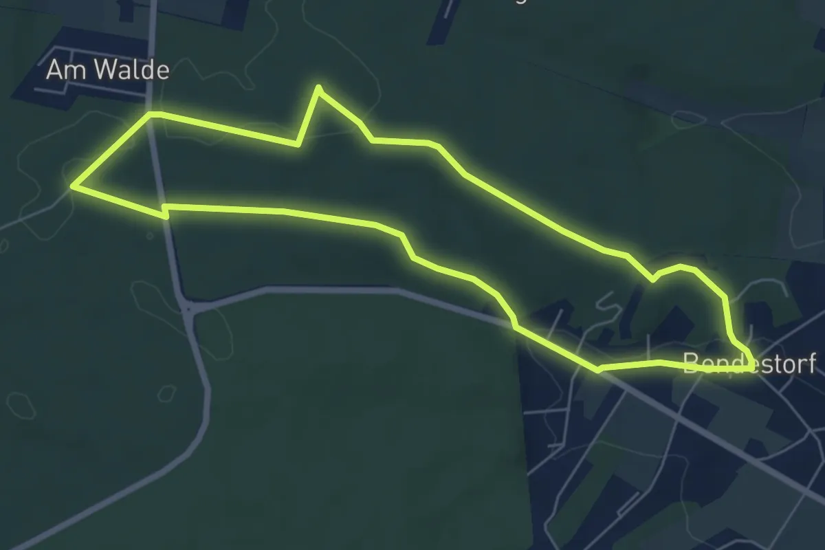
Easy · Trail
Jesteburg Wanderweg 16
5.3 km · ↑ 57 m · 1 h 26 min
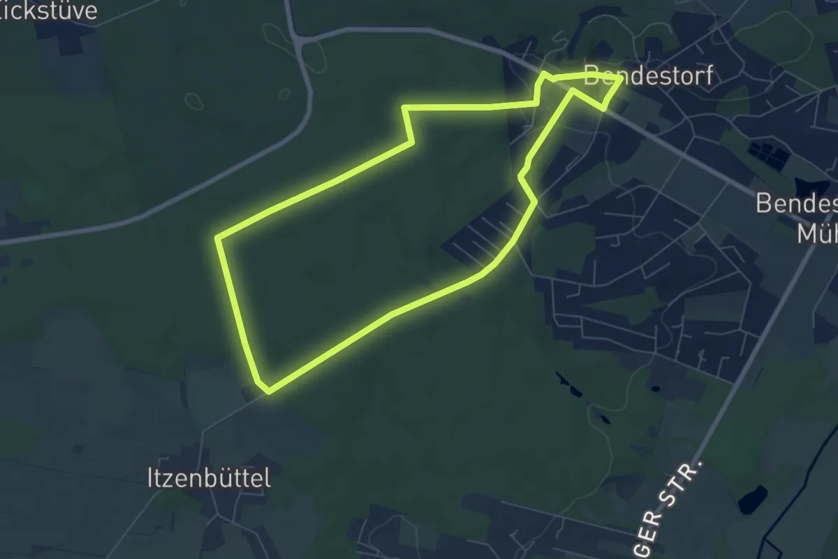
Easy · Trail
Jesteburg Wanderweg 17
6.2 km · ↑ 57 m · 1 h 40 min
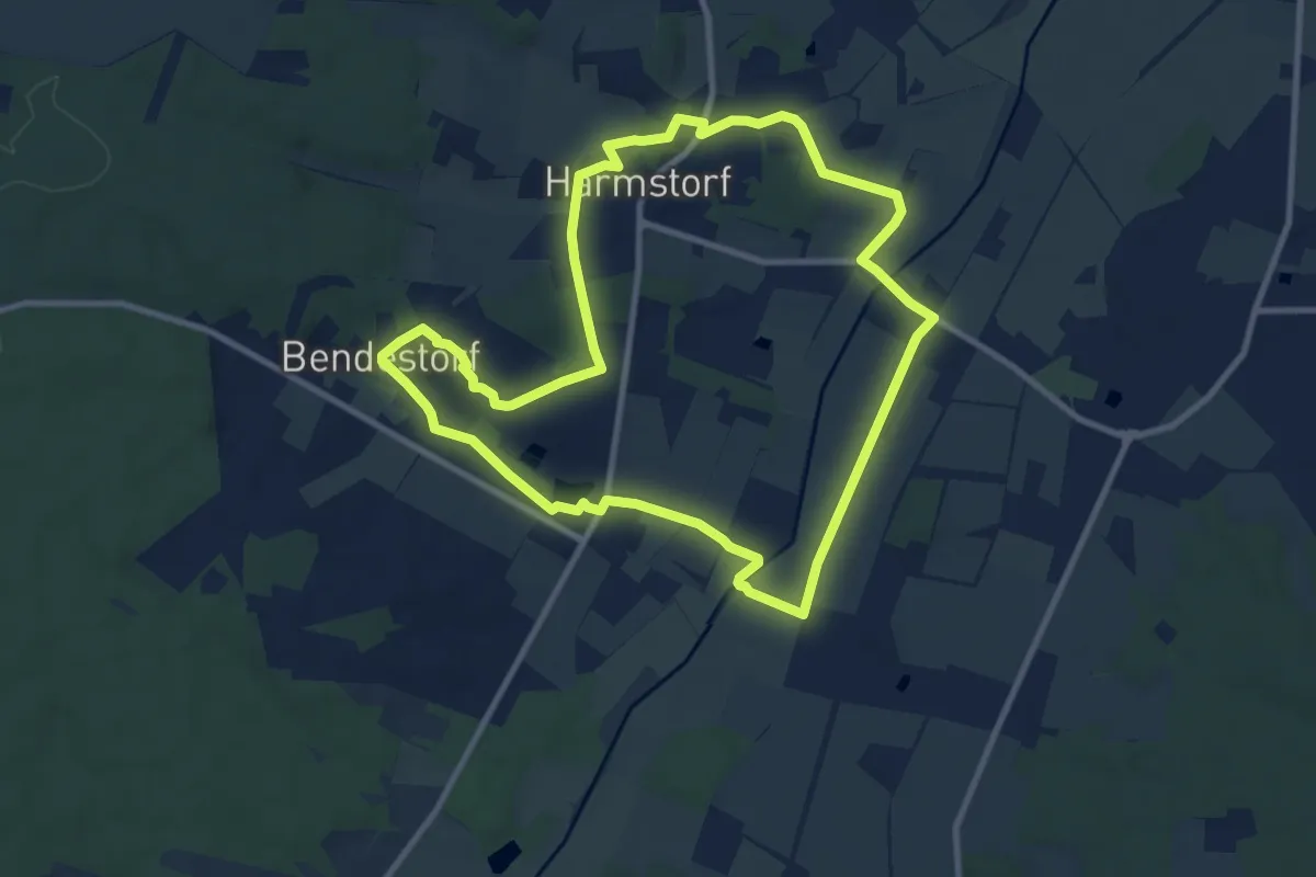
Medium · Trail
Jesteburg Wanderweg 18
8.7 km · ↑ 73 m · 2 h 20 min
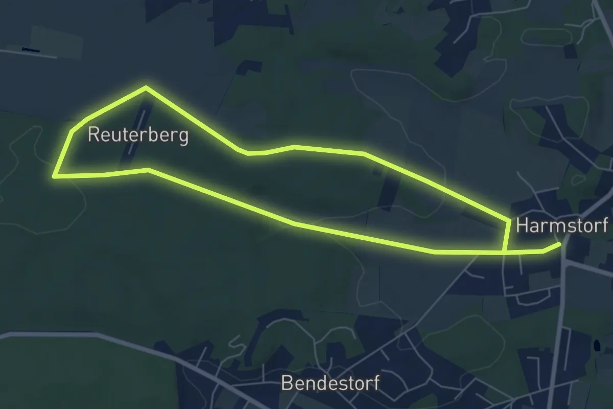
Easy · Trail
Jesteburg Wanderweg 19
5.3 km · ↑ 69 m · 1 h 28 min
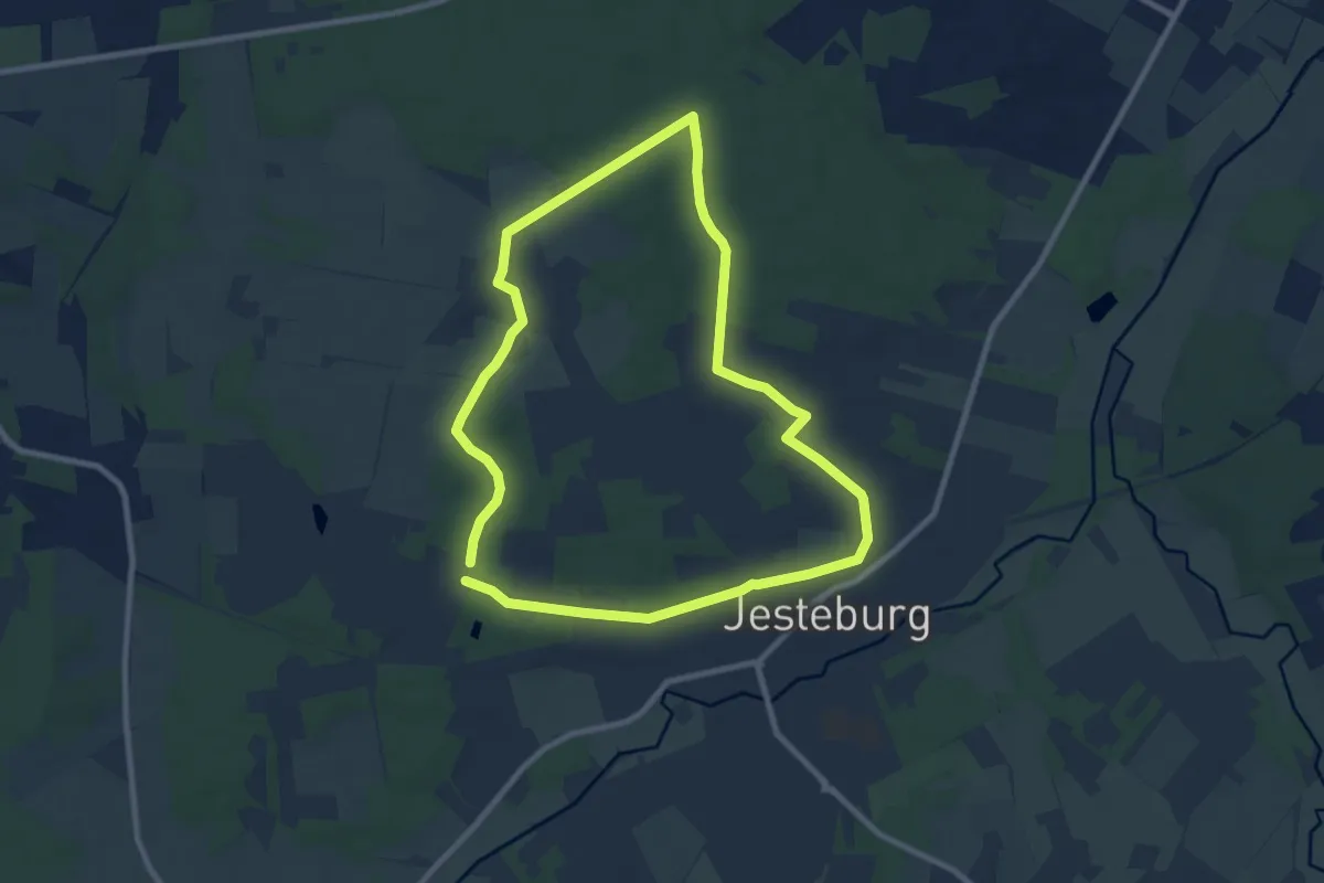
Easy · Trail
Jesteburg Wanderweg 2
7.5 km · ↑ 49 m · 1 h 59 min
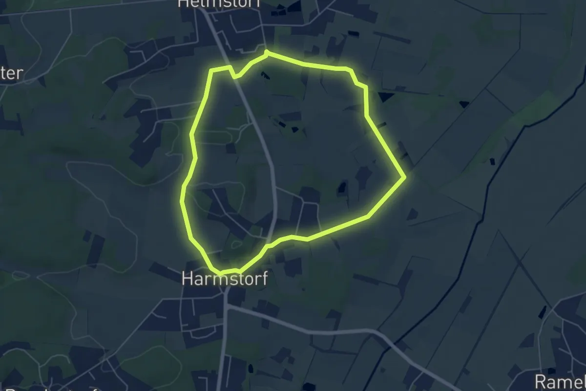
Easy · Trail
Jesteburg Wanderweg 20
4.7 km · ↑ 40 m · 1 h 16 min
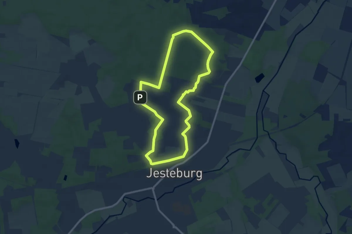
Easy · Summit
Jesteburg Wanderweg 3
6.1 km · ↑ 65 m · 1 h 40 min
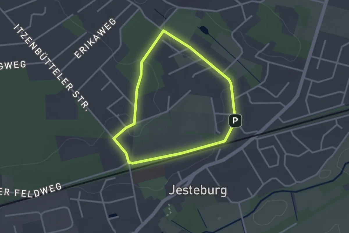
Easy · Trail
Jesteburg Wanderweg 4
2.1 km · ↑ 26 m · 34 min
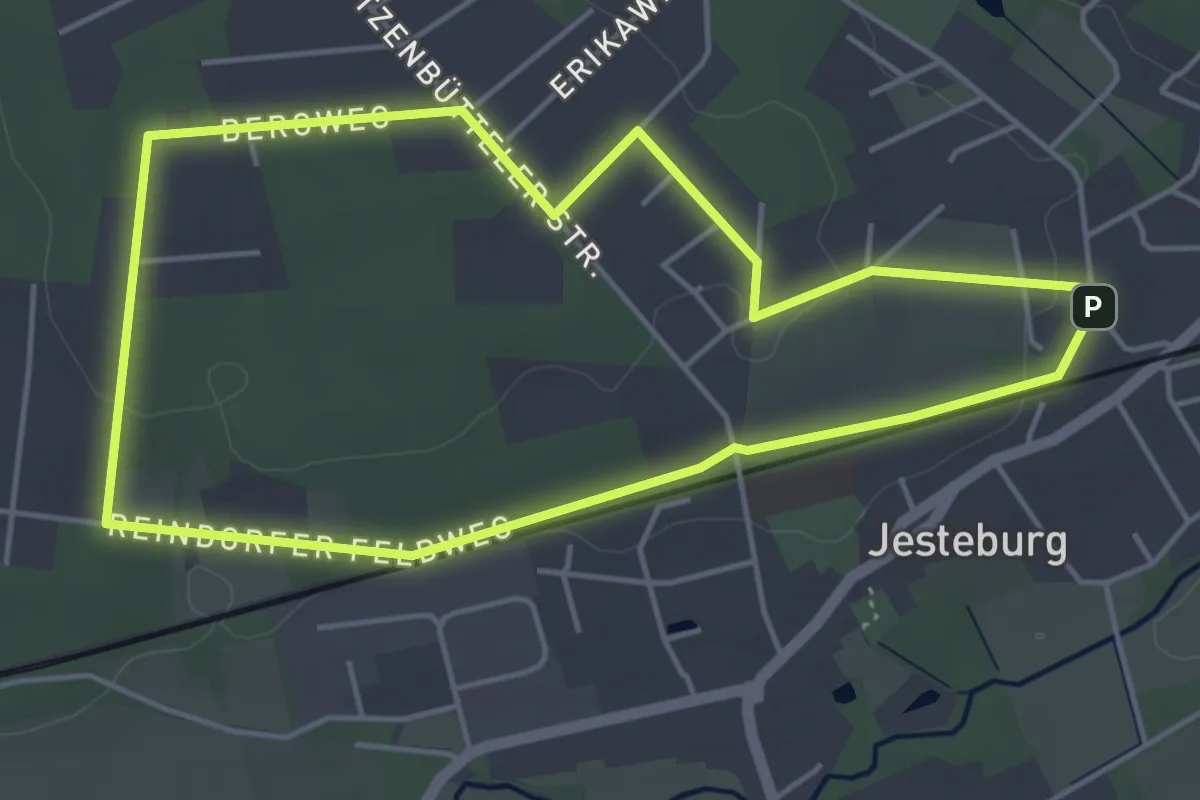
Easy · Trail
Jesteburg Wanderweg 5
4.0 km · ↑ 44 m · 1 h 6 min
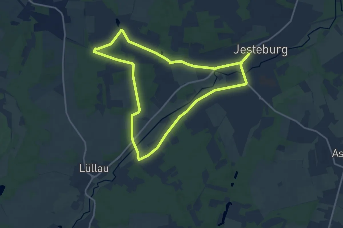
Medium · Trail
Jesteburg Wanderweg 6
8.3 km · ↑ 52 m · 2 h 11 min
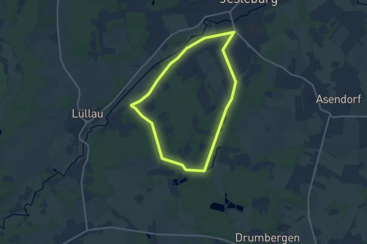
Easy · Trail
Jesteburg Wanderweg 7
6.9 km · ↑ 45 m · 1 h 49 min
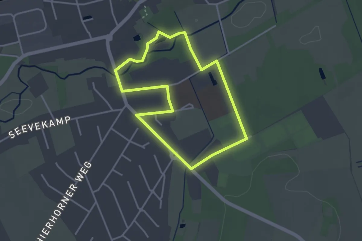
Easy · Trail
Jesteburg Wanderweg 8
2.6 km · ↑ 4 m · 39 min
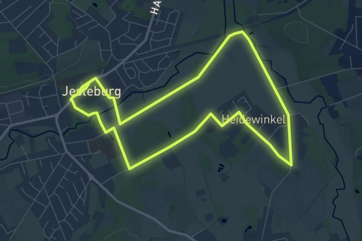
Easy · Trail
Jesteburg Wanderweg 9
7.0 km · ↑ 27 m · 1 h 48 min
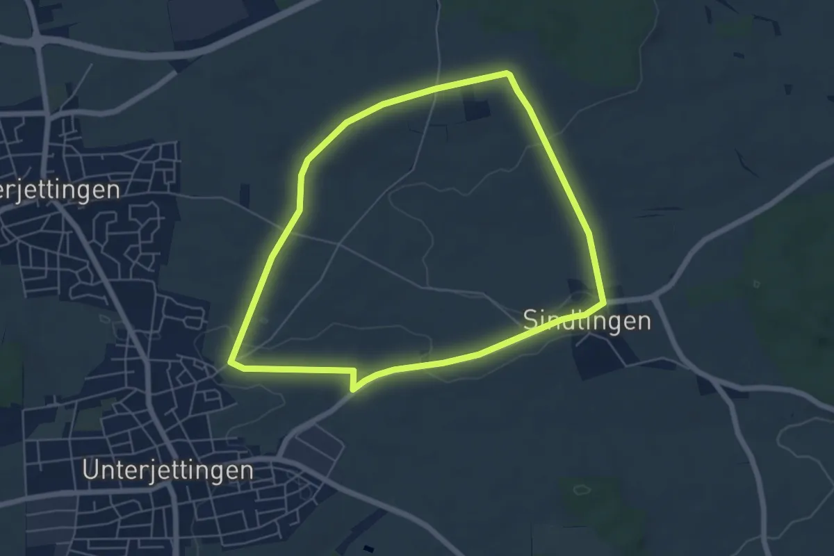
Easy · Trail
Jettingen Rundwanderweg 1 - Aussiedlerhöfe "Öfele"
5.3 km · ↑ 40 m · 1 h 24 min
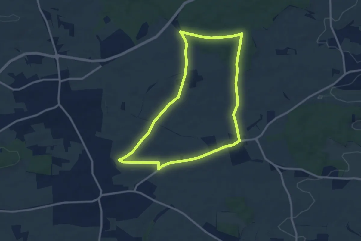
Easy · Trail
Jettingen Rundwanderweg 2 - Spitalwald
6.8 km · ↑ 63 m · 1 h 50 min
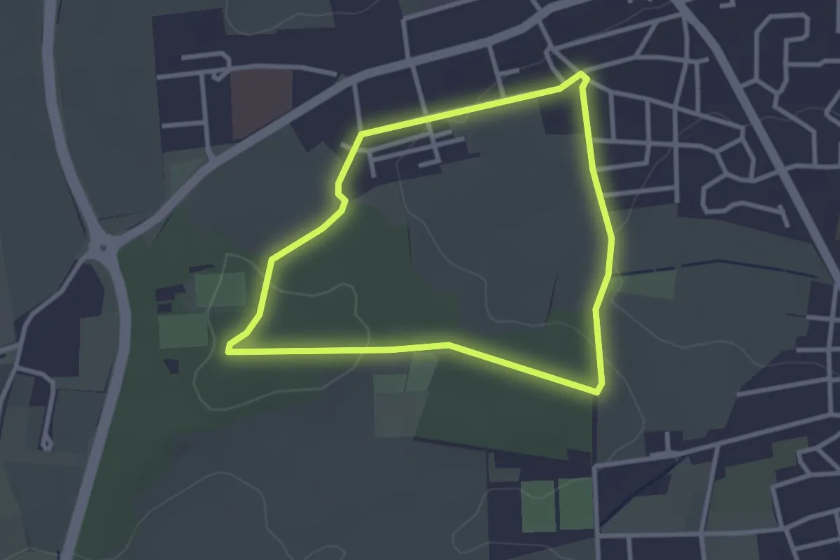
Easy · Trail
Jettingen Rundwanderweg 3
2.5 km · ↑ 41 m · 43 min
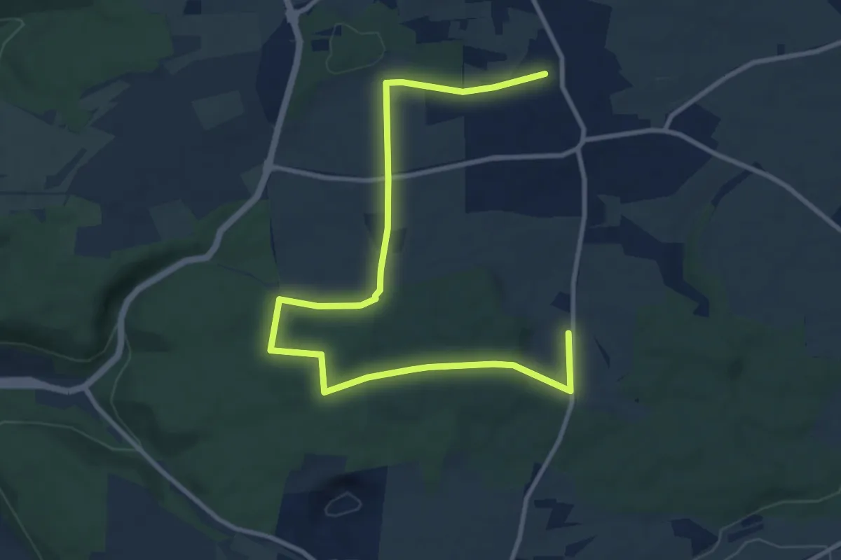
Easy · Trail
Jettingen Rundwanderweg 4
5.6 km · ↑ 50 m · 1 h 31 min
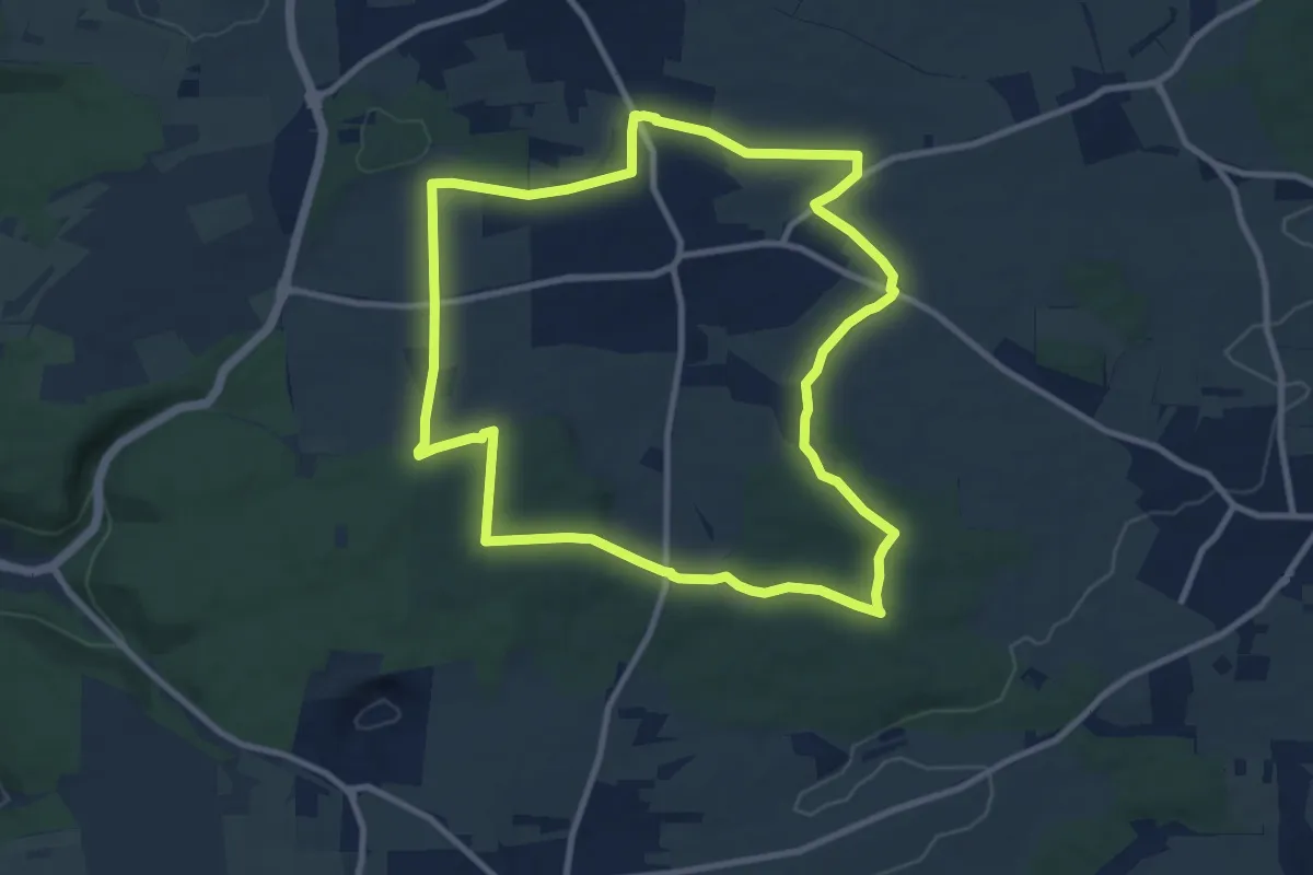
Medium · Trail
Jettingen Rundwanderweg 5
9.5 km · ↑ 85 m · 2 h 34 min
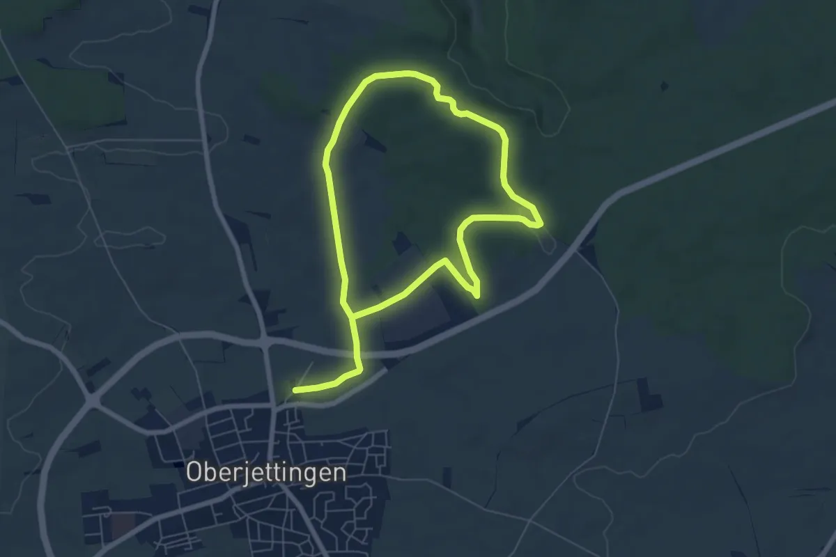
Easy · Trail
Jettingen Rundwanderweg 6
5.2 km · ↑ 57 m · 1 h 26 min
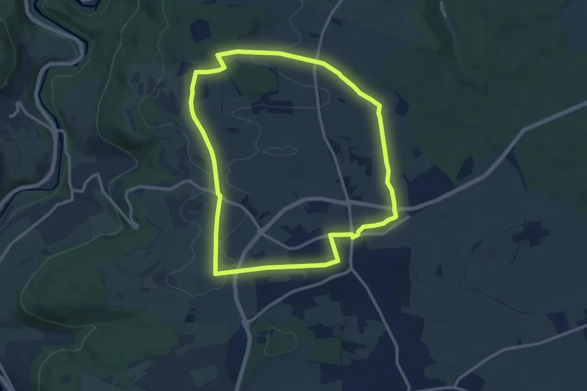
Medium · Summit
Jettingen Rundwanderweg 7
8.3 km · ↑ 77 m · 2 h 14 min
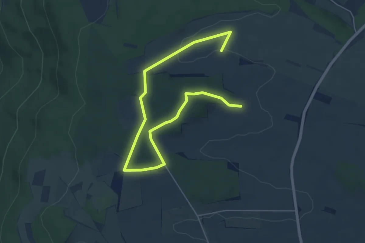
Easy · Summit
Jettingen Rundwanderweg 8
3.1 km · ↑ 29 m · 51 min
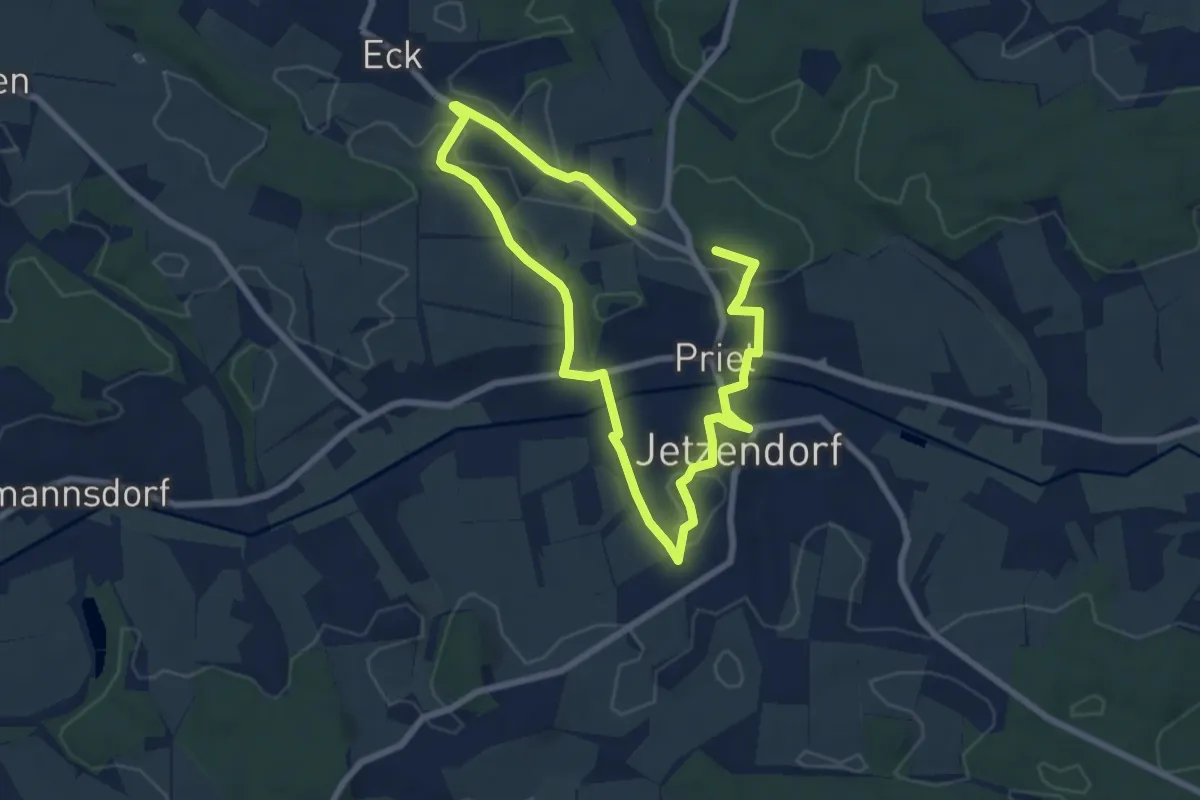
Medium · Trail
Jetzendorf Dorfrunde
11.0 km · ↑ 152 m · 2 h 56 min
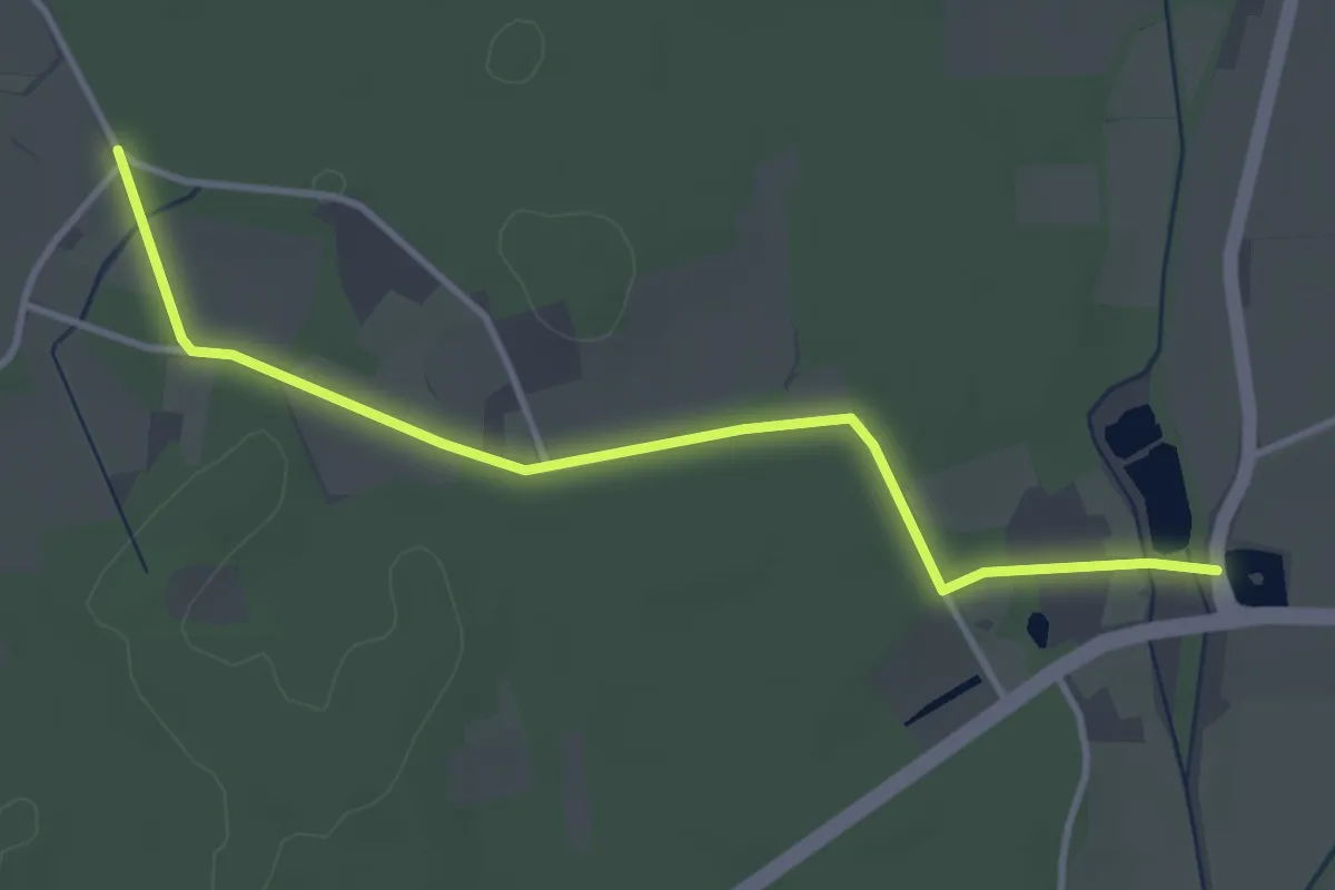
Easy · Trail
JH Bf Wulfen - Jugendherberge Dorsten
3.3 km · ↑ 4 m · 48 min
Medium · Trail
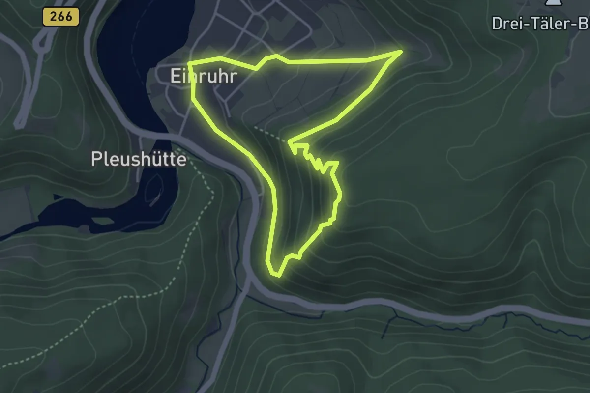
Jiescheck
3.3 km · ↑ 176 m · 1 h 12 min
Easy · Trail
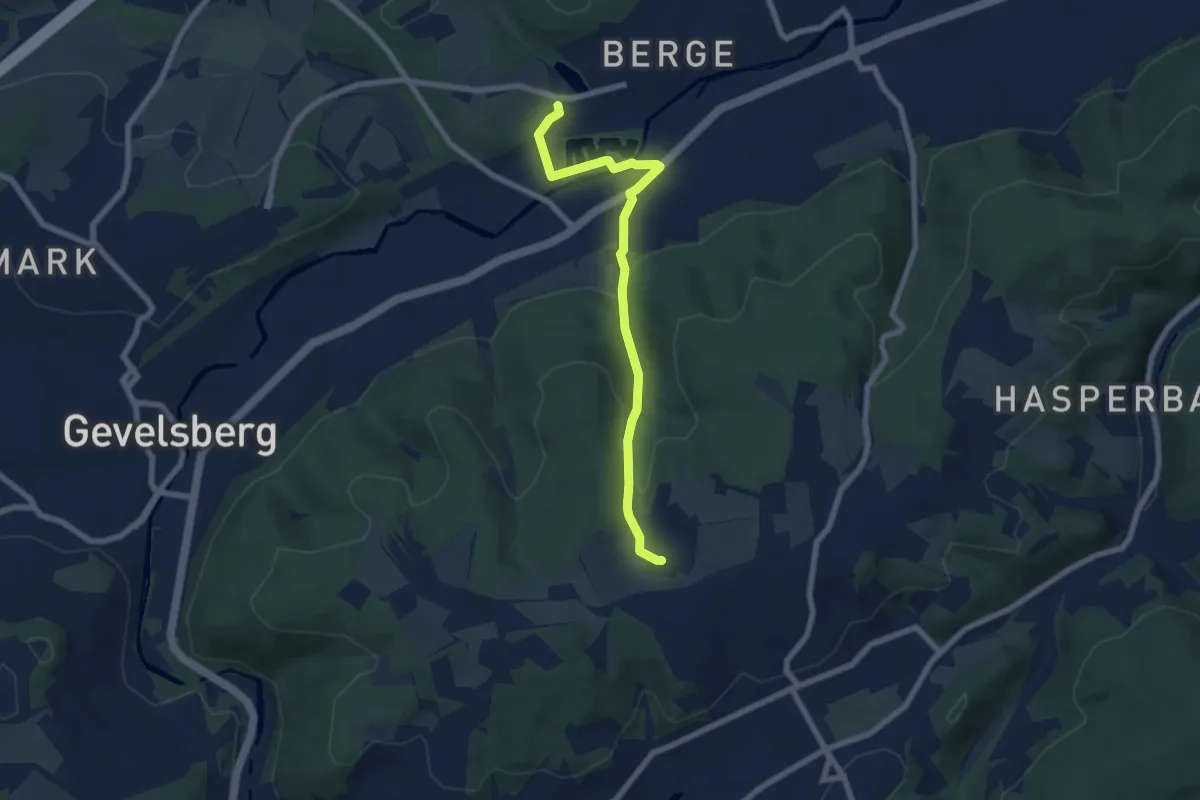
[J] Jellinghausen-Weg
6.4 km · ↑ 198 m · 1 h 56 min
Easy · Summit
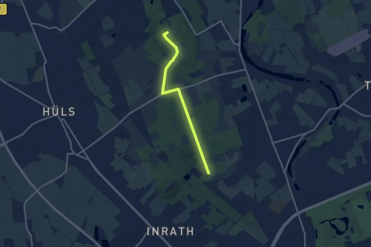
J Johann-Junkers-Weg
6.6 km · ↑ 39 m · 1 h 39 min
Easy · Trail
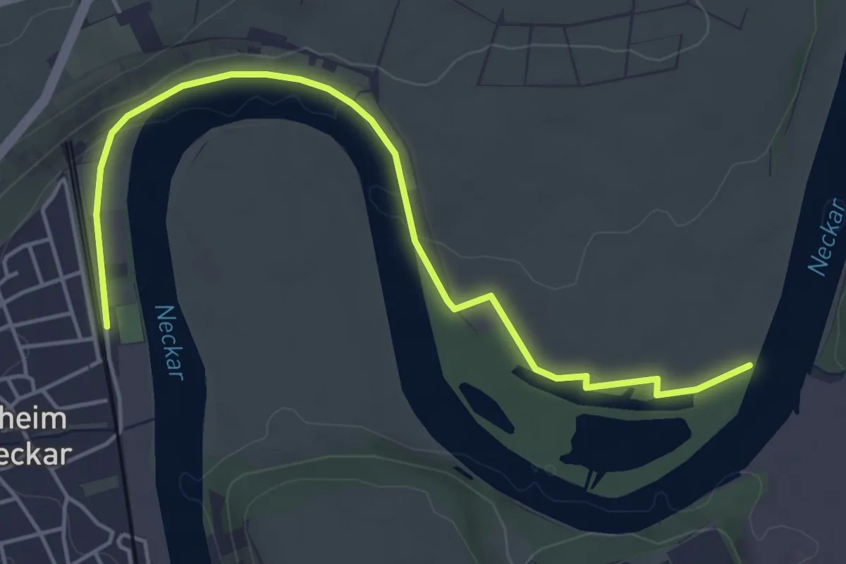
JKT Kirchheim 6km
2.6 km · ↑ 26 m · 42 min
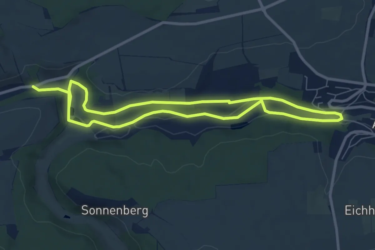
Easy · Trail
JKT Kreuzbach 5.8km
5.7 km · ↑ 54 m · 1 h 33 min
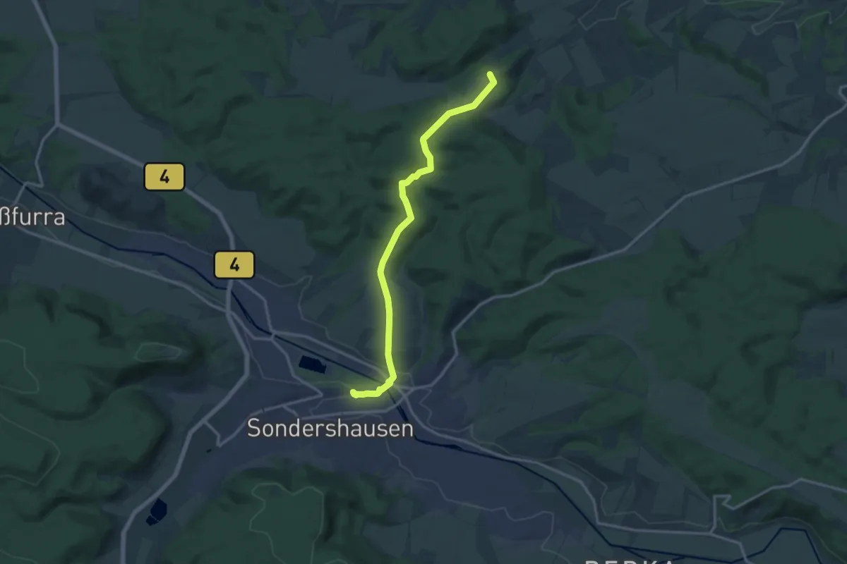
Medium · Summit
J.-K. Wezel-Weg
12.5 km · ↑ 254 m · 3 h 31 min
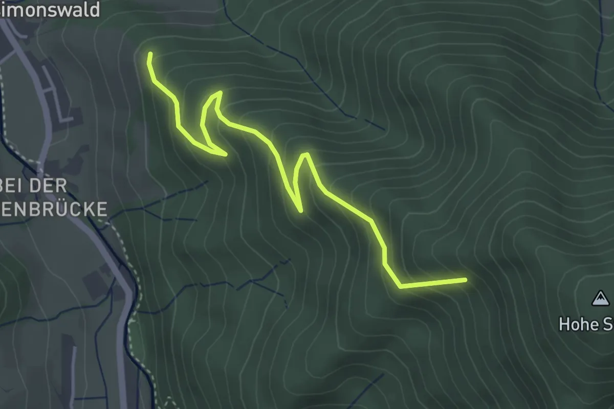
Medium · Trail
Jockenkreuz - Obere Steigelme
4.0 km · ↑ 399 m · 1 h 49 min
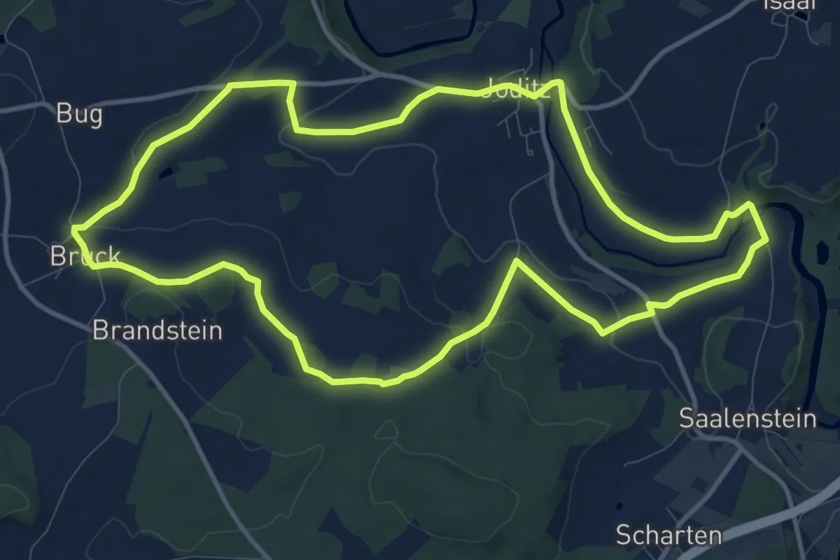
Medium · Trail
Joditzer-Hoehenweg US 62
10.1 km · ↑ 150 m · 2 h 51 min