Trails in Germany
36,852 hiking trails, each with its route, climb, walking time and grade.
All trails, page 273 of 768
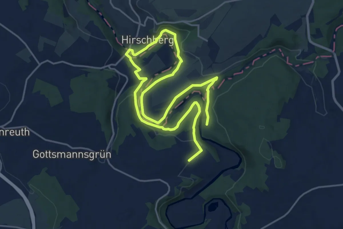
Demanding · Trail
Joditzer - Saaleschleifenweg US61
19.2 km · ↑ 323 m · 5 h 14 min
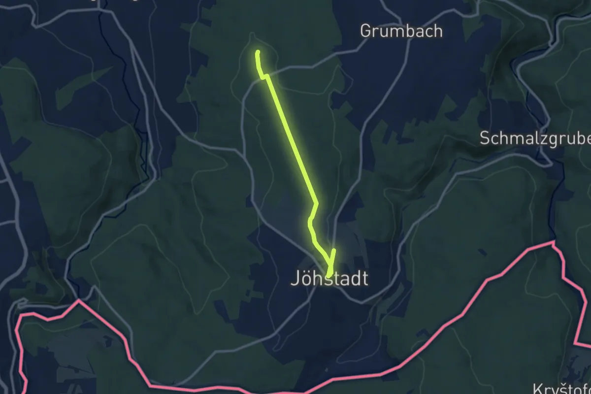
Easy · Trail
Joehstadt - Weg nach Koenigswalde
7.4 km · ↑ 92 m · 1 h 56 min
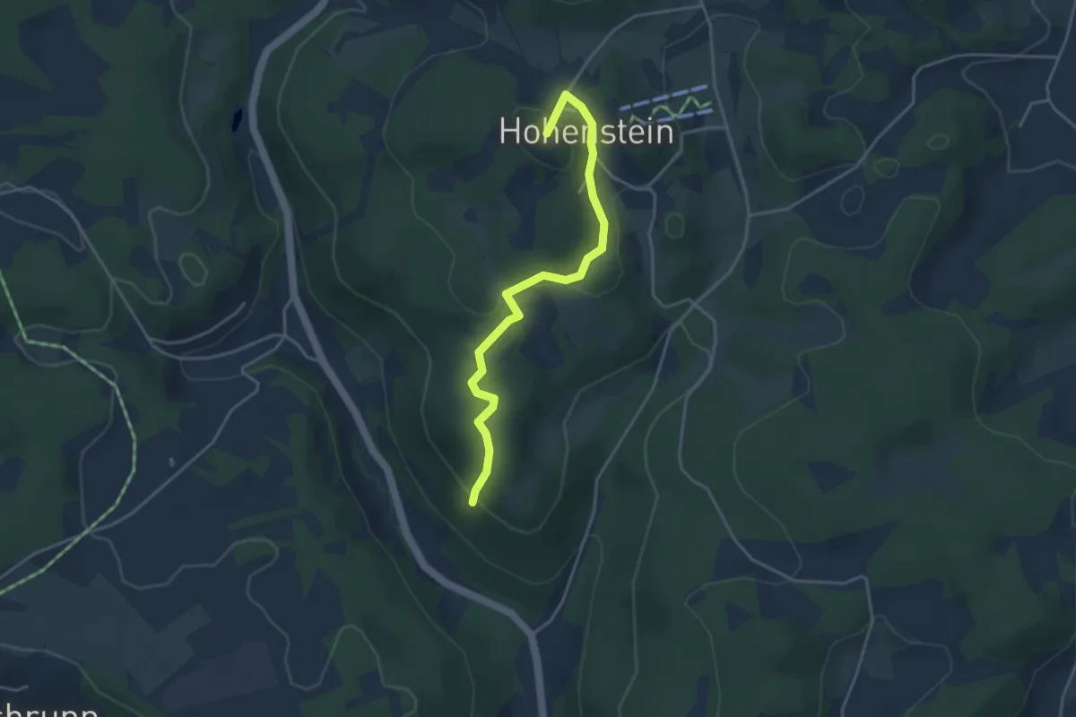
Easy · Summit
Johann-Conrad-Grübel-Weg
3.6 km · ↑ 126 m · 1 h 8 min
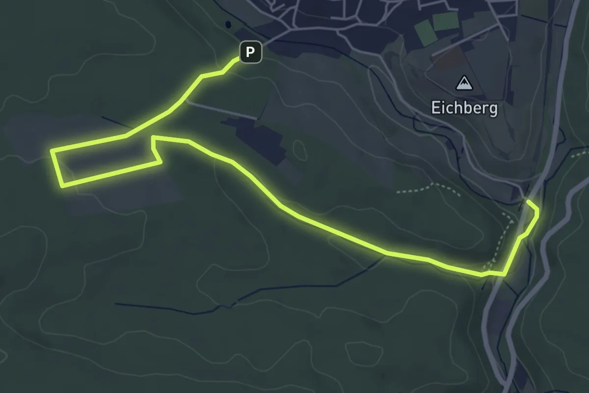
Easy · Trail
Johann-Daniel-Kettner-Weg
3.5 km · ↑ 47 m · 59 min
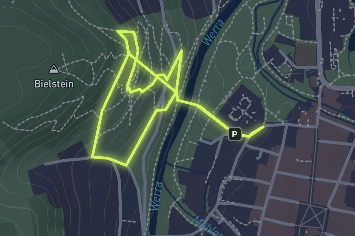
Medium · Trail
Johannes Brahms Weg
2.3 km · ↑ 177 m · 55 min
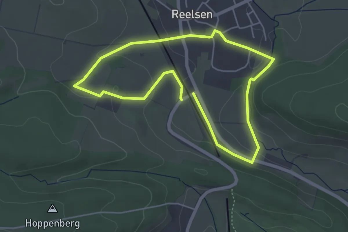
Easy · Trail
Johannes-Gelhaus-Weg
3.4 km · ↑ 66 m · 1 h
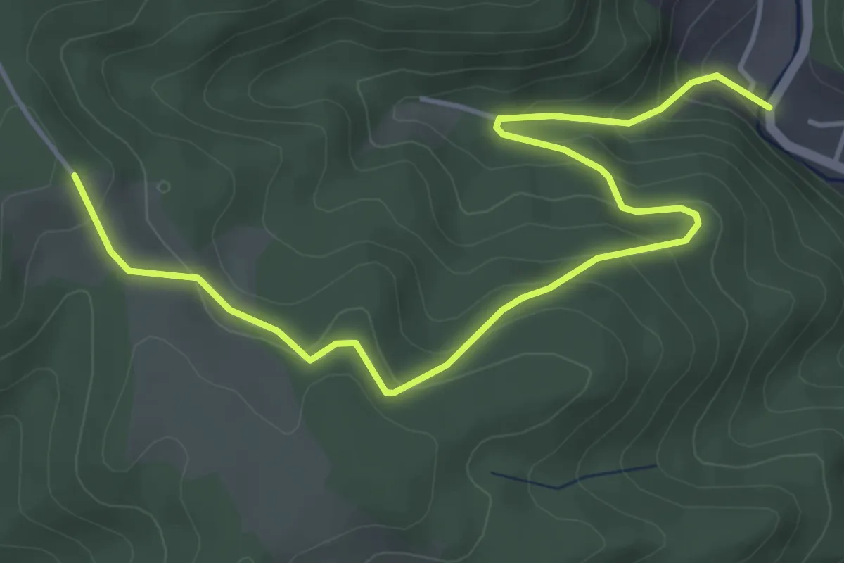
Medium · Trail
Johannesharderhof - Eselbach
5.1 km · ↑ 332 m · 1 h 56 min
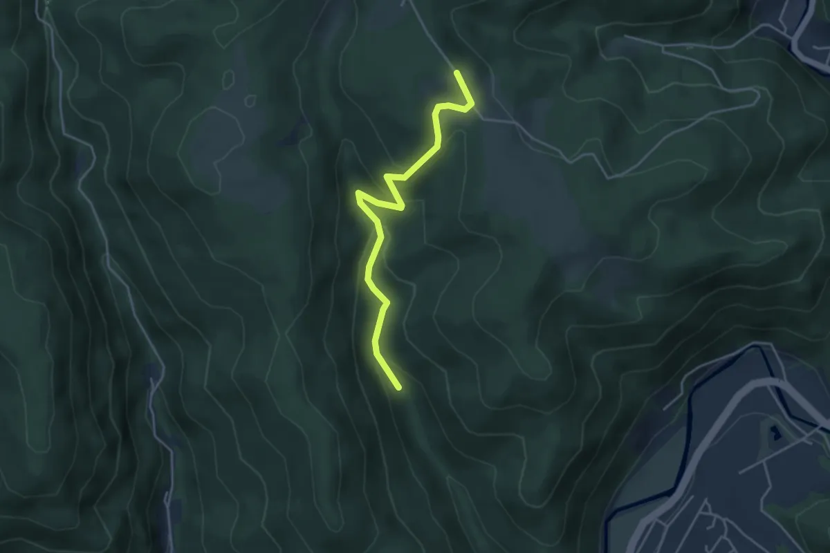
Easy · Trail
Johannesharderhof - Schierlegrund
3.8 km · ↑ 209 m · 1 h 20 min
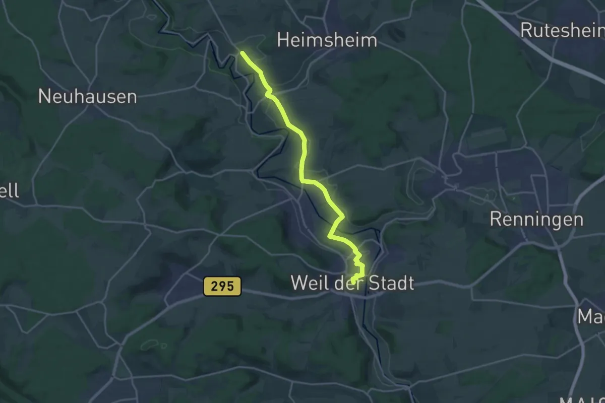
Medium · Trail
Johannes-Kepler-Planetenweg
16.2 km · ↑ 157 m · 4 h 10 min
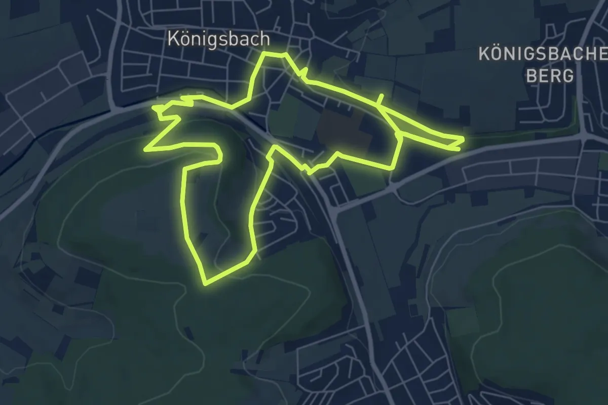
Medium · Trail
Johannes-Schoch-Wanderweg
13.5 km · ↑ 282 m · 3 h 48 min
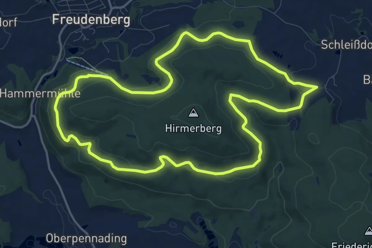
Medium · Trail
Johannisberg-Rundweg (JR)
10.1 km · ↑ 254 m · 3 h 5 min
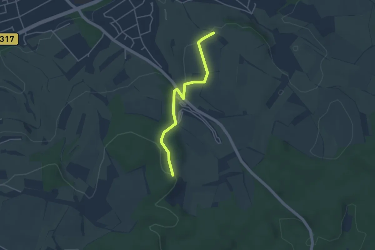
Easy · Trail
Johannishütte - Zweier
3.2 km · ↑ 80 m · 56 min
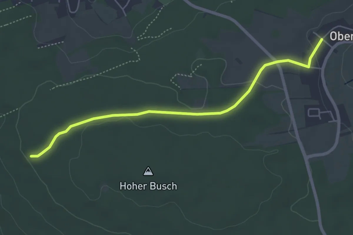
Easy · Trail
Johanniskirche - Allmend
4.7 km · ↑ 72 m · 1 h 16 min
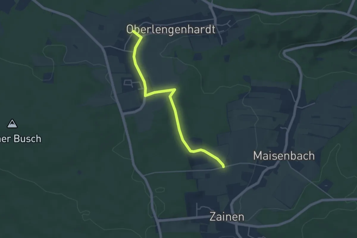
Easy · Trail
Johanniskirche - Hintere Äcker
4.1 km · ↑ 47 m · 1 h 4 min
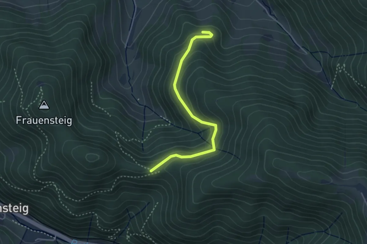
Easy · Trail
Johanniterweg - Pfaffeneck
3.3 km · ↑ 139 m · 1 h 5 min
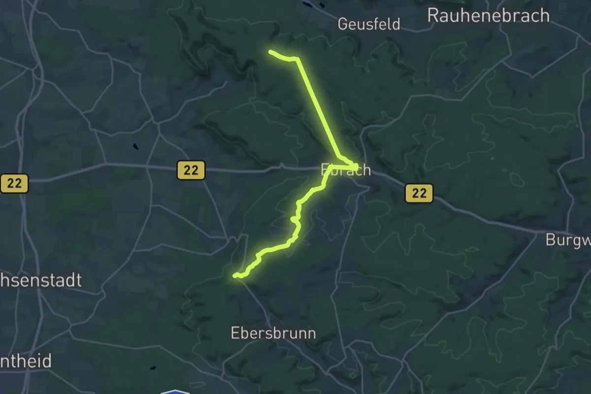
Demanding · Trail
Johann-Ludwig-Klarmann-Weg
22.0 km · ↑ 339 m · 5 h 55 min
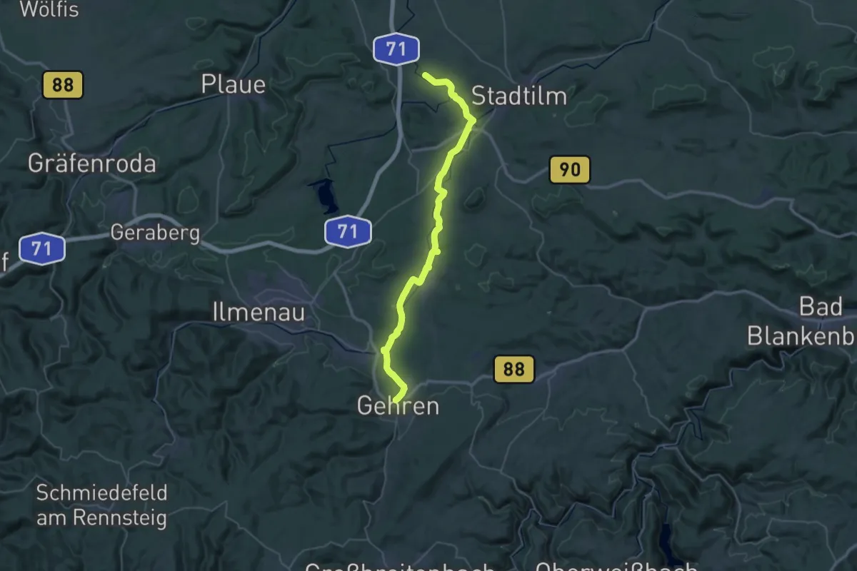
Demanding · Trail
Johann-Sebastian-Bach-Wanderweg
18.9 km · ↑ 90 m · 4 h 59 min
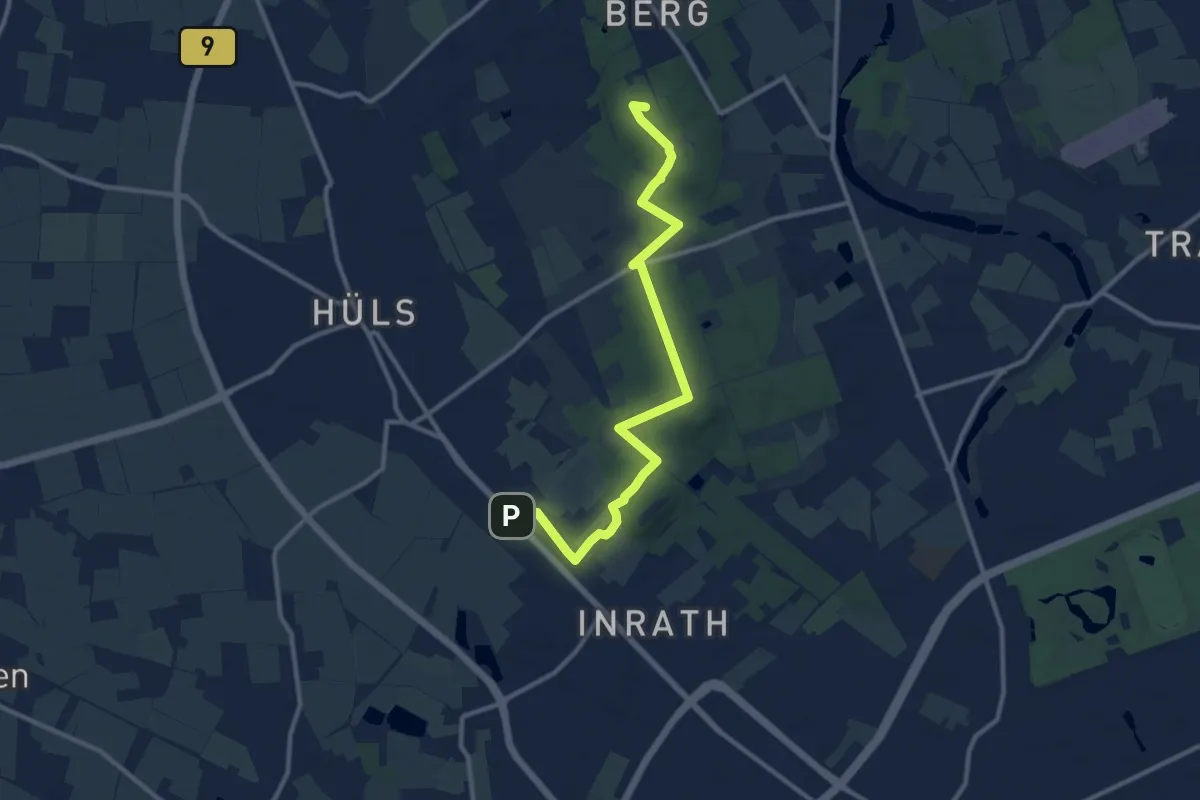
Medium · Summit
Johansenweg
10.8 km · ↑ 52 m · 2 h 40 min
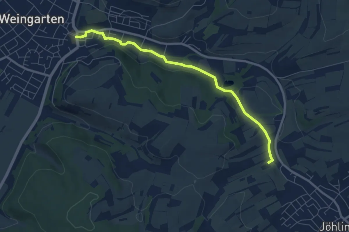
Easy · Trail
Jöhlingen Naturfreundehaus - Weingarten Marktplatz
6.3 km · ↑ 62 m · 1 h 37 min
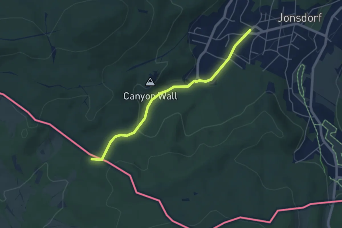
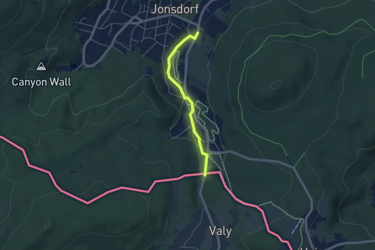
Easy · Summit
Jonsdorf - Grenze CZ (grüner Strich)
4.0 km · ↑ 115 m · 1 h 11 min
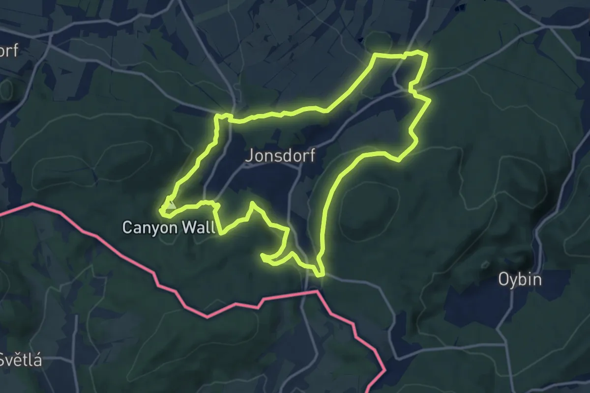
Easy · Trail
Jonsdorf - Grenze CZ (Krompach)
3.5 km · ↑ 49 m · 56 min
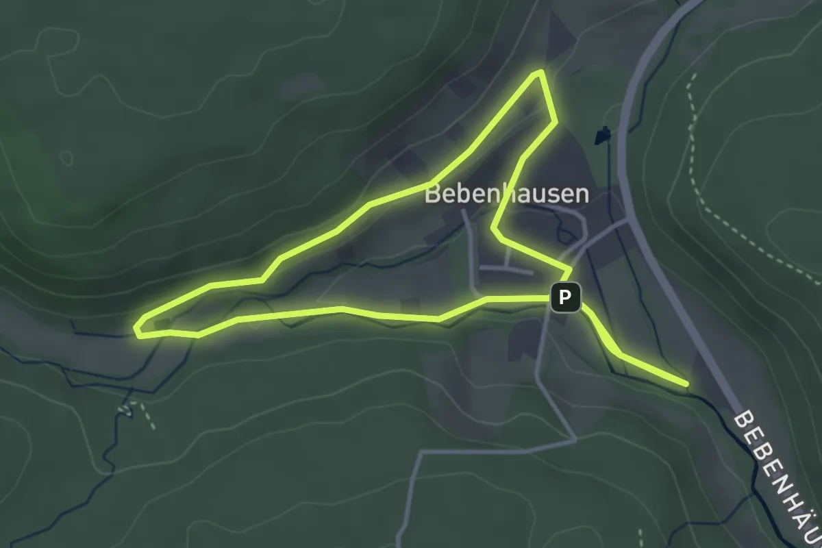
Medium · Summit
Jonsdorf Ringweg (grüner Punkt)
11.8 km · ↑ 372 m · 3 h 46 min
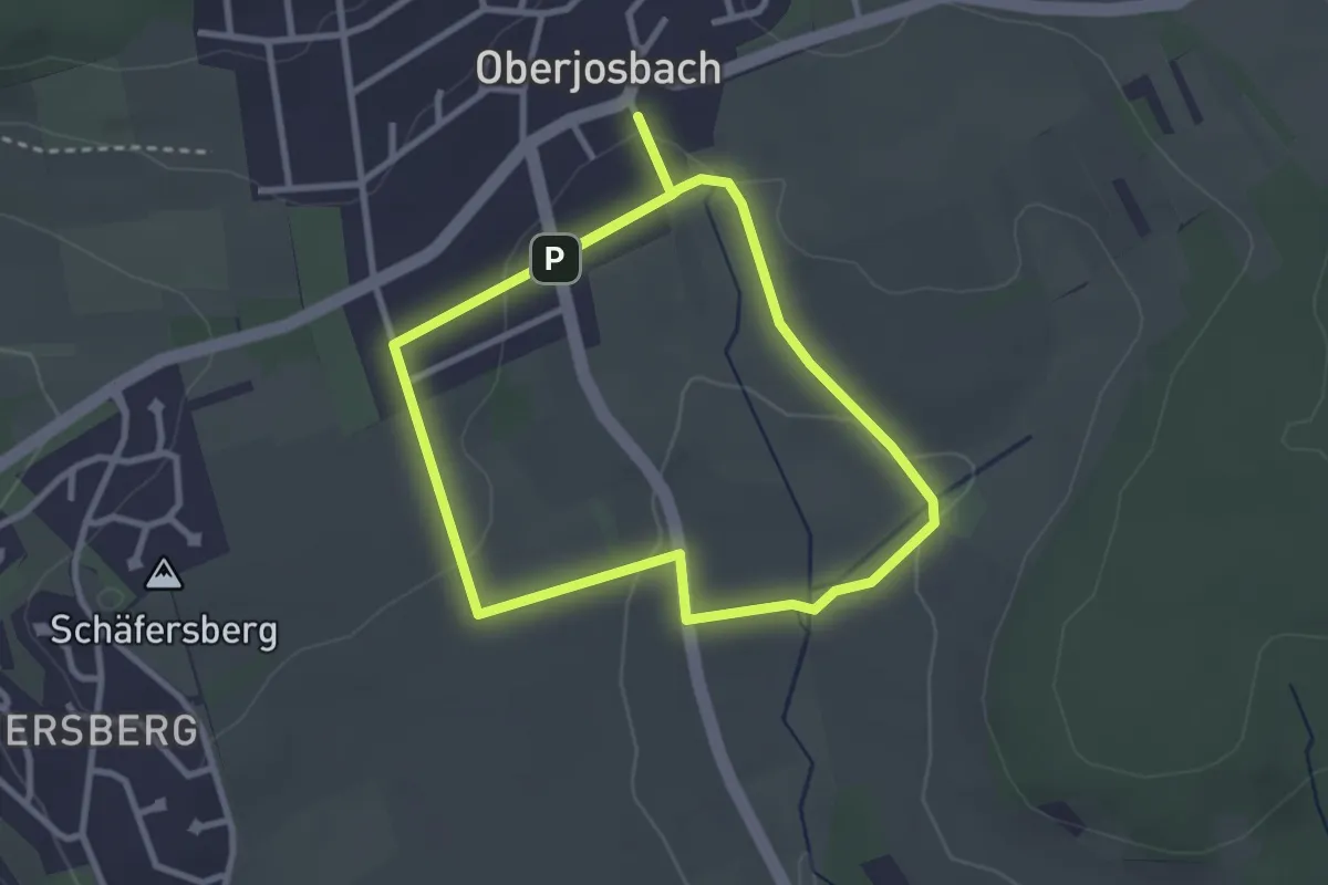
Easy · Trail
Jordan-Runde
3.5 km · ↑ 46 m · 58 min
Easy · Trail
Josbachfurt
2.6 km · ↑ 43 m · 45 min
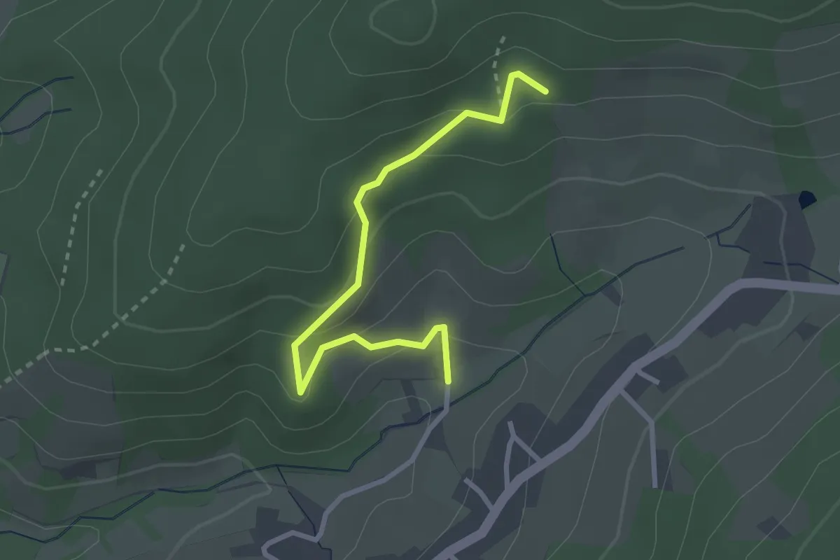
Easy · Trail
Josef-Bäder-Weg - Mättig
2.7 km · ↑ 179 m · 1 h 1 min
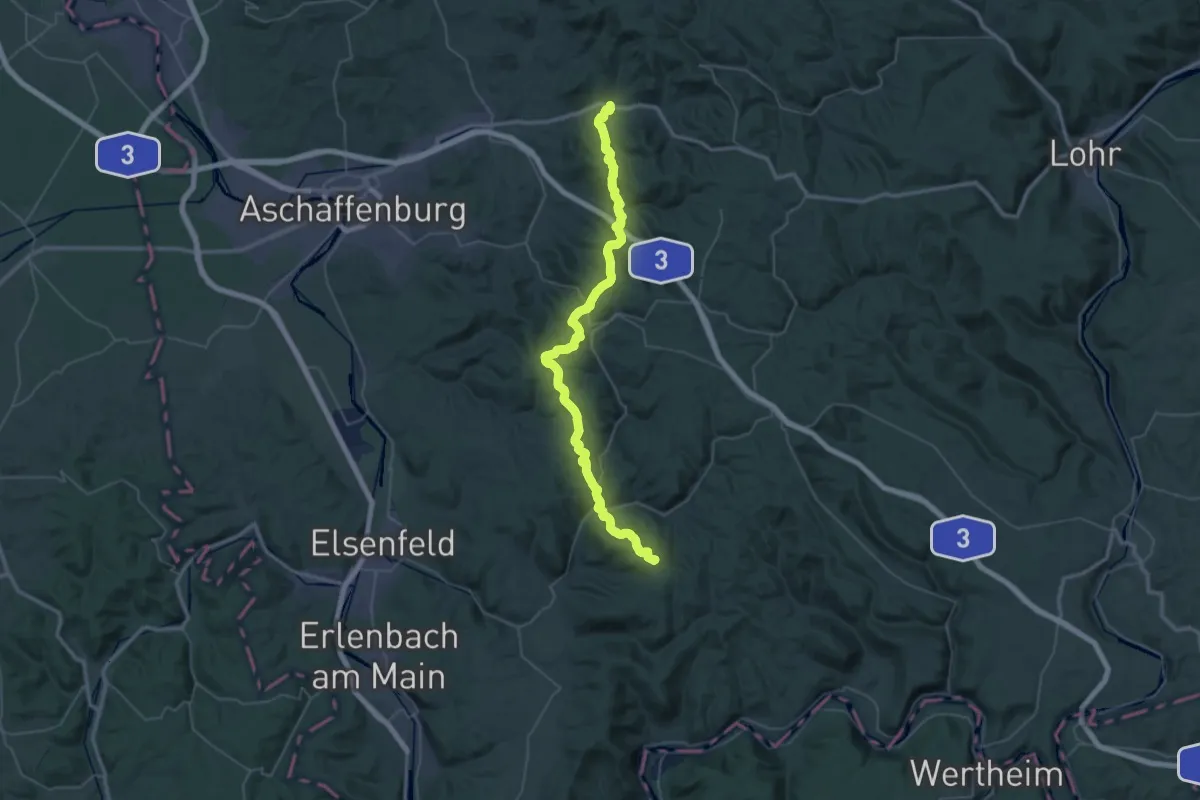
Demanding · Summit
Josef-Braun-Weg
51.7 km · ↑ 1715 m · 15 h 56 min
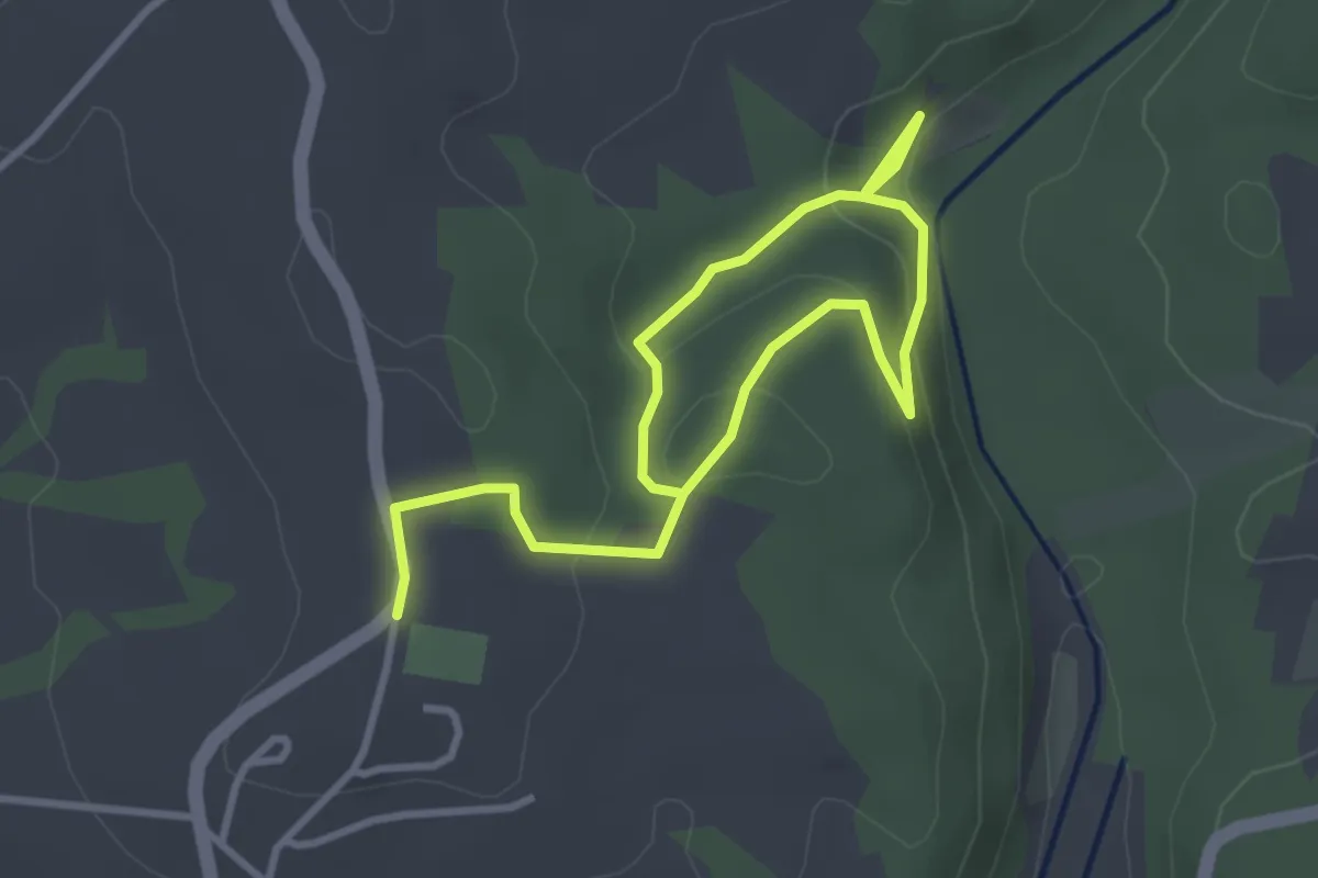
Easy · Trail
Josef Fruth - Künstlersteig
4.5 km · ↑ 143 m · 1 h 22 min
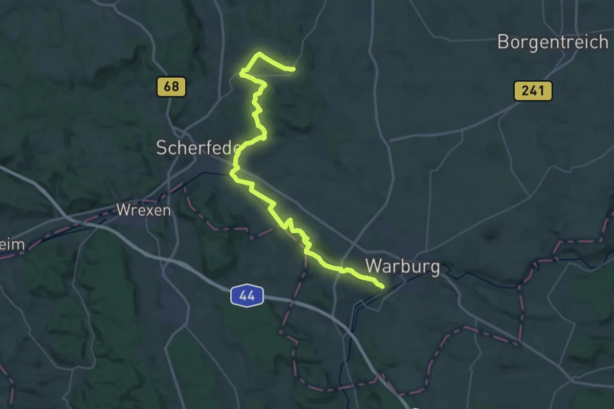
Demanding · Trail
Josef-Leifeld-Weg
18.9 km · ↑ 234 m · 5 h 16 min
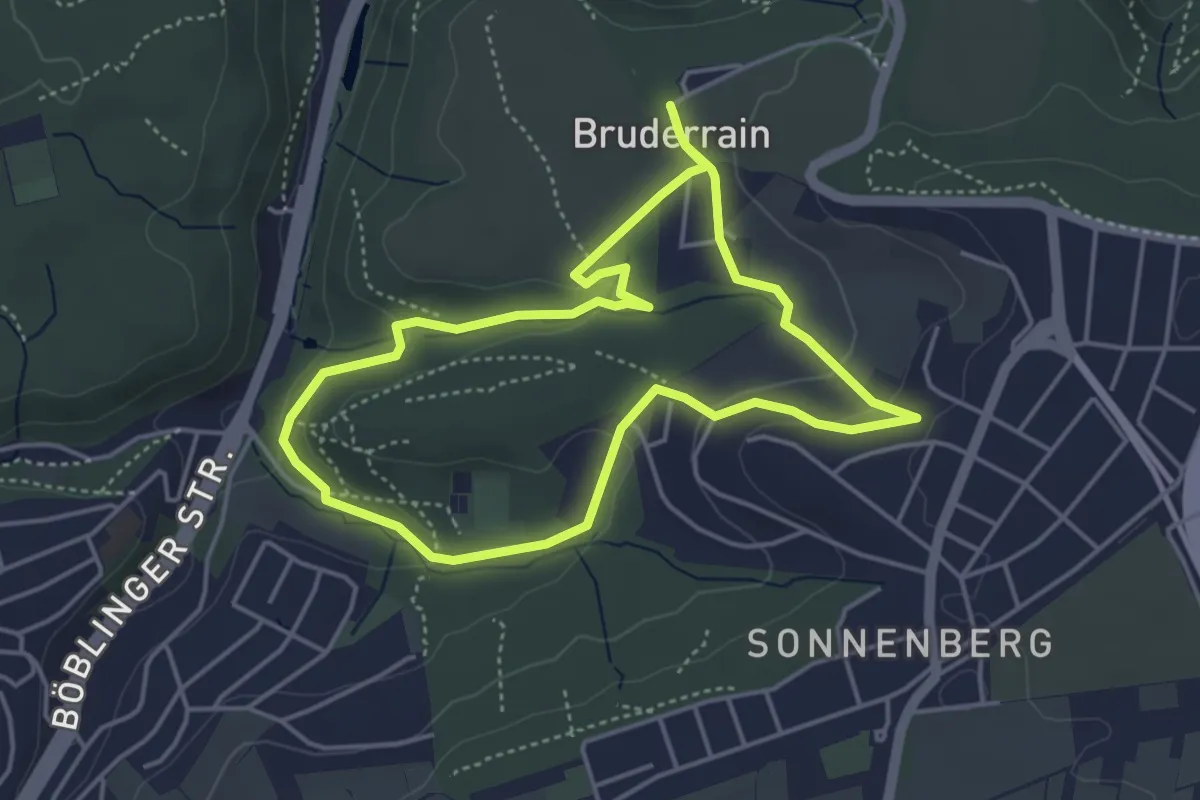
Easy · Trail
Joseflesweg Stuttgart
4.0 km · ↑ 88 m · 1 h 11 min
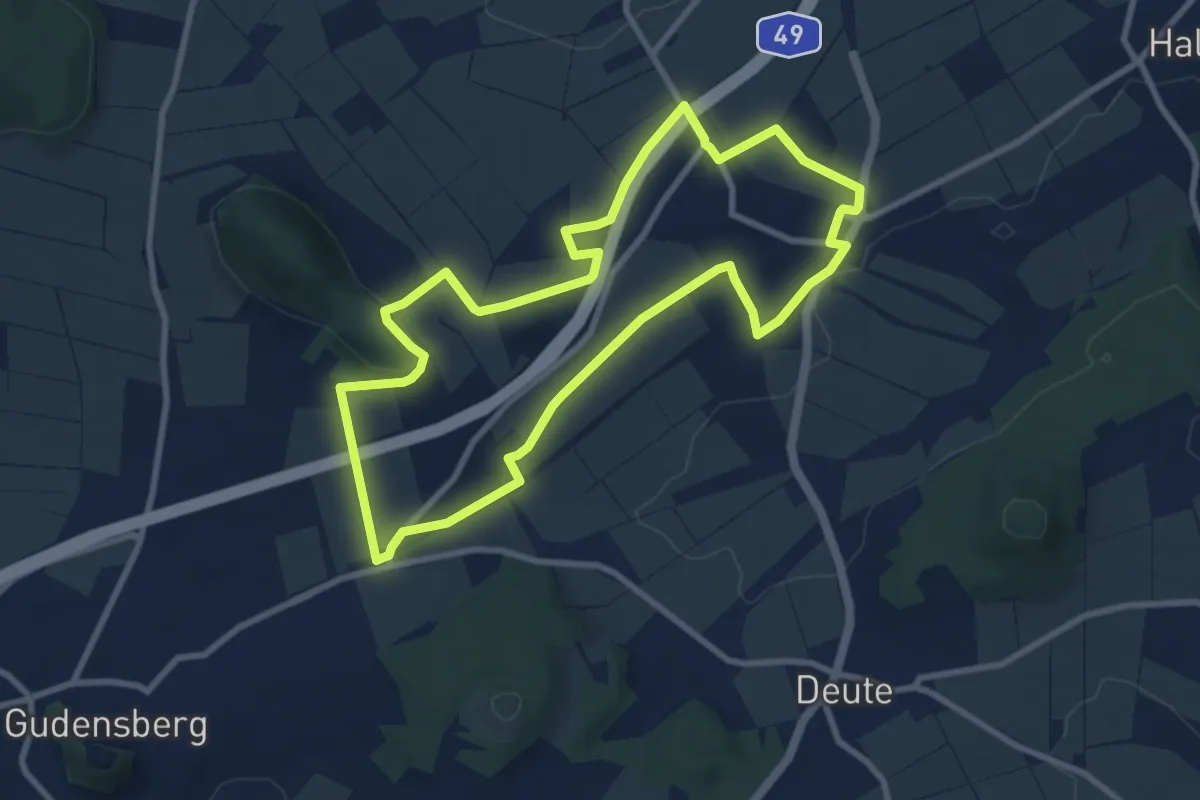
Easy · Summit
Josef-Merten-Weg
7.8 km · ↑ 111 m · 2 h 12 min
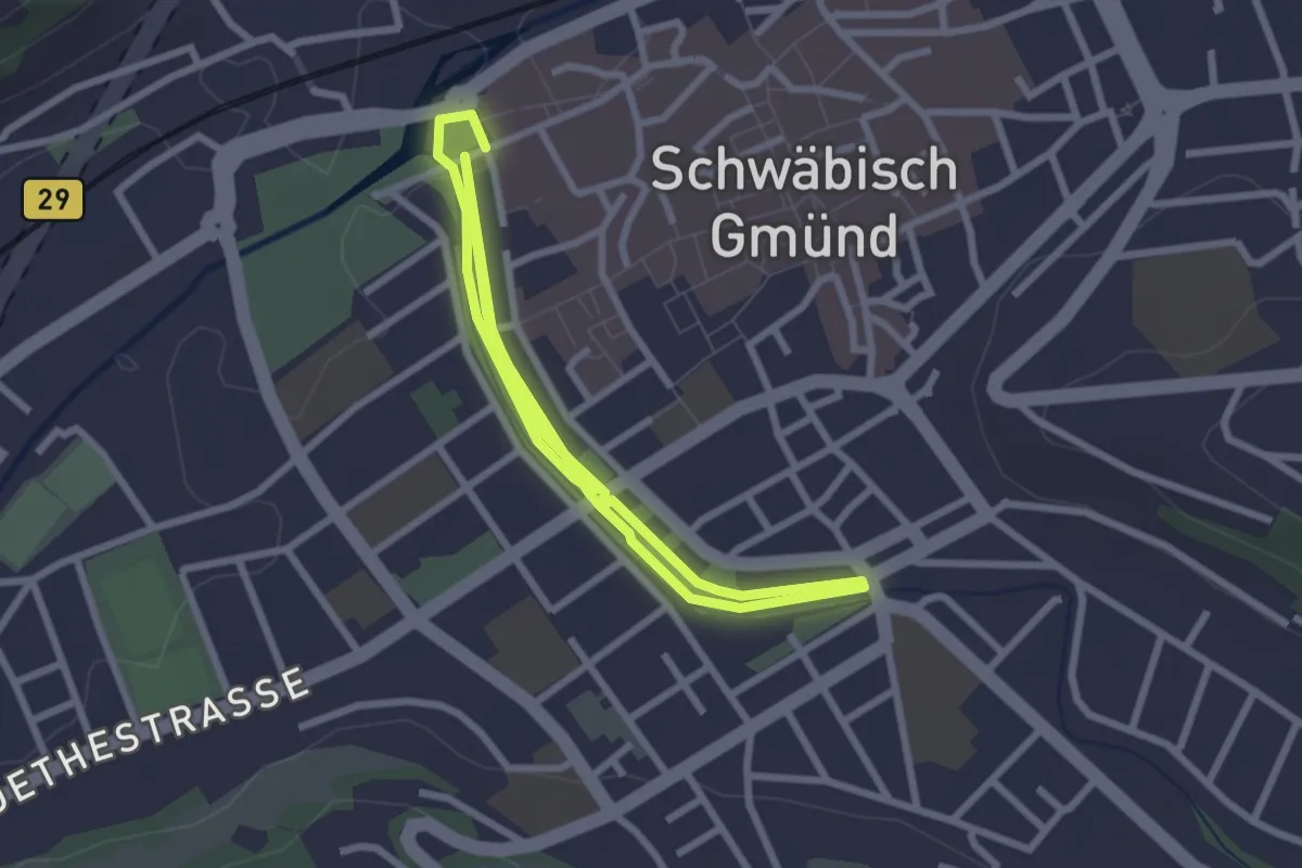
Easy · Trail
Josefsbach-Runde
2.4 km · ↑ 4 m · 37 min
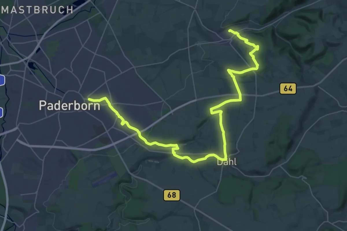
Demanding · Trail
Josef-Schmitz-Weg
18.1 km · ↑ 296 m · 5 h 8 min
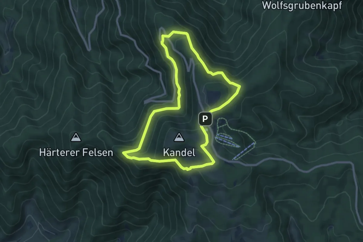
Medium · Trail
Josef-Seger-Weg
6.6 km · ↑ 281 m · 2 h 16 min
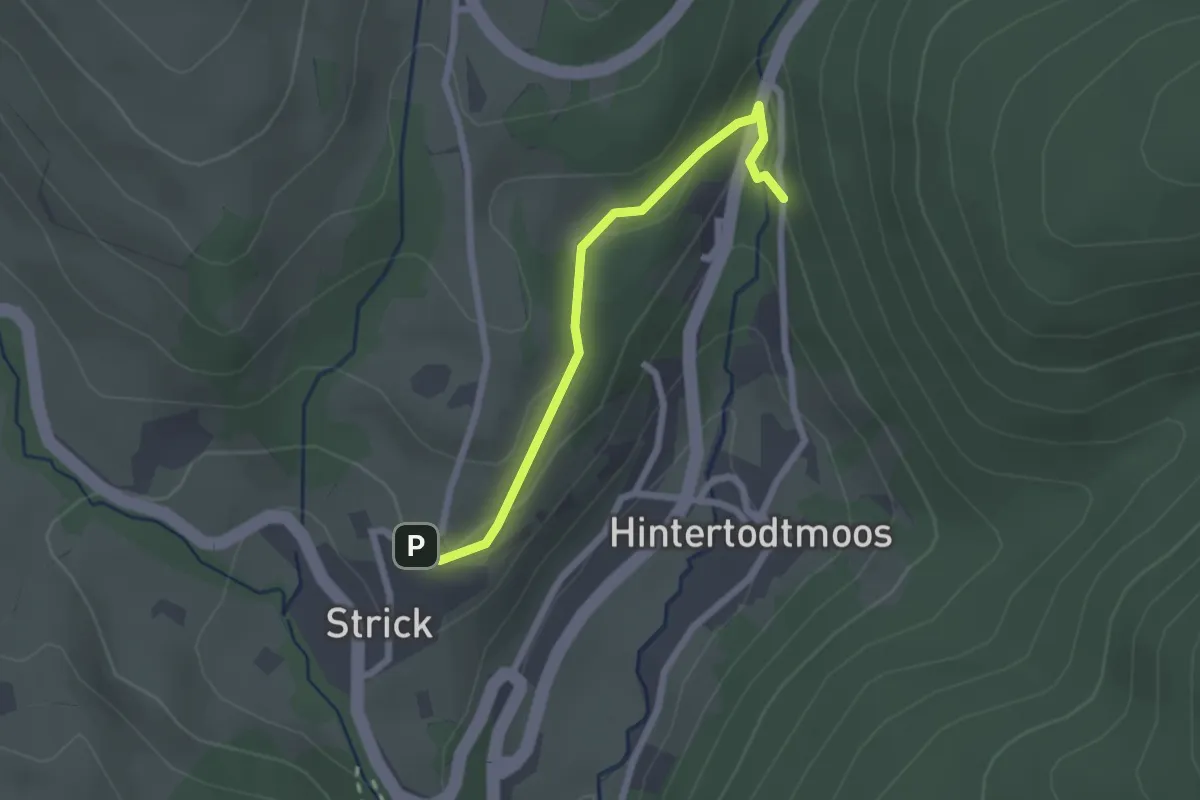
Easy · Trail
Josefskapelle - Todtmooser Wasserfall
2.1 km · ↑ 53 m · 36 min
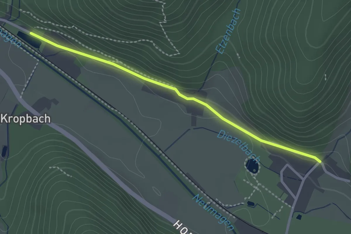
Easy · Trail
Josefsweiher - Dietzelbach
2.3 km · ↑ 69 m · 42 min
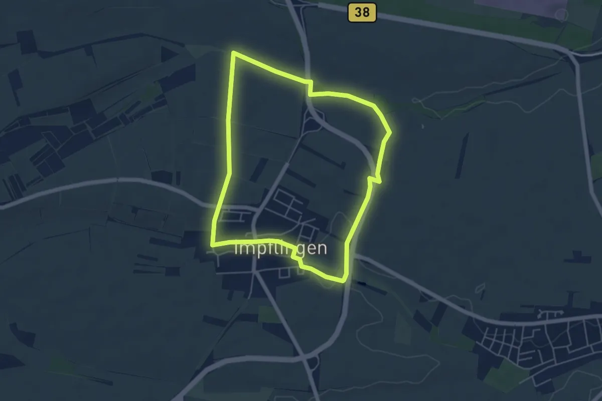
Easy · Trail
Josephstour Impflingen
4.6 km · ↑ 28 m · 1 h 13 min
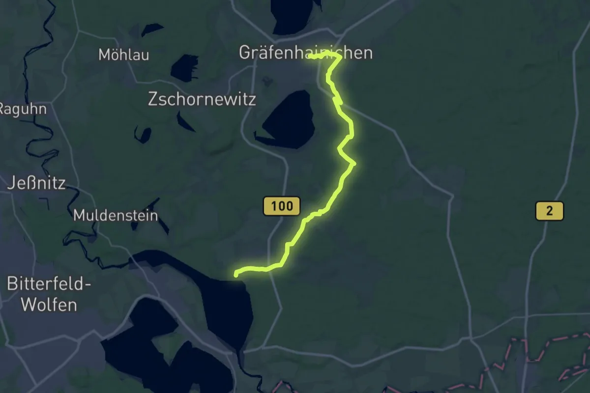
Demanding · Trail
Jösigkweg
29.7 km · ↑ 166 m · 7 h 23 min
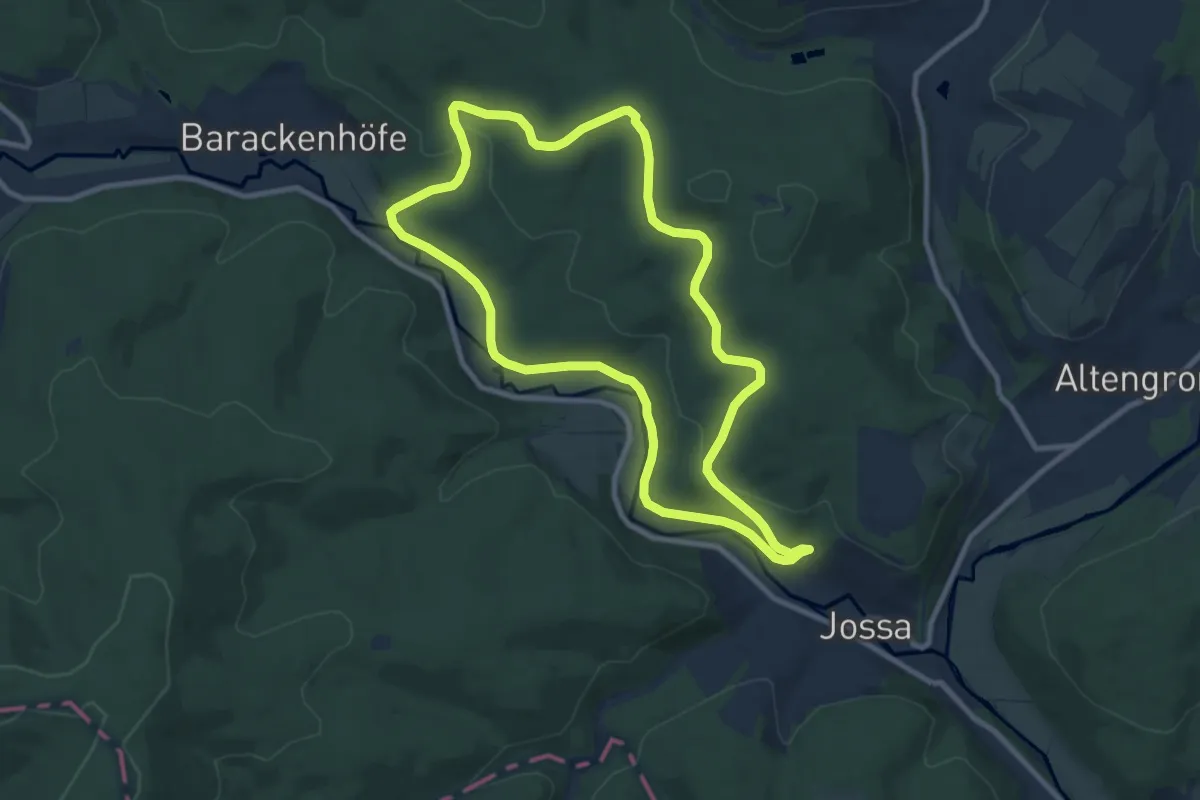
Medium · Trail
Jossa - Rundwanderweg Geweih
8.7 km · ↑ 156 m · 2 h 31 min
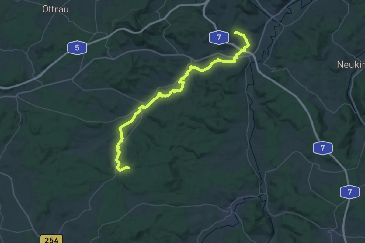
Demanding · Summit
Jossa Weg
41.0 km · ↑ 567 m · 10 h 54 min
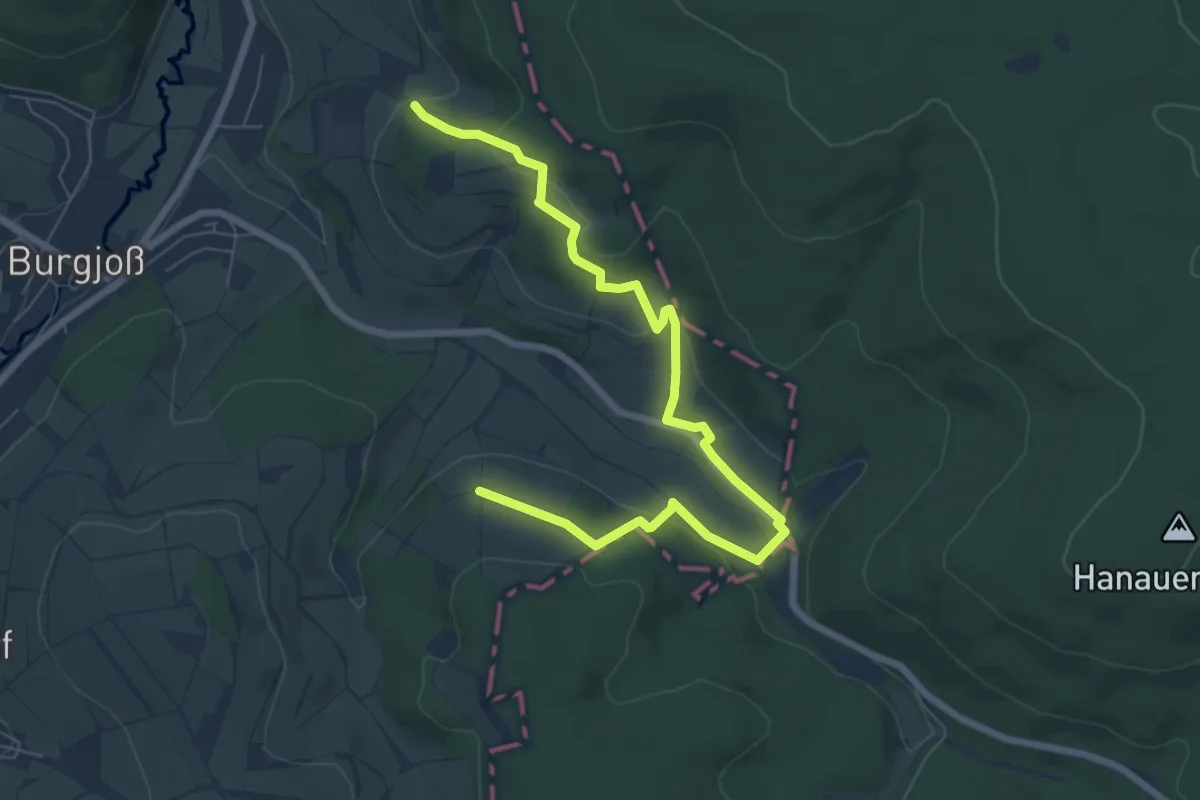
Easy · Trail
Jossgrundroute ( Spessartfährten )
3.8 km · ↑ 129 m · 1 h 14 min
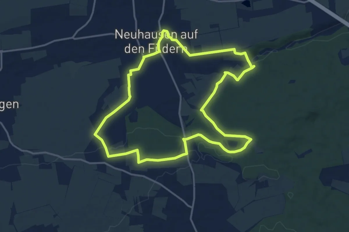
Medium · Trail
Jubiläums Rundwanderweg J
10.4 km · ↑ 150 m · 2 h 55 min
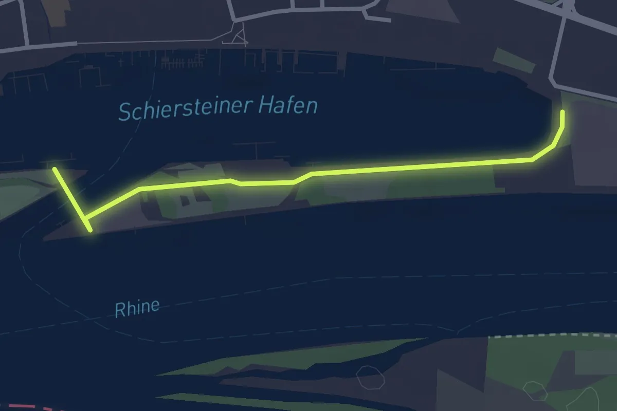
Easy · Trail
Jubiläums-Rundweg um Wiesbaden
1.3 km · ↑ 0 m · 19 min
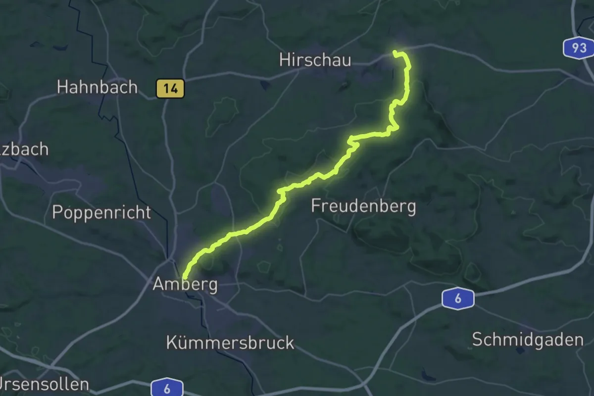
Demanding · Trail
Jubiläumswanderweg
21.1 km · ↑ 484 m · 6 h 20 min
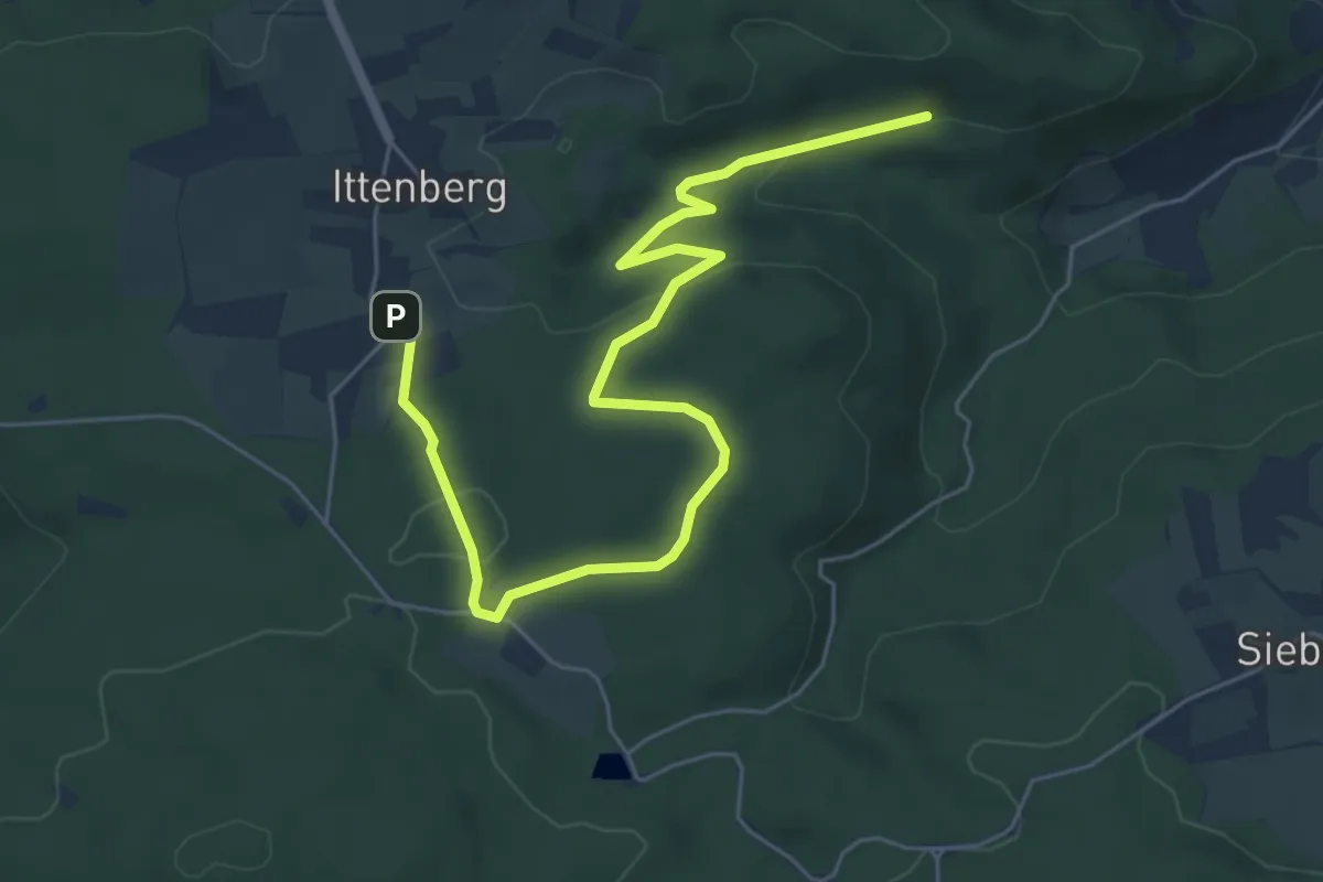
Easy · Trail
Jubiläumsweg
6.8 km · ↑ 152 m · 1 h 56 min
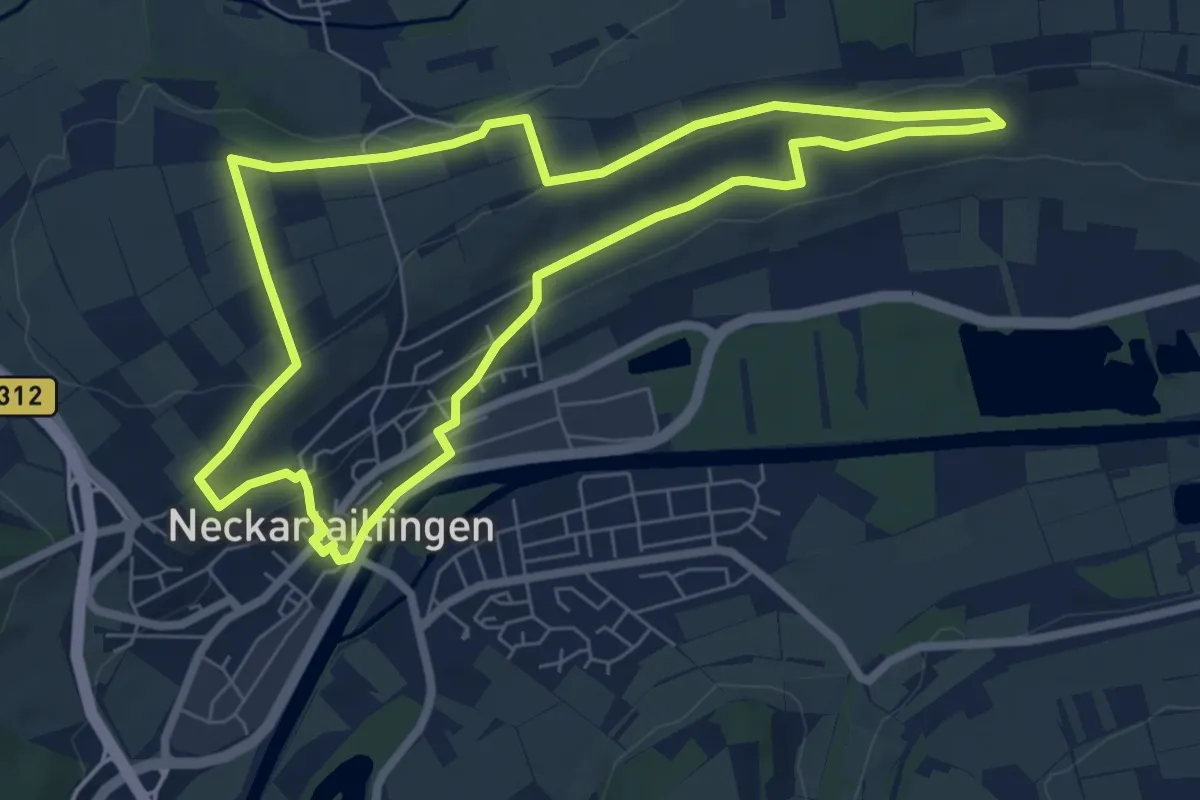
Easy · Trail
Jubiläumsweg
6.6 km · ↑ 93 m · 1 h 52 min
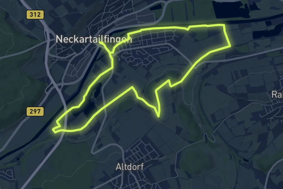
Medium · Trail
Jubiläumsweg
8.1 km · ↑ 64 m · 2 h 10 min
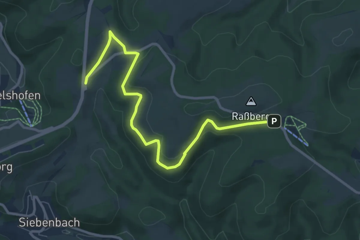
Easy · Trail
Jubiläumsweg
7.1 km · ↑ 186 m · 2 h 5 min
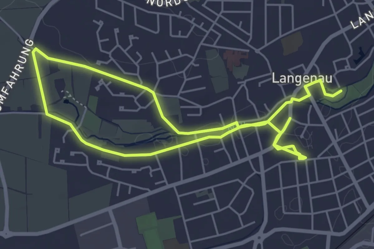
Easy · Trail
Jubiläums-Weg
4.2 km · ↑ 17 m · 1 h 5 min