Trails in Germany
36,852 hiking trails, each with its route, climb, walking time and grade.
All trails, page 274 of 768
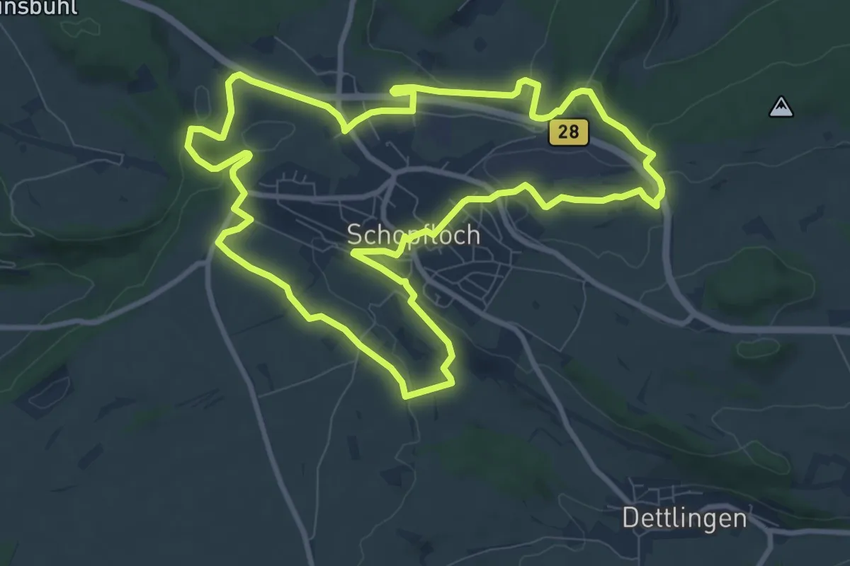
Medium · Trail
Jubiläumsweg 1250 Jahre Schopfloch
9.0 km · ↑ 162 m · 2 h 37 min
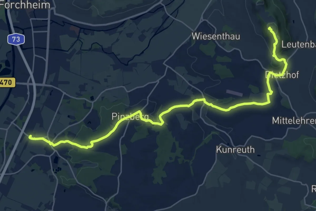
Demanding · Summit
Jubiläumsweg 1914
23.7 km · ↑ 410 m · 6 h 29 min
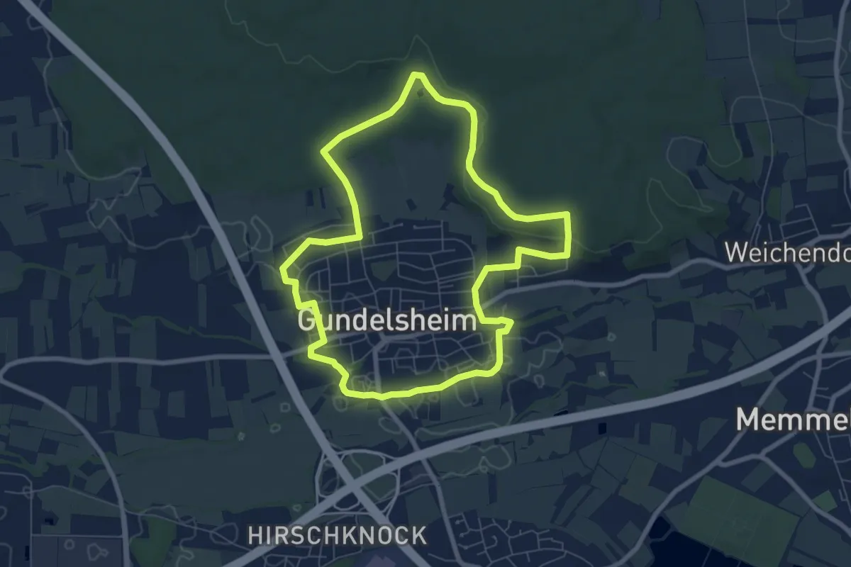
Easy · Trail
Jubiläumsweg Gundelsheim
6.7 km · ↑ 82 m · 1 h 52 min
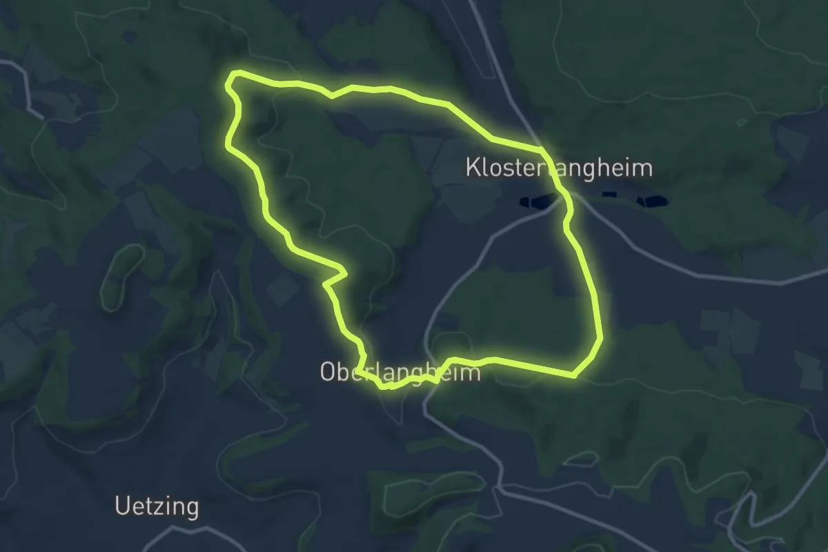
Medium · Trail
Jubiläumsweg (Klosterlangheim)
9.6 km · ↑ 257 m · 2 h 57 min
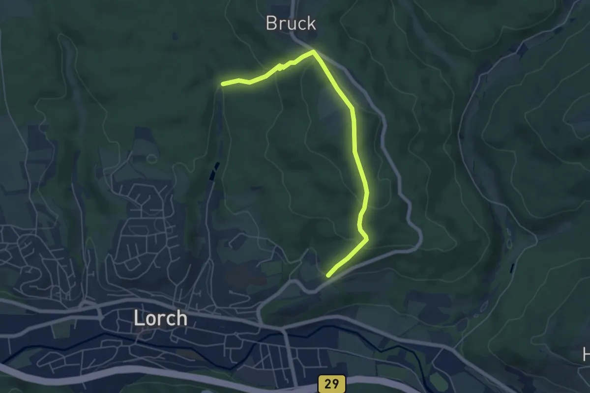
Easy · Trail
Jubiläumsweg Königin Irene
2.6 km · ↑ 126 m · 56 min
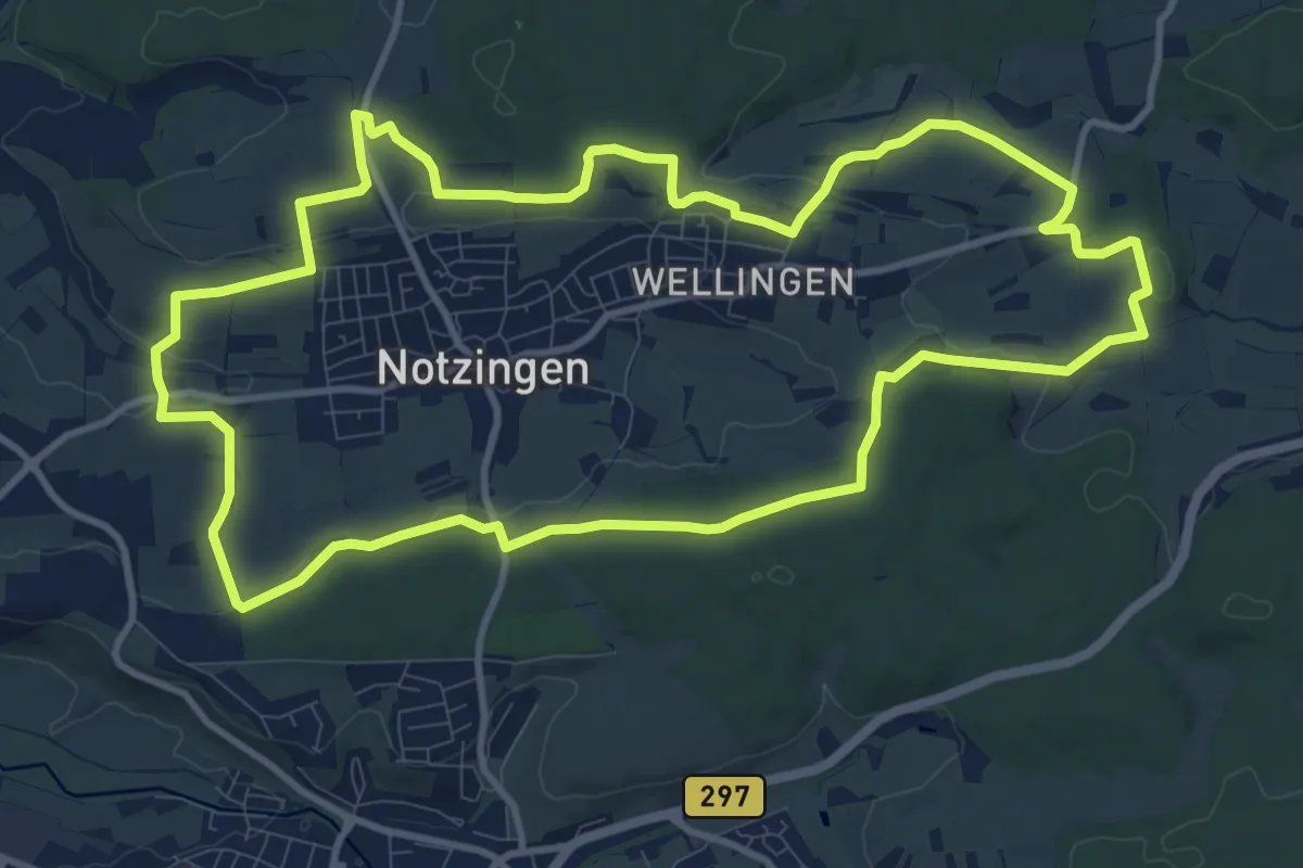
Medium · Trail
Jubiläumswegs ‚125 Jahre Schwäbischer Albverein Notzingen-Wellingen
11.3 km · ↑ 177 m · 3 h 12 min
Easy · Trail
Jubiläumsweg Sankt Nikolaus 1921-1996
5.0 km · ↑ 66 m · 1 h 20 min
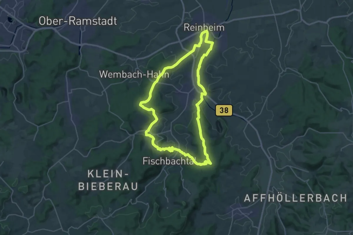
Demanding · Trail
Jubiläumsweg Sparkasse-Dieburg 1 : Wanderung im vorderen Odenwald
20.9 km · ↑ 359 m · 6 h
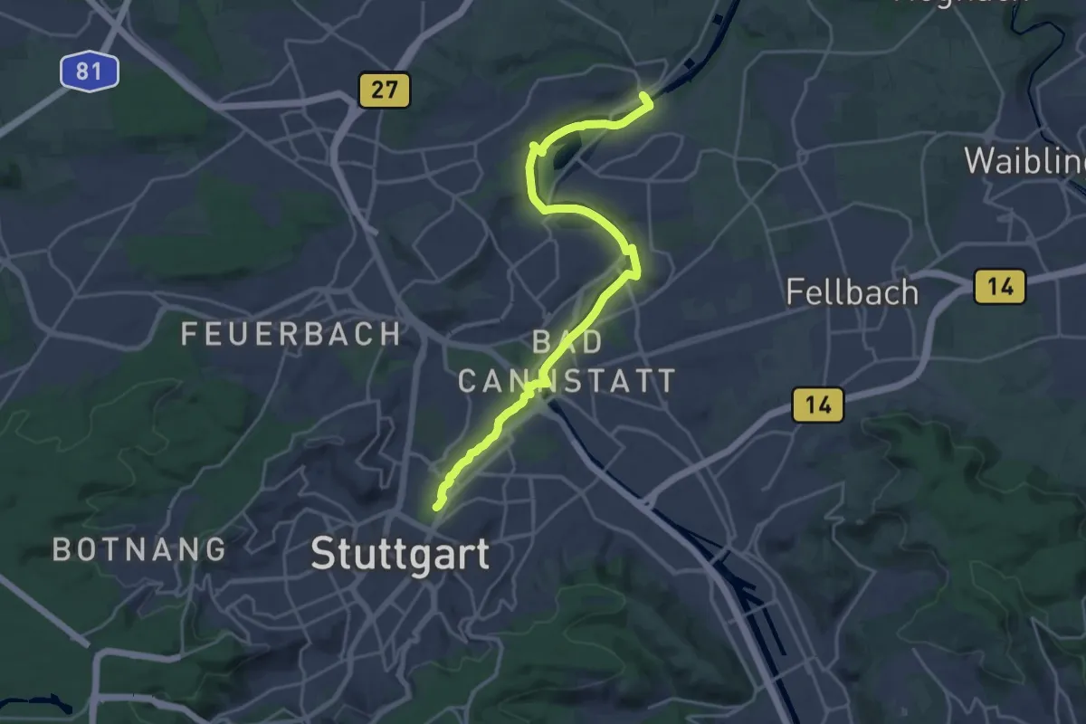
Demanding · Trail
Jubiläumsweg Stuttgart
21.6 km · ↑ 111 m · 5 h 20 min
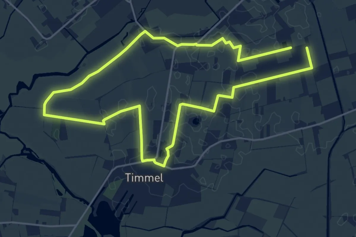
Medium · Trail
Jubiläumsweg Timmel
11.4 km · ↑ 8 m · 2 h 53 min
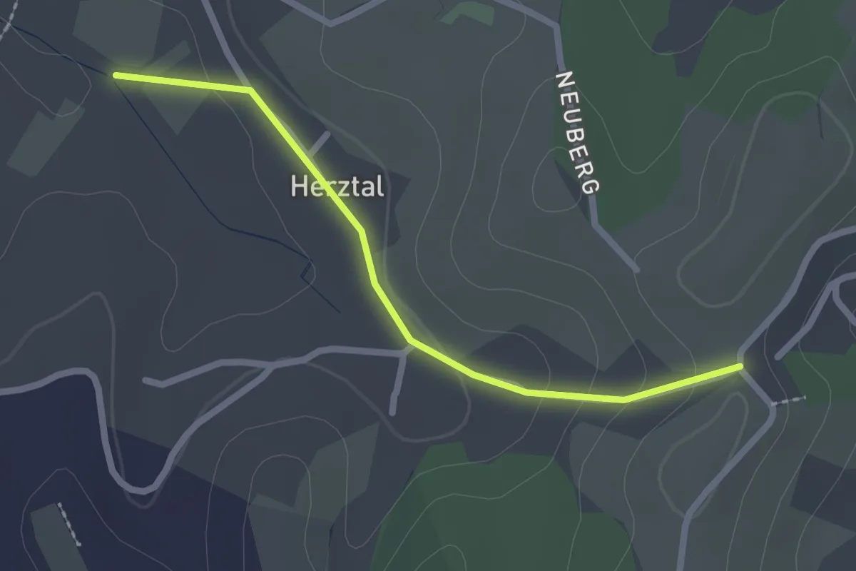
Easy · Trail
Judas Thaddäus-Kapelle - Nußbach Erb
2.1 km · ↑ 60 m · 37 min
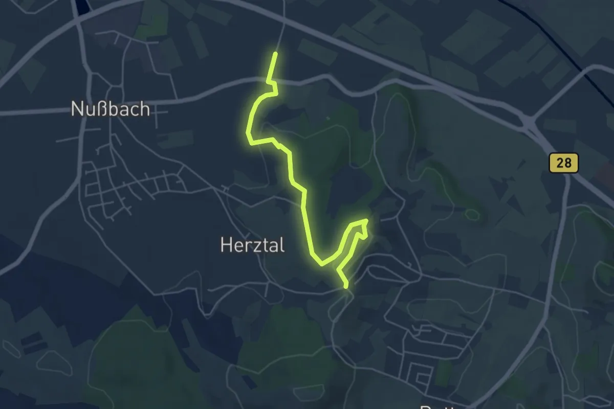
Easy · Trail
Judas Thaddäus-Kapelle - Weierhof
4.9 km · ↑ 82 m · 1 h 20 min
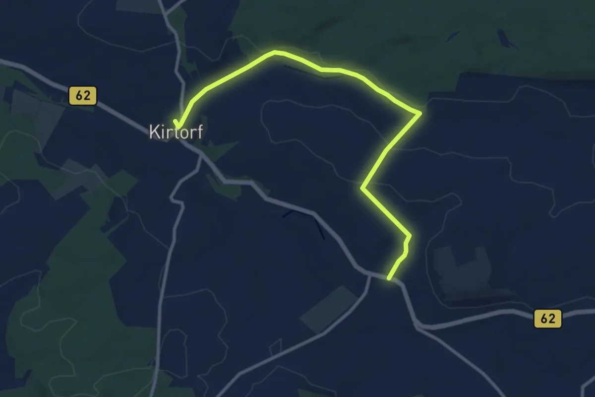
Medium · Trail
Judenpfad - Familien-Wanderweg
8.5 km · ↑ 140 m · 2 h 18 min
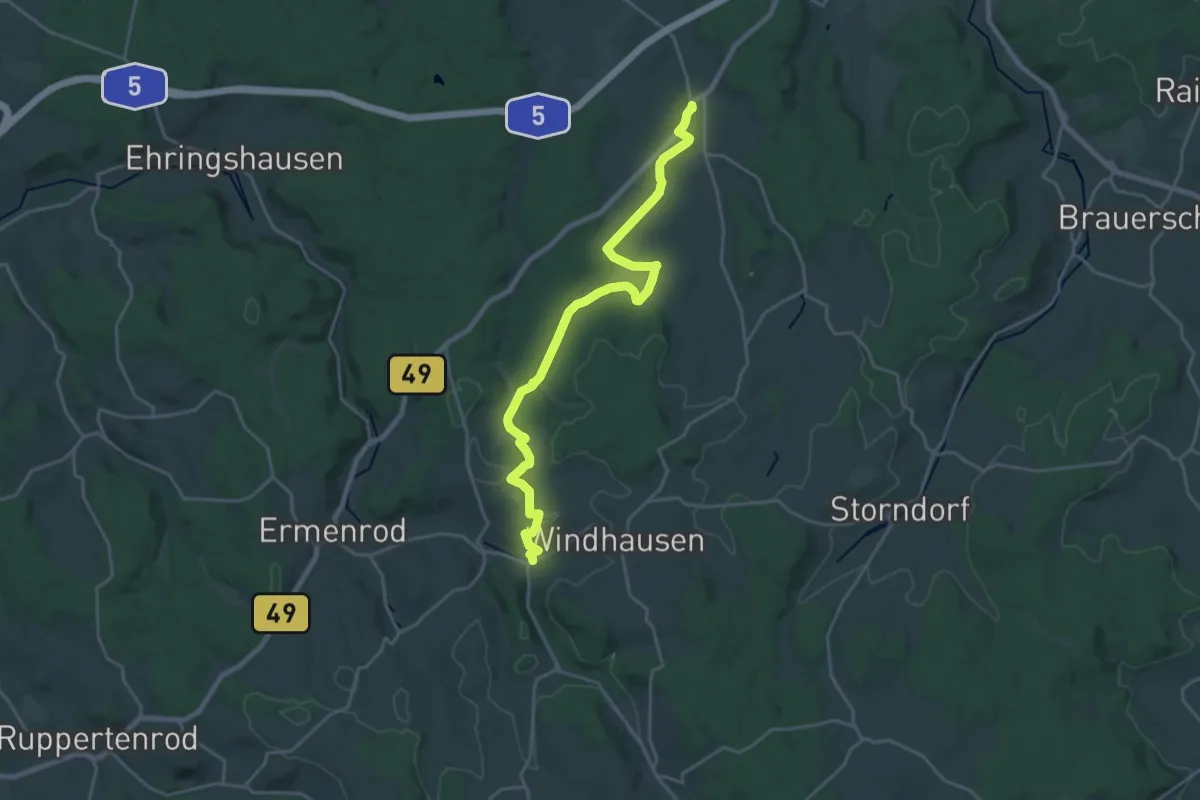
Demanding · Trail
Judenpfad Kestrich-Romrod
22.2 km · ↑ 305 m · 5 h 54 min
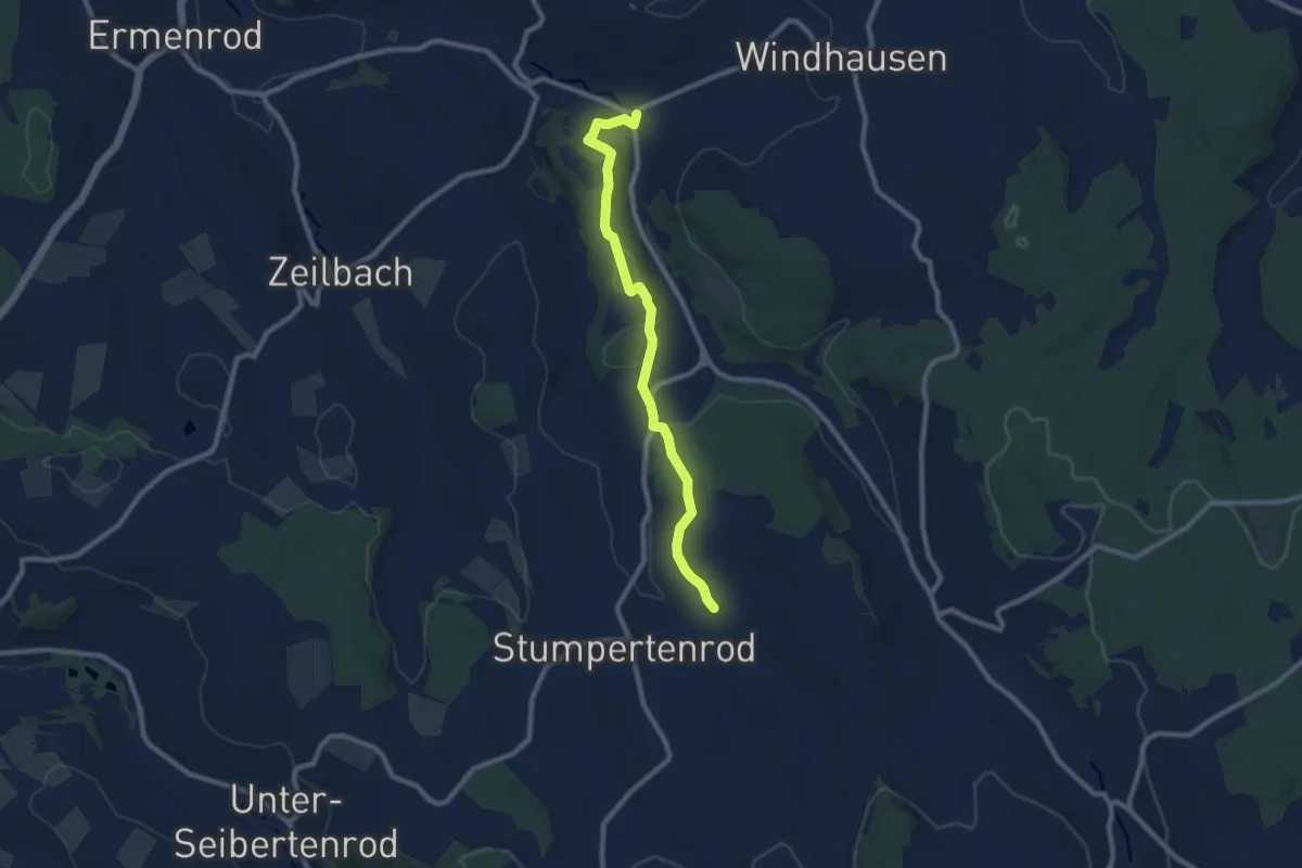
Medium · Trail
Judenpfad Kestrich - Stumpertenrod
8.2 km · ↑ 158 m · 2 h 16 min
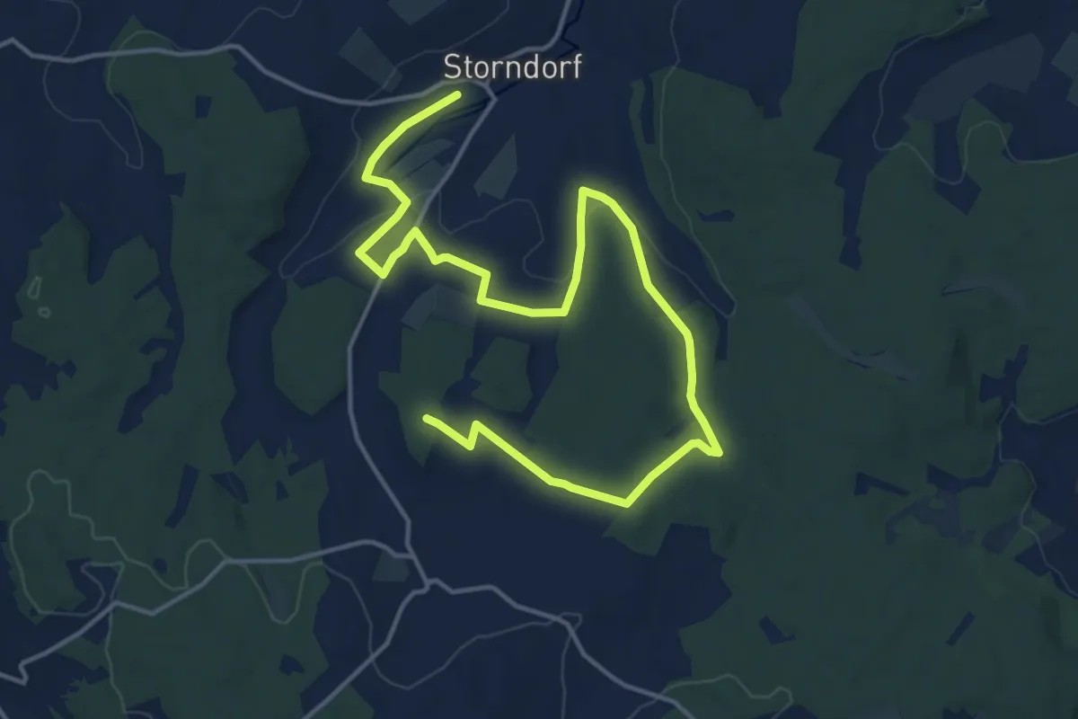
Demanding · Summit
Judenpfad Storndorf-Kestrich
19.1 km · ↑ 256 m · 5 h 4 min
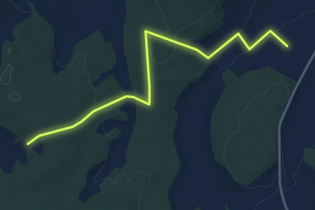
Easy · Trail
Judenpfad Storndorf - Kestrich / Abkürzungsvariante
6.2 km · ↑ 125 m · 1 h 45 min
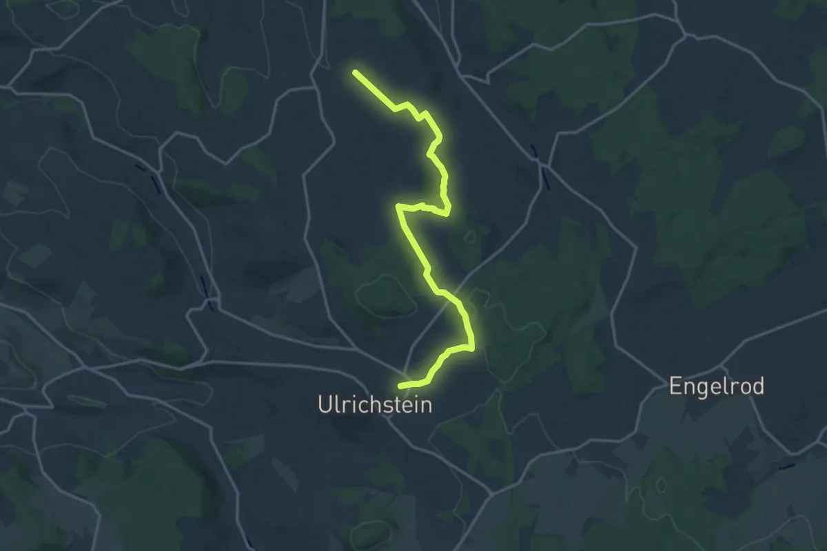
Medium · Trail
Judenpfad Stumpertenrod - Ulrichstein (Ostroute)
14.9 km · ↑ 359 m · 4 h 17 min
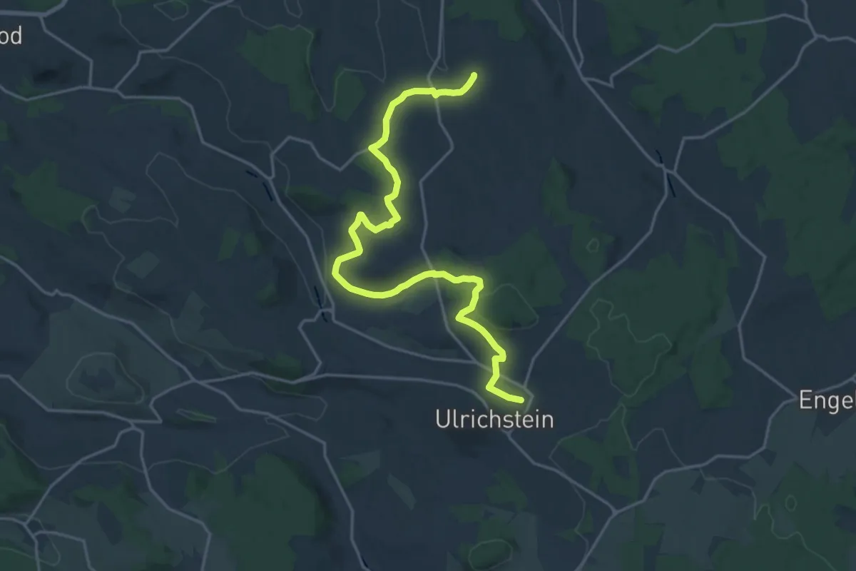
Demanding · Trail
Judenpfad Stumpertenrod - Ulrichstein (West)
19.6 km · ↑ 495 m · 5 h 42 min
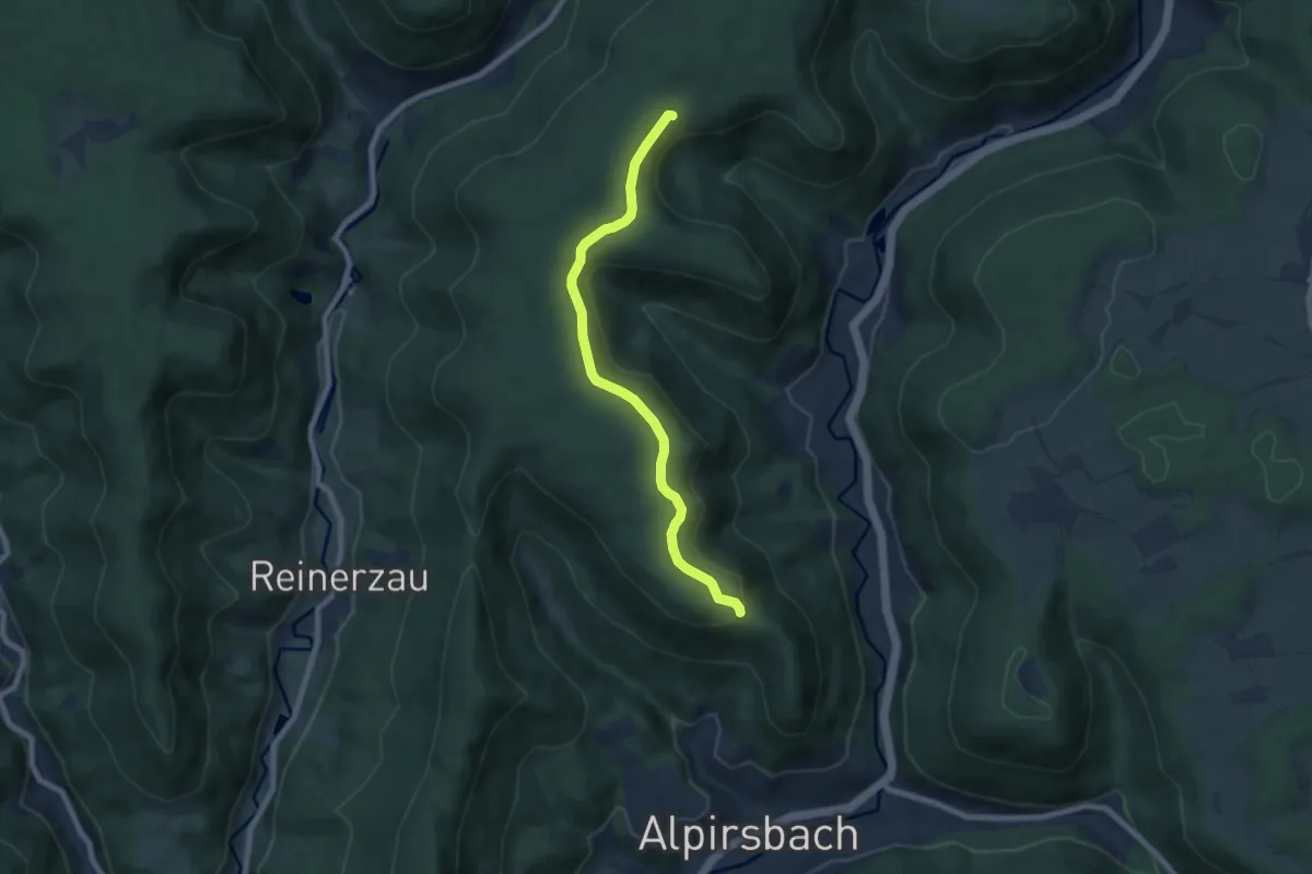
Easy · Trail
Judenwaldhütte - Heilenberghütte
7.0 km · ↑ 172 m · 2 h 2 min
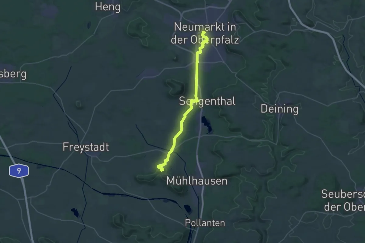
Demanding · Summit
Judenweg
29.2 km · ↑ 272 m · 7 h 30 min
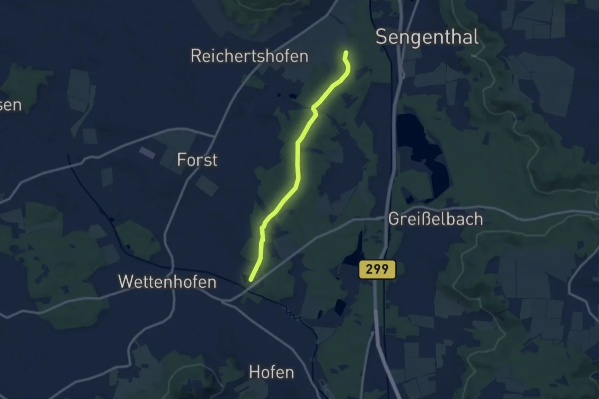
Medium · Trail
Judenweg
8.3 km · ↑ 74 m · 2 h 7 min
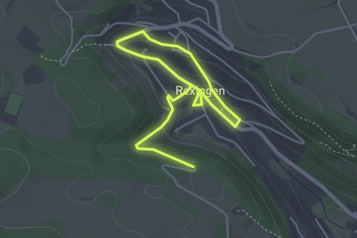
Easy · Trail
Jüdische Geschichte
5.0 km · ↑ 187 m · 1 h 35 min
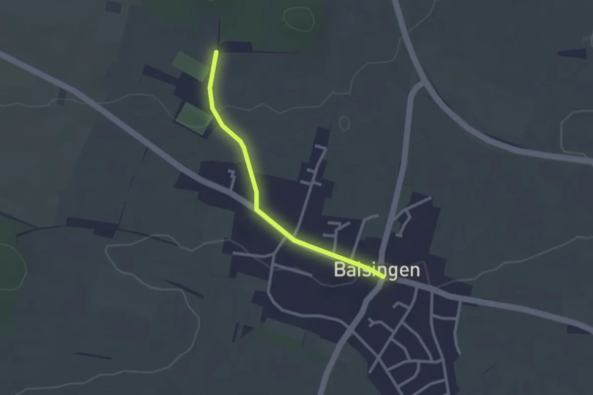
Easy · Trail
Jüdischer Friedhof - Baisingen
2.2 km · ↑ 25 m · 34 min
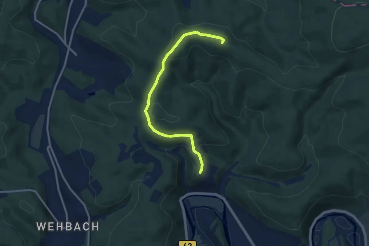
Easy · Summit
Jugendherbergsweg Freusburg
6.2 km · ↑ 195 m · 1 h 53 min
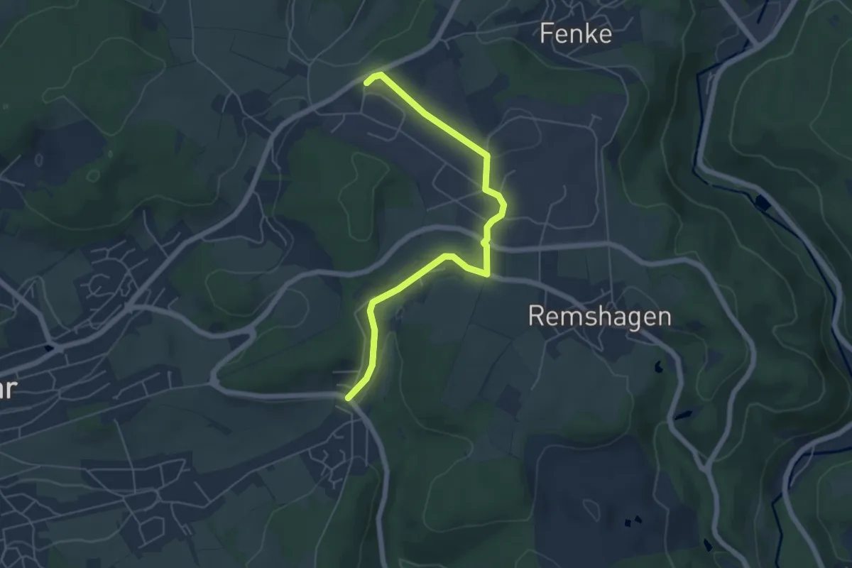
Easy · Trail
Jugendherbergsweg Lindlar
5.1 km · ↑ 88 m · 1 h 24 min
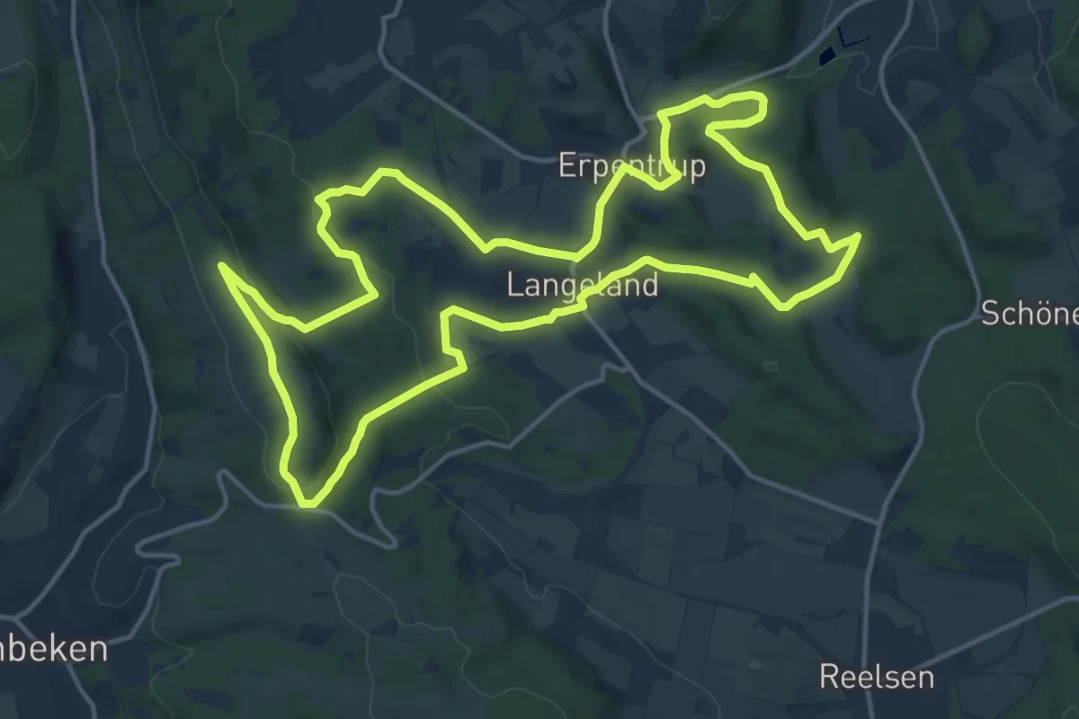
Medium · Summit
Jugendwanderweg Hagebuttenrunde
14.5 km · ↑ 325 m · 4 h 20 min
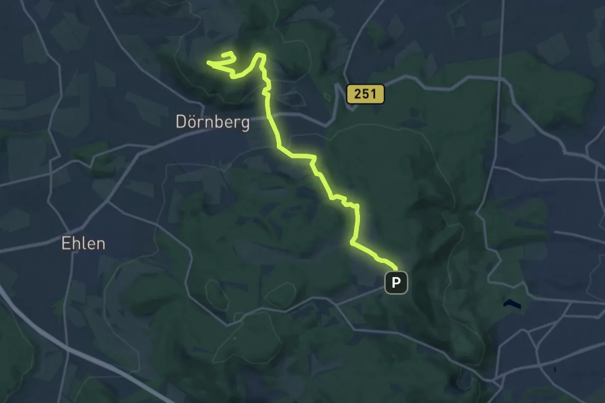
Medium · Summit
Jugendwanderweg "Über den Dörnberg"
15.6 km · ↑ 451 m · 4 h 39 min
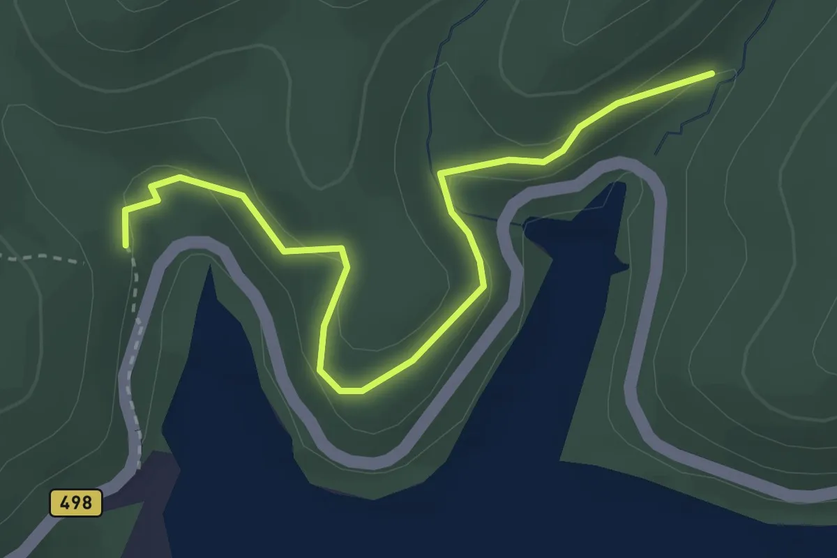
Easy · Trail
Jugendwerkstatt-Weg
3.1 km · ↑ 91 m · 56 min
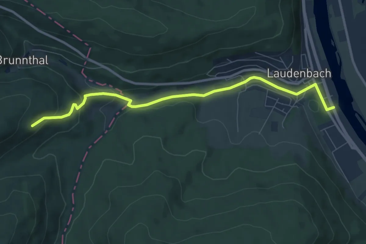
Easy · Trail
Jugenheim–Laudenbach (OWK HW 16)
7.2 km · ↑ 196 m · 2 h 8 min
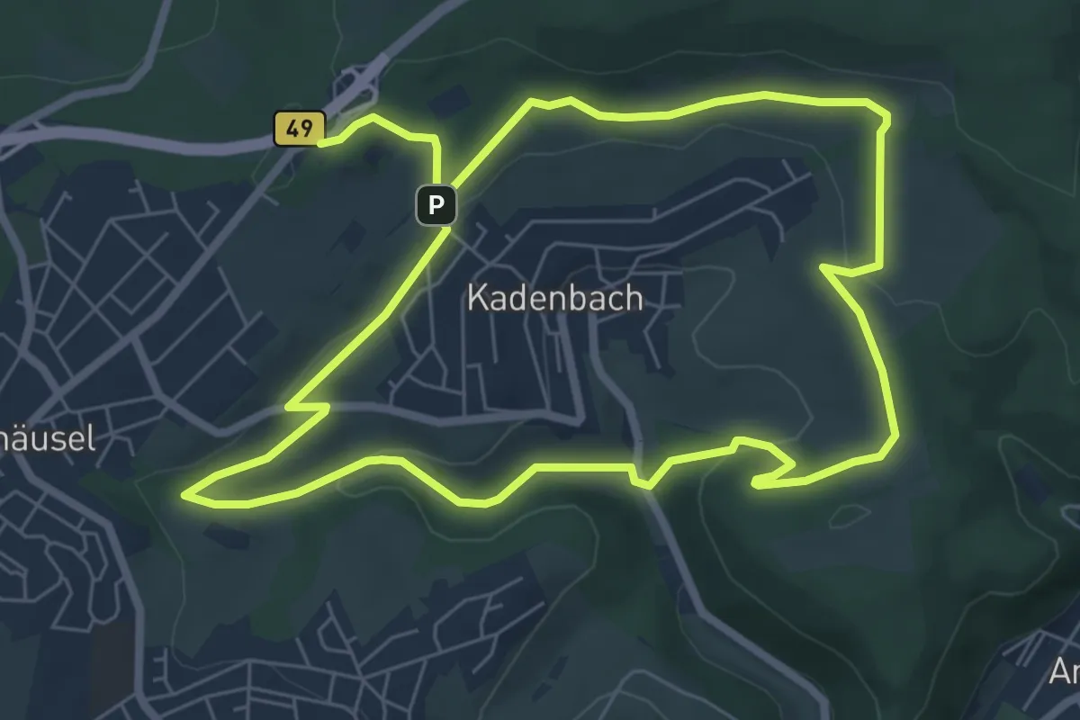
Easy · Trail
Jugiläumsrundwanderweg 900 Jahre Kadenbach
6.0 km · ↑ 198 m · 1 h 55 min
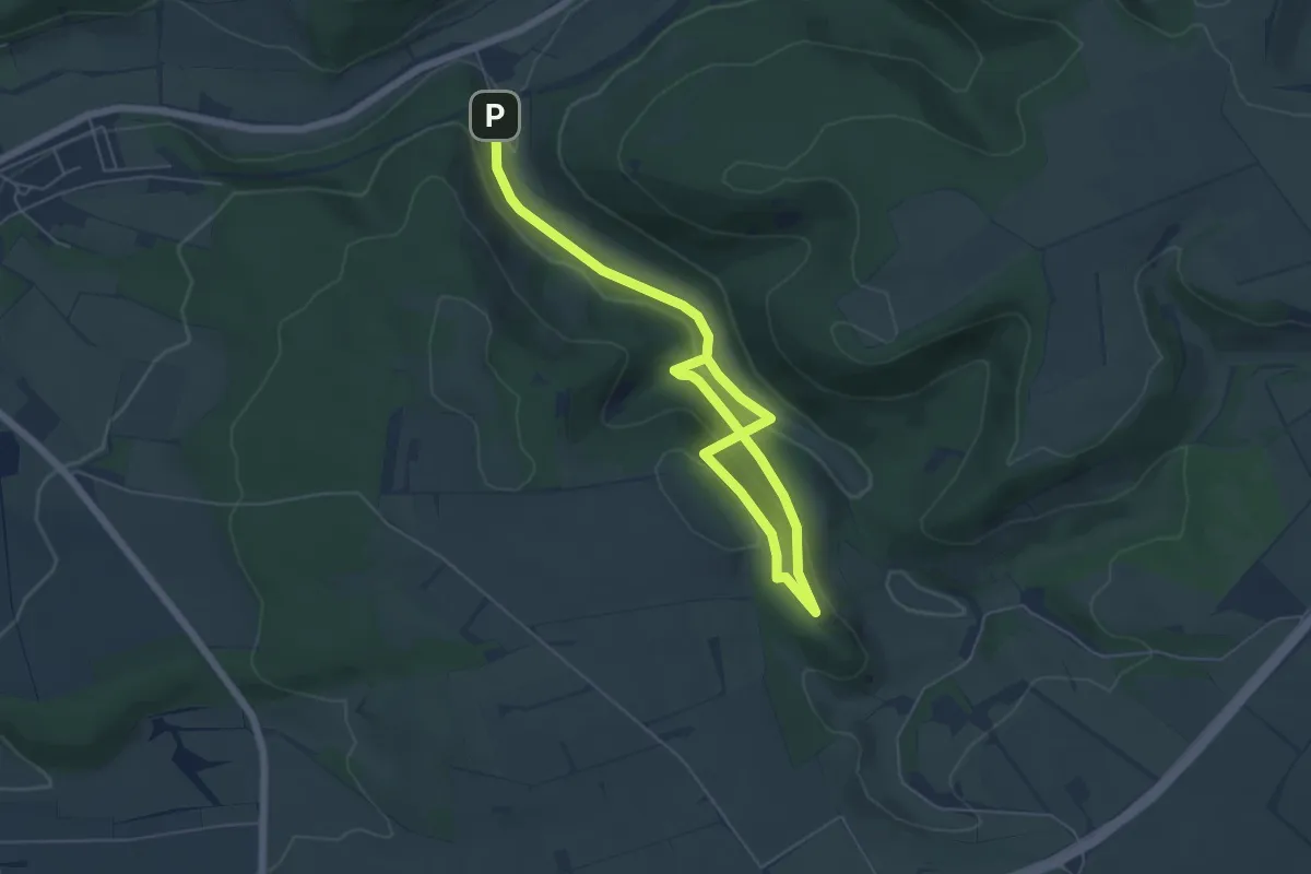
Easy · Trail
Jühengrund
3.4 km · ↑ 126 m · 1 h 7 min
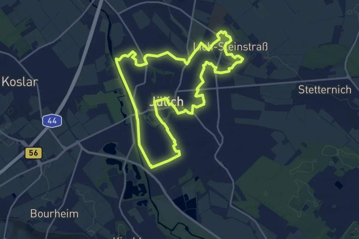
Medium · Trail
Jülich Rundweg J1
11.8 km · ↑ 29 m · 3 h
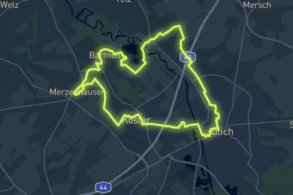
Demanding · Trail
Jülich Rundweg J2
19.0 km · ↑ 61 m · 4 h 52 min
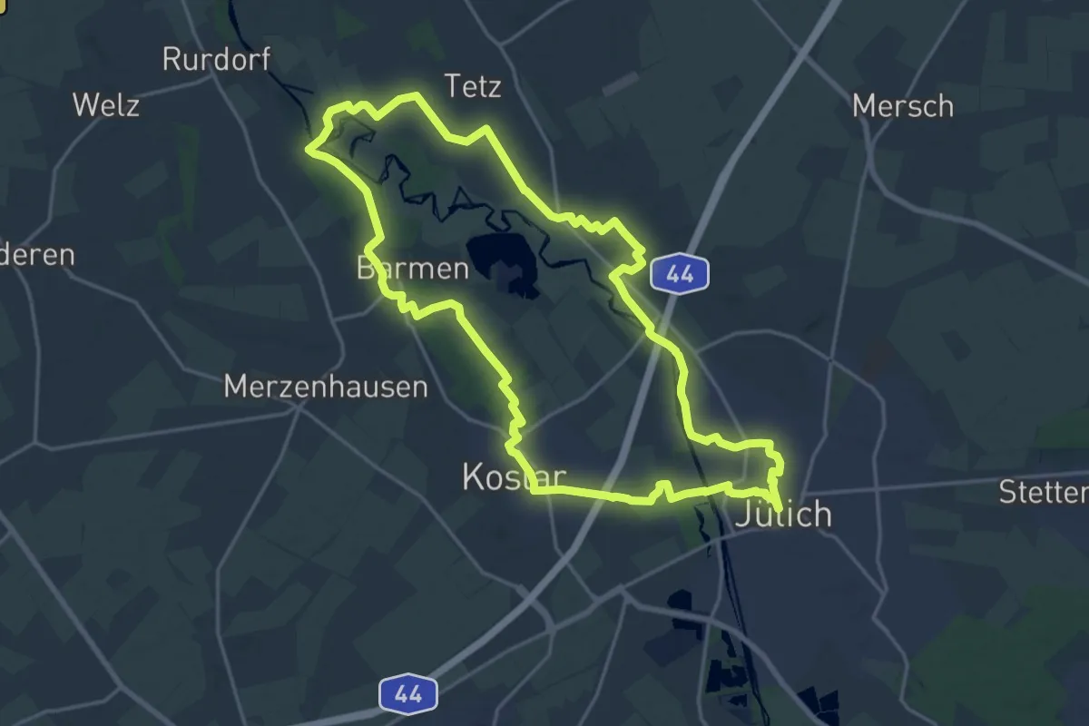
Medium · Trail
Jülich Rundweg J3
17.7 km · ↑ 39 m · 4 h 31 min
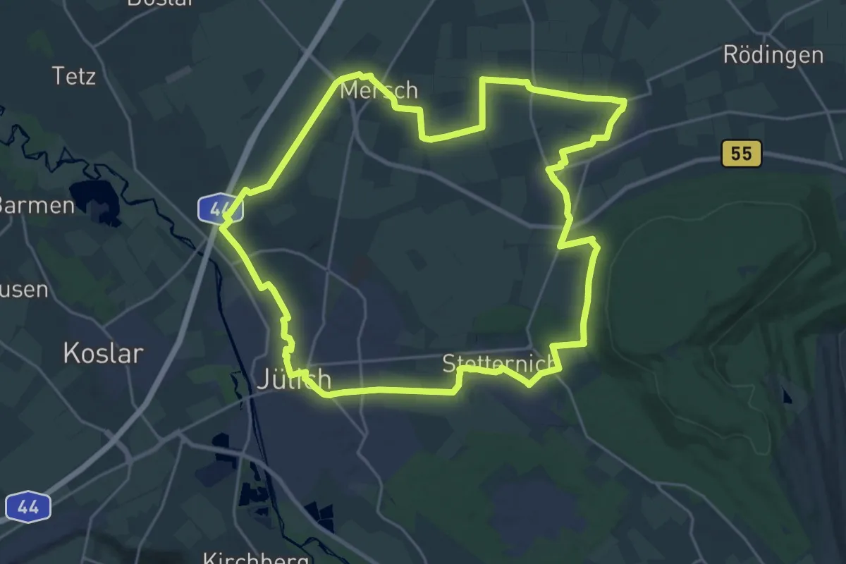
Demanding · Trail
Jülich Rundweg J4
22.7 km · ↑ 59 m · 5 h 48 min
Demanding · Trail
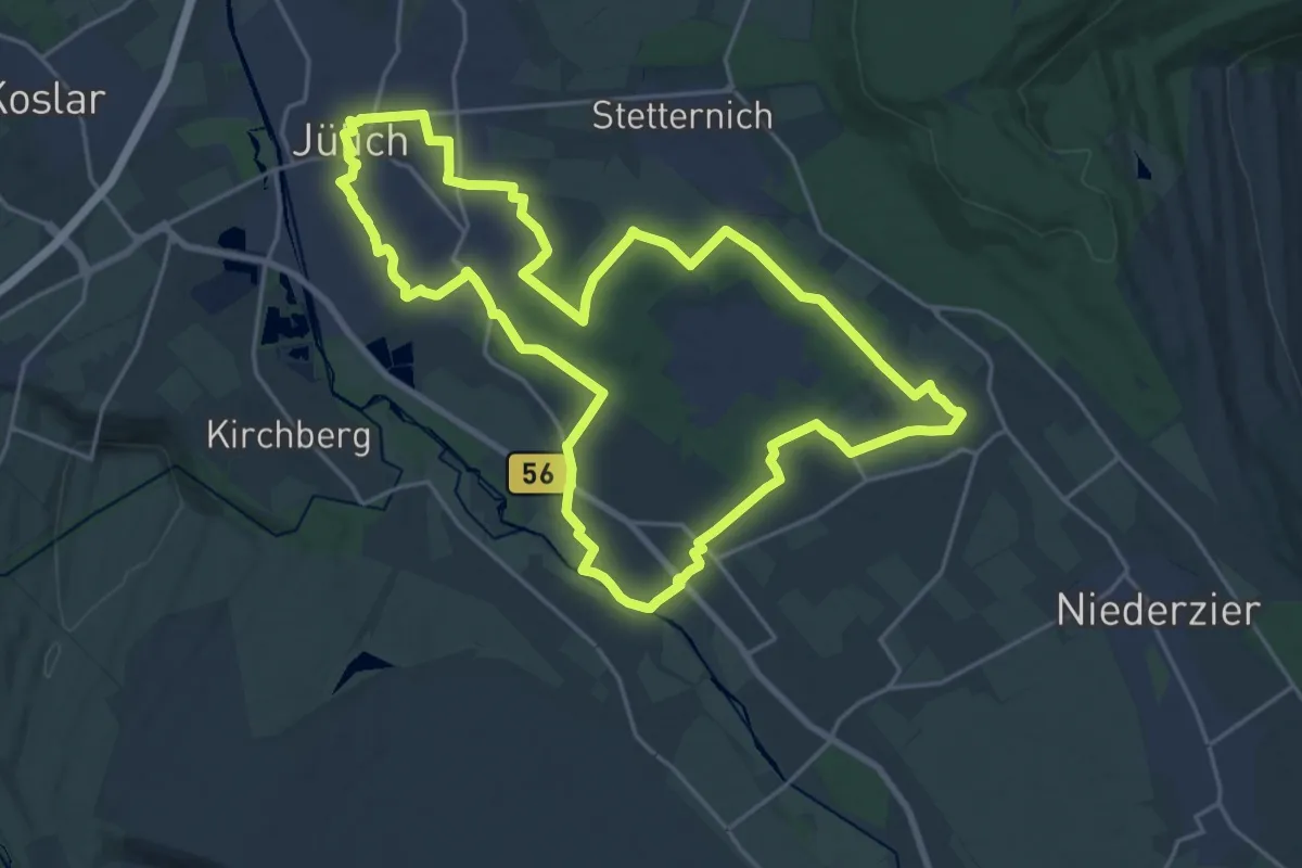
Jülich Rundweg J5
20.3 km · ↑ 35 m · 5 h 10 min
Demanding · Trail
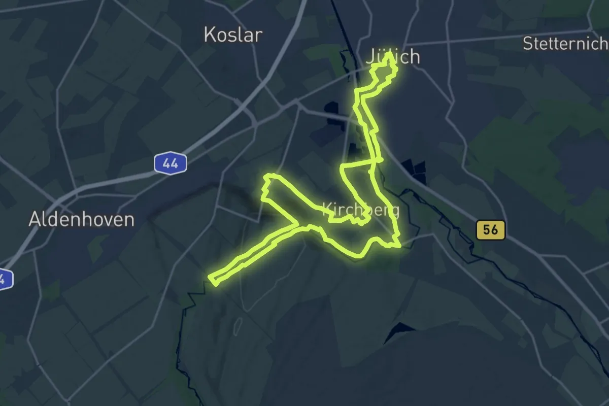
Jülich Rundweg J6
18.9 km · ↑ 295 m · 5 h 21 min
Easy · Trail
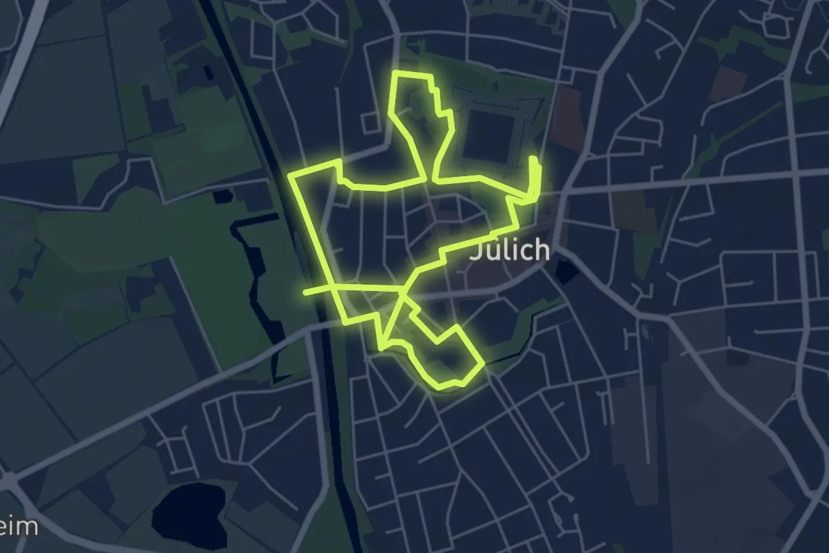
Jülich Rundweg JÜL
5.1 km · ↑ 4 m · 1 h 17 min
Medium · Trail
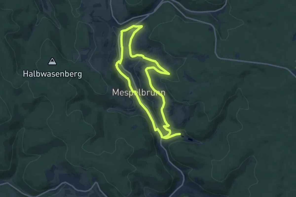
Julius-Echter-Weg Mespelbrunn
8.6 km · ↑ 161 m · 2 h 30 min
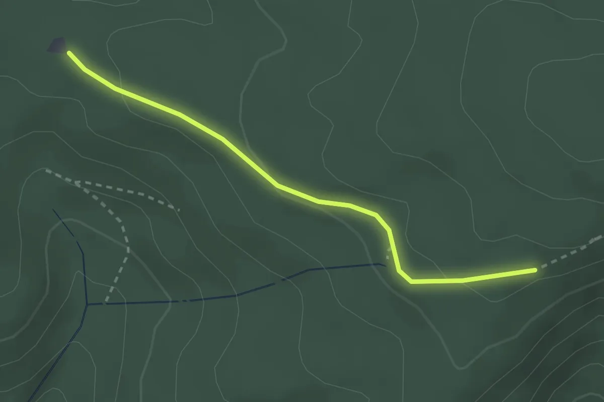
Easy · Trail
Julius-Kaufmann-Hütte - Rauhhörnlehütte
2.5 km · ↑ 71 m · 44 min
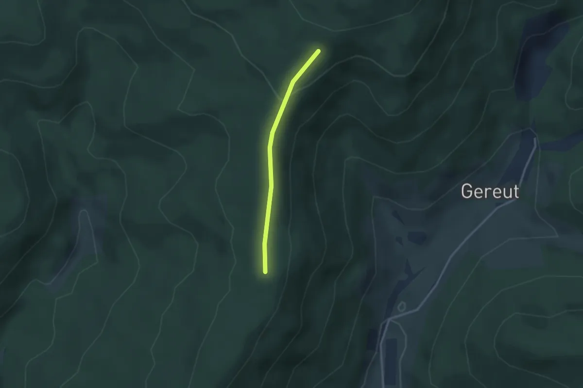
Easy · Trail
Julius-Kaufmann-Hütte - Schwarzlach Langeck
2.1 km · ↑ 63 m · 38 min
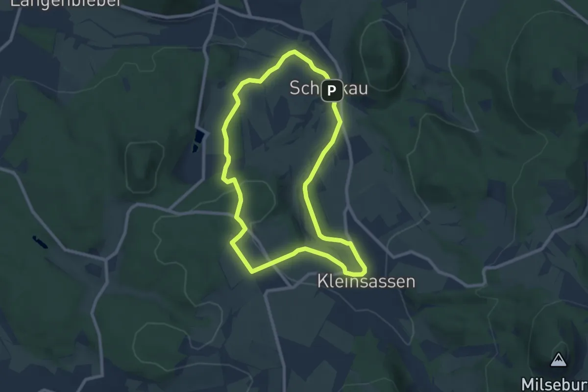
Easy · Trail
Julius-von-Kreyfelt-Malerrundweg
6.0 km · ↑ 105 m · 1 h 44 min
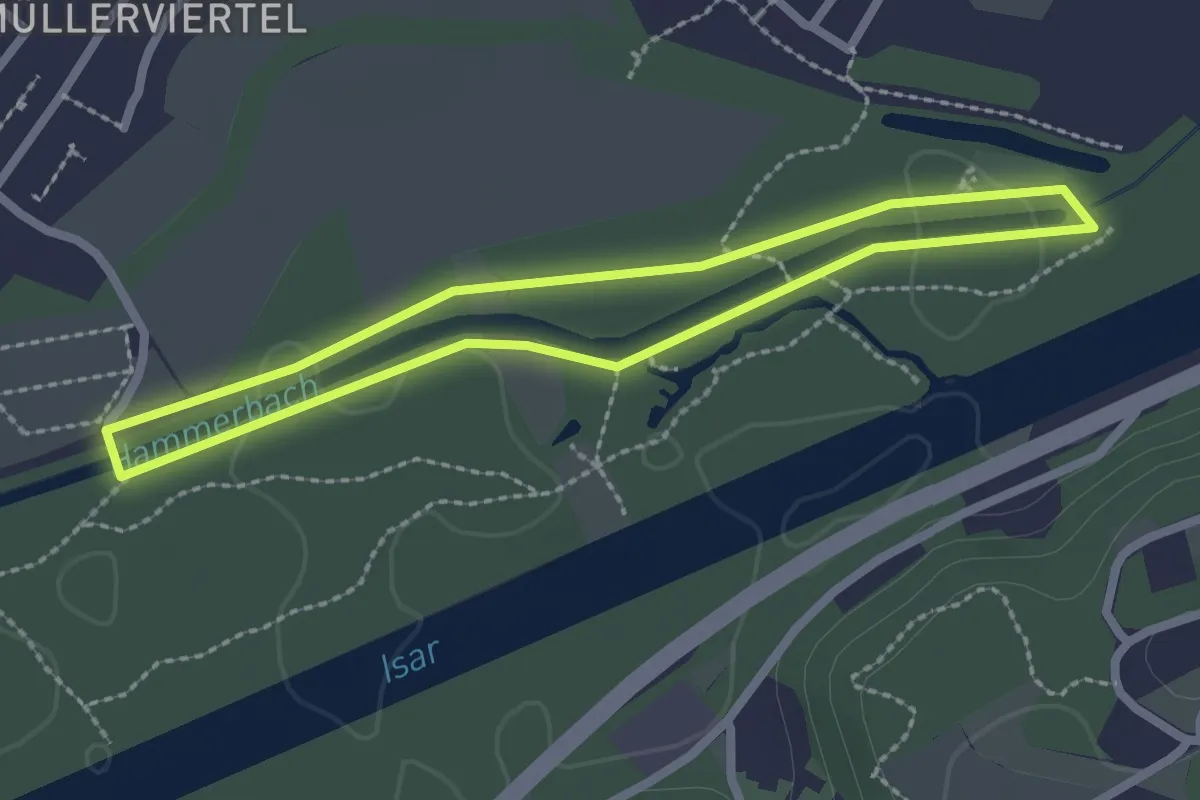
Easy · Trail
Jungbrunnen Route
2.1 km · ↑ 0 m · 31 min
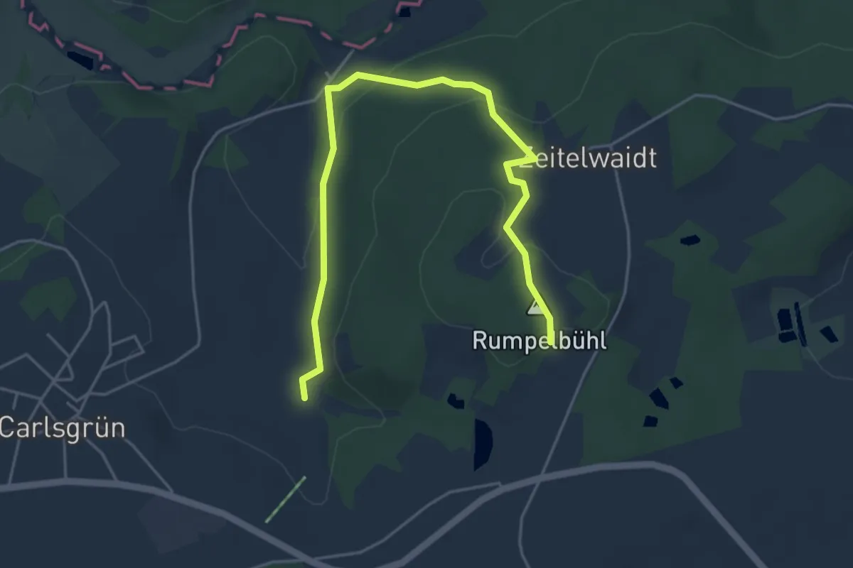
Easy · Trail
Jungbrunnen-Weg
2.5 km · ↑ 117 m · 50 min
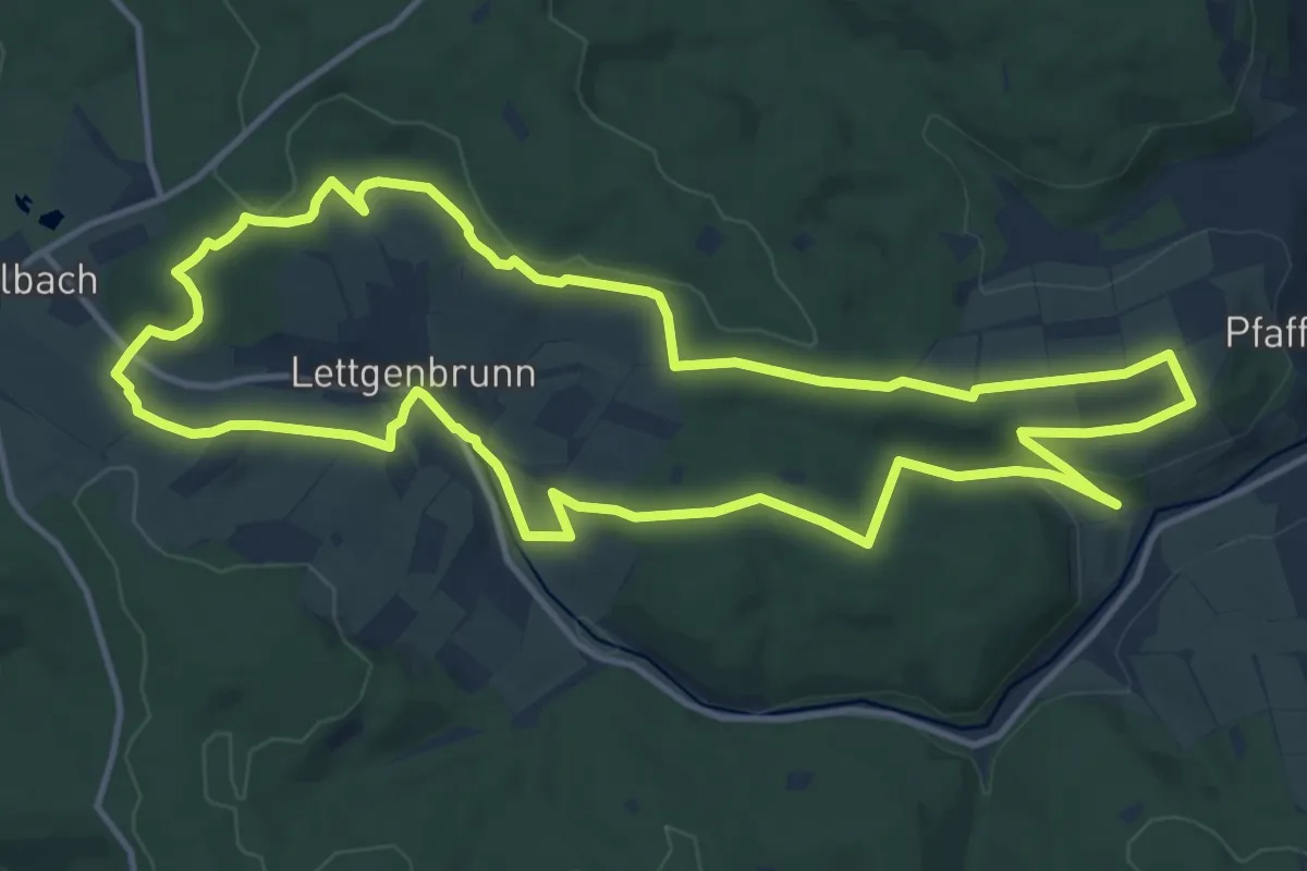
Medium · Summit
Junge Jossa Lettgenbrunn ( Spessartfährten )
12.8 km · ↑ 268 m · 3 h 47 min
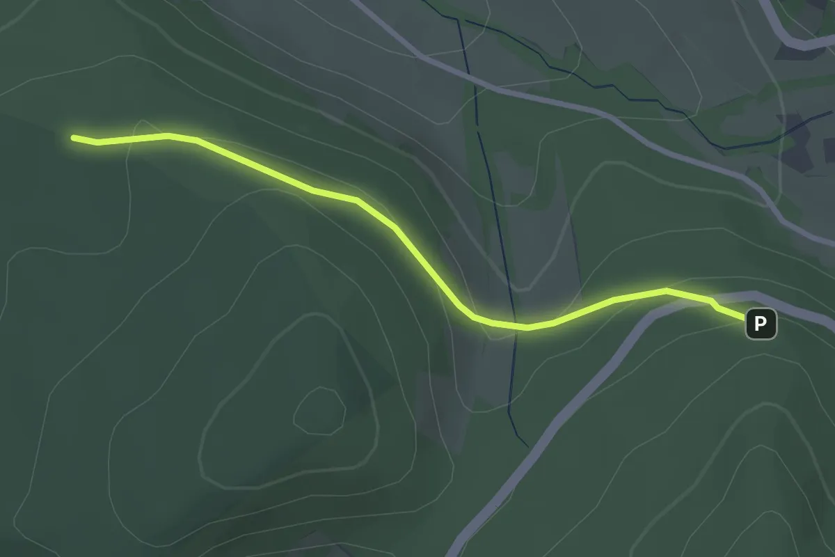
Easy · Trail
Jungfernbrünnle - Hörnle
2.6 km · ↑ 84 m · 47 min
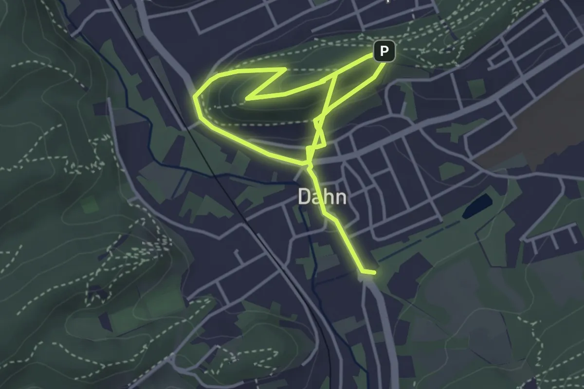
Easy · Summit
Jungfern-Tour
2.7 km · ↑ 70 m · 52 min