Trails in Germany
36,852 hiking trails, each with its route, climb, walking time and grade.
All trails, page 276 of 768
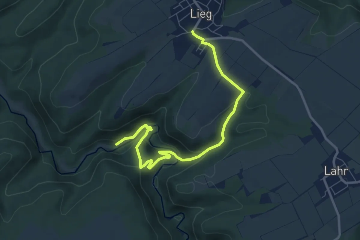
Easy · Trail
K3b - Witwertsbach
7.2 km · ↑ 312 m · 2 h 23 min
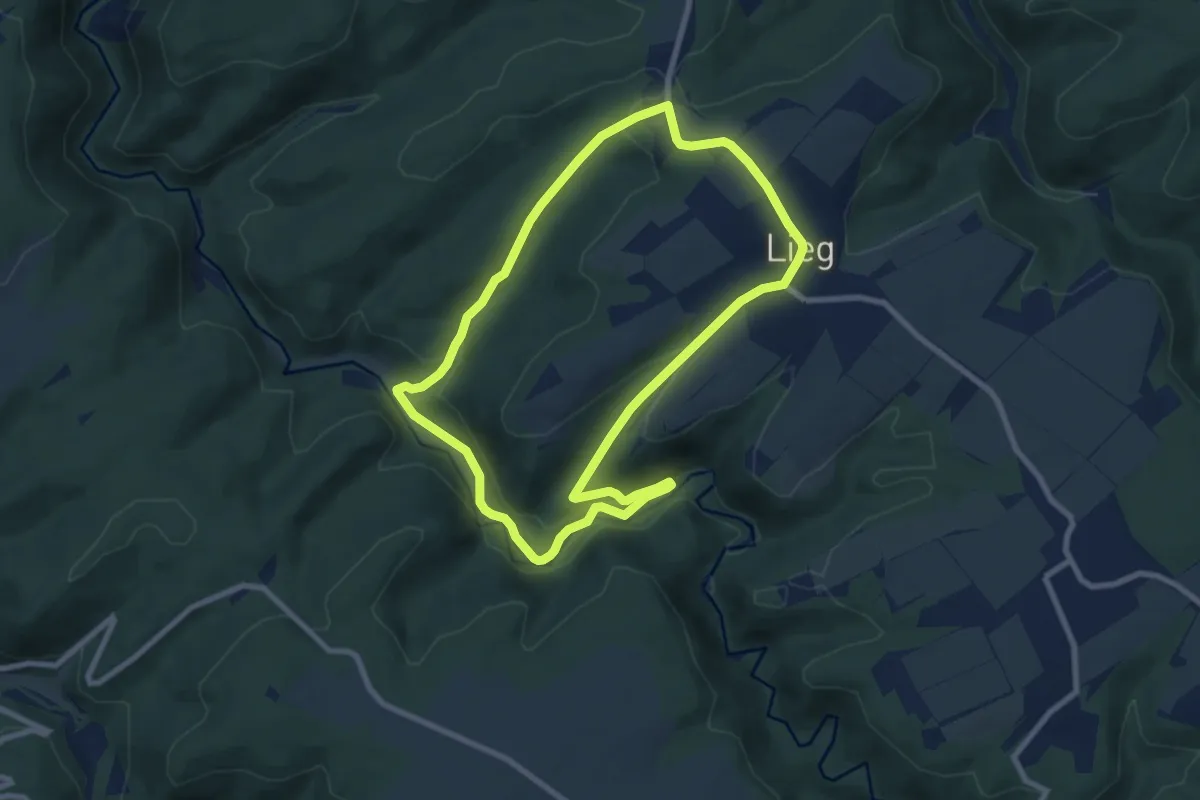
Easy · Trail
K3 - Dünnbachschleife
7.5 km · ↑ 233 m · 2 h 23 min
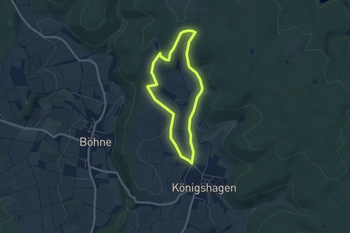
Easy · Trail
K3 Königshagen 3
4.2 km · ↑ 118 m · 1 h 18 min
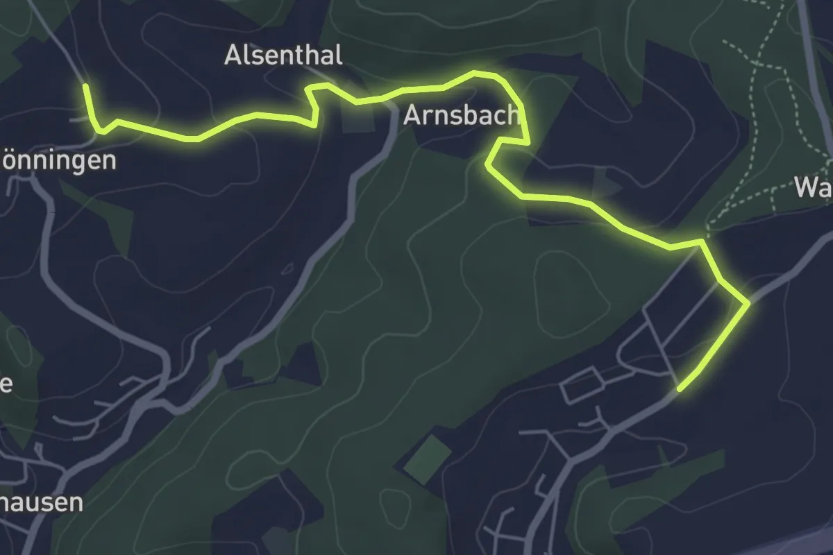
Easy · Trail
[K3] Rundweg Katzwinkel 3
2.8 km · ↑ 83 m · 52 min
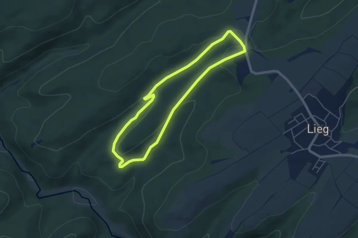
Easy · Trail
K4 Schauf
3.9 km · ↑ 83 m · 1 h 9 min
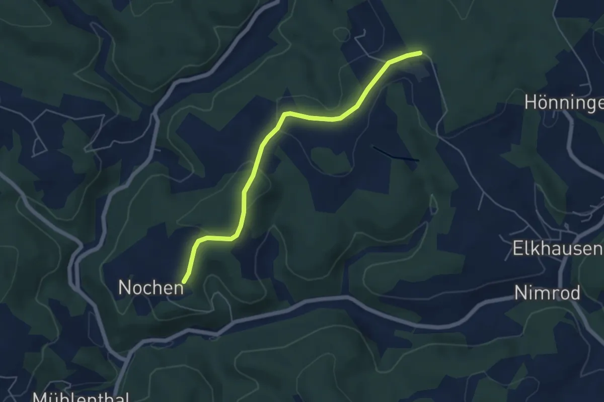
Easy · Trail
[K5] Rundweg Katzwinkel 5
2.3 km · ↑ 15 m · 38 min
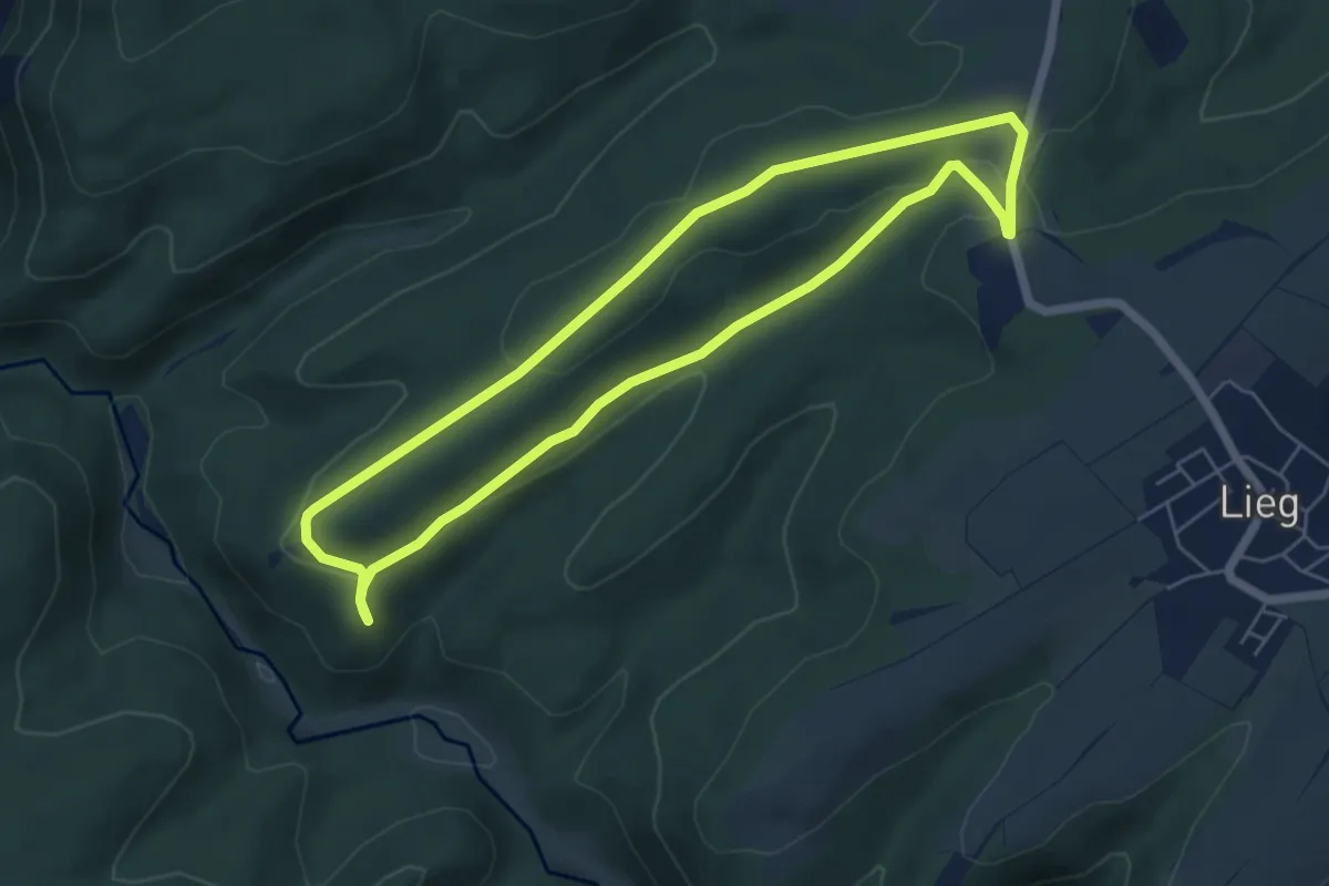
Easy · Trail
K5 Windparcours
5.2 km · ↑ 91 m · 1 h 30 min
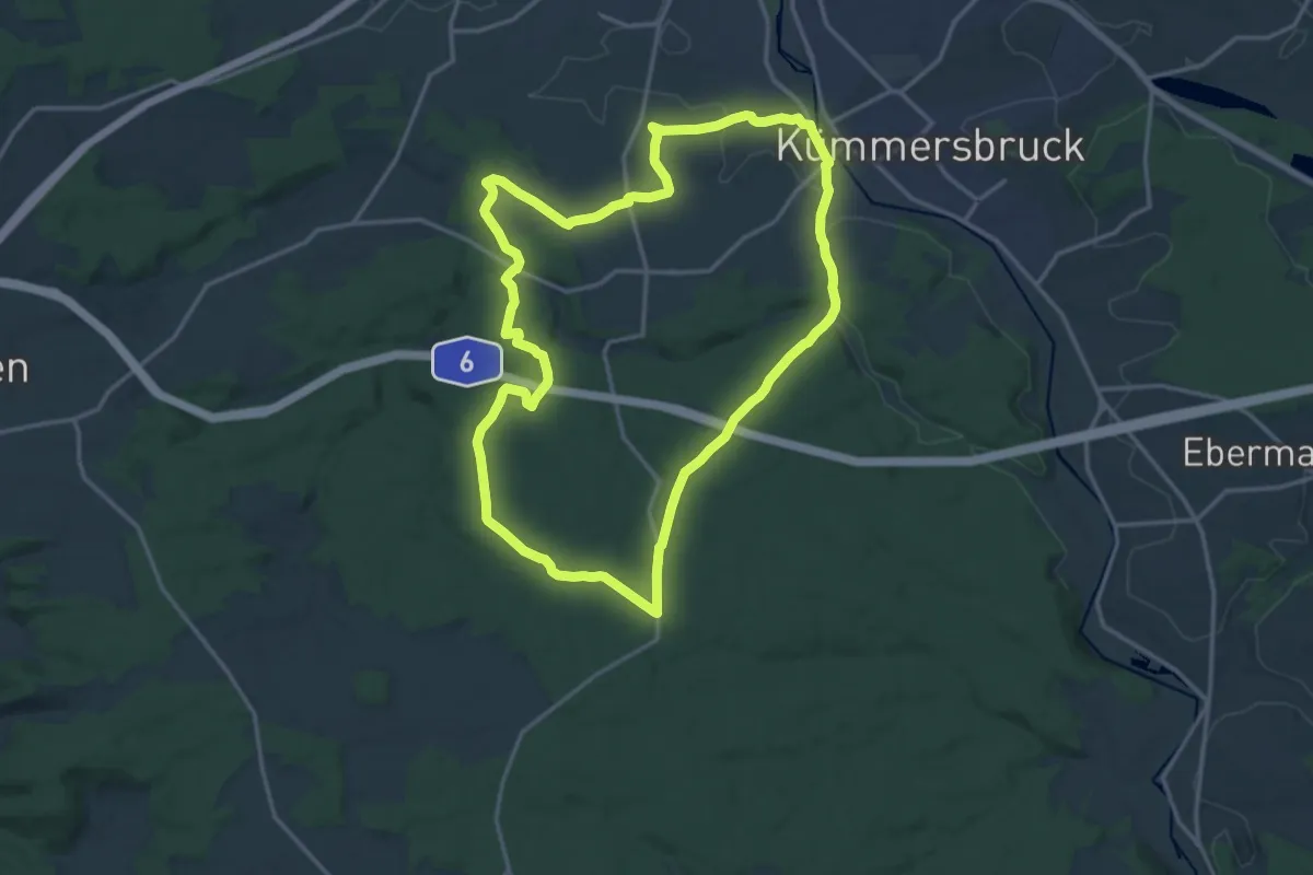
Medium · Trail
K6
15.4 km · ↑ 211 m · 4 h 19 min
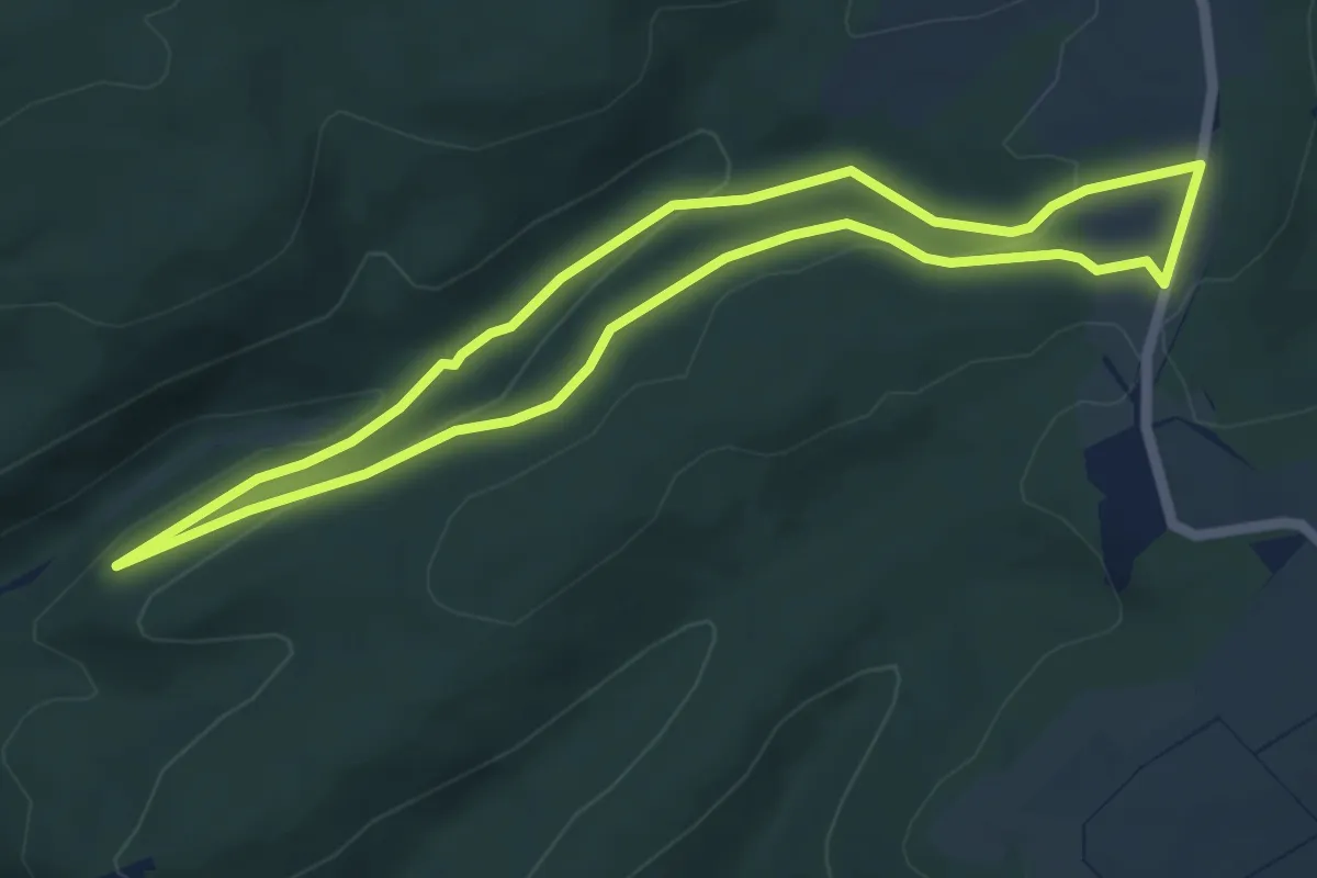
Easy · Trail
K6 Buckel
4.8 km · ↑ 102 m · 1 h 25 min
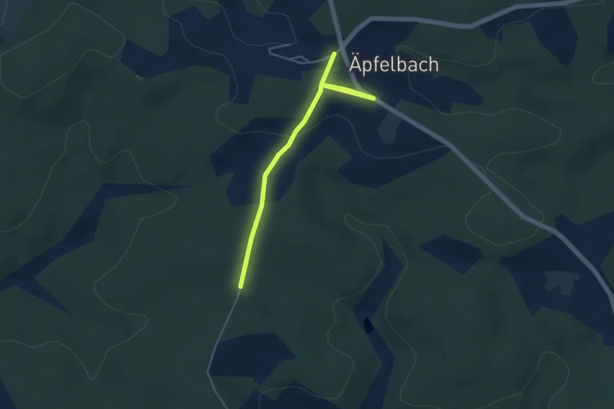
Easy · Trail
[K6] Rundweg Katzwinkel 6
1.7 km · ↑ 13 m · 28 min
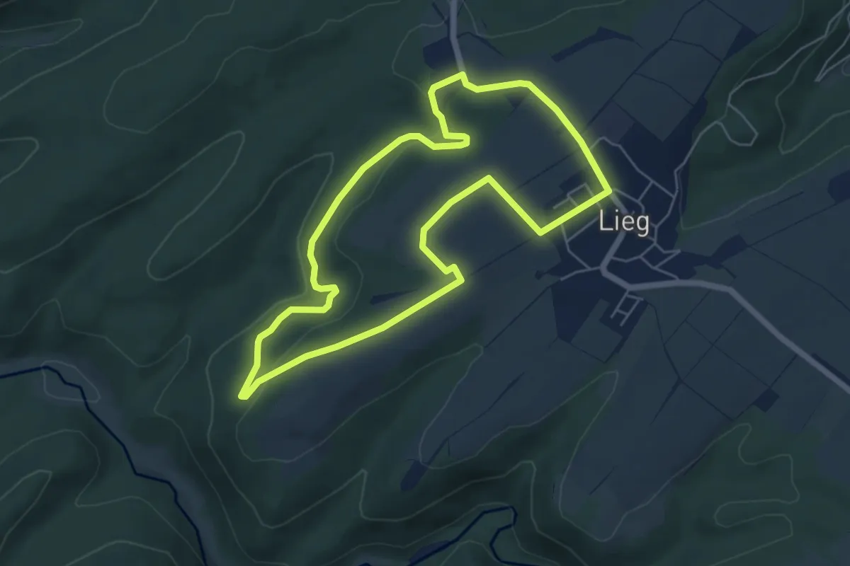
Easy · Trail
K7 - Alf / Haus Pfennig
5.2 km · ↑ 159 m · 1 h 38 min
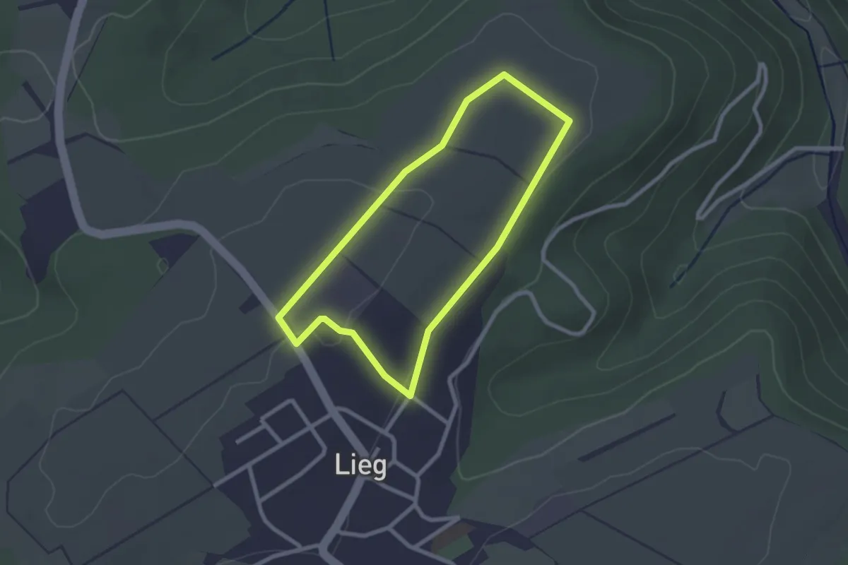
Easy · Trail
K8 - Kirst
2.1 km · ↑ 28 m · 34 min
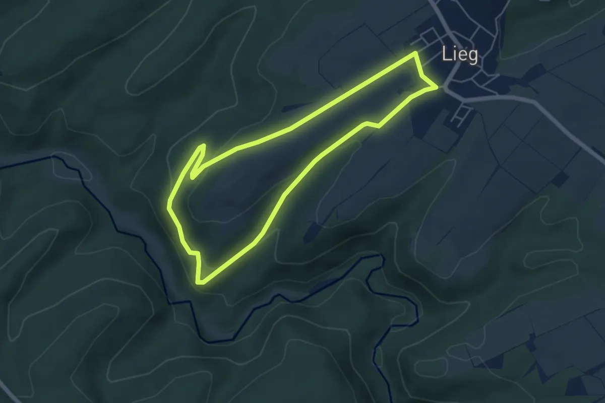
Easy · Trail
K9 - Silberlei Wingert
4.5 km · ↑ 133 m · 1 h 25 min
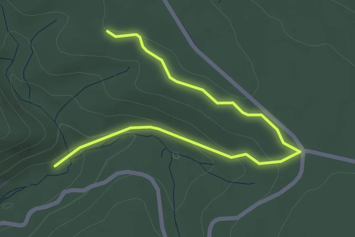
Easy · Trail
Kadenbacher Rundwanderweg K2
4.2 km · ↑ 108 m · 1 h 14 min
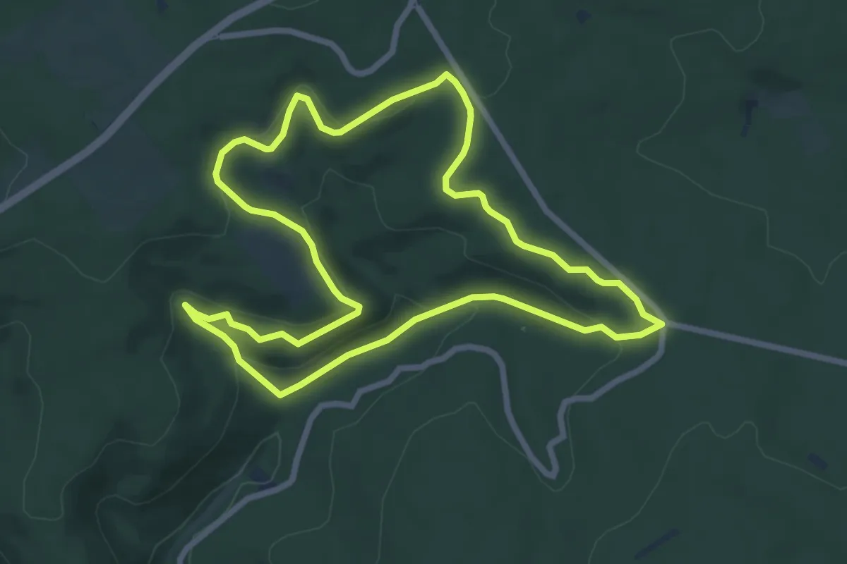
Easy · Trail
Kadenbacher Rundwanderweg K3
6.3 km · ↑ 201 m · 2 h
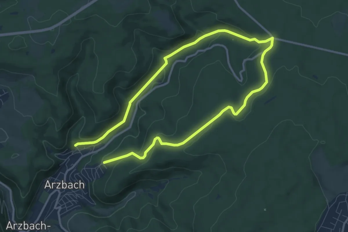
Medium · Trail
Kadenbacher Rundwanderweg K4
13.6 km · ↑ 385 m · 4 h 2 min
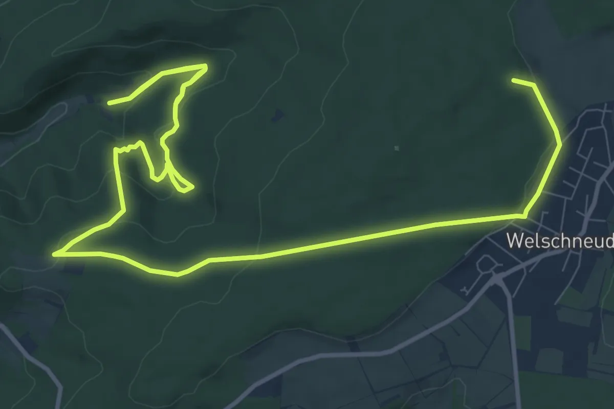
Medium · Summit
Kadenbacher Rundwanderweg K6
14.4 km · ↑ 526 m · 4 h 32 min
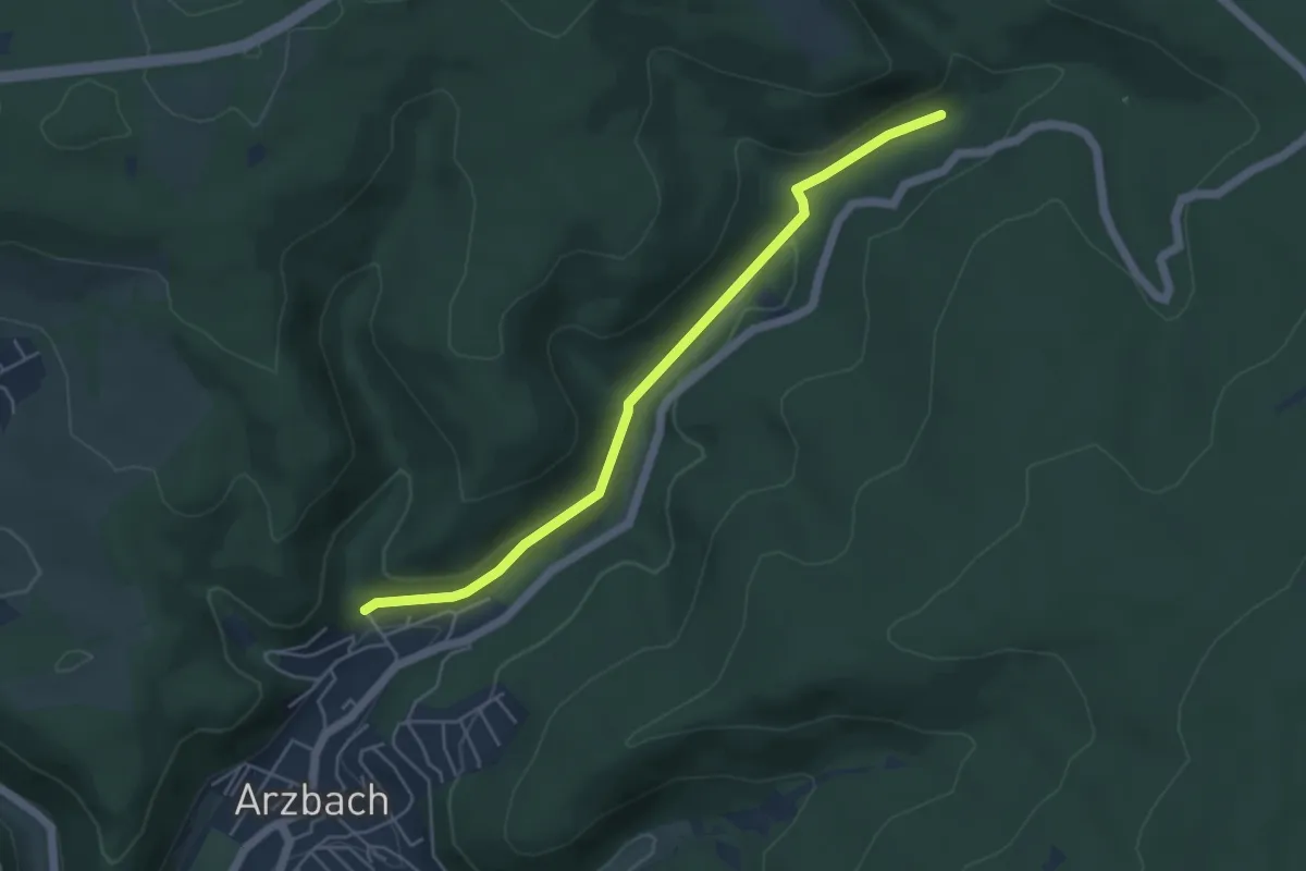
Easy · Trail
Kadenbacher Rundwanderweg K7
4.5 km · ↑ 102 m · 1 h 16 min
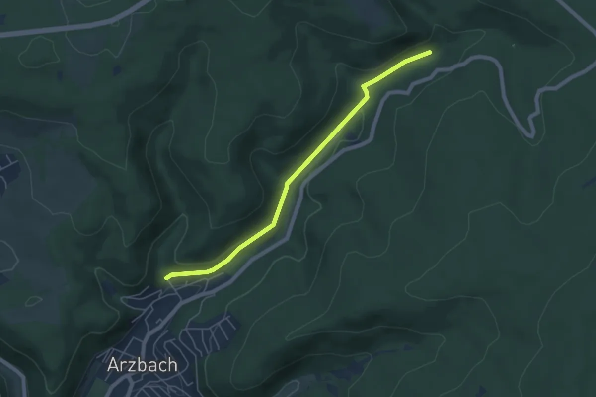
Easy · Trail
Kadenbacher Rundwanderweg K8
4.5 km · ↑ 102 m · 1 h 16 min
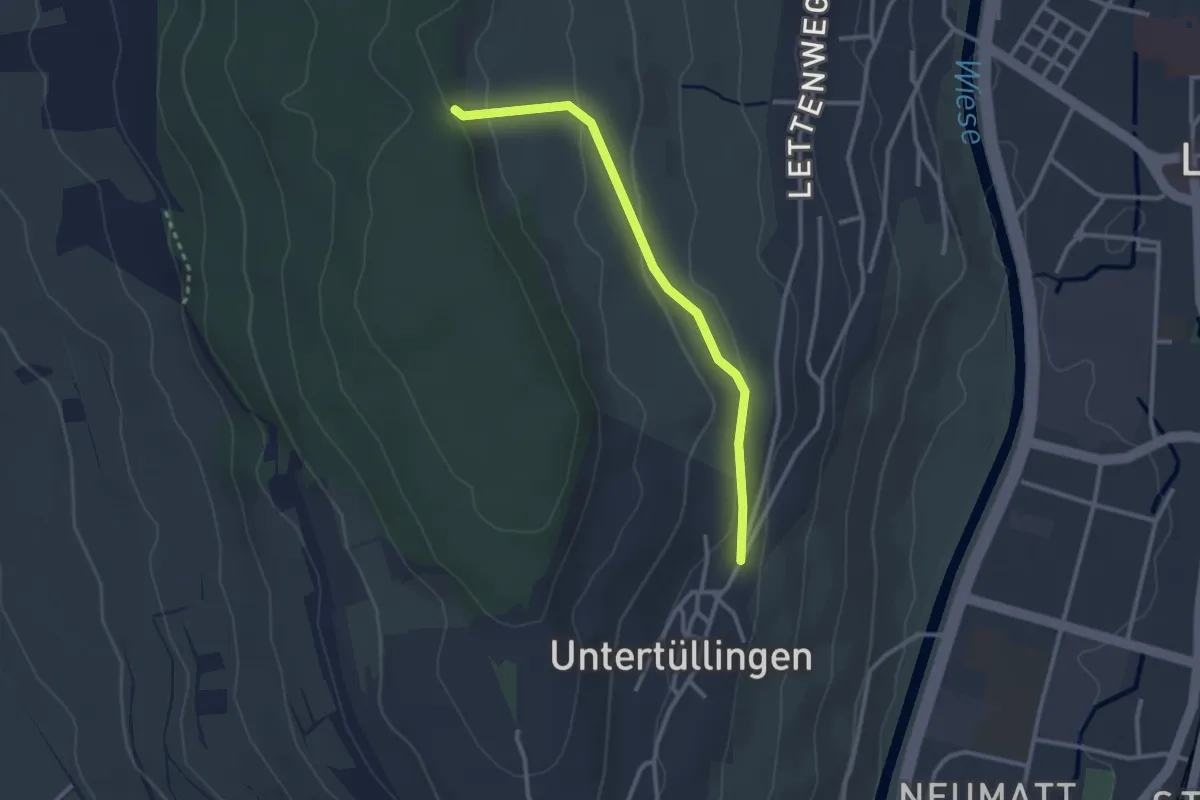
Easy · Trail
Käferholz - Tüllingen Hornbrunnenweg
2.7 km · ↑ 81 m · 48 min
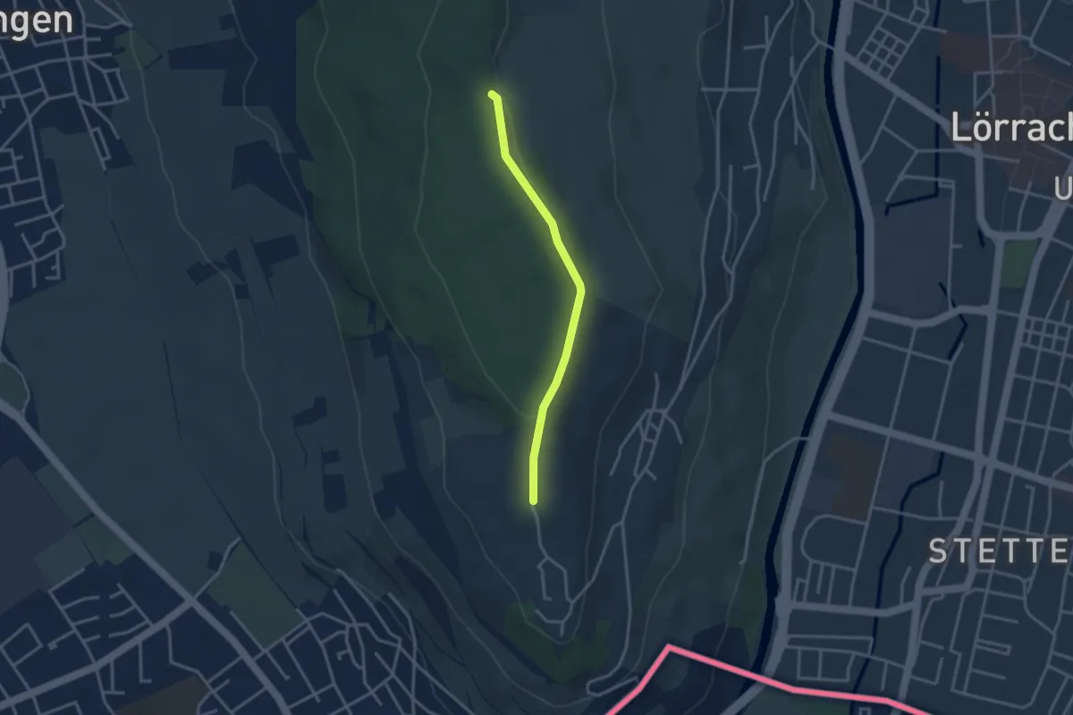
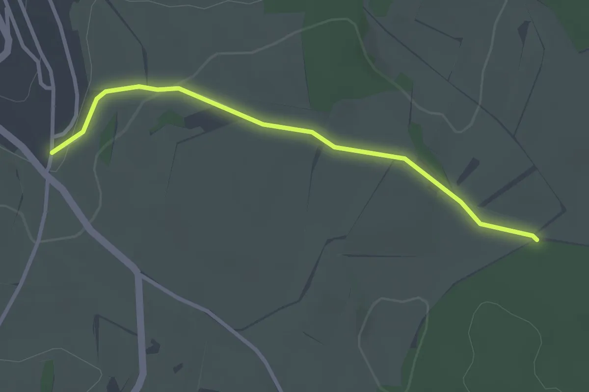
Easy · Trail
Käferholz - Tüllingen Lindenplatz
2.8 km · ↑ 50 m · 47 min
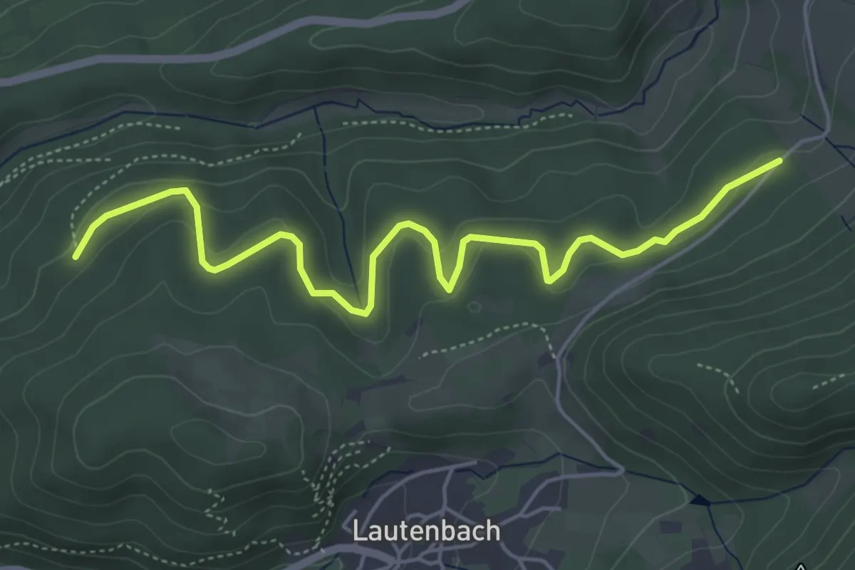
Easy · Trail
Käferholzweg - Greistel
2.7 km · ↑ 39 m · 44 min
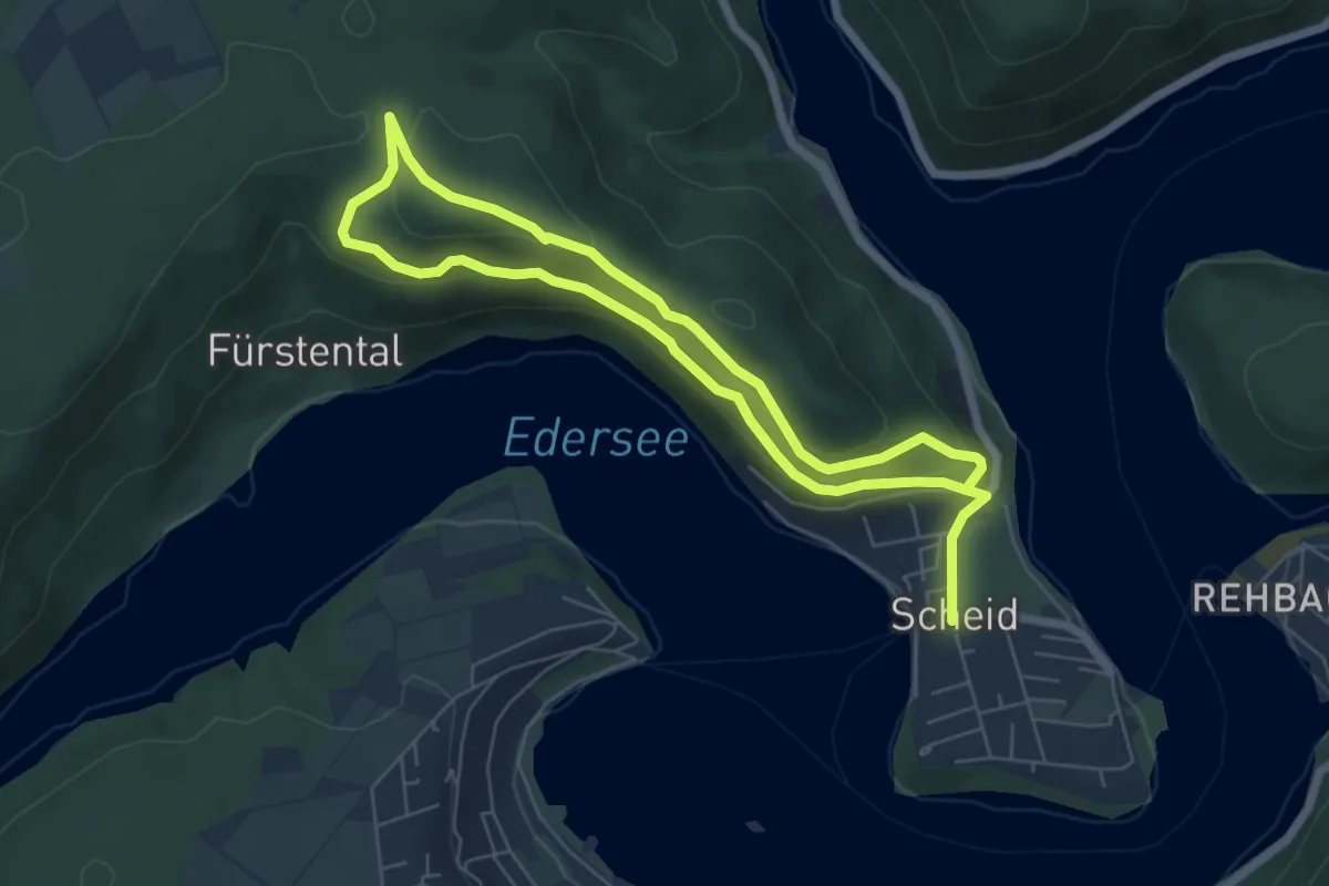
Easy · Trail
Käferplatte - Schwannwald
5.4 km · ↑ 158 m · 1 h 37 min
Easy · Trail
Kahle-Haardt-Route
5.0 km · ↑ 194 m · 1 h 40 min
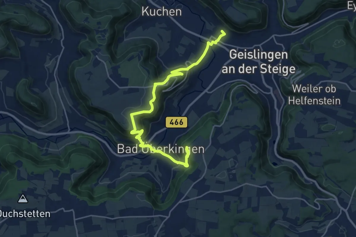
Demanding · Trail
Kahlenstein Bad Überkingen Oberböhringen Geislingen-West
17.5 km · ↑ 875 m · 6 h 2 min
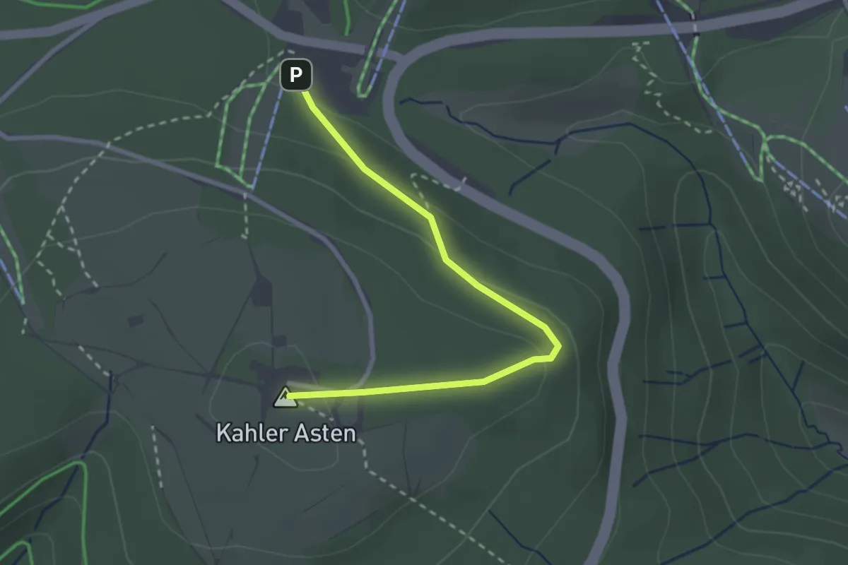
Easy · Summit
Kahler Asten Rundweg A1
2.5 km · ↑ 81 m · 46 min
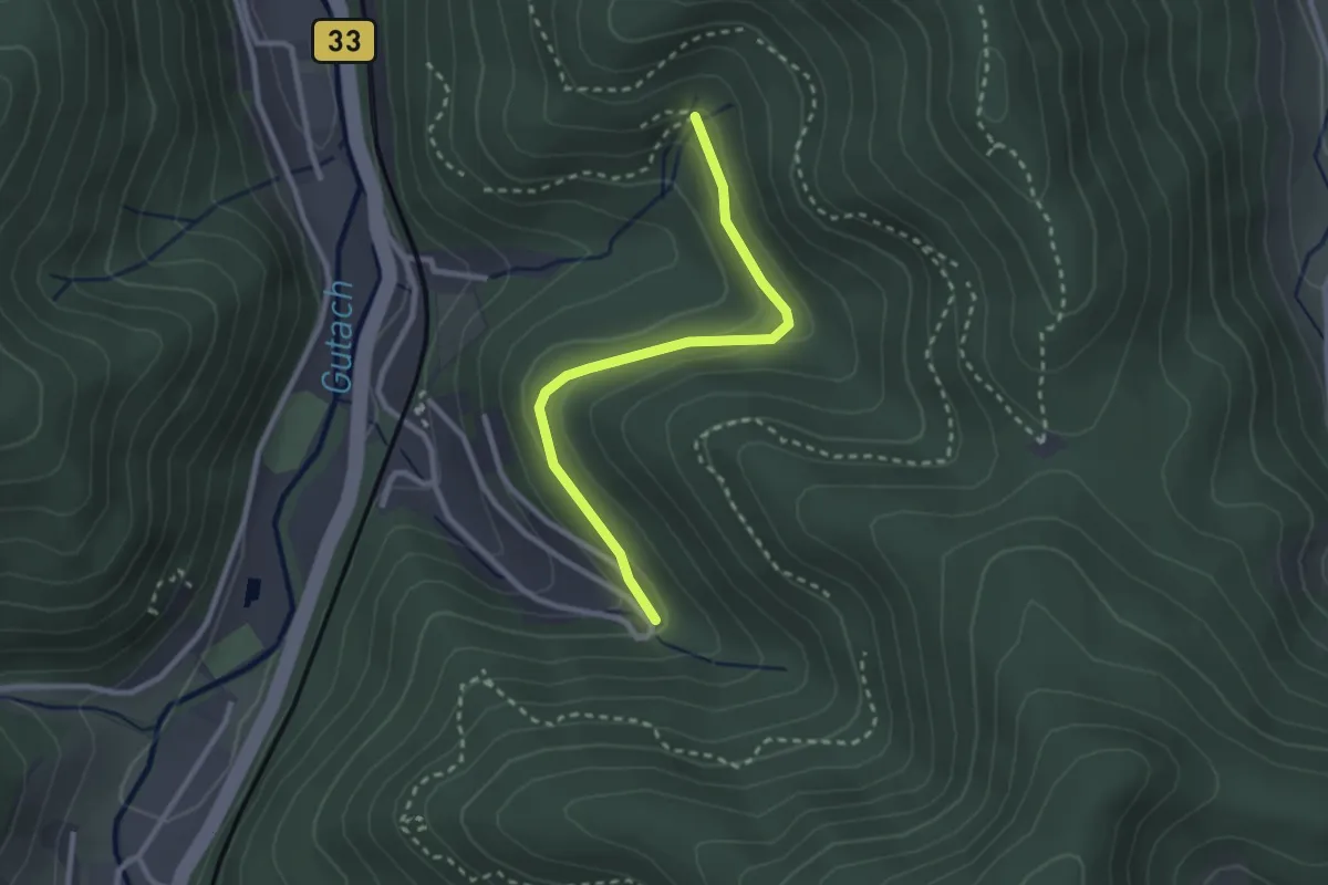
Easy · Trail
Kahlhiebbrunnen - Im Rubersbach
2.5 km · ↑ 72 m · 44 min
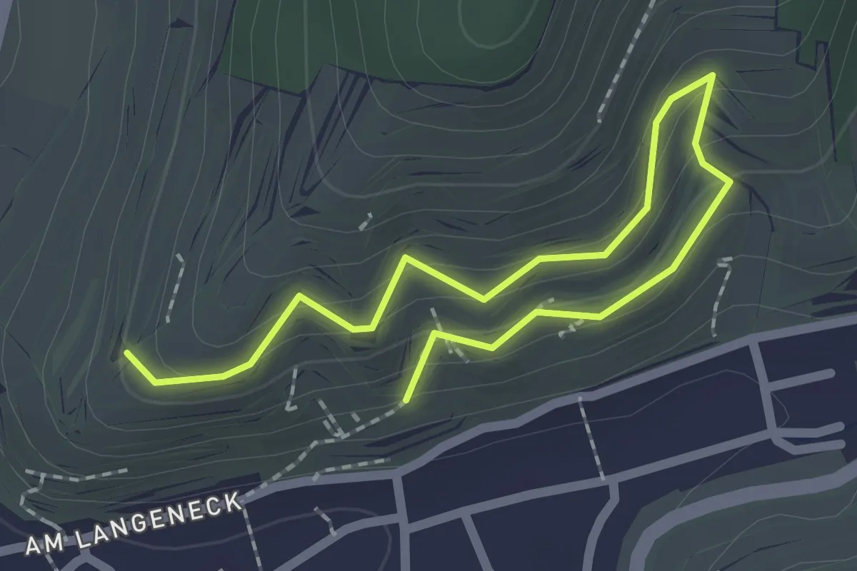
Easy · Trail
Kähne - Barten
2.5 km · ↑ 208 m · 1 h 3 min
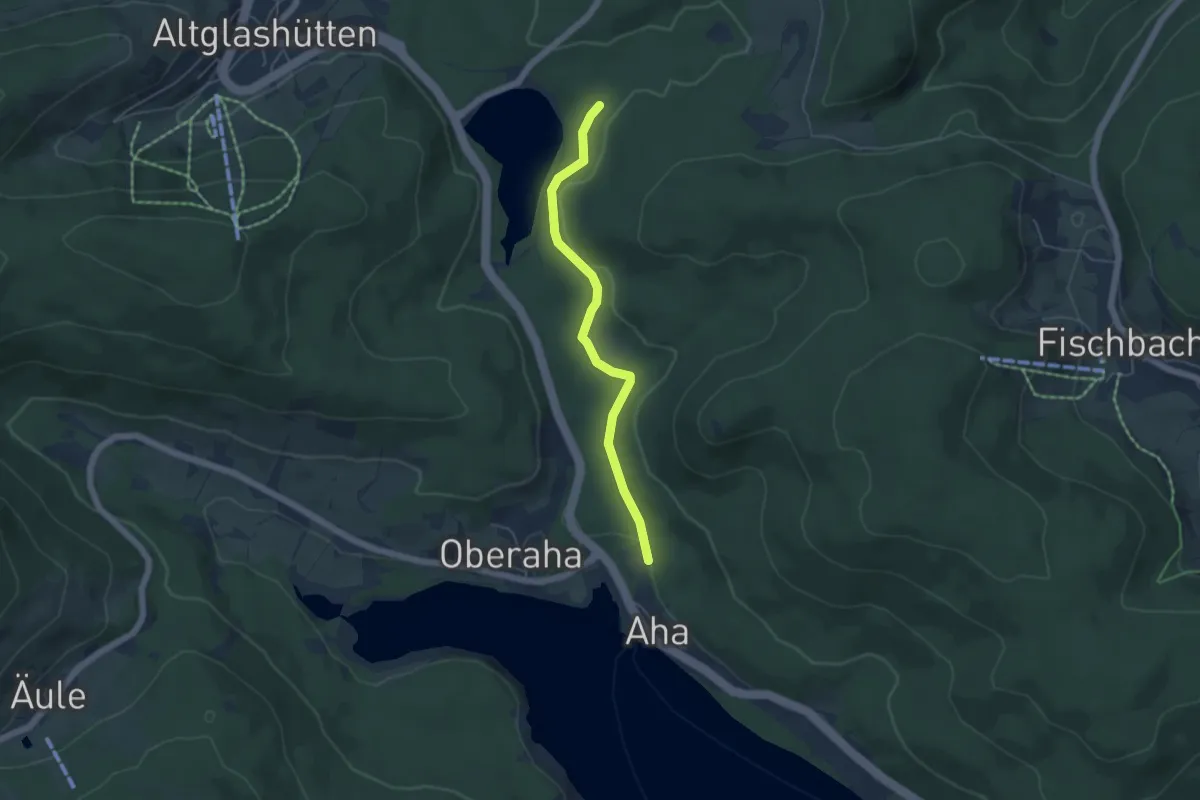
Easy · Trail
Kähnermoos - Unterer Bildsteinweg
4.5 km · ↑ 167 m · 1 h 26 min
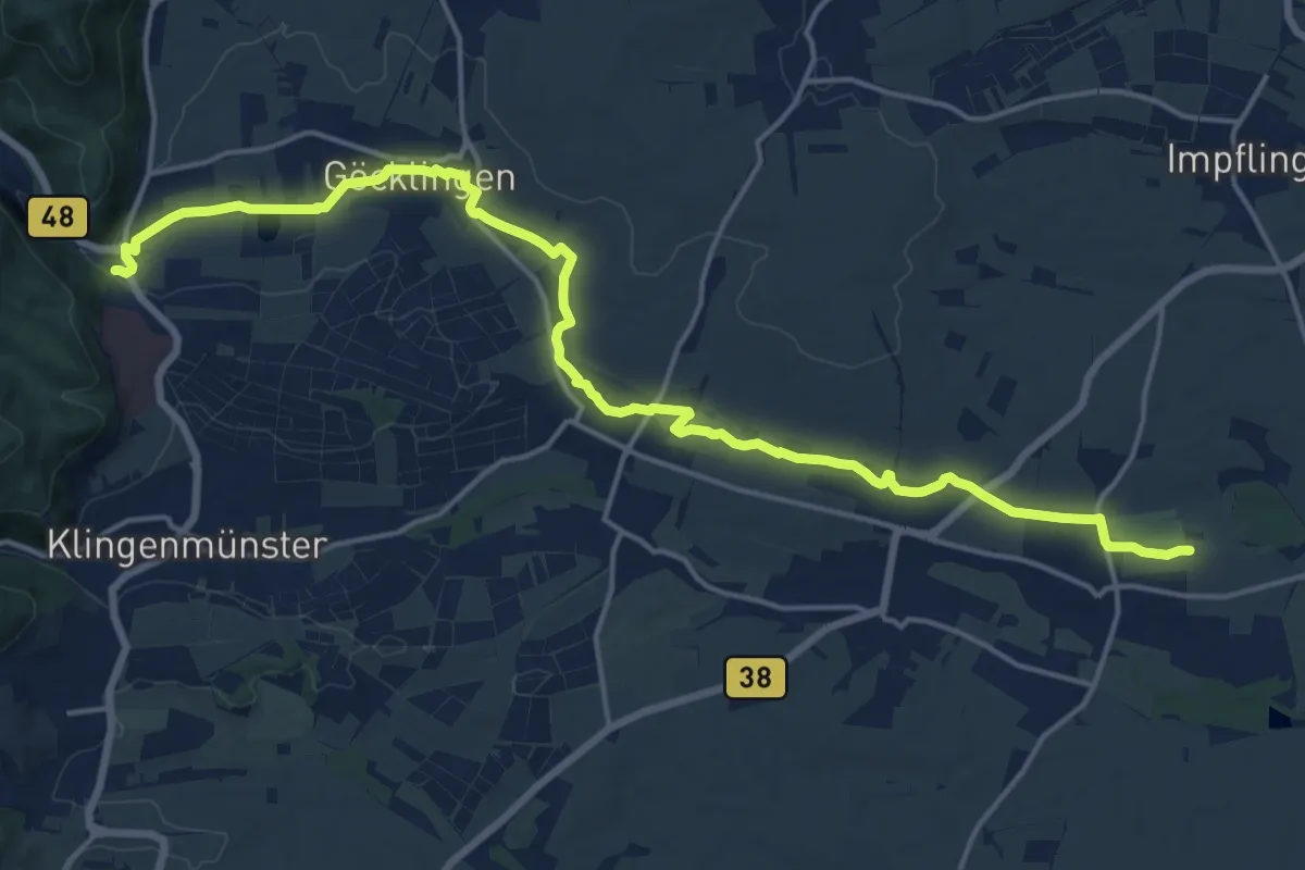
Demanding · Trail
Kaiserbach Lehrpfad
19.1 km · ↑ 66 m · 4 h 40 min
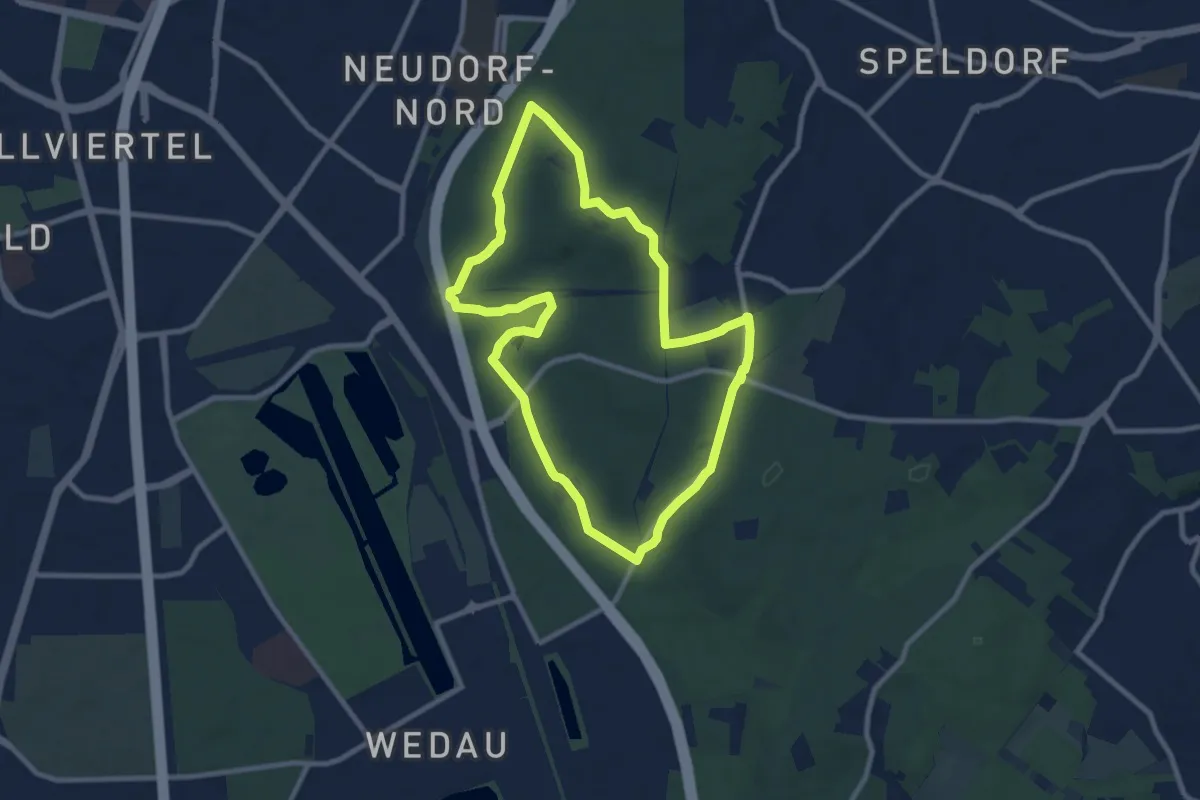
Medium · Summit
Kaiserberg Rundweg O Naturpfad
8.2 km · ↑ 94 m · 2 h 15 min
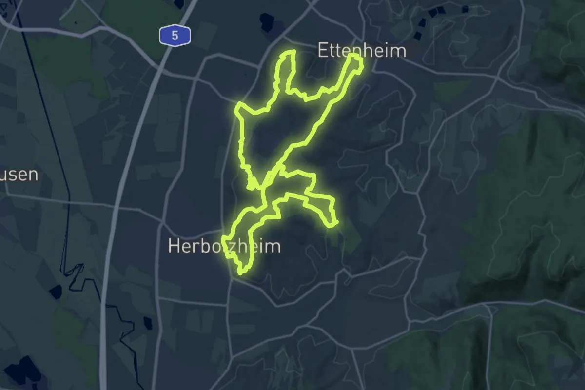
Demanding · Summit
Kaiserbergtour
20.0 km · ↑ 470 m · 6 h 1 min
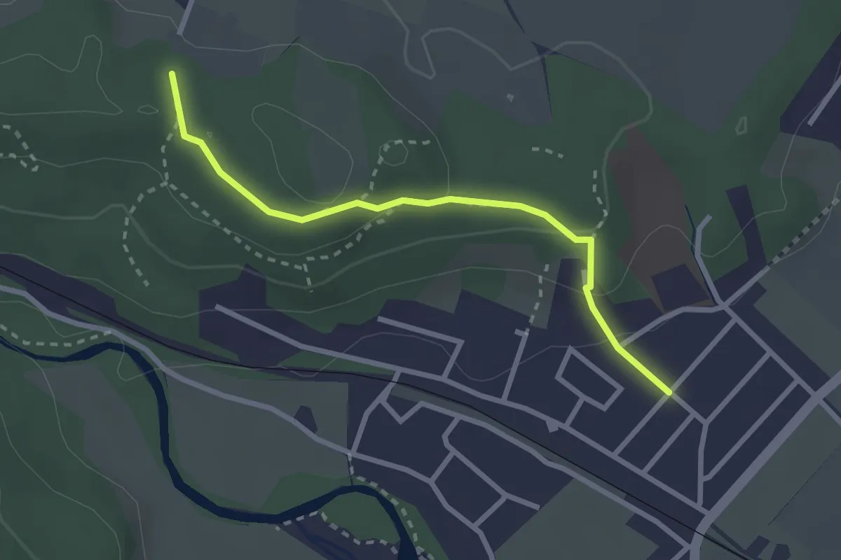
Easy · Trail
Kaiserblick
2.5 km · ↑ 88 m · 46 min
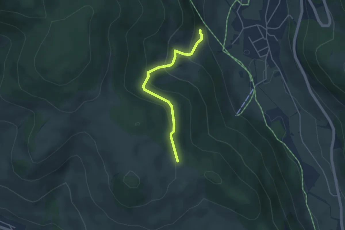
Easy · Trail
Kaisereck - Kammbühl
3.1 km · ↑ 182 m · 1 h 8 min
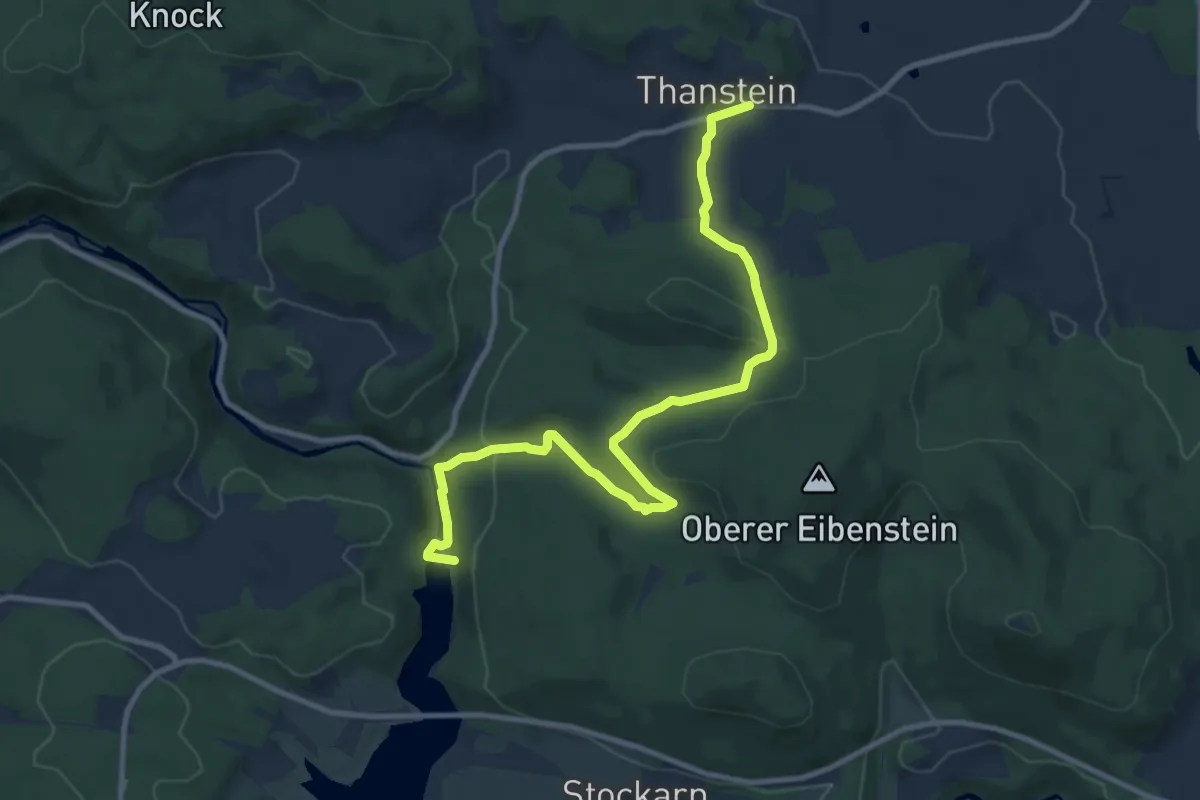
Medium · Trail
Kaisereichenweg
10.8 km · ↑ 328 m · 3 h 16 min
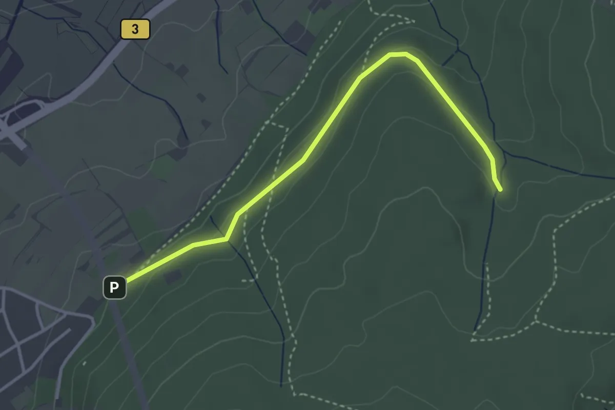
Easy · Trail
Kaisereiche Parkplatz - Essigwiesenklamm
3.4 km · ↑ 80 m · 59 min
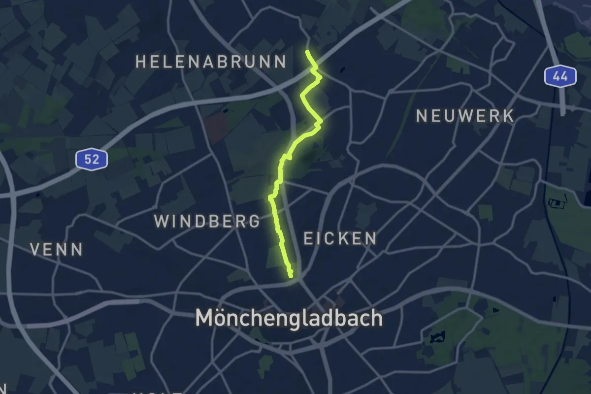
Medium · Trail
Kaiser-Friedrich-Halle - Lockhütte
8.3 km · ↑ 51 m · 2 h 4 min
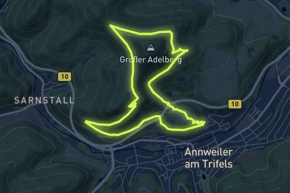
Medium · Trail
Kaiser-Friedrich-Weg
7.3 km · ↑ 345 m · 2 h 35 min
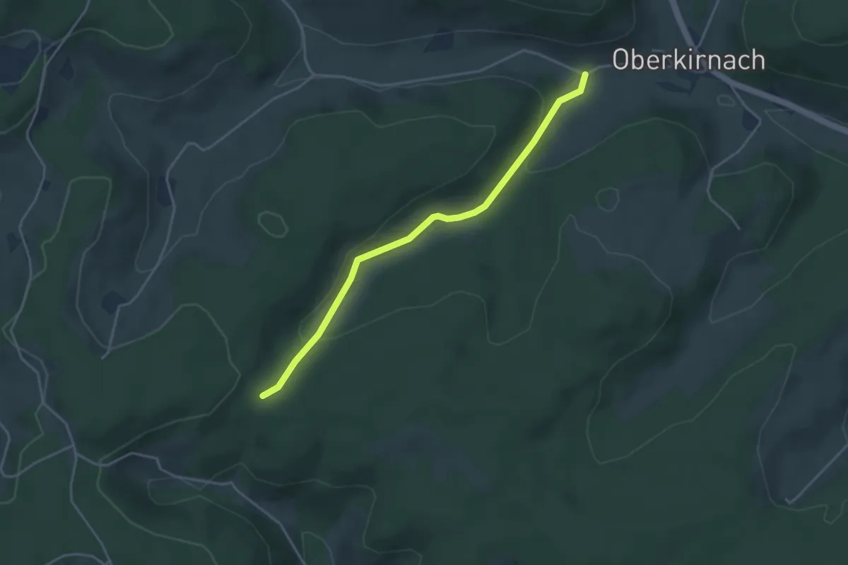
Easy · Trail
Kaiserhäusle - Schlegelberg Ost
3.7 km · ↑ 111 m · 1 h 7 min
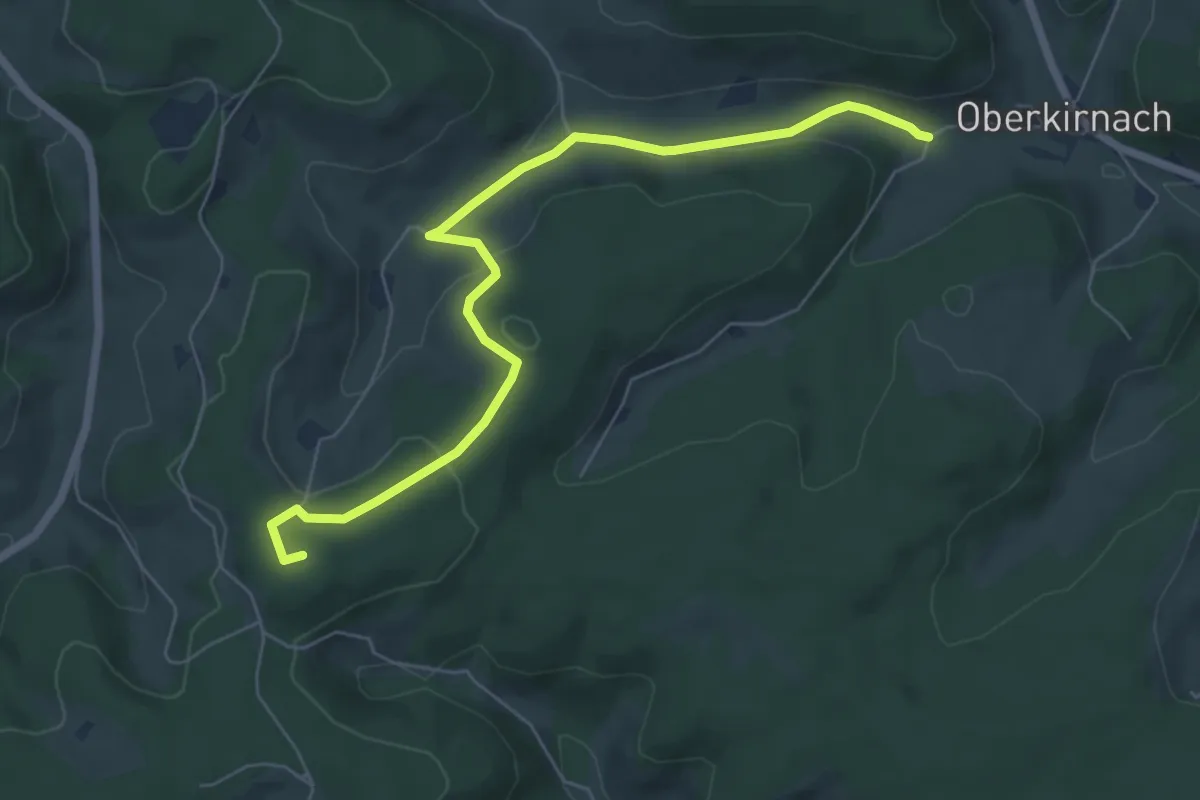
Easy · Summit
Kaiserhäusle - Schlegelberg West
6.7 km · ↑ 147 m · 1 h 54 min
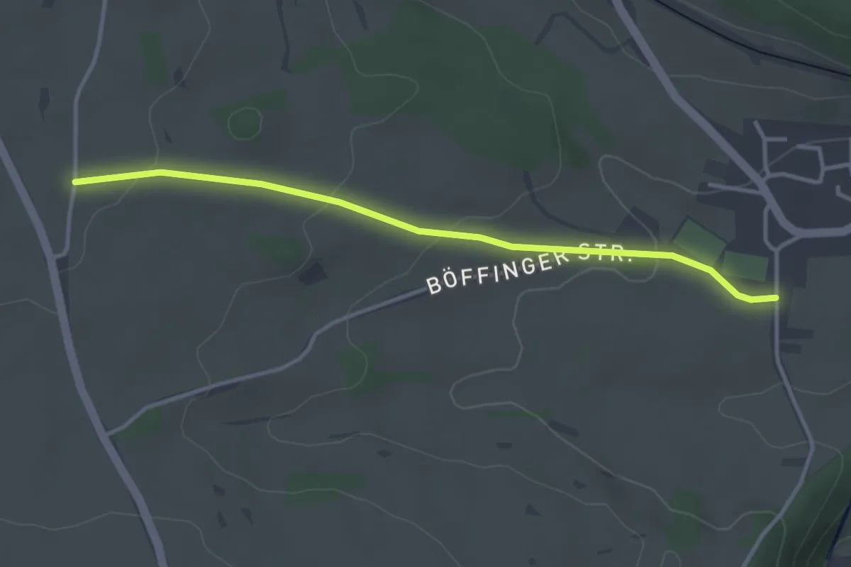
Easy · Trail
Kaiserhölzle - Sportplatz Dettlingen
3.3 km · ↑ 70 m · 56 min
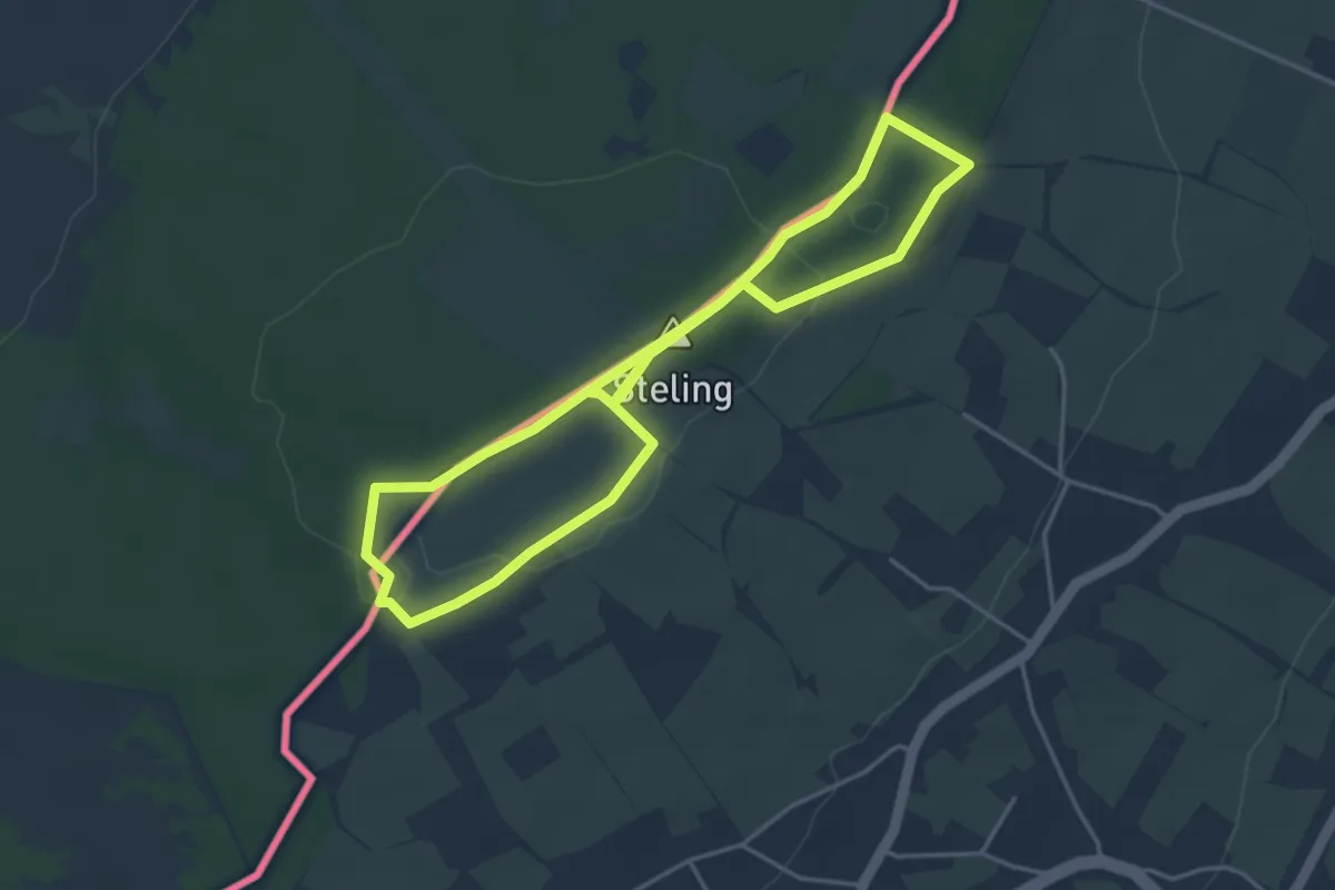
Easy · Summit
Kaiser-Karl-Weg (gelbe route)
3.6 km · ↑ 41 m · 1 h
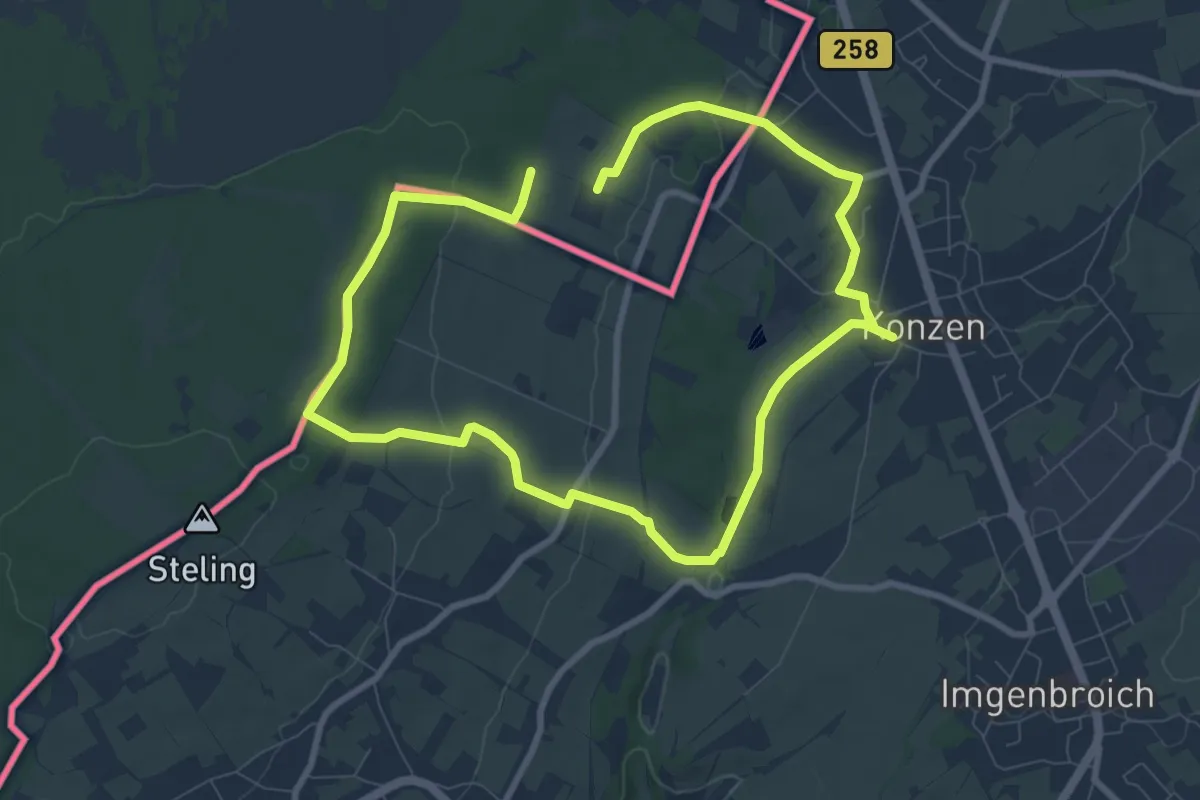
Easy · Trail
Kaiser-Karl-Weg (grüne Route)
7.0 km · ↑ 147 m · 2 h 3 min
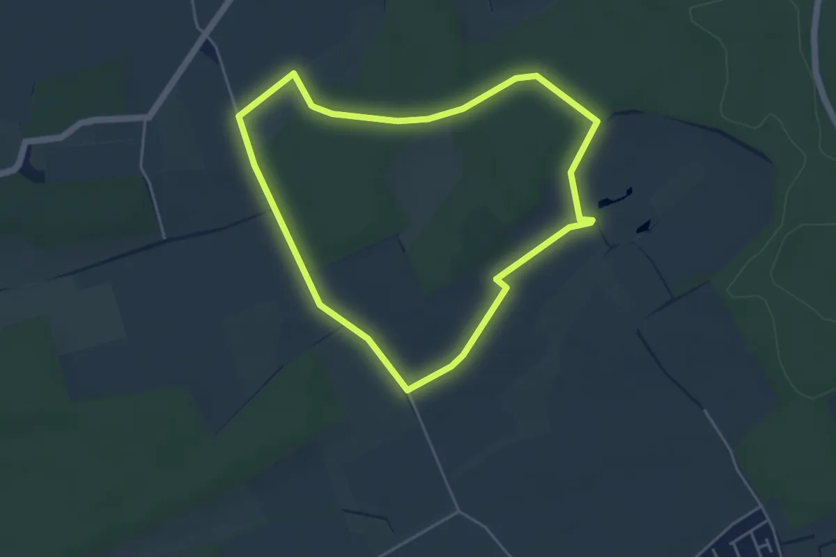
Easy · Trail
Kaisermantel-Rundweg
3.7 km · ↑ 31 m · 59 min
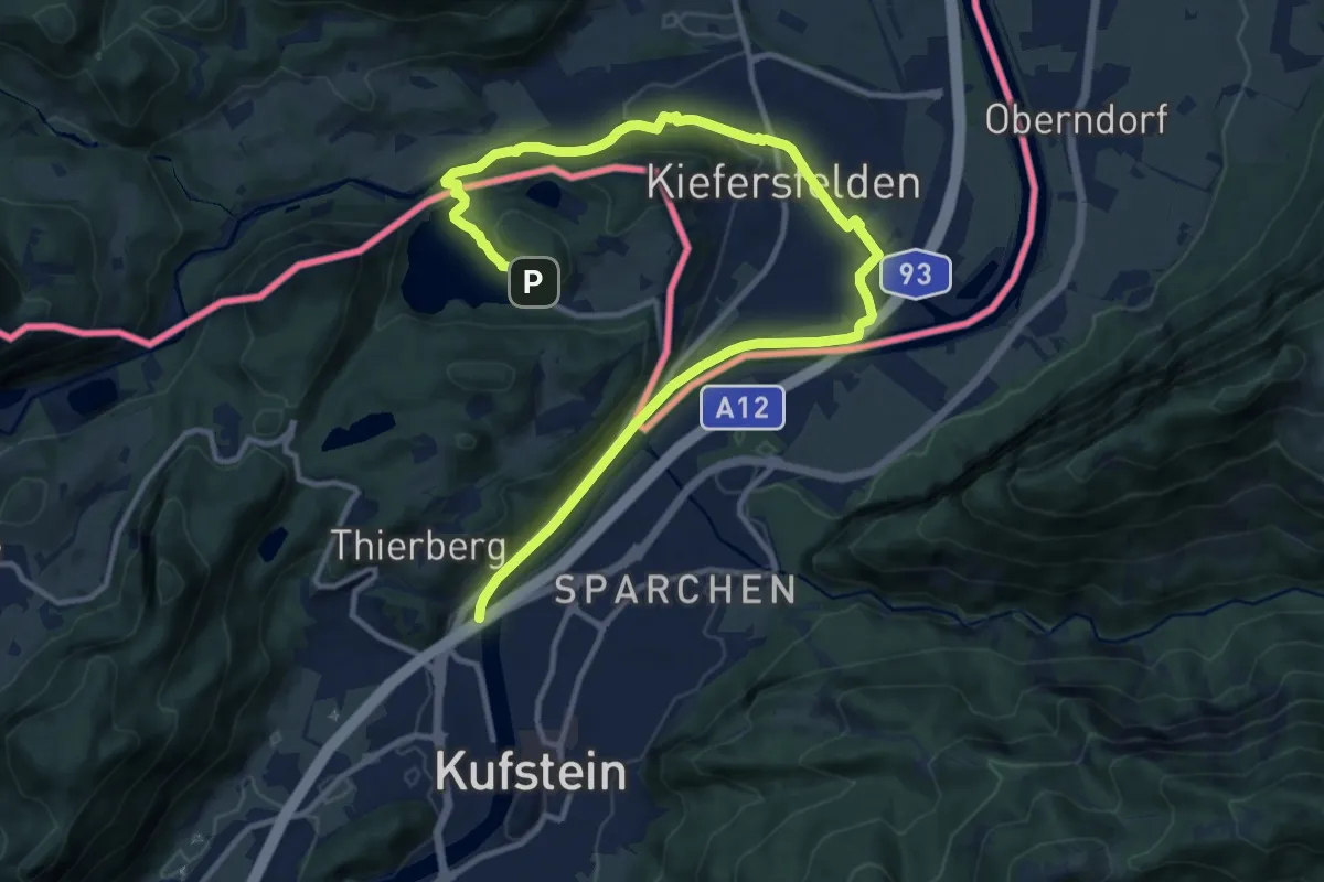
Medium · Trail
Kaiser Max Weg
15.2 km · ↑ 193 m · 4 h
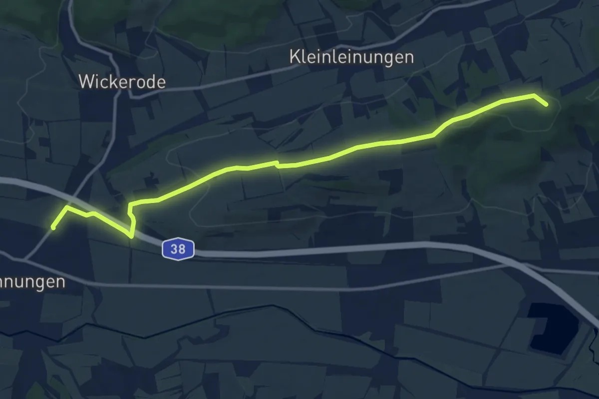
Medium · Summit
Kaiser-Otto-Höhenweg
10.7 km · ↑ 173 m · 2 h 54 min
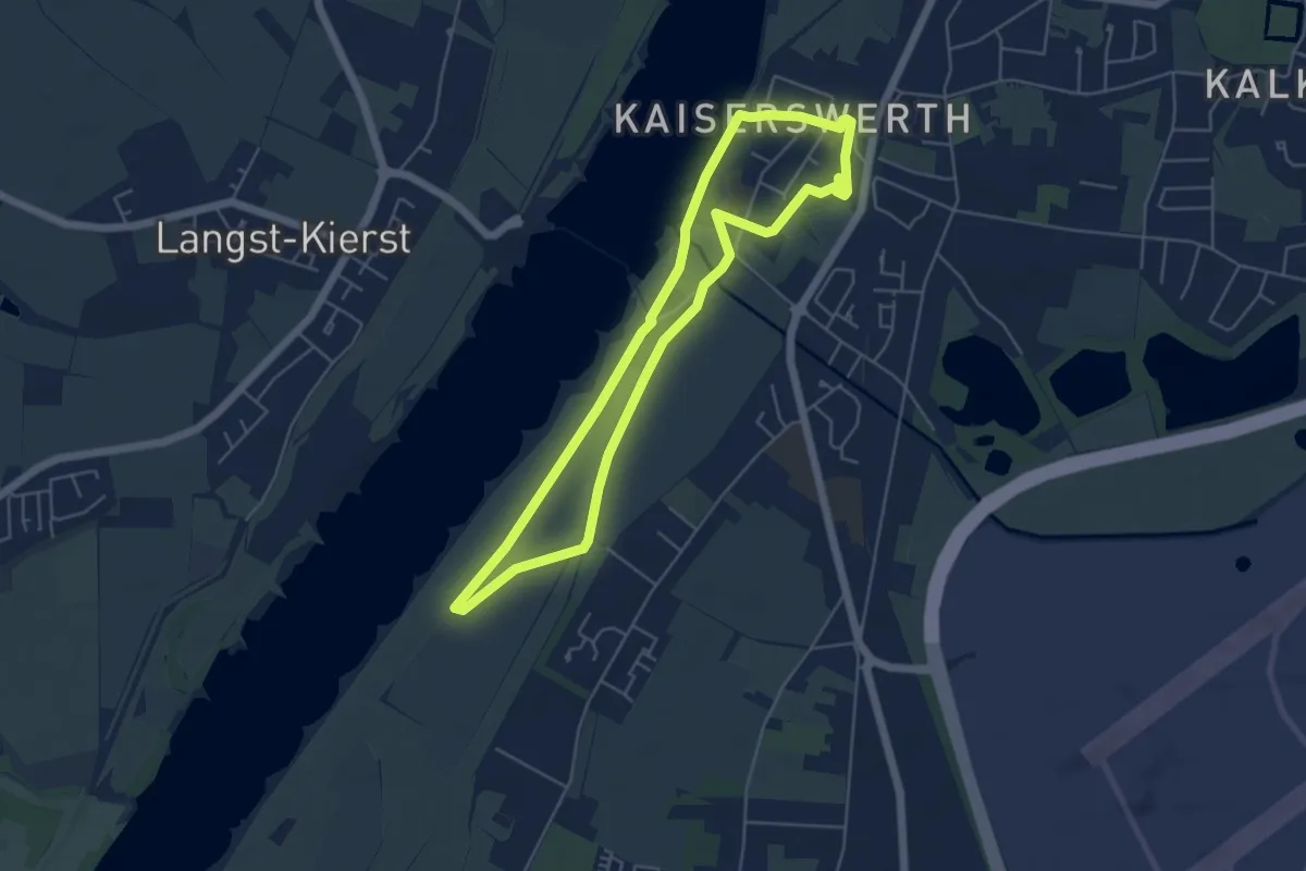
Easy · Trail
Kaiserpfalz Rundweg A1
4.6 km · ↑ 13 m · 1 h 10 min
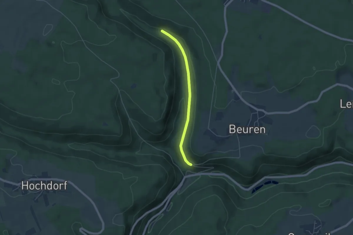
Easy · Trail
Kaisersägmühle - Beurener Berg
3.9 km · ↑ 113 m · 1 h 10 min