Trails in Germany
36,852 hiking trails, each with its route, climb, walking time and grade.
All trails, page 277 of 768
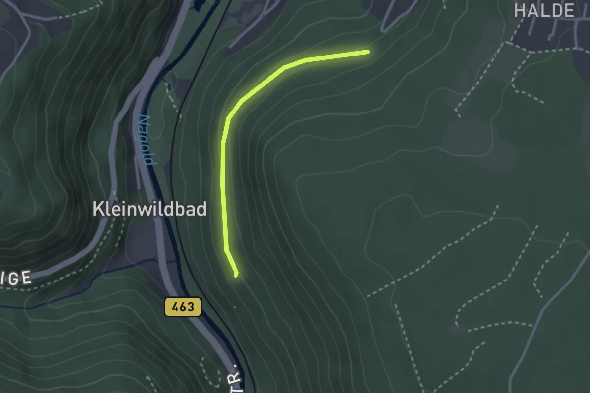
Easy · Trail
Kaiserstein - Badwald Abzwg. Ottenbronn
2.2 km · ↑ 70 m · 40 min
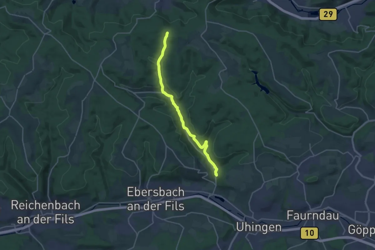
Medium · Trail
Kaiserstraße - Nassachmühle
15.7 km · ↑ 343 m · 4 h 26 min
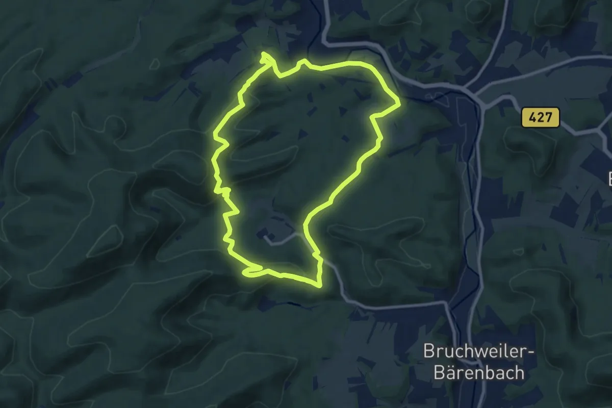
Medium · Trail
Kaiser-Tour
9.9 km · ↑ 353 m · 3 h 15 min
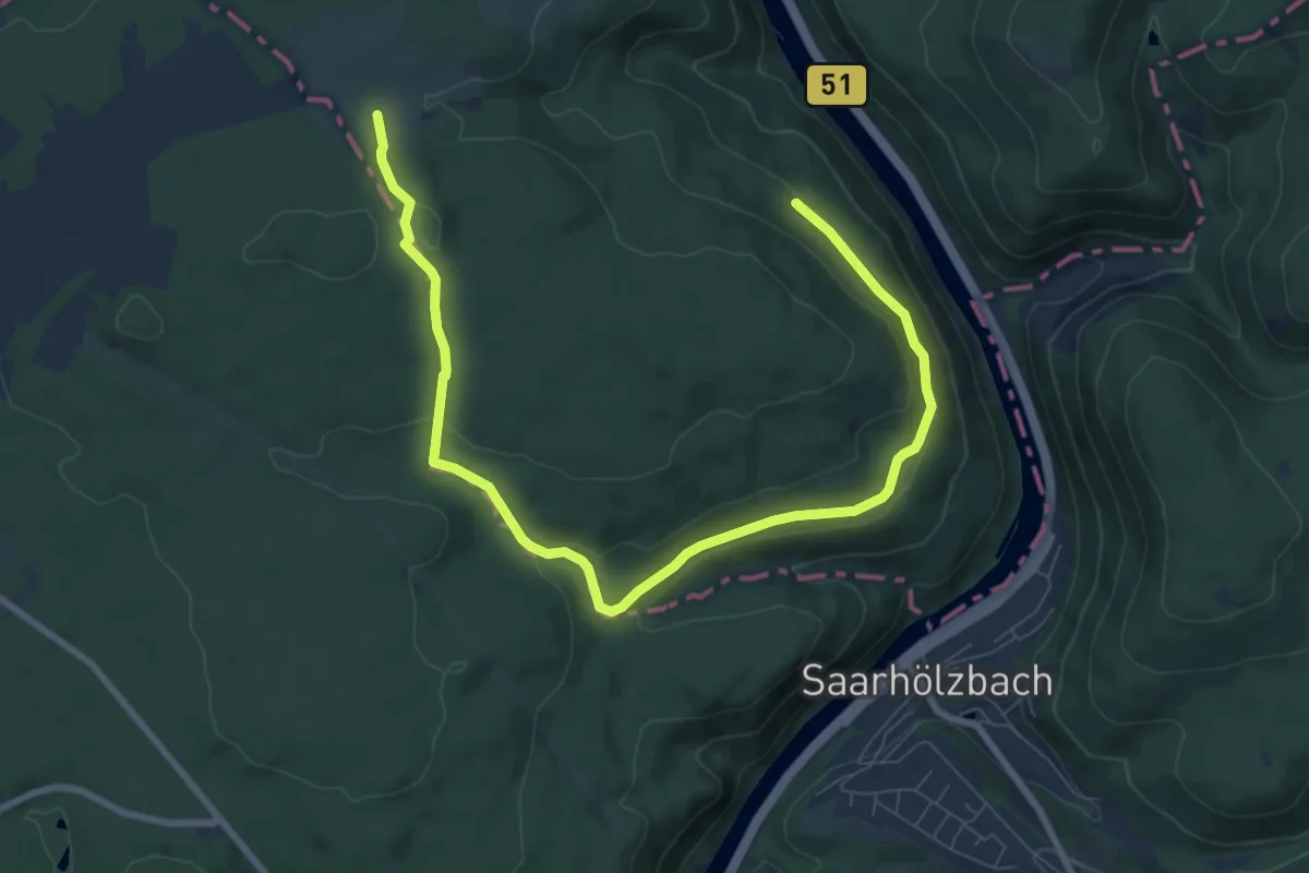
Easy · Trail
Kaiserweg
4.8 km · ↑ 89 m · 1 h 27 min
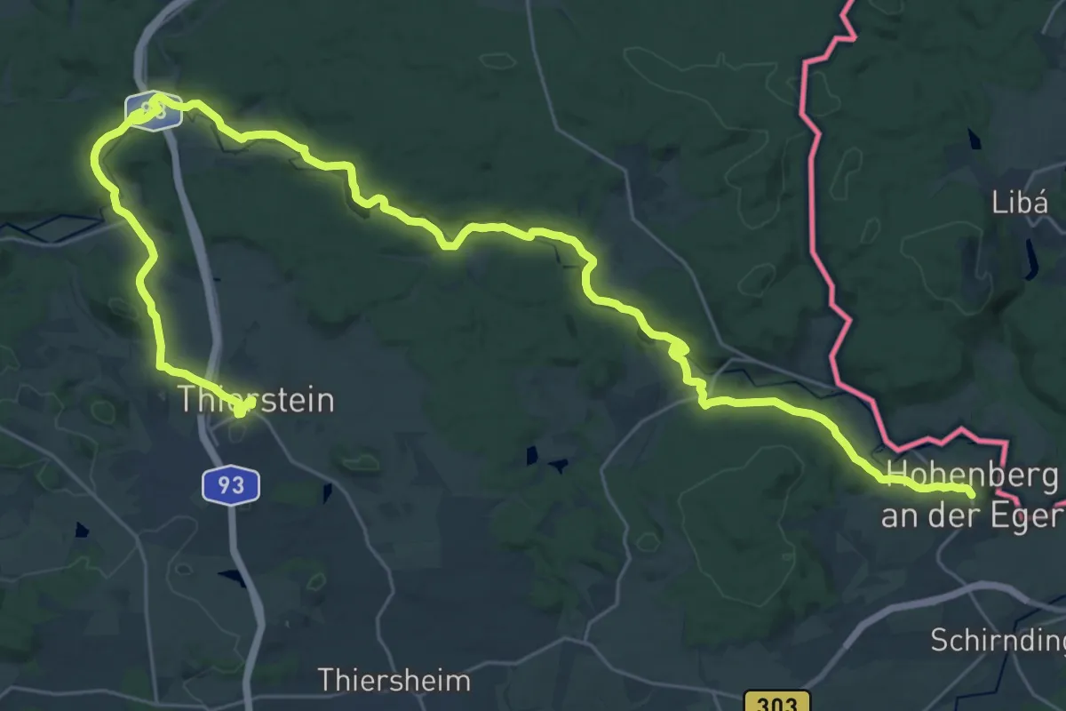
Demanding · Trail
Kaiserweg
18.9 km · ↑ 193 m · 5 h 11 min
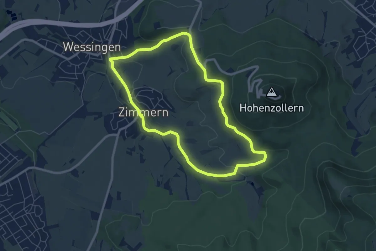
Easy · Trail
Kaiserweg Bisingen
5.8 km · ↑ 153 m · 1 h 47 min
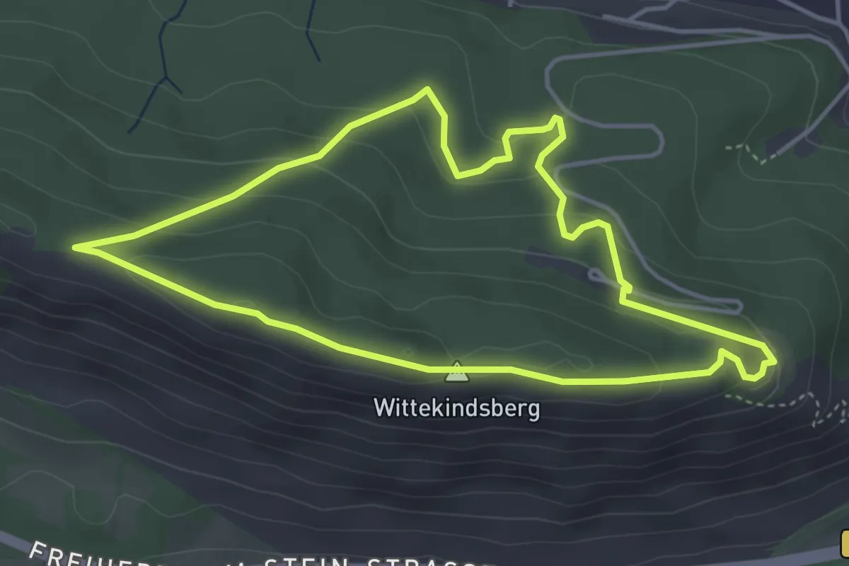
Easy · Summit
Kaiser-Wilhelm-Weg A4-PWB
3.6 km · ↑ 152 m · 1 h 14 min
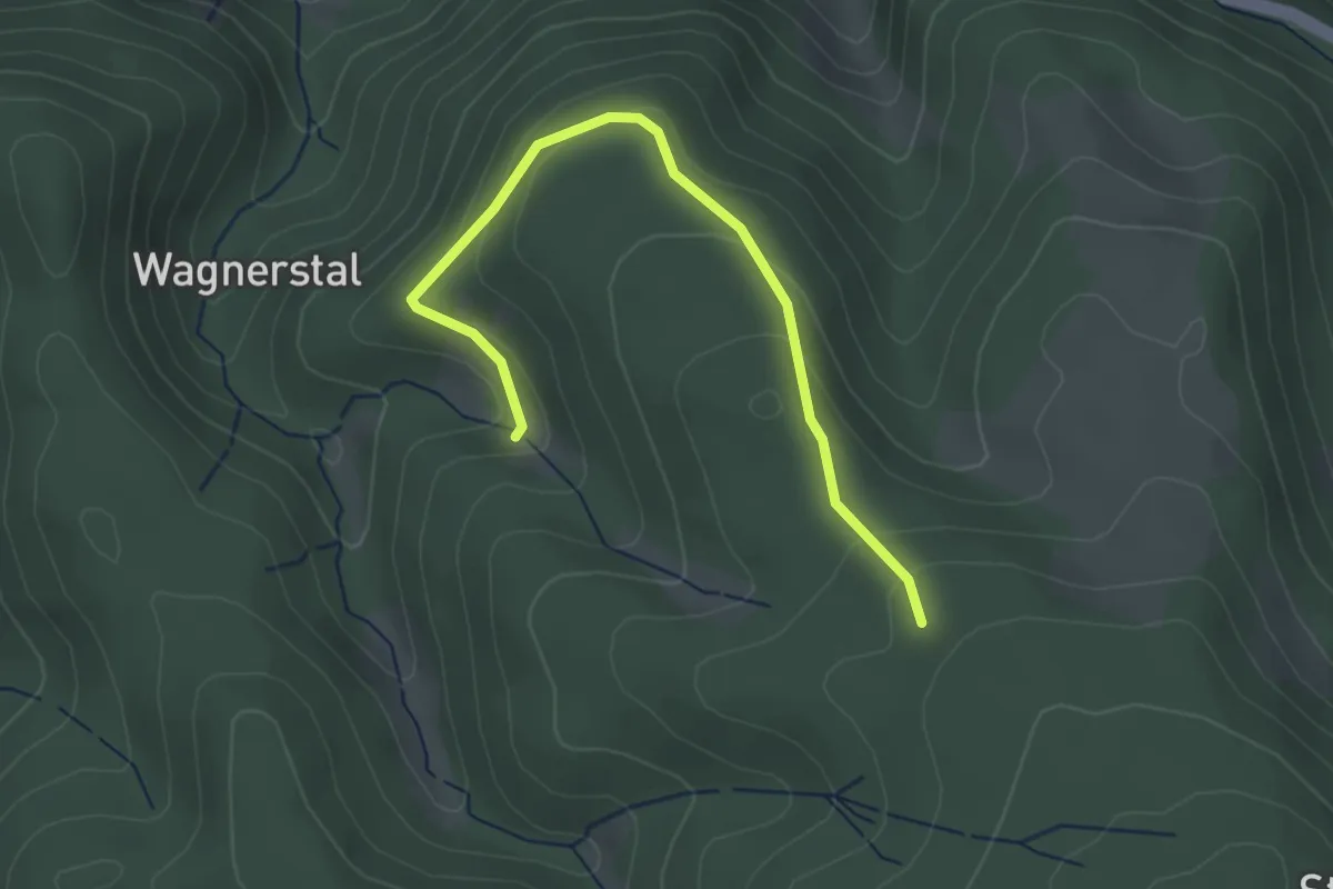
Easy · Trail
Kajetankapelle - Kohlplatzhaldenweg
3.2 km · ↑ 150 m · 1 h 4 min
Easy · Trail
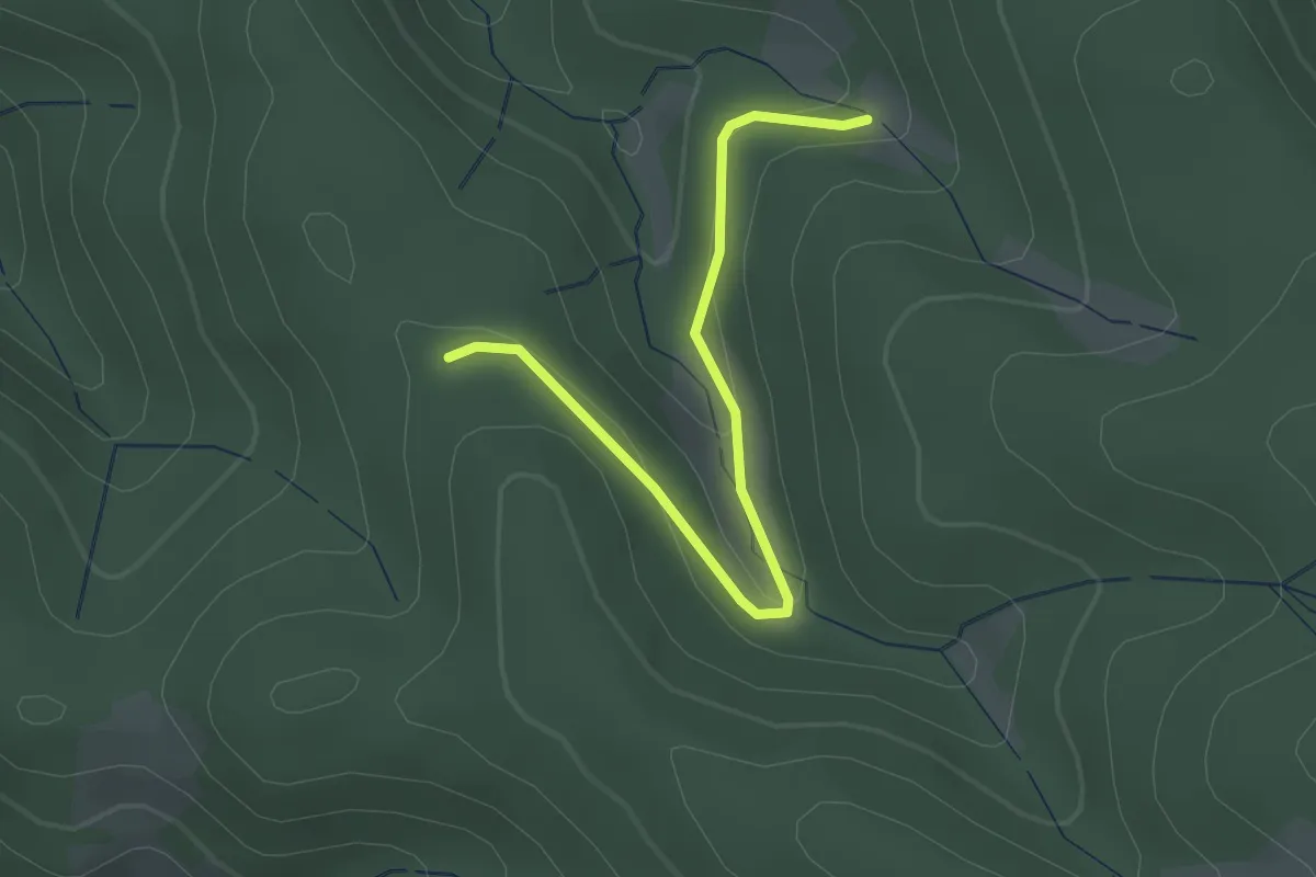
Kajetankapelle - Königenkreuz
2.5 km · ↑ 100 m · 48 min
Medium · Summit
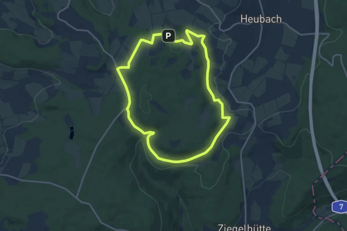
Kalbach Wanderweg Sparhof 2
8.3 km · ↑ 192 m · 2 h 30 min
Easy · Trail
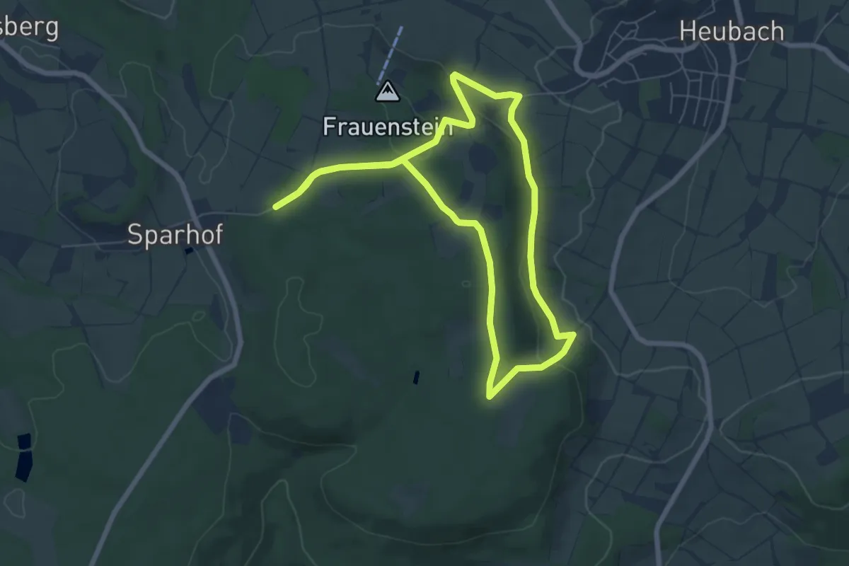
Kalbach Wanderweg Sparhof 3
5.8 km · ↑ 135 m · 1 h 44 min
Easy · Trail
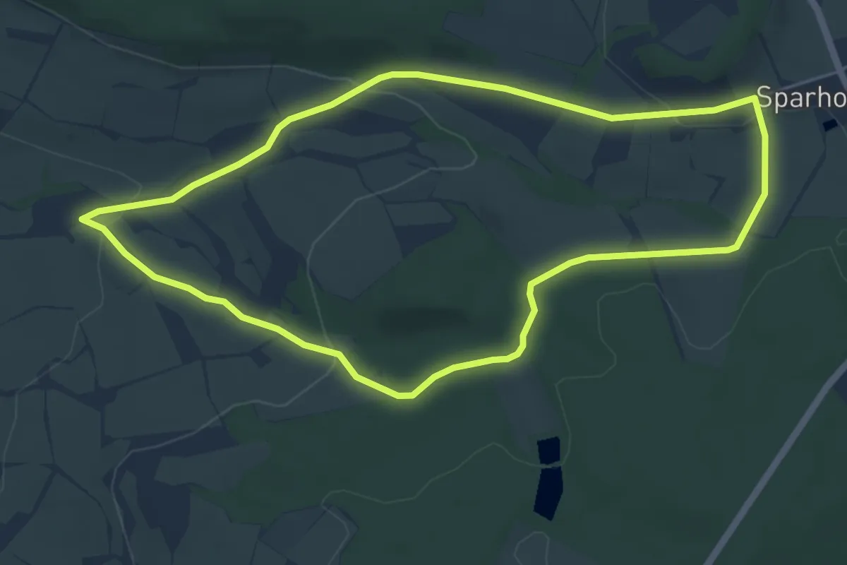
Kalbach Wanderweg Sparhof 4
4.9 km · ↑ 114 m · 1 h 28 min
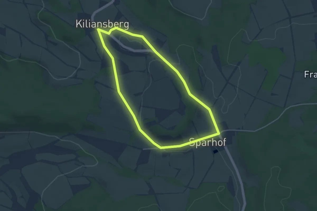
Easy · Trail
Kalbach Wanderweg Sparhof 5
3.3 km · ↑ 39 m · 54 min
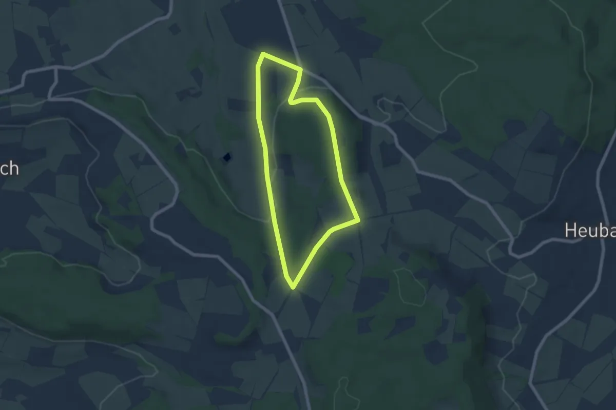
Easy · Trail
Kalbach Wanderweg Sparhof 6
4.8 km · ↑ 100 m · 1 h 25 min
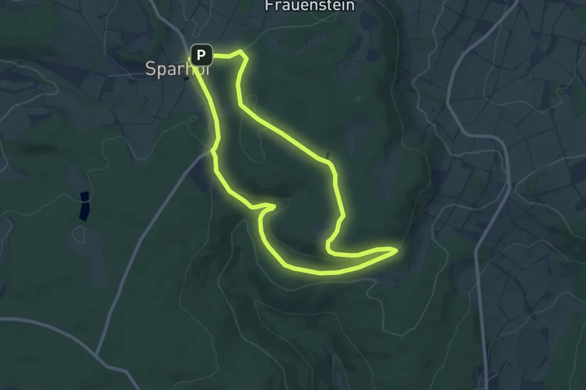
Easy · Summit
Kalbach Wanderweg Sparhof 7
6.2 km · ↑ 109 m · 1 h 47 min
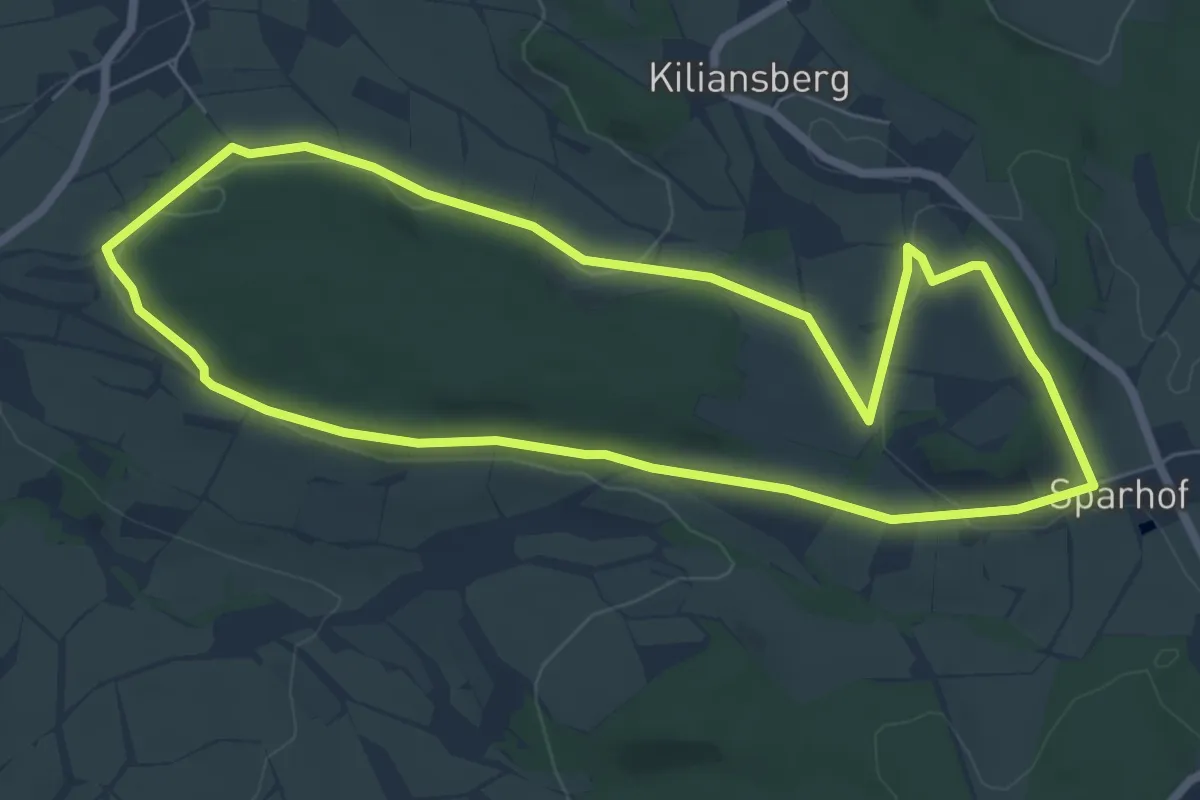
Easy · Summit
Kalbach Wanderweg Veitsteinbach 1
6.3 km · ↑ 100 m · 1 h 47 min
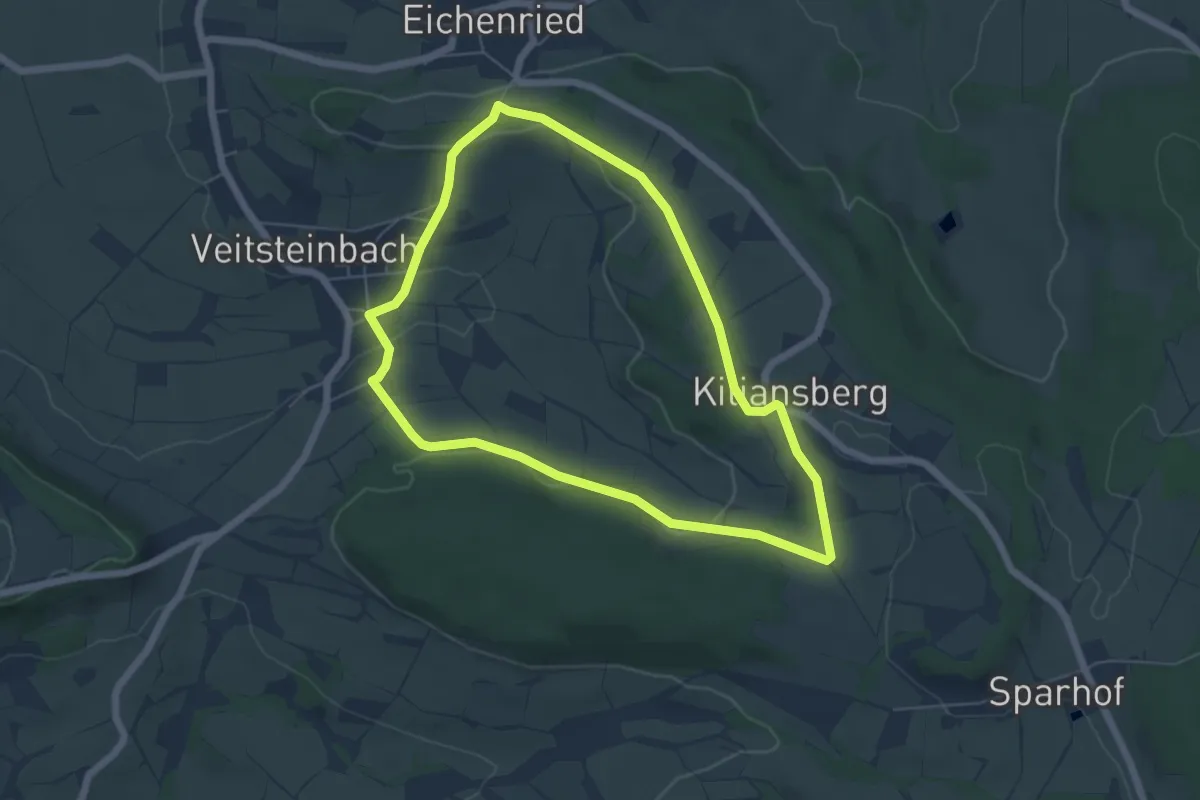
Easy · Trail
Kalbach Wanderweg Veitsteinbach 2
5.1 km · ↑ 88 m · 1 h 28 min
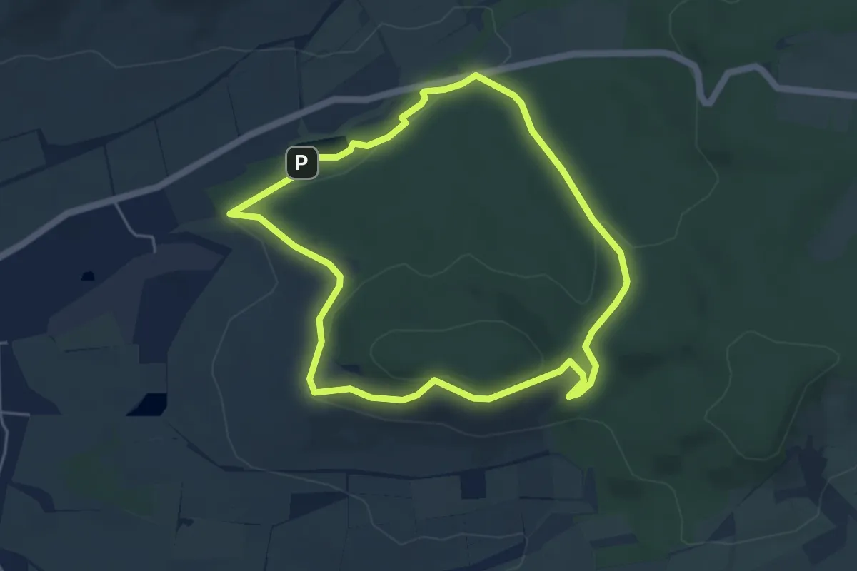
Easy · Trail
Kalbbergweg
4.2 km · ↑ 119 m · 1 h 19 min
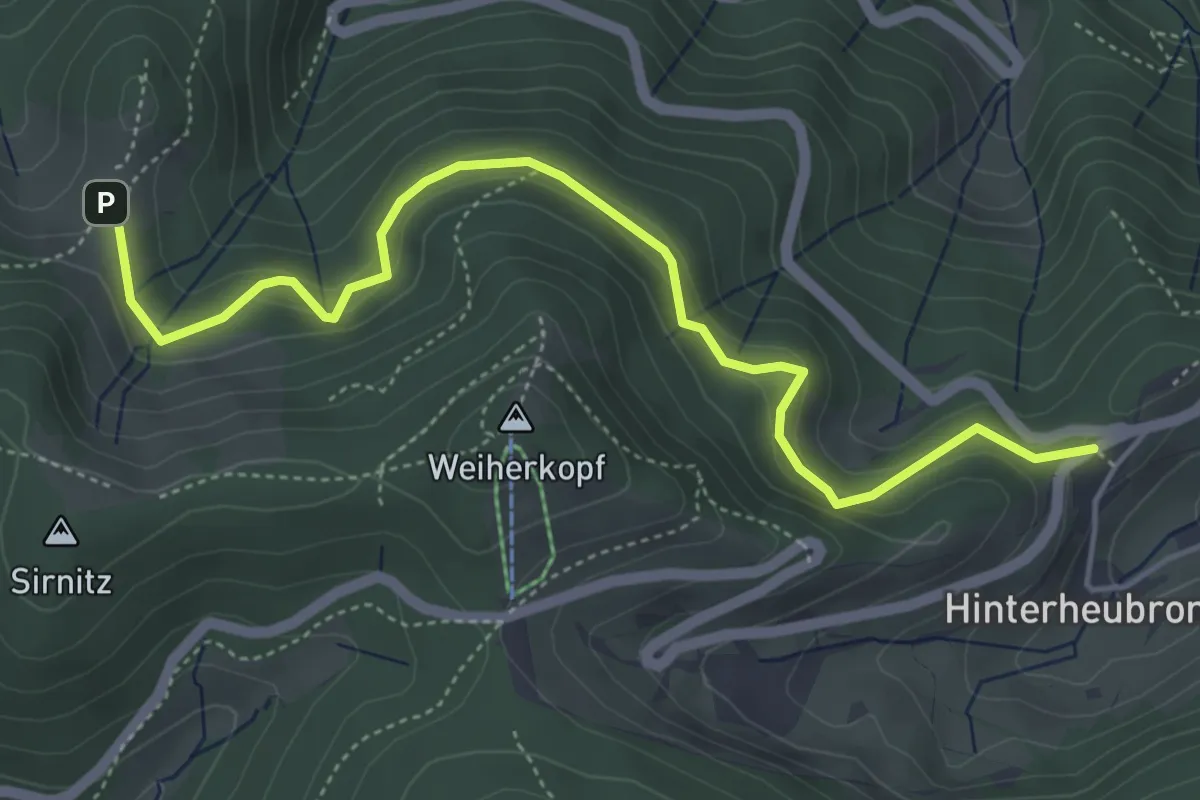
Easy · Trail
Kälbelescheuer - Haldenhof
5.2 km · ↑ 279 m · 1 h 50 min
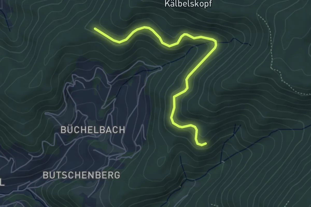
Easy · Trail
Kälbel Sandgrube - Haderersmatt
4.8 km · ↑ 178 m · 1 h 31 min
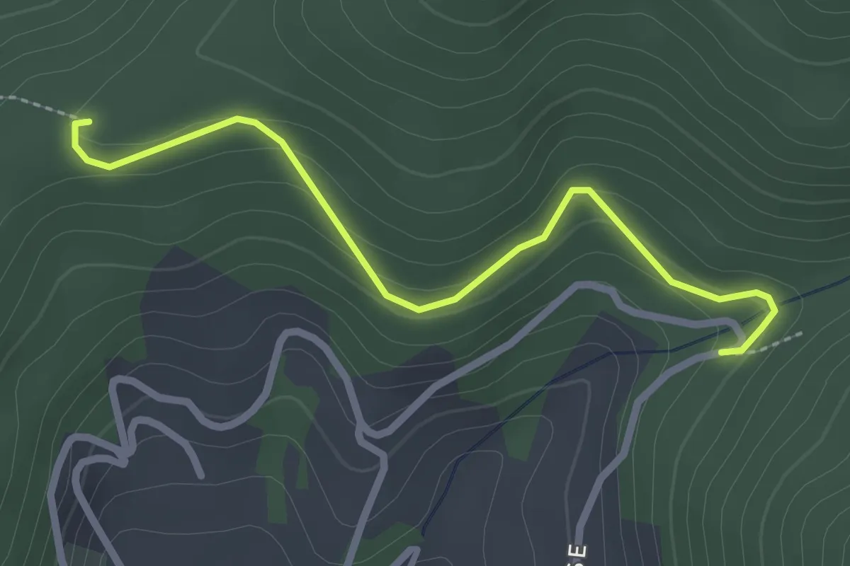
Easy · Trail
Kälbelsebene - Beim Schoferdenkmal
2.3 km · ↑ 112 m · 48 min
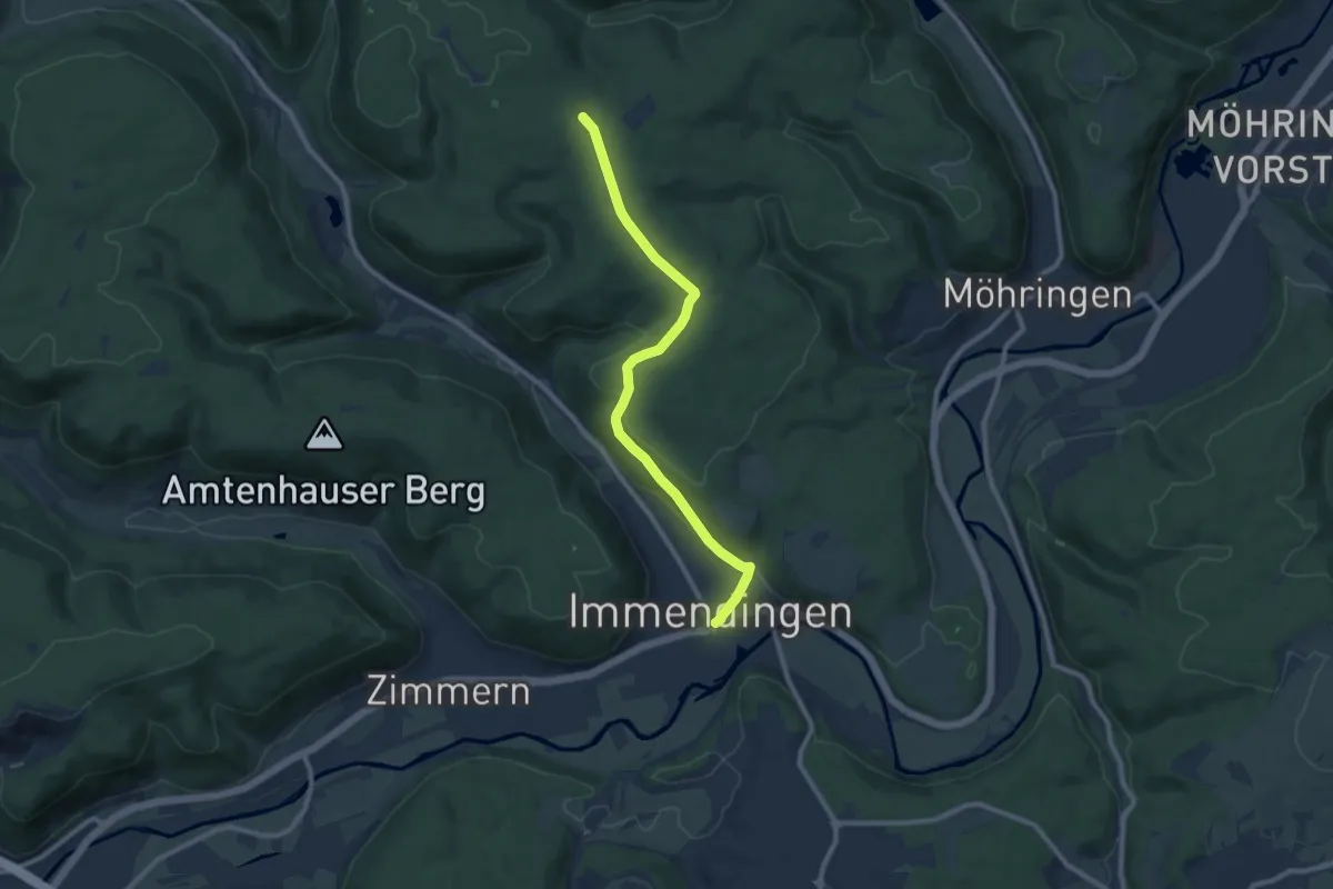
Medium · Trail
Kälbertäle-Kreuzung - Immendingen
9.1 km · ↑ 234 m · 2 h 39 min
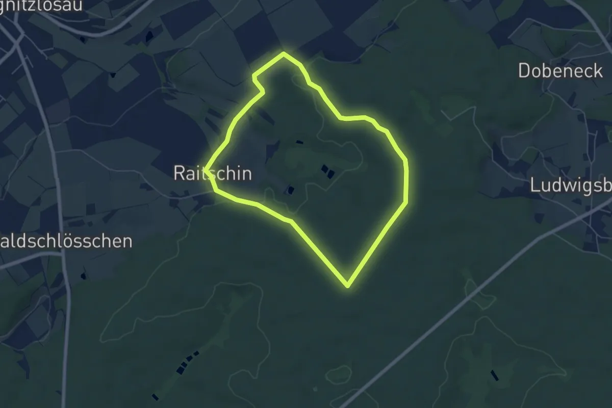
Easy · Trail
Kalbingaweg
5.0 km · ↑ 67 m · 1 h 24 min
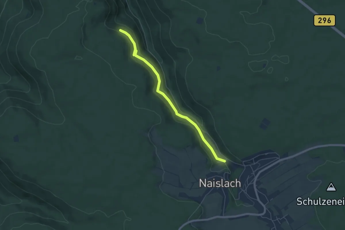
Easy · Trail
Kälblingblick - Naislacher Mühlen
5.3 km · ↑ 170 m · 1 h 37 min
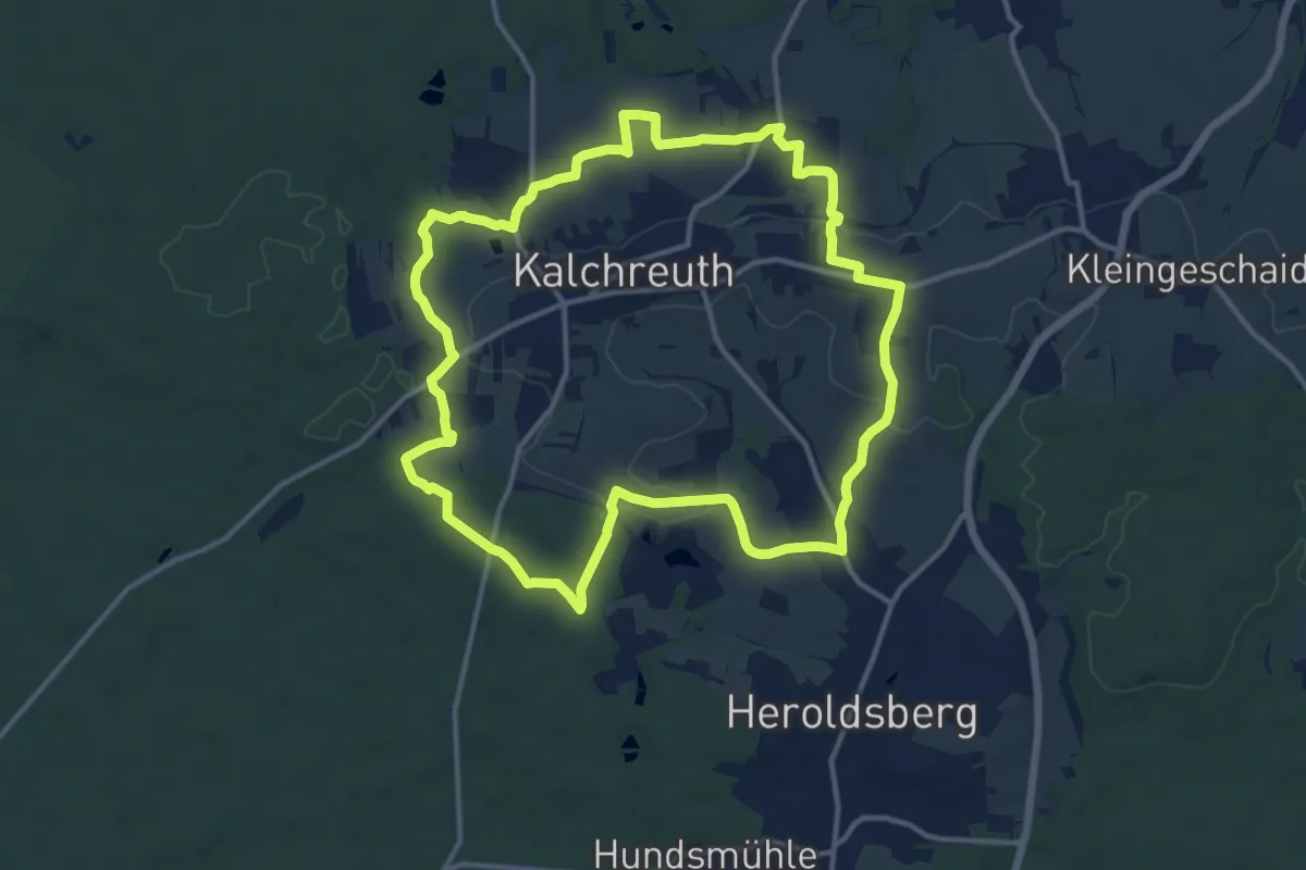
Medium · Summit
Kalchreuther Panoramarunde
12.7 km · ↑ 164 m · 3 h 31 min
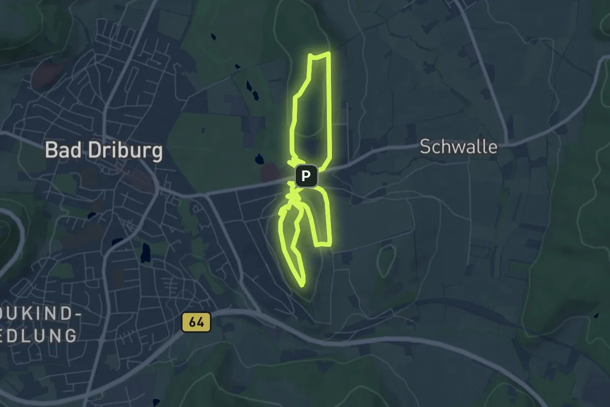
Easy · Summit
Kaleidoskopweg
6.1 km · ↑ 146 m · 1 h 50 min
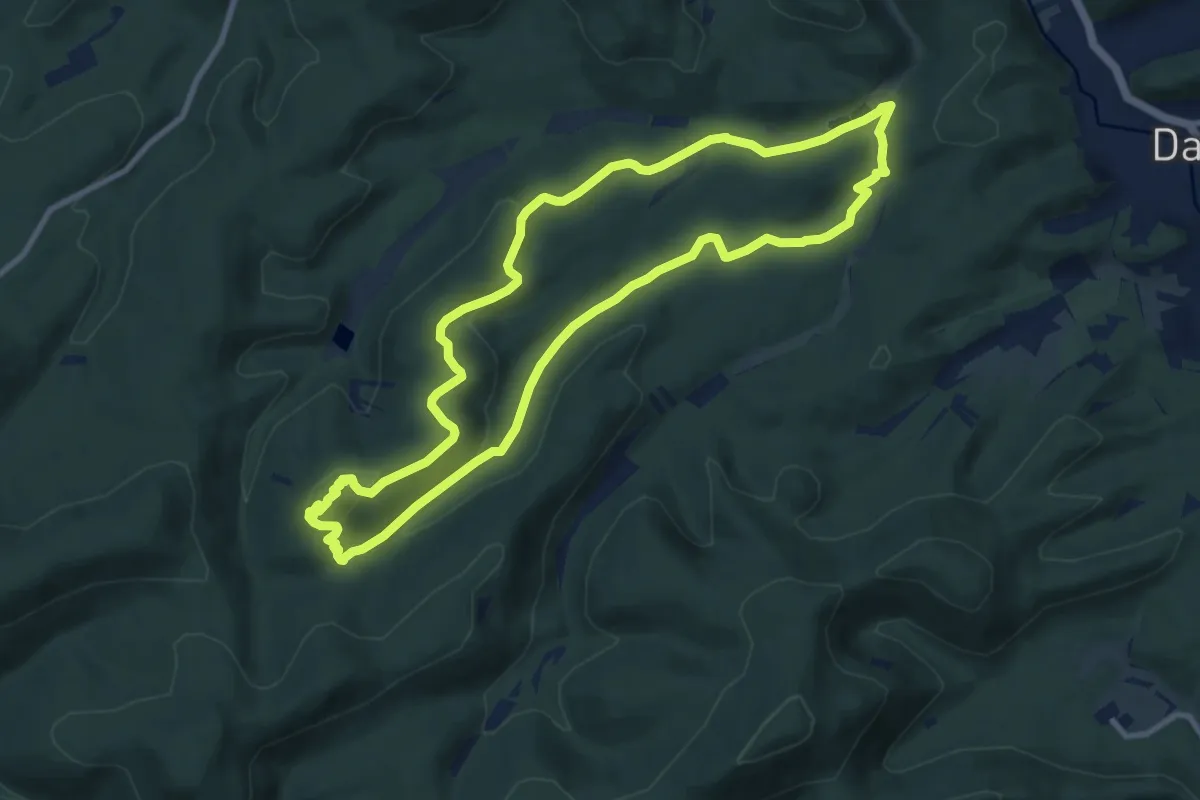
Medium · Summit
Kaletschkopf-Tour
9.2 km · ↑ 257 m · 2 h 51 min
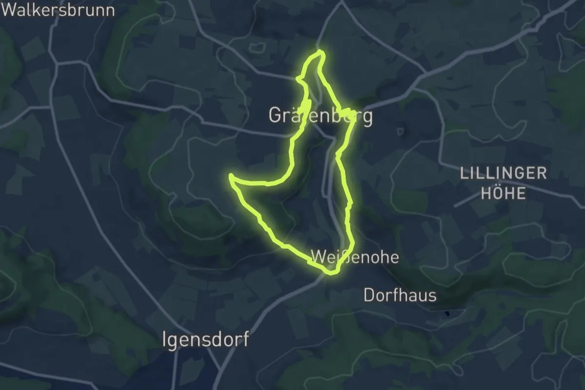
Medium · Trail
Kalkach-Panoramaweg
7.5 km · ↑ 210 m · 2 h 19 min
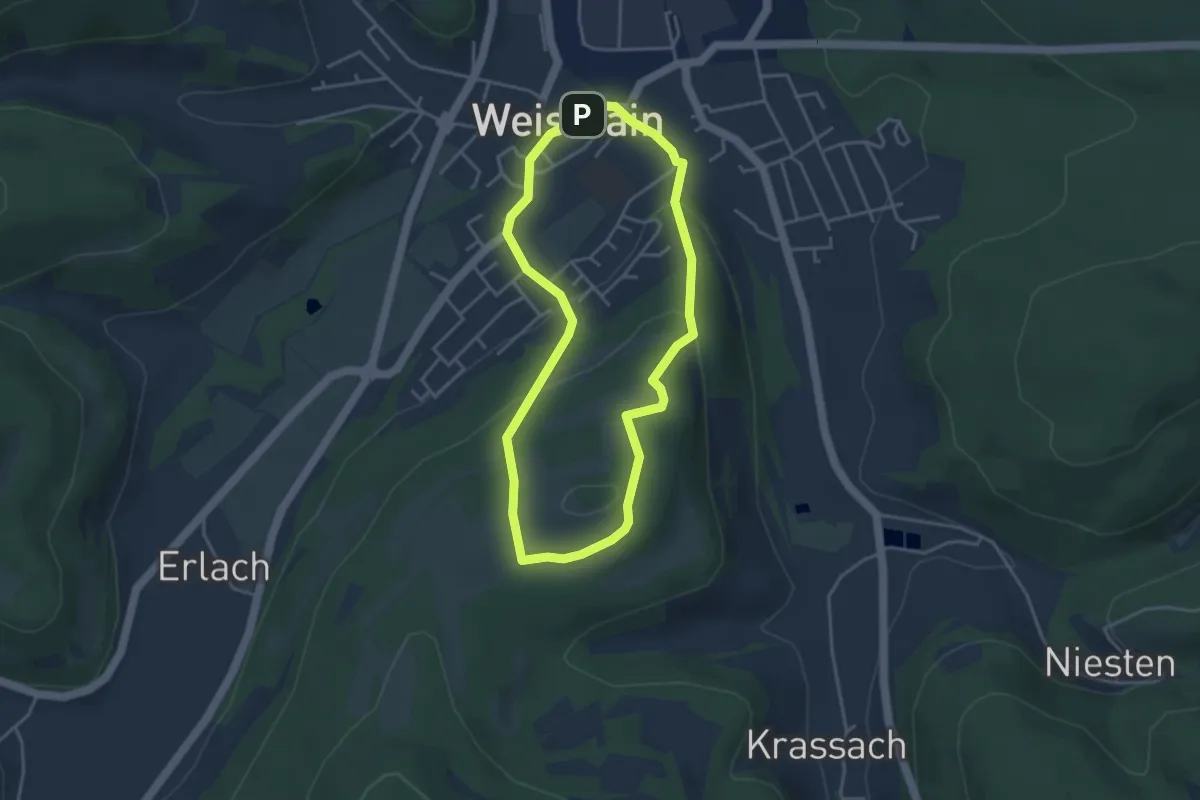
Easy · Summit
Kalkberg-Rundweg (Weismain)
3.4 km · ↑ 125 m · 1 h 7 min
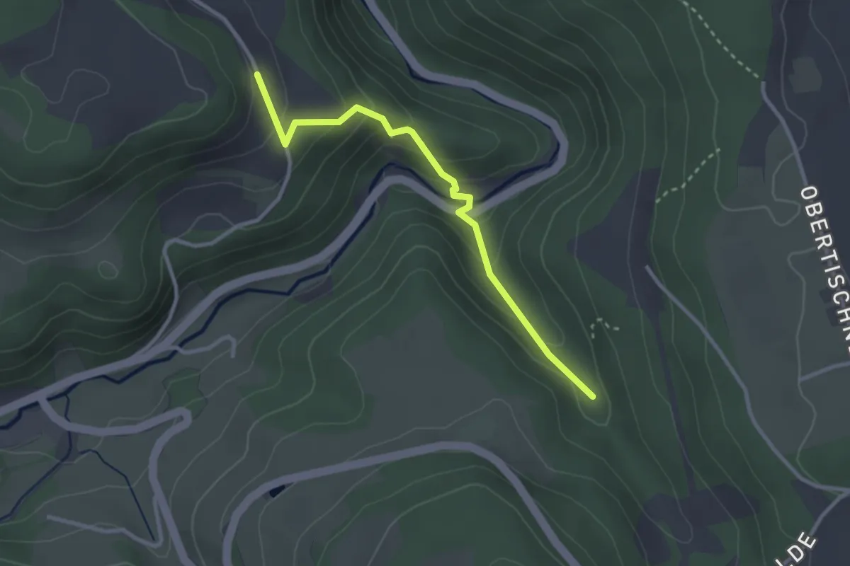
Medium · Trail
Kalkmühle - Vorderer Ramstein Kapelle
2.8 km · ↑ 157 m · 1 h
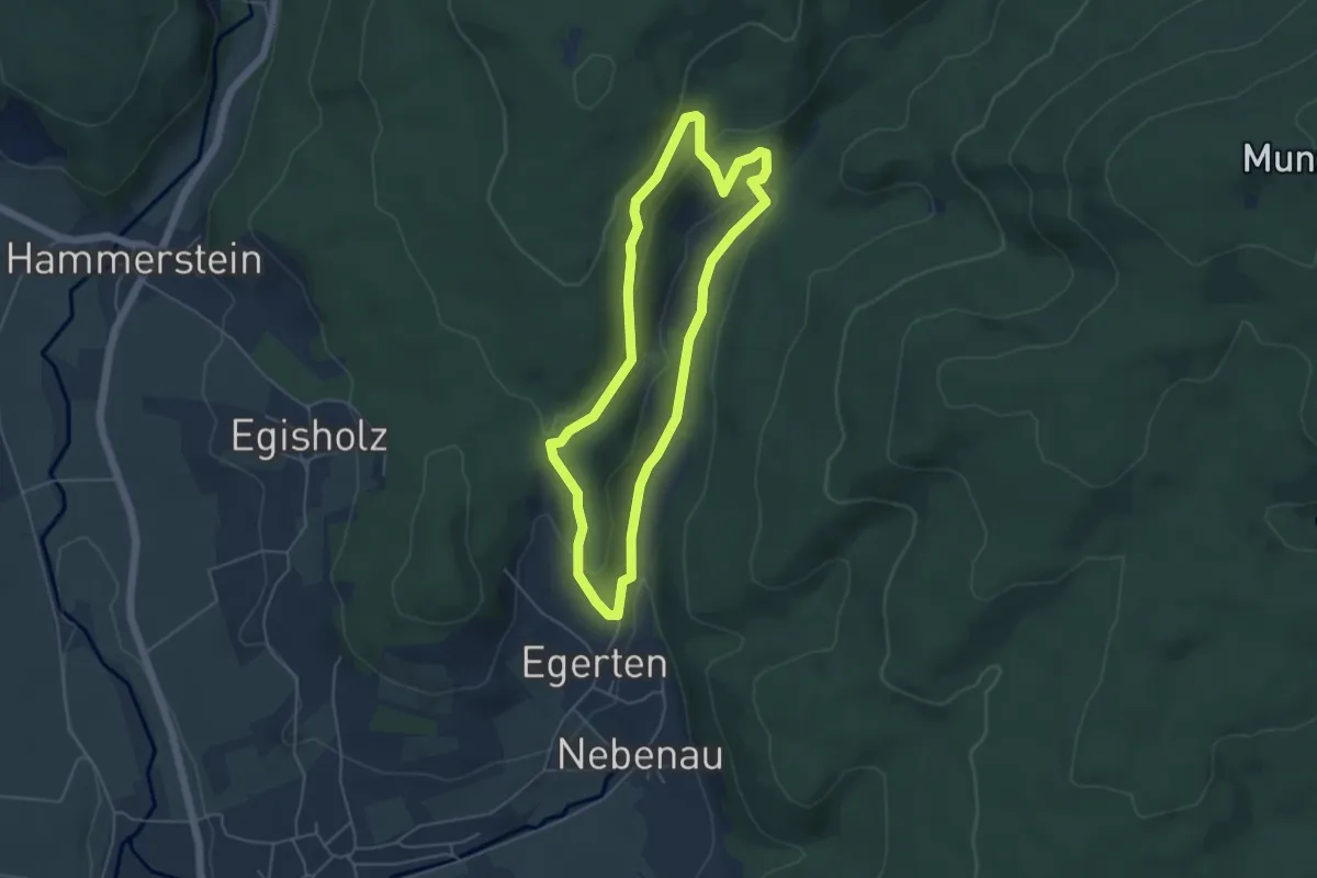
Medium · Trail
Kalkofen-Erlebnispfad
4.5 km · ↑ 183 m · 1 h 31 min
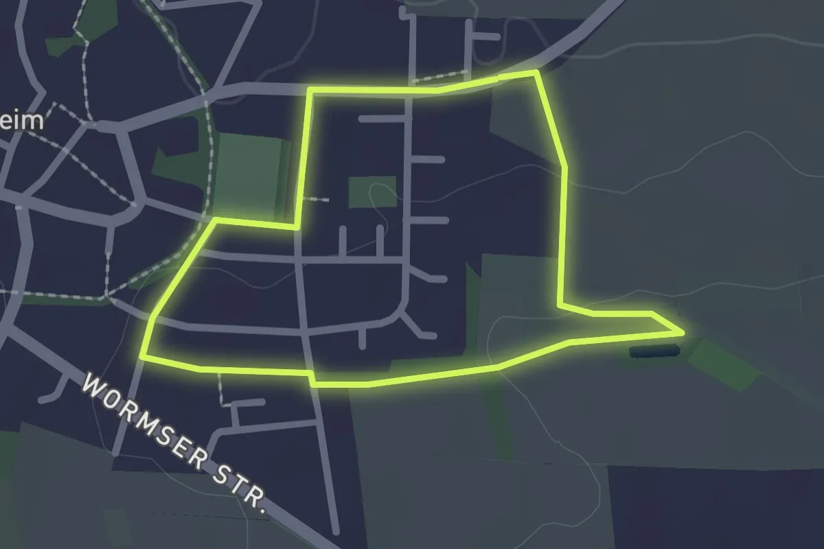
Easy · Trail
Kalkofenweg
1.8 km · ↑ 21 m · 29 min
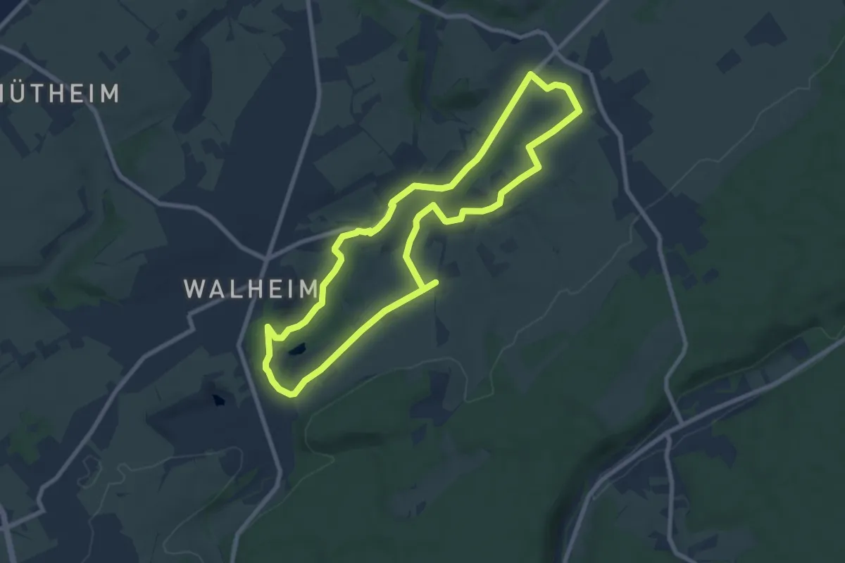
Easy · Trail
Kalkofenweg
6.9 km · ↑ 71 m · 1 h 53 min
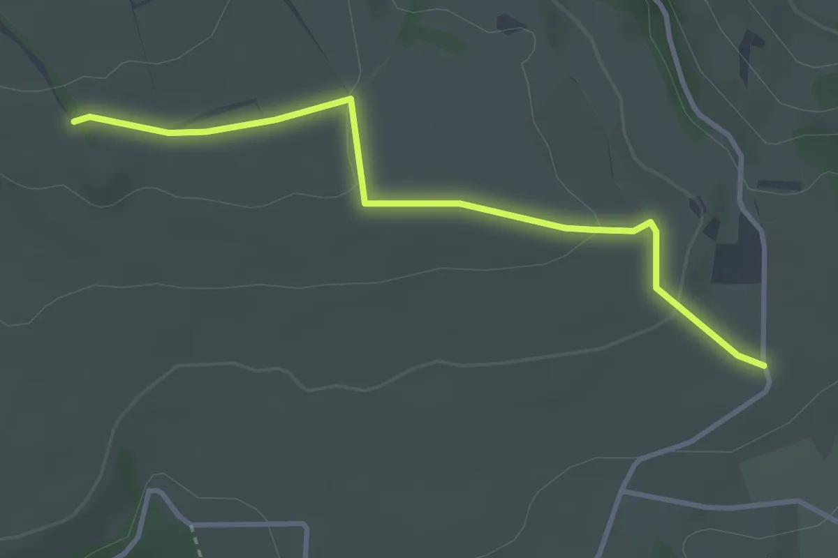
Easy · Trail
Kalkofen - Zelgle
3.3 km · ↑ 68 m · 55 min
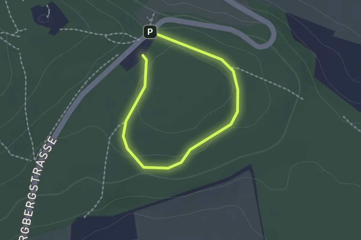
Easy · Summit
Kalkrosenweg
1.0 km · ↑ 21 m · 18 min
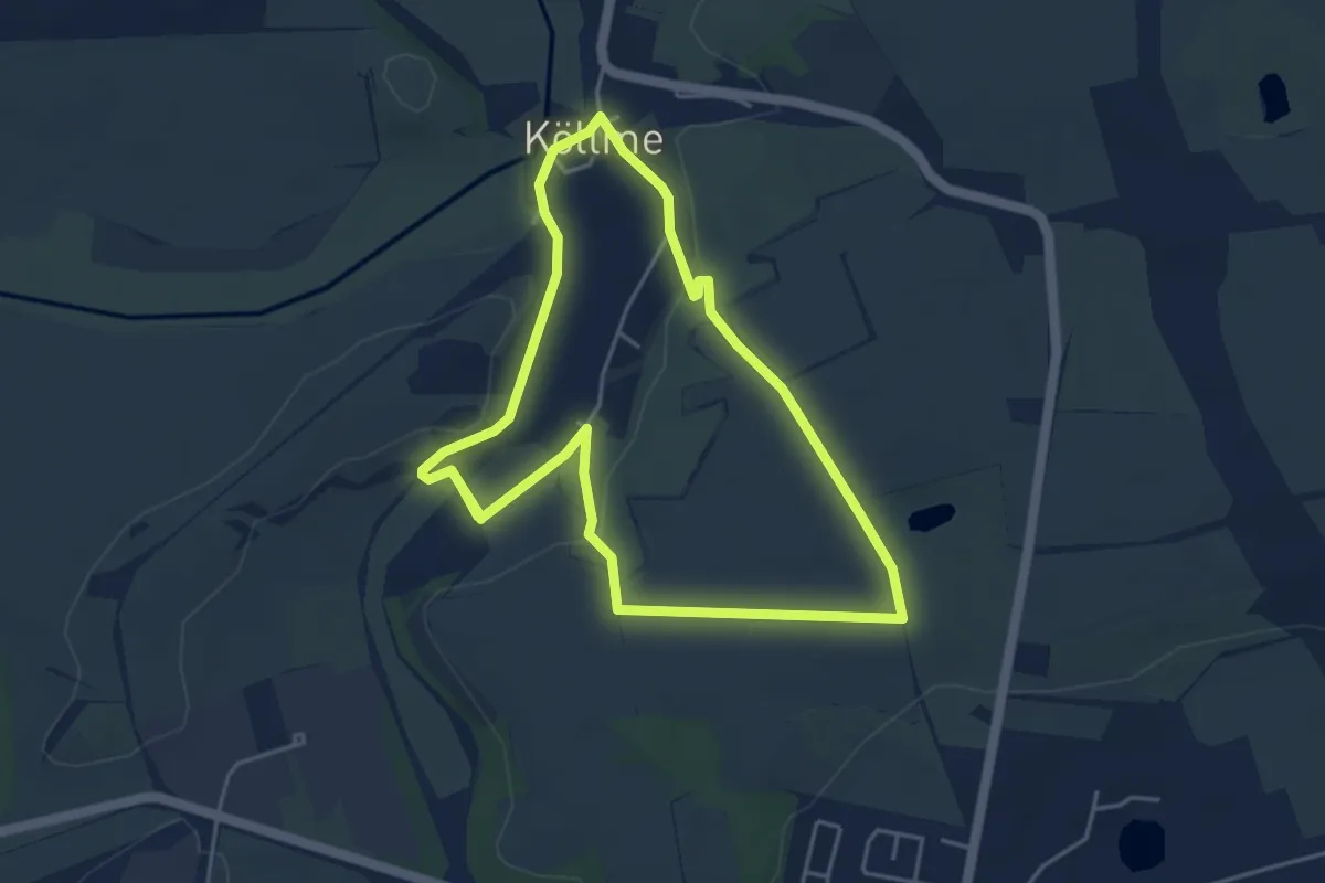
Easy · Trail
Kalkrundweg
3.9 km · ↑ 39 m · 1 h 4 min
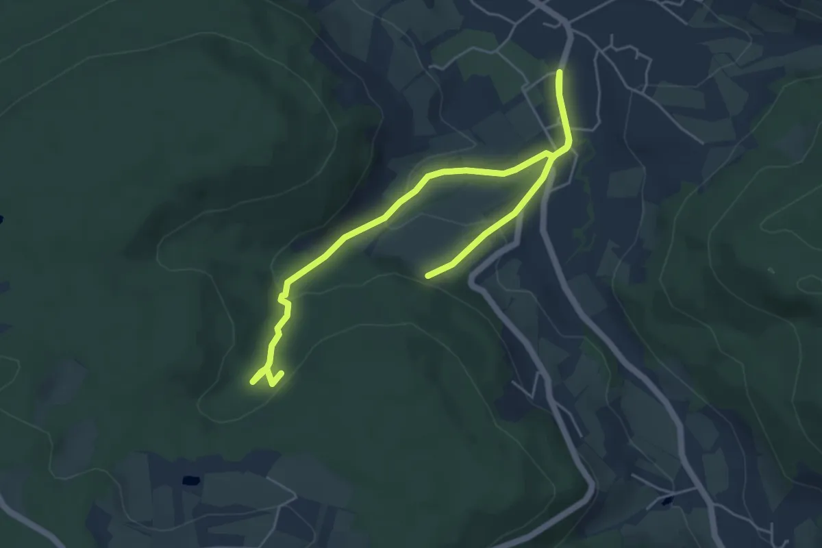
Easy · Trail
Kalksbrunnen Runde
3.1 km · ↑ 121 m · 1 h 1 min
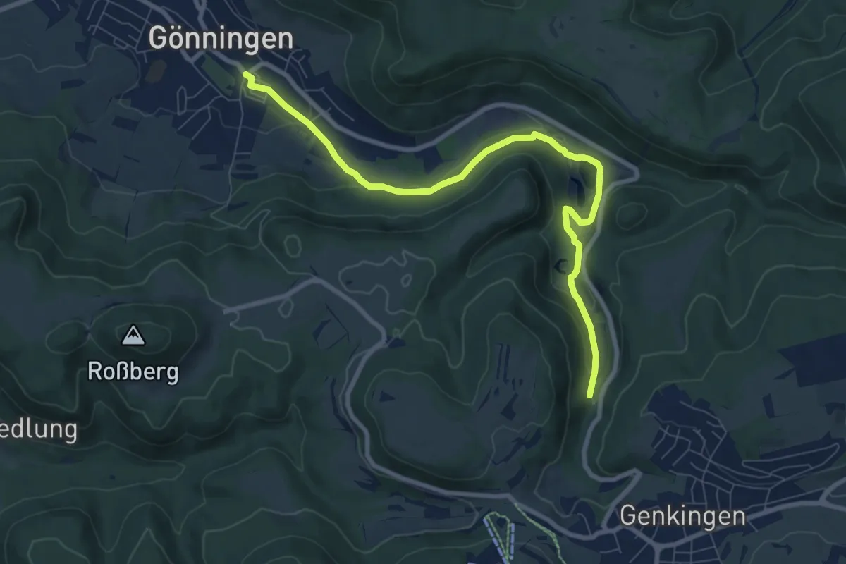
Demanding · Trail
Kalktufflandschaft Wiesaztal
8.5 km · ↑ 192 m · 2 h 25 min
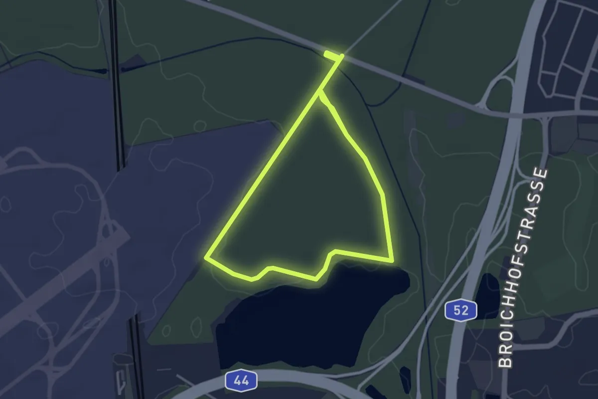
Easy · Trail
Kalkumer Forst Rundweg A1
2.8 km · ↑ 10 m · 44 min
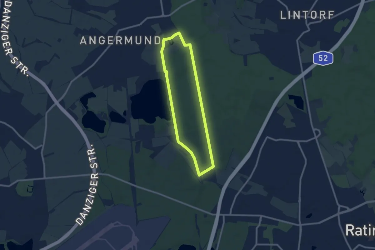
Easy · Trail
Kalkumer Forst Rundweg R2
6.0 km · ↑ 21 m · 1 h 33 min
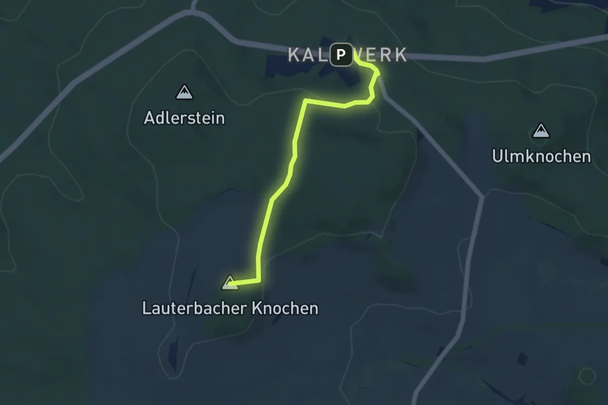
Easy · Summit
Kalkwerk-Lauterbach
3.6 km · ↑ 113 m · 1 h 6 min
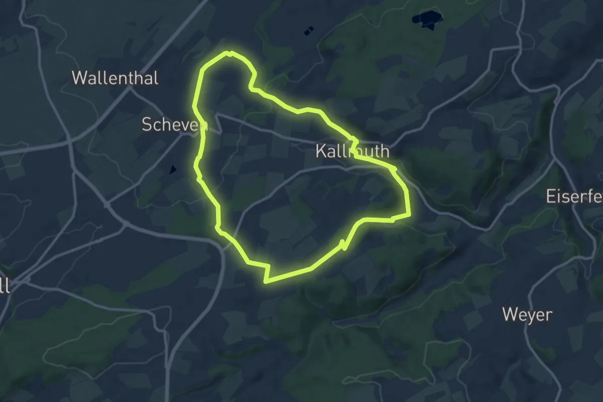
Medium · Trail
Kall 1
9.5 km · ↑ 190 m · 2 h 48 min
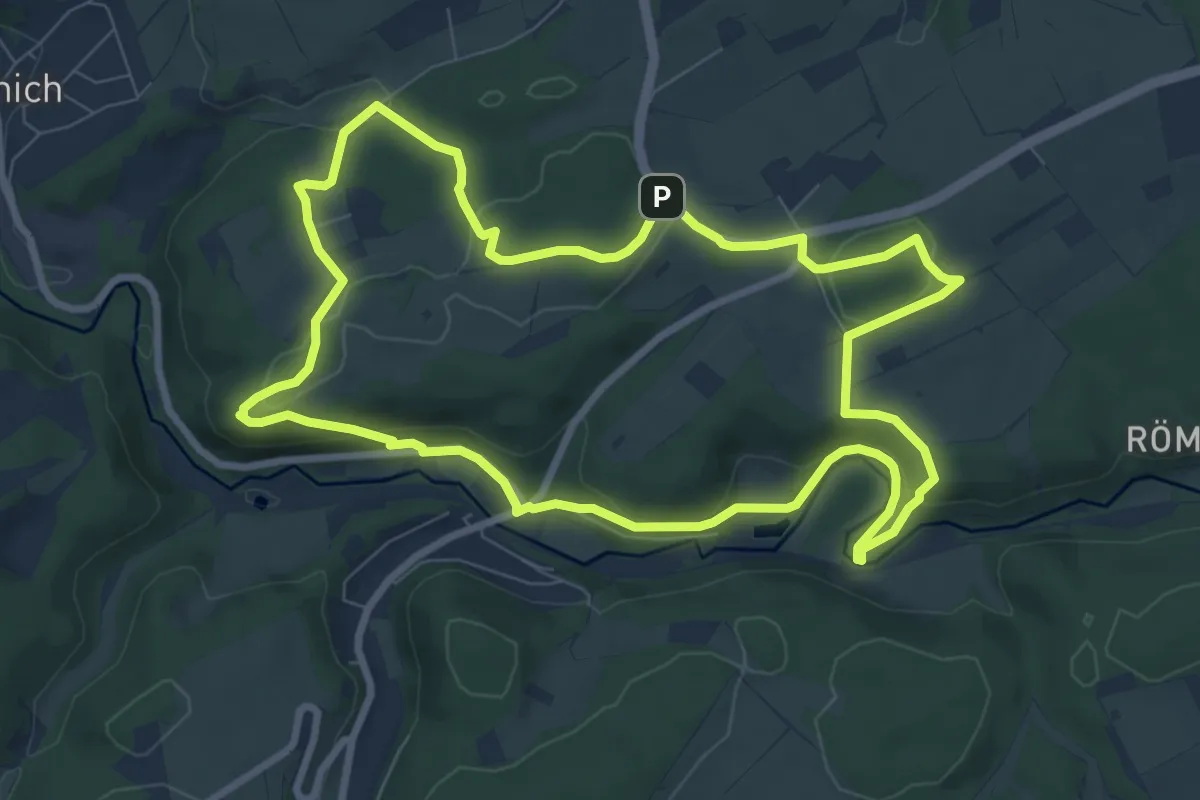
Medium · Trail
Kall 10
8.1 km · ↑ 226 m · 2 h 30 min
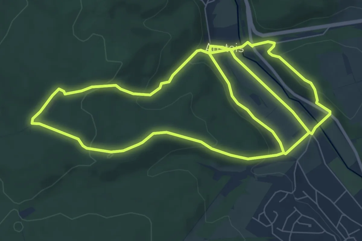
Easy · Trail
Kall A1
7.4 km · ↑ 221 m · 2 h 19 min
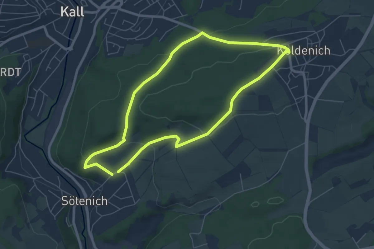
Easy · Trail
Kall A12
5.2 km · ↑ 139 m · 1 h 36 min
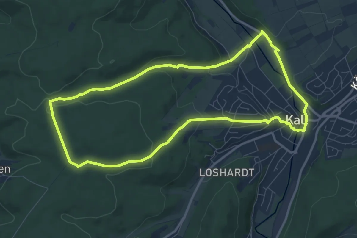
Easy · Trail
Kall A2
7.4 km · ↑ 163 m · 2 h 12 min
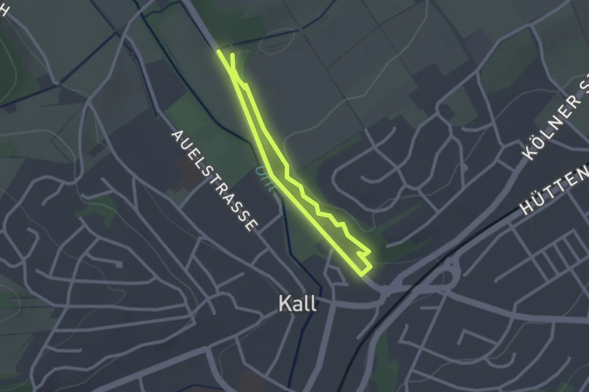
Easy · Trail
Kall A5
1.7 km · ↑ 16 m · 27 min
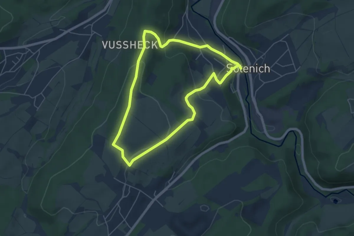
Easy · Summit
Kall A6
4.4 km · ↑ 128 m · 1 h 23 min