Trails in Germany
36,852 hiking trails, each with its route, climb, walking time and grade.
All trails, page 278 of 768
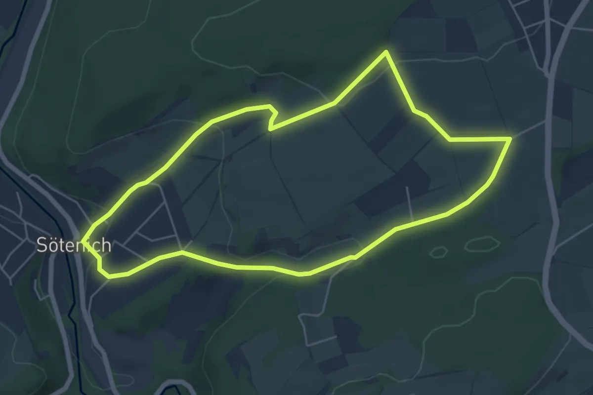
Easy · Trail
Kall A7
4.8 km · ↑ 112 m · 1 h 26 min
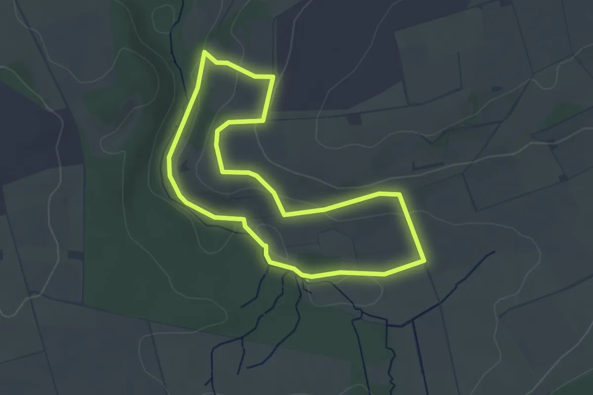
Easy · Trail
Kallenhardt A5
3.3 km · ↑ 78 m · 1 h
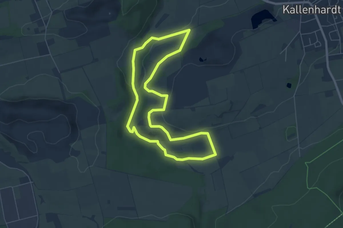
Easy · Trail
Kallenhardt A6
5.4 km · ↑ 118 m · 1 h 36 min
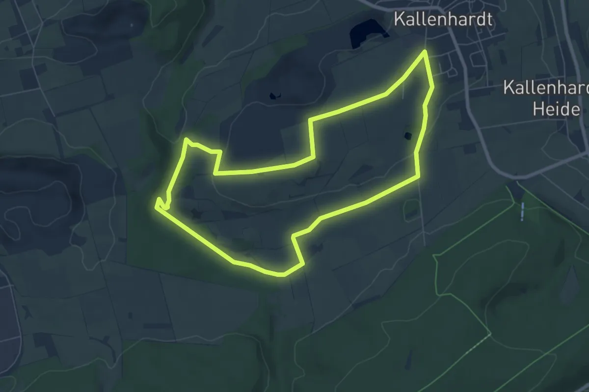
Easy · Trail
Kallenhardt A8
6.5 km · ↑ 87 m · 1 h 49 min
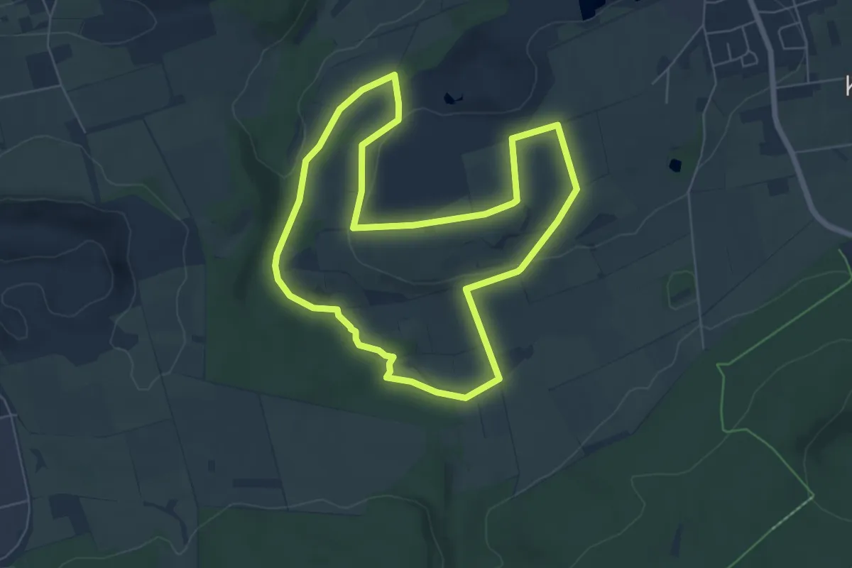
Easy · Trail
Kallenhardt FliessWege
5.7 km · ↑ 97 m · 1 h 38 min
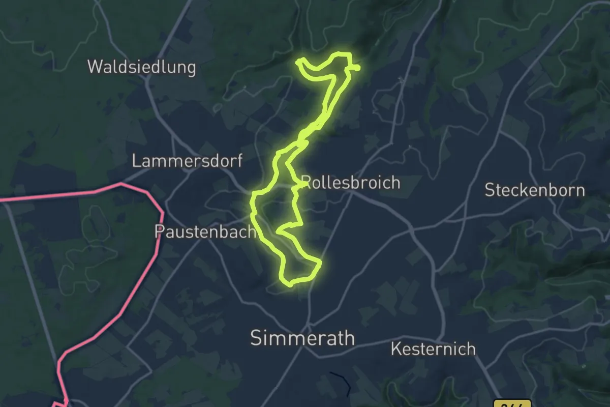
Medium · Trail
Kalltalsperre-Lönsfelsen
11.5 km · ↑ 167 m · 3 h 14 min
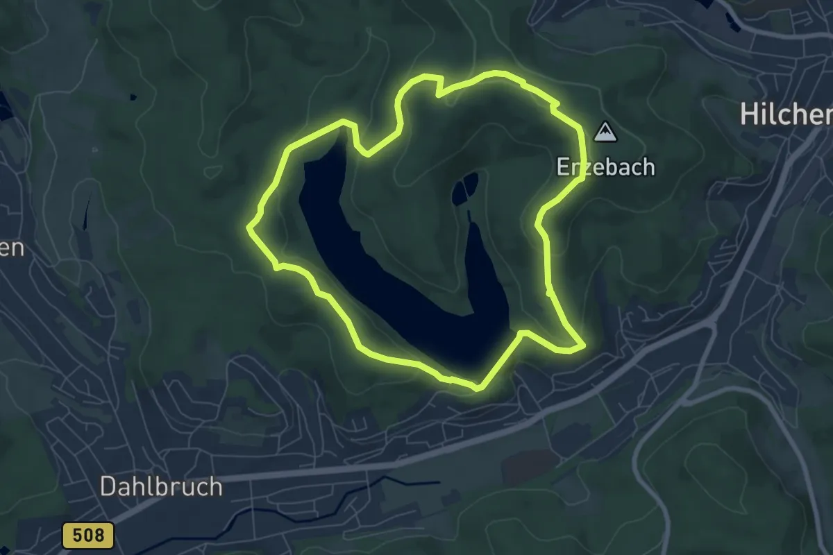
Easy · Summit
Kalorienpfad
6.6 km · ↑ 178 m · 2 h 3 min
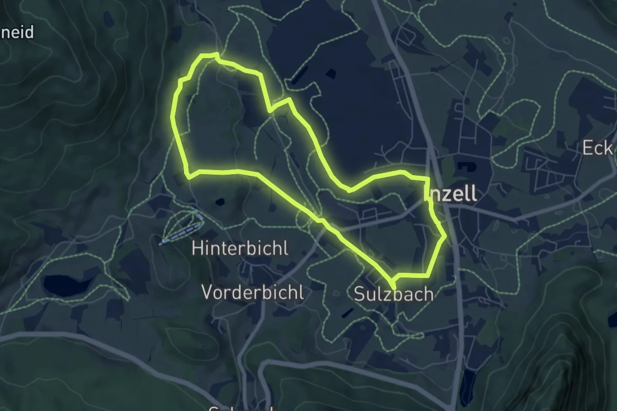
Easy · Trail
Kalorien-Runde
6.4 km · ↑ 54 m · 1 h 42 min
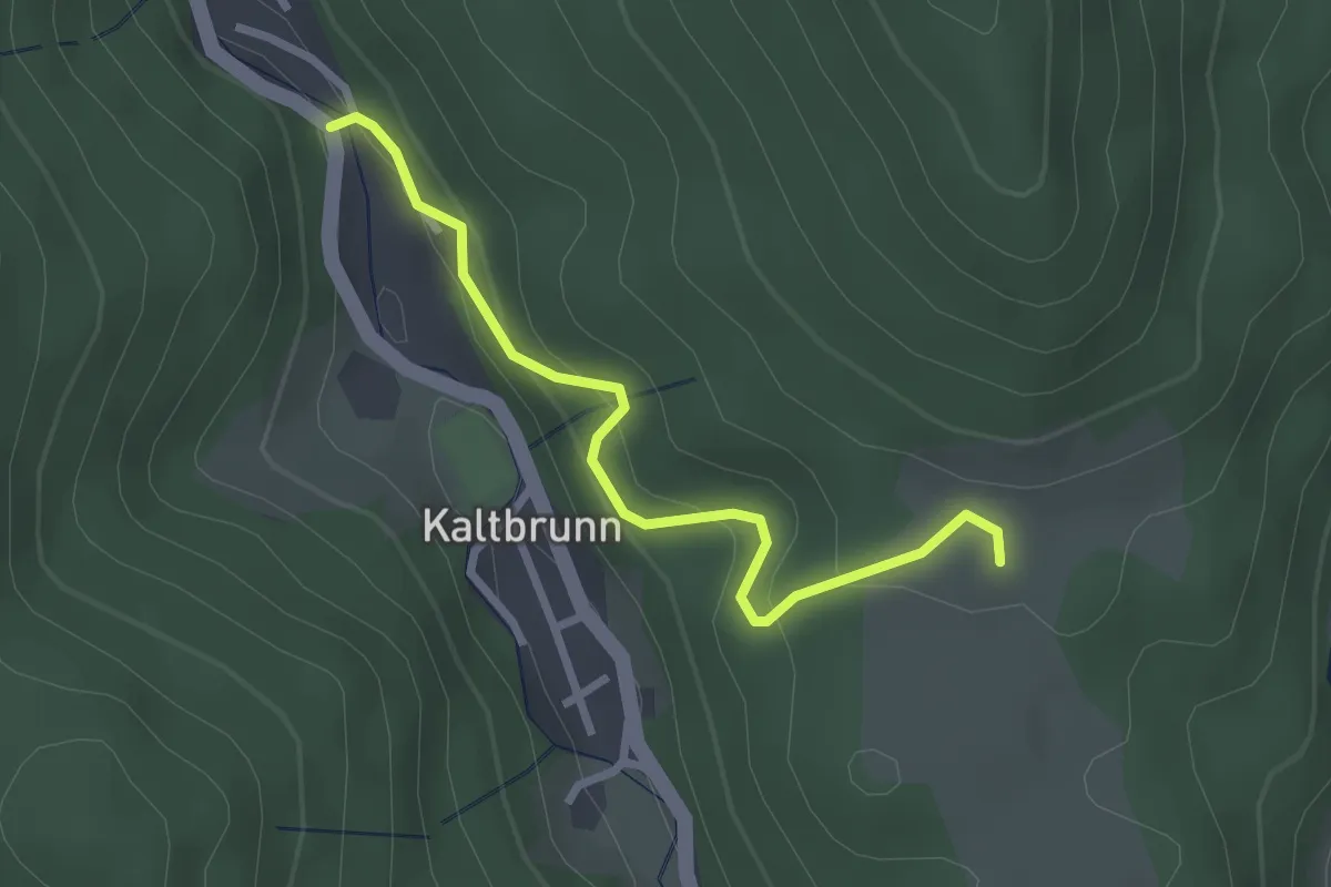
Easy · Trail
Kaltbrunn Martinshof - Elme
2.5 km · ↑ 204 m · 1 h 2 min
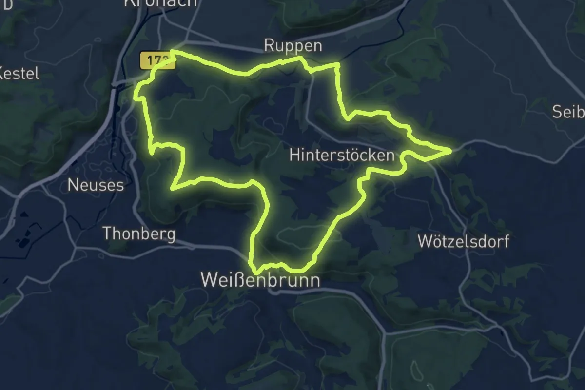
Medium · Trail
Kaltbucher Weg KC 12
17.5 km · ↑ 479 m · 5 h 25 min
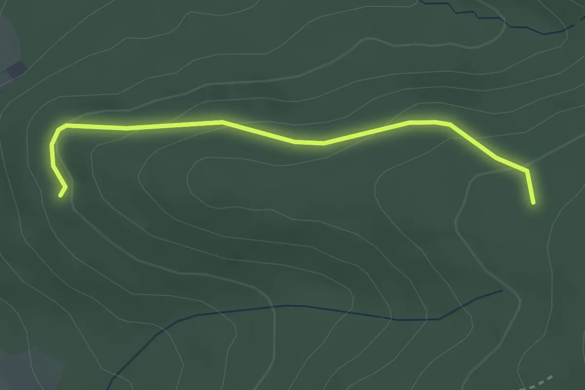
Easy · Trail
Kalte Brunnen - Sommerhalden
2.8 km · ↑ 135 m · 57 min
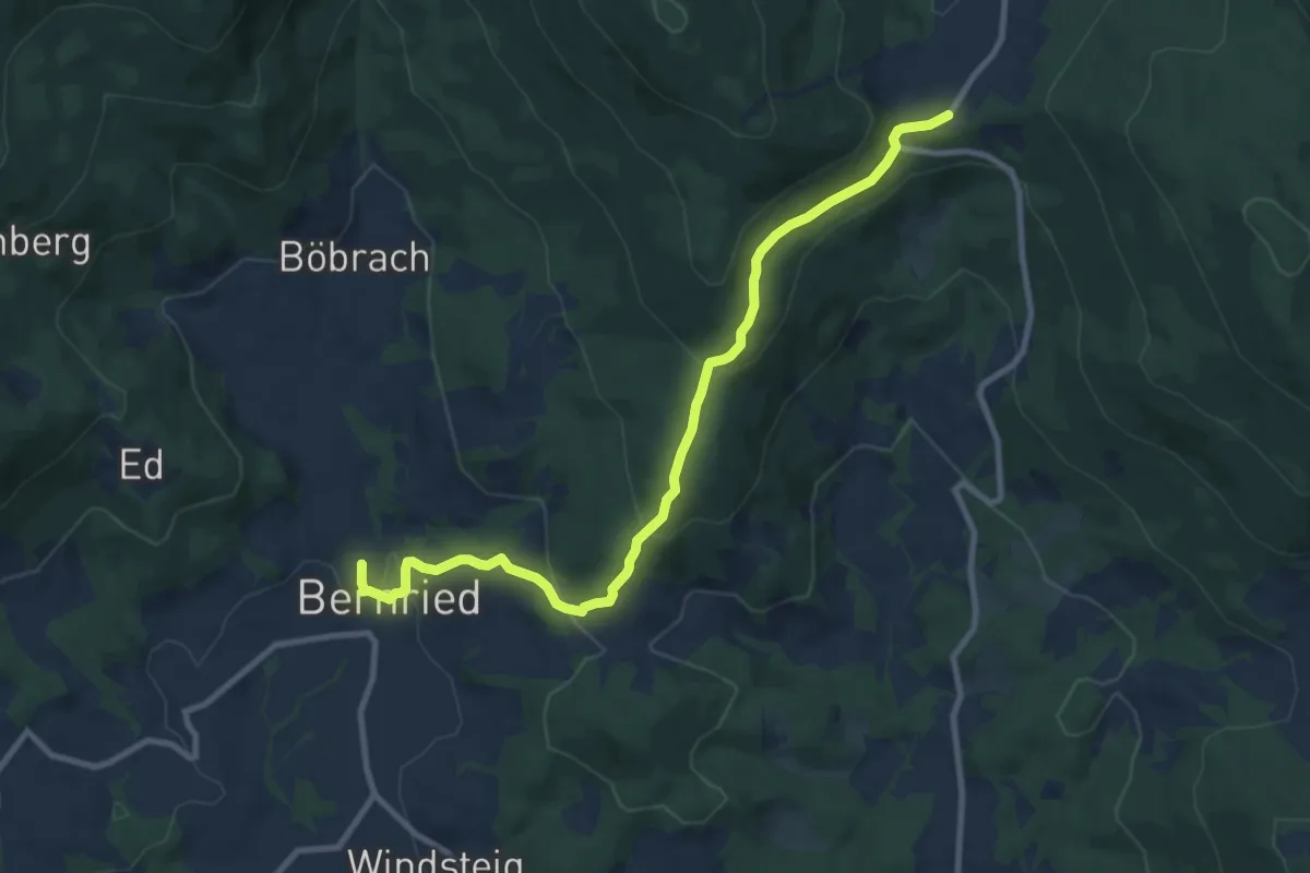
Medium · Trail
Kaltecker Weg
9.6 km · ↑ 430 m · 3 h 12 min
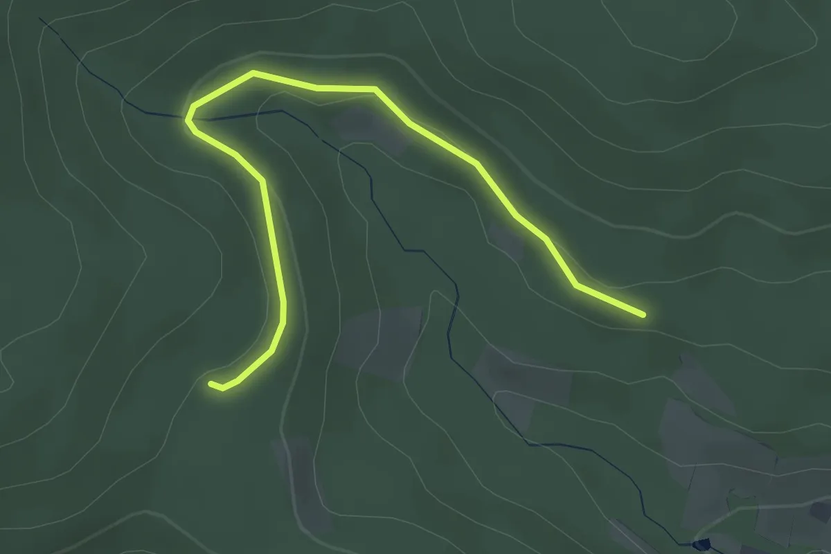
Easy · Trail
Kalte Küche - Hofwald
3.4 km · ↑ 59 m · 55 min
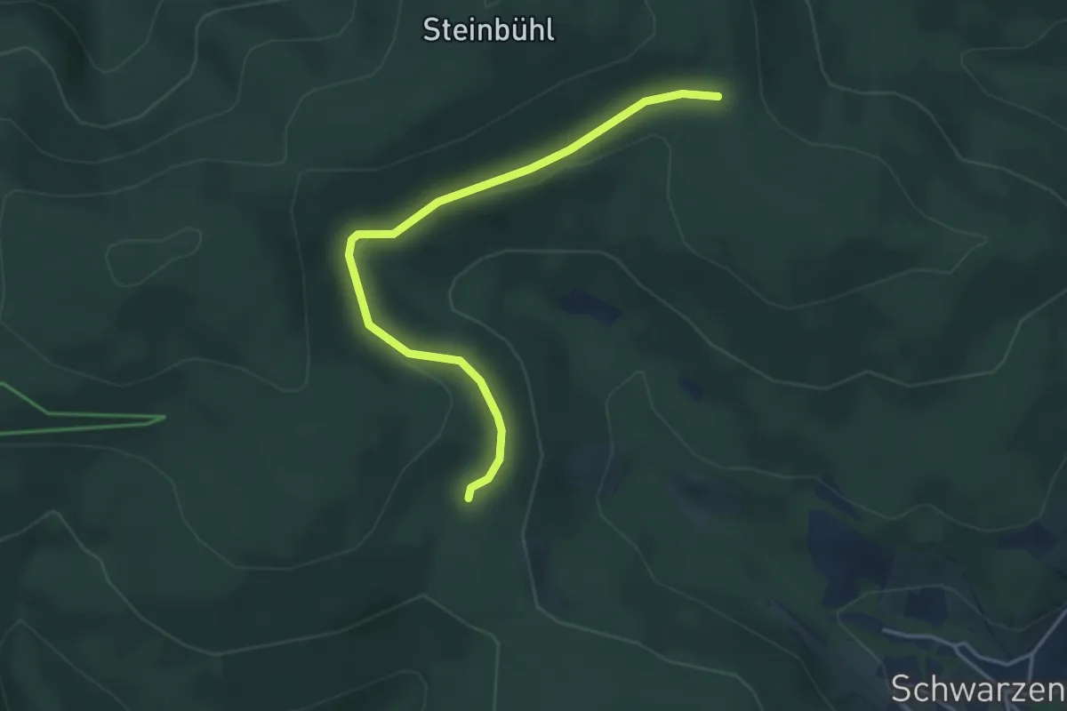
Easy · Trail
Kalte Küche - Umrankhütte
3.7 km · ↑ 76 m · 1 h 3 min
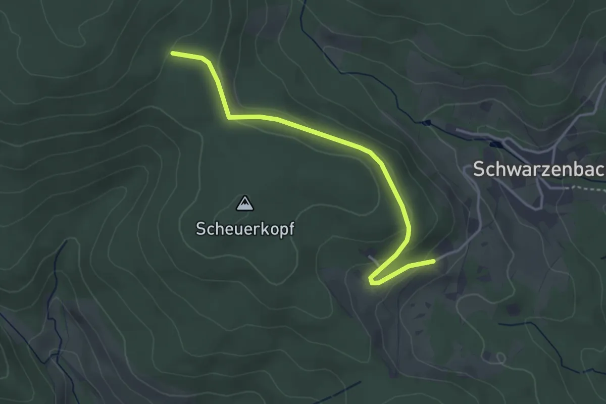
Easy · Trail
Kalte Küche - Wachshütte
3.5 km · ↑ 102 m · 1 h 3 min
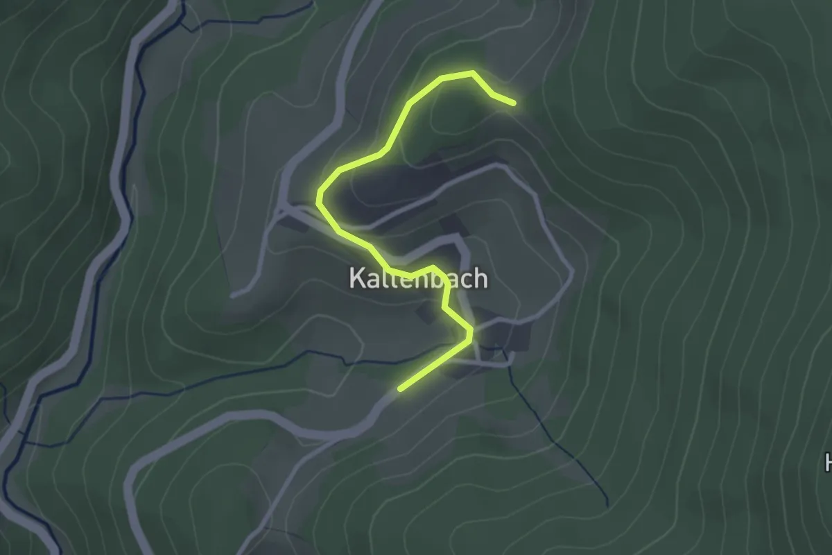
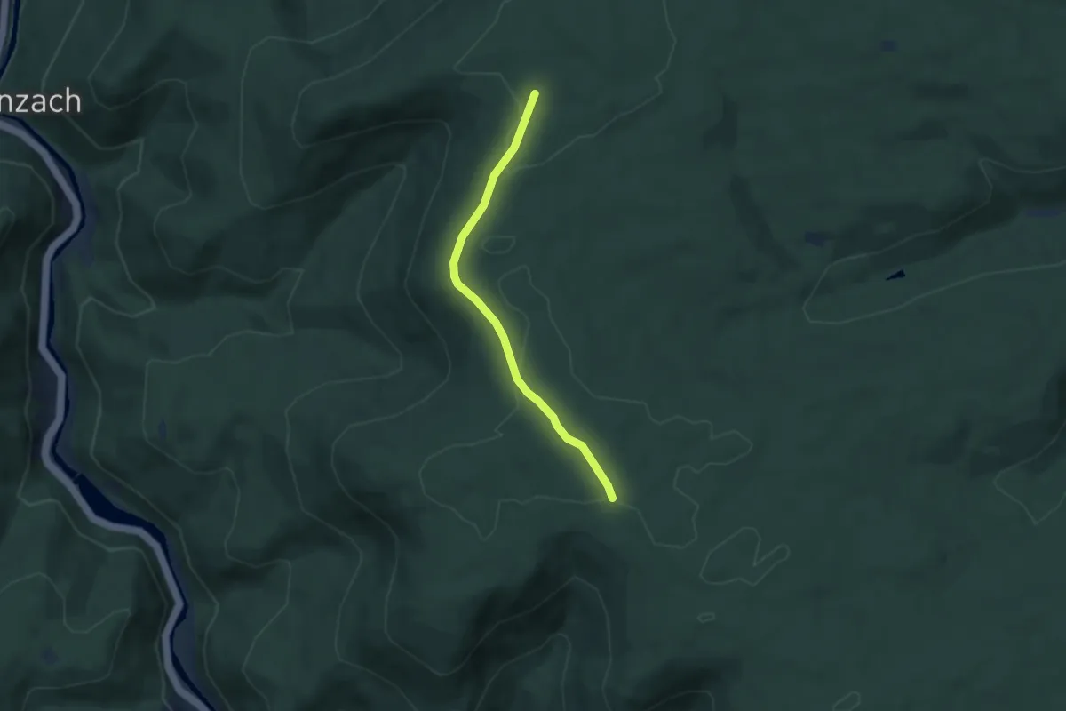
Easy · Trail
Kaltenbach Hecke - Waldebnitz
2.5 km · ↑ 108 m · 49 min
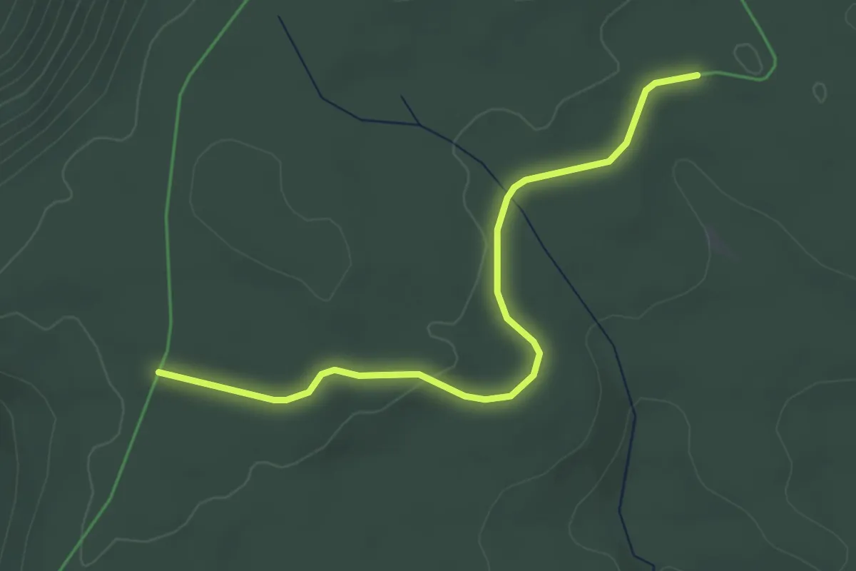
Easy · Trail
Kaltenbachhöhe - Forstrat Ebert-Hütte
5.2 km · ↑ 50 m · 1 h 20 min
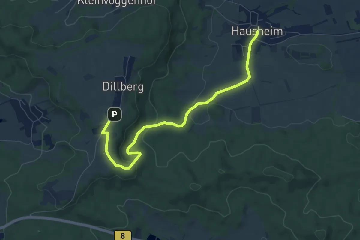
Easy · Trail
Kaltenbachhöhe - Süßmiß
3.9 km · ↑ 23 m · 58 min
Easy · Trail
Kaltenbach-Weg
7.9 km · ↑ 194 m · 2 h 17 min
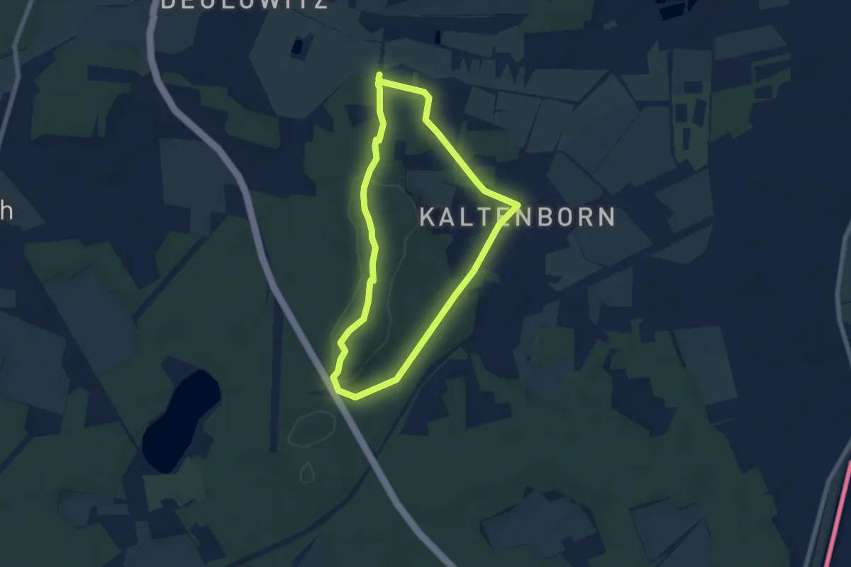
Easy · Summit
Kaltenborner Berge
4.7 km · ↑ 79 m · 1 h 22 min
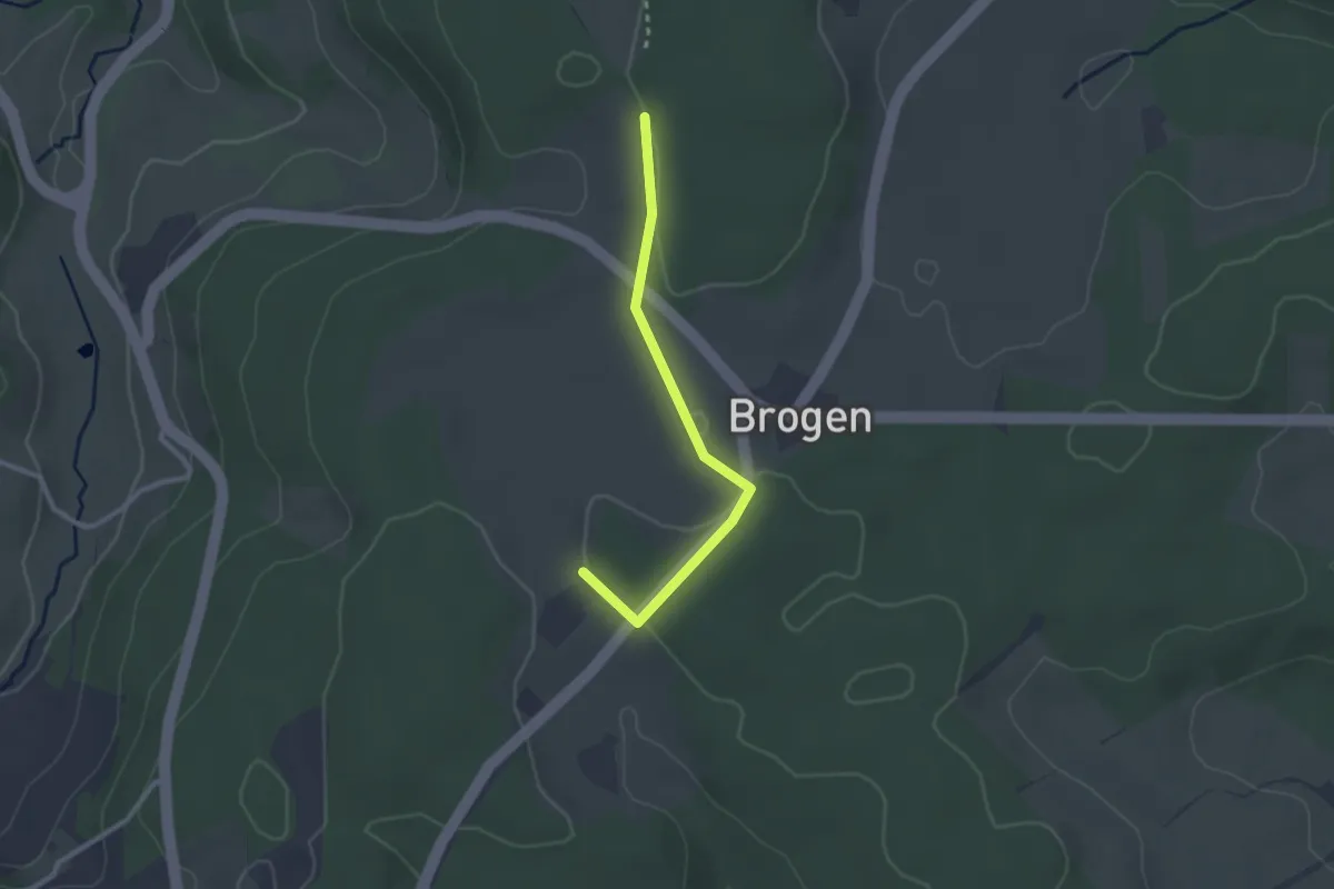
Easy · Trail
Kaltenbronn - Hutneck Nord
2.4 km · ↑ 39 m · 39 min
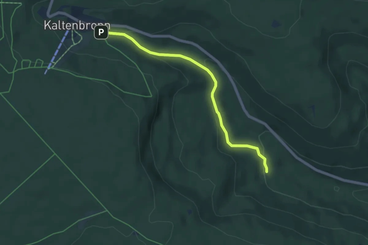
Easy · Trail
Kaltenbronn - Kegelbachtal
4.2 km · ↑ 123 m · 1 h 16 min
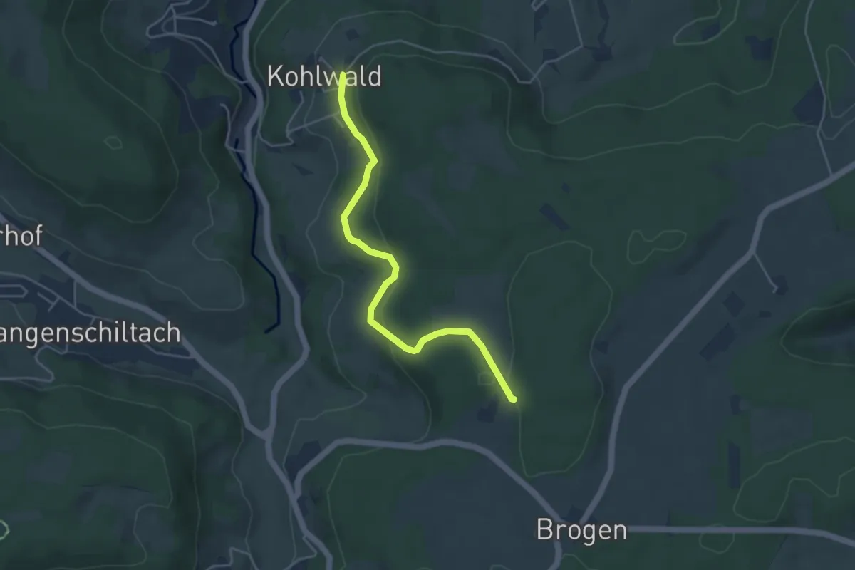
Easy · Trail
Kaltenbronn - Kohlwald
4.1 km · ↑ 170 m · 1 h 21 min
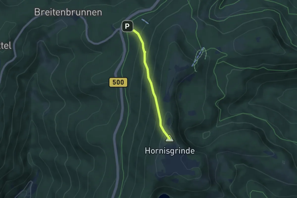
Medium · Summit
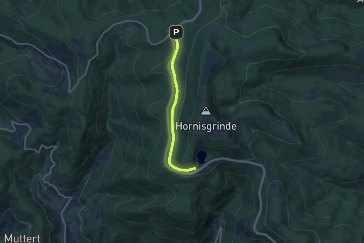
Kaltenbrunnen - Hornisgrinde Windpark
3.4 km · ↑ 238 m · 1 h 19 min
Easy · Trail
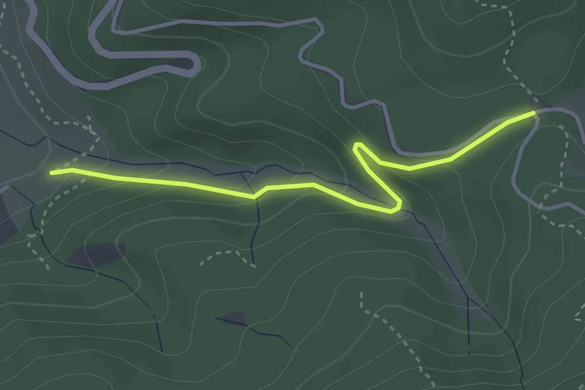
Kaltenbrunnen - Markwaldweg
6.2 km · ↑ 238 m · 1 h 59 min
Easy · Trail
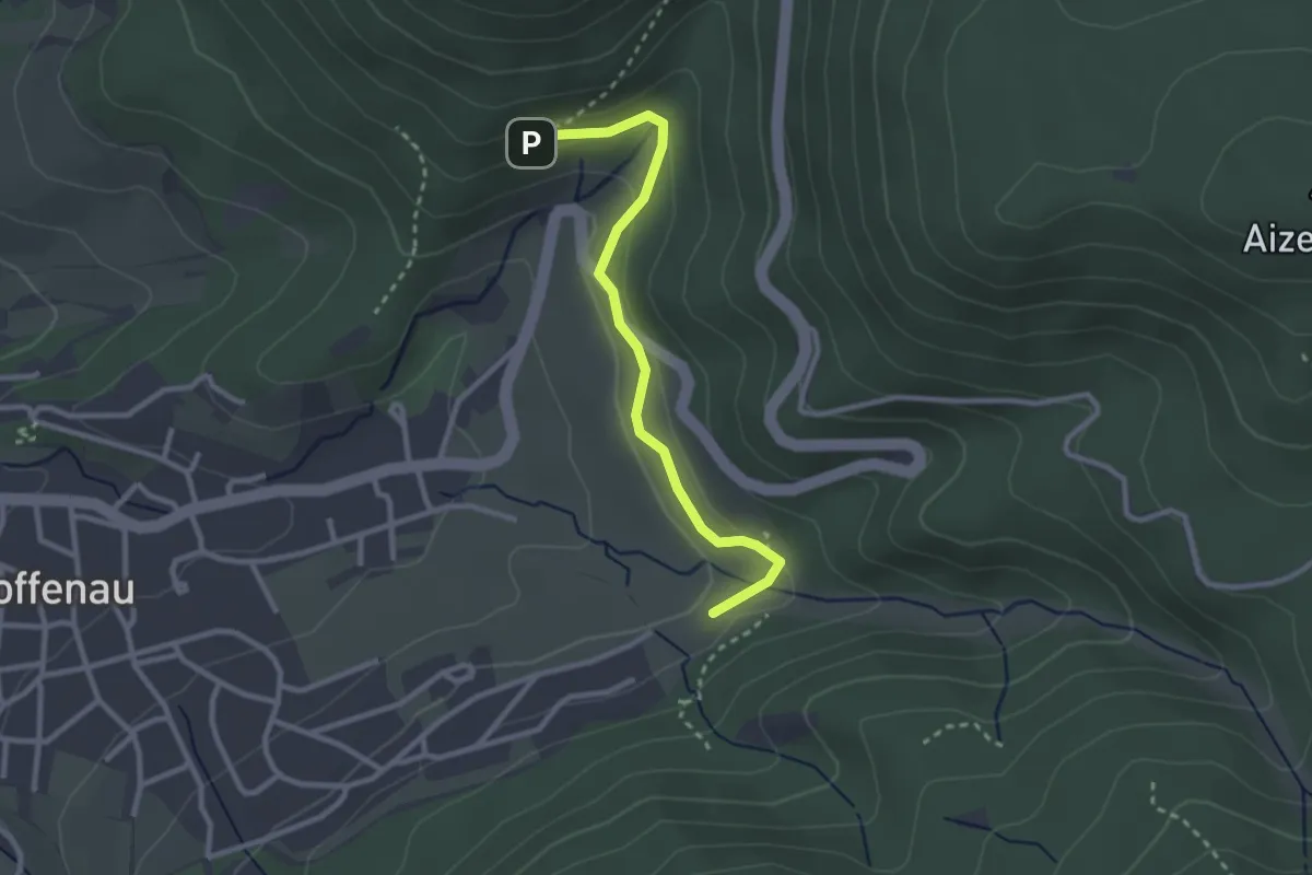
Kaltenbrunnental - Rißwasen
3.0 km · ↑ 169 m · 1 h 4 min
Easy · Trail
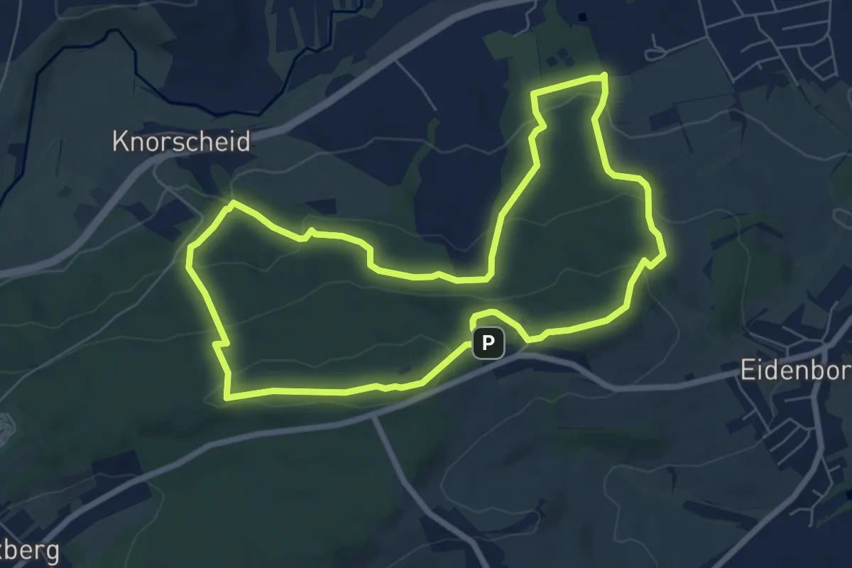
Kaltenbrunnental - Zimmerlei
2.6 km · ↑ 96 m · 49 min
Easy · Summit
Kaltensteinpfad
6.6 km · ↑ 296 m · 2 h 17 min
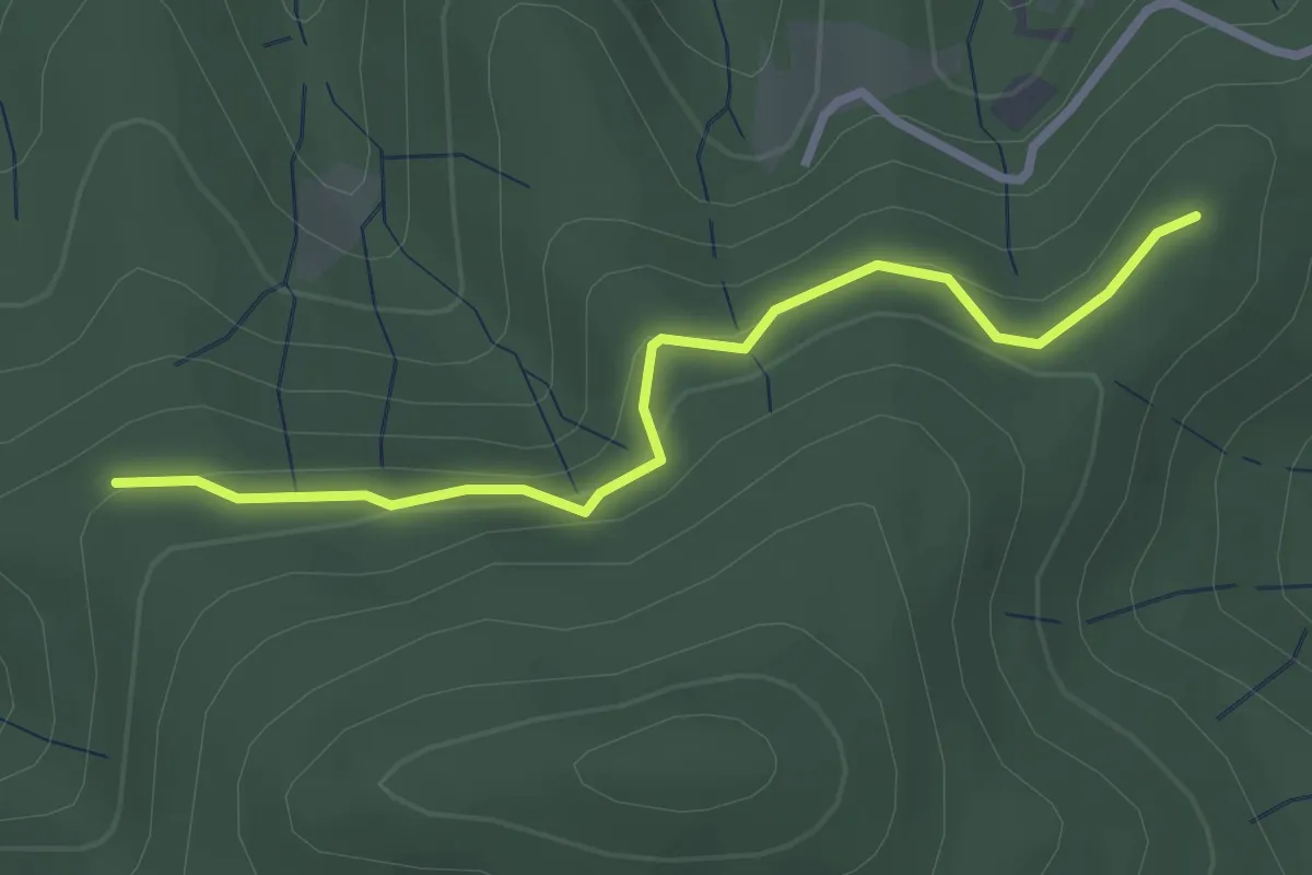
Easy · Trail
Kalter Brunnen - Holzhau
2.6 km · ↑ 121 m · 53 min
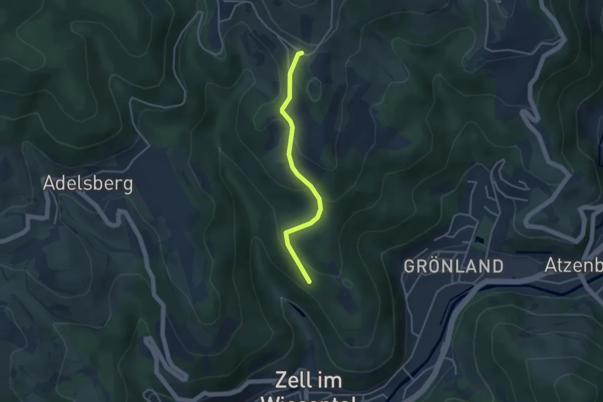
Easy · Trail
Kalter Bühl - St. Bernhardshütte
2.9 km · ↑ 164 m · 1 h 2 min
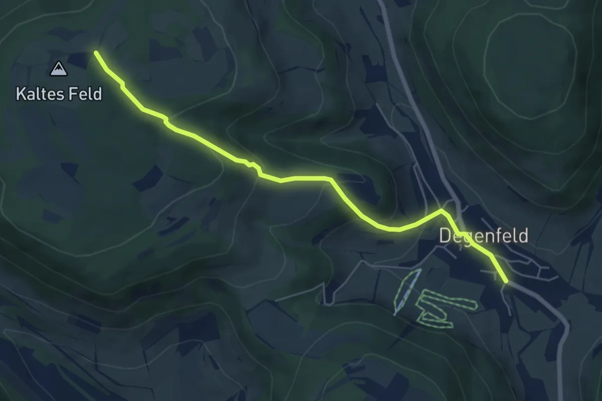
Easy · Trail
Kaltes Feld - Degenfeld
5.4 km · ↑ 256 m · 1 h 50 min
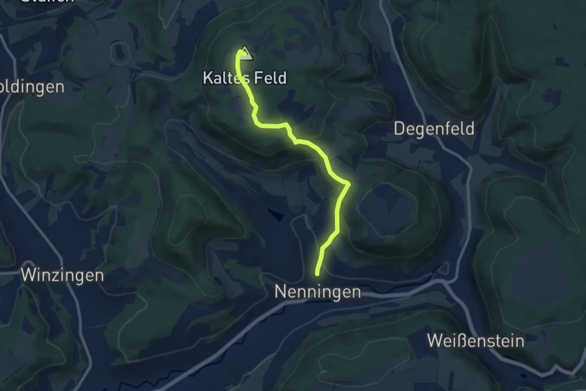
Medium · Summit
Kaltes Feld - Galgenberg - Nenningen
7.1 km · ↑ 324 m · 2 h 23 min
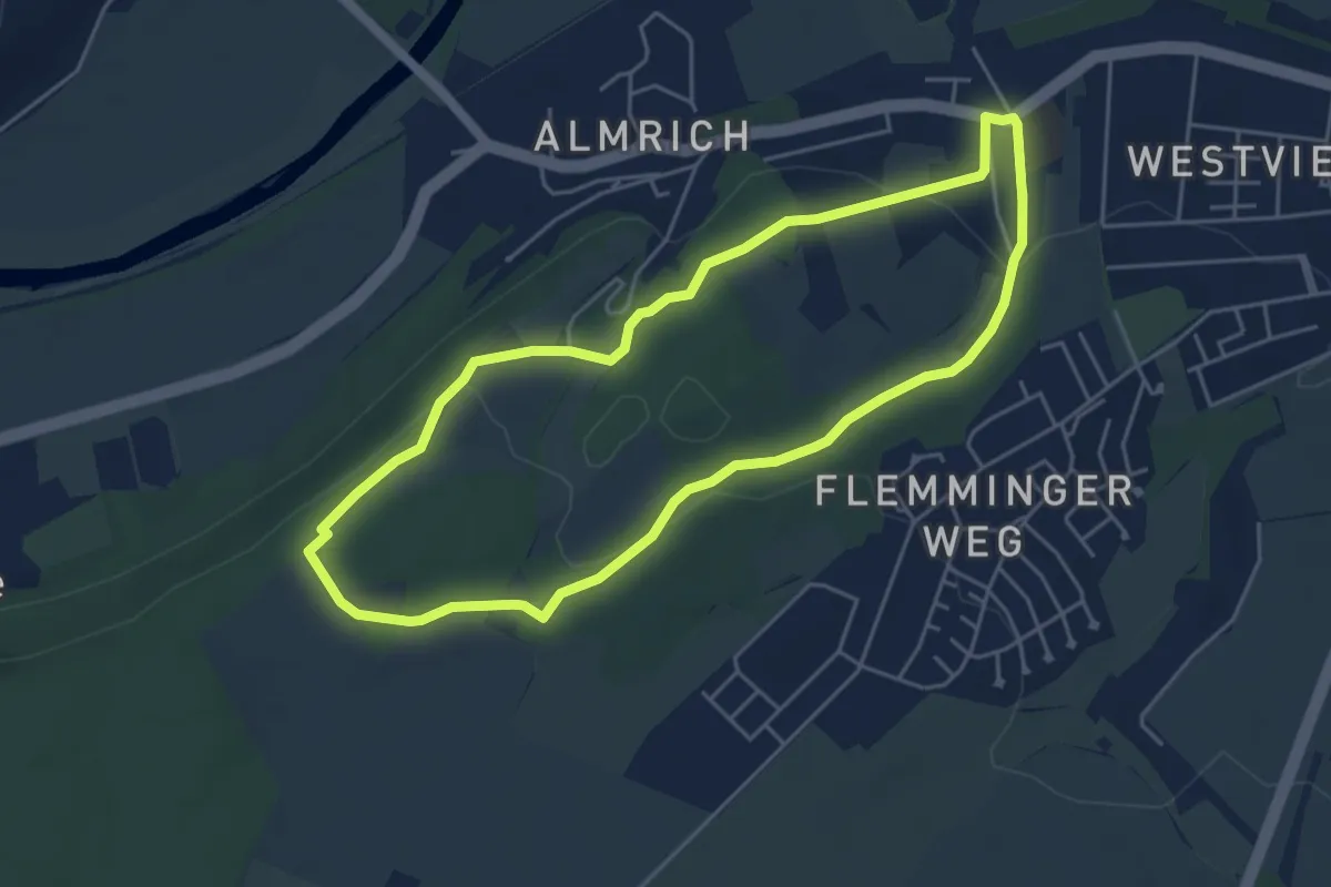
Easy · Trail
Kaltes Tal Wanderweg
4.4 km · ↑ 85 m · 1 h 17 min
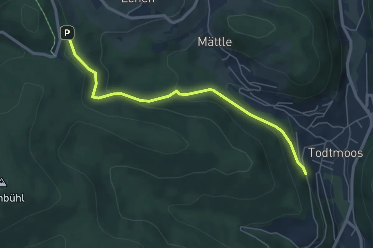
Easy · Trail
Kaltwasser - Todtmoos Katholisches Pfarrhaus
4.6 km · ↑ 228 m · 1 h 35 min
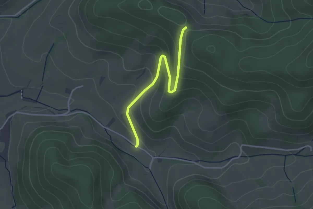
Easy · Trail
Kambach - Langeck
2.9 km · ↑ 134 m · 58 min
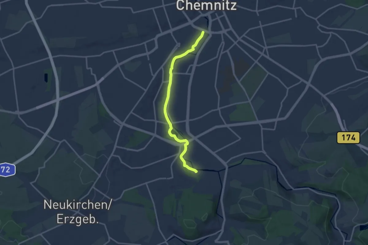
Medium · Trail
Kamenica Musica
10.4 km · ↑ 50 m · 2 h 33 min
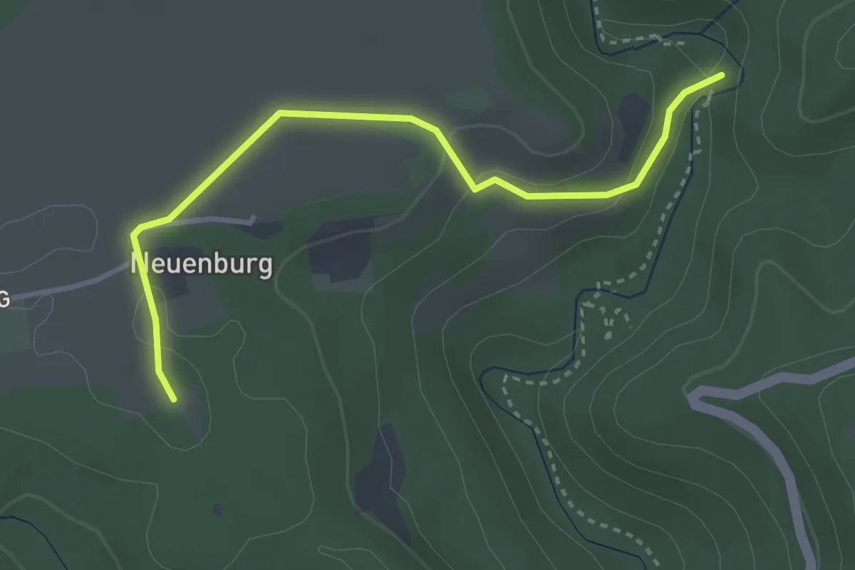
Easy · Trail
Kameralhof - Wanderheim Burgmühle
3.3 km · ↑ 74 m · 56 min
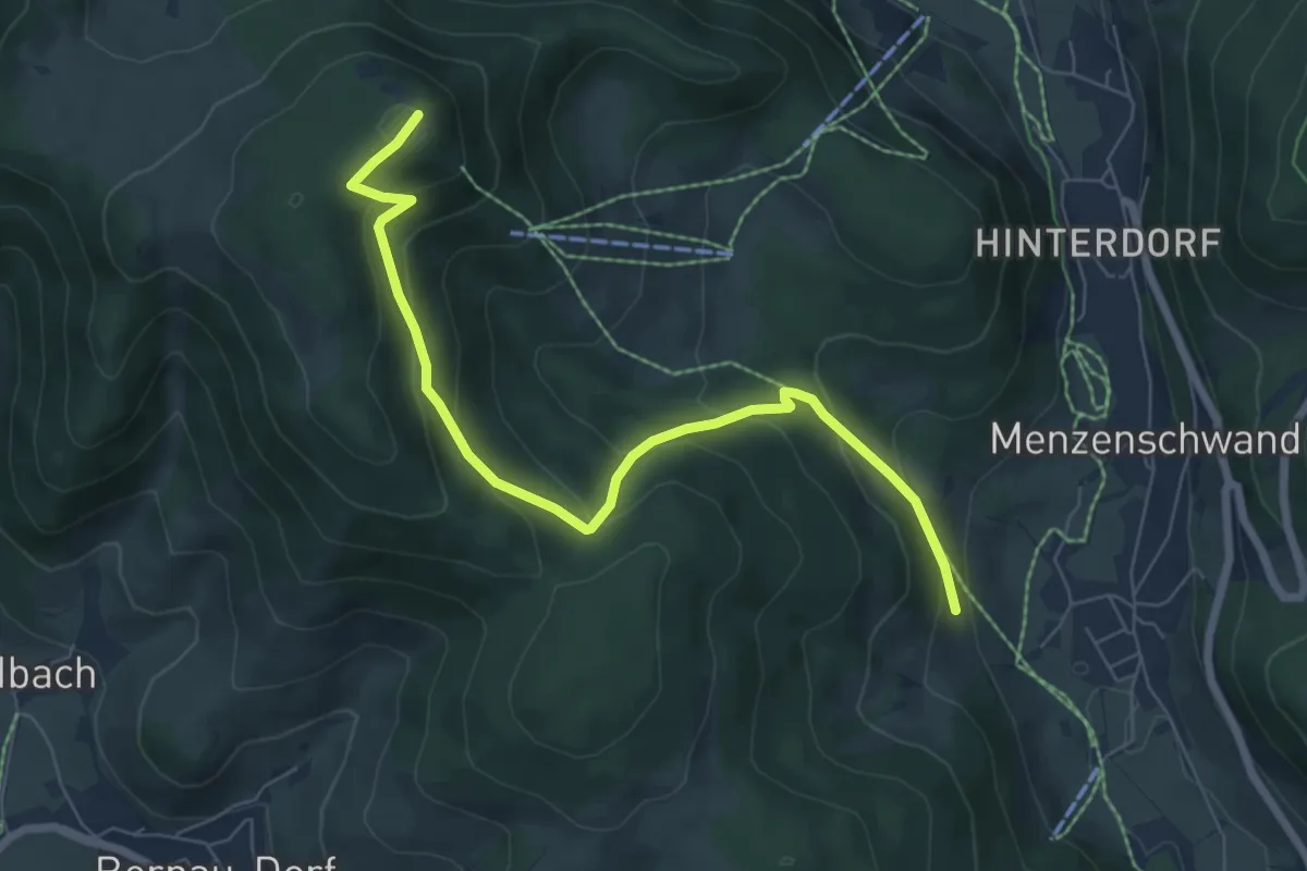
Medium · Summit
Kammbühl - Spießhorn
7.1 km · ↑ 432 m · 2 h 36 min
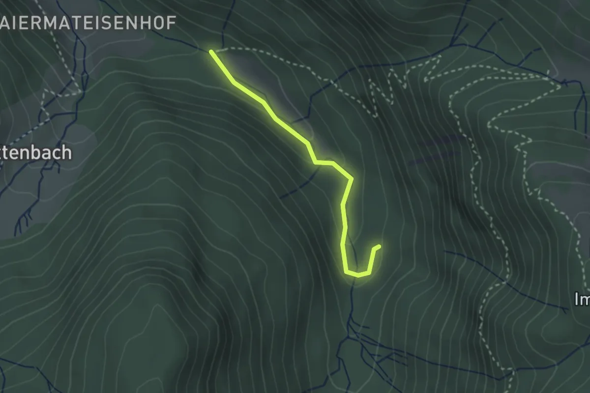
Easy · Trail
Kammendobel - Napfmatte
2.3 km · ↑ 85 m · 44 min
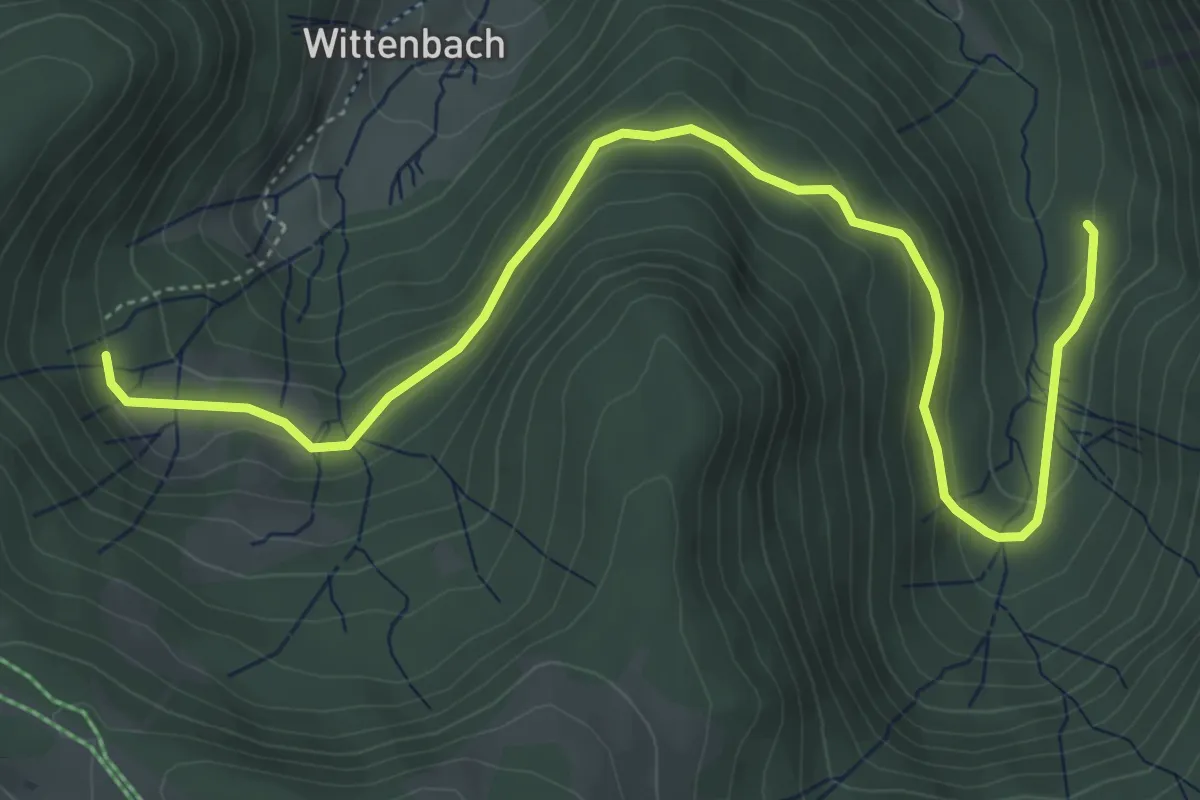
Easy · Trail
Kammendobel - Oberwittenbach
6.1 km · ↑ 264 m · 2 h
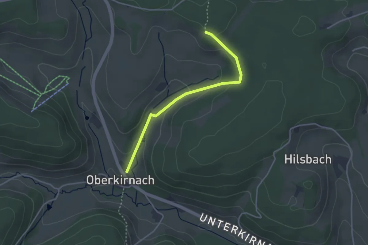
Easy · Trail
Kammerer Höhe - Oberkirnach Auf dem Bühl
2.9 km · ↑ 85 m · 52 min
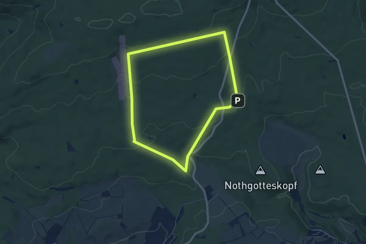
Easy · Trail
Kammerforst - Rundwanderweg Fuchs
5.5 km · ↑ 150 m · 1 h 42 min
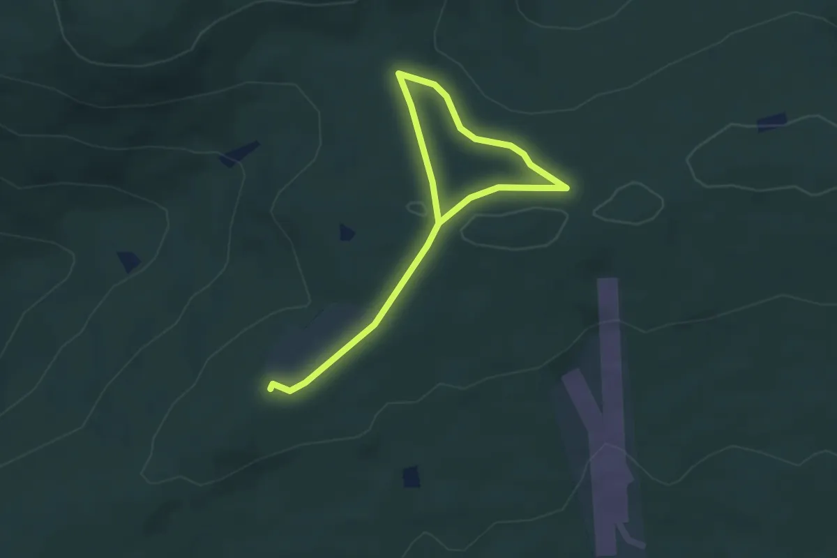
Easy · Summit
Kammerforst - Rundwanderweg Hase
2.4 km · ↑ 38 m · 41 min
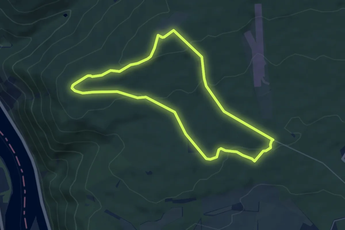
Easy · Trail
Kammerforst - Rundwanderweg Hirschkäfer
5.6 km · ↑ 125 m · 1 h 41 min
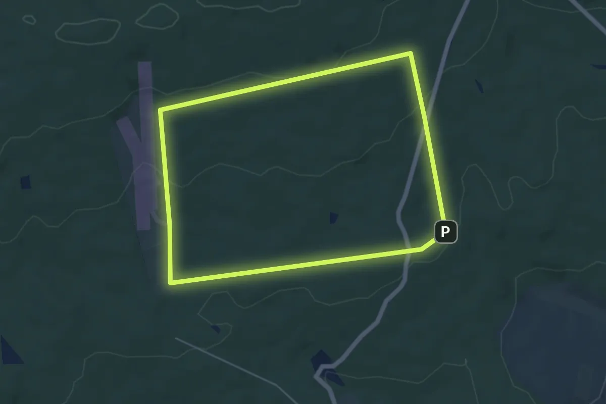
Easy · Trail
Kammerforst - Rundwanderweg Lindenblatt
4.6 km · ↑ 103 m · 1 h 22 min
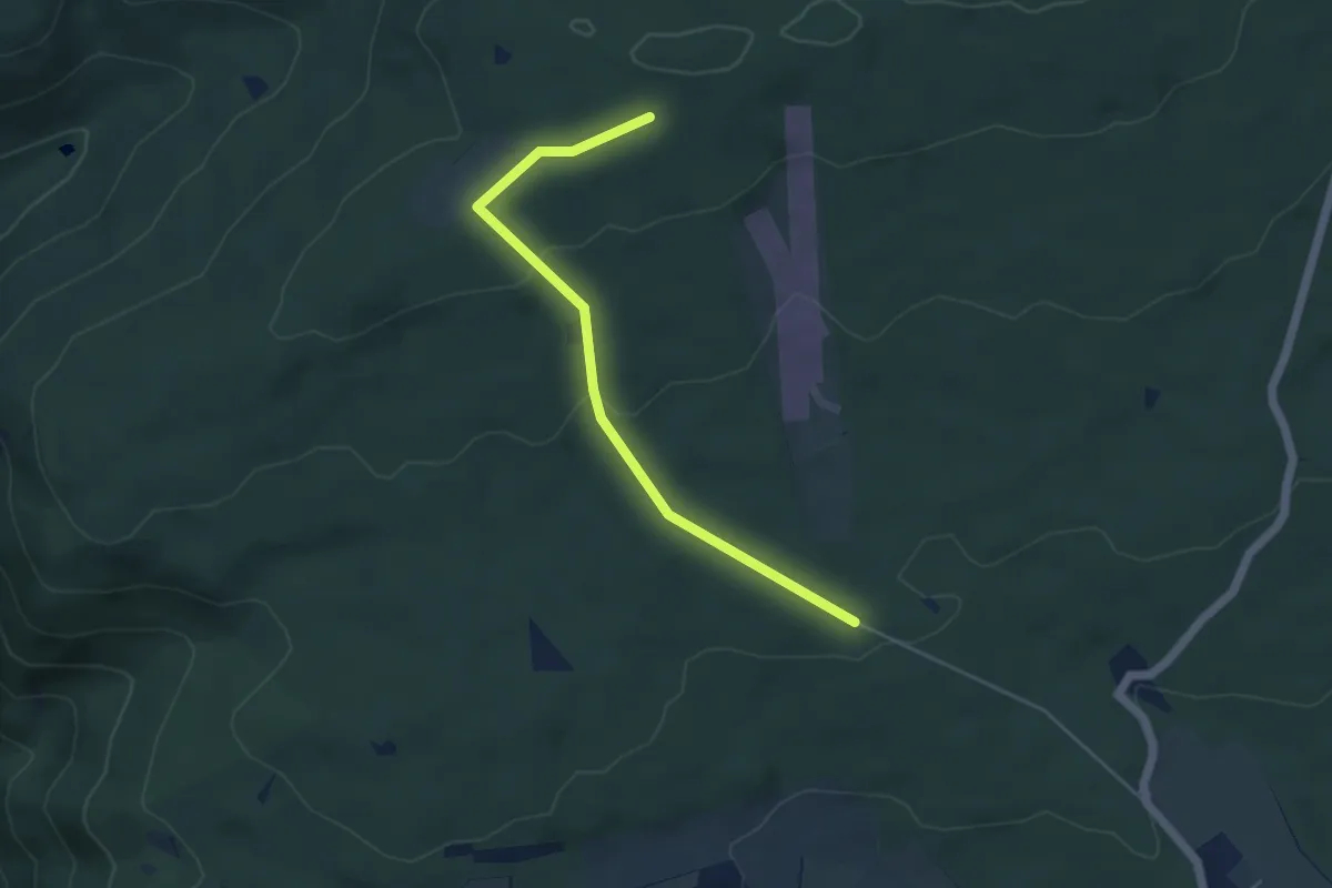
Easy · Trail
Kammerforst - Rundwanderweg Schnepfe
2.2 km · ↑ 0 m · 36 min
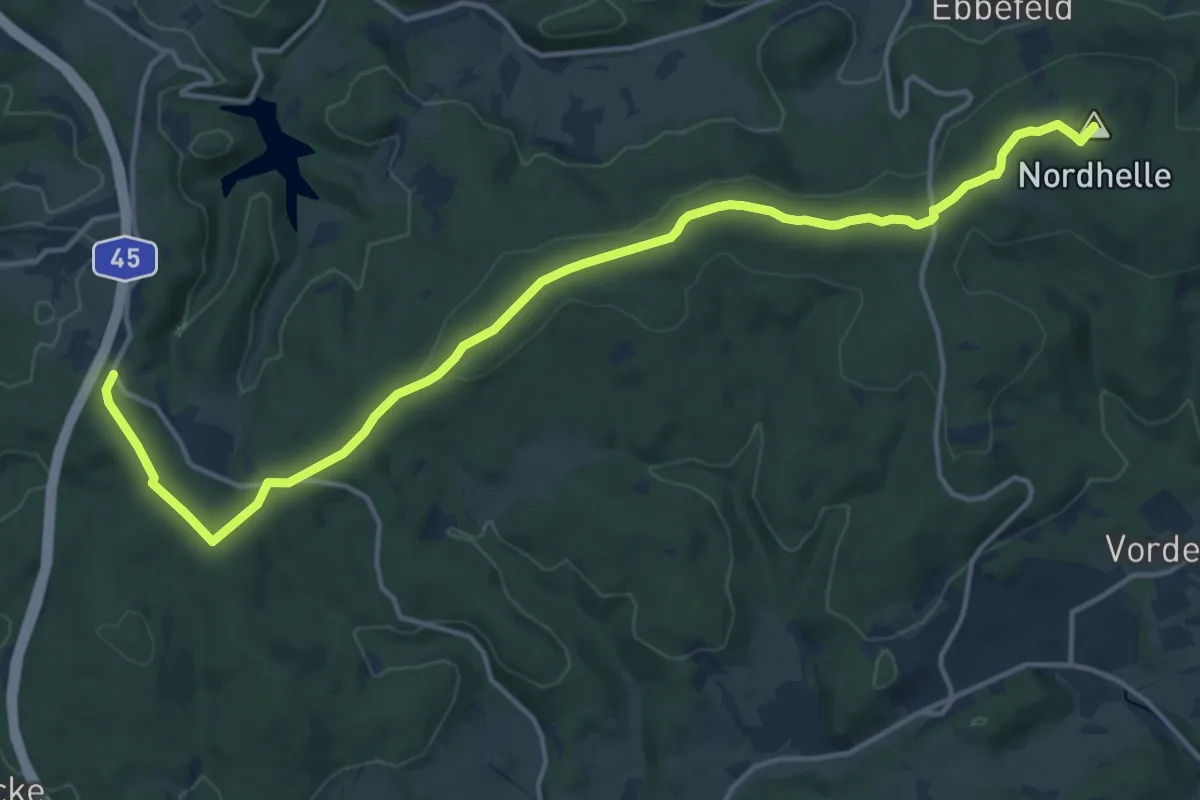
Medium · Summit
Kammweg 10
15.5 km · ↑ 210 m · 4 h 7 min
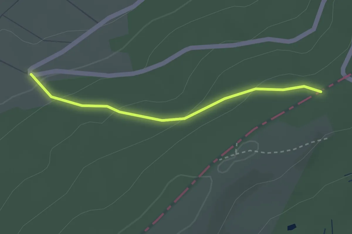
Easy · Trail
Kammweg 3
2.2 km · ↑ 86 m · 42 min