Trails in Germany
36,852 hiking trails, each with its route, climb, walking time and grade.
All trails, page 279 of 768
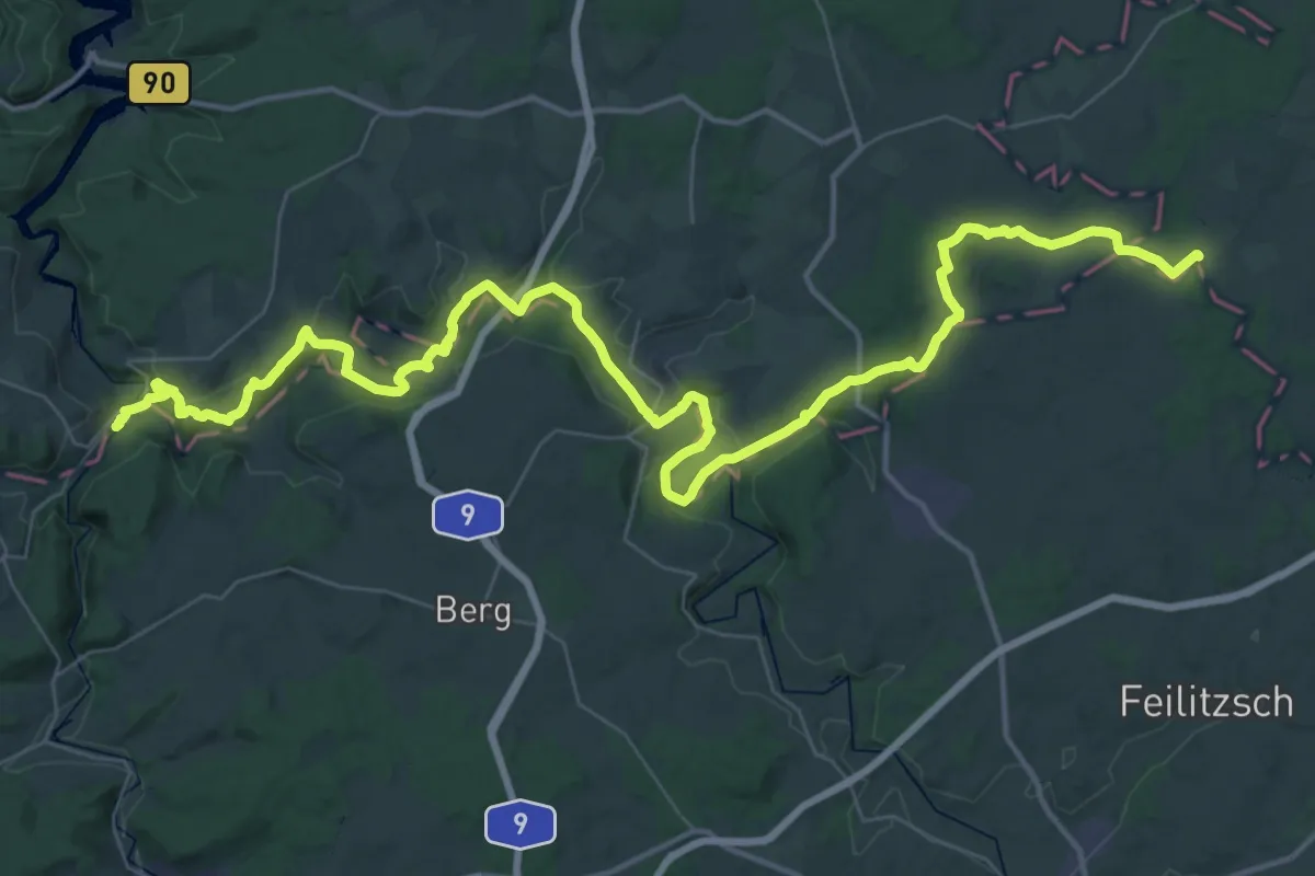
Demanding · Trail
Kammweg Erzgebirge - Vogtland (West)
28.4 km · ↑ 691 m · 8 h 31 min
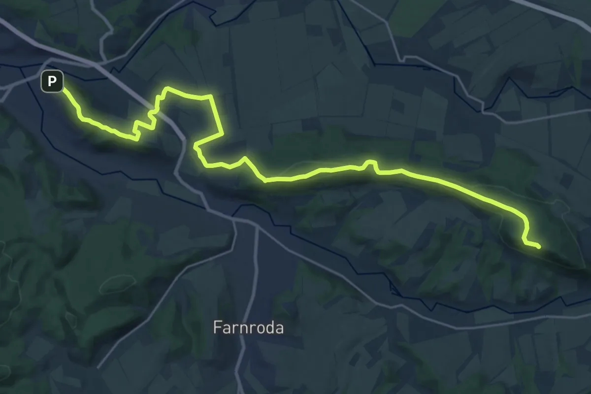
Demanding · Summit
Kammweg Hörselberge (Grüner Strich)
24.0 km · ↑ 589 m · 6 h 56 min
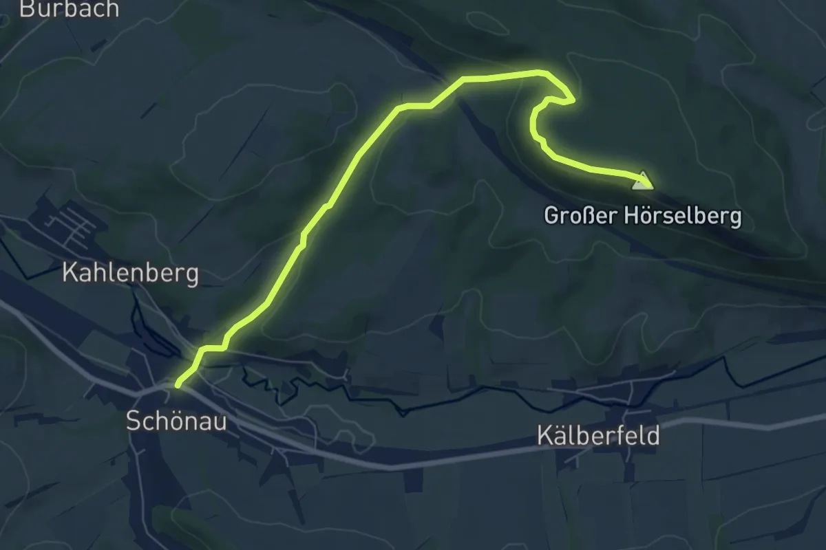
Easy · Summit
Kammweg Hörselberge (Roter Balken)
7.3 km · ↑ 239 m · 2 h 14 min
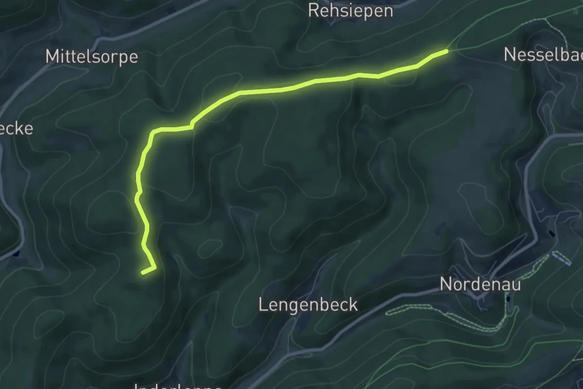
Easy · Summit
Kammweg K6
7.3 km · ↑ 152 m · 2 h 4 min
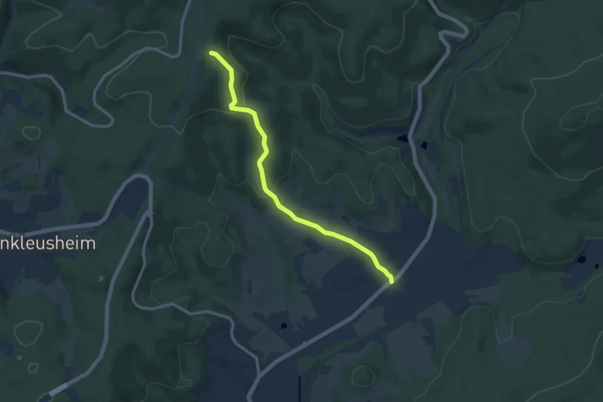
Easy · Trail
Kammweg K7
6.9 km · ↑ 220 m · 2 h 6 min
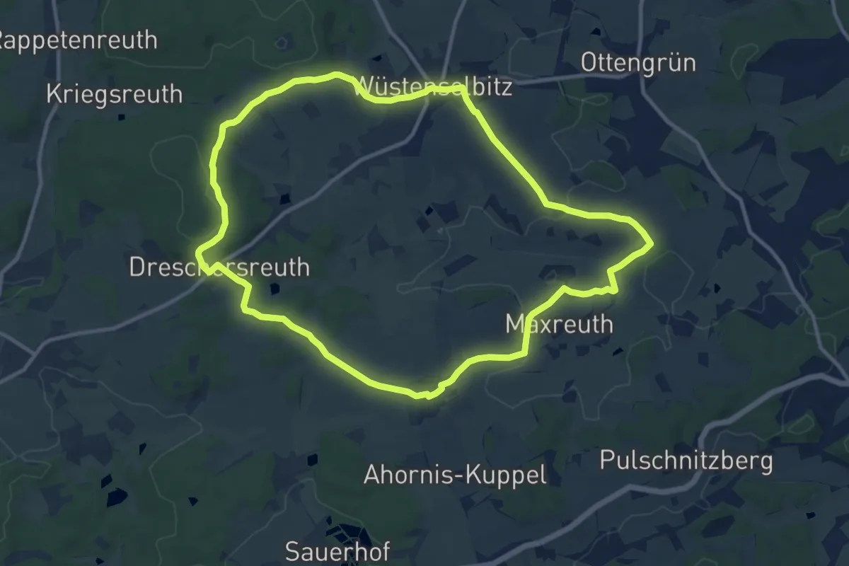
Medium · Trail
Kamm-Weg OS 16
10.2 km · ↑ 157 m · 2 h 53 min
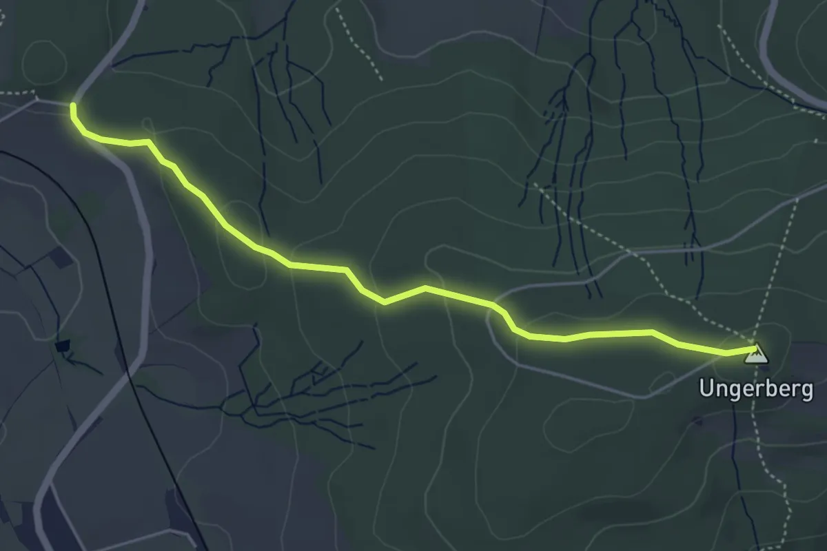
Easy · Summit
Kammweg Unger
4.4 km · ↑ 109 m · 1 h 16 min
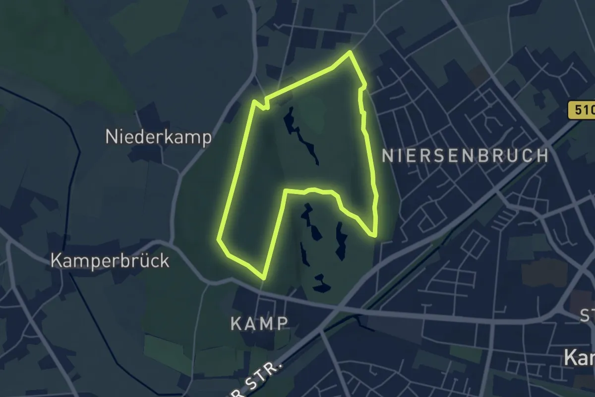
Easy · Trail
Kamper Wald A1
4.3 km · ↑ 39 m · 1 h 9 min
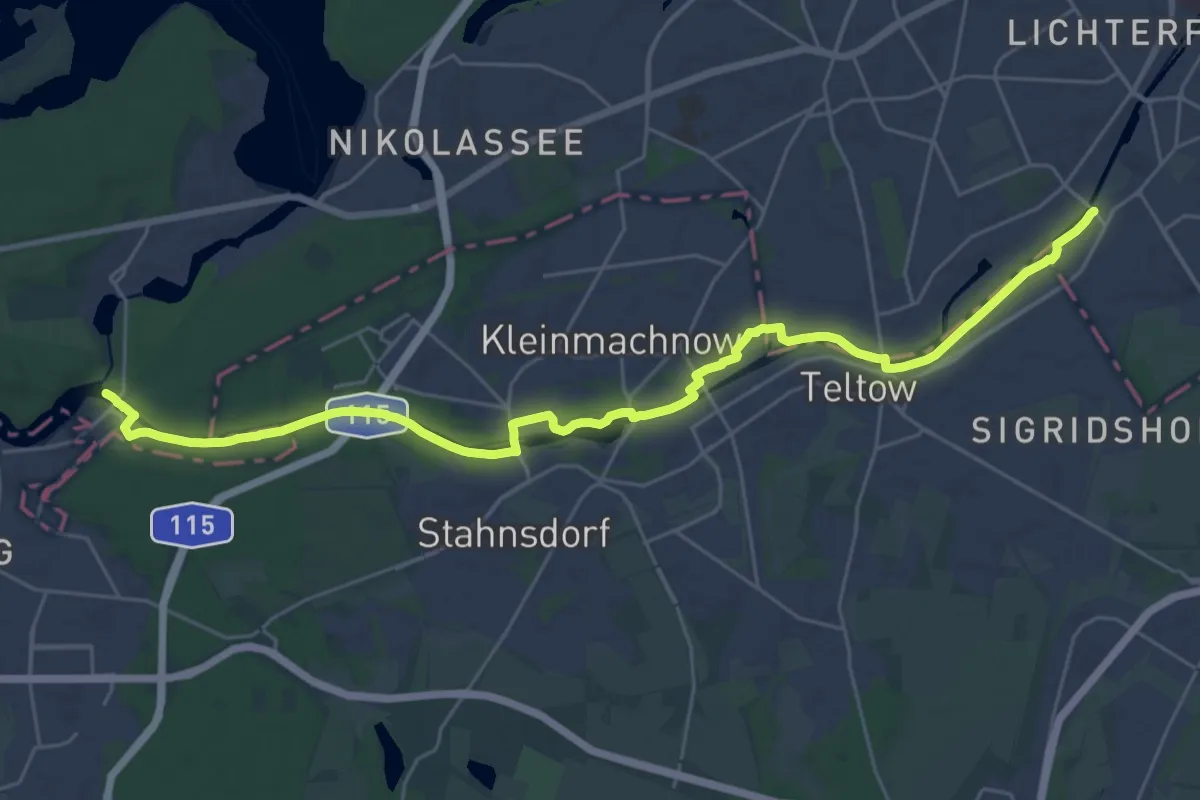
Demanding · Trail
Kanalauenweg
27.8 km · ↑ 56 m · 6 h 41 min
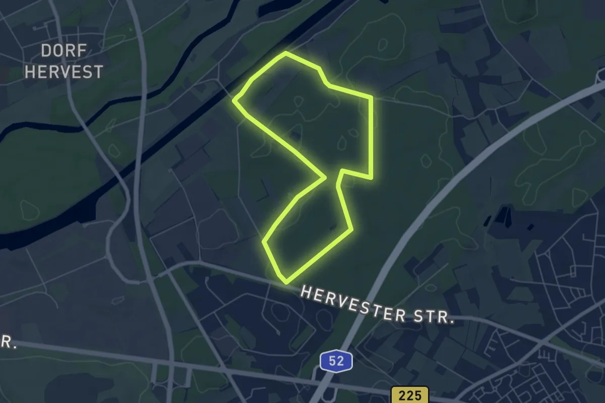
Easy · Trail
Kanalbrücke Rundweg A1
4.7 km · ↑ 23 m · 1 h 13 min
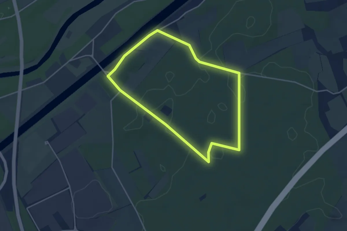
Easy · Trail
Kanalbrücke Rundweg A2
3.0 km · ↑ 13 m · 47 min
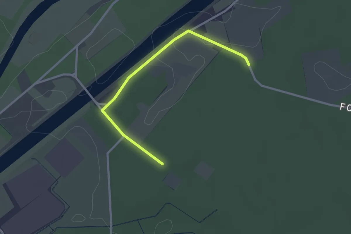
Easy · Trail
Kanalbrücke Rundweg A3
1.1 km · ↑ 4 m · 17 min
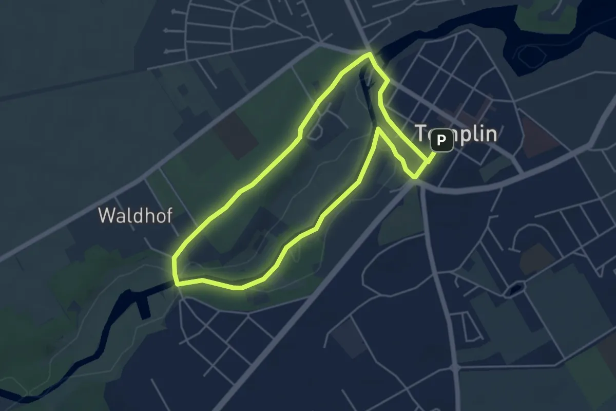
Easy · Trail
Kanaltour
3.8 km · ↑ 30 m · 1 h 1 min
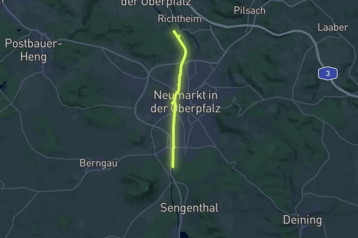
Medium · Trail
Kanalweg
15.3 km · ↑ 67 m · 3 h 45 min
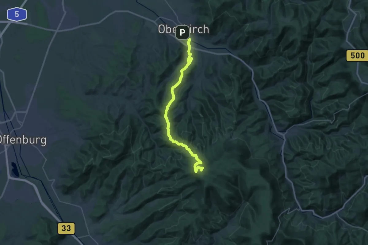
Demanding · Summit
Kandel-Höhenweg [01. Oberkirch→Gengenbach]
25.3 km · ↑ 733 m · 7 h 33 min
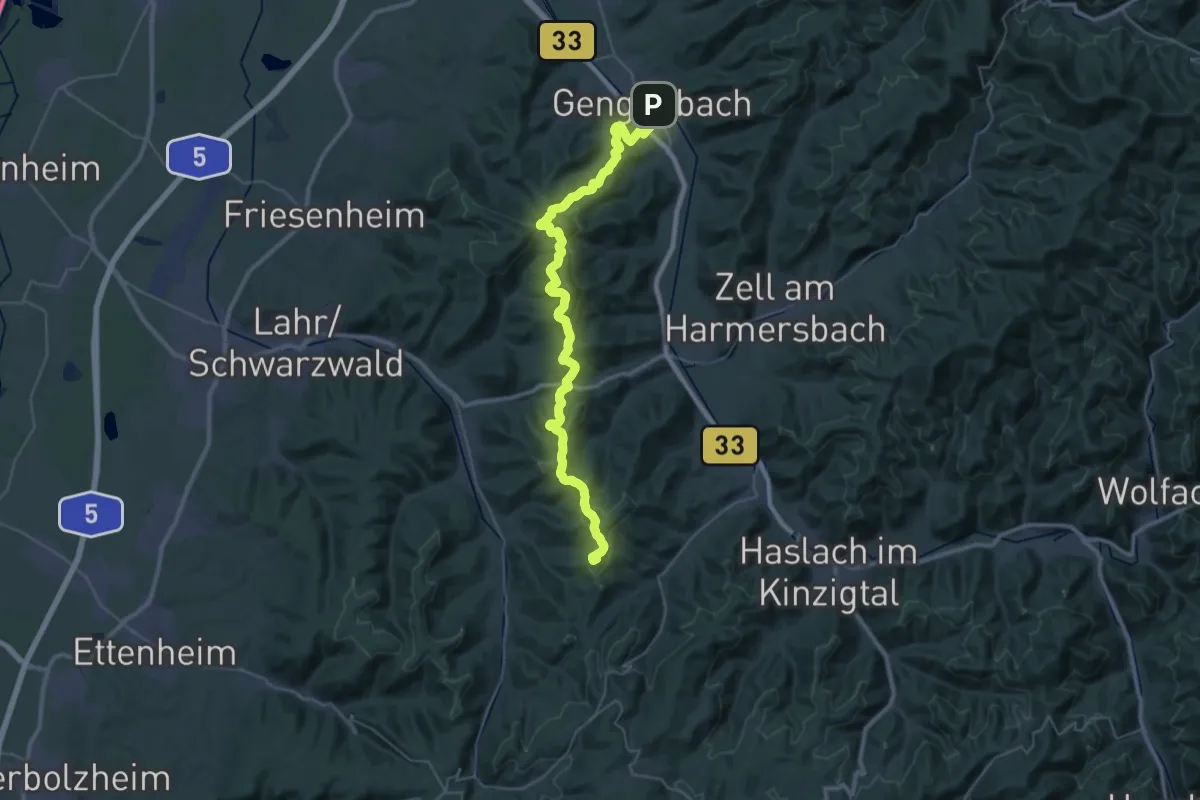
Demanding · Summit
Kandel-Höhenweg [02. Gengenbach→Höhehäuser]
41.1 km · ↑ 1284 m · 12 h 30 min
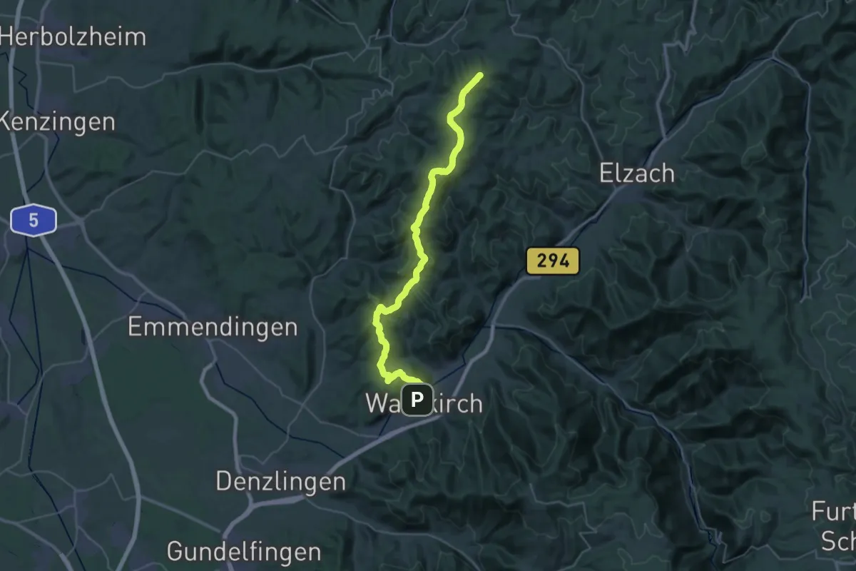
Demanding · Summit
Kandel-Höhenweg [03. Höhehäuser→Waldkirch]
37.1 km · ↑ 1103 m · 11 h 9 min
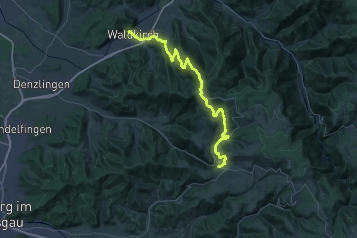
Medium · Trail
Kandel-Höhenweg [04. Waldkirch→St. Peter]
17.2 km · ↑ 577 m · 5 h 48 min
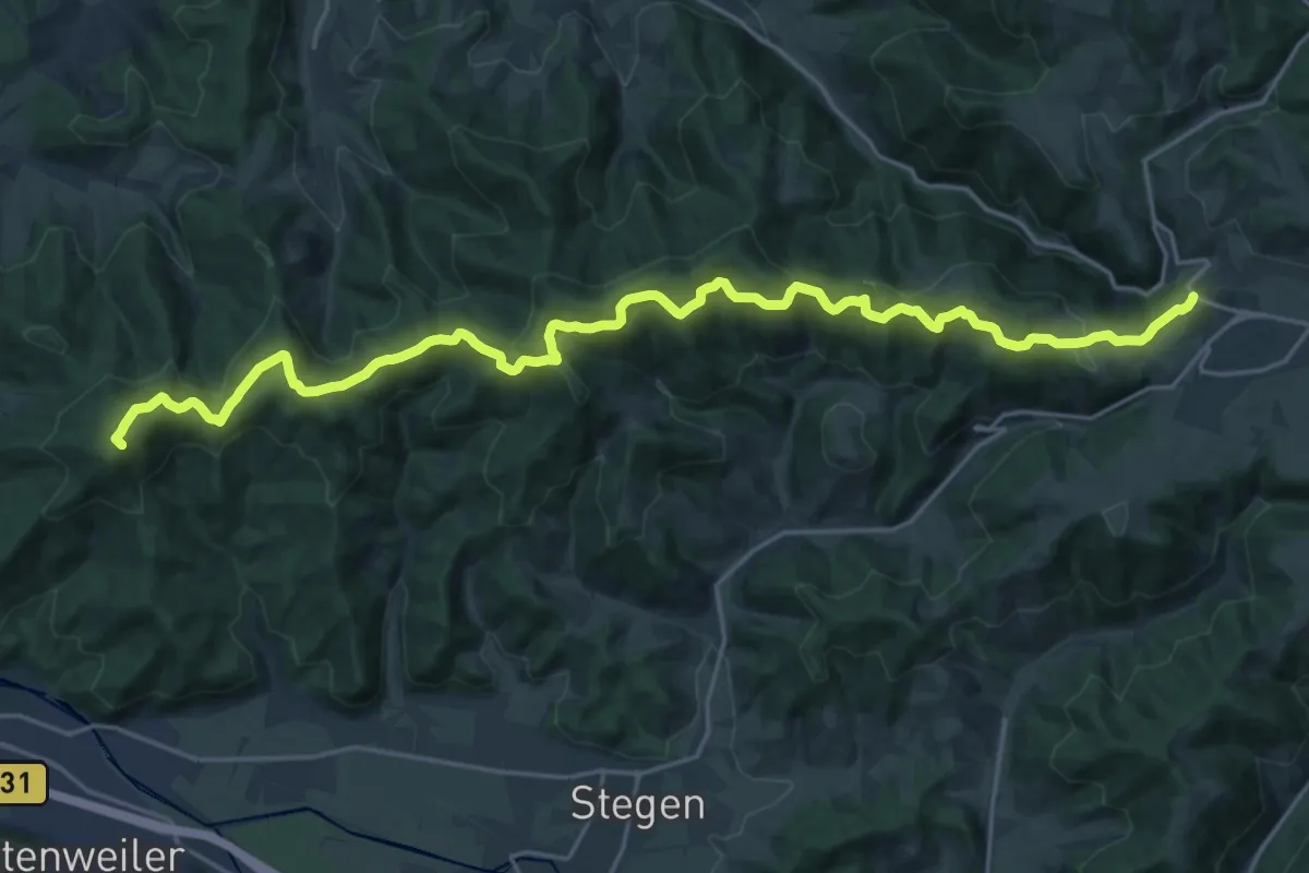
Demanding · Summit
Kandel-Höhenweg [05. St. Peter→Freiburg]
25.0 km · ↑ 910 m · 7 h 53 min
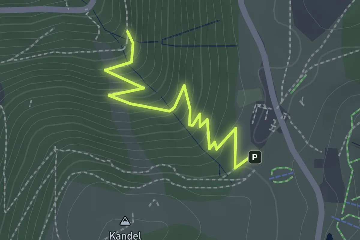
Easy · Trail
Kandelhotel - Serpentine
2.2 km · ↑ 167 m · 53 min
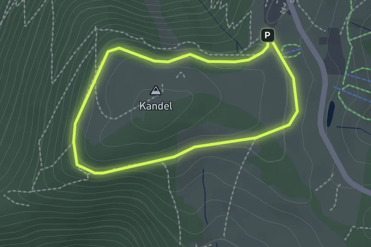
Easy · Summit
Kandel-Rundweg I
1.8 km · ↑ 60 m · 34 min
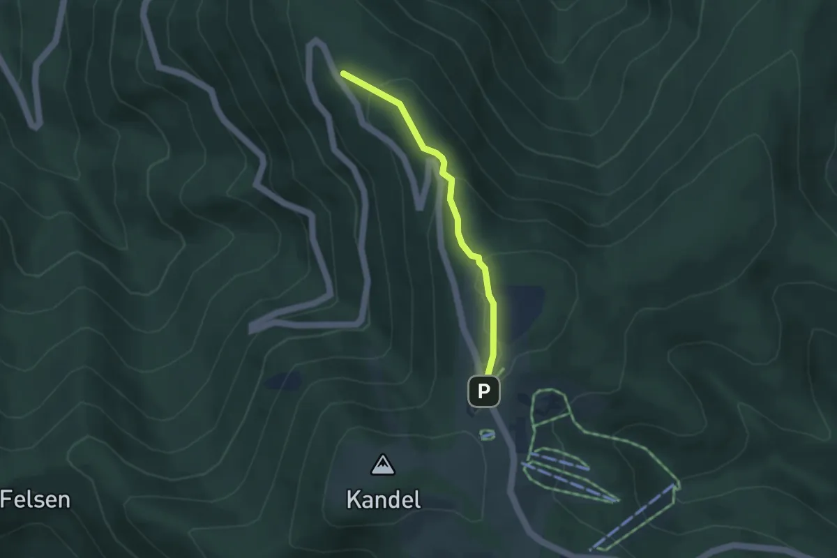
Medium · Trail
Kandelwiese - Kohlplätze
2.8 km · ↑ 126 m · 56 min
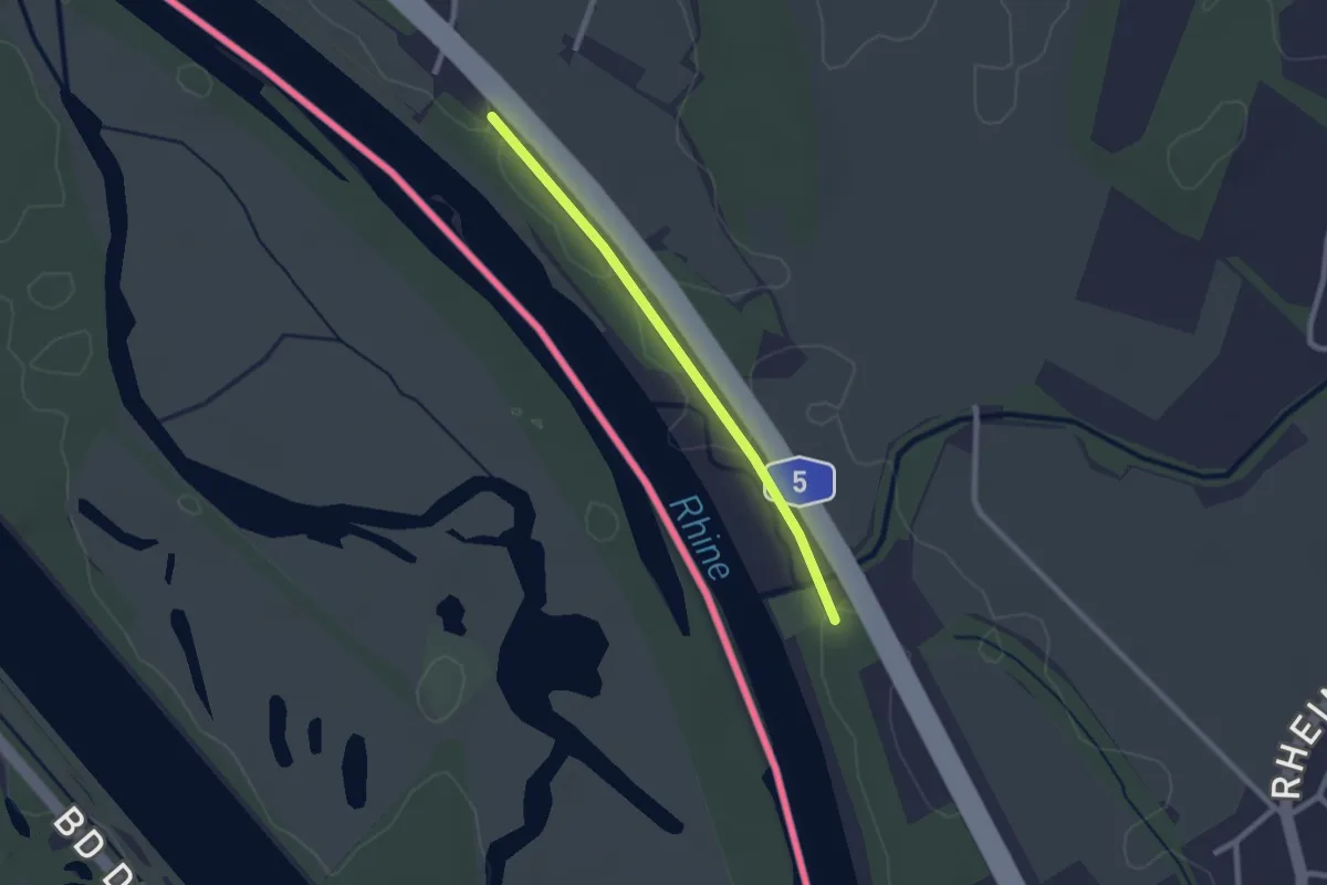
Easy · Trail
Kandermündung - Kirchener Schwellen
2.1 km · ↑ 0 m · 29 min
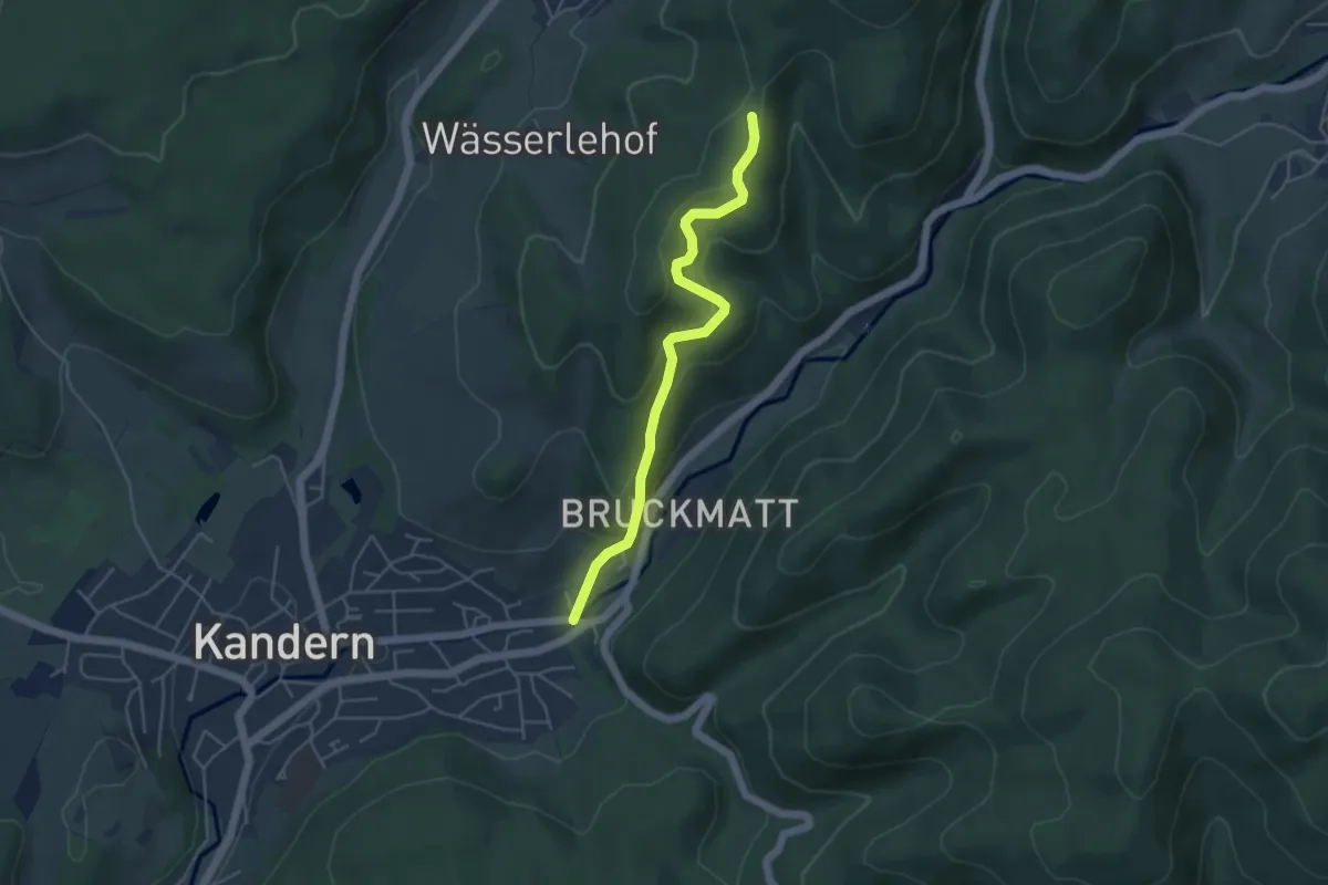
Easy · Trail
Kandern Edelmatt - Langenebene
4.4 km · ↑ 235 m · 1 h 33 min
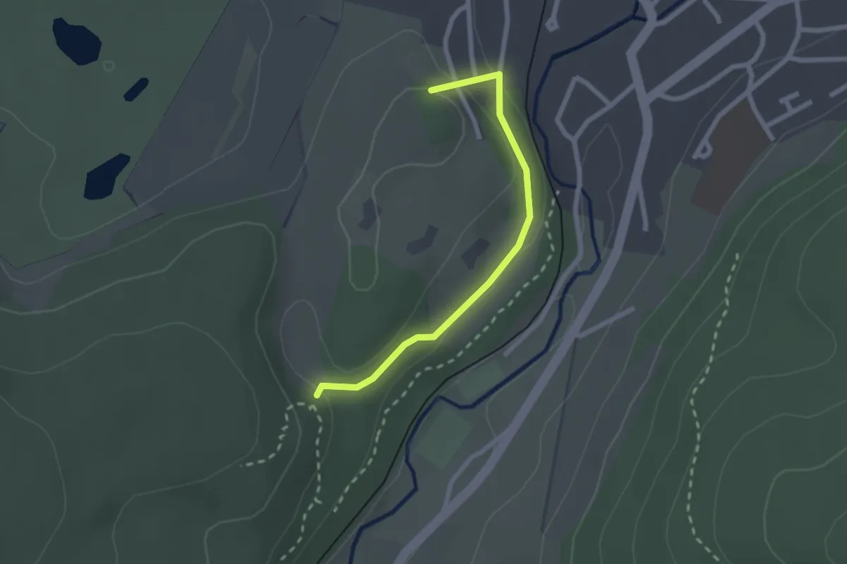
Easy · Summit
Kandern Parkplatz Bahnhof - Wolfsschlucht
2.1 km · ↑ 50 m · 36 min
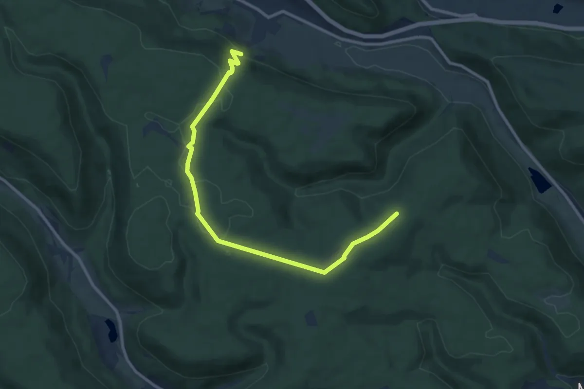
Easy · Trail
Känzele-Rundweg
4.3 km · ↑ 123 m · 1 h 19 min
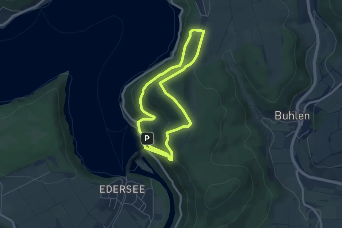
Easy · Trail
Kanzel-Route
4.6 km · ↑ 272 m · 1 h 42 min
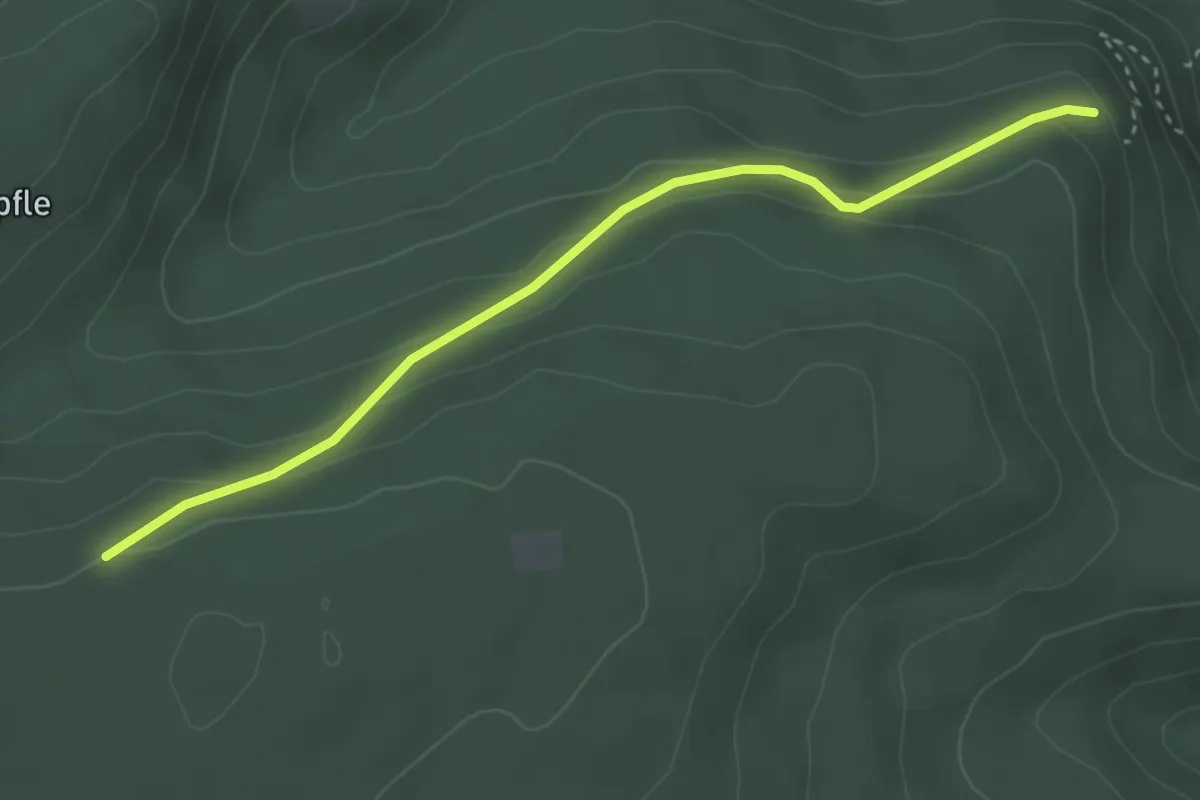
Easy · Cabin
Kanzel - Tanzplatz
3.2 km · ↑ 167 m · 1 h 8 min
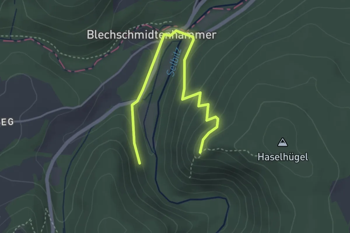
Medium · Trail
Kanzel-Weg US12
1.8 km · ↑ 128 m · 41 min
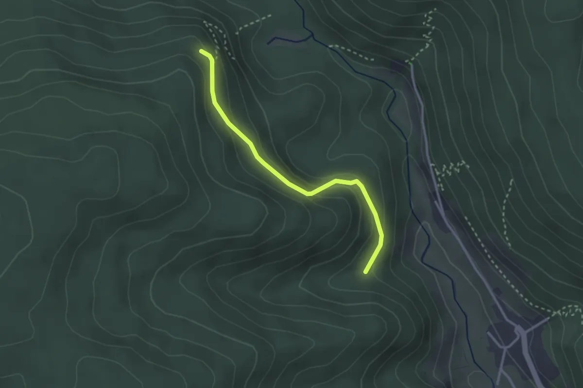
Easy · Trail
Kanzel - Weitengrund
2.6 km · ↑ 119 m · 52 min
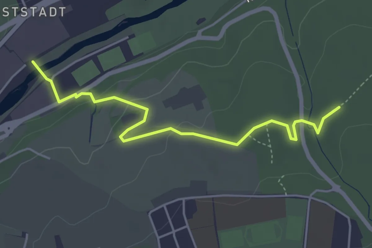
Easy · Trail
Kanzlersteg - Beim Römischen Gutshof
4.1 km · ↑ 100 m · 1 h 12 min
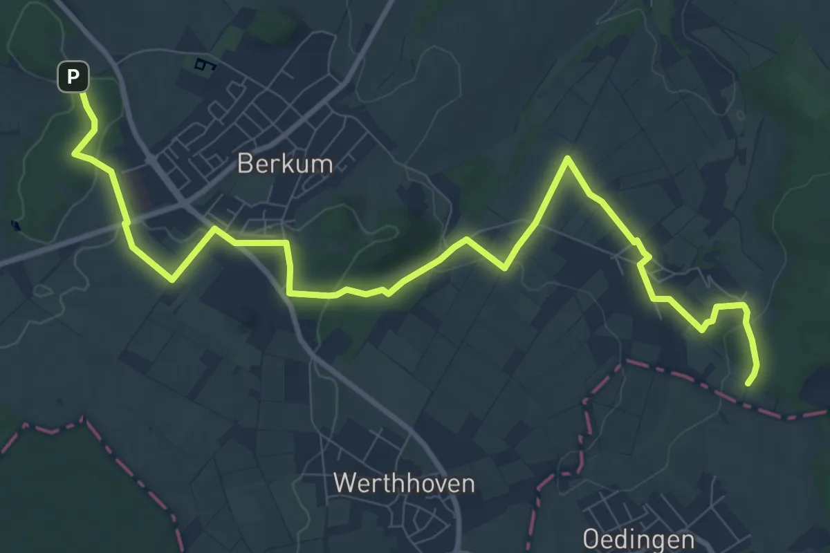
Medium · Trail
Kaolinweg
11.2 km · ↑ 167 m · 3 h 1 min
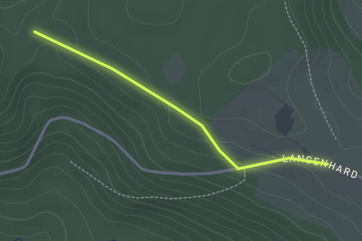
Easy · Trail
Kapelle Langenhard - Dreieckiger Bannstein
2.1 km · ↑ 35 m · 34 min
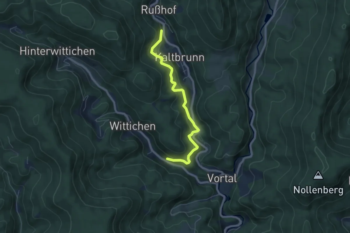
Medium · Trail
Kapellenberg - Klosterblick
5.4 km · ↑ 474 m · 2 h 18 min
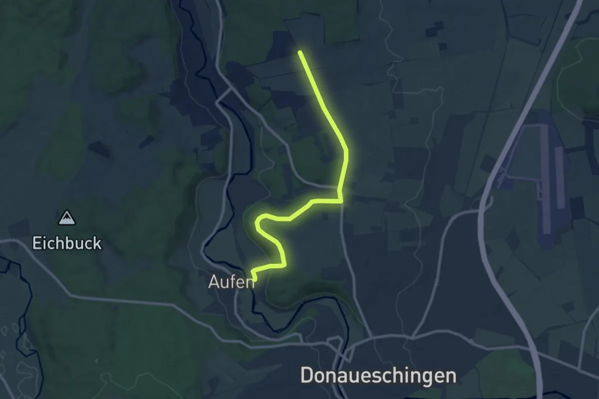
Medium · Trail
Kapellenbuck - Haltepunkt Aufen
8.1 km · ↑ 152 m · 2 h 15 min
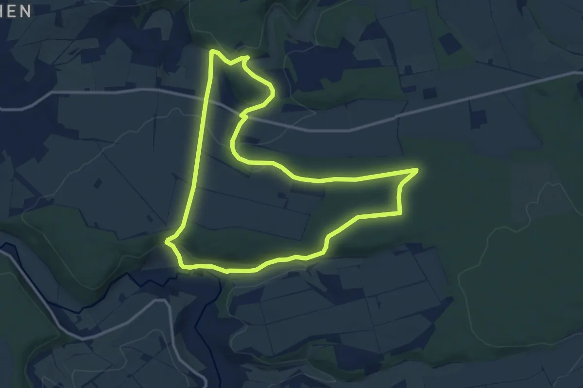
Medium · Trail
Kapellenhof Spaziergang
9.1 km · ↑ 208 m · 2 h 44 min
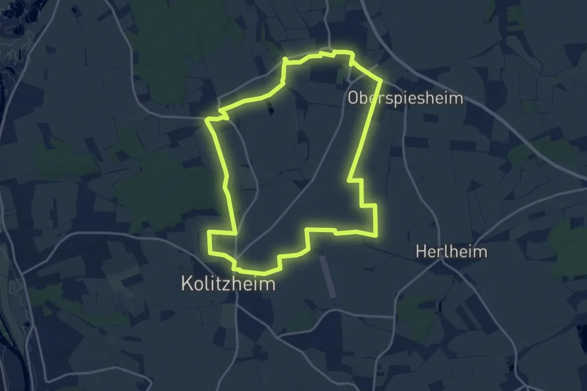
Medium · Trail
Kapellenhügelweg Kolitzheim
13.5 km · ↑ 34 m · 3 h 27 min
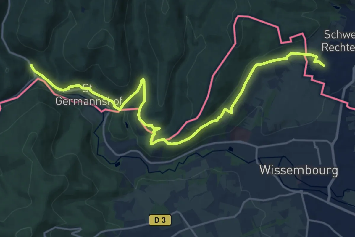
Easy · Trail
Kapellen-Pilgerweg
7.2 km · ↑ 232 m · 2 h 17 min
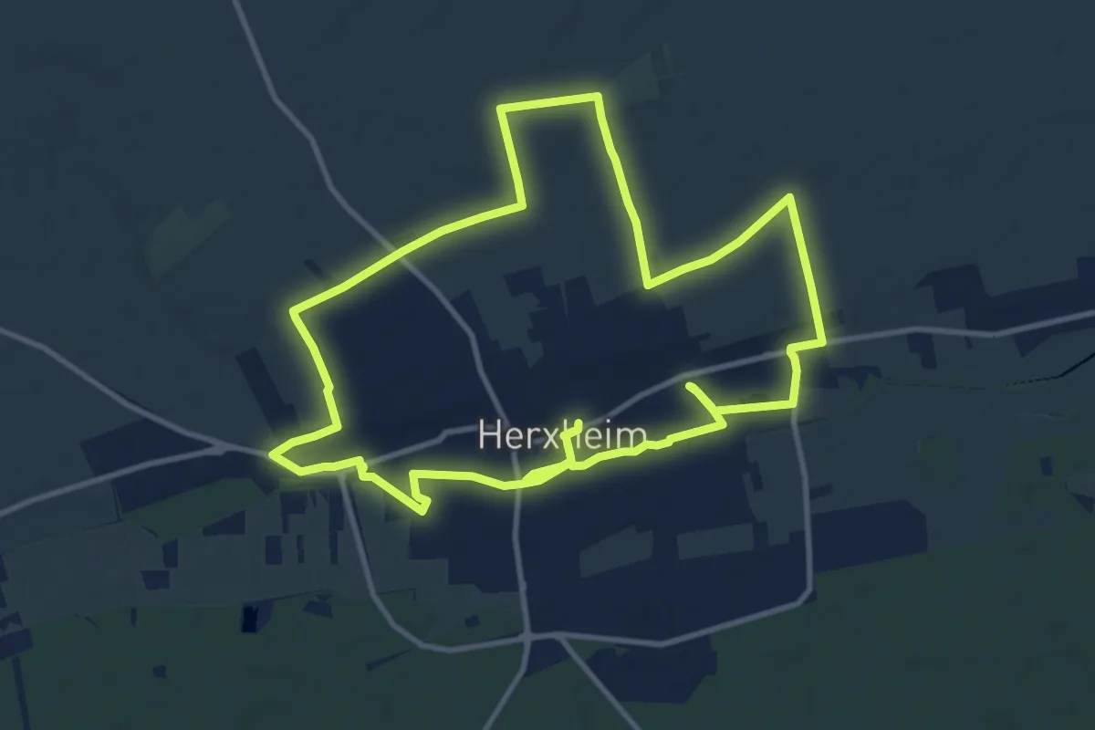
Demanding · Trail
Kapellen-Rundwanderweg Herxheim bei Landau
22.6 km · ↑ 96 m · 5 h 33 min
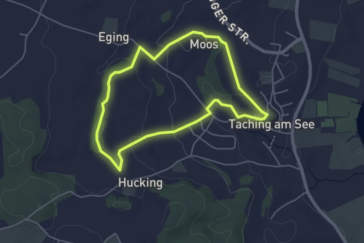
Easy · Trail
Kapellenrundweg
3.5 km · ↑ 64 m · 1 h 1 min
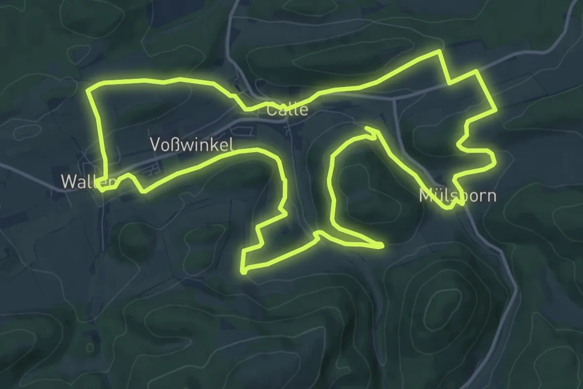
Medium · Summit
Kapellen-Rundweg Calle
12.8 km · ↑ 350 m · 3 h 58 min
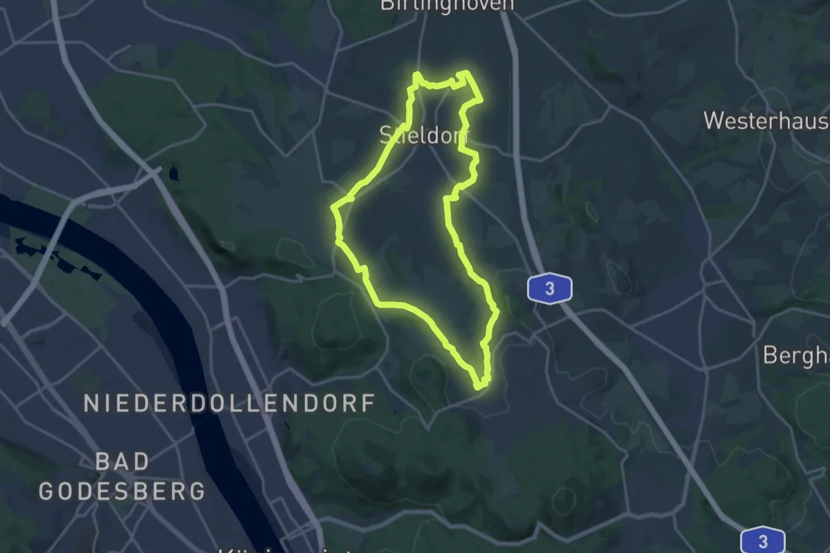
Medium · Summit
KapellenSchleife 1 - Felder, Wiesen & Weiden
13.4 km · ↑ 168 m · 3 h 42 min
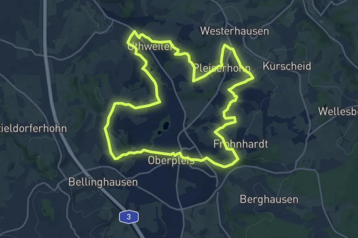
Medium · Trail
KapellenSchleife 2 - Dörfer, Kapellen & Obstanbau
13.8 km · ↑ 246 m · 3 h 59 min
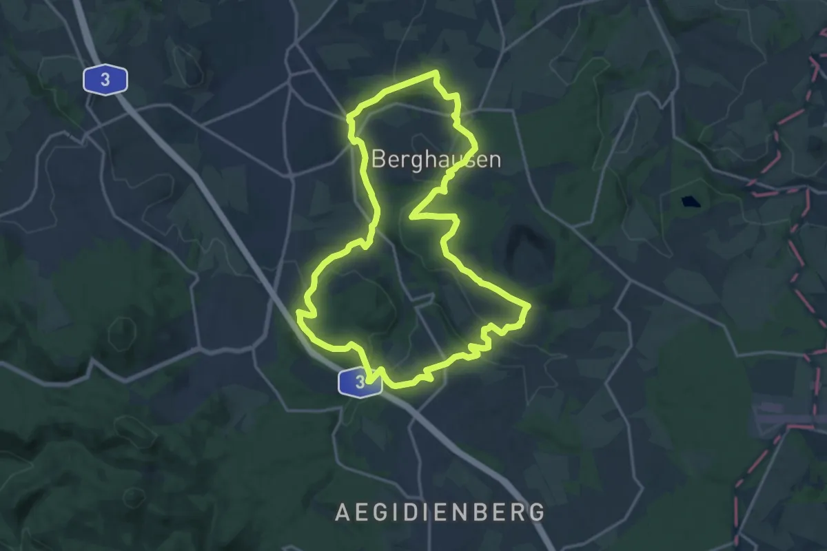
Medium · Trail
KapellenSchleife 3 - Bergbau, Bäche & Handelswege
14.1 km · ↑ 272 m · 4 h 7 min
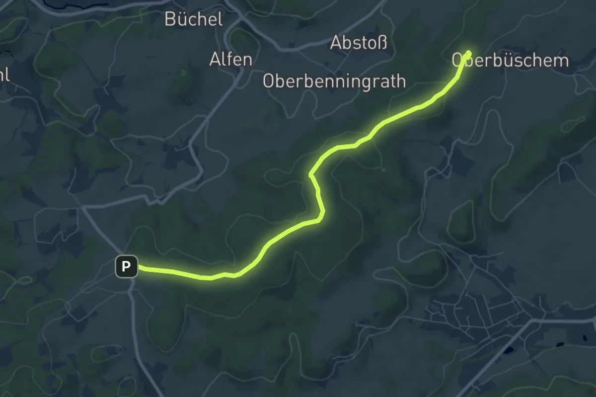
Easy · Summit
Kapellensüng Rundweg A1
7.4 km · ↑ 110 m · 1 h 59 min
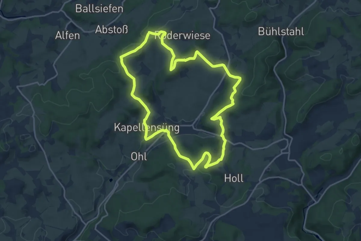
Medium · Summit
Kapellensüng Rundweg A3
11.9 km · ↑ 313 m · 3 h 39 min
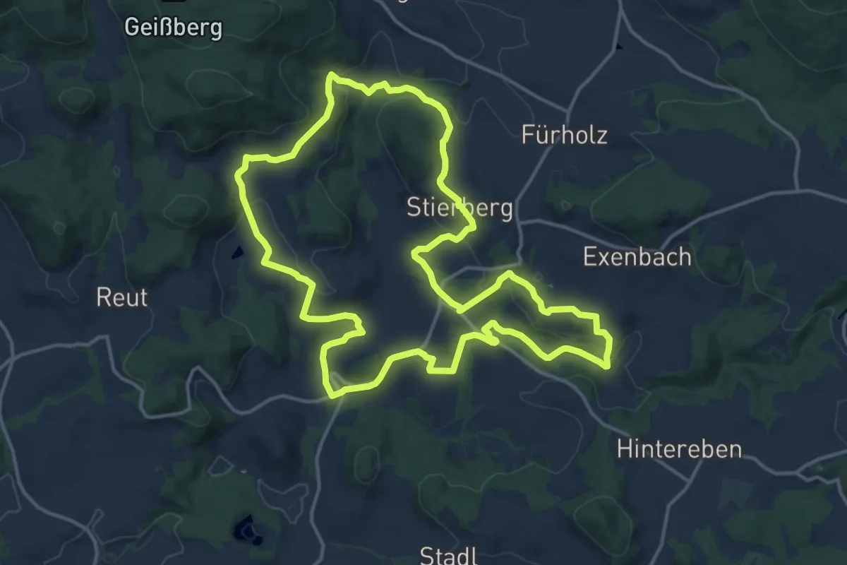
Medium · Trail
Kapellenwanderweg Böhmzwiesel
14.4 km · ↑ 384 m · 4 h 27 min
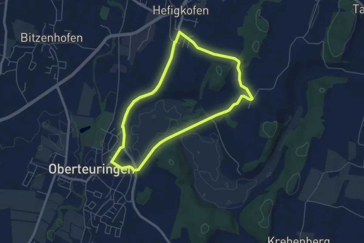
Easy · Trail
Kapellenweg
4.8 km · ↑ 35 m · 1 h 16 min