Trails in Germany
36,852 hiking trails, each with its route, climb, walking time and grade.
All trails, page 280 of 768
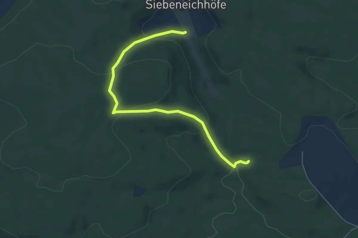
Easy · Trail
Kapellenweg
5.0 km · ↑ 210 m · 1 h 38 min
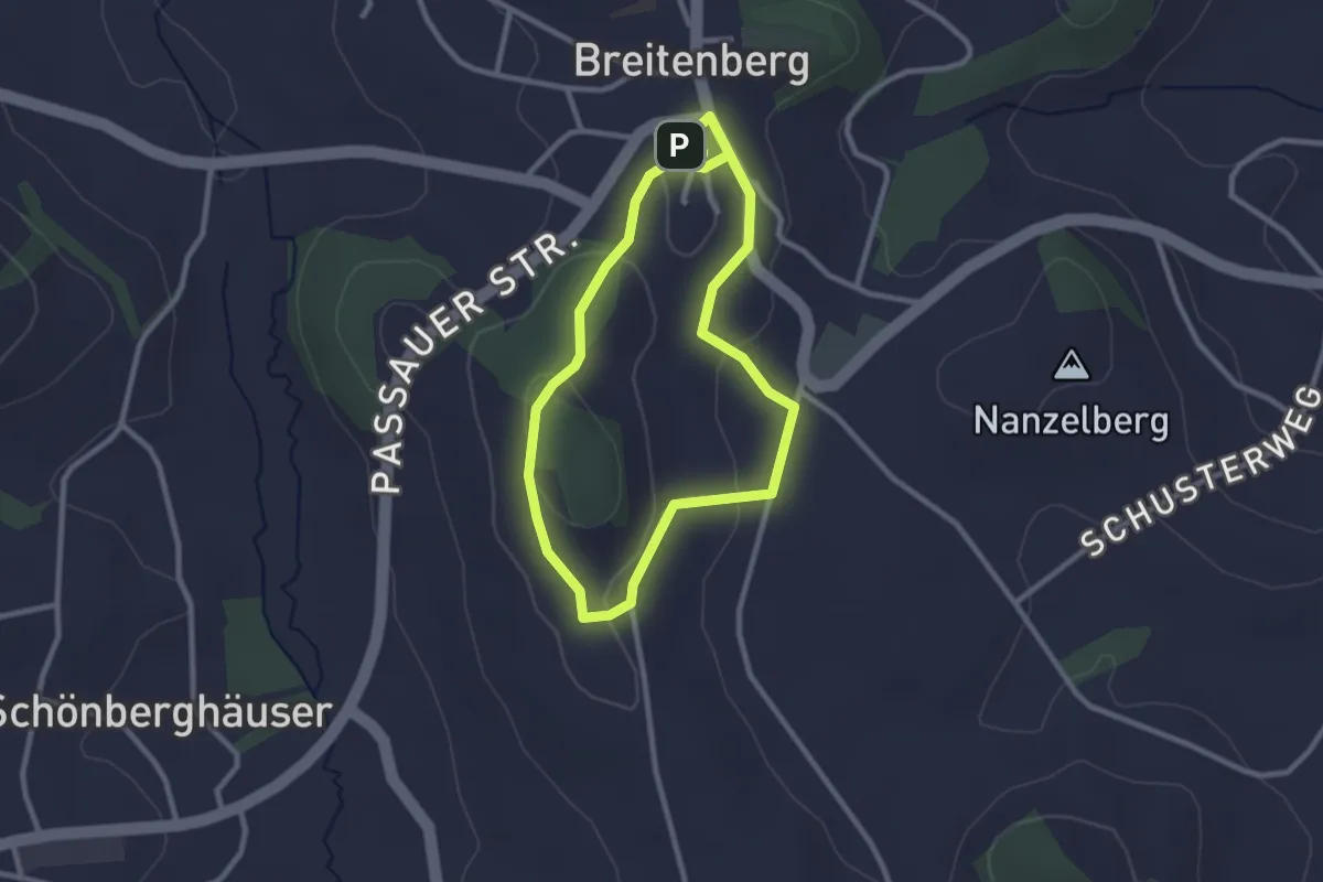
Easy · Trail
Kapellenweg
2.3 km · ↑ 46 m · 41 min
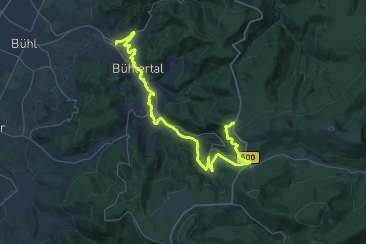
Demanding · Trail
Kapellenweg
13.5 km · ↑ 828 m · 4 h 53 min
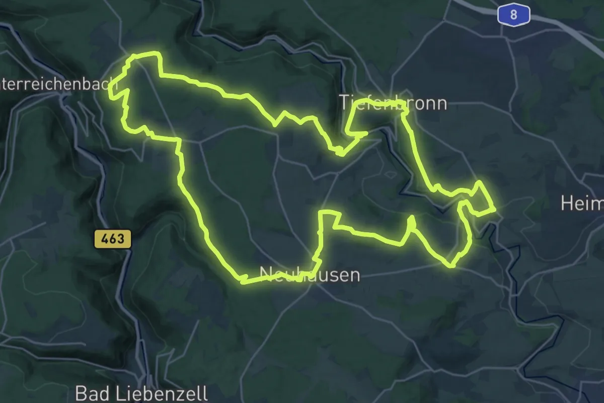
Demanding · Trail
Kapellenweg
29.2 km · ↑ 495 m · 8 h 22 min
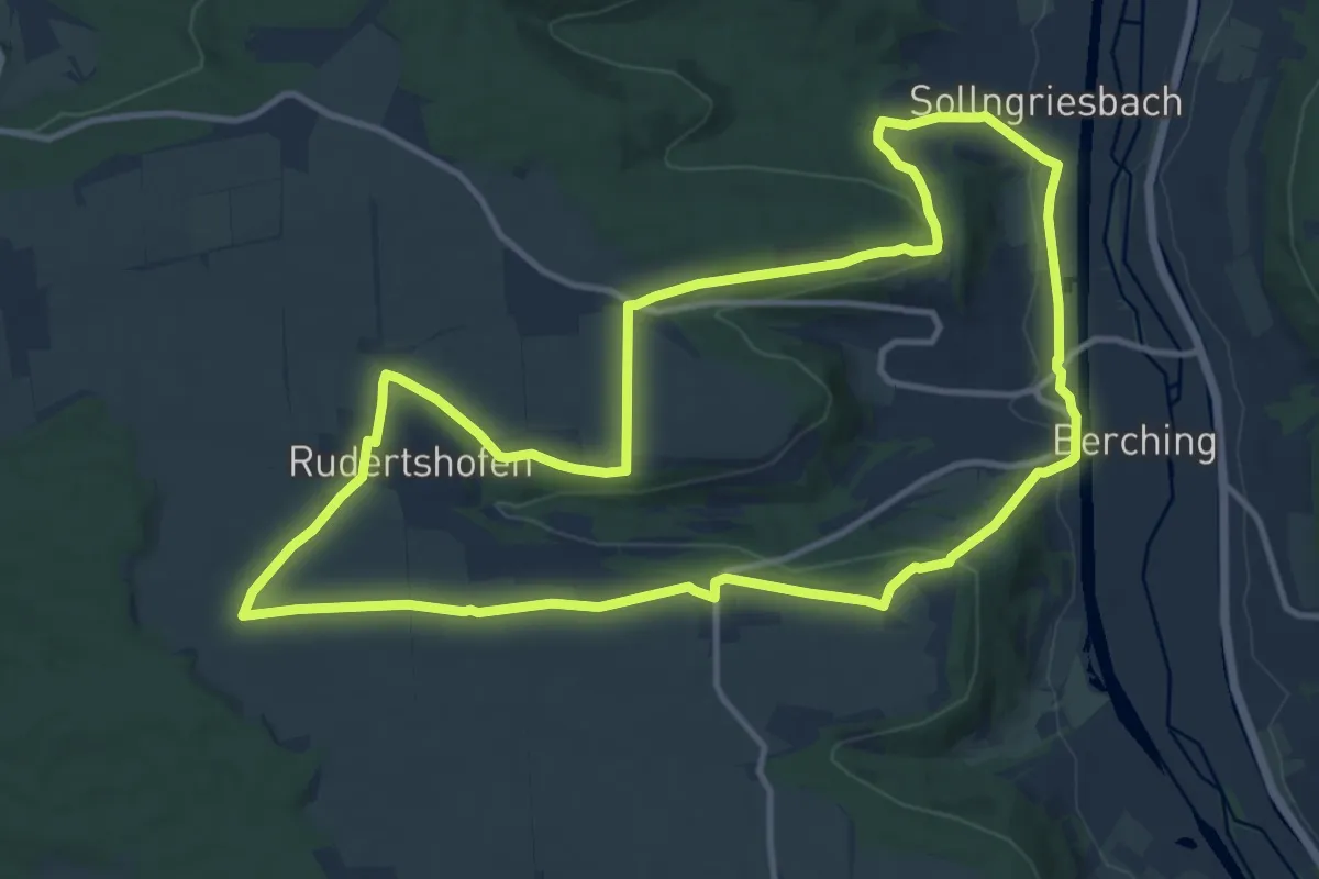
Medium · Trail
Kapellenweg
12.1 km · ↑ 185 m · 3 h 26 min
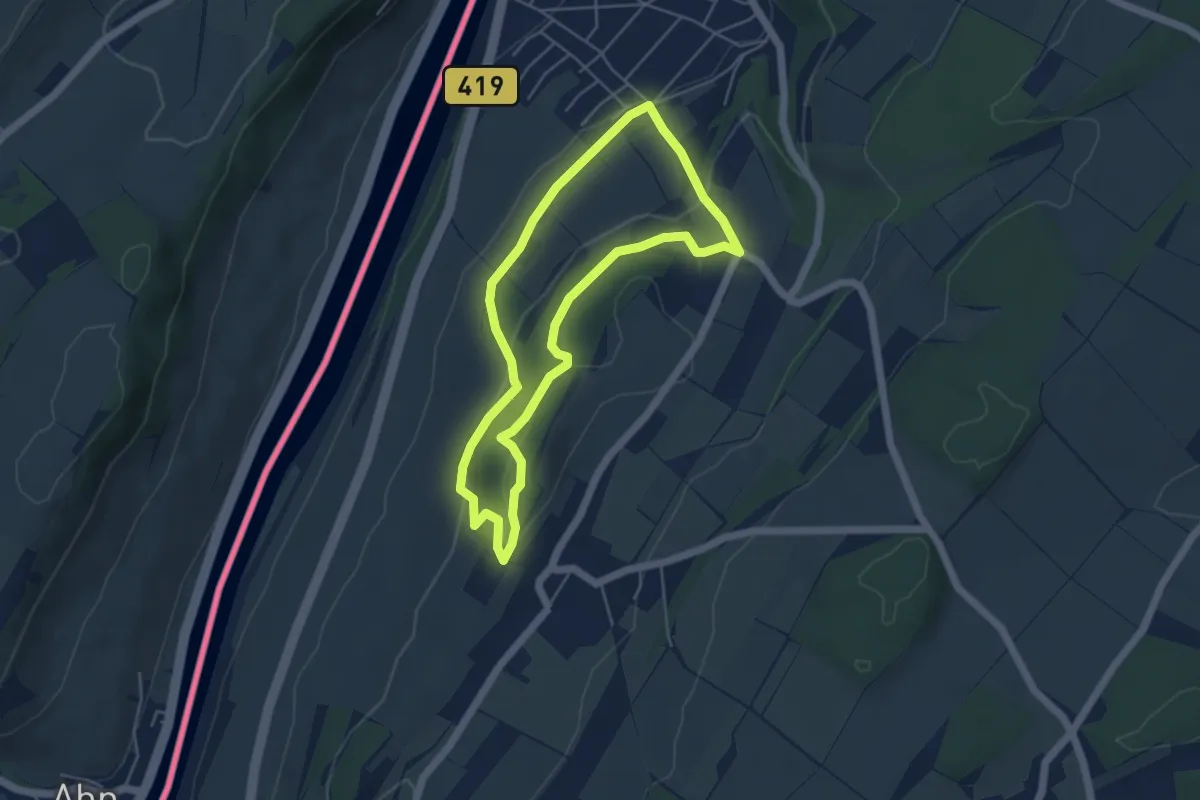
Easy · Summit
Kapellenweg
4.3 km · ↑ 155 m · 1 h 24 min
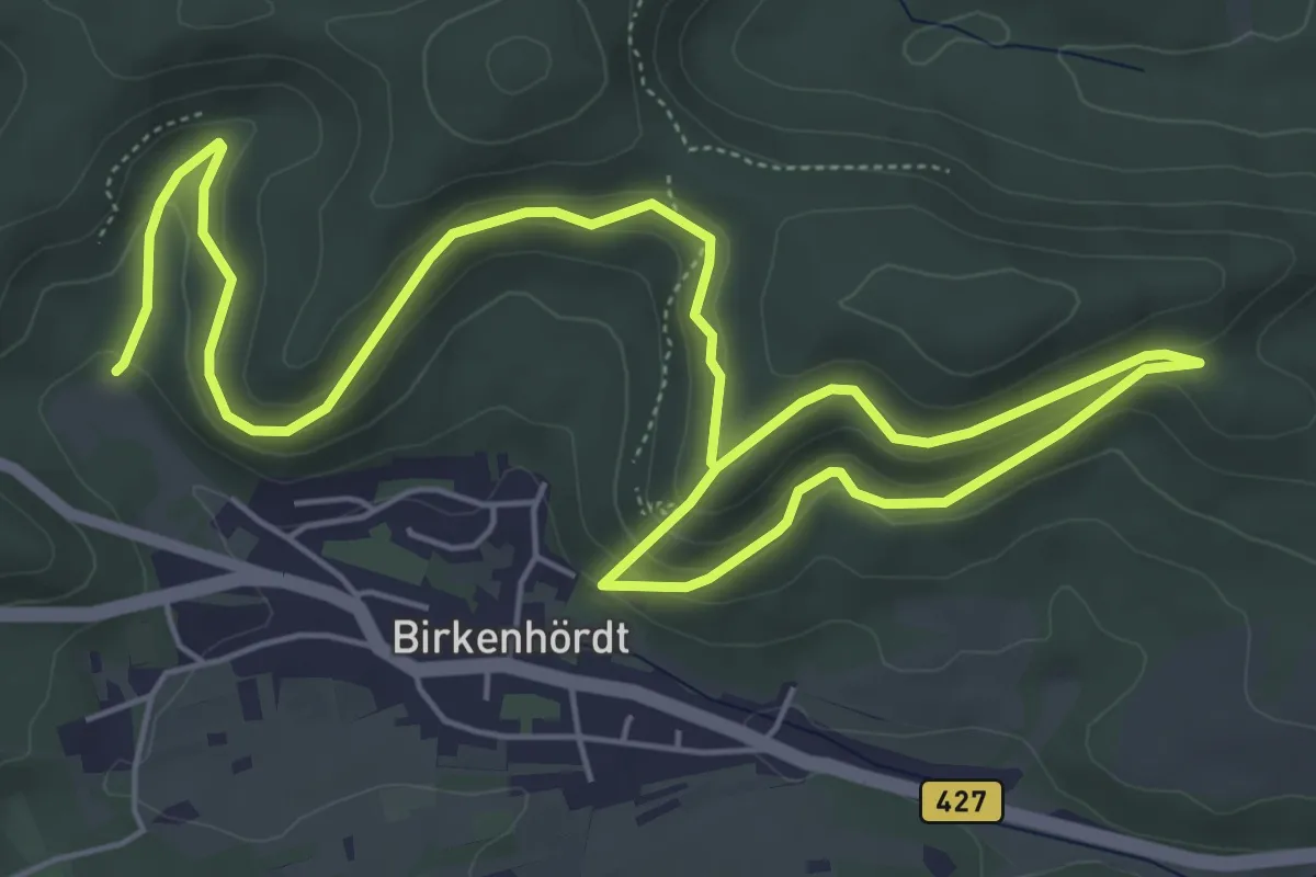
Easy · Trail
Kapellenweg
4.6 km · ↑ 256 m · 1 h 40 min
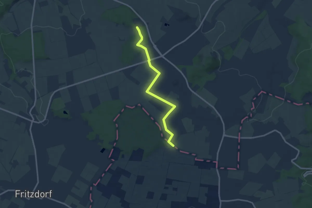
Easy · Trail
Kapellenweg
6.7 km · ↑ 35 m · 1 h 40 min
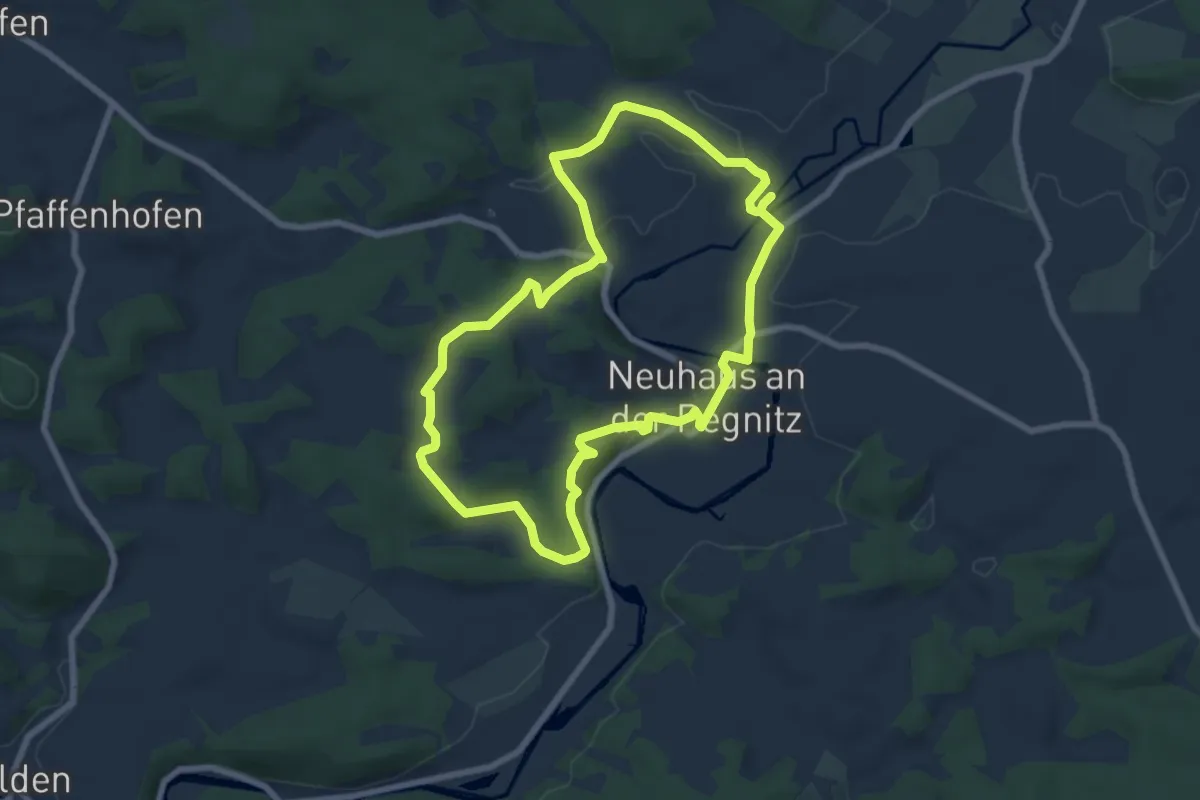
Easy · Trail
Kapellenweg 1 Neuhaus
6.7 km · ↑ 131 m · 1 h 58 min
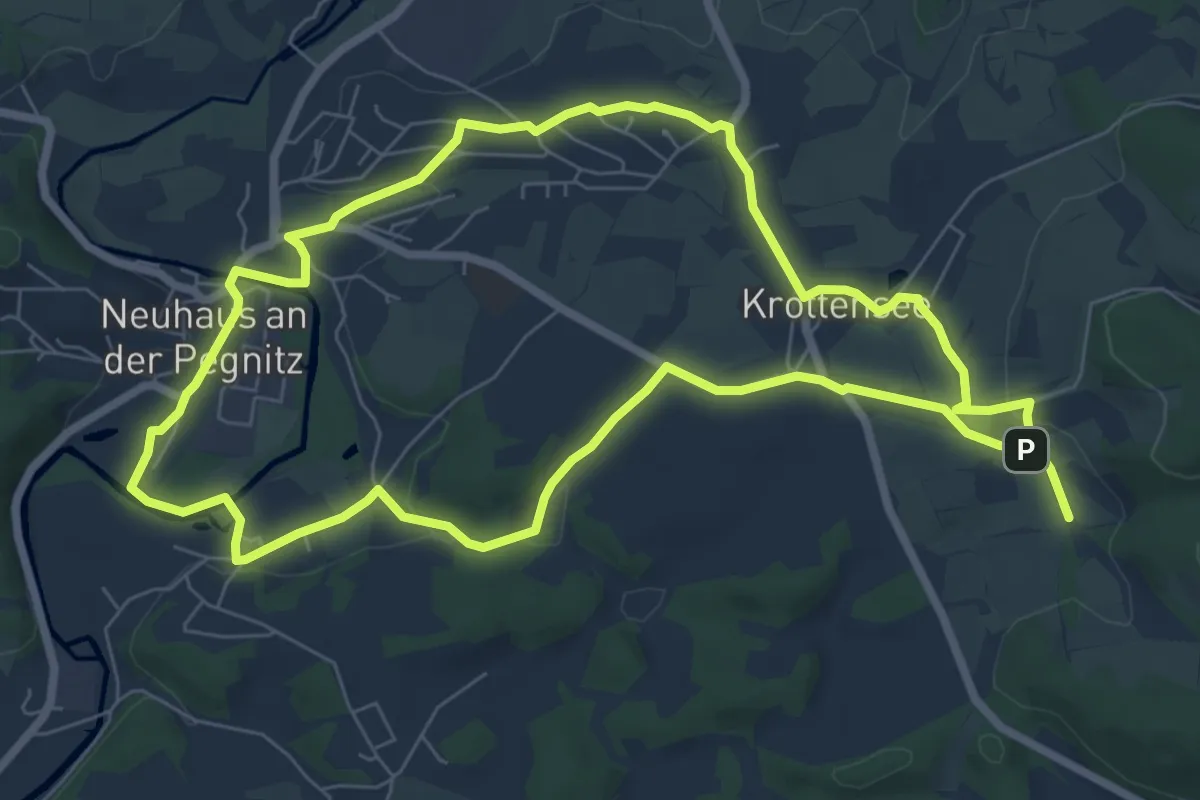
Easy · Trail
Kapellenweg 2 Neuhaus
7.1 km · ↑ 88 m · 1 h 58 min
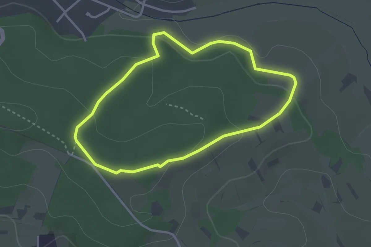
Easy · Trail
Kapellenweg A
2.4 km · ↑ 71 m · 45 min
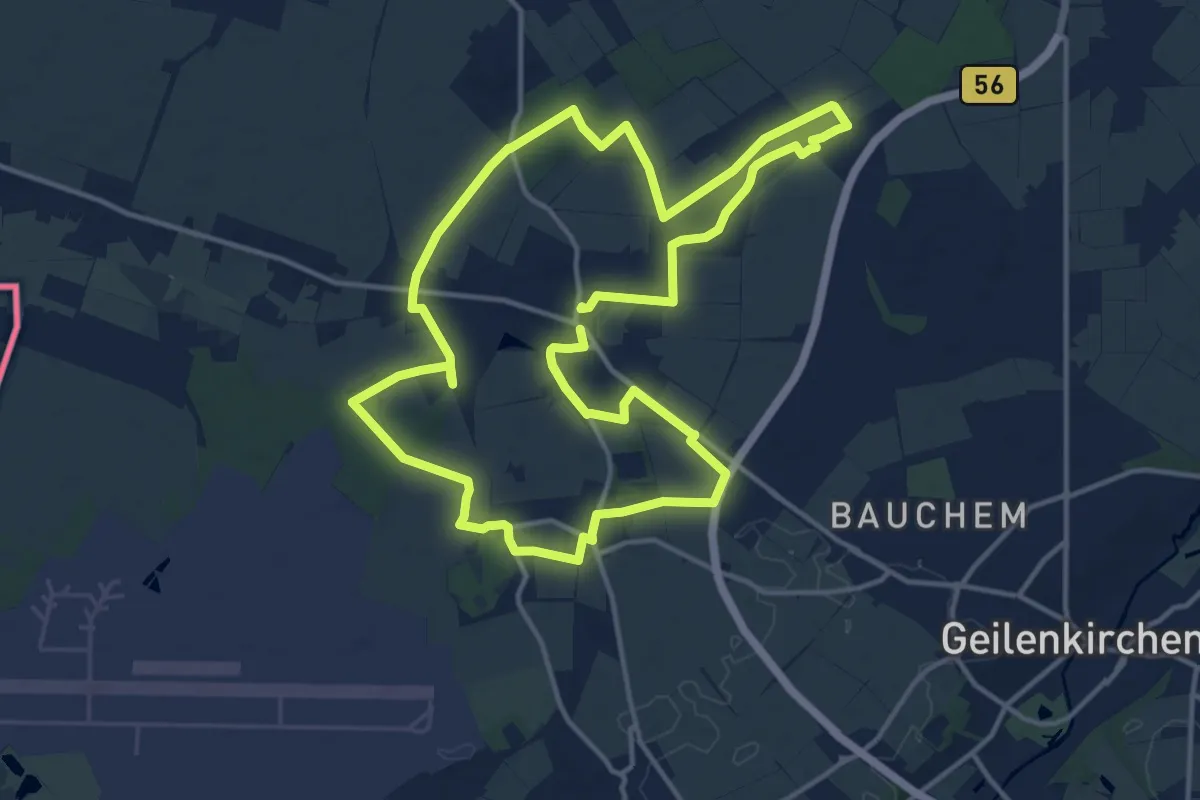
Medium · Trail
Kapellenweg der Pfarre St. Mariä Namen
13.5 km · ↑ 64 m · 3 h 30 min
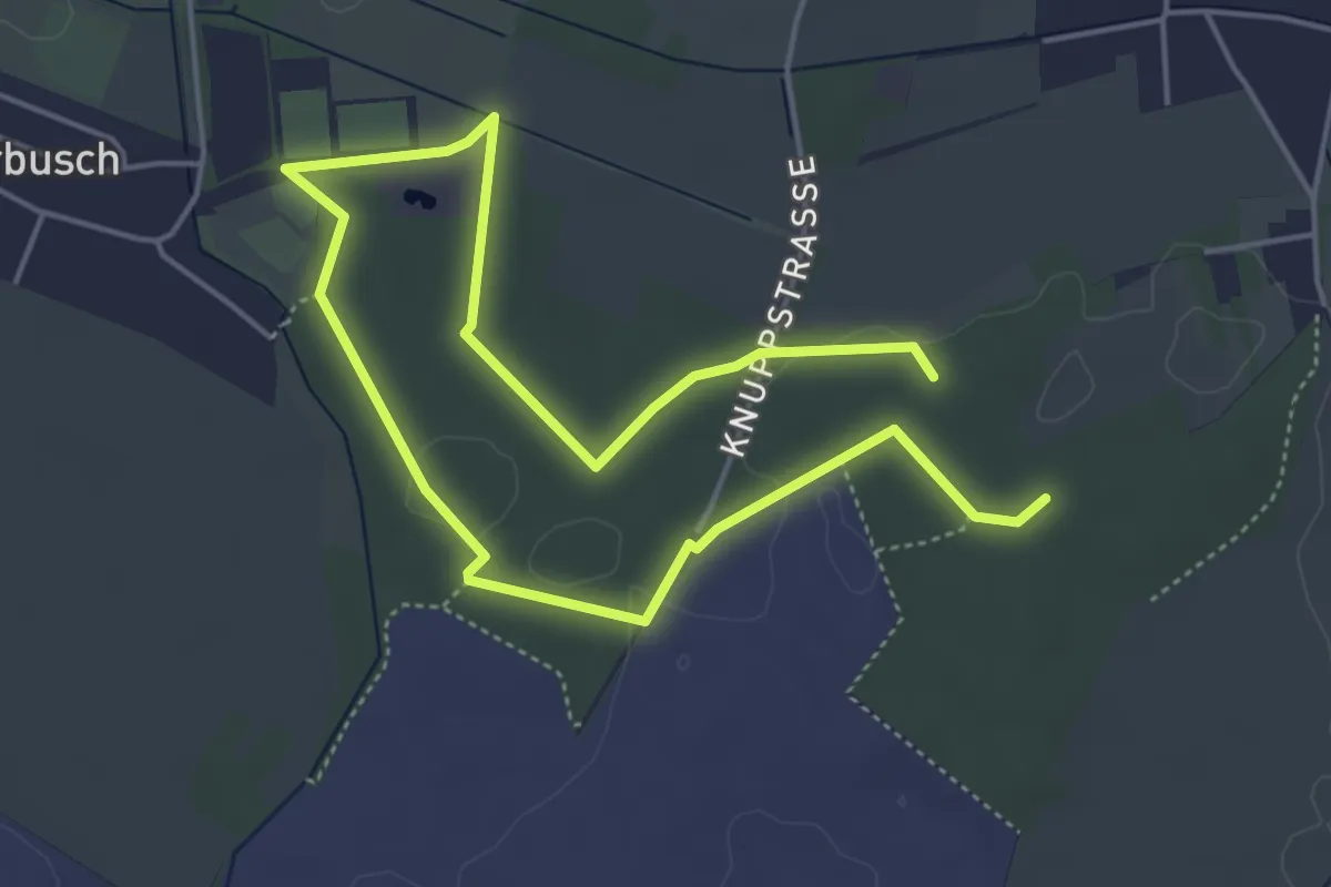
Easy · Trail
Kapellenweg der Pfarre St. Mariä Namen (optionale Verlängerung)
3.6 km · ↑ 22 m · 56 min
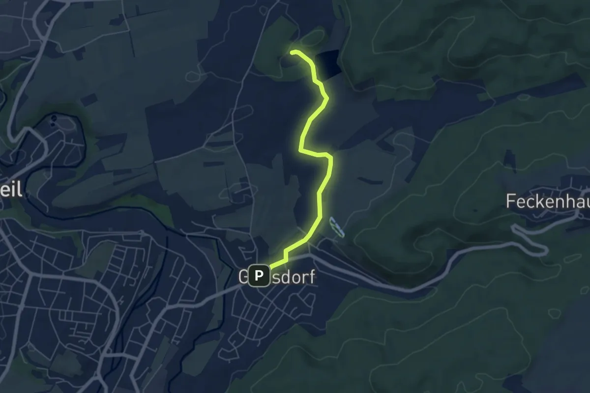
Easy · Trail
Kapellenweg Göllsdorf
4.8 km · ↑ 34 m · 1 h 12 min
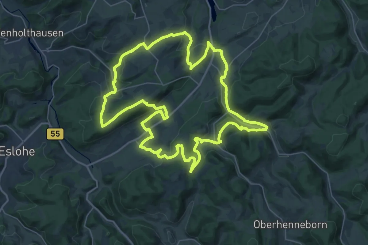
Demanding · Trail
Kapellenweg Reiste
24.8 km · ↑ 626 m · 7 h 34 min
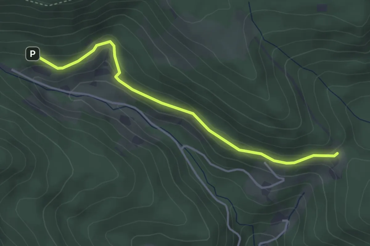
Easy · Trail
Kapellenweg - Sattellege
3.7 km · ↑ 151 m · 1 h 11 min
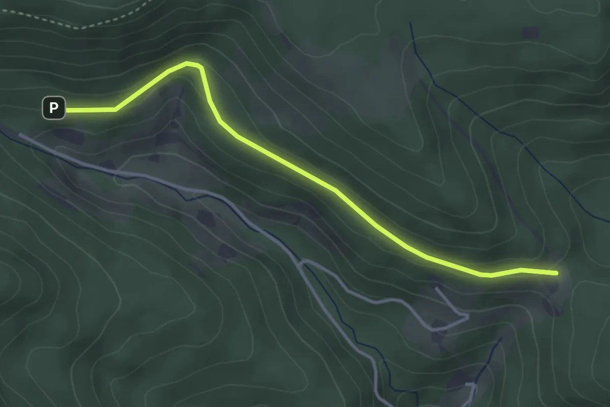
Easy · Trail
Kapellenweg - Sattellege
3.5 km · ↑ 139 m · 1 h 8 min
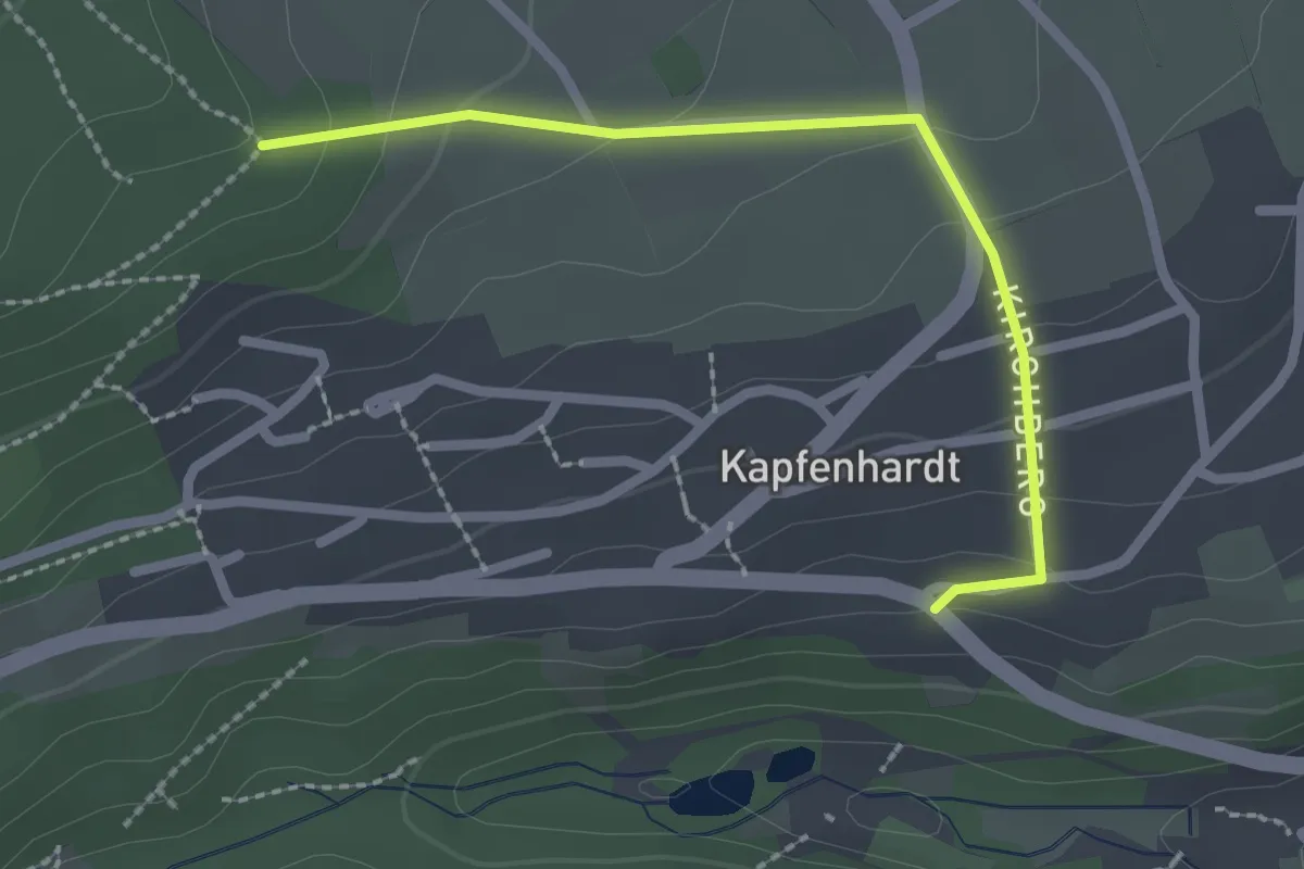
Easy · Trail
Kapfenhardt - Müsse
2.2 km · ↑ 102 m · 44 min
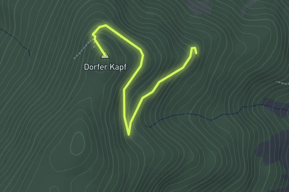
Easy · Summit
Kapf - Hänslisbühl
2.5 km · ↑ 143 m · 55 min
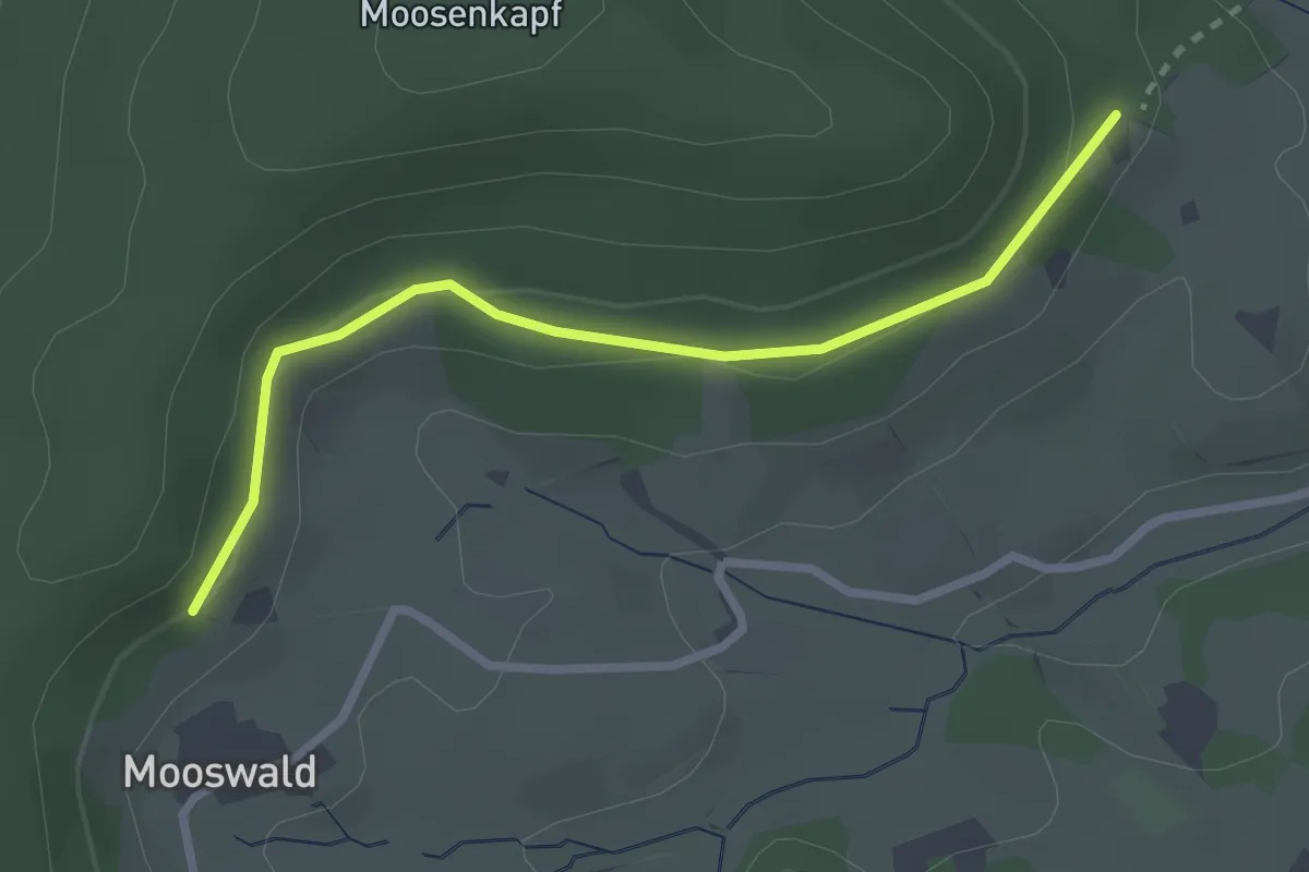
Easy · Trail
Kapfhäusle - Mooswald
2.6 km · ↑ 64 m · 44 min
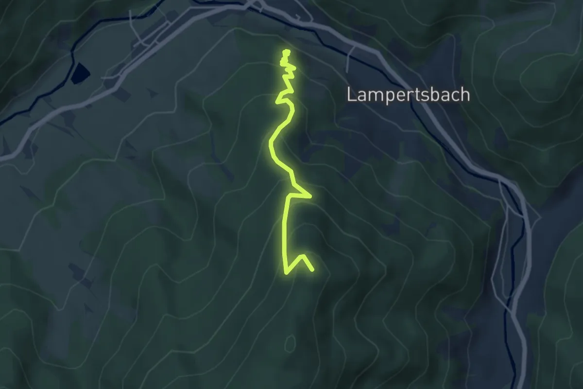
Medium · Summit
Kapf - Hirschwirts Wald
3.8 km · ↑ 358 m · 1 h 41 min
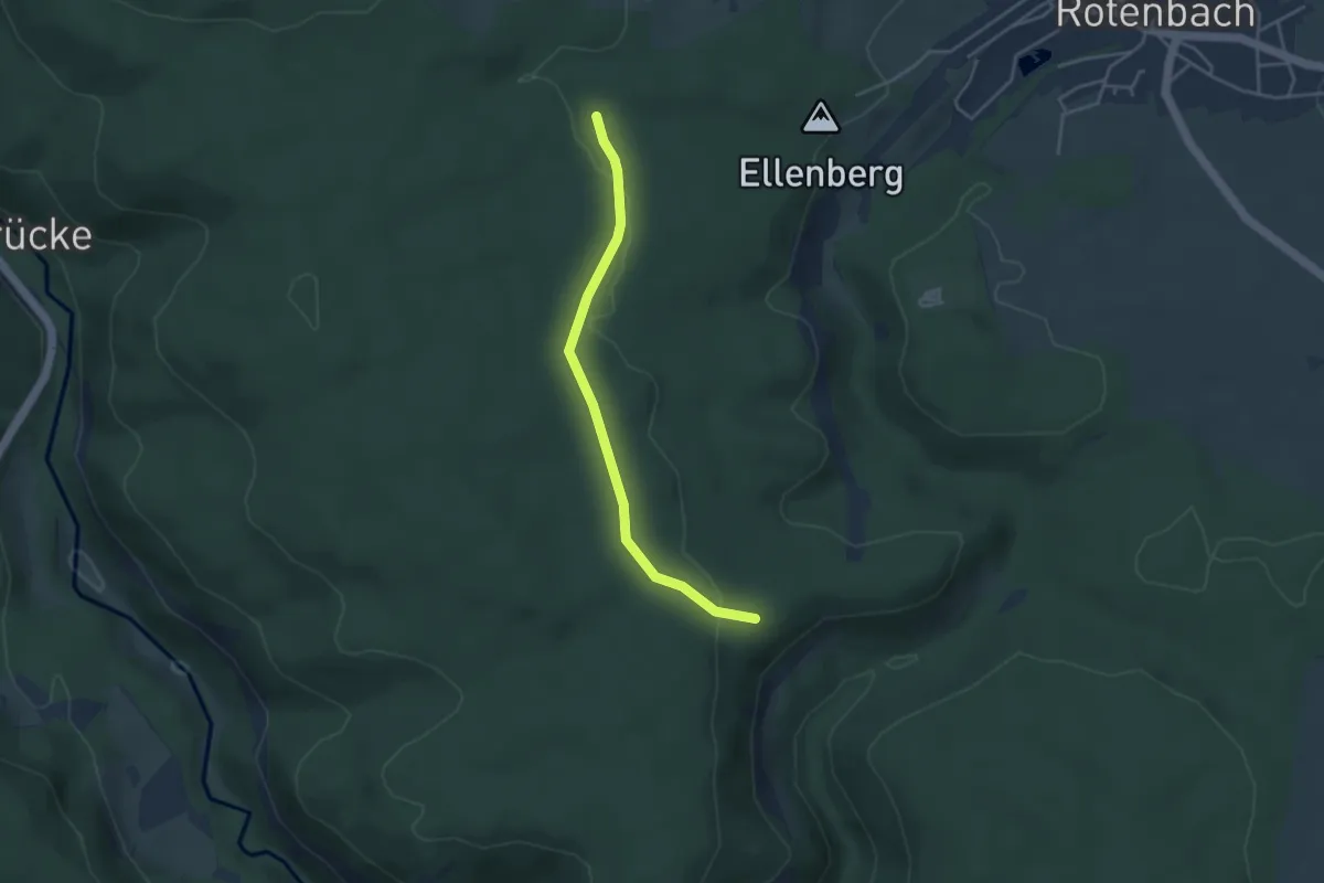
Easy · Trail
Kapfhütte - Matzenmoos
3.6 km · ↑ 47 m · 57 min
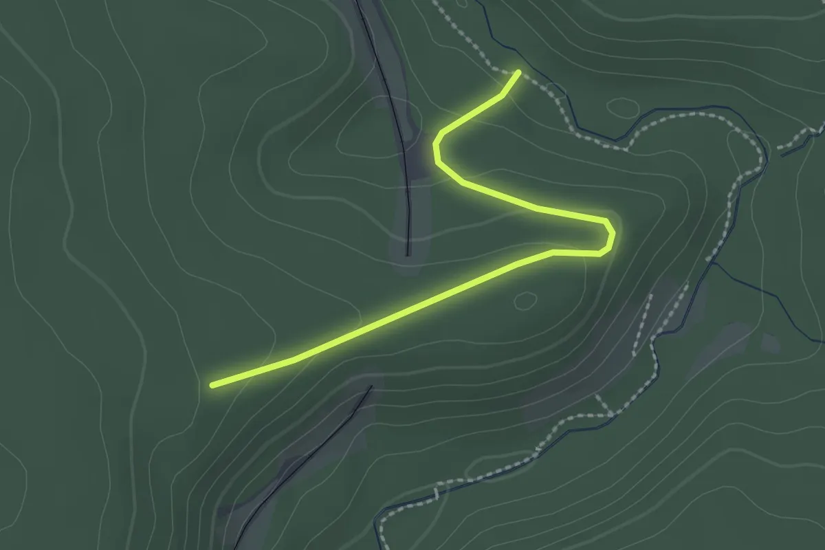
Easy · Trail
Kapfhütte - Talwiesenhütte
2.3 km · ↑ 85 m · 43 min
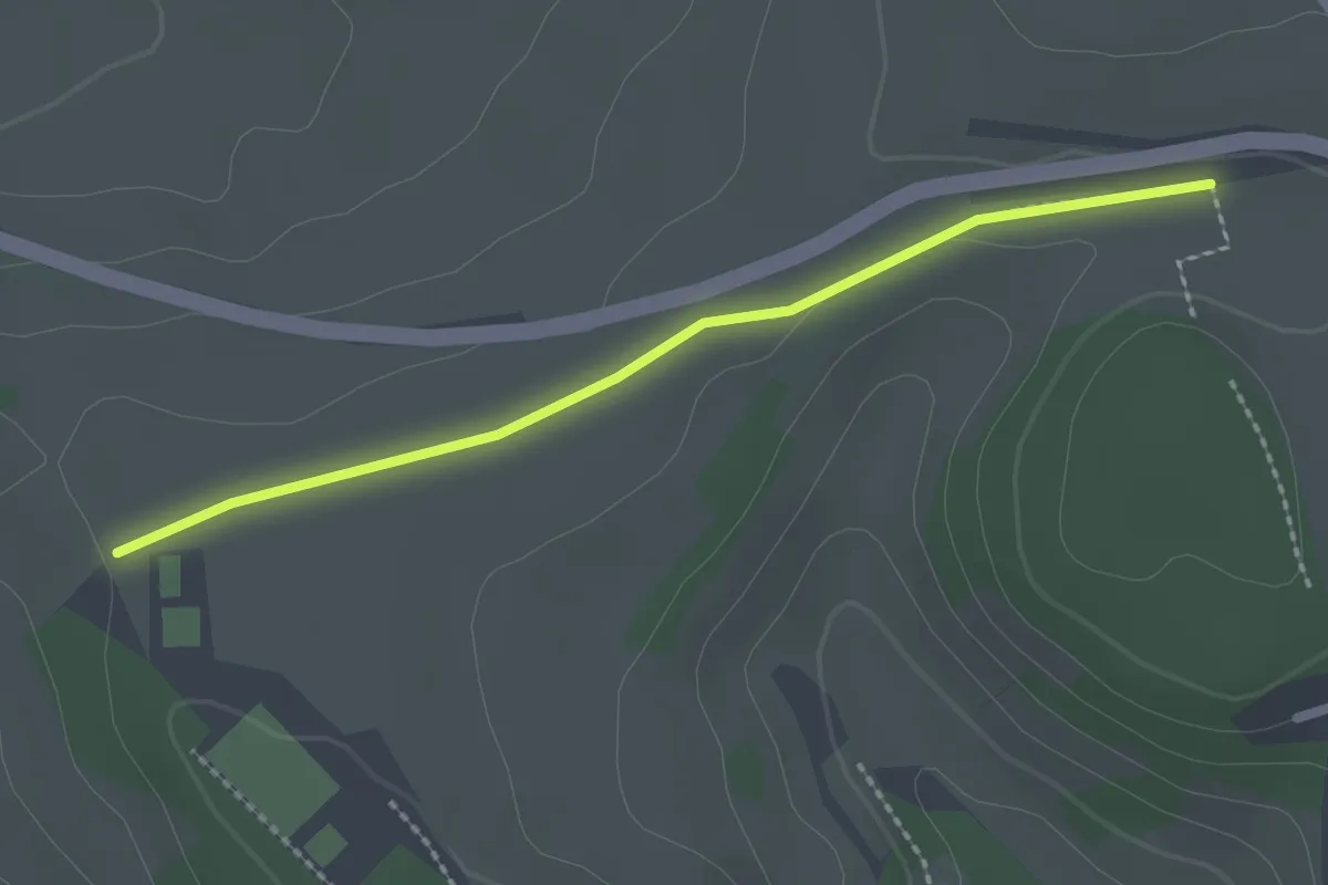
Easy · Trail
Käpfle - Spechttal
2.1 km · ↑ 9 m · 31 min
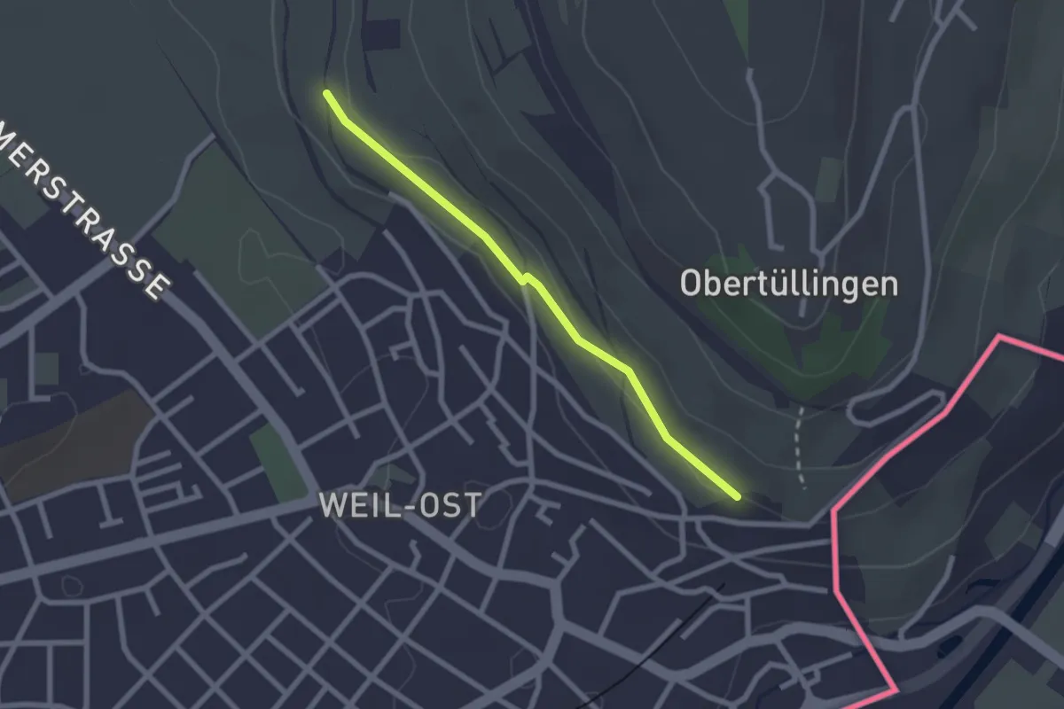
Easy · Trail
Kapf - Petris
2.1 km · ↑ 30 m · 33 min
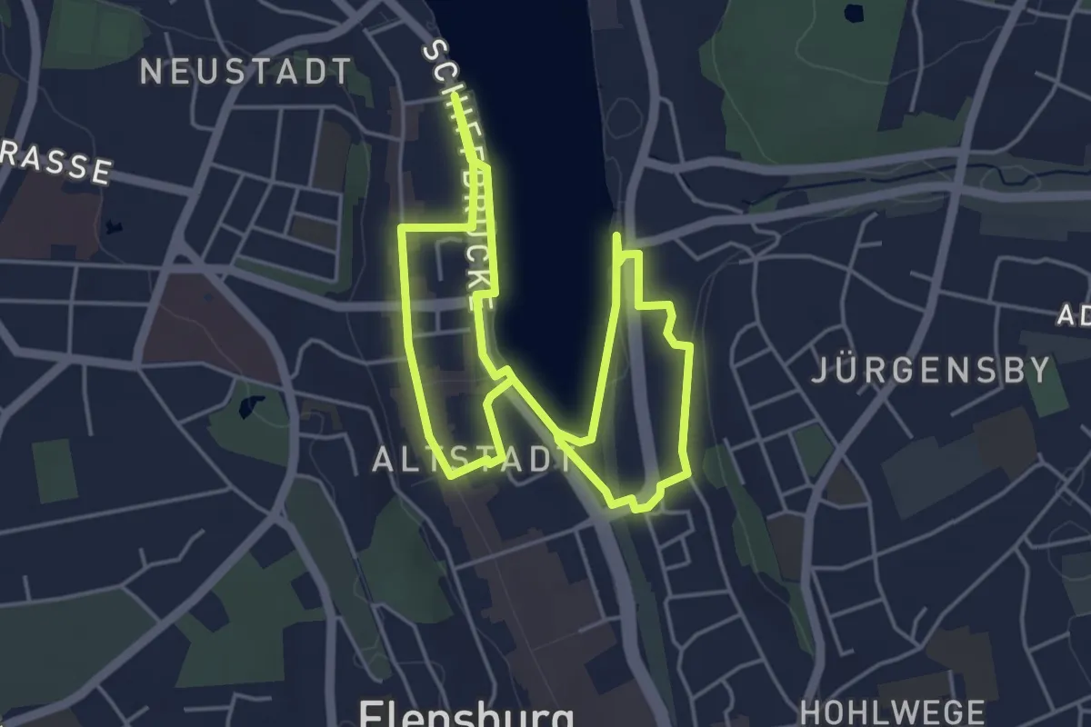
Easy · Trail
Kapitänsweg
3.5 km · ↑ 23 m · 55 min
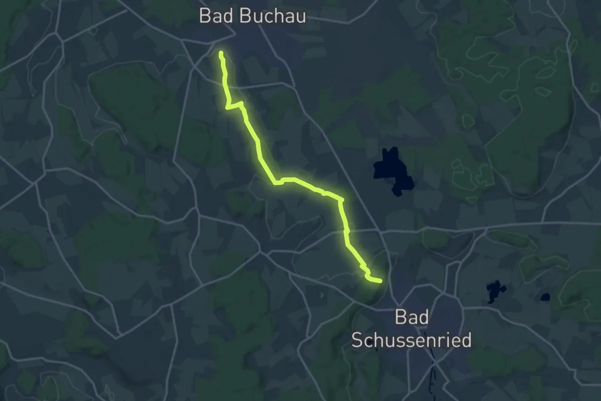
Medium · Trail
Kappel - Bad Schussenried
14.6 km · ↑ 171 m · 3 h 49 min
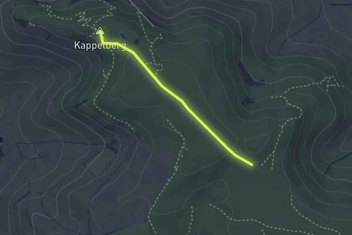
Easy · Summit
Kappelberg - Linde
2.4 km · ↑ 27 m · 37 min
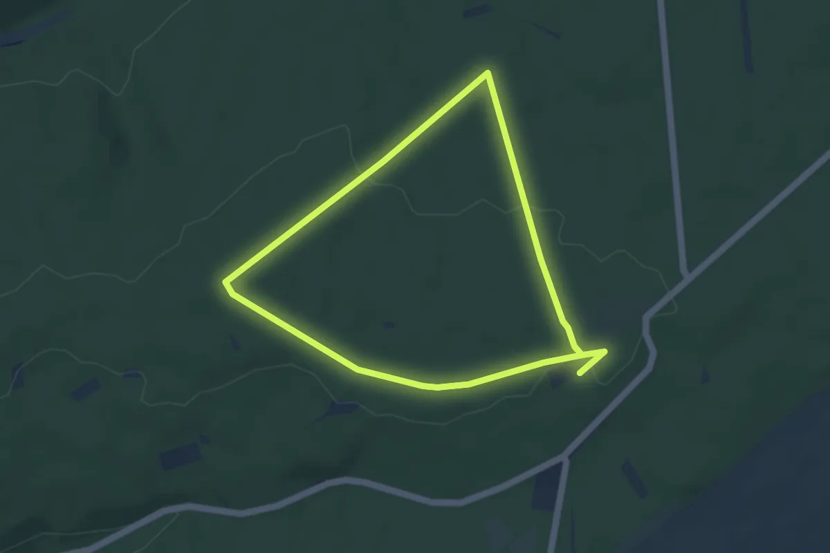
Easy · Summit
Kappelbergrunde NW1
3.5 km · ↑ 32 m · 56 min
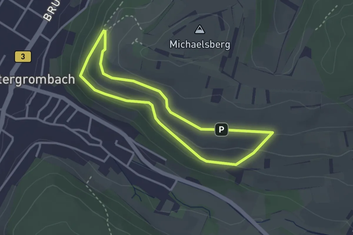
Easy · Trail
Kappelbergweg
2.4 km · ↑ 95 m · 49 min
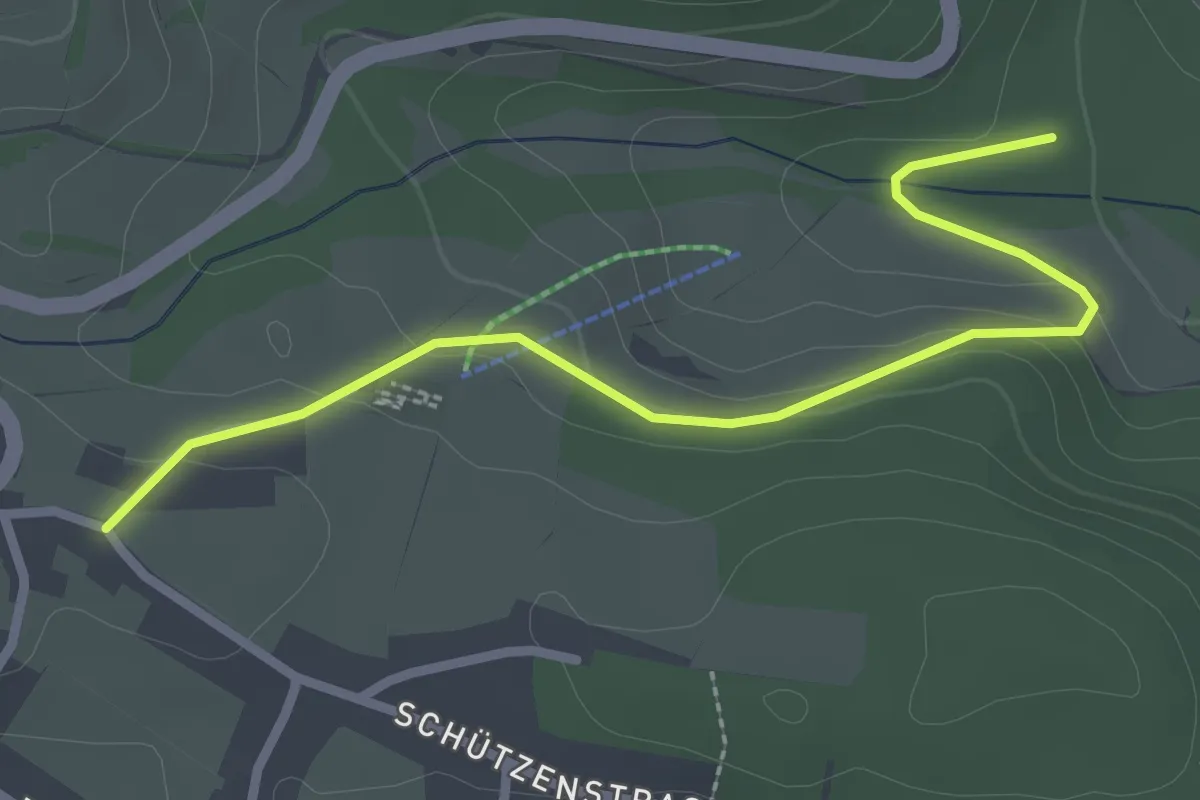
Easy · Trail
Kappel Brände - Stillgelegte Eisenbahntrasse
2.8 km · ↑ 74 m · 49 min
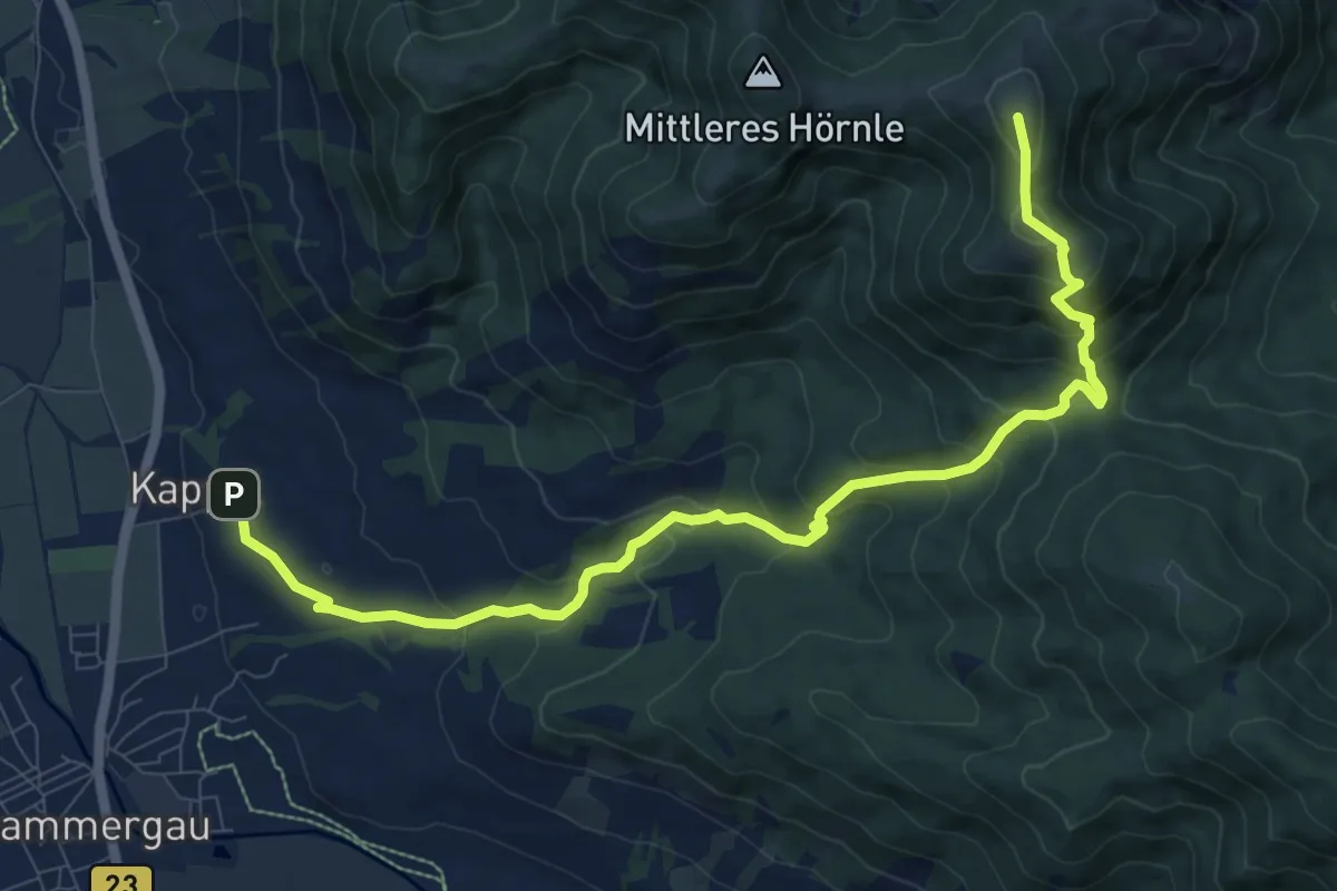
Medium · Summit
Kappel - Drei Marken - Hinteres Hörnle
10.8 km · ↑ 725 m · 4 h 7 min
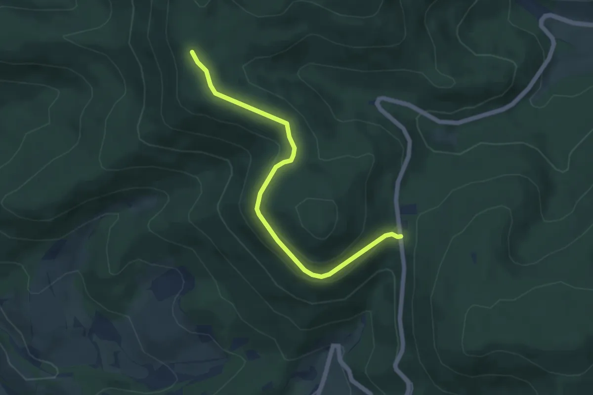
Easy · Trail
Käppele - Am Herrenpfad
4.5 km · ↑ 119 m · 1 h 19 min
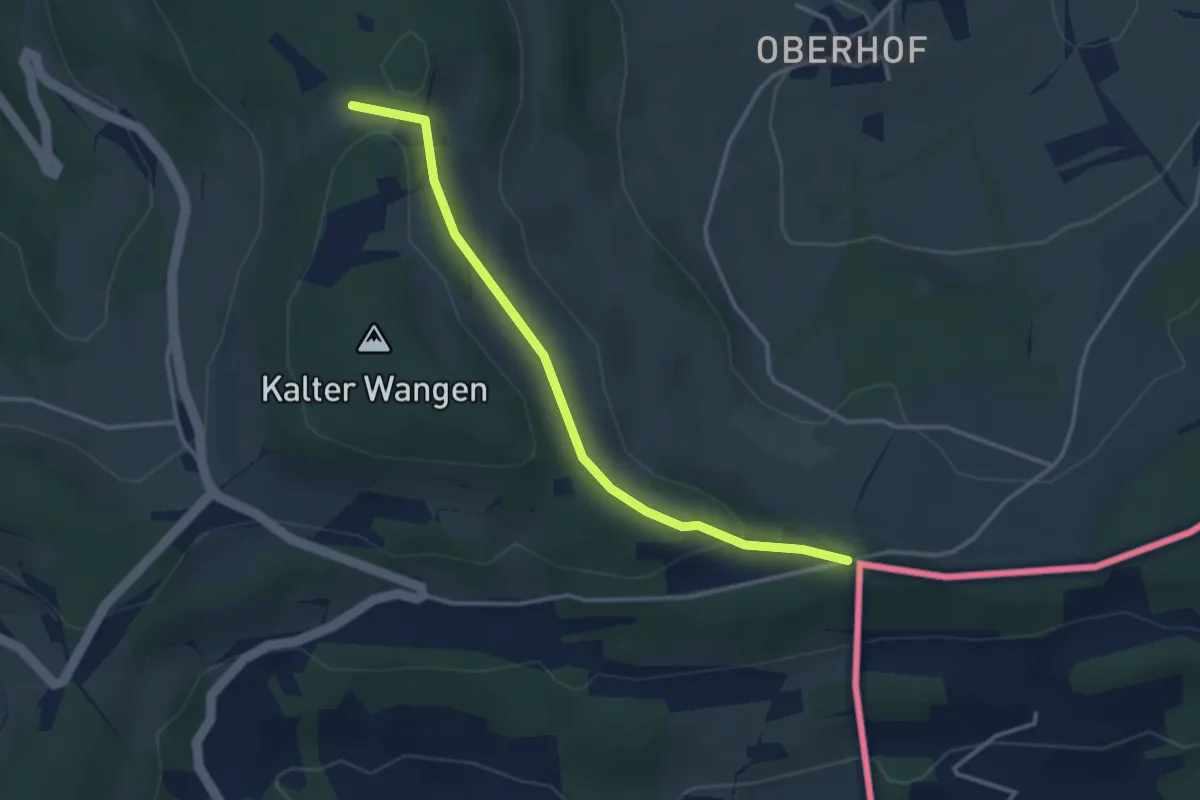
Easy · Trail
Käppeleberg - Am Kalten Wangen
3.3 km · ↑ 75 m · 57 min
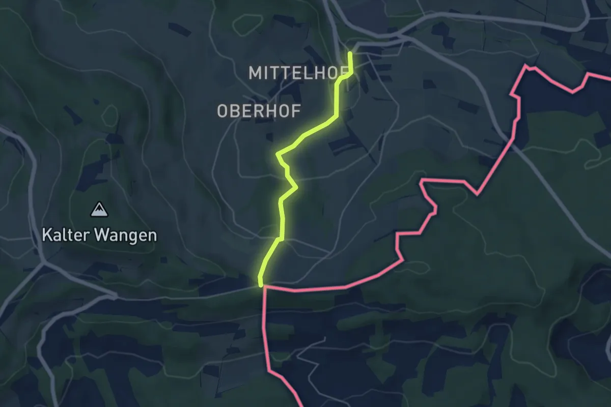
Easy · Trail
Käppeleberg - Bühl
3.8 km · ↑ 139 m · 1 h 12 min
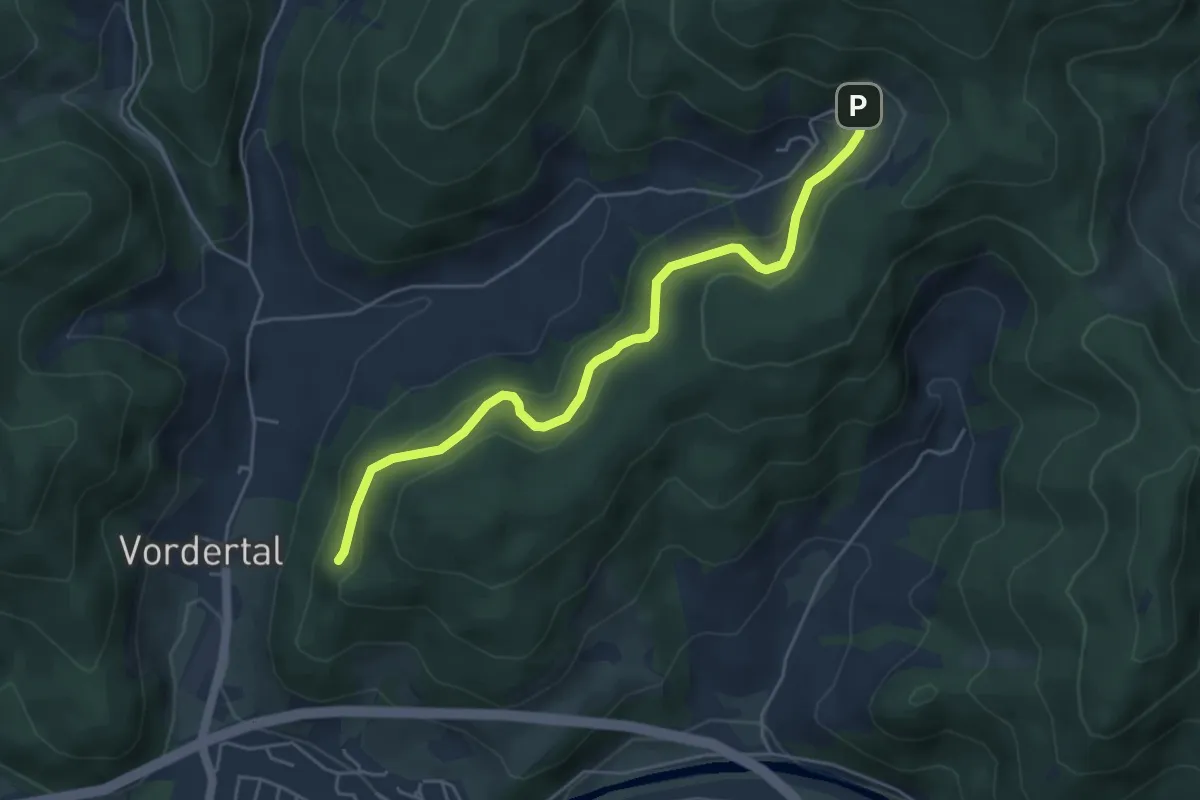
Easy · Trail
Käppelehof - Unter dem Teufelstein
4.8 km · ↑ 284 m · 1 h 45 min
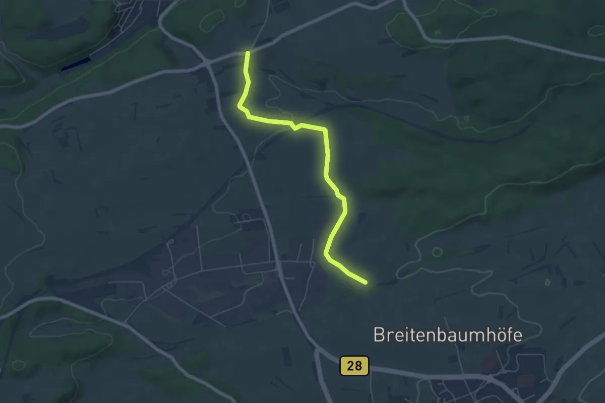
Easy · Trail
Käppele - Kohlfeld
5.4 km · ↑ 75 m · 1 h 26 min
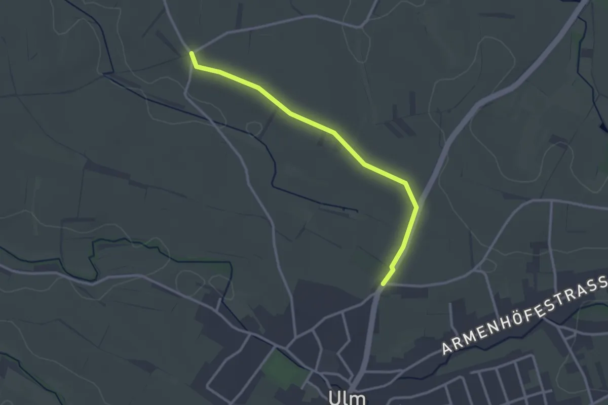
Easy · Trail
Kappeler Weg - Friedhof Ulm
2.7 km · ↑ 8 m · 39 min
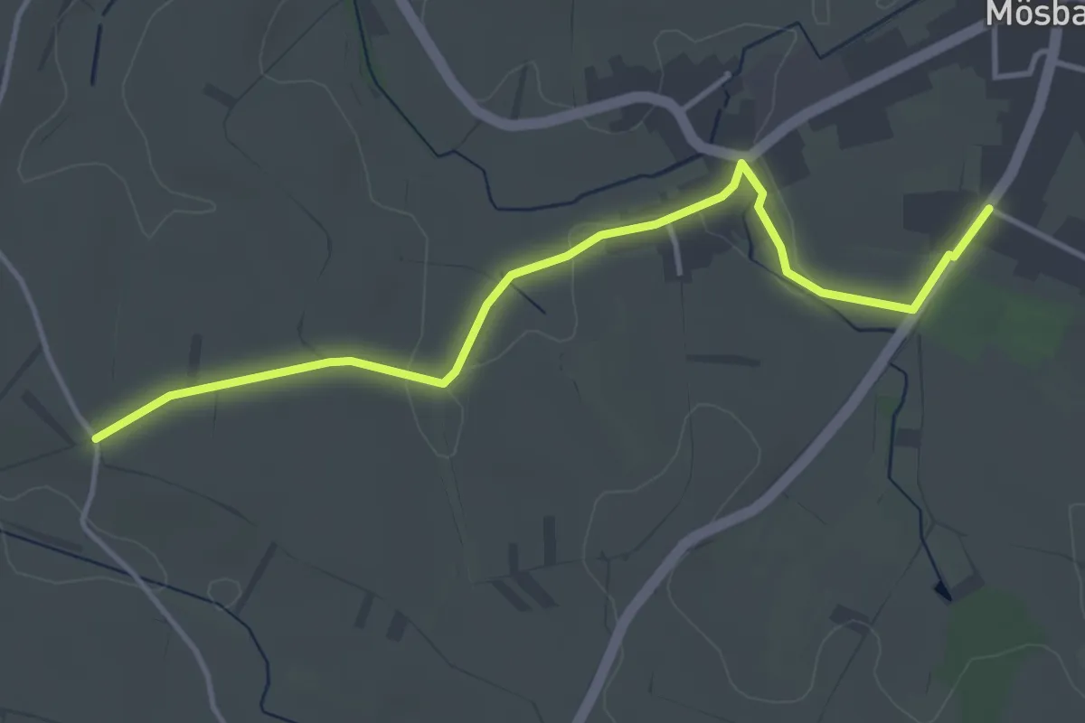
Easy · Trail
Kappeler Weg - Mösbach Drei-Kirschen-Halle
4.0 km · ↑ 27 m · 1 h 1 min
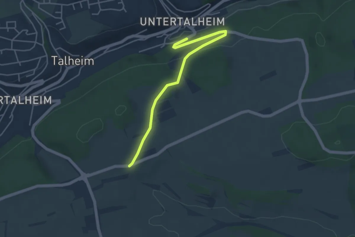
Easy · Trail
Käppele - Talheim Hochdorfer Str.
3.6 km · ↑ 71 m · 1 h
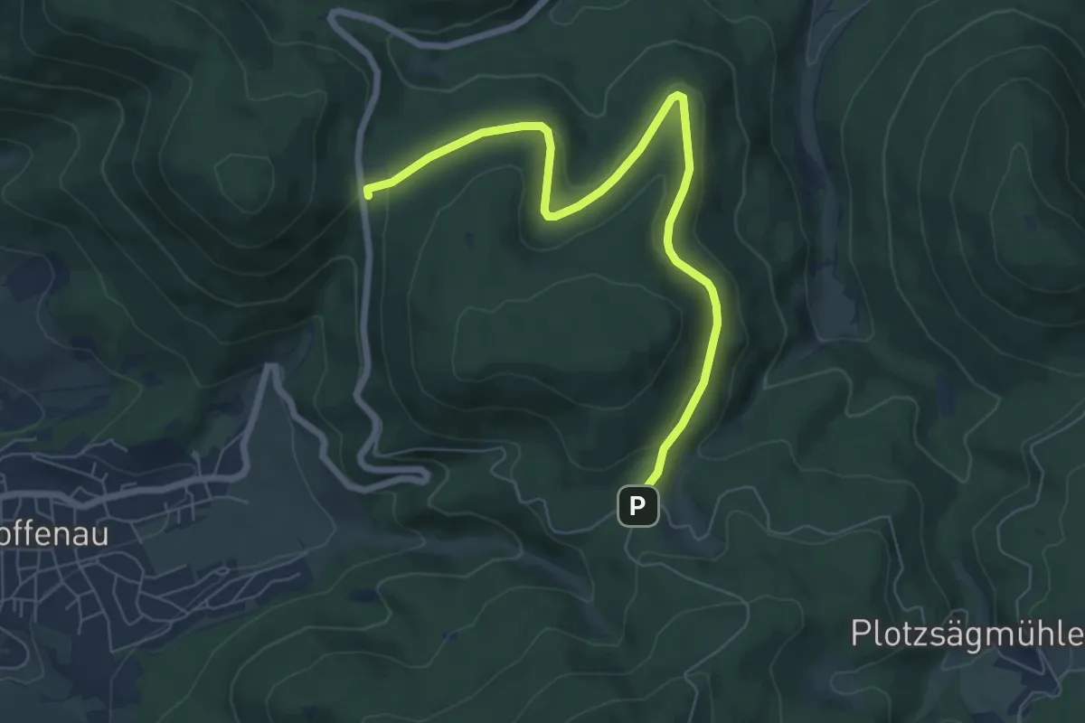
Easy · Trail
Käppele Wanderparkplatz - Rißwasen
7.0 km · ↑ 137 m · 1 h 57 min
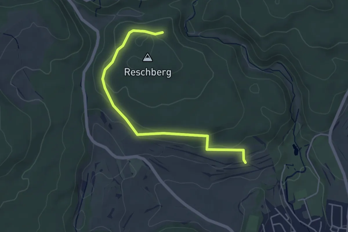
Easy · Trail
Käppeleweg - Hochbehälter Eigeltingen
4.2 km · ↑ 106 m · 1 h 13 min
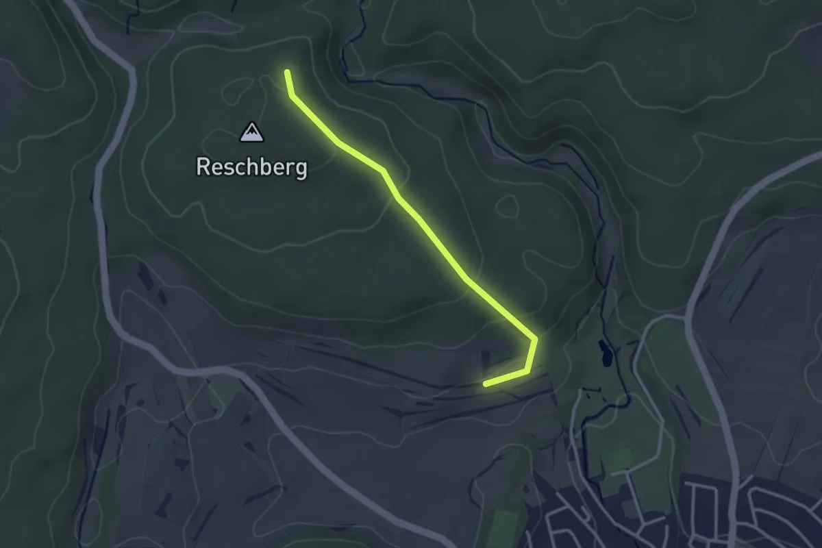
Easy · Trail
Käppeleweg - Hochbehälter Eigeltingen
2.7 km · ↑ 77 m · 48 min
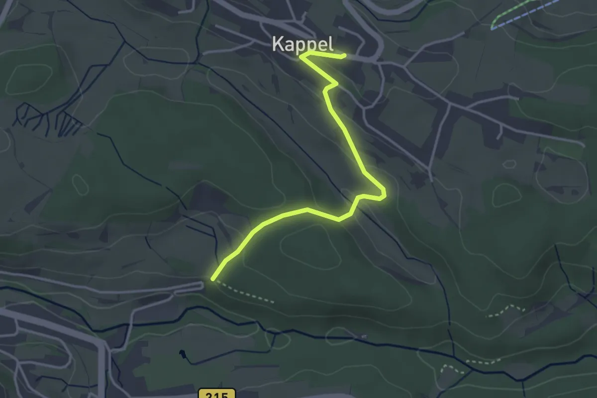
Easy · Trail
Kappel Kirche - Lochmühle
3.3 km · ↑ 121 m · 1 h 3 min
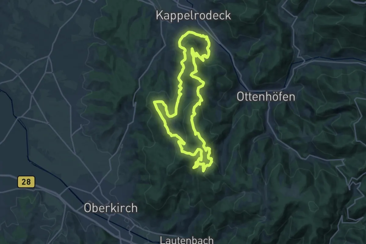
Demanding · Trail
Kappelrodecker Hexensteig
18.1 km · ↑ 805 m · 6 h 16 min
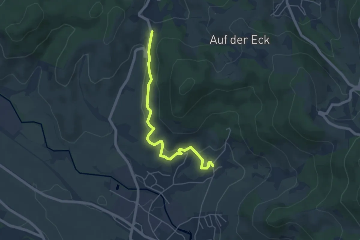
Easy · Trail
Kappelrodeck Steinebach - Knetschwasen
4.2 km · ↑ 150 m · 1 h 19 min
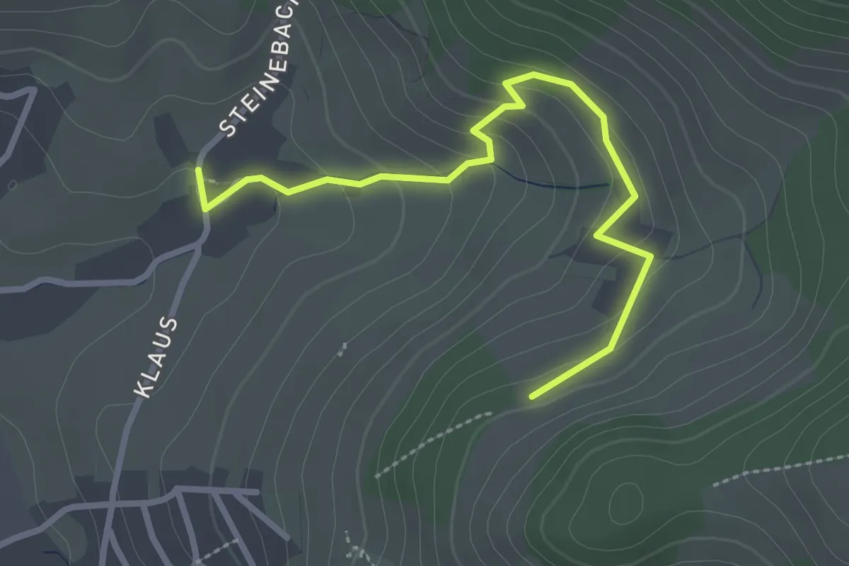
Easy · Trail
Kappelrodeck Steinebach - Ottenberg
2.7 km · ↑ 152 m · 58 min
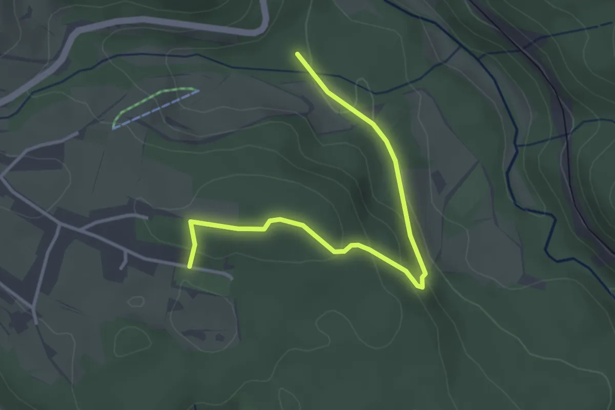
Easy · Trail
Kappel Tennisplätze - Stillgelegte Eisenbahntrasse
3.5 km · ↑ 96 m · 1 h 2 min