Trails in Germany
36,852 hiking trails, each with its route, climb, walking time and grade.
All trails, page 281 of 768
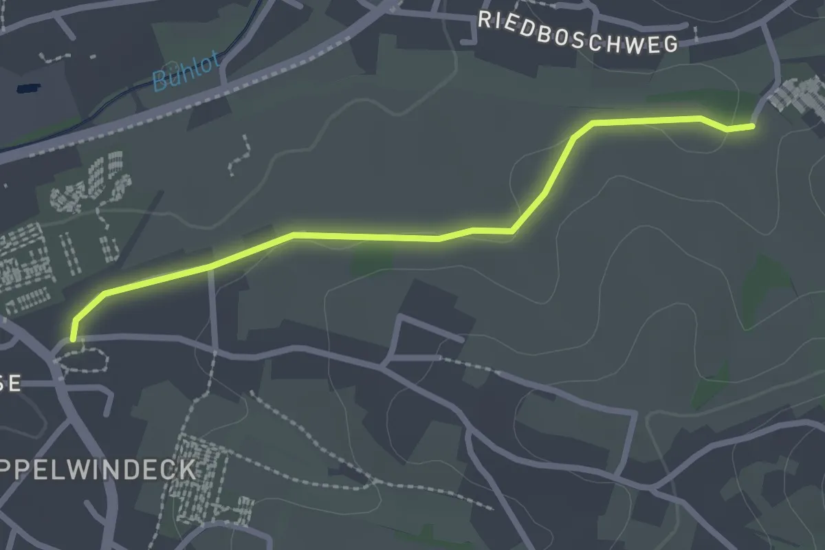
Easy · Trail
Kappelwindeck Kirche - Friedhof Altschweier
2.2 km · ↑ 9 m · 33 min
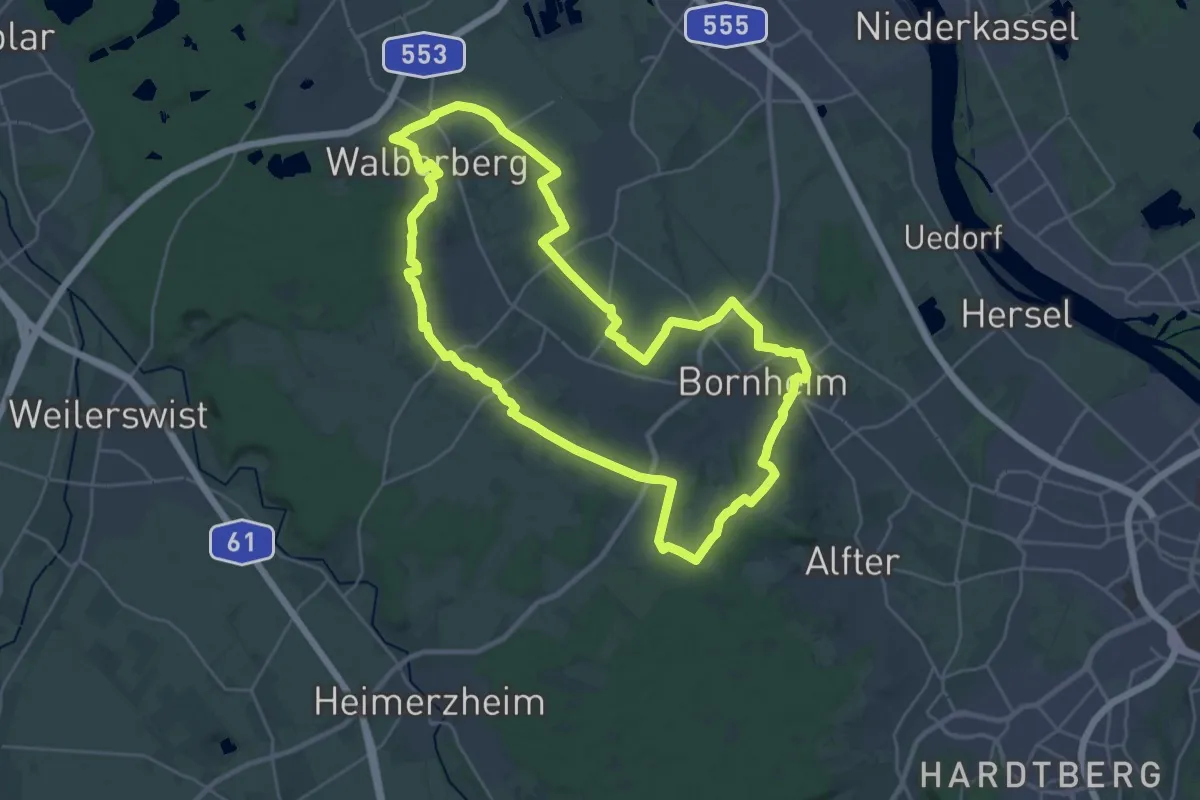
Demanding · Summit
Kappesweg
26.4 km · ↑ 162 m · 6 h 58 min
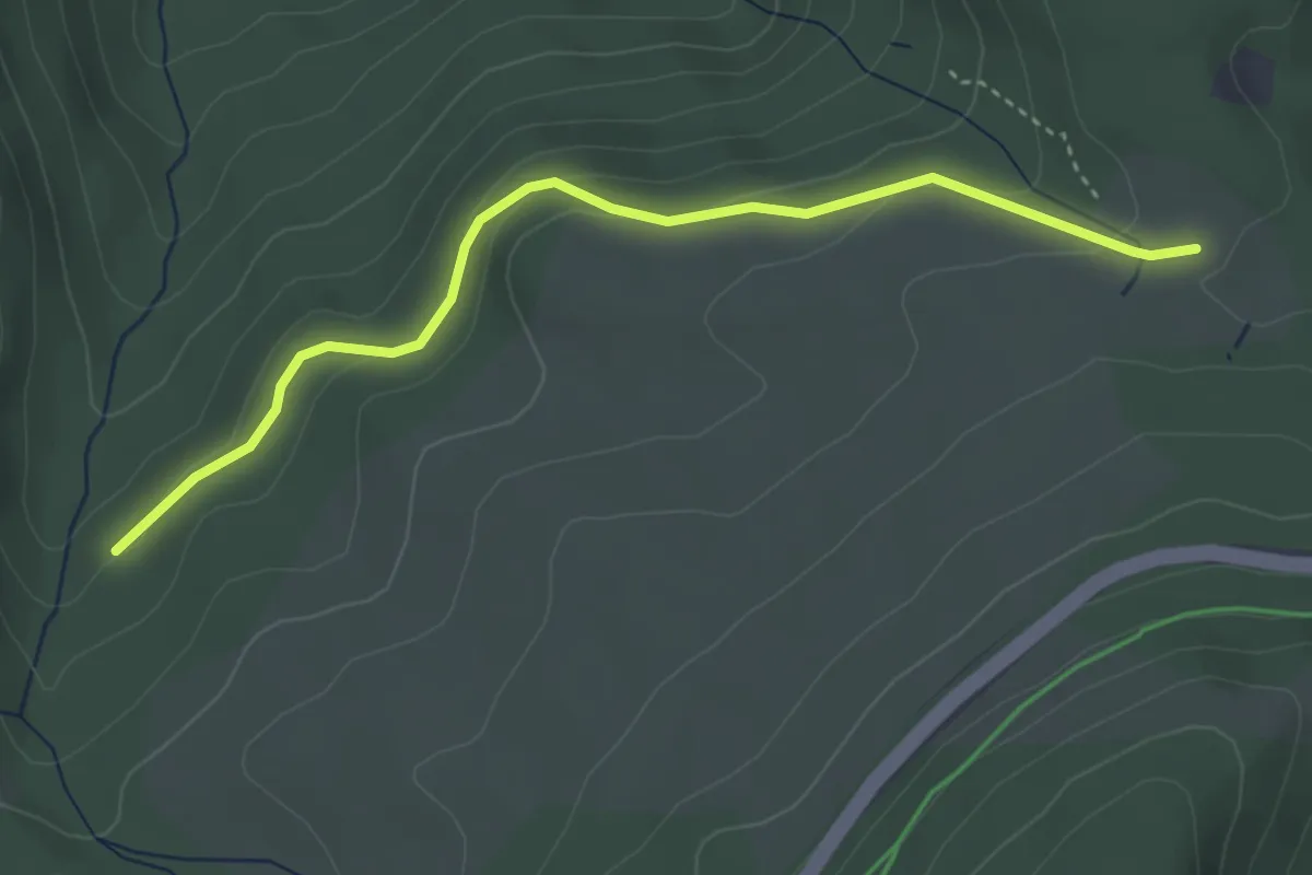
Easy · Trail
Kappler Wald-Hütte - Mühlstein
3.7 km · ↑ 108 m · 1 h 7 min
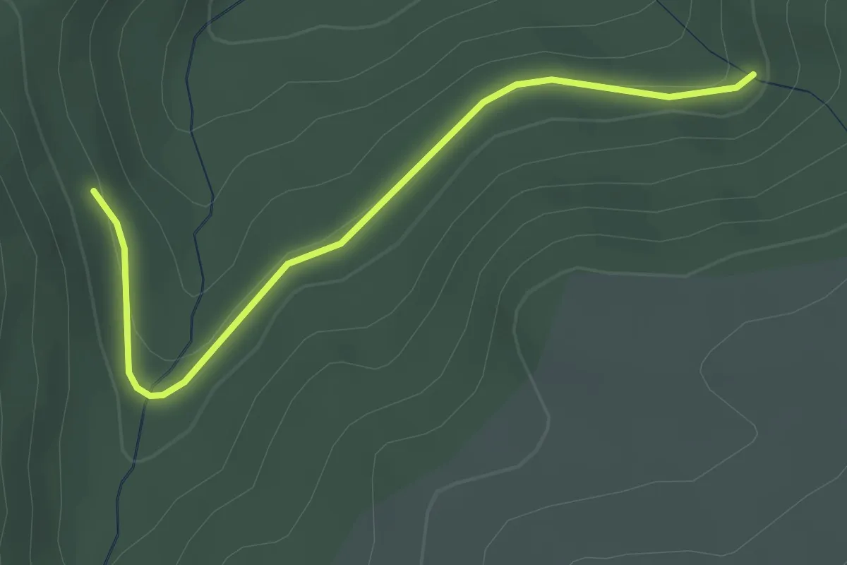
Easy · Trail
Kappler Wald - Kohlwald
2.9 km · ↑ 57 m · 49 min
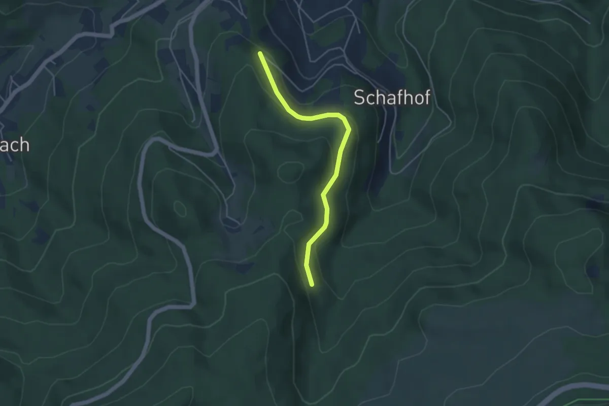
Easy · Trail
Kappler Wald - Wolfsbrunnen
3.7 km · ↑ 125 m · 1 h 8 min
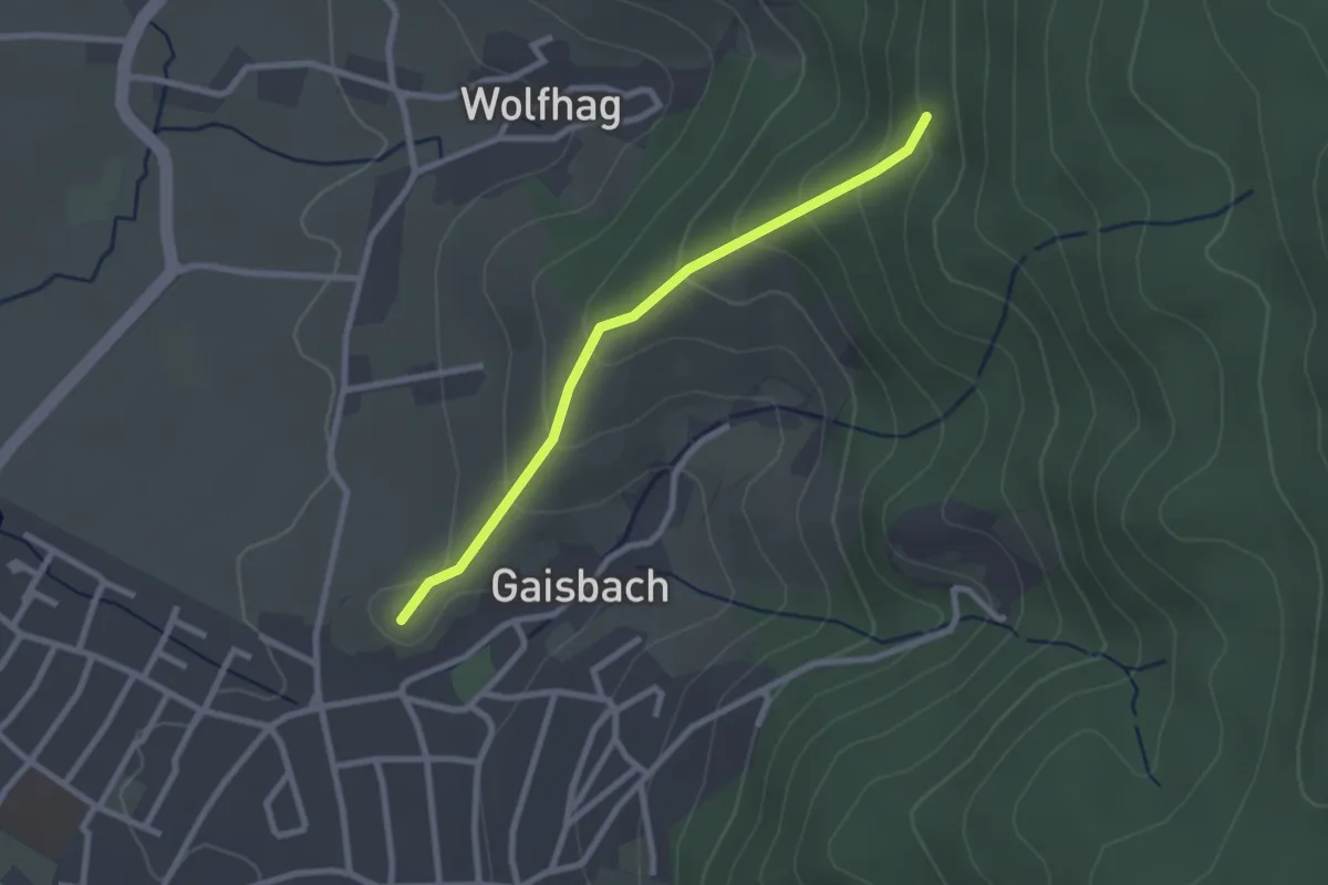
Easy · Summit
Kapuzinerbrunnen - Wolfhag Sandgasse
2.3 km · ↑ 152 m · 52 min
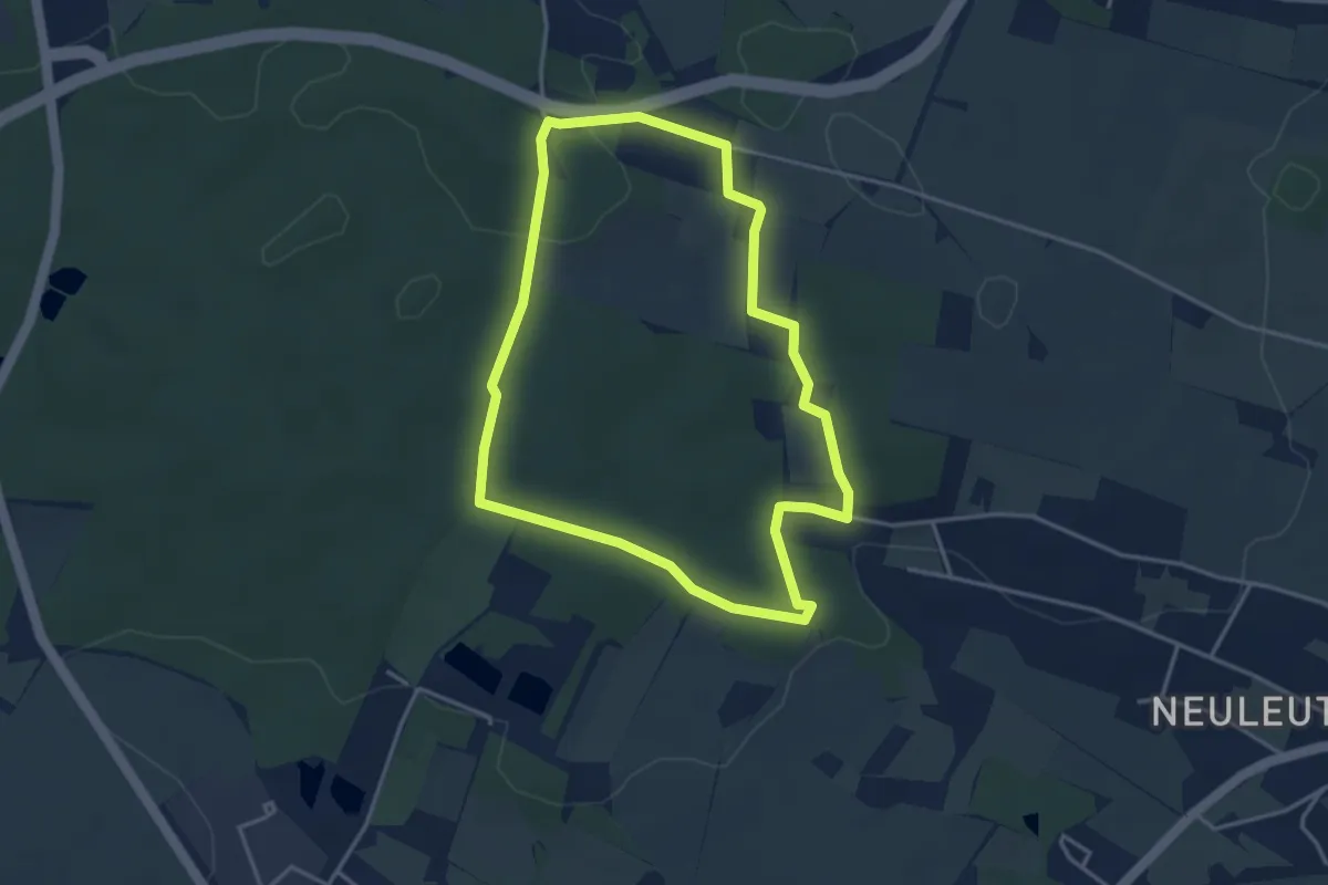
Easy · Trail
Karasekrunde
3.4 km · ↑ 49 m · 57 min
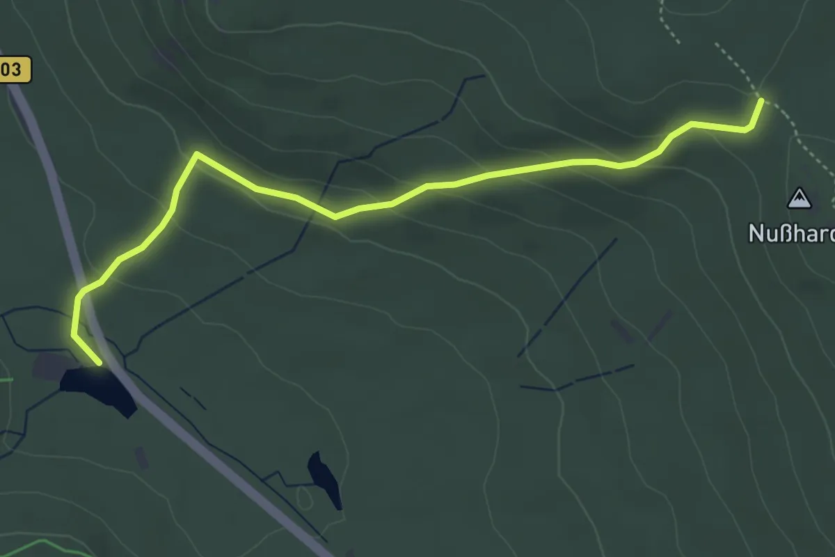
Easy · Trail
Karches - Höhenweg
4.4 km · ↑ 189 m · 1 h 28 min
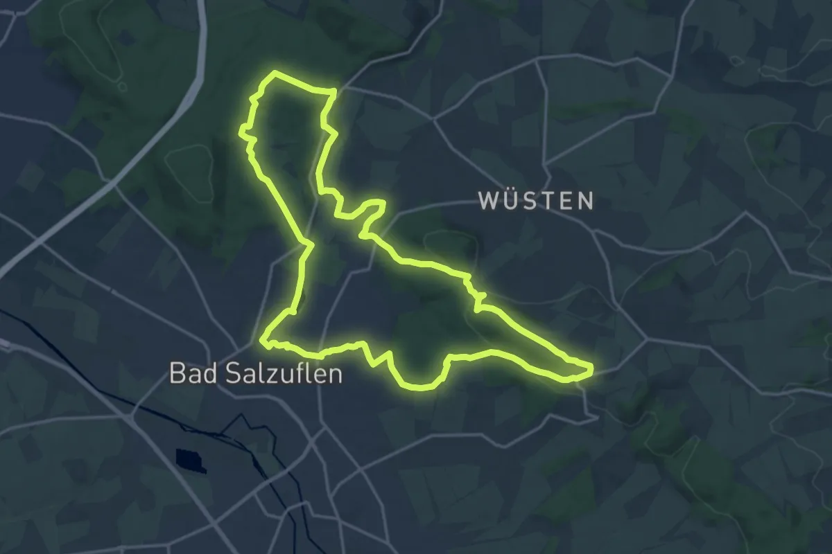
Medium · Summit
Karl-Bachler-Weg
15.8 km · ↑ 300 m · 4 h 35 min
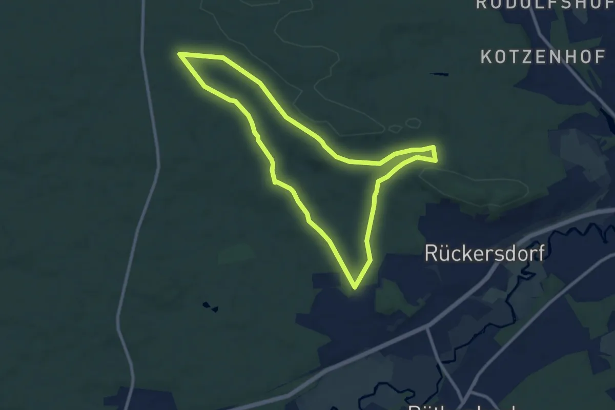
Easy · Trail
Karl-Brückner-Runde (gelb)
7.6 km · ↑ 66 m · 2 h 2 min
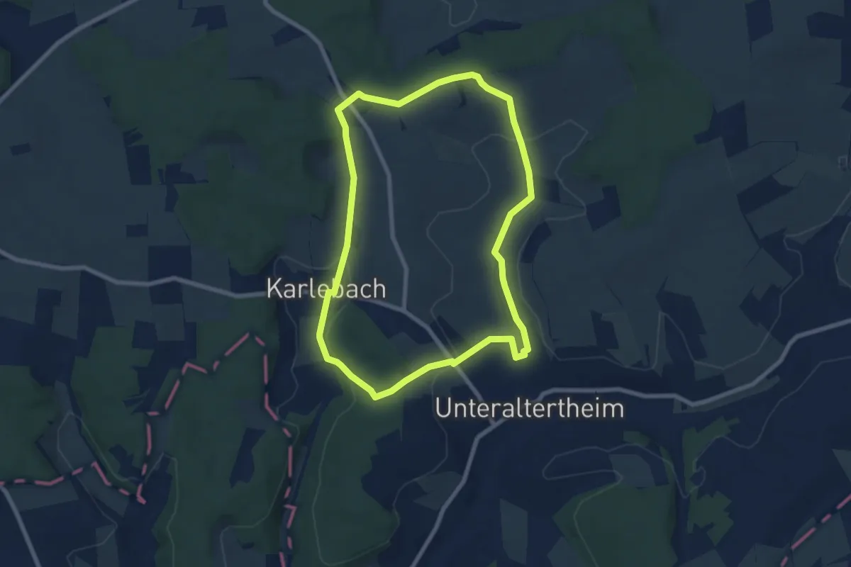
Easy · Summit
Karlebachtal Runde
6.5 km · ↑ 118 m · 1 h 53 min
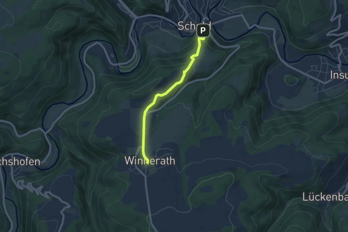
Easy · Trail
Karl-Kaufmann-Weg Alternativroute
5.0 km · ↑ 229 m · 1 h 40 min
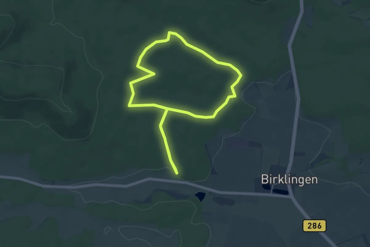
Easy · Trail
Karl-Knauf-Weg
4.2 km · ↑ 56 m · 1 h 10 min
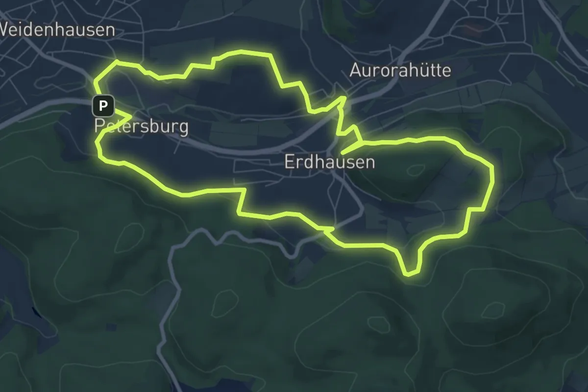
Medium · Trail
Karl-Lenz-Weg
8.1 km · ↑ 198 m · 2 h 27 min
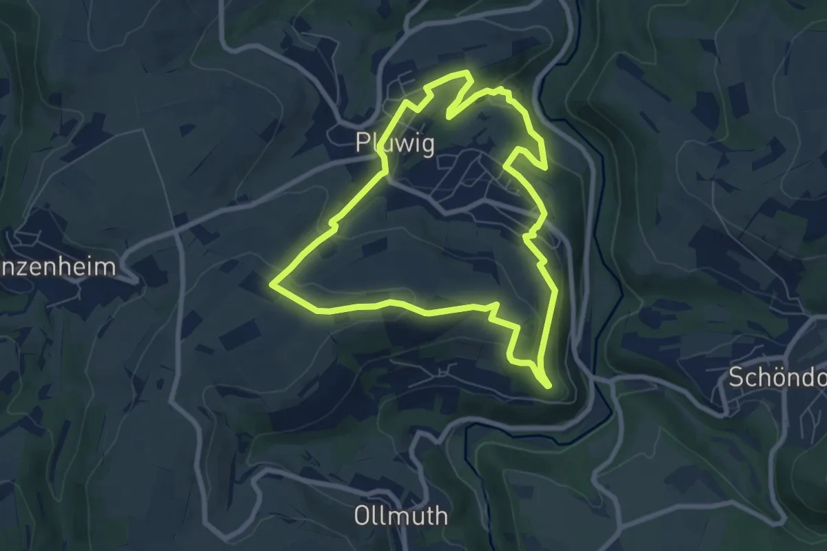
Easy · Trail
Karl-May-Wanderweg
6.5 km · ↑ 211 m · 2 h 5 min
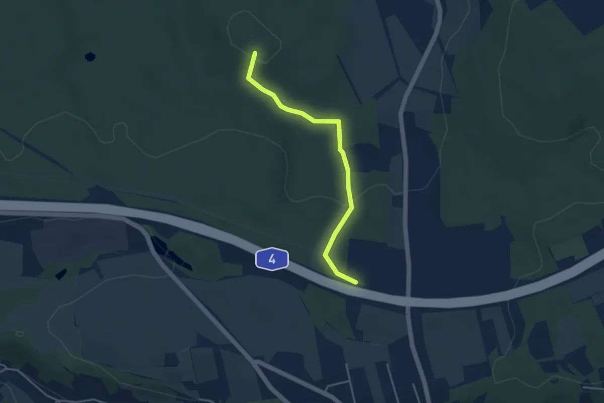
Easy · Summit
Karl-May-Wanderweg
3.1 km · ↑ 67 m · 53 min
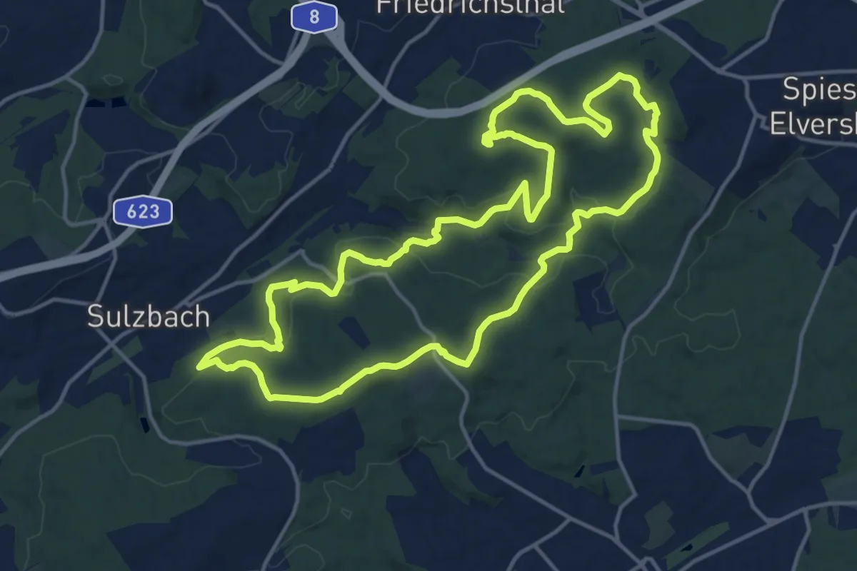
Medium · Trail
Karl-May-Weg (Sulzbacher Schleife)
13.8 km · ↑ 333 m · 4 h 10 min
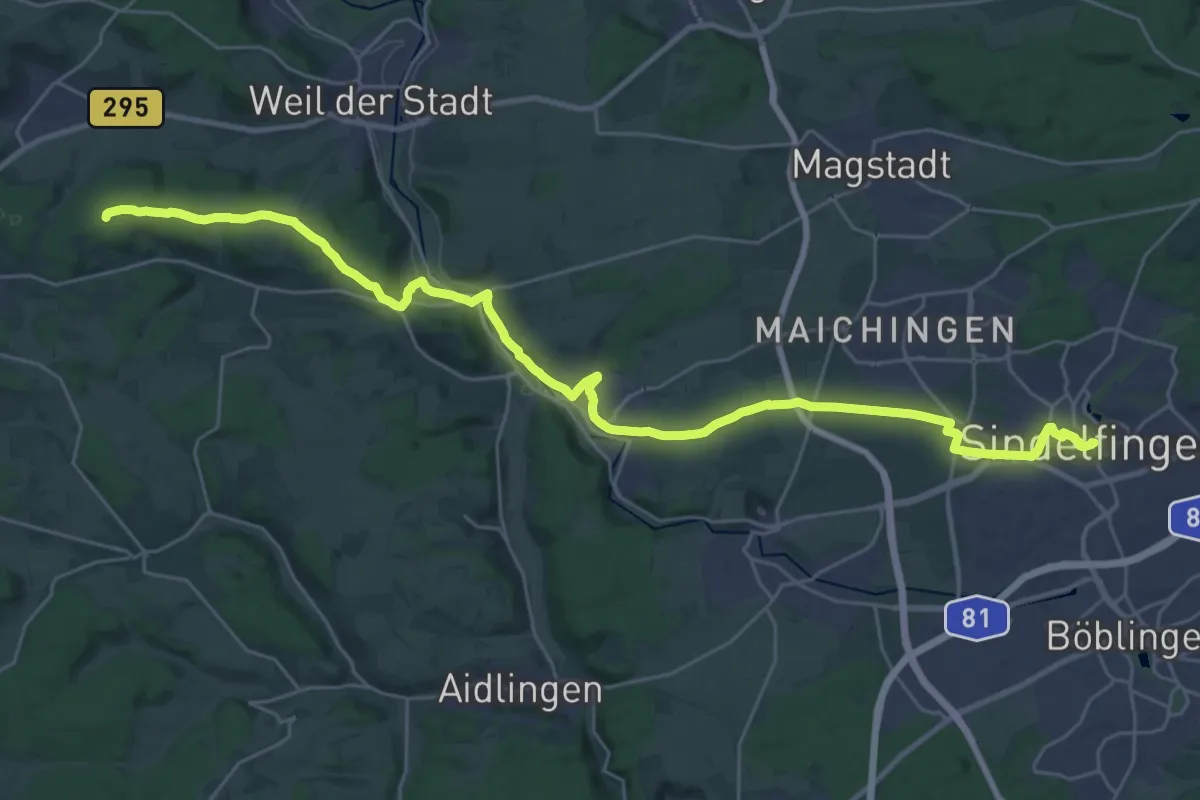
Medium · Trail
Karl-Pfrommer-Weg Sindelfingen - Althengstett
16.9 km · ↑ 260 m · 4 h 43 min
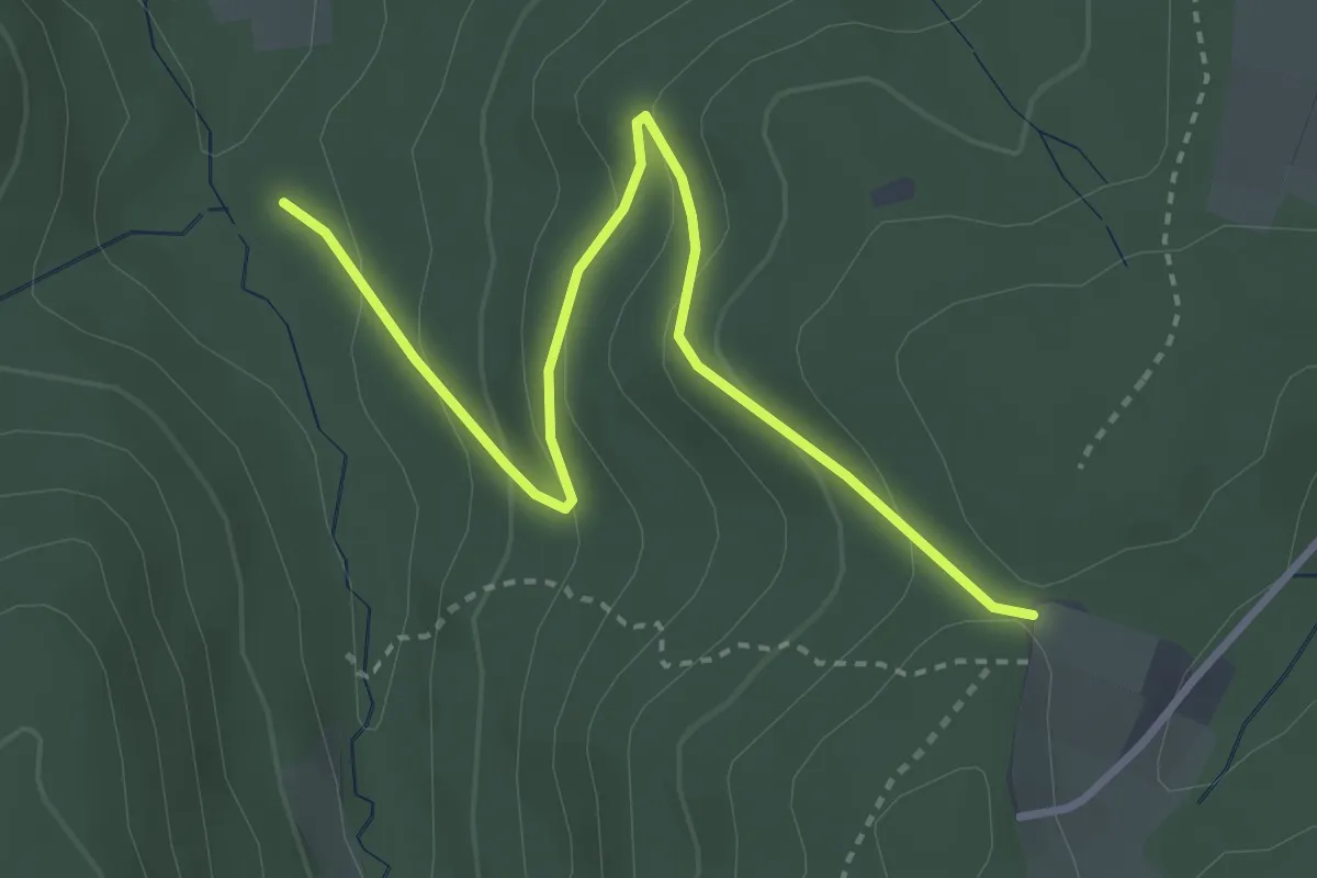
Easy · Trail
Karlsbänke - Untere Rennweghütte
3.5 km · ↑ 184 m · 1 h 14 min
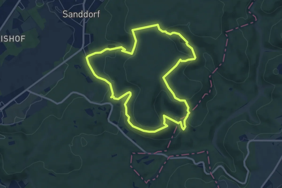
Easy · Trail
Karlsberg-Runde
6.5 km · ↑ 226 m · 2 h 7 min
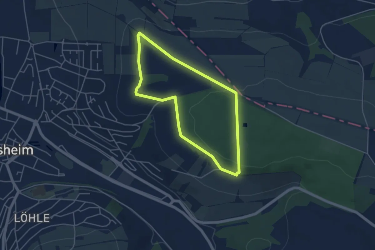
Easy · Trail
Karlsberg Weikersheim
3.4 km · ↑ 63 m · 1 h
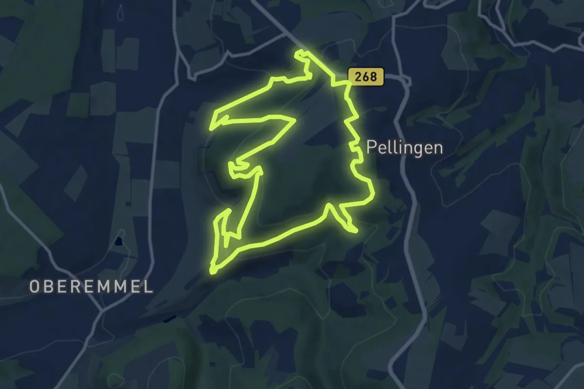
Medium · Trail
Karlskopf-Panoramaweg
10.3 km · ↑ 426 m · 3 h 31 min
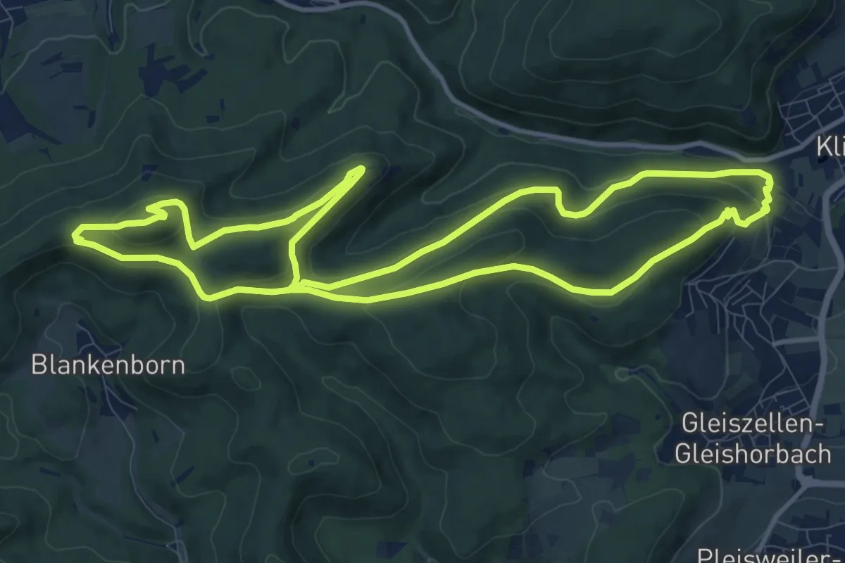
Medium · Summit
Karlsplatzweg, Klingenmüster
10.6 km · ↑ 403 m · 3 h 32 min
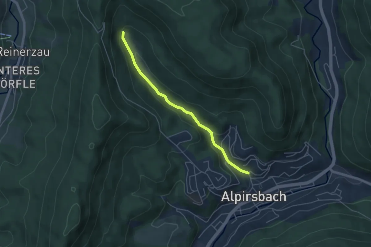
Easy · Trail
Karlsquelle - Alpirsbach Ob. Burghaldenweg
3.9 km · ↑ 120 m · 1 h 11 min
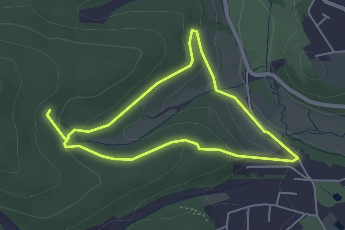
Easy · Trail
Karlsquelle (kleine Runde)
2.8 km · ↑ 90 m · 54 min
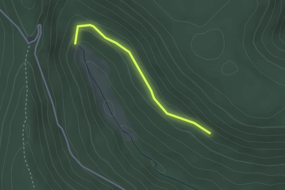
Easy · Trail
Karlsquelle - Metzgersträßle
2.1 km · ↑ 49 m · 37 min
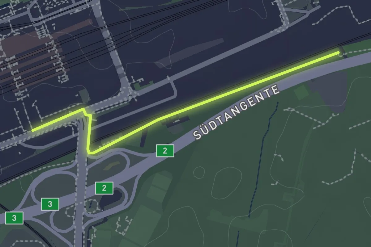
Easy · Trail
Karlsruhe Hauptbahnhof Süd - Karlsruhe Wasserwerkbrücke
2.3 km · ↑ 4 m · 33 min
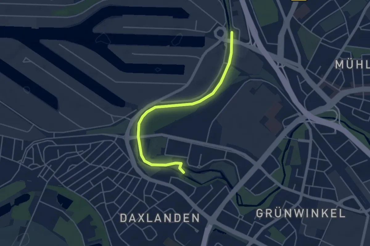
Easy · Trail
Karlsruhe Rheinhafen - Appenmühle
4.1 km · ↑ 4 m · 58 min
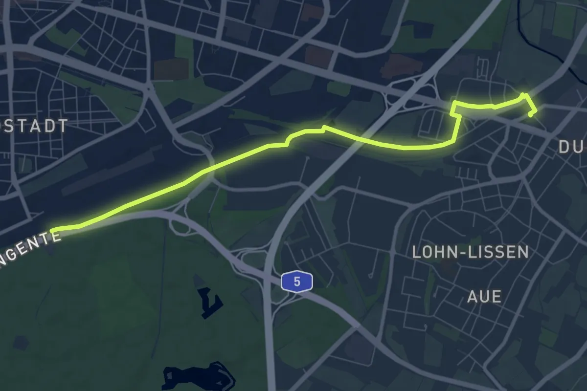
Medium · Trail
Karlsruhe Wasserwerkbrücke - Durlach Bahnhof
8.5 km · ↑ 0 m · 2 h
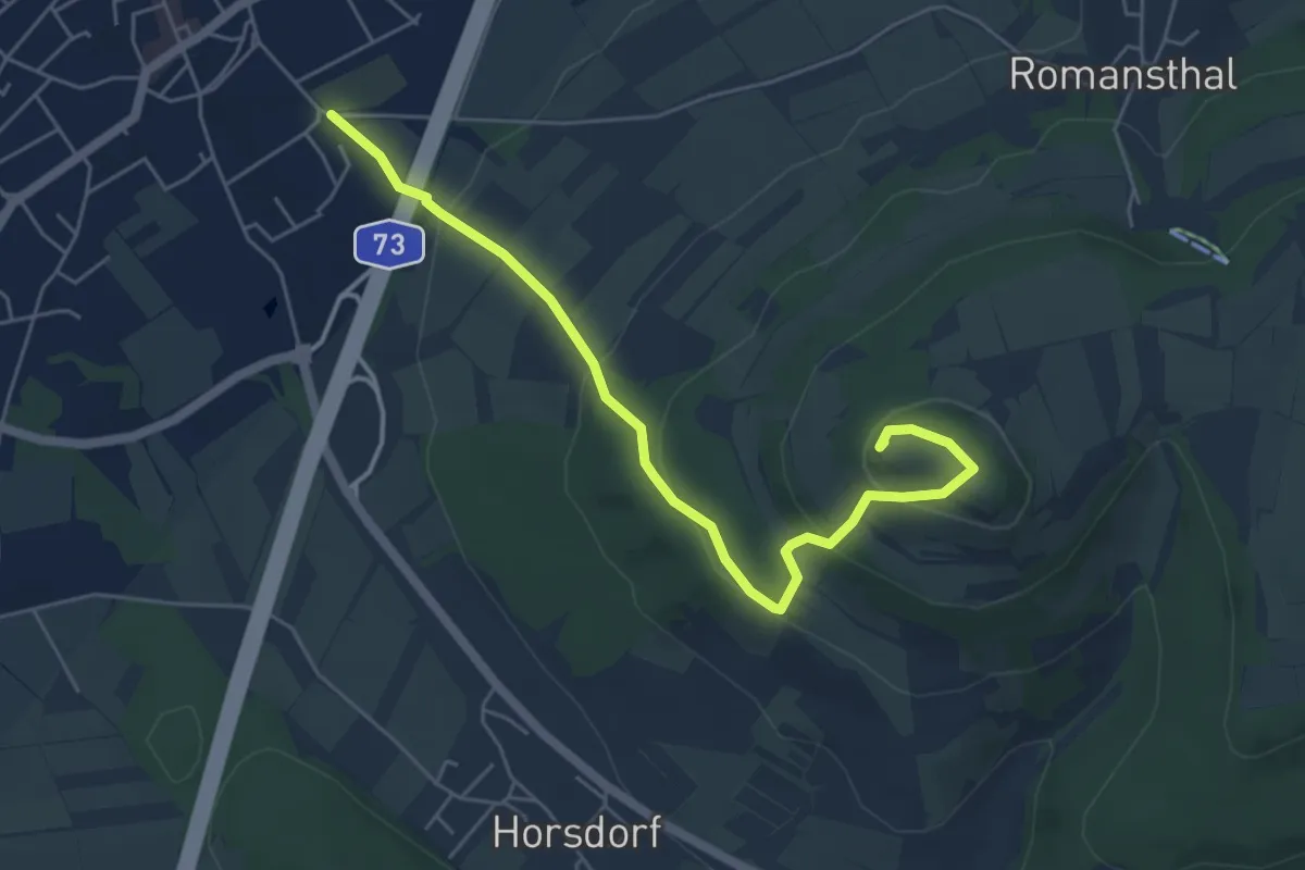
Easy · Summit
Karlssteig
5.4 km · ↑ 256 m · 1 h 49 min
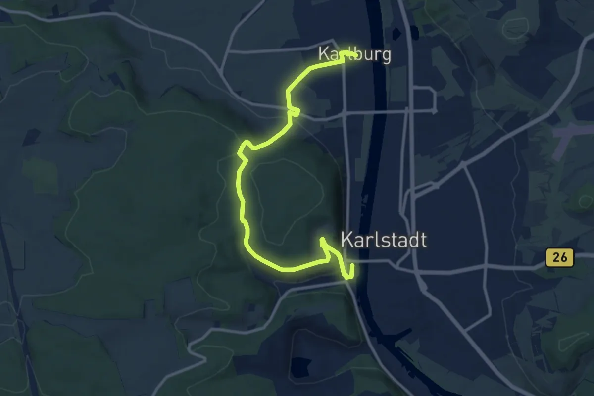
Medium · Trail
Karlstadt Wanderweg K2
9.8 km · ↑ 274 m · 2 h 55 min
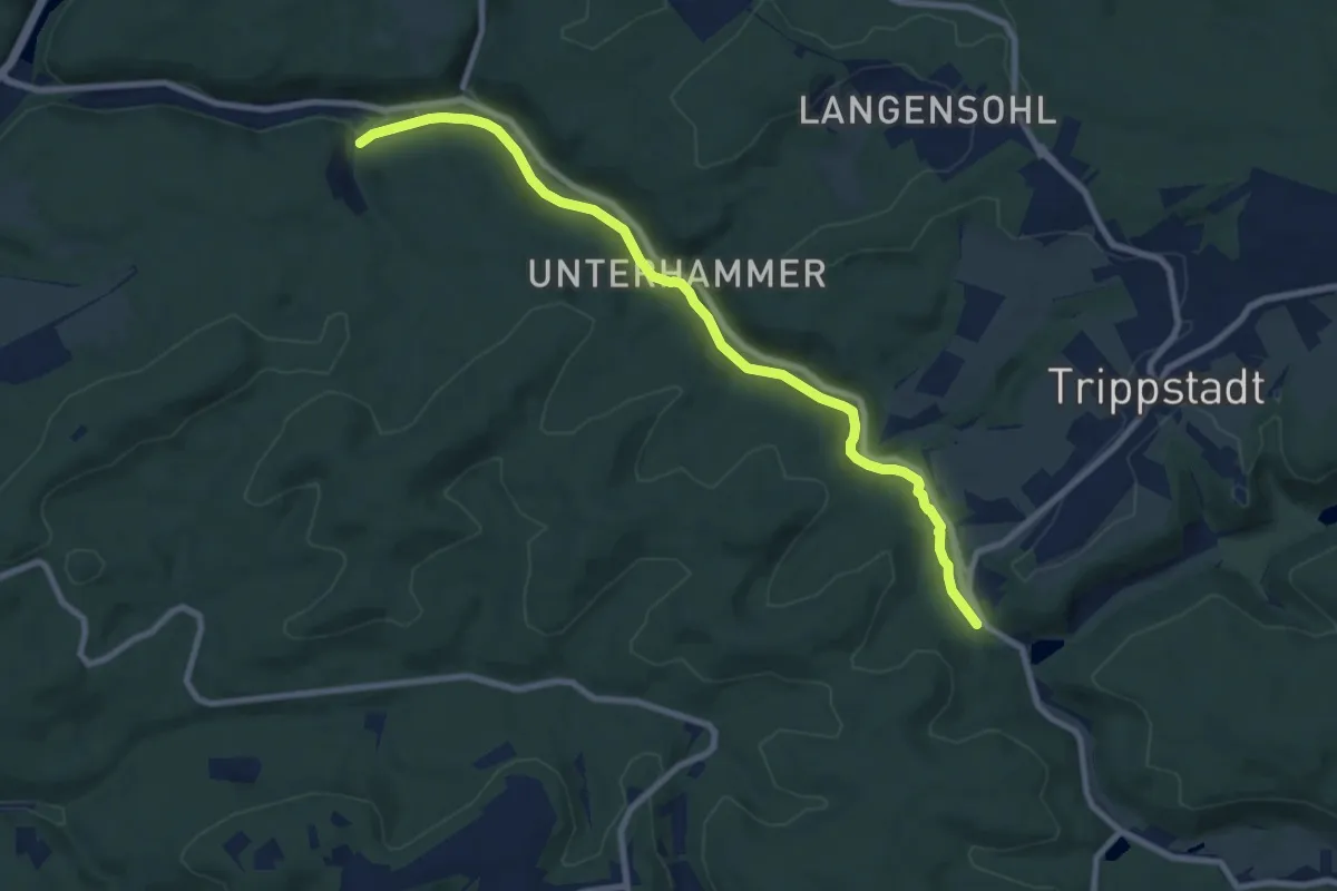
Medium · Trail
Karlstal
8.7 km · ↑ 124 m · 2 h 19 min
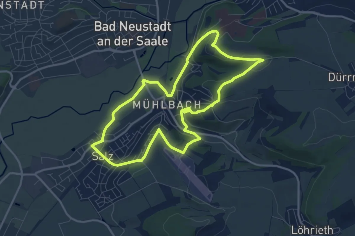
Easy · Trail
Karl-Straub-Rundweg
7.6 km · ↑ 133 m · 2 h 12 min
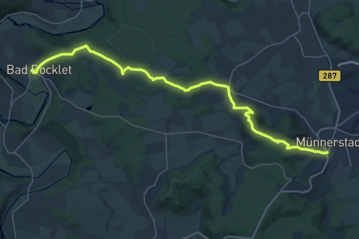
Demanding · Trail
Karolingerweg Variante über Münnerstadt
22.2 km · ↑ 600 m · 6 h 33 min
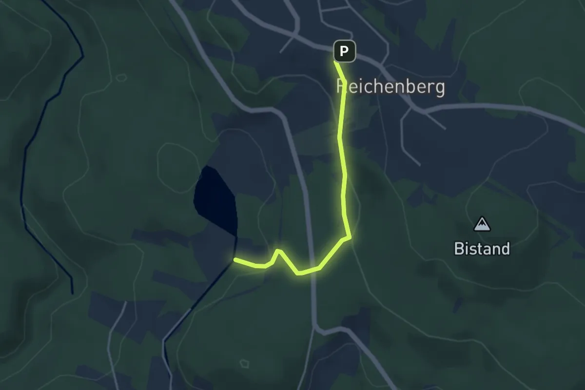
Easy · Trail
Karpfen
3.0 km · ↑ 105 m · 57 min
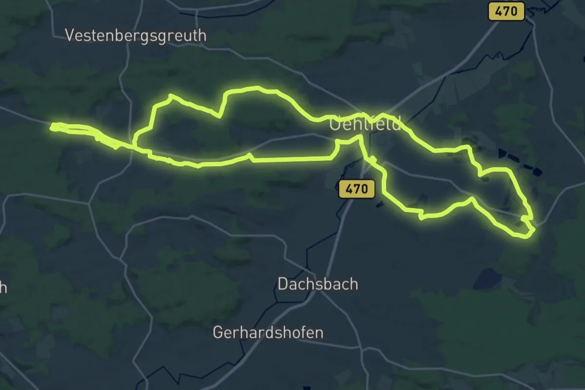
Demanding · Trail
Karpfen-Rundweg Uehlfeld
27.1 km · ↑ 261 m · 7 h 21 min
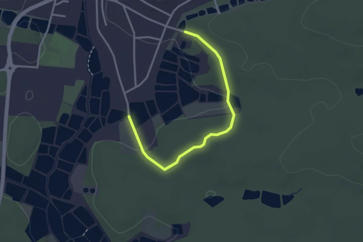
Easy · Trail
Karpfenweg
2.6 km · ↑ 55 m · 44 min
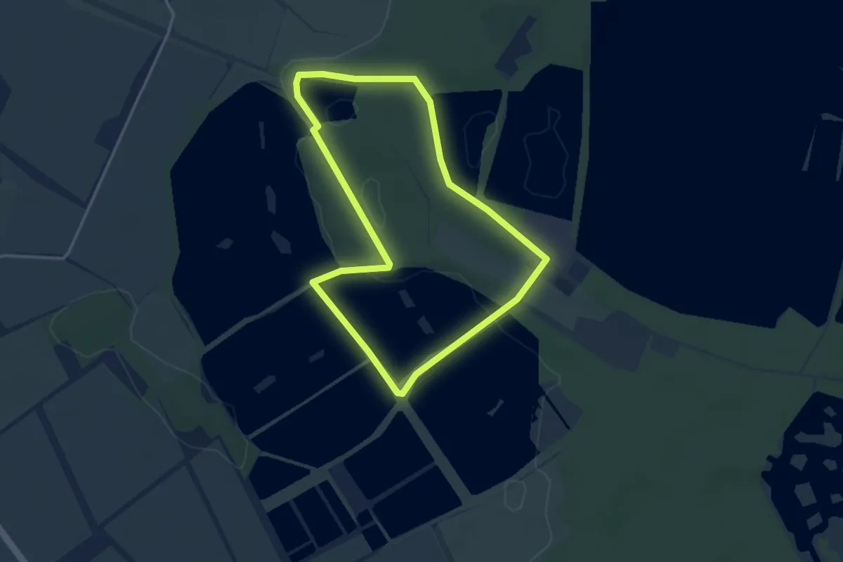
Easy · Trail
Karpfenweg
3.0 km · ↑ 13 m · 47 min
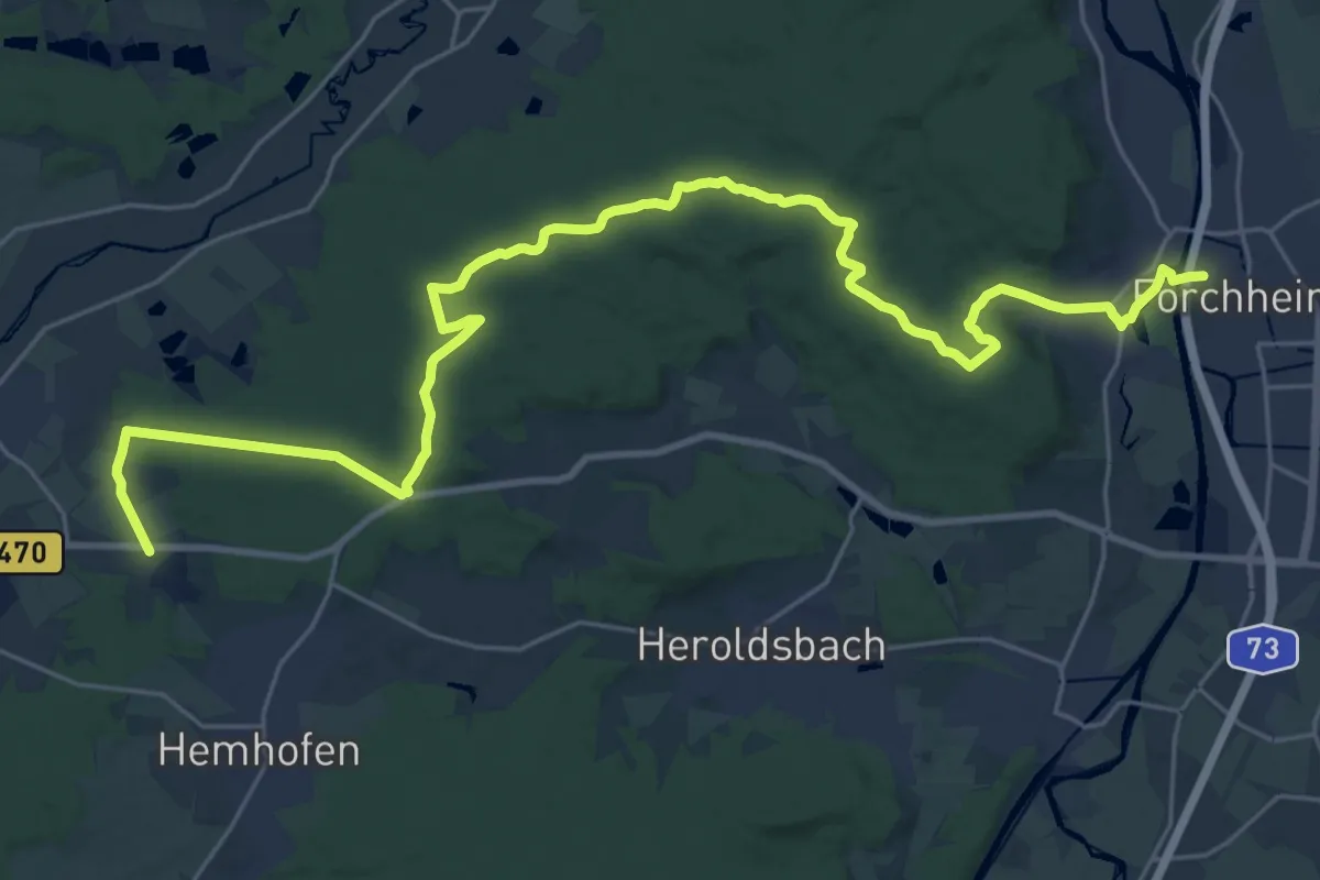
Medium · Trail
Karpfenweiherweg
15.9 km · ↑ 293 m · 4 h 36 min
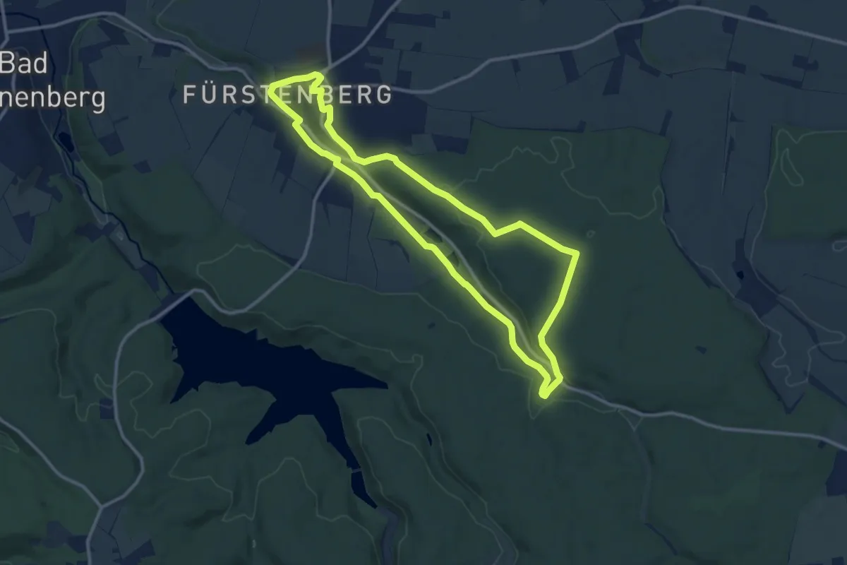
Medium · Trail
Karpke Weg
10.0 km · ↑ 154 m · 2 h 51 min
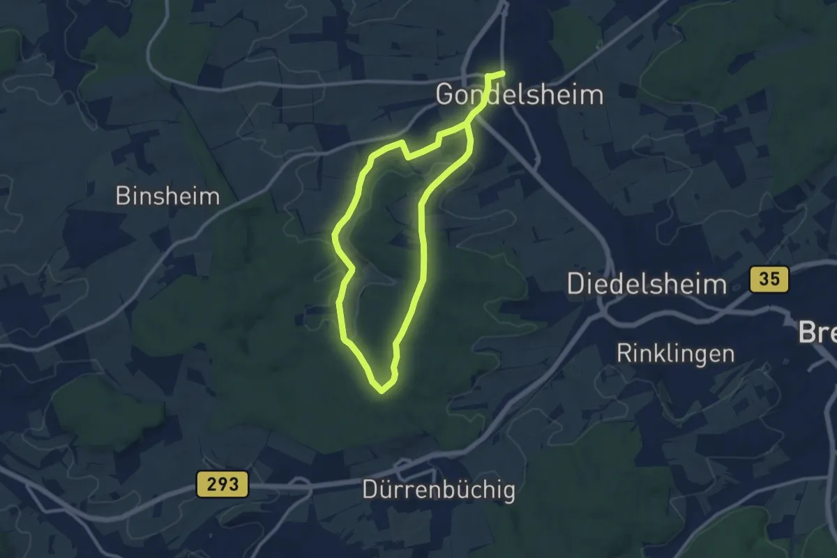
Easy · Trail
Karrheckenweg
7.9 km · ↑ 138 m · 2 h 16 min
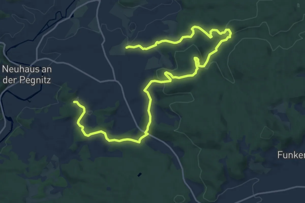
Medium · Summit
Karstkundlicher Wanderpfad
8.5 km · ↑ 282 m · 2 h 45 min
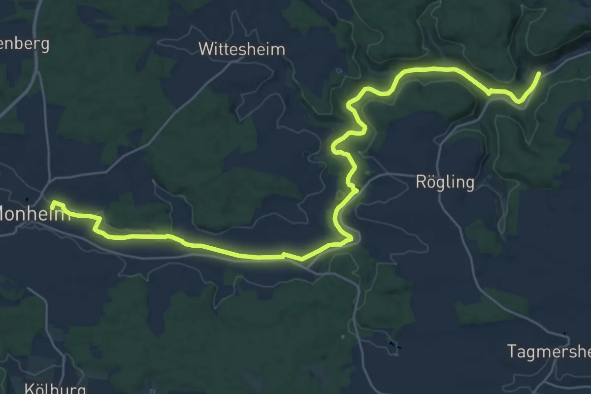
Demanding · Trail
Karstlehrpfad Monheim
25.0 km · ↑ 220 m · 6 h 22 min
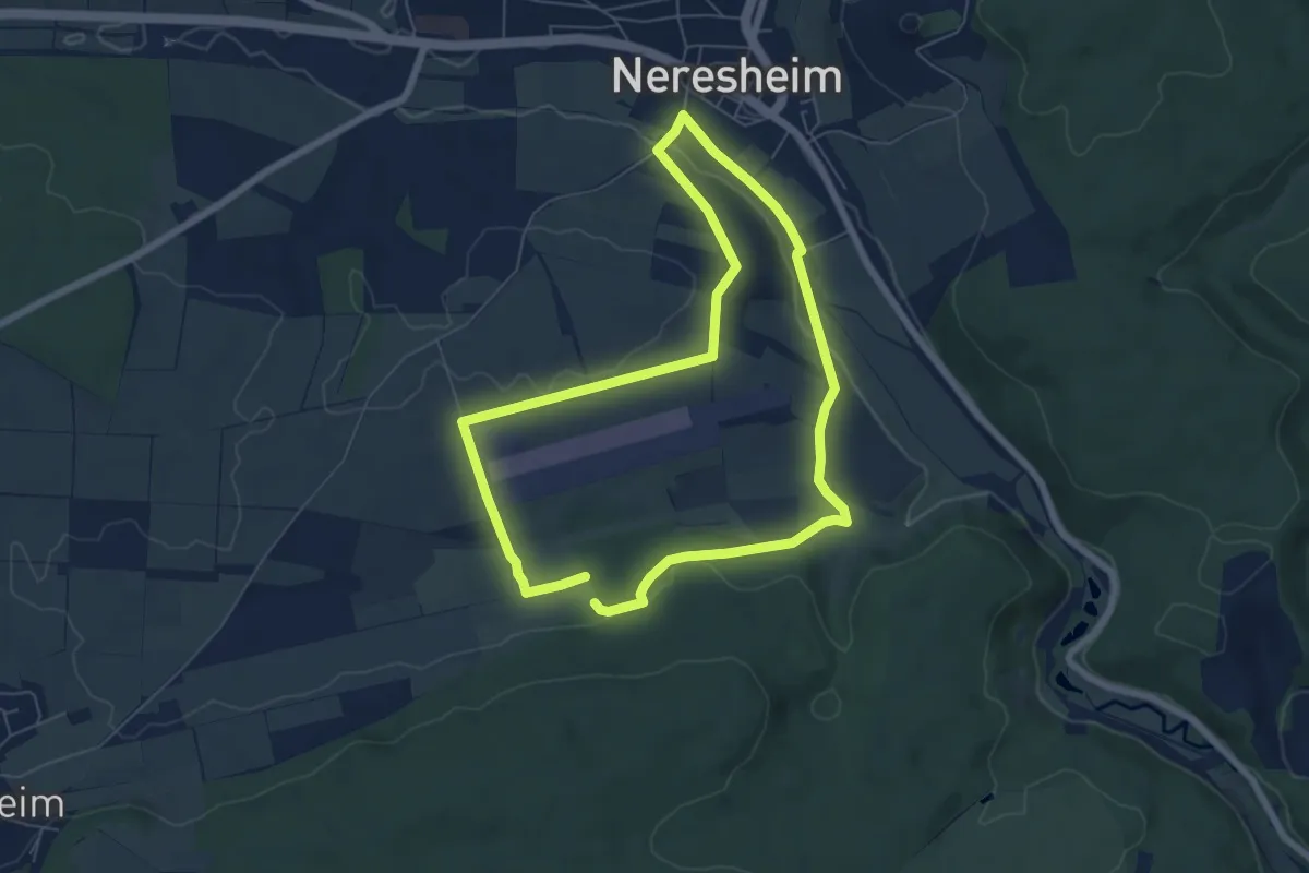
Easy · Trail
Karstquellenweg
5.8 km · ↑ 89 m · 1 h 39 min
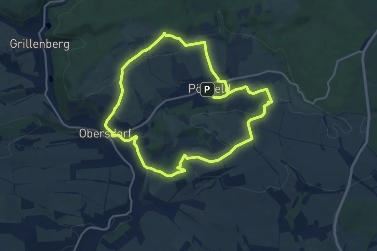
Medium · Trail
Karst-Rundwanderweg (1)
8.6 km · ↑ 216 m · 2 h 37 min
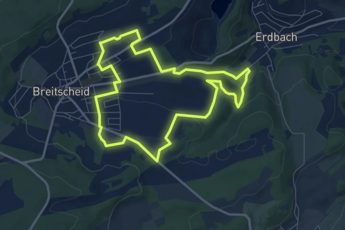
Easy · Trail
Karst- und Höhlenlehrpfad
6.5 km · ↑ 204 m · 2 h 4 min
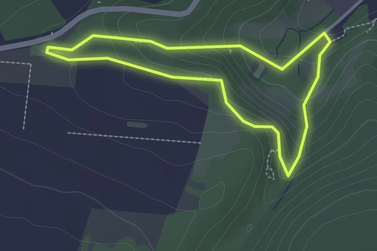
Easy · Trail
Karst- und Höhlenlehrpfad
2.1 km · ↑ 109 m · 46 min
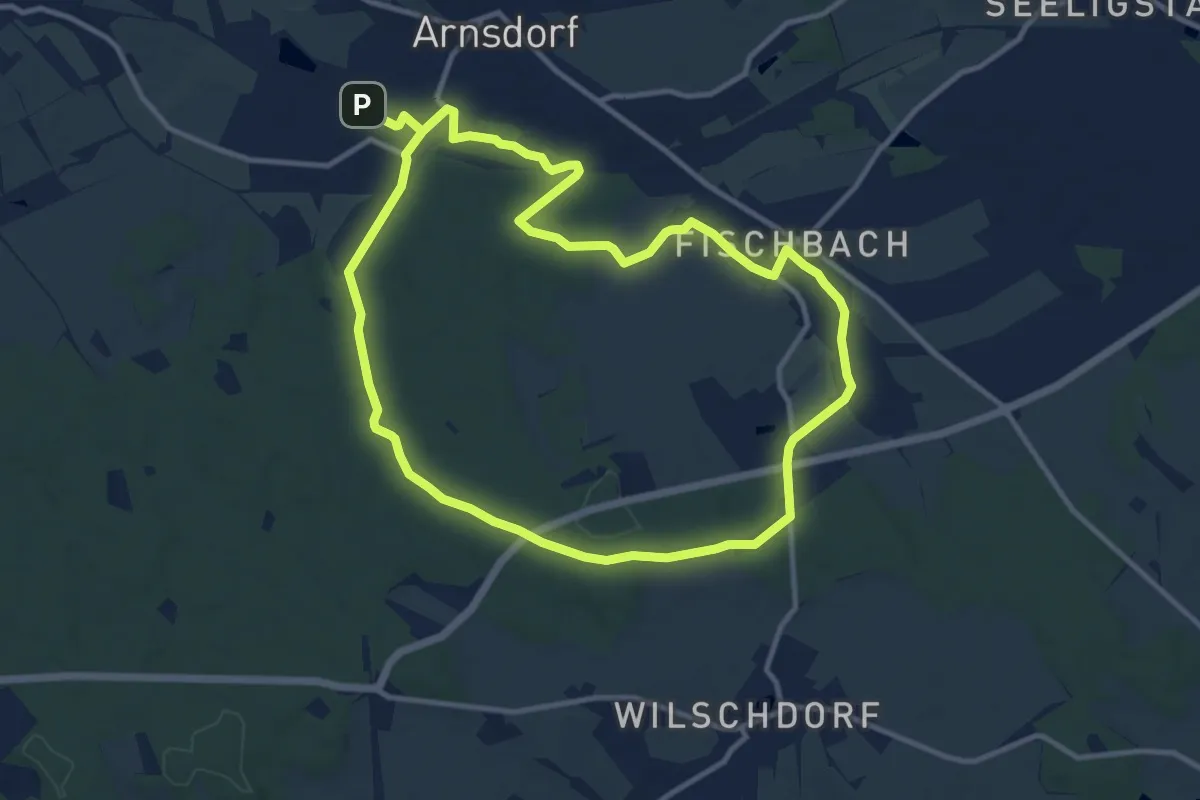
Medium · Trail
Karswaldrundweg
10.2 km · ↑ 59 m · 2 h 41 min