Trails in Germany
36,852 hiking trails, each with its route, climb, walking time and grade.
All trails, page 282 of 768
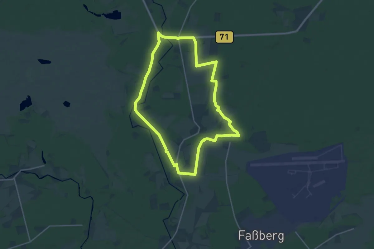
Medium · Trail
Kartoffelweg
13.7 km · ↑ 50 m · 3 h 32 min
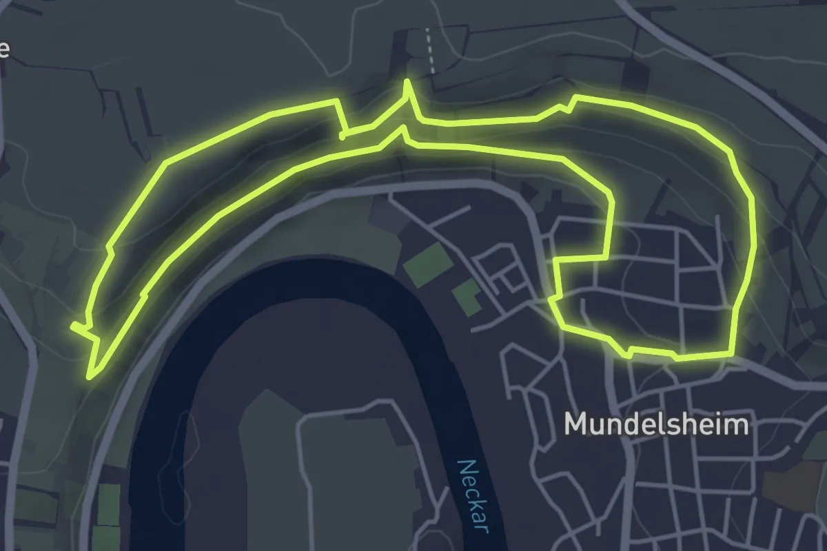
Medium · Trail
Käsbergrunde
4.9 km · ↑ 160 m · 1 h 34 min
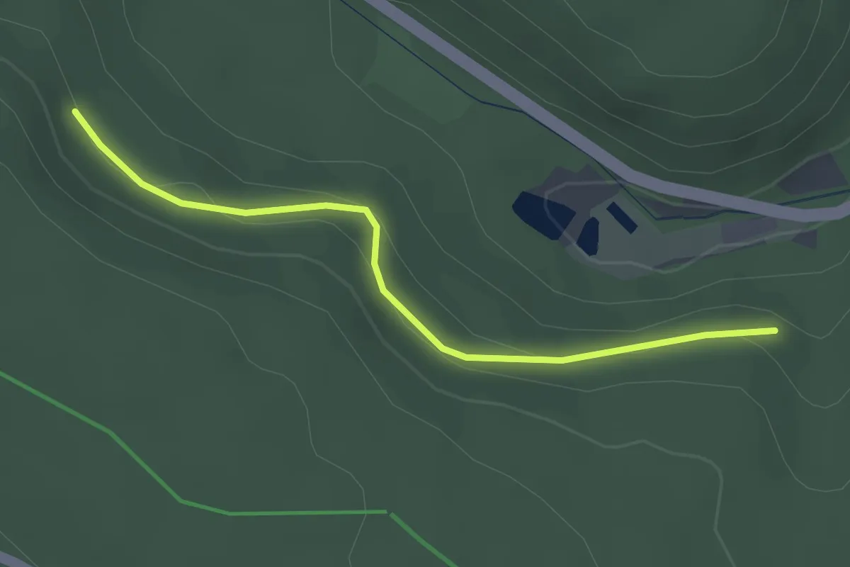
Easy · Trail
Kasernenbrunnen - Schöneck
2.5 km · ↑ 102 m · 49 min
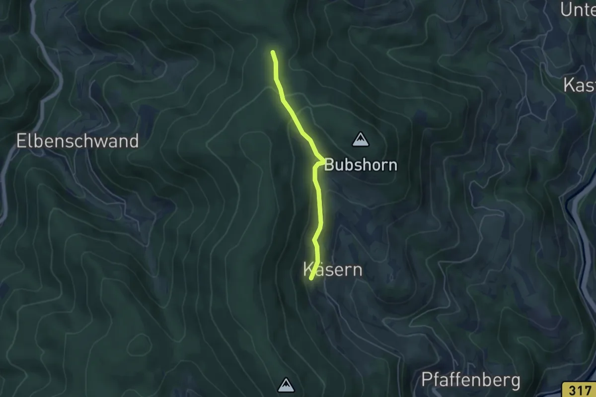
Easy · Trail
Käsern-Linde - Wolfsacker
3.7 km · ↑ 213 m · 1 h 21 min
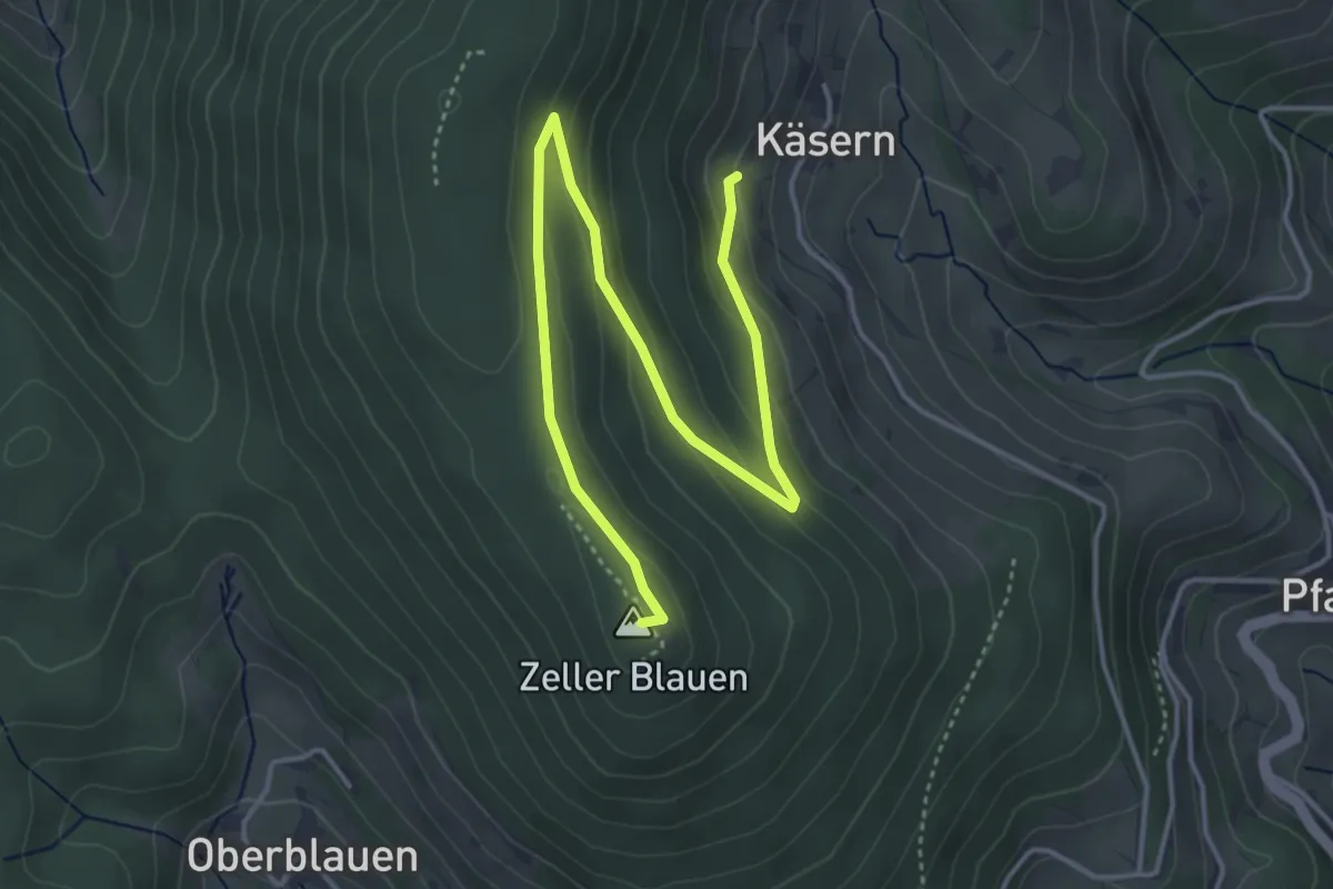
Easy · Summit
Käsern-Linde - Zeller Blauen
5.0 km · ↑ 193 m · 1 h 36 min
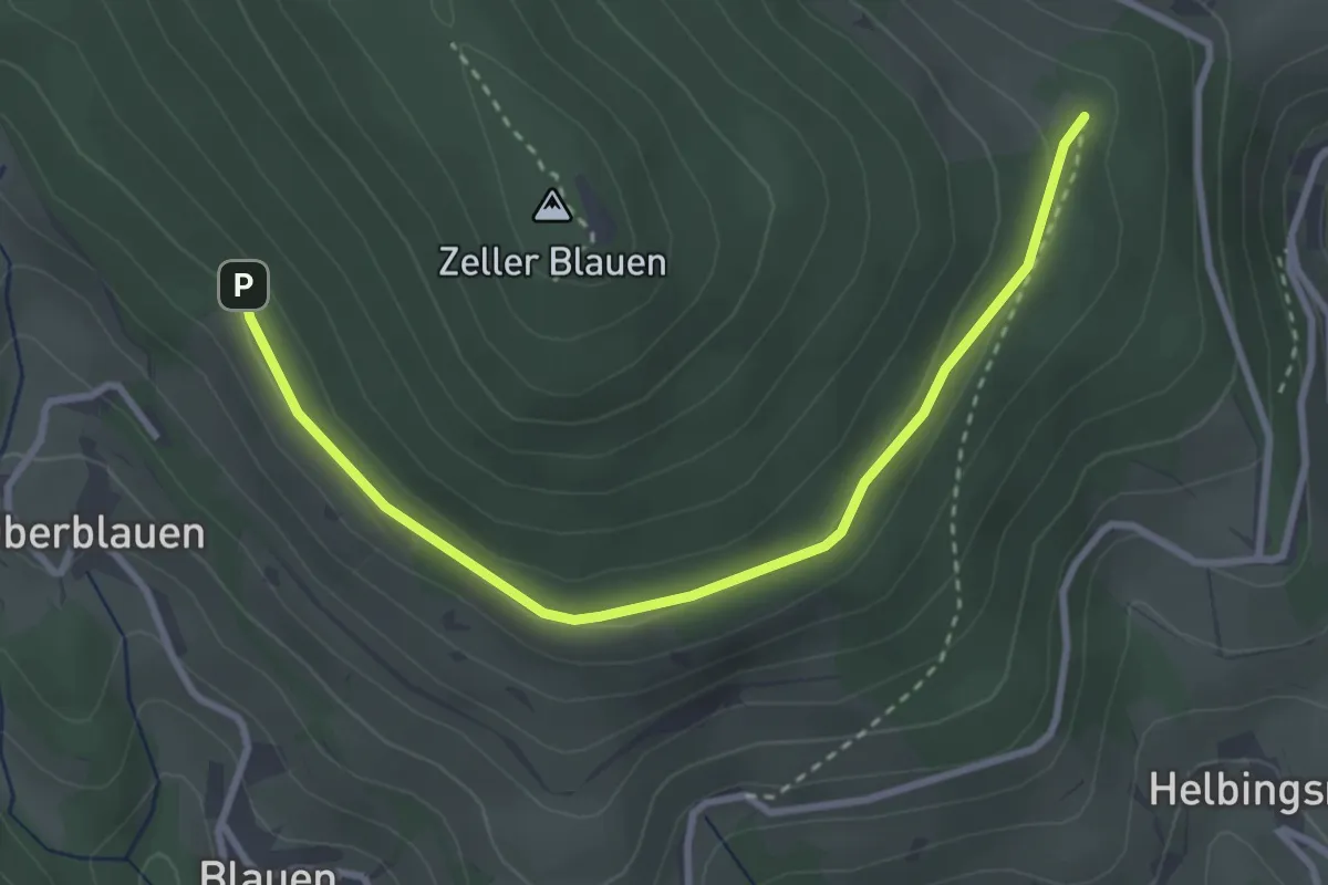
Easy · Trail
Käserntanne - Wüstmatt
3.3 km · ↑ 83 m · 57 min
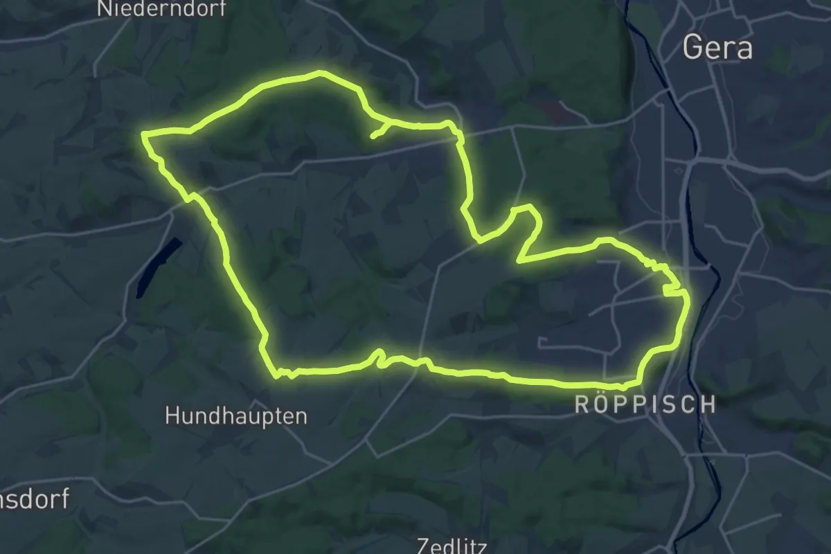
Demanding · Summit
Käseschenkenweg
23.0 km · ↑ 406 m · 6 h 38 min
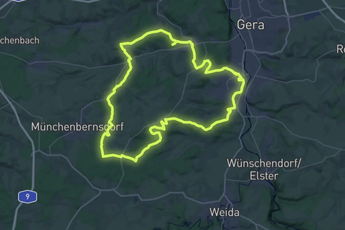
Demanding · Summit
Käseschenkenweg
35.3 km · ↑ 623 m · 10 h 11 min
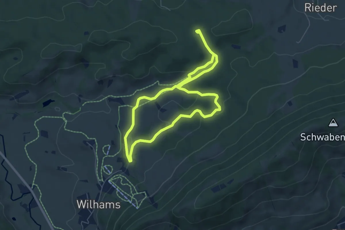
Medium · Trail
Käsimir's Kinderwald Runde
10.3 km · ↑ 309 m · 3 h 6 min
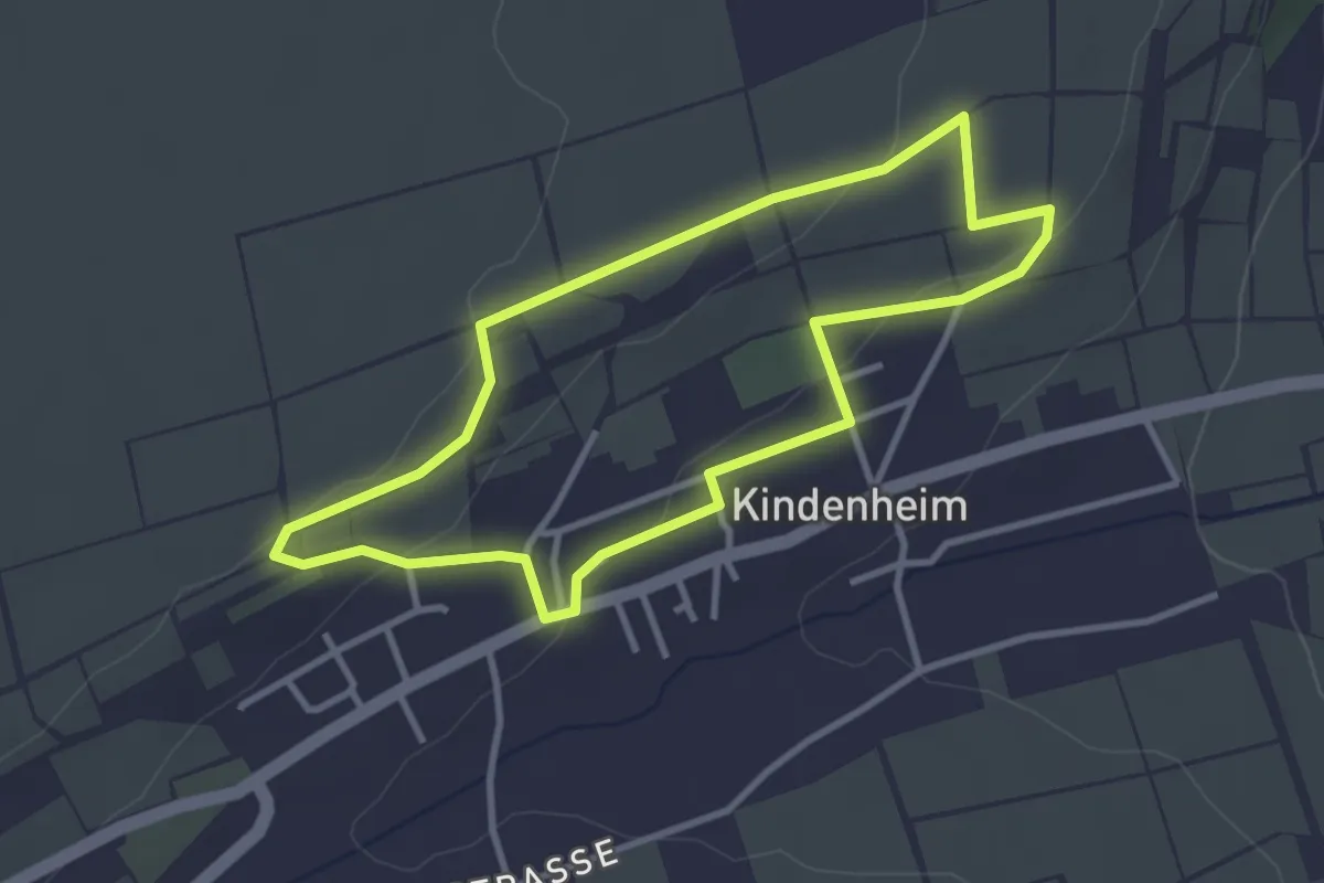
Easy · Trail
Käskuche-Wanderweg
2.9 km · ↑ 71 m · 53 min
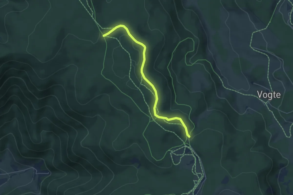
Easy · Trail
Käsmatte - Spechttanne
4.5 km · ↑ 51 m · 1 h 10 min
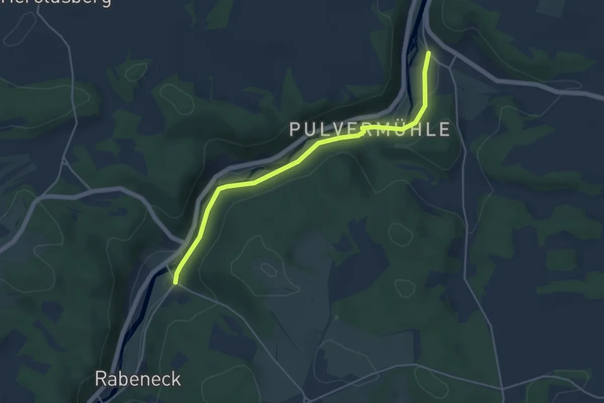
Easy · Trail
Kaspar-Bezold-Weg
4.0 km · ↑ 48 m · 1 h 3 min
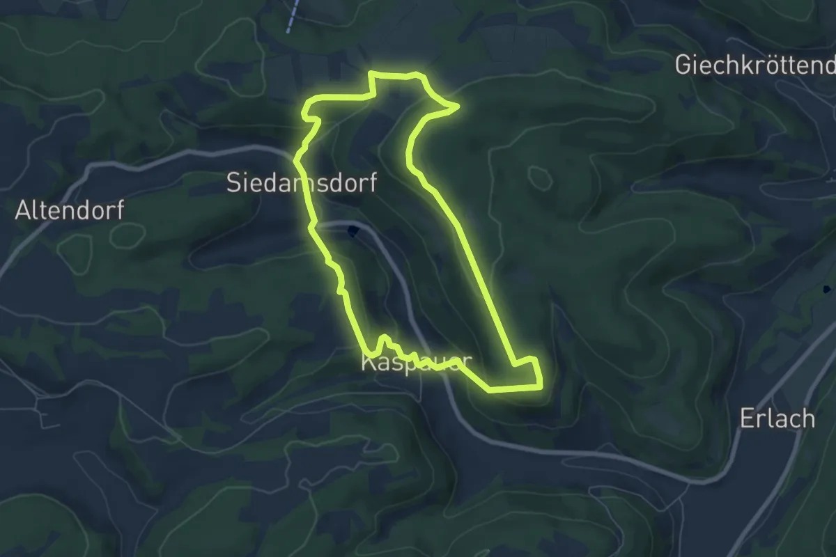
Easy · Summit
Kaspauer Rundweg
6.1 km · ↑ 232 m · 2 h 2 min
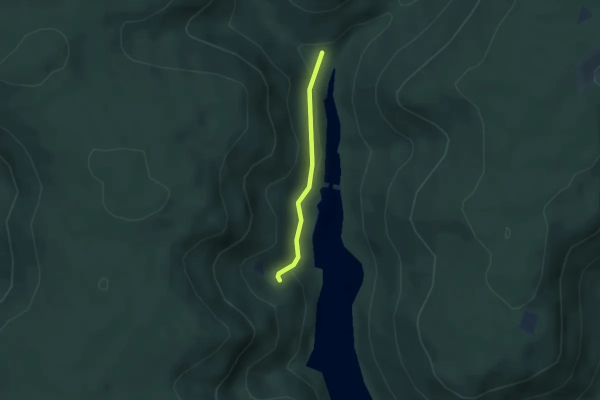
Easy · Trail
Kaspersloch - Schwabachweiher
2.1 km · ↑ 70 m · 39 min
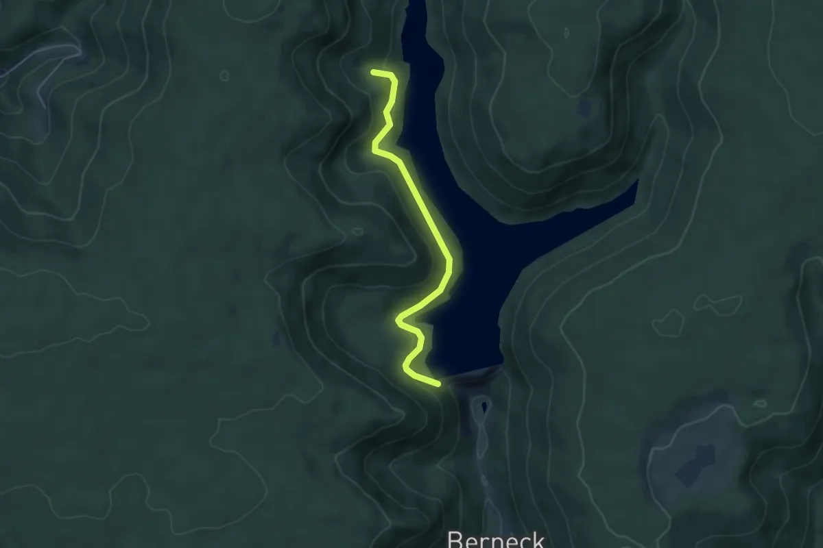
Easy · Trail
Kaspersloch - Staudamm Kleine Kinzig
4.4 km · ↑ 261 m · 1 h 36 min
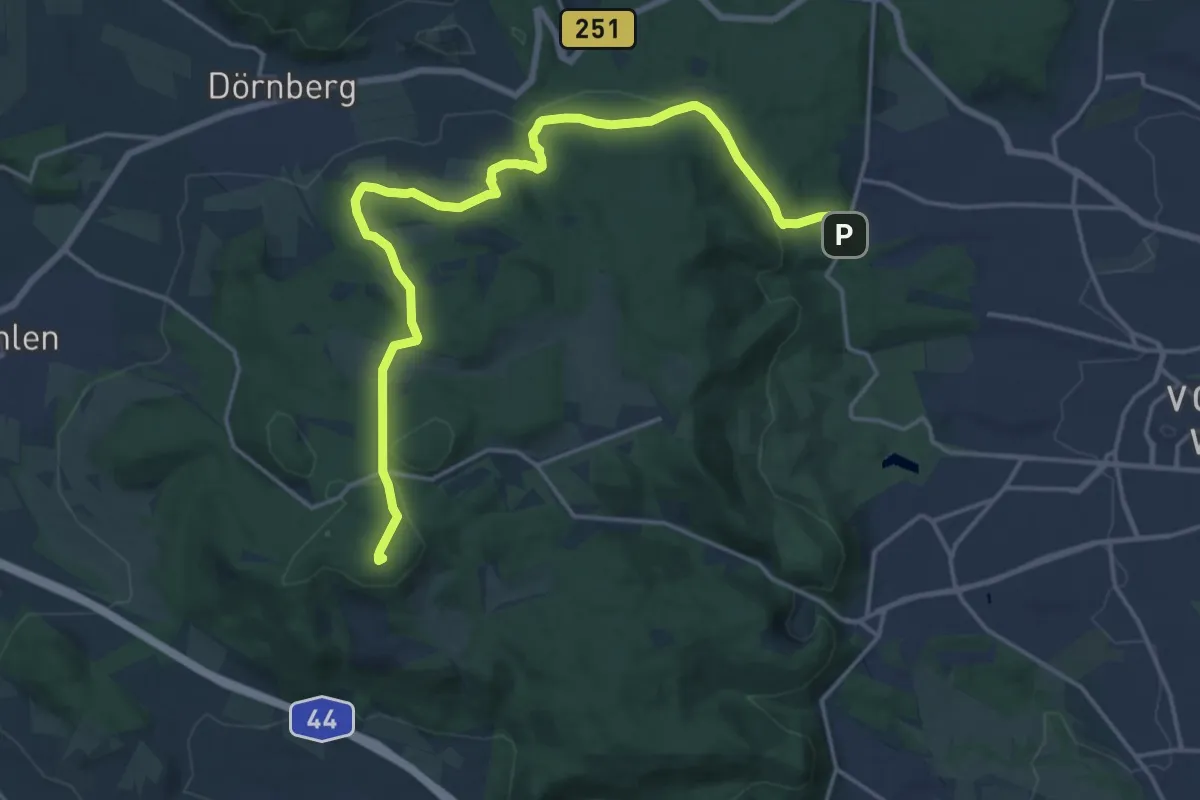
Demanding · Summit
Kassel, A
18.6 km · ↑ 368 m · 5 h 11 min
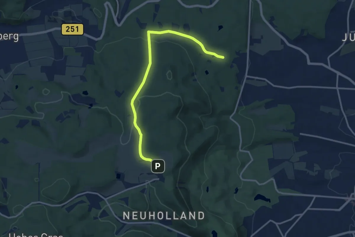
Medium · Trail
Kassel, B
9.3 km · ↑ 217 m · 2 h 40 min
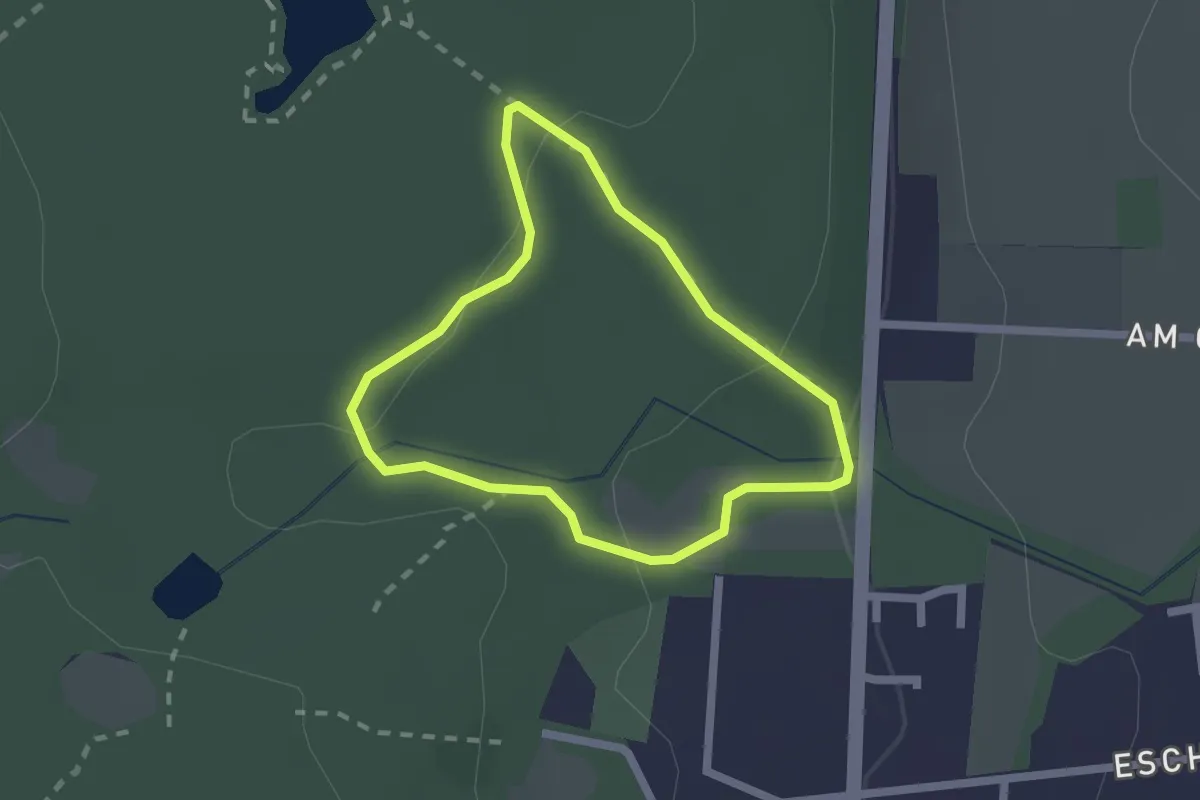
Easy · Trail
Kassel, Blindenpfad
1.5 km · ↑ 42 m · 29 min
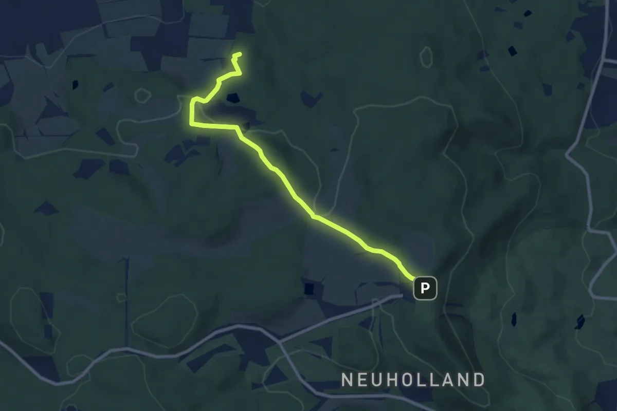
Medium · Summit
Kassel, C
7.1 km · ↑ 216 m · 2 h 9 min
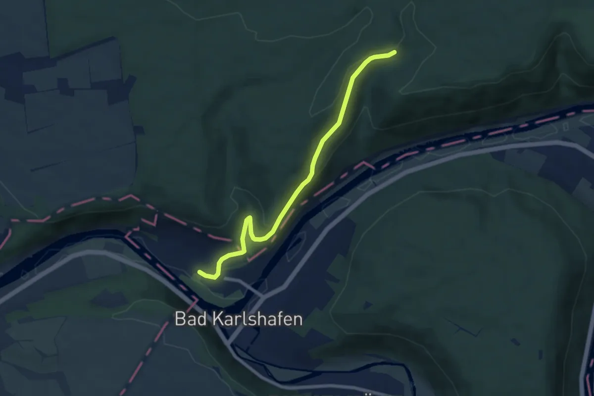
Easy · Trail
Kasseler Weg X18
5.9 km · ↑ 227 m · 1 h 54 min
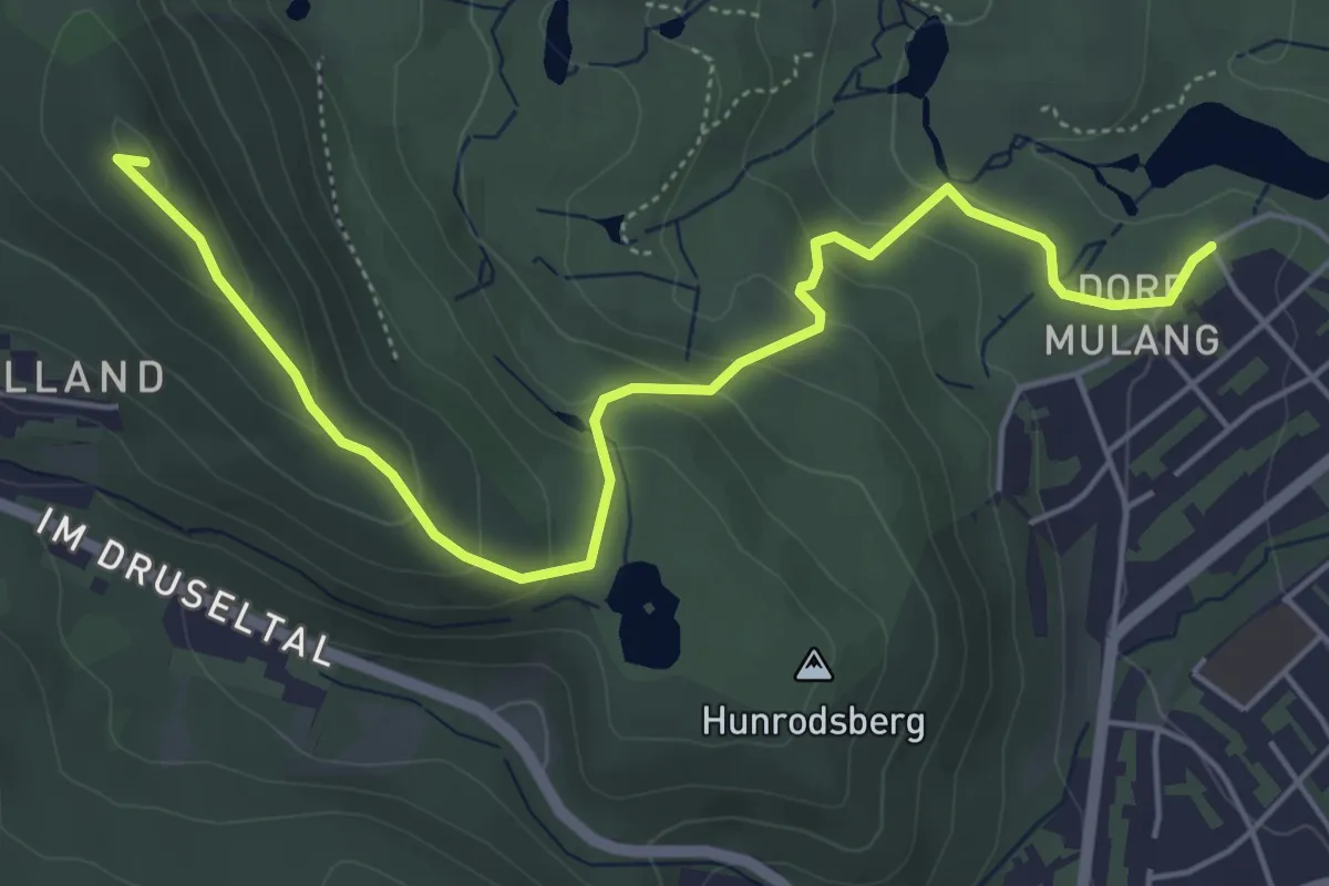
Easy · Summit
Kassel, H
5.4 km · ↑ 274 m · 1 h 52 min
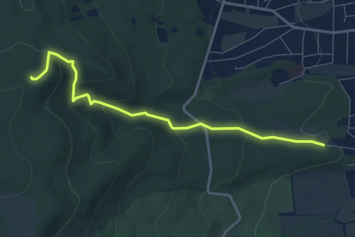
Medium · Summit
Kassel, Hessenschanze - Herkules
5.9 km · ↑ 280 m · 2 h
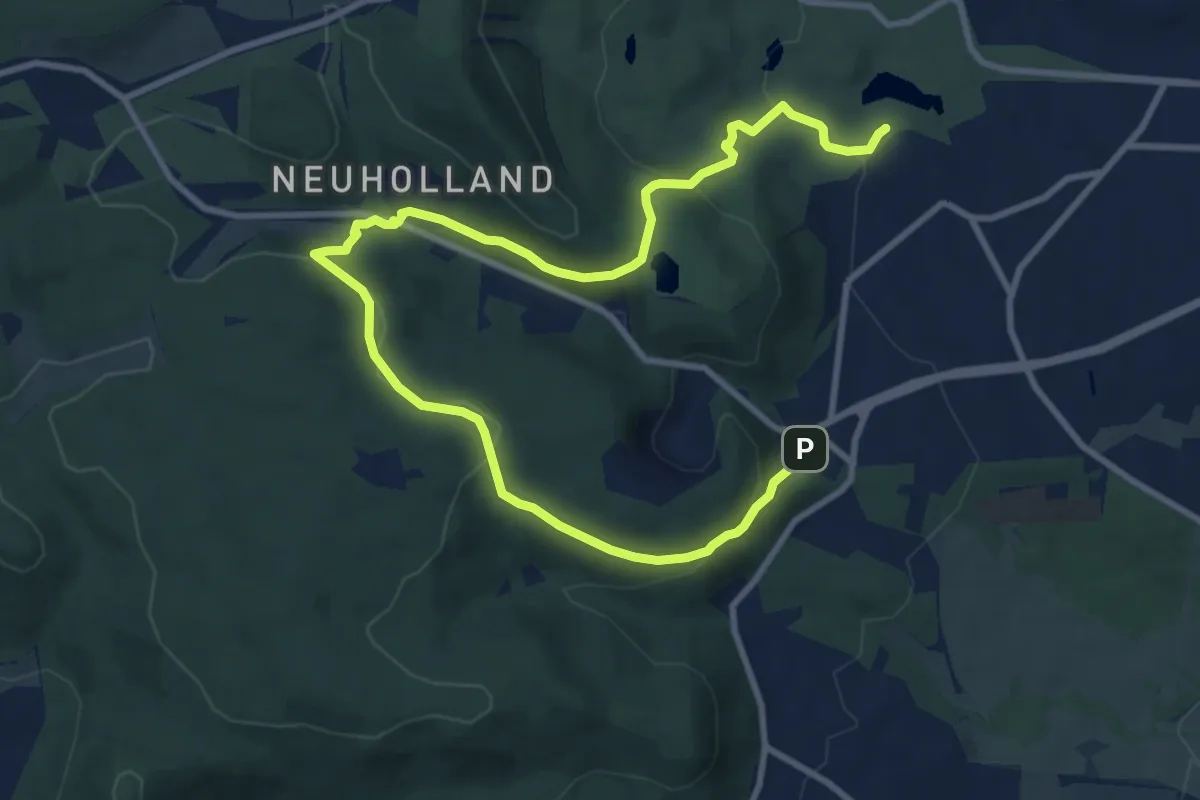
Medium · Trail
Kassel, K
12.0 km · ↑ 406 m · 3 h 43 min
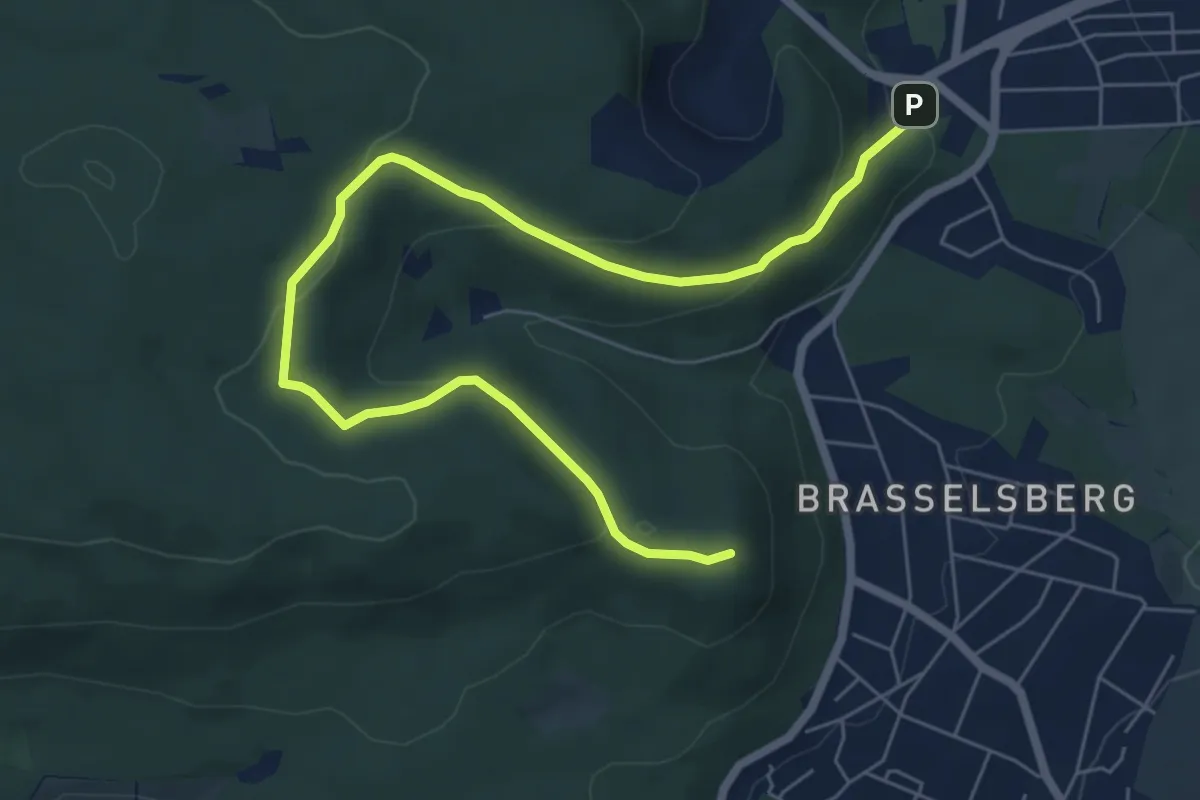
Easy · Summit
Kassel, L
7.4 km · ↑ 260 m · 2 h 19 min
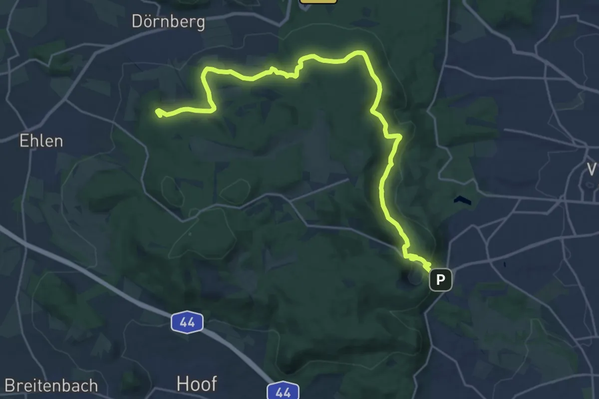
Demanding · Summit
Kassel - Laar
21.7 km · ↑ 402 m · 6 h
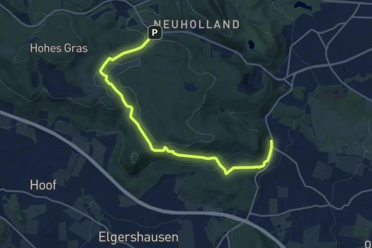
Medium · Trail
Kassel, M
12.0 km · ↑ 320 m · 3 h 32 min
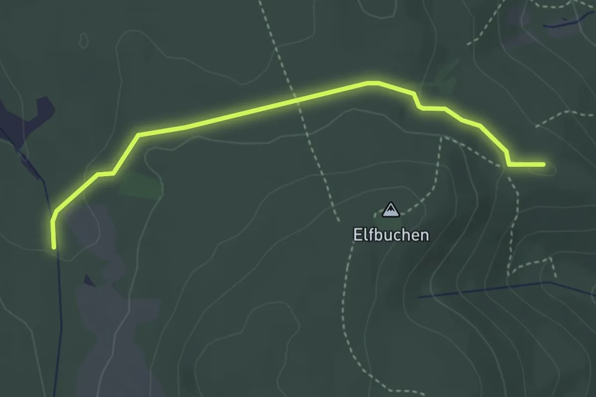
Easy · Summit
Kassel, Rasenallee - Igelsburg
3.3 km · ↑ 47 m · 53 min
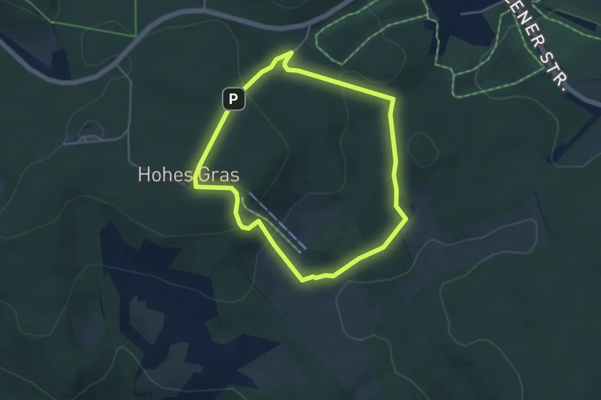
Easy · Summit
Kassel, Rundweg 10
3.1 km · ↑ 114 m · 1 h 1 min
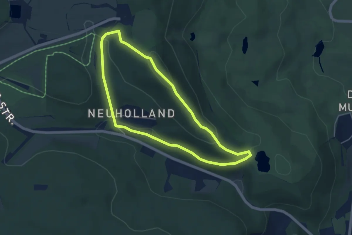
Easy · Summit
Kassel, Rundweg 15
3.4 km · ↑ 100 m · 1 h 5 min
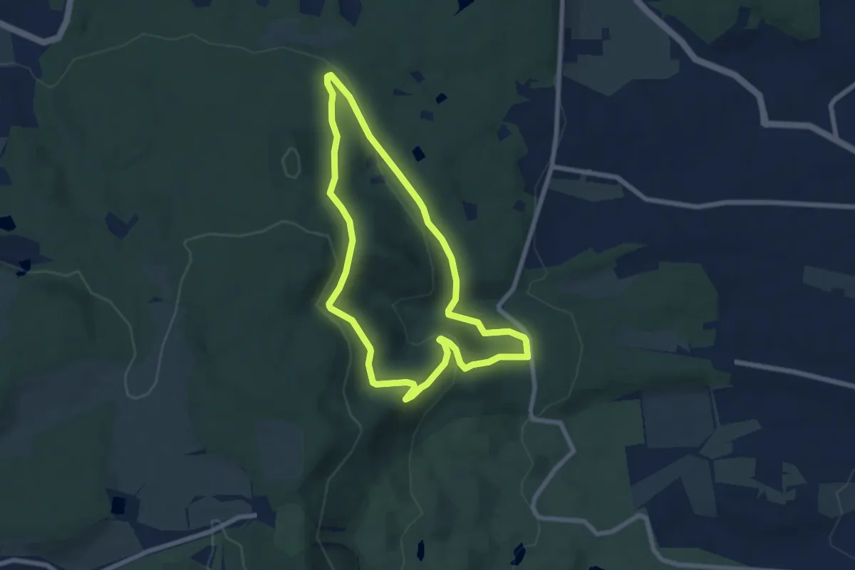
Easy · Summit
Kassel, Rundweg 19
5.7 km · ↑ 180 m · 1 h 49 min
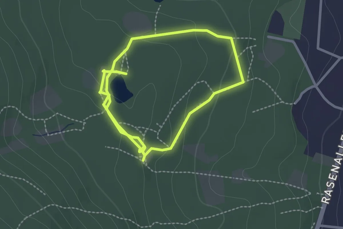
Easy · Trail
Kassel, Rundweg 1 Künstlernekropole
4.0 km · ↑ 100 m · 1 h 9 min
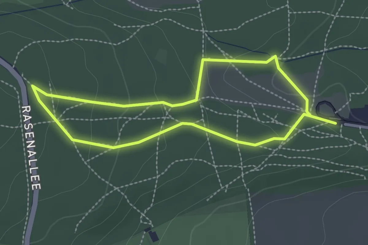
Easy · Trail
Kassel, Rundweg 20
2.1 km · ↑ 69 m · 40 min
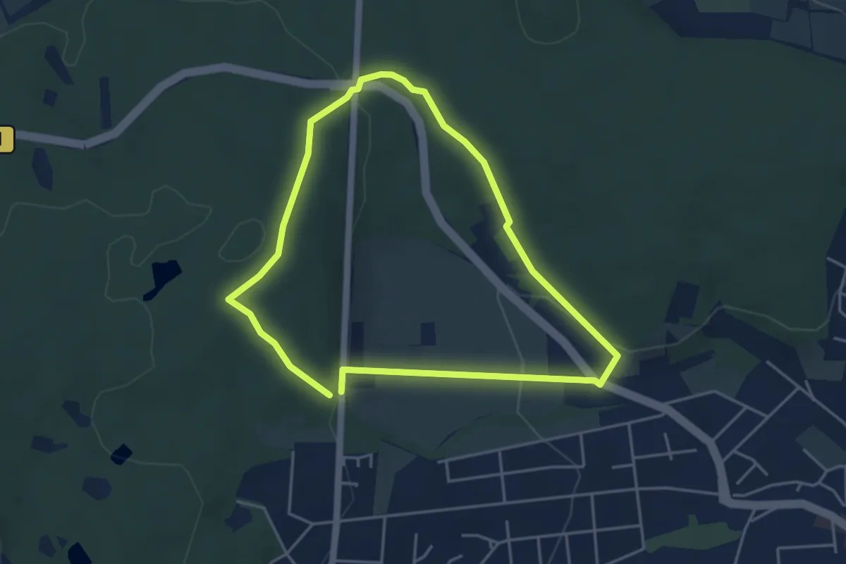
Easy · Trail
Kassel, Rundweg 21
3.6 km · ↑ 105 m · 1 h 7 min
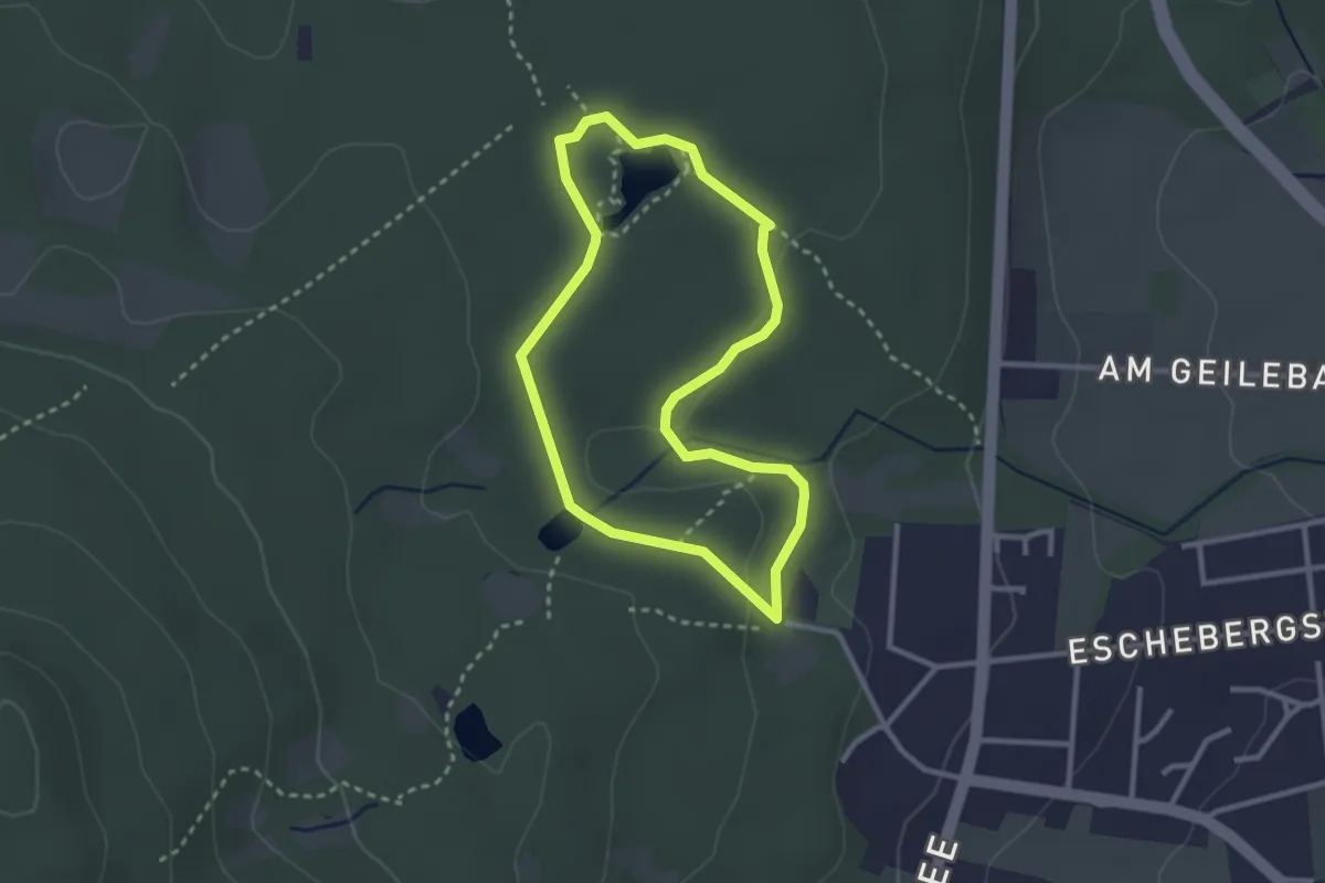
Easy · Trail
Kassel, Rundweg 23
2.4 km · ↑ 33 m · 40 min
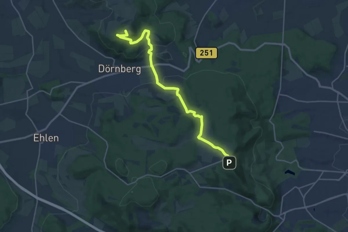
Medium · Summit
Kasselsteig Etappe 1
15.4 km · ↑ 451 m · 4 h 37 min
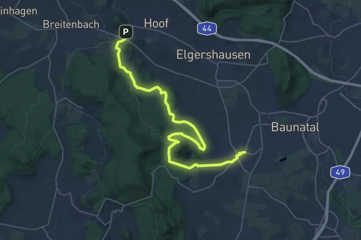
Demanding · Trail
Kasselsteig Etappe 10
21.6 km · ↑ 584 m · 6 h 22 min
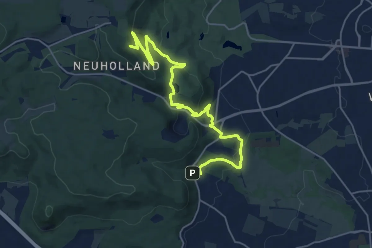
Medium · Summit
Kasselsteig Etappe 12
14.2 km · ↑ 481 m · 4 h 23 min
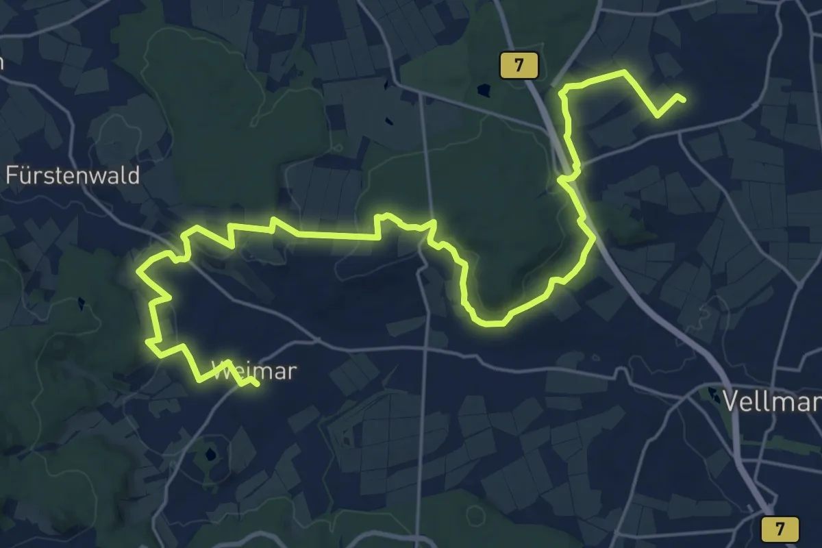
Demanding · Trail
Kasselsteig Etappe 2
26.8 km · ↑ 458 m · 7 h 20 min
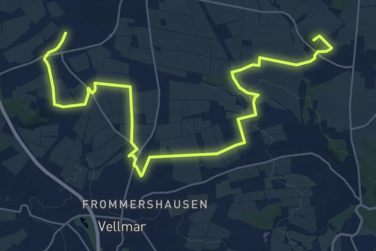
Demanding · Summit
Kasselsteig Etappe 3
20.9 km · ↑ 279 m · 5 h 32 min
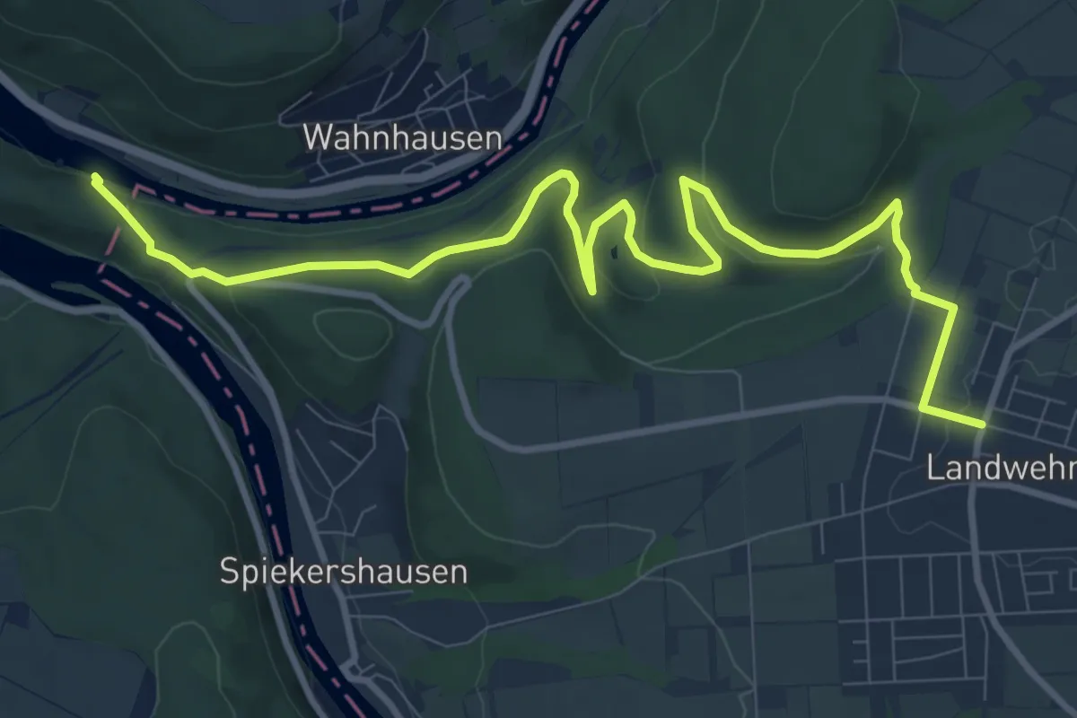
Medium · Trail
Kasselsteig Etappe 4
11.0 km · ↑ 352 m · 3 h 22 min
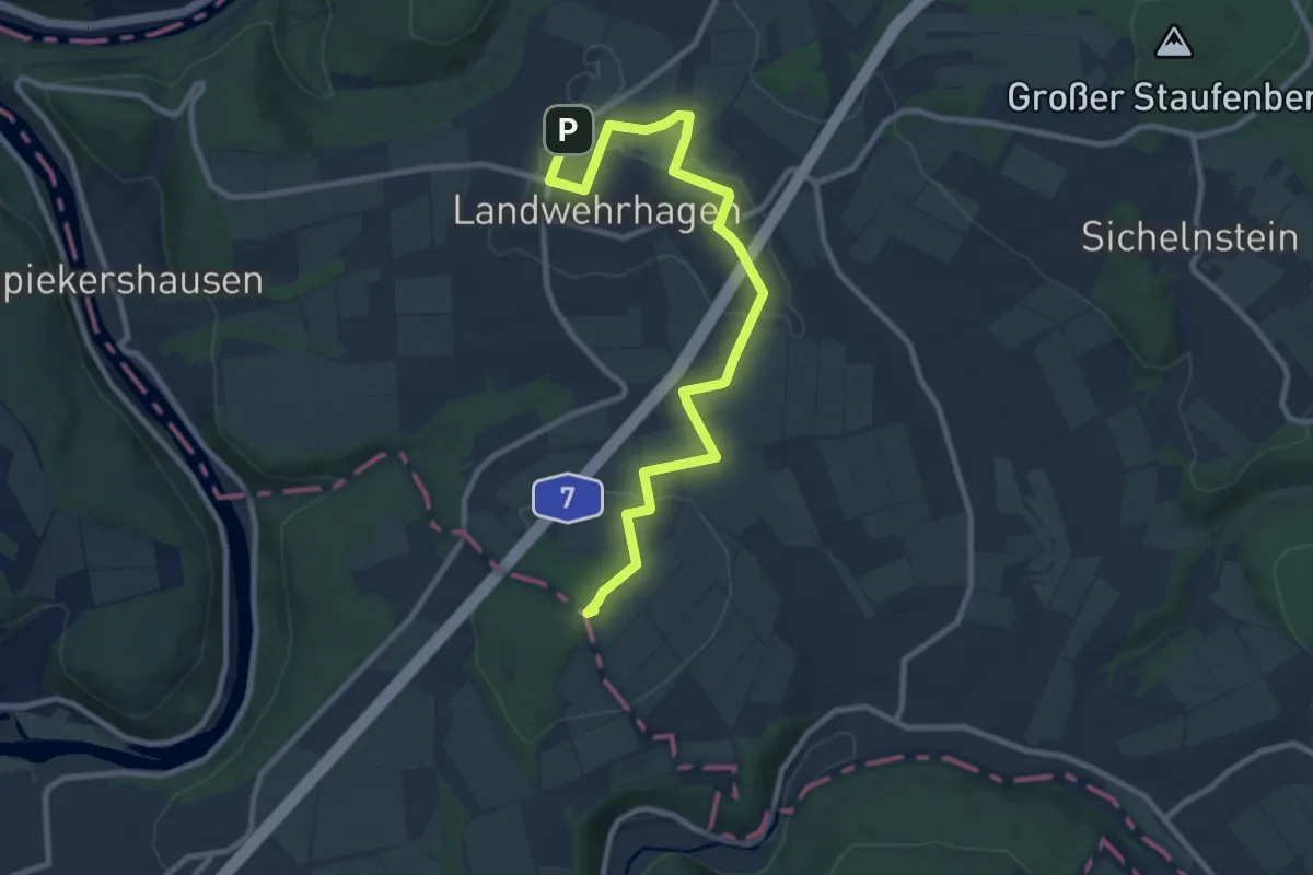
Medium · Summit
Kasselsteig Etappe 5
9.8 km · ↑ 88 m · 2 h 30 min
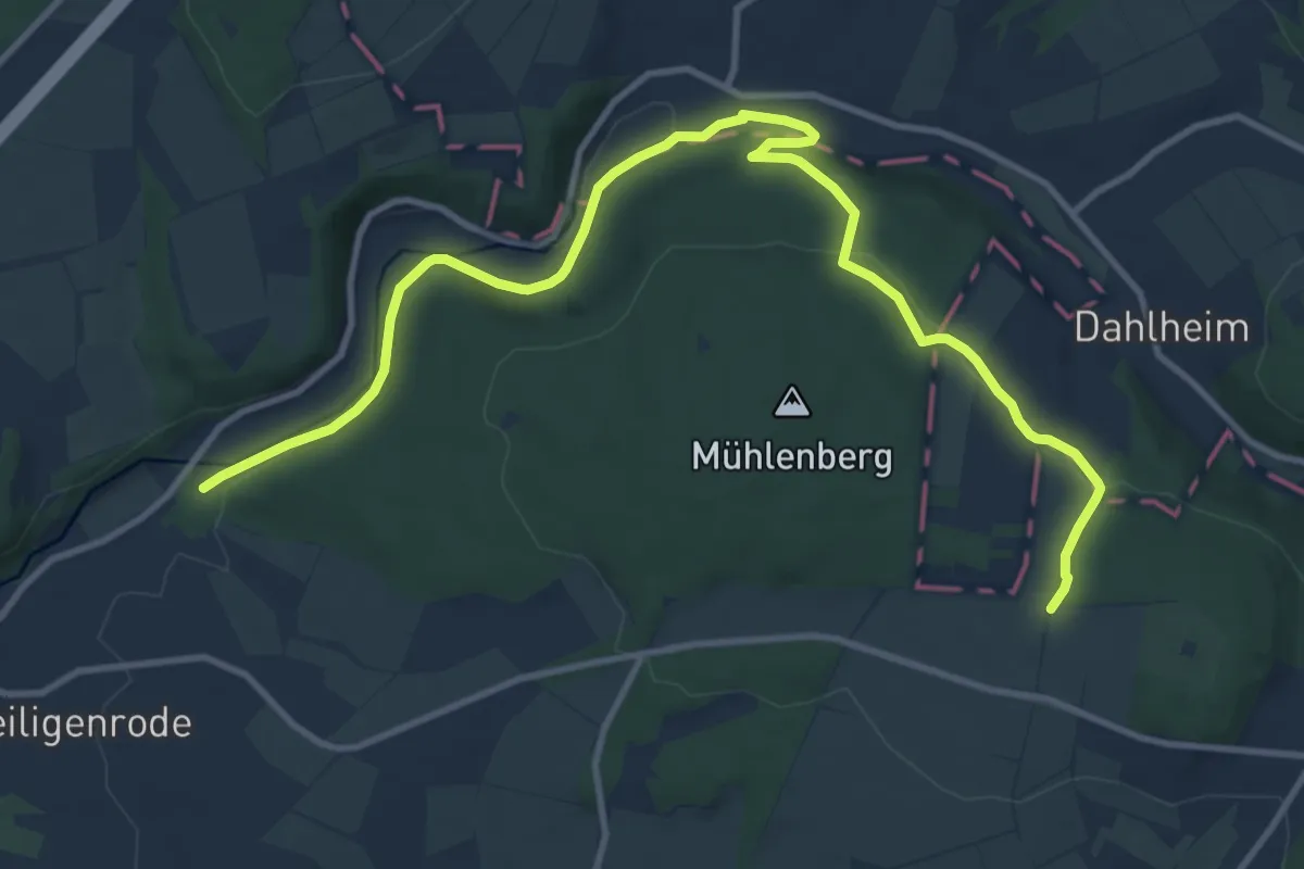
Medium · Trail
Kasselsteig Etappe 6
12.5 km · ↑ 223 m · 3 h 26 min
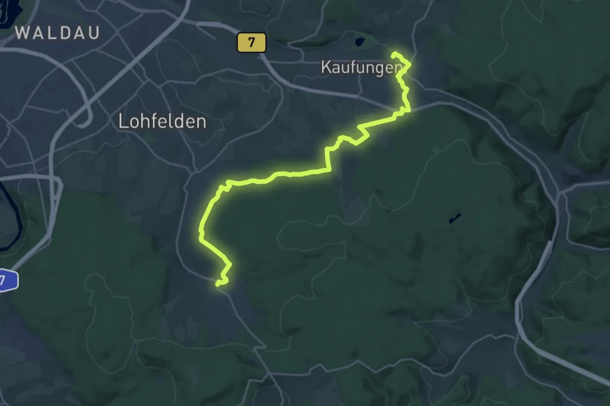
Demanding · Trail
Kasselsteig Etappe 7
21.9 km · ↑ 436 m · 6 h 6 min
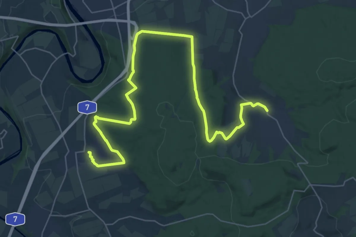
Demanding · Trail
Kasselsteig Etappe 8
28.3 km · ↑ 563 m · 7 h 54 min
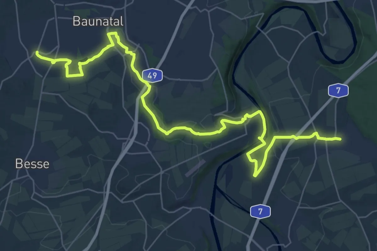
Demanding · Trail
Kasselsteig Etappe 9
30.8 km · ↑ 324 m · 7 h 58 min
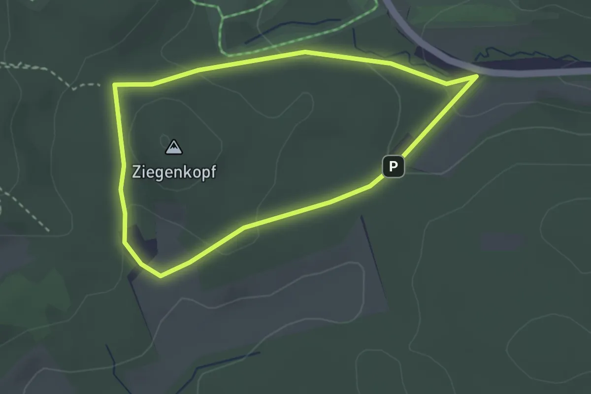
Easy · Summit
Kassel-Wilhelmshöhe, Rundweg 11
2.4 km · ↑ 77 m · 46 min
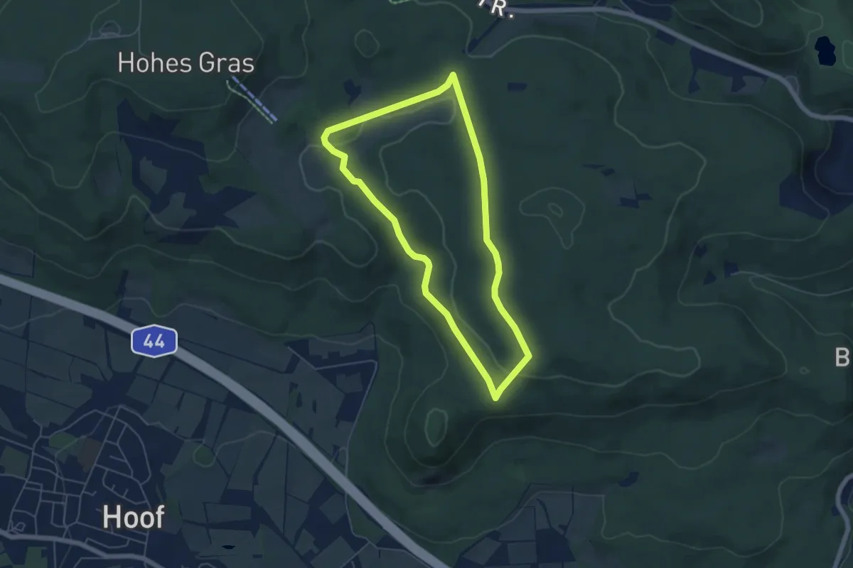
Easy · Trail
Kassel-Wilhelmshöhe, Rundweg 12
4.6 km · ↑ 64 m · 1 h 18 min
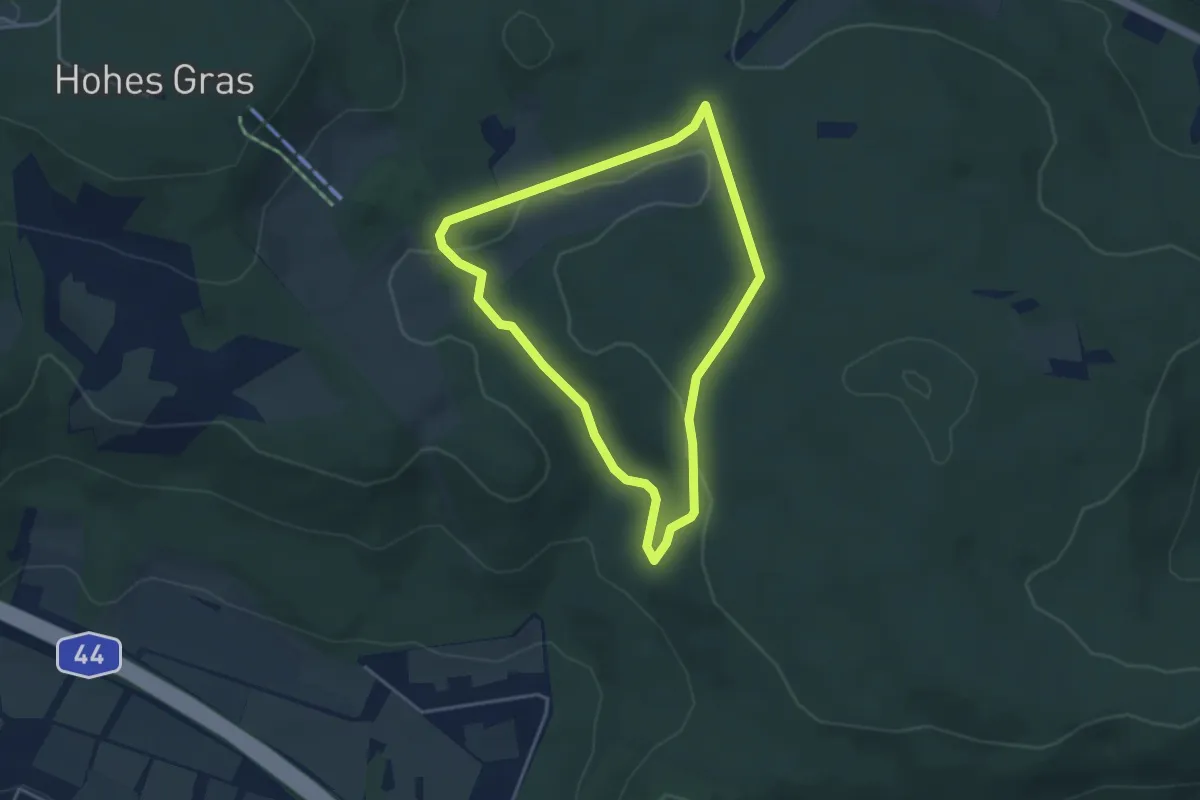
Easy · Trail
Kassel-Wilhelmshöhe, Rundweg 13
3.3 km · ↑ 58 m · 57 min