Trails in Germany
36,852 hiking trails, each with its route, climb, walking time and grade.
All trails, page 283 of 768
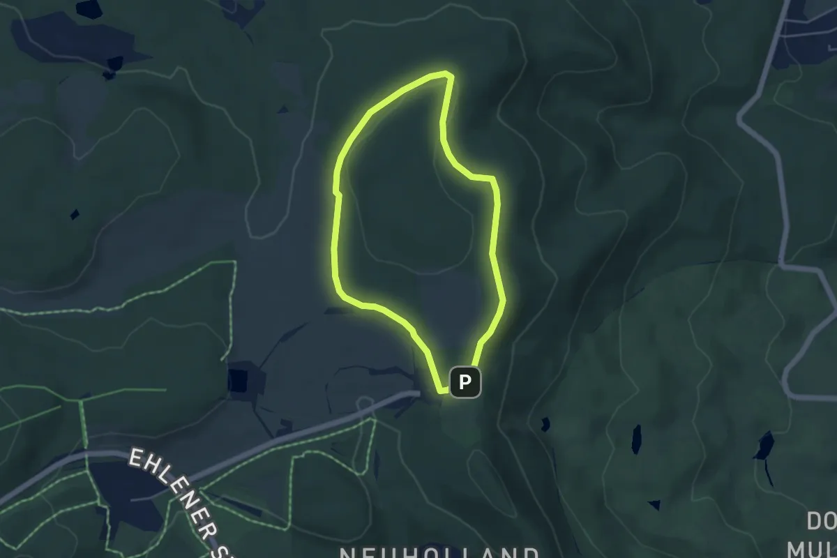
Easy · Summit
Kassel - Wilhelmshöhe, Rundweg 14
3.6 km · ↑ 41 m · 59 min
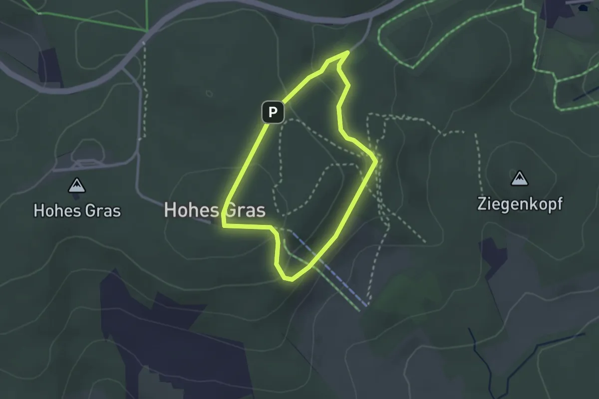
Easy · Summit
Kassel-Wilhelmshöhe, Rundweg 9
2.0 km · ↑ 71 m · 40 min
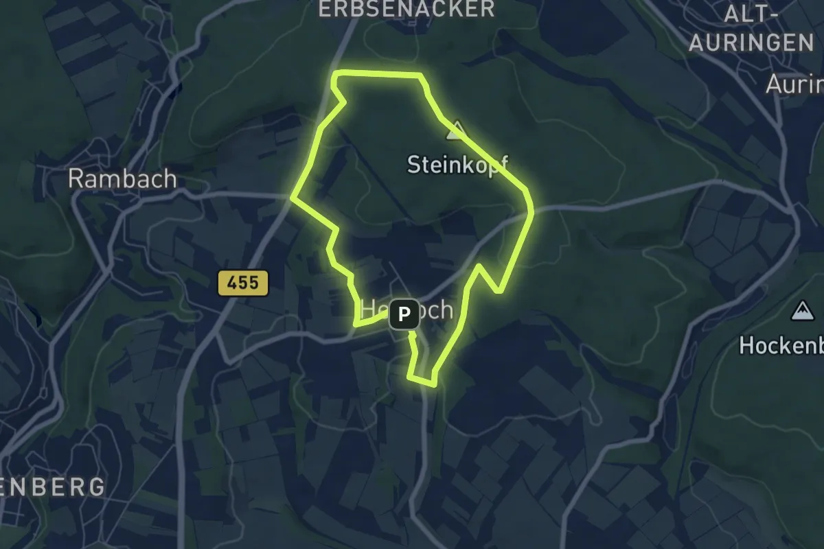
Easy · Summit
Kastanienallee
5.5 km · ↑ 107 m · 1 h 36 min
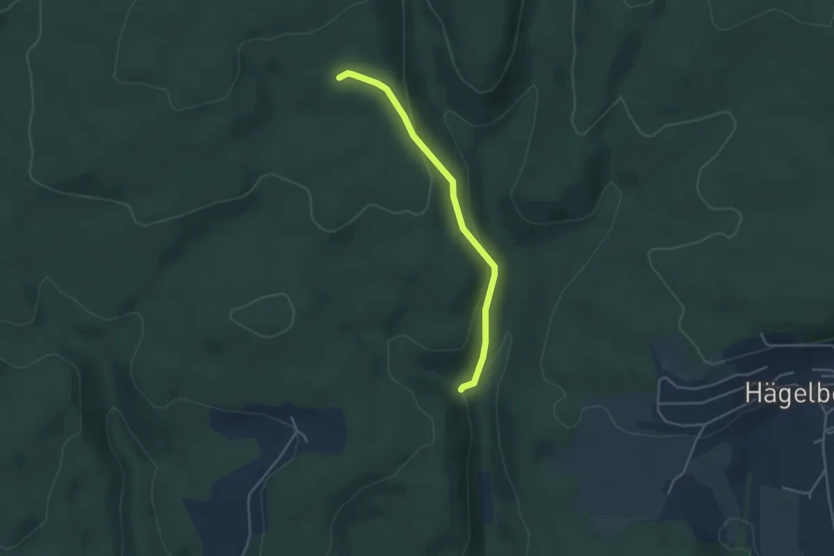
Easy · Trail
Kastanienbaum - Gendarmenwegli
3.2 km · ↑ 125 m · 1 h 2 min
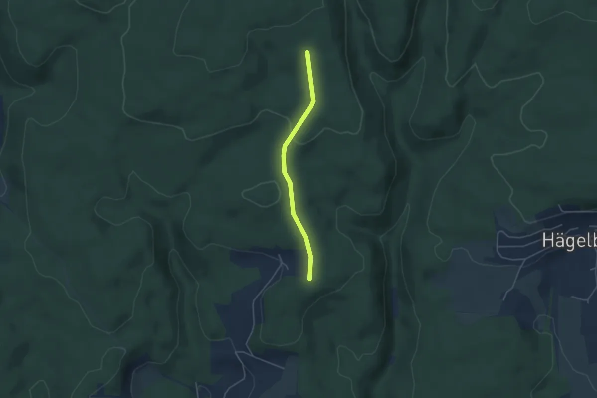
Easy · Trail
Kastanienbaum - Rechberg
3.3 km · ↑ 61 m · 55 min
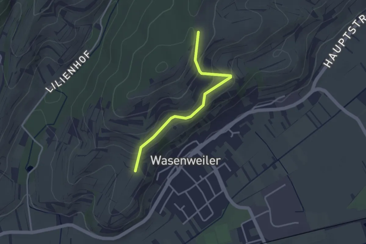
Easy · Trail
Kastanienplatz - Lindenplatz
2.7 km · ↑ 119 m · 54 min
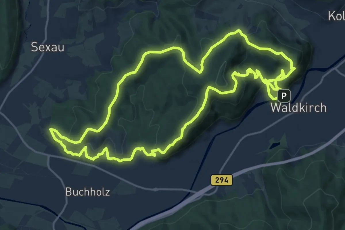
Medium · Trail
Kastelburg-Tour
13.4 km · ↑ 608 m · 4 h 37 min
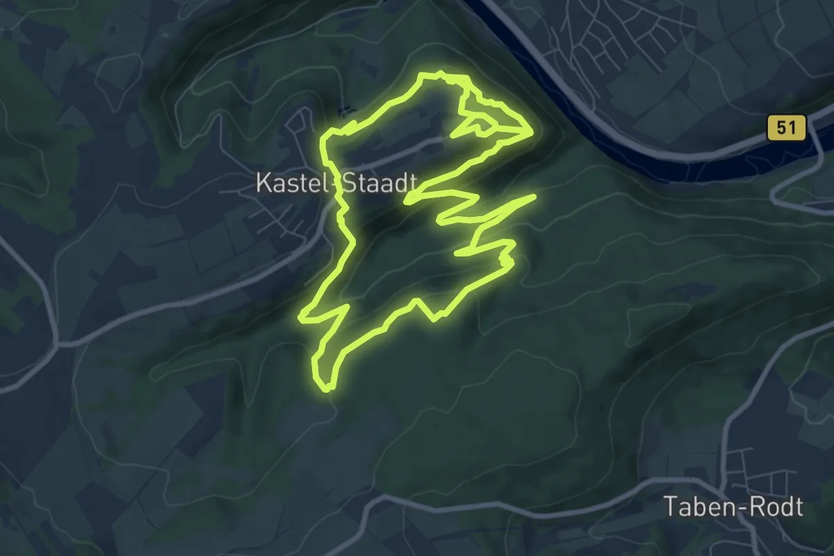
Medium · Trail
Kasteler Felsenpfad
8.6 km · ↑ 466 m · 3 h 9 min
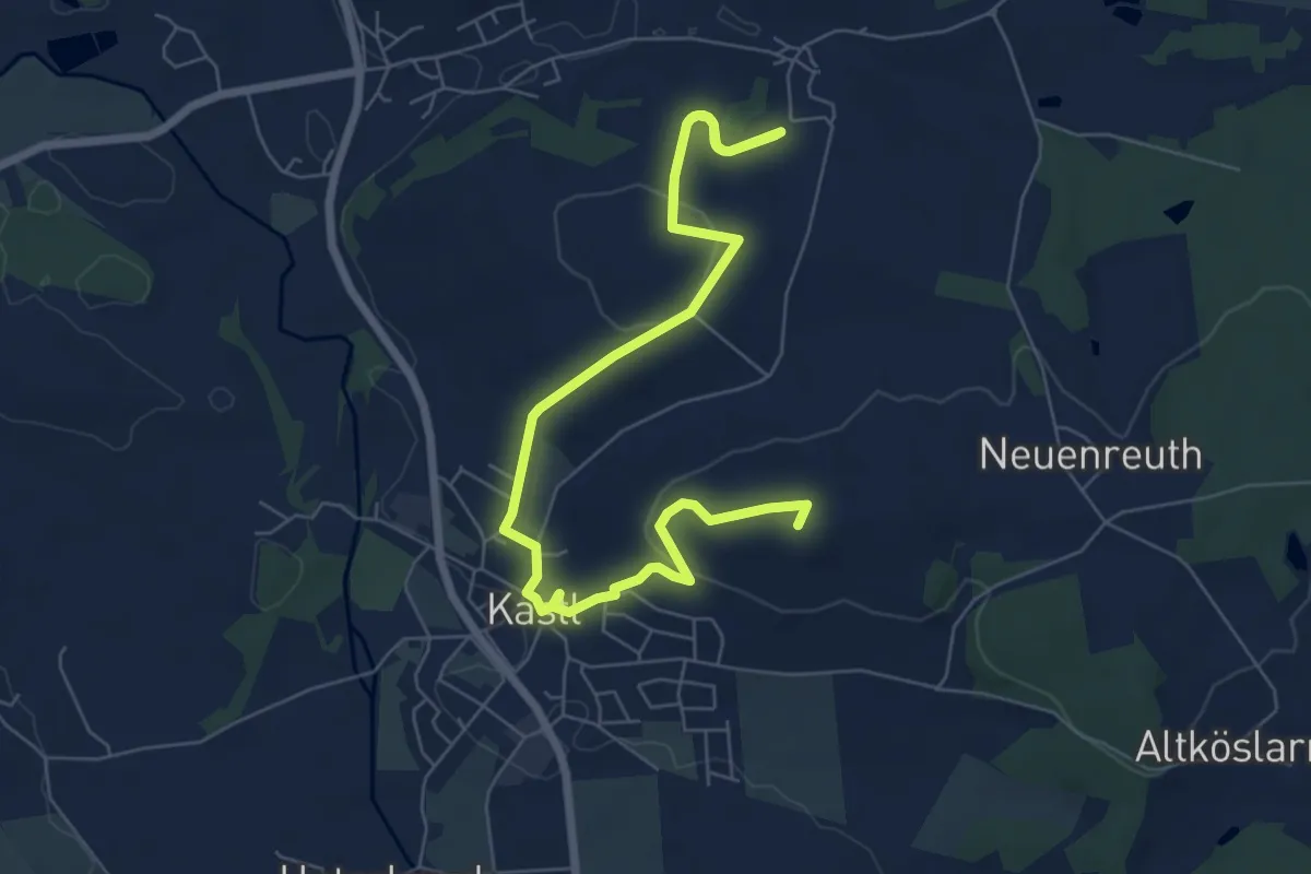
Medium · Summit
Kastler Bergtour
8.7 km · ↑ 180 m · 2 h 27 min
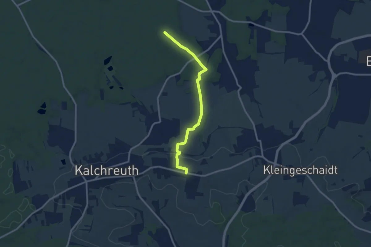
Medium · Trail
Käswasser-Unterschöllenbach
7.1 km · ↑ 108 m · 1 h 54 min
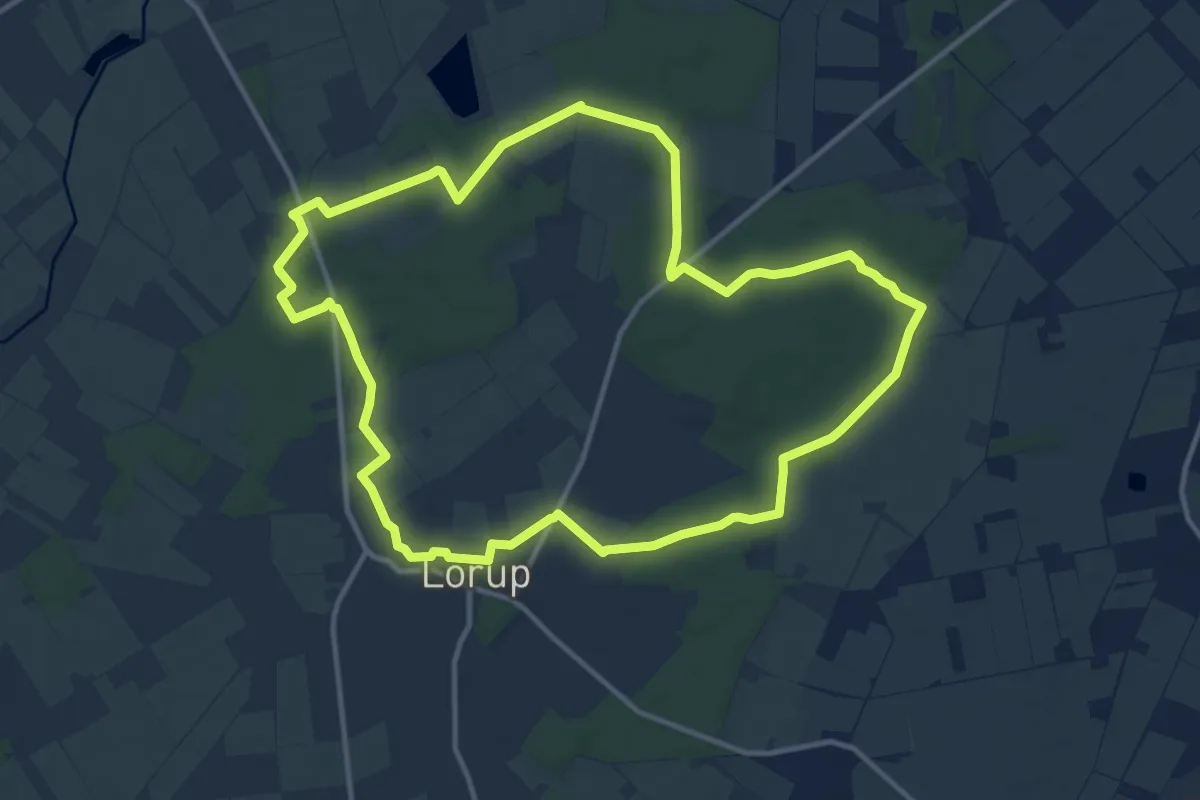
Medium · Trail
Kateekerpatt
11.4 km · ↑ 36 m · 2 h 55 min
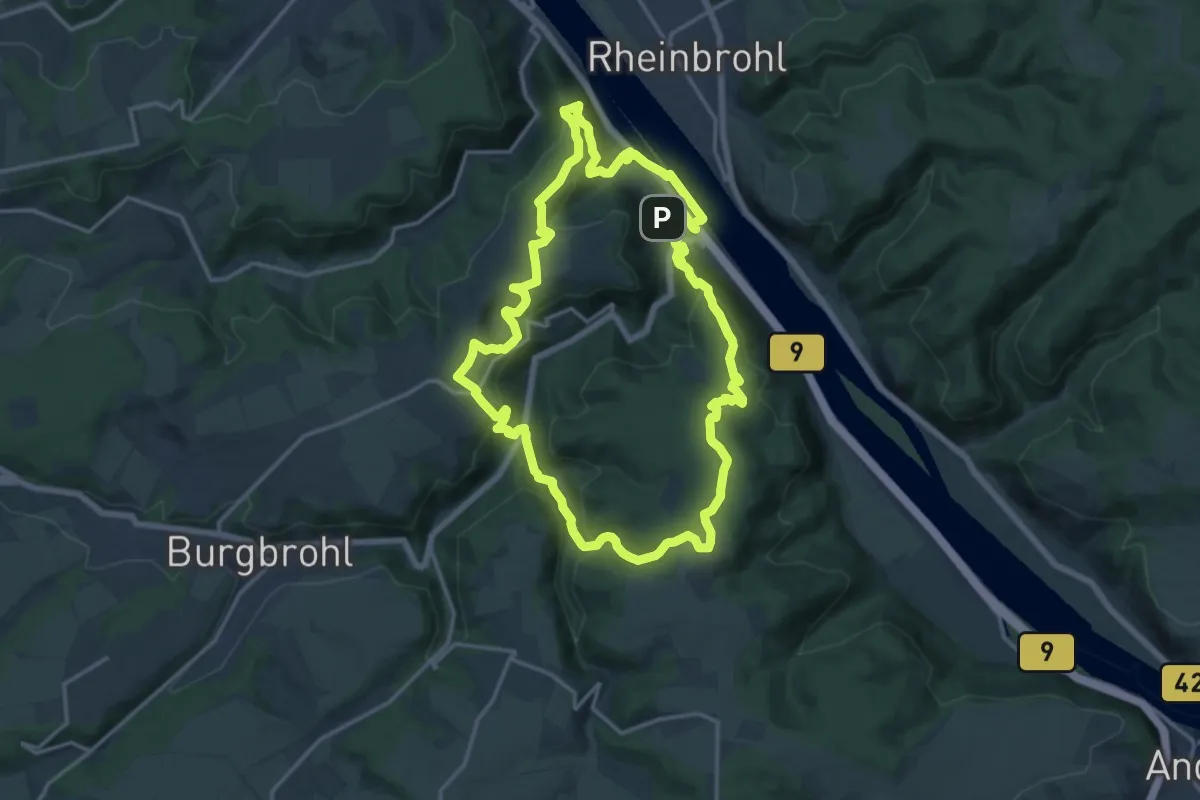
Medium · Summit
Katharinaweg
14.8 km · ↑ 544 m · 4 h 53 min
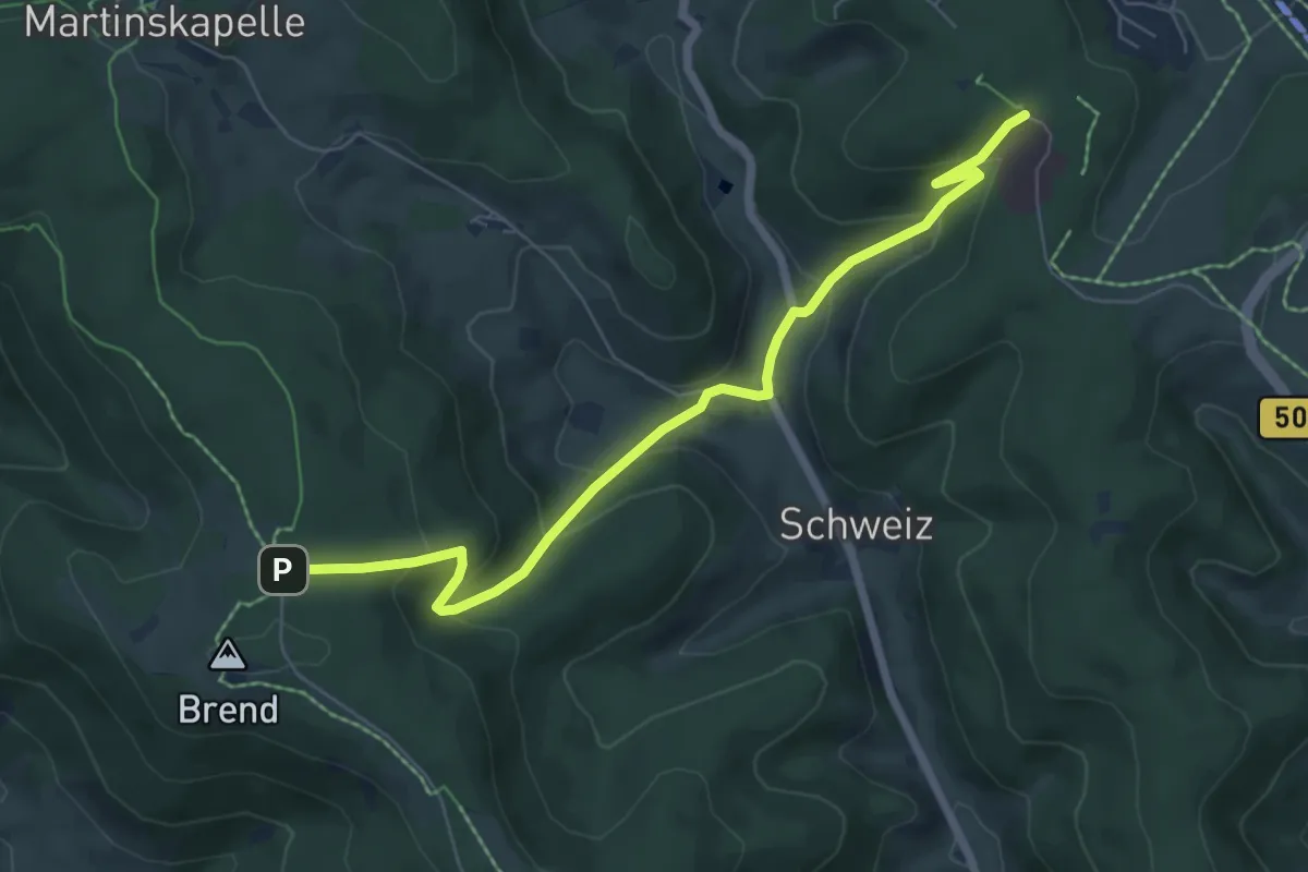
Medium · Trail
Katharinenhöhe - Naturfreundehaus Brend
6.8 km · ↑ 379 m · 2 h 26 min
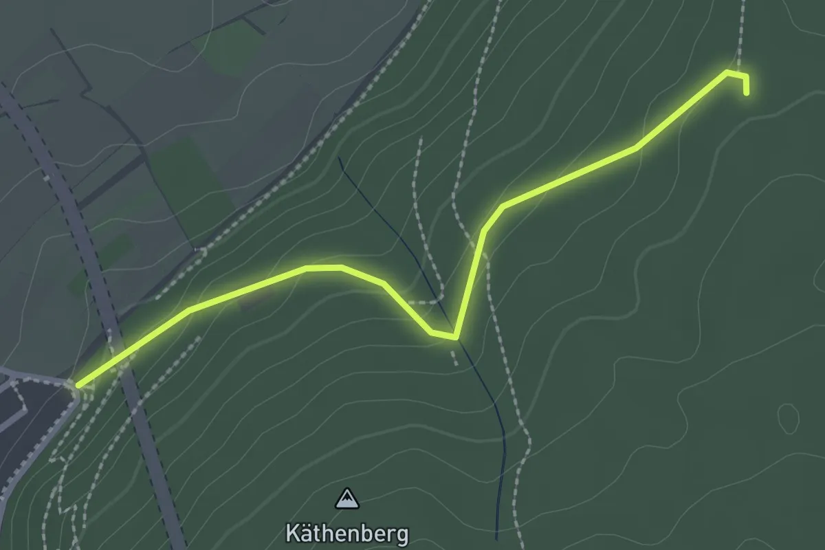
Easy · Trail
Käthenklamm - Kaisereiche
2.4 km · ↑ 109 m · 48 min
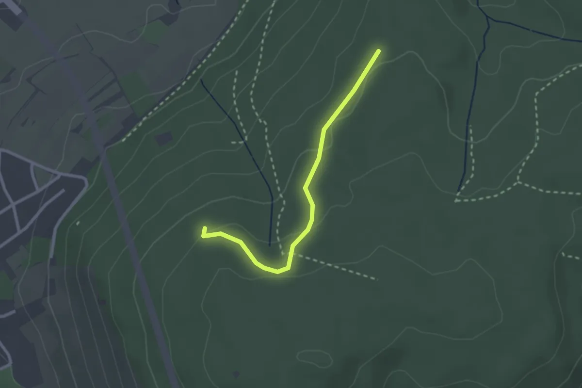
Easy · Summit
Käthenklamm - Wattkopf
2.2 km · ↑ 76 m · 41 min
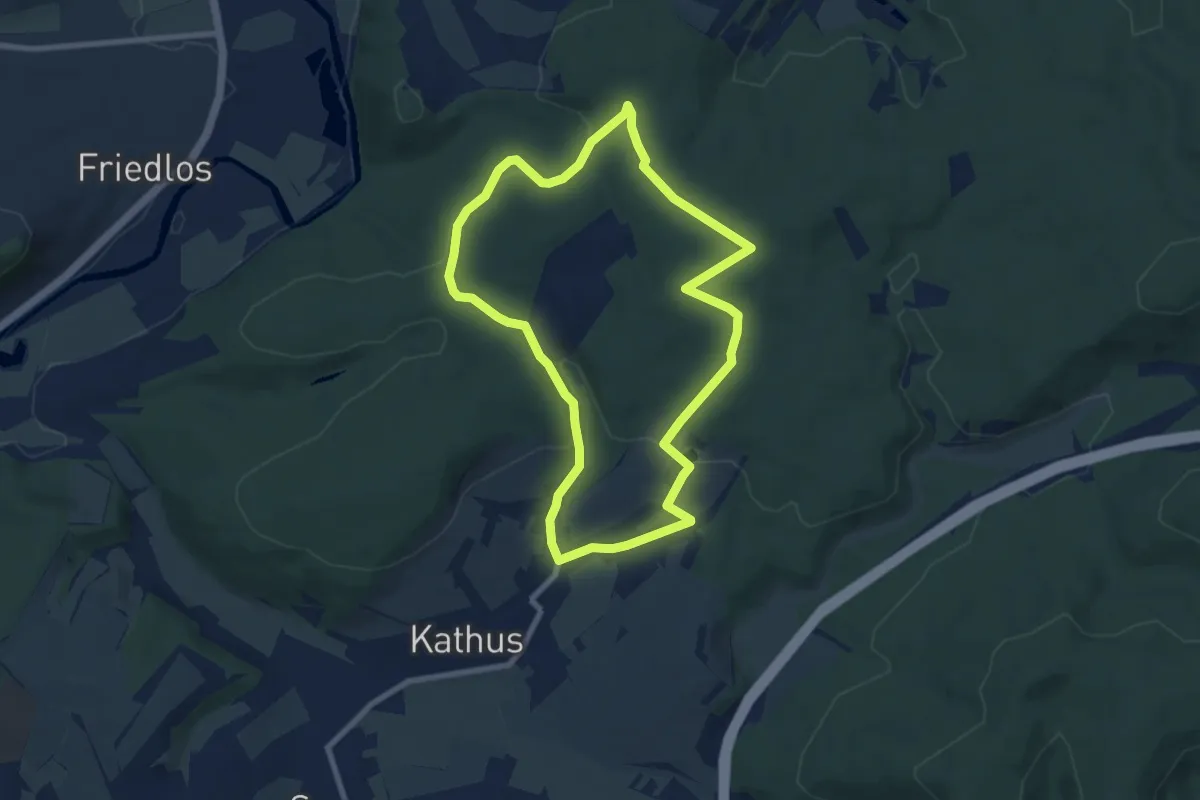
Easy · Trail
Kathuser Rundwanderweg K1
7.3 km · ↑ 165 m · 2 h 11 min
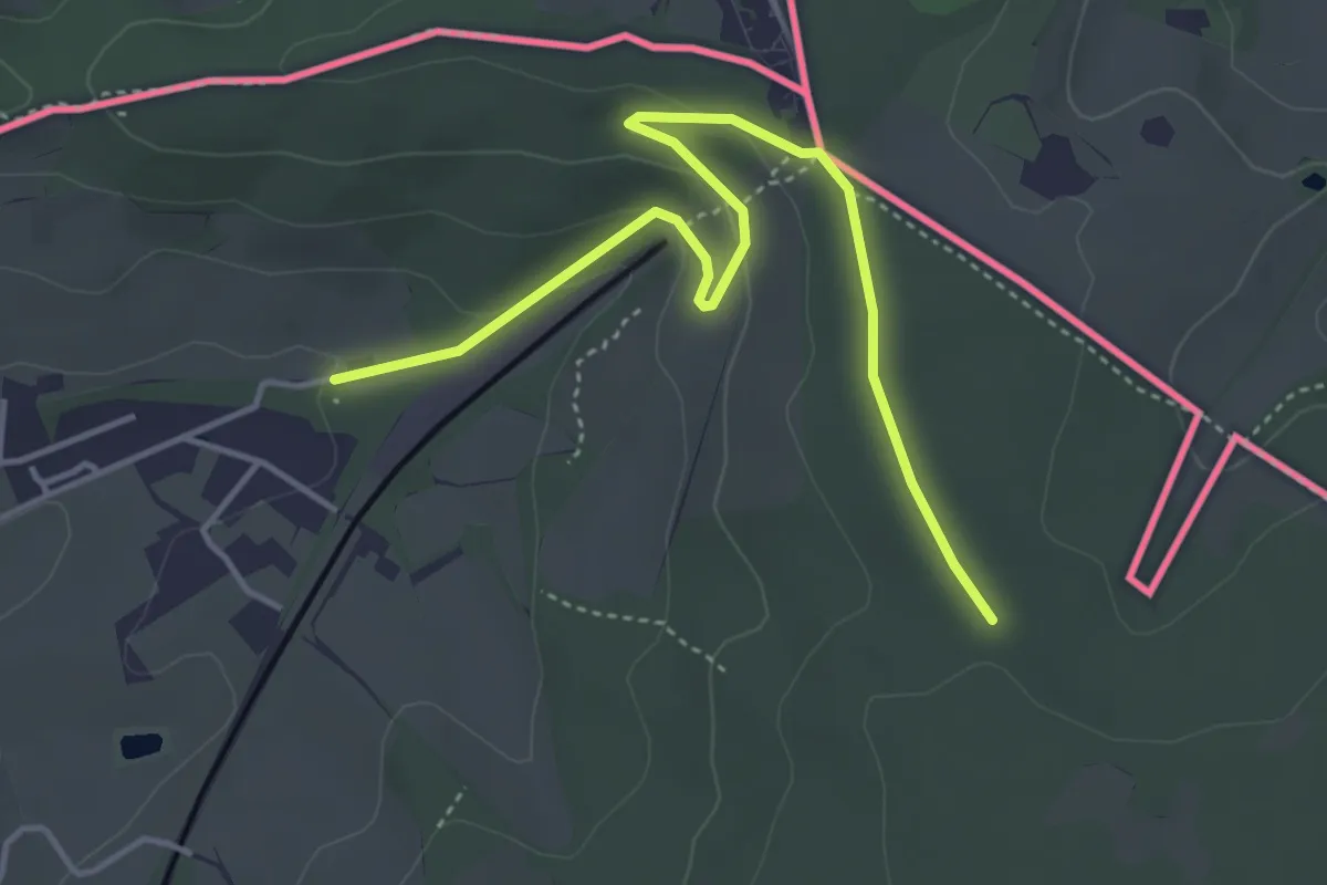
Easy · Summit
Kattekopf
2.1 km · ↑ 90 m · 40 min
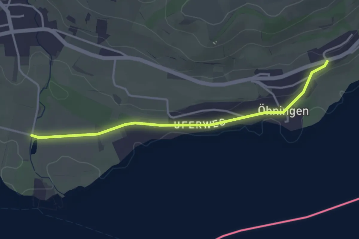
Easy · Trail
Kattenhorn Friesen - Öhningen Oberstaad
3.2 km · ↑ 38 m · 50 min
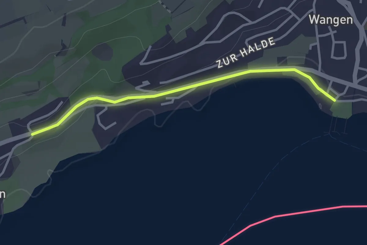
Easy · Trail
Kattenhorn Friesen - Wangen Hafen
2.7 km · ↑ 44 m · 44 min
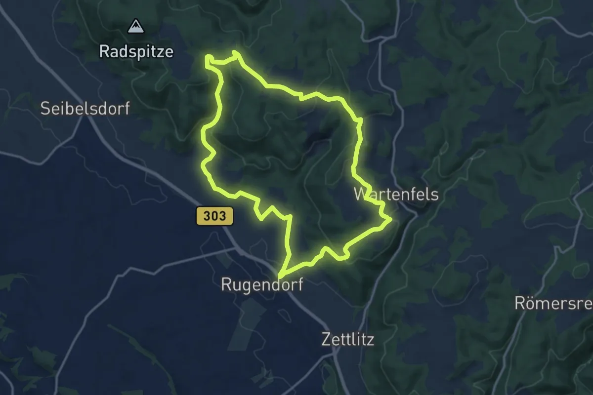
Medium · Trail
Katzbach-Weg KU 54
12.1 km · ↑ 347 m · 3 h 47 min
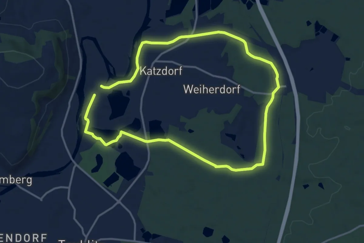
Medium · Trail
Katzdorfer Wanderweg (Braune 13)
8.9 km · ↑ 40 m · 2 h 19 min
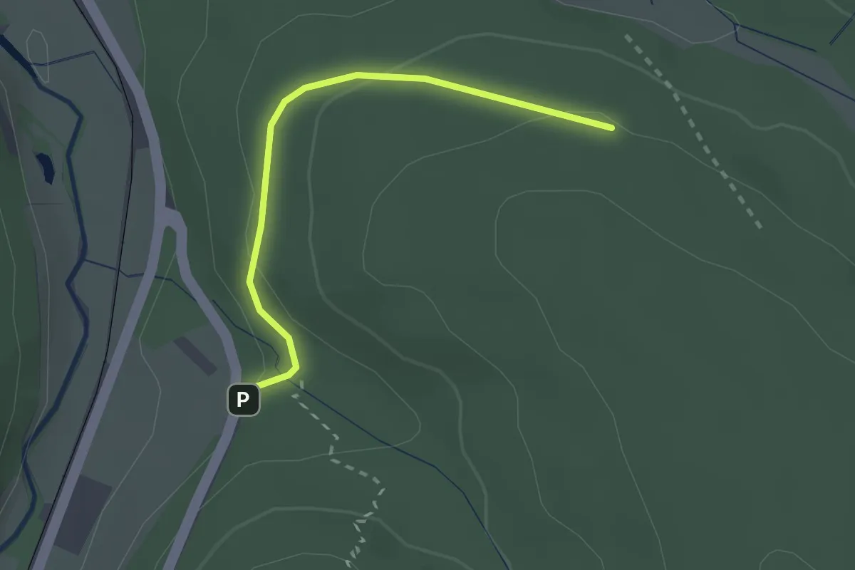
Easy · Trail
Katzenbach - Maretwiesen
2.2 km · ↑ 65 m · 39 min
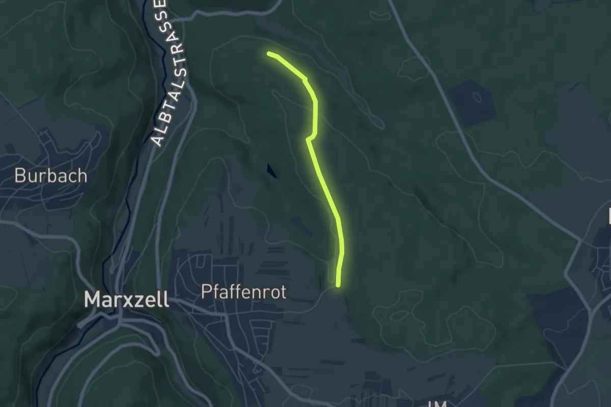
Easy · Trail
Katzenbach - Sportplatz Pfaffenrot
4.2 km · ↑ 58 m · 1 h 7 min
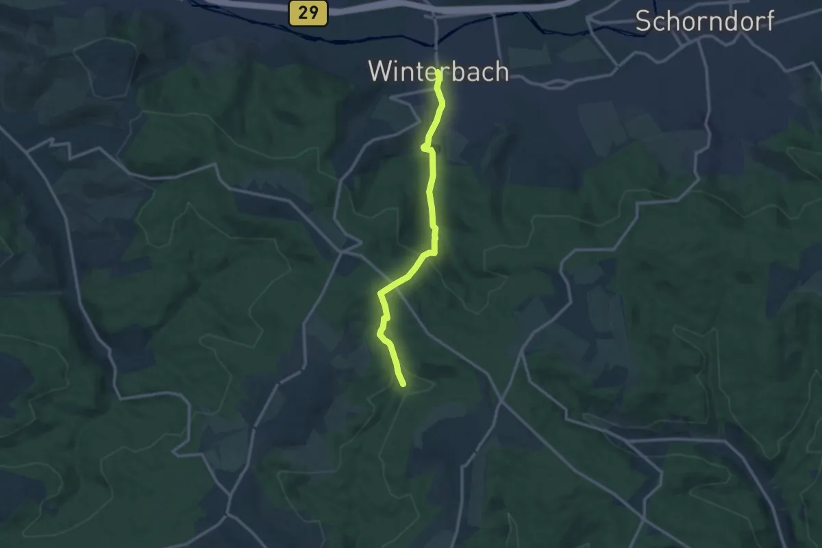
Medium · Trail
Katzenbachtal - Kaisersträßle - Winterbach
9.7 km · ↑ 337 m · 3 h 2 min
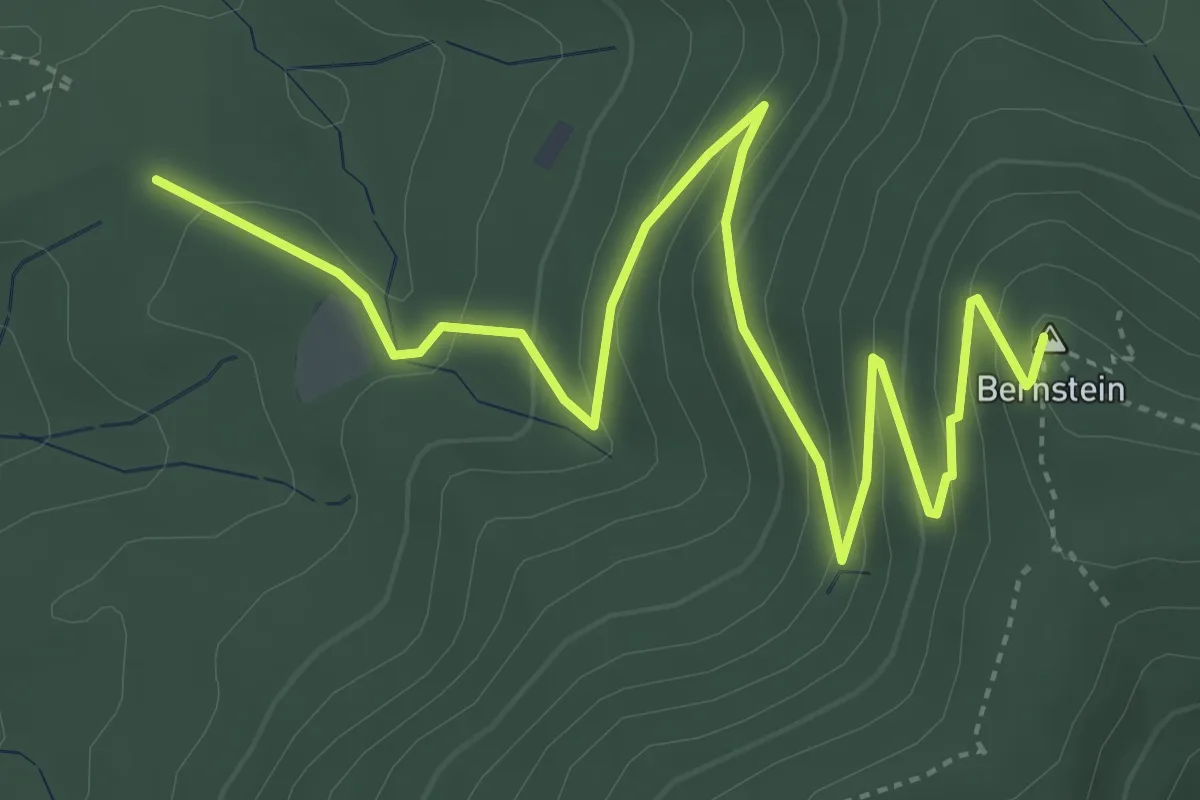
Easy · Summit
Katzenbusch - Gaggenauer Weg
5.6 km · ↑ 311 m · 2 h
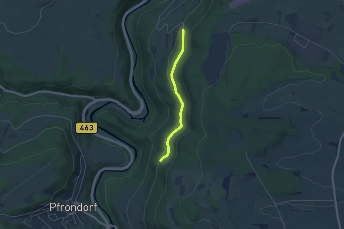
Easy · Trail
Katzendarm - Emmingen Rathaus
3.6 km · ↑ 138 m · 1 h 9 min
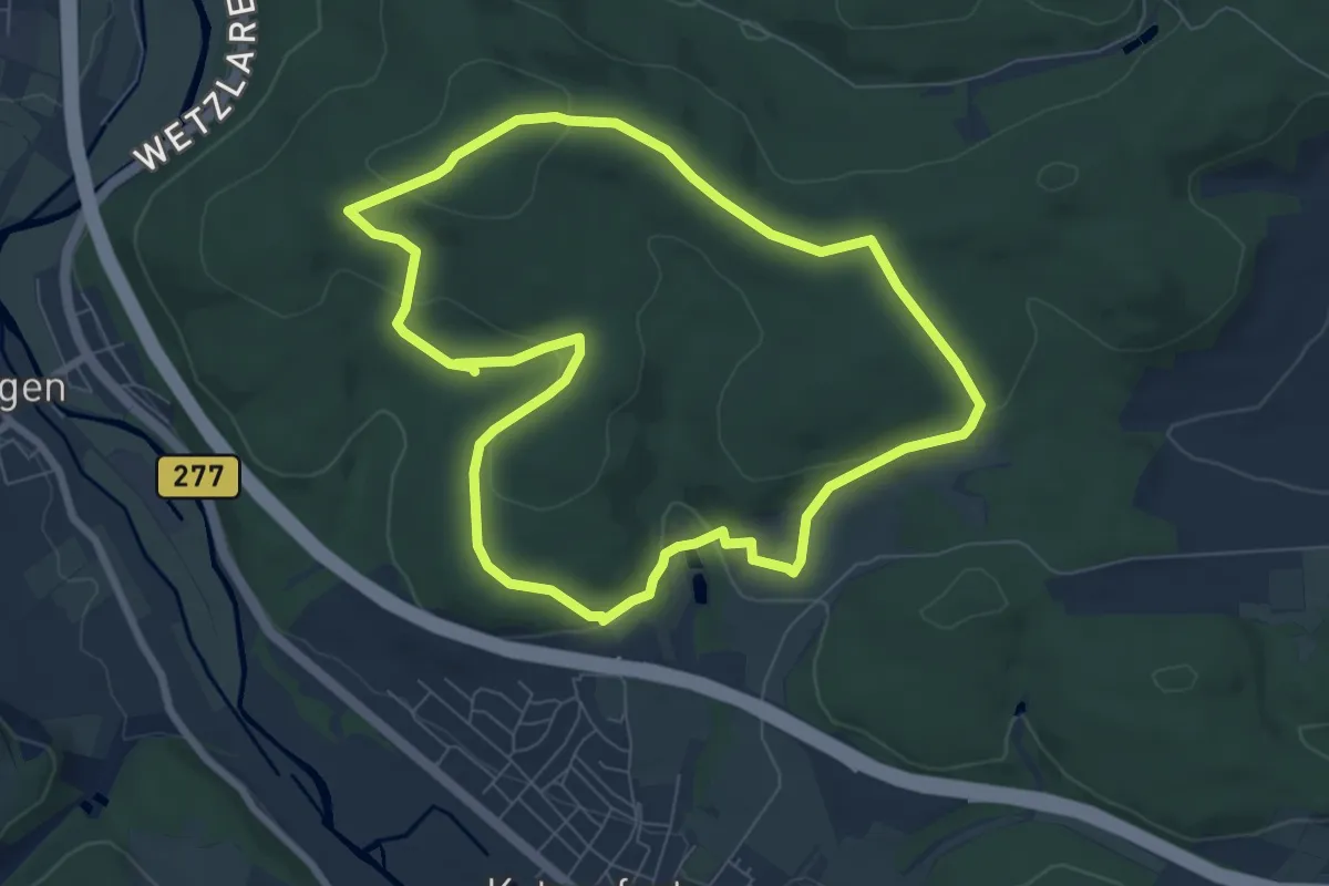
Easy · Trail
Katzenfurter Historischer Rundwanderweg
6.9 km · ↑ 169 m · 2 h 5 min
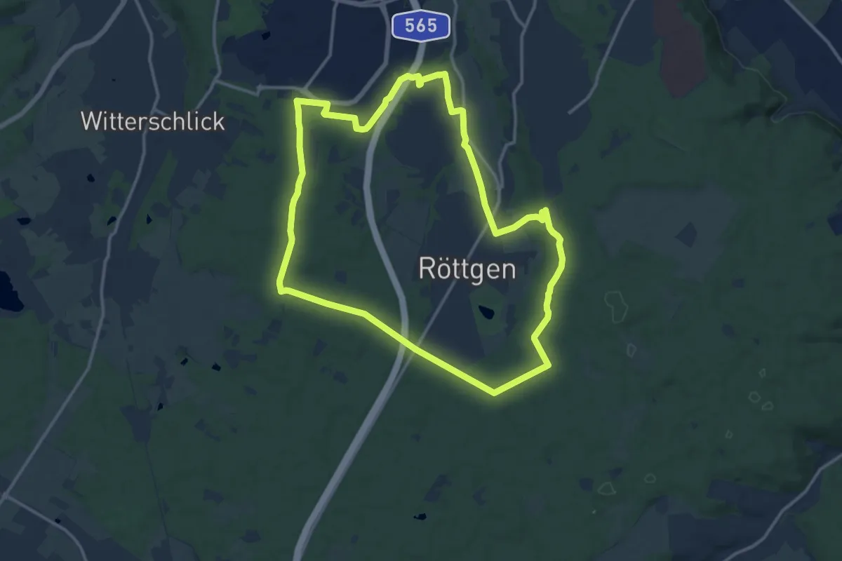
Medium · Trail
Katzenlochbachtal-Runde
12.0 km · ↑ 82 m · 3 h 11 min
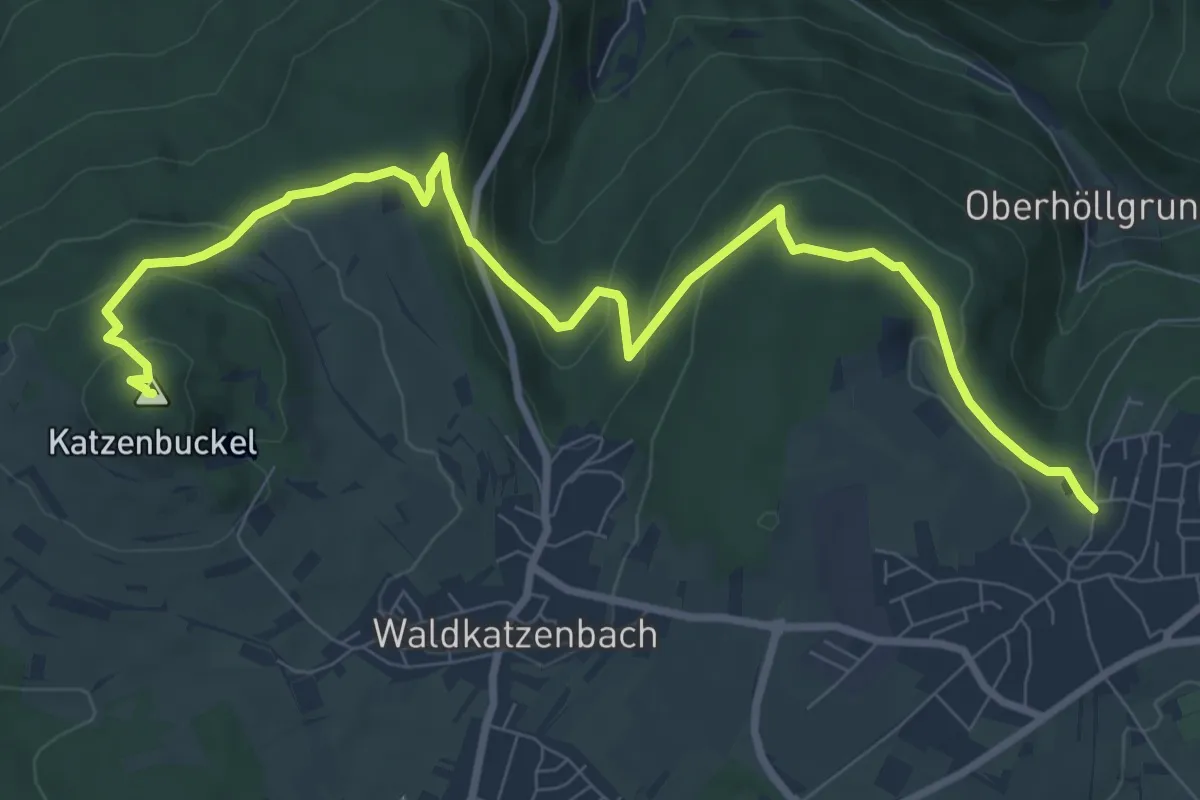
Medium · Summit
Katzenpfad
10.1 km · ↑ 458 m · 3 h 22 min
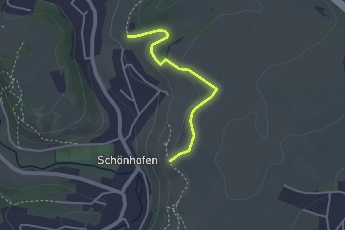
Easy · Trail
Katzenpfotenweg
2.4 km · ↑ 79 m · 44 min
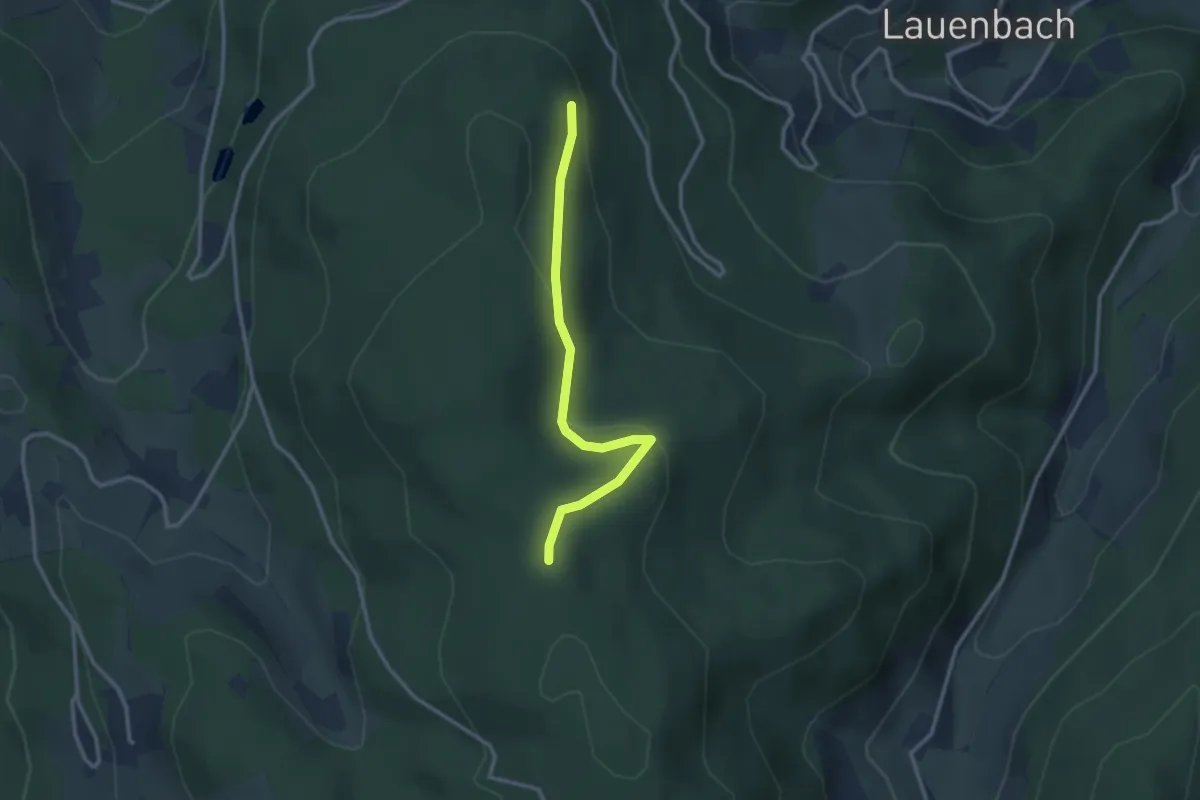
Easy · Trail
Katzenschrofen - Waldulmer Buchwald
2.6 km · ↑ 81 m · 48 min
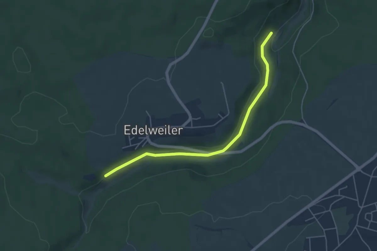
Easy · Trail
Katzensteg - Sägemühlensteig
4.4 km · ↑ 79 m · 1 h 12 min
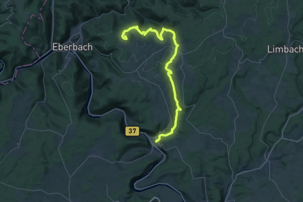
Demanding · Summit
Katzensteig
37.4 km · ↑ 1253 m · 11 h 33 min
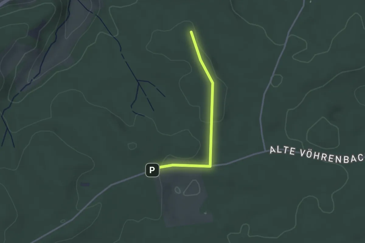
Easy · Trail
Katzensteigersmösle - Beim Neuhäusle
2.4 km · ↑ 25 m · 38 min
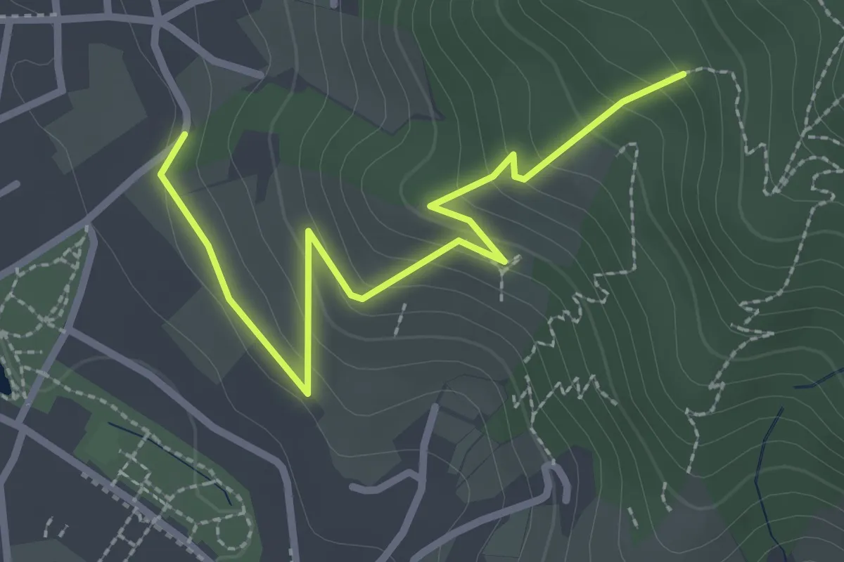
Easy · Trail
Katzensteig - Oberkirch Bierkeller
2.7 km · ↑ 164 m · 59 min
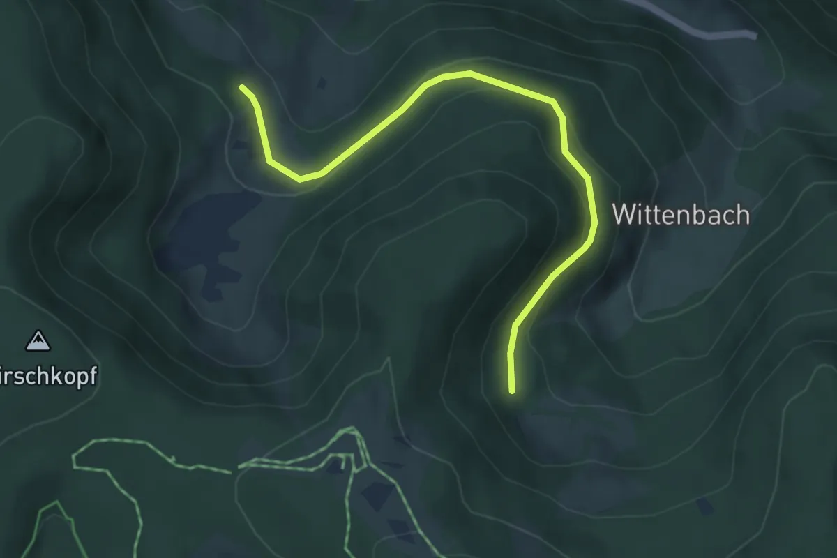
Easy · Trail
Katzensteig - Oberwittenbach
4.6 km · ↑ 173 m · 1 h 27 min
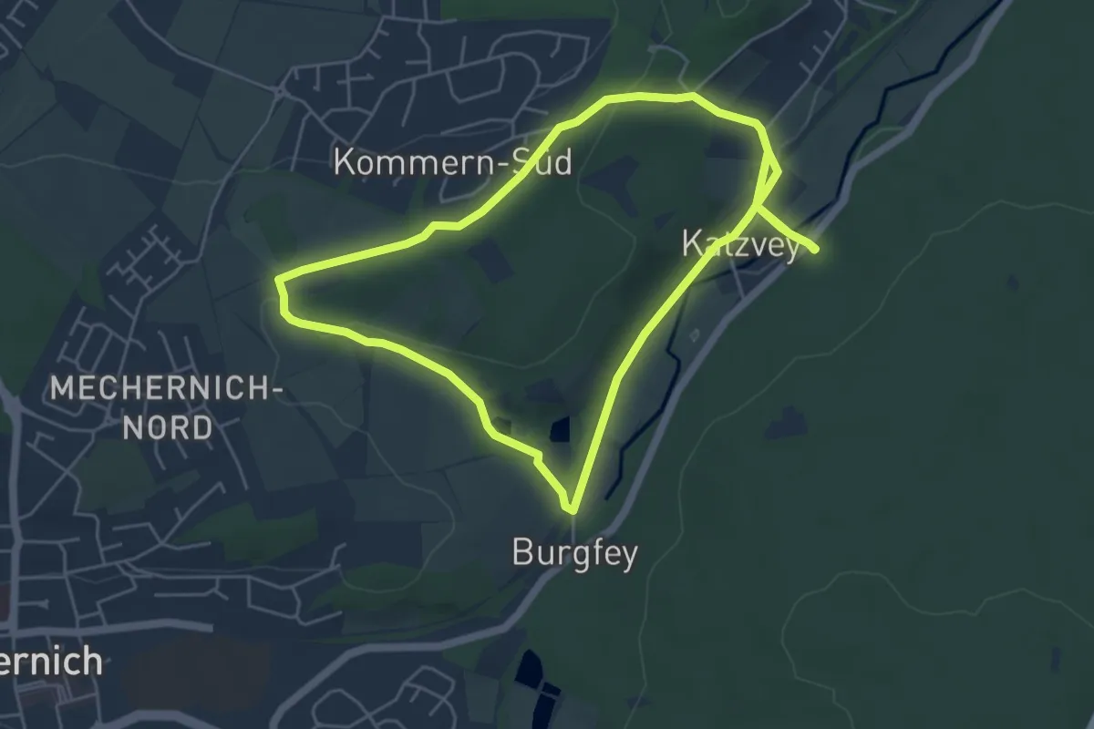
Easy · Trail
Katzensteine Rundweg A2
4.8 km · ↑ 70 m · 1 h 20 min
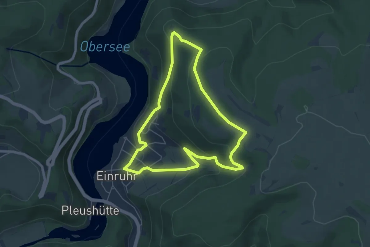
Easy · Trail
Katzensteinerweg
4.6 km · ↑ 188 m · 1 h 34 min
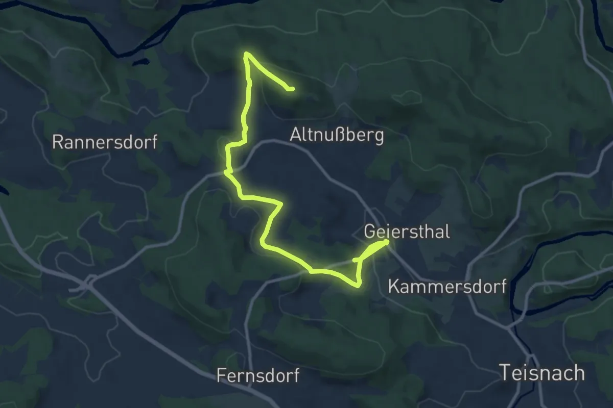
Medium · Summit
Katzensteinrundweg
10.2 km · ↑ 334 m · 3 h 8 min
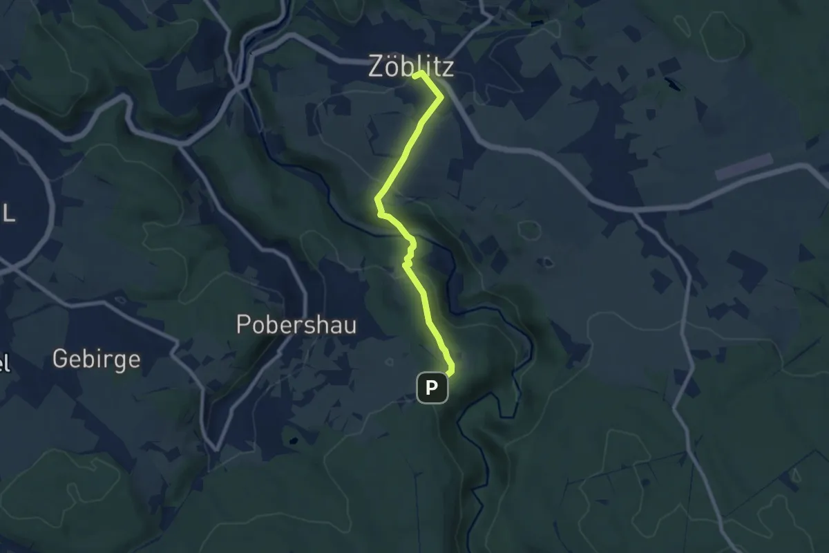
Easy · Trail
Katzenstein-Zoeblitz
6.6 km · ↑ 280 m · 2 h 10 min
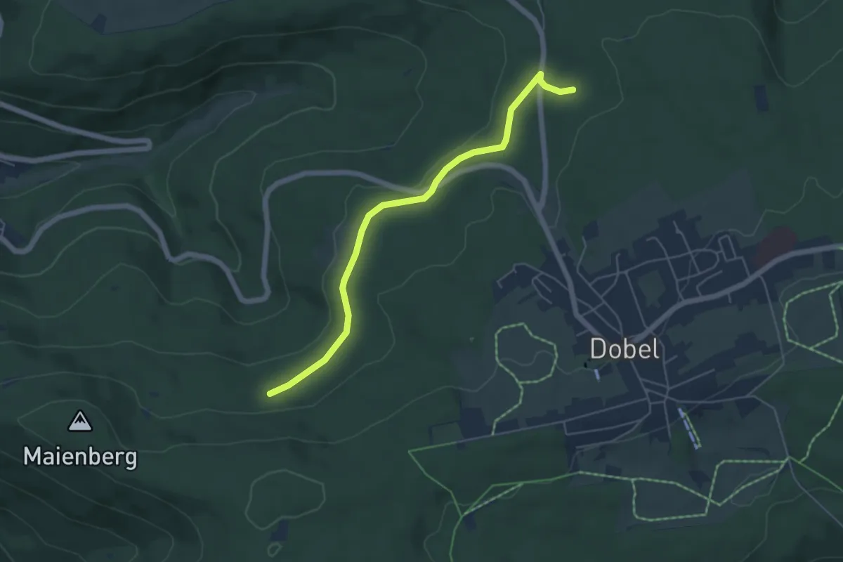
Easy · Trail
Katzenweg - Brenntenwald Hütte
4.9 km · ↑ 68 m · 1 h 18 min
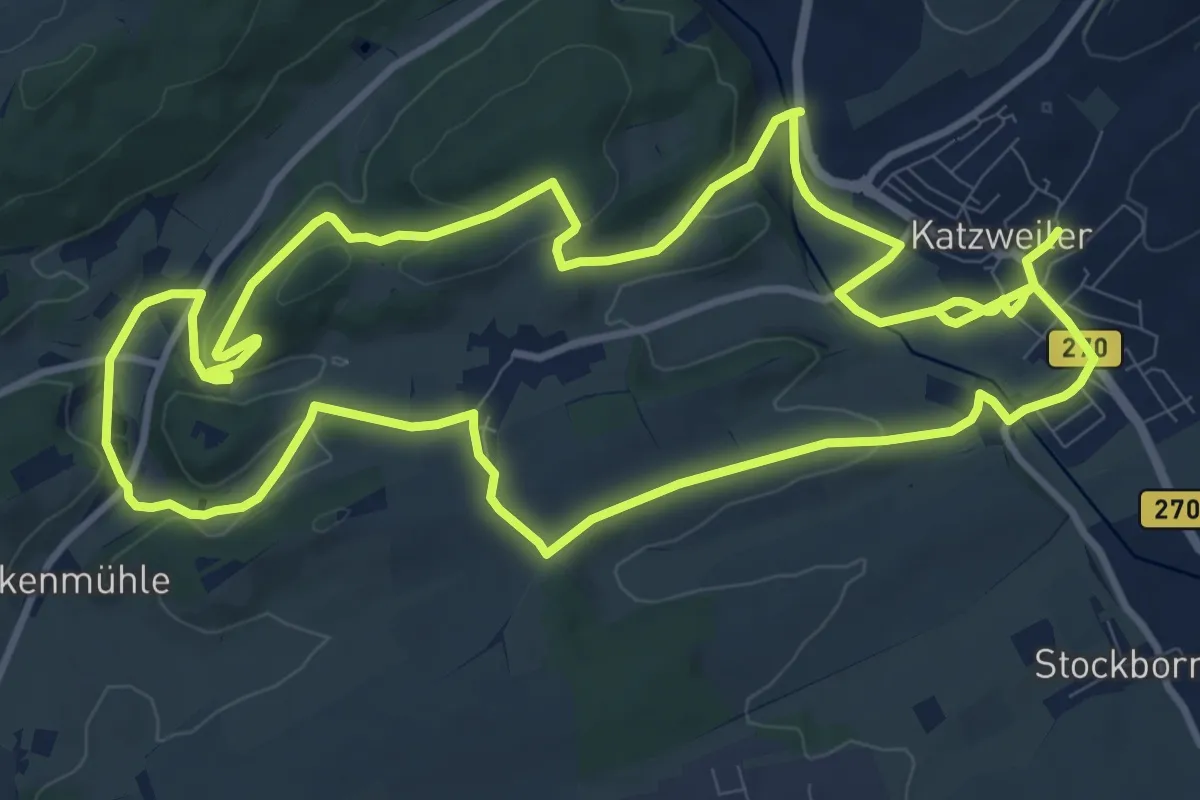
Medium · Trail
Katzweiler Mühlenrundwanderweg
11.4 km · ↑ 200 m · 3 h 18 min
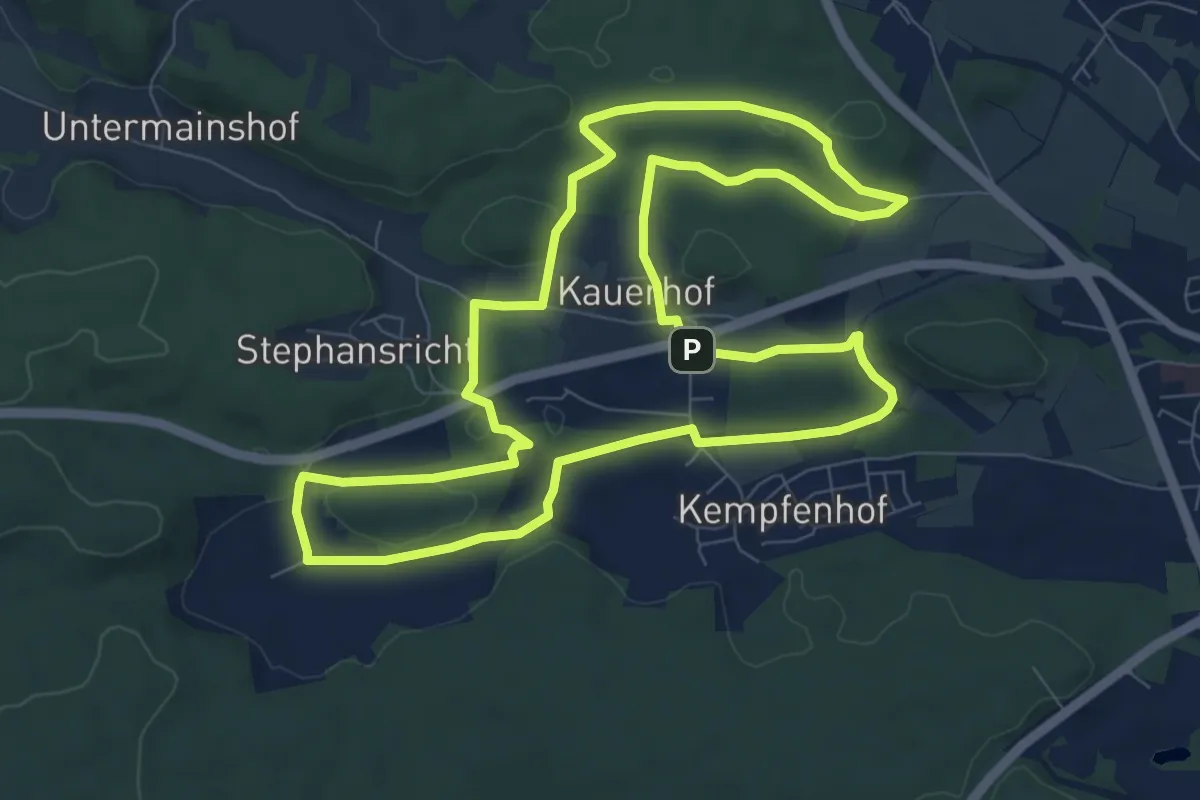
Medium · Summit
Kauerhofer Rundwanderweg (Grünring)
8.7 km · ↑ 108 m · 2 h 25 min
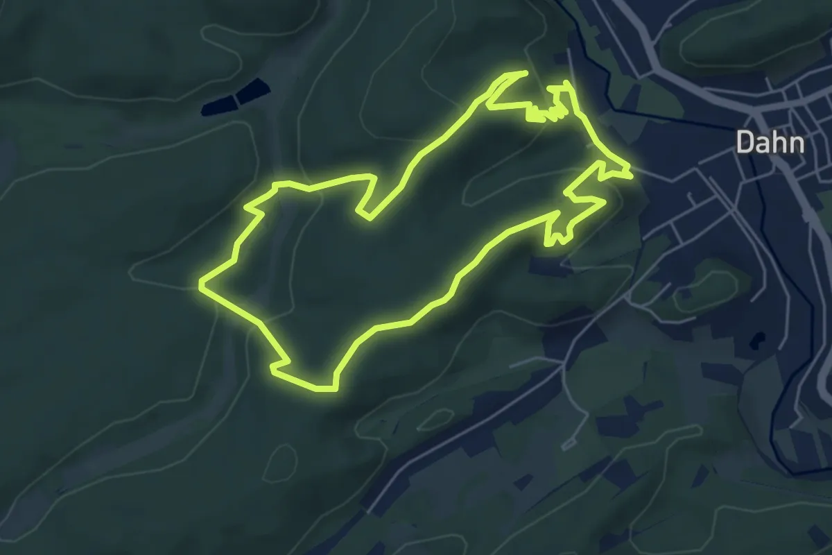
Medium · Summit
Kauert-Tour
5.4 km · ↑ 242 m · 1 h 52 min
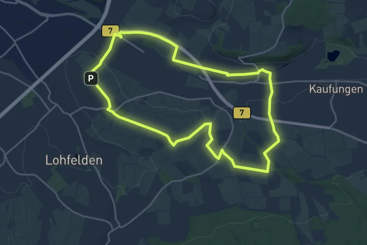
Medium · Summit
Kaufungen, N1 - Lossetalweg
10.8 km · ↑ 111 m · 2 h 57 min
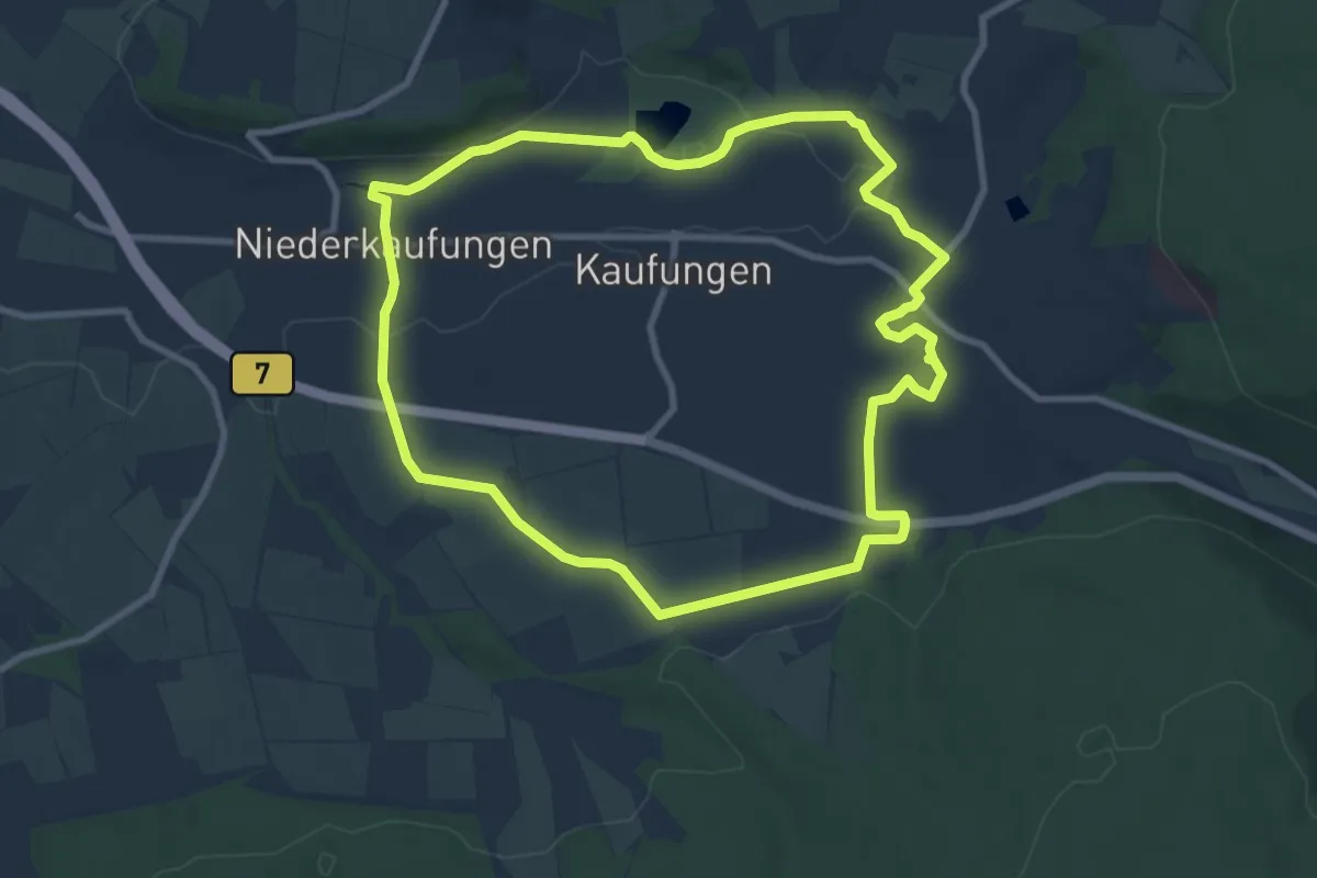
Medium · Trail
Kaufungen, N2 - Panoramaweg
8.4 km · ↑ 106 m · 2 h 20 min
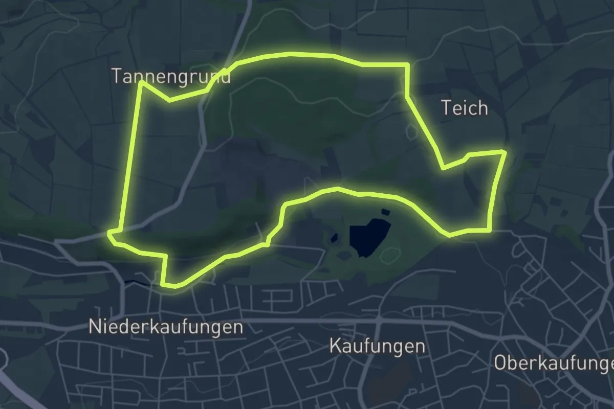
Easy · Trail
Kaufungen, N3 - Gelber-Berg-Weg
6.3 km · ↑ 92 m · 1 h 47 min
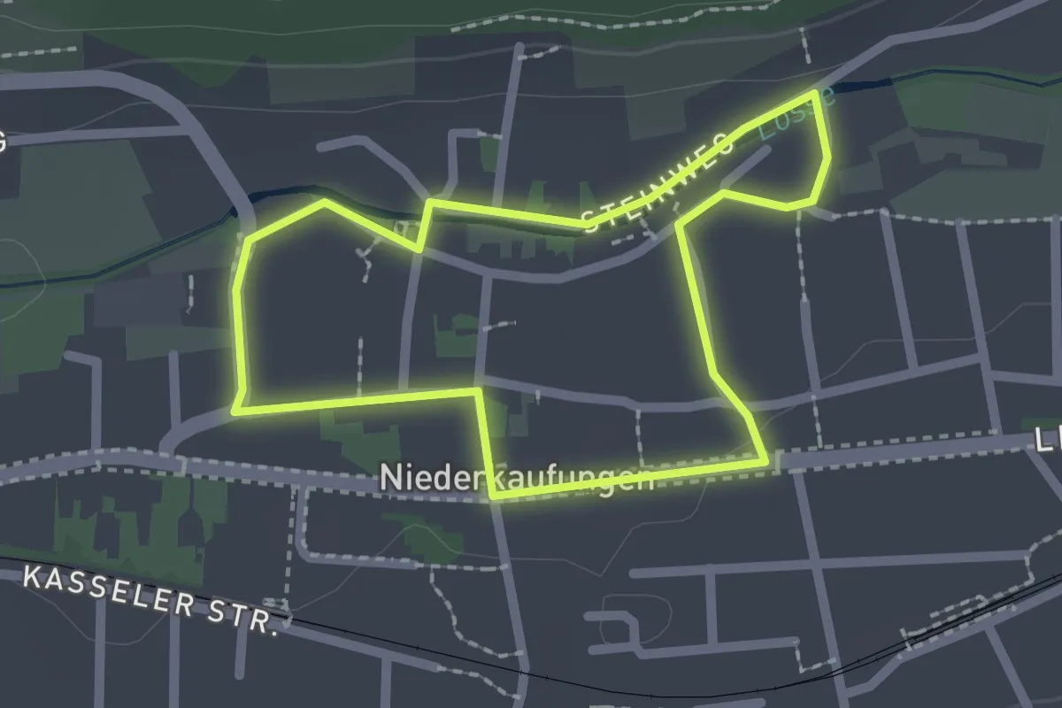
Easy · Trail
Kaufungen, N4 - Fachwerkweg Niederkaufungen
1.7 km · ↑ 4 m · 26 min