Trails in Germany
36,852 hiking trails, each with its route, climb, walking time and grade.
All trails, page 285 of 768
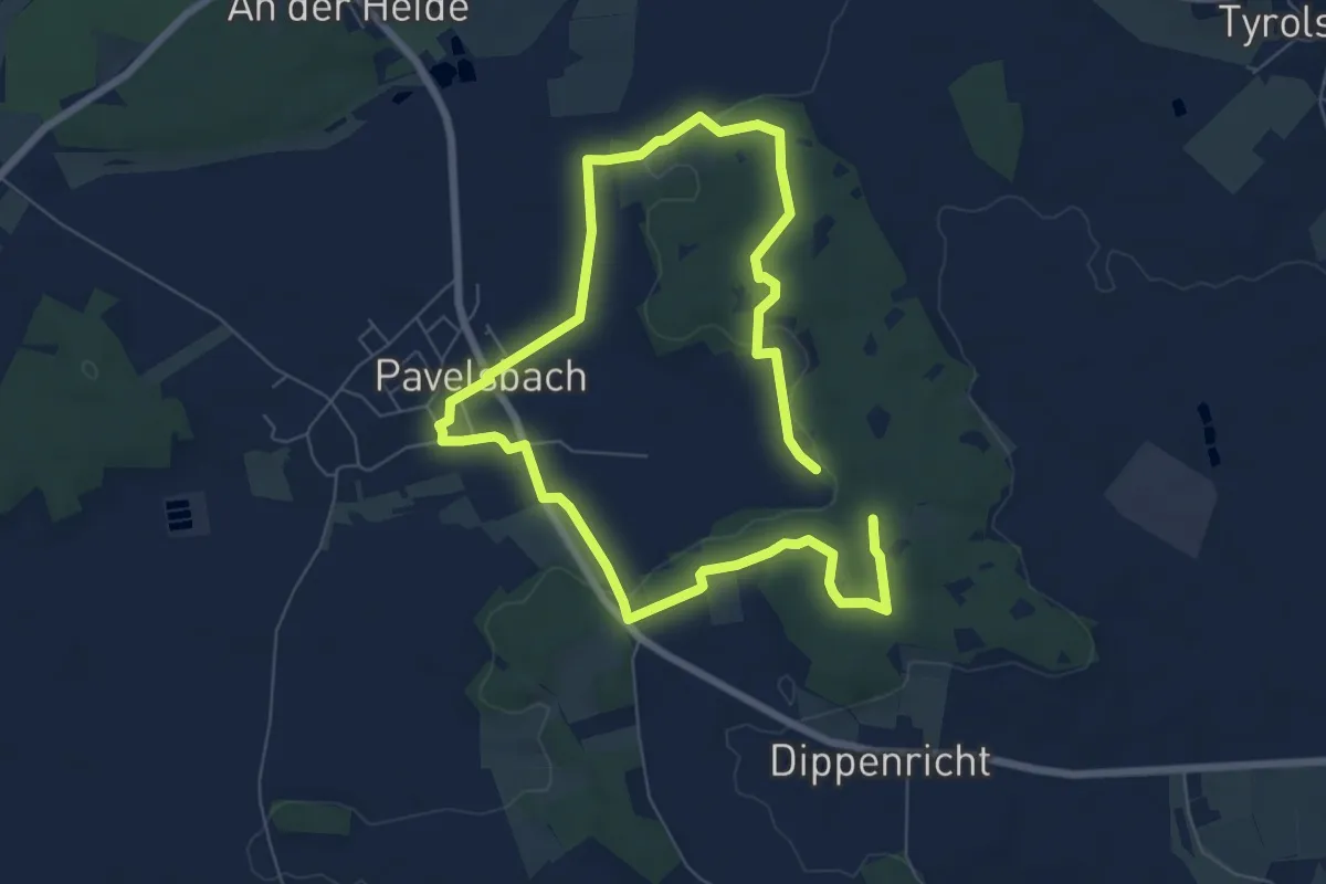
Easy · Trail
Keltenrunde
5.8 km · ↑ 85 m · 1 h 37 min
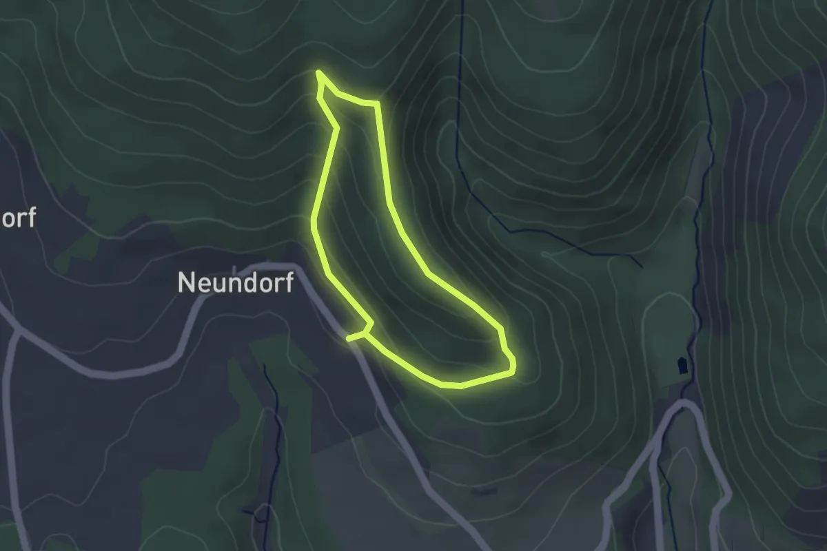
Easy · Trail
Keltenrundwanderweg
2.3 km · ↑ 129 m · 52 min
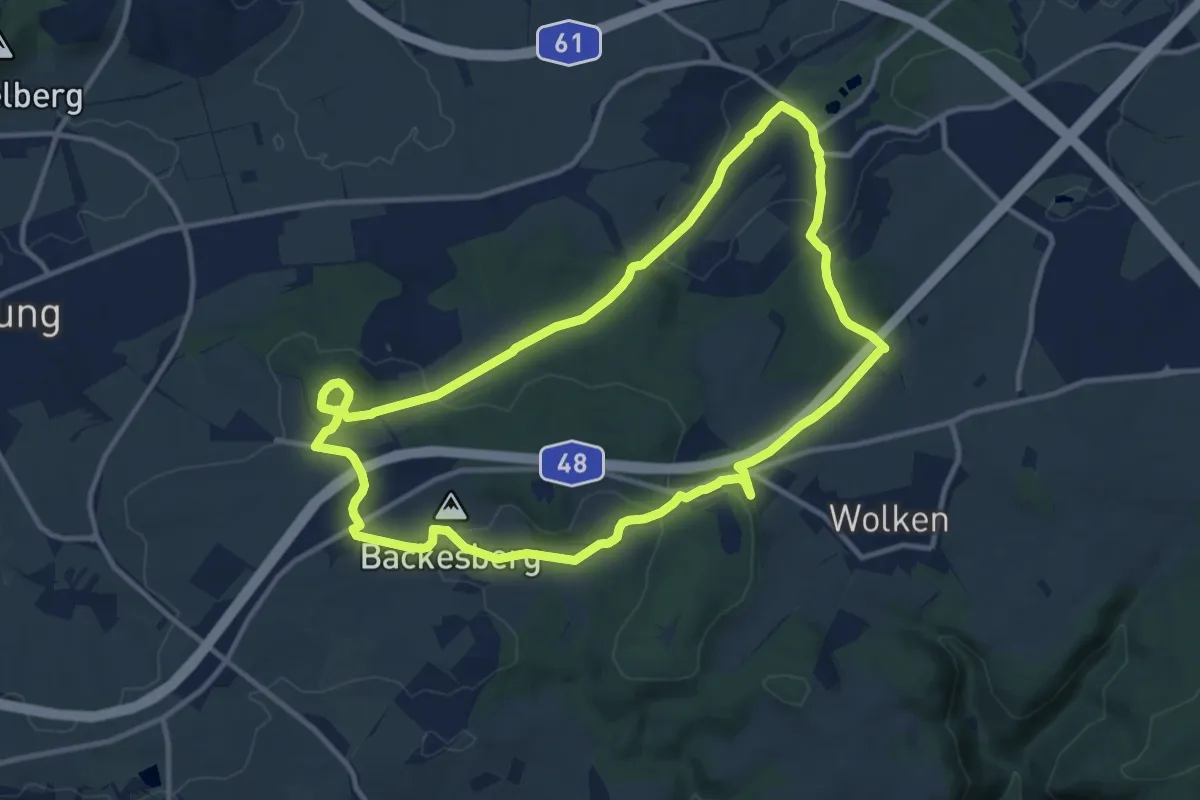
Medium · Summit
Keltenrundwanderweg
10.9 km · ↑ 286 m · 3 h 20 min
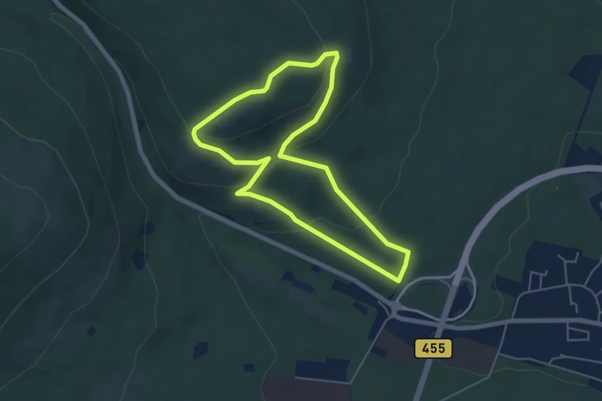
Easy · Trail
Keltenrundwanderweg
3.9 km · ↑ 149 m · 1 h 17 min
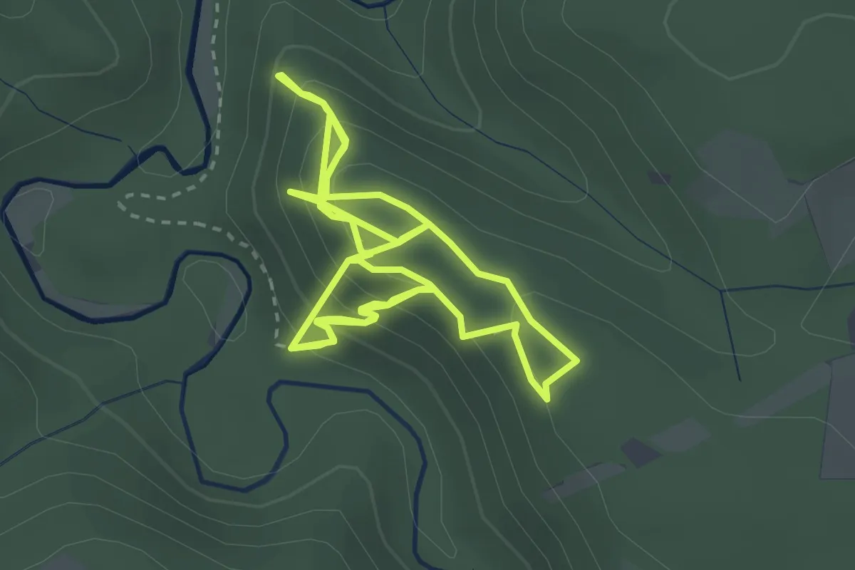
Easy · Summit
Kelten-Rundweg
2.9 km · ↑ 211 m · 1 h 12 min
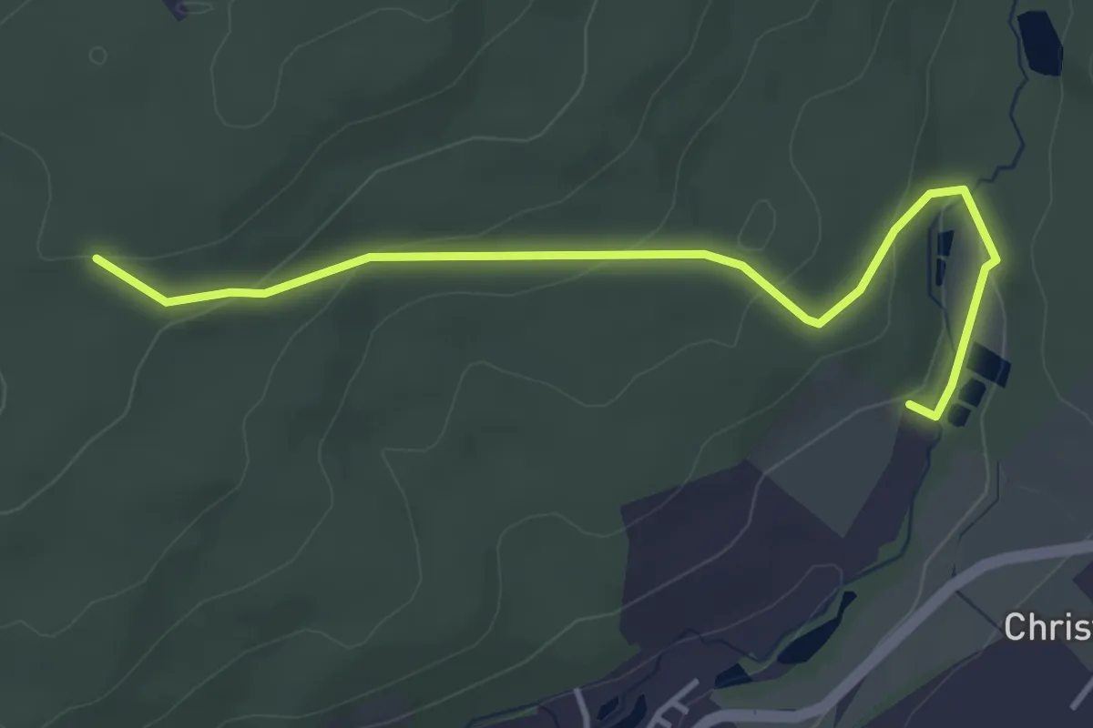
Easy · Trail
Keltenstraße
1.9 km · ↑ 119 m · 41 min
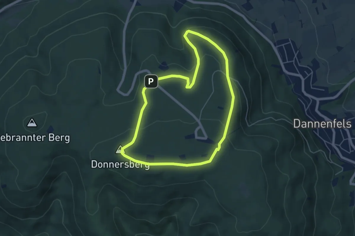
Easy · Summit
Keltenwanderweg
4.6 km · ↑ 161 m · 1 h 30 min
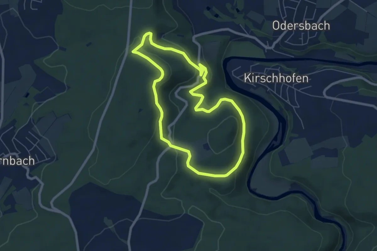
Easy · Summit
Keltenwanderweg - Scheuernberger Kopf - Schützenberg
5.2 km · ↑ 175 m · 1 h 42 min
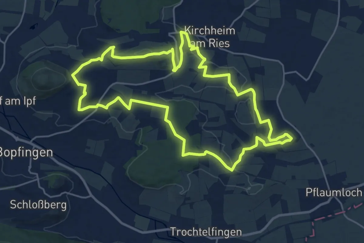
Medium · Summit
Keltenweg
15.0 km · ↑ 329 m · 4 h 28 min
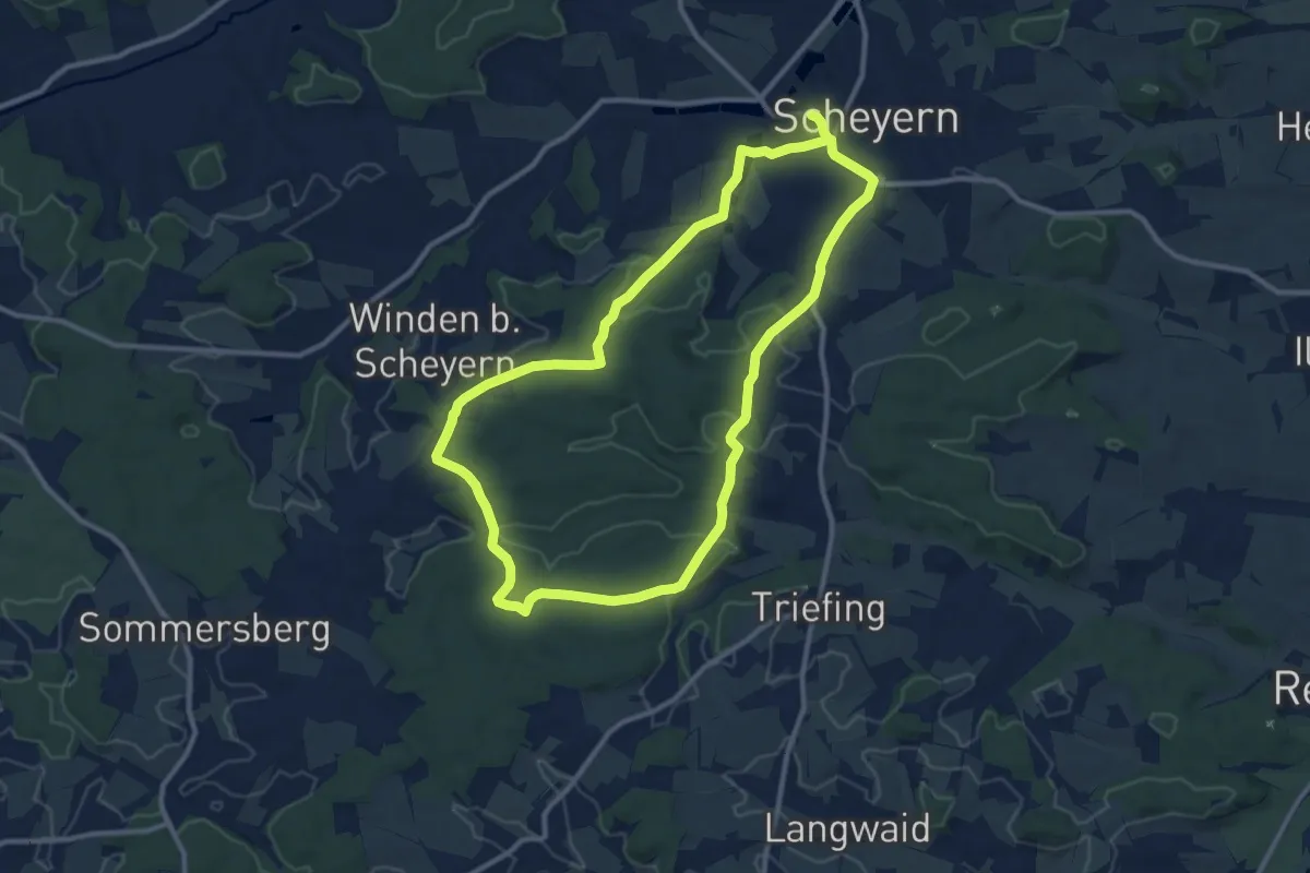
Medium · Trail
Keltenweg
10.2 km · ↑ 159 m · 2 h 53 min
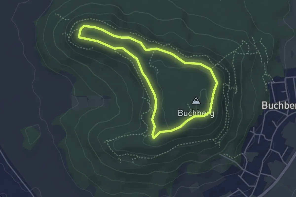
Easy · Summit
Keltenweg
3.3 km · ↑ 67 m · 58 min
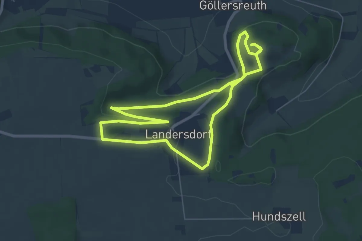
Easy · Trail
Keltenweg
5.2 km · ↑ 111 m · 1 h 32 min
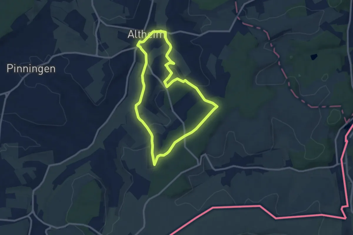
Easy · Trail
Keltenweg
7.0 km · ↑ 111 m · 1 h 59 min
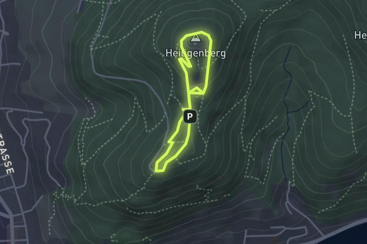
Medium · Summit
Keltenweg
2.4 km · ↑ 82 m · 46 min
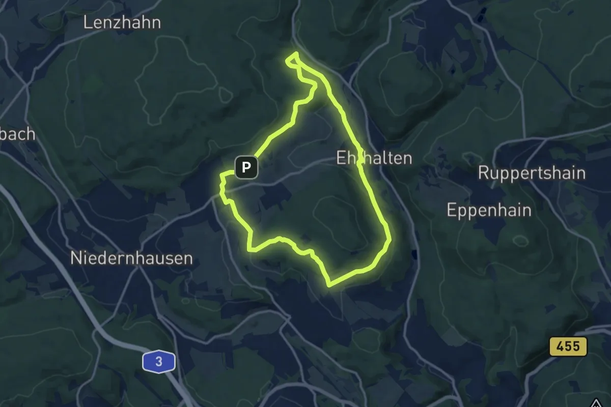
Medium · Trail
Keltenweg
10.4 km · ↑ 212 m · 3 h 4 min
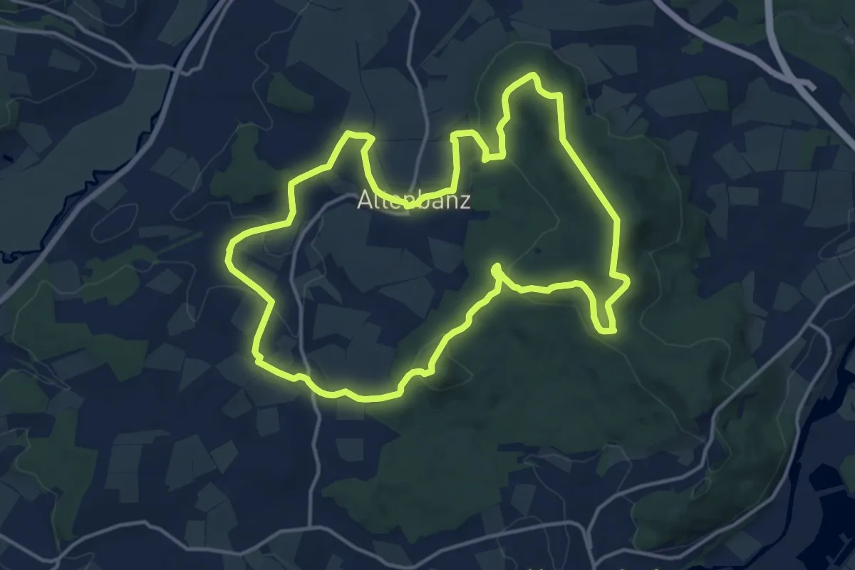
Medium · Summit
Keltenweg A
13.6 km · ↑ 336 m · 4 h 8 min
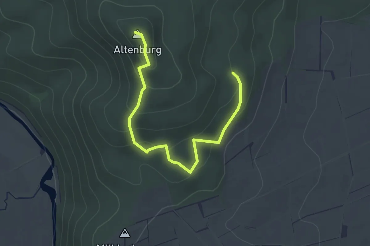
Easy · Summit
Keltenweg, Archäologischer Wanderweg
3.6 km · ↑ 185 m · 1 h 16 min
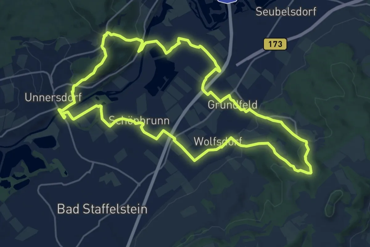
Medium · Trail
Keltenweg B
16.2 km · ↑ 328 m · 4 h 46 min
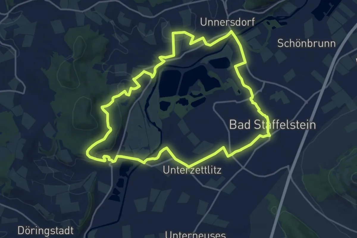
Medium · Trail
Keltenweg C
14.1 km · ↑ 182 m · 3 h 55 min
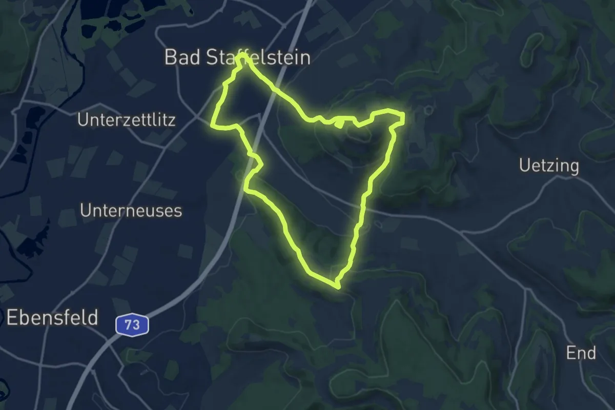
Medium · Summit
Keltenweg D
11.9 km · ↑ 368 m · 3 h 46 min
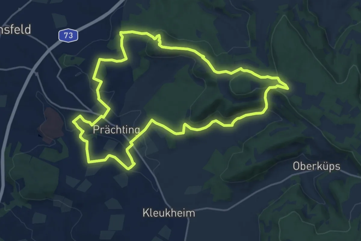
Medium · Summit
Keltenweg E
13.6 km · ↑ 334 m · 4 h 8 min
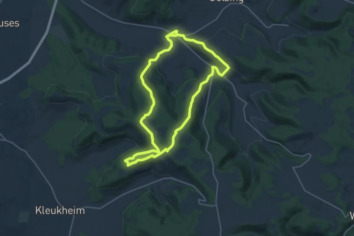
Medium · Summit
Keltenweg F
12.8 km · ↑ 380 m · 4 h 1 min
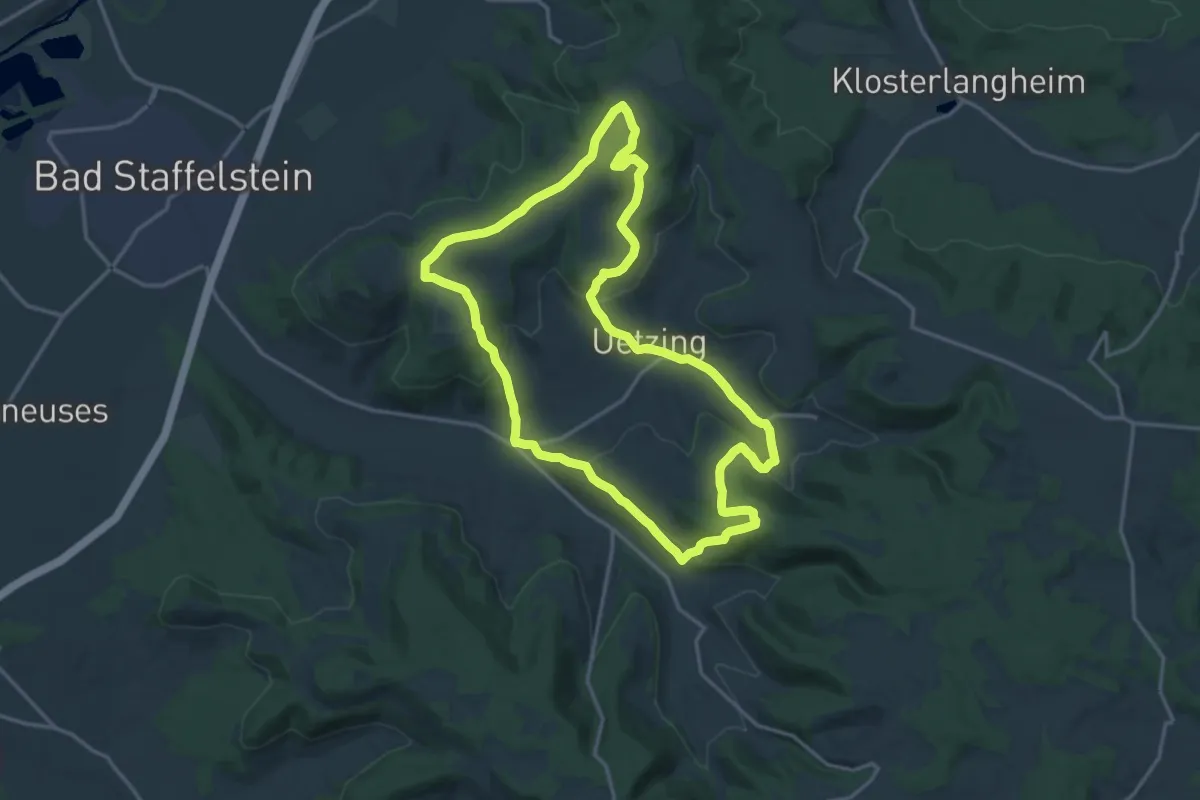
Medium · Summit
Keltenweg G
15.3 km · ↑ 405 m · 4 h 43 min
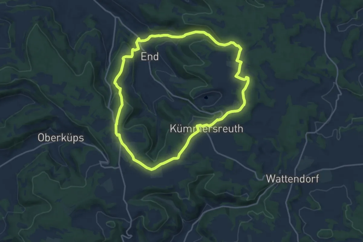
Medium · Summit
Keltenweg H
12.3 km · ↑ 291 m · 3 h 43 min
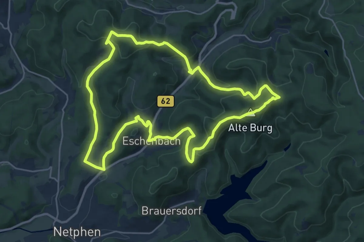
Medium · Summit
Keltenweg Netphen
15.0 km · ↑ 597 m · 5 h 3 min
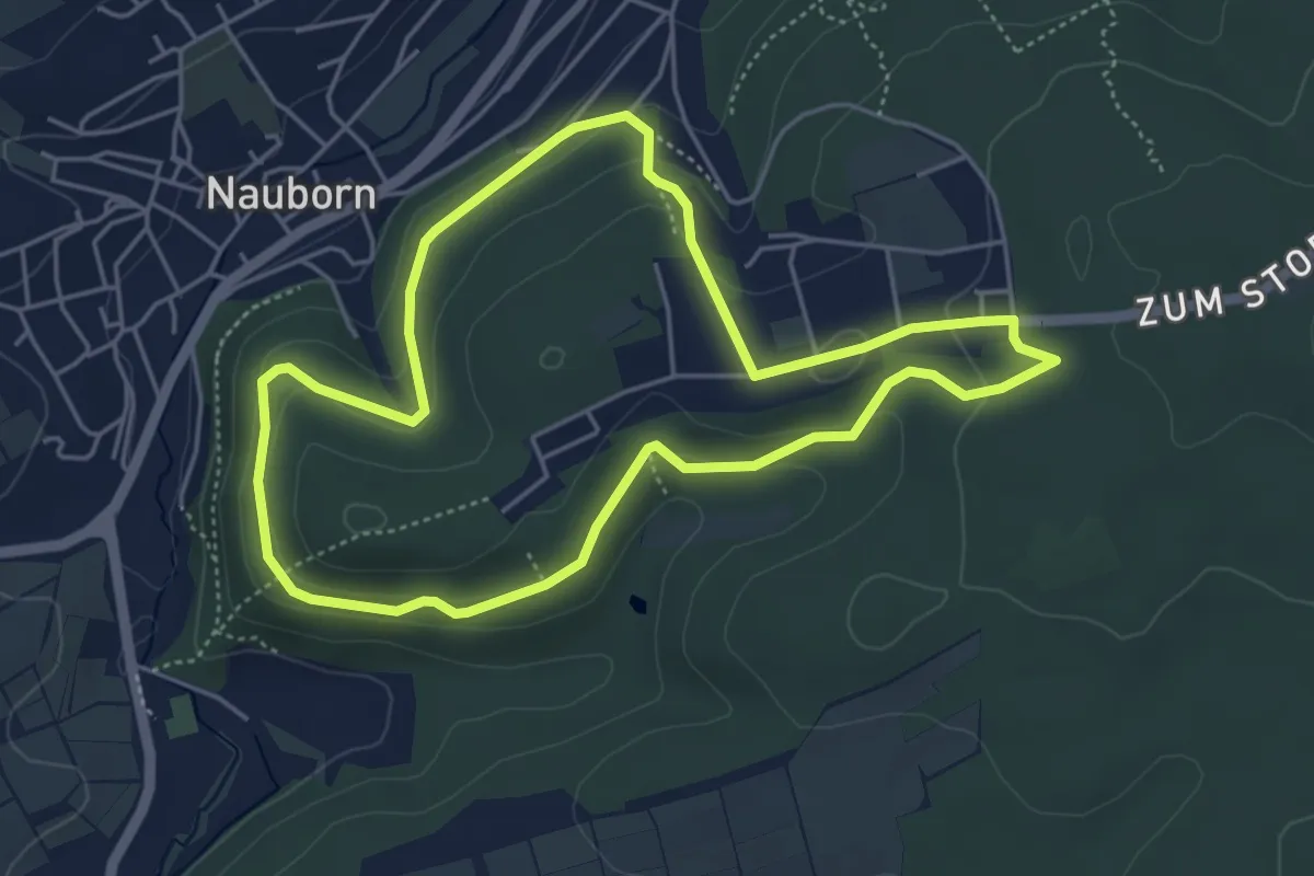
Easy · Trail
Kelterbergweg
4.4 km · ↑ 118 m · 1 h 21 min
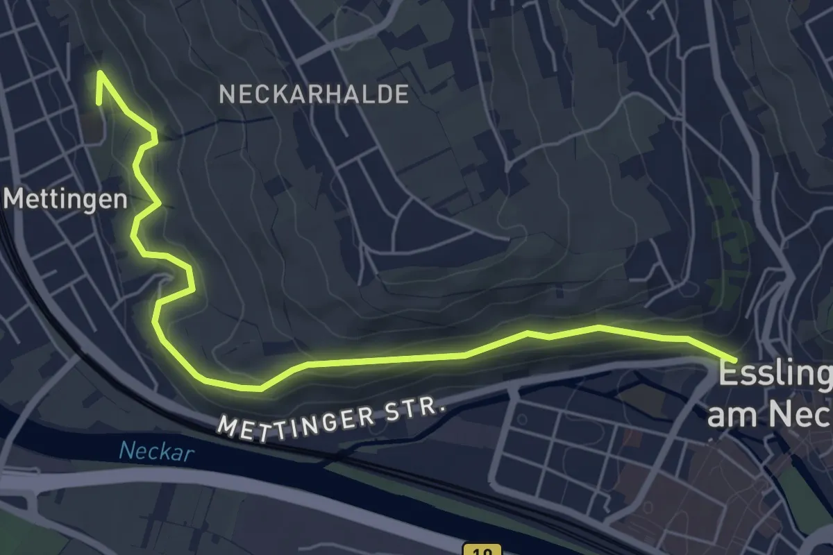
Easy · Trail
Kelterweg
5.9 km · ↑ 219 m · 1 h 52 min
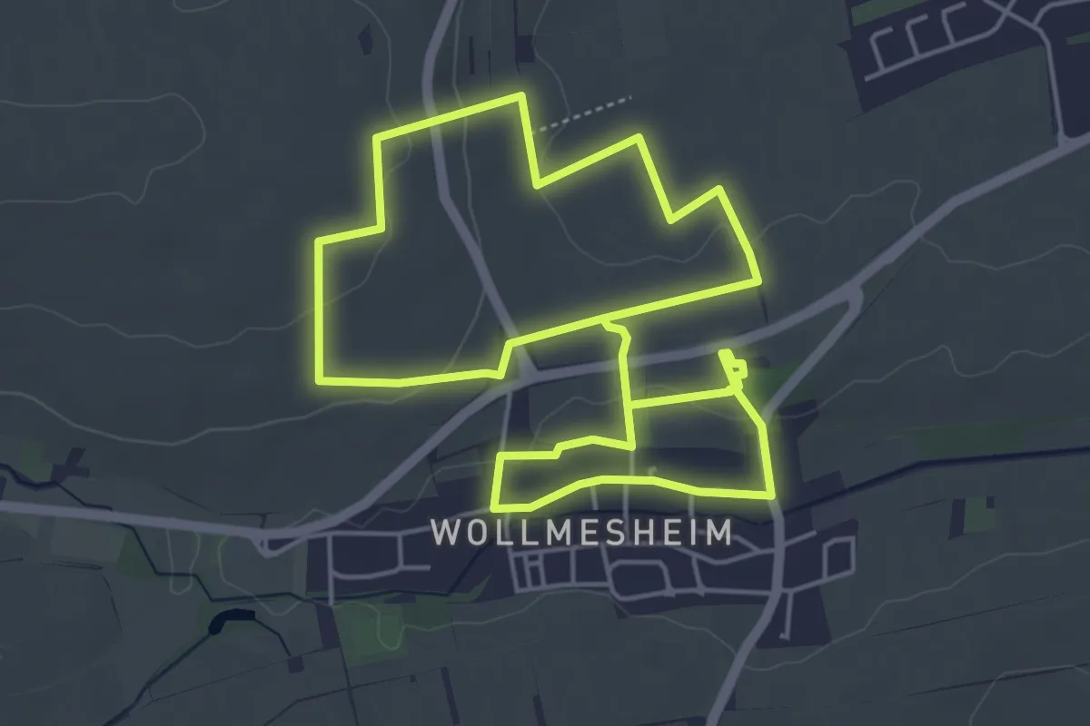
Easy · Trail
Kelterweg Wollmesheim
4.6 km · ↑ 63 m · 1 h 16 min
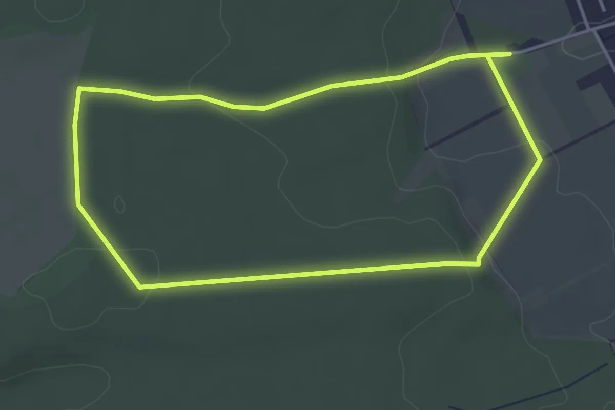
Easy · Trail
Kelze, Rundweg 2
3.4 km · ↑ 68 m · 1 h
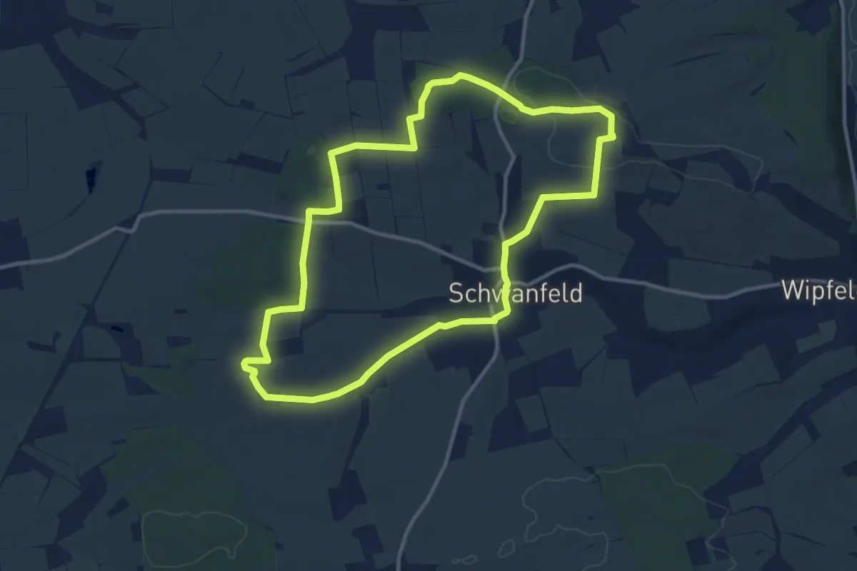
Medium · Summit
Kembachweg Schwanfeld
10.2 km · ↑ 123 m · 2 h 48 min
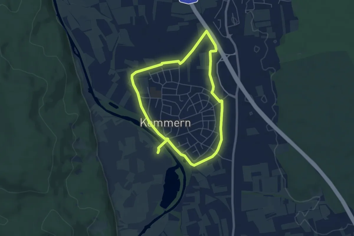
Easy · Trail
Kemmern Dammrunde
4.8 km · ↑ 4 m · 1 h 13 min
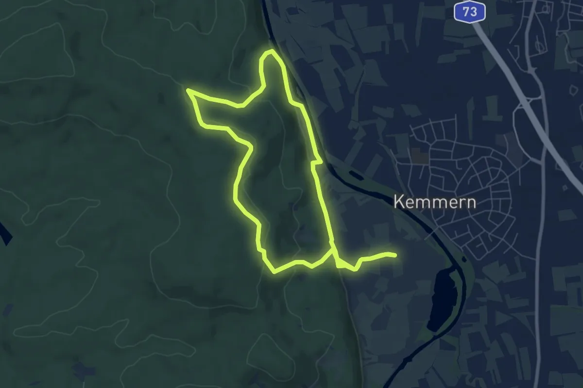
Easy · Trail
Kemmern Helenkapelle (K 2)
6.8 km · ↑ 175 m · 2 h 4 min
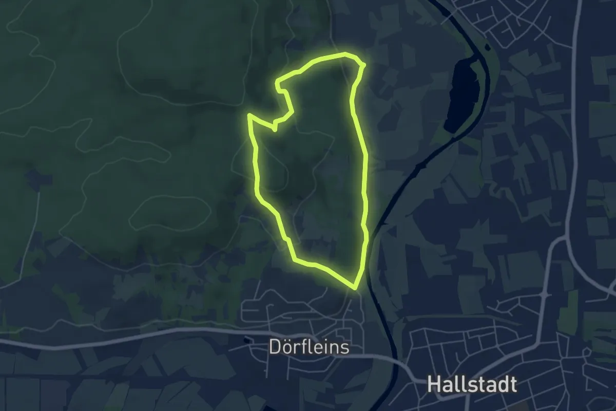
Easy · Summit
Kemmern Kreuzbergrunde
4.4 km · ↑ 142 m · 1 h 24 min
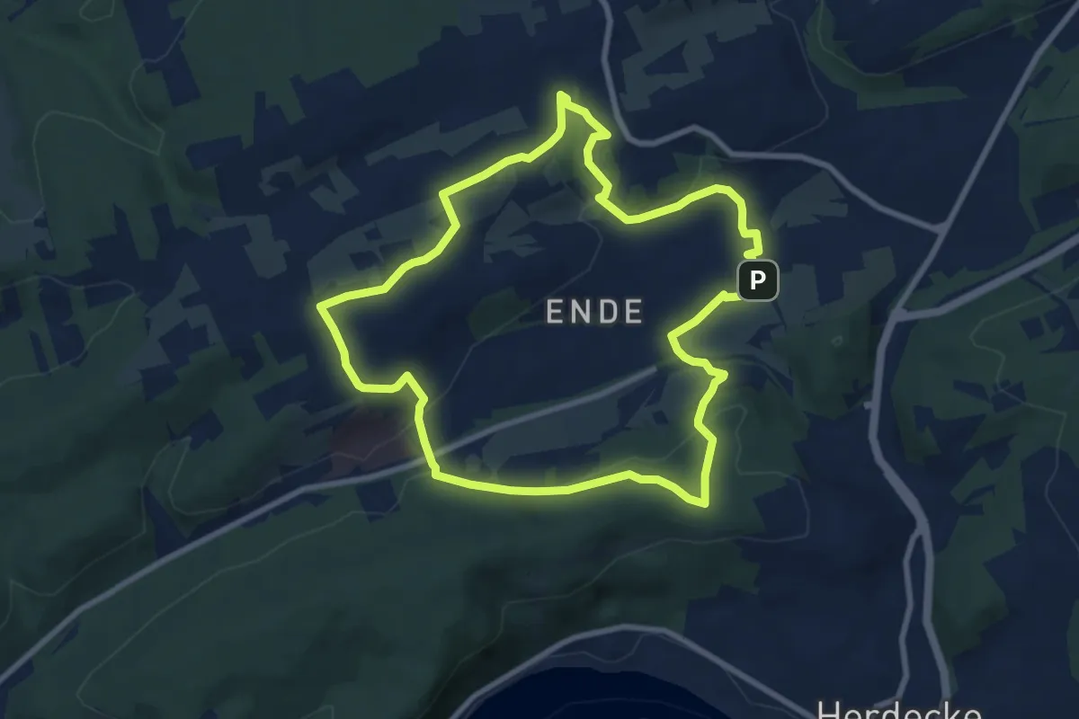
Easy · Trail
Kemnade Rundweg A2
7.3 km · ↑ 157 m · 2 h 10 min
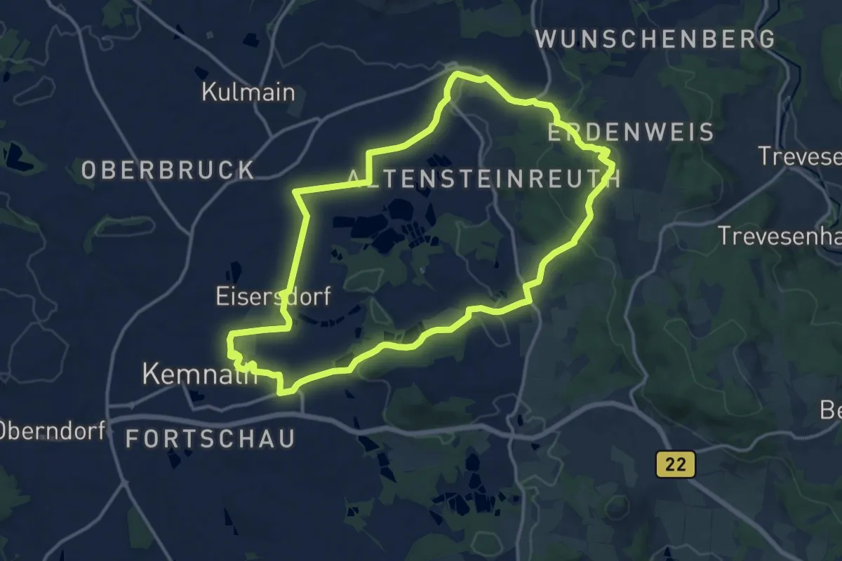
Medium · Summit
Kemnather Rundwanderweg Nr. 1
12.5 km · ↑ 275 m · 3 h 43 min
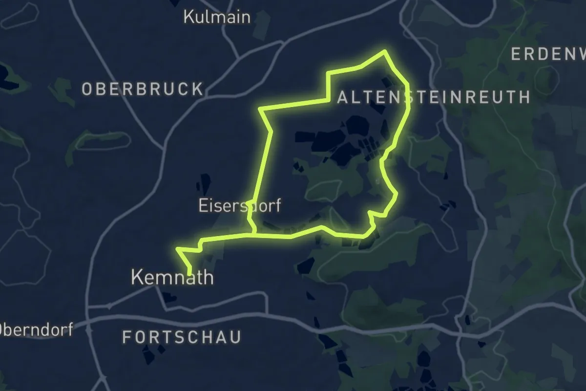
Medium · Trail
Kemnather Rundwanderweg Nr. 3
16.6 km · ↑ 101 m · 4 h 8 min
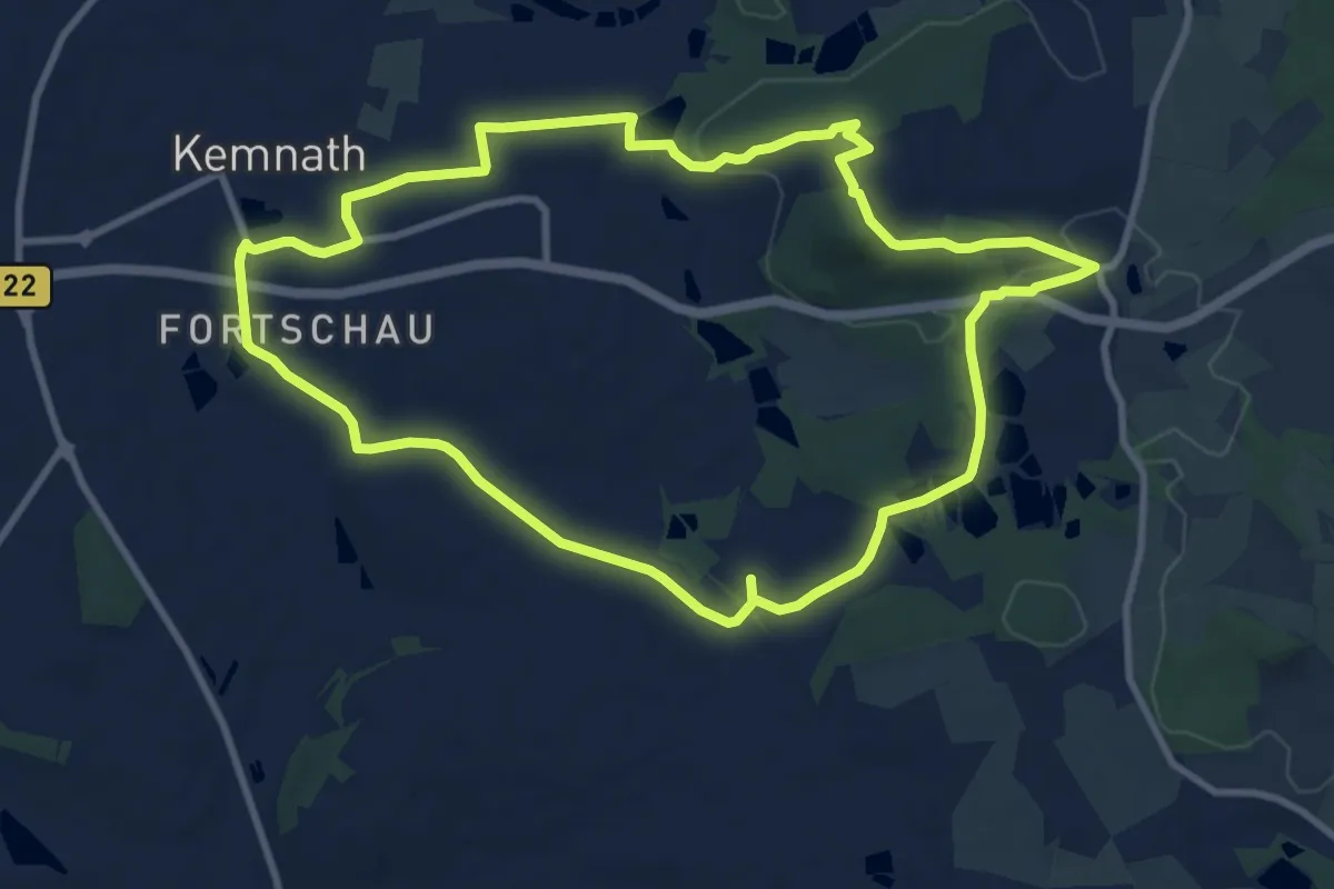
Medium · Summit
Kemnather Rundwanderweg Nr. 4
9.4 km · ↑ 114 m · 2 h 36 min
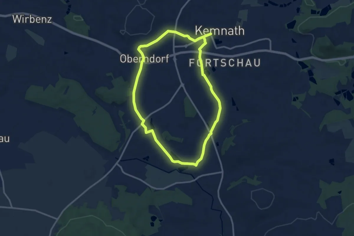
Easy · Trail
Kemnather Rundwanderweg Nr. 5
7.9 km · ↑ 59 m · 2 h 6 min
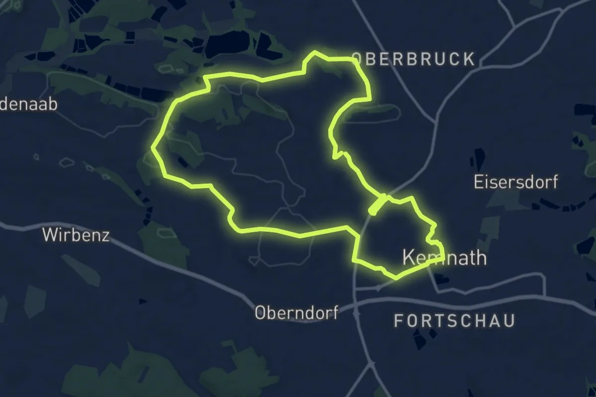
Medium · Trail
Kemnather Rundwanderweg Nr. 6
10.5 km · ↑ 86 m · 2 h 48 min
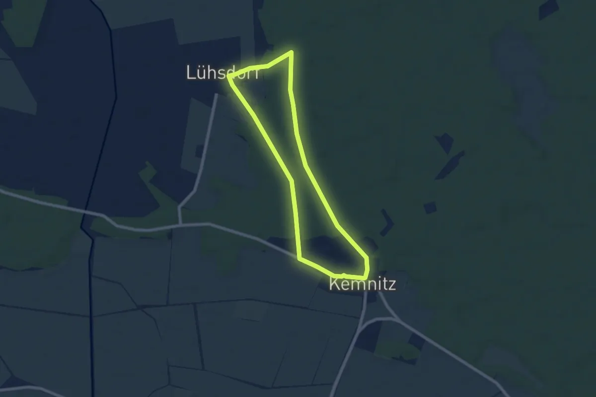
Easy · Trail
Kemnitzer Rundweg
5.5 km · ↑ 22 m · 1 h 26 min
Easy · Trail
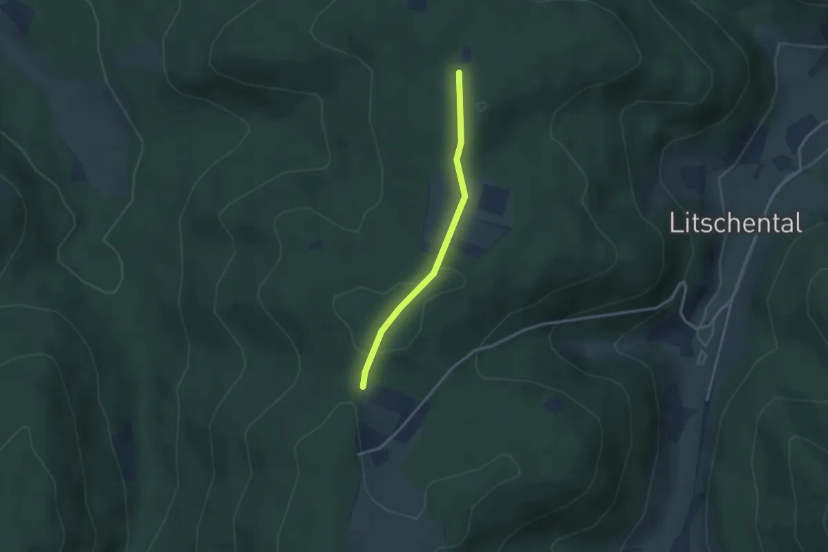
Kempfenbühl - Karlsbänke
2.4 km · ↑ 44 m · 39 min
Medium · Trail
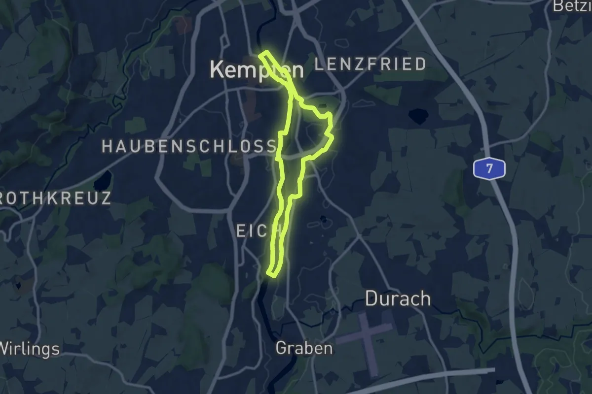
Kempten: Entlang der Iller
8.1 km · ↑ 84 m · 2 h 13 min
Easy · Trail
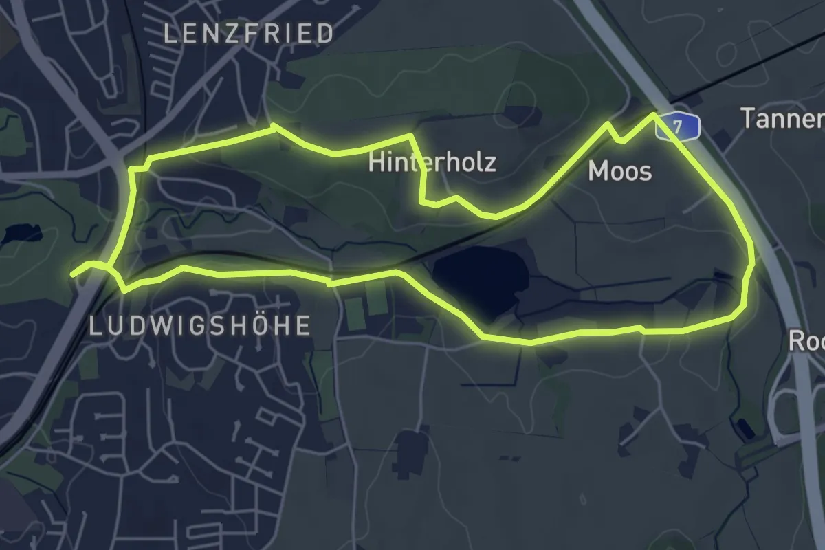
Kempten: Nordic Walking - Bachtelweiher
5.3 km · ↑ 79 m · 1 h 30 min
Easy · Trail
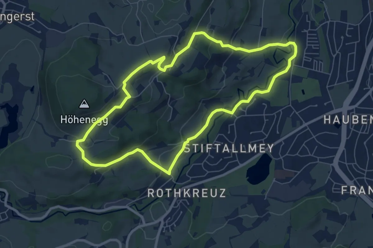
Kempten: Nordic Walking - Mariaberg
6.5 km · ↑ 209 m · 2 h 5 min
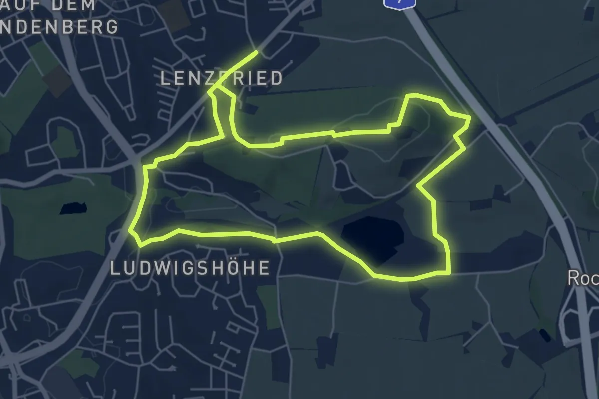
Easy · Trail
Kempten: Rundtour nördlicher Alpenrand
5.6 km · ↑ 83 m · 1 h 34 min
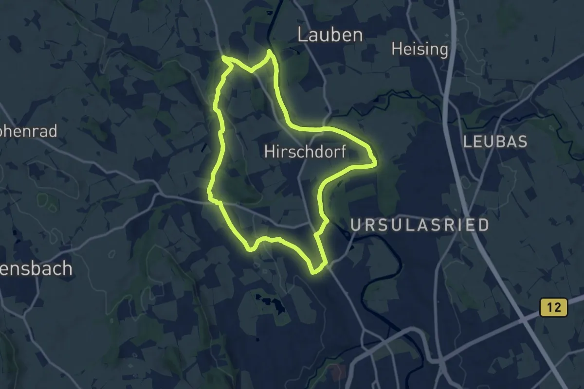
Medium · Trail
Kempten: Rund um Hirschdorf
11.1 km · ↑ 71 m · 2 h 56 min
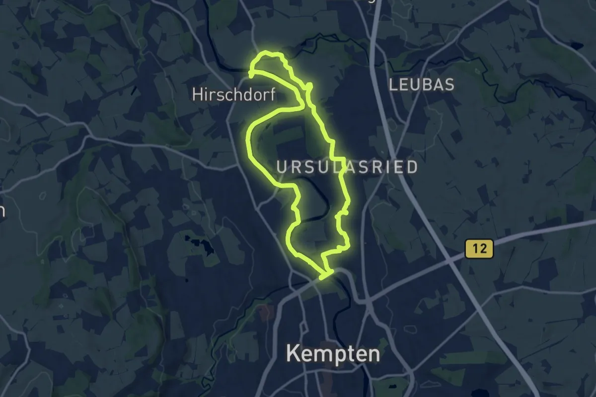
Medium · Trail
Kempten: Rundweg am Illerbogen
11.2 km · ↑ 50 m · 2 h 54 min
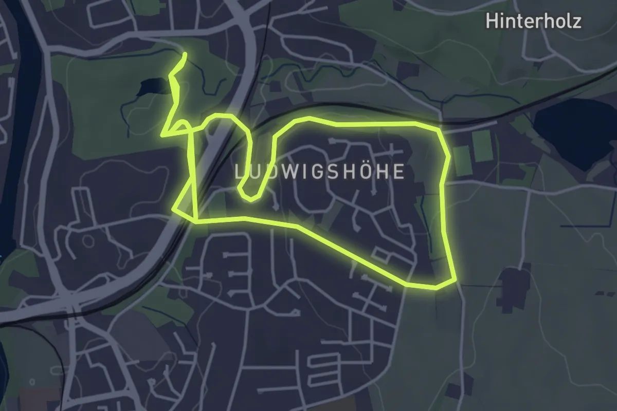
Easy · Trail
Kempten: Rundweg Kempten-Ost
4.6 km · ↑ 58 m · 1 h 16 min