Trails in Germany
36,852 hiking trails, each with its route, climb, walking time and grade.
All trails, page 286 of 768
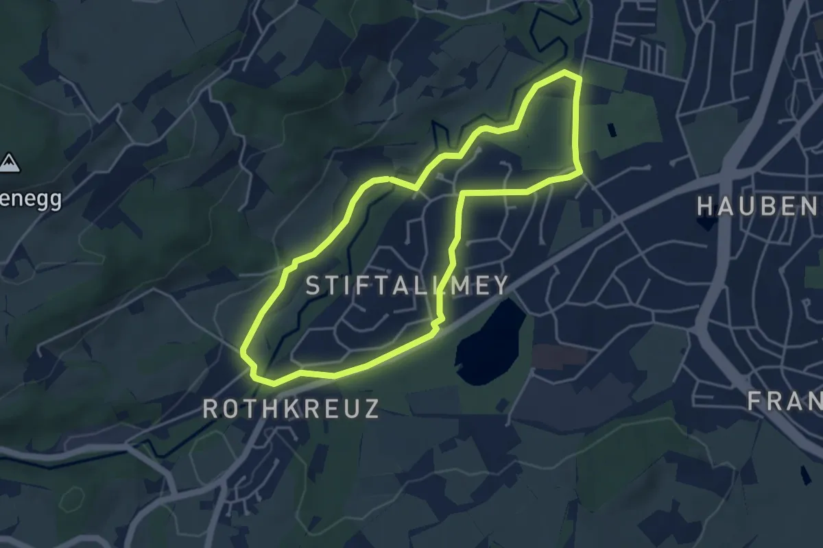
Easy · Trail
Kempten: Rundweg Kempten-West
4.0 km · ↑ 35 m · 1 h 4 min
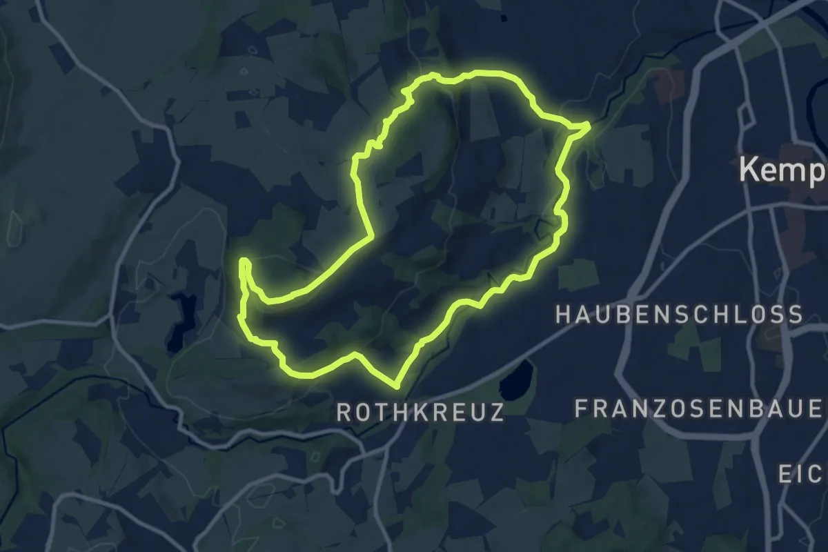
Medium · Summit
Kempten: Weitblick - Bergpanorama-Wanderung
9.5 km · ↑ 254 m · 2 h 56 min
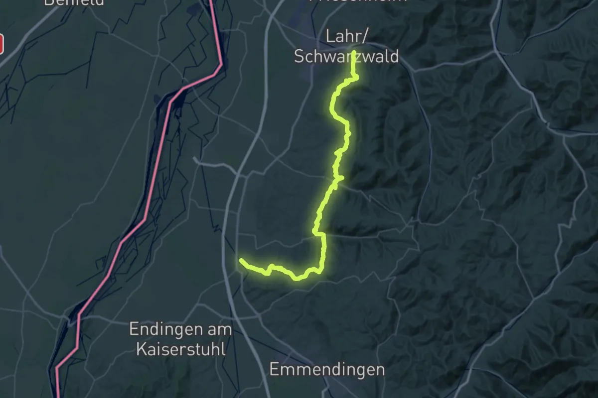
Demanding · Trail
Kenzingen - Lahr
30.2 km · ↑ 916 m · 9 h 31 min
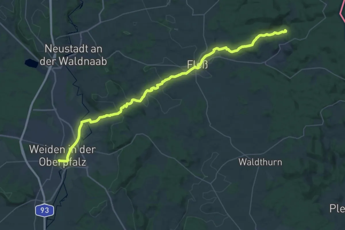
Demanding · Summit
Keplerpfad
38.6 km · ↑ 705 m · 10 h 38 min
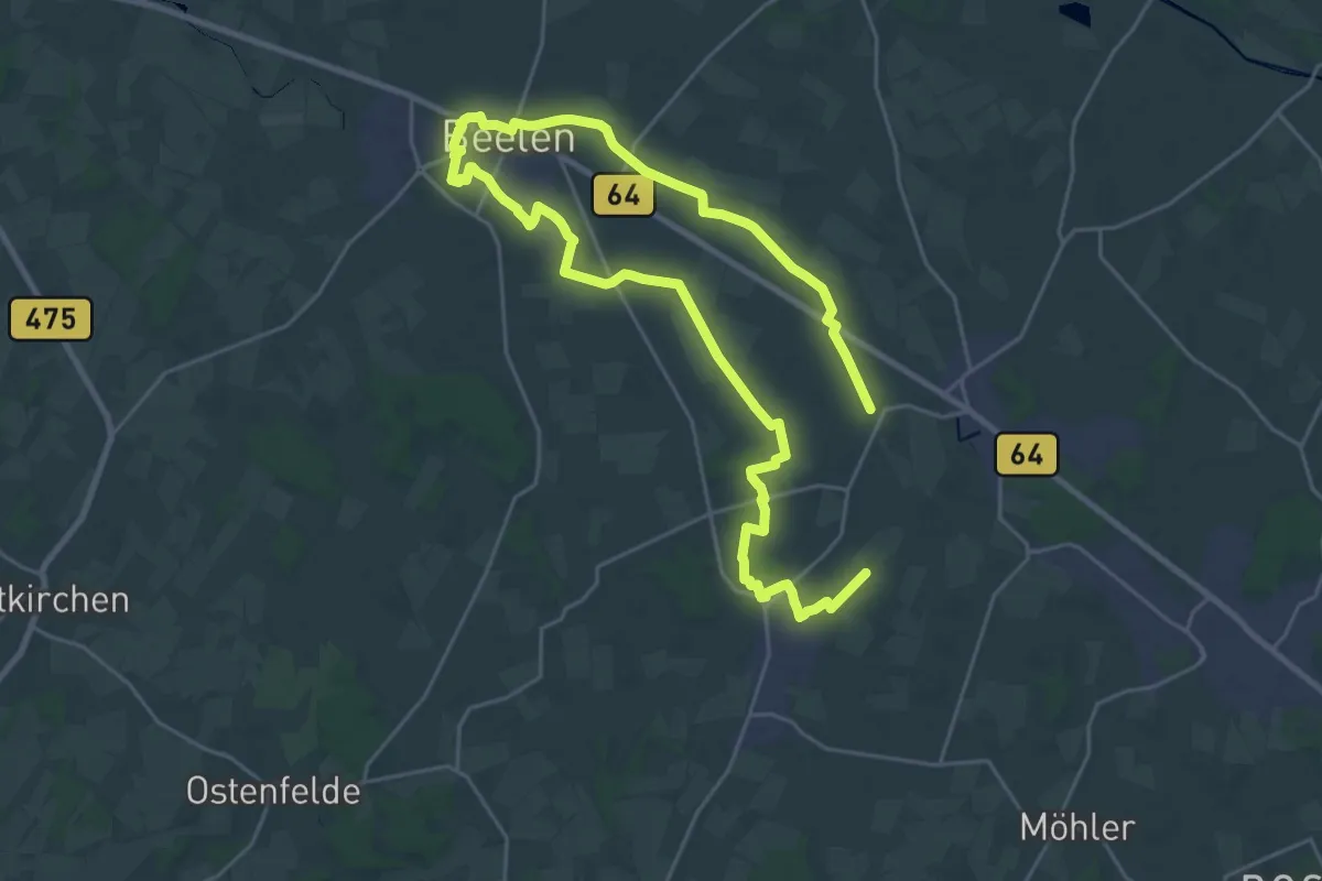
Medium · Trail
Kerkherrenweg
17.4 km · ↑ 31 m · 4 h 24 min
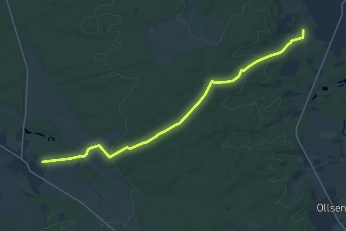
Medium · Trail
Kerkstieg
12.9 km · ↑ 143 m · 3 h 21 min
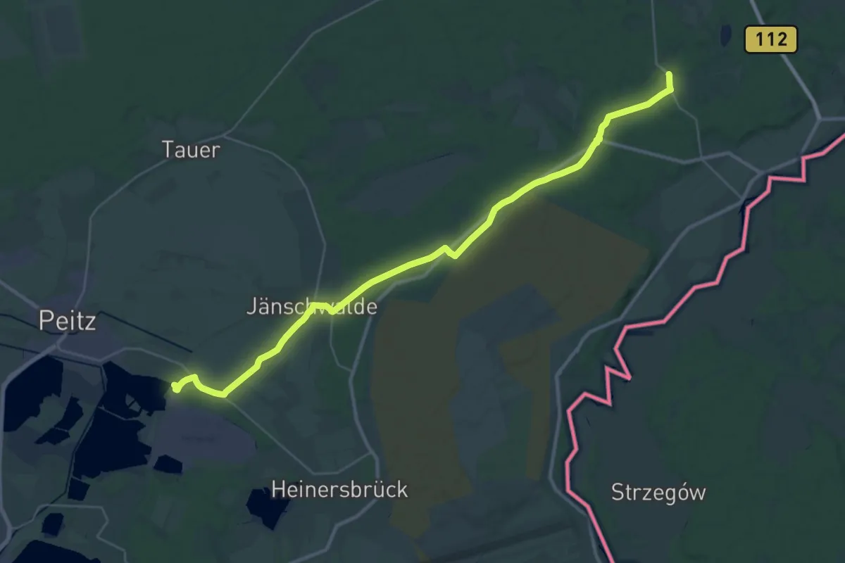
Demanding · Trail
Kerkwitz - Peitz
32.6 km · ↑ 80 m · 7 h 53 min
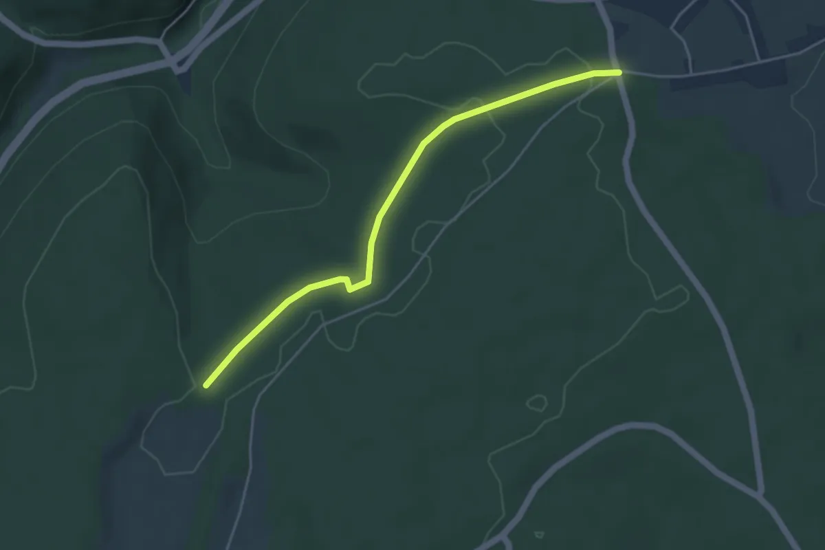
Easy · Trail
Kernenmüsse - Schindelhardt
4.0 km · ↑ 71 m · 1 h 7 min
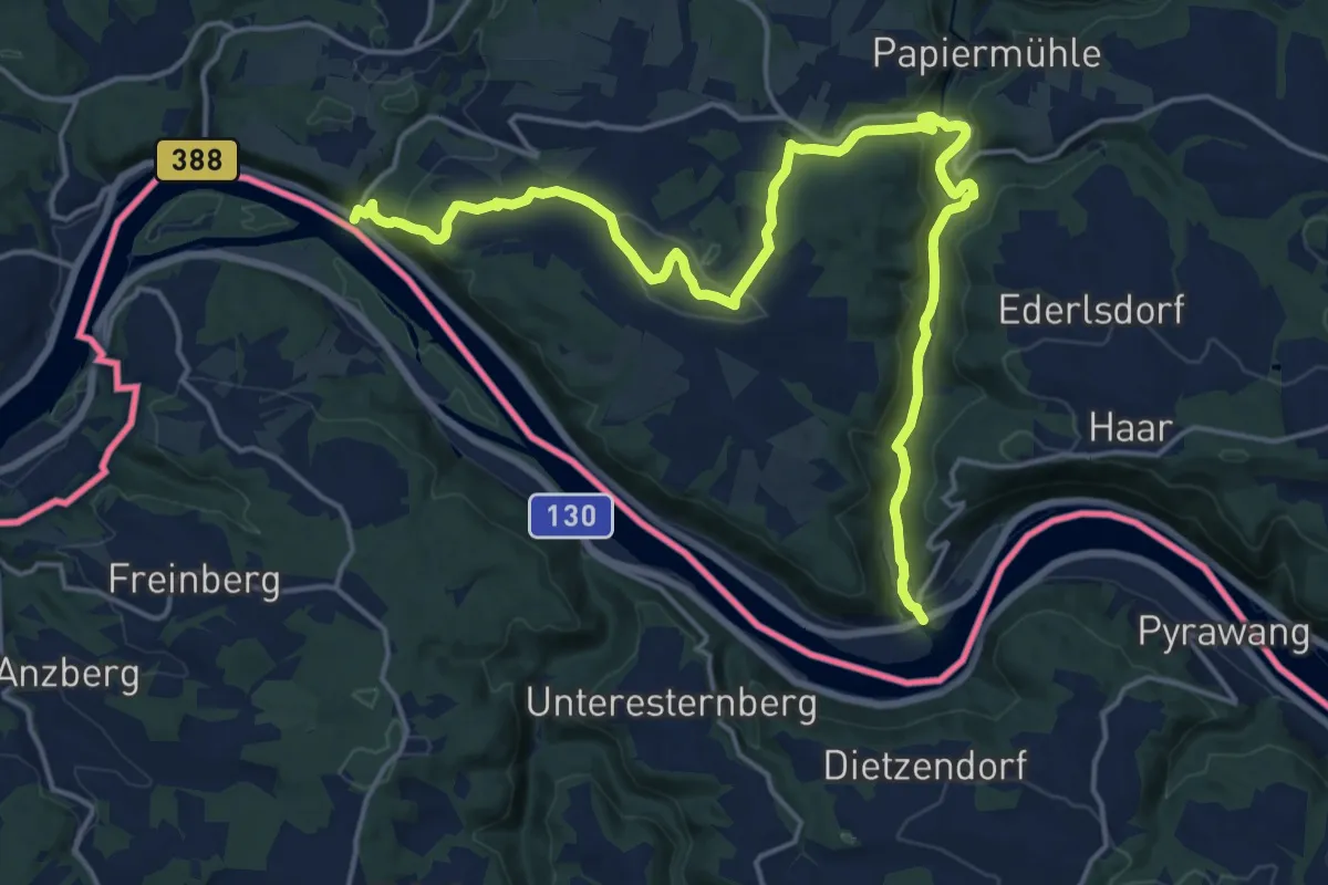
Demanding · Trail
Kernmühle - Kellberg - Erlau
20.7 km · ↑ 585 m · 6 h 9 min
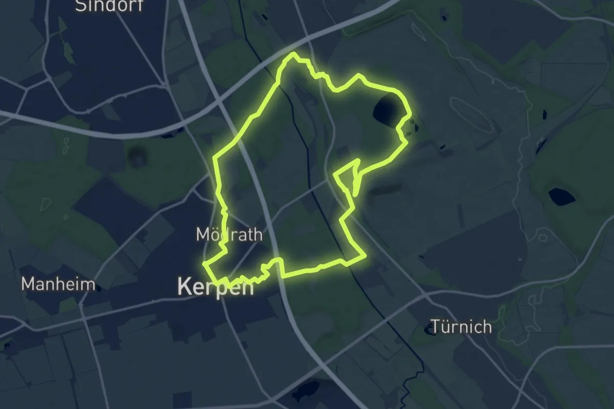
Medium · Trail
Kerpen Rundweg K1
14.0 km · ↑ 52 m · 3 h 37 min
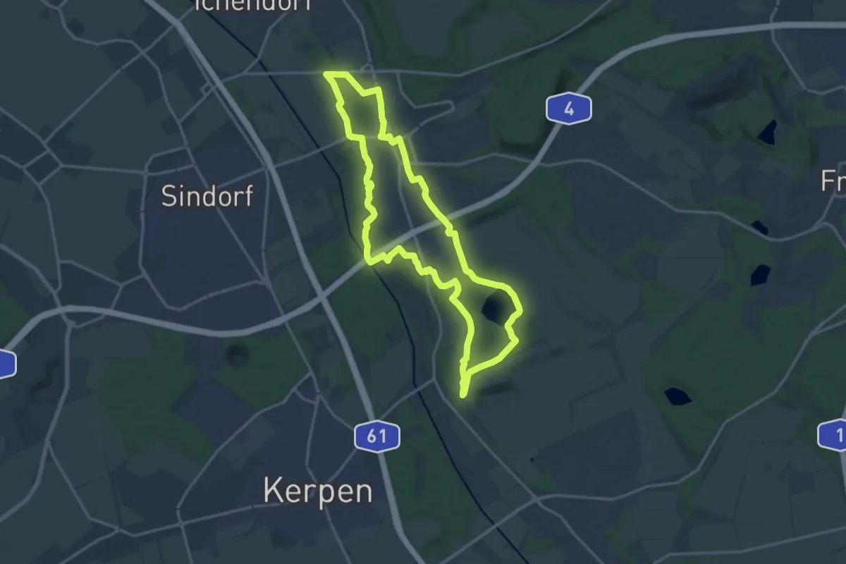
Medium · Trail
Kerpen Rundweg K10
13.8 km · ↑ 41 m · 3 h 32 min
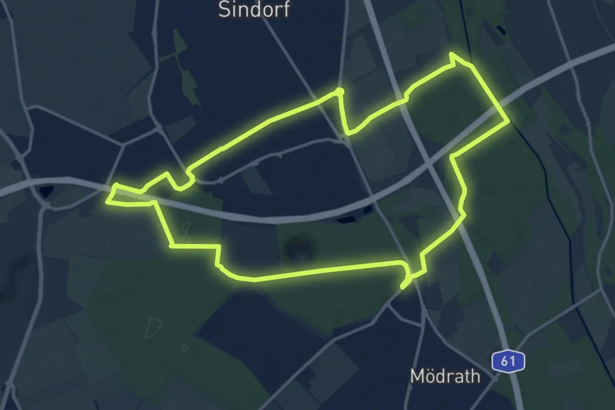
Medium · Trail
Kerpen Rundweg K11
11.3 km · ↑ 52 m · 2 h 56 min
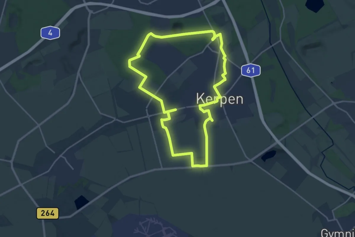
Medium · Trail
Kerpen Rundweg K2
13.3 km · ↑ 46 m · 3 h 26 min
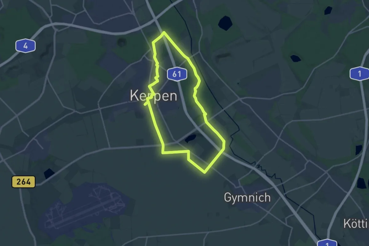
Medium · Trail
Kerpen Rundweg K3
13.6 km · ↑ 29 m · 3 h 28 min
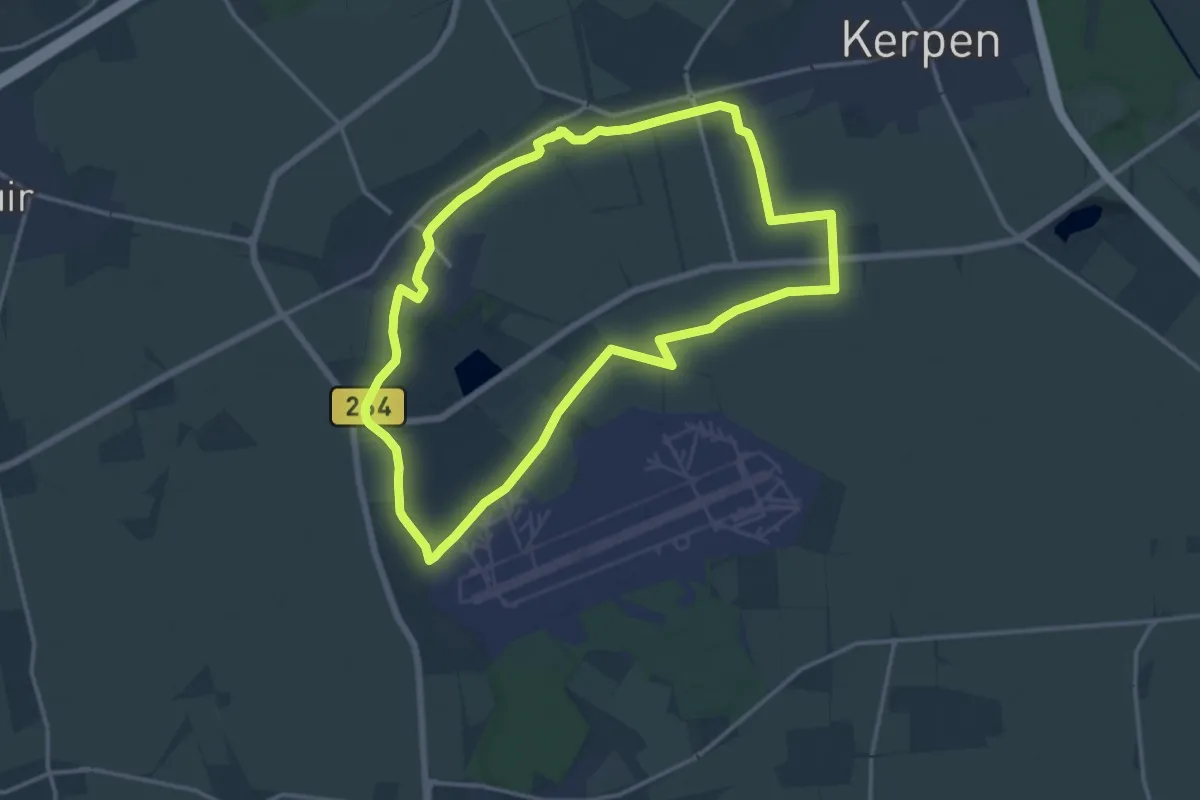
Medium · Trail
Kerpen Rundweg K4
13.5 km · ↑ 36 m · 3 h 27 min
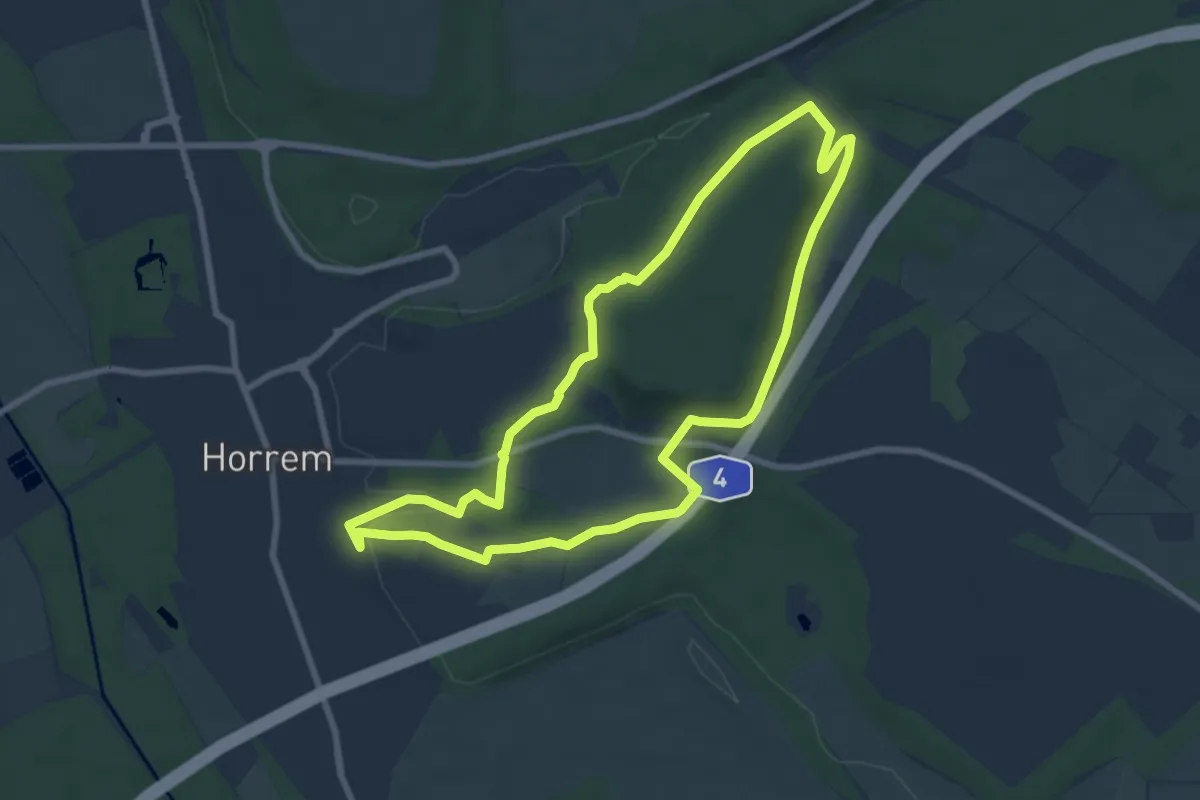
Easy · Trail
Kerpen Rundweg K6
7.2 km · ↑ 92 m · 2 h 1 min
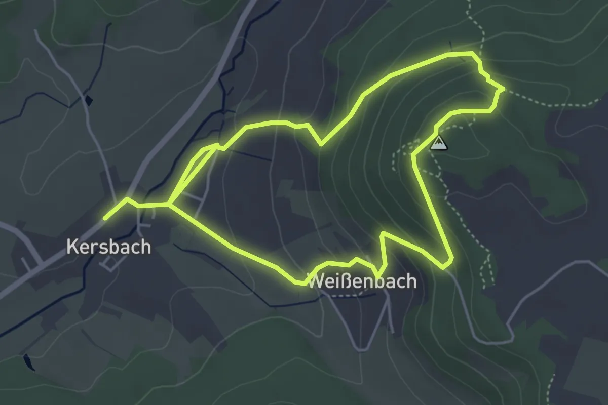
Medium · Trail
Kersbacher Rundweg
4.1 km · ↑ 208 m · 1 h 29 min
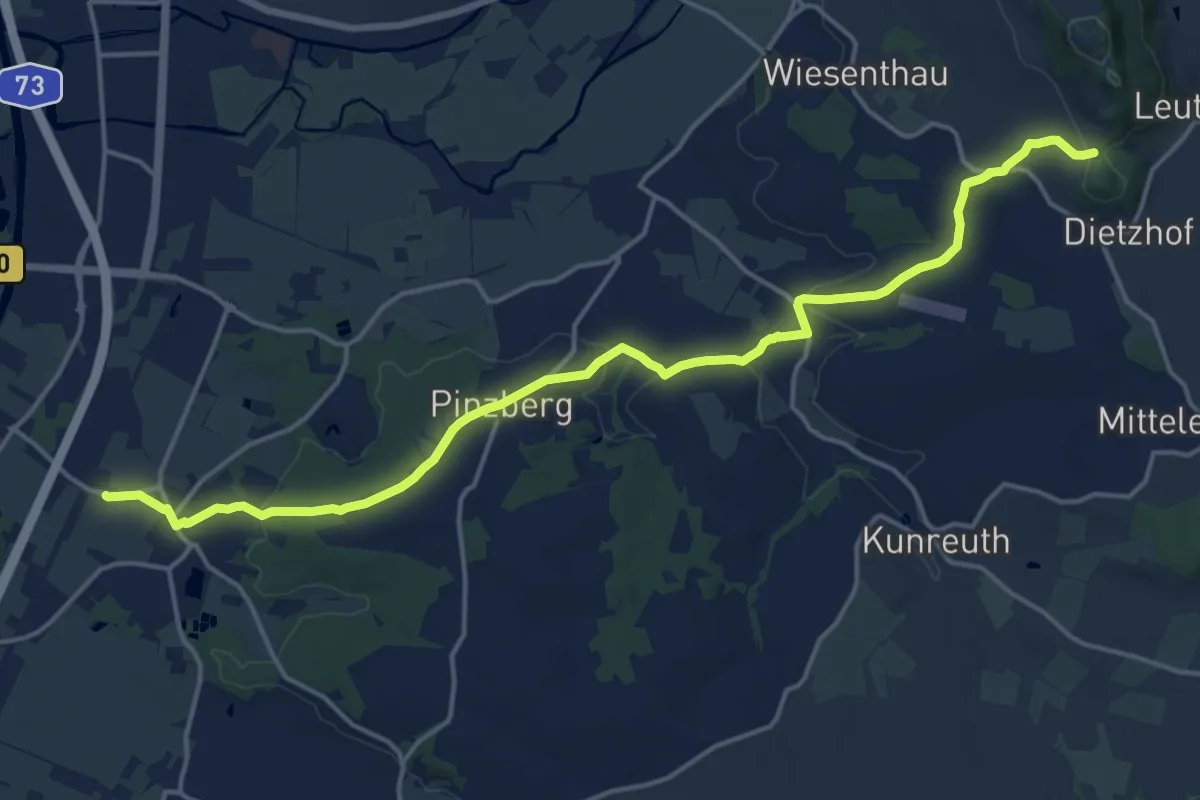
Medium · Trail
Kersbach-Schlaifhausen
17.3 km · ↑ 311 m · 4 h 46 min
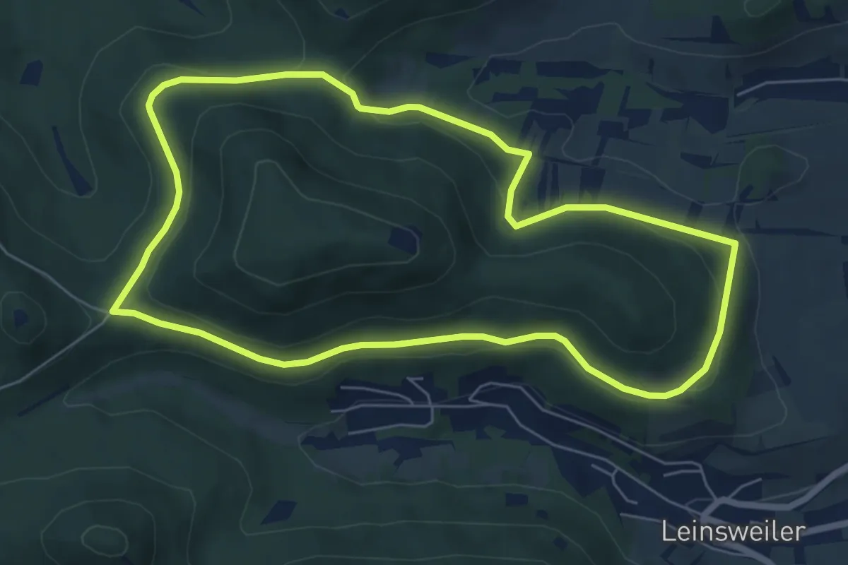
Easy · Trail
Keschde Erlebnisweg
6.0 km · ↑ 121 m · 1 h 46 min
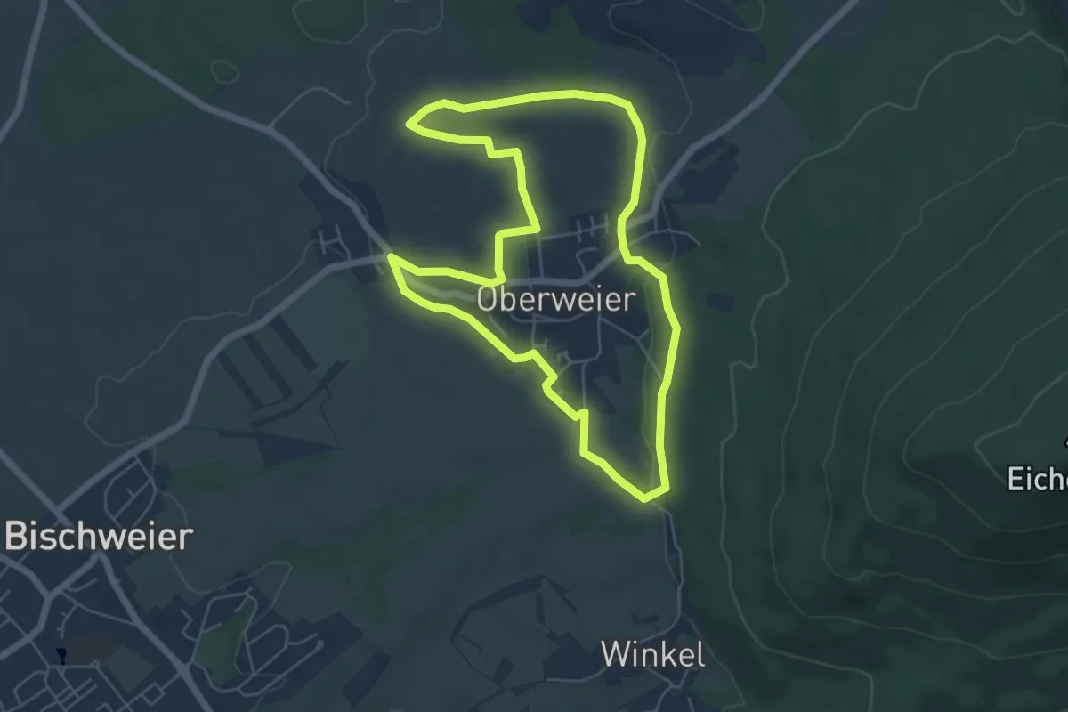
Easy · Trail
Keschtweg
5.4 km · ↑ 90 m · 1 h 33 min
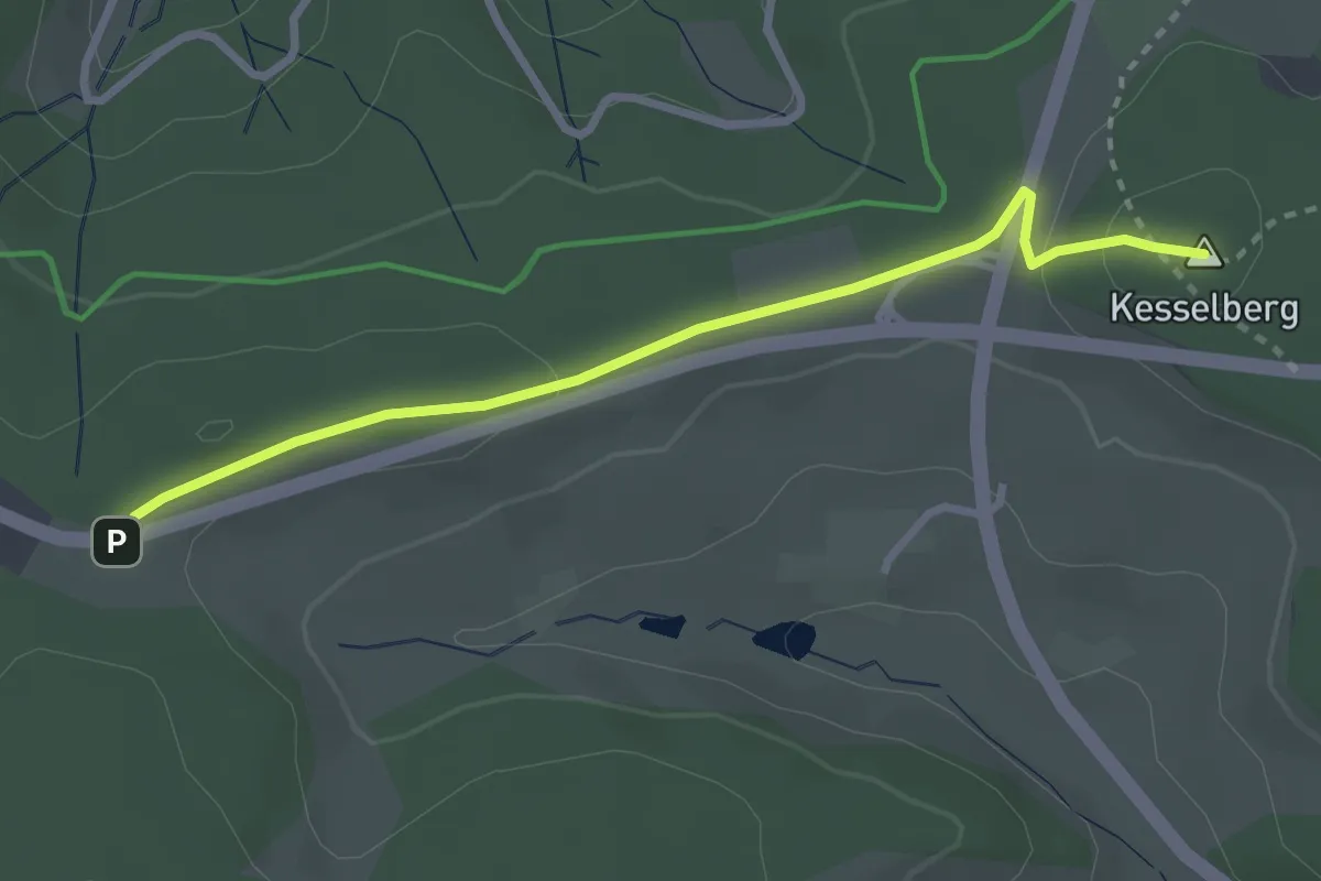
Easy · Summit
Kesselberg - Am Galgen
2.8 km · ↑ 42 m · 46 min
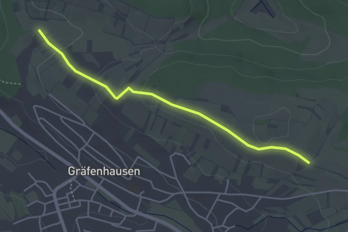
Easy · Trail
Kesselberg - Aspenäule
3.7 km · ↑ 68 m · 1 h 1 min
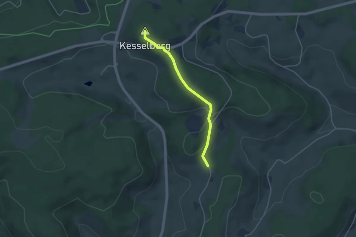
Easy · Summit
Kesselberg - Doldenhäusle
2.8 km · ↑ 69 m · 49 min
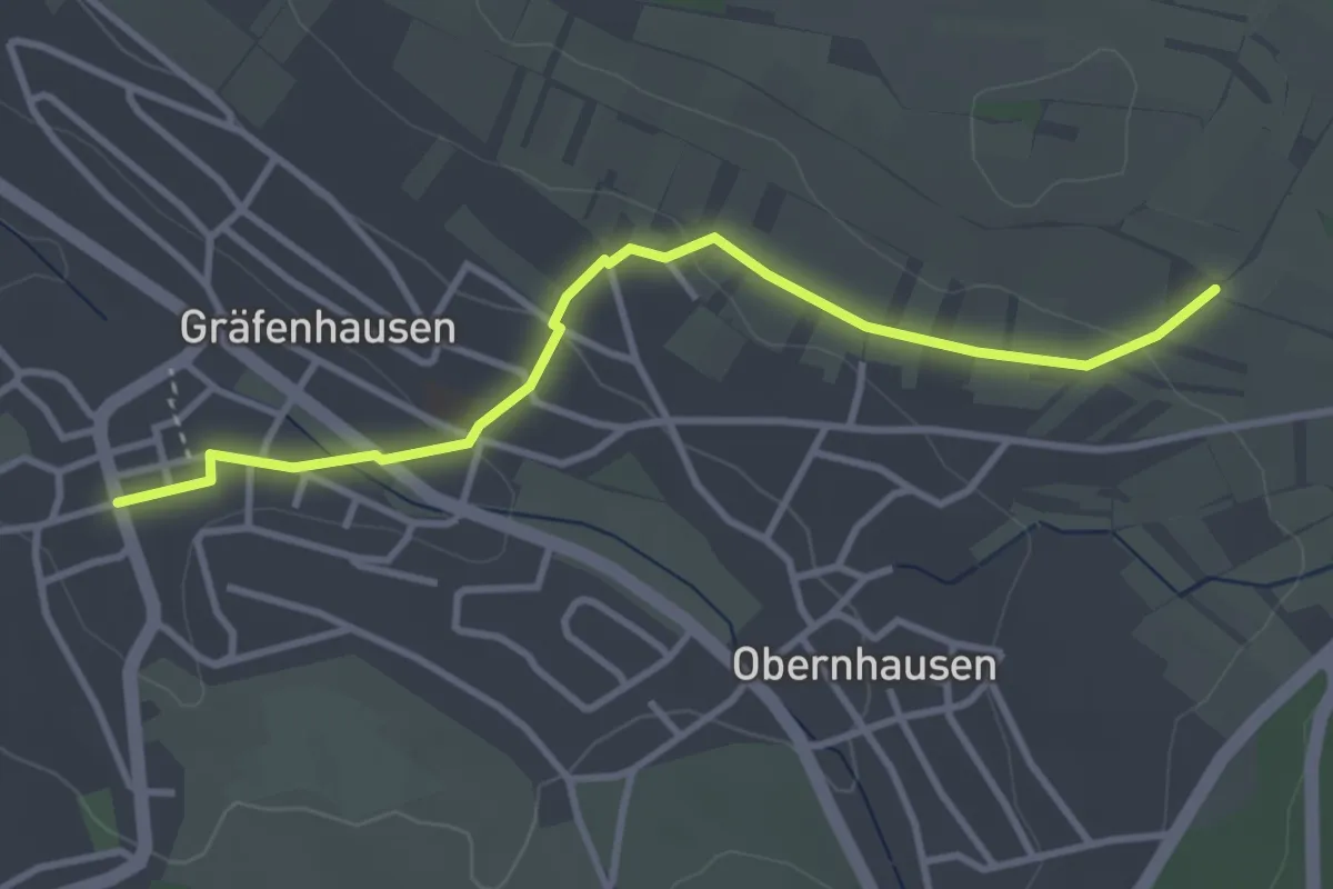
Easy · Trail
Kesselberg - Gräfenhausen Sixtdenkmal
3.4 km · ↑ 79 m · 58 min
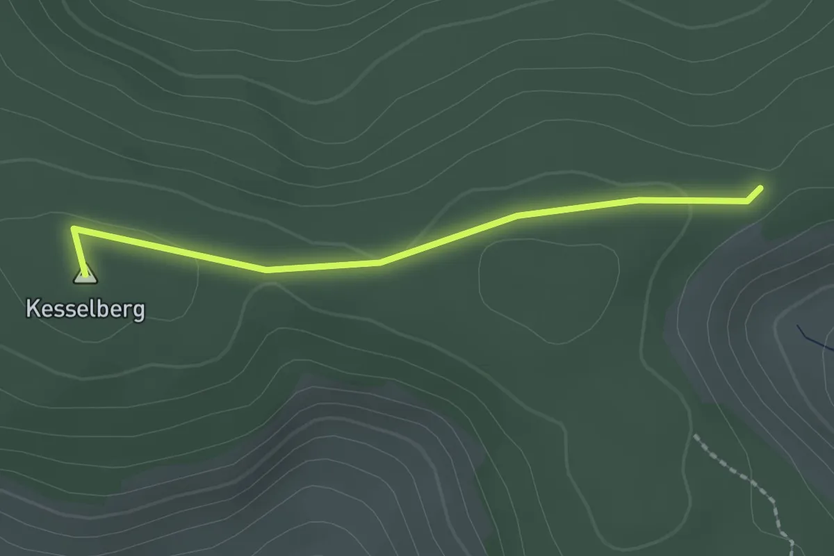
Easy · Summit
Kesselberg - Jahrgangskreuz
1.8 km · ↑ 36 m · 30 min
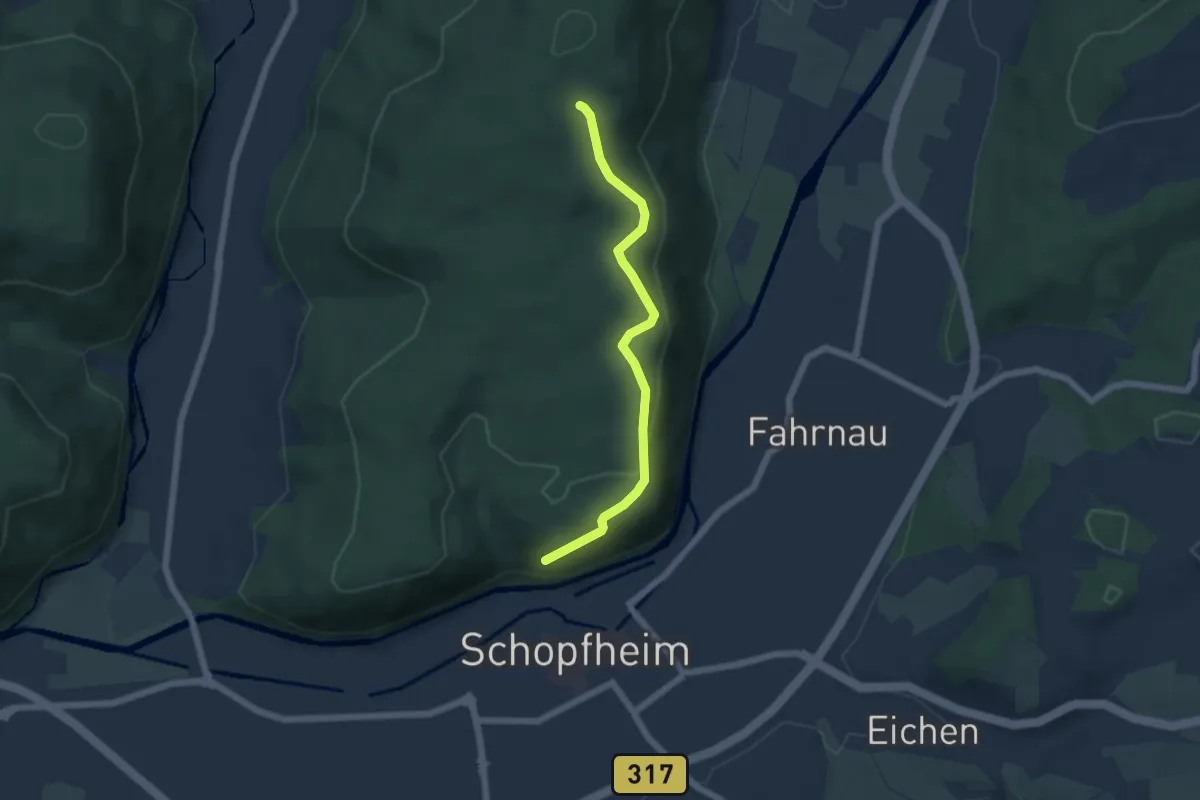
Easy · Trail
Kesselboden - Ob der Altstadt
5.0 km · ↑ 168 m · 1 h 33 min
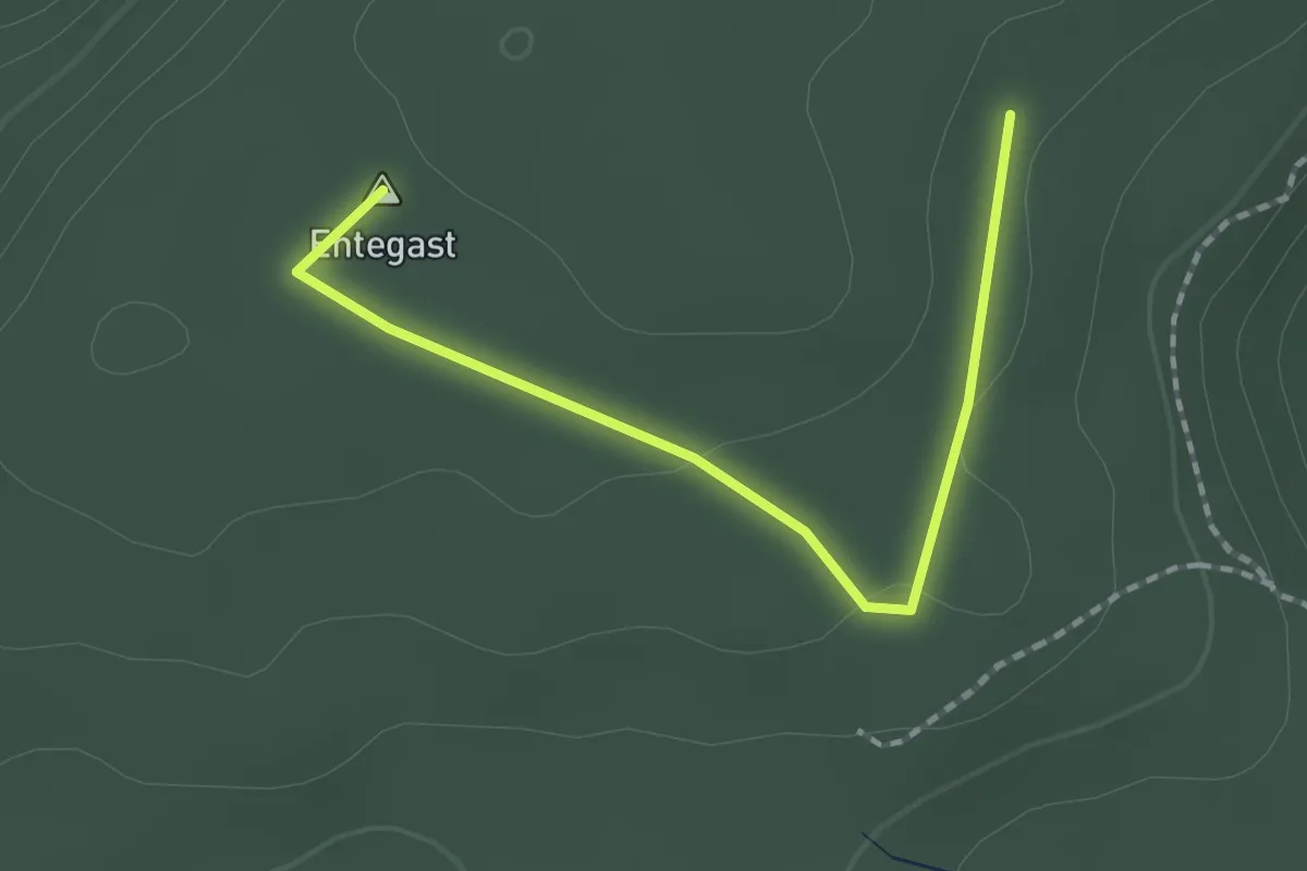
Easy · Summit
Kesselboden - Oberer Eichbühlweg
1.9 km · ↑ 23 m · 29 min
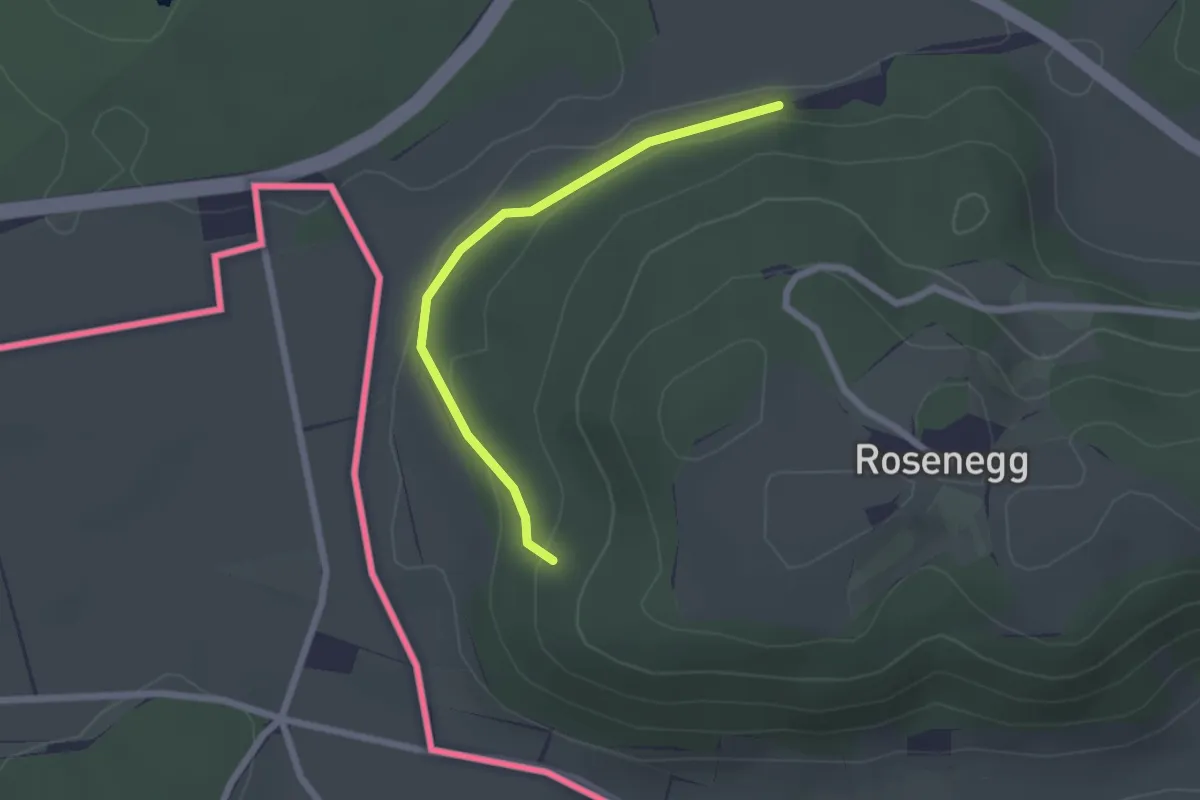
Easy · Trail
Kesselbrunnen - Hinter dem Berg
2.0 km · ↑ 63 m · 37 min
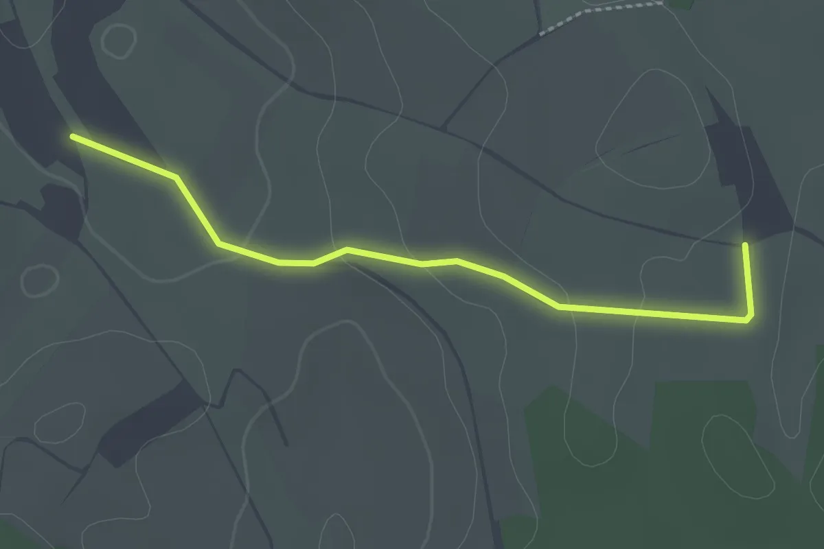
Easy · Trail
Kessel - Engelsgrund
2.4 km · ↑ 31 m · 38 min
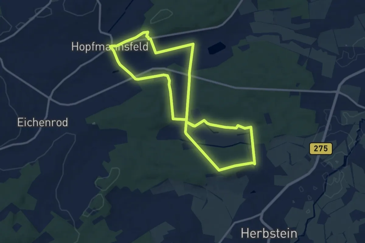
Medium · Summit
Kesselgehännesje-Tour
8.2 km · ↑ 132 m · 2 h 20 min
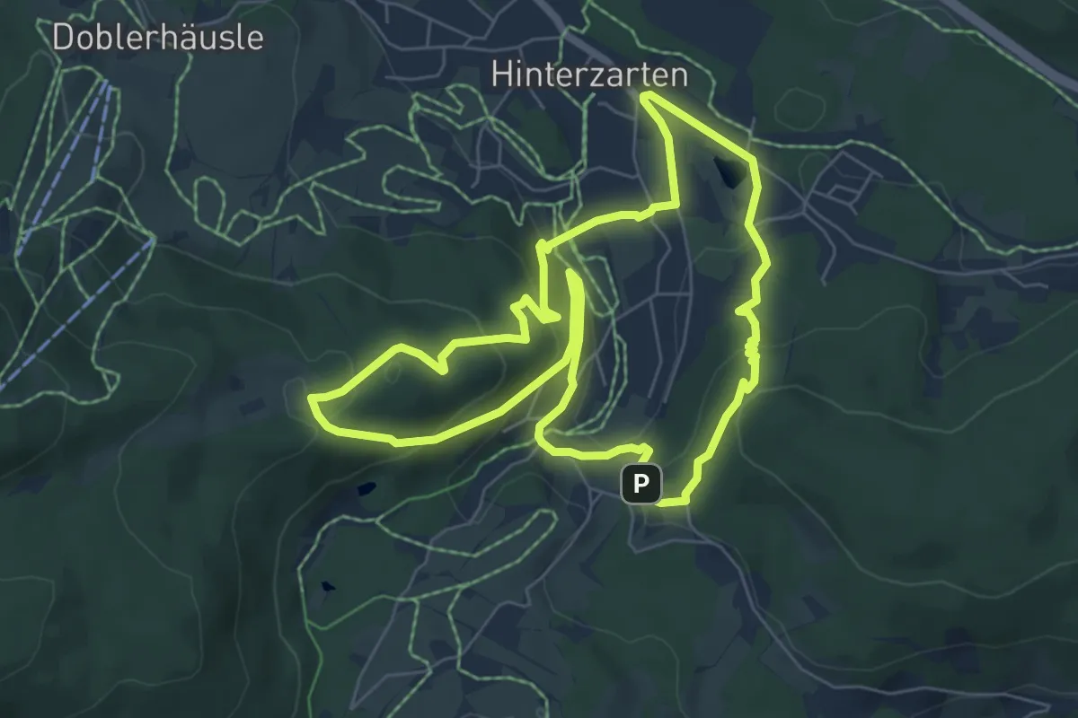
Easy · Summit
Kesslerhöhenweg
6.3 km · ↑ 290 m · 2 h 12 min
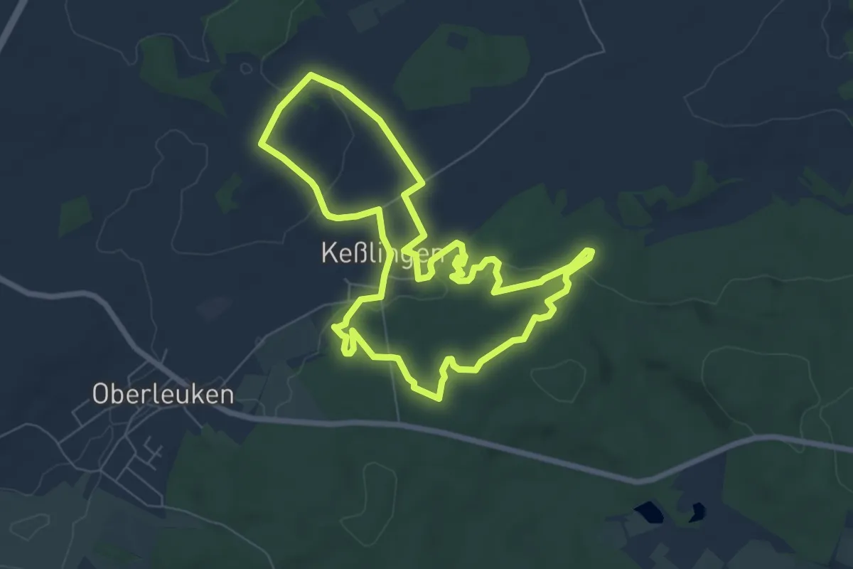
Medium · Summit
Keßlingen 1309
6.5 km · ↑ 101 m · 1 h 51 min
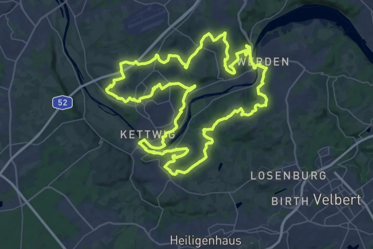
Demanding · Trail
Kettwiger Panoramasteig
34.2 km · ↑ 708 m · 10 h 5 min
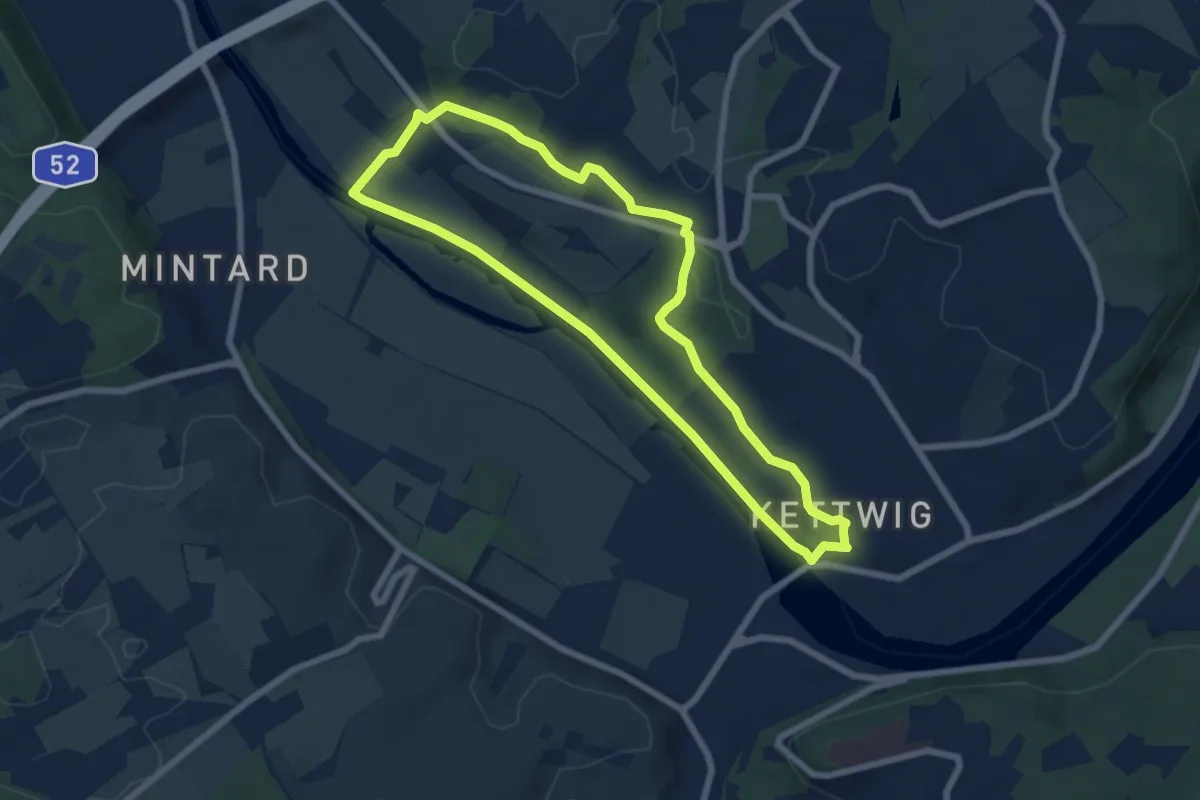
Easy · Trail
Kettwig Rundweg A1
6.0 km · ↑ 53 m · 1 h 37 min
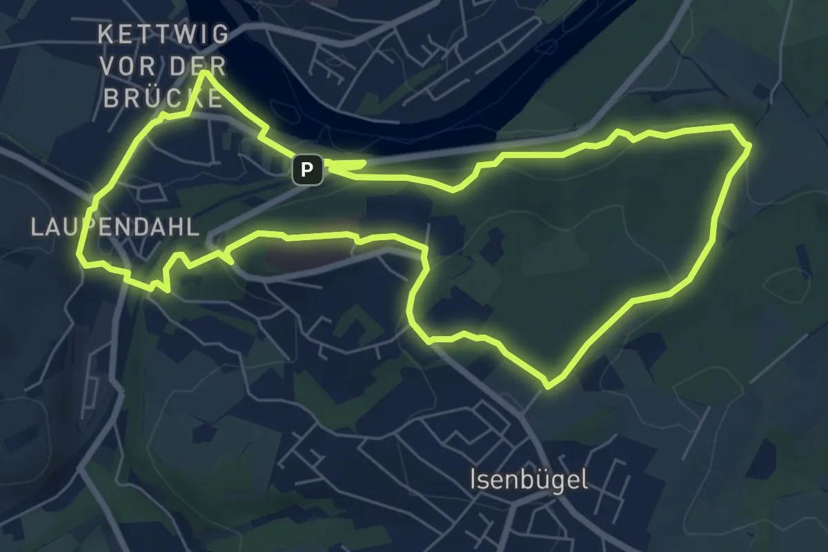
Easy · Summit
Kettwig Rundweg A2
6.7 km · ↑ 196 m · 2 h 5 min
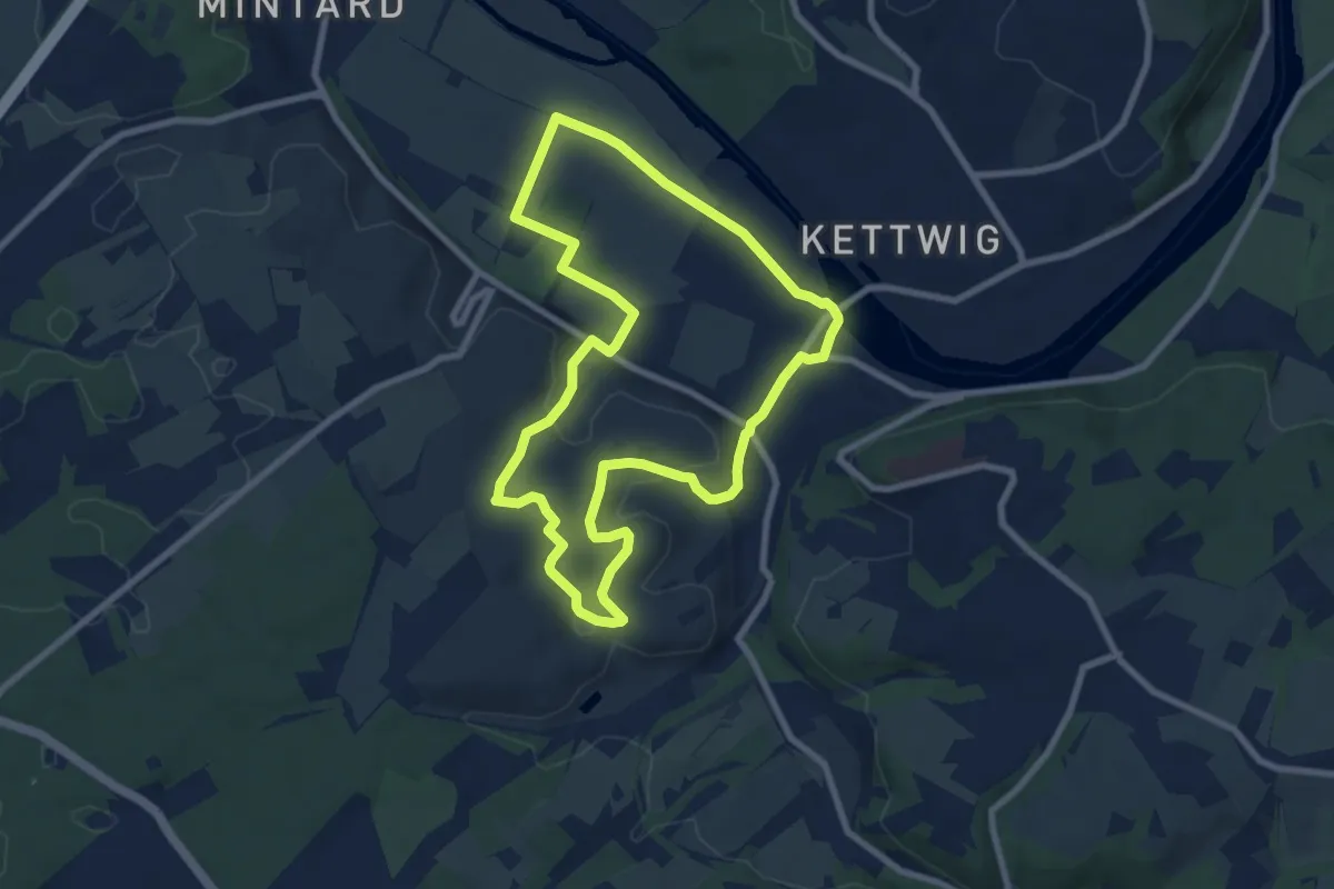
Easy · Trail
Kettwig Rundweg A3
7.2 km · ↑ 119 m · 2 h 3 min
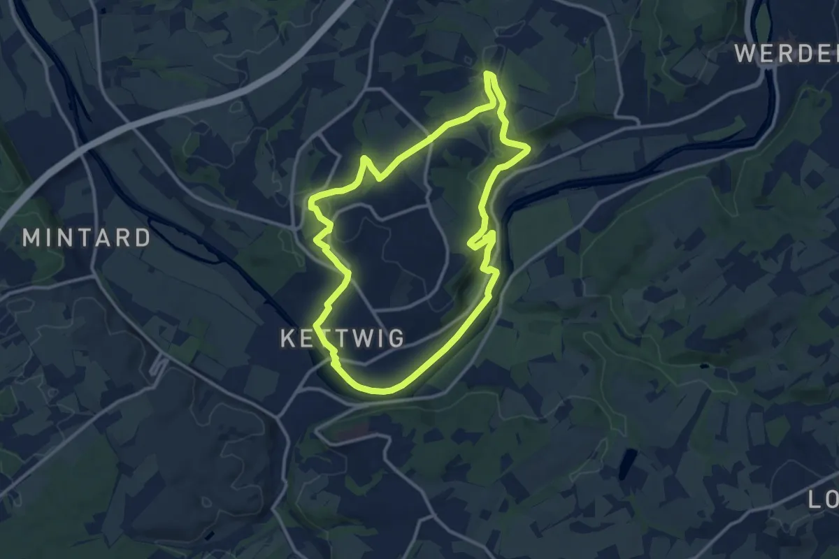
Medium · Trail
Kettwig Rundweg A4
10.1 km · ↑ 186 m · 2 h 56 min
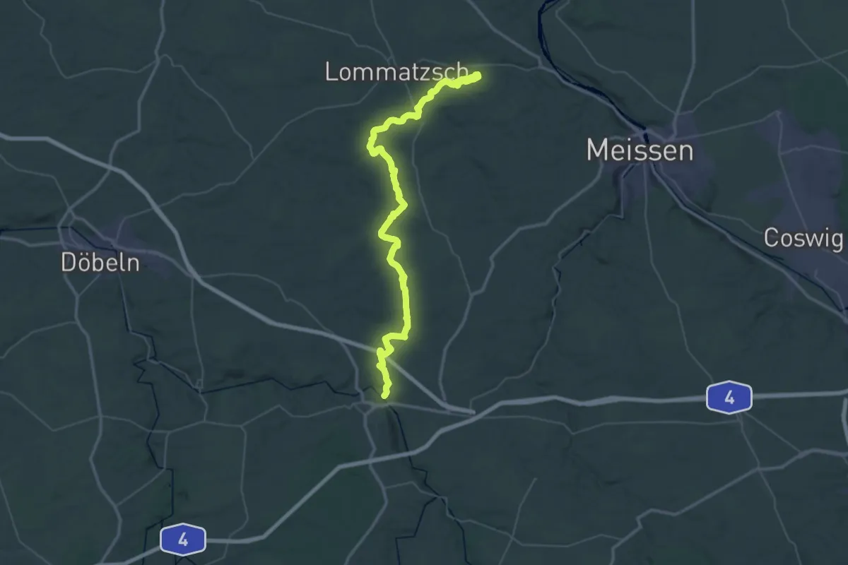
Demanding · Trail
Ketzerbachweg
24.8 km · ↑ 265 m · 6 h 43 min
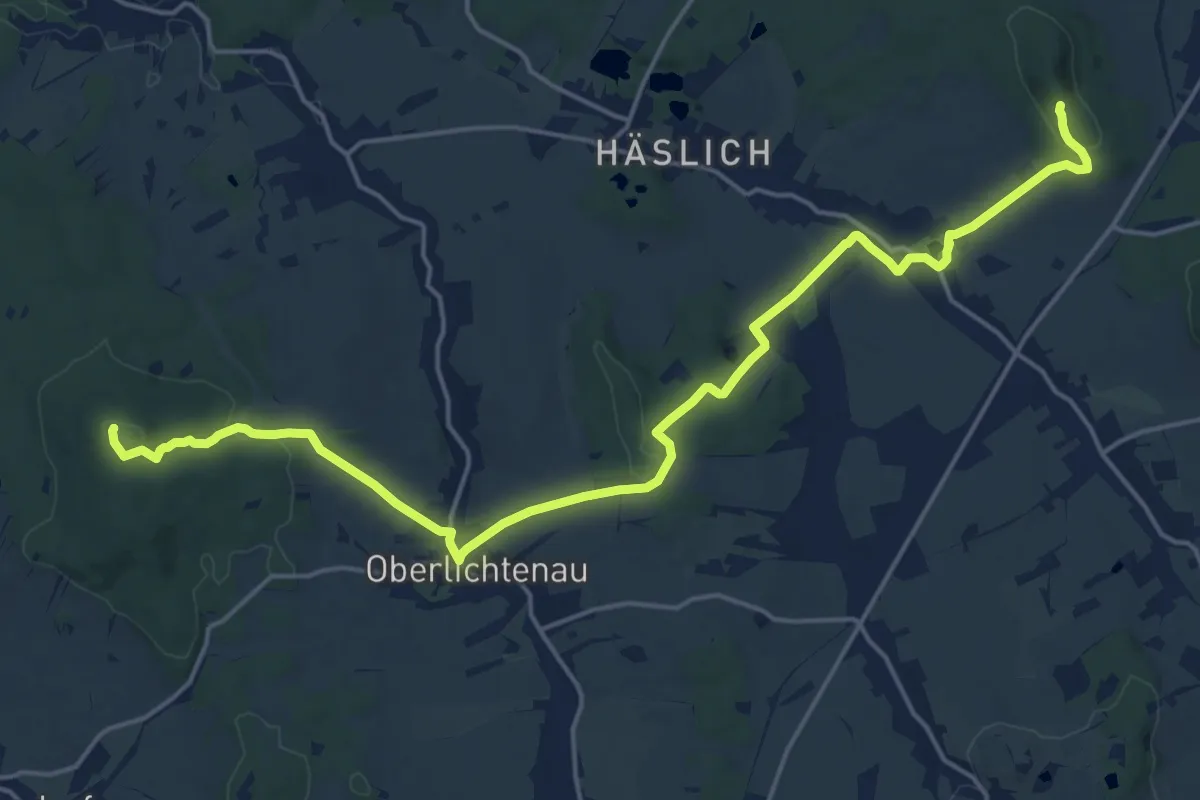
Demanding · Summit
Keulenberg - Oberlichtenau - Bischheim - Hofeberg
20.3 km · ↑ 399 m · 5 h 40 min
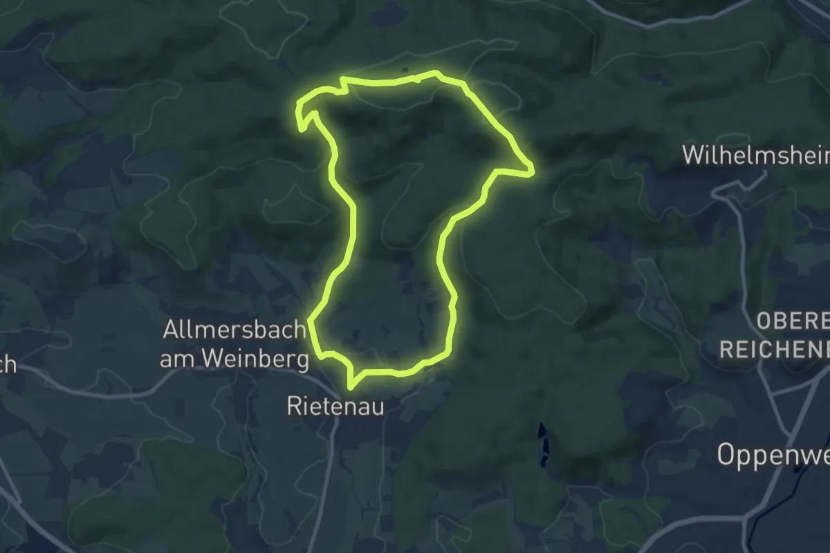
Medium · Trail
Keuperlehrpfad
8.9 km · ↑ 224 m · 2 h 42 min
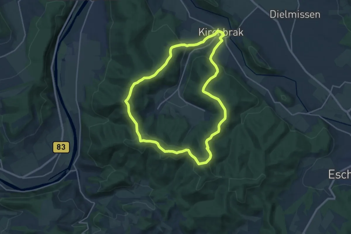
Medium · Summit
KI1 - Zum Ebersnacken
12.7 km · ↑ 460 m · 4 h 10 min
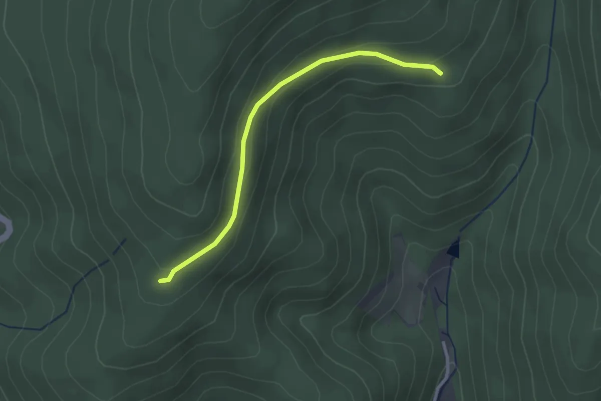
Easy · Trail
KIammacker - Sturmbühl
2.5 km · ↑ 88 m · 46 min
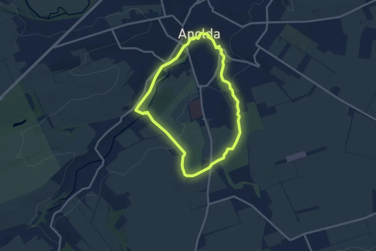
Easy · Trail
KidsTOUR
6.0 km · ↑ 64 m · 1 h 38 min
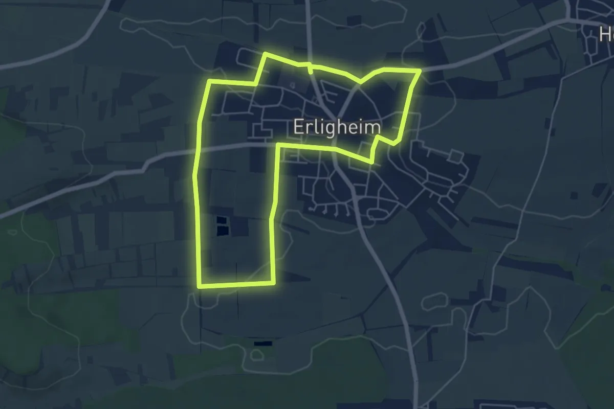
Easy · Trail
Kiebitzweg
5.0 km · ↑ 30 m · 1 h 18 min
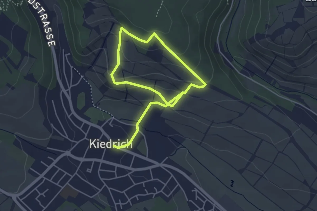
Easy · Trail
Kiedrich 1
5.6 km · ↑ 257 m · 1 h 52 min
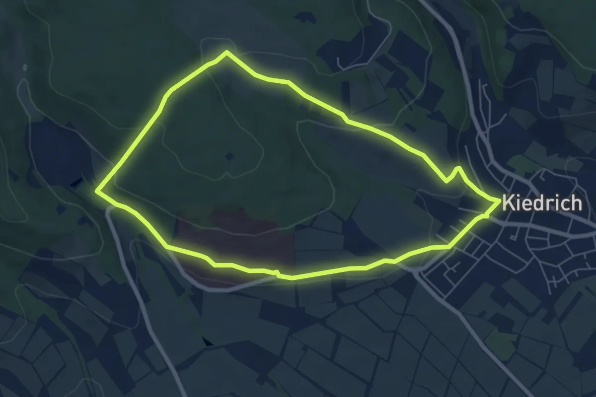
Easy · Trail
Kiedrich 10
5.4 km · ↑ 145 m · 1 h 40 min
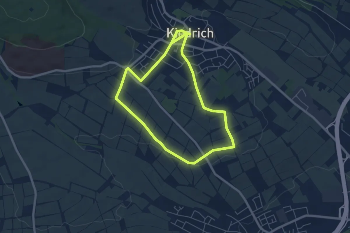
Easy · Trail
Kiedrich 11
4.7 km · ↑ 53 m · 1 h 17 min
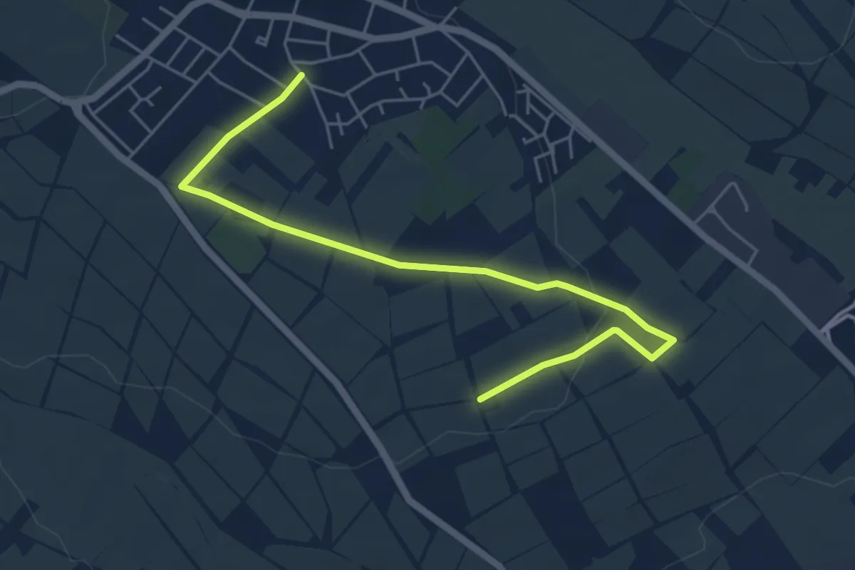
Easy · Trail
Kiedrich 11a
5.4 km · ↑ 68 m · 1 h 25 min