Trails in Germany
36,852 hiking trails, each with its route, climb, walking time and grade.
All trails, page 287 of 768
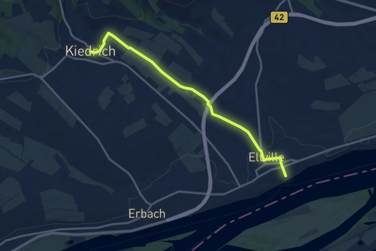
Easy · Trail
Kiedrich 12
7.8 km · ↑ 77 m · 2 h 1 min
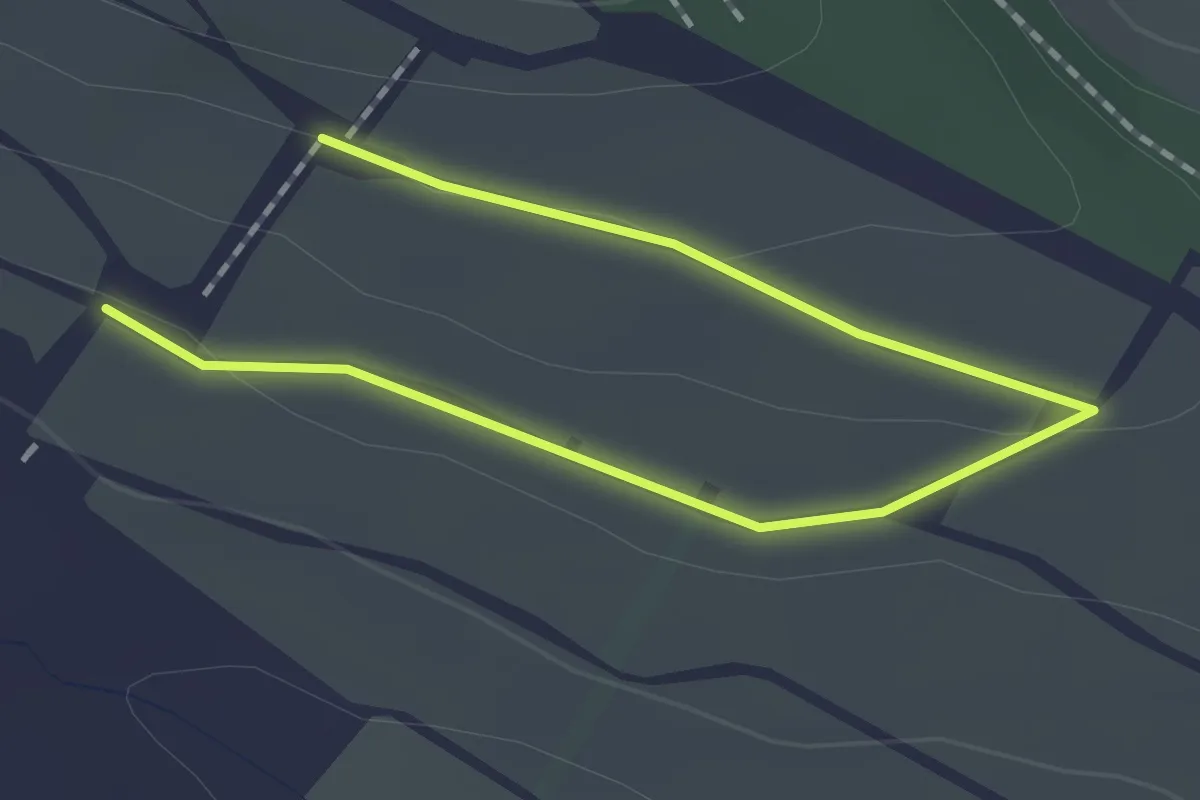
Easy · Trail
Kiedrich 1a
2.1 km · ↑ 25 m · 33 min
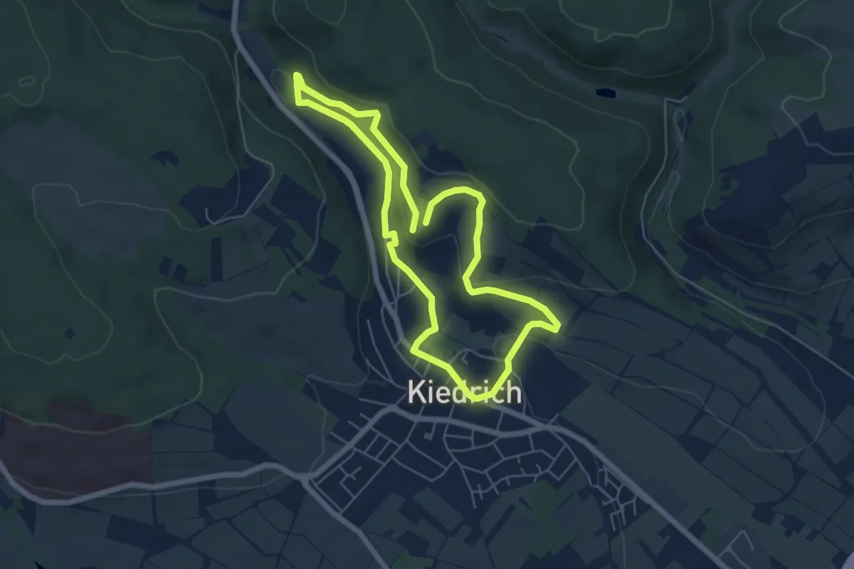
Easy · Trail
Kiedrich 2
4.7 km · ↑ 144 m · 1 h 29 min
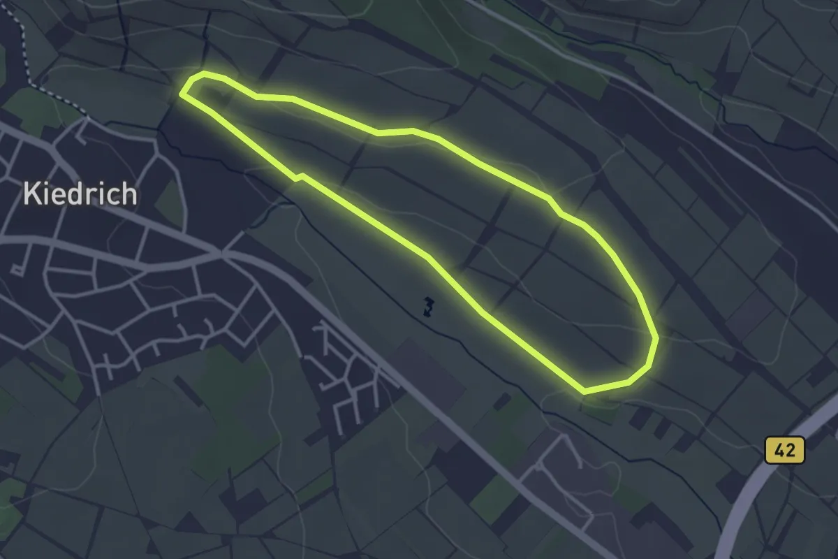
Easy · Trail
Kiedrich 2a
3.0 km · ↑ 41 m · 50 min
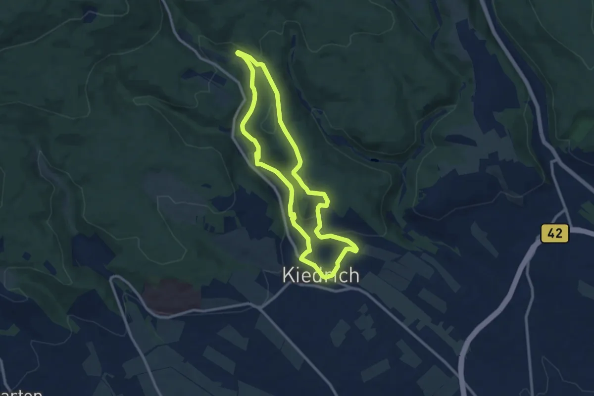
Easy · Trail
Kiedrich 3
7.2 km · ↑ 180 m · 2 h 12 min
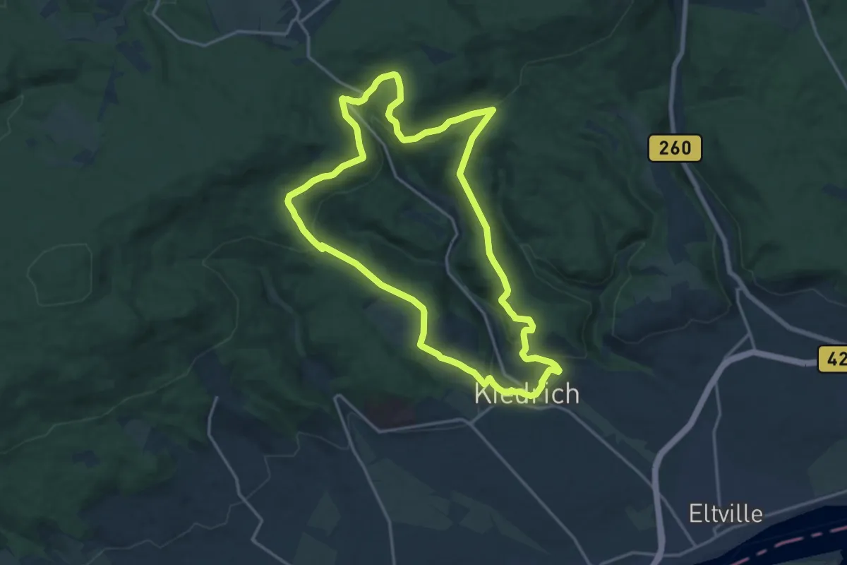
Medium · Trail
Kiedrich 4
14.1 km · ↑ 398 m · 4 h 24 min
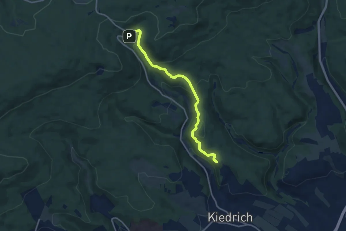
Medium · Trail
Kiedrich 4a
8.1 km · ↑ 287 m · 2 h 32 min
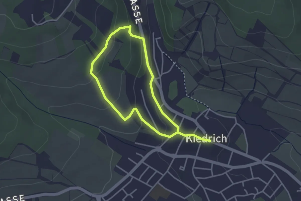
Easy · Trail
Kiedrich 5
2.3 km · ↑ 69 m · 44 min
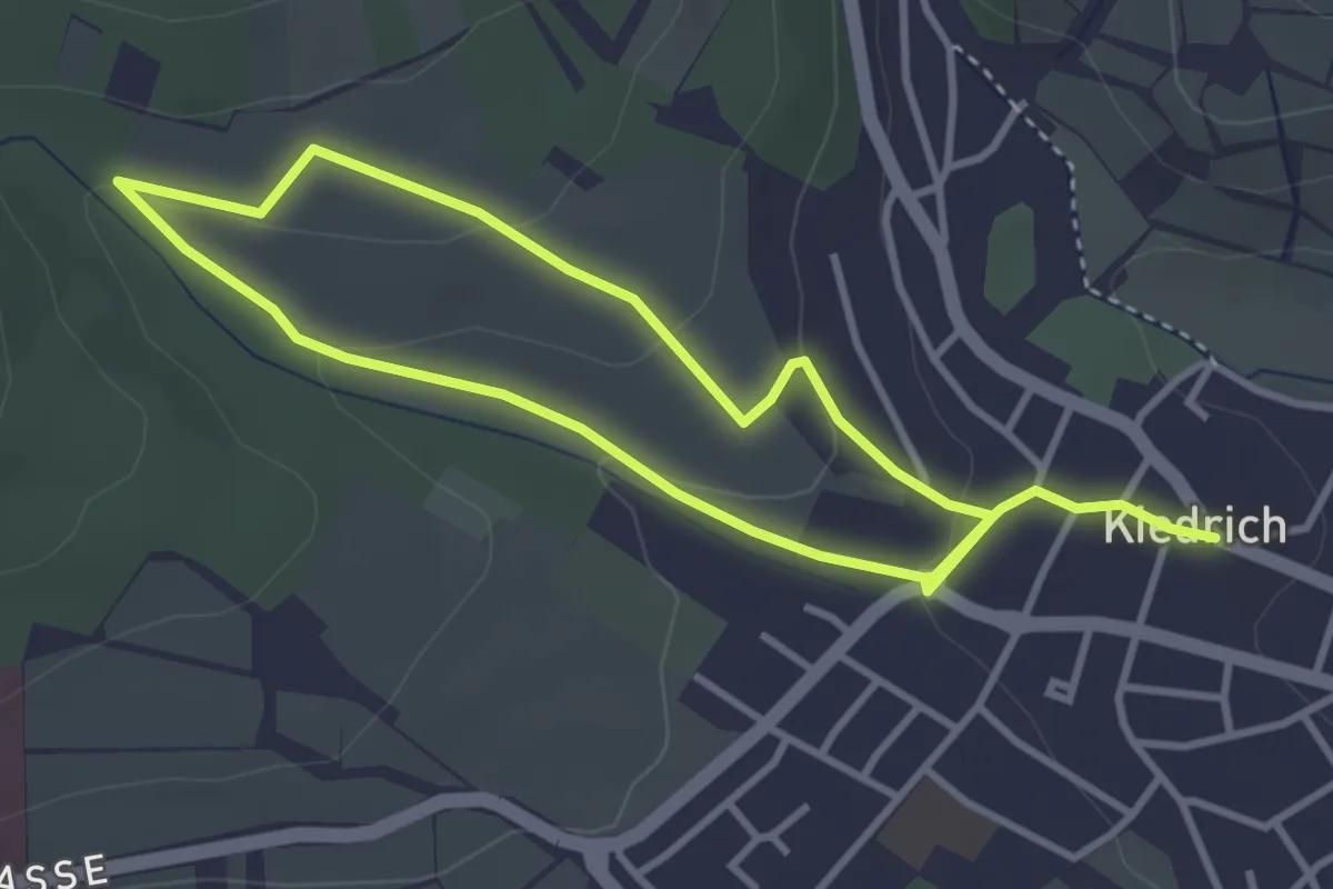
Easy · Trail
Kiedrich 6
5.8 km · ↑ 151 m · 1 h 41 min
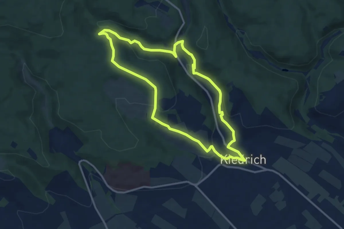
Easy · Trail
Kiedrich 7
7.4 km · ↑ 210 m · 2 h 19 min
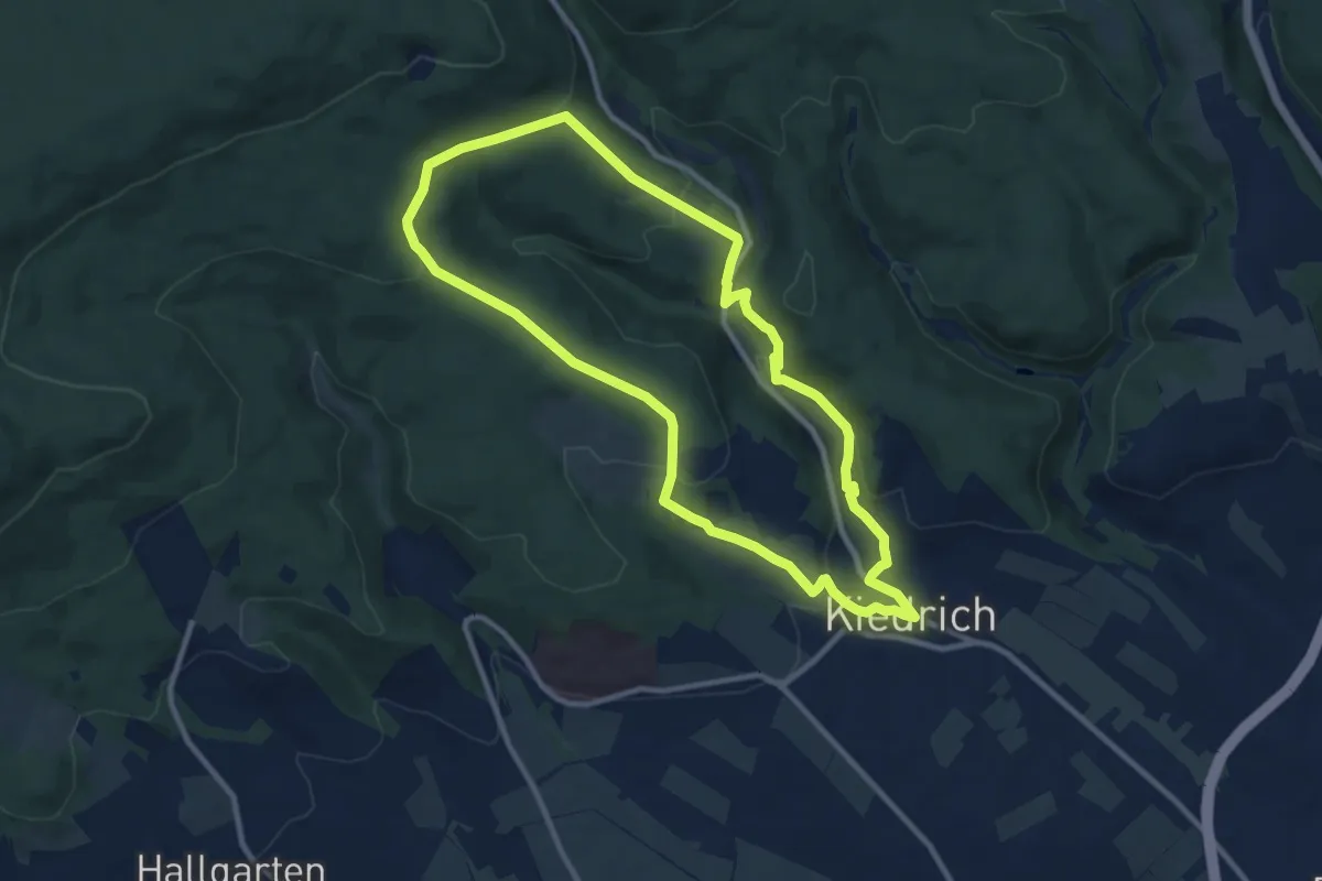
Medium · Trail
Kiedrich 8
9.1 km · ↑ 275 m · 2 h 53 min
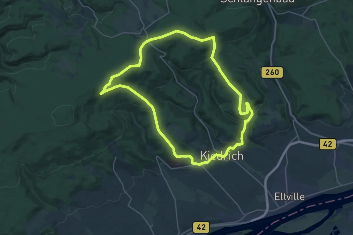
Demanding · Summit
Kiedrich 9
18.5 km · ↑ 529 m · 5 h 46 min
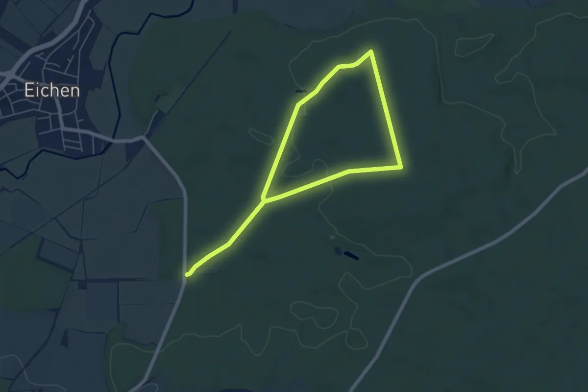
Easy · Trail
Kiefer
7.9 km · ↑ 76 m · 2 h 2 min
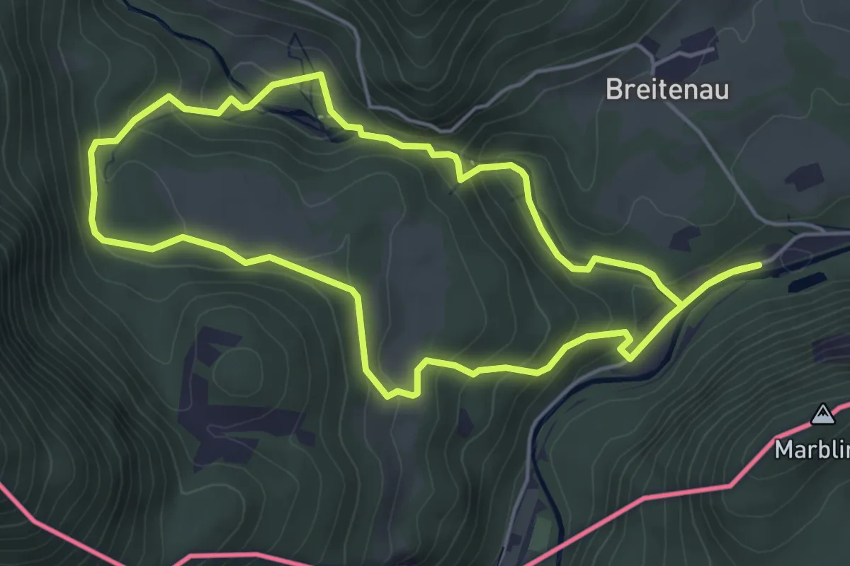
Easy · Trail
Kieferer Energiewanderweg (Blaue Tour)
4.6 km · ↑ 227 m · 1 h 39 min
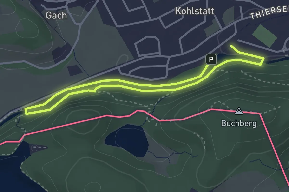
Easy · Trail
Kieferer Energiewanderweg (Grüne Tour)
2.5 km · ↑ 72 m · 47 min
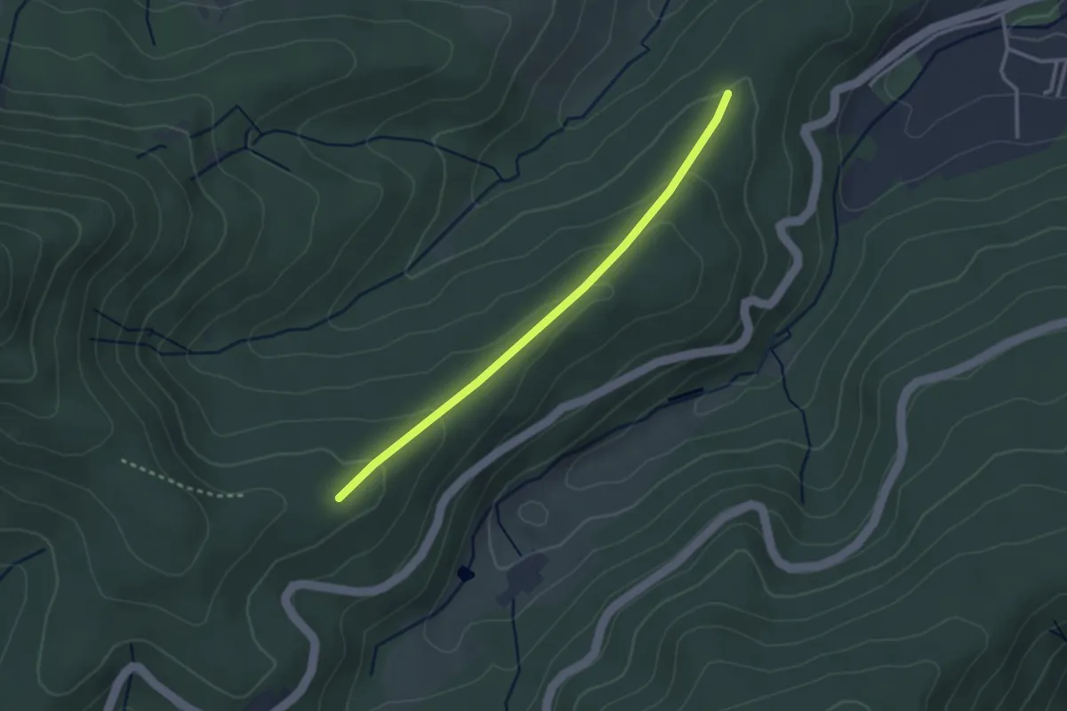
Easy · Trail
Kieferscheid - Munitionsplatz
2.6 km · ↑ 108 m · 51 min
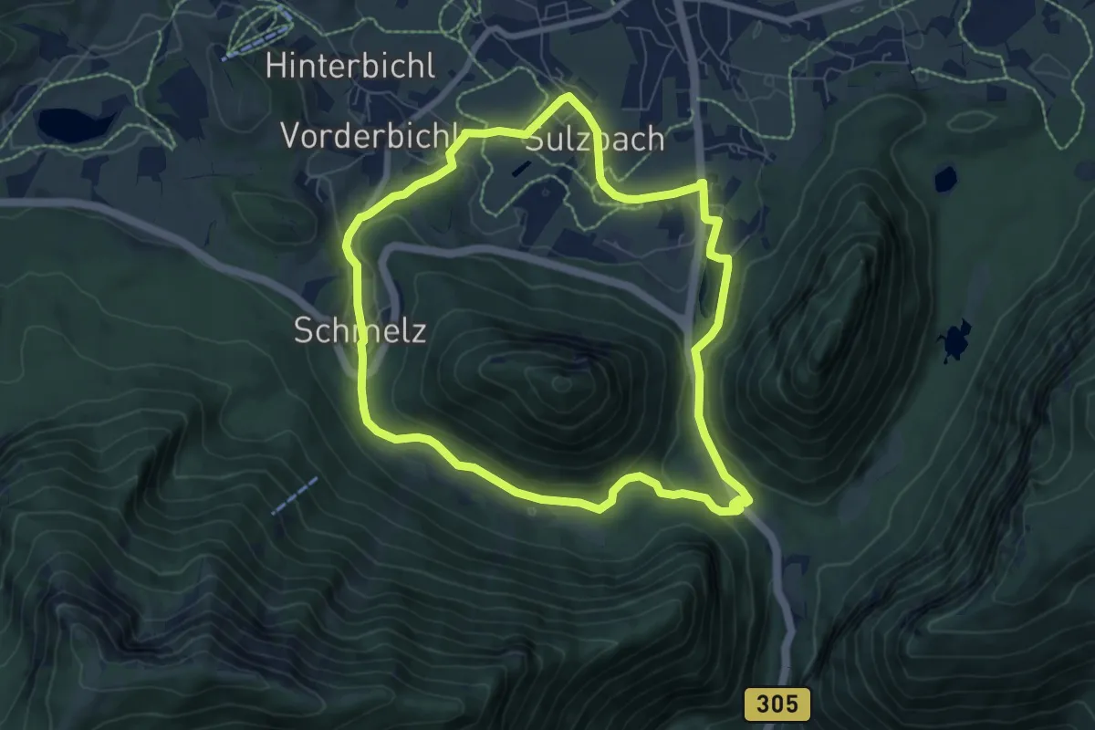
Easy · Trail
Kienbergl-Runde
7.1 km · ↑ 152 m · 2 h 6 min
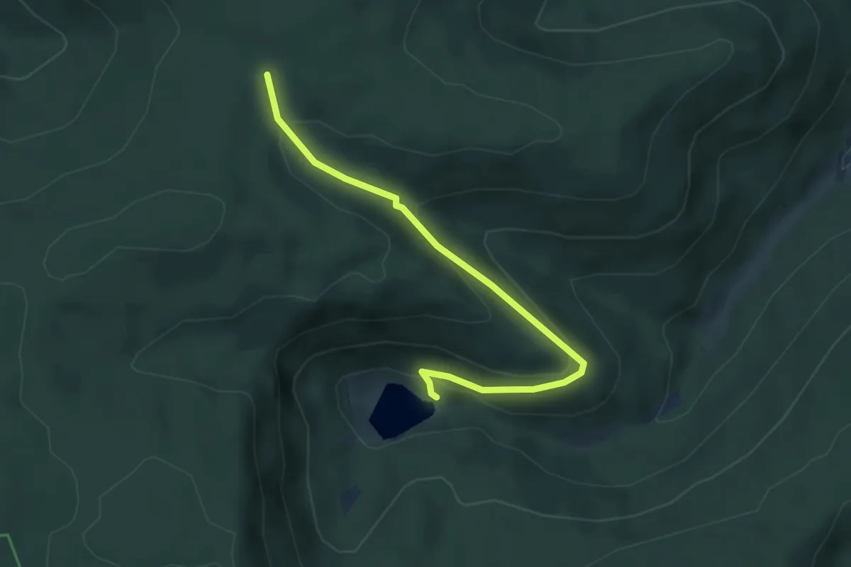
Easy · Trail
Kienberg - Sankenbach-Kessel
4.0 km · ↑ 204 m · 1 h 24 min
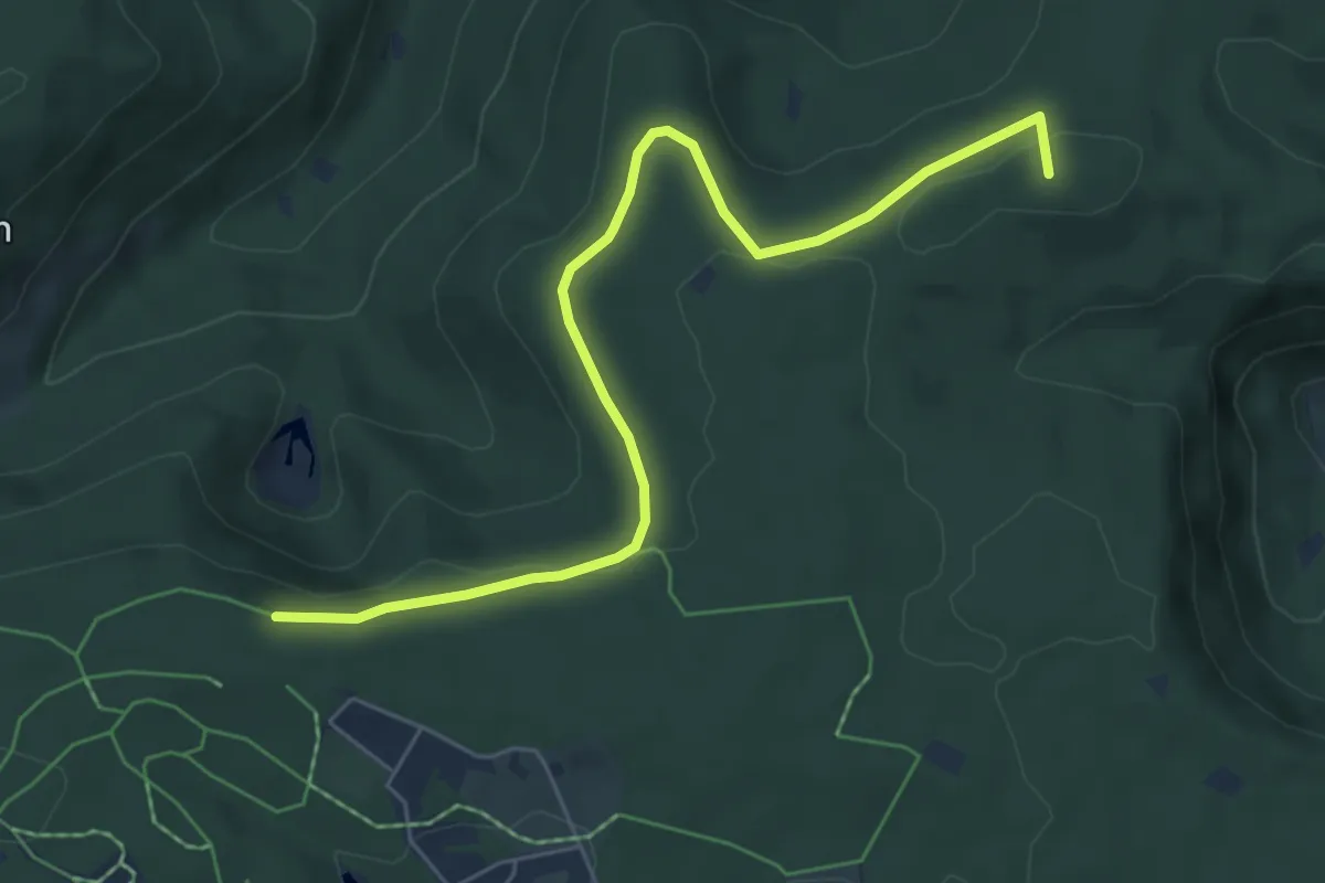
Easy · Summit
Kienberg - Seehalde
6.3 km · ↑ 137 m · 1 h 47 min
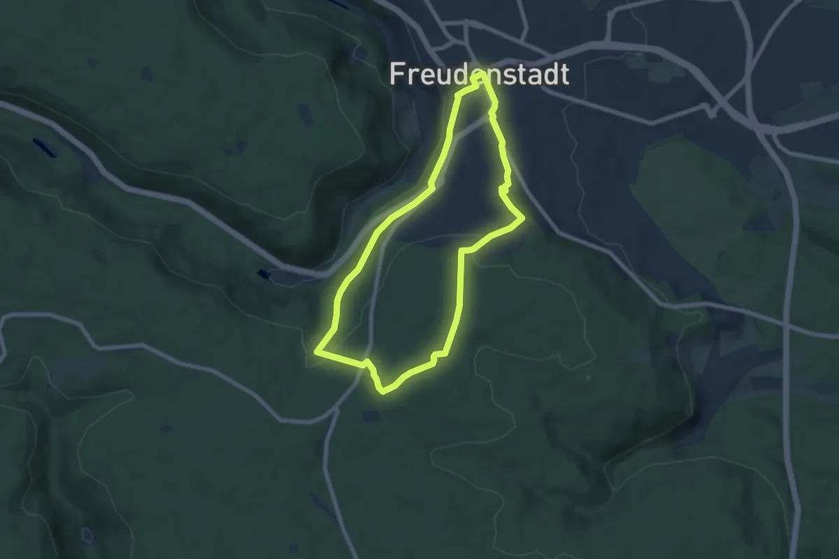
Easy · Trail
Kienberg-Spaziergang
6.0 km · ↑ 132 m · 1 h 47 min
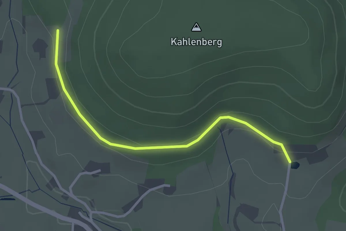
Easy · Trail
? - Kienbronn
2.5 km · ↑ 63 m · 44 min
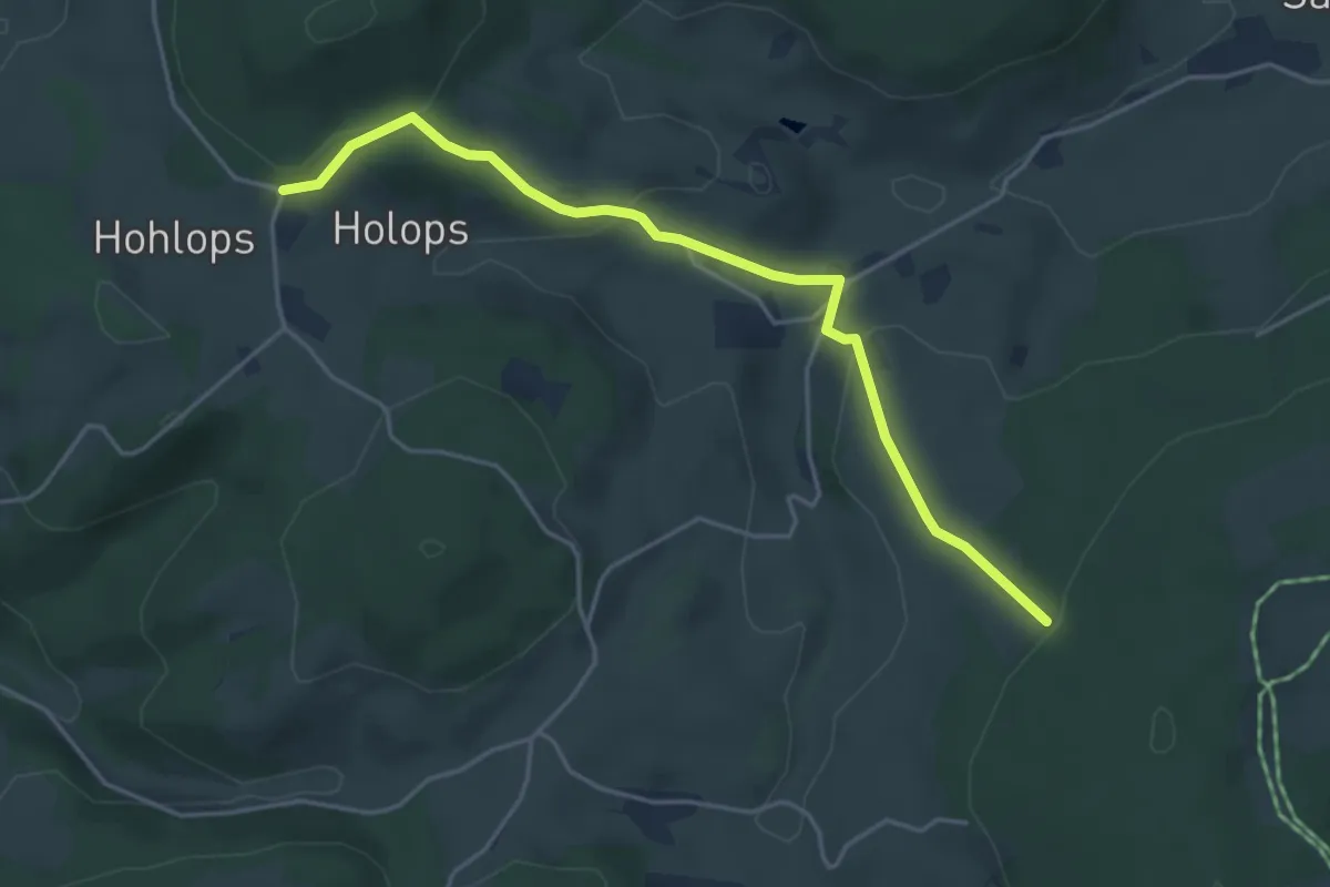
Easy · Trail
Kieningershof - Am Lindenbüble
4.4 km · ↑ 165 m · 1 h 23 min
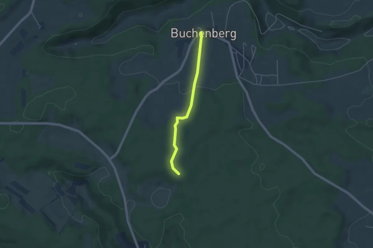
Easy · Trail
Kienmoos - Buchenberg
3.2 km · ↑ 47 m · 52 min
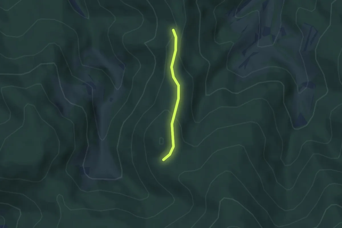
Easy · Trail
Kienzleebel - Schwarzenberghütte
2.1 km · ↑ 99 m · 43 min
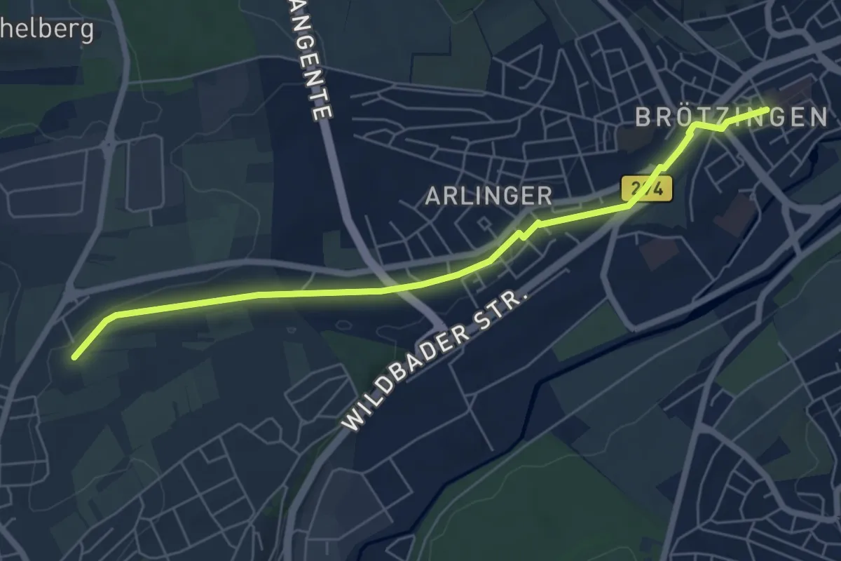
Easy · Trail
Kiesäcker - Brötzingen Marktplatz
6.0 km · ↑ 72 m · 1 h 34 min
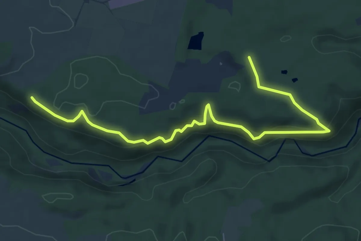
Medium · Trail
Kiesgrube - Stieräcker
7.6 km · ↑ 382 m · 2 h 38 min
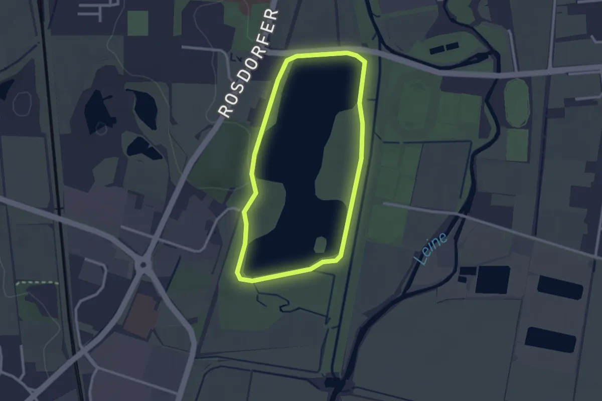
Easy · Trail
Kiessee-Rundkurs 1
2.1 km · ↑ 5 m · 32 min
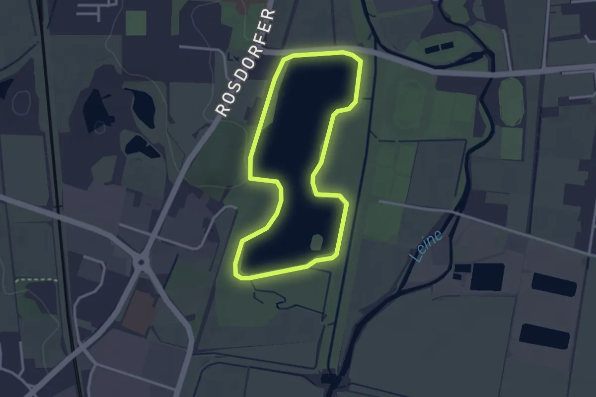
Easy · Trail
Kiessee-Rundkurs 3
2.4 km · ↑ 4 m · 36 min
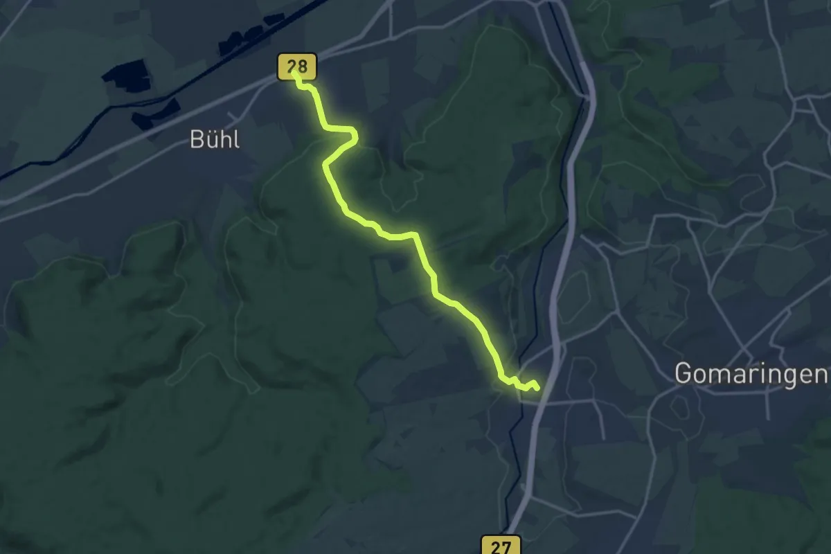
Medium · Trail
Kilchberg - Dußlingen
13.7 km · ↑ 272 m · 3 h 49 min
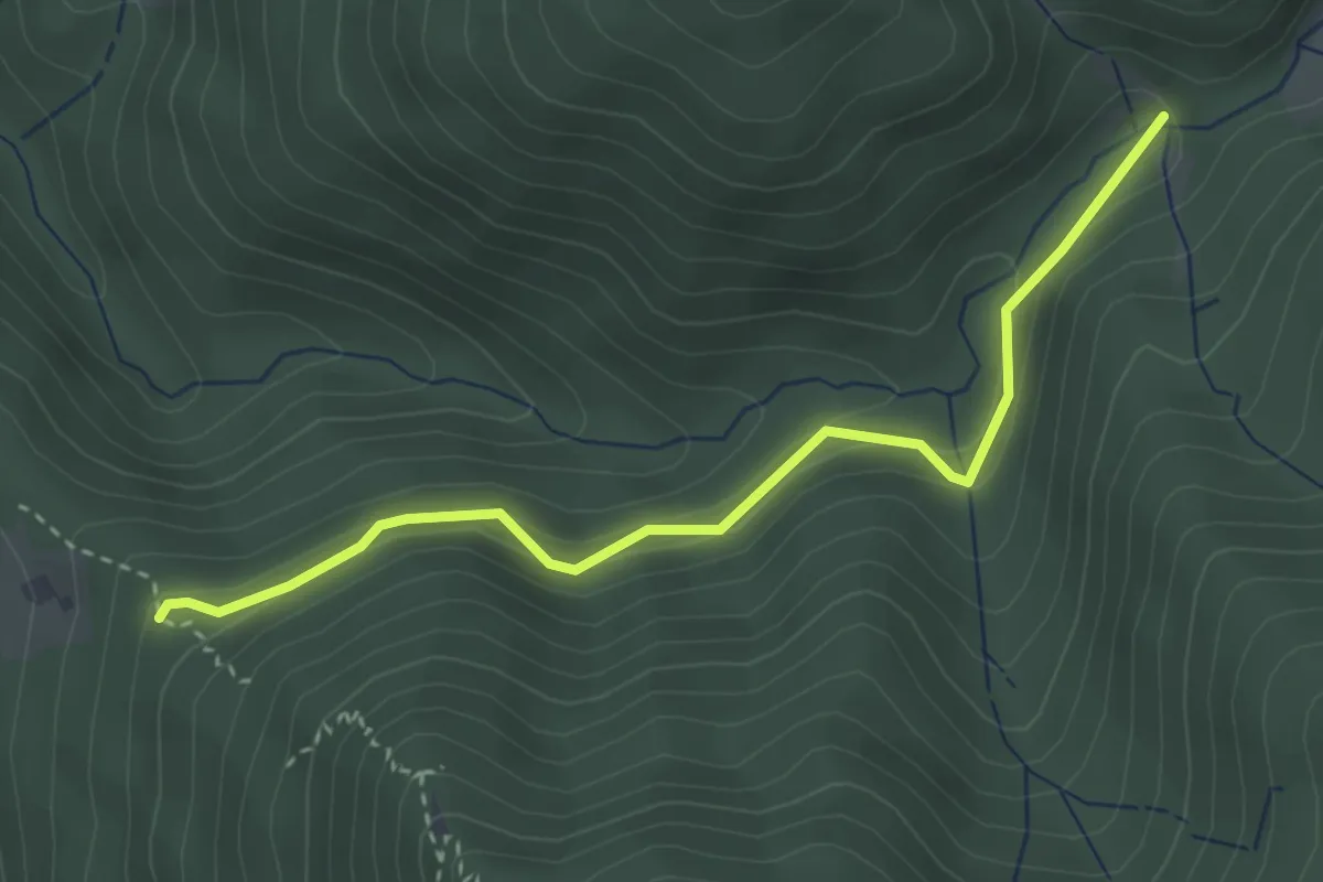
Easy · Trail
Kilpachtal Herrengartenweg - Saulache
3.3 km · ↑ 227 m · 1 h 16 min
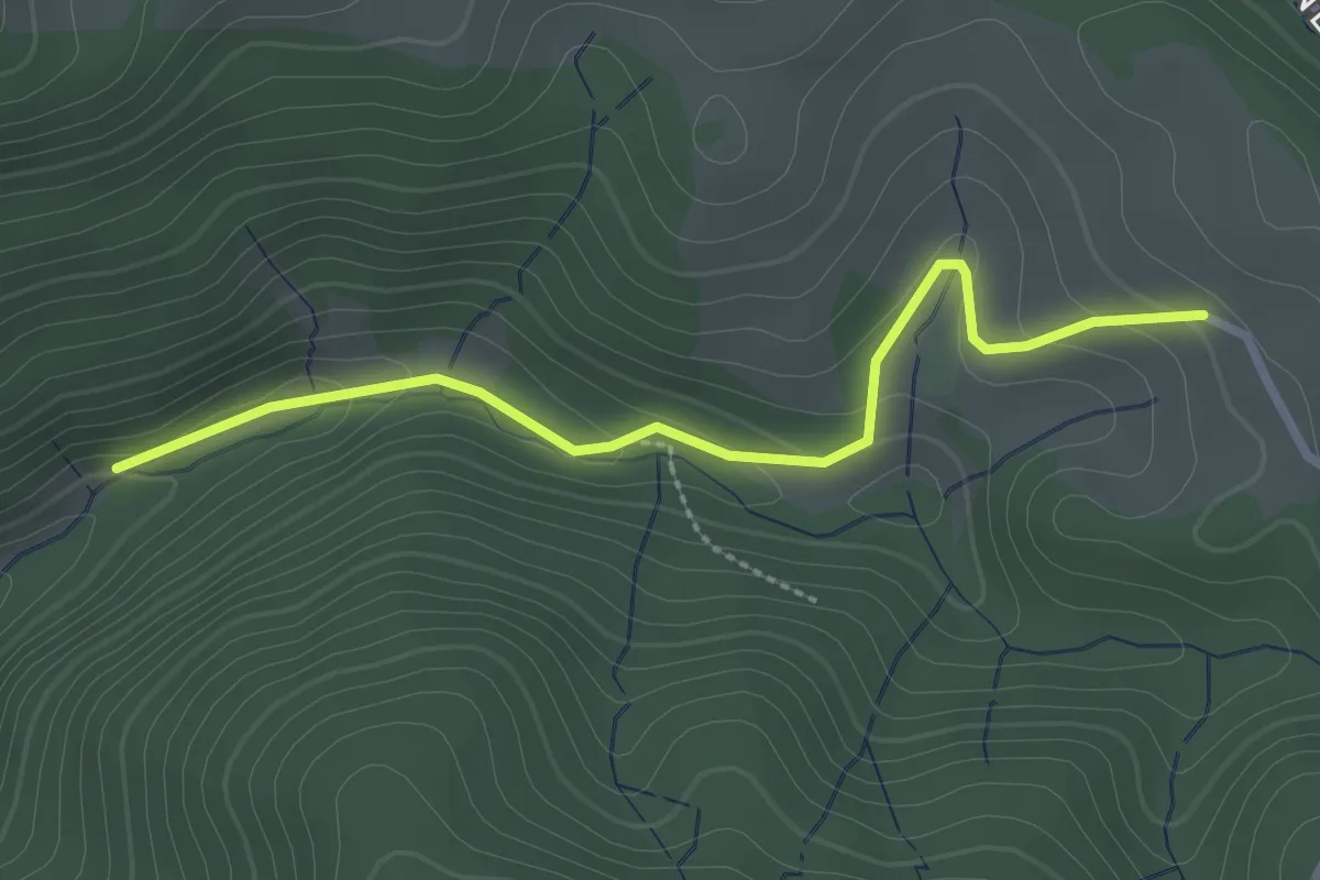
Easy · Trail
Kilpachtal Simonslochweg - Kilpen
2.6 km · ↑ 92 m · 48 min
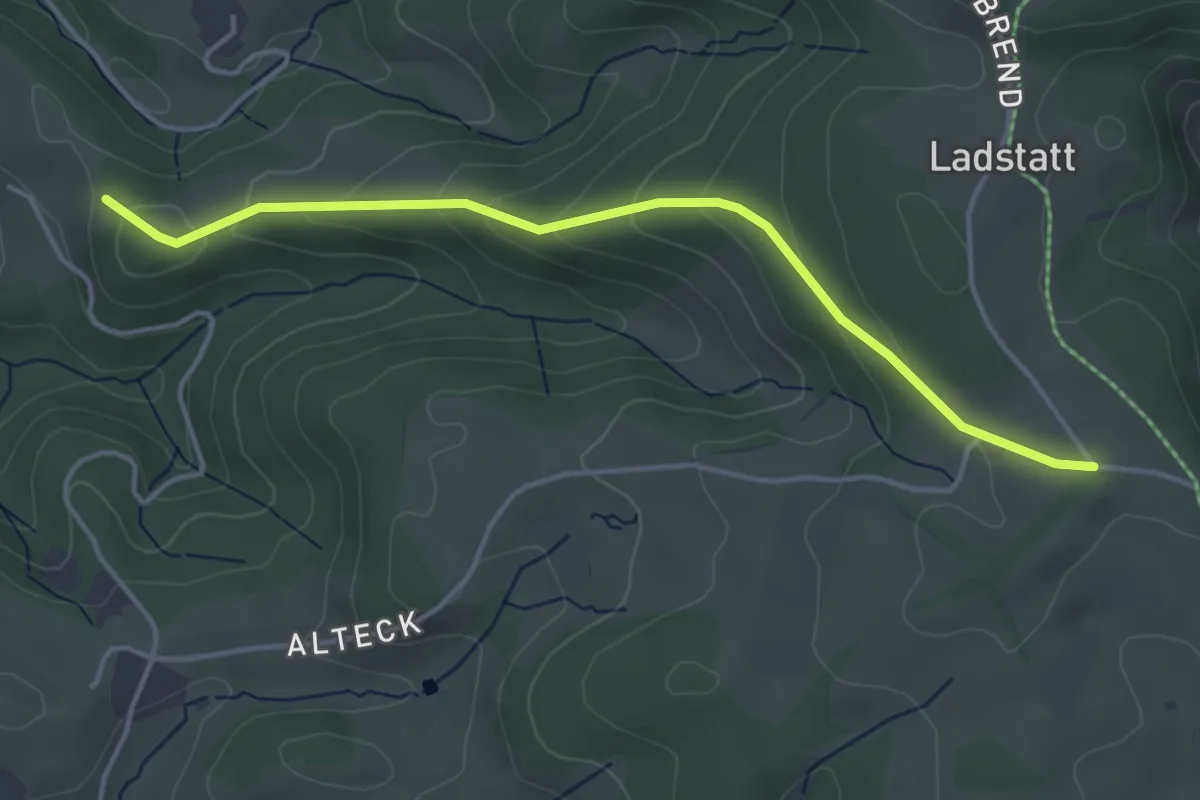
Easy · Trail
Kilpen - Alte Eck
4.1 km · ↑ 186 m · 1 h 22 min
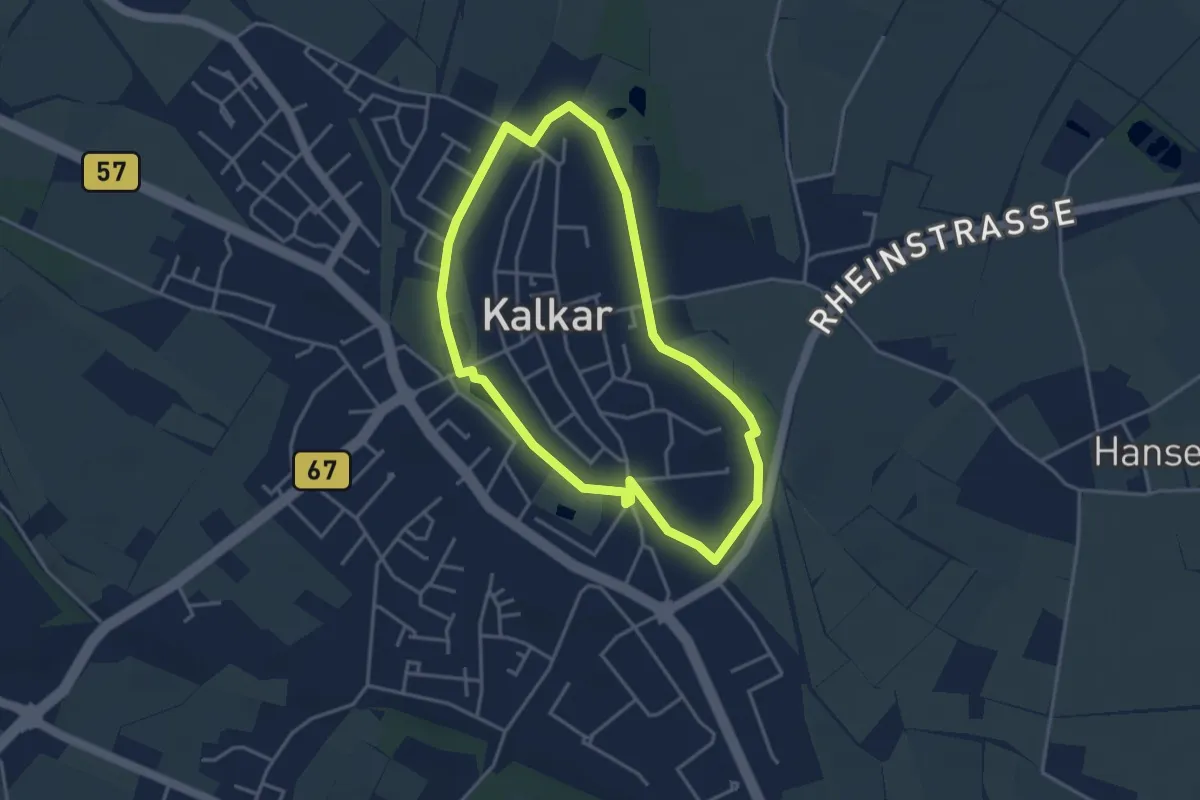
Easy · Trail
K im Kreis
3.2 km · ↑ 0 m · 48 min
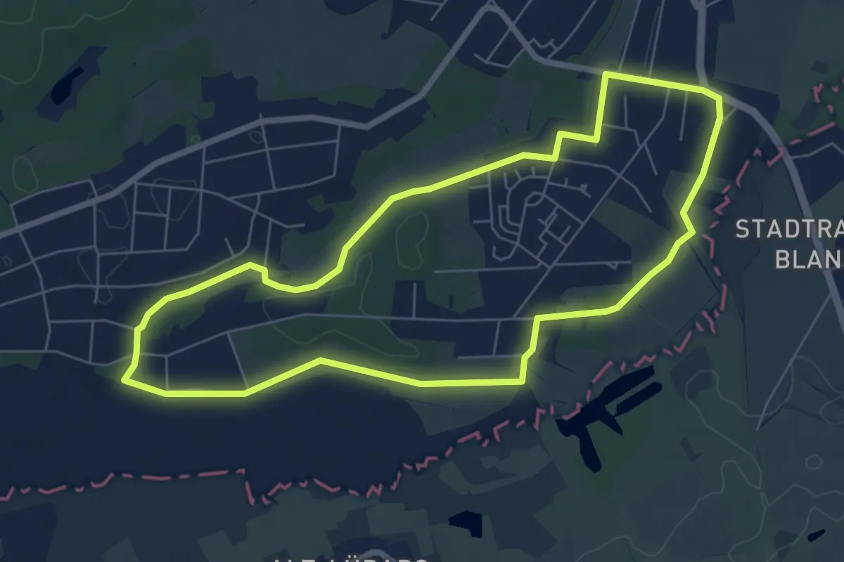
Easy · Trail
Kindelfließweg
5.8 km · ↑ 13 m · 1 h 29 min
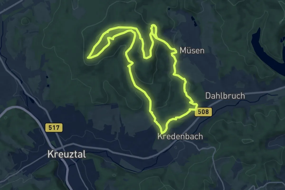
Medium · Summit
Kindelsbergpfad
14.5 km · ↑ 506 m · 4 h 43 min
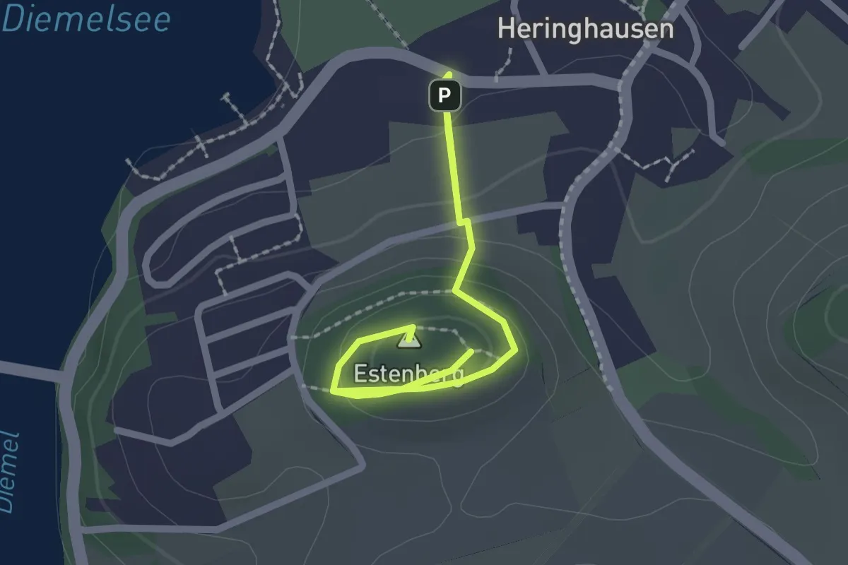
Easy · Summit
Kindererlebnis-Wanderweg Eichhörnchenpfad
2.9 km · ↑ 75 m · 51 min
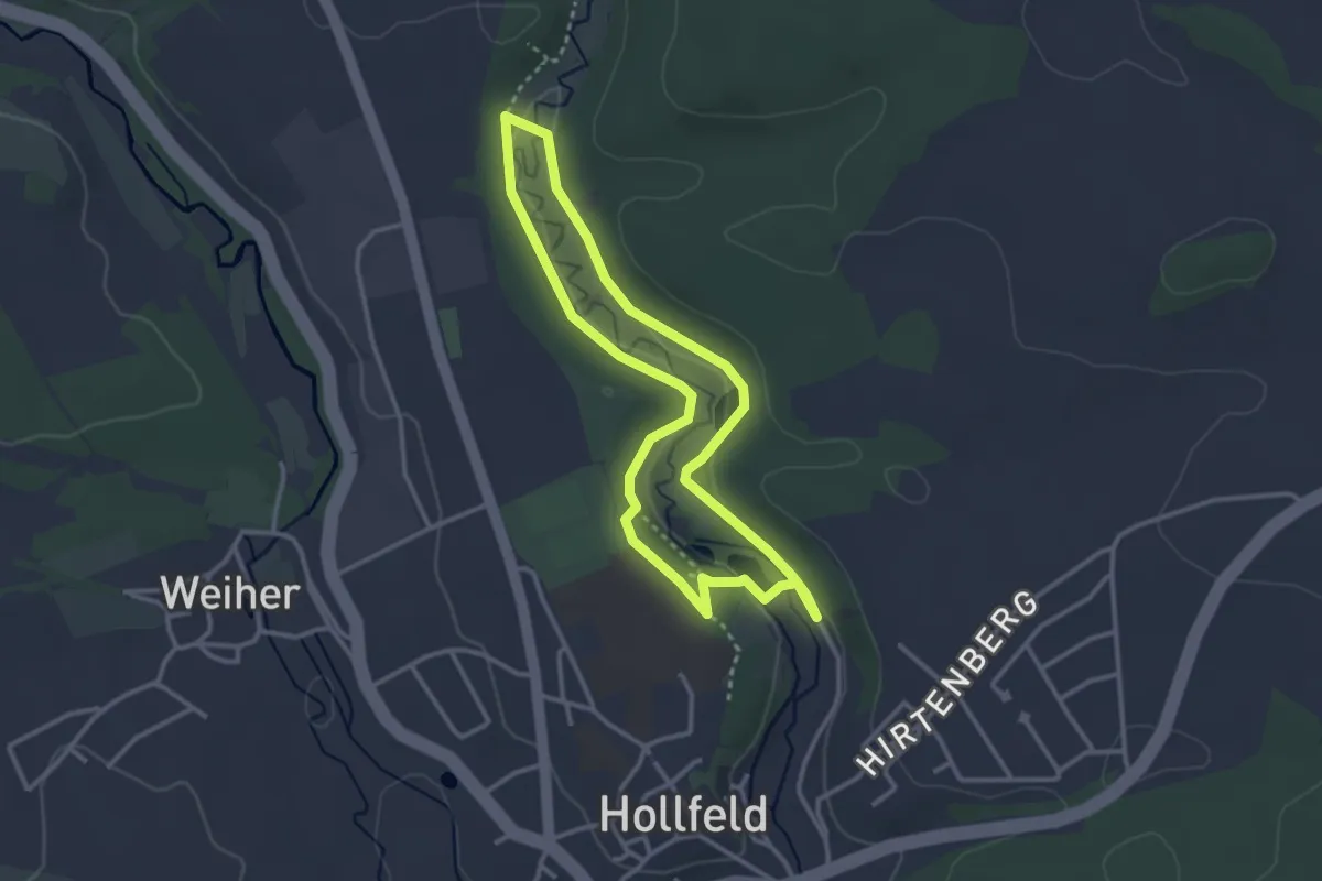
Easy · Trail
Kinder-Erlebnisweg Hollfeld
2.8 km · ↑ 24 m · 44 min
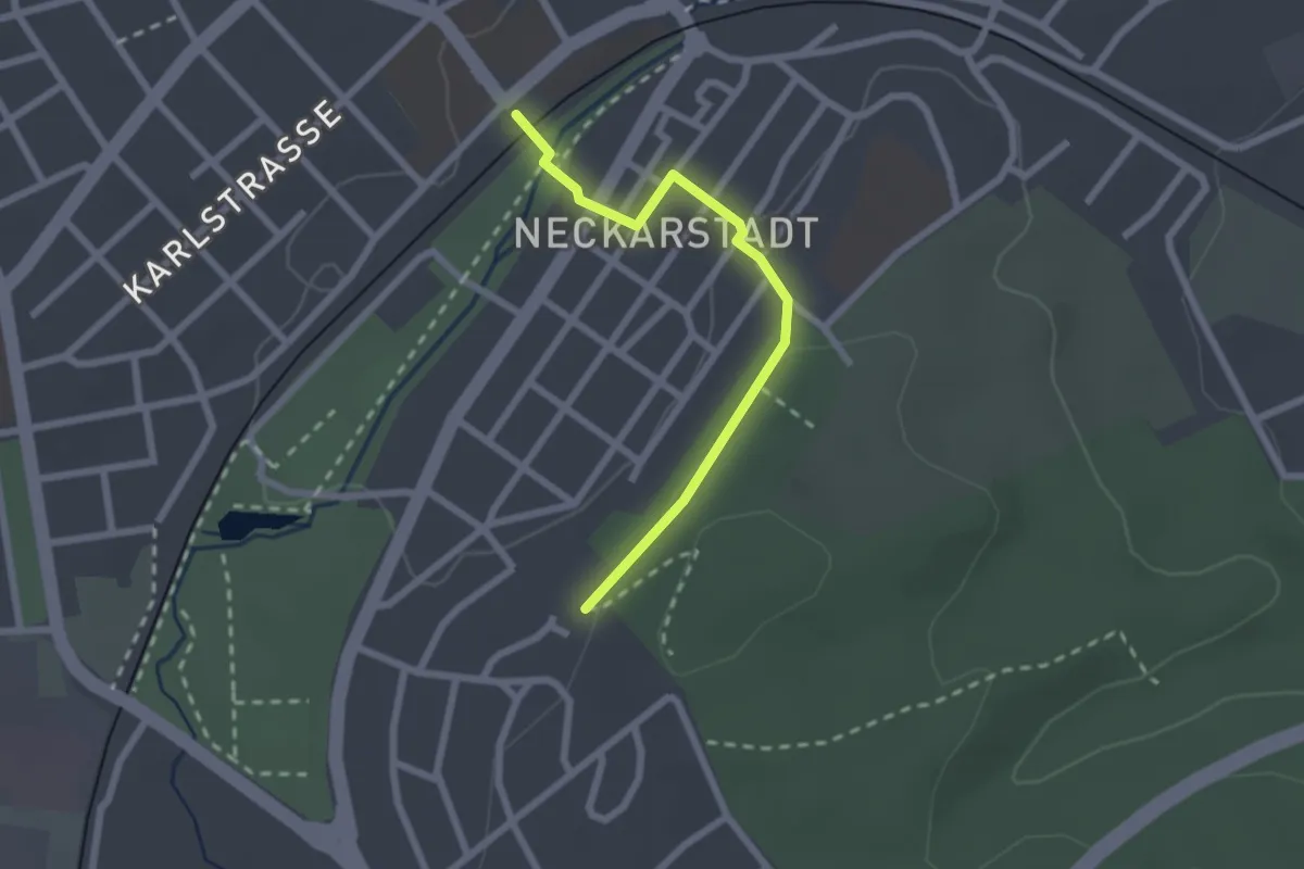
Easy · Trail
Kindergarten Frühlingshalde - Schwenningen Bahnhof
2.1 km · ↑ 28 m · 34 min
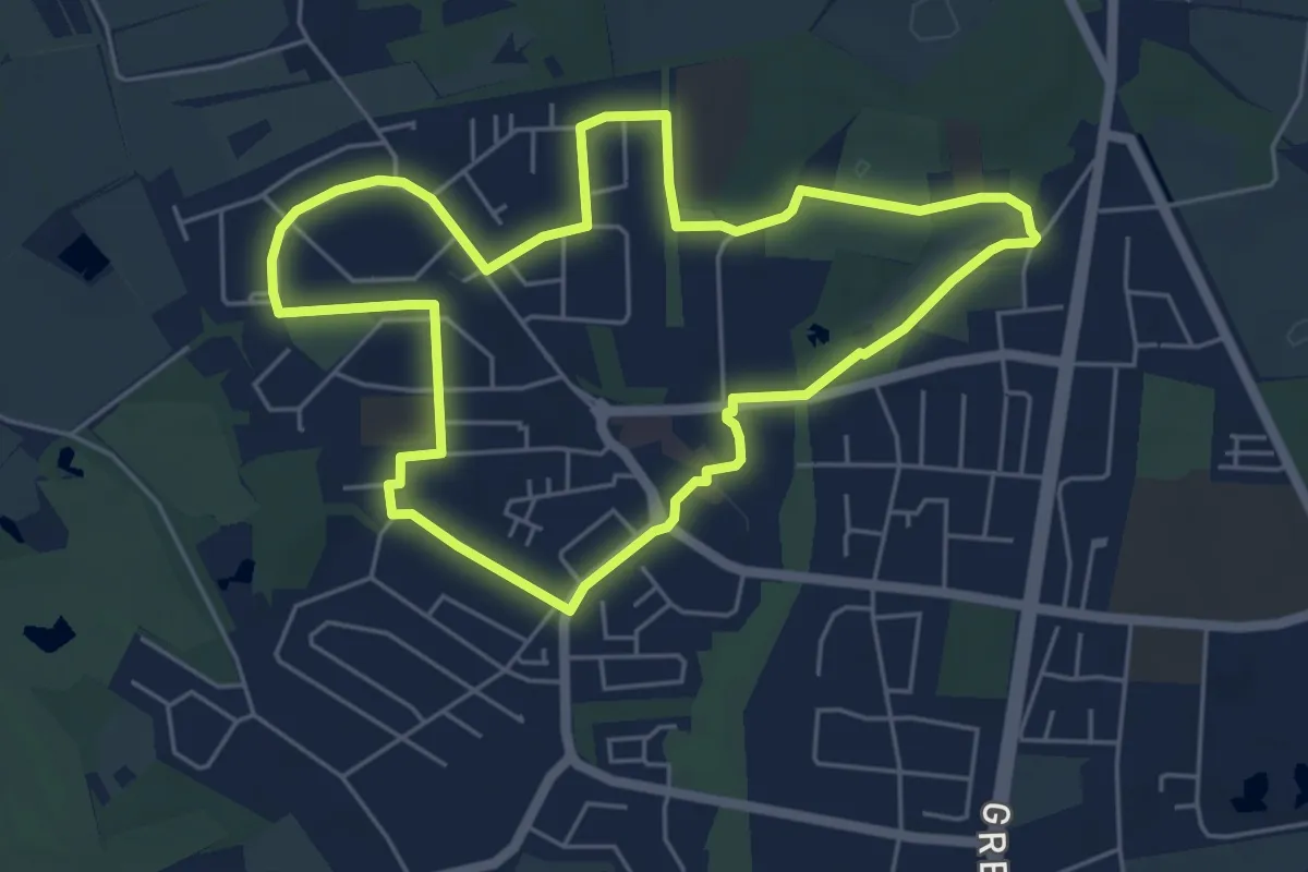
Easy · Trail
Kinderhauser Rundweg Blau
4.9 km · ↑ 8 m · 1 h 14 min
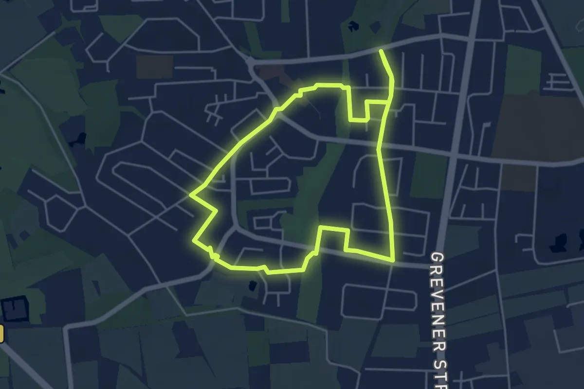
Easy · Trail
Kinderhauser Rundweg Grün
3.8 km · ↑ 0 m · 57 min
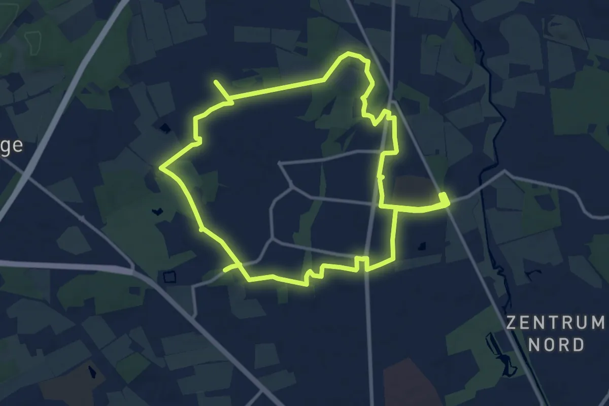
Medium · Trail
Kinderhauser Rundweg Rot
9.8 km · ↑ 17 m · 2 h 30 min
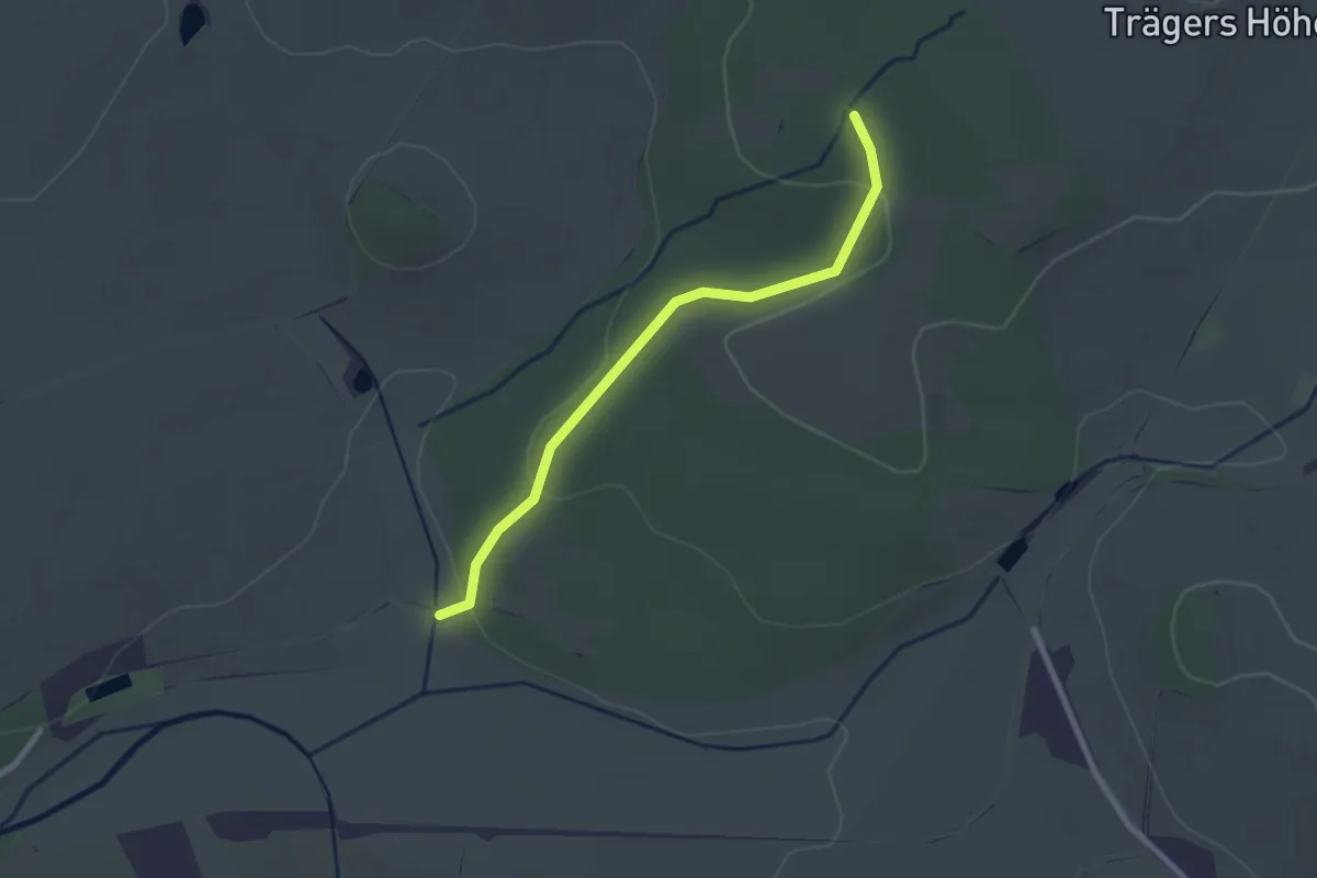
Easy · Trail
Kinderlehrpfad Gemeindewald Oberbobritzsch
2.2 km · ↑ 43 m · 37 min
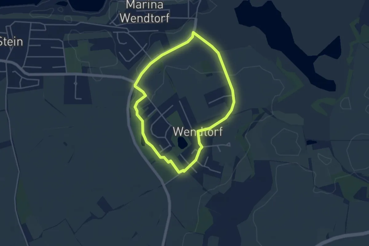
Easy · Trail
Kinderroute
3.0 km · ↑ 4 m · 45 min
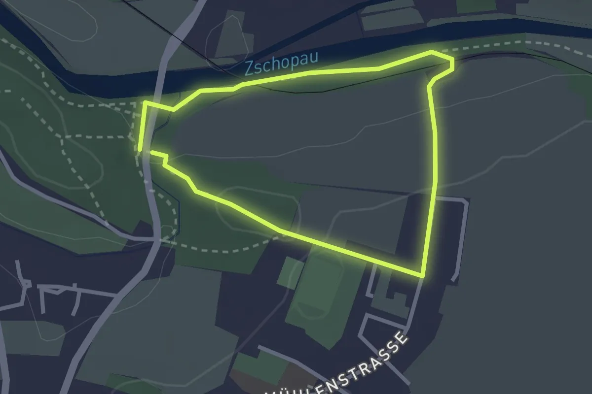
Medium · Trail
Kinder- und Märchenliederweg
2.0 km · ↑ 42 m · 35 min
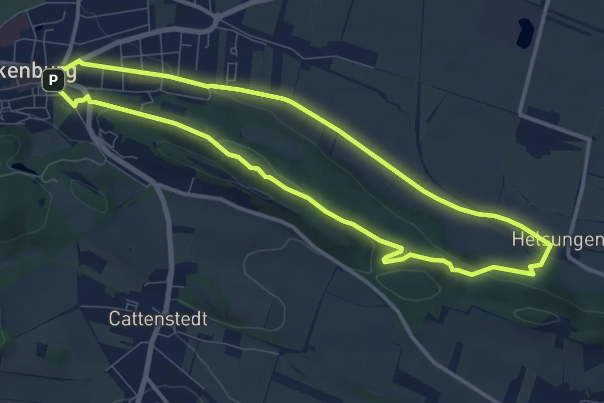
Easy · Trail
Kinderwagenrundweg
6.8 km · ↑ 115 m · 1 h 58 min
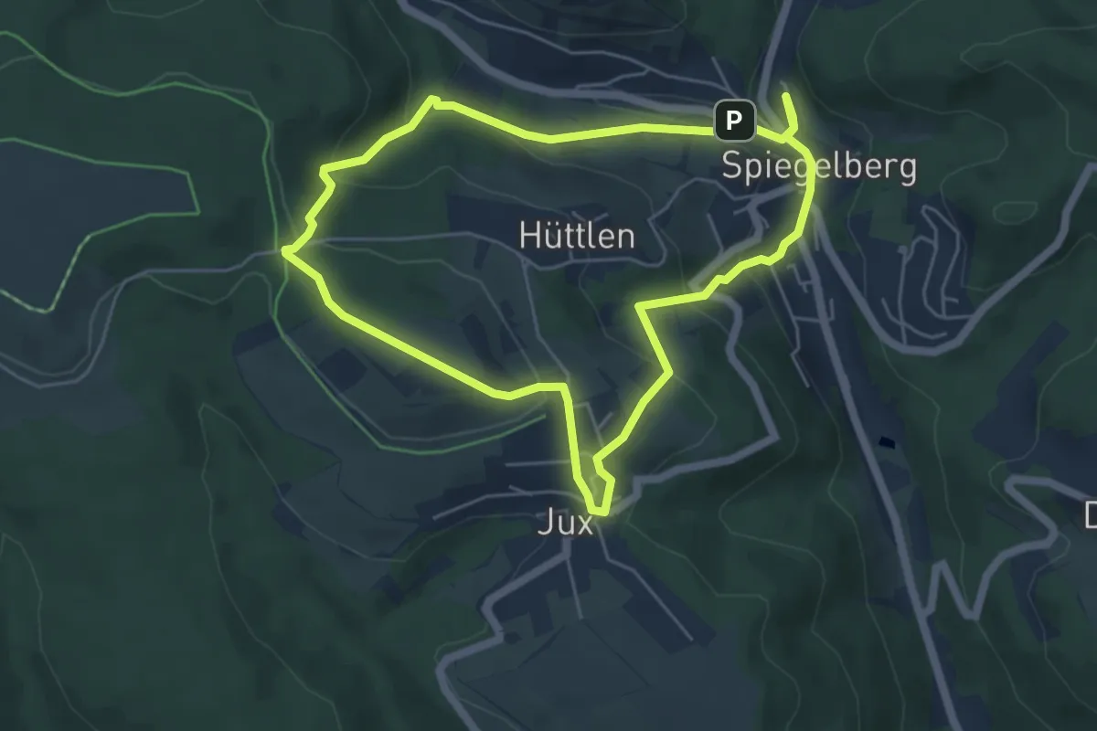
Medium · Trail
Kinderwanderweg
4.7 km · ↑ 219 m · 1 h 40 min
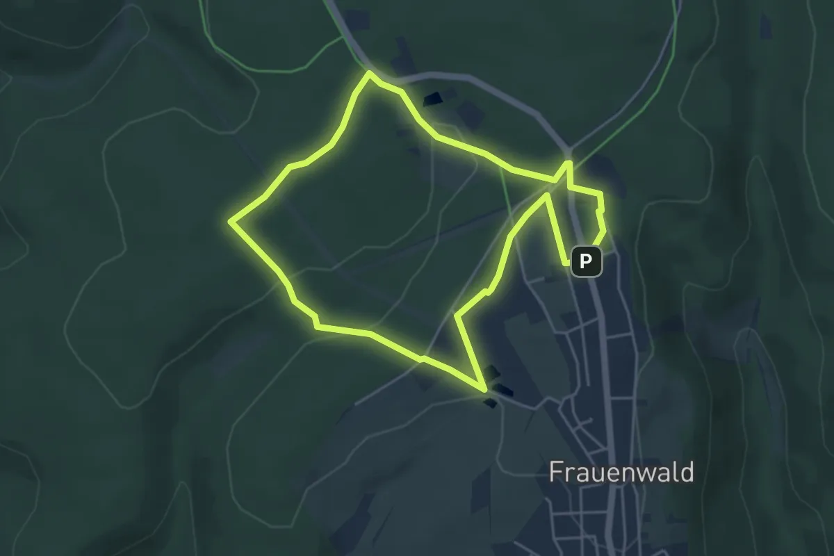
Easy · Trail
Kinderwanderweg Zwergenpfad Frauenwald
4.0 km · ↑ 60 m · 1 h 8 min
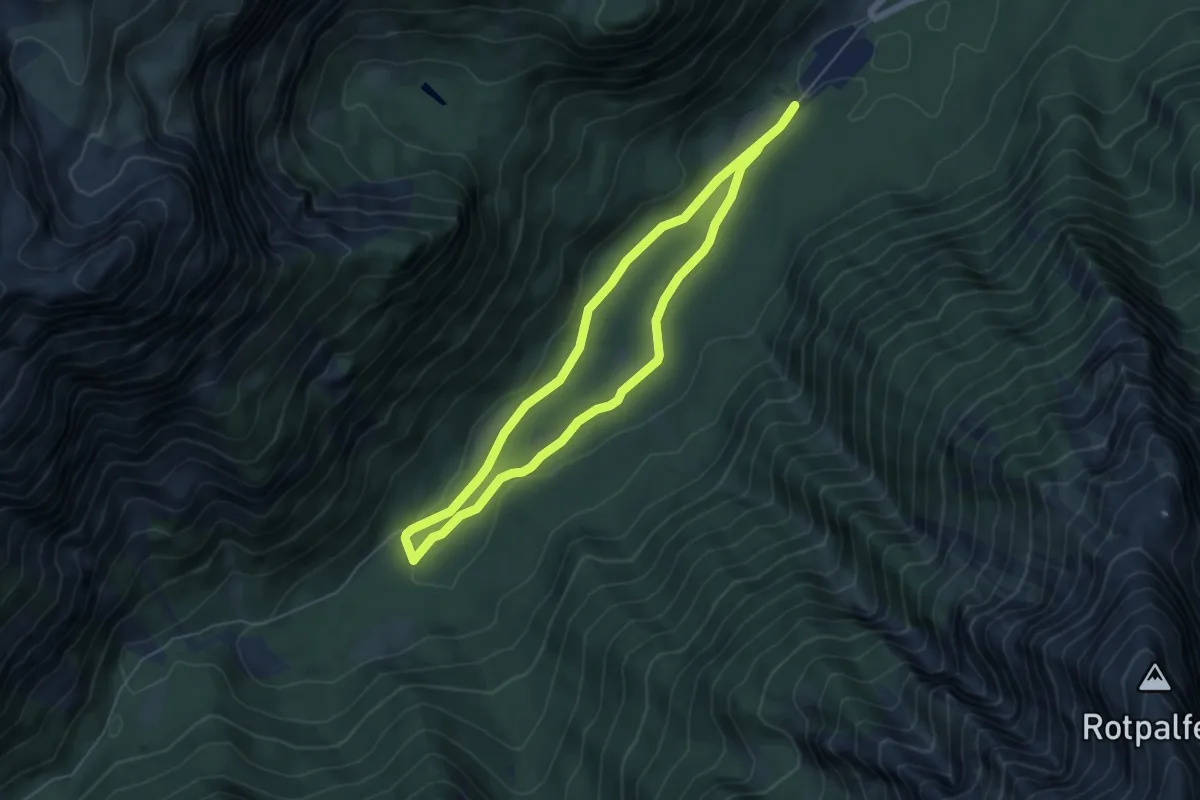
Easy · Trail
Kinder-Wangen-Wanderung Ragertalm Göllner-Kampel
4.8 km · ↑ 47 m · 1 h 18 min