Trails in Germany
36,852 hiking trails, each with its route, climb, walking time and grade.
All trails, page 288 of 768
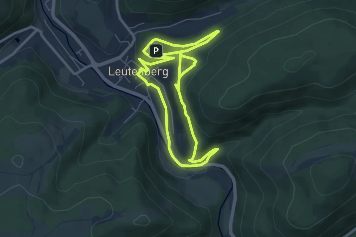
Easy · Trail
Kinderweg in Leutenberg - Dem Feuersalamander auf der Spur
5.1 km · ↑ 181 m · 1 h 40 min
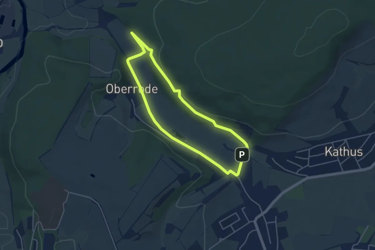
Easy · Trail
Kinderweg Solztal
3.4 km · ↑ 55 m · 58 min
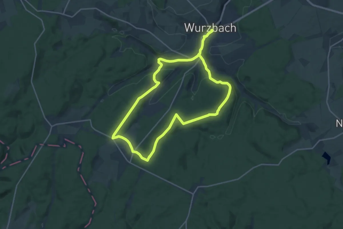
Demanding · Trail
Kinderweg Wurzbach "Humboldt-Entdeckerpfad"
24.5 km · ↑ 446 m · 6 h 44 min
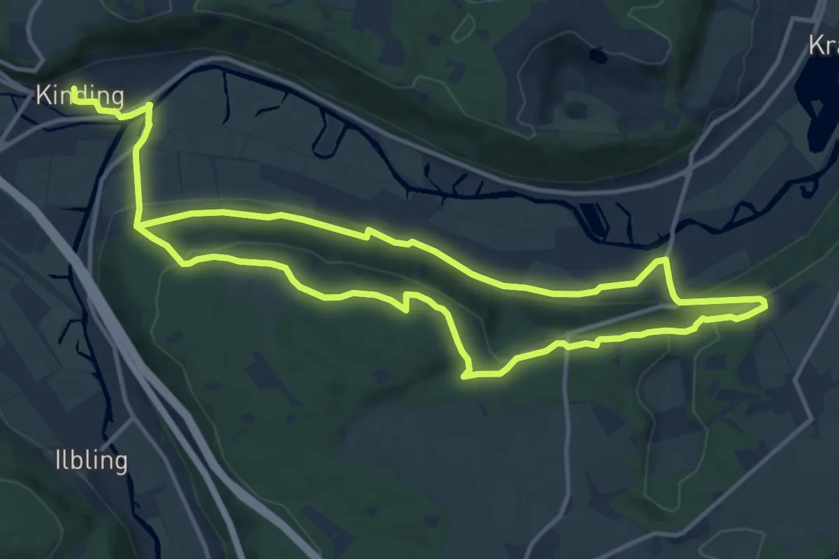
Medium · Trail
Kindinger Burgenweg
10.6 km · ↑ 292 m · 3 h 15 min
Easy · Trail
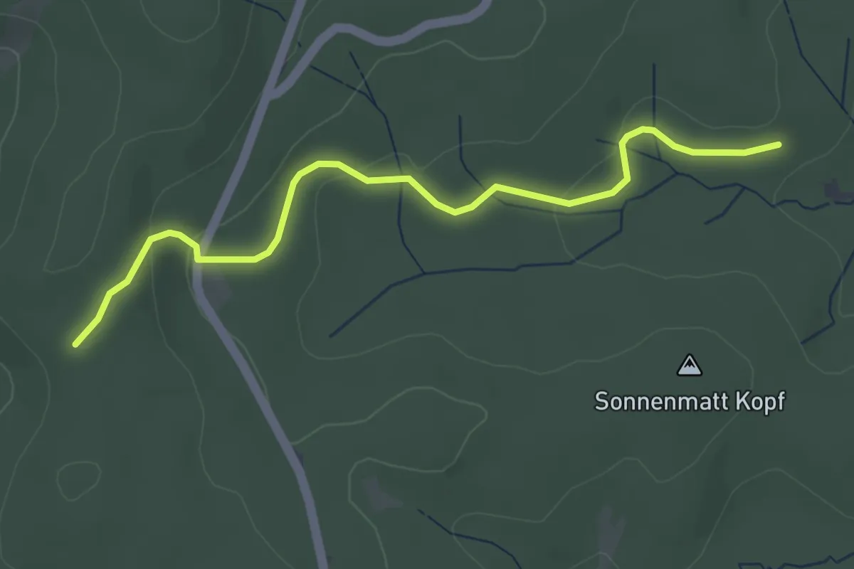
Kindskreuzle - Sonnenmatt
3.7 km · ↑ 87 m · 1 h 4 min
Easy · Trail
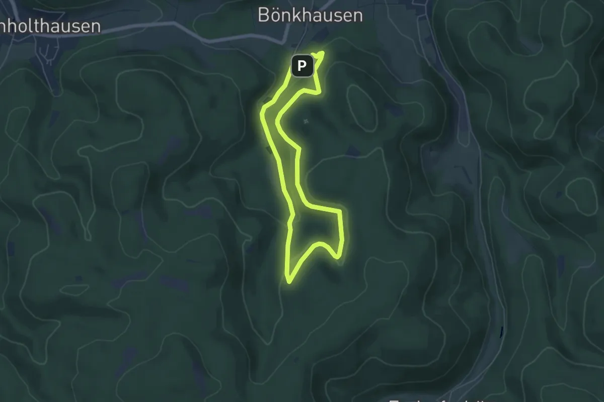
Kingelsiepen Rundweg A1
4.6 km · ↑ 189 m · 1 h 34 min
Easy · Trail
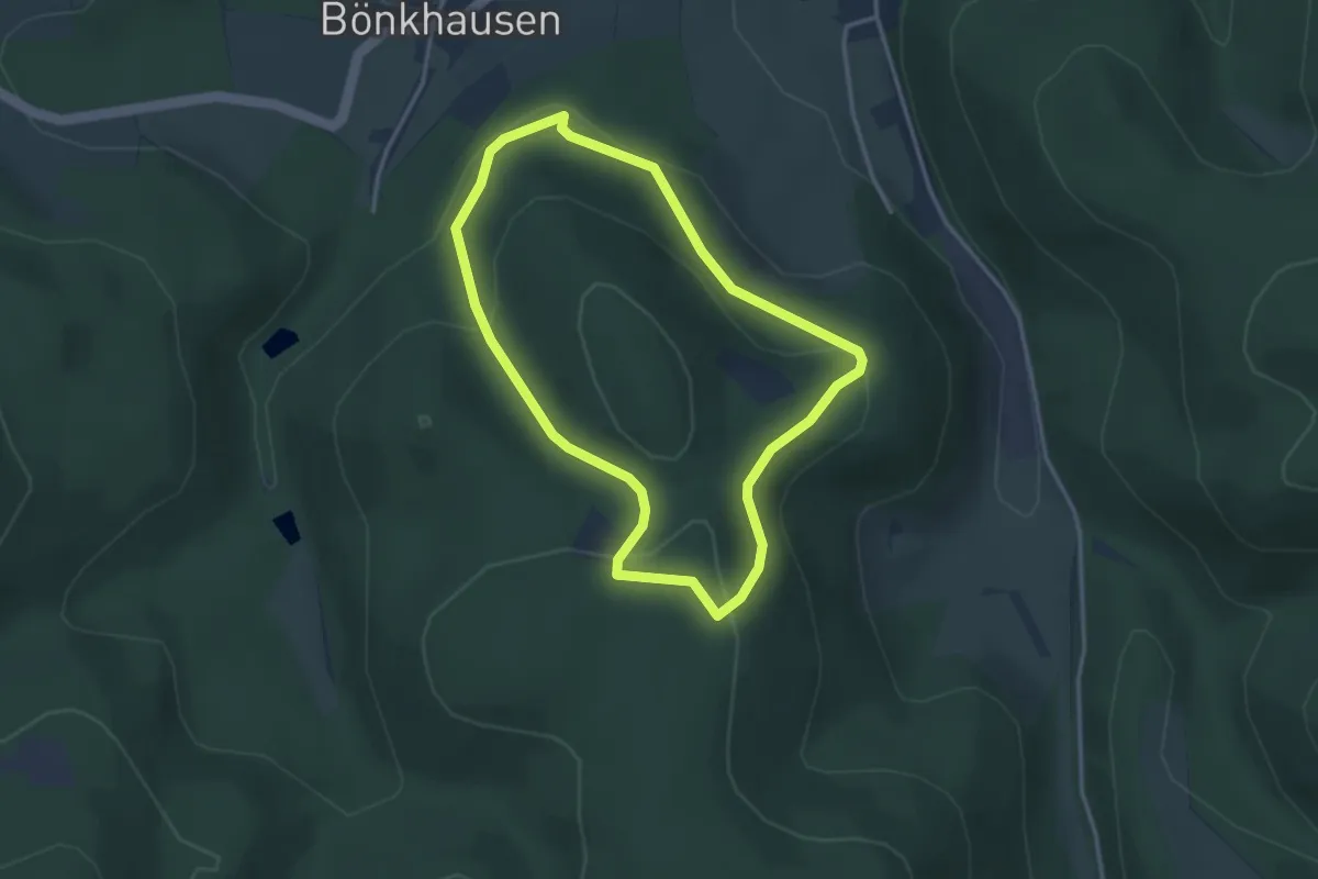
Kingelsiepen Rundweg A2
2.9 km · ↑ 118 m · 58 min
Easy · Trail
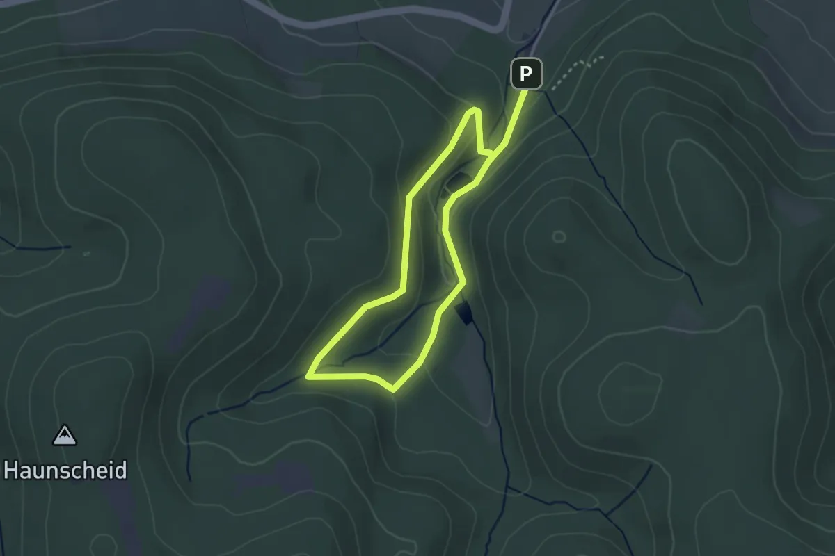
Kingelsiepen Rundweg A4
2.4 km · ↑ 96 m · 47 min
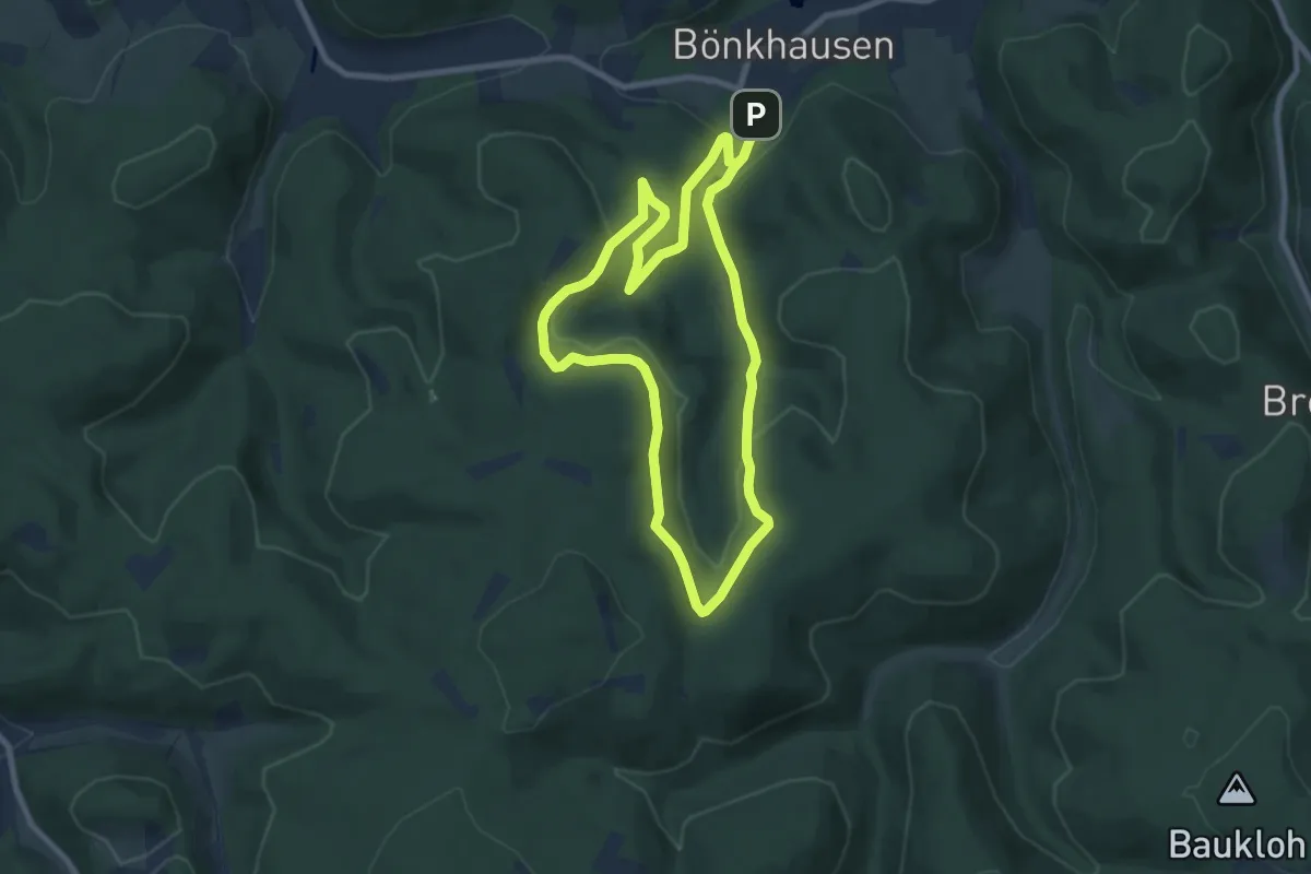
Easy · Trail
Kingelsiepen Rundweg A5
7.1 km · ↑ 246 m · 2 h 17 min
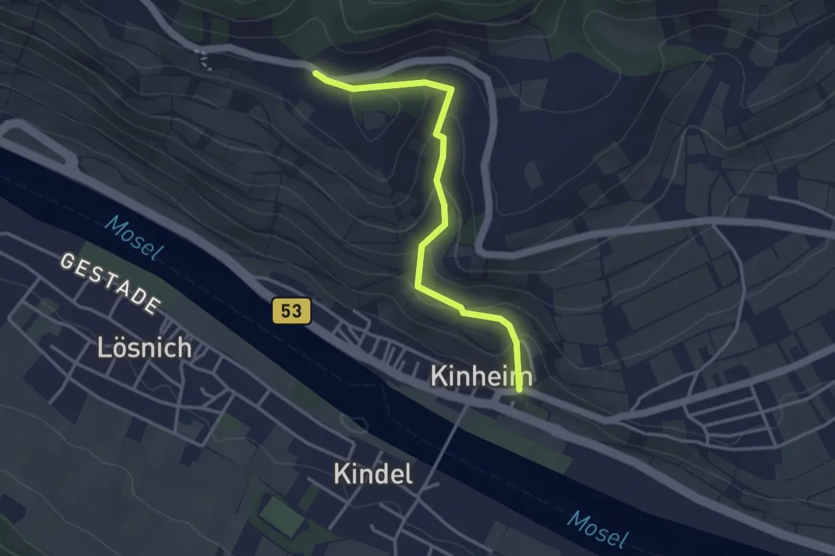
Easy · Trail
Kinheim - Alftalhöhenweg
2.9 km · ↑ 134 m · 59 min
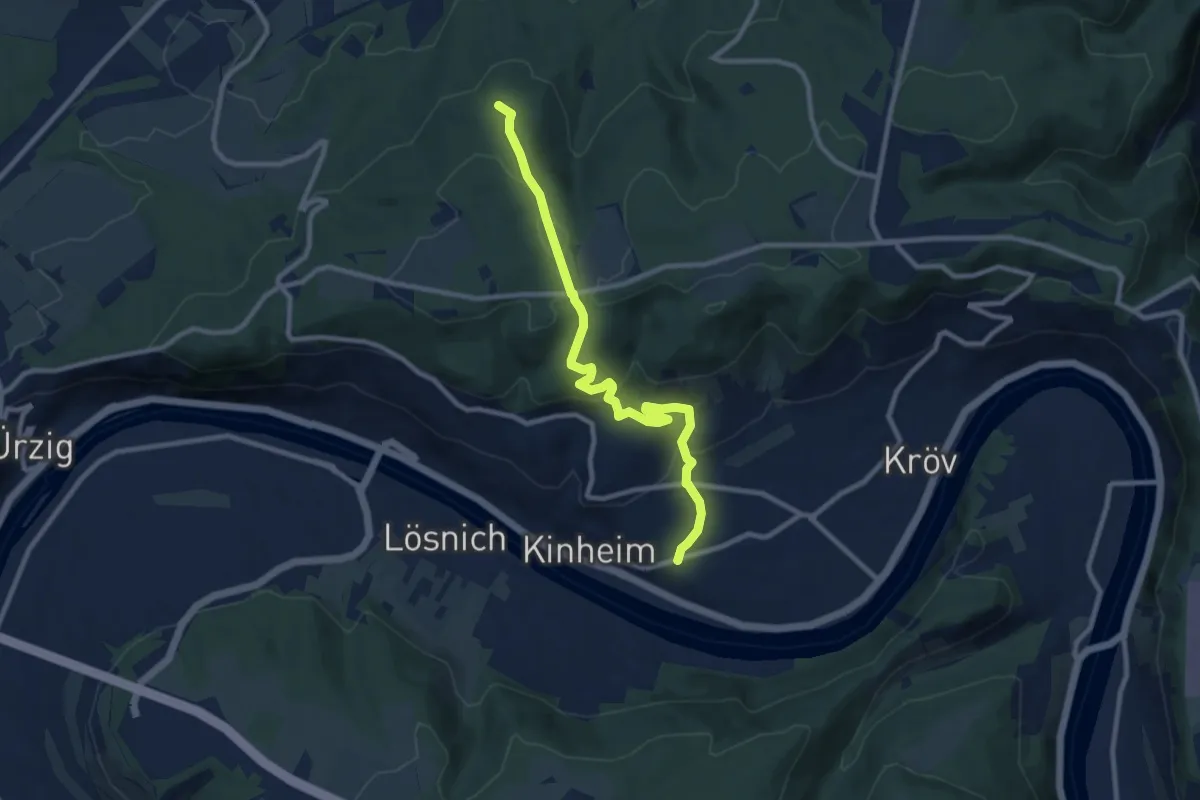
Medium · Trail
Kinheim - Alftalhöhenweg
9.1 km · ↑ 320 m · 2 h 51 min
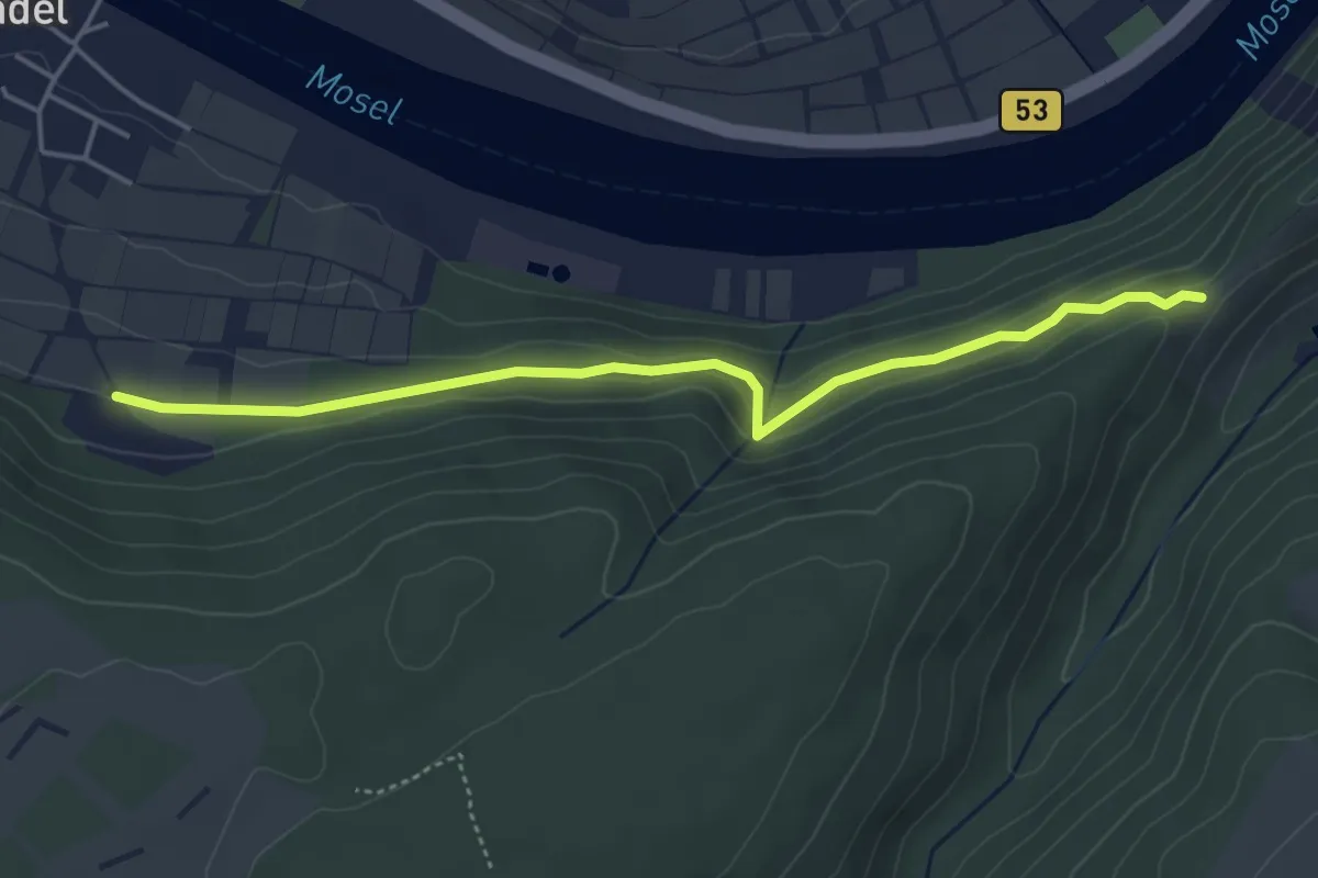
Easy · Trail
Kinheim-Kindel Grillhütte"Am Römerhang" - Anschluß Moselhöhenweg
4.3 km · ↑ 205 m · 1 h 27 min
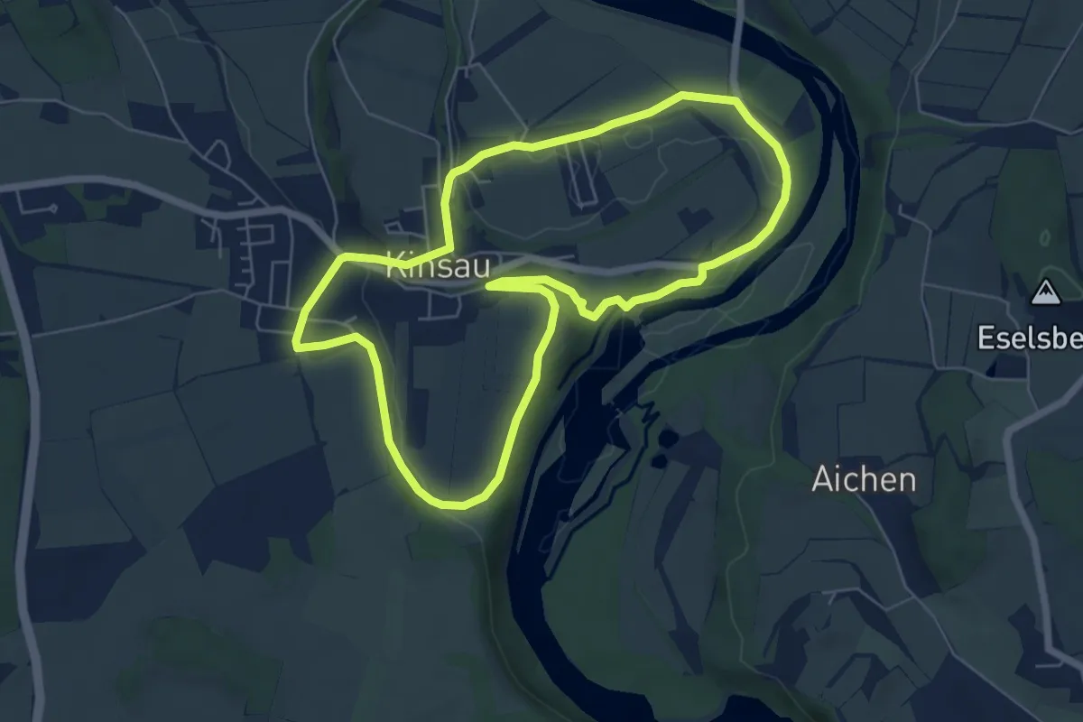
Easy · Trail
Kinsauer Lechschleifenrunde (8,5km)
5.8 km · ↑ 92 m · 1 h 39 min
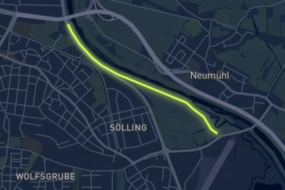
Easy · Trail
Kinzigbrücke - Bei der Schuttermündung
3.8 km · ↑ 0 m · 54 min
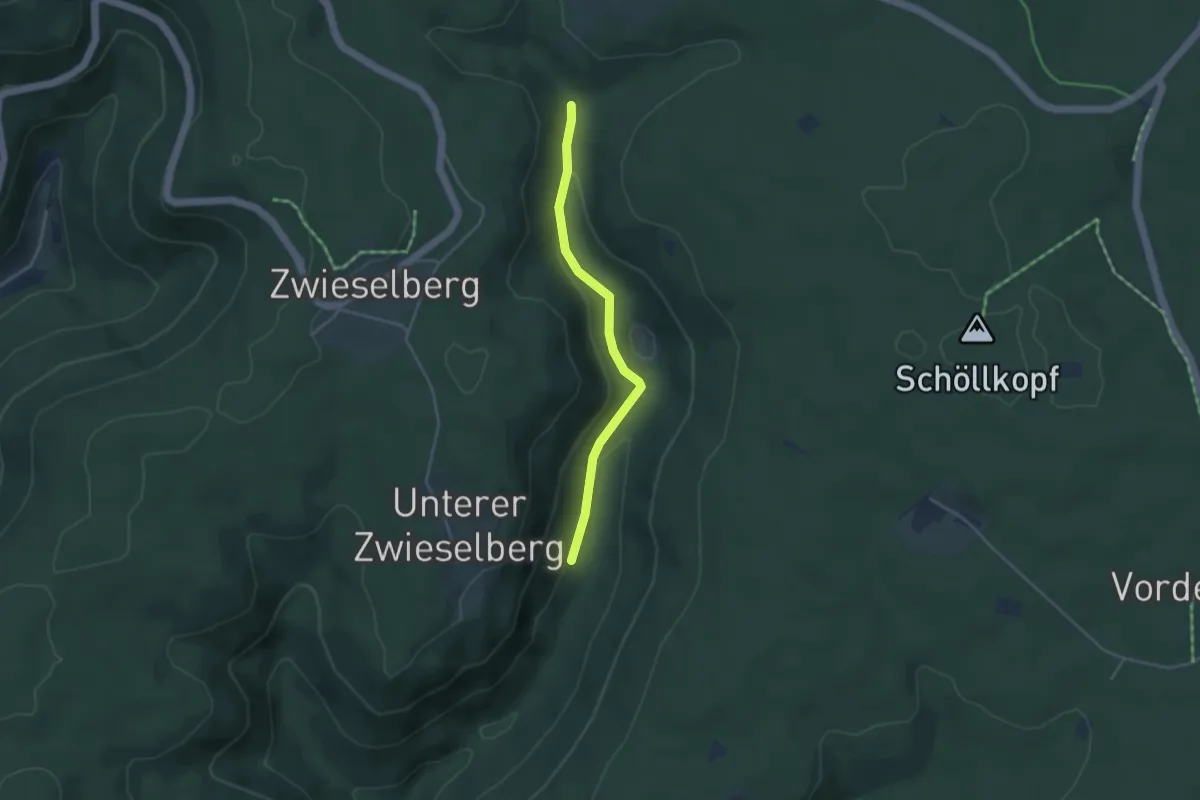
Easy · Trail
Kinzigbrückle - Kinzigle
3.4 km · ↑ 125 m · 1 h 5 min
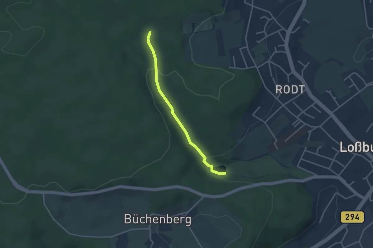
Easy · Trail
Kinzigsee - Waldlehrpfad
2.4 km · ↑ 73 m · 43 min
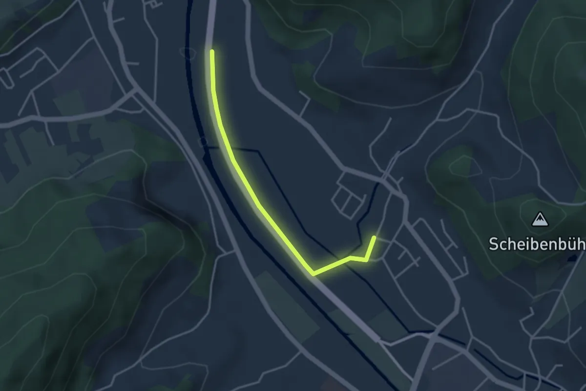
Easy · Trail
Kinzigsteg - Bollenbach Dorfgem. Haus
2.9 km · ↑ 4 m · 42 min
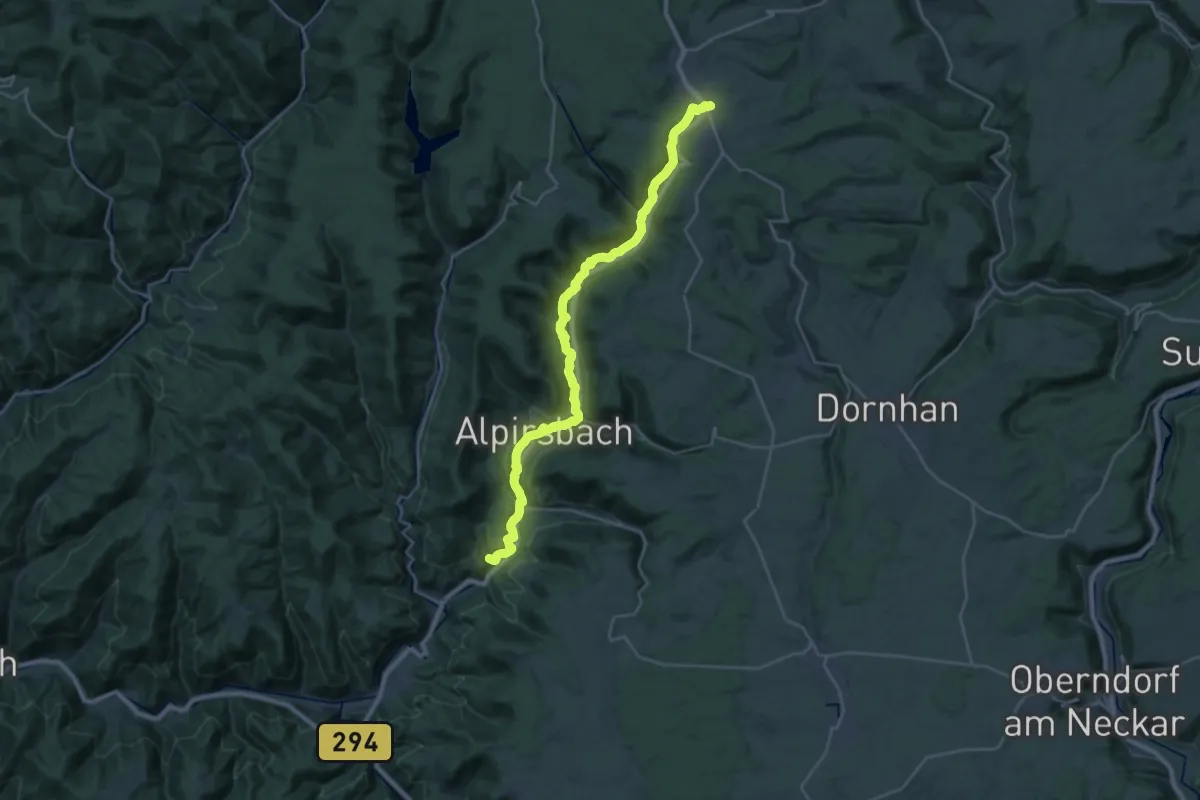
Medium · Pilgrim path
Kinzigtäler Jakobusweg
14.4 km · ↑ 250 m · 4 h 16 min
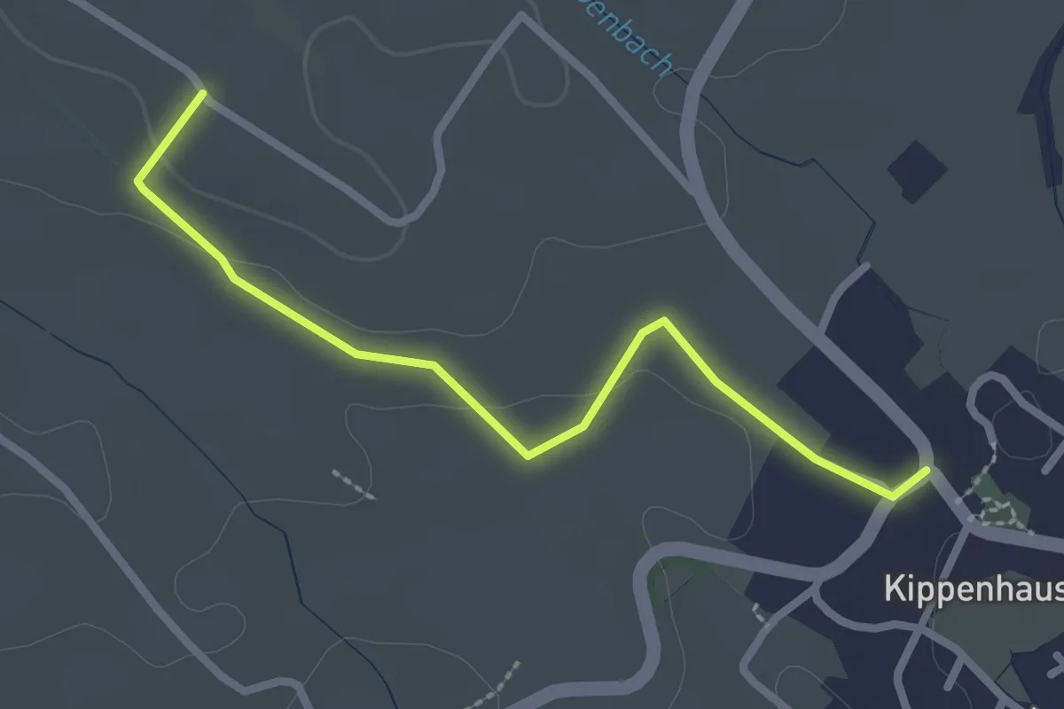
Easy · Trail
Kippenhausen - Frenkenbach
2.5 km · ↑ 28 m · 39 min
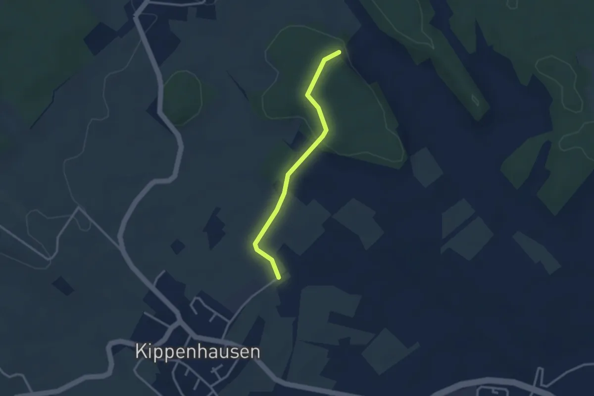
Easy · Trail
Kippenhausen - Ikelesholz
2.4 km · ↑ 46 m · 40 min
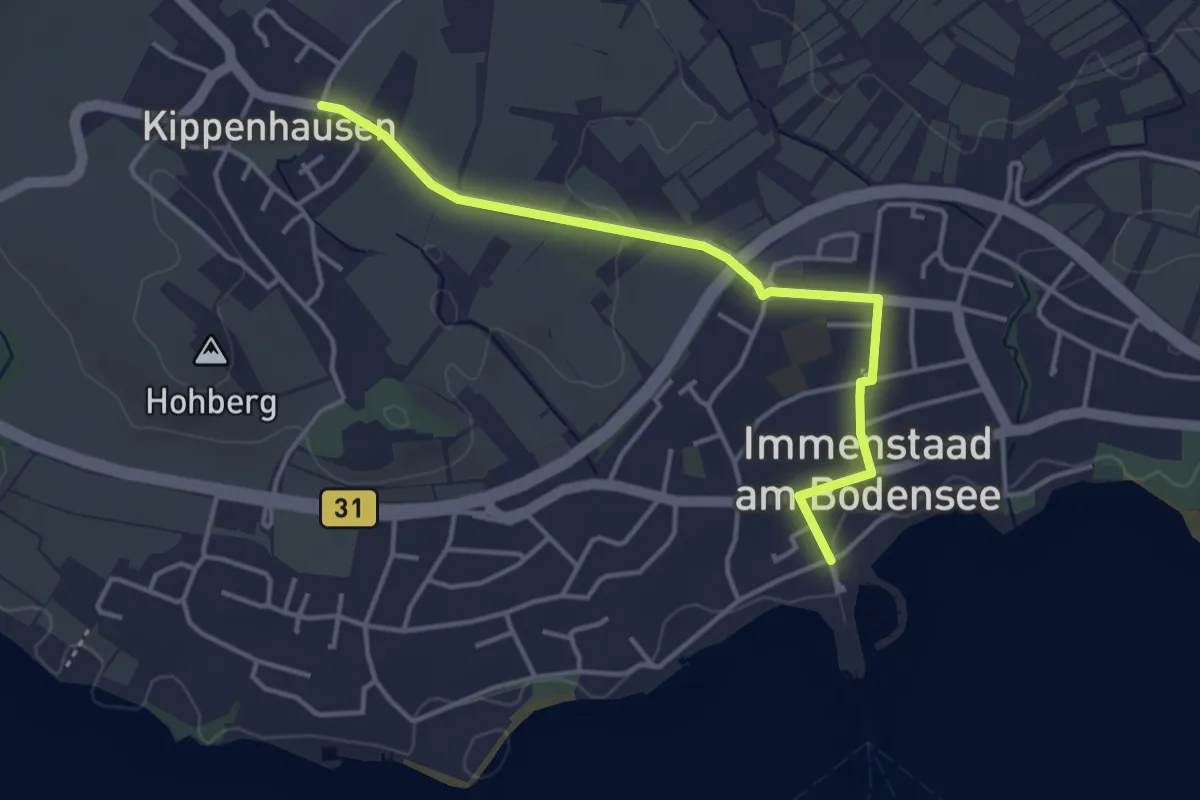
Easy · Trail
Kippenhausen - Immenstaad
3.8 km · ↑ 27 m · 57 min
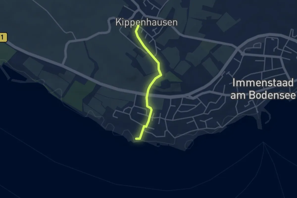
Easy · Trail
Kippenhausen - Immenstaad
2.8 km · ↑ 30 m · 44 min
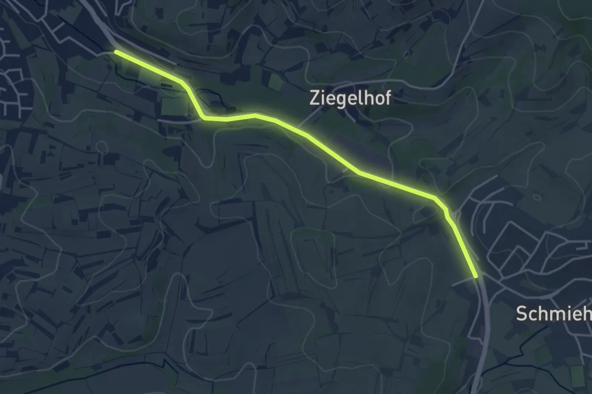
Easy · Trail
Kippenheim Mühlbachhalle - Schmieheim Alter Friedhof
3.9 km · ↑ 58 m · 1 h 3 min
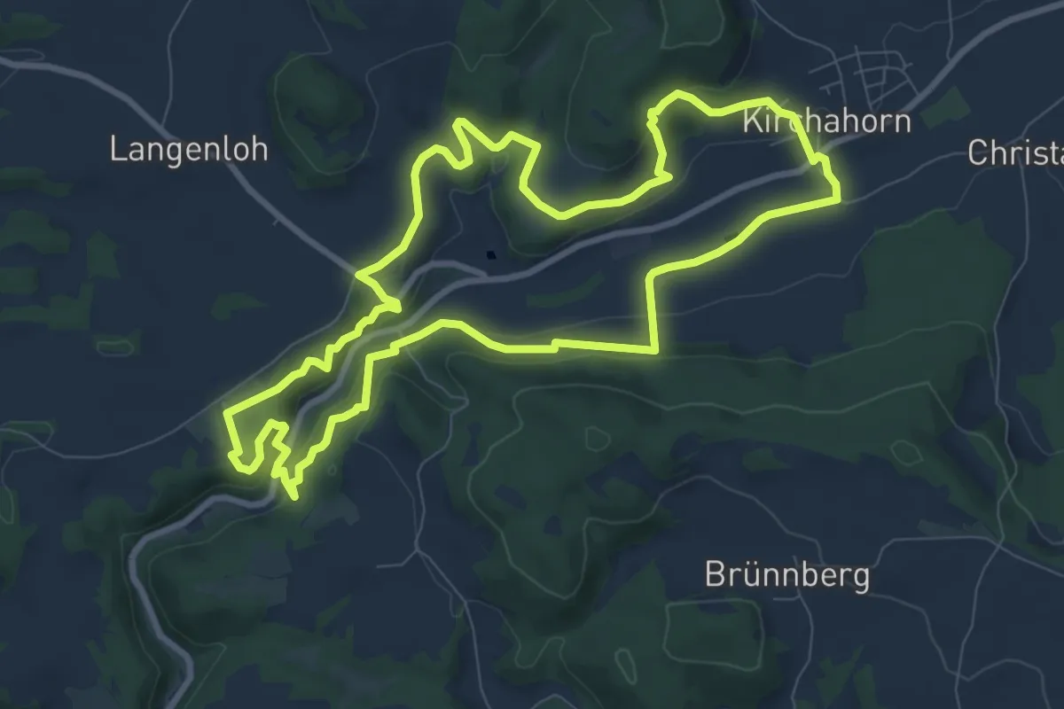
Medium · Trail
Kirchahorn Rundweg "Zu Höhlenbär und Millionär"
8.6 km · ↑ 259 m · 2 h 43 min
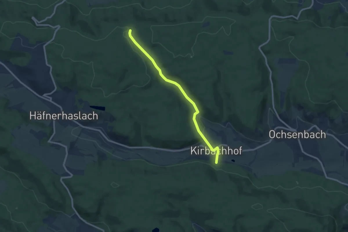
Easy · Trail
Kirchbachhof - Rennweg
6.9 km · ↑ 161 m · 1 h 59 min
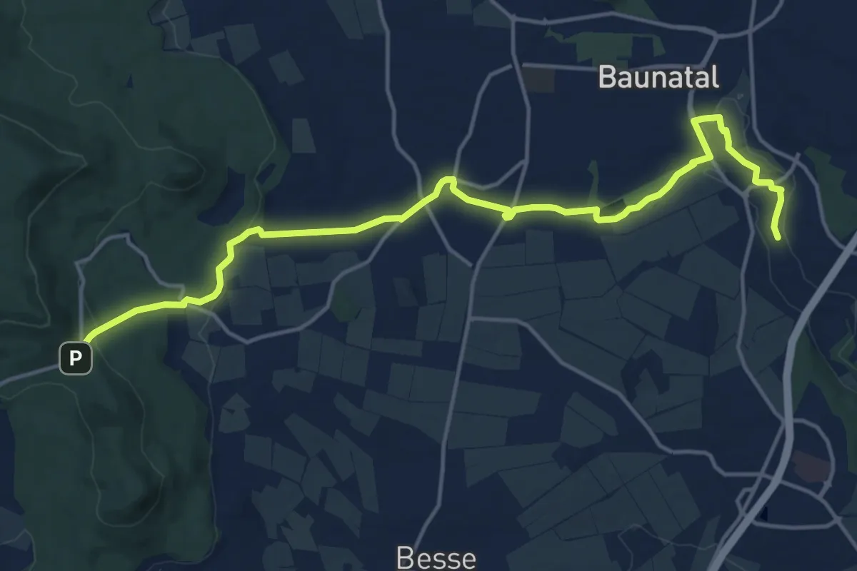
Medium · Trail
Kirchbauna - Bensberg
15.5 km · ↑ 236 m · 4 h 10 min
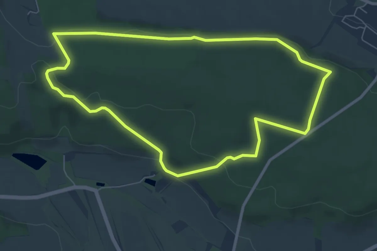
Easy · Trail
Kirchberg
5.4 km · ↑ 112 m · 1 h 36 min
Easy · Trail
Kirchberg - Alte Poststraße
3.6 km · ↑ 39 m · 55 min
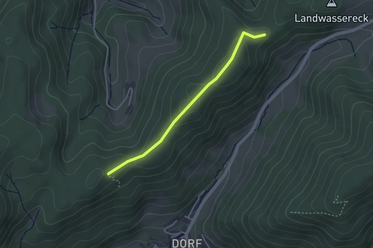
Easy · Trail
Kirchberg - Burggraben
2.8 km · ↑ 123 m · 56 min
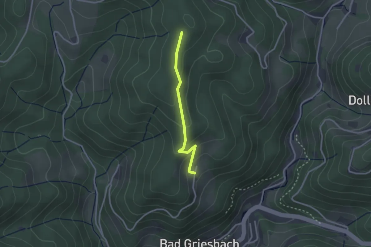
Easy · Trail
Kirchberg - Nockenhofweg
2.0 km · ↑ 101 m · 42 min
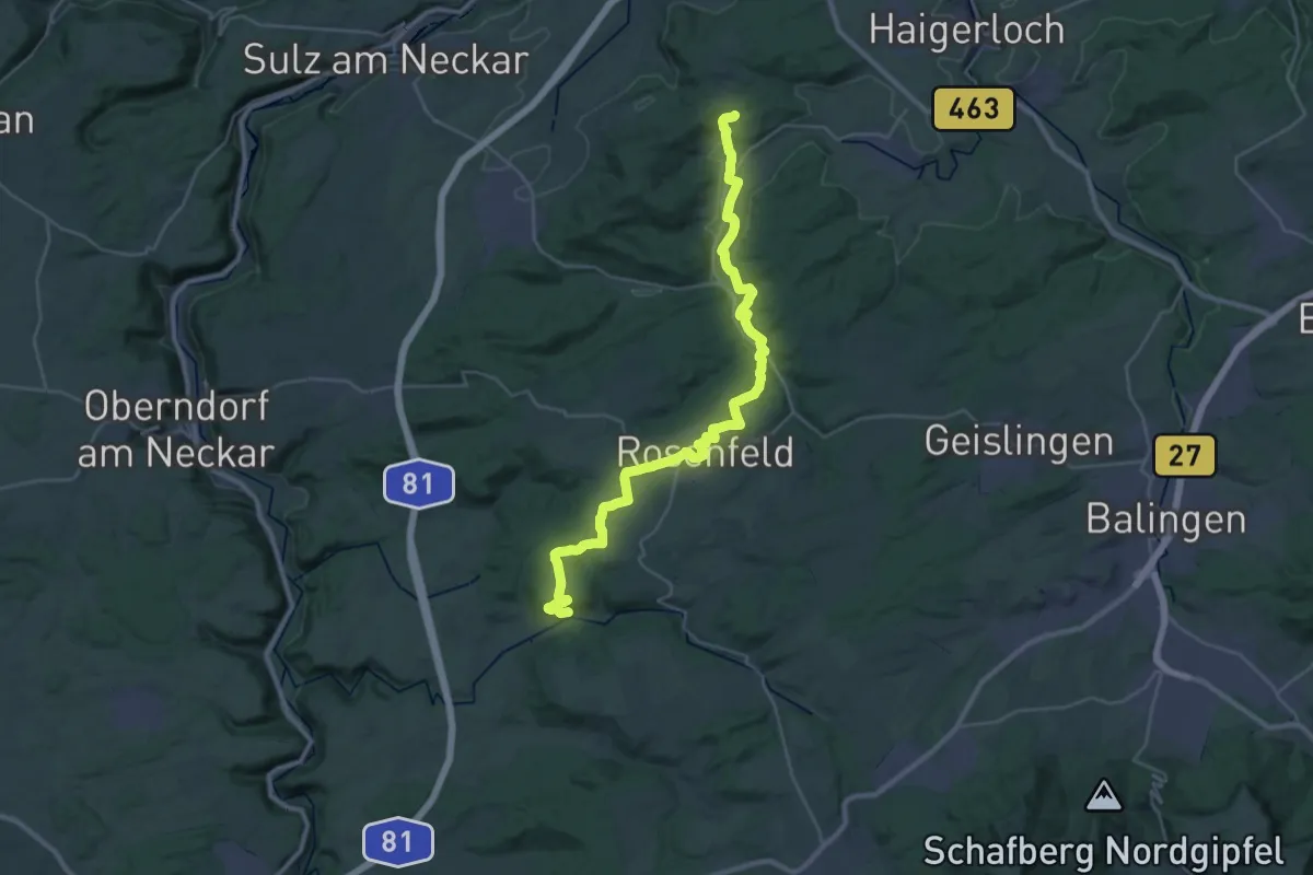
Medium · Trail
Kirchberg-Pilgerweg
17.2 km · ↑ 316 m · 4 h 59 min
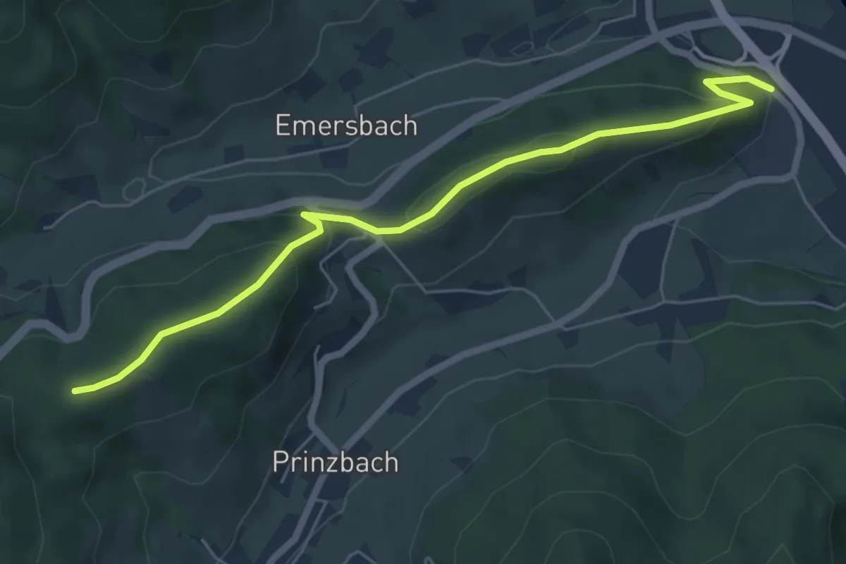
Easy · Trail
Kirchberg - Priesen
5.7 km · ↑ 246 m · 1 h 52 min
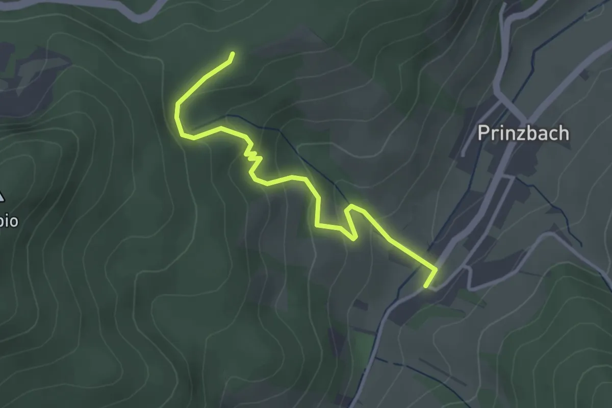
Easy · Trail
Kirchberg - Prinzbach Kirche
3.0 km · ↑ 182 m · 1 h 7 min
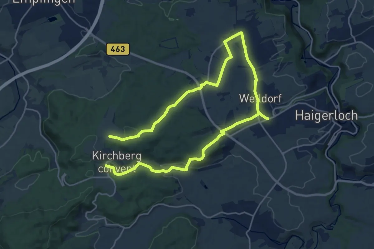
Demanding · Trail
Kirchberg-Rundweg
23.6 km · ↑ 419 m · 6 h 29 min
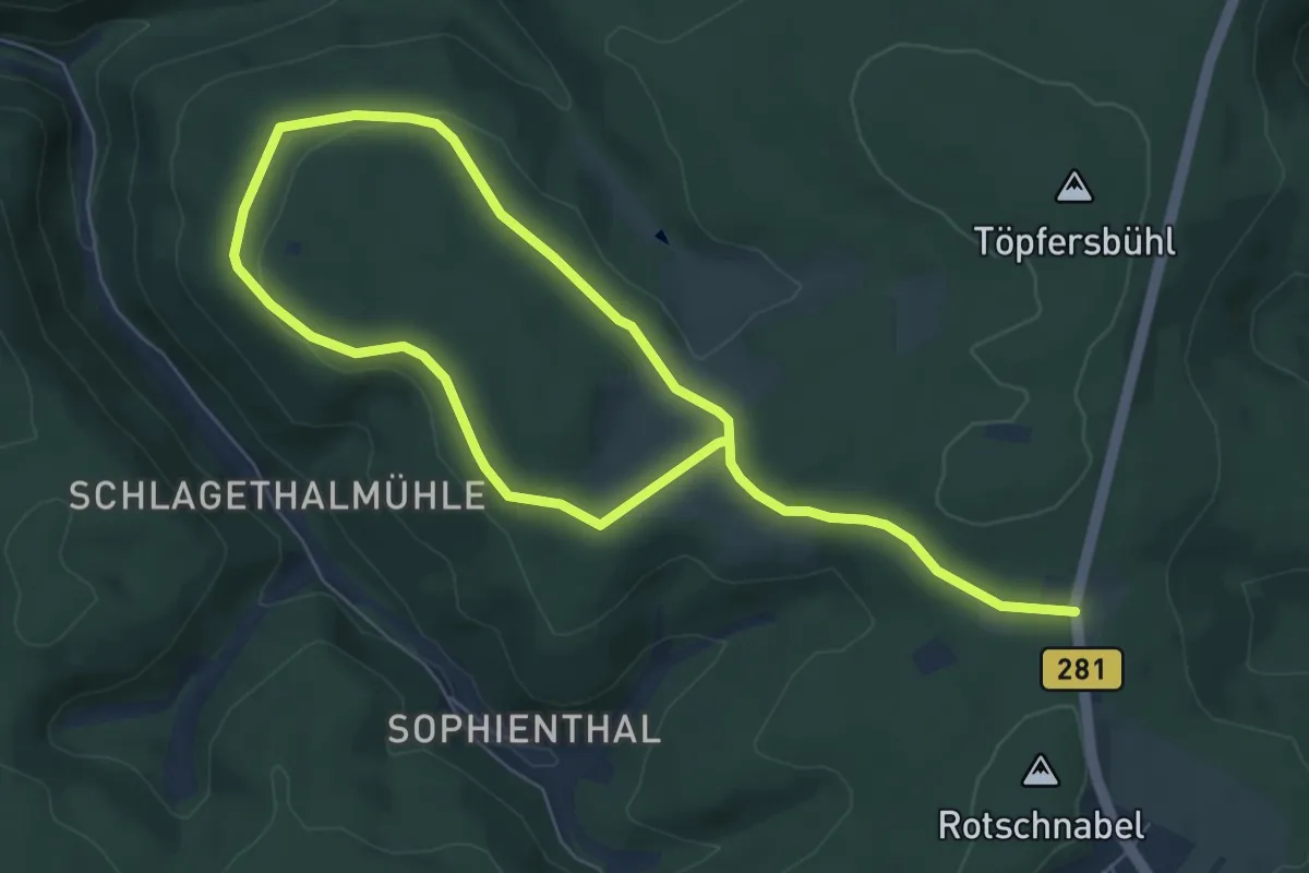
Medium · Trail
Kirchberg-Rundweg
10.0 km · ↑ 140 m · 2 h 40 min
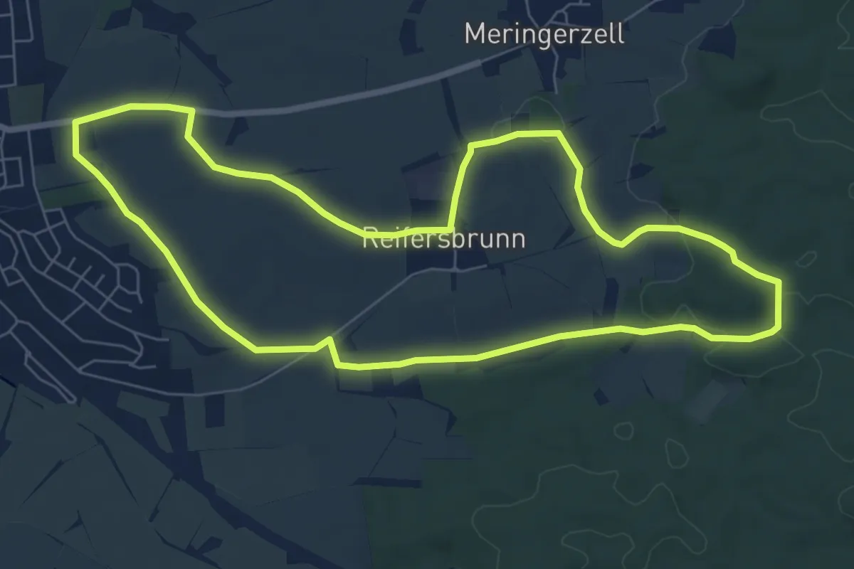
Easy · Summit
Kirchbergweg
7.0 km · ↑ 68 m · 1 h 54 min
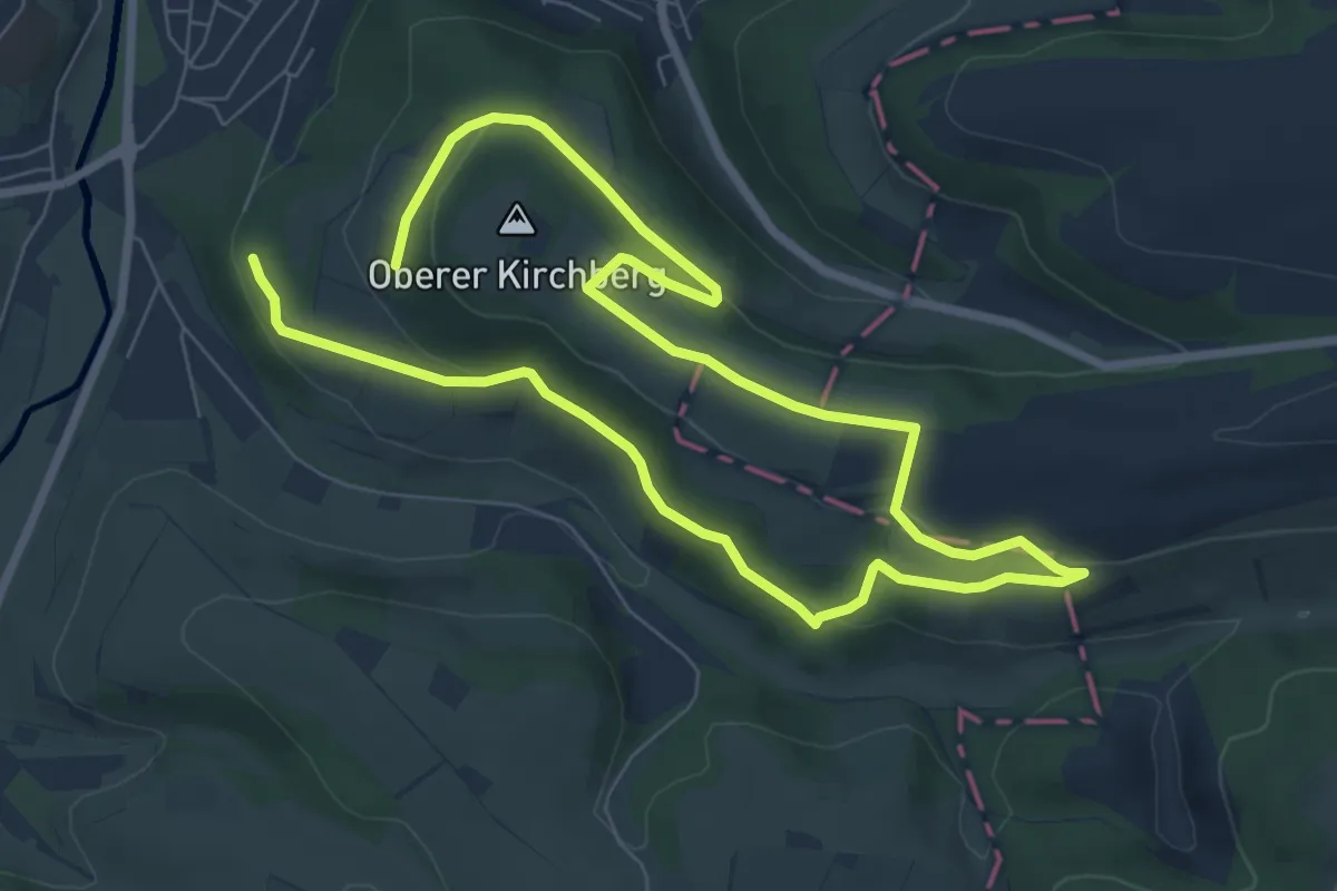
Easy · Trail
Kirchbergweg
5.9 km · ↑ 97 m · 1 h 43 min
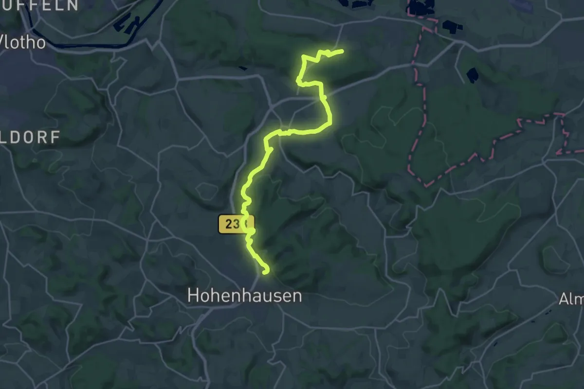
Demanding · Trail
Kirchbergweg
21.4 km · ↑ 571 m · 6 h 17 min
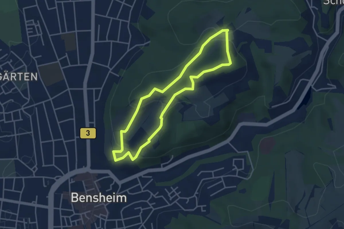
Easy · Trail
Kirchberg-Weg
3.1 km · ↑ 102 m · 59 min
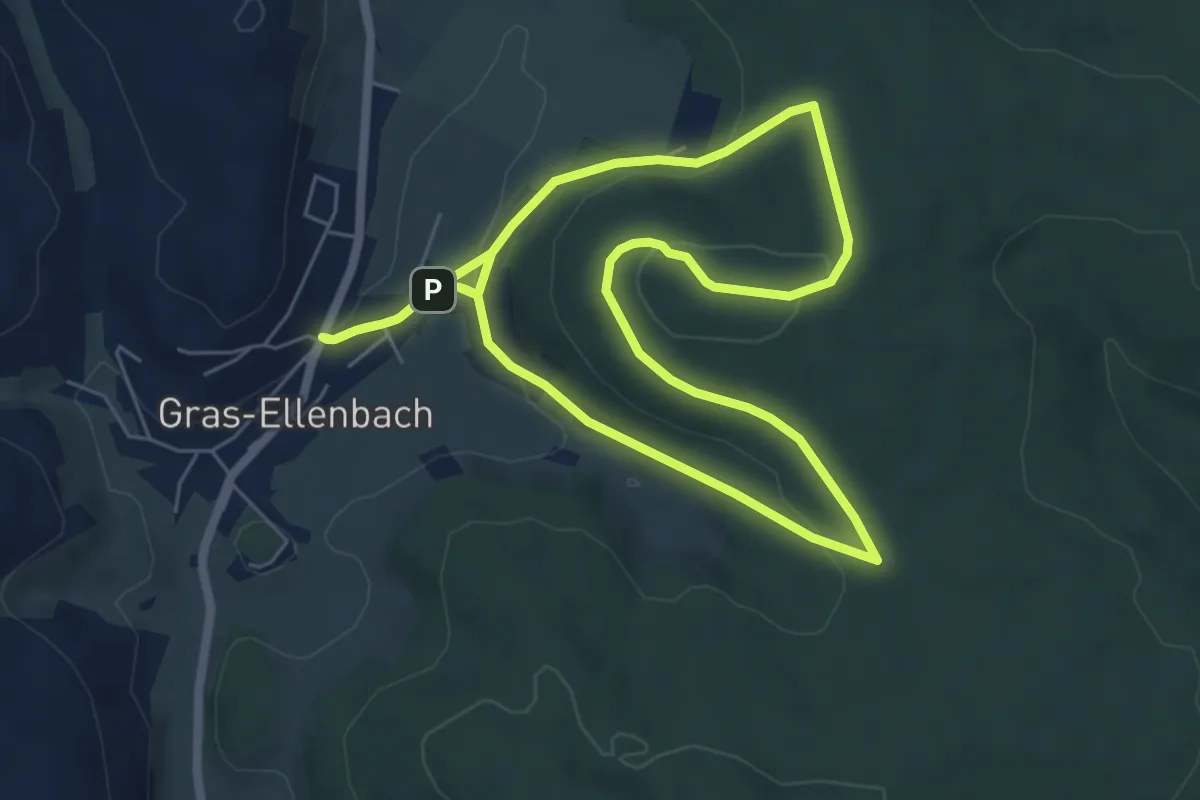
Easy · Summit
Kirchberg-Weg
5.5 km · ↑ 129 m · 1 h 39 min
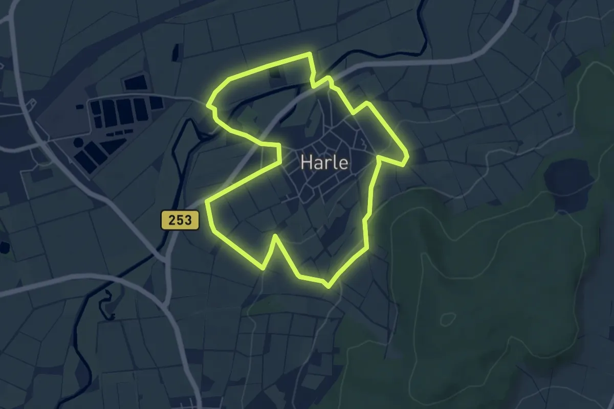
Easy · Summit
Kirchblick 1
6.0 km · ↑ 106 m · 1 h 44 min
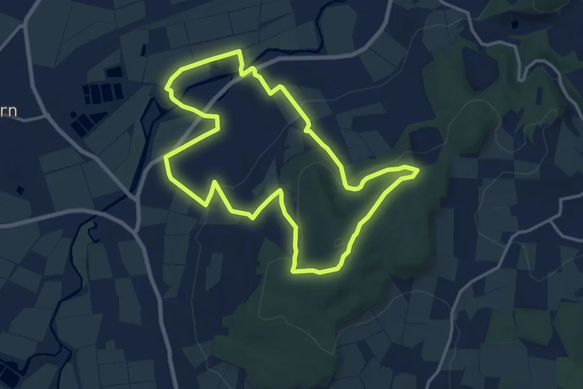
Medium · Summit
Kirchblick 2
9.2 km · ↑ 241 m · 2 h 49 min
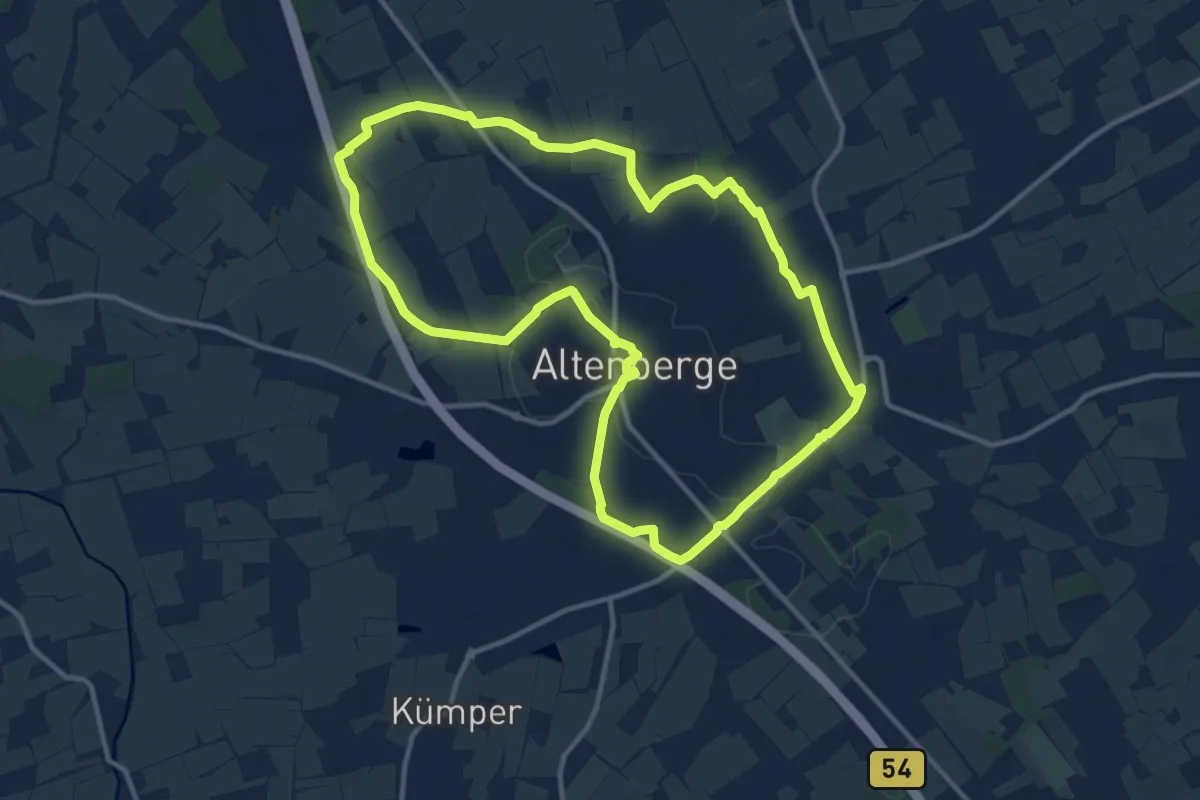
Medium · Trail
Kirchblick-Runde
11.2 km · ↑ 63 m · 2 h 56 min
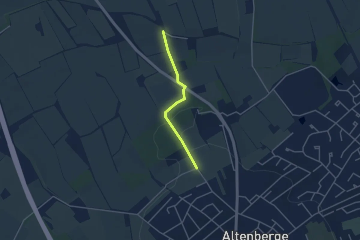
Easy · Trail
Kirchblick-Runde Abkürzung
2.2 km · ↑ 29 m · 35 min
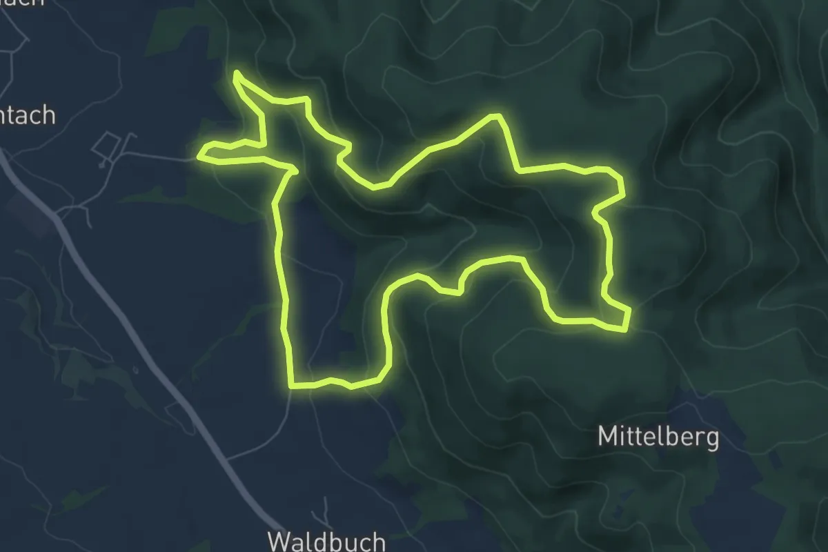
Medium · Trail
Kirchbühl-Weg KC 64
7.5 km · ↑ 361 m · 2 h 40 min
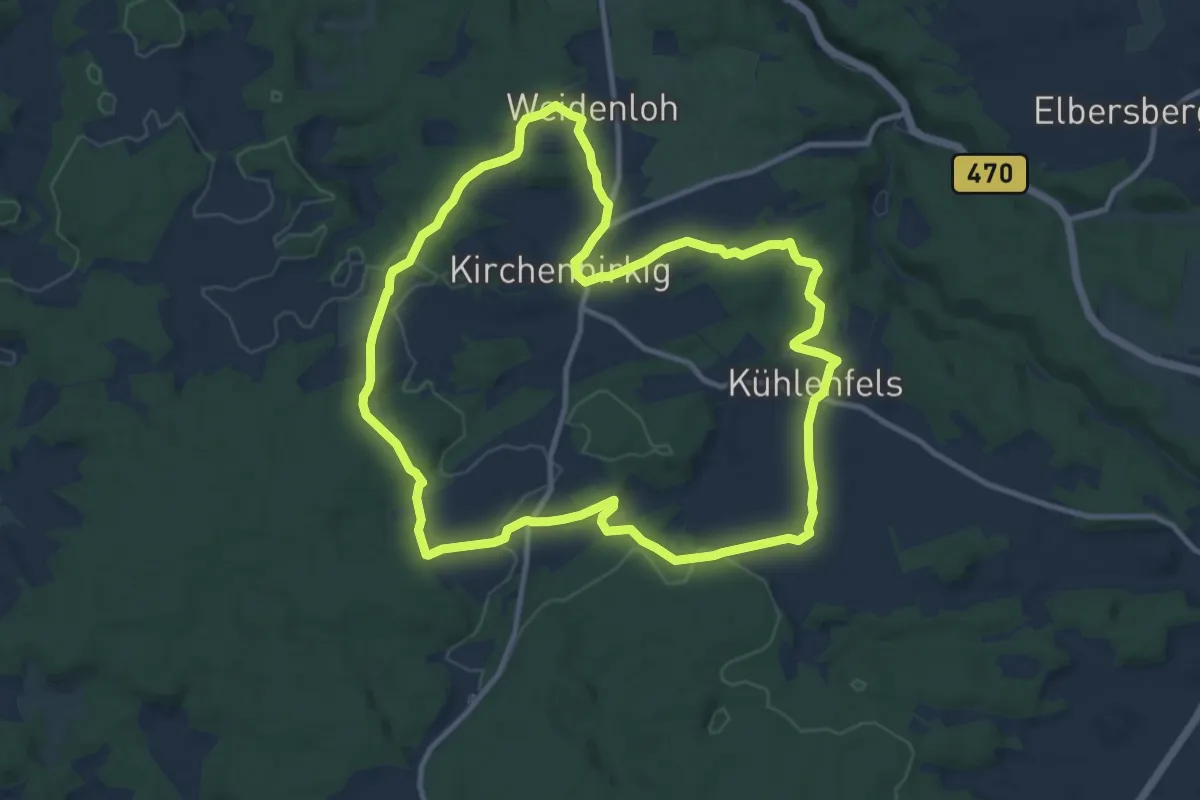
Medium · Trail
Kirchenbirkig-Regenthal-Weidenloh
10.5 km · ↑ 160 m · 2 h 58 min
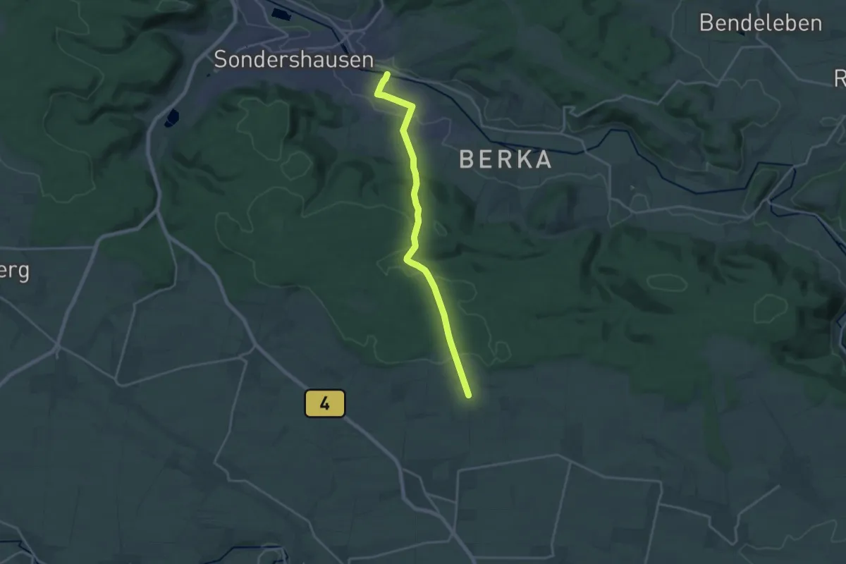
Medium · Summit
Kirchengelscher Stadtweg
15.6 km · ↑ 320 m · 4 h 23 min
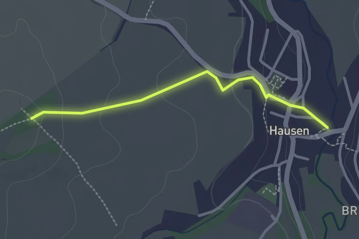
Easy · Trail
Kirchengrund - Hausen Dorfplatz
2.2 km · ↑ 67 m · 39 min