Trails in Germany
36,852 hiking trails, each with its route, climb, walking time and grade.
All trails, page 289 of 768
Medium · Trail
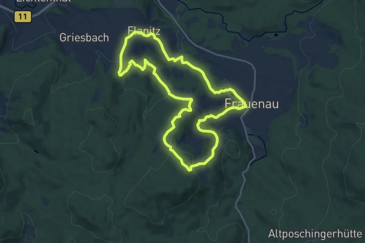
Kirchen- & Kapellenweg (Herrmann-Runde)
11.1 km · ↑ 348 m · 3 h 32 min
Medium · Trail
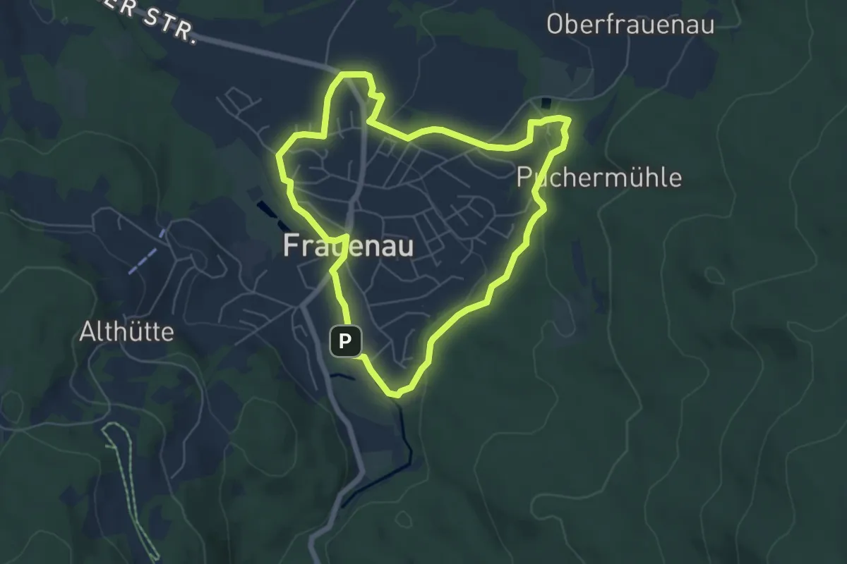
Kirchen- & Kapellenweg (Marien-Runde)
5.2 km · ↑ 105 m · 1 h 32 min
Medium · Trail
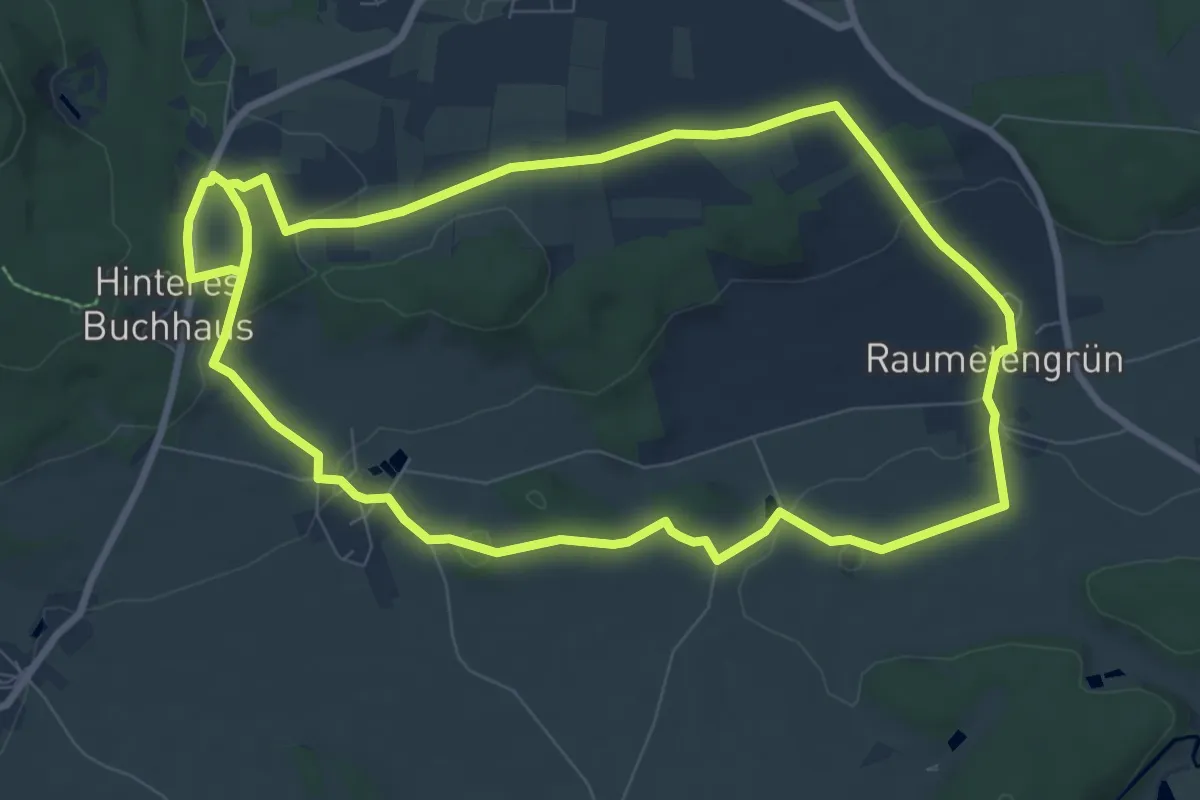
Kirchenlamitz - Rundweg "Kartoffel-Erlebnispfad"
8.2 km · ↑ 133 m · 2 h 21 min
Medium · Trail
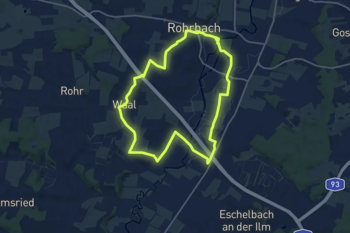
Kirchenqartett
9.5 km · ↑ 100 m · 2 h 36 min
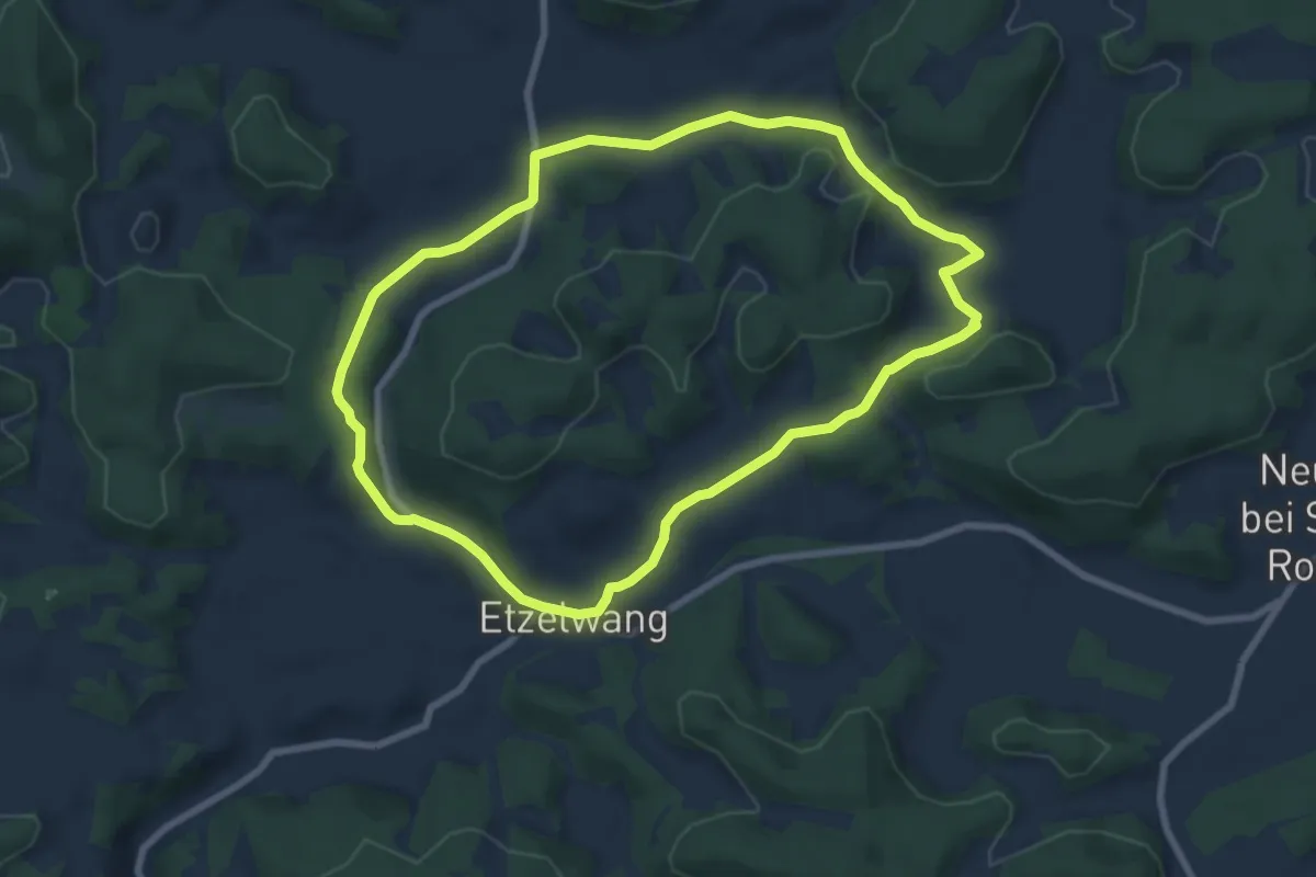
Easy · Summit
Kirchenreinbach Runde
7.0 km · ↑ 148 m · 2 h 4 min
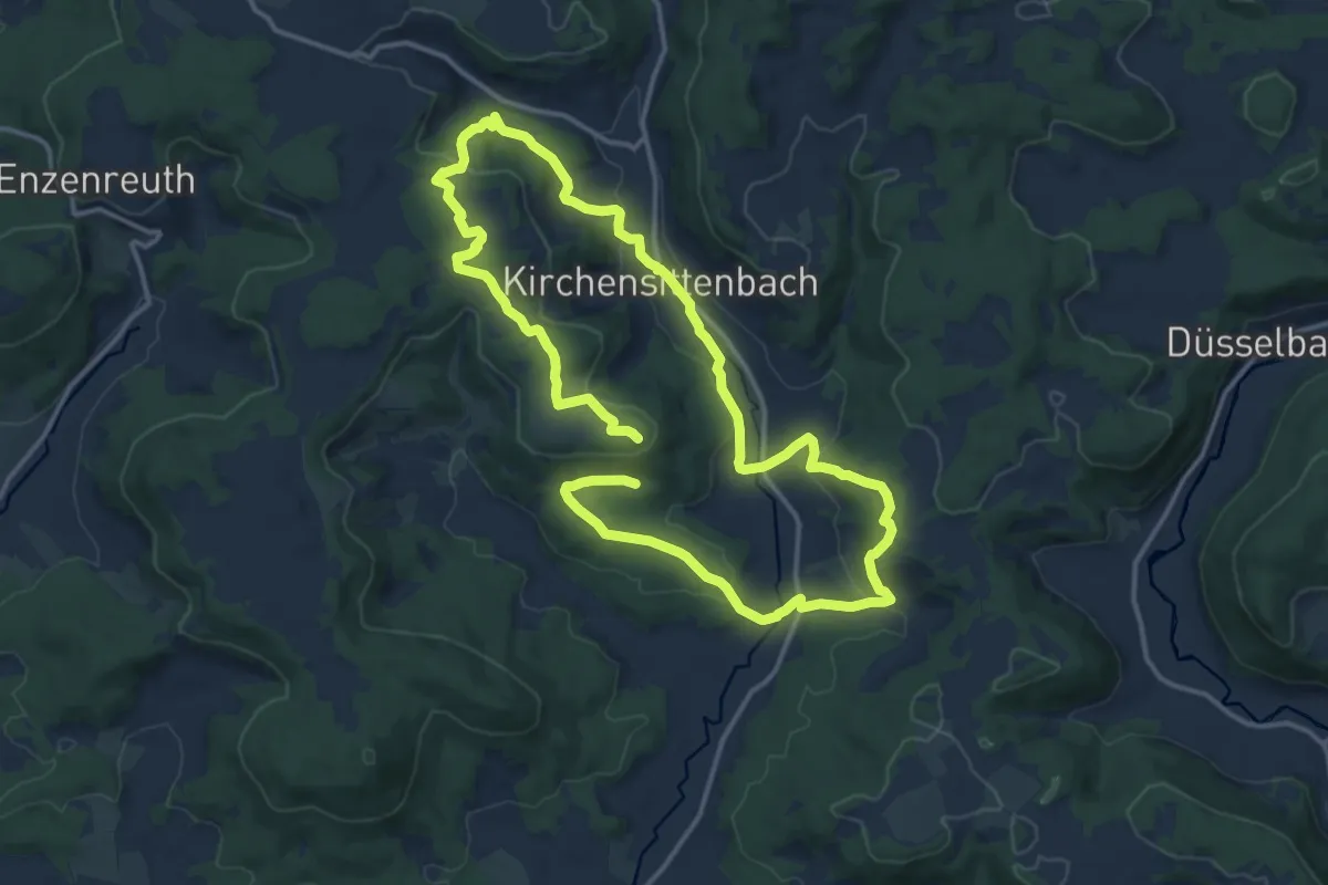
Medium · Summit
Kirchensittenbach 1
12.4 km · ↑ 368 m · 3 h 52 min
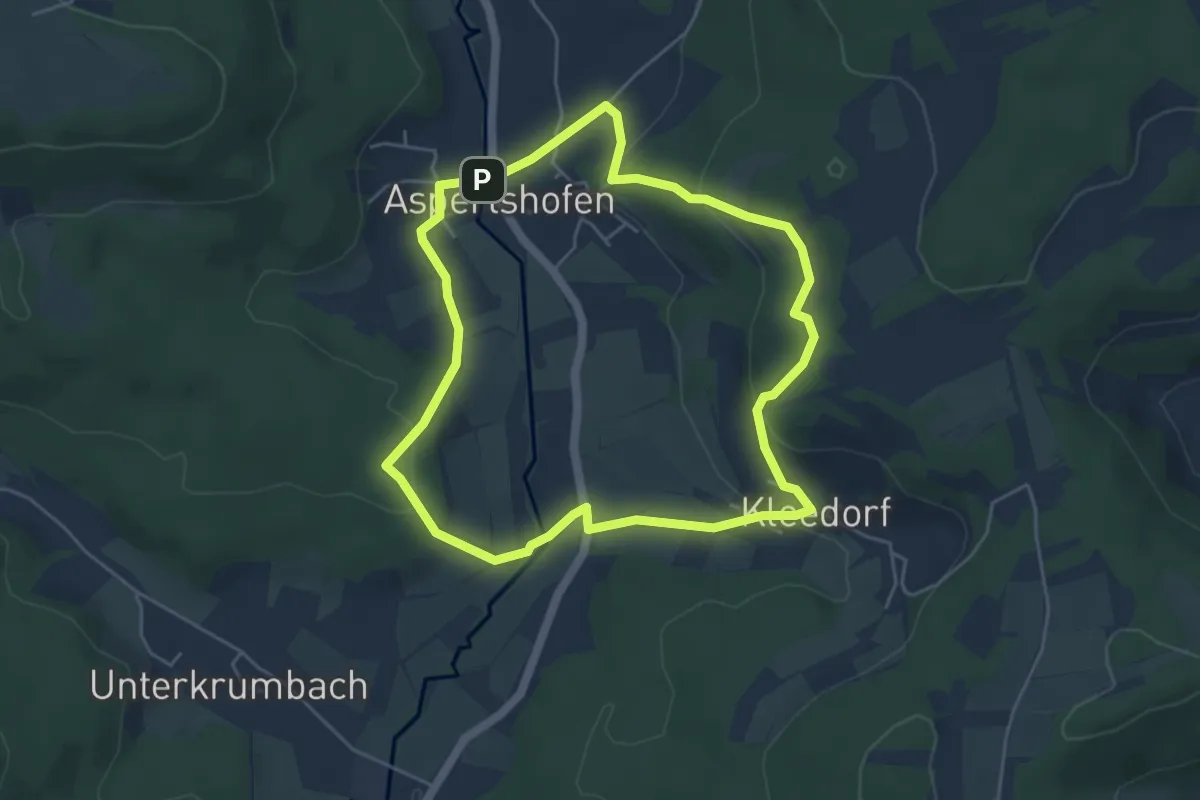
Easy · Summit
Kirchensittenbach 2
4.5 km · ↑ 165 m · 1 h 28 min
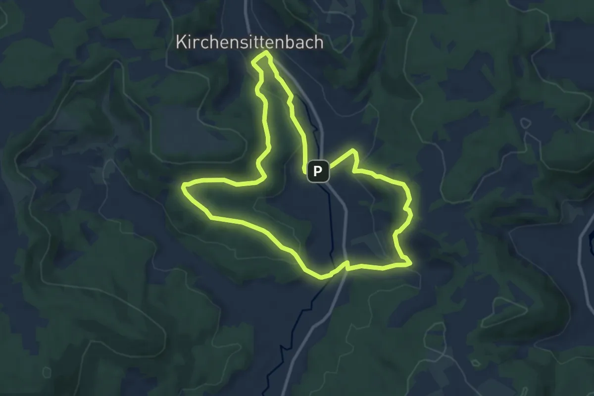
Medium · Summit
Kirchensittenbach 3
8.4 km · ↑ 232 m · 2 h 37 min
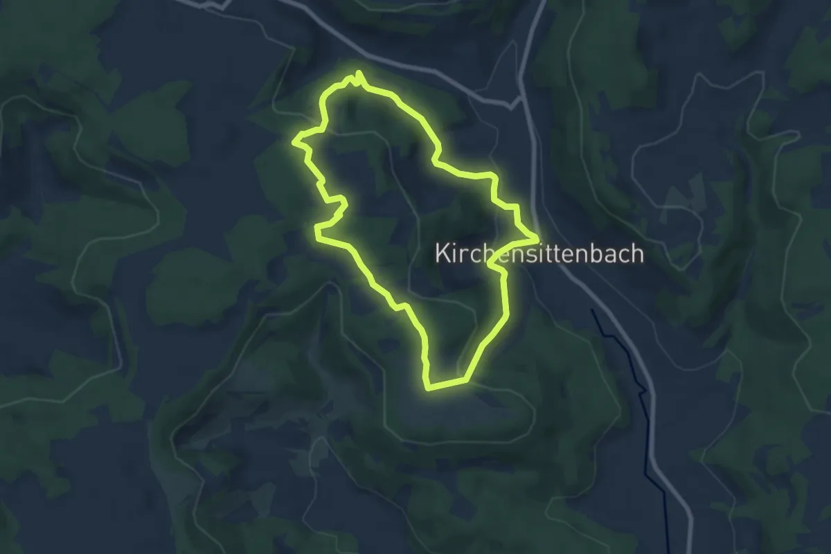
Easy · Summit
Kirchensittenbach 4
6.2 km · ↑ 187 m · 1 h 58 min
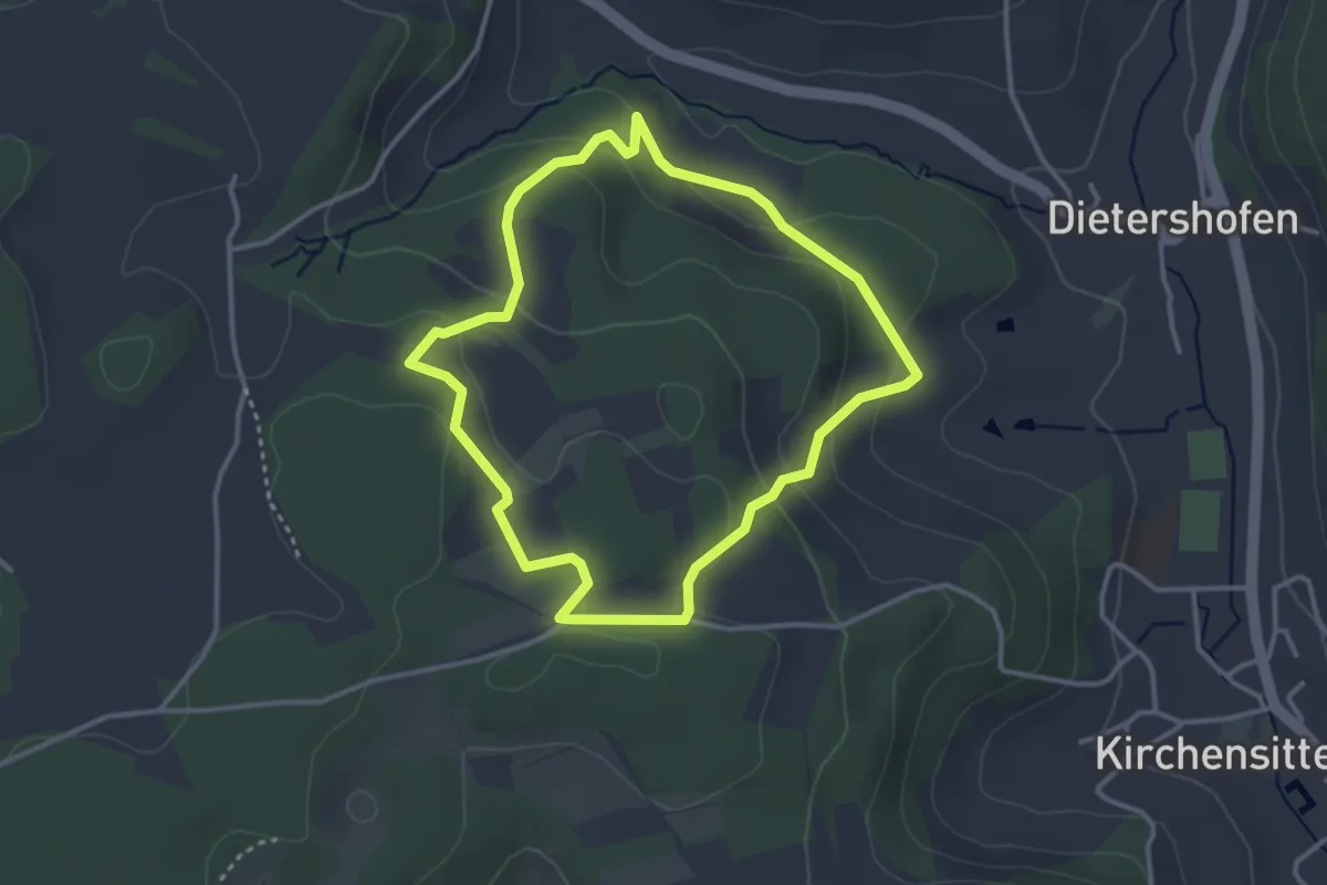
Easy · Trail
Kirchensittenbach 4a
3.0 km · ↑ 123 m · 1 h 1 min
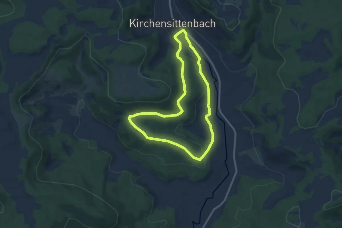
Easy · Trail
Kirchensittenbach 5
5.7 km · ↑ 98 m · 1 h 39 min
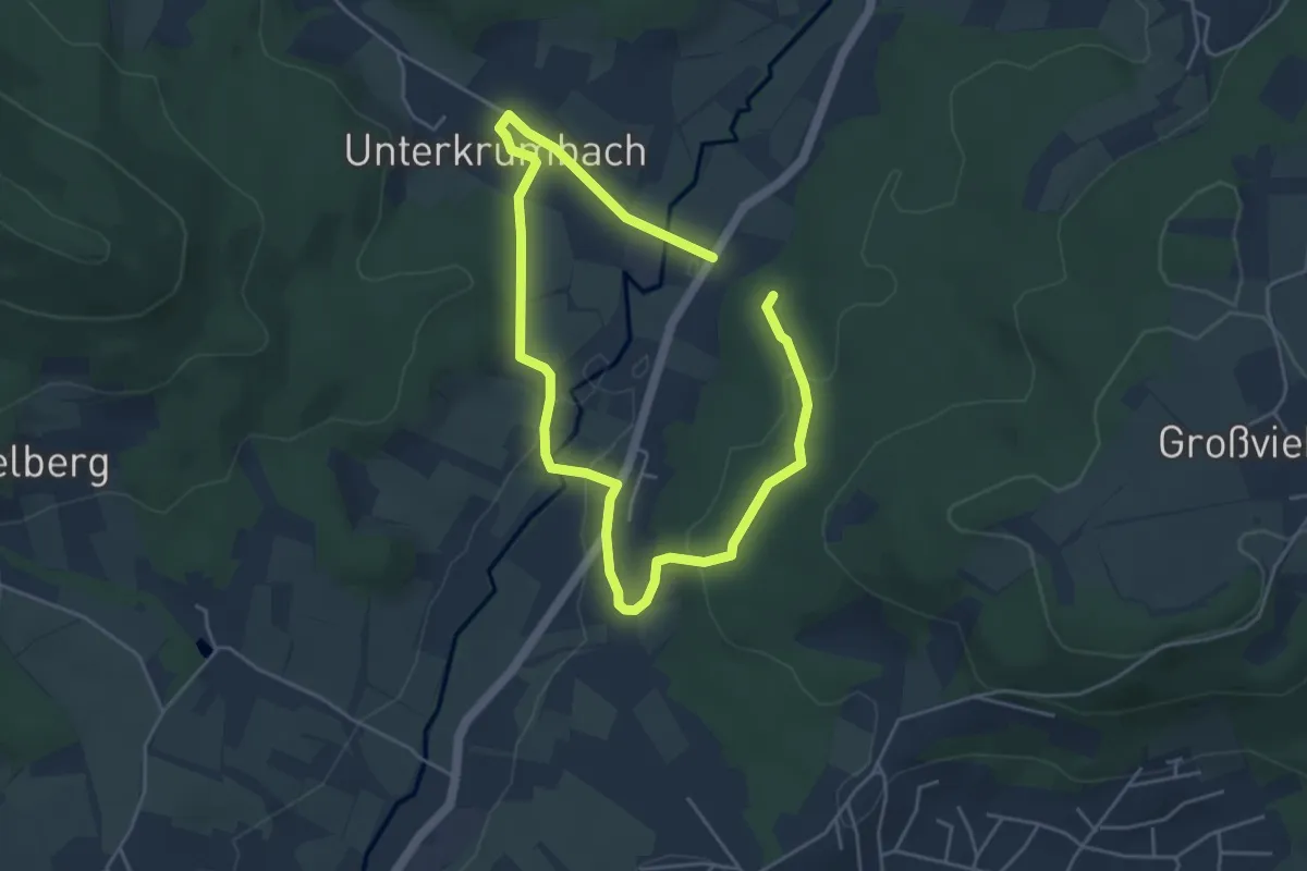
Easy · Trail
Kirchensittenbach 6
3.4 km · ↑ 66 m · 1 h
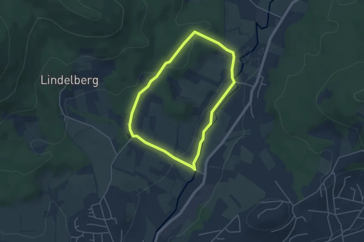
Easy · Trail
Kirchensittenbach 6a
3.2 km · ↑ 70 m · 57 min
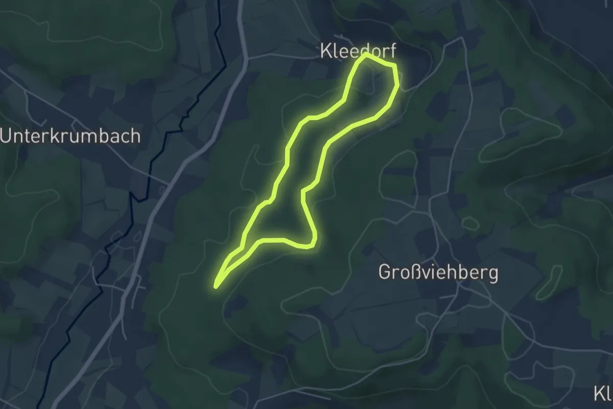
Easy · Trail
Kirchensittenbach 7
3.7 km · ↑ 61 m · 1 h 4 min
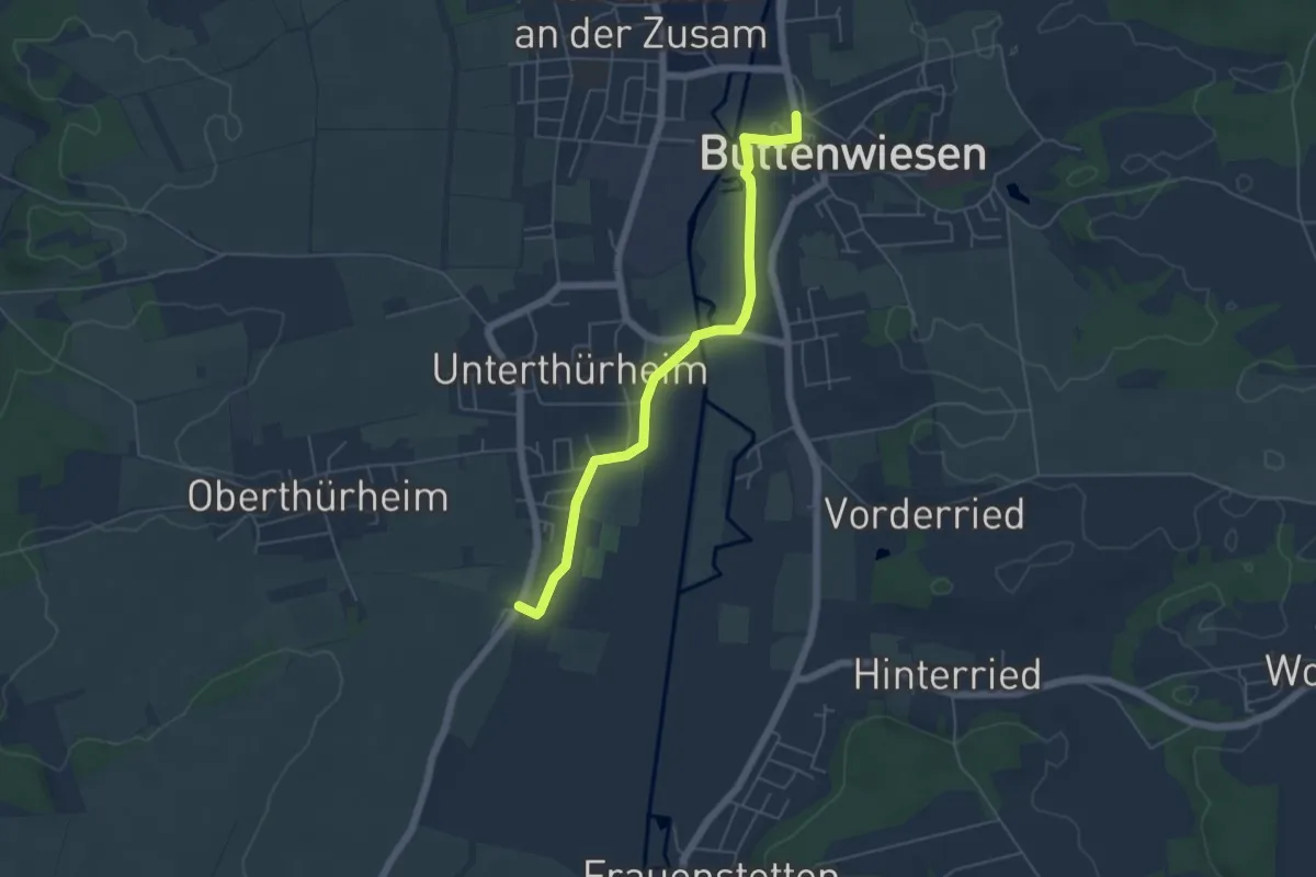
Easy · Trail
Kirchen- und Kapellenweg 3
5.1 km · ↑ 9 m · 1 h 13 min
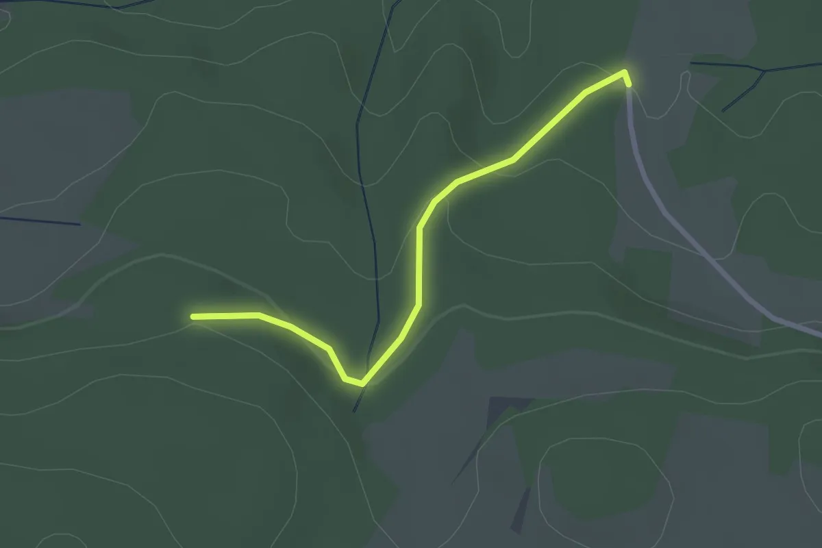
Easy · Trail
Kirchenwald - Rosshütte
2.3 km · ↑ 87 m · 43 min
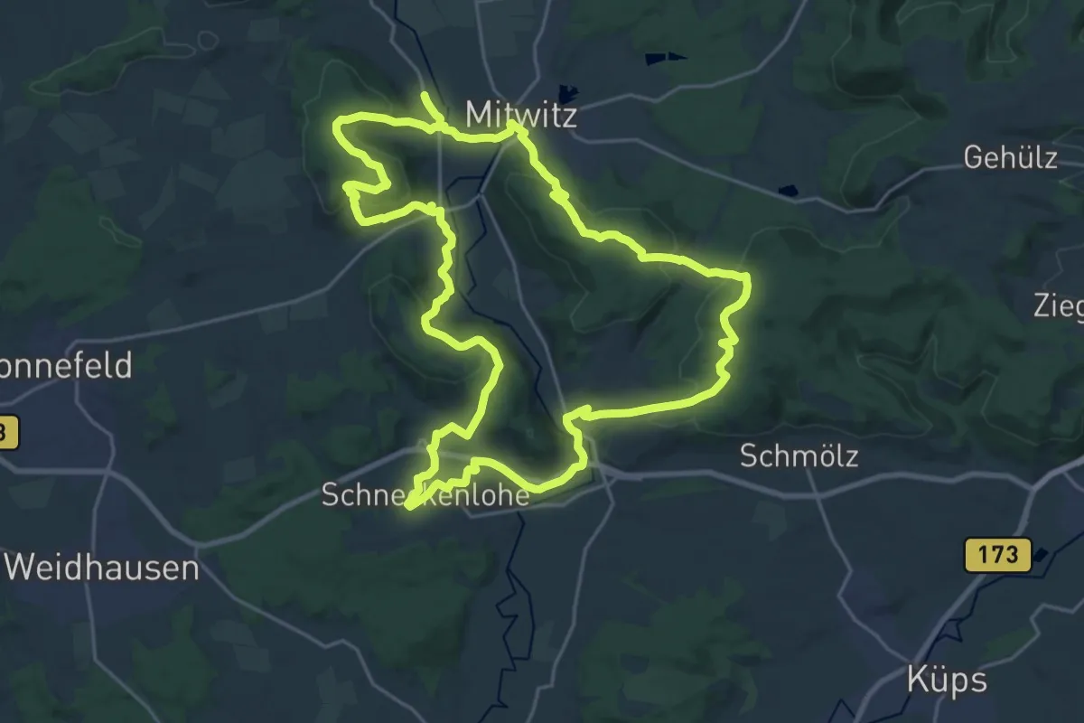
Demanding · Summit
Kirchen-Wanderweg
21.9 km · ↑ 572 m · 6 h 43 min
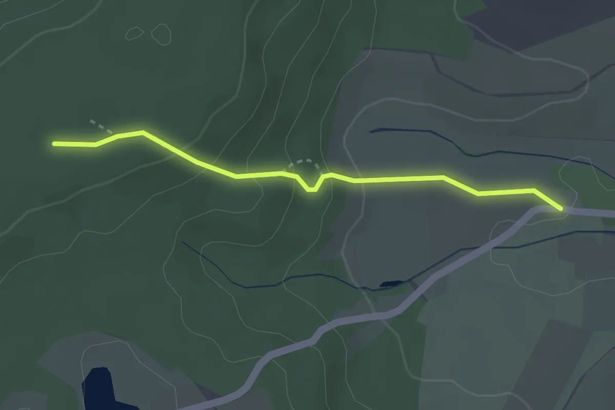
Easy · Trail
Kirchenweg
2.6 km · ↑ 127 m · 53 min
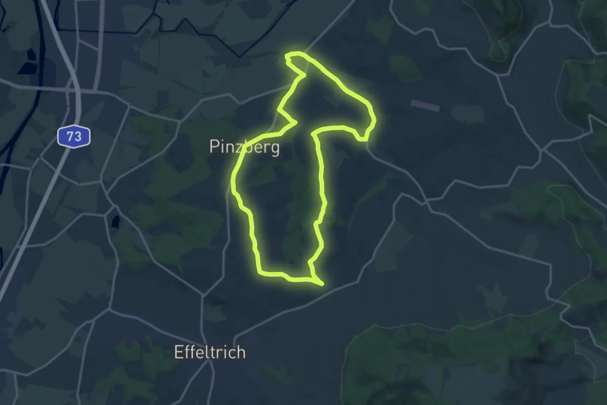
Medium · Trail
Kirchenweg Pinzberg
12.0 km · ↑ 104 m · 3 h 13 min
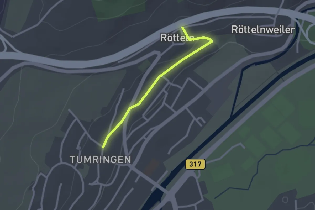
Easy · Trail
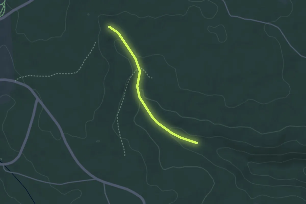
Kirche Rötteln - Tumringen Engel
2.0 km · ↑ 33 m · 33 min
Easy · Trail
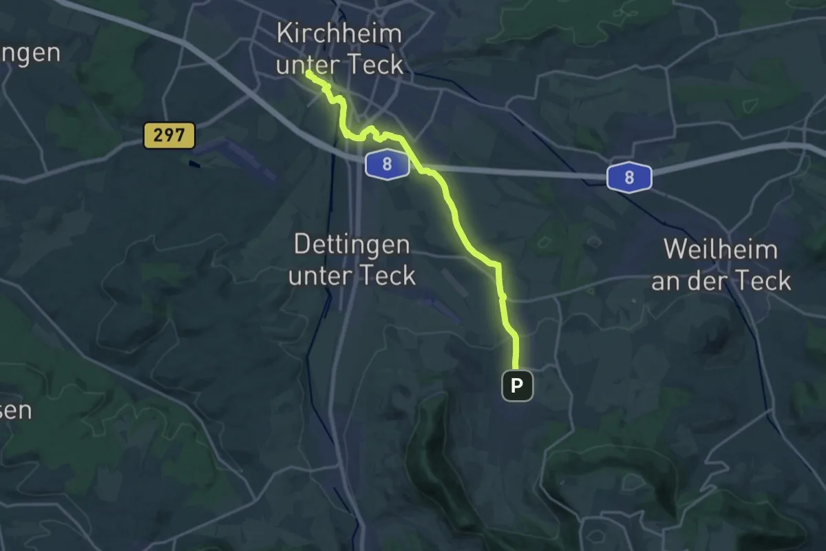
Kirchhalde - Vögelesrain
2.6 km · ↑ 61 m · 45 min
Medium · Trail
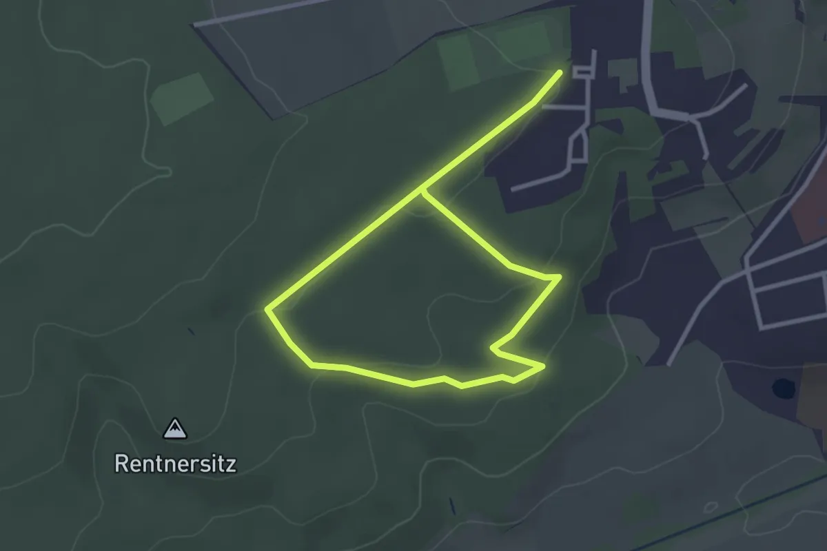
Kirchheim - Bissingen
15.7 km · ↑ 121 m · 3 h 58 min
Easy · Trail
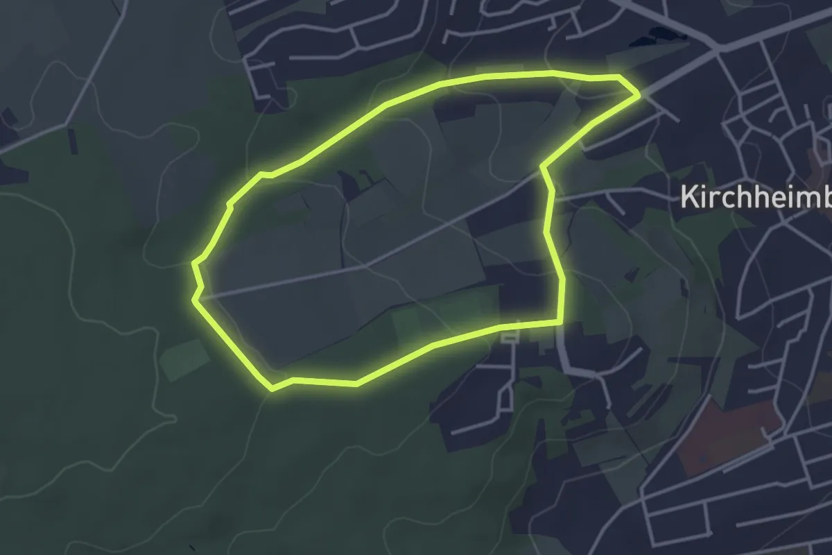
Kirchheim-Bolanden Rundwanderweg Nr. 1
2.1 km · ↑ 42 m · 37 min
Easy · Trail
Kirchheim-Bolanden Rundwanderweg Nr. 3
3.3 km · ↑ 93 m · 1 h 1 min
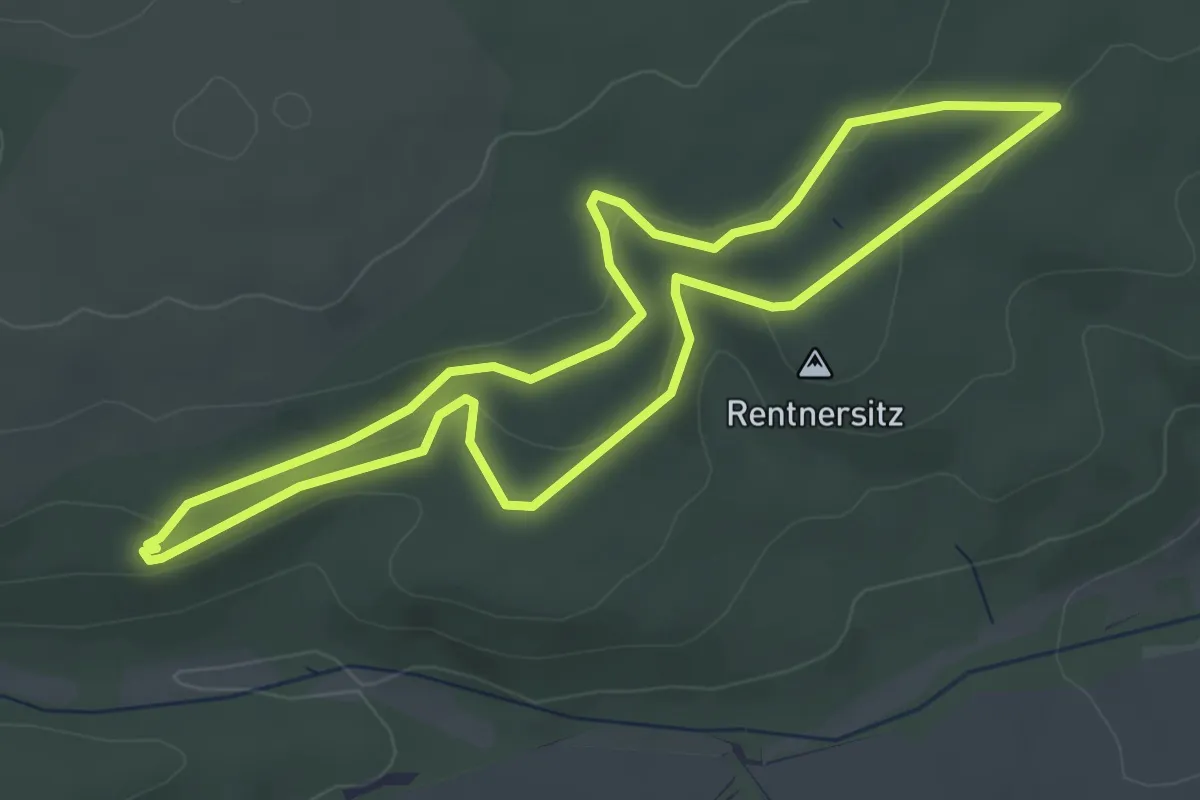
Easy · Summit
Kirchheim-Bolanden Rundwanderweg Nr. 5
3.7 km · ↑ 78 m · 1 h 6 min
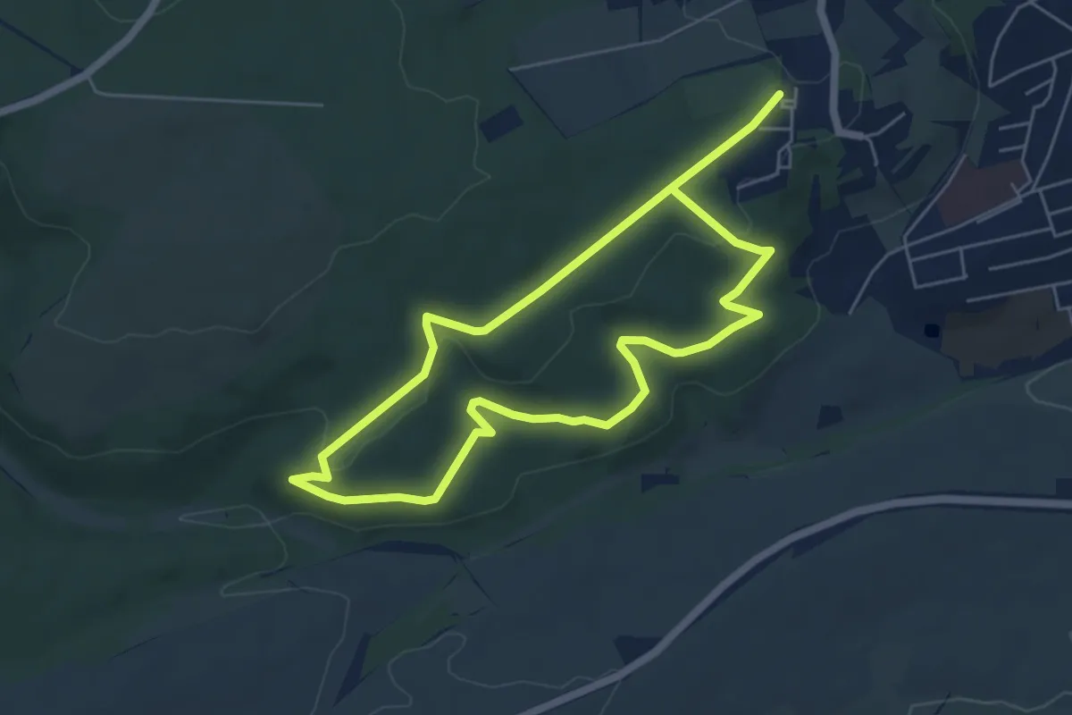
Easy · Summit
Kirchheim-Bolanden Rundwanderweg Nr. 6
4.7 km · ↑ 95 m · 1 h 22 min
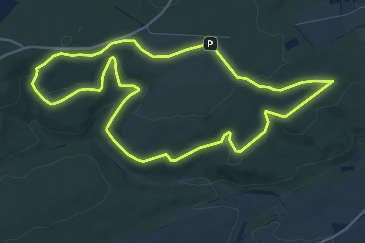
Easy · Summit
Kirchheim-Bolanden Rundwanderweg Nr. 7
7.3 km · ↑ 196 m · 2 h 15 min
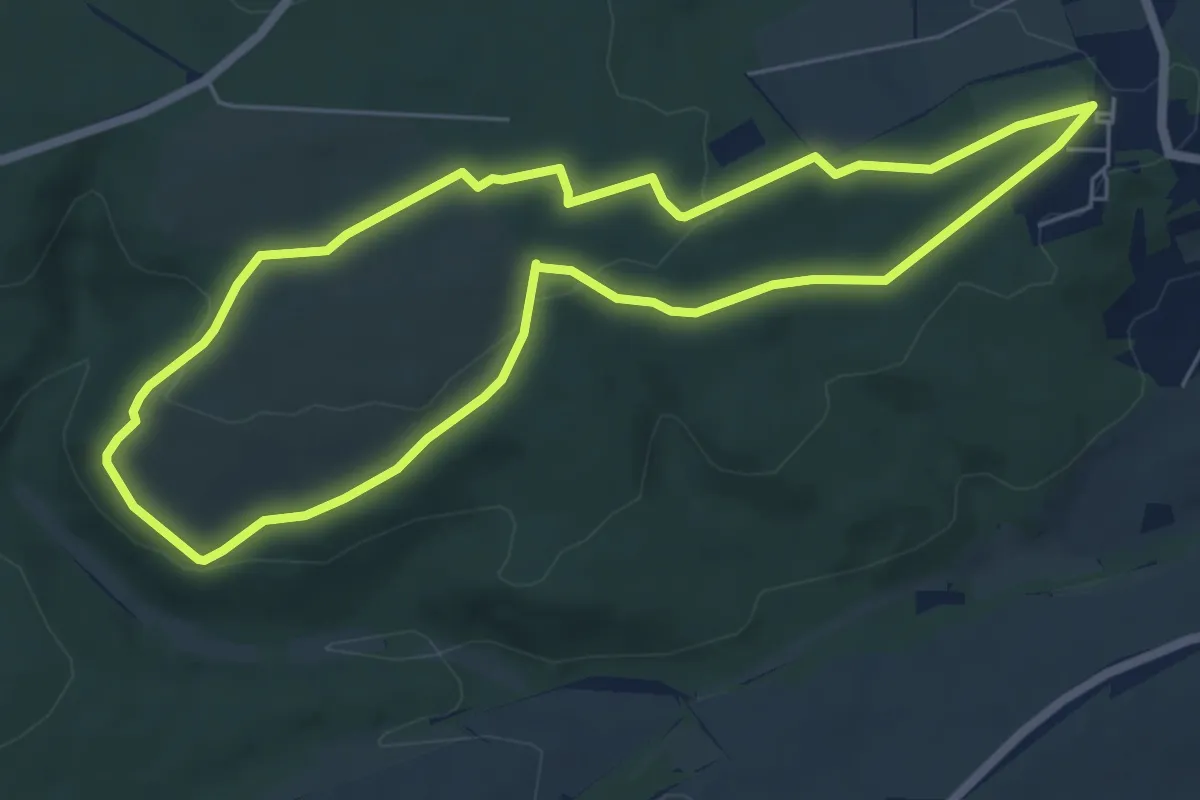
Easy · Trail
Kirchheim-Bolanden Rundwanderweg Nr. 8
5.6 km · ↑ 115 m · 1 h 40 min
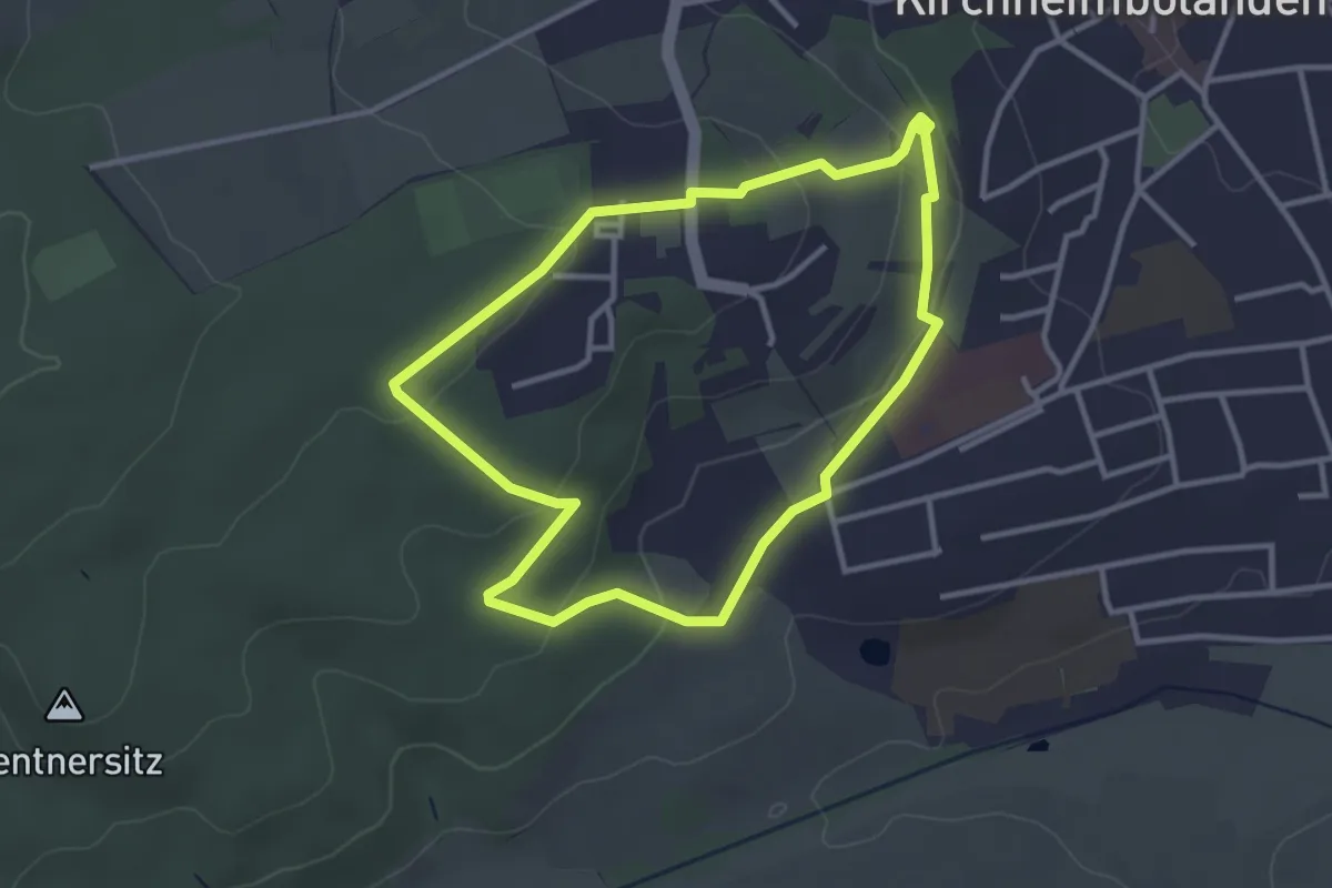
Easy · Trail
Kirchheimbolanden Rundweg 2
2.9 km · ↑ 79 m · 54 min
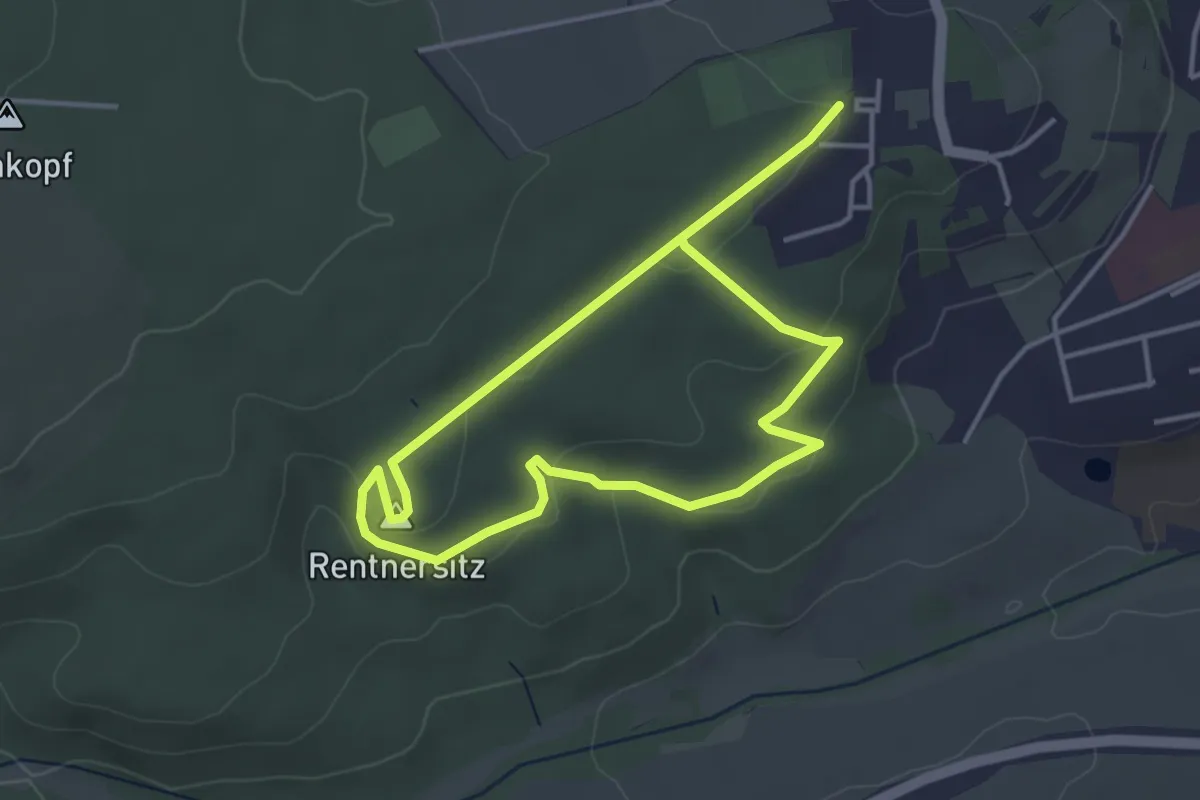
Easy · Summit
Kirchheimbolanden Rundweg 4
3.1 km · ↑ 57 m · 53 min
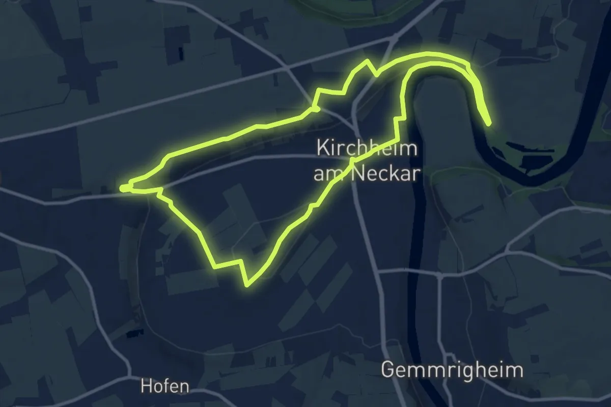
Medium · Trail
Kirchheimer Wanderweg
9.8 km · ↑ 109 m · 2 h 42 min
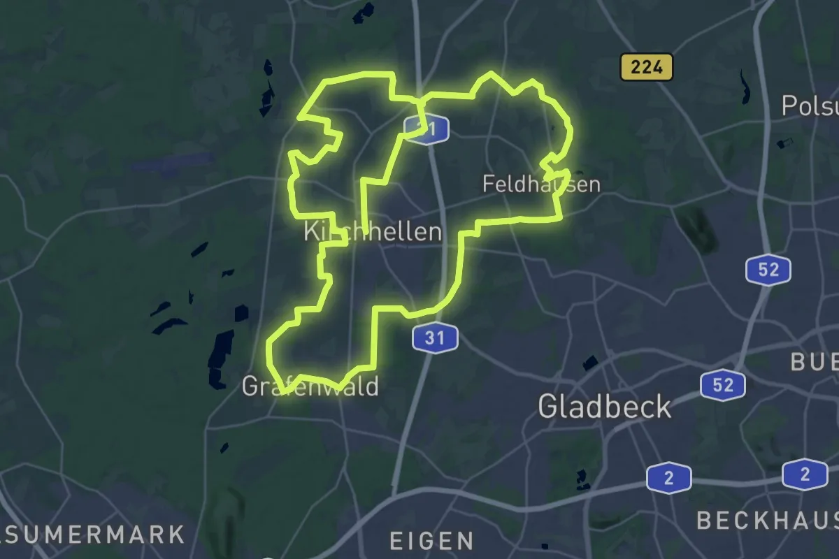
Demanding · Trail
Kirchhellener Rundweg
32.5 km · ↑ 110 m · 8 h 22 min
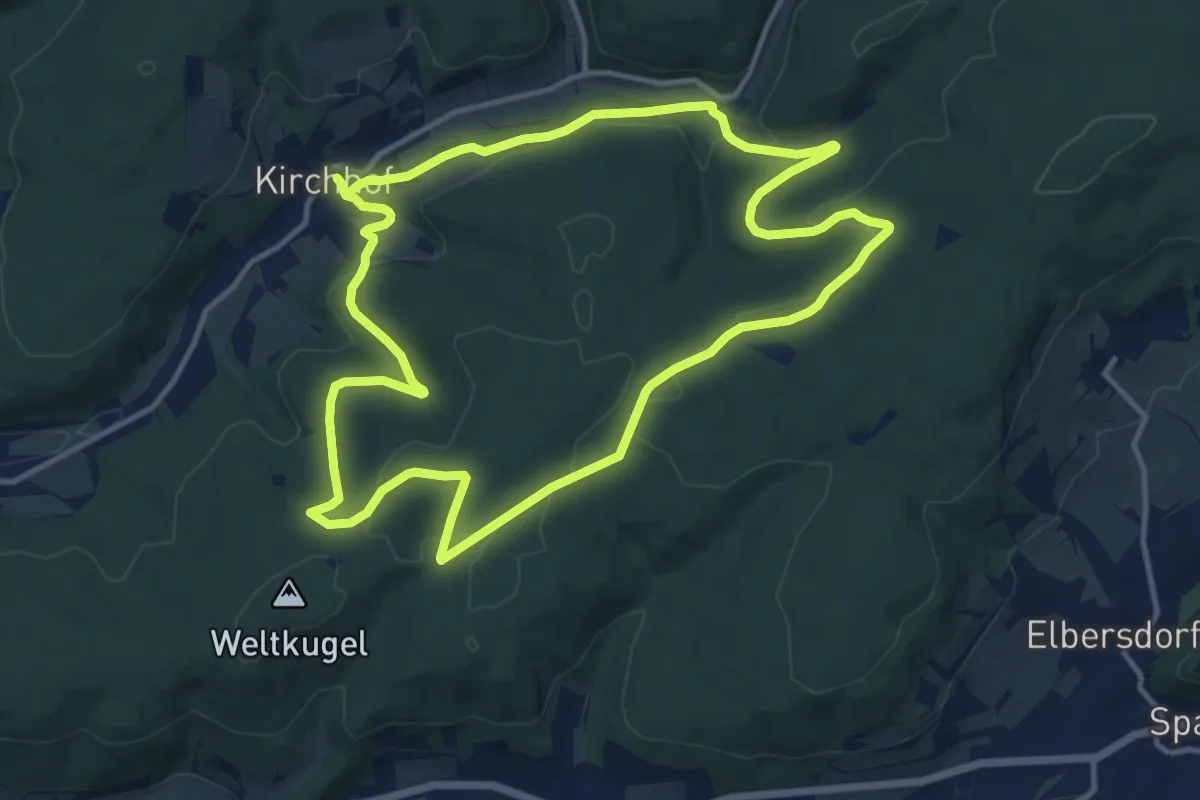
Medium · Summit
Kirchhöfer Rundweg K1
11.6 km · ↑ 278 m · 3 h 31 min
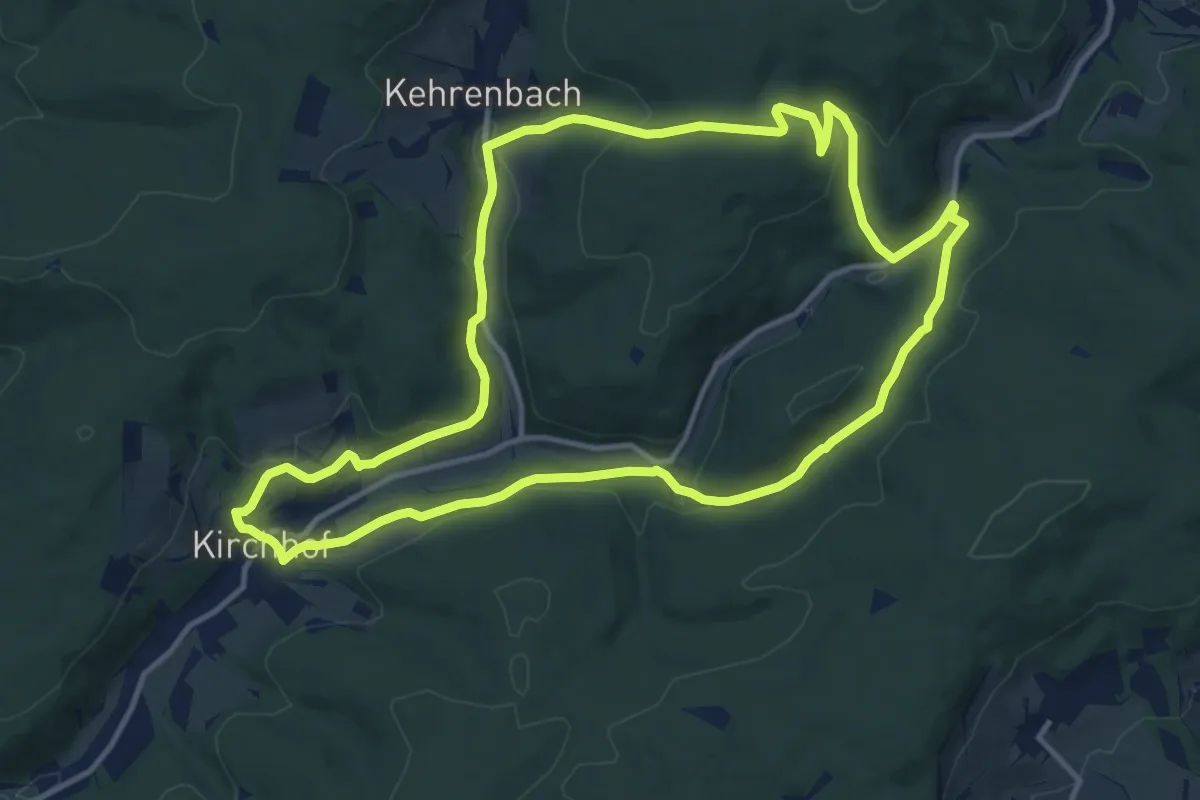
Medium · Trail
Kirchhöfer Rundweg K2
11.8 km · ↑ 365 m · 3 h 45 min
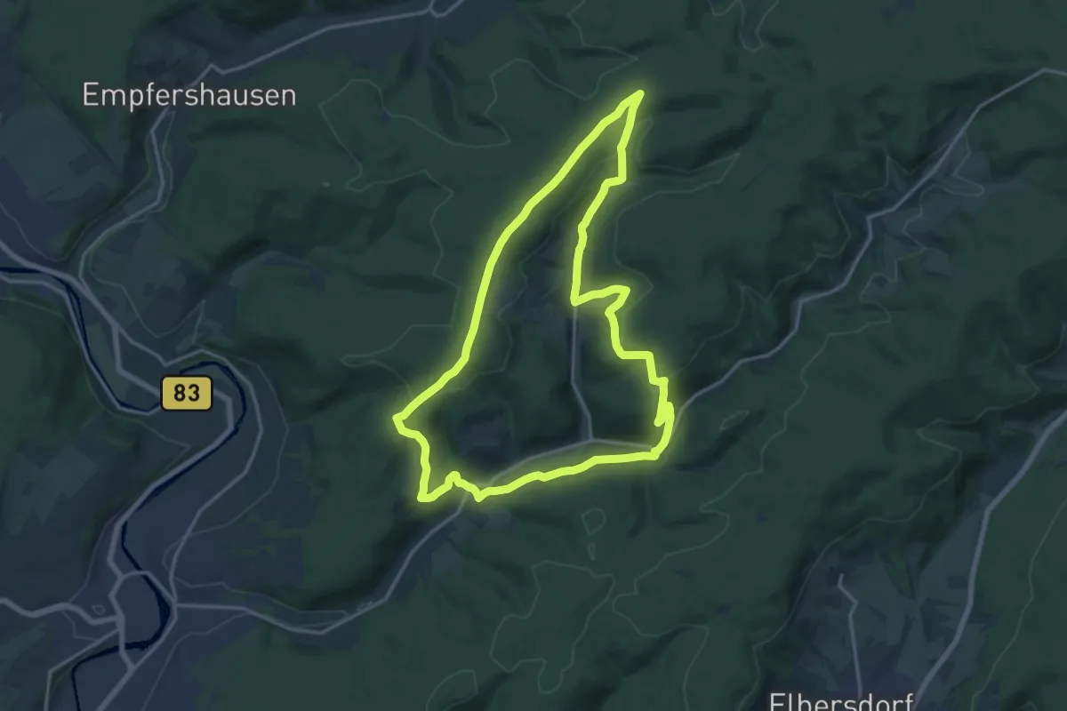
Medium · Trail
Kirchhöfer Rundweg K3
14.7 km · ↑ 370 m · 4 h 29 min
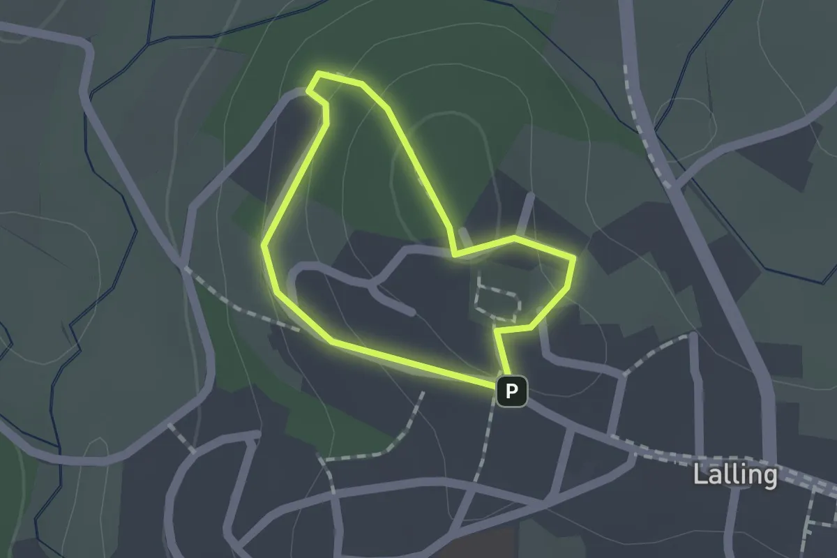
Easy · Trail
Kirchholzsteig
1.0 km · ↑ 22 m · 18 min
Medium · Trail
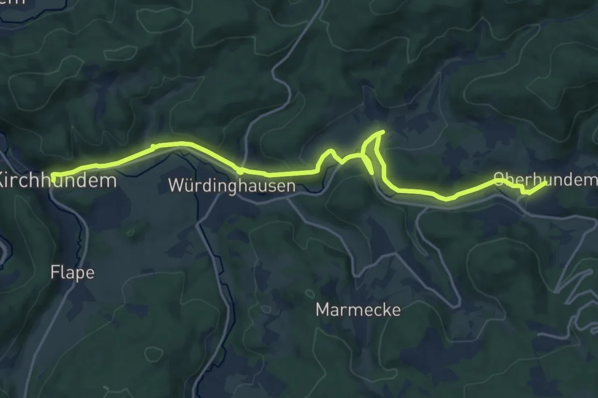
Kirchhundem - Oberhundem
15.9 km · ↑ 351 m · 4 h 30 min
Medium · Trail
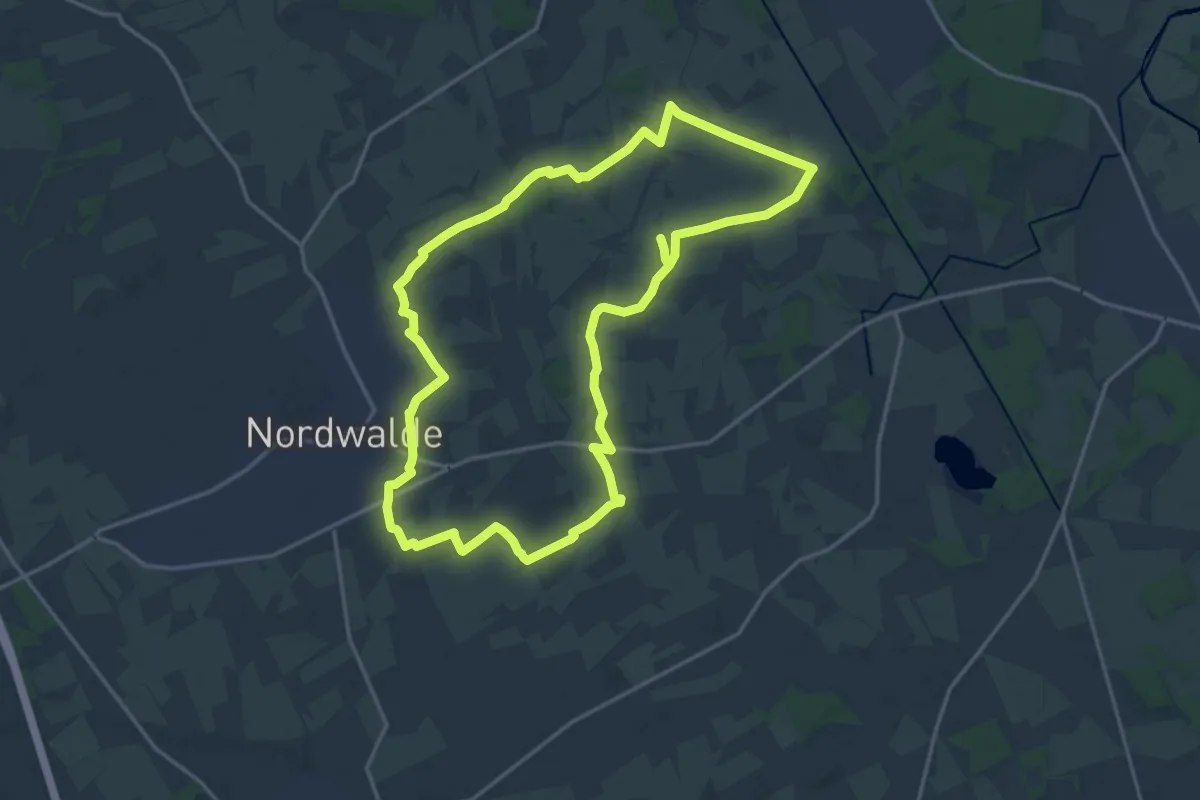
Kirchpättchen Rundweg
15.4 km · ↑ 13 m · 3 h 53 min
Easy · Trail
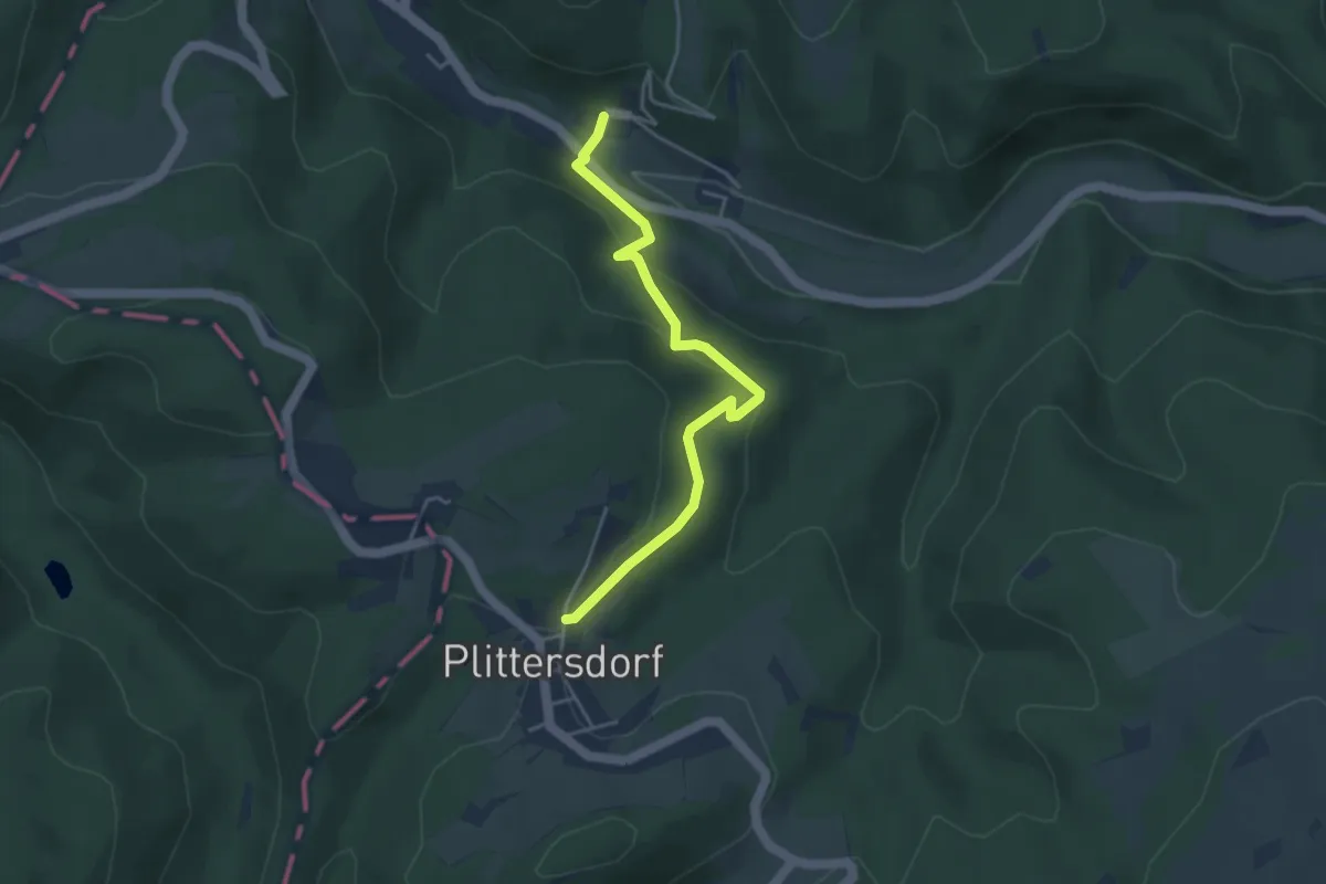
Kirchpfad
3.8 km · ↑ 170 m · 1 h 15 min
Easy · Trail
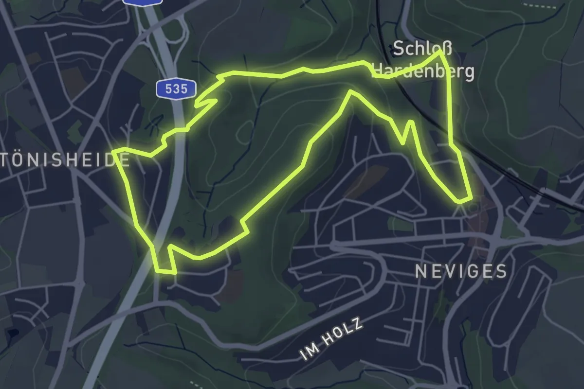
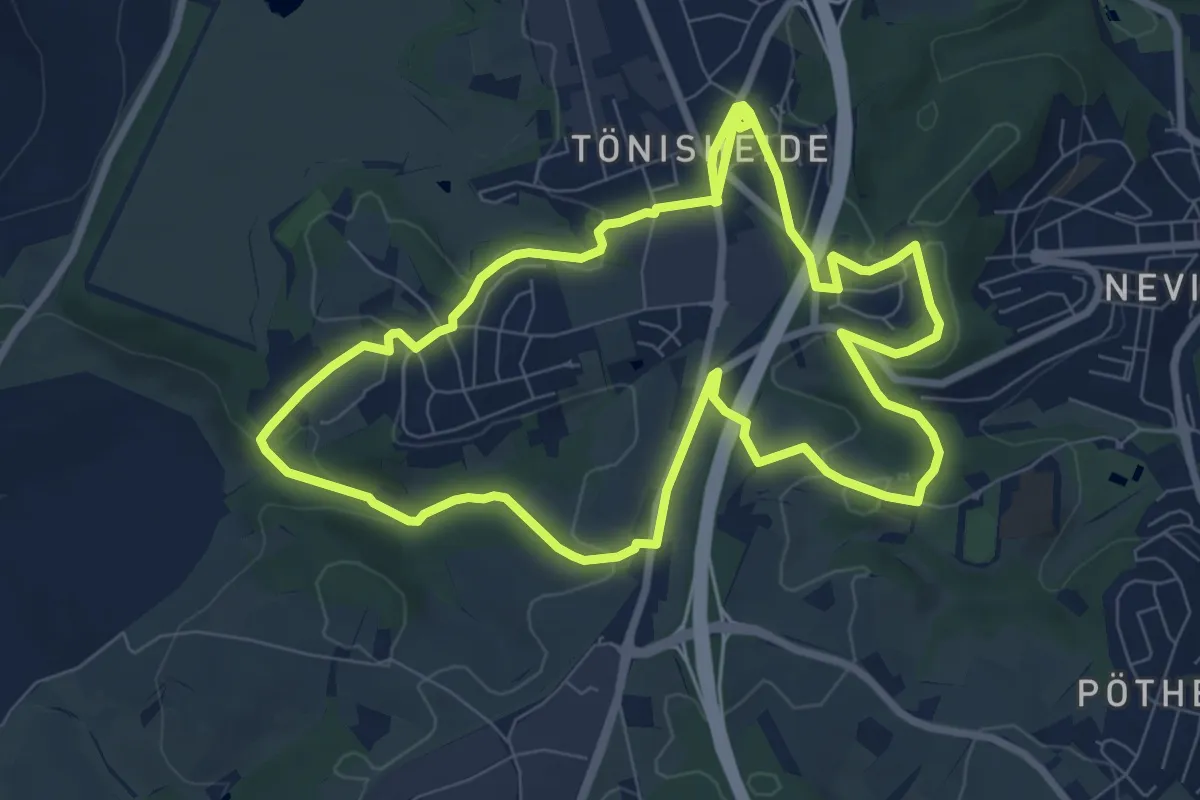
Kirchplatz Tönisheide Rundweg A1
4.8 km · ↑ 116 m · 1 h 27 min
Easy · Trail
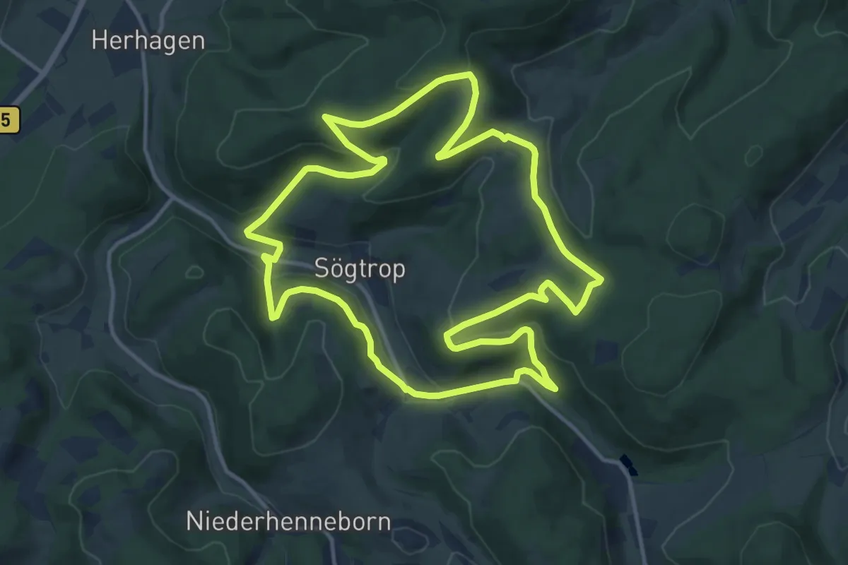
Kirchplatz Tönisheide Rundweg A3
7.8 km · ↑ 124 m · 2 h 14 min
Medium · Trail
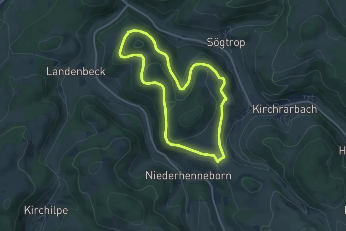
Kirchrarbach Rundweg K5
11.6 km · ↑ 351 m · 3 h 40 min
Easy · Trail
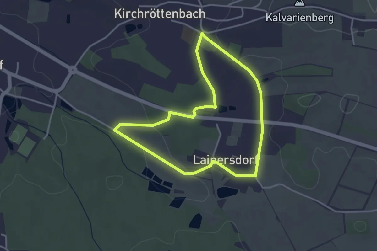
Kirchrarbach Rundweg K6
6.1 km · ↑ 152 m · 1 h 51 min
Easy · Trail
Kirchröttenbacher Rundwanderweg Blau 2
2.8 km · ↑ 29 m · 46 min
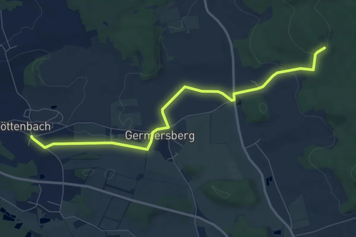
Easy · Trail
Kirchröttenbach – Frankenweg
7.7 km · ↑ 140 m · 2 h 7 min
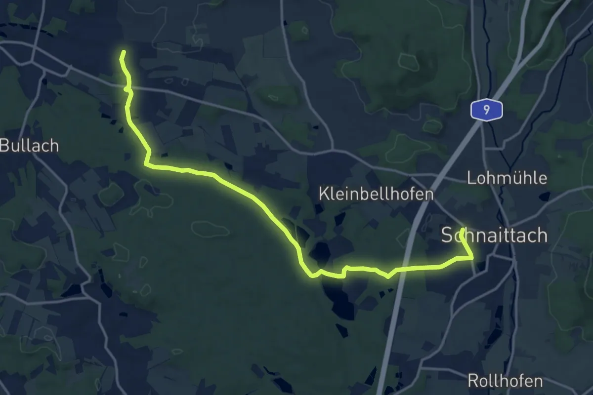
Medium · Trail
Kirchröttenbach – Schnaittach
14.2 km · ↑ 157 m · 3 h 42 min
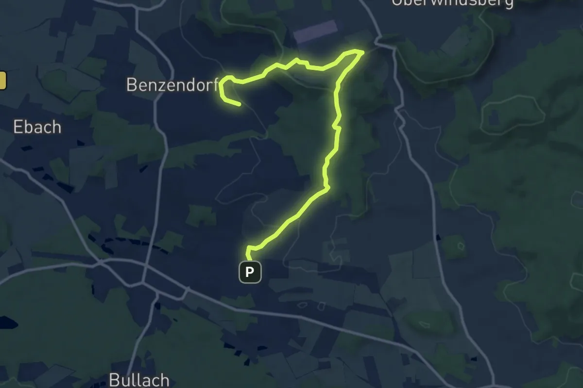
Medium · Trail
Kirchröttenbach – Segelflugplatz –Oedhof
10.7 km · ↑ 329 m · 3 h 14 min
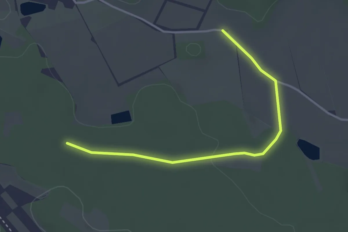
Easy · Trail
Kirchröttenbach – Weiße 1 auf Blau bei Laipersdorf
3.1 km · ↑ 26 m · 48 min