Trails in Germany
36,852 hiking trails, each with its route, climb, walking time and grade.
All trails, page 290 of 768
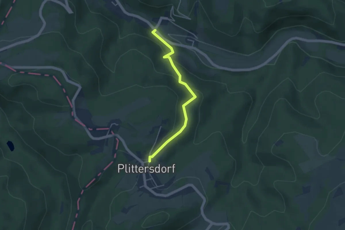
Easy · Trail
Kirchspfad
3.2 km · ↑ 137 m · 1 h 4 min
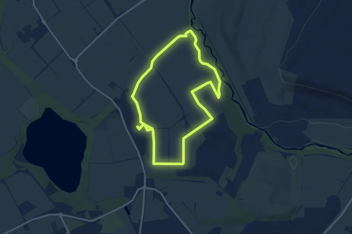
Easy · Trail
Kirchspiel Walkingweg
7.2 km · ↑ 49 m · 1 h 54 min
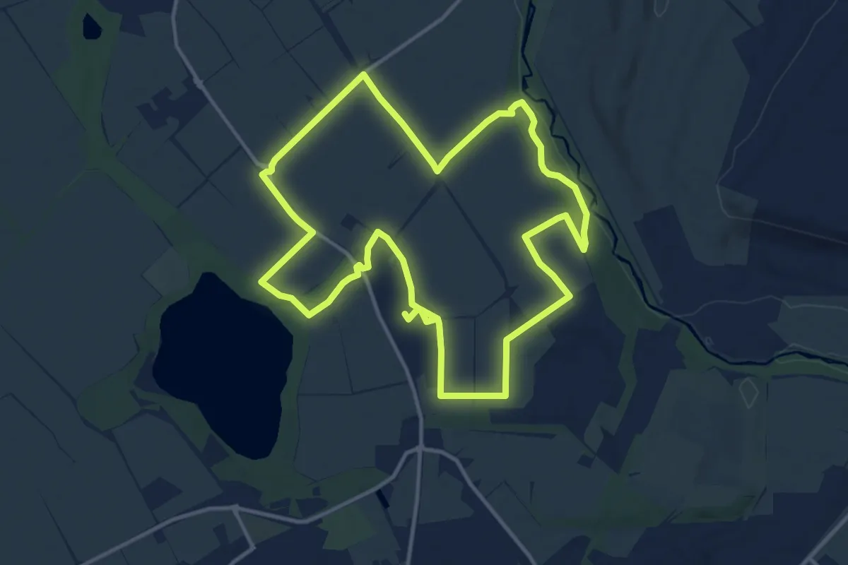
Medium · Trail
Kirchspiel Wanderweg
11.2 km · ↑ 49 m · 2 h 54 min
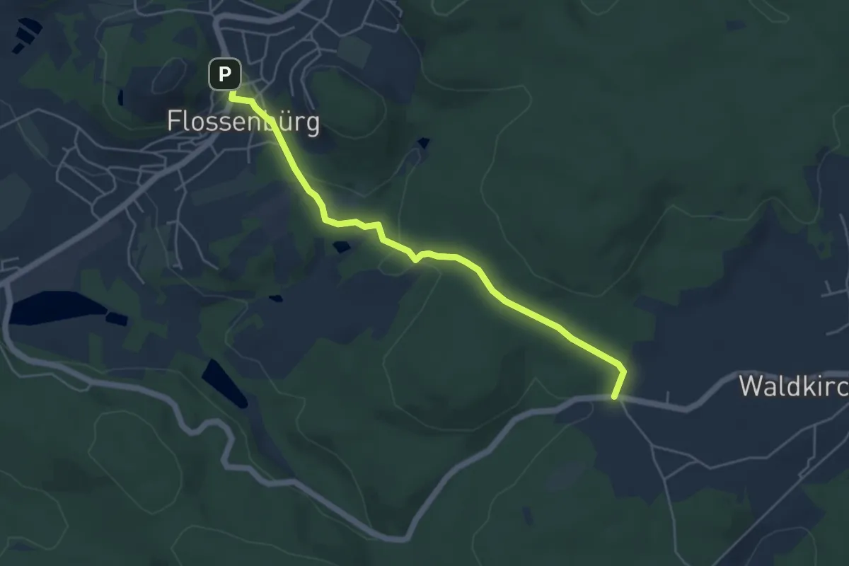
Easy · Trail
Kirchsteig
4.6 km · ↑ 91 m · 1 h 17 min
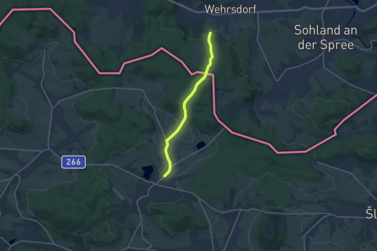
Medium · Trail
Kirchsteig
9.2 km · ↑ 221 m · 2 h 39 min
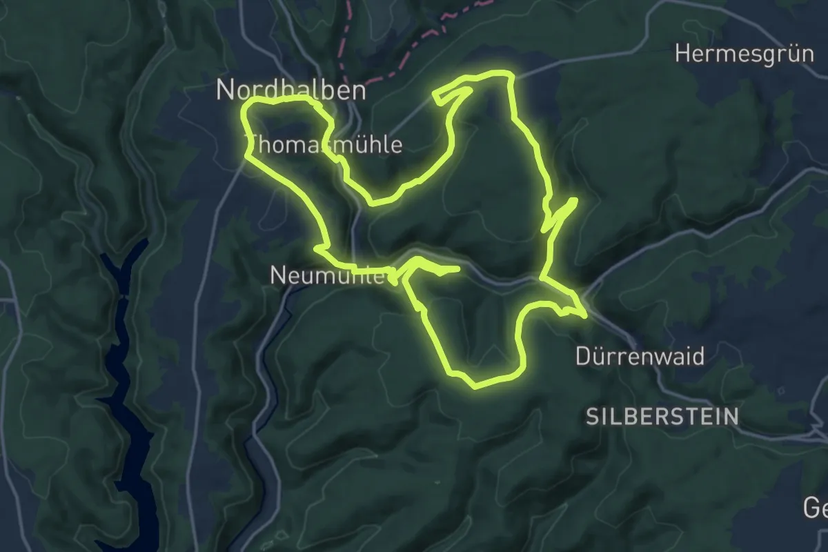
Demanding · Summit
Kirchsteig RT 35
16.7 km · ↑ 530 m · 5 h 20 min
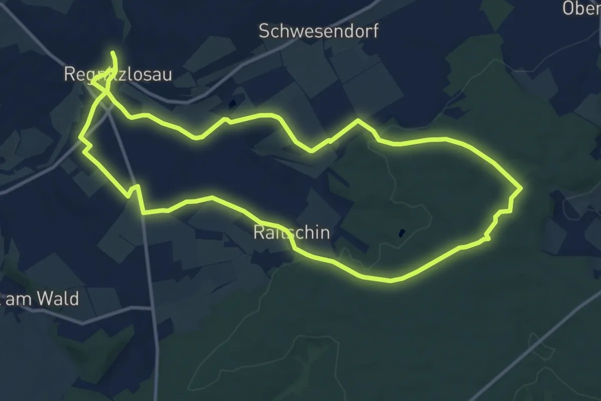
Medium · Trail
Kirchsteigweg
9.8 km · ↑ 139 m · 2 h 45 min
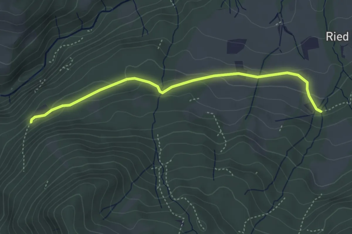
Easy · Trail
Kirchwald - Samerberg
4.1 km · ↑ 109 m · 1 h 13 min
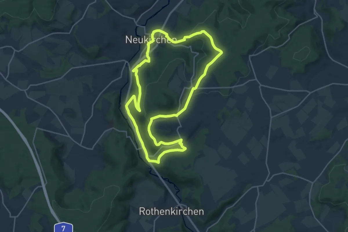
Medium · Trail
Kirchweg
15.7 km · ↑ 436 m · 4 h 52 min
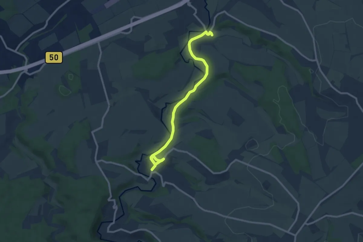
Easy · Trail
Kirchweg am Simmerbach Teil 2
3.8 km · ↑ 64 m · 1 h 6 min
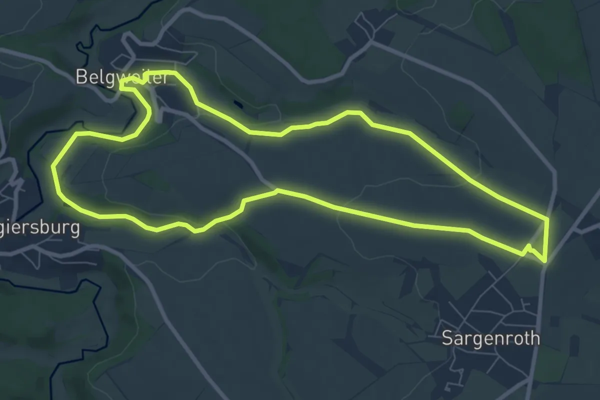
Easy · Trail
Kirchweg am Simmerbach Teil 3
7.2 km · ↑ 151 m · 2 h 7 min
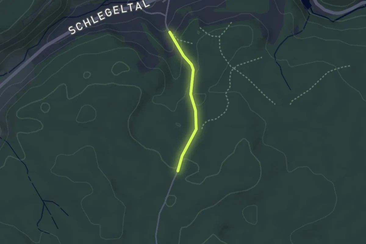
Easy · Trail
Kirchweg - Döbeleweg
2.0 km · ↑ 74 m · 38 min
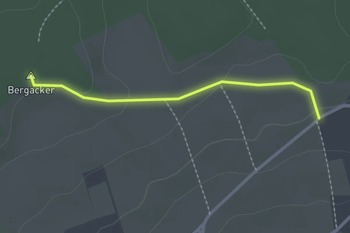
Easy · Summit
Kirchweg - Heerweg
1.7 km · ↑ 26 m · 28 min
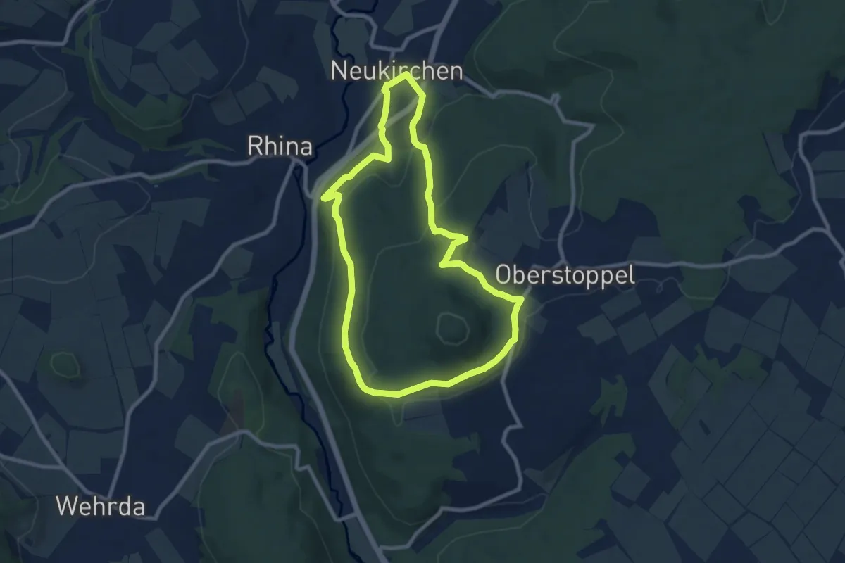
Easy · Trail
Kirchweg - Kurzvariante
7.3 km · ↑ 243 m · 2 h 21 min
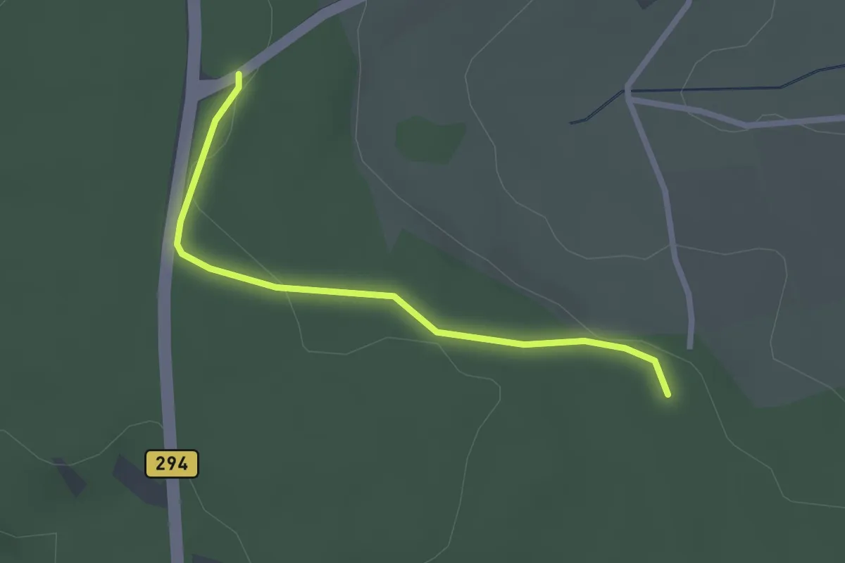
Easy · Trail
Kirchweg - Rappenhütte
2.2 km · ↑ 30 m · 35 min
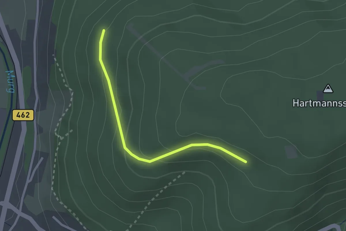
Easy · Trail
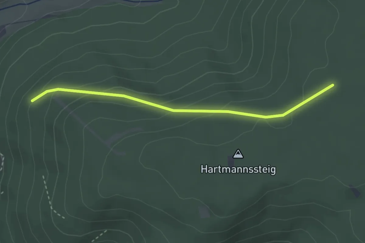
Kirchwegwald - Hartmannsteig
2.1 km · ↑ 105 m · 44 min
Easy · Trail
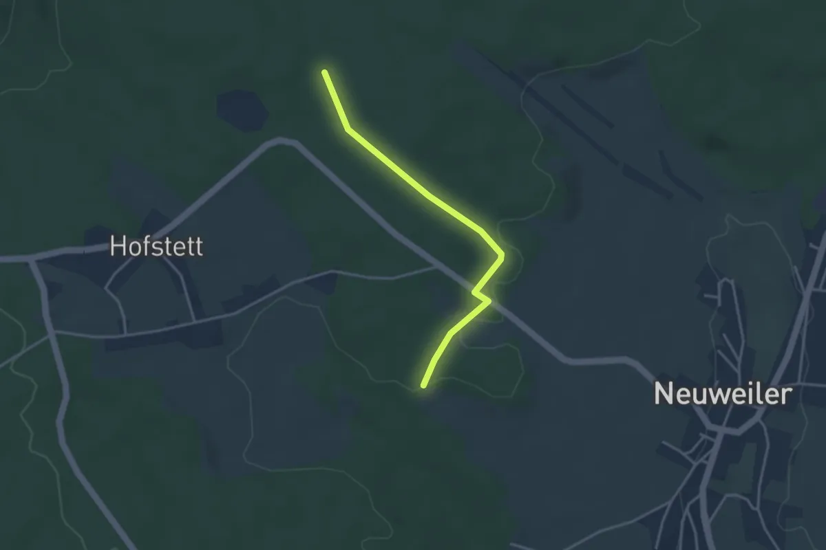
Kirchwegwald - Misse
2.9 km · ↑ 130 m · 57 min
Easy · Trail
Kirchweg - Weinsträßle
3.0 km · ↑ 32 m · 47 min
Demanding · Summit
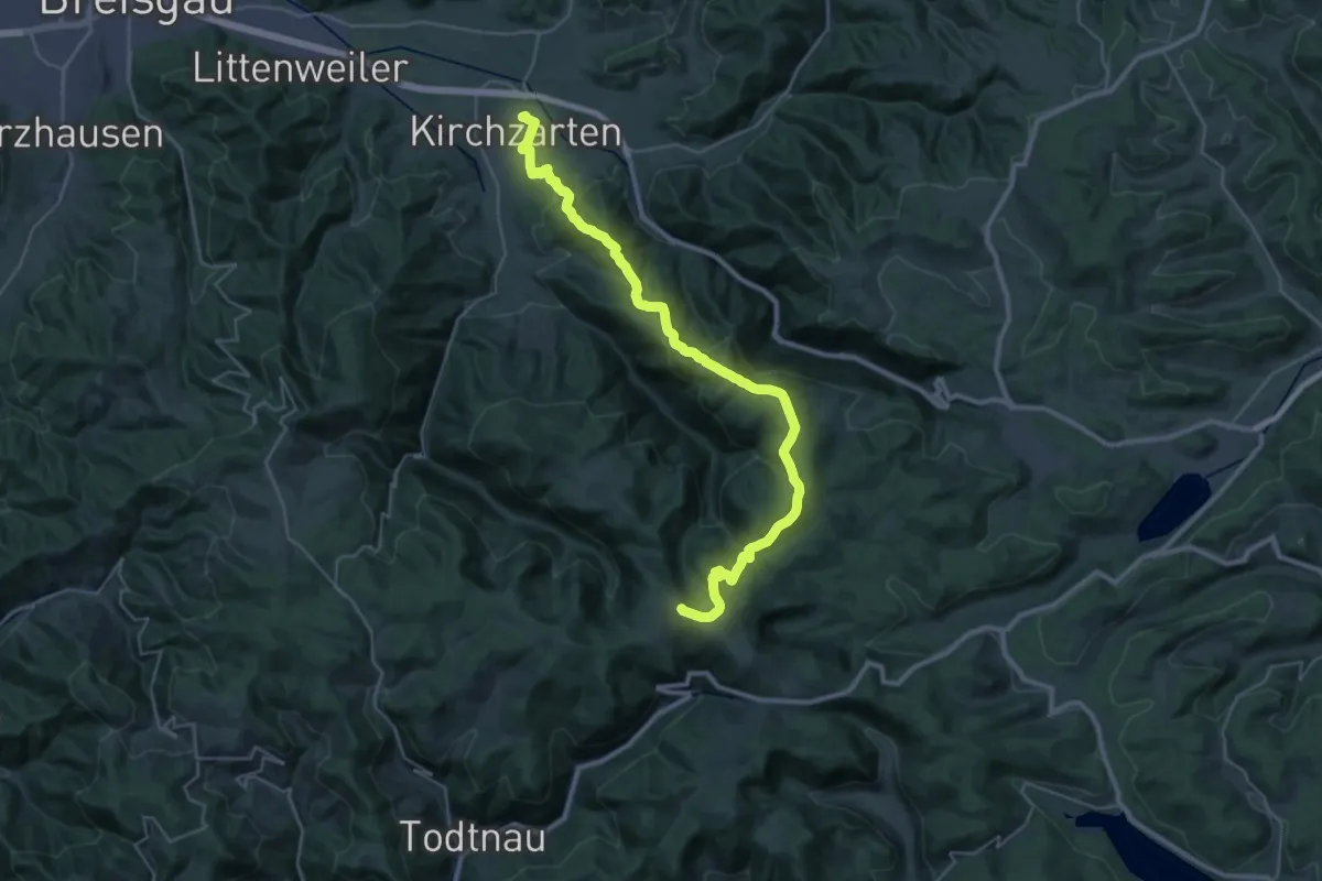
Kirchzarten - Feldberg
34.3 km · ↑ 1416 m · 11 h 10 min
Easy · Trail
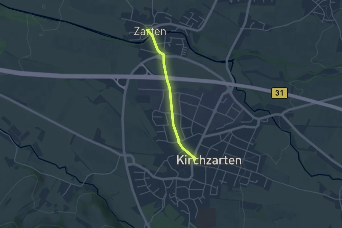
Kirchzarten Pfaffeneck - Zarten Kreisel
3.0 km · ↑ 21 m · 45 min
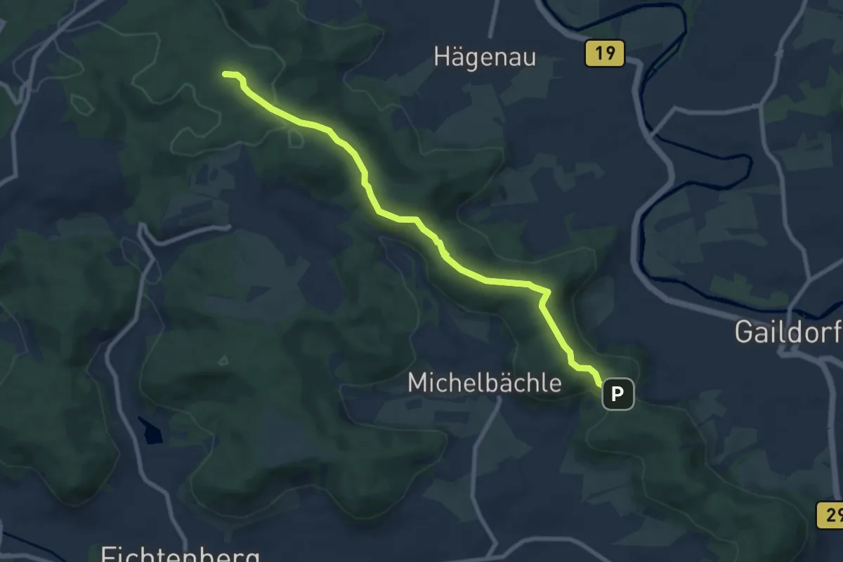
Easy · Trail
Kirgelsattel Gaildorf - HW 3 Erlenhof
7.8 km · ↑ 218 m · 2 h 19 min
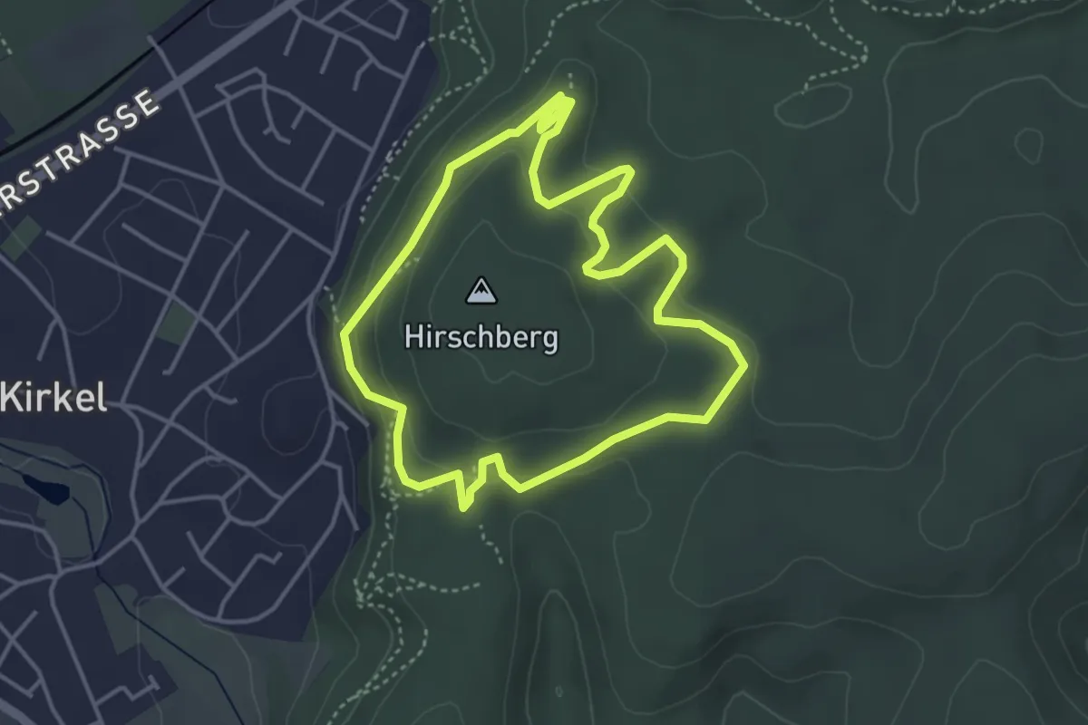
Easy · Trail
Kirkeler Felsenpfad
3.6 km · ↑ 150 m · 1 h 13 min
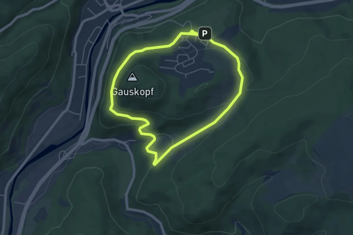
Easy · Summit
Kirn 10
4.0 km · ↑ 110 m · 1 h 14 min
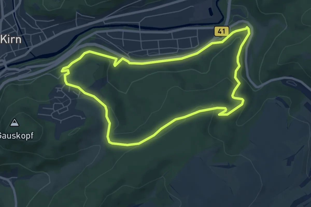
Easy · Trail
Kirn 8
5.7 km · ↑ 195 m · 1 h 51 min
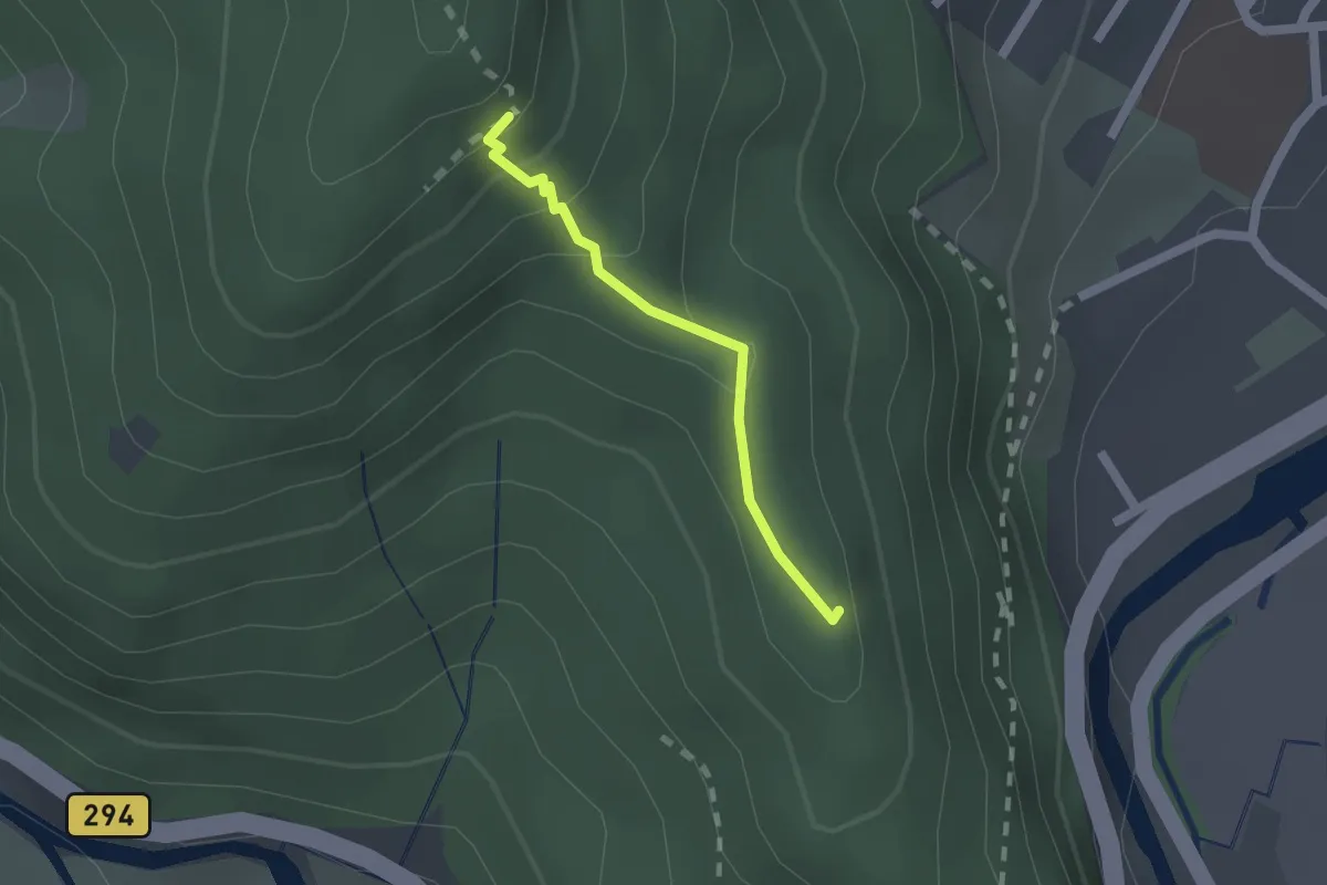
Easy · Summit
Kirnbachblick - Hexentanzplatz
1.4 km · ↑ 113 m · 34 min
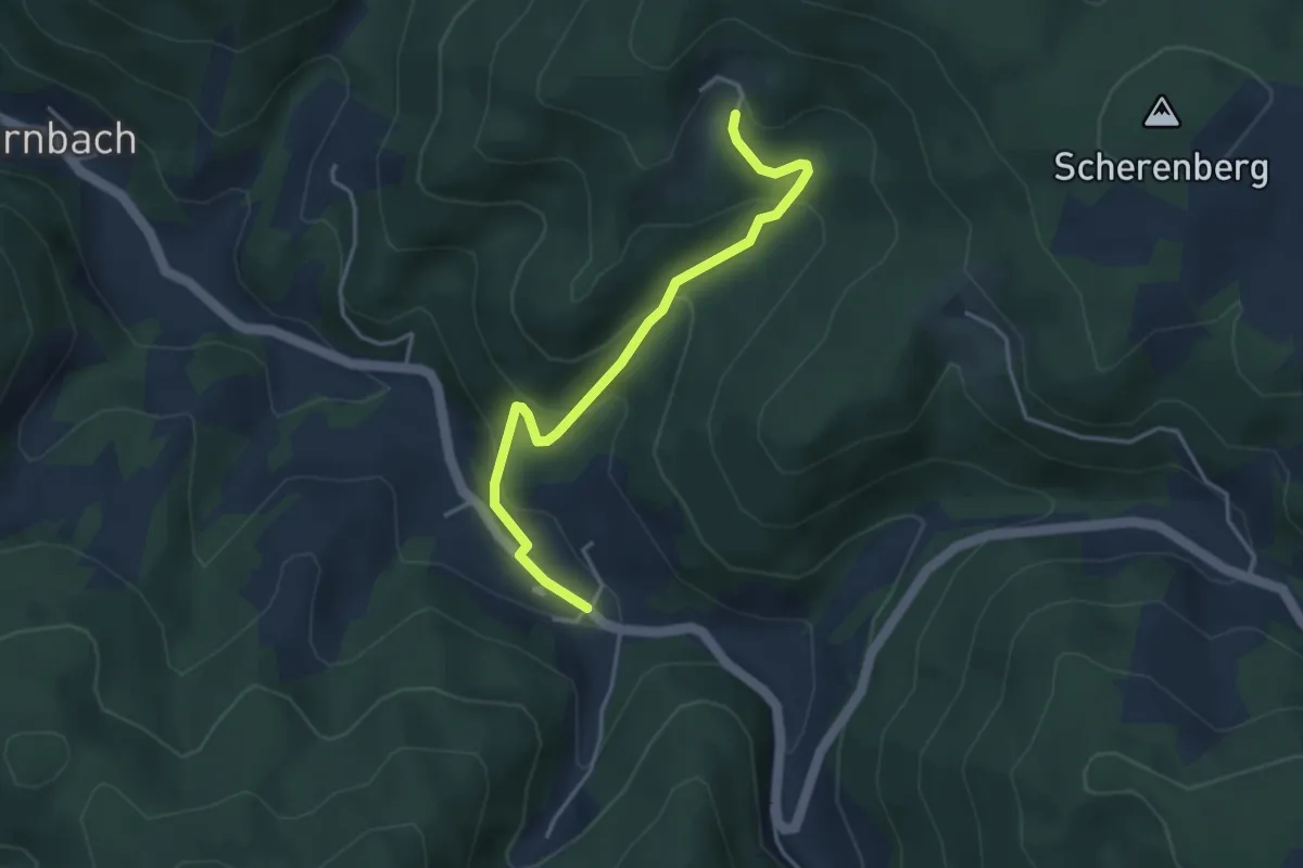
Easy · Trail
Kirnbach Kirche - Morgethof
3.7 km · ↑ 239 m · 1 h 23 min
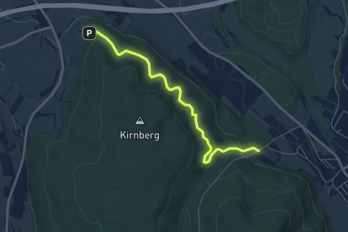
Easy · Trail
Kirnberg Grillplatz - Großhaag Holzrückeplatz
5.3 km · ↑ 228 m · 1 h 45 min
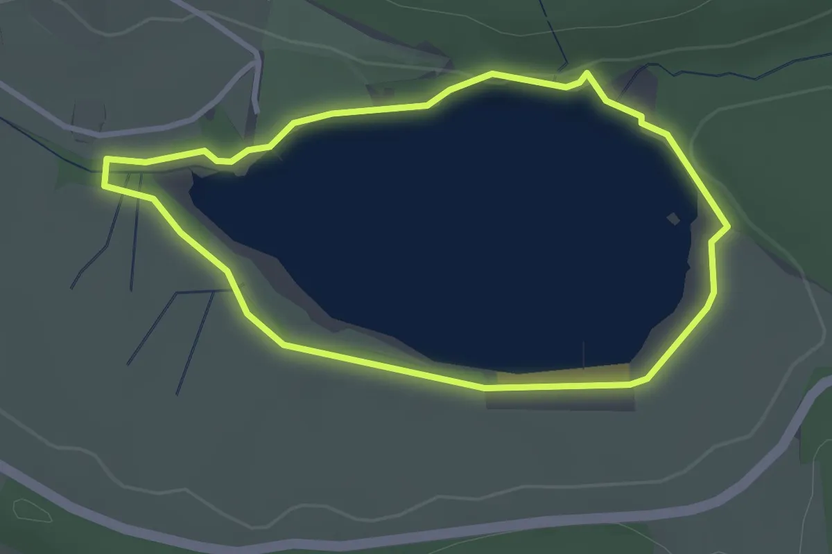
Easy · Trail
Kirnbergsee-Rundweg
2.6 km · ↑ 10 m · 40 min
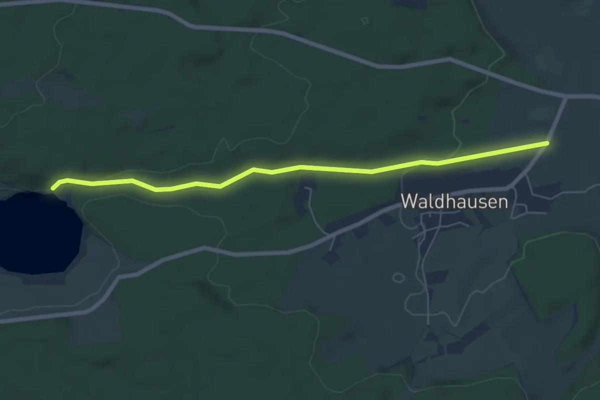
Easy · Trail
Kirnbergsee Staumauer - Pulz
5.9 km · ↑ 106 m · 1 h 37 min
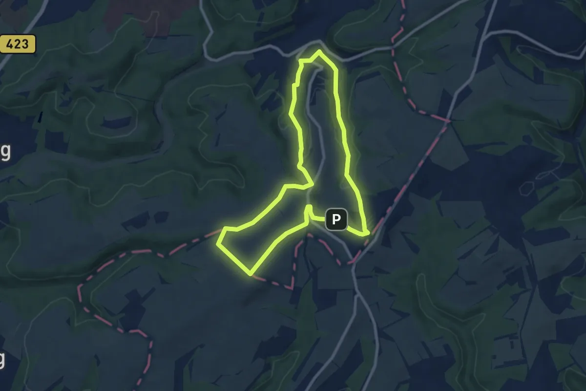
Easy · Summit
Kirrberger Runde
7.1 km · ↑ 163 m · 2 h 7 min
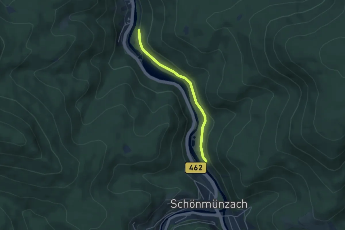
Easy · Trail
Kirschbaumwasen Abzweigung - Thummelhalde
3.3 km · ↑ 91 m · 59 min
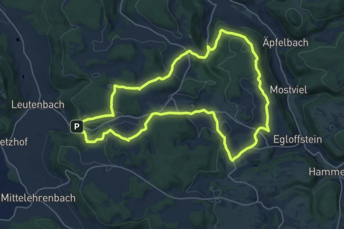
Medium · Summit
Kirschblütenrundwanderung
15.2 km · ↑ 370 m · 4 h 36 min
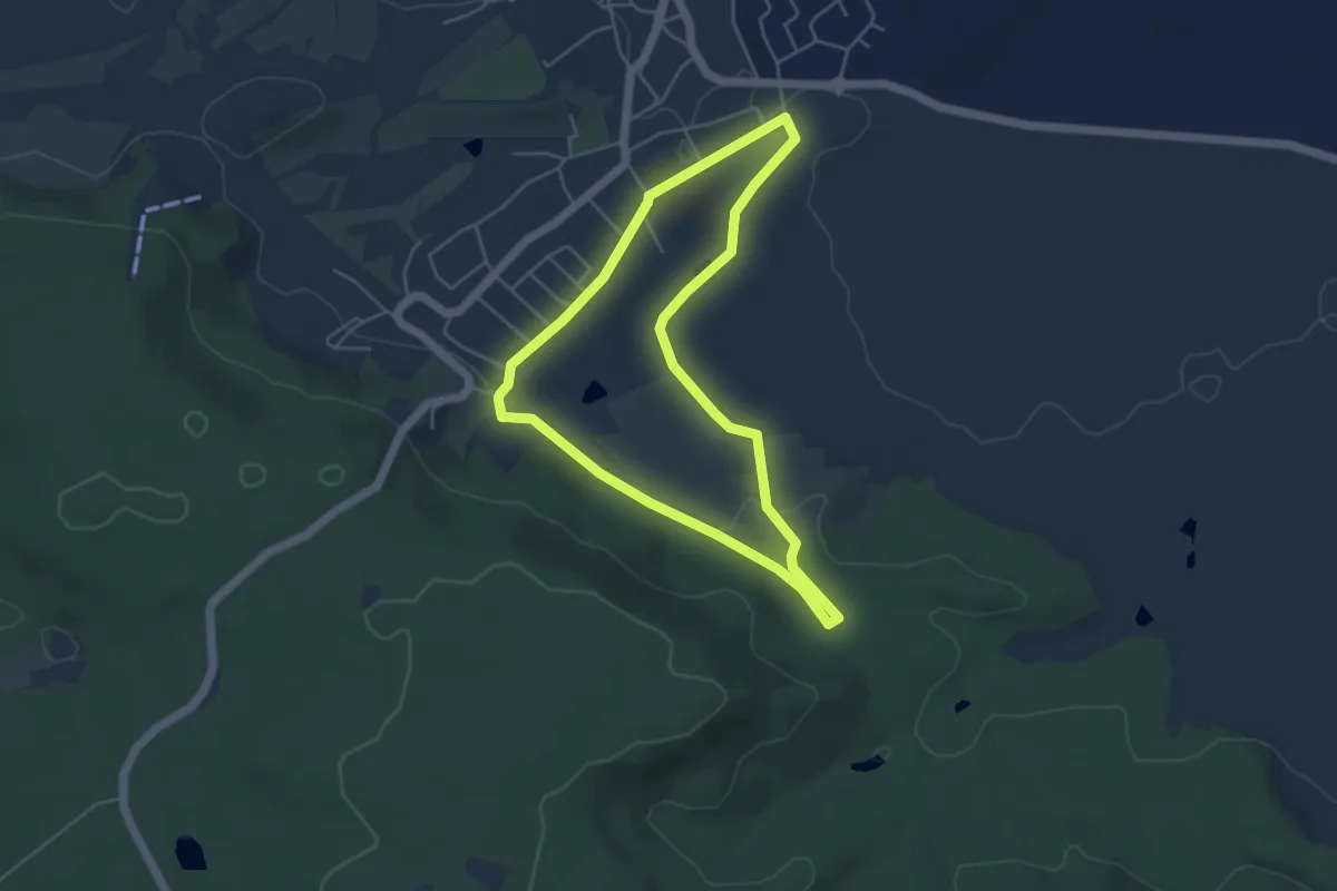
Easy · Trail
Kirsche
4.2 km · ↑ 68 m · 1 h 12 min
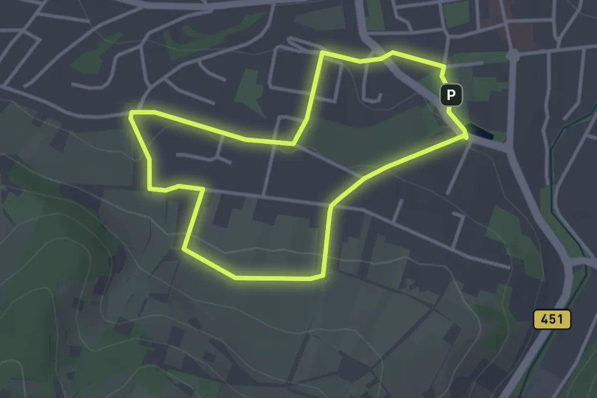
Easy · Trail
Kirschenerlebnispfad Landschaftsroute
2.7 km · ↑ 58 m · 48 min
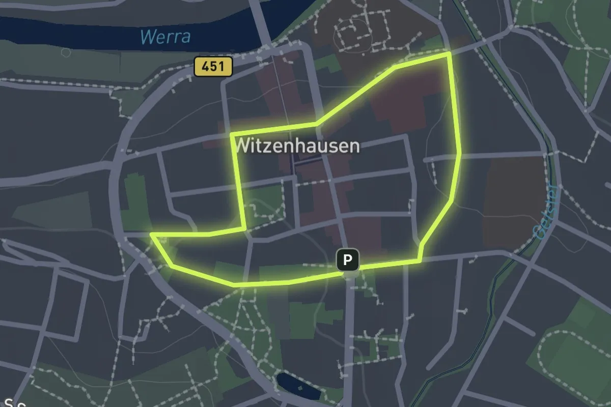
Easy · Trail
Kirschenerlebnispfad Stadtroute
1.6 km · ↑ 12 m · 26 min
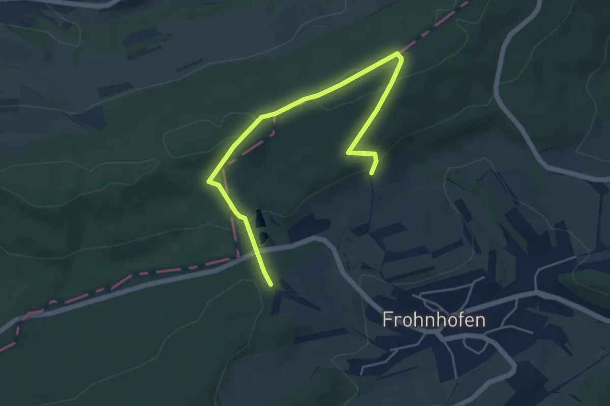
Easy · Trail
Kirschenland-Weg
2.4 km · ↑ 74 m · 45 min
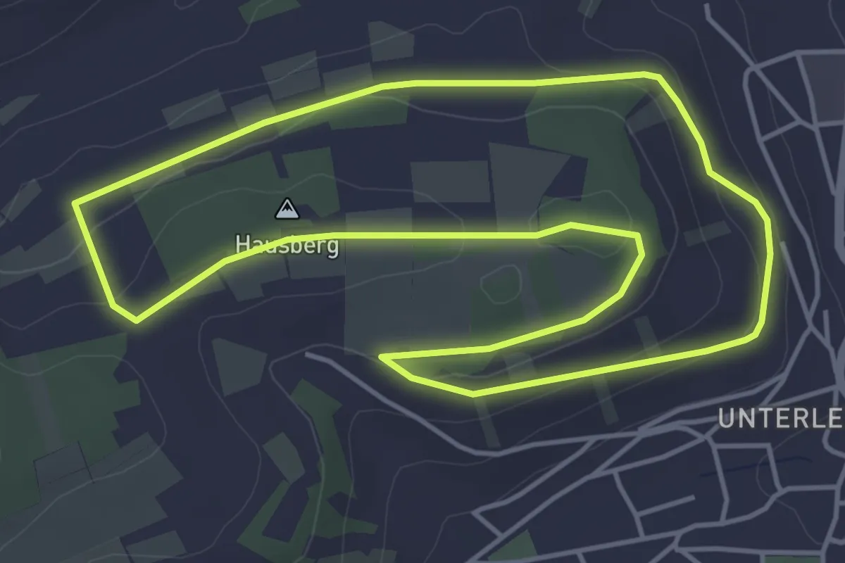
Easy · Summit
Kirschenweg
4.3 km · ↑ 79 m · 1 h 15 min
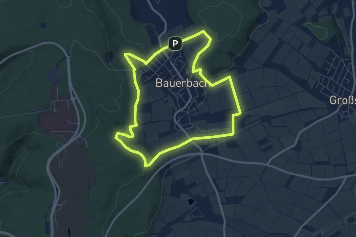
Easy · Trail
Kirschknäpper-Weg
6.5 km · ↑ 131 m · 1 h 54 min
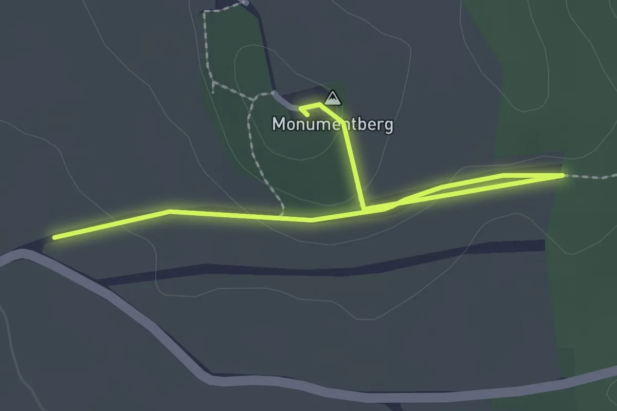
Easy · Summit
Kirschlehrpfad
2.4 km · ↑ 39 m · 40 min
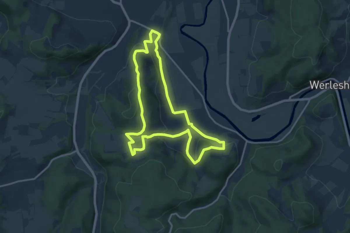
Medium · Summit
Kirschwanderweg 1
8.4 km · ↑ 279 m · 2 h 42 min
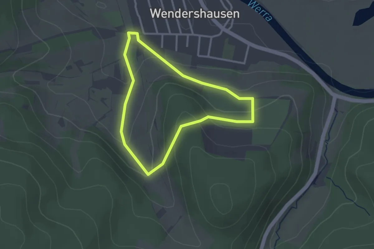
Easy · Trail
Kirschwanderweg 2
2.2 km · ↑ 98 m · 46 min
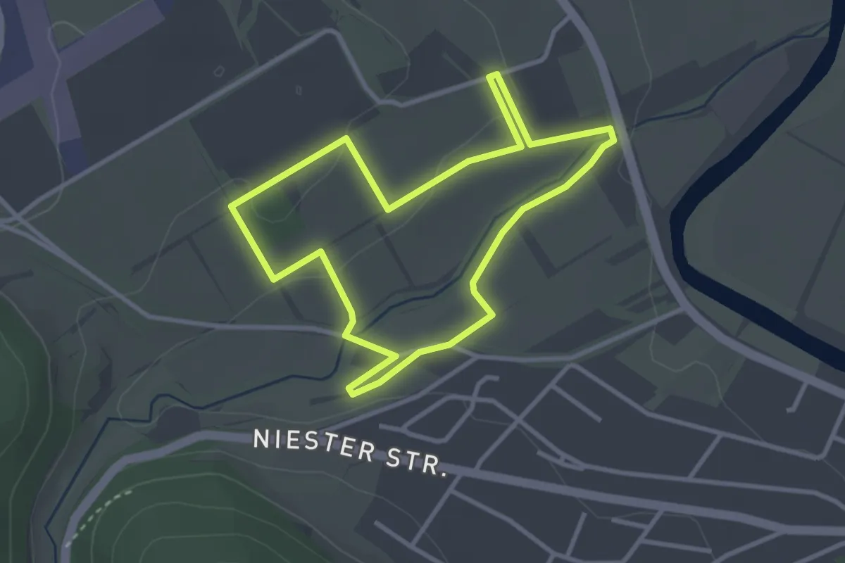
Easy · Trail
Kirschwanderweg 3
2.7 km · ↑ 46 m · 46 min
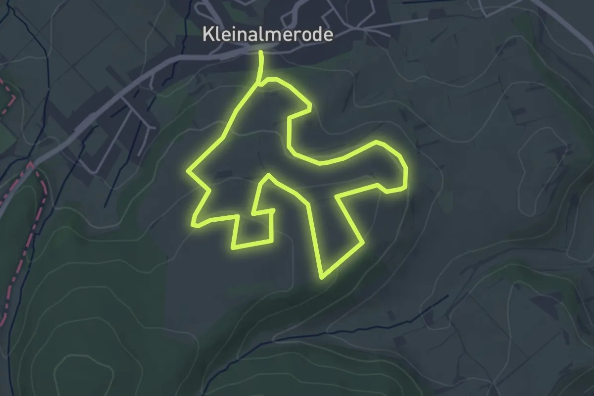
Easy · Trail
Kirschwanderweg 4
4.0 km · ↑ 118 m · 1 h 15 min
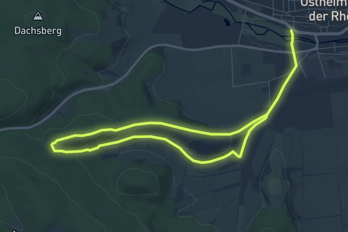
Easy · Trail
Kirschweg
6.4 km · ↑ 126 m · 1 h 51 min
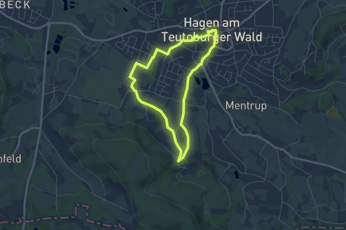
Easy · Trail
Kirschweg 1
4.6 km · ↑ 69 m · 1 h 18 min
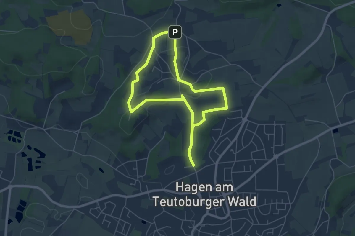
Easy · Trail
Kirschweg 2
4.5 km · ↑ 73 m · 1 h 17 min
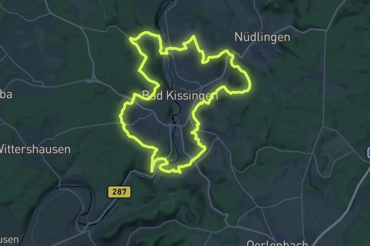
Demanding · Summit
Kissinger Runde
27.5 km · ↑ 635 m · 8 h 15 min
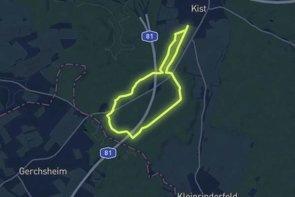
Medium · Trail
Kister Blutseerunde
8.4 km · ↑ 132 m · 2 h 23 min