Trails in Germany
36,852 hiking trails, each with its route, climb, walking time and grade.
All trails, page 295 of 768
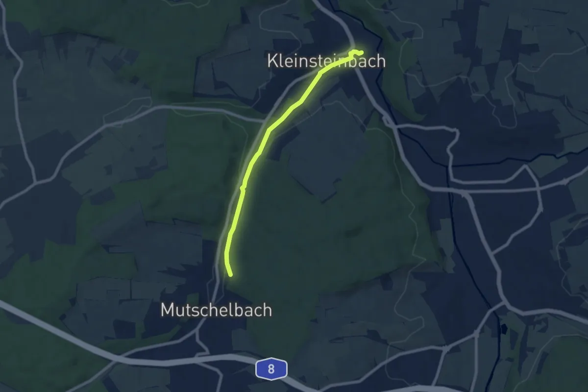
Easy · Trail
Kleinsteinbach Bhf - Untermutschelbach CVJM Häusle
6.0 km · ↑ 63 m · 1 h 33 min
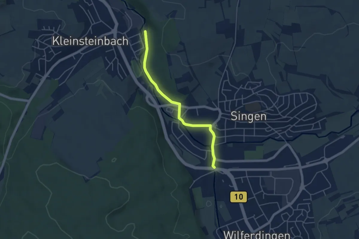
Easy · Trail
Kleinsteinbach Festplatz - Remchingen Unterführung
3.9 km · ↑ 28 m · 58 min
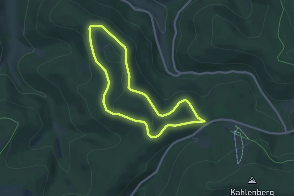
Easy · Summit
Kleins Wiese Rundwanderweg A1
4.0 km · ↑ 81 m · 1 h 11 min
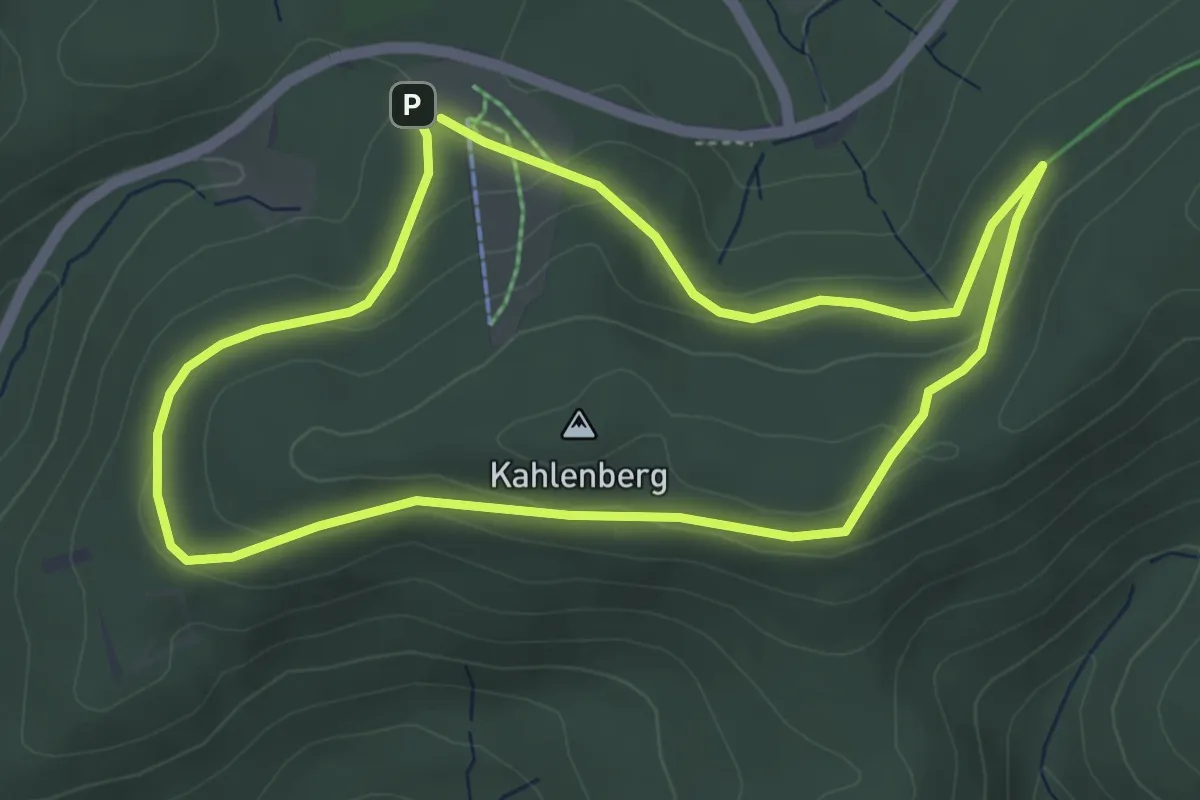
Easy · Summit
Kleins Wiese Rundwanderweg A2
4.1 km · ↑ 101 m · 1 h 14 min
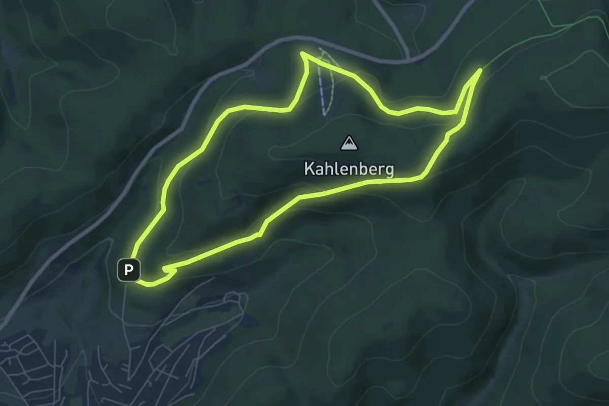
Easy · Trail
Kleins Wiese Rundwanderweg A3
5.9 km · ↑ 210 m · 1 h 56 min
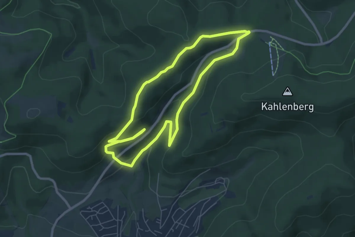
Medium · Summit
Kleins Wiese Rundweg A4
5.6 km · ↑ 181 m · 1 h 47 min
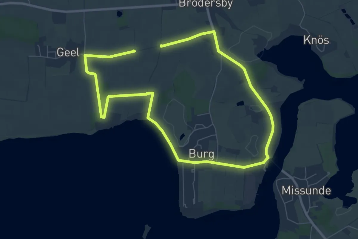
Easy · Trail
Klein Westerland
5.2 km · ↑ 23 m · 1 h 21 min
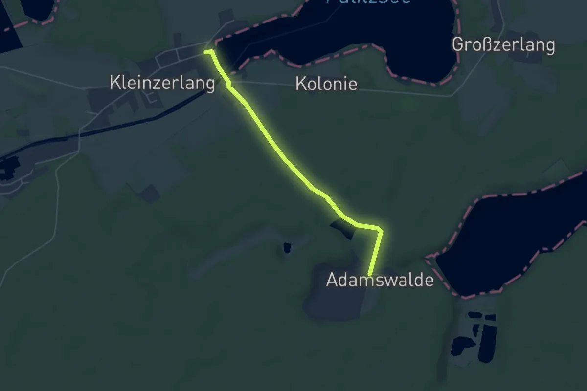
Easy · Trail
Kleinzerlang-Adamsmühle
4.3 km · ↑ 37 m · 1 h 5 min
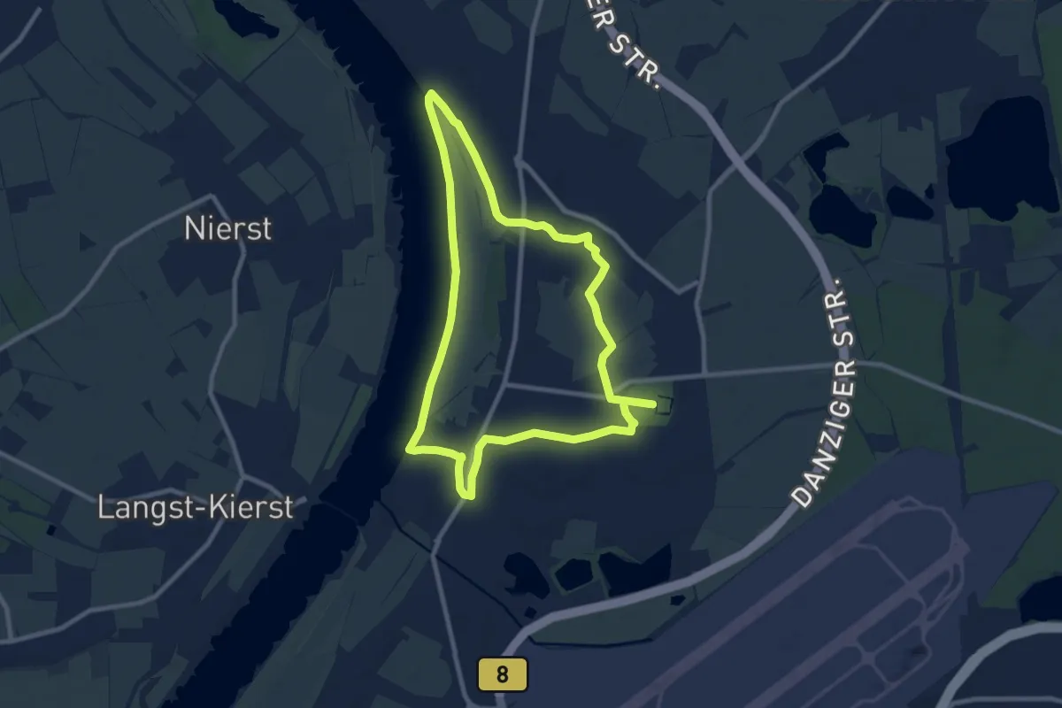
Easy · Trail
Klemensplatz Rundweg A2
7.8 km · ↑ 18 m · 2 h
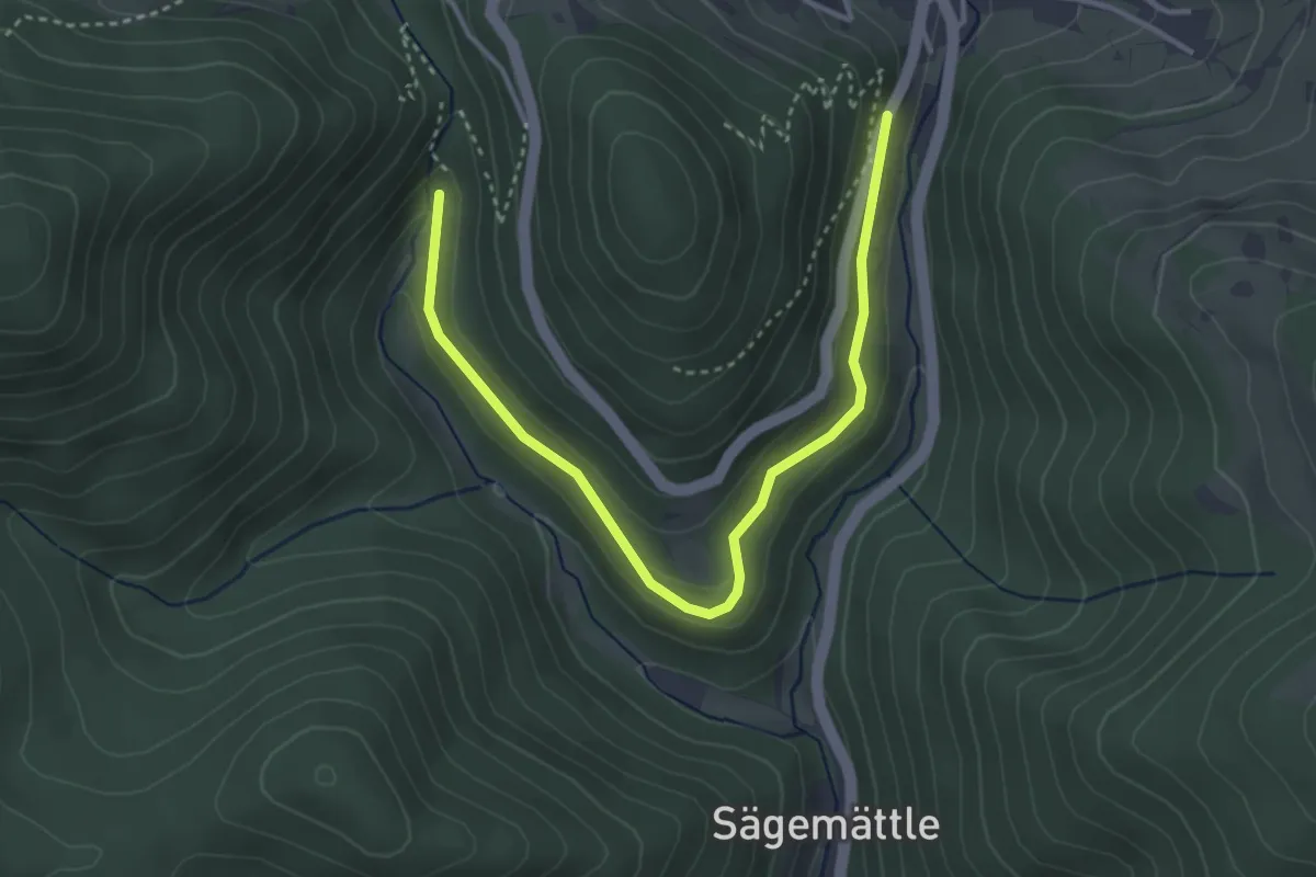
Easy · Trail
Klemmbach-Wasserfälle - Steinbruchmättle
3.8 km · ↑ 166 m · 1 h 16 min
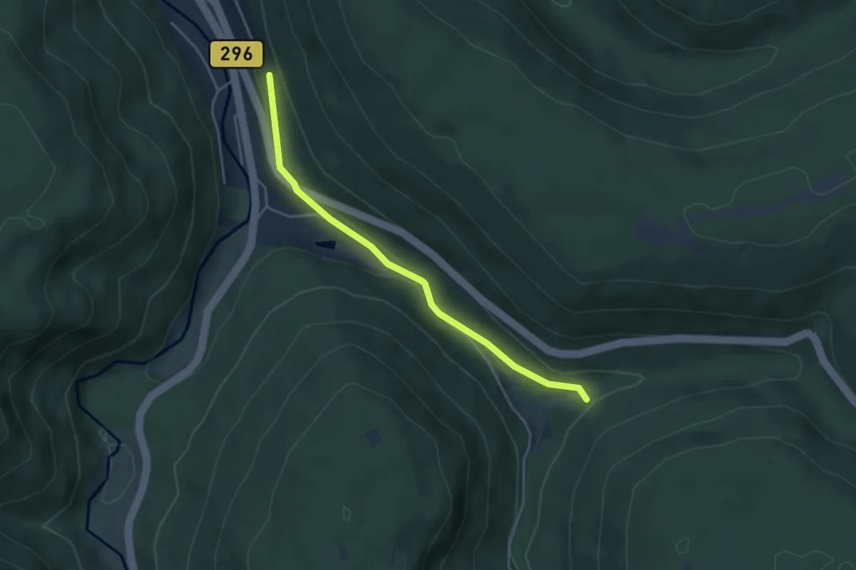
Easy · Trail
Klemmerwegle - Igelswiesen
3.8 km · ↑ 82 m · 1 h 5 min
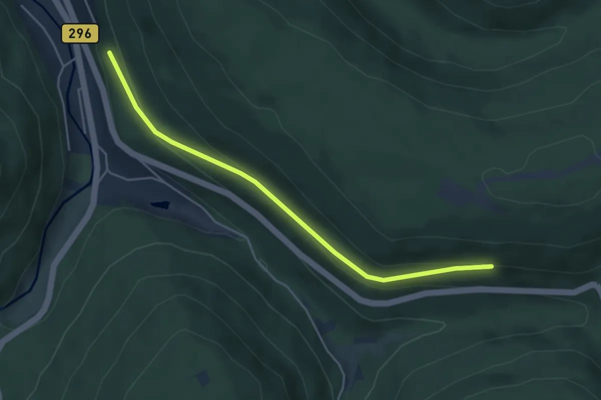
Easy · Trail
Klemmerwegle - Meisternblick
4.1 km · ↑ 140 m · 1 h 17 min
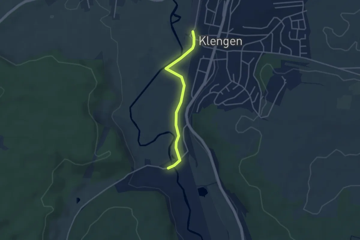
Easy · Trail
Klengen Bahnhof - Beckhofen
2.9 km · ↑ 4 m · 42 min
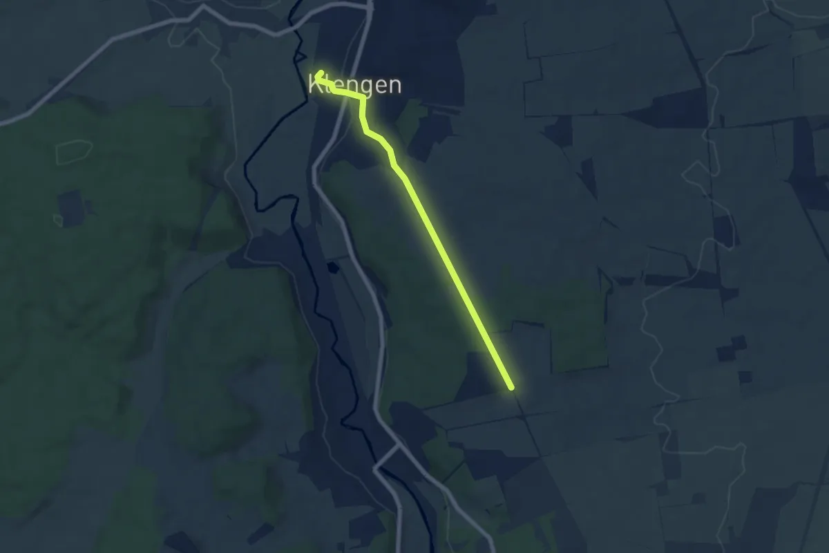
Easy · Trail
Klengen Bahnhof - Kapellenbuck
5.6 km · ↑ 105 m · 1 h 33 min
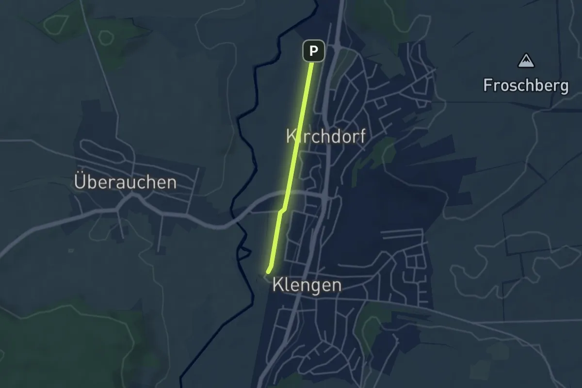
Easy · Trail
Klengen Bahnhof - Kirchdorf Gewerbegebiet
2.8 km · ↑ 0 m · 40 min
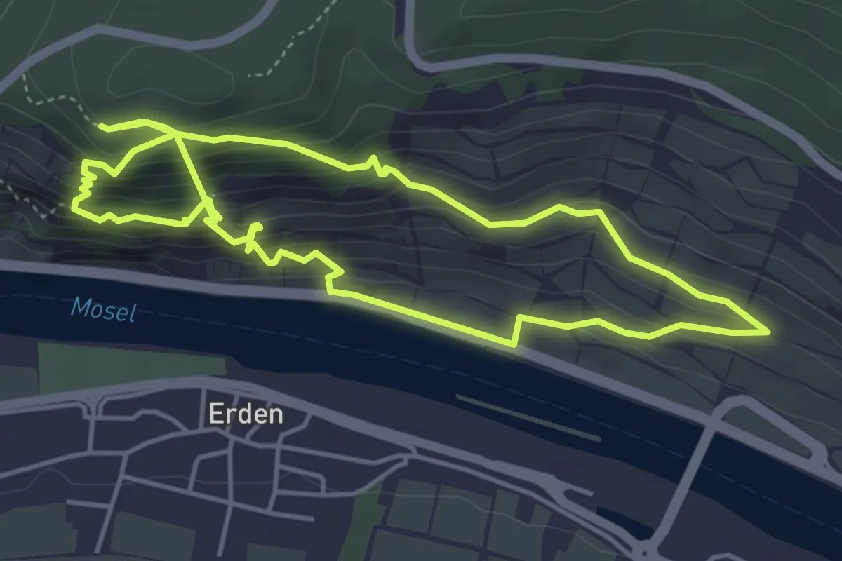
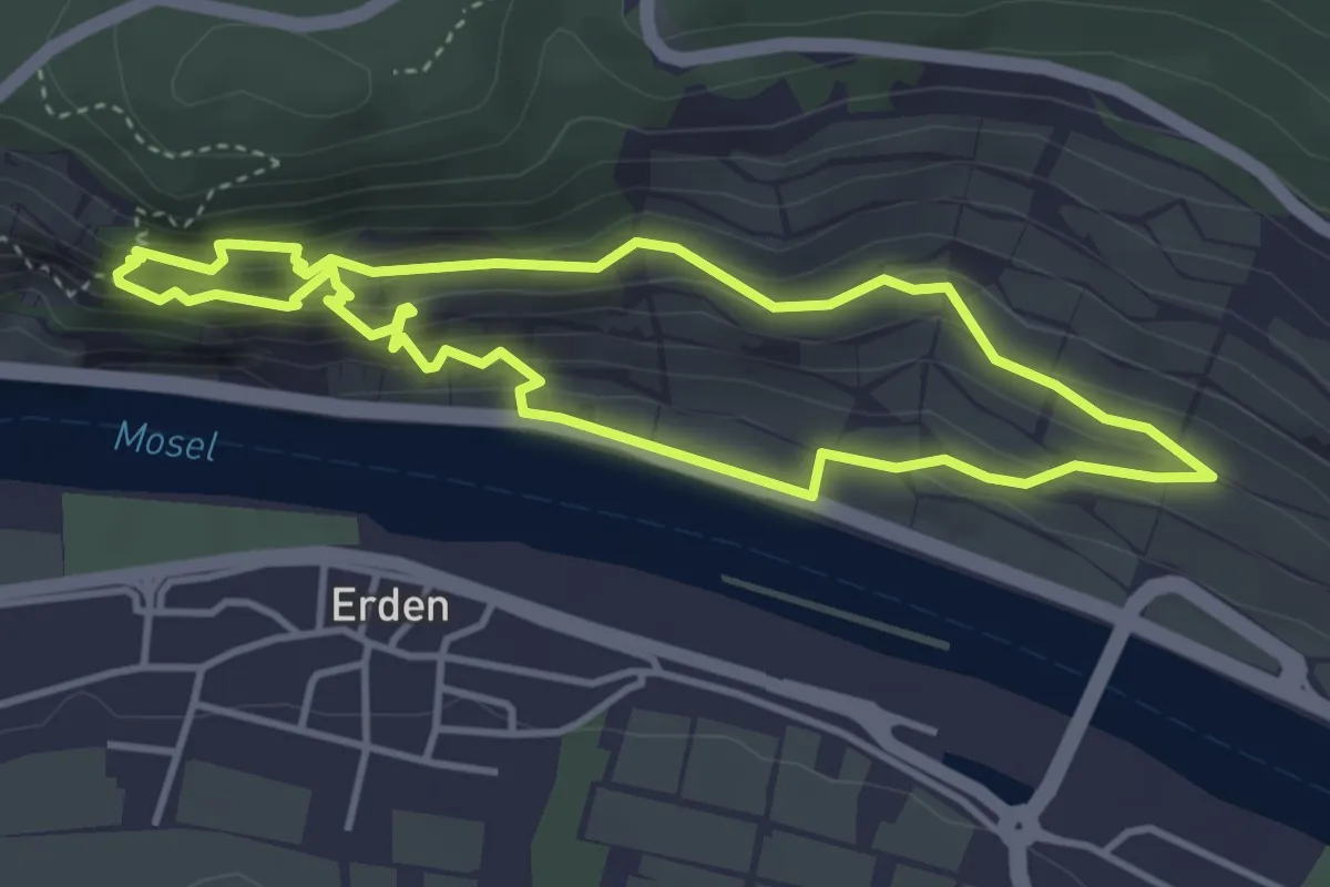
Demanding · Trail
Kletterweg Erdener Treppchen
4.1 km · ↑ 452 m · 1 h 56 min
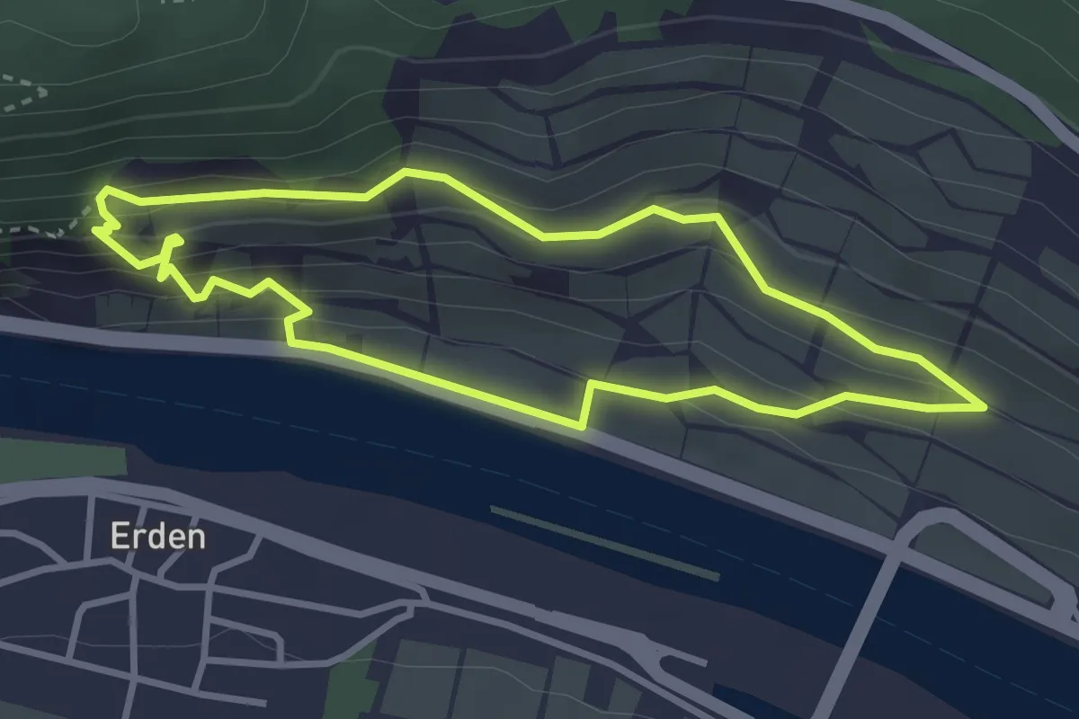
Demanding · Trail
Kletterweg Erdener Treppchen
3.5 km · ↑ 281 m · 1 h 29 min
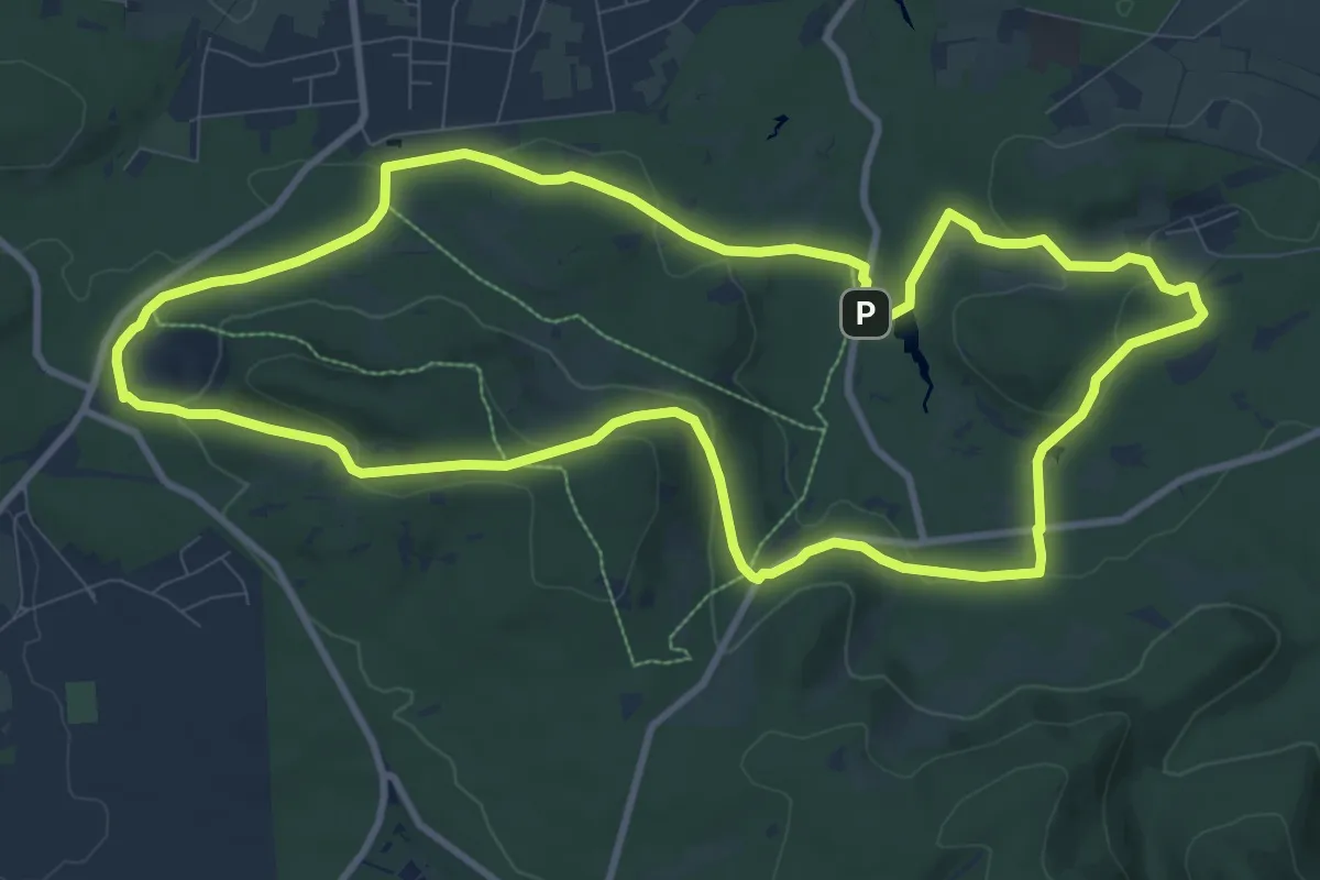
Demanding · Trail
Kletterweg Erdener Treppchen
2.8 km · ↑ 194 m · 1 h 7 min
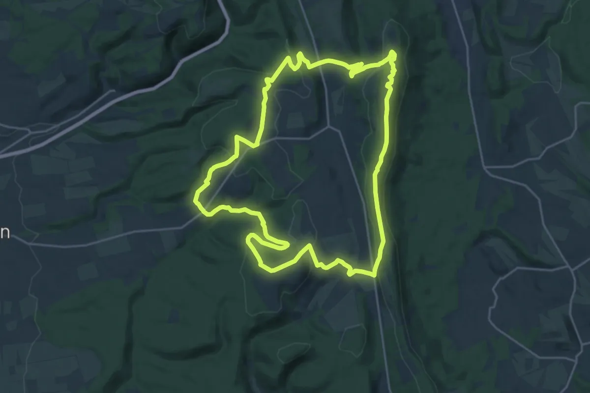
Medium · Summit
KlimaErlebnisRoute 1: Hiddeser Bent
9.5 km · ↑ 216 m · 2 h 50 min
Medium · Summit
KlimaErlebnisRoute 2: Velmerstot
17.2 km · ↑ 410 m · 5 h 11 min
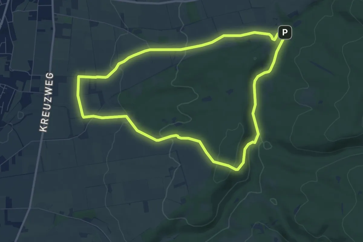
Easy · Summit
KlimaErlebnisRoute 3: Lippspringer Wald
7.9 km · ↑ 171 m · 2 h 20 min
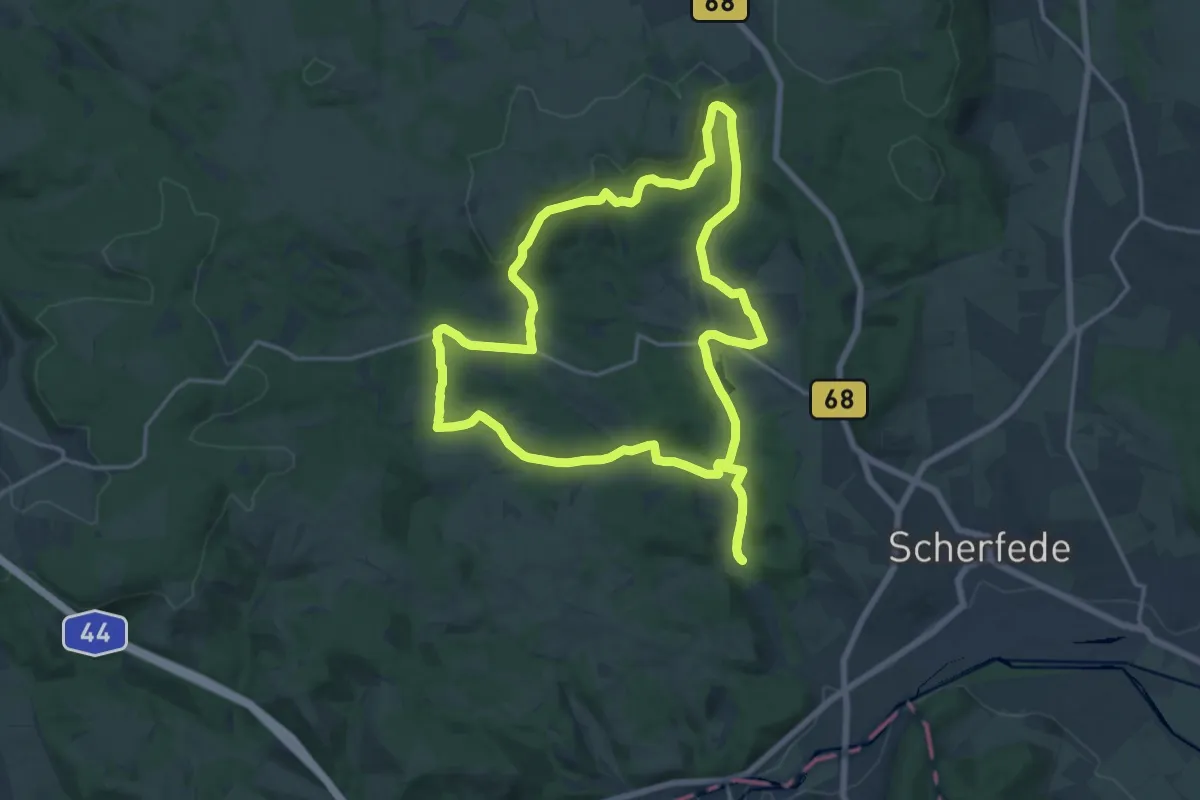
Medium · Trail
KlimaErlebnisRoute 4: Hardehausen
15.5 km · ↑ 218 m · 4 h 21 min
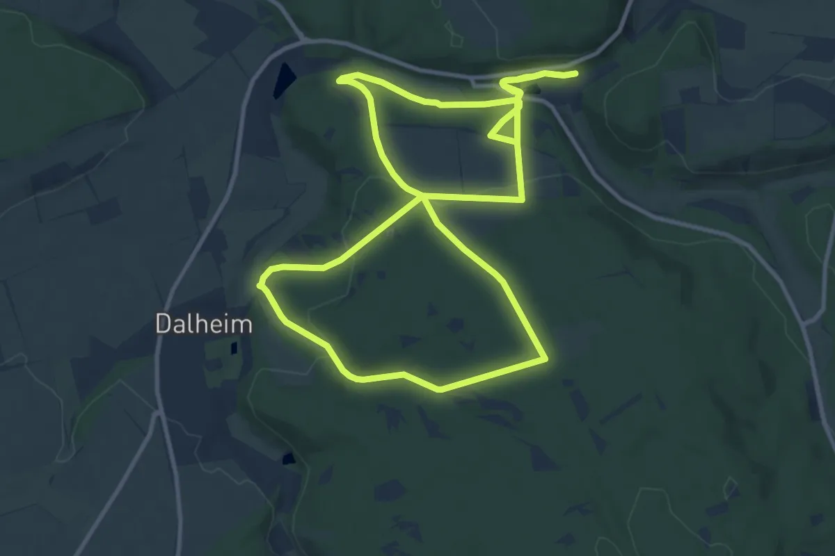
Medium · Trail
KlimaErlebnisRoute 5: Kloster Dalheim
9.5 km · ↑ 185 m · 2 h 48 min
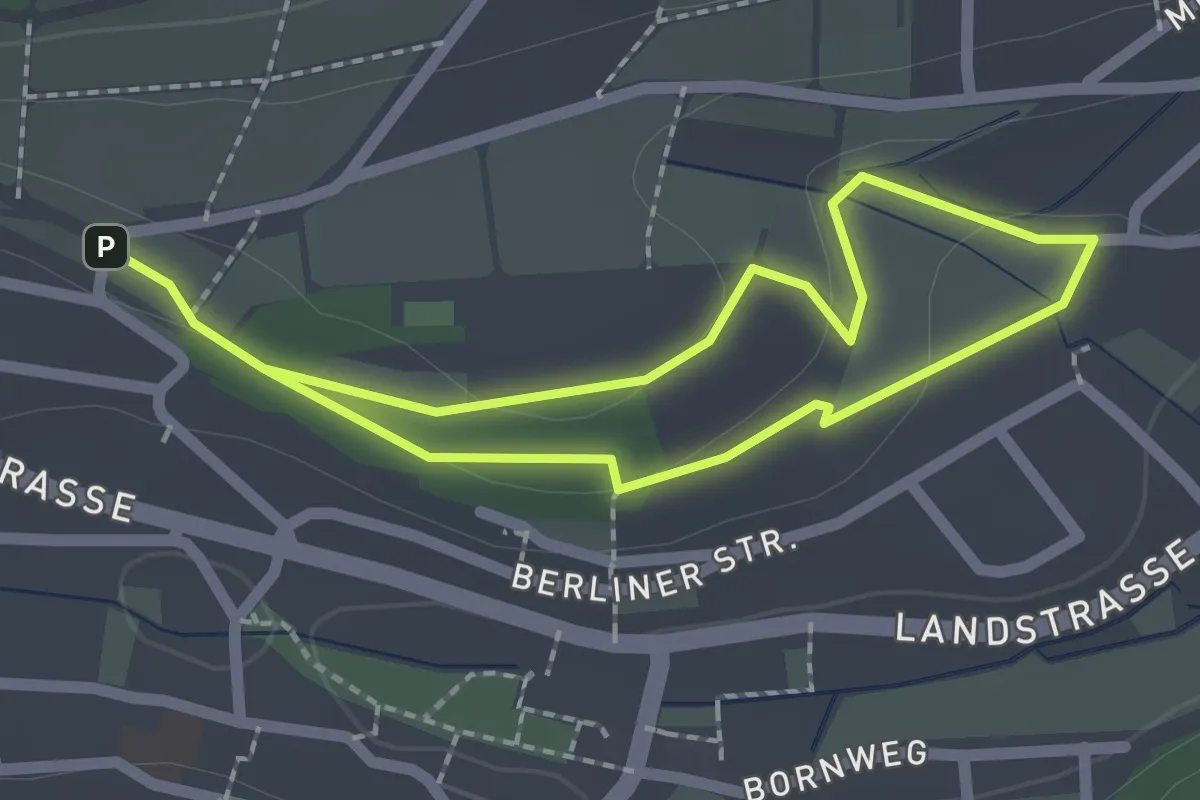
Easy · Trail
Klima Gehen, A-Route
1.6 km · ↑ 24 m · 27 min
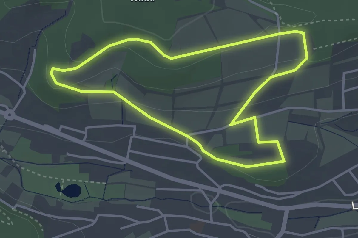
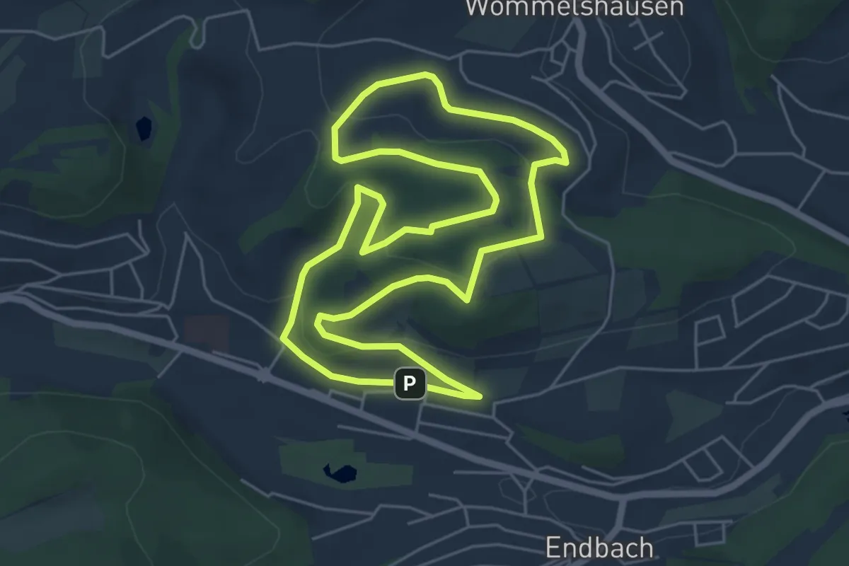
Easy · Trail
Klima Gehen, B-Route
2.9 km · ↑ 69 m · 52 min
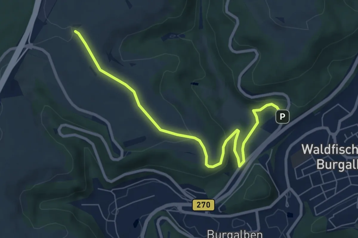
Easy · Summit
Klima Gehen, C-Tour
5.0 km · ↑ 131 m · 1 h 32 min
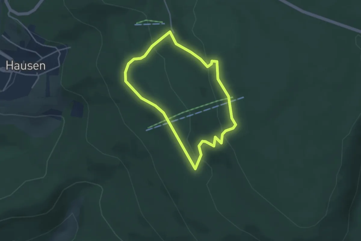
Easy · Summit
Klimalehrpfad Waldfischbach-Burgalben
3.2 km · ↑ 162 m · 1 h 5 min
Easy · Trail
Klima-Pfad am Meißner
2.7 km · ↑ 93 m · 53 min
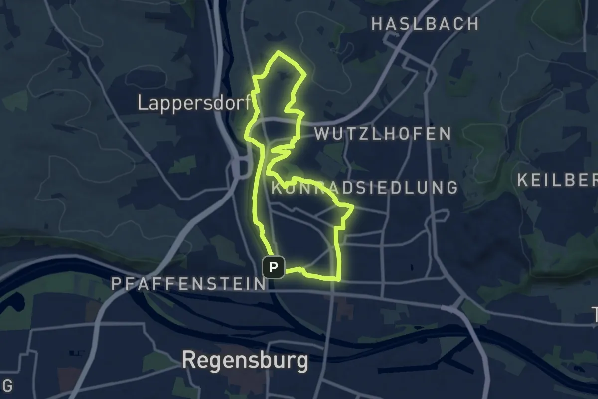
Medium · Summit
Klimaschutzweg Regensburg - Mühlberg Runde
10.0 km · ↑ 122 m · 2 h 46 min
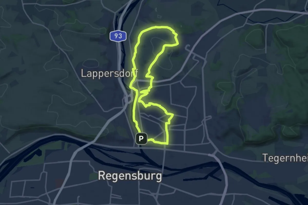
Medium · Summit
Klimaschutzweg Regensburg - Ödenthaler Runde
13.0 km · ↑ 141 m · 3 h 34 min
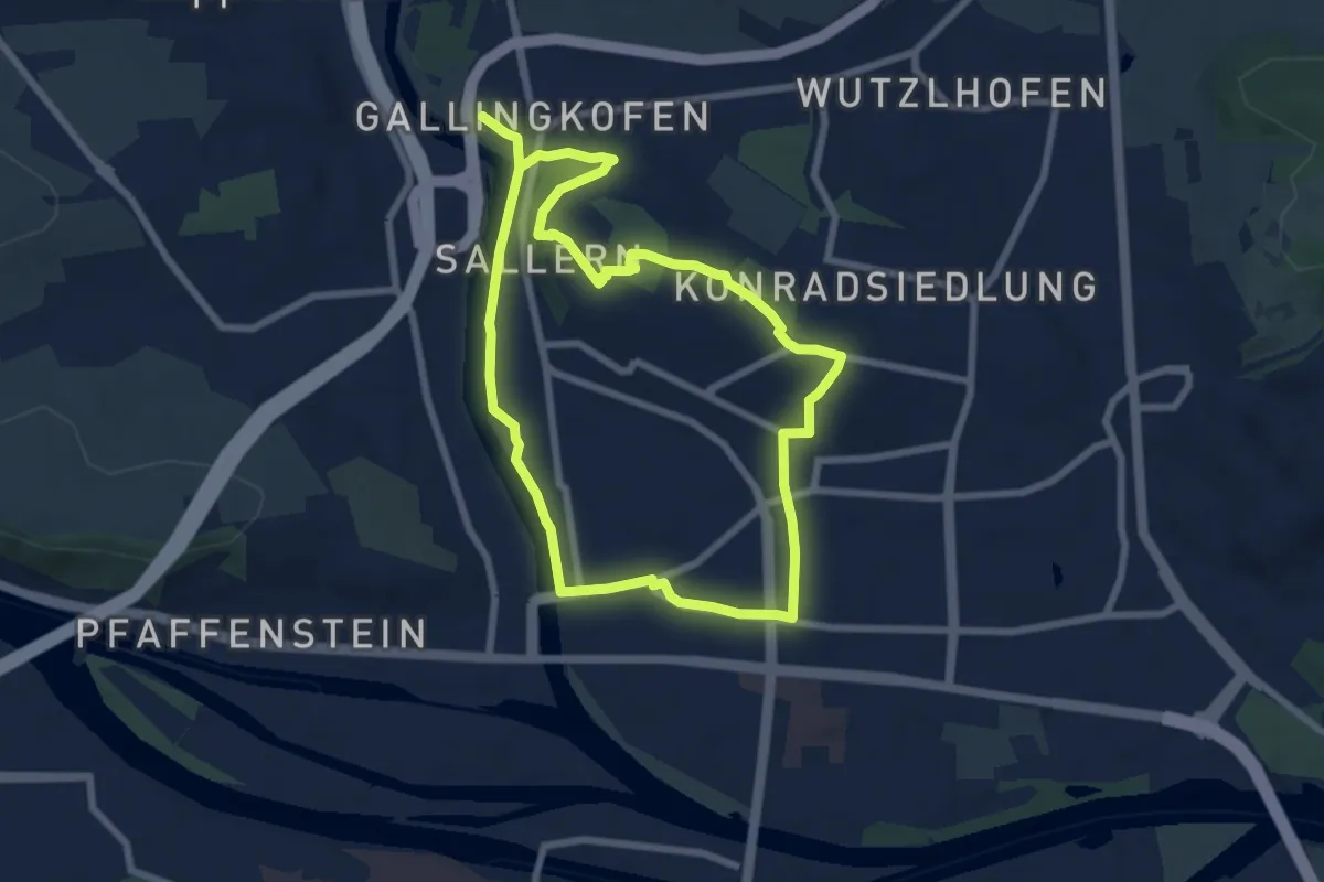
Easy · Summit
Klimaschutzweg Regensburg - Sallerner Berg Runde
6.5 km · ↑ 70 m · 1 h 46 min
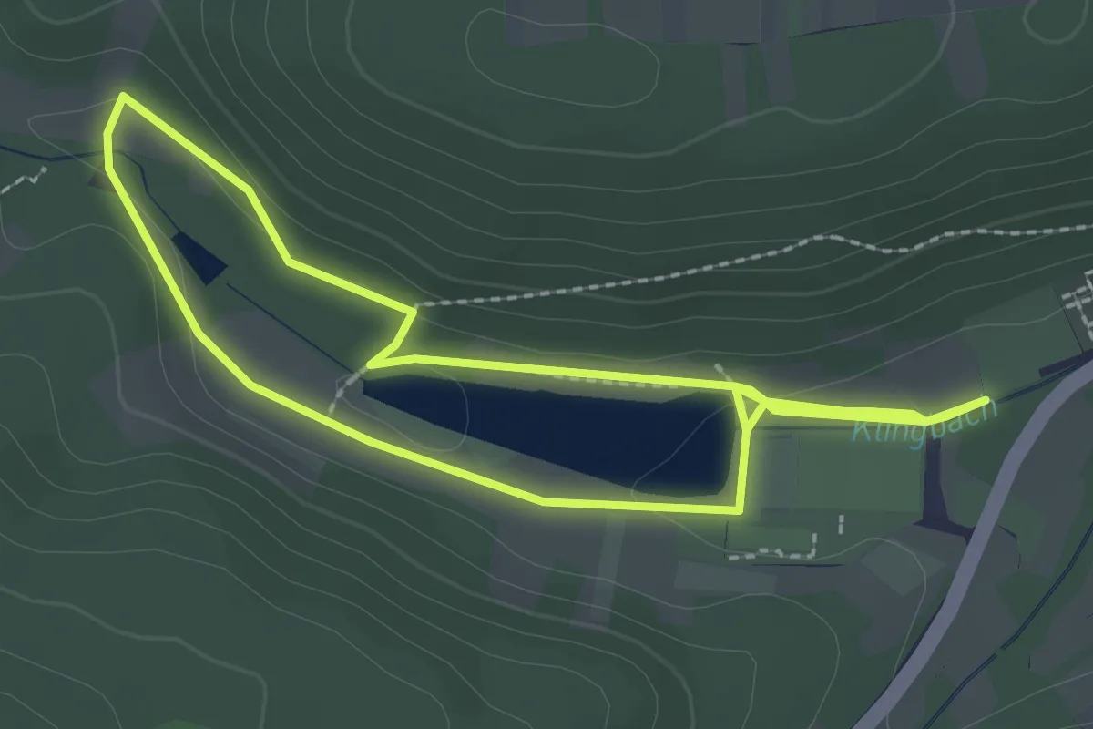
Easy · Trail
Klima- und Naturerlebnispfad Silz - Seerunde
2.2 km · ↑ 26 m · 37 min
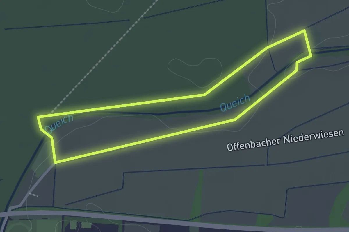
Easy · Trail
Klimawanderweg Offenbach
2.2 km · ↑ 10 m · 34 min
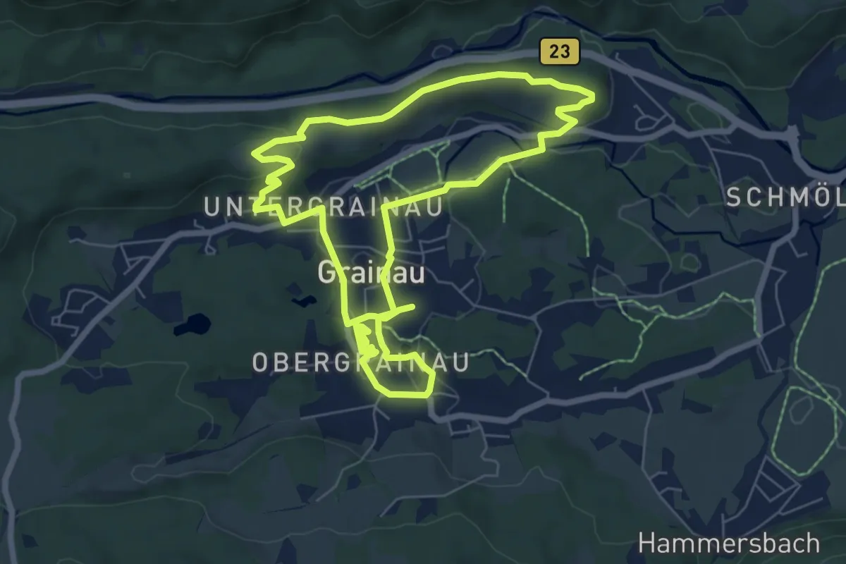
Easy · Trail
Klima & Wasser im Wandel
6.2 km · ↑ 91 m · 1 h 45 min
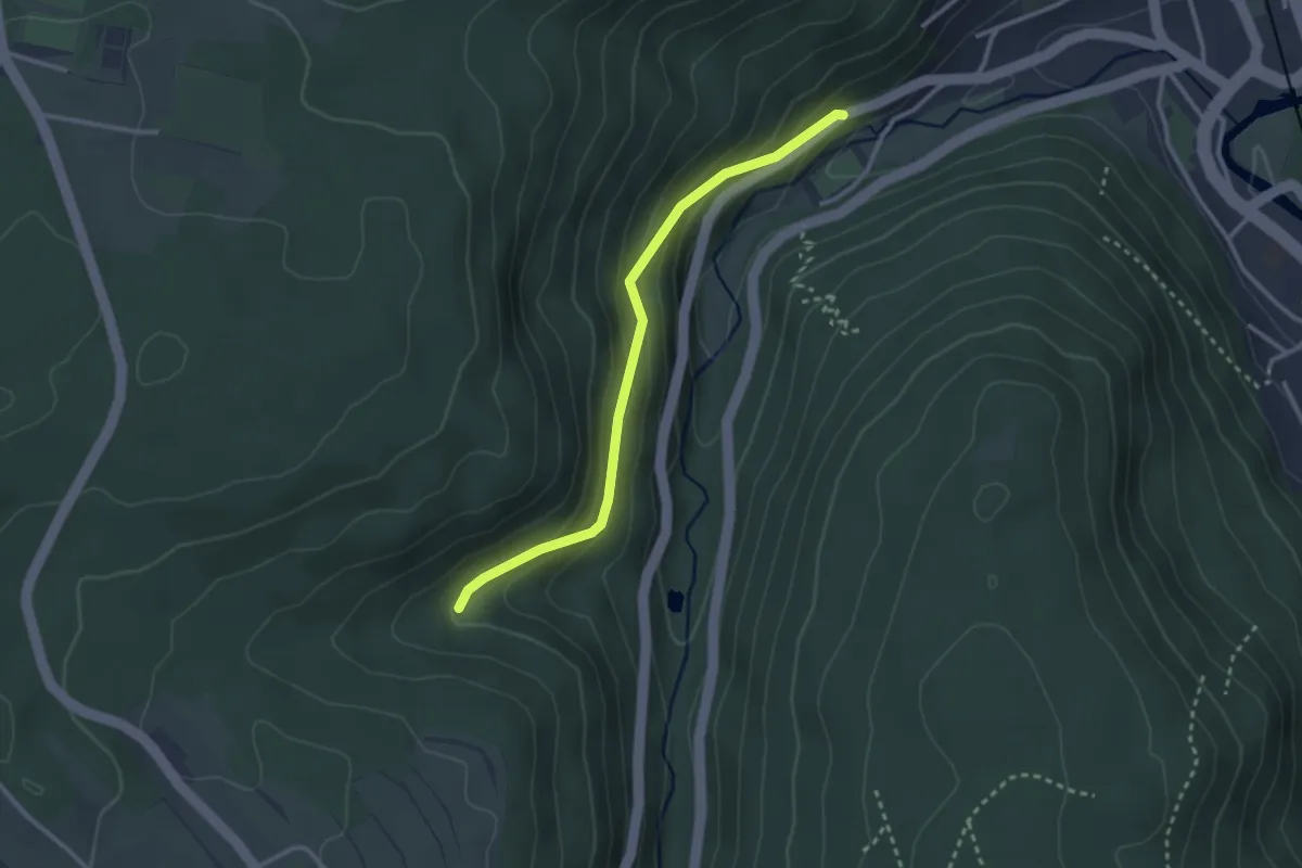
Easy · Trail
Klinge - Jägerhütte
2.7 km · ↑ 151 m · 58 min
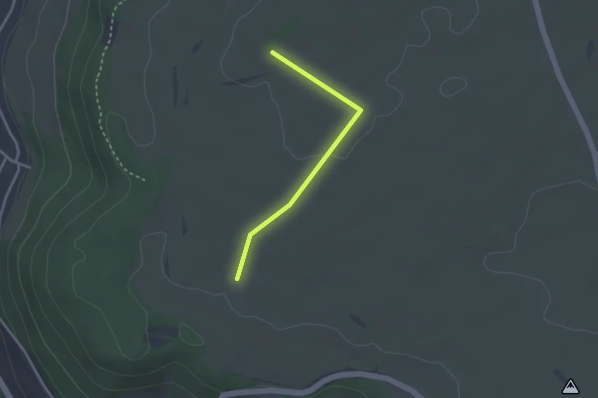
Easy · Trail
Klingeläcker - Windrad / Lichthof
2.2 km · ↑ 22 m · 34 min
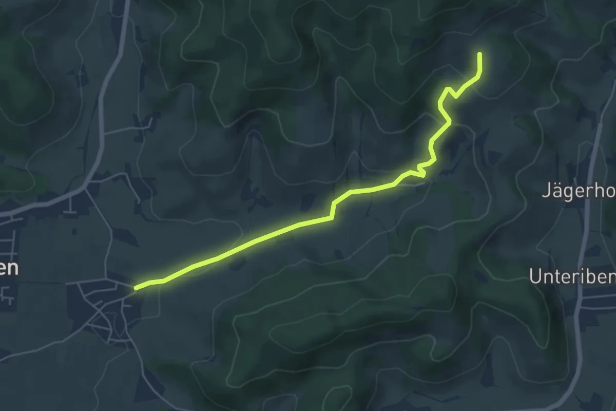
Easy · Trail
Klingeleberg - Oberbirken
5.3 km · ↑ 178 m · 1 h 38 min
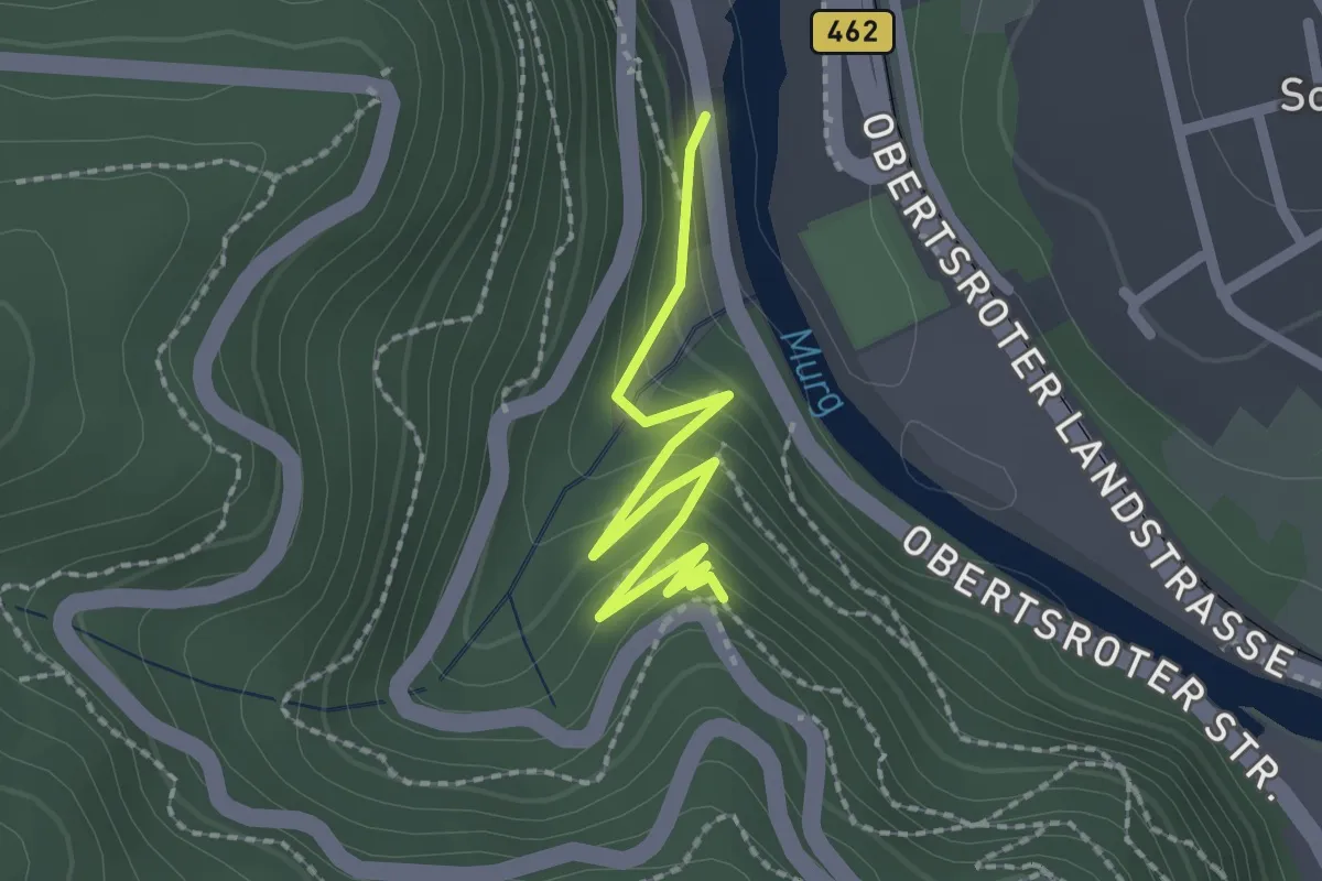
Easy · Trail
Klingelkapelle - Luisenruhe
2.1 km · ↑ 287 m · 1 h 7 min
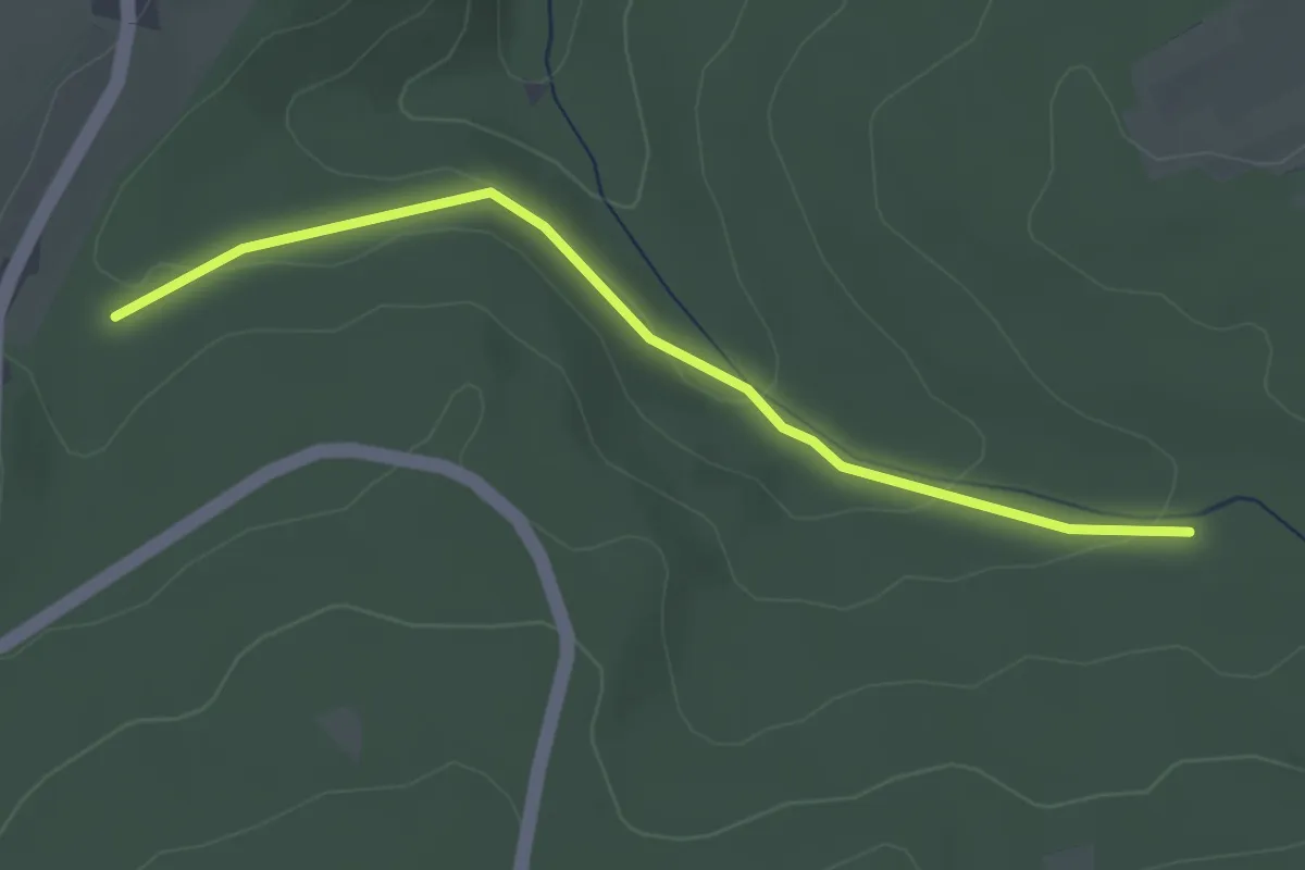
Easy · Trail
Klingenäcker - Traueresche
3.0 km · ↑ 70 m · 51 min
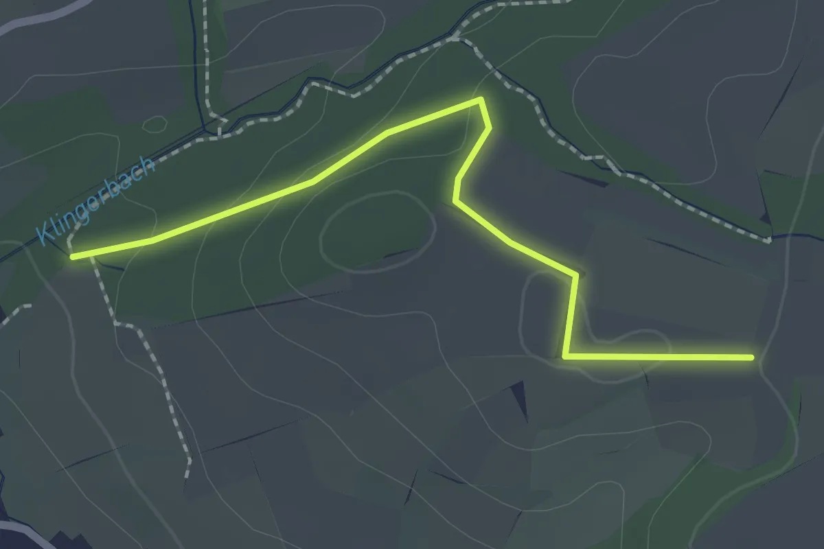
Easy · Trail
Klingenbachschlucht - Schalmenried
2.1 km · ↑ 43 m · 35 min
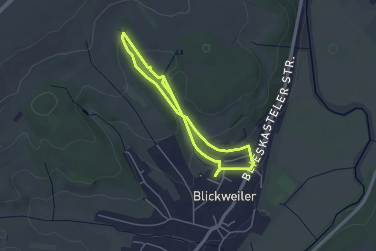
Easy · Trail
Klingenklamm
3.0 km · ↑ 62 m · 52 min
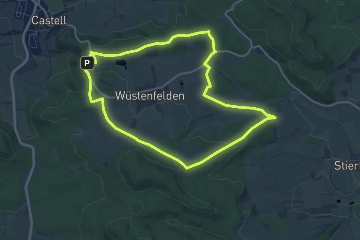
Easy · Trail
Klingenschlagweg
7.8 km · ↑ 120 m · 2 h 12 min
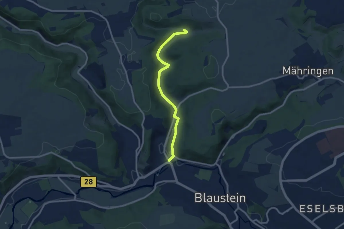
Easy · Trail
Klingenstein Bollingen
6.2 km · ↑ 112 m · 1 h 43 min
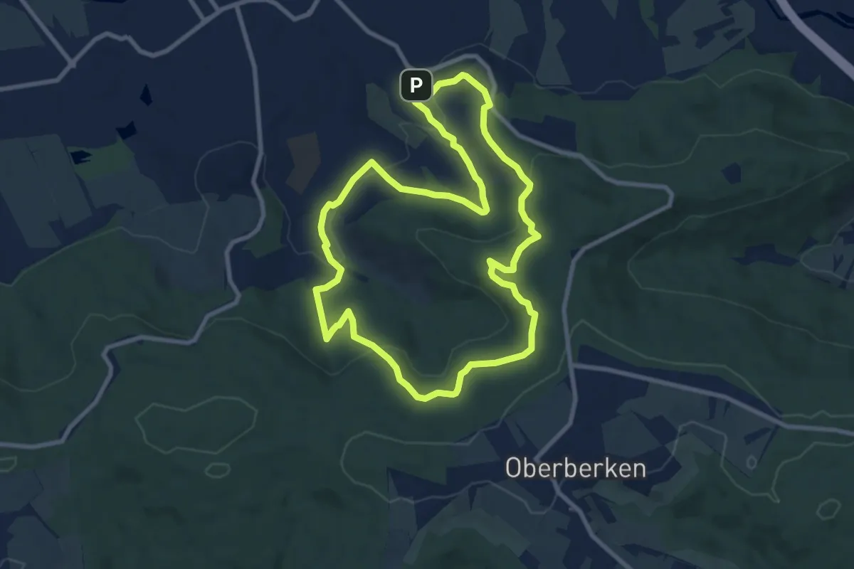
Medium · Summit
Klingenweg
8.0 km · ↑ 254 m · 2 h 34 min
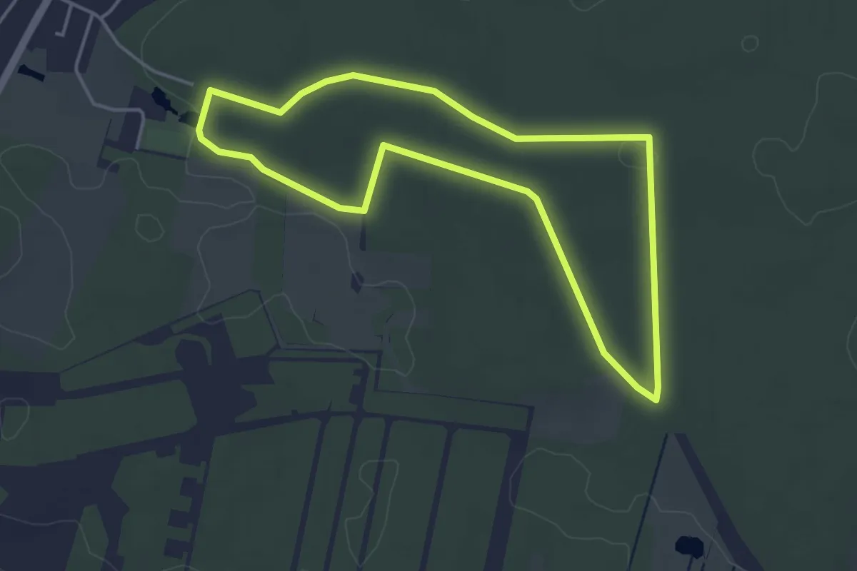
Easy · Trail
Klintumer Weg
3.4 km · ↑ 18 m · 54 min
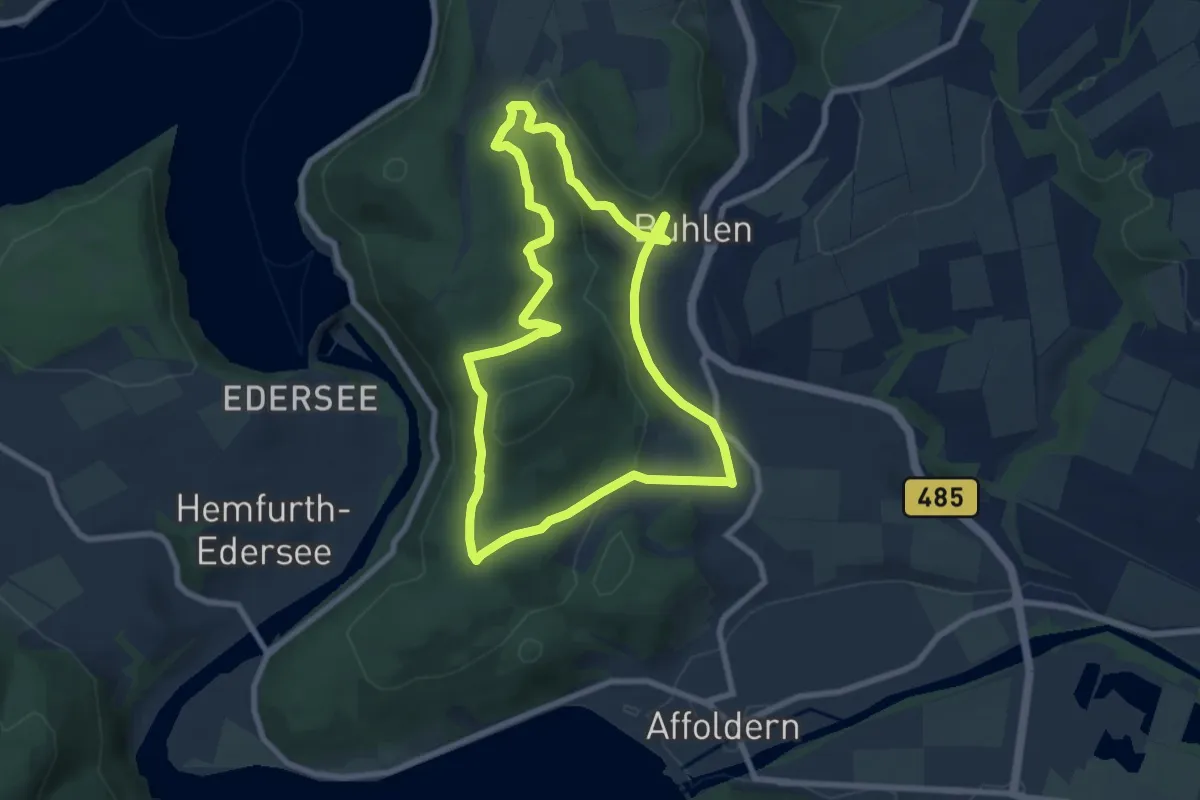
Easy · Summit
Klippen-Rundweg
7.0 km · ↑ 197 m · 2 h 10 min
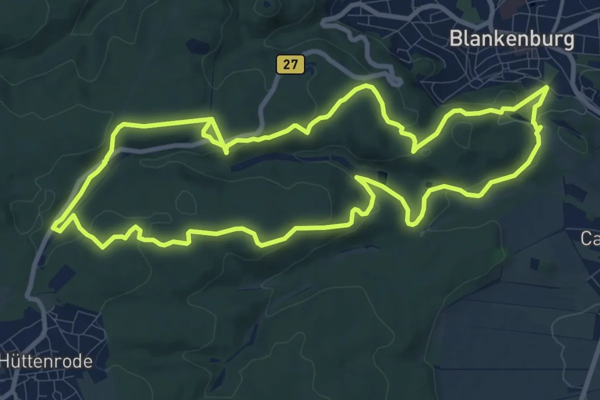
Medium · Summit
Klippentour
11.2 km · ↑ 291 m · 3 h 26 min
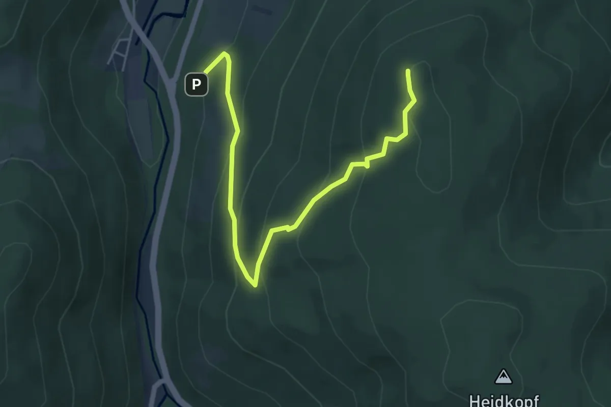
Medium · Summit
Klippenweg
4.9 km · ↑ 318 m · 1 h 51 min