Trails in Germany
36,852 hiking trails, each with its route, climb, walking time and grade.
All trails, page 296 of 768
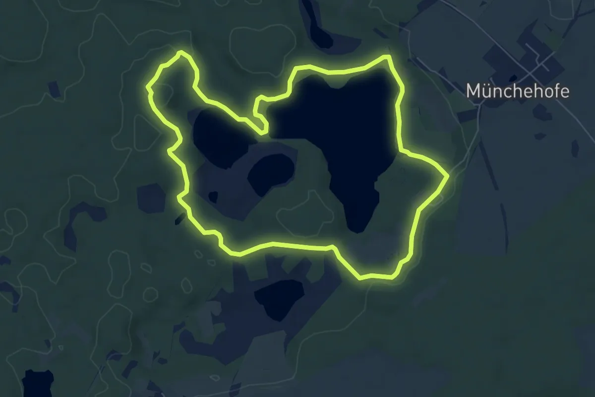
Easy · Trail
Klobichsee-Rundweg
6.7 km · ↑ 54 m · 1 h 47 min
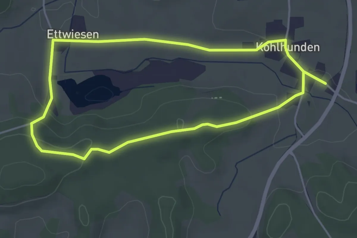
Easy · Trail
Klobunzeleweg und Terra Nostra
3.7 km · ↑ 71 m · 1 h 6 min
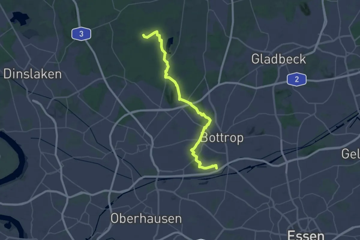
Demanding · Trail
Klompenweg
32.1 km · ↑ 189 m · 7 h 59 min
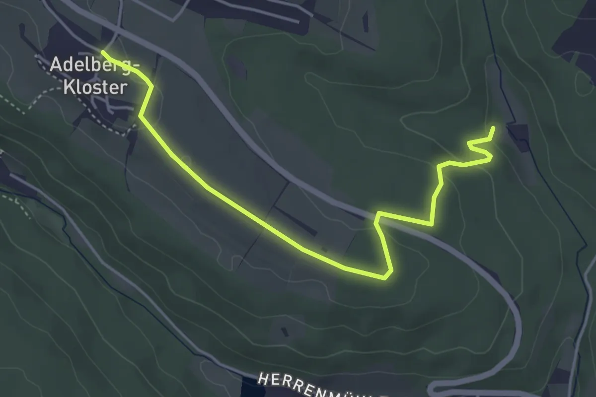
Easy · Trail
Kloster Adelberg - Börtlinger Sägmühle
4.5 km · ↑ 107 m · 1 h 18 min
Medium · Trail
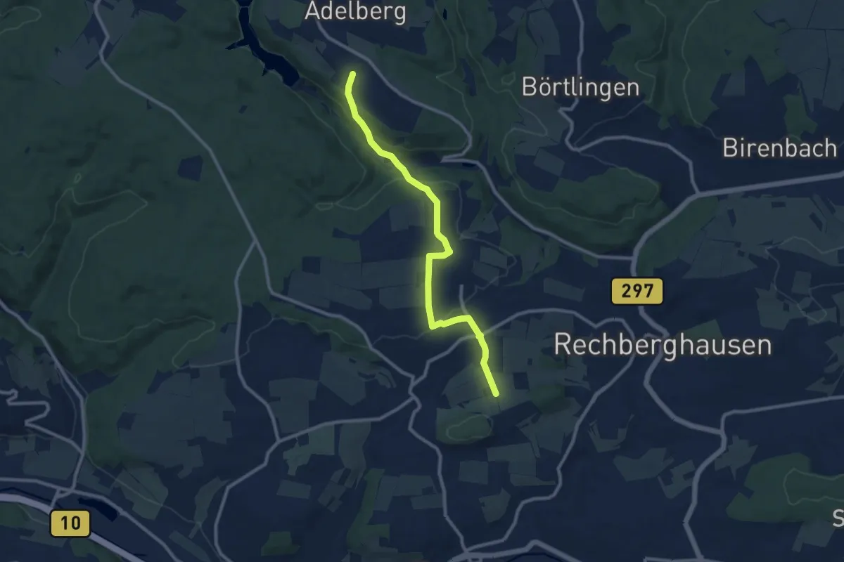
Kloster Adelberg - Oberwälden - Wangener Linde
9.3 km · ↑ 220 m · 2 h 40 min
Medium · Summit
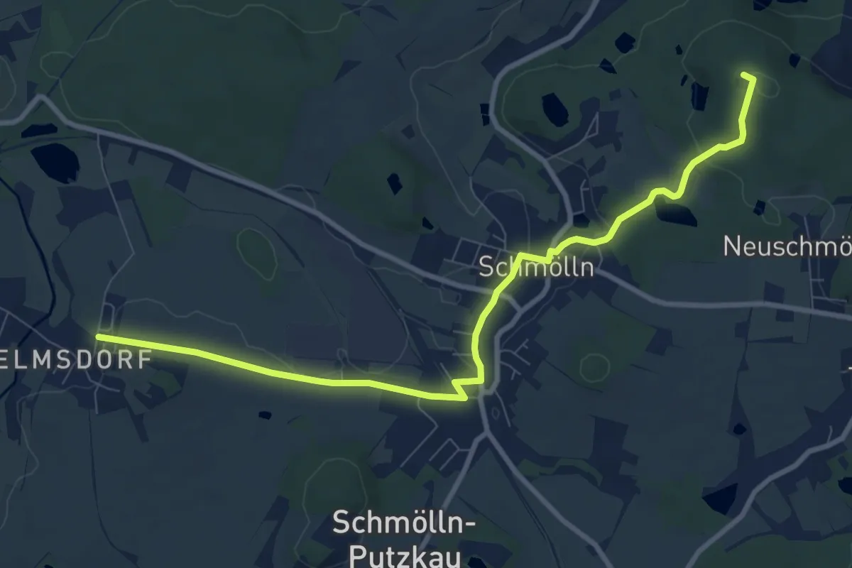
Klosterberg - Schmölln Bahnhof.
8.9 km · ↑ 123 m · 2 h 23 min
Medium · Trail
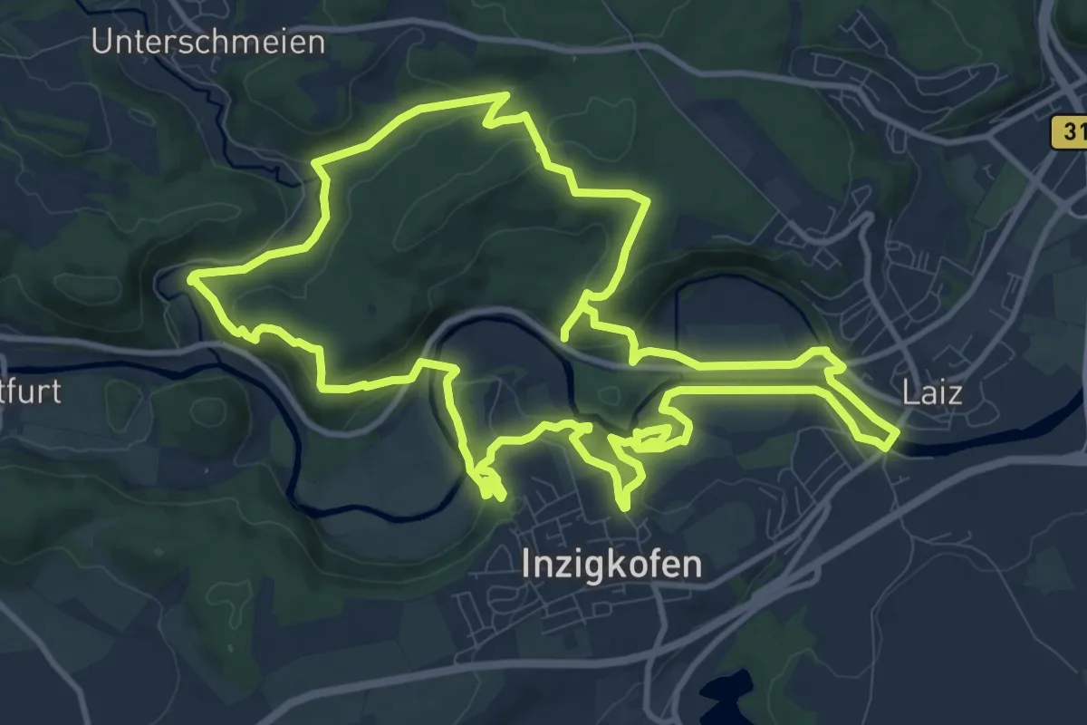
Kloster Felsenweg
12.2 km · ↑ 380 m · 3 h 52 min
Easy · Trail
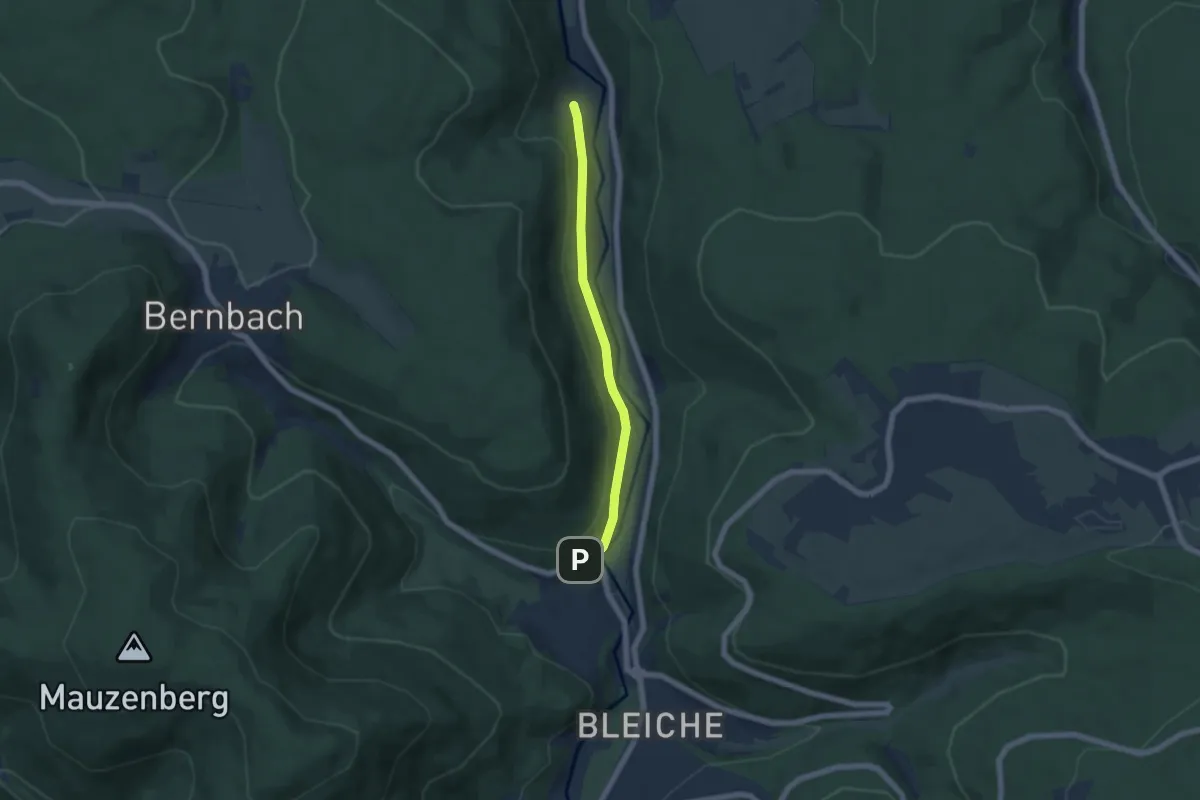
Kloster Frauenalb - Kullenmühle
4.9 km · ↑ 150 m · 1 h 29 min
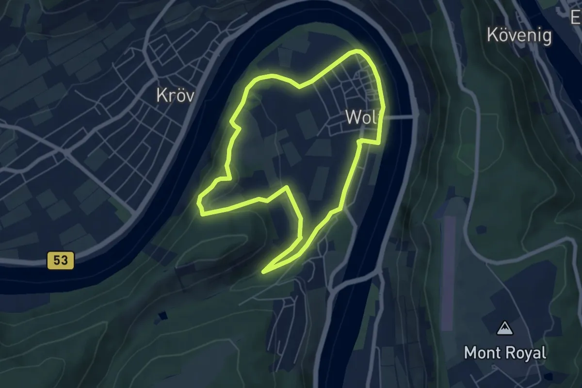
Easy · Trail
Klostergartenweg
5.1 km · ↑ 135 m · 1 h 33 min
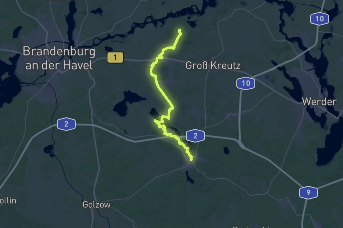
Demanding · Summit
Kloster-Havel-Wanderweg
44.2 km · ↑ 185 m · 10 h 50 min
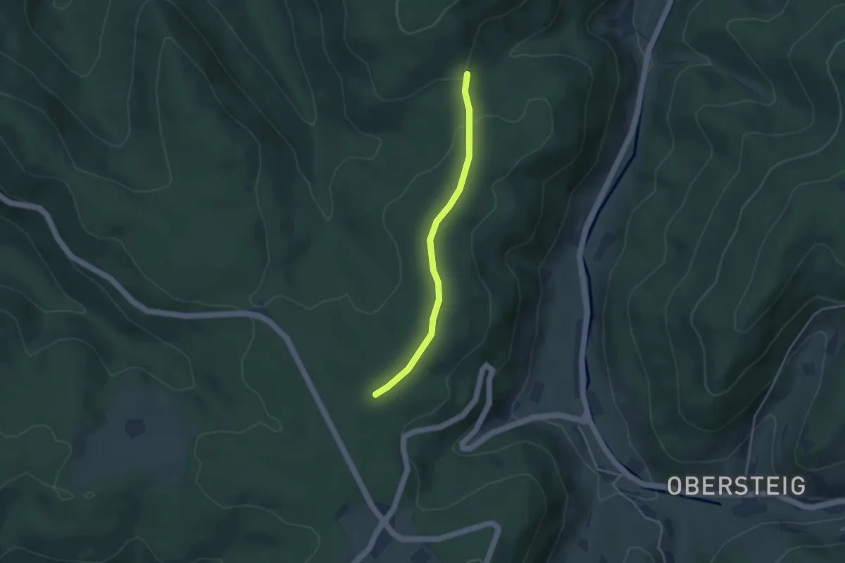
Easy · Trail
Klosterhof - Buurenwald
3.1 km · ↑ 45 m · 50 min
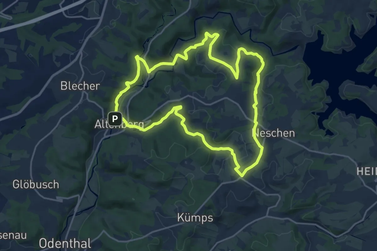
Medium · Trail
Klosterlandschaftsweg Altenberg
13.2 km · ↑ 299 m · 3 h 57 min
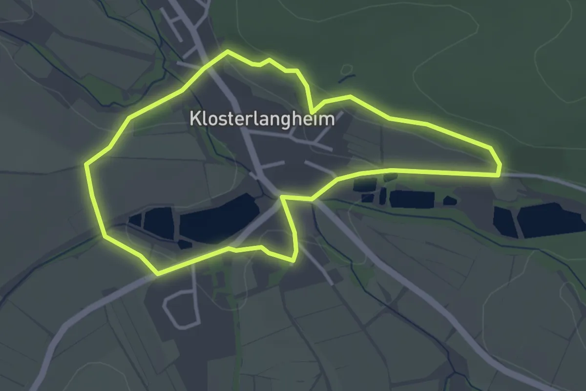
Easy · Trail
Klosterlangheimer Rundweg
2.9 km · ↑ 58 m · 51 min
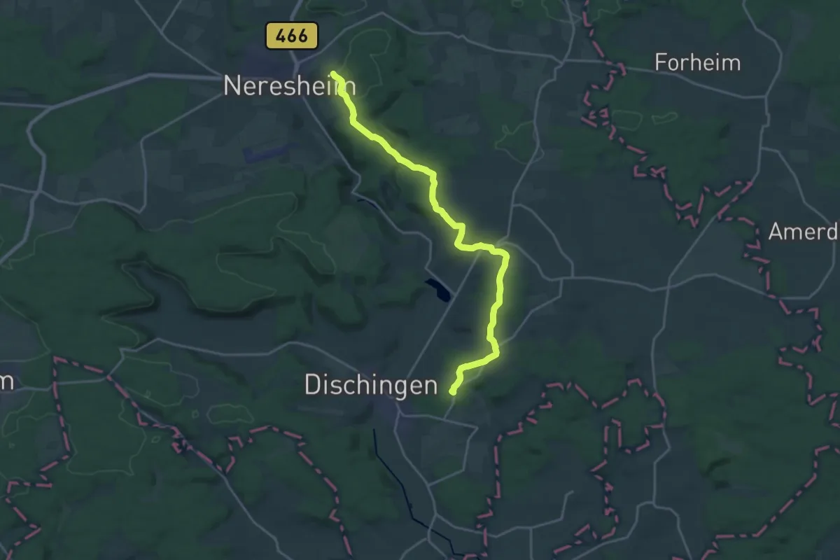
Demanding · Trail
Kloster Neresheim - Burg Katzenstein - Schrezheim - HW2
19.3 km · ↑ 349 m · 5 h 20 min
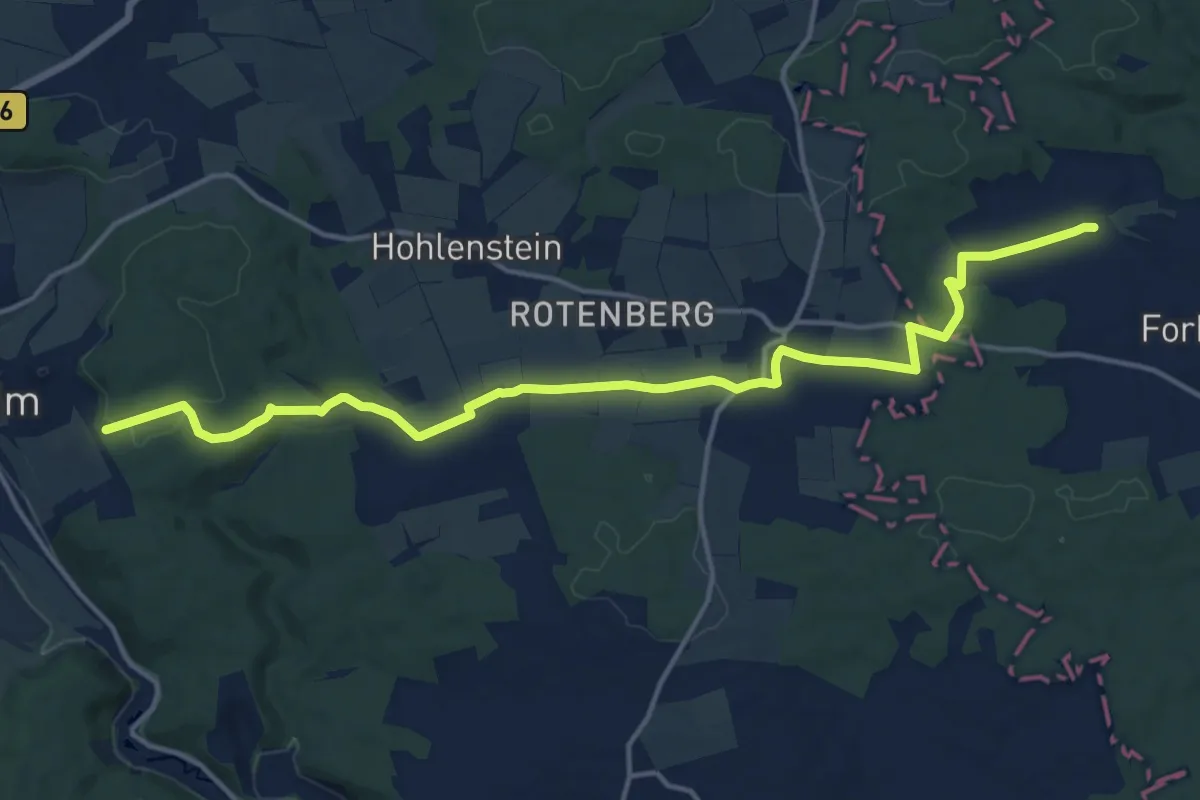
Medium · Trail
Kloster Neresheim - Kösingen - Christgarten
16.3 km · ↑ 242 m · 4 h 23 min
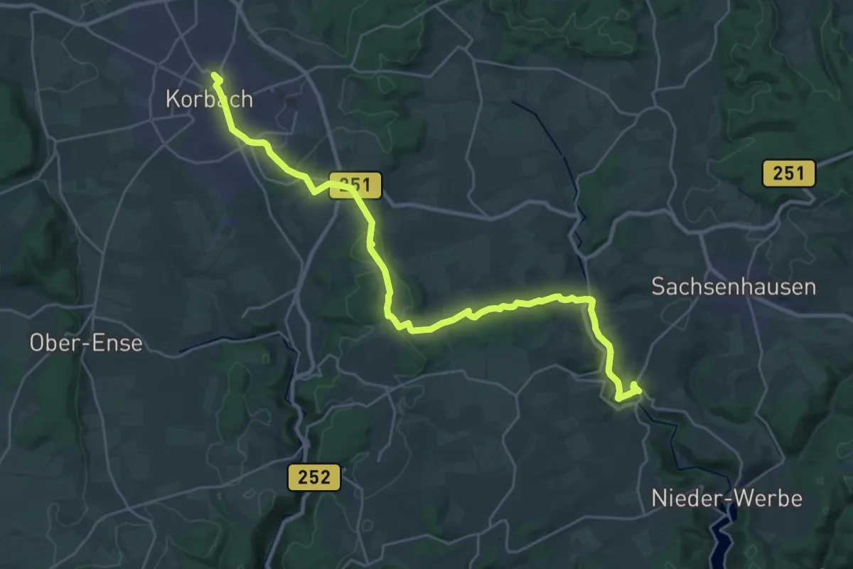
Demanding · Trail
Klösterpfad
26.6 km · ↑ 430 m · 7 h 12 min
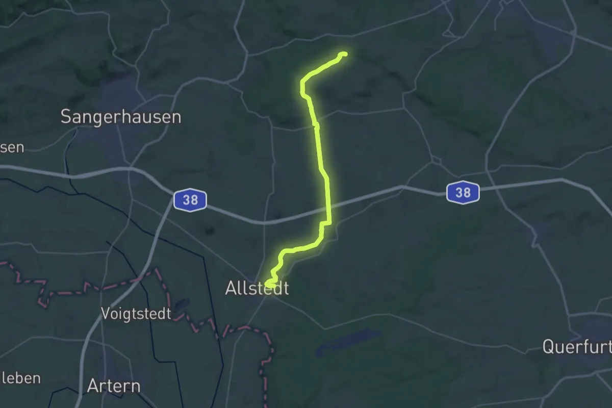
Demanding · Trail
Klosterrode-Allstedt
29.0 km · ↑ 292 m · 7 h 29 min
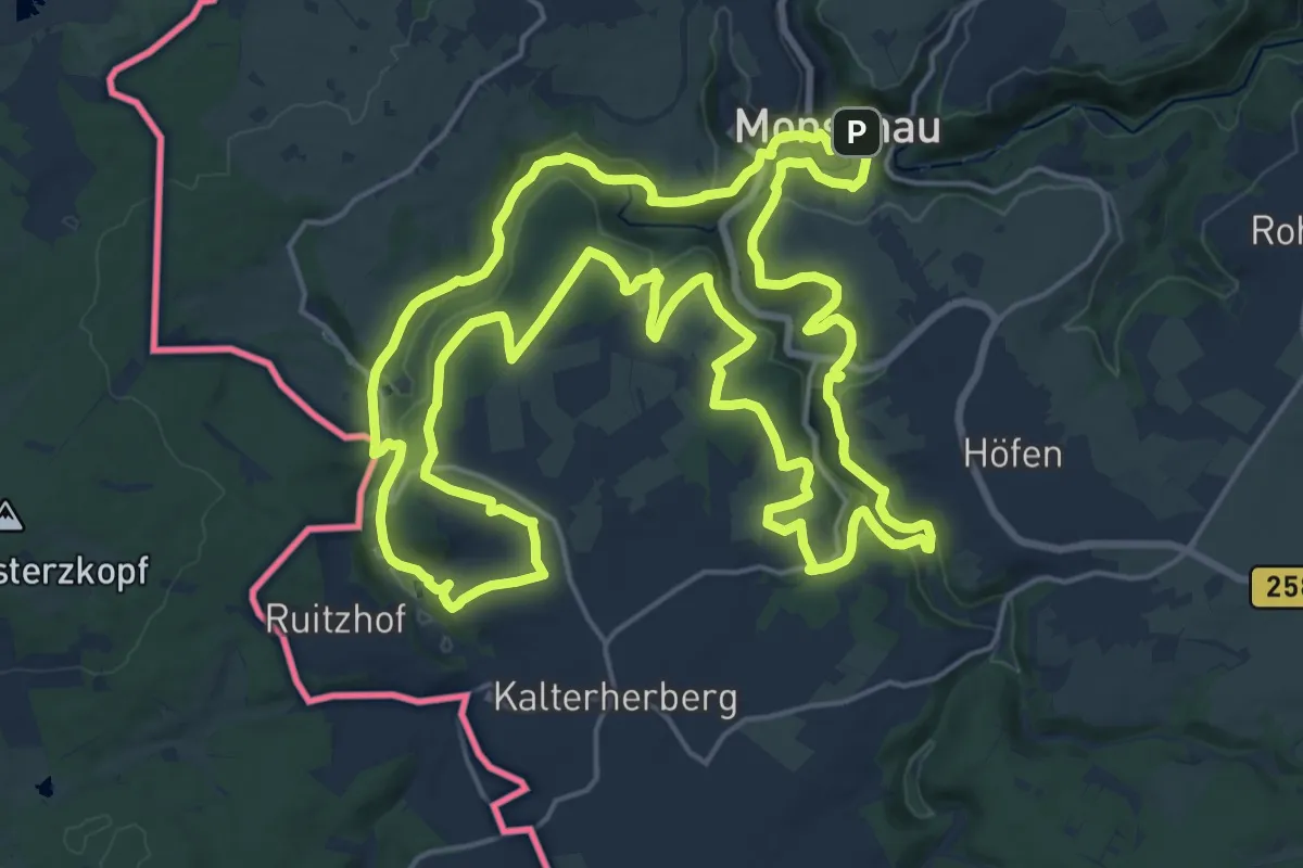
Demanding · Summit
Klosterroute
22.0 km · ↑ 494 m · 6 h 35 min
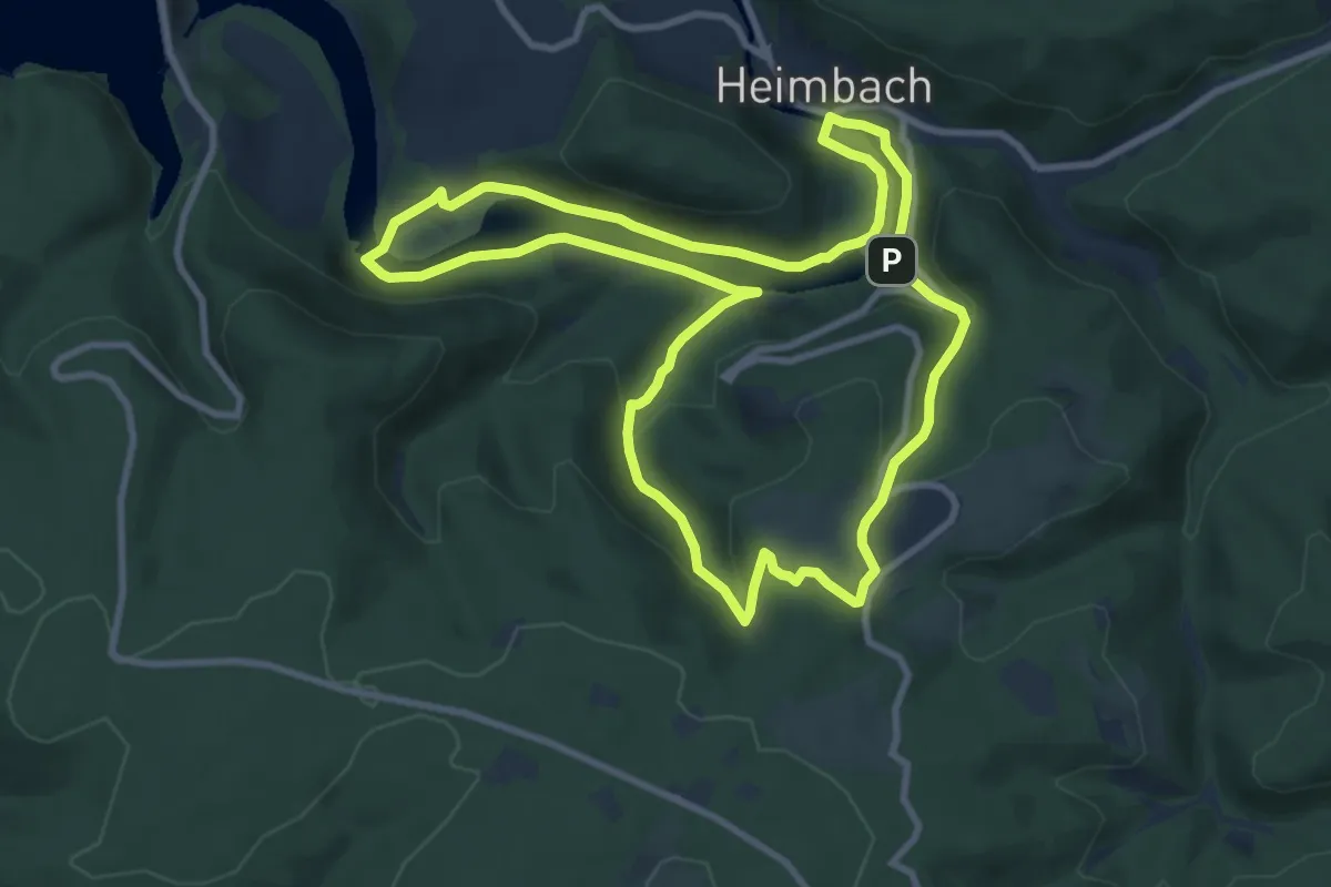
Medium · Trail
Klosterrunde
9.0 km · ↑ 274 m · 2 h 50 min
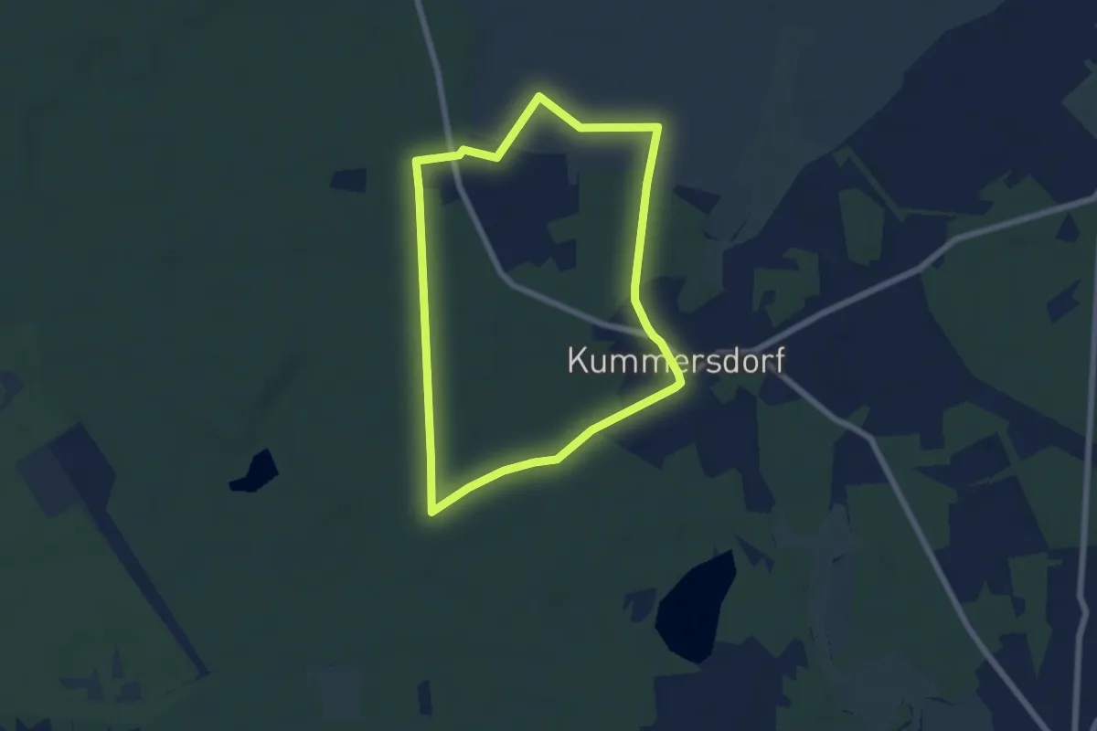
Easy · Trail
Klosterrundwanderweg
5.1 km · ↑ 21 m · 1 h 19 min
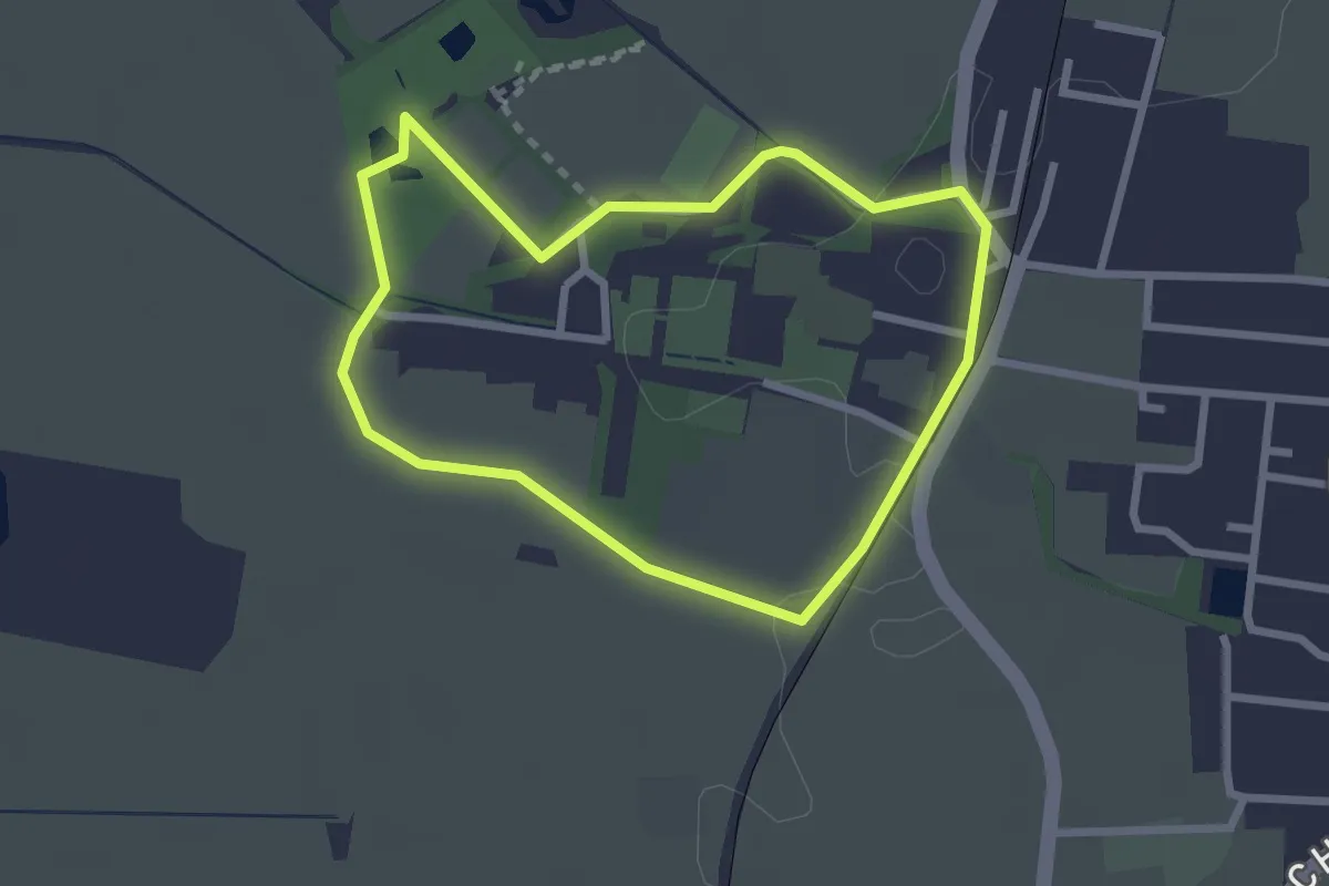
Easy · Trail
Klosterrundweg
2.3 km · ↑ 8 m · 35 min
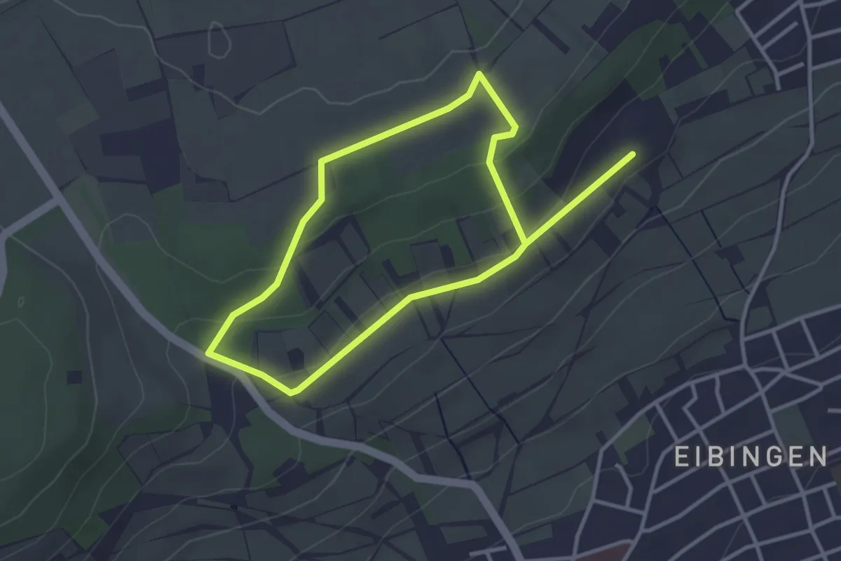
Easy · Trail
Klosterrundweg
5.3 km · ↑ 130 m · 1 h 32 min
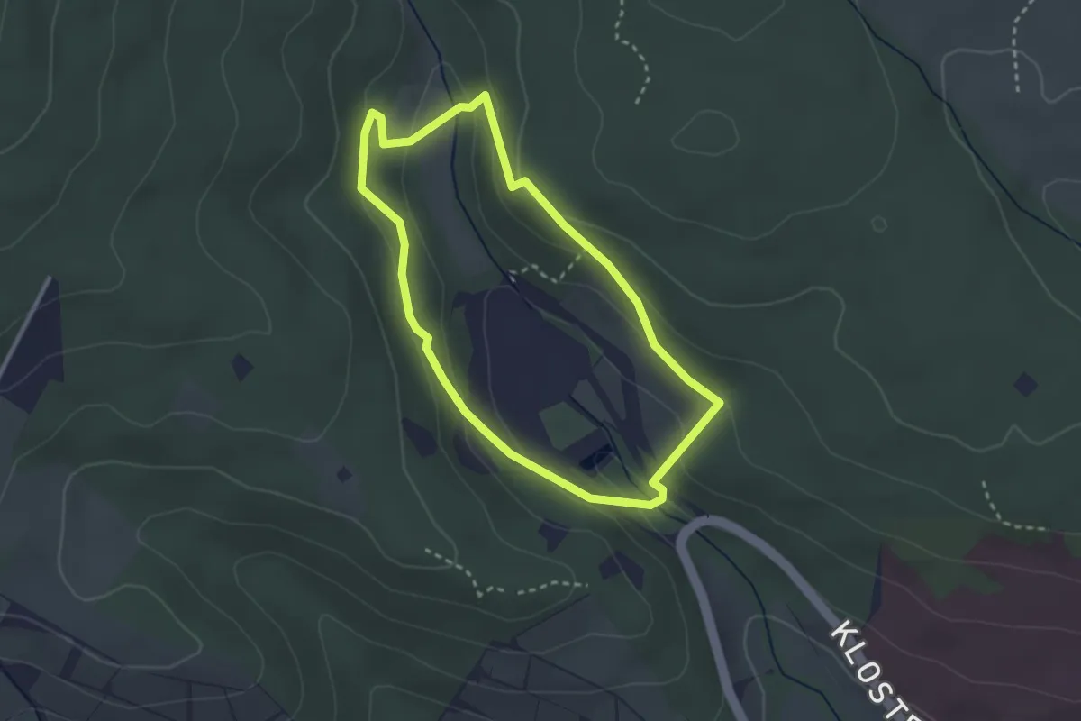
Easy · Trail
Klosterrundweg
2.5 km · ↑ 108 m · 51 min
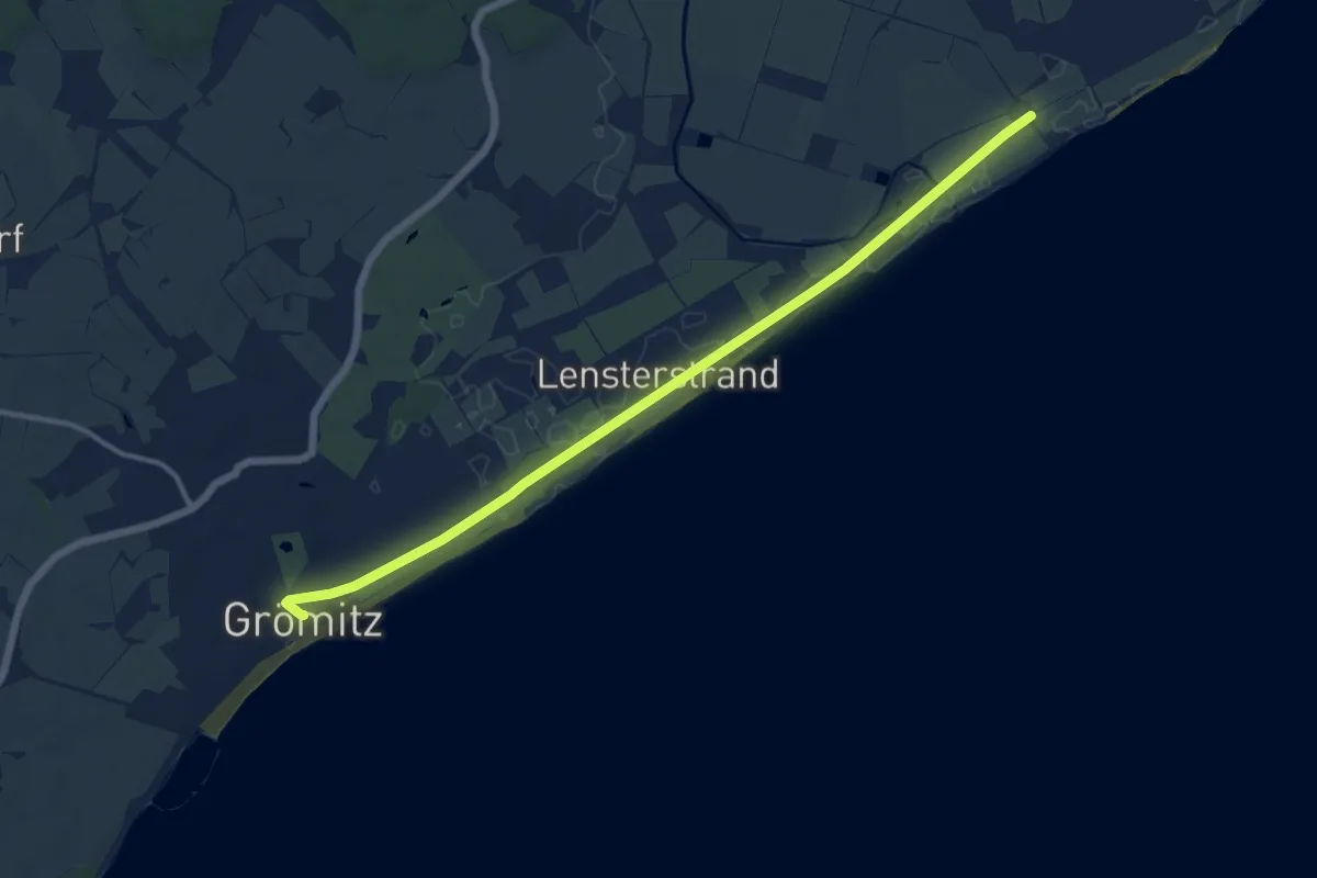
Medium · Trail
Klostersee-Route, Grömitz
11.6 km · ↑ 4 m · 2 h 45 min
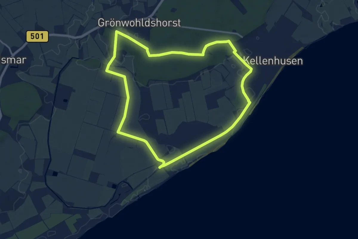
Medium · Trail
Klosterseeroute, Kellenhusen
9.5 km · ↑ 22 m · 2 h 25 min
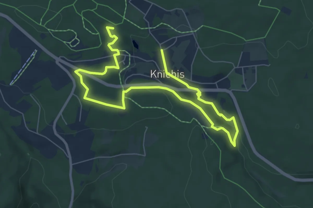
Medium · Trail
Klostersteig
8.9 km · ↑ 180 m · 2 h 30 min
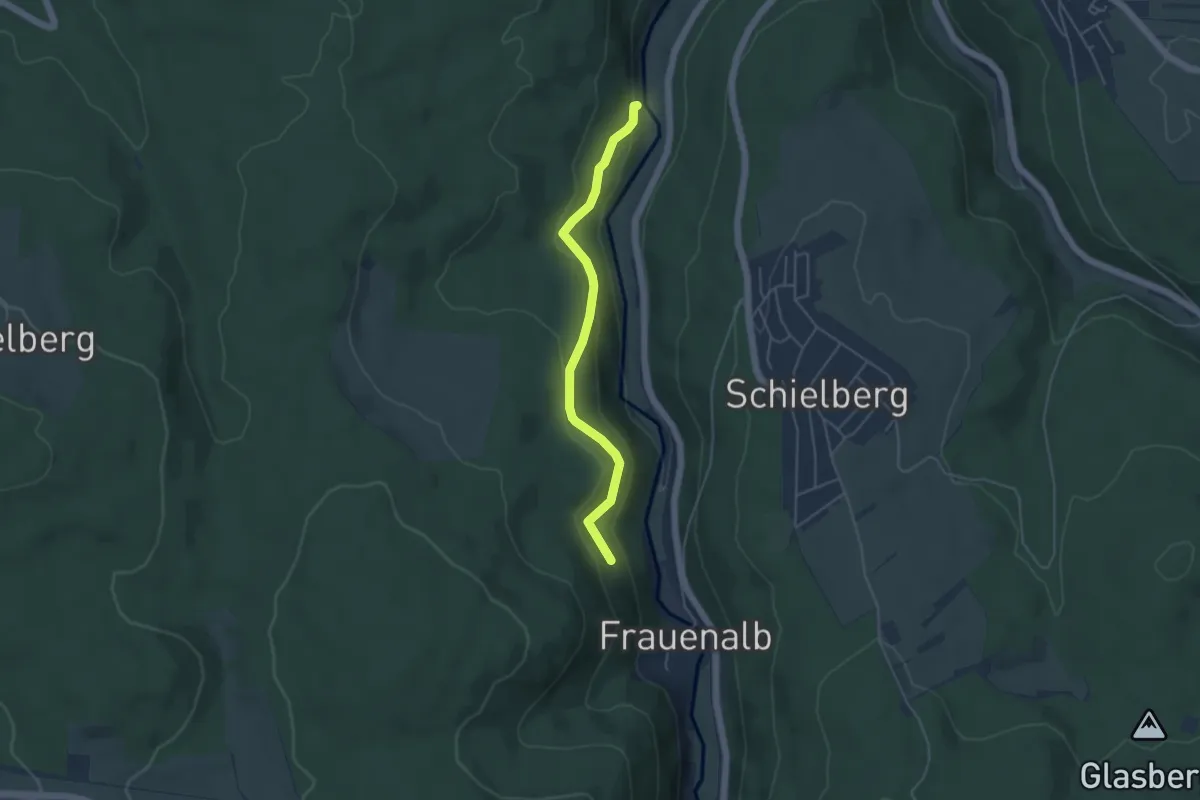
Easy · Trail
Klostersteige - Neubruchwiesen
4.2 km · ↑ 212 m · 1 h 26 min
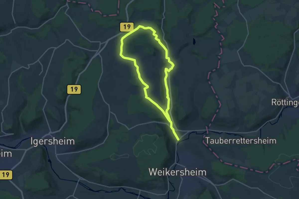
Demanding · Trail
Klosterverbindungsweg Schäftersheim-Nassau
25.8 km · ↑ 330 m · 6 h 48 min
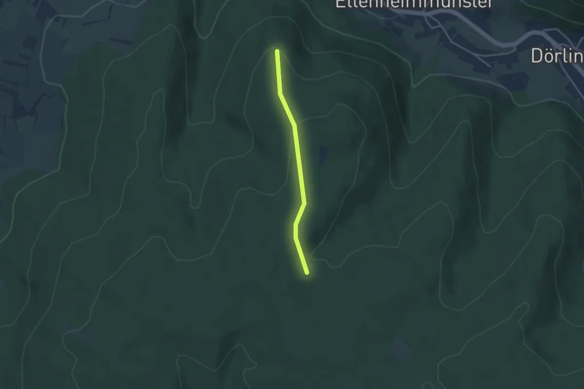
Easy · Trail
Klosterwald - Pyramide
2.6 km · ↑ 76 m · 46 min
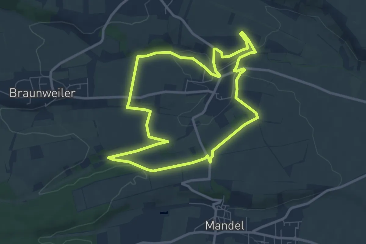
Easy · Trail
Klosterweg
6.5 km · ↑ 68 m · 1 h 46 min
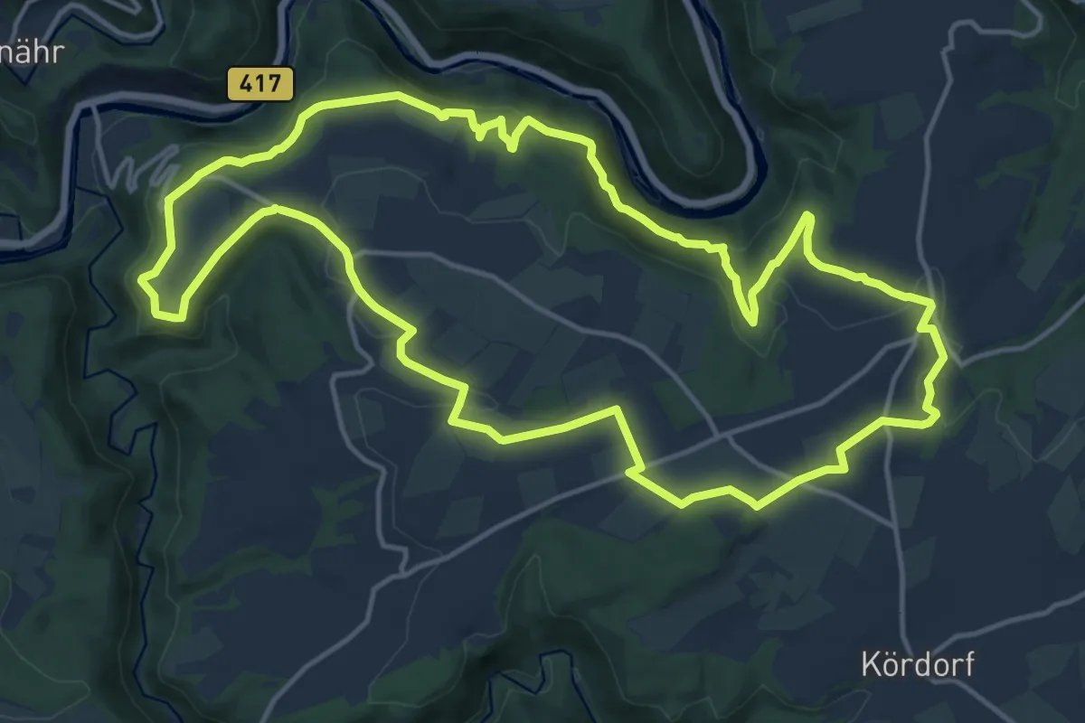
Medium · Trail
Klosterweg
14.8 km · ↑ 441 m · 4 h 40 min
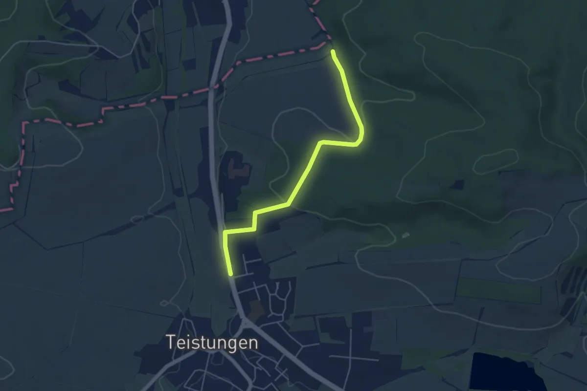
Easy · Trail
Klosterweg
4.3 km · ↑ 115 m · 1 h 16 min
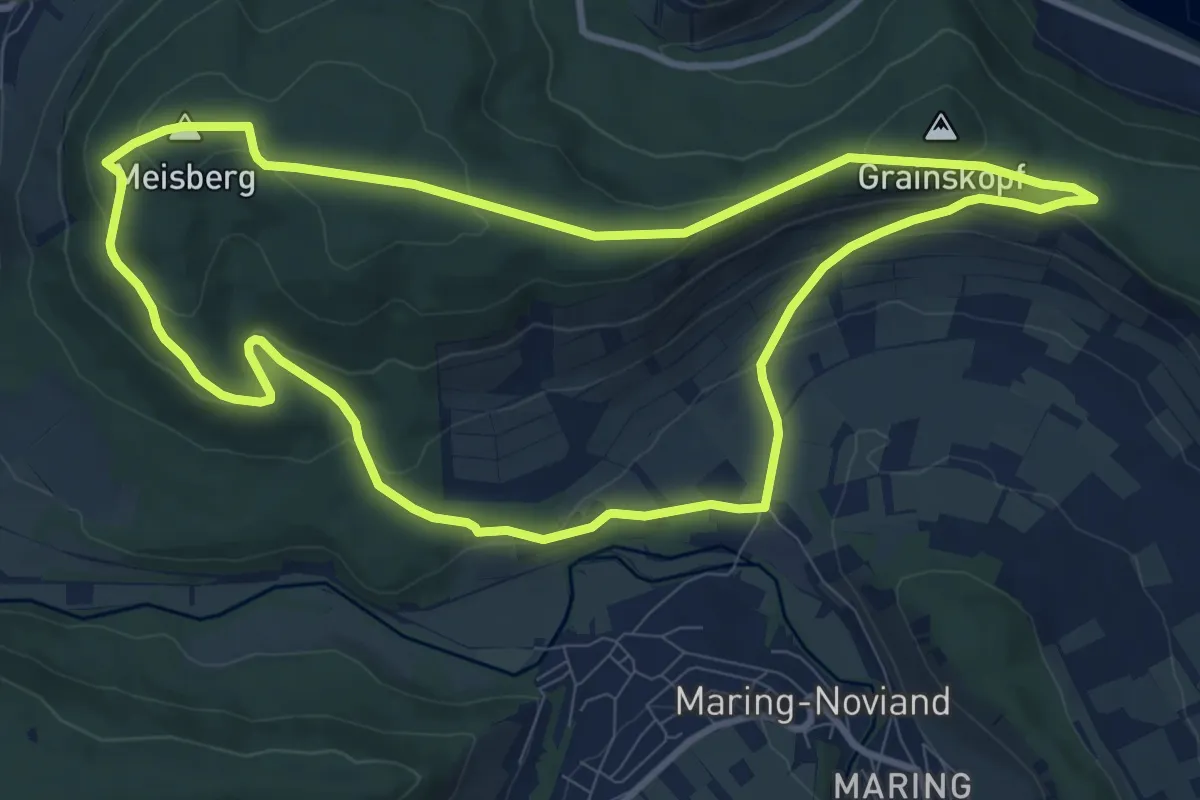
Medium · Summit
Klosterweg an der Mosel
9.4 km · ↑ 257 m · 2 h 54 min
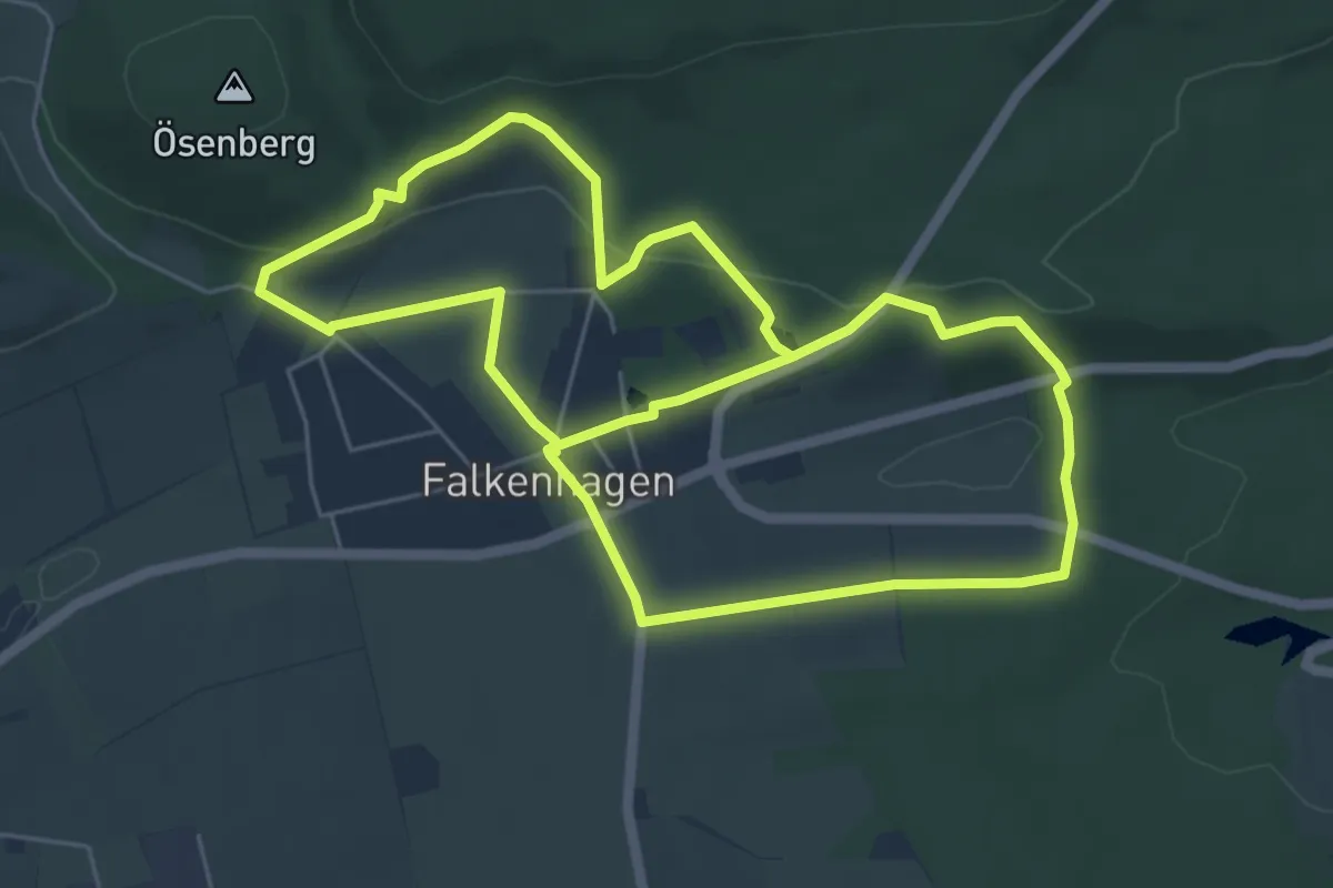
Easy · Trail
Klosterweg Falkenhagen
5.3 km · ↑ 101 m · 1 h 33 min
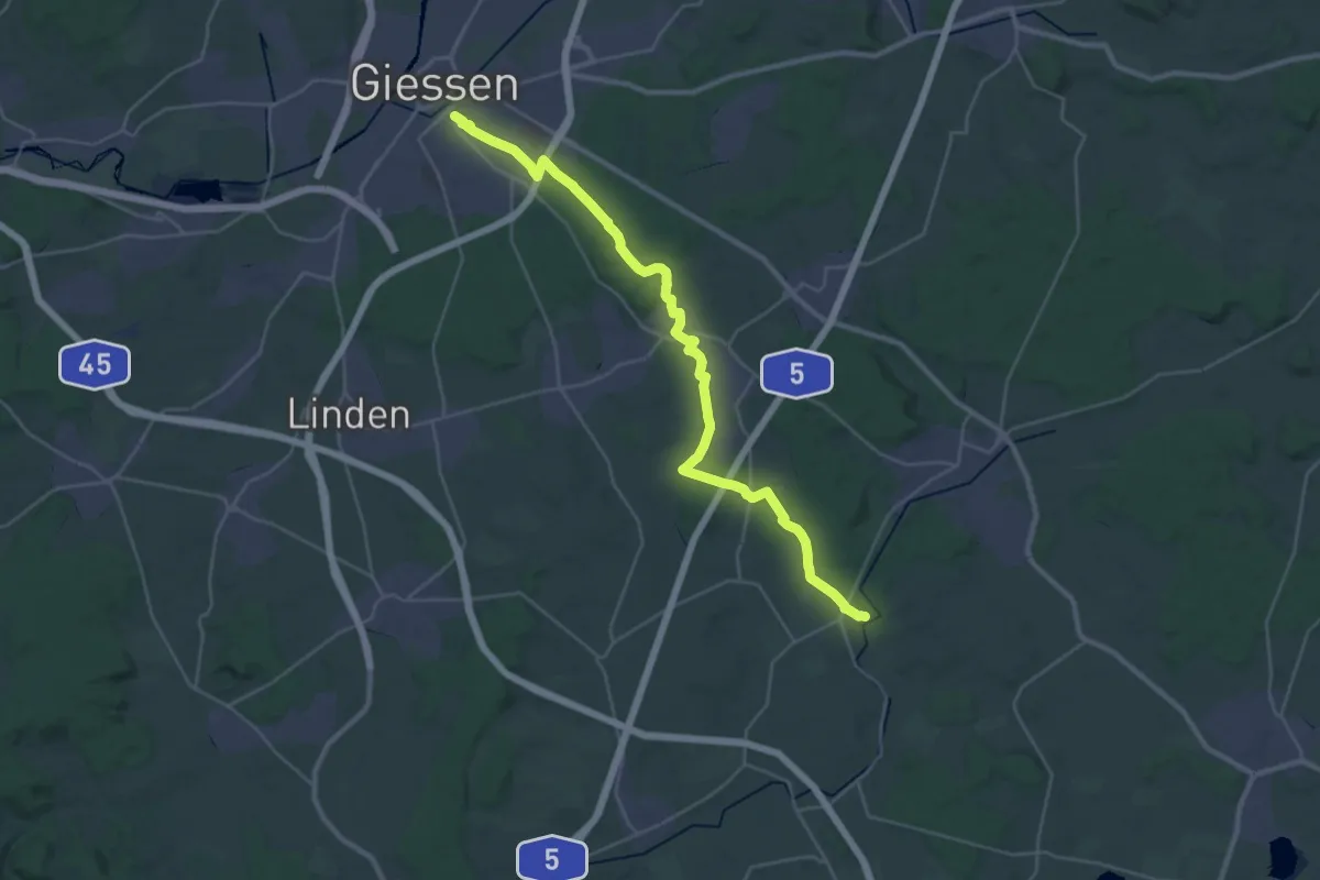
Medium · Trail
Klosterweg (Jägerpfad)
15.8 km · ↑ 158 m · 4 h 18 min
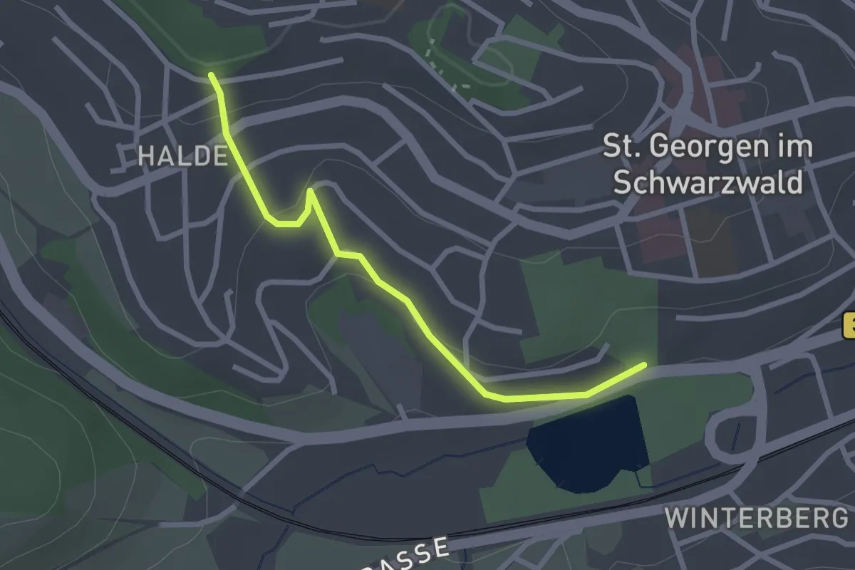
Easy · Trail
Klosterweiher - St. Georgen Waldstraße
2.3 km · ↑ 73 m · 42 min
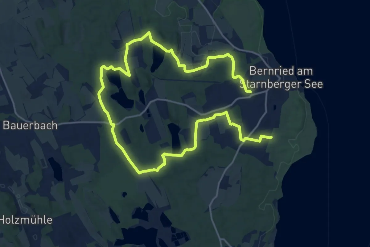
Demanding · Trail
Klosterweiherweg
21.3 km · ↑ 201 m · 5 h 28 min
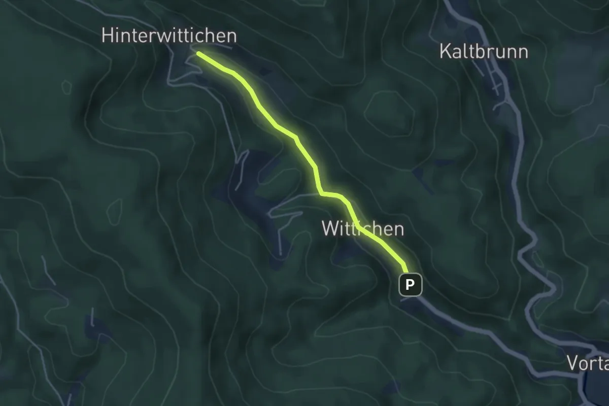
Easy · Trail
Kloster Wittichen - Hinterwittichen
3.4 km · ↑ 82 m · 59 min
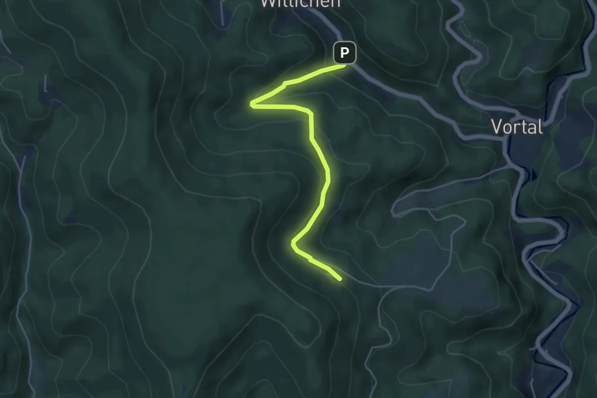
Easy · Trail
Kloster Wittichen - Waldhäusle
4.2 km · ↑ 201 m · 1 h 26 min
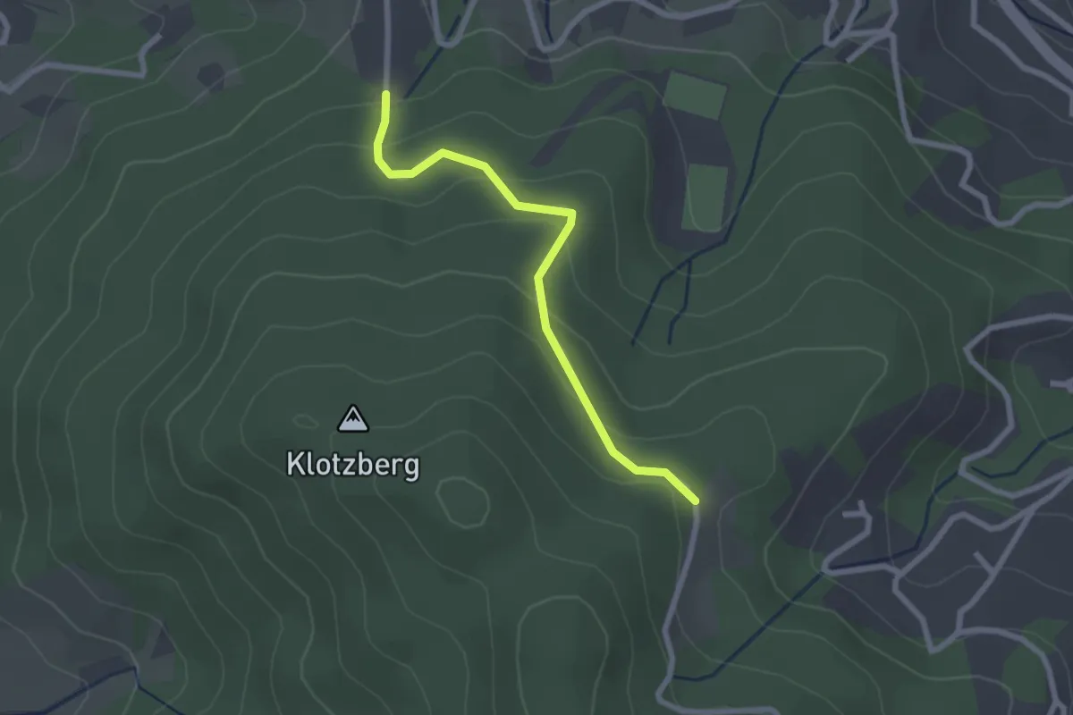
Easy · Trail
Klotzberg - Rößbühl
2.2 km · ↑ 109 m · 45 min
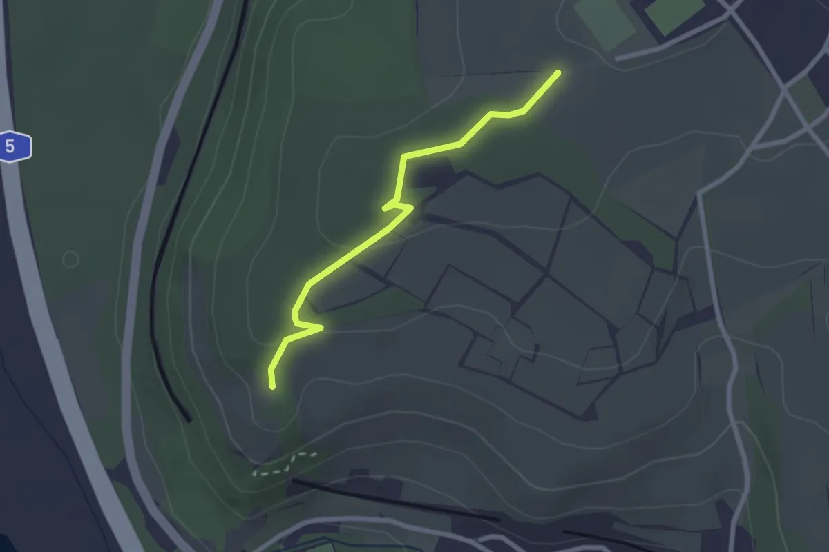
Easy · Trail
Klotzenweg - Vordere Torackern
2.3 km · ↑ 51 m · 38 min
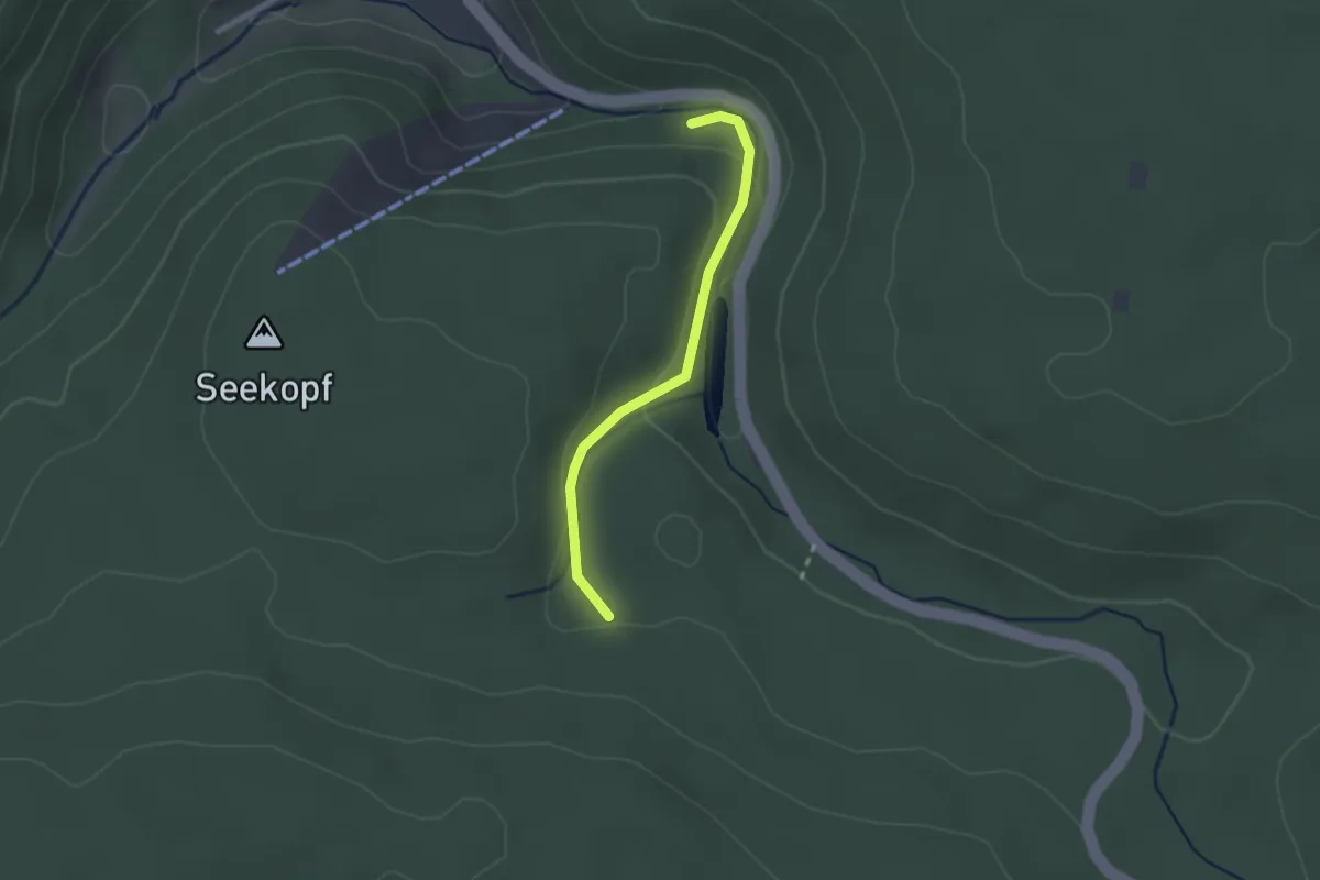
Easy · Trail
Klötzhalde - Rotwässerle
2.0 km · ↑ 104 m · 43 min
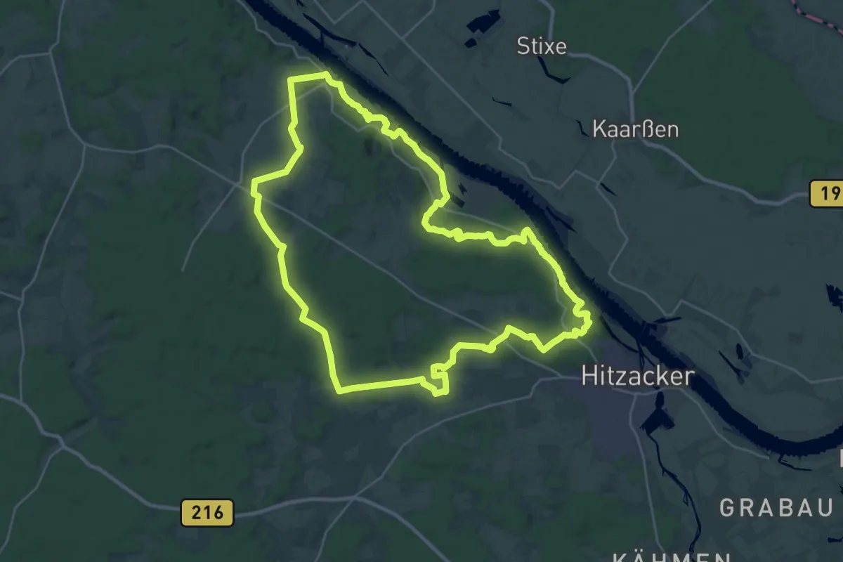
Demanding · Summit
Klötzie-Stieg
24.8 km · ↑ 346 m · 6 h 57 min
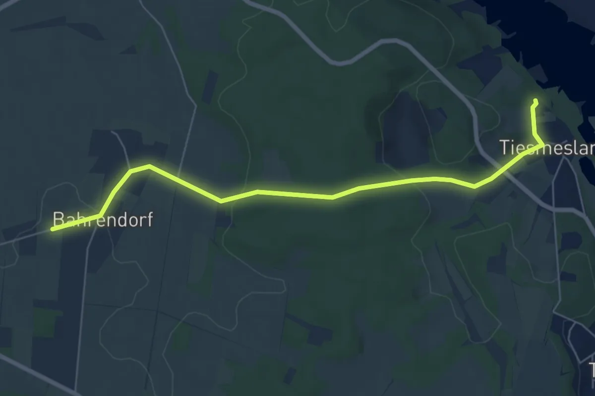
Easy · Trail
Klötzie-Stieg Abkürzung
5.6 km · ↑ 97 m · 1 h 32 min
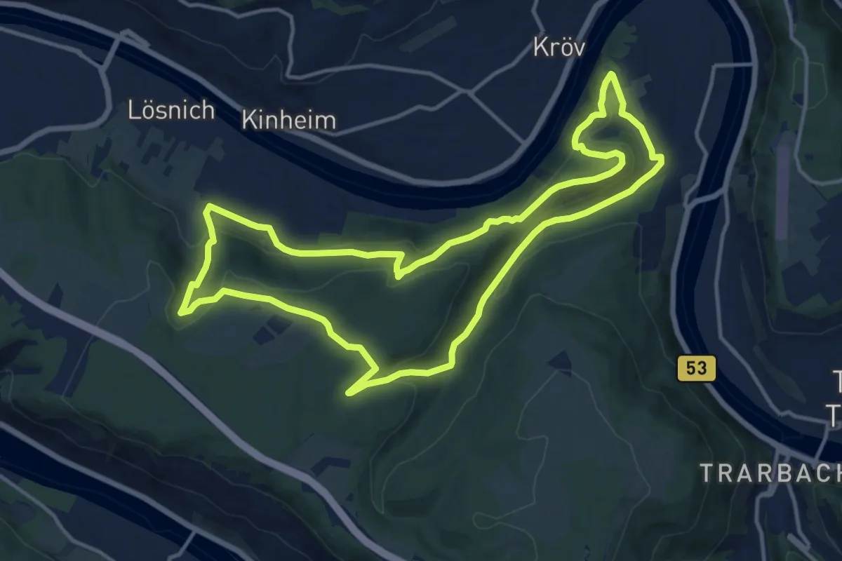
Medium · Trail
Kluckertspfad
12.5 km · ↑ 496 m · 4 h 13 min
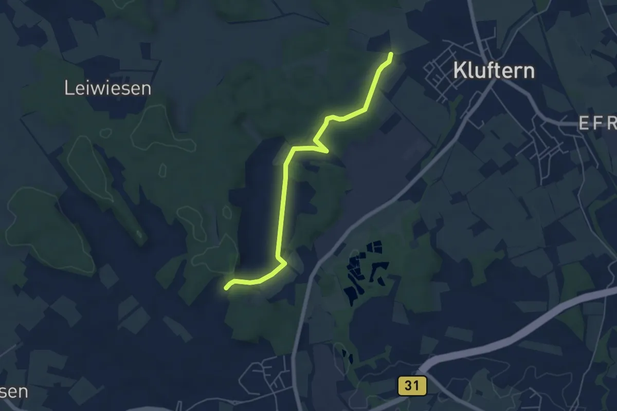
Easy · Trail
Kluftern - Immenstaad
5.1 km · ↑ 59 m · 1 h 20 min
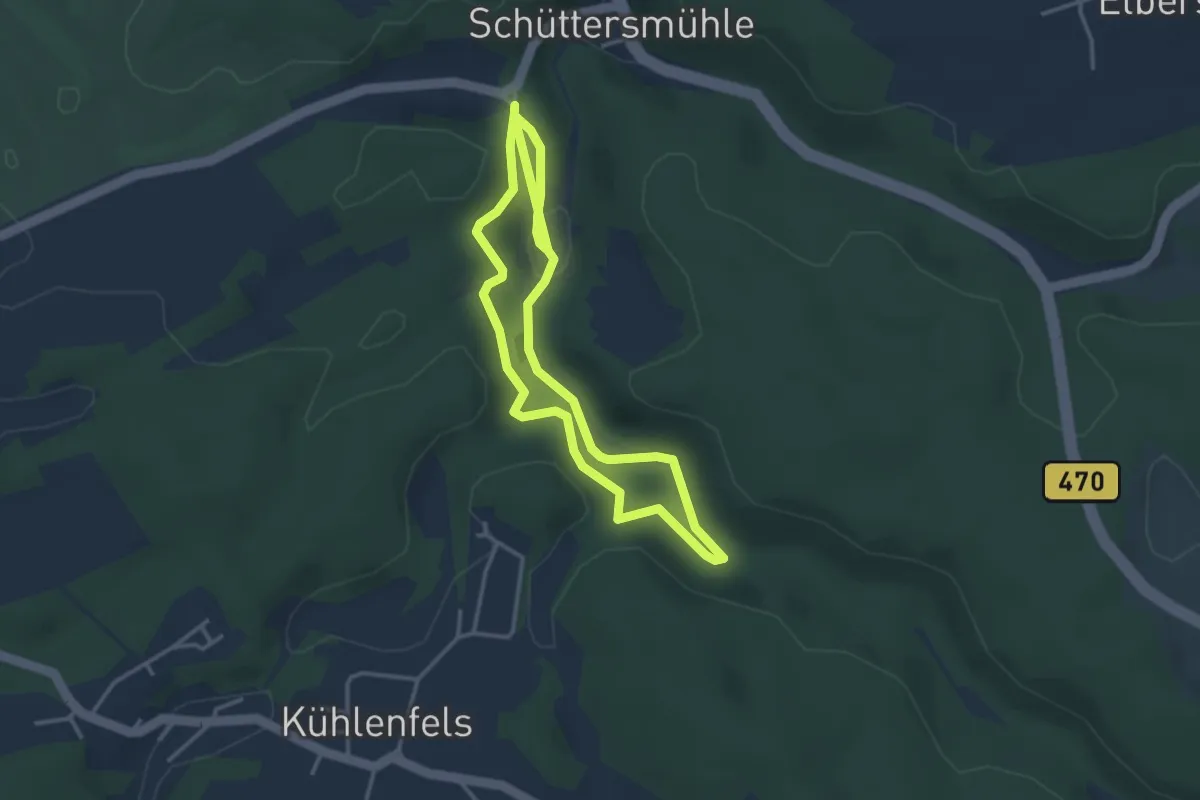
Easy · Trail
Klumpertaler Rundwanderweg
6.0 km · ↑ 156 m · 1 h 45 min
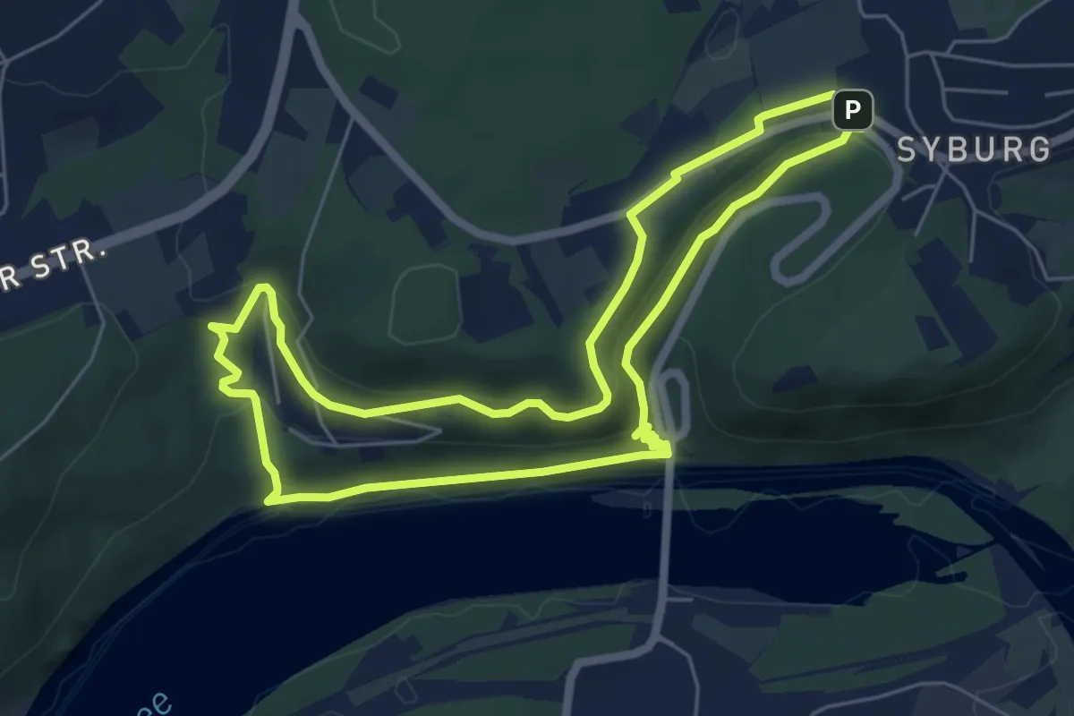
Easy · Trail
Klusenberghangweg
5.3 km · ↑ 195 m · 1 h 45 min