Trails in Germany
36,852 hiking trails, each with its route, climb, walking time and grade.
All trails, page 297 of 768
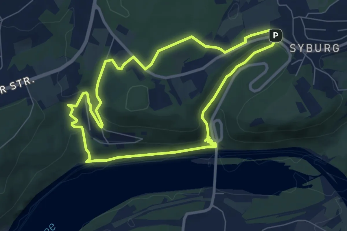
Easy · Trail
Klusenbergrundweg
5.5 km · ↑ 183 m · 1 h 47 min
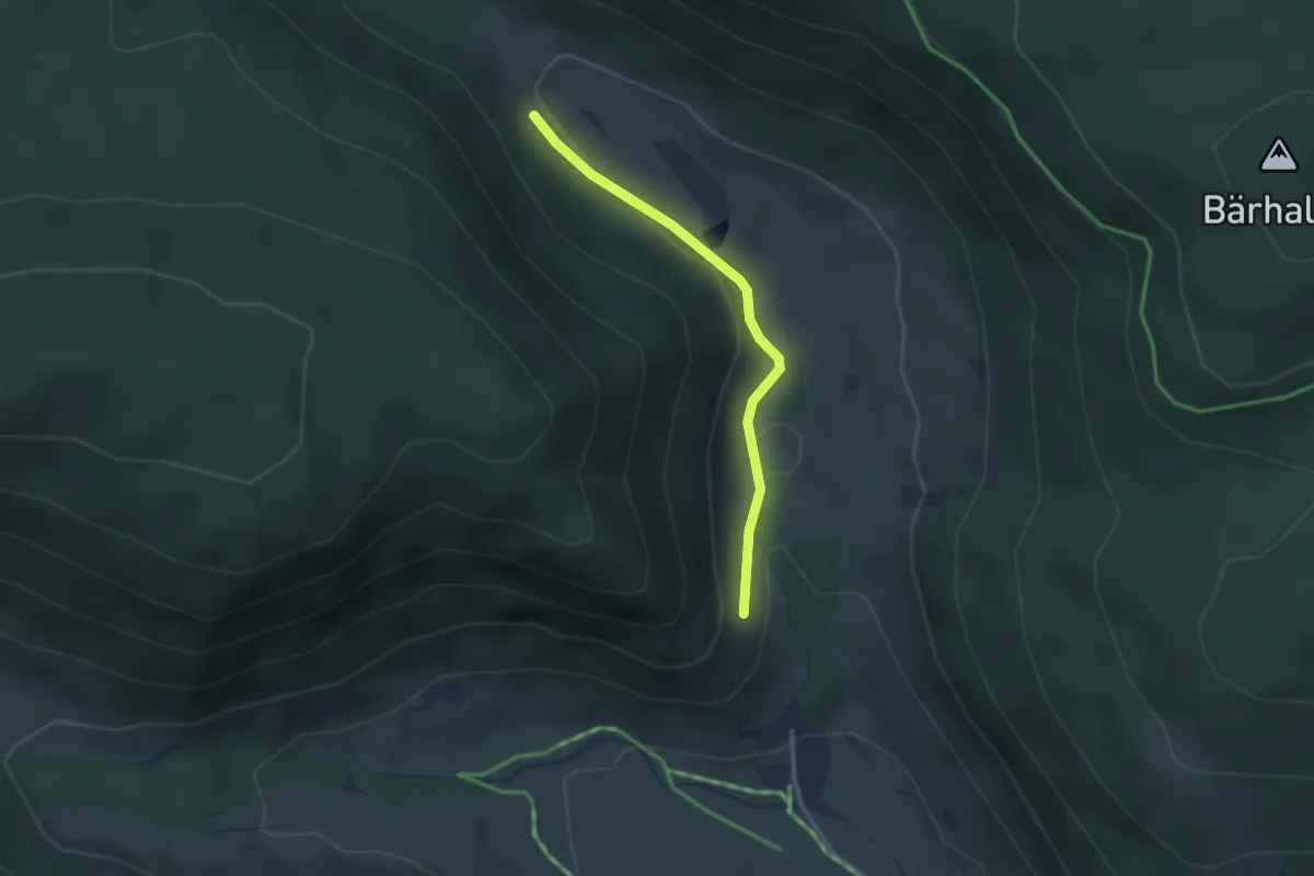
Easy · Trail
Klusenwald - Schesslong dü Boah
2.6 km · ↑ 69 m · 46 min
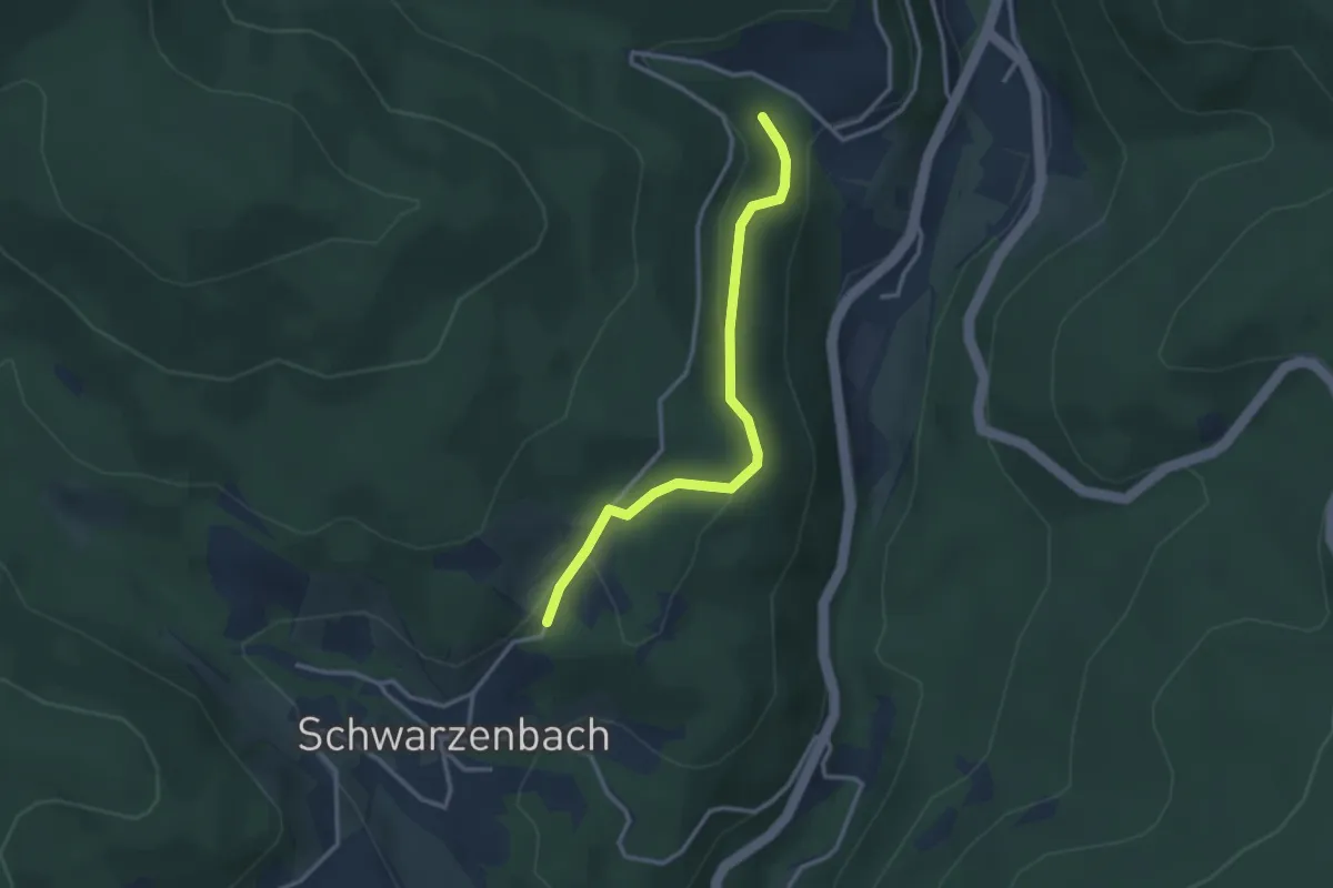
Easy · Trail
Klusenweiher - Schwarzmatt
2.9 km · ↑ 84 m · 51 min
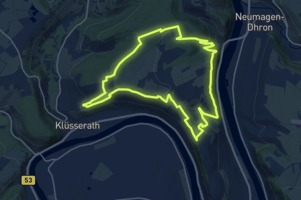
Medium · Summit
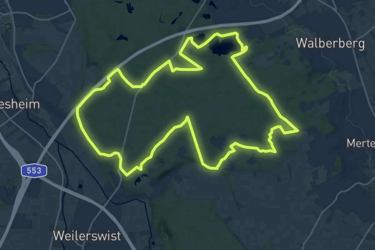
Klüsserather Sagenweg
11.8 km · ↑ 402 m · 3 h 49 min
Medium · Trail
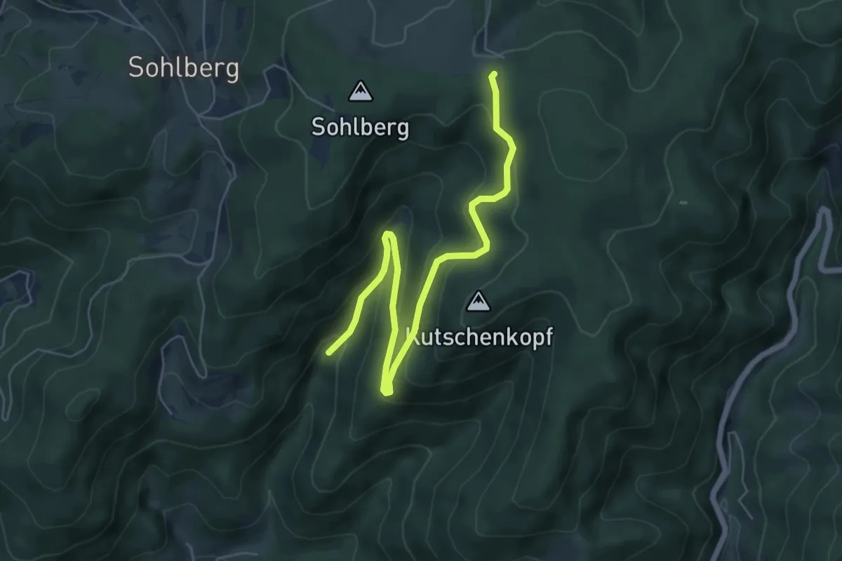
Klüttenweg
16.8 km · ↑ 97 m · 4 h 24 min
Easy · Trail
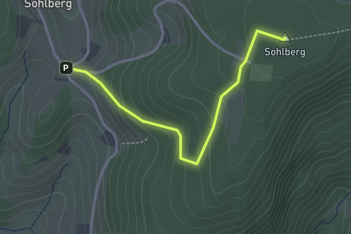
Knappeneck - Langengrund Sulzbachbrücke
6.1 km · ↑ 291 m · 2 h 4 min
Easy · Summit
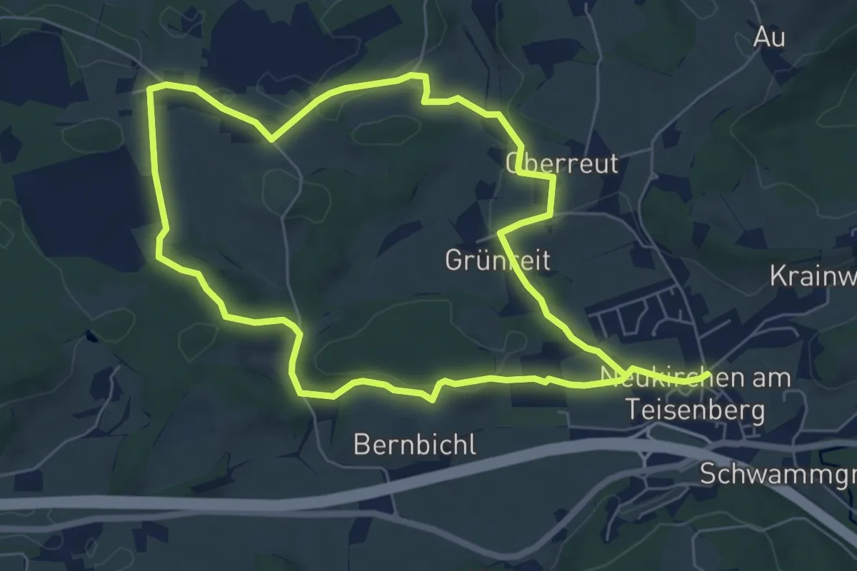
Knappeneck - Sohlberg Parkplatz
2.3 km · ↑ 124 m · 48 min
Medium · Trail
Knappenfeld-Weg
12.1 km · ↑ 162 m · 3 h 13 min
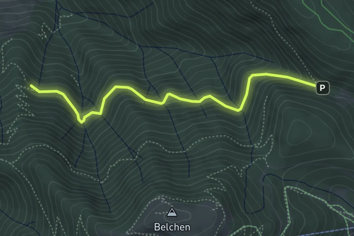
Medium · Trail
Knappengrund - Krinne
4.8 km · ↑ 397 m · 2 h
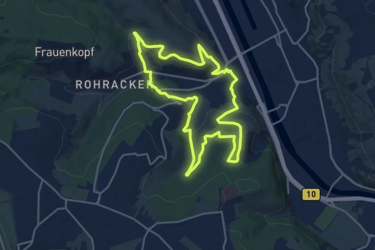
Medium · Trail
Knausbira-Weg Hedelfingen
9.7 km · ↑ 317 m · 3 h 7 min
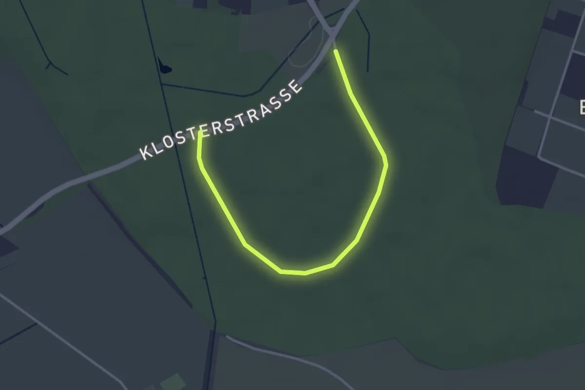
Easy · Trail
Knechtsteden Rundweg A6
1.6 km · ↑ 0 m · 25 min
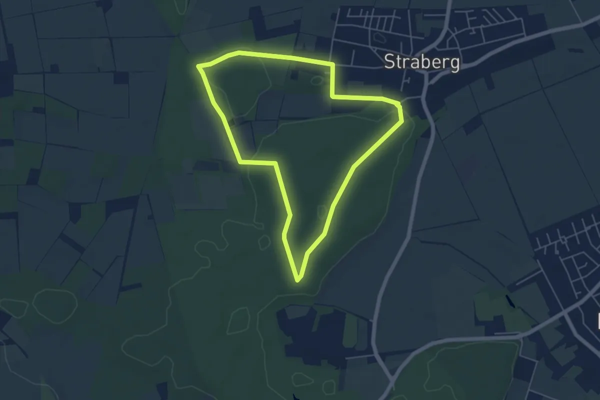
Easy · Trail
Knechtsteden Rundweg A7
4.5 km · ↑ 13 m · 1 h 9 min
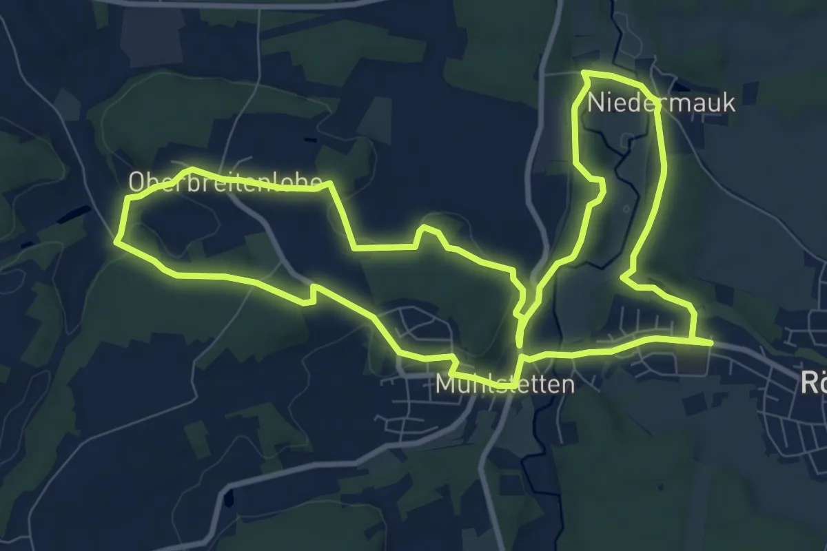
Medium · Trail
Kneip(p)entour
9.3 km · ↑ 142 m · 2 h 37 min
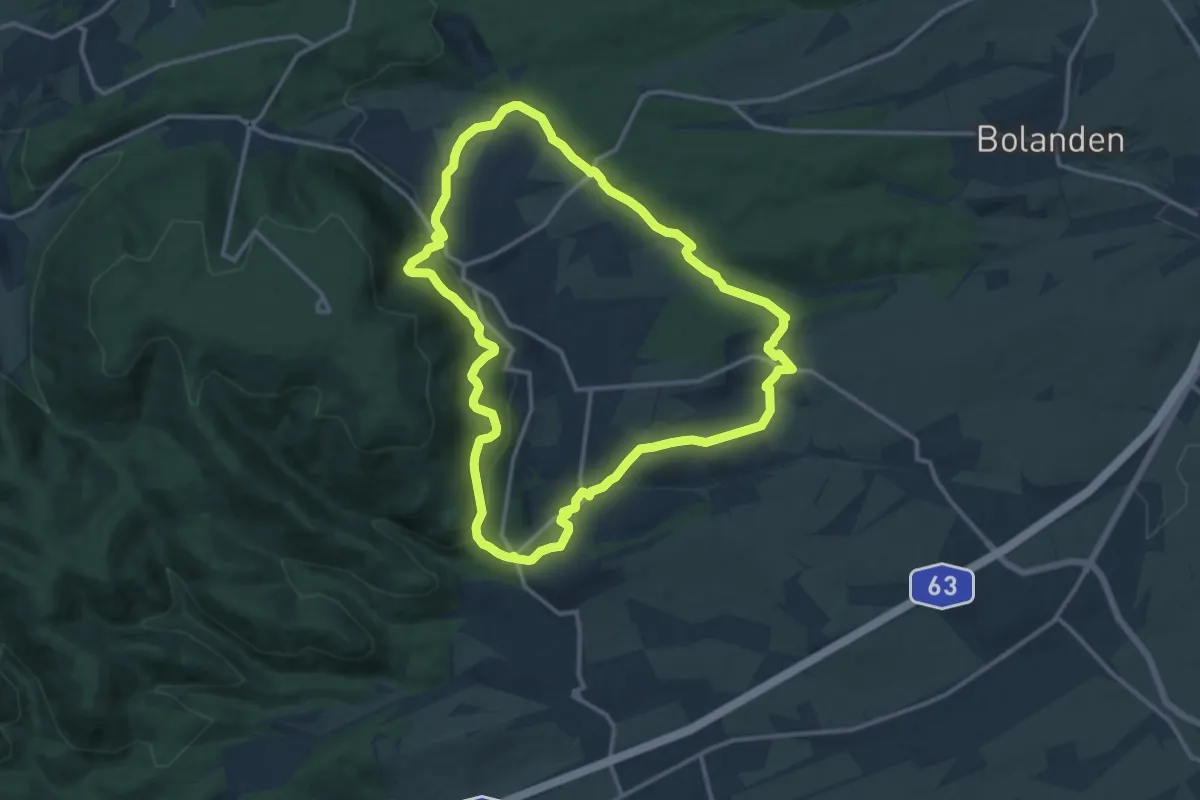
Medium · Trail
Kneipp-Kleeblatt-Wanderweg
12.5 km · ↑ 346 m · 3 h 53 min
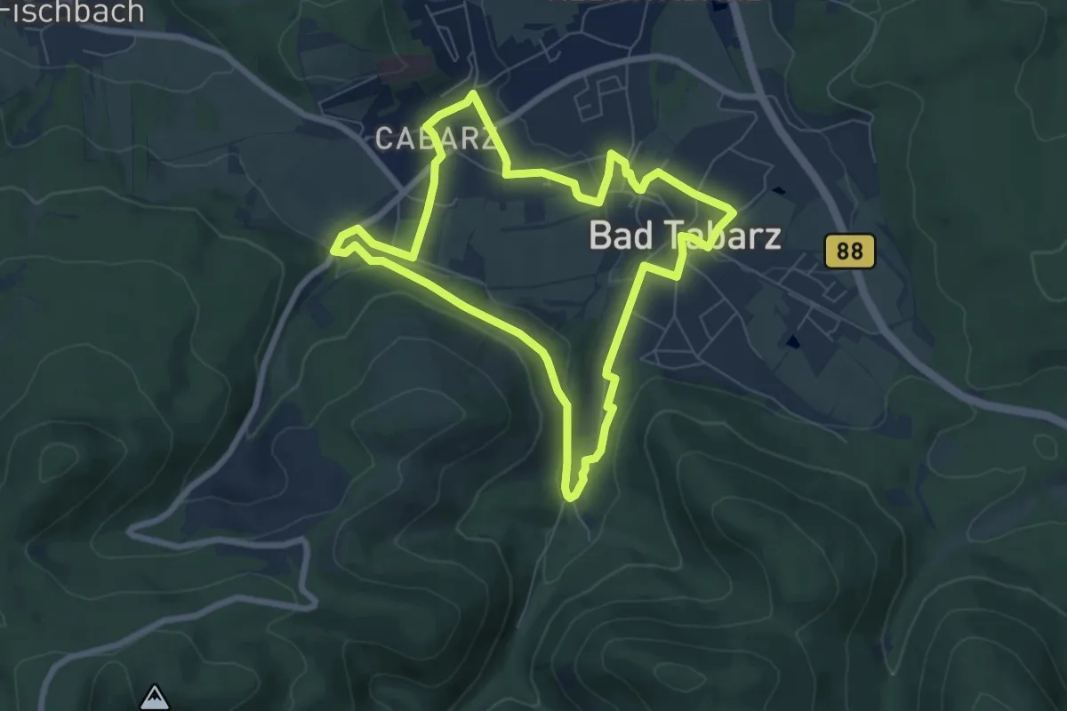
Easy · Trail
Kneipp-Kurmeile
6.3 km · ↑ 109 m · 1 h 48 min
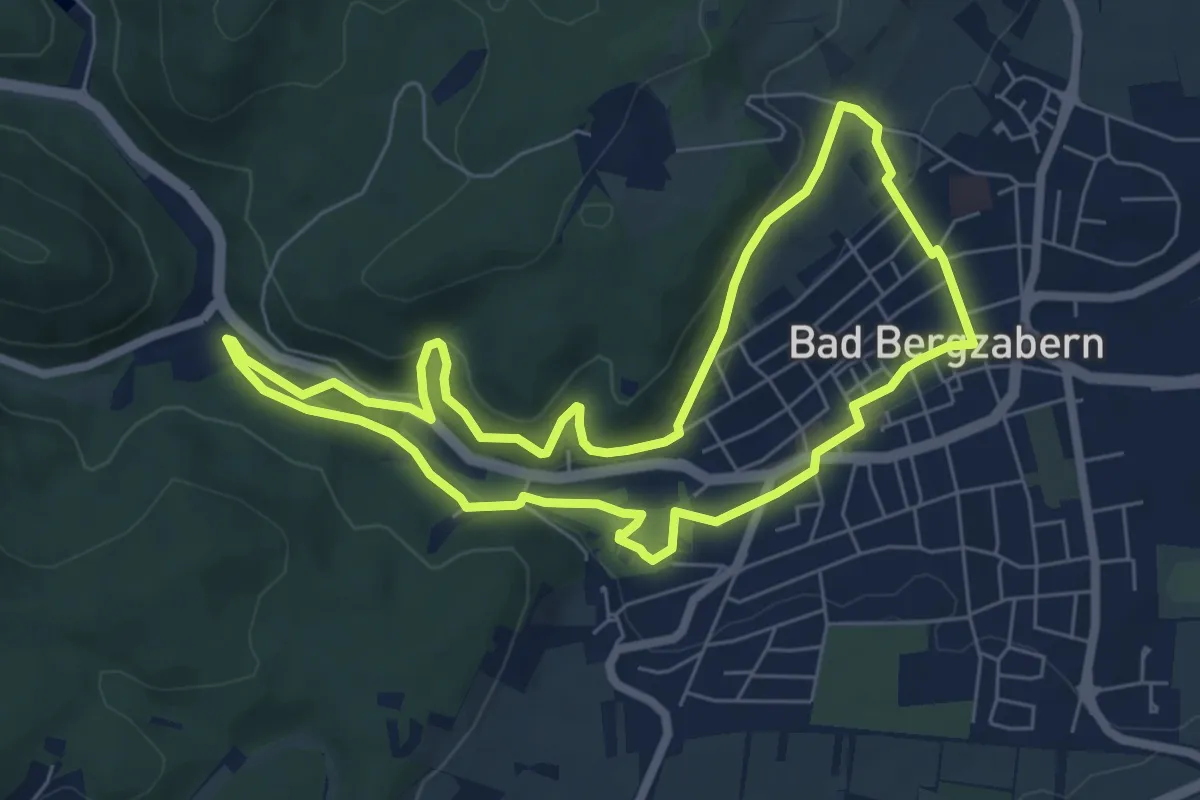
Easy · Trail
Kneipp-Lehrpfad Bad Bergzabern
6.2 km · ↑ 180 m · 1 h 57 min
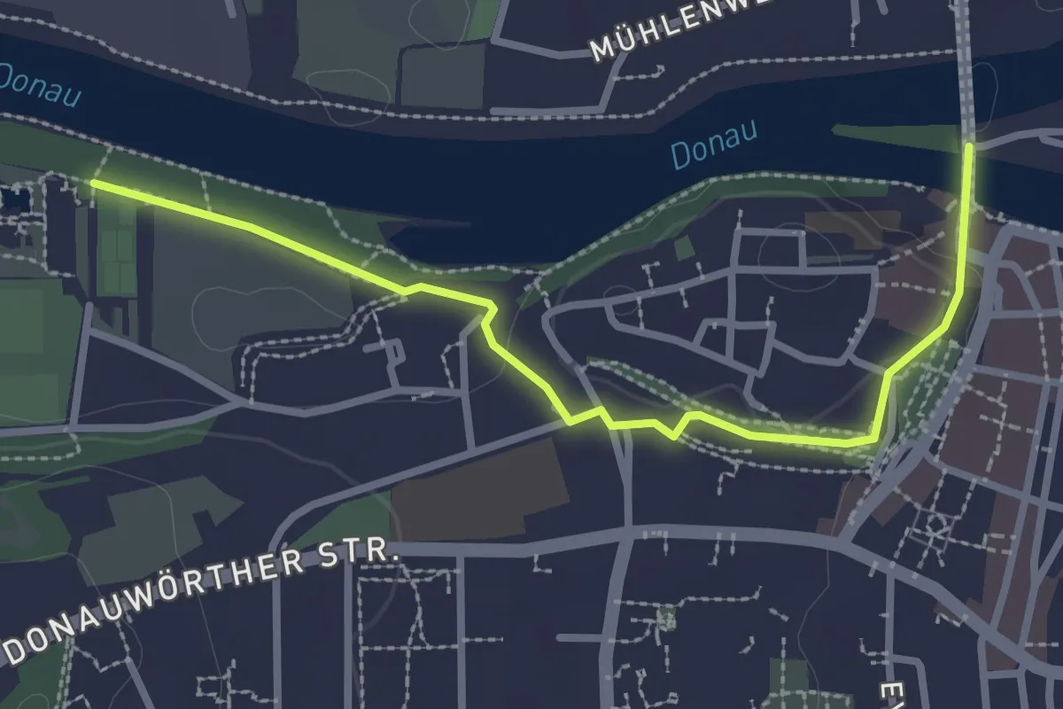
Easy · Trail
Kneipp-Rundwanderweg
1.4 km · ↑ 23 m · 24 min
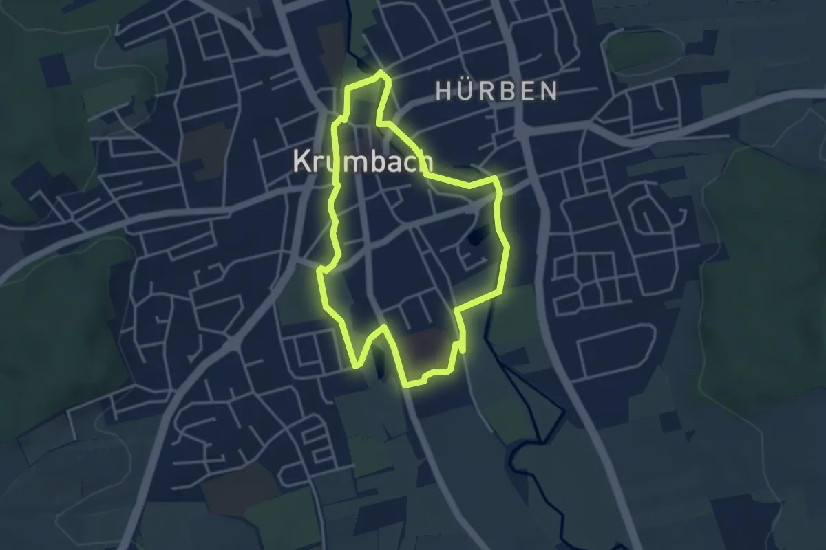
Easy · Trail
Kneipp-Rundweg
3.3 km · ↑ 8 m · 51 min
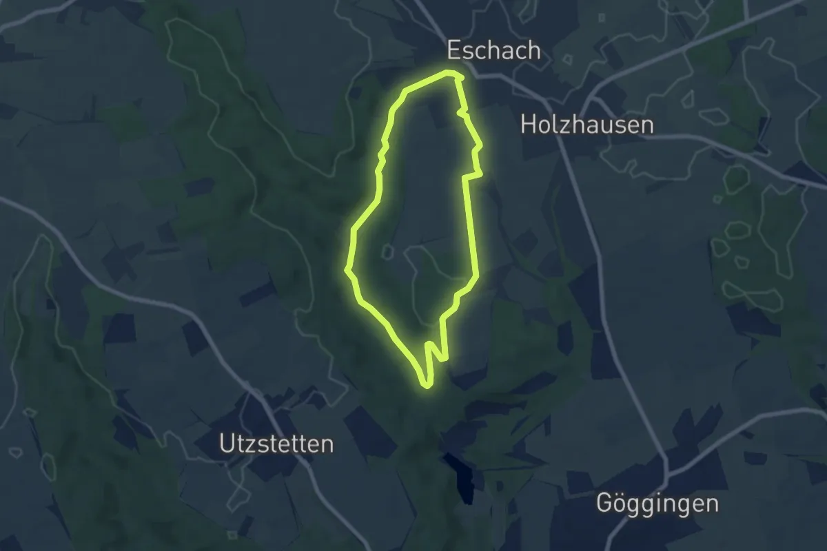
Easy · Trail
Kneippwanderweg
5.4 km · ↑ 59 m · 1 h 28 min
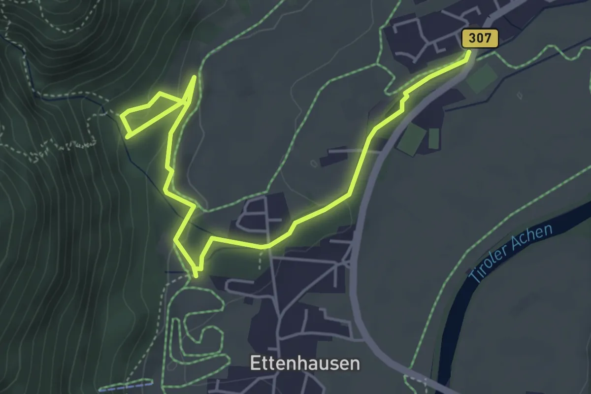
Easy · Trail
Kneipp-Weg
5.7 km · ↑ 140 m · 1 h 39 min
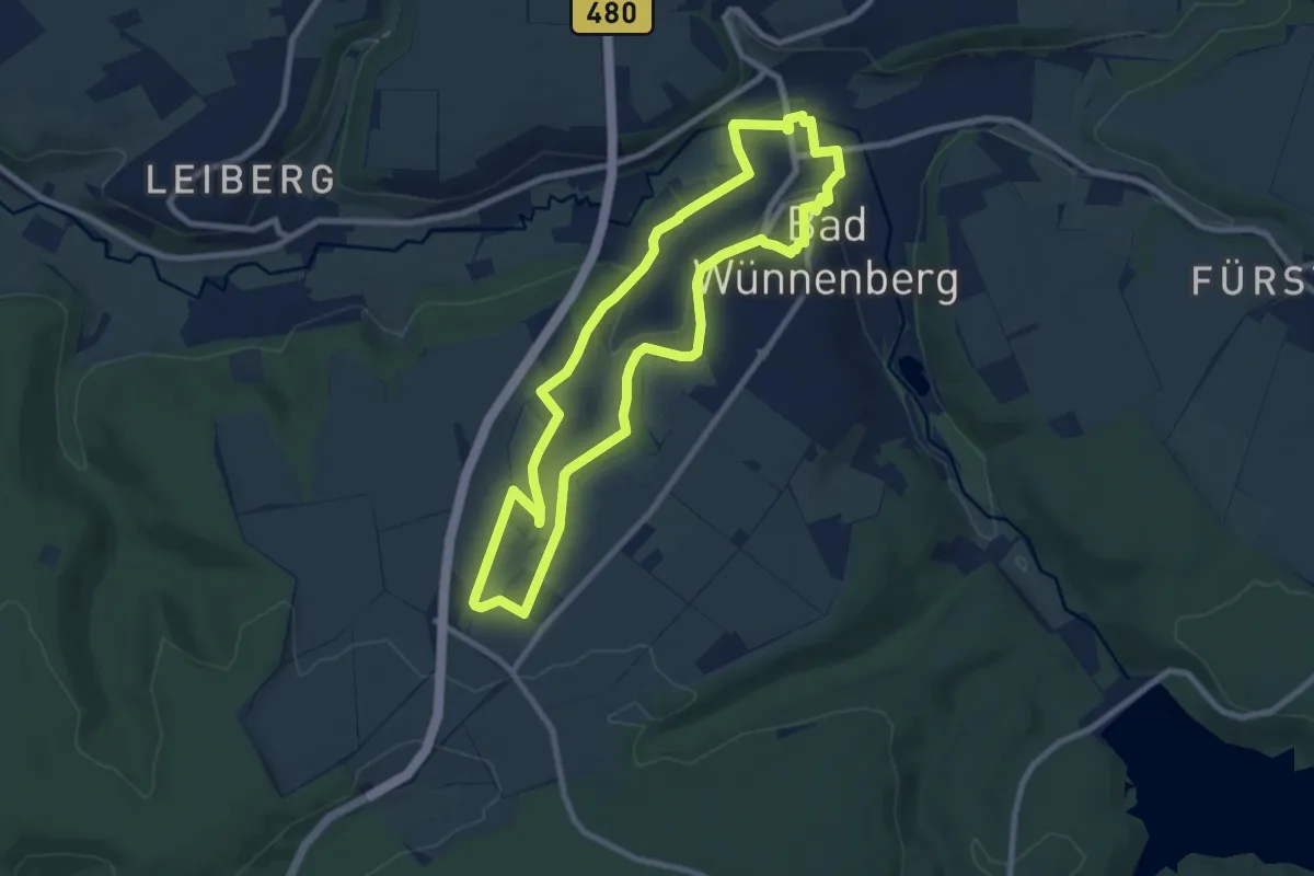
Easy · Trail
Kneipp Weg BALANCE
7.7 km · ↑ 143 m · 2 h 15 min
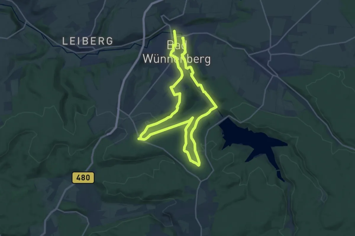
Medium · Trail
Kneipp Weg ENERGIE
13.9 km · ↑ 254 m · 4 h 2 min
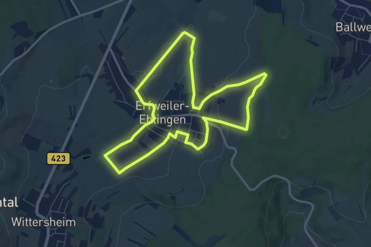
Easy · Trail
Kneippweg Erfweiler-Ehlingen
7.1 km · ↑ 111 m · 2 h 1 min
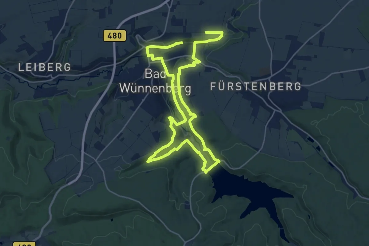
Medium · Trail
Kneipp Weg GELASSENHEIT
13.8 km · ↑ 275 m · 4 h 2 min
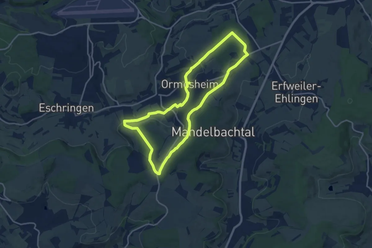
Medium · Trail
Kneippweg Ormesheim
11.0 km · ↑ 192 m · 3 h 10 min
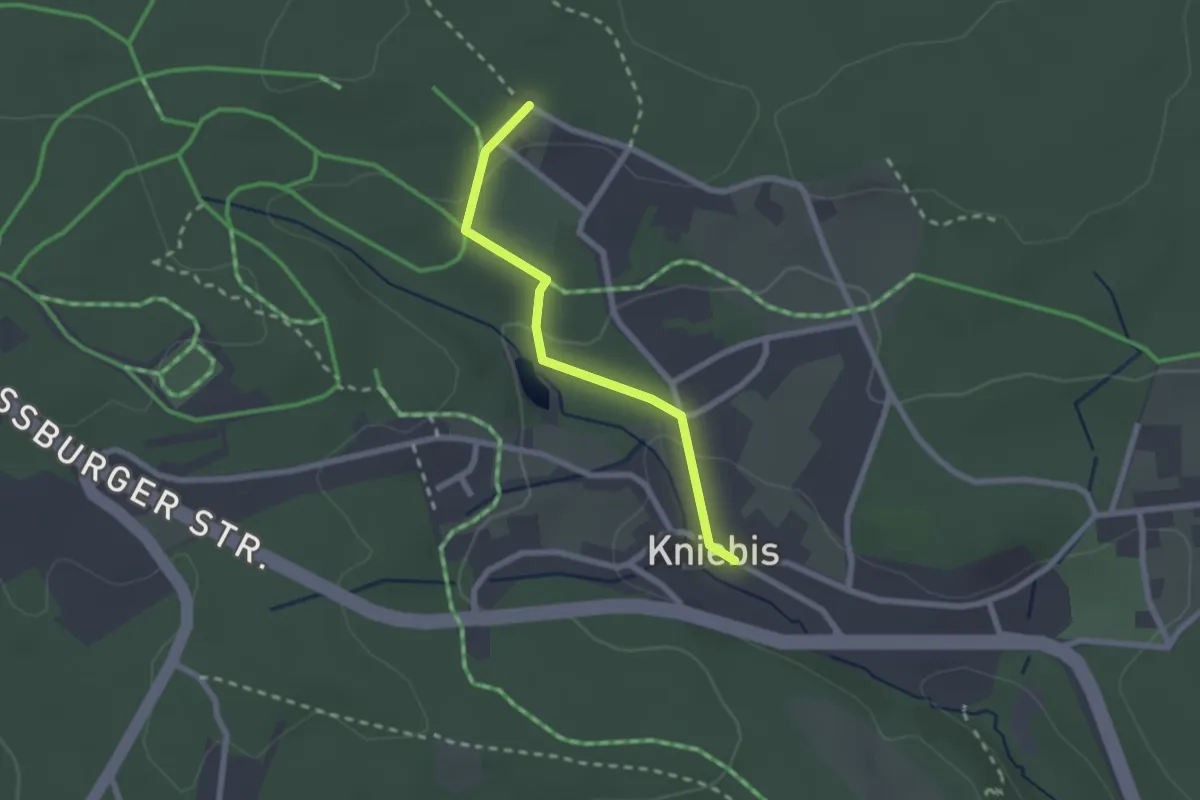
Easy · Trail
Kniebis Dorf - Parkplatz Kohlwald
2.0 km · ↑ 52 m · 35 min
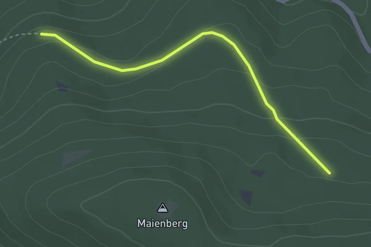
Easy · Trail
Knieschnapper - Brenntenwald
2.8 km · ↑ 104 m · 54 min
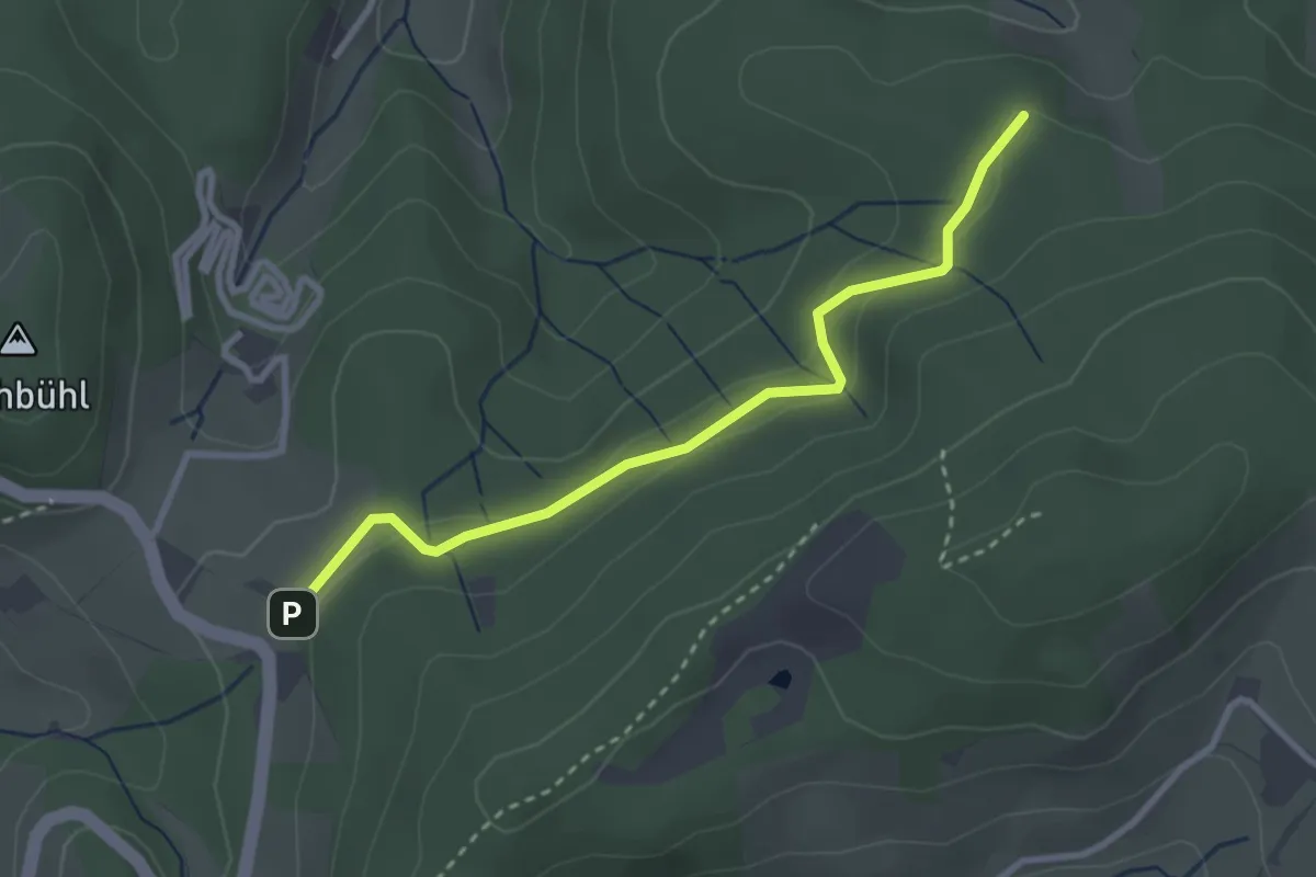
Easy · Trail
Kniesteinkapelle - Pflingsteck
2.9 km · ↑ 110 m · 55 min
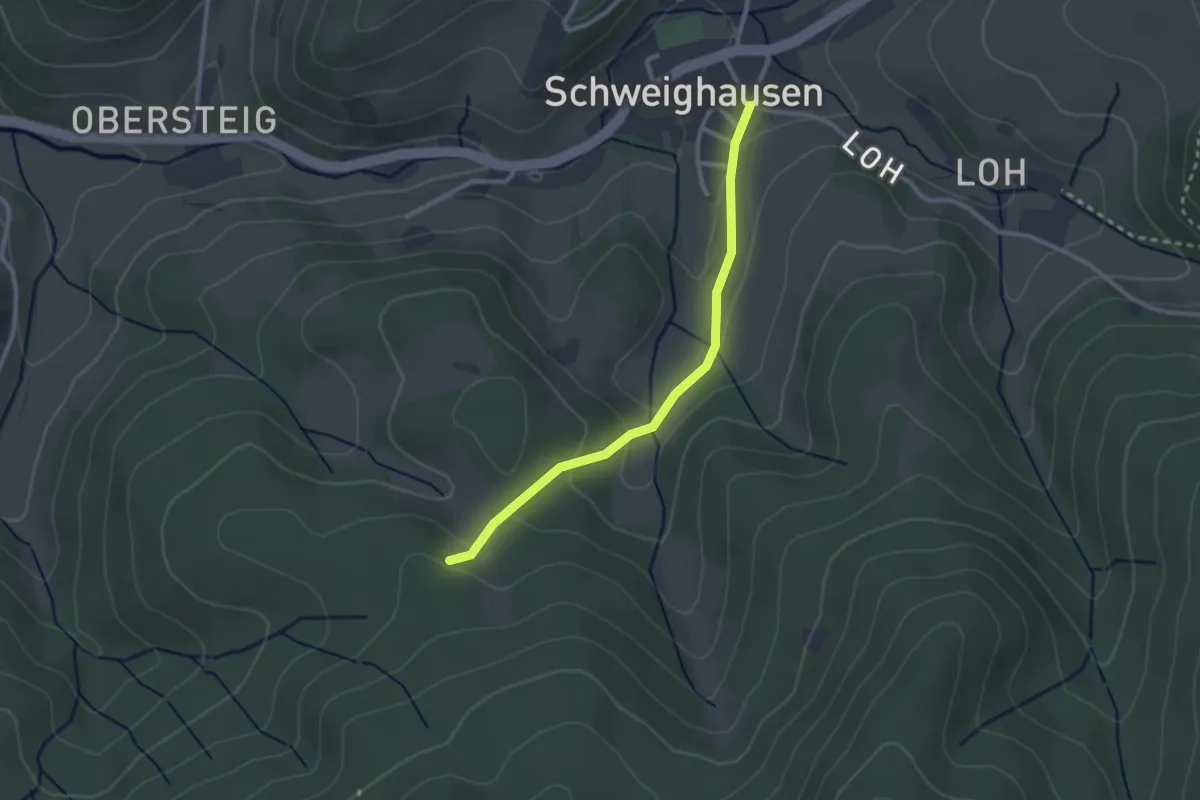
Easy · Trail
Kniesteinkapelle - Schweighausen B.-Stober-Straße
2.4 km · ↑ 103 m · 47 min
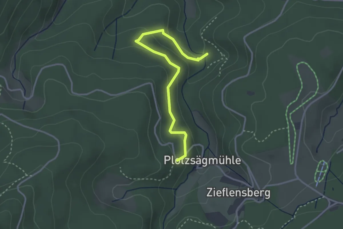
Easy · Trail
Knoll-Brücke - Sandgrube
3.0 km · ↑ 143 m · 1 h 1 min
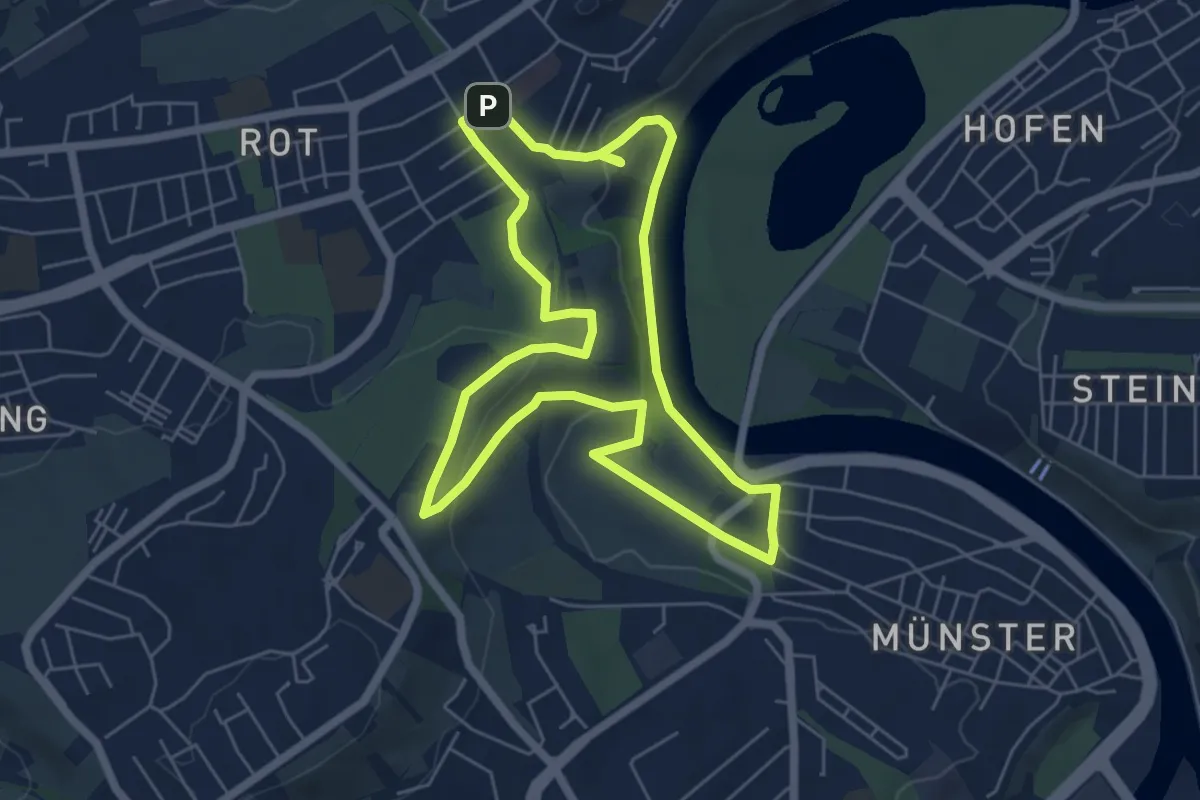
Easy · Summit
Knollenbauchweg Münster
5.6 km · ↑ 127 m · 1 h 40 min
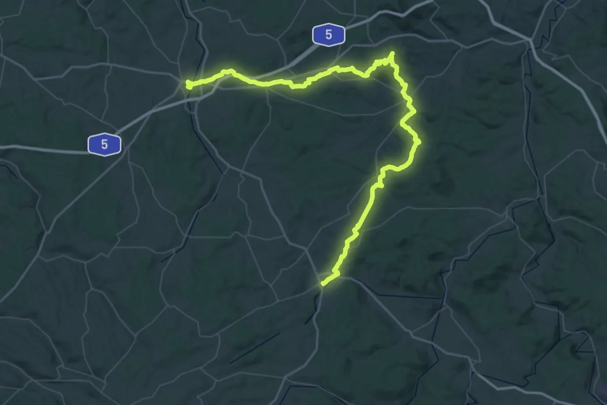
Demanding · Trail
Knotenweg
37.9 km · ↑ 625 m · 10 h 51 min
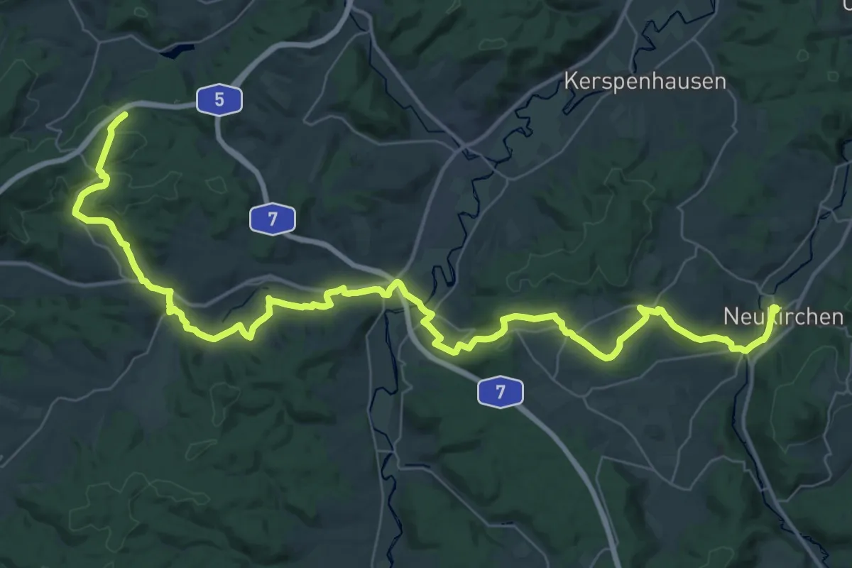
Demanding · Trail
Knüll-Rhön-Weg
23.5 km · ↑ 470 m · 6 h 49 min
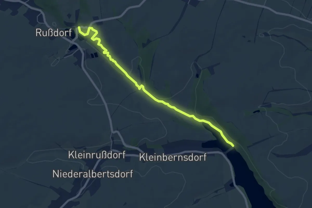
Medium · Trail
Koberbachtalsperre - Schloß Blankenhain
5.9 km · ↑ 89 m · 1 h 35 min
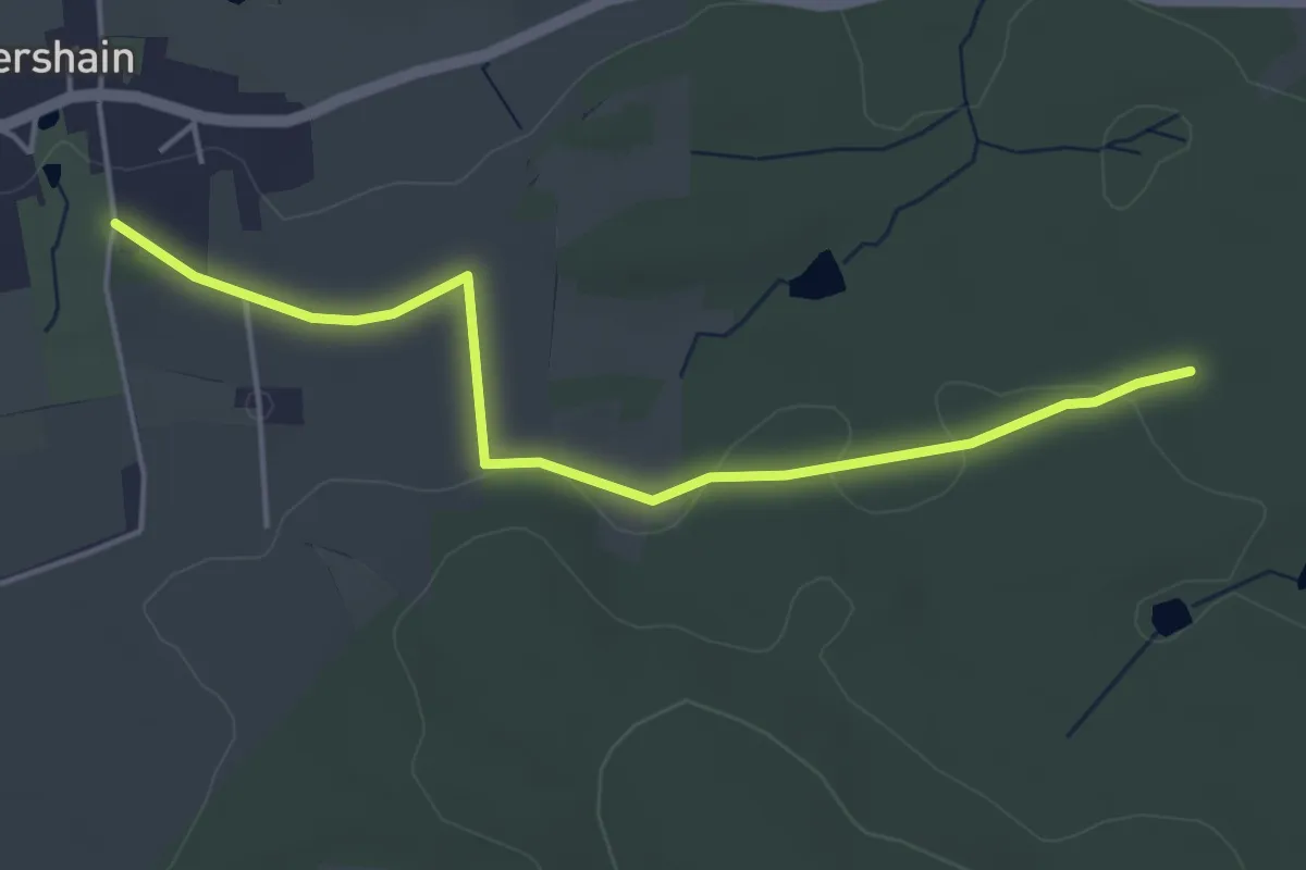
Easy · Trail
Kobershain - Kohlweg
4.2 km · ↑ 22 m · 1 h 3 min
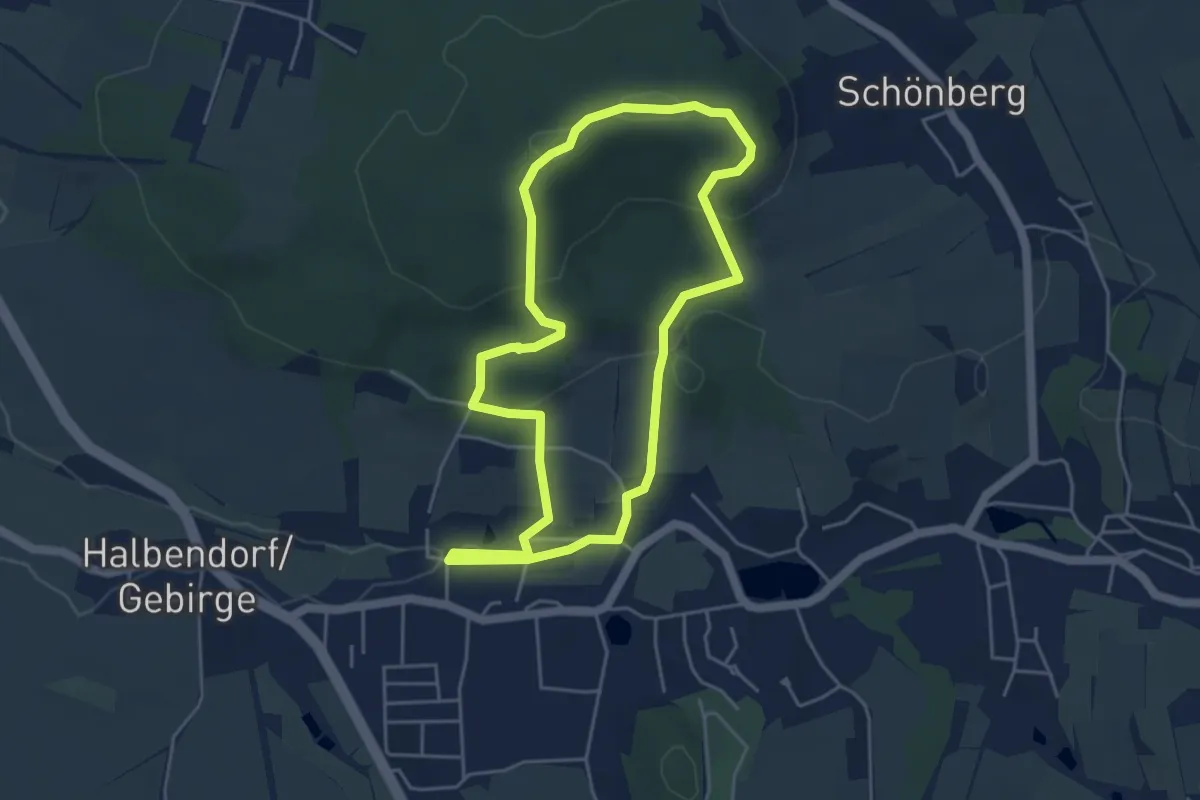
Easy · Summit
Köblitzer Rundweg
4.1 km · ↑ 141 m · 1 h 20 min
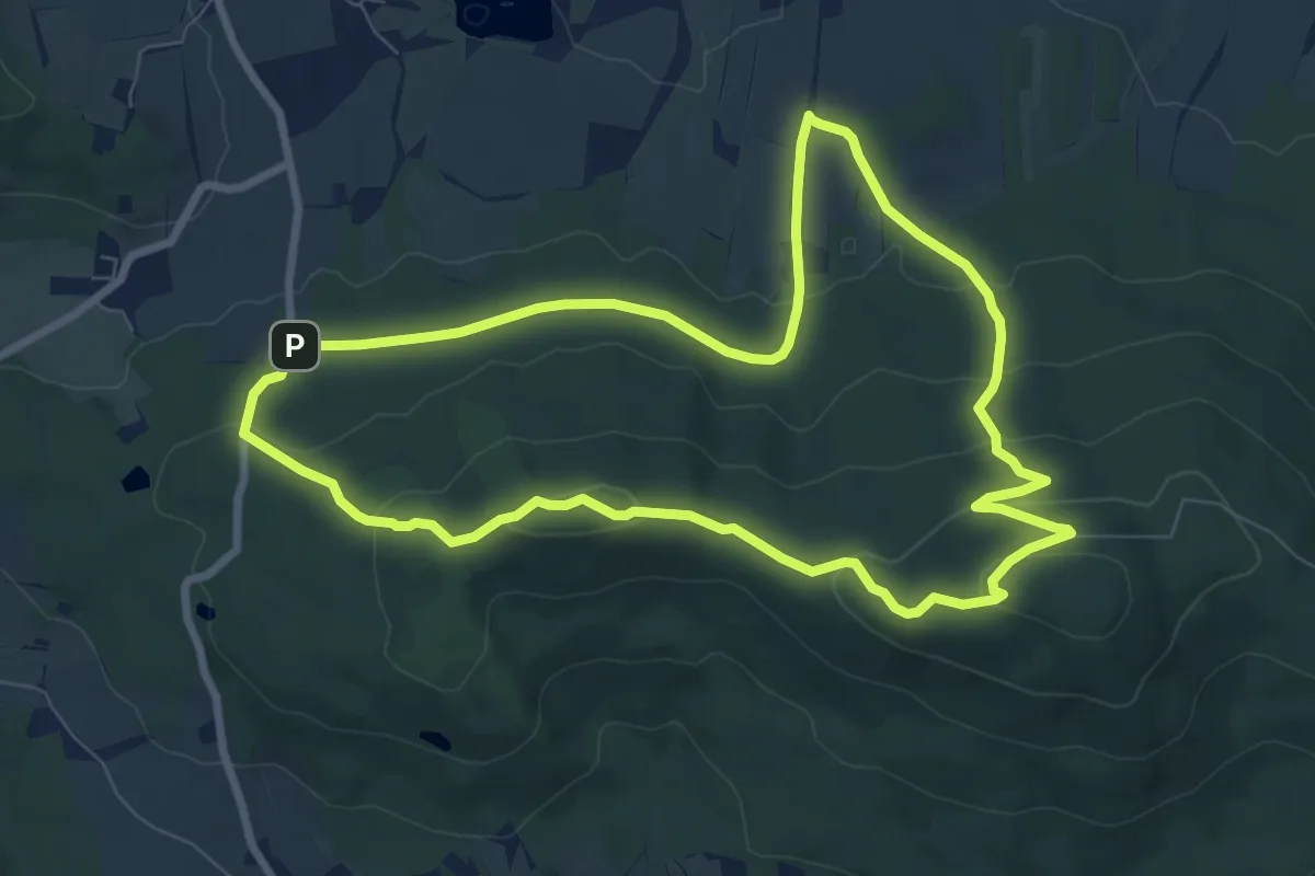
Easy · Summit
Koboldsteig
7.4 km · ↑ 265 m · 2 h 25 min
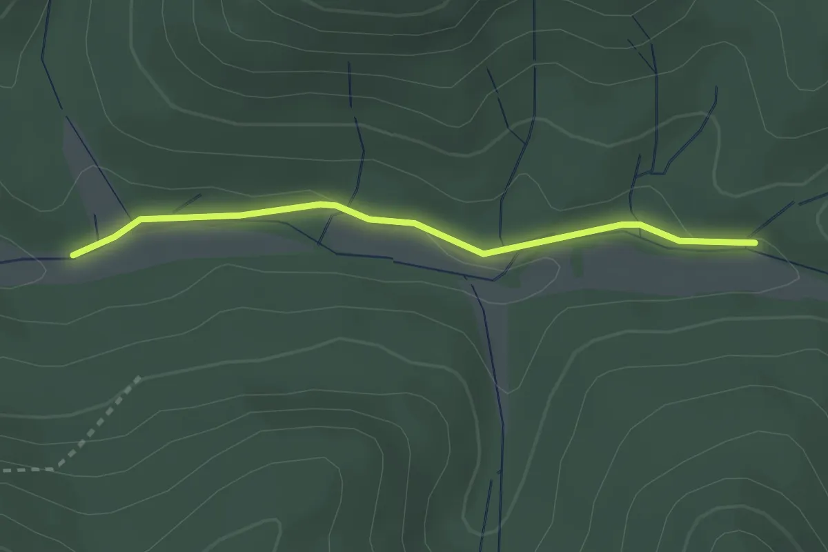
Easy · Trail
Kochelbach - Ringsheimer Hütte
2.4 km · ↑ 39 m · 39 min
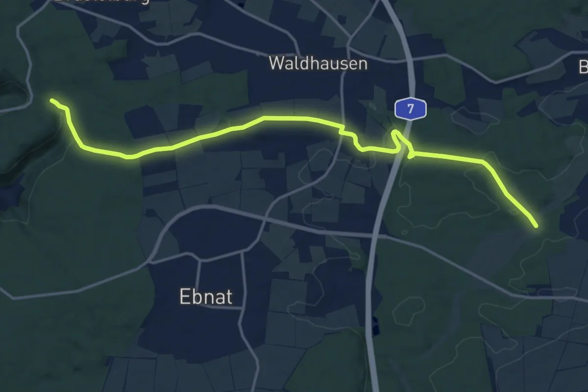
Medium · Trail
Kocherburg - Dellenäule
13.7 km · ↑ 185 m · 3 h 38 min
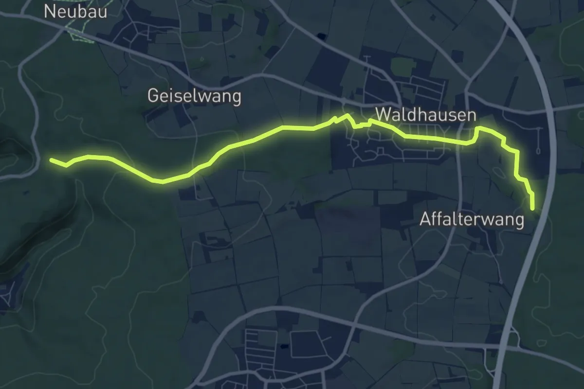
Medium · Trail
Kocherburg - Waldhausen - Krummes Tal
9.9 km · ↑ 140 m · 2 h 38 min
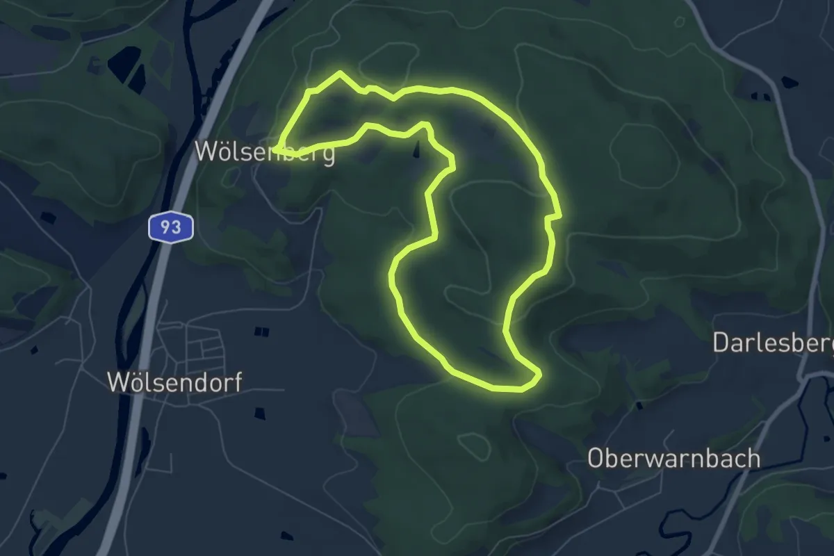
Easy · Summit
Kocherstollen-Rundweg
6.6 km · ↑ 135 m · 1 h 56 min
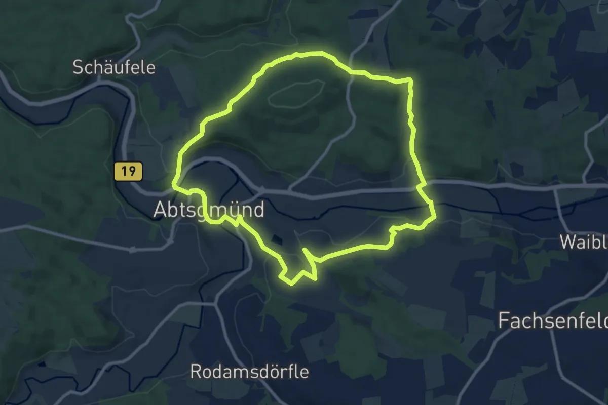
Medium · Trail
Kochertalblick
8.5 km · ↑ 208 m · 2 h 35 min
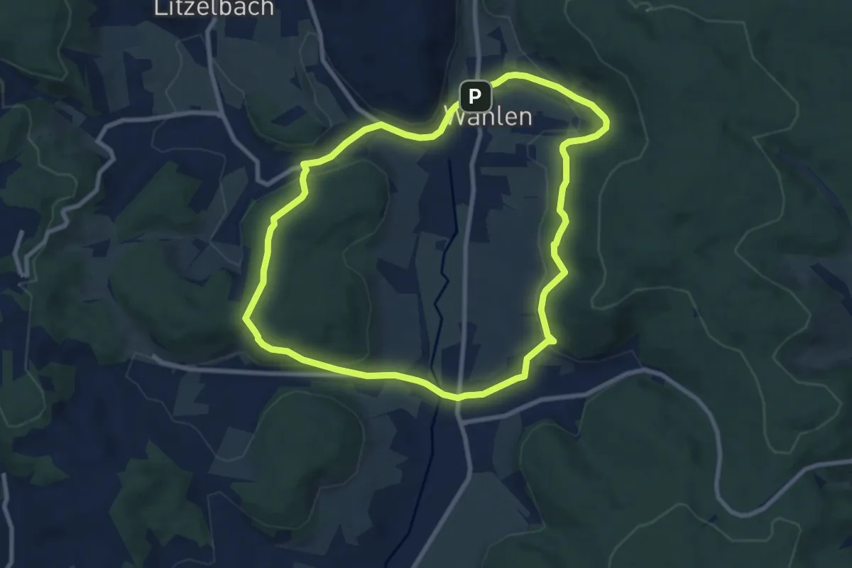
Easy · Trail
Kochert-Weg
7.5 km · ↑ 195 m · 2 h 18 min
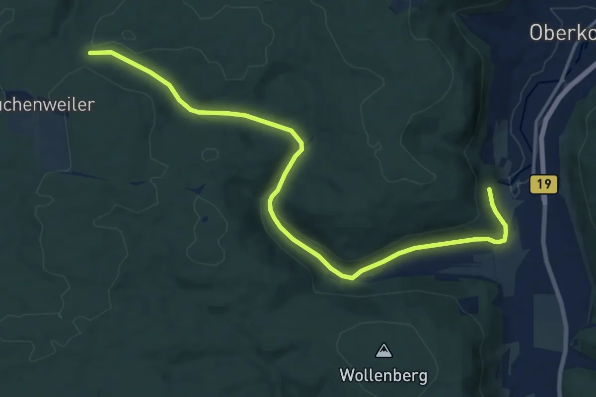
Medium · Trail
Kocherursprung - Tauchenweiler
11.4 km · ↑ 237 m · 3 h 13 min
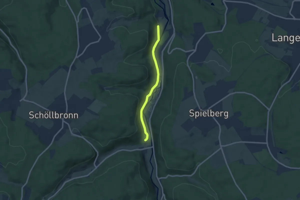
Easy · Trail
Kochmühle - Moosalbmündung
6.1 km · ↑ 173 m · 1 h 49 min
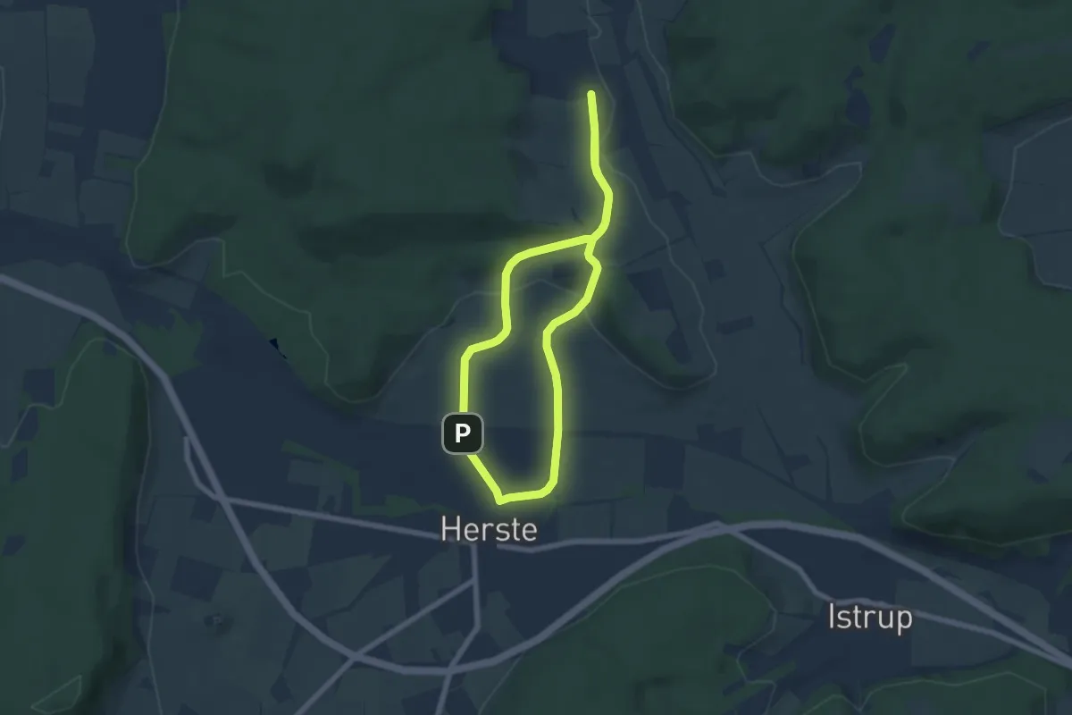
Easy · Summit
Koerfer-Weg
5.2 km · ↑ 107 m · 1 h 32 min
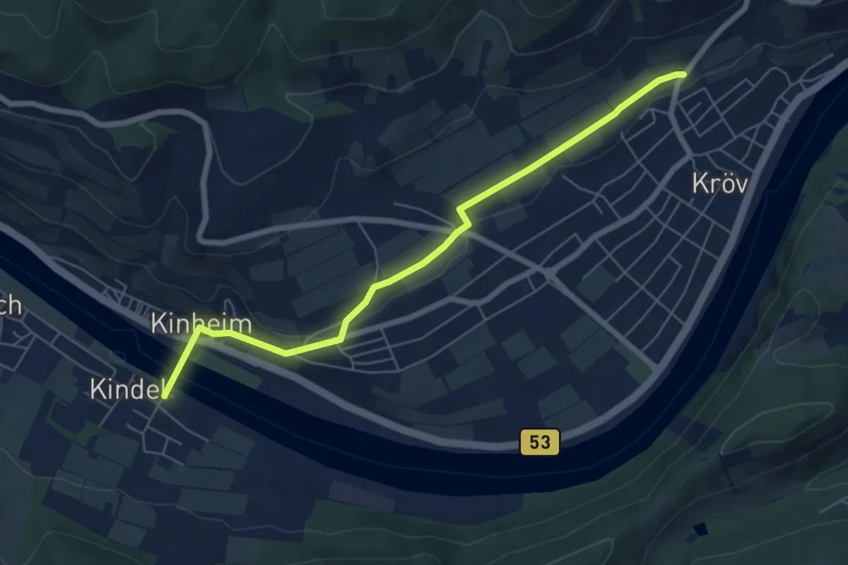
Easy · Trail
Kogelherrenweg
5.7 km · ↑ 70 m · 1 h 30 min
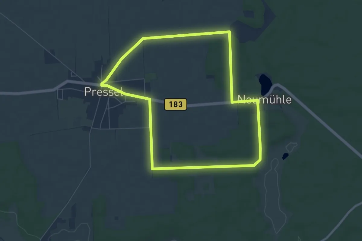
Easy · Trail
Kögelwanderweg
6.2 km · ↑ 40 m · 1 h 38 min