Trails in Germany
36,852 hiking trails, each with its route, climb, walking time and grade.
All trails, page 298 of 768
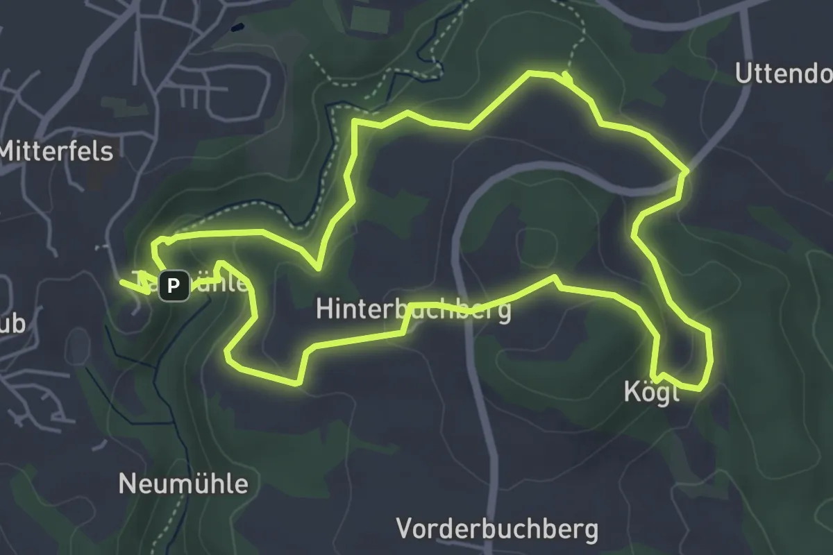
Easy · Summit
Köglweg
5.0 km · ↑ 199 m · 1 h 41 min
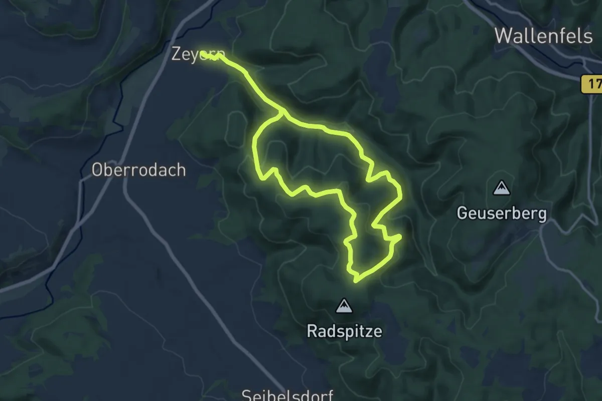
Medium · Trail
Kohlbach-Radspitz-Weg KC 68
9.7 km · ↑ 389 m · 3 h 15 min
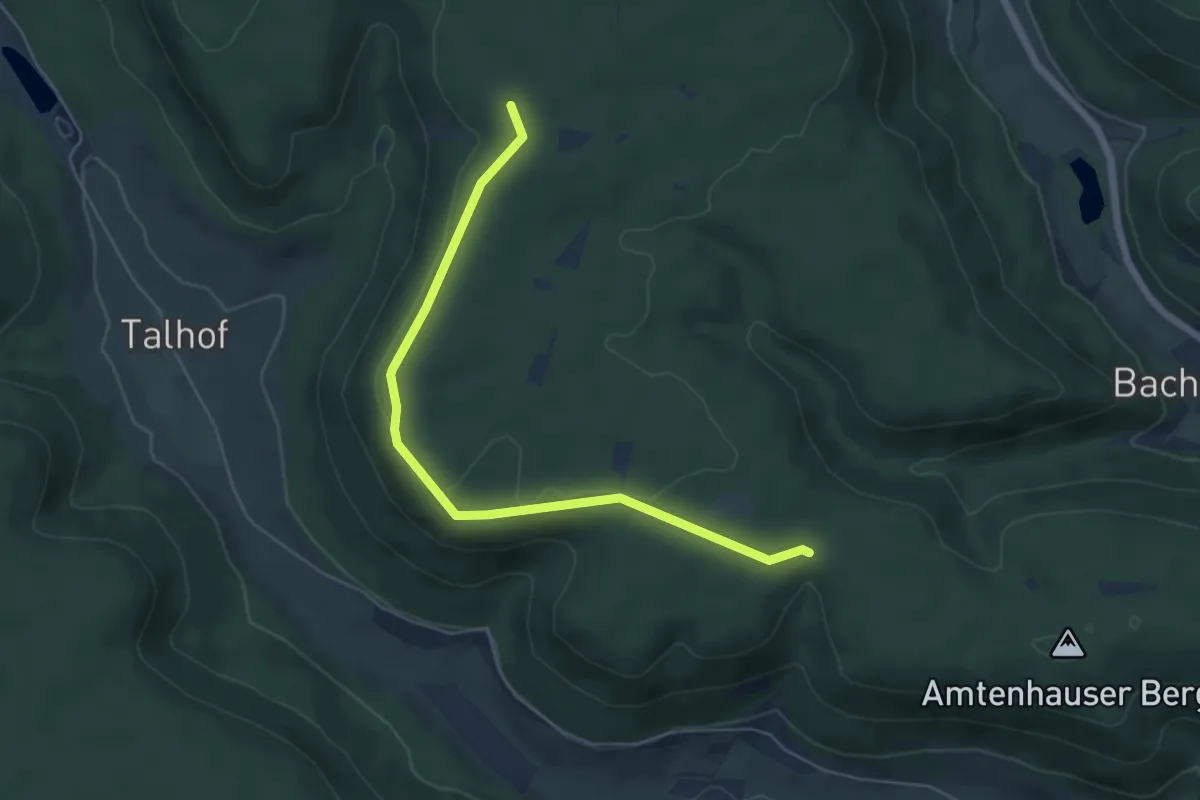
Easy · Trail
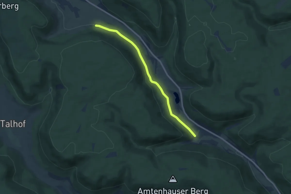
Kohlberg - Amtenhauser Berg
5.8 km · ↑ 56 m · 1 h 30 min
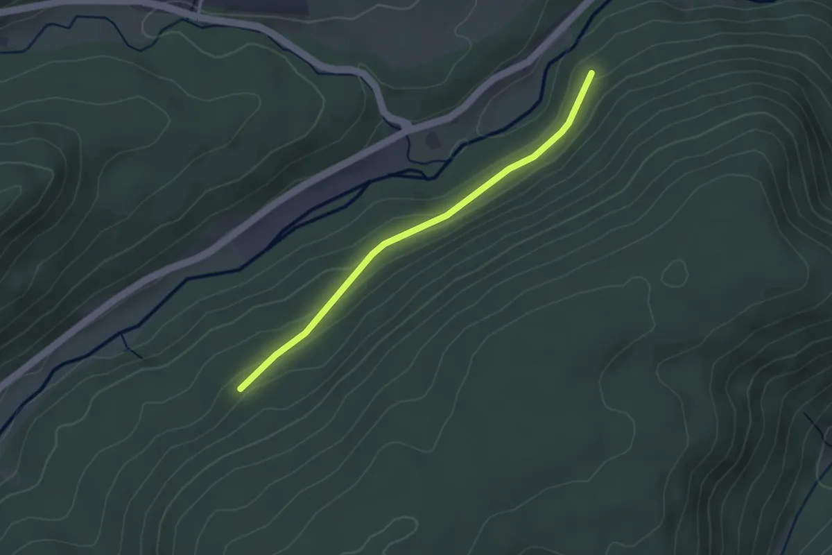
Easy · Trail
Kohlberg - Kohlwanne
2.8 km · ↑ 101 m · 53 min
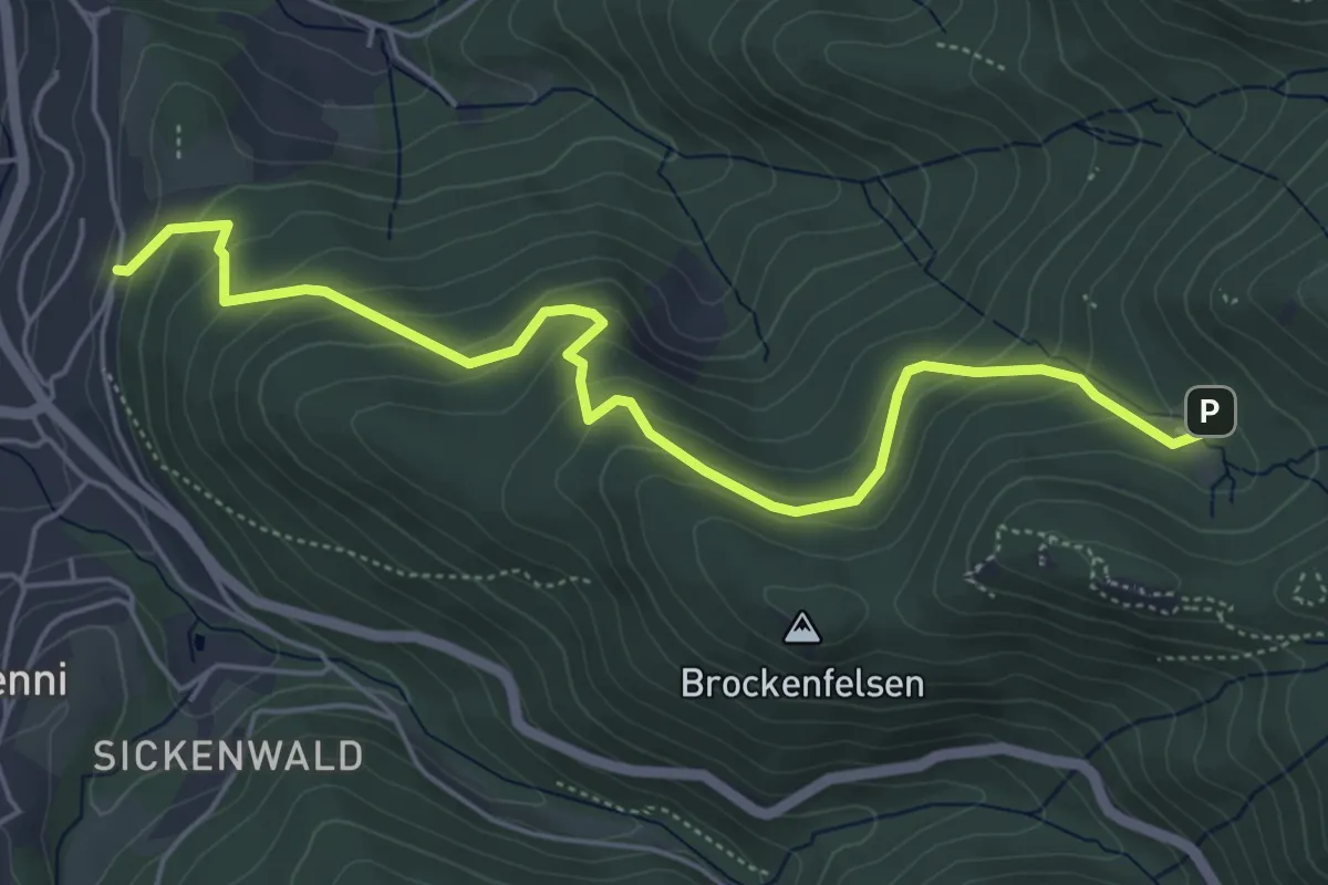
Medium · Trail
Kohlbergwiese - Oberer Längenberg
5.7 km · ↑ 379 m · 2 h 9 min
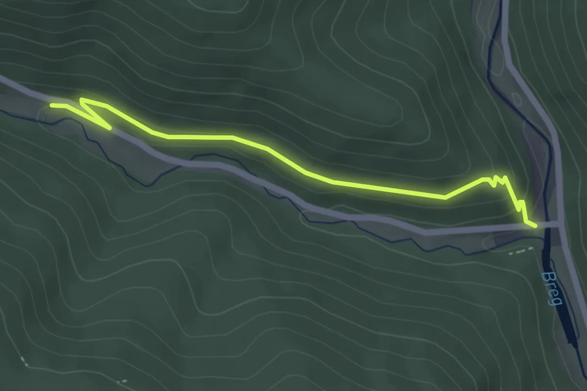
Easy · Trail
Kohlbrücke - Gfällhütte
3.8 km · ↑ 91 m · 1 h 5 min
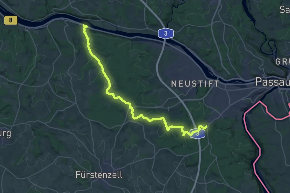
Medium · Trail
Kohlbruck - Platte - Seestetten
14.6 km · ↑ 260 m · 4 h 17 min
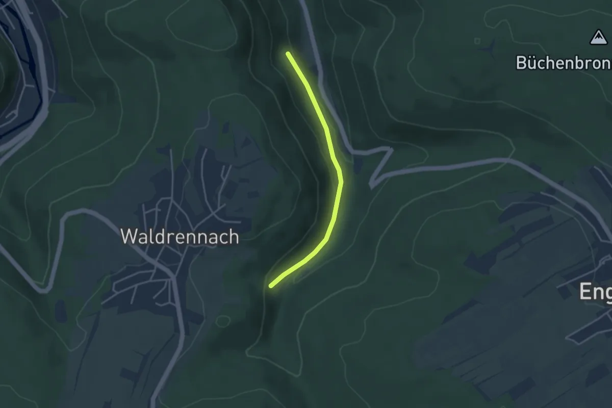
Easy · Trail
Kohlbrunnen - Beim Grösseltal-Haus
2.9 km · ↑ 89 m · 53 min
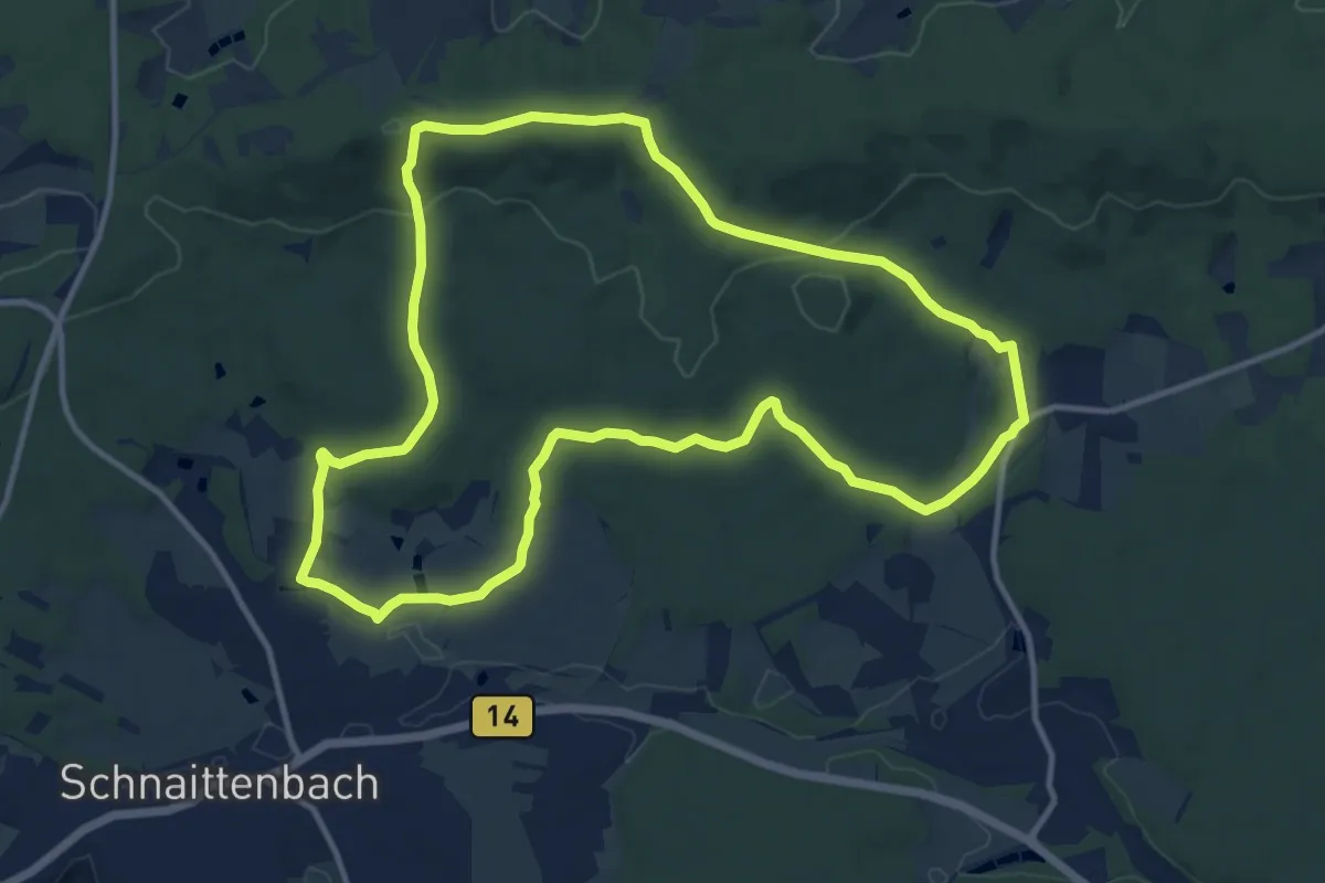
Medium · Summit
Kohlbühlweg
11.7 km · ↑ 267 m · 3 h 30 min
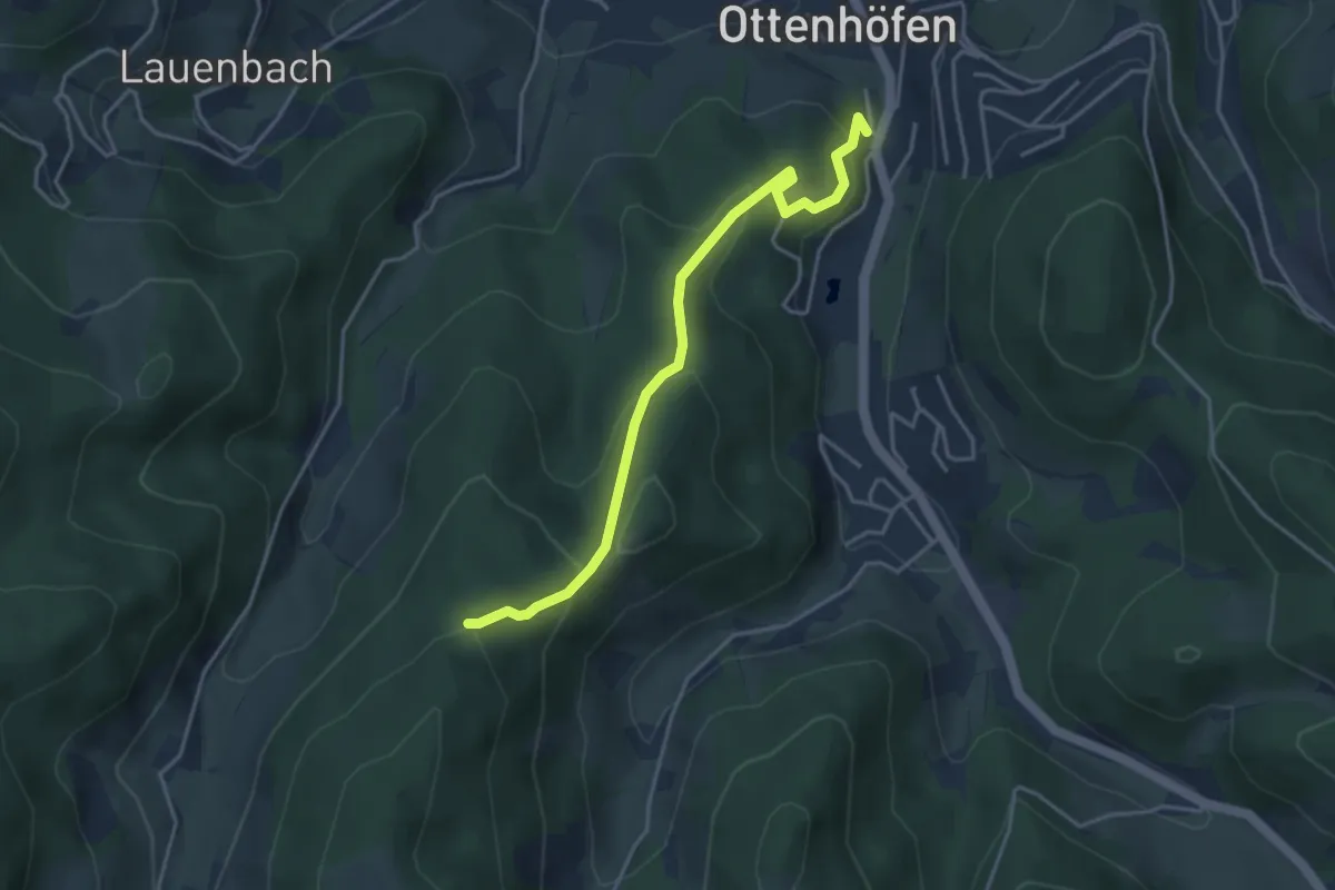
Easy · Trail
Kohleck - Ottenhöfen Blustenweg
3.8 km · ↑ 222 m · 1 h 23 min
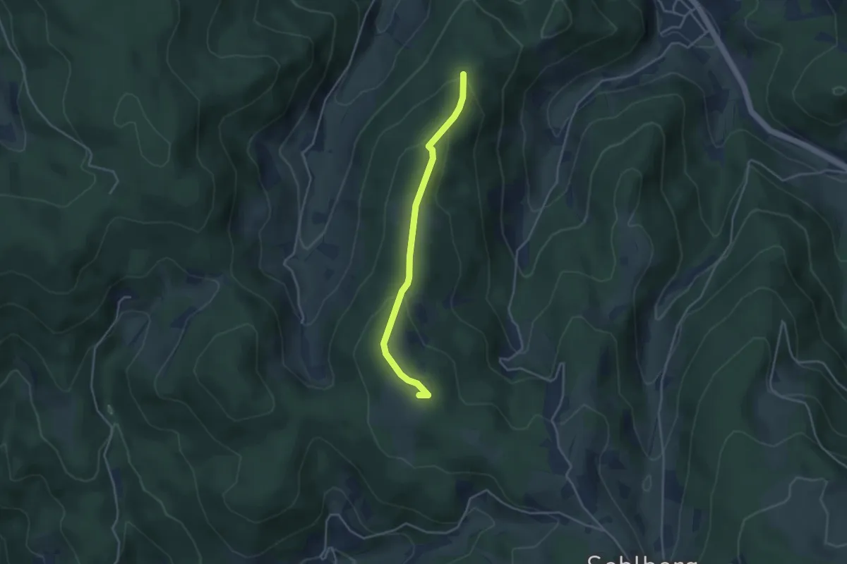
Easy · Summit
Kohleck - Simmersbacher Kopf
3.3 km · ↑ 132 m · 1 h 3 min
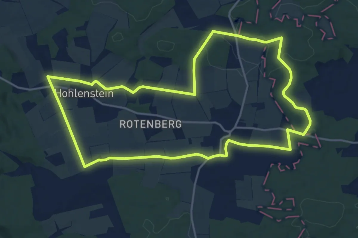
Medium · Trail
Kohleckweg
11.1 km · ↑ 138 m · 3 h 5 min
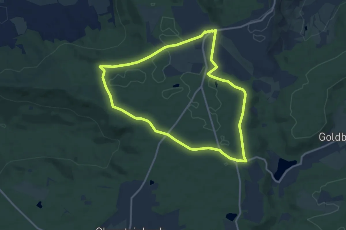
Easy · Trail
Kohleiche über Karlsfurtebene
7.6 km · ↑ 56 m · 2 h 1 min
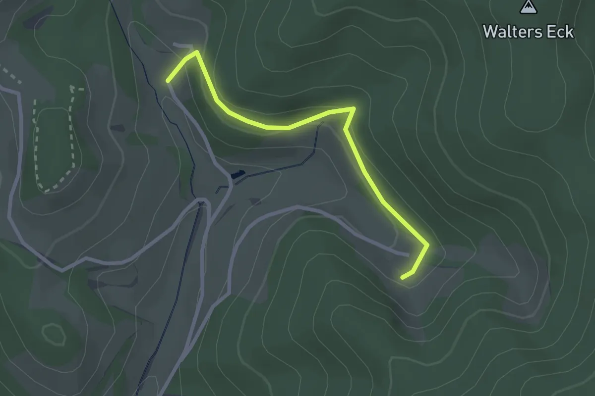
Easy · Trail
Kohlenbach Kurihof - Beim Bromhof
2.3 km · ↑ 103 m · 46 min
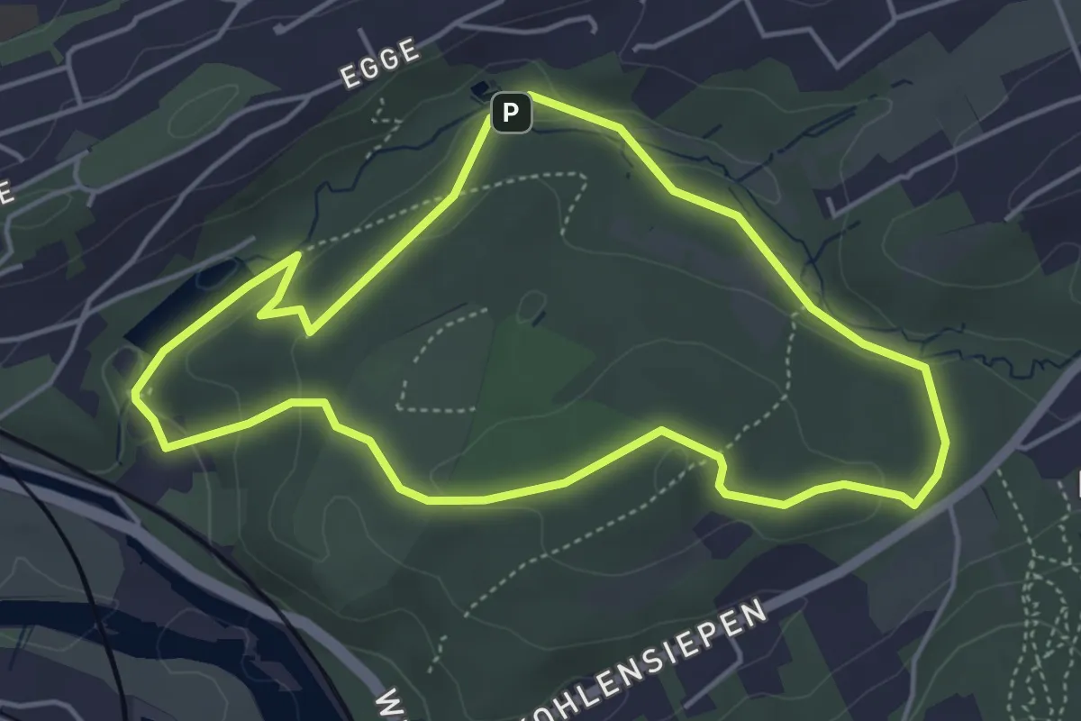
Easy · Summit
Kohlensiepen Rundweg H1
4.1 km · ↑ 91 m · 1 h 13 min
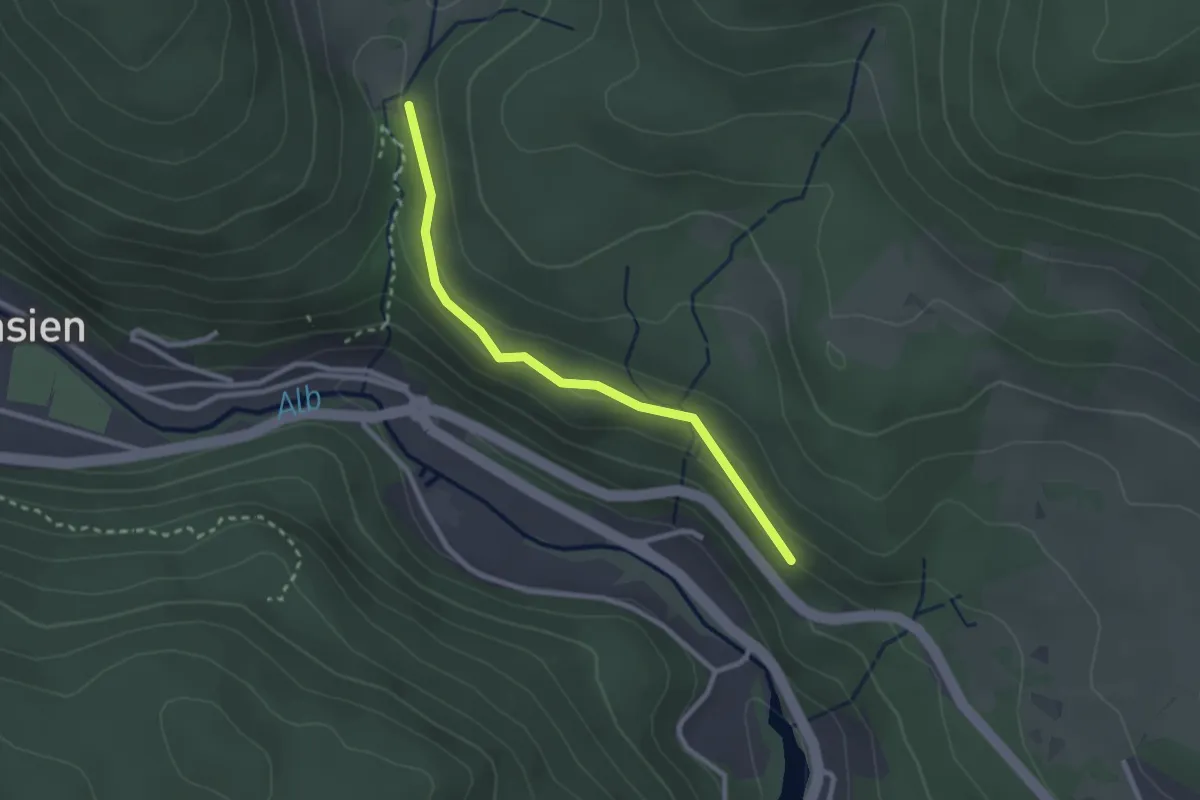
Easy · Trail
Kohlerbücken - Windberghütte
2.4 km · ↑ 83 m · 45 min
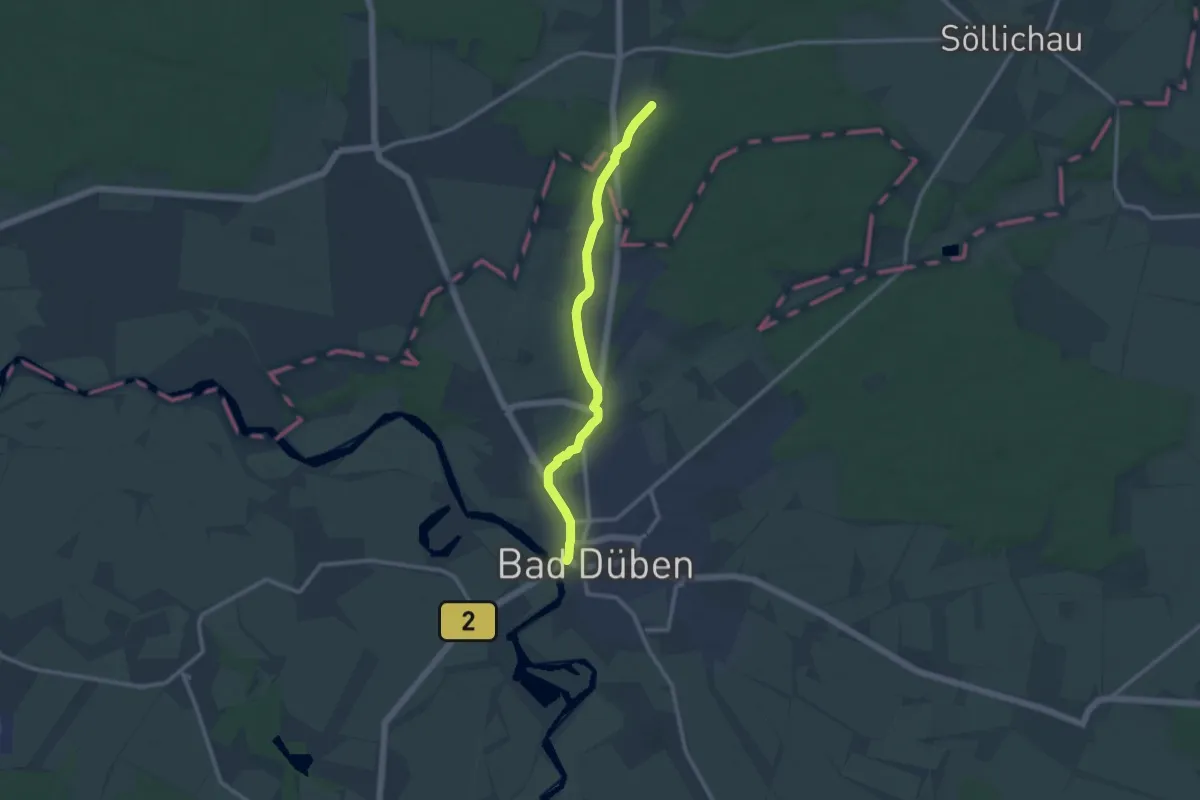
Medium · Trail
Köhlerei Weg
9.8 km · ↑ 35 m · 2 h 23 min
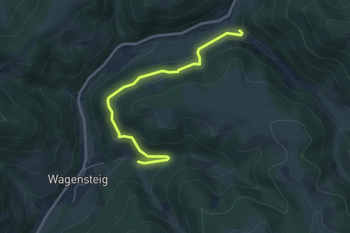
Easy · Trail
Kohlergrundweg - Wagensteig Hinterbauernhof
5.0 km · ↑ 239 m · 1 h 42 min
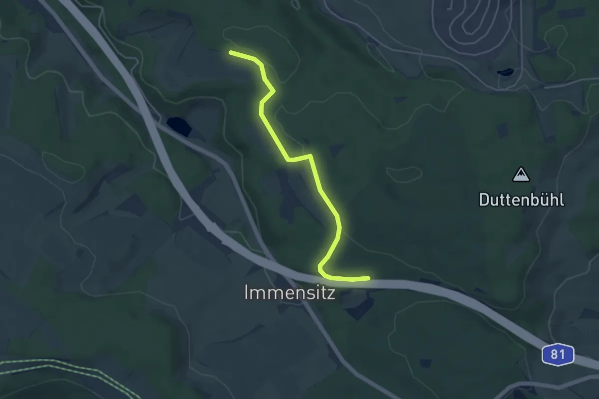
Easy · Trail
Kohlerhau - Fronhau
4.0 km · ↑ 44 m · 1 h 2 min
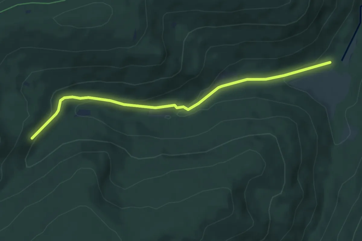
Easy · Trail
Köhlerhütte - Große Wiese
5.4 km · ↑ 185 m · 1 h 40 min
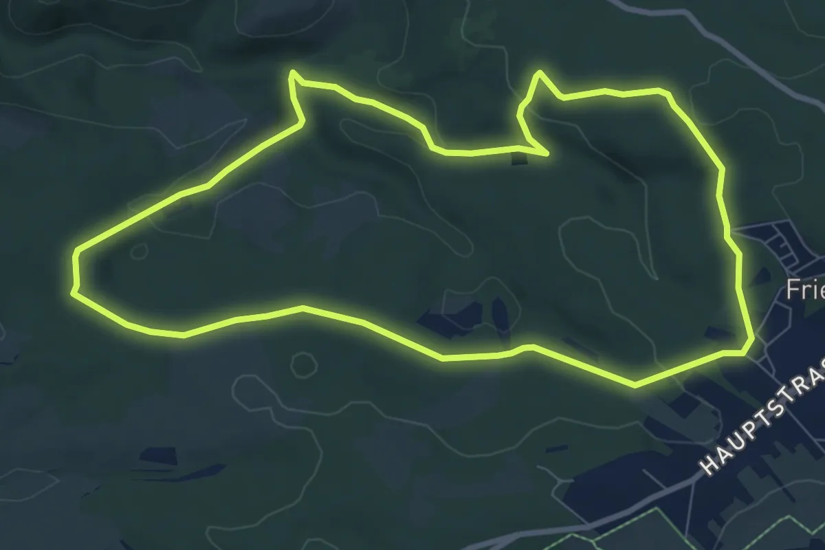
Easy · Trail
Köhlerhüttenweg
7.6 km · ↑ 155 m · 2 h 14 min
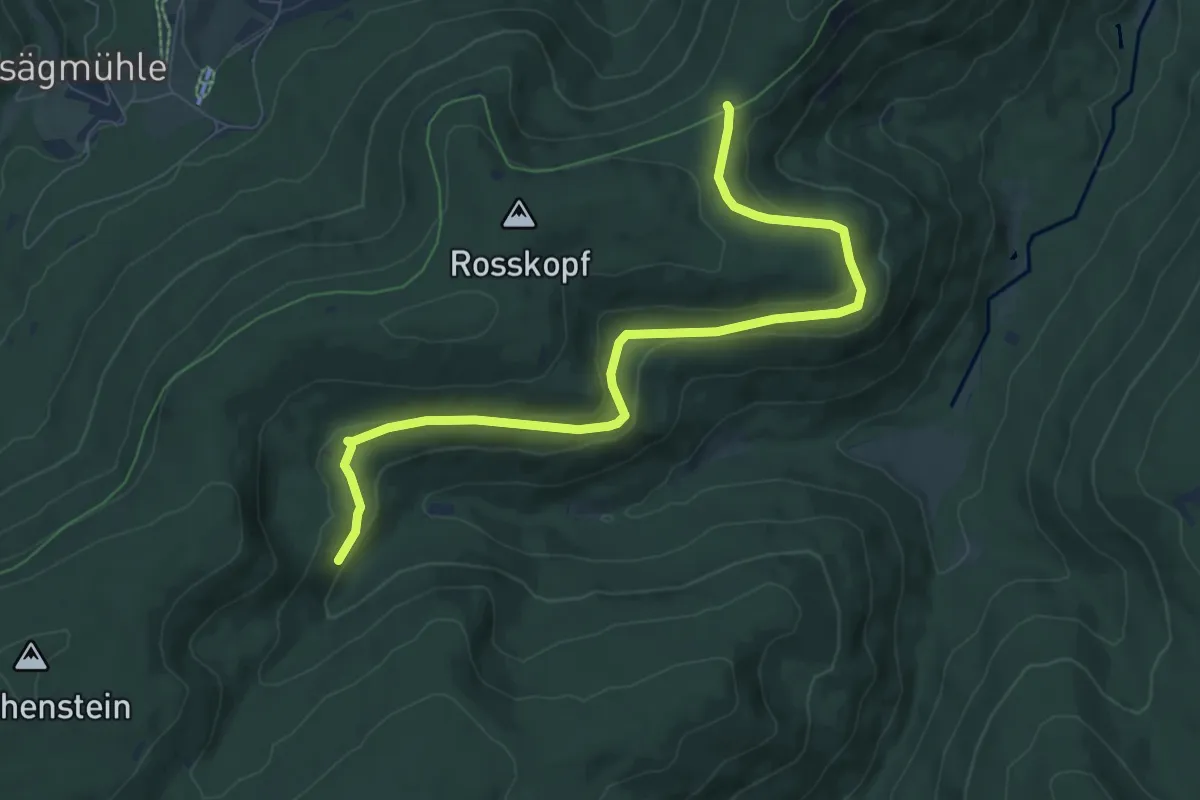
Medium · Trail
Köhlerhütte - Weithäusleplatz
8.5 km · ↑ 219 m · 2 h 29 min
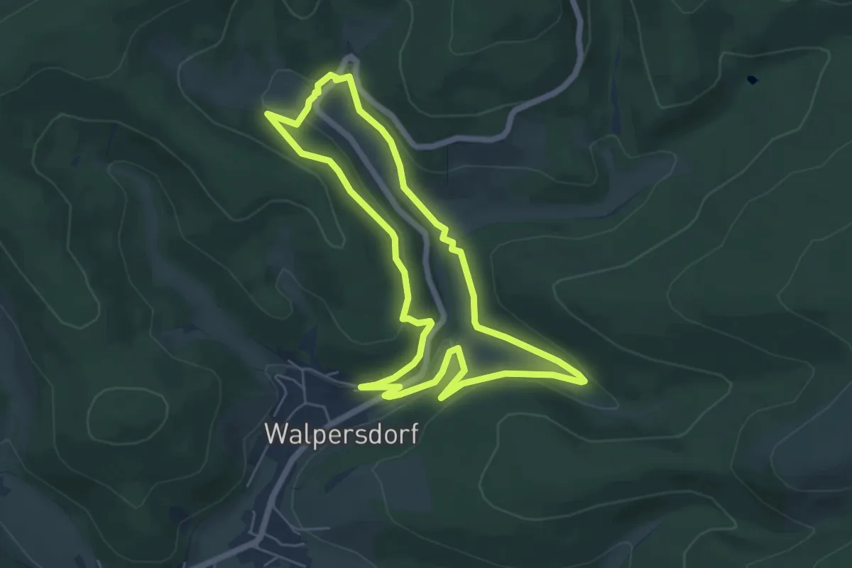
Easy · Trail
Köhlerpfad Rundweg A1
5.1 km · ↑ 121 m · 1 h 32 min
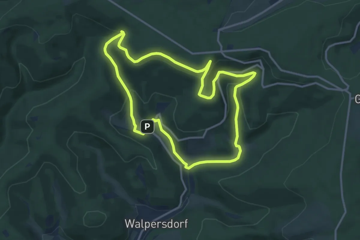
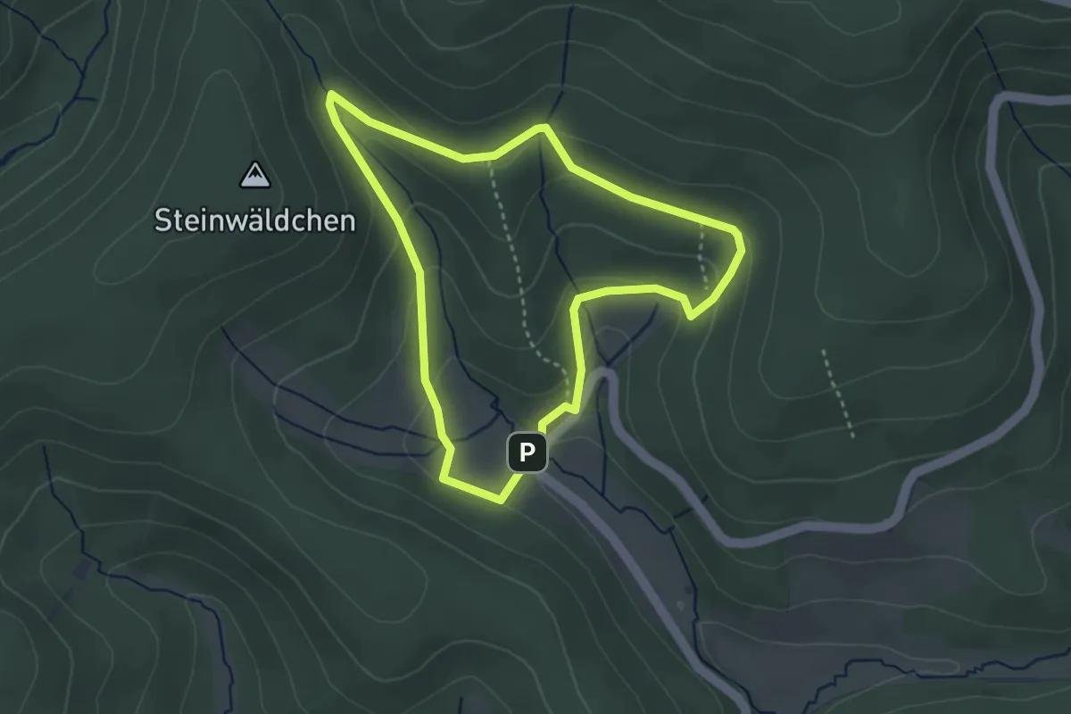
Medium · Trail
Köhlerplatz Rundweg A2
8.1 km · ↑ 260 m · 2 h 35 min
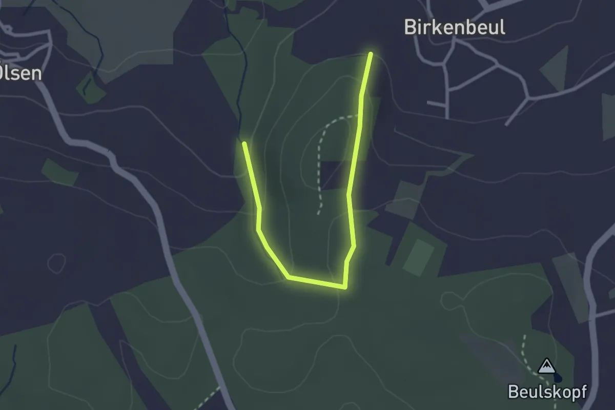
Easy · Trail
Köhlerplatz Rundweg A3
2.9 km · ↑ 113 m · 58 min
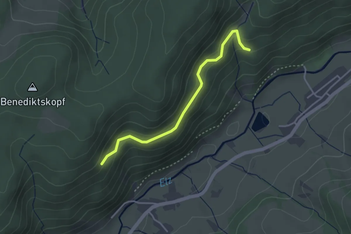
Easy · Trail
Köhlerroute
2.4 km · ↑ 115 m · 50 min
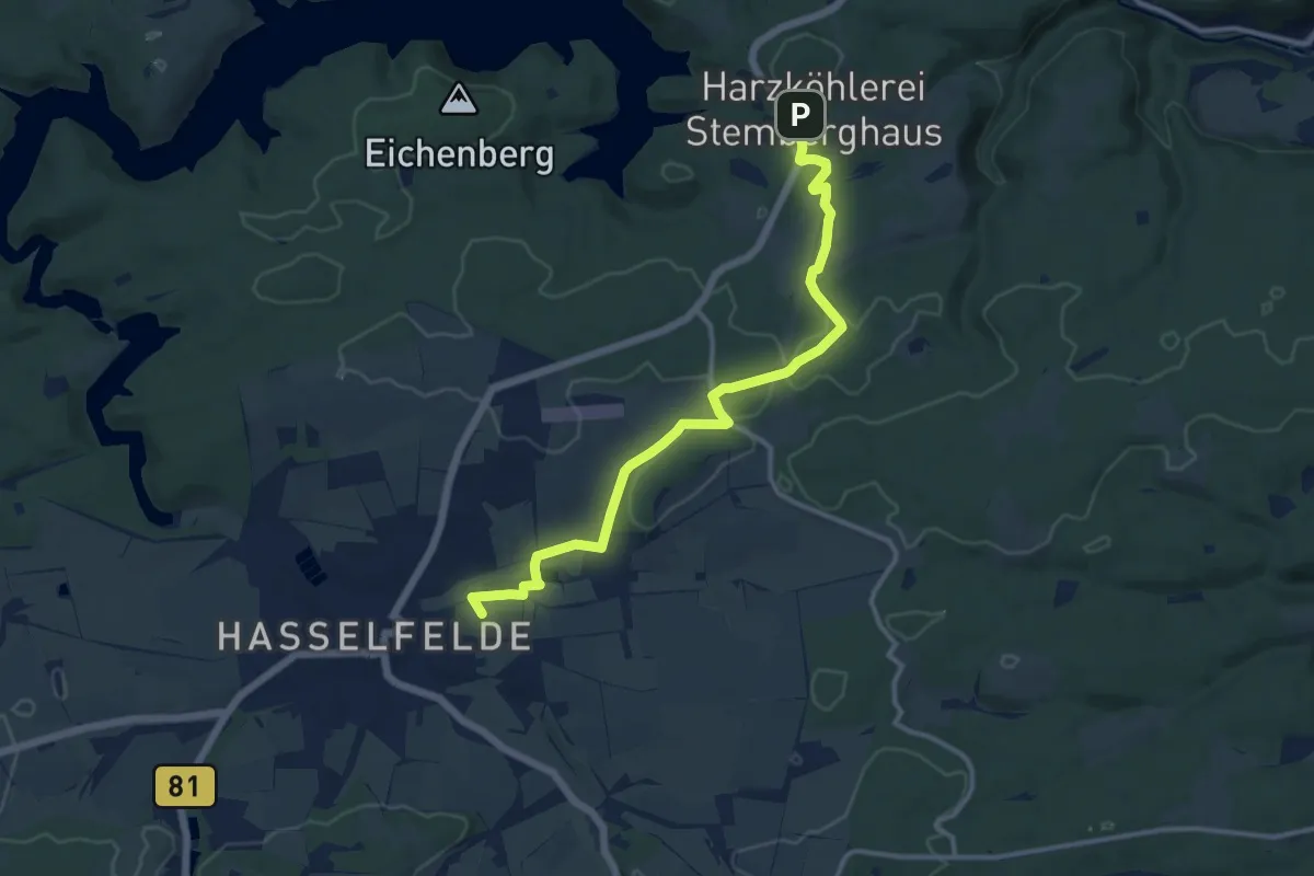
Easy · Trail
Kohlers Loch - Staigers Sommerberg
2.9 km · ↑ 193 m · 1 h 6 min
Medium · Summit
Köhlerweg
11.2 km · ↑ 115 m · 2 h 54 min
Easy · Trail
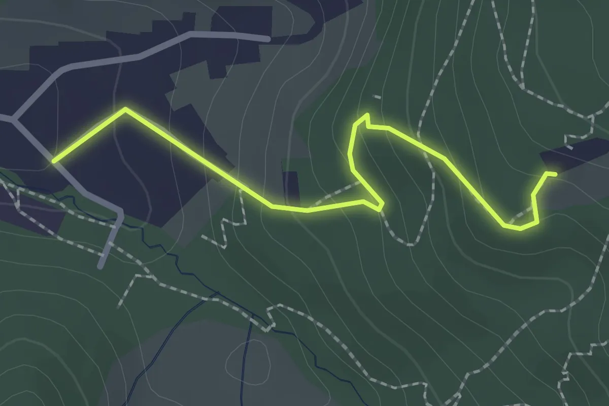
Kohlerweg - Gasthaus Zähringer Burg
2.1 km · ↑ 154 m · 49 min
Medium · Summit
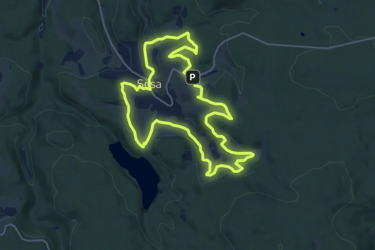
Köhlerweg Sosa
11.3 km · ↑ 297 m · 3 h 29 min
Easy · Trail
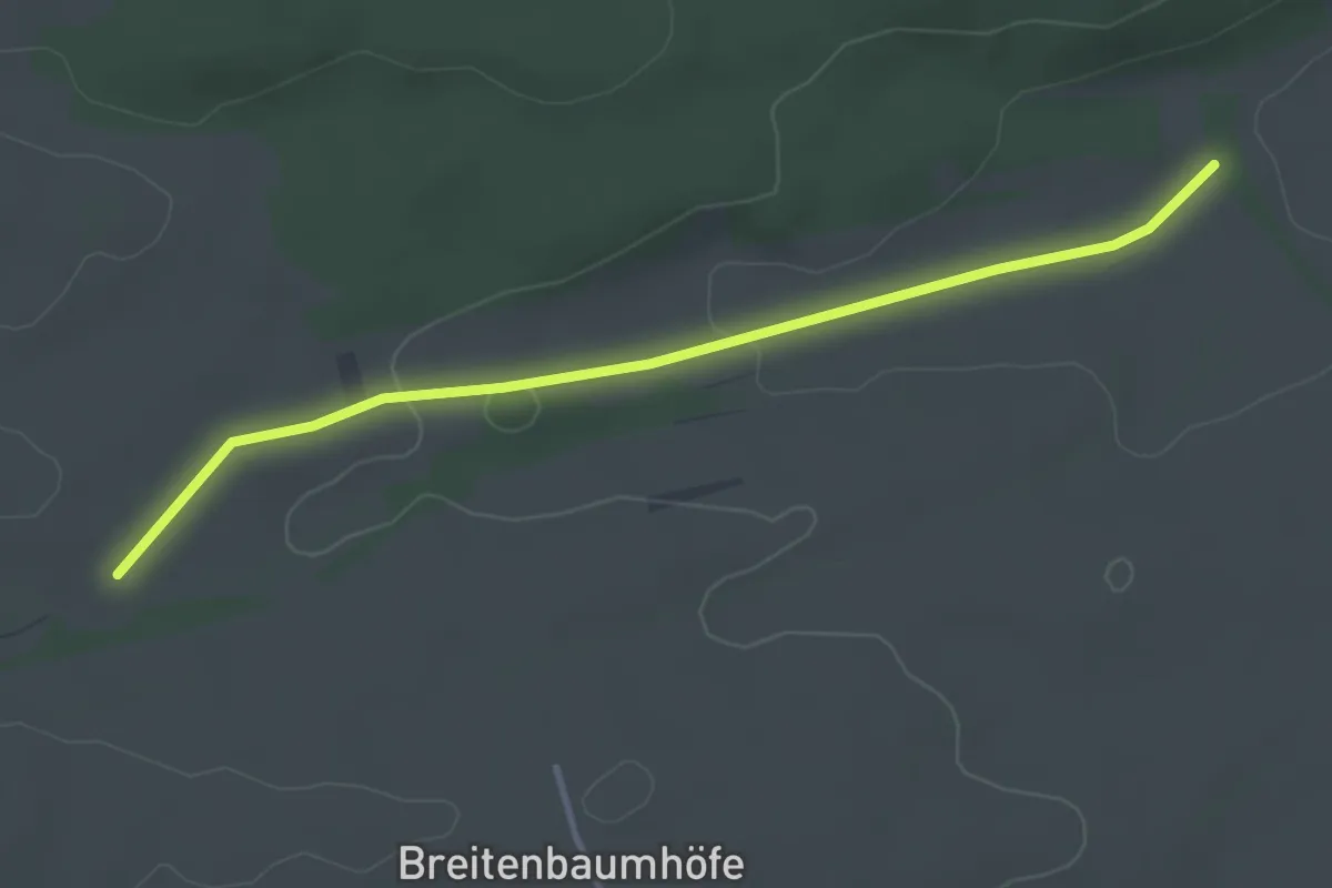
Kohlfeld - Ried
3.5 km · ↑ 51 m · 56 min
Easy · Trail
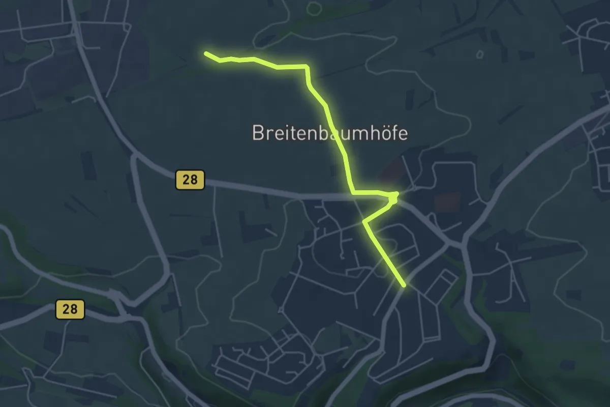
Kohlfeld - Wasserturm Hohenberg
4.5 km · ↑ 36 m · 1 h 8 min
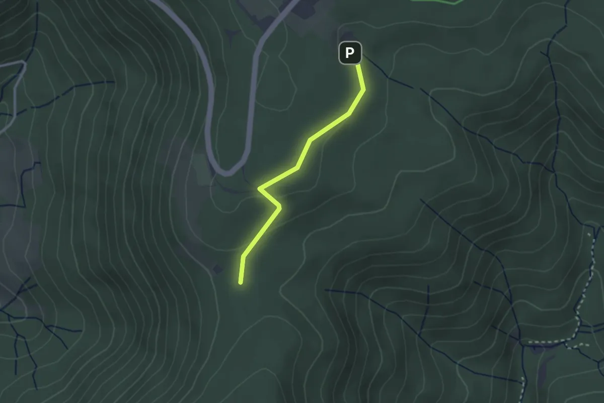
Easy · Trail
Kohlgrube - Kehler Loch
2.2 km · ↑ 84 m · 43 min
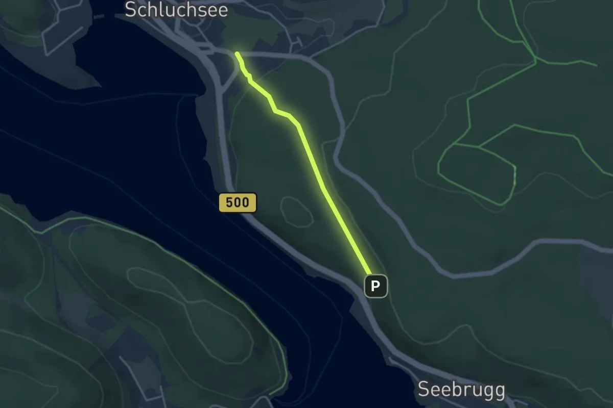
Medium · Trail
Kohlgrube - Schluchsee Alte Schmiede
2.7 km · ↑ 83 m · 49 min
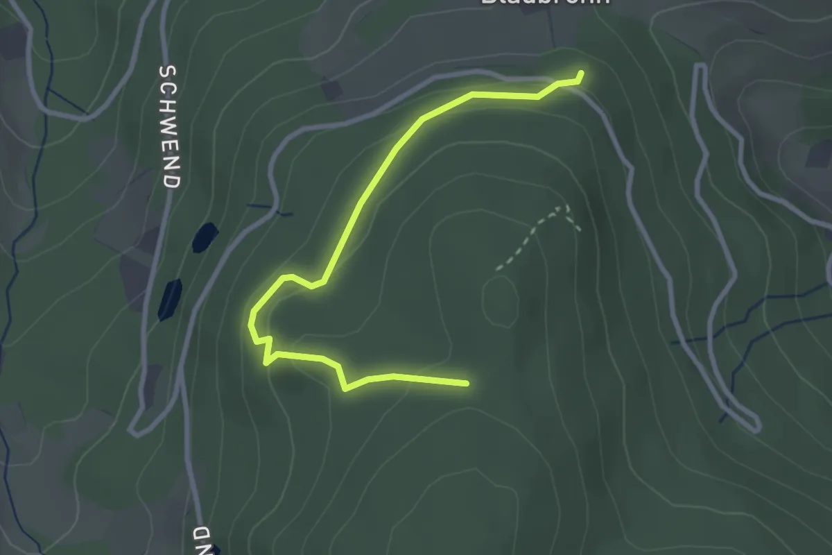
Easy · Trail
Kohlgrube - Über Blaubronn
2.8 km · ↑ 138 m · 58 min
Easy · Trail
Kohlhalde - Bachzimmern
6.1 km · ↑ 86 m · 1 h 37 min
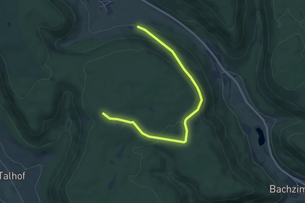
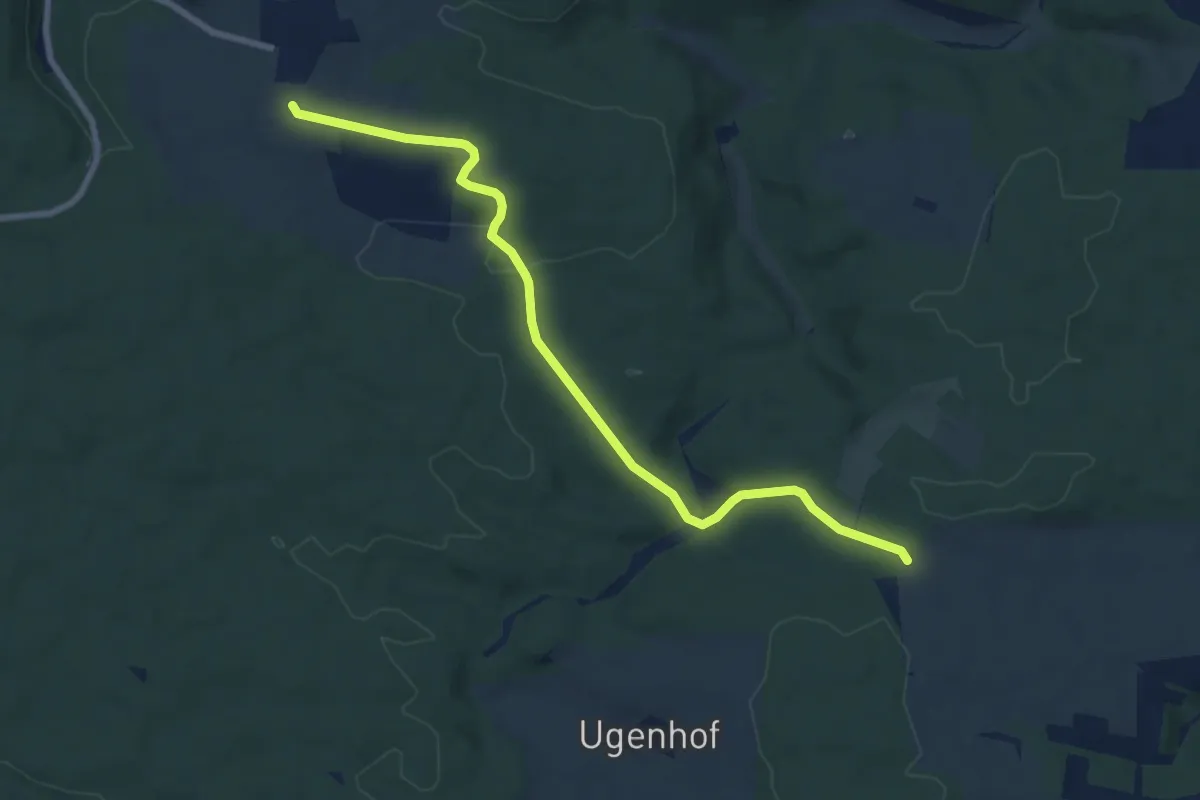
Easy · Trail
Kohlhalde - Kohlberg
6.1 km · ↑ 141 m · 1 h 44 min
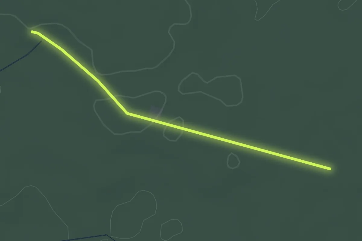
Medium · Trail
Kohlhau - Küpfendorf
8.0 km · ↑ 135 m · 2 h 12 min
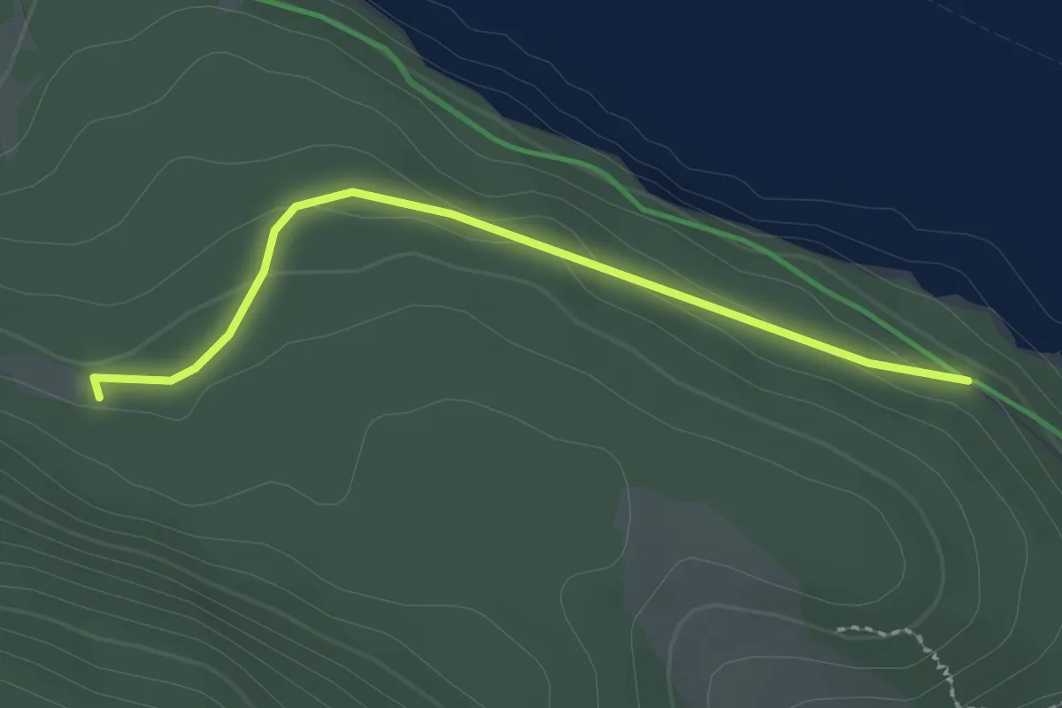
Easy · Trail
Kohlhütte - Föhrbrunnenhütte
2.6 km · ↑ 18 m · 39 min
Easy · Trail
Kohlhütte - Unterkrummenweg
2.2 km · ↑ 71 m · 40 min
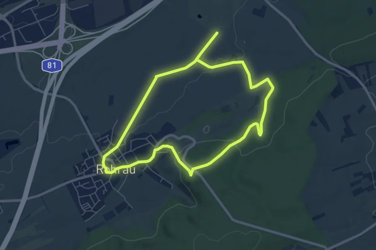
Easy · Trail
Kohlklingenrunde
5.4 km · ↑ 83 m · 1 h 31 min
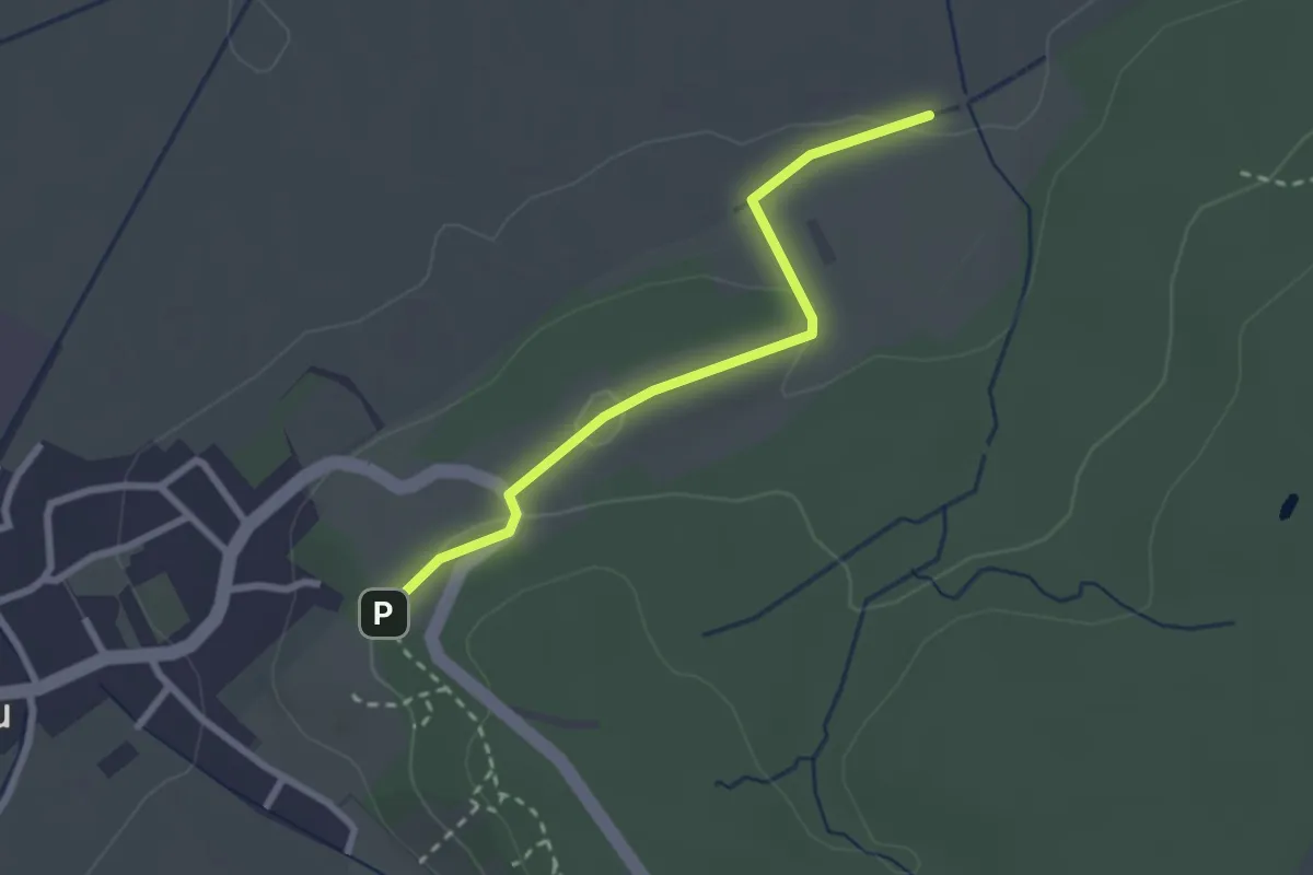
Easy · Trail
Kohlklingenrunde Abkürzung
1.2 km · ↑ 0 m · 19 min
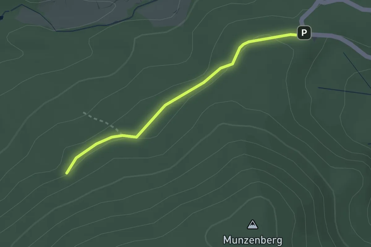
Easy · Trail
Kohlmattschlag - Scheideck
2.3 km · ↑ 33 m · 37 min
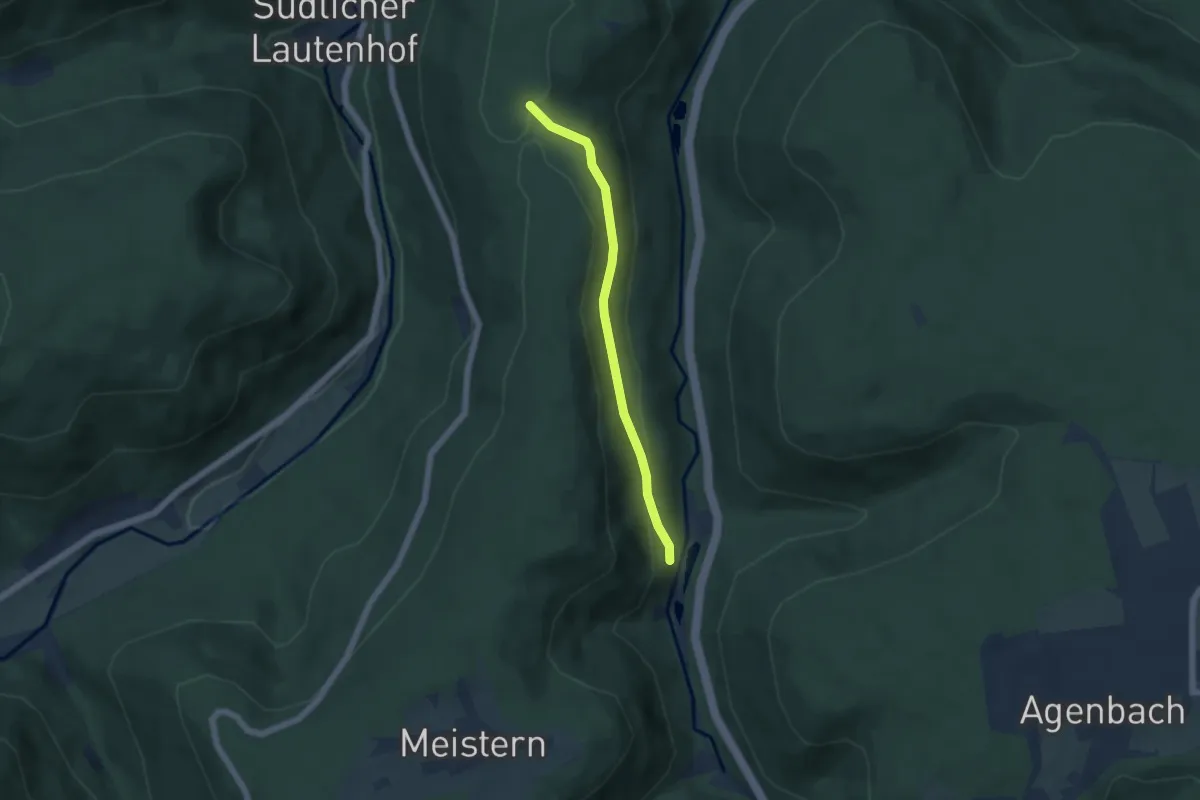
Easy · Trail
Kohlplatte - Forellenpark
4.4 km · ↑ 154 m · 1 h 23 min
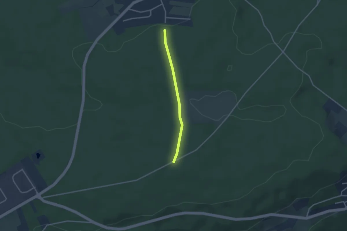
Easy · Trail
Kohlplatte - Herrschaftsbrunnen
2.0 km · ↑ 20 m · 32 min
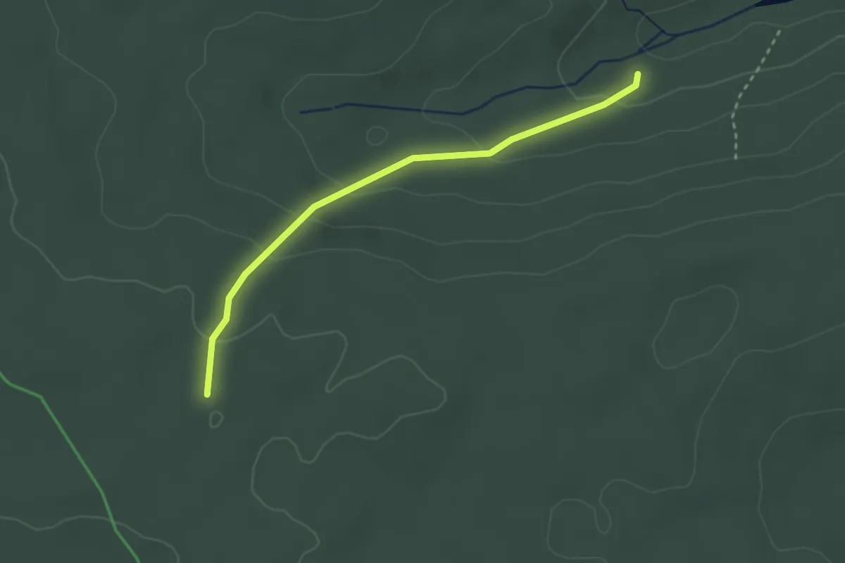
Easy · Trail
Kohlplatte - Lägerhalde
2.7 km · ↑ 107 m · 51 min
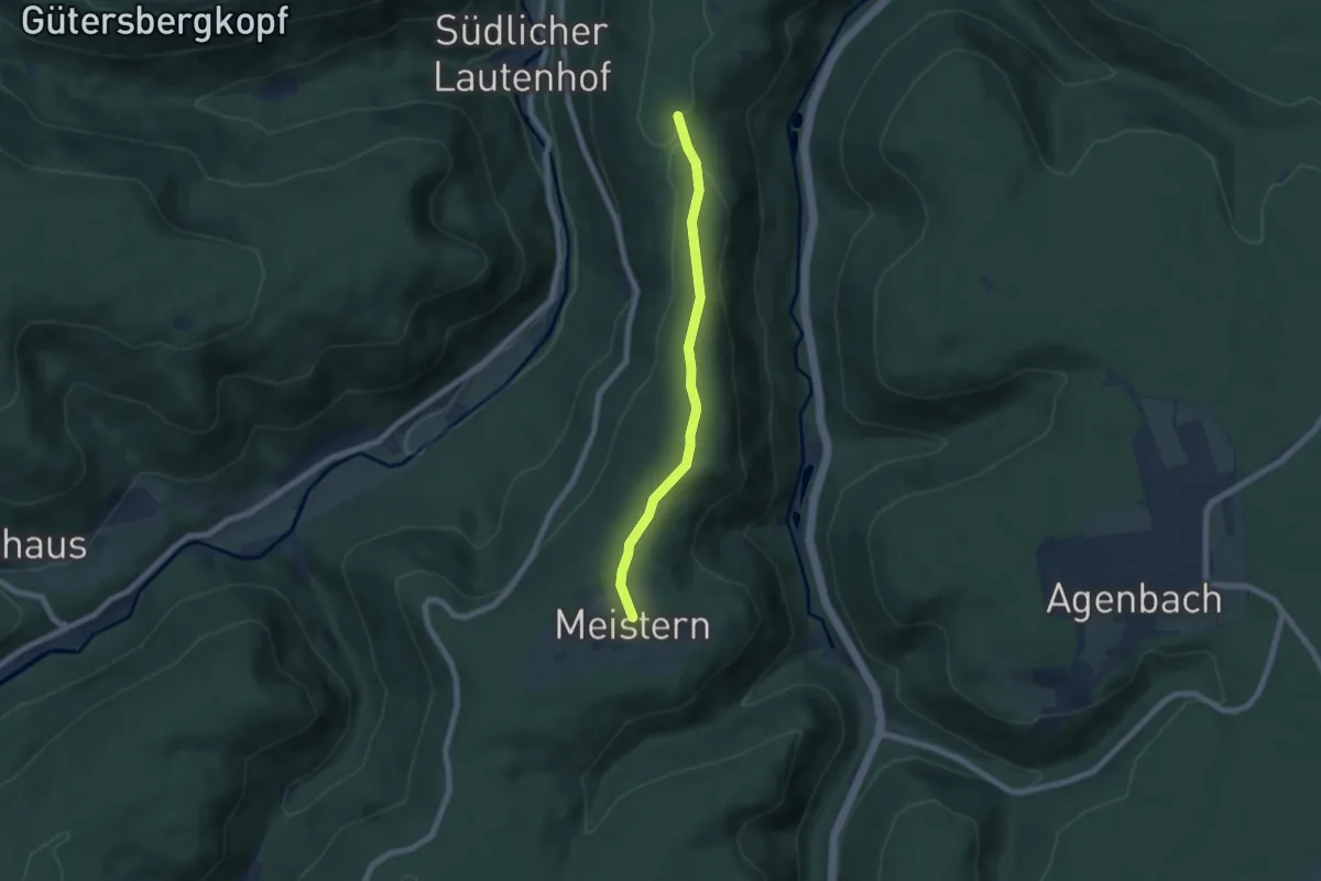
Easy · Trail
Kohlplatte - Meistern
5.9 km · ↑ 102 m · 1 h 36 min
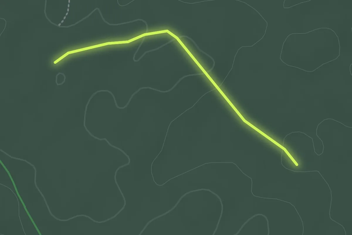
Easy · Trail
Kohlplatte - Spielbergweg
2.1 km · ↑ 23 m · 32 min