Trails in Germany
36,852 hiking trails, each with its route, climb, walking time and grade.
All trails, page 299 of 768
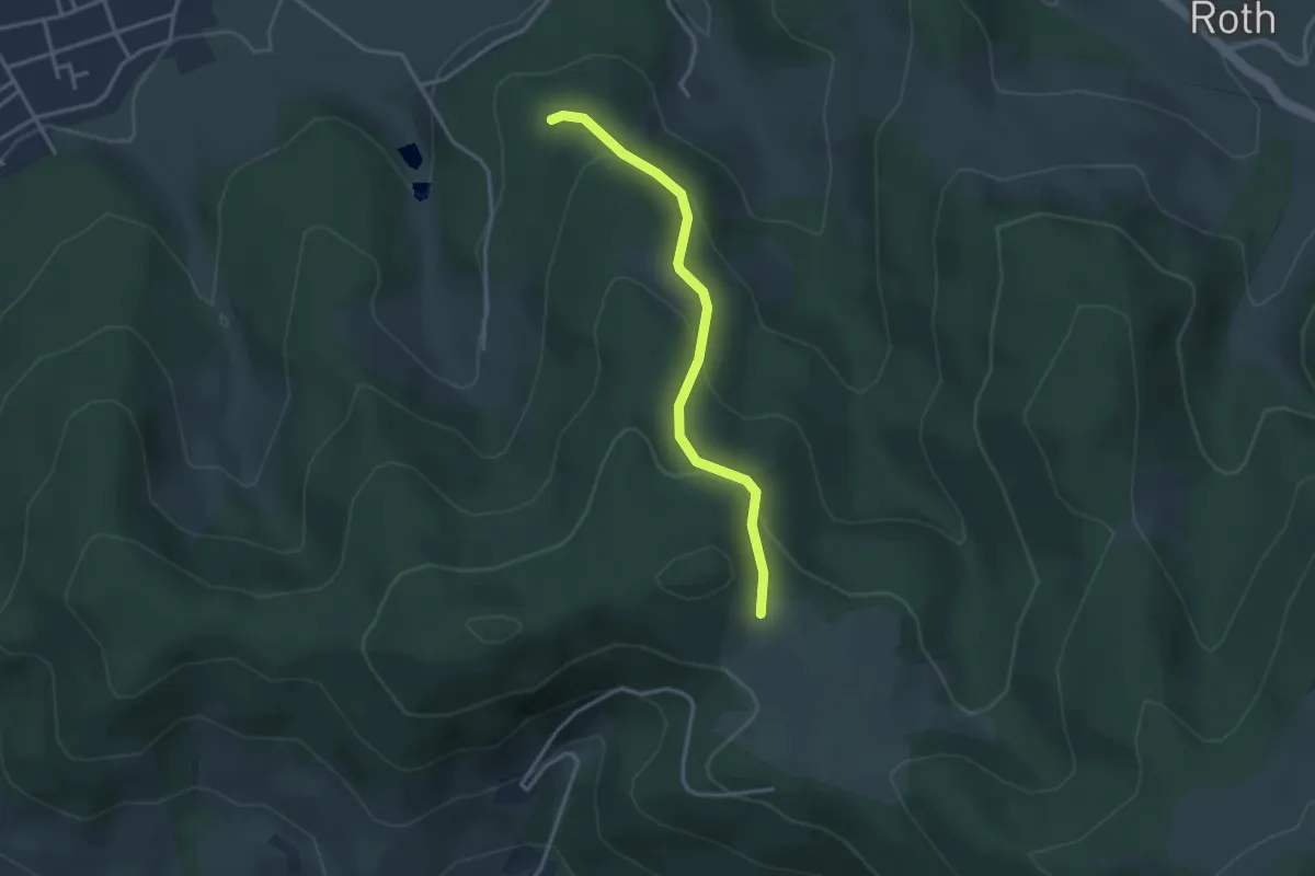
Easy · Trail
Kohlplatz - Buchenwald
3.0 km · ↑ 158 m · 1 h 3 min
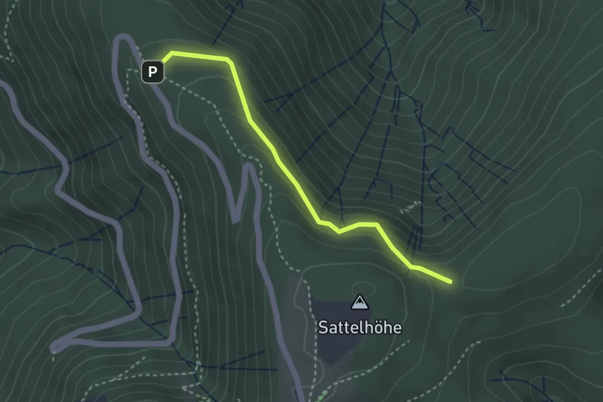
Medium · Trail
Kohlplätze - Sattel
2.9 km · ↑ 164 m · 1 h 2 min
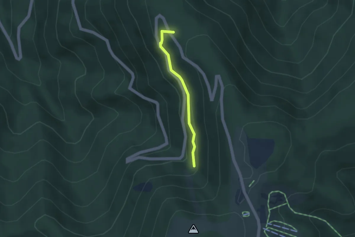
Medium · Trail
Kohlplätze - Serpentine
2.3 km · ↑ 130 m · 49 min
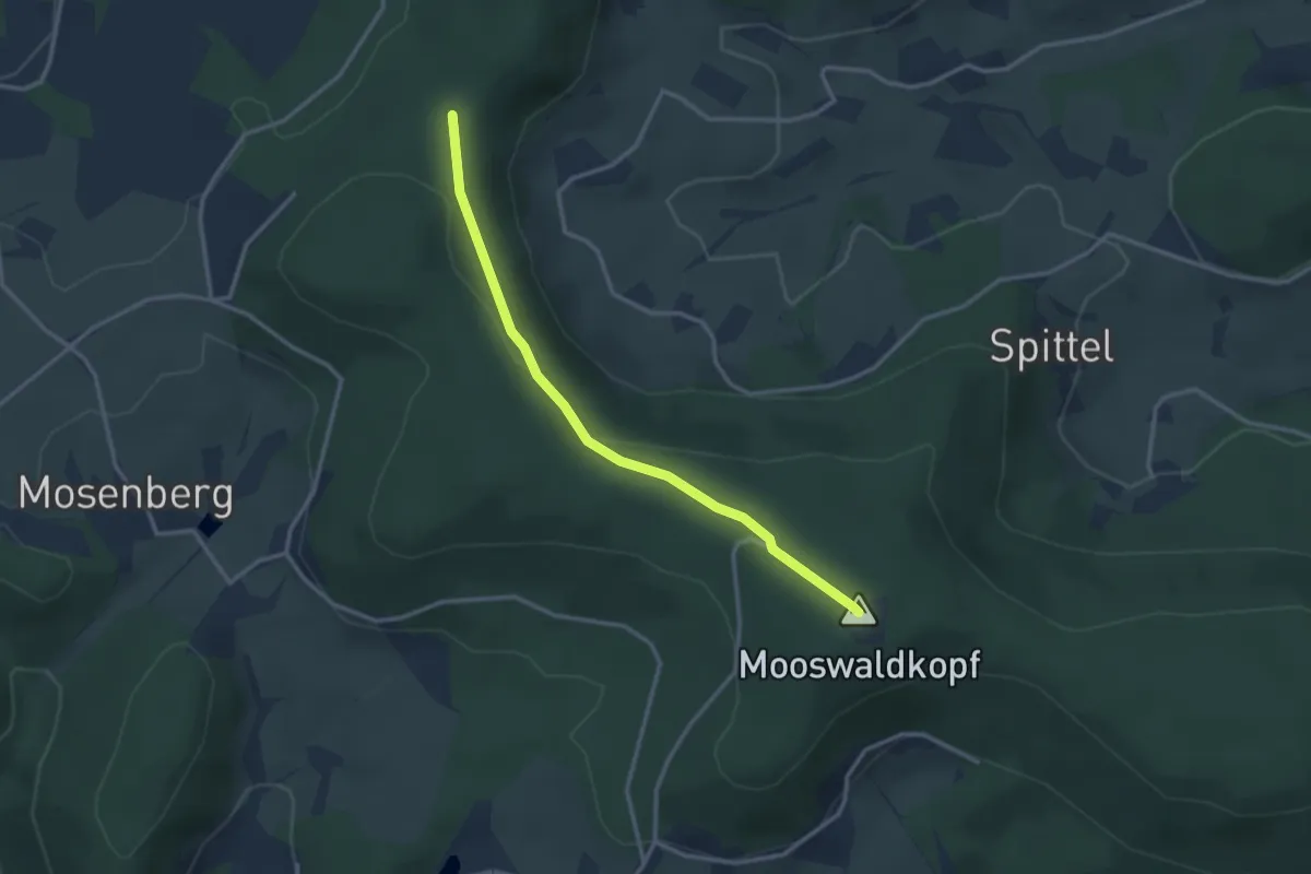
Easy · Summit
Kohlplatz - Fohrenbühl Gedächtnishaus
2.9 km · ↑ 86 m · 52 min
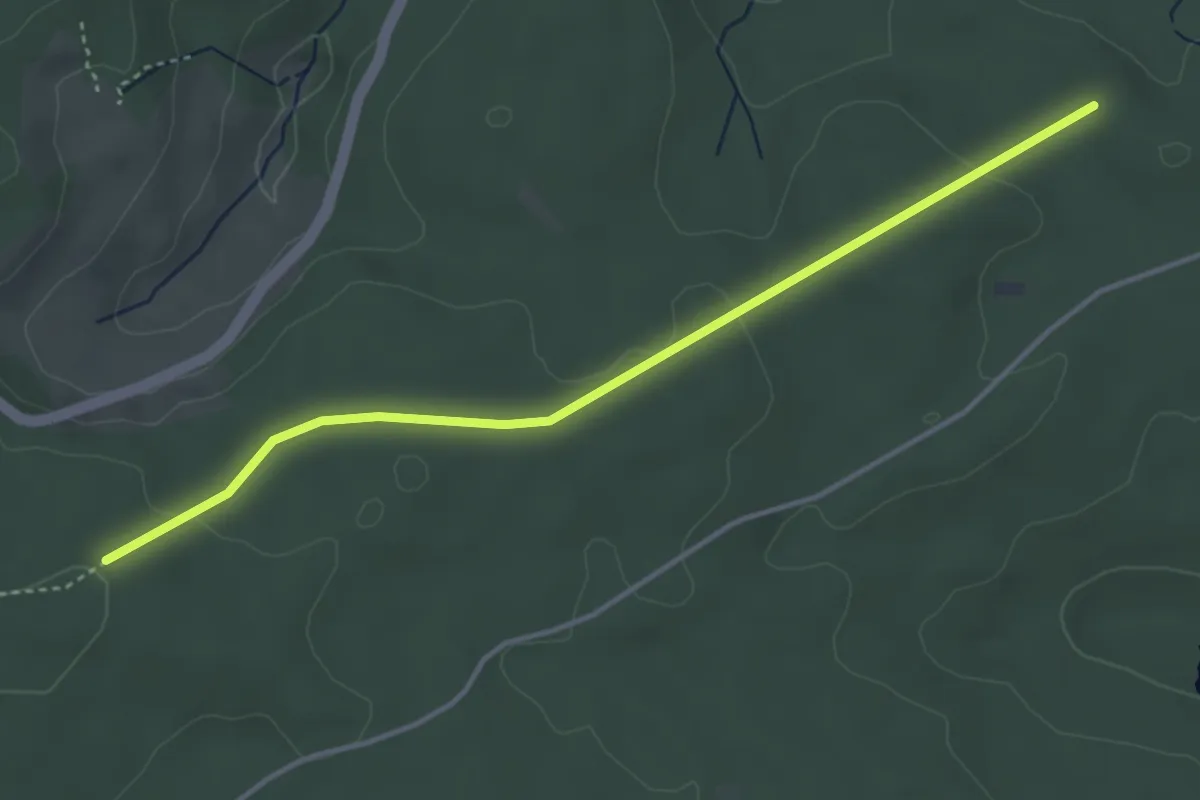
Easy · Trail
Kohlplatz - Rötenloch
4.0 km · ↑ 67 m · 1 h 5 min
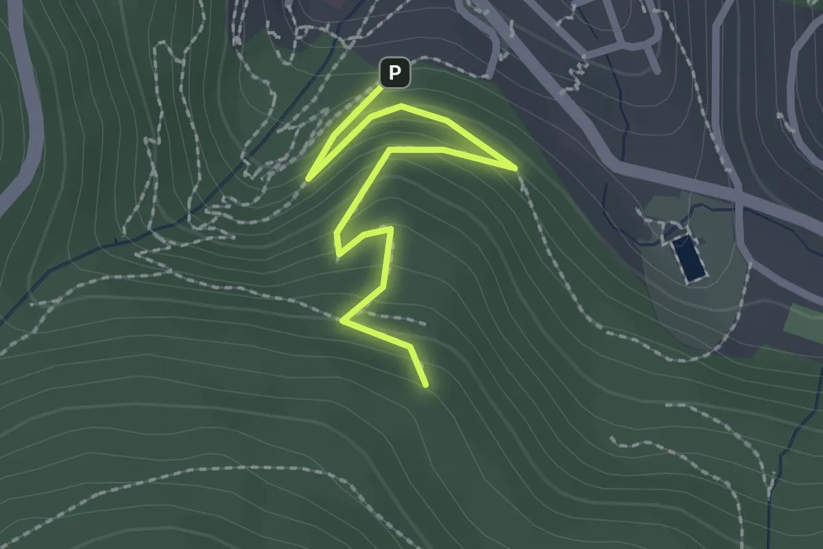
Easy · Trail
Kohlplatz - Triberg Asklepios-Klinik
2.1 km · ↑ 210 m · 57 min
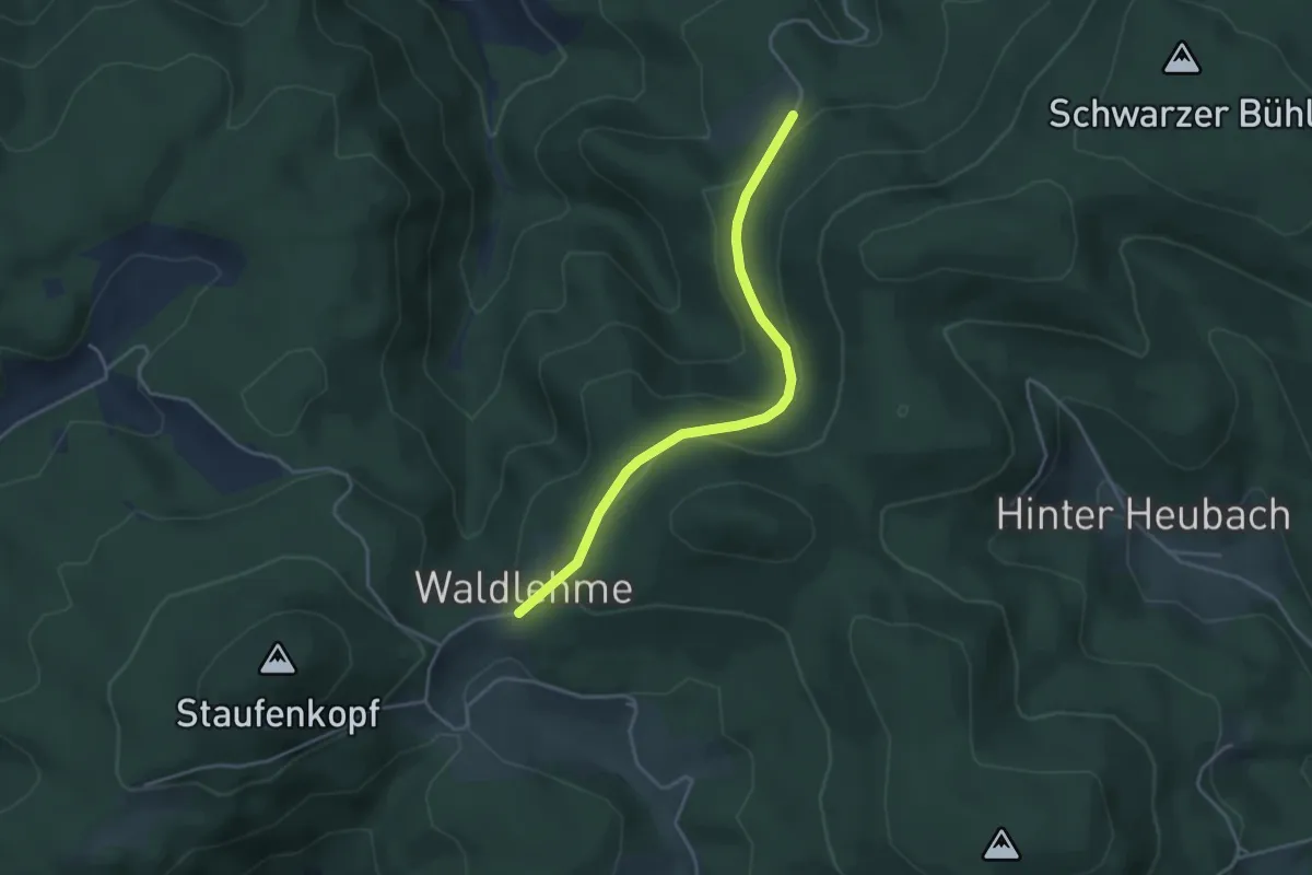
Easy · Trail
Kohlplatz - Waldhans
3.7 km · ↑ 136 m · 1 h 10 min
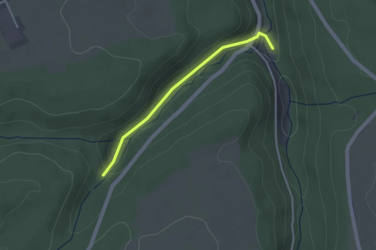
Easy · Trail
Kohlsägmühle - Dürrbach
2.3 km · ↑ 84 m · 44 min
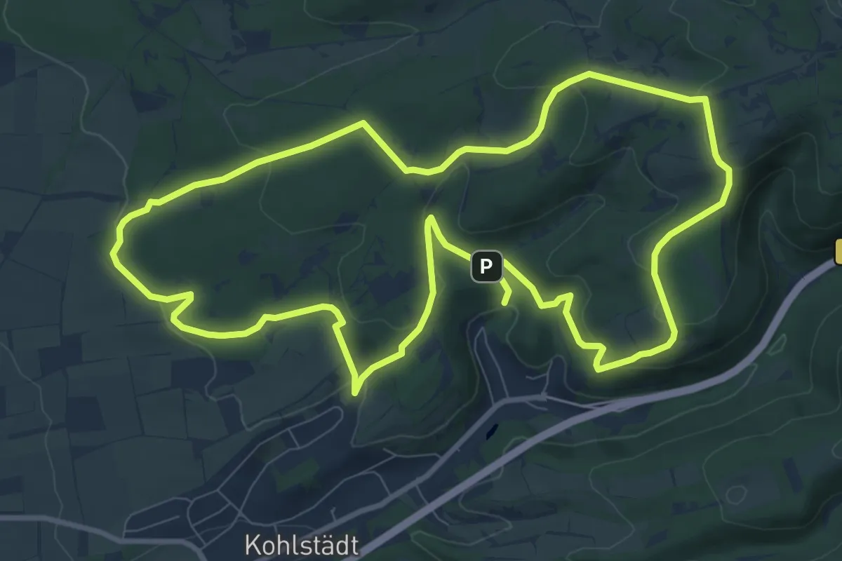
Medium · Trail
Kohlstädter Waldroute
9.0 km · ↑ 276 m · 2 h 52 min
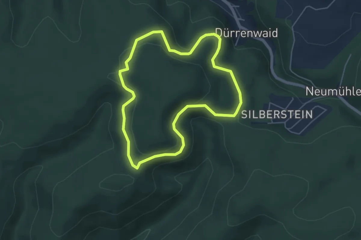
Easy · Summit
Kohlstattweg DÖ 98
3.9 km · ↑ 170 m · 1 h 20 min
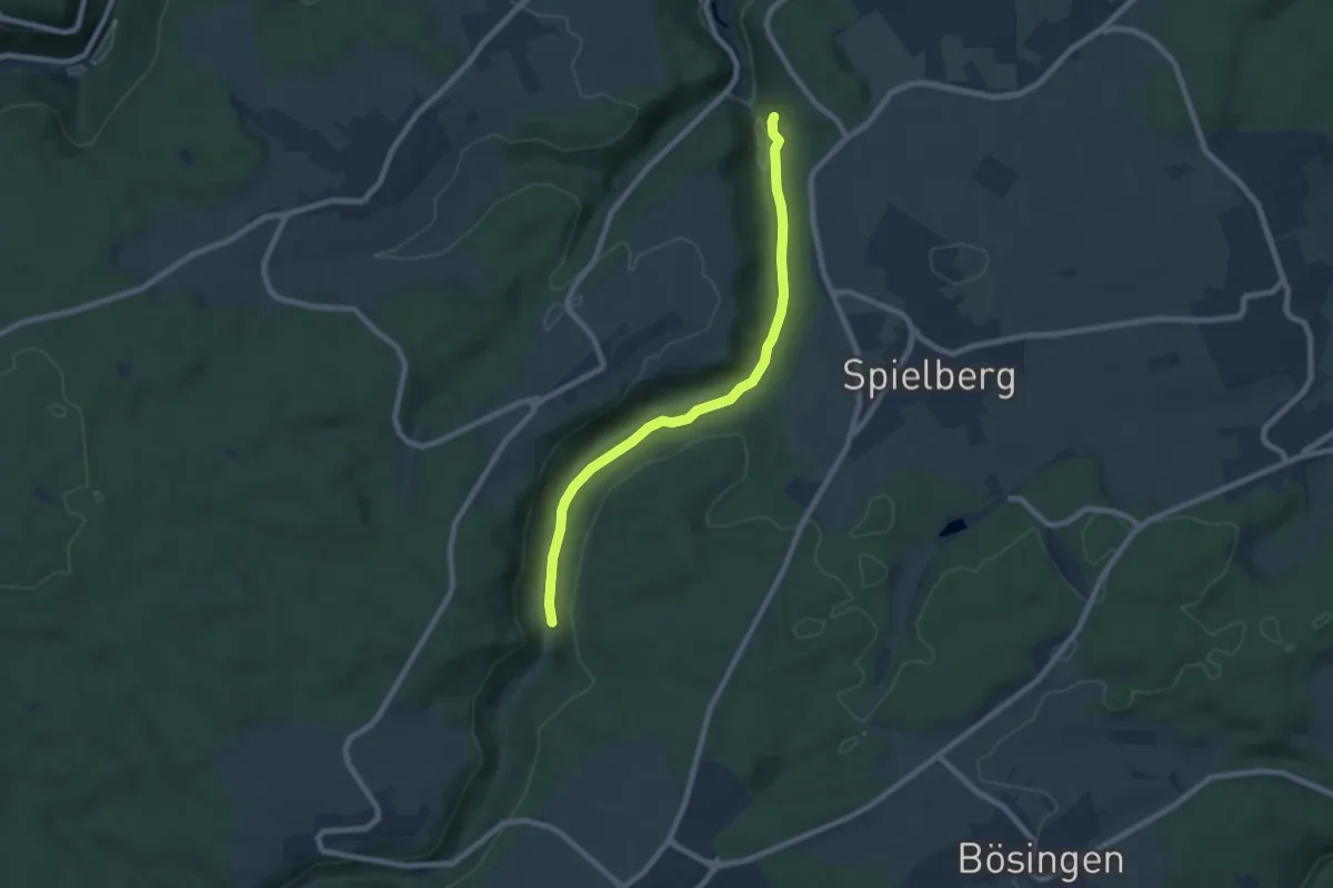
Easy · Trail
Kohlsteige - Zinsbachmühle
7.3 km · ↑ 145 m · 2 h 3 min
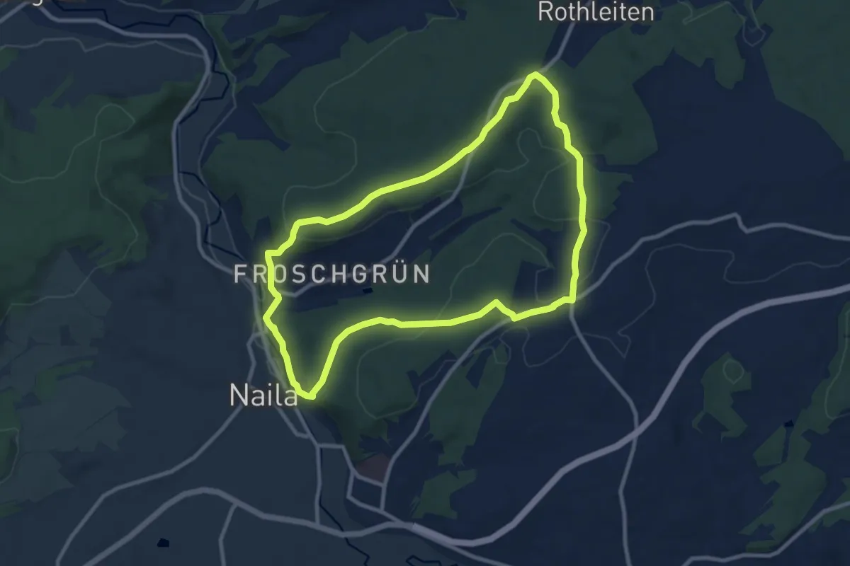
Medium · Trail
Kohlstein-Weg OS 42
8.3 km · ↑ 190 m · 2 h 29 min
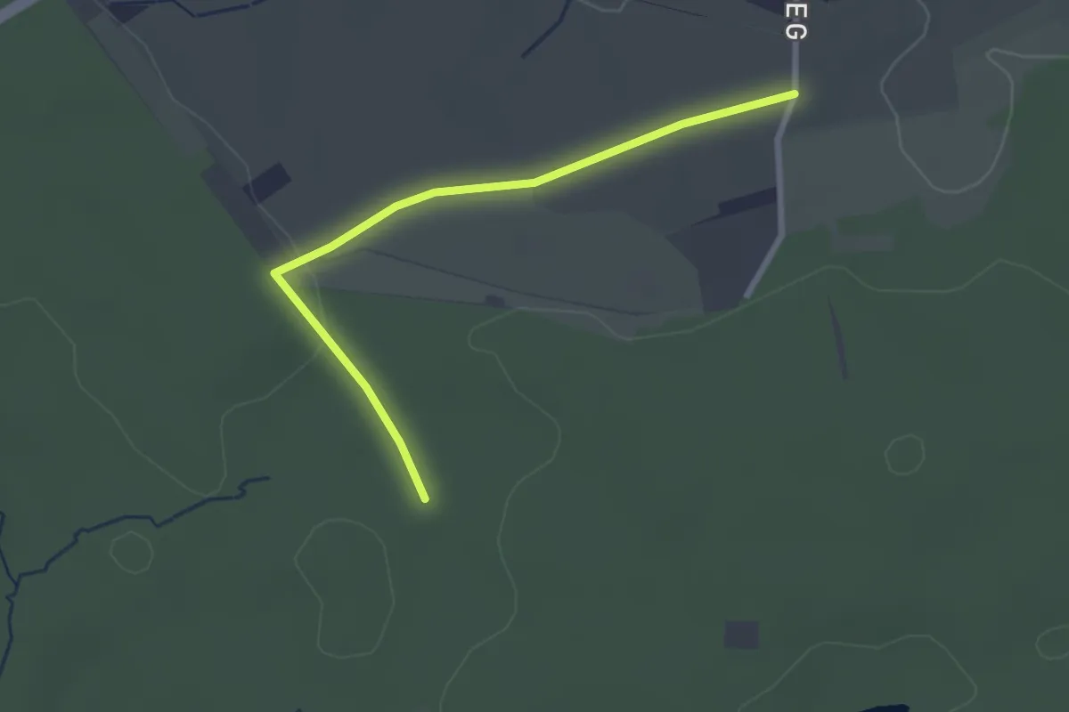
Easy · Trail
Kohltor-Runde barrierearm
2.5 km · ↑ 26 m · 39 min
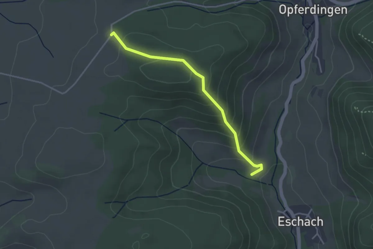
Easy · Trail
Kohlwald - An der Eschach
2.9 km · ↑ 171 m · 1 h 4 min
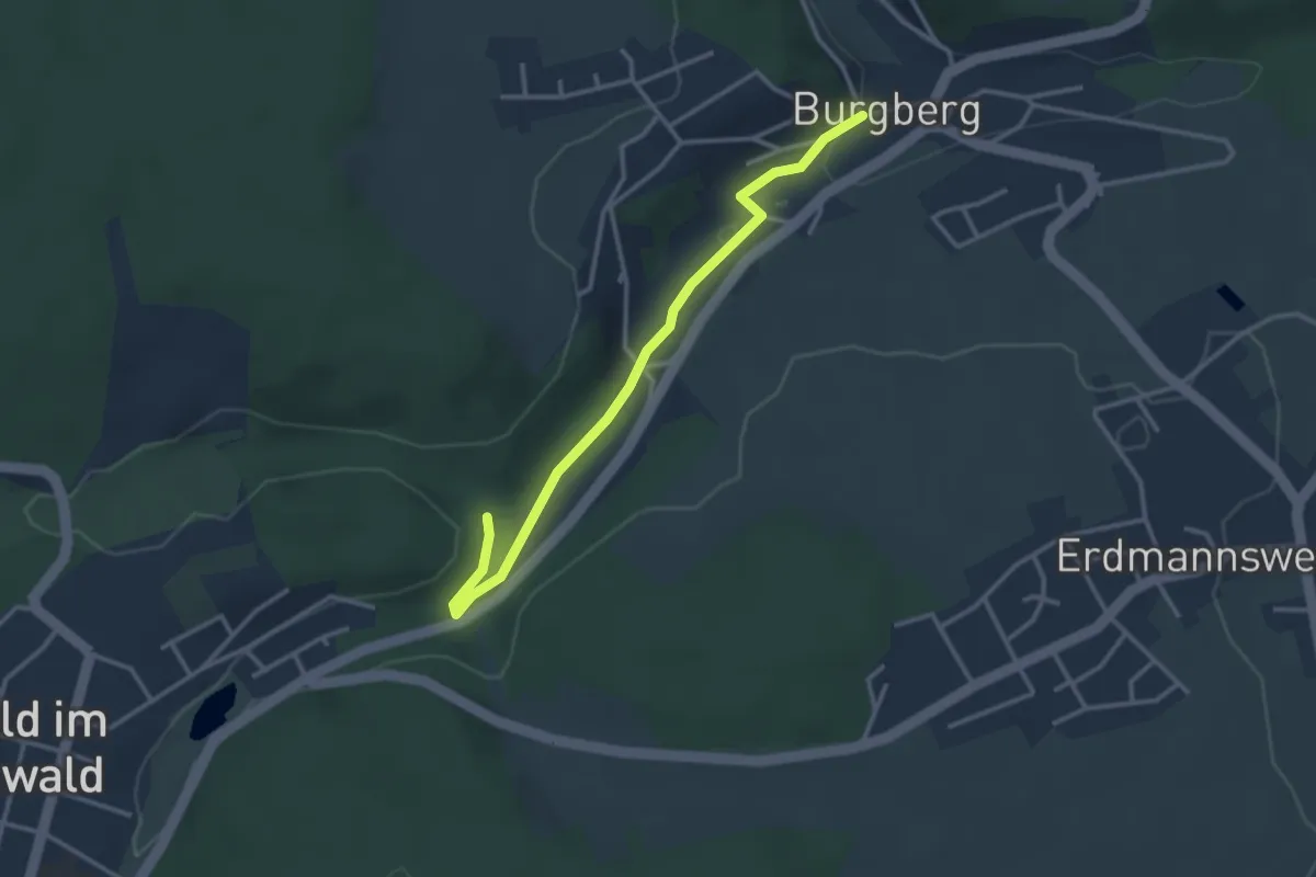
Easy · Trail
Kohlwald - Burgberg Burgstraße
3.1 km · ↑ 44 m · 50 min
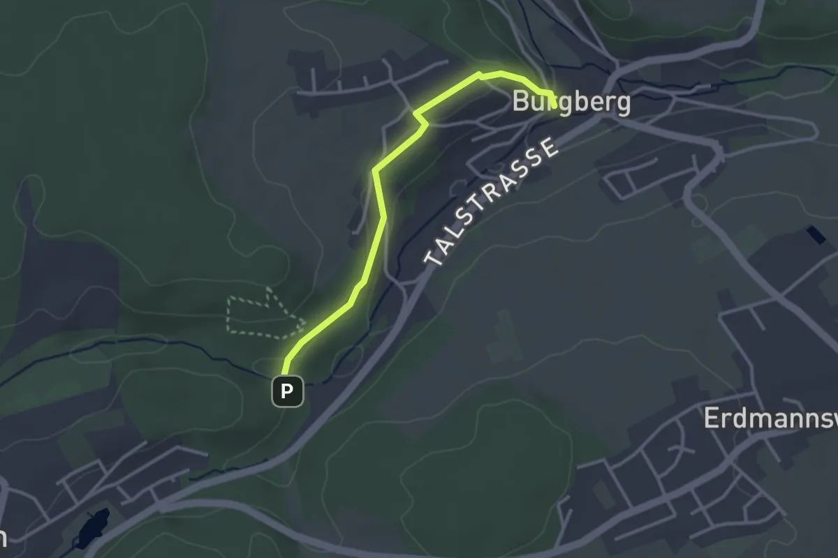
Easy · Trail
Kohlwald - Burgberg Burgstraße
2.8 km · ↑ 75 m · 49 min
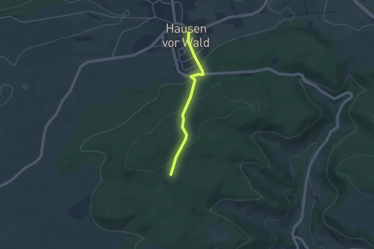
Easy · Trail
Kohlwaldhütte - Hausen vor Wald Rathaus
3.0 km · ↑ 113 m · 57 min
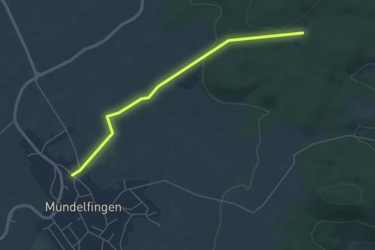
Easy · Trail
Kohlwaldhütte - Mundelfingen Sportplatz
4.4 km · ↑ 75 m · 1 h 12 min
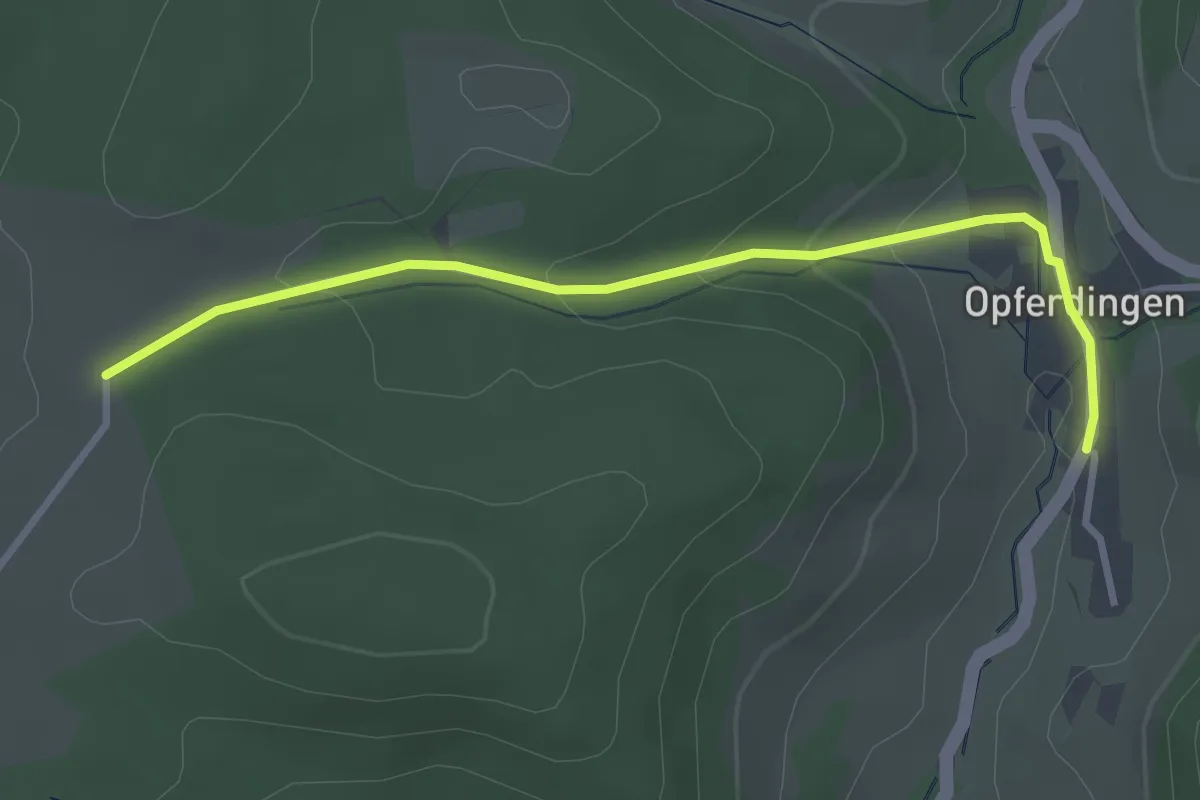
Easy · Trail
Kohlwald - Opferdingen Bushaltestelle
3.1 km · ↑ 103 m · 58 min
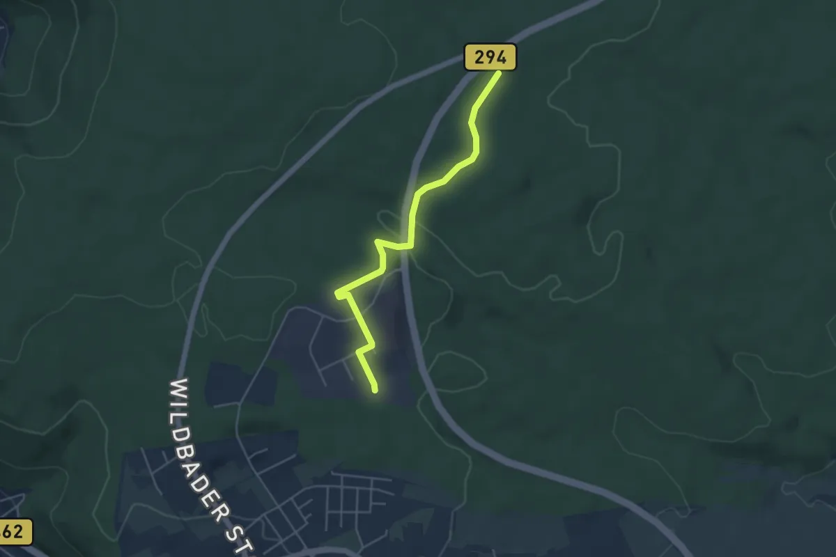
Easy · Trail
Kohlwald - Sulzhau
4.2 km · ↑ 106 m · 1 h 14 min
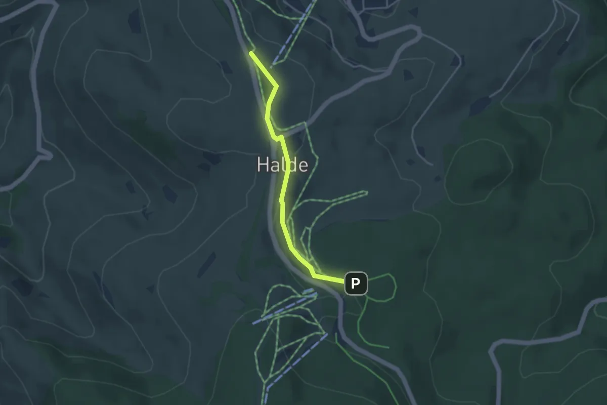
Easy · Trail
Kohlwald - Überm Pochelift
3.1 km · ↑ 72 m · 53 min
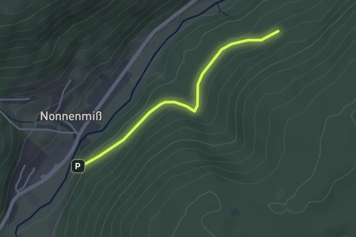
Easy · Trail
Kohlwanne - Leimgrund
3.1 km · ↑ 89 m · 55 min
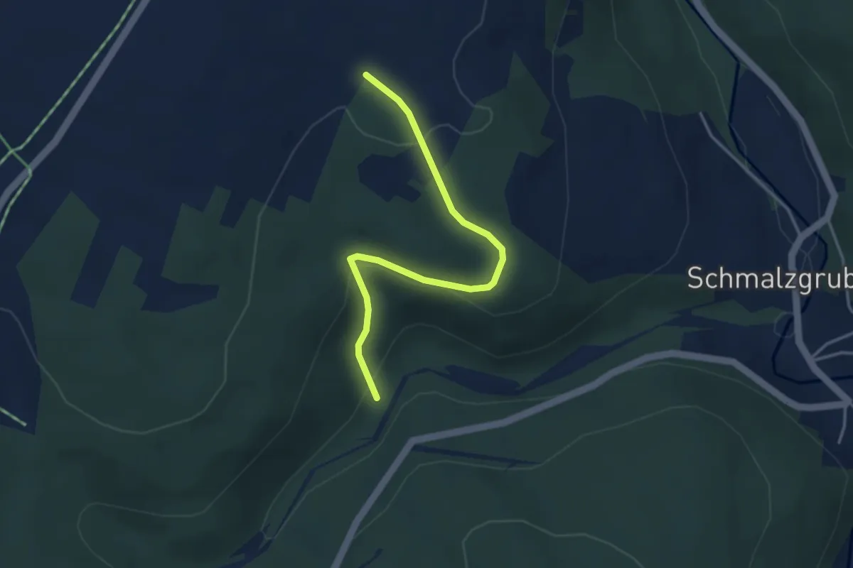
Easy · Trail
Kohlweg
3.3 km · ↑ 106 m · 1 h 1 min
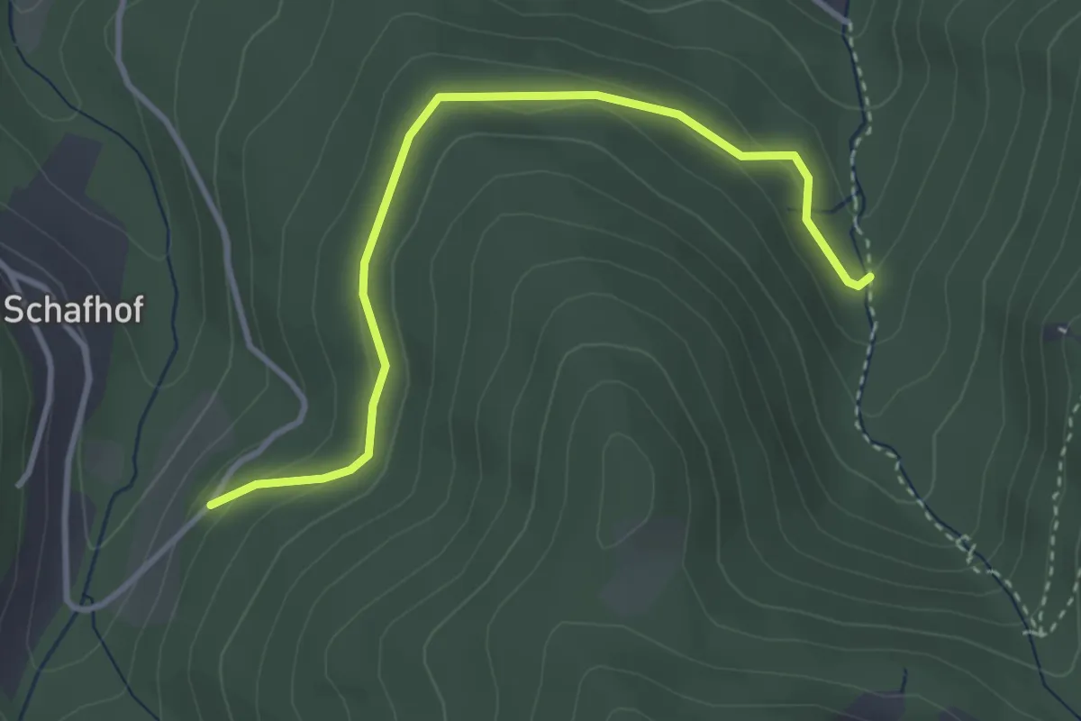
Easy · Trail
Kohlweg - Gertelbach Roßgumpen
3.4 km · ↑ 115 m · 1 h 3 min
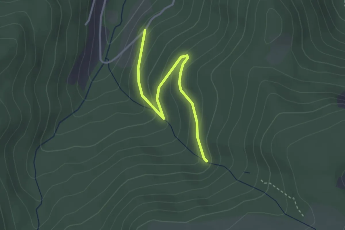
Easy · Trail
Kohlweg - Kohlwald
2.9 km · ↑ 168 m · 1 h 3 min
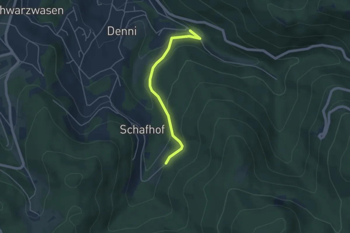
Easy · Trail
Kohlweg - Sickenwald
3.4 km · ↑ 147 m · 1 h 7 min
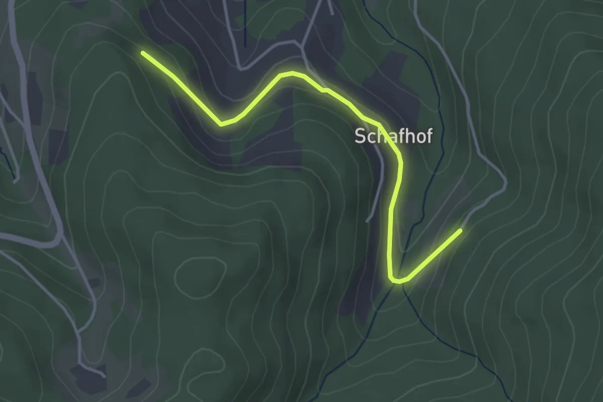
Easy · Trail
Kohlweg - Wolfsbrunnen
3.5 km · ↑ 84 m · 1 h 1 min
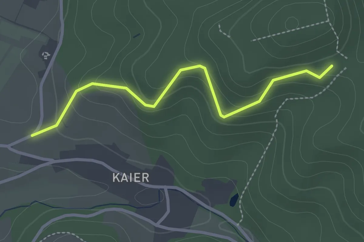
Easy · Trail
Kolbenhald - Am Katzenkopf
2.4 km · ↑ 151 m · 54 min
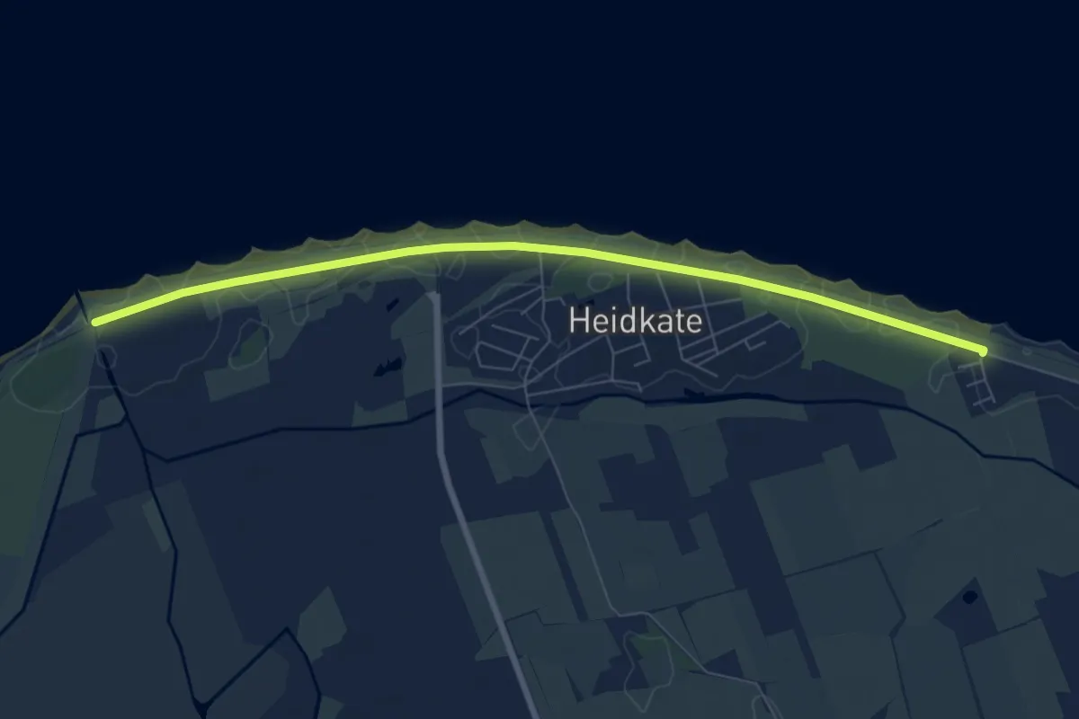
Easy · Trail
Kolberger Heide B
6.6 km · ↑ 0 m · 1 h 33 min
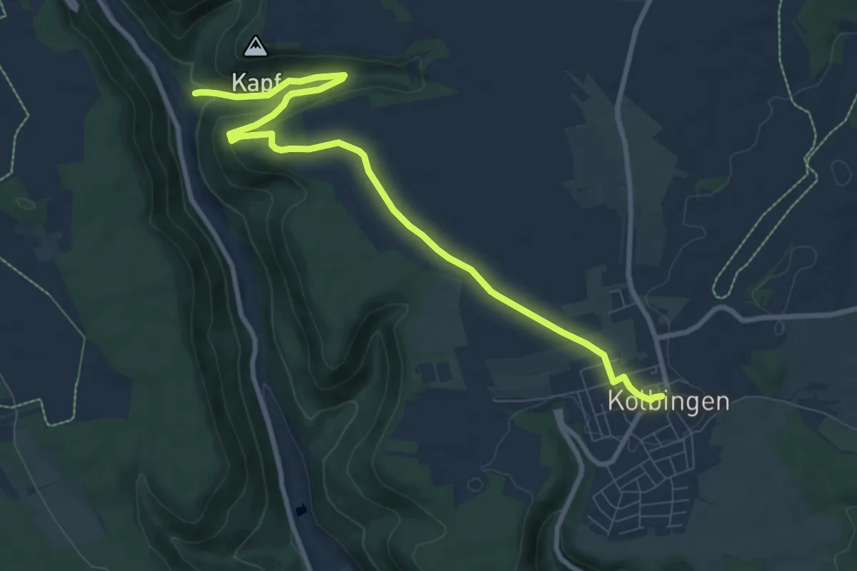
Medium · Trail
Kolbingen - Lippachtal
9.3 km · ↑ 203 m · 2 h 38 min
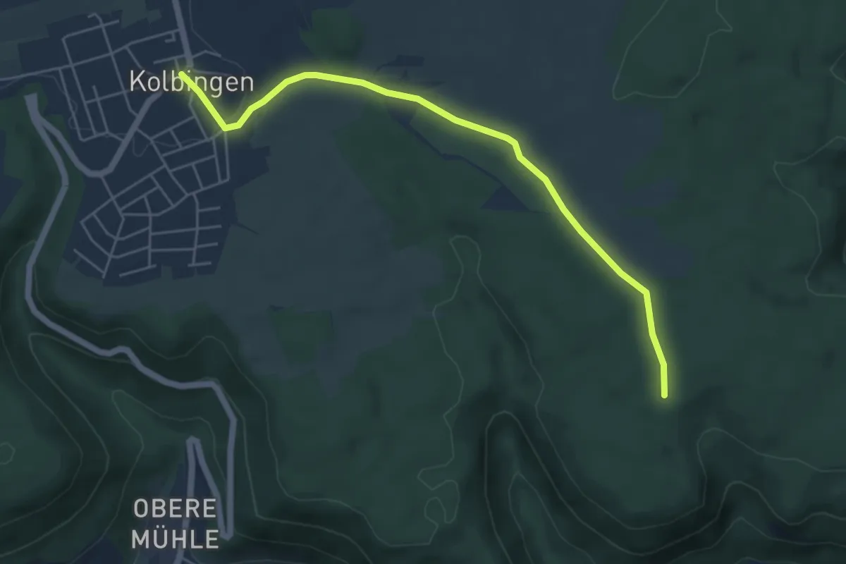
Easy · Trail
Kolbingen - Wasenhalde
5.2 km · ↑ 60 m · 1 h 21 min
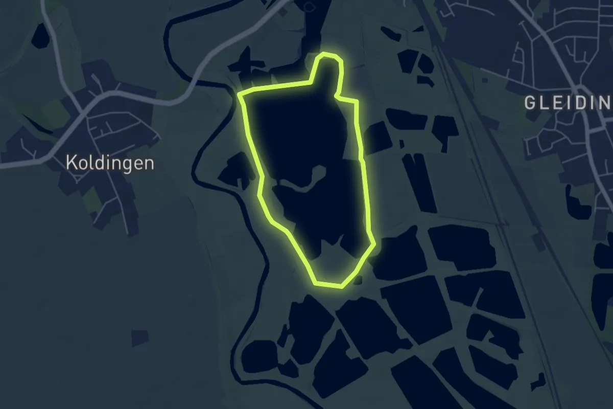
Easy · Trail
Koldinger-Seen-Weg
3.7 km · ↑ 0 m · 56 min
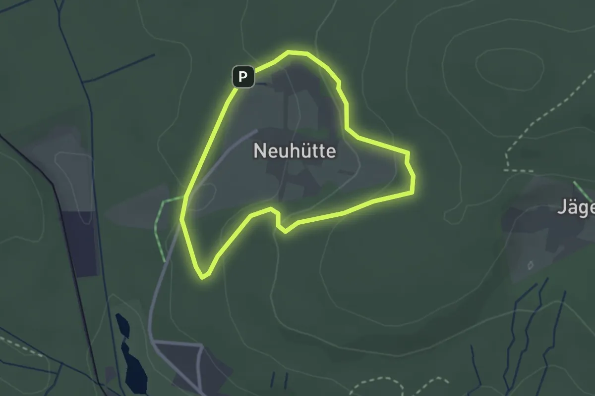
Easy · Trail
Kolkrabe
2.1 km · ↑ 60 m · 40 min
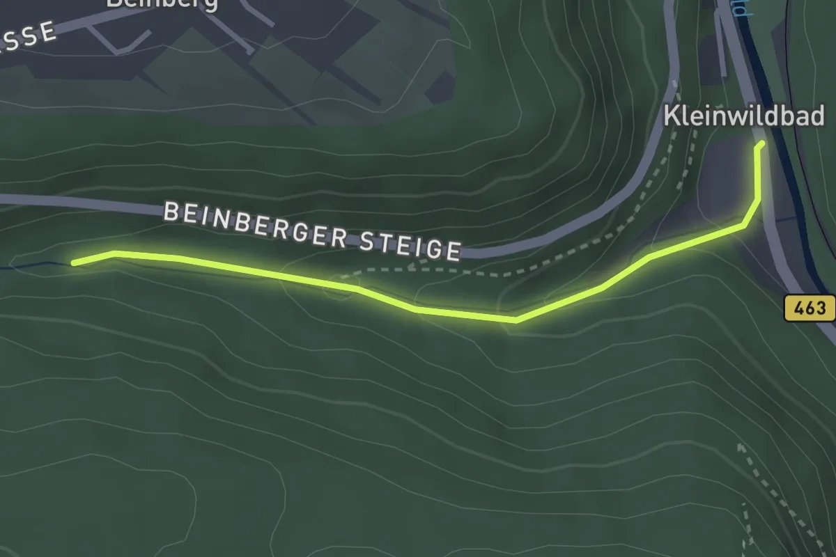
Easy · Trail
Kollbachbrücke - Bad Liebenzell Mineralbrunnen
2.7 km · ↑ 128 m · 56 min
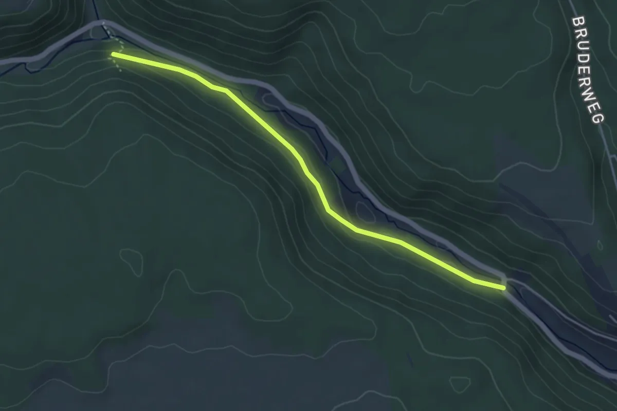
Easy · Trail
Köllbachbrücke - Baierberg
3.9 km · ↑ 51 m · 1 h 1 min
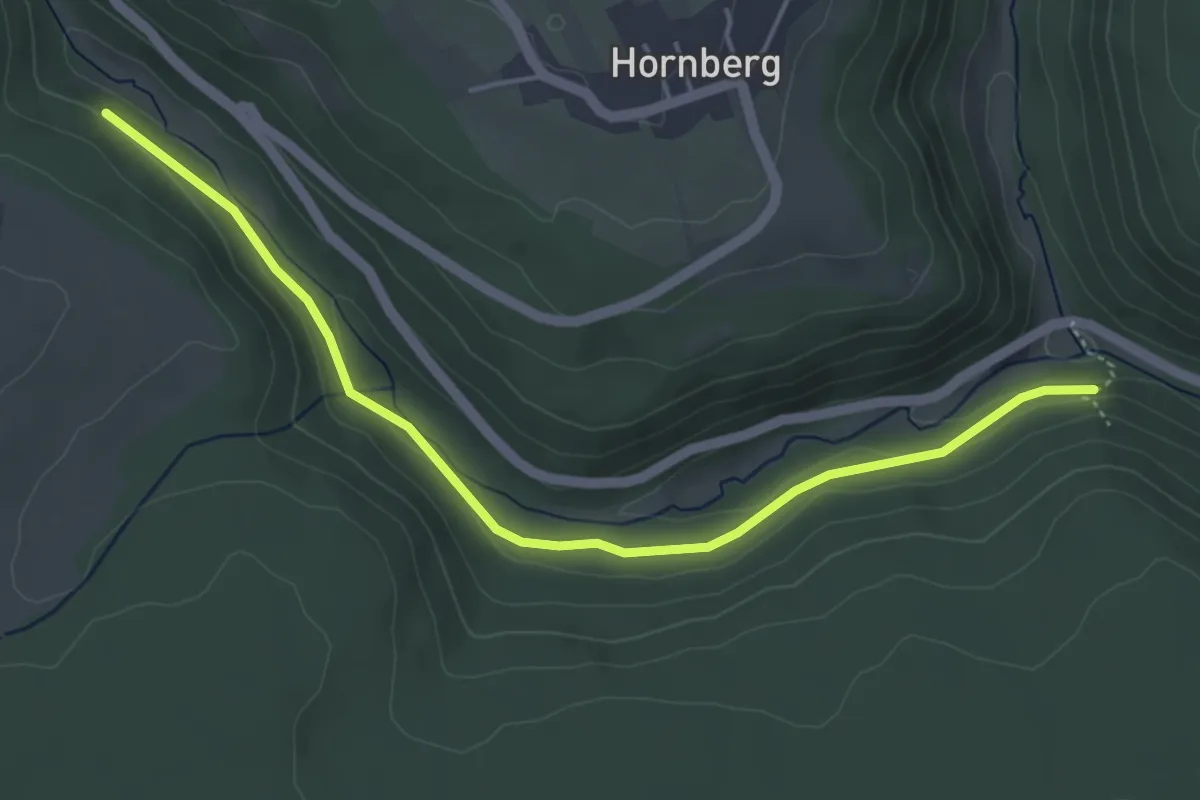
Easy · Trail
Köllbachsteg - Baierberg
4.7 km · ↑ 98 m · 1 h 20 min
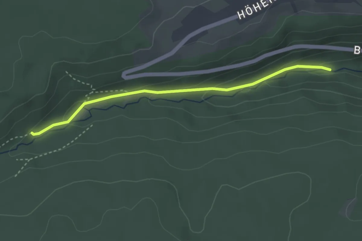
Easy · Trail
Kollbrunnen - Kollbachbrücke
3.0 km · ↑ 112 m · 57 min
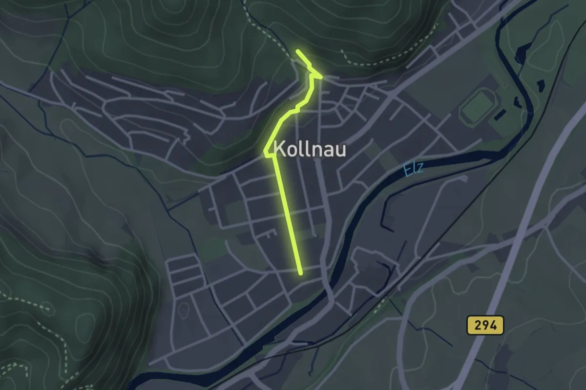
Easy · Trail
Kollnau Albert-Burger-Platz - Am Moosrain
2.0 km · ↑ 53 m · 35 min
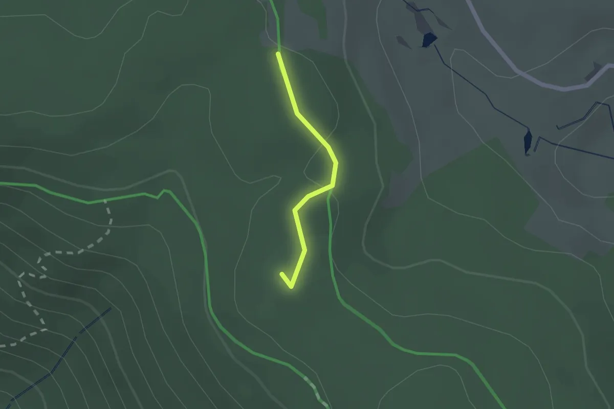
Easy · Summit
Kolmenkreuz - Naturfreundehaus Brend
1.2 km · ↑ 24 m · 21 min
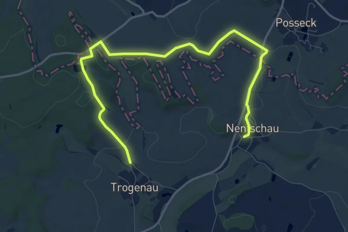
Easy · Trail
Kolonnenweg
5.2 km · ↑ 76 m · 1 h 27 min
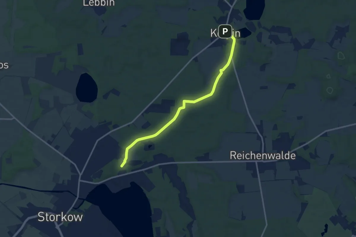
Medium · Trail
Kolpin - Storkow
9.1 km · ↑ 49 m · 2 h 16 min
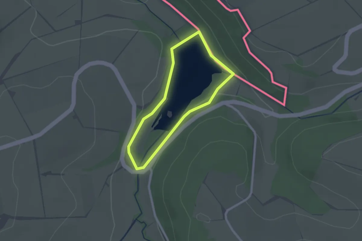
Easy · Trail
Komfortwanderweg Stausee Auw/Roth
1.5 km · ↑ 20 m · 26 min
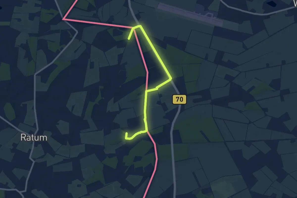
Easy · Trail
Kommiezenpad1 / Kommiesenpatt1
3.2 km · ↑ 8 m · 50 min
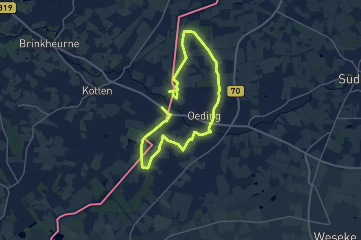
Medium · Trail
Kommiezenpad3 / Kommiesenpatt3
10.0 km · ↑ 28 m · 2 h 33 min
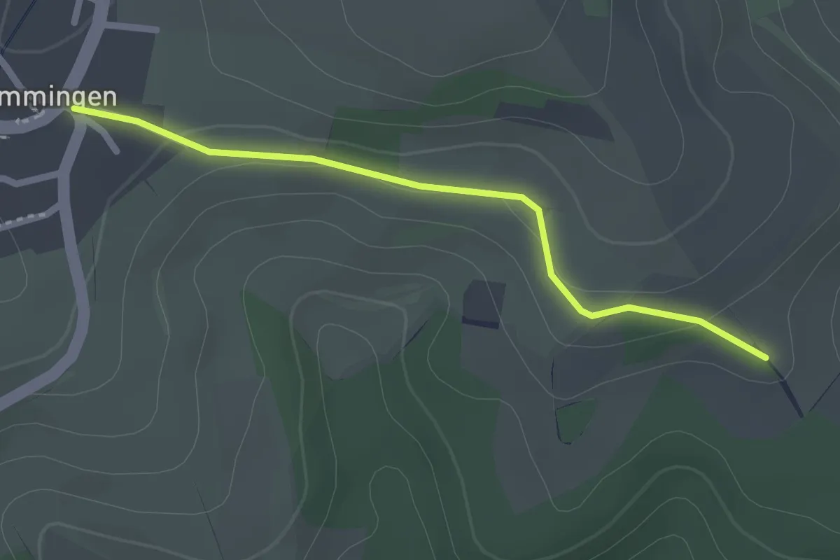
Easy · Trail
Kommingen Ortsmitte - Vorderer Worberg
2.1 km · ↑ 33 m · 33 min
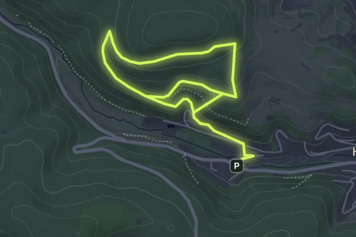
Easy · Summit
KommunikationsWALD
3.8 km · ↑ 182 m · 1 h 19 min
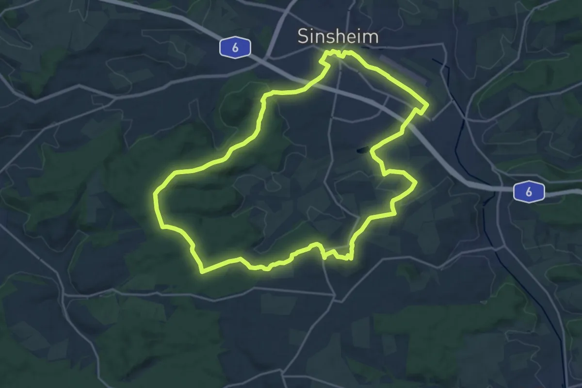
Medium · Summit
Kompass des Kraichgaus
17.5 km · ↑ 269 m · 4 h 58 min
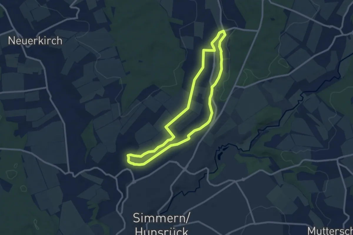
Easy · Trail
Kondbach Rundweg
7.1 km · ↑ 65 m · 1 h 55 min