Trails in Germany
36,852 hiking trails, each with its route, climb, walking time and grade.
All trails, page 300 of 768
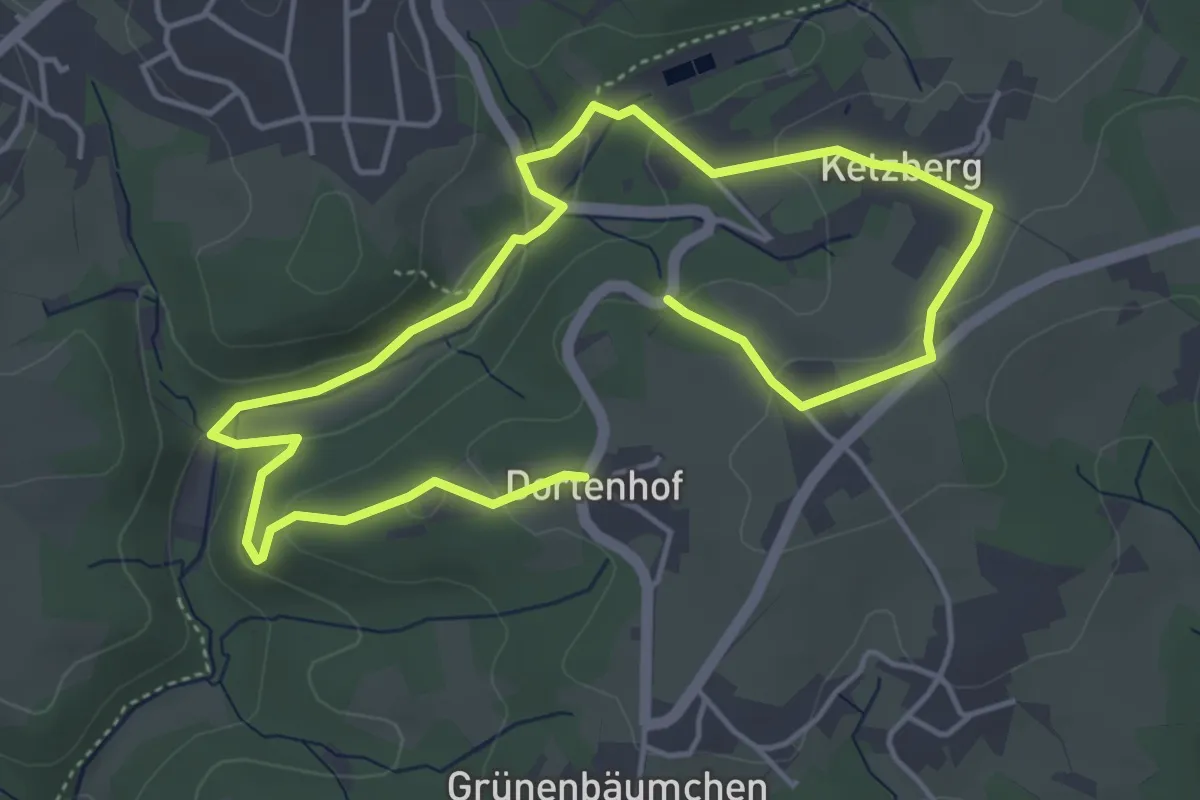
Easy · Trail
Könenmühle Rundweg A1
6.9 km · ↑ 170 m · 2 h
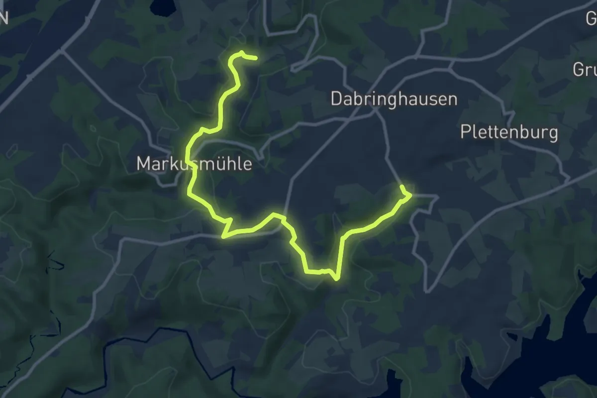
Easy · Trail
Könenmühle Rundweg A3
5.0 km · ↑ 142 m · 1 h 33 min
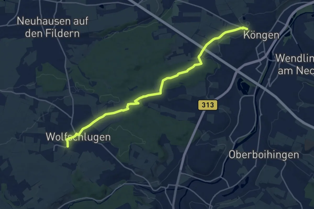
Medium · Trail
Köngen - Wolfschlugen
15.4 km · ↑ 157 m · 3 h 59 min
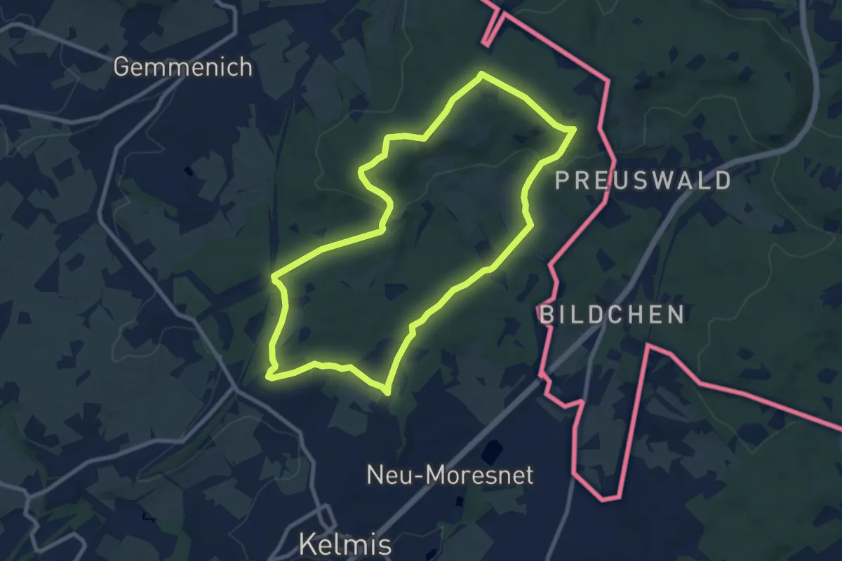
Easy · Trail
König
7.7 km · ↑ 147 m · 2 h 14 min
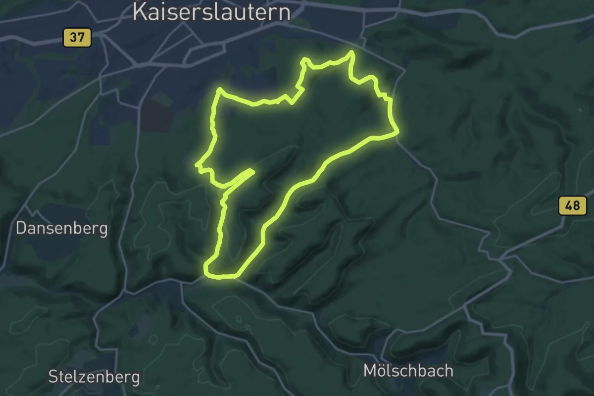
Medium · Summit
König-Albrecht-Wanderweg
16.9 km · ↑ 402 m · 5 h 5 min
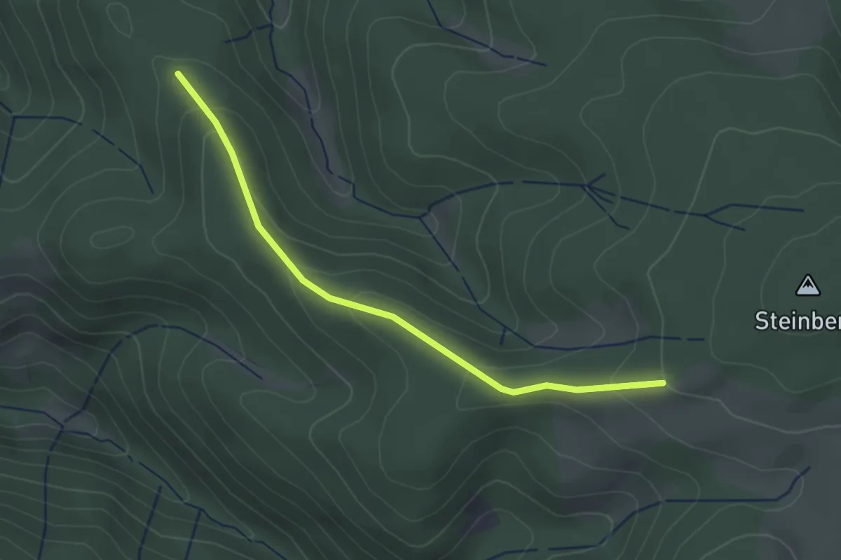
Easy · Trail
Königenkreuz - Ehemaliges Geigershäusle
2.9 km · ↑ 130 m · 58 min
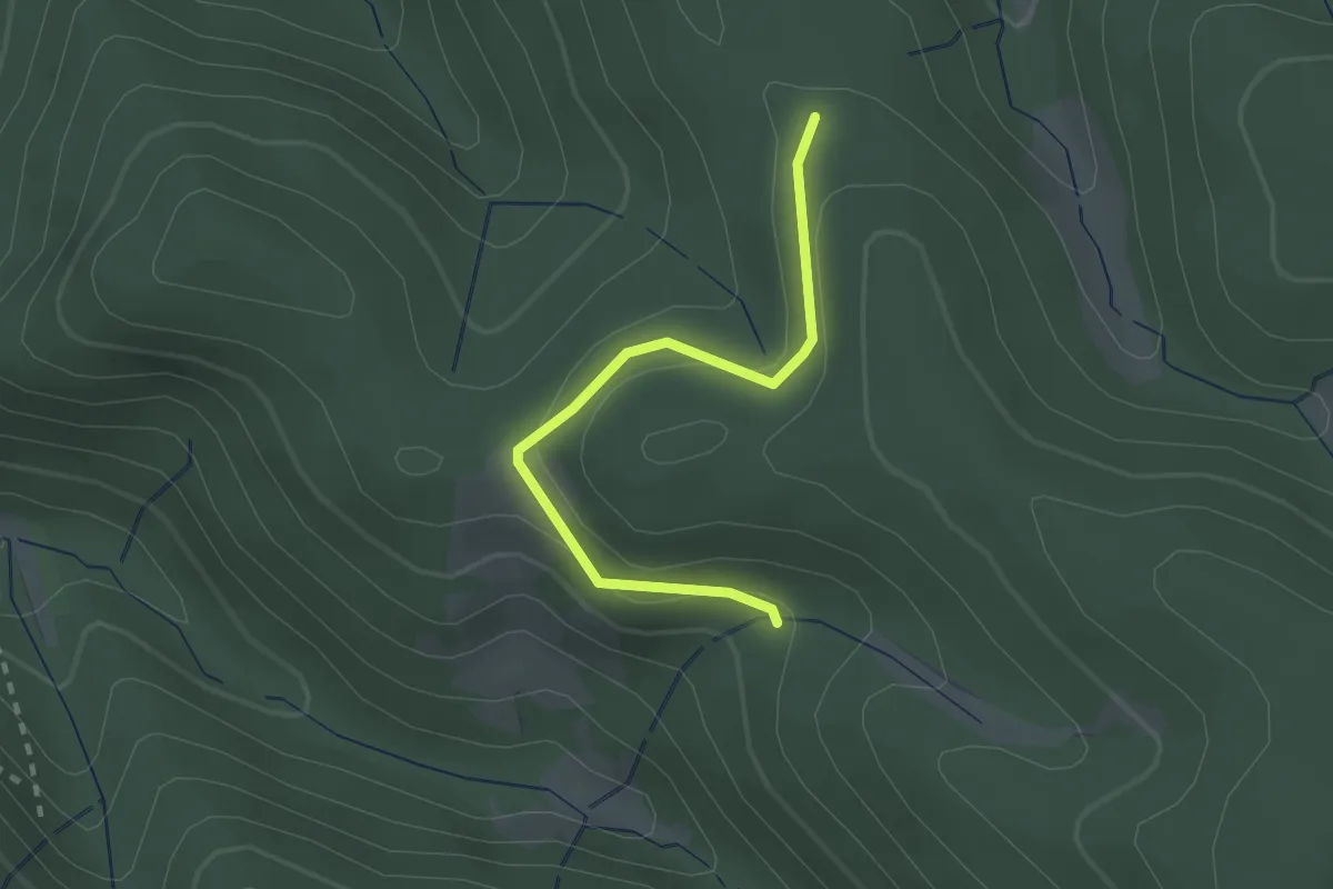
Easy · Trail
Königenkreuz - Kaspersberg
2.1 km · ↑ 78 m · 40 min
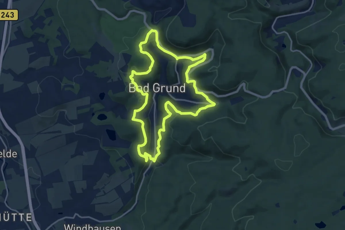
Medium · Summit
König-Hübich-Route
10.4 km · ↑ 325 m · 3 h 19 min
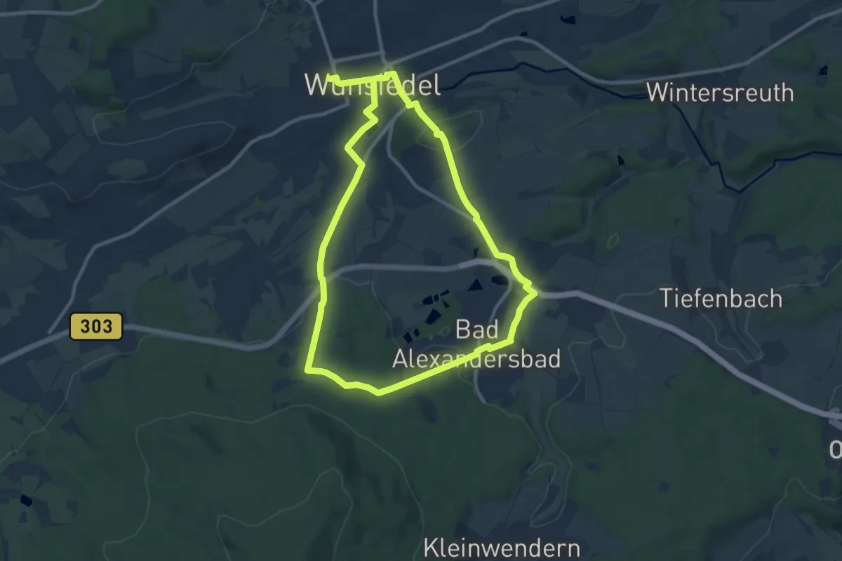
Medium · Trail
Königin-Luise-Weg
8.6 km · ↑ 184 m · 2 h 33 min
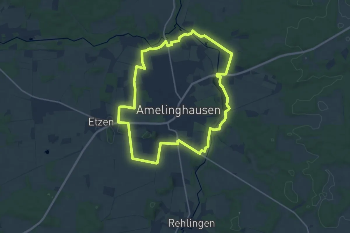
Medium · Trail
Königinnen-Weg
11.0 km · ↑ 71 m · 2 h 54 min
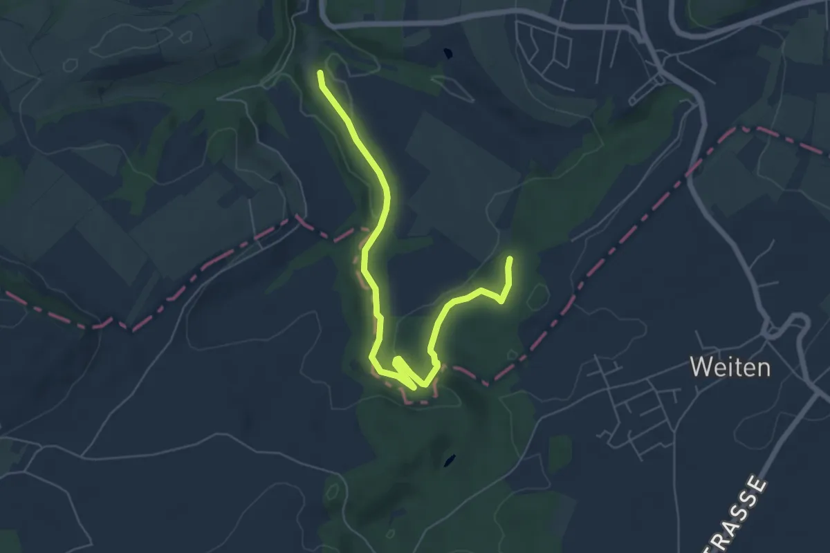
Easy · Trail
König-Johann-Runde
3.0 km · ↑ 26 m · 51 min
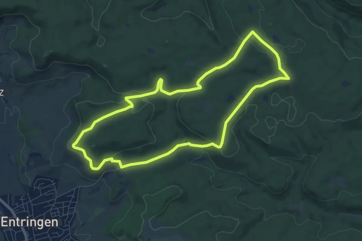
Medium · Summit
Königliche Jagdhütte
8.0 km · ↑ 169 m · 2 h 22 min
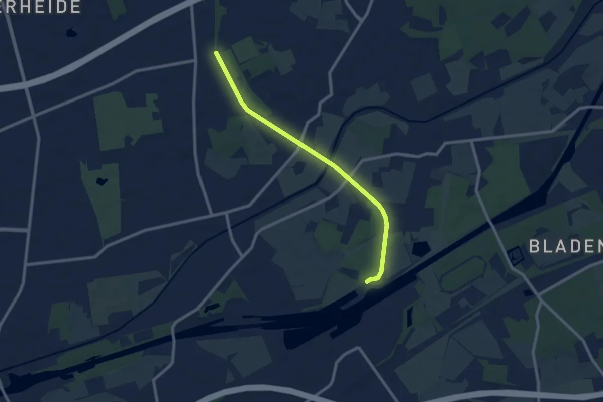
Easy · Trail
König Ludwig Trasse (1. Bauabschnitt, Fertig)
5.9 km · ↑ 30 m · 1 h 28 min
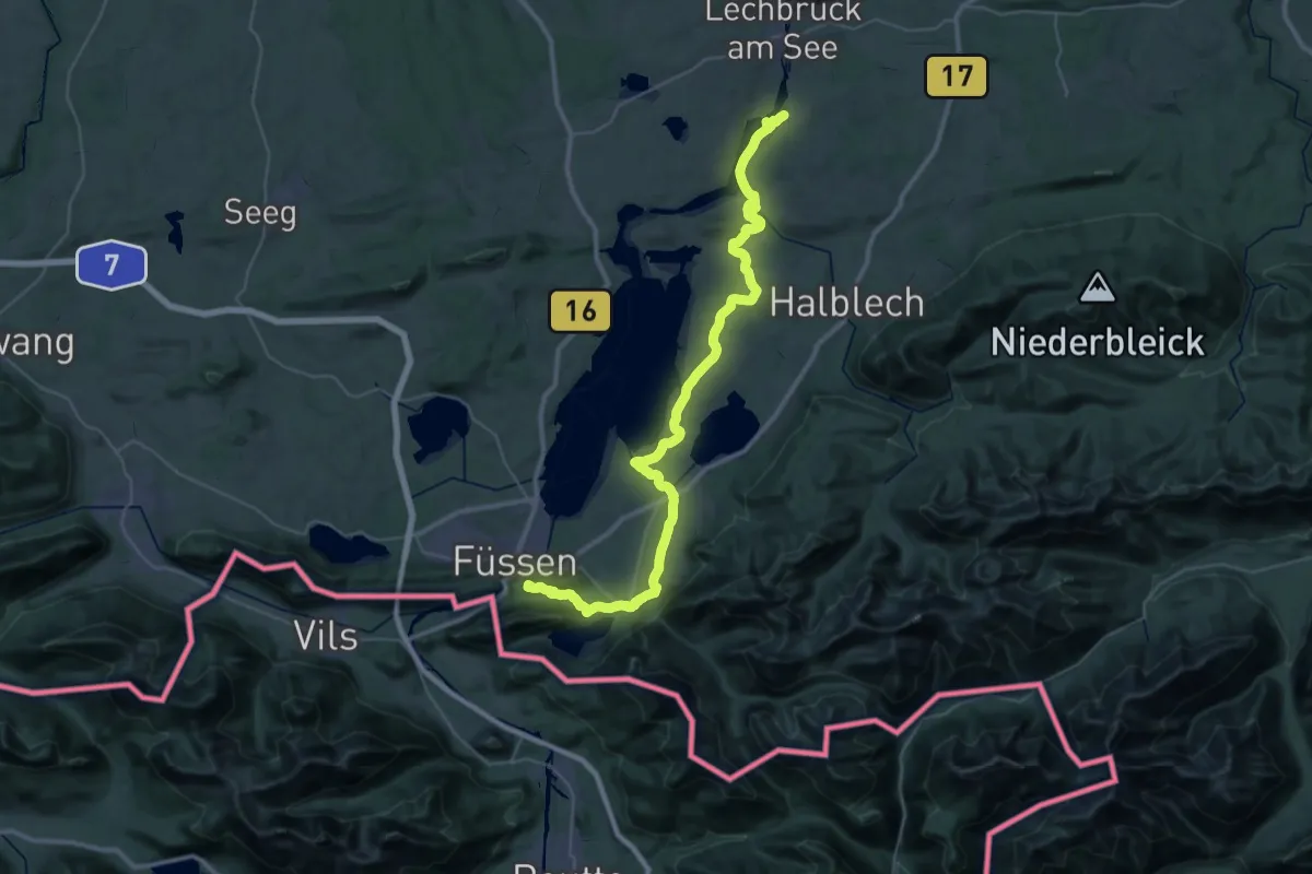
Demanding · Summit
König-Ludwig-Weg
45.4 km · ↑ 658 m · 12 h 9 min
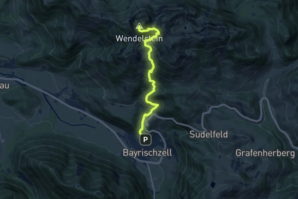
Demanding · Summit
König Maximilianweg
9.8 km · ↑ 993 m · 4 h 28 min
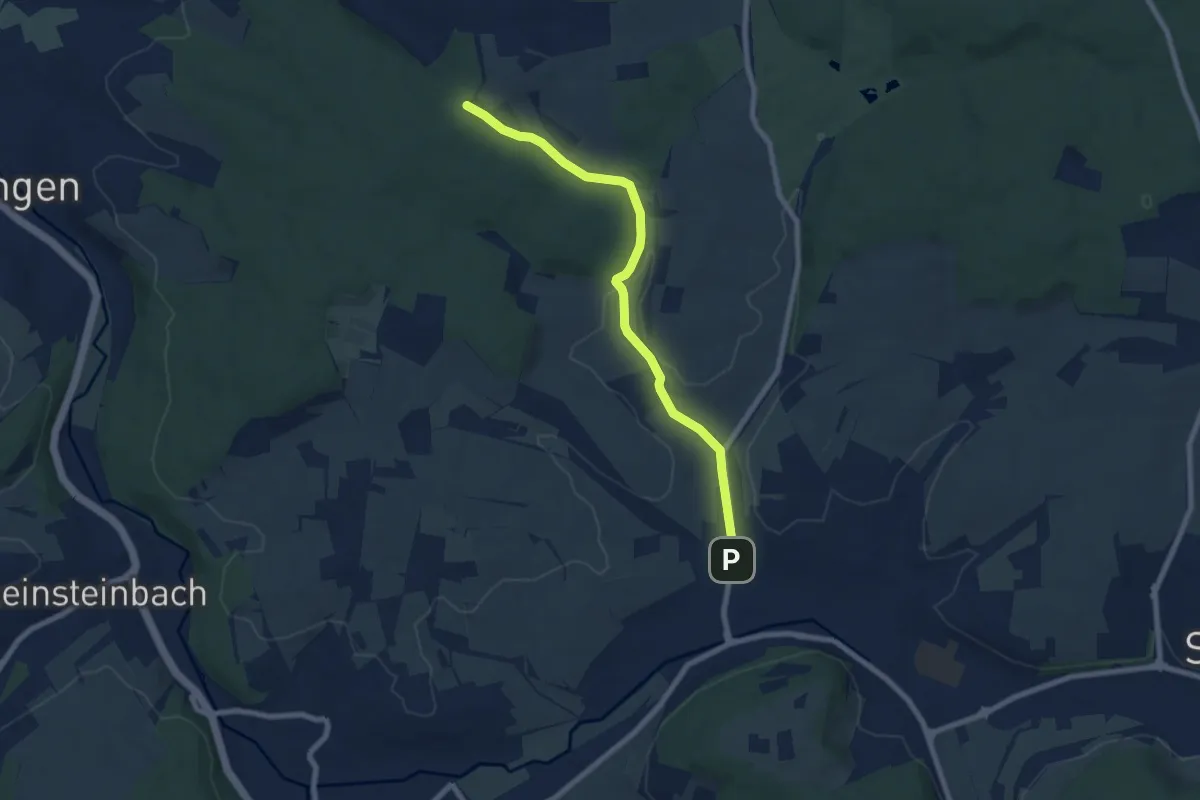
Easy · Trail
Königsbach Reitplatz - Löchlewald Kreuz
7.0 km · ↑ 112 m · 1 h 54 min
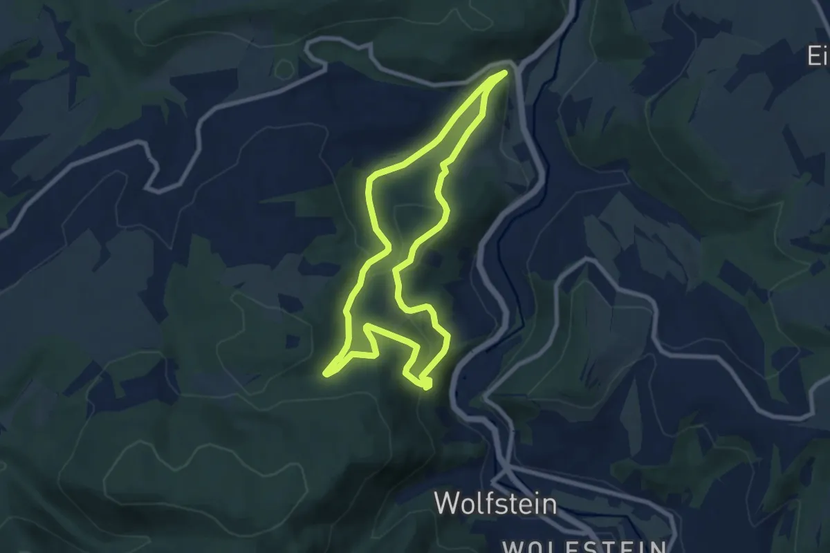
Medium · Trail
Königsbachweg
6.5 km · ↑ 253 m · 2 h 11 min
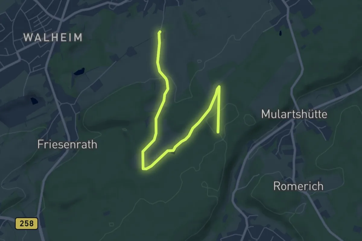
Easy · Trail
Königsberg Rundweg A3
6.9 km · ↑ 108 m · 1 h 52 min
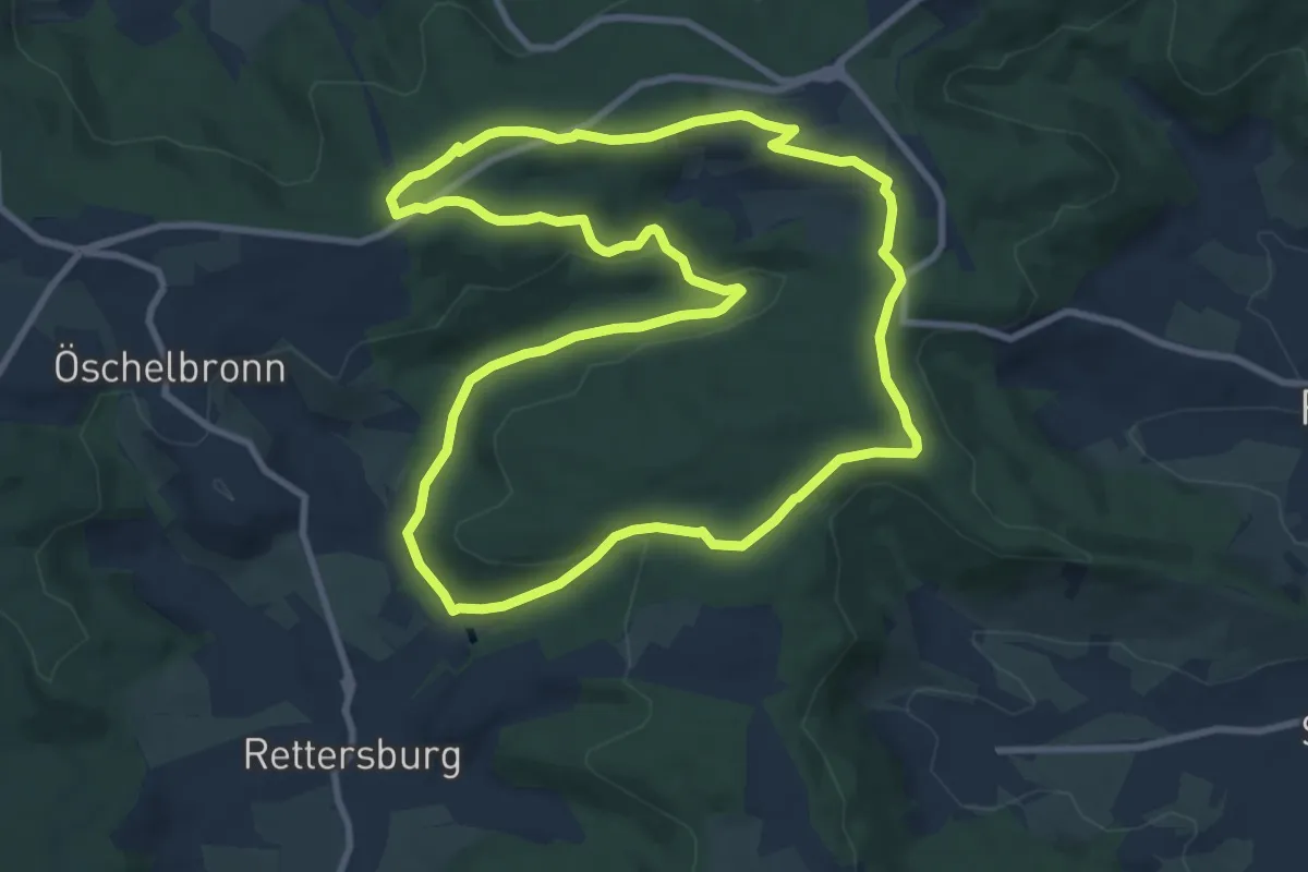
Medium · Trail
Königsbronn-Rundweg
9.5 km · ↑ 184 m · 2 h 47 min
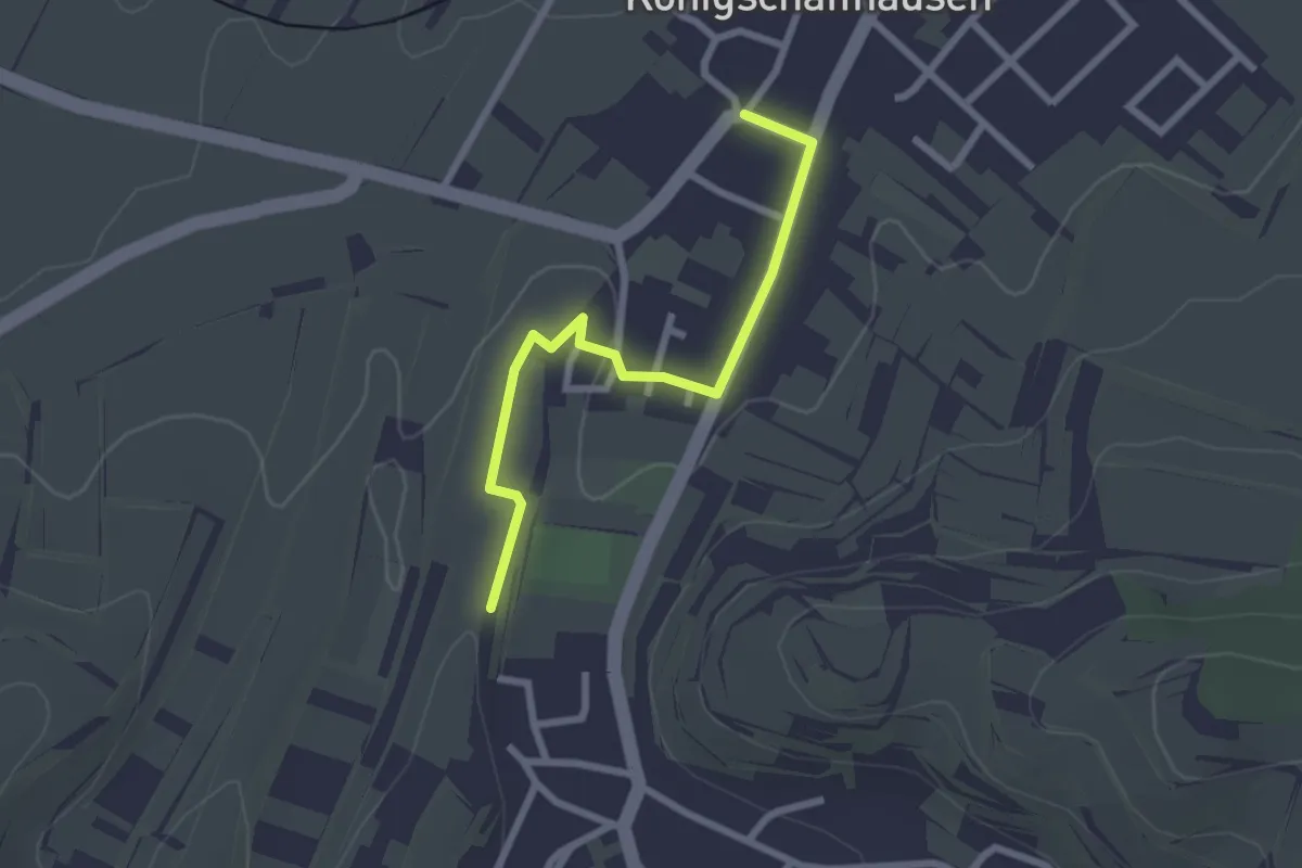
Easy · Trail
Königschaffhausen Ortschaftsamt - Gätterle
2.4 km · ↑ 19 m · 36 min
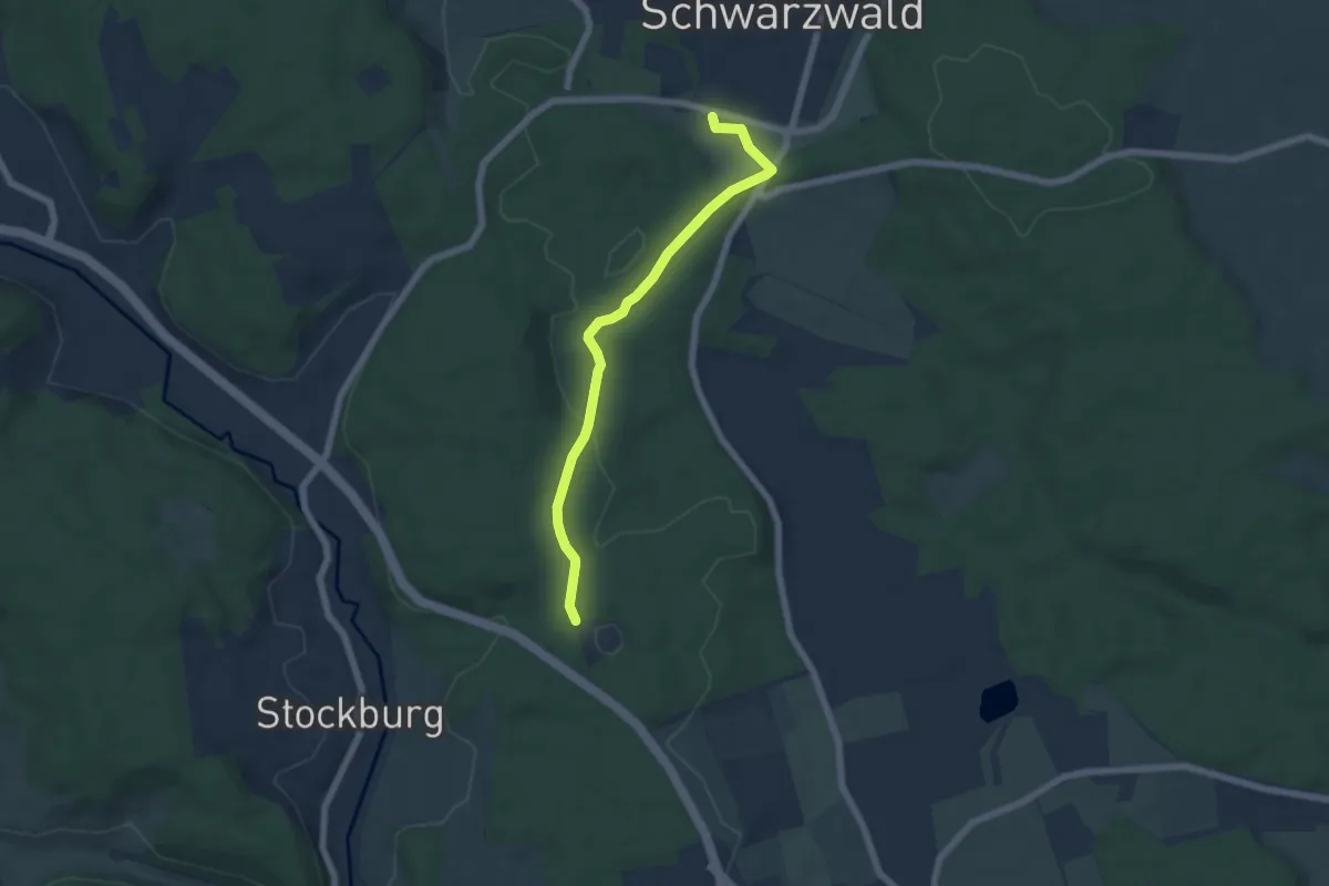
Easy · Trail
Königsfeld Freibad - Bildstöckle
5.6 km · ↑ 83 m · 1 h 30 min
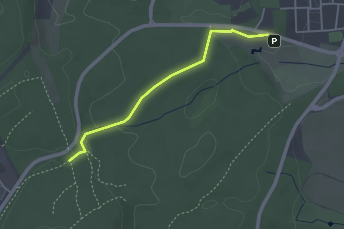
Easy · Trail
Königsfeld Freibad - Lagerplatz
2.9 km · ↑ 56 m · 48 min
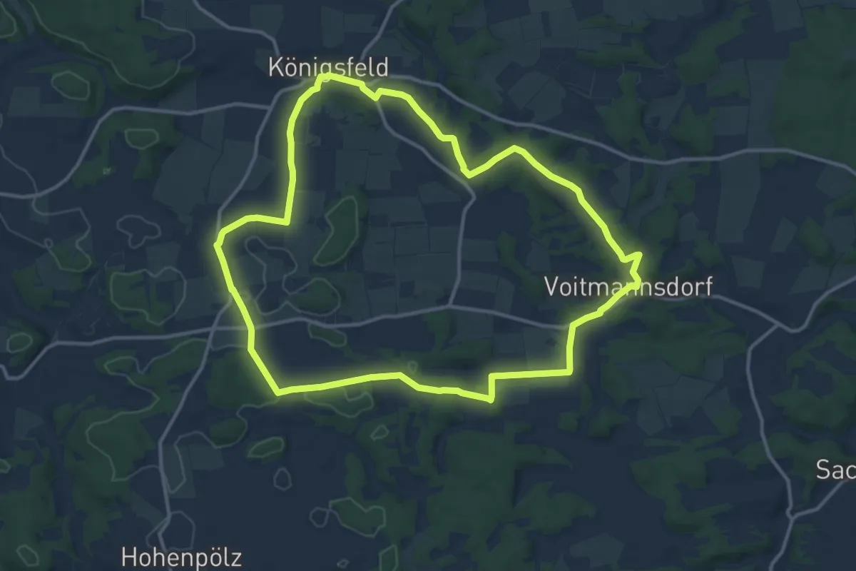
Medium · Trail
Königsfeld Kapellenweg (Blaue Route)
11.9 km · ↑ 101 m · 3 h 12 min
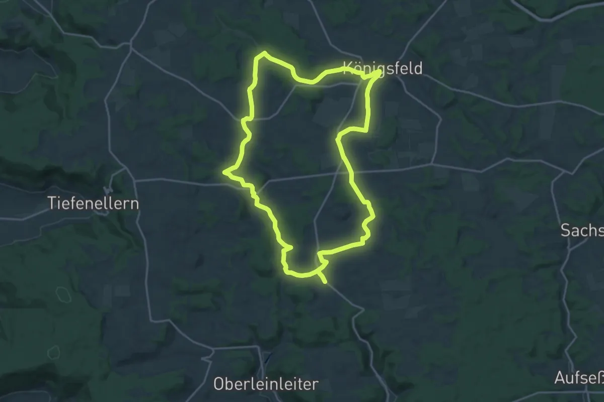
Medium · Trail
Königsfeld Kapellenweg (Gelbe Route)
17.4 km · ↑ 202 m · 4 h 47 min
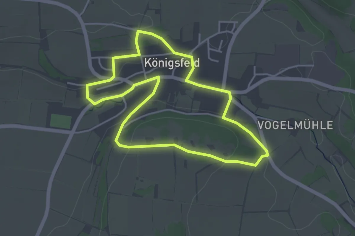
Easy · Trail
Königsfeld Kapellenweg (Grüne Route)
3.4 km · ↑ 55 m · 59 min
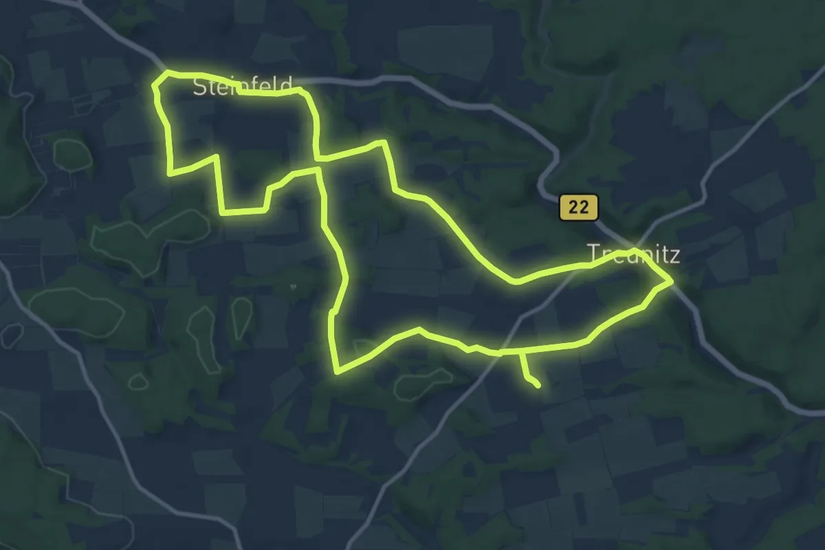
Medium · Trail
Königsfeld Kapellenweg (Rote Route)
11.8 km · ↑ 148 m · 3 h 16 min
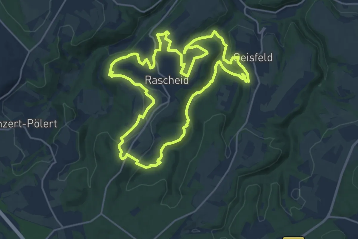
Medium · Summit
Königsfeldschleife
13.0 km · ↑ 426 m · 4 h 10 min
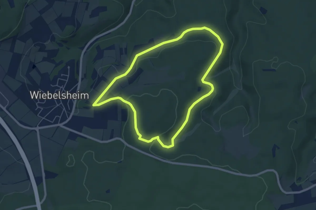
Easy · Trail
Königsfeldschleife
4.9 km · ↑ 106 m · 1 h 28 min
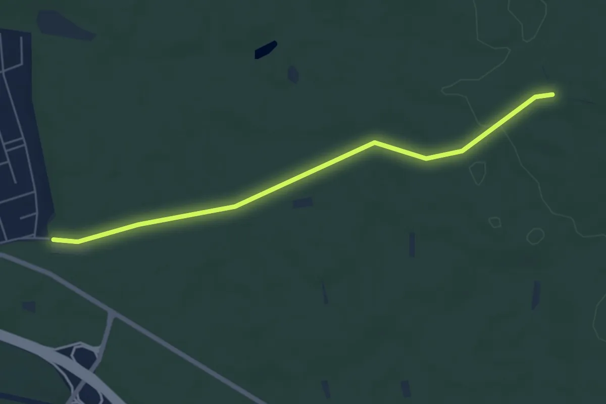
Easy · Trail
Königsforst Rundweg A1
2.5 km · ↑ 54 m · 43 min
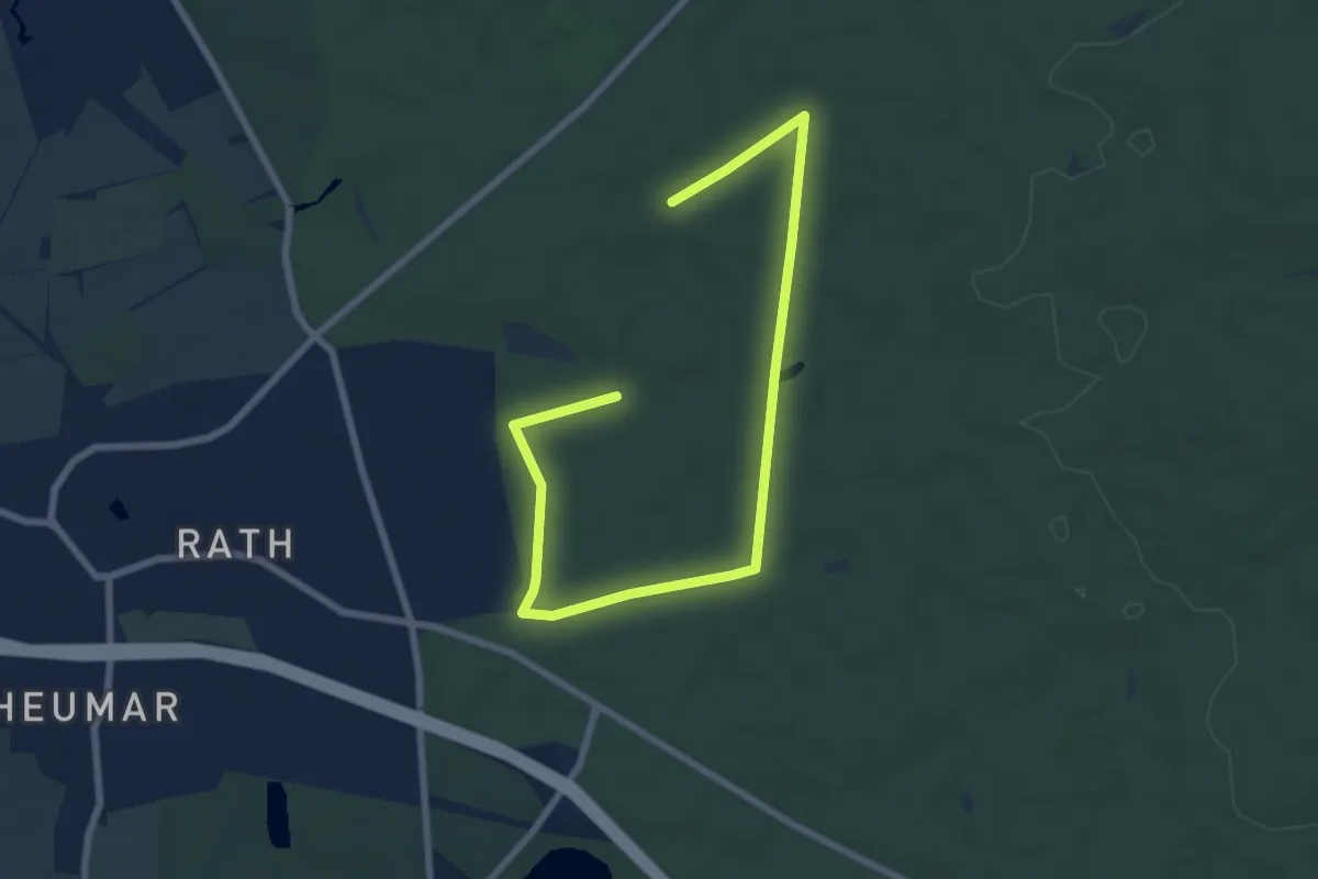
Easy · Trail
Königsforst Rundweg A2
4.3 km · ↑ 13 m · 1 h 7 min
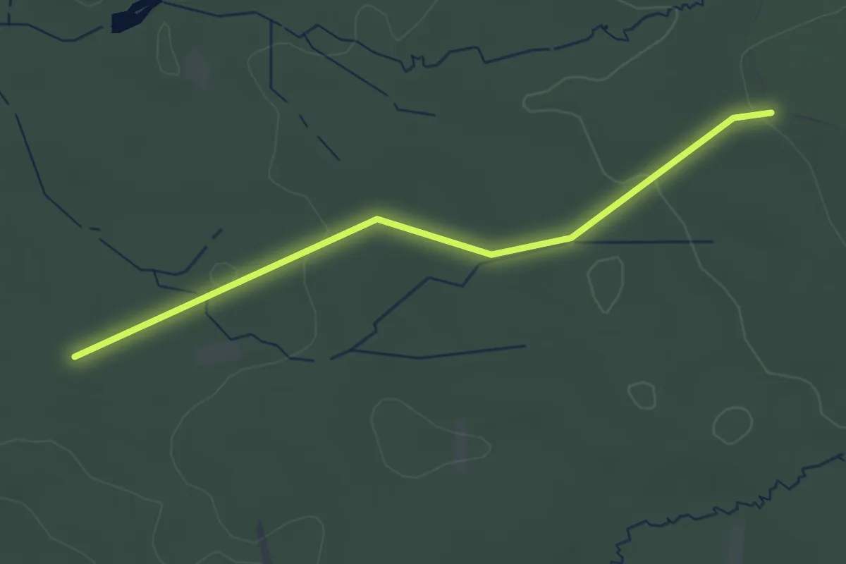
Easy · Trail
Königsforst Rundweg A3
1.6 km · ↑ 45 m · 29 min
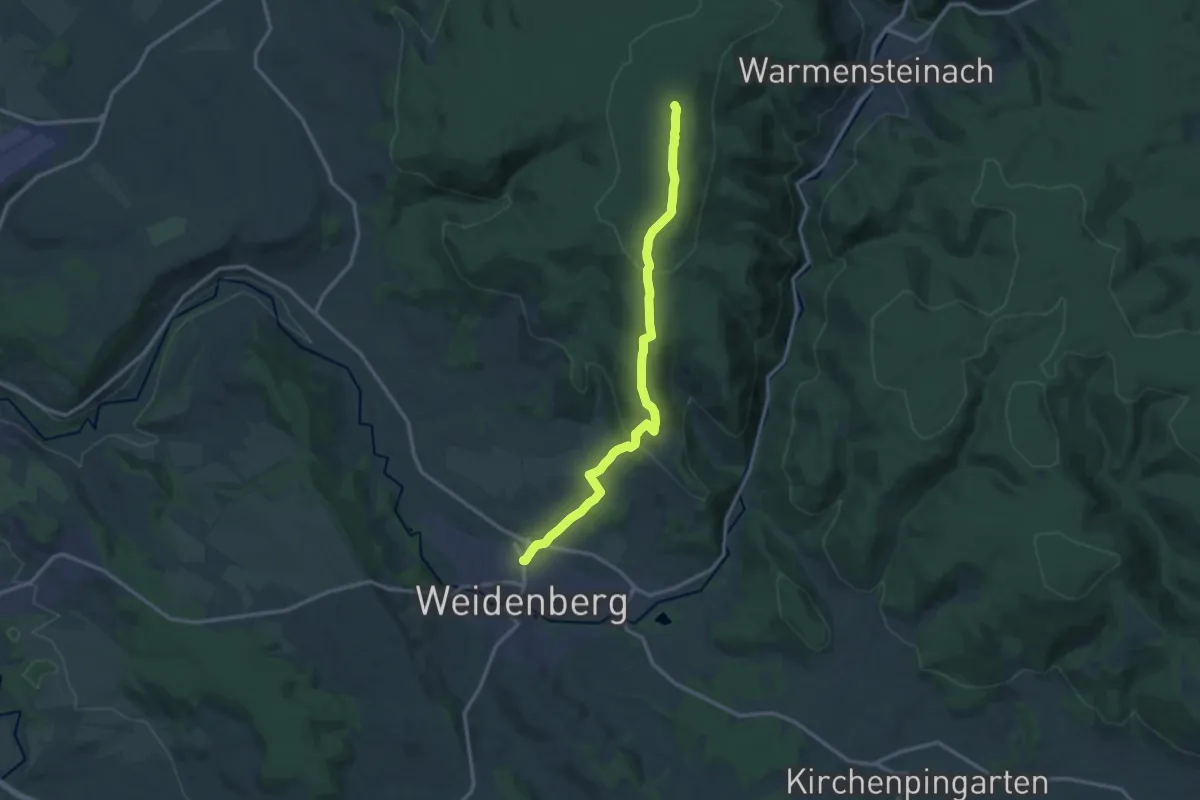
Medium · Summit
Königsheideweg
13.1 km · ↑ 423 m · 4 h 1 min
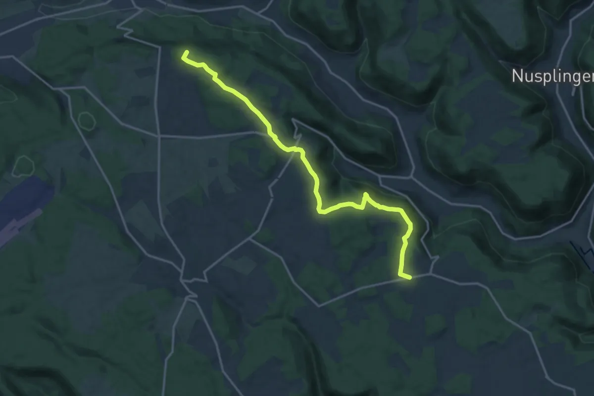
Medium · Summit
Königsheim - Wehingen
14.4 km · ↑ 213 m · 3 h 52 min
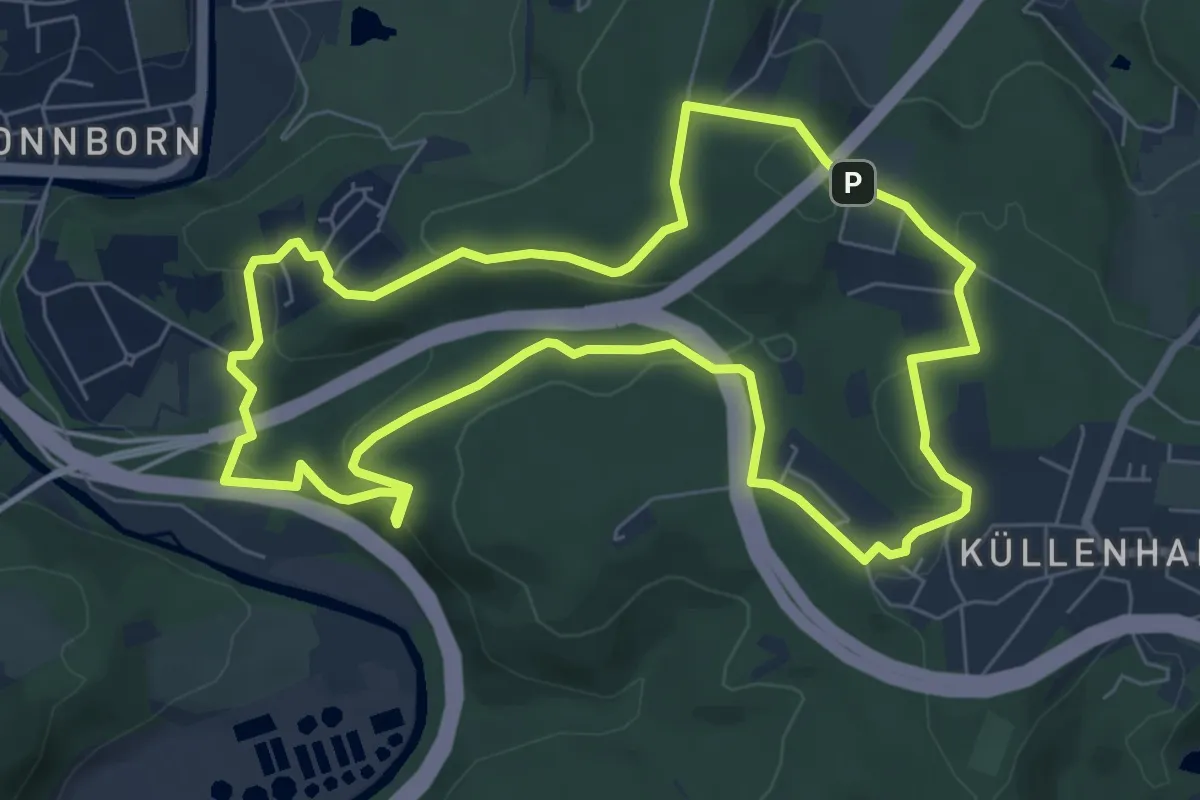
Easy · Trail
Königshöhe Rundweg A3
6.6 km · ↑ 217 m · 2 h 8 min
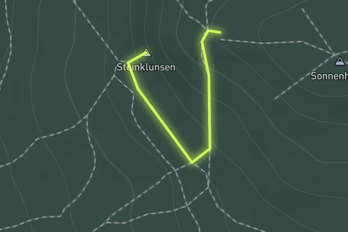
Easy · Summit
Königsholz: Batzenhütte - Sonnenhübel (grüner Strich)
1.1 km · ↑ 44 m · 21 min
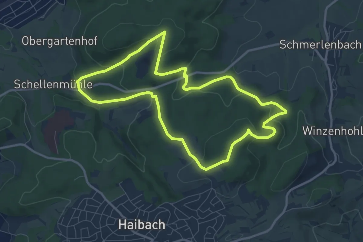
Easy · Summit
Königspfad
7.4 km · ↑ 248 m · 2 h 23 min
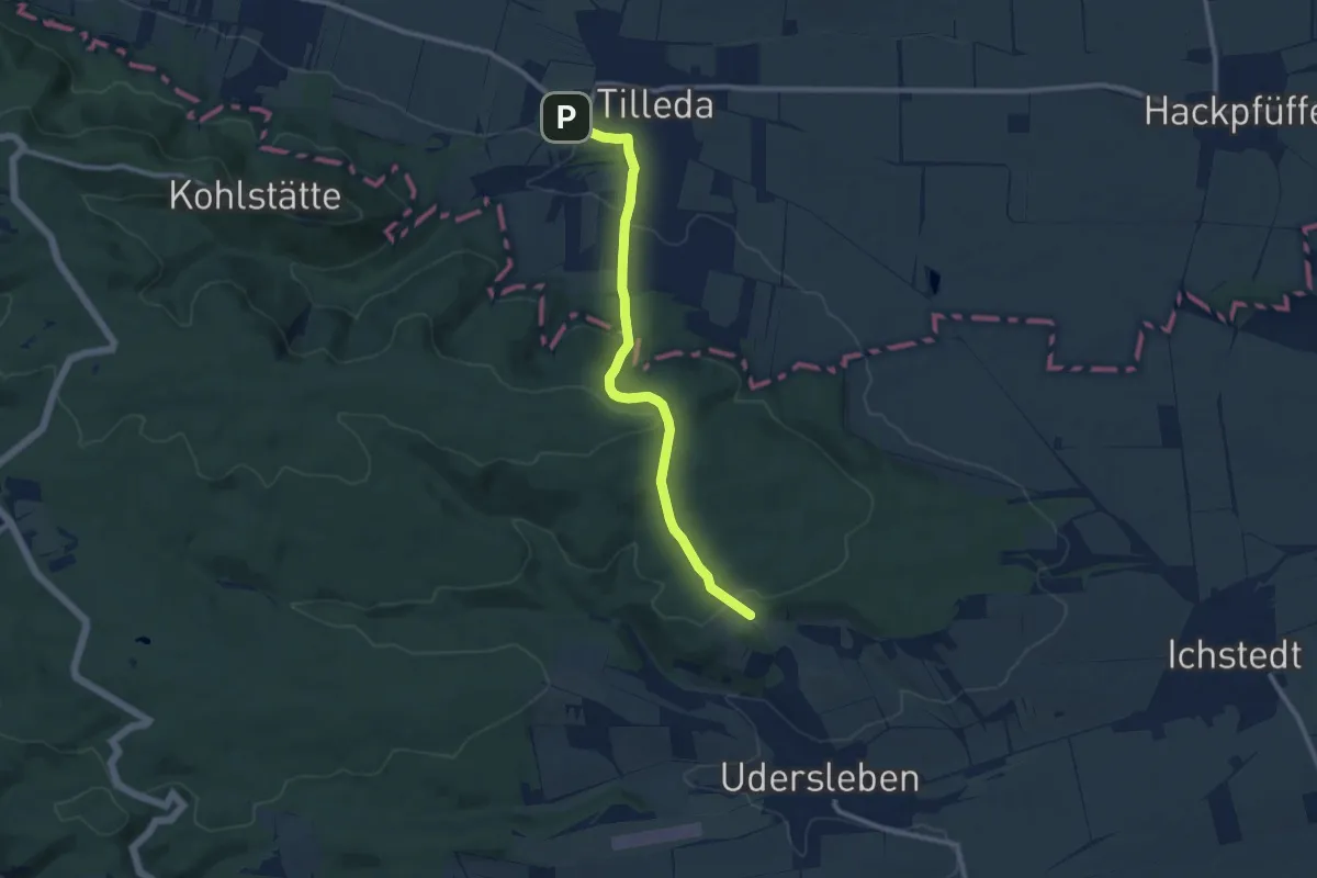
Medium · Trail
Königspfalz Tilleda -Udersleben
9.0 km · ↑ 333 m · 2 h 51 min
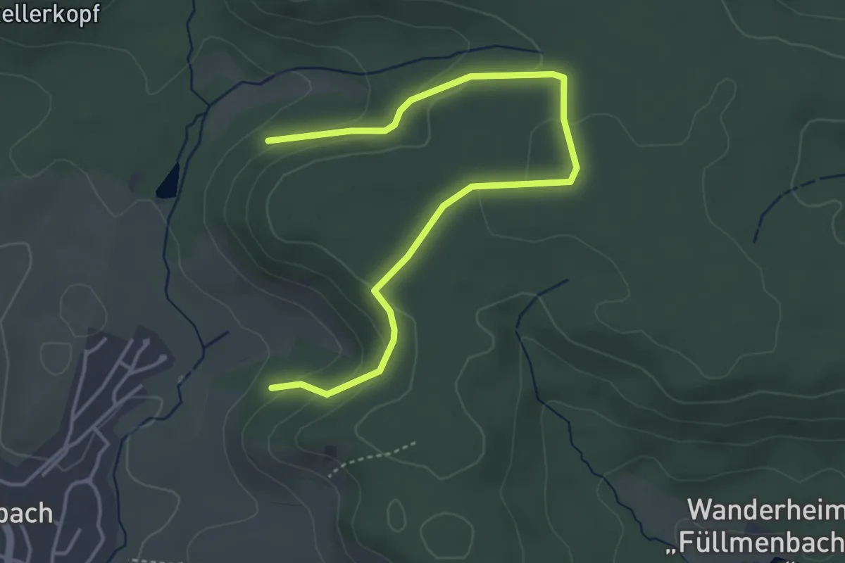
Easy · Trail
Königs-Route Walk & Wein Krauchgau-Stromberg
4.5 km · ↑ 168 m · 1 h 25 min
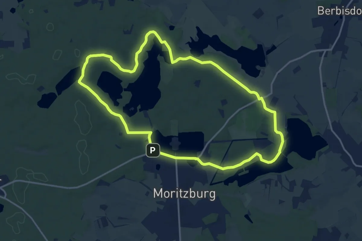
Medium · Summit
Königs-Rundweg
11.1 km · ↑ 72 m · 2 h 56 min
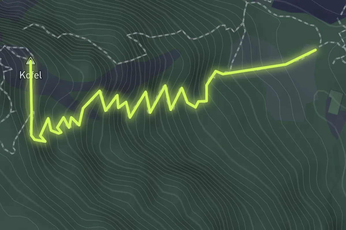
Medium · Summit
Königssteig
2.9 km · ↑ 432 m · 1 h 37 min
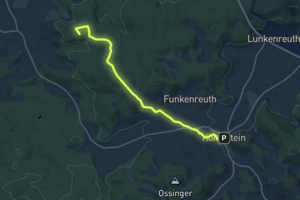
Medium · Summit
Königstein-Maximiliansgrotte
9.3 km · ↑ 174 m · 2 h 35 min
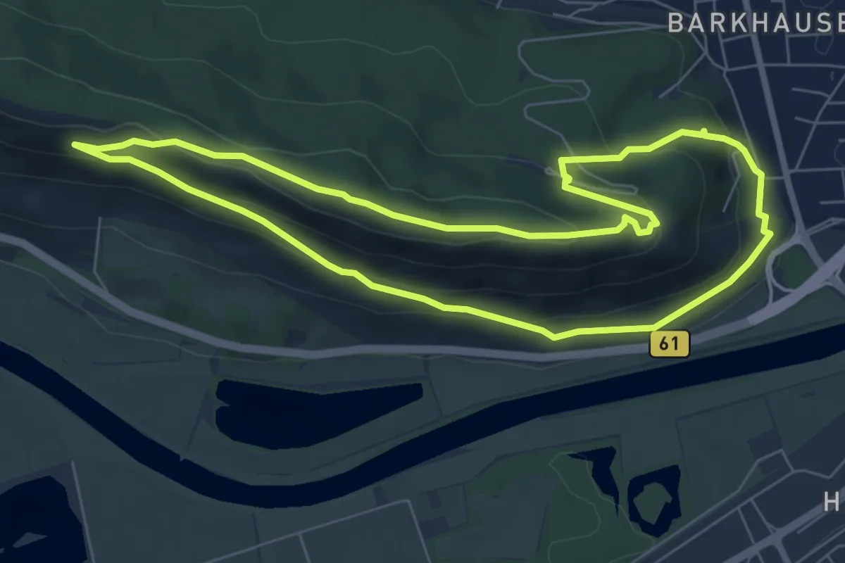
Easy · Summit
Königsweg A2-PWB
6.0 km · ↑ 212 m · 1 h 58 min
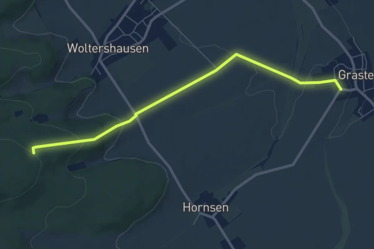
Easy · Summit
Königsweg Brüggen - Werla Alternativstrecke bei Hornsen
6.0 km · ↑ 165 m · 1 h 46 min
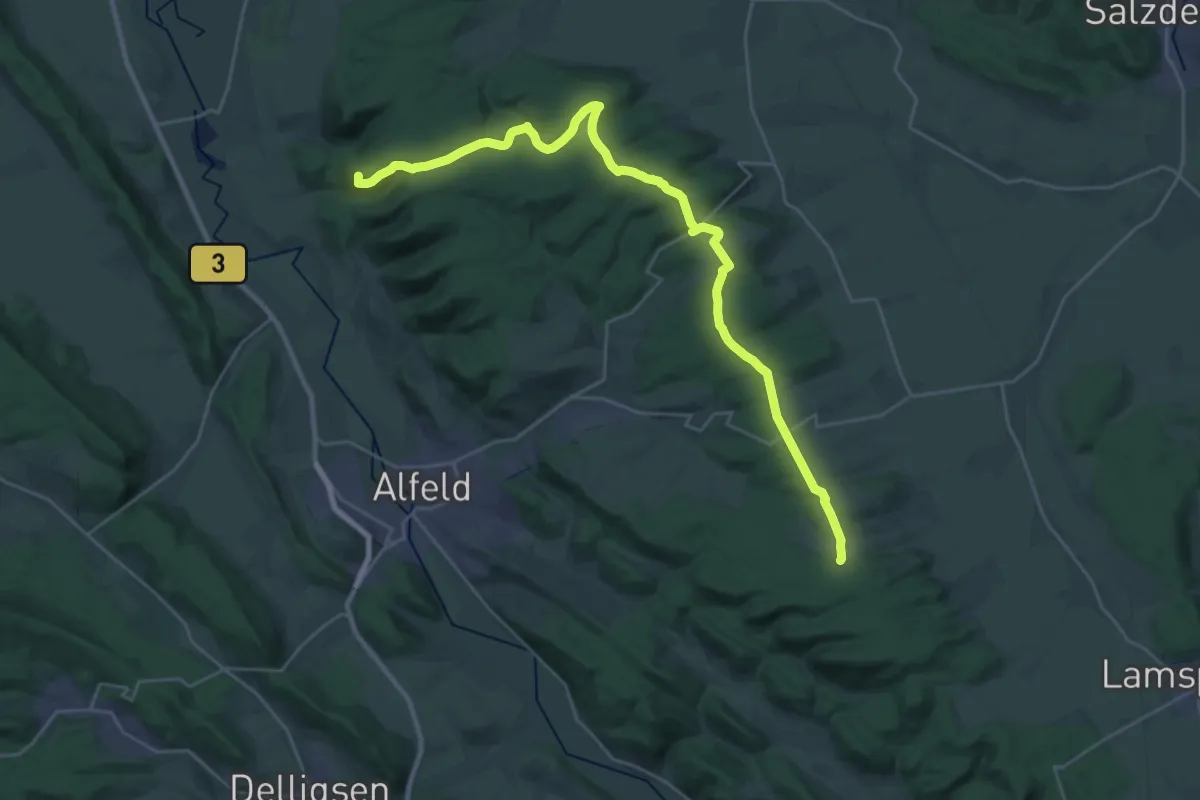
Demanding · Summit
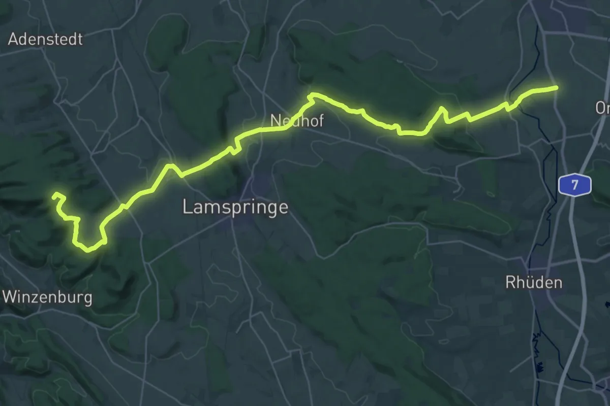
Königsweg Brüggen - Werla (Etappe 1 Brüggen - Graste)
29.0 km · ↑ 445 m · 7 h 49 min
Demanding · Summit
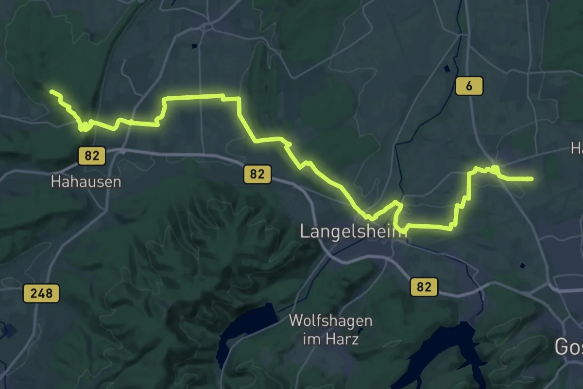
Königsweg Brüggen - Werla (Etappe 2 Graste - Königsturm)
38.5 km · ↑ 786 m · 10 h 48 min
Demanding · Summit
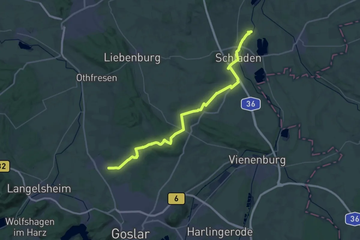
Königsweg 'Brüggen - Werla (Etappe 3 Königsturm - Jerstedt)
43.2 km · ↑ 445 m · 11 h 10 min
Demanding · Trail
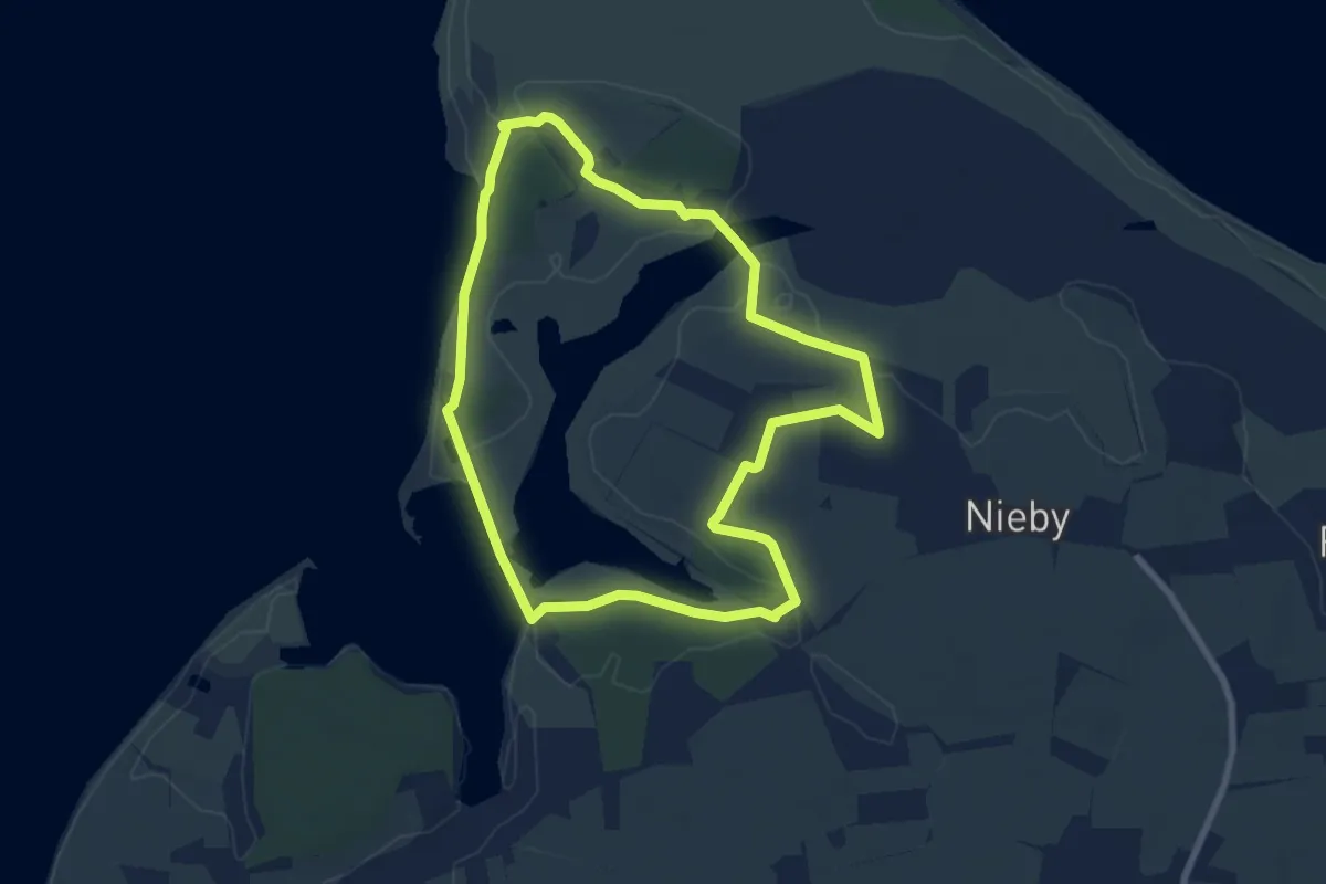
Königsweg Brüggen - Werla (Etappe 4 Jerstedt - Werla)
19.1 km · ↑ 225 m · 5 h 12 min
Easy · Trail
KonikWeg
6.4 km · ↑ 17 m · 1 h 37 min