Trails in Germany
36,852 hiking trails, each with its route, climb, walking time and grade.
All trails, page 301 of 768
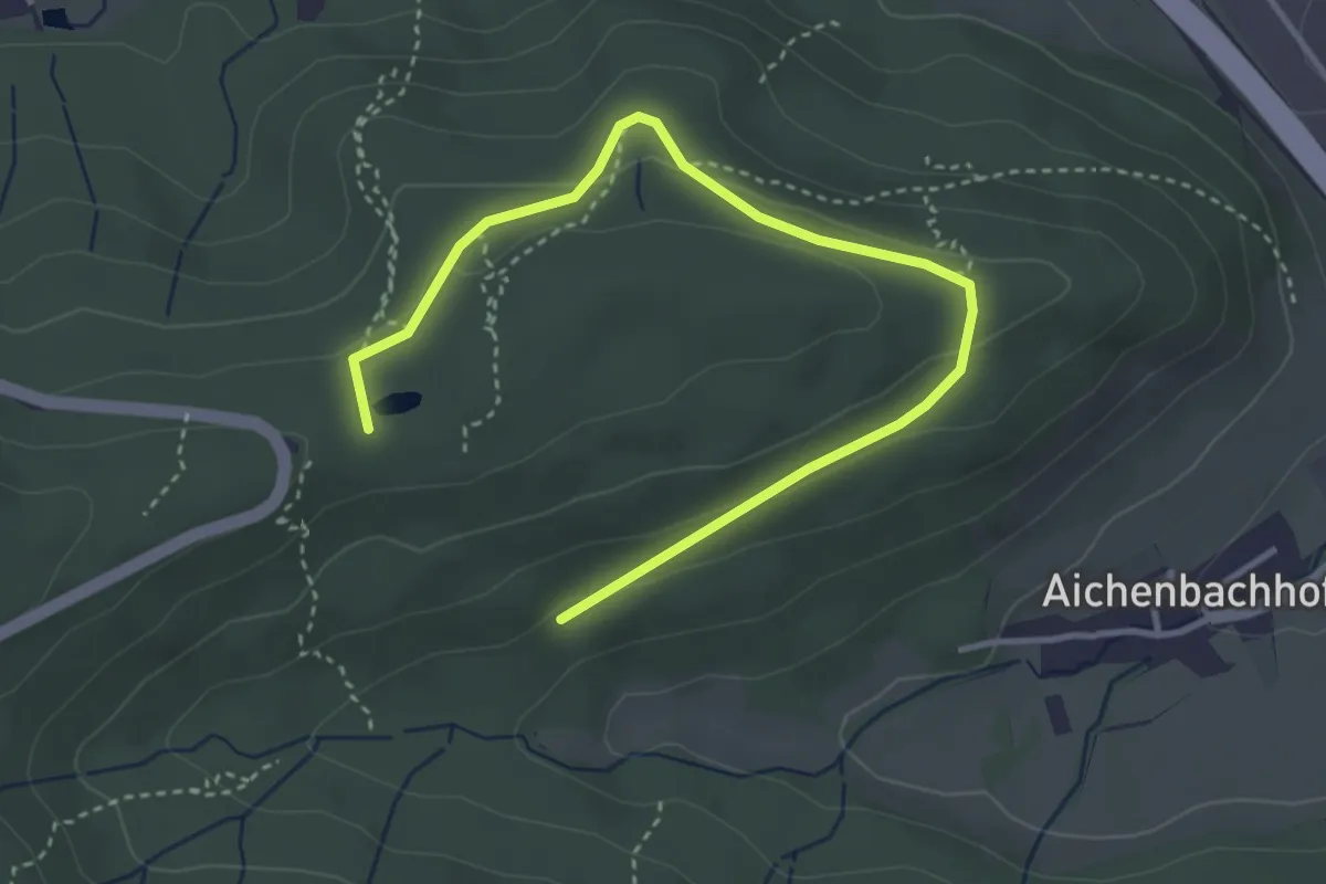
Easy · Summit
Konnenberg - Rehhaldenhütte
4.1 km · ↑ 102 m · 1 h 11 min
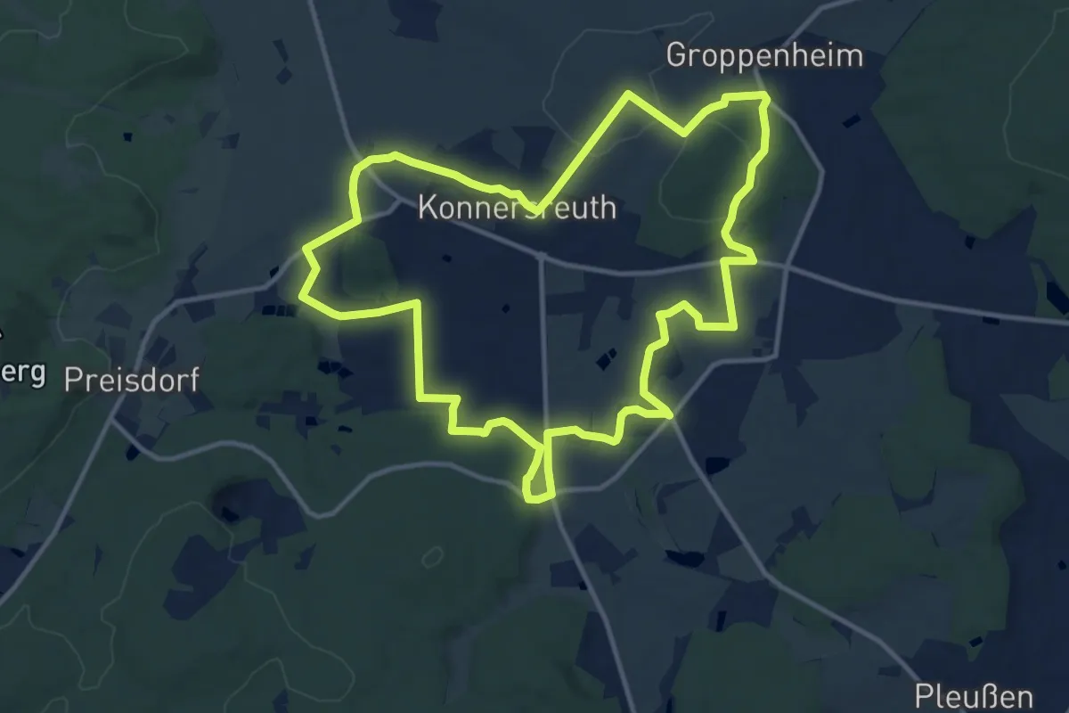
Medium · Trail
Konnersreuth 1
11.8 km · ↑ 163 m · 3 h 18 min
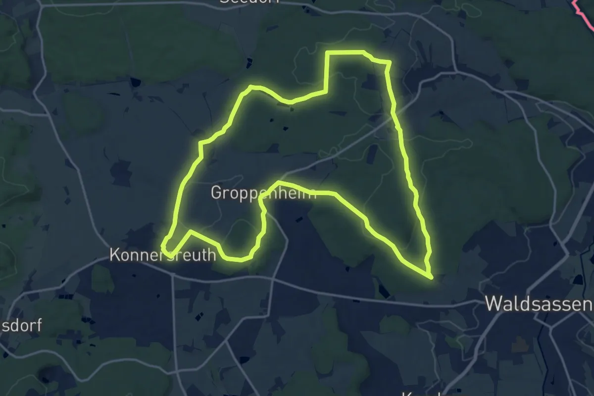
Medium · Summit
Konnersreuth 2
15.5 km · ↑ 267 m · 4 h 28 min
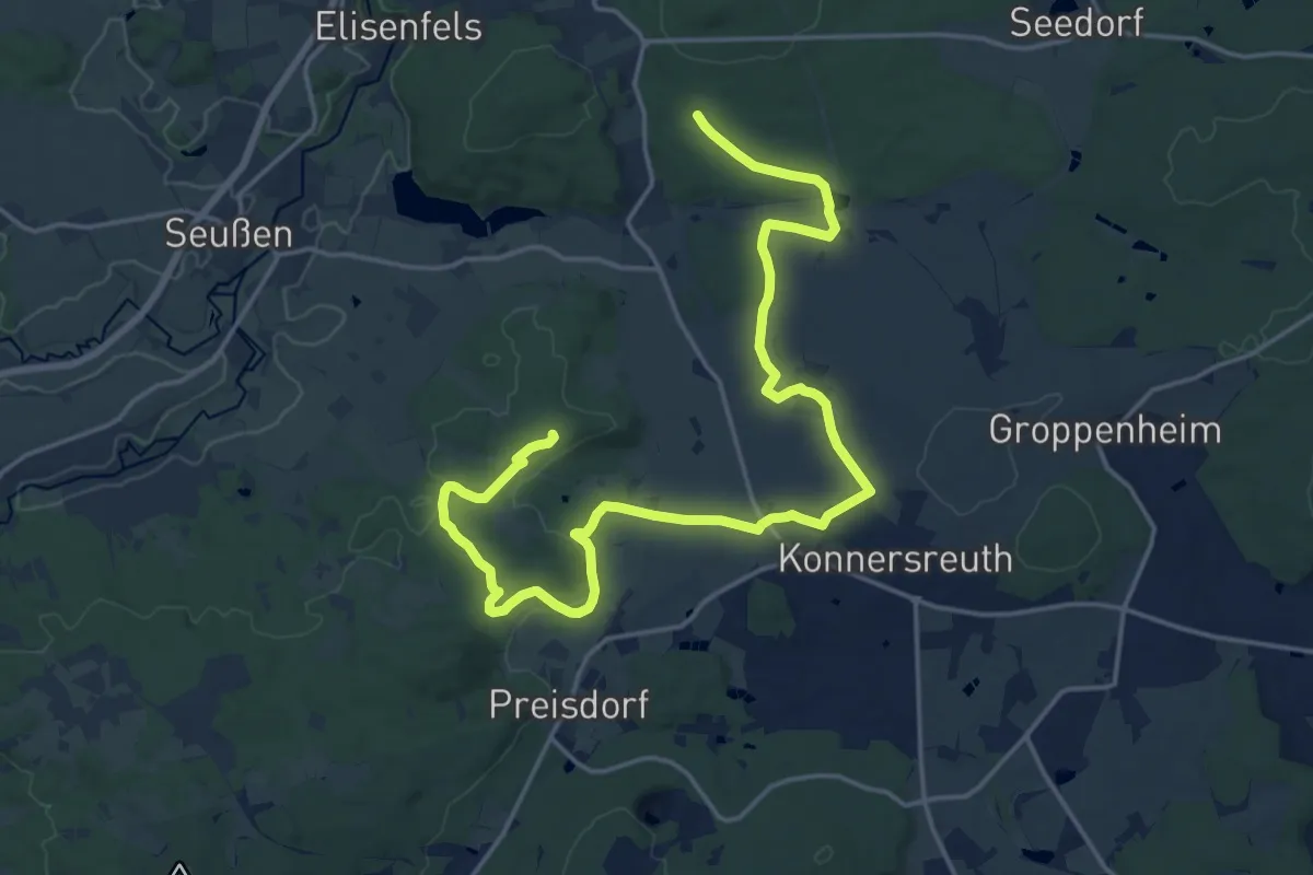
Demanding · Summit
Konnersreuth 3
21.6 km · ↑ 297 m · 5 h 44 min
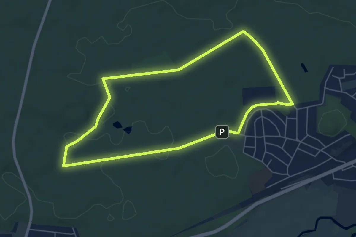
Easy · Trail
Konrad-Hopf-Runde (blau)
4.9 km · ↑ 35 m · 1 h 18 min
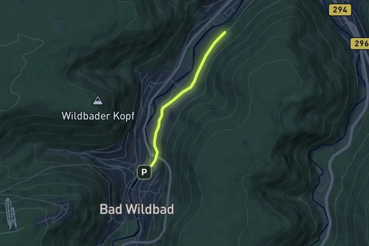
Easy · Trail
Konradsrain - Bad Wildbad Lindenbrückle
4.1 km · ↑ 63 m · 1 h 6 min
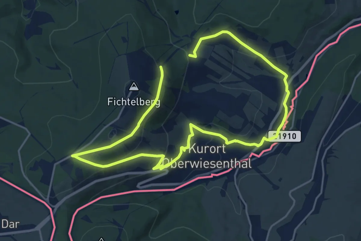
Medium · Trail
Konrad-Winkler-Tour
9.9 km · ↑ 234 m · 3 h 2 min
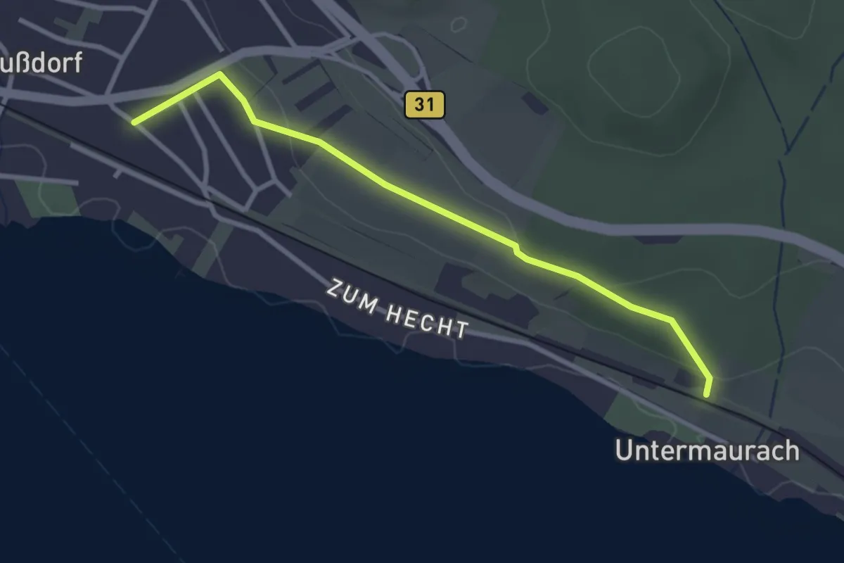
Easy · Trail
Konstantinhalde
2.8 km · ↑ 59 m · 48 min
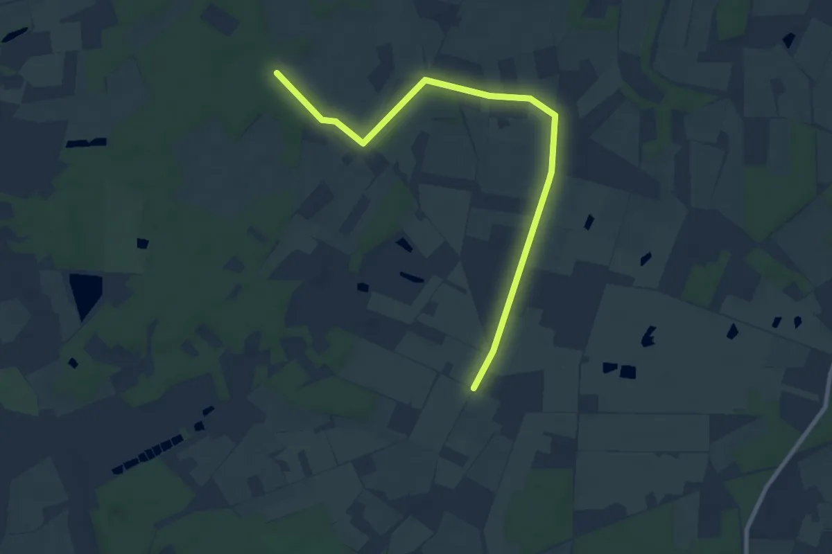
Easy · Trail
Konstantinsforst Rundweg A5
7.7 km · ↑ 22 m · 1 h 51 min
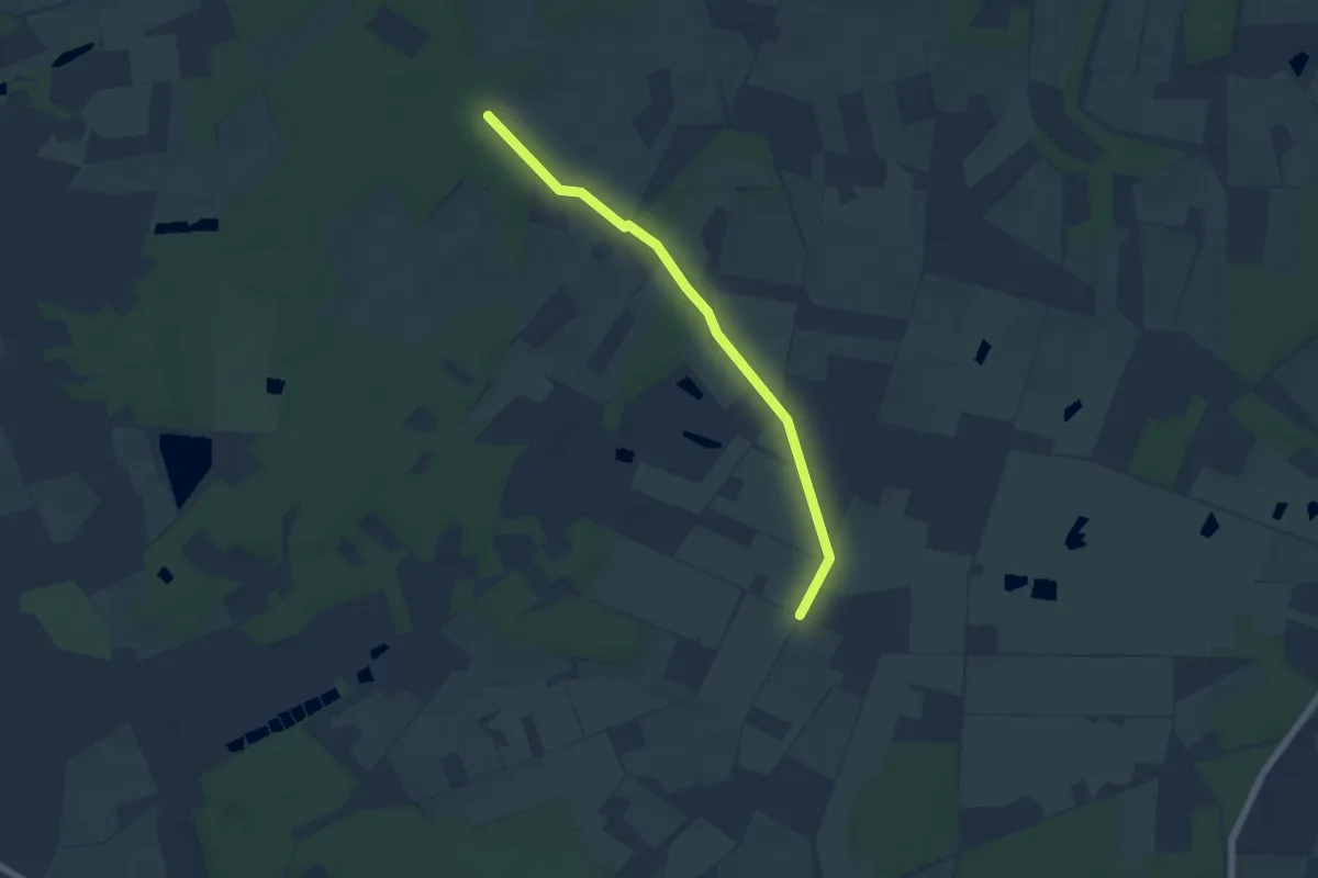
Easy · Trail
Konstantinsforst Rundweg A6
5.0 km · ↑ 5 m · 1 h 11 min
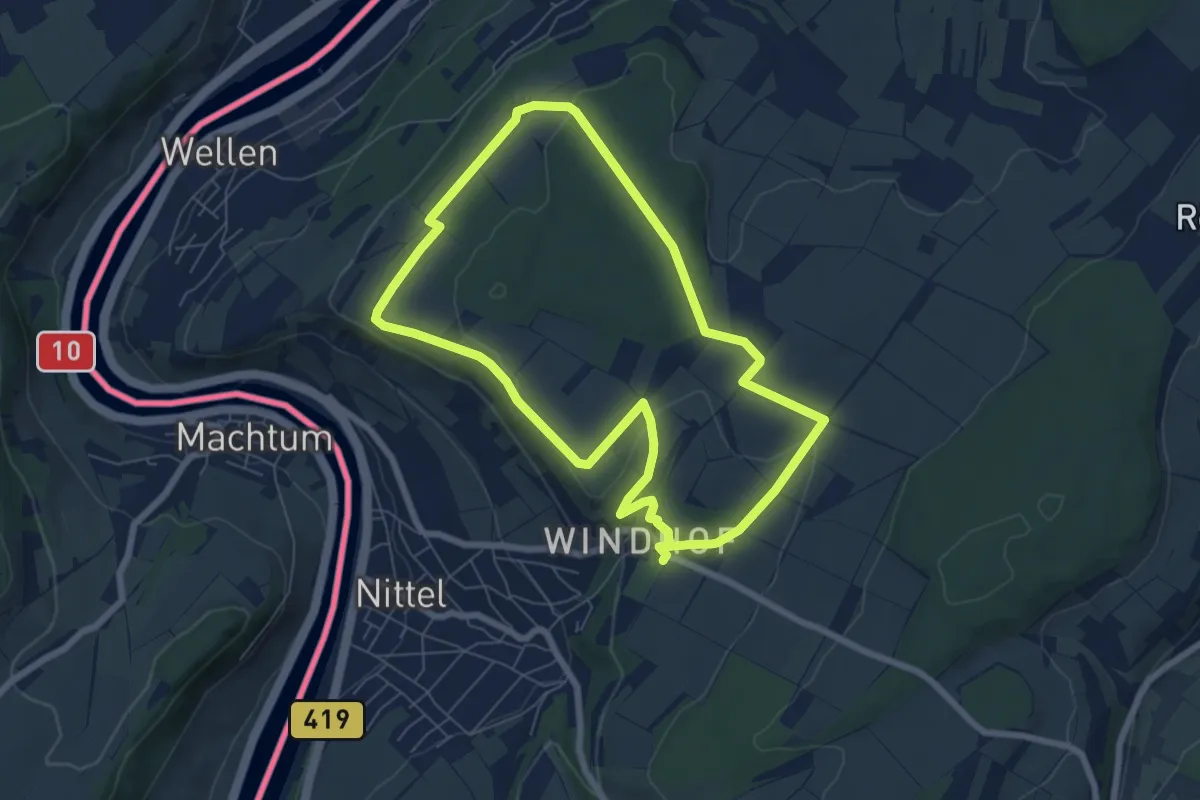
Easy · Trail
Konstantinweg
6.3 km · ↑ 105 m · 1 h 48 min
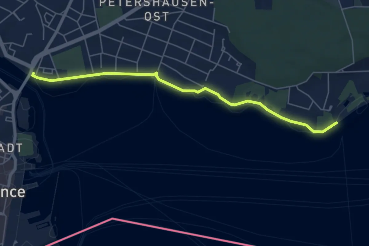
Easy · Trail
Konstanz Bodensee-Therme - Konstanz Rheinbrücke Nord
4.8 km · ↑ 39 m · 1 h 13 min
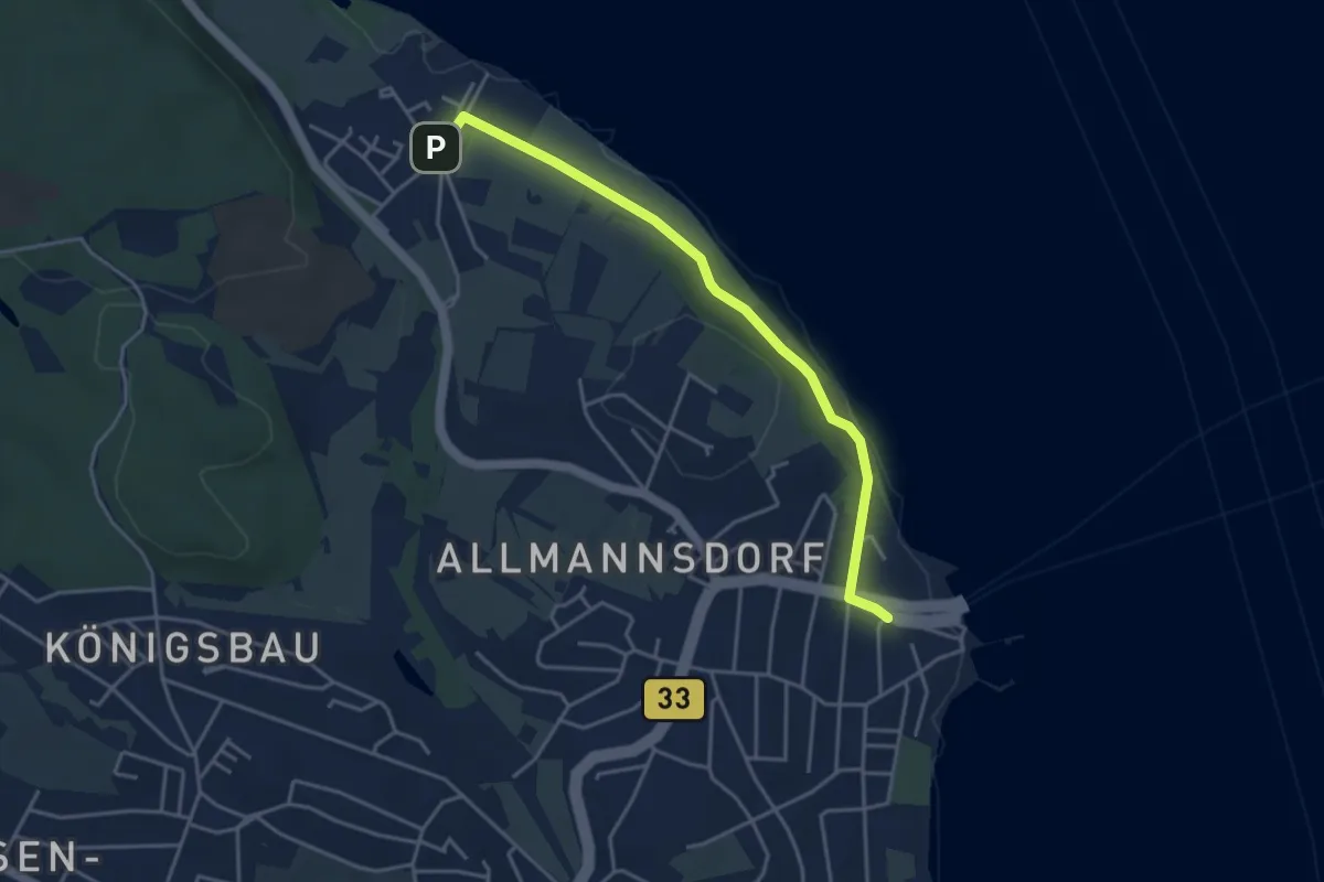
Easy · Trail
Konstanz Egg - Staad Fährhafen
4.0 km · ↑ 26 m · 1 h 1 min
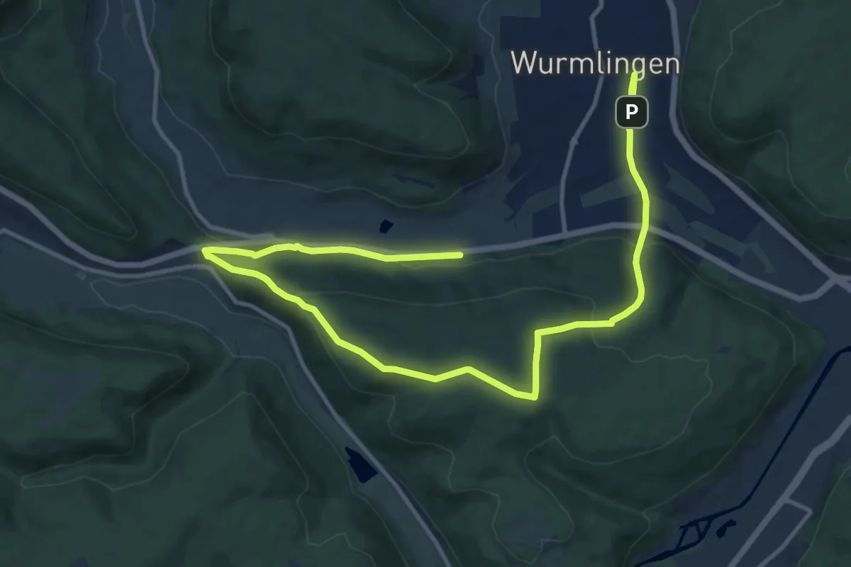
Easy · Trail
Konzenbergweg
7.6 km · ↑ 231 m · 2 h 24 min
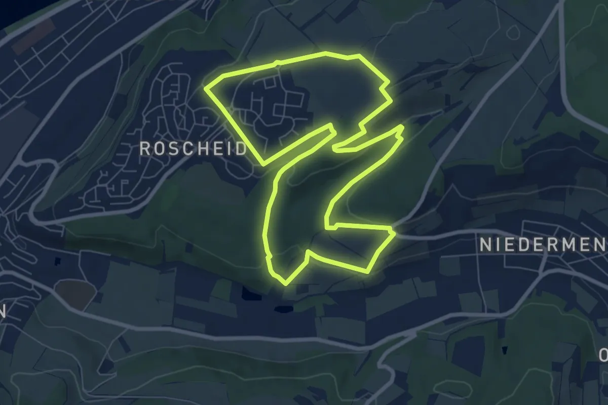
Easy · Trail
Konzer Höhenrunde
7.2 km · ↑ 151 m · 2 h 7 min
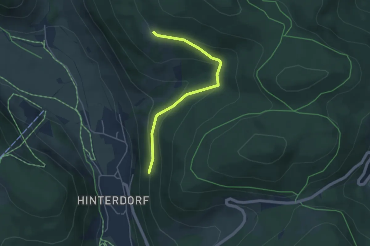
Easy · Trail
Köpfle - Schützenwald
3.5 km · ↑ 200 m · 1 h 15 min
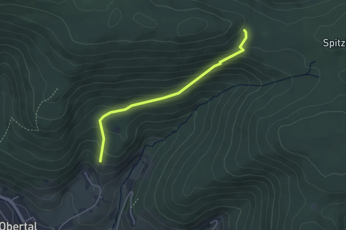
Easy · Trail
Köpfleshütte - Neuberg
3.2 km · ↑ 203 m · 1 h 12 min
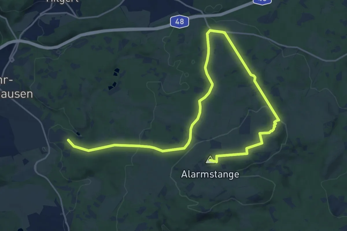
Demanding · Summit
Köppelweg 1
19.7 km · ↑ 440 m · 5 h 37 min
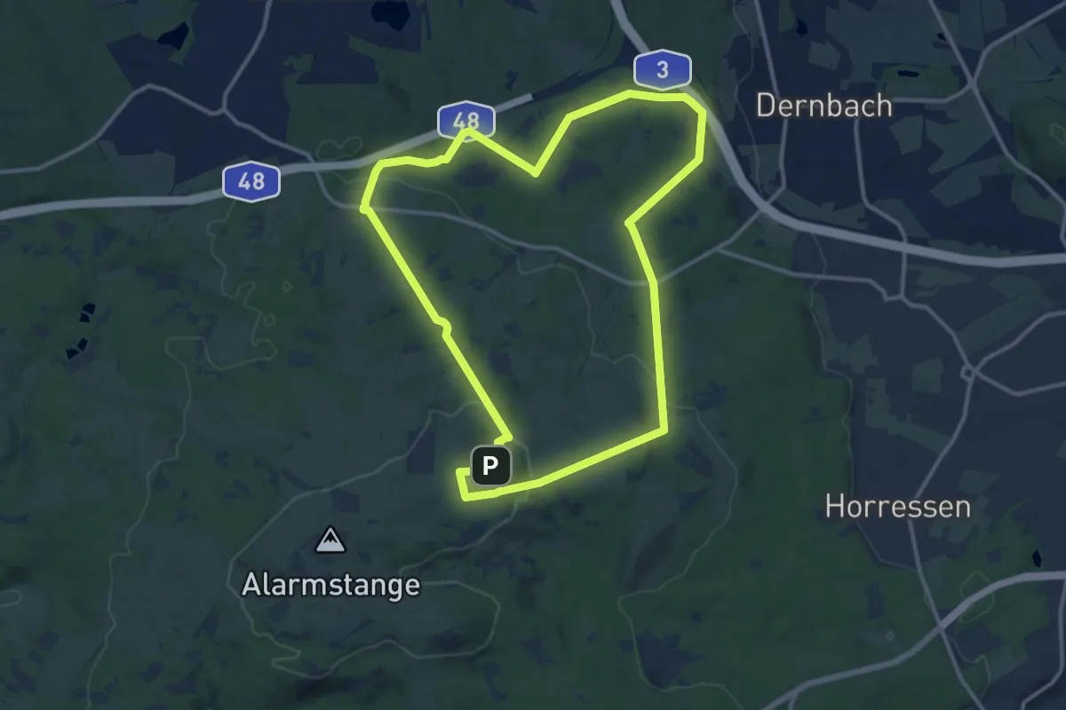
Medium · Summit
Köppelweg 2
11.1 km · ↑ 255 m · 3 h 20 min
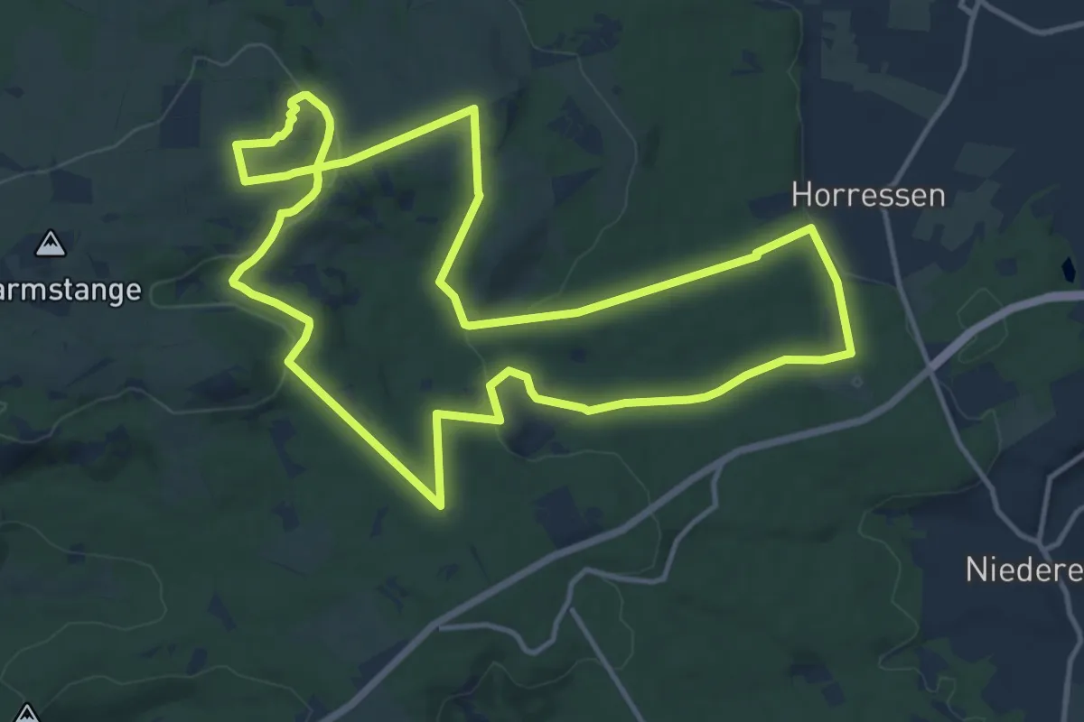
Medium · Summit
Köppelweg 3
12.7 km · ↑ 279 m · 3 h 47 min
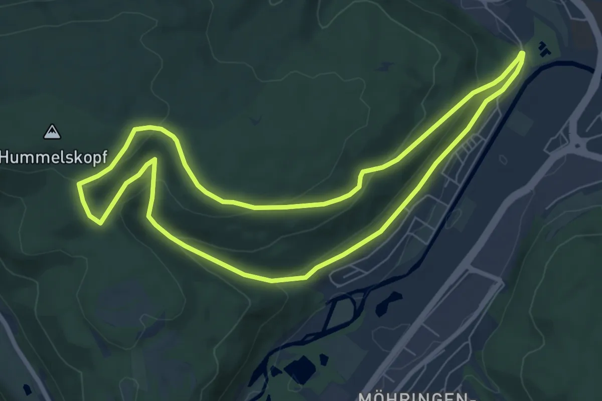
Easy · Trail
Koppenland-Rundweg
6.6 km · ↑ 224 m · 2 h 8 min
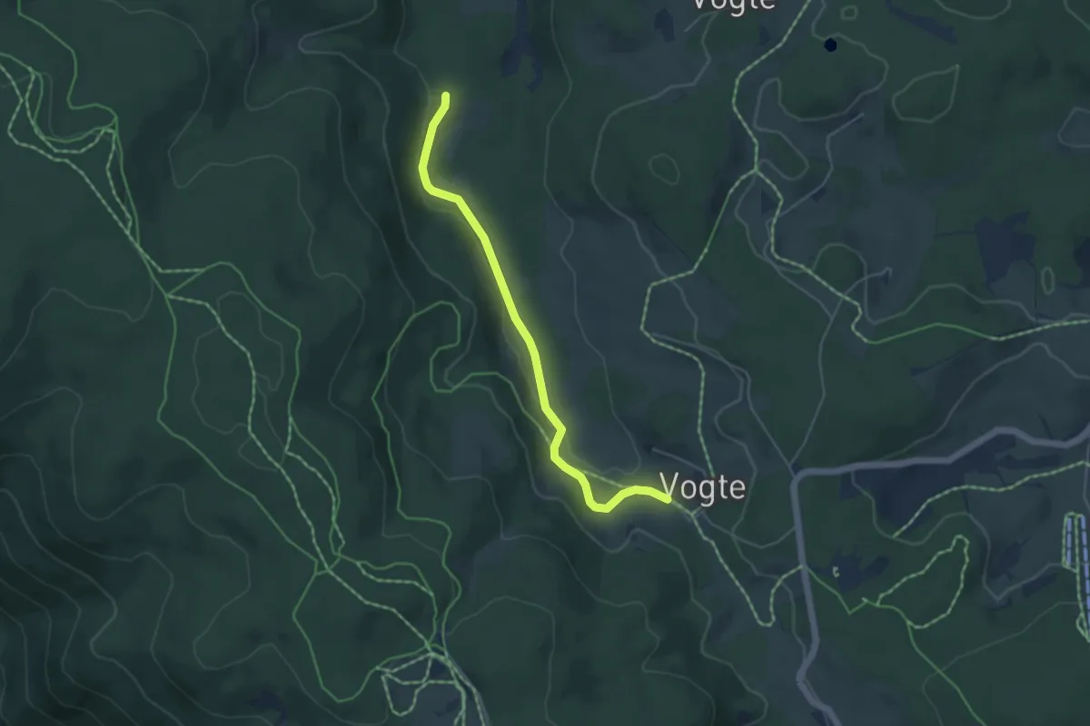
Easy · Trail
Korallenhäusle - Vogte
4.4 km · ↑ 66 m · 1 h 11 min
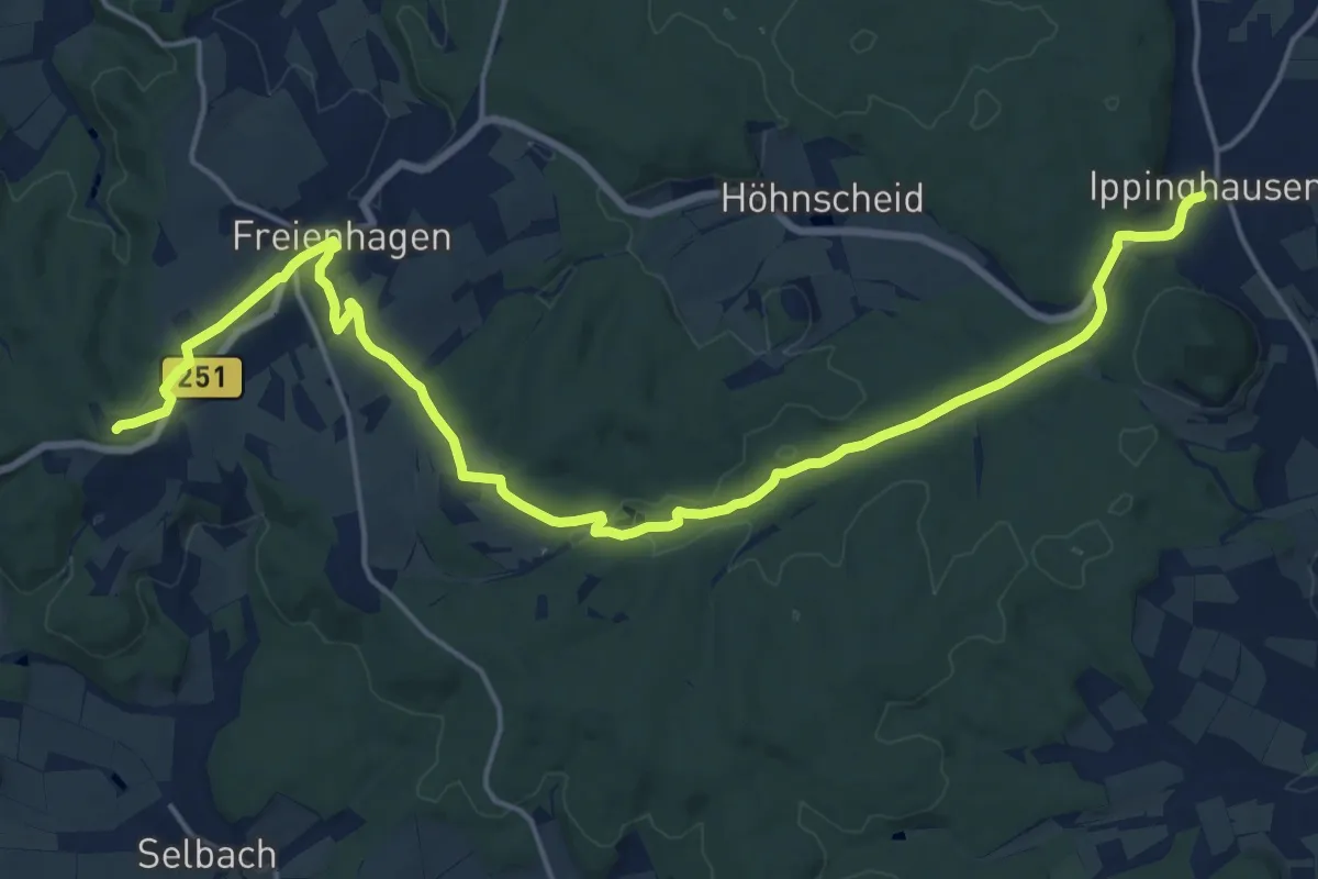
Demanding · Summit
Korbacher Straße
20.2 km · ↑ 268 m · 5 h 22 min
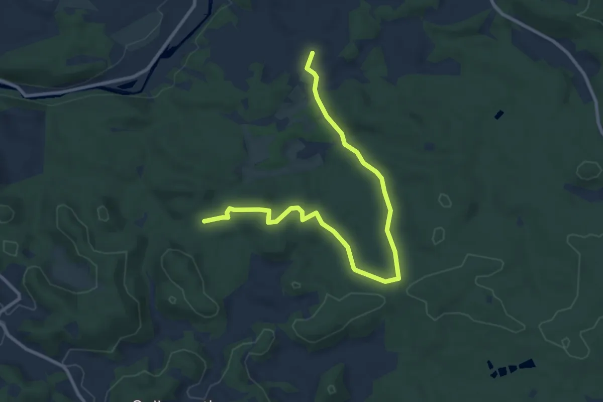
Medium · Summit
Korbmachersteig
8.7 km · ↑ 179 m · 2 h 27 min
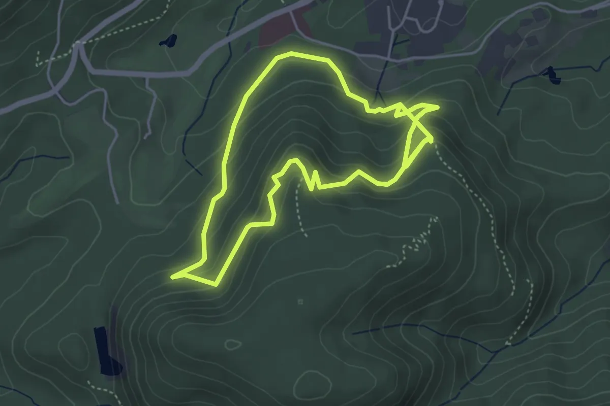
Easy · Trail
Korbmattfelsen-Rundweg
3.9 km · ↑ 285 m · 1 h 33 min
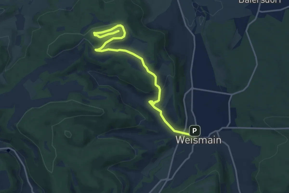
Medium · Summit
Kordigast Berglauf
9.9 km · ↑ 254 m · 2 h 53 min
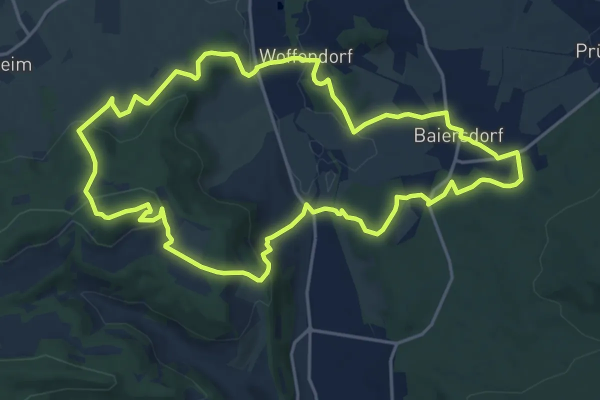
Medium · Summit
Kordigast-Rundweg (Altenkunstadt)
11.5 km · ↑ 346 m · 3 h 37 min
Easy · Trail
Korker Wald - Beim Eichenkönig
2.7 km · ↑ 5 m · 39 min
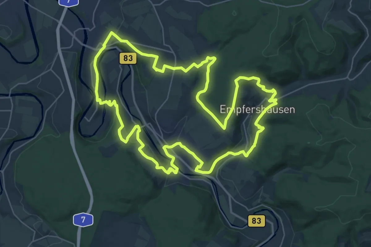
Demanding · Trail
Körler Steig
25.2 km · ↑ 553 m · 7 h 29 min
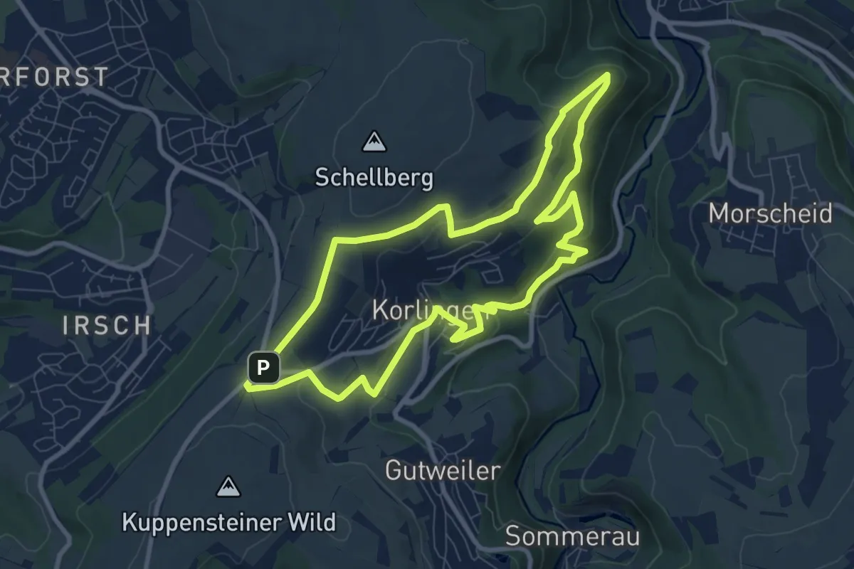
Easy · Summit
Korlingen 1
7.8 km · ↑ 231 m · 2 h 27 min
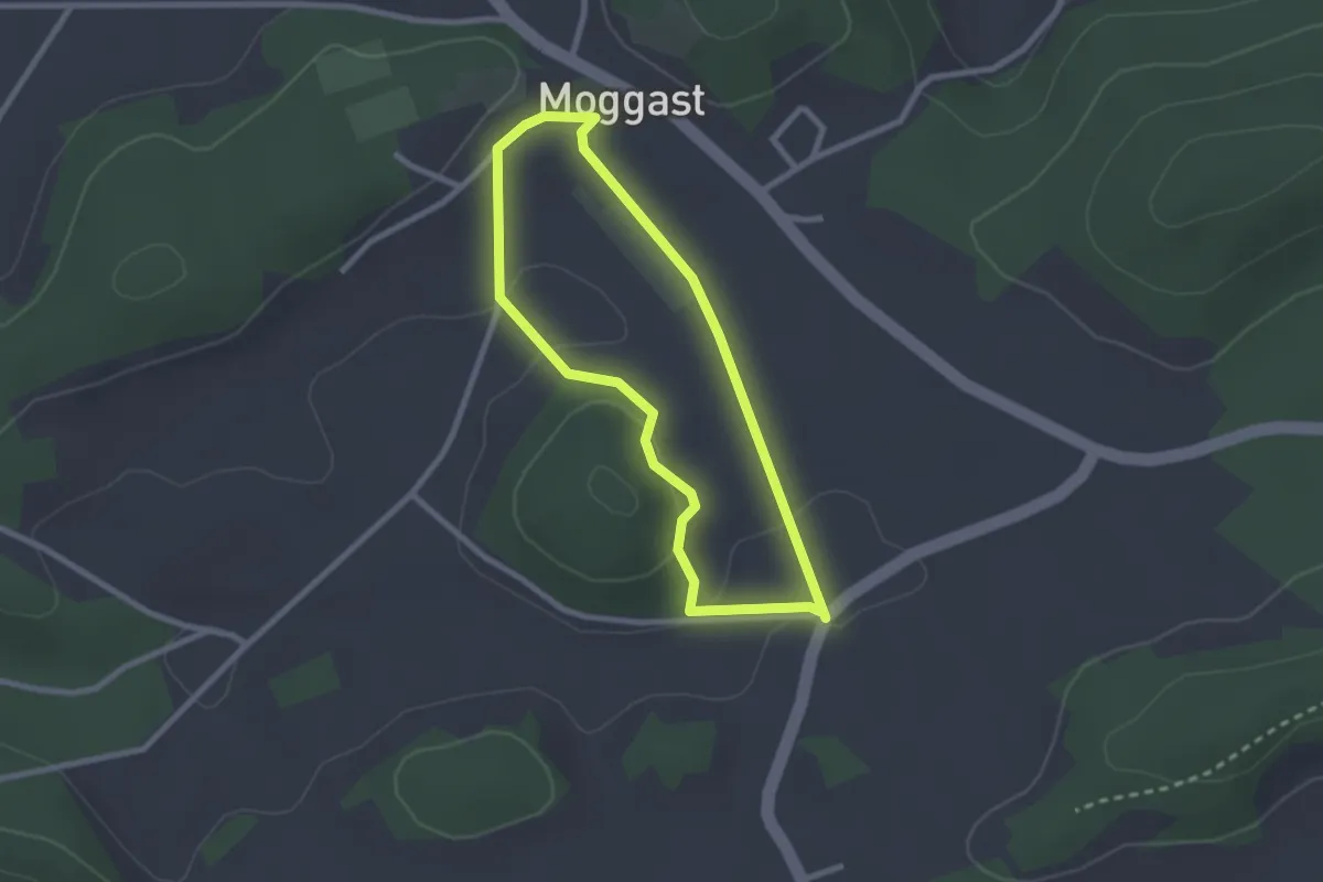
Easy · Summit
Kormann's Erlebnisrunde
2.1 km · ↑ 32 m · 36 min
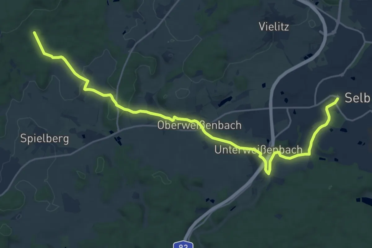
Medium · Trail
Kornberg
17.1 km · ↑ 235 m · 4 h 33 min
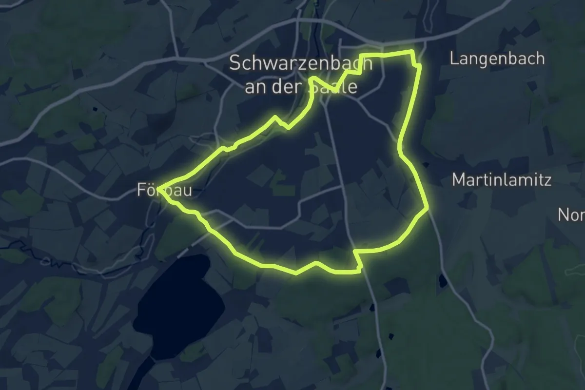
Medium · Trail
Kornbergblick und Förmitzsee
11.3 km · ↑ 131 m · 3 h 6 min
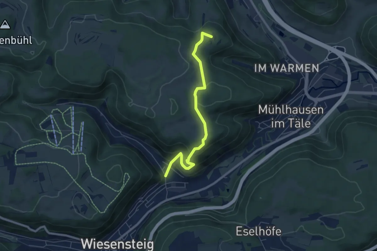
Easy · Summit
Kornberg - Gruibingen - Wiesensteig
5.6 km · ↑ 281 m · 1 h 56 min
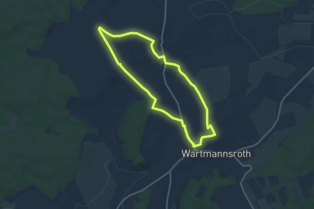
Easy · Trail
Korn-Brand-Tour
6.2 km · ↑ 96 m · 1 h 46 min
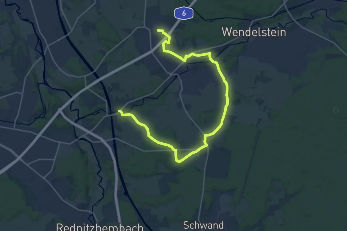
Demanding · Trail
Kornburg - Neuses
19.4 km · ↑ 141 m · 4 h 54 min
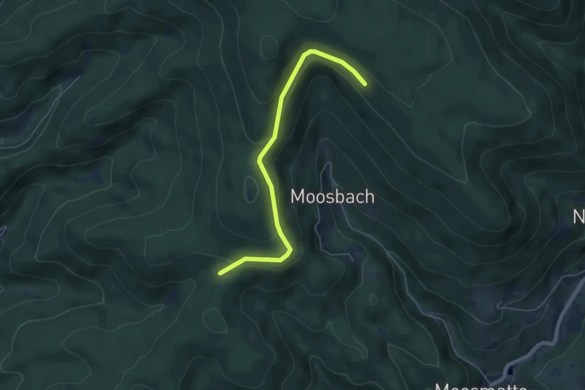
Easy · Cabin
Kornebene - Moosbachwand
4.7 km · ↑ 195 m · 1 h 32 min
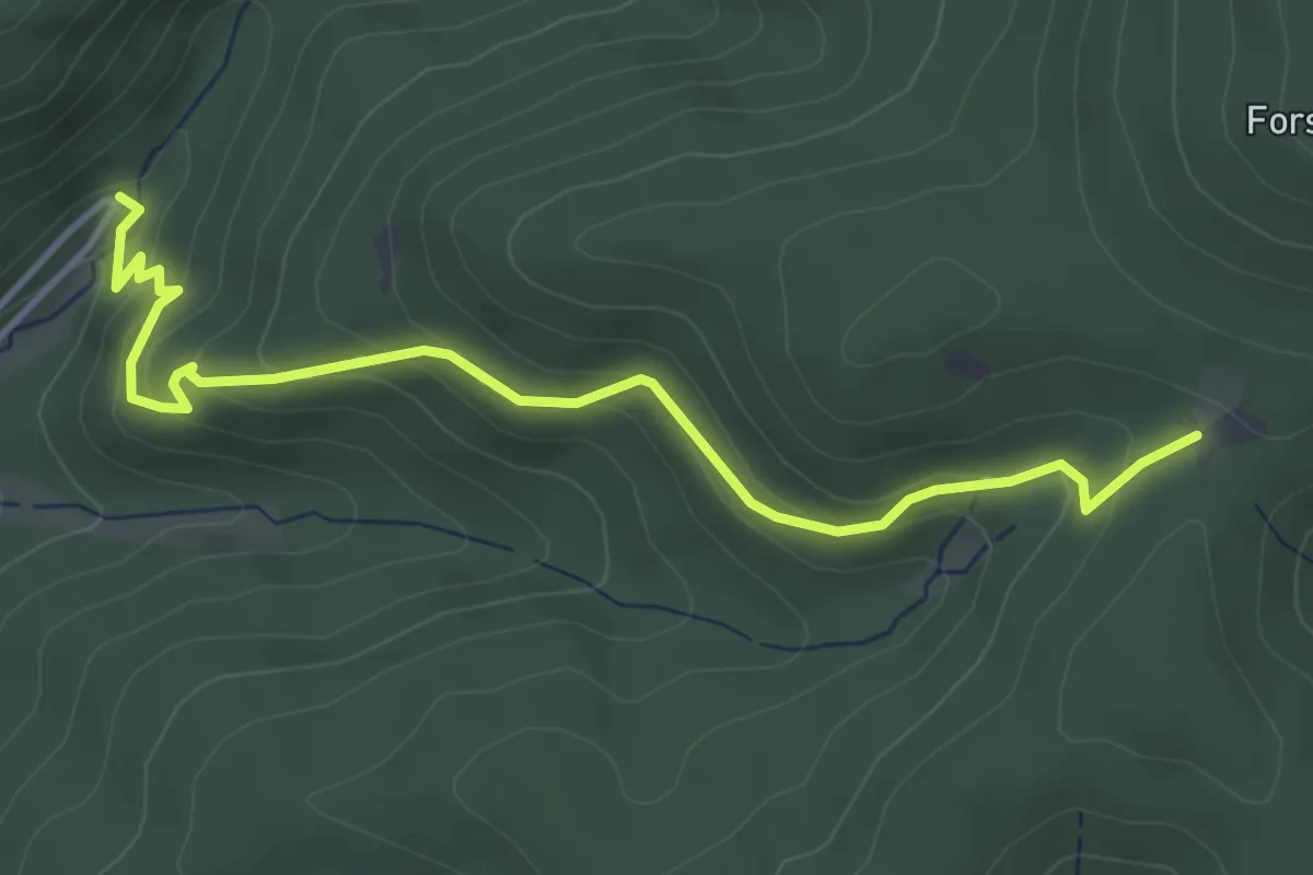
Easy · Cabin
Kornebene - Parkplatz Haigerath
4.2 km · ↑ 283 m · 1 h 36 min
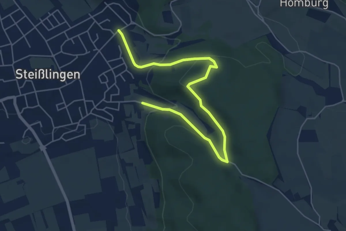
Easy · Trail
Korriswinkel
5.5 km · ↑ 235 m · 1 h 48 min
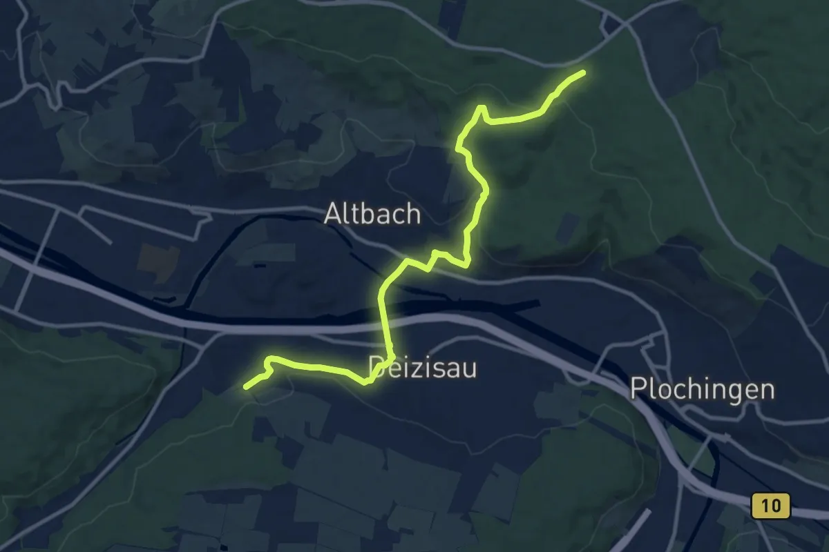
Medium · Trail
Körschburg - Deizisau - Altbach - Aichschieß
11.6 km · ↑ 261 m · 3 h 18 min
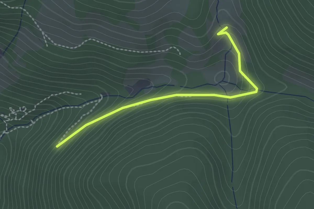
Easy · Trail
Kostgefäll - Alter Gefällweg
2.1 km · ↑ 132 m · 48 min
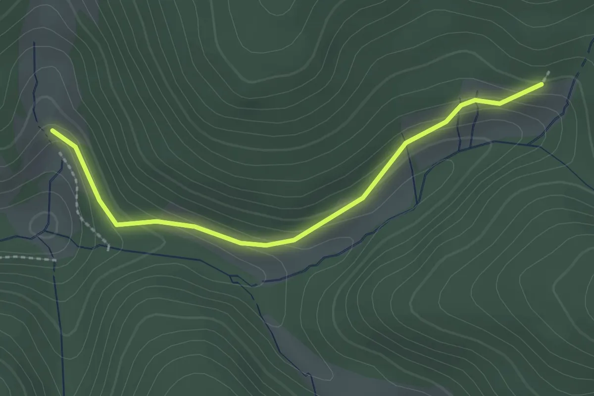
Easy · Trail
Kostgefäll - Obergefäll
2.3 km · ↑ 112 m · 47 min
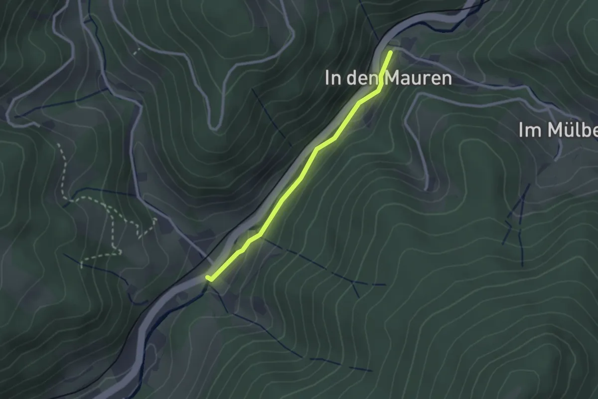
Easy · Trail
Kostspring - Mülbenbrücke
2.1 km · ↑ 63 m · 38 min
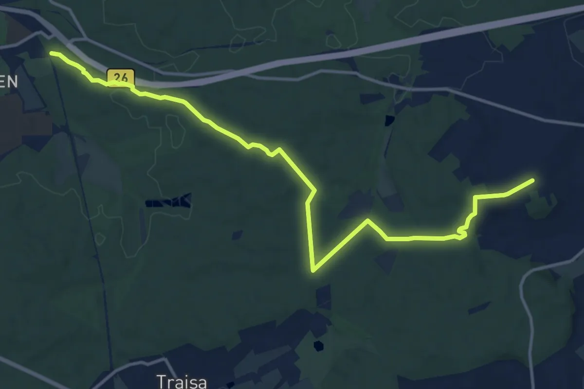
Medium · Trail
Kotelettpfad
12.4 km · ↑ 146 m · 3 h 15 min
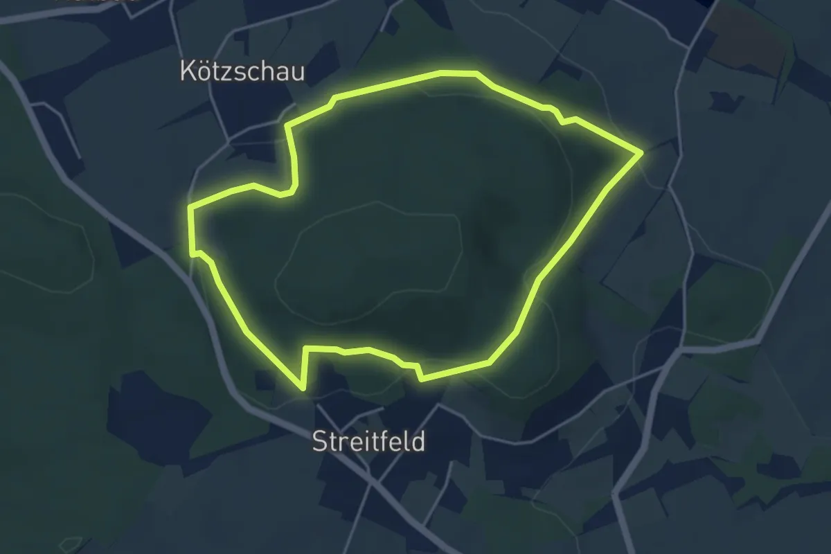
Easy · Trail
Kötschauer Rundwanderweg
3.8 km · ↑ 126 m · 1 h 14 min
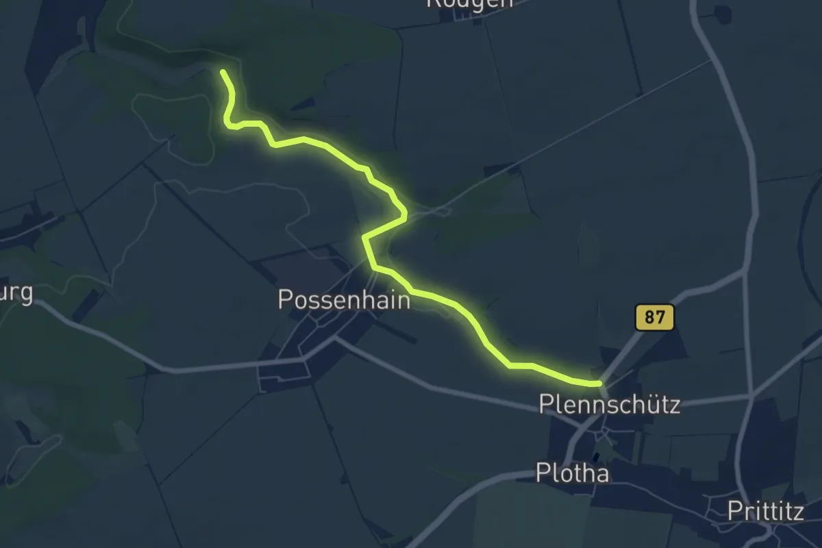
Easy · Trail
Kötschbachtalweg
6.8 km · ↑ 45 m · 1 h 42 min
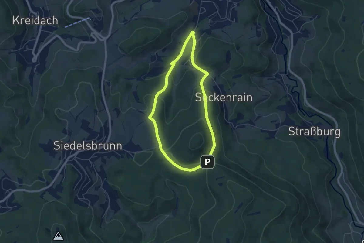
Easy · Trail
Kottenbergweg
4.5 km · ↑ 150 m · 1 h 27 min
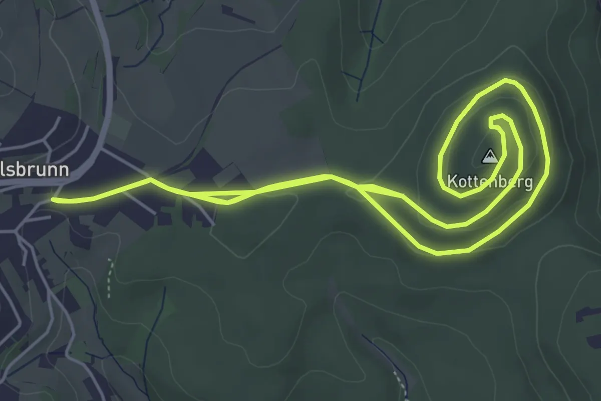
Easy · Summit
Kottenberg-Weg
5.2 km · ↑ 98 m · 1 h 30 min