Trails in Germany
36,852 hiking trails, each with its route, climb, walking time and grade.
All trails, page 302 of 768
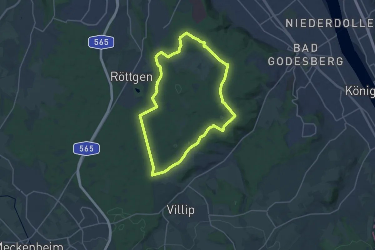
Medium · Trail
Kottenforst-Runde
14.1 km · ↑ 80 m · 3 h 42 min
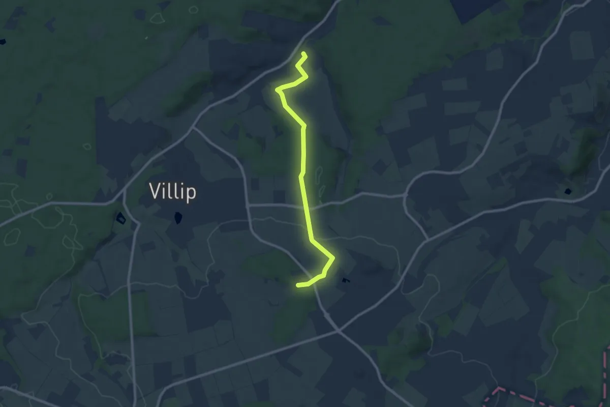
Easy · Trail
Kottenforstweg
7.6 km · ↑ 144 m · 2 h 6 min
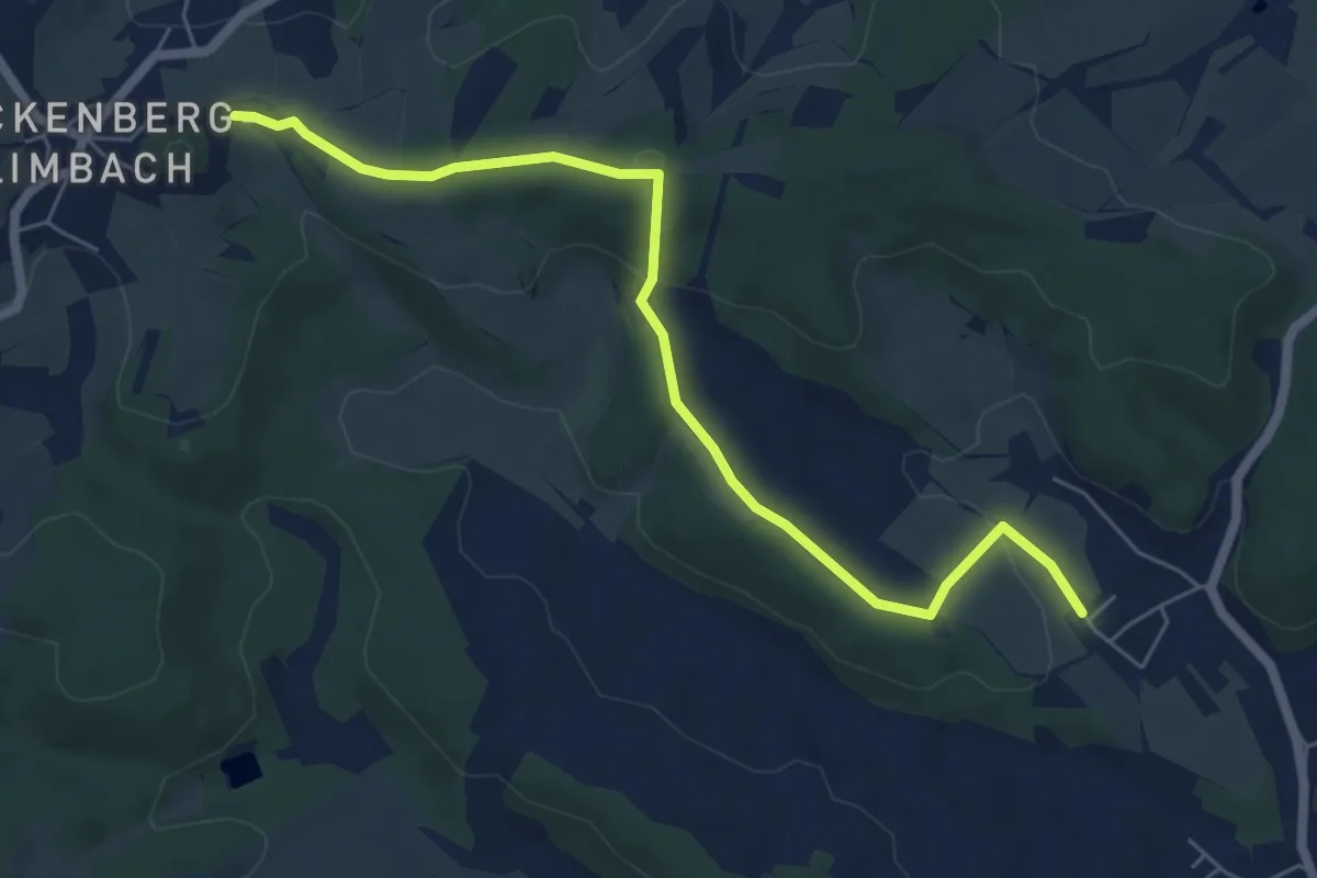
Easy · Summit
Kottenweg
3.0 km · ↑ 108 m · 57 min
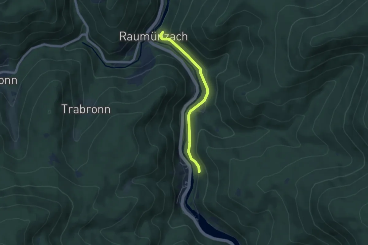
Easy · Trail
Kotwald - Pfadfinderzentrum
3.9 km · ↑ 73 m · 1 h 5 min
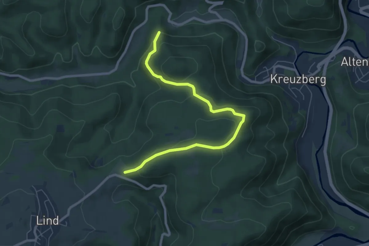
Easy · Trail
Kotzberger Weg
6.3 km · ↑ 246 m · 2 h 1 min
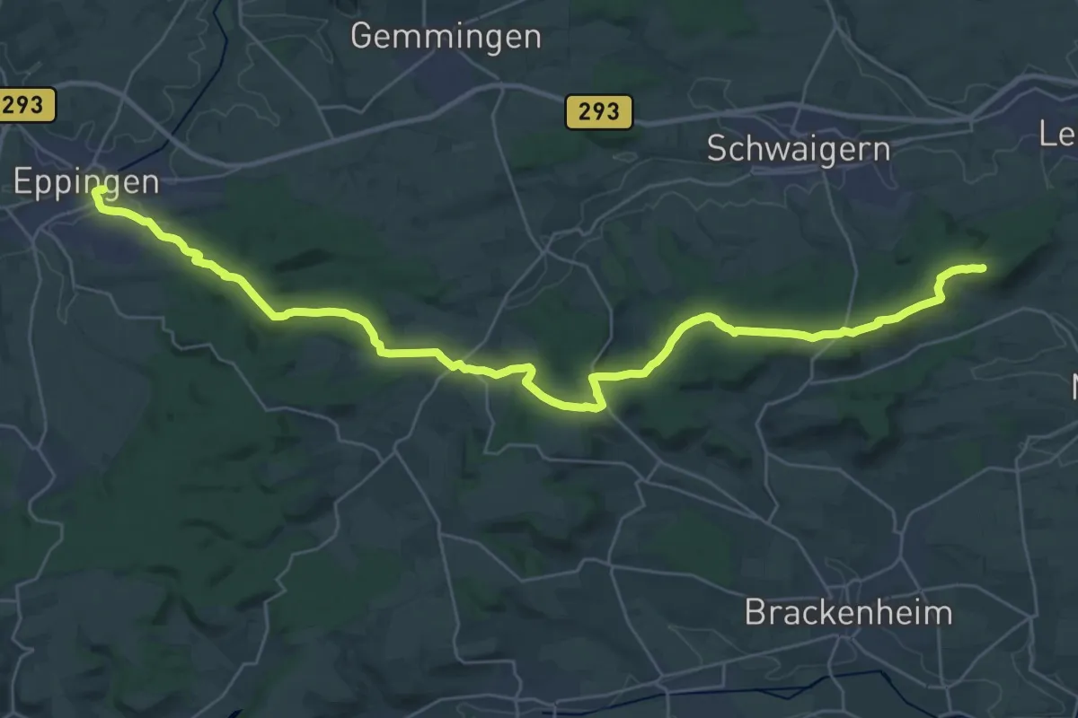
Demanding · Summit
KR1 Weinwanderung am Heuchelberg
34.1 km · ↑ 507 m · 9 h 10 min
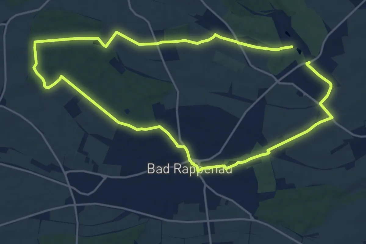
Medium · Trail
KR3 Kurztrip für Botanikfans
12.4 km · ↑ 102 m · 3 h 19 min
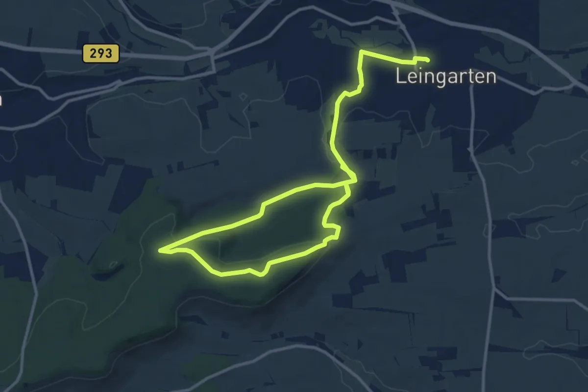
Easy · Summit
KR5 Vom Eichbott-Tal zur Heuchelberger Warte
7.6 km · ↑ 178 m · 2 h 15 min
Easy · Trail
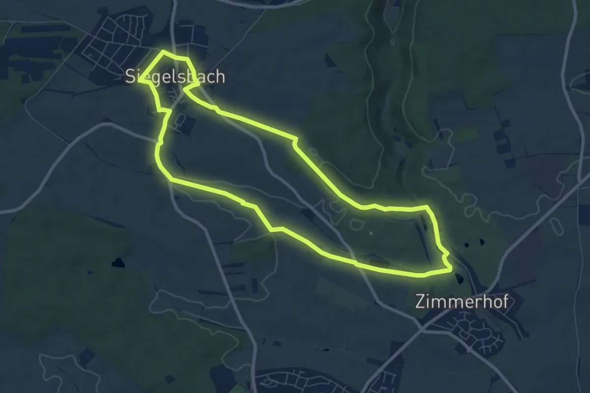
KR7 Fünfmühlental-Römersee Rundweg
7.6 km · ↑ 66 m · 2 h 2 min
Easy · Trail
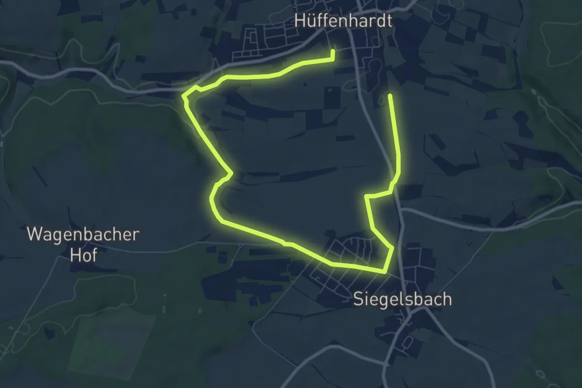
KR8 Hüffenhardt-Fischteiche Rundweg
5.9 km · ↑ 67 m · 1 h 37 min
Easy · Trail
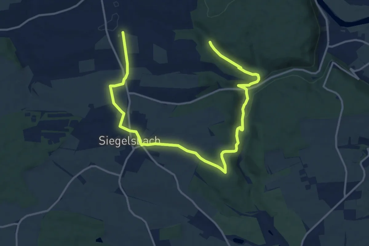
KR9 Mühlenschenke-Hüffenhardt Rundweg
7.0 km · ↑ 87 m · 1 h 58 min
Easy · Trail
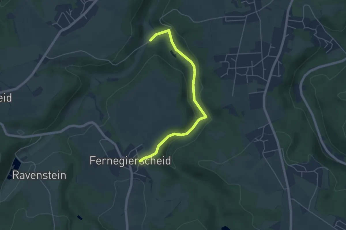
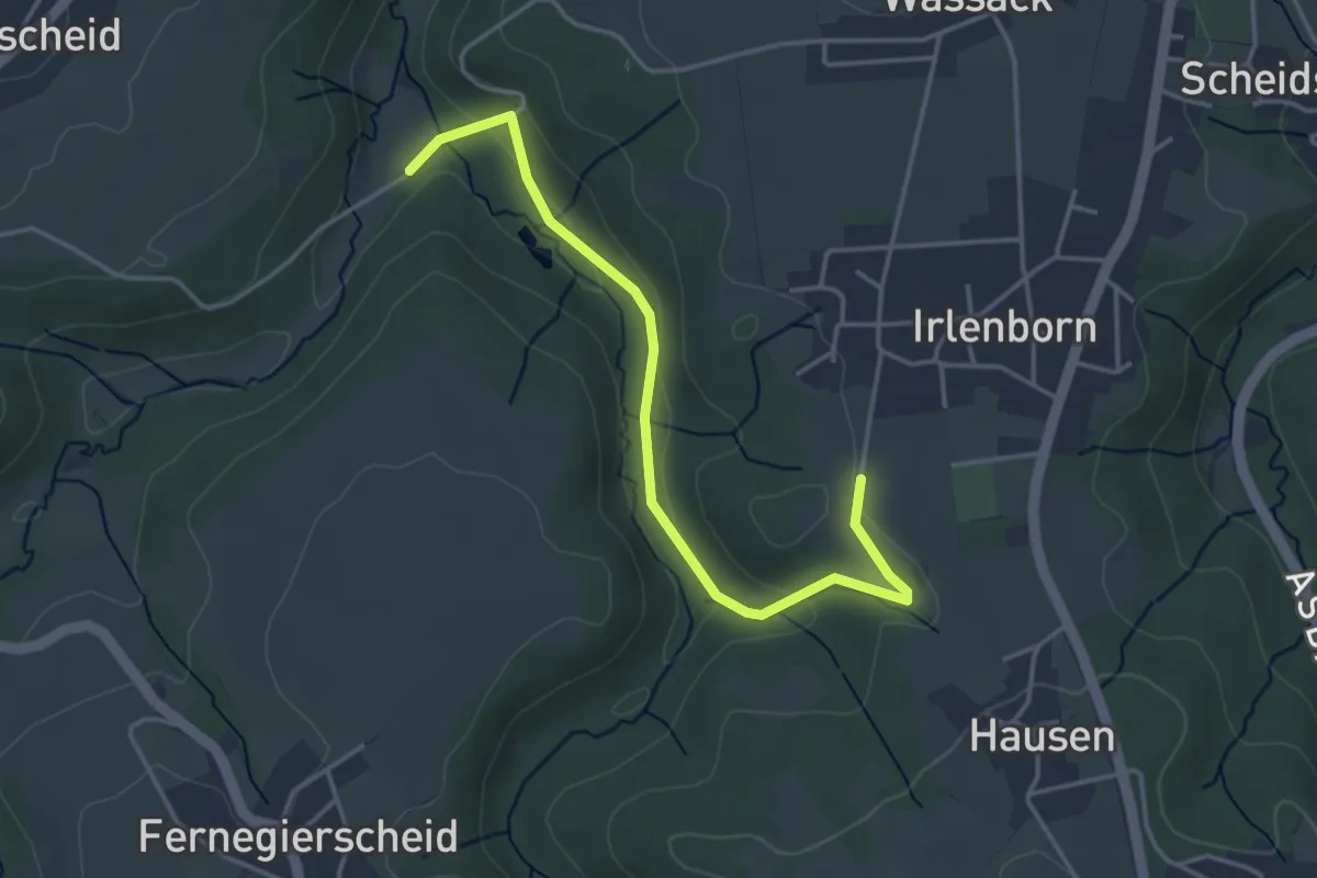
Krabachtal Rundweg A1
2.1 km · ↑ 15 m · 35 min
Easy · Trail
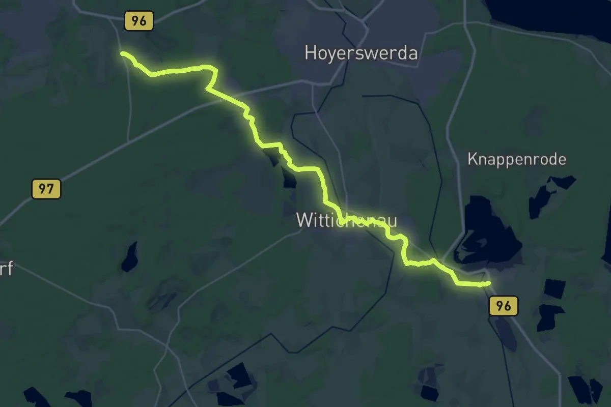
Krabachtal Rundweg A2
1.9 km · ↑ 76 m · 36 min
Medium · Trail
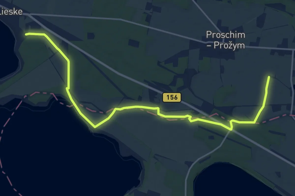
Krabat-Wanderweg
17.7 km · ↑ 49 m · 4 h 32 min
Medium · Trail
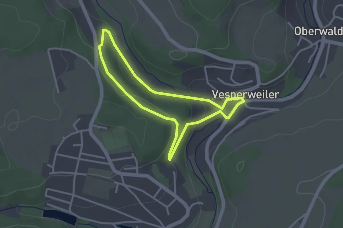
Krabatweg
13.6 km · ↑ 27 m · 3 h 16 min
Easy · Trail
Krabbenweg
2.4 km · ↑ 59 m · 44 min
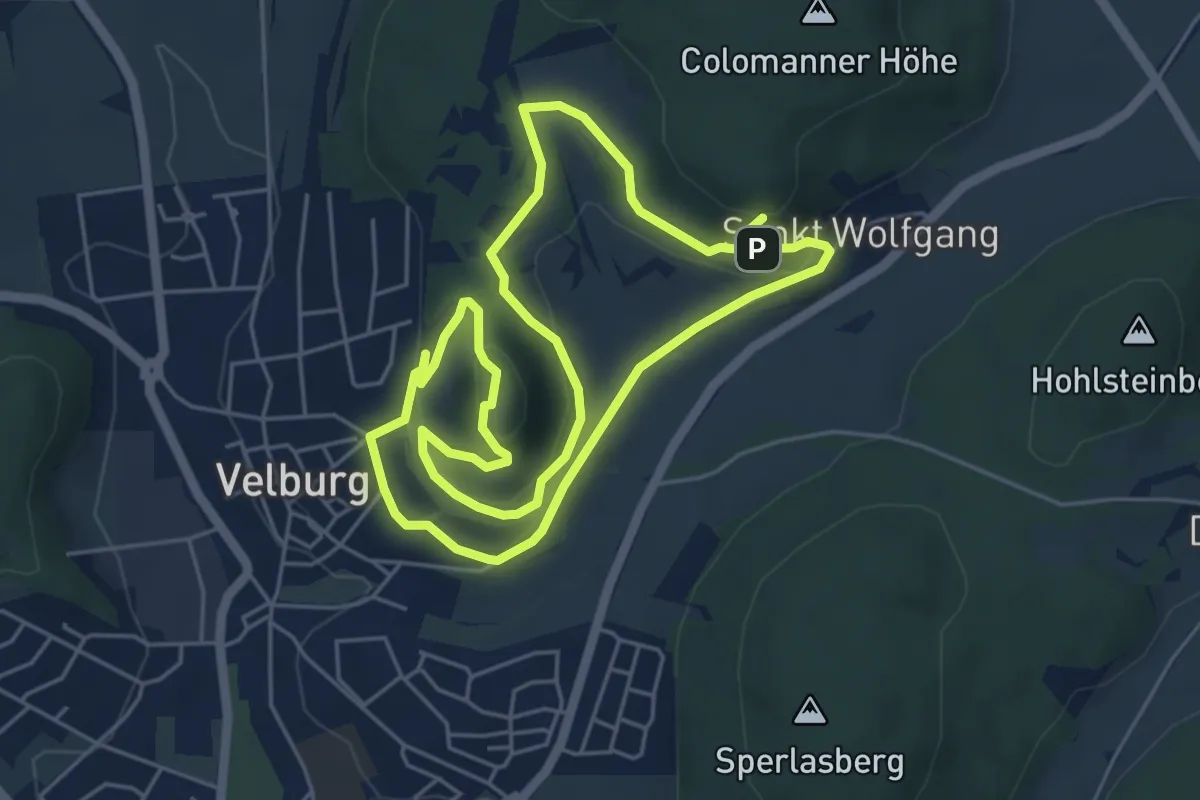
Easy · Summit
Kraftort Wanderung
5.0 km · ↑ 162 m · 1 h 36 min
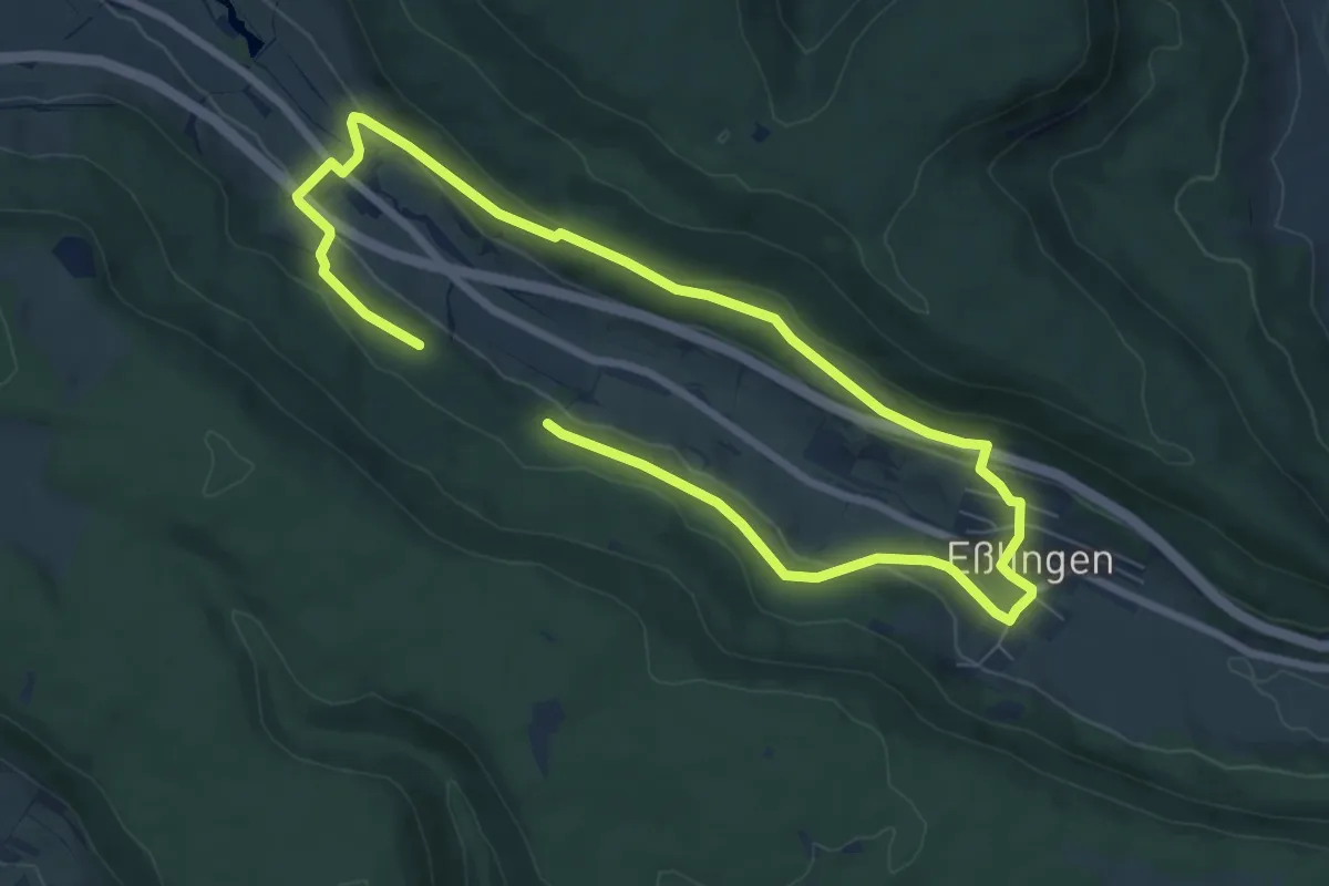
Medium · Trail
Krähenbachtal-Rundweg
11.8 km · ↑ 263 m · 3 h 21 min
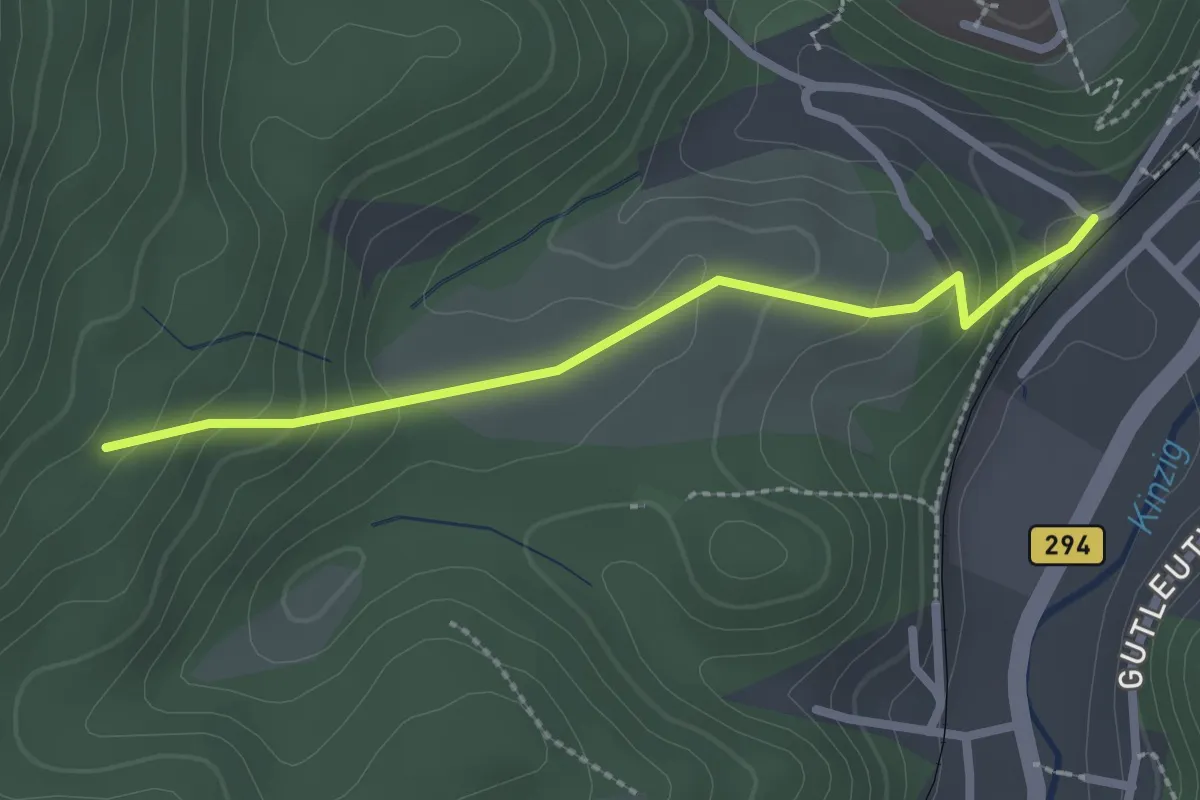
Easy · Trail
Krähenbadberg - Alpirsbach Bierkeller
2.3 km · ↑ 140 m · 50 min
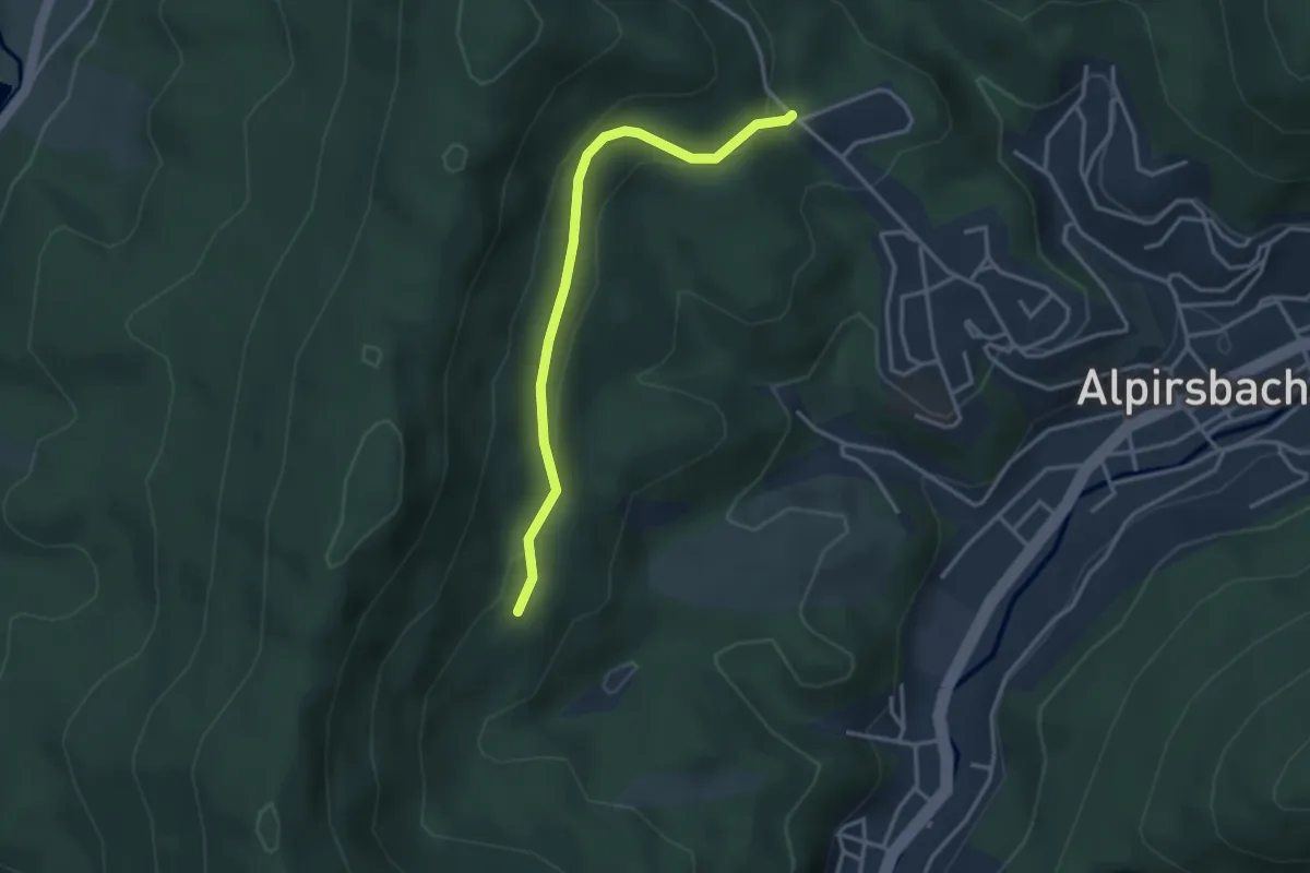
Easy · Trail
Krähenbadberg - Oberer Sulzberg
3.1 km · ↑ 123 m · 1 h
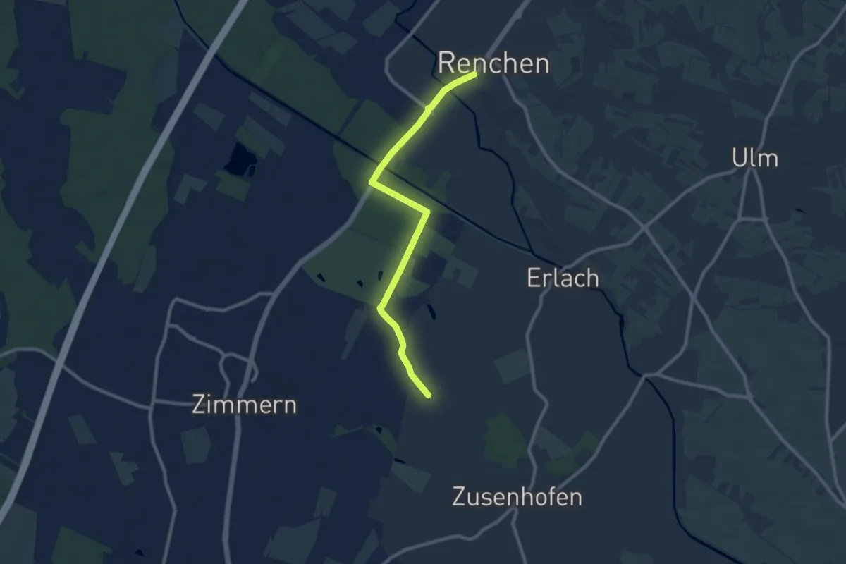
Medium · Trail
Kräheneck - Renchen Rathaus
8.5 km · ↑ 14 m · 2 h 2 min
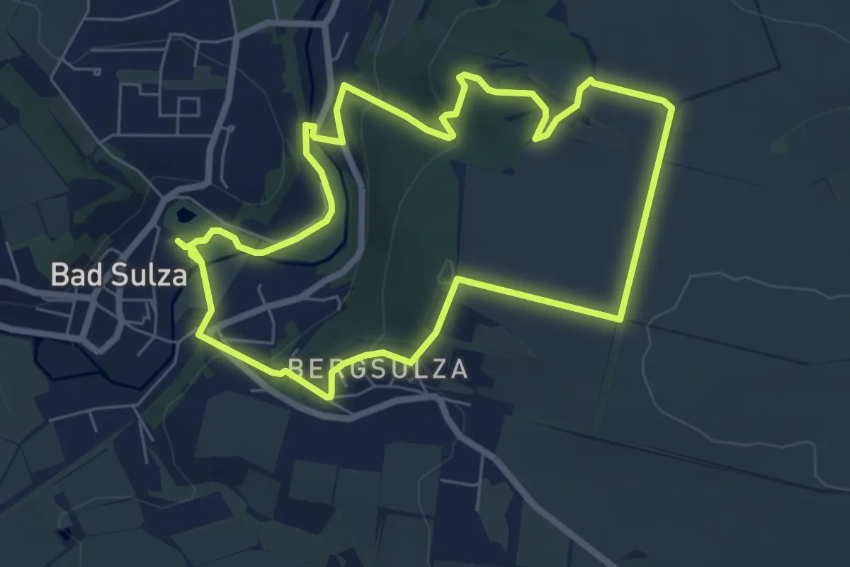
Easy · Trail
Krähenhüttenweg
5.8 km · ↑ 122 m · 1 h 42 min
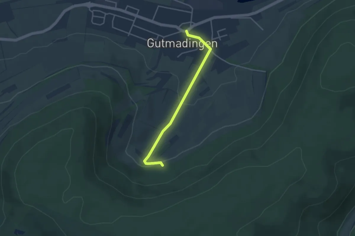
Easy · Trail
Krähenlochhütte - Gutmadingen
2.9 km · ↑ 81 m · 52 min
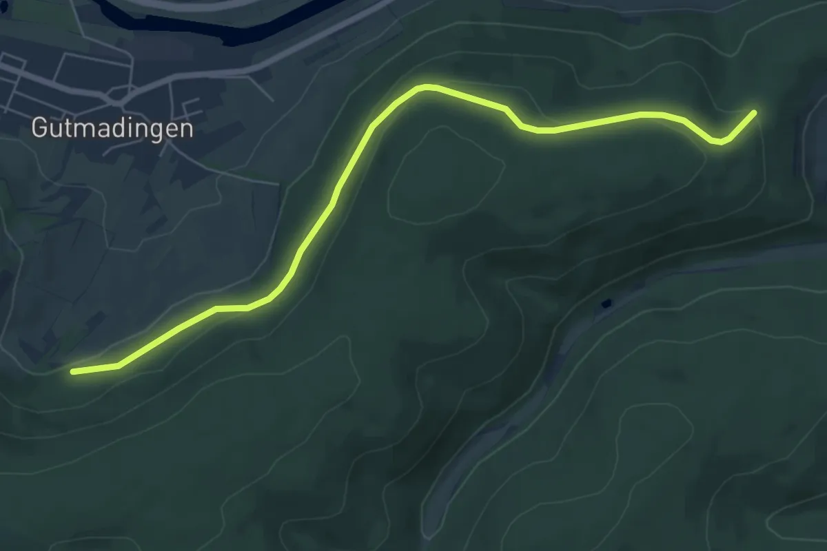
Easy · Trail
Krähenlochhütte - Hohe Reute
6.8 km · ↑ 201 m · 2 h 2 min
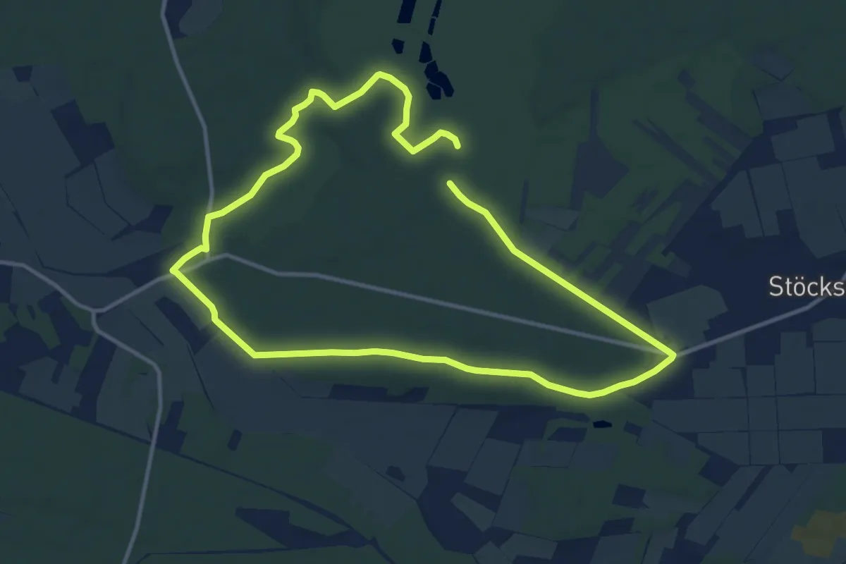
Medium · Trail
Krähen-Tour
9.3 km · ↑ 57 m · 2 h 28 min
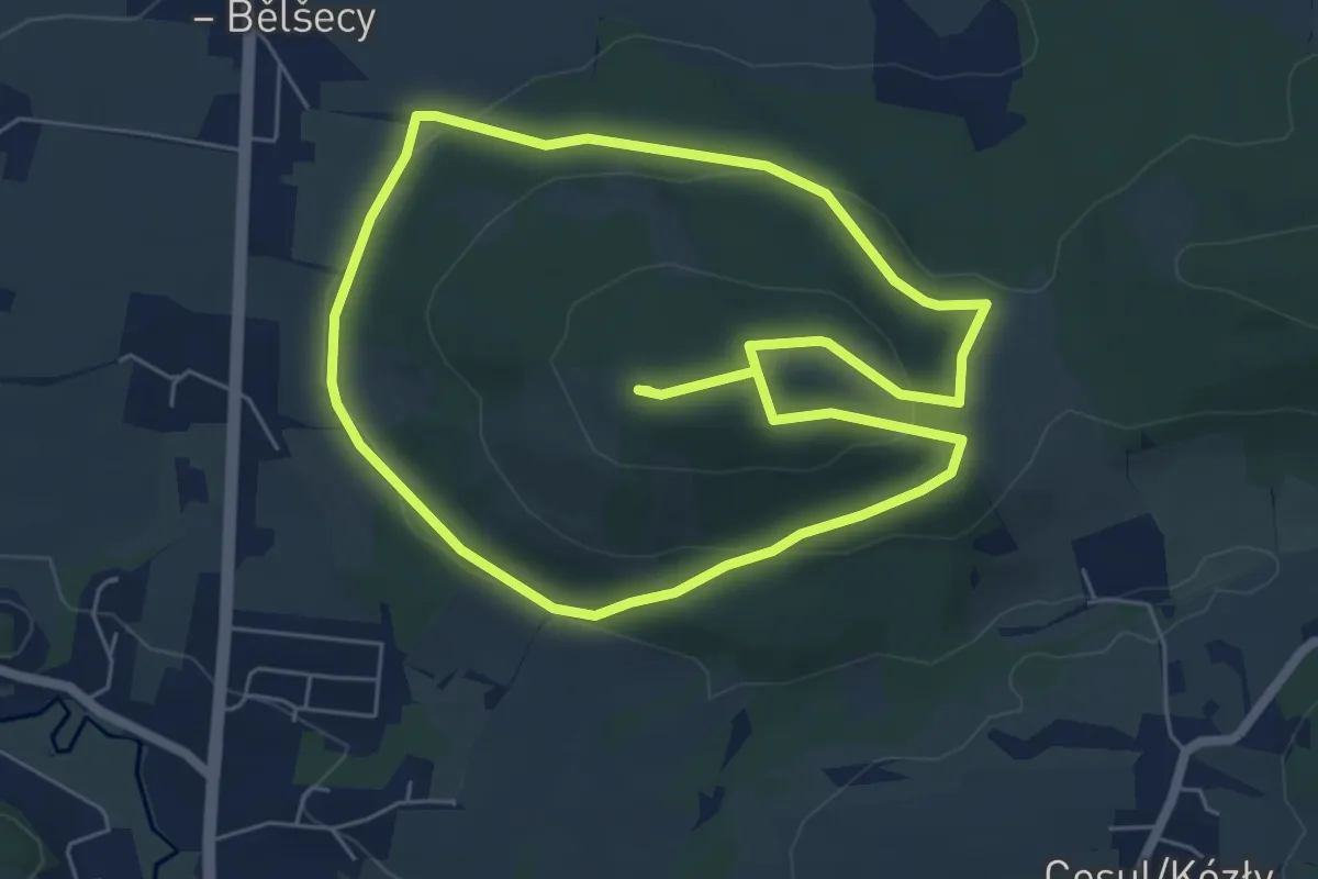
Easy · Summit
Kralowski puć/ Weg der Könige/ Königsweg
5.5 km · ↑ 150 m · 1 h 42 min
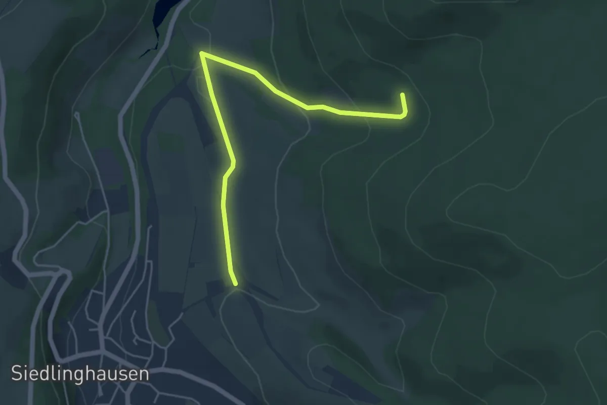
Easy · Trail
Krämerhöhe Rundweg A8
4.3 km · ↑ 180 m · 1 h 25 min
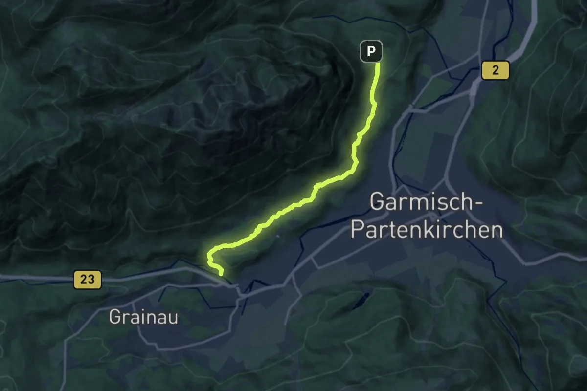
Medium · Trail
Kramerplateauweg
13.0 km · ↑ 376 m · 3 h 53 min
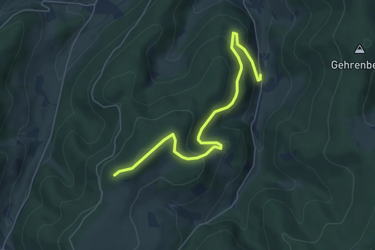
Easy · Trail
Krämershof - Hermen
5.4 km · ↑ 312 m · 1 h 57 min
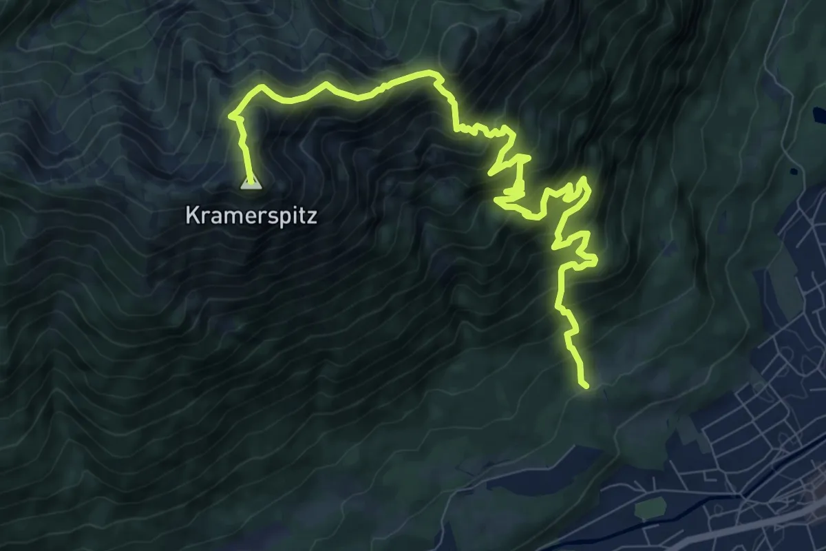
Demanding · Summit
Kramersteig
11.7 km · ↑ 1397 m · 5 h 47 min
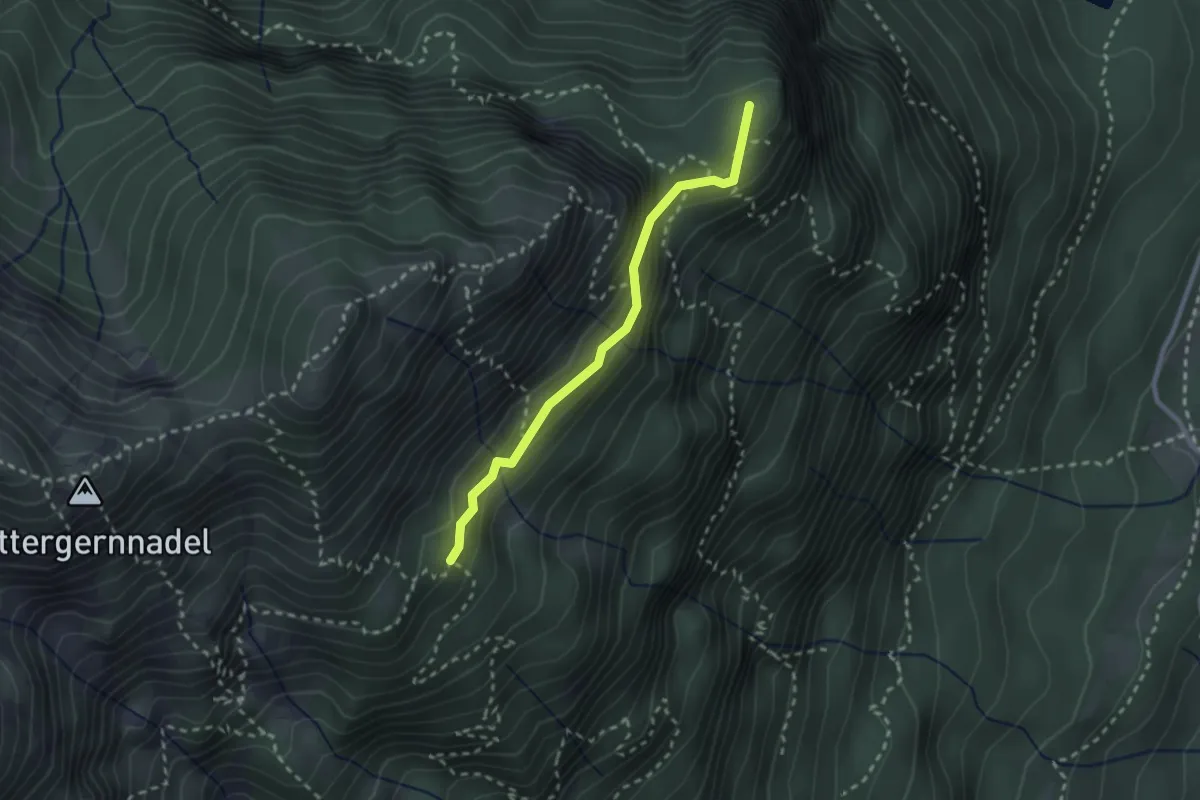
Medium · Summit
Kramersteig - Königsstand
2.3 km · ↑ 193 m · 57 min
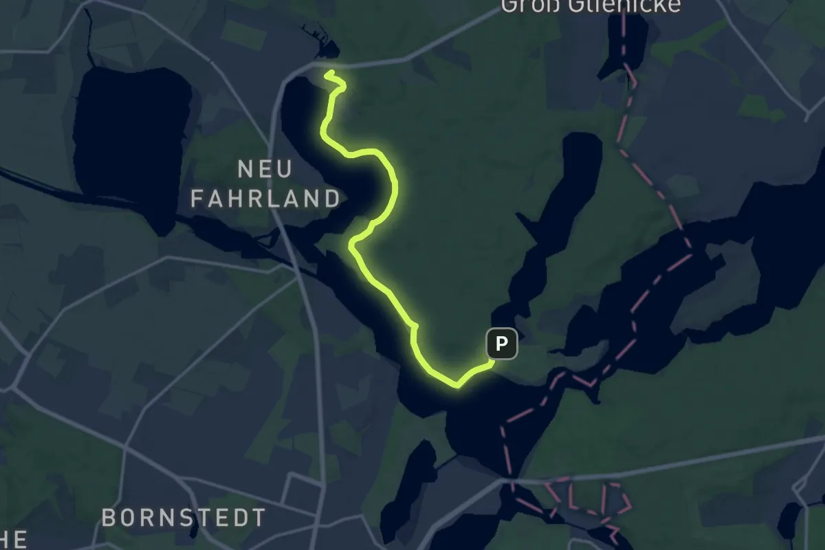
Medium · Summit
Krampnitz - Sacrow
12.8 km · ↑ 128 m · 3 h 17 min
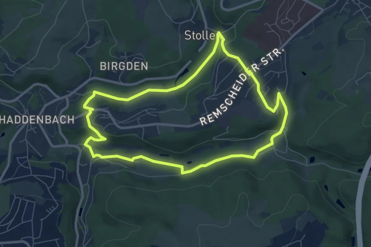
Easy · Trail
Kranerhof Rundweg A3
6.2 km · ↑ 125 m · 1 h 49 min
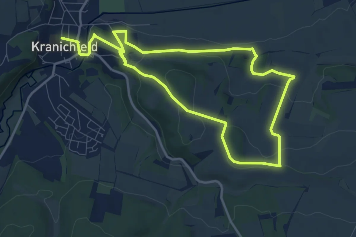
Easy · Summit
Kranich-Rundwanderweg 1
7.0 km · ↑ 167 m · 2 h 5 min
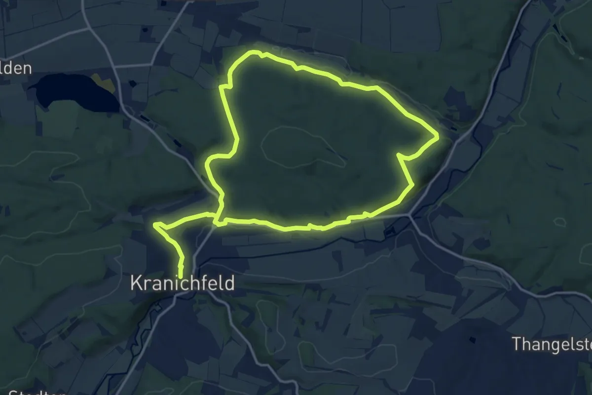
Medium · Trail
Kranich-Rundwanderweg 2
12.2 km · ↑ 244 m · 3 h 34 min
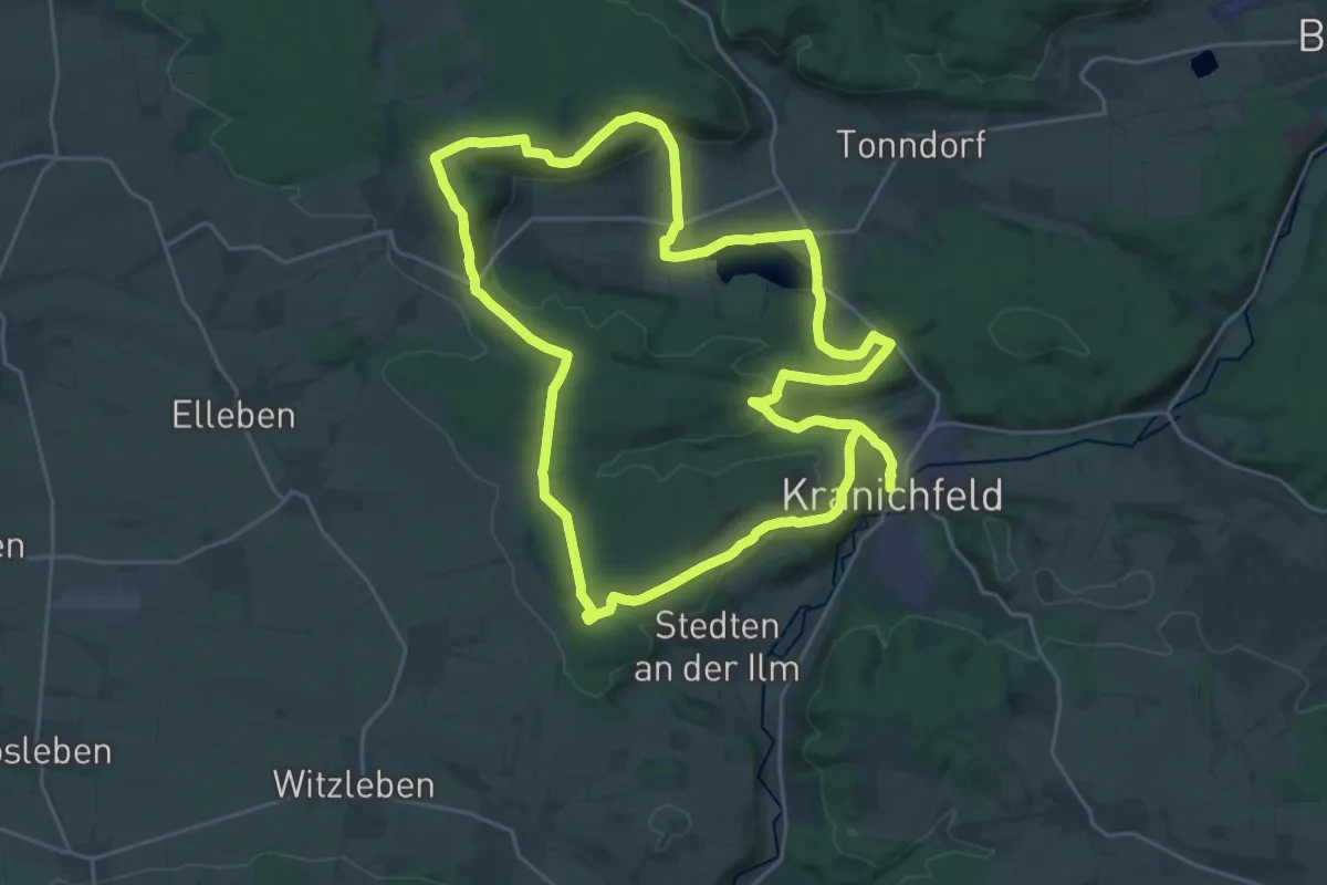
Demanding · Summit
Kranich-Rundwanderweg 3
23.5 km · ↑ 404 m · 6 h 46 min
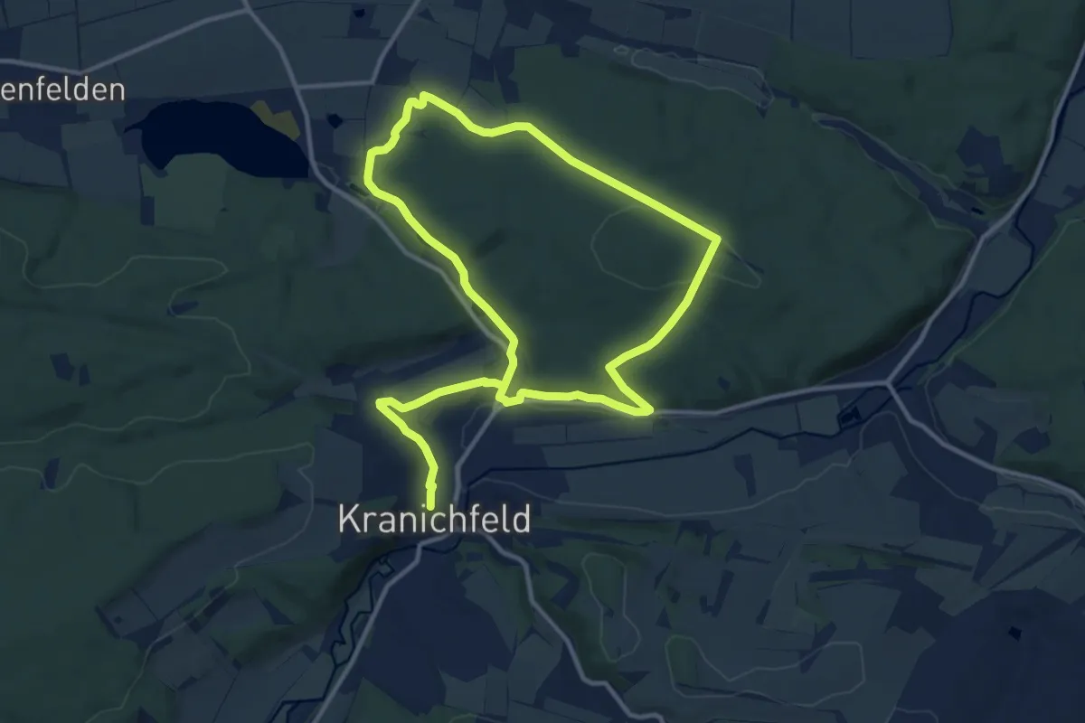
Medium · Trail
Kranich-Rundwanderweg 4
9.8 km · ↑ 192 m · 2 h 51 min
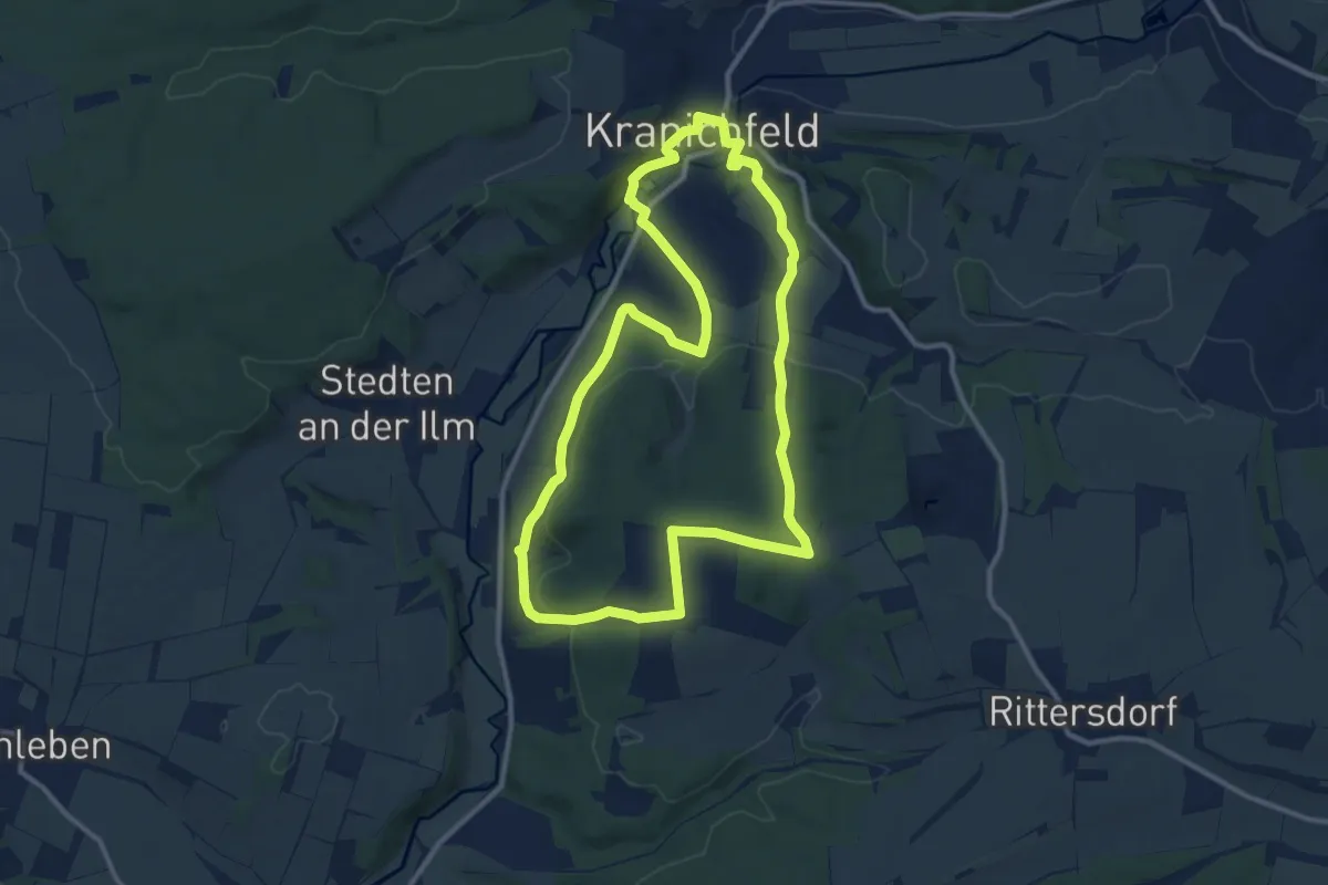
Medium · Trail
Kranich-Rundwanderweg 5
10.6 km · ↑ 321 m · 3 h 20 min
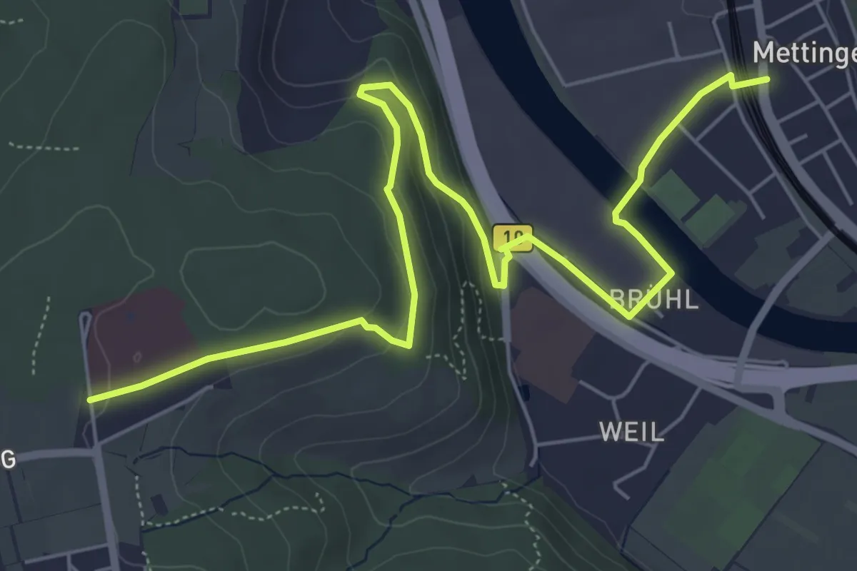
Easy · Trail
Krankenhaus - Weil - Mettingen
7.5 km · ↑ 181 m · 2 h 9 min
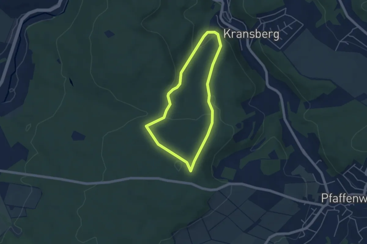
Easy · Trail
Kransberg-Kreuzkapelle-Jungholz
3.3 km · ↑ 105 m · 1 h 3 min
Easy · Trail
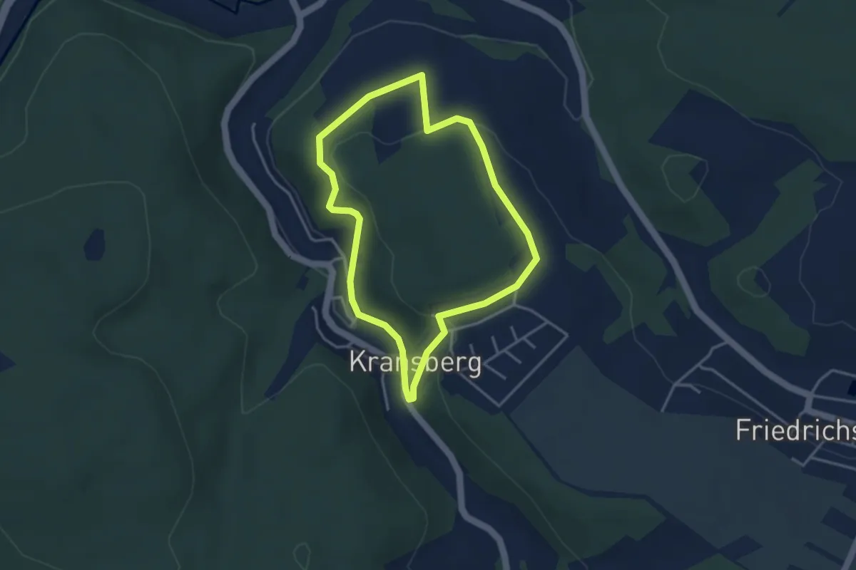
Kransberg - Rundwanderweg blau
3.0 km · ↑ 94 m · 57 min
Easy · Trail
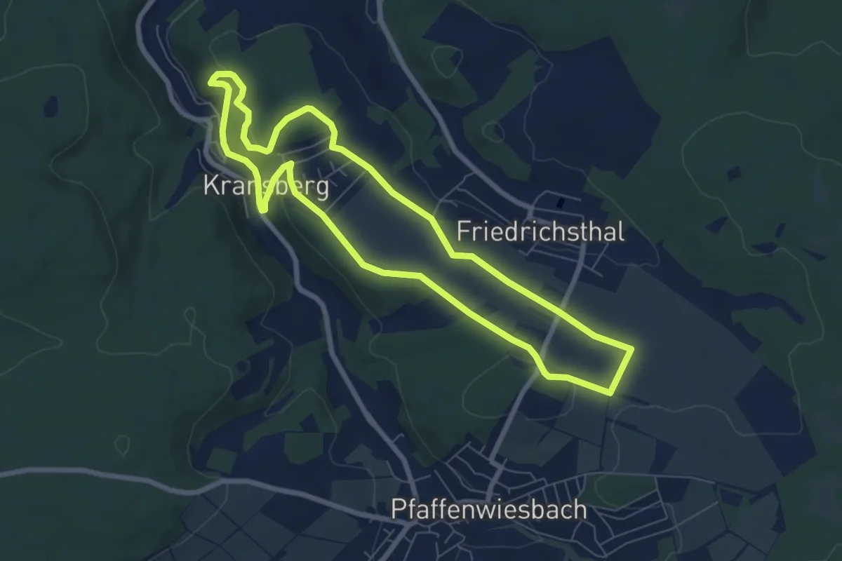
Kransberg - Rundwanderweg gelb
6.4 km · ↑ 146 m · 1 h 55 min
Easy · Trail
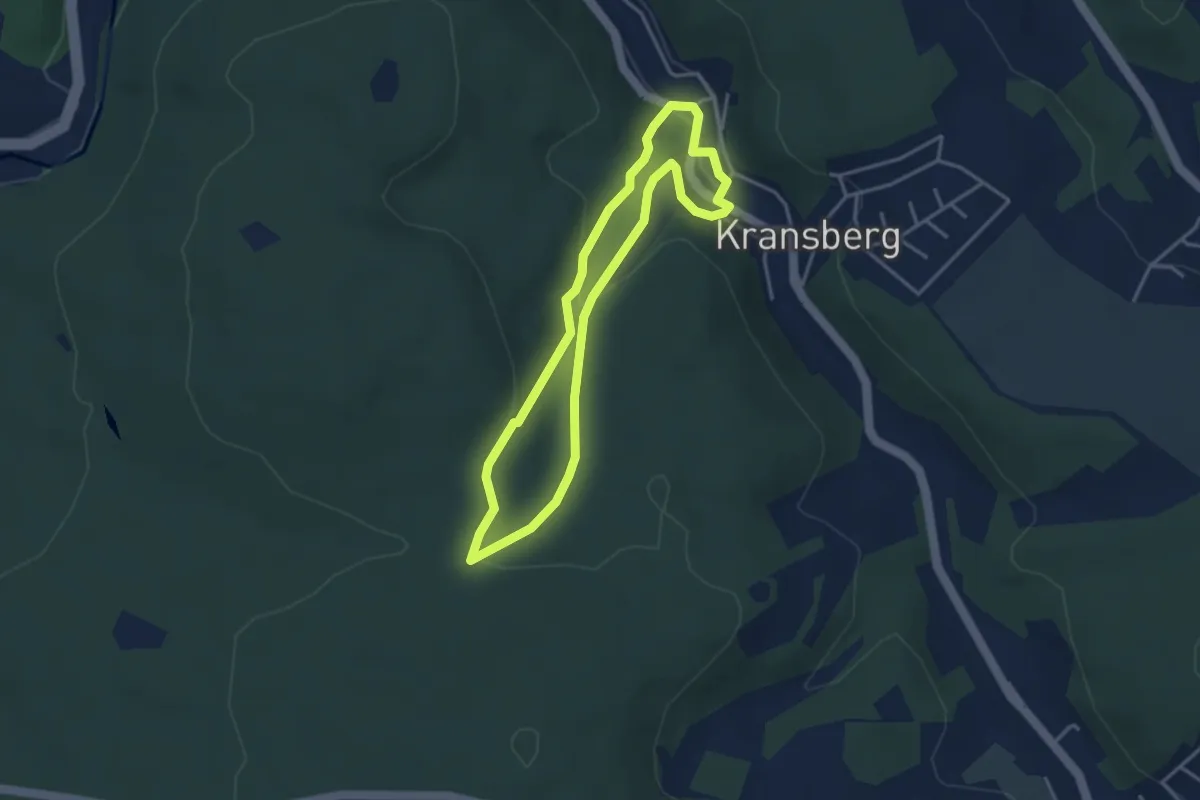
Kransberg - Rundwanderweg rot
3.1 km · ↑ 105 m · 1 h 1 min
Medium · Cabin
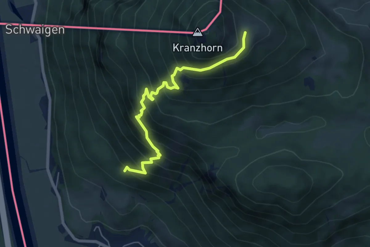
Kranzhornsteig
4.8 km · ↑ 608 m · 2 h 28 min
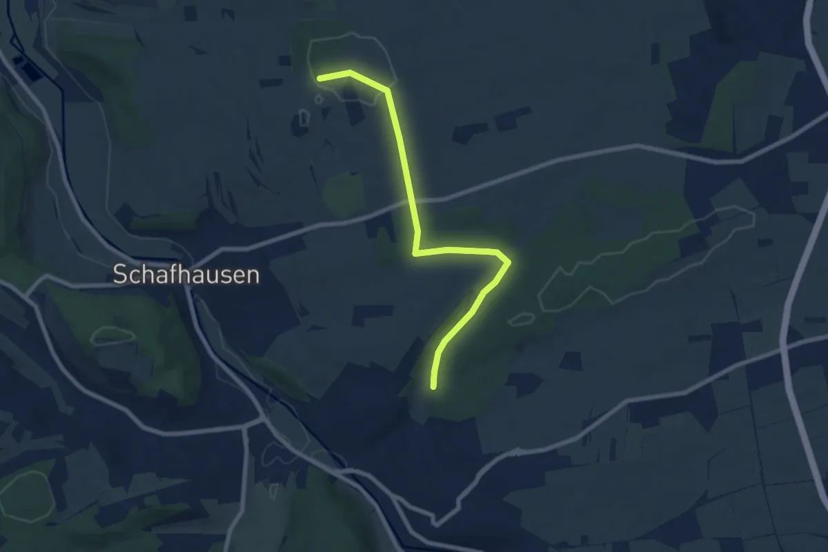
Easy · Trail
Krappenberg - Döffingen
6.6 km · ↑ 85 m · 1 h 44 min
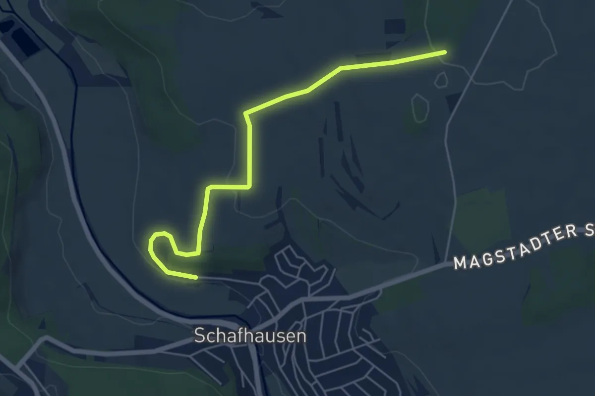
Easy · Trail
Krappenberg - Schafhausen
4.9 km · ↑ 93 m · 1 h 21 min
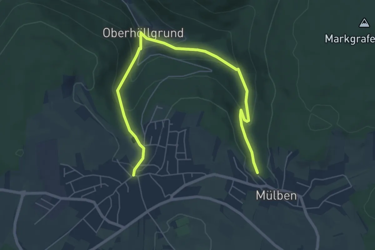
Easy · Trail
Krappenwald-Weg
3.3 km · ↑ 155 m · 1 h 9 min
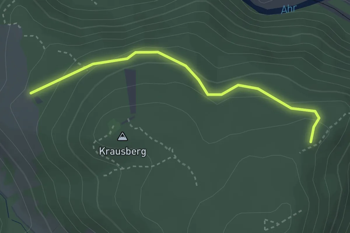
Easy · Trail
Krausbergrundweg
2.6 km · ↑ 111 m · 52 min